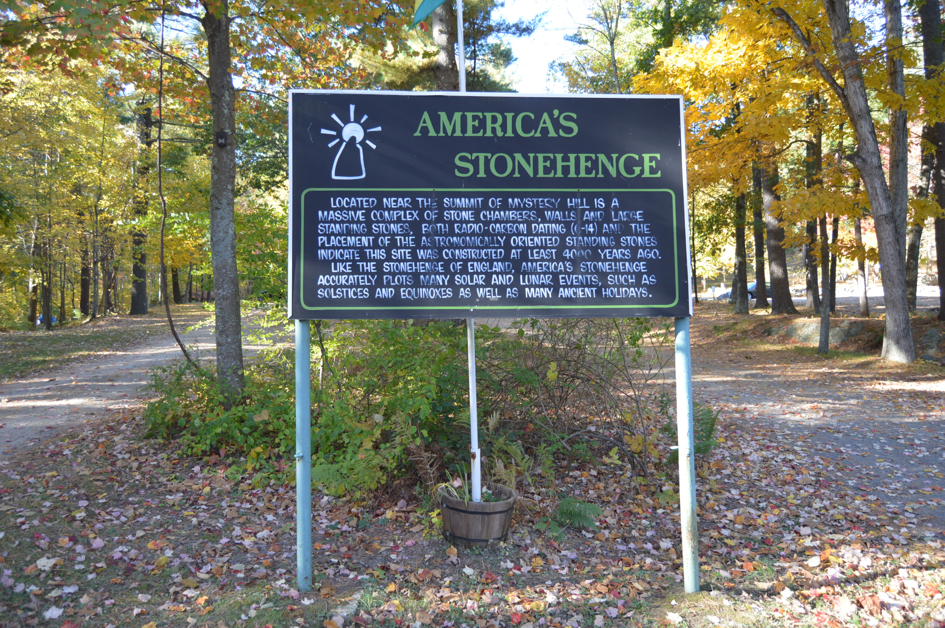
From the moment you drive into the parking lot of Mystery Hill, (a.k.a “America’s Stonehenge”) in Salem, New Hampshire,(the other Salem in the New England region) you know it’s a special place.
There are strange rock formations and….
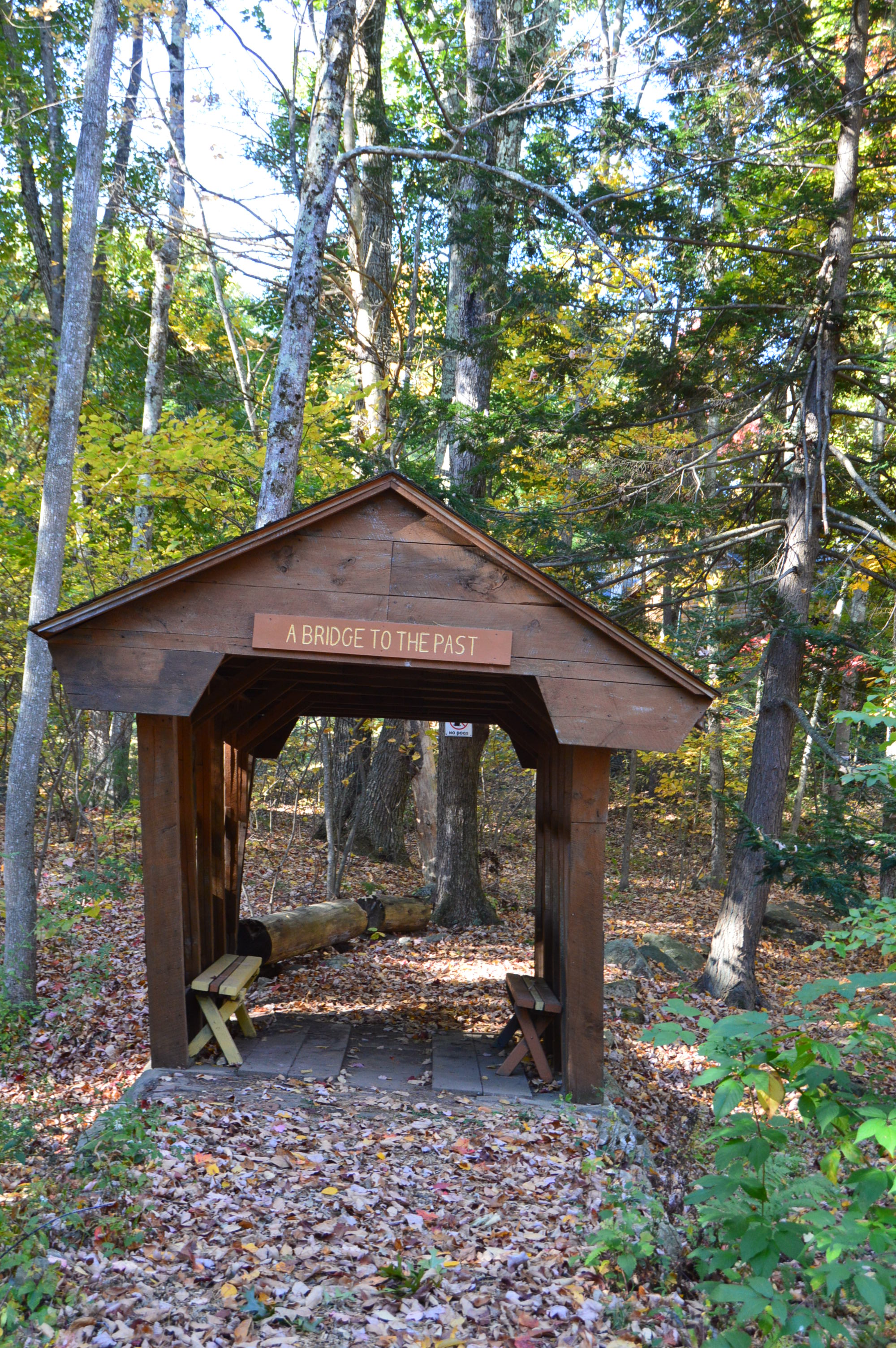
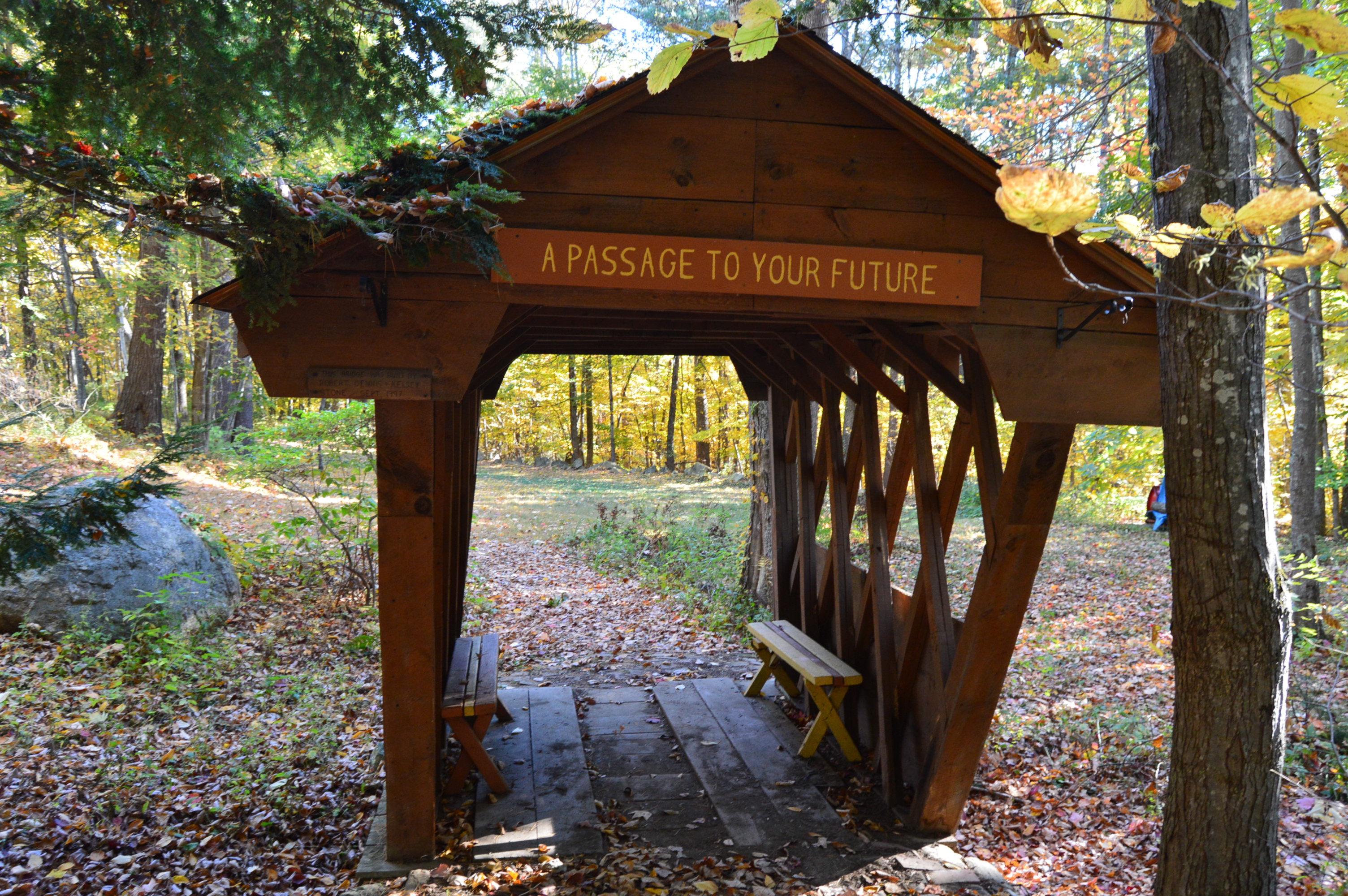
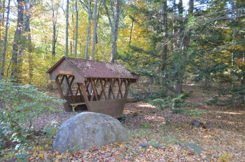
…a bridge in the front entrance welcomes you from the past.
and brings you to the future
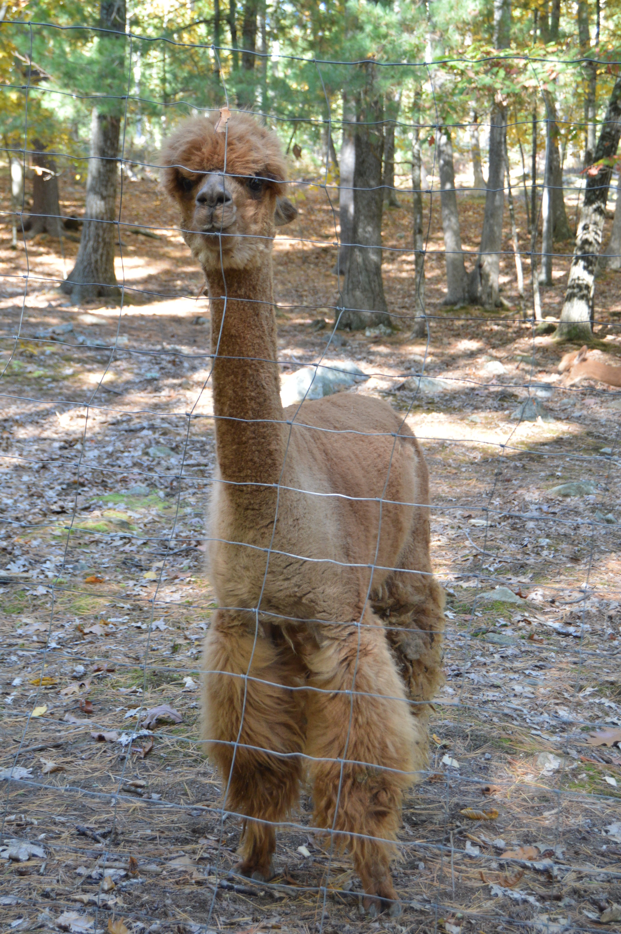
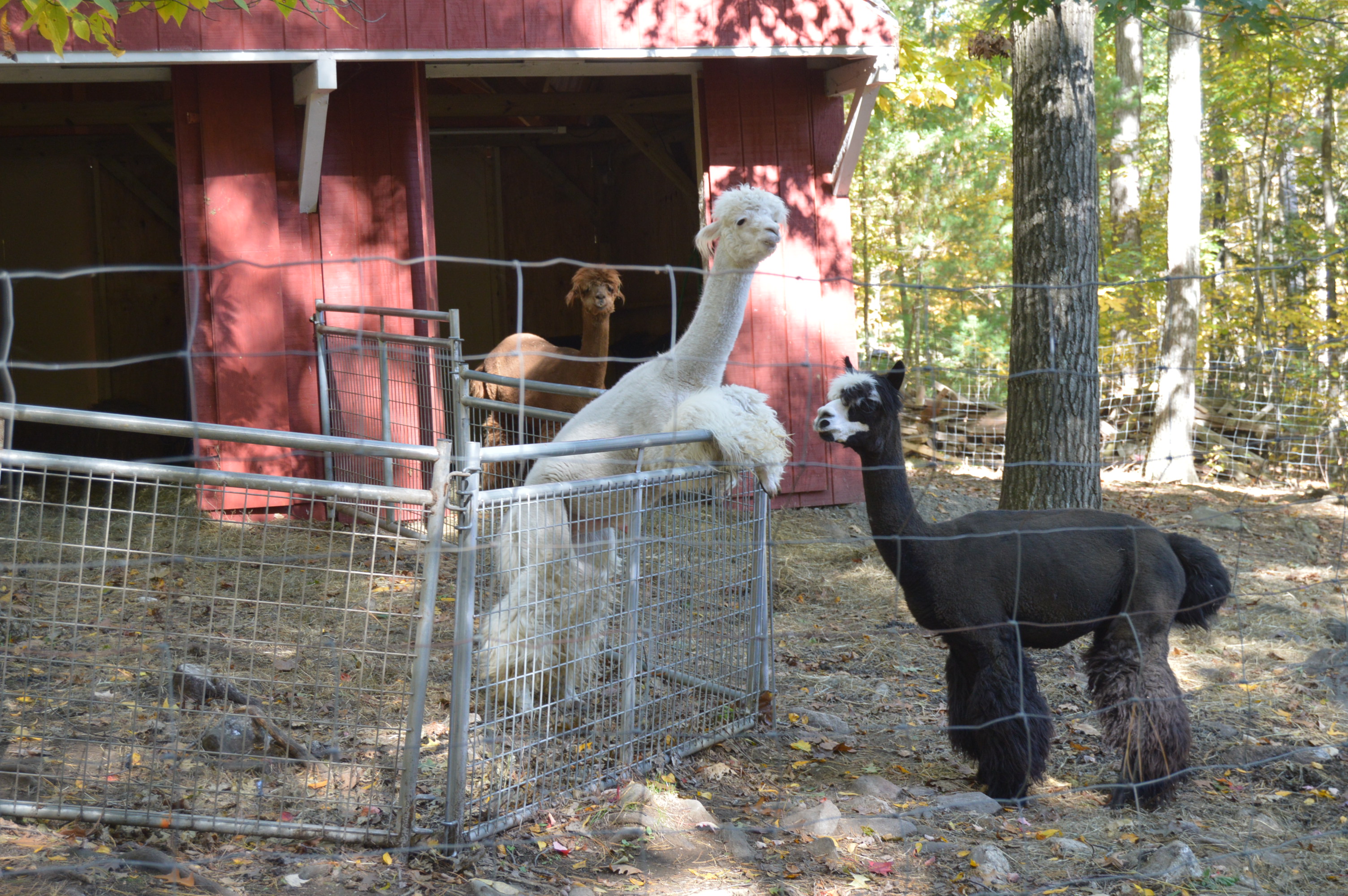
But, the front entrance of America’s Stonehenge is only a tease. Once you exit the gift shop (it costs $12 for adults and $7.50 for kids), you are greeted by some Alpacas on the right. They are fenced but they are very friendly.
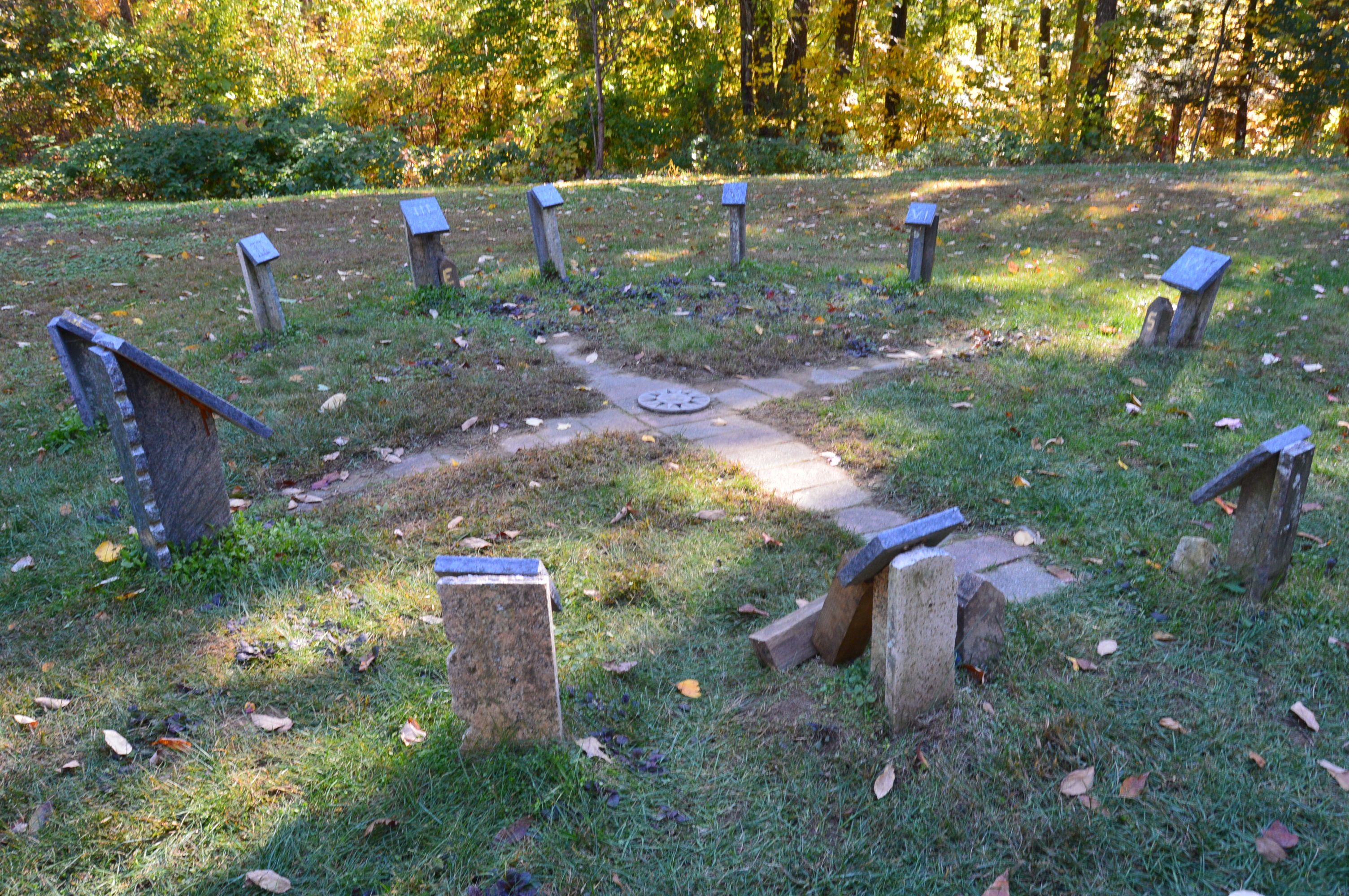
There are also a variety of time keeping devices which, to this day, still keep correct time.
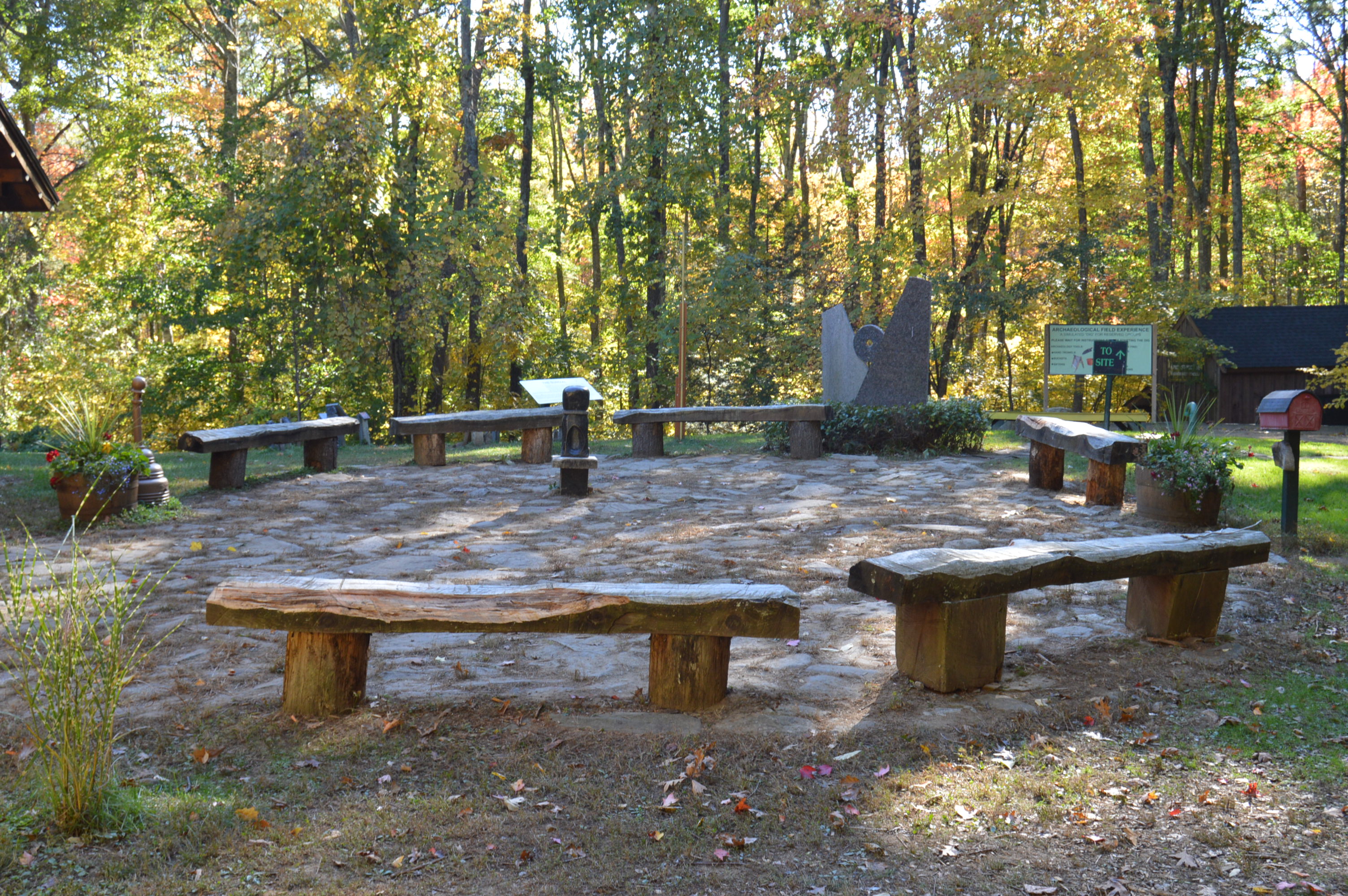
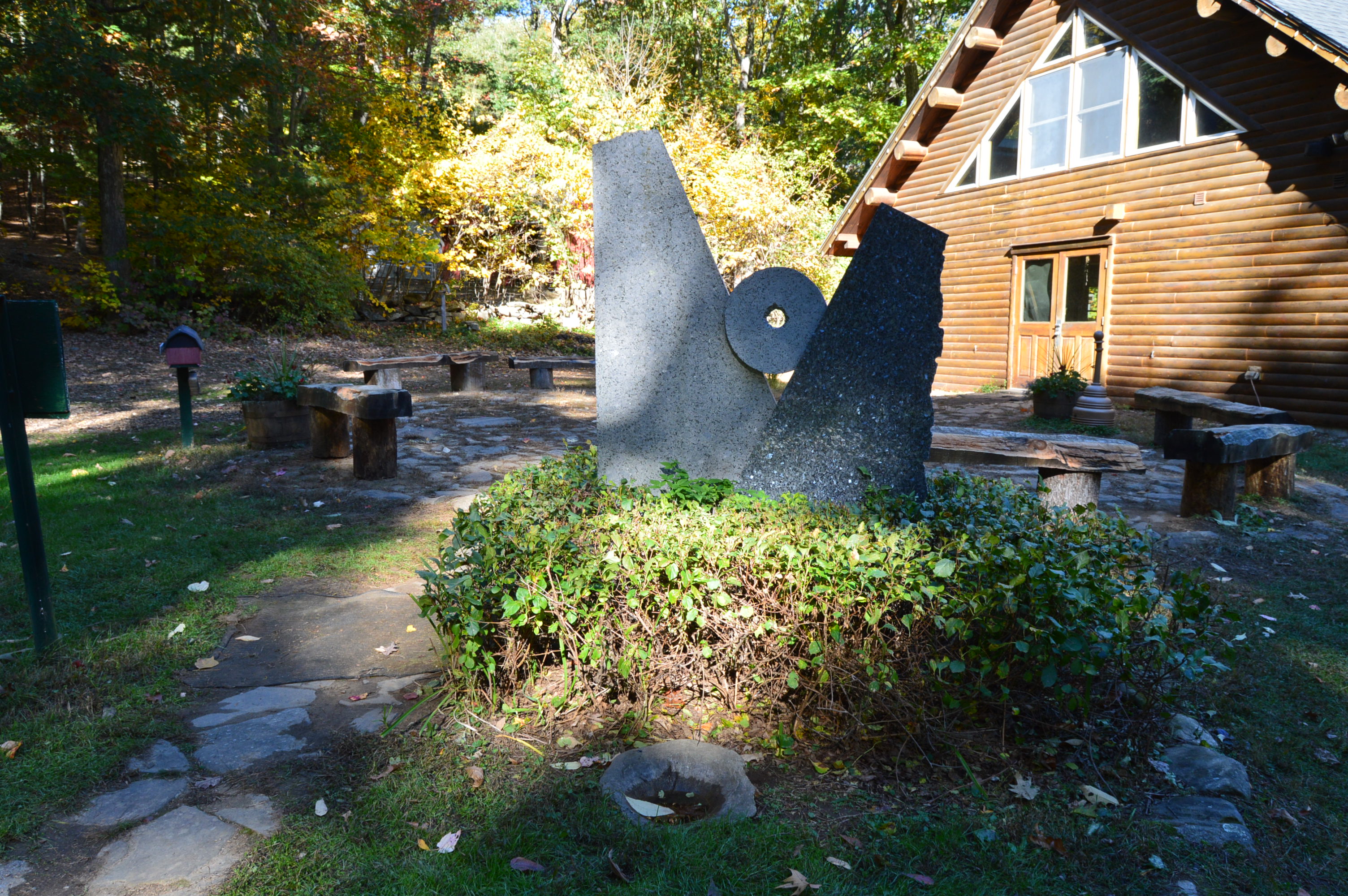
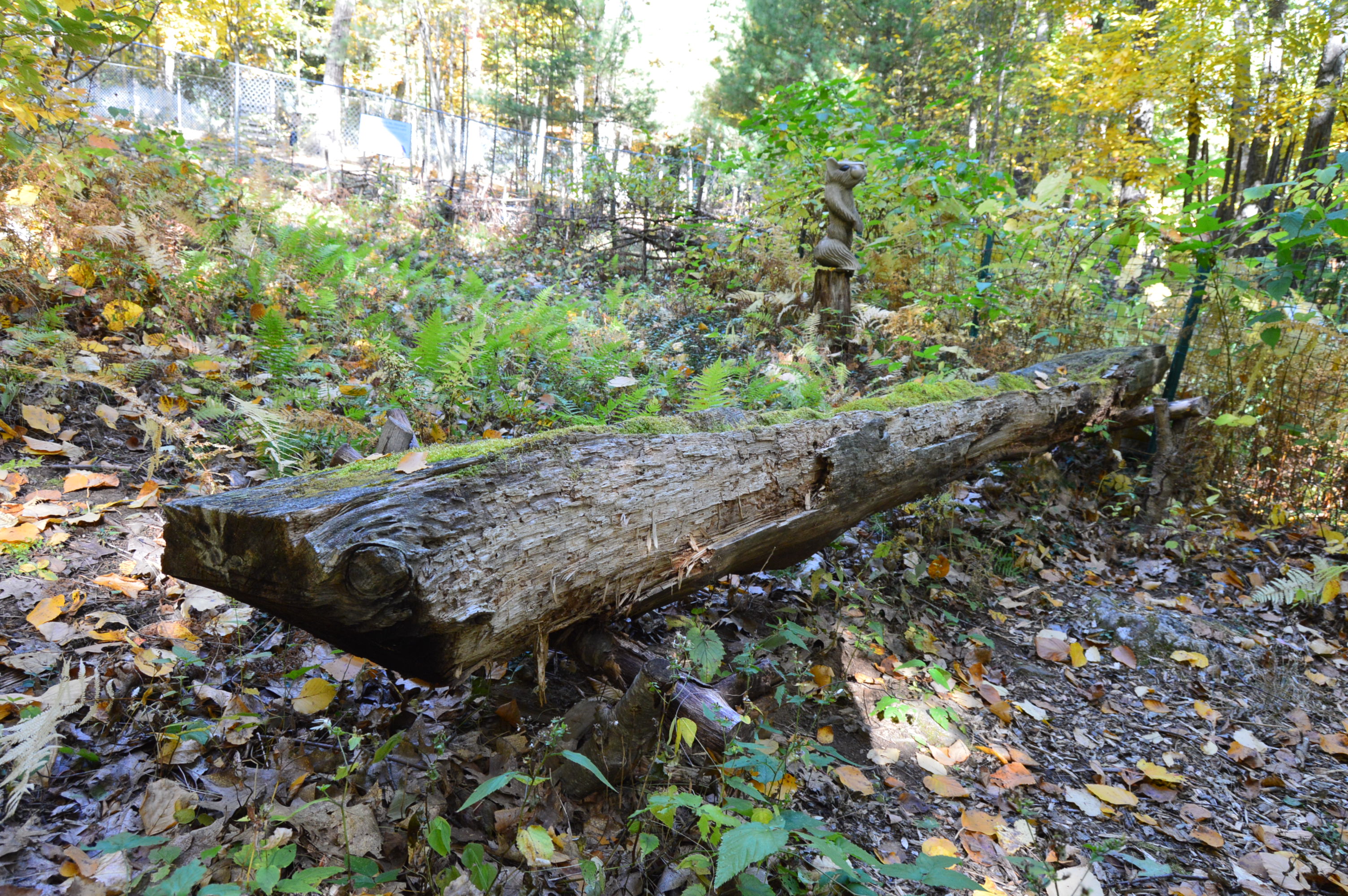
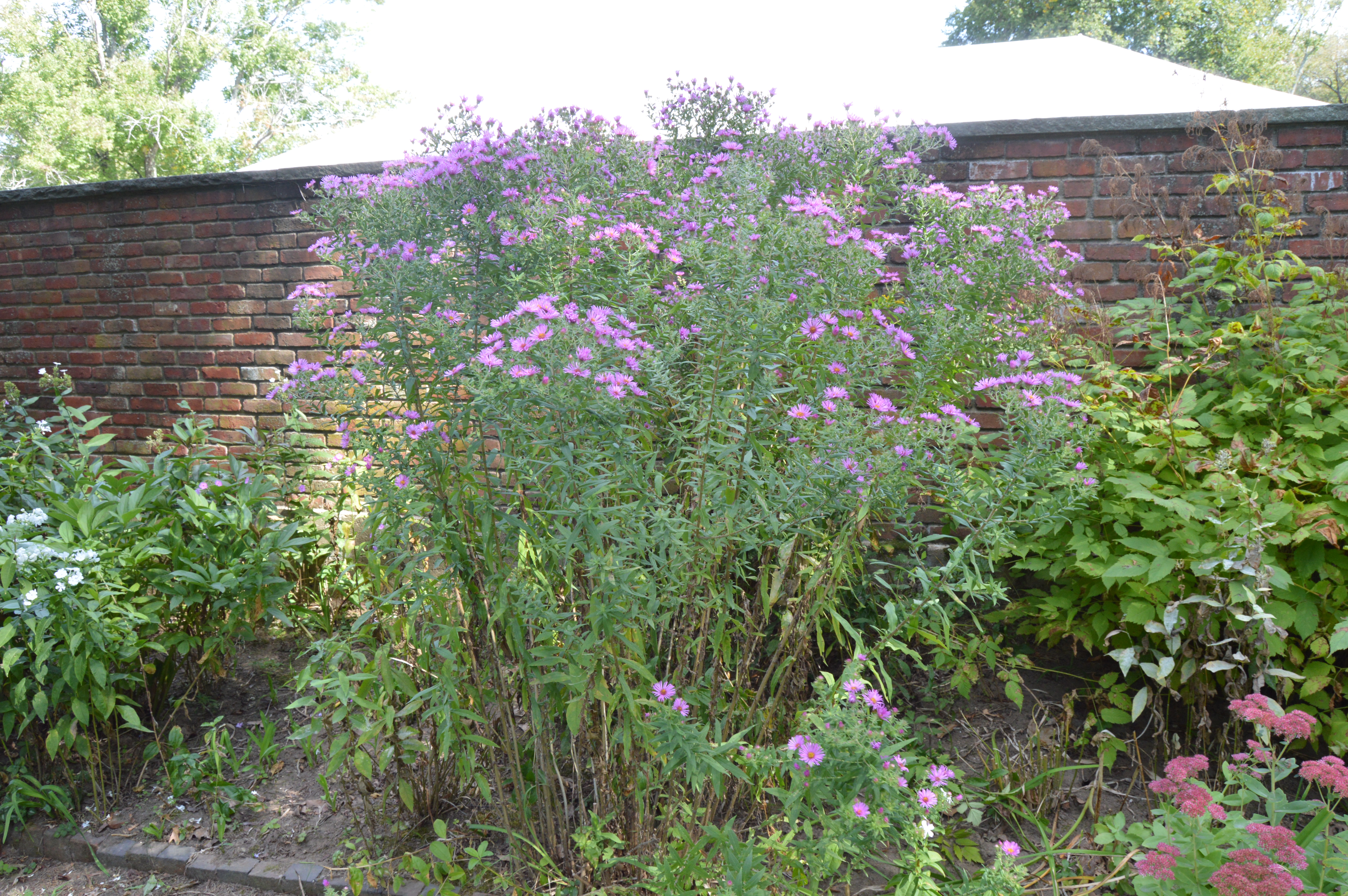
But, some of the things I liked best were not the structures or rock formations but the statues, flowers, decor and the hollowed out canoe.
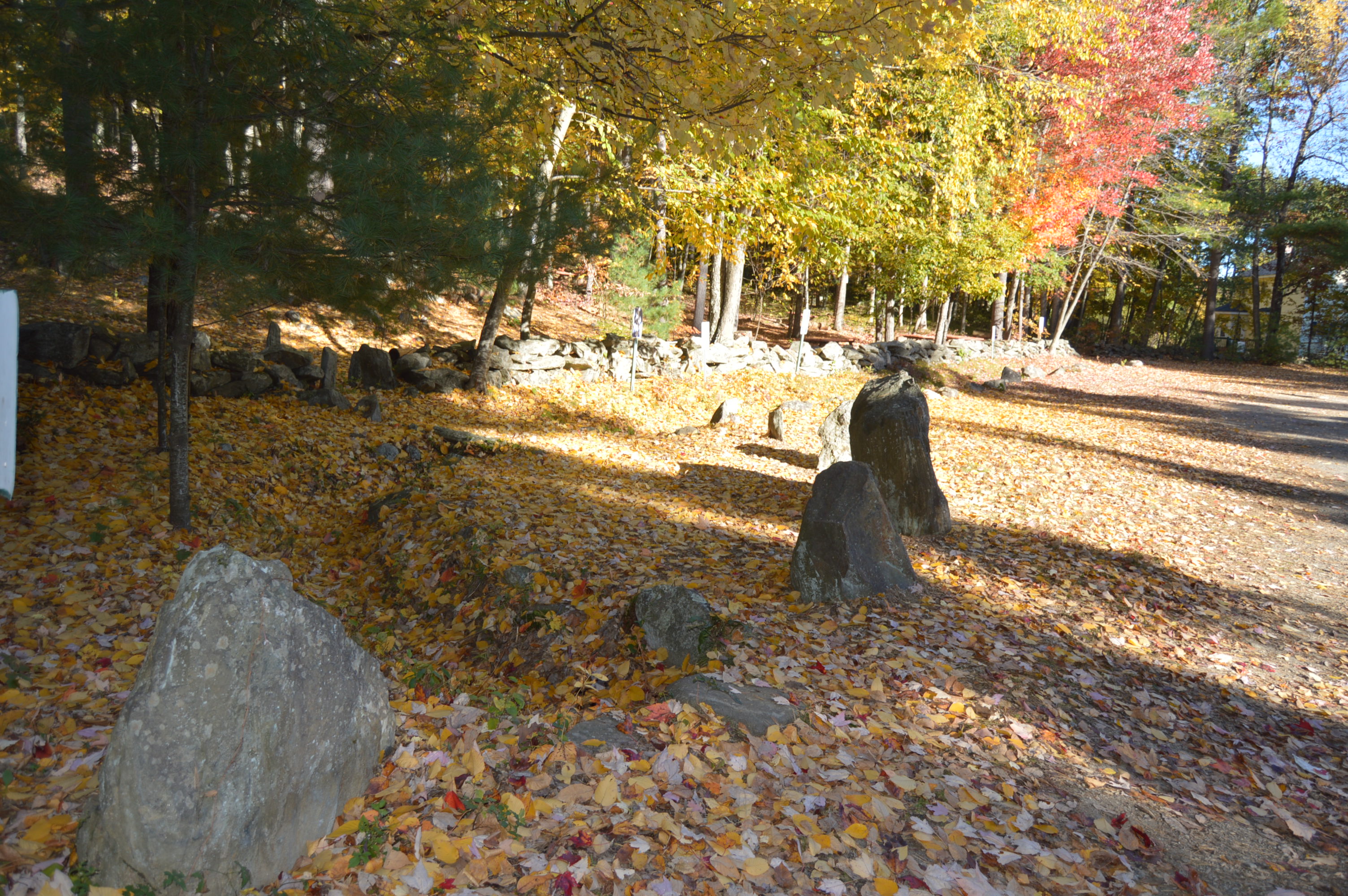
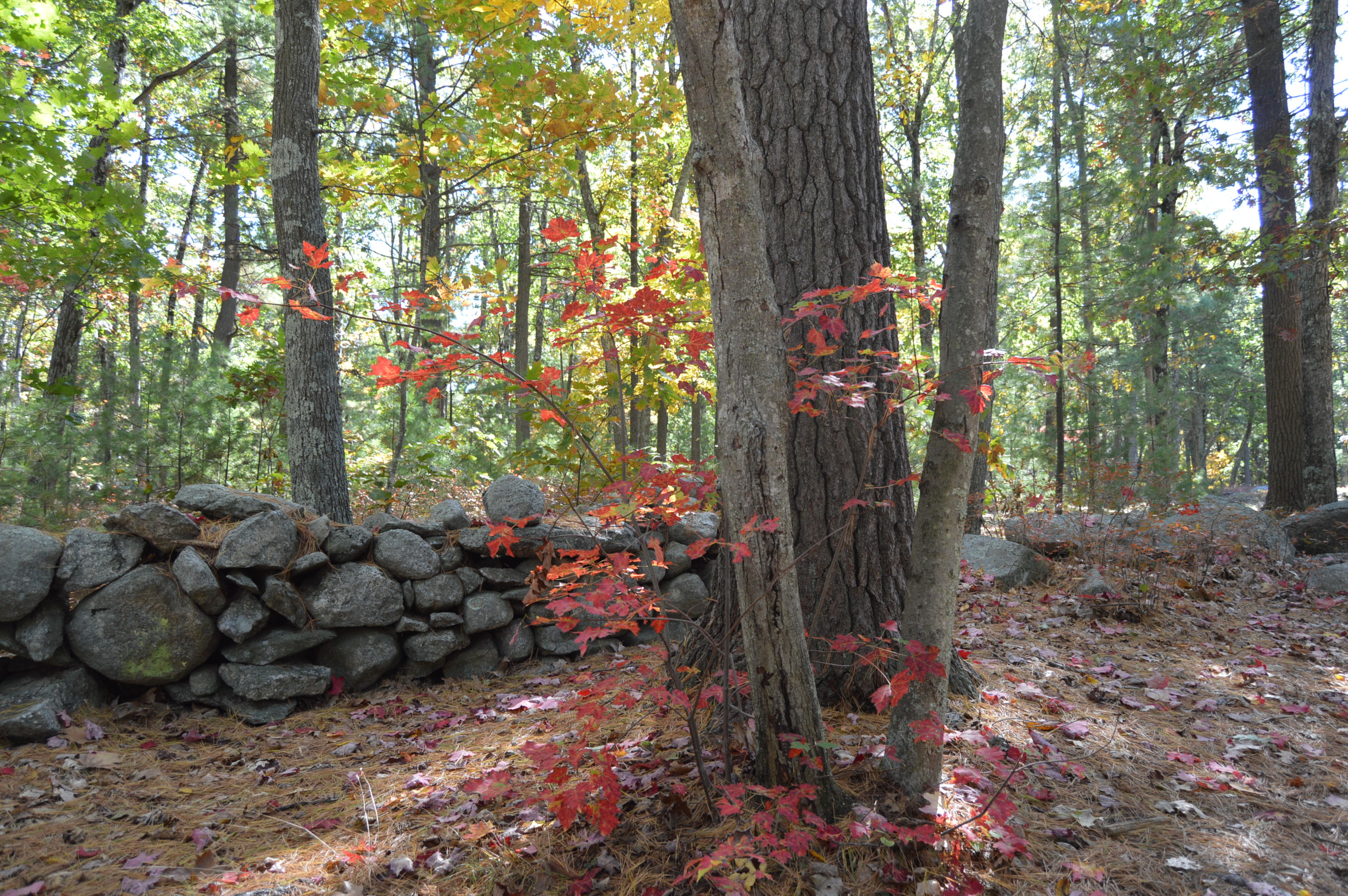
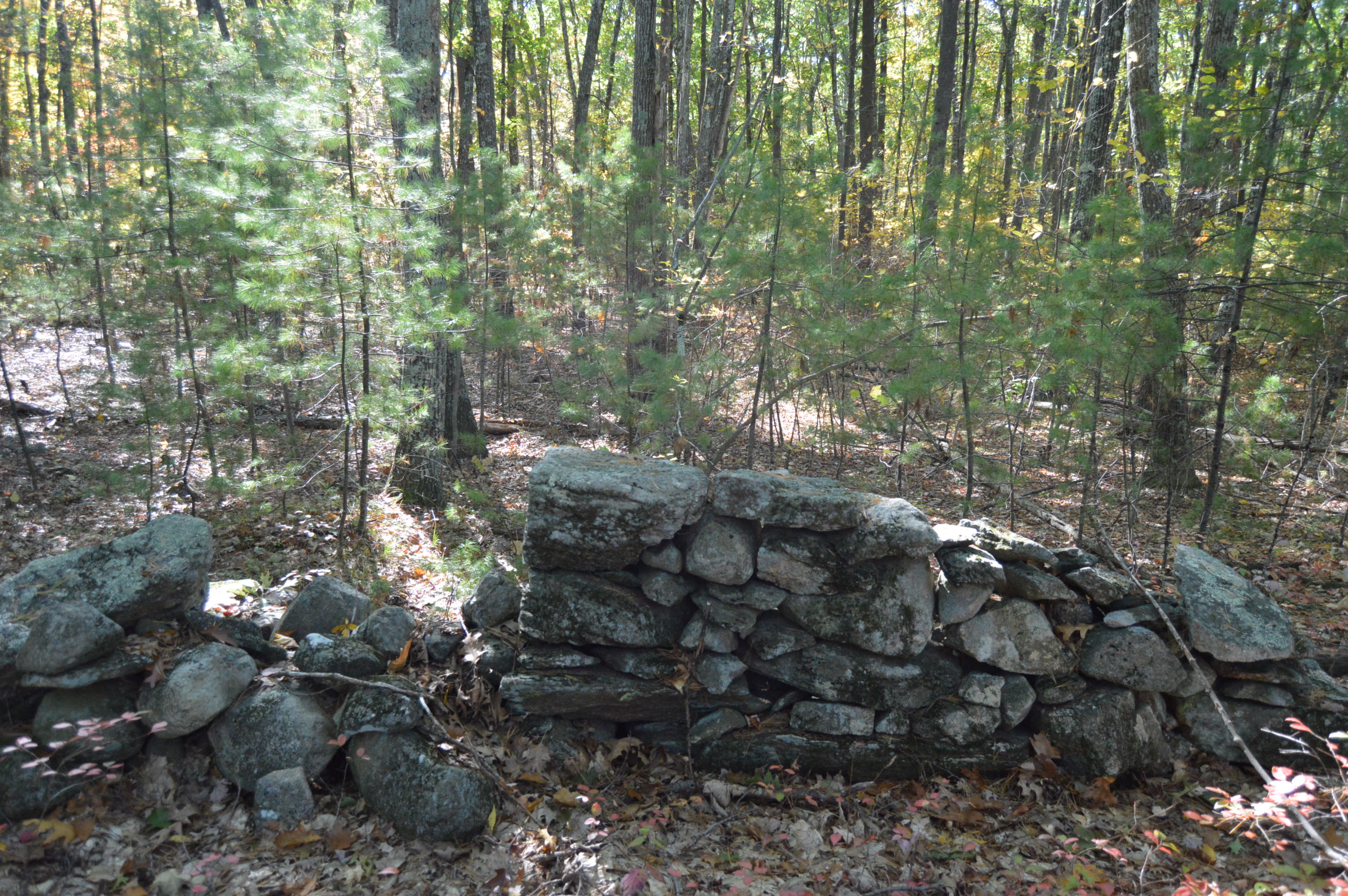
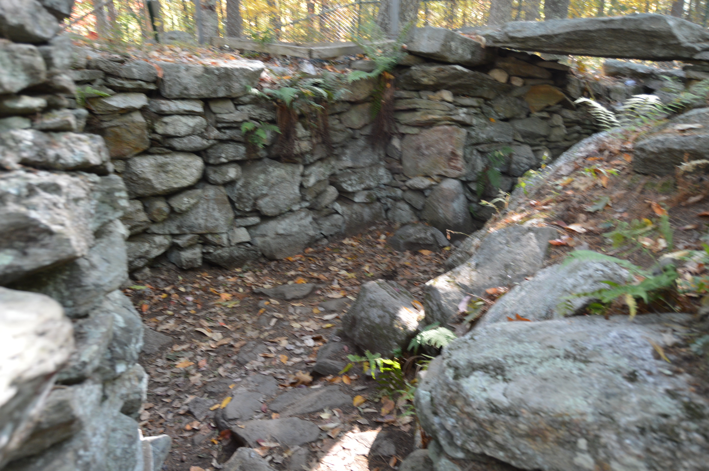
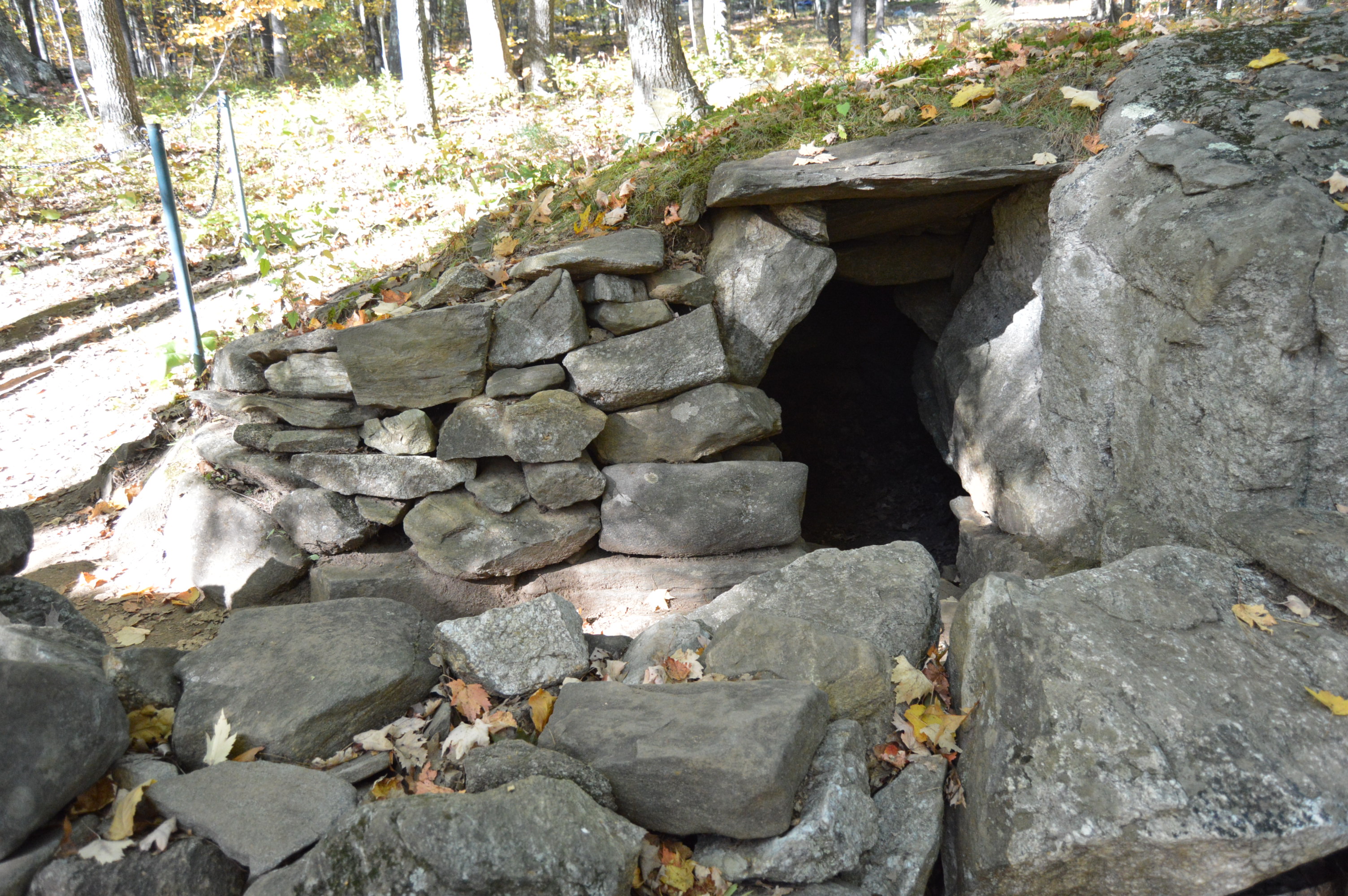
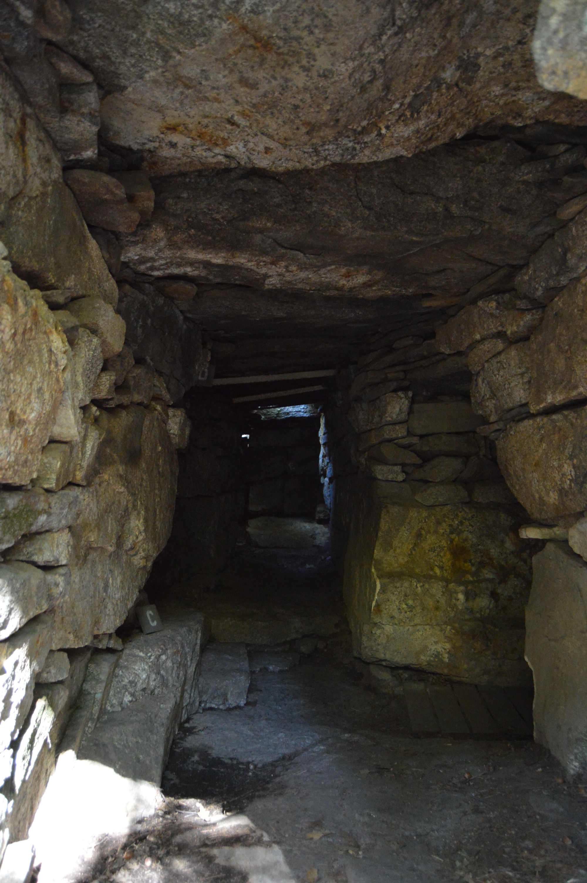
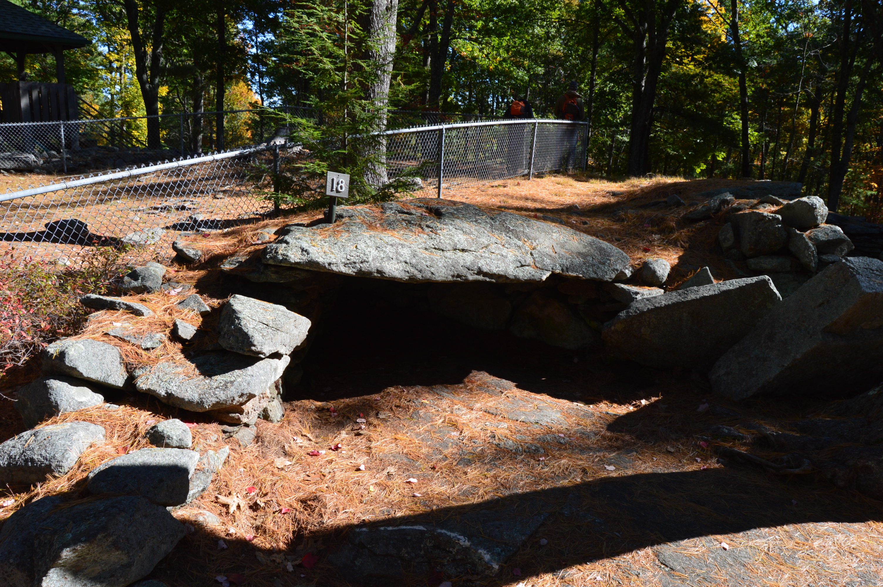
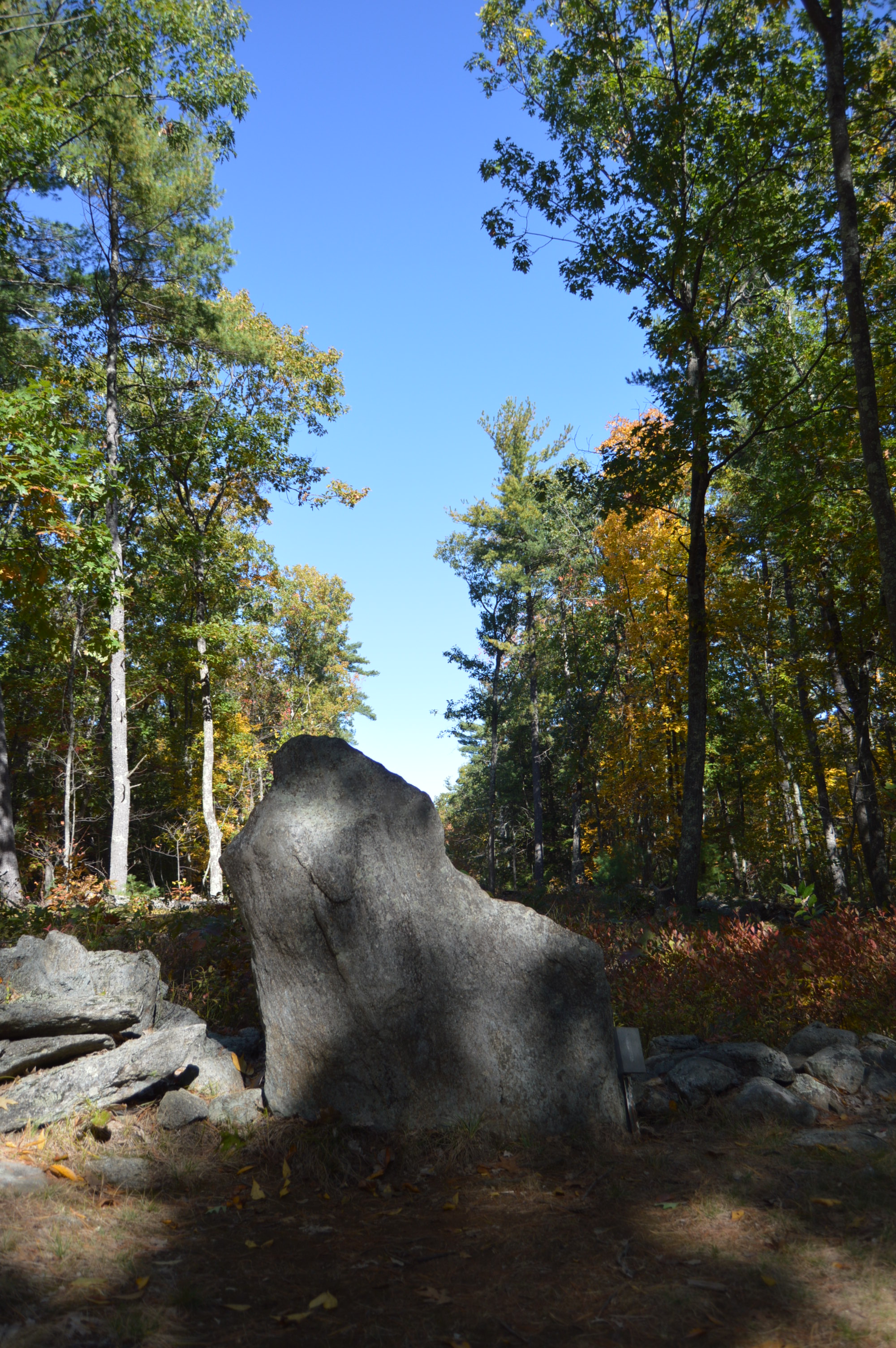
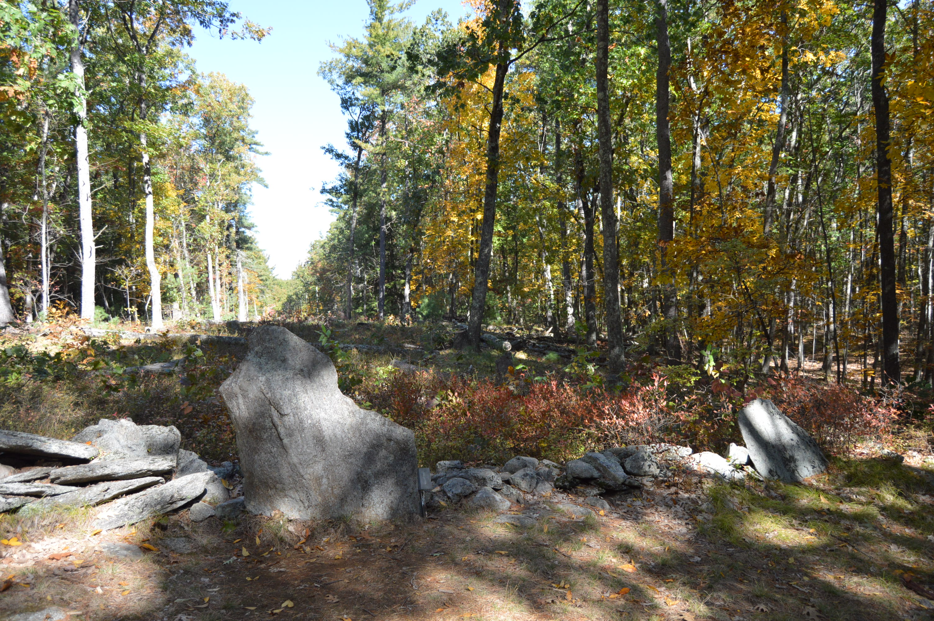
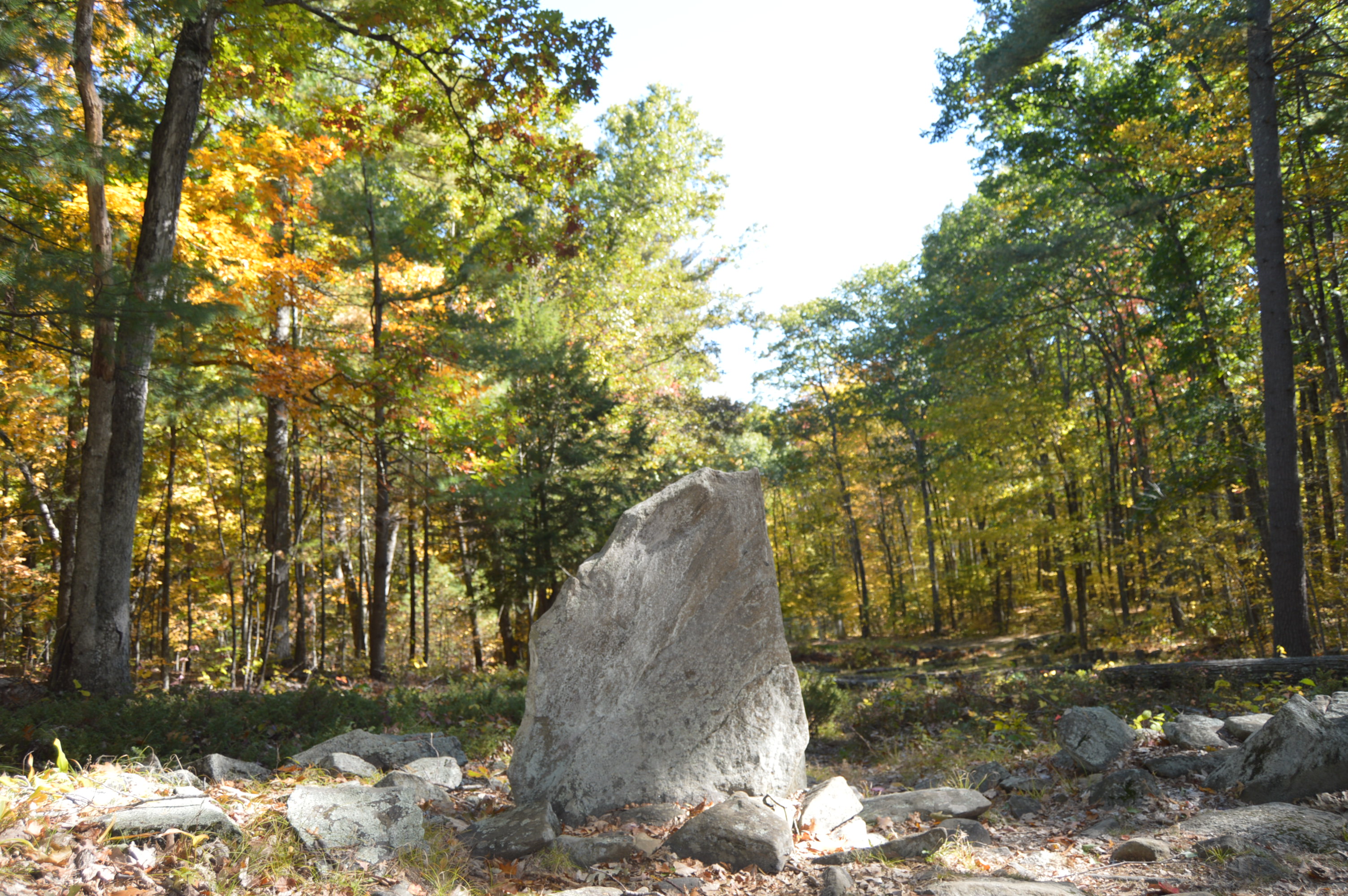
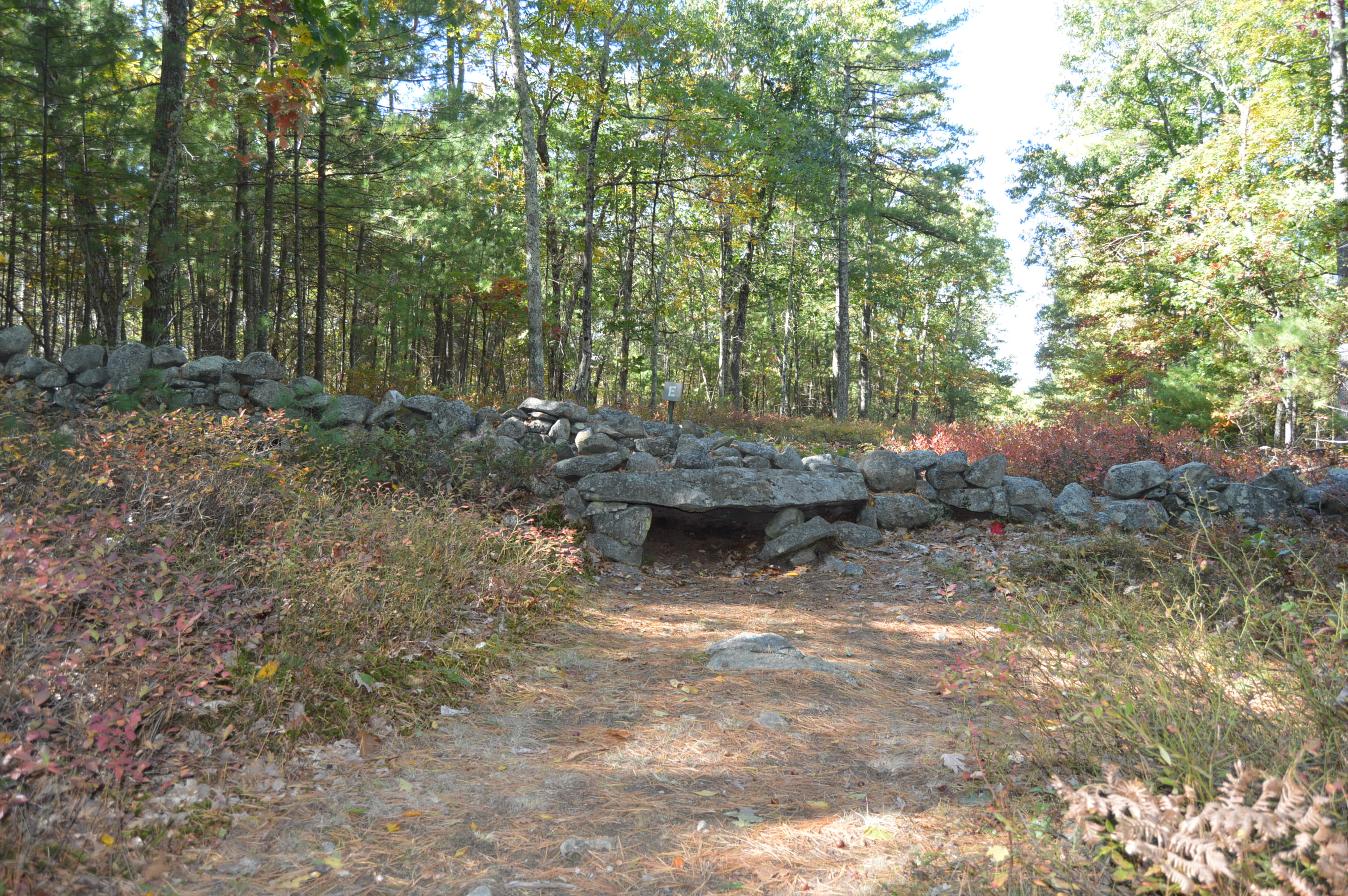
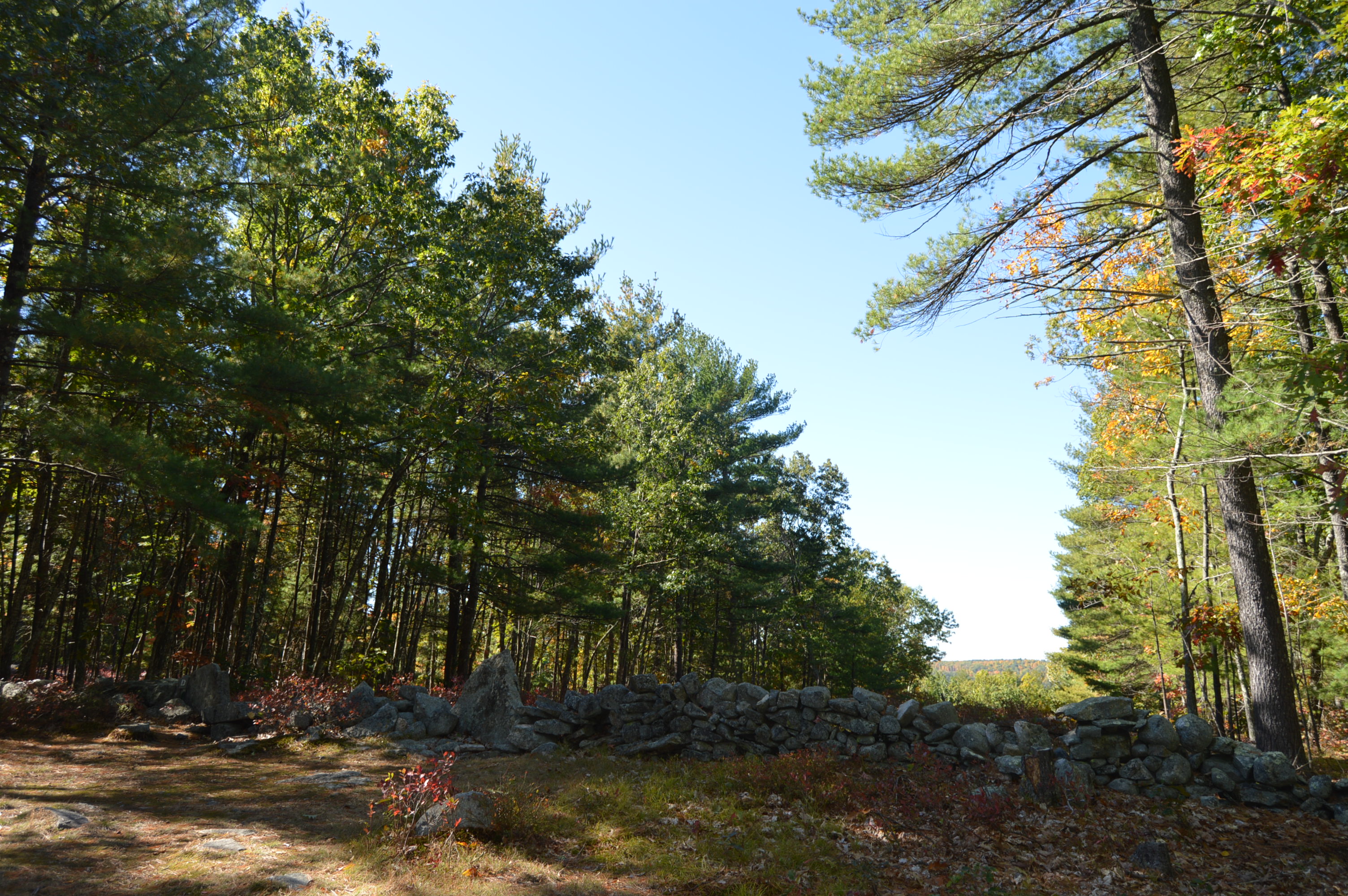
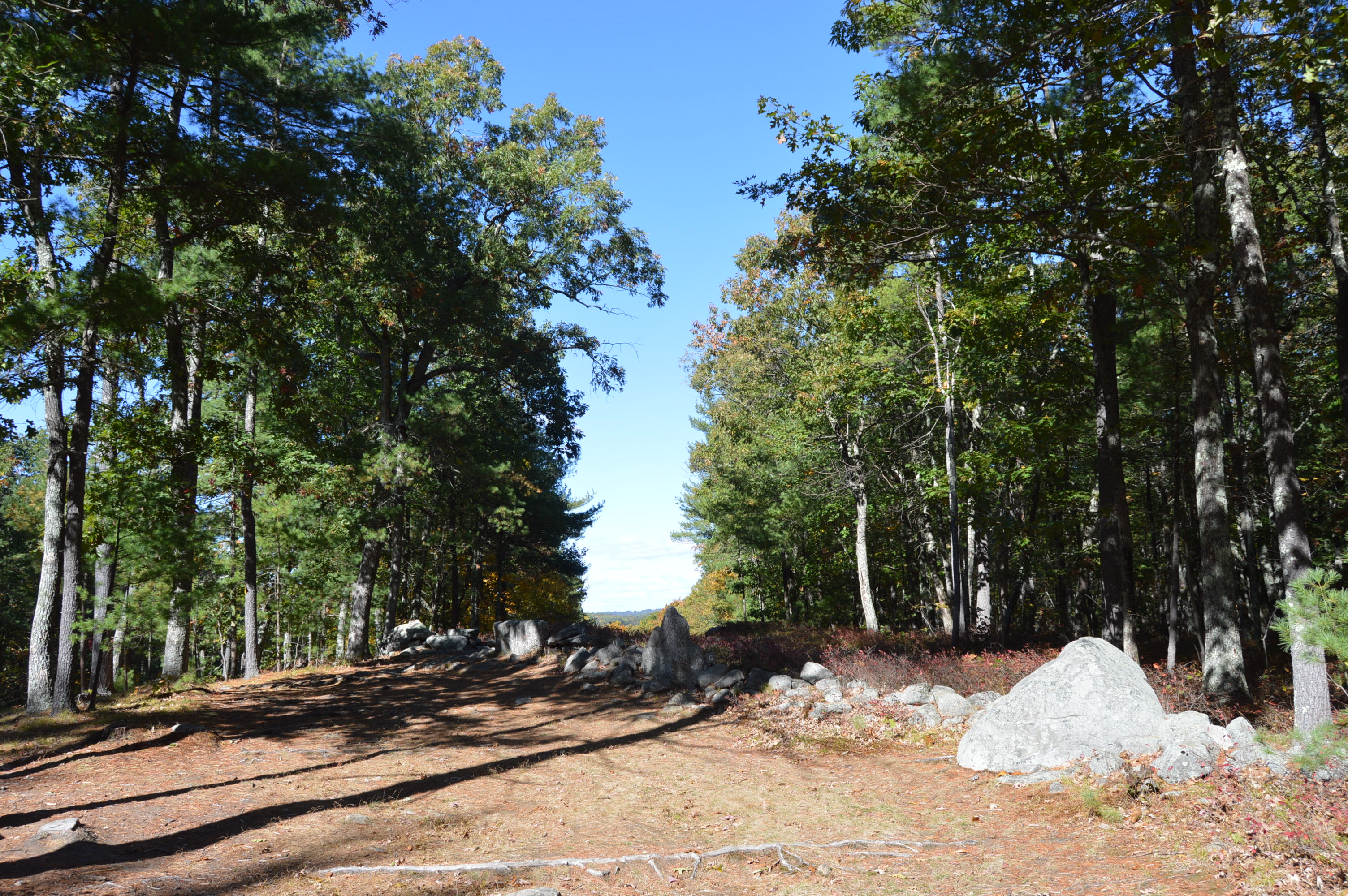
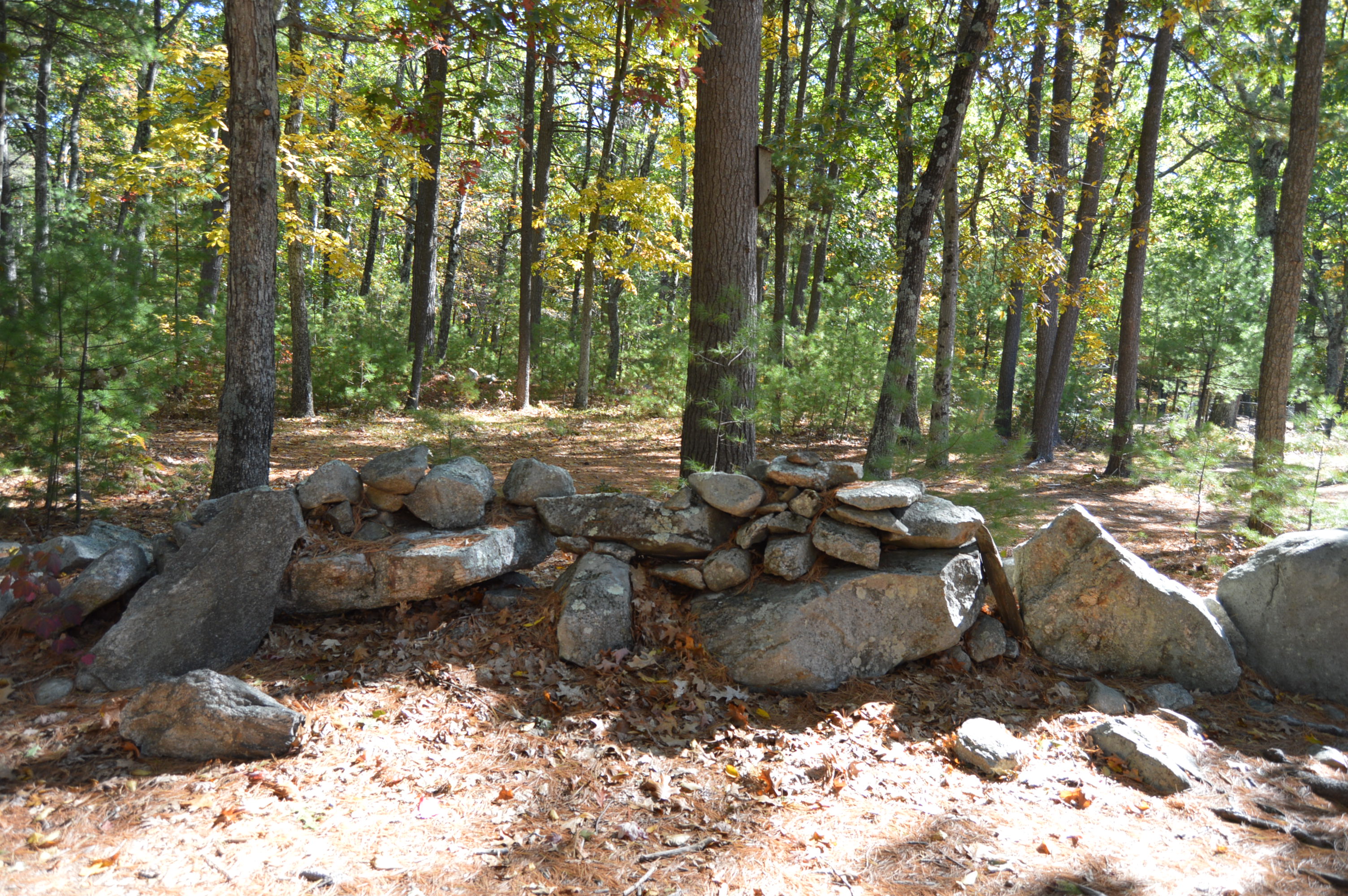
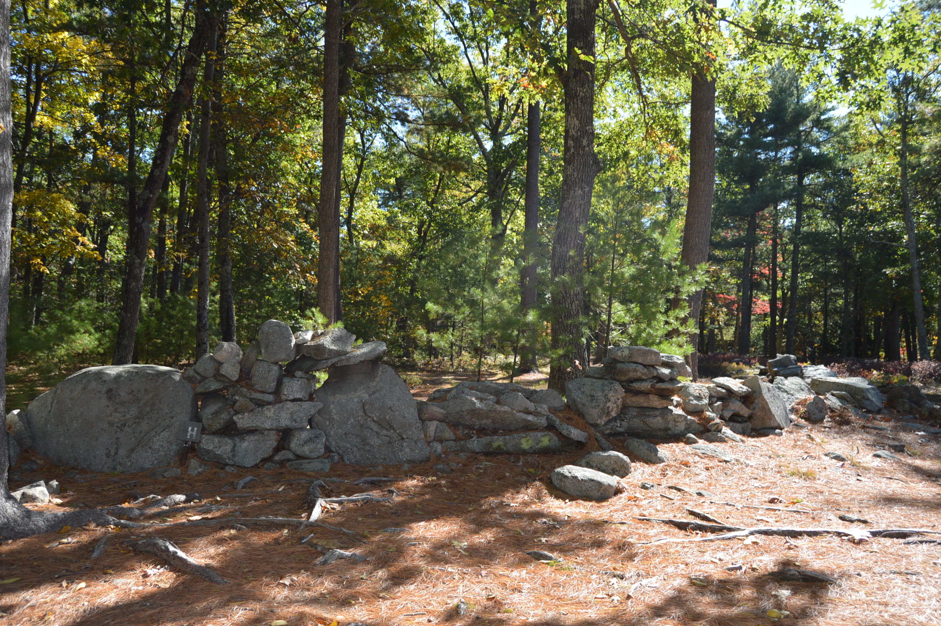
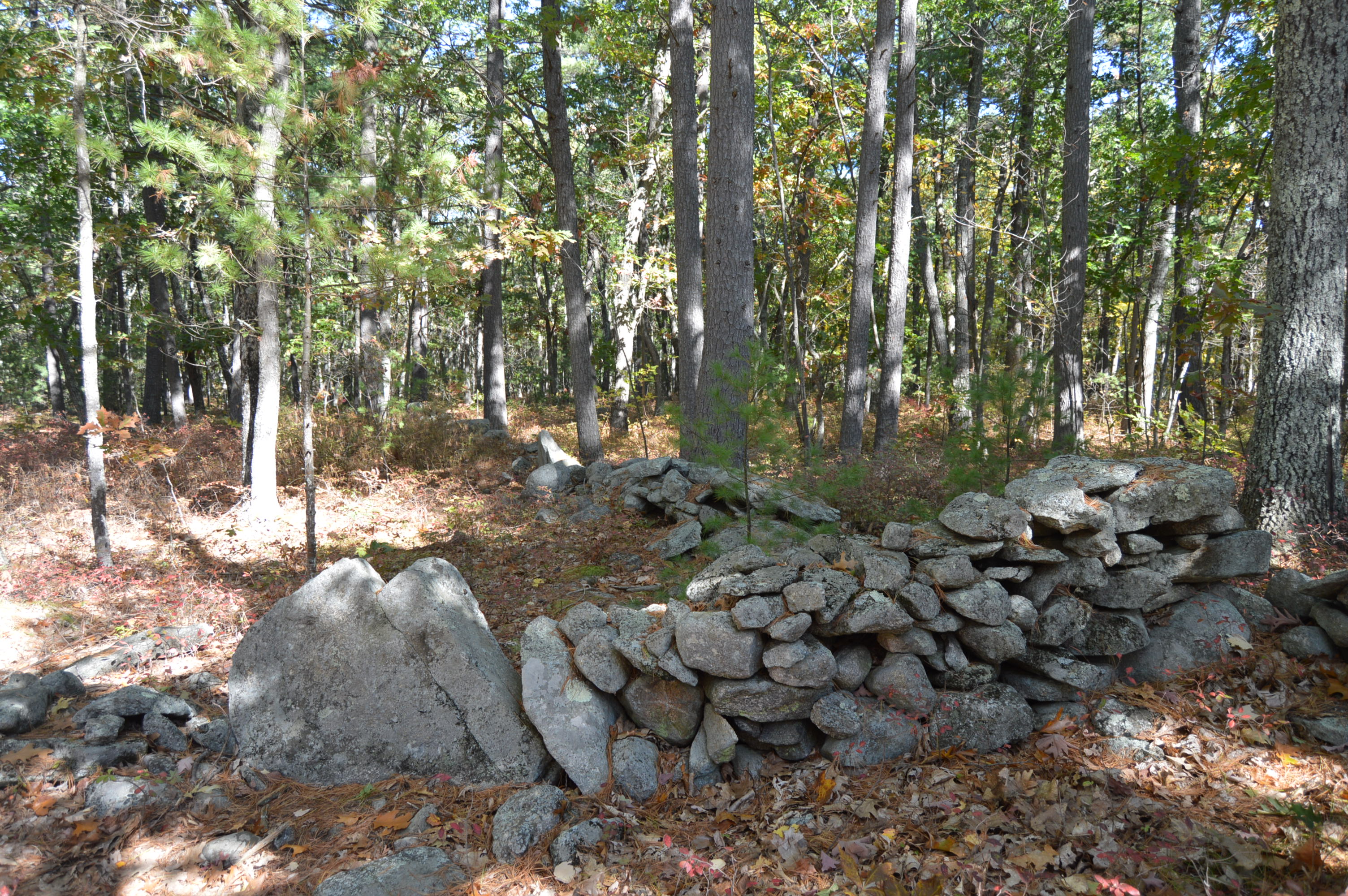
But, the main attraction are the rocks and rock formations. The name “America’s Stonehenge” is somewhat misleading. There are no structures that bear any real resemblance to the actual Stonehenge.
Even though Mystery Hill bears no resemblance to Stonehenge, there are some interesting facts about the site. Some of the rocks used in the structures at Mystery Hill were quarried using primitive stone-on-stone techniques and have been carbon dated as far back as 2,000 B.C.
Mystery Hill is a children’s play land. Forget about all of the rock climbing. They are also able to walk in some of the structures, such as, the Oracle Chamber and they wouldn’t have to duck to be able to walk in the smaller spaces.
There is a sinister legend that overshadows the light atmosphere of the attraction. According to legend, the area here was a spot for sacrifices. Stories of ghostly apparitions and huantings have been reported. I decided to go and see for myself.
I didn’t see or hear anything unusual, at least not of the other worldly variety. But, the legends still persist.
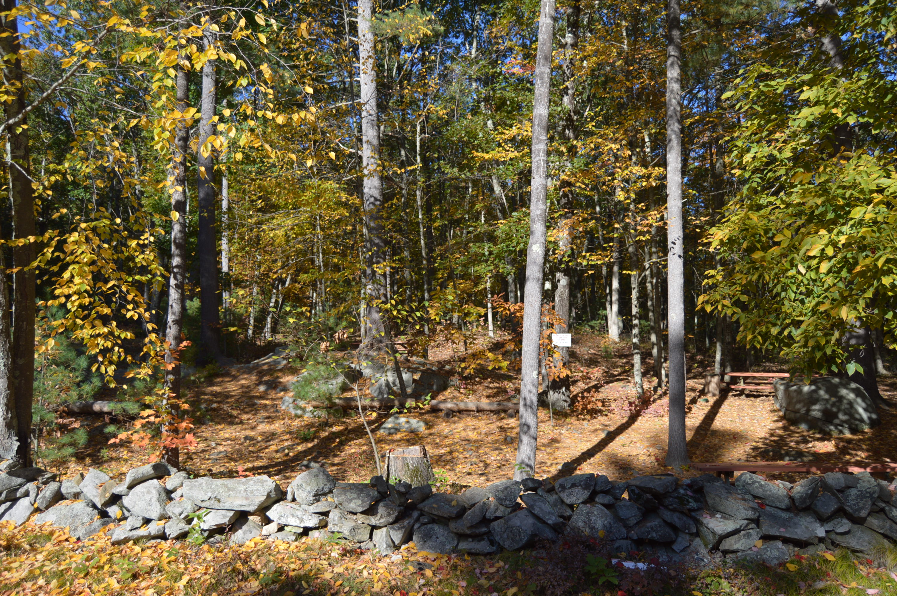
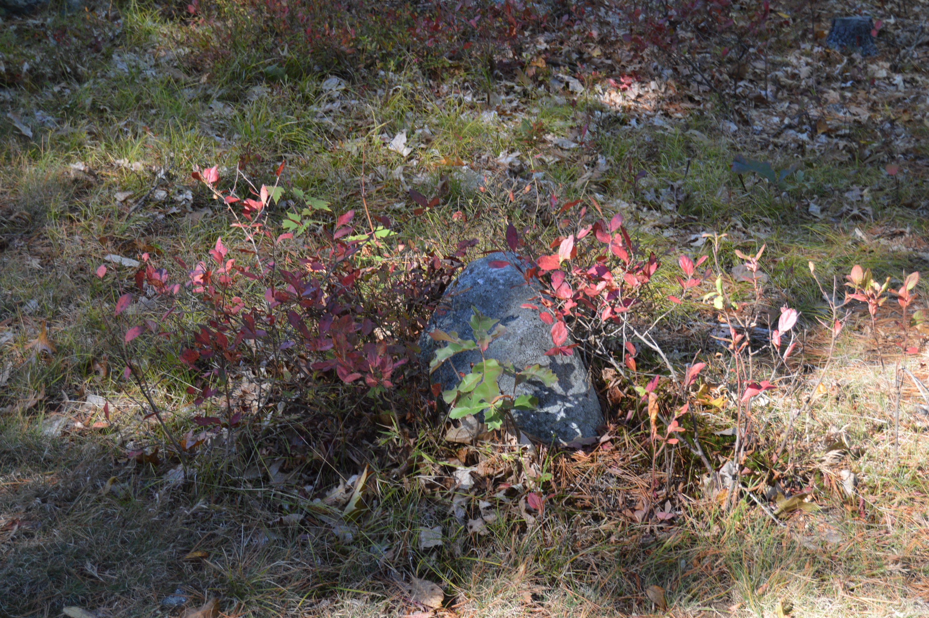
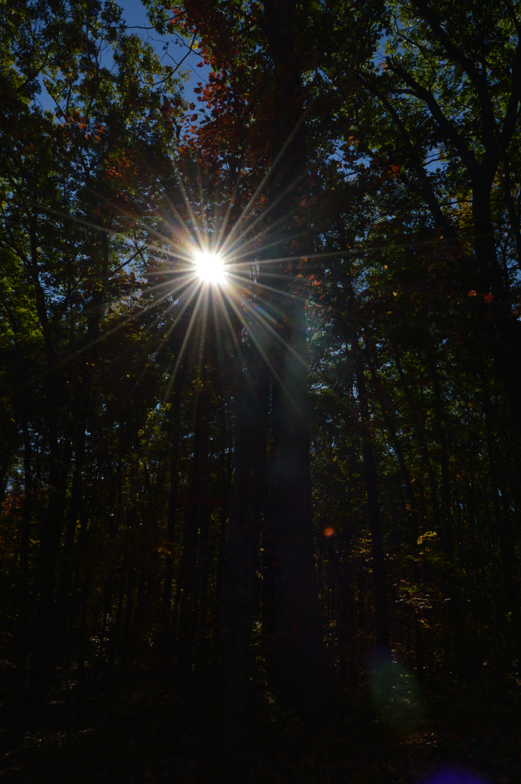
The area is pretty expansive. It claims to be 30 acres but feels much longer. The best parts of the area were the random rock structures and the views. And, of course, the foliage.
There is also an area where it is believed the Nov. 1st sunrise was watched from. It is amazing when you consider they could identifty the best place to view the sunrise, way before we had scientific devices to use.
Although the rocks and rock formations were impressive, my favorite part of the attraction was the alpacas.
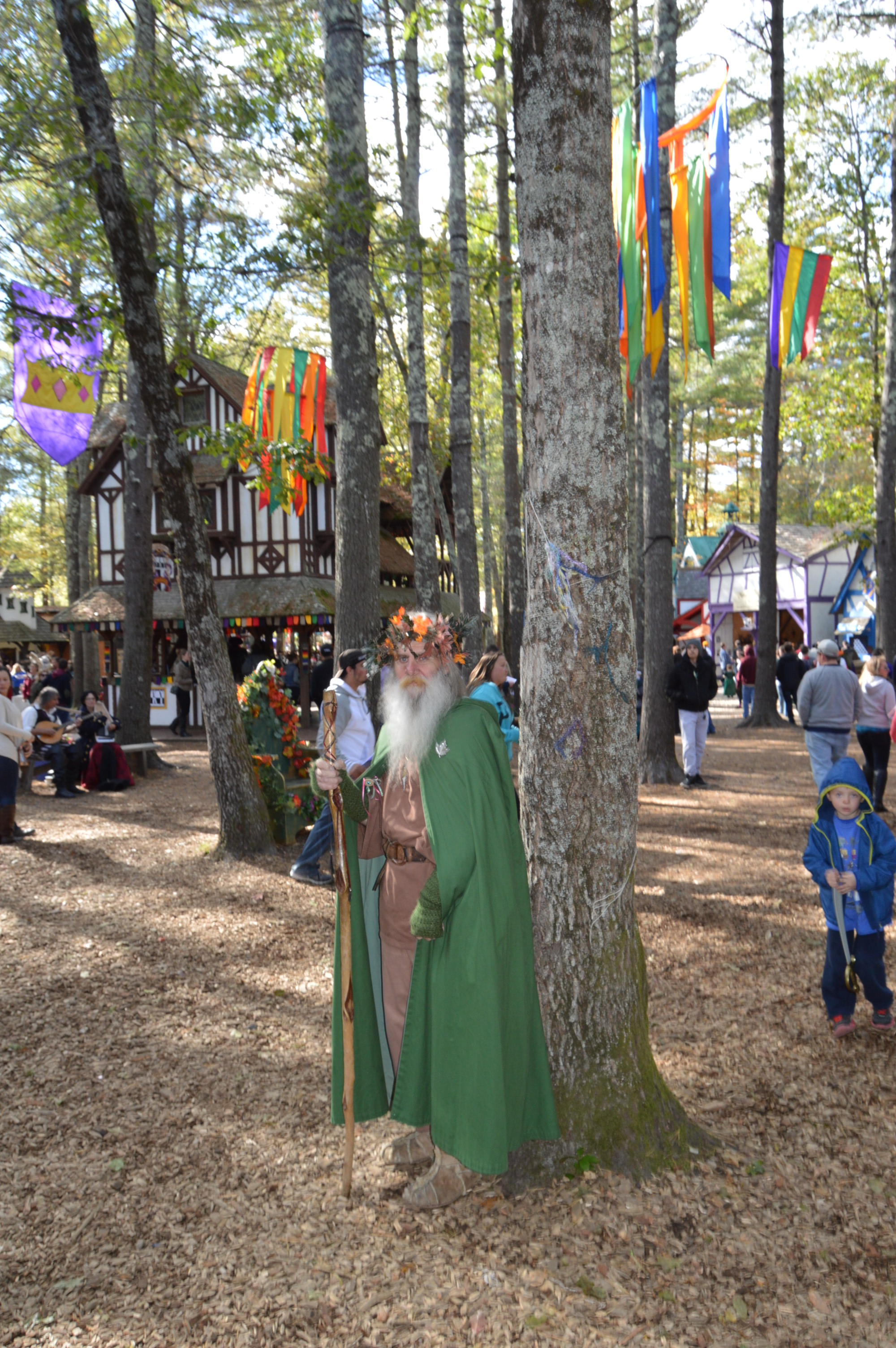
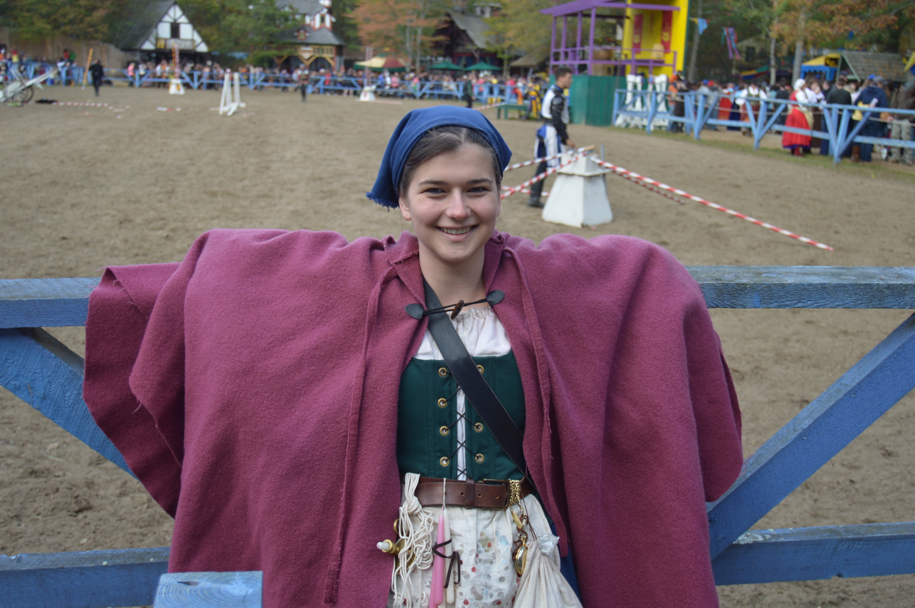
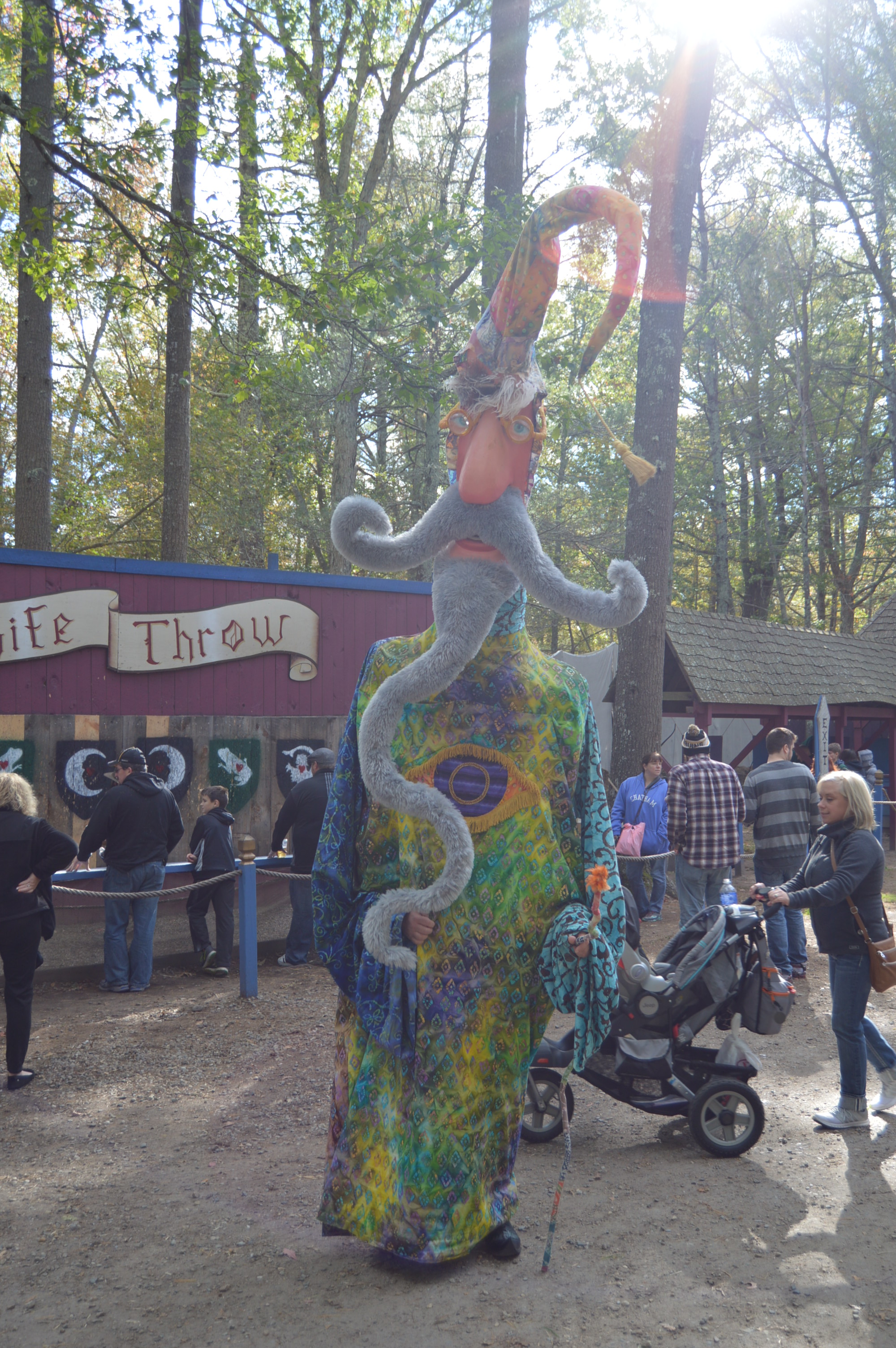
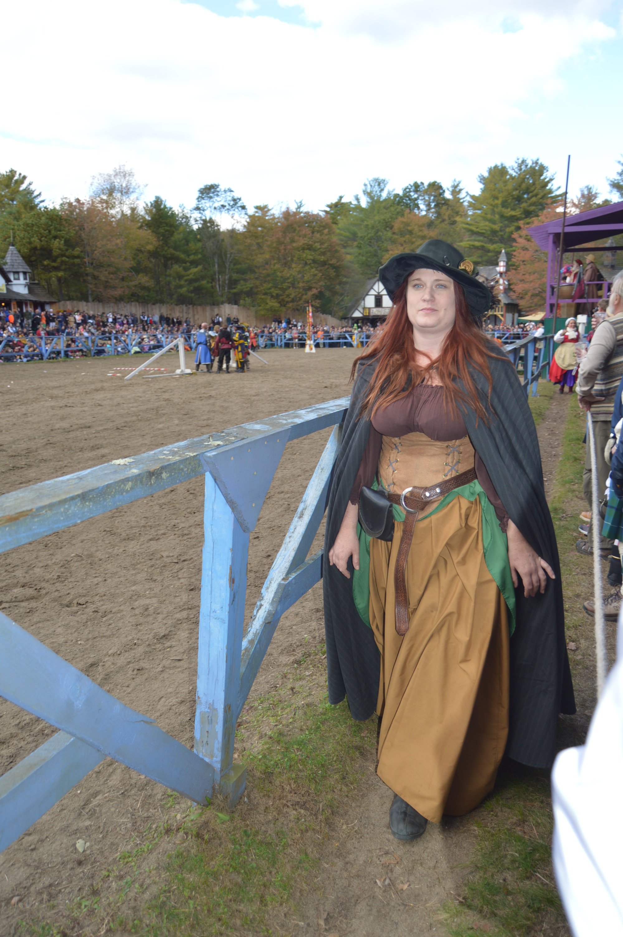
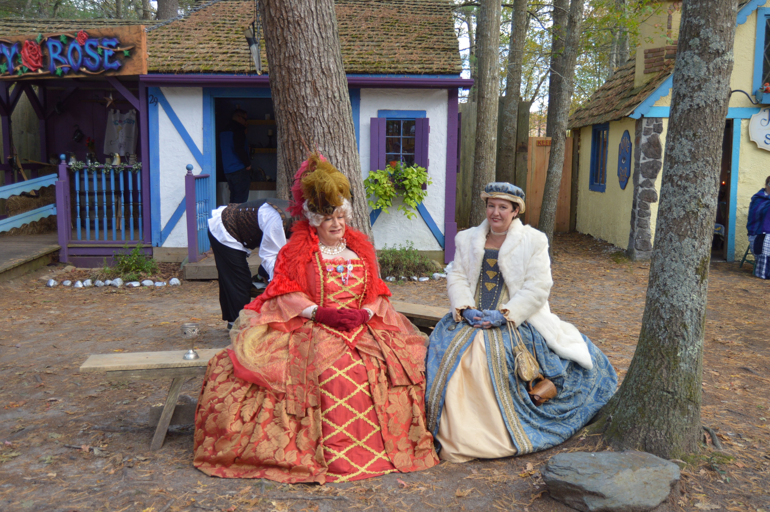
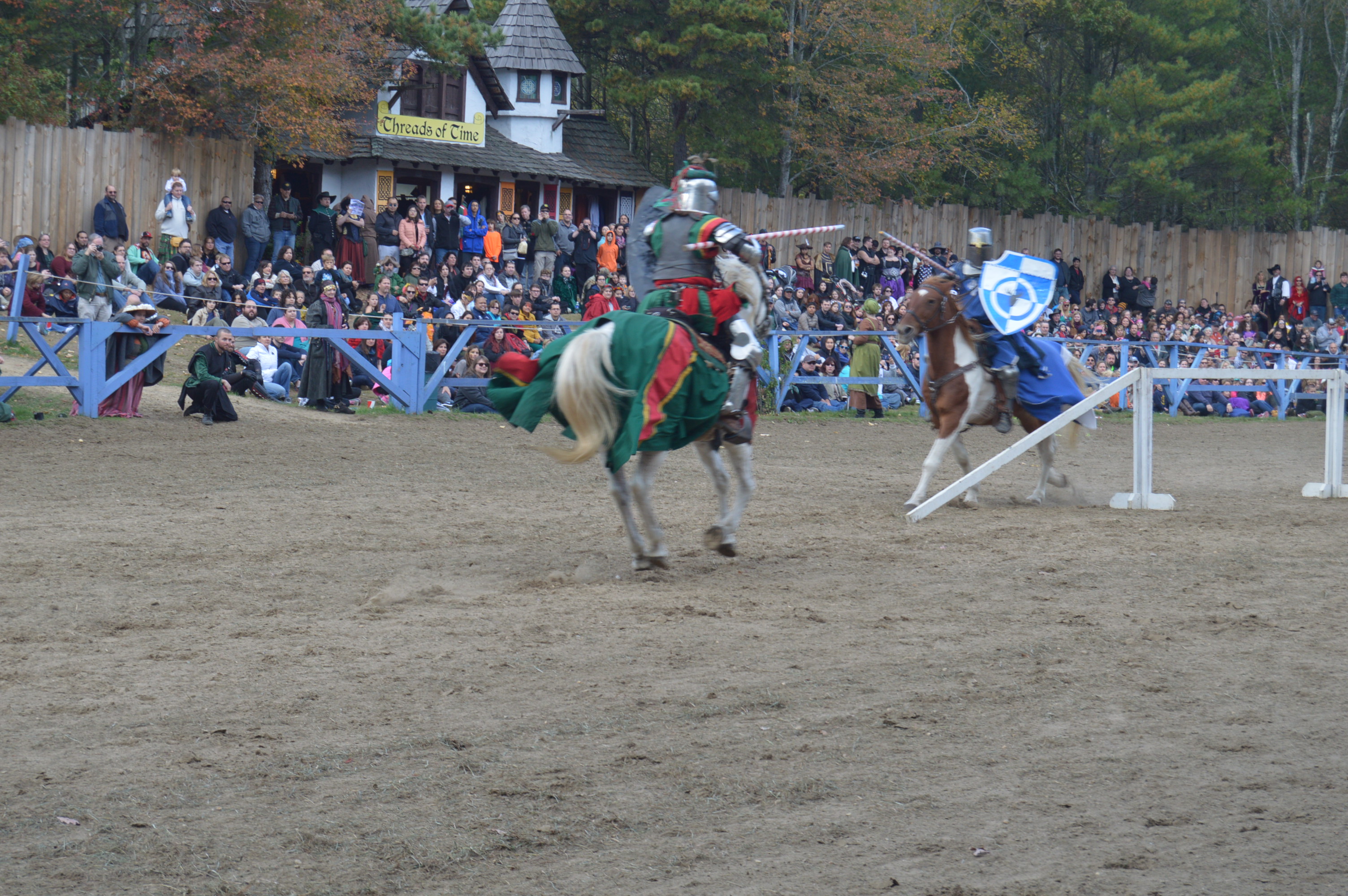
Deep in the woods of Carver Mass is a land of yore. At least during the fall. It is during the weekends of September and October when King Richard’s Faire takes over the woods of Carver, or as they dub it during the faire, “Carvershire”.
The great thing about King Richard’s Faire is that you need not be a medieval history enthusiast or a larper to enjoy the faire.
There are activities such as ax throwing, no that isn’t a typo, face painting and a variety of performers to keep people of all ages entertained.
And then, there were the shows. This particular rendition of “Snow White” was actually portrayed as Snow White’s cousin, Carrie. That’s right Carrie White of the famous Stephen King horror novel and movie, “Carrie.”
Everything starts out seemingly harmlessly as the cast retells the story of Carrie.
And her “friends” who decide to sabotage her prom (spoiler alert if you haven’t seen the movie or read the book).
Keeping true to the plot, Carrie is crowned prom queen.
Then, cue, the “pigs mud” (they want to keep it “family friendly”)
All hell breaks lose as Carrie unleashes her wrath (just like in the movie)
Then, weirdly, they all become friends again in the end.
Jacques Ze Whippeur gave a great performance with his whipping skills. He asked the audience to name a song and he was able to keep the beat to the song by cracking his whip and singing the lyrics. He did this with songs from groups such as Journey and even the theme song to the Fresh Prince of Bel Air.
The actors at King Richard’s Faire reenact the days of knights (I couldn’t help but think of the obvious similarity to the characters in Monty Python’s Holy Grail movie)
magicians (with their assistants)
wizards
fair maidens
and more
And, yes, visitors do come to the faire dressed in their own garb.
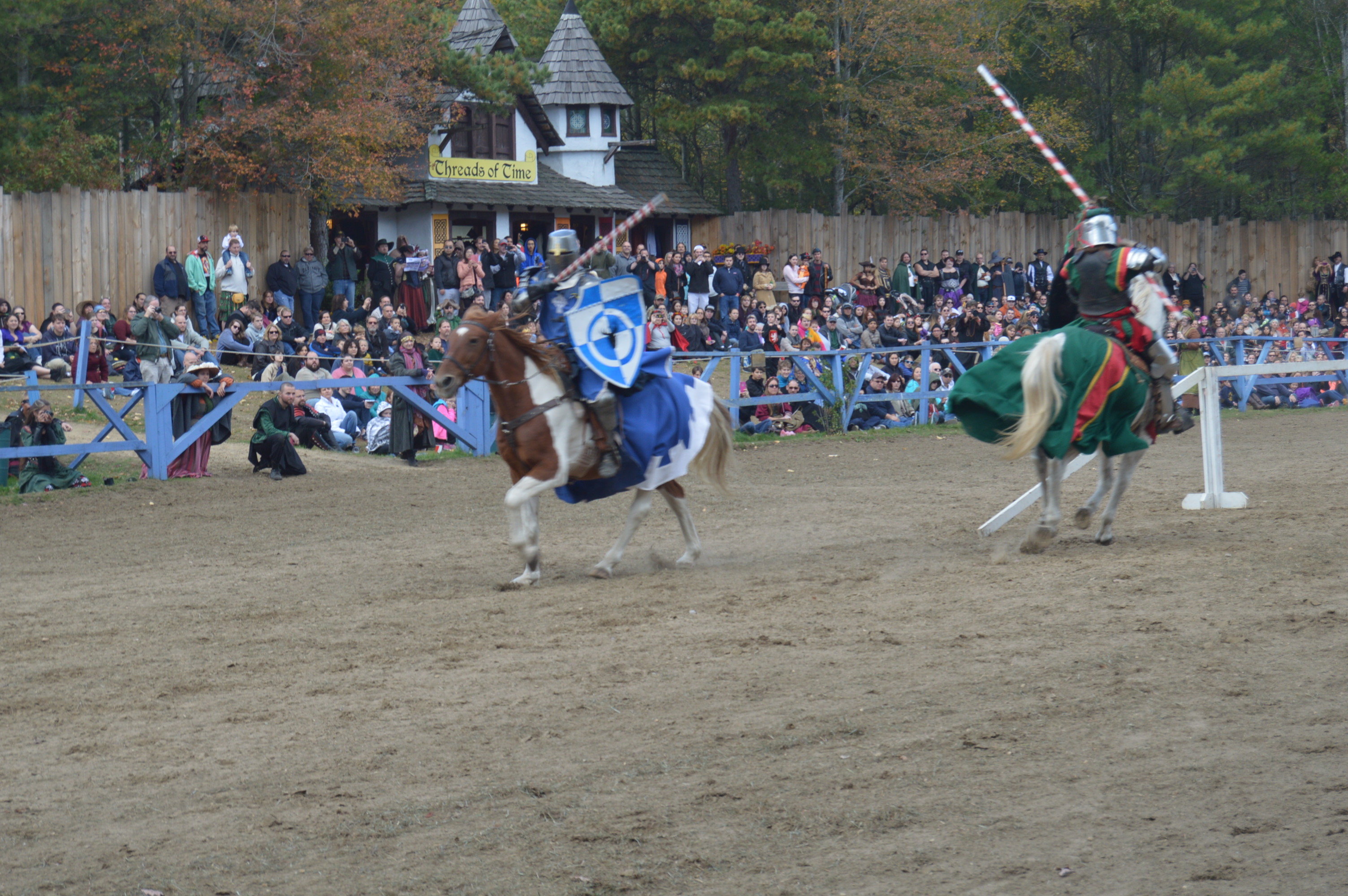
One of the highlights was the jousting contest.
But, the best part of the event was the pirates and fairies costume show.
Although pets aren’t normally allowed in the faire, an exception was made for Lionitus because he is a service dog.
If you’re in the Massachusetts area and you want to go, this upcoming weekend (Oct 24th and 25th) is the last chance to see it before it closes for the season and you will have to wait until 2016. If you can’t go this weekend, I’ll see you there next year!
stop by my Facebook page to keep updated about posts and other extras!
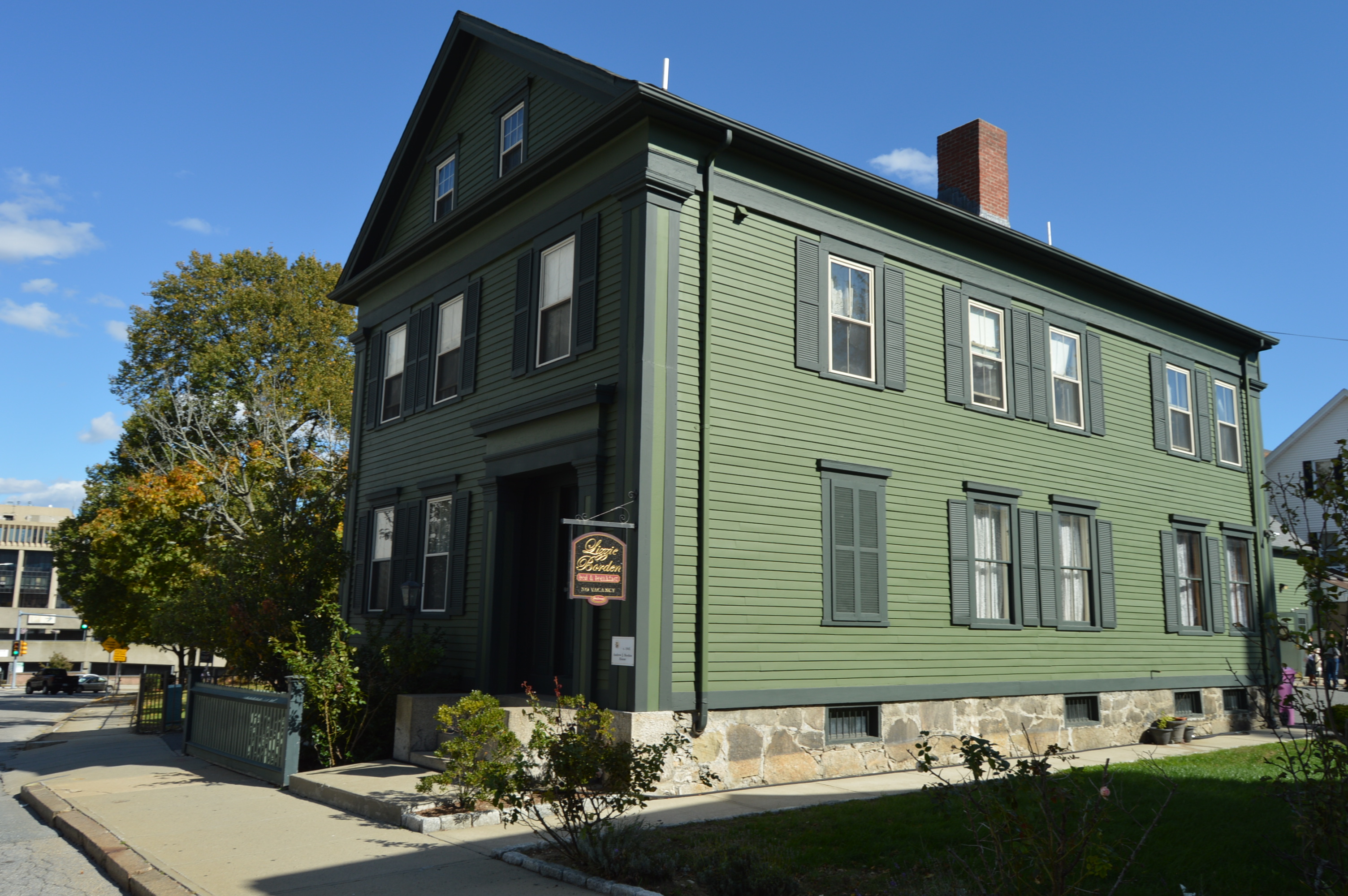
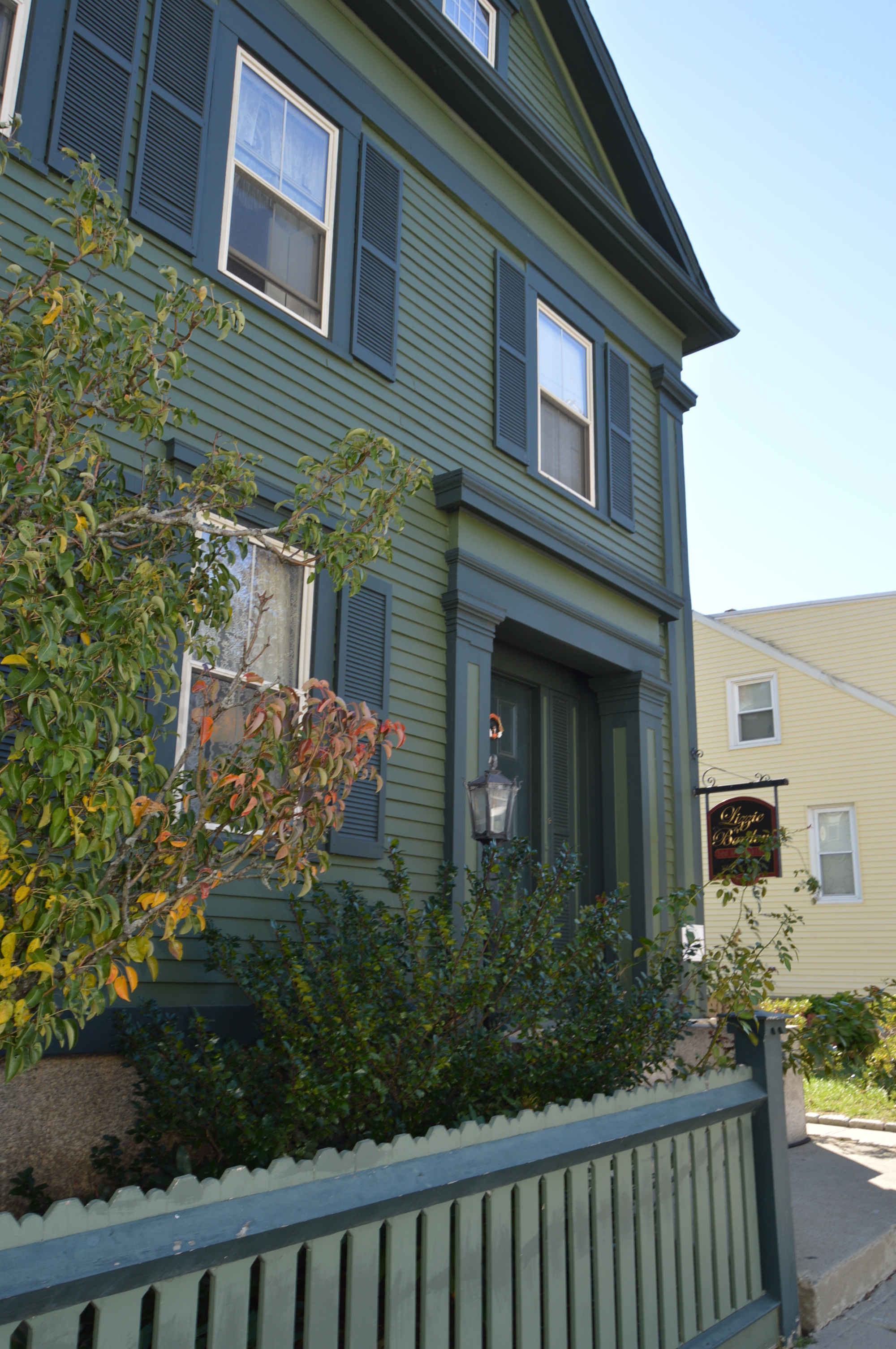
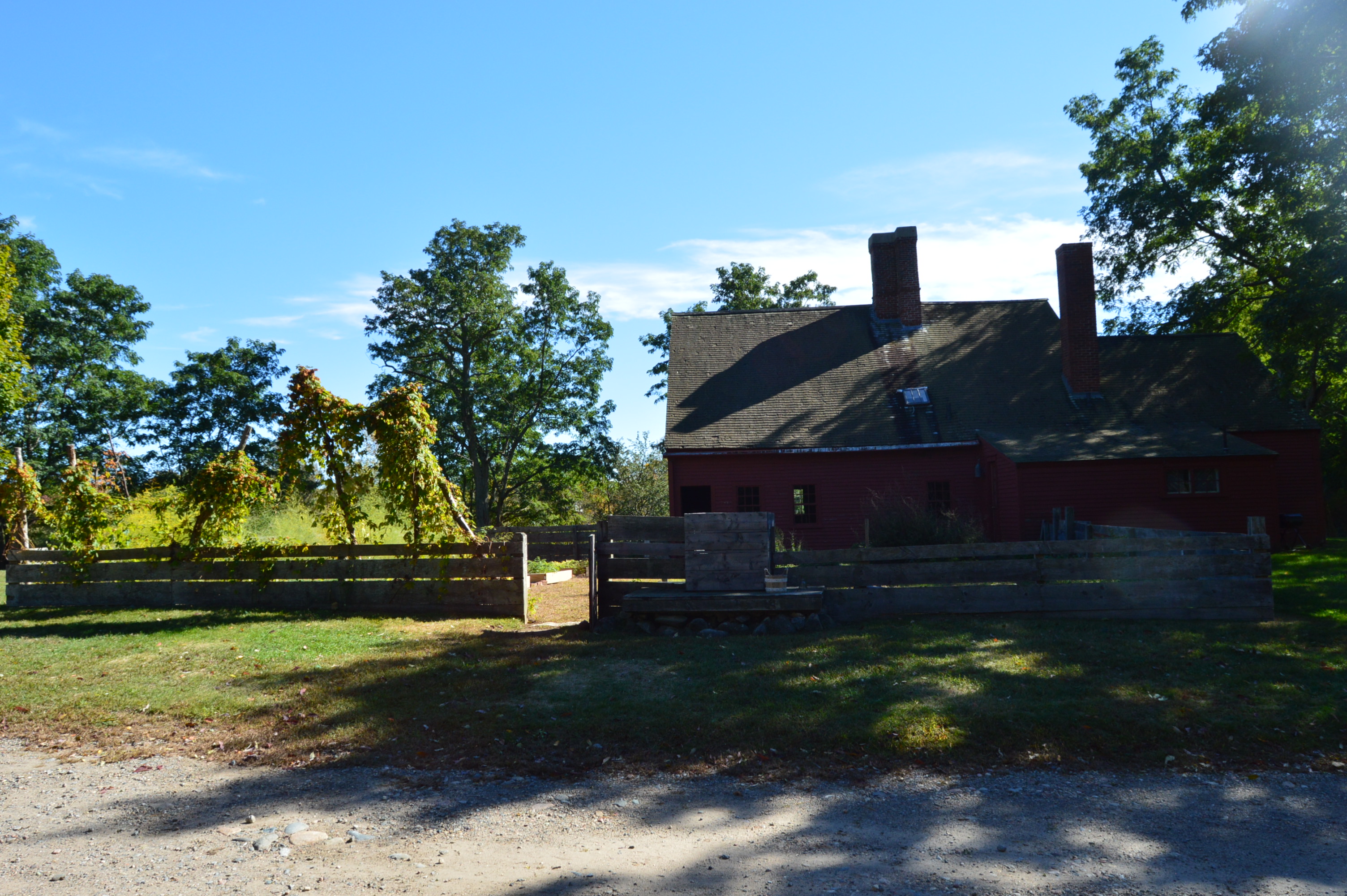
At first glance, it would seem to be any quaint, rustic bed and breakfast (or as we are prone to say in New England, “b&b”). But, the Lizzie Borden Bed And Breakfast/Museum is no ordinary bed and breakfast.
If only this seemingly ordinary inn could tell stories. The bed and breakfast has been converted to an inn (stay at your own risk) and tours are offered for a paltry $18. The hour long tour includes a history of the house, the denizens (which of course Lizzie Borden was one) and other trivia about the building and people associated with the house.
Of course, Lizzie is the main person of interest.
For those who either lived under a rock for the past 120 years or aren’t a maladjusted historian who is fascinated with the morbid, Lizzie was the main suspect in the murders of her mother and father. She was acquitted after the jury deliberated for an hour. To this day, people are divided over whether she did commit these murders (she did). The real life story plays out like an Agatha Christie mystery.
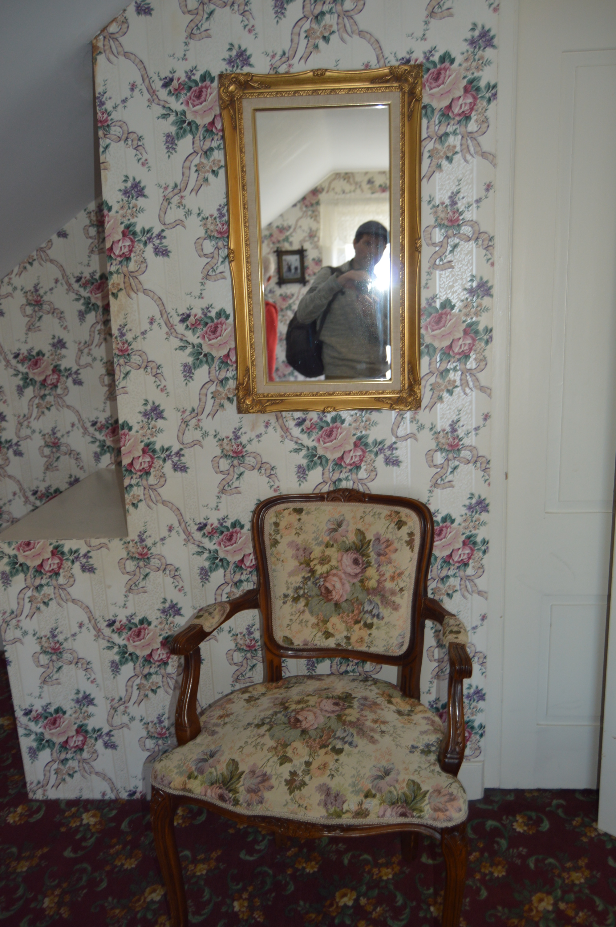
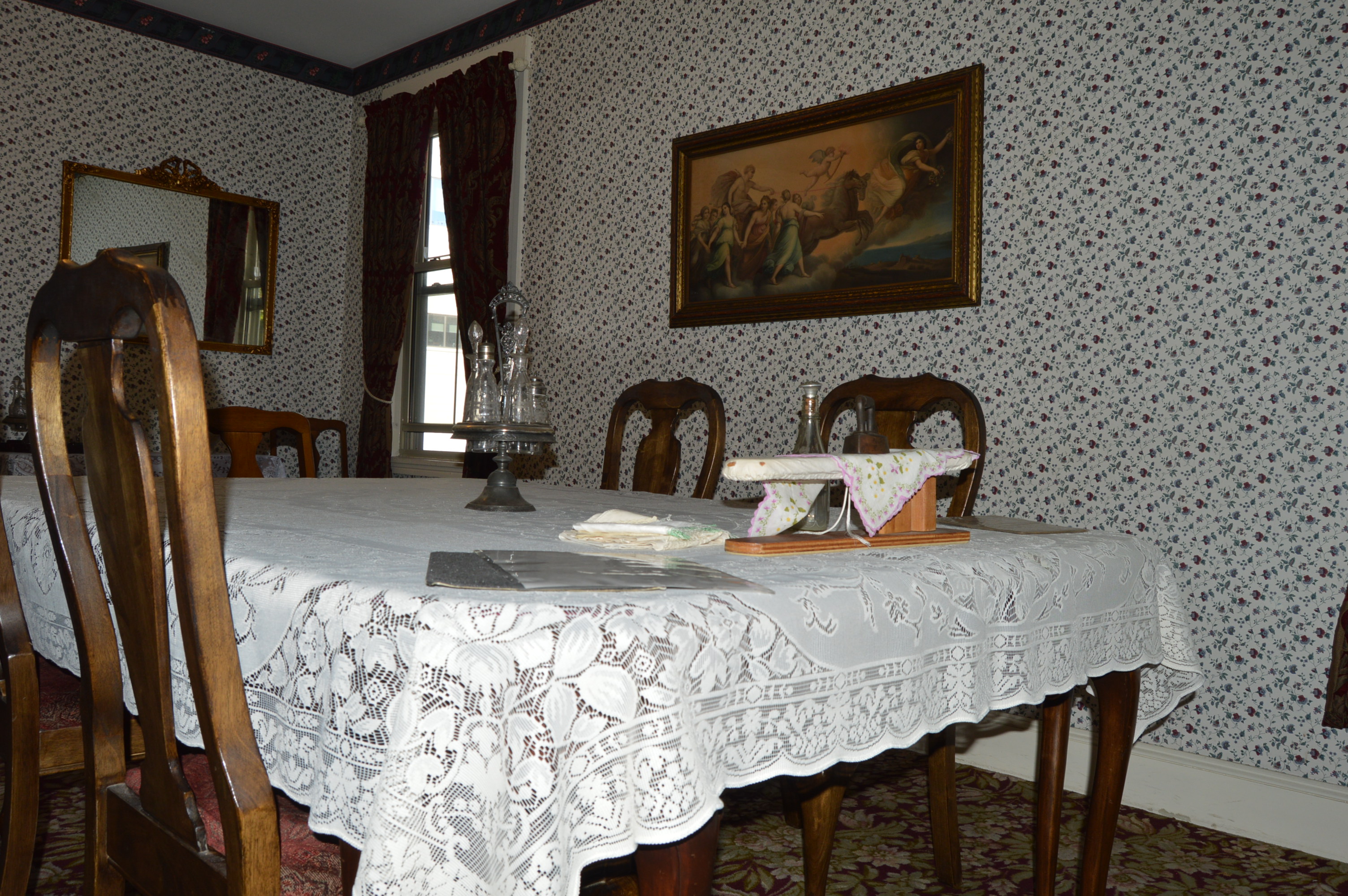
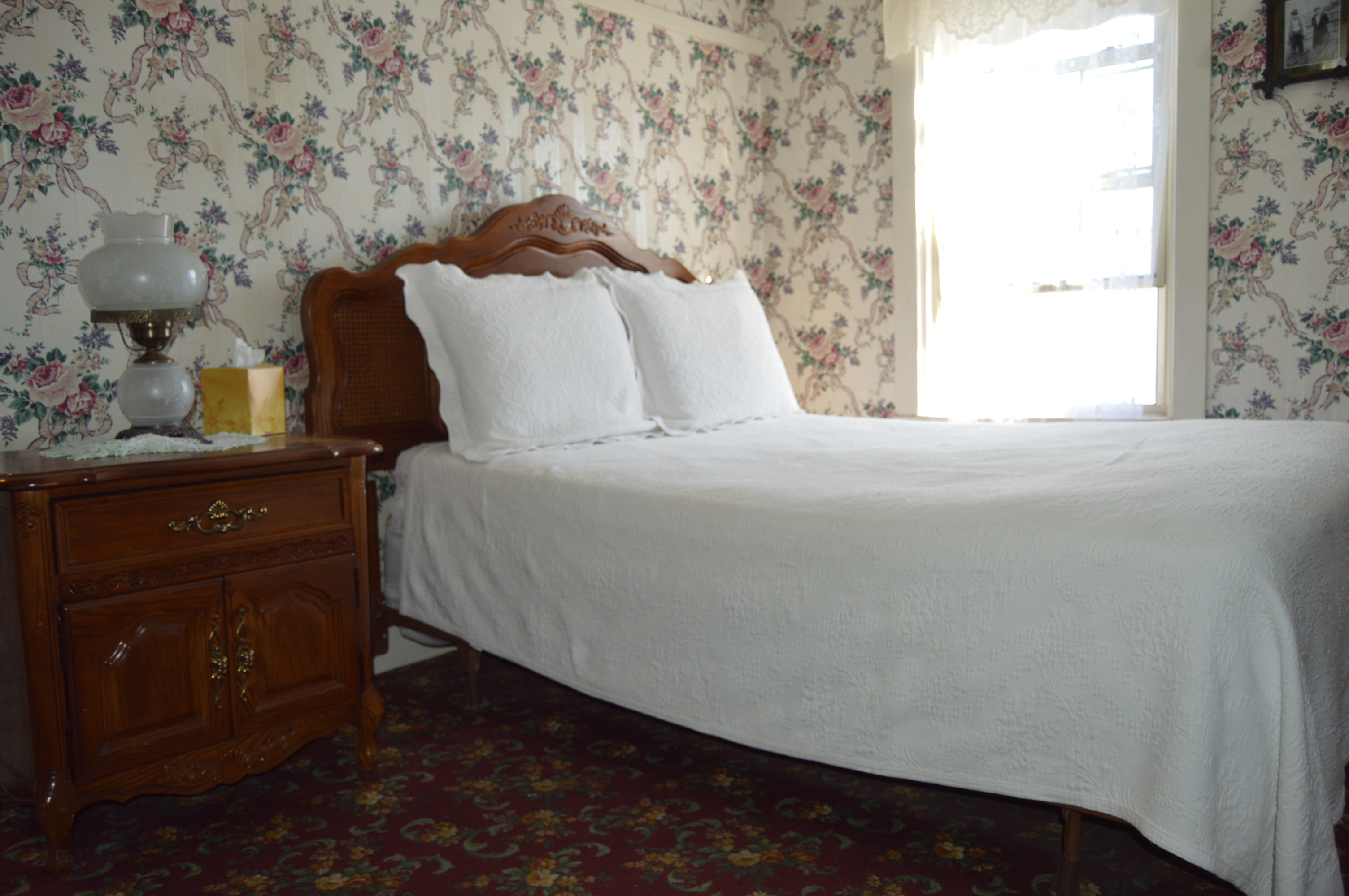
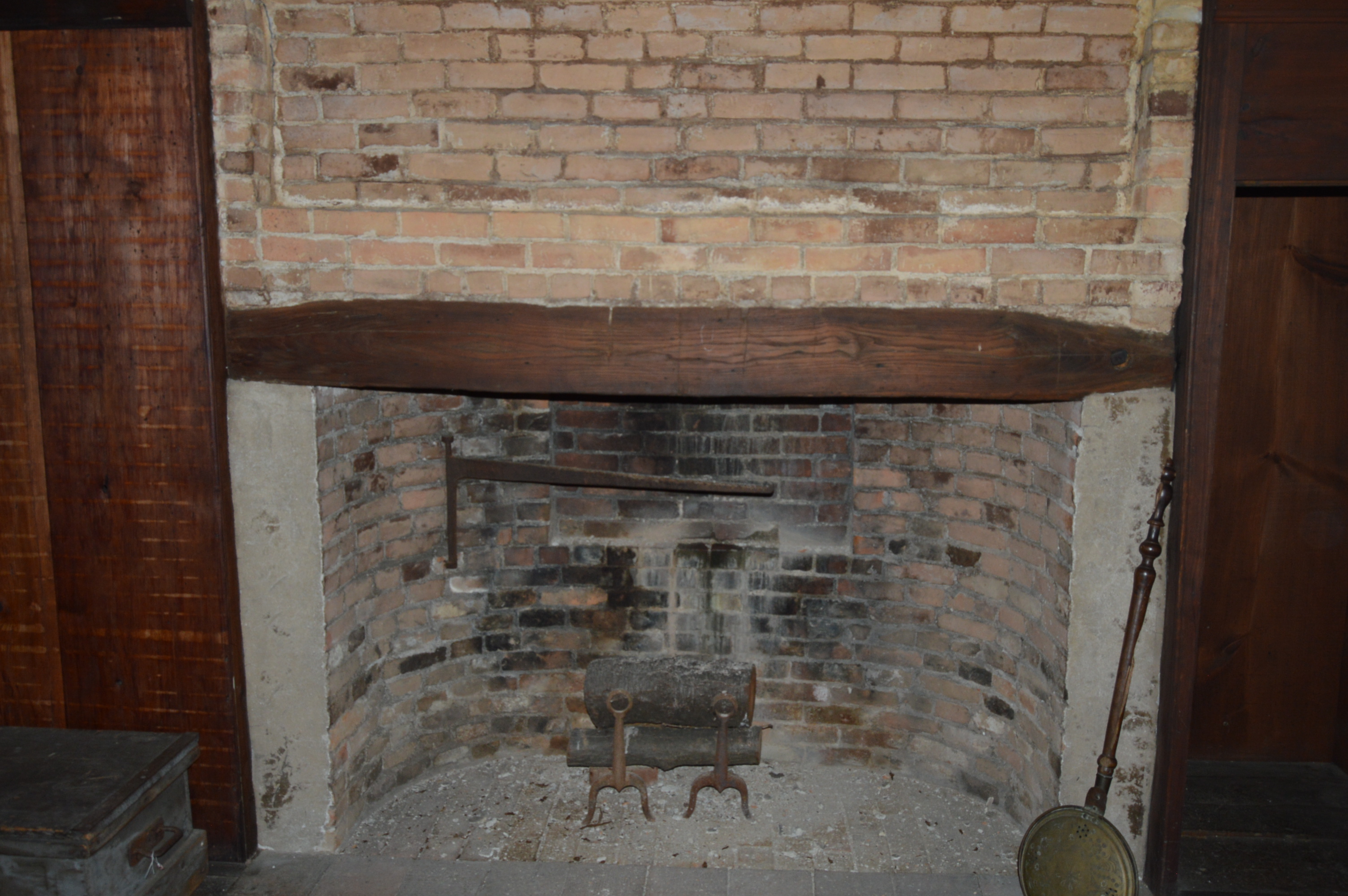
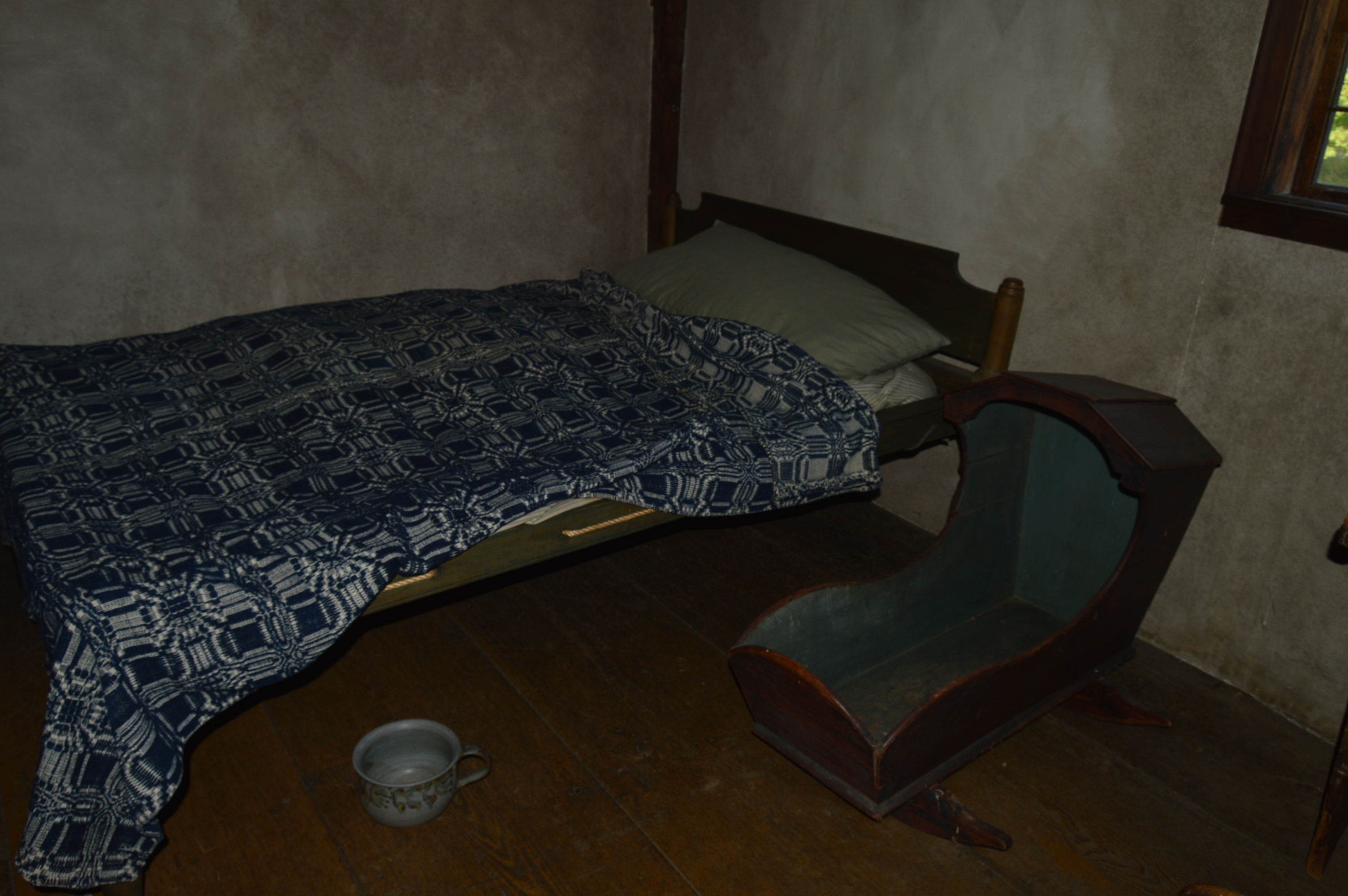
The house is three floors with 8 rooms. The furniture is not the exact furniture from the house because the Borden sisters had to store their furniture and while the furniture was in storage the furniture was destroyed by water and fire damage. Replicas of the furniture of that era are furnished throughout the house. They also seem to want to keep the house as close to the original style as possible. We also had a large tour group which made the rooms seem even more cramped and the lighting was dim. That is not a ghost but rather the photographer’s reflection in the mirror.
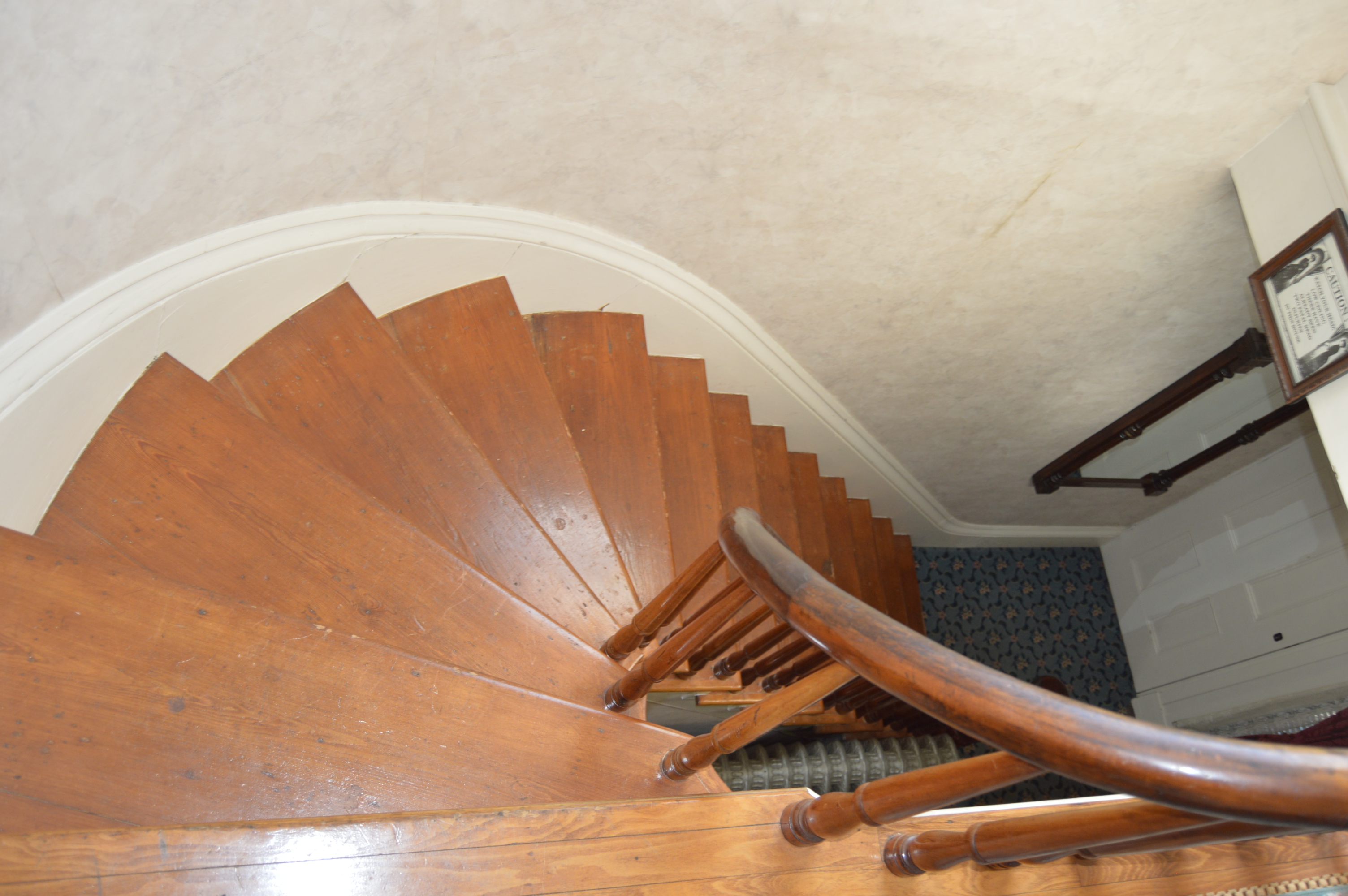
The staircases are narrow but fun to photograph.
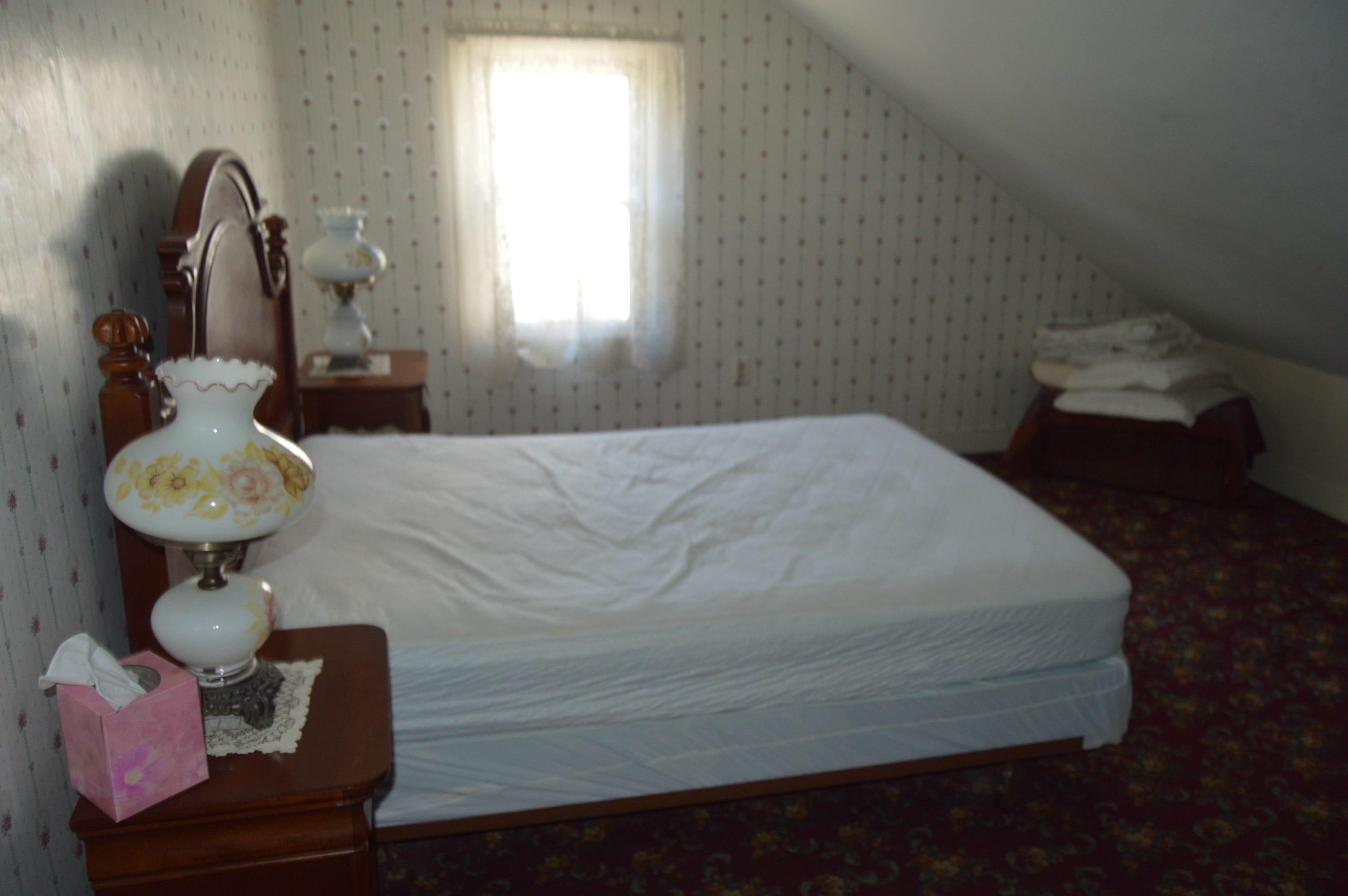
The bedrooms are basic with the bare necessities (you won’t find any flat screen tv’s or hot tubs there). But, they are refreshing for the weary traveler who just wants to unplug and relax.
This is the room where Abby Borden was murdered. Walking in the room can’t help but give you the willies.
This is where Andrew Borden’s (Lizzie’s father) body was found. I swear I had my camera trained on the entire sitting couch (I’d sooner blame in on Nikon than the photographer or any spirits, though)
If you are considering a stay at the Lizzie Borden bed and breakfast, just remember that while it is cute and rustic, well keep in mind that it is rustic.
Is that Lizzie in the window?
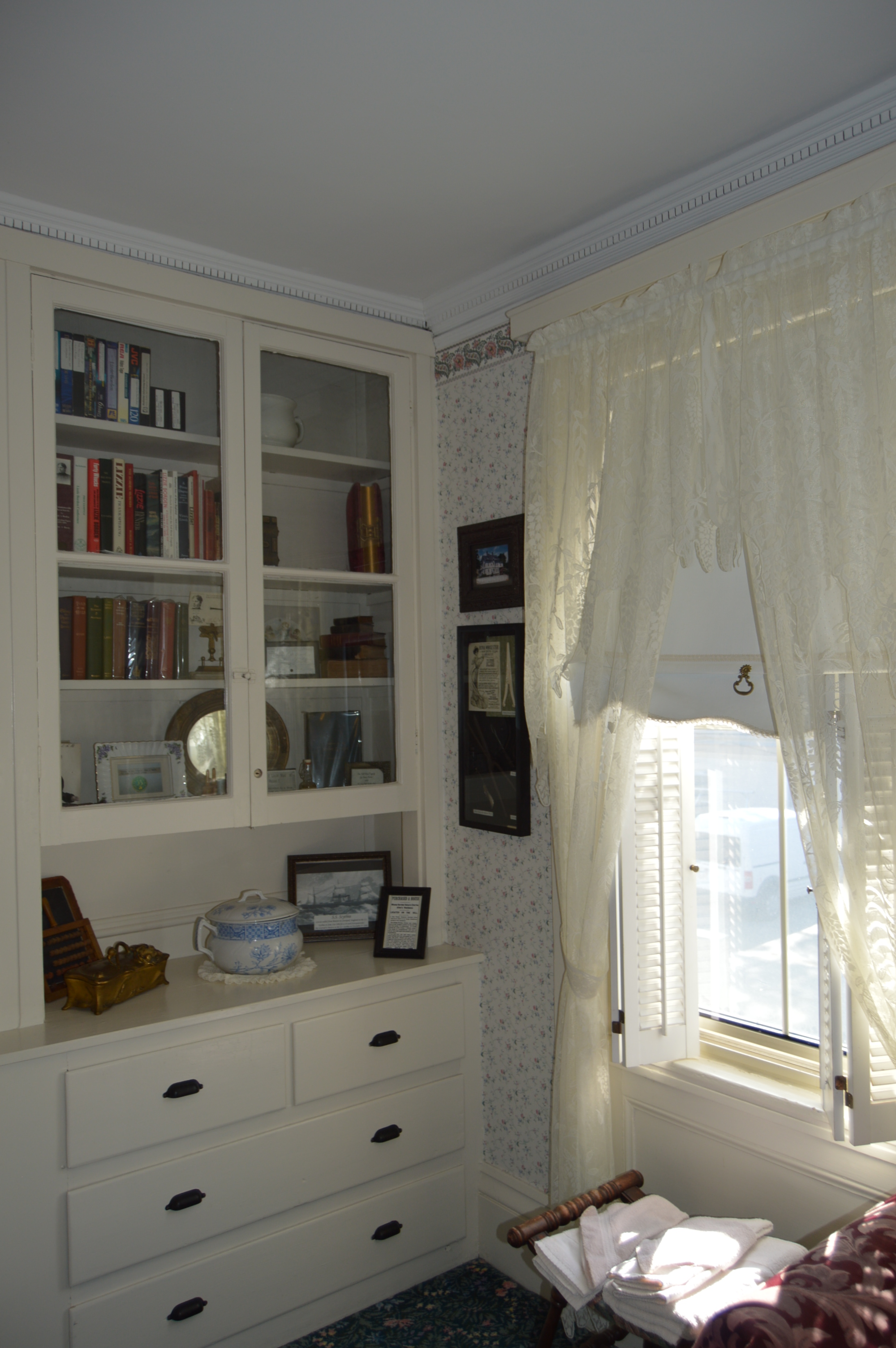
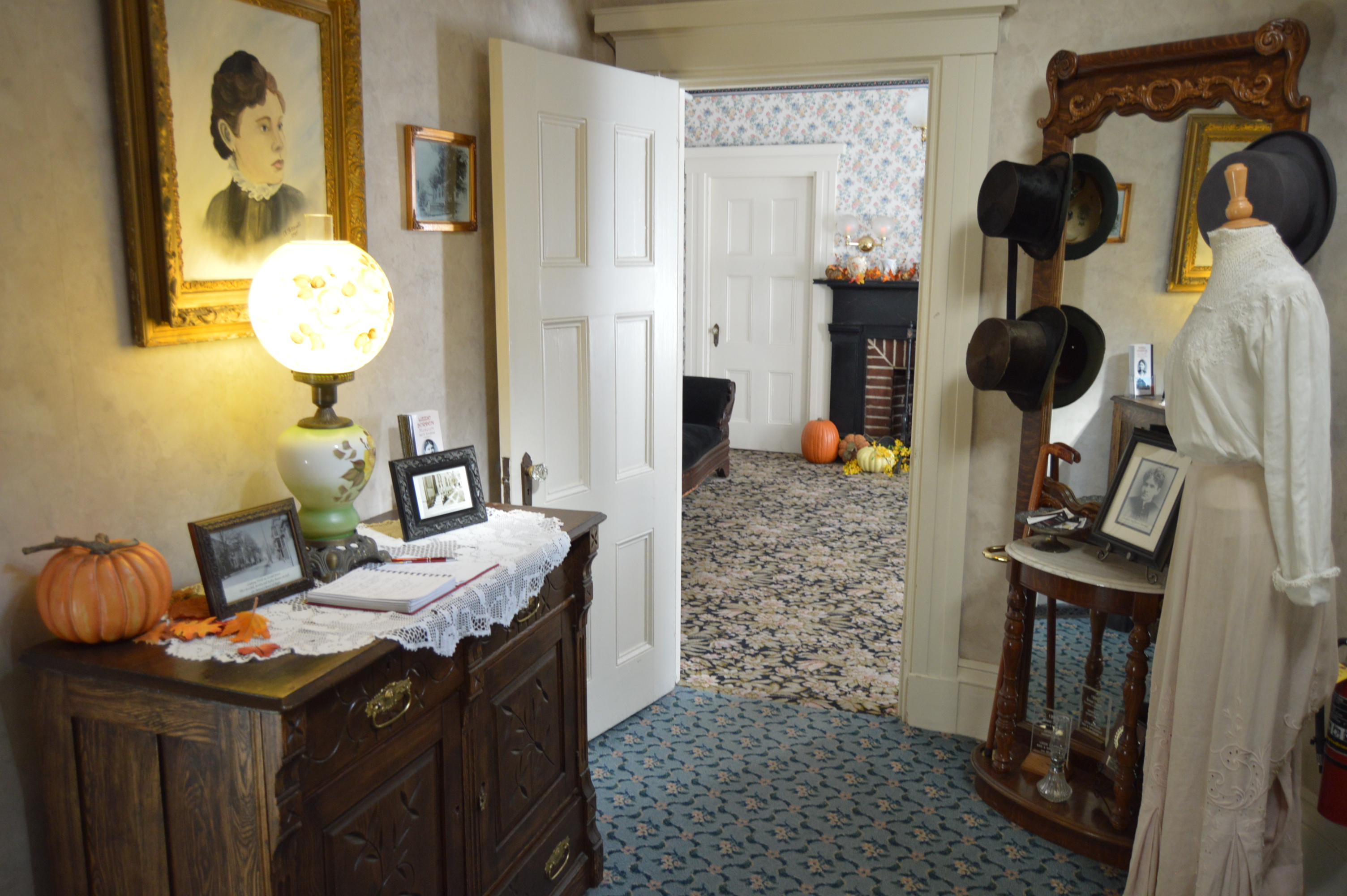
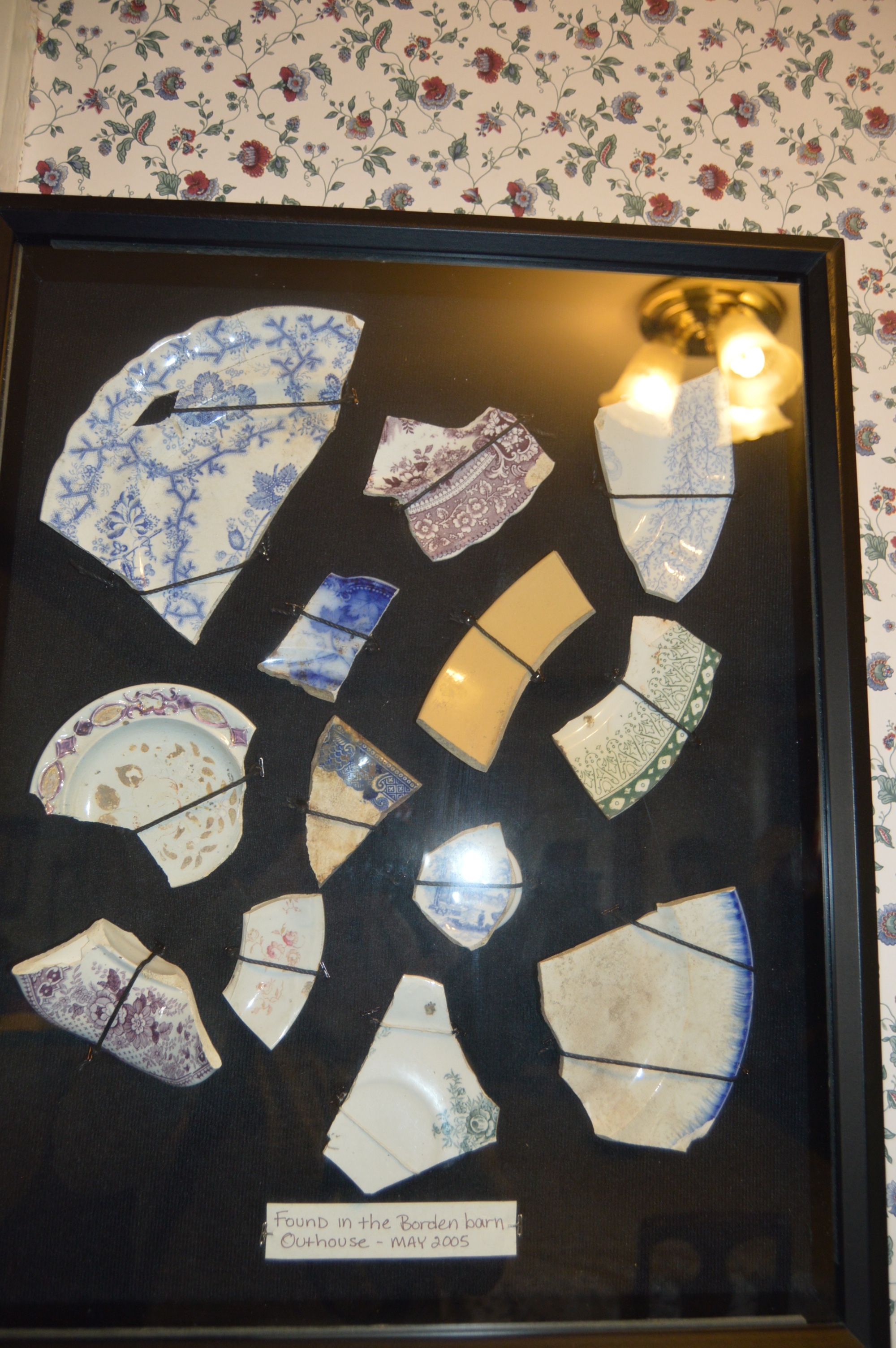
The inn also has a number of photos of the key players of the Borden case and the family hanging on the wall. There is also the dress Elizabeth Montgomery wore when she depicted Lizzie Borden in the made for tv version of the murder and trial. There are also artifacts hung on the walls that were found on the property that were discovered during recent renovations.
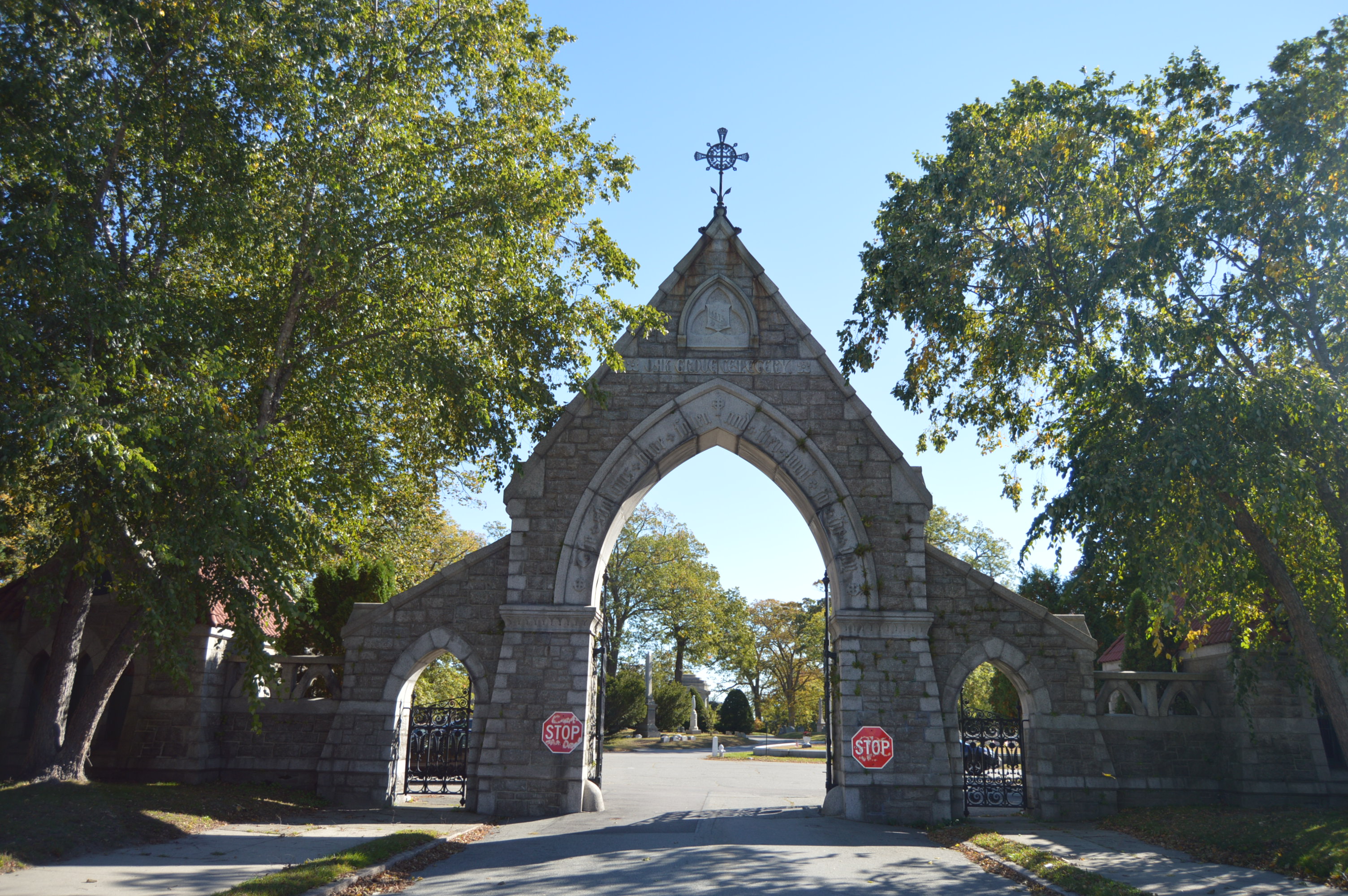
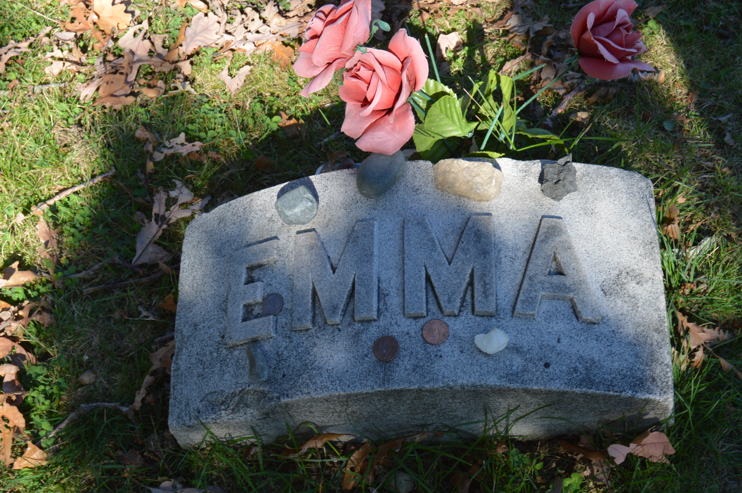
I had some time to waste before the tour, so I stopped by Lizzie’s (or Lizbeth’s) final resting place. Lizzie is buried in Oak Grove Cemetery in Fall River, Mass. She is buried next to her sister, Emma. People regularly leave little mementos from flowers to rocks and even coins and other keepsakes on her gravestone, especially this time of year (even though the murders occurred in August and not around Halloween) .
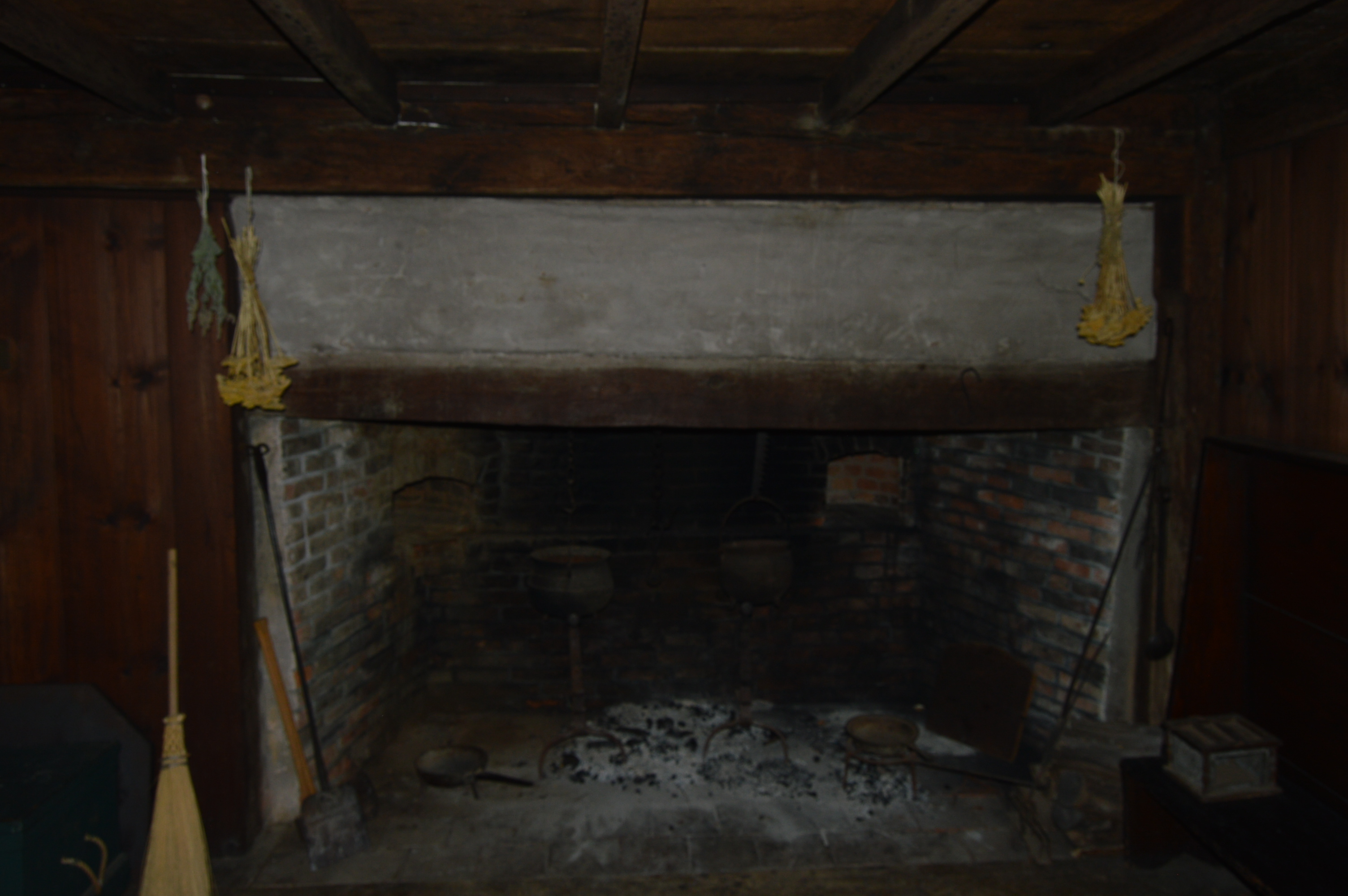
The main living quarters has been renovated and maintained through the years but it still keeps the basic feel of what living in that era was like.
The early settlers planted most of their crops in their yard. The staff at the Homestead continue growing these crops such as mugwort, sage and chamomile.
Pictured below is the front of the house. The front part of the house is what we might consider “the back” because the settlers always wanted their houses to face the south.
The accommodations are what a modern day realtor might call “cozy”.
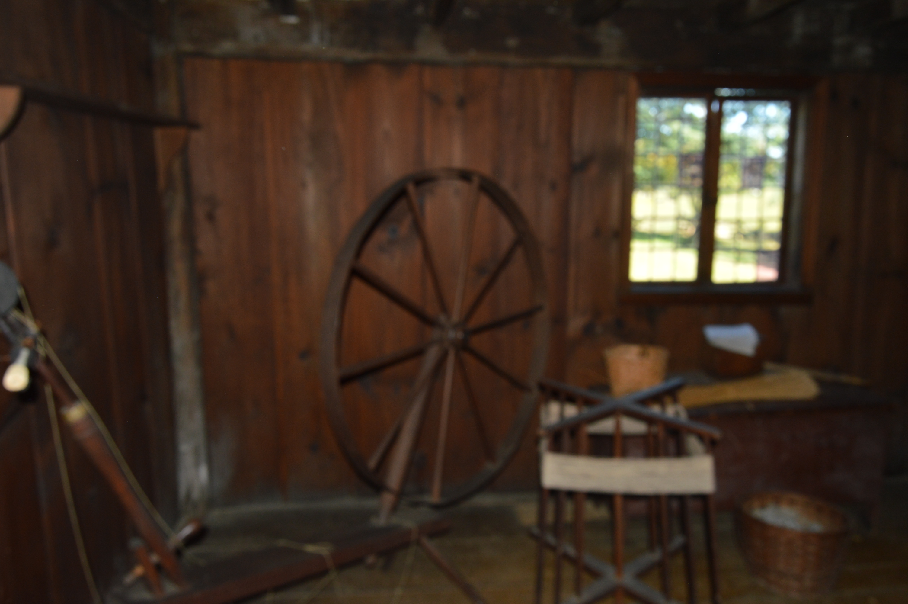
They were “spinning” before it was cool.
There is also a meeting house, shoemaker shed and wood shed that still have a very rustic feel to them.
The Homestead also keeps their grounds well maintained.
According to legend, after being hanged, Rebecca Nurse was buried in a shallow unmarked grave because people convicted of witchcraft were not considered worthy of a Christian burial. Her family dug her up and buried her at the Nurse Homestead and they erected a memorial in her honor.
George Jacobs, another victim of the witch hysteria, is also buried at the Nurse Homestead.
Rebecca’s great grandson, Francis Nurse, resided st the homestead until he joined the Massachusetts Militia during the Revolutionary War. He is know interred at the Rebecca Nurse Homestead.
There are also a number of other monuments and graves in the Nurse gravesite
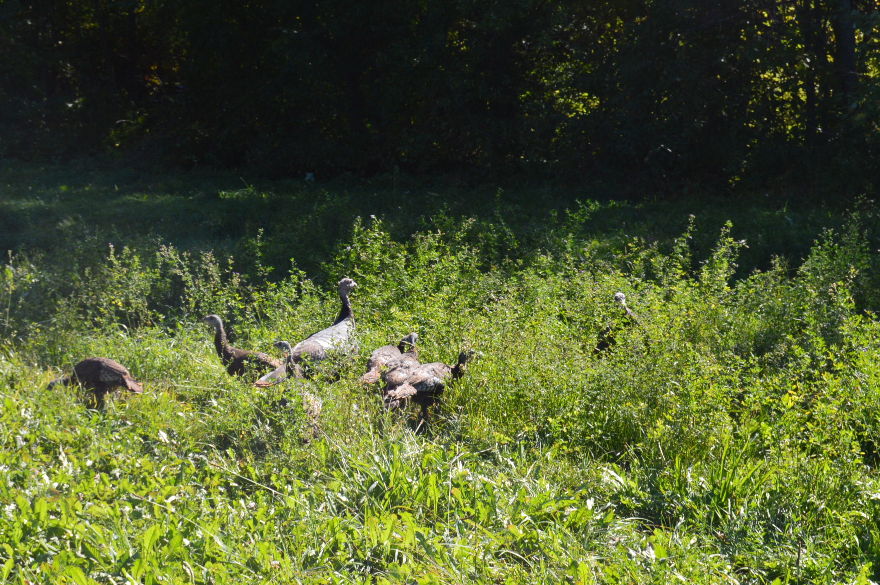
There is also a variety of wildlife on the Nurse Homestead grounds. I ran into these turkeys during my visit.
And I met a bear. Well, sort of. One of the workers was dog sitting and he brought his Golden Lab, Bear with him to the homestead. Bear likes to play catch.
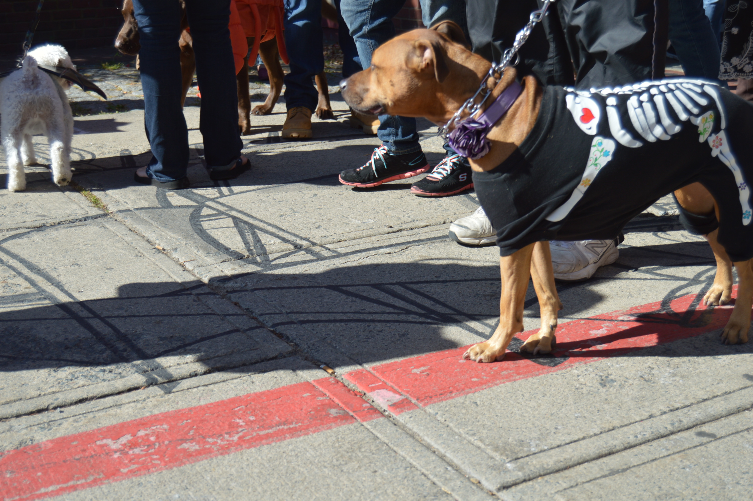
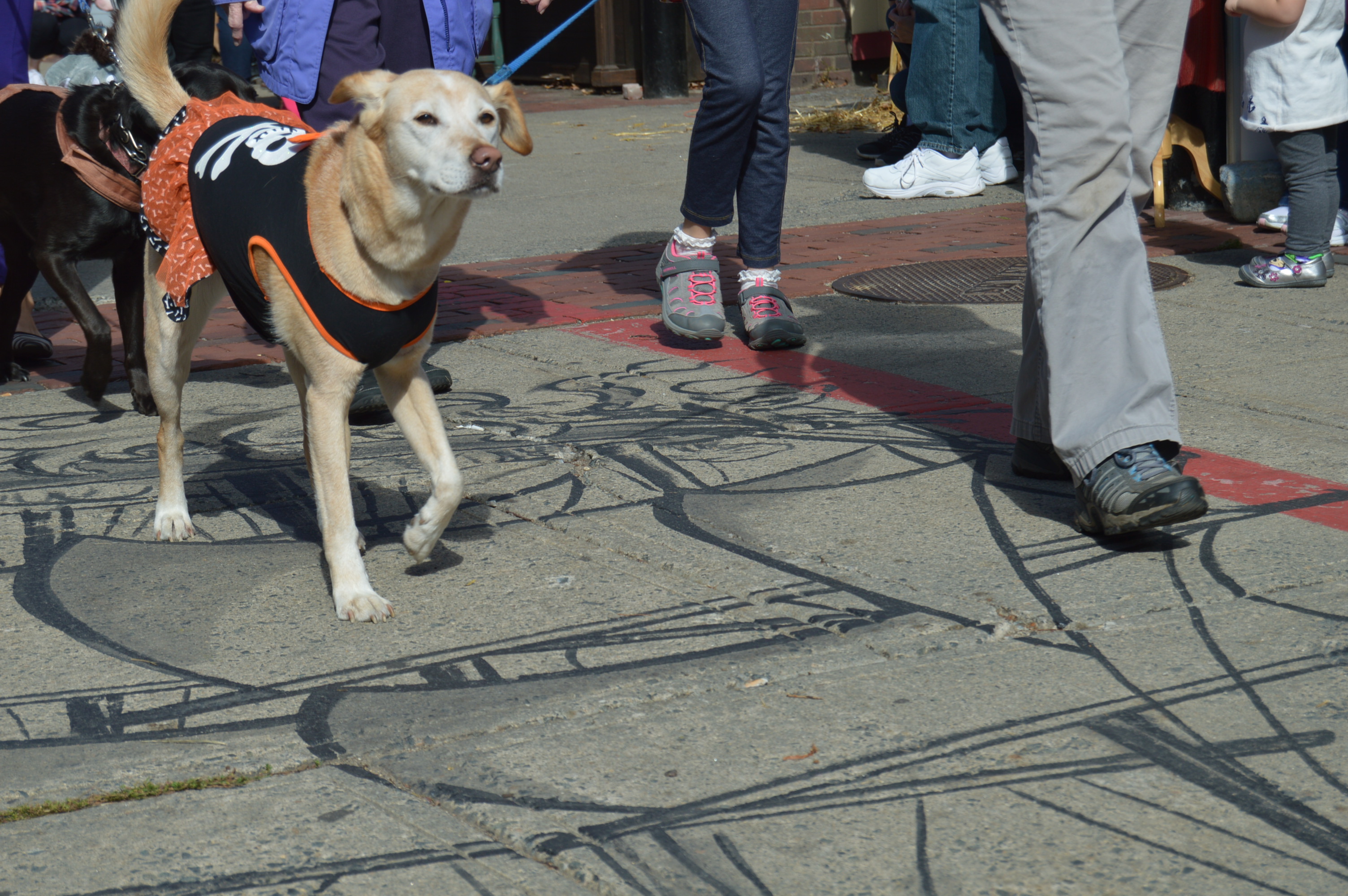
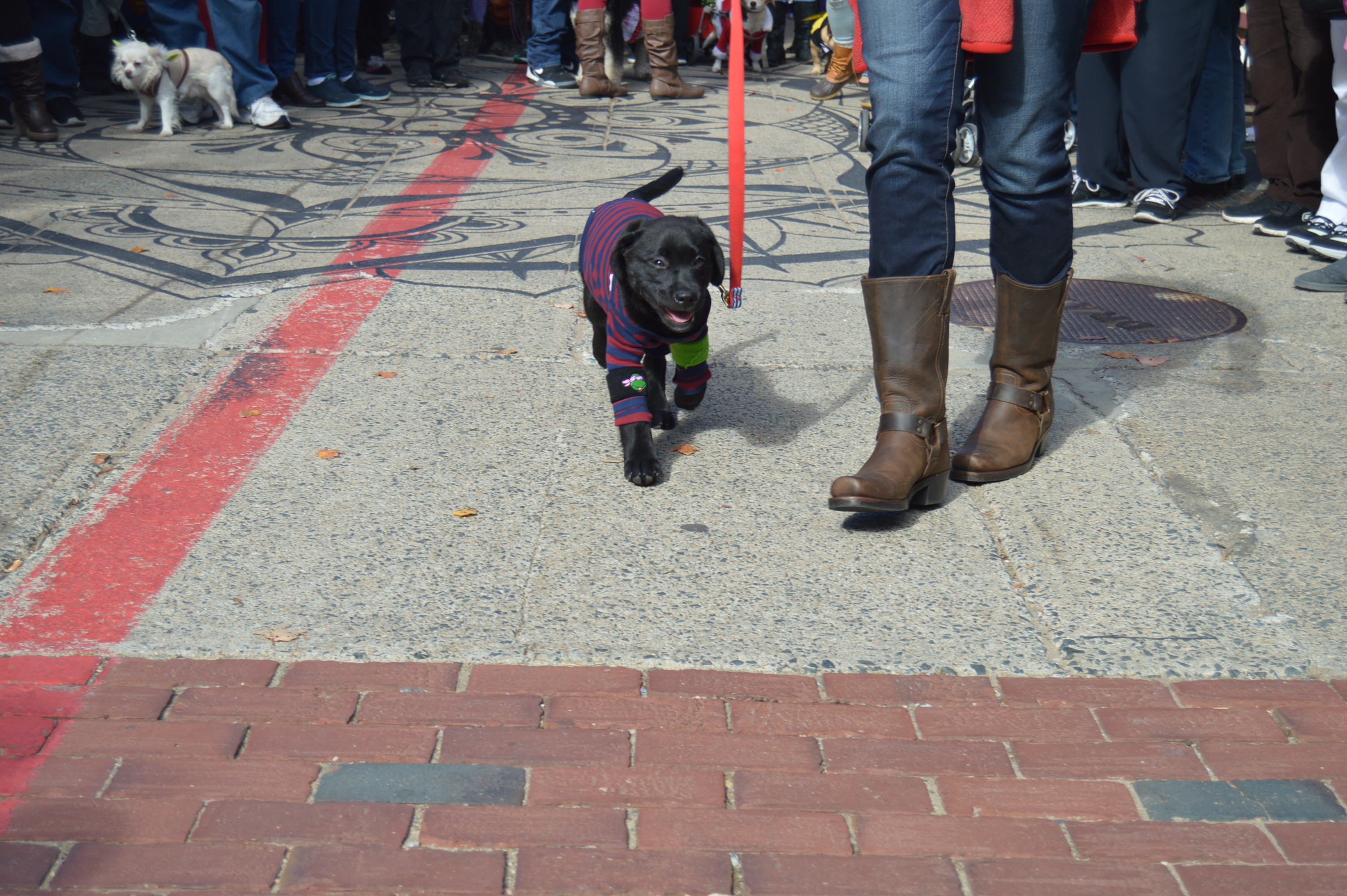
The costumes ranged from the scary, like this dog bone skeleton
and this shark
to the funny like this pooch dressed as Beetlejuice.
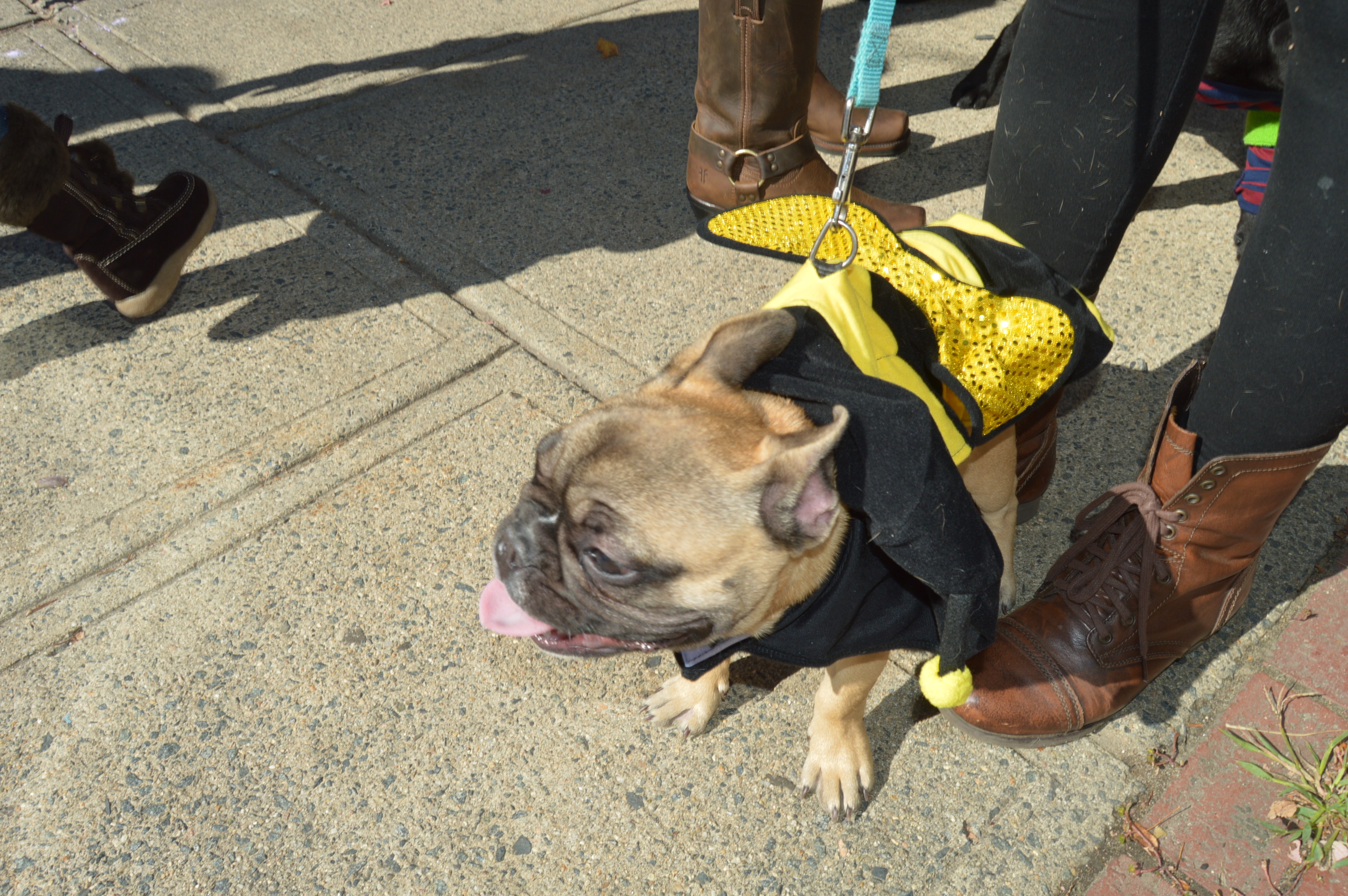
In fact, a lot of animals dressed up as other animals and insects. Like these bees
and these bat dogs
or this elephant
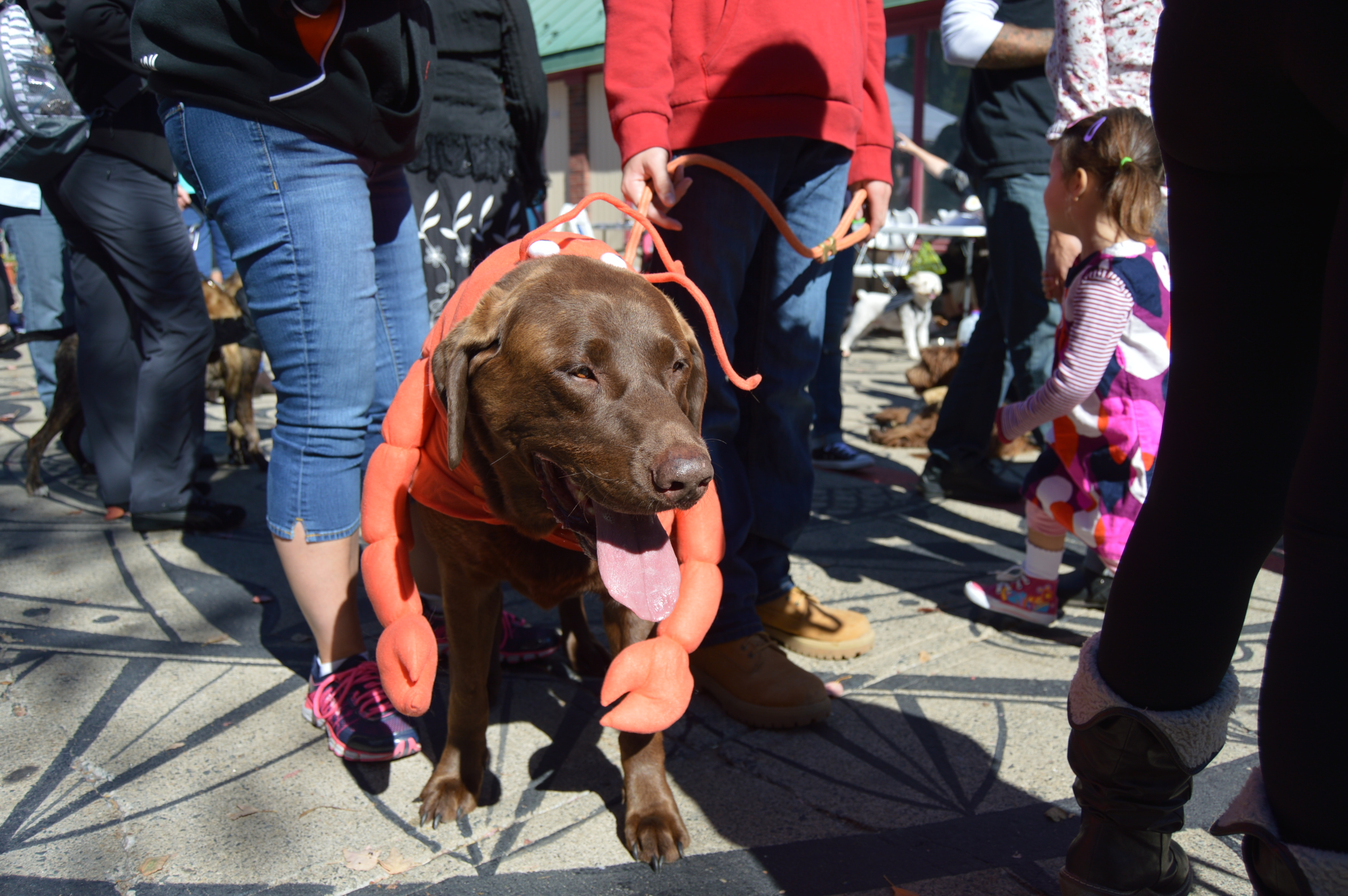
There were also an octopus, lobsters, a spider and even a squirrel riding a dog.
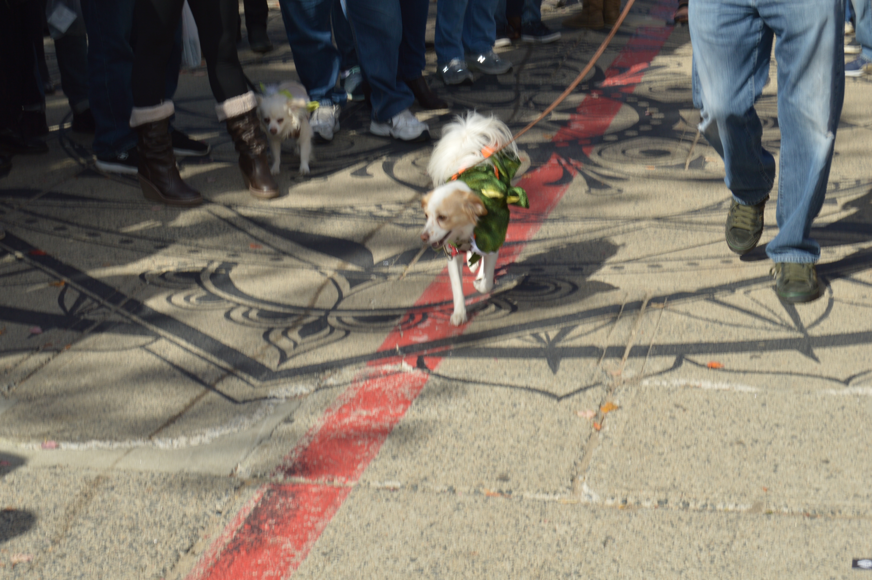
Some dogs decided to dress more like humans like Sherlock Bones.
and this working class dog
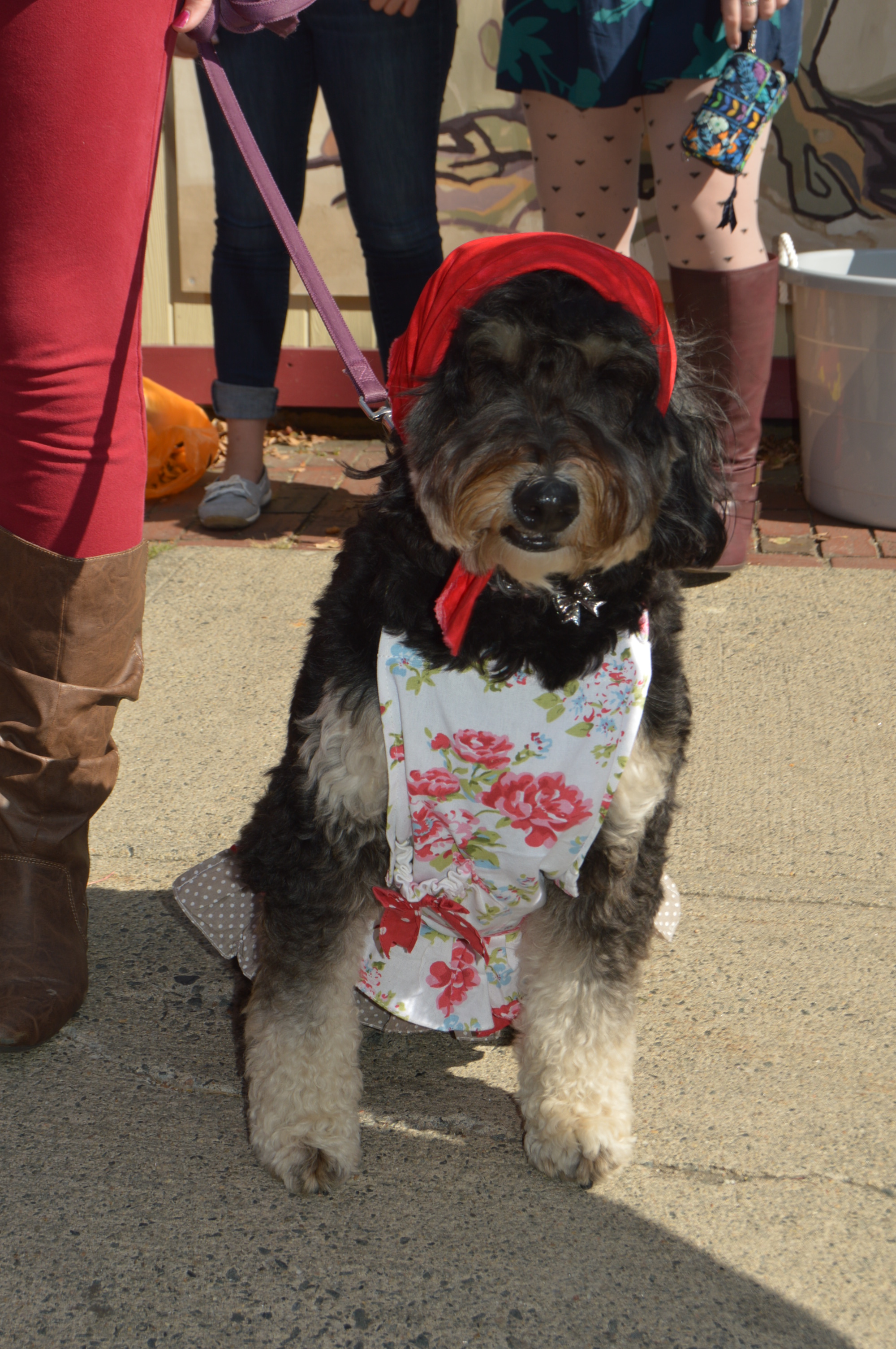
Some dogs wore more creative costumes, like this Chia-pet
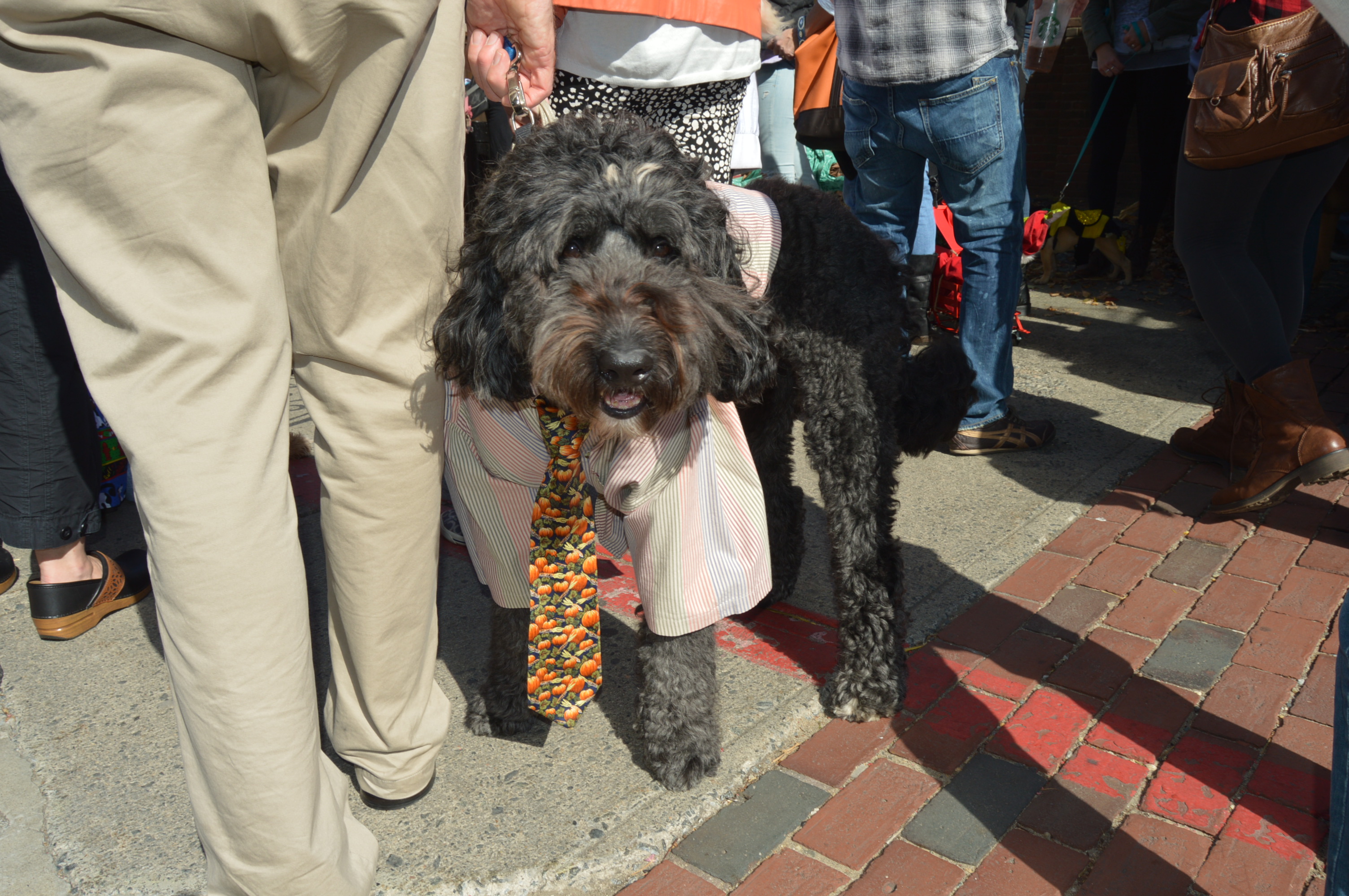
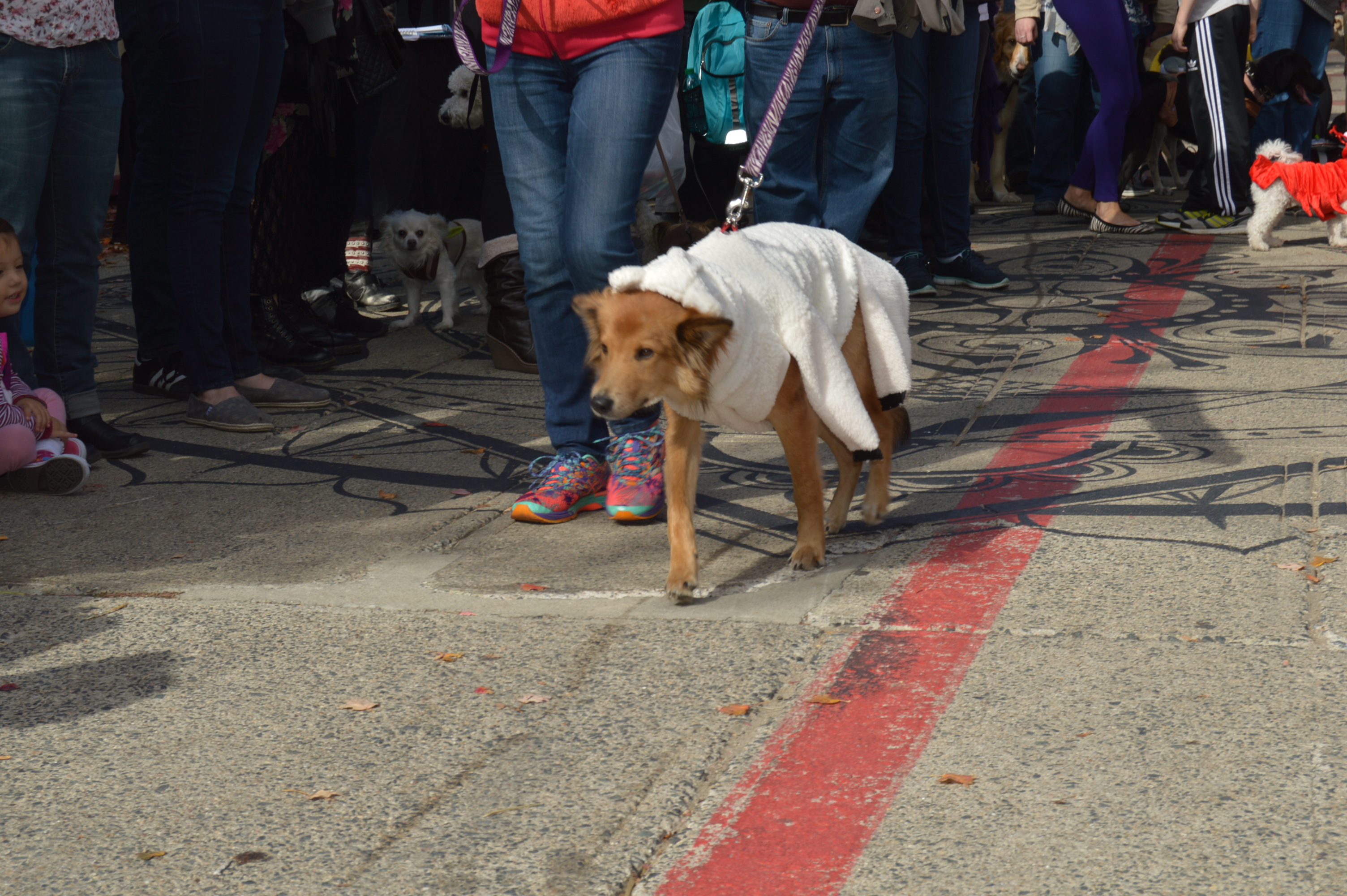
and this wolf in sheep clothes
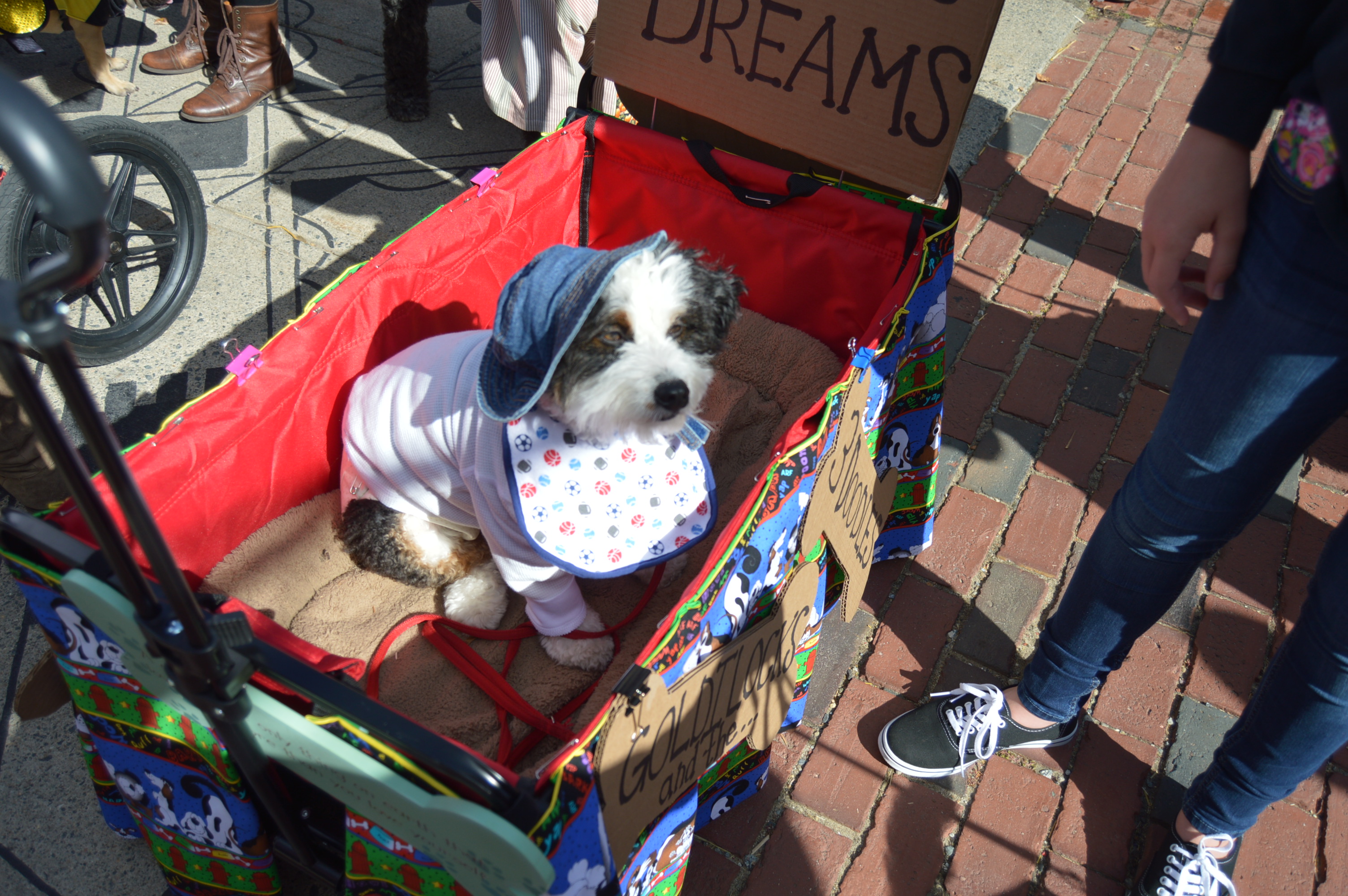
and Goldilocks
And for those of you who thought dinosaurs were extinct, think again
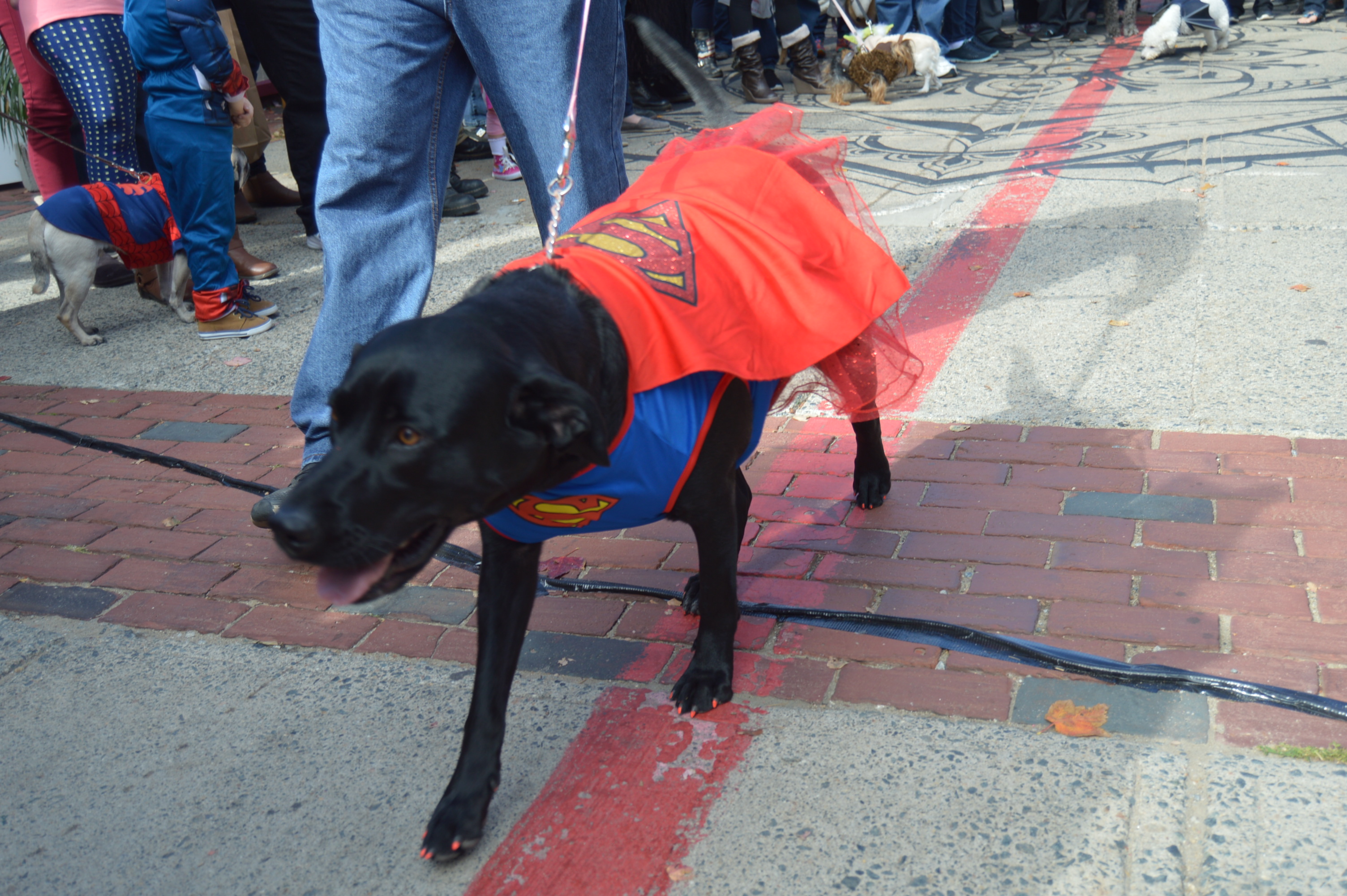
There were also a number of pets dressed as fictional characters such as Chewbacca and Superman/woman (with a tutu no less) and a super hero.
Sleeping beauty was also at the parade.
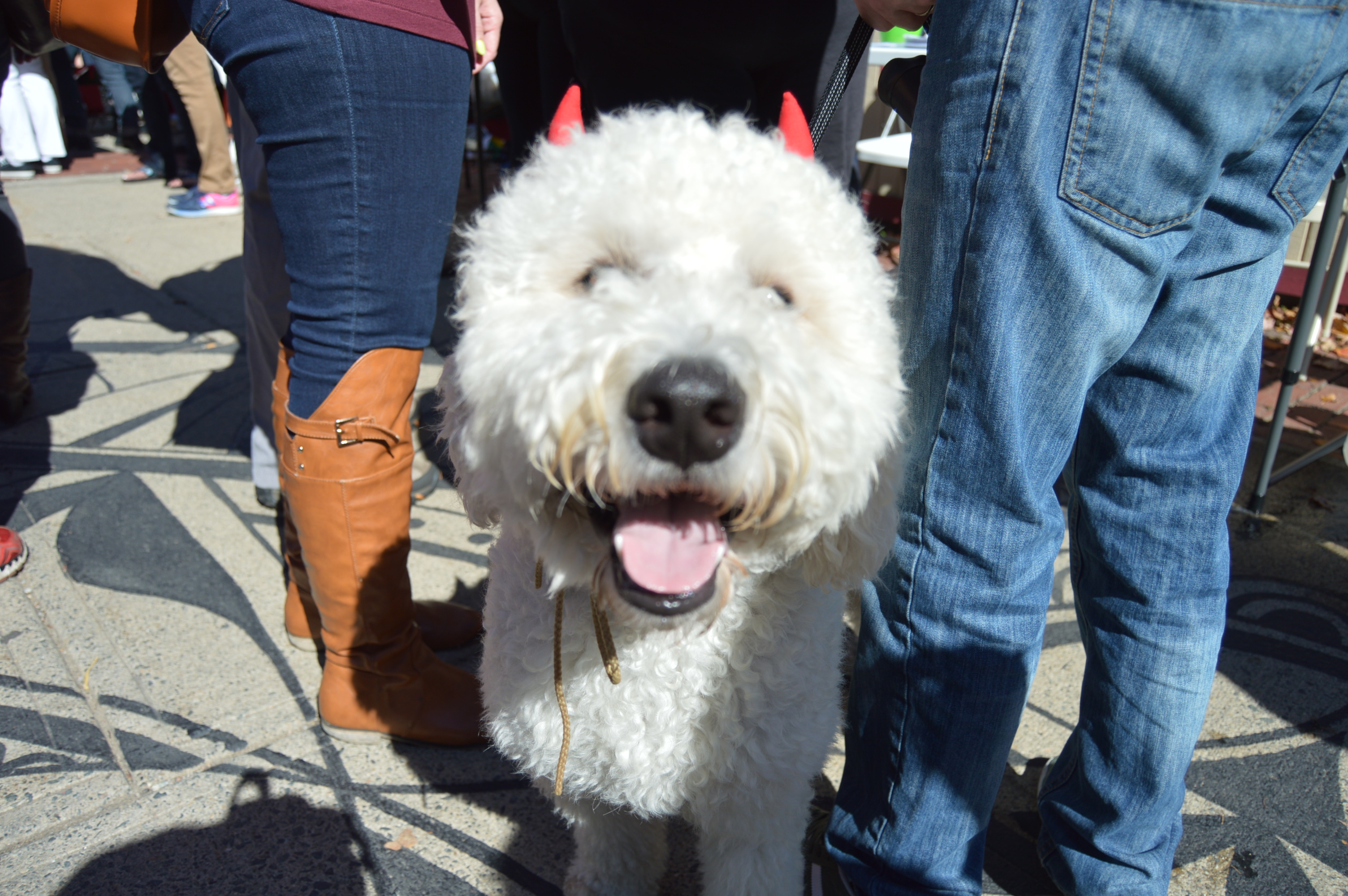
And of course, what would a Howl-O-Ween parade be without a witch?
There were also some sports themed costumes
And some food themed costumes like these hot dogs and taco
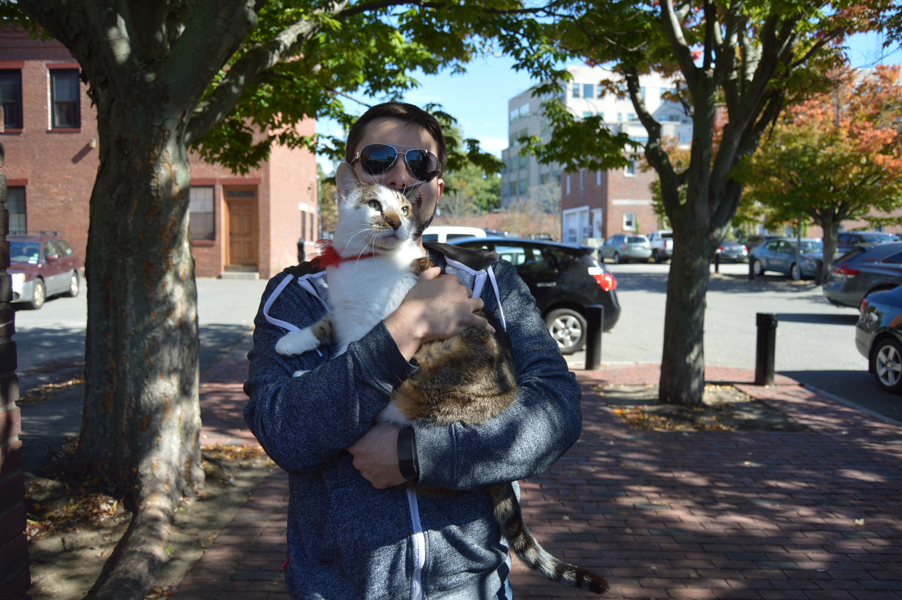
Dogs were not the only participants. There were these two brave cats. One was dressed as a sailor and the other cat, Briggs, was just a spectator
Although all the participants were winners winners, the prize for best overall costume went to “Max” from the his “How The Grinch Stole Christmas” outfit.
When most people think of the witch hysteria that gripped the New England colonies in 1692 and 1693, they are likely to think it began and took place exclusively in Salem. However, although they are known as the Salem Witch Trials and Salem largely takes the infamy of the witch hunt, Salem does not hold that infamous title.
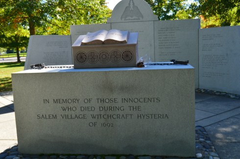
Salem Village, now known as Danvers, has the infamous distinction of being the beginning of the Salem witch hysteria. It is here in Danvers, Massachusetts, where a somber memorial stands as a constant reminder to remember this past and to never let something like this happen again.
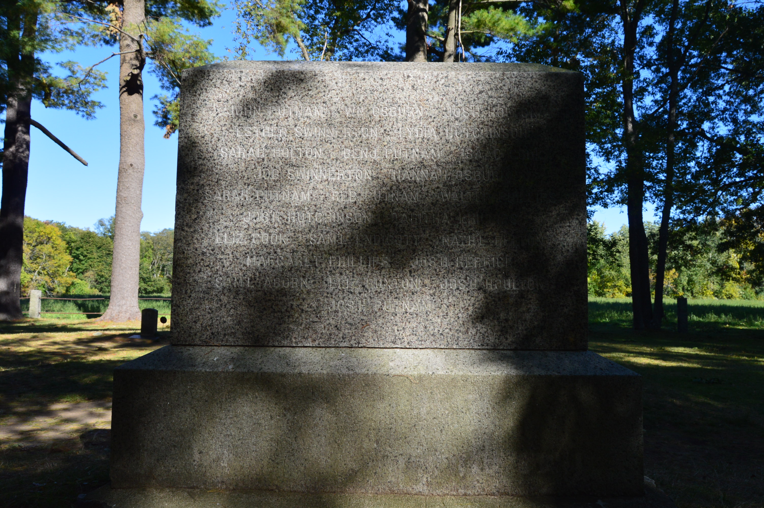
Erected in May, 1992, the monuments lists the 20 people who were executed during the witch trials.
Each slab lists a quote of innocence from each victim.
The rays spilling in from the top of the memorial was a nice touch.
Some of the more poignant quotes listed on the wall are:
“Well! burn me or hang me. I will stand in the truth of Christ…” – George Jacobs, Sr
“Amen. Amen. A false tongue will never make a guilty person.” – Susannah Martin
The memorial also has a sculpture of “The Book Of Life” on top of a table that has a tribute etched in the base.
Attached to each side of the book are chains. Stark reminders of the pain they endured.
Someone left a flower at the memorial, a common occurrence at this memorial, particularly during this time of the year.
The memorial site has many pretty views to photograph from a variety of angles and the foliage added a nice touch. The foliage gave a serene feeling in contrast to the moving memorial.
In front of the memorial, there is monument that lists the generous donors who made the memorial possible. You may notice the red door on the house in the background. This is not unusual for the area. The houses in Danvers and the surrounding area were beautiful in their understated uniqueness and pretty yet rustic nature.
A sign, inconspicuously posted by the side of the road explains the origins and history of the site and surrounding area as well as the meaning behind the memorial.
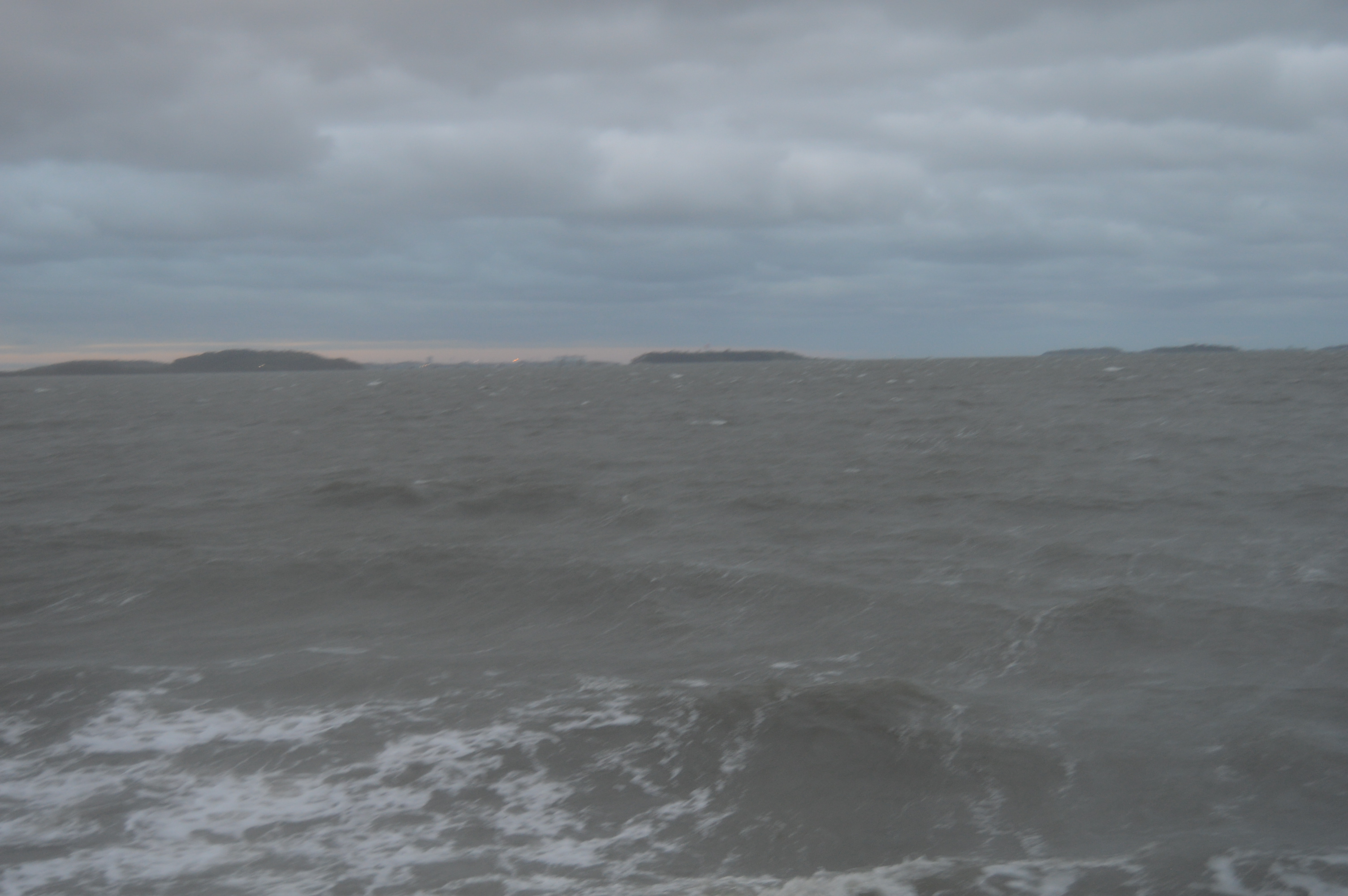
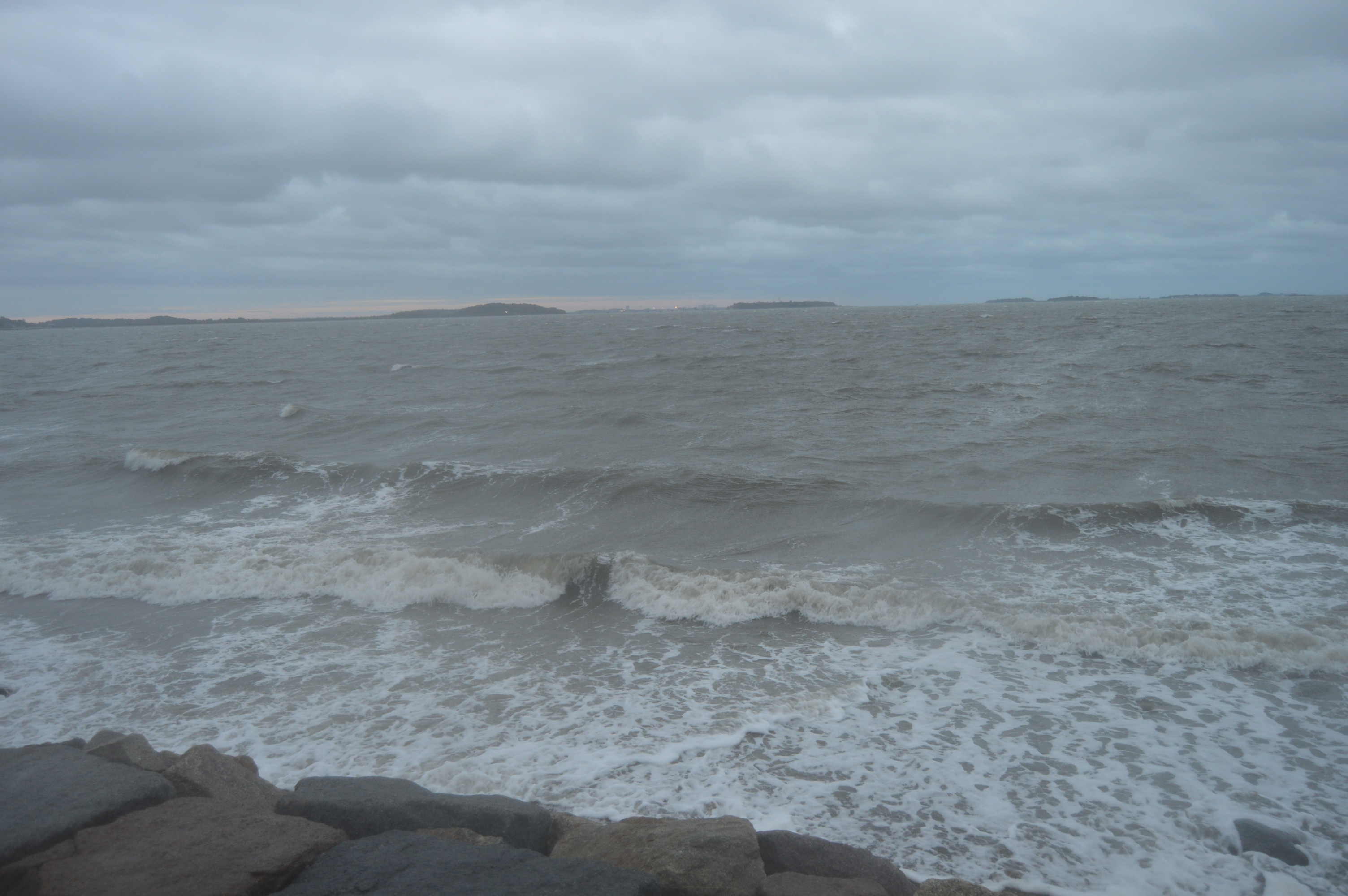
We in New England are no strangers to stormy weather. But, the first stormy weather of the season always seems to catch us off guard. After all, it was only the first weekend of October. Much too early for stormy weather. But, it is hurricane season, after all. During this first storm of the season, I decided to go to my second stormy destination of the day.
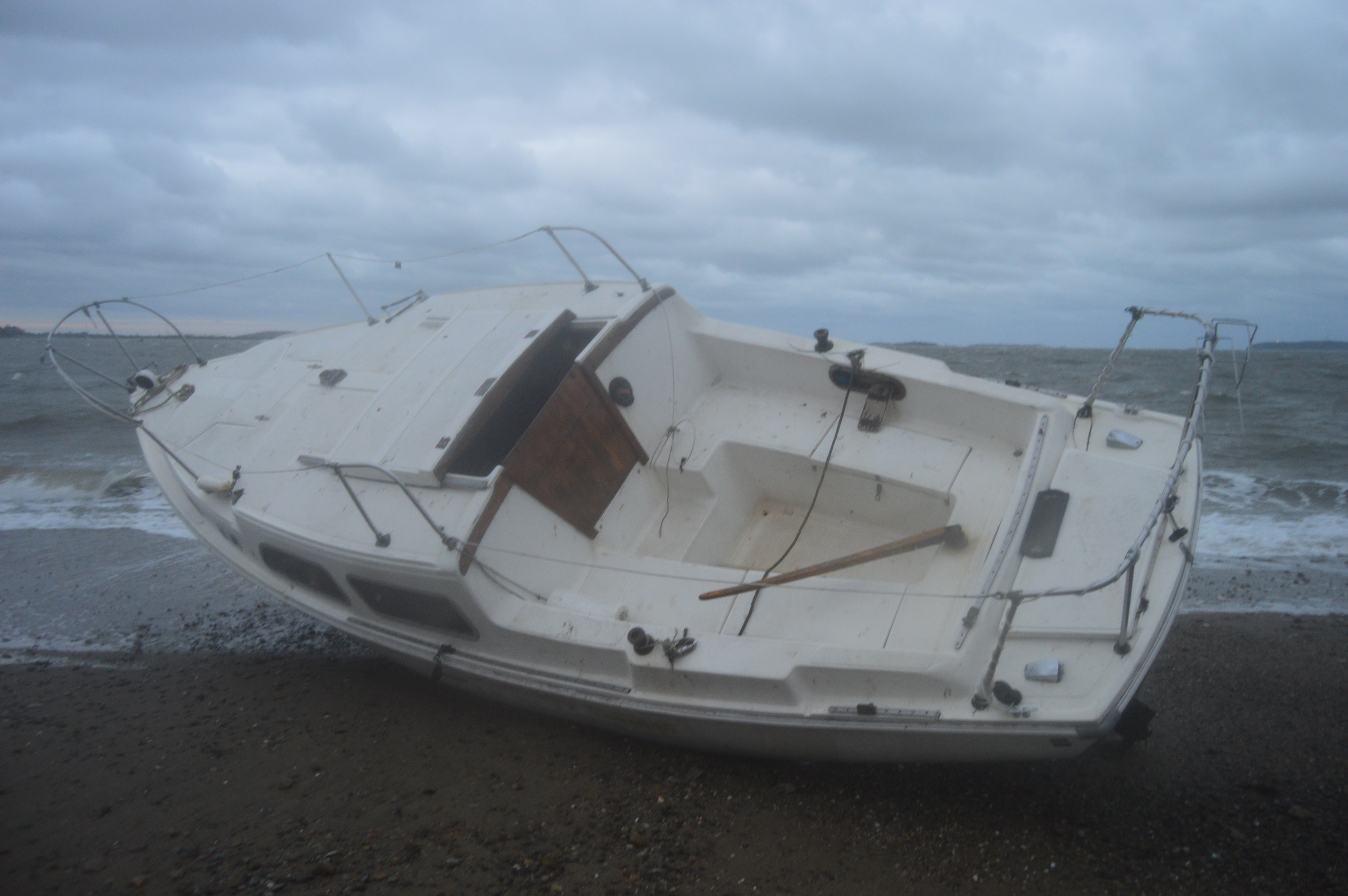
By the time I arrived at Wollaston Beach, the storm had died down quite a bit. But, it was still pretty windy and wavy.
The water was rocky earlier in the day. This boat, the Cenzina, was one of three boats that were washed ashore Saturday.
Just like in life, a silver began to appear after the rocky weather.
Unfortunately, the wet weather made it hard to keep the lens dry which made some photos come out blurry. This was the best photo I could get of Maya.
To get the full effect of just how bad the weather was (and this wasn’t even during the peak time of the bad conditions) watch the video below. You may notice the light from the lighthouse in the distance at the tail end of the video.
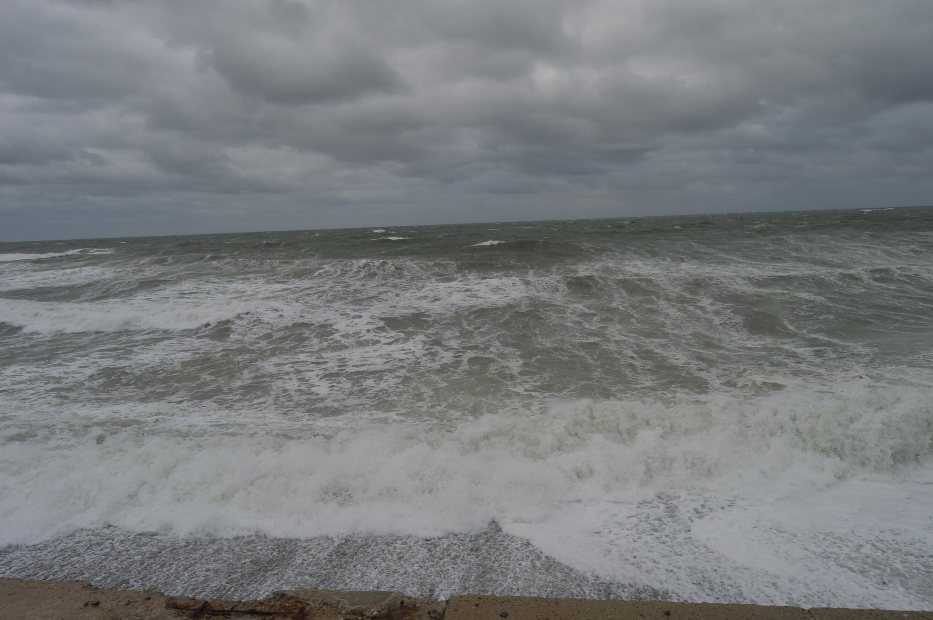
It’s the time of the year again when hearty New Englanders hunker down and storm the stores for candles, batteries and, of course, bread and water. Yes, hurricane season is upon us. However, this recent stormy weather from Saturday, as bad as it may have been, was not a hurricane.
Waves as high as 7 feet crashed down in some parts. Although it was not a hurricane or a Nor’Easter, the wind was strong enough to push you and your car around and the waves spilled over the sea wall in some parts.
Weather like this really puts you in your place. We are no match for Mother Nature.
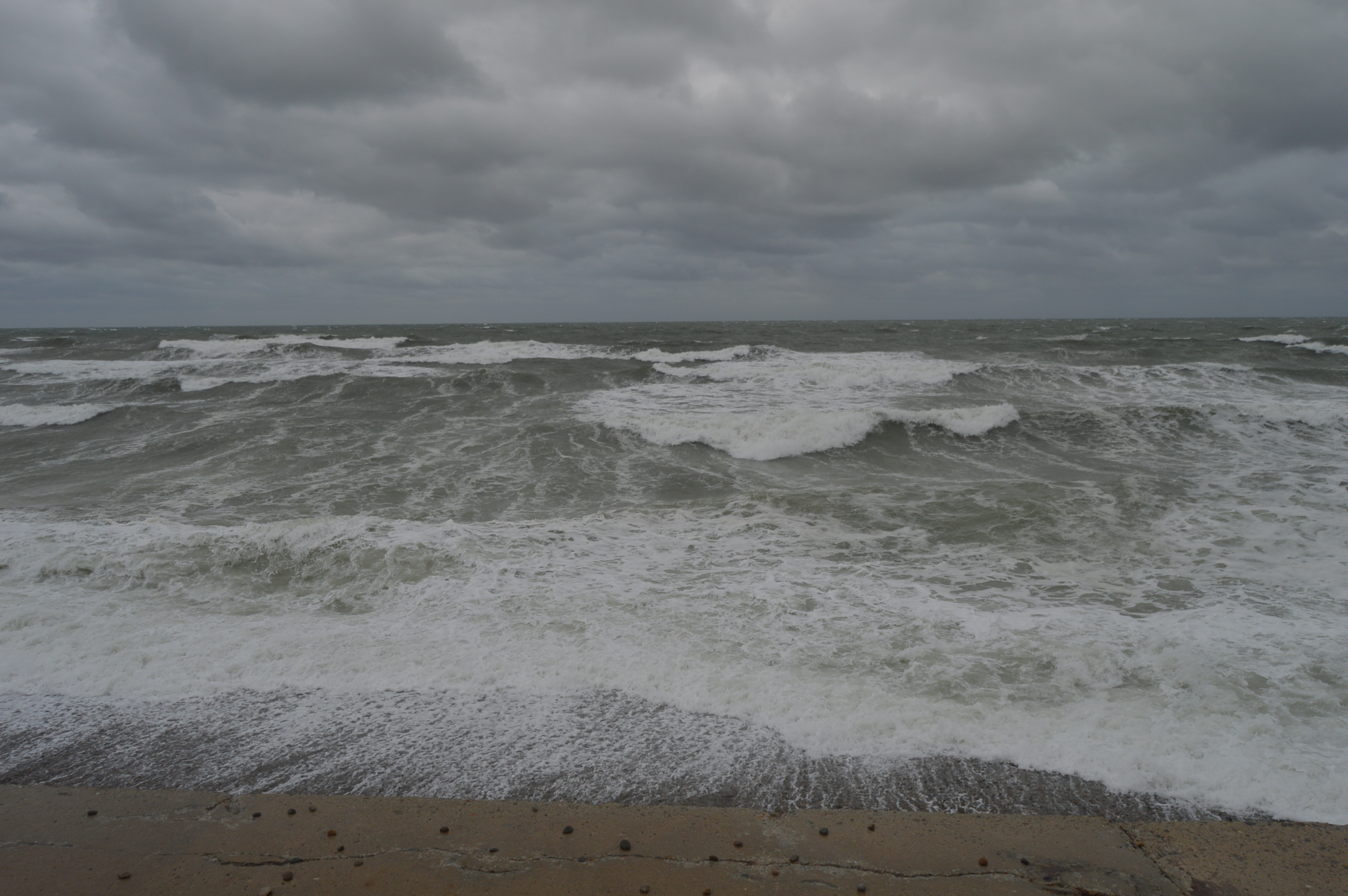
It was almost impossible to keep my lens dry and clear which spoiled some of my shots. I decided to post them anyways.
The waves crashing along the rocks gave a hypnotic effect.
If not for my ocean soaked clothes, being pelted by sand and the whipping wind, I could have stayed all day. It reminded me of how some things that are so beautiful can be so dangerous.
Of course, Brant Rock wasn’t the only place hit by this storm. Stay tuned for my next stormy destination.
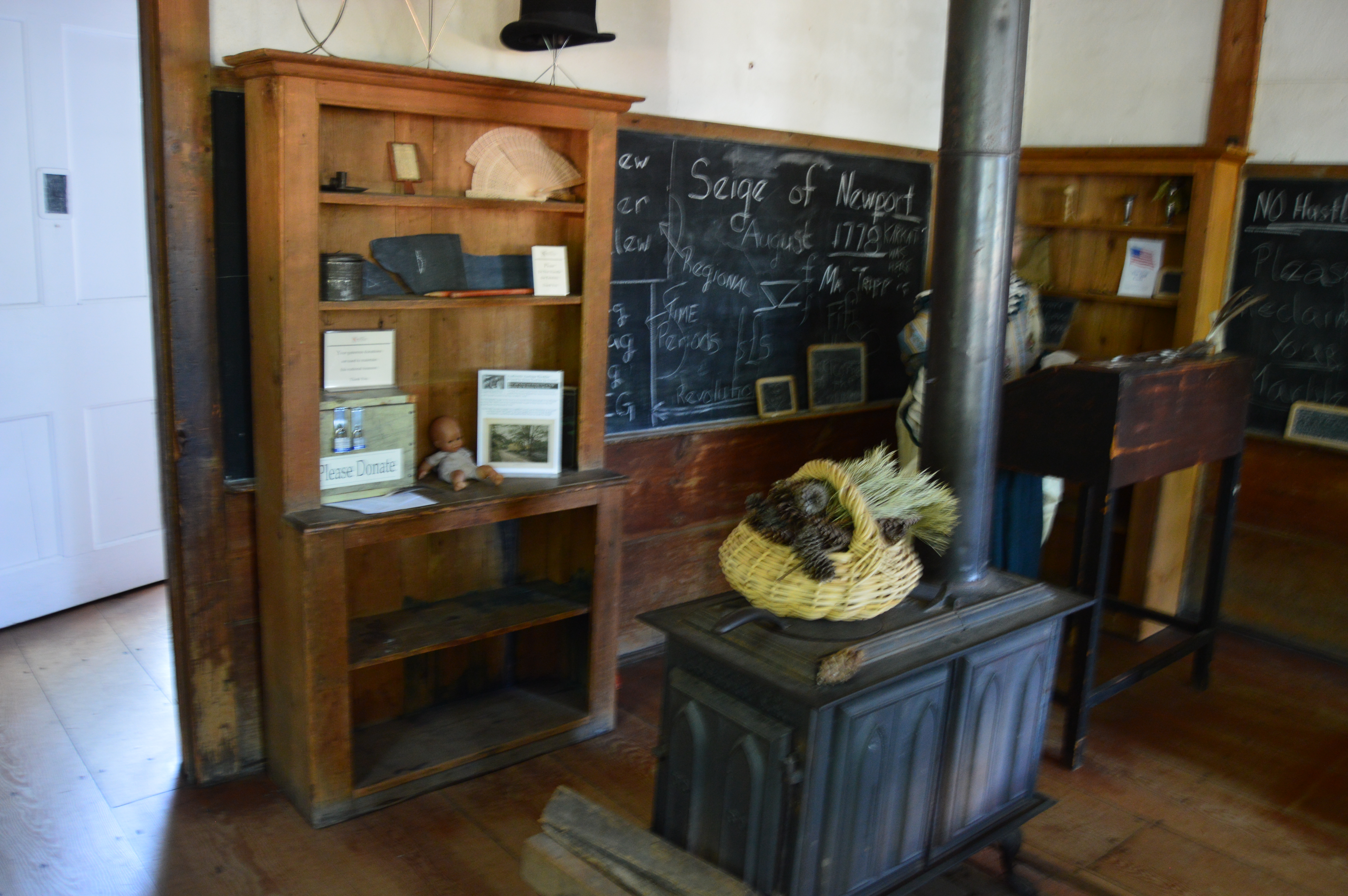
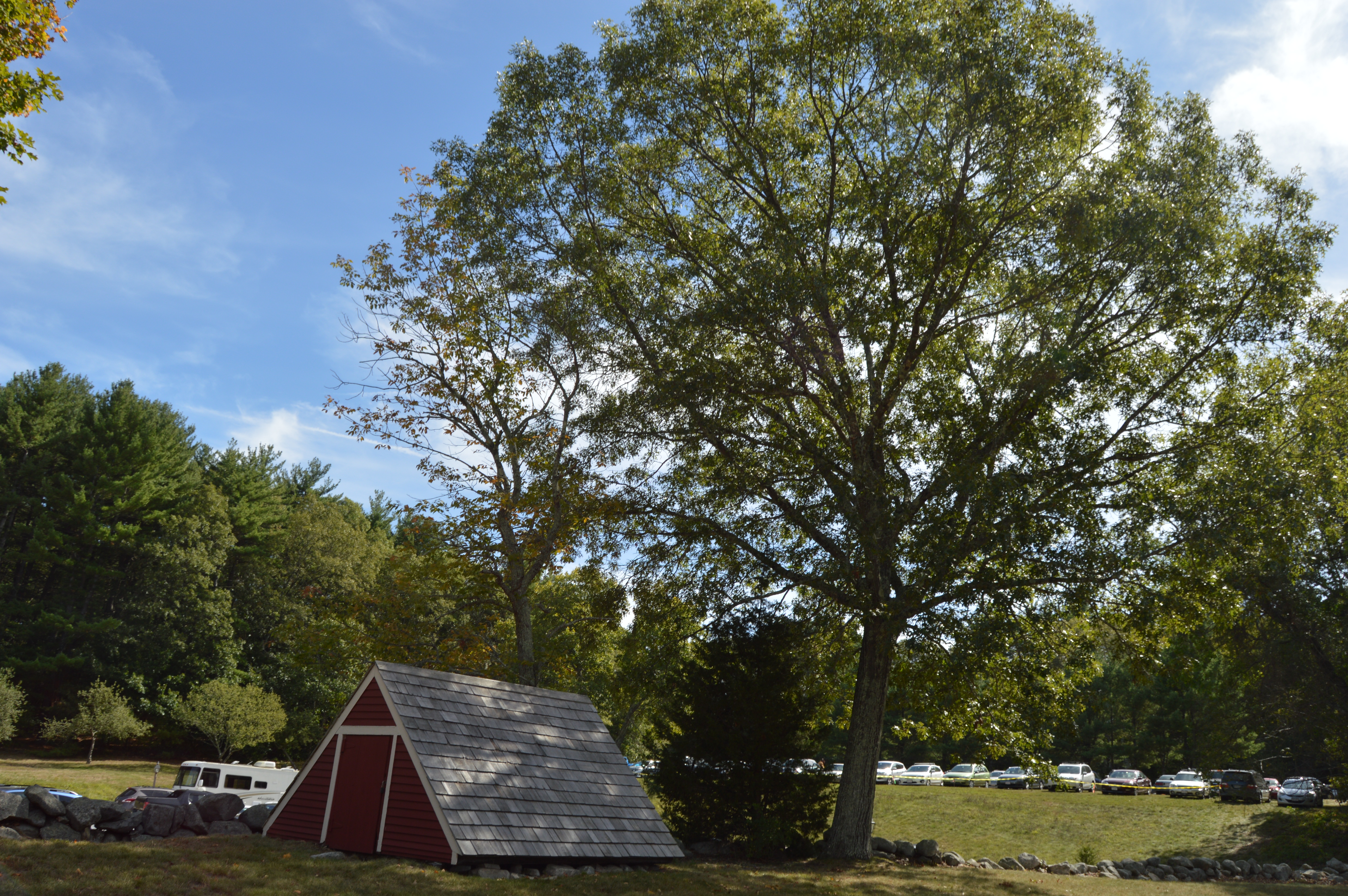
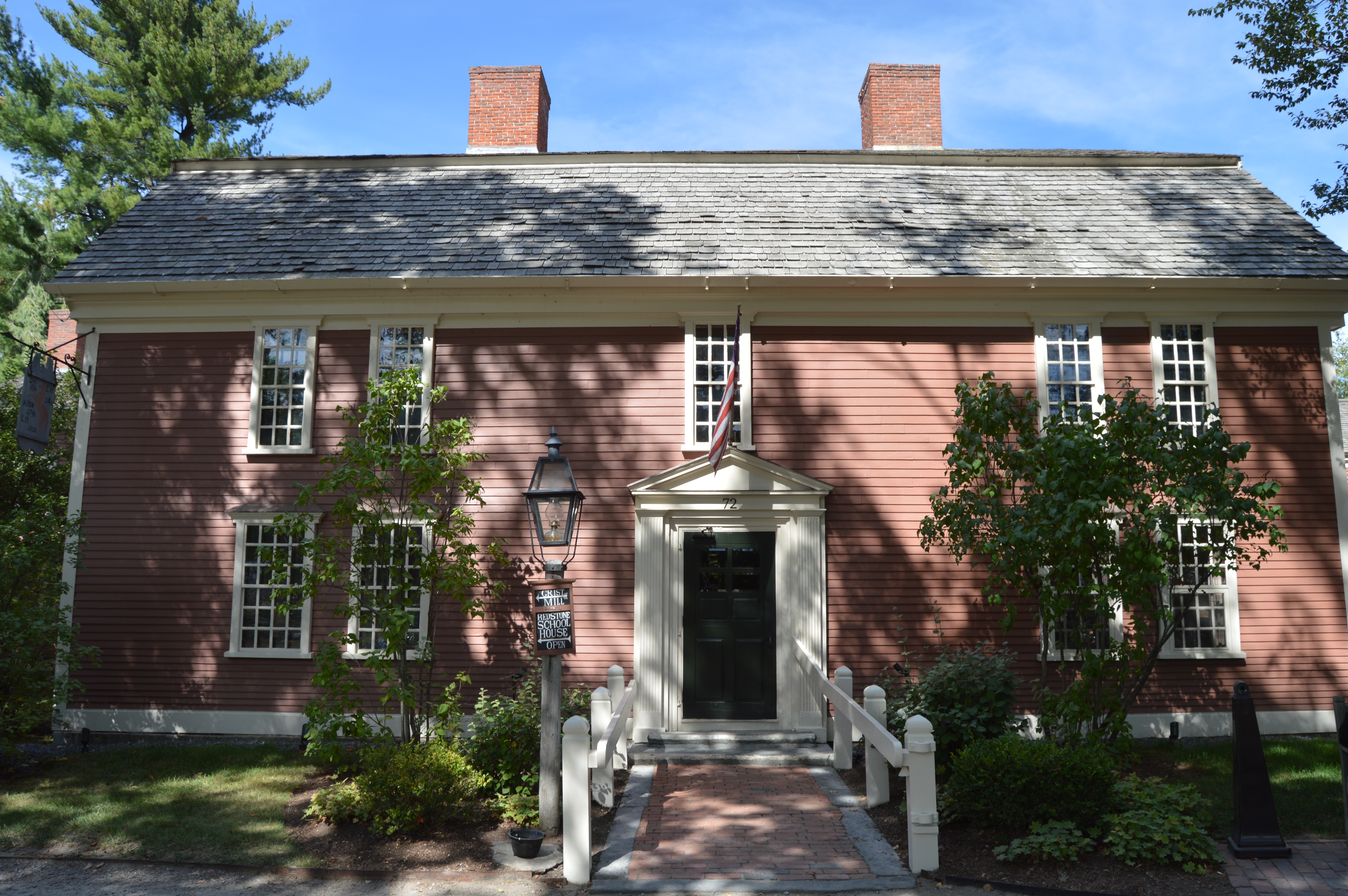
When one reminisces of a simpler time they rarely think of muskets,militias and mills. But, that is what they have at the Wayside Inn Colonial Faire.
You don’t have to be a history nerd, I mean buff, to enjoy the faire. But, it helps. The main attraction, all year round has to be the Grist Mill.
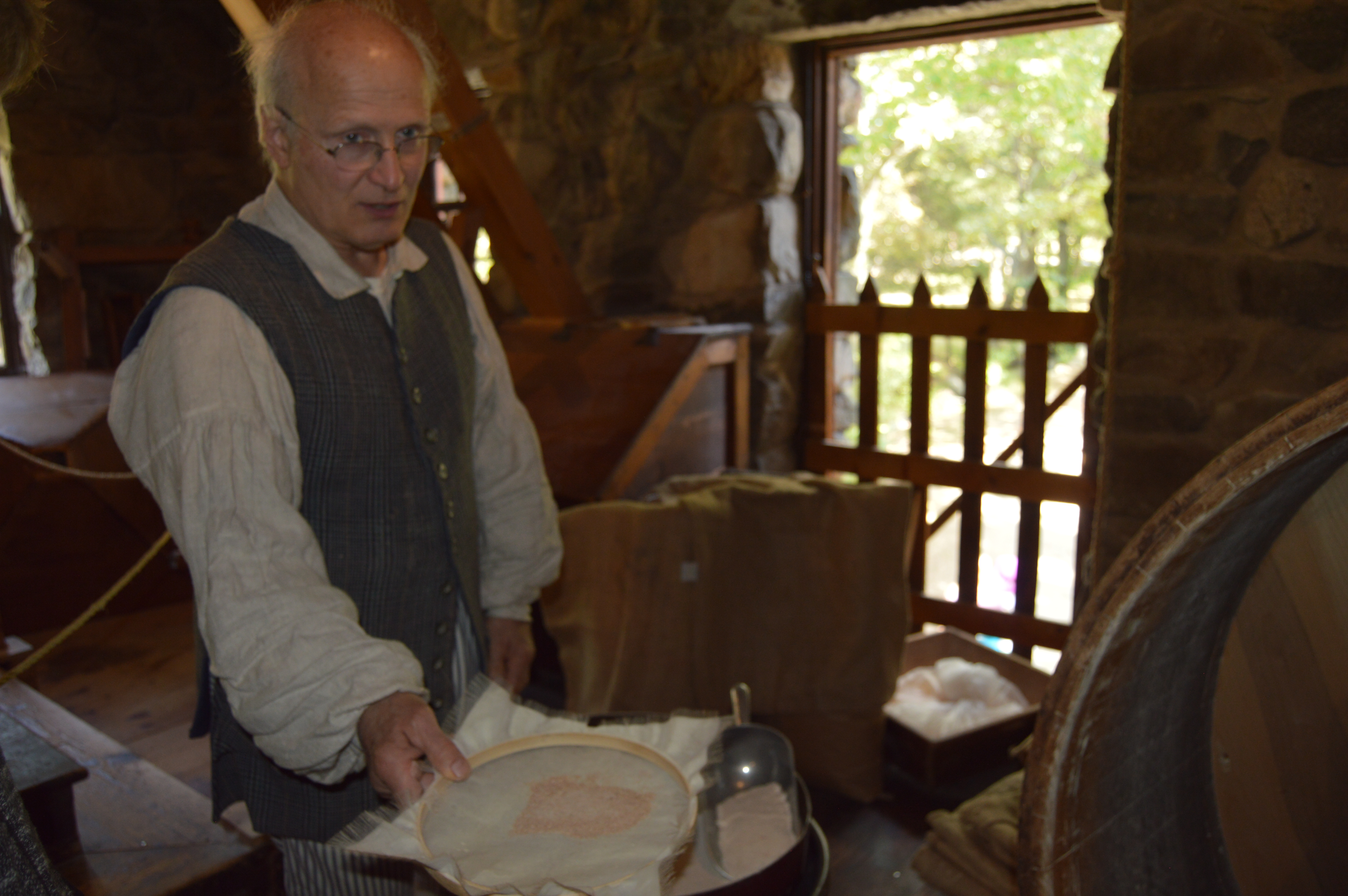
The inside of the mill is just as cool as the outside. Inside the mill, a reenactor shows how bread was made.
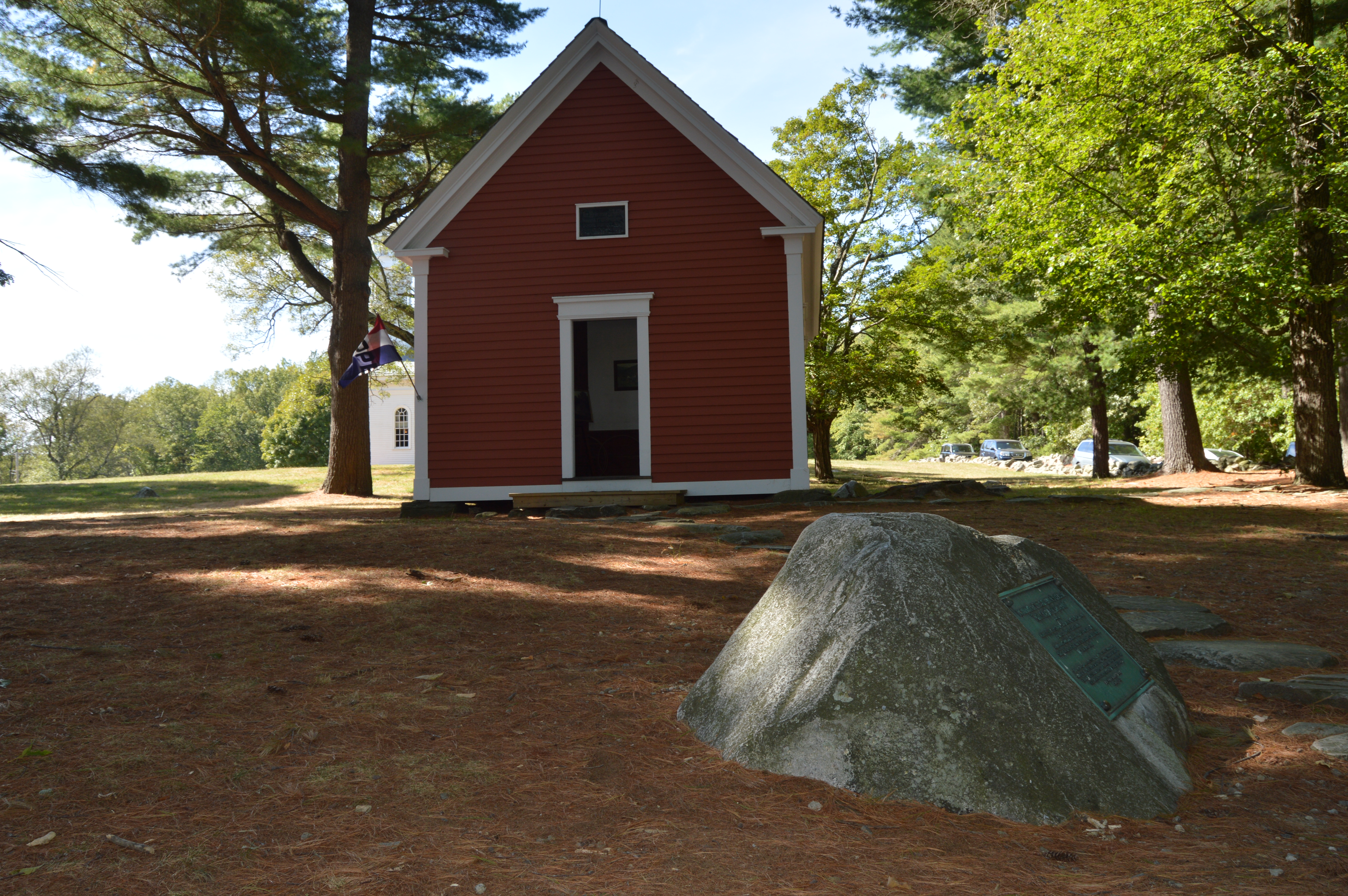
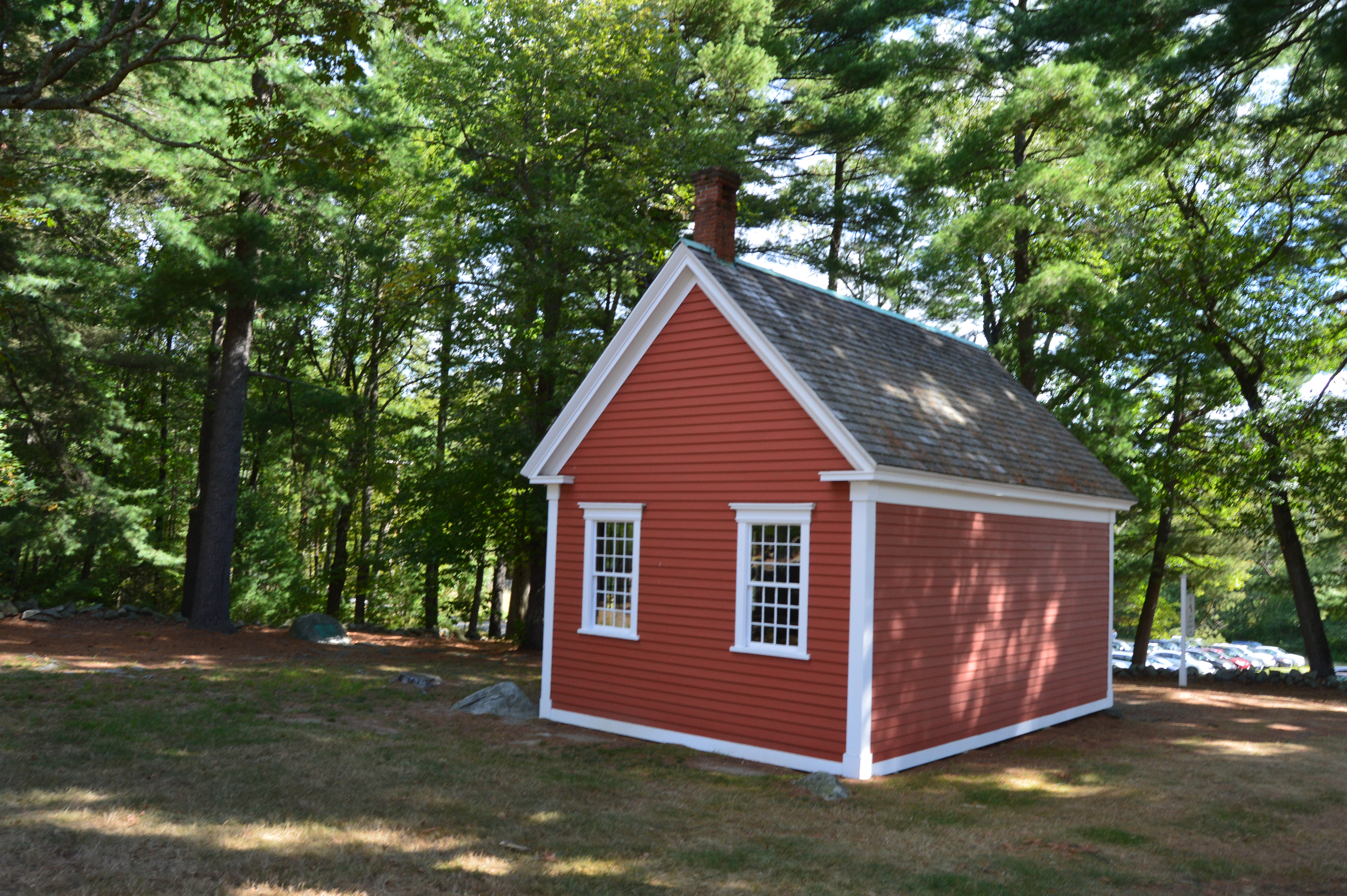
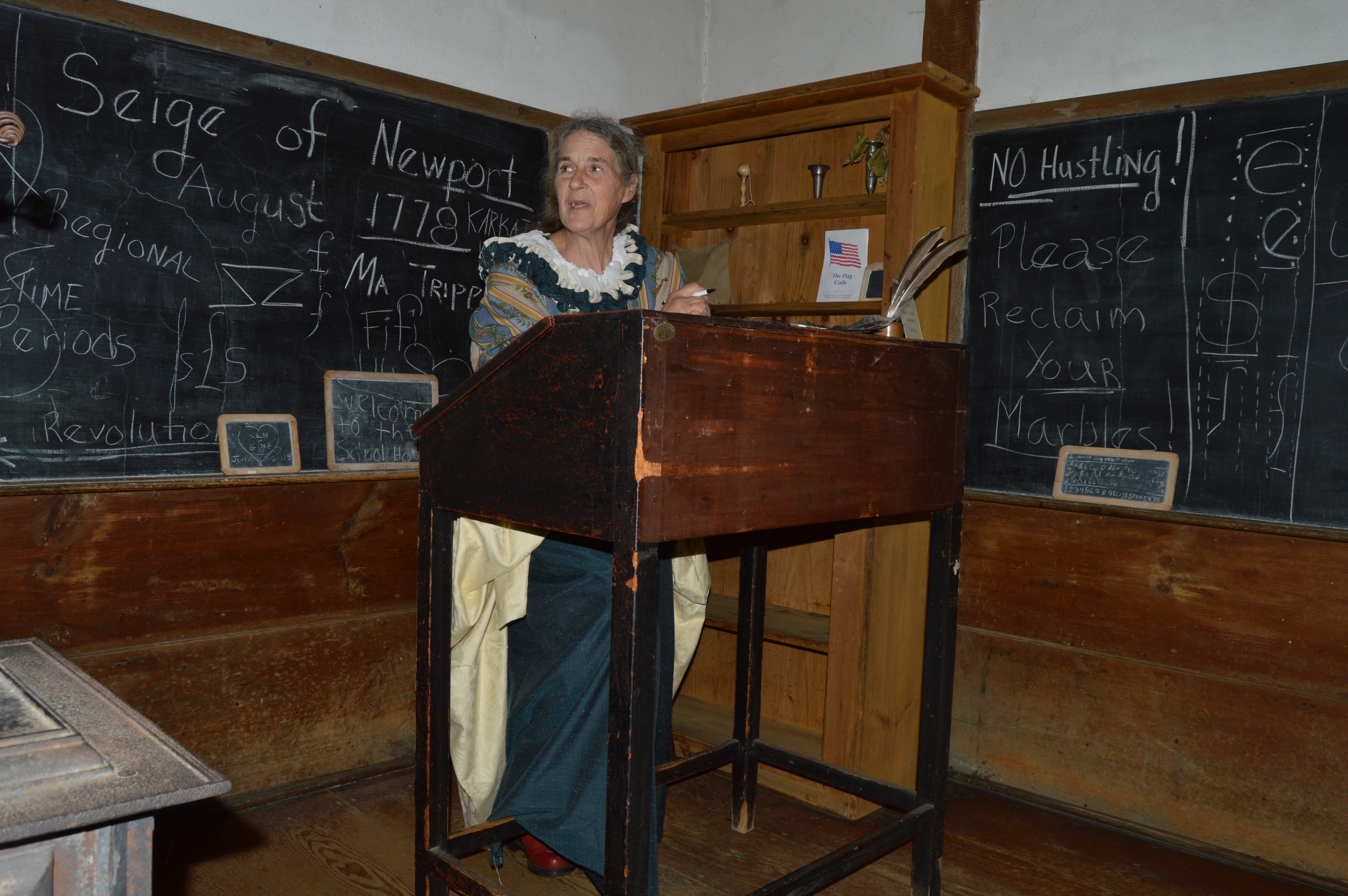
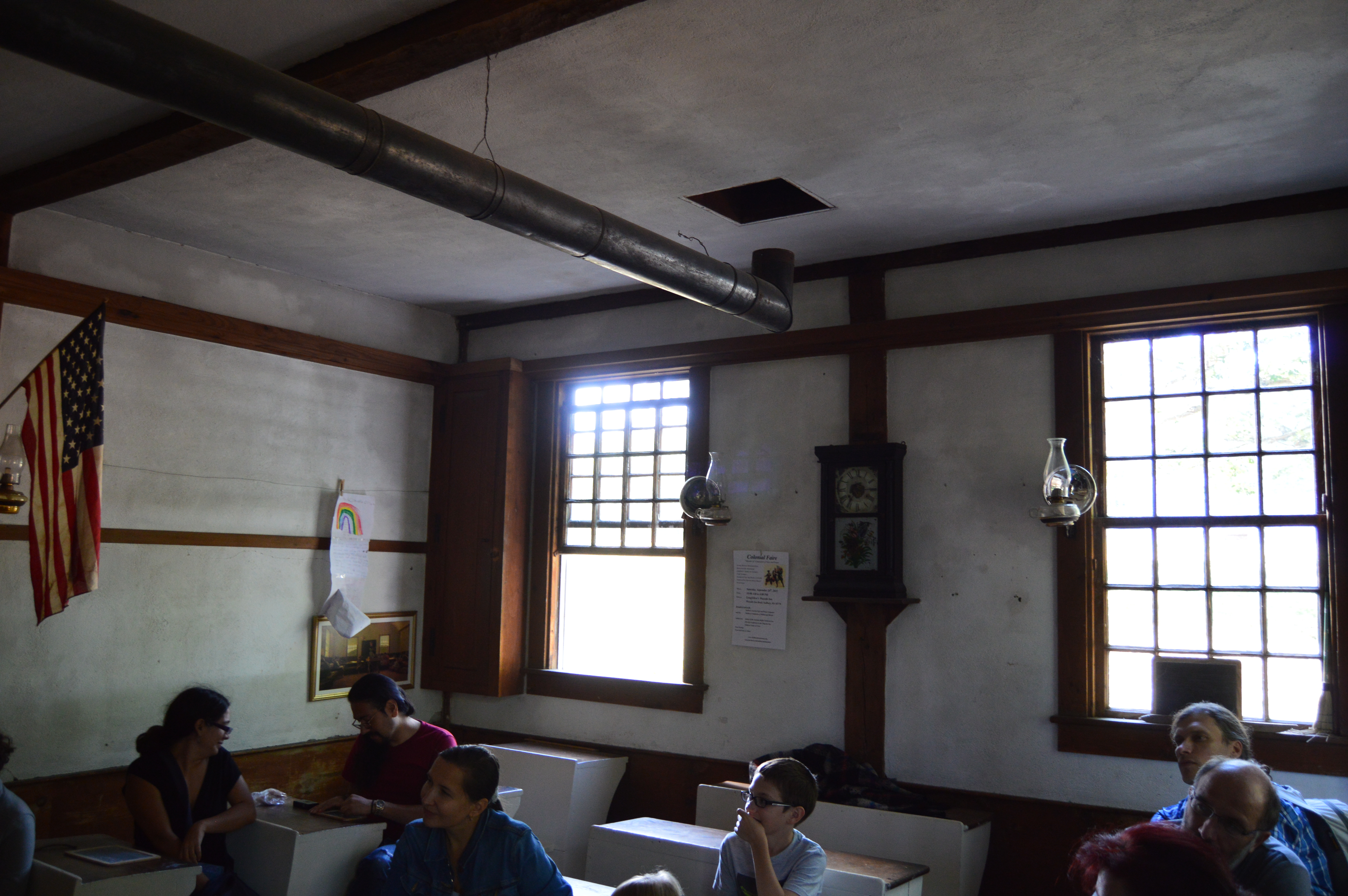
One of my favorite attractions is the schoolhouse. Ironic, because in the past I would avoid schools like they were the plague.
The teacher told an interesting story about how Mary Sawyer was the inspiration behind “Mary had a little lamb”. A stone outside the building bears the rhyme.
Another big attraction at the Wayside Inn is the Mary Martha Chapel with its gilded banner weather vane.
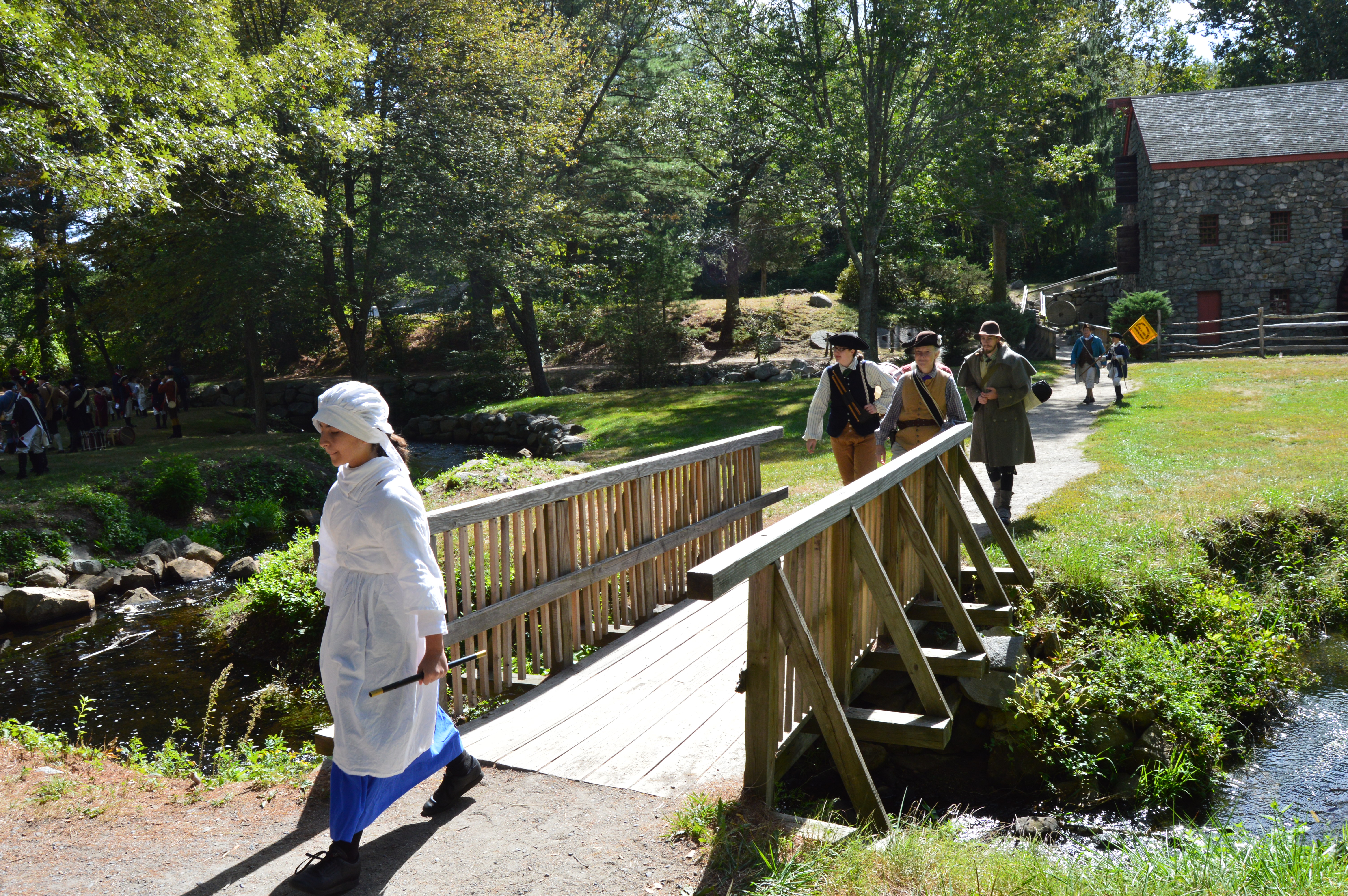
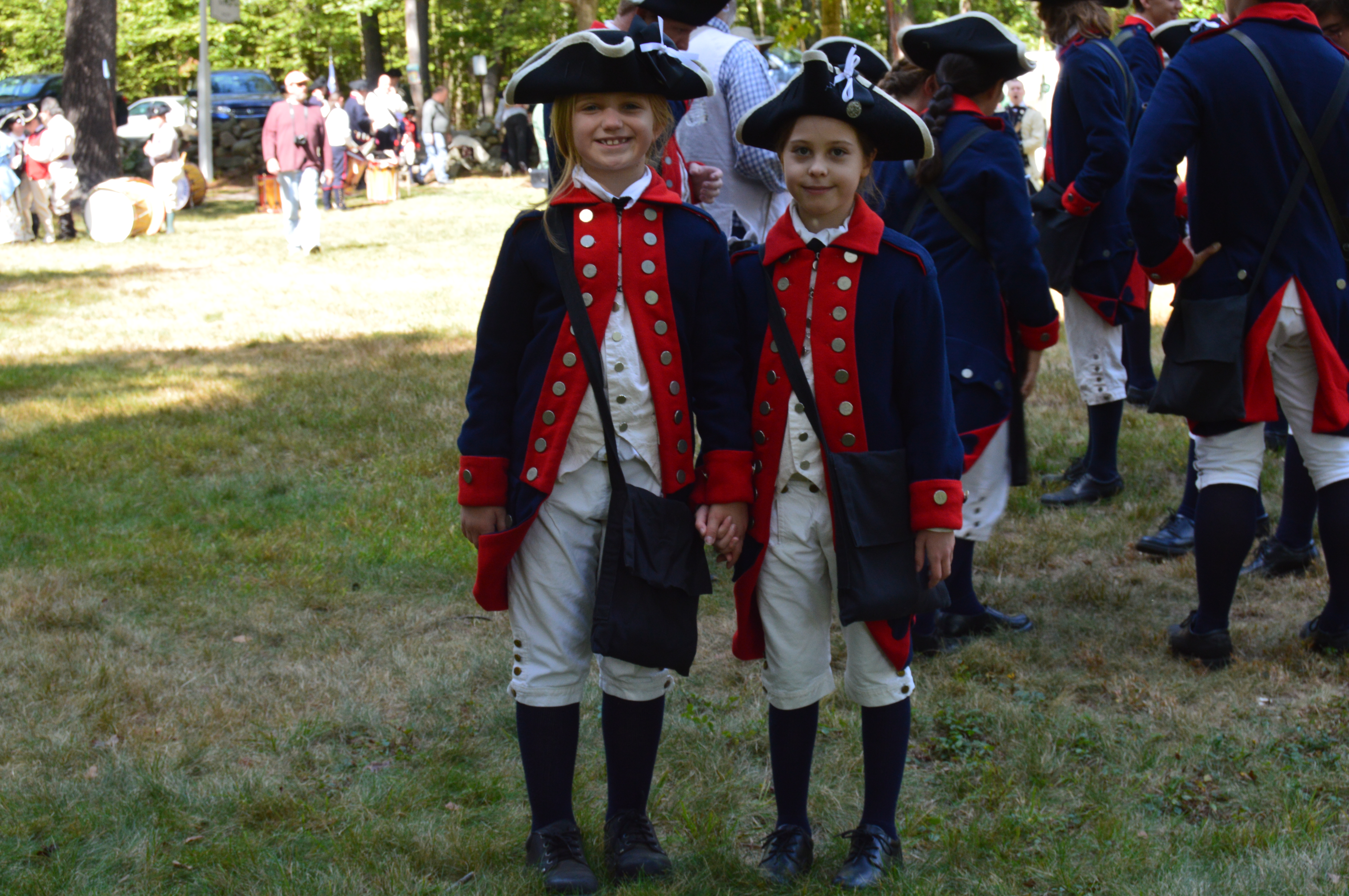
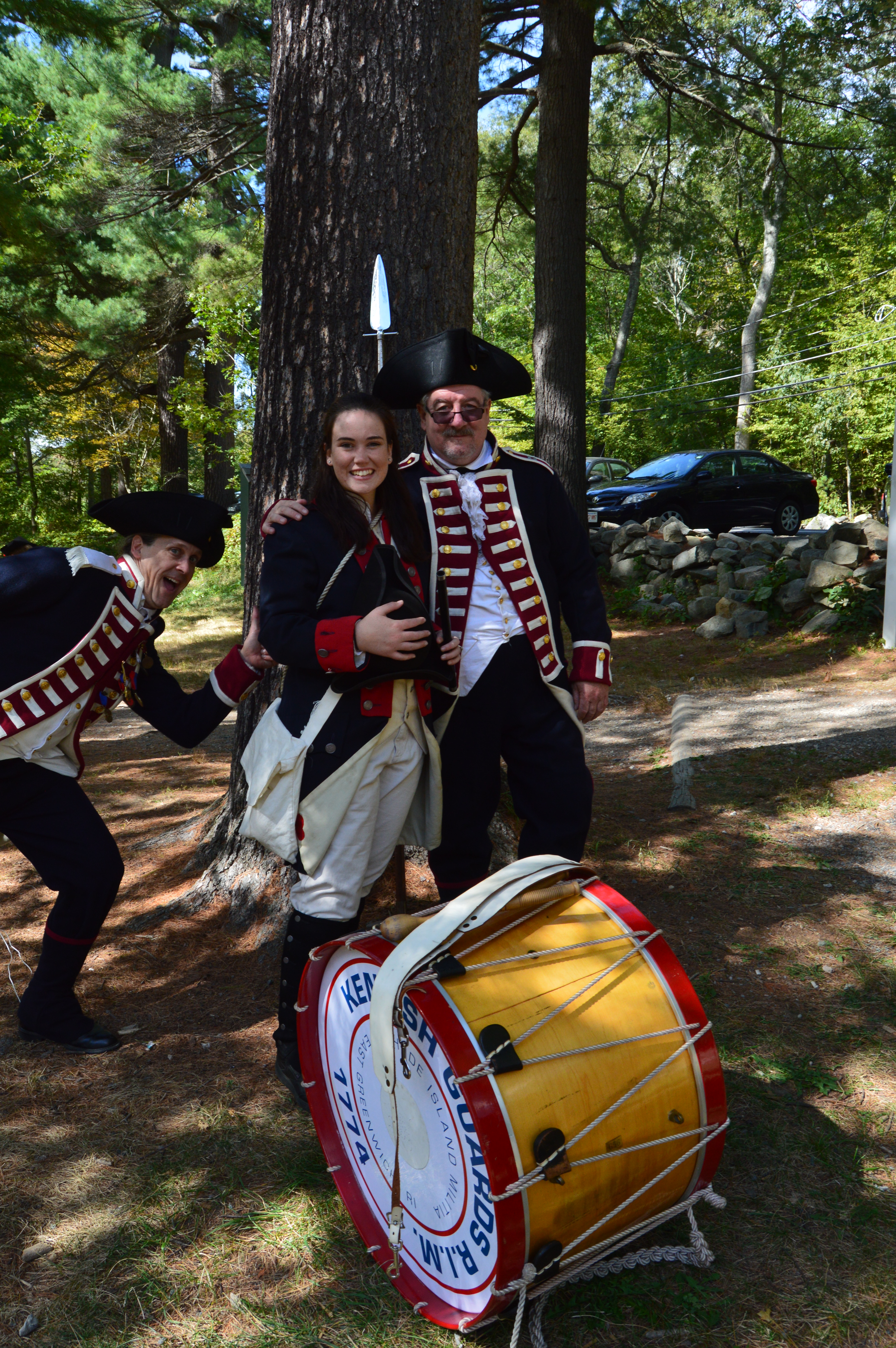
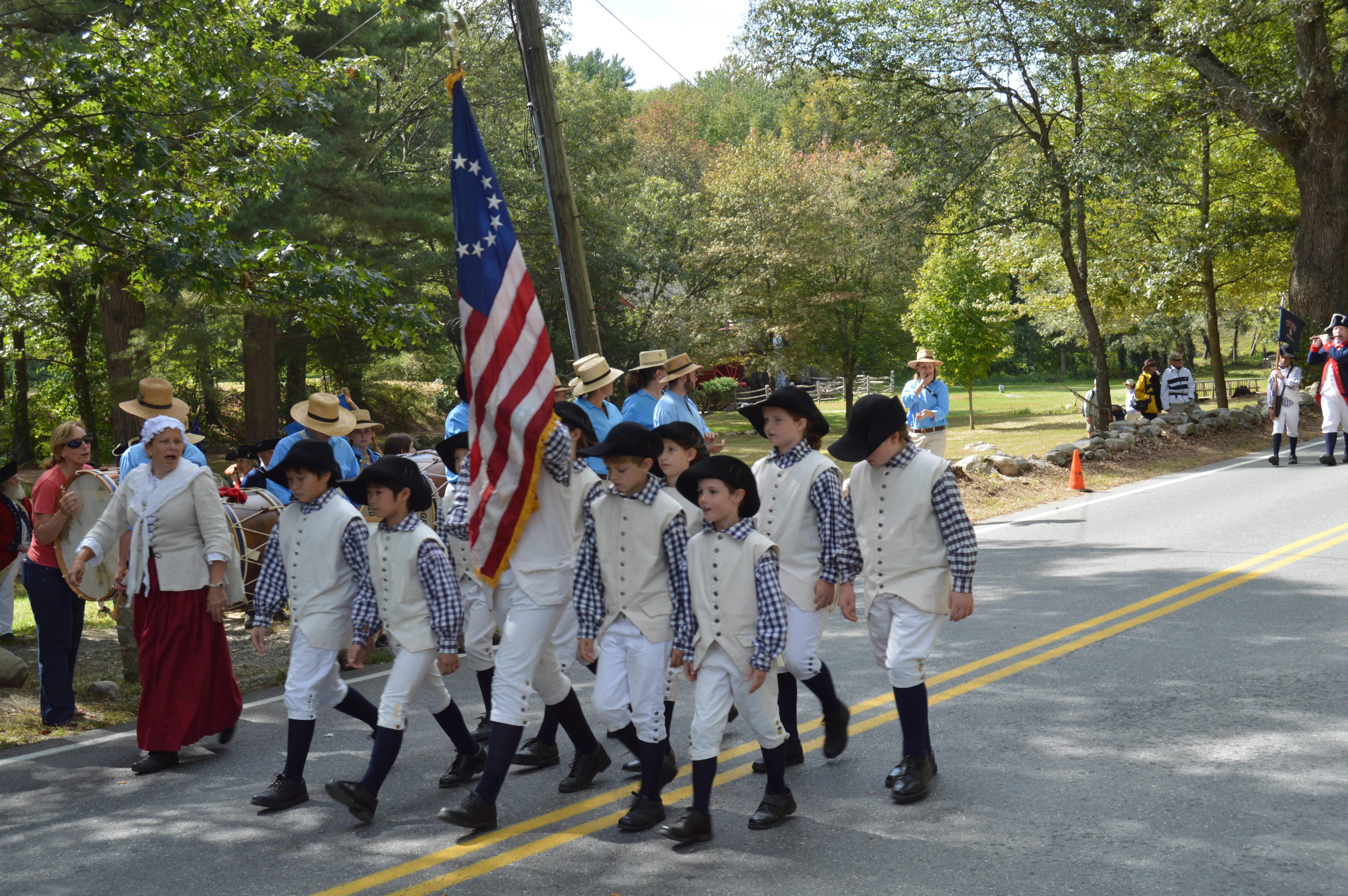
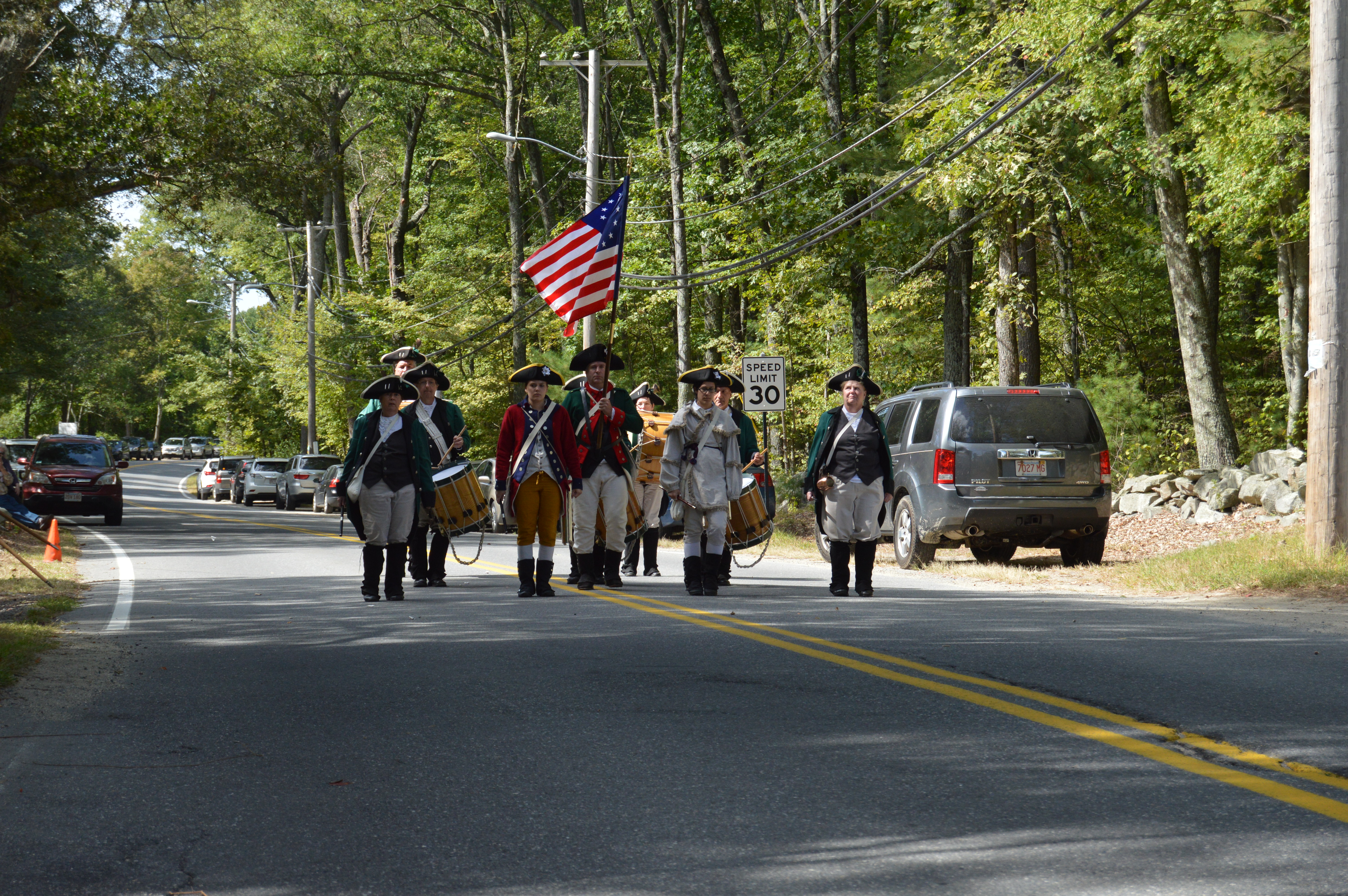
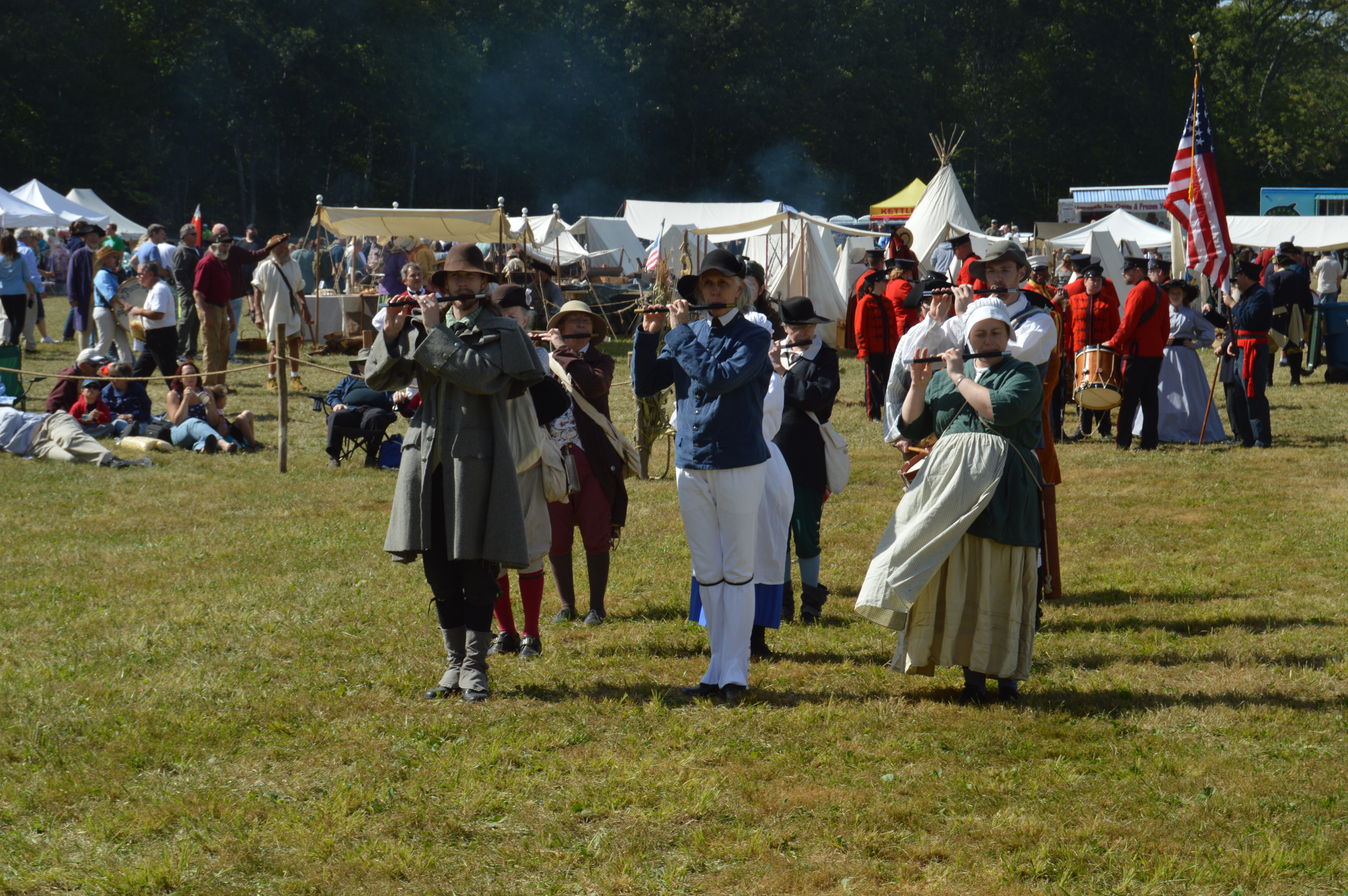
Every year, hundreds of reenactors come dressed in their best colonial era attire.
Despite being armed to the teeth, the only surprise attacks were the occasional Colonial era photo bombs.
The highlight for the reenactors came when they all lined up on the main road and marched in their groups.
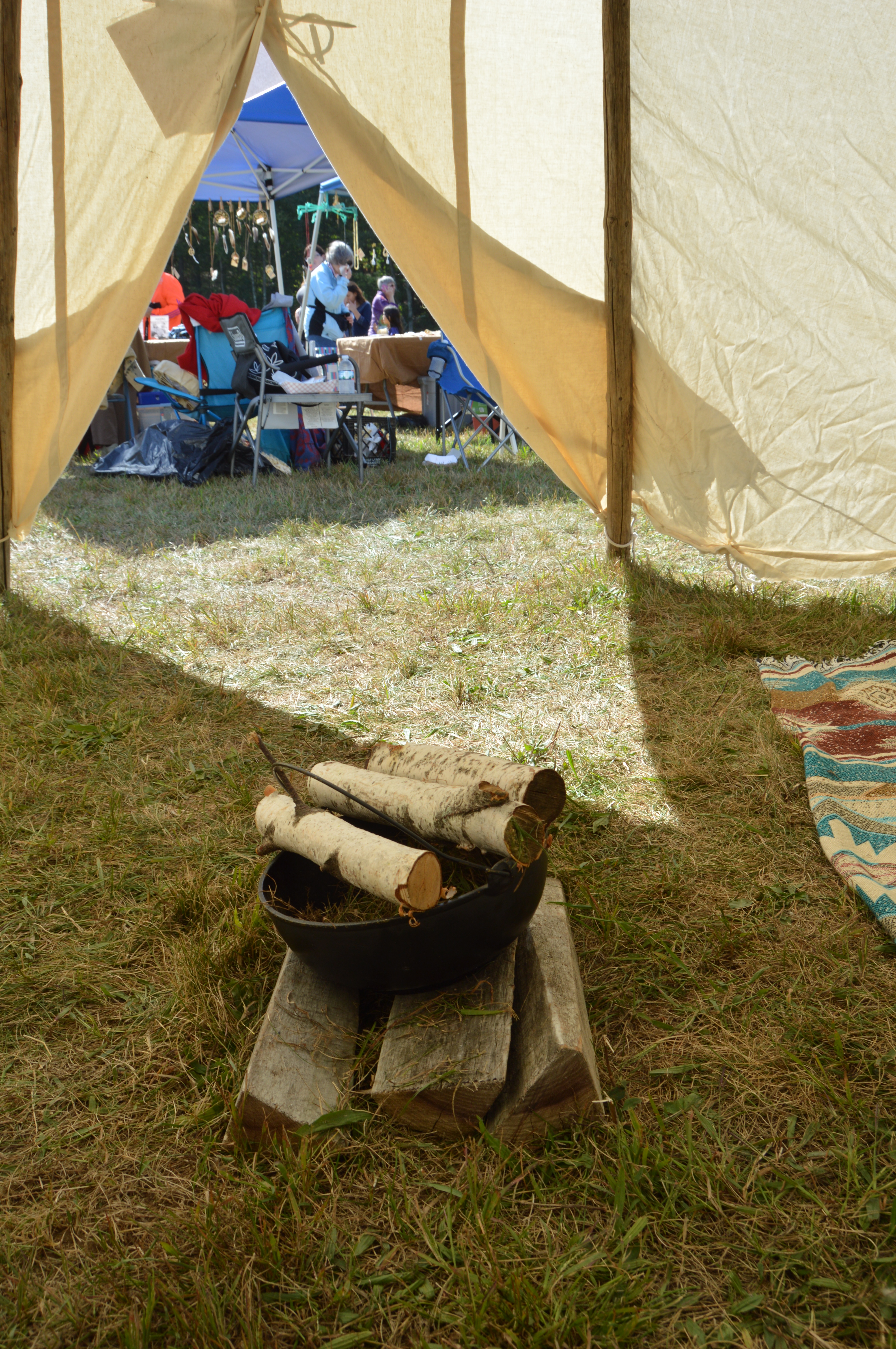
On the fairgrounds, there were tables where you can buy kettle corn, furs of unknown origin and other merchandise. There were also colonial soldiers, tents, tepees and entertainment.
The tepee was about as cozy as your average 2 bedroom apartment in the city.
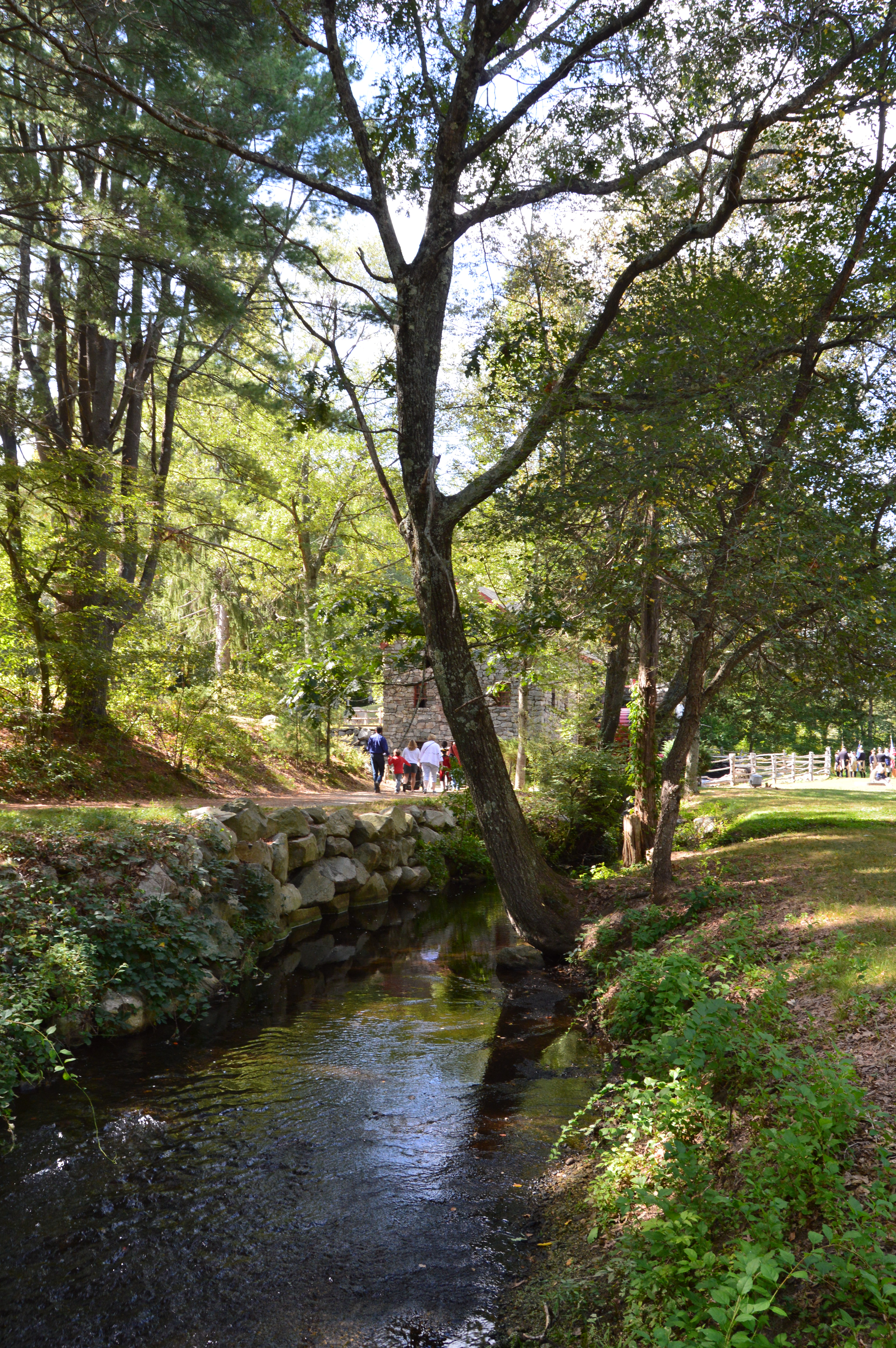
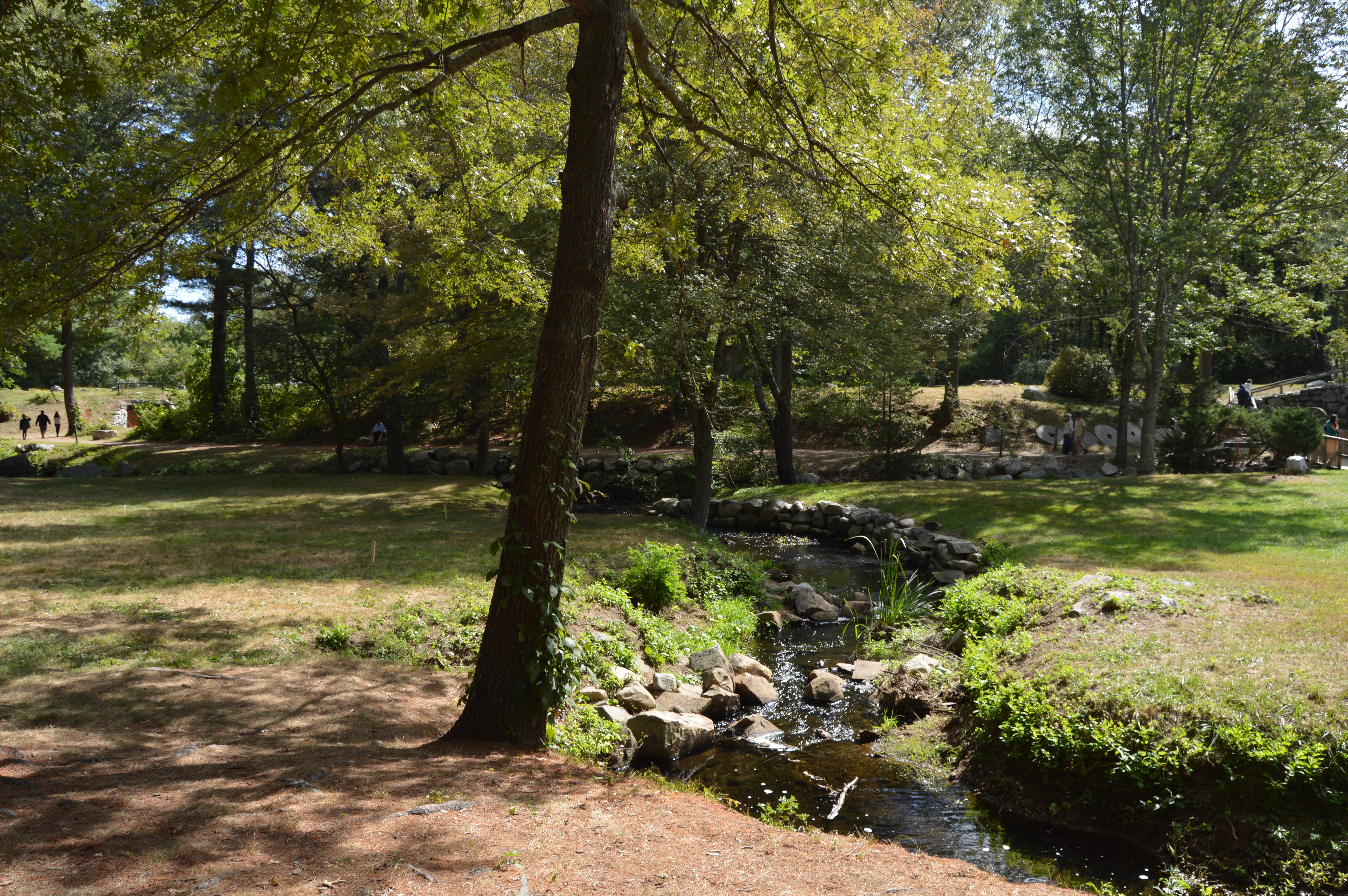
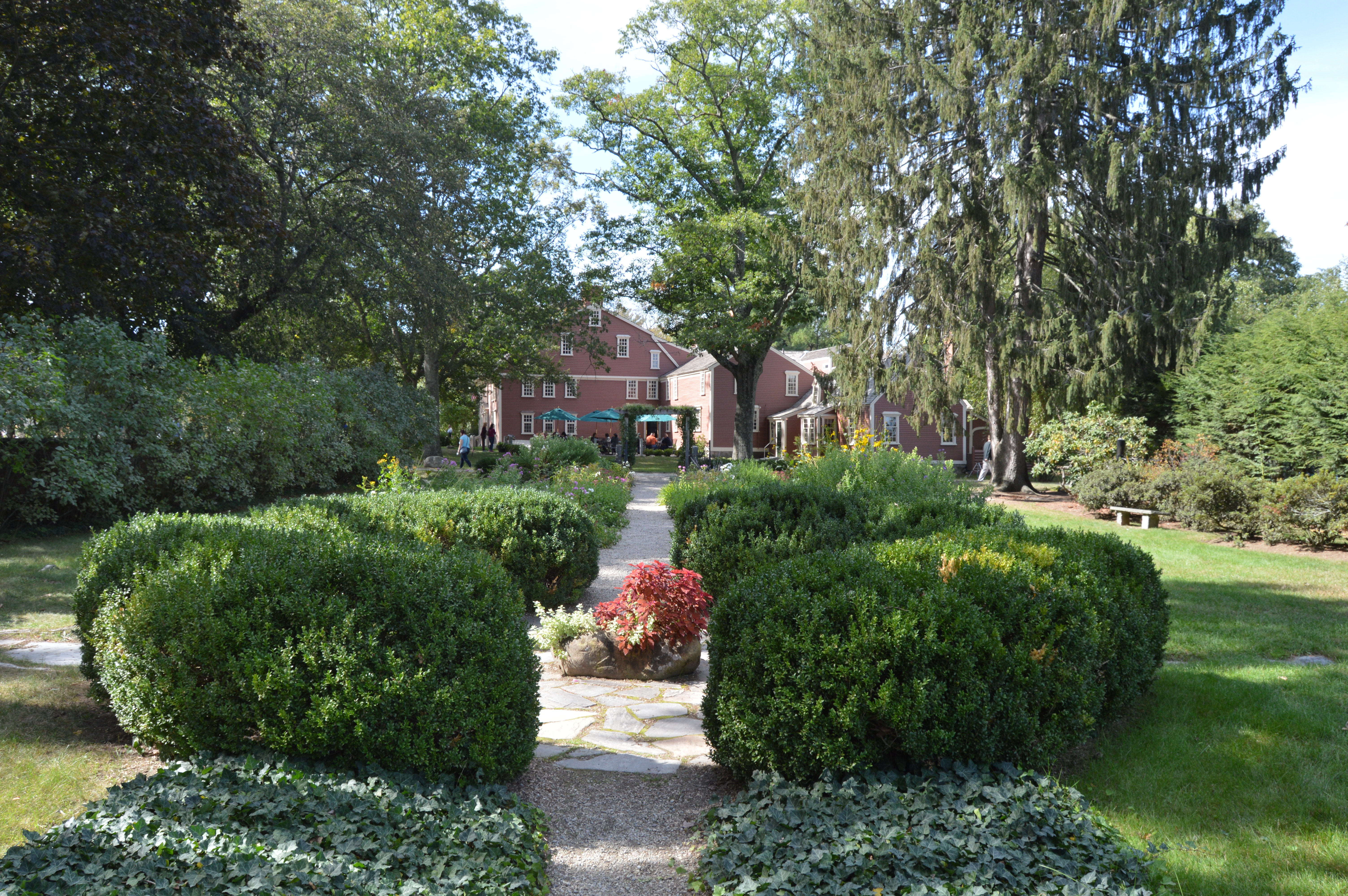
Even when the faire is not taking place, the grounds of the Wayside Inn are worthy of a photography shoot.
The Wayside Inn is a rustic building that hasn’t changed much.
The wayside Inn also has an impressive garden. In the garden there is a bust of Longfellow.
And, of course, there were plenty of canine friends at the faire.
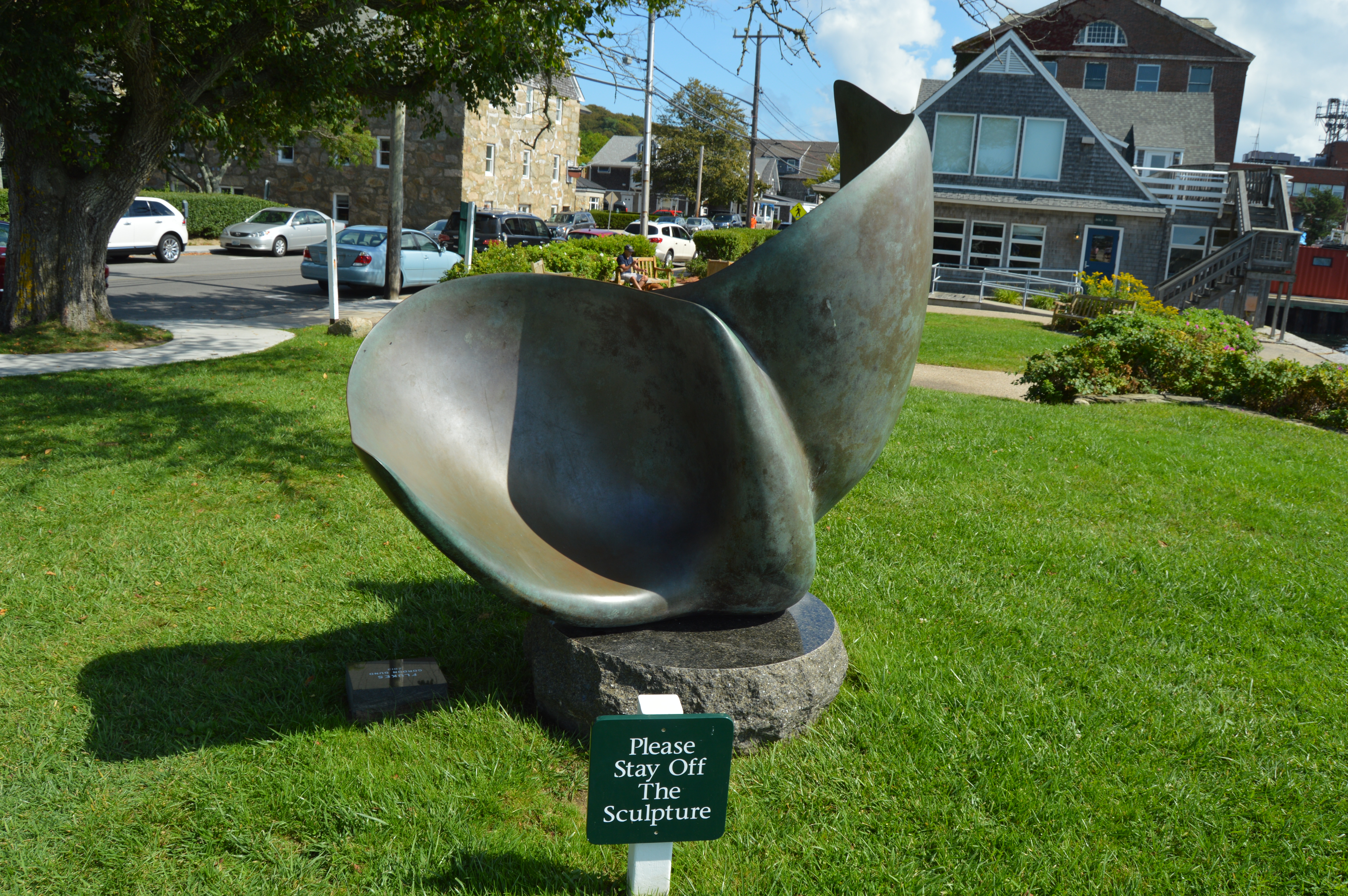
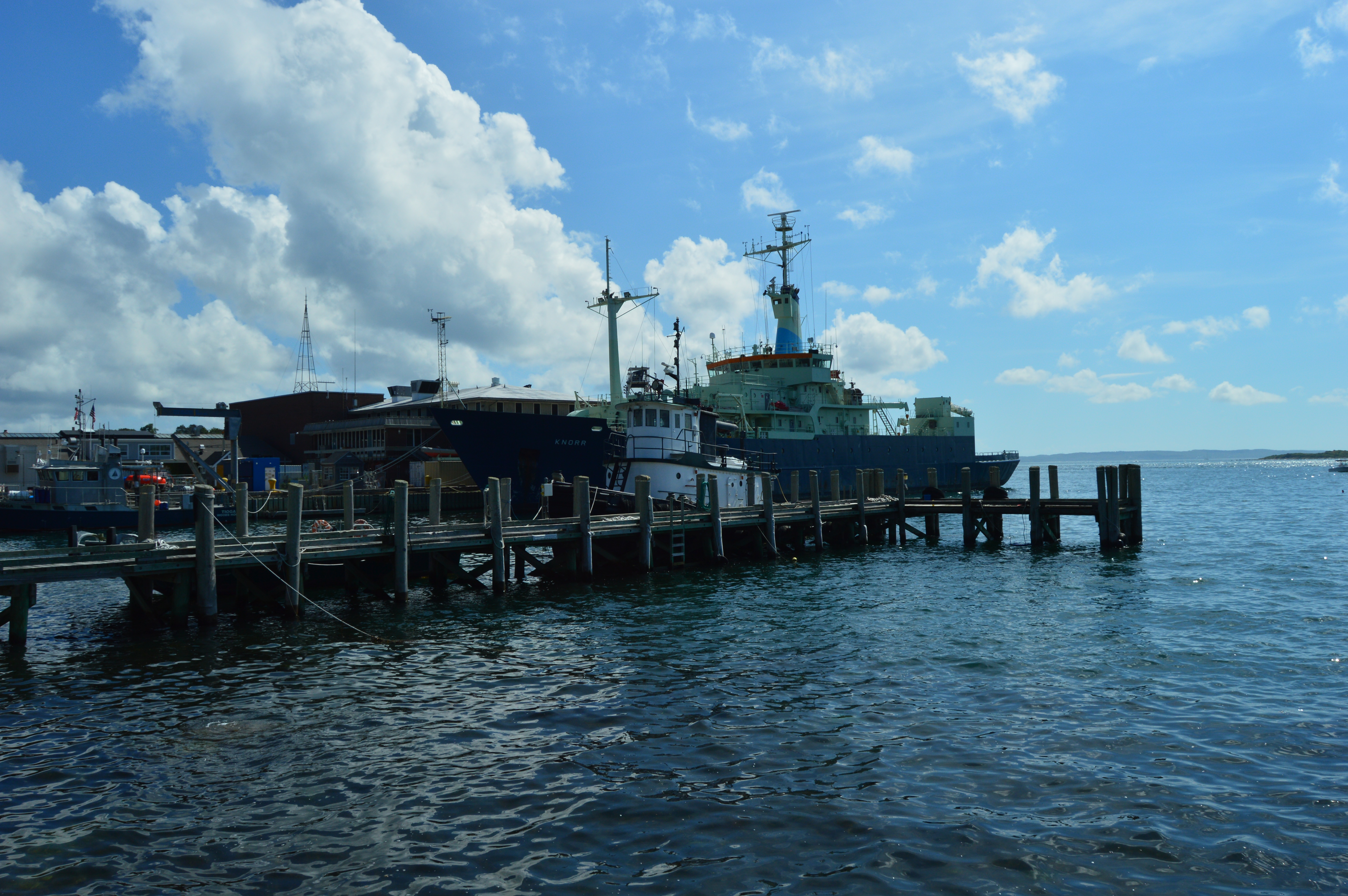
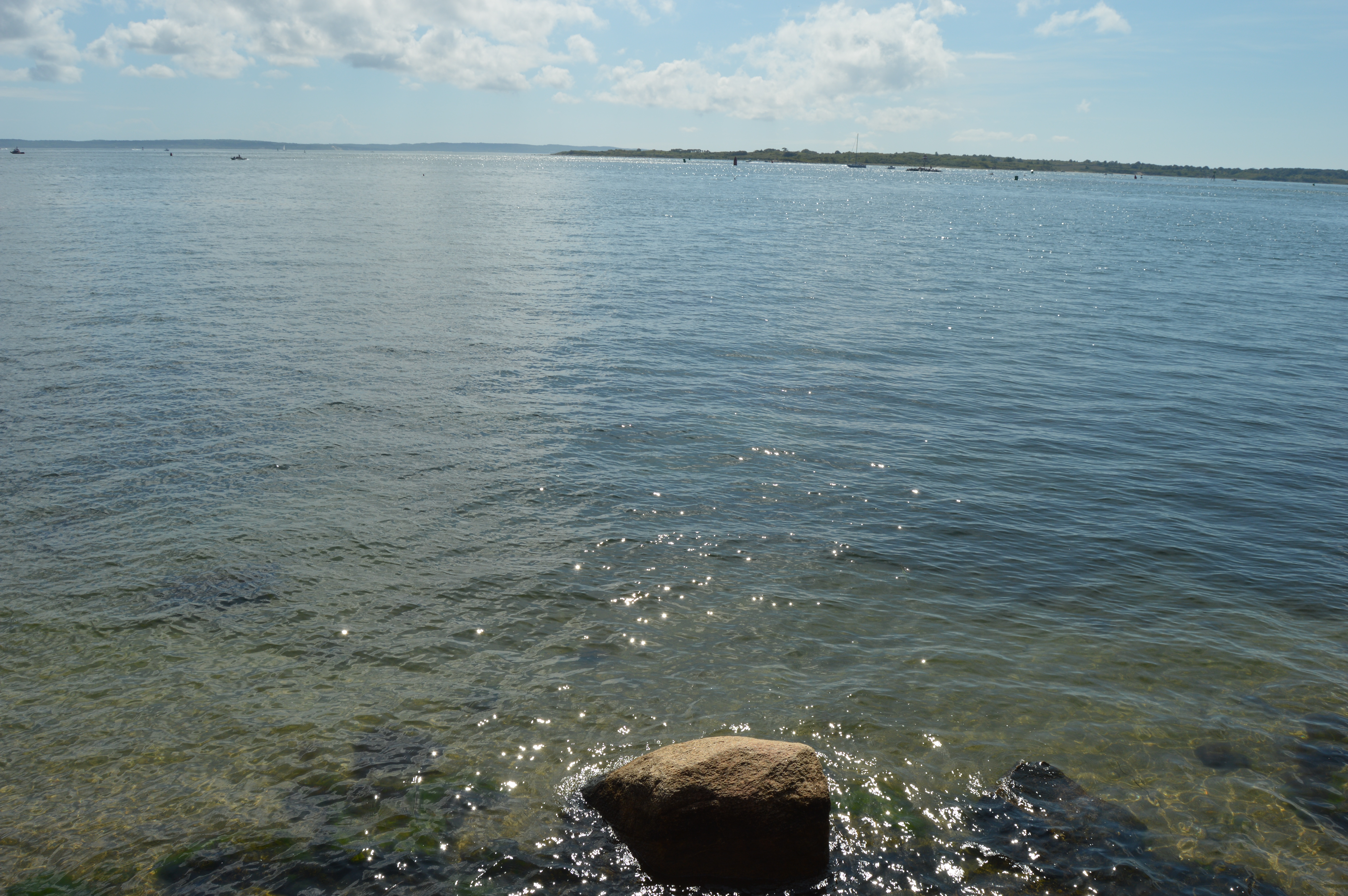
The last leg of our summer’s swan song at Cape Cod was spent at Waterfront Park in Woods Hole. Waterfront Park has several statues and sculptures. The most recent statue is a memorial to environmentalist Rachel Carson, the author of Silent Spring and the Sea Around Us. Both books are considered influential books in the environmentalist movement. Carson had worked with Marine Biological Laboratory (MBL) which is located in Woods Hole.
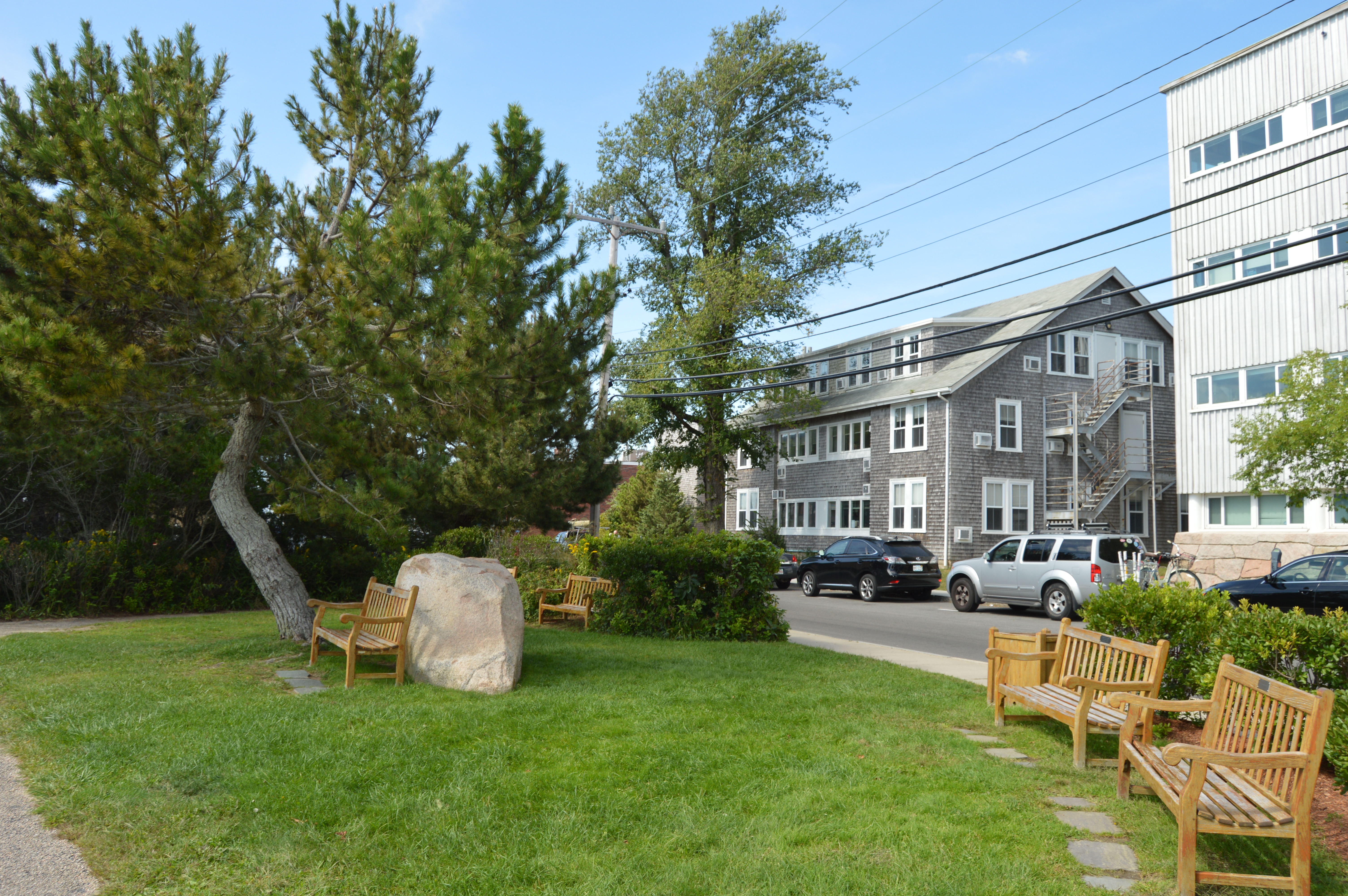
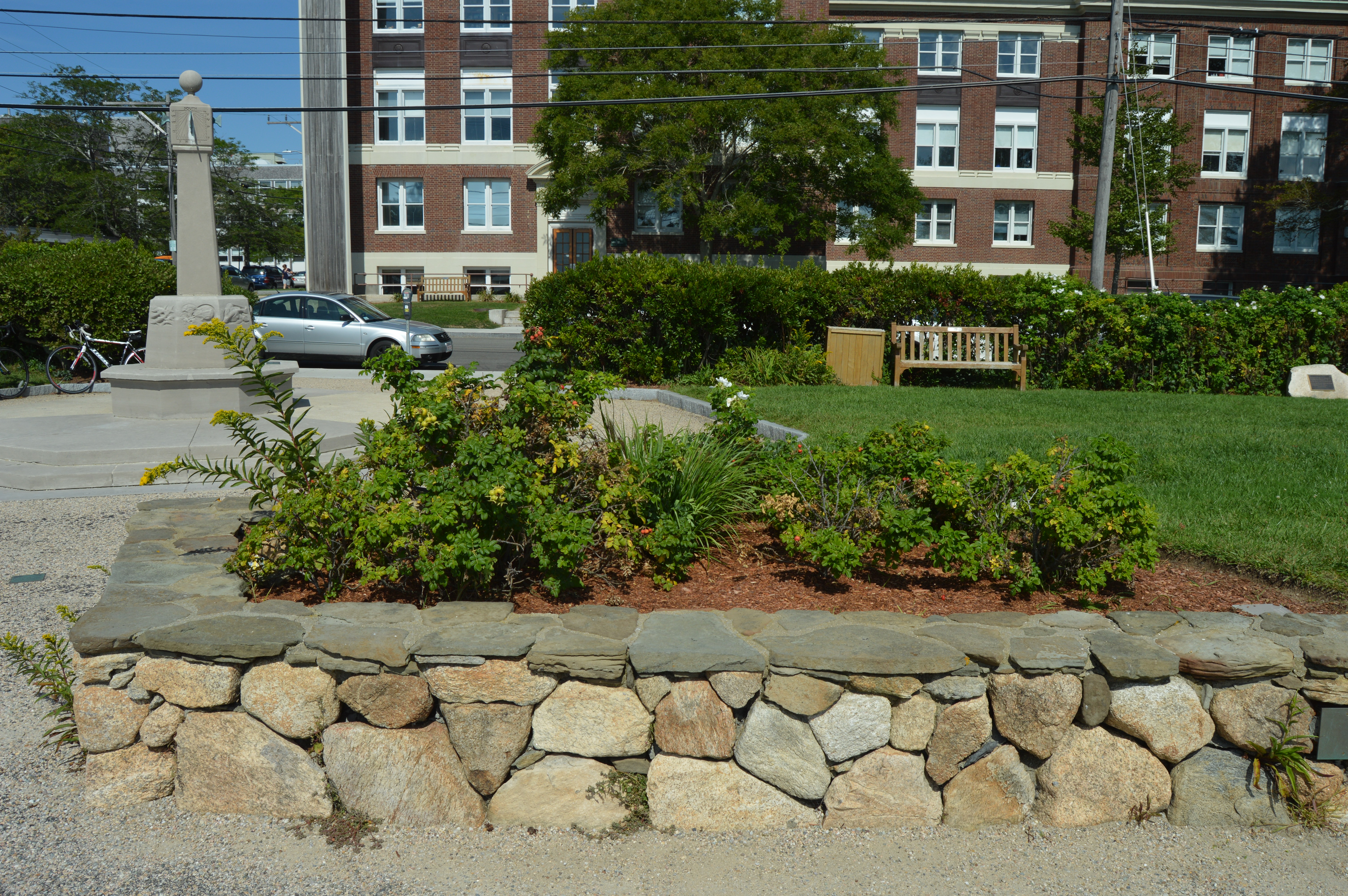
The waterfront also has a shaded sitting area for the weary traveler to rest their bones.
There is also a sun dial statue dedicated to Robert Crane, one of the original financial supporters of the Woods Hole Oceanographic Institution. The sun dial was constructed so that you could tell what time it is from any direction. And, yes, it is accurate. A somewhat elaborate explanation is included on the ground in front of the sun dial.
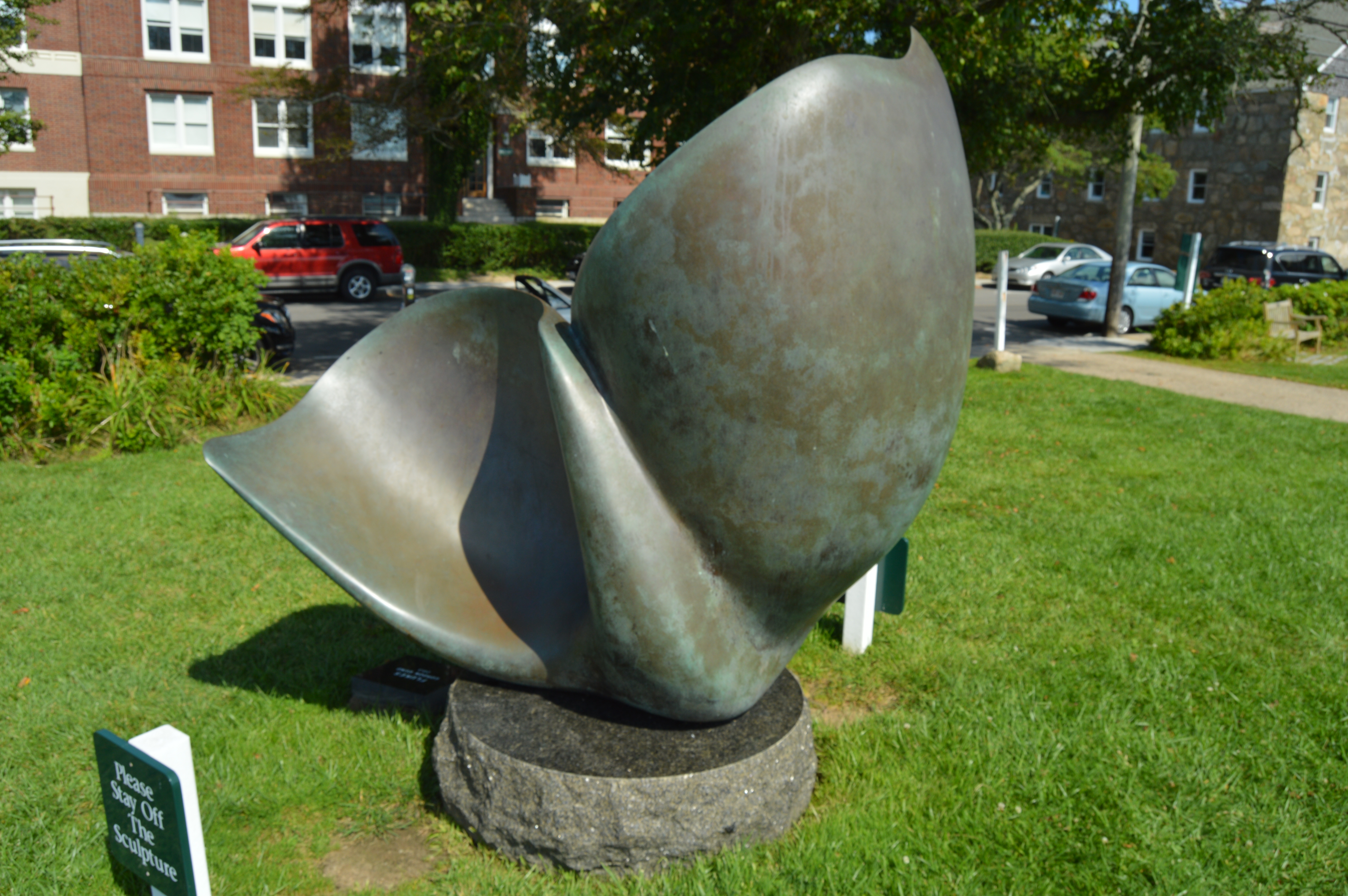
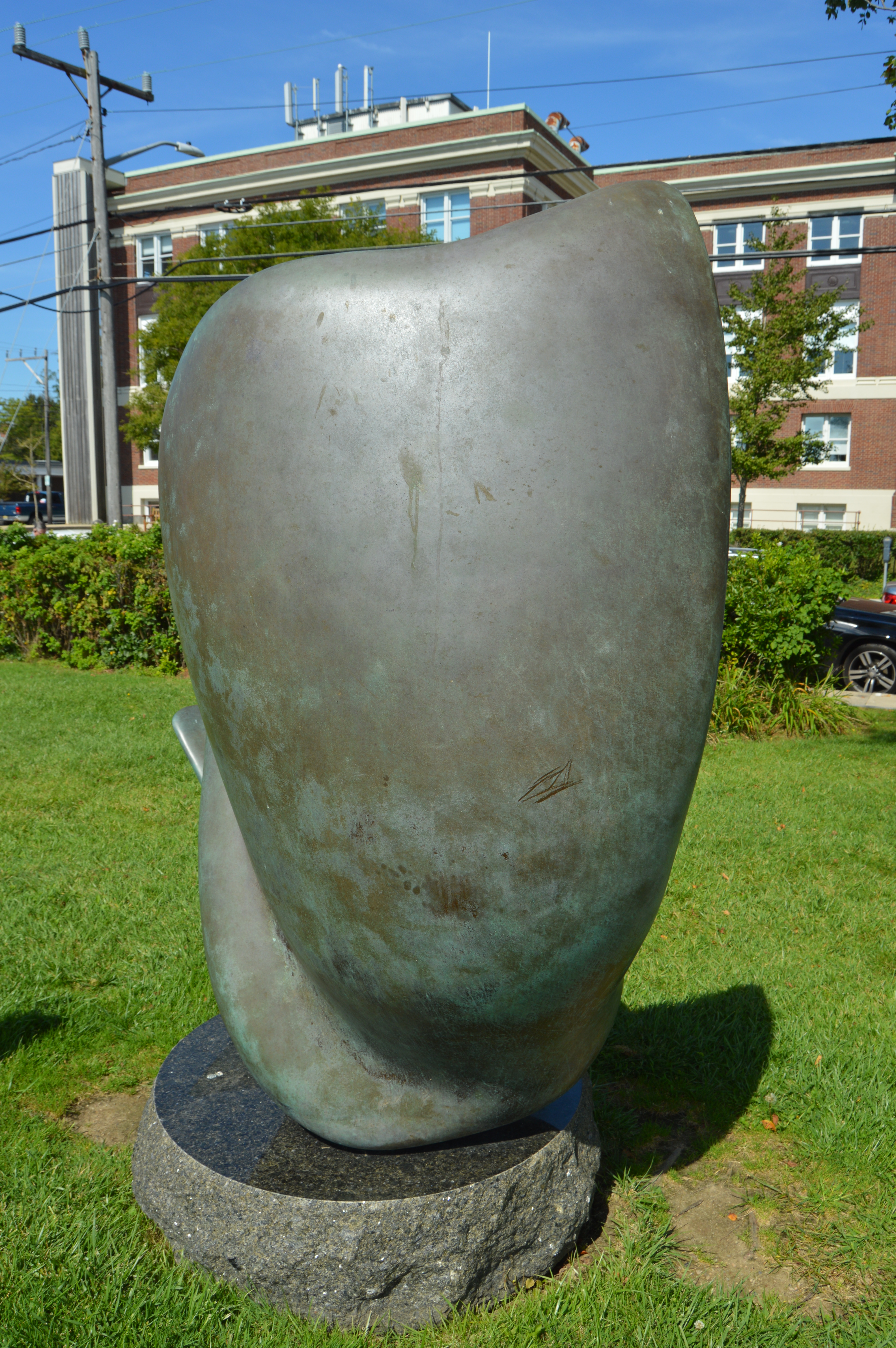
The “Flukes” is a bronze sculpture by Gordon Gund. Gund, a successful businessman, was inspired to sculpt The Flukes after seeing pilot whales off the coast. It looks like more of a slide or play thing which explains the sign in front of the sculpture. I suspect it is not much of a deterrent.
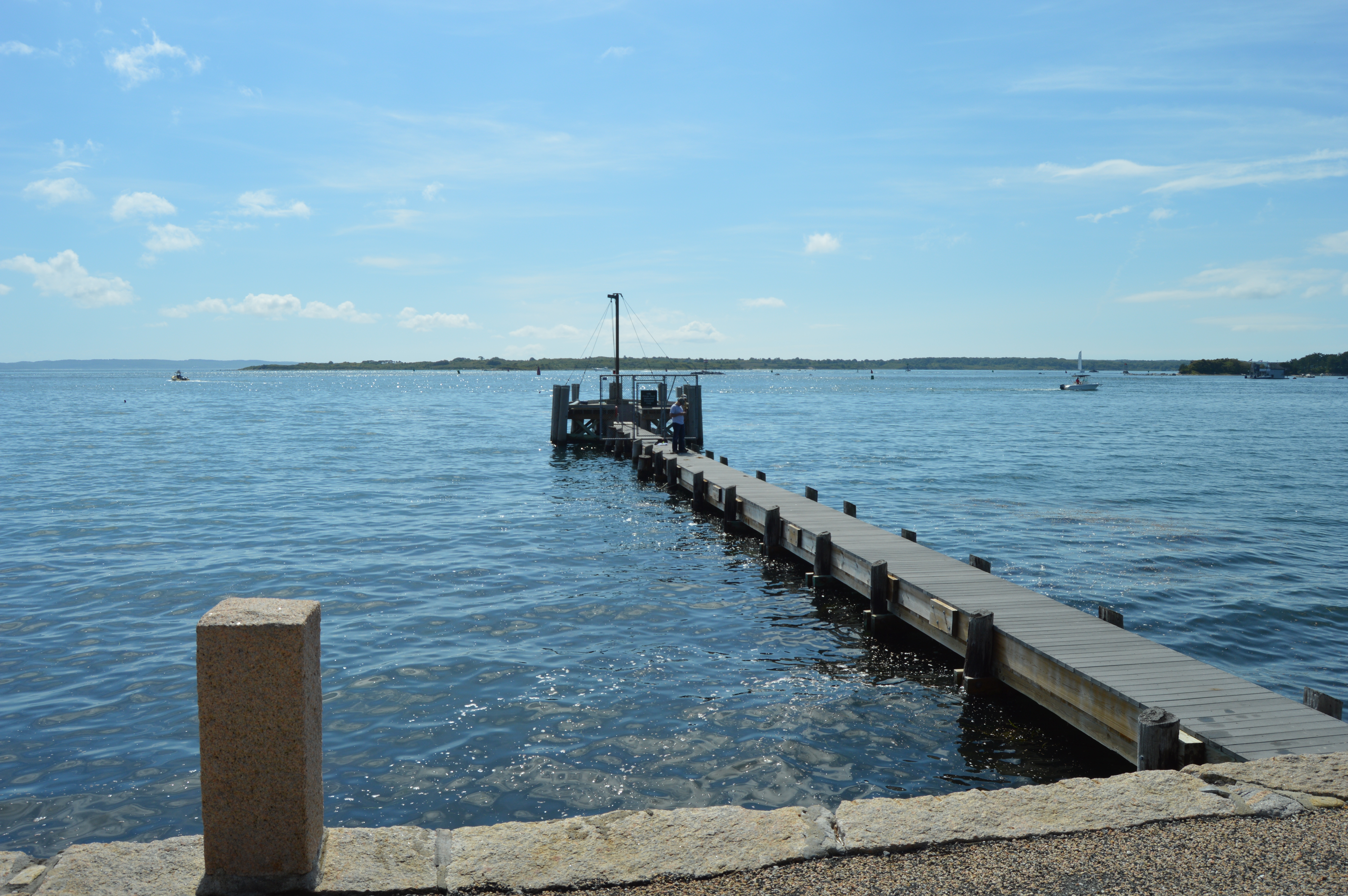
The Waterfront is also the main point of embarkment for the ferry to the islands of Cape Cod, mainly Nantucket and Martha’s Vineyard.
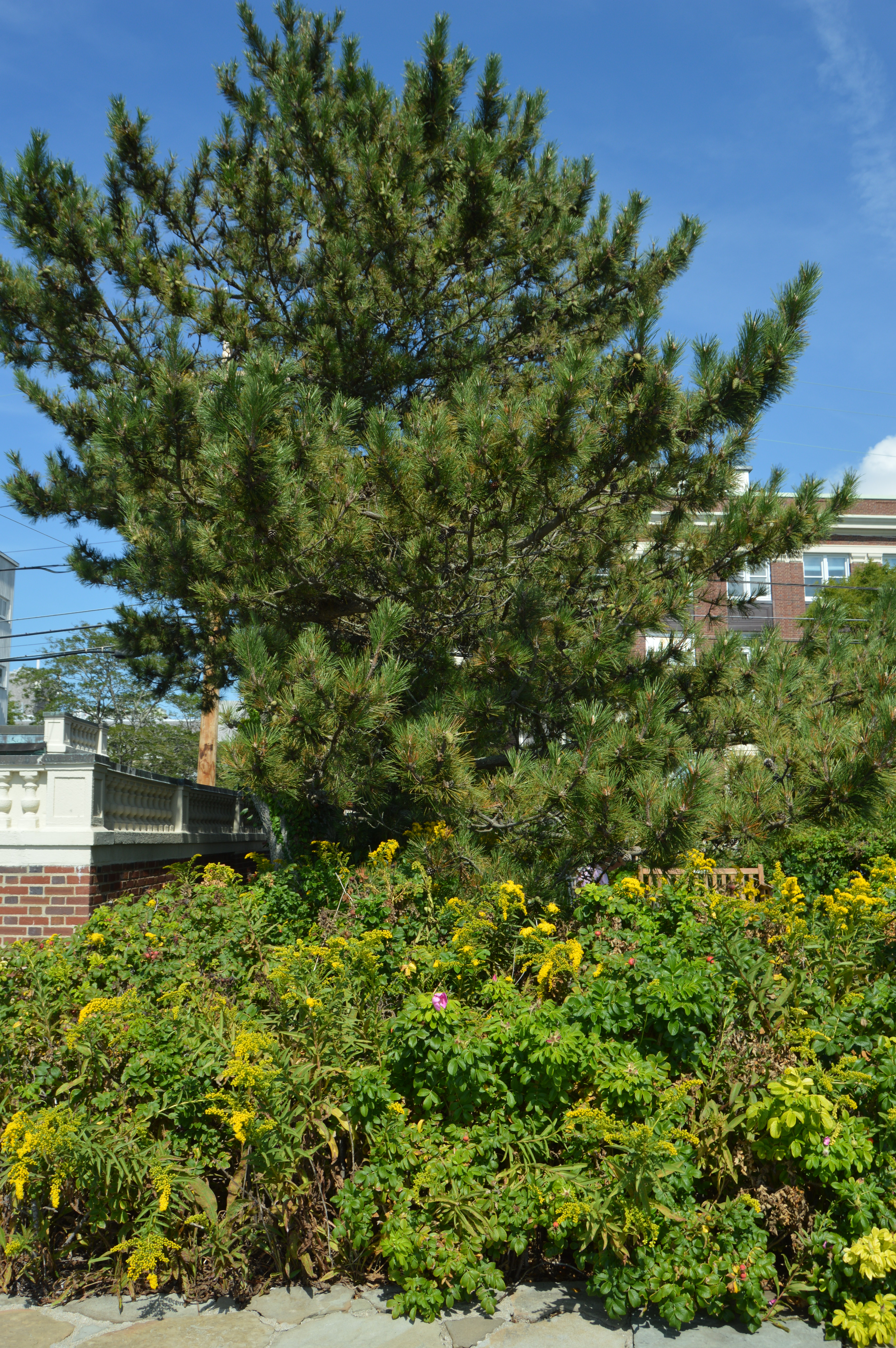
The waterfront also has some pretty views of the water and pretty flowers.
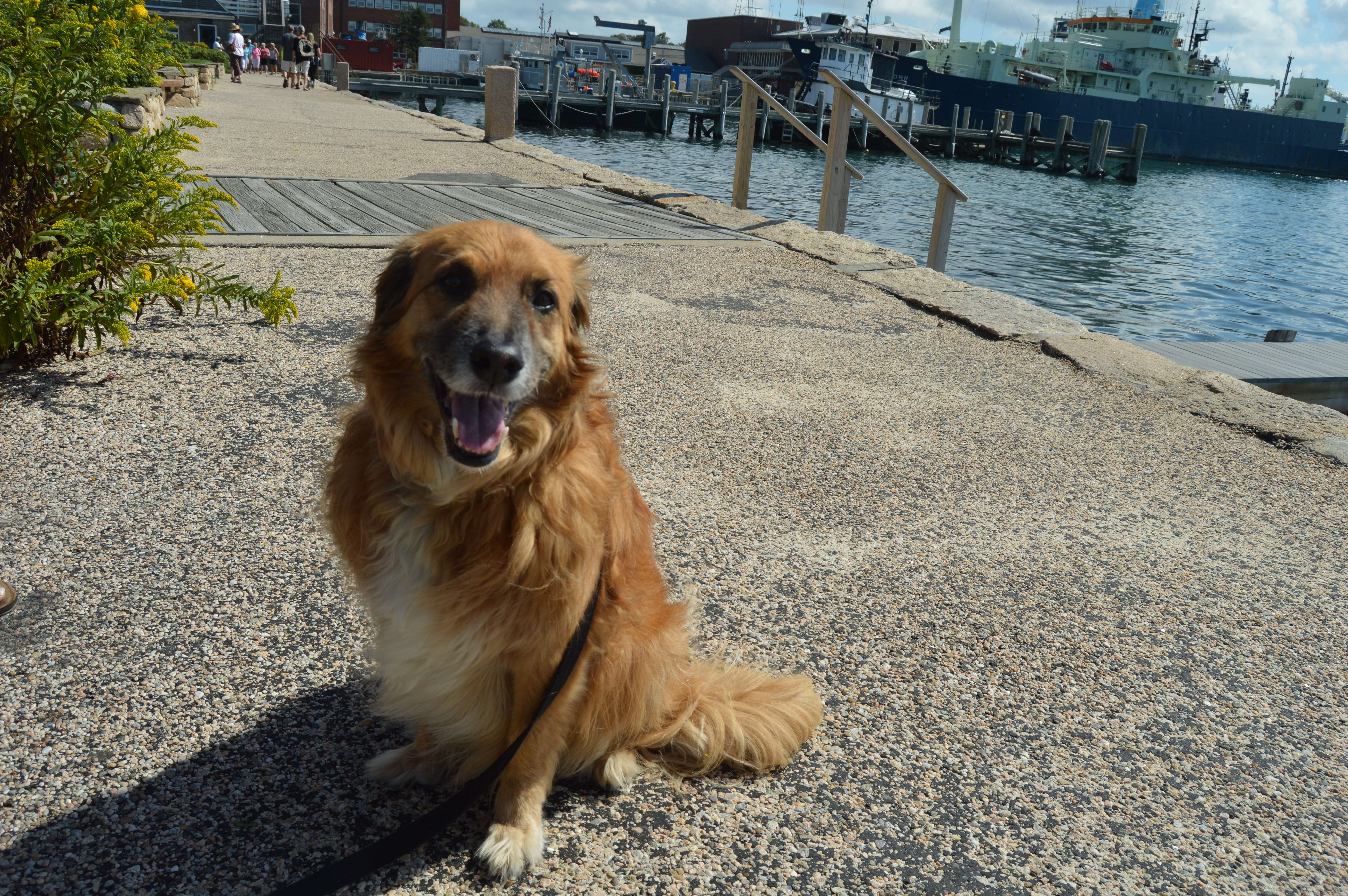
The waterfront park is also known for its friendly visitors. I met this friendly guy named Charlie as I was leaving.