Category Archives: waterfall

Glacial Potholes & Salmon Falls (Shelburne Falls, MA)

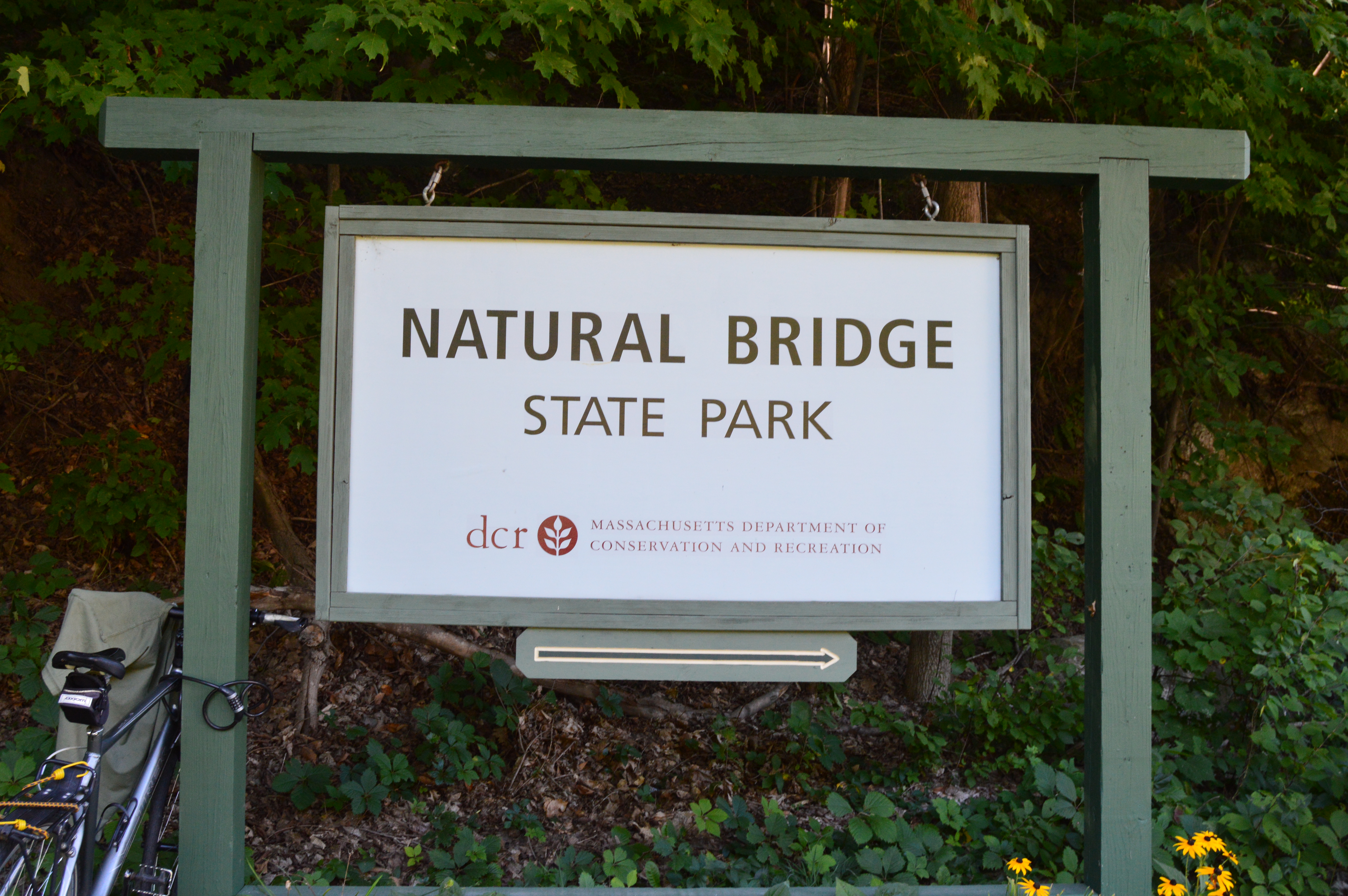
Date Visited: September 6, 2016

Location: Deerfield Ave, Shelburne Falls, MA

Hours: Open everyday, 24 hours a day

Cost: Free

Parking: There is off street parking with a 2 hour limit and police do take notice

Dog Friendly: Yes

Highlights: waterfall, glacial potholes, flowers, birds, shops, attractions

dsc_0344

The Salmon Falls and Glacial Potholes attraction in Shelburne Falls, MA, is a beautiful “two-fer.”  “Three-fer” if we include the bowling alley adjacent to the Salmon Falls and Glacial Potholes attractions.  IN fact, it is more accurately described as a “many-fer”s there are many attractions and beautiful attractions to the Salmon Falls area.

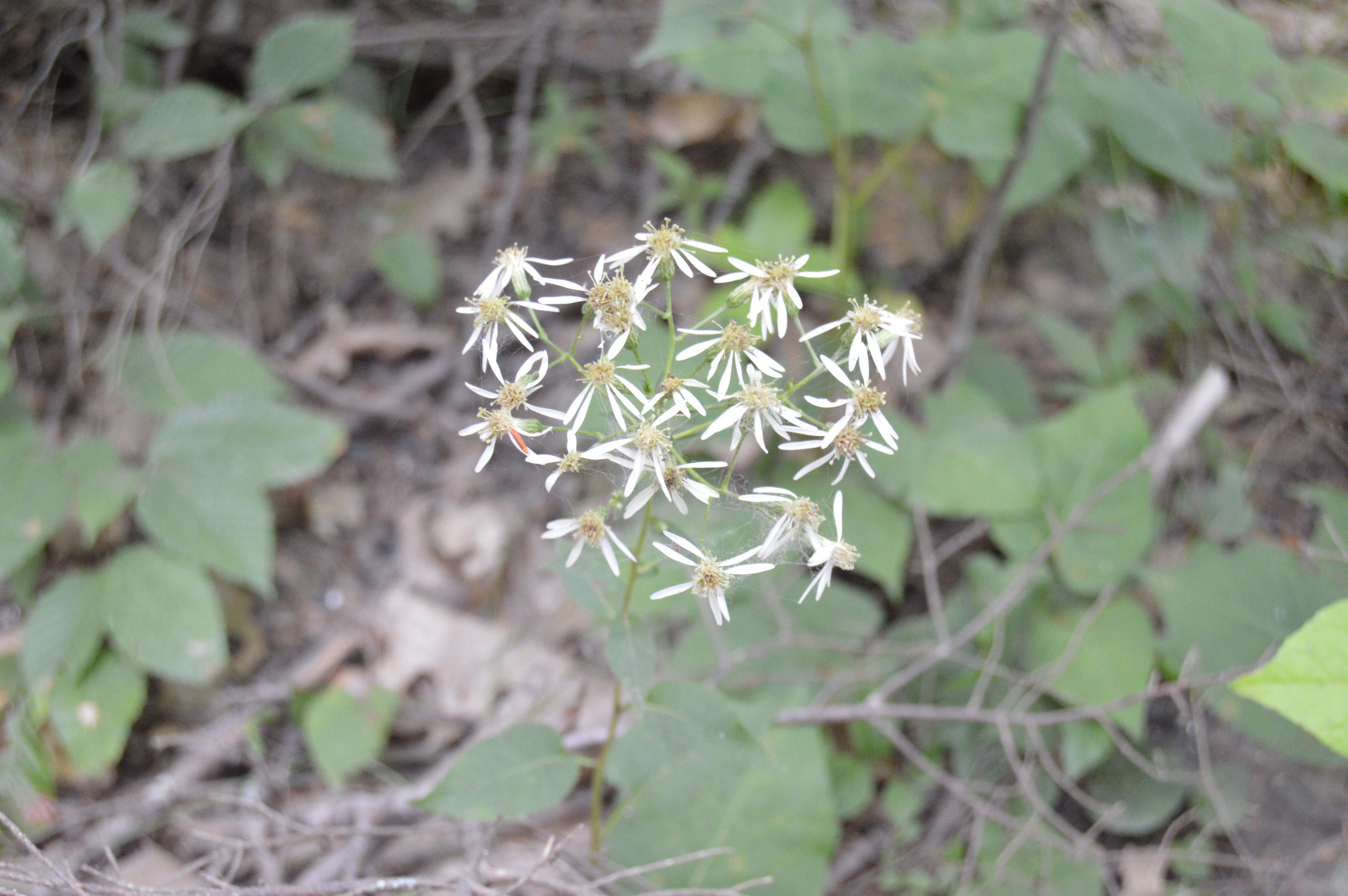
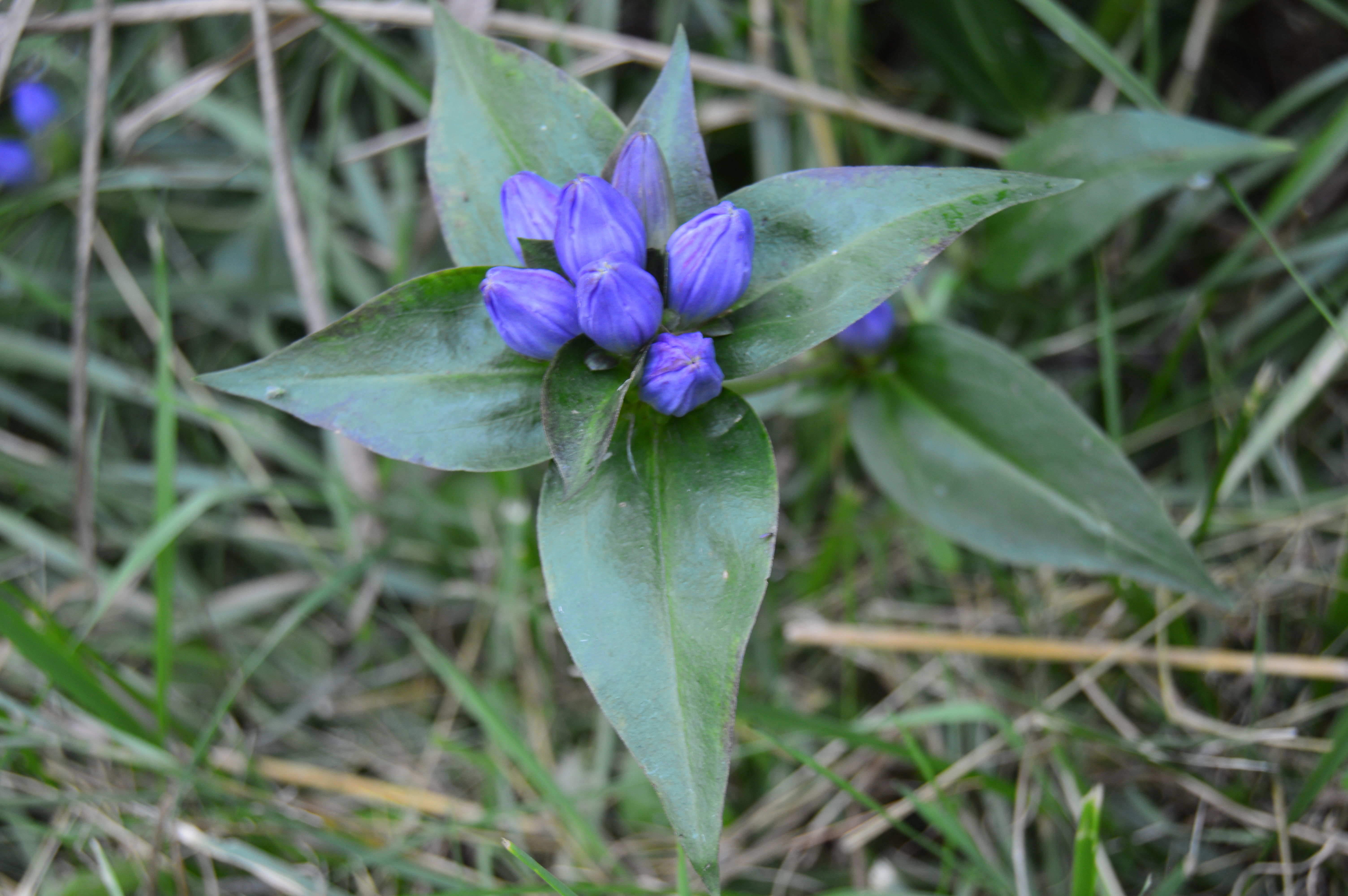
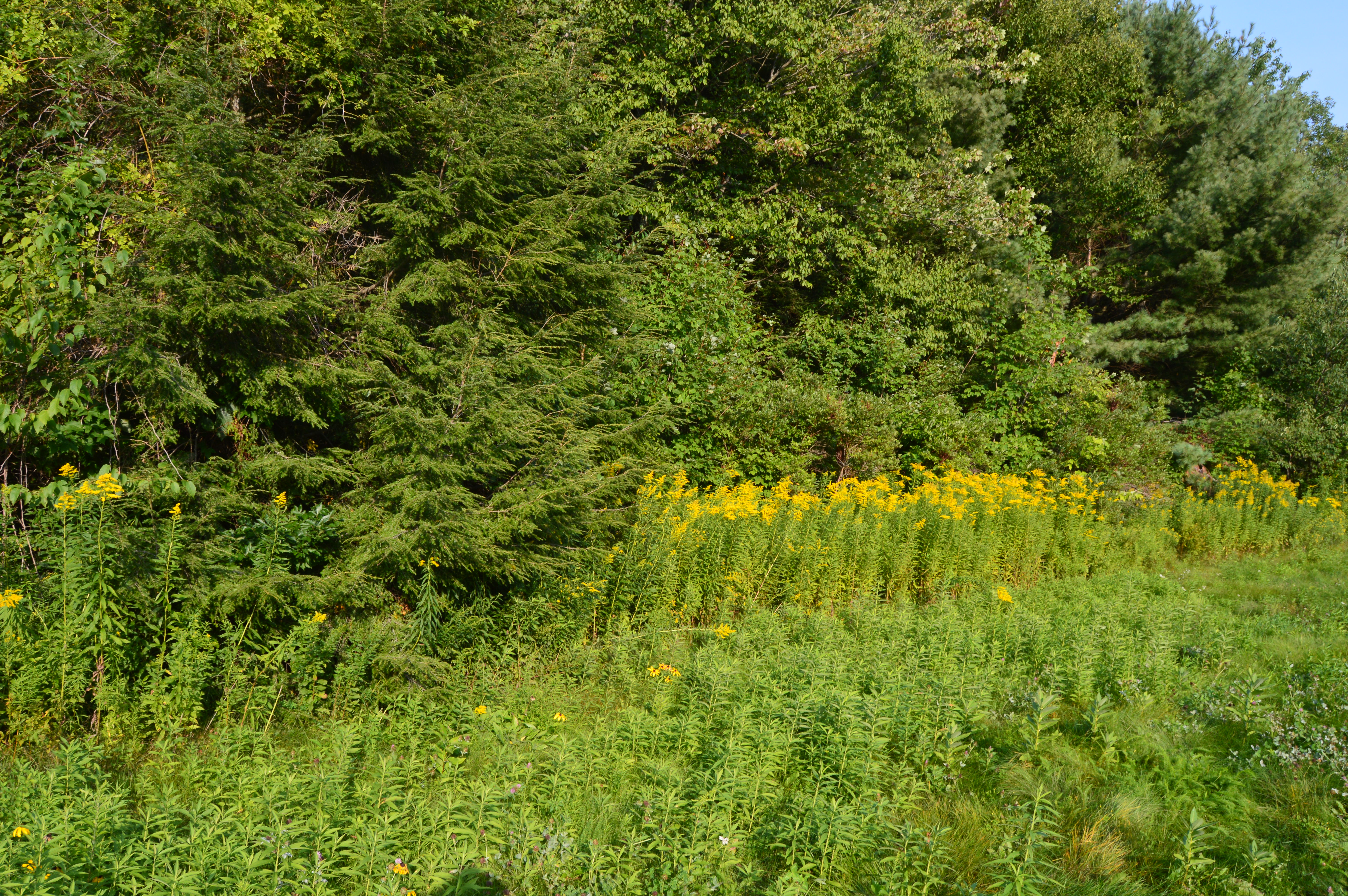
Although it may be best known for The Bridge Of Flowers (post to come shortly), beauty and grandeur abound Salmon Falls/Glacial Potholes area on Deerfield Ave.

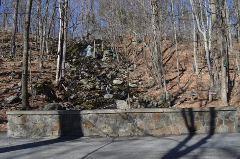
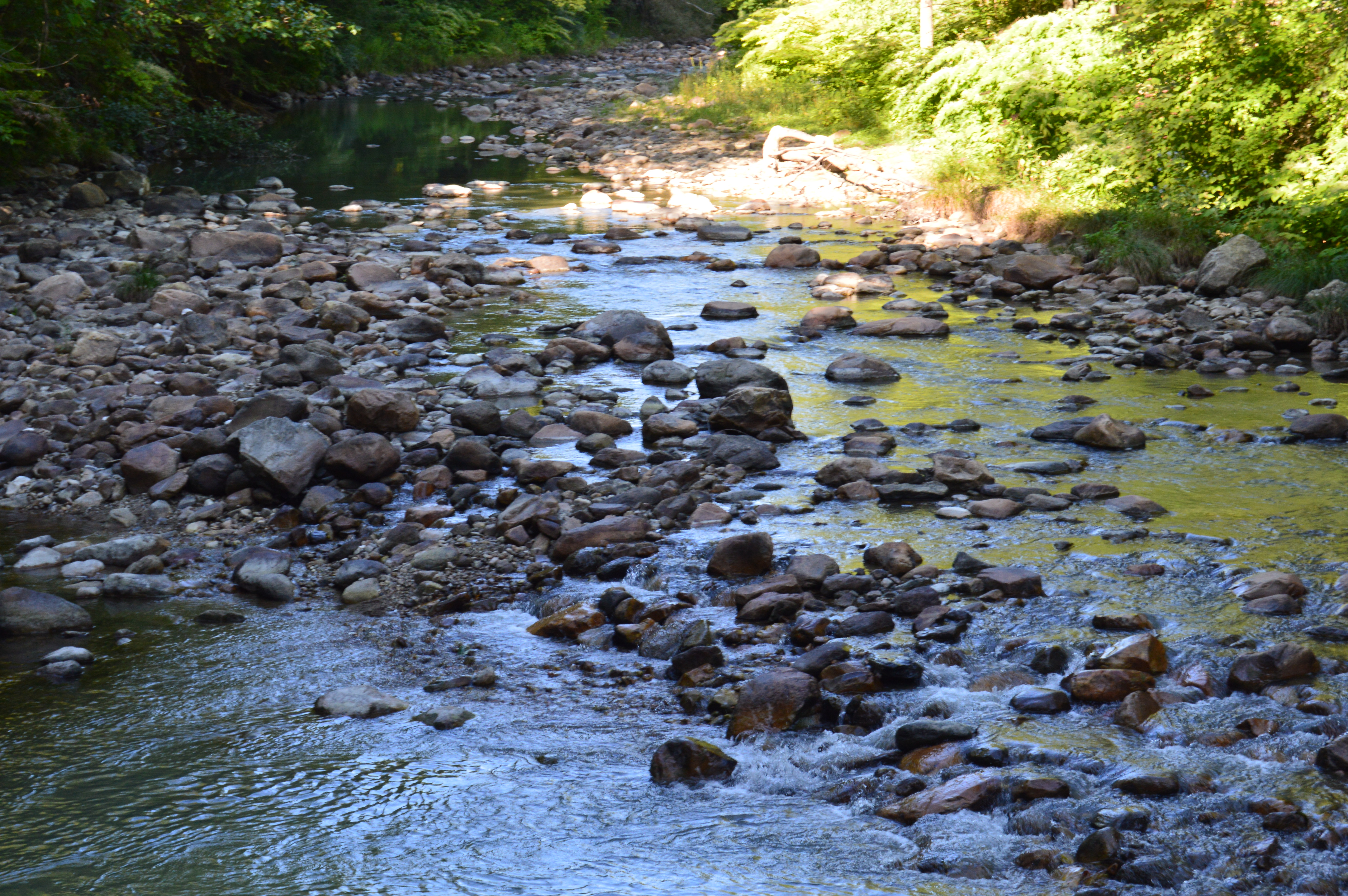
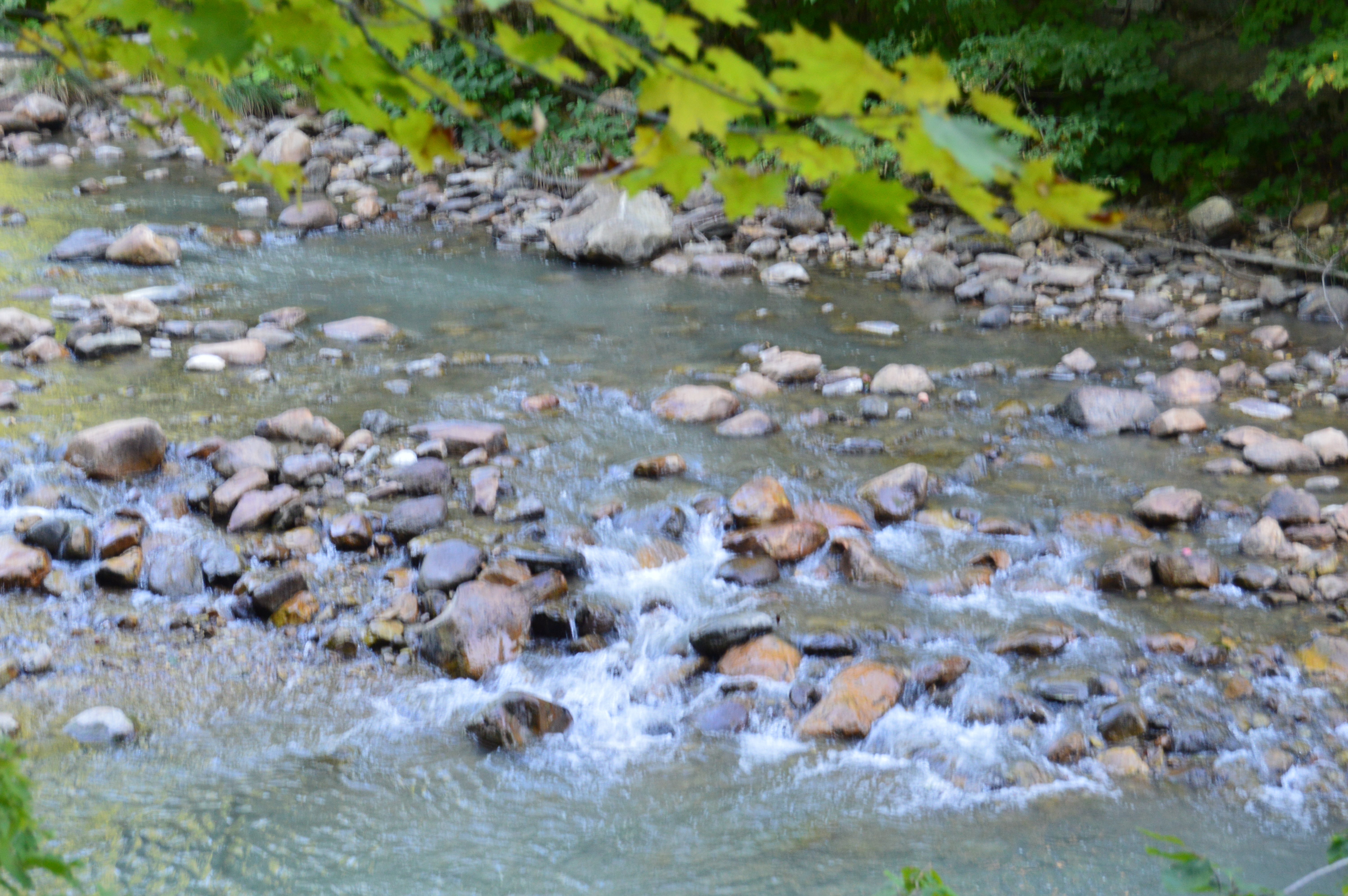
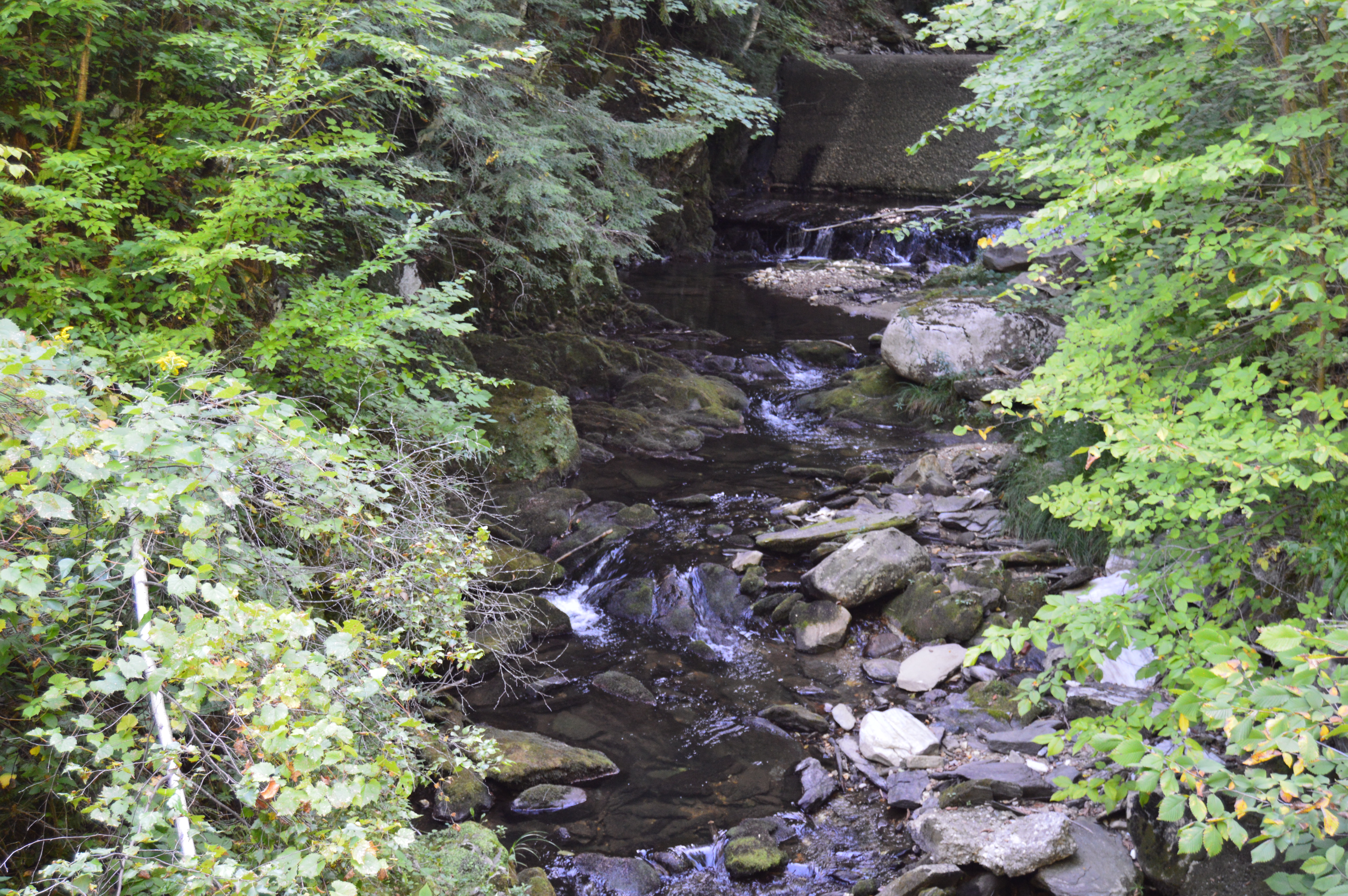
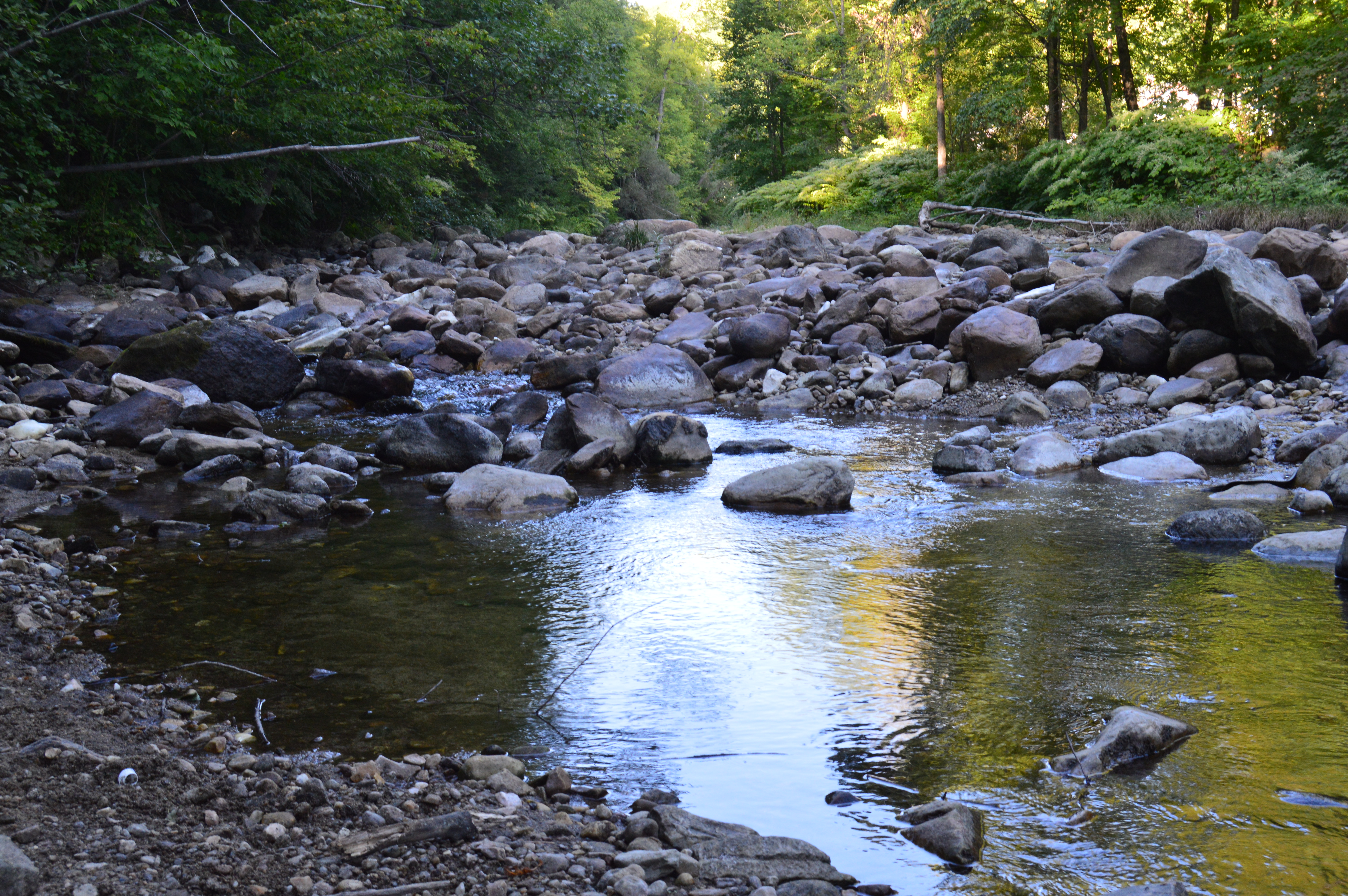
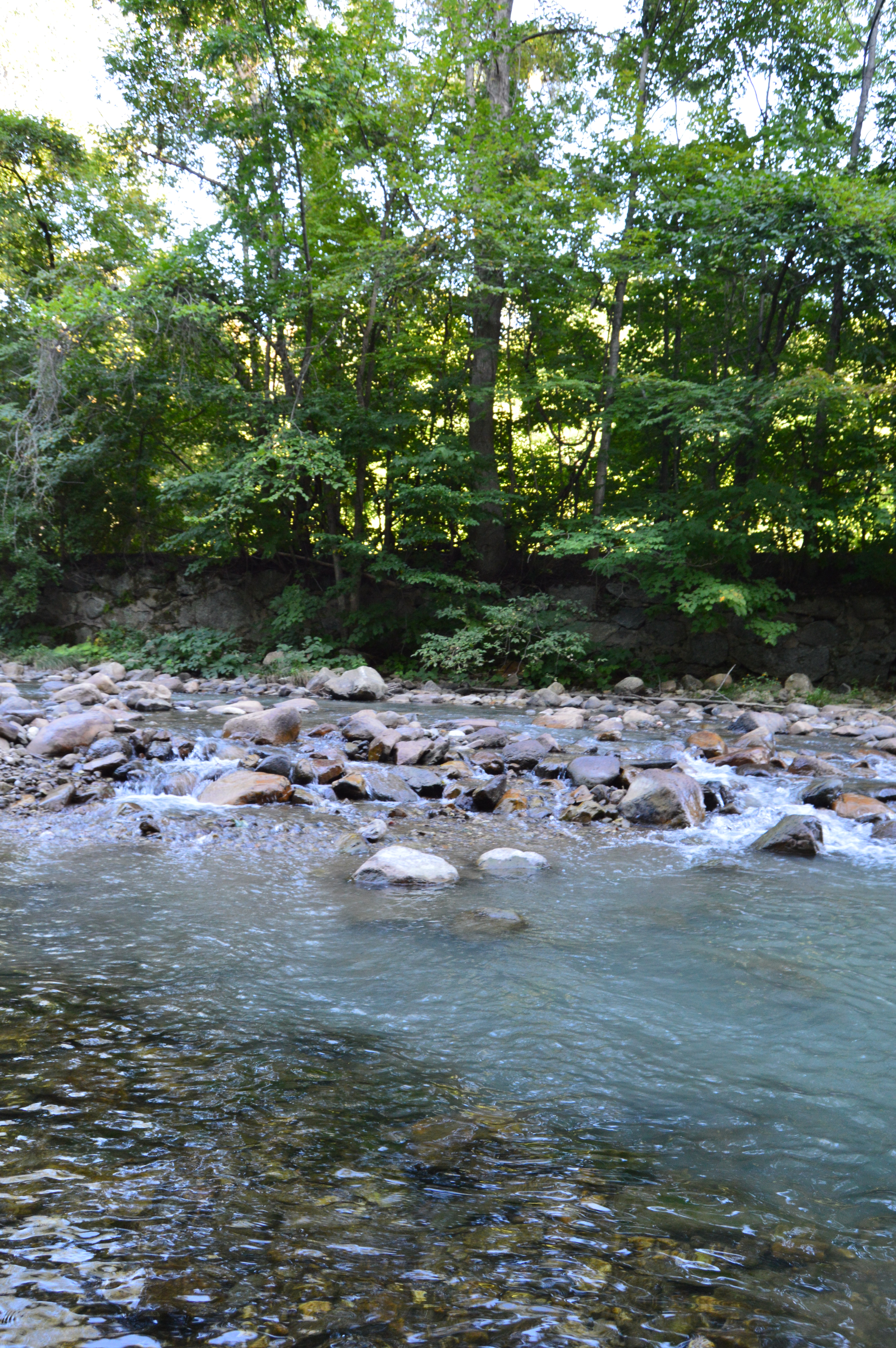
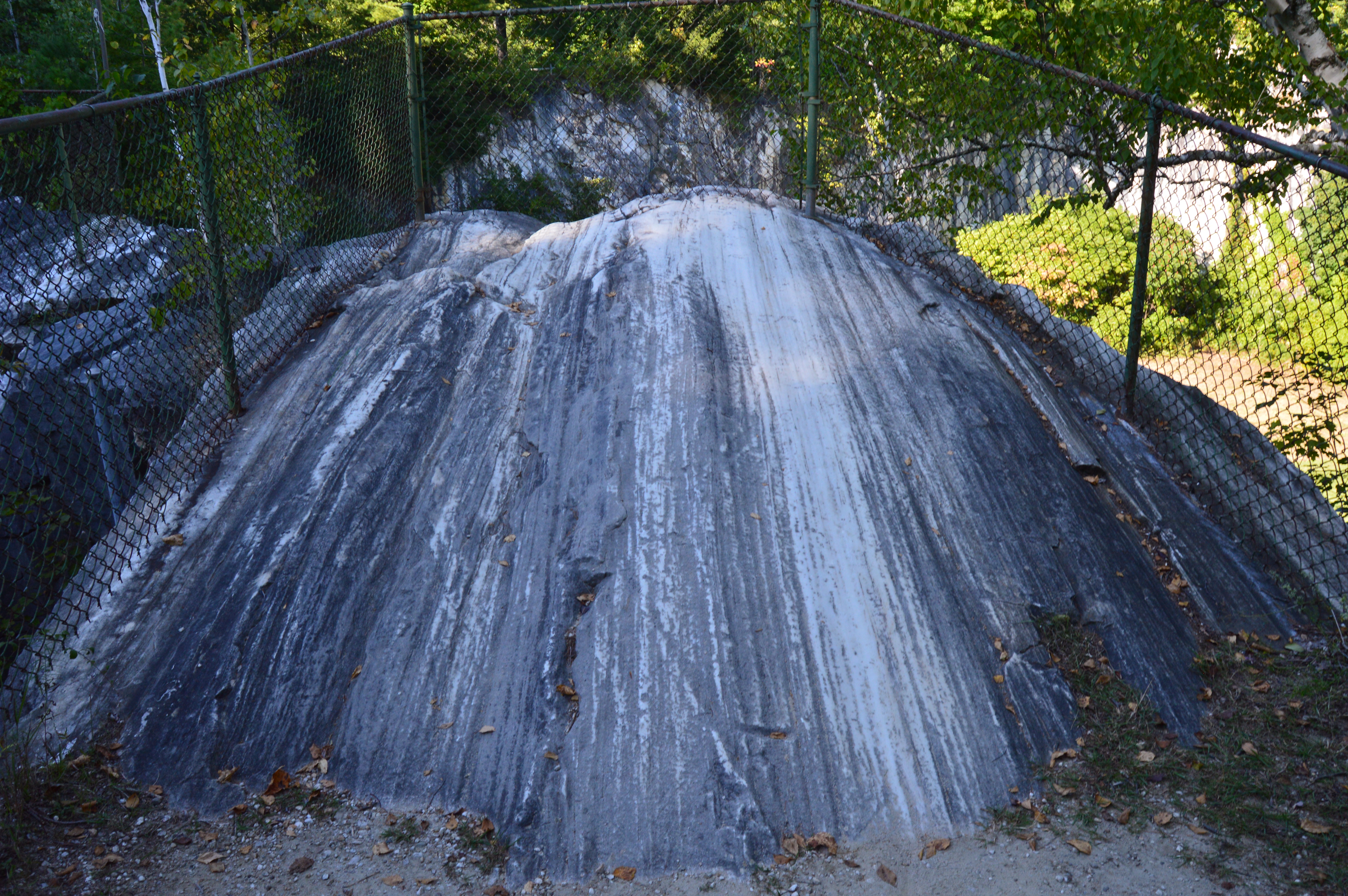
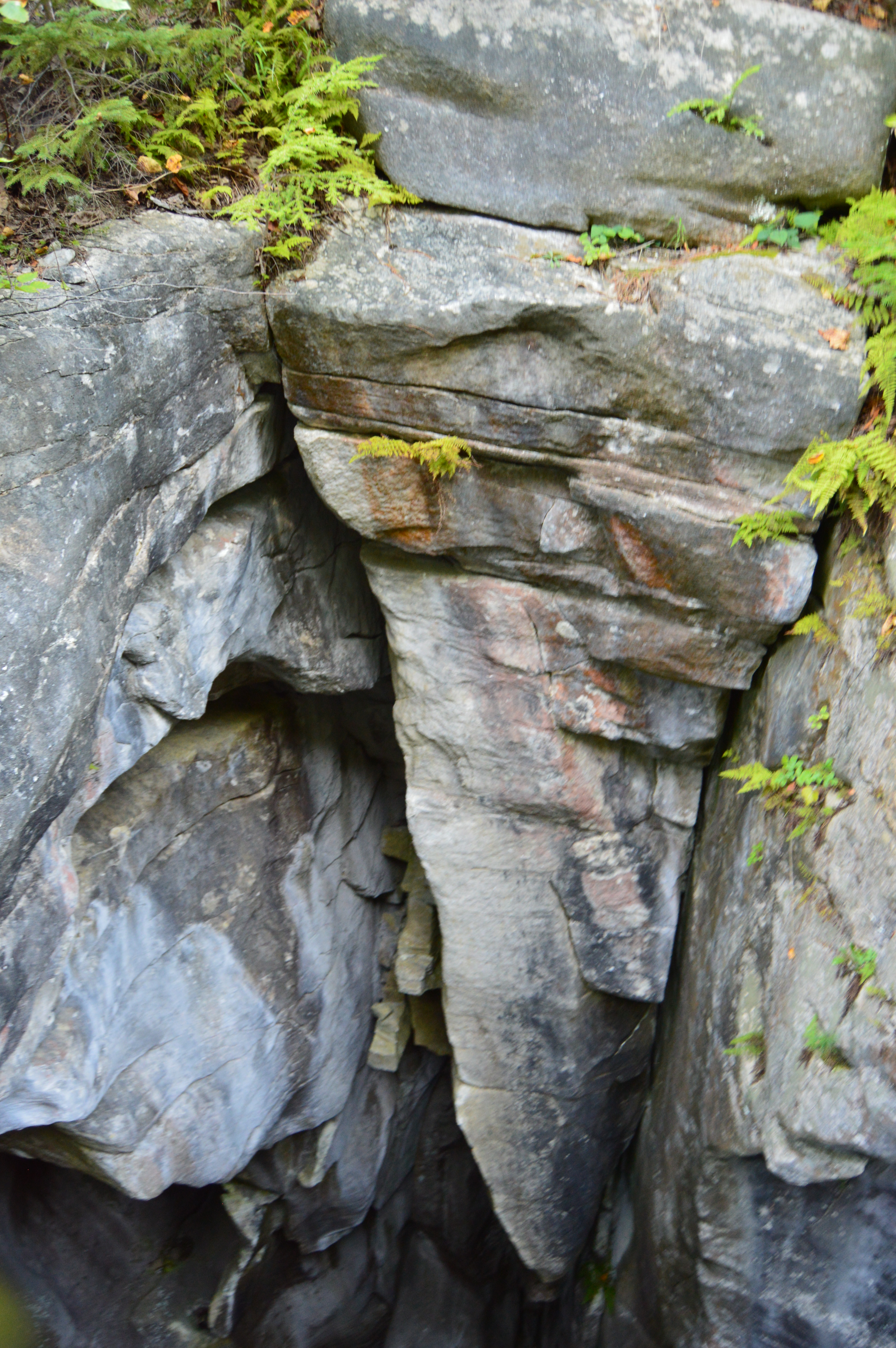
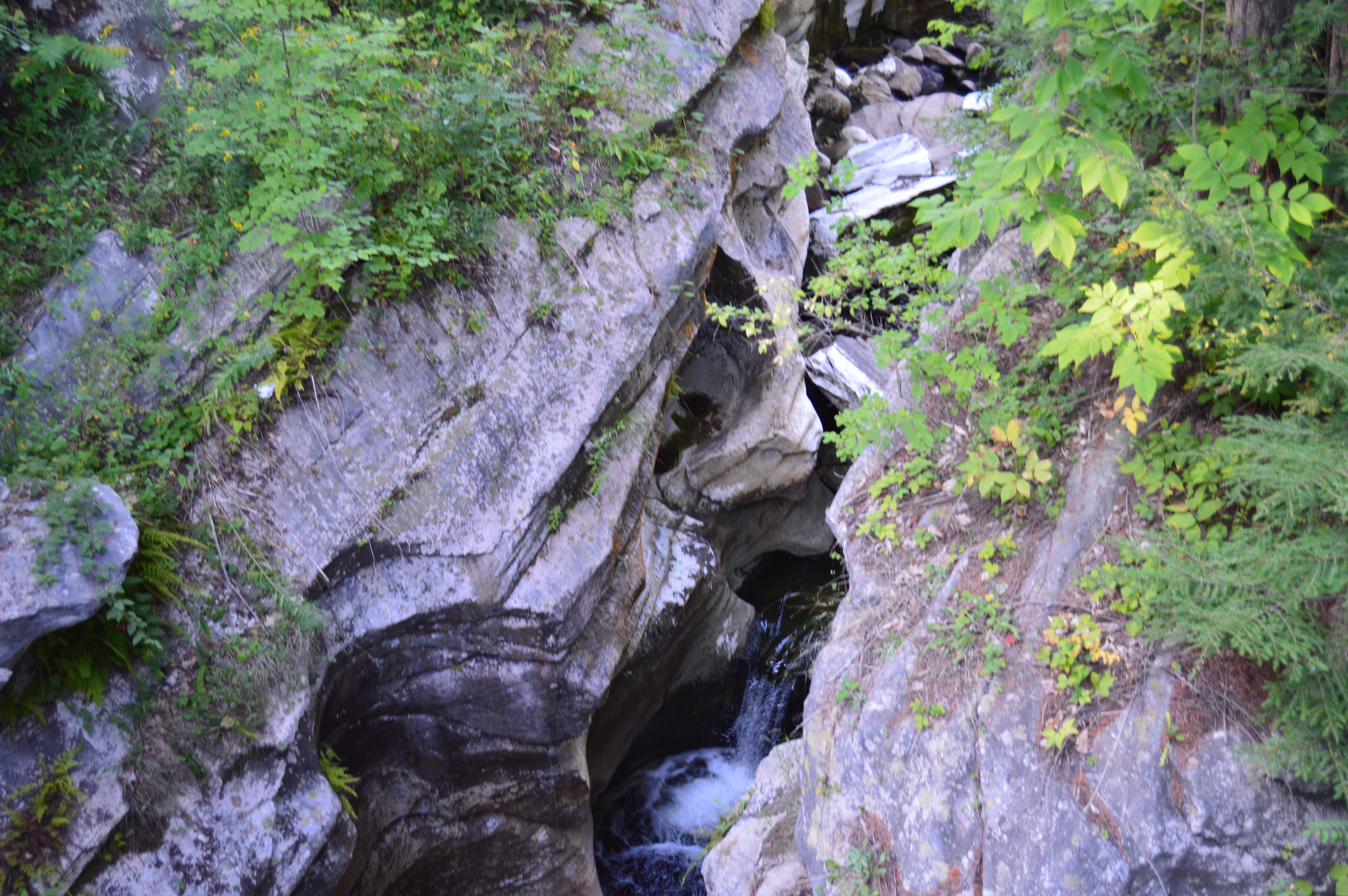
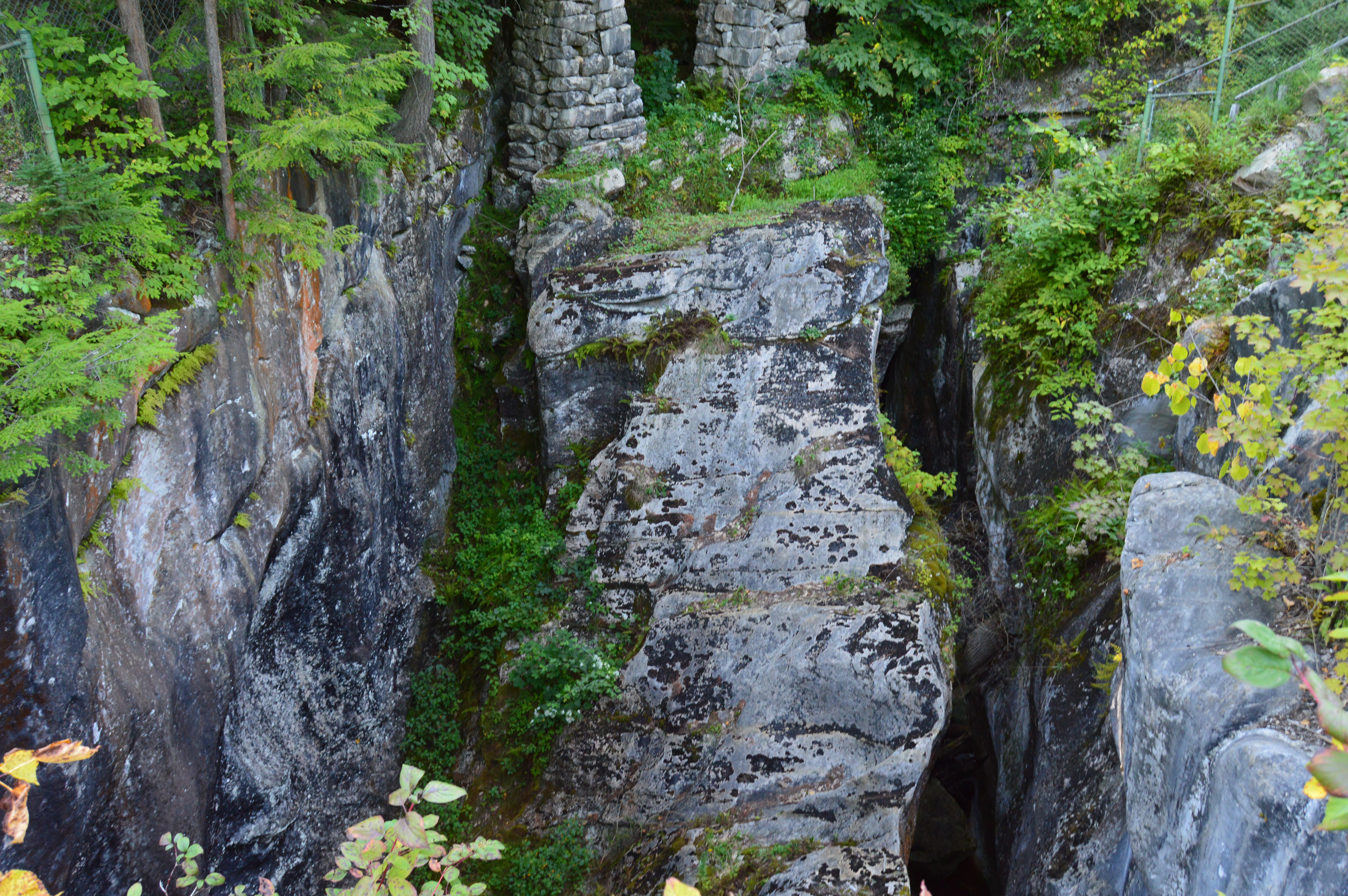
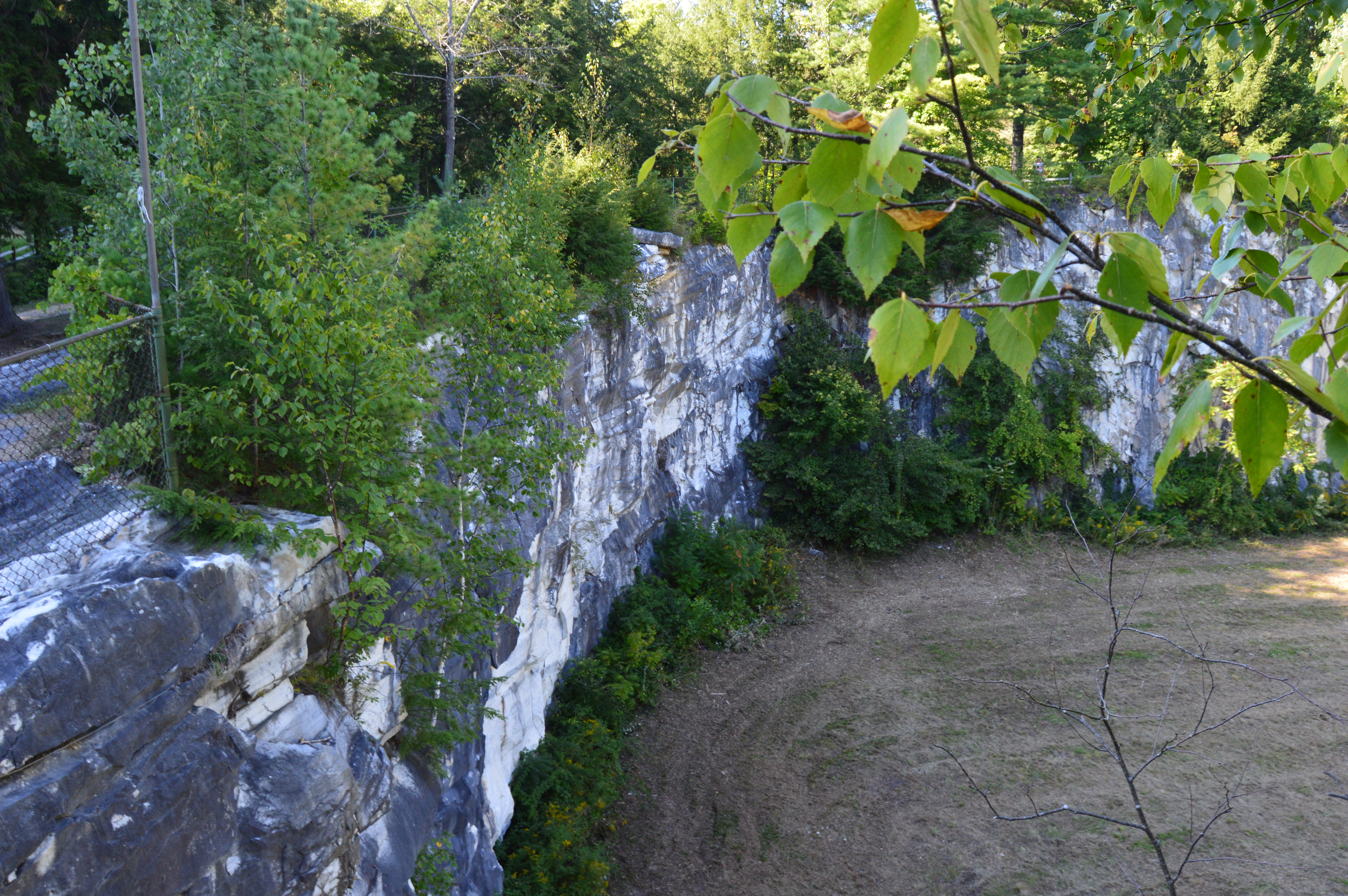
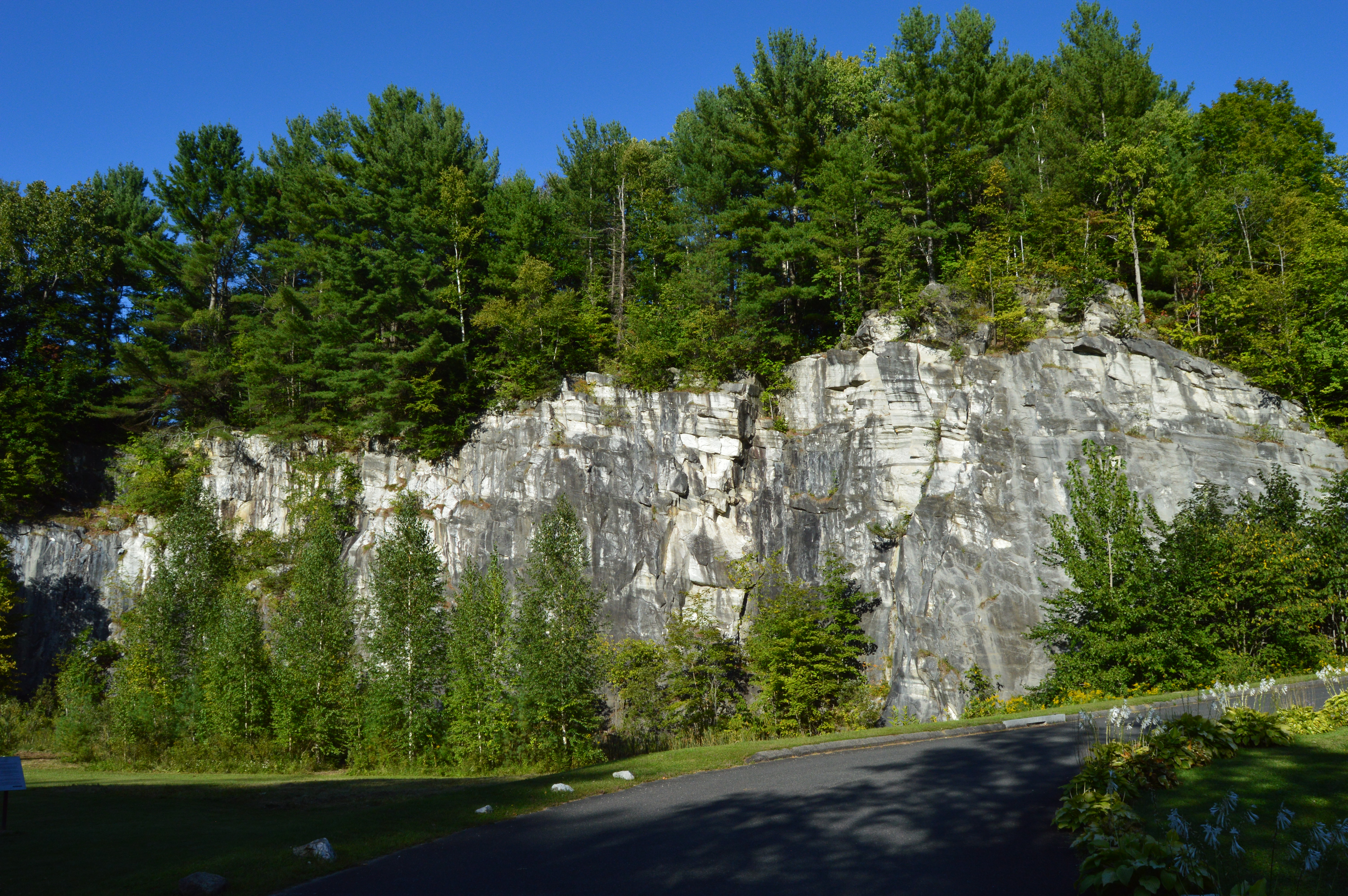
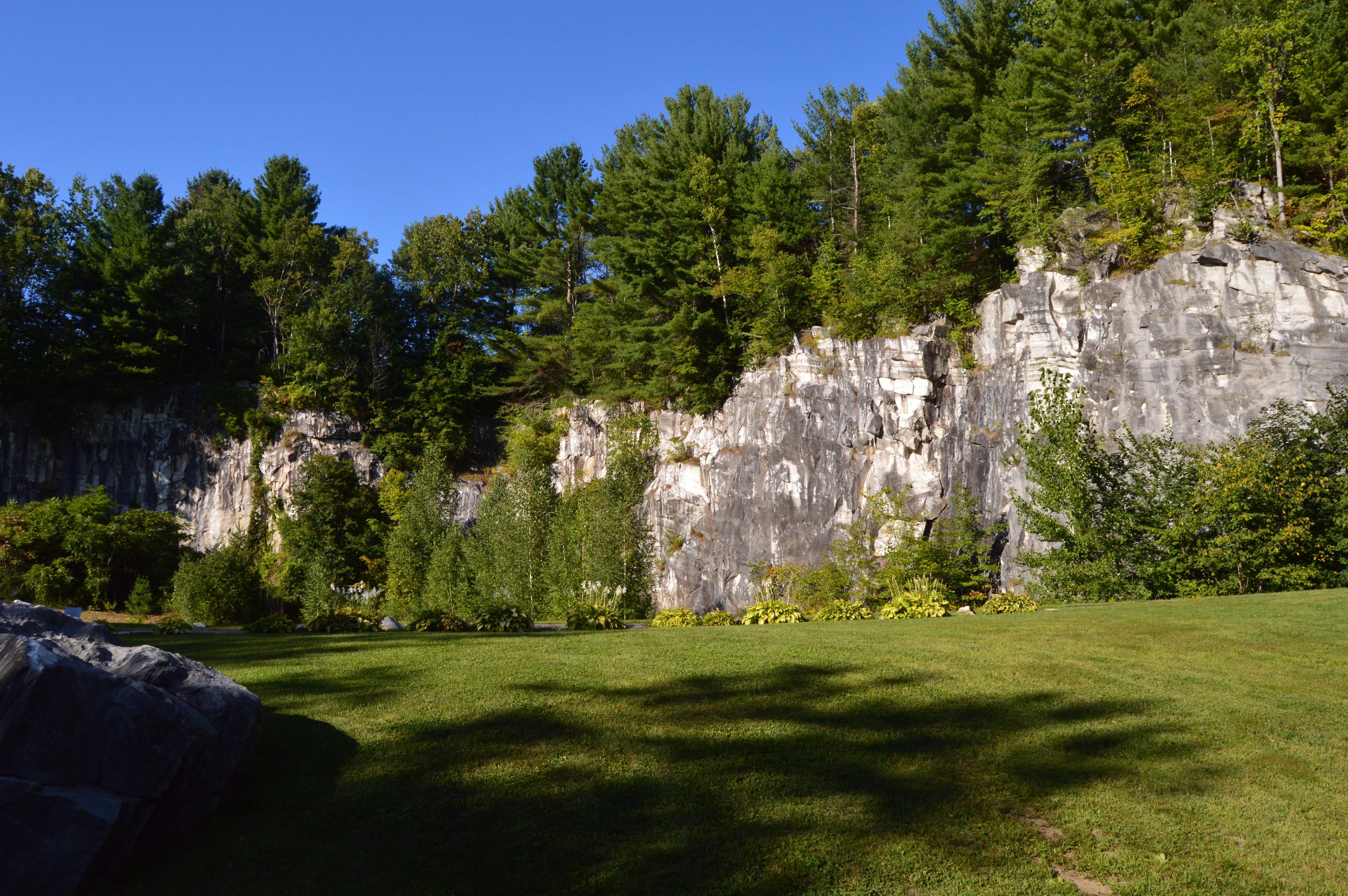
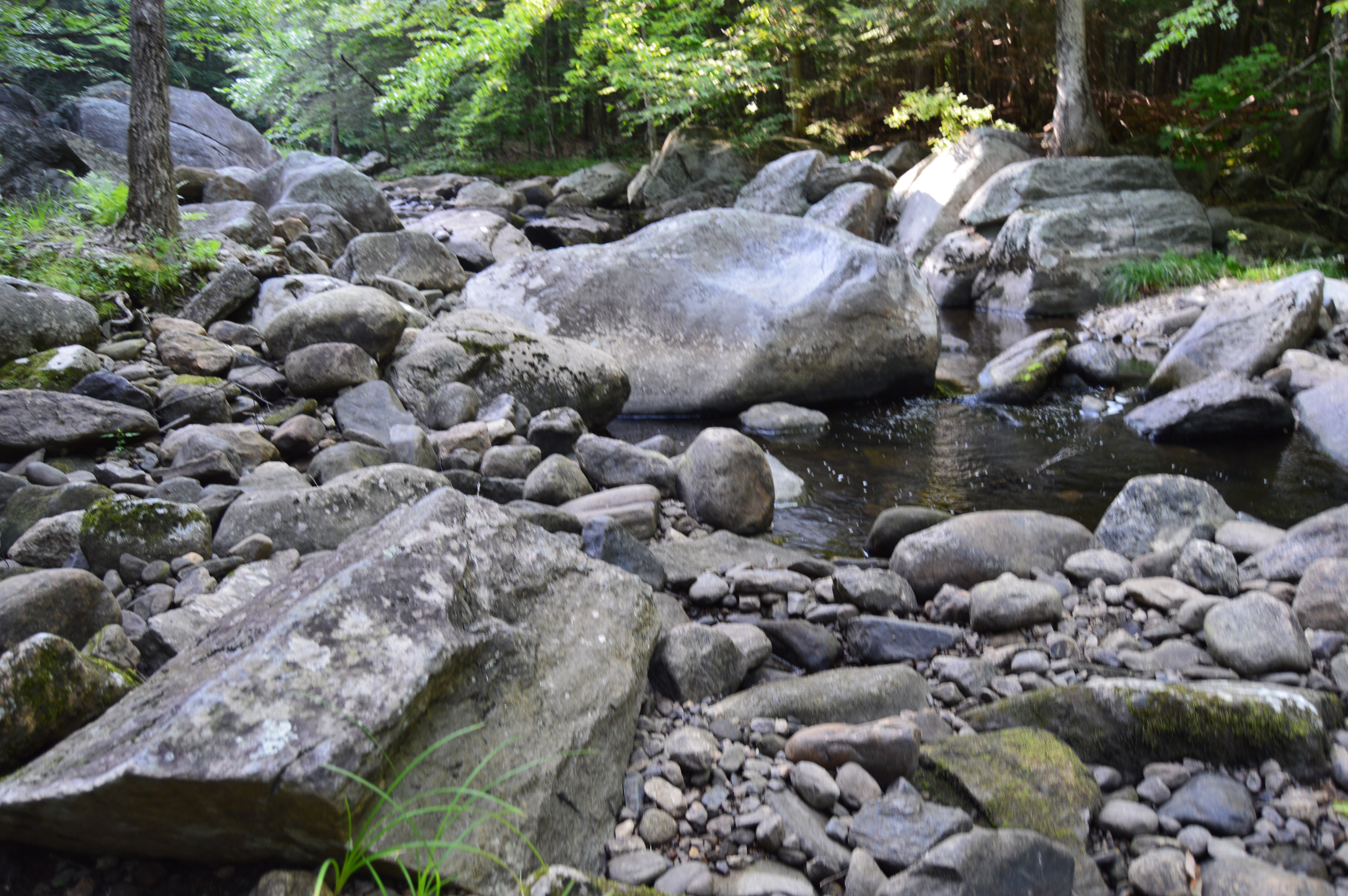
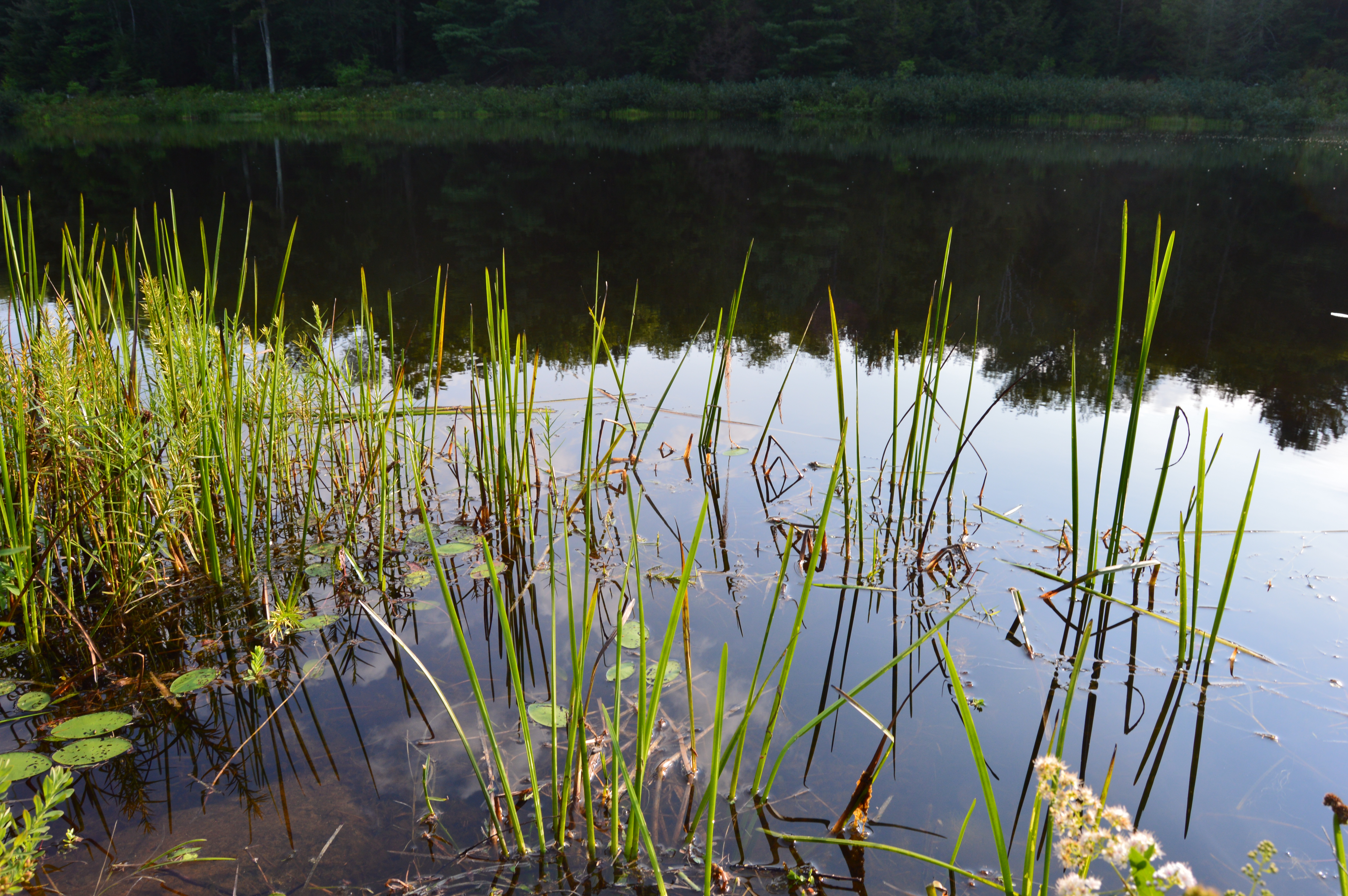
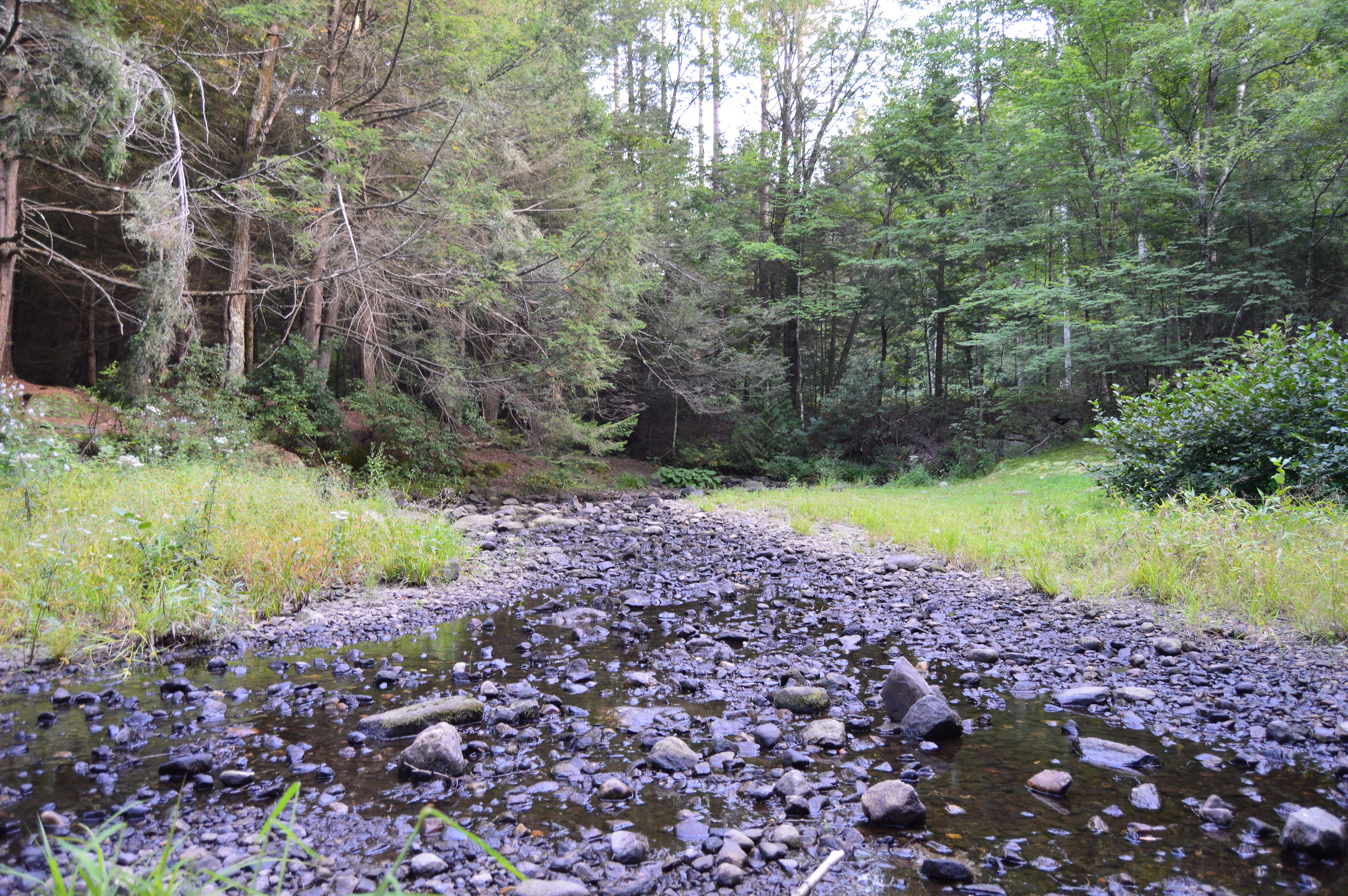
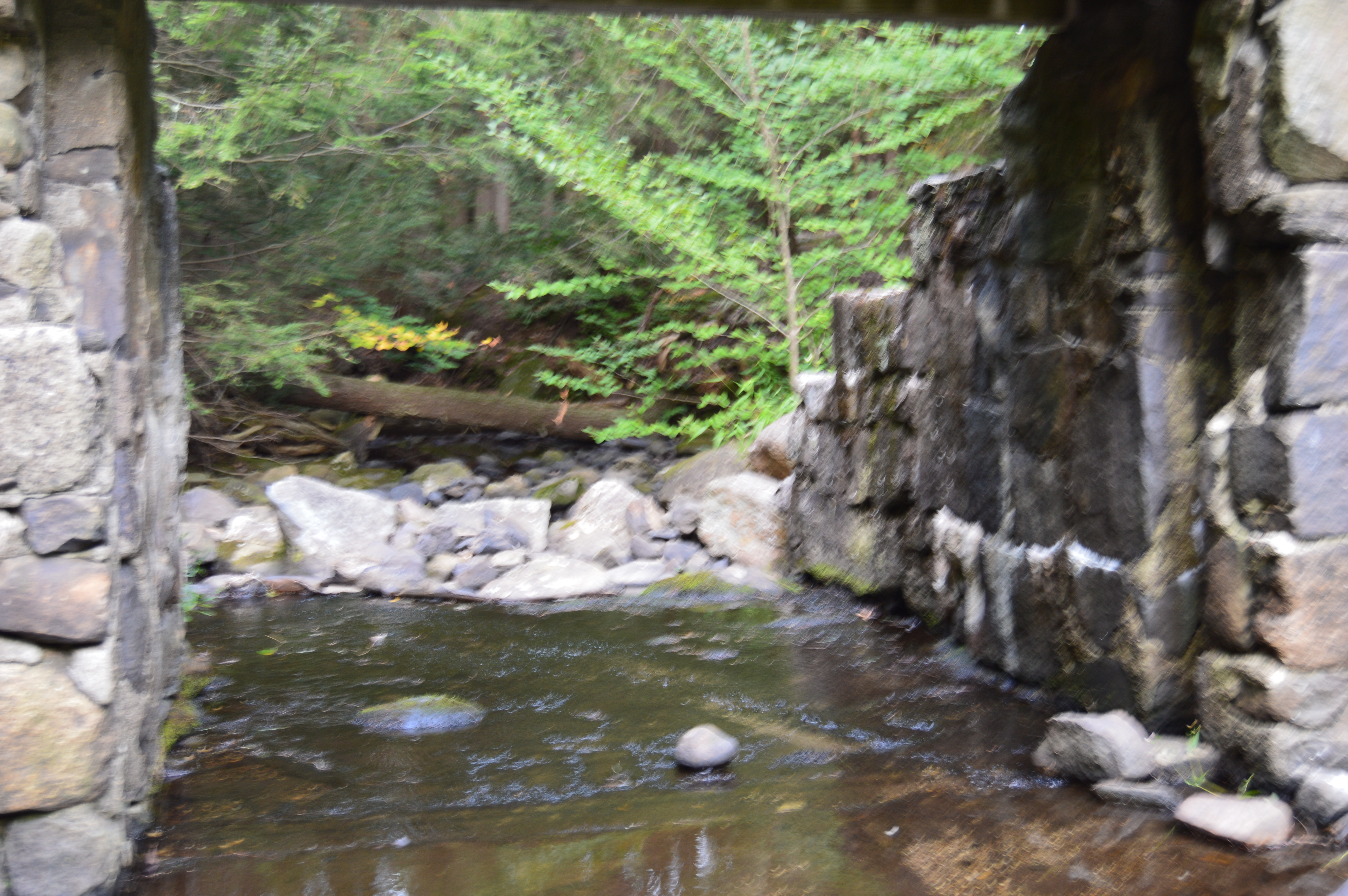
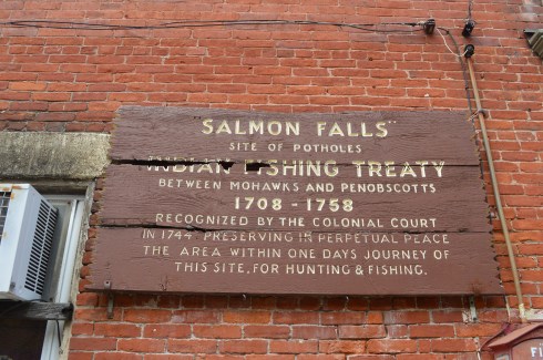
The glacial potholes were ground out of granite during the high water of the Glacial Age.  The whirlpool action of the waves and the gyrating stones created the prominent holes in the stones.  It is said some of the grinding mills can still be seen in the smaller potholes.  Over 50 potholes exist in the confined area known as “Salmon Falls” when the the Native Americans resided here.  The potholes vary in size from 6 inches to 39 feet in diameter.  The 39 inch diameter pothole is considered the largest pothole on record.  And you thought the potholes on our roads were bad.


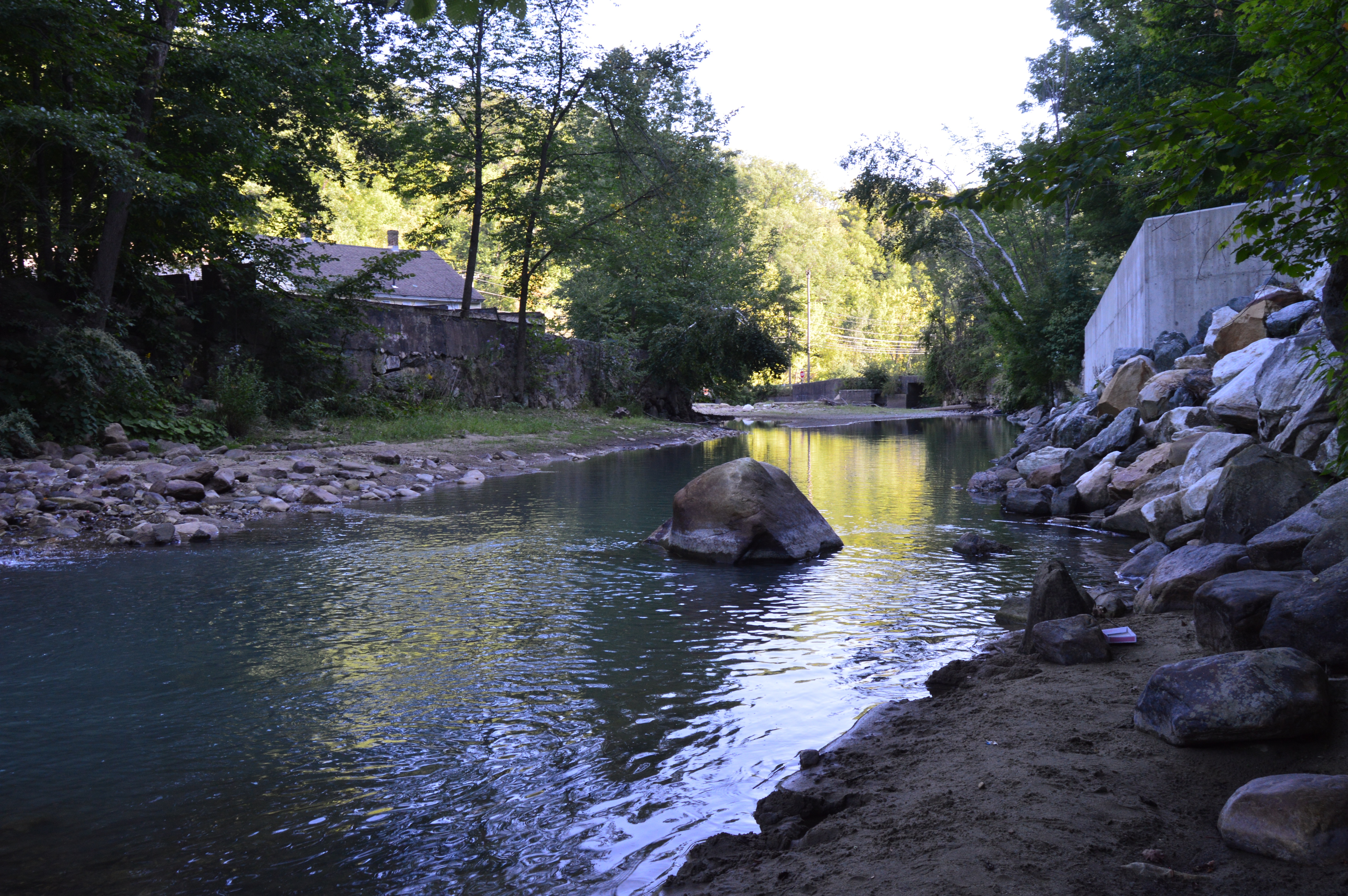
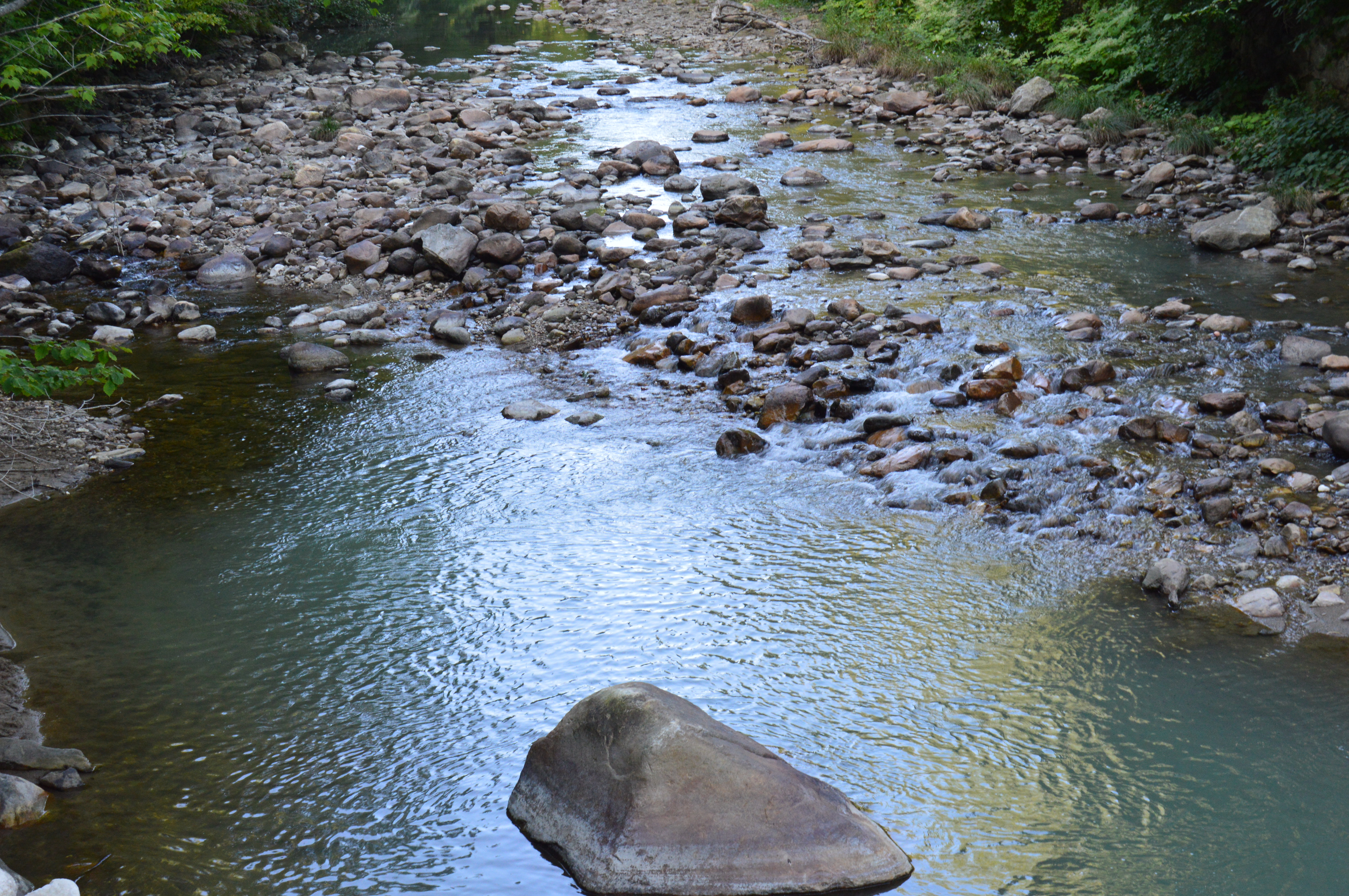
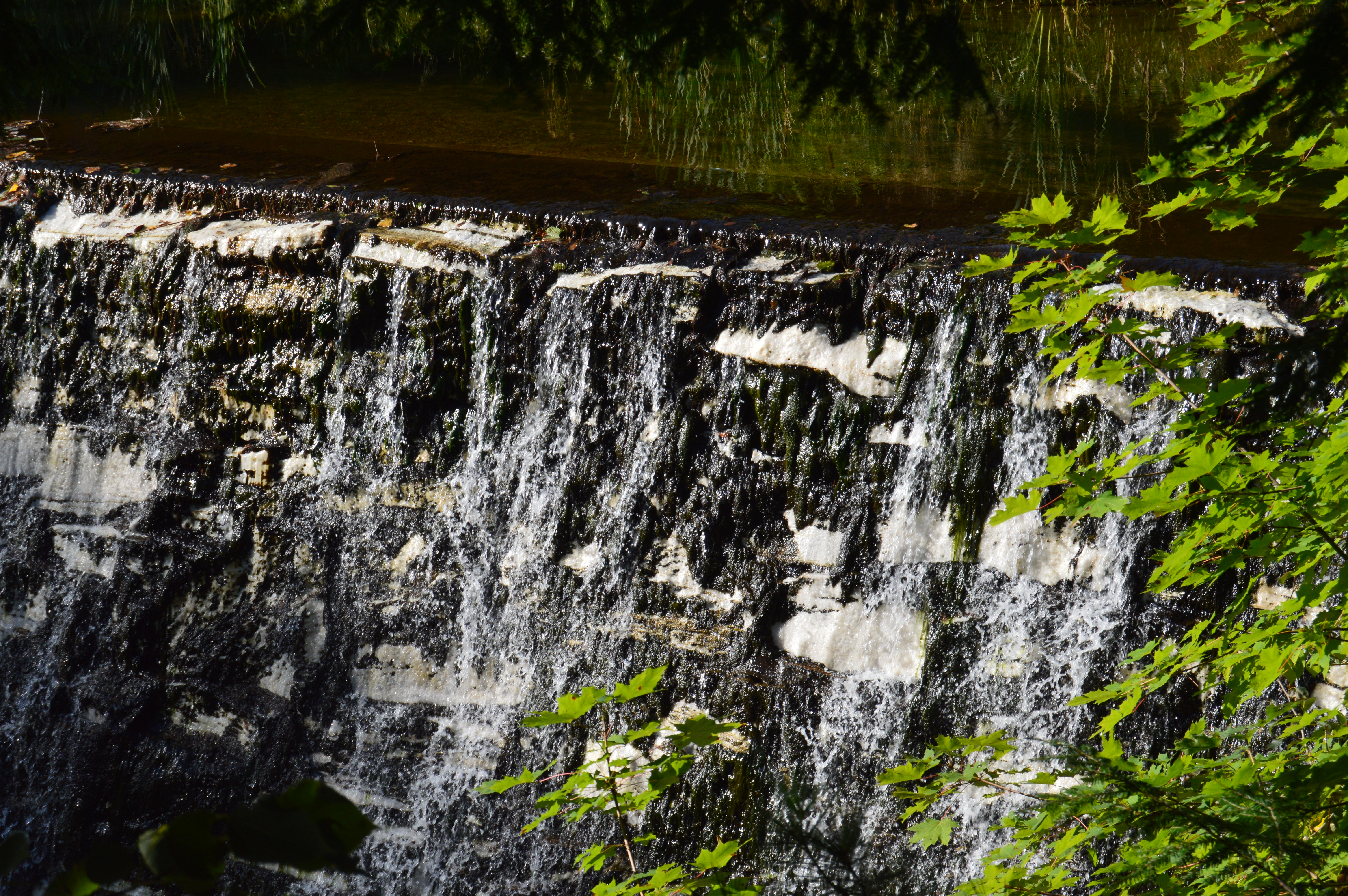
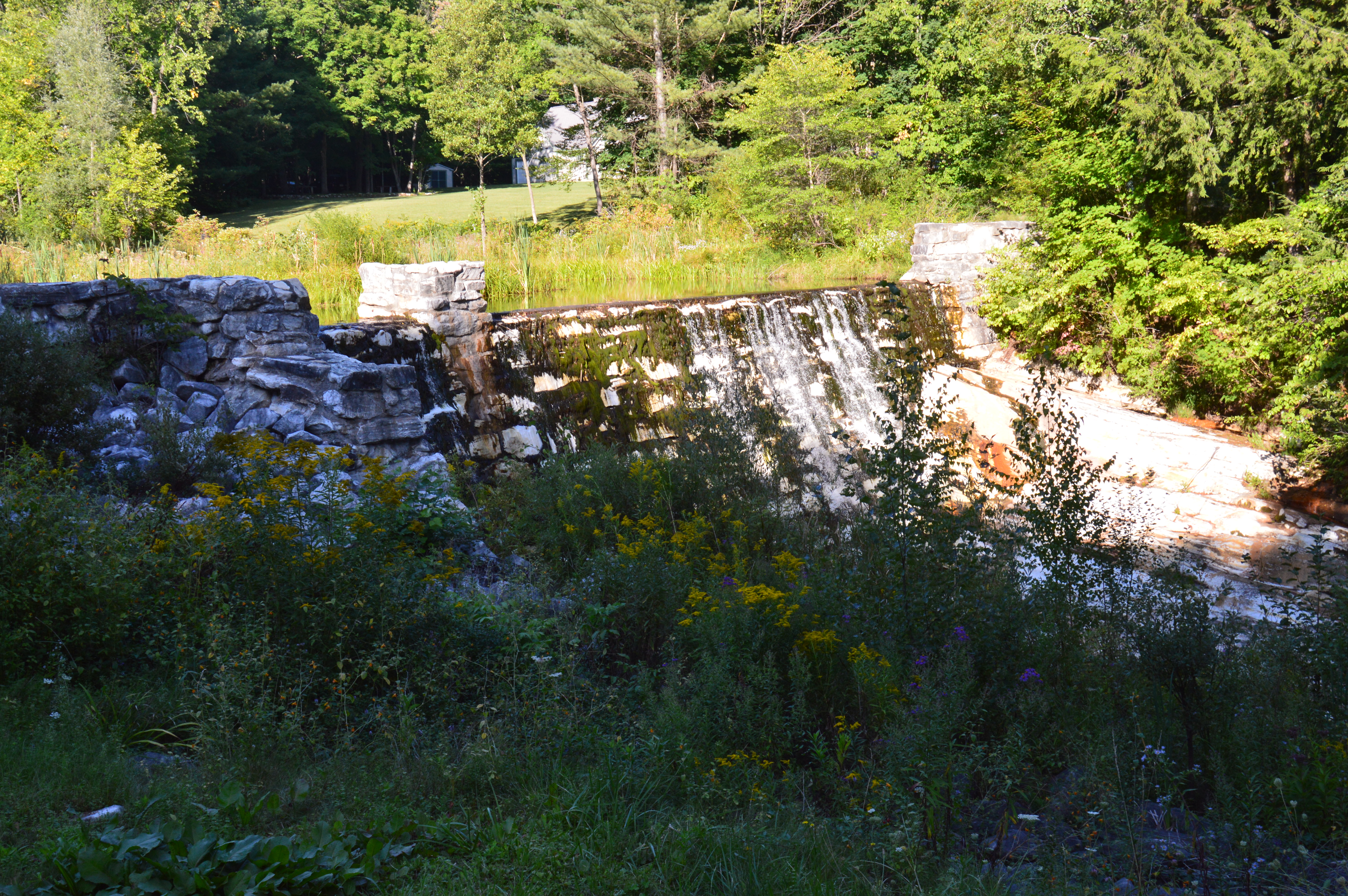
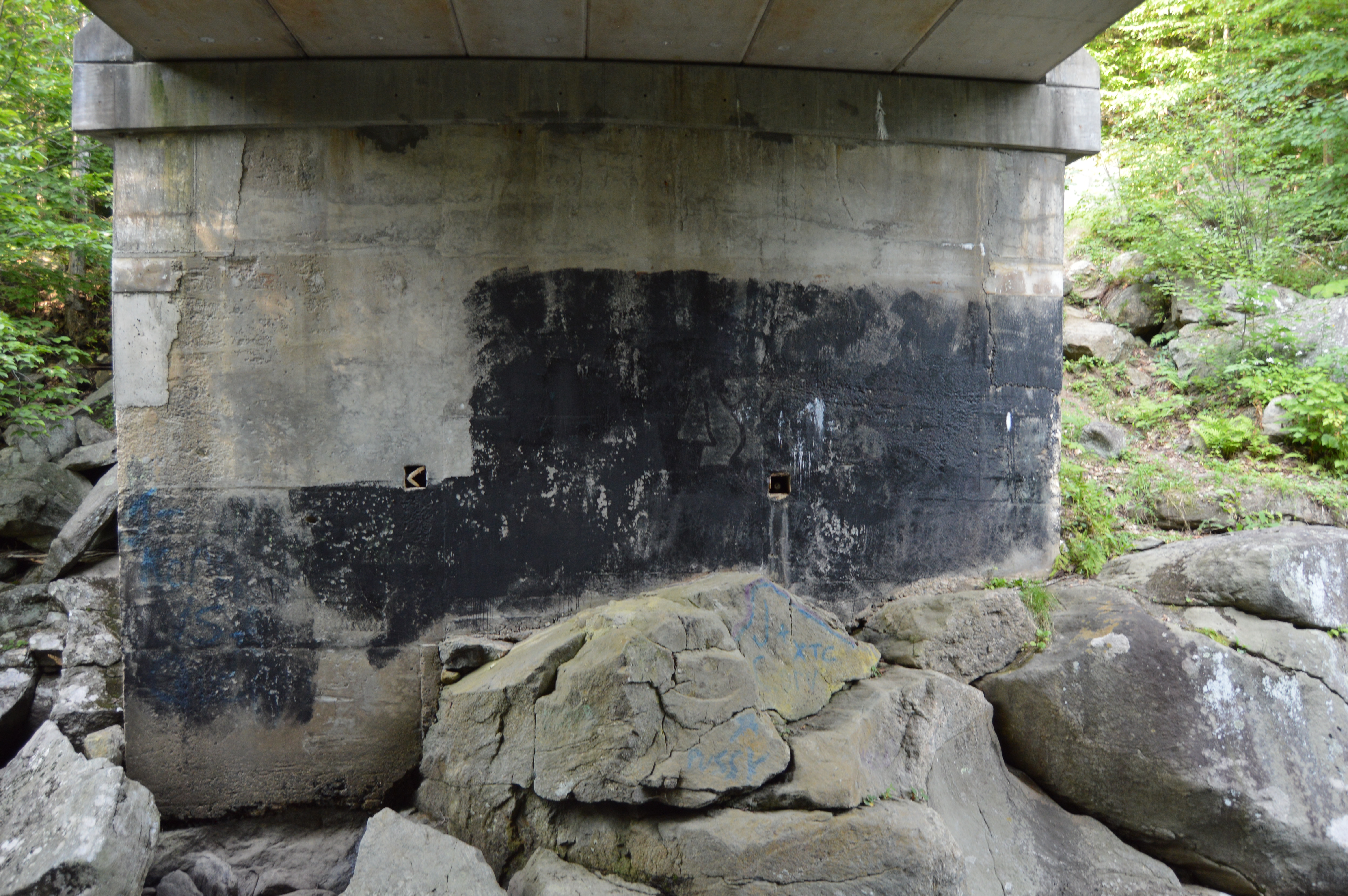
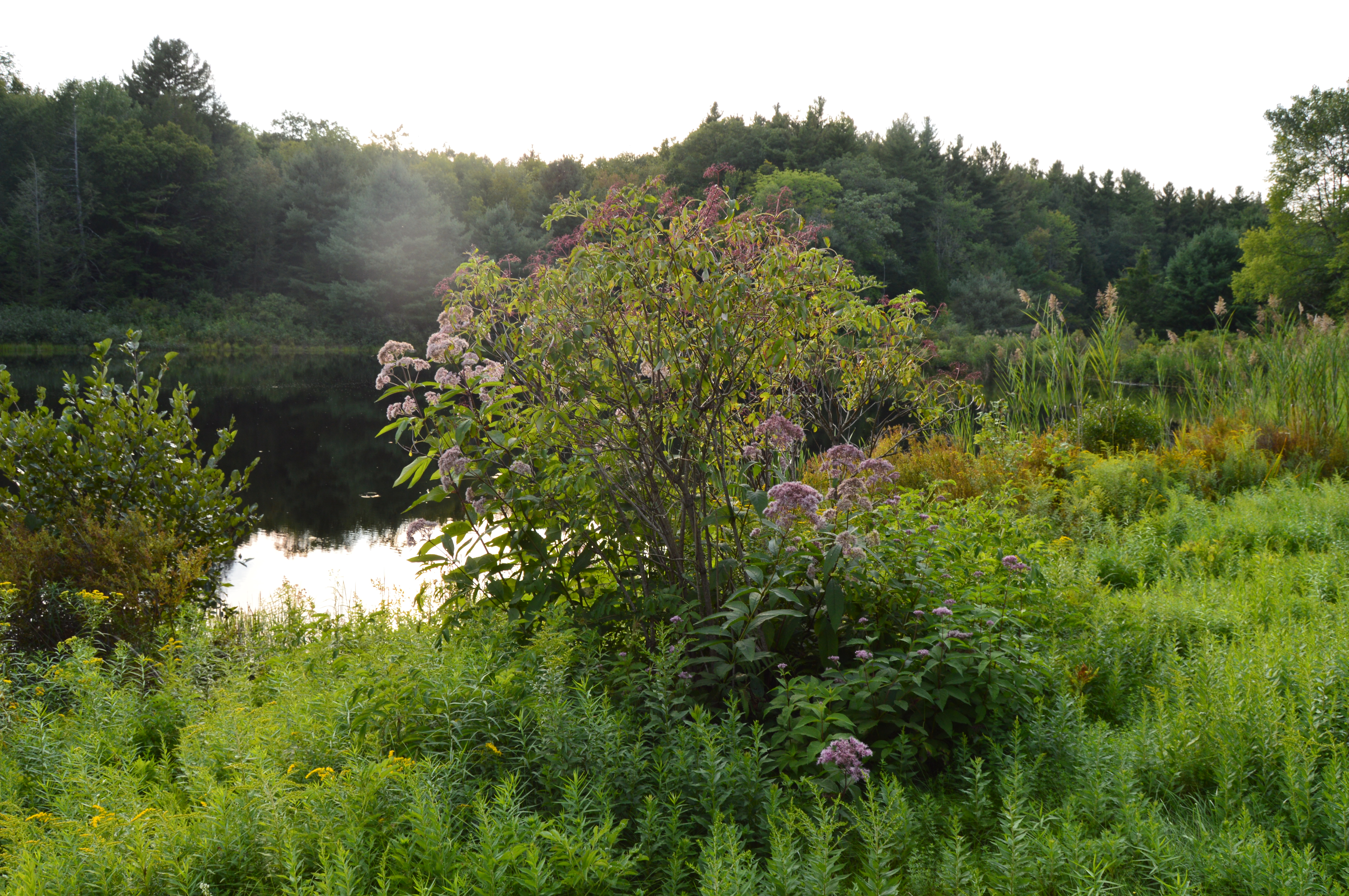
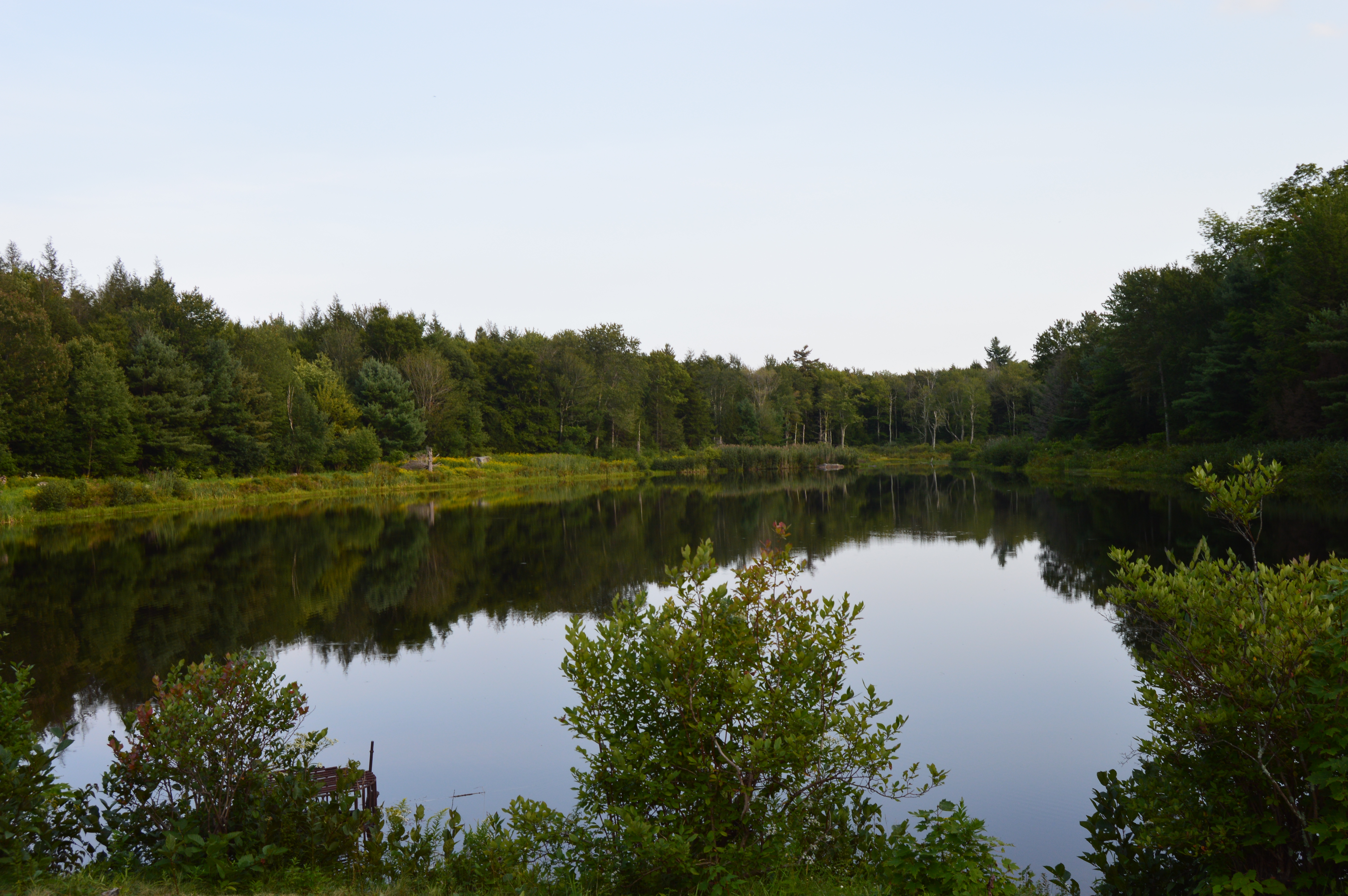
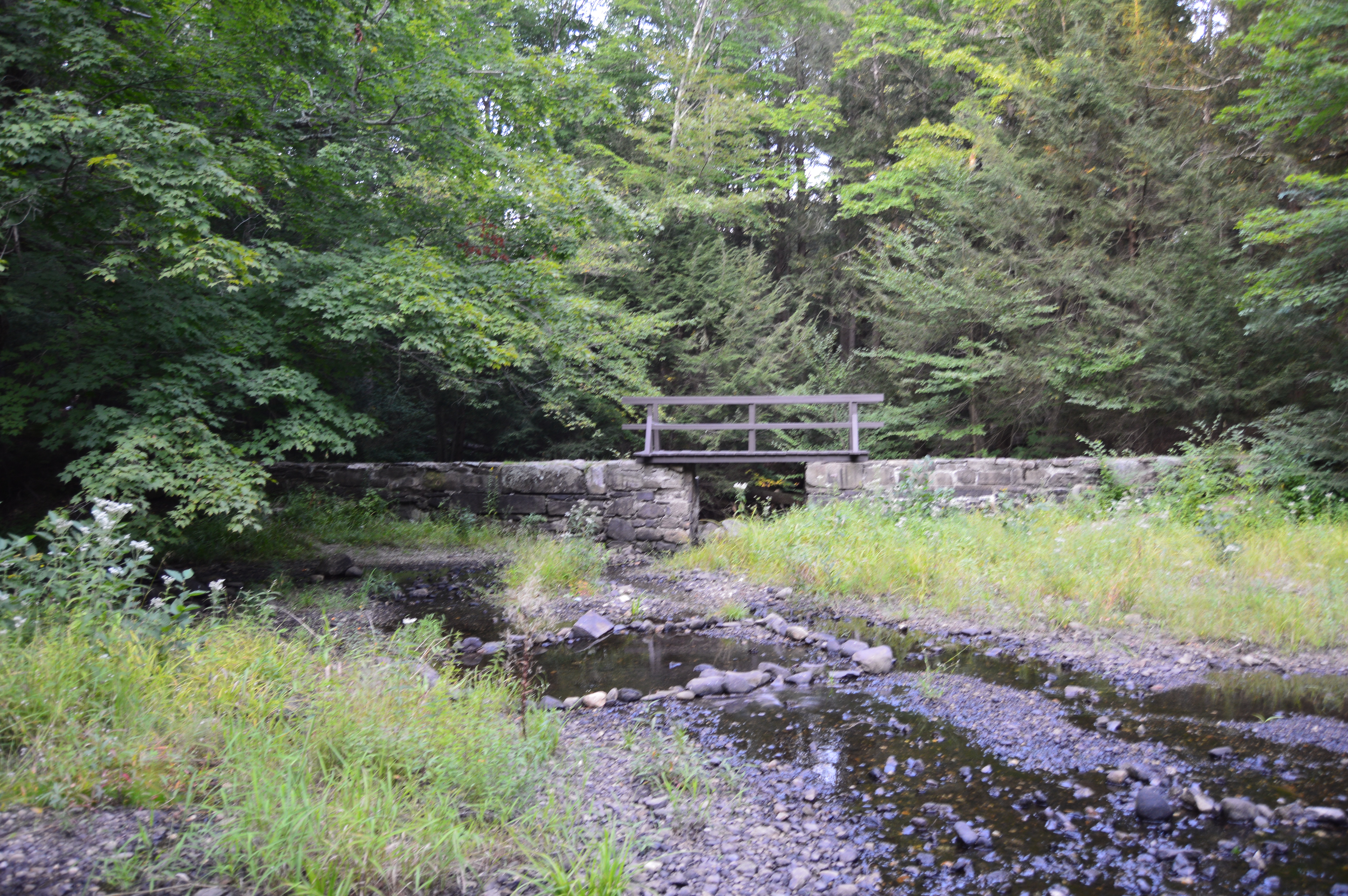
Salmon Falls, as it was dubbed by the Native Americans, was a common area for hunting and fishing.  The waterfall still gives some pretty views against a once industrialized scenery as the backdrop.

dsc_0248

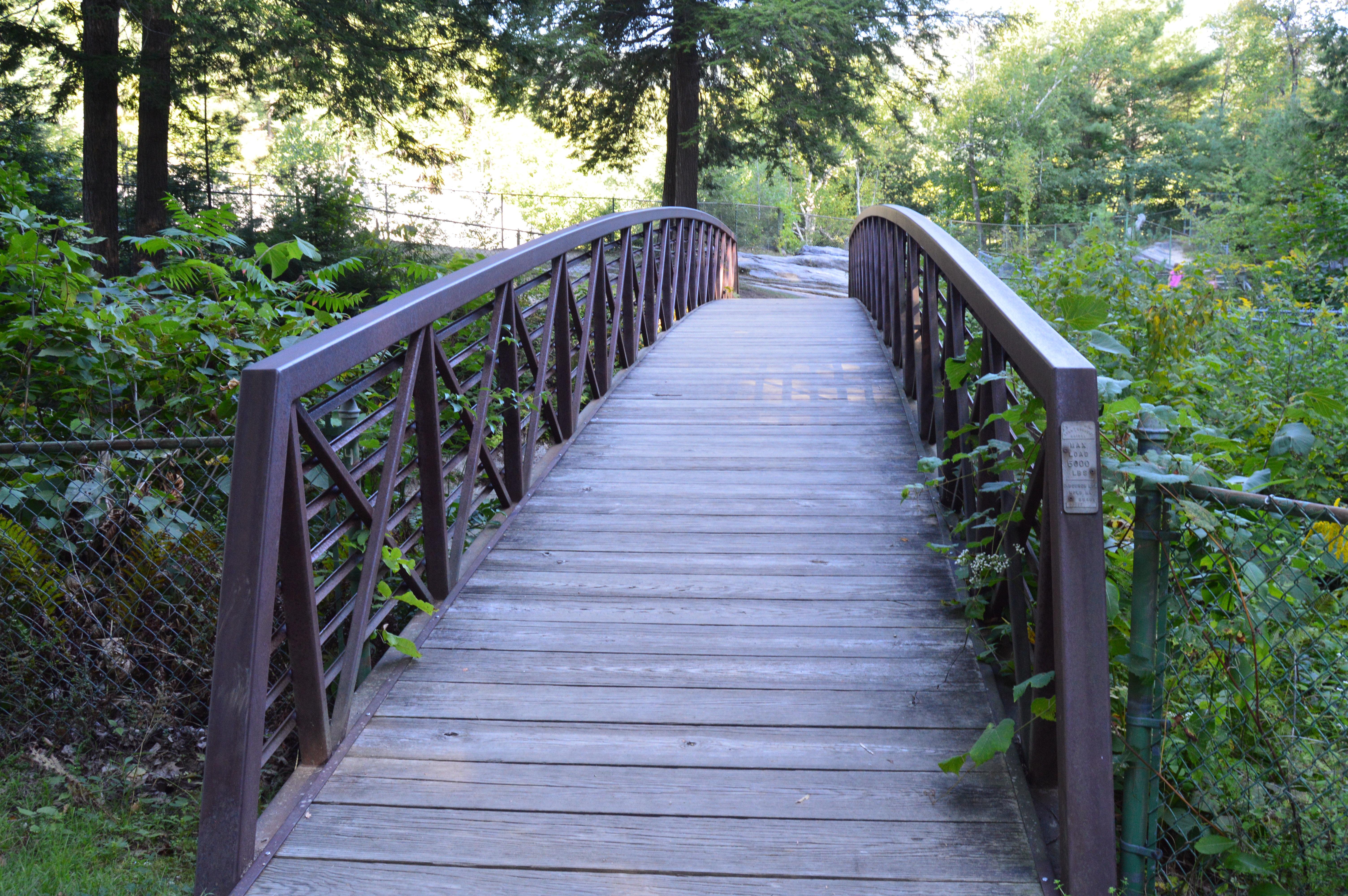
What makes the Salmon Falls and Glacial Potholes area are the small shops and antiquated buildings that give the area a very old fashioned small town feel.  This is true for pretty much the entire community of Shelburne Falls.

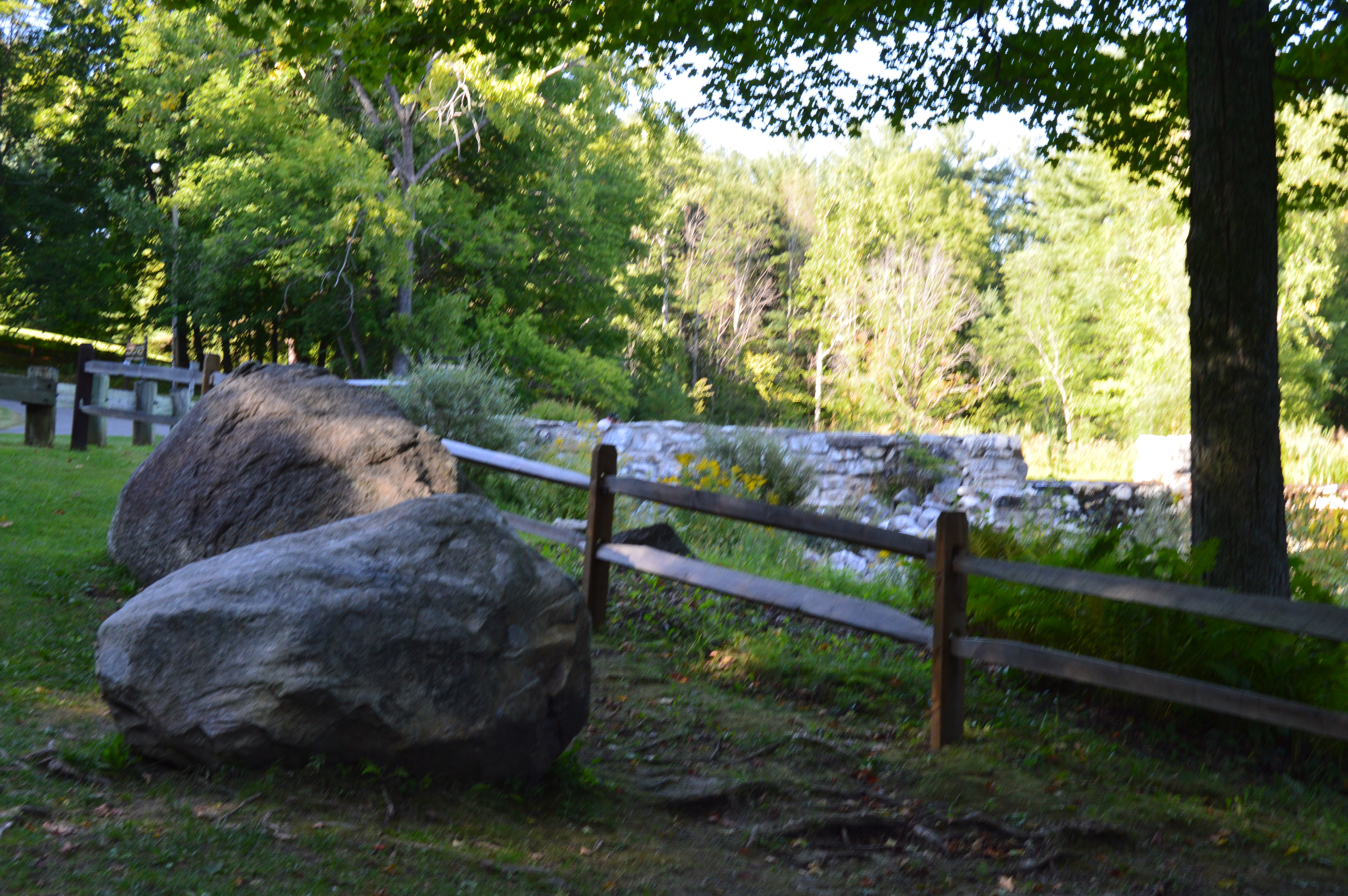
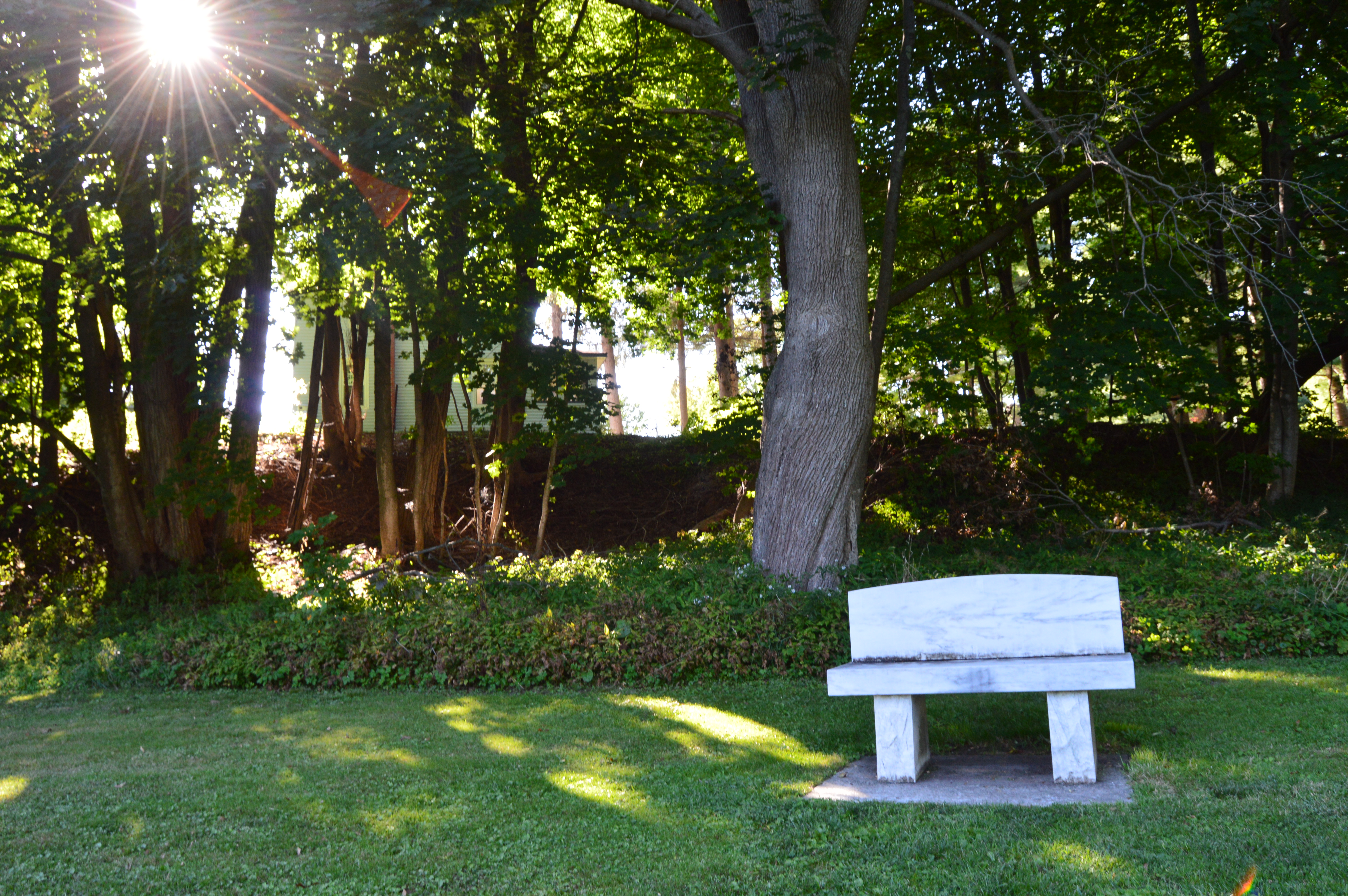
There is a bench for sitting, feeding the birds and just taking in the beauty around you.

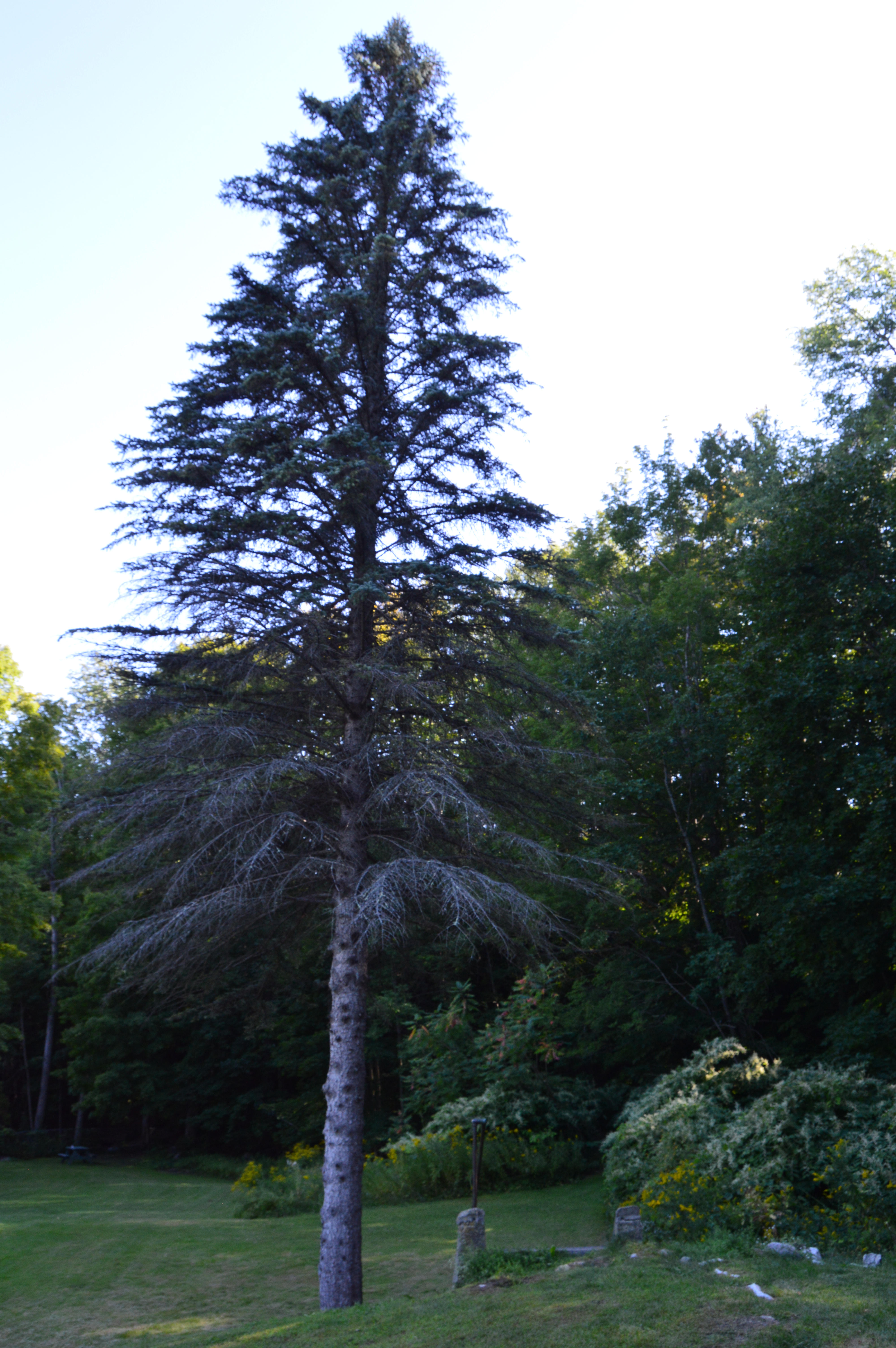
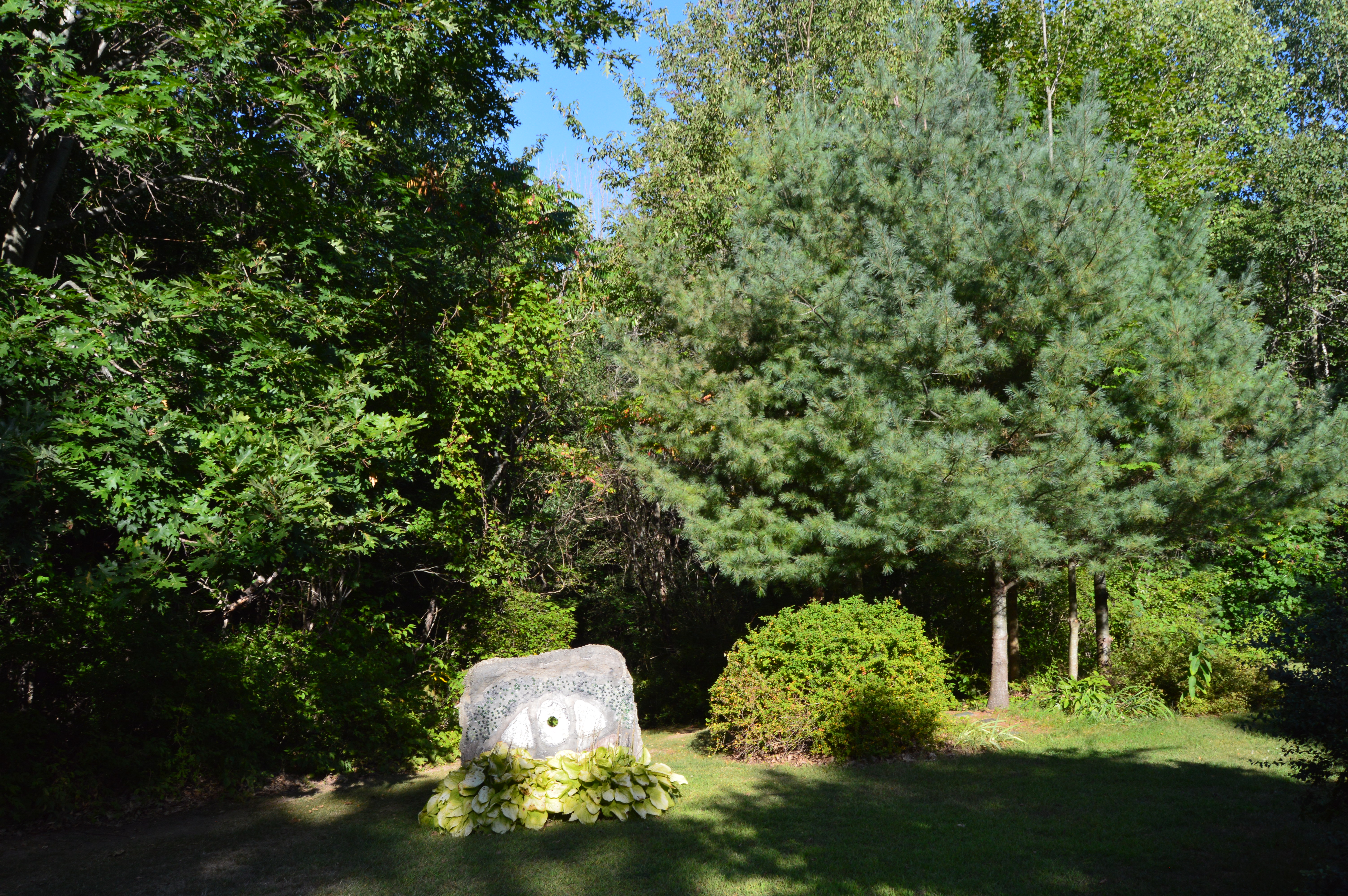
Almost as a prelude to the much heralded Bridge of Flowers (which is located only a short walk or drive from the Salmon Falls and Glacial Potholes area), flowers and trees bound the Salmon Falls area.

If you’re lucky you might even find a feathered friend to photograph.

dsc_0375

Deerfield Ave, the road that leads to Salmon Falls and the Glacial Potholes, still has the old town feel that adds tot he charm of the area.  In fact, the entire Shelburne Falls area still has many “mom and pop” shops and independent businesses rather than chain stores.  It was nice walking around without being bombarded by convenience stores and restaurant chains that seem to scar so many other towns.

The Shelburne Bowling Alley is one of the oldest bowling alleys in the country.  In operation since 1906 (and yes it is still open for business currently), the Shelburne Bowling Alley could easily be mistaken for a barn or some other structure from a different time.

dsc_0252

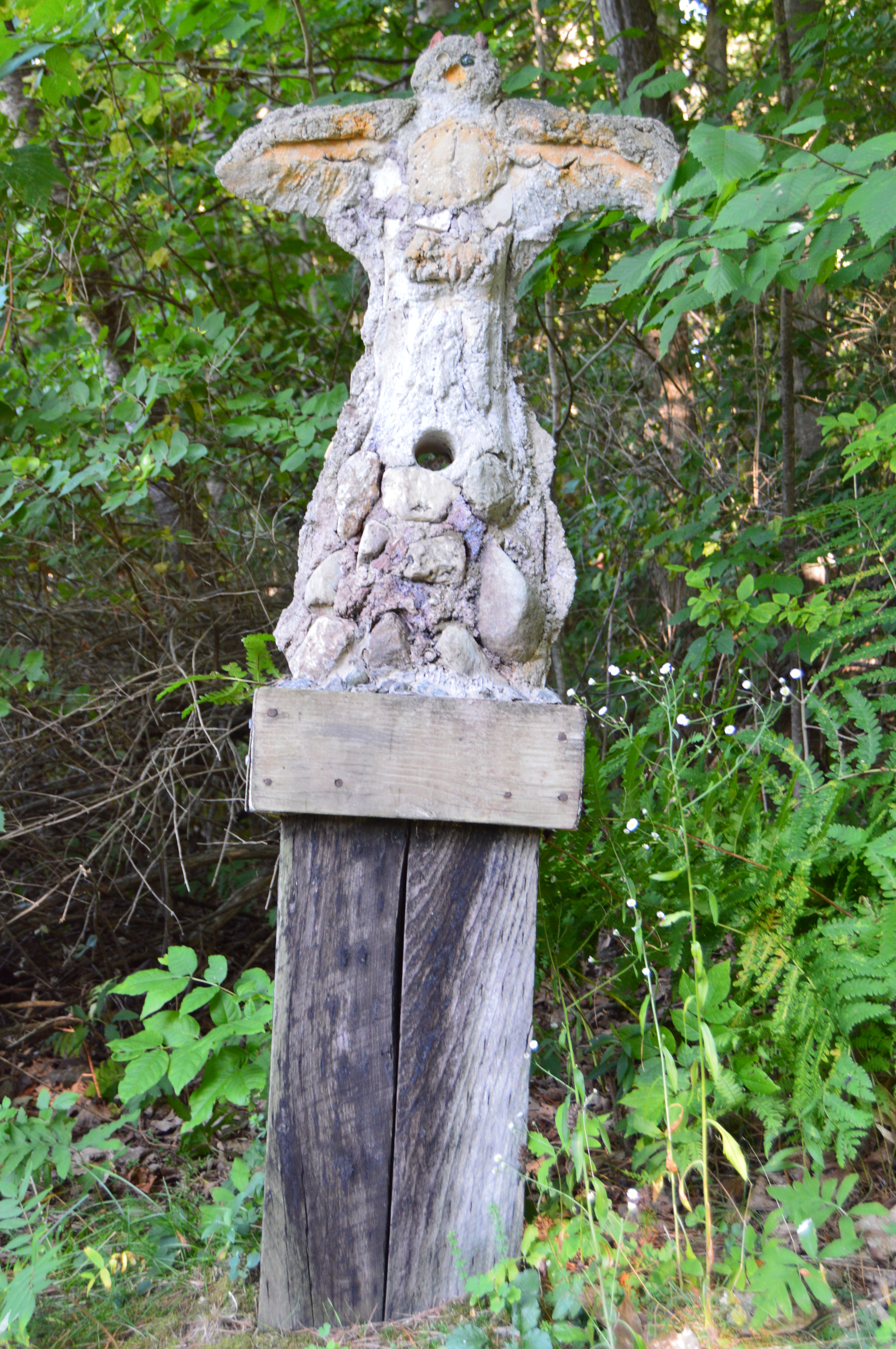
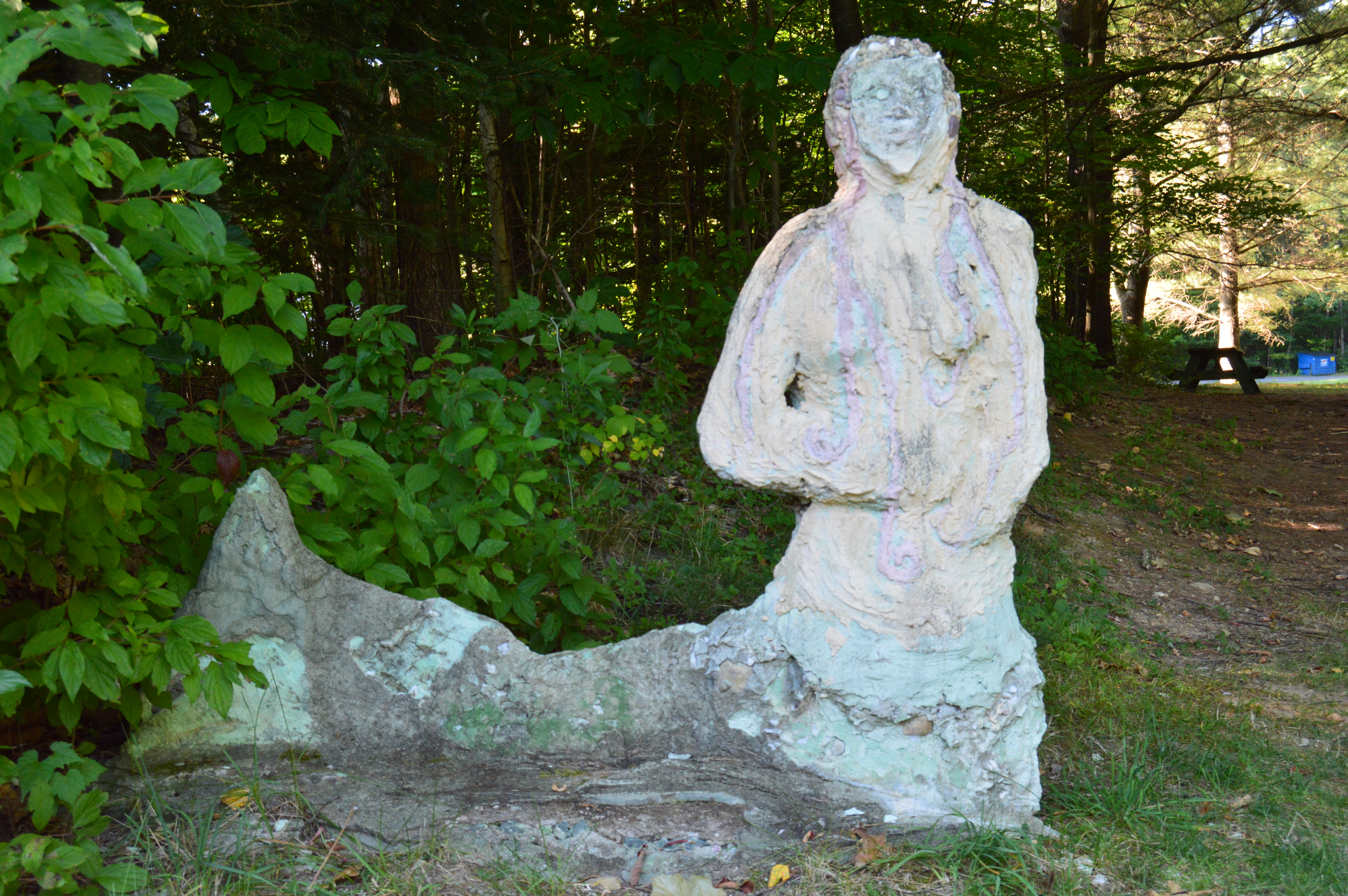
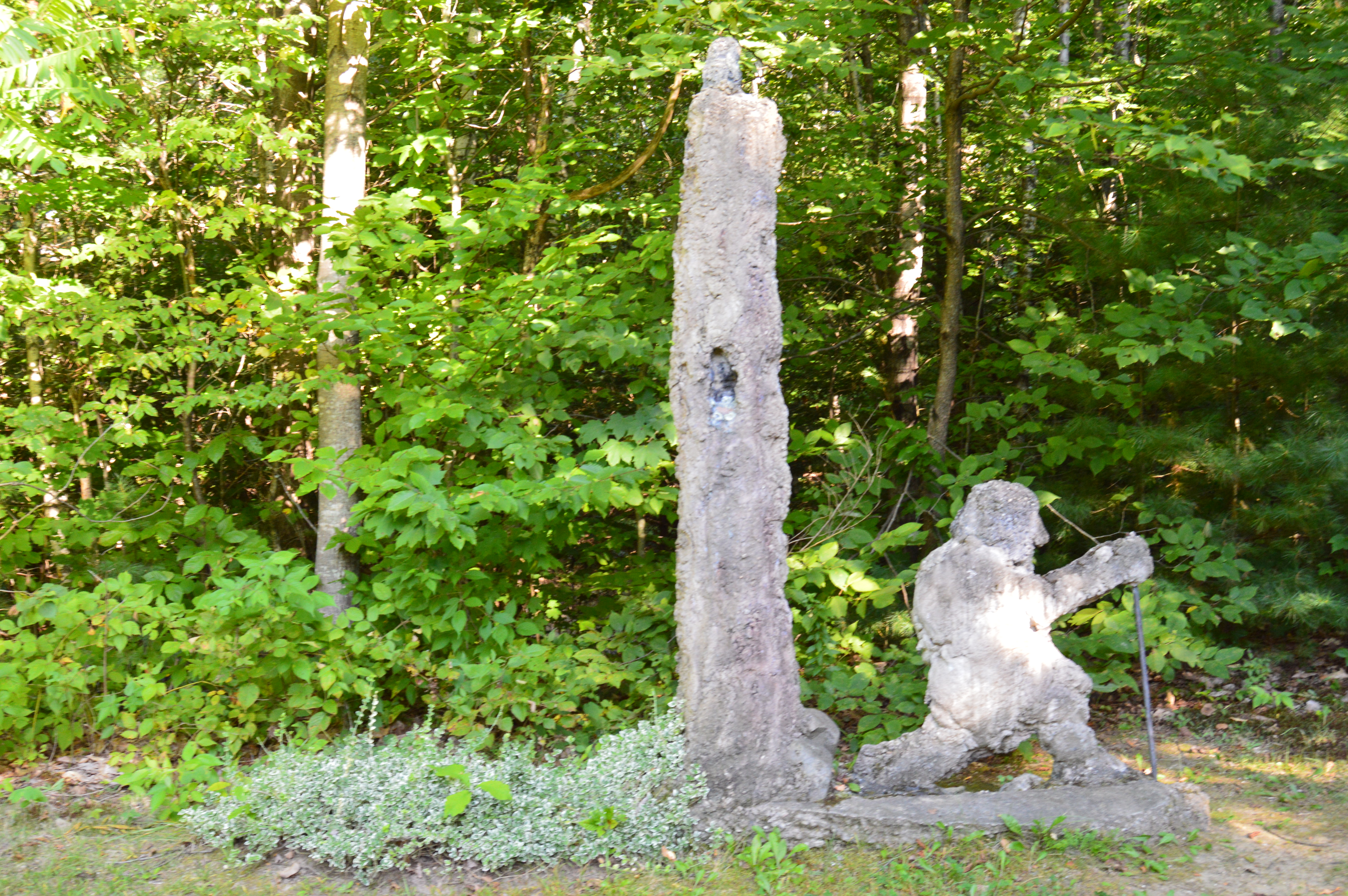
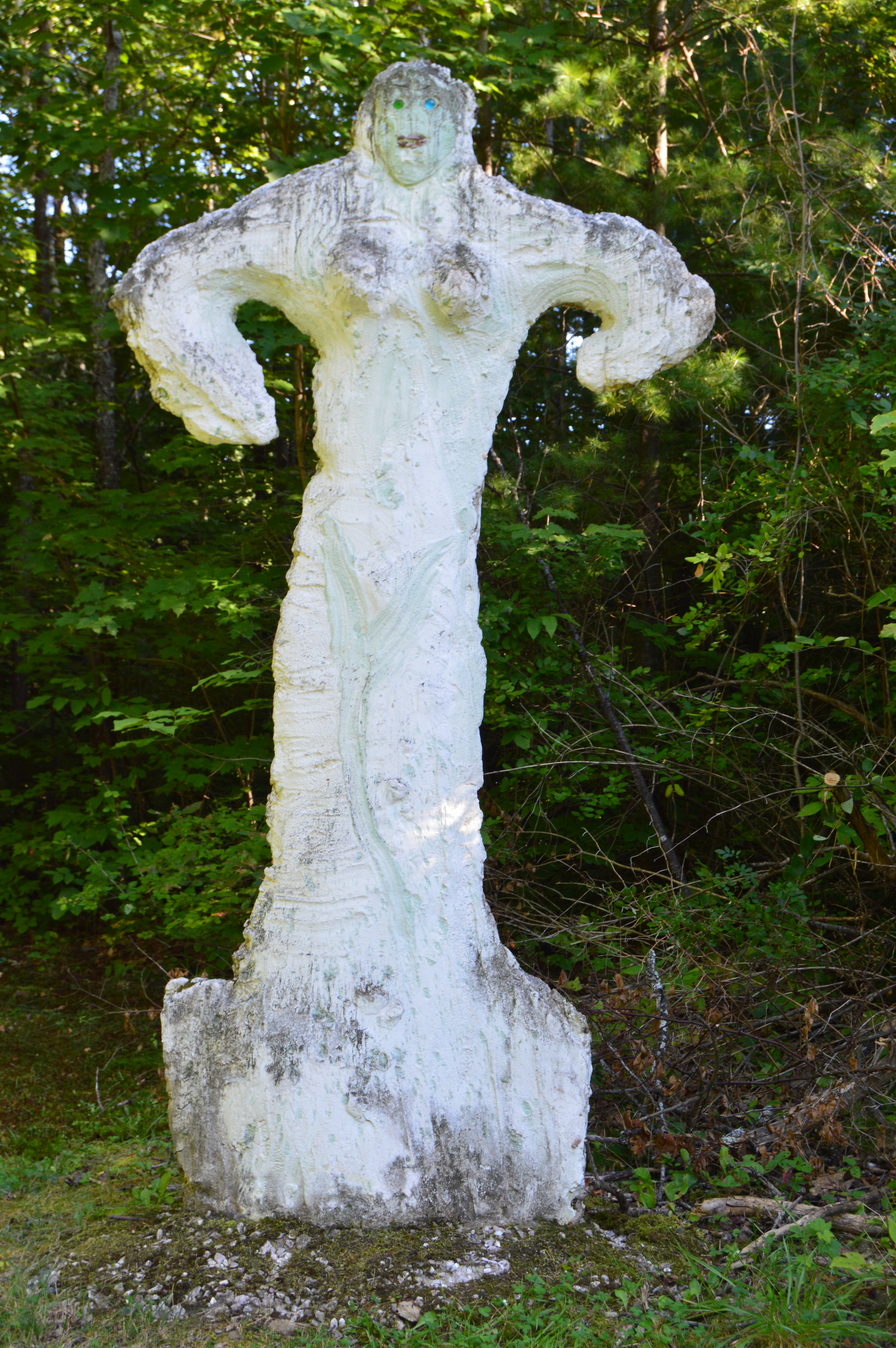
There is also a variety of art throughout the area.  Some of the art I noticed looked different from the art I have seen in previous visits.  So it appears they do change it up every so often.  The art honors the history of the area and gives information about the area.

Below is a video of the falls at Salmon Falls.  It was an overcast and somewhat windy day when we first arrived at the Falls so you may hear the wind in the video.  But, most of the sound is from the rushing waters of the Falls.

Similar Places In New England I have Visited:

dsc_0329

Wadsworth Falls State Park (Middletown, CT)


dsc_0913

Cascading Waters (Worcester, MA)

dsc_06561

Bash Bish Falls (Mount Washington, MA)


River Works Park (Greenfield, MA)

Date Visited: May 13th 2016

Location: 250 Deerfield Street, Greenfield, MA

Hours: Open 24 hours a day, 365 days a year

Cost: Free

Parking:  There is a lot that can accommodate about 30 or so cars behind the waterfall off Meridian St (a side road off Deerfield  St where the bridge is) or you can park in one of the lots of the local establishments and walk to the park, after patronizing them of course.  You can’t park on Deerfield St.

It’s not often that you see a silver fish on a pole while you’re driving down the main streets of a busy suburb.  So, when I saw Brookie, the mascot of River Works Park, I had to stop and check it out.

DSC_0175

The River Works Park is a quiet place (if you can ignore the passing traffic on Deerfield Rd) where residents and visitors can sit on the benches or walk along the sidewalk or bridge and admire the Green River below.

For a roadside attraction, the River Works Park is full of surprises and beauty.  One of these surprises is the walk way along the sidewalk that is blocked off by a fence.  Of course, there was an opening in the wire fence.  The views from the walk way weren’t so great though and I only managed to get a few scratches when I walked along it.

The walkway, which was dedicated in November of 1999, has several memorials and plaques along the sidewalk.  This bench was dedicated to Barbara Tillmanns, Greenfield’s “#1 cheerleader.”  Tillmanns was a town councilor for Greenfield and very active in the community.  She passed away in 2014 at the age of 72.  One of her endeavors was to begin an initiative to establish a series of commemorative benches throughout Greenfield.  Here’s one:

DSC_0159

A sign remains where the J. Russell Co once stood.  The company made Green River Knives.  Greenfield Tap & Die also stood there once upon a time.  The J. Russell Co and Greenfield Tap & Die were the main employers of the area for much of the 1800’s and the J. Russell Co made the highly touted Green River Knife.

DSC_0221

If you look closely at Brookie, the mascot of River Works Park, you can see the forks, spoons, cutlery and other utensils collected from the residents of Greenfield and Franklin County that make up the shape of the fish as a tribute to the J. Russell Cutlery Co. (you may have to zoom into the photo).

DSC_0181DSC_0179DSC_0176

The aptly named Green River, runs through the park.  There were some modest waves and ripples in the river.  The reason for this will soon be evident.

I thought made for a pretty backdrop.

However, just beyond the bridge, we found this pretty waterfall.

This slideshow requires JavaScript.

There is no sidewalk on the side of the road where the best views of the waterfalls are so I had to keep the video short since I shot it during a red light.

There is a lot of interesting historical information about the J. Russell Co and the area which you can access in the links below

J. Russell Co

John Russell Manufacturing Co

Please check out and like my Facebook page: New England Nomad


Cascading Waters (Worcester, MA)

Date Visited: March 19, 2016

Location: 135 Olean St, Worcester, Massachusetts

Cost: Free

Hours: Open daily, sunrise to sunset

Parking: There are several parking lots at the Greater Worcester Land Trust which the Cascading Waters is part of.  The closest lot to the Cascading Waters is small with only room for about half a dozen cars.  You can also drive up to Cascading Waters via Cataract St and park on the dirt road there.

DSC_0913

One of the great things about Worcester (pronounced “Woo-stah”) is its diversity of people and  places.  One moment you could be in the heart of the city and only ten minutes later you could be at a grand waterfall.  It remind me a lot of Boston in this regard.

I found myself at one of the natural wonders of Worcester, Cascading Falls, Saturday.

DSC_0917

Located about an hour west of Boston, Cascading Falls is known for its beauty and trails.  There are both hiking and biking trails at the main parking area.  I chose the most direct hiking route to the falls.  The trail is pretty flat and straight with some pretty views.  I also noticed some greenery sprouting on the eve of the first day of Spring.  it’s about half a mile to the Cascading Waters from the parking area.

There is a trail to the right of the falls with a fairly steep incline.  The trail leads to the top of the falls.  You can go to the top of the waters.  The views are pretty sweet.


This slideshow requires JavaScript.

There are also interesting rocks, pools of water and streams at the top of Cascading Waters.

This slideshow requires JavaScript.

Although the sun was out and the temperatures did increase, it was still relatively cold as this branch shows.

The waterfall leads to a stream just under and behind the trail.

Cascading Waters is a great place to take your dog for a walk.  I met two golden retrievers; Wilson (on the left ) and Tucker, while I was there.

DSC_0927

Below are two videos of Cascading Waters from the trail view and view from the top of the falls.

Please follow me on Facebook!

New England Nomad’s Facebook Page


Bear Hole Watershed (West Springfield, MA)

Bear Hole is not just a name give to the much traveled reservoir in West Springfield.

DSC_0401

Tales of bear, deer and other animals have been told from many visitors at the park.

I didn’t see any bear, though.  I only met the occasional dog (from top left to right Figueroa, Lily, Jyp, bottom from left to right Oreo and Connor)

and owl

DSC_0635

The main attraction at Bear Hole is the waterfall.

and the pond it flows to

The trails are clearly defined (unless you go off trail to get a closer look at the waterfall and pond as I did from time to time).  And runners and cyclists use the trails frequently.

Click below to view the video of the waterfall in all its splendor.

Click below to like my Facebook page, please!

https://www.facebook.com/newenglandnomad/


Natural Bridge State Park (North Adams, MA)

The bridges of Western Massachusetts are not just the ones you see on the roadways. But, don’t let the name fool you.  The Natural Bridge State Park has so much more to offer.

DSC_0915

Before you reach the natural bridge, a brook greets you at the entrance.

DSC_0920  DSC_0924   DSC_0925  DSC_0927 DSC_0929  DSC_0070  DSC_0072 DSC_0071 DSC_0074 DSC_0075 DSC_0076 DSC_0079  DSC_0077

Formed through series of continental collisions, erosion and the meltwaters caused by the Ice Age, the natural marble bridge is the only one of its kind in North America.

DSC_0950 DSC_0955 DSC_0962

Deep crevices and chasms were carved through the years of erosion and warming and cooling.

DSC_0960   DSC_0963   DSC_0968 DSC_0972 DSC_0971 DSC_0969   DSC_0978  DSC_0976 DSC_0961 DSC_0958

The only marble bridge in North America, the natural bridge in North Adams is located just off the The Mohawk Trail. 

Adding to the beauty of the natural bridge, the park has a waterfall.

DSC_0003  DSC_0001 DSC_0004  DSC_1014    DSC_0983  DSC_0978

The Natural Bridge State Park also has impressive views of the bridge and the park it overlooks.

DSC_0954

DSC_0942    DSC_0940  DSC_0935  DSC_0931         DSC_1007  DSC_1009       DSC_0010  DSC_0046          DSC_0053  DSC_0051   DSC_0055

There are many flowers, trees, rocks, bridges (a bridge on a bridge of all things) and even David’s Bench that give the Natural Bridge State Park a special charm.

DSC_0934

DSC_1000 DSC_0999   DSC_0981 DSC_0916   DSC_0944

DSC_0989DSC_0992  DSC_0980

During our travels, we met Sasha.

DSC_0057

Just as you think you’ve seen all the Natural Bridge State Park has to offer there is a small park area atop the walking bridge.  Statues and other structures made from the materials mined from the one time quarry rest along the top of the lofty bridge.  It capped off a perfect visit.

DSC_0015    DSC_0018 DSC_0021  DSC_0019  DSC_0028  DSC_0030 DSC_0027   DSC_0022  DSC_0039  DSC_0036


Granville State Forest (Granville, MA)

Granville State Forest is 2,000 plus acre state forest and campground located in, you guessed it Granville, Massachusetts.  Be advised, the trails are long in between the various ponds, brooks and various other attractions.  But, you can drive on the unpaved roads if walking isn’t your style.

DSC_0407

Located about 45 minutes from Springfield, MA, Granville State Forest was once a popular hunting spot for the Tunxis.  I didn’t run into Tunxis during this visit.  But, I did see some stunning views.  Take this waterfall, for instance.

DSC_0434

DSC_0435

But, to really get a sense of the beauty of the Hubbard River, one must get off the beaten path, or bridge as it were in this case.

DSC_0442 DSC_0481

DSC_0471

DSC_0485 DSC_0496

It’s amazing the things you see when you get off the main path.  Like this Frog with his lunch.

DSC_0468

Or this artful graffiti, especially the curse words.  It’s vary quaint.  Oh, you crazy kids.  At least I hope it was kids who wrote it.

DSC_0488

There are also an abundance of pretty flowers and trees.

DSC_0501

DSC_0508 DSC_0535 DSC_0543 DSC_0553

DSC_0561

About a mile from the bridge over the Hubbard stream, there is the two acre Bahre Pond.  Bahre Pond has some pretty views.

DSC_0515 DSC_0519 DSC_0525 DSC_0529 DSC_0527 DSC_0550  DSC_0555 DSC_0569 DSC_0575 DSC_0580  DSC_0590 DSC_0593

It is also teeming with wildlife, like this water snake.

DSC_0602 DSC_0605

And this frog who thought he could hide from me.

DSC_0633

Granville State Park also has some paths off the main trails that have some hidden gems.

DSC_0627 DSC_0625 DSC_0624 DSC_0636

The main attraction at Granville State Forest has to be the waterfall.  Below is a short video of the waterfall in all its splendor.