Date Of Post: December 31, 2023
Location: All over New England
Summary: I have been lucky enough to photograph quite a few sunrises, sunsets, full moons and nature throughout the year. Here are few of my favorites!
Although it’s not particularly close to me (an hour north of Boston on a good traffic day), Hampton Beach, NH, is my favorite place to take sunrise photos. The beach is always clean, there always seems to be waves and, as a bonus, it is relatively close to my favorite wildlife sanctuary.
I took this photo on a more calm day at the beach in August. Although it was August, there was a slight chill in the air that morning.

I generally prefer to show calm, peaceful settings in my photos. That is one of the great things (pr not so great things depending on who you talk to) about photography. You can find and show serenity in even the most chaotic places and times. There’s enough chaos in the world.
You can see and hopefully feel the morning chill in these sunrise photos from Sep (at the top) and Nov (at the bottom)


Some of the best sunrise photos don’t show the actual sun. And, contrary to my earlier comments, it’s ok to show some chaos! These photos were taken during my visits to the beach in September (in the first group) and November (in the second group of photos). As I mentioned earlier, it always seems to be wavy there.


Of course, I also took a sunrise photo in Boston. But I don’t usually shoot from there. I tend to like photographing the cities and towns surrounding the Boston area. Like most big cities, there are so many photographs of Boston. So it’s hard to get photos from places that haven’t been taken in the city.

I do like to shoot sunrise photos at Independence Park in Beverly, MA. There’s a nice jetty you can walk on and take photos. This photo was taken in February. So, it was tricky to not slip on said jetty.

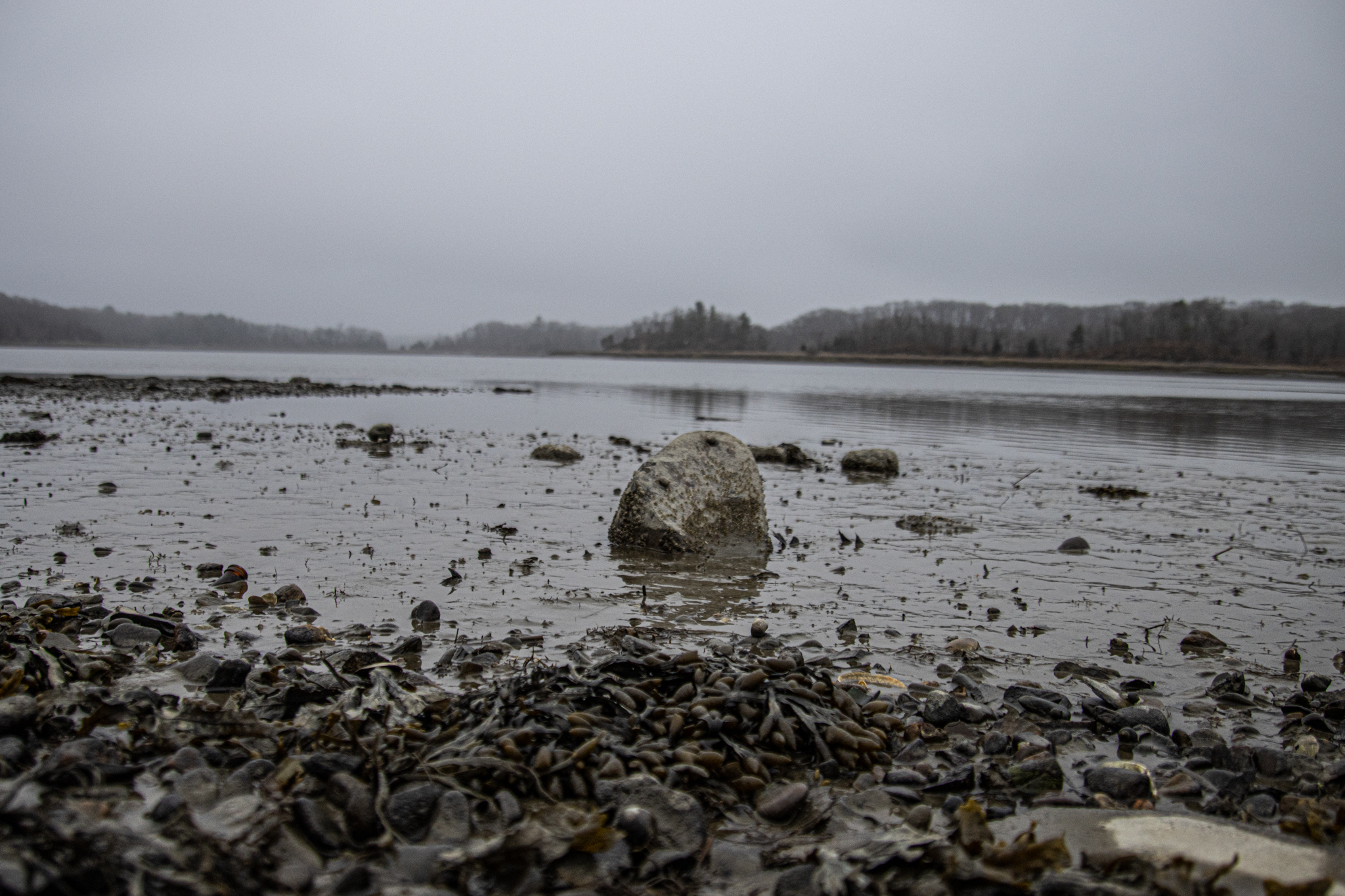
Although it may not seem to be the case, it’s actually not very easy to find places to photograph the sunrise from my location. Yes, Massachusetts, and New England for that matter, does have a pretty long coast line. But, it’s not always easy or possible to get to some of these locations before the sun rises or sets and some places are not accessible as they are on private property. The worst thing is arriving at a location with nowhere to park or with no public access. Combine these factors with my desire to shoot from lesser known locations and I end up with a smaller list of places to shoot from.
That being said, there are some places I can still get to in time for the sunrise and sunsets. Below are a few of my other favorite spots. As you will see, I’m more of an early riser. So I have mostly photos of sunrises. Also, there is something special and inspiring about a sunrise. All of the promise and opportunity in a sunrise is inspiring.

Castle Rock, Marblehead, MA

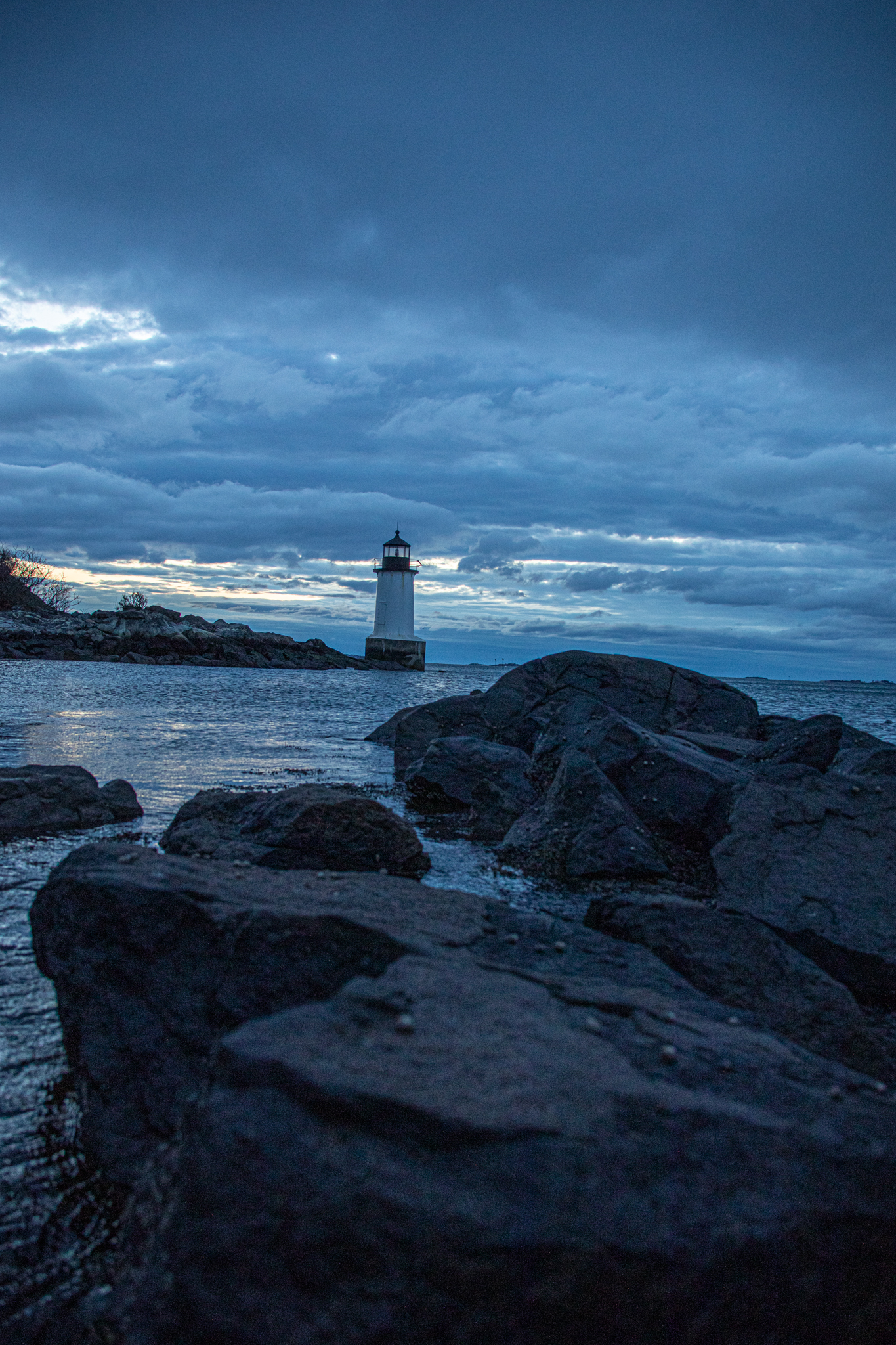
Fort Pickering Light, Salem, MA

Red Rock, Lynn, MA

Hingham, MA

Revere Beach, Revere, MA

Springfield, MA (sunset)

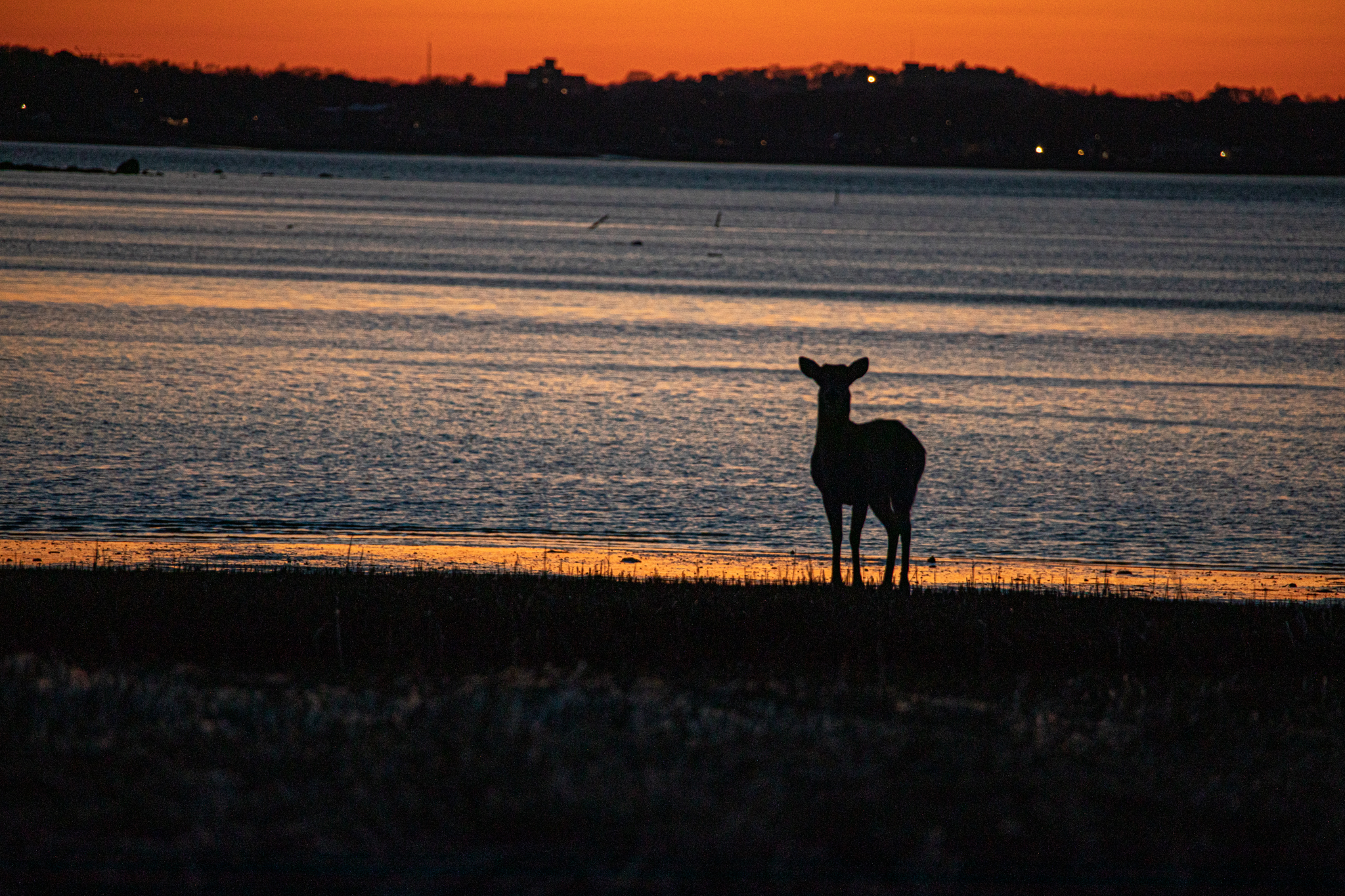
Wollaston Beach, Quincy, MA
Speaking of Wollaston Beach, I went to this beach in February of this year on the coldest day of the year and the coldest day in some time. The temperature was -9 with a windchill of -31. There were strange weather conditions. The best I could describe it was like “Hoth” from the Empire Strikes Back. Except colder. Weirdly, there was even some mist or “sea smoke” coming off the frozen water which usually only happens when warm weather conditions mix with cold.


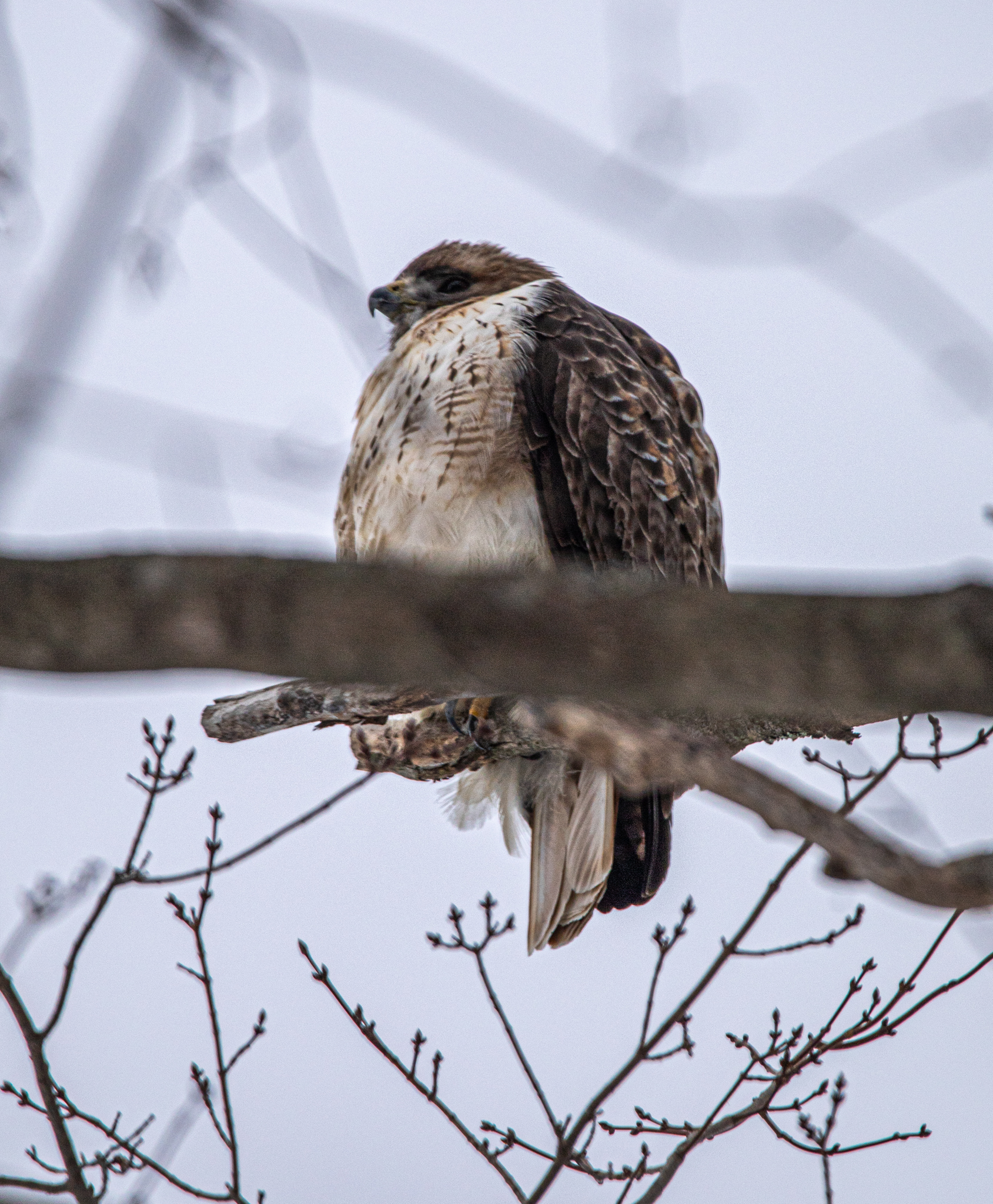
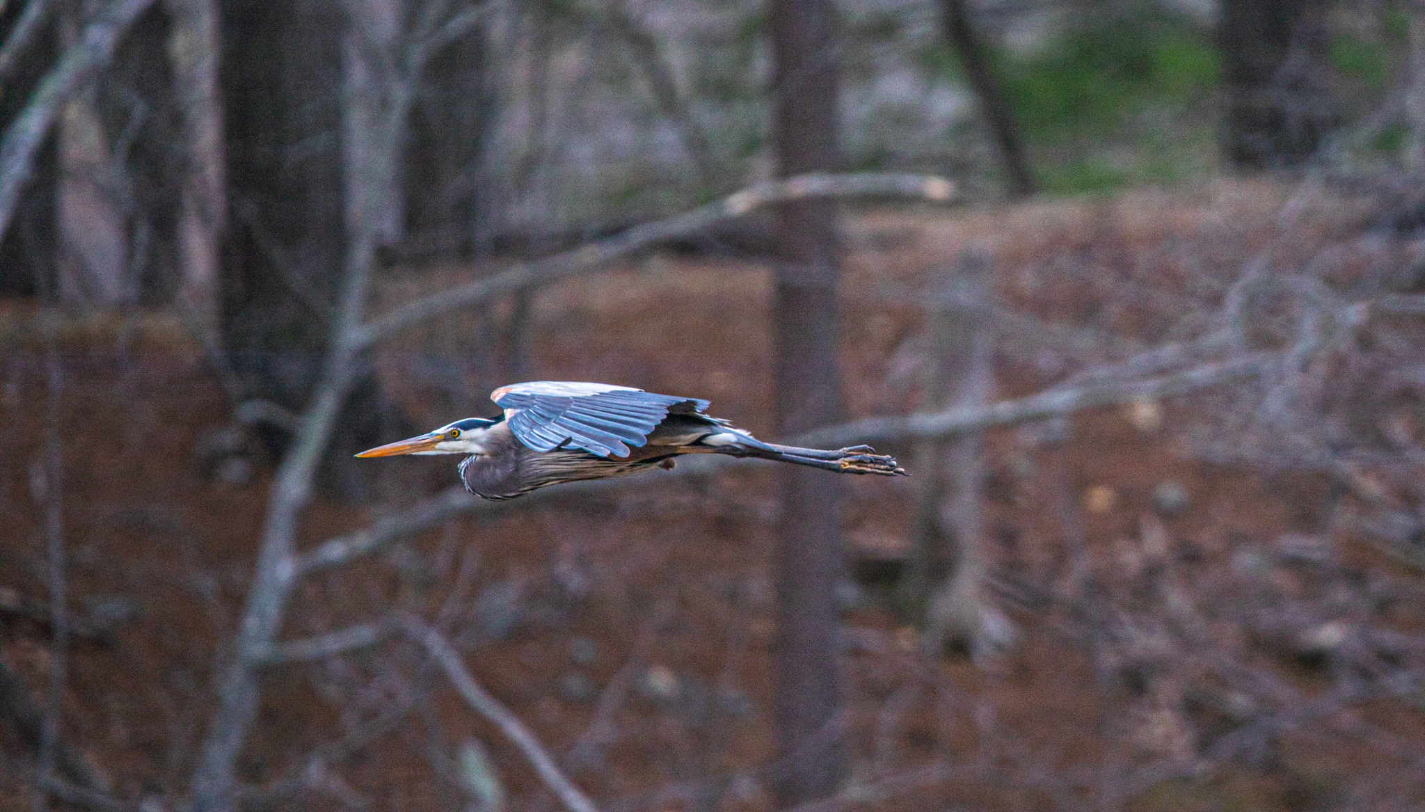
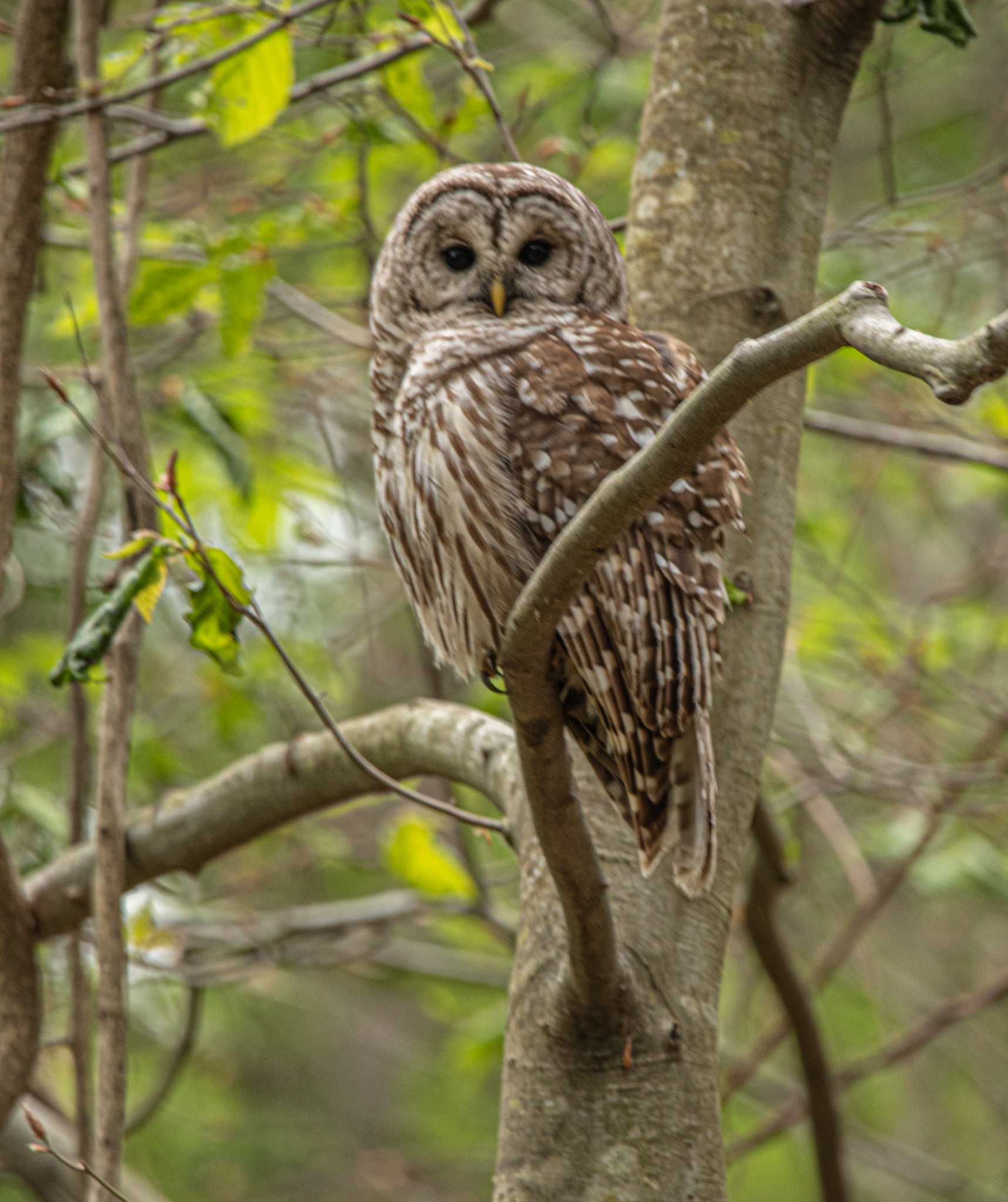
This particular photo opportunity made me think of a question people ask when they find out I get up so early in various weather conditions. When people ask me is photography fun? I often say “sometimes” or “maybe”. Yes, it’s extremely fun in May or June with sunny skies and “shorts weather.” But, it’s not always shorts weather. At the same time, I like the challenge and I couldn’t imagine sleeping in or doing anything else. At best, I’d call it a “labor of love.” The end result makes it all worthwhile. Besides, what else am I supposed to do!? I suppose it’s something like an athlete or artist. I know I definitely don’t enjoy running or working out. But I appreciate the feeling of accomplishment afterwards and I welcome the challenge. Occasionally the actual process is “fun” like when you photograph an owl or some other beautiful bird or landscape. But, mainly, it’s a lot of work. “Fun work.” It may sound weird. But, iykyk.
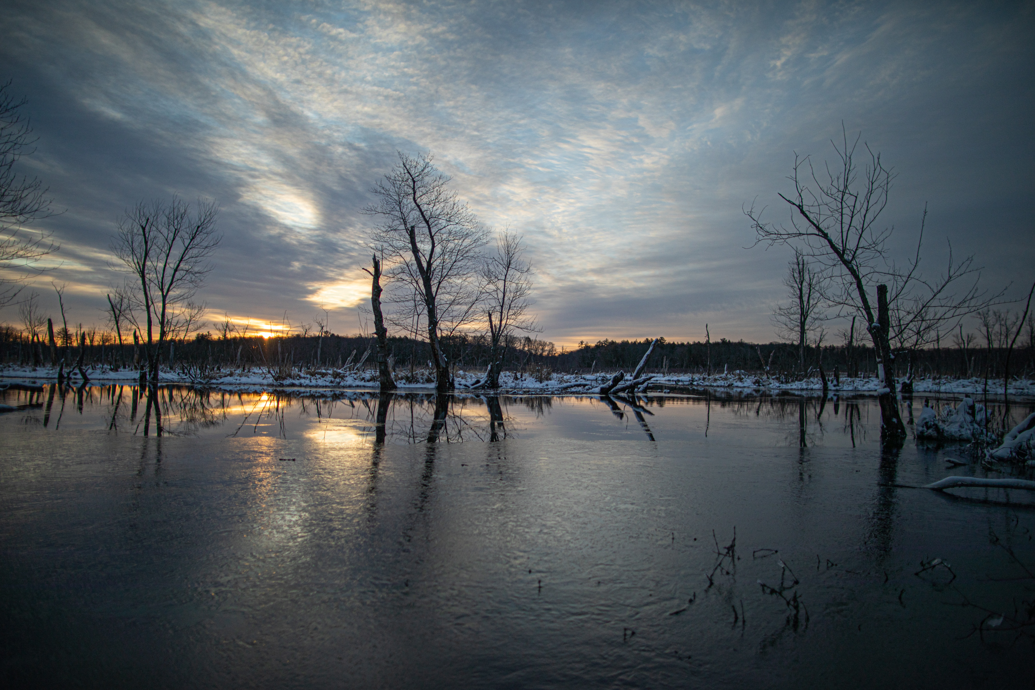
One of my favorite, and sometimes challenging, photo shoots is photographing the full moon. Sometimes, like in this photo, the moon can be hard to get photos of behind the clouds. But, in this case, the clouds gave a mysterious and forbidding appearance.

Webb Park, Weymouth, MA.
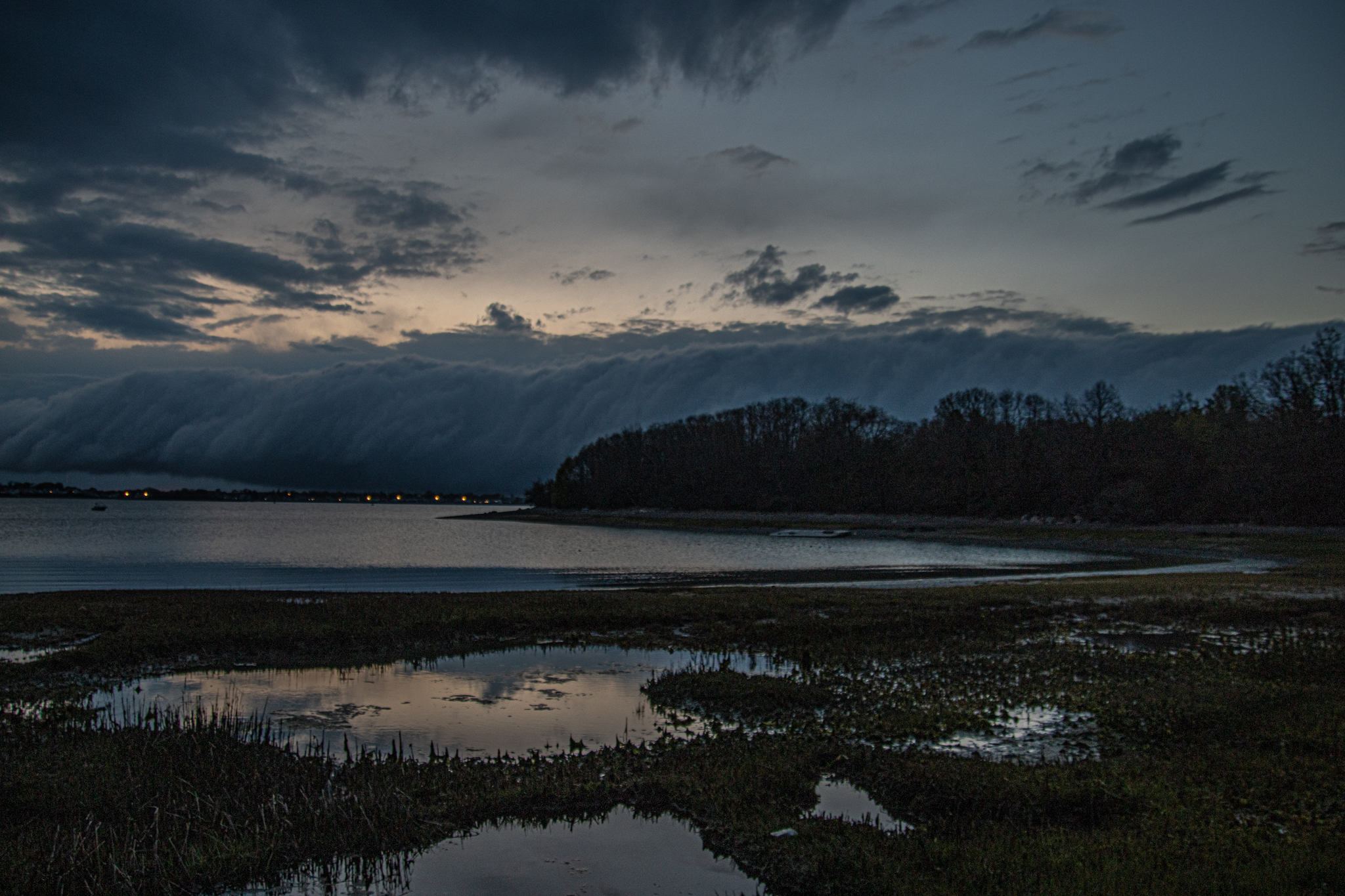
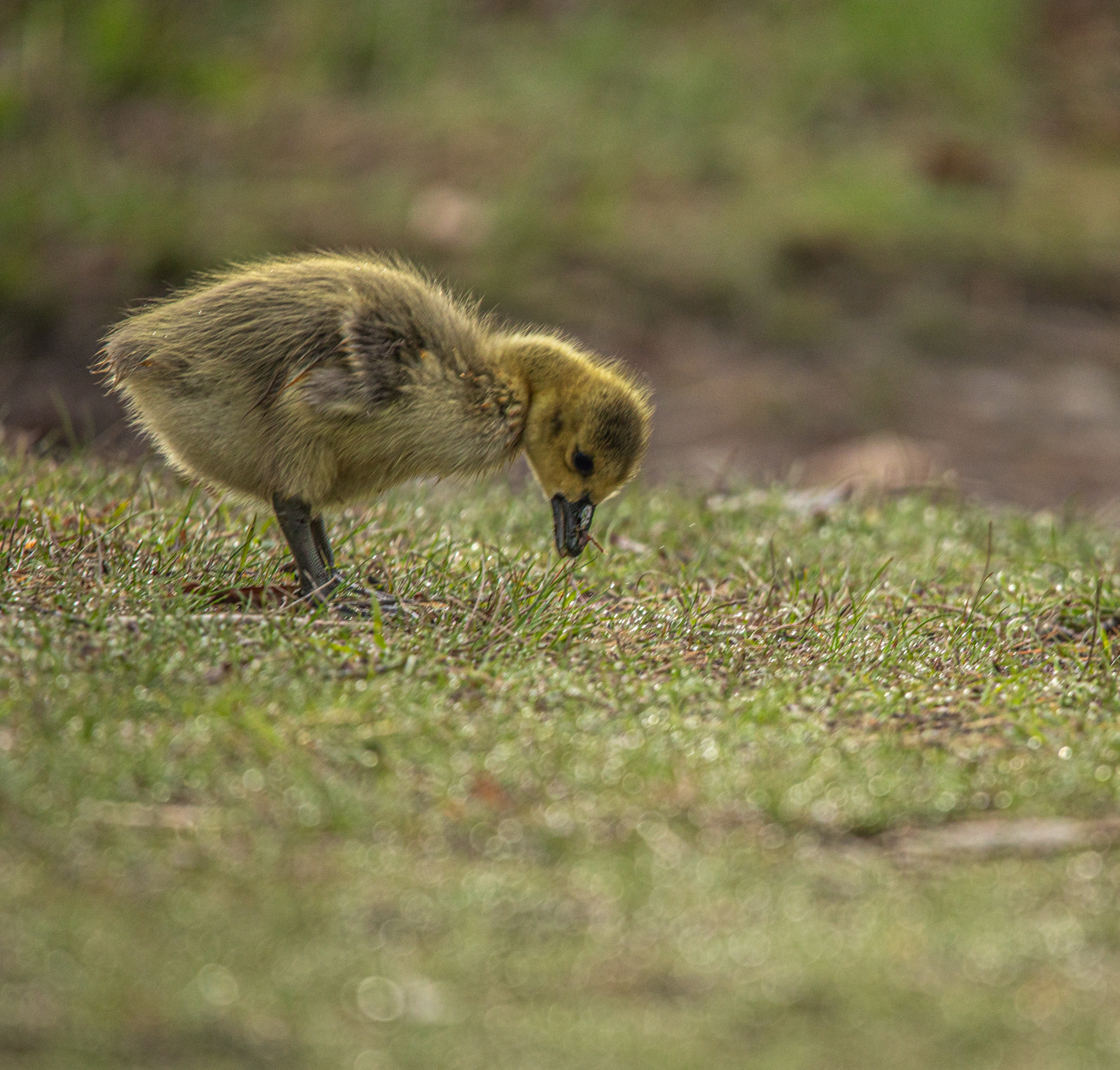
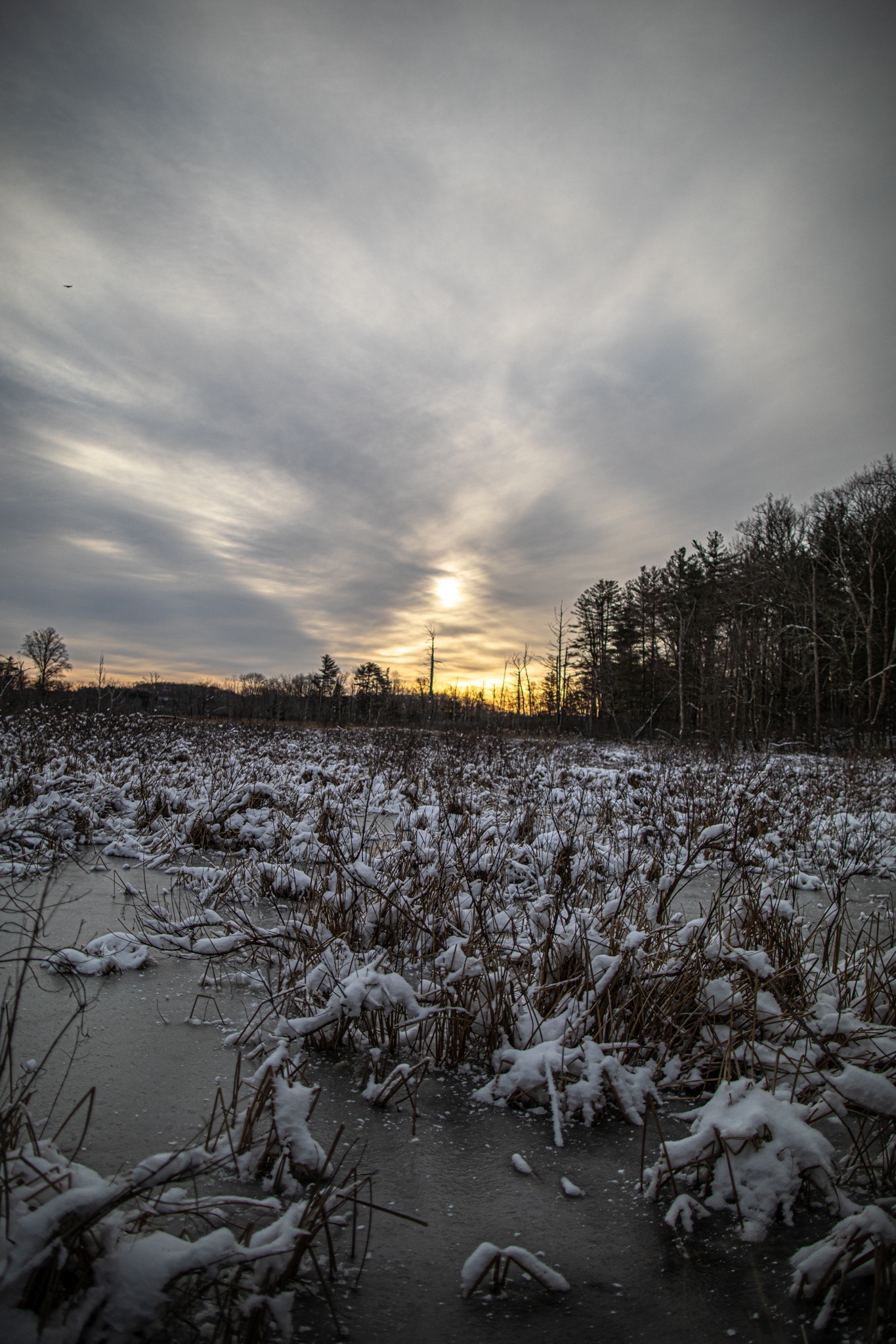
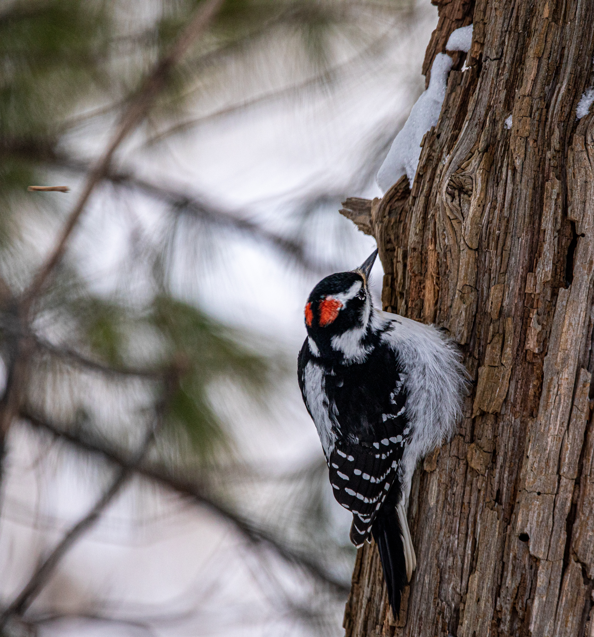
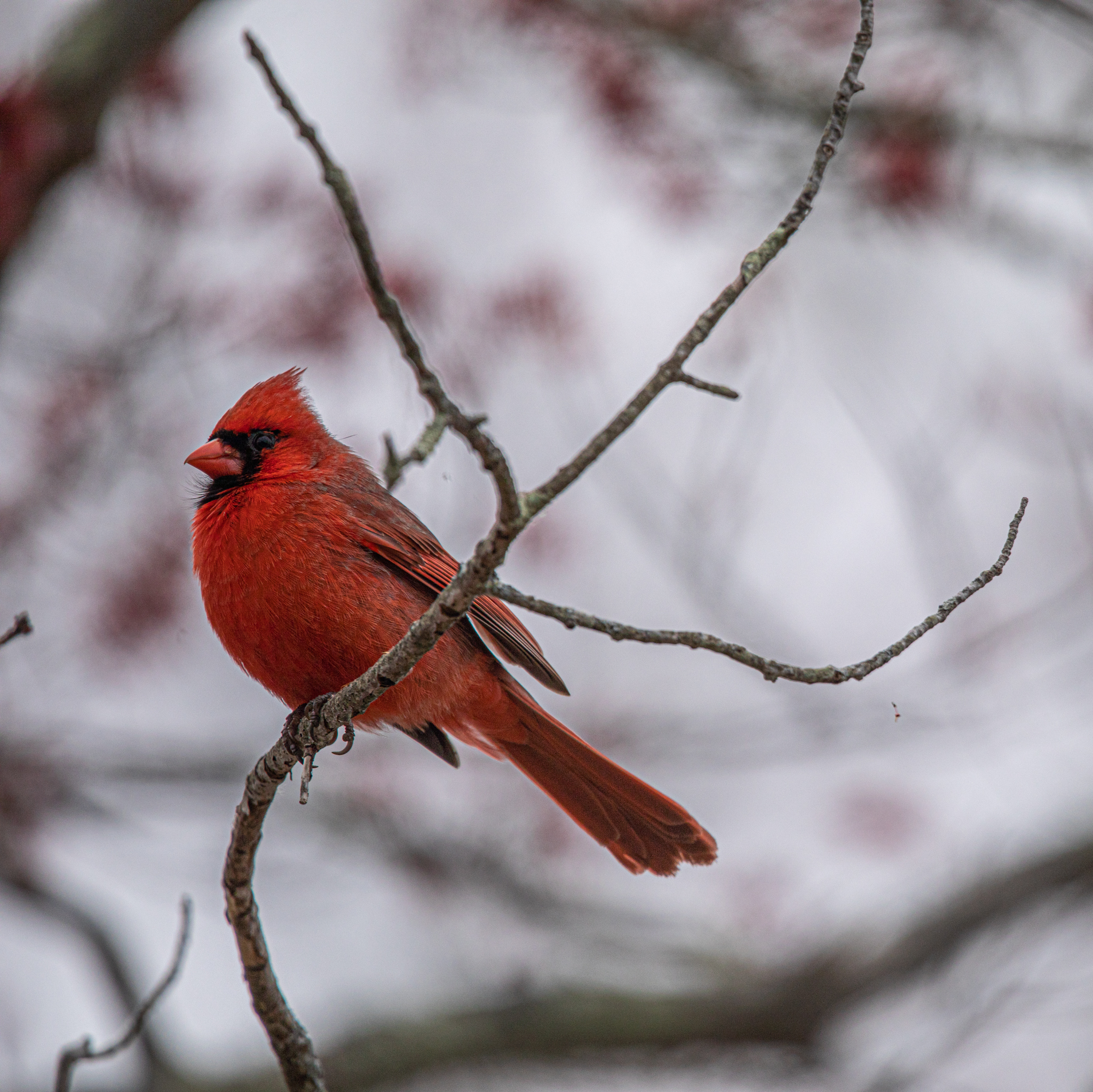
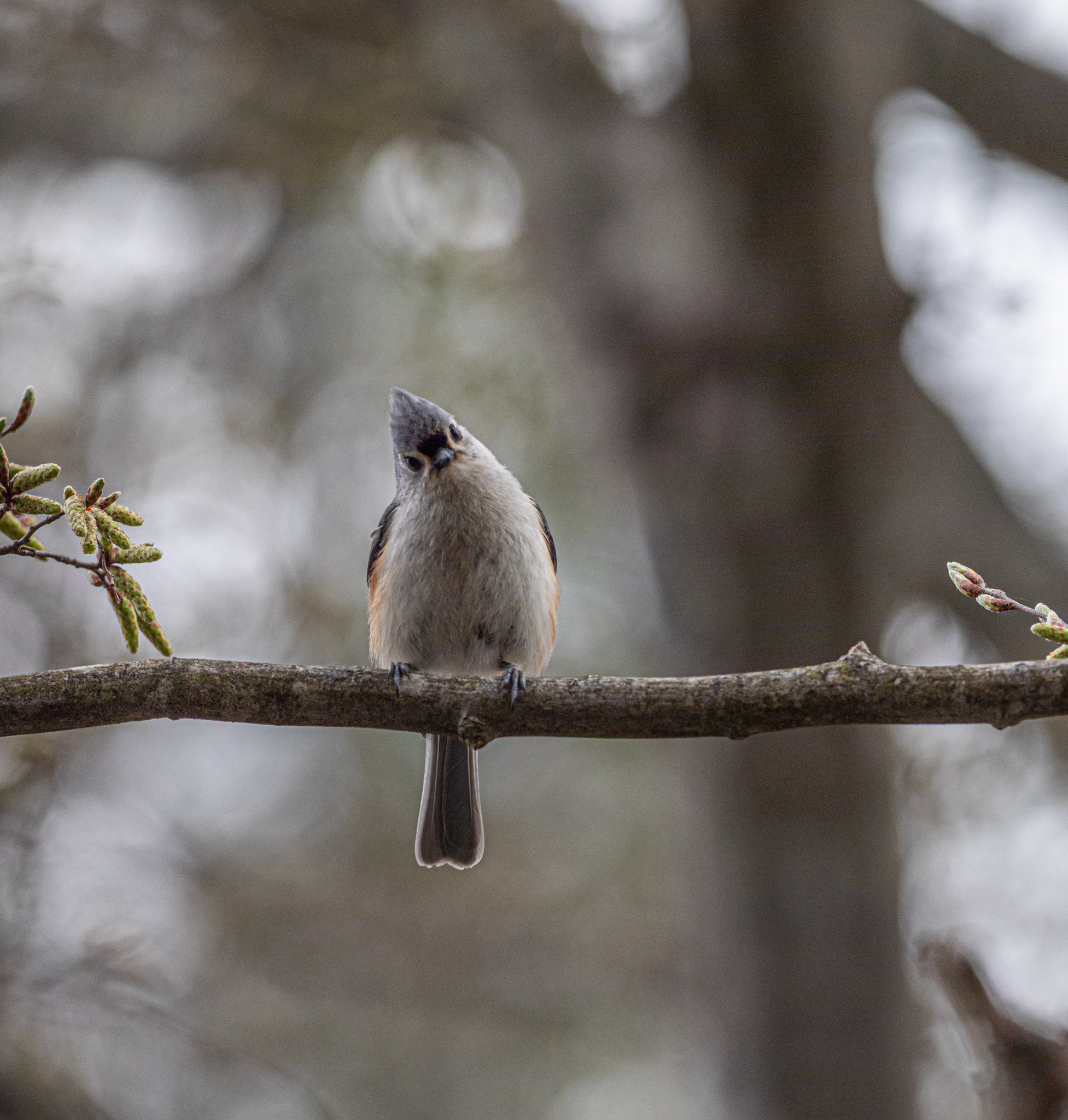
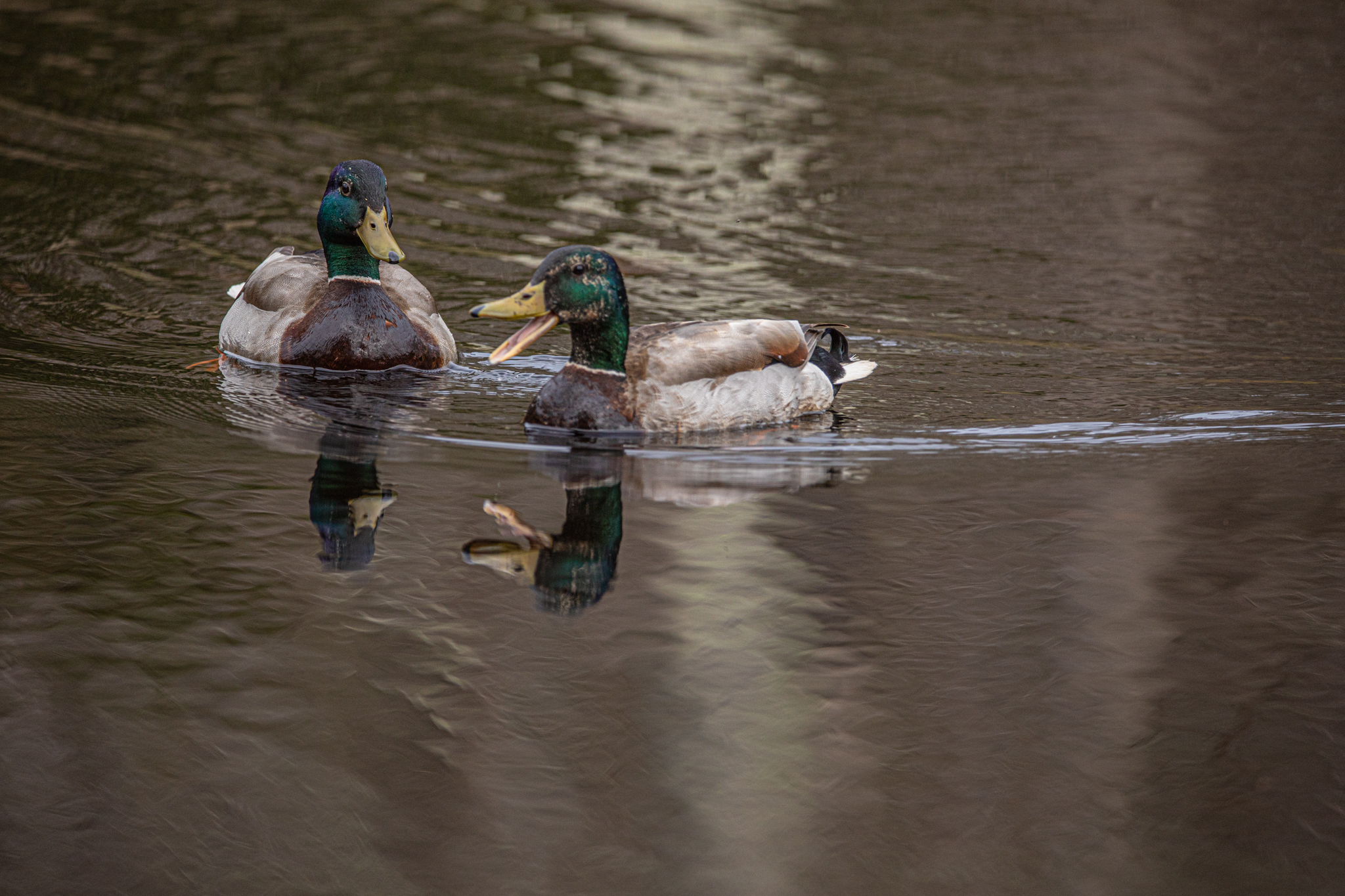
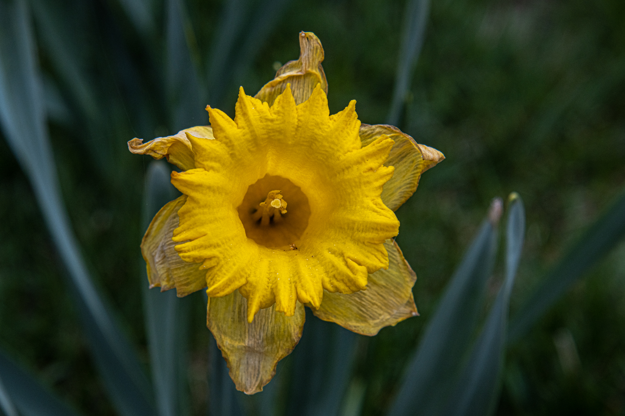
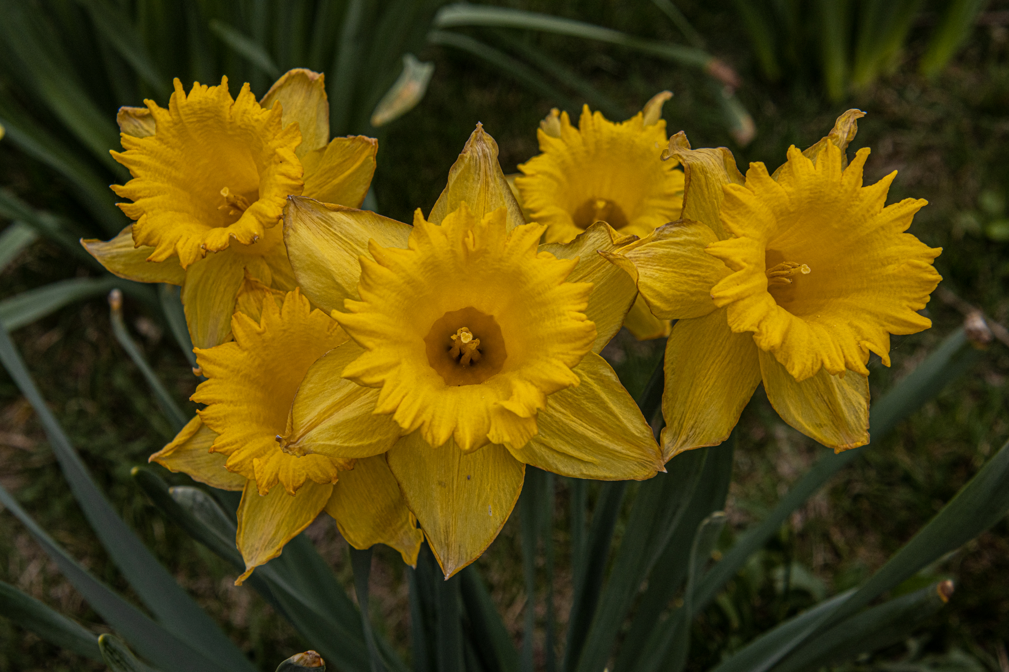
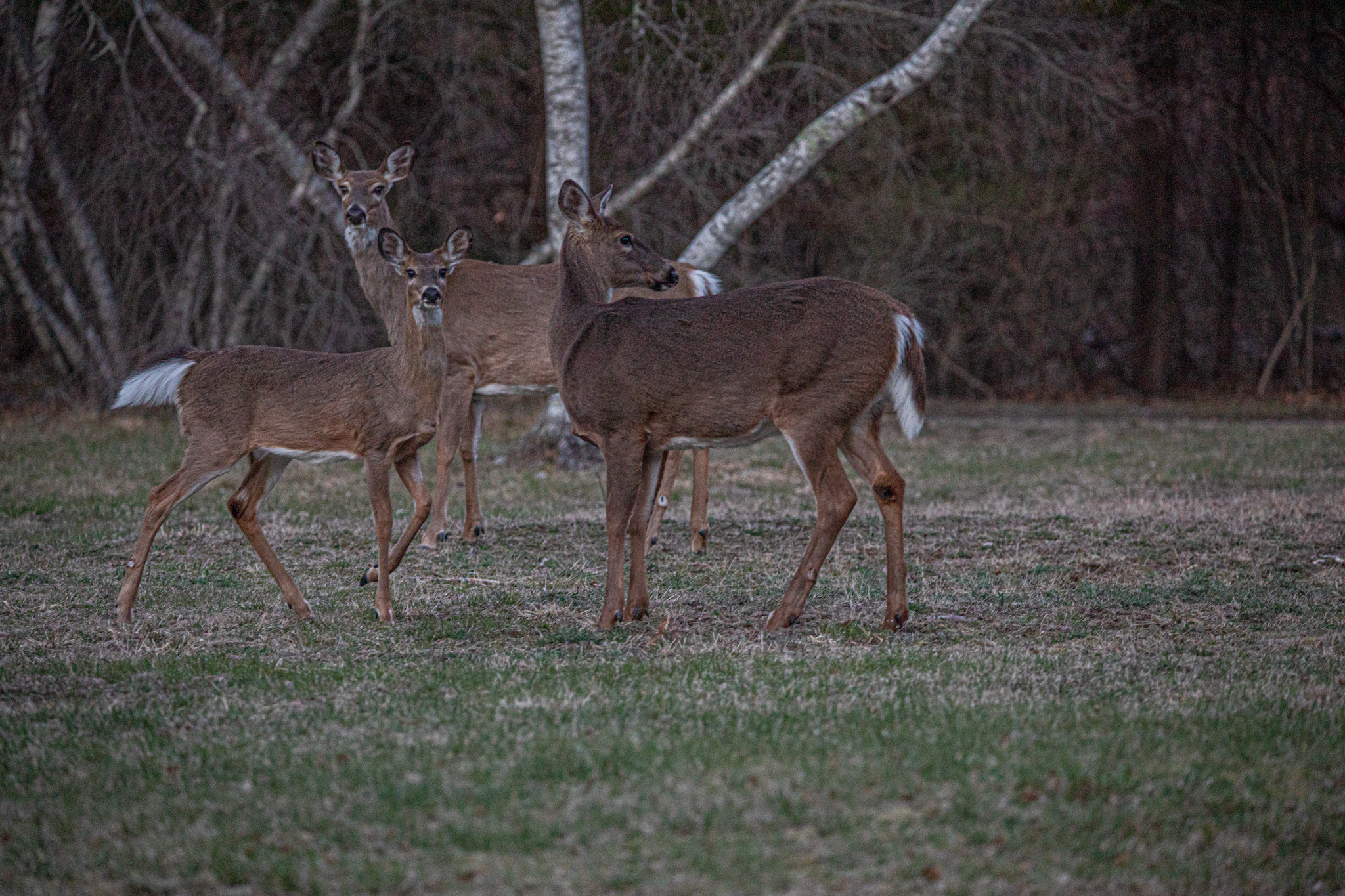
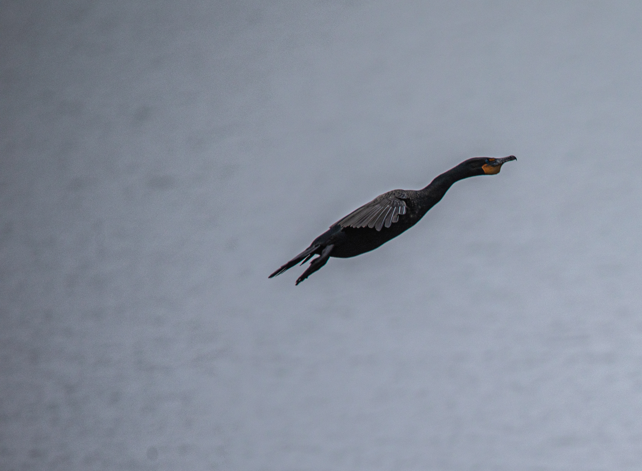
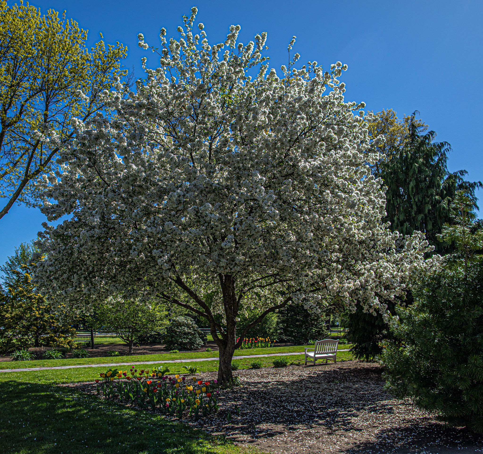
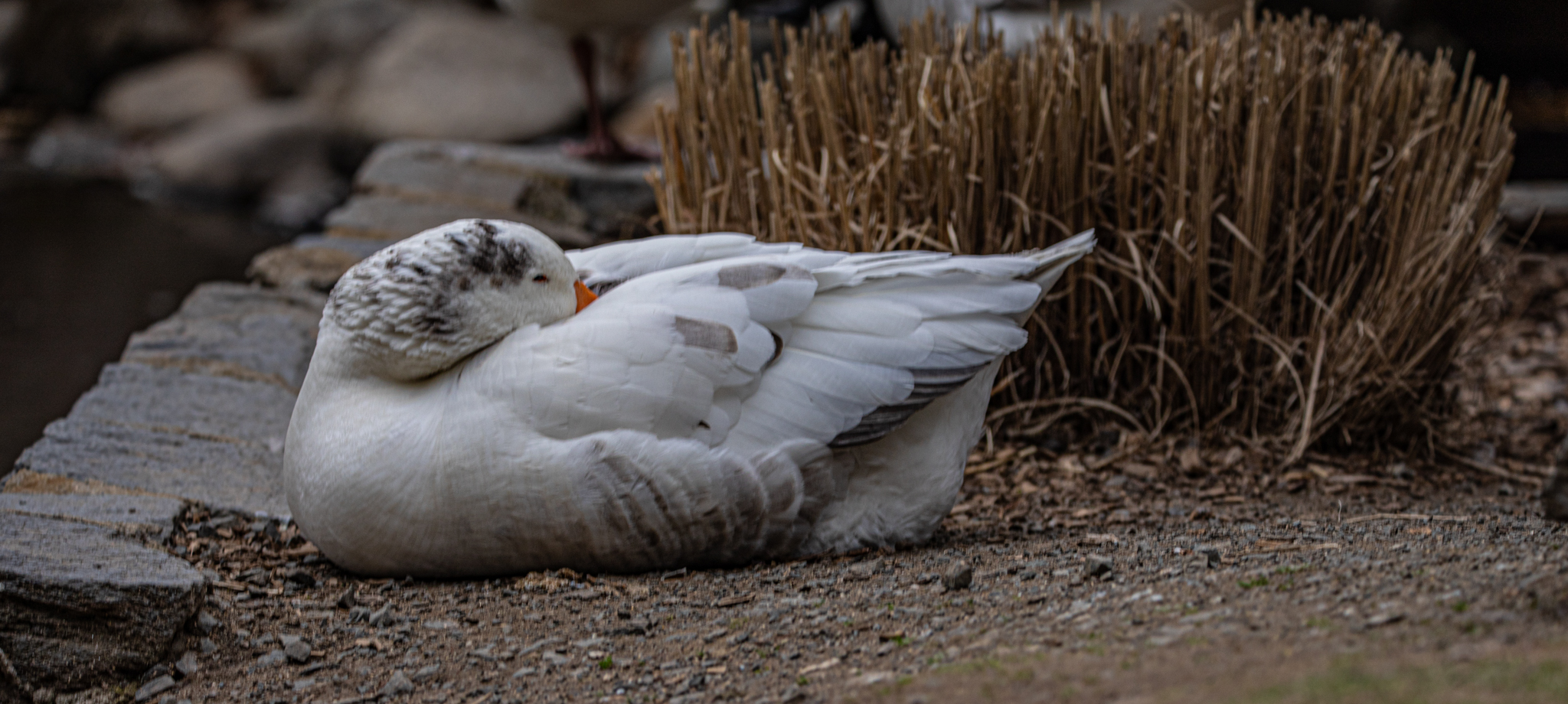
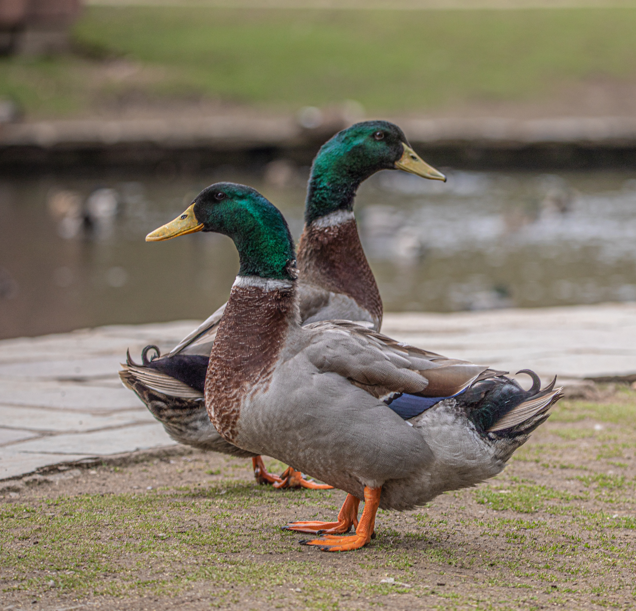
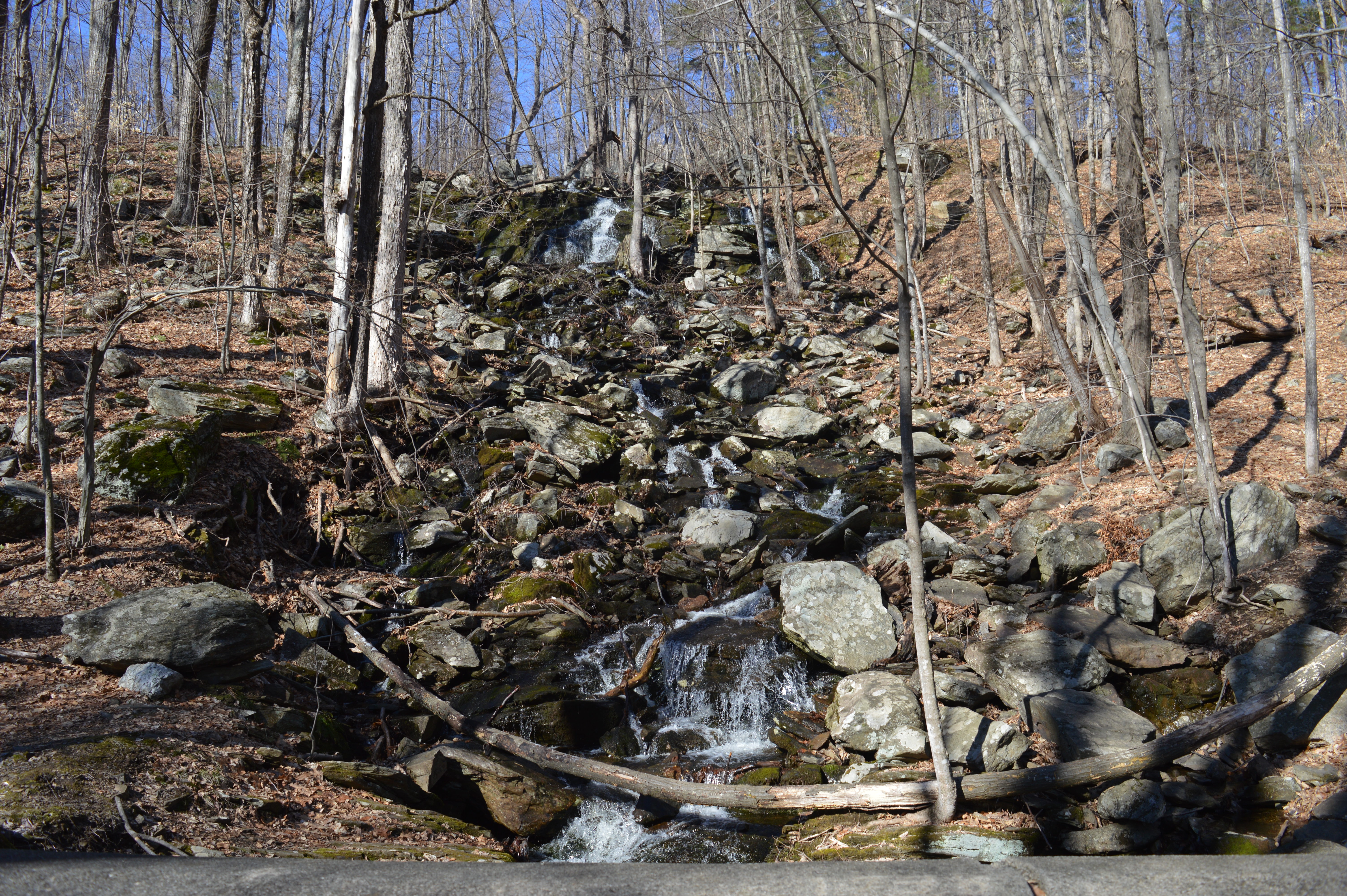
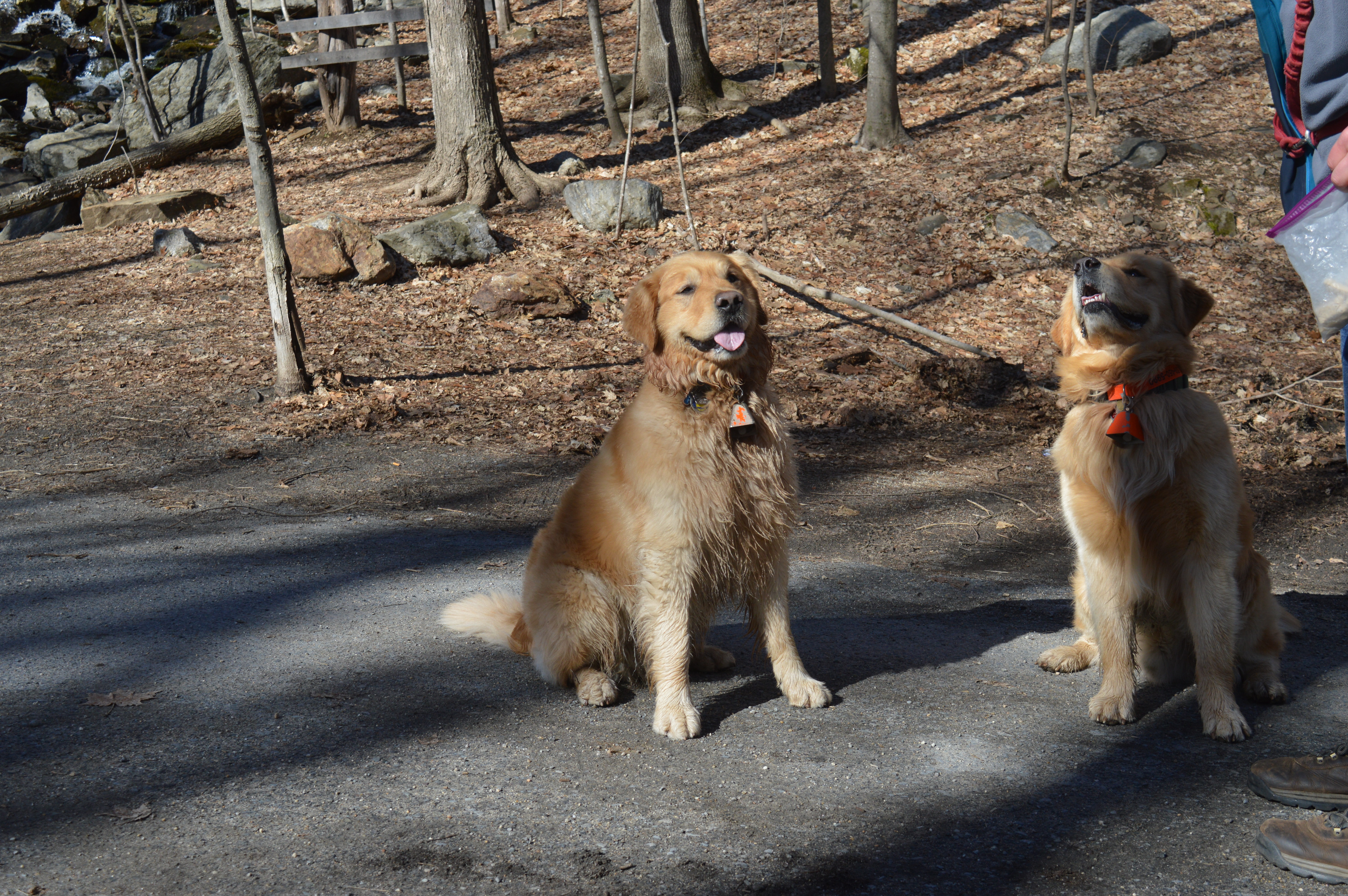
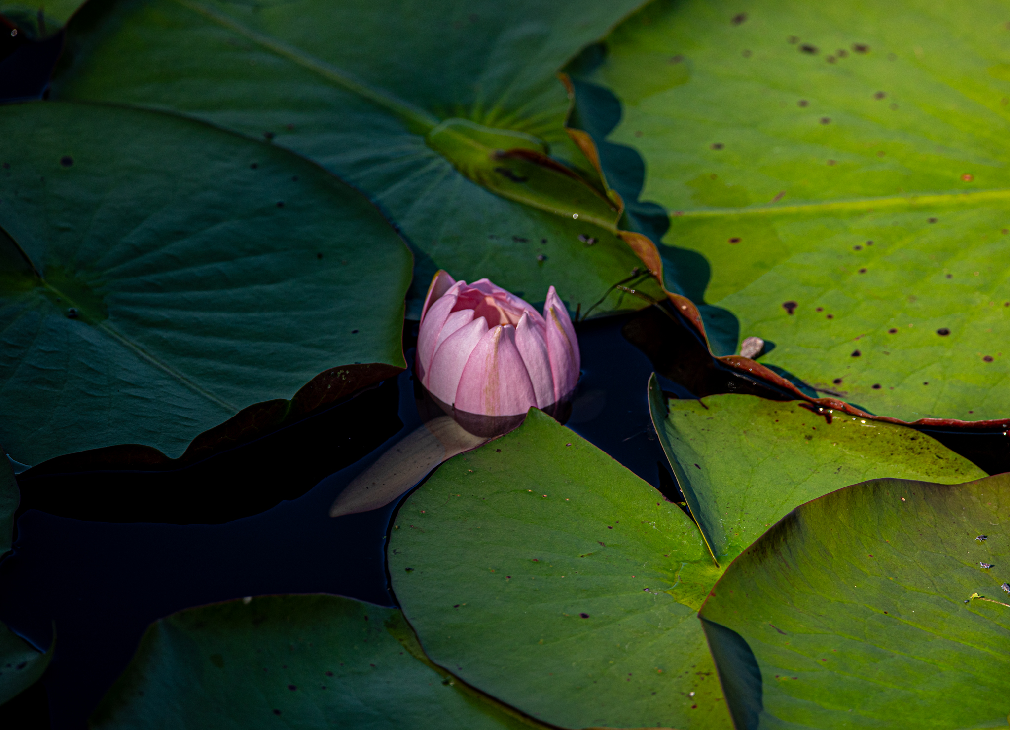
I also got some nature photographs throughout the year. Spring, summer and fall give great backdrops for nature photography of course. I took these photos in Topsfield, MA, Manchester, CT, western MA among other places. Unfortunately due to my busy schedule and the fact leaves fell off their branches before foliage got into full swing, I didn’t get many foliage photos this year.


Thank you as always for stopping by viewing, liking and/or commenting! I always appreciate you all!