Location: 21 High St, Salem, MA (about 30 minutes northeast of Boston, MA)
Universally Accessible: No
Cost: $40 per ticket ($50 if you purchase day of tour tickets)
Parking: There are several parking garages in Salem, as well as metered on street parking.
Summary: By showing the architecture and “bones” of the home, the Gedney House serves as a model for what the historic homes of Salem look like on the inside.
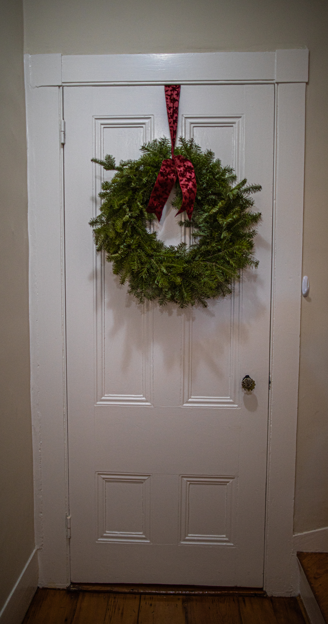
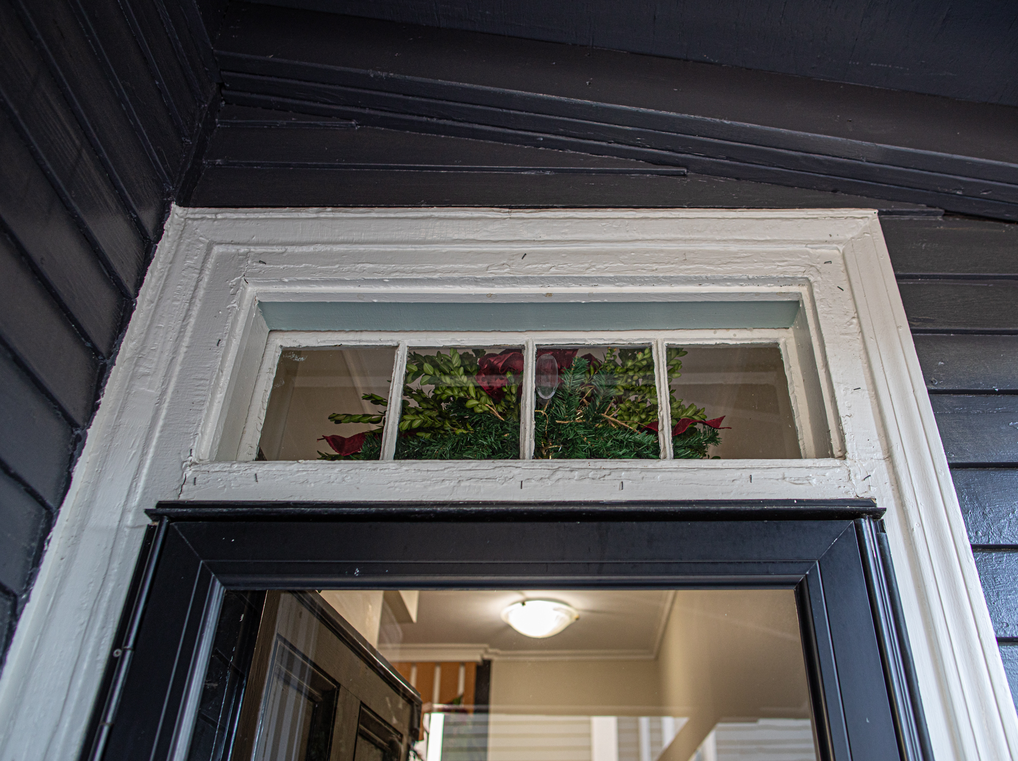
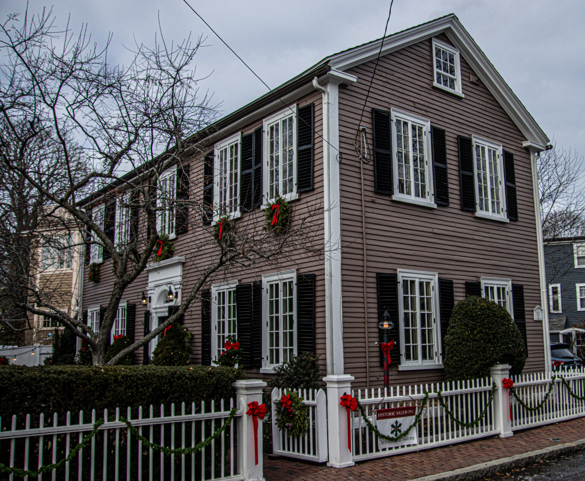
While we have seen all of the residential homes on the historic homes tour, there was one more building on the tour. But, it’s not a residential home. At least, not now. The Gedney House, once used for rooming, holding events and other occasions, the Gedney Home is now used to showcase the nuts and bolts, sometimes literally, of the homes of that era.
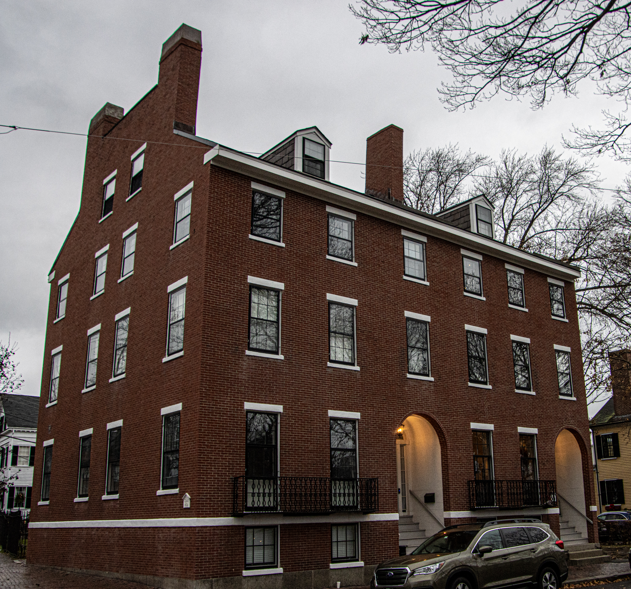
One of the oldest timber-framed dwellings in the country, the Gedney House was built by Eleazer Gedney, a wealthy shipwright whose family had arrived in Salem in 1637. The original structure was a basic post-Medieval center chimney plan consisting of a hall and parlor on either side of the chimney. The location of the house was near Eleazer’s shipyard on the South River. Gedney was married to Elizabeth Turner, sister of John Turner, who built the house of House of the Seven Gables. Although modest in size, the house had features which showed that it was built by a family of means; a spacious, decorative gable and two impressive summer beams (load-bearing building elements) in the main hall, an unusual feature as homes of this style typically had only one.
In 1733 a new owner expanded the house into a multifamily dwelling used as a rooming house. By the early twentieth century, when Salem was becoming home to successive groups of immigrants, the house was a tenement in the area which became known as Little Italy, reportedly once housing 25 people in four households. So much for building codes.
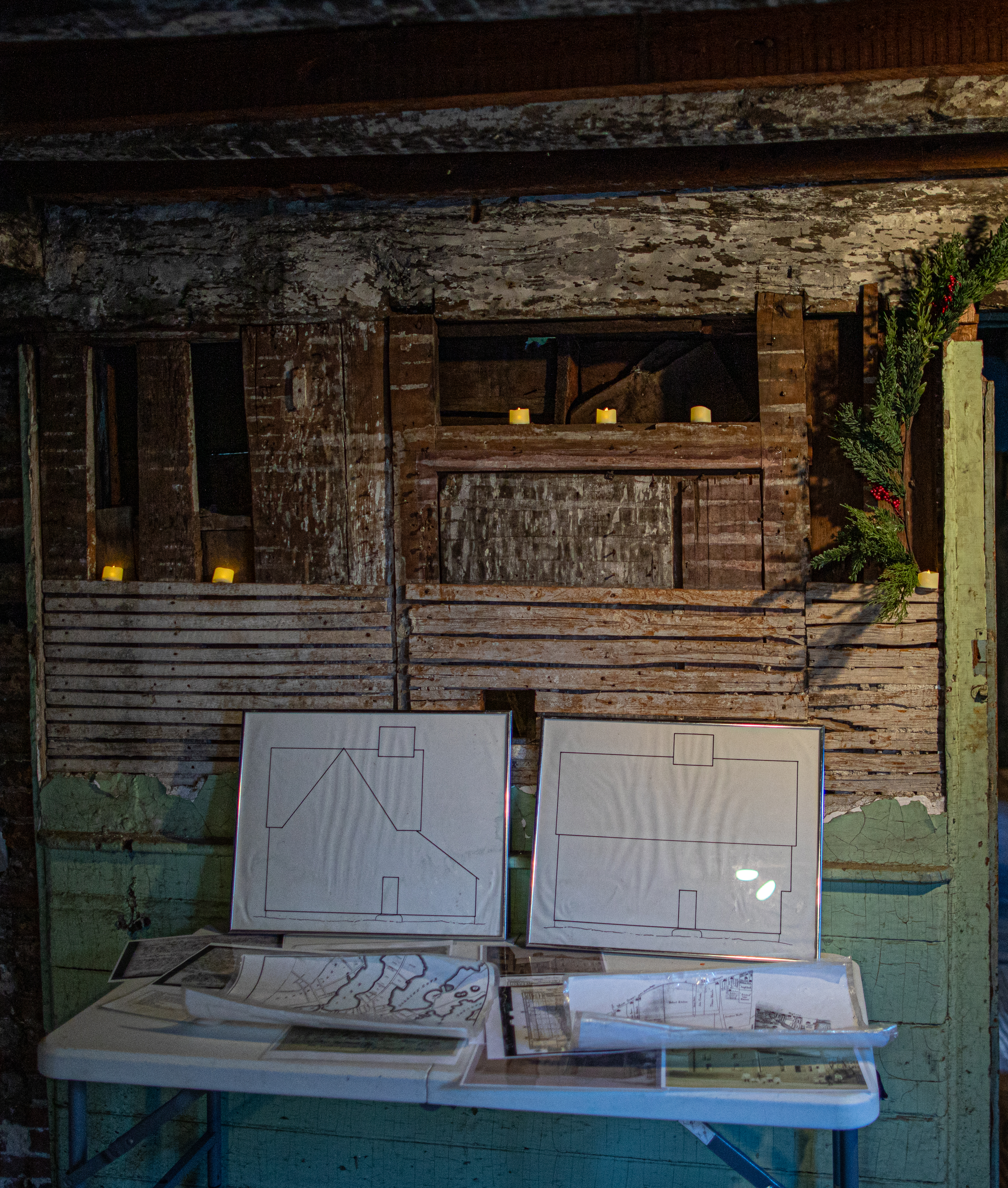
A local builder purchased the house in 1962 with the intent of turning it into apartments. An observant Salem resident, Elizabeth Reardon, noticed 17th century paneling in the trash as the renovations were beginning and alerted Historic New England, which subsequently acquired the house. Because of the halted 1960s renovations, much of the original framing is exposed for visitors to see today.
The exposed framing mentioned above can be found in the structure.
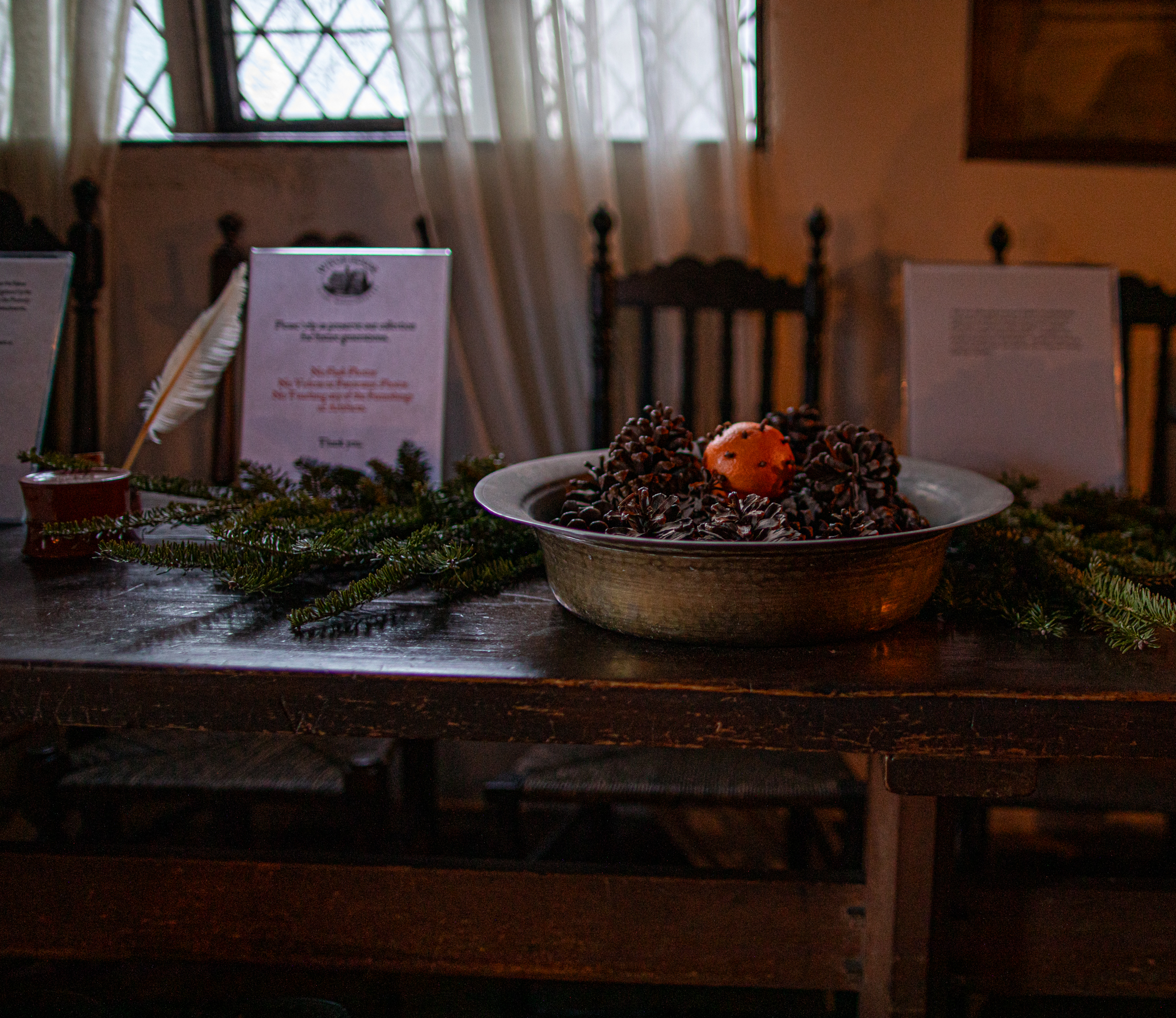
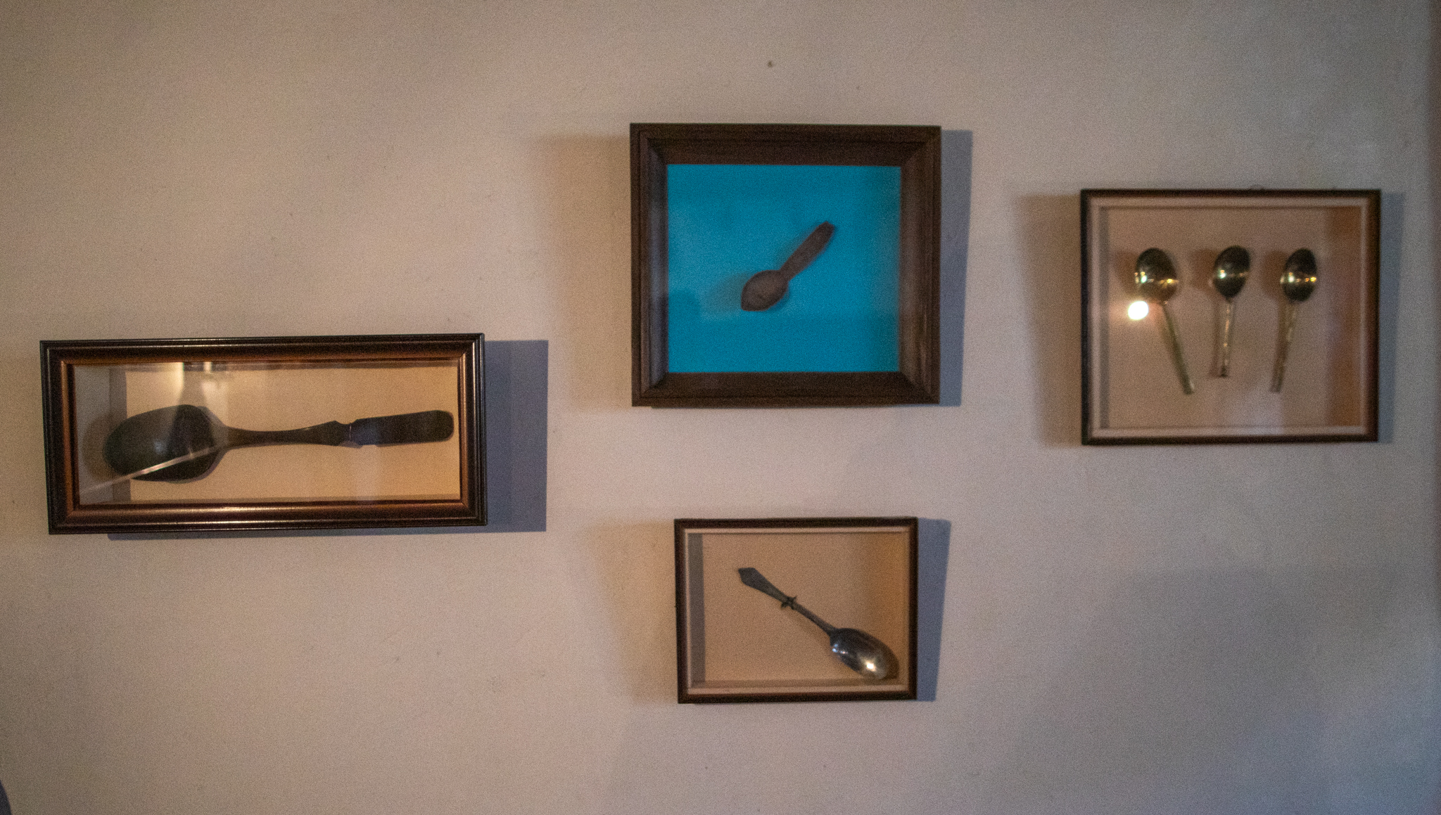
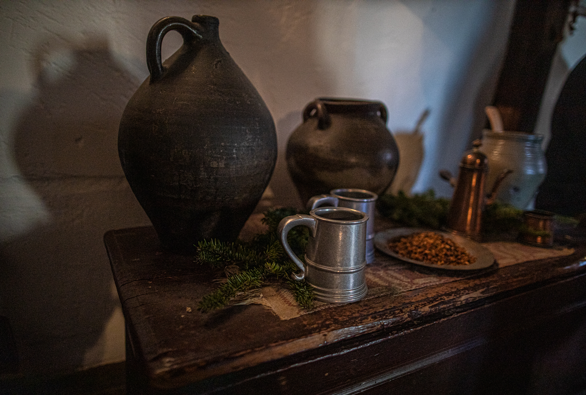
The house, such as it is a “home” is meant to serve as an architectural model to see the “bones” of these old historical homes. There were examples of the home’s architectural frame and design throughout the house. Some lit up for the holiday season. AS you can see, the paneling and wood covered a lot of the original str The photos at the bottom show the original designs of the building.

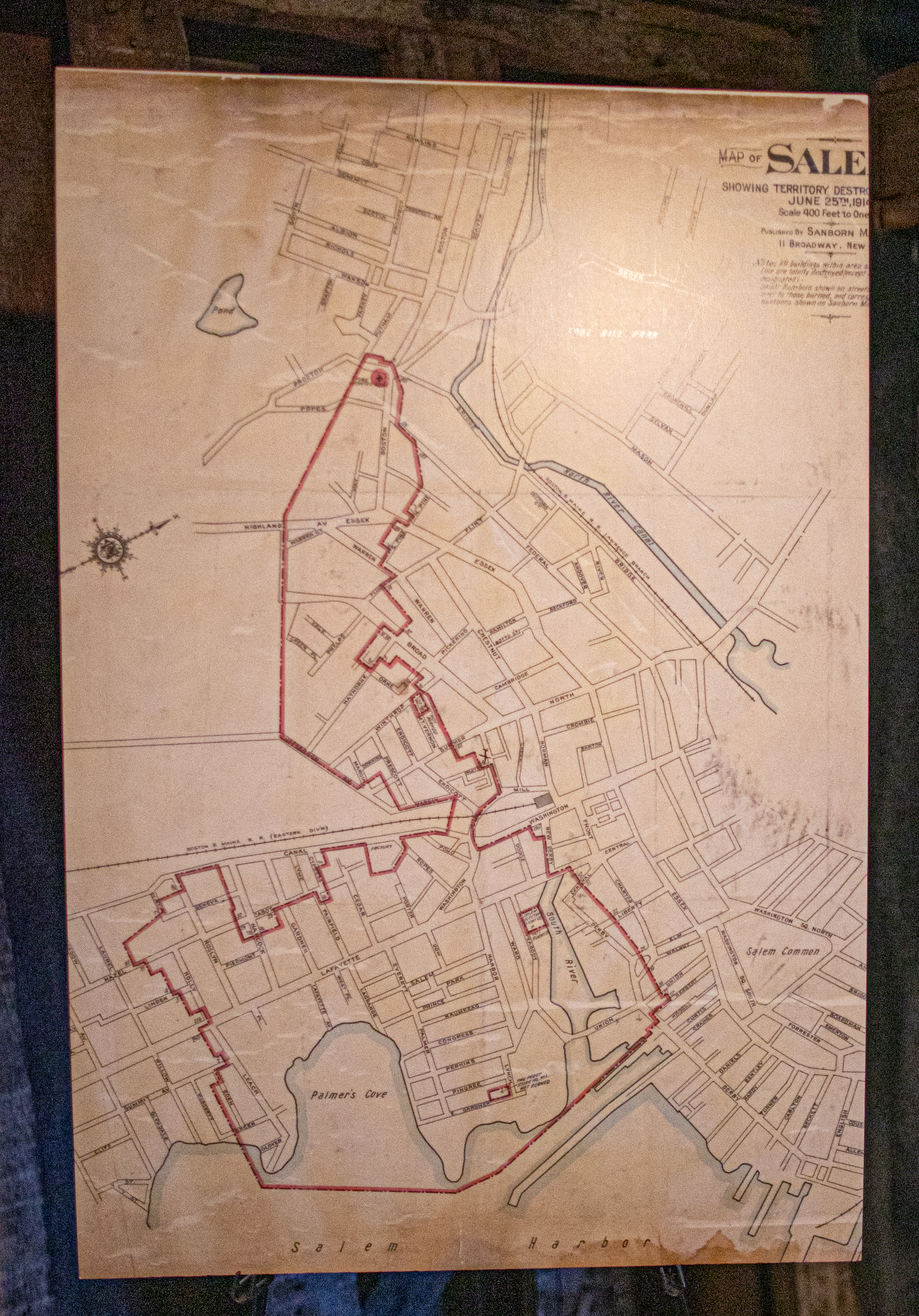
The “Great Fire Of 1914” in Salem took out much of the McIntire District. The Gedney House, however, was spared, barely.
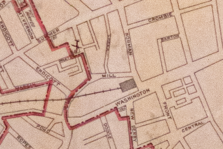
The map below shows the area the fire spread (in red). The Gedney House is the x on the map.
Here’s a closer look
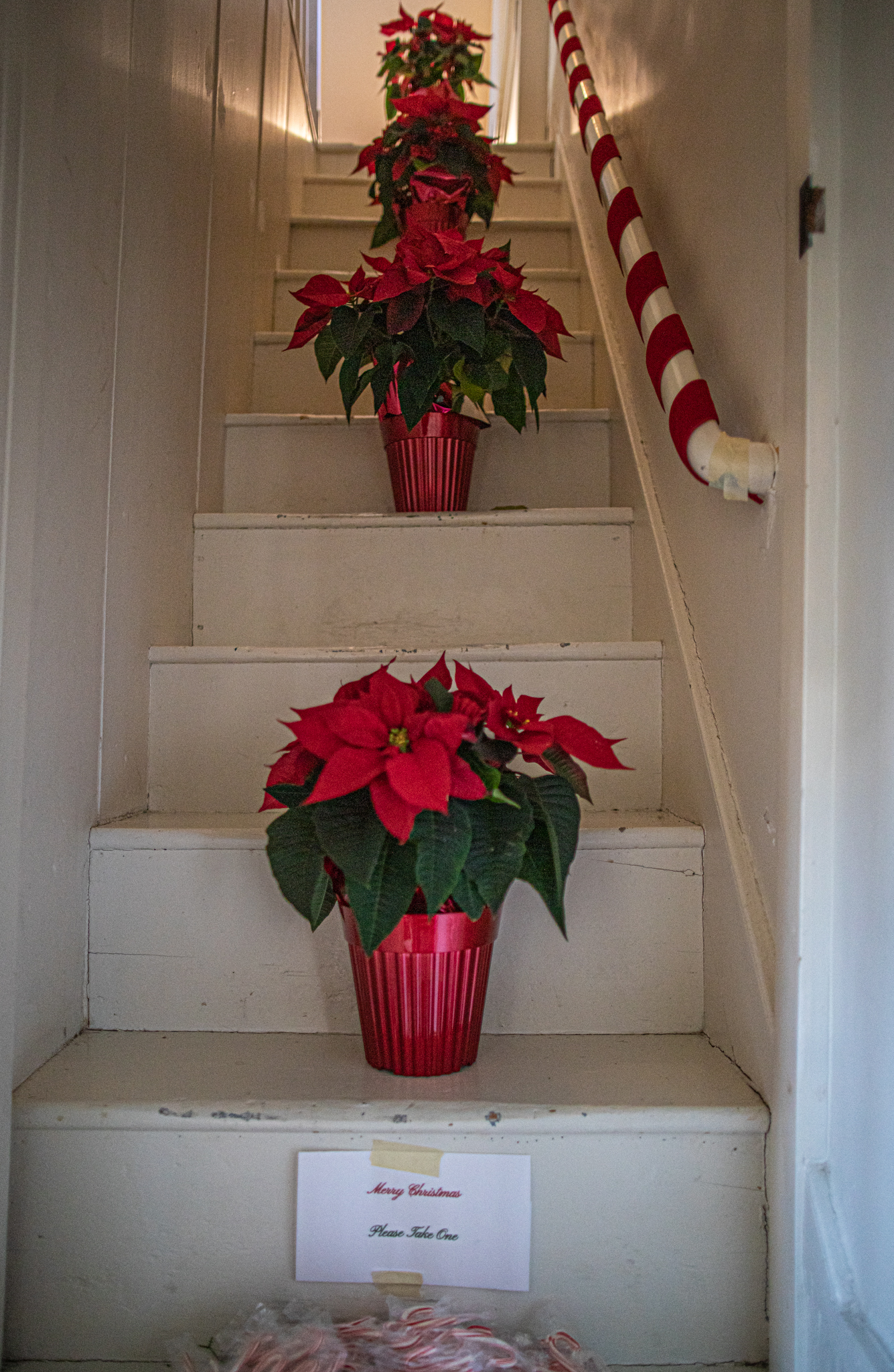
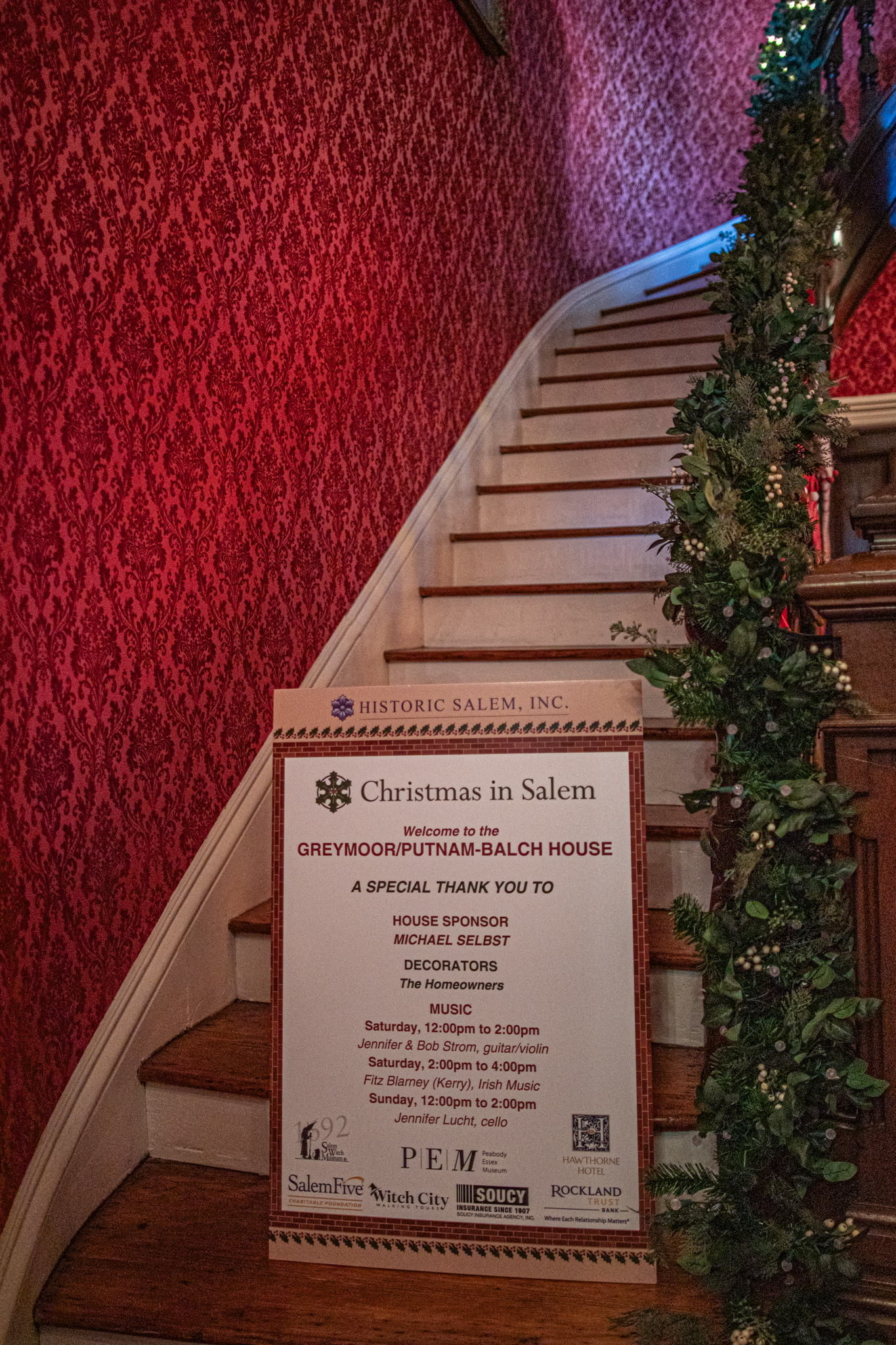
This concludes the annual Christmas In Salem historic homes tour!