Category Archives: hiking

Mass Audubon North River Wildlife Sanctuary (Marshfield, MA)


Date Of Visit: December 4, 2016

Location: 2000 Main St, Marshfield, MA (about 45 minutes south of Boston, MA)

Hours: Mon-Fri, 8:30 am-4 pm
Sat (April-December), 9 am-4 pm
Closed Sundays (hours may change depending on the season)

Trails are open dawn to dusk

Cost: Members: Free
Nonmembers:
$4 Adults
$3 Children (2-12)
$3 Seniors (65+)

Parking: There are about a 15-20 parking spaces in the main parking area (street parking may also be available)

dsc_0831

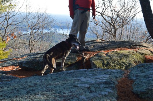
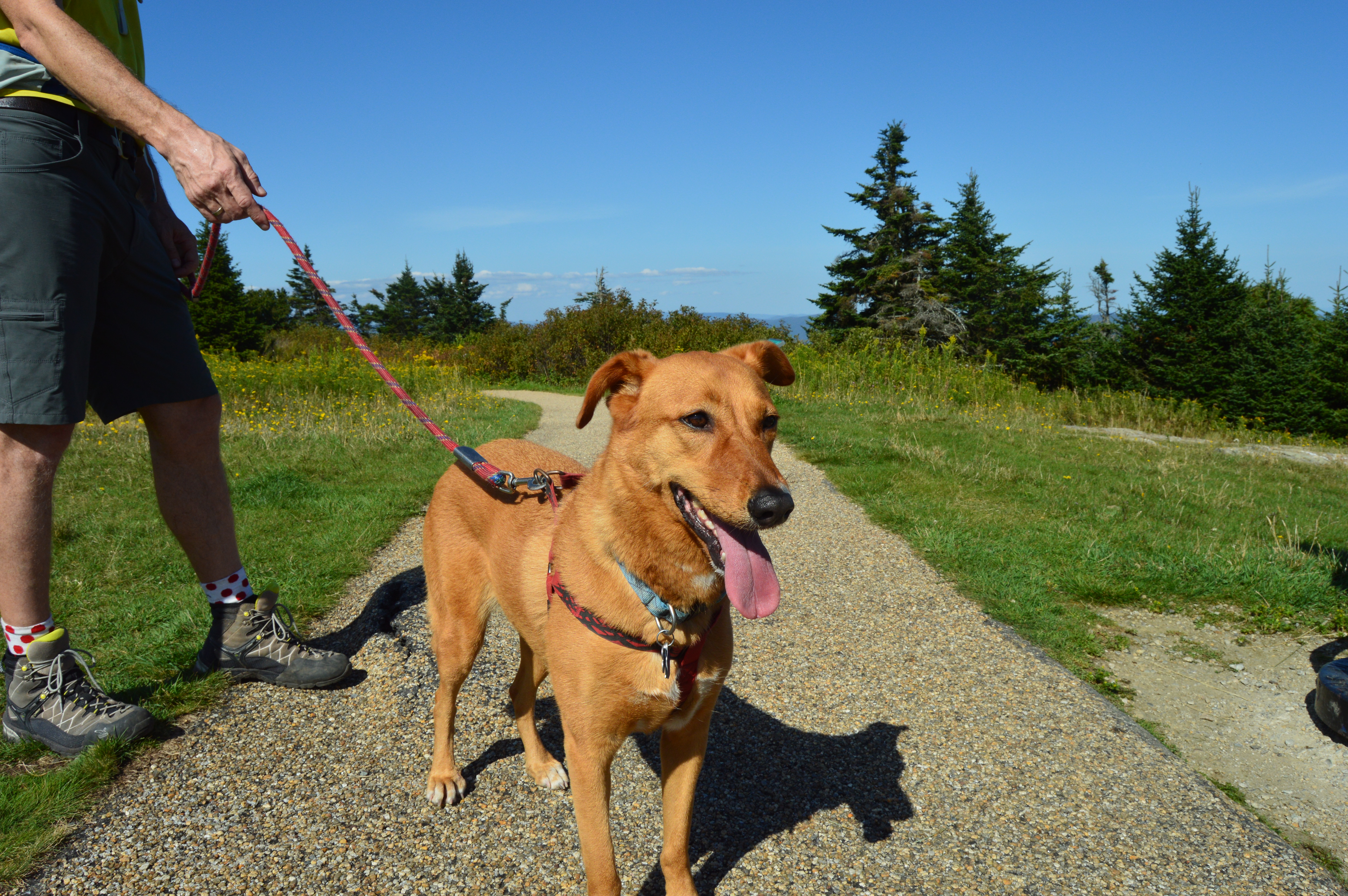
Dog Friendly: No, Mass Audubon parks do not allow dogs

Handicapped Friendly: No, the trails are rocky and hard to navigate in some areas

Trail Size/Difficulty: 225 acres, 2.5 mile loop, easy trail difficulty with gentle inclines

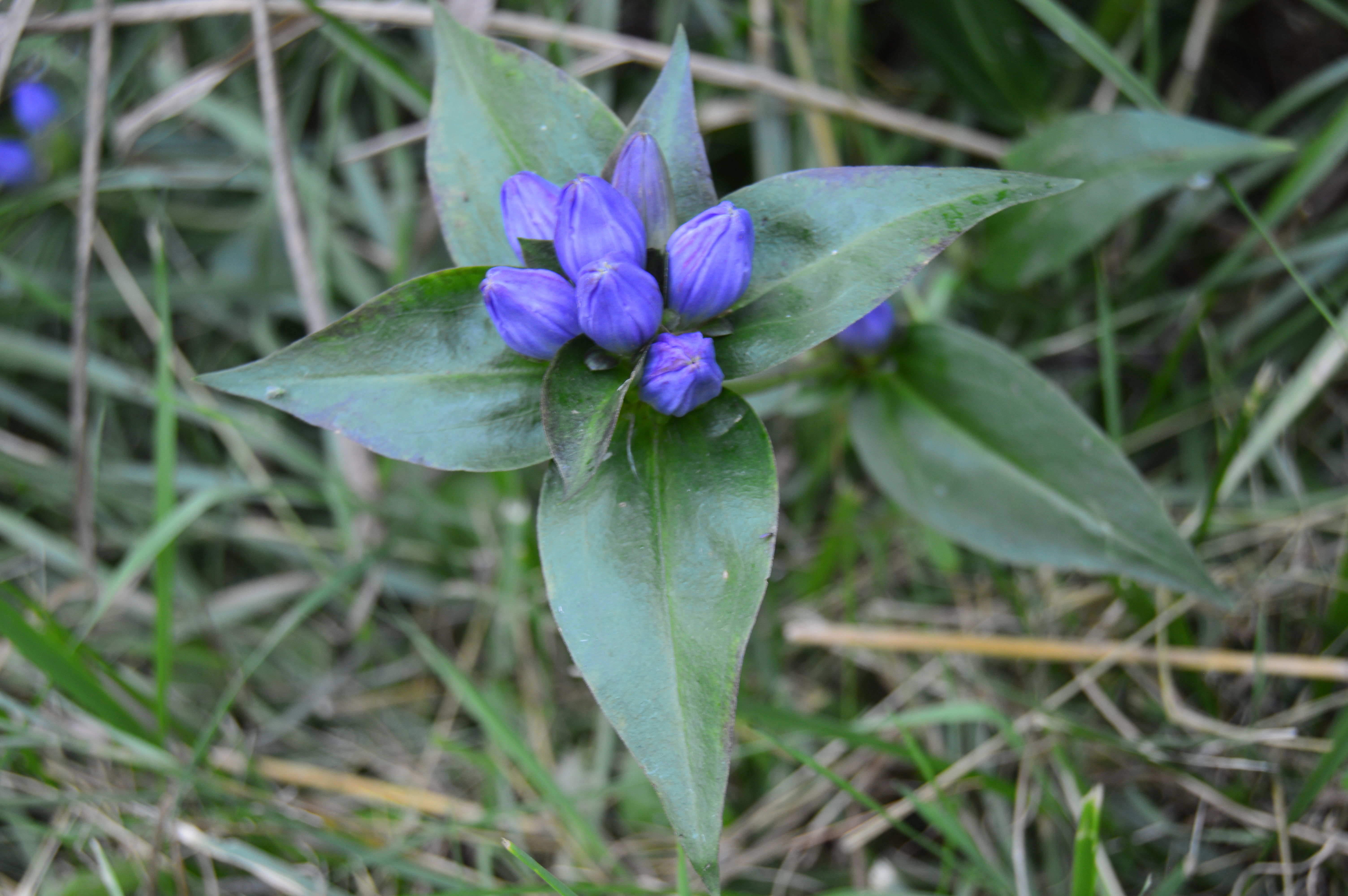
Highlights: birds, wildlife, views of the water, boardwalks, nature center

Web Site: North River Wildlife Sanctuary

Trail Map: North River Wildlife Sanctuary Trail Map

dsc_0824

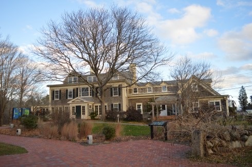
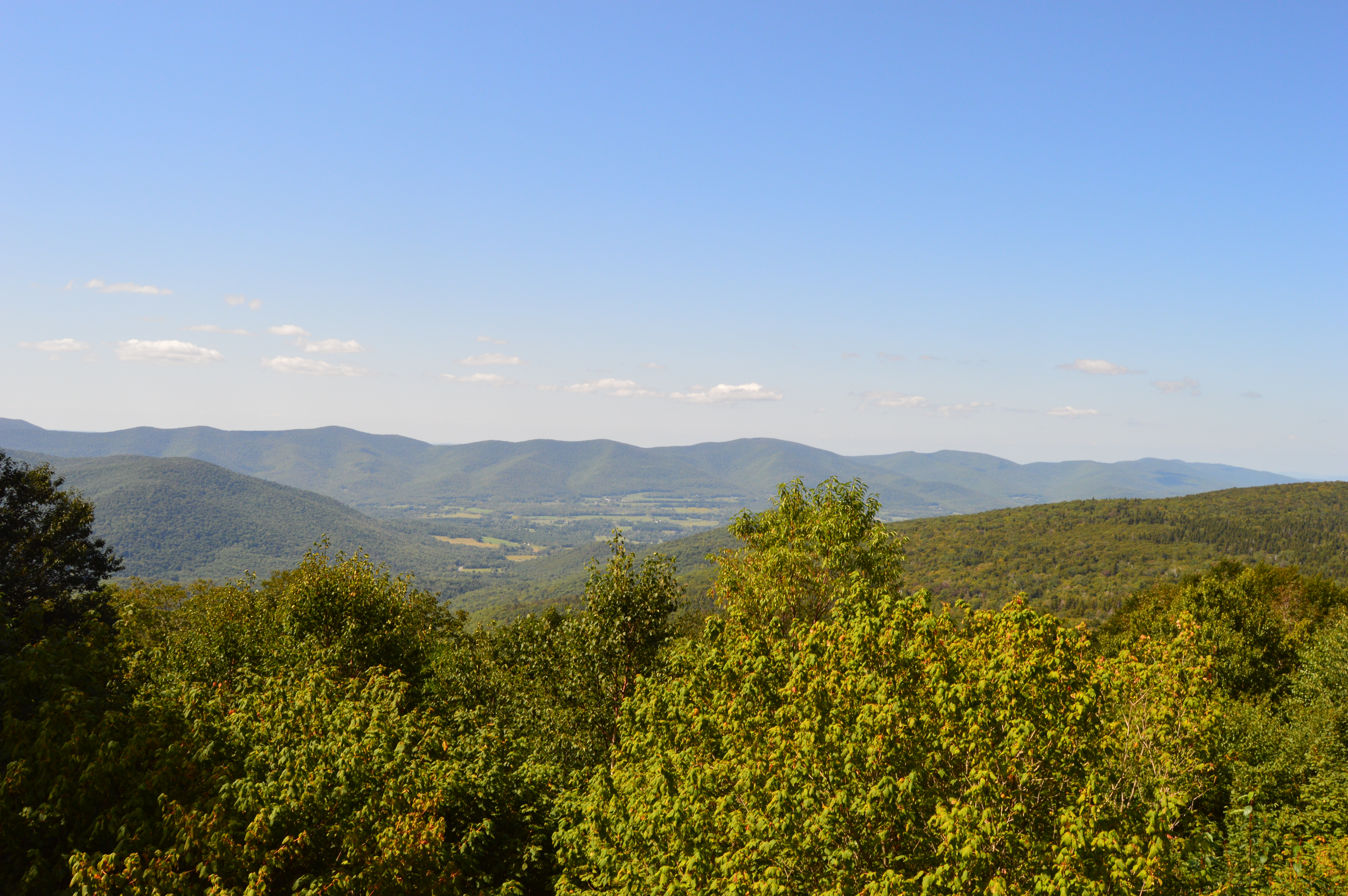
Nestled about half way between Boston, MA to the north and Caped Cod to the south, Marshfield, MA is a serene trail that also happens to bethe home to one of the best places for bird watching.

North River Wildlife Sanctuary actually has two sections to the trails.  At least I consider them two sections.  The trail from the nature education center

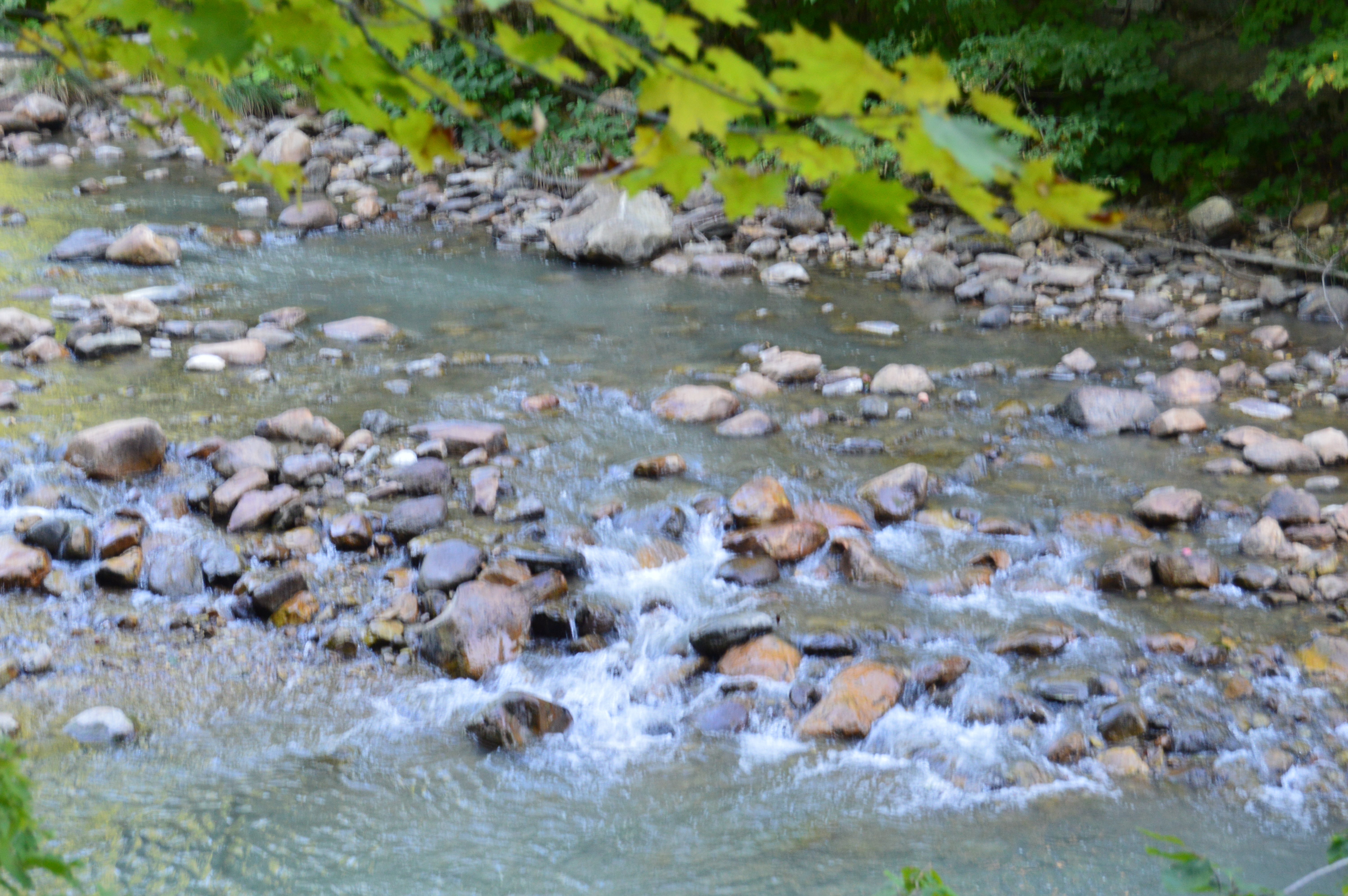
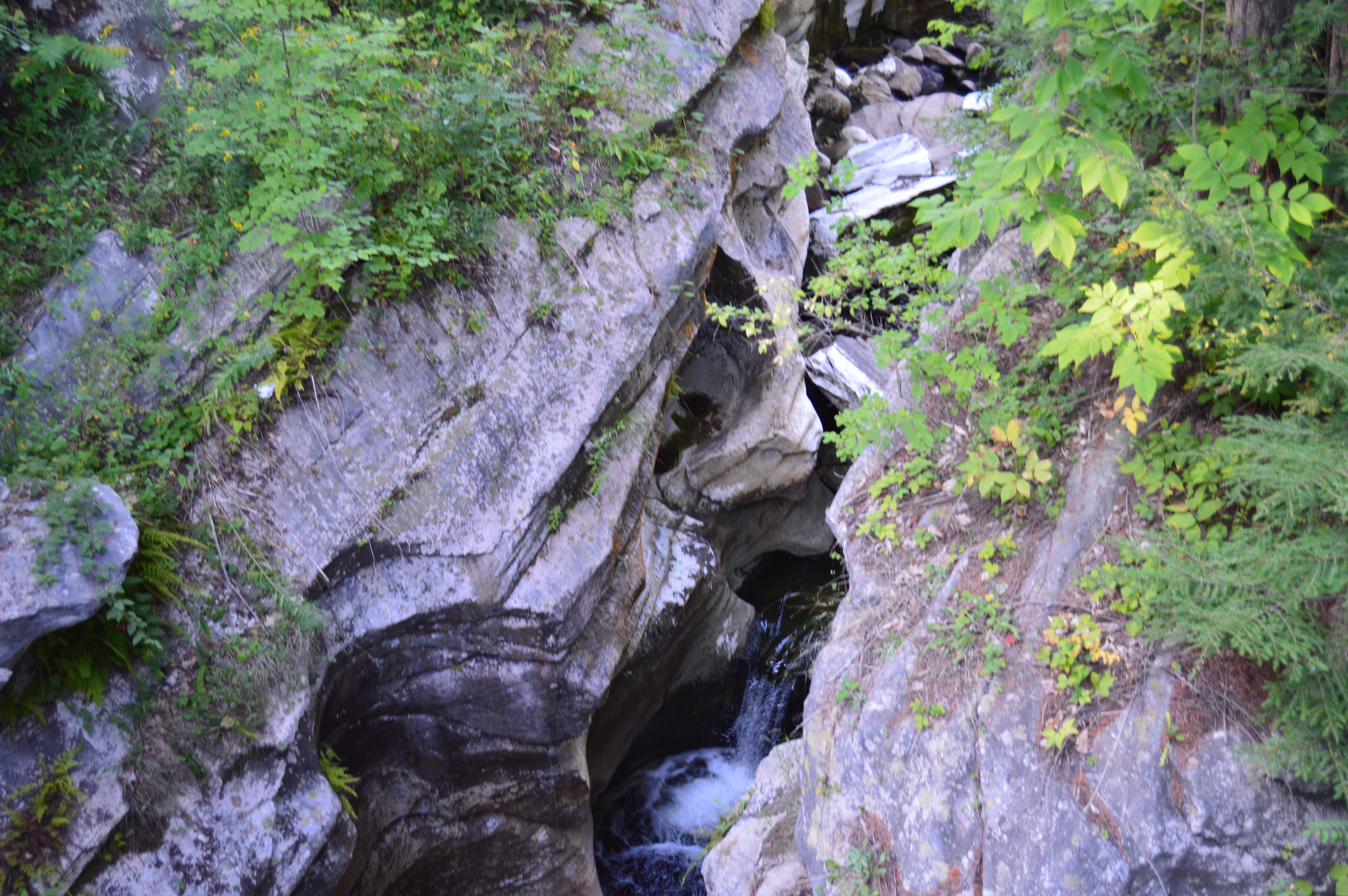
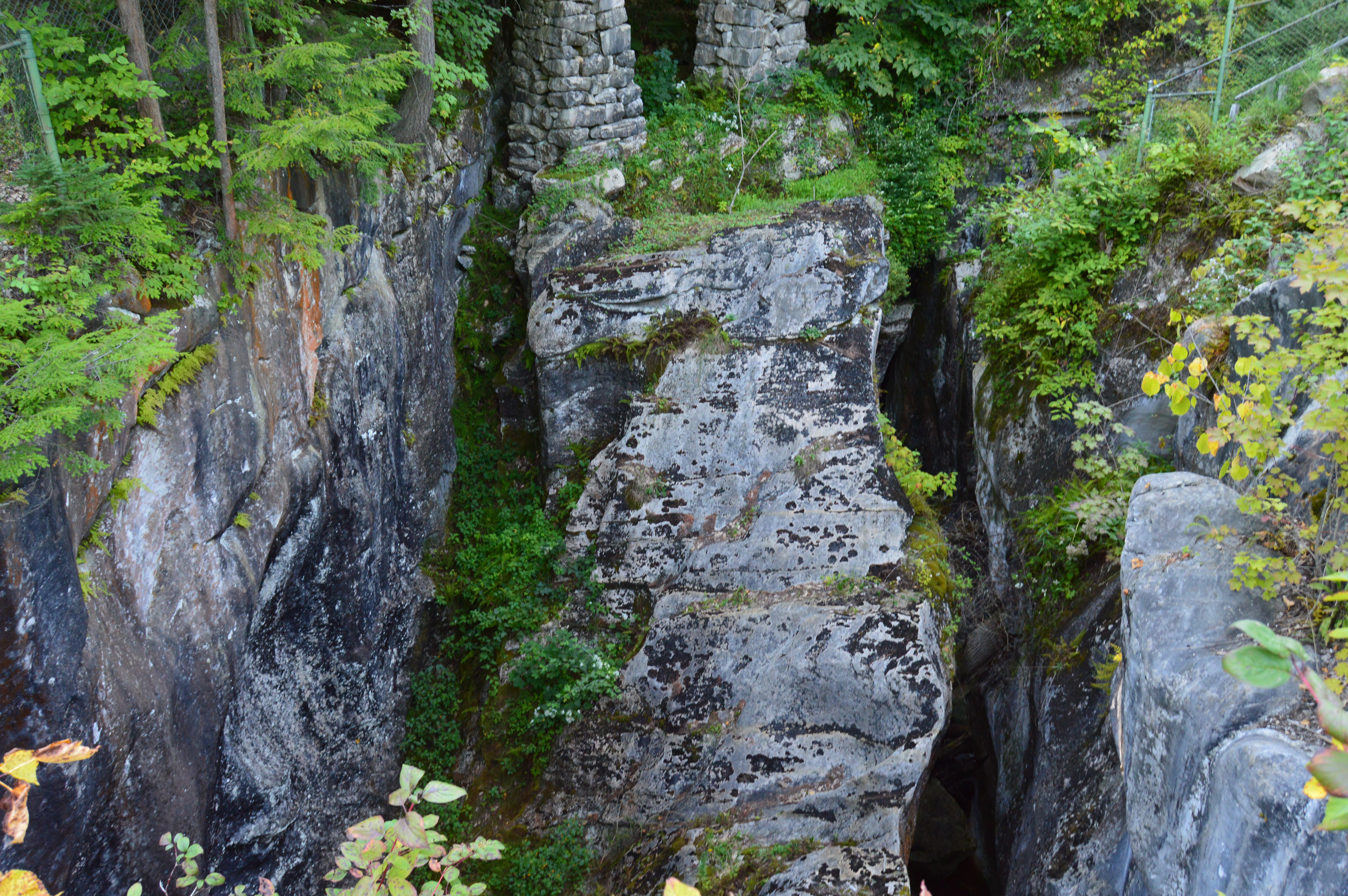
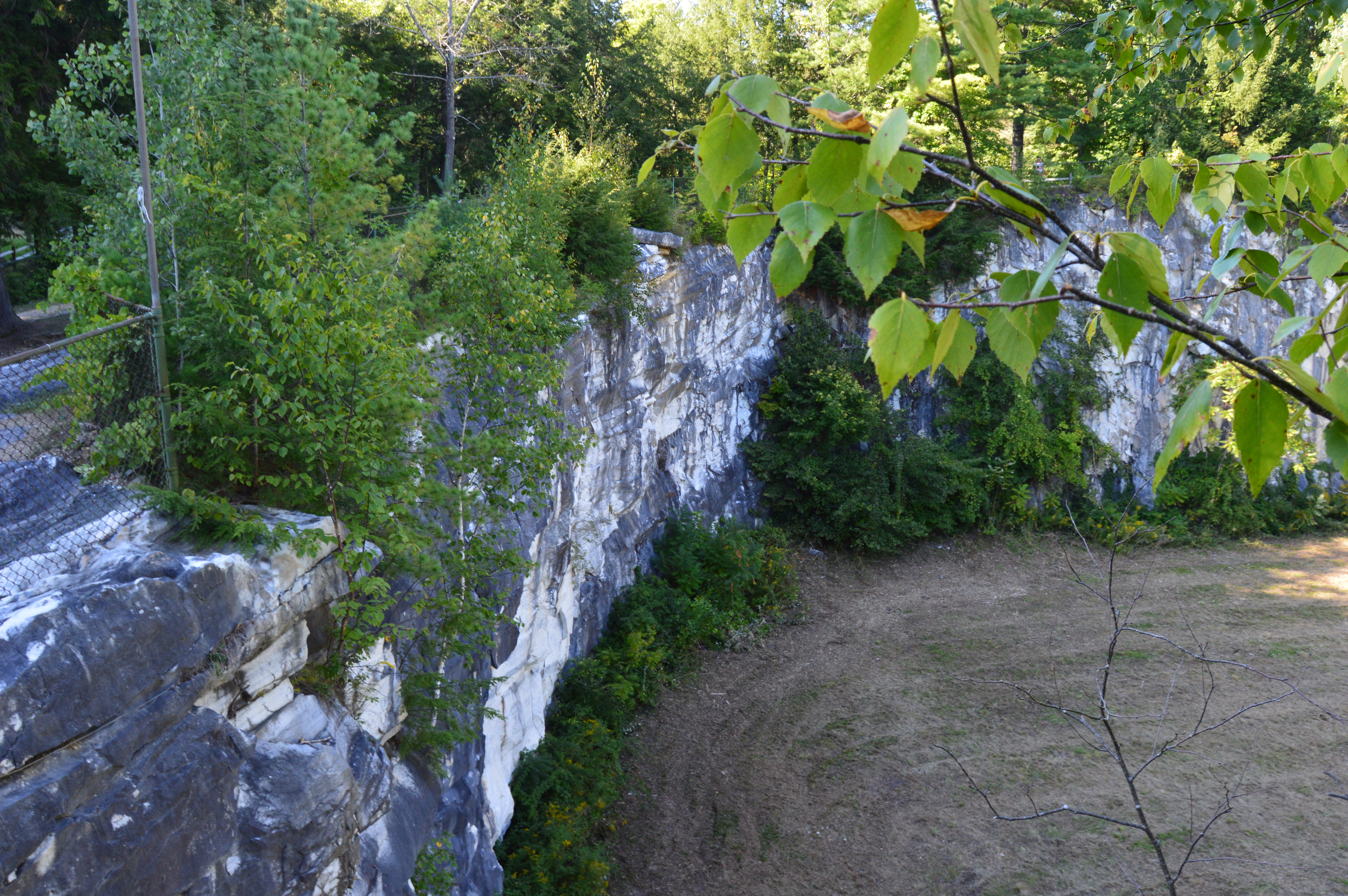
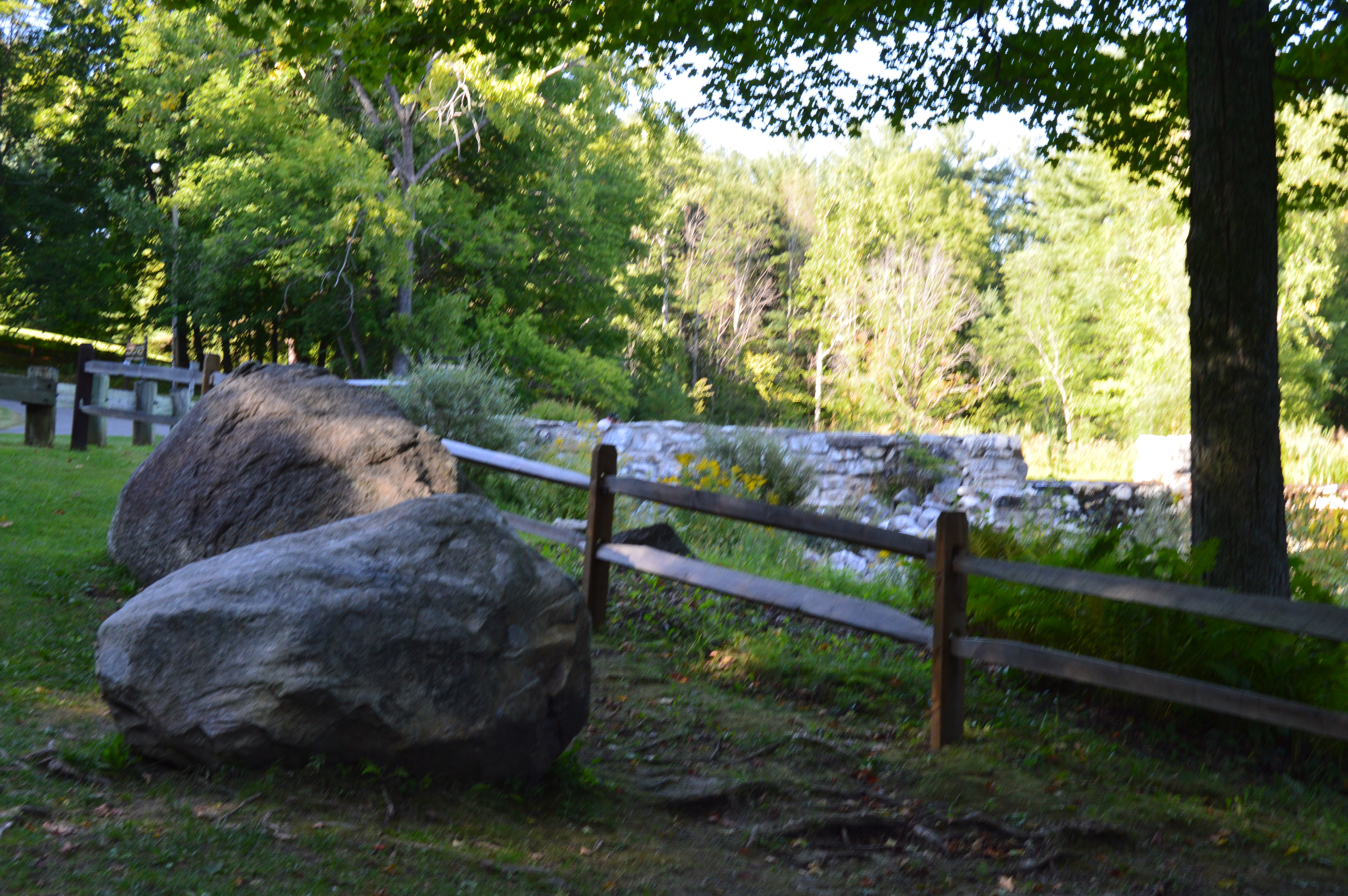
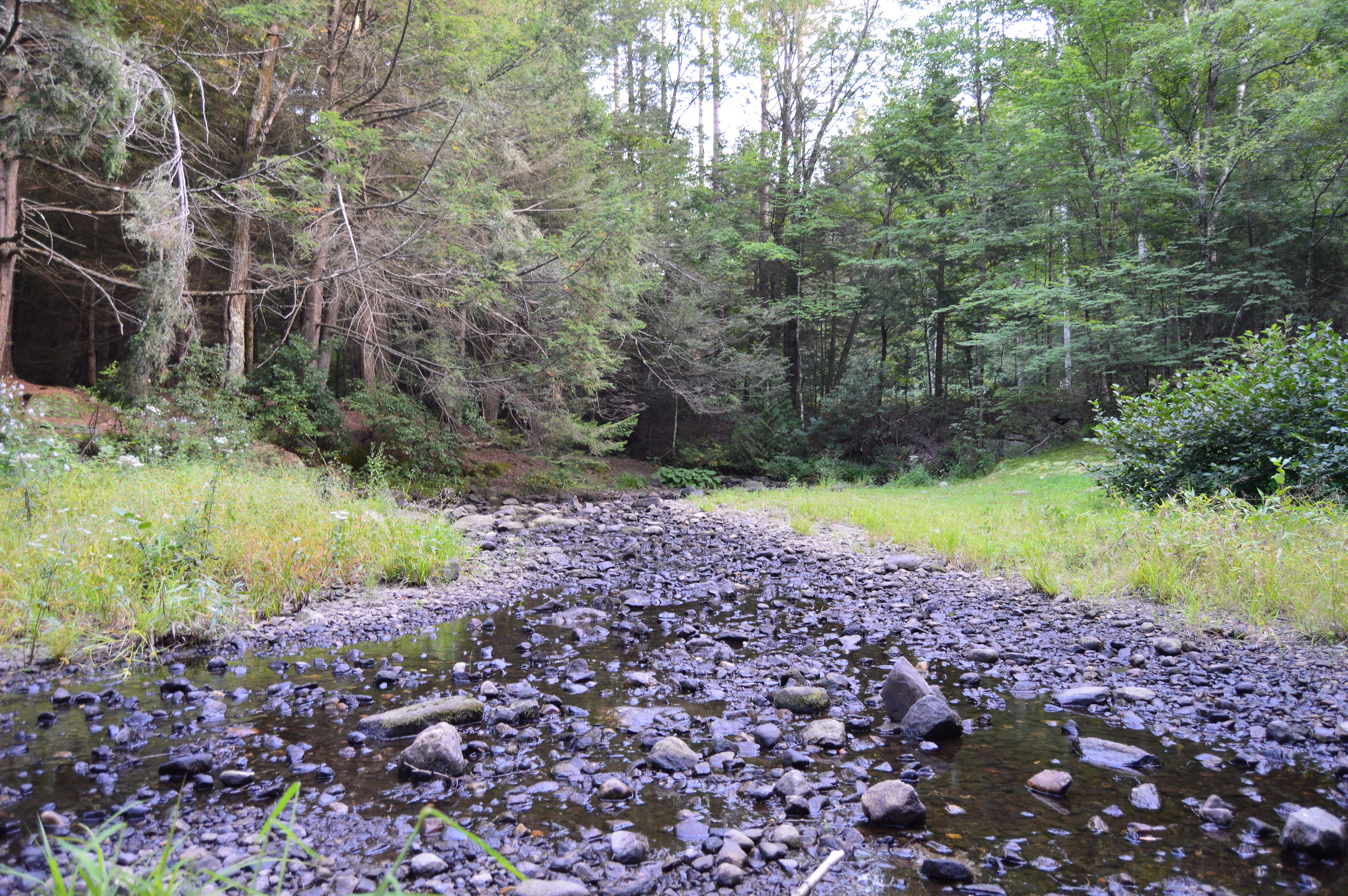
The trails at North River are easy with some slight inclines.  Boardwalks allow access over marshland and wetland.  However, not all of the trails are on clearly marked trails.  Look for yellow and blue marked trees to ensure you stay on the trails.  .

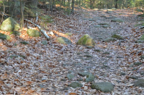
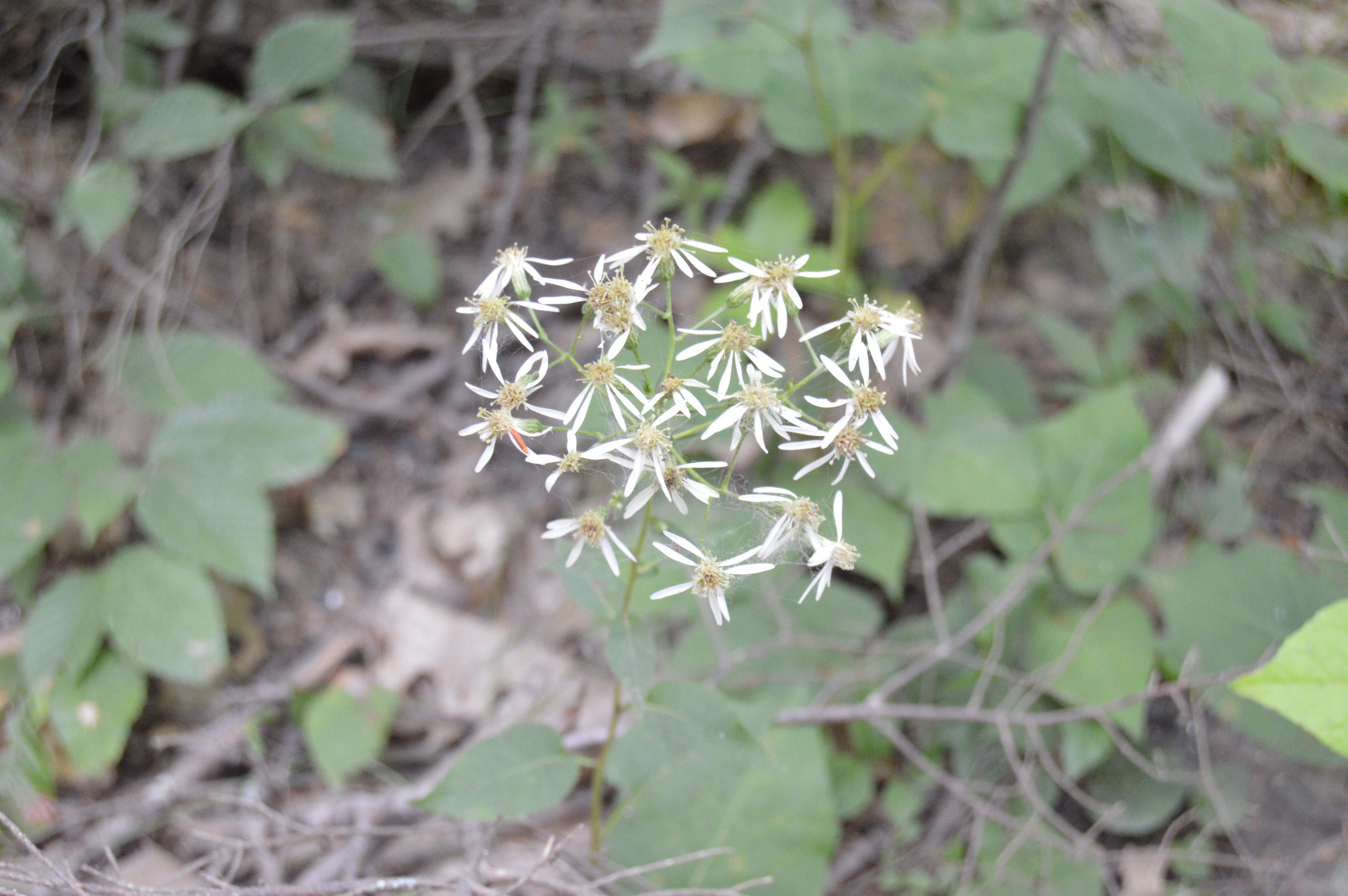
Along the trail closest to the nature center, there is a trail that is mostly dirt with soem gravel paths and boardwalks.  If you do take some side trails (I suggest you do), you may come across some trails like the one pictured above that is covered in leaves and not clearly defined.  Most trails are even with some minor inclines.

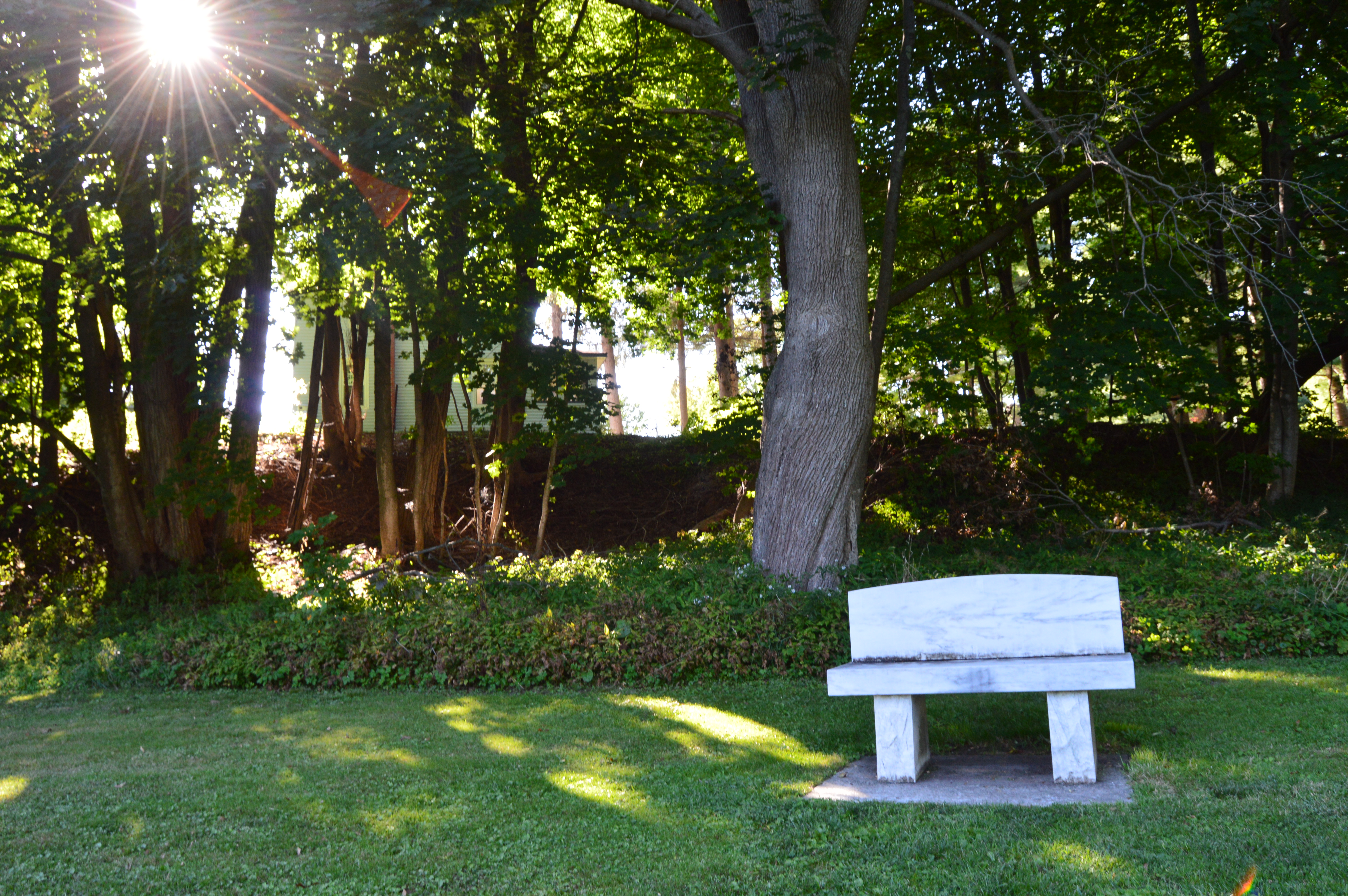
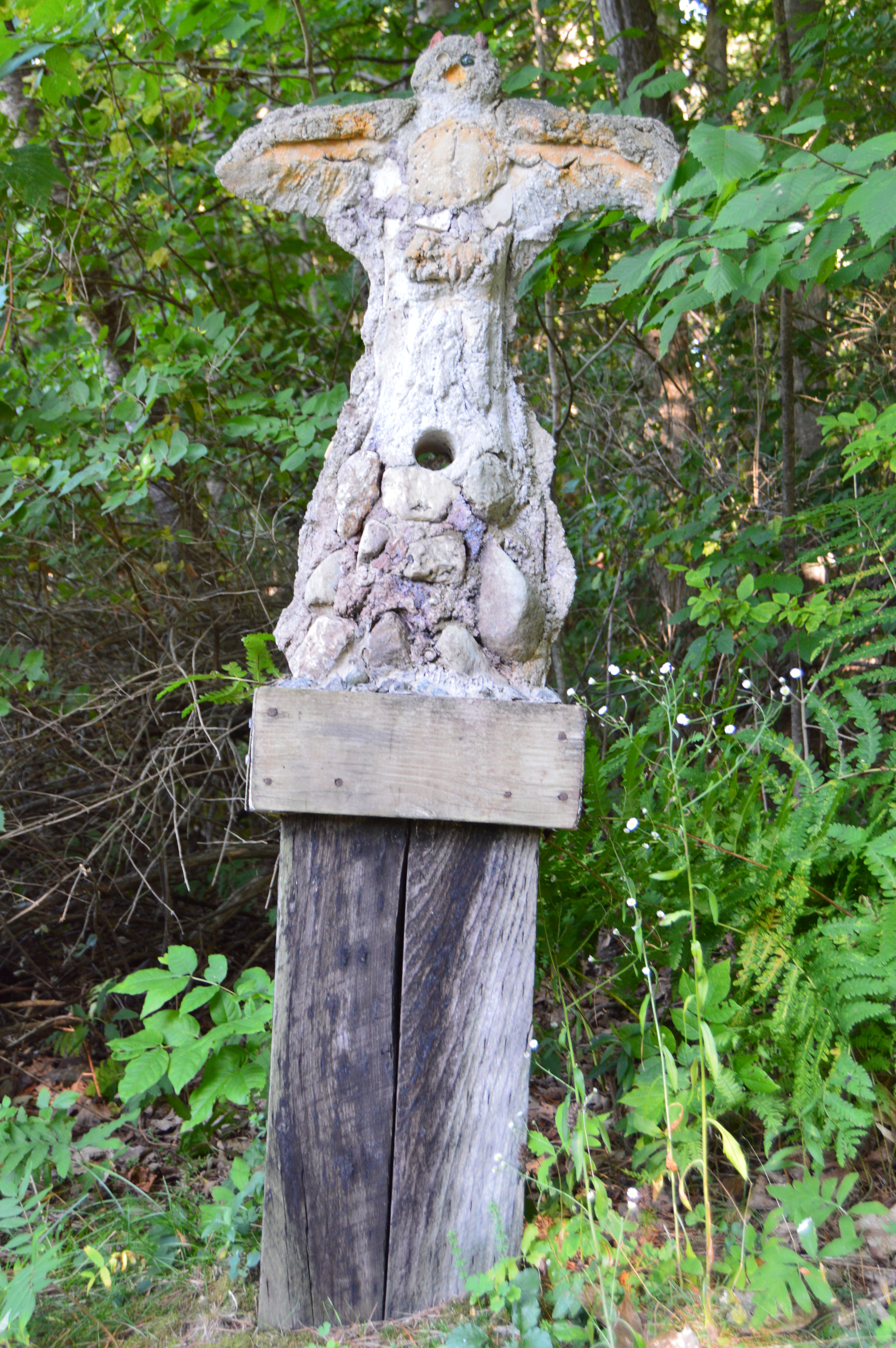
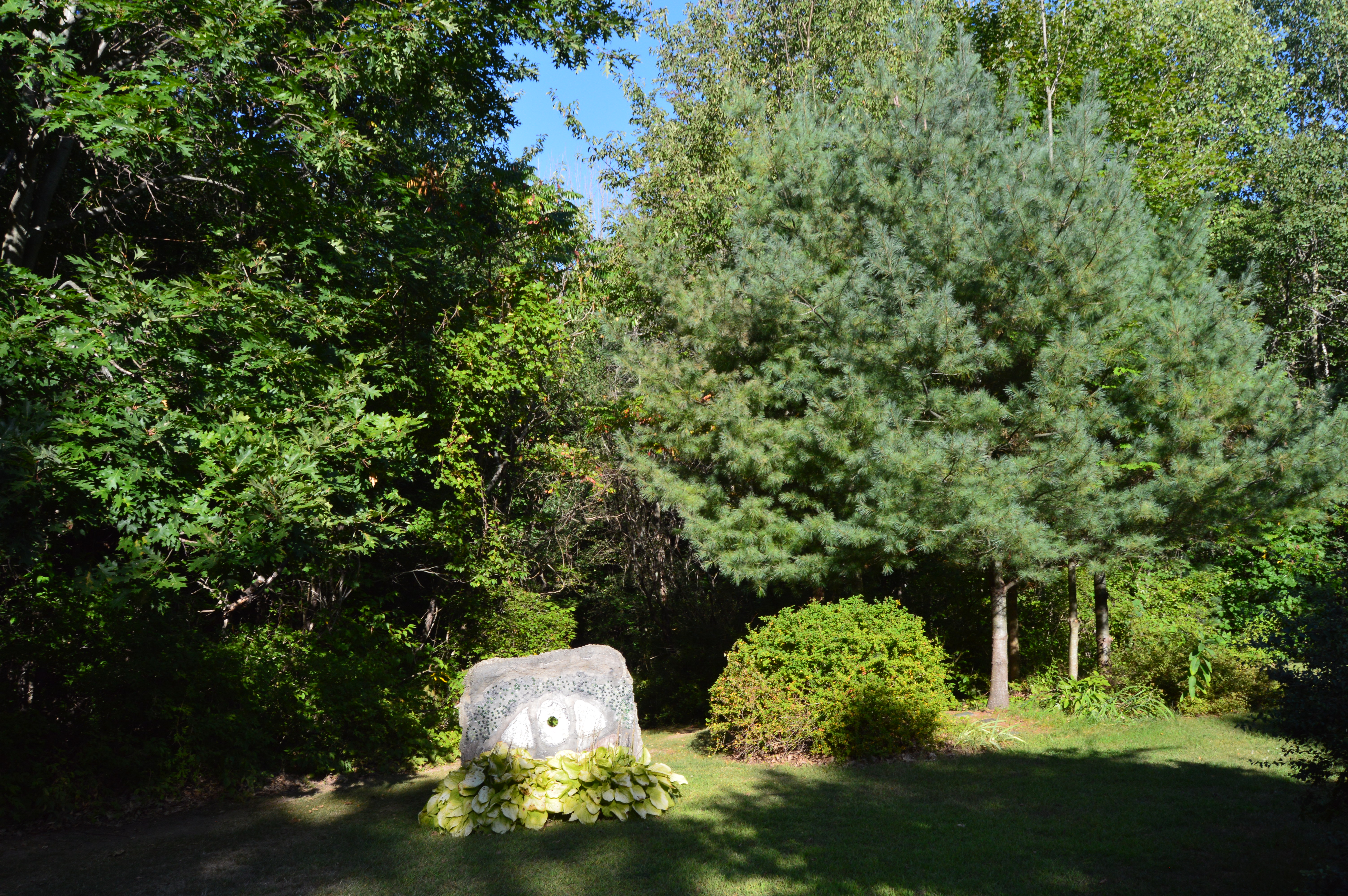
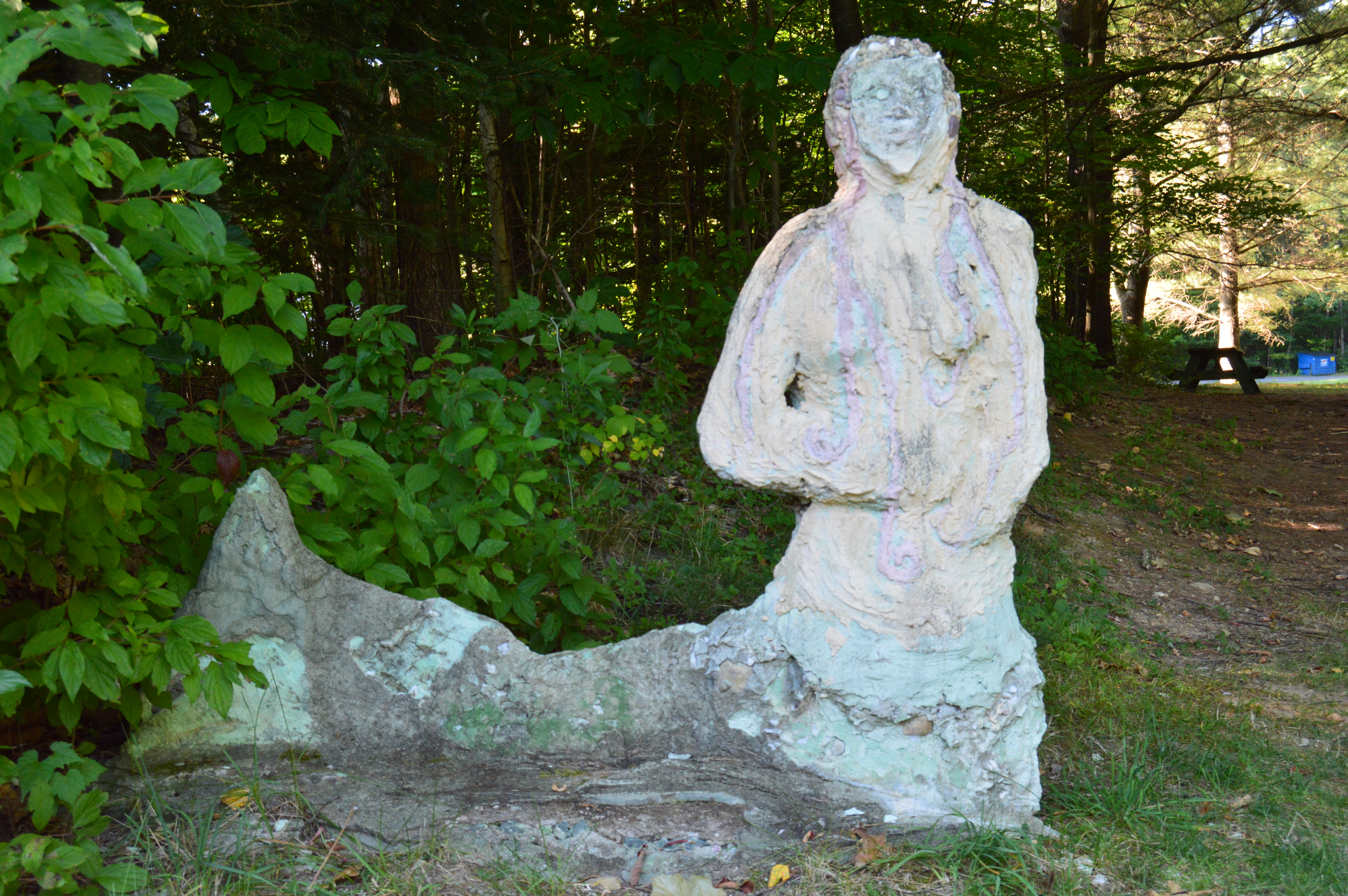
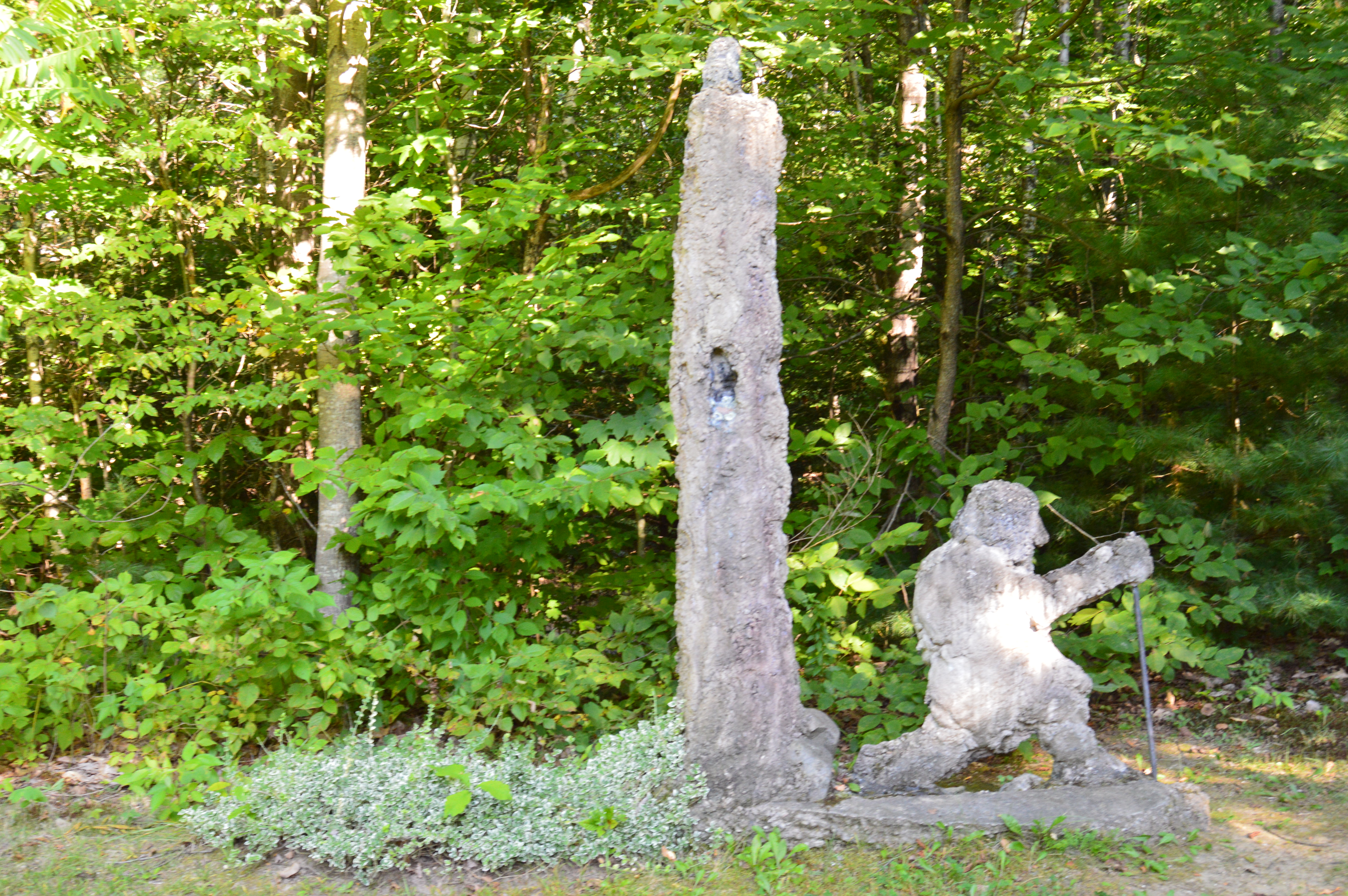
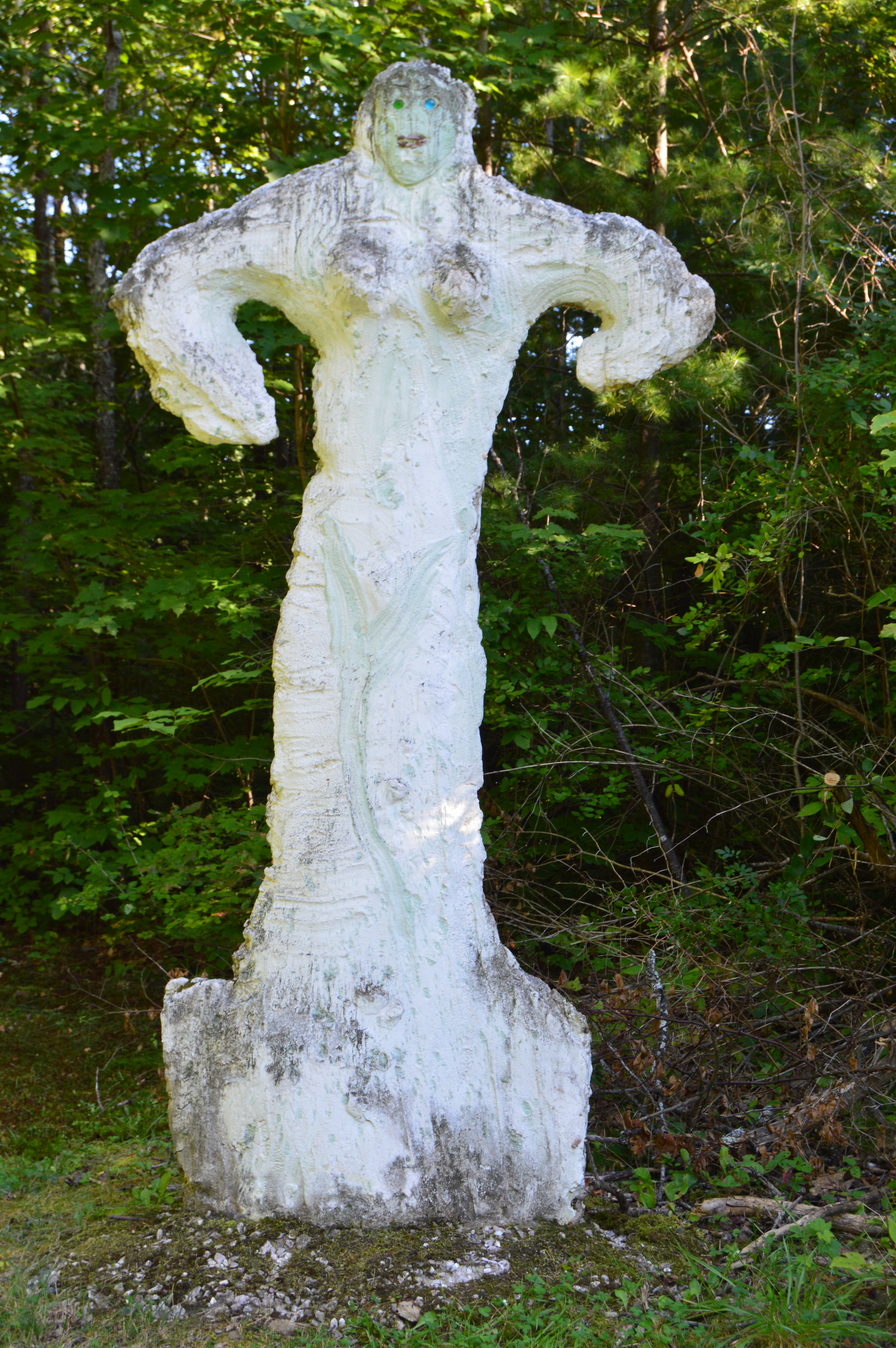
Along the trails there are some educational and recreational objects.

This sign identifies a certain type of bark and needles along the trail.  There is also a tent for visitors to play with.  There used to be two of them but they felt it made visitors too tense.


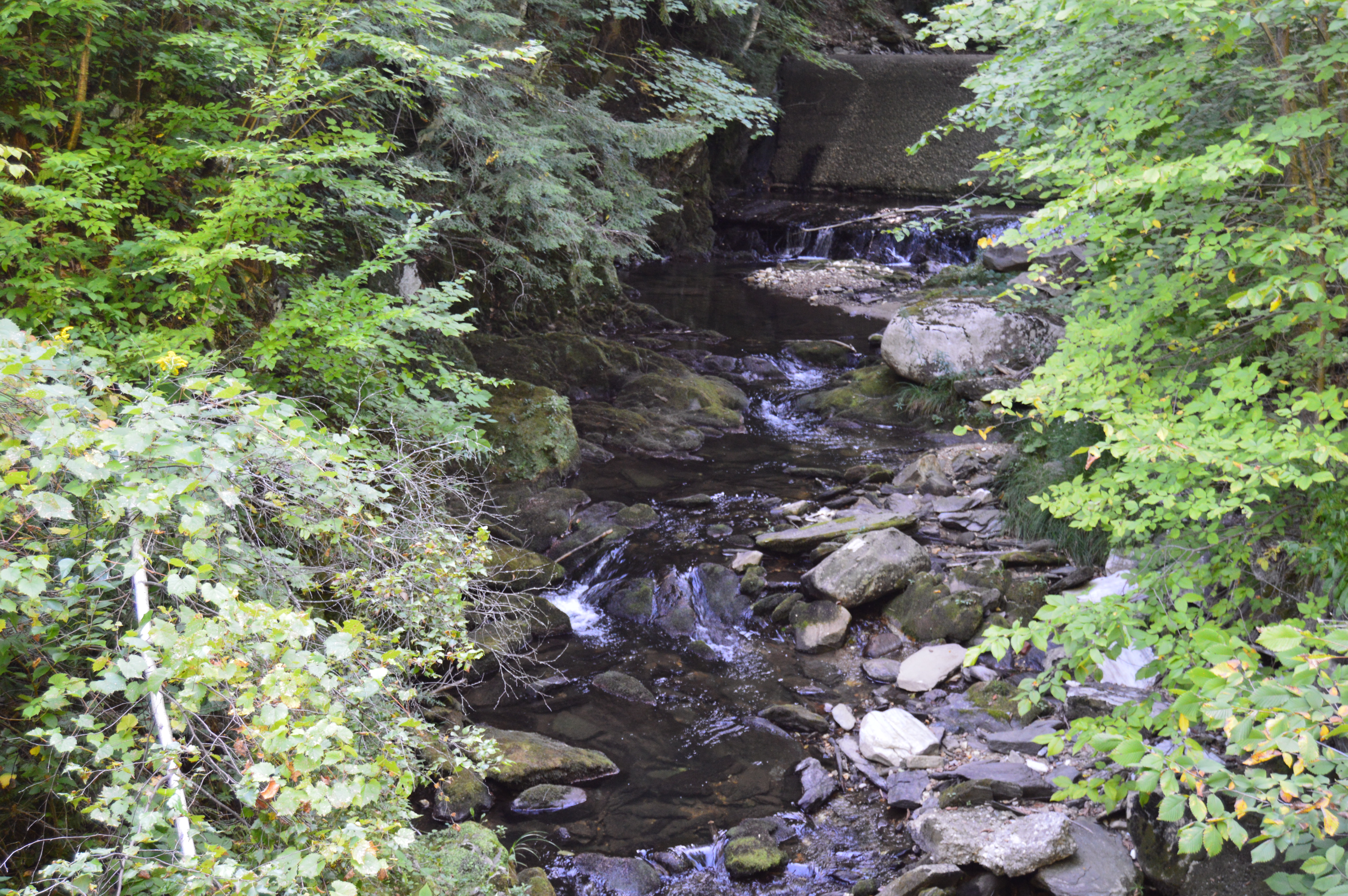
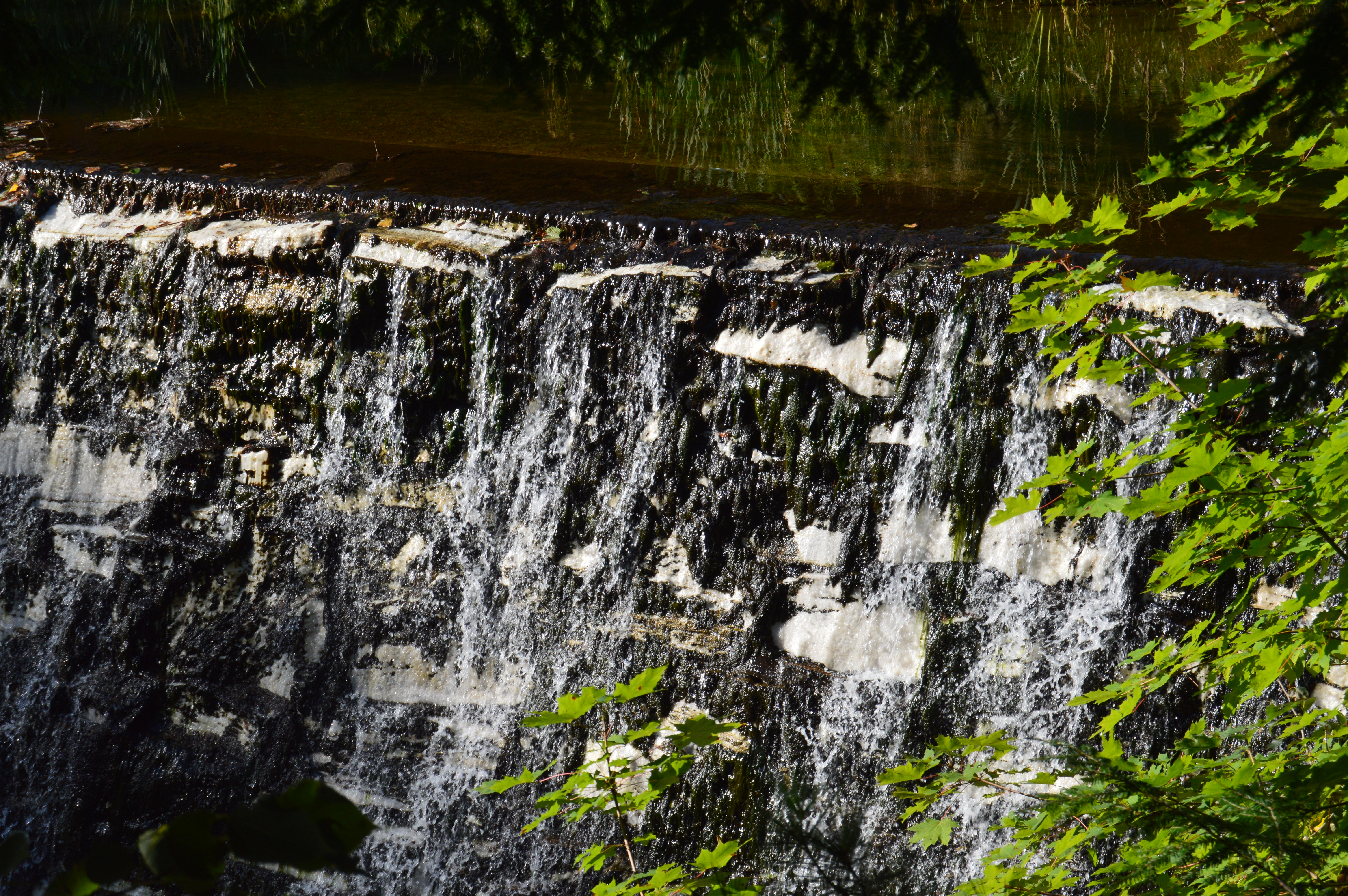
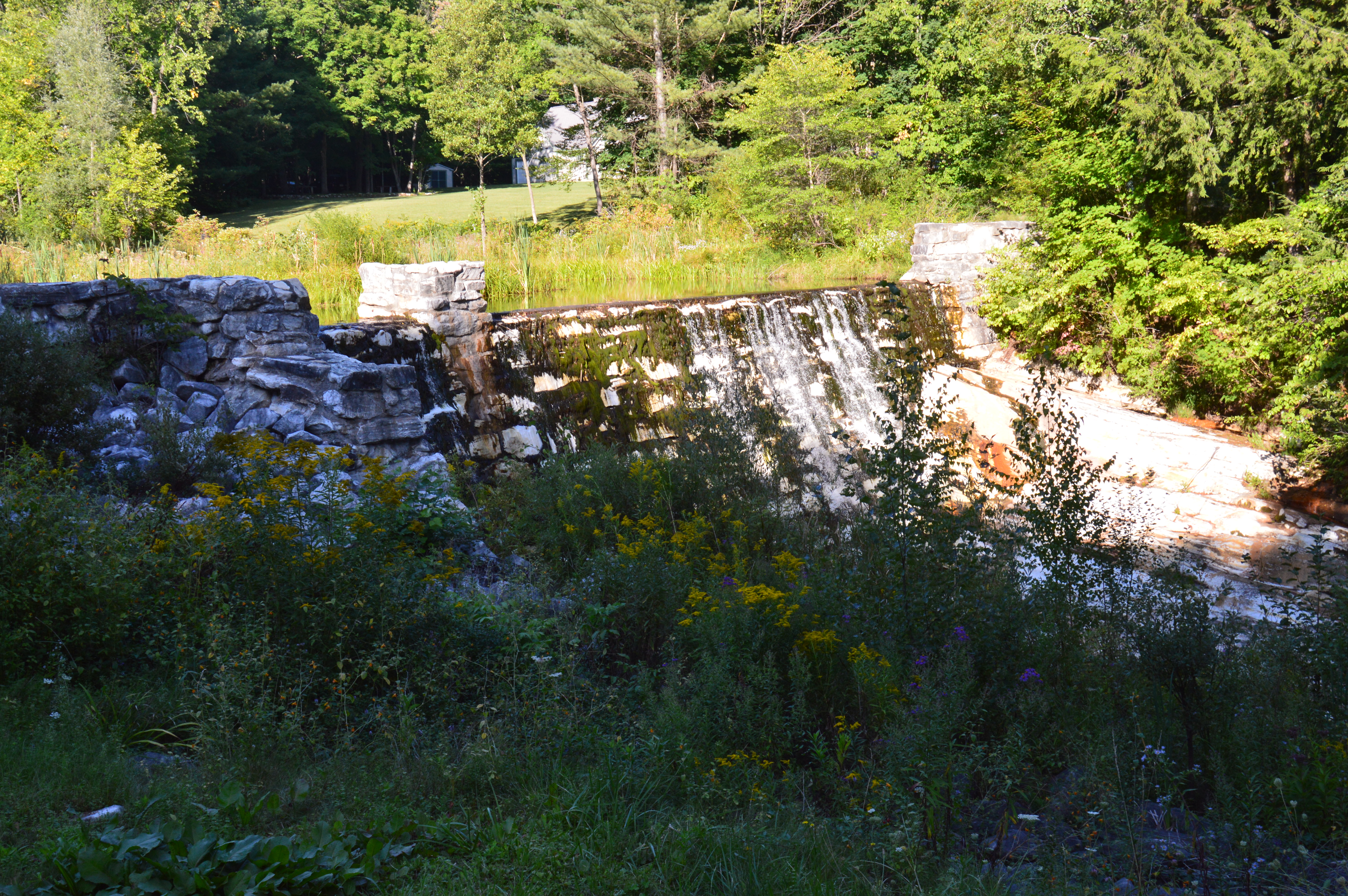
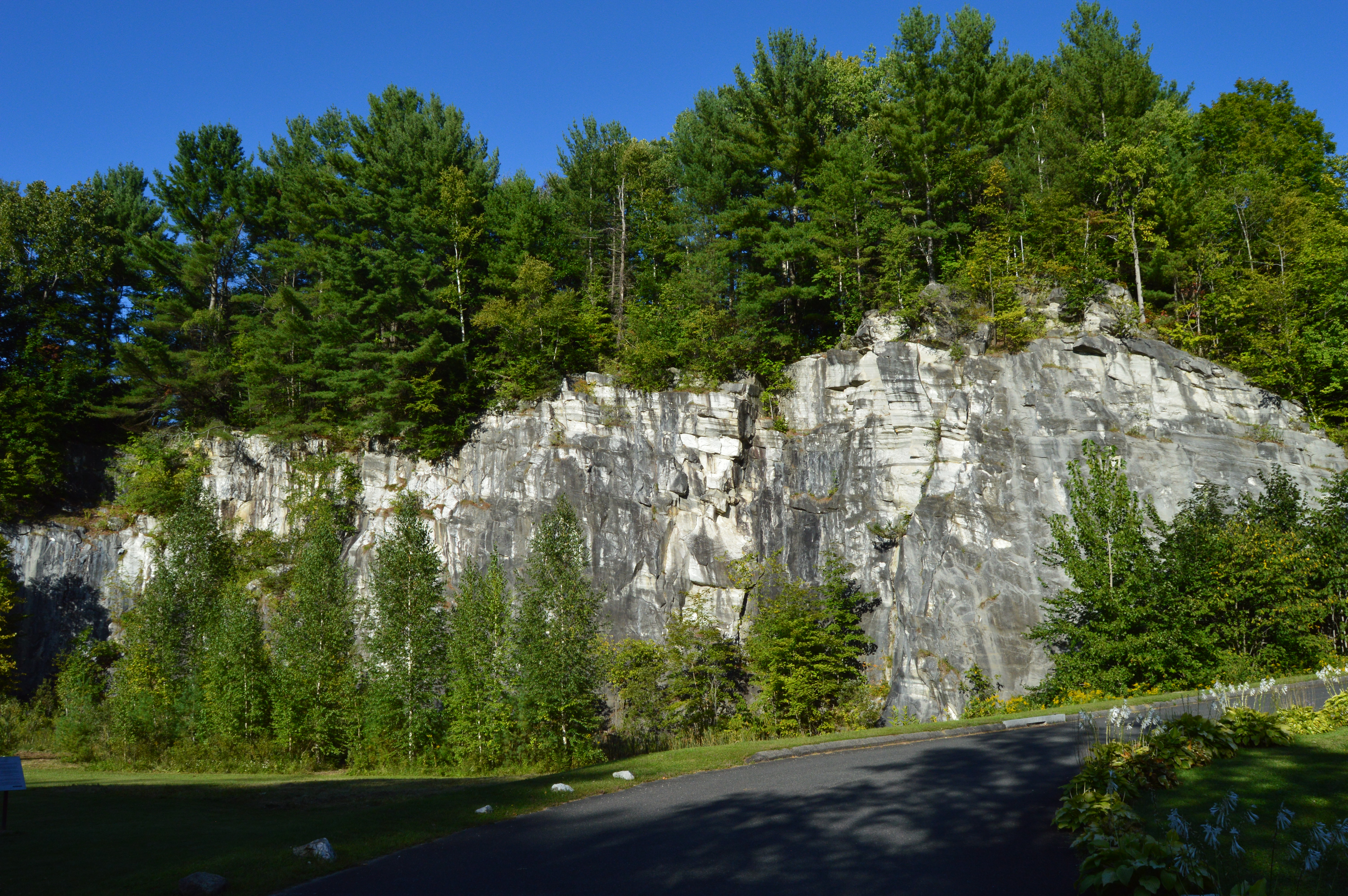
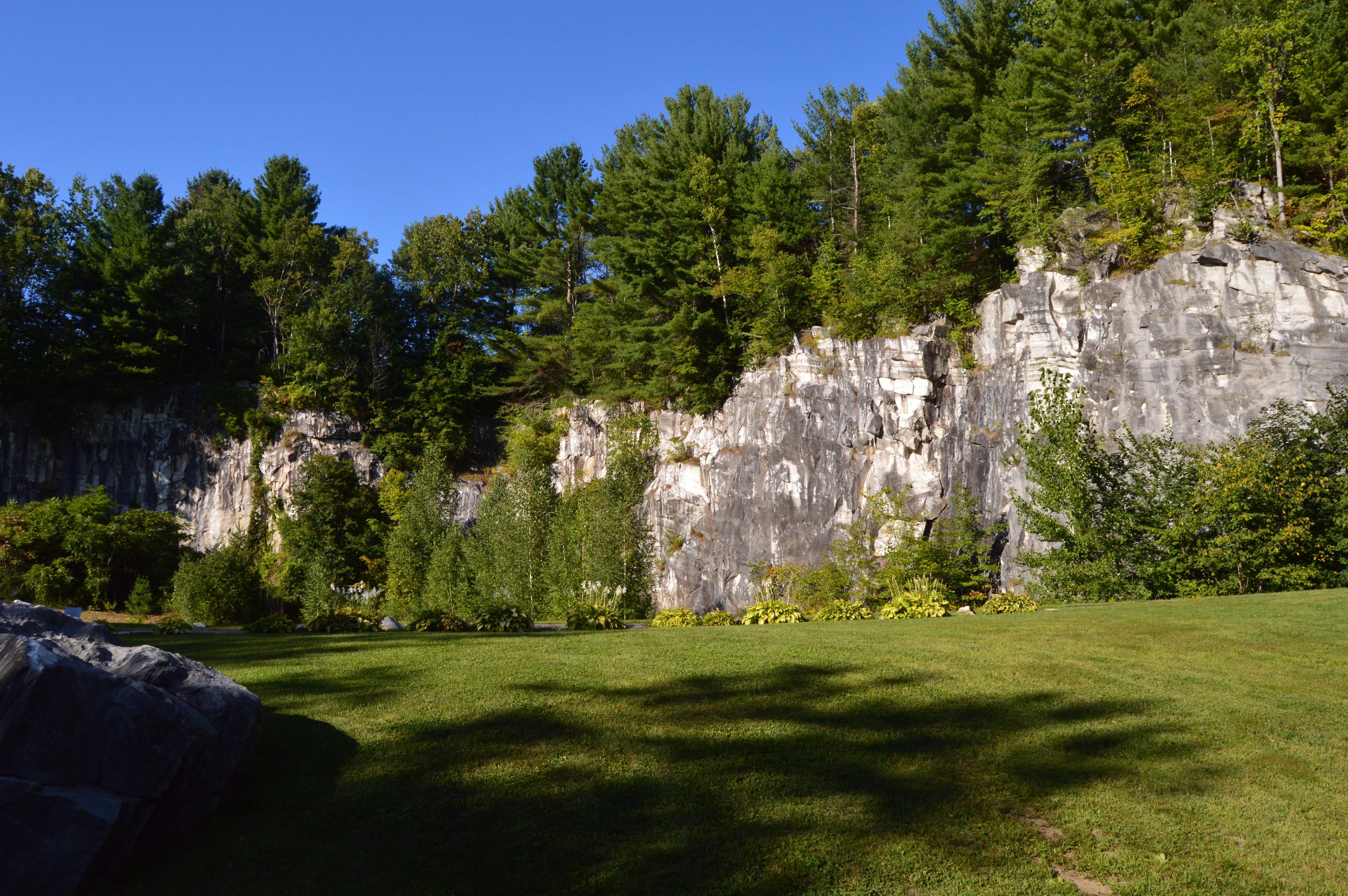
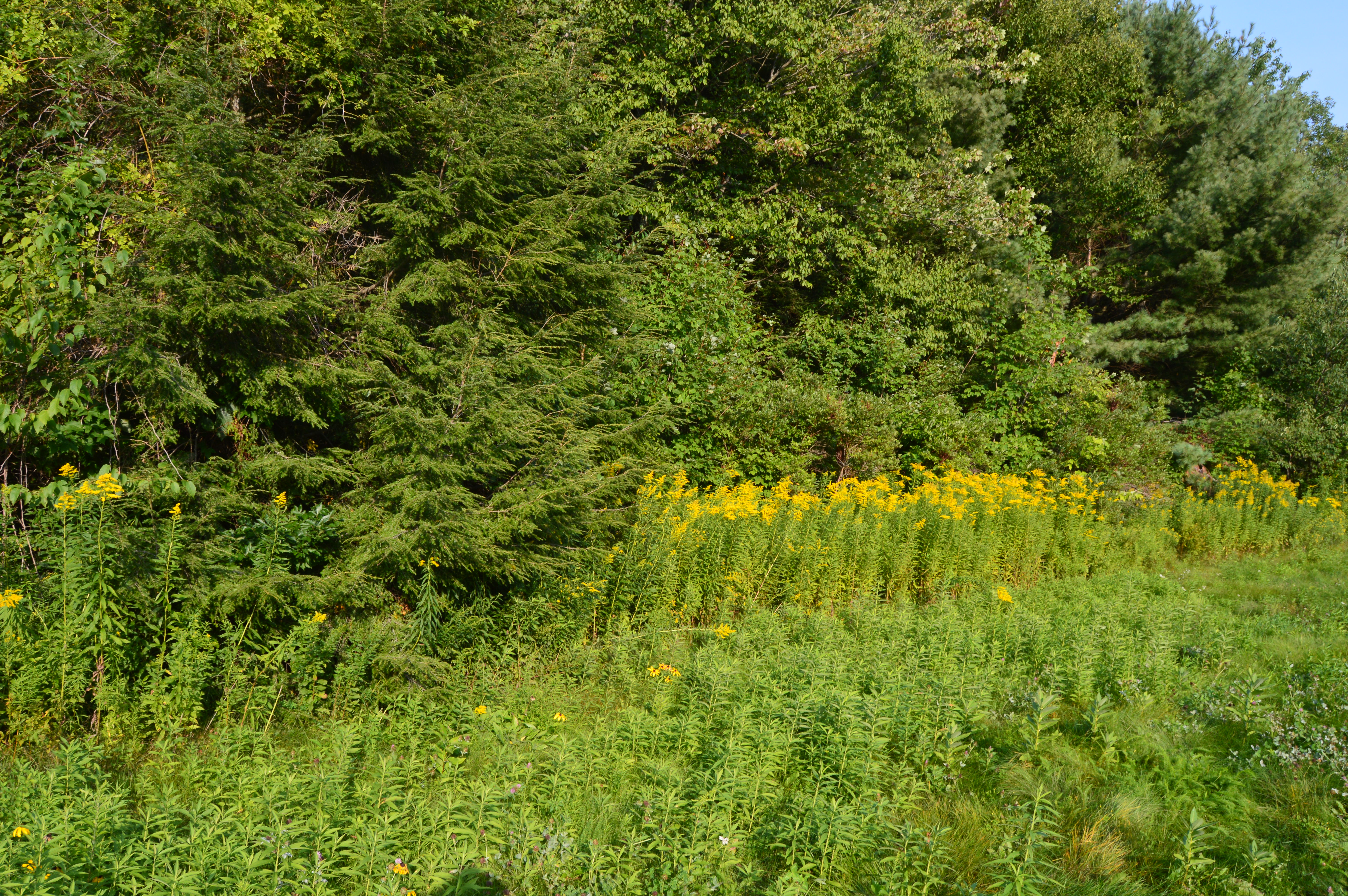
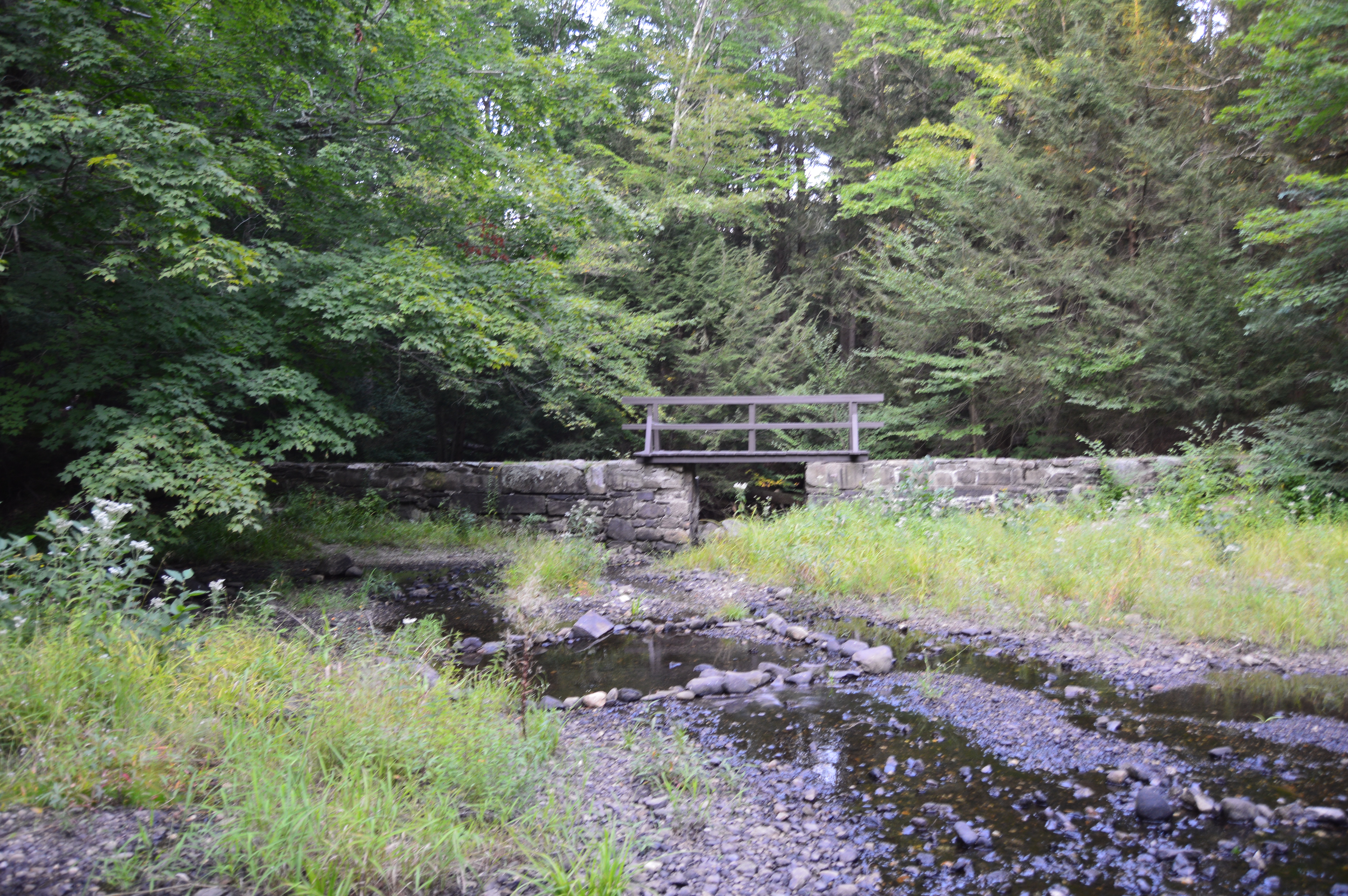
The Woodland Loop (the main trail from the educational center) leads to the Hannah Ames Trail (named after a former resident of the land).  The 2.5 mile loop is easy with some pretty views.  I heard lots of birds but failed to photograph many of them (this is atheme with my visit as you will see later).  But the views are pretty and a boardwalk covers some wetland.

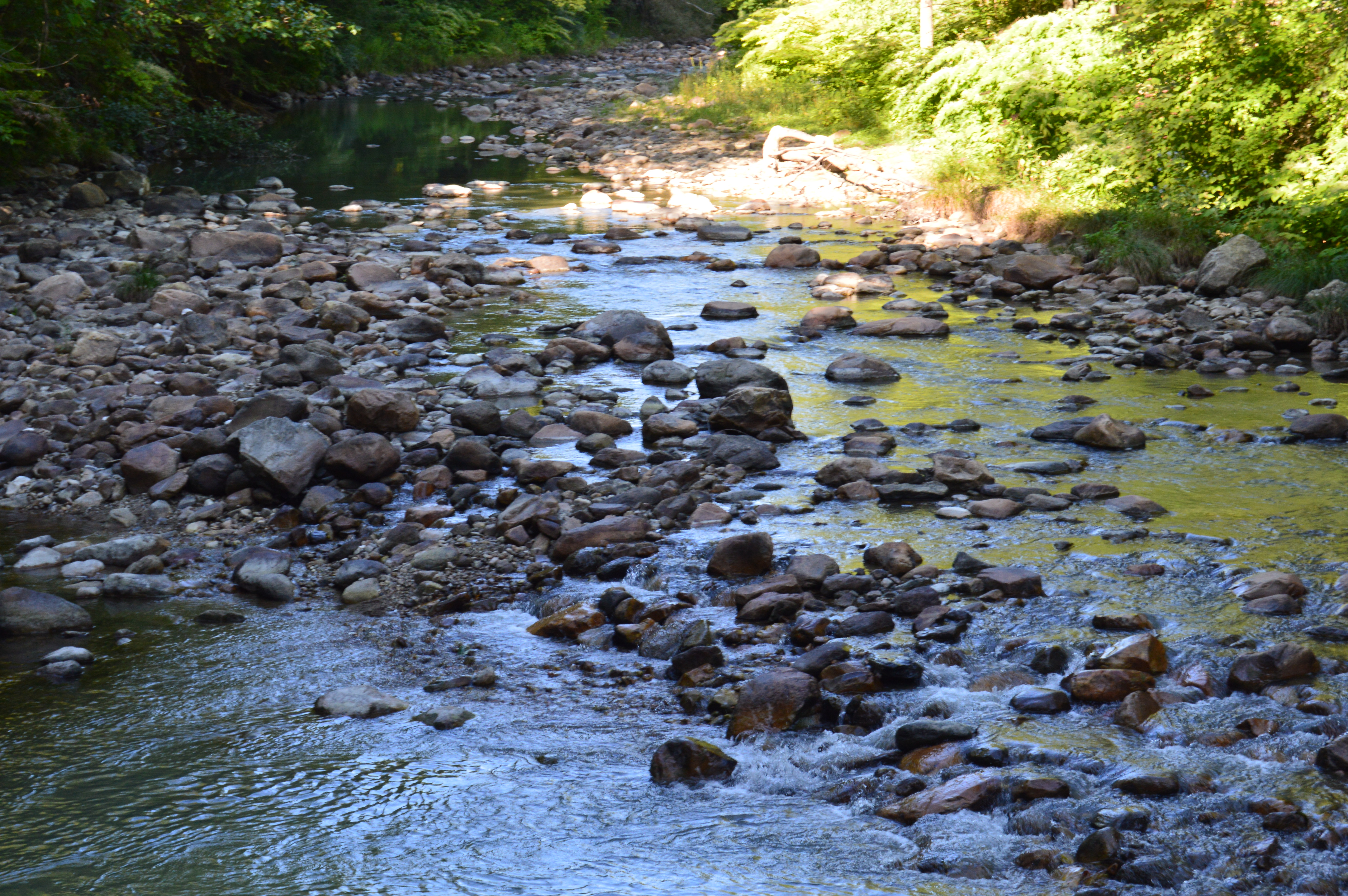
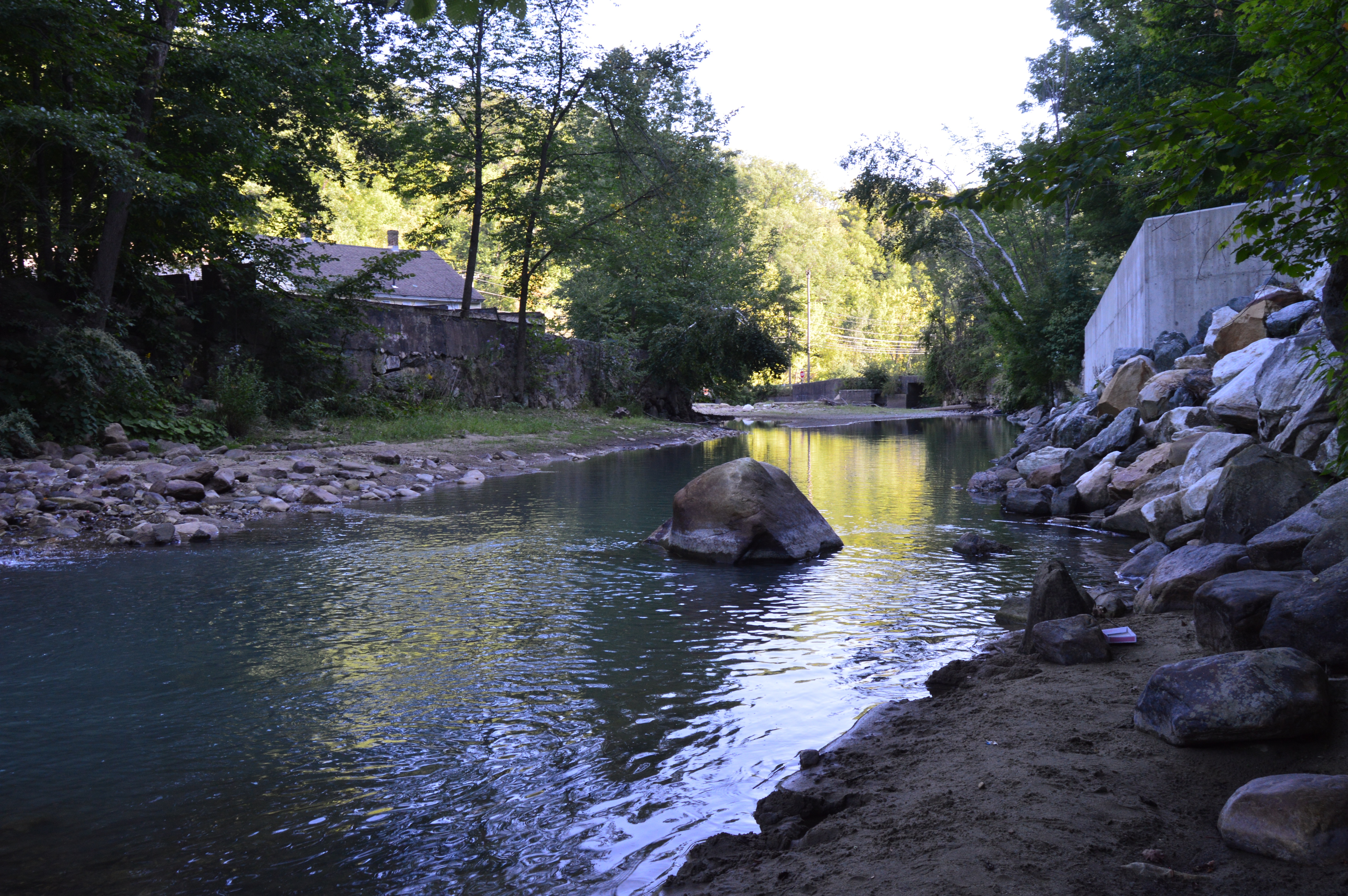
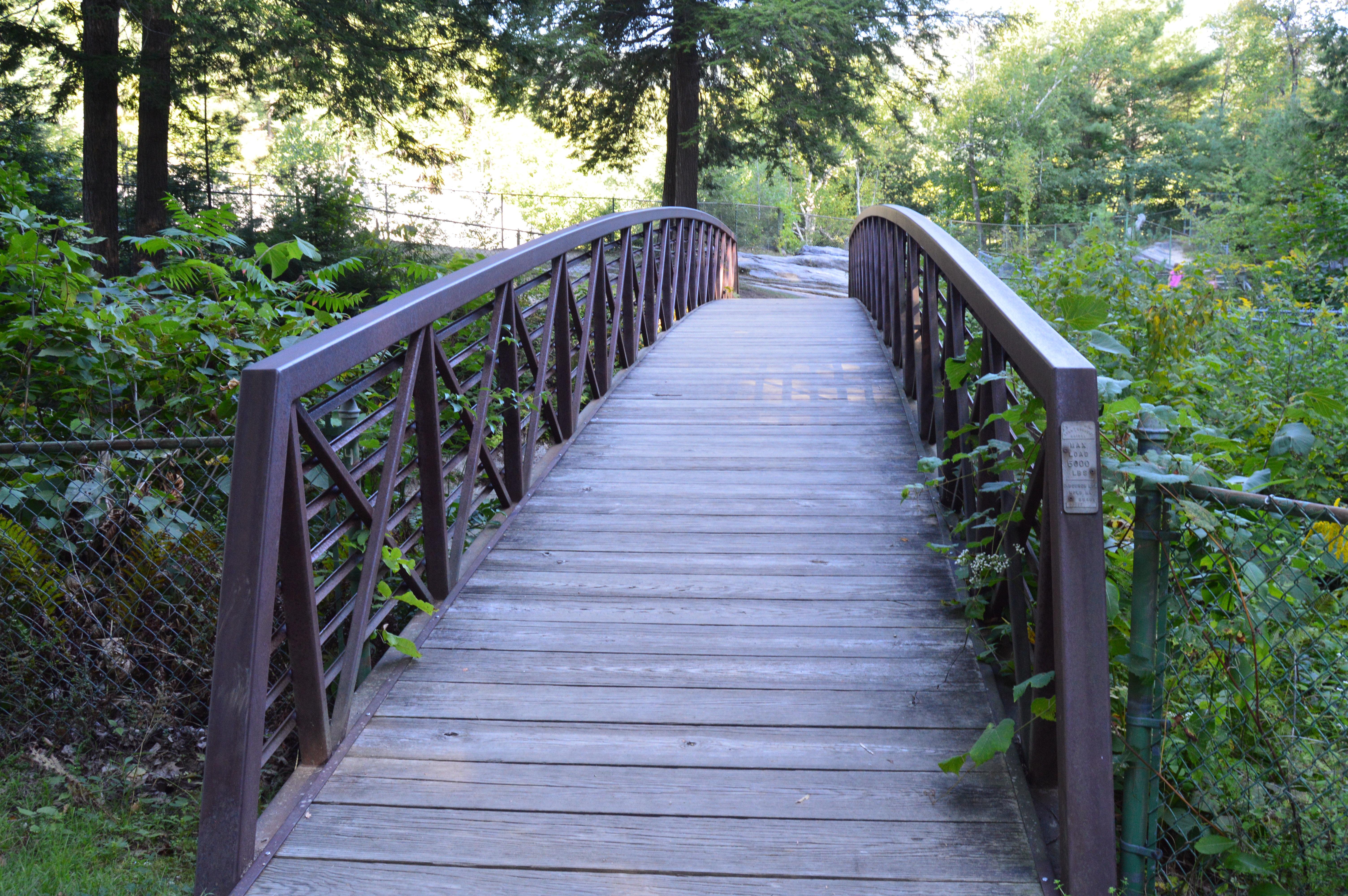
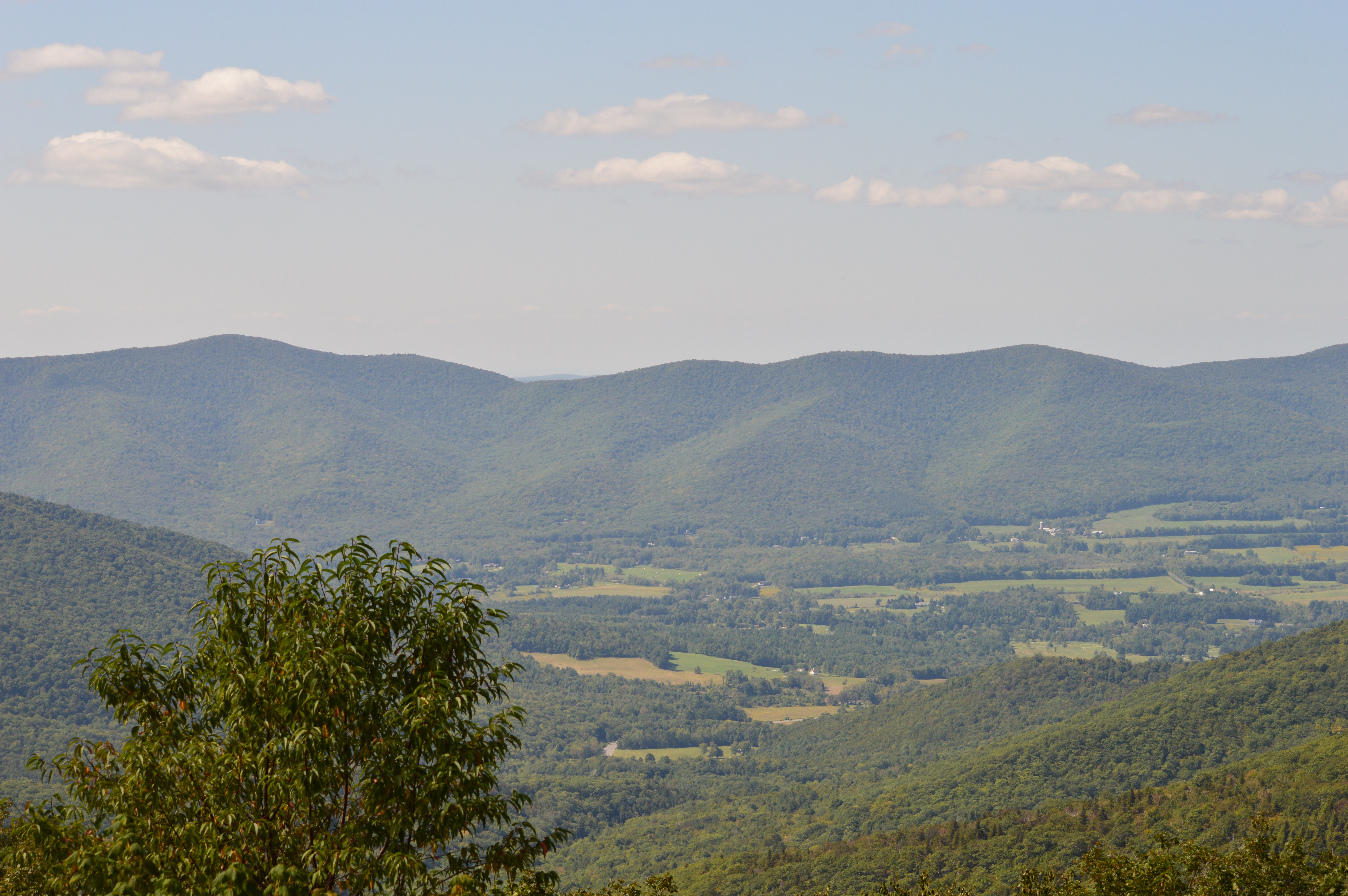
The gem of the sanctuary, has to be the trail that leads to the boardwalk with the observation platform by the North River.  The signs for the River Loop trail, which veers off from the Woodland Loop after a quarter of a mile or so, are sort of tucked away.  As a reference point, if you reach the tent on the Woodland Loop you’ve gone too far.

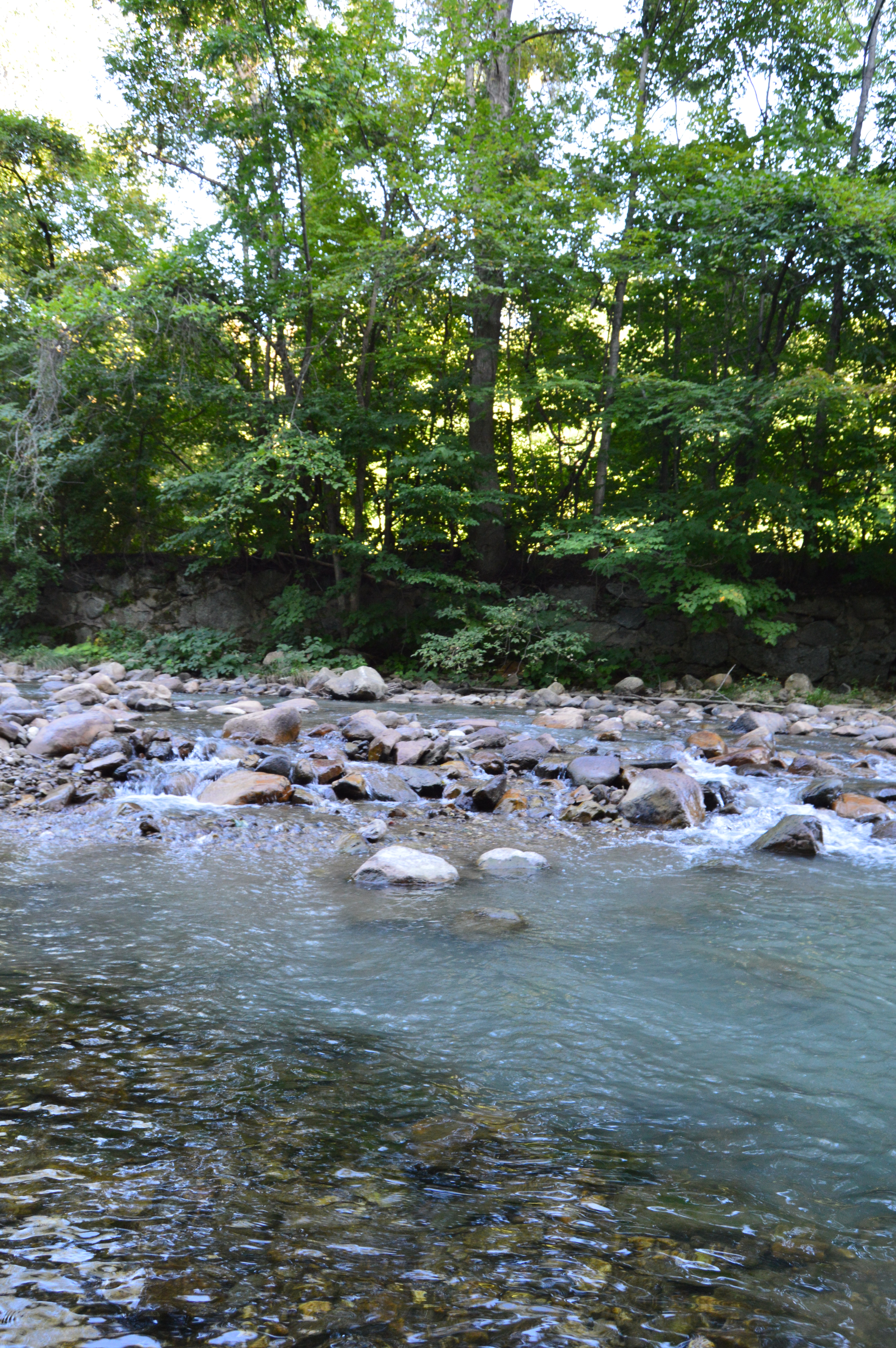
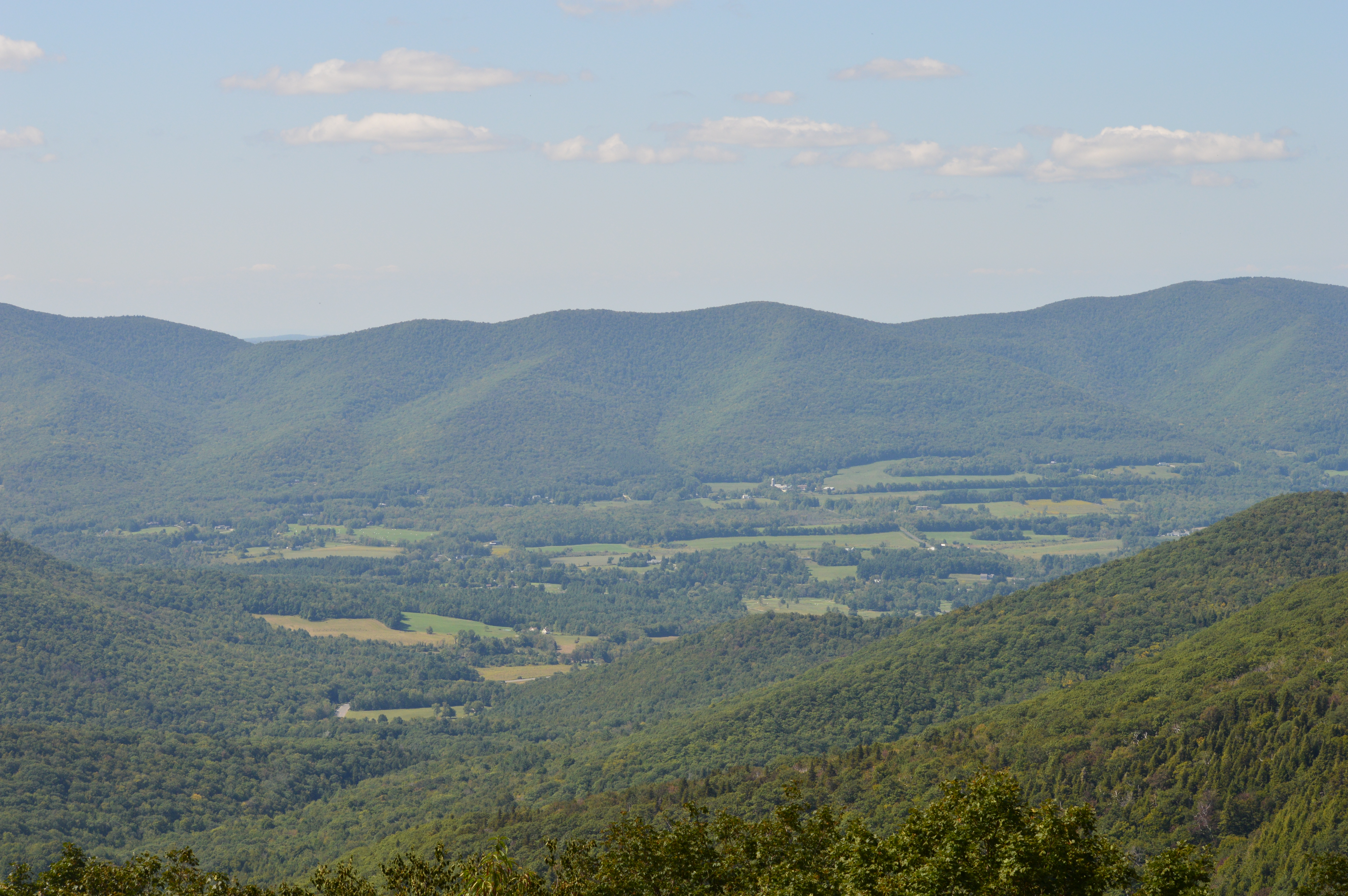
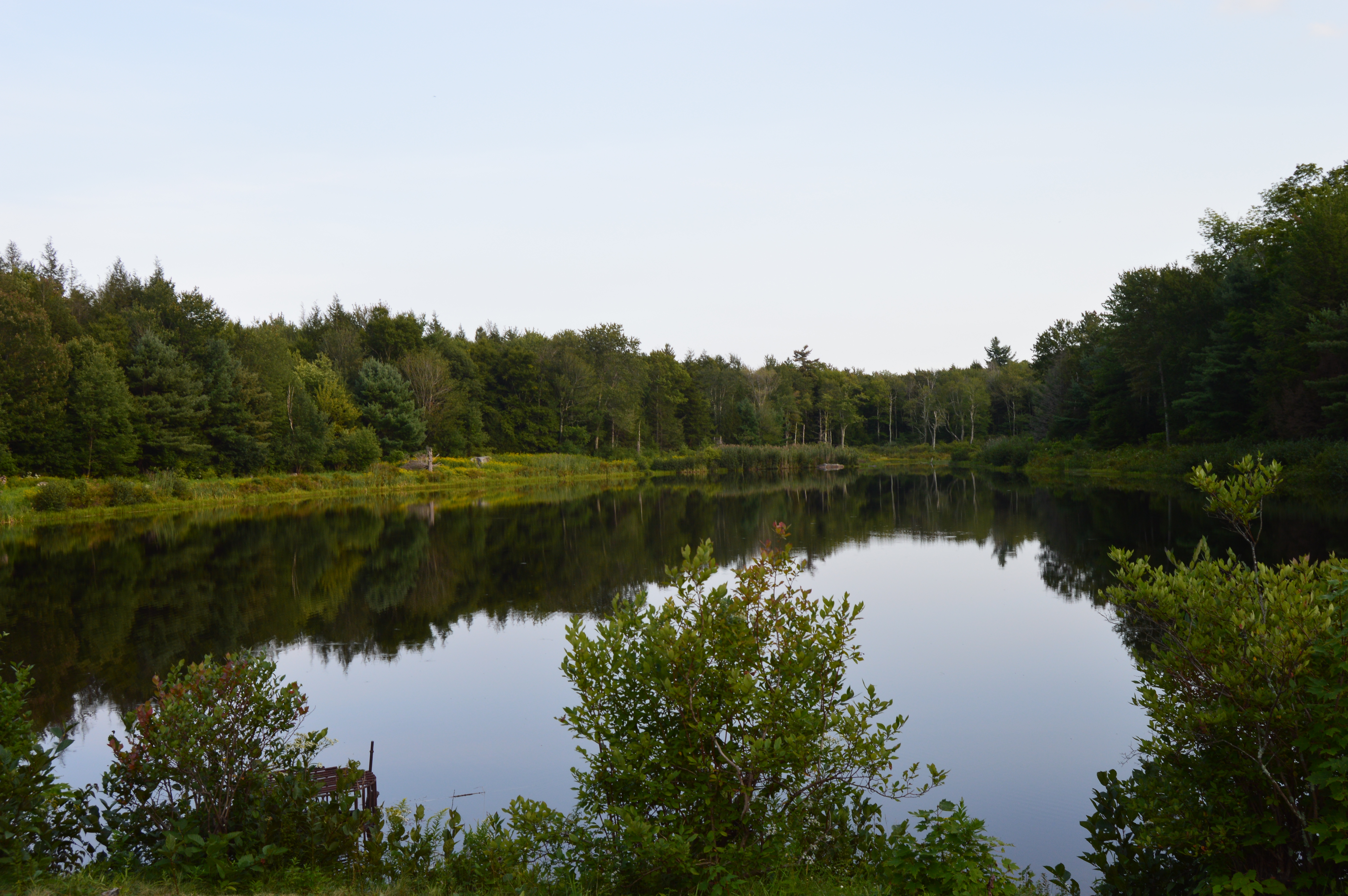
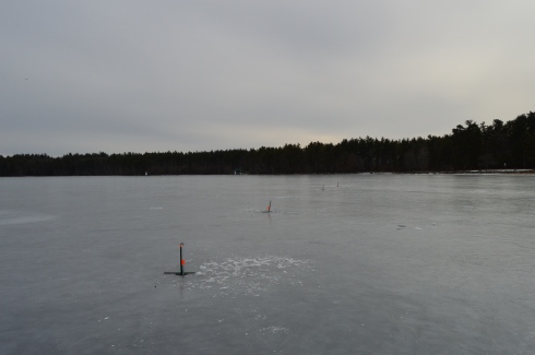
Once you cross the busy Summer Street (be careful), you will see a trail that leads to an open area with views of the North River in the distance.

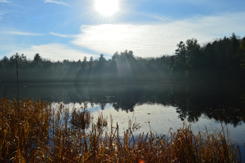
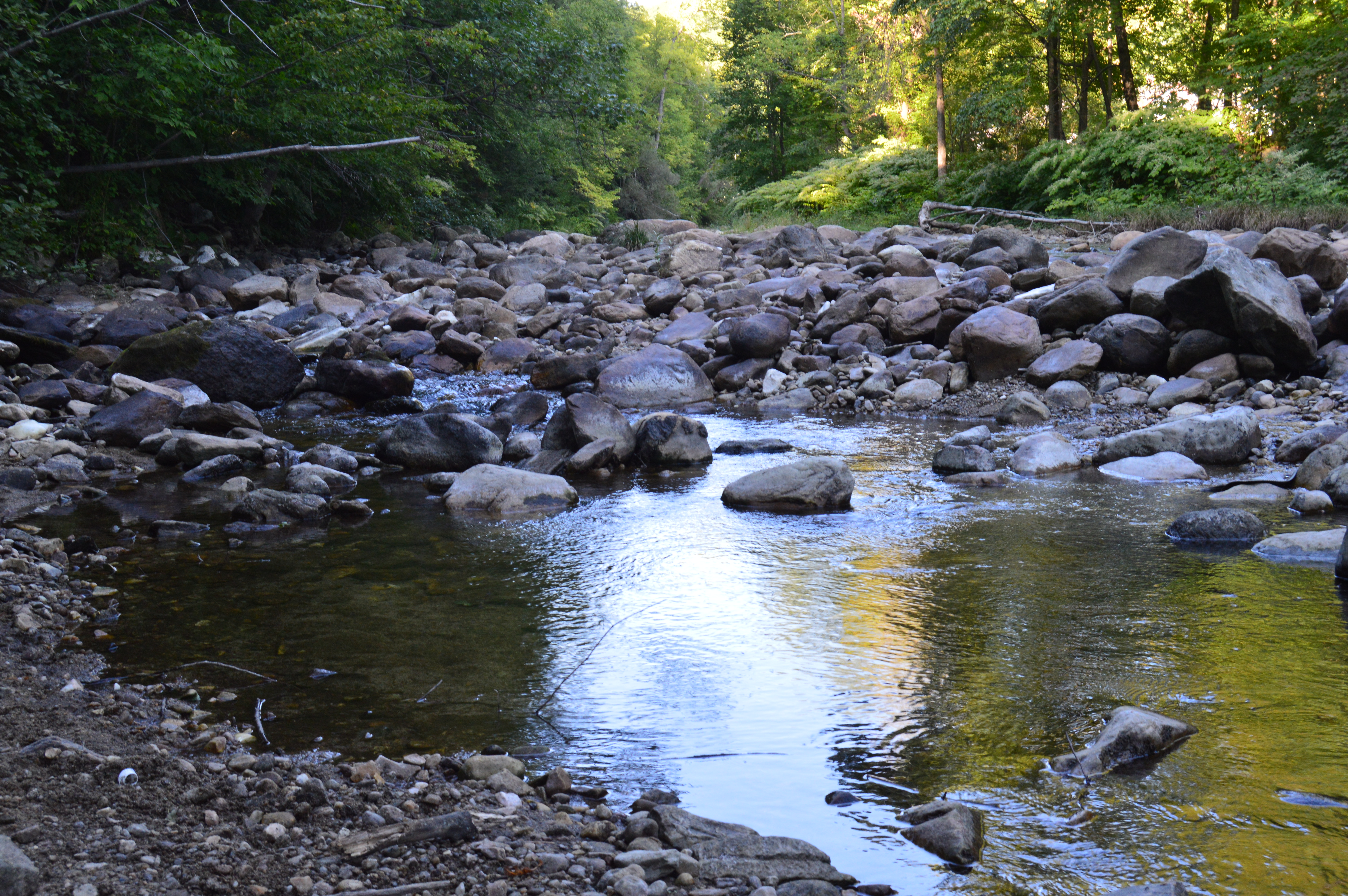
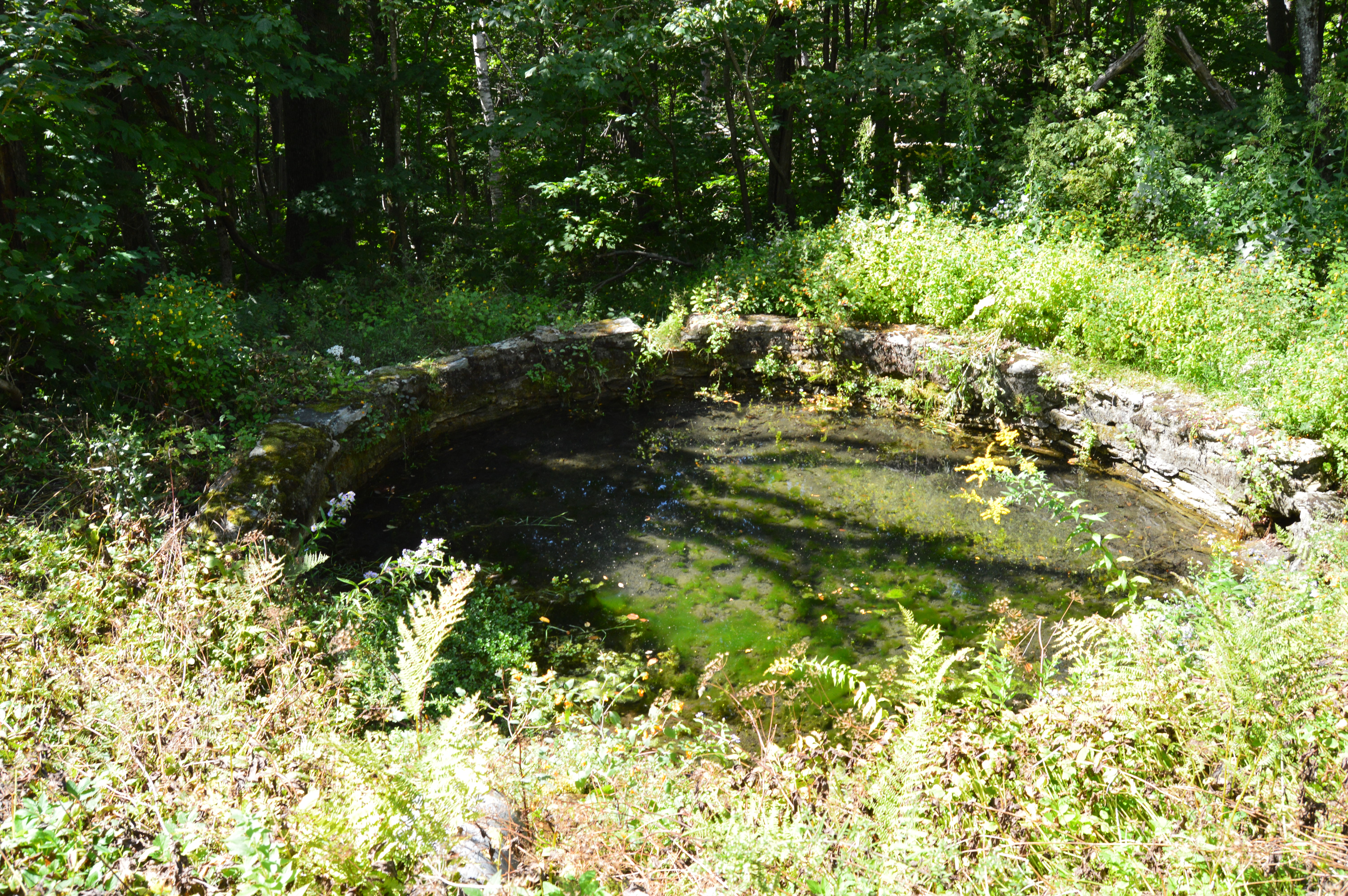
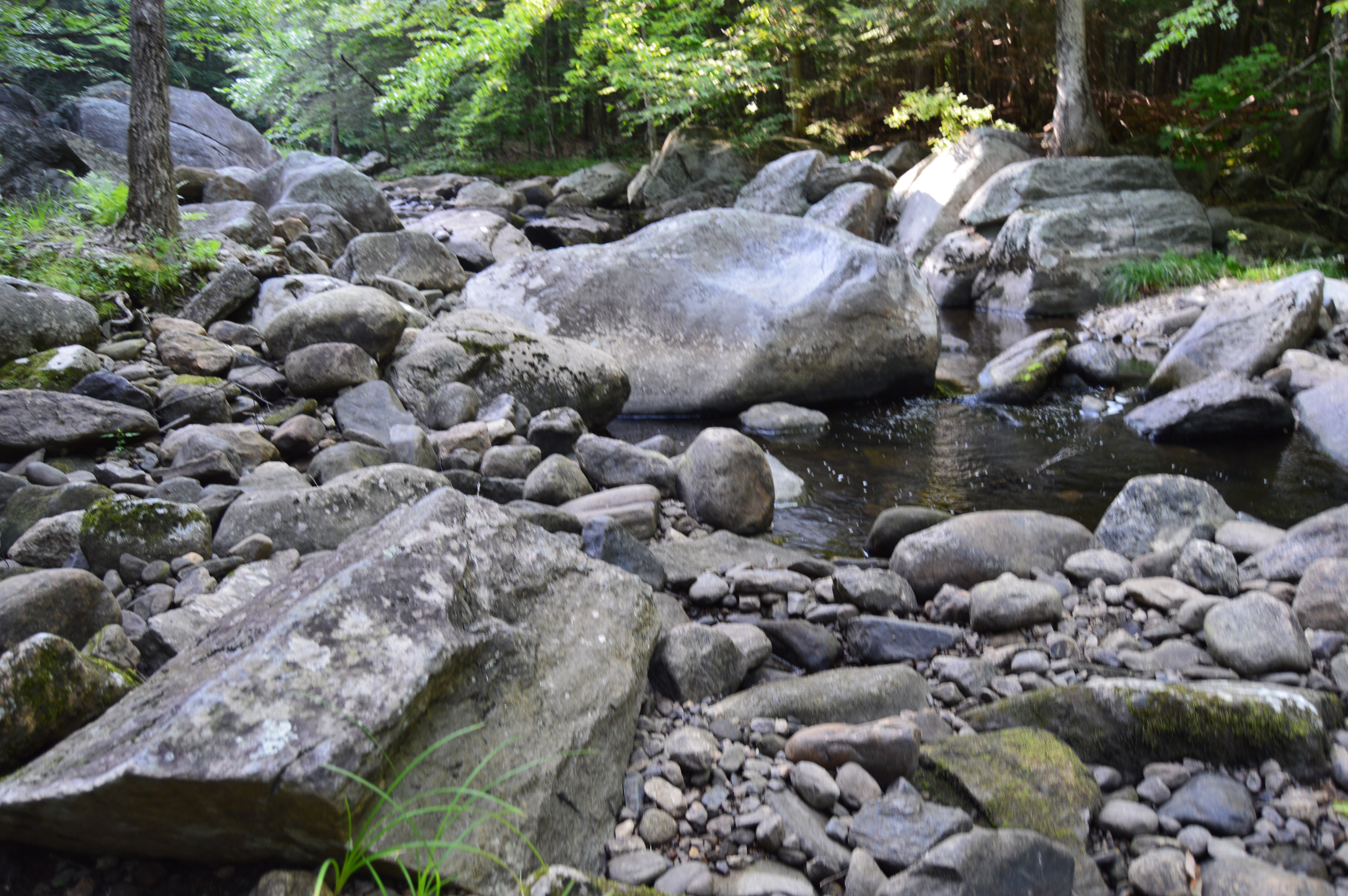
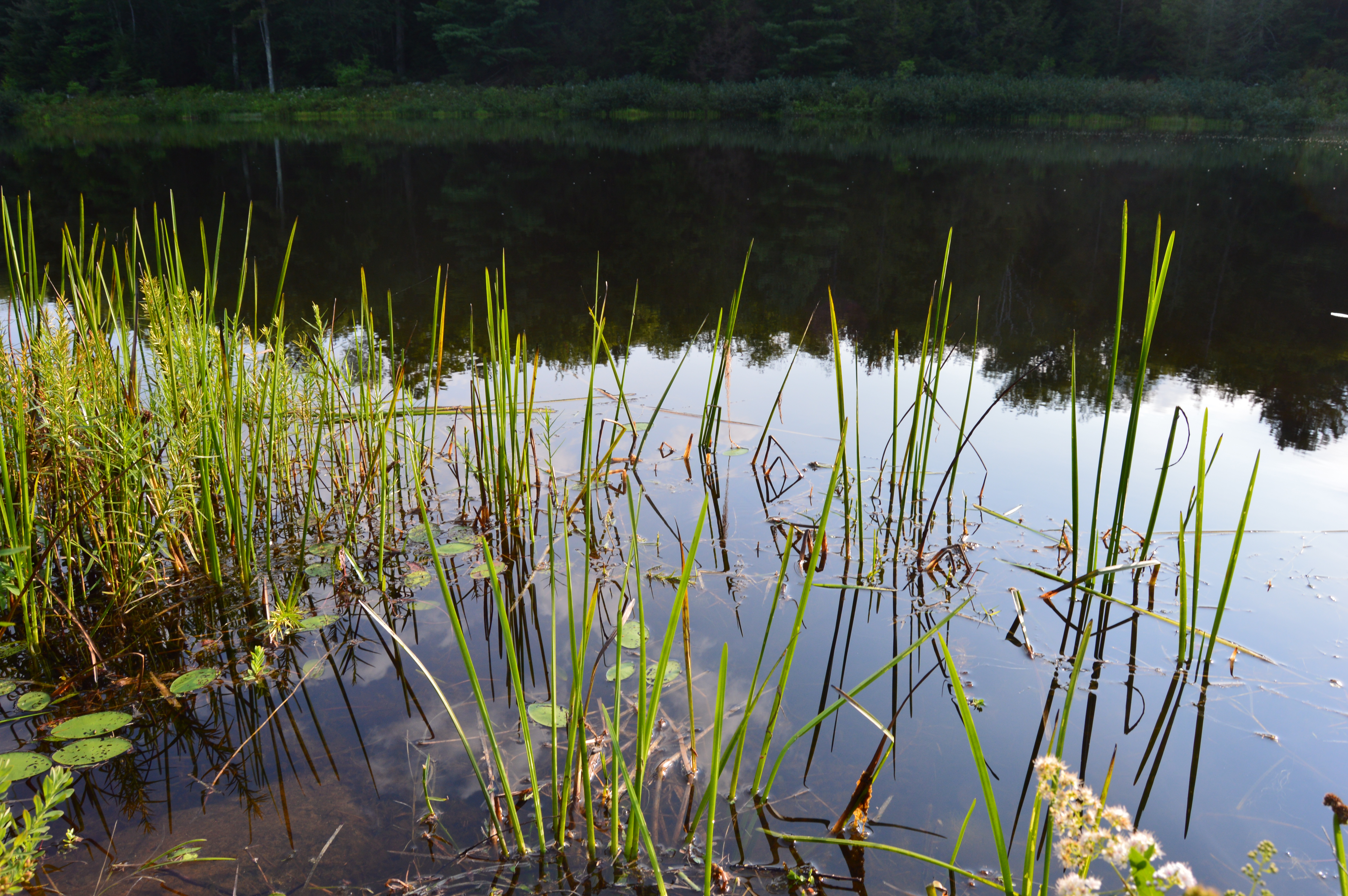
There is a well worn grass trail that leads to a boardwalk over a wetland area.  Trust me, there is a bird in the first photo in the bottom row.  I swear.

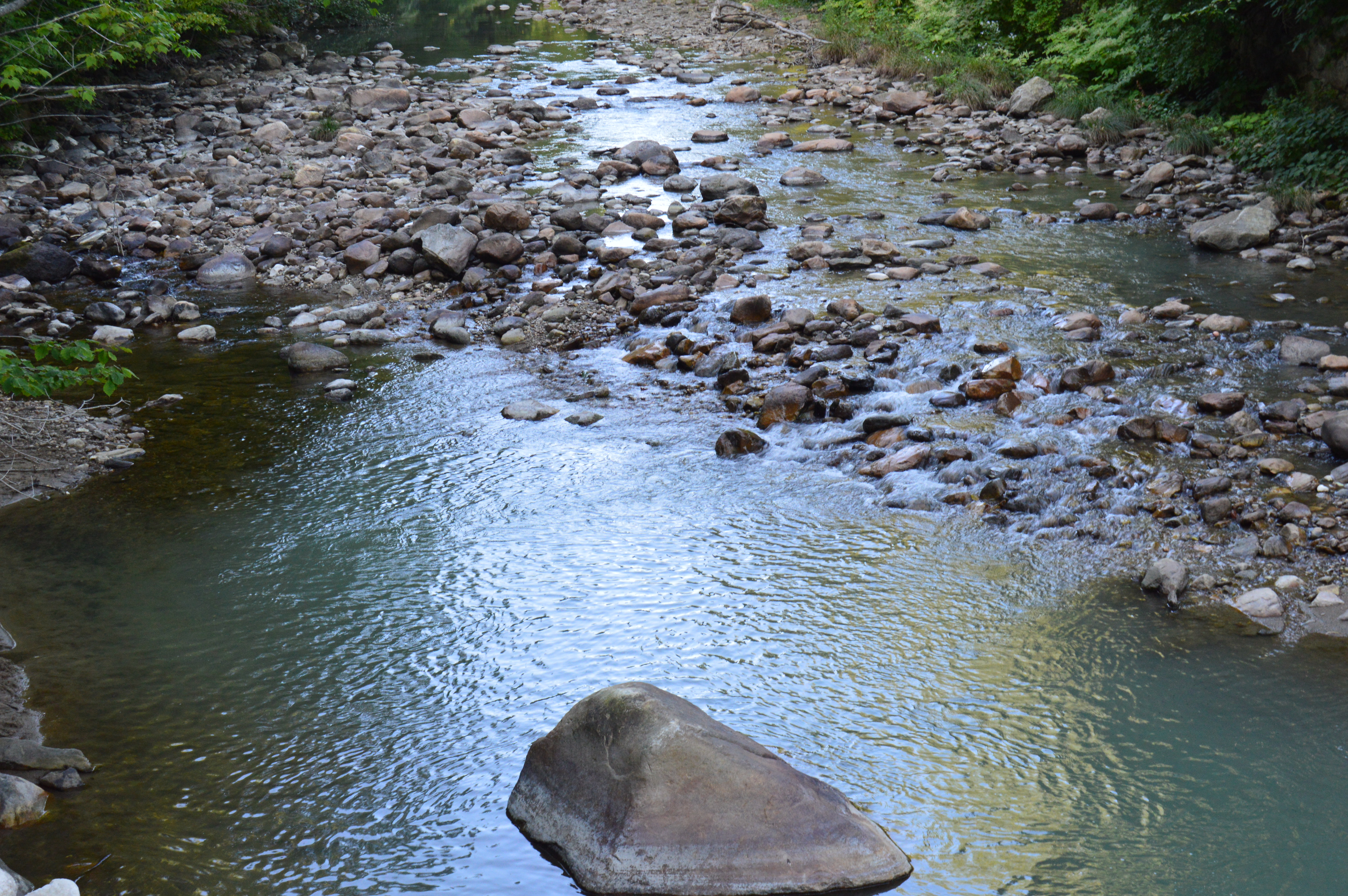
The boardwalk leads to a very cool observation platform with cattails and other plants and trees along the sides of the platform.

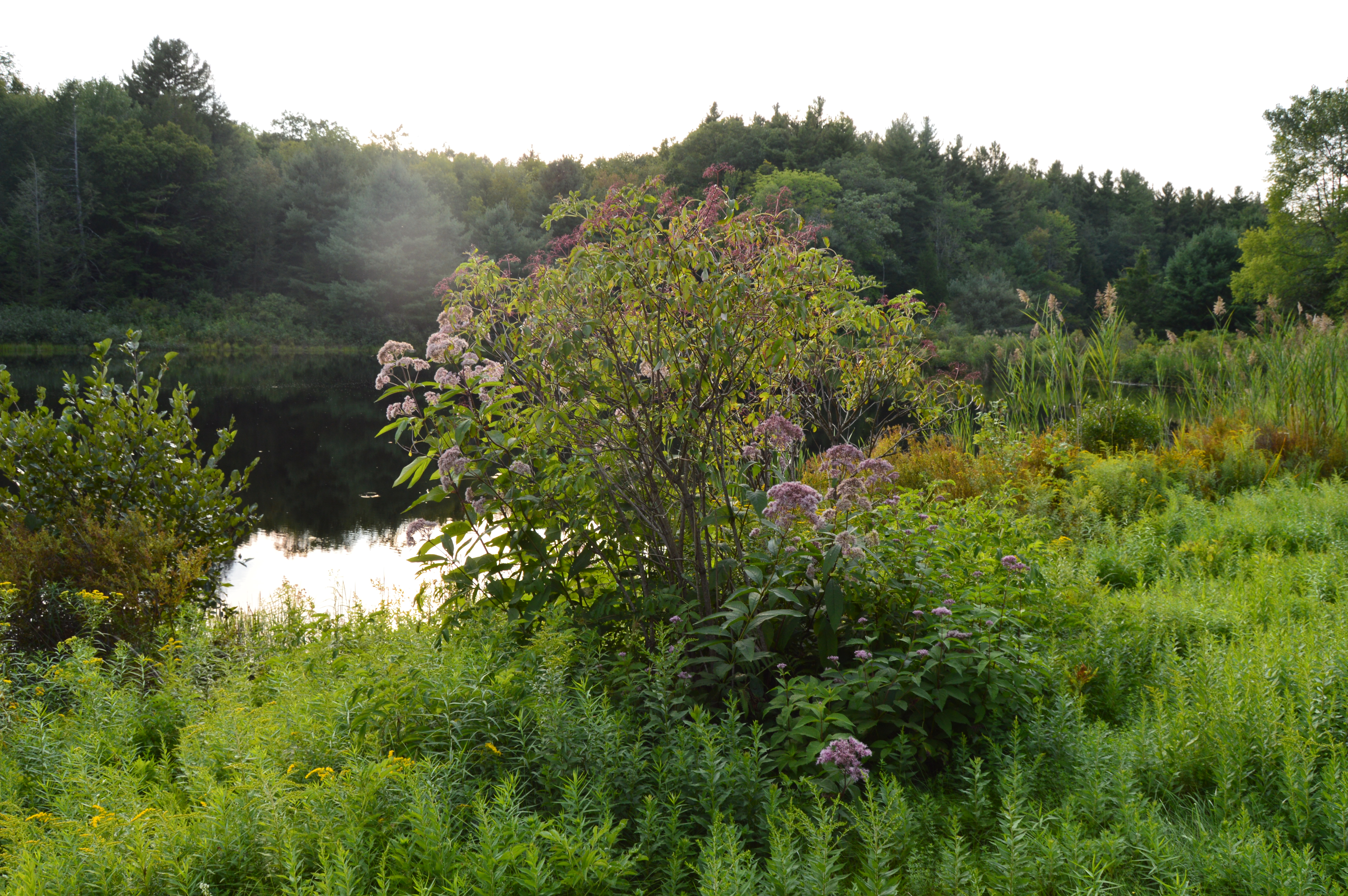
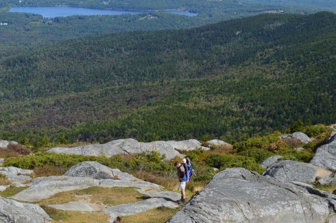
The views from the platform are very pretty.  I didn’t see much bird activity and it was a fairly cold day with a blustery wind during my visit.

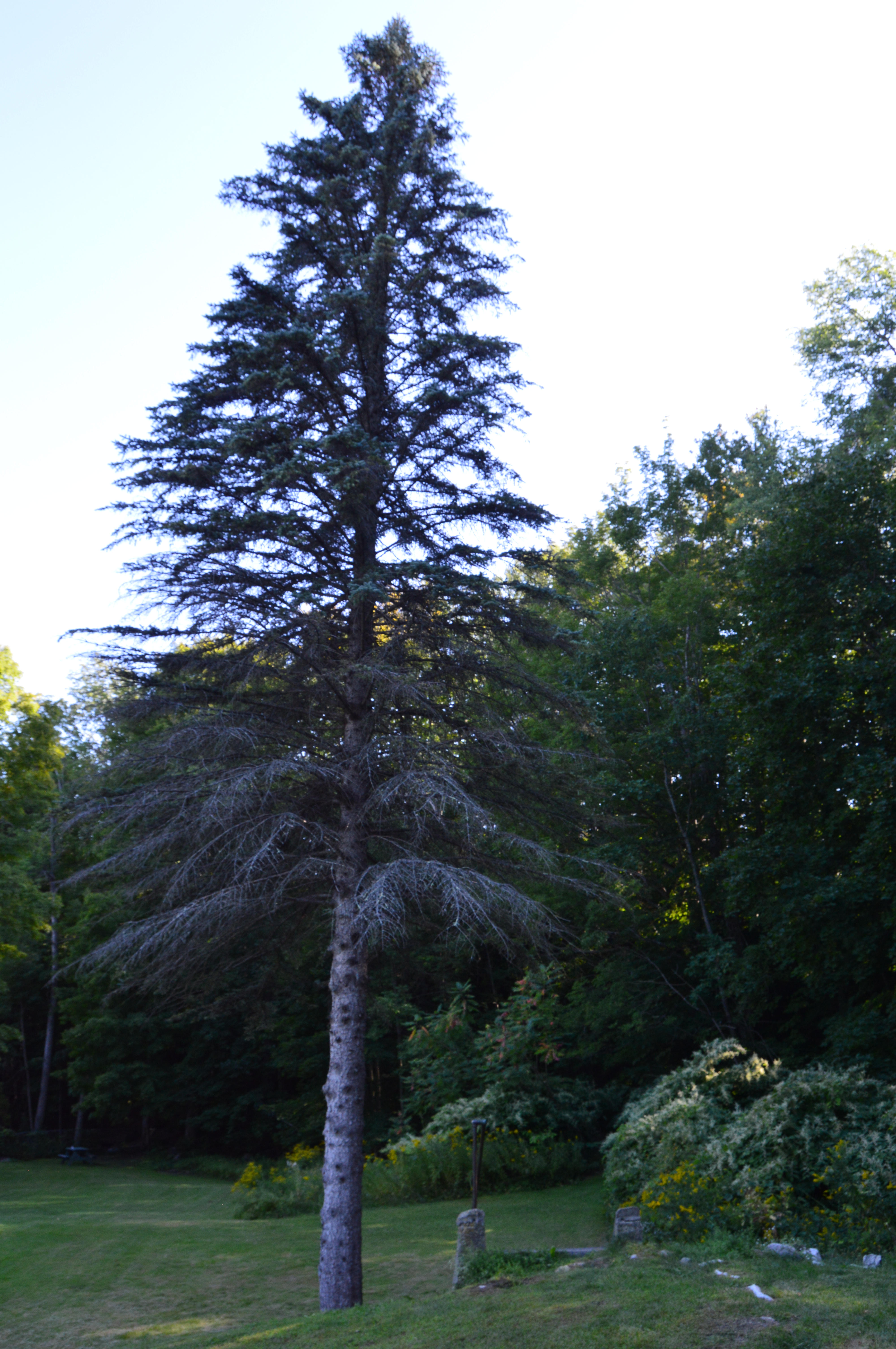
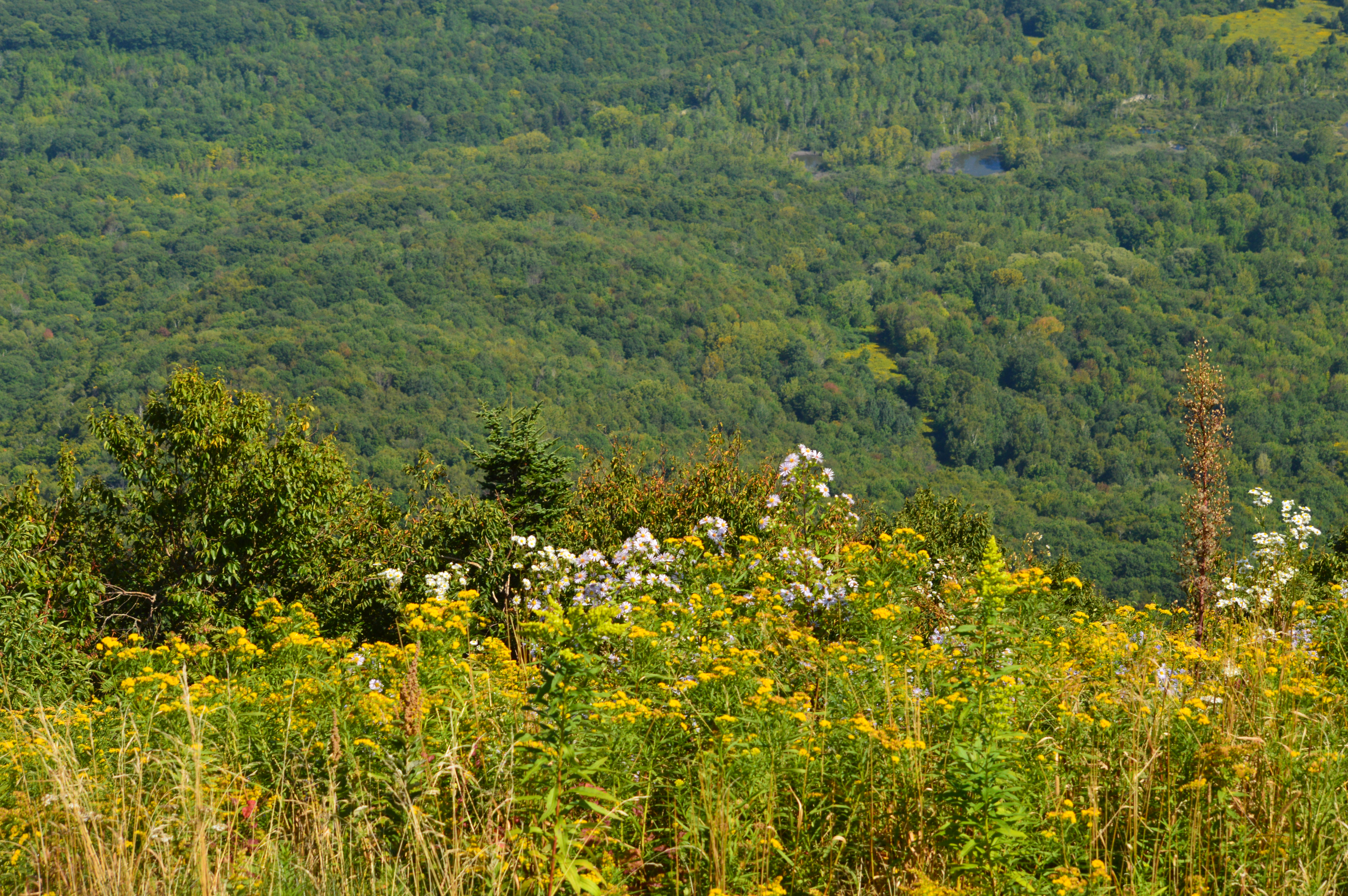
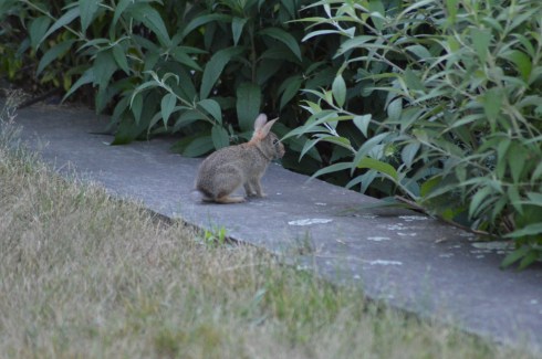
After leaving the platform area, I noticed a somewhat hidden trail, the Red Maple Loop.  For some reason, perhaps because of the thick brush and because it is heavily wooded, this is where I saw and heard the most activity.  In fact, I saw some bucks while I entered the trail but they caught me by surprise and I couldn’t get their photo.  There were lots of birds on this trail though.  Again, they’re very hard to photograph.  But, I did manage to photograph a few of them.

This Mass Audubon site also utilizes solar power as part of their commitment to the environment.

dsc_0164

Below is a video from the observation platform by the North River.  As you can tell by the audio, it was a pretty windy day!


Mount Monadnock (Jaffrey, NH)

Date Visited: September 17, 2016

Location: 116 Poole Rd, Jaffrey, NH

Trail Height: 3,165 feet

Trail Difficulty: Moderate

Time To Allot For Visit: 3-4 hours (up and down)

Cost: $5.00

Parking: There are several parking lots with ample parking but it does get busy and fills up during the spring summer and fall months

Dog Friendly: No

Highlights: scenic views, pretty flowers and trees, pretty rocky structures, birds, views of Boston skyline

Mount Monadnock Web Site: Mount Monadnock

Mount Monadnock Trail Map: Mount Monadnock Trail Map

dsc_0113


Standing at 3,165 feet, Mount Monadnock is considered one of New Hampshire’s “easier” climbs (according to alltrails.com).  But, before you lace up your hiking boots and pack up your car for the scenic drive to the majestic mountain in Jaffrey, New Hampshire, you may want to get a second opinion.

While it isn’t the hardest climb you will make, it also isn’t an easy climb, particularly for beginner climbers.  I saw more than a few climbers taking breaks on the side of the trail to the top.  But, it is worth all the hard work and time to get to the top when you see the views.

At the beginning of the trail, there is a reminder to not make or knock down the cairns on the trail.

dsc_0636

The dirt trail at Monadnock starts off easy enough as a straight trail with a slight incline.  From there, the trail gets tougher.  The inclines become more drastic and the terrain turn rocky.

There are some pretty views on the way to the top.  About three quarters of the way to the top of Mount Monadnock, there is an area to sit or stand and take in the views of the surrounding area.  On a clear day, you can see the Boston skyline.  You may be able to see it in some of these photos.

The trail gets slighly easier after the first 3/4 of the trail.  But only slightly.  Keep in mind this was my first hike up any mountain.  So, it may be much easier for an experienced climber.  In any case, there are several areas to take photos as you inch closer to the top.

Finally, I made it to the top.  It took me about 2 to 2.5 hours to get to the top.  Bear in mind I had a camera with me that I had to make sure I didn’t hit against a rock (I always keep the camera by my side and not in my backpack or carrying case because you never know when you might need to take a photo at a moments notice) and again it was my first time hiking anything this size.  So, an experienced hiker without a camera would probably be able to complete the ascent in about an hour.

The views from the top are breath taking.  Be sure to take a sweater with you, even if it is a warm day when you go, because the winds at the top of the mountain are very strong.

I had enough trouble hiking up to the top by myself, never mind doing it with someone strapped to my back like this guy!

dsc_0022

Due to the geoloical makeup of Mount Monadnock, there are some little ponds of water and colorful grass at the top.

Keep in mind, Monadnock is a very popular attraction and the trail does get busy quickly, especially during ideal hiking days.

If you’re lucky, you may run into Larry Davis.  Larry has been hiking Monadnock virtually everyday (rain, snow or shine).  he has easily logged in thousands, probably tens of thousands, of hikes up and down Mount Monadnock.  He also takes some beautiful photos from Monadnock on a camera with film.  He was nice enough to pose for a few photos for me.

I found some other cool things on the trail.  There is a flying insect of some kind that makes a clicking sound while it flies, signs of fall and some interesting rocks with names etched into them.  The names etched into the rocks are the names of the families that lived at the bottom of the mountain or the surrounding areas and some are said to still live there today.

Mount Monadnock also has comfort stations and a general store at the base of the hill so you can refill the calories you will surely burn hiking.

In short, Mount Monadnock is the perfect hike for beginners and experienced hikers.  Hopefully, I’ll see you up there soon!

Below are some videos from my hike at Mount Monadnock.  You can hear the wind blowing in some of the videos.


Ipswich River Wildlife Sanctuary (Topsfield, MA)

Date Visited: July 16, 2016

Location: Mass Audubon, 87 Perkins Row, Topsfield, MA (about half an hour north of Boston, MA and an hour southeast of Manchester, NH) 978-887-9264

Hours: presently,  Tues–Fri, 9 am–4 pm
weekends & Mon holidays, 9 am–5 pm

November-April
Tues-Sun & Mon holidays, 9 am-4 pm

May-October
Tues–Fri, 9 am–4 pm
weekends & Mon holidays, 9 am–5 pm

Trails
Tues-Sun, & Mon holidays, dawn to dusk

Cost:

Members: Free
Nonmembers:
$4 Adults
$3 Children (2-12)
$3 Seniors (65+)

Parking: There are about 50 parking spots.  You shouldn’t have too much of a hard time finding parking unless there is an event or summer camp is in session

Size: 12 square miles

Time To Allot For Visit: I was there 5 hours and I still didn’t see everything but you can take in most of the best parts of the park in 2 to 3 hours

Dog Friendly: No, most Audubon parks are not dog friendly

Highlights: bodies of water, plentiful wildlife, pretty flowers and plants, observation tower, canoe rentals (if you’re a Mass Audubon member)

From the moment I walked to the visitor center at the Mass Audubon Ipswich River Wildlife Sanctuary, I encountered wildlife.  In fact, I found this rabbit chewing on some greenery in the shrub by the office.

DSC_0763

That is the great thing about Ipswich River Sanctuary.  If you’re an animal lover, or even if you just like them a little, then you will love this place.

Not only are the animals abundant, they are also relatively friendly and not all that shy.  Well, most of them weren’t too shy.

This slideshow requires JavaScript.

The well-fed red squirrel let me get very close to him or her, so long as I didn’t affect his or her food supply.  A lady who had been sitting there on the bridge wall before I arrived has been intentionally leaving seeds or some other type of food the squirrel was enjoying which allowed me to get some great shots.  Thanks, random lady!

There are also a wide variety of bugs and other insects at the park.  Bug spray and covering up are a must (I especially suggest a hat since one particular bug kept landing in my hair).  And most bug sprays don’t stop all bugs.  The black insect below was particularly menacing.  Also, I never saw so many dragon flies in one spot as I did at Ipswich River Sanctuary but they were pretty harmless.

There are some beautiful views and plant life at Ipswich River Wildlife Sanctuary.  The colors of the flowers really pop out and the trails are well defined.  Many of these pretty features of the landscape were created 15,000 years ago by a glacier.

This slideshow requires JavaScript.

You can also rent canoes, if you are a member, for $10/hour for a minimum of 2 hours.  So, the cost is $20 or more.  You pay for the canoes at the front office and then you have to lug the paddles and life vests along with a key to the where the canoes are locked up (about a half a mile or so away) at the canoe launch.  The canoe launch is right next to where the canoes are locked up.

One thing I have seen at other parks that is present at Ipswich are bat boxes.  These bat boxes are designed to give daytime roots for little brown bats.  Bats are important because they eat lots of mosquitoes and other insects, the plaque next to the boxes explains (then get more bats there please).  Little brown bats have been the victims of white nose syndrome,an illness which has been affecting brown bats while they hibernate during the winter.  The cause is not yet known.  So, the boxes are meant to give them a safe and convenient way for them to rest.  The boxes were constructed by Eagle Scout Sean Enos and Boy Scout Troop 48 of Lynnfield, MA.  The lumber was donate by a local business.

There is also an observation tower at Ipswich Wildlife Sanctuary.  The three story tower built of wood is a little shaky but safe.  The tower overlooks a swamp and meadow.  There wasn’t much wildlife except for the very occasional bird  (I included photos of the egret and other bird who landed in the water in the earlier slideshow).  I think that is you had unlimited time and a lot of patience as well as a good set of binoculars (I didn’t have any of those things) you could see a few grand birds.

This slideshow requires JavaScript.

One of the things I noticed and I had not seen before my trip to Ipswich are pink water lilies.  I have seen white water lilies but never saw the pink water lilies until my visit there.

Like most Mass Audubon sanctuaries, the Ipswich River Wildlife Sanctuary is well kept and family friendly.  The grounds are well manicured and there is even a play area for children.  They also have a summer camp program where they teach children about nature in a fun and exciting way.  All in all, the Ipswich River Wildlife Sanctuary is a fun and exciting place for people of all ages.

Please connect with me on Facebook: New England Nomad’s Facebook Page


Massabesic Lake (Manchester, NH)

DSC_0064

Date visited: January 30, 2016

Hours 8 a.m. – 8 p..m. (during the regular season, open without staff during the off season)

There are about 10-20 parking spots by the main entrance but there is a parking lot across the street for overflow traffic (watch out for the holes and bumps in the lot)

Cost: Free but it may cost to put a boat or other watercraft in the lake

“Massabesic” (pronounced Mass-A-Bee-Sick) is a Native American word for “place of much water” or “near the great brook”.  True to its translation, Massabesic Lake Watershed is definitely a place where you will find much water, albeit frozen.  Manchester Airport is nearby so it is not uncommon to see a plane fly by as is evident in one of the photos in the slideshow below.

This slideshow requires JavaScript.

Normally, I would consider visiting a lake, pond or any body of water during the winter something of a waste.  Little did I realize though, lakes can be as much fun in the winter as they are during the summer.

A sign on the trail in Massabesic Lake warns you to stay on the trail.  This is partly because the houses are so close to the trail.  Also, you have to cross busy roadways at some points to continue on the trail.

There were people ice fishing (the orange flags on the poles in the water stick up when they get a bite).   Since Lake Massabesic is used as a watershed, people are not allowed to swim or put their bodies in the water.  But, you can fish, sail and canoe on the lake.

DSC_0061DSC_0053

There were people sailing on their ice boats.  You can hear the gentleman talking to me in the video below.  Are there any friendlier people on this planet than the people of New Hampshire?

DSC_0051DSC_0010

or relaxing in their favorite chair

DSC_0876

The Massabesic Lake is home to a trail that leads to Portsmouth, NH as part of the Rockingham Recreational Trail.  As much as I love Portsmouth, I wasn’t up for hiking that far (The Rockingham Recreational Trail is 26 miles total).  It is called a “Rail Trail” because it used to be part of the railway system and was converted over to a trail.  It is very popular with cyclists.  The cyclist pictured below had wide tires, presumably to deal with all off the ice as it was very icy.  He is a braver man than I.  There is also a 4 mile loop at the lake.

Overall, I would rate the trails I hiked easy to moderate in some parts.  The only hard part was dealing with the ice on the trails.  It went from being very easy to manage to downright dangerous due to the icy conditions.  As the snow melted in the morning it turned to mud, then iced over again.  During the morning hours, the ice was melting at a rapid pace.  Then, a few hours later, you could walk on the lake again because the temperatures dropped so much.  While the weather was warmish (by New Hampshire standards), you could hear the ice making noises as it melted.  You may be able to hear the “groaning” noises in the video below.

I did manage to walk out on the ice myself, after seeing everyone else out there first of course.

Meet Jackson, a Siberian husky.  Jackson has one blue eye and one brown eye.  I tried to photograph his eyes but he was blinking when the photo was taken.  You may be able to see his different colored eyes if you zoom in on the first photo. He was very playful  and friendly and what about that smile in the second photo!

Please like my Facebook page for photos not included in my blogs, videos and other fun stuff!  Thank you.

New England Nomad


The Nature Trail and Cranberry Bog at Patriot Place (Foxborough, MA)

Date visited: January 9, 2016

Although the area is mostly known for being the home of the New England Patriots and its adjacent marketplace, Patriot Place has another impressive attraction – The Nature Trail and Cranberry Bog.  Admission to the trail and bog is free and the parking is ample evident by the photo below.  You can also park in the lots in front of the store and walk down to the trail.

DSC_0906

From the entrance the Nature Trail and Cranberry Bog greets you with a charming sitting area and pretty trees.

This slideshow requires JavaScript.

Although most of the vegetation is dead (save for a few stubborn blueberries and cranberries), a thin layer of ice covered most  of the pond and the trees are bare this time of the year, the Nature Trail and Cranberry Bog at Patriot Place in Foxboro, MA, is just as beautiful in the winter as it is during the summertime.

This slideshow requires JavaScript.

Located directly behind the expansive Bass Pro Shop, the Nature Trail and Cranberry Bog is a .5 mile loop with a 3 percent grade and some inclines as much as 12 percent.

It is a mostly dirty trail with a few boardwalks and bridges.  There are two benches in the middle of the first walking bridge.  Overall, it is an easy to semi-moderate trail.  I saw people of all age groups handle the trail, inclines and all, with little difficulty.

I found this strange, creepy looking branch or alien arm protruding from the ice.

DSC_0836DSC_0837


An extra bonus for any Patriots fan is you can see Gillette Stadium (the stadium the Patriots play in) from the main road on the way to the Nature Trail and Cranberry Bog.  You can also catch a quick glimpse of some of the stadium from the entrance to trail and bog.

DSC_0899

After finishing the loop, I met Chandler, a beautiful 6 year old tri-colored English Setter (thank you for the clarification, Adam).

DSC_0833 Thank you for reading and please like my Facebook page to view videos, photos and more that I do not post on this blog:

http://www.facebook.com/newenglandnomad

Please check out my other WordPress blog:

https://mrwayne.wordpress.com/


Pawtuckaway State Park (Nottingham, NH)

Date visited: December 12, 2015

As fall made one more last gasp, I took advantage of the unseasonably warm (50 degrees) weather and made my way up north to the picturesque Pawtuckaway State Park in Nottingham, New Hampshire.

DSC_0130

Located about an hour and a half north of Boston, MA, Pawtuckaway is a 5,000 acre preserve with a camp site, lakes, a beach, a spectacular view of the Pawtuckaway Mountains and 15 miles of trails.  The parking lot is pretty big so parking shouldn’t be a problem if you get there early in the day during the spring and summer.  There were only 4 cars there when I went in December.   It costs $5 for adults and $2 for children ages 6-11.  It is free when it is not staffed (from 11/2 until 5/1).  The park hours are 8 am-7 pm.

The trails can be challenging not so much because of their inclines, which can be tricky at parts, but because of the rocks which are randomly placed throughout the trails.  They can come in handy, though, when you have to cross the puddles along the trails.

DSC_0336

I arrived at Pawtuckaway early in the morning.  Mist and frost was still visible on the way to the lake.

DSC_0079

Looking into the pond was like looking into a mirror.

This slideshow requires JavaScript.


The views from the rocks trail on the Fire Tower make the long ascent (about 3 miles from the entrance) worthwhile.

This slideshow requires JavaScript.

The fire tower is located a short distance (about a quarter of a mile) from the rocky ledge with all of the beautiful views.

While I preferred the views from the ledge, the fire tower offered views from every angle and both sides of the vista.

This slideshow requires JavaScript.

There were also many pretty trees at Pawtuckaway.

There is also a beach at Pawtuckaway.  I got there just in time for the sunset.

This slideshow requires JavaScript.

Pawtuckaway is said to have been derived from a Native American word meaning, “big buck.”  I didn’t see any bucks but I did some dogs!  From top to bottom Artie, Lulu (on the left), Rooster (on the right), Tucker and Duke.

DSC_0292DSC_0171DSC_0107DSC_0334

Video from the fire tower at Pawtuckaway.  As you can tell by the audio it was quite a windy day.

Video from the rocky ledge it was less windy there)


Bear Hole Watershed (West Springfield, MA)

Bear Hole is not just a name give to the much traveled reservoir in West Springfield.

DSC_0401

Tales of bear, deer and other animals have been told from many visitors at the park.

I didn’t see any bear, though.  I only met the occasional dog (from top left to right Figueroa, Lily, Jyp, bottom from left to right Oreo and Connor)

and owl

DSC_0635

The main attraction at Bear Hole is the waterfall.

and the pond it flows to

The trails are clearly defined (unless you go off trail to get a closer look at the waterfall and pond as I did from time to time).  And runners and cyclists use the trails frequently.

Click below to view the video of the waterfall in all its splendor.

Click below to like my Facebook page, please!

https://www.facebook.com/newenglandnomad/


Natural Bridge State Park (North Adams, MA)

The bridges of Western Massachusetts are not just the ones you see on the roadways. But, don’t let the name fool you.  The Natural Bridge State Park has so much more to offer.

DSC_0915

Before you reach the natural bridge, a brook greets you at the entrance.

DSC_0920  DSC_0924   DSC_0925  DSC_0927 DSC_0929  DSC_0070  DSC_0072 DSC_0071 DSC_0074 DSC_0075 DSC_0076 DSC_0079  DSC_0077

Formed through series of continental collisions, erosion and the meltwaters caused by the Ice Age, the natural marble bridge is the only one of its kind in North America.

DSC_0950 DSC_0955 DSC_0962

Deep crevices and chasms were carved through the years of erosion and warming and cooling.

DSC_0960   DSC_0963   DSC_0968 DSC_0972 DSC_0971 DSC_0969   DSC_0978  DSC_0976 DSC_0961 DSC_0958

The only marble bridge in North America, the natural bridge in North Adams is located just off the The Mohawk Trail. 

Adding to the beauty of the natural bridge, the park has a waterfall.

DSC_0003  DSC_0001 DSC_0004  DSC_1014    DSC_0983  DSC_0978

The Natural Bridge State Park also has impressive views of the bridge and the park it overlooks.

DSC_0954

DSC_0942    DSC_0940  DSC_0935  DSC_0931         DSC_1007  DSC_1009       DSC_0010  DSC_0046          DSC_0053  DSC_0051   DSC_0055

There are many flowers, trees, rocks, bridges (a bridge on a bridge of all things) and even David’s Bench that give the Natural Bridge State Park a special charm.

DSC_0934

DSC_1000 DSC_0999   DSC_0981 DSC_0916   DSC_0944

DSC_0989DSC_0992  DSC_0980

During our travels, we met Sasha.

DSC_0057

Just as you think you’ve seen all the Natural Bridge State Park has to offer there is a small park area atop the walking bridge.  Statues and other structures made from the materials mined from the one time quarry rest along the top of the lofty bridge.  It capped off a perfect visit.

DSC_0015    DSC_0018 DSC_0021  DSC_0019  DSC_0028  DSC_0030 DSC_0027   DSC_0022  DSC_0039  DSC_0036


Mount Greylock (Lanesborough, MA)

If you want to feel on top of the world, or at least on top of Massachusetts, there’s no place like Mount Greylock.

DSC_0912

Clocking in at 3,491 feet and about an hour and a half west of Springfield, MA, Mount Greylock is the highest point in Massachusetts.  With its miles of hiking trails and scenic views, Mount Greylock is the perfect destination for hikers and nature lovers.  There is also a paved road to the summit with places to pull over to view the scenic beauty.

DSC_0718  DSC_0721 DSC_0724  DSC_0728   DSC_0735      DSC_0742 DSC_0746       DSC_0751       DSC_0737 DSC_0738    DSC_0722  DSC_0717

There are also some cute and pretty attractions off the main trails.

DSC_0904 DSC_0792 DSC_0712 DSC_0687   DSC_0681

Even the views and flowers at the Visitor Center were captivating.

DSC_0657 DSC_0660 DSC_0661 DSC_0665 DSC_0664 DSC_0656

Along the trails

But, the pinnacle of Mount Greylock is the tower that sits atop the summit.  First built as a tribute to the veterans of the first World War, the tower now serves as a memorial to all service members who have served the country.  When it is lit each night, the tower is said to be able to be seen from 70 miles.  The granite from which the tower was came from my hown city, Quincy (pronounced kwin-zee), Massachusetts.

DSC_0781 DSC_0779 DSC_0885 DSC_0884 DSC_0883 DSC_0891 DSC_0900

Mount Greylock State Reservation is a dog friendly park.  During my visit there were many dogs out enjoying the views.  DSC_0649

Izzy was patiently waiting for his mom outside the visitor’s center.

DSC_0670

Peanut was getting ready for his big hike.

DSC_0753

Max was tired from hiking the trails at Greylock.

DSC_0879

This fella was enjoying some rays.

Most of the wildlife at Mount Greylock was hidden during the day.  But, I did see this grasshopper.

DSC_0676

Mount Greylock is also a popular spot for paragliders.  In fact, several paragliders took off from Mount Greylock during the day.

DSC_0834 DSC_0829 DSC_0827 DSC_0778  DSC_0860

DSC_0861       DSC_0812   DSC_0766

Mount Greylock is also a stop on the Appalachian Trail.  It’s a long way to Georgia.  Maybe I’ll try it sometime.

DSC_0780 DSC_0902


Granville State Forest (Granville, MA)

Granville State Forest is 2,000 plus acre state forest and campground located in, you guessed it Granville, Massachusetts.  Be advised, the trails are long in between the various ponds, brooks and various other attractions.  But, you can drive on the unpaved roads if walking isn’t your style.

DSC_0407

Located about 45 minutes from Springfield, MA, Granville State Forest was once a popular hunting spot for the Tunxis.  I didn’t run into Tunxis during this visit.  But, I did see some stunning views.  Take this waterfall, for instance.

DSC_0434

DSC_0435

But, to really get a sense of the beauty of the Hubbard River, one must get off the beaten path, or bridge as it were in this case.

DSC_0442 DSC_0481

DSC_0471

DSC_0485 DSC_0496

It’s amazing the things you see when you get off the main path.  Like this Frog with his lunch.

DSC_0468

Or this artful graffiti, especially the curse words.  It’s vary quaint.  Oh, you crazy kids.  At least I hope it was kids who wrote it.

DSC_0488

There are also an abundance of pretty flowers and trees.

DSC_0501

DSC_0508 DSC_0535 DSC_0543 DSC_0553

DSC_0561

About a mile from the bridge over the Hubbard stream, there is the two acre Bahre Pond.  Bahre Pond has some pretty views.

DSC_0515 DSC_0519 DSC_0525 DSC_0529 DSC_0527 DSC_0550  DSC_0555 DSC_0569 DSC_0575 DSC_0580  DSC_0590 DSC_0593

It is also teeming with wildlife, like this water snake.

DSC_0602 DSC_0605

And this frog who thought he could hide from me.

DSC_0633

Granville State Park also has some paths off the main trails that have some hidden gems.

DSC_0627 DSC_0625 DSC_0624 DSC_0636

The main attraction at Granville State Forest has to be the waterfall.  Below is a short video of the waterfall in all its splendor.