Category Archives: waterfalls

Ender’s Falls (Granby, CT)

IMG_1376

Date Of Visit: September 9, 2017

Location: Rte 219, Granby, CT (about 25 mins northwest of Hartford, CT, 30 mins southwest of Springfield, MA)

Cost: Free

Hours: Open daily, sunrise to sunset

Parking: There is a large parking area for about a couple dozens cars next to the trail

Handicapped Accessible: No
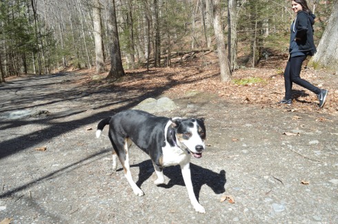
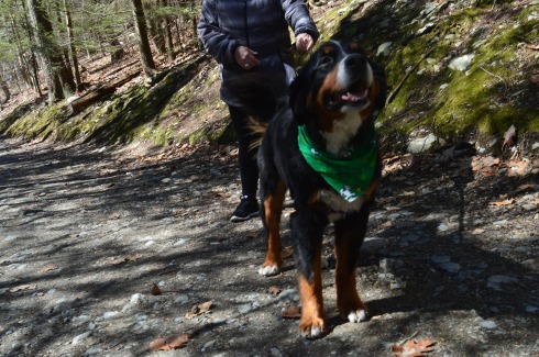
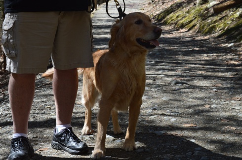
Dog Friendly: Yes

Trail Size/Difficulty: .8 miles round trip, easy

Fitbit Stats: 5,848 steps, 2.41 miles, 668 calories burned

Website: Ender’s Falls

Highlights: waterfalls, scenic, flowers

Tips:

  • When entering the park, go to the left to see the waterfalls
  • Watch for and follow the pink tags on the trees to stay on the easiest, most traveled trail
  • the rocks by the waterfall can be slippery, especially in the morning or after a rainfall
  • the best times to visit is after a rainfall or in early spring when the snow and ice on the stream are melting
  • Fishing and swimming (more on this later) are allowed at the falls

IMG_1374

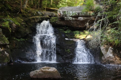
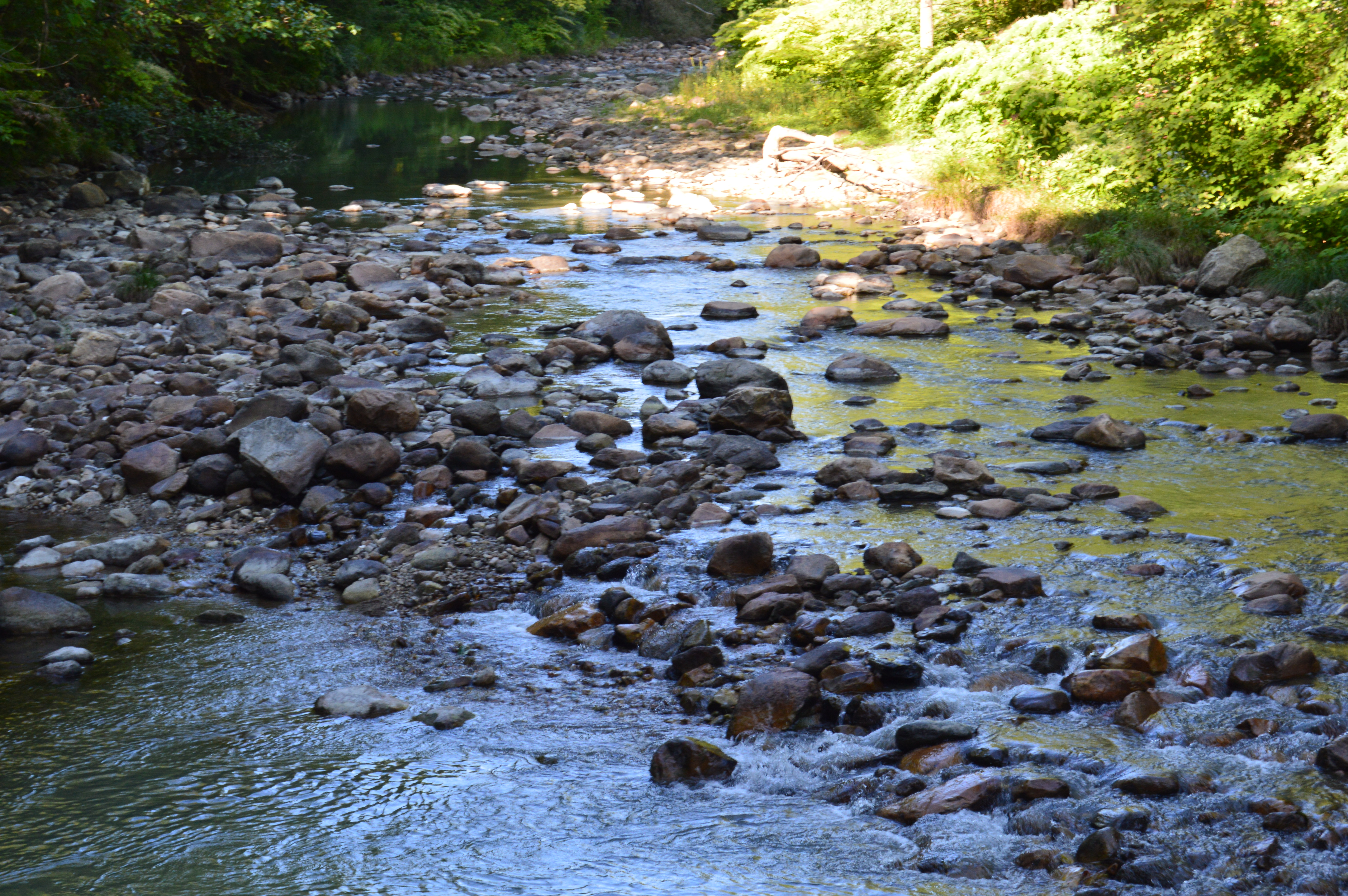
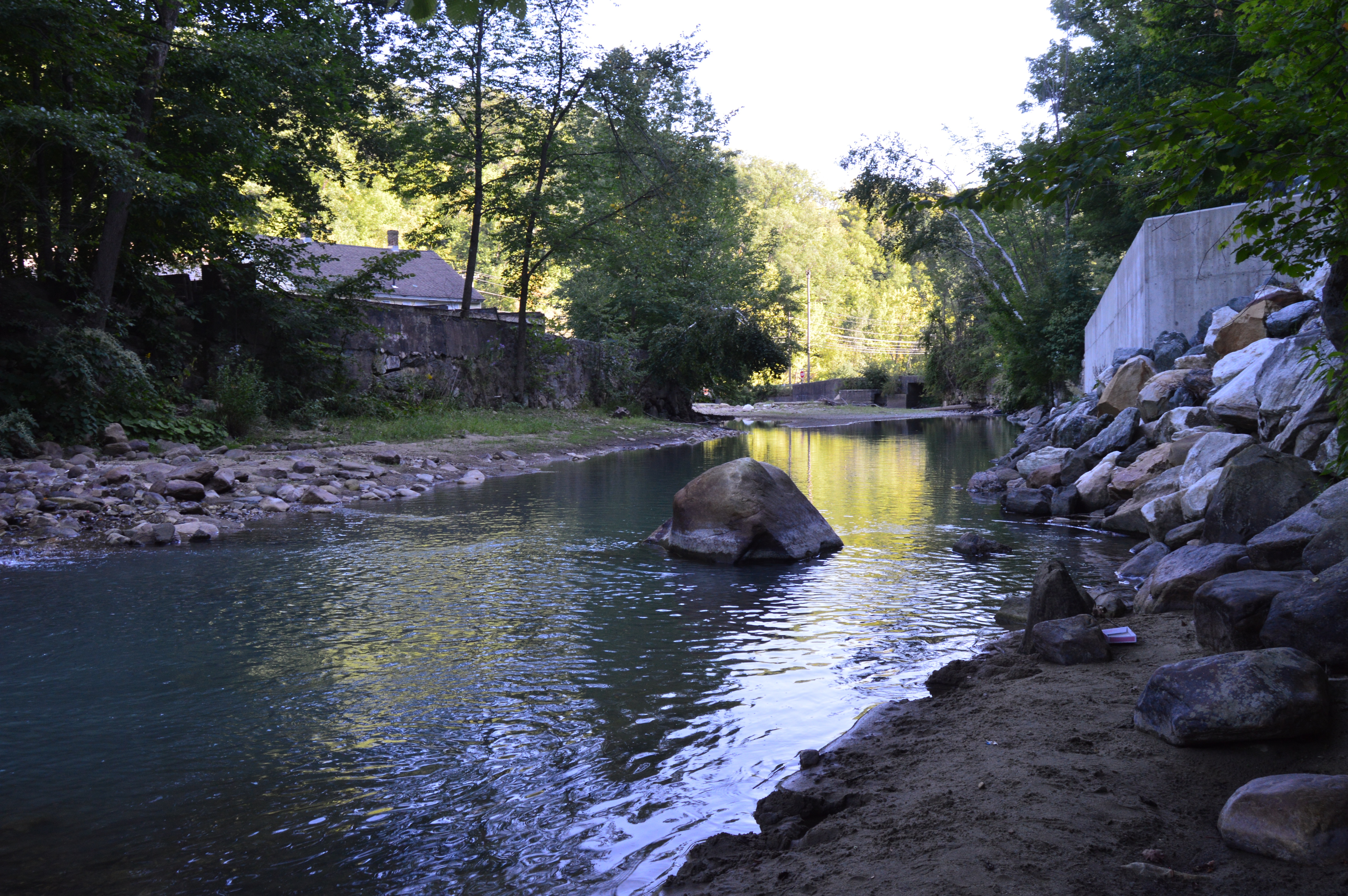
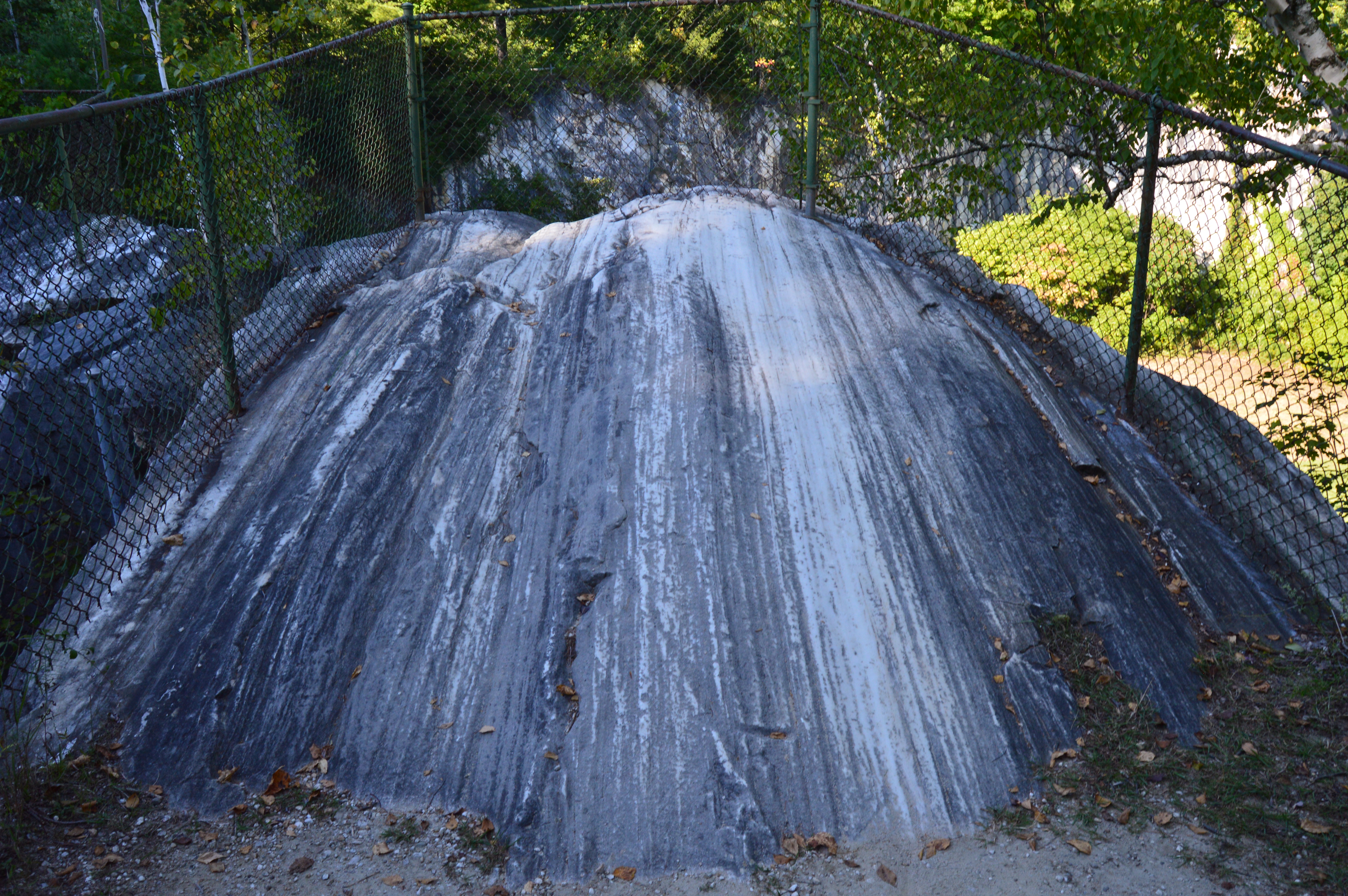
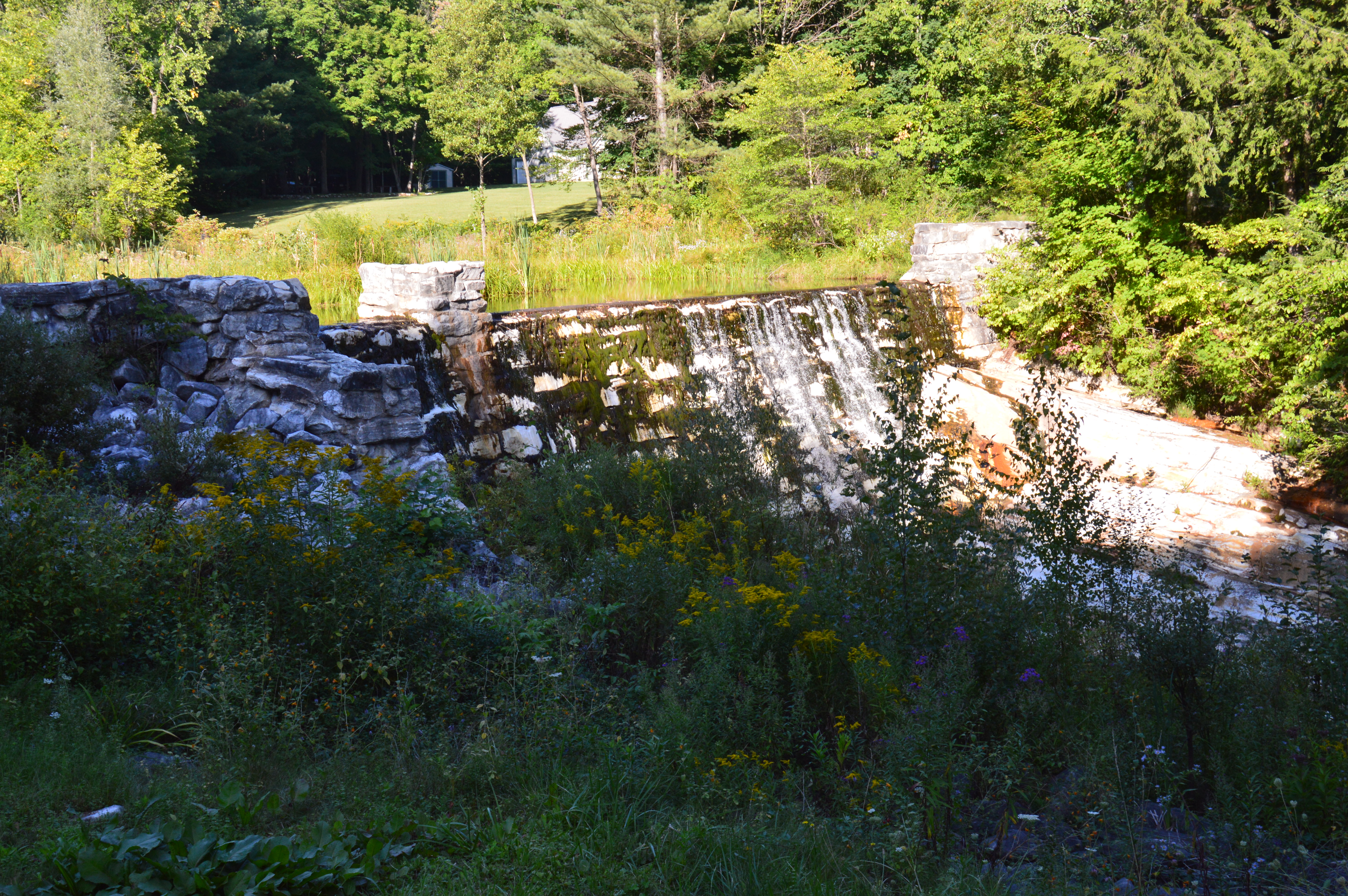
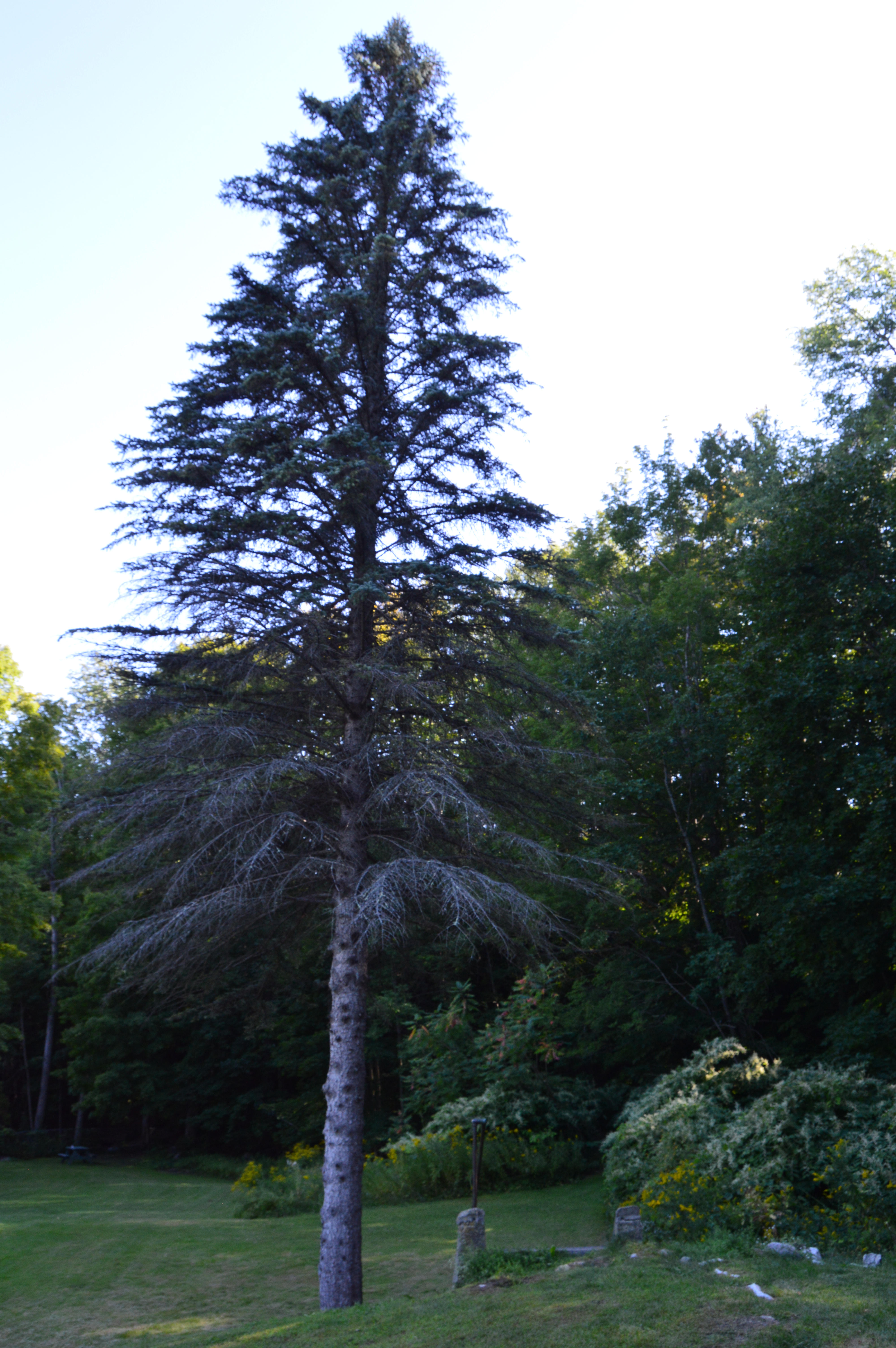
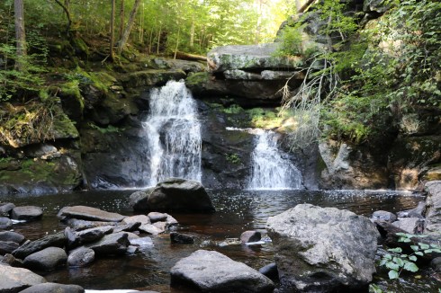
Part of the 2,000 acre Ender’s Fall State Forest, the waterfalls at Ender’s Falls is one of the most photographed and highly regarded waterfalls in all of Connecticut, if not New England.  Although I enjoyed the falls at Wadsworth Park, I think I would agree.

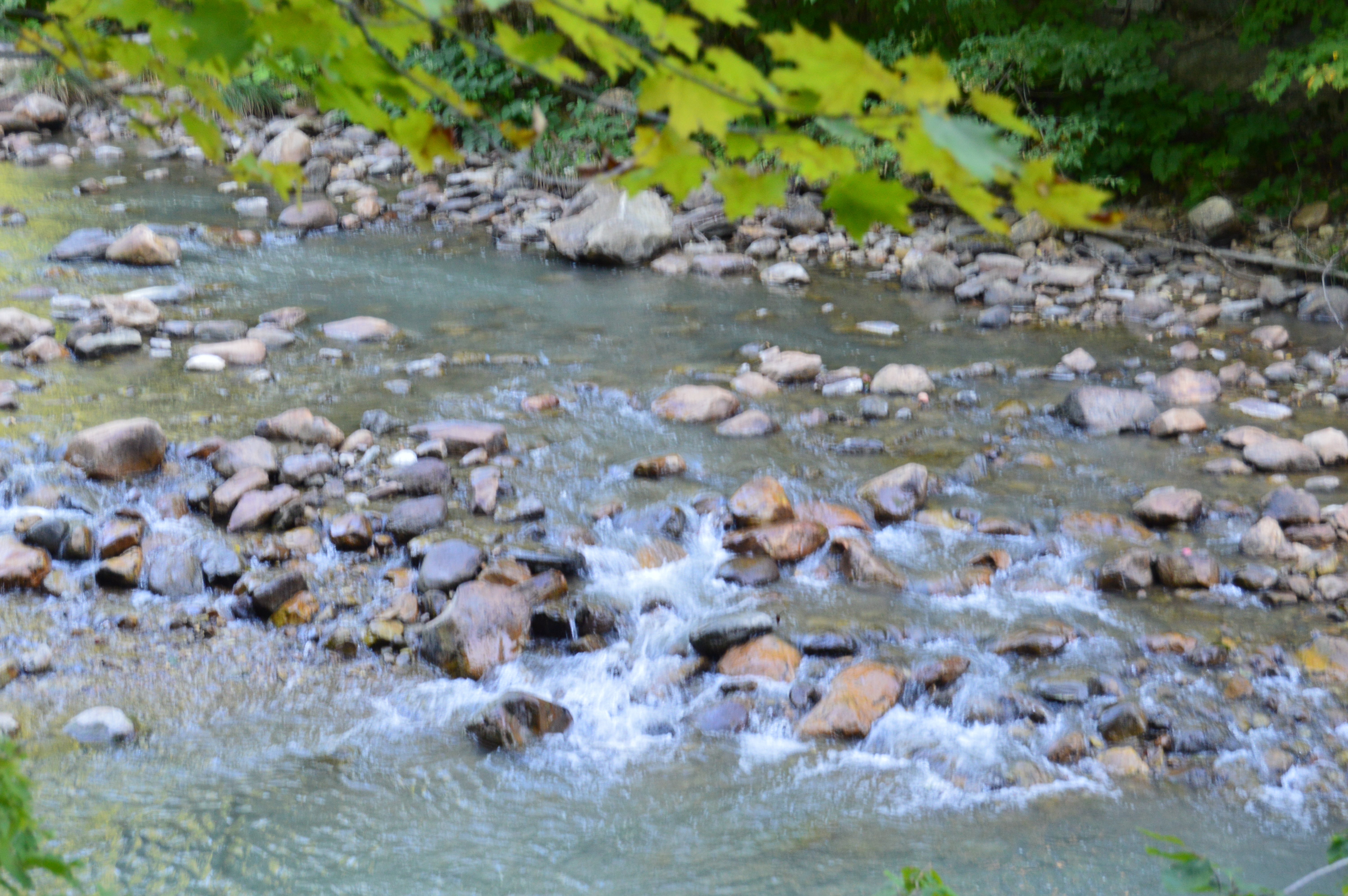
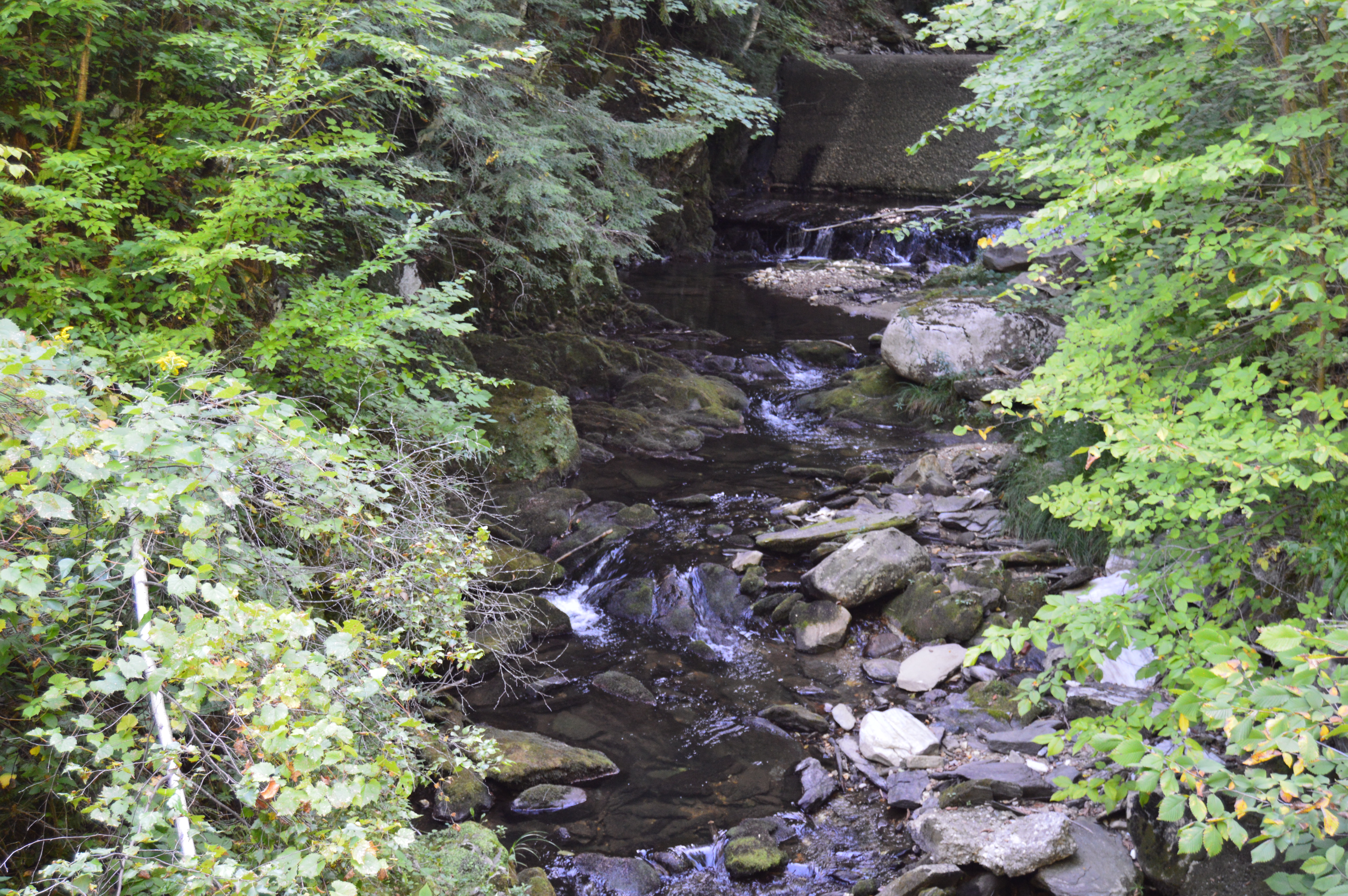
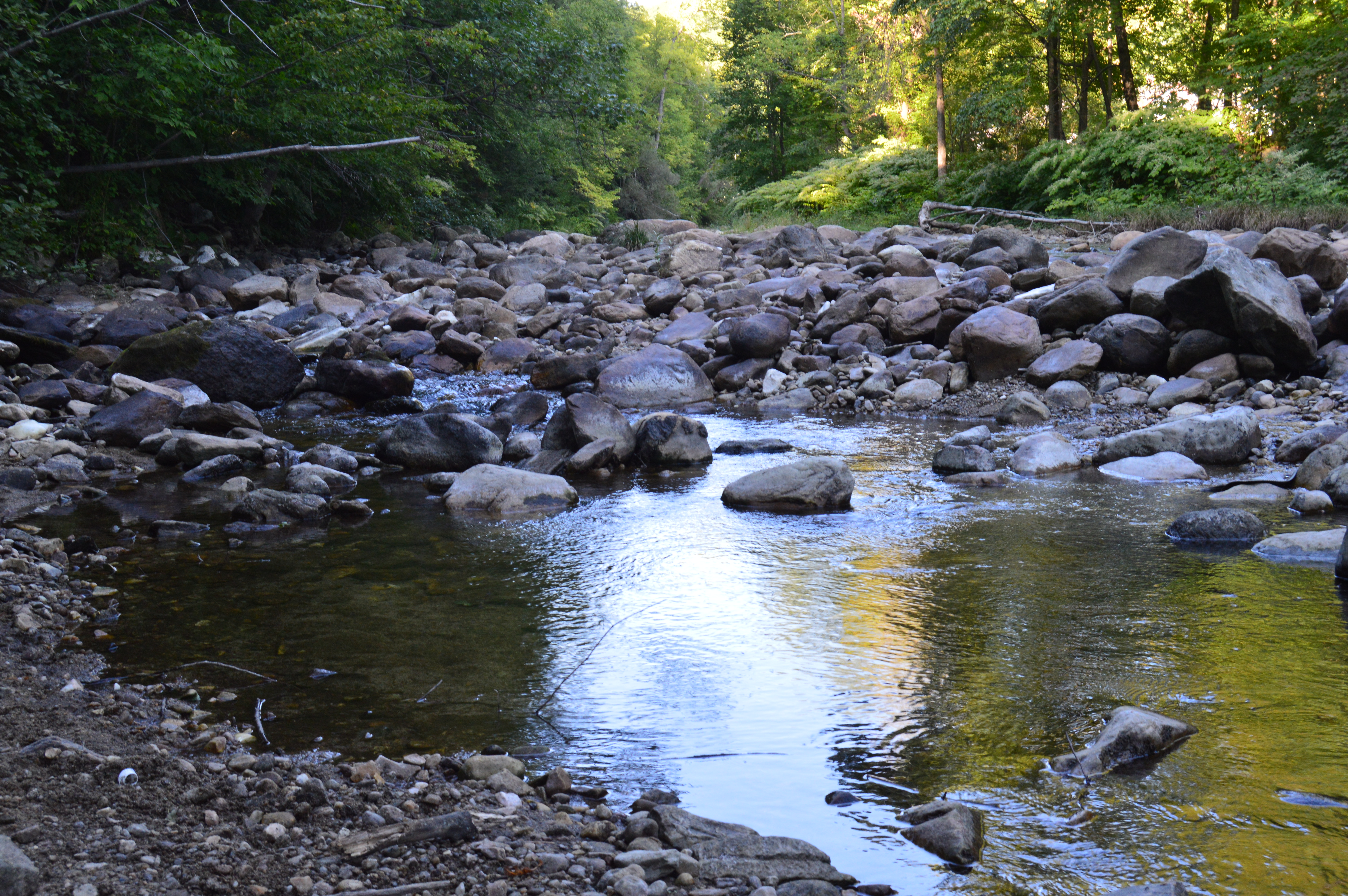
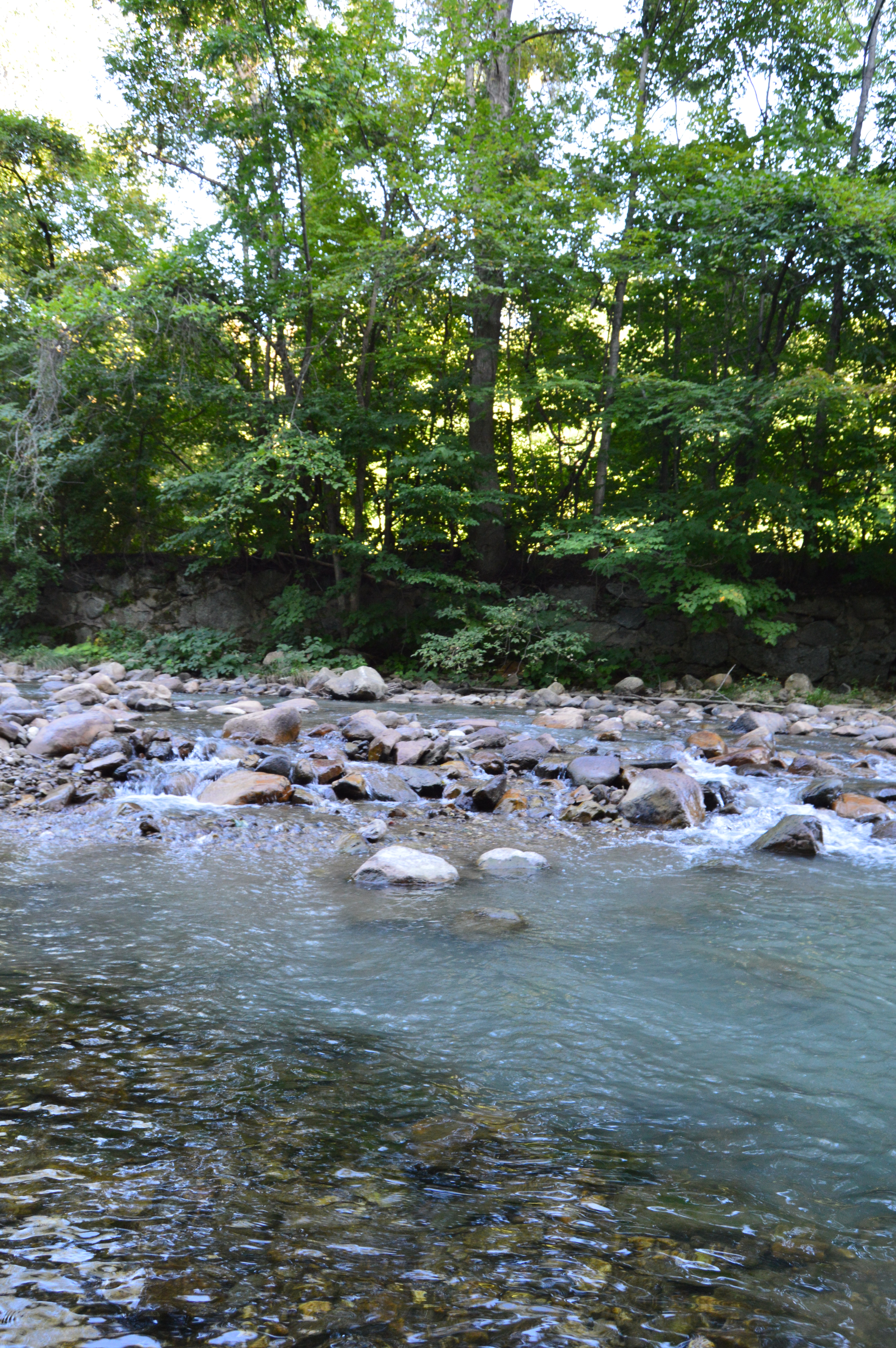
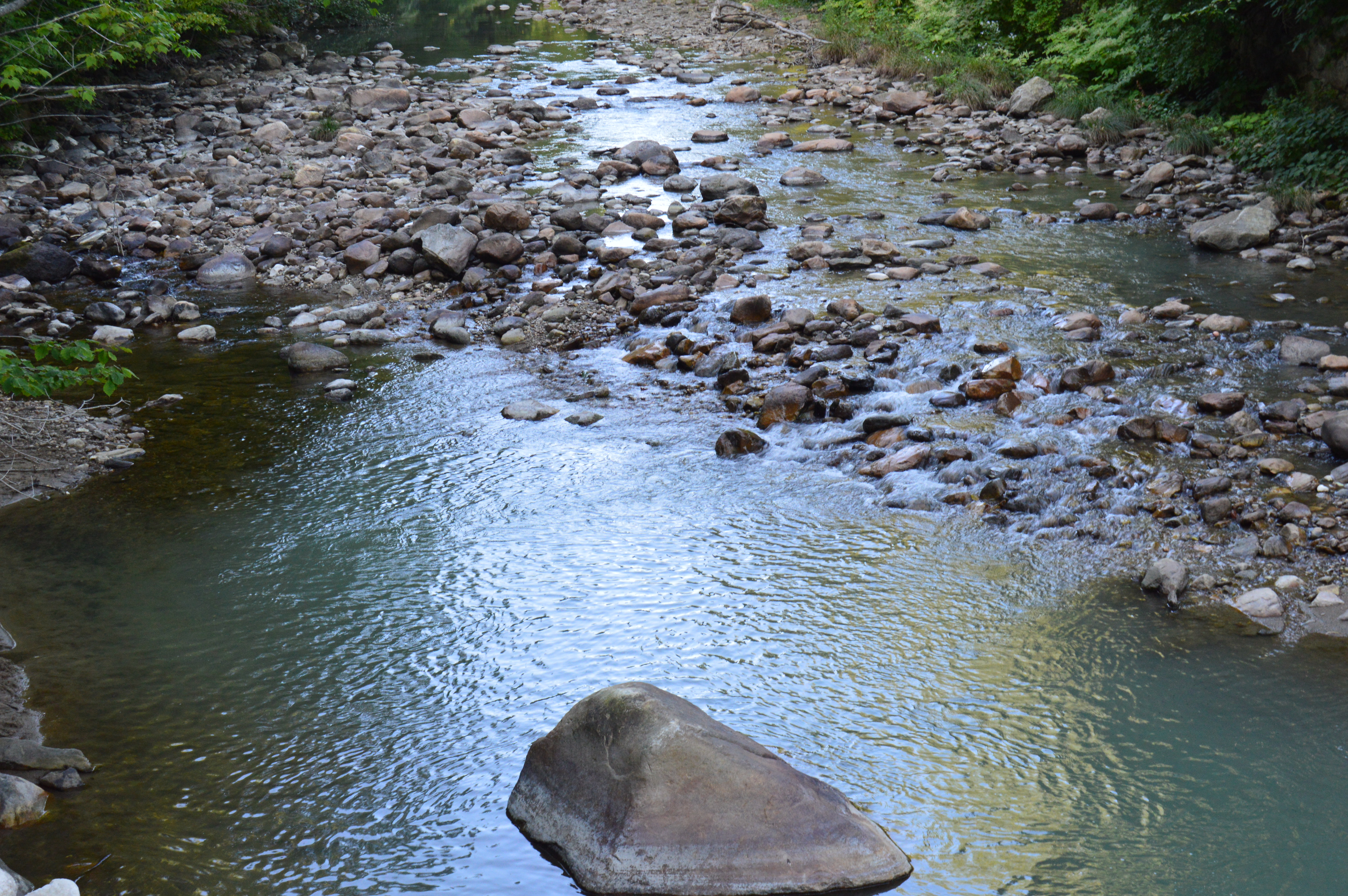
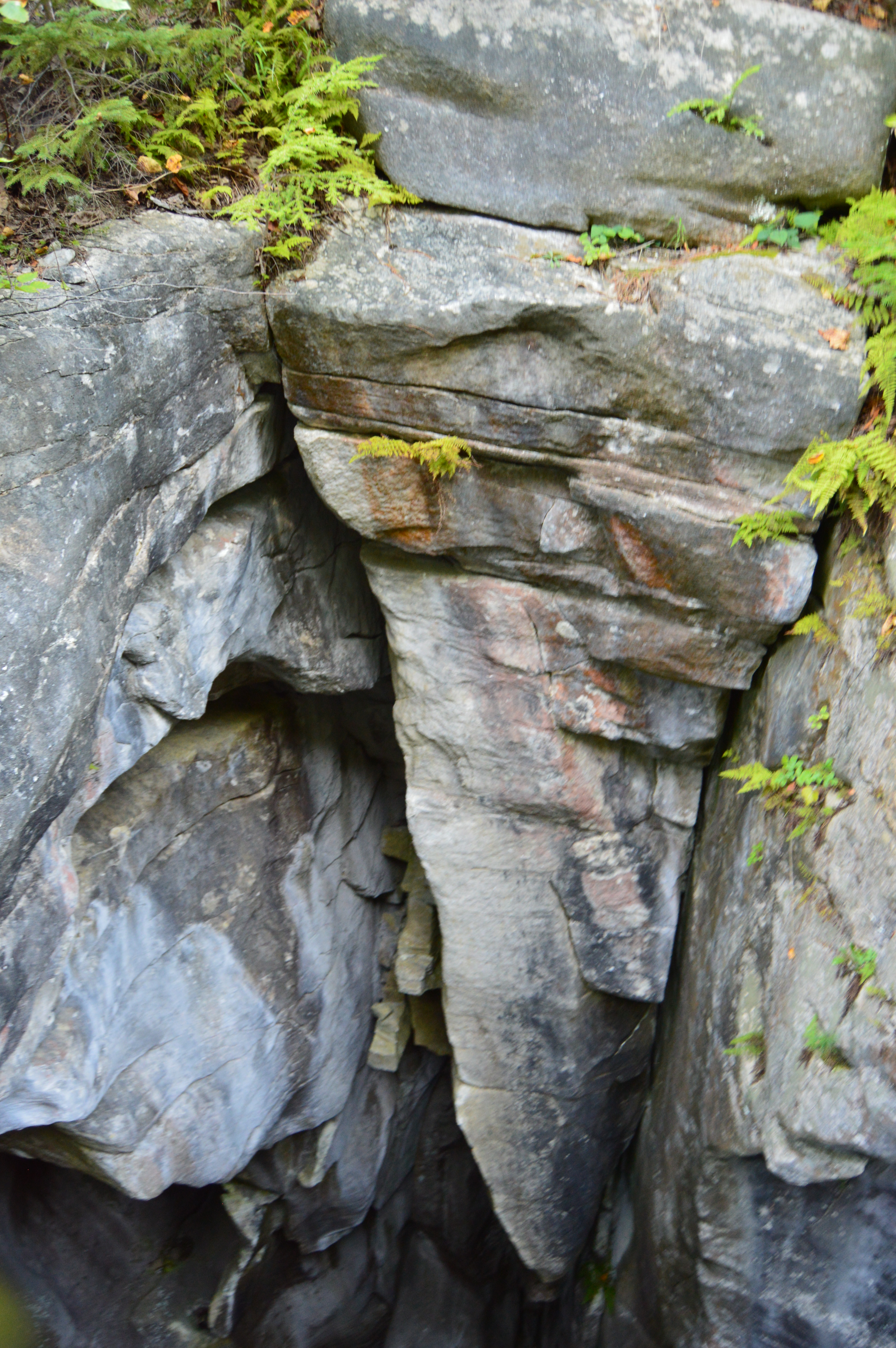
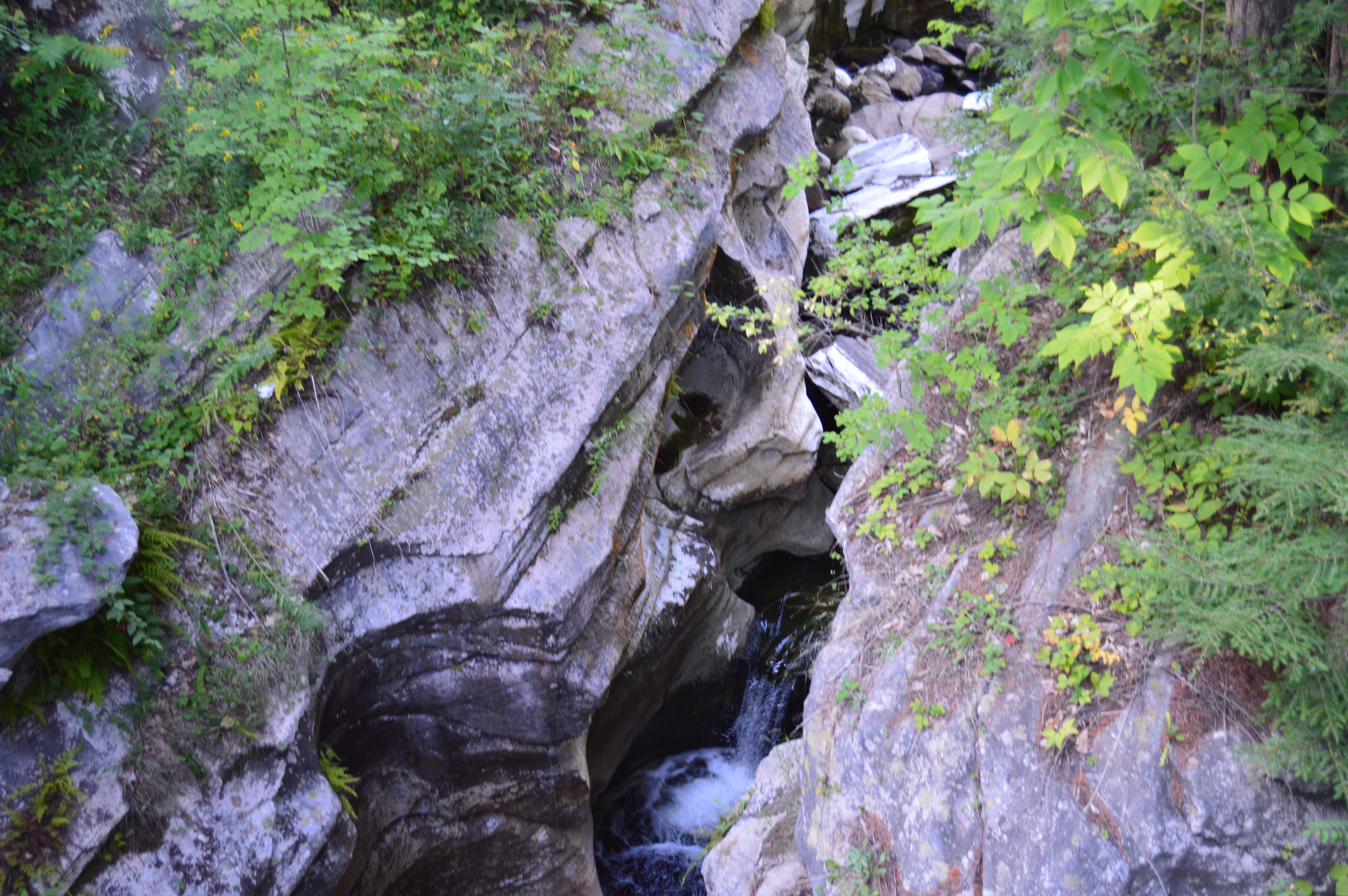
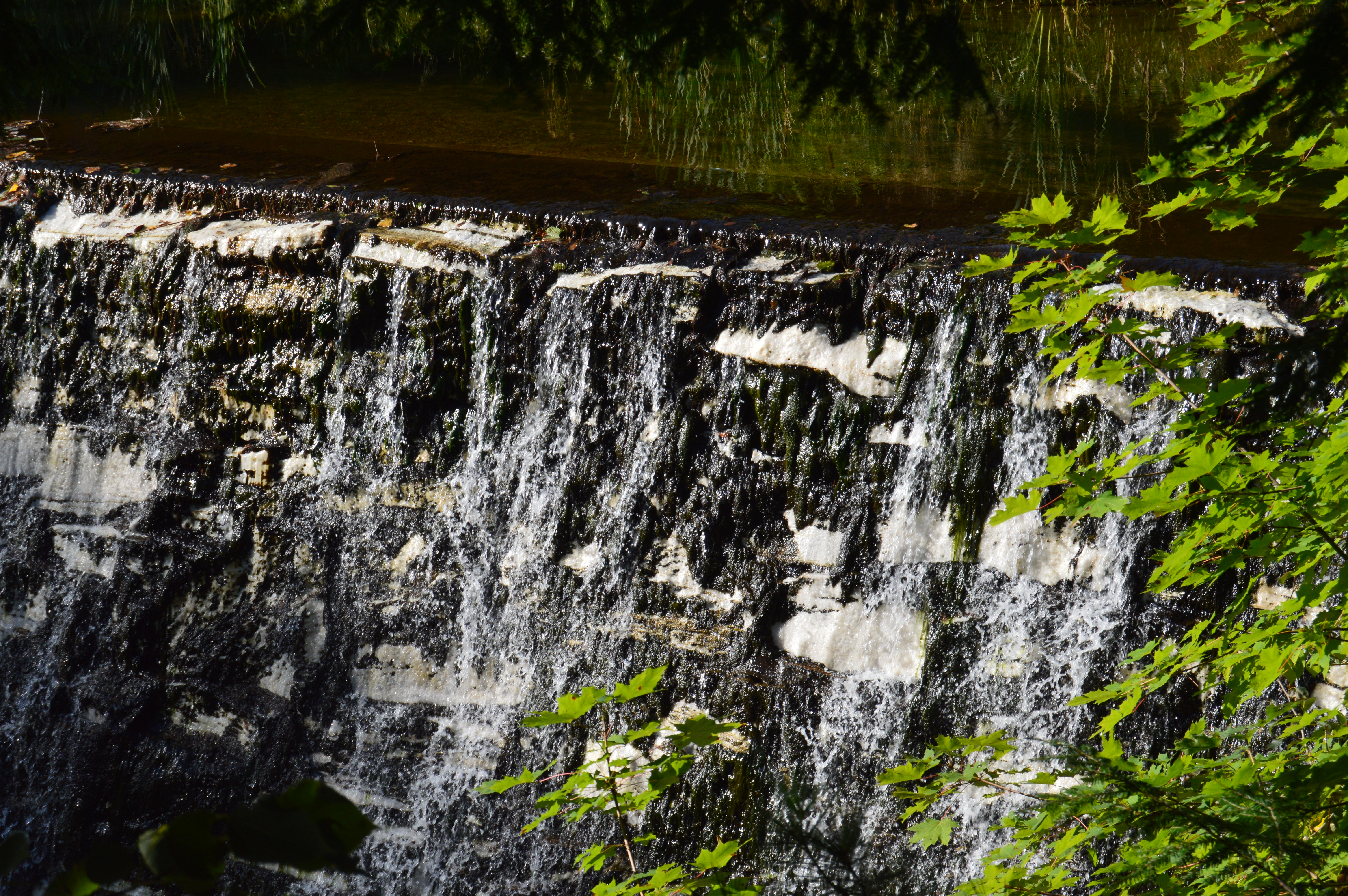
There are 5 waterfalls at Ender’s Falls.

The hardest part of photographing Ender’s Falls is finding the waterfalls.  Some are pretty easy to find, particularly the first one at the end of the entrance to the park.

However, due to how the sound travels and the lack of ability to view some of the stream from higher ground, it’s hard to determine what may be a gushing waterfall and what is just the sound of water running along the stream.

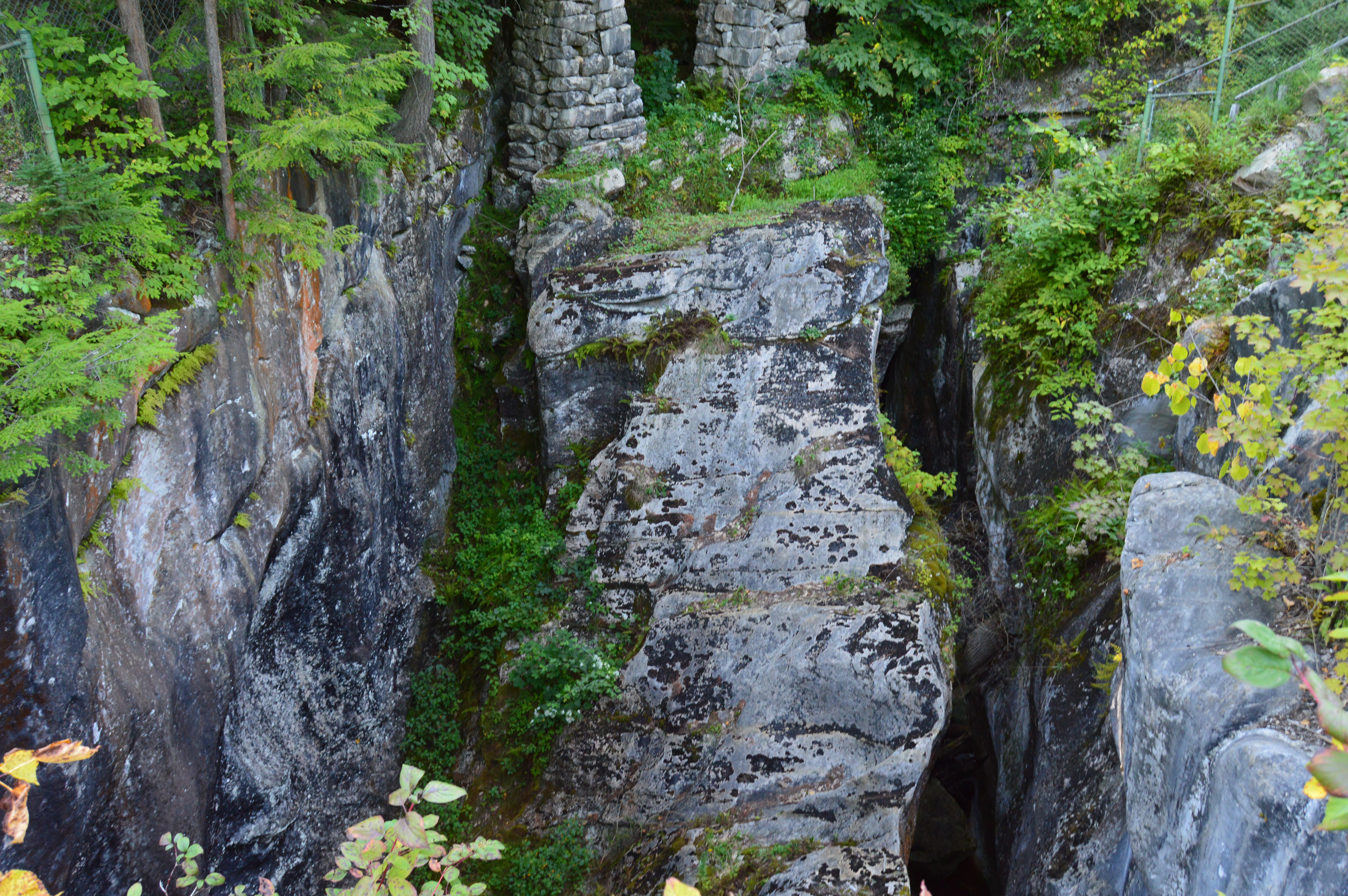
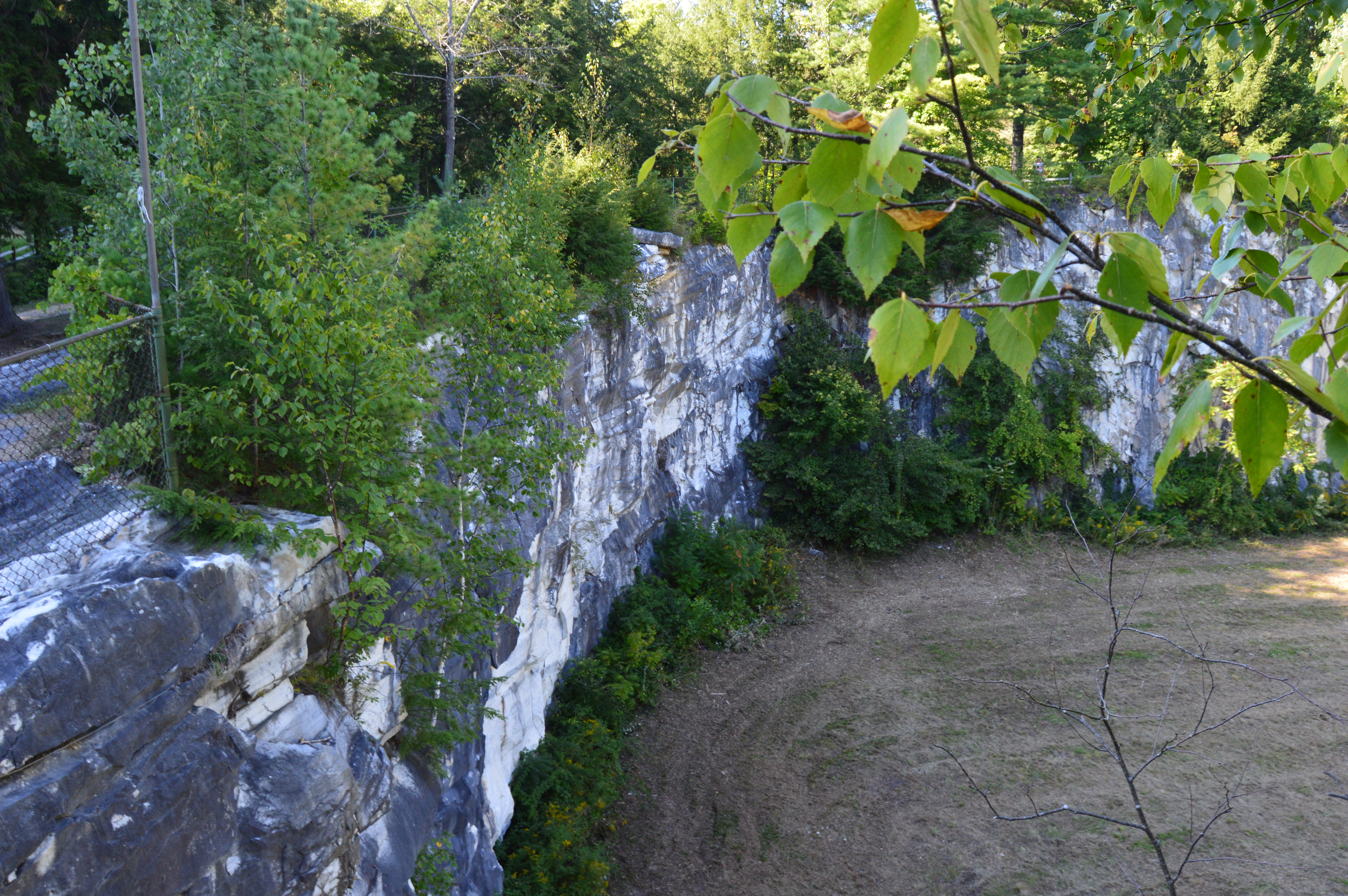
And, let’s talk about the paths to the stream.  Due to the steep decline of the terrain and the fact it had rained the previous day, it was no joke going down the side of the trail to get to the stream.  So, while the main trail on higher ground is easy with some moderate inclines and a few downed trees, if you choose to travel closer to the stream, it can be difficult.  In fact, I stumbled upon this news story about the dangers of the trails at the park.  But, I’m a trained professional.  So, I was alright.  Follow the pink tags to stay on the trail.

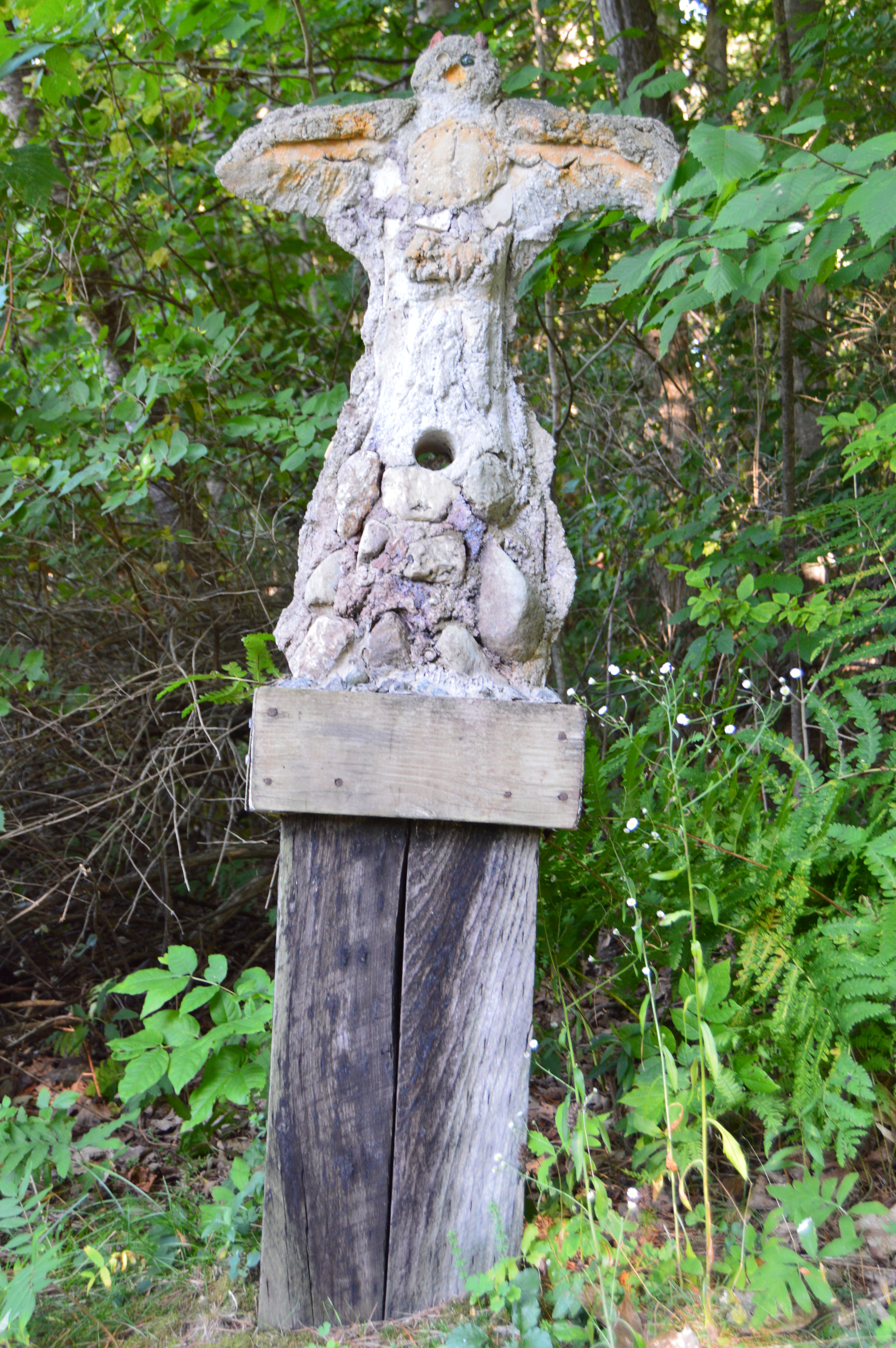
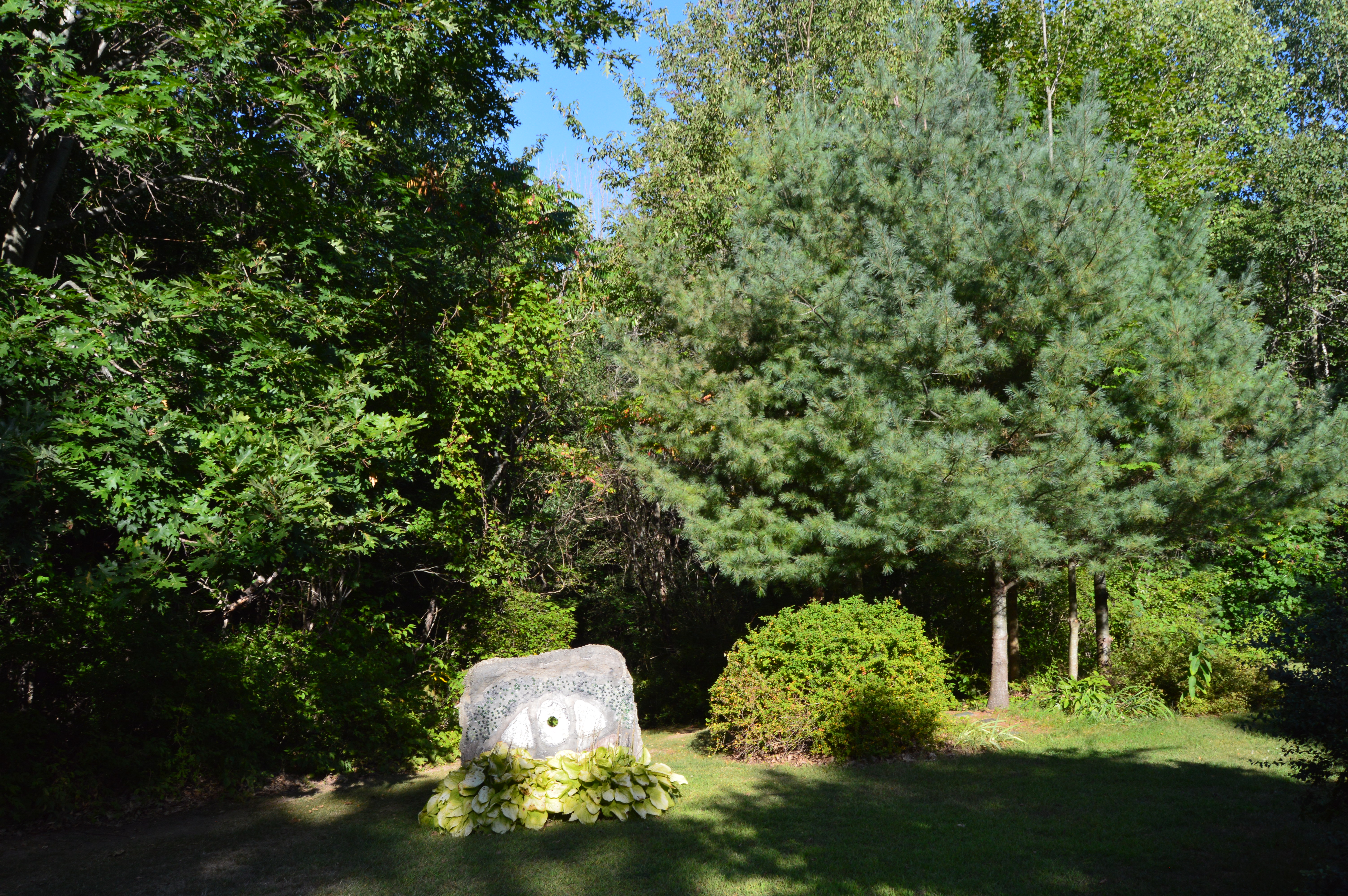
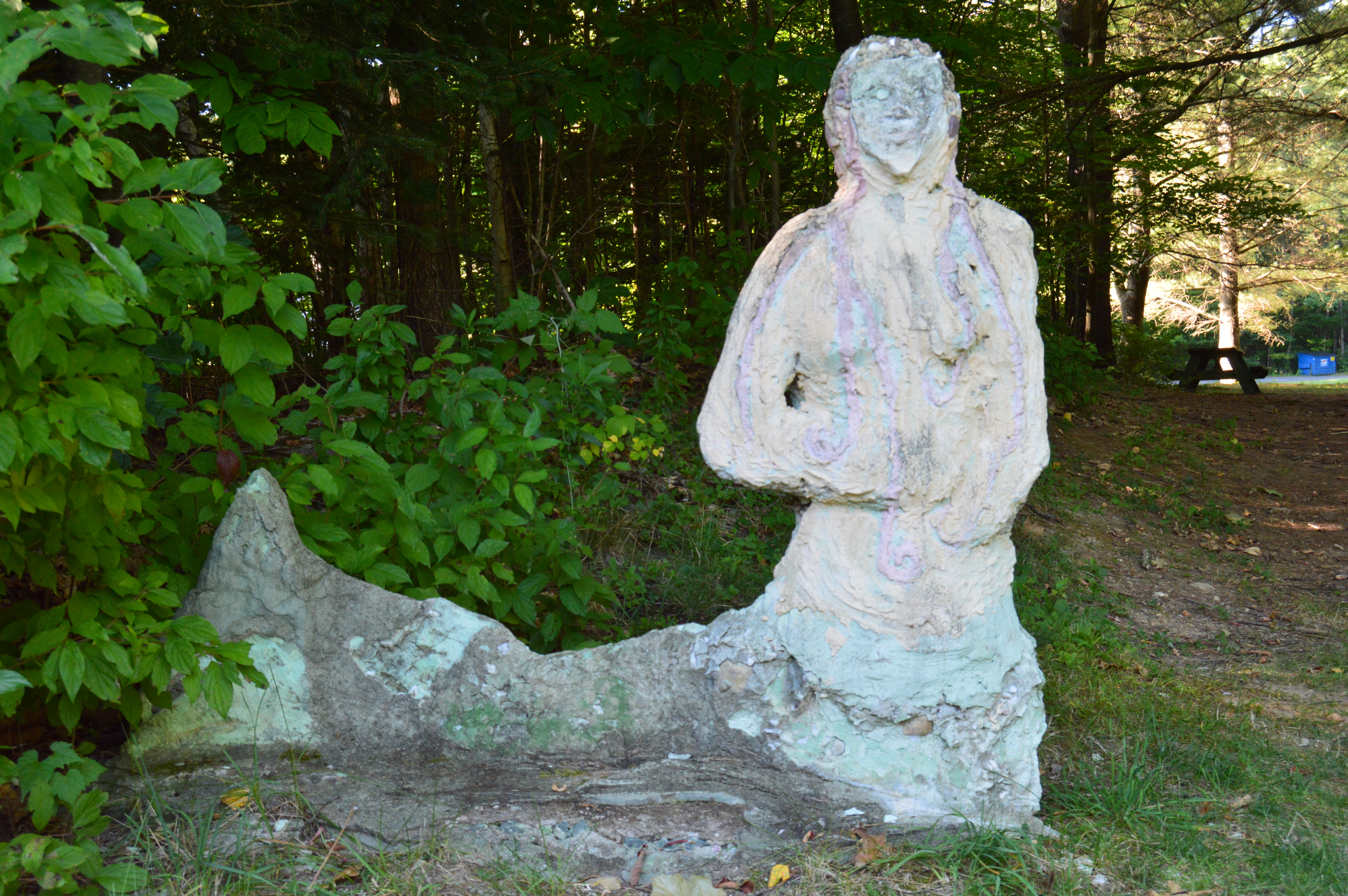
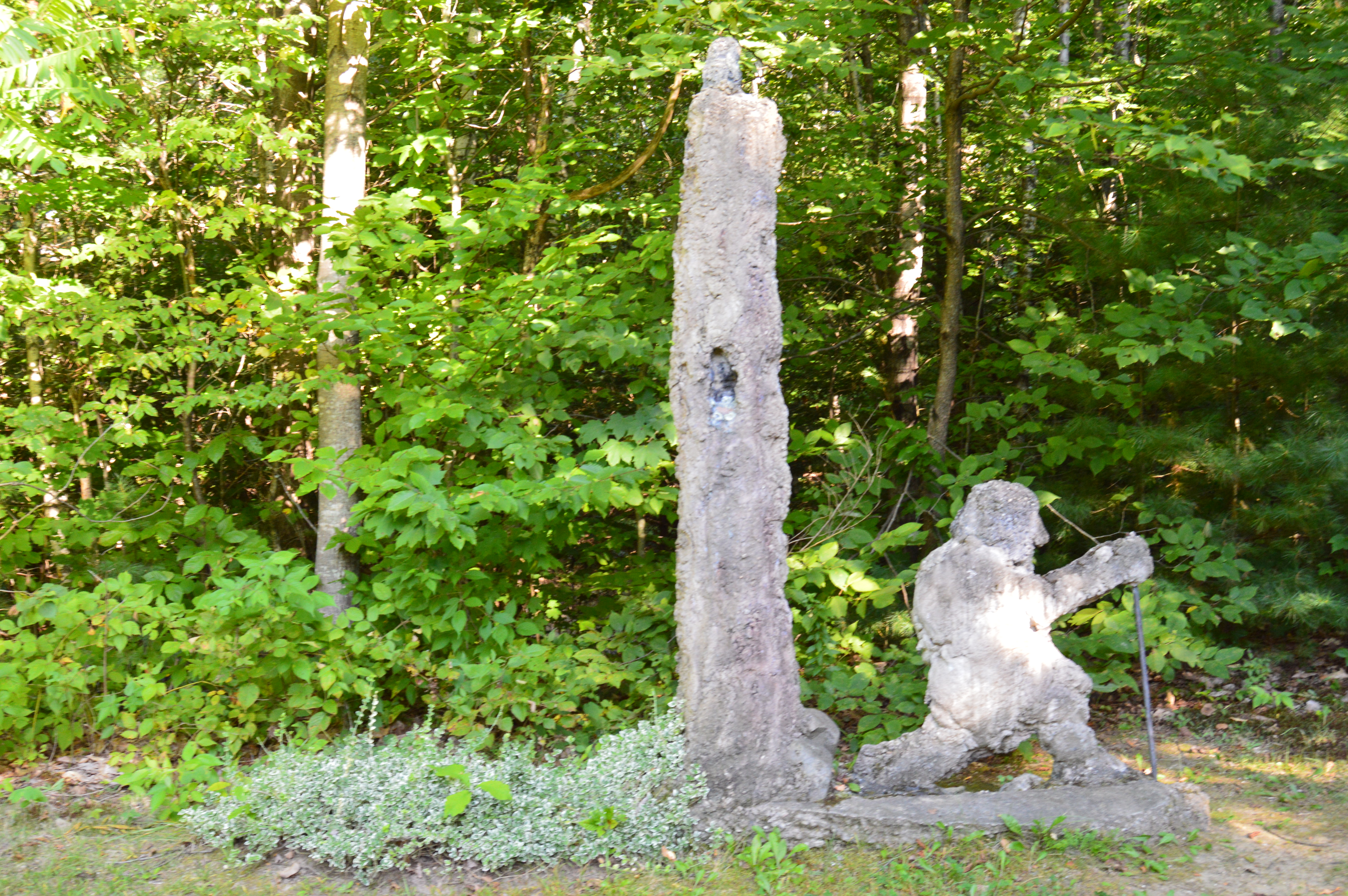
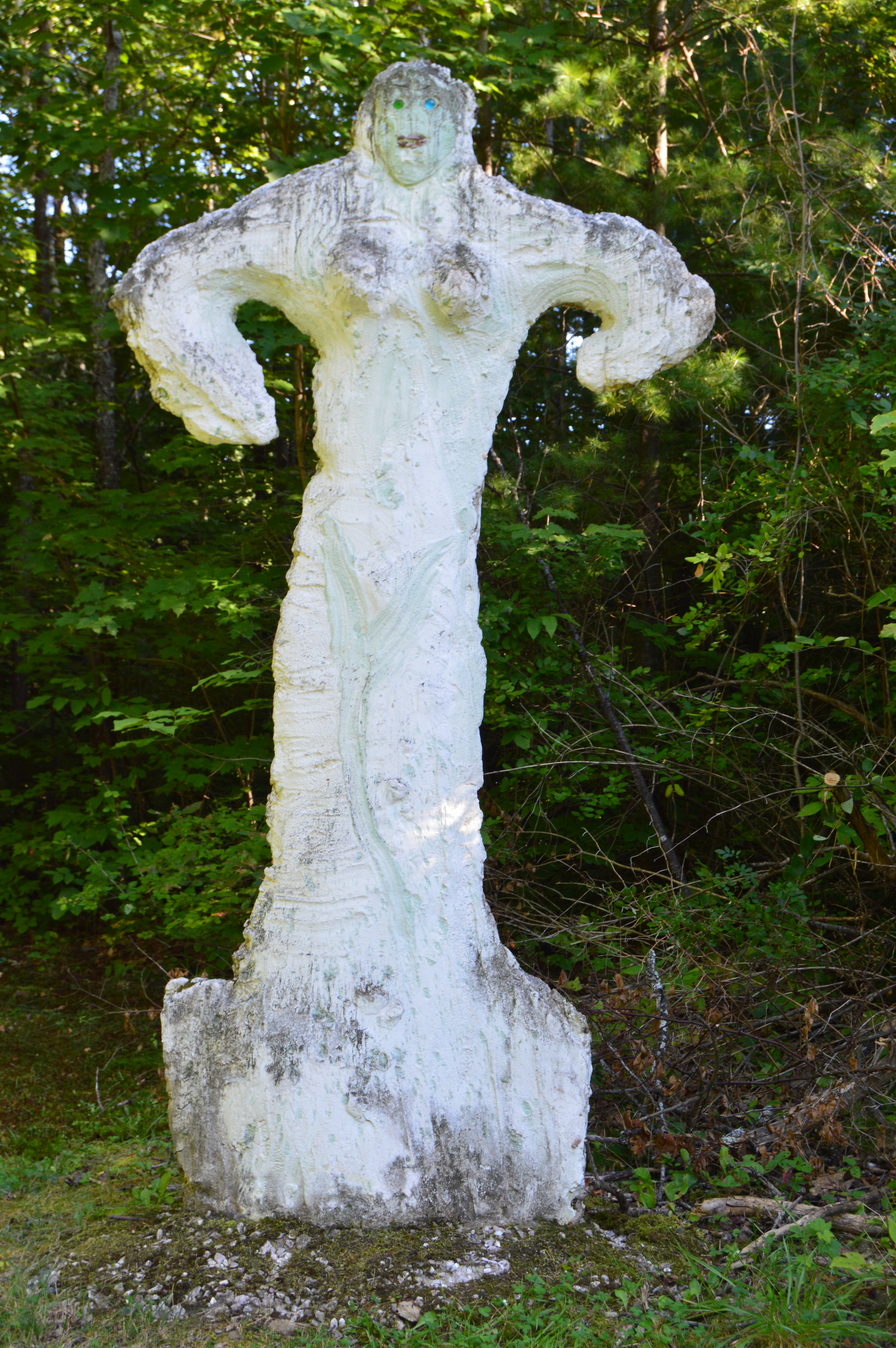
The rocks and trees by the waterfalls have some amusing, interesting and heartfelt graffiti on them.

The graffiti in the first photo (top left) on a rock high above the stream refers to track number 4 on the self titled “Third Eye Blind” cd.  I’ll let you Google that for a sec.  Even the casual Third Eye Blind Fan knows what the song is.  The second and third photos (going clockwise) include a phrase that refers to a TLC song.  You get it.

Ender’s Falls is a truly beautiful place, particularly with summer quietly coming to a close and fall starting to make an entrance.  There truly is nothing more beautiful in New England than the blending of these two seasons.  I love it and I look forward to more colorful photo shoots in the upcoming weekends!

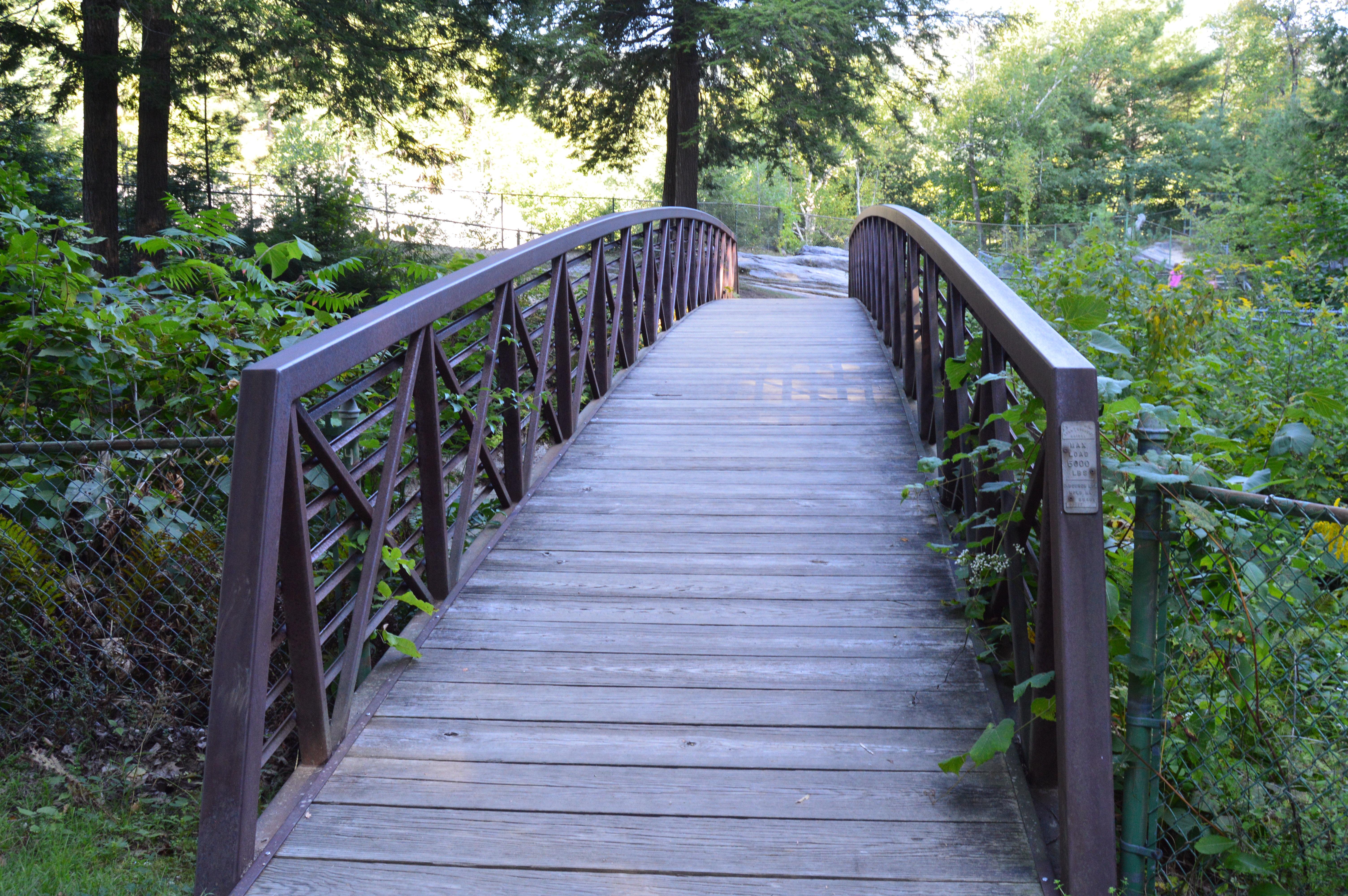
My only gripe is how the trail at Ender’s falls just seems to stop at both ends of the trail.  And, to be fair, it’s not just something that I have noticed at Ender’s Falls.  In fact, it’s fairly common.  Due to the developments in the area and the obvious barriers such as roadways that have been constructed, the trails just seem to end without warning.  I can only imagine they went on for much longer distances in the past.  At least at the end of the trail to the right of the entrance stops at the bridge, giving you some warning ahead of time.  There is a narrrow path in the brush at one end.  But, it didn’t seem to go anywhere.

When you can get down to the stream safely, I do recommend it, though.  The closer view does offer some pretty views.

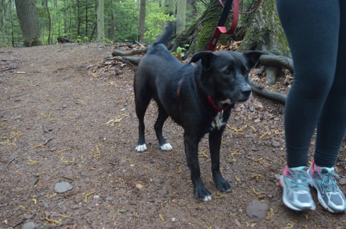
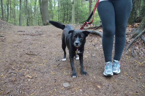
Ender’s Falls is a great place to take your pooch.  But, it may be too rocky and difficult terrain for some older dogs.

Gemma is a 3 month old Black Labrador.

Below are some videos of the mighty waterfalls:

This is a video posted by YouTuber Just Living  who is clearly braver (or crazier) than I am!


Wadsworth Falls State Park (Middletown, CT)

Date Visited: May 7, 2016

Location: 701 Wadsworth St, Middletown, CT or Cherry Hill Rd, Middlefield, CT

Cost:   When I went to visit, it was free.  I think they begin charging a fee starting Memorial Day weekend.  There is no fee entrance fee during the weekdays.  It costs CT residents $9 and it costs non Connecticut residents $15 to get in to the park during the weekend.  You also may be able to access the park for free at the Cherry Hill Rd entrance.

Hours: Open everyday from sunrise until night time.

Parking:  There are about 30 parking spots at the main entrance at Wadsworth St and another 20 or so at the Cherry Hill Rd entrance in Middlefield (pictured below)

DSC_0531

We entered at the main entrance on Wadsworth St.  There is a sandy beach area (there is a lifeguard on duty during the summer season).  Since it was an overcast and chilly day, there weren’t any people swimming but there were a lot of birds congregating near the water.

The highlight of the park, of course, are the falls.  The two waterfalls at Wadsworth Falls are creatively named “Little Falls” and “Big Falls.”

DSC_0464

Once you get on the main trail, you will eventually see the sign for the falls (after about a 3/4 to one mile hike).  From this sign, it is about a half mile hike to the Little Falls and a mile hike to Big Falls  if you enter from the entrance on Wadsworth St.  There are also lots of trails that branched off the main trail and would be fun to explore if you have the time.

You can avoid the longer hike by parking on Cherry Hill Rd.  Big Falls is accessible from a short walk down a well defined path from the lot on Cherry Hill Rd.  But, the parking lot at Cherry Hill Rd is smaller than the lot on Wadsworth St.

Little Falls is actually a pretty big fall, even if it isn’t the biggest one at the park.  But, the height of this waterfall may actually surpass the height of Big Falls.  The last few shots in the slideshow are from our trek back to the main parking lot.  The falls seemed much less rapid on our way back and you can see the ledges of the falls better.

This slideshow requires JavaScript.

There are a few different ways to get to Big Falls, the main attraction.  The safest, but longest way, is to follow the trail until you reach the edge of the park which filters onto Cherry Hill Rd.  The park is a short walk on a sidewalk to the right.  Or, you can cross the railroad tracks and follow trail along the tracks for quicker access.  There really isn’t a defined trail but there is space to walk a safe distance from the tracks.  The railroad is still in operation but we didn’t see any trains while we were there.

There are two places I photographed the waterfalls from but there are probably even more places to view the waterfalls.  The first place is a little tricky to get to and potentially dangerous.  There is a path that goes off the trail across the tracks and up to ta cliff that offers some decent views of the waterfall.  I did take some photographs from there but I would bypass it and go to the parking area of the entrance on Cherry Hill Rd to get a safer, closer and less obstructed view of the waterfalls.  The first two photos are from the cliff area the rest are views from the entrance to the park.

This slideshow requires JavaScript.

From the main entrance on Wadsworth St it is about 1.5 mile hike to the falls and it is a 3.4 mile trail loop to walk the entire park.  There were bicyclists, walkers and other photographers along the trail.  Because of the inclines and, in some areas, rocky terrain, it would be a challenging place to go for a run.  I would describe the trails as being easy to slightly moderate because of the inclines and rocky trails.

There are also pretty trees, bridges, plants, brooks and streams along the trails.

This slideshow requires JavaScript.

There was a lot of bird activity at Wadsworth Falls such as this male red-winged blackbird.

DSC_0321

There are a variety of bird life at Wadsworth including bats.  This is a bat house.  It was built and maintained as part of an Eagle Scout project to help restore the bat population.  It was good to see that it’s not only the cute animals that are being helped.

Toads and other amphibious life is also abundant at Wadsworth State Park.  It was still pretty cold out so these toads seemed out of sorts.  We gently picked them up and tried to find a warmer place for them under some leaves.

Leashed dogs are allowed at Wadsworth State Park.  It is a great place for dogs to play and roam around.   Caesaris (pronounced Kay-sar-is), a friendly 1 year old female Labrador and Australian Sheep Dog, enjoyed the unseasonably cool weather with his mom.

DSC_0467

DSC_0466

Below are some videos I took of the falls.  The power, crispness and sound is much more evident in the videos.


Bash Bish Falls (Mount Washington, MA)

Date Visited: March 12, 2016

Hours: Open everyday from sunrise to half an hour after sunset.

Cost: access to the trails and waterfalls is free. It may cost if you rent one of the Bash Bish cabins at nearby  Taconic Falls.

Bash Bish Falls

DSC_0540

Located in the most southwestern part of Massachusetts, Bash Bish Falls is considered one of the most dangerous waterfalls in not only Massachusetts but the entire United States.  It is also one of the most beautiful.

DSC_0672DSC_0658DSC_0656DSC_0664DSC_0644

DSC_0619DSC_0662

According to legend, Bash Bish was the name of a Mohican Native American woman who was accused of adultery which was punishable by death..  Bash Bish was pushed over the falls while tied up in a canoe.

The shape of the falls is said to resemble a woman falling to her death. Another theory claims the segmented characteristic of the falls resembled the reuniting of Bash Bish and her daughter White Swan who had also disappeared over the falls according to the Mohican legend.  If the rapids of the stream leading from the waterfall and the speed of the water falling from the waterfall are any indication, the restless spirits may still be there.  It is also a good reason why swimming is not allowed as the rapids can be very strong and it is easy to hit a rock.

This slideshow requires JavaScript.

Bash Bish Falls is located in Massachusetts, just past New York/Massachusetts border.

DSC_0613

There are several entrances for Bash Bish.  One of the entrances, at the top of the hill from the Massachusetts entrance on Falls Rd, gives ample evidence as to why Bash Bish may be considered such a dangerous waterfall.  The stairs, which are a generous description, and walkway, also a generous description, are rocky and treacherous.  There is a railing to hold on to.  But, it’s still a tricky path.

I would recommend using the first parking spot on Falls Rd, if you’re traveling from Massachusetts.  The trails are easy to moderate with a few slight inclines from the first parking lot.  It is a 3/4 mile walk to the waterfall from the parking area.

There are many interesting rock formations along the trail. Little known factoid: I learned a new word recently for the strange piles of rocks stacked creatively that we often see along trails and at beaches like the rocks in the first two photos in the top row of photos below.  They are called cairns, unless you ask a conservationist or geologist in which case they will condescendingly call them just rock piles since real cairns are nature made and not man made.

Bash Bish Falls is a popular spot for dog walkers.  I met the following dogs during my hike.

Charlie

DSC_0610DSC_0608

Juno, a Rottweiler and Shepherd mix

DSC_0688

Cassie, a Bernese Mountain Dog.

DSC_0684

DSC_0685

Murphy, a beautiful Golden retriever

DSC_0680DSC_0678

To get a better perspective of the waterfall and the stream leading from the waterfall, I have attached the following videos.


Natural Bridge State Park (North Adams, MA)

The bridges of Western Massachusetts are not just the ones you see on the roadways. But, don’t let the name fool you.  The Natural Bridge State Park has so much more to offer.

DSC_0915

Before you reach the natural bridge, a brook greets you at the entrance.

DSC_0920  DSC_0924   DSC_0925  DSC_0927 DSC_0929  DSC_0070  DSC_0072 DSC_0071 DSC_0074 DSC_0075 DSC_0076 DSC_0079  DSC_0077

Formed through series of continental collisions, erosion and the meltwaters caused by the Ice Age, the natural marble bridge is the only one of its kind in North America.

DSC_0950 DSC_0955 DSC_0962

Deep crevices and chasms were carved through the years of erosion and warming and cooling.

DSC_0960   DSC_0963   DSC_0968 DSC_0972 DSC_0971 DSC_0969   DSC_0978  DSC_0976 DSC_0961 DSC_0958

The only marble bridge in North America, the natural bridge in North Adams is located just off the The Mohawk Trail. 

Adding to the beauty of the natural bridge, the park has a waterfall.

DSC_0003  DSC_0001 DSC_0004  DSC_1014    DSC_0983  DSC_0978

The Natural Bridge State Park also has impressive views of the bridge and the park it overlooks.

DSC_0954

DSC_0942    DSC_0940  DSC_0935  DSC_0931         DSC_1007  DSC_1009       DSC_0010  DSC_0046          DSC_0053  DSC_0051   DSC_0055

There are many flowers, trees, rocks, bridges (a bridge on a bridge of all things) and even David’s Bench that give the Natural Bridge State Park a special charm.

DSC_0934

DSC_1000 DSC_0999   DSC_0981 DSC_0916   DSC_0944

DSC_0989DSC_0992  DSC_0980

During our travels, we met Sasha.

DSC_0057

Just as you think you’ve seen all the Natural Bridge State Park has to offer there is a small park area atop the walking bridge.  Statues and other structures made from the materials mined from the one time quarry rest along the top of the lofty bridge.  It capped off a perfect visit.

DSC_0015    DSC_0018 DSC_0021  DSC_0019  DSC_0028  DSC_0030 DSC_0027   DSC_0022  DSC_0039  DSC_0036