Category Archives: rocks

Rattlesnake Gutter (Leverett, MA)


Dates of Visits: May 27 & 29, 2017

Location: 16 Rattlesnake Gutter Rd, Leverett, MA

Hours: Open daily, sunrise to sunset

Cost: Free

Parking: There is not a designated parking area.  But, there is an area to park by the front gate on the side of the road on Guttersnake Rd

Trail Size/Difficulty: 1.93 miles (Rattlesnake Gutter trail) with connecting loops and other trails that can add a significant amount of distance to your hike.  Easy too moderate trails.

Handicapped Accessible: No.  The terrain is rocky with some steep inclines

Dog Friendly: Yes

Fitbit Stats: 3.45 miles, 711 calories, 8,027 steps

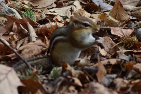
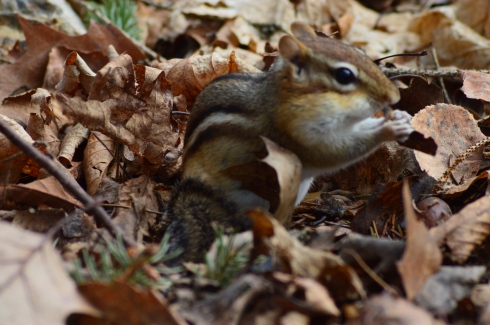
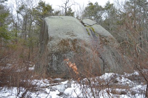
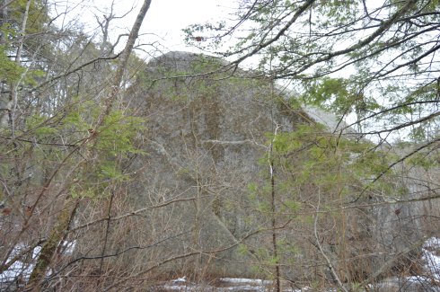
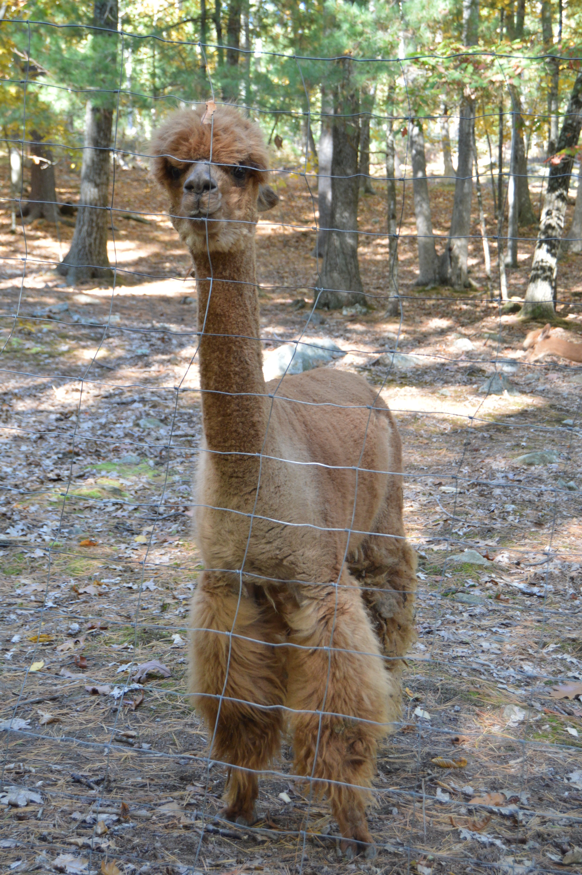
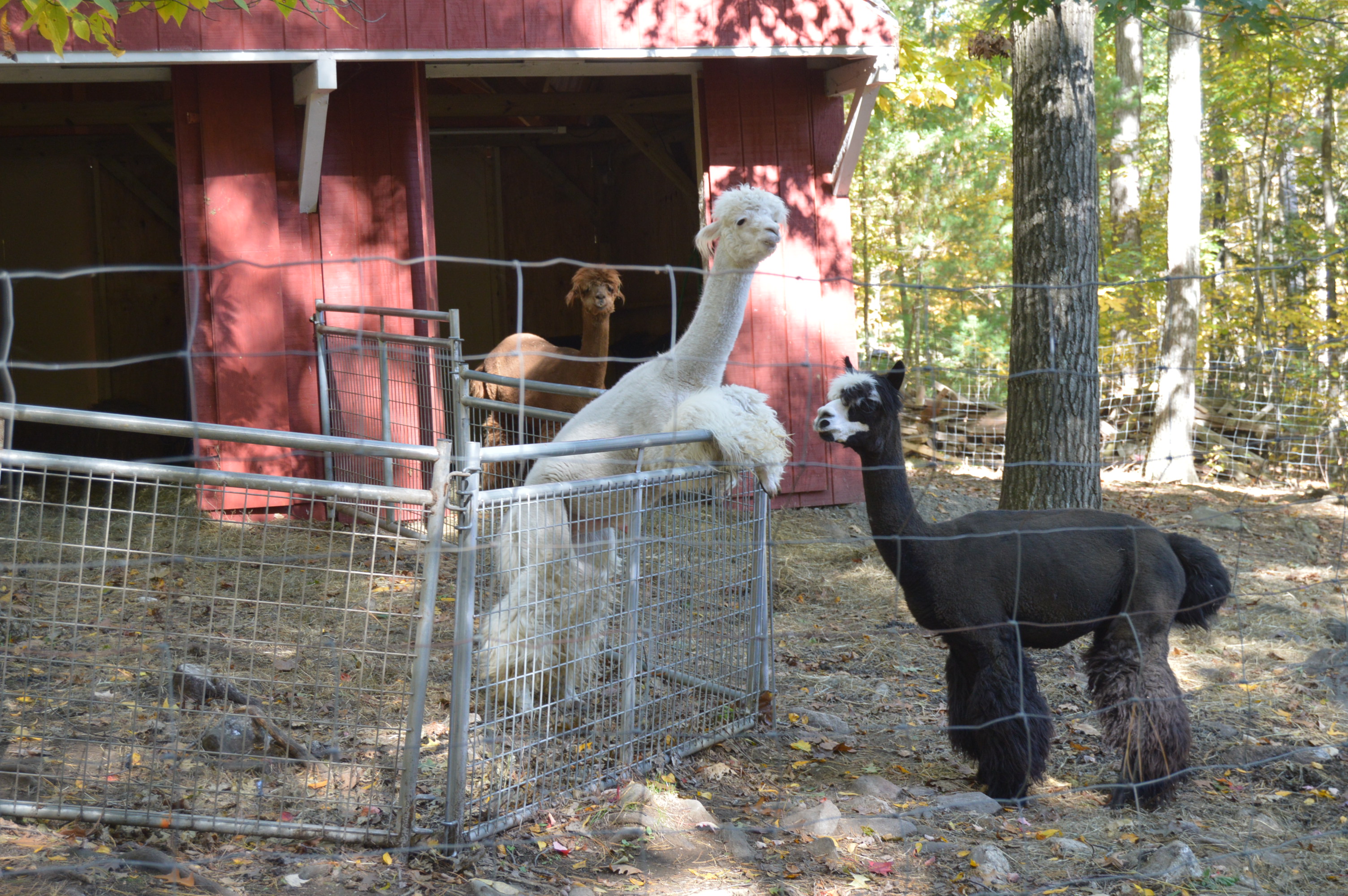
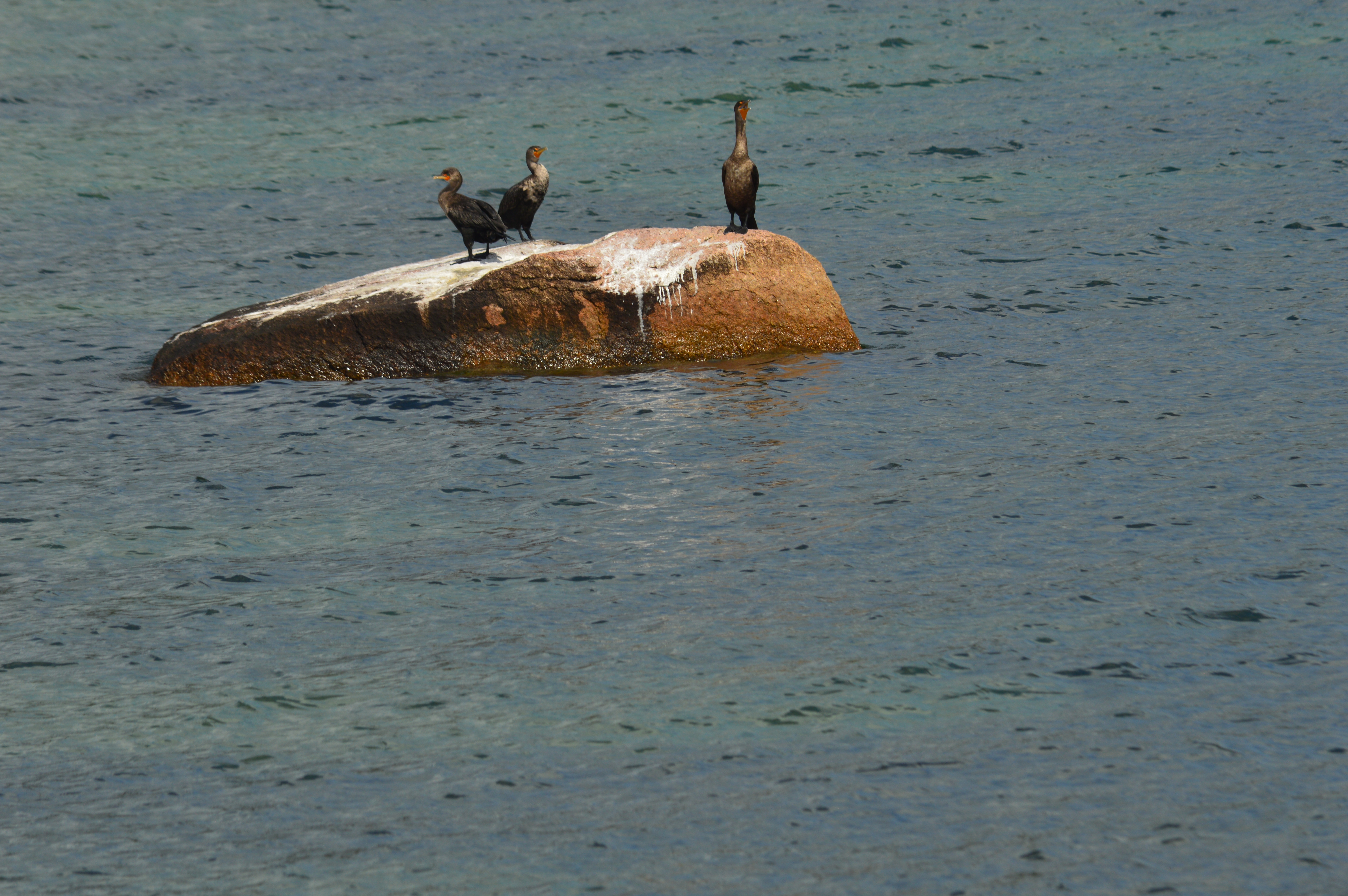
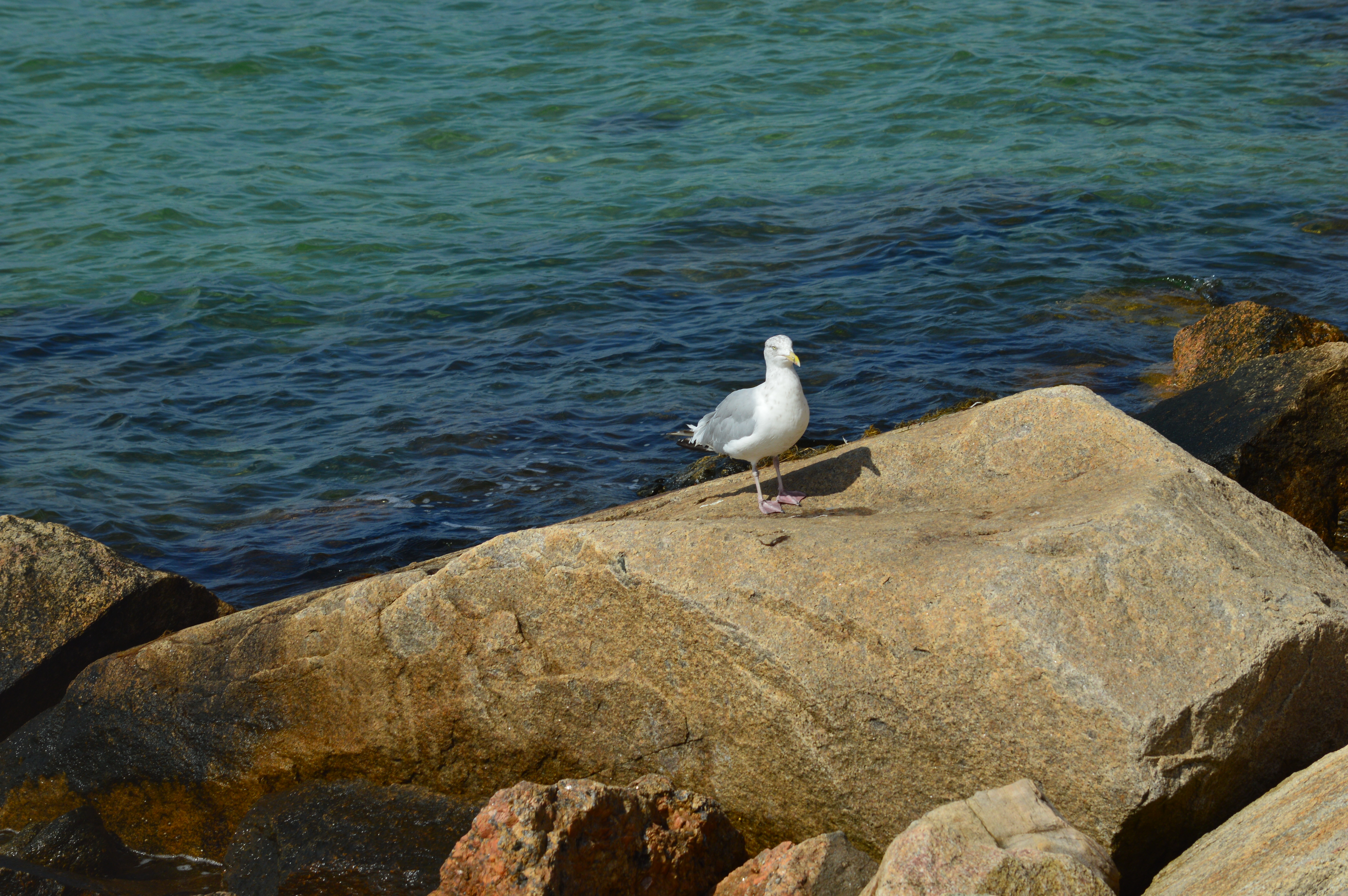
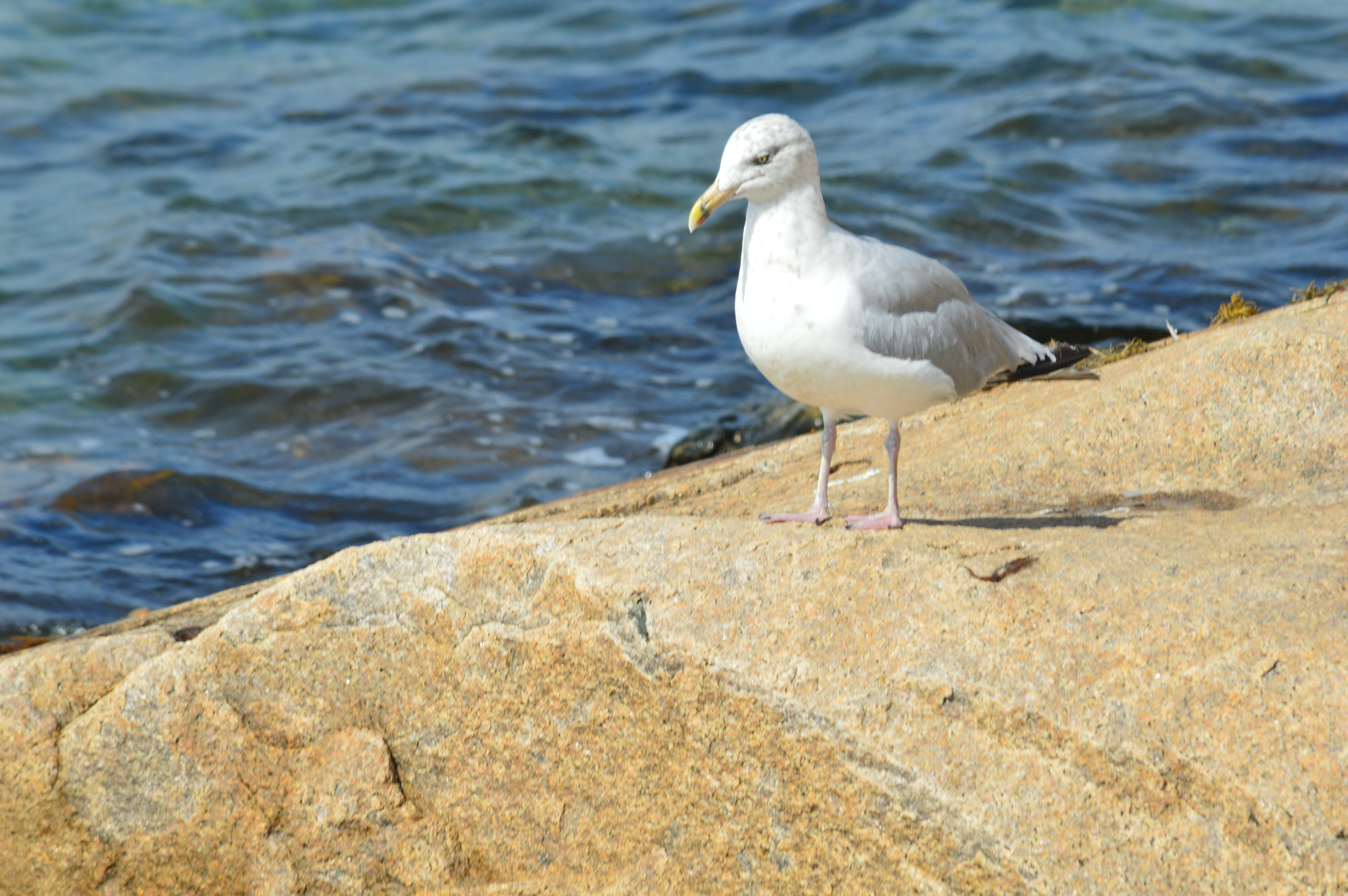
Highlights: chasm, wildlife, easy to moderate trails, art, unique rock formations, ponds

Website: Rattlesnake Gutter Trust

Trail Map: Rattlesnake Gutter Trail Map

IMG_7093

Don’t let the name scare you.  There really aren’t any, or at least not many, rattlesnakes at Rattlesnake Gutter Trail.  Legend has it rattlesnakes once did populate the area.  But, due mostly to a concerted effort to rid the area of these snakes, you’e rarely see a rattlesnake there.

I actually had to make two visits to this trail because some of the photos on one of memory cards were not saved.  Yeah, okay, twist my arm.  I’ll go again, I figured to myself.

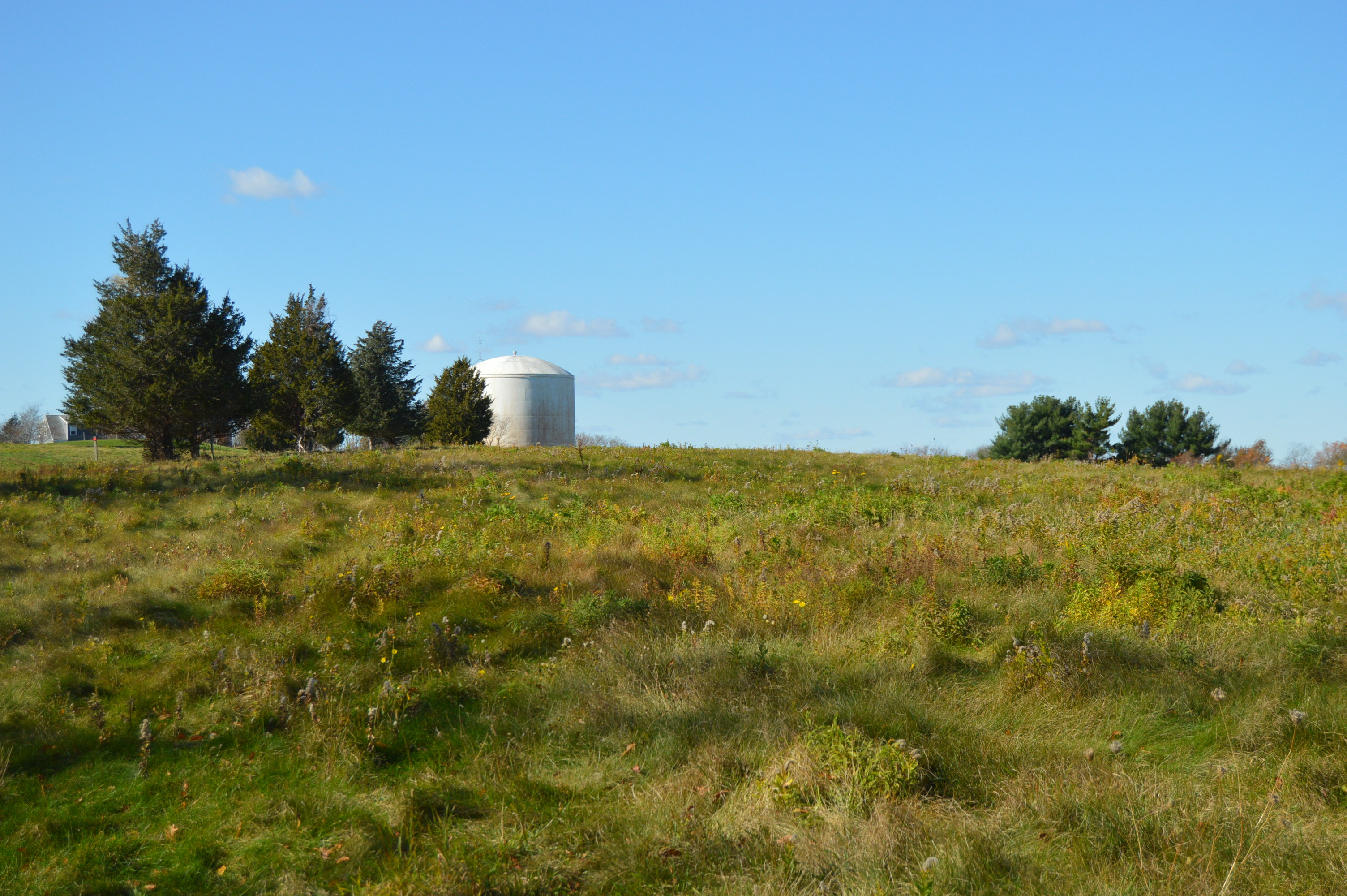
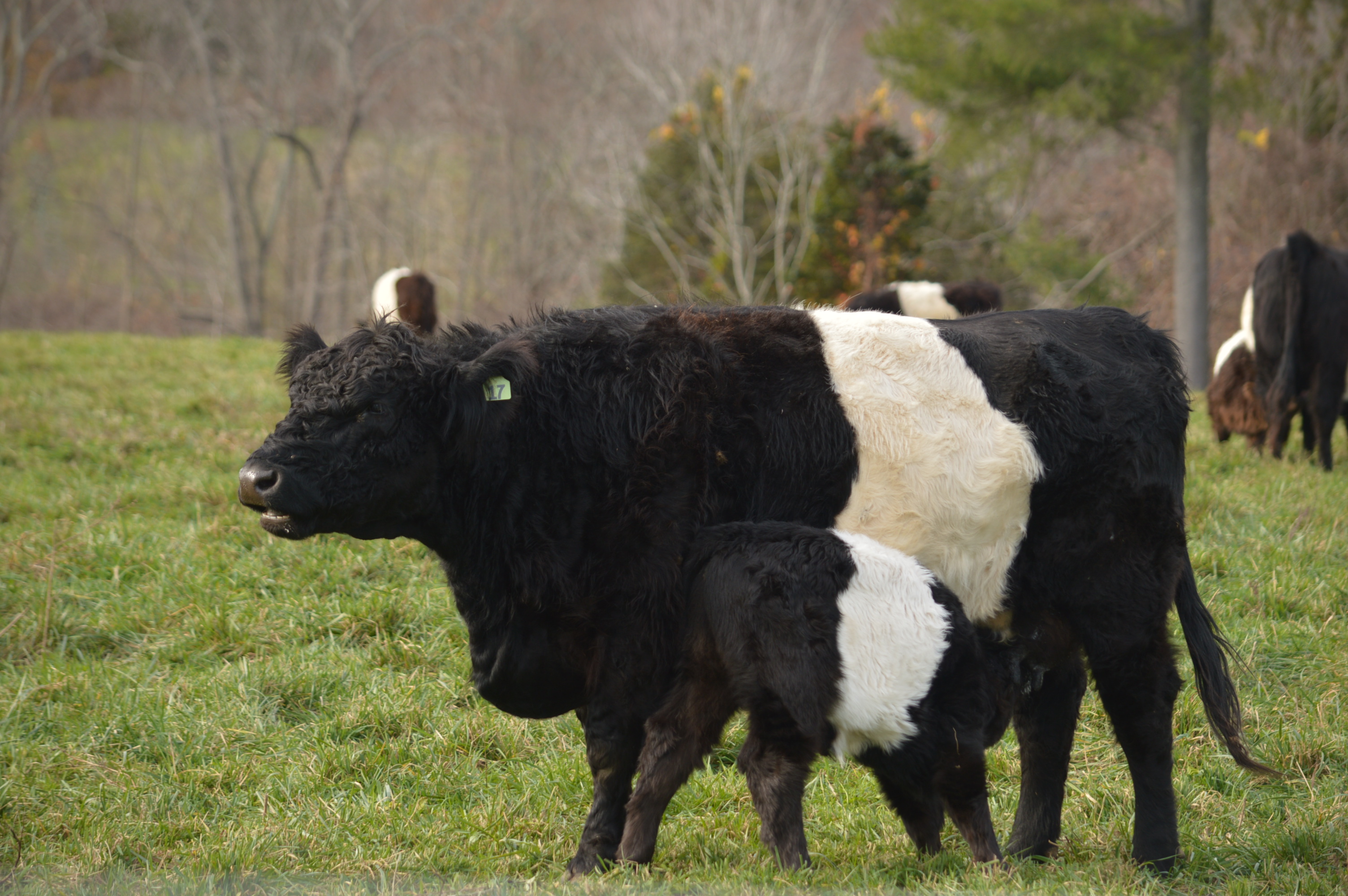
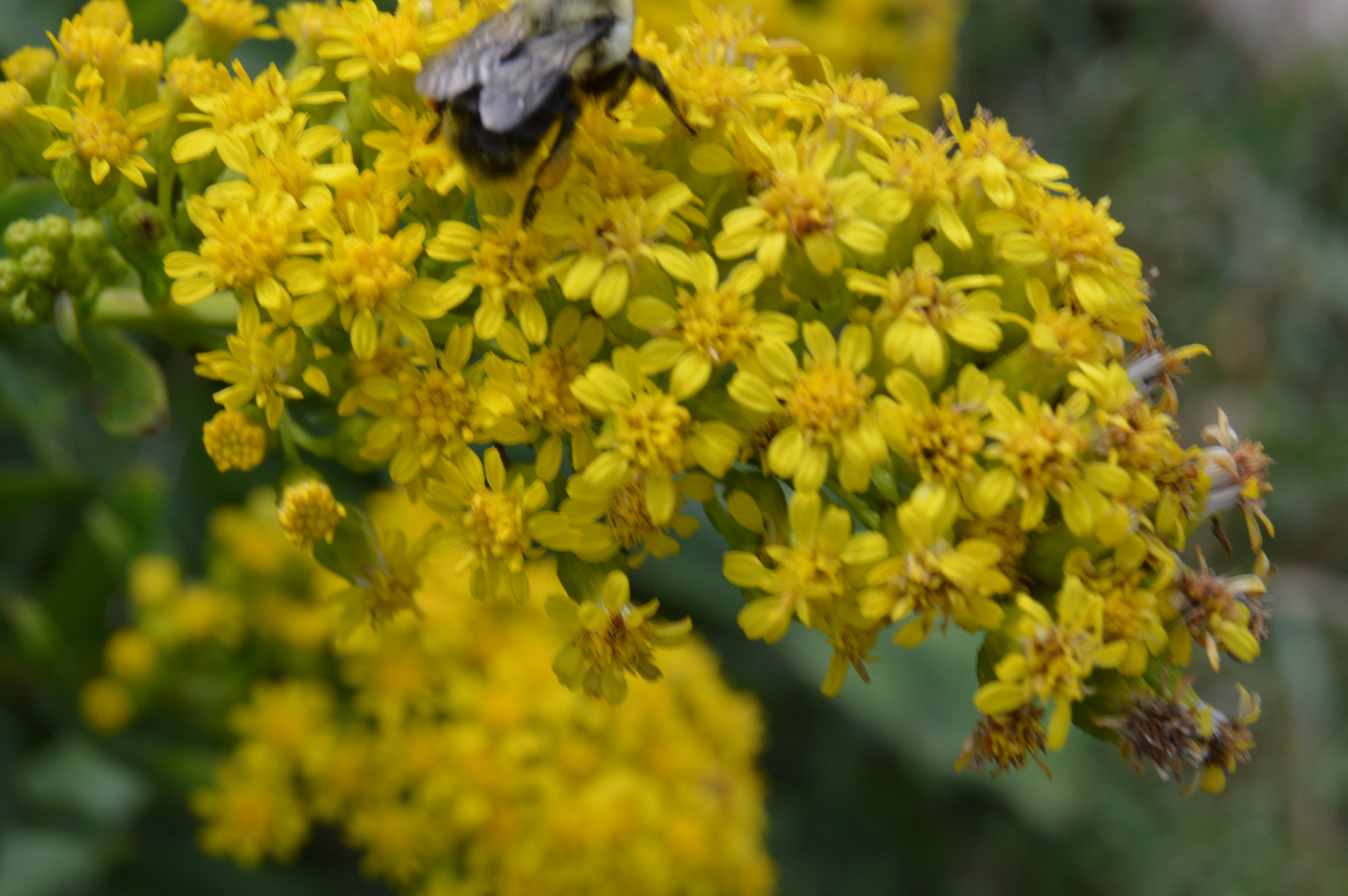
Before you even reach the trail, there is an interesting find in a field at the entrance of Rattlesnake Gutter Rd.  A group of bee hives sat under a tree in a pretty field while what looked like a falcon soared high above.

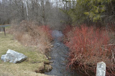
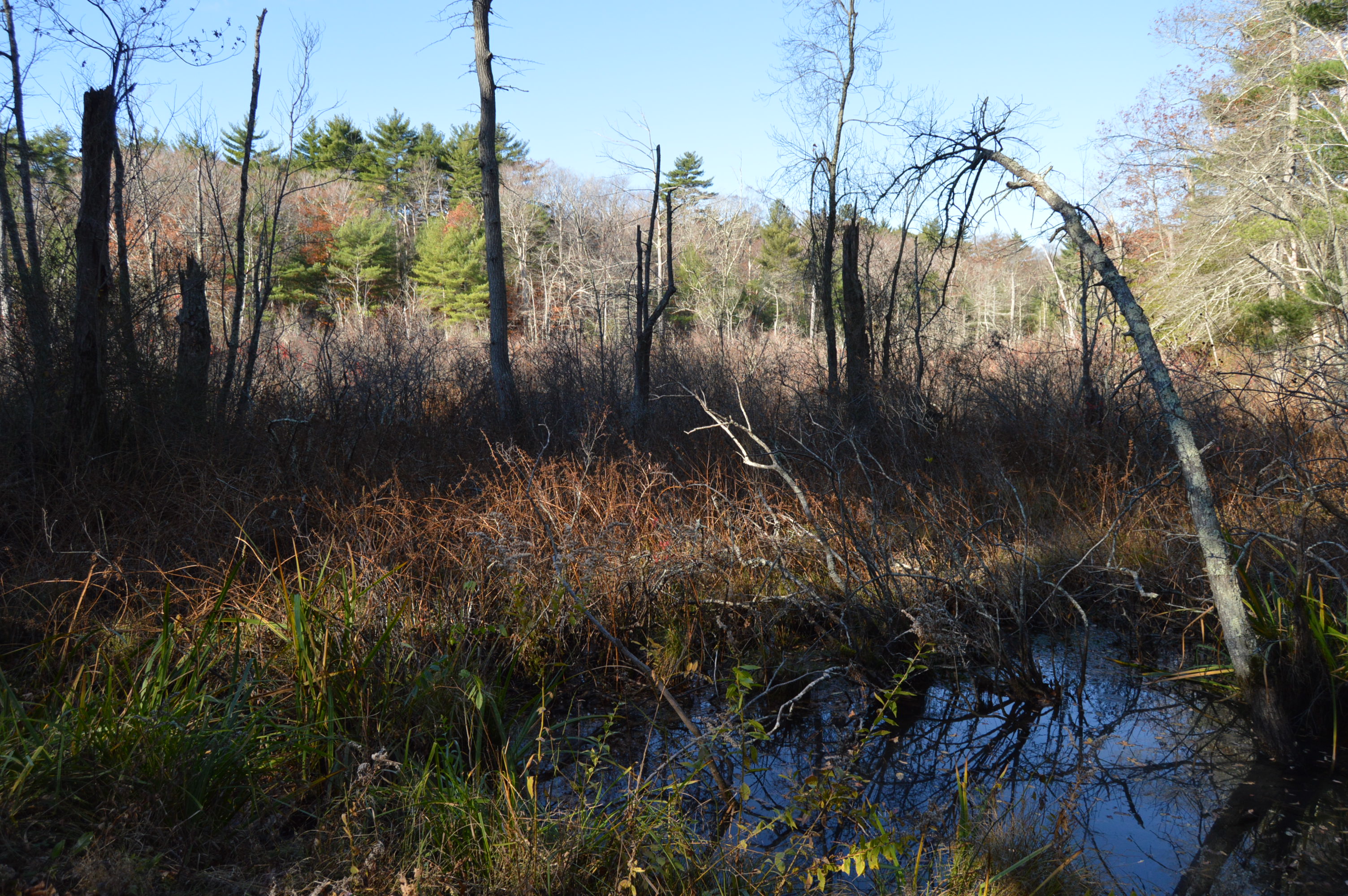
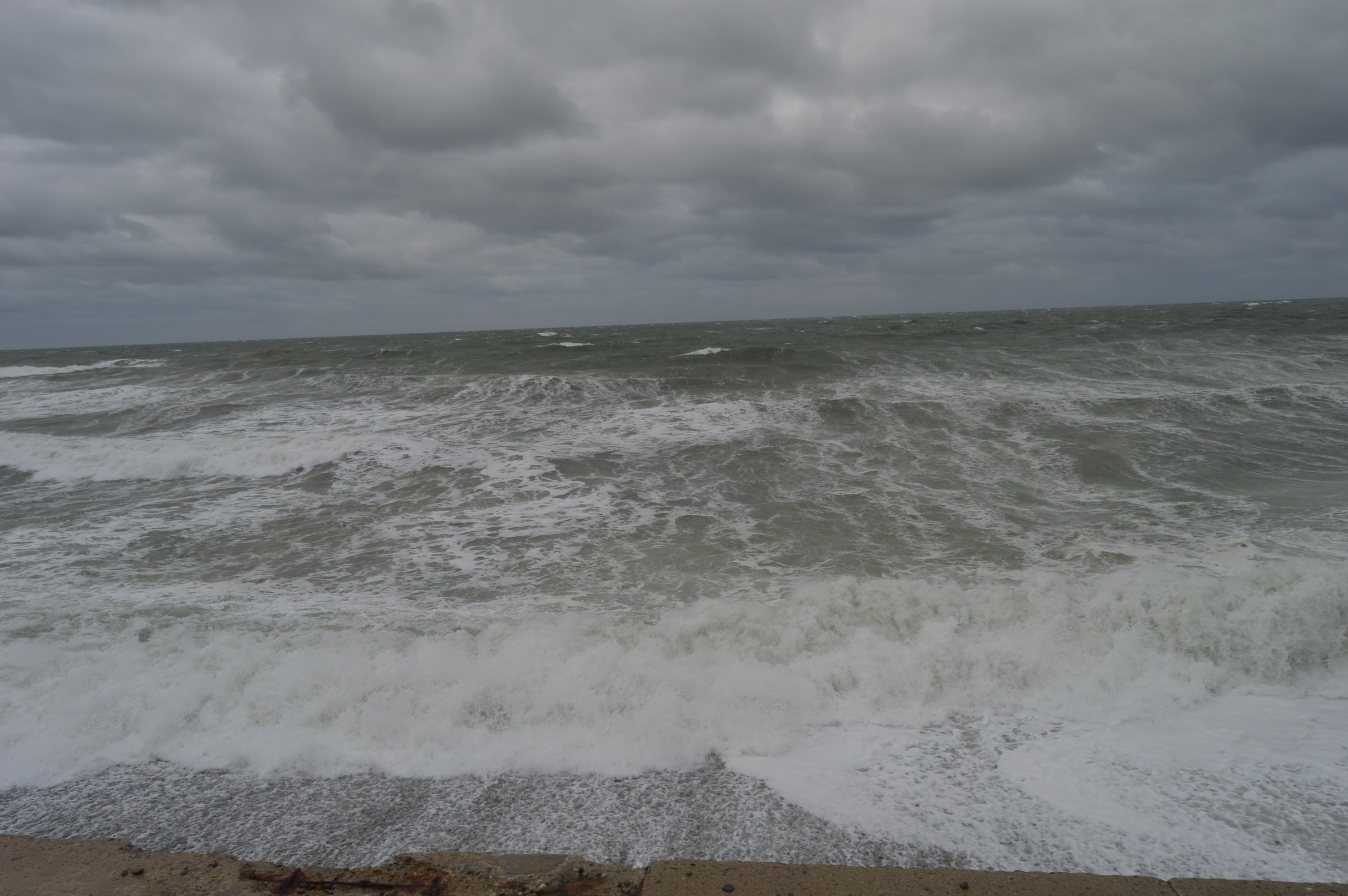
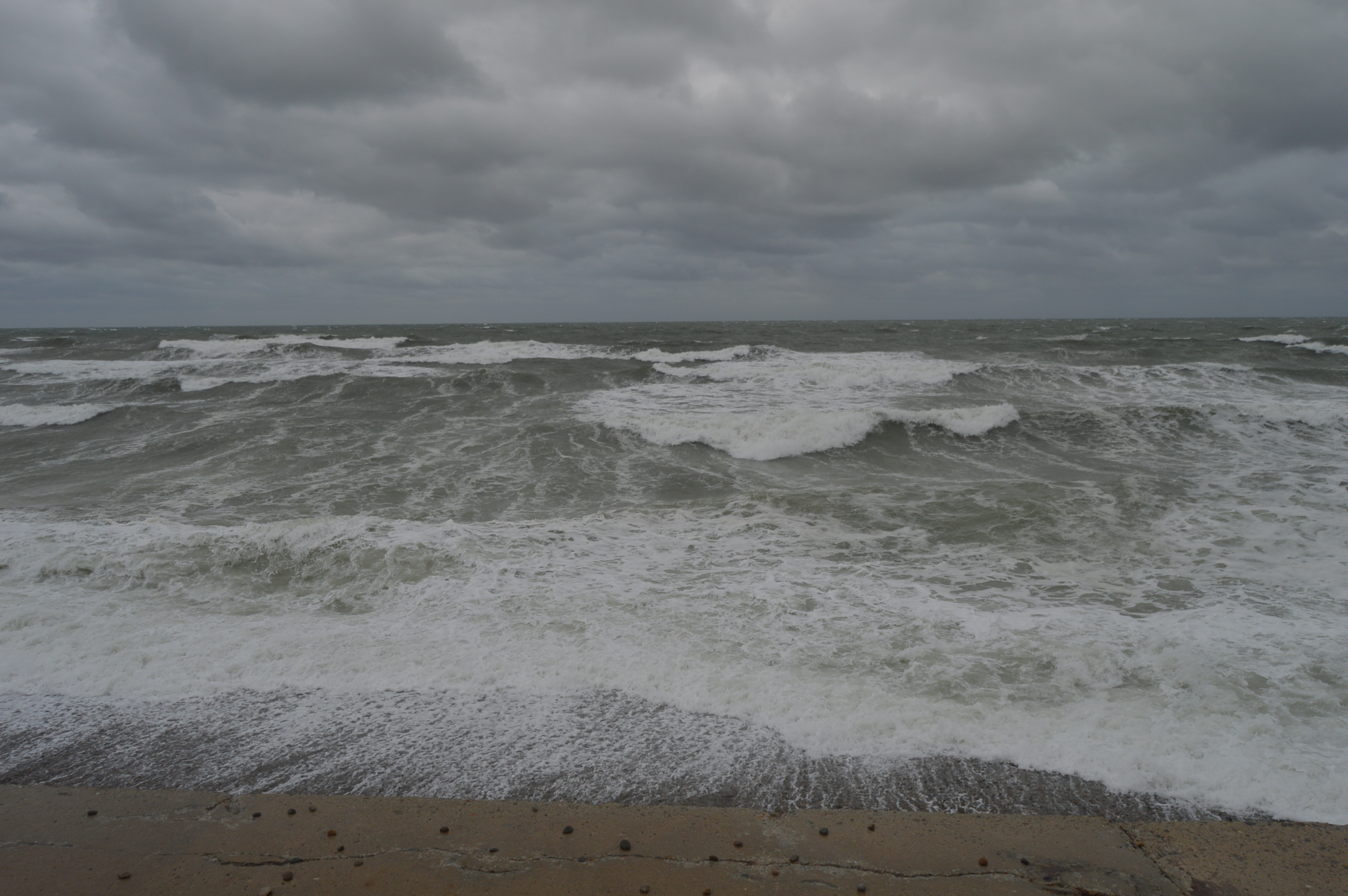
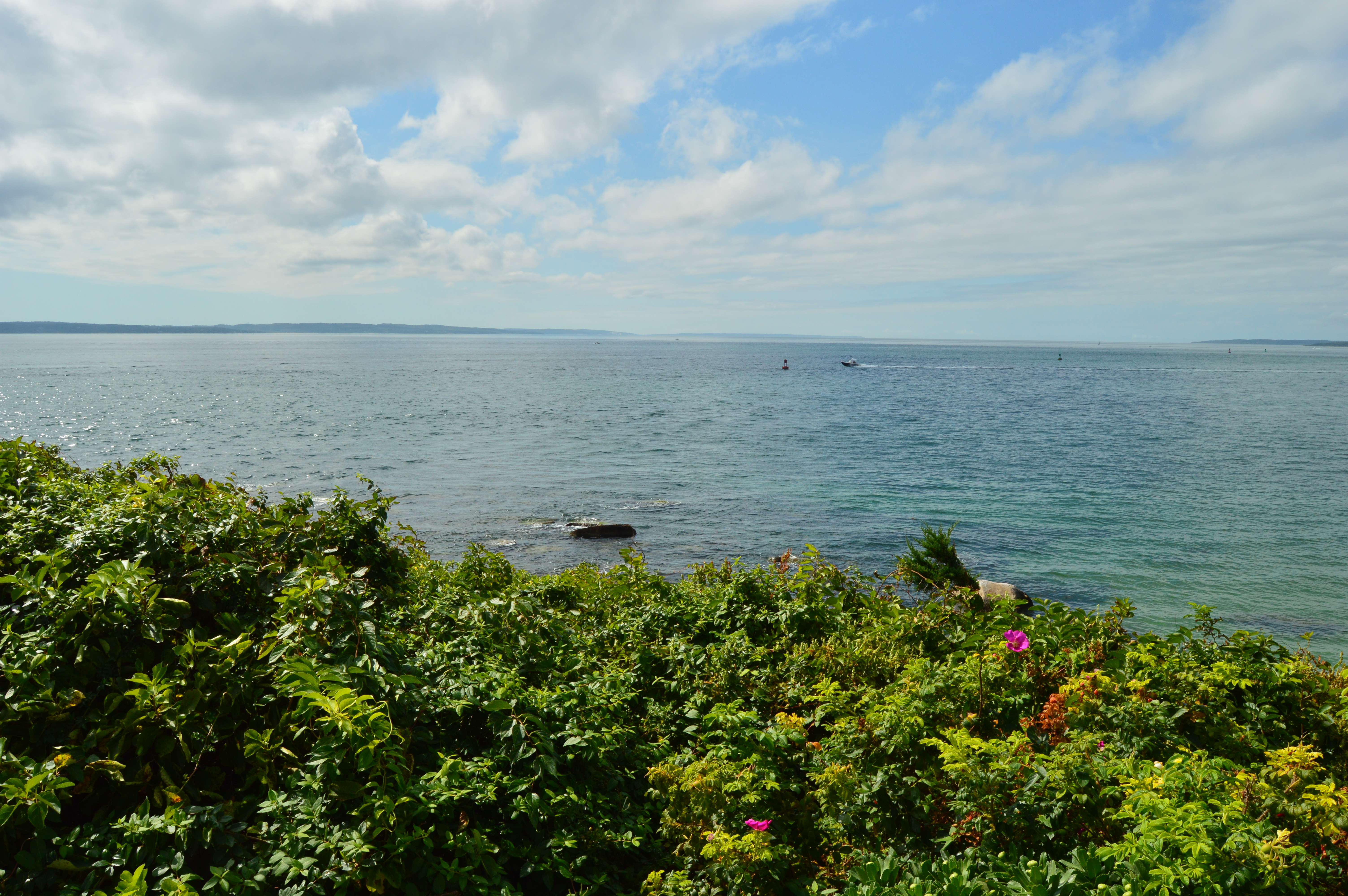
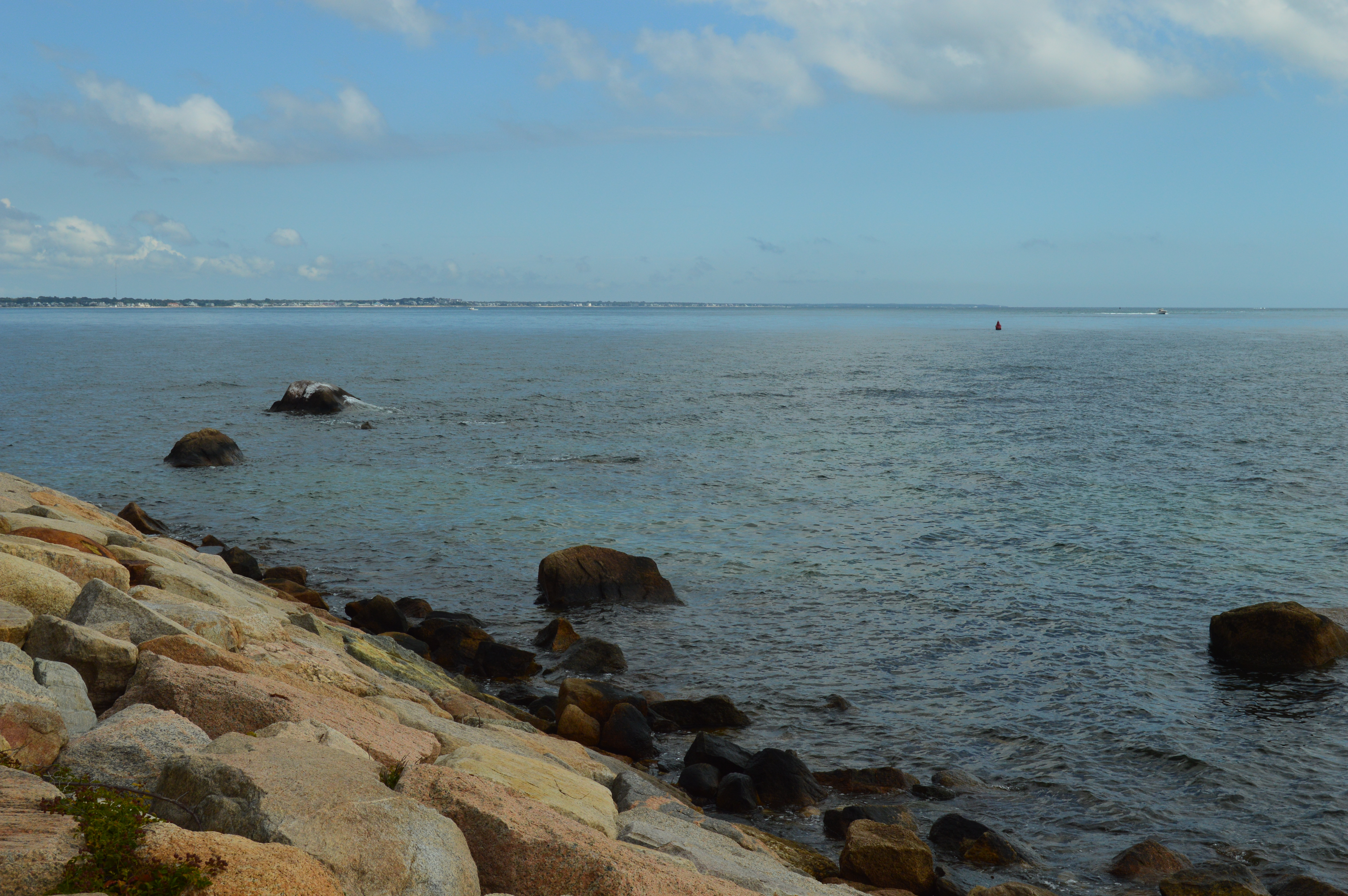
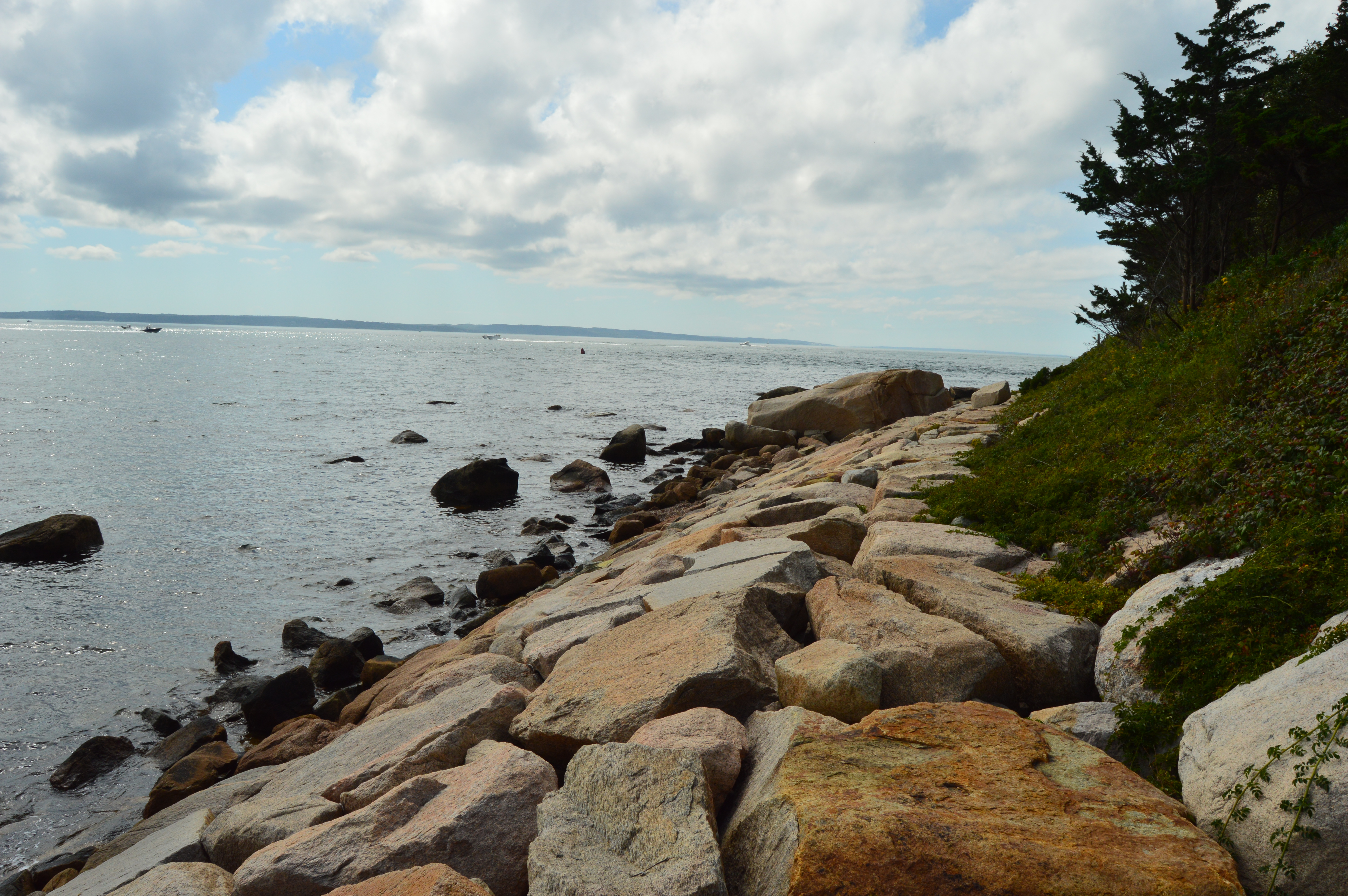
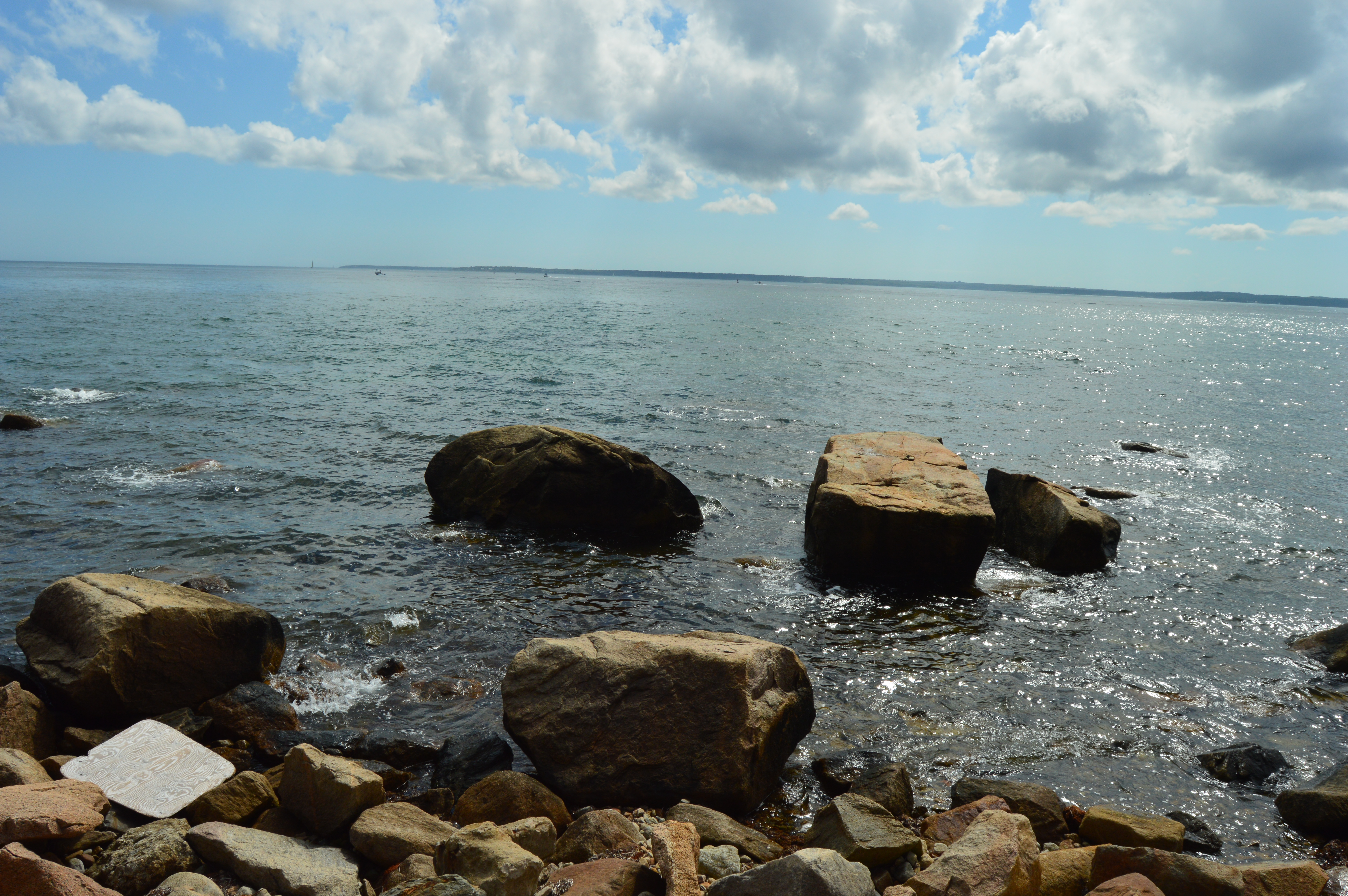
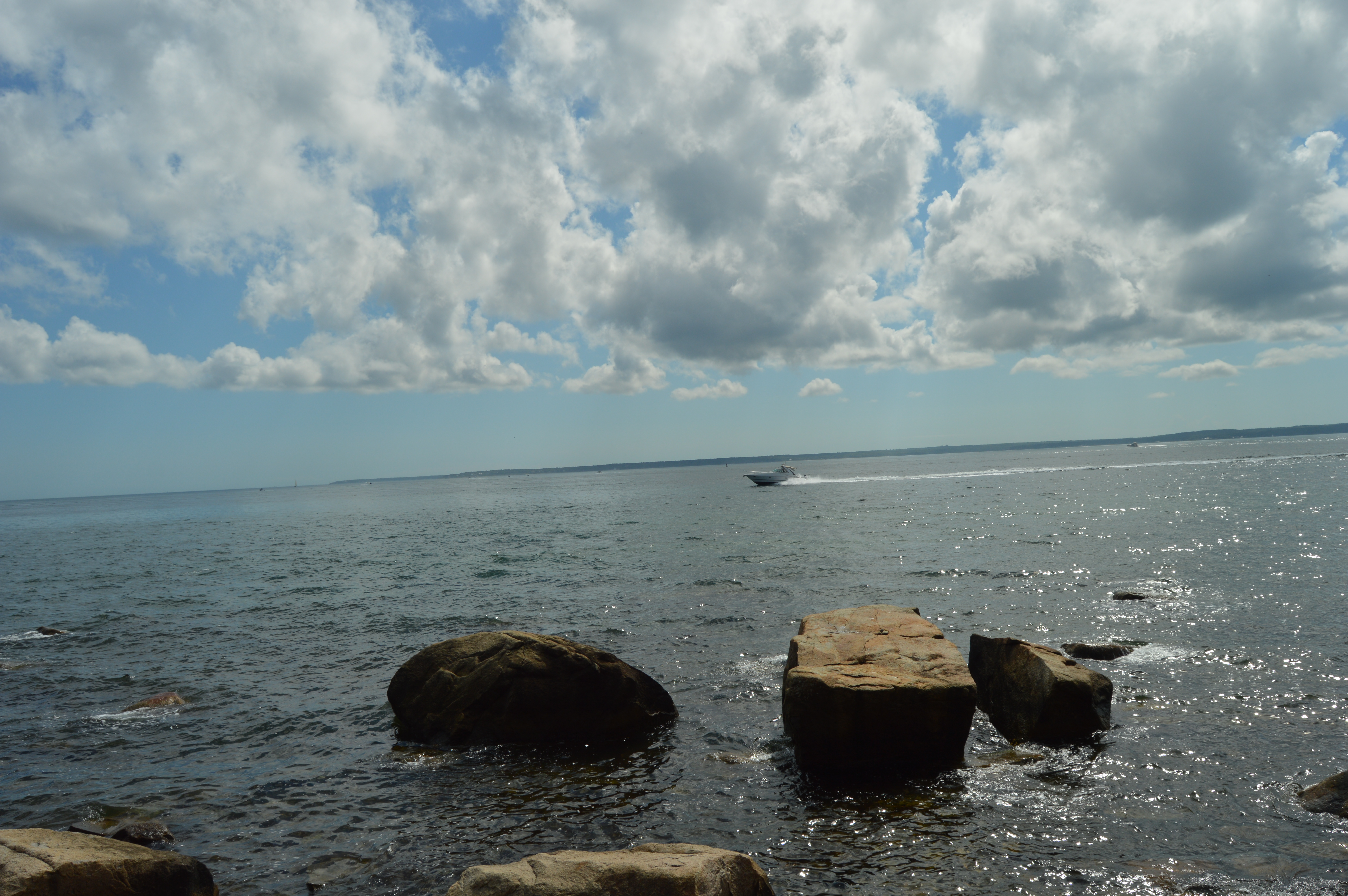
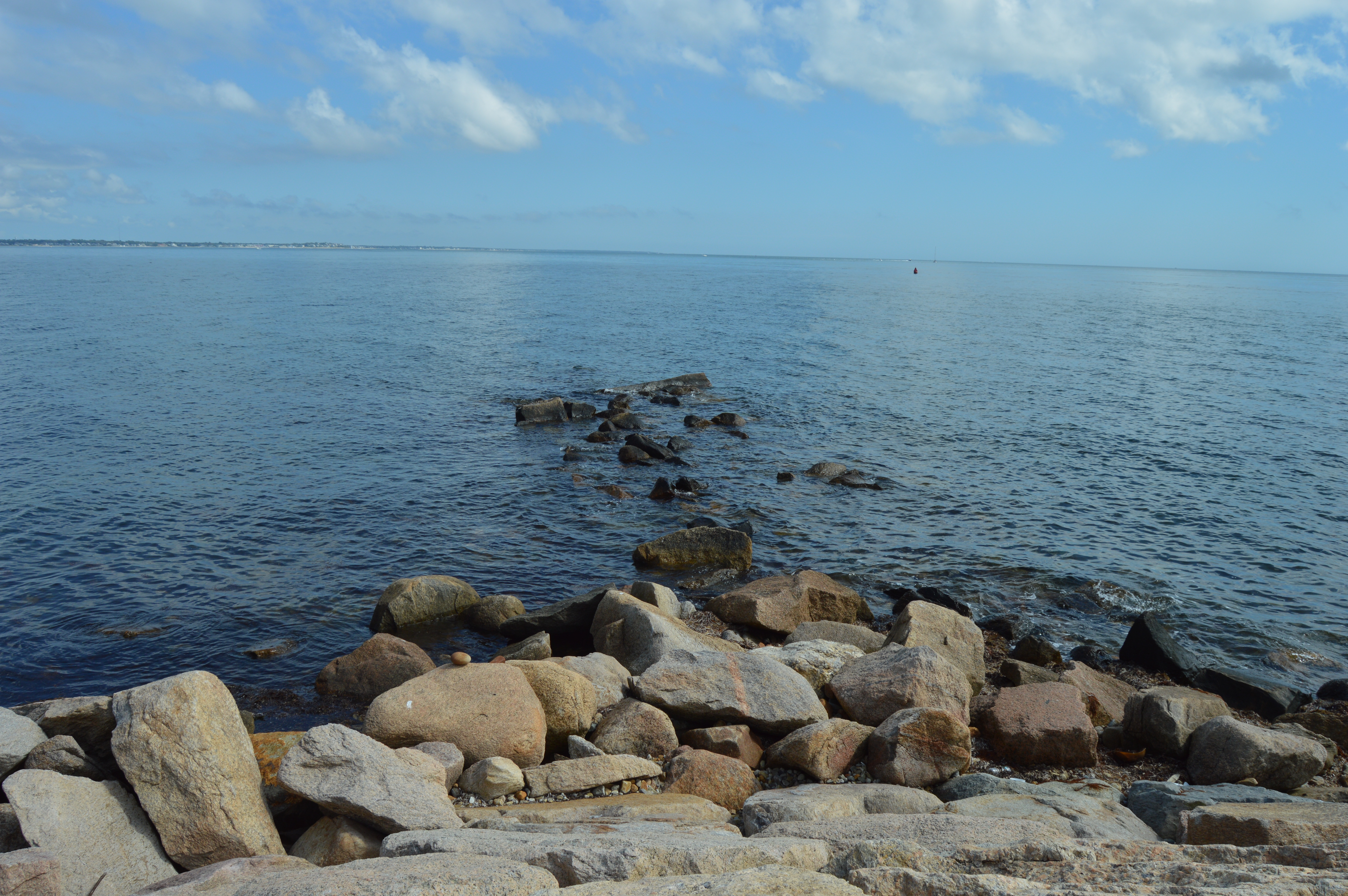
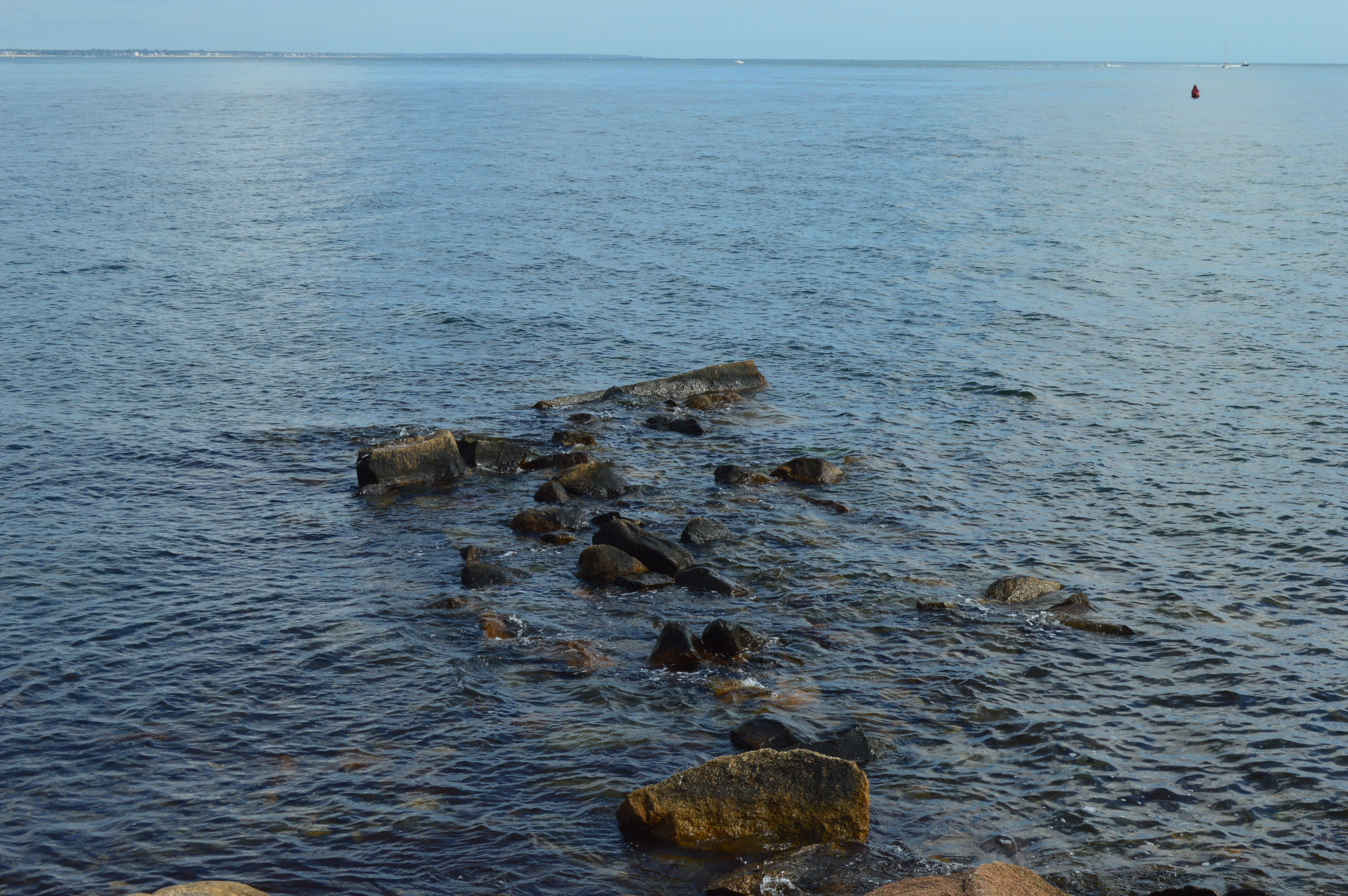
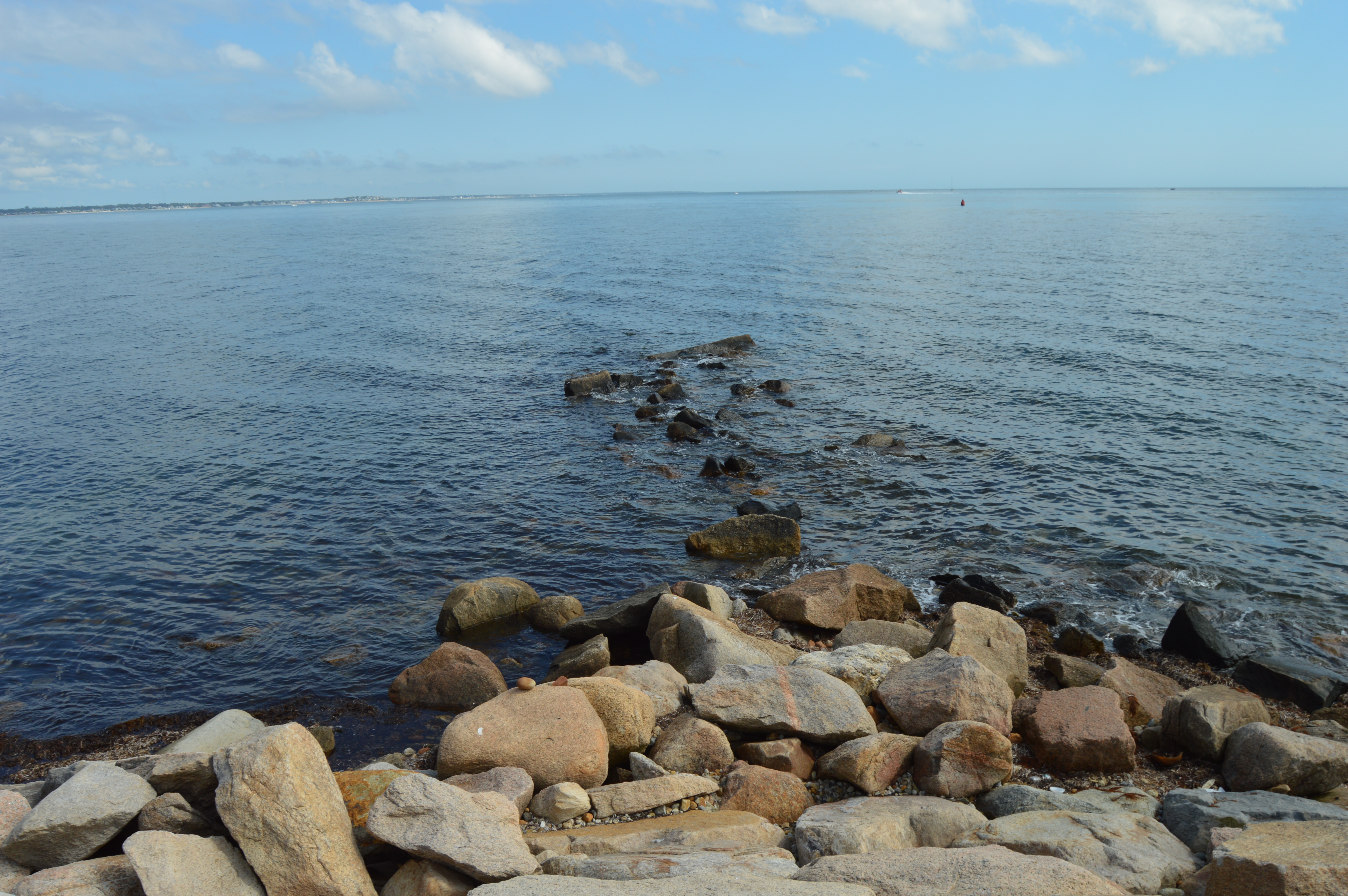
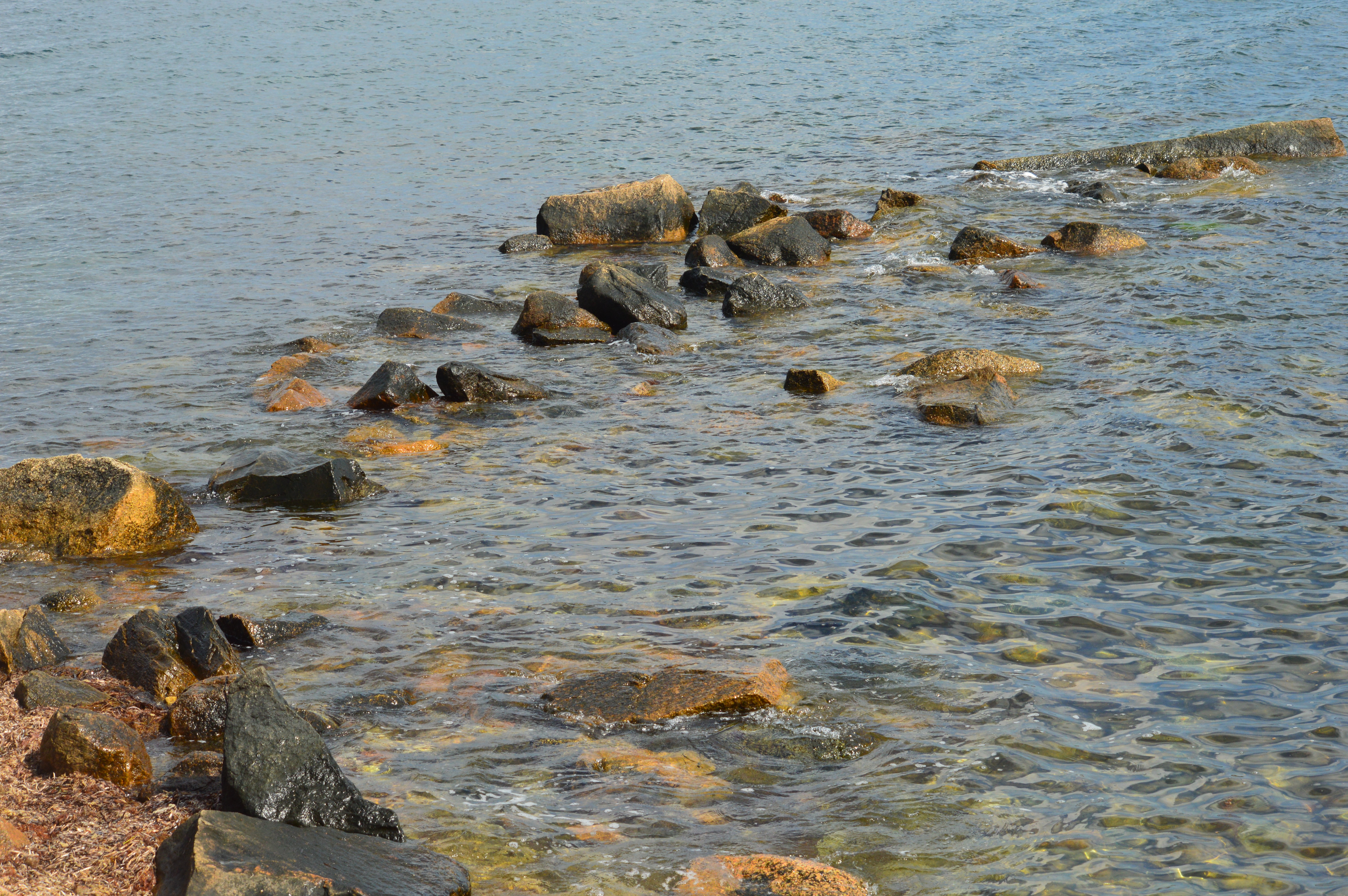
The trail is known more for the chasm that runs through most of the main trail from the Rattlesnake Gutter Rd entrance.  The trail is described as a boulder that runs 3/4 mile long and 1/8 mile wide.  It produces a lot of pool-like streams between the rocky edges.

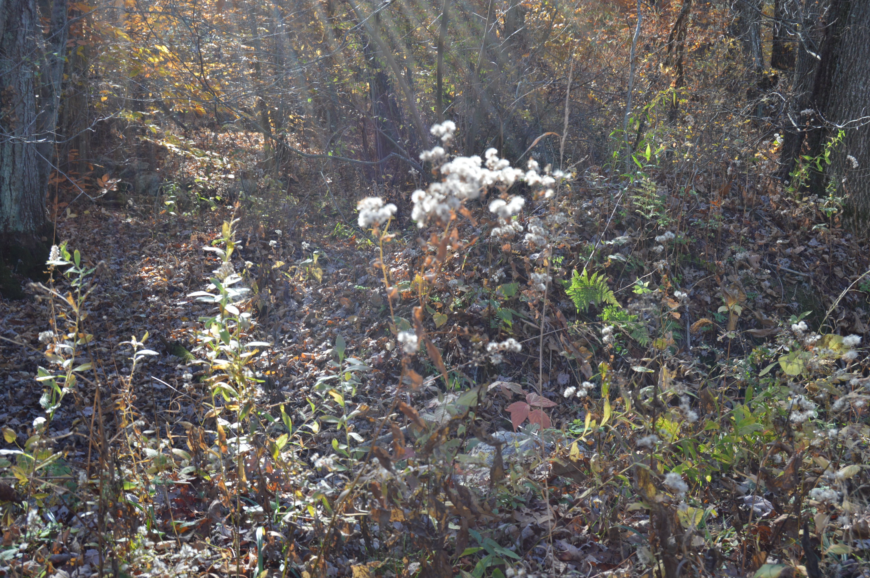
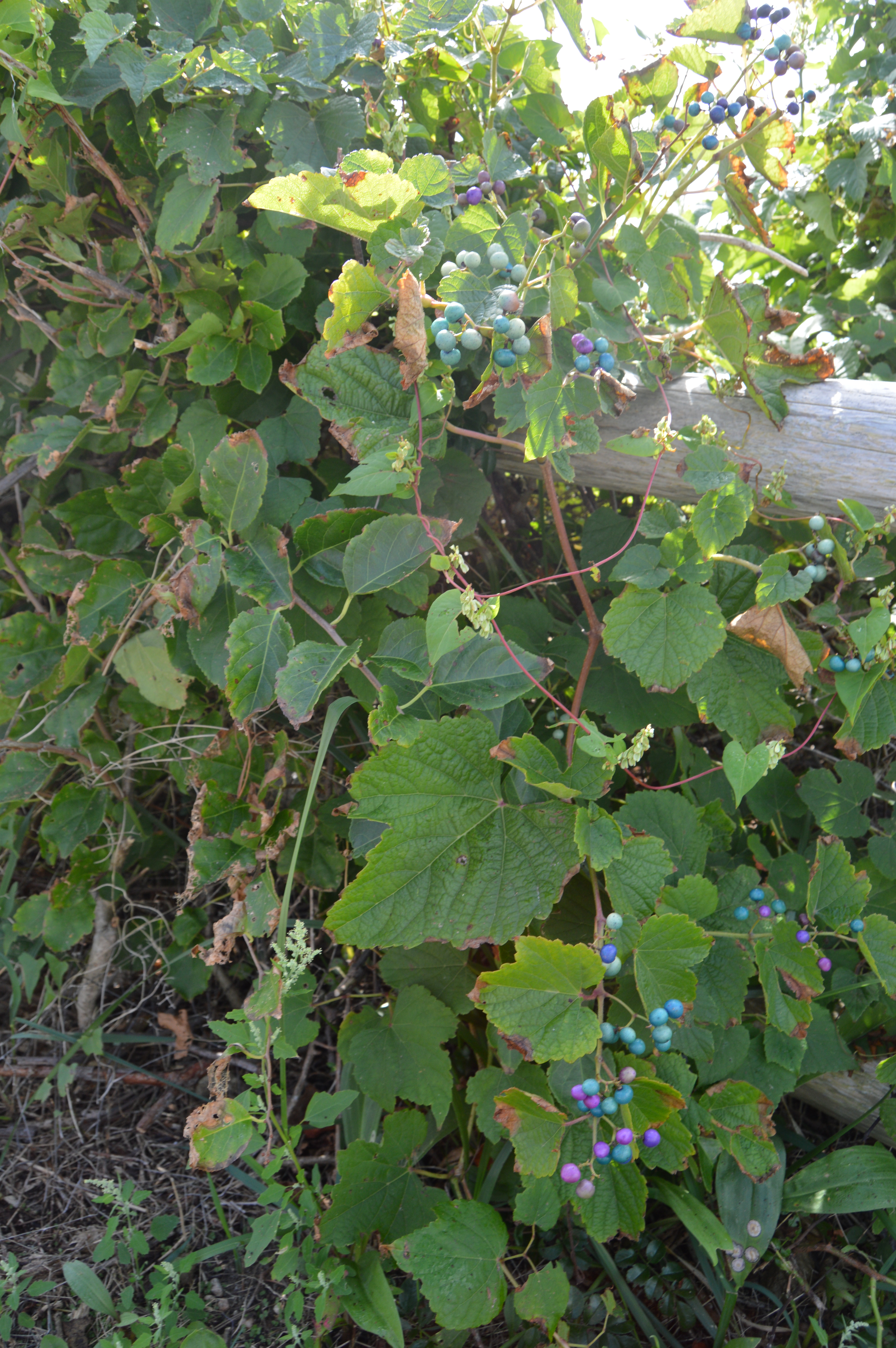
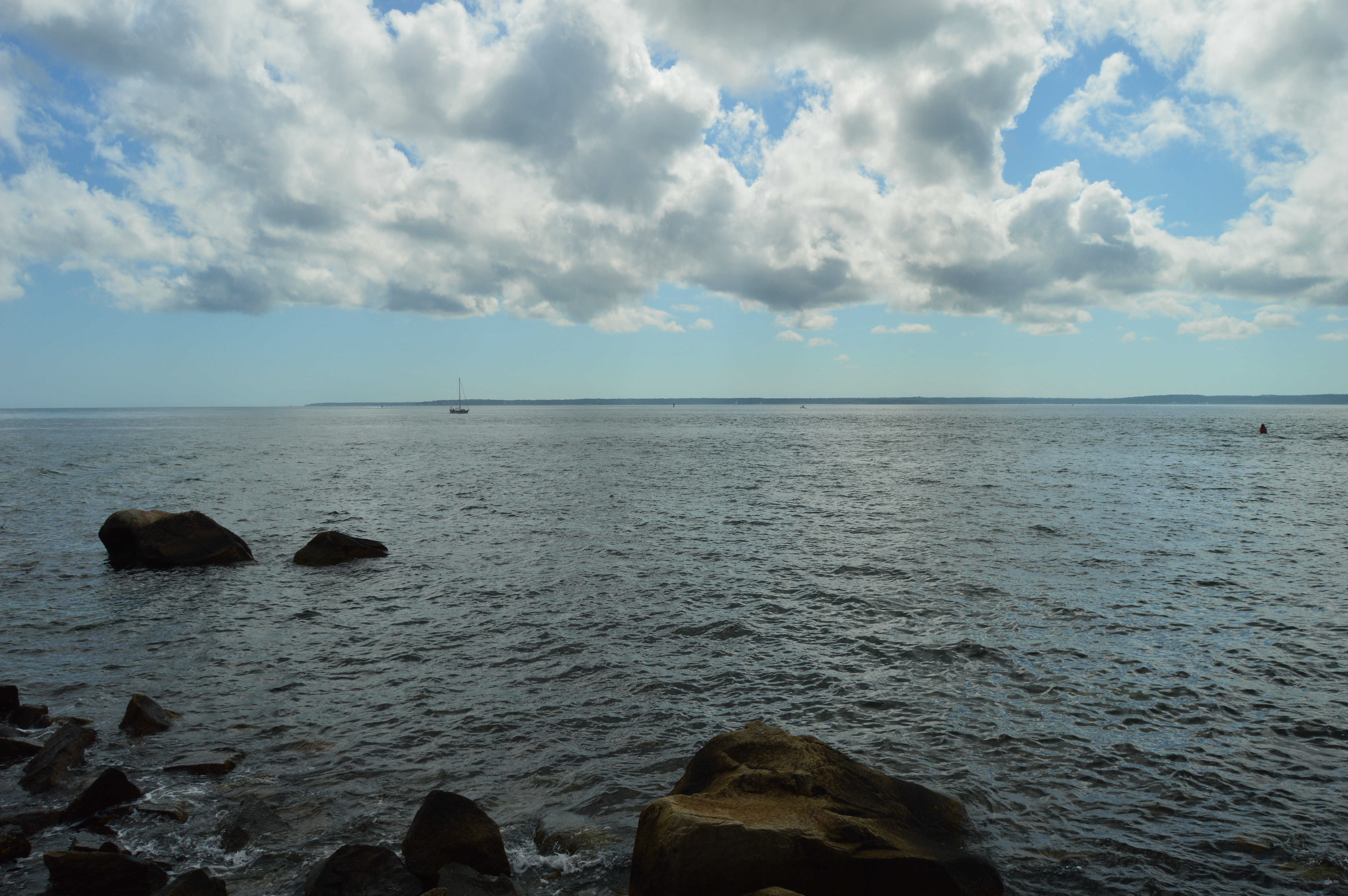
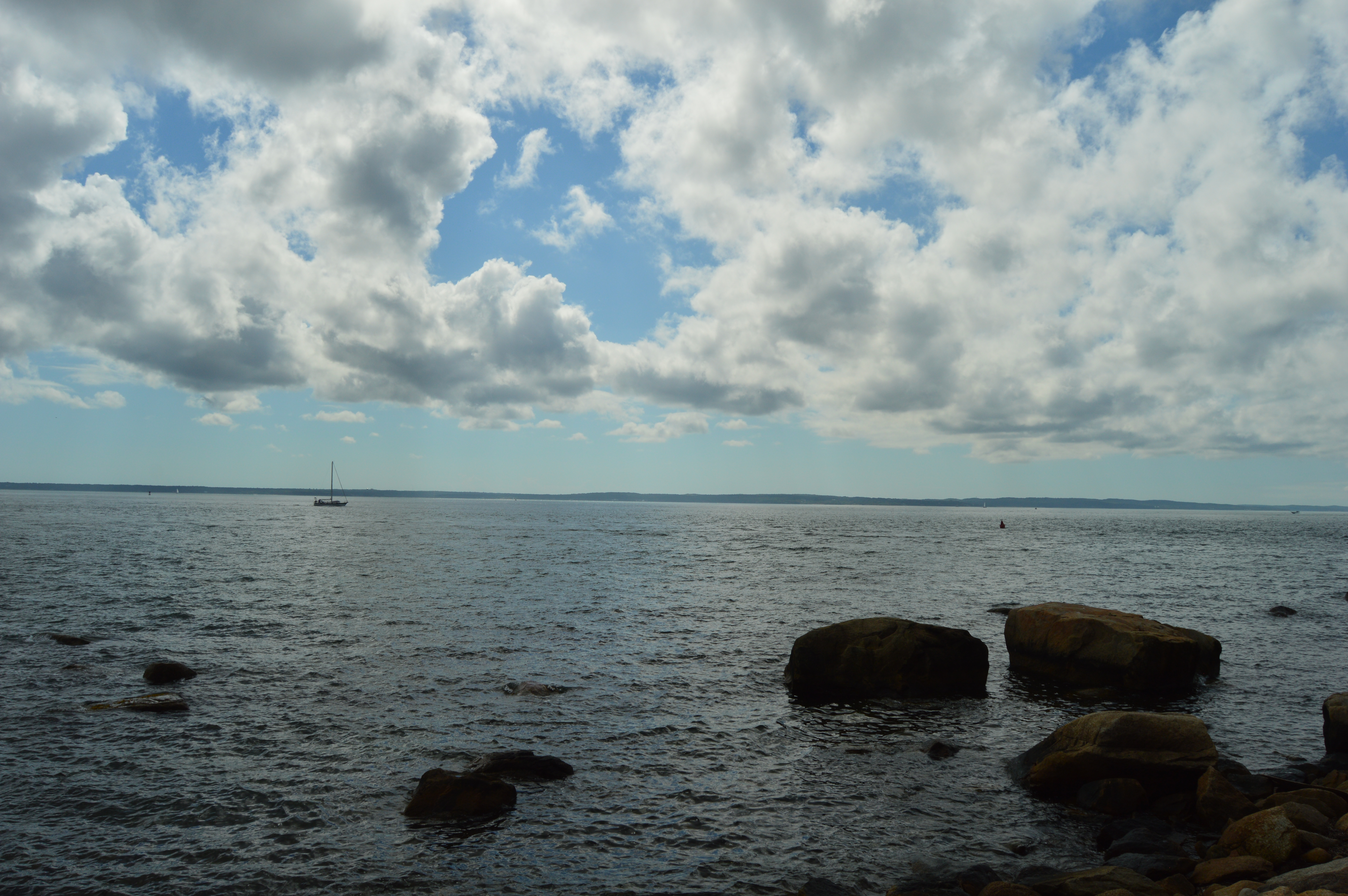
There are also several pools of water along the trail with some frogs and other aquatic animals.

Between the rocky sides there is a roughly mile trail with several mini waterfall-like streams and a very long way down if you’re not careful.

The dirt trails are easy to moderate in some areas due to the somewhat strenuous inclines in some areas.  At least they were strenuous to a middle aged hiking novice.

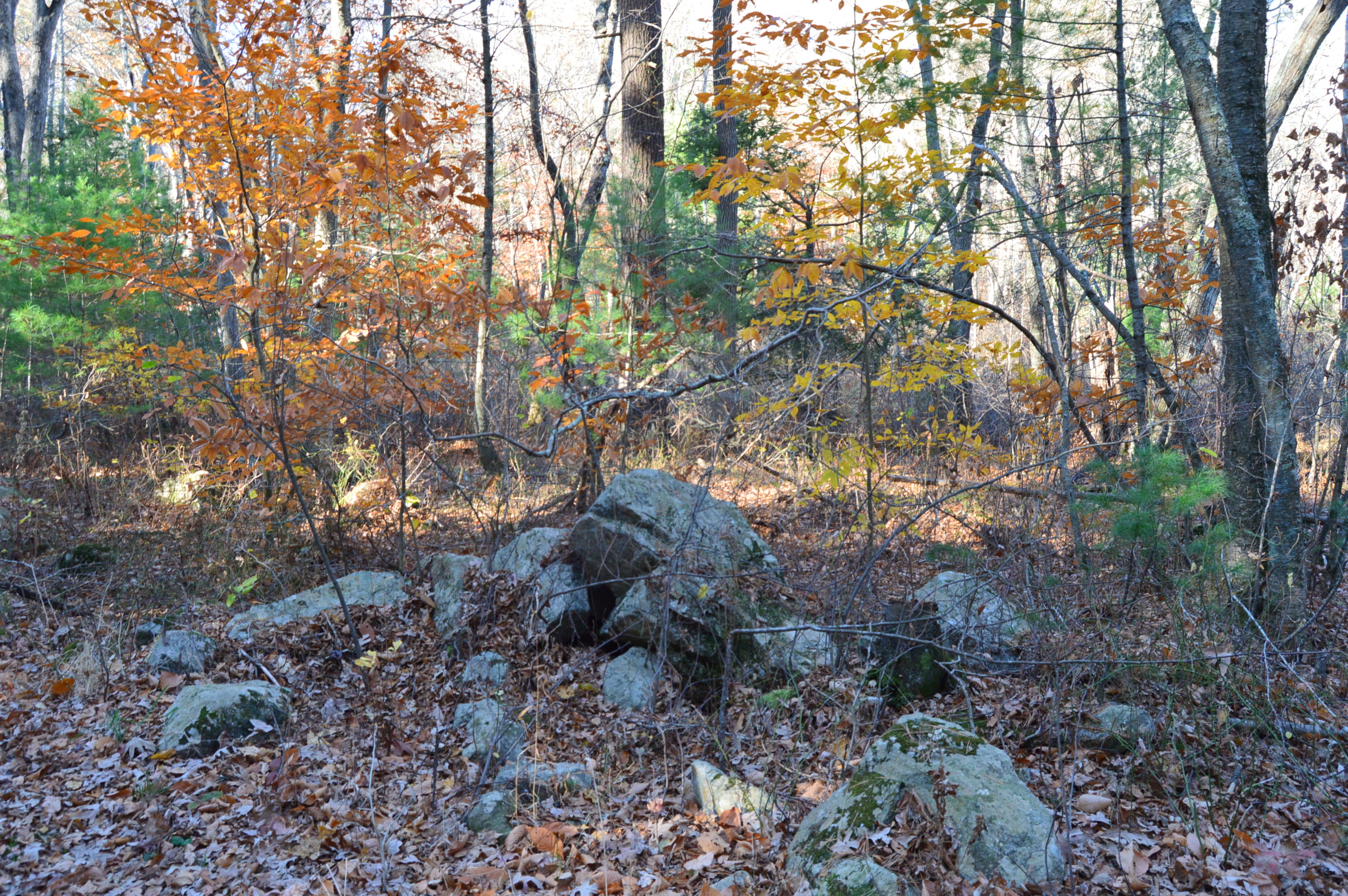
The origins of the chasm are unclear.  Some theories include a sub glacial melt water channel or a tear at the site of an old geologic fault.  Another theory suggests it was caused by a spillway for a temporary pro glacial lake.  I would go with the last one.  Just because I like to say “pro glacial.”  In any event, the rocks show the aftermath of some major event.

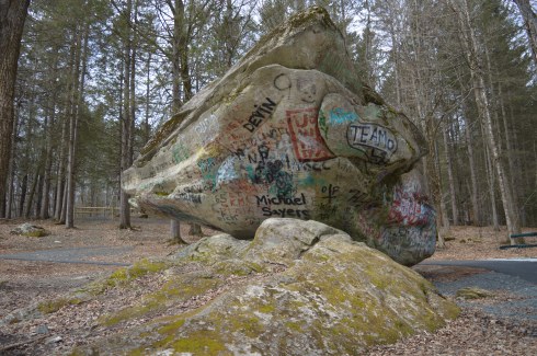
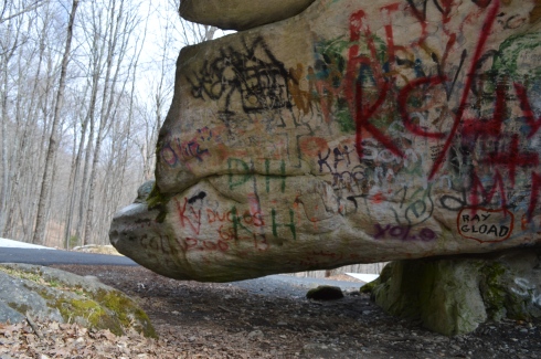
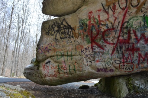
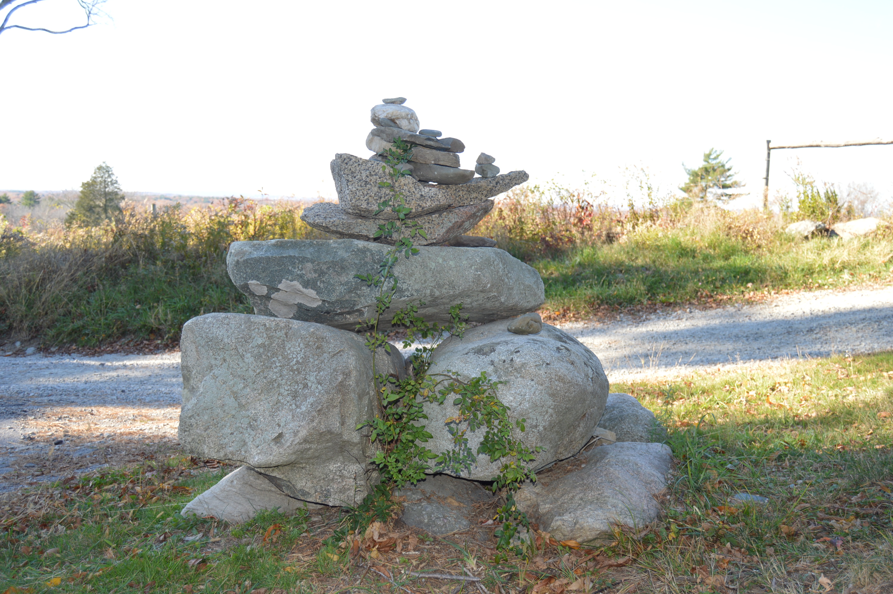
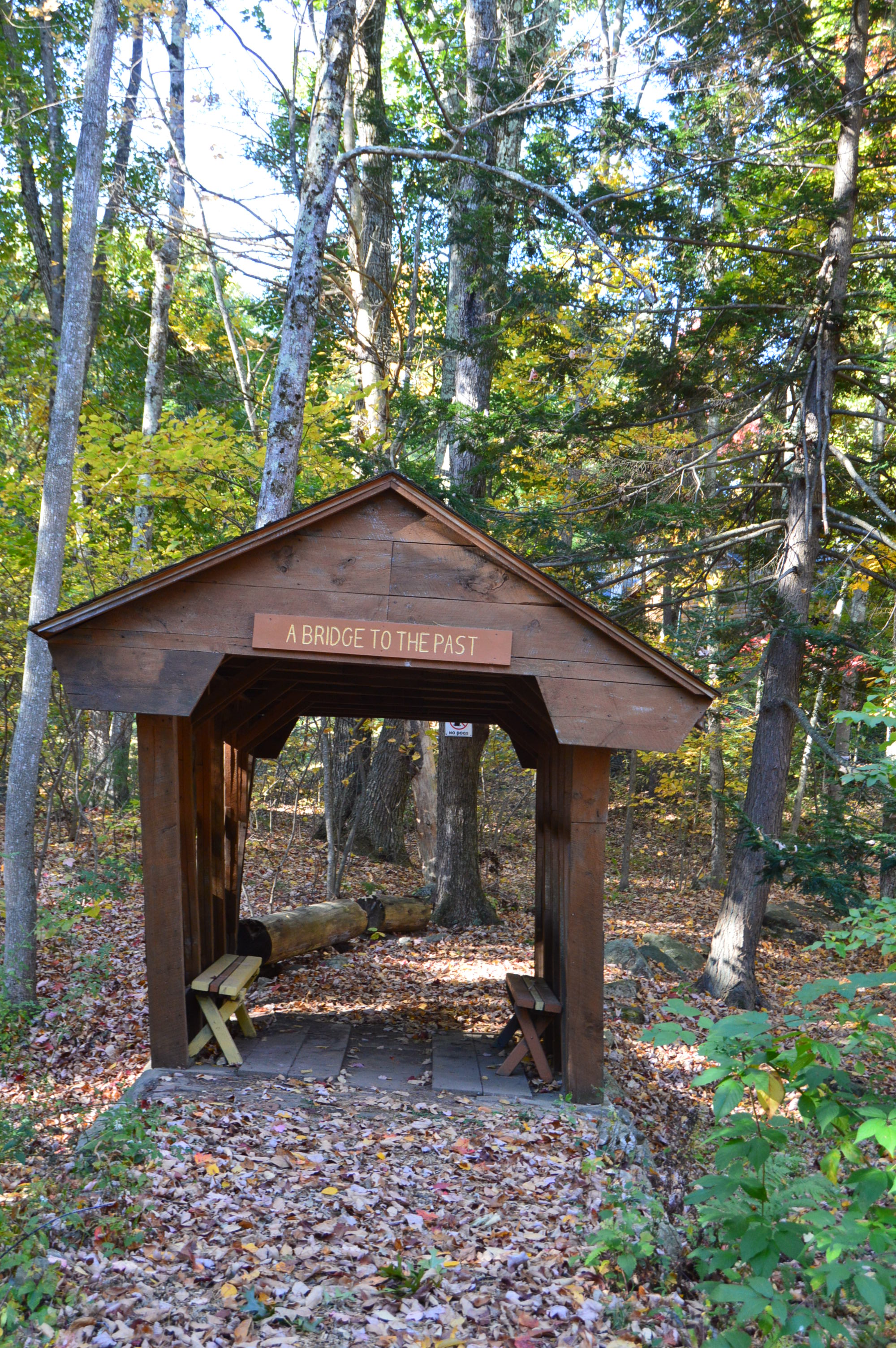
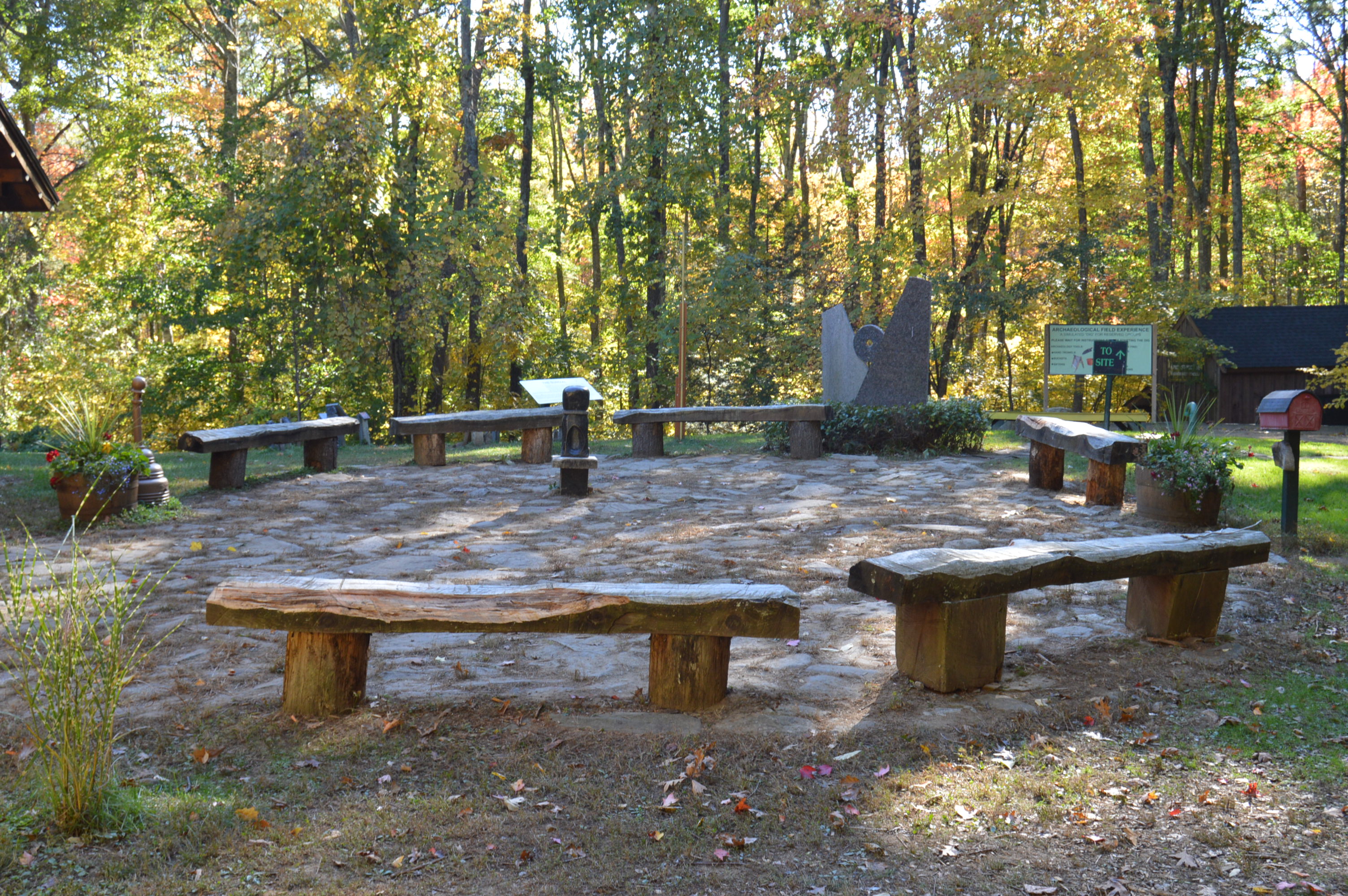
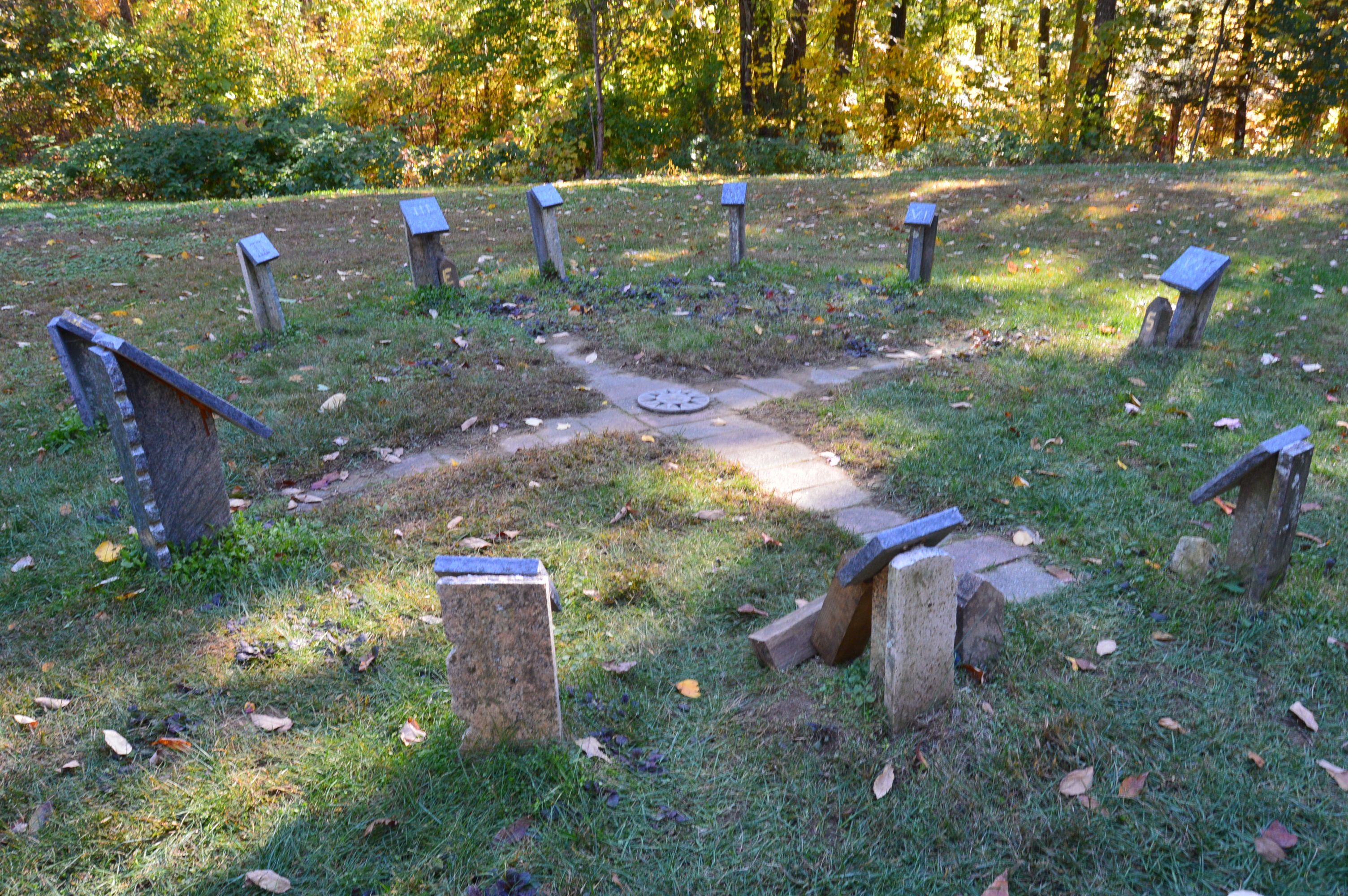
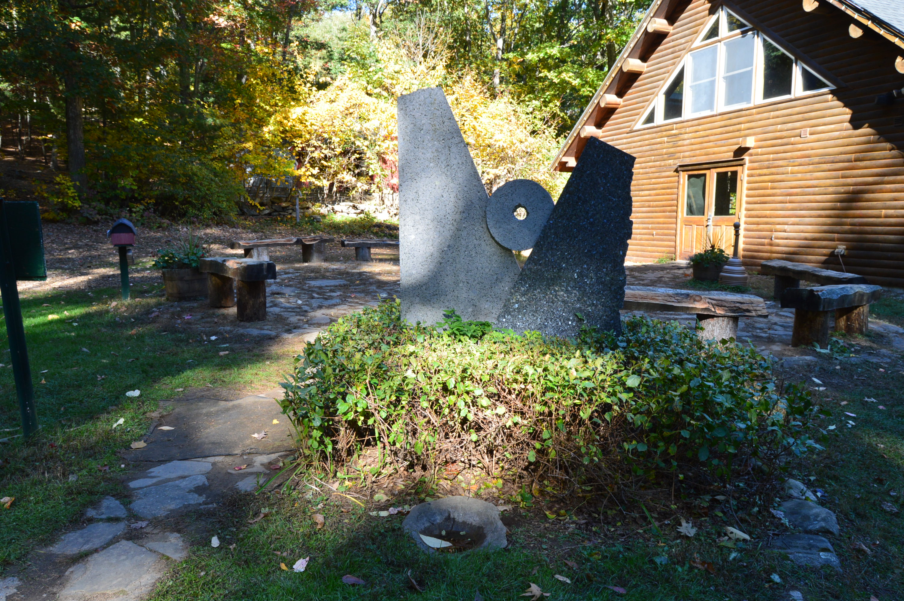
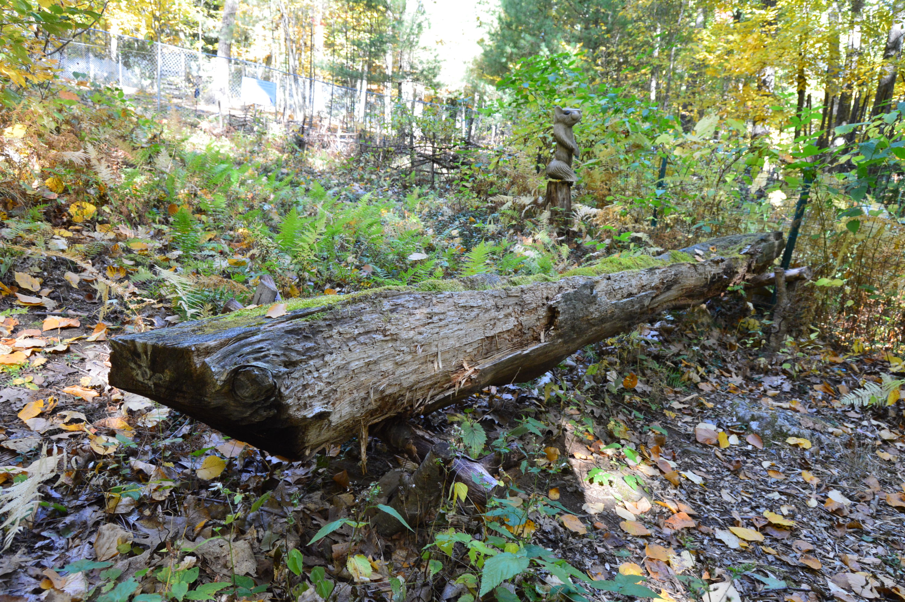
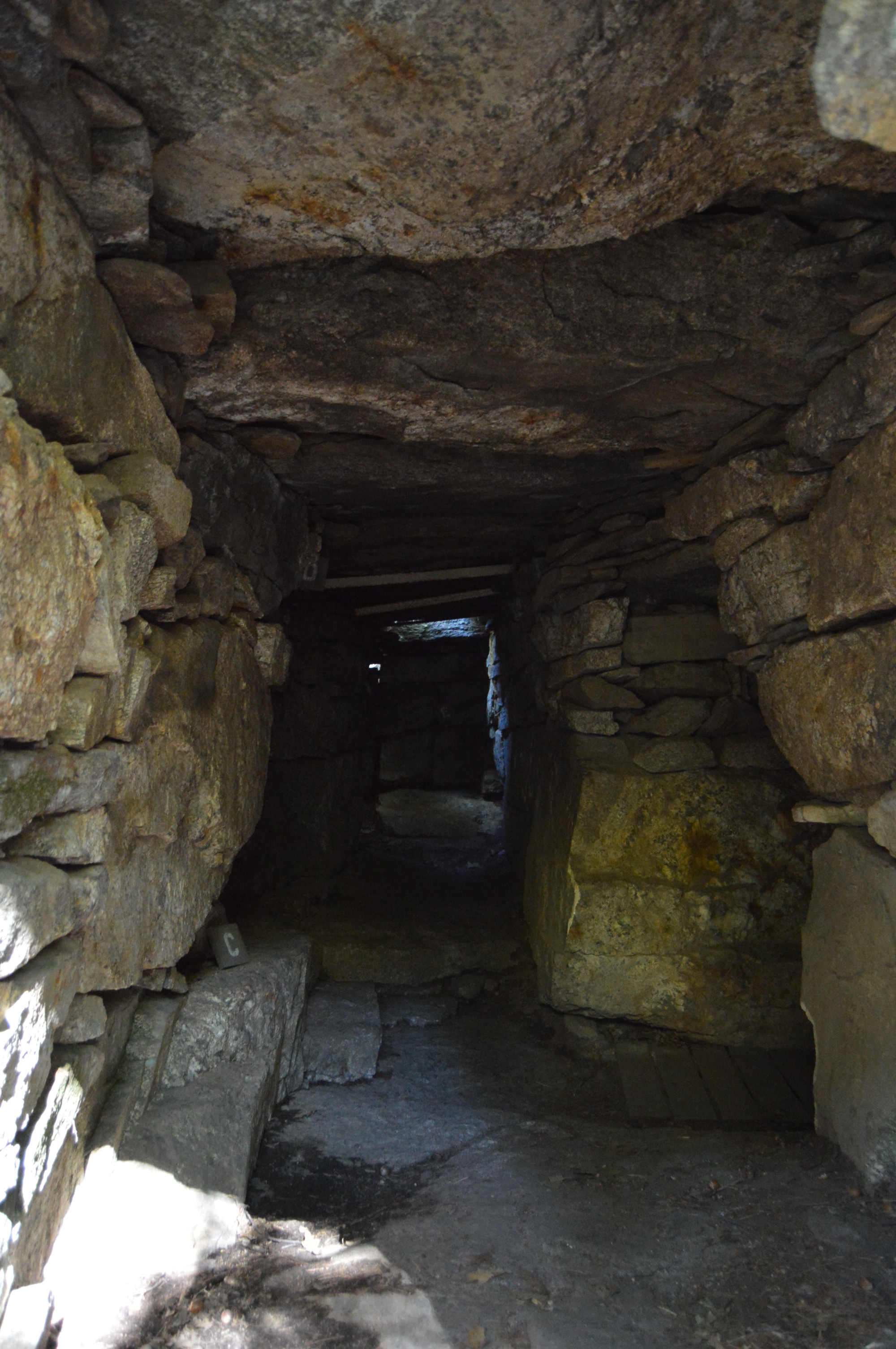
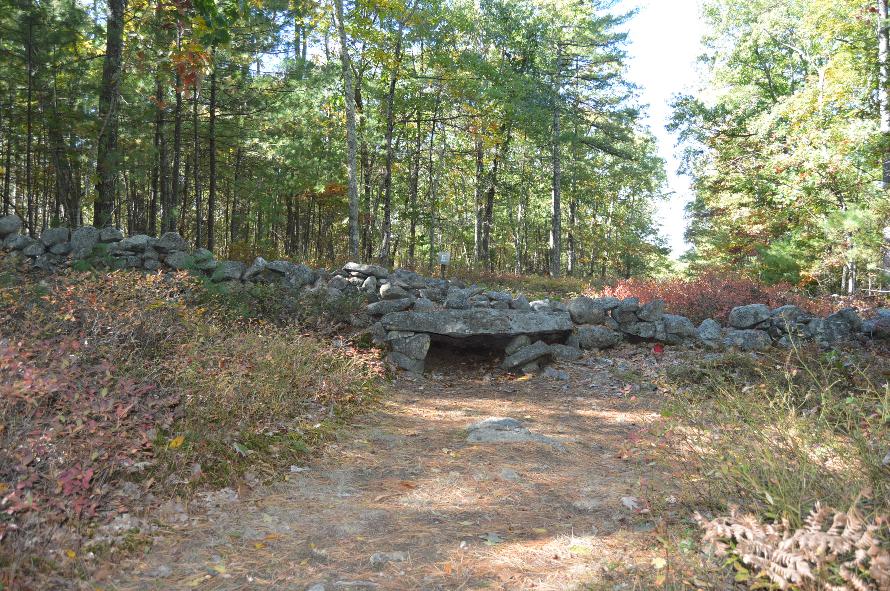
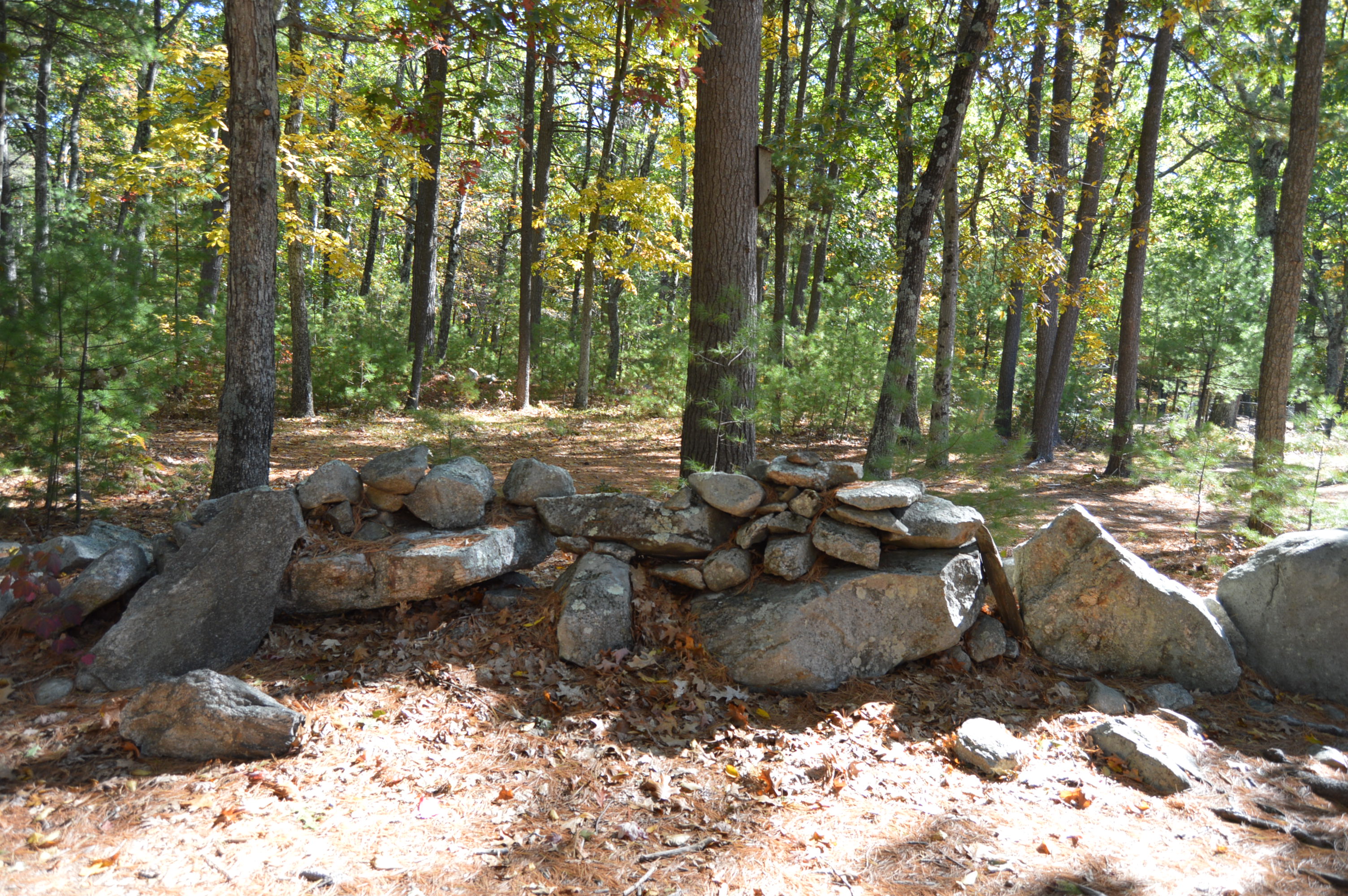
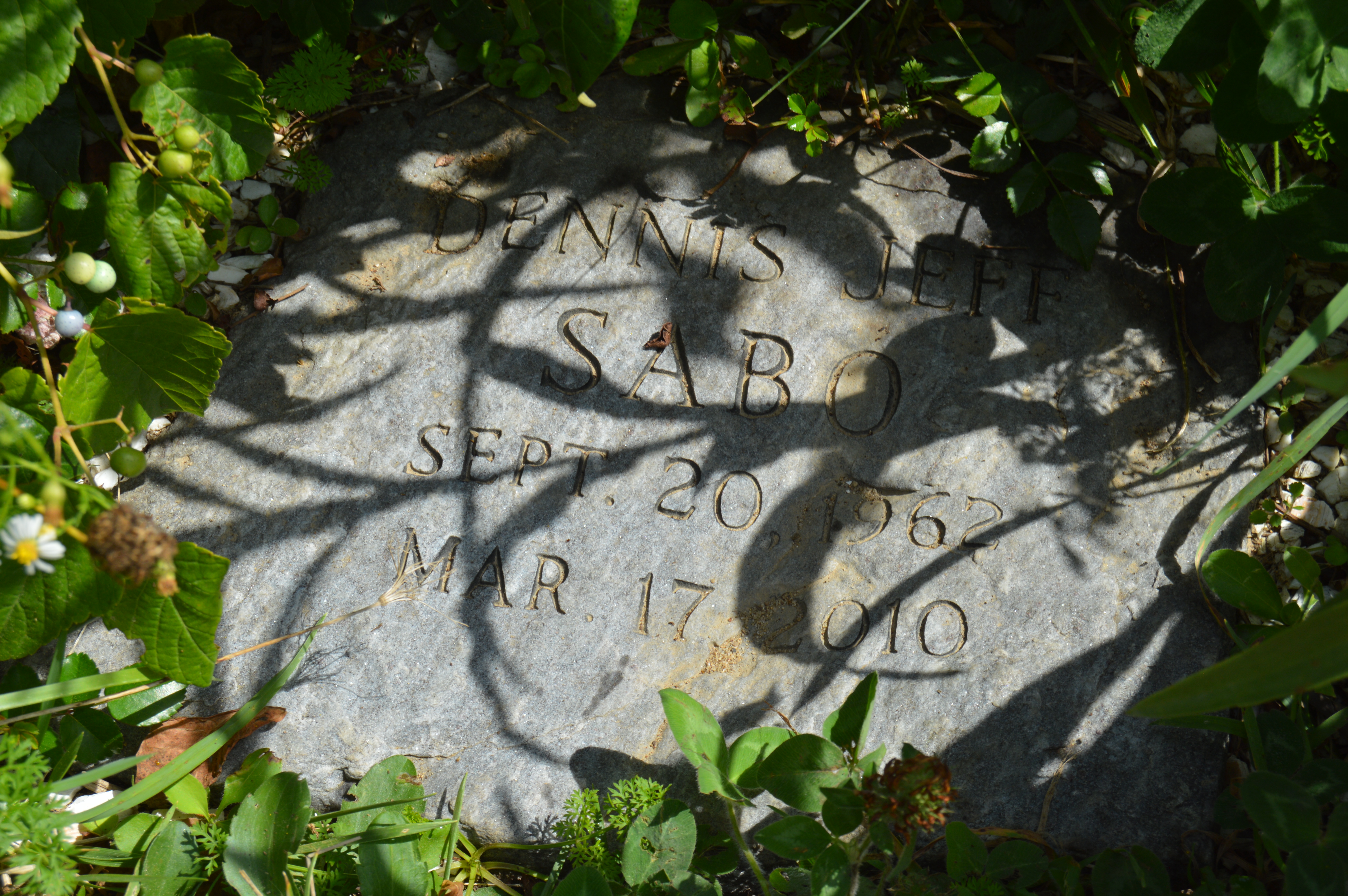
Unexpectedly, we found some art along the rocks.

It’s not known who created this art or why.  But, it is pretty cool.  You know how if you look at a photo or rock long enough, you can see other images?  Well, to the right of the tree in the photo below just above the greenery and boulder in the right hand corner of the photo, there appears to be possibly the outline of a cat’s face (you may have to tilt your head to see it). Or, maybe I’ve just drank too much caffeine and I’m seeing things.   It could just be the way the rocks appear from the weather and erosion.

IMG_7079

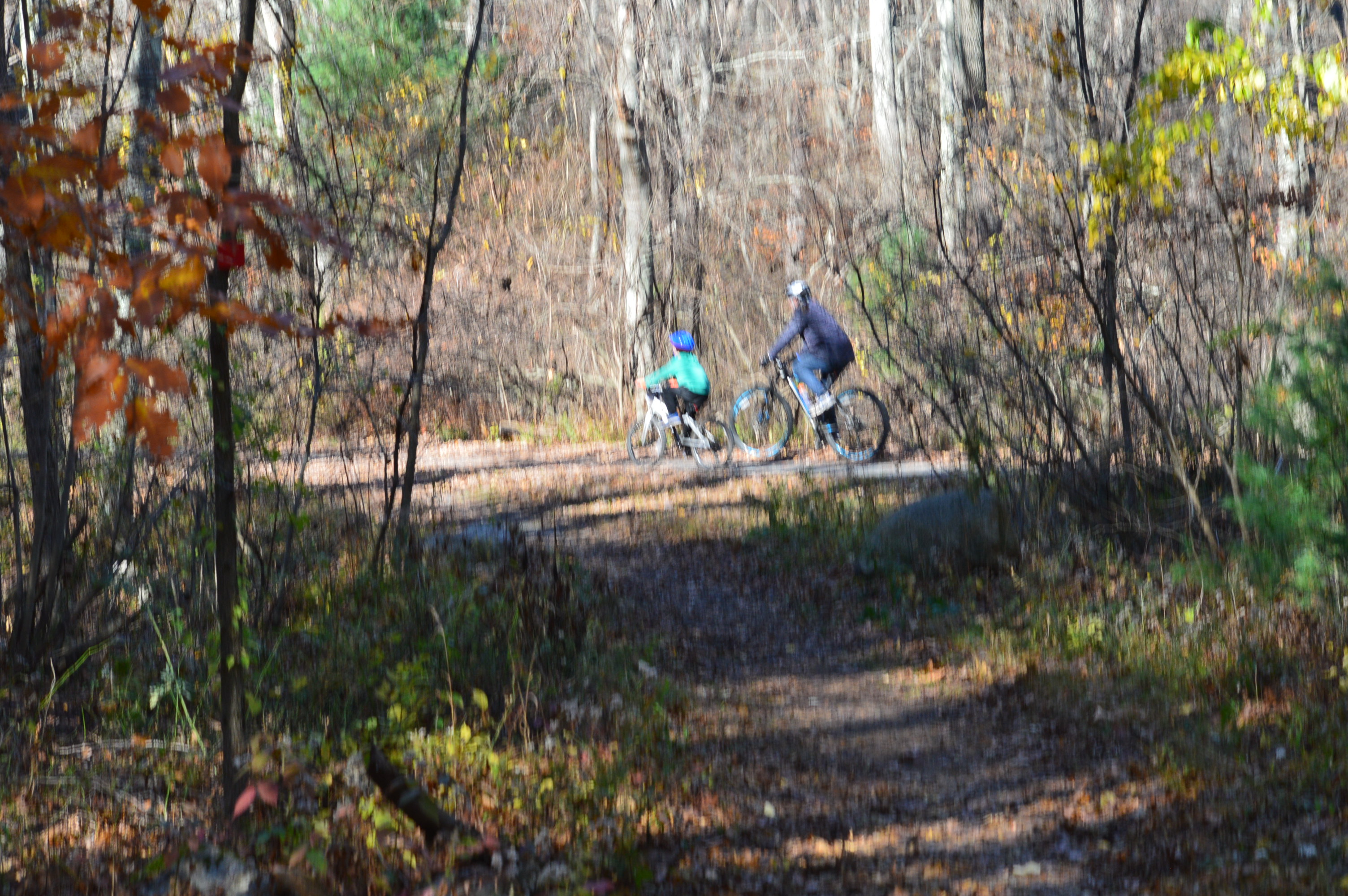
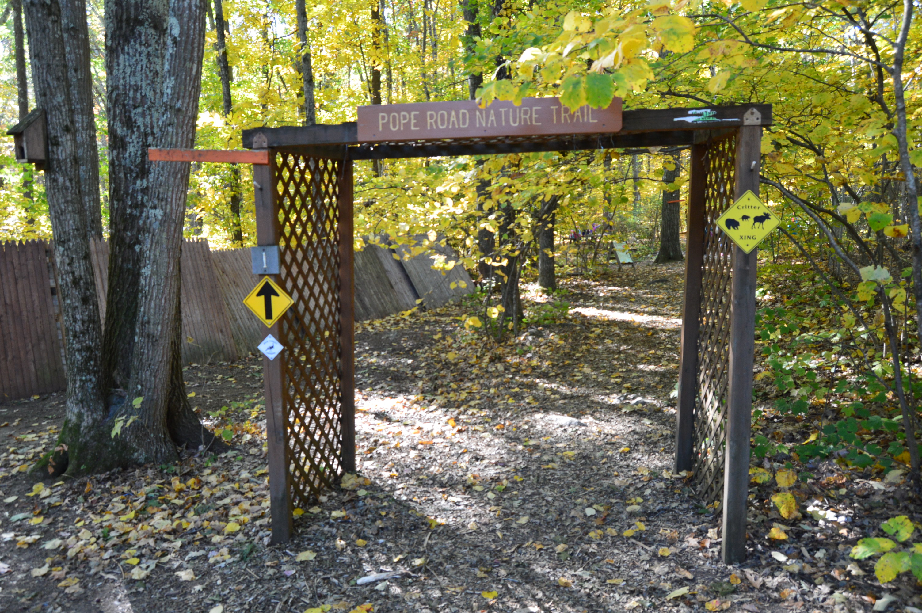
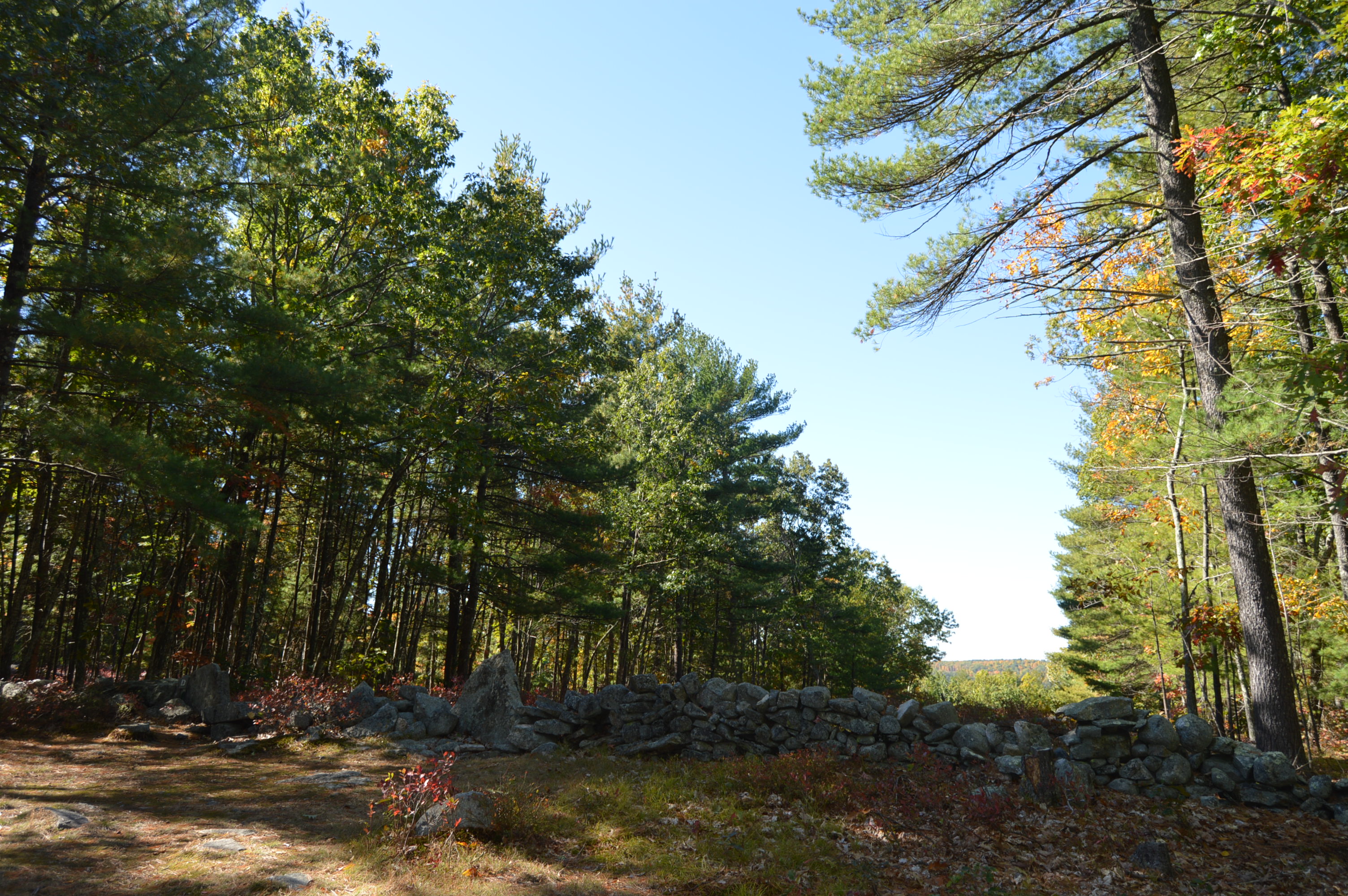
We took the main guttersnake trail to the connector loop to Whitney Rd.  The connecting loop is hard to find.  It is actually a trail made into the side of the hill on the trail that was made into a zig zag design. I wouldn’t have probably found it if I hadn’t noticed someone walking down what looked like the side of a hill.

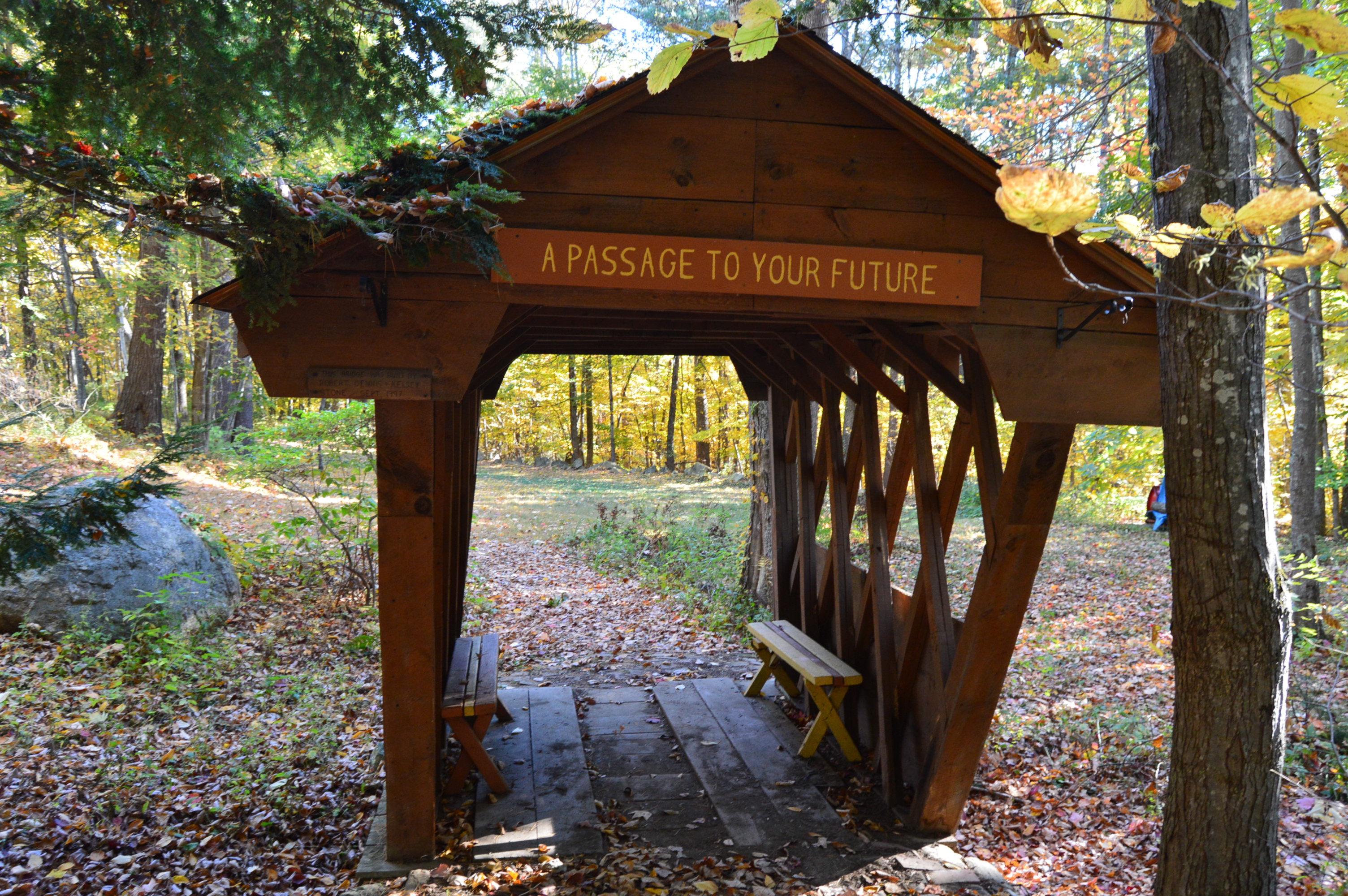
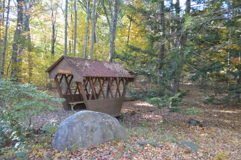
The Whitney Trail looks a little confusing at first (make sure to follow the red marked trees).  But, after a short distance, there will be signs and maps that will help you stay on the trail.  That is one of the unusual things about this trail.  There are several maps posted throughout the trail.  There are alternate routes you can take if you have the time and curiosity.  While I am always curious, I didn’t the time.  So, I stayed on the Whitney Rd trail.  This intersection of trails can take you farther into different sections of the trail system.  But, as time was a factor, I was unable to explore more.

IMG_7134

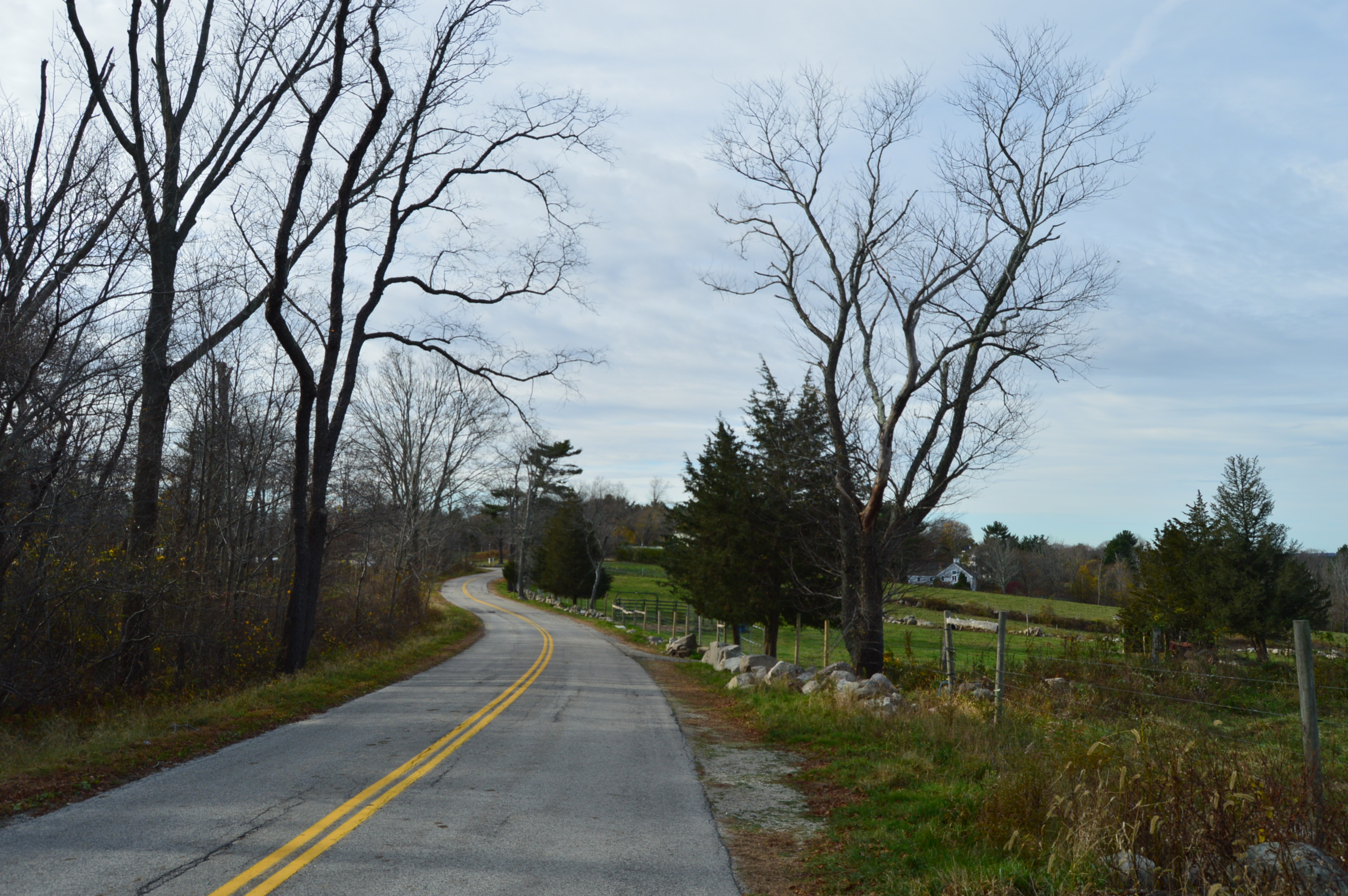
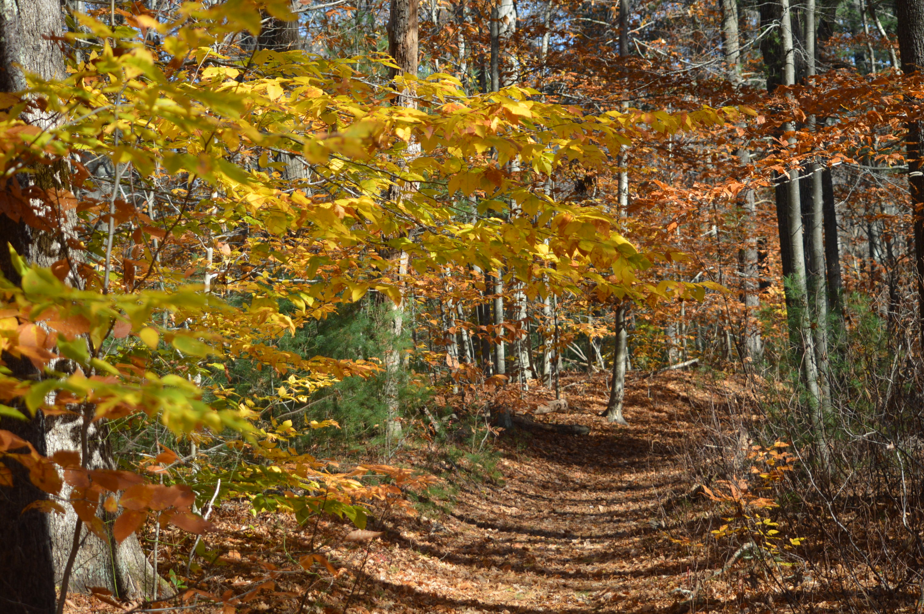
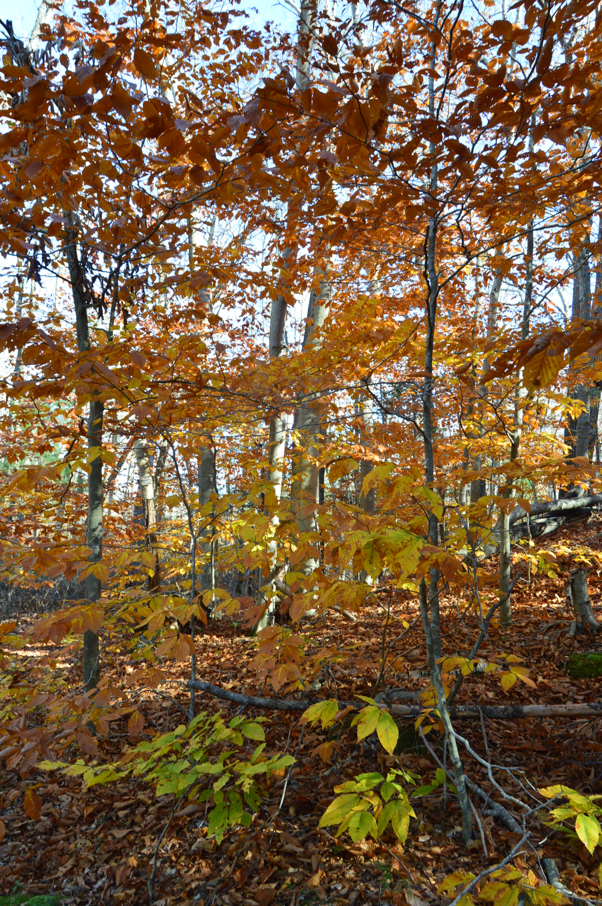
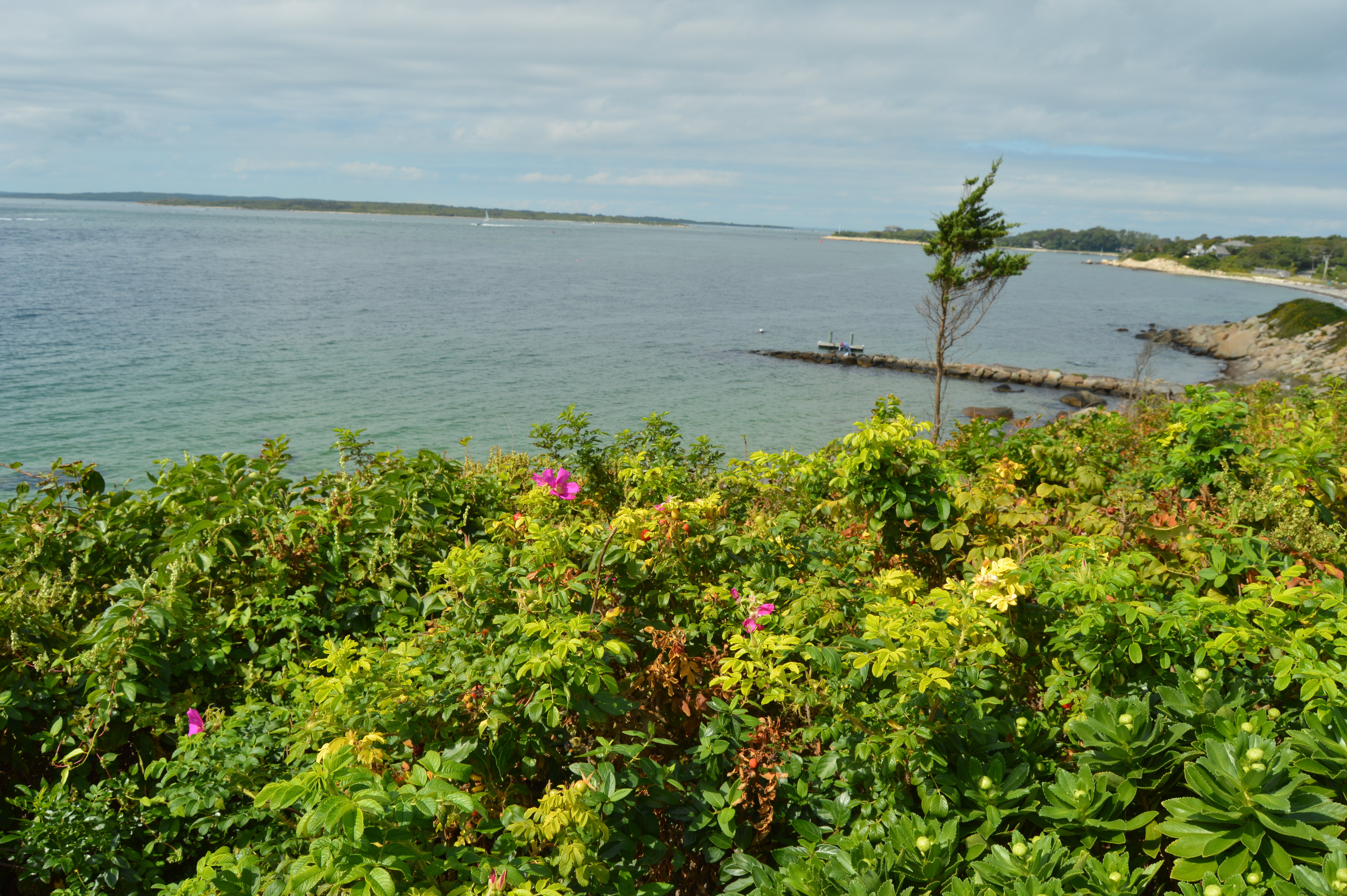
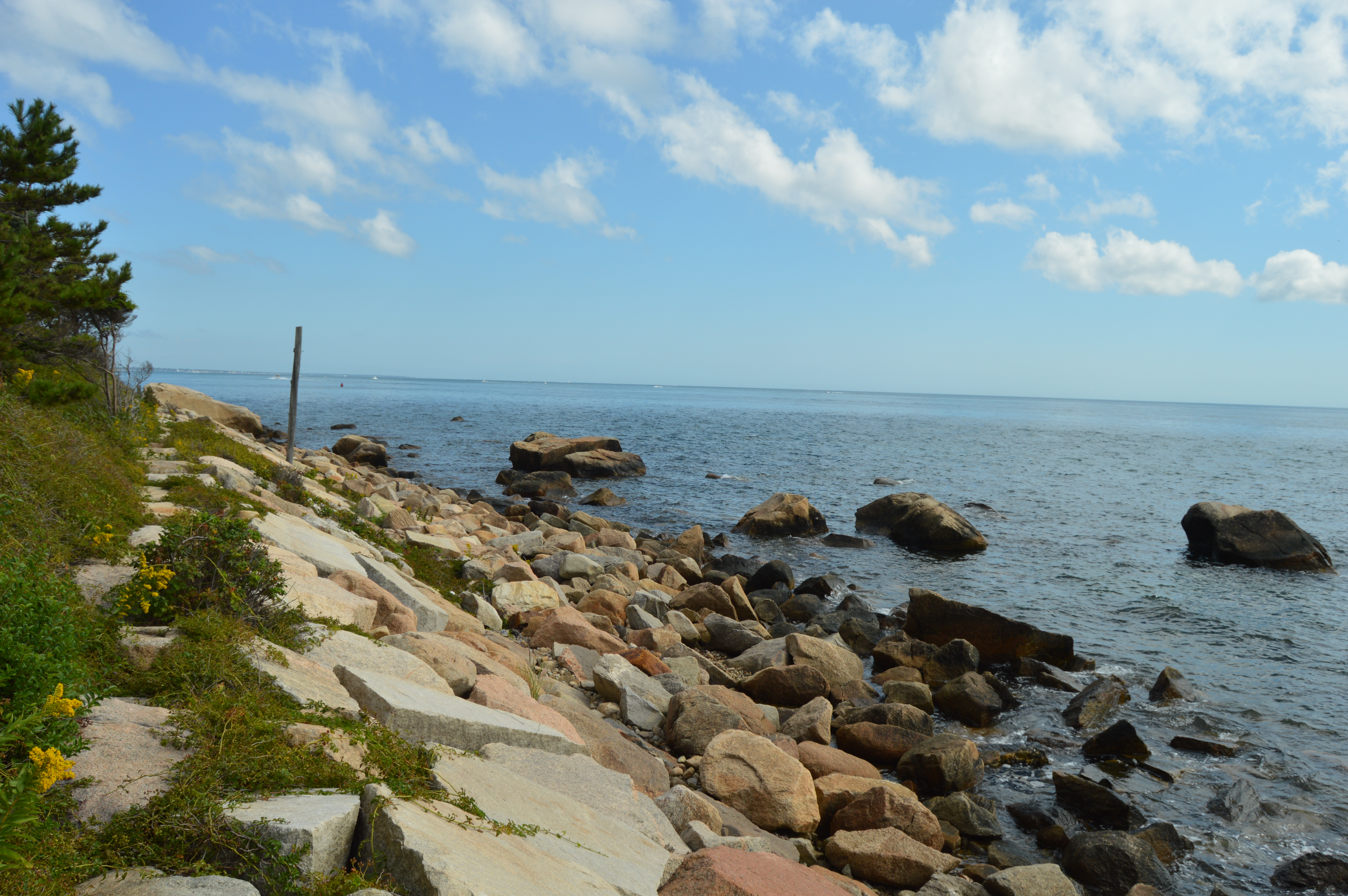
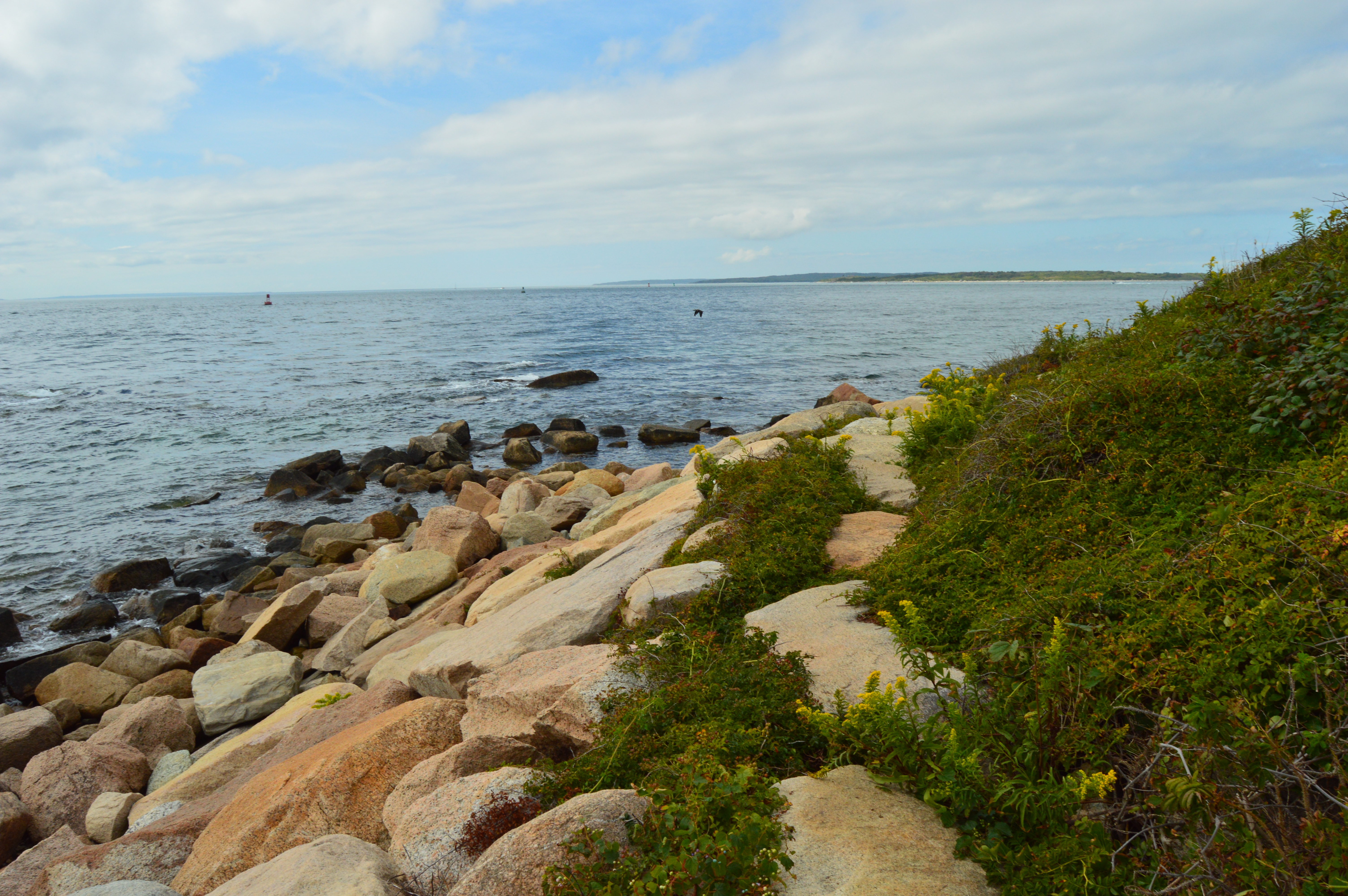
Whitney Rd is just that, a road.  There are some pretty houses, cute decor and signs as well as beautiful landscapes along this part of the trail.

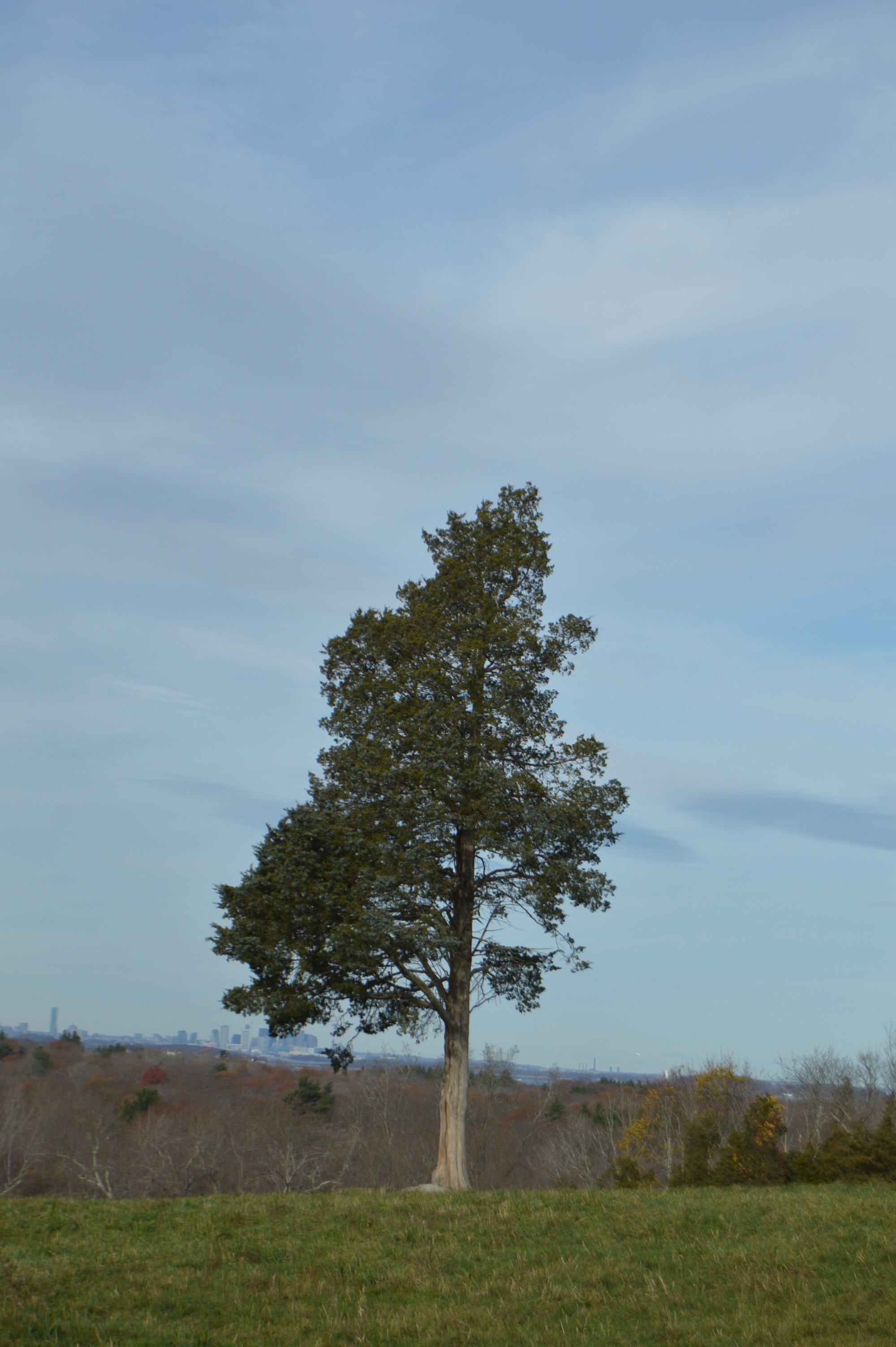
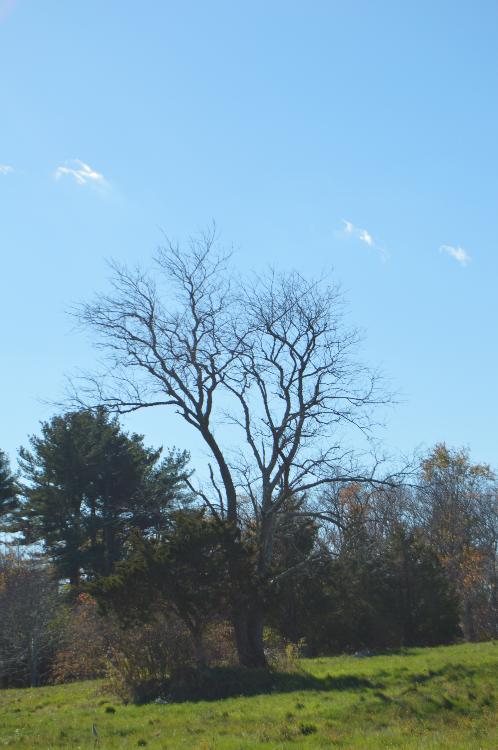
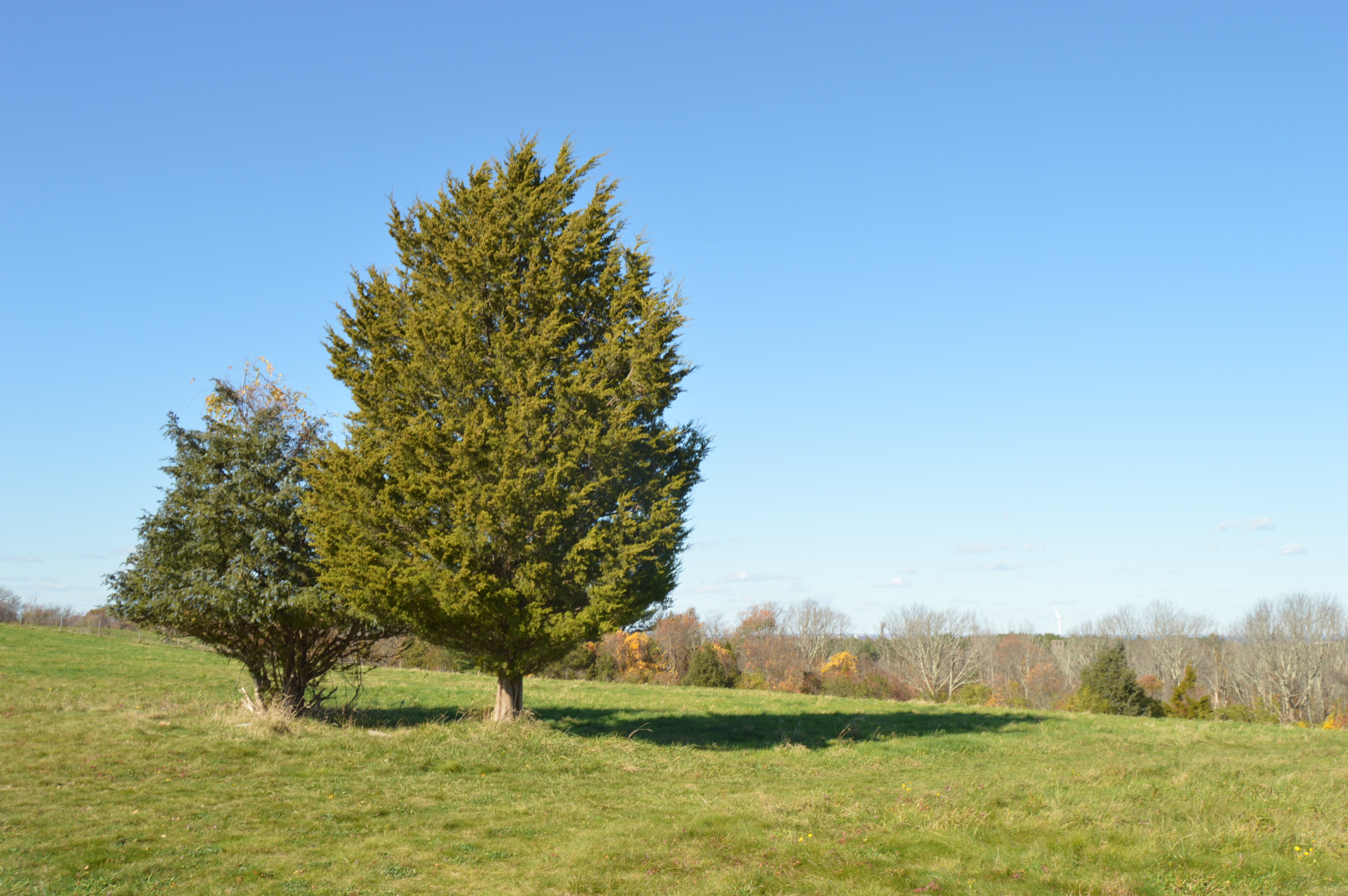
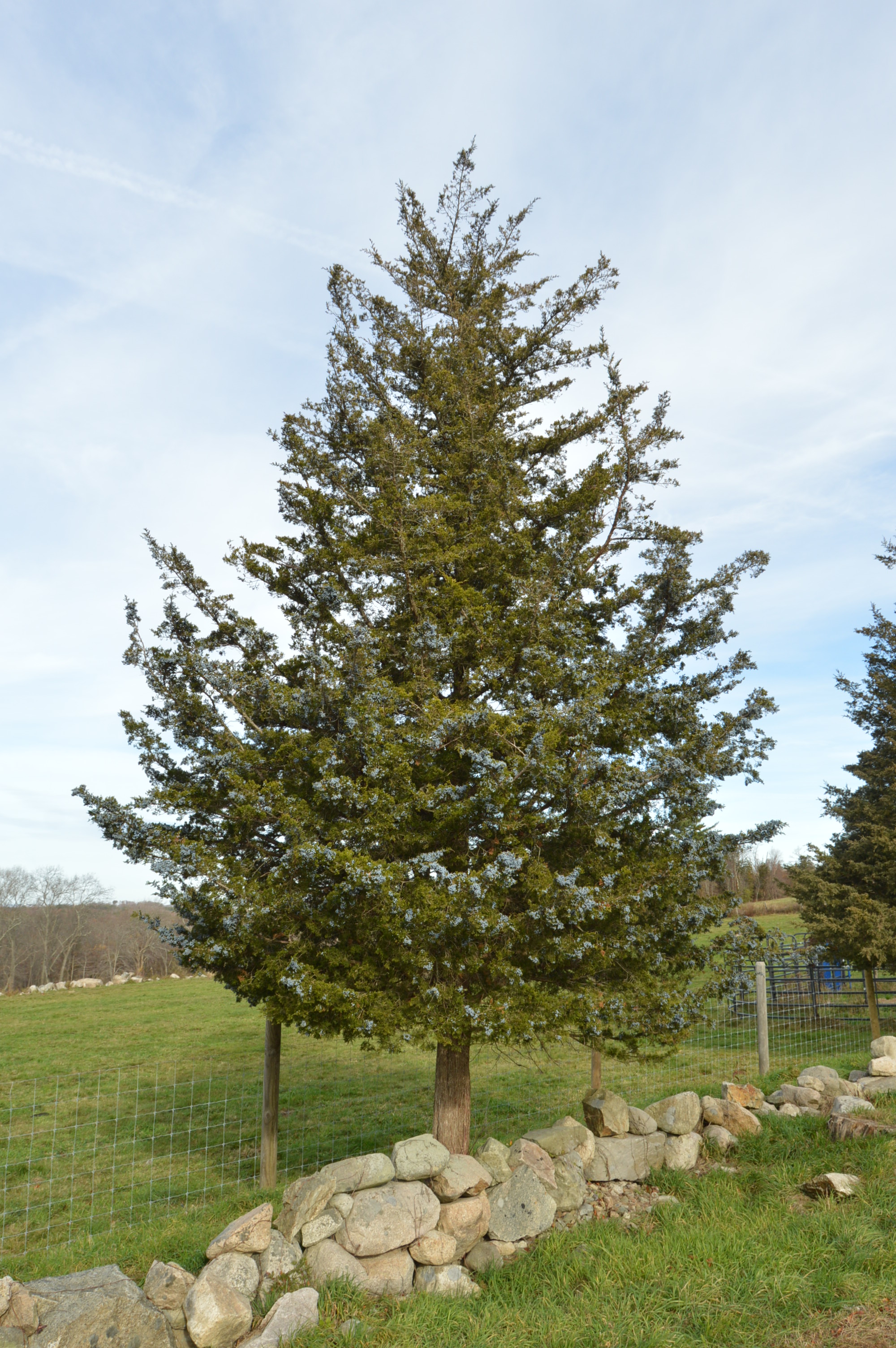
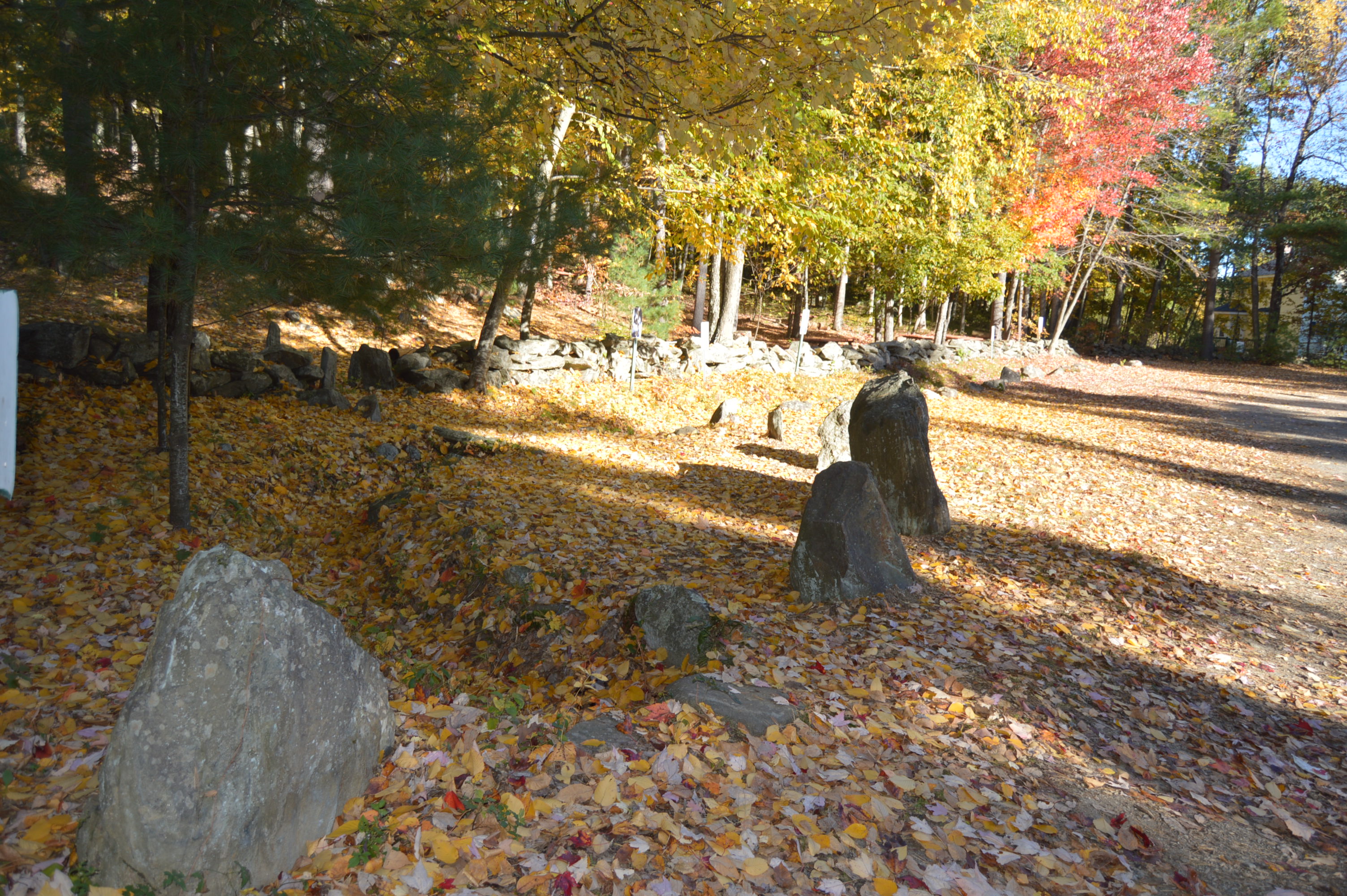
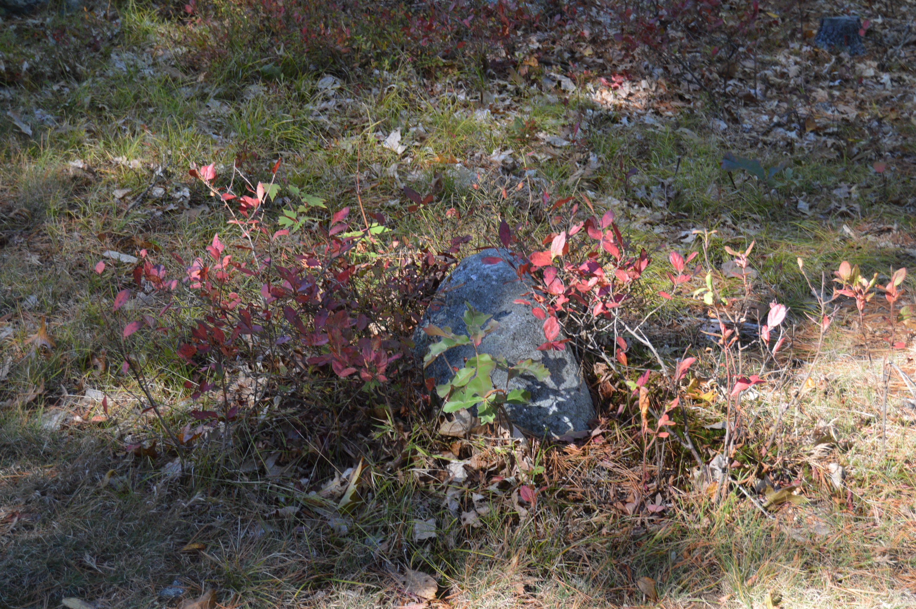
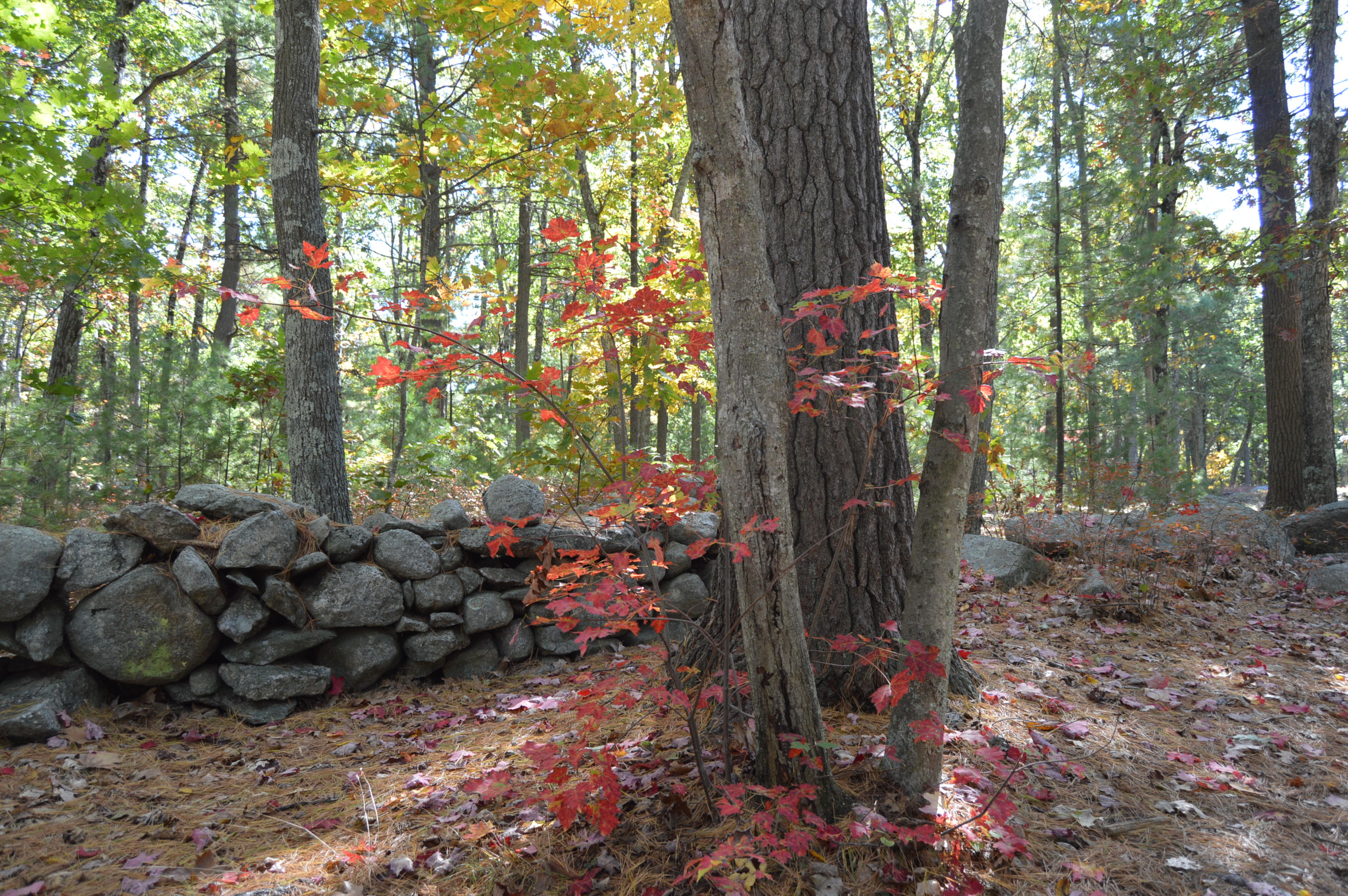
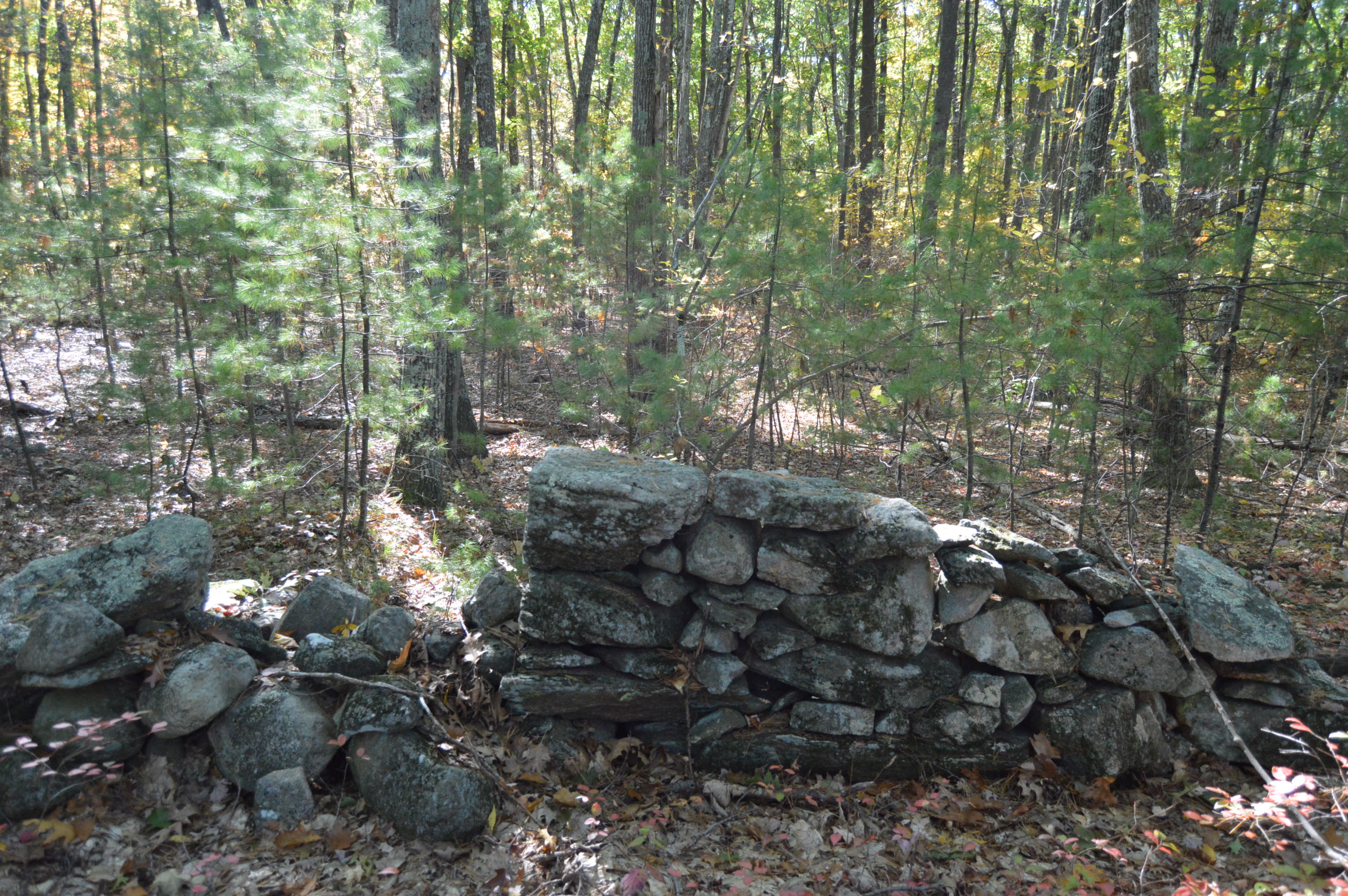
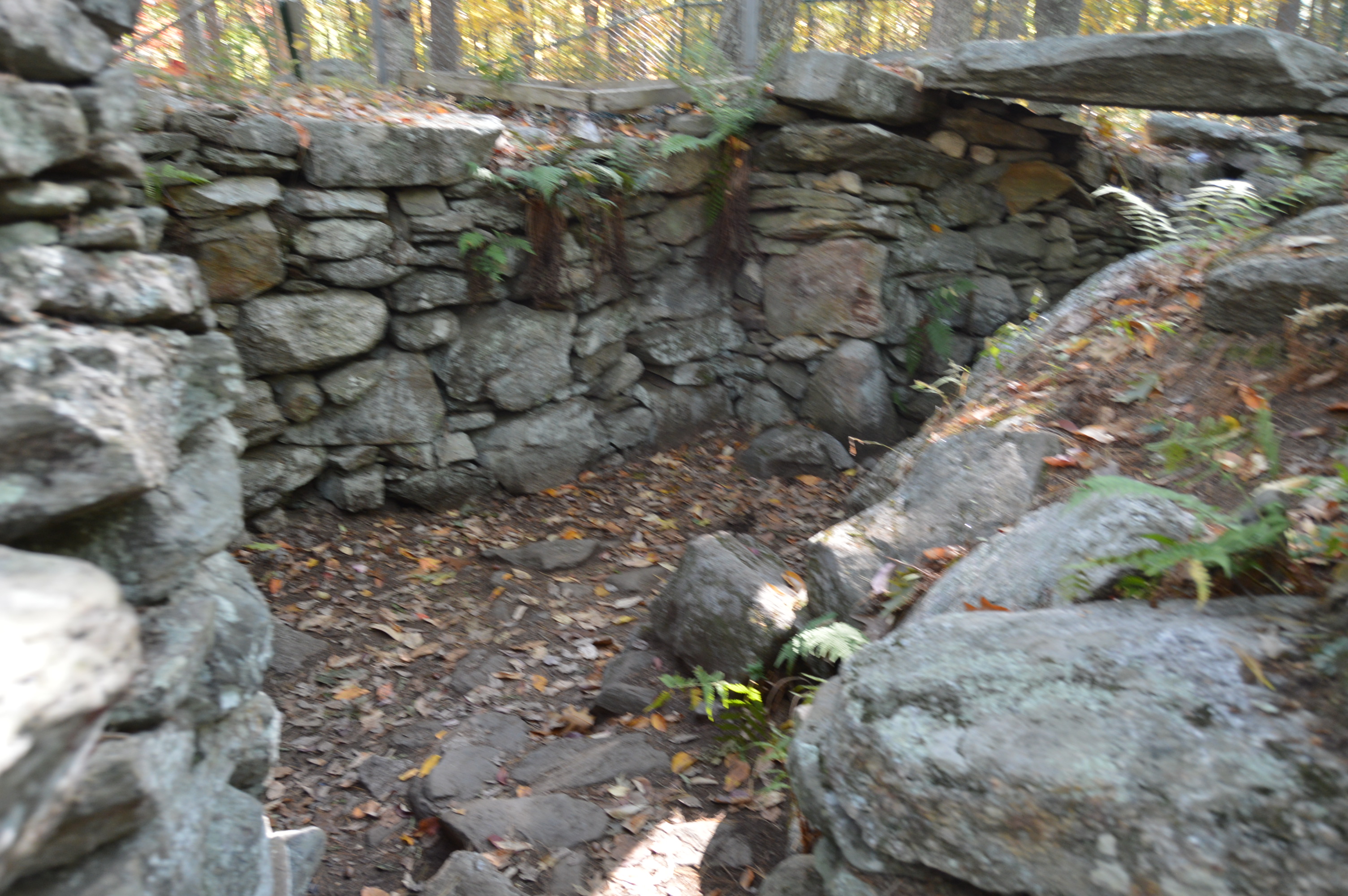
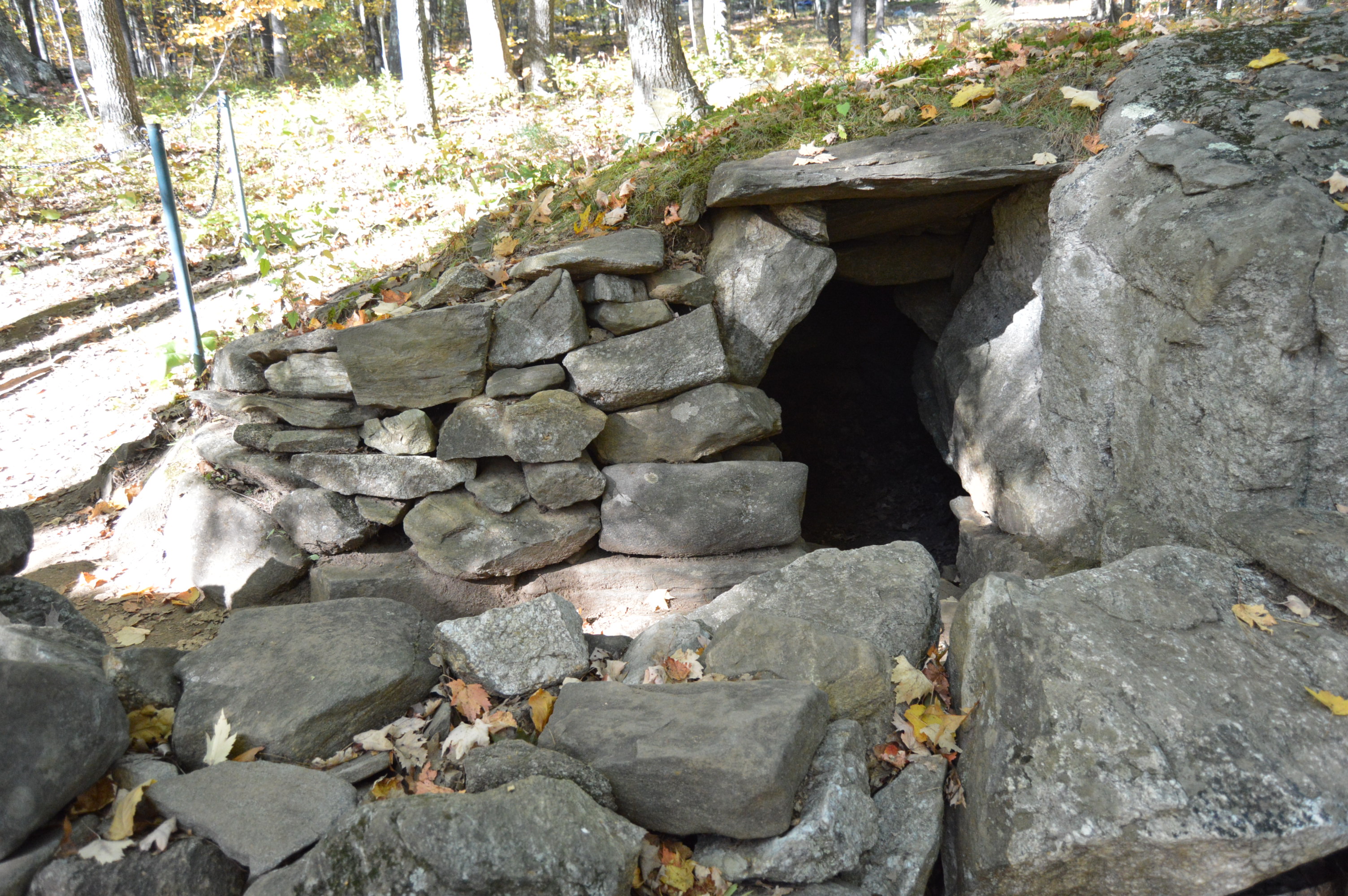
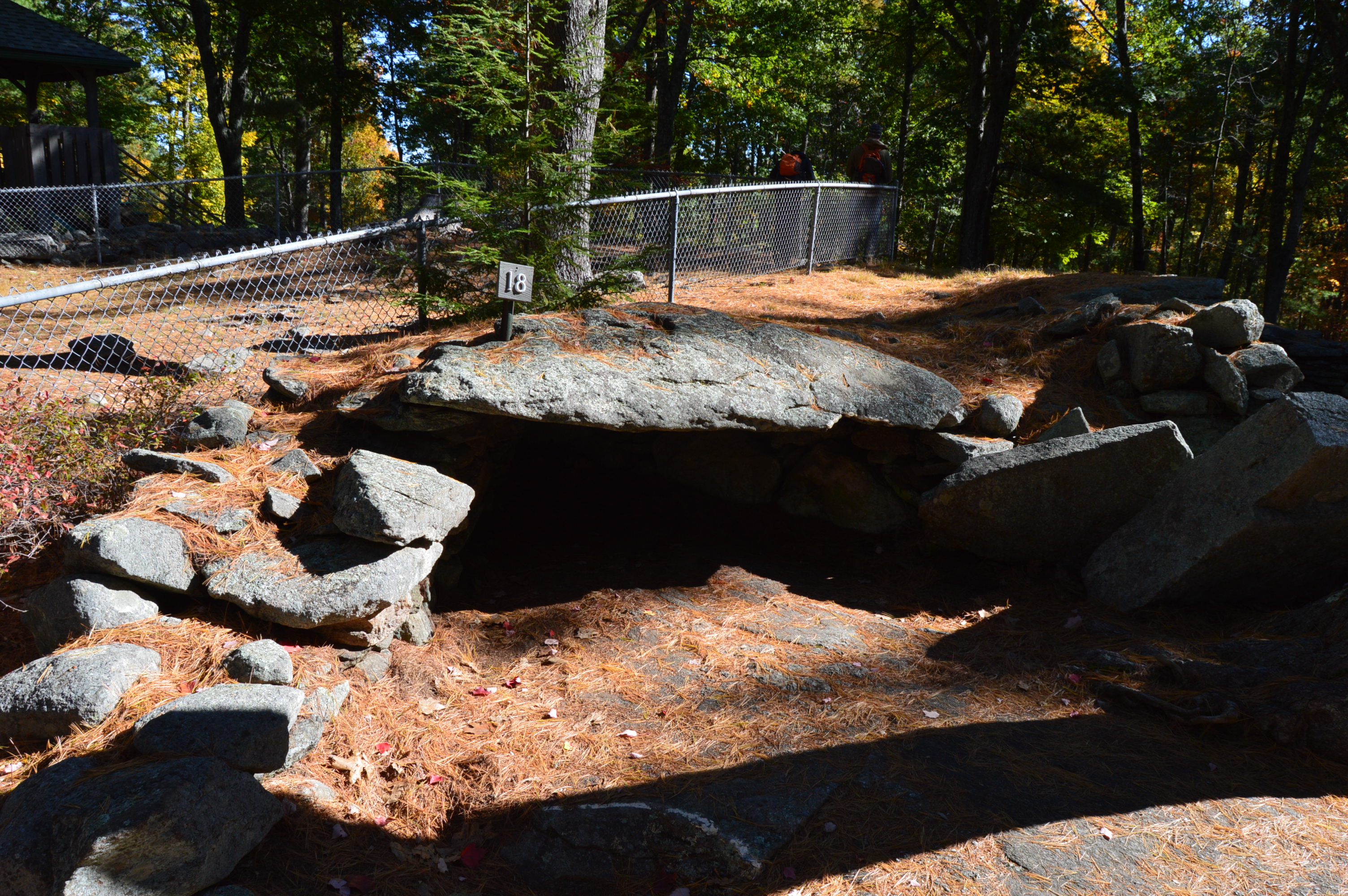
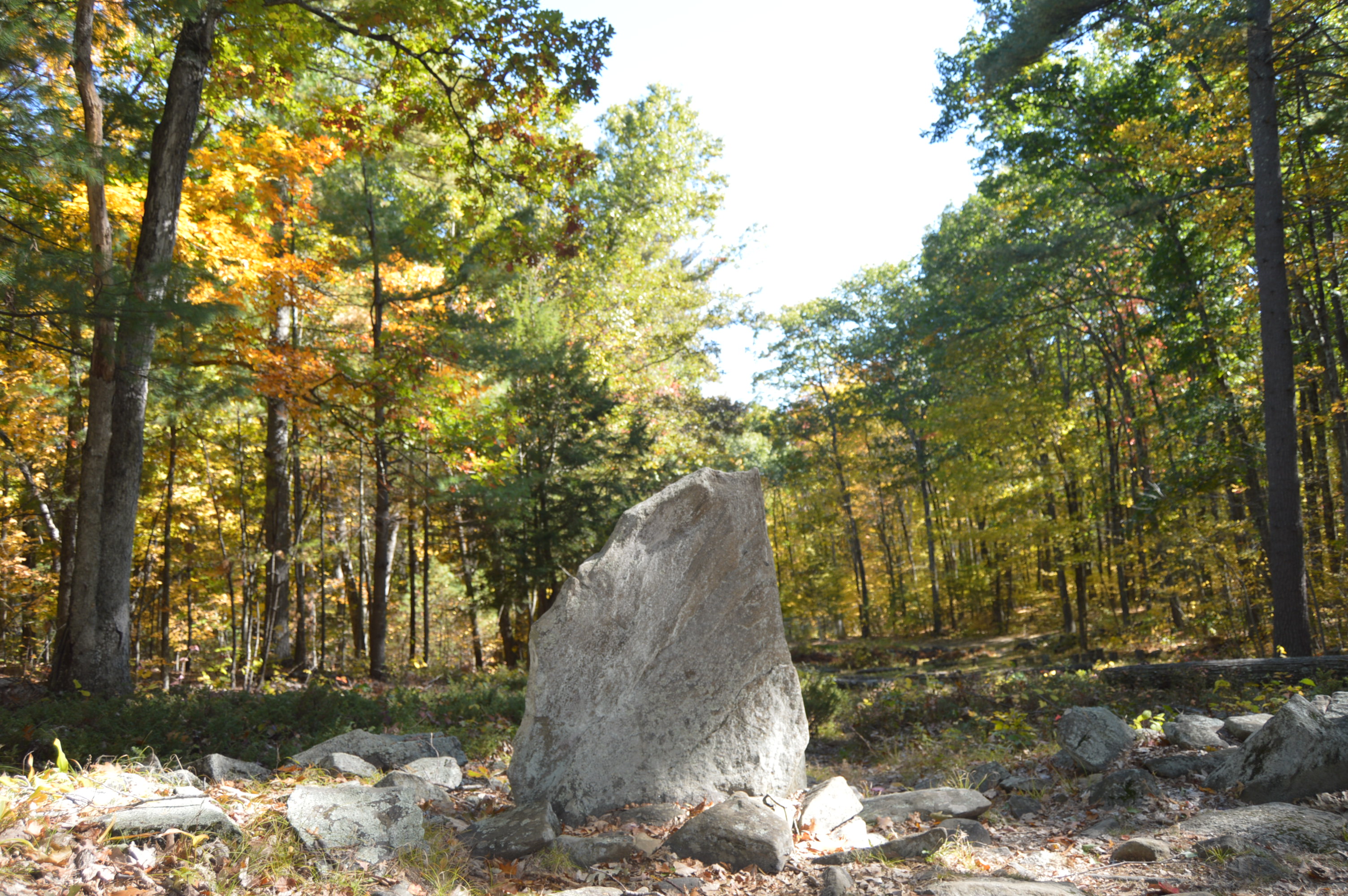
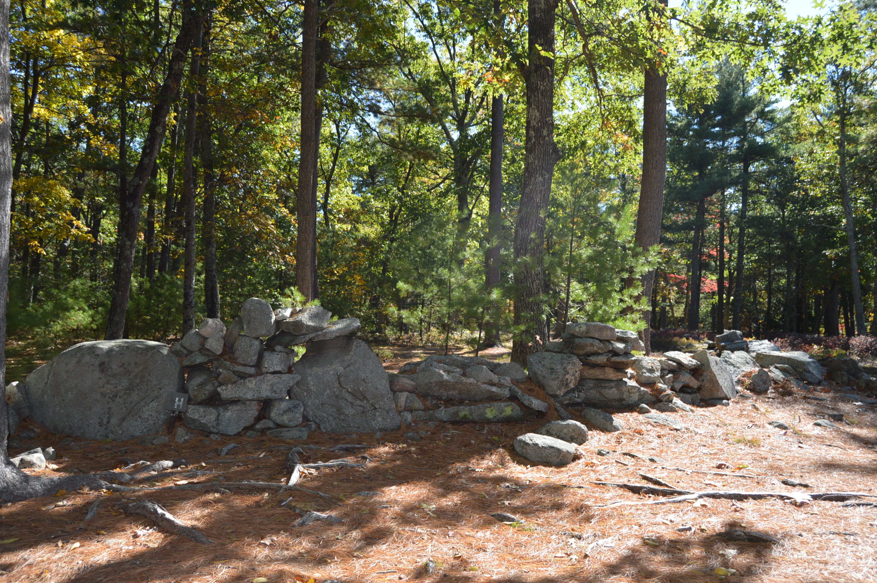
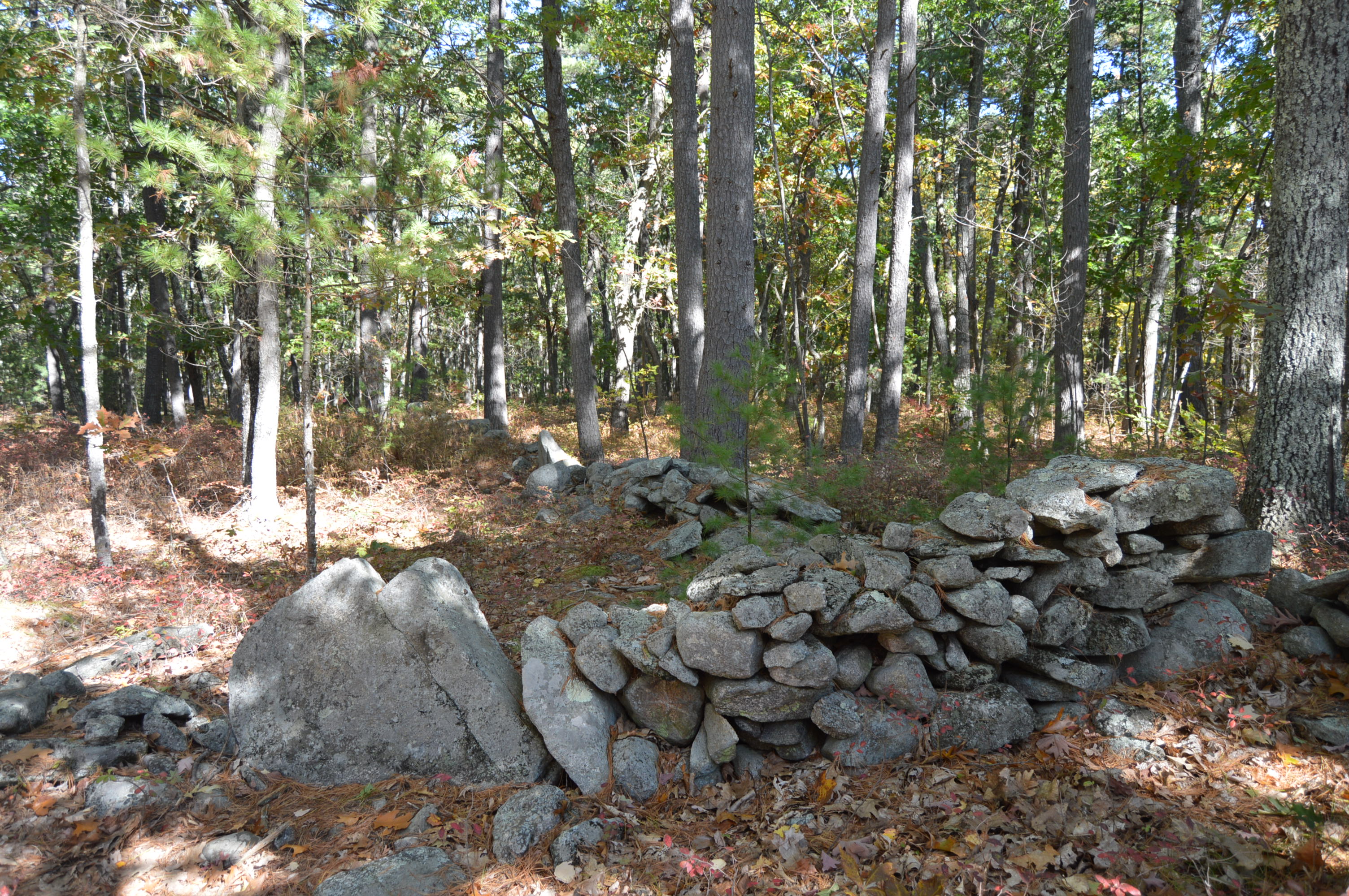
There were also some interesting rock formations and pretty trees along the way.

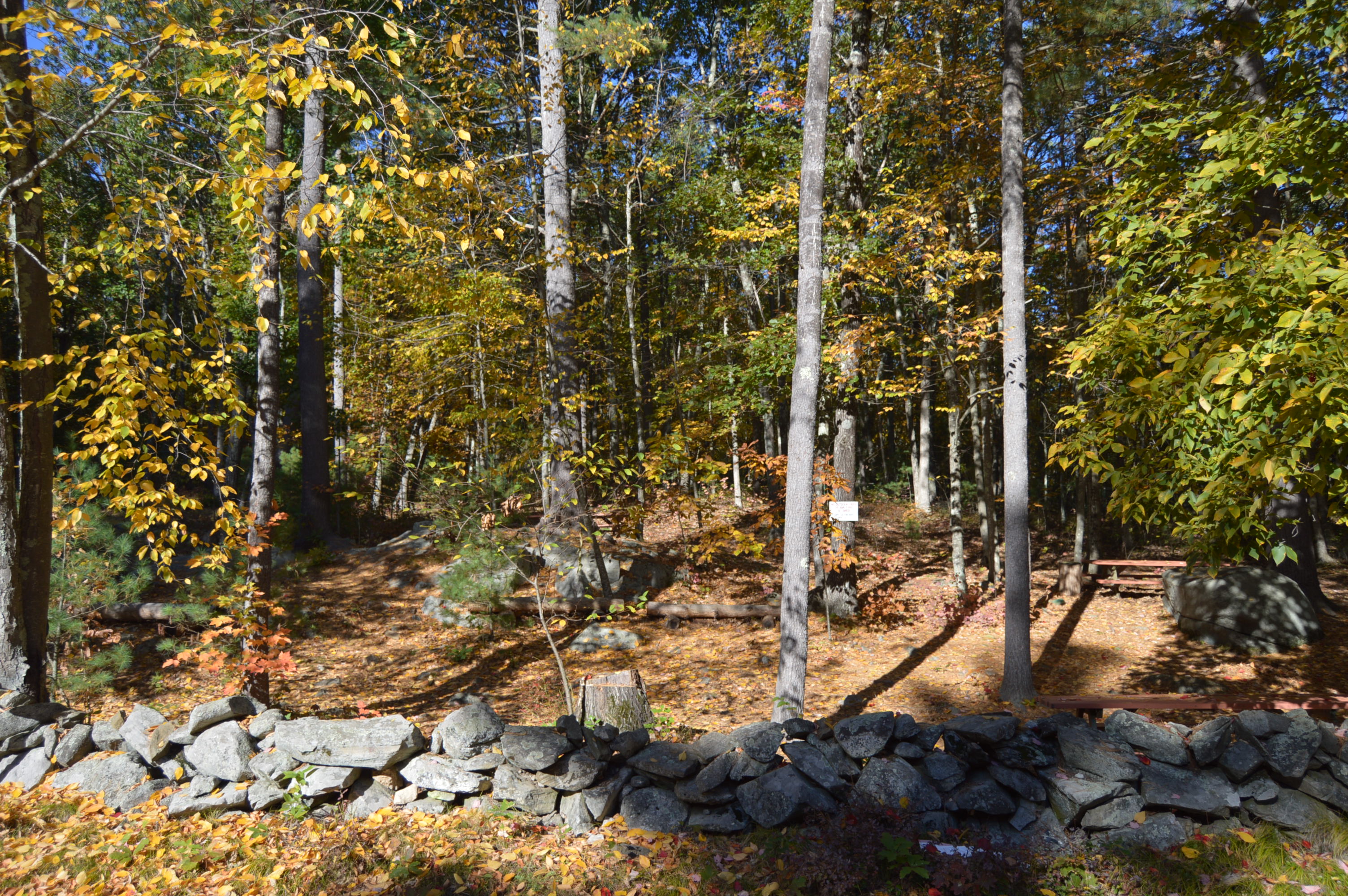
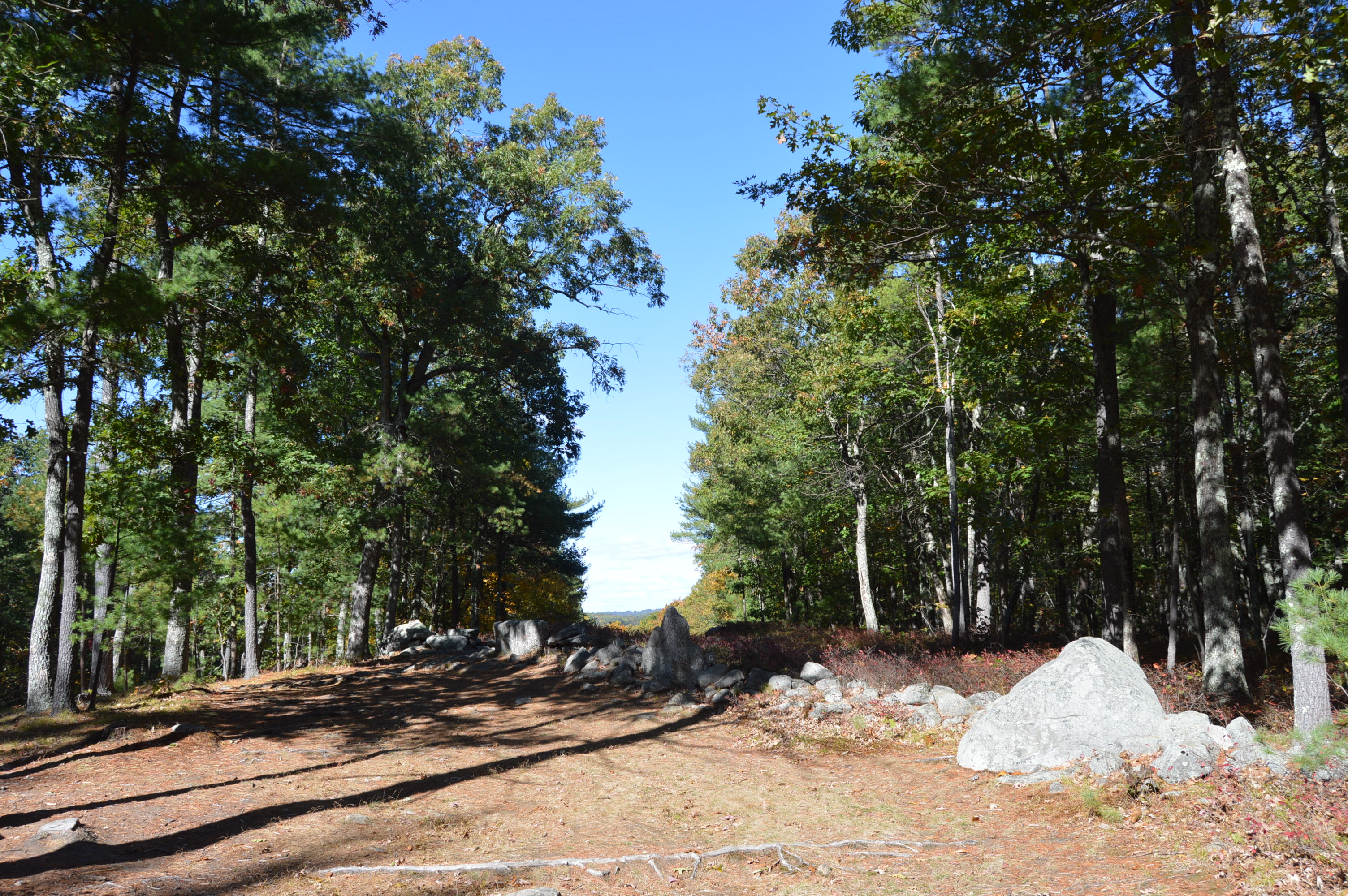
Along Whitney Rd, on the left of the trail we saw am empty area with tall trees and what looked like an overlook.  To our surprise, we found what looked like an area for parties or other events.  A van with speakers and what looked like an audio system was parked in the area.  There was also a table with chairs and jug of some kind of adult concoction and some other artistic designs.

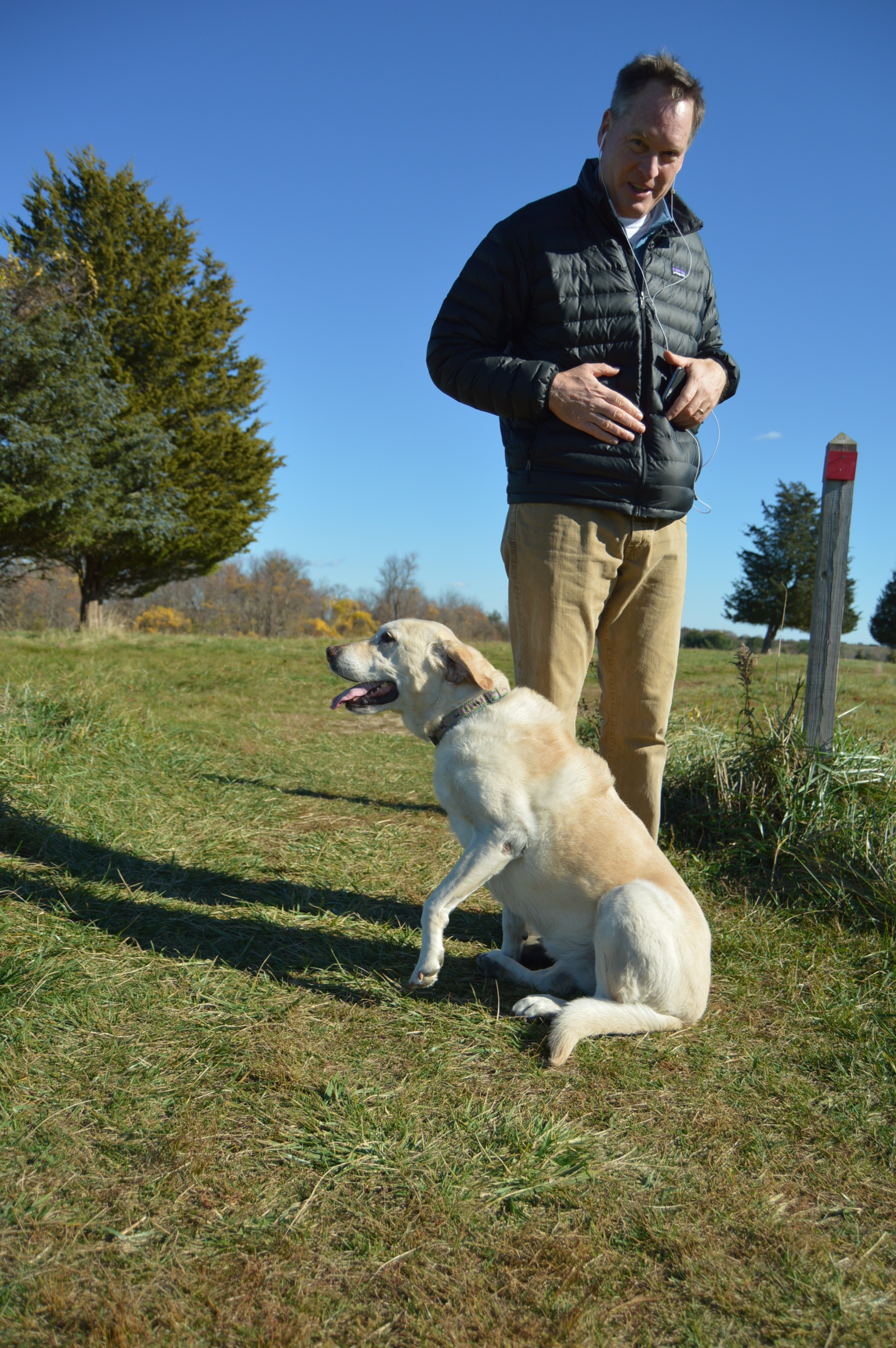
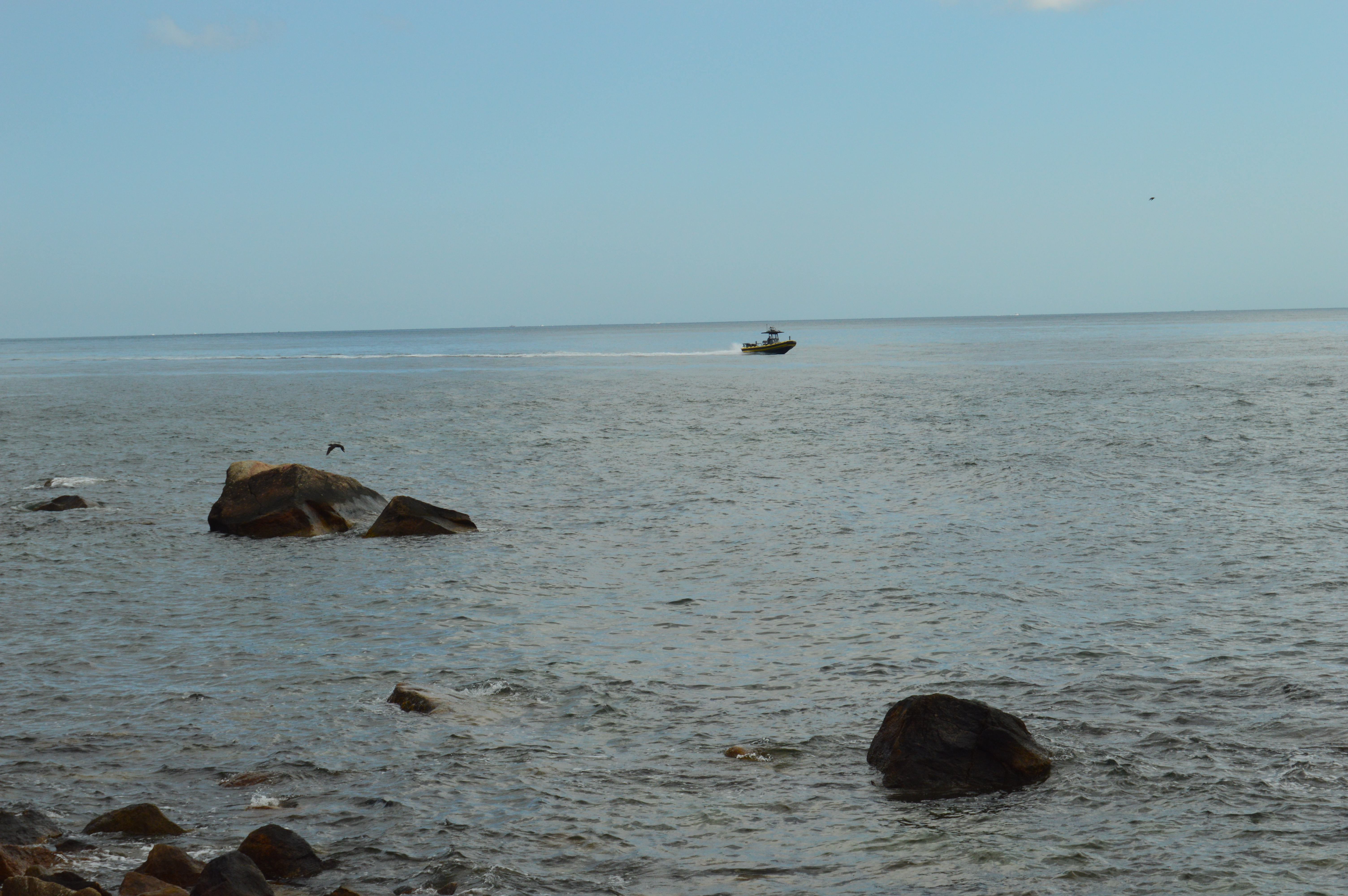
Rattlesnake Gutter is the perfect place to take your dog.  Although, I would only recommend it for a “fit” dog, as I would recommend it for a “fit” person since the inclines can be deceivingly steep in some places.

These dogs had no problem with the trail.

Huckleberry is a rescue from Mississippi.

Luna is a 3 year old rescue.

Below are two videos of the streams at Rattlesnake Gutter Trail.


Balance Rock State Park (Pittsfield, MA)

Date Visited: March 26, 2016

Cost: Free

Location: Balance Rock, Rd, Pittsfield, MA (about 2.5 hours west of Boston, MA or 1 hour east of Albany, NY)

Hours: Sunrise until 6 p.m.

Parking: There is parking for about up to 50 cars or so at the Balance Rock entrance.


DSC_0751


During the last ice age, some 12,000 to 100,000 years ago, rocks were haphazardly pushed to and fro, creating this unusual formation. Or, someone put one rock on top of another. Either the product of glacial movement or an elaborate hoax, the namesake of Balance Rock State Park is a huge attraction.

But, before you view the impressive rock, there are rocks and beauty aplenty at the entrance to Balance Rock Park.

By the entrance, there is a stream that runs along the side of the park

DSC_0778DSC_0766DSC_0768

After a short drive up the main entrance road (about half a mile), you will reach Balance State Park’s main attraction; the rock.  We were a bit disappointed to find the rock right there next to the parking lot.  While it is convenient and easy for visitors to find, it would have been nice to have to hike to it.  It would have built up the anticipation.  Despite the journey being anticlimactic, the rock was impressive.  As you can tell from the photos and attached video, the rock never touches the ground.  Unfortunately, it has been vandalized which was very disappointing to see.

The rock is 30 feet long and 15 feet wide.  It is resting on another much smaller rock.  This, the story goes, is the product of the last glacial age.  It also goes to show that no matter how big and seemingly powerful someone or something may be, the rock and we wouldn’t be the same without the help of a little friend.

I noticed how some of the rocks seem to have eyes and lips.  I am not sure if this was due to nature, erosion or the work of mankind.

DSC_0779DSC_0789DSC_0801DSC_0804DSC_0822DSC_0831DSC_0840DSC_0843DSC_0824DSC_0823

DSC_0827

It turns out, there are many rocks in the area

The residents of Balance Rock State Park are very photogenic.  He was shy at first.  But, eventually, he came out and I was able to get some close ups of him.

DSC_0856DSC_0869DSC_0879DSC_0867DSC_0887

DSC_0888DSC_0892

Video of the stream at the entrance to Balance Rock State Park

Walking tour of the rock

Don’t forget to like my Facebook page for extra photos, videos and more: New England Nomad’s Facebook Page.  Thank you!


Agassiz Rock (Manchester-By-The-Sea, MA)

Date visited: February 20, 2016

Hours: open everyday, 8 a.m. to sunset

Location: School St., Manchester-By-The-Sea (it’s easy to miss so keep an eye out for it)

Agassiz Rock

Cost: Free

DSC_0847

People travel far and wide to Agassiz Rock (pronounced “A-ga-siz”)to  visit a rock.  Yes, a rock.

Actually, they travel to see rocks.  Lots of them.

Agassiz Rock is a deceiving name.  There are actually two main rock structures that are the highlights of the park creatively named “Big Agassiz” and “Little Agassiz.”

The trail is not difficult.  At least it’s not too bad when there’s not ice and snow on the ground.  There are a few sharp inclines but mostly it is a fairly easy trail.

This slideshow requires JavaScript.

Along the trail, there are many eye catching rocks and streams.

The trails are clearly marked and signs point to the two rocks.

DSC_0931

Left to “Big Agassiz.”  Stay straight on the trail to get to “Little Agassiz.”  The trail about a 2 mile loop.  So, you can see both rock locations if you take the trail in its entirety which is what I did.

Big Agassiz is only a quarter mile or so from the sign.

DSC_0945DSC_0986DSC_0964

Yup, that’s “Big Agassiz” it all its glory.

A trail leads to “Little Agassiz.”  Ironically, the “Little Agassiz” is the better part of the attraction.

Along the way, I had a feeling I wasn’t alone based on the paw prints or hoof prints I saw in the snow.  I quickly made my way up to “Little Agassiz.”

A short hike that includes one of the few inclines leads to the top of the Beaverdam Hill where “Little Agassiz” is.

There are several rock formations, trees and a area to just sit and chill.  If I brought a book I would have been right at home.  I could have stayed all day. But, I was a little disappointed in the views or lack thereof.  There are mountains or other wonders of nature to look at.  You do get a nice view of the roadway, though.  Just a few tips:  it can get pretty  windy up there and if you do go in the morning during the winter be aware the rocks and the surfaces can be slippery.

This slideshow requires JavaScript.

You get a pretty good view from on top of the rocks.

I found one more rock formation of notice on my way out.

DSC_0250

The parking area for Agassiz Rock is off a busy roadway and while I didn’t have any problems finding a spot I think it would be a little tough during the summer.  There is probably room for a dozen or so cars if people park normally.

DSC_0301

Below is a video of Little Agassiz.

Please connect with me on Facebook for additional photos and videos at New England Nomad


Weir River Farm (Hingham, MA)

Last week, I posted about my visit to Whitney And Thayer Woods.  I wanted to break the post into two parts because it would have been too big to do as one post and there were quite a few photos I wanted to share.  So, without further ado, Weir River Farm…

As you emerge from the dense Whitney and Thayer Woods, you see a welcome scene: open space and scenic views.

DSC_0202 DSC_0243

One of the more endearing features of Weir River Farm are the trees

DSC_0710DSC_0295  DSC_0700    DSC_0740  DSC_0231  DSC_0222

DSC_0736 DSC_0737DSC_0676DSC_0729

There was also a fancy rock formation.

DSC_0242

On a clear day, like the one from the day I visited, you can see Boston and other surrounding areas

DSC_0287DSC_0298

DSC_0289DSC_0292

DSC_0293DSC_0753

DSC_0801DSC_0786

Holy Cow!  Weir River Farm had their cows grazing when I stopped by.

DSC_0762DSC_0784DSC_0806DSC_0790DSC_0778DSC_0798

I saw Hudson, a 6 year old Newfoundland at Weir River Farm

DSC_0238

and this cutie

DSC_0232


Whitney And Thayer Woods (Cohasset, MA)

The unseasonably mild weather (at least mild for New England) has allowed for a longer than usual fall hiking season.  Taking advantage of this unusually warm weather, I traveled to the South Shore jewel of Whitney And Thayer Woods in Cohasset, MA.

DSC_0002

With the exception of a stray cloud here and there, a clear blue sky, bright sun and an intermittent breeze greeted me at the woods.

DSC_0016 DSC_0037

The park is a loop that covers a few miles.  There is a bike trail and runners frequent the trails.

DSC_0144

Although the peak of the fall foliage season has passed, there were still some vibrant orange, gold and amber colors hanging on to the trees.

DSC_0188    DSC_0184      DSC_0178    DSC_0174 DSC_0173 DSC_0172   DSC_0152      DSC_0028           DSC_0046

DSC_0169  DSC_0192 DSC_0124 DSC_0075 DSC_0023  DSC_0054

A rolling stone gathers no…never mind.

DSC_0147

There were quite a few dogs on the paths.  It was a perfect day for dog walking.  I have determined that getting most dogs to pose for the camera is about as easy as splitting the atom.

Lilly enjoyed the warm sun.

DSC_0120

Chester was very excited to be at the park.

DSC_0140

Olive was happy to see me.  Don’t worry.  She was a sweetheart.

DSC_0143

I didn’t get this dog’s name.  But he or she posed perfectly!

DSC_0146

I have more shots from my trip to Whitney And Thayer.  So, I am breaking up this blog into two parts.  The second part will include some photos from the Weir River Farm located just outside of the wooded area.  For a sneak peak and for some additional photos not included in this blog, stop by my Facebook page: New England Nomad

Check out my other blog, Mr. Wayne please.  Thank you.


Mystery Hill – a.k.a. “America’s Stonehenge” (Salem, NH)

From the moment you drive into the parking lot of Mystery Hill, (a.k.a “America’s Stonehenge”) in Salem, New Hampshire,(the other Salem in the New England region) you know it’s a special place.

DSC_0753

DSC_0793 DSC_0784

There are strange rock formations and….

DSC_0787 DSC_0780

…a bridge in the front entrance welcomes you from the past.

DSC_0804

and brings you to the future

DSC_0810

DSC_0797

But, the front entrance of America’s Stonehenge is only a tease.  Once you exit the gift shop (it costs $12 for adults and $7.50 for kids), you are greeted by some Alpacas on the right.  They are fenced but they are very friendly.

DSC_0860

DSC_0242

There are also a variety of time keeping devices which, to this day, still keep correct time.

DSC_0854 DSC_0847 DSC_0878  DSC_0880

But, some of the things I liked best were not the structures or rock formations but the statues, flowers, decor and the hollowed out canoe.

DSC_0887 DSC_0867 DSC_0851 DSC_0904   DSC_0898  DSC_0888 DSC_0070 DSC_0141 DSC_0897

DSC_0903

But, the main attraction are the rocks and rock formations.  The name “America’s Stonehenge” is somewhat misleading. There are no structures that bear any real resemblance to the actual Stonehenge.

Even though Mystery Hill bears no resemblance to Stonehenge, there are some interesting facts about the site.  Some of the rocks used in the structures at Mystery Hill were quarried using primitive stone-on-stone techniques and have been carbon dated as far back as 2,000 B.C.

DSC_0984 DSC_0022 DSC_0016  DSC_0964

Mystery Hill is a children’s play land.  Forget about all of the rock climbing.  They are also able to walk in some of the structures, such as, the Oracle Chamber and they wouldn’t have to duck to be able to walk in the smaller spaces.

DSC_0040 DSC_0036  DSC_0024

There is a sinister legend that overshadows the light atmosphere of the attraction.  According to legend, the area here was a spot for sacrifices.  Stories of ghostly apparitions and huantings have been reported.  I decided to go and see for myself.

DSC_0059

I didn’t see or hear anything unusual, at least not of the other worldly variety.  But, the legends still persist.

The area is pretty expansive.  It claims to be 30 acres but feels much longer.  The best parts of the area were the random rock structures and the views.  And, of course, the foliage.

DSC_0166

DSC_0186

DSC_0157 DSC_0174  DSC_0180  DSC_0187  DSC_0004 DSC_0085 DSC_0080 DSC_0067 DSC_0090 DSC_0106 DSC_0109 DSC_0115  DSC_0134 DSC_0132 DSC_0128 DSC_0137 DSC_0208 DSC_0199

There is also an area where it is believed the Nov. 1st sunrise was watched from.  It is amazing when you consider they could identifty the best place to view the sunrise, way before we had scientific devices to use.

DSC_0198

DSC_0200

Although the rocks and rock formations were impressive, my favorite part of the attraction was the alpacas.

DSC_0856


Brant Rock (Marshfield, MA)

It’s the time of the year again when hearty New Englanders hunker down and storm the stores for candles, batteries and, of course, bread and water.  Yes, hurricane season is upon us.  However, this recent stormy weather from Saturday, as bad as it may have been, was not a hurricane.

DSC_0412

DSC_0408

DSC_0480

DSC_0411

Waves as high as 7 feet crashed down in some parts.  Although it was not a hurricane or a Nor’Easter, the wind was strong enough to push you and your car around and the waves spilled over the sea wall in some parts.

DSC_0455

DSC_0438

Weather like this really puts you in your place.  We are no match for Mother Nature.

DSC_0404 DSC_0405  DSC_0407  DSC_0409     DSC_0410

It was almost impossible to keep my lens dry and clear which spoiled some of my shots. I decided to post them anyways.

DSC_0481

DSC_0472

DSC_0485

DSC_0486

DSC_0479

DSC_0467

The waves crashing along the rocks gave a hypnotic effect.

DSC_0461

DSC_0460

DSC_0465

If not for my ocean soaked clothes, being pelted by sand and the whipping wind, I could have stayed all day.  It reminded me of how some things that are so beautiful can be so dangerous.

DSC_0444

DSC_0436

DSC_0435

Of course, Brant Rock wasn’t the only place hit by this storm.  Stay tuned for my next stormy destination.


Nobska Beach (Woods Hole, MA)

After a short stay at Scraggy Neck, it was time for our next stop on our Cape Cod Farewell Summer trip.

Our next destination was the Nobska Beach in the quaint village of Woods Hole in Falmouth, Massachusetts.  The Nobska area is so pretty and there are so many attractions because of its sheer beauty, I decided cover the Nobska area in two separate blogs.

The first thing that stands out at Nobska beach are the array of flowers and the makeshift trails at the beach (that and the lack of parking).  The only parking available is on the side of the road along the beach and a scant few spots in front of the light house (I’ll be posting photos of the light house in the second part of the Nobska photo blogs).

DSC_0582 DSC_0587 DSC_0595 DSC_0584

DSC_0622 DSC_0606 DSC_0799 DSC_0563

Nobska Beach offers views of both Martha’s Vineyard and Nantucket Island.

DSC_0628     DSC_0607                      DSC_0655

Boats and the ferry make frequent trips to the islands

DSC_0559

If you hadn’t noticed, one of the treasures of Nobska Beach are the rocks and the rock formations.       DSC_0561 DSC_0573     DSC_0658

But, to capture the real beauty of the views from the beach, it was necessary to walk down a narrow trail down to this modest rocky ledge.

DSC_0721  DSC_0737       DSC_0644

But, the ledge was wide enough for me and my camera.  And the views were well worth the extra effort.

DSC_0780 DSC_0713  DSC_0711     DSC_0719  DSC_0726     DSC_0732     DSC_0740 DSC_0700 DSC_0701     DSC_0654  DSC_0656        DSC_0708  DSC_0674 DSC_0647      DSC_0661   DSC_0637    DSC_0660

Nobska Beach is also home to a variety of wildlife.

DSC_0679

DSC_0781                   DSC_0785

At the base of the beach there are two memorials. A memorial for Dennis Jeff Sabo lies under some plants, almost unnoticed.  The memorial does not give any more information than his date of birth, date of death and name.  A Google search yielded no results.  The lack of details about Dennis adds to the memorials’ mystique.

DSC_0798

The other memorial is dedicated to Neilie Anne Heffernan Casey.  Neilie was a passenger on Flight 11 on September 11, 2001. A memorial and bench bearing her name lay in the area now dubbed “Neilie Point”.  A beautiful reminder of an awful day.

DSC_0609 DSC_0610   DSC_0791

DSC_0790