Parking: There is free unmetered off street parking available but only a dozen or so cars can fit on the side street. You may be able to park somewhere else nearby and walk to the dam.
Highlights: pretty waterfall, birds, pretty architecture, family friendly
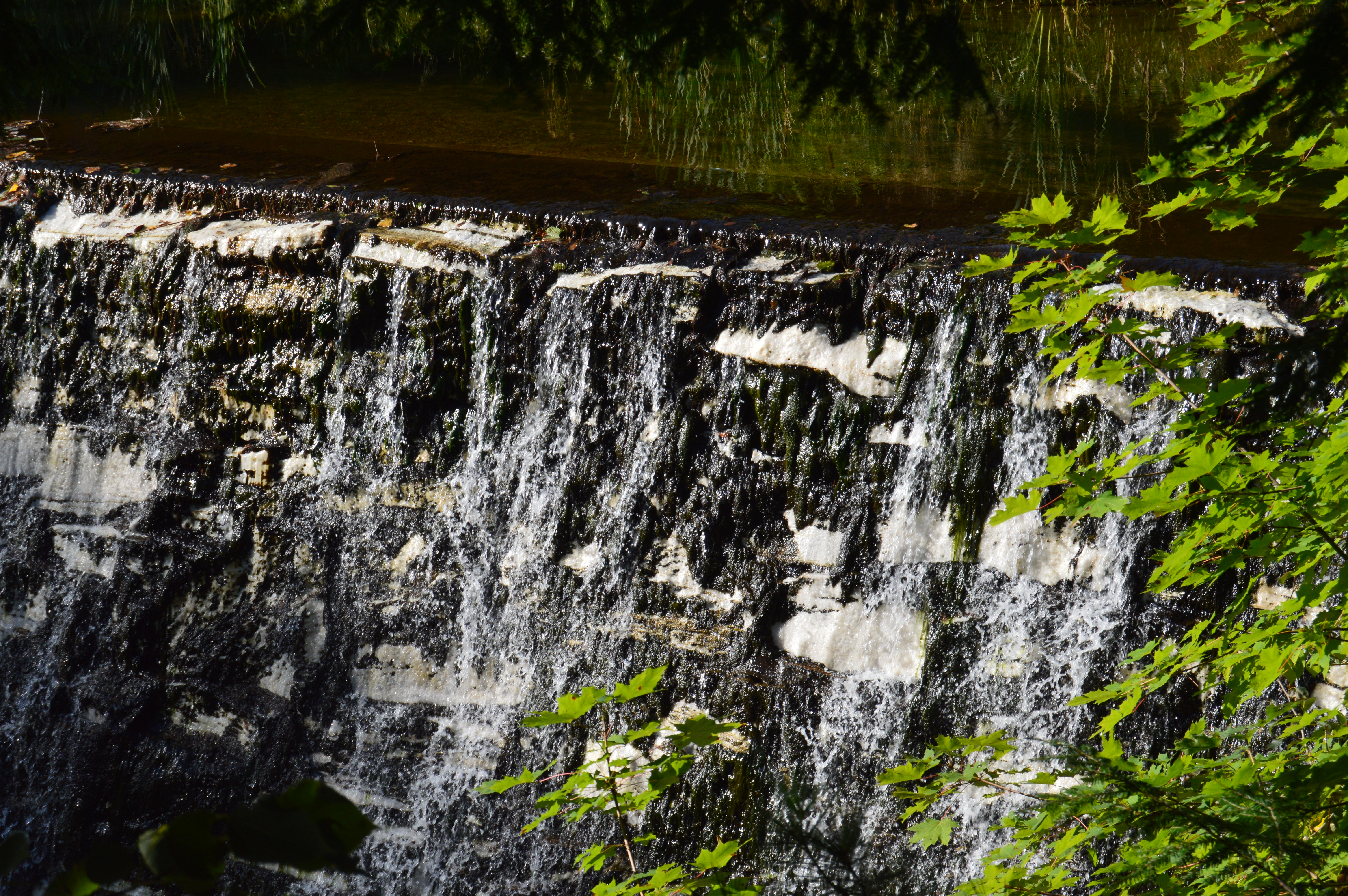
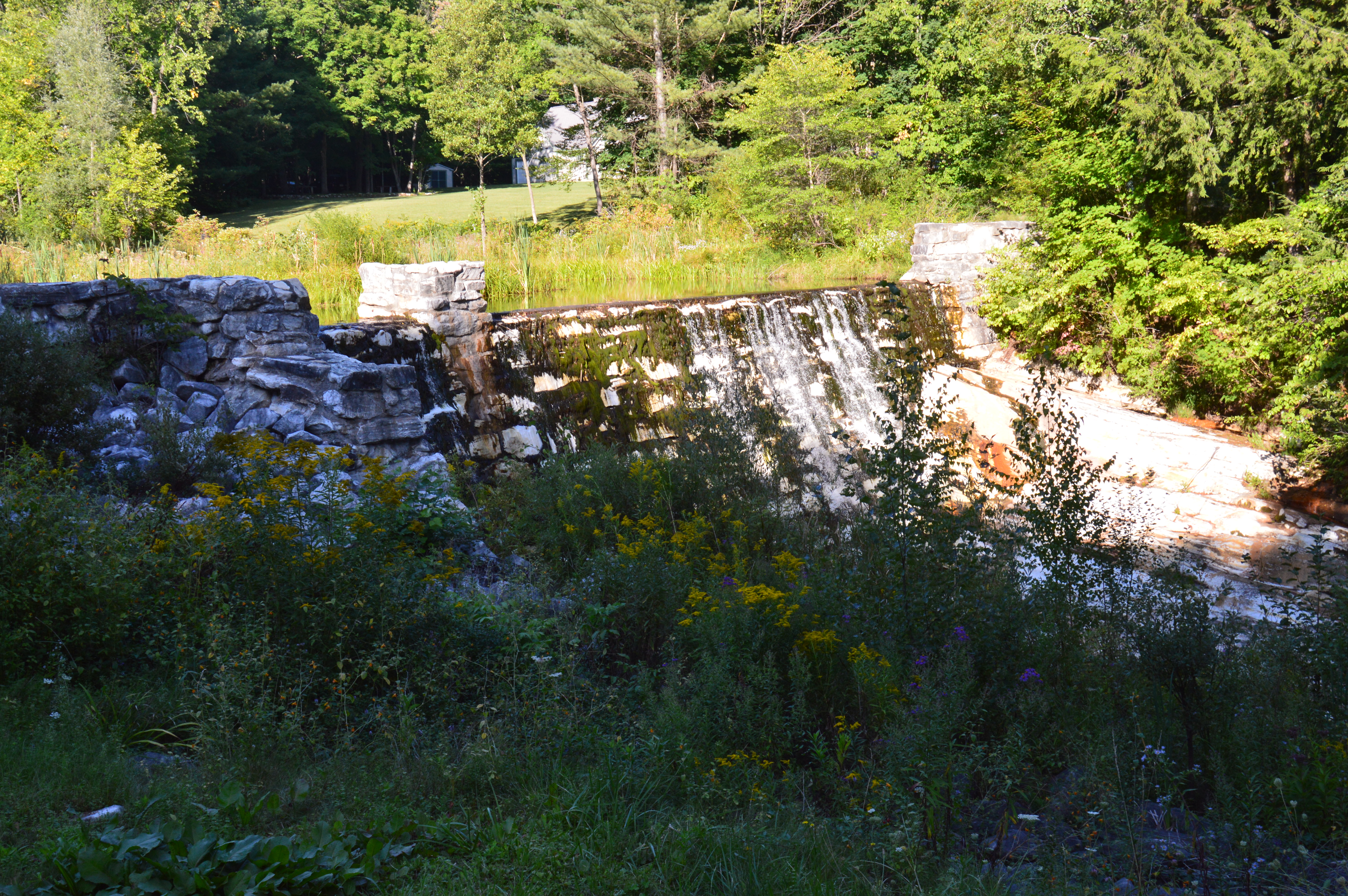
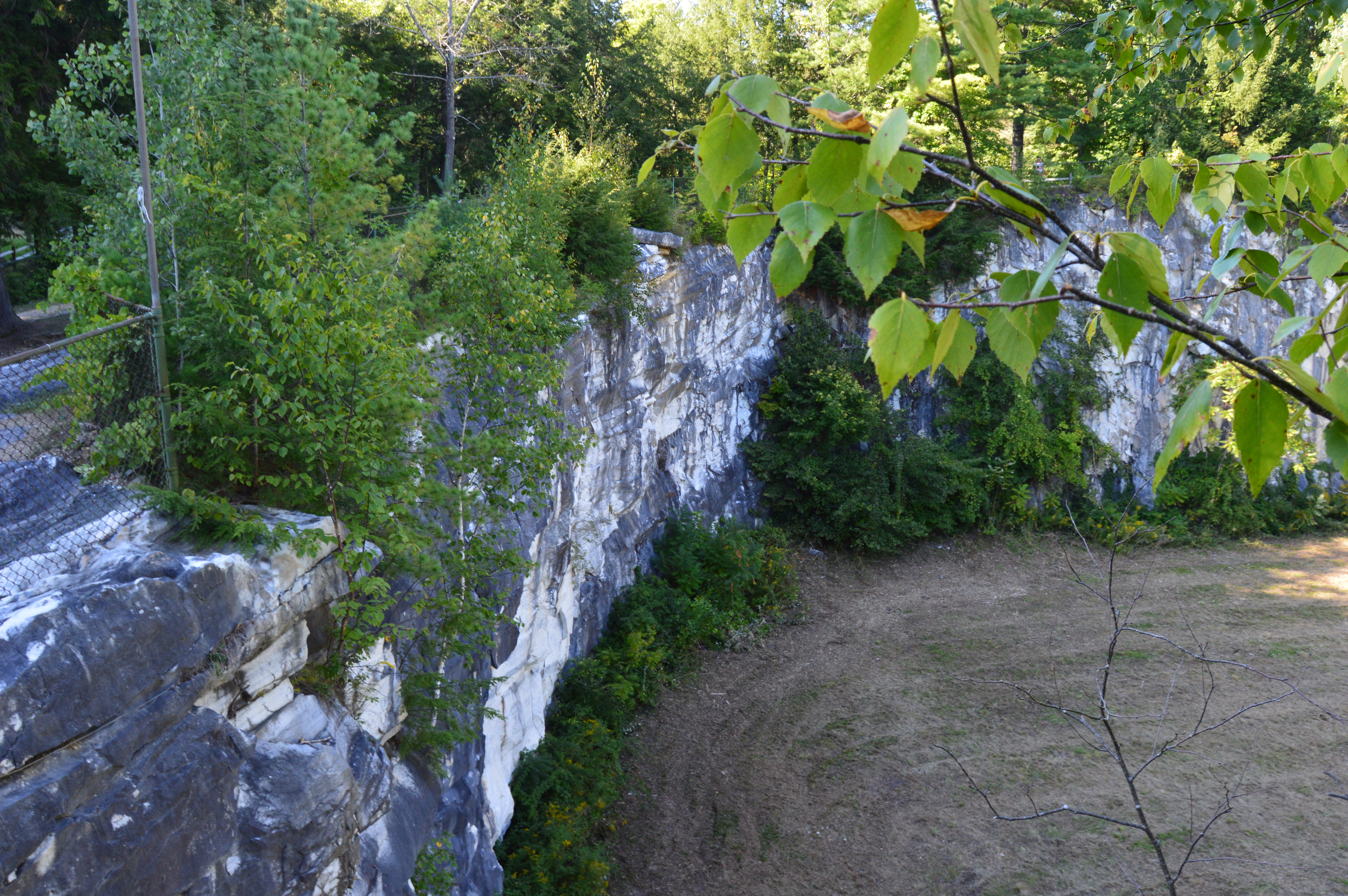
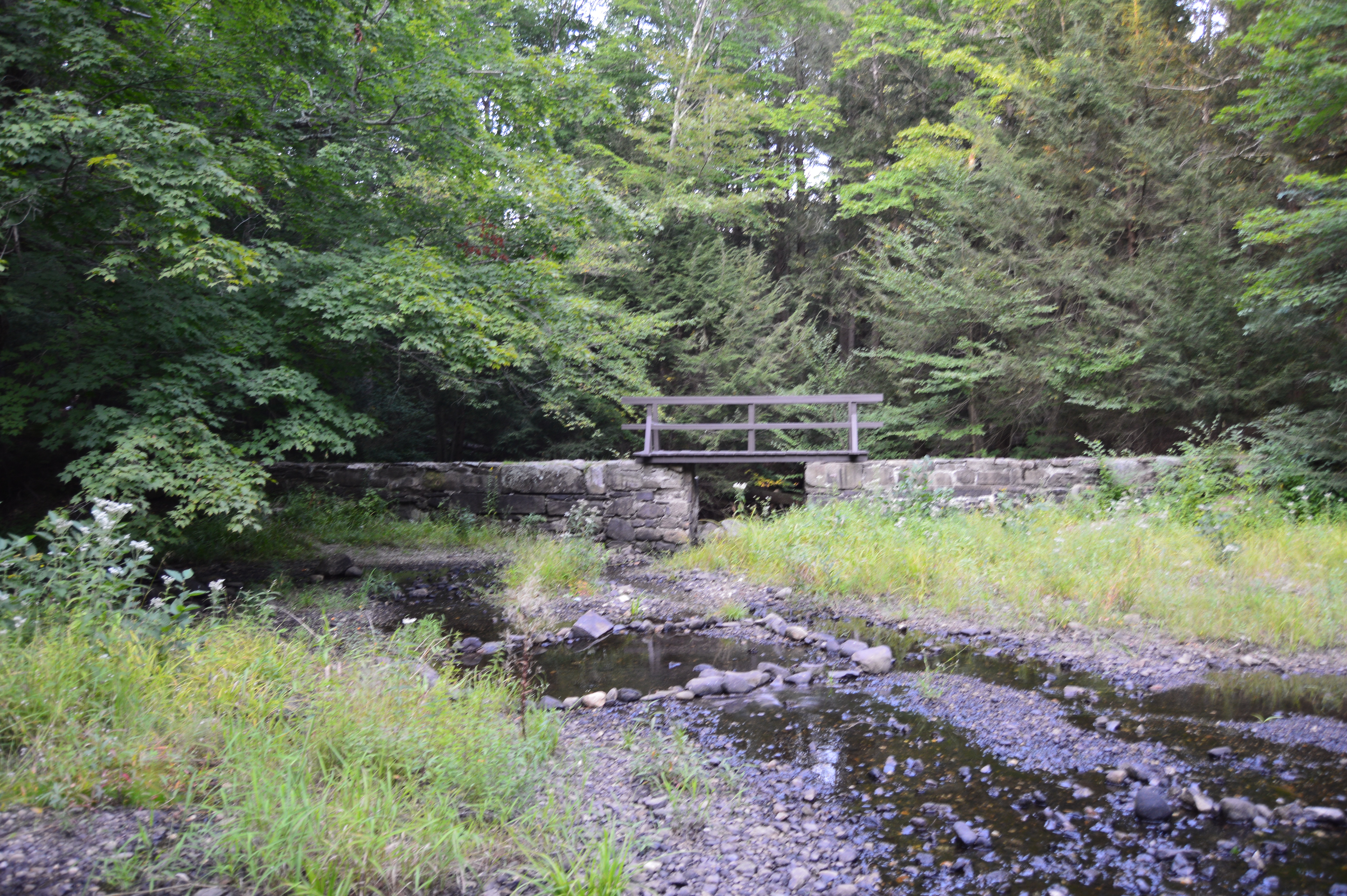
Established in 1933 on the site of a former grist mill, the South Natick Dam Park attracts people far and wide for its pretty waterfall and scenic views. Construction of the South Natick Dam was completed on September 2, 1933. It replaced a timber dam that had been built at the site since 1760 by Matthew Hastings.
Millstones from the grist mill, which had served the area since colonial times, are embedded in the paved area of the area surrounding the dam.
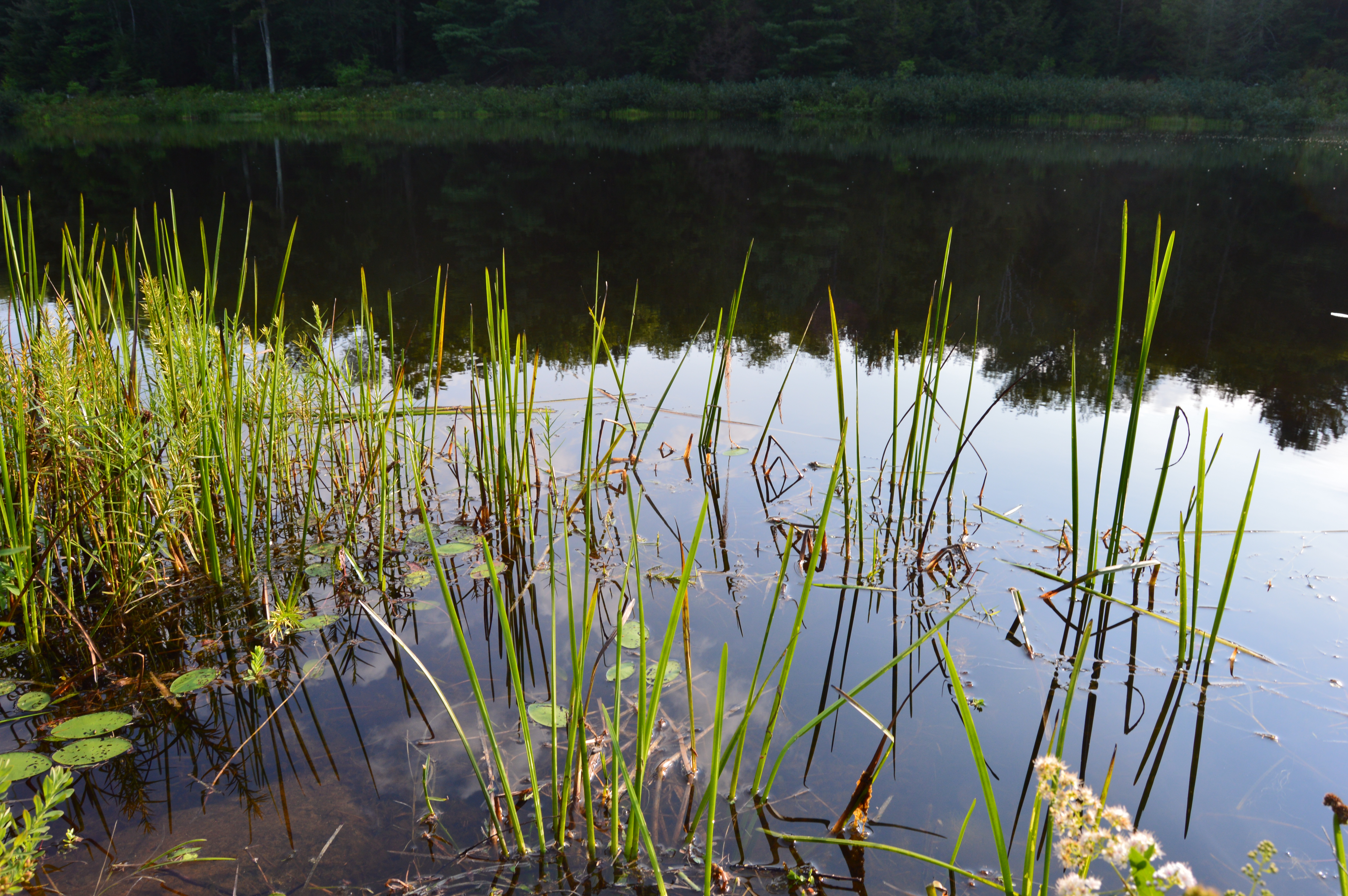
There is also an island in the middle of the river, that you can see in some of the photos, which is named for Horace Holyoke, one of the characters from Harriet Beecher Stowe’s “Old Town Folks.” This character is based on her husband Calvin Stowe who was a South Natick native.
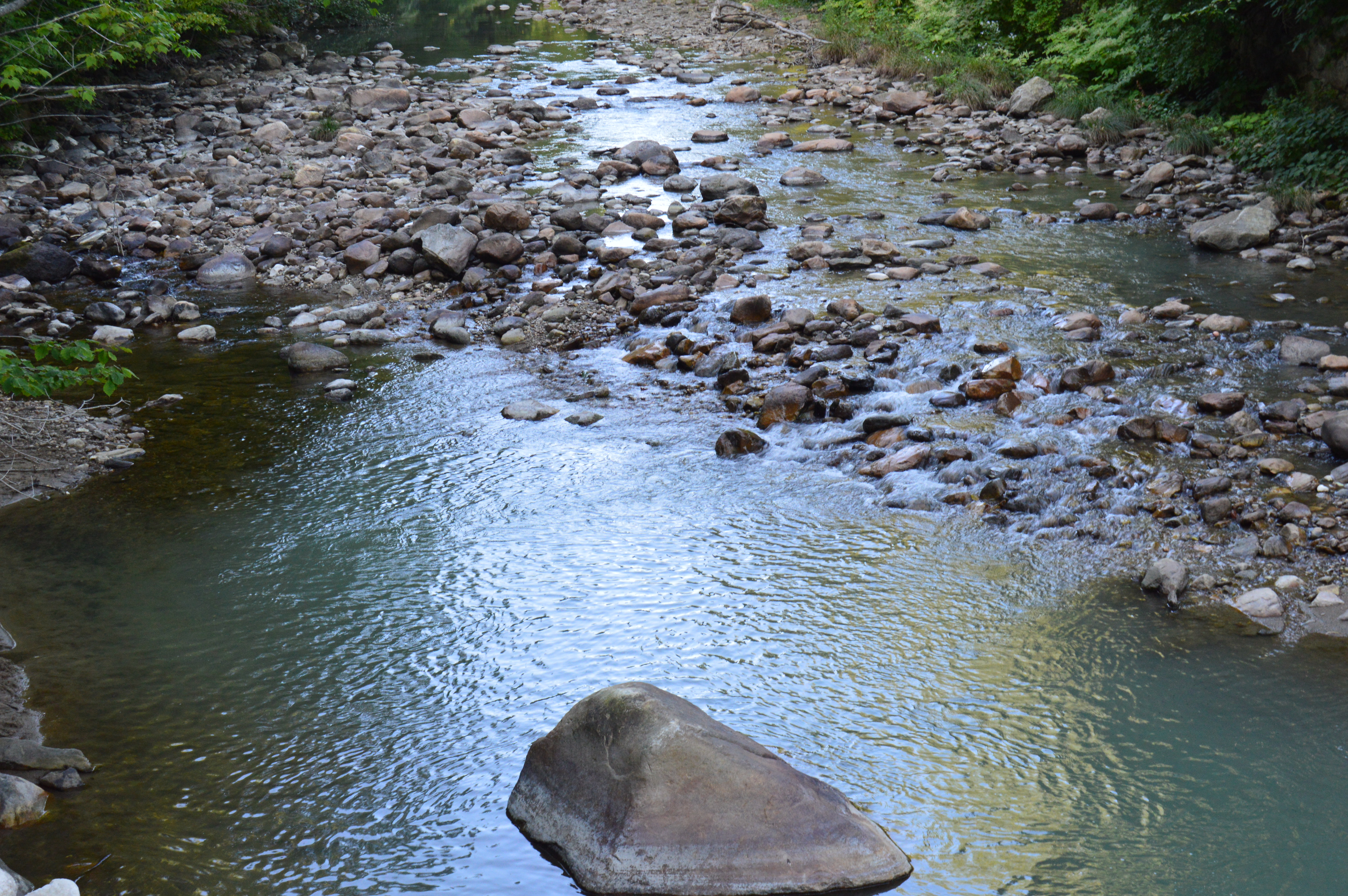
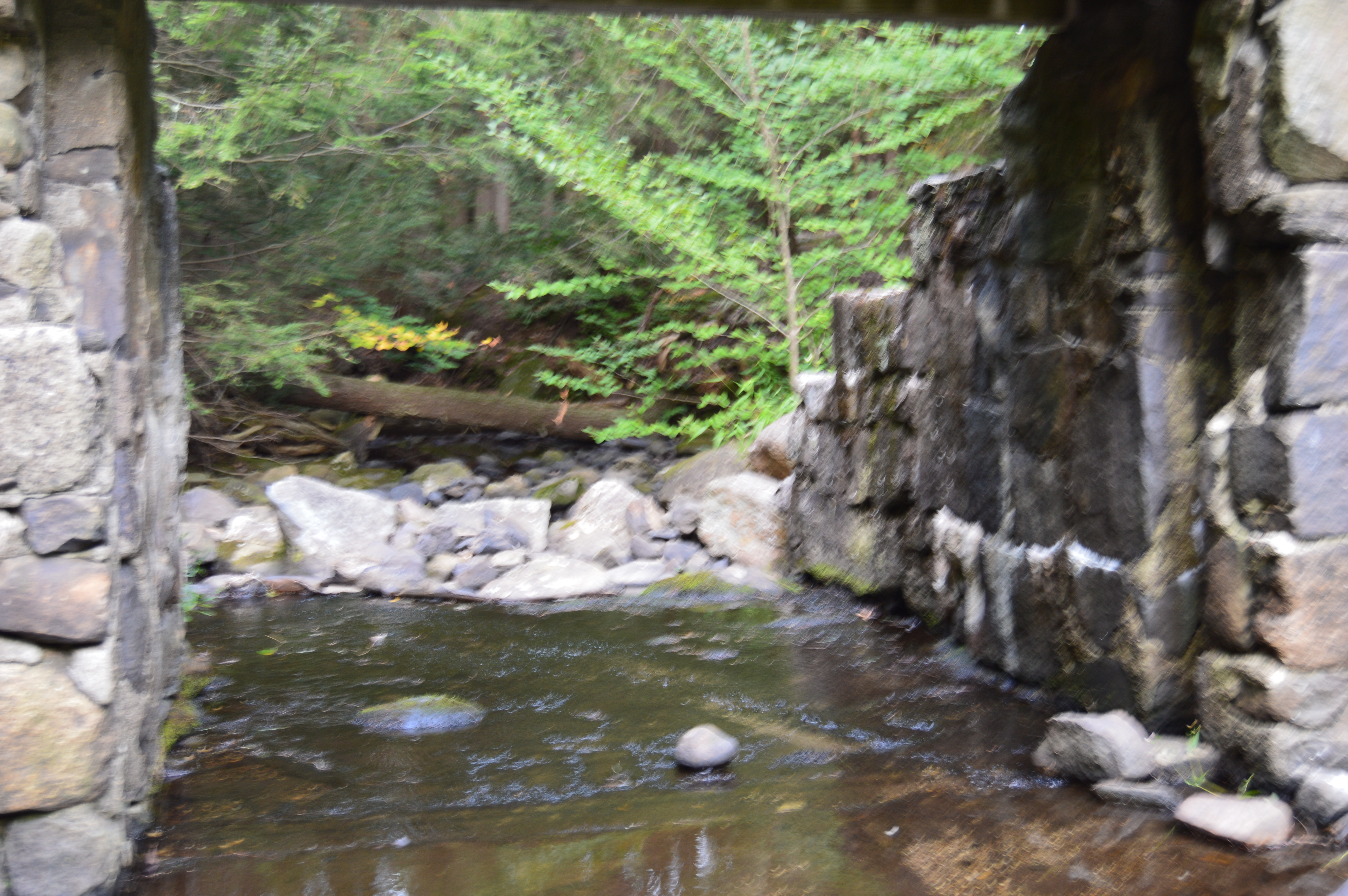
Since the water was at such a low level, I was able to walk down to the base of the dam and take some photos from where the water would normally be.
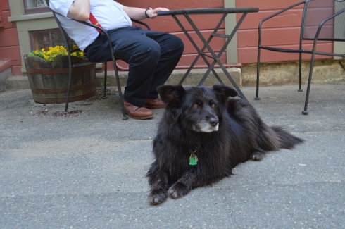
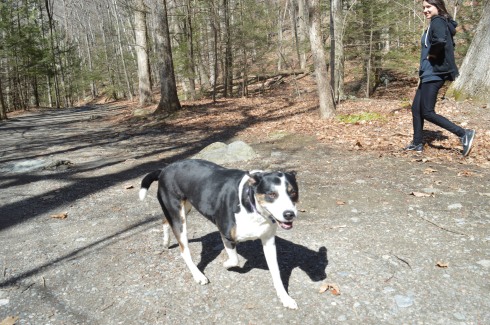
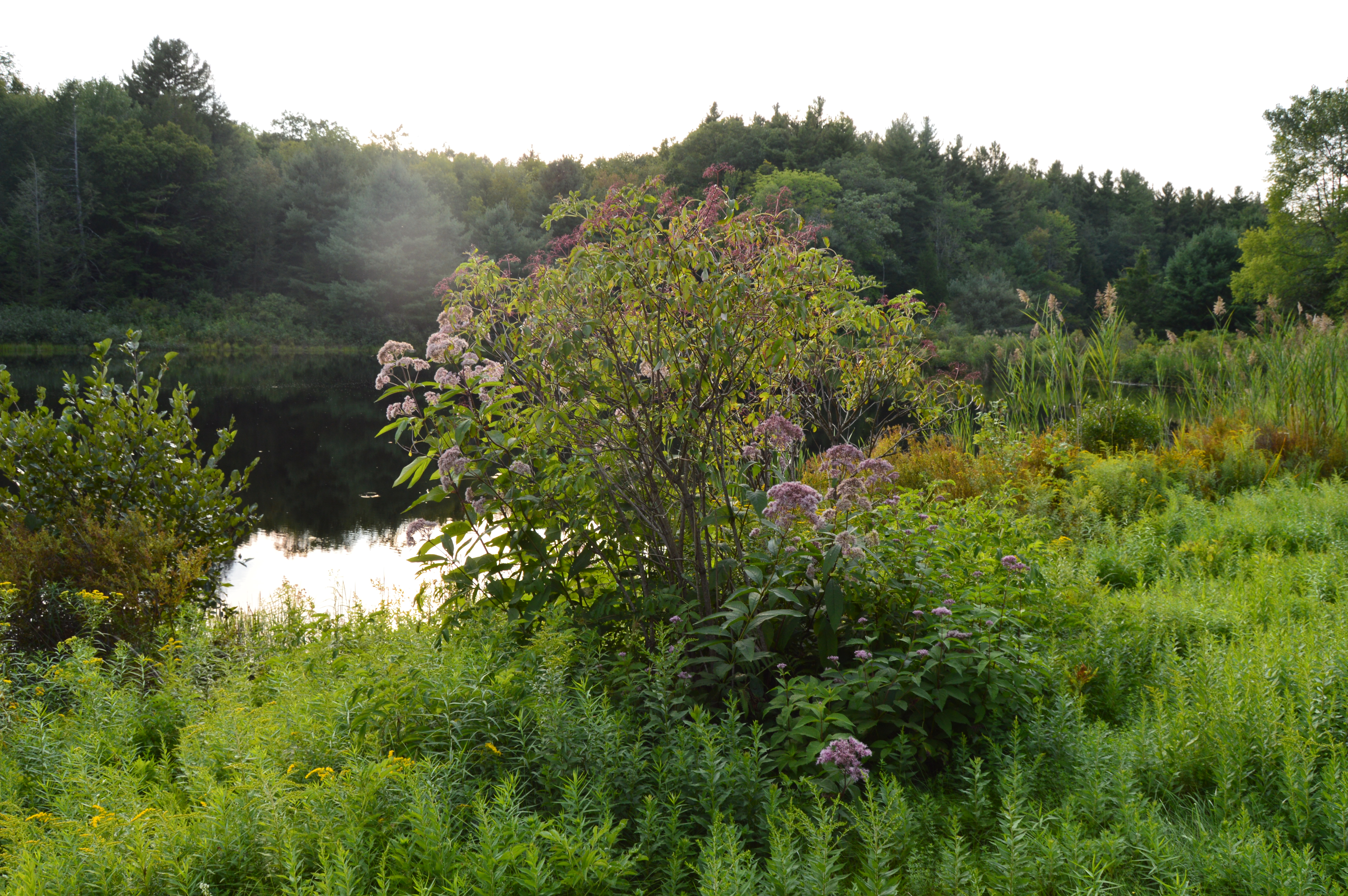
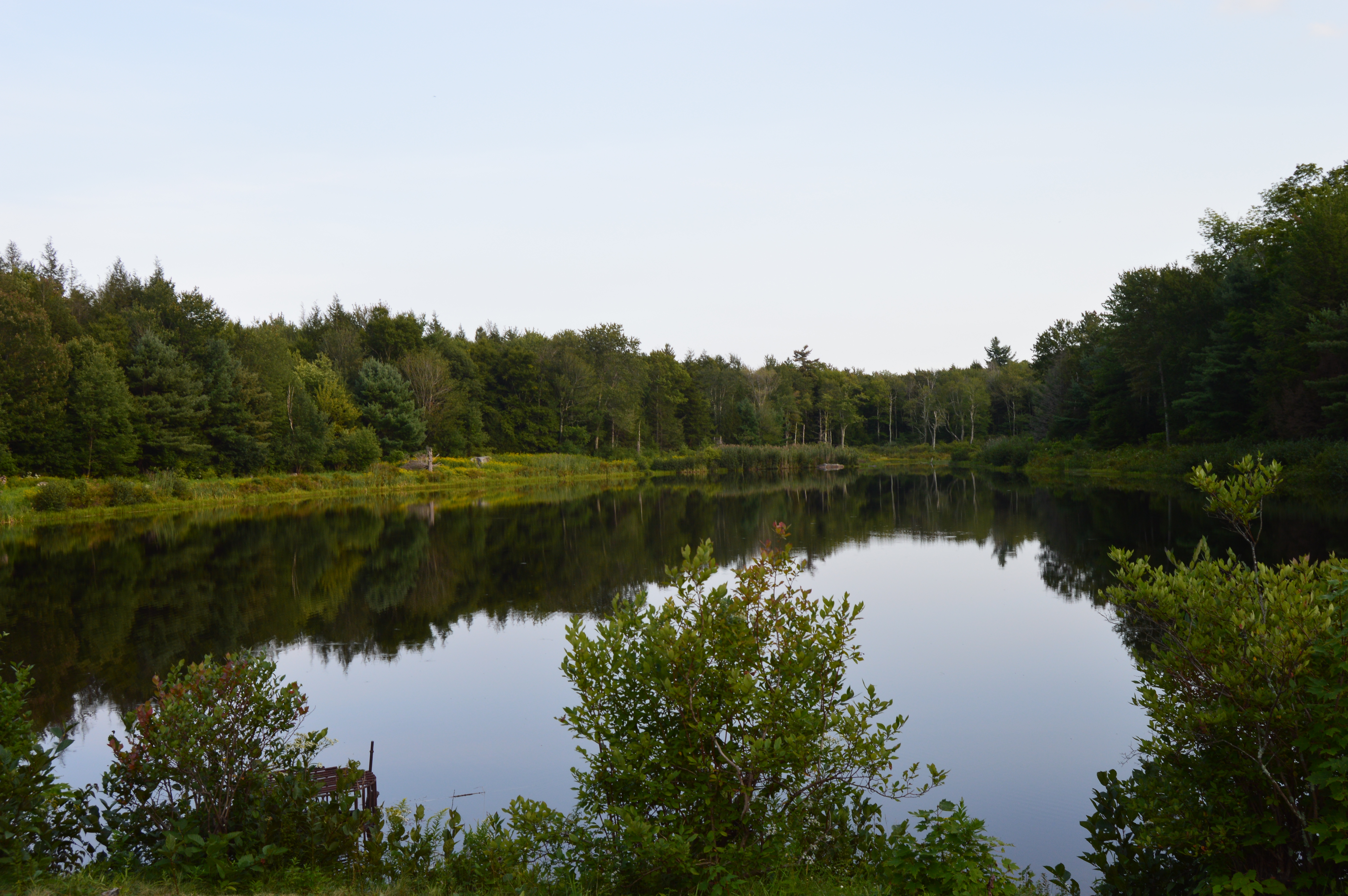
The South Natick Dam Park is adjacent to the Charles River’s dam, and is a popular spot for visitors, both human and animal.
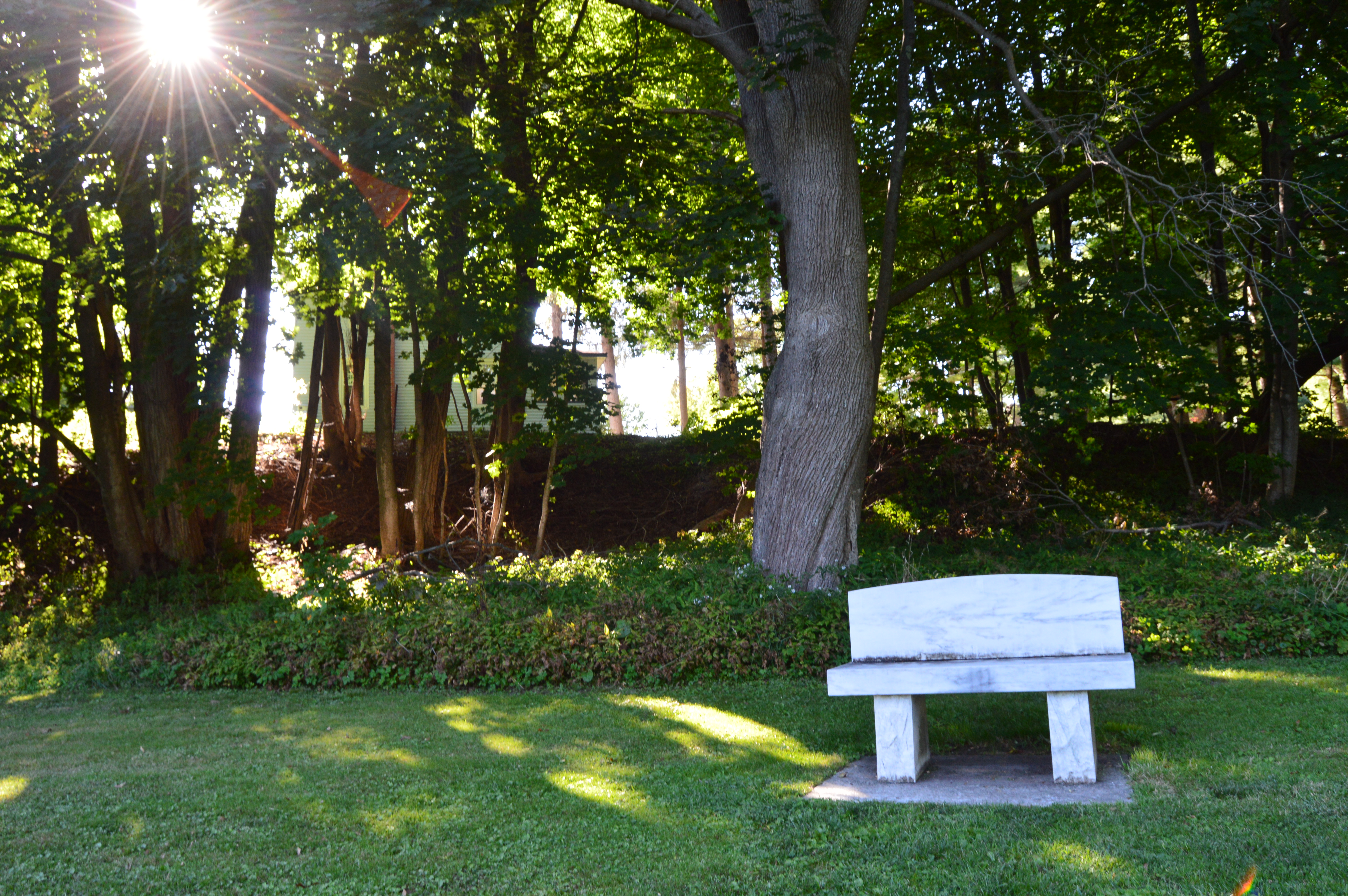
A fun and unexpected stop on my way home from Broadmoor Wildlife Sanctuary, the South Natick Dam is a great place to take your dog for a walk, photograph or just sit at one of the benches and take in the beauty of the area.
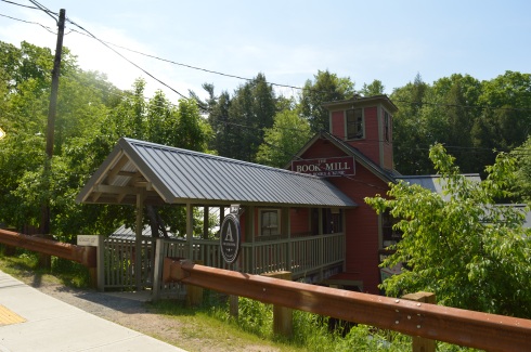
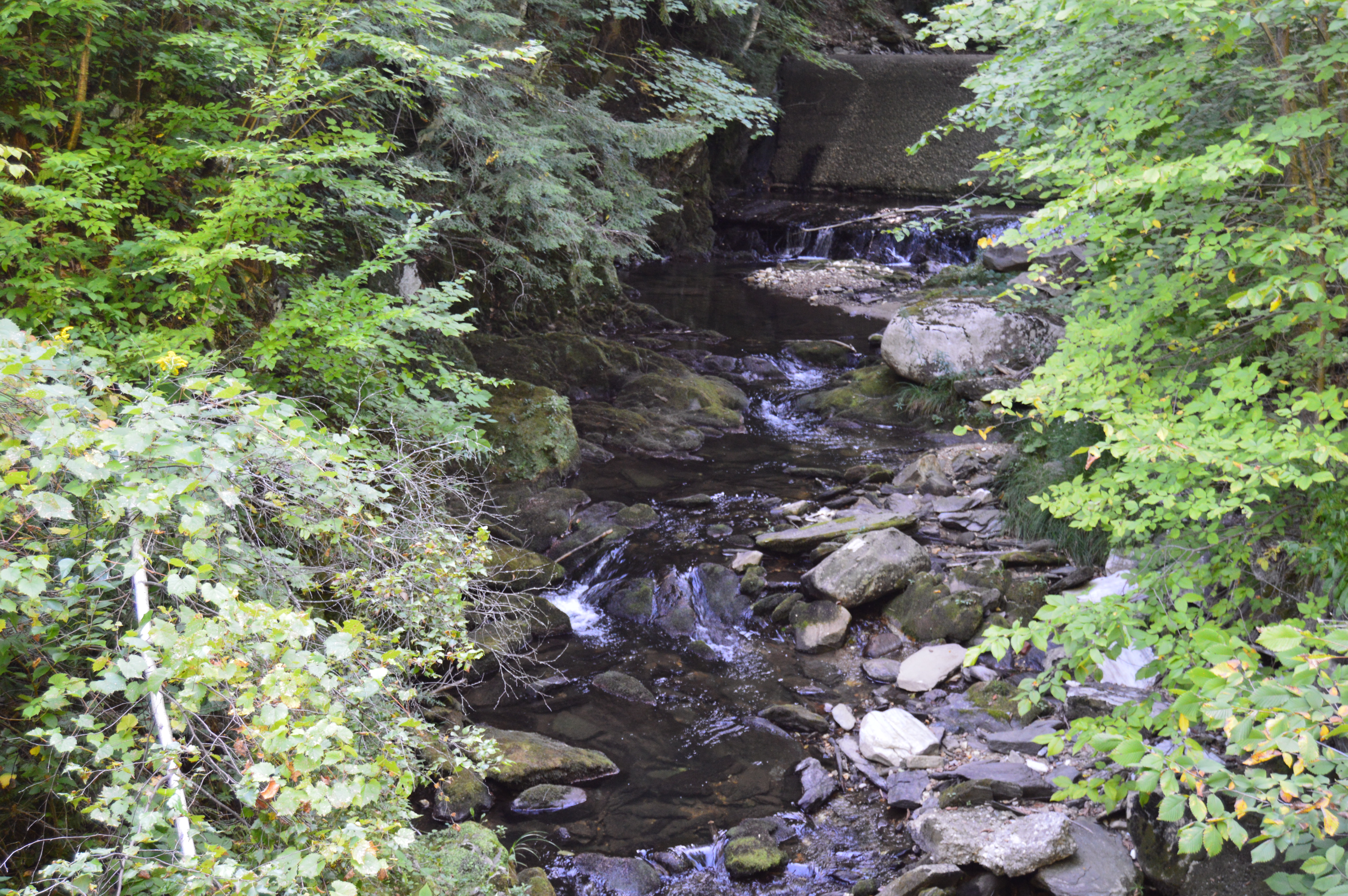
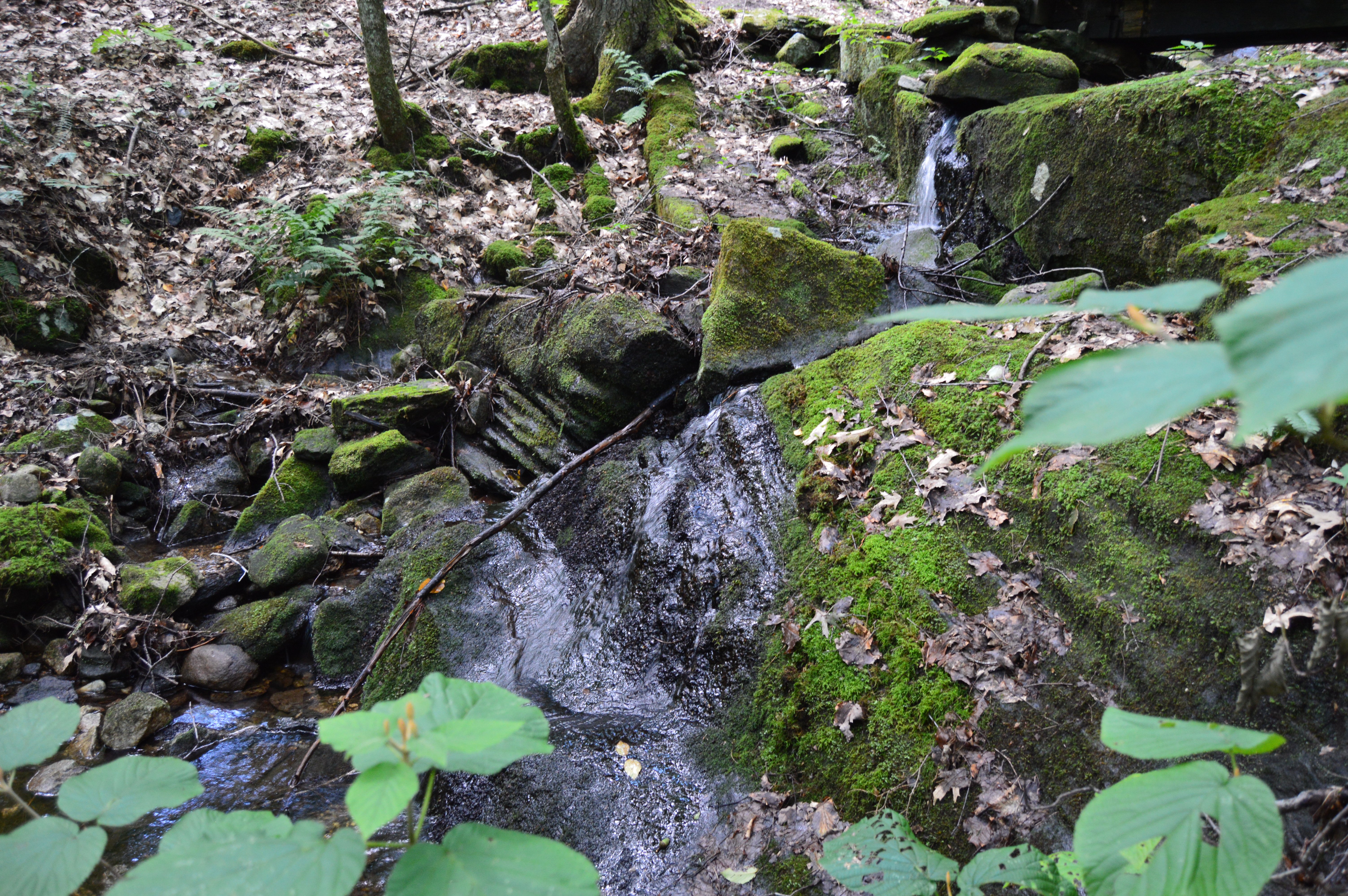
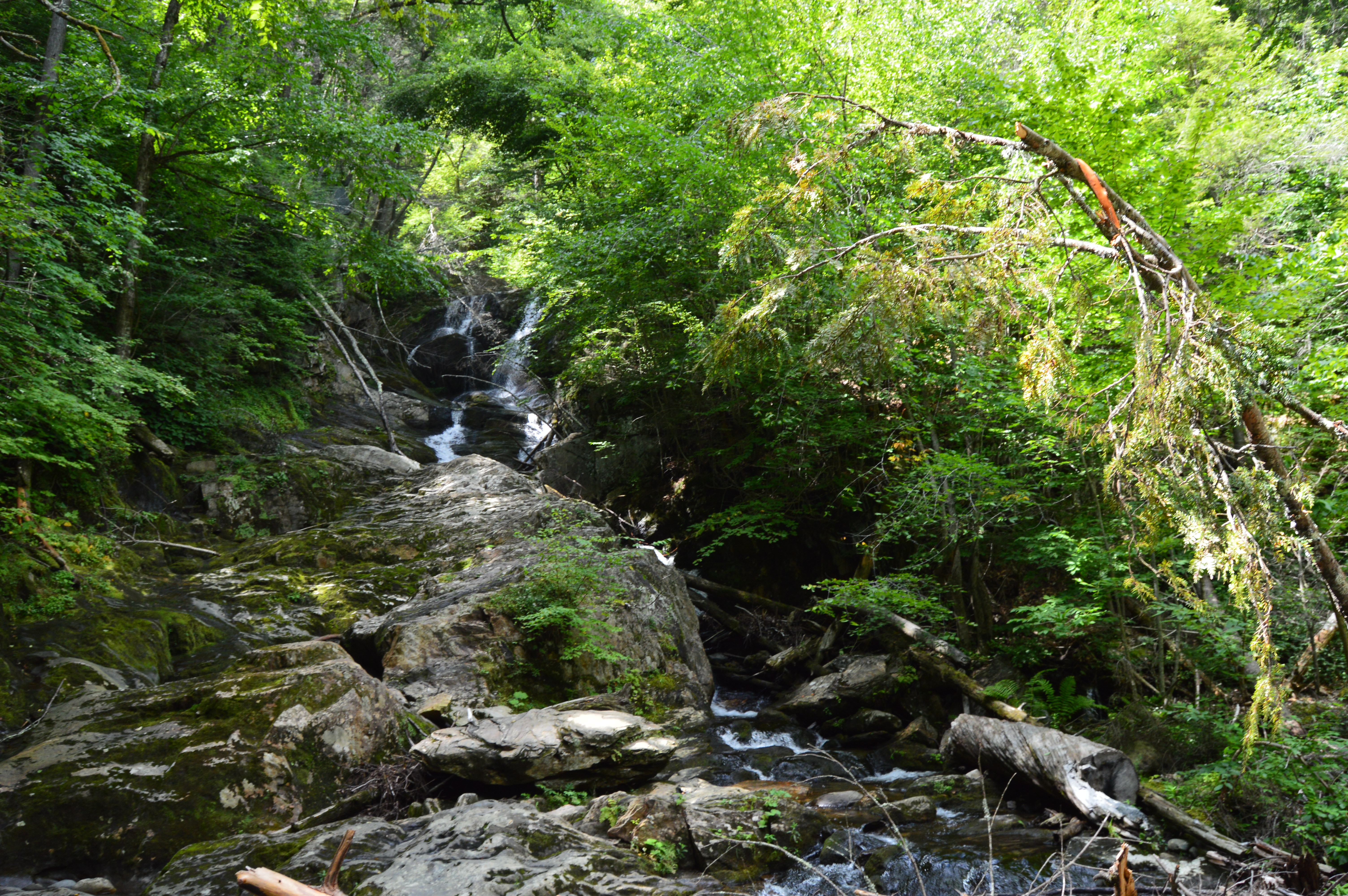
Do you like books? How about mills? Then I have just the place for you. But, this is no ordinary book store. A former gristmill now operating as a used book store, the Bookmill has gone through many changes throughout its history. But, it still keeps true to its beginnings. The structure is largely the very same one that operated as a mill so long ago and the brook that runs along the two floor book shop is the very same one they used to power the gristmill so long ago.
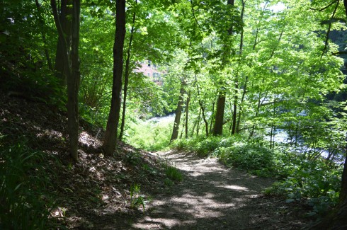
Upon arriving at the Bookmill, the first thing you notice is the brook fed by a waterfall adjacent to the shop.
A short easy to walk path takes you to the source of the stream of water.
The short waterfall and stream can be pretty fast in some spots. But, when I came to visit it slowed down after it plummeted down the waterfall.
This slideshow requires JavaScript.
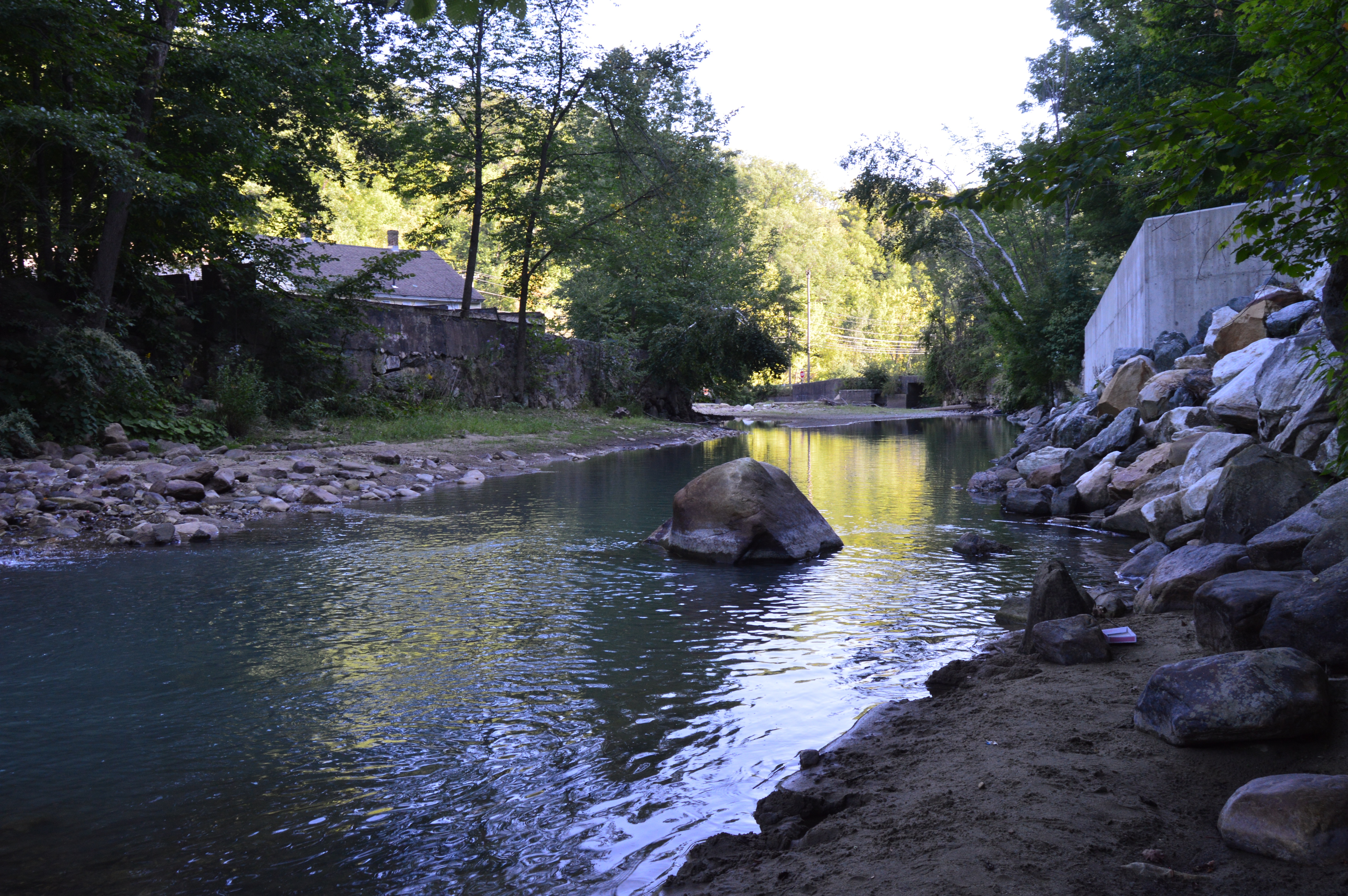
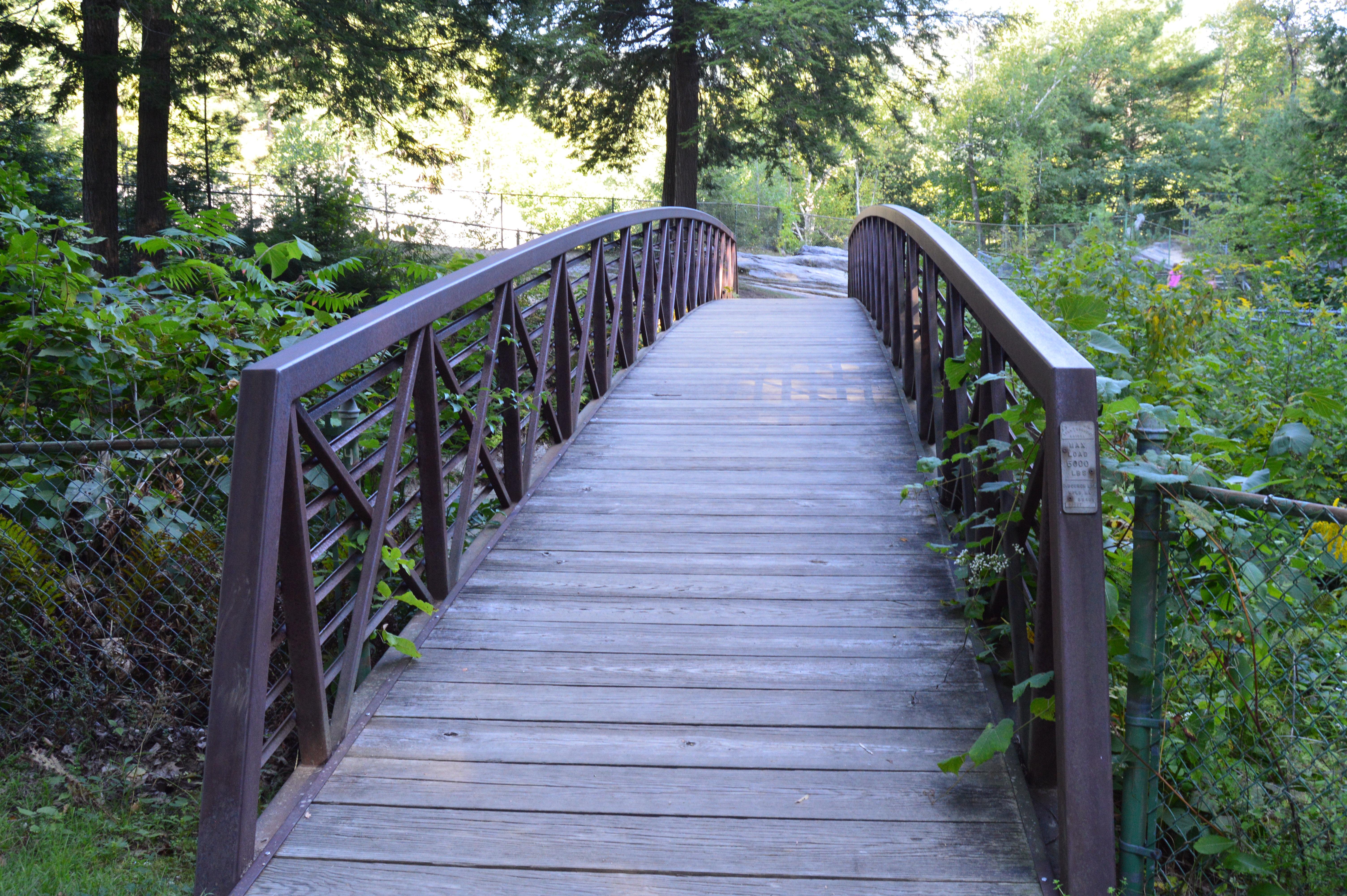
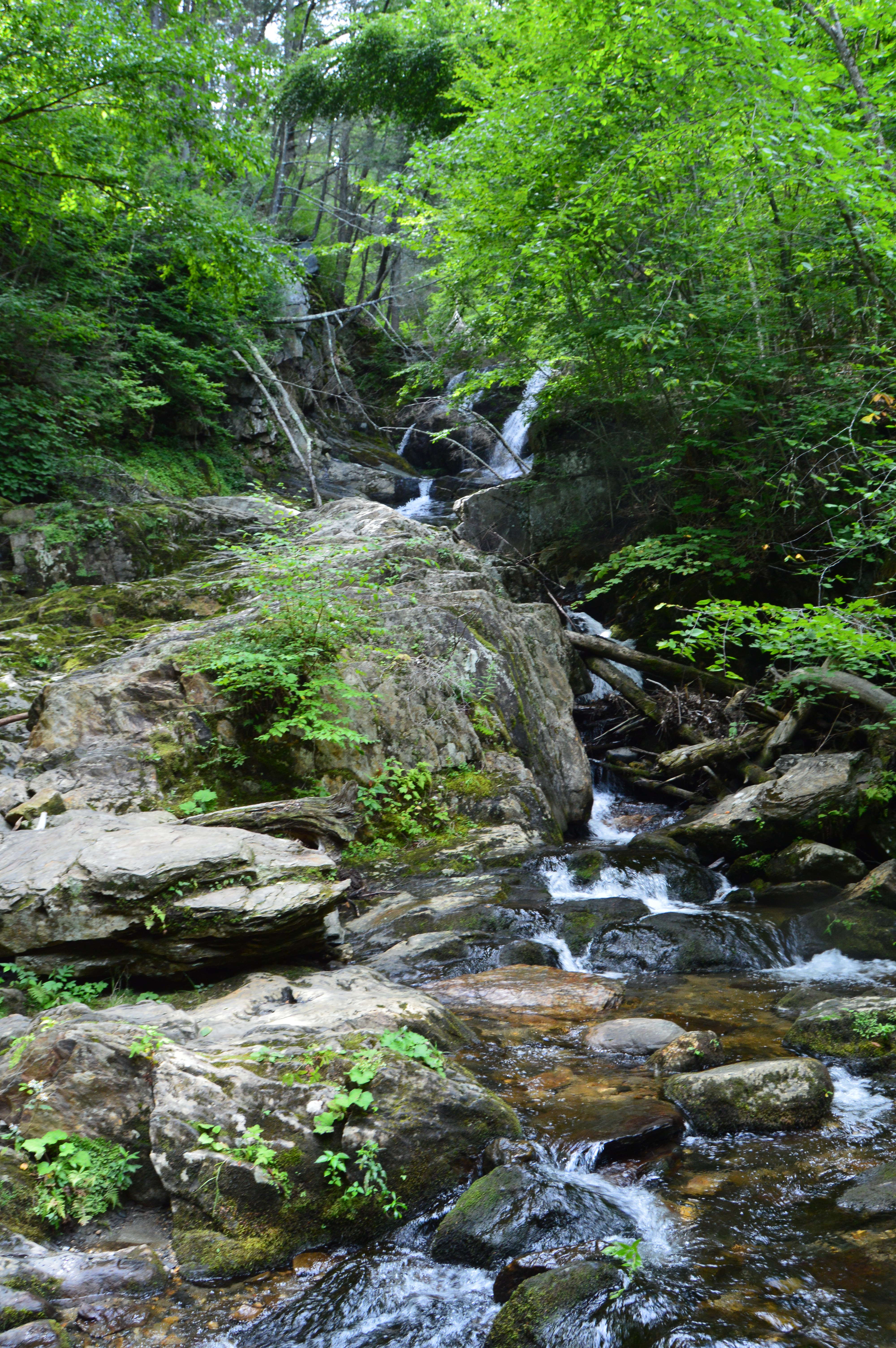
After the short walk back up the trail, you can access the bookstore by a wooden walkway with some more views of the waterfall and stream.
Or, you can just walk straight across (the easier route, less scenic route).
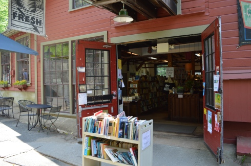
The great thing about the Bookmill is that it has kept much of the original charm and design of the past. Narrow stairwells and cozy corners are the hallmark of the shop. Memorabilia, such as old style typewriters, are scattered throughout the store. The staff doesn’t rush you nor do you feel a sense that profit is their main driver. Service and a respect for books seems to be the most important thing t the staff. It’s a great place for any book lover and anyone who loves to lounge around historic places.
This slideshow requires JavaScript.
They even have newspaper clippings and memorabilia along the walls in the more private areas.
The Bookmill is not the only shop in the area. In the shopping area there is also a cafe, The Lady Killigrew Cafe, located next to the book store and The Alvah Stone, a restaurant. There are also two art studios and an entertainment/media store called Turn It Up. Turn It Up specializes in selling cd’s, dvd’s, vinyl and even cassette tapes. They also sell other memorabilia. It’s a unique store in a very unique shopping area.
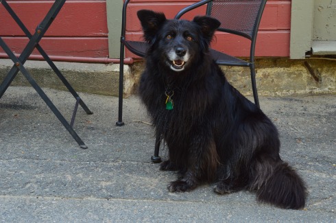
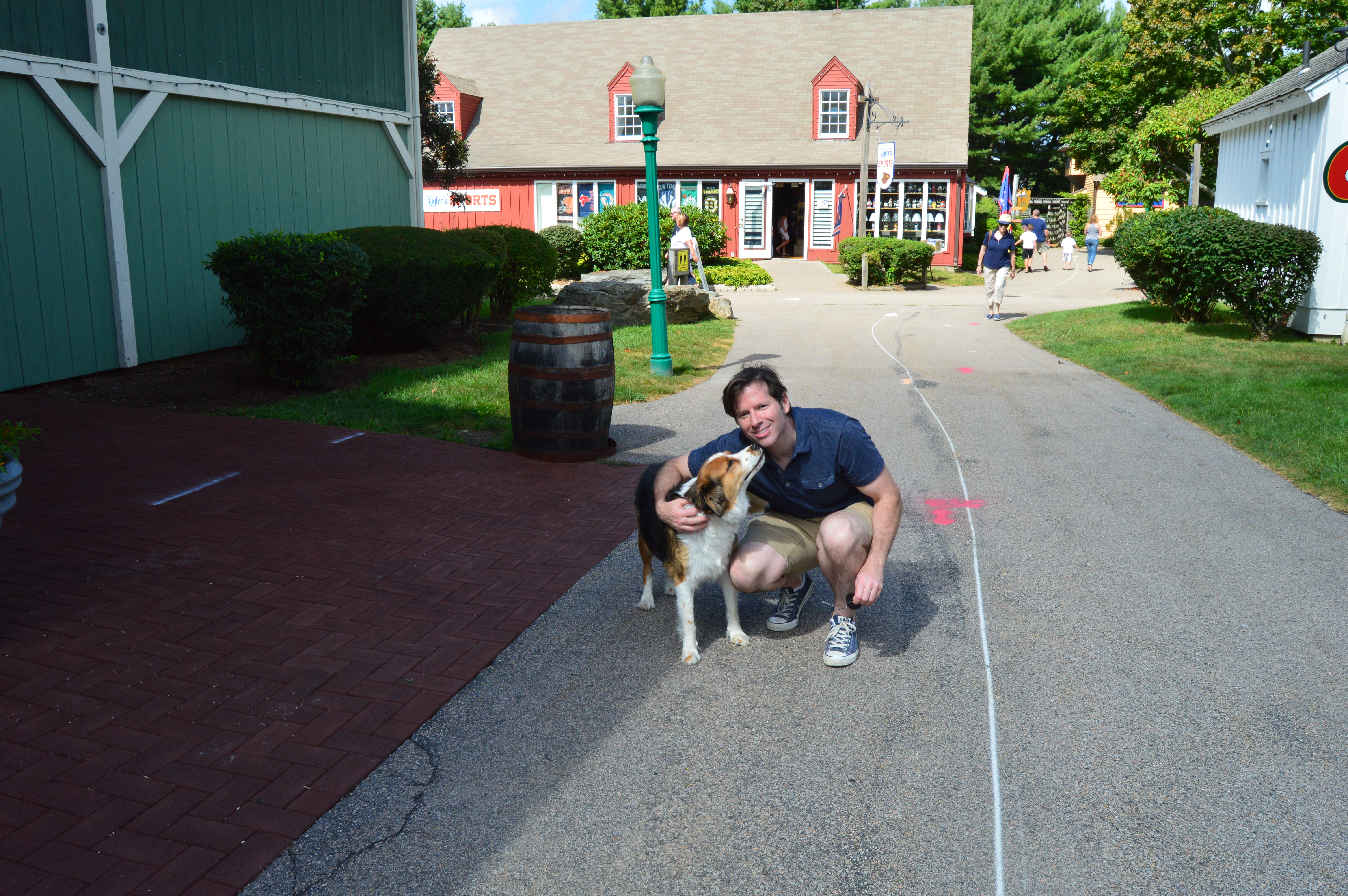
The owner of Turn It Up let me photograph his 10 year old dog and part owner, Daisy.
Below is a video of the waterfall and stream next to the Bookmill.
Please stop by and connect with me on my Facebook page: New England Nomad
Parking: There is a lot that can accommodate about 30 or so cars behind the waterfall off Meridian St (a side road off Deerfield St where the bridge is) or you can park in one of the lots of the local establishments and walk to the park, after patronizing them of course. You can’t park on Deerfield St.
It’s not often that you see a silver fish on a pole while you’re driving down the main streets of a busy suburb. So, when I saw Brookie, the mascot of River Works Park, I had to stop and check it out.
The River Works Park is a quiet place (if you can ignore the passing traffic on Deerfield Rd) where residents and visitors can sit on the benches or walk along the sidewalk or bridge and admire the Green River below.
For a roadside attraction, the River Works Park is full of surprises and beauty. One of these surprises is the walk way along the sidewalk that is blocked off by a fence. Of course, there was an opening in the wire fence. The views from the walk way weren’t so great though and I only managed to get a few scratches when I walked along it.
The walkway, which was dedicated in November of 1999, has several memorials and plaques along the sidewalk. This bench was dedicated to Barbara Tillmanns, Greenfield’s “#1 cheerleader.” Tillmanns was a town councilor for Greenfield and very active in the community. She passed away in 2014 at the age of 72. One of her endeavors was to begin an initiative to establish a series of commemorative benches throughout Greenfield. Here’s one:
A sign remains where the J. Russell Co once stood. The company made Green River Knives. Greenfield Tap & Die also stood there once upon a time. The J. Russell Co and Greenfield Tap & Die were the main employers of the area for much of the 1800’s and the J. Russell Co made the highly touted Green River Knife.
If you look closely at Brookie, the mascot of River Works Park, you can see the forks, spoons, cutlery and other utensils collected from the residents of Greenfield and Franklin County that make up the shape of the fish as a tribute to the J. Russell Cutlery Co. (you may have to zoom into the photo).
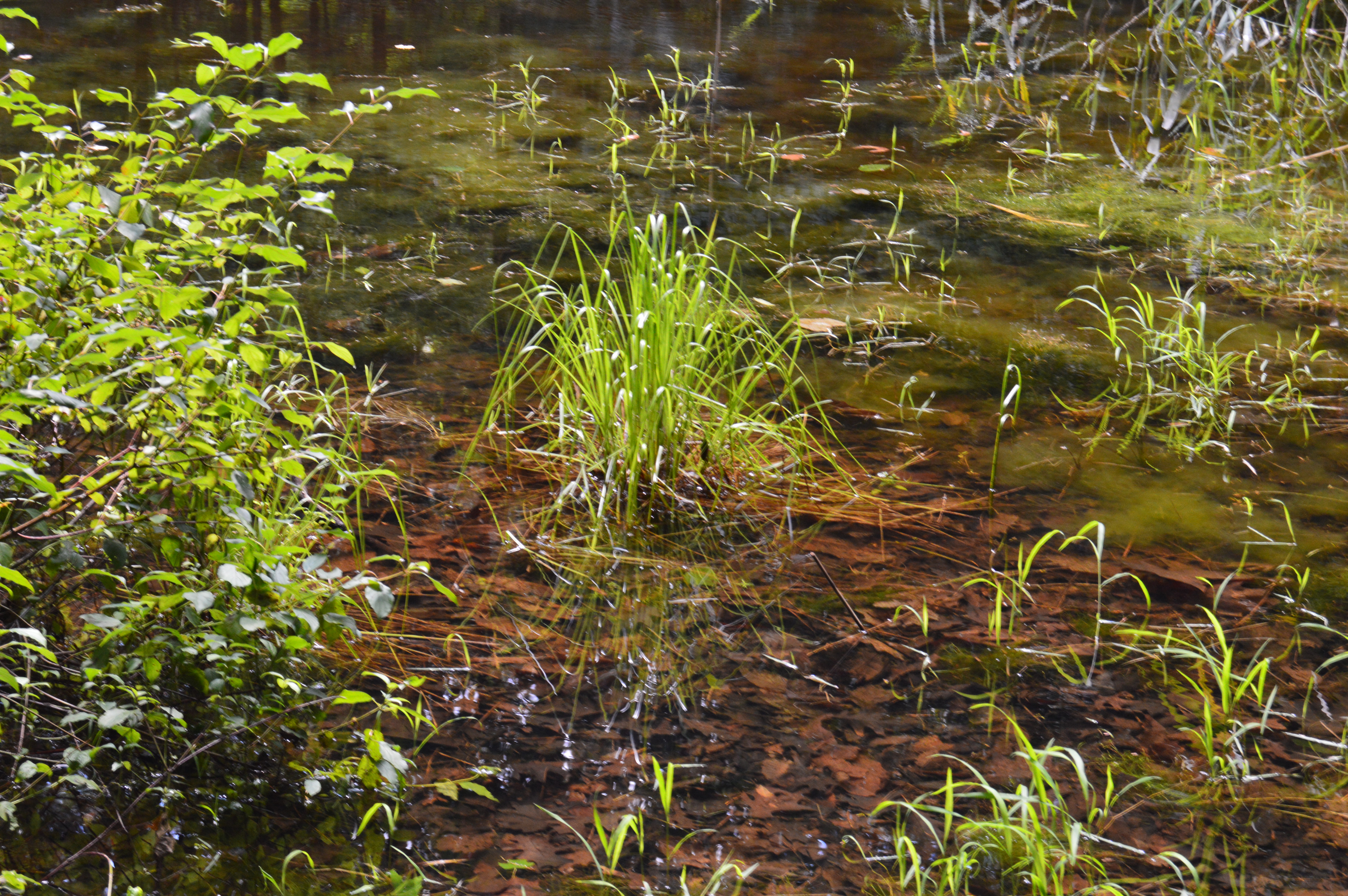
The aptly named Green River, runs through the park. There were some modest waves and ripples in the river. The reason for this will soon be evident.
I thought made for a pretty backdrop.
However, just beyond the bridge, we found this pretty waterfall.
This slideshow requires JavaScript.
There is no sidewalk on the side of the road where the best views of the waterfalls are so I had to keep the video short since I shot it during a red light.
There is a lot of interesting historical information about the J. Russell Co and the area which you can access in the links below
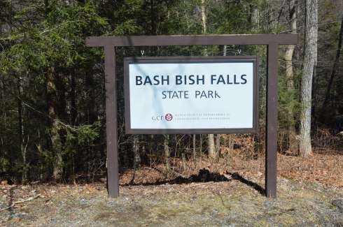
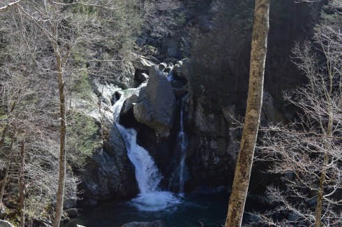
Located in the most southwestern part of Massachusetts, Bash Bish Falls is considered one of the most dangerous waterfalls in not only Massachusetts but the entire United States. It is also one of the most beautiful.
According to legend, Bash Bish was the name of a Mohican Native American woman who was accused of adultery which was punishable by death.. Bash Bish was pushed over the falls while tied up in a canoe.
The shape of the falls is said to resemble a woman falling to her death. Another theory claims the segmented characteristic of the falls resembled the reuniting of Bash Bish and her daughter White Swan who had also disappeared over the falls according to the Mohican legend. If the rapids of the stream leading from the waterfall and the speed of the water falling from the waterfall are any indication, the restless spirits may still be there. It is also a good reason why swimming is not allowed as the rapids can be very strong and it is easy to hit a rock.
This slideshow requires JavaScript.
Bash Bish Falls is located in Massachusetts, just past New York/Massachusetts border.
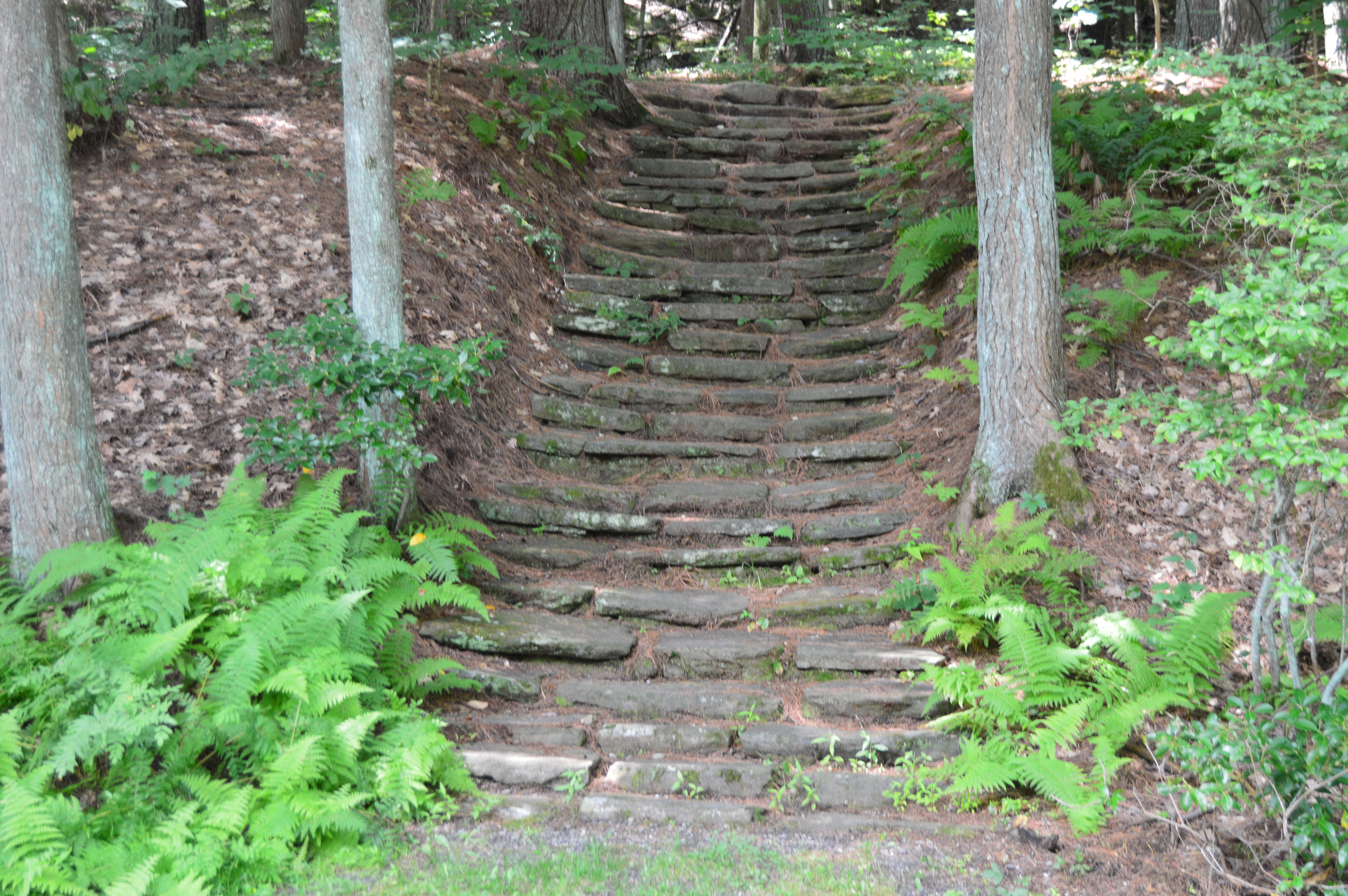
There are several entrances for Bash Bish. One of the entrances, at the top of the hill from the Massachusetts entrance on Falls Rd, gives ample evidence as to why Bash Bish may be considered such a dangerous waterfall. The stairs, which are a generous description, and walkway, also a generous description, are rocky and treacherous. There is a railing to hold on to. But, it’s still a tricky path.
I would recommend using the first parking spot on Falls Rd, if you’re traveling from Massachusetts. The trails are easy to moderate with a few slight inclines from the first parking lot. It is a 3/4 mile walk to the waterfall from the parking area.
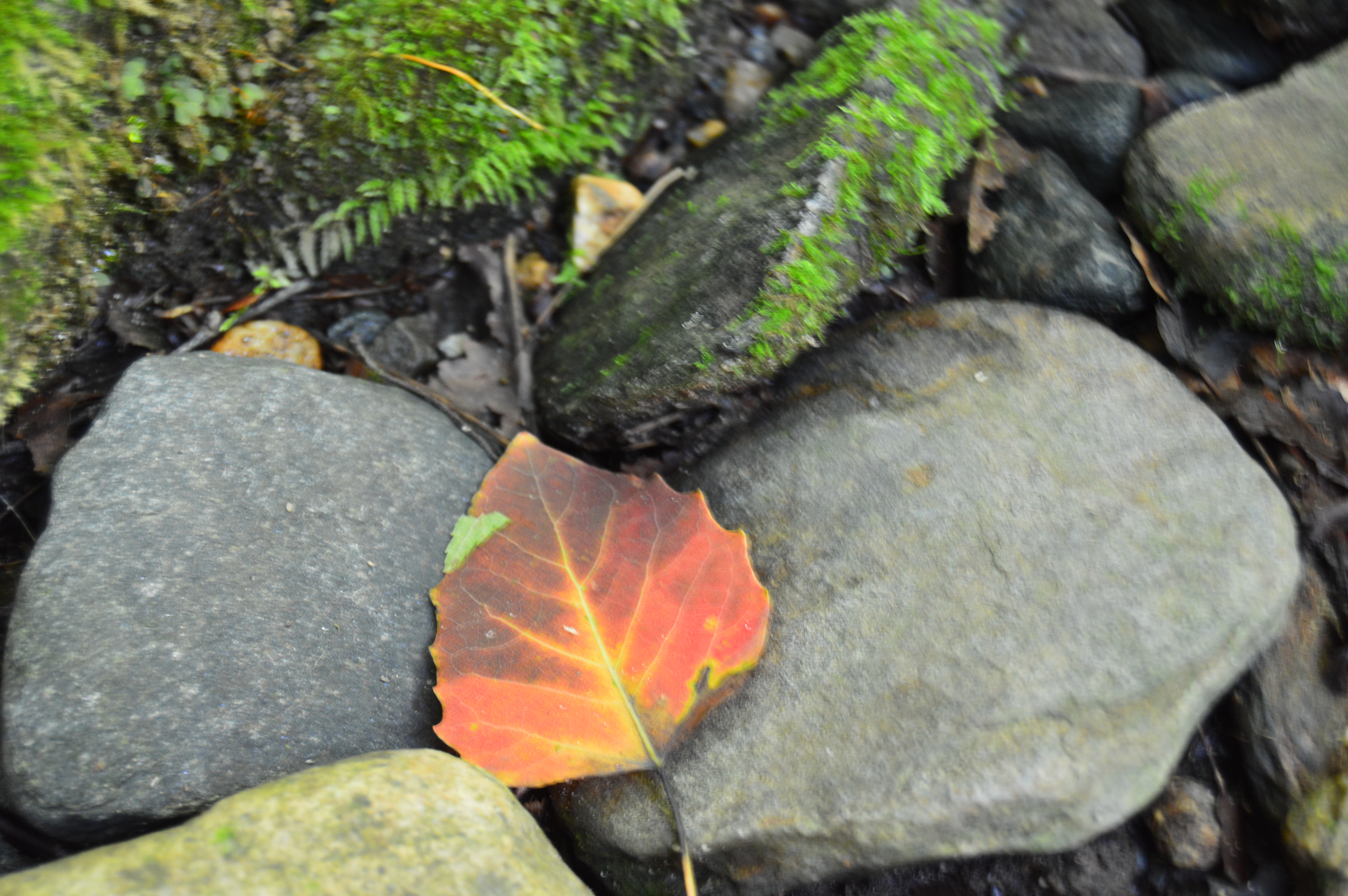
There are many interesting rock formations along the trail. Little known factoid: I learned a new word recently for the strange piles of rocks stacked creatively that we often see along trails and at beaches like the rocks in the first two photos in the top row of photos below. They are called cairns, unless you ask a conservationist or geologist in which case they will condescendingly call them just rock piles since real cairns are nature made and not man made.
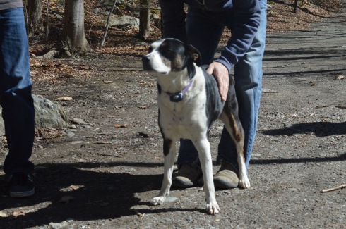
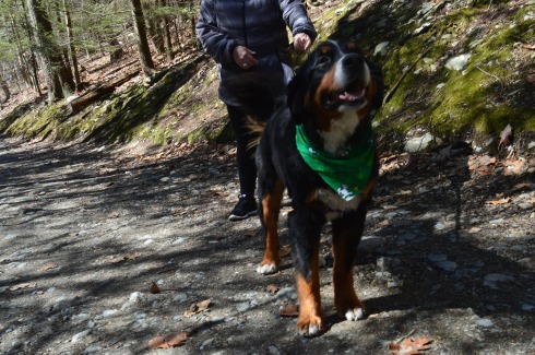
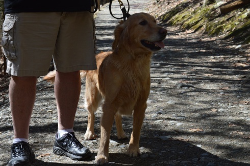
Bash Bish Falls is a popular spot for dog walkers. I met the following dogs during my hike.
Charlie
Juno, a Rottweiler and Shepherd mix
Cassie, a Bernese Mountain Dog.
Murphy, a beautiful Golden retriever
To get a better perspective of the waterfall and the stream leading from the waterfall, I have attached the following videos.
Bear Hole is not just a name give to the much traveled reservoir in West Springfield.
Tales of bear, deer and other animals have been told from many visitors at the park.
I didn’t see any bear, though. I only met the occasional dog (from top left to right Figueroa, Lily, Jyp, bottom from left to right Oreo and Connor)
and owl
The main attraction at Bear Hole is the waterfall.
and the pond it flows to
The trails are clearly defined (unless you go off trail to get a closer look at the waterfall and pond as I did from time to time). And runners and cyclists use the trails frequently.
Click below to view the video of the waterfall in all its splendor.
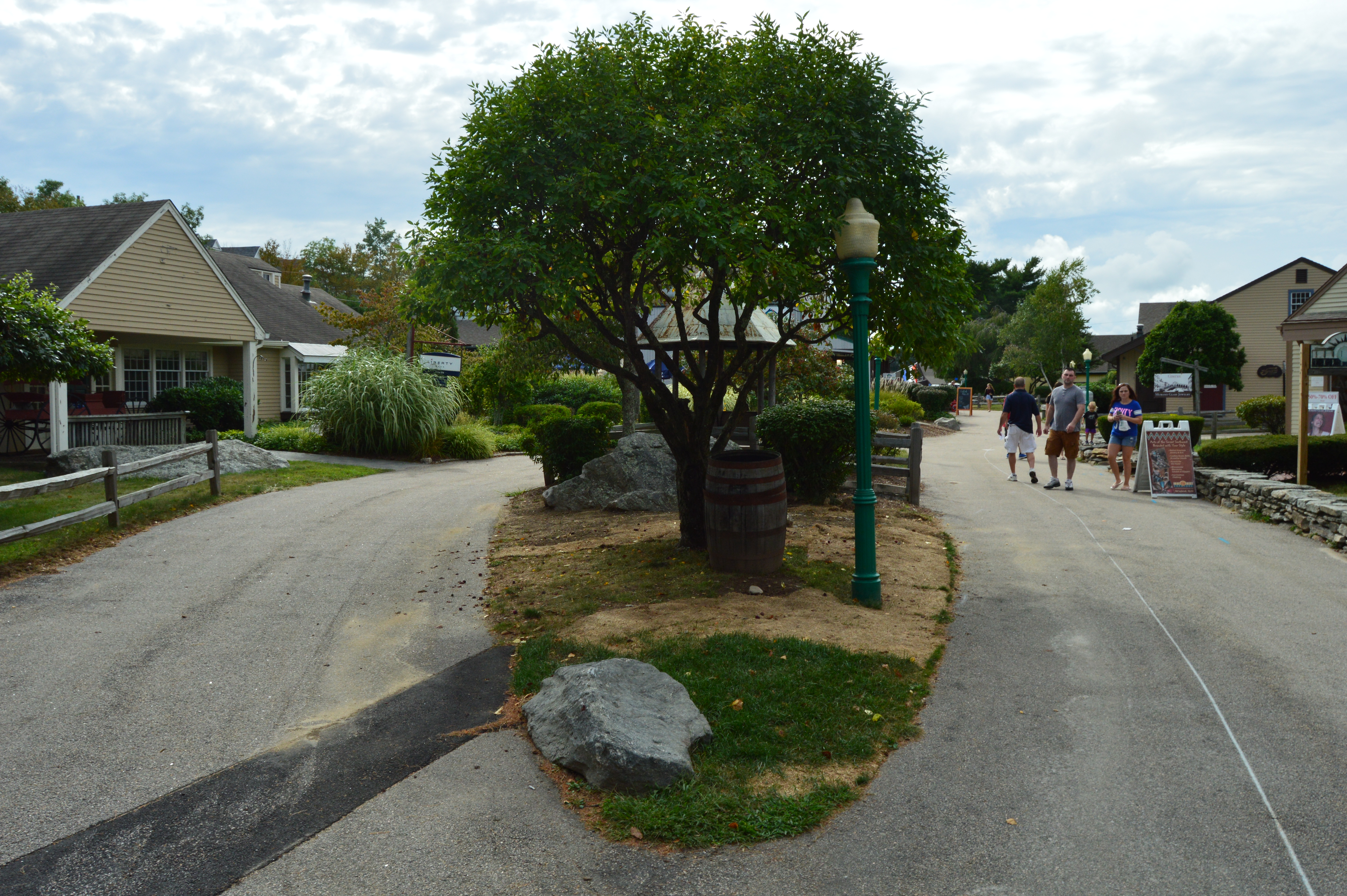
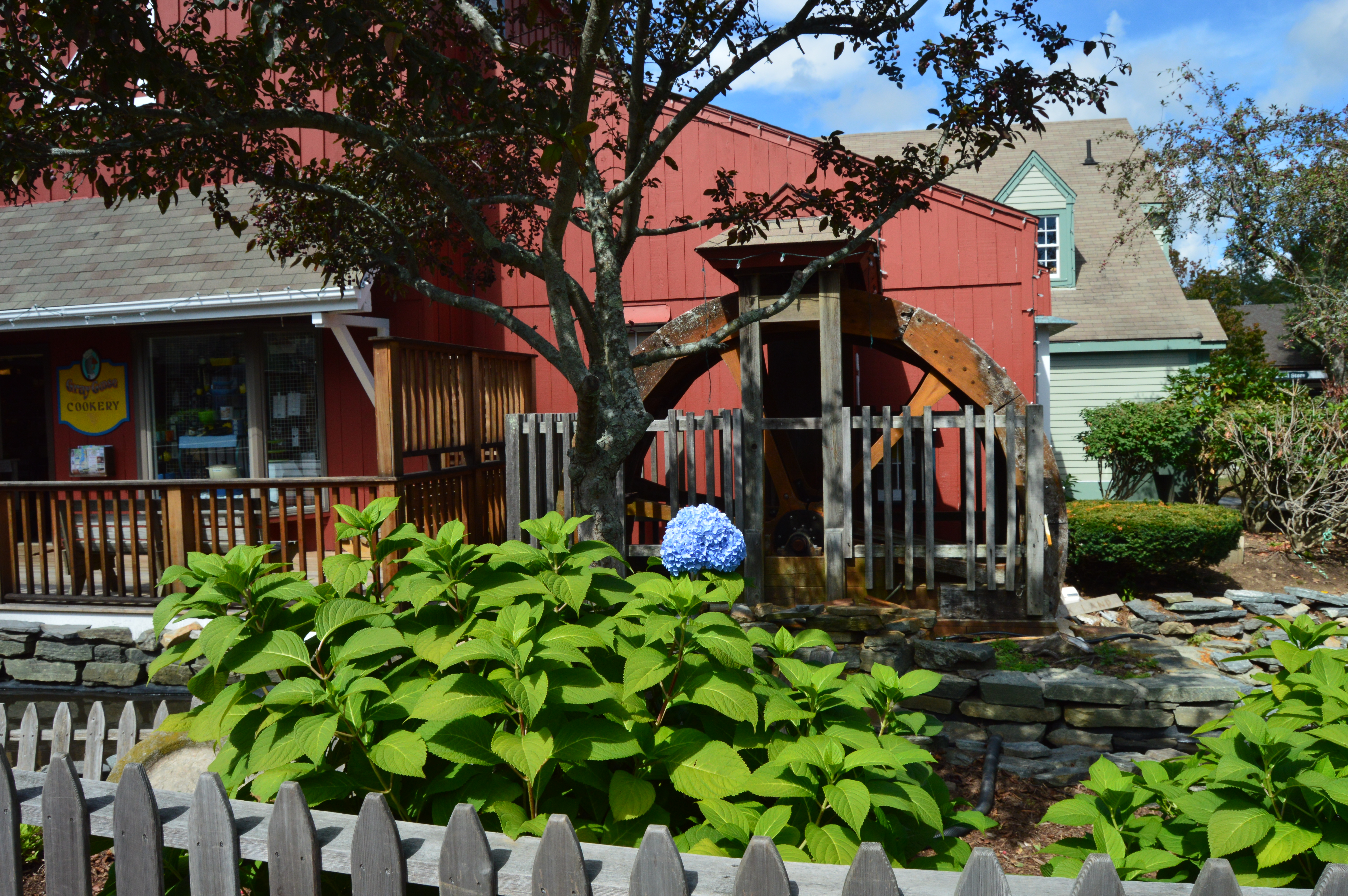
Tucked away in the quaint village of Mystic, Connecticut, stands the hidden gem known as The Olde Mystic Village.
At first glance, Mistick Village may seem like a nondescript shopping center. But, Mistick Village is much more.
There are many cramped stores for specialty merchandise such as custom made clothing and hand made jewelry, pet shops and eateries that dot the village. It would be easy to dismiss it as just another shopping center. But Mistik Village has many unexpected charms. One of the biggest surprises at Olde Mistik Village is something very unique.
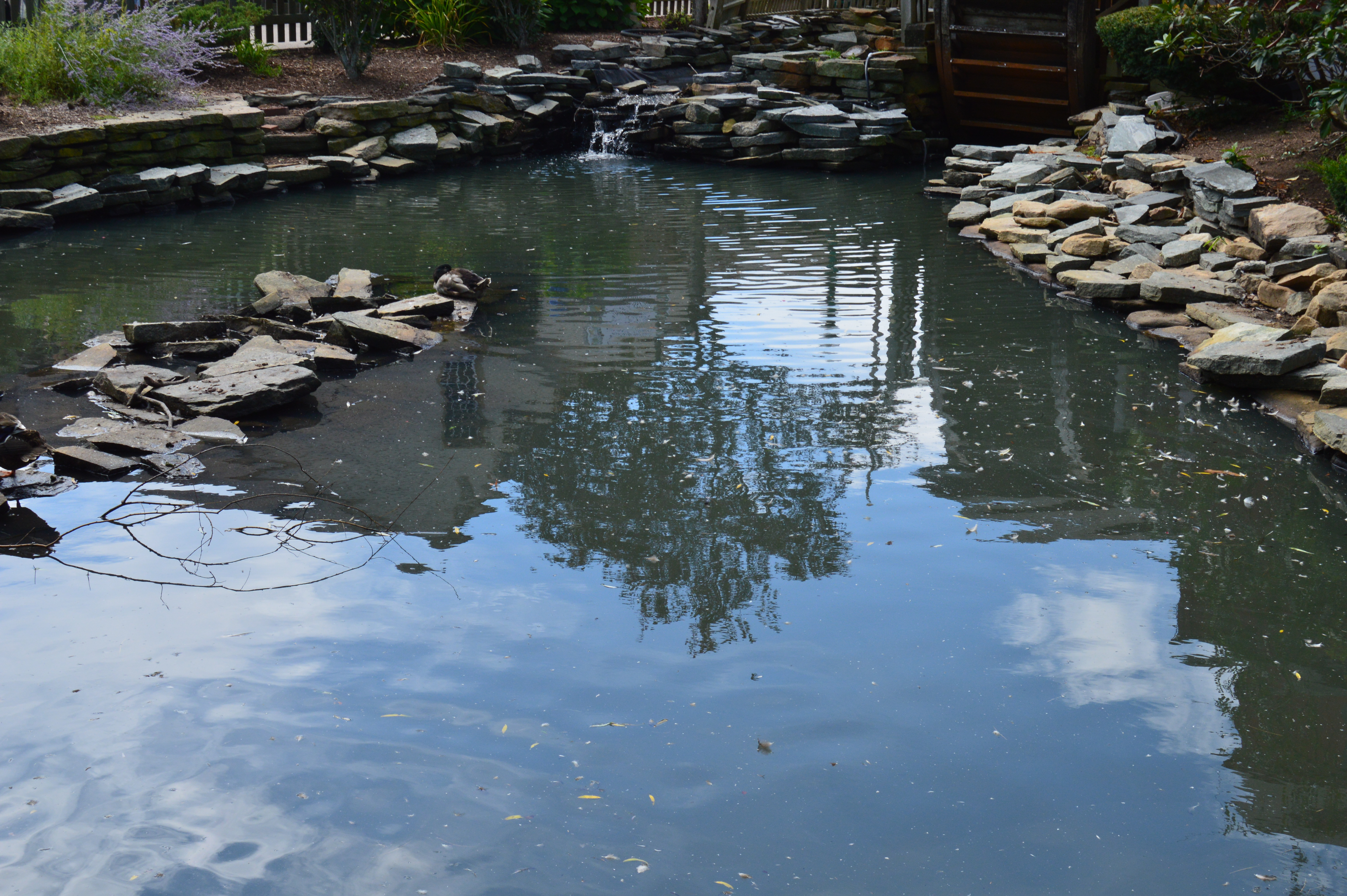
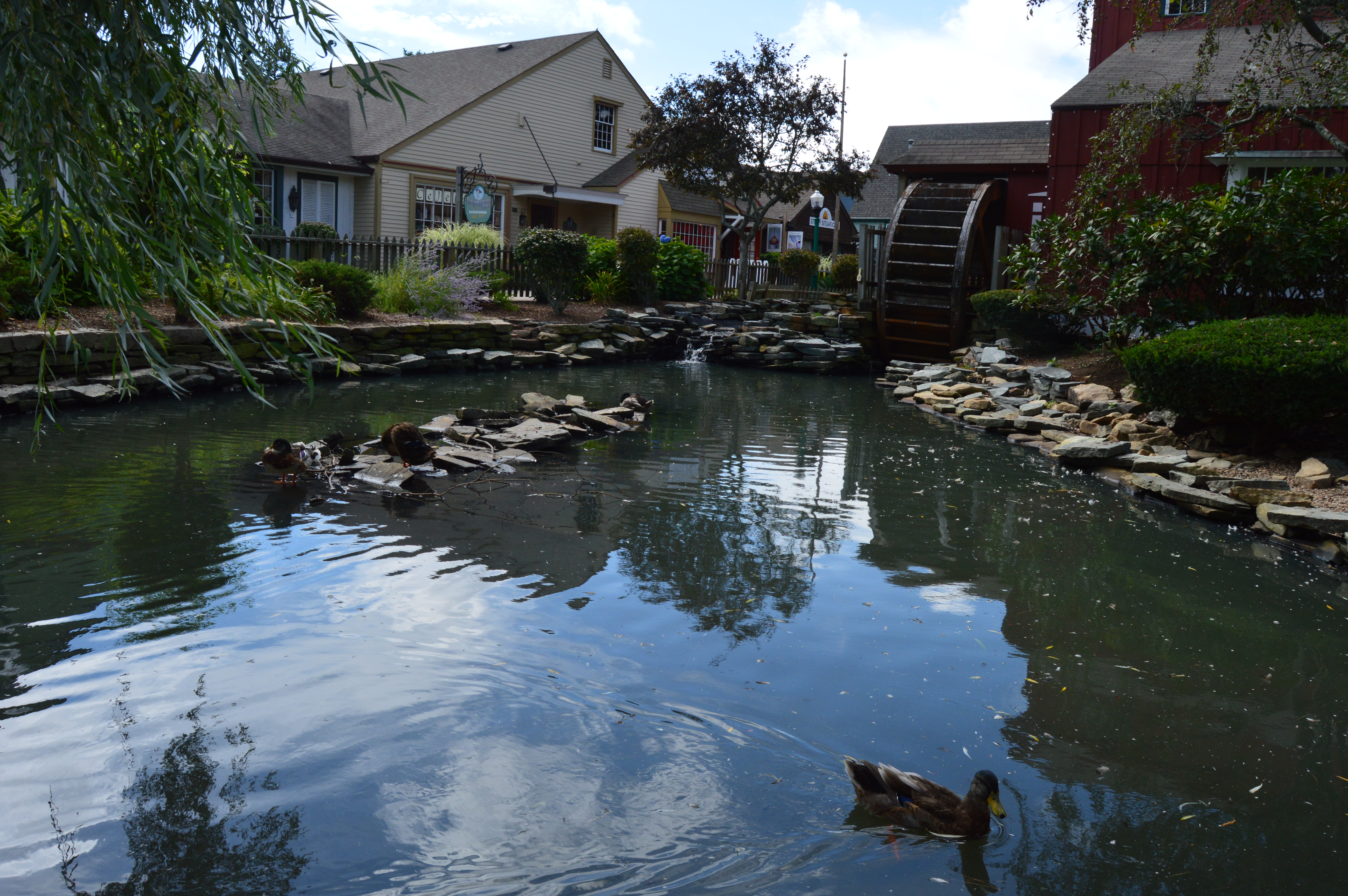
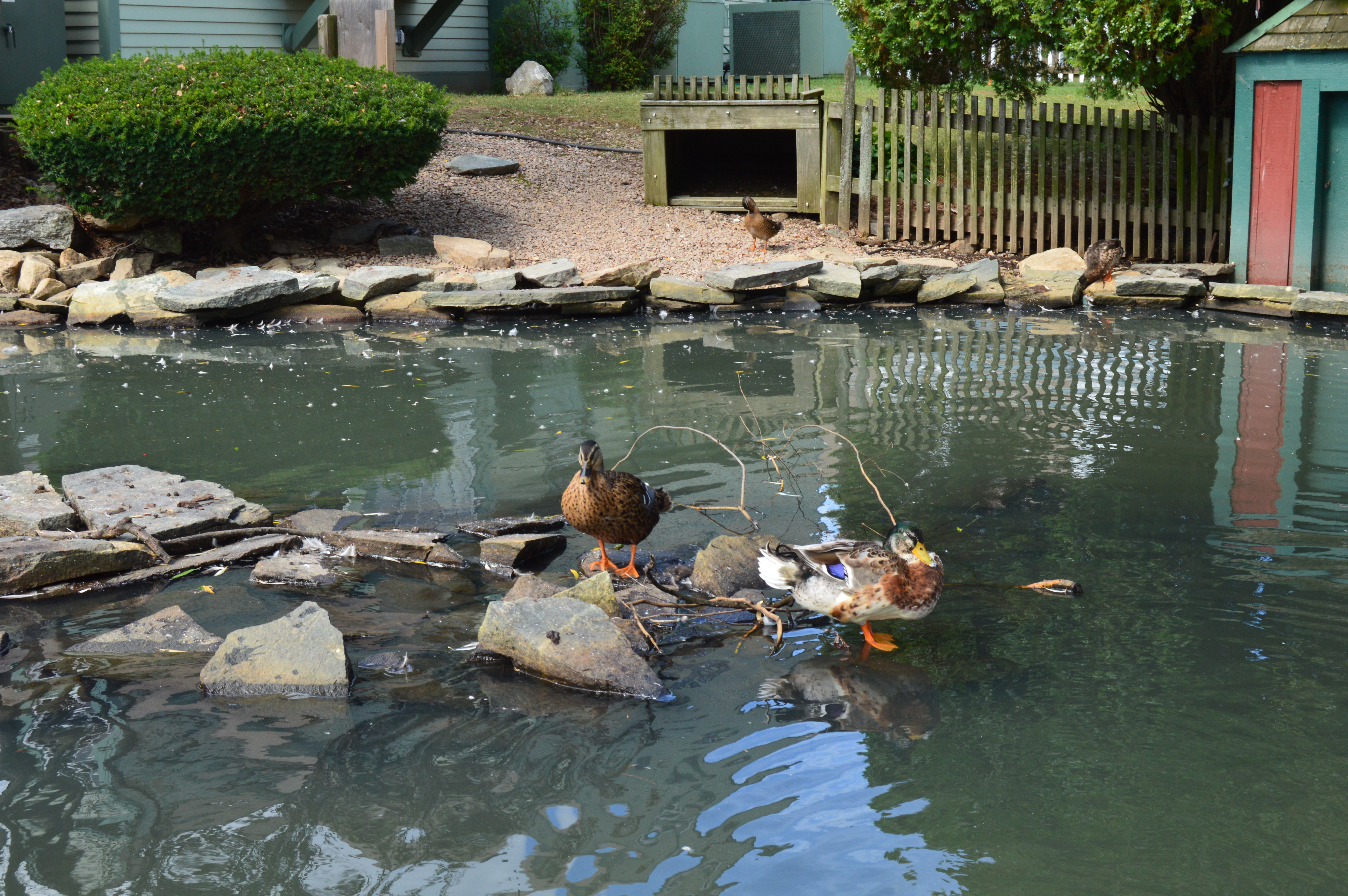
Right there, smack dab in the middle of the village is a pond.
Forget about the cinema and the fudge shop. The ducks are the most popular attractions at the village. People feed them their dietary recommended food. Signs prominently remind people crackers and bread are not safe for the ducks to eat.
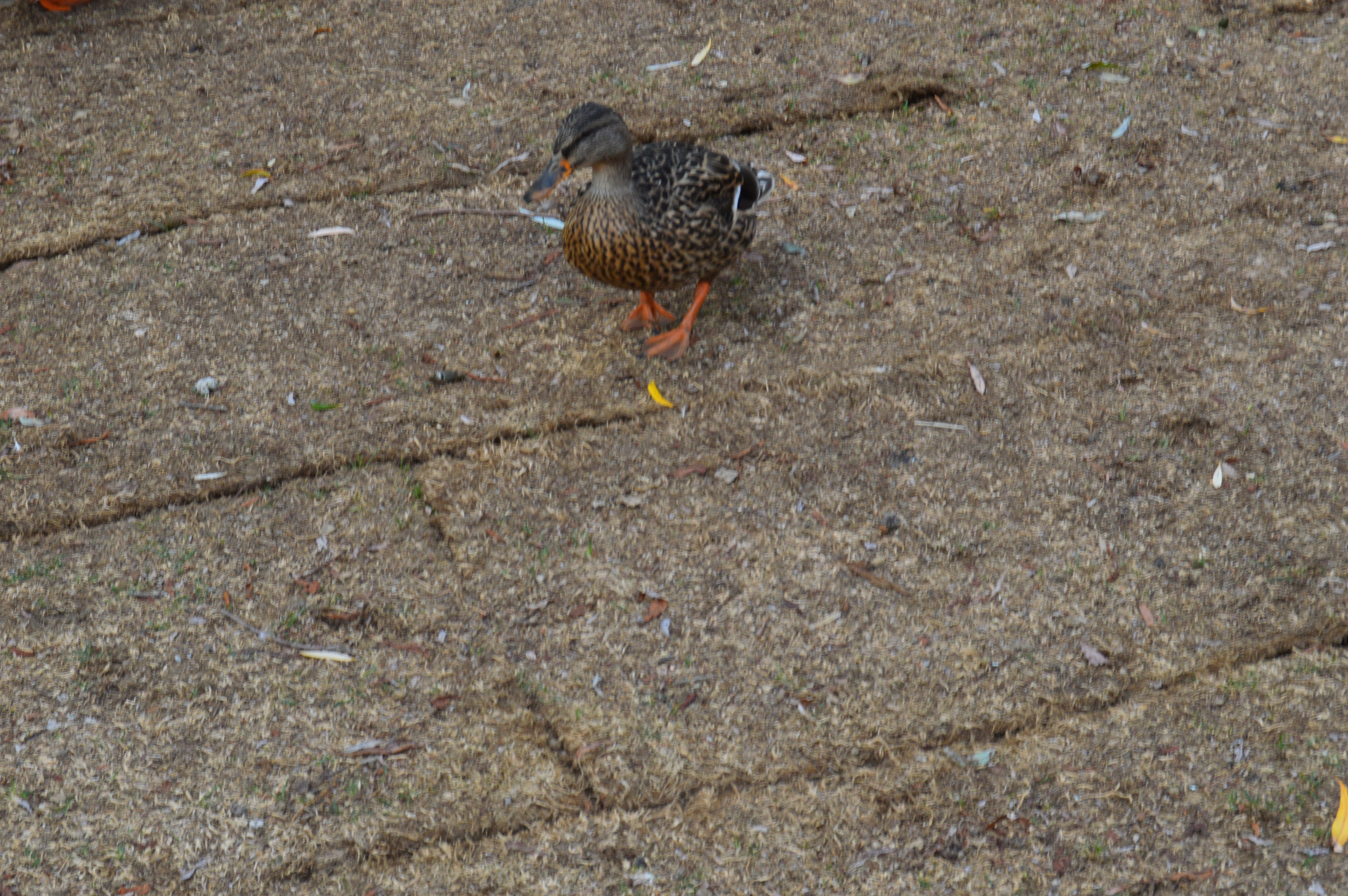
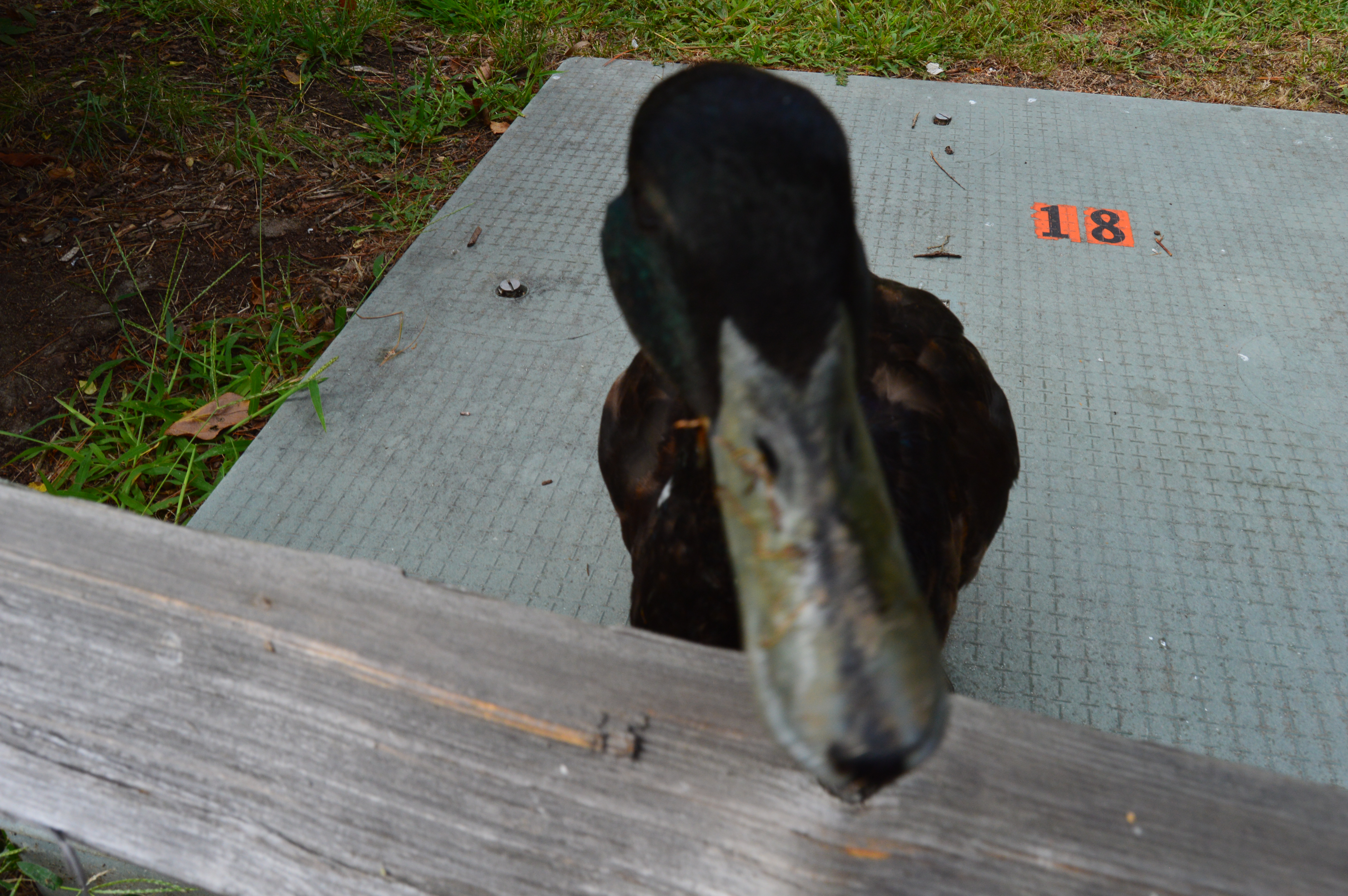
They are not restricted to the pond area either. You can regularly see the ducks roaming the walkways of the Mistik Village.
And, since so many people feed them, they are not shy.
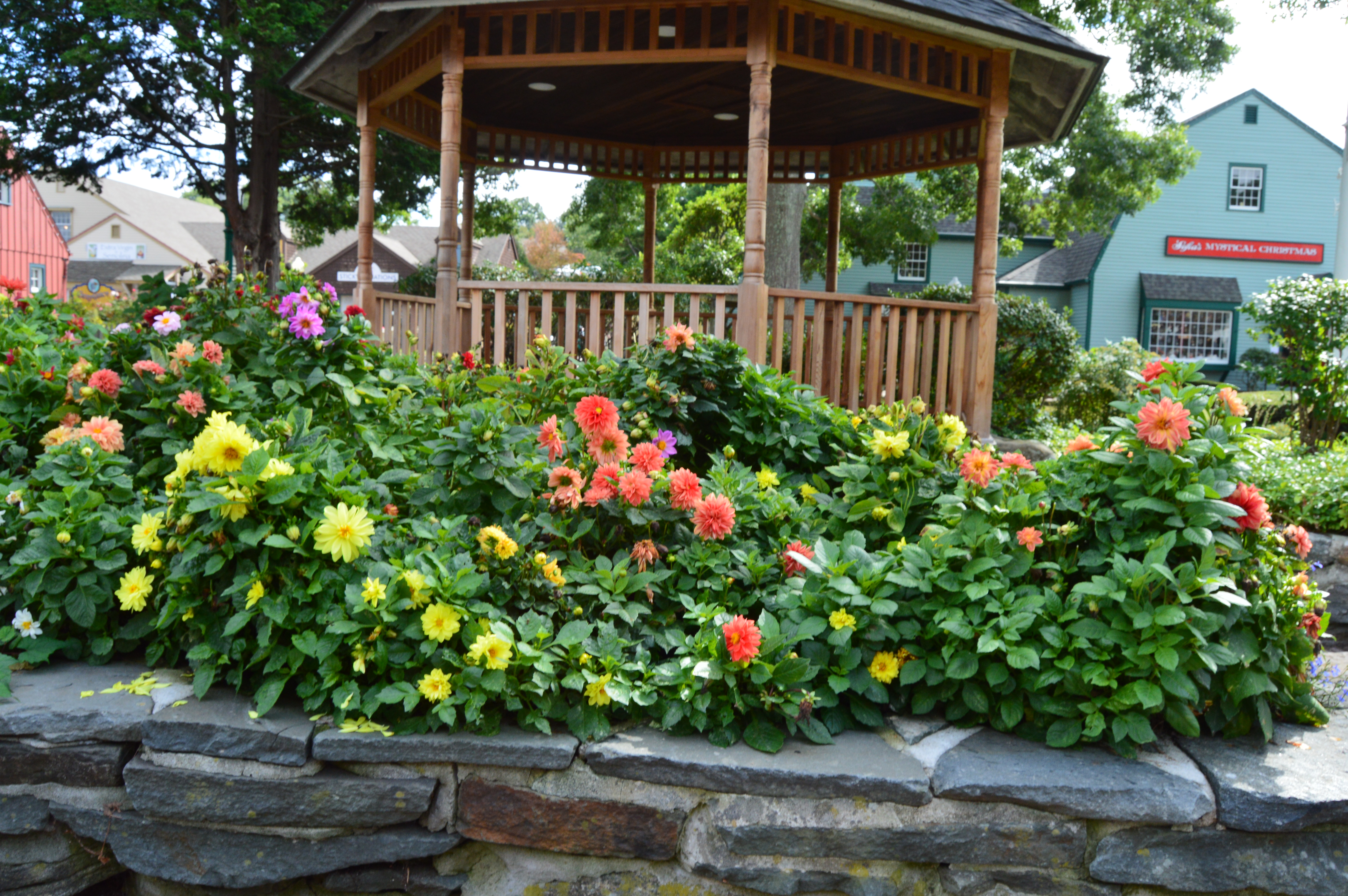
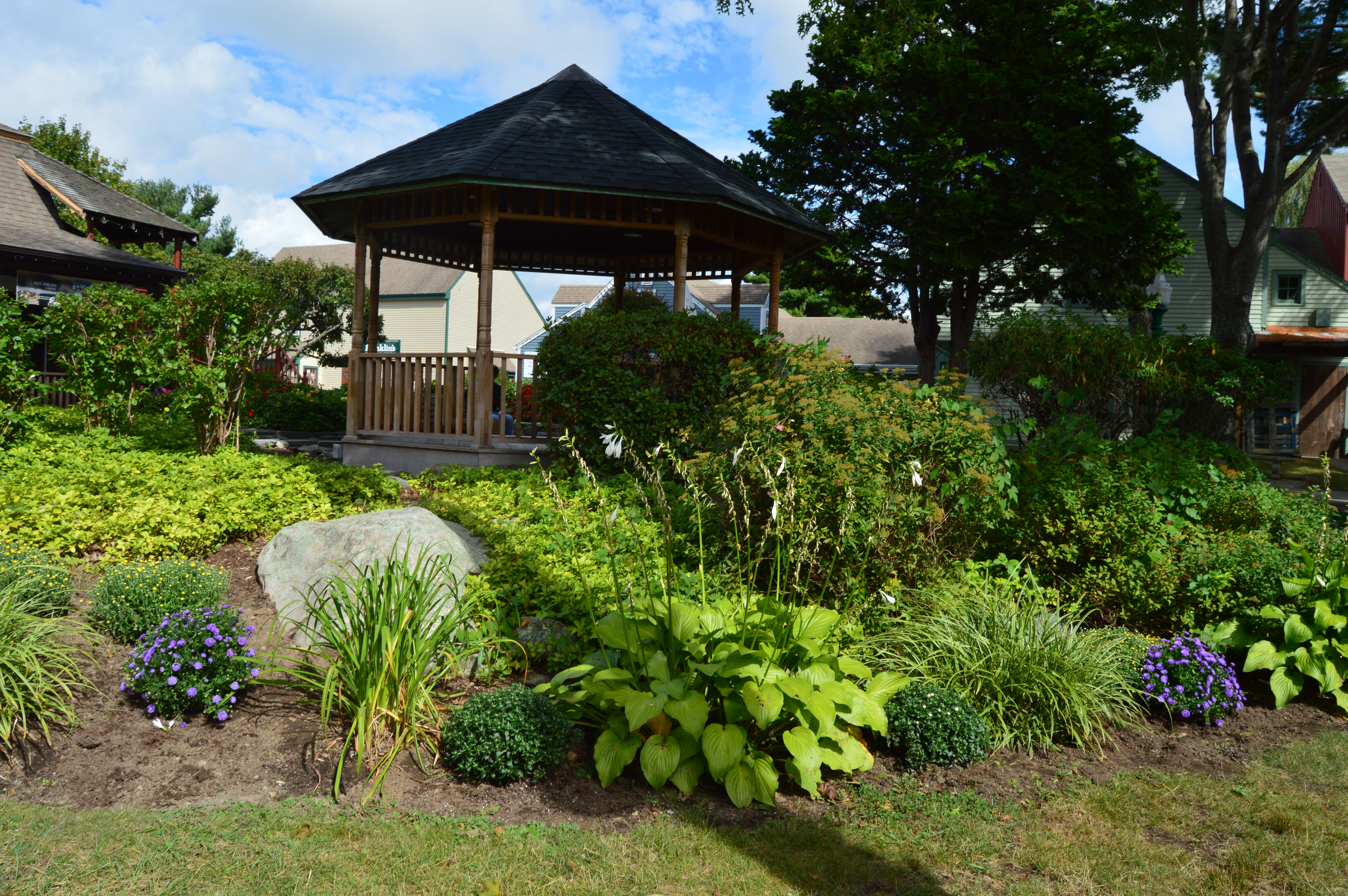
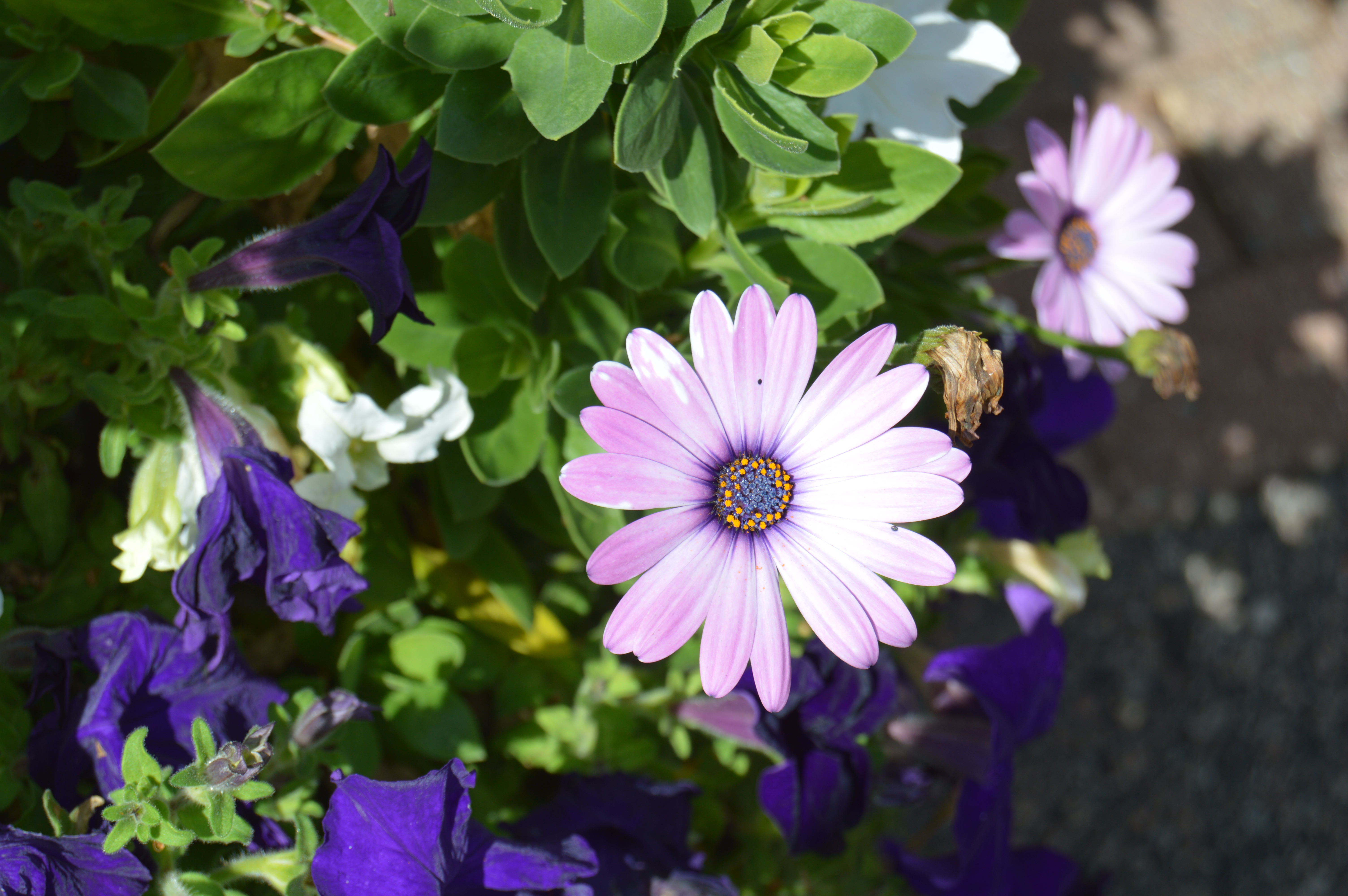
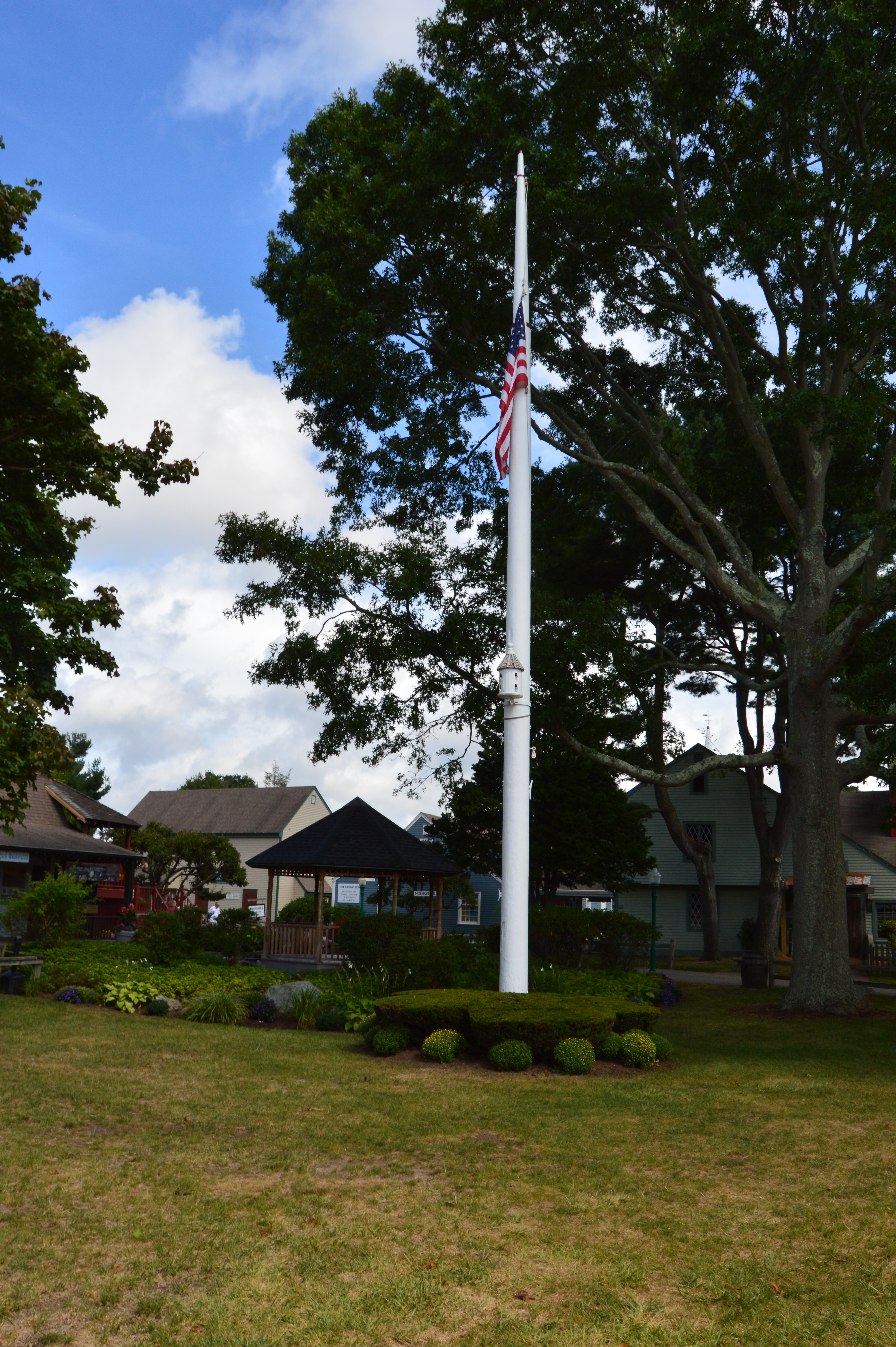
The flowers and trees at Mistik Village are another unique feature of the shoopping center.
Yes, that is a birdhouse on the flag pole.
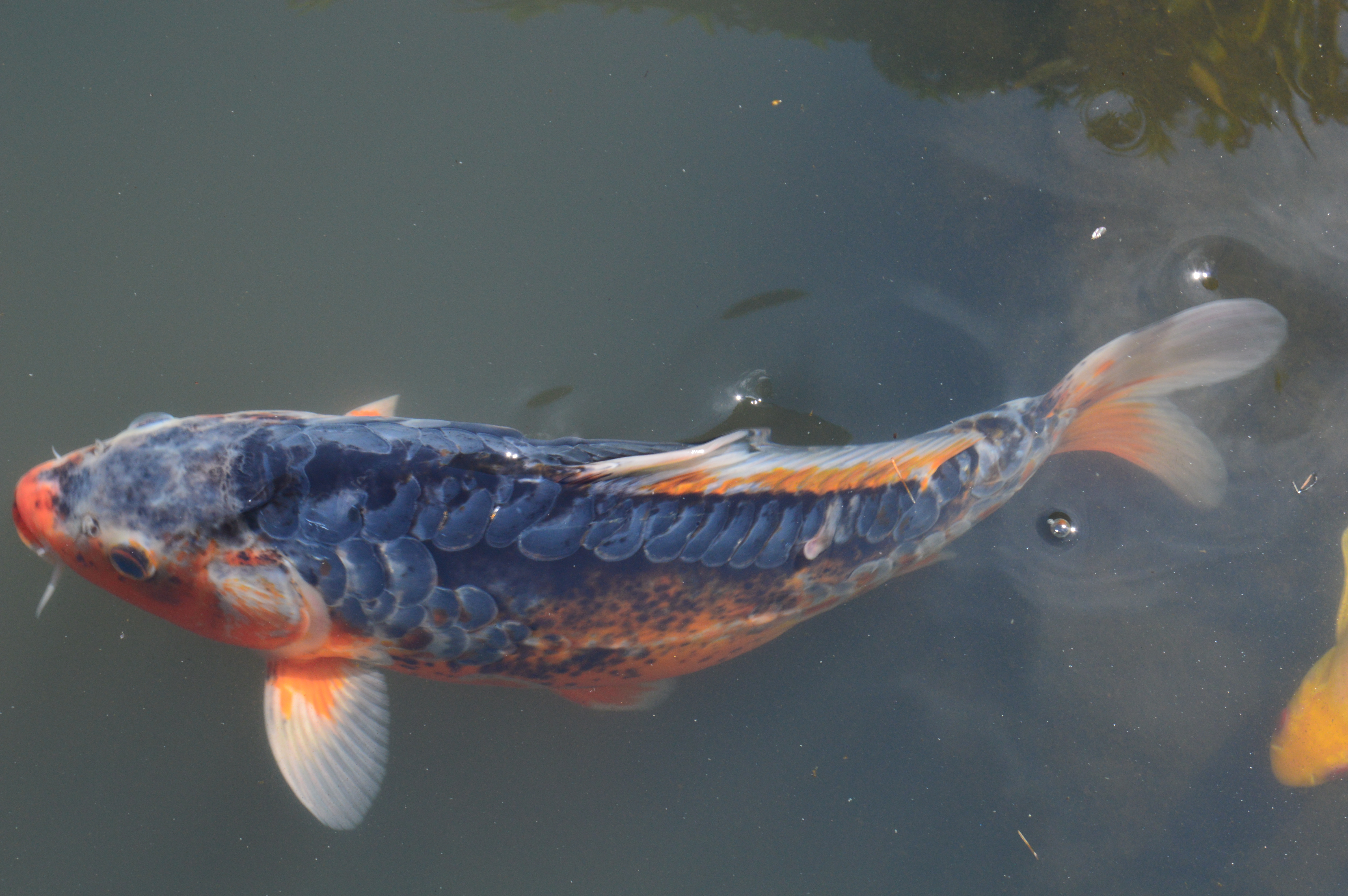
Keeping with the aquatic theme, a waterfall leads to a stream with koi fish.
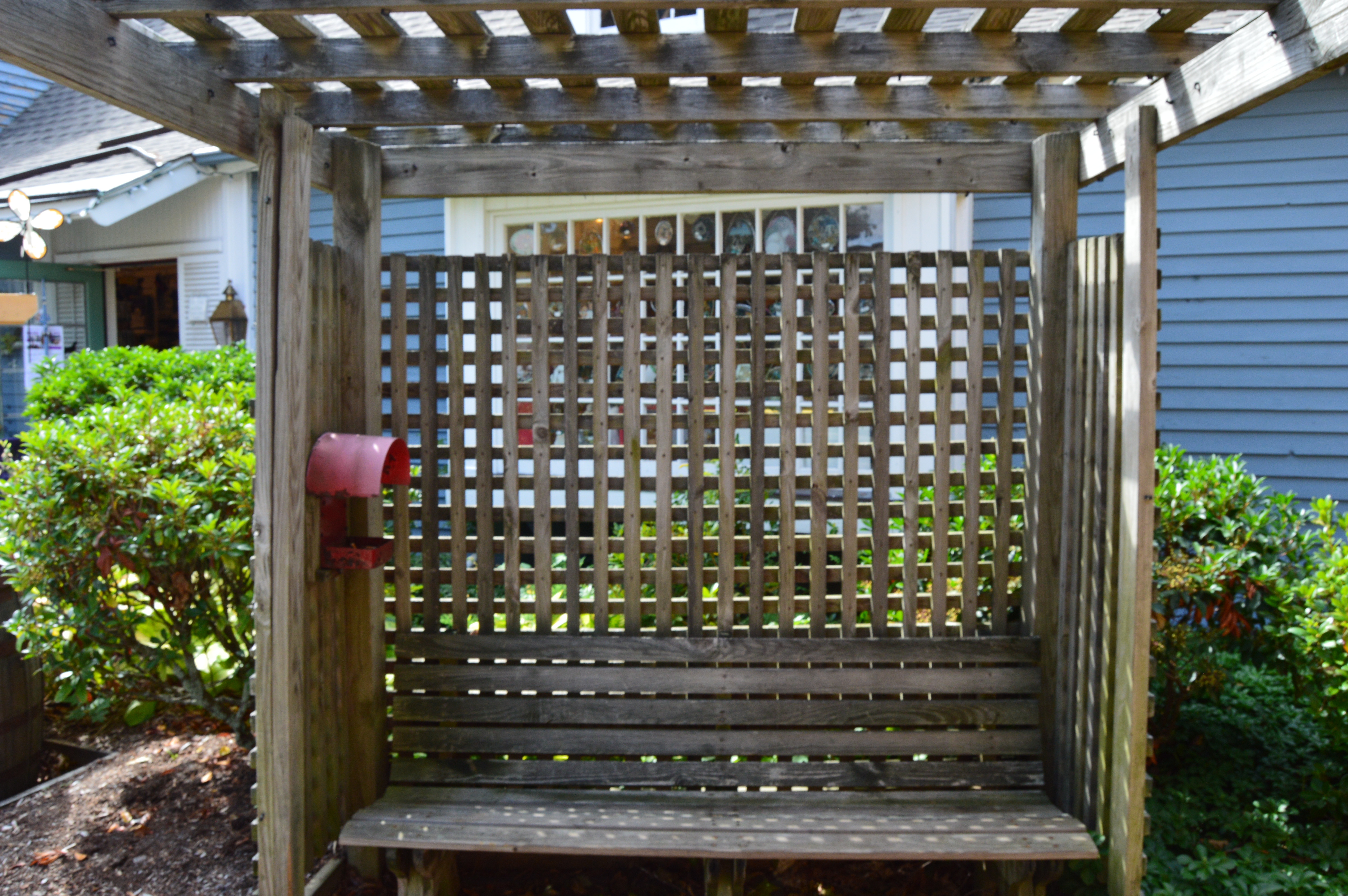
Some of the most charming elements of the village are the decor. Walkways are furnished with wooden gateways.
Wooden chairs rest in front of this fashion shop.
Various structures are scattered throughout the village.
Of course, the Mistik Village is a dog friendly area.
I met Theo and Rebel. Theo was happy to see me. Rebel, on the left, not so much.
I also made a friend at Old Mistik Village. Charley is a rescue dog from Hurricane Katrina. His dad told us how, after noticing Charley, he arrived at the dog shelter at 5 a.m. to make sure he could adopt him. Charley is a very special dog.
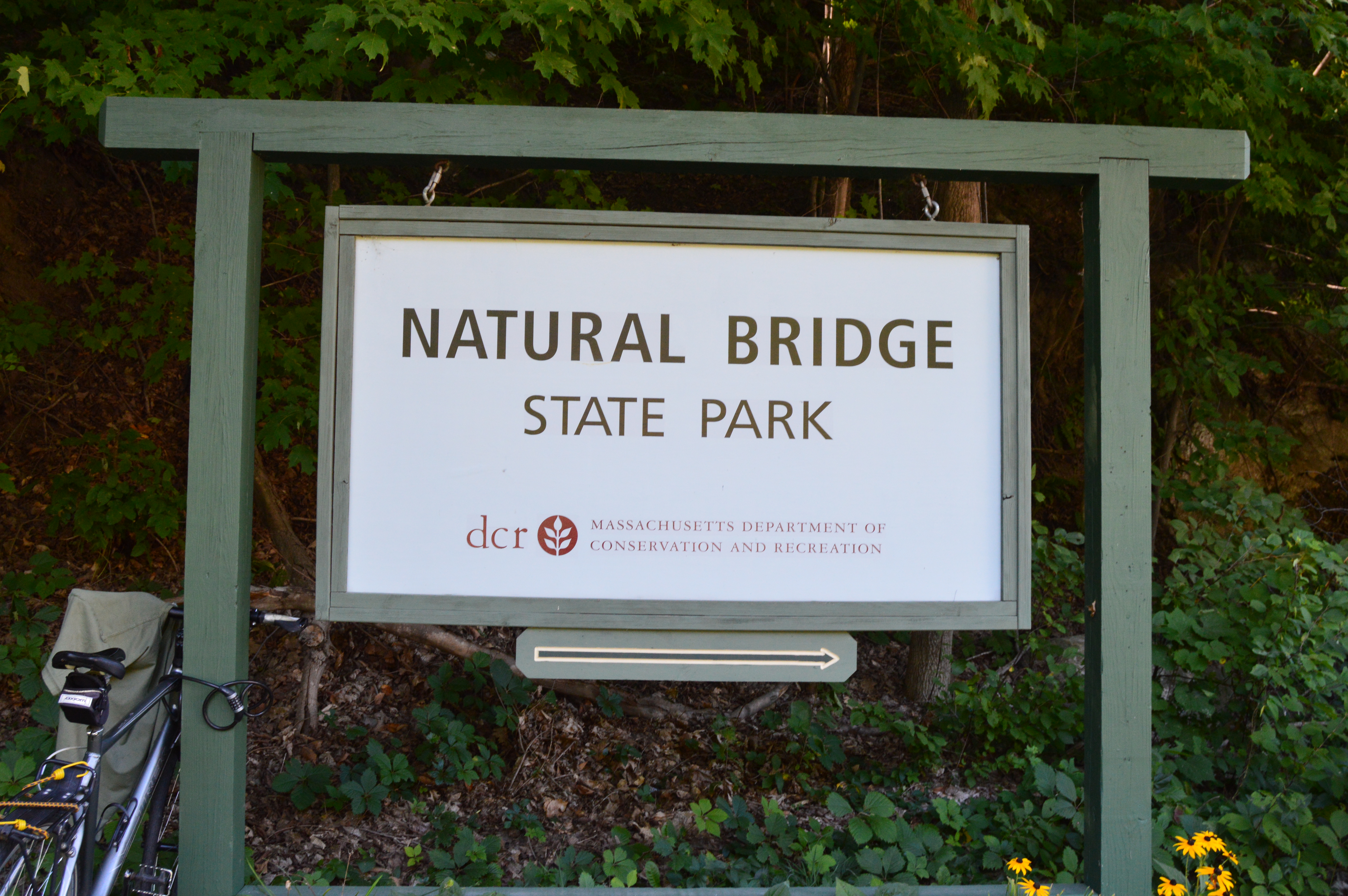
The bridges of Western Massachusetts are not just the ones you see on the roadways. But, don’t let the name fool you. The Natural Bridge State Park has so much more to offer.
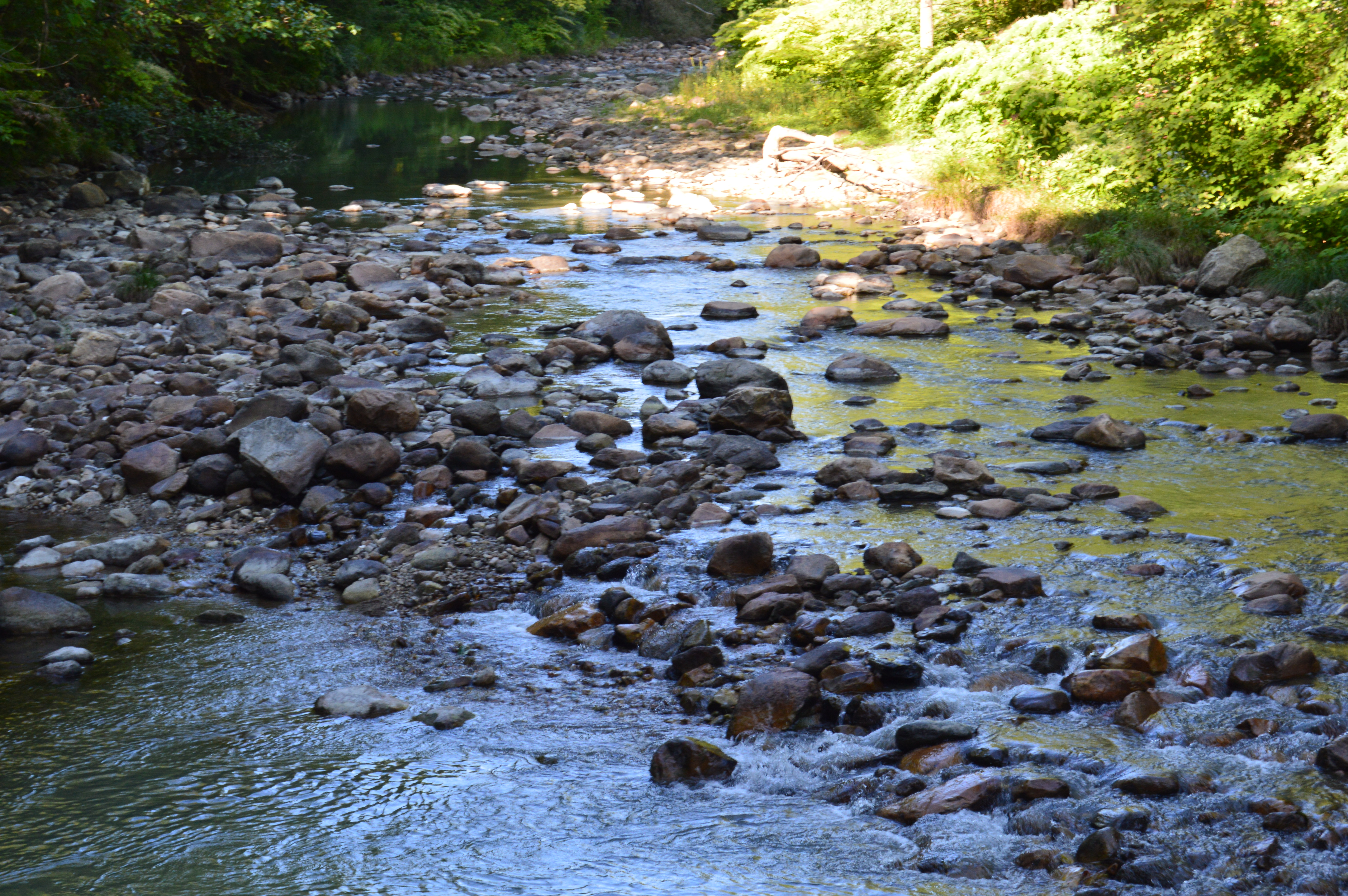
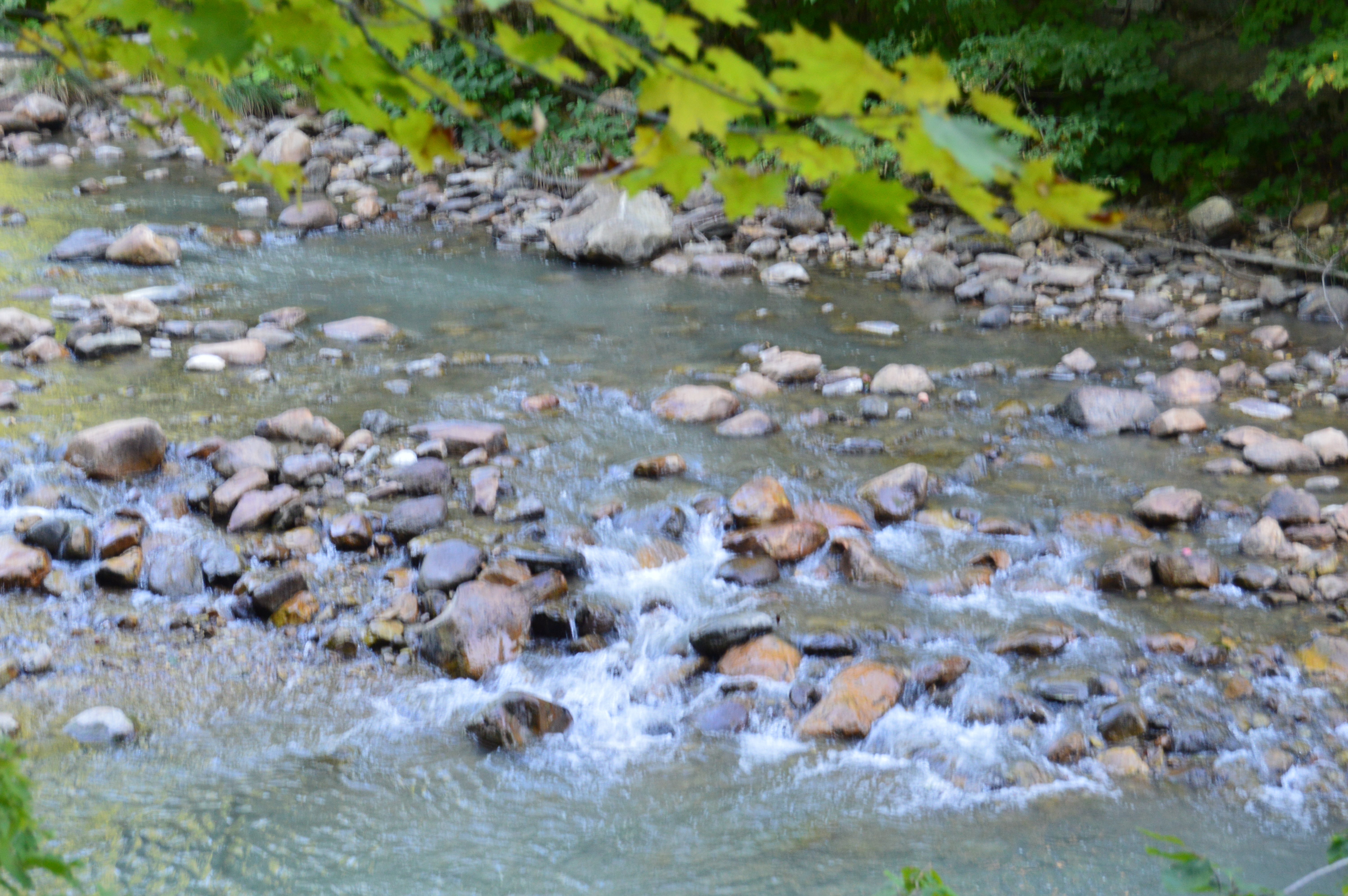
Before you reach the natural bridge, a brook greets you at the entrance.
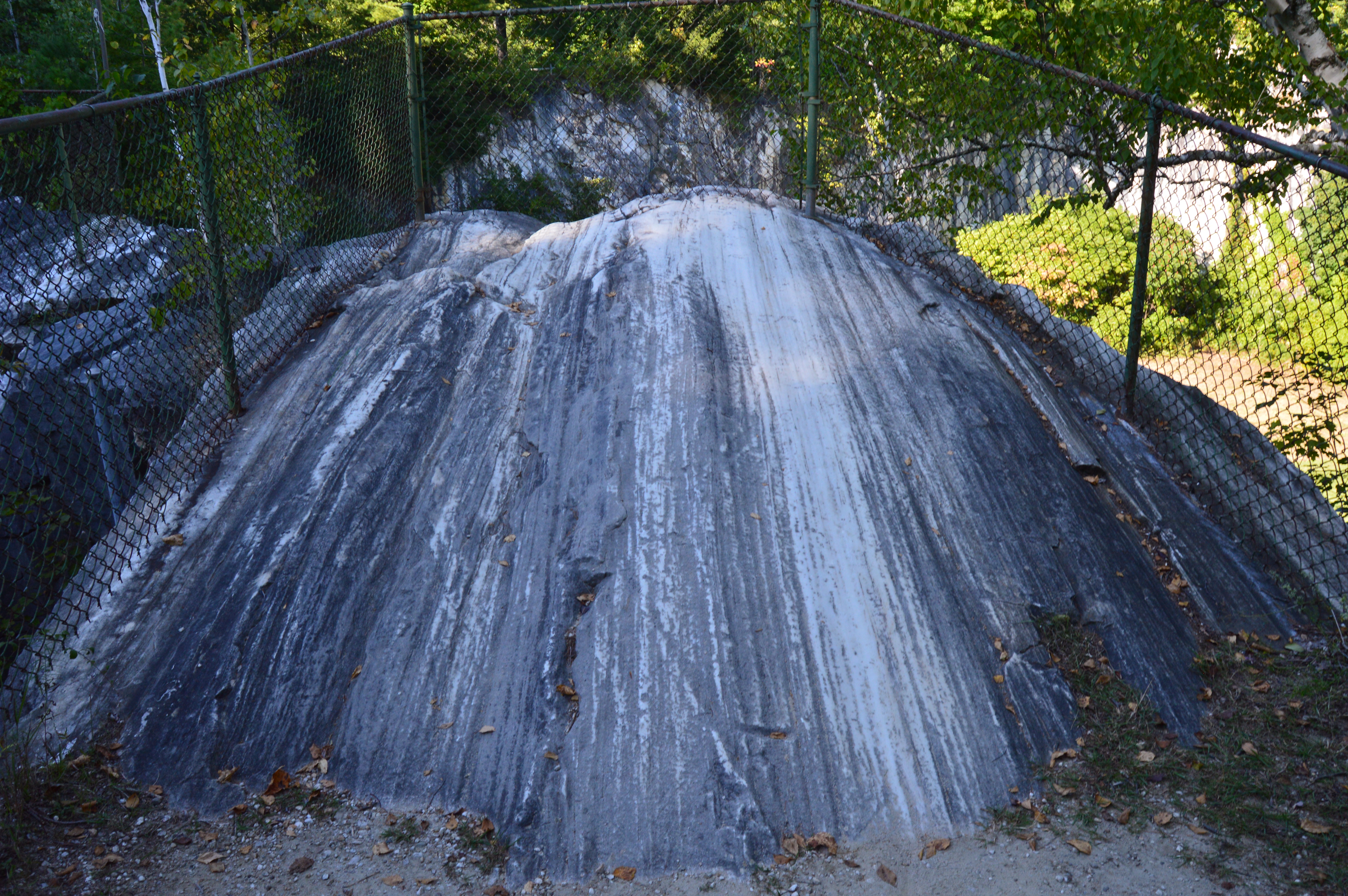
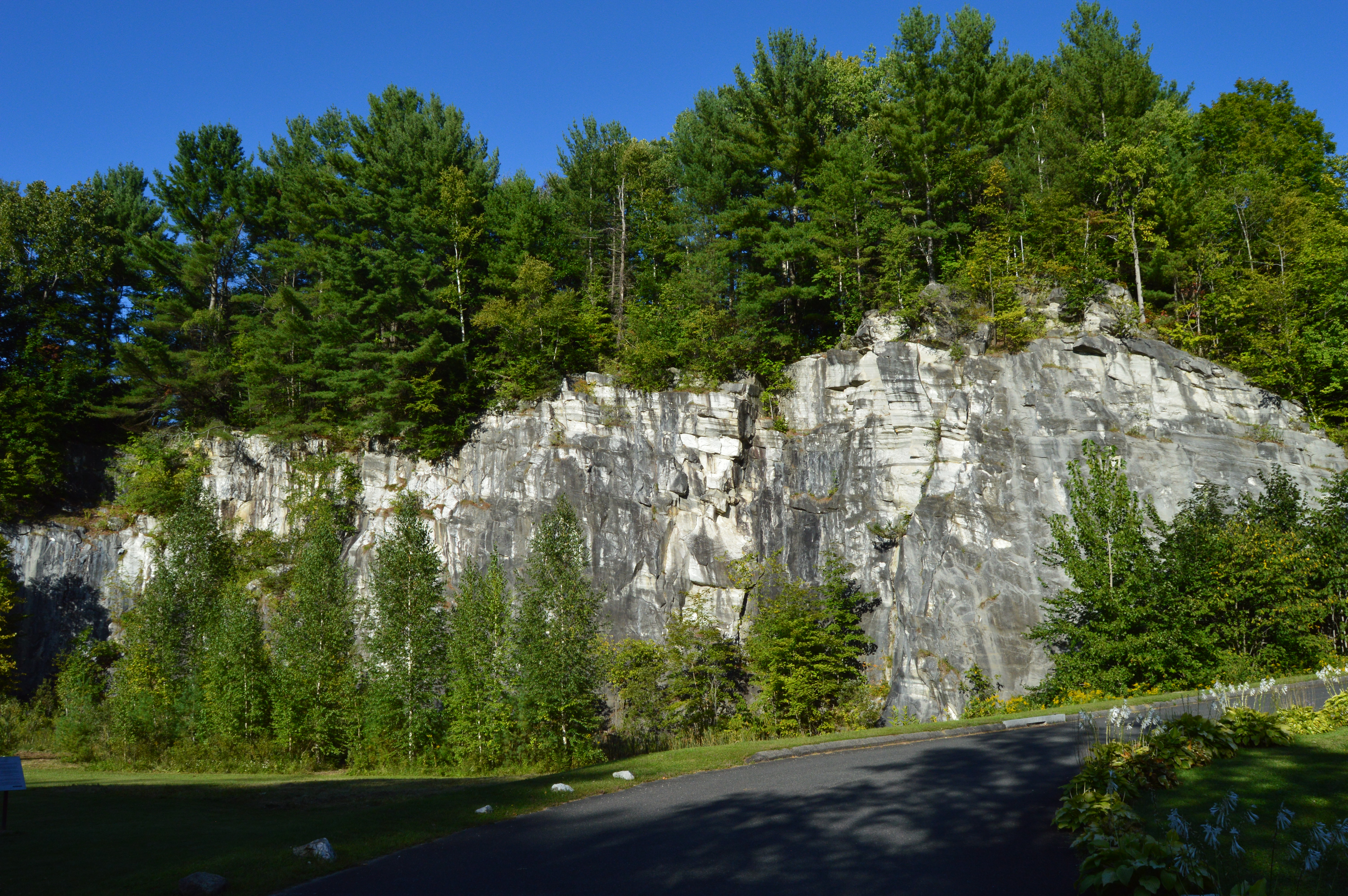
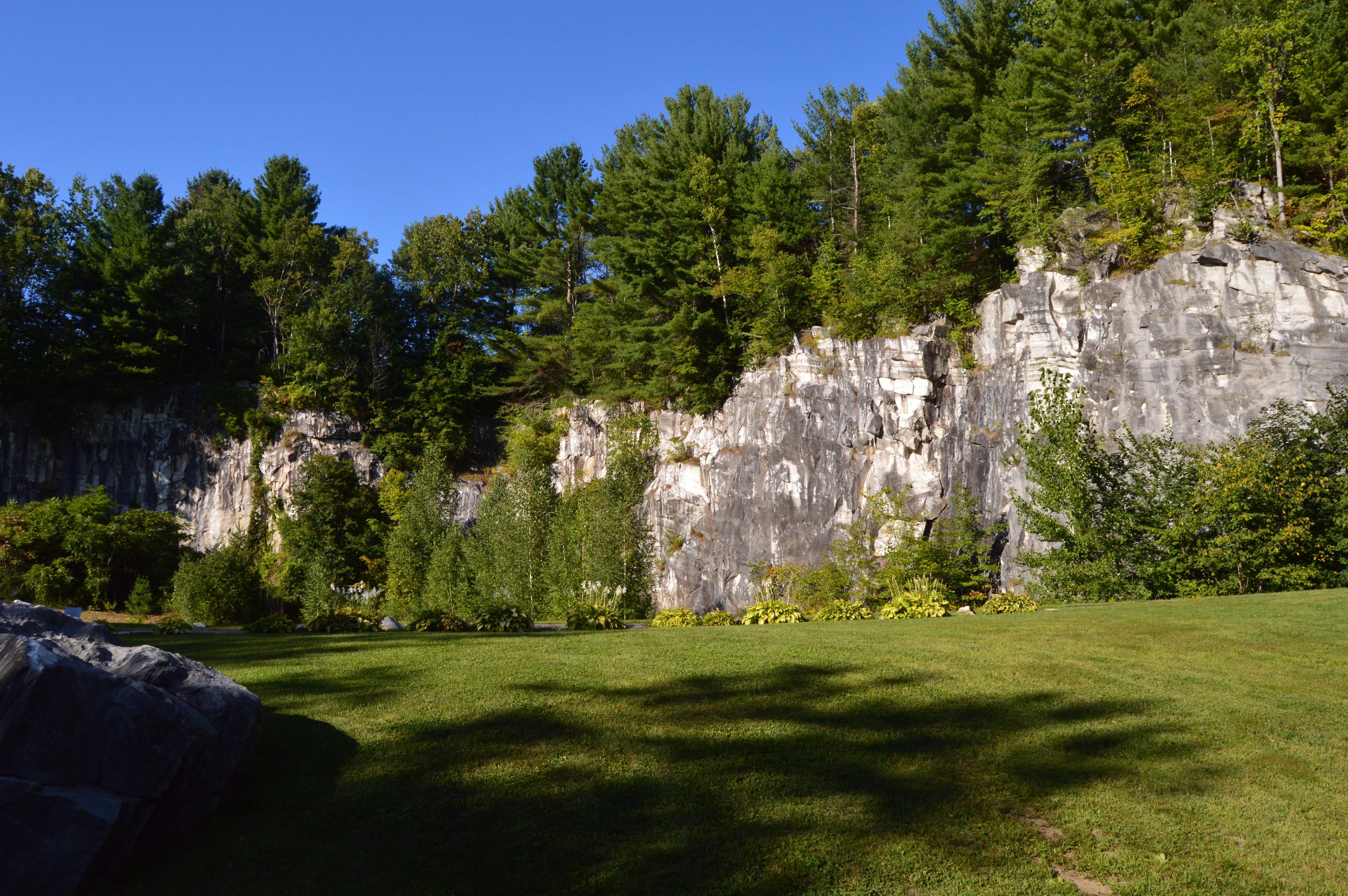
Formed through series of continental collisions, erosion and the meltwaters caused by the Ice Age, the natural marble bridge is the only one of its kind in North America.
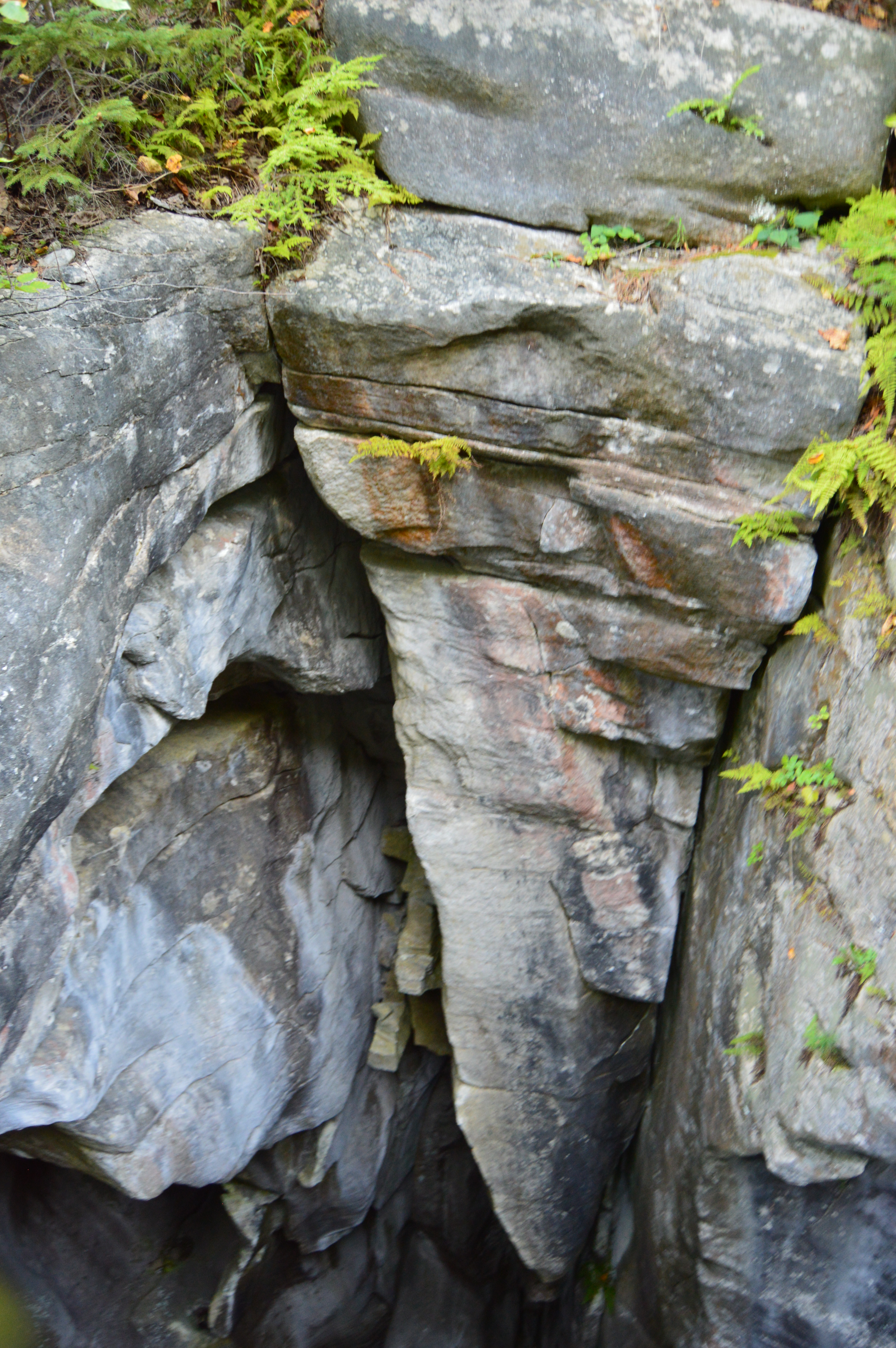
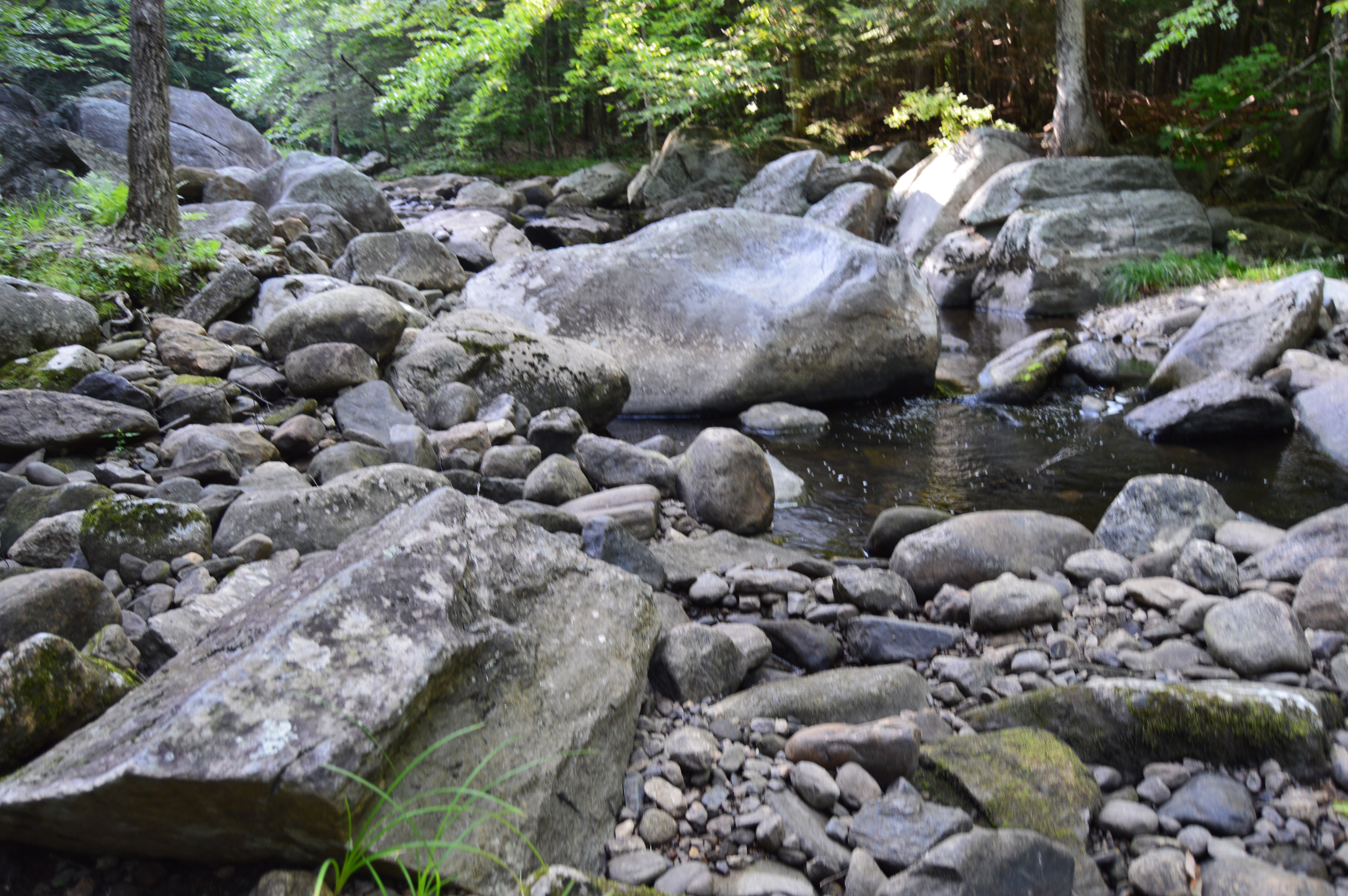
Deep crevices and chasms were carved through the years of erosion and warming and cooling.
The only marble bridge in North America, the natural bridge in North Adams is located just off the The Mohawk Trail.
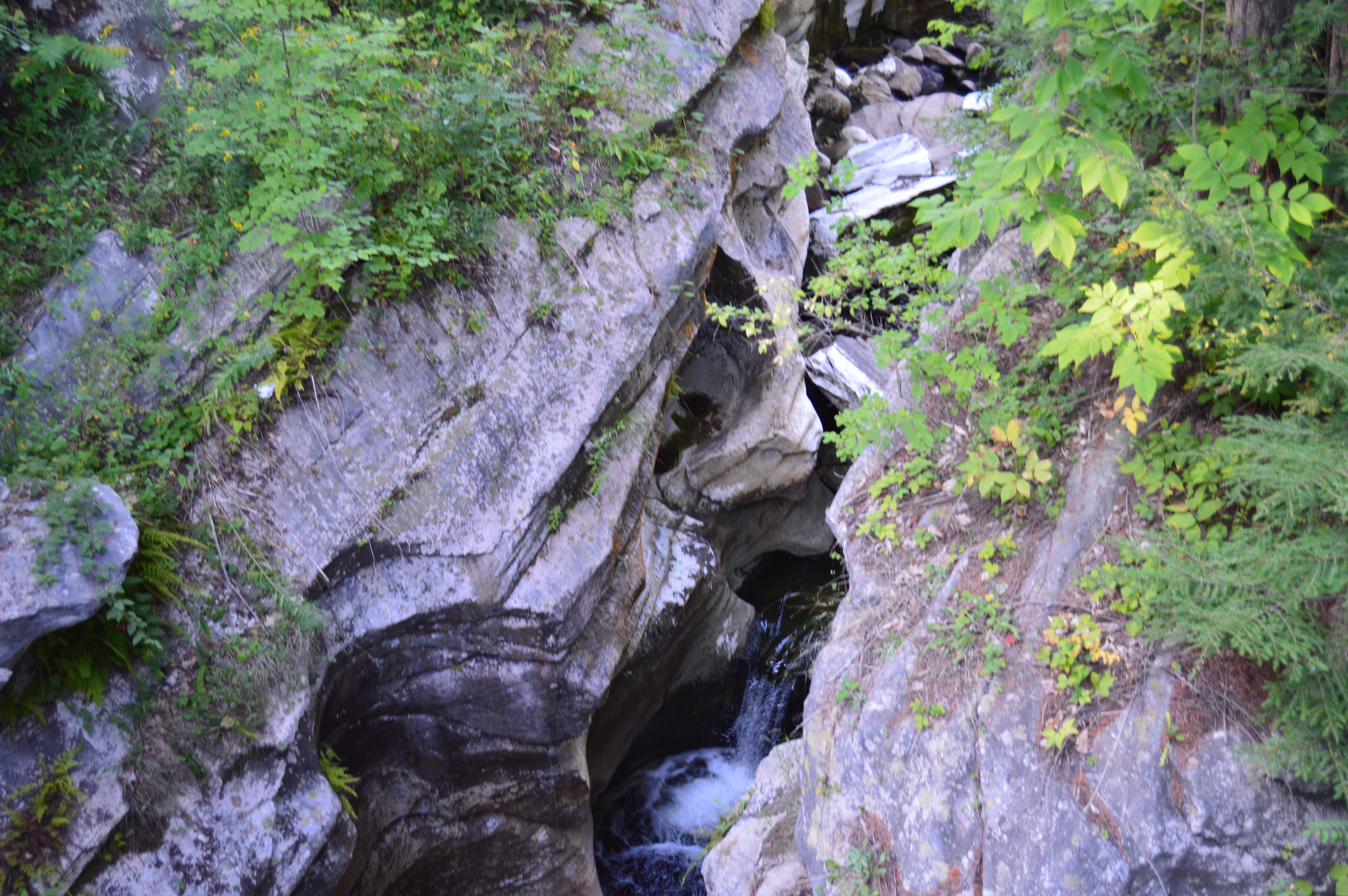
Adding to the beauty of the natural bridge, the park has a waterfall.
The Natural Bridge State Park also has impressive views of the bridge and the park it overlooks.
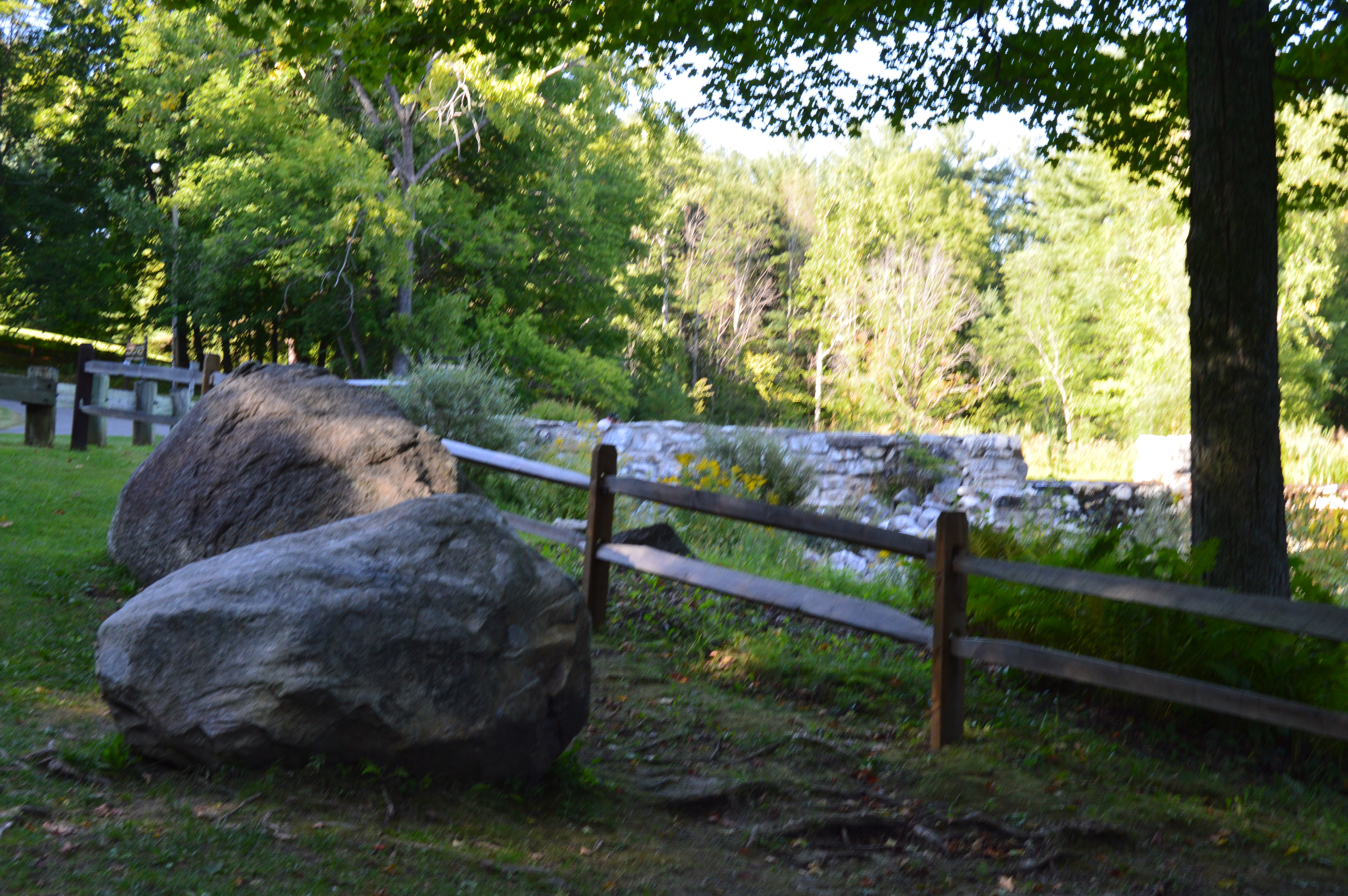
There are many flowers, trees, rocks, bridges (a bridge on a bridge of all things) and even David’s Bench that give the Natural Bridge State Park a special charm.
During our travels, we met Sasha.
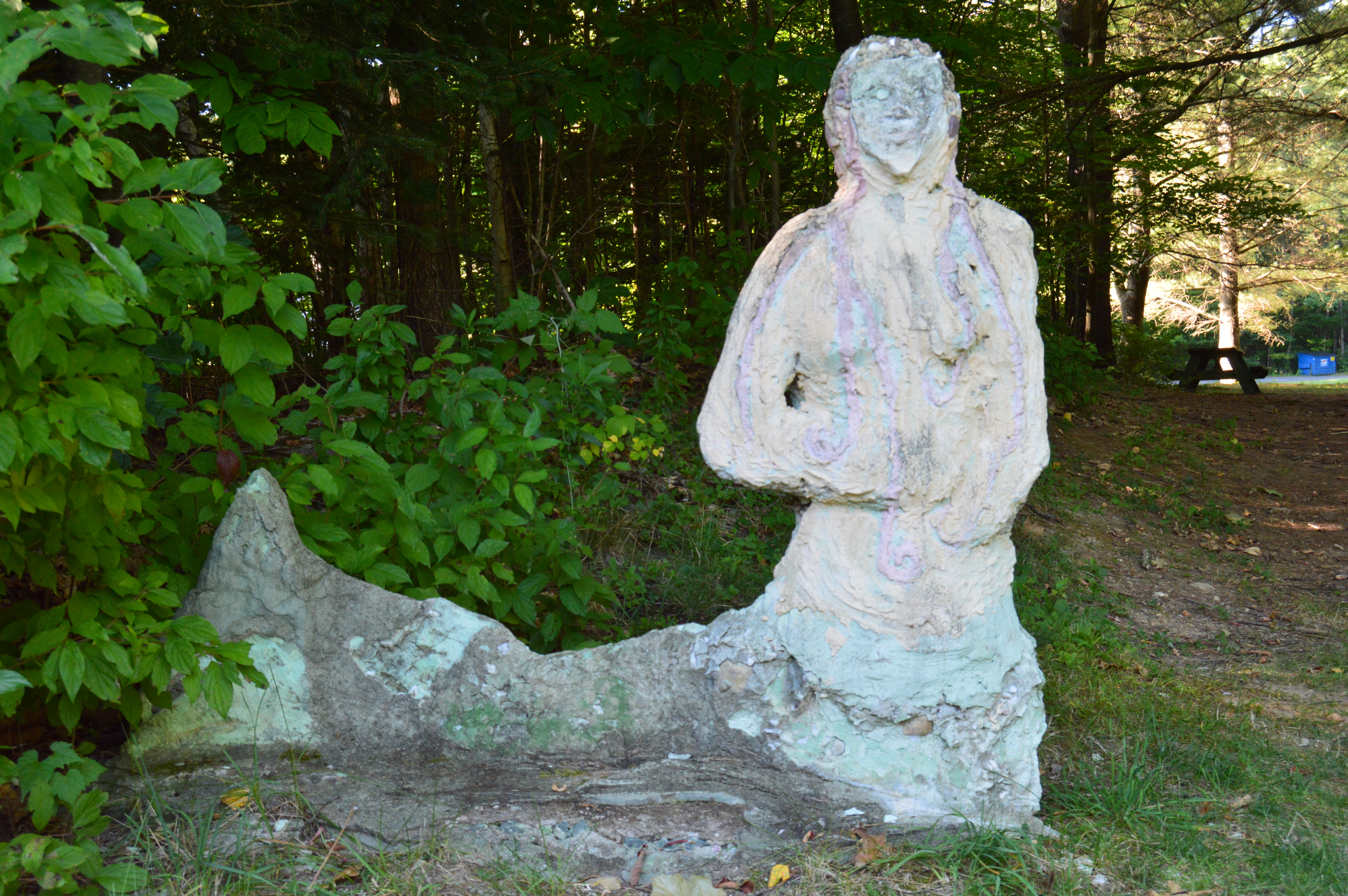
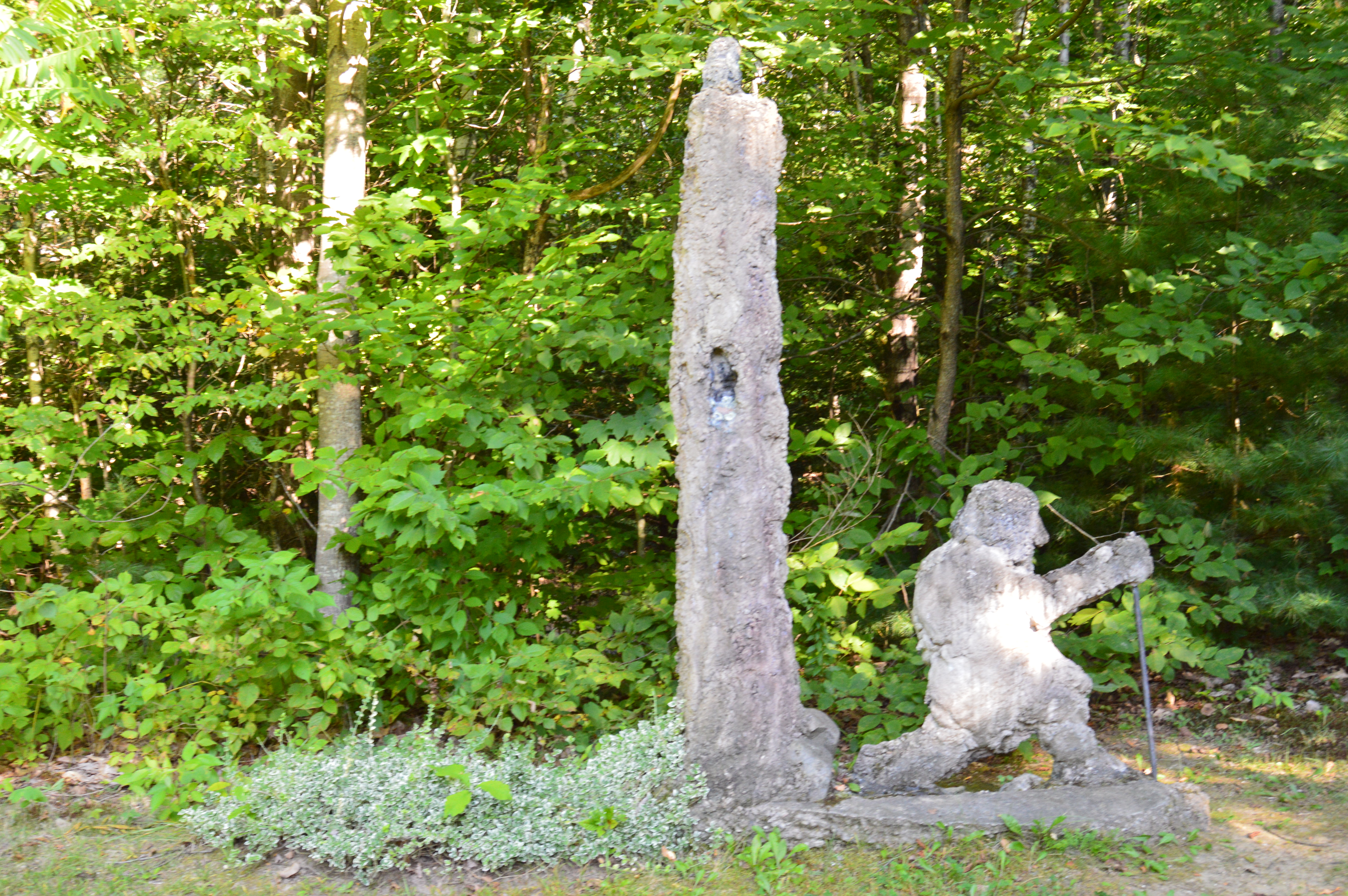
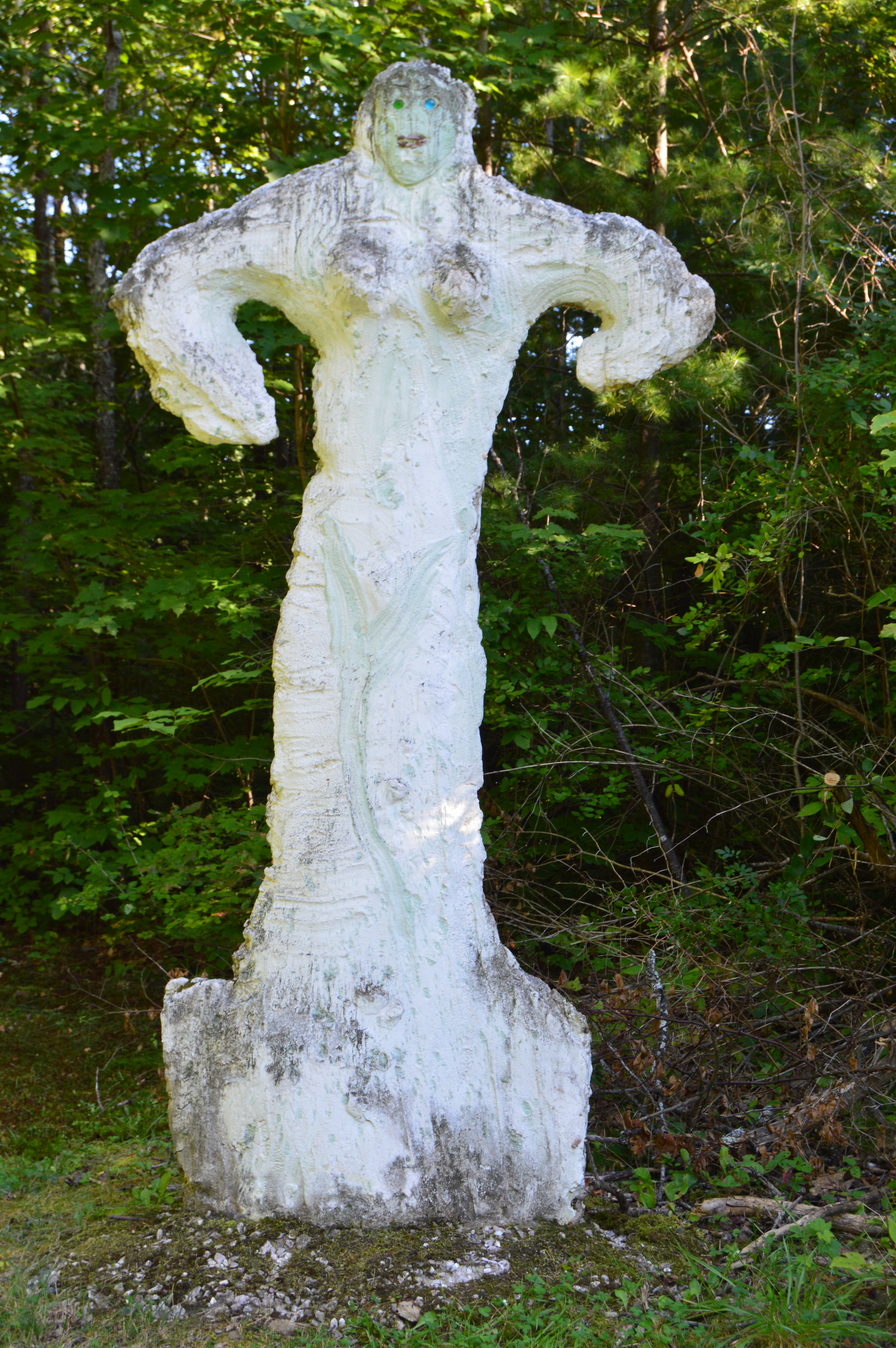
Just as you think you’ve seen all the Natural Bridge State Park has to offer there is a small park area atop the walking bridge. Statues and other structures made from the materials mined from the one time quarry rest along the top of the lofty bridge. It capped off a perfect visit.
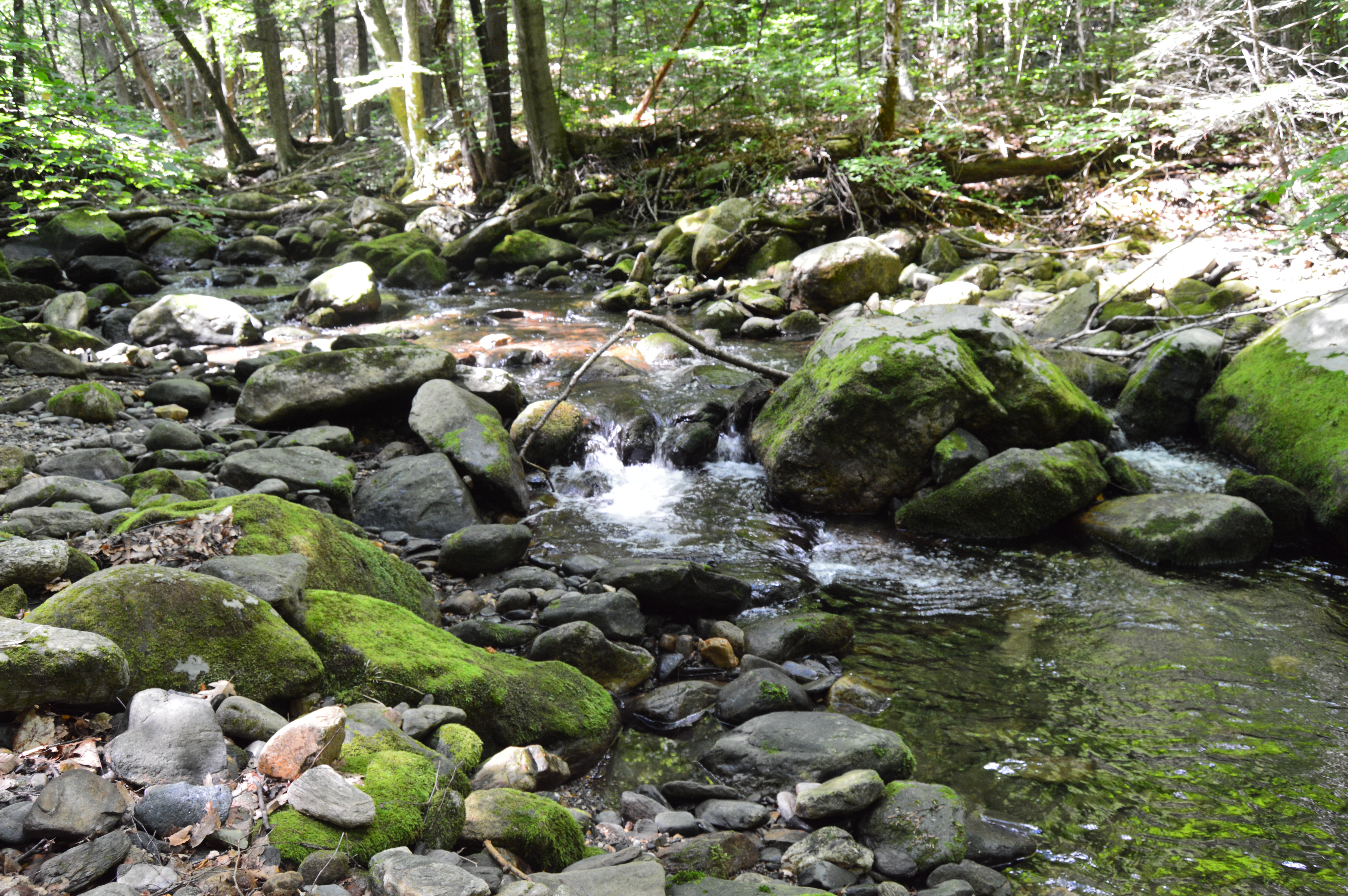
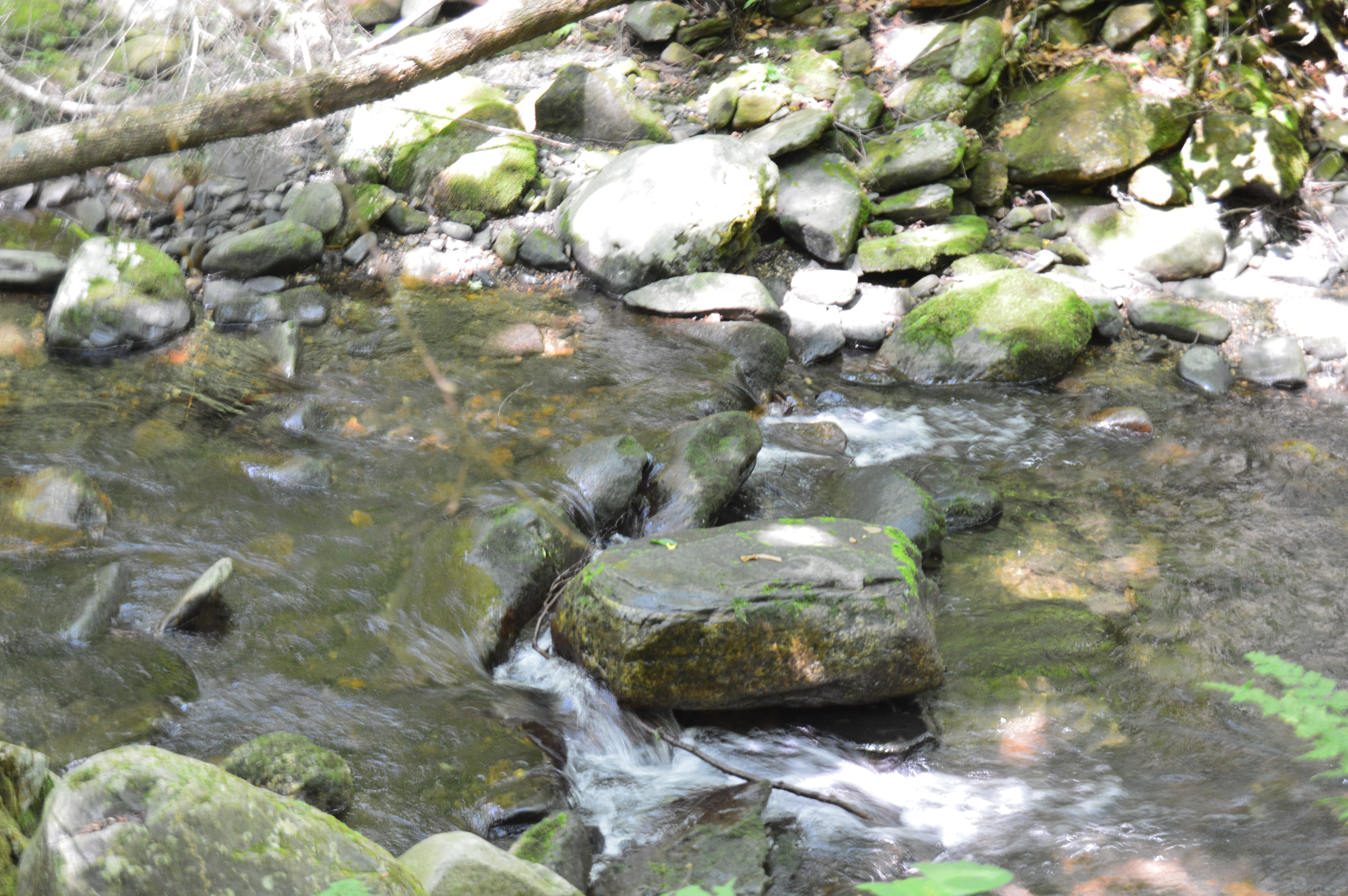
Granville State Forest is 2,000 plus acre state forest and campground located in, you guessed it Granville, Massachusetts. Be advised, the trails are long in between the various ponds, brooks and various other attractions. But, you can drive on the unpaved roads if walking isn’t your style.
Located about 45 minutes from Springfield, MA, Granville State Forest was once a popular hunting spot for the Tunxis. I didn’t run into Tunxis during this visit. But, I did see some stunning views. Take this waterfall, for instance.
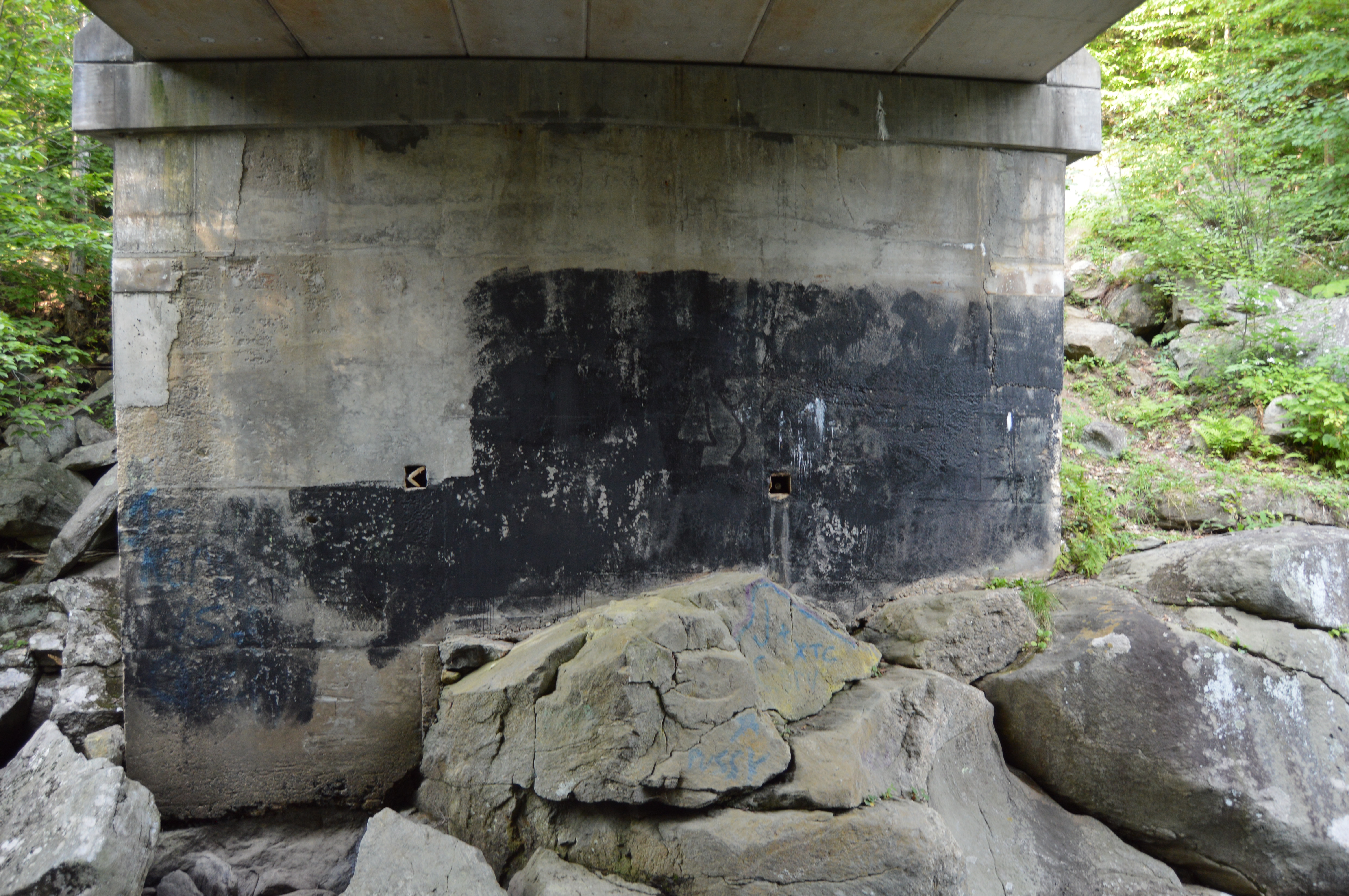
But, to really get a sense of the beauty of the Hubbard River, one must get off the beaten path, or bridge as it were in this case.
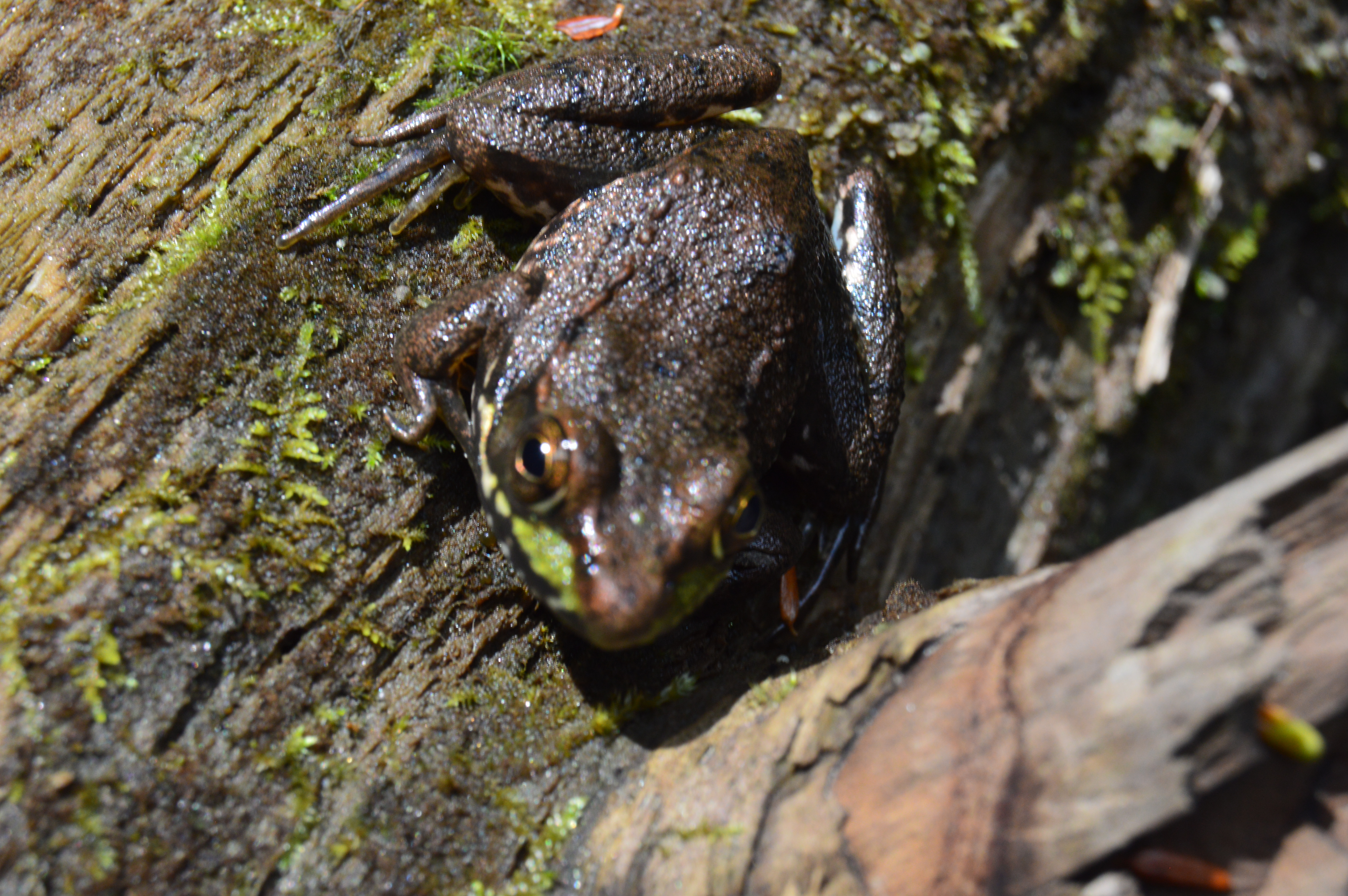
It’s amazing the things you see when you get off the main path. Like this Frog with his lunch.
Or this artful graffiti, especially the curse words. It’s vary quaint. Oh, you crazy kids. At least I hope it was kids who wrote it.
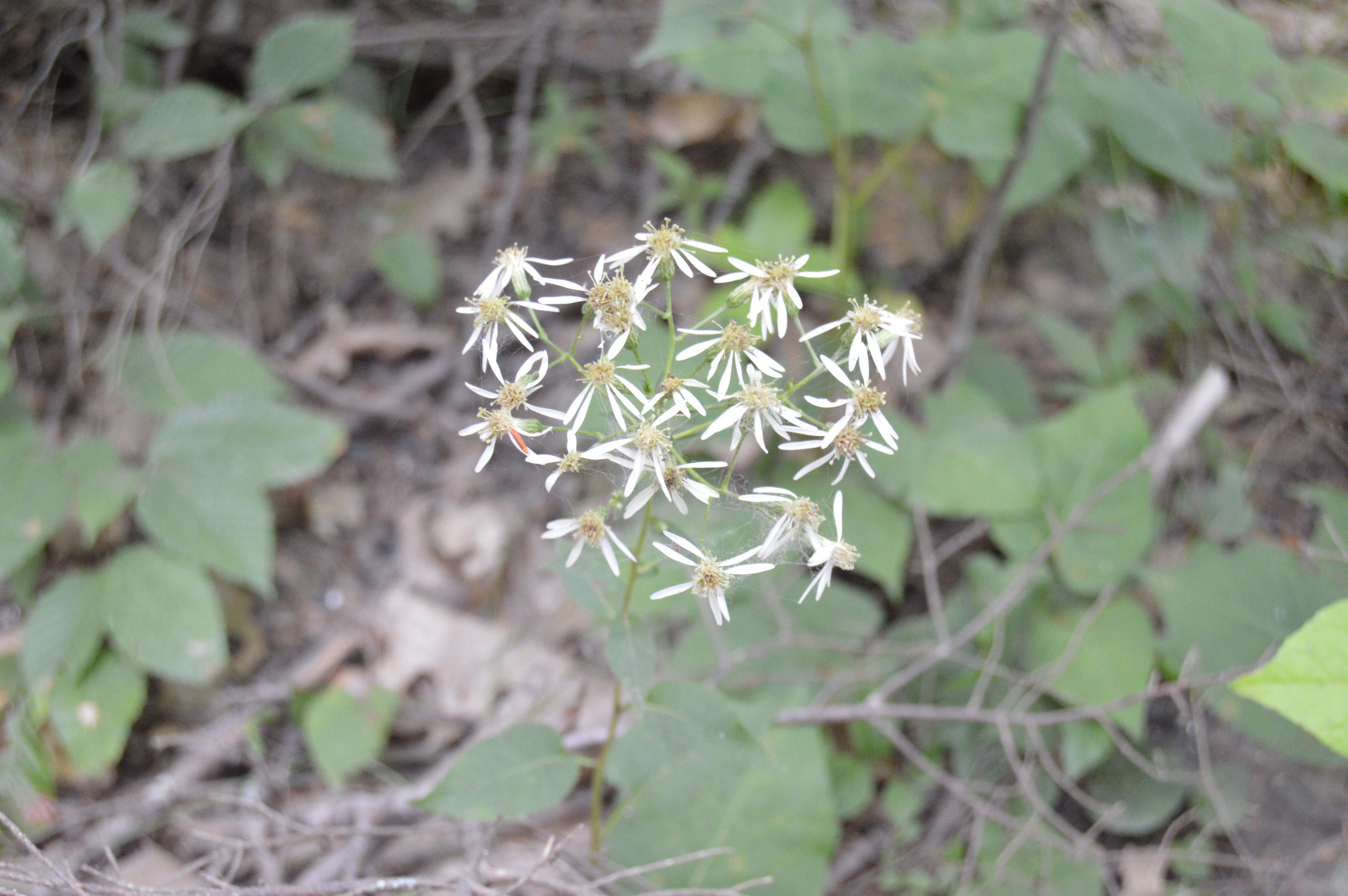
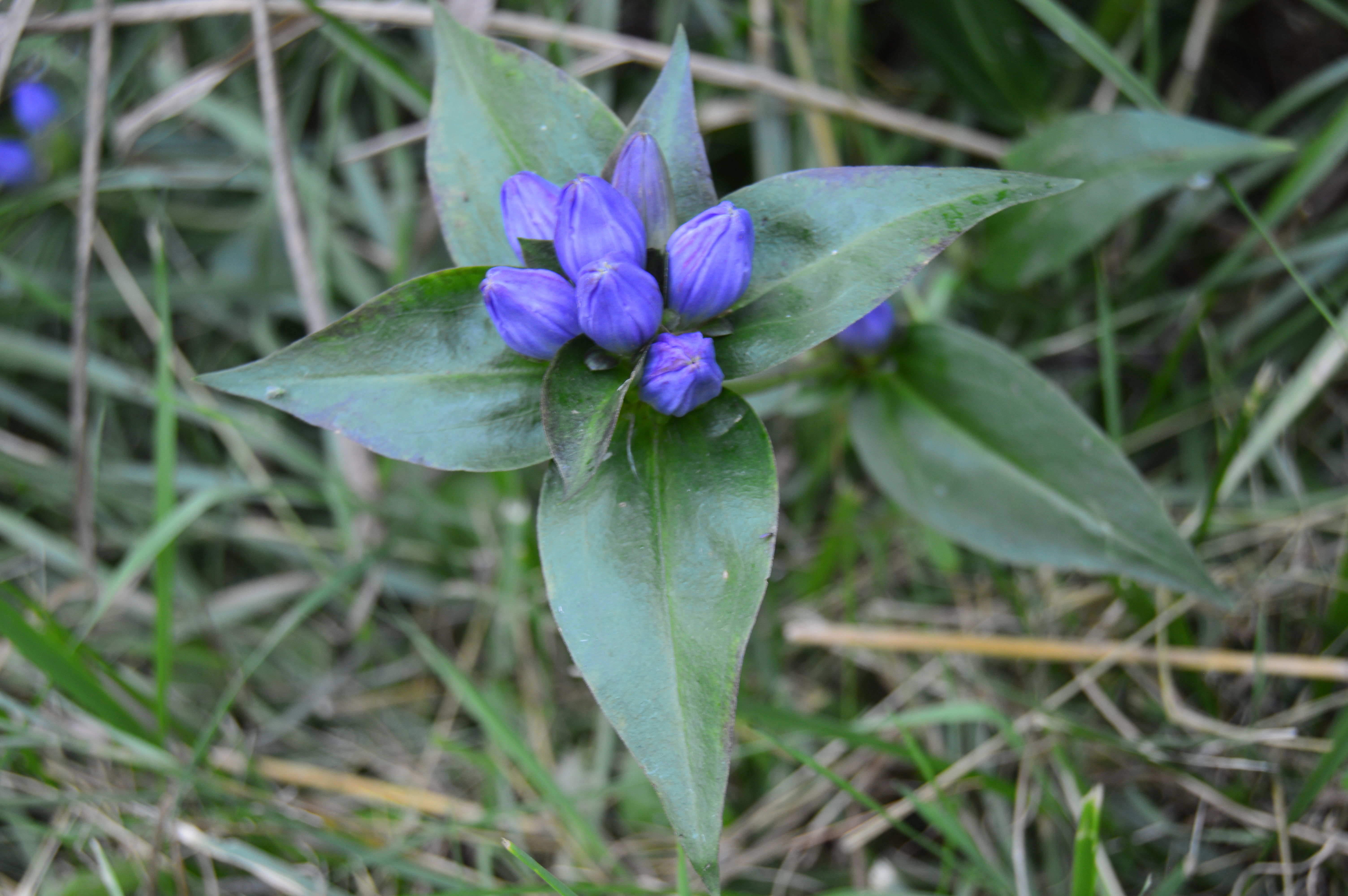
There are also an abundance of pretty flowers and trees.
About a mile from the bridge over the Hubbard stream, there is the two acre Bahre Pond. Bahre Pond has some pretty views.
It is also teeming with wildlife, like this water snake.
And this frog who thought he could hide from me.
Granville State Park also has some paths off the main trails that have some hidden gems.
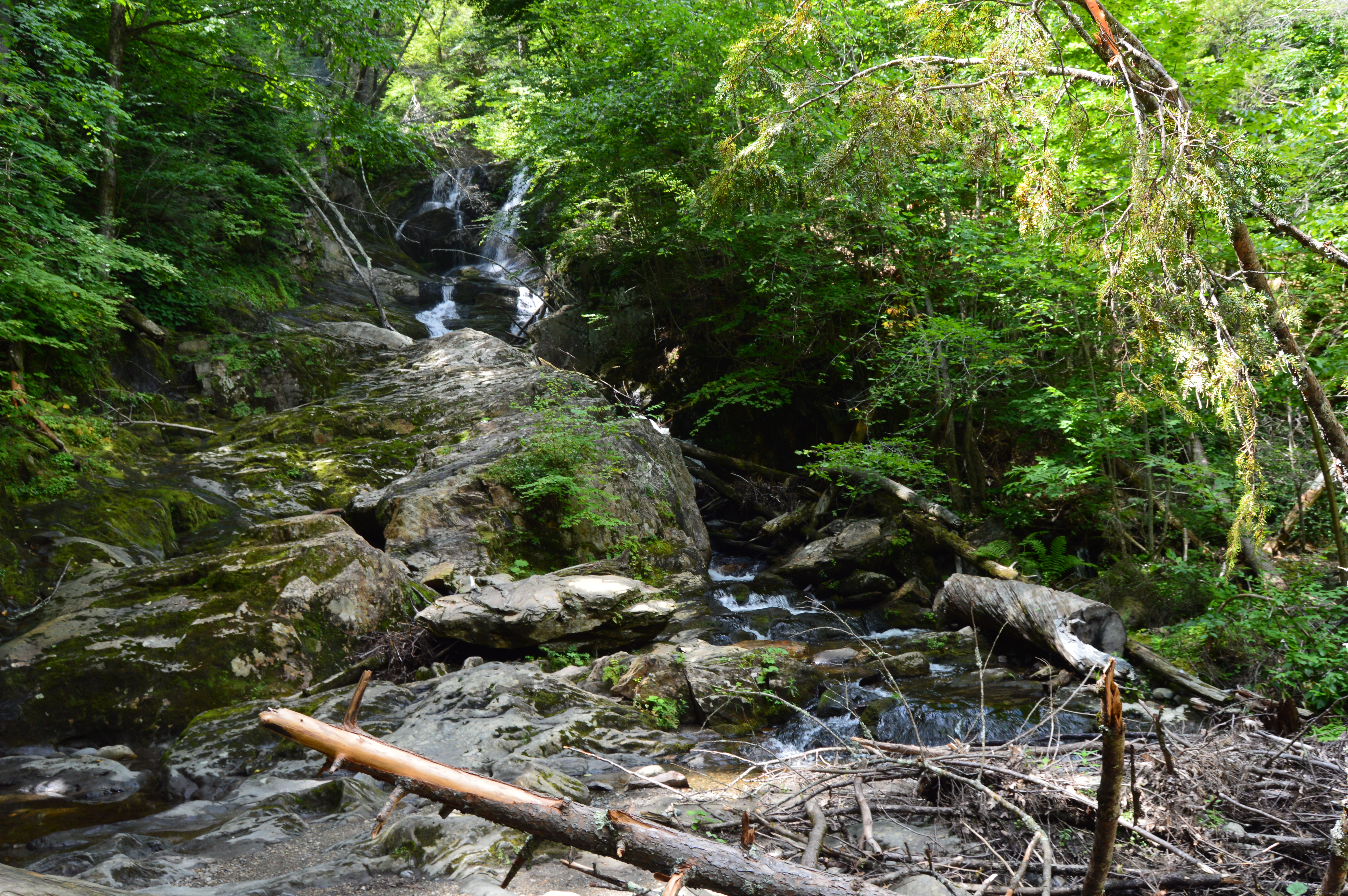
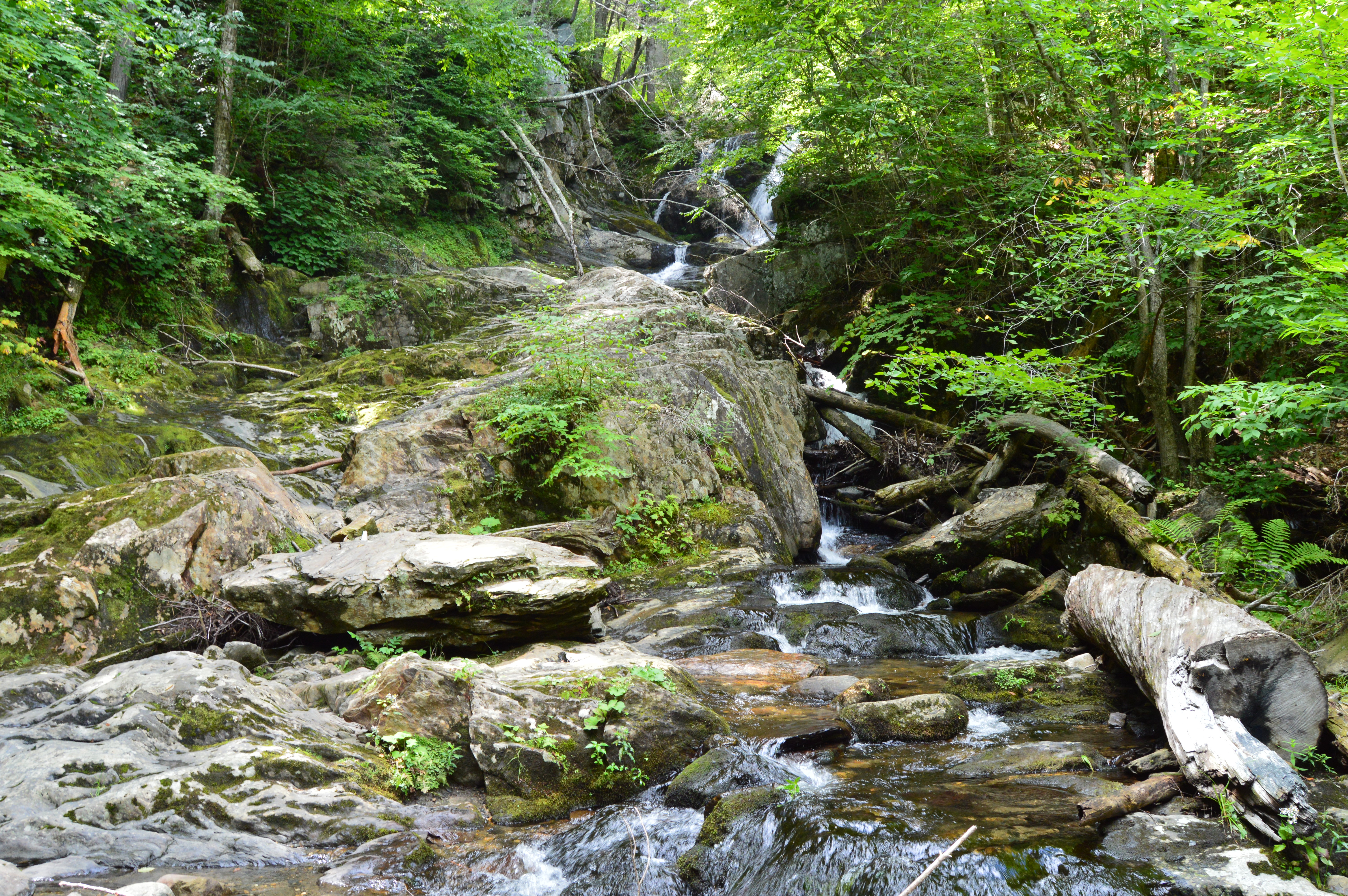
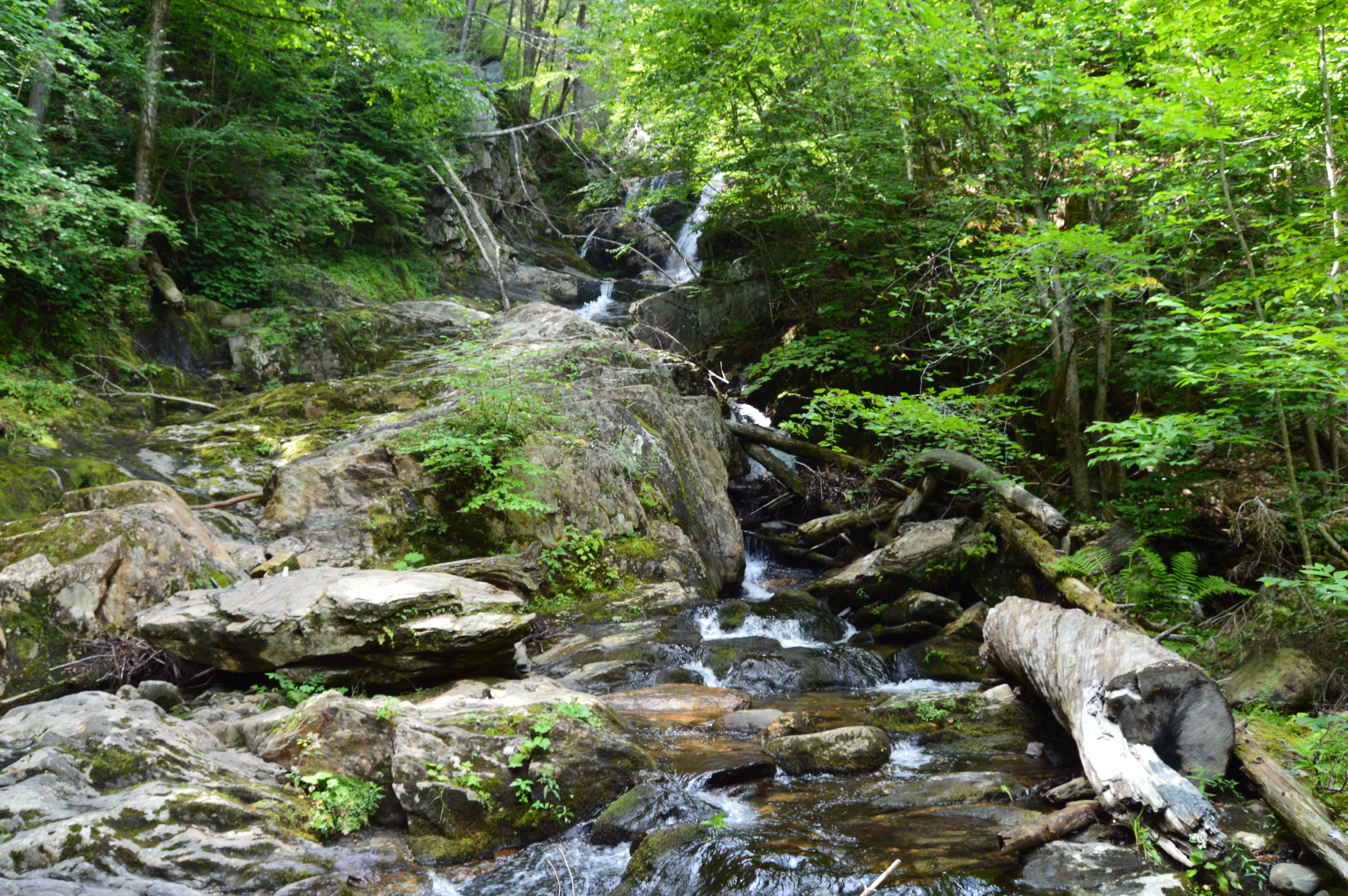
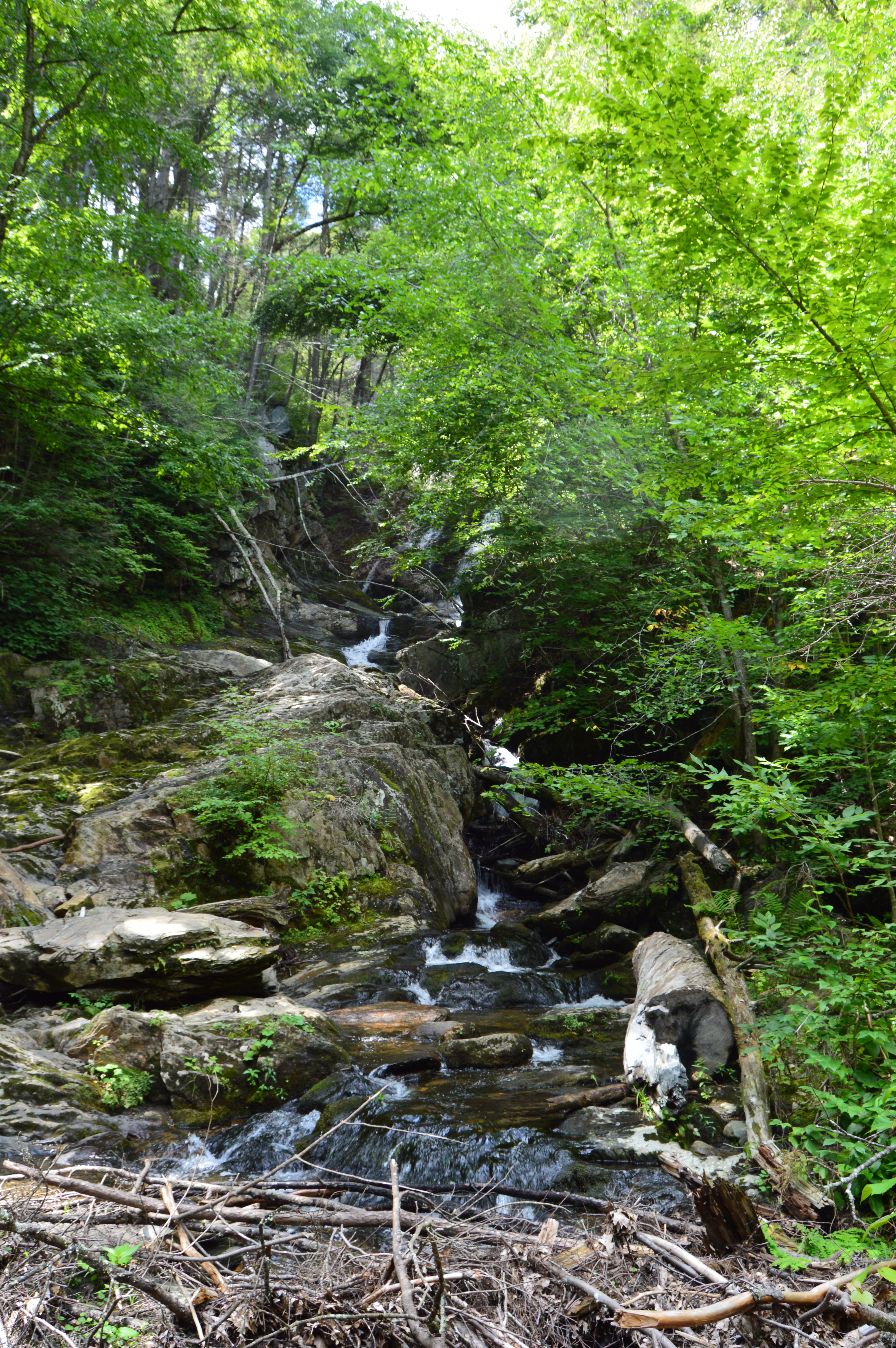
The main attraction at Granville State Forest has to be the waterfall. Below is a short video of the waterfall in all its splendor.
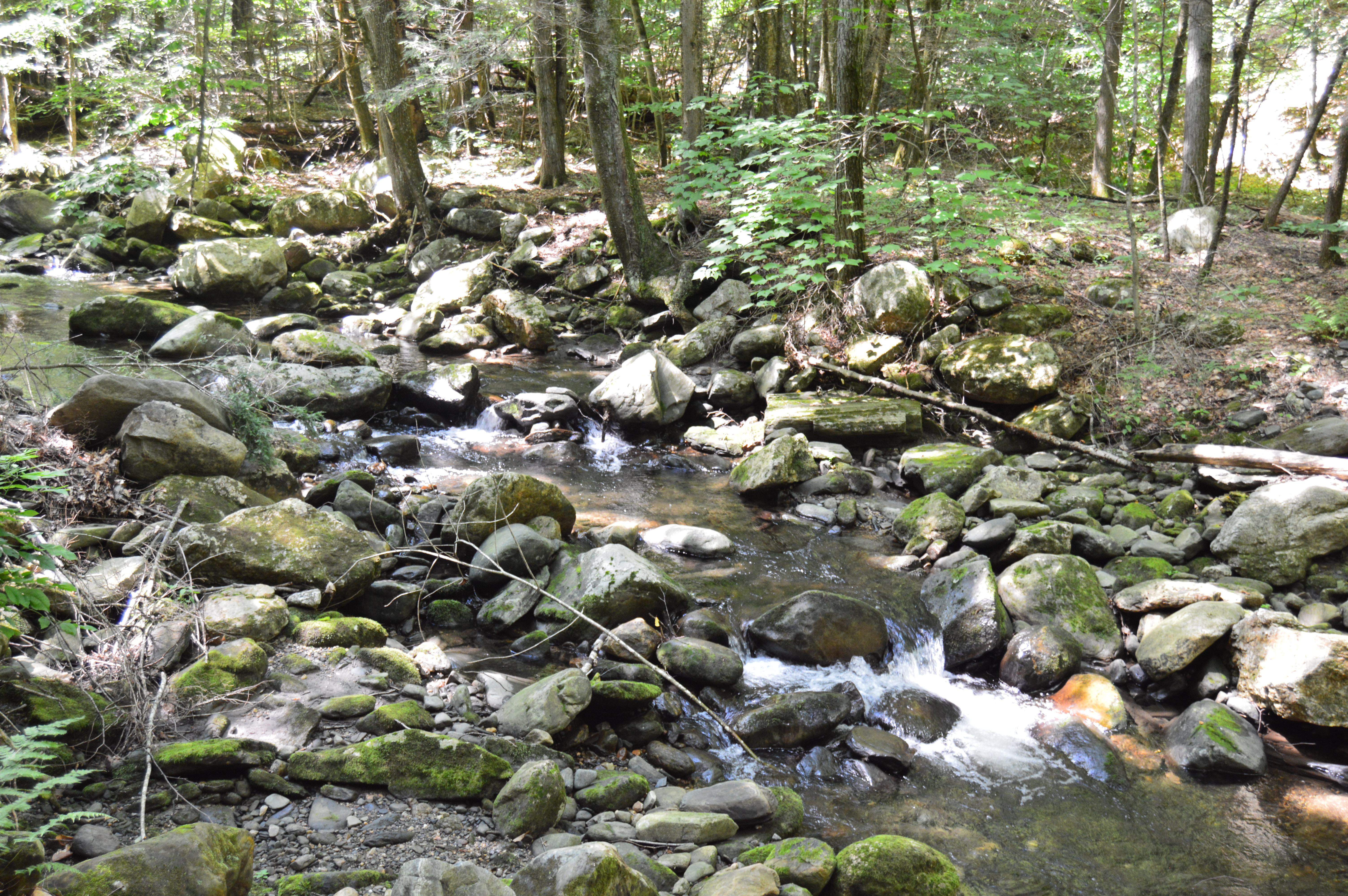
After photographing a variety of mountainous, rocky state parks, I thought it was time to mix it up and visit a rocky, hilly waterfall. Initially, we planned on visiting CM Gardner State Park. But, the helpful park rangers at CM Gardner suggested something more picturesque, Chester-Blandford State Forest.
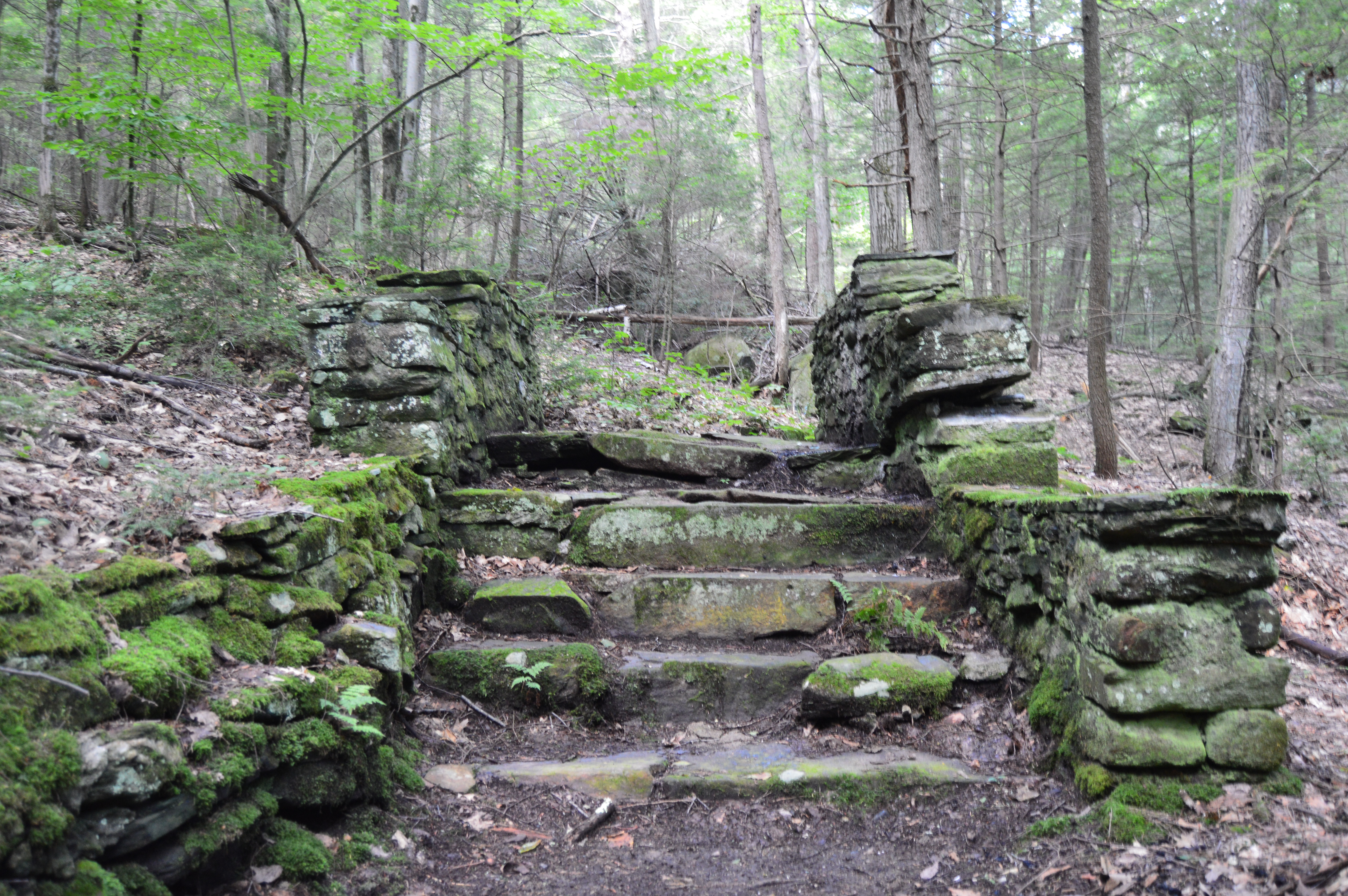
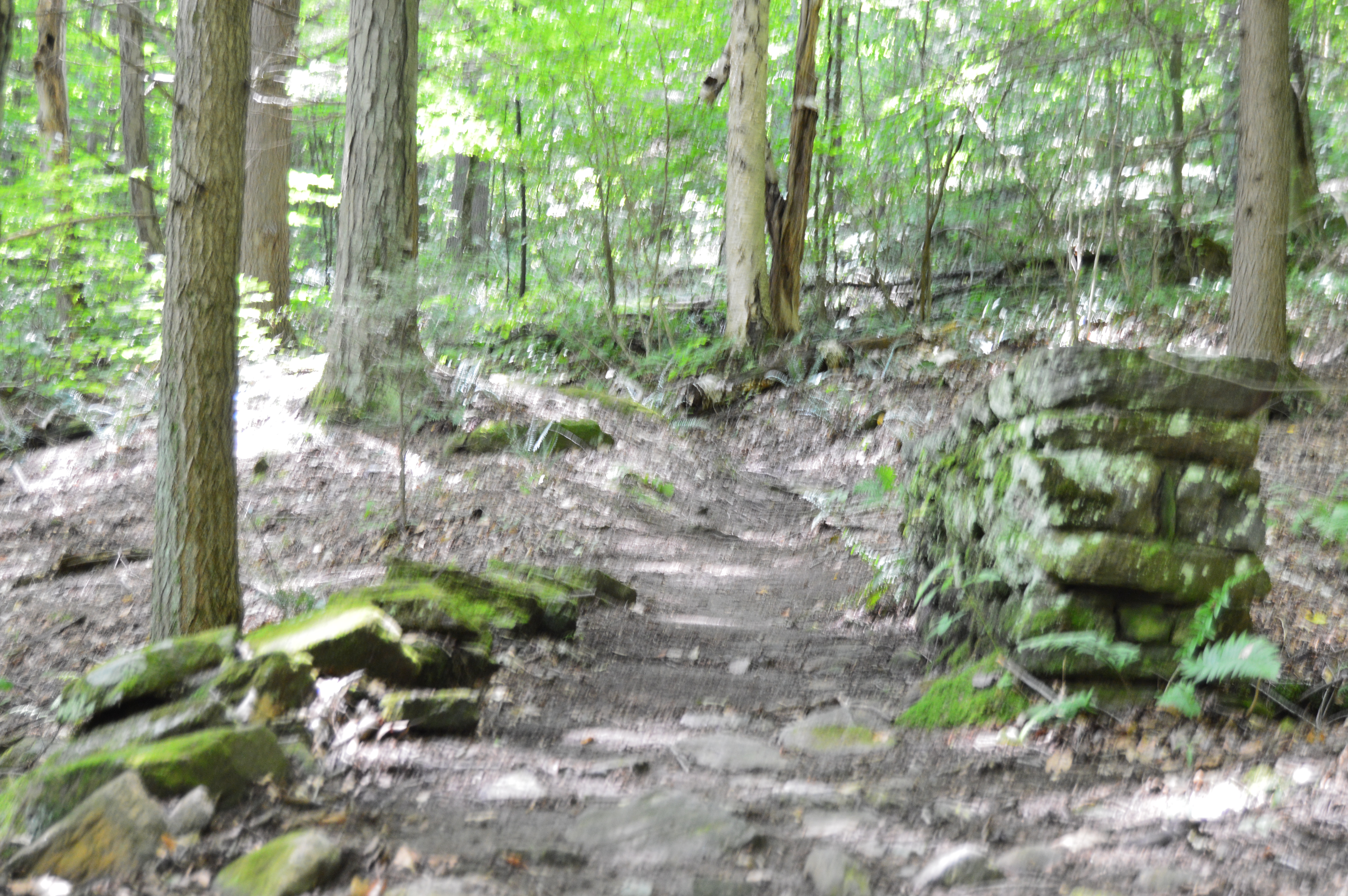
Since it encompasses such a large area (over 2,700 acres), Chester-Blandford has several entrances. The first part of the park we arrived at, Boulder Park, is a rather small area with a pond and a few ill defined trails. But, right from the rocky steps and mossy trails at the entrance it has a unique charm.
The trails also have some unique walkways and structures.
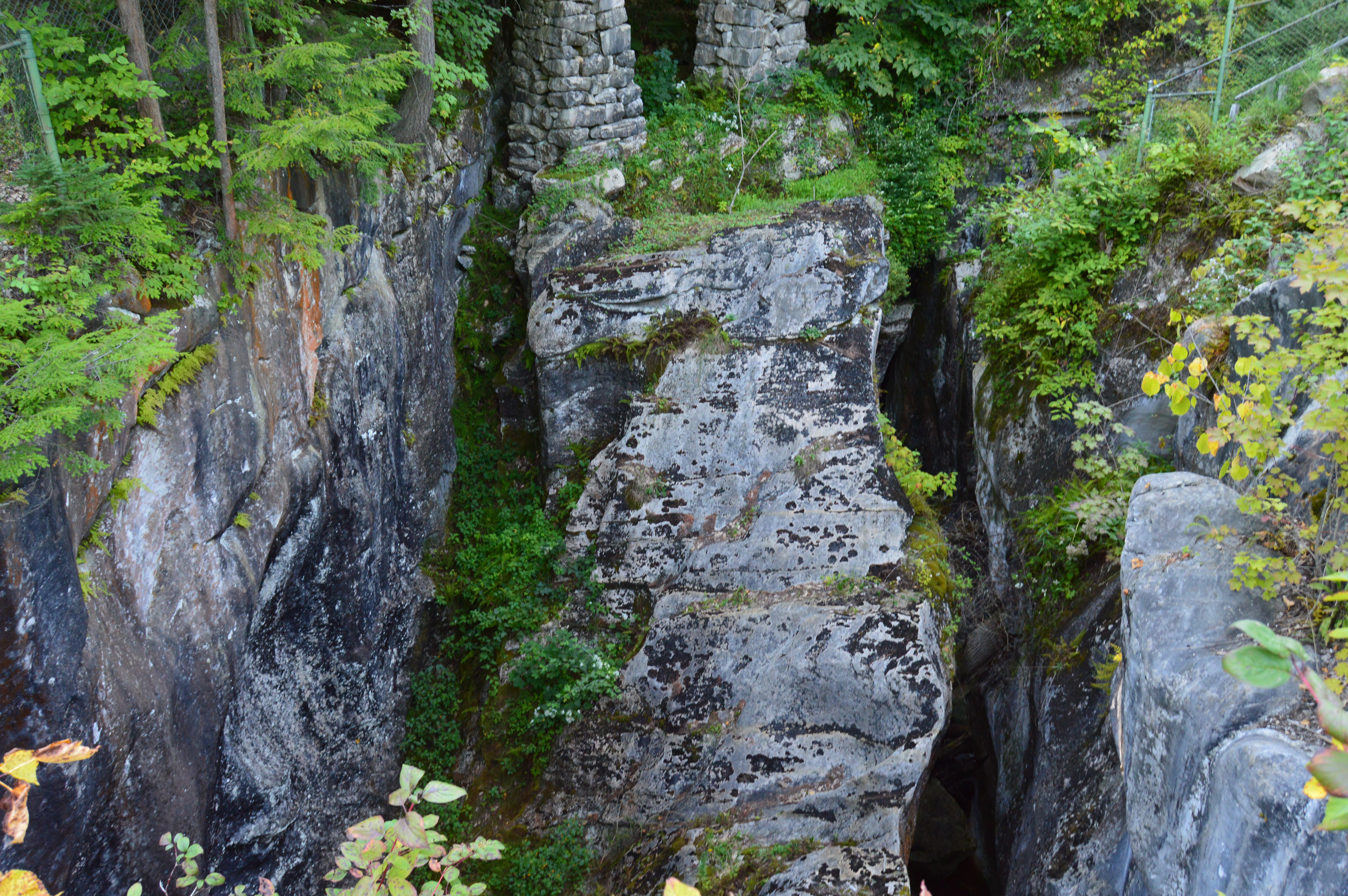
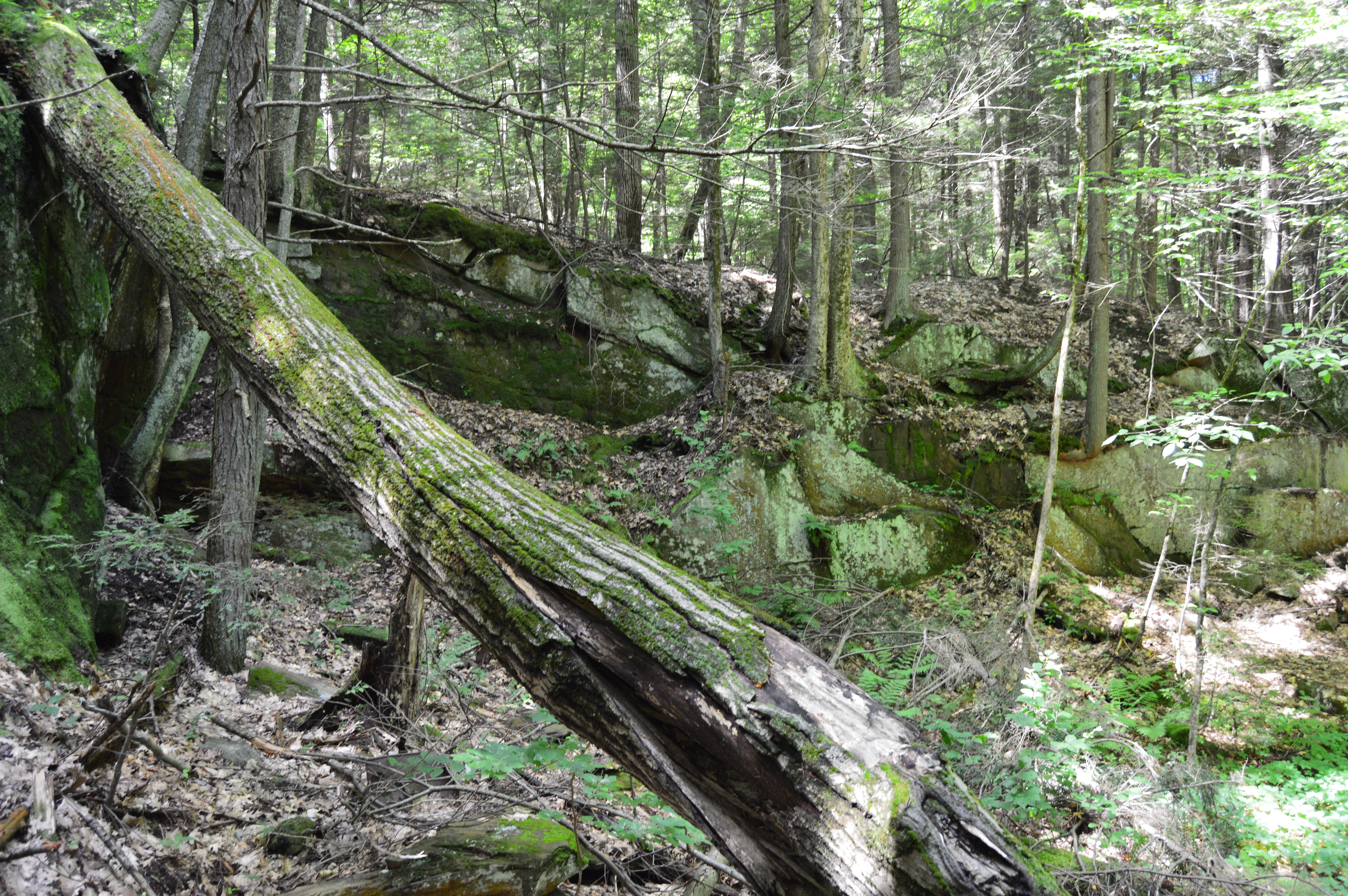
The highlight of the park may be the deep opening off the main trail.
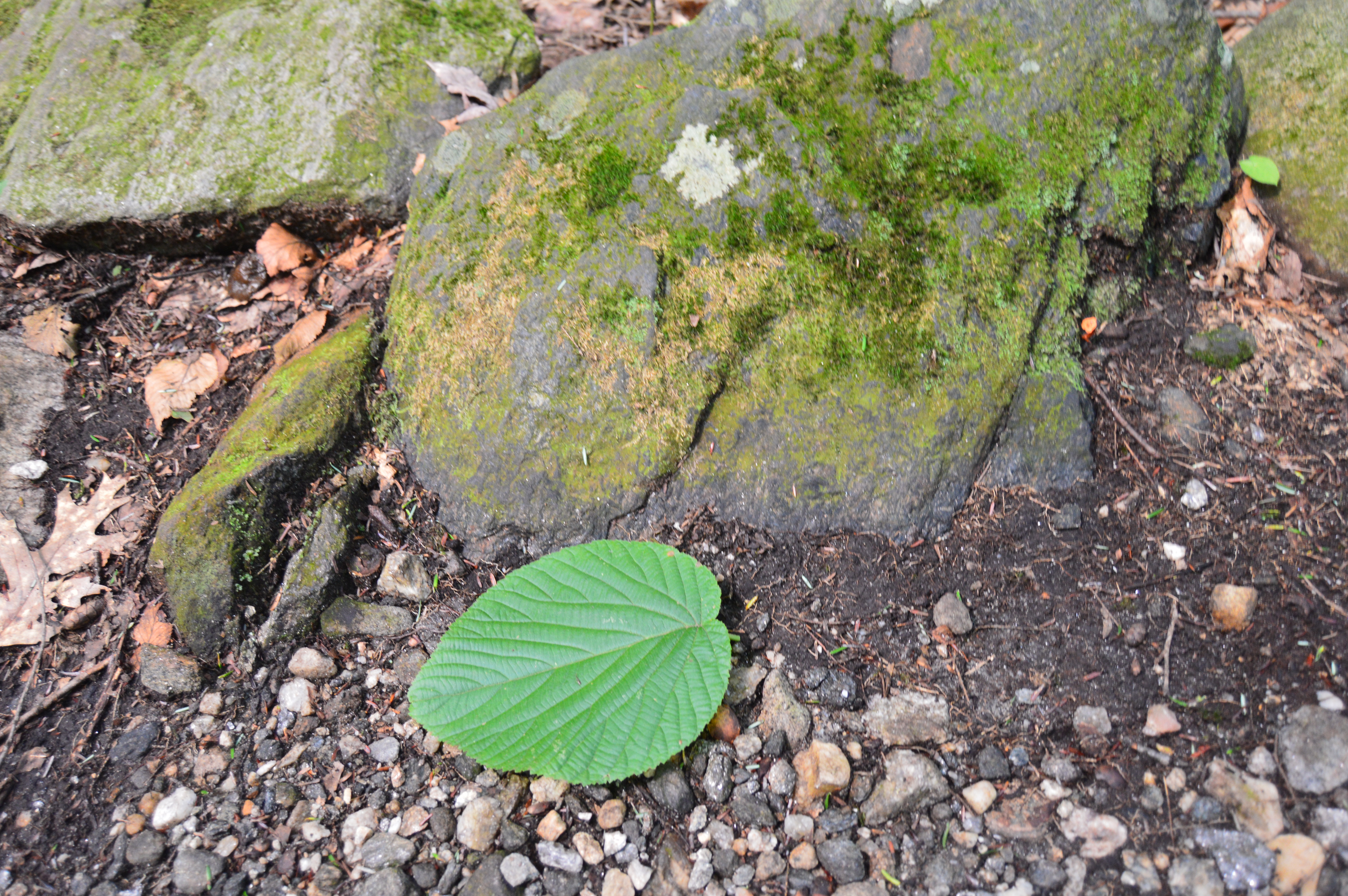
Boulder Rock also has some eye catching plants and wild life.
The pond near the end of the main trail was a nice surprise.
Boulder Rock also had its share of wildlife such as this salamander and mouse.
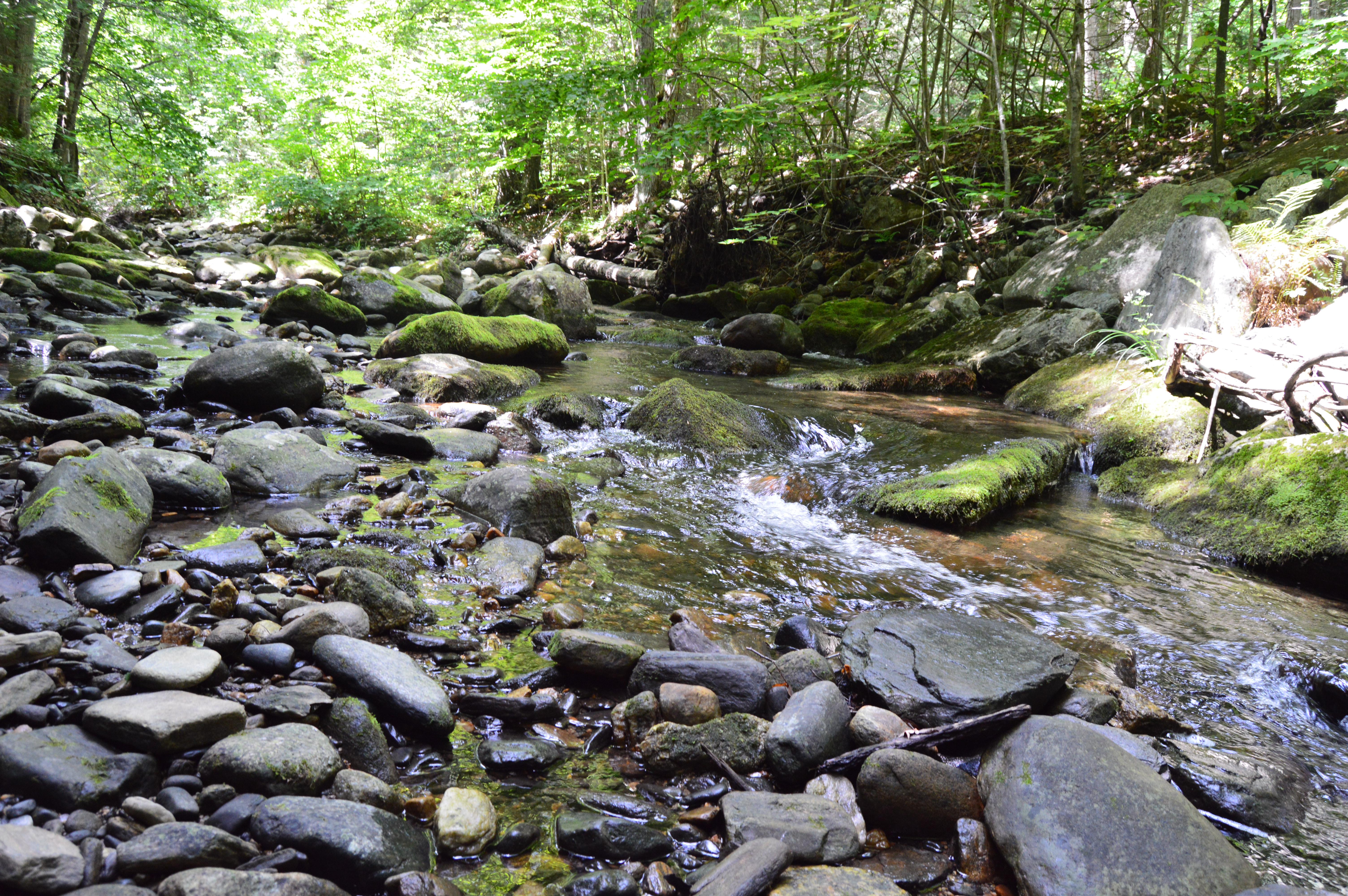
Alas, our trip to Boulder Rock was over. But, about a mile down the road another entrance beckoned us, the main entrance to the Sanderson Brooks Falls trail of Chester-Blandford.
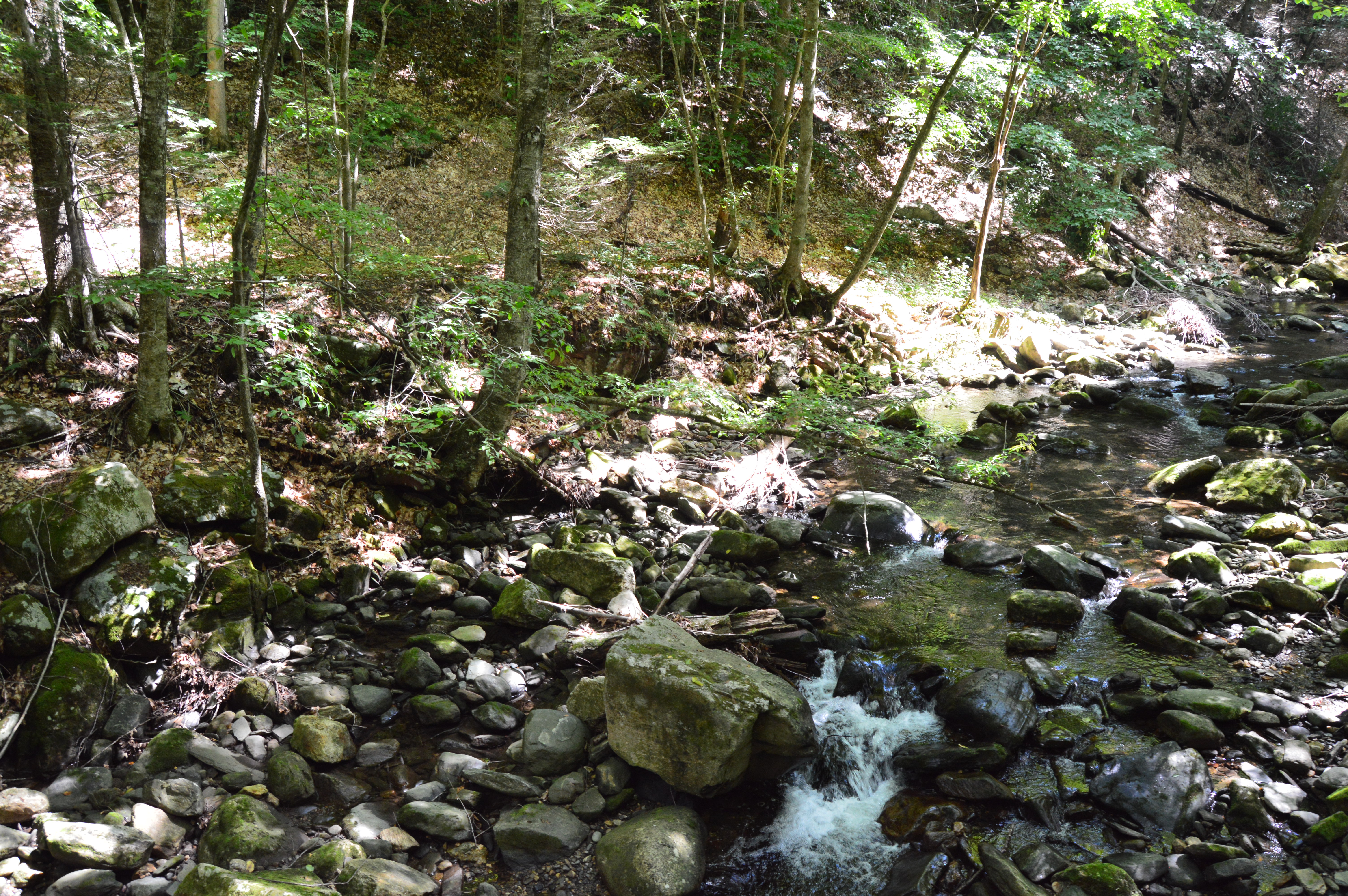
Pitcuresque views are scattered along the Brooks Falls trail.
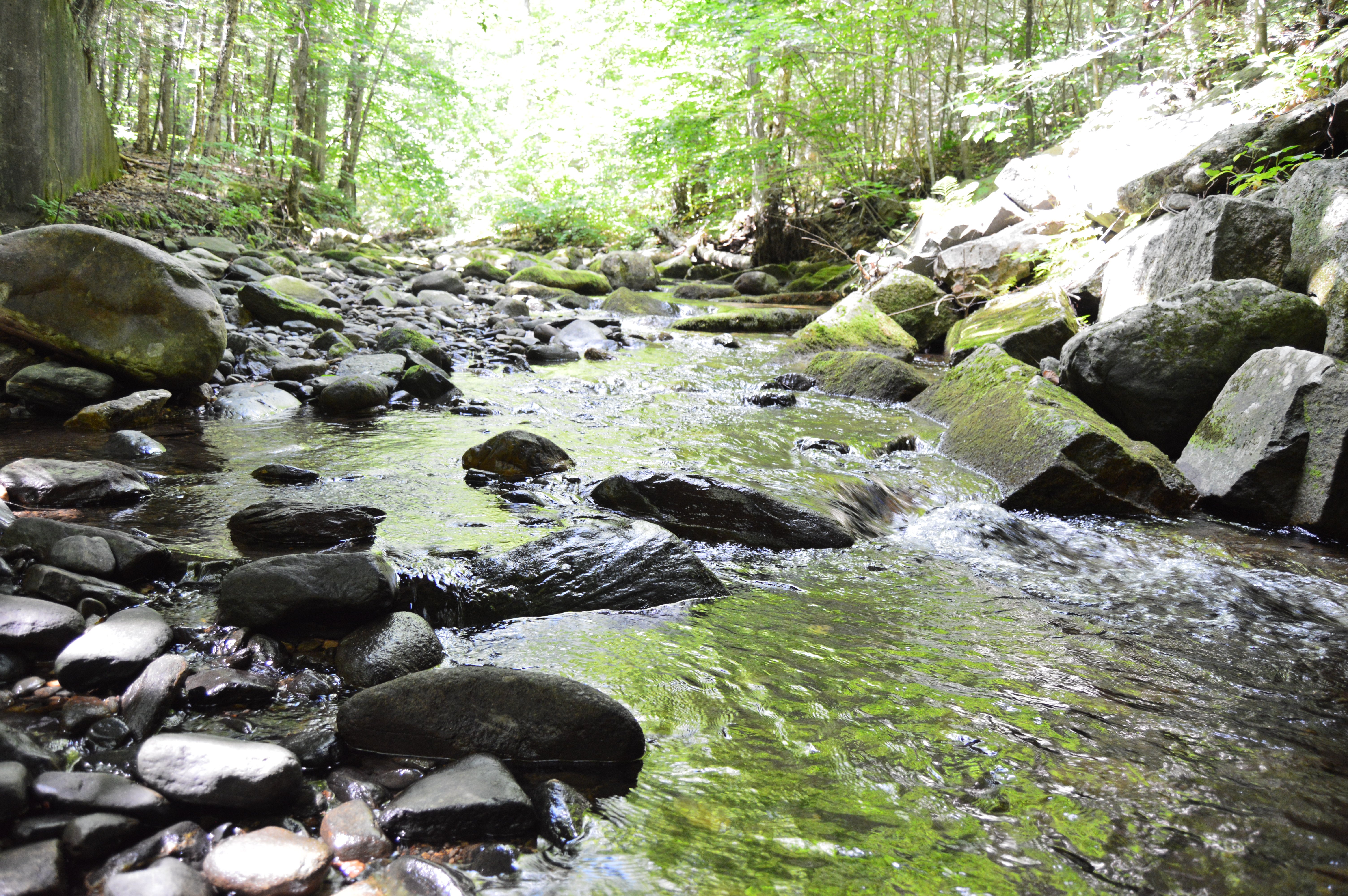
Due to the lack of rain recently, the rapids weren’t very, well, rapid. But, the relatively still water and rocky brook provided some good shots.
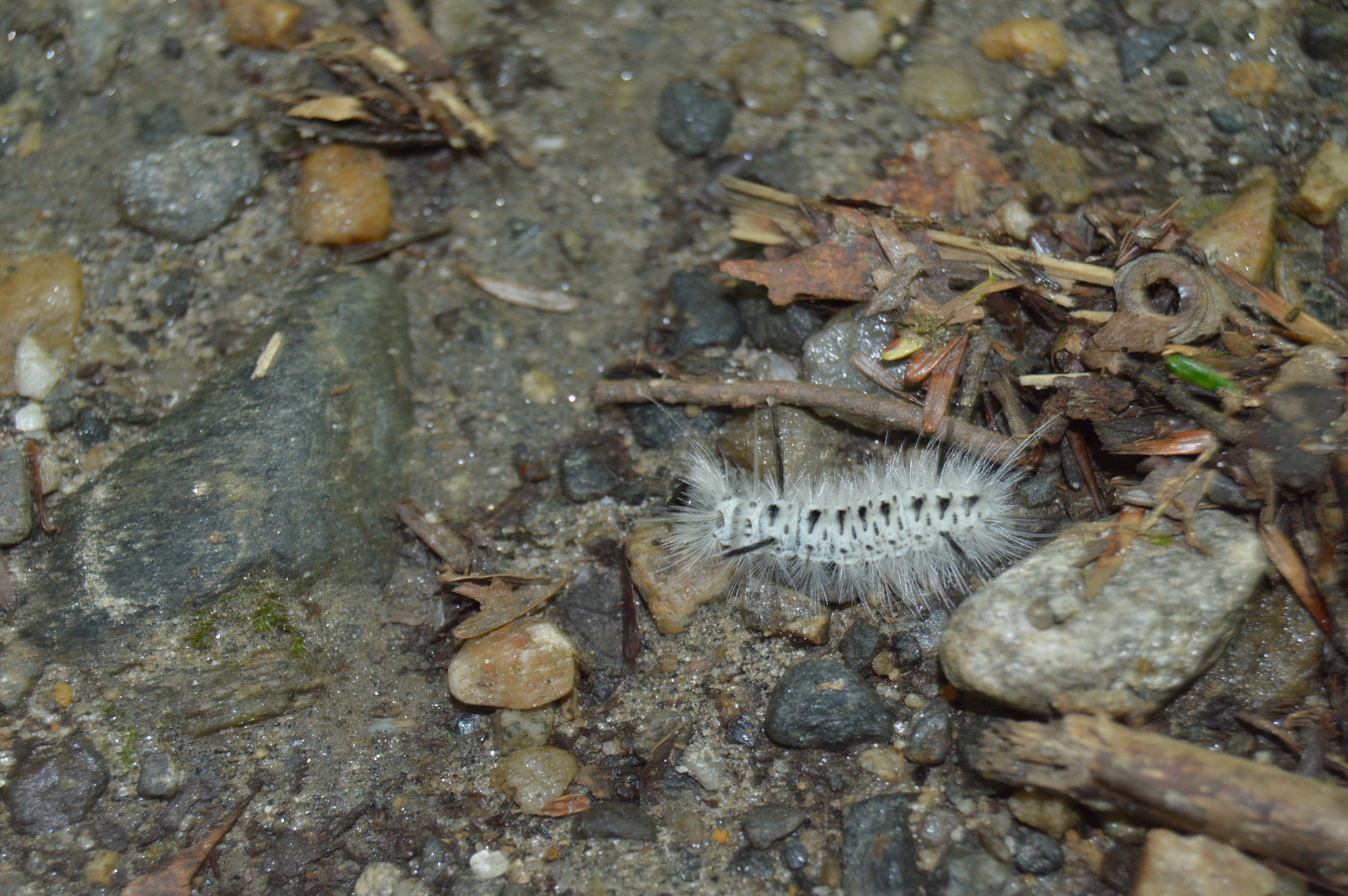
Sanderson Brook Falls also had a fair share of wildlife such as caterpillars,
Toads
and dogs, like Loona.
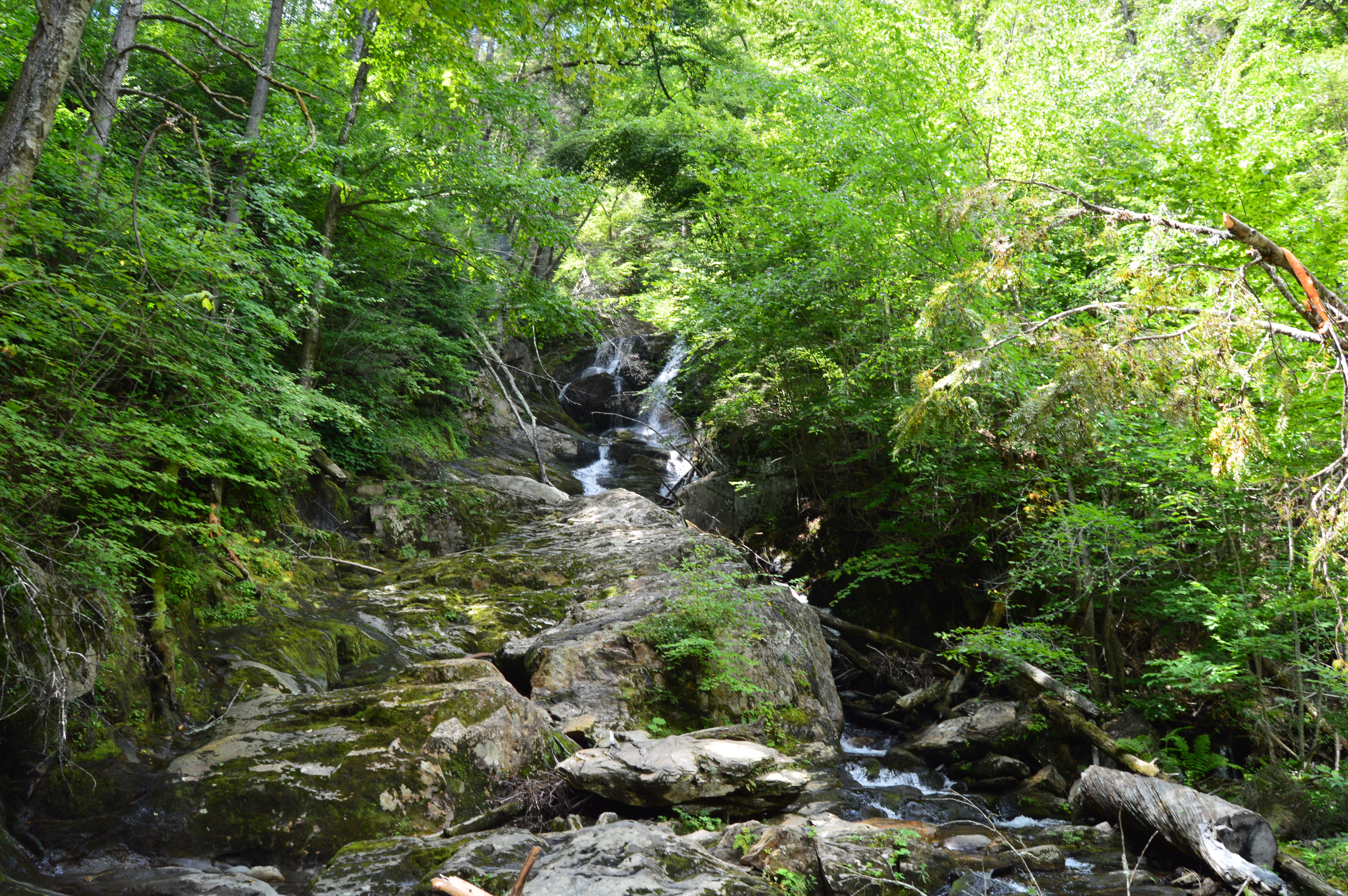
After a roughly half an hour trek along some rocky terrain, a number of bridges and some steep inclines, I made it to the falls.
The brooks and falls are sure to be more active during the stormy seasons. But, it is still impressive and worth the trip.
To get the full effect of the falls, click on the short video below.
Is there anywhere in the New England area you would like me to visit?
What are some of your favorite waterfalls?
Feel free to stop by Facebook page and like my page: New England Nomad