It’s the time of the year again when hearty New Englanders hunker down and storm the stores for candles, batteries and, of course, bread and water. Yes, hurricane season is upon us. However, this recent stormy weather from Saturday, as bad as it may have been, was not a hurricane.
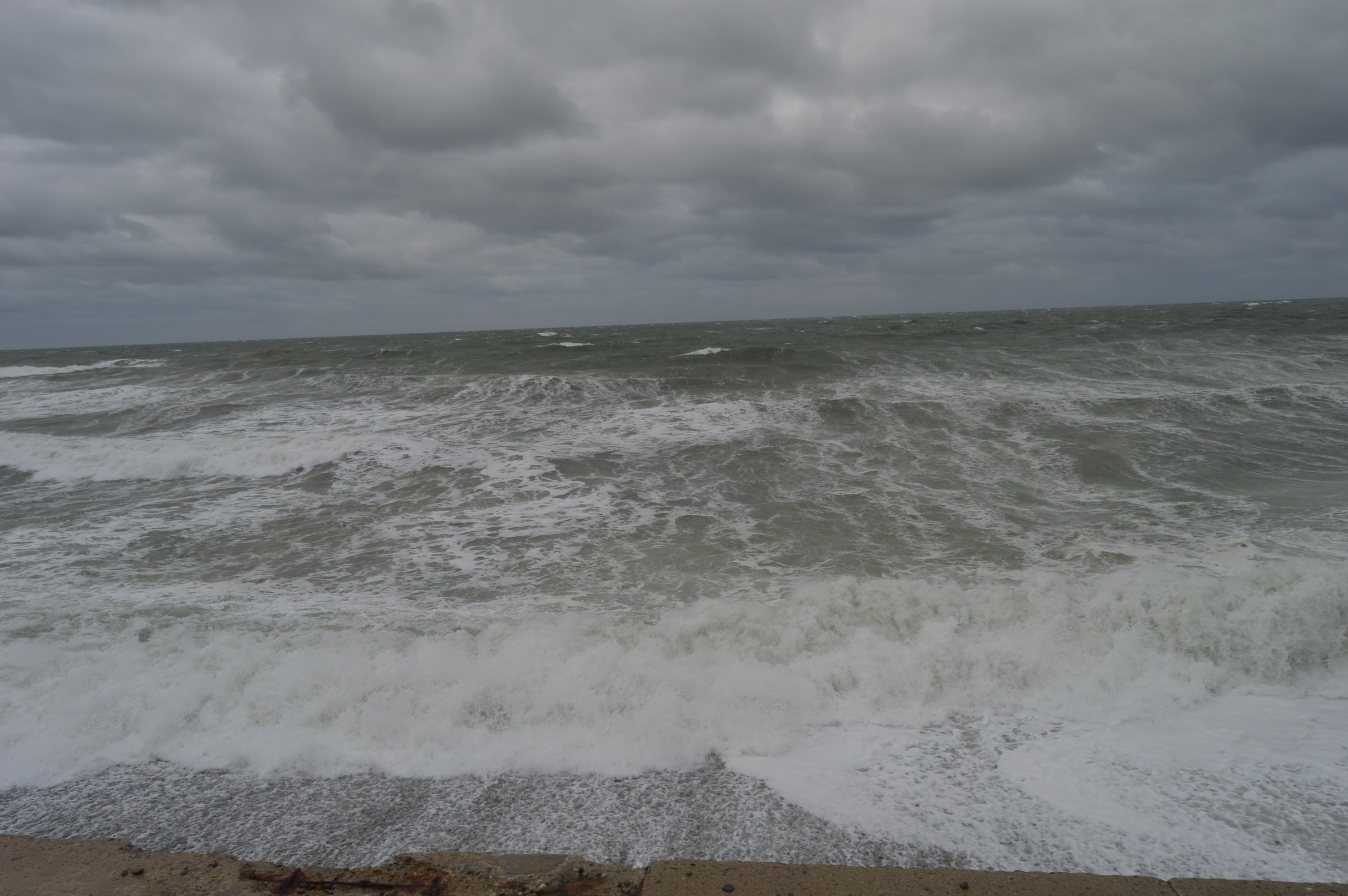
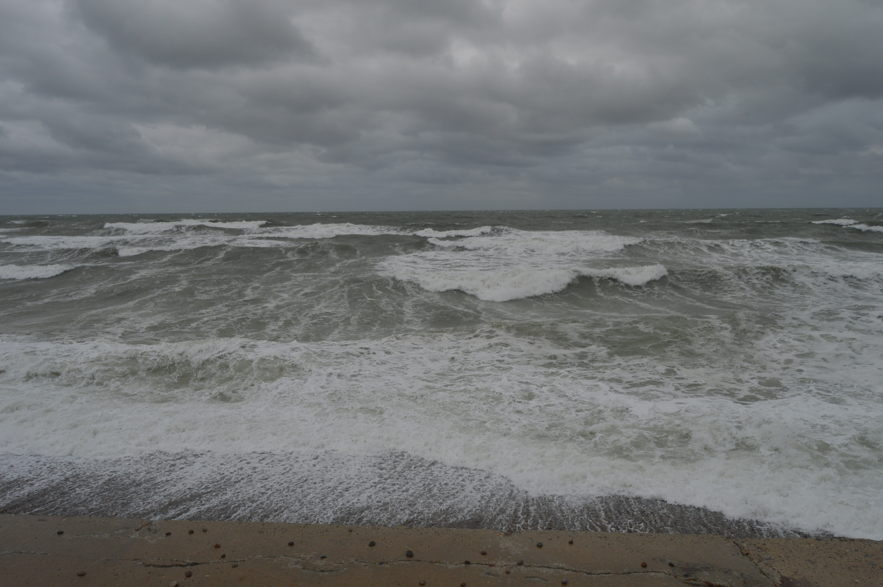
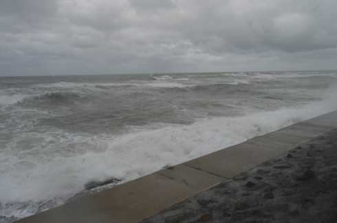
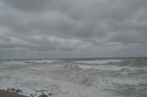
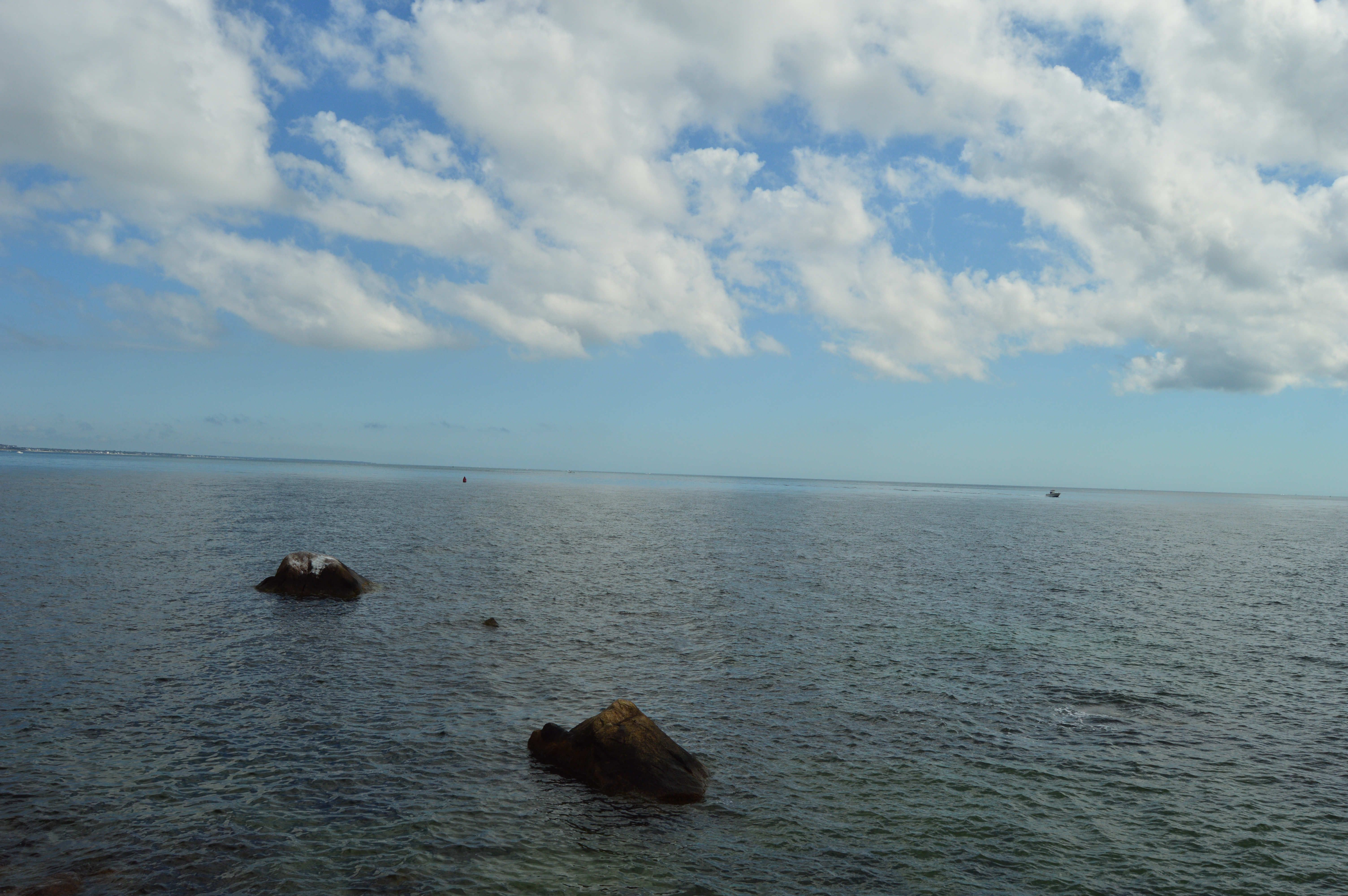
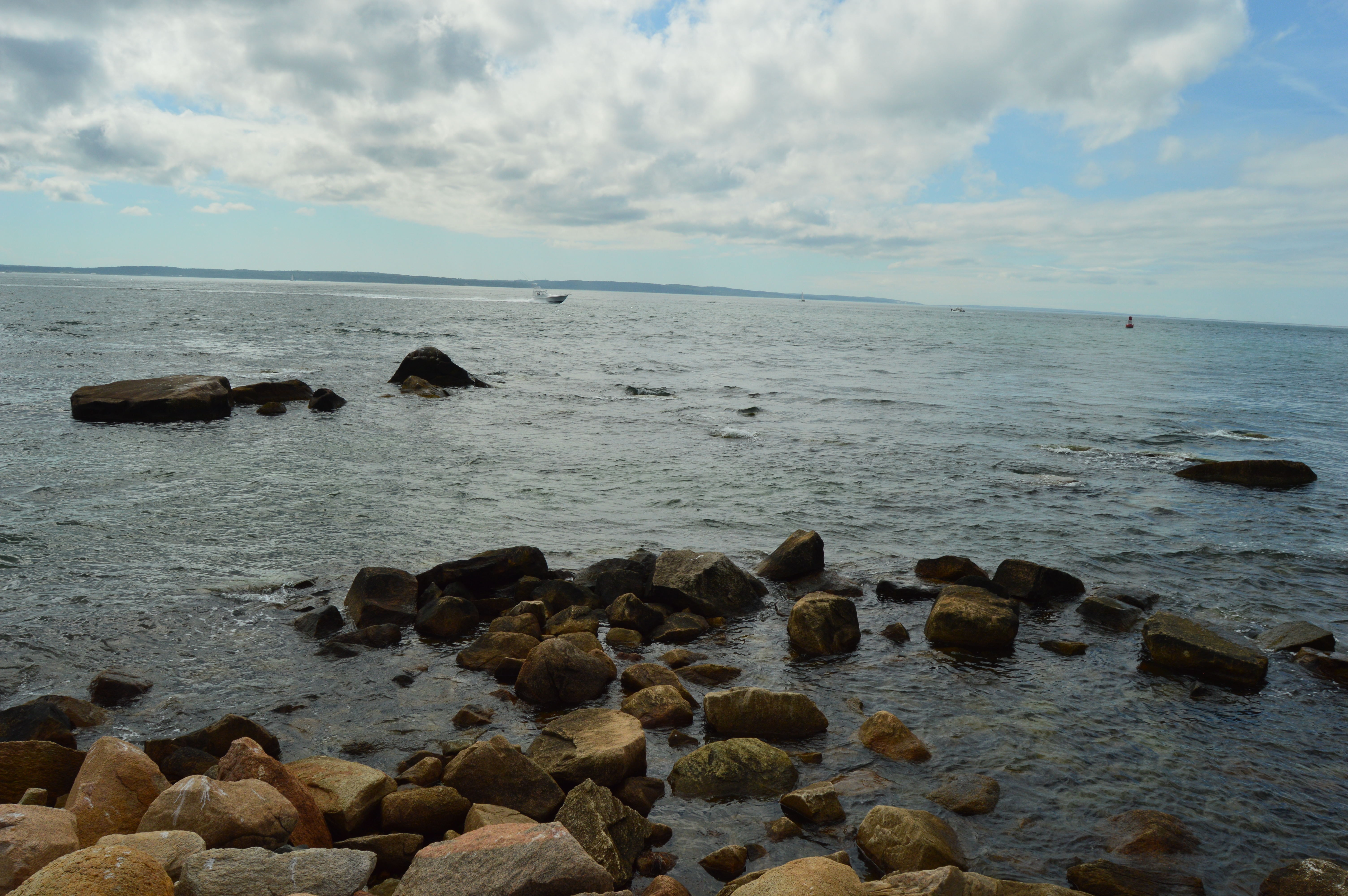
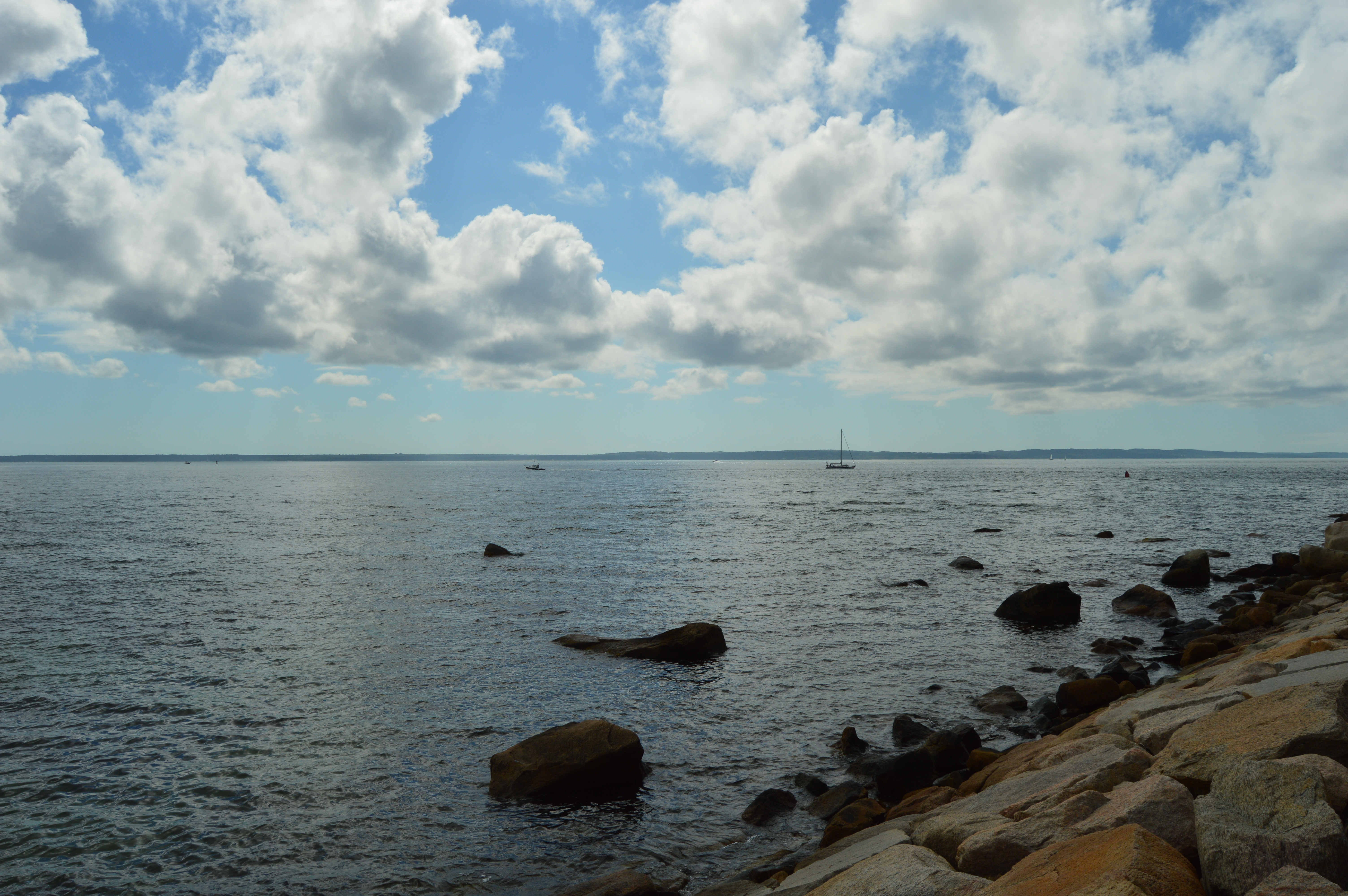
Waves as high as 7 feet crashed down in some parts. Although it was not a hurricane or a Nor’Easter, the wind was strong enough to push you and your car around and the waves spilled over the sea wall in some parts.
Weather like this really puts you in your place. We are no match for Mother Nature.
It was almost impossible to keep my lens dry and clear which spoiled some of my shots. I decided to post them anyways.
The waves crashing along the rocks gave a hypnotic effect.
If not for my ocean soaked clothes, being pelted by sand and the whipping wind, I could have stayed all day. It reminded me of how some things that are so beautiful can be so dangerous.
Of course, Brant Rock wasn’t the only place hit by this storm. Stay tuned for my next stormy destination.
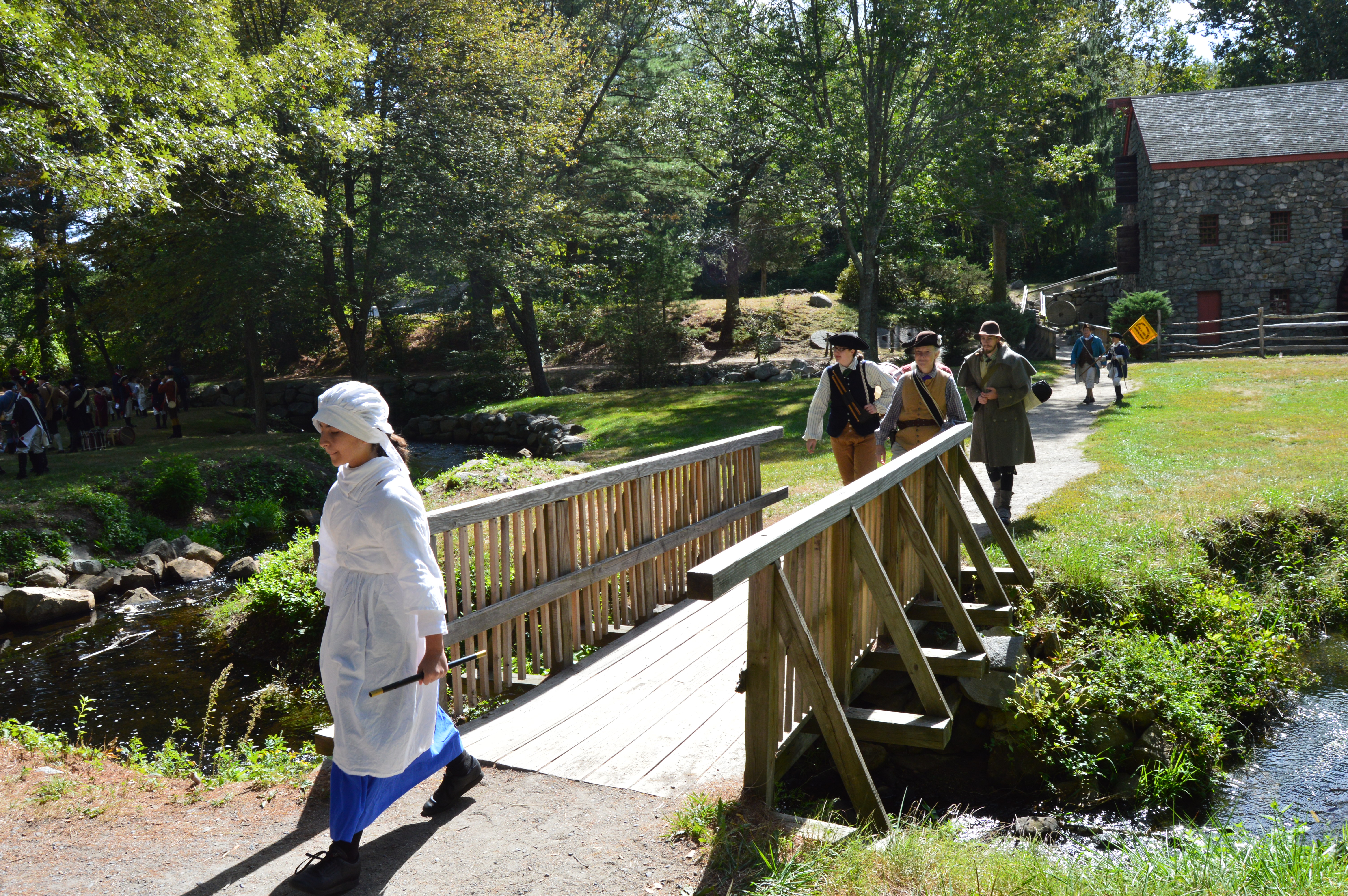
When one reminisces of a simpler time they rarely think of muskets,militias and mills. But, that is what they have at the Wayside Inn Colonial Faire.
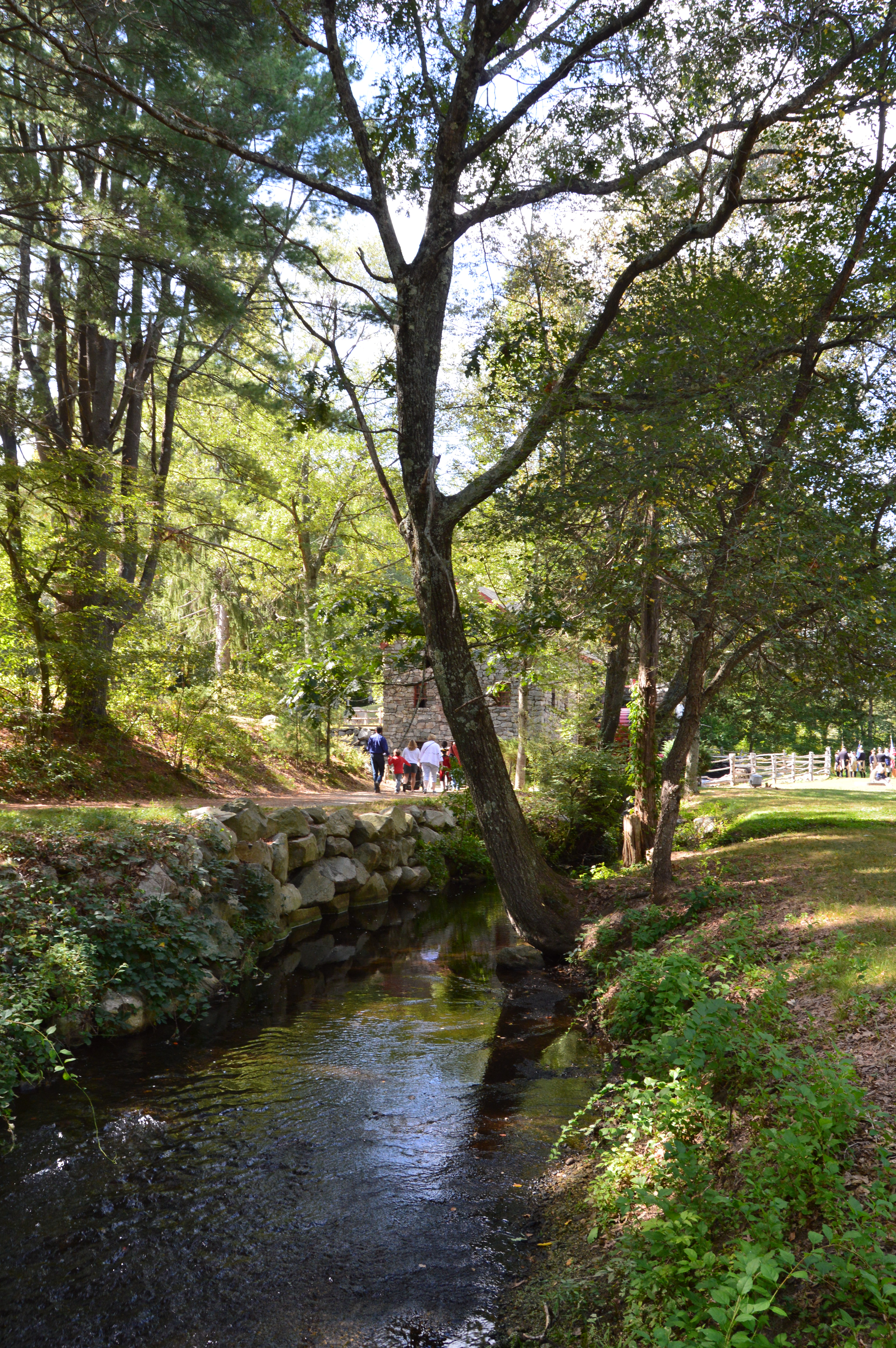
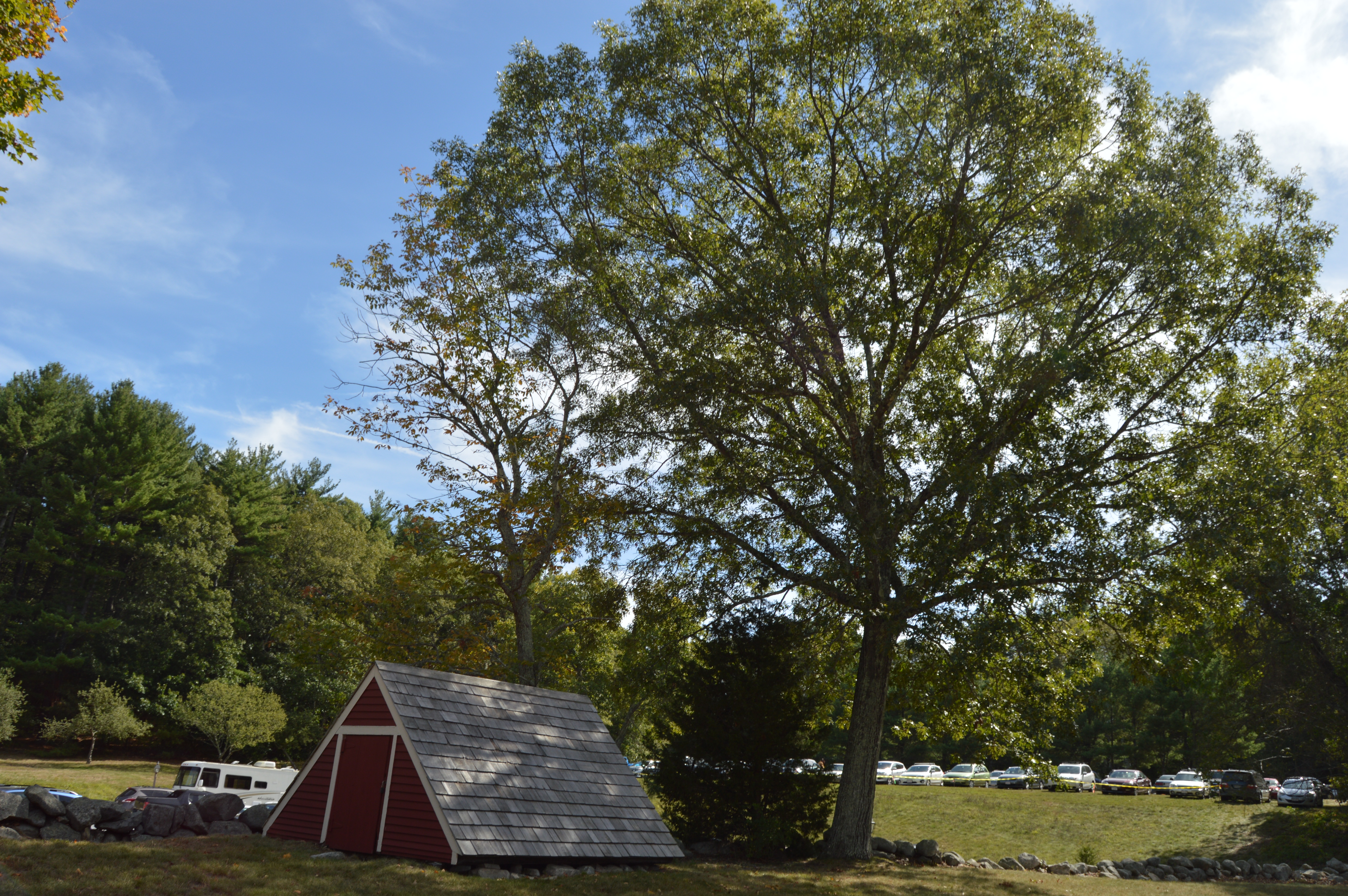
You don’t have to be a history nerd, I mean buff, to enjoy the faire. But, it helps. The main attraction, all year round has to be the Grist Mill.
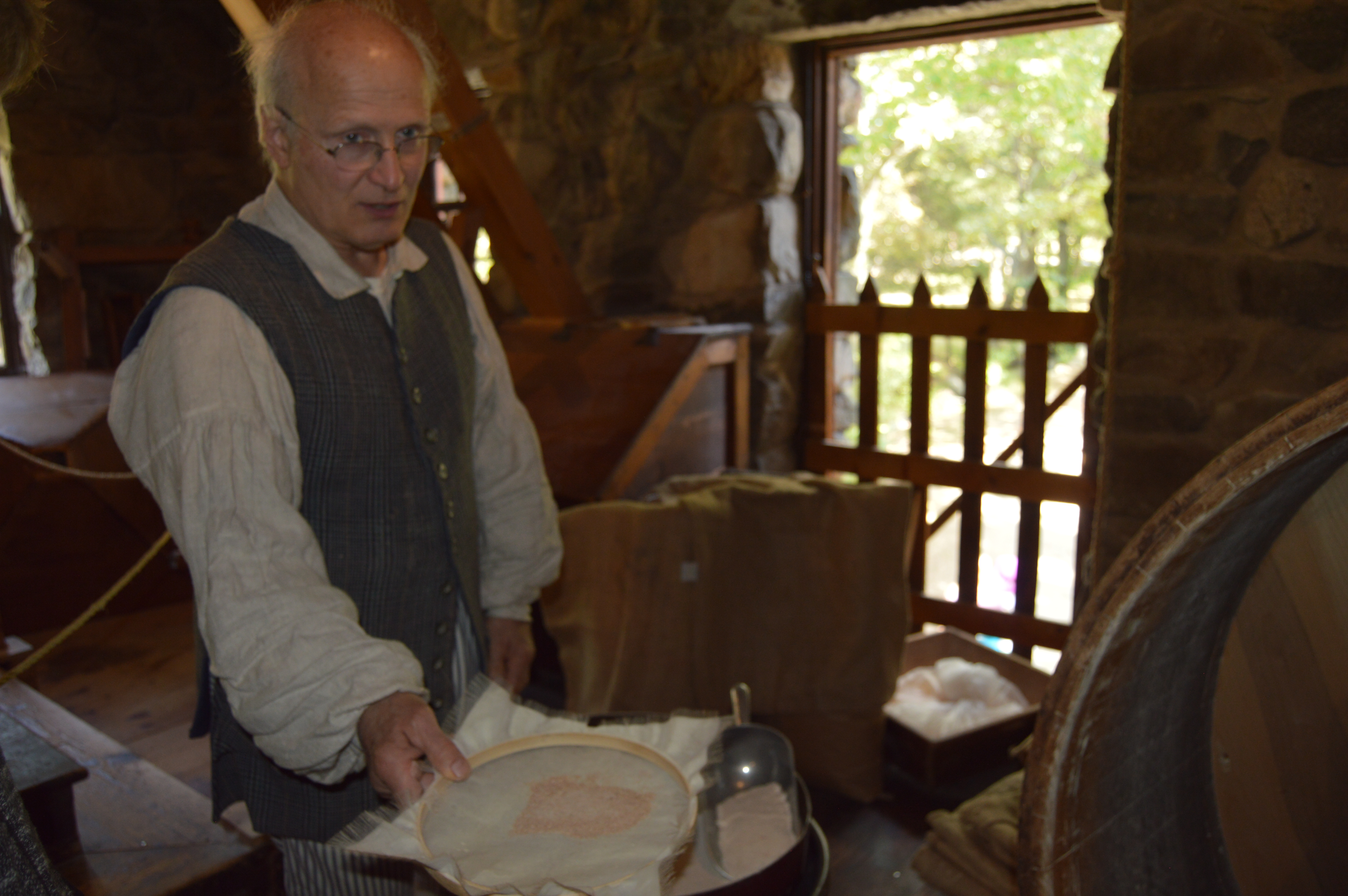
The inside of the mill is just as cool as the outside. Inside the mill, a reenactor shows how bread was made.
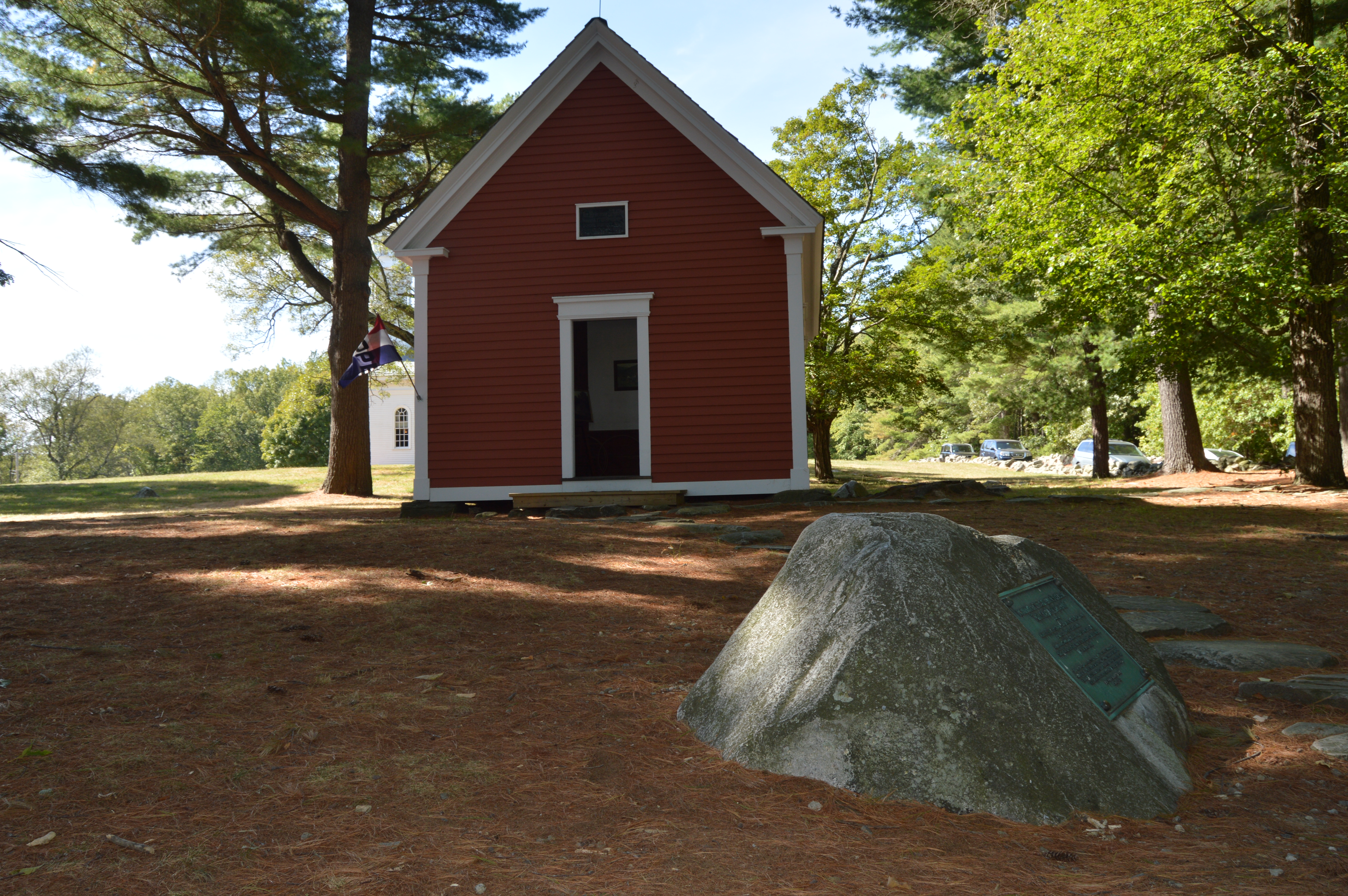
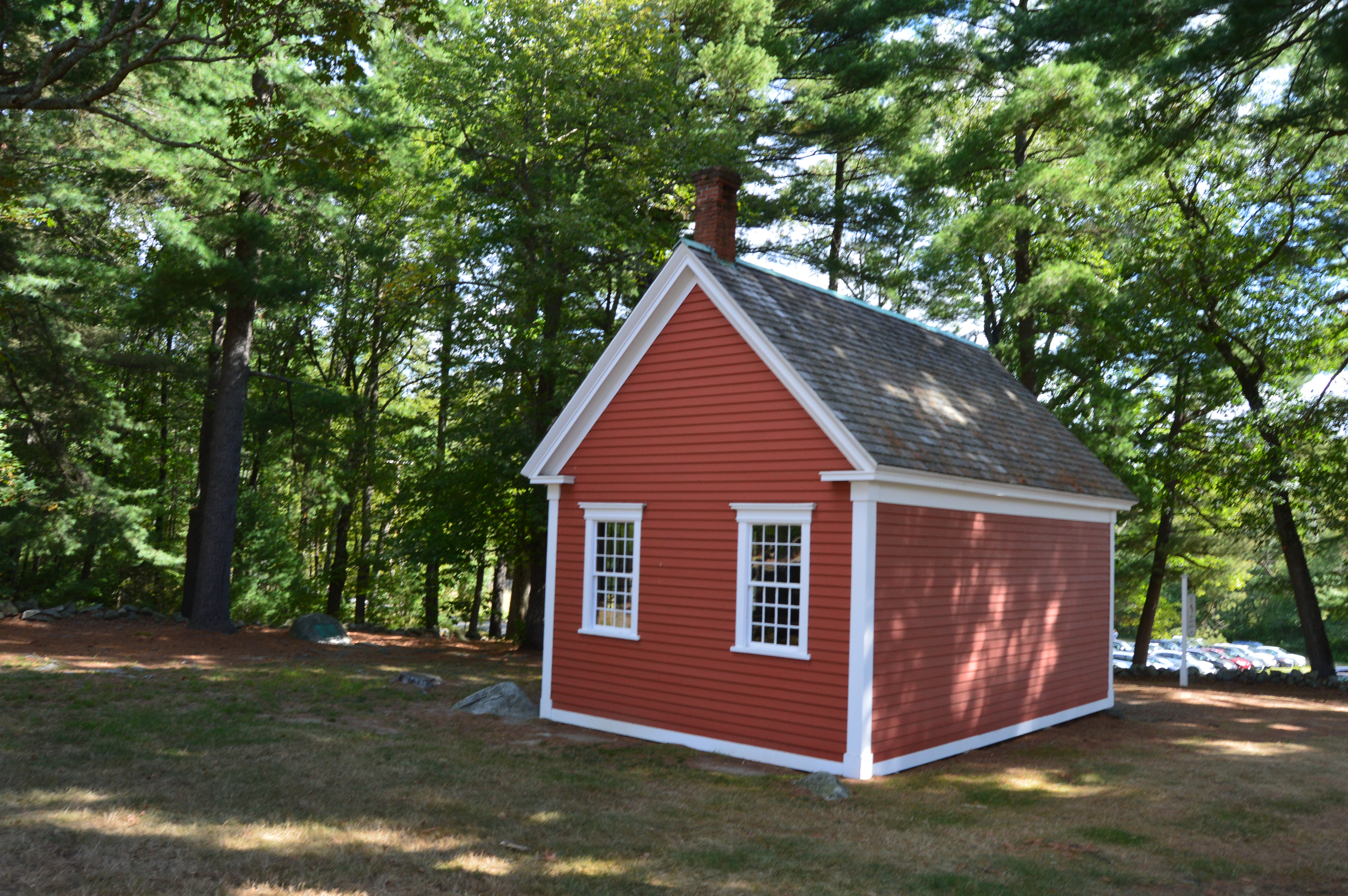
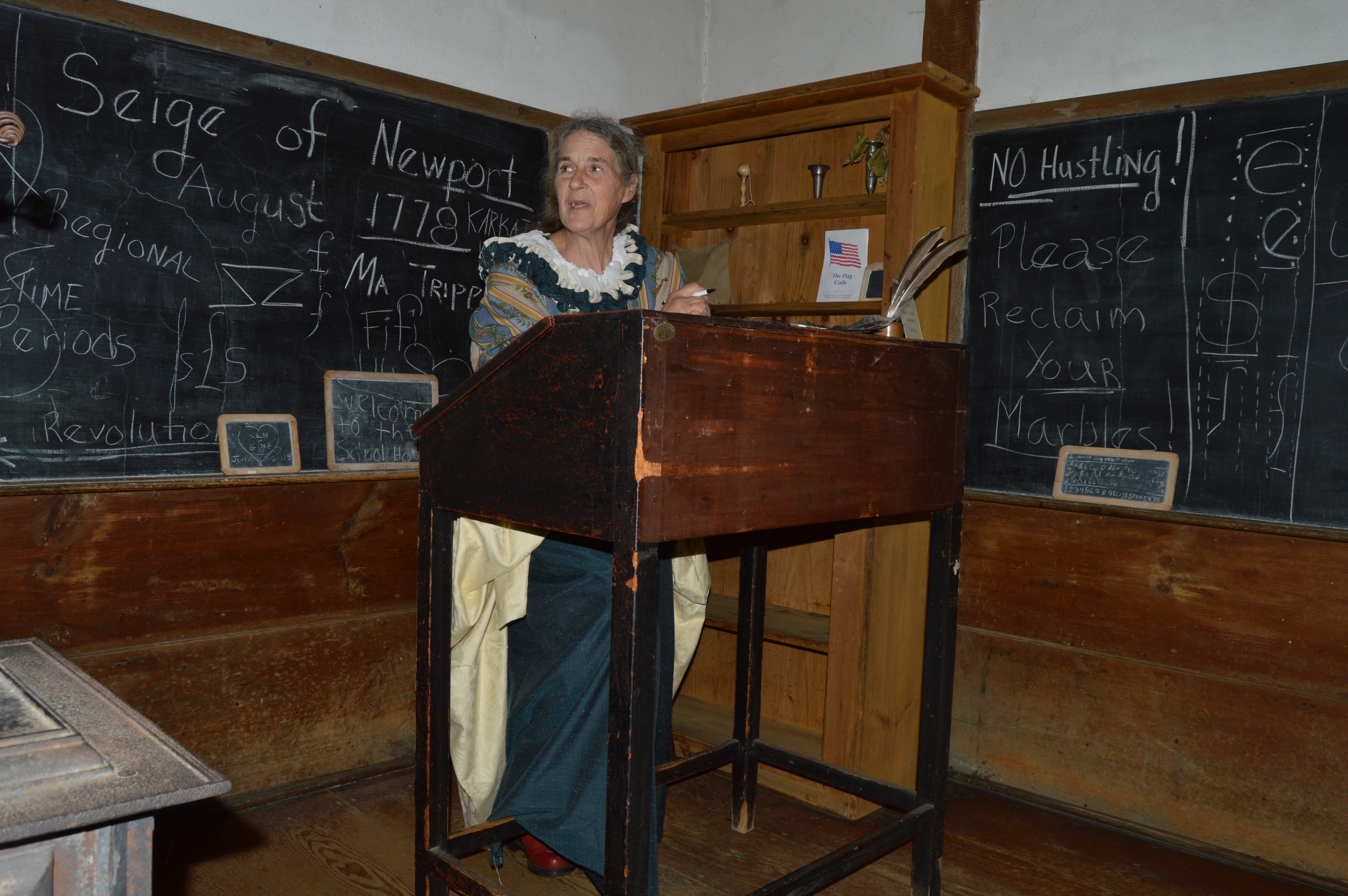
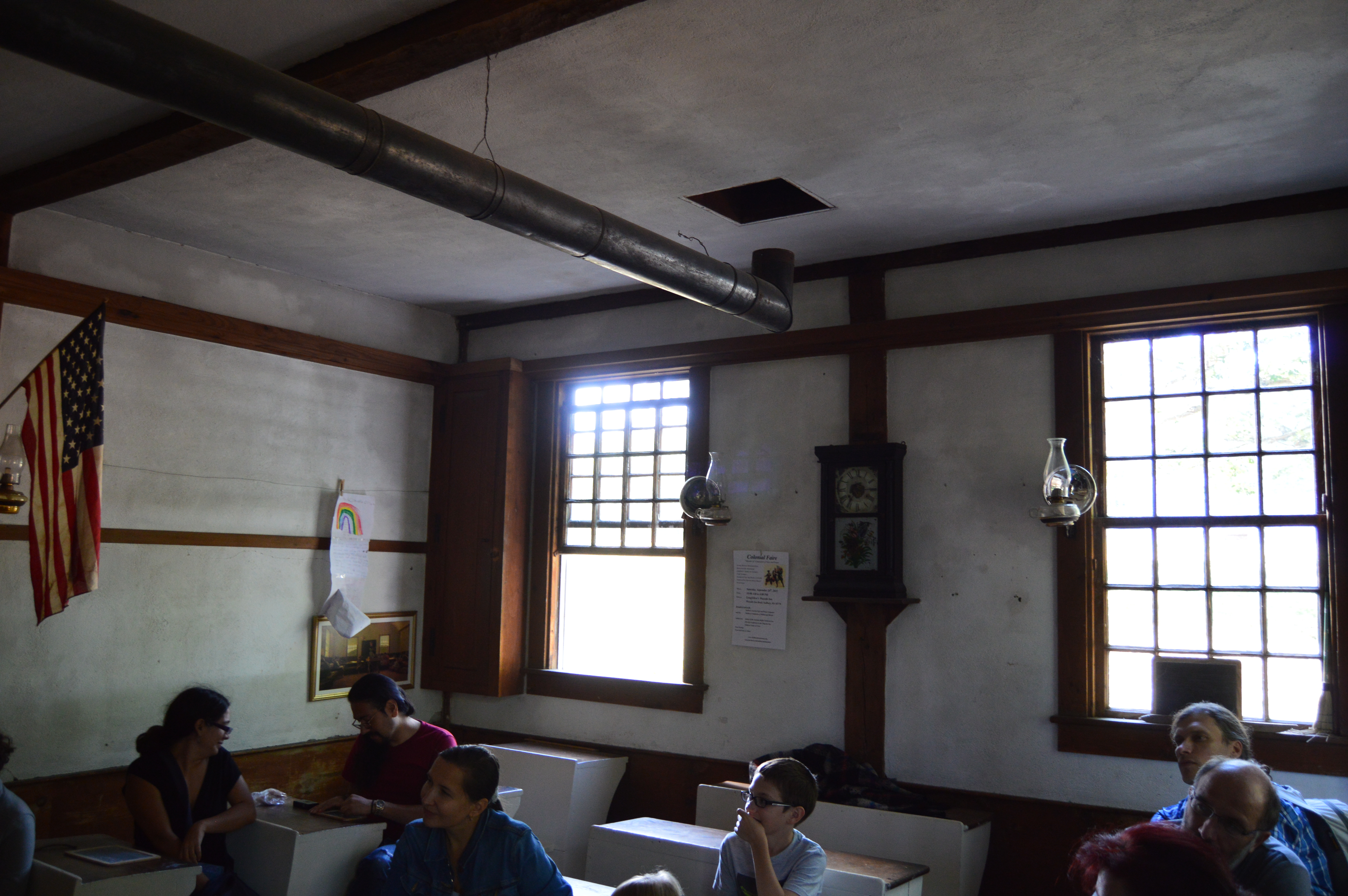
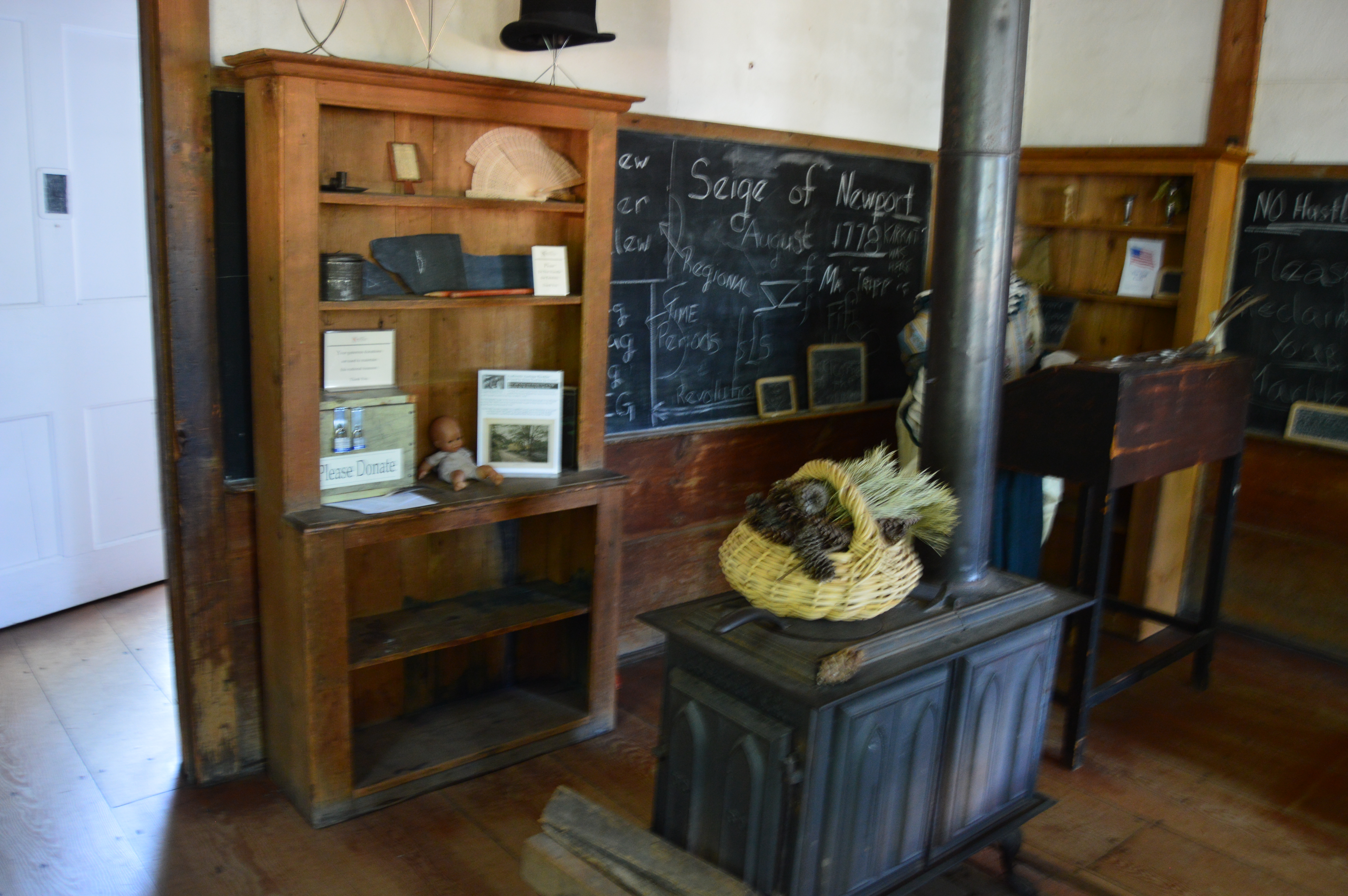
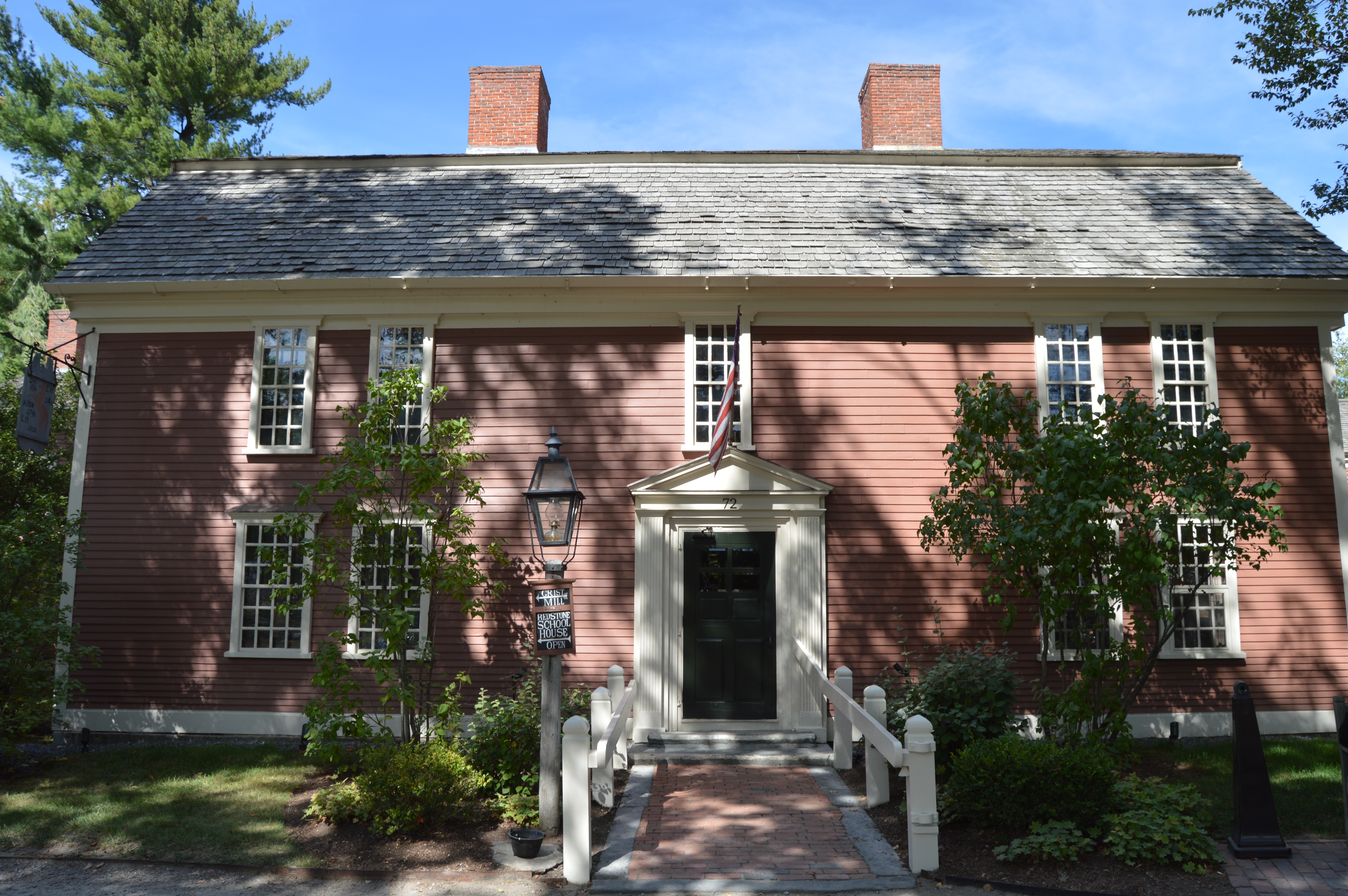
One of my favorite attractions is the schoolhouse. Ironic, because in the past I would avoid schools like they were the plague.
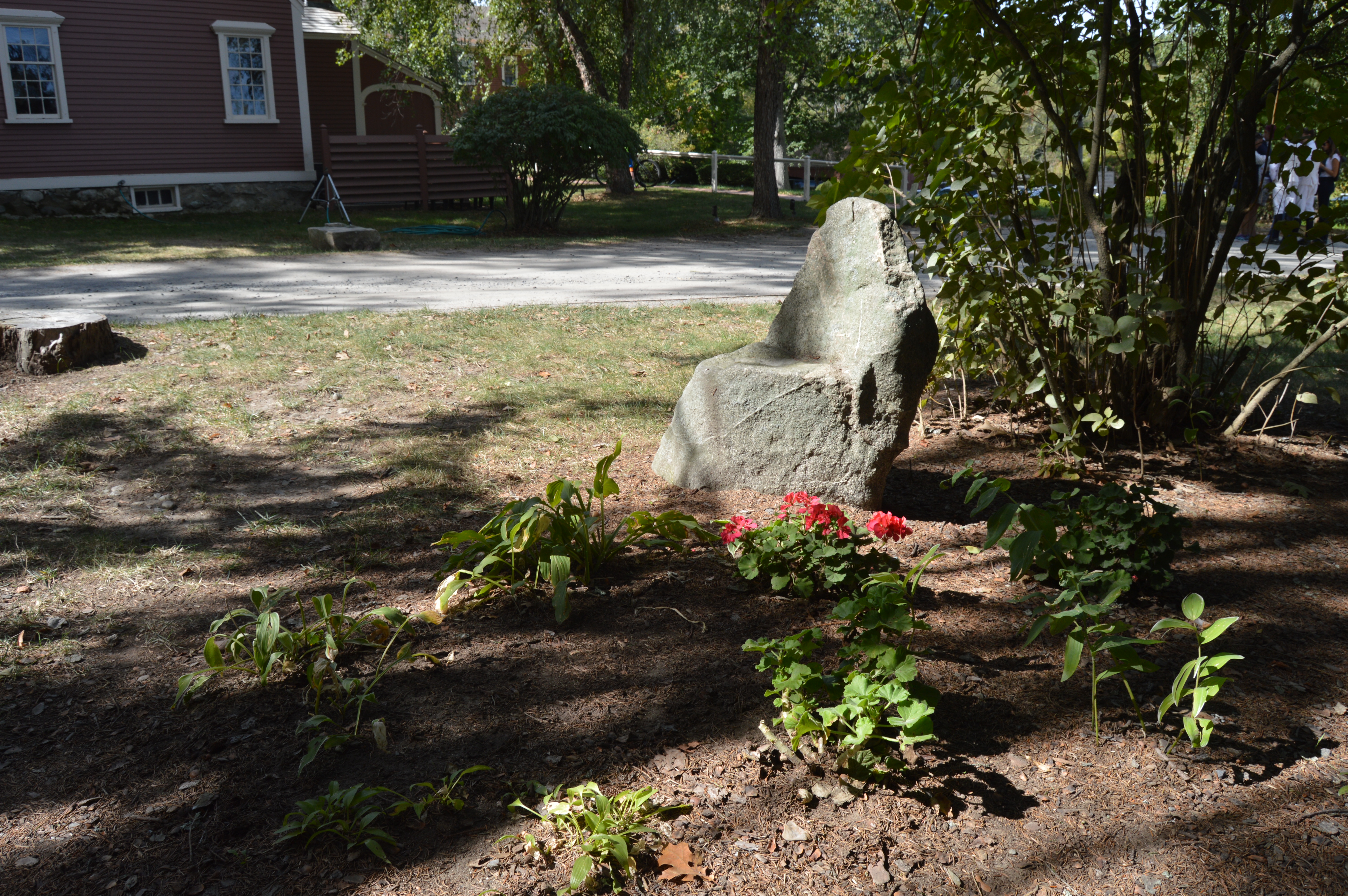
The teacher told an interesting story about how Mary Sawyer was the inspiration behind “Mary had a little lamb”. A stone outside the building bears the rhyme.
Another big attraction at the Wayside Inn is the Mary Martha Chapel with its gilded banner weather vane.
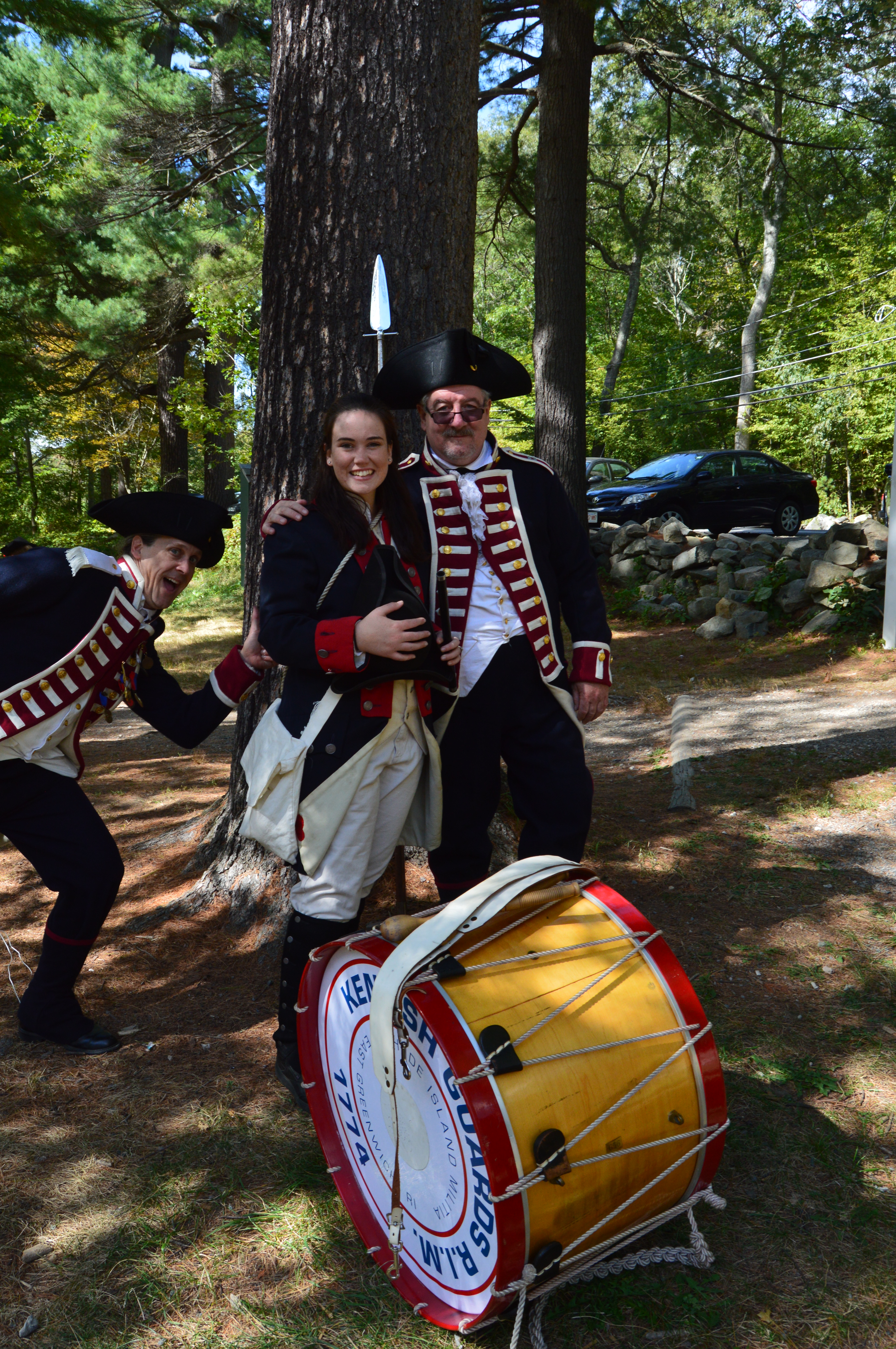
Every year, hundreds of reenactors come dressed in their best colonial era attire.
Despite being armed to the teeth, the only surprise attacks were the occasional Colonial era photo bombs.
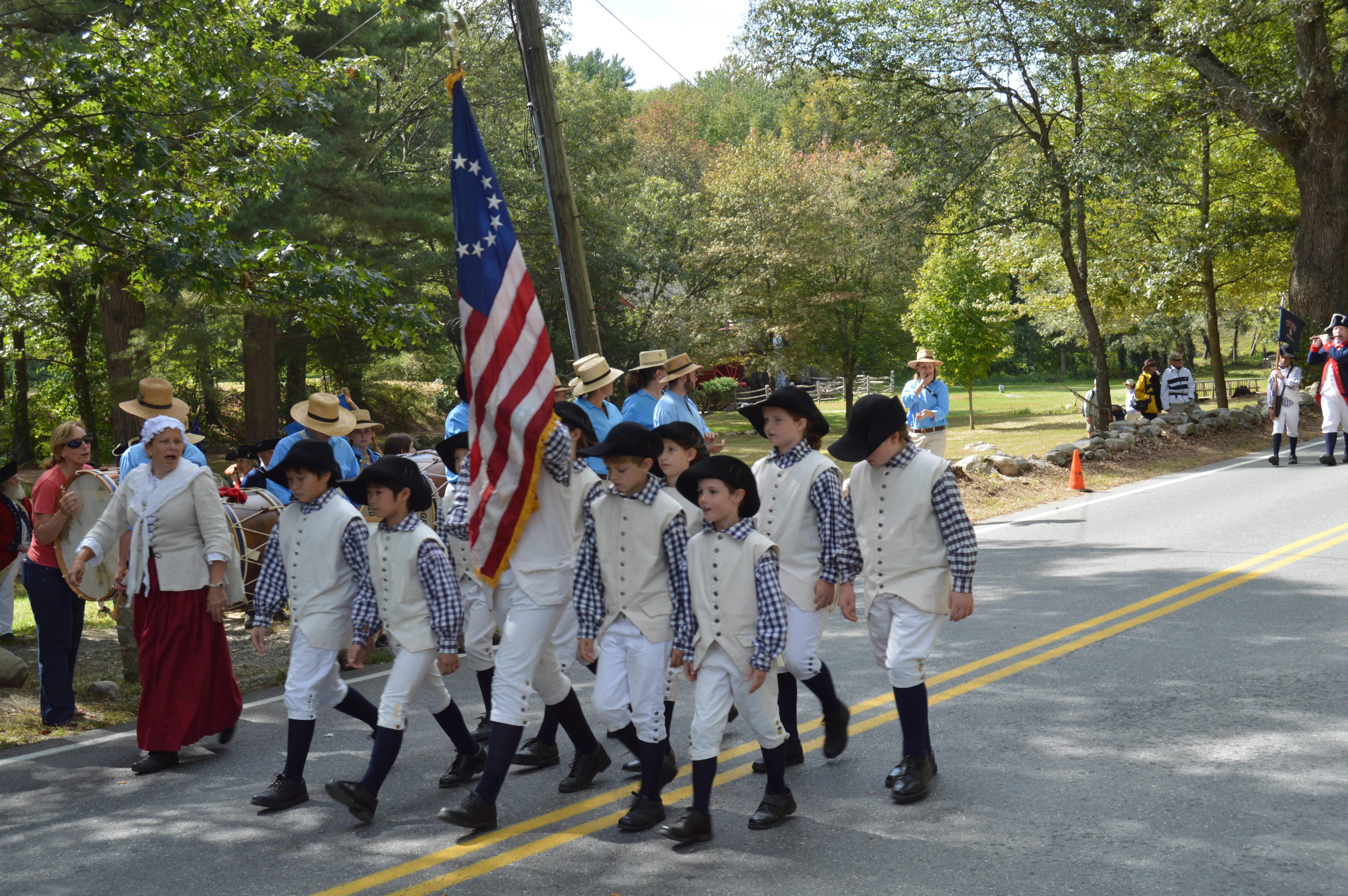
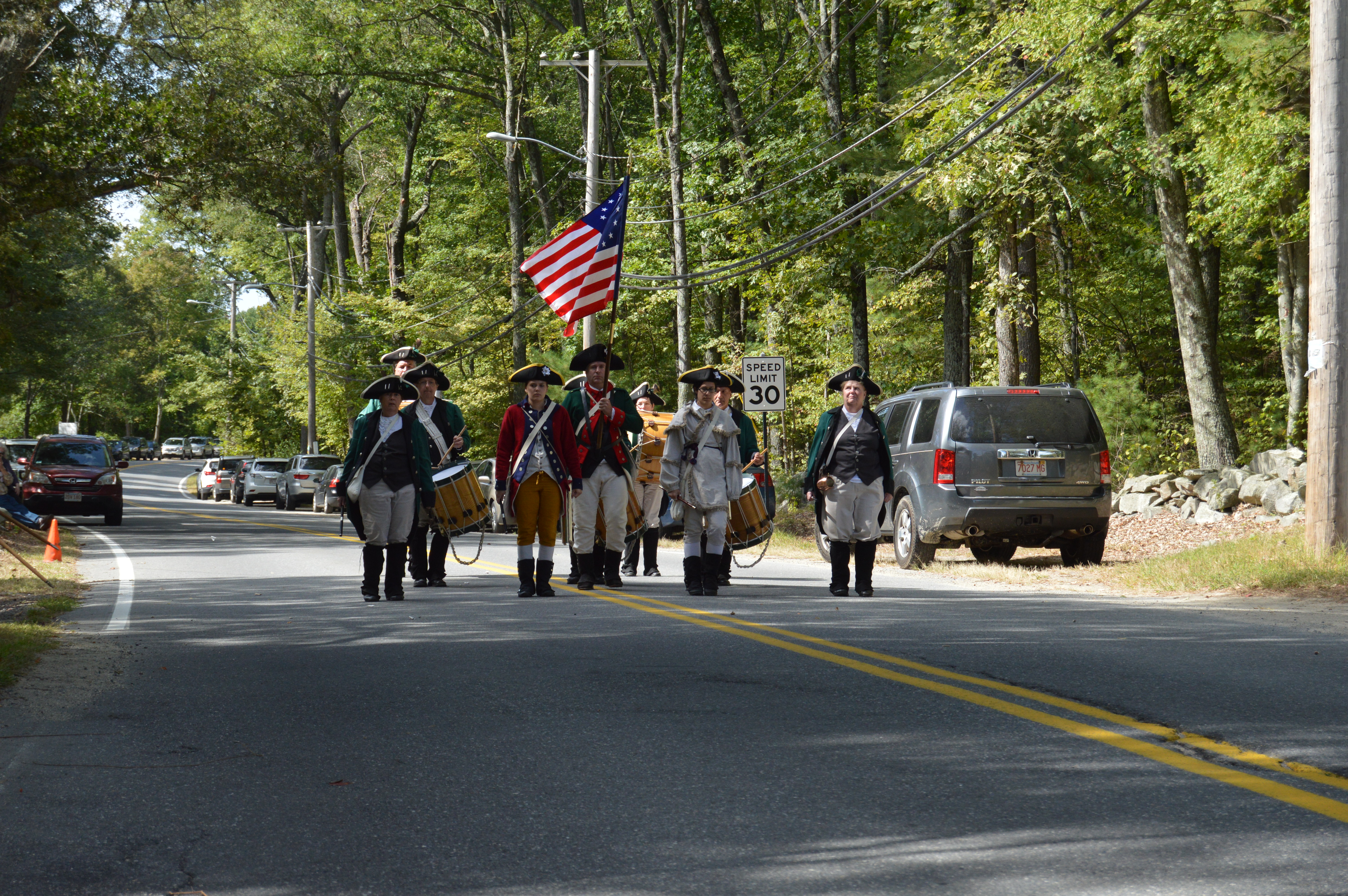
The highlight for the reenactors came when they all lined up on the main road and marched in their groups.
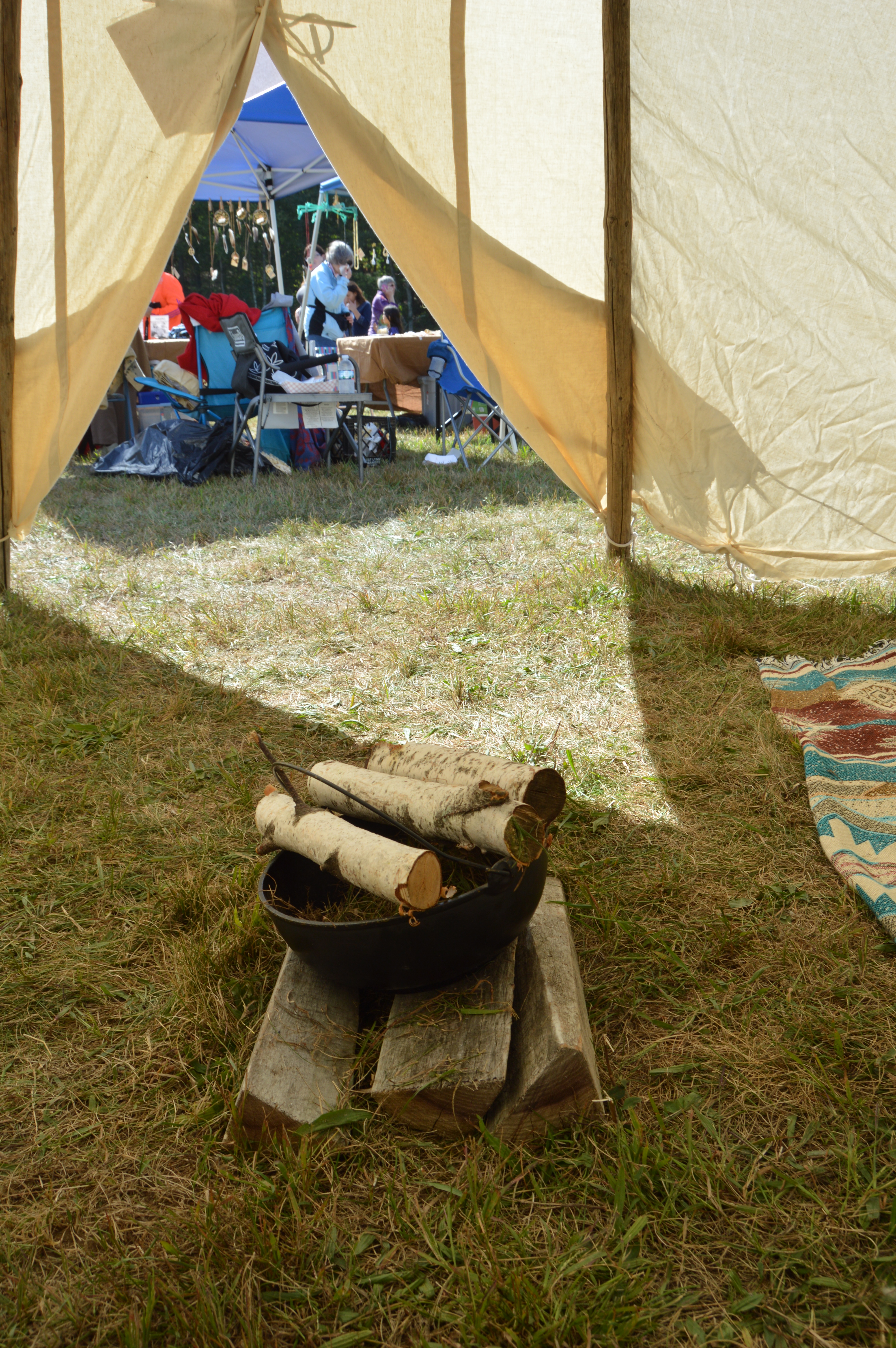
On the fairgrounds, there were tables where you can buy kettle corn, furs of unknown origin and other merchandise. There were also colonial soldiers, tents, tepees and entertainment.
The tepee was about as cozy as your average 2 bedroom apartment in the city.
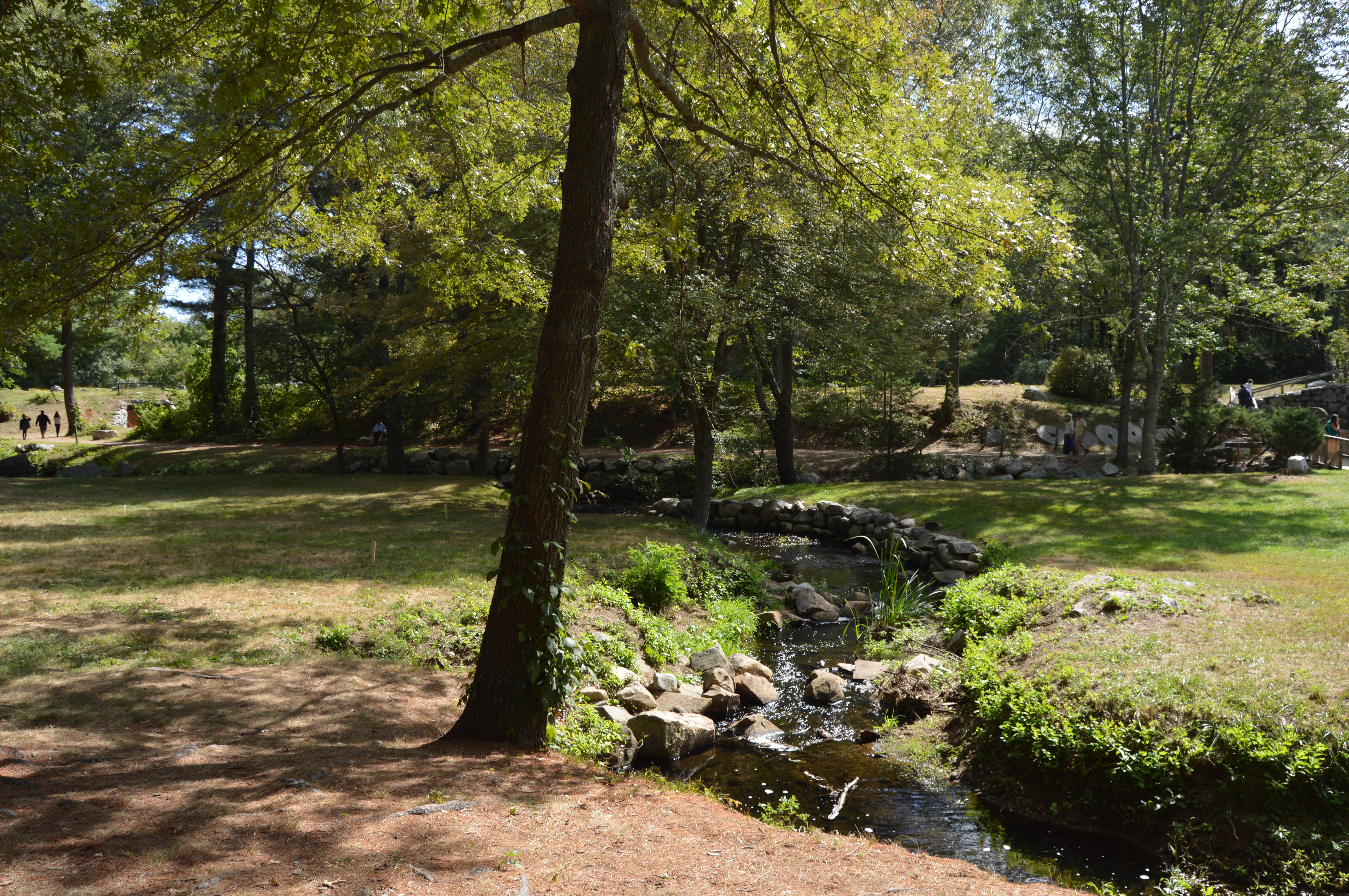
Even when the faire is not taking place, the grounds of the Wayside Inn are worthy of a photography shoot.
The Wayside Inn is a rustic building that hasn’t changed much.
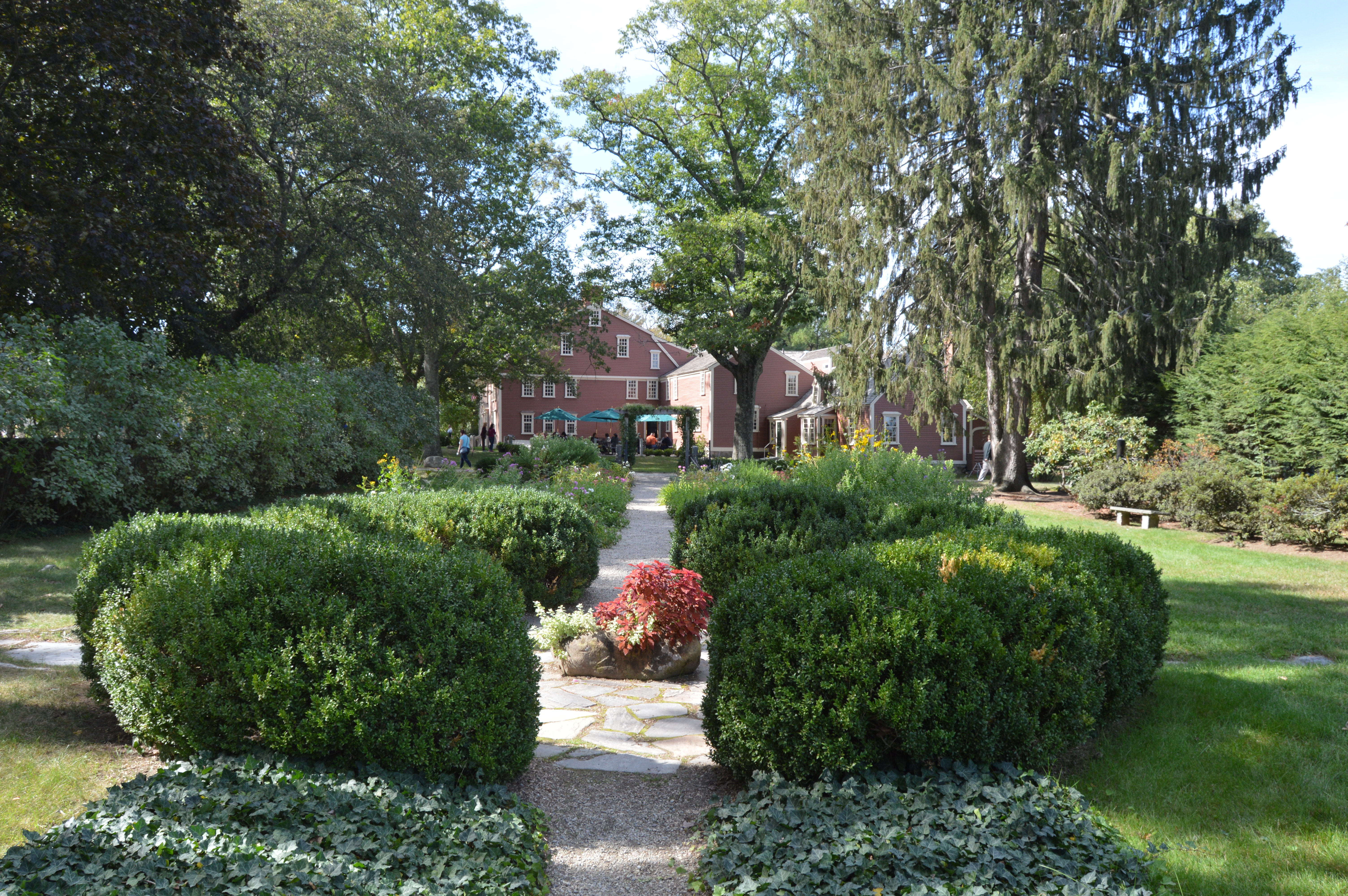
The wayside Inn also has an impressive garden. In the garden there is a bust of Longfellow.
And, of course, there were plenty of canine friends at the faire.
The last leg of our summer’s swan song at Cape Cod was spent at Waterfront Park in Woods Hole. Waterfront Park has several statues and sculptures. The most recent statue is a memorial to environmentalist Rachel Carson, the author of Silent Spring and the Sea Around Us. Both books are considered influential books in the environmentalist movement. Carson had worked with Marine Biological Laboratory (MBL) which is located in Woods Hole.
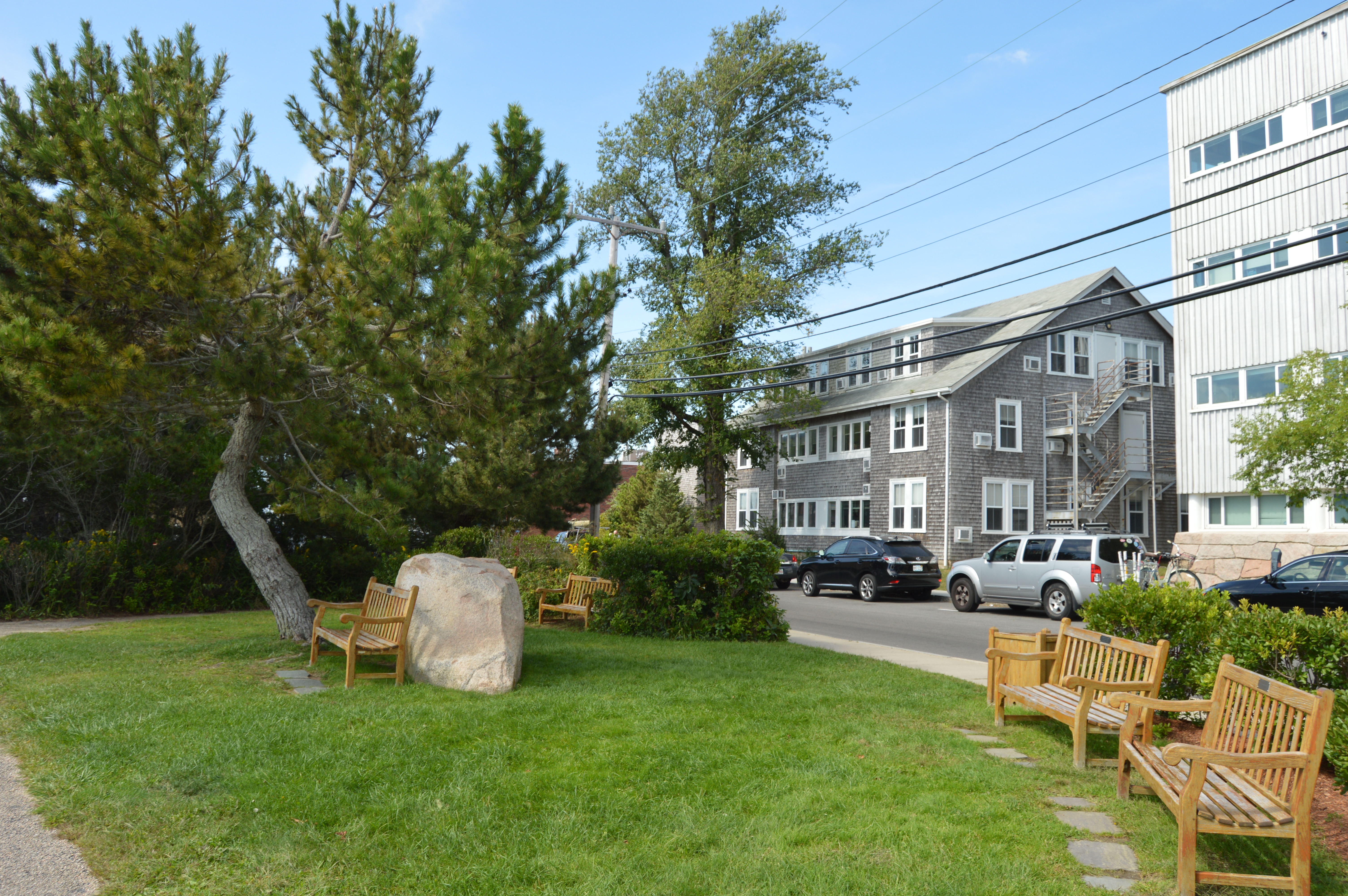
The waterfront also has a shaded sitting area for the weary traveler to rest their bones.
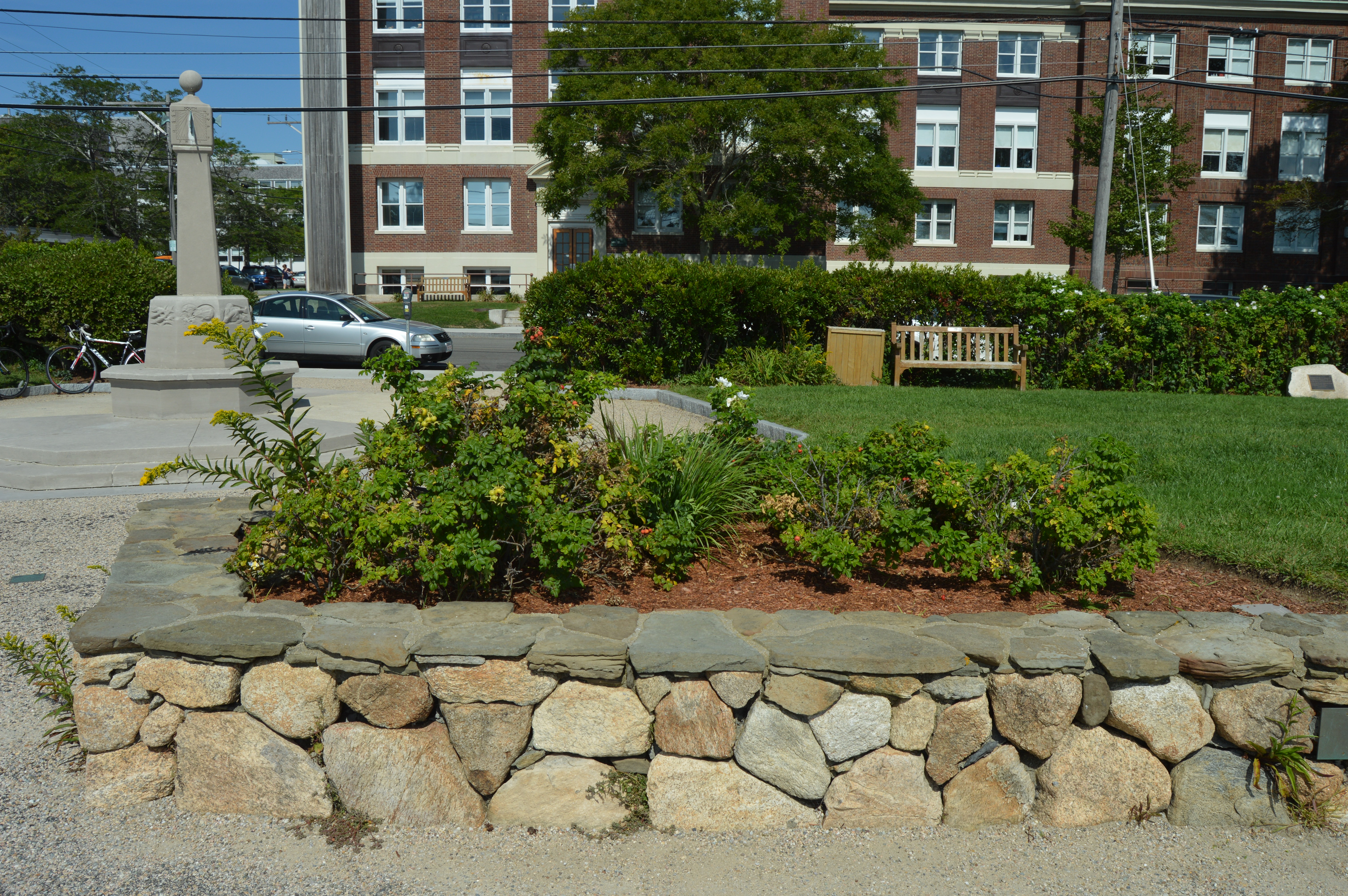
There is also a sun dial statue dedicated to Robert Crane, one of the original financial supporters of the Woods Hole Oceanographic Institution. The sun dial was constructed so that you could tell what time it is from any direction. And, yes, it is accurate. A somewhat elaborate explanation is included on the ground in front of the sun dial.
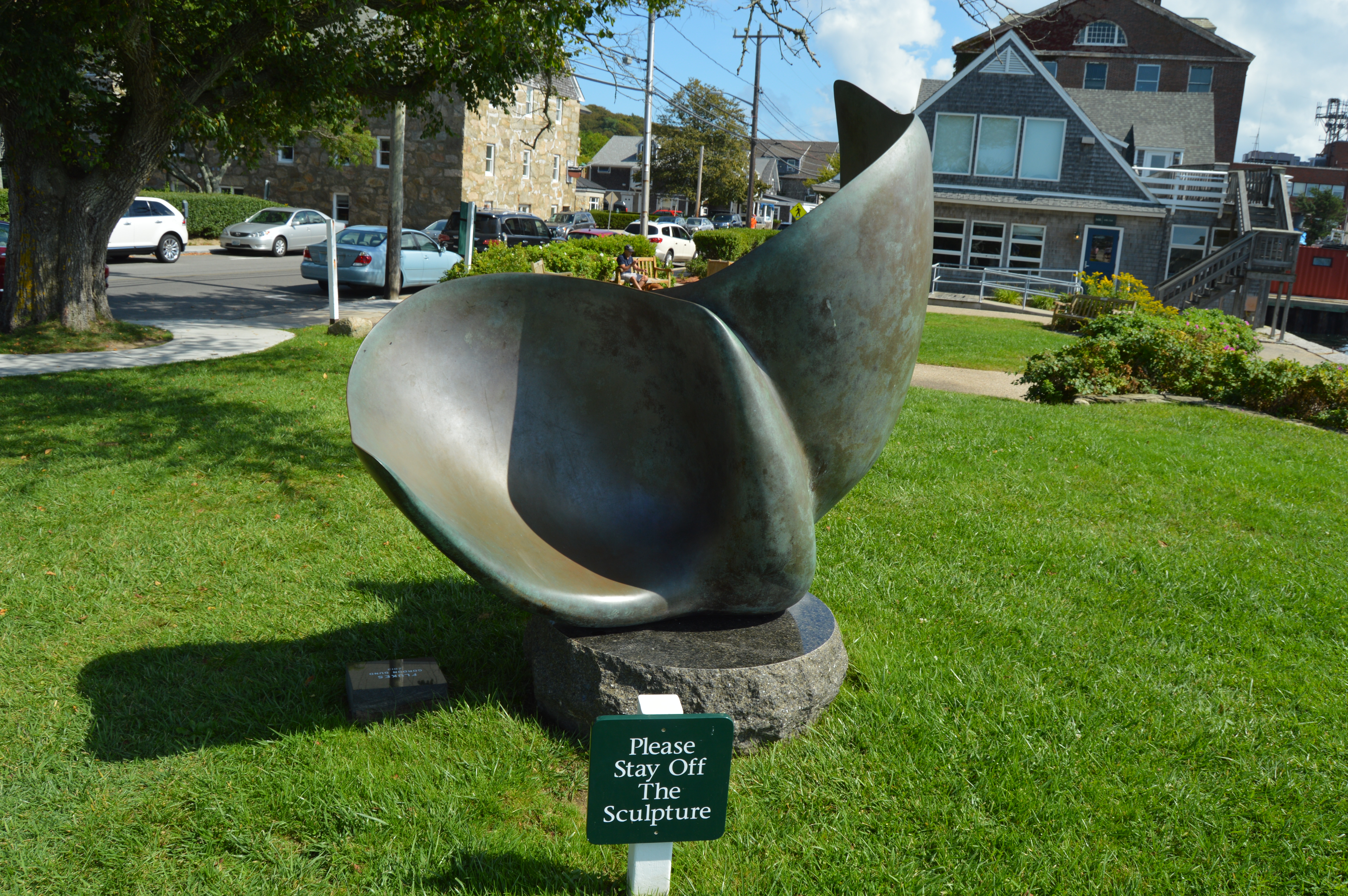
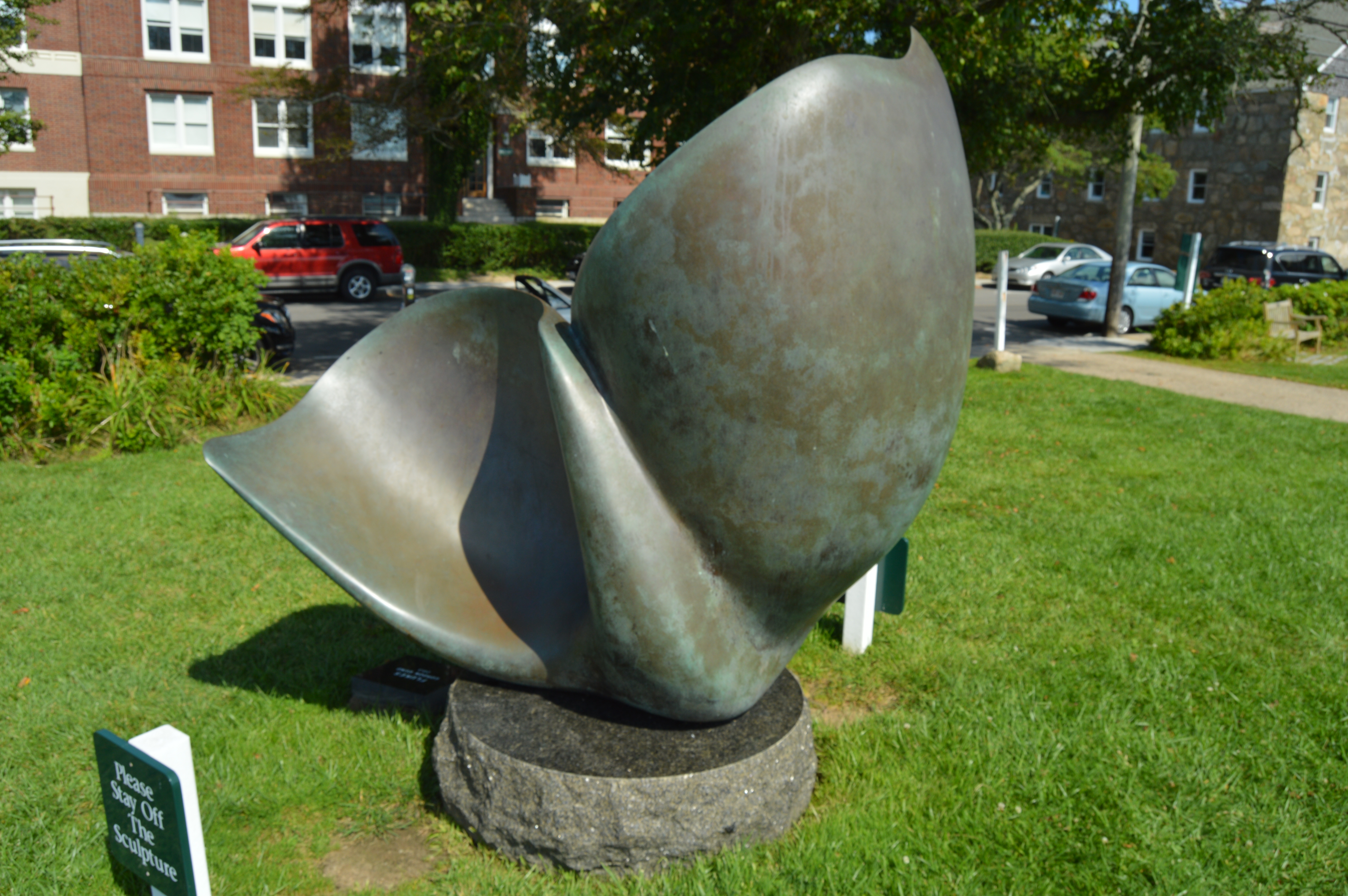
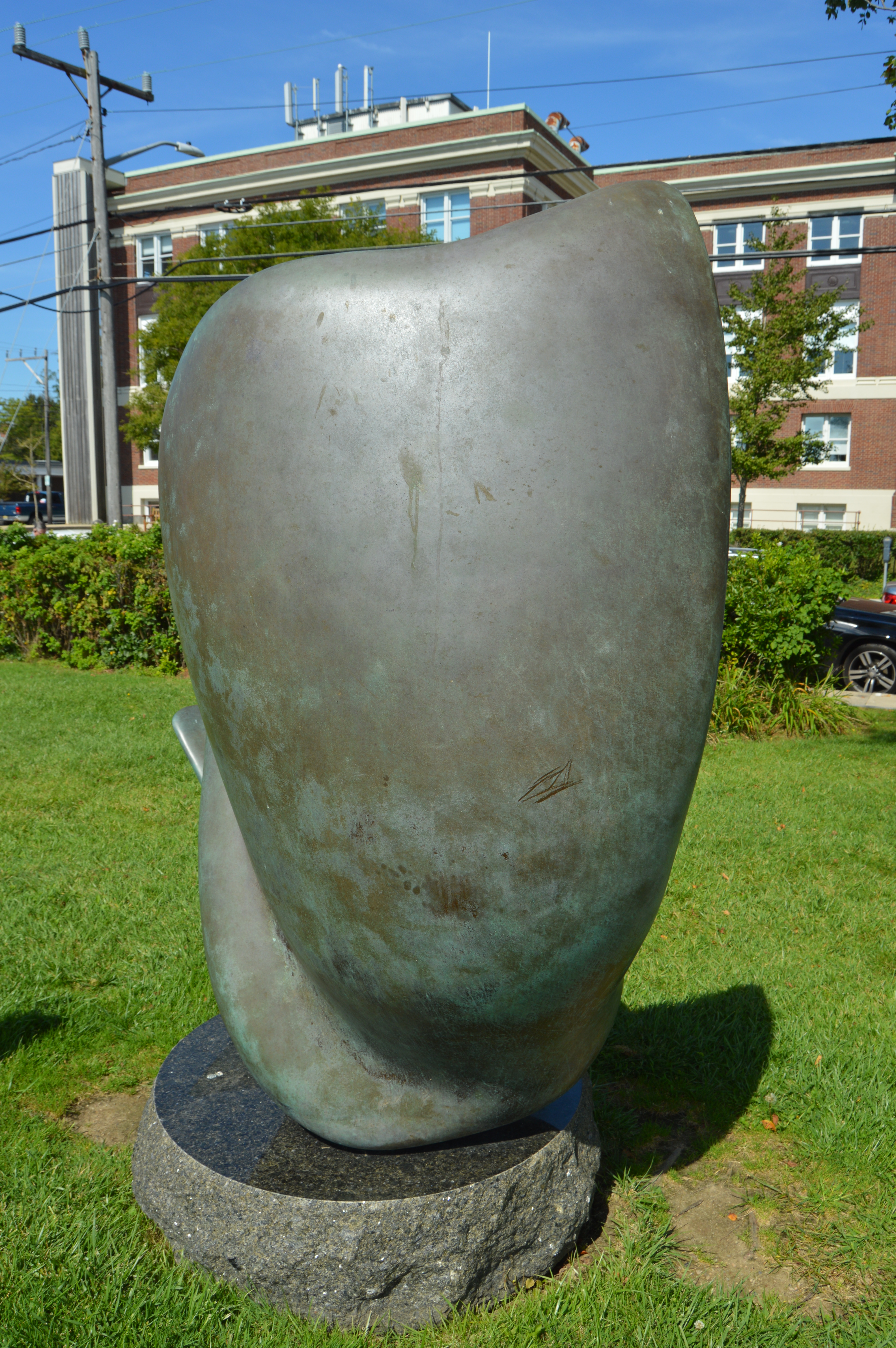
The “Flukes” is a bronze sculpture by Gordon Gund. Gund, a successful businessman, was inspired to sculpt The Flukes after seeing pilot whales off the coast. It looks like more of a slide or play thing which explains the sign in front of the sculpture. I suspect it is not much of a deterrent.
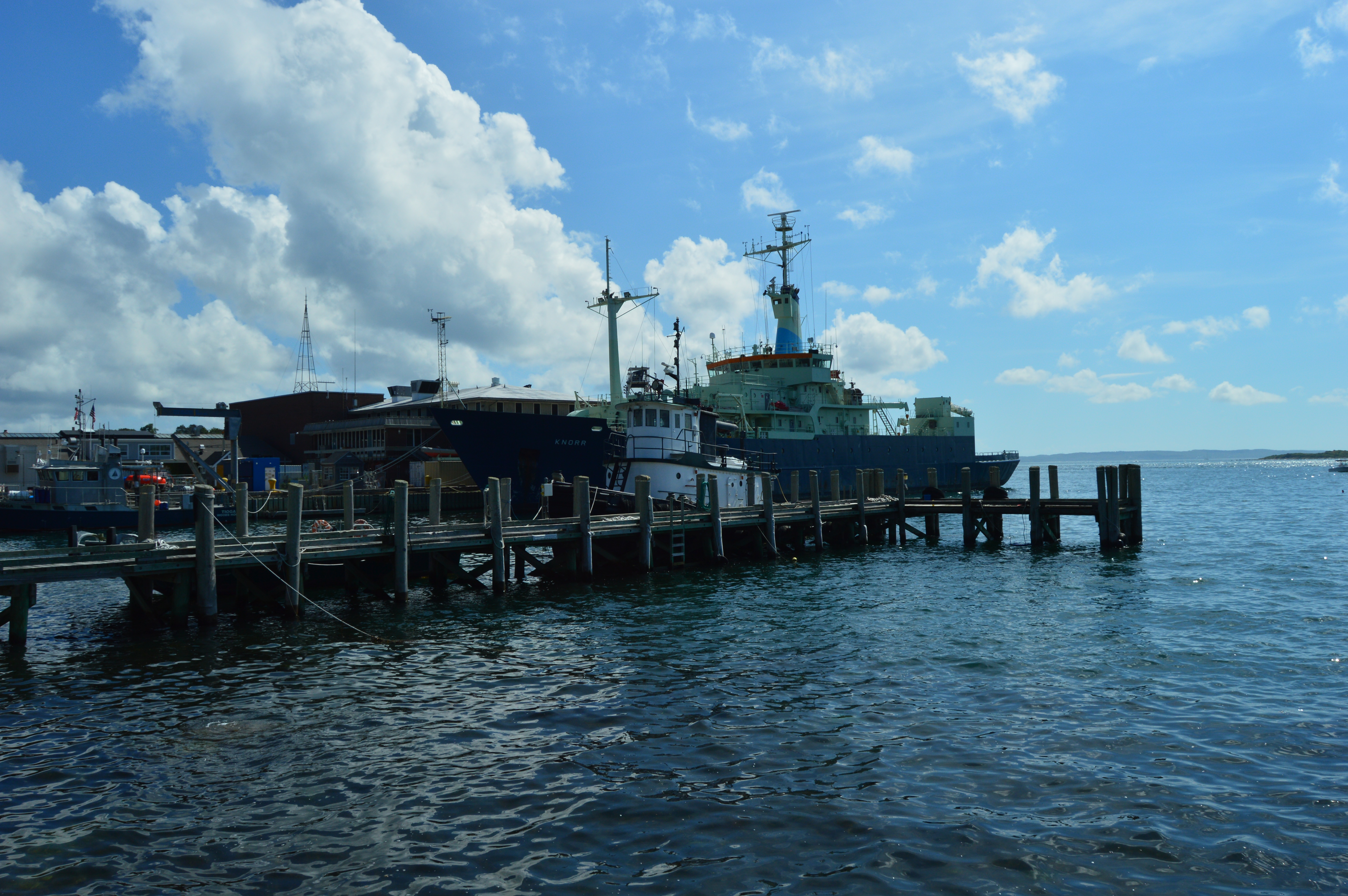
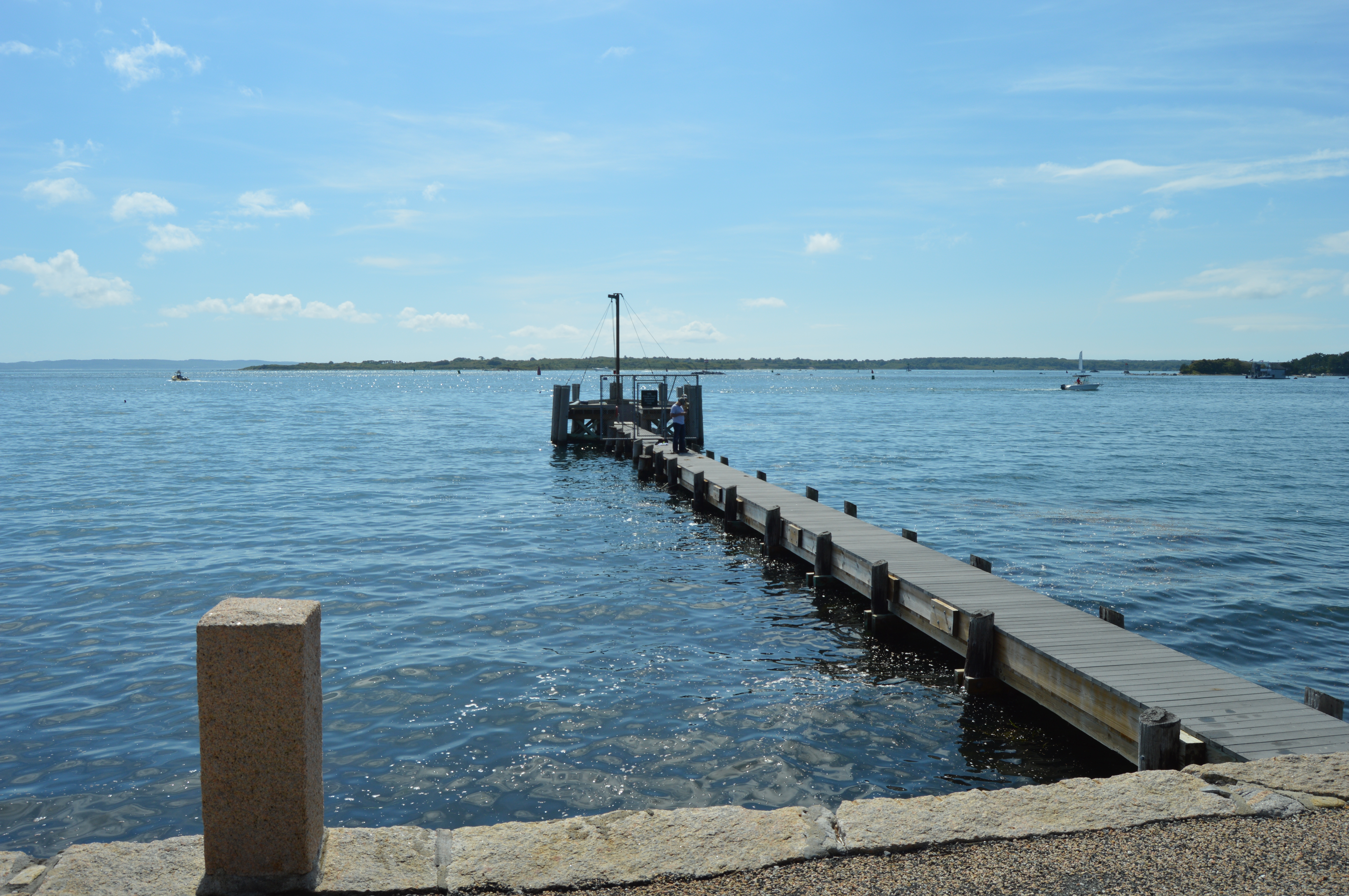
The Waterfront is also the main point of embarkment for the ferry to the islands of Cape Cod, mainly Nantucket and Martha’s Vineyard.
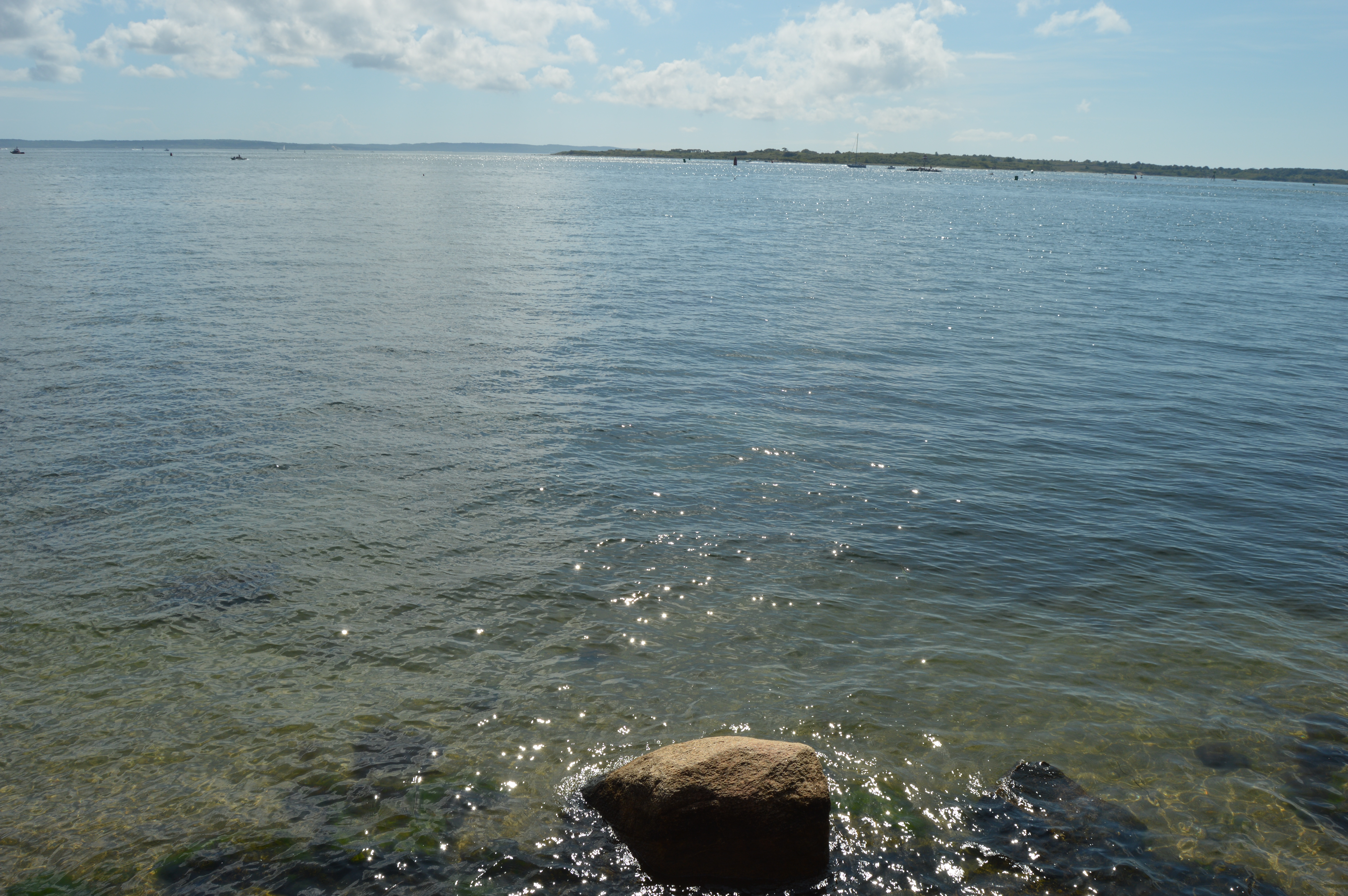
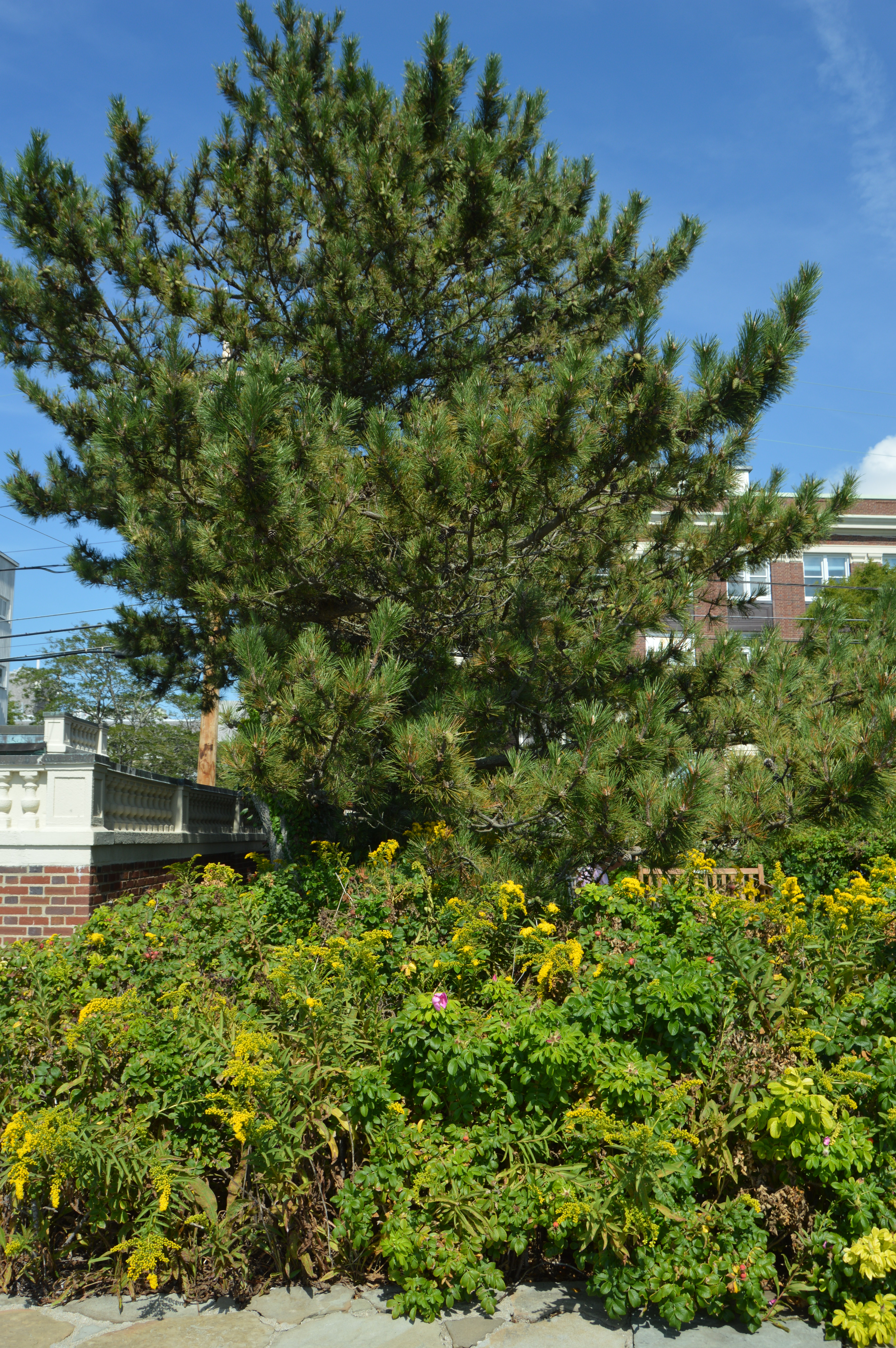
The waterfront also has some pretty views of the water and pretty flowers.
The waterfront park is also known for its friendly visitors. I met this friendly guy named Charlie as I was leaving.
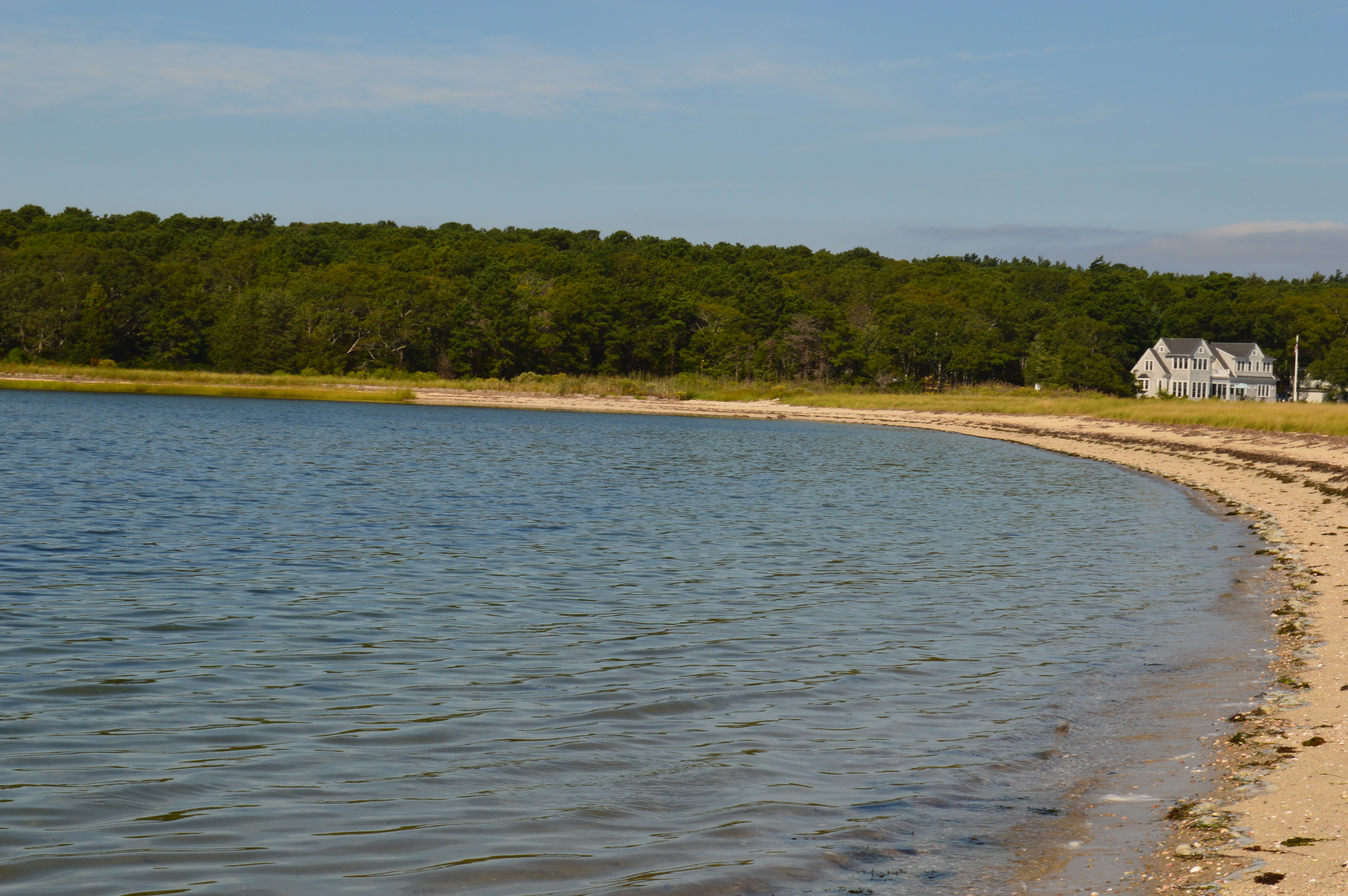
After a short stay at Scraggy Neck, it was time for our next stop on our Cape Cod Farewell Summer trip.
Our next destination was the Nobska Beach in the quaint village of Woods Hole in Falmouth, Massachusetts. The Nobska area is so pretty and there are so many attractions because of its sheer beauty, I decided cover the Nobska area in two separate blogs.
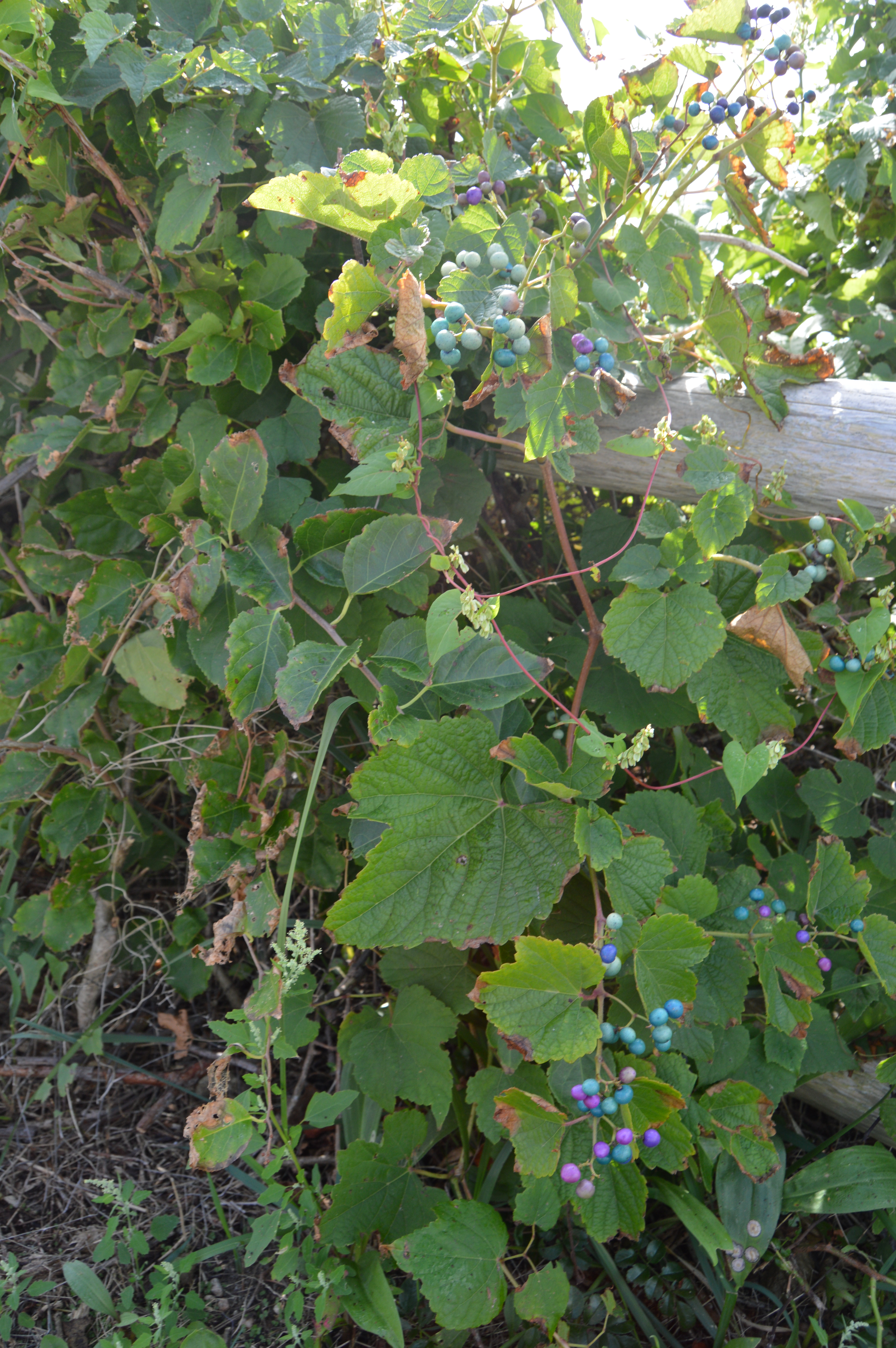
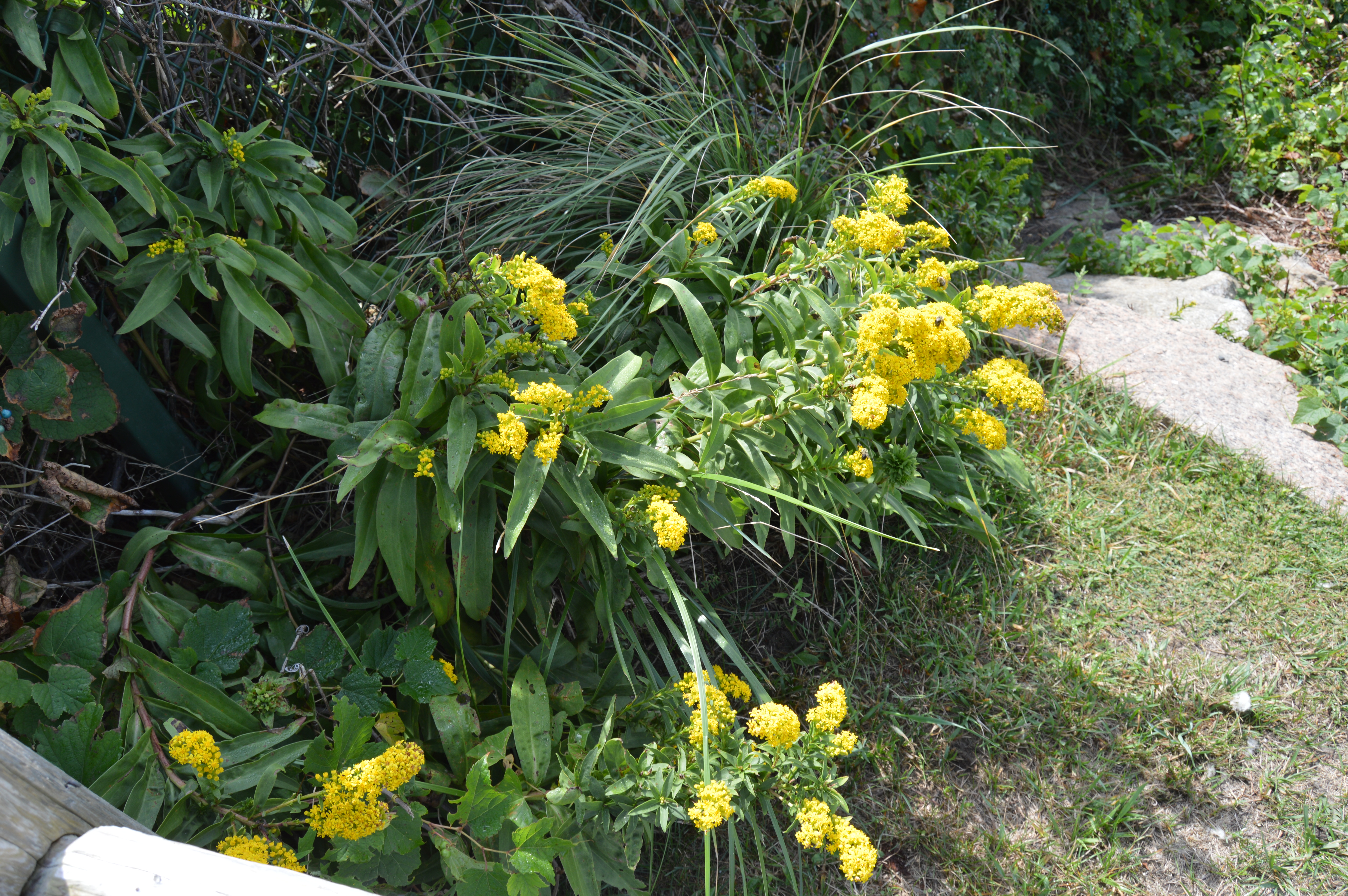
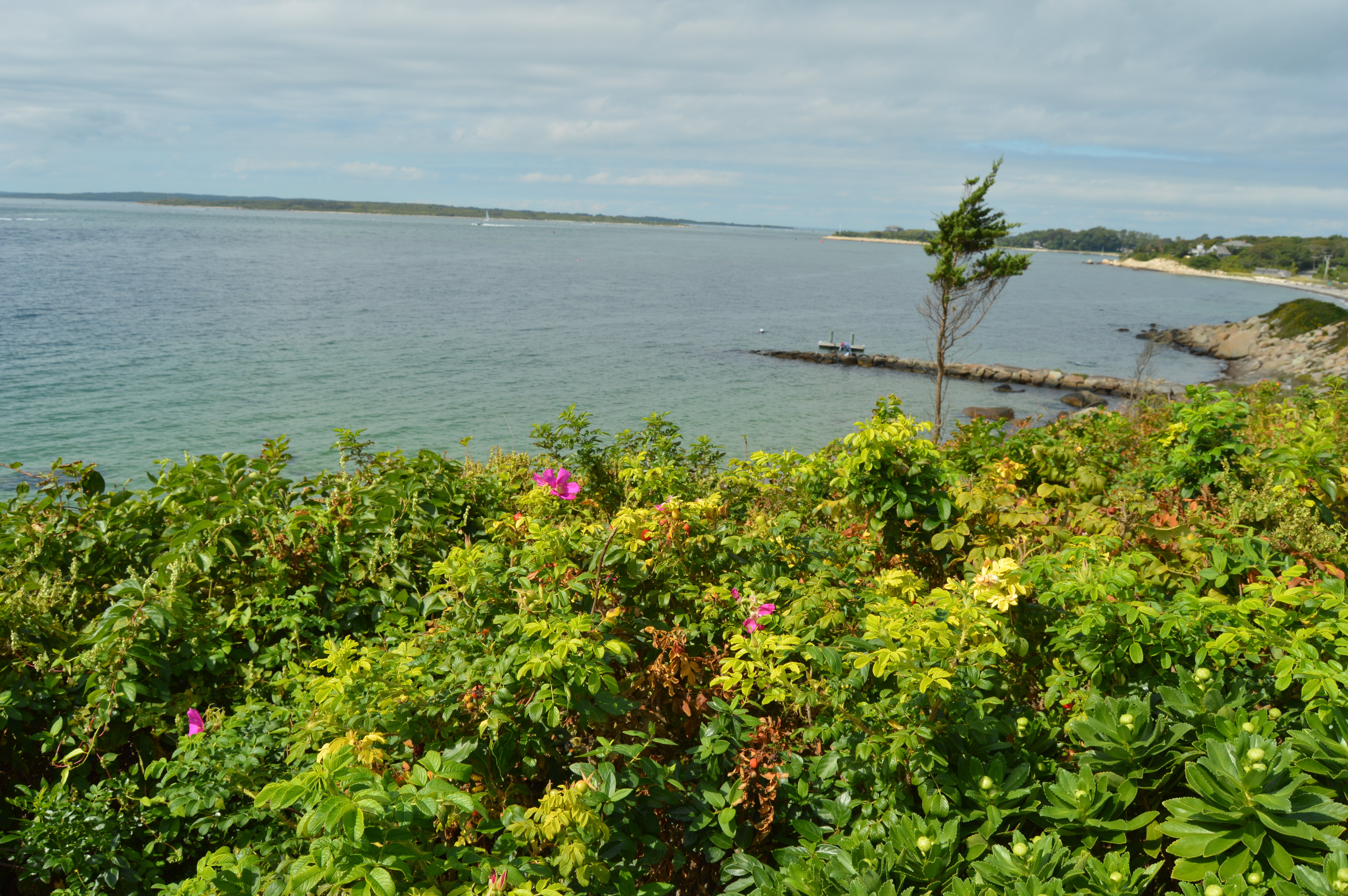
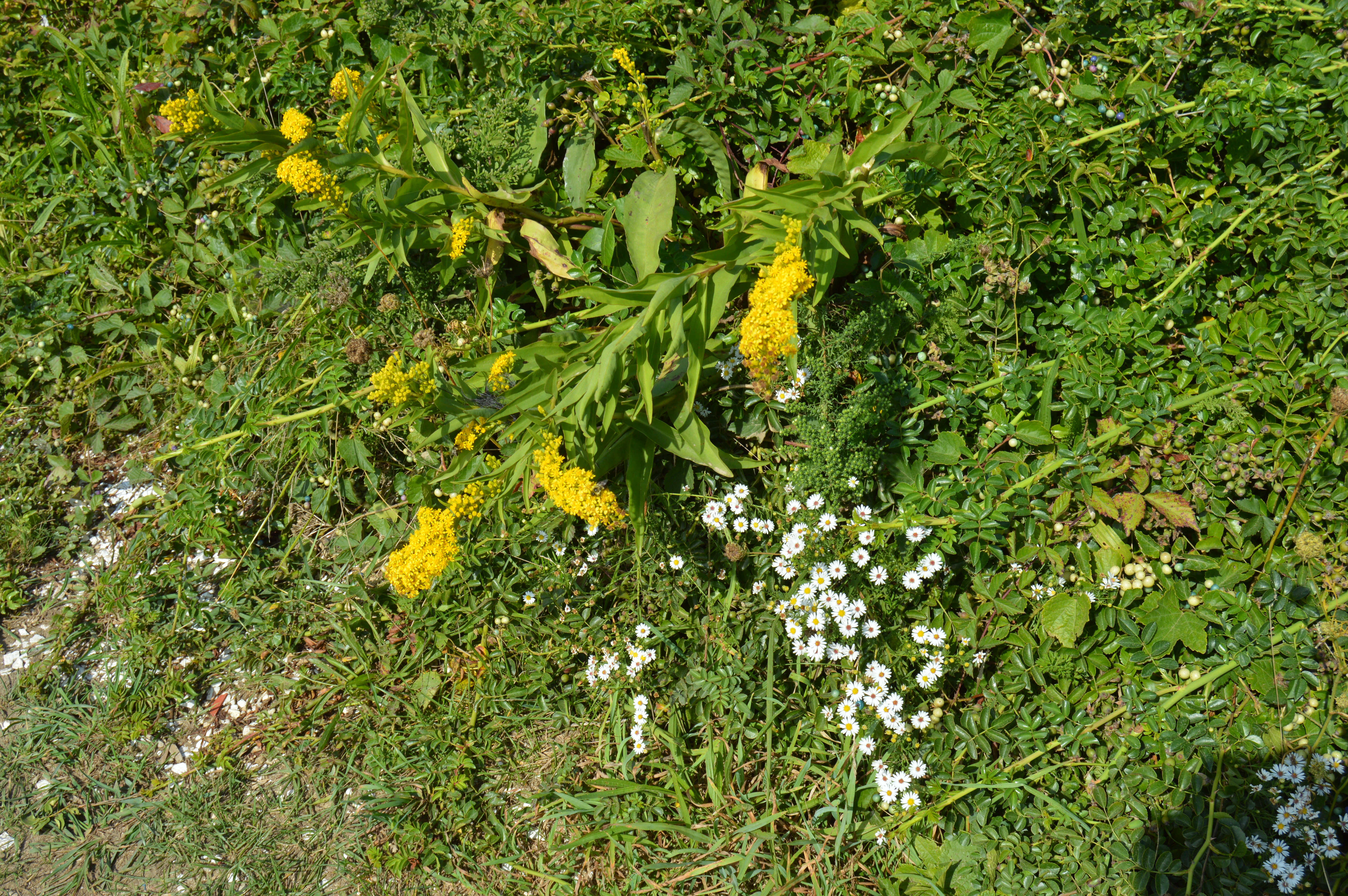
The first thing that stands out at Nobska beach are the array of flowers and the makeshift trails at the beach (that and the lack of parking). The only parking available is on the side of the road along the beach and a scant few spots in front of the light house (I’ll be posting photos of the light house in the second part of the Nobska photo blogs).
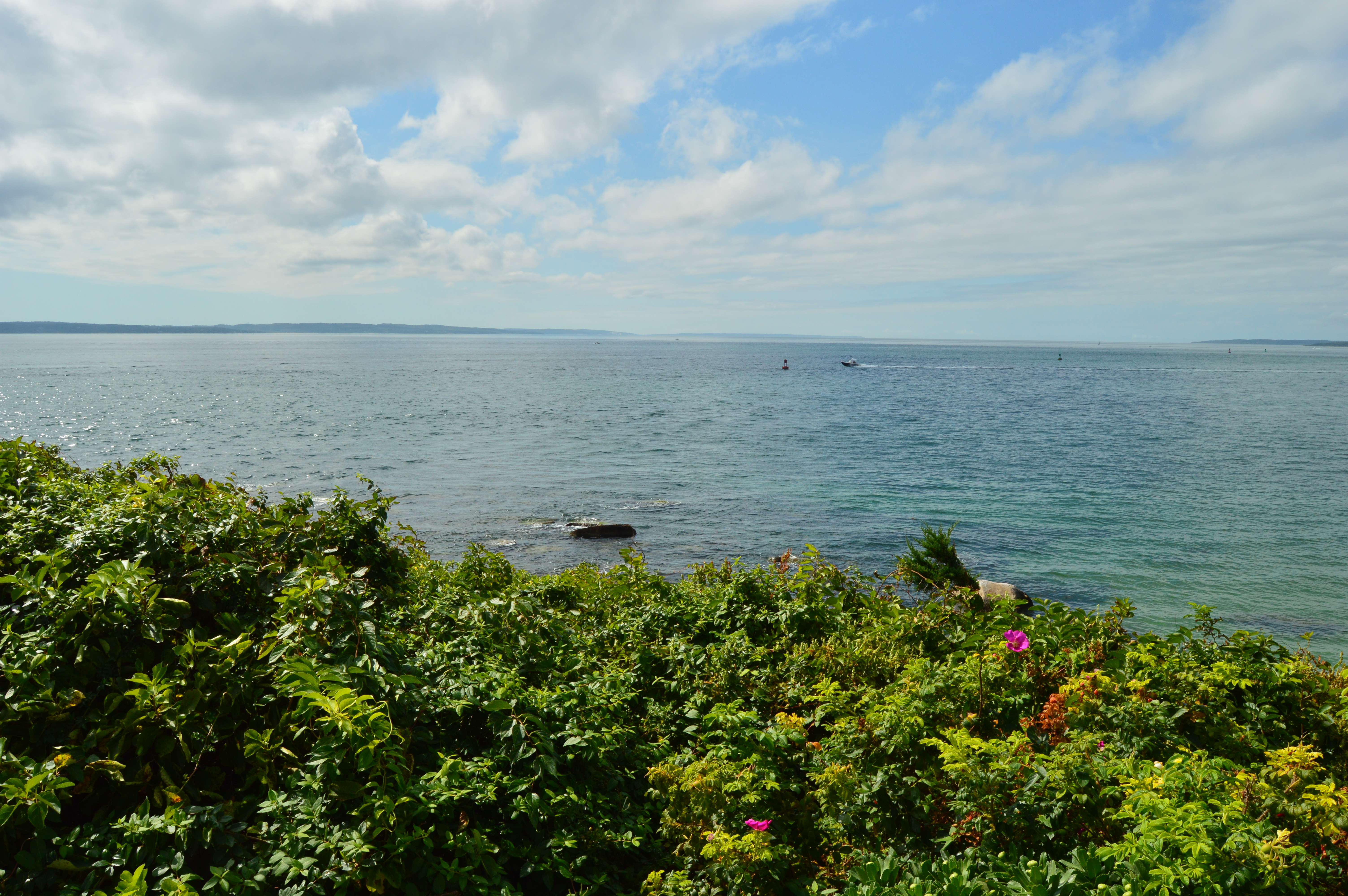
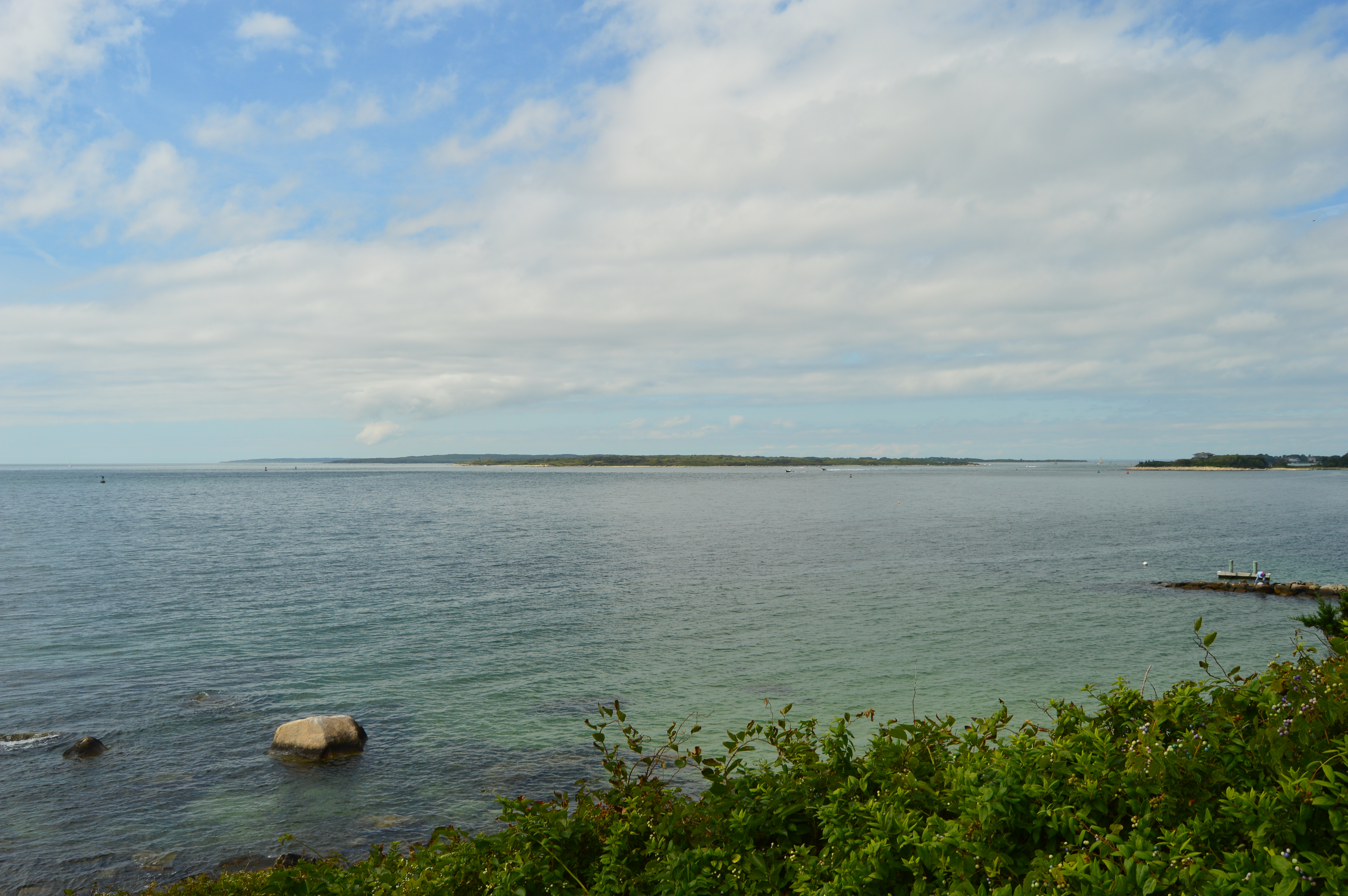
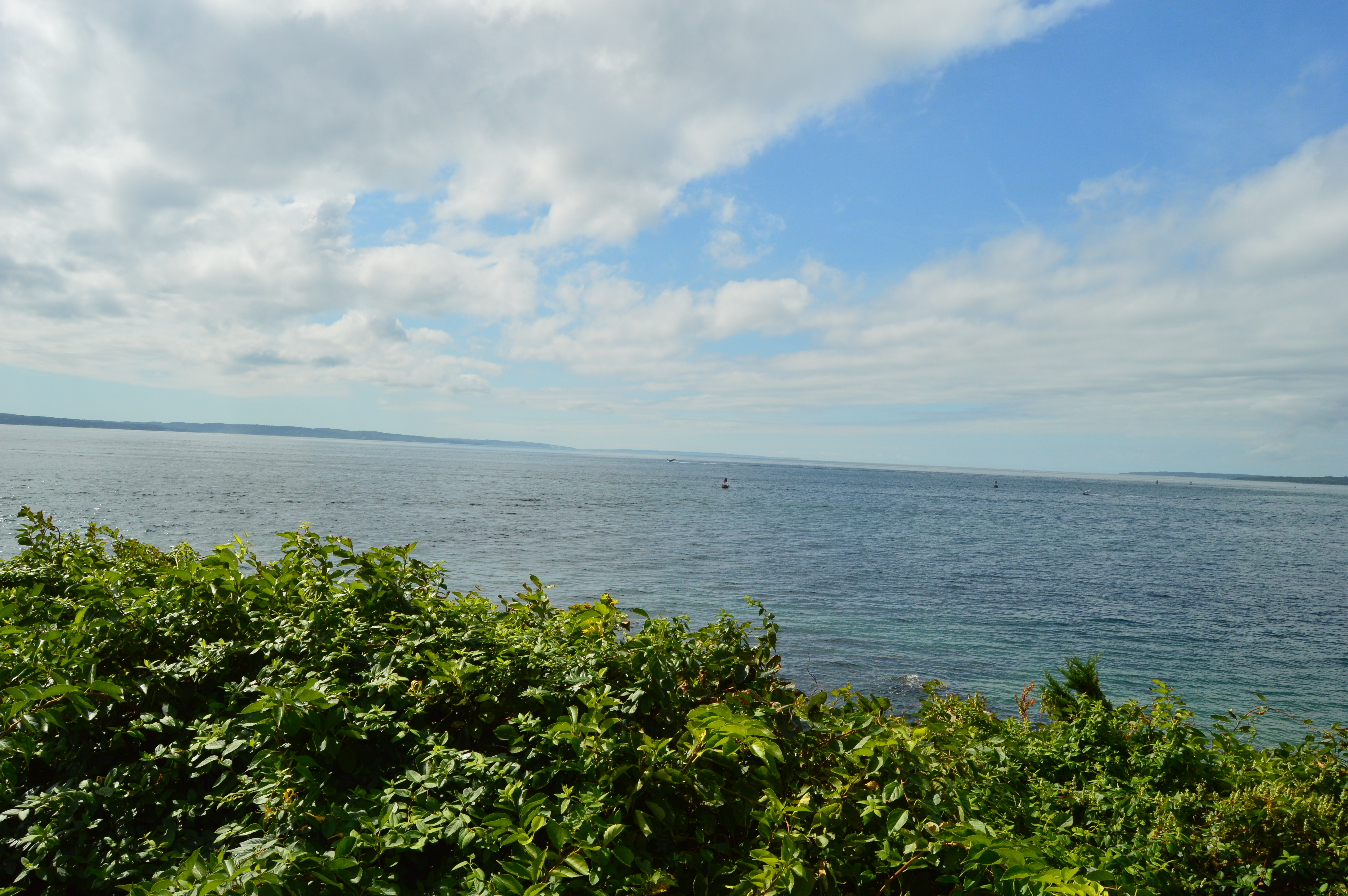
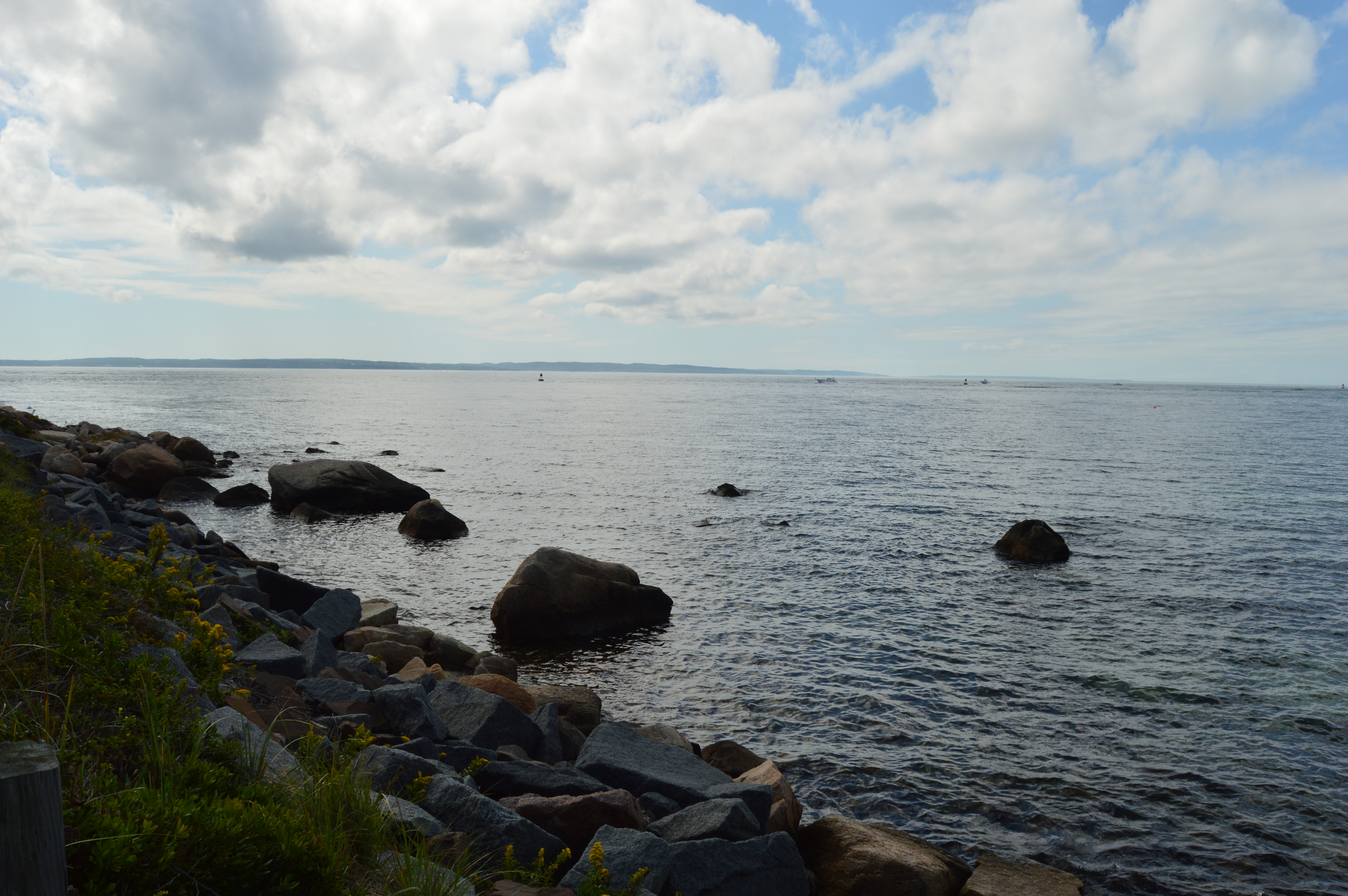
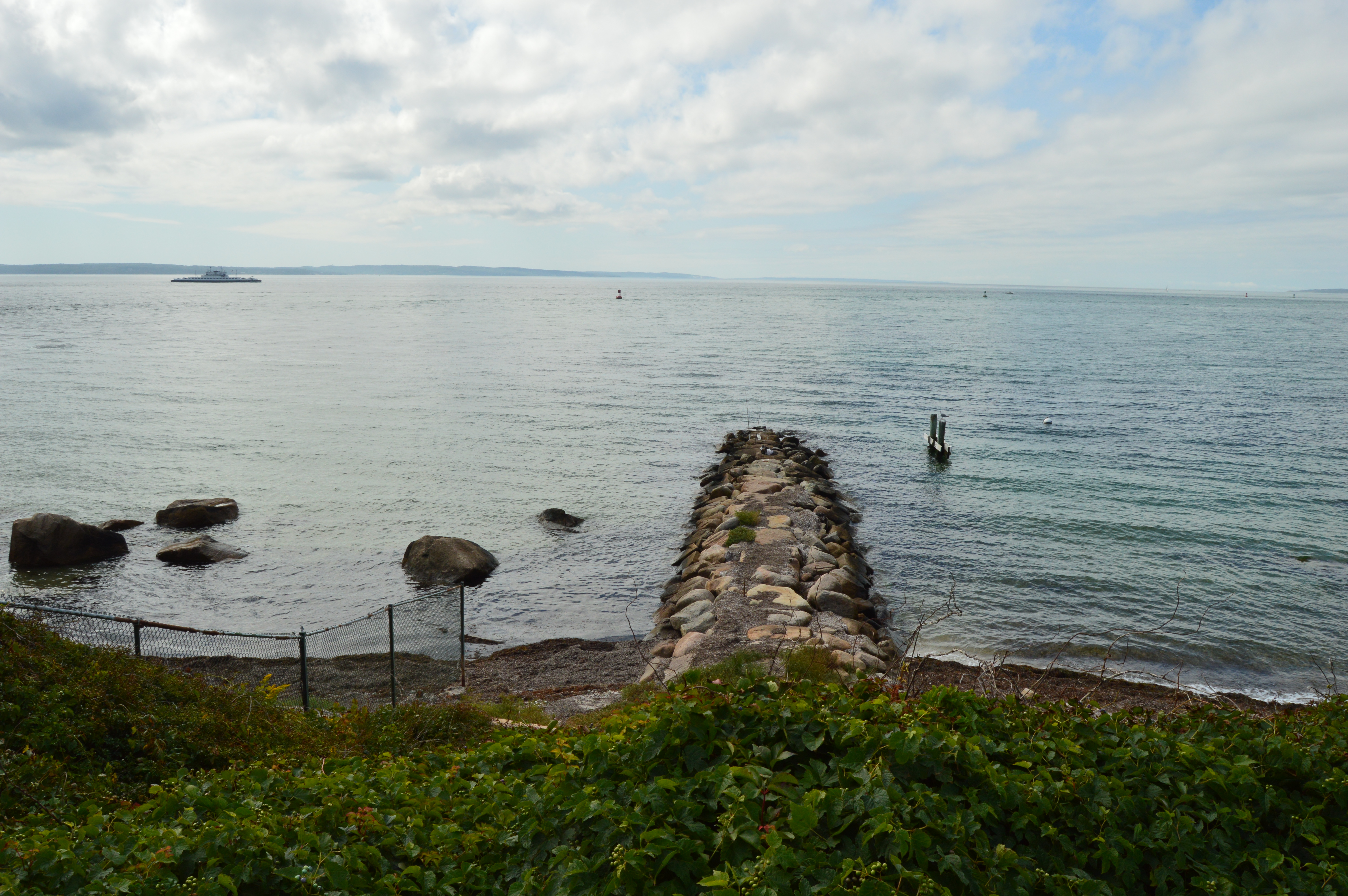
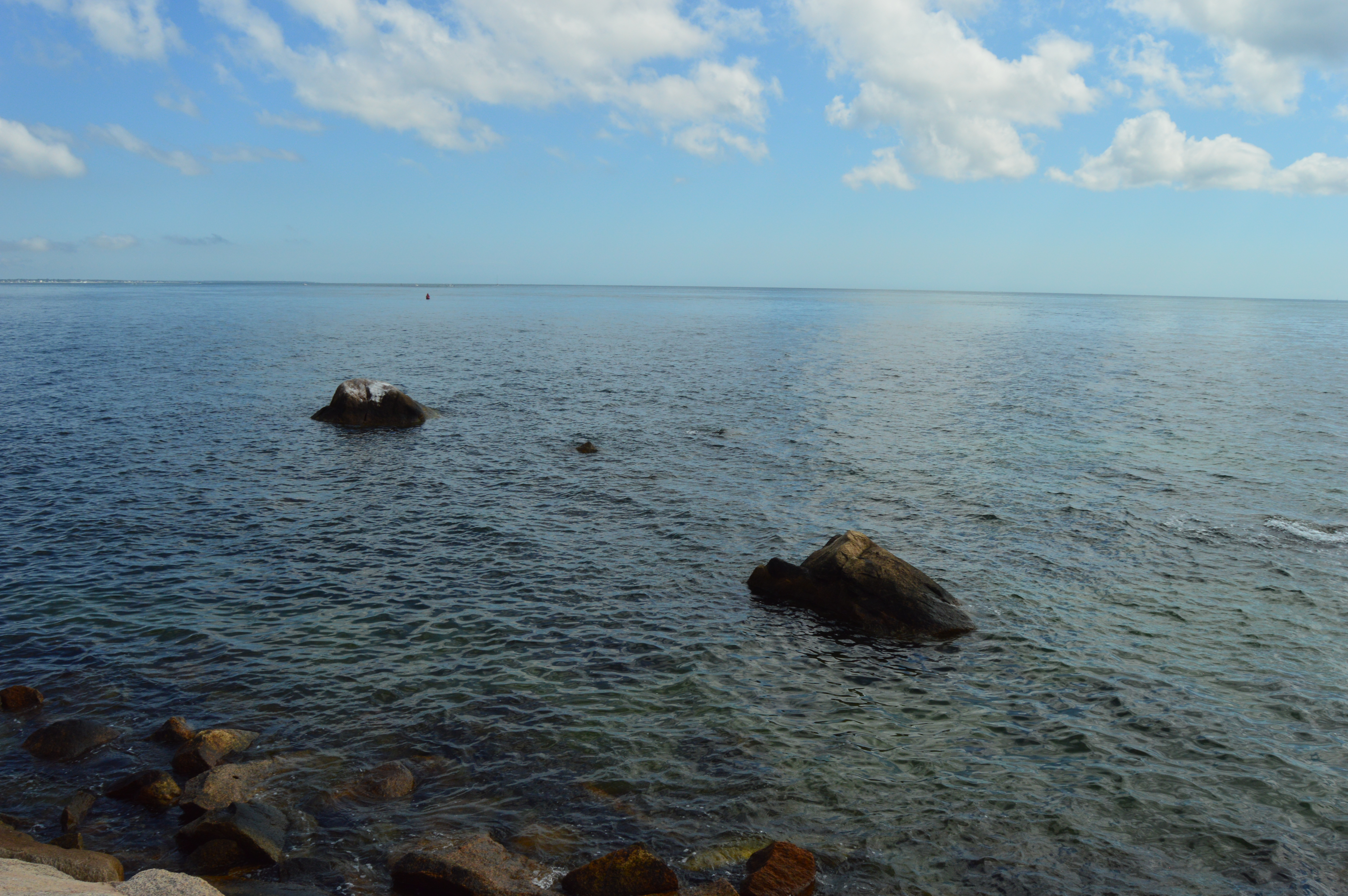
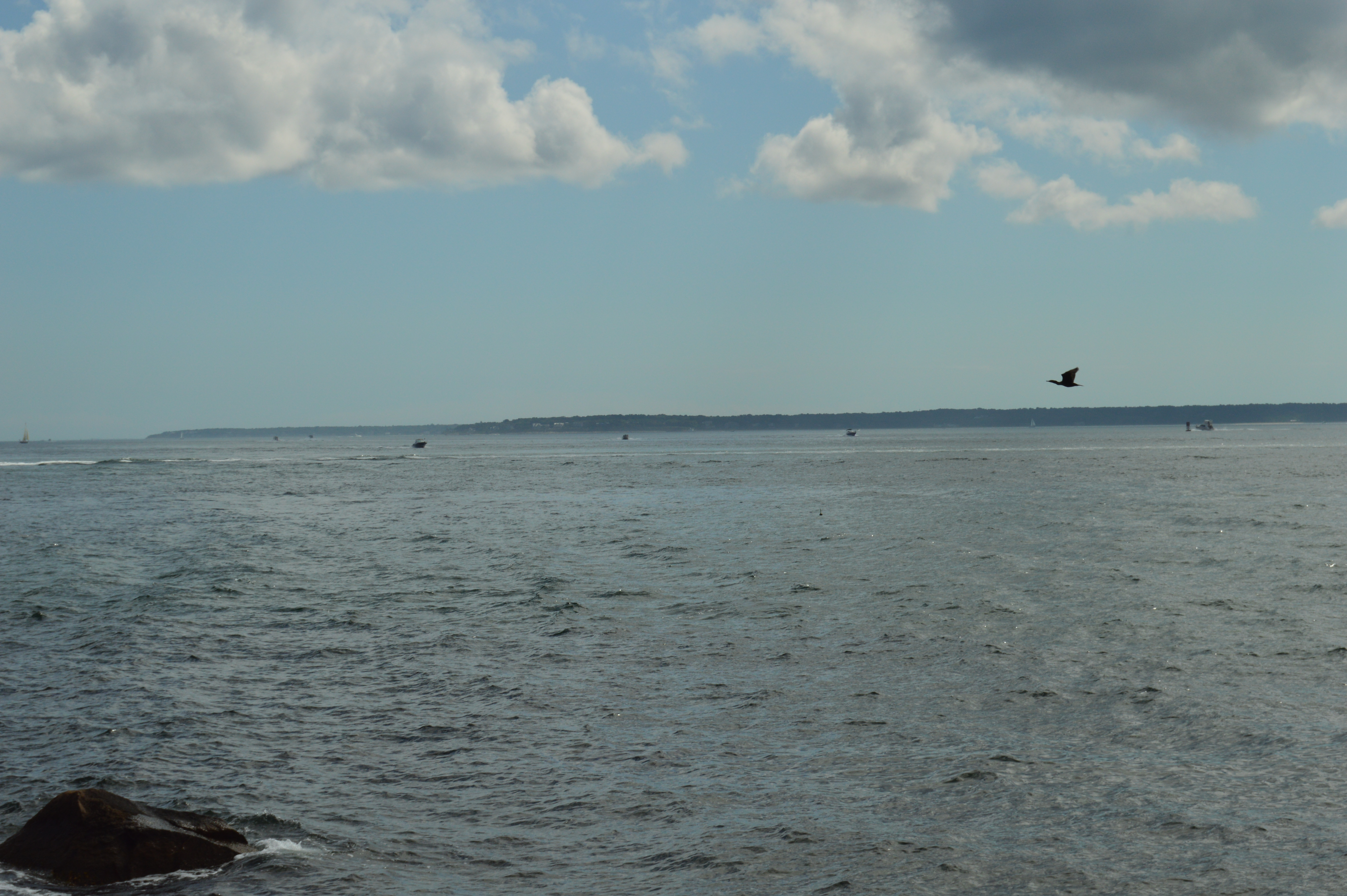
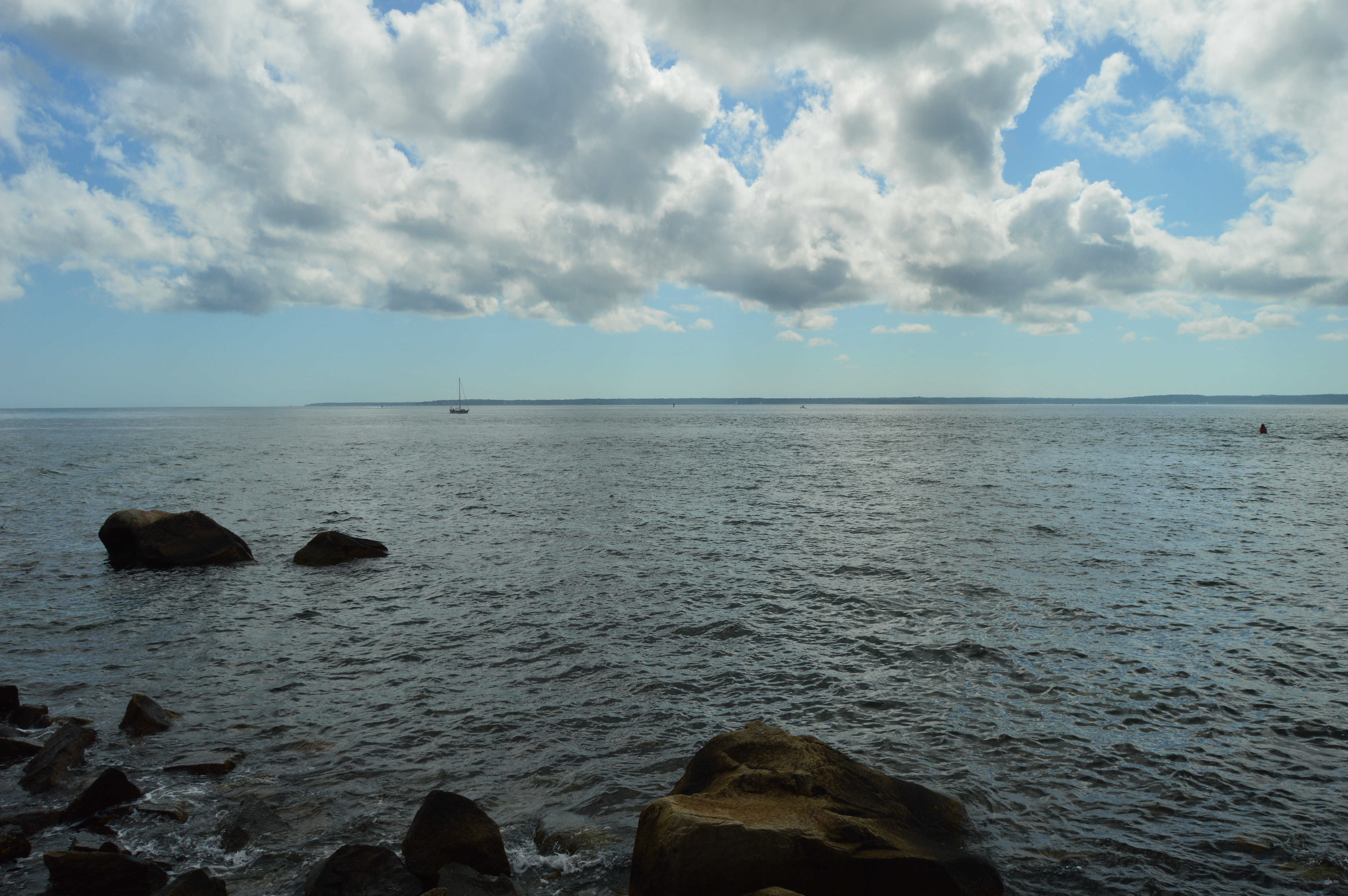
Nobska Beach offers views of both Martha’s Vineyard and Nantucket Island.
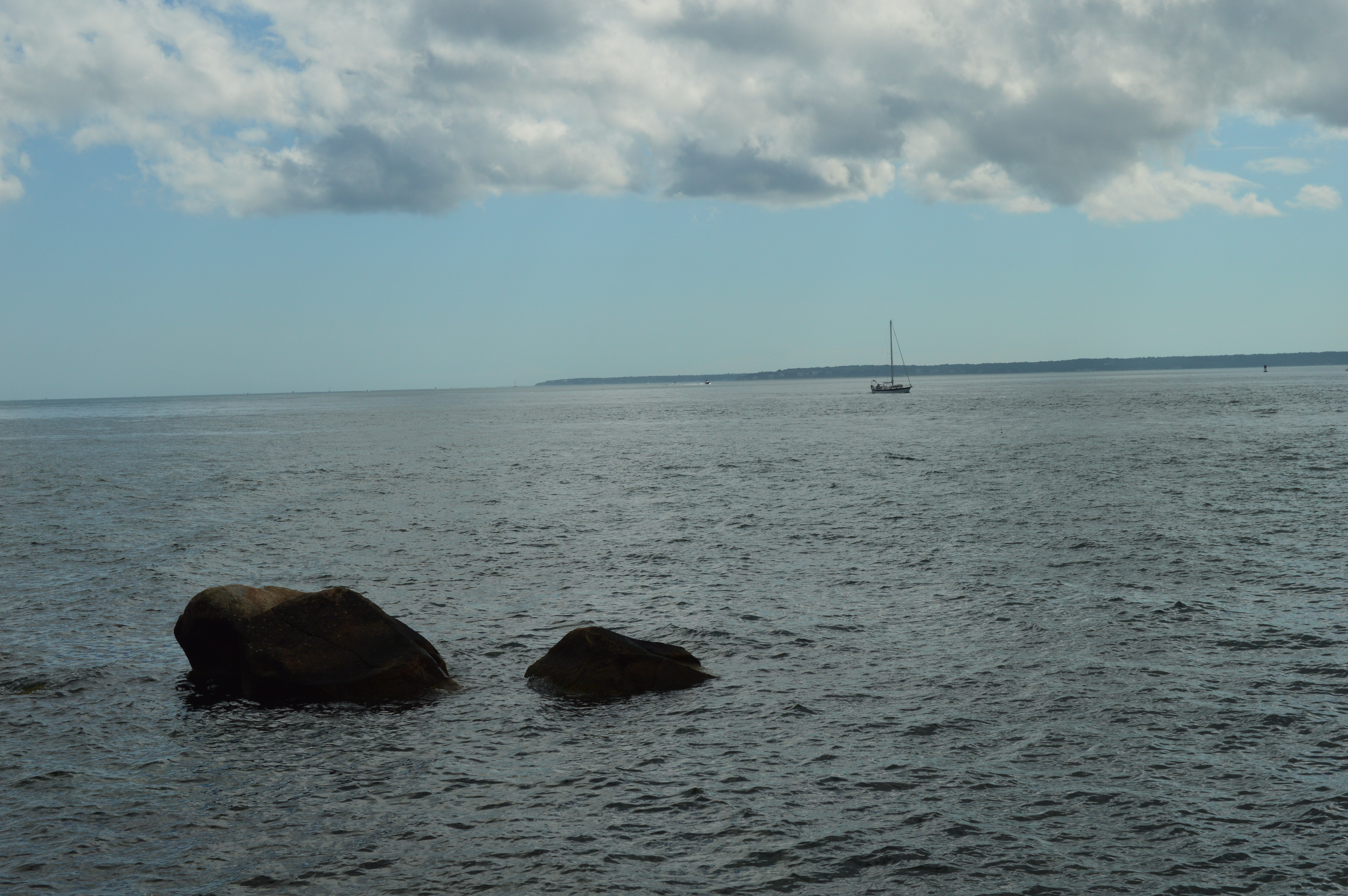
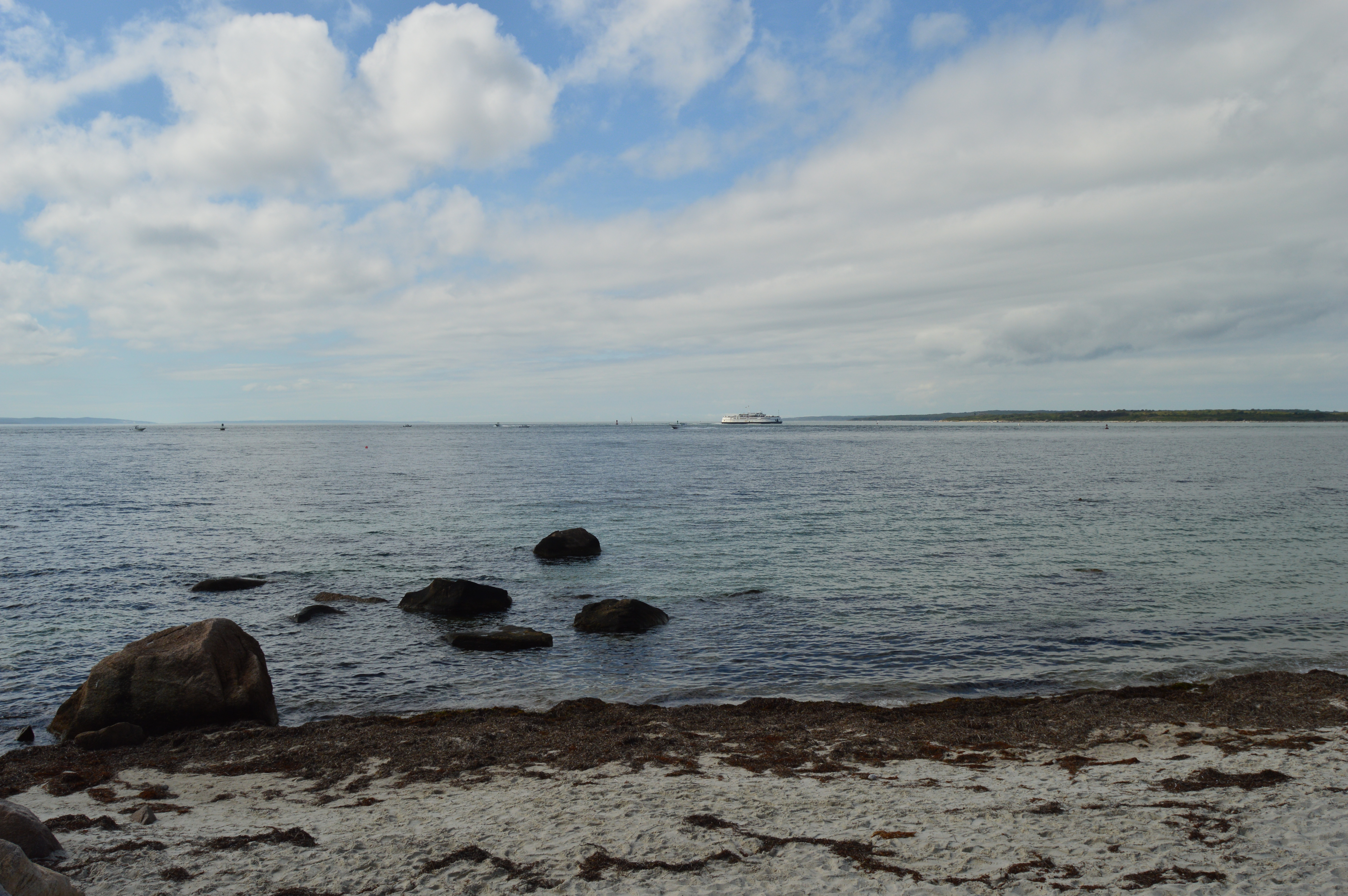
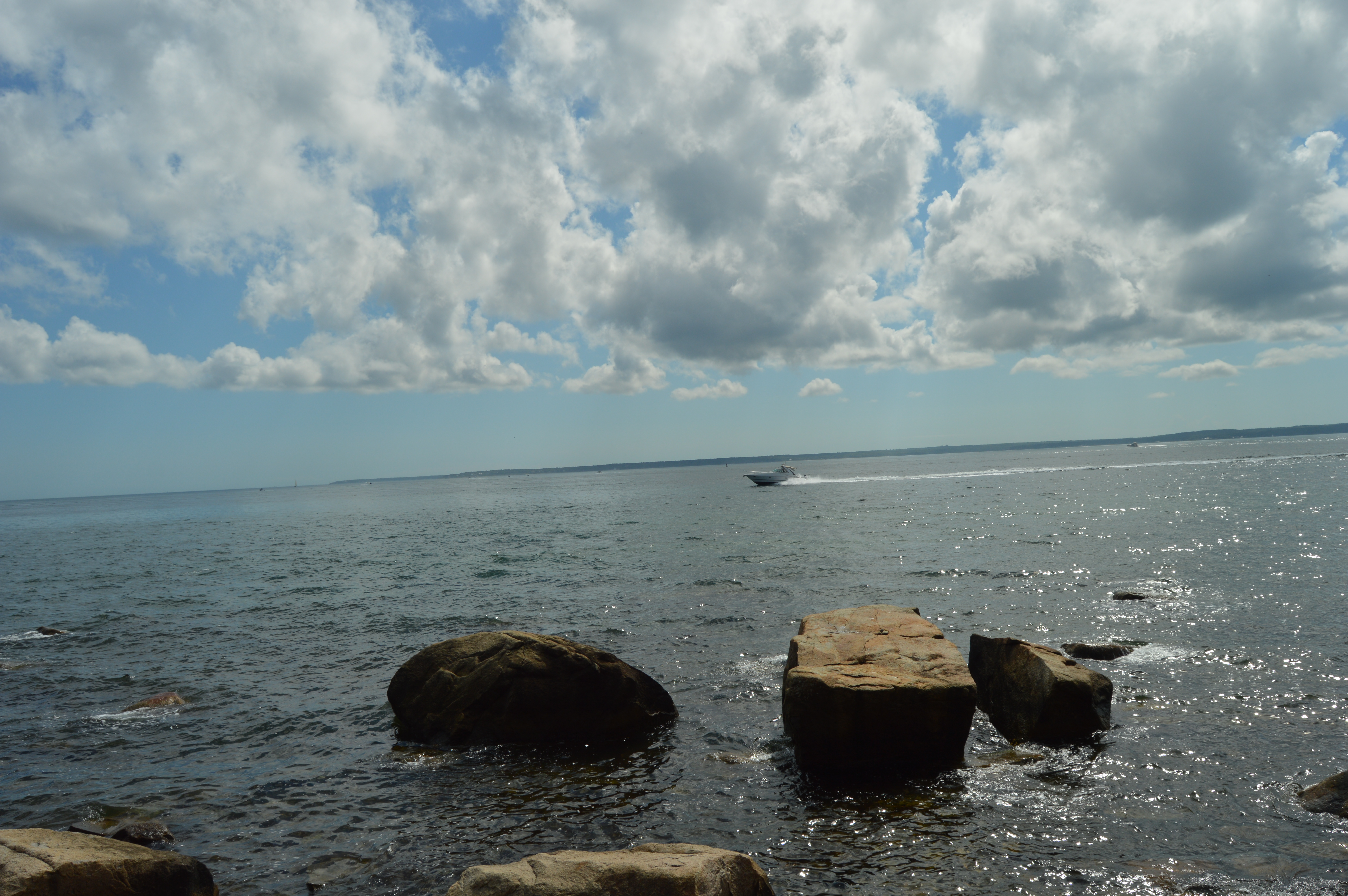
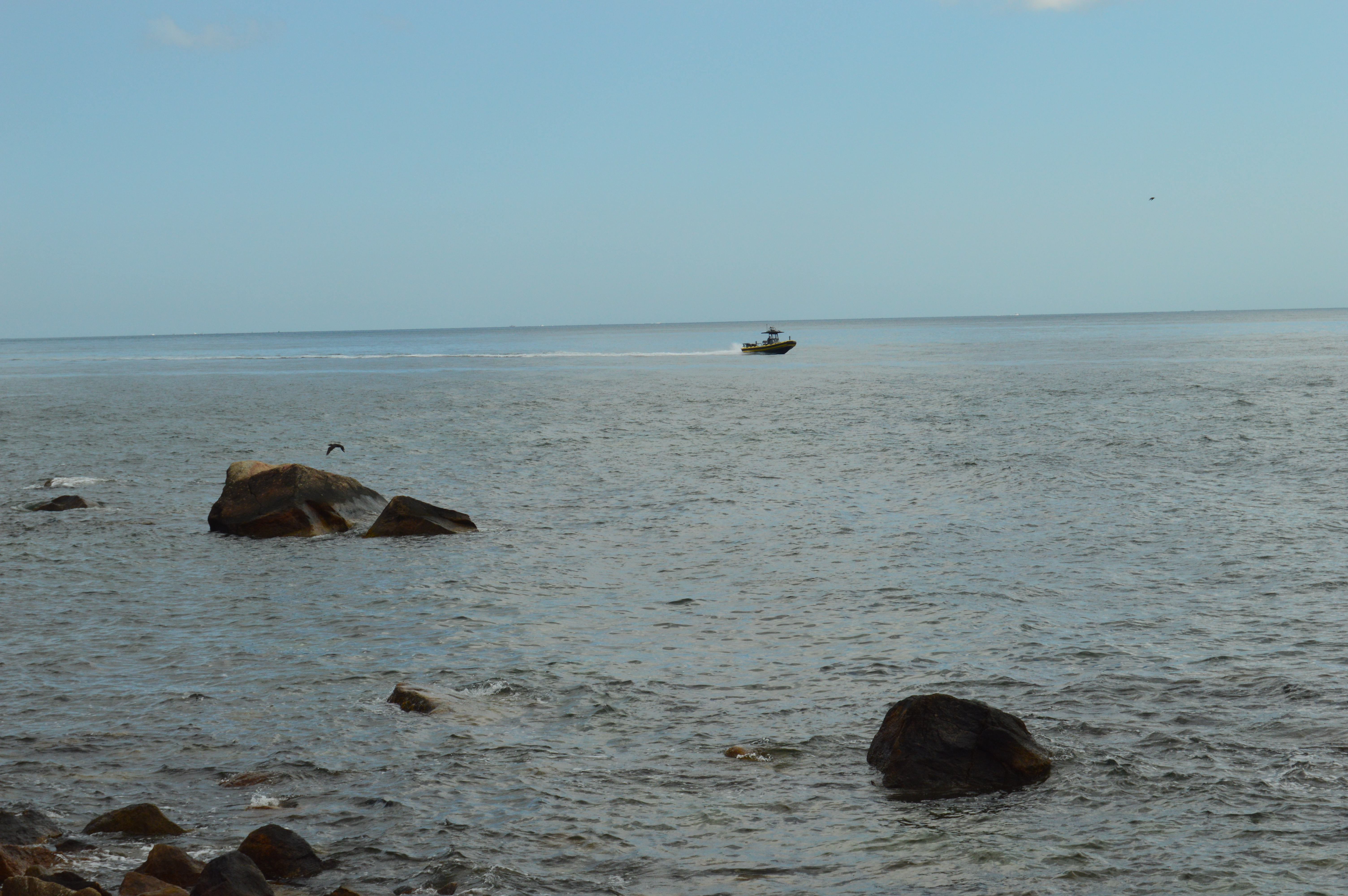
Boats and the ferry make frequent trips to the islands
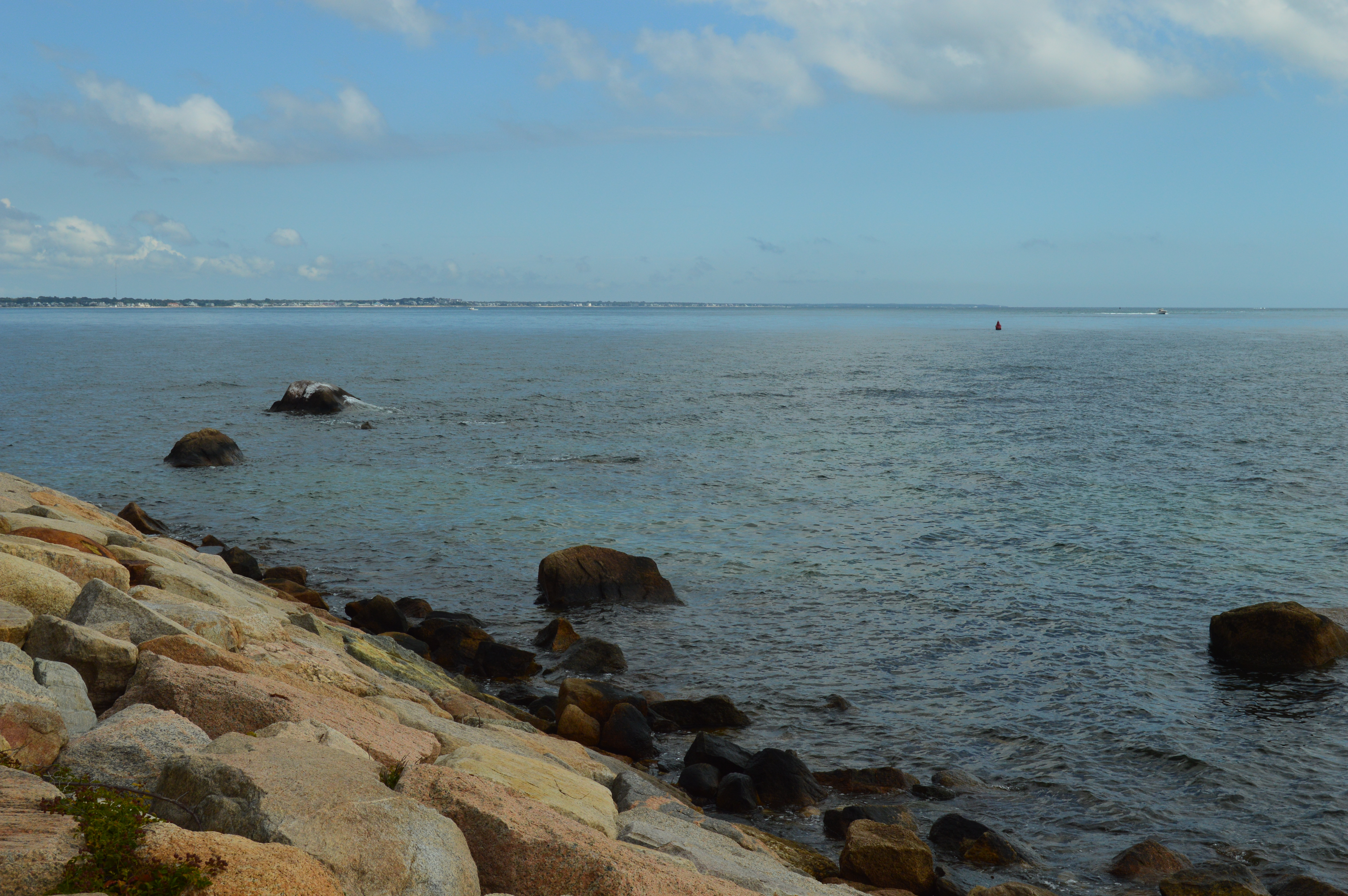
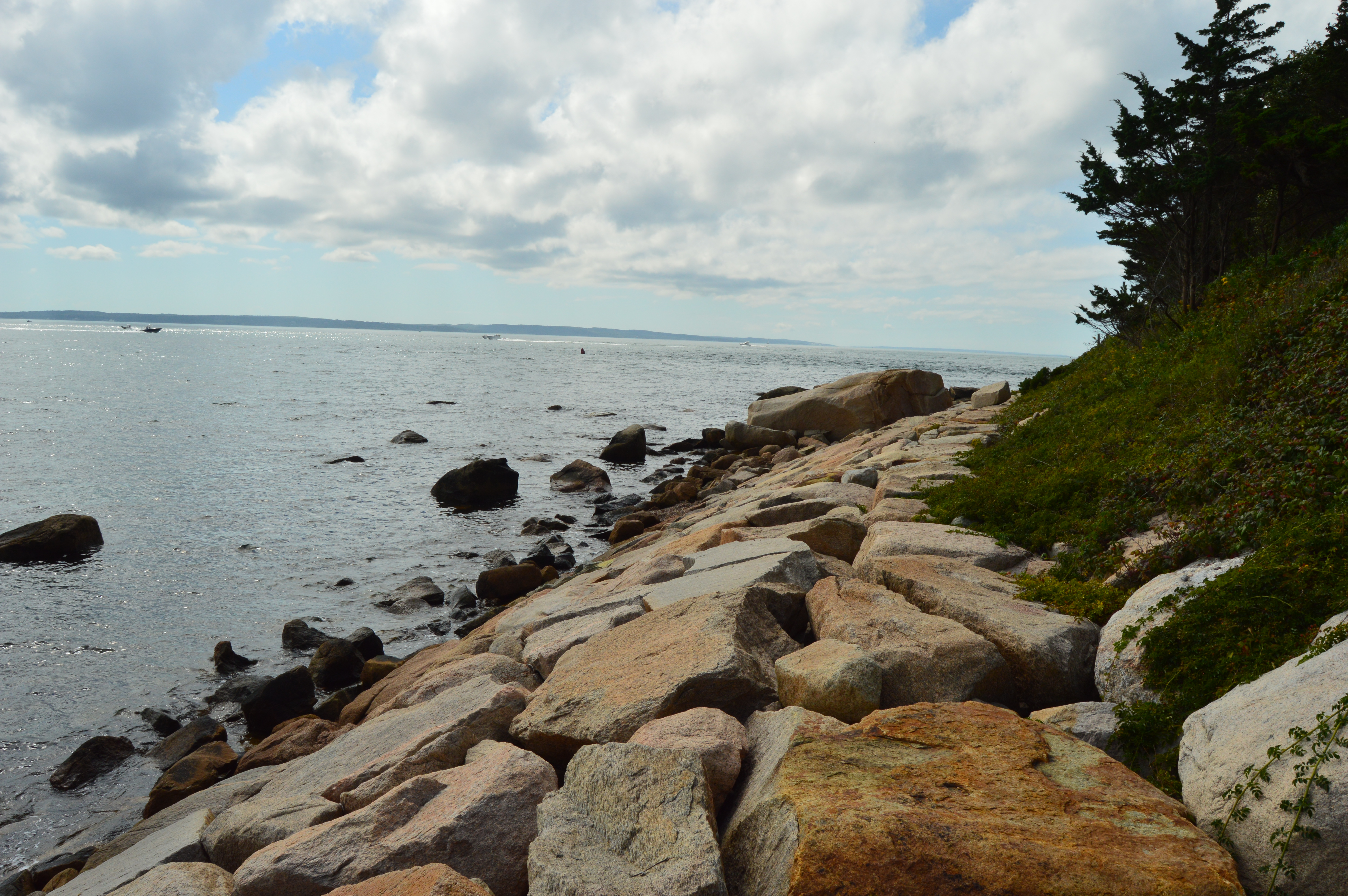
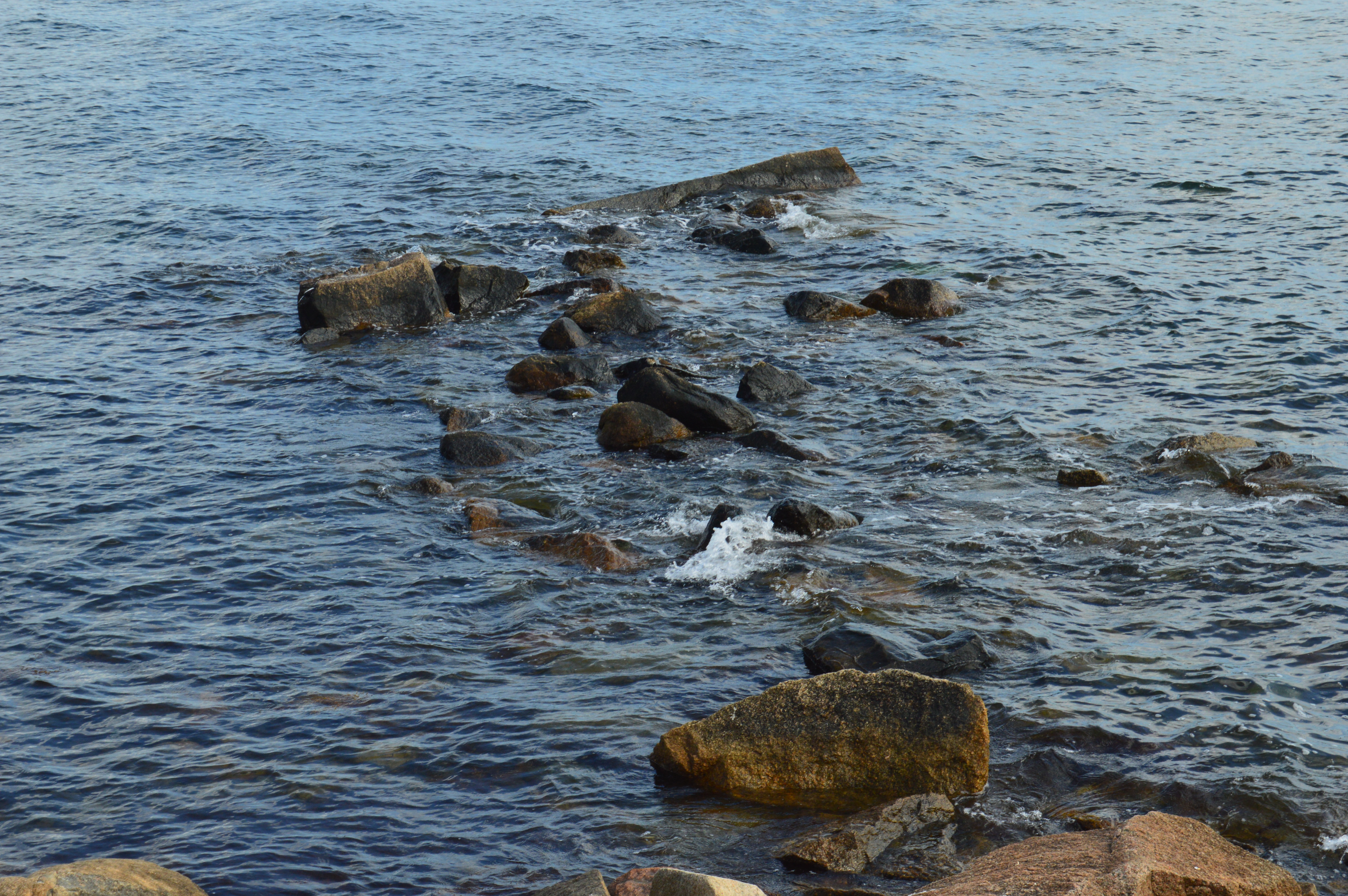
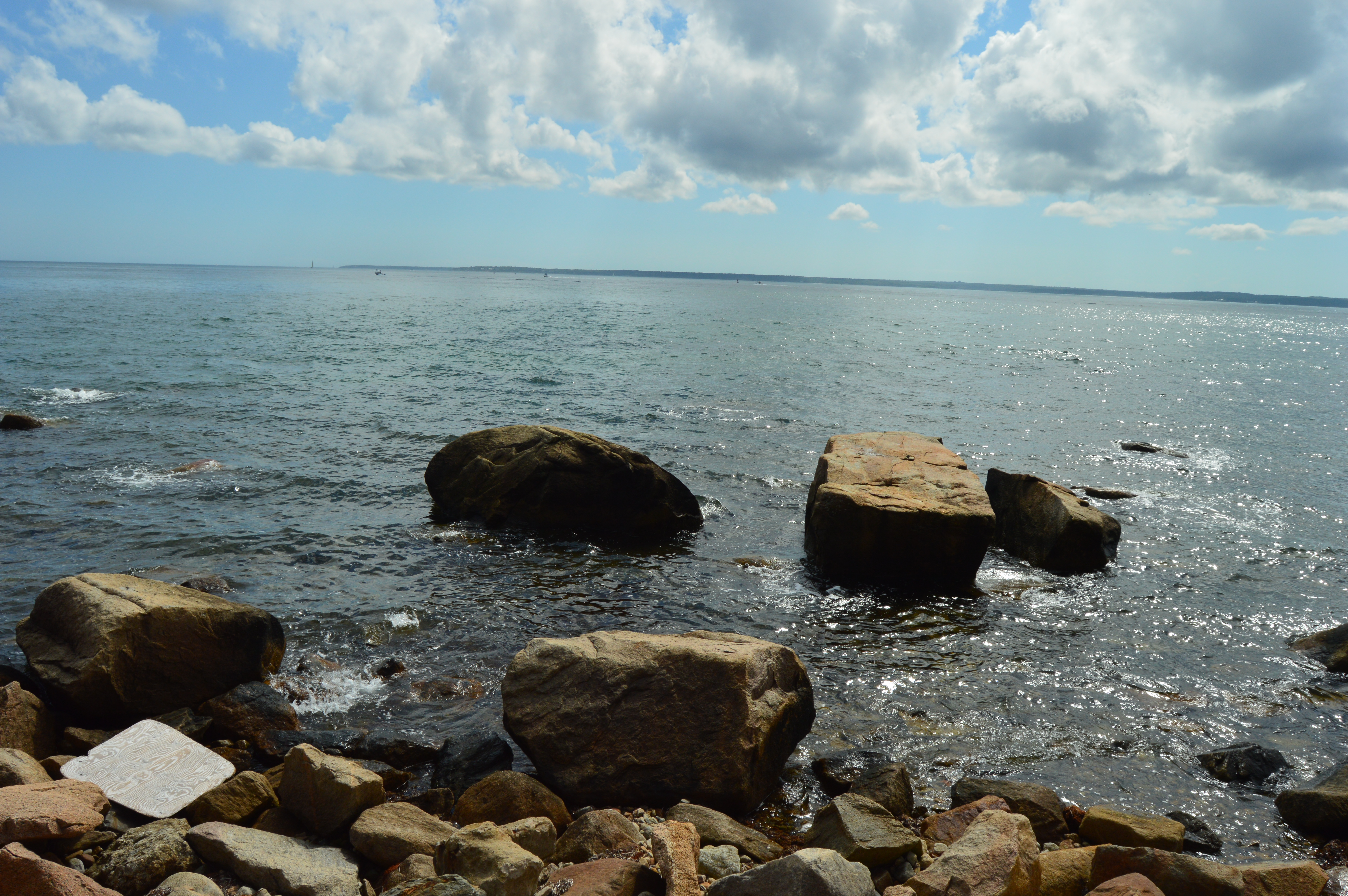
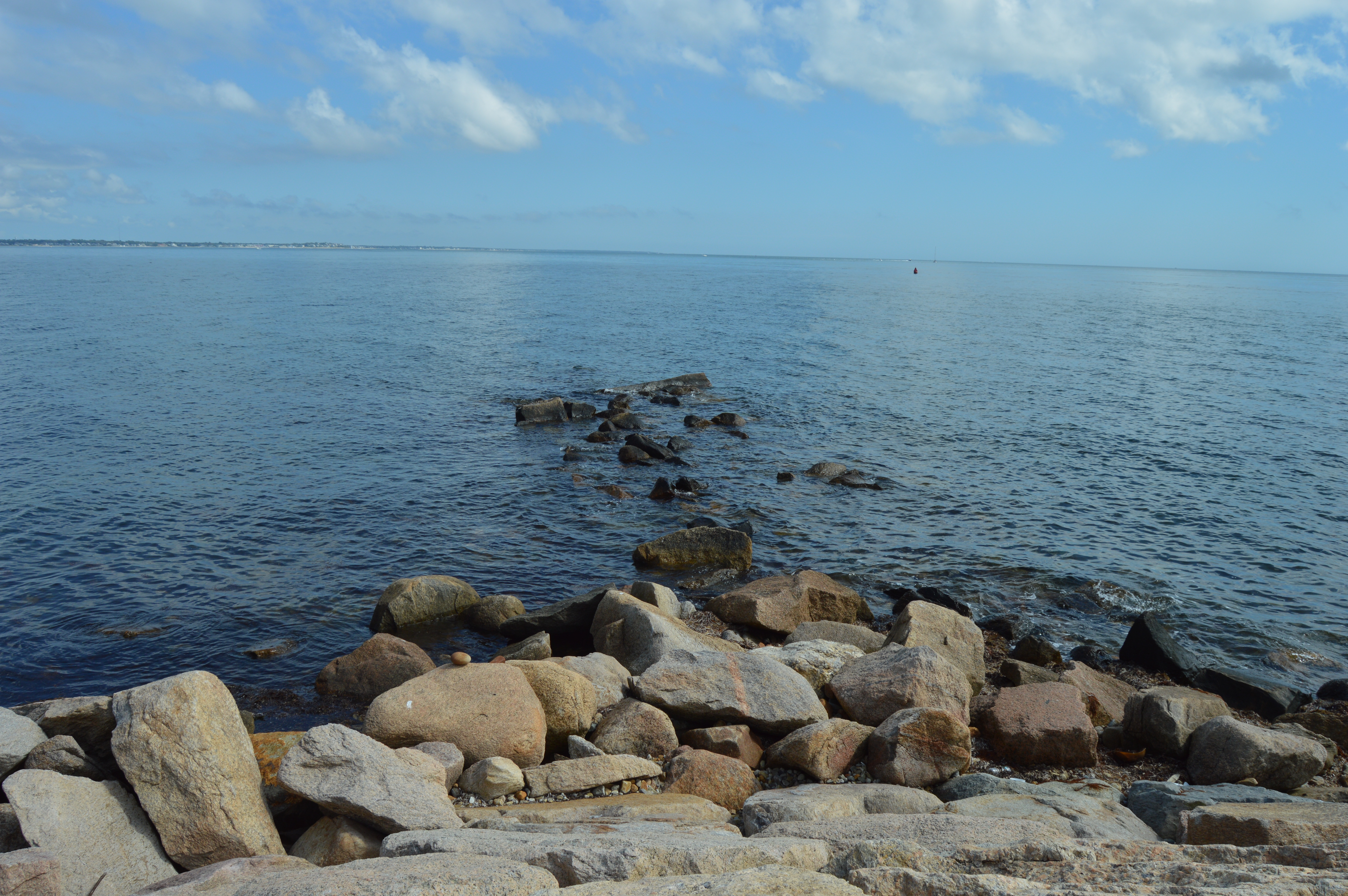
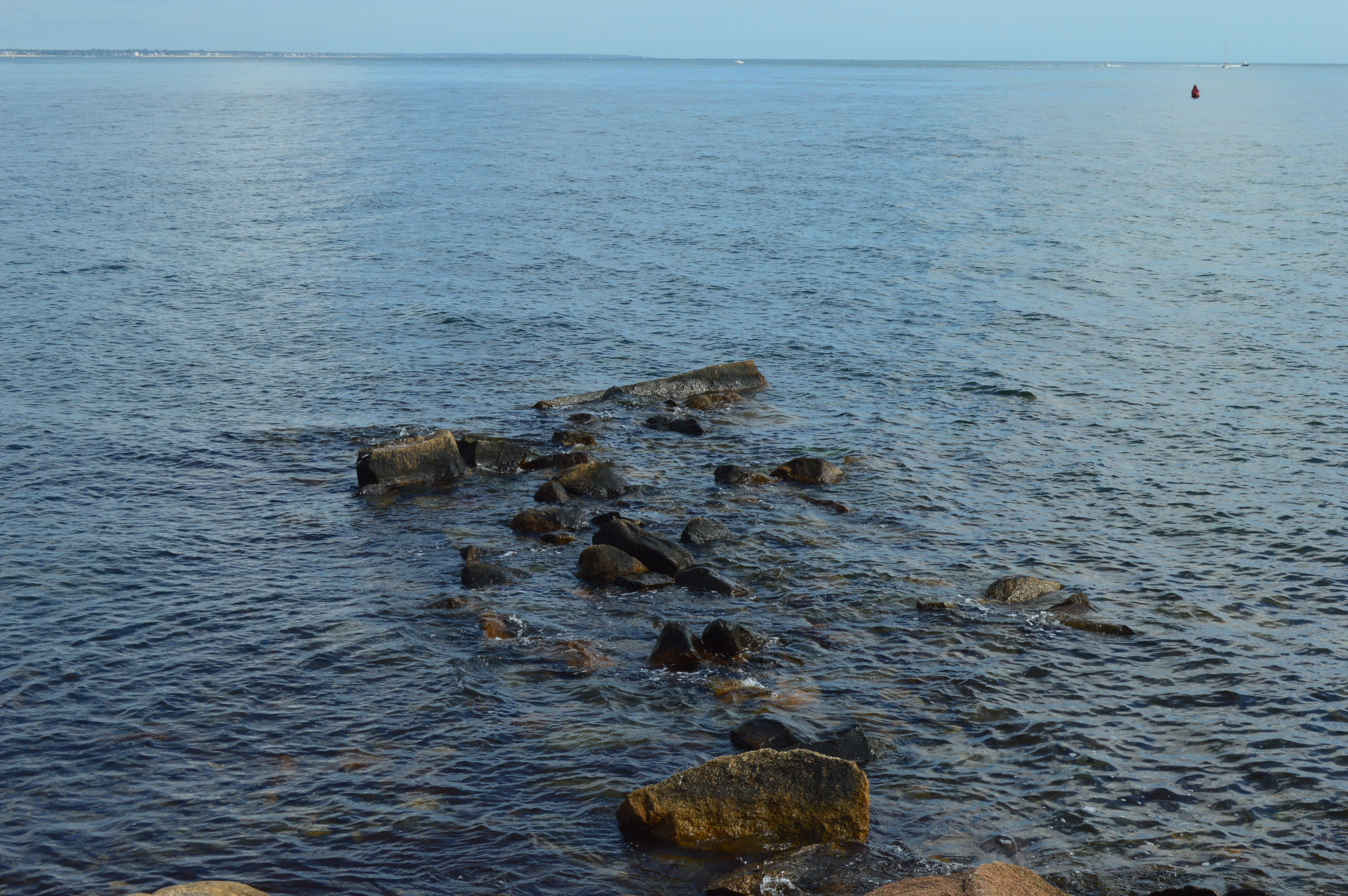
If you hadn’t noticed, one of the treasures of Nobska Beach are the rocks and the rock formations.
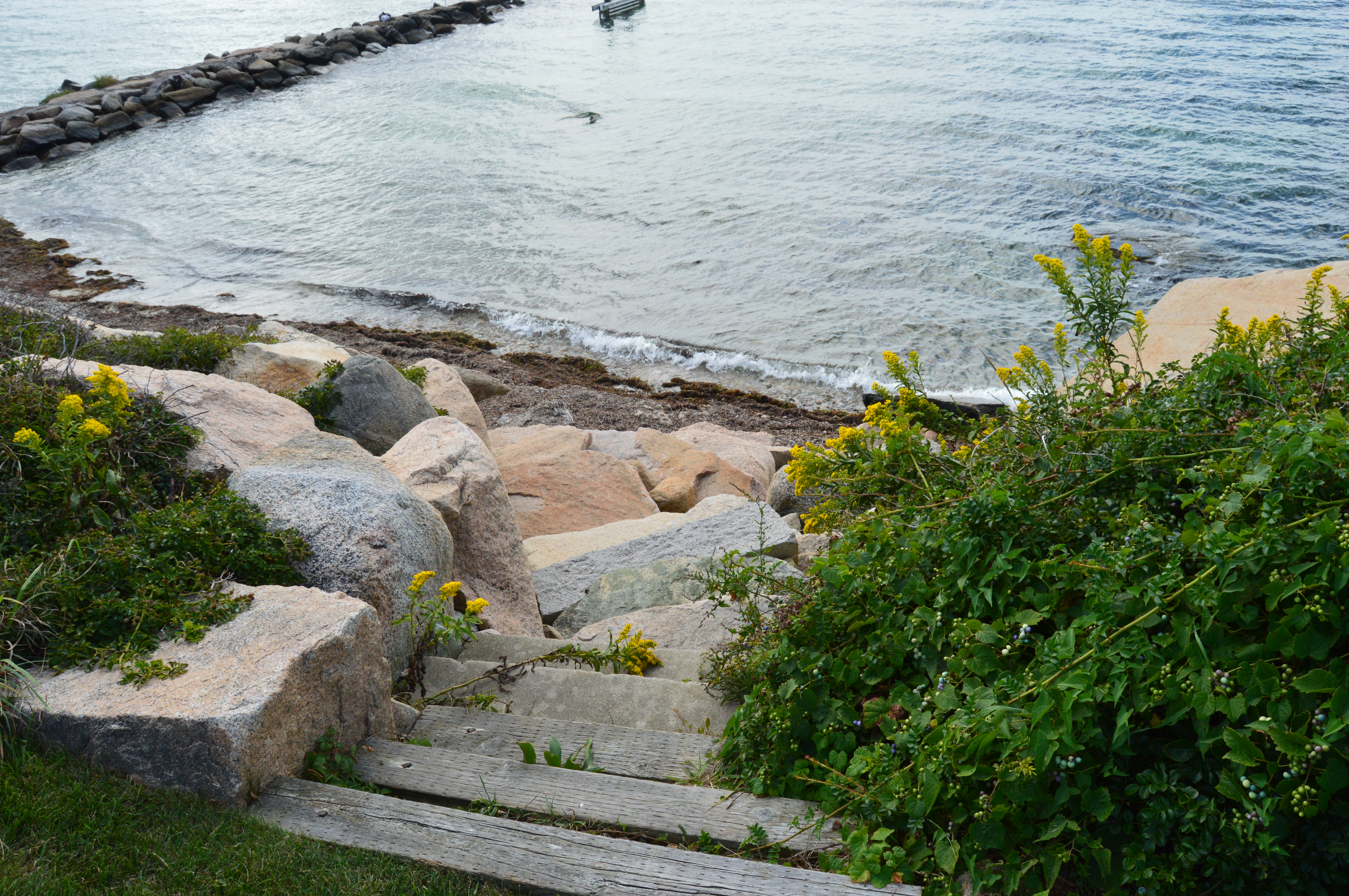
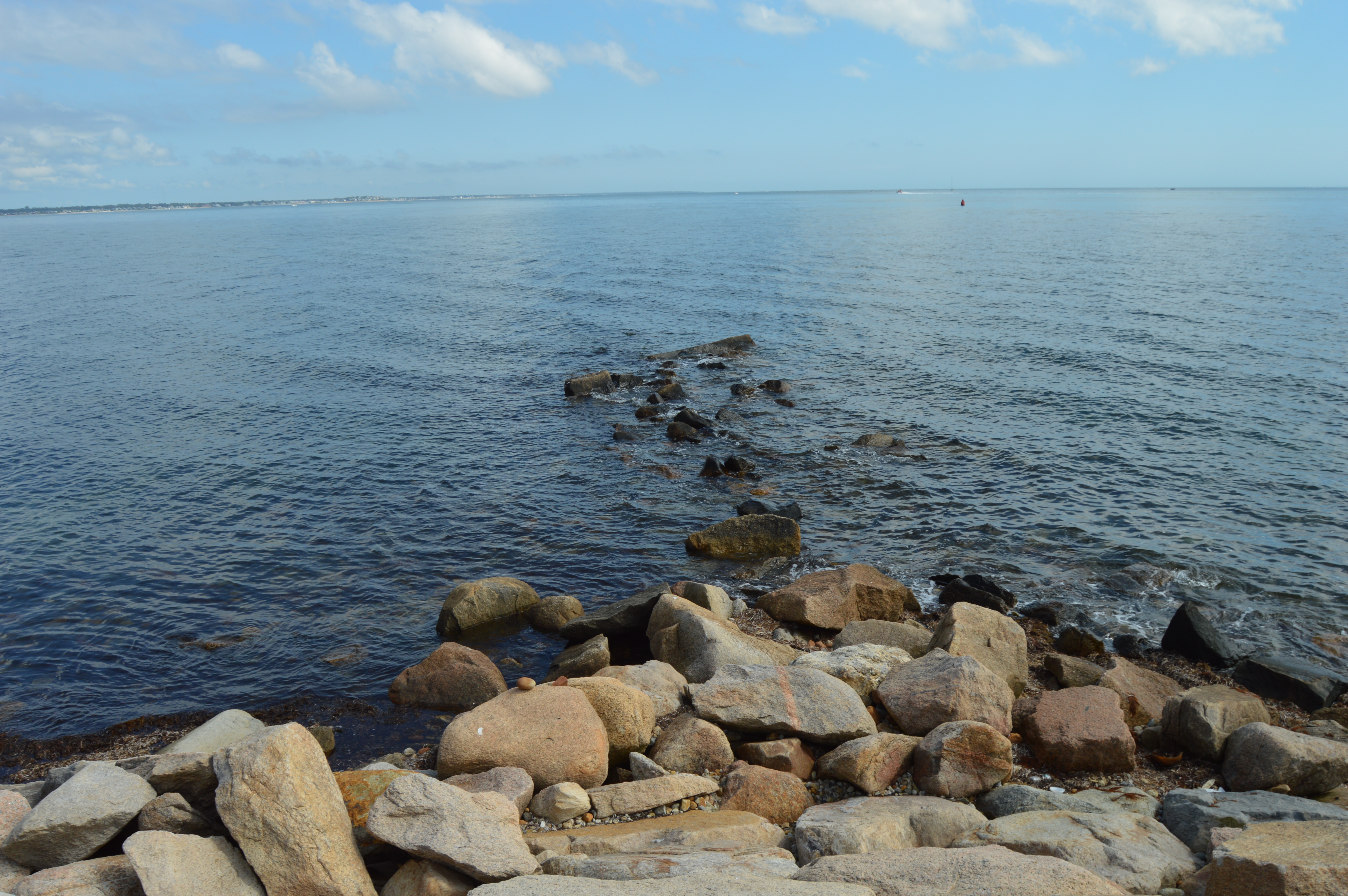
But, to capture the real beauty of the views from the beach, it was necessary to walk down a narrow trail down to this modest rocky ledge.
But, the ledge was wide enough for me and my camera. And the views were well worth the extra effort.
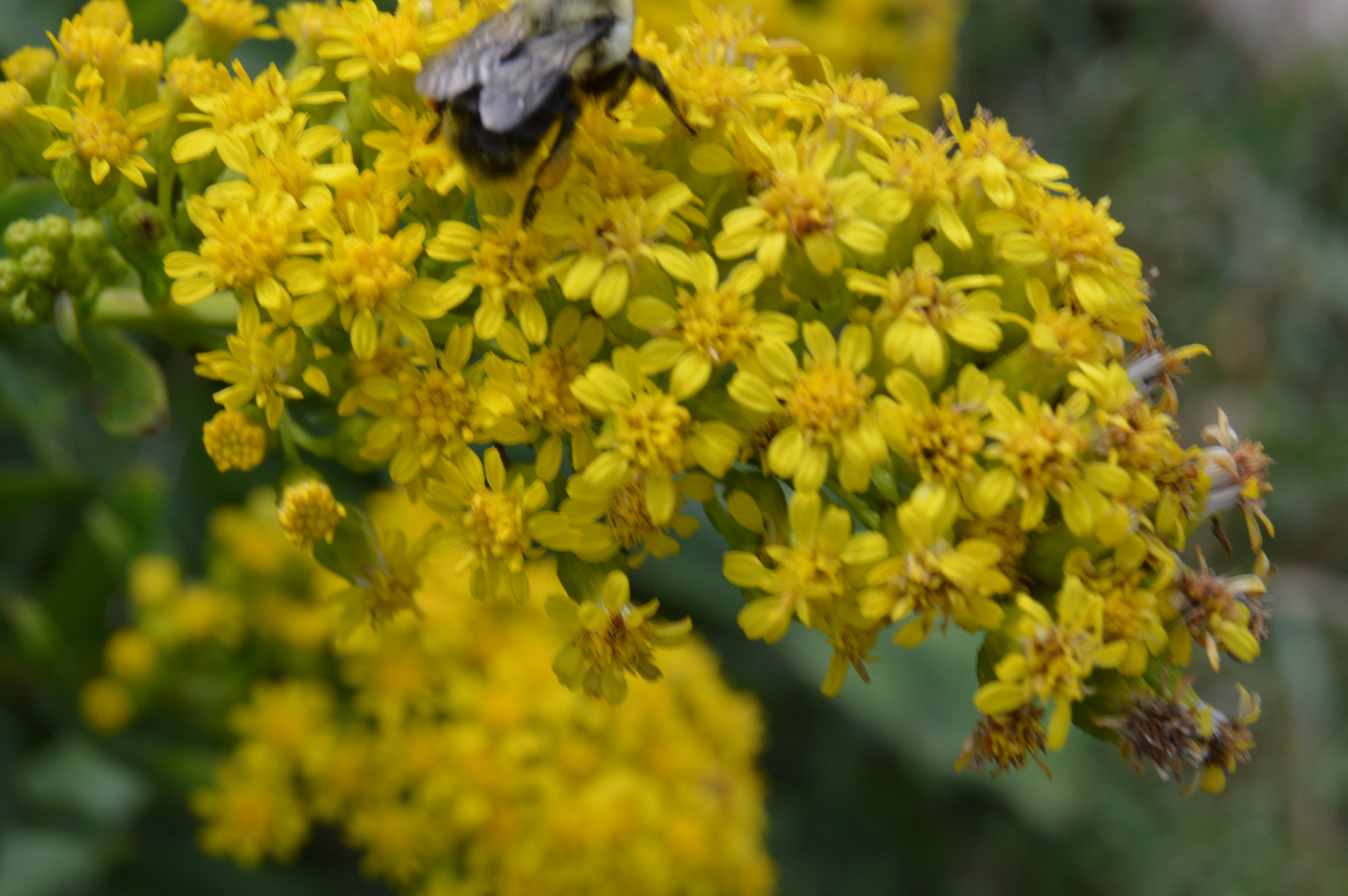
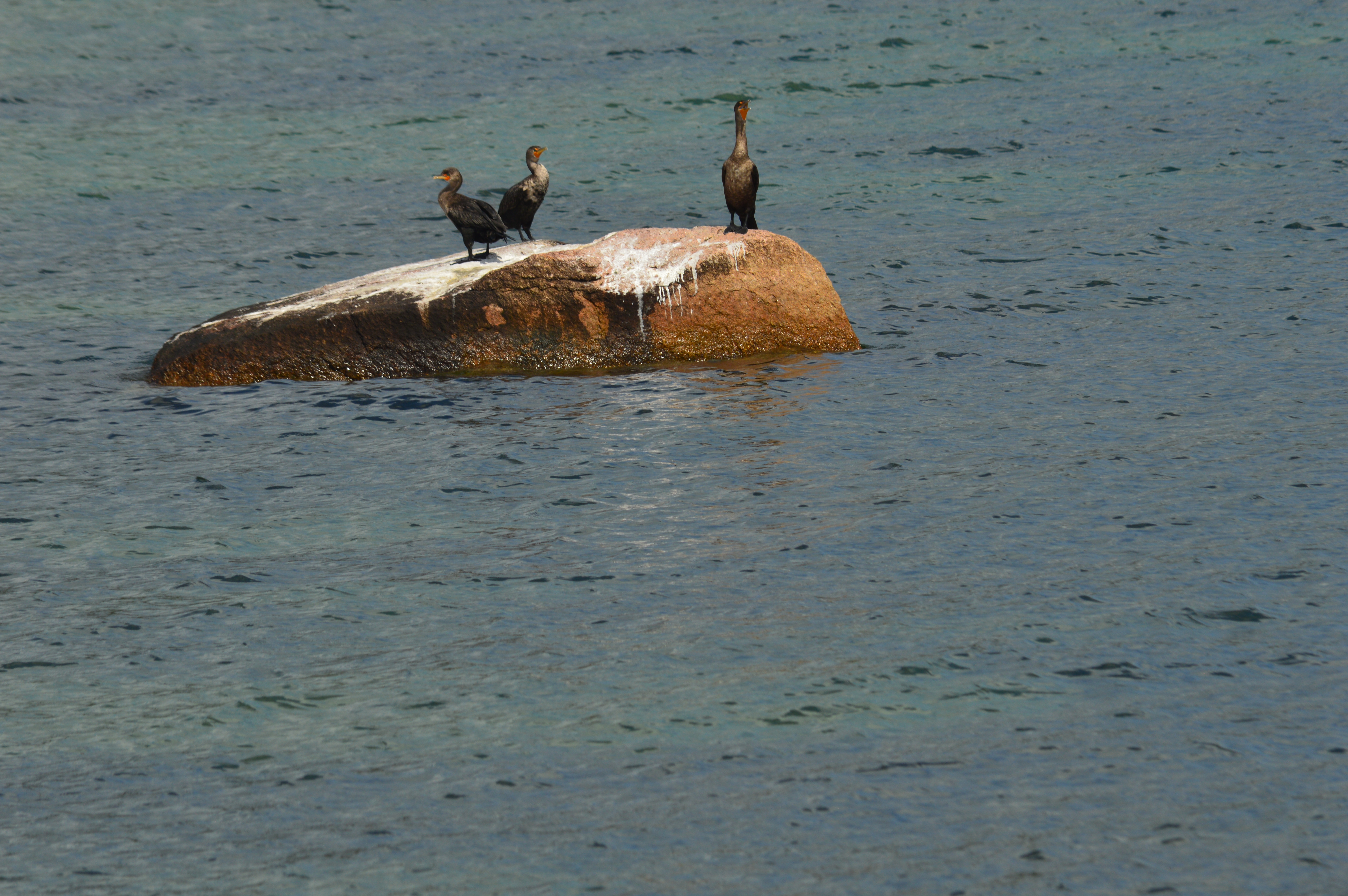
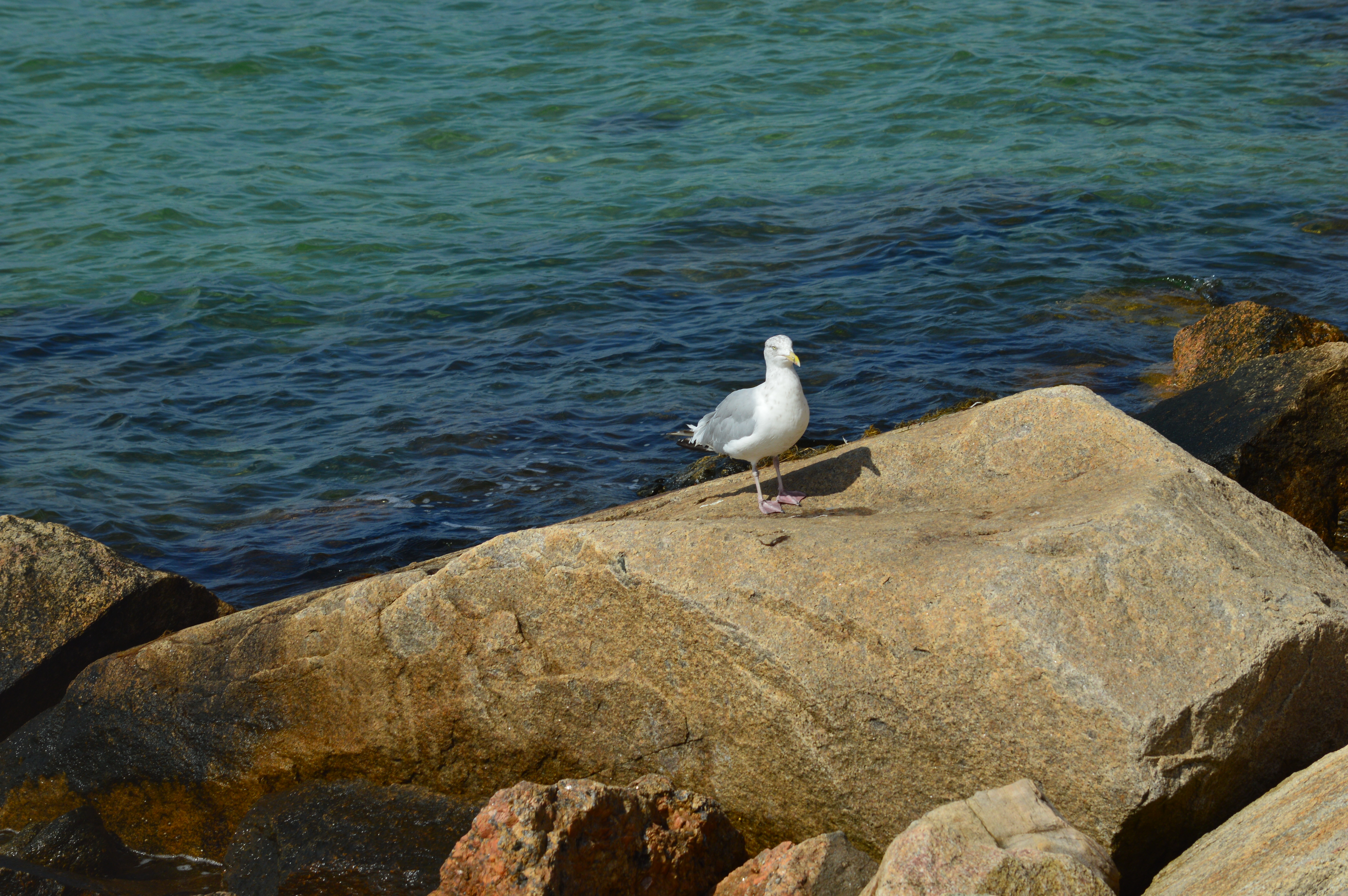
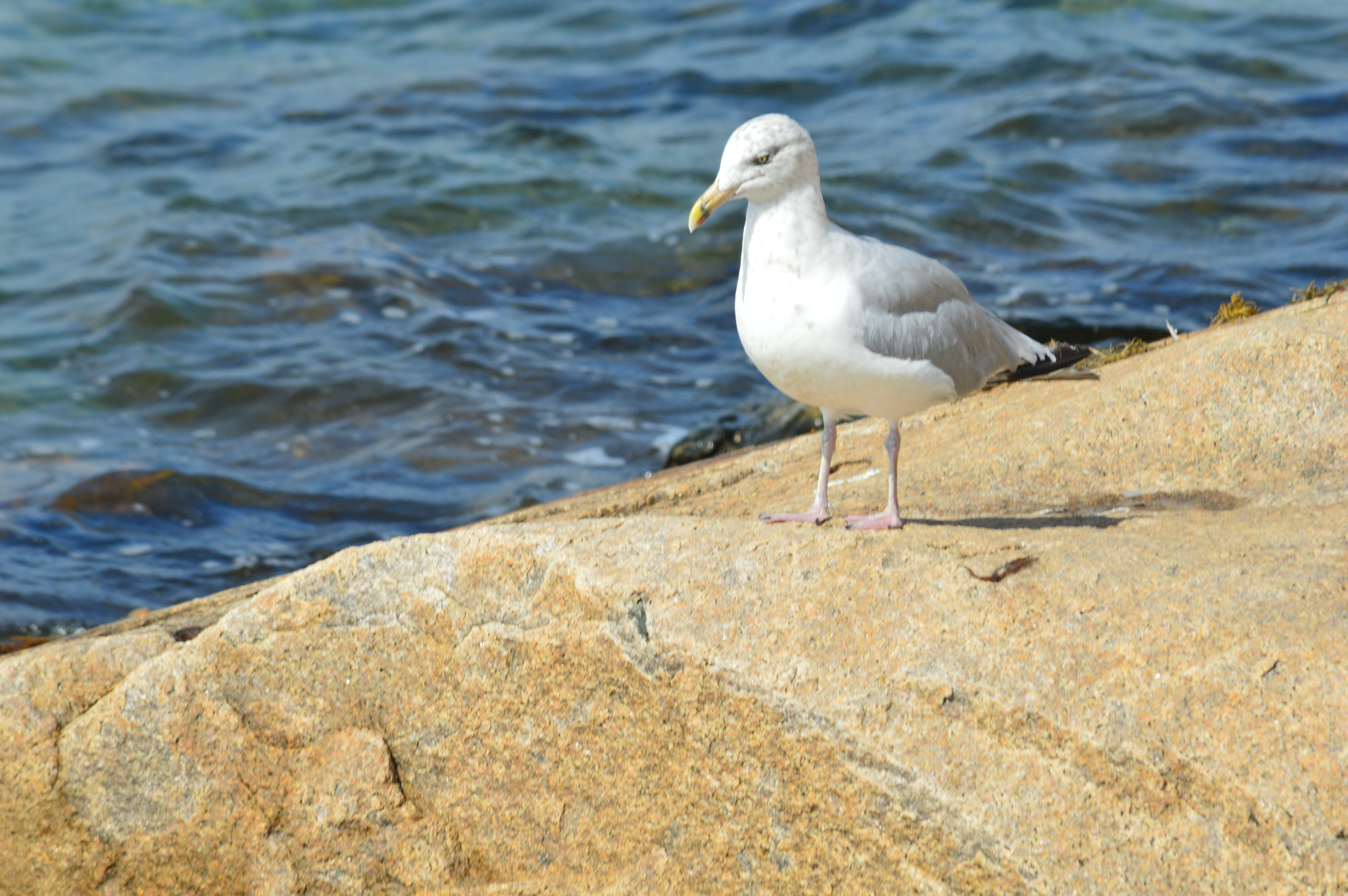
Nobska Beach is also home to a variety of wildlife.
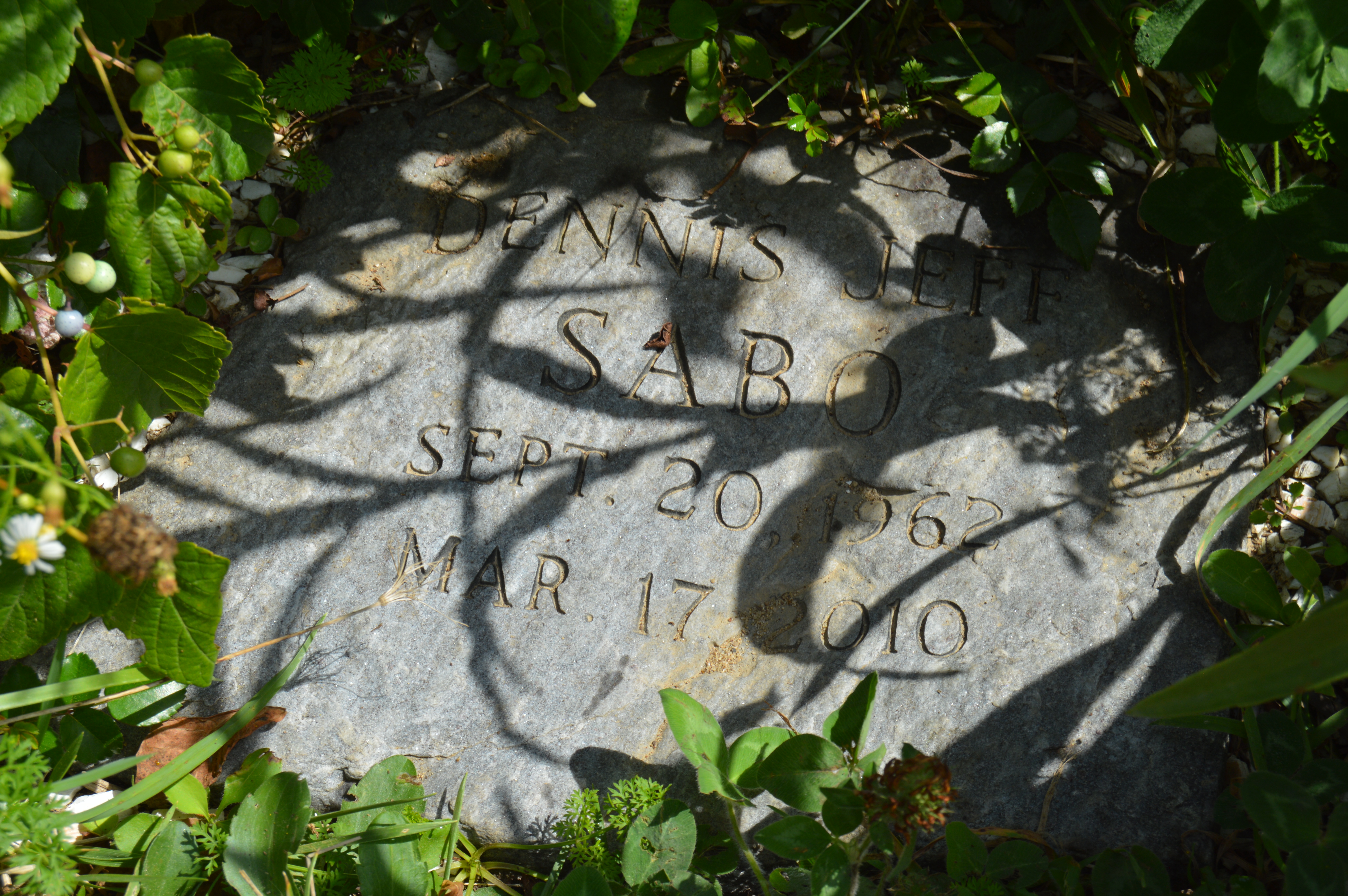
At the base of the beach there are two memorials. A memorial for Dennis Jeff Sabo lies under some plants, almost unnoticed. The memorial does not give any more information than his date of birth, date of death and name. A Google search yielded no results. The lack of details about Dennis adds to the memorials’ mystique.
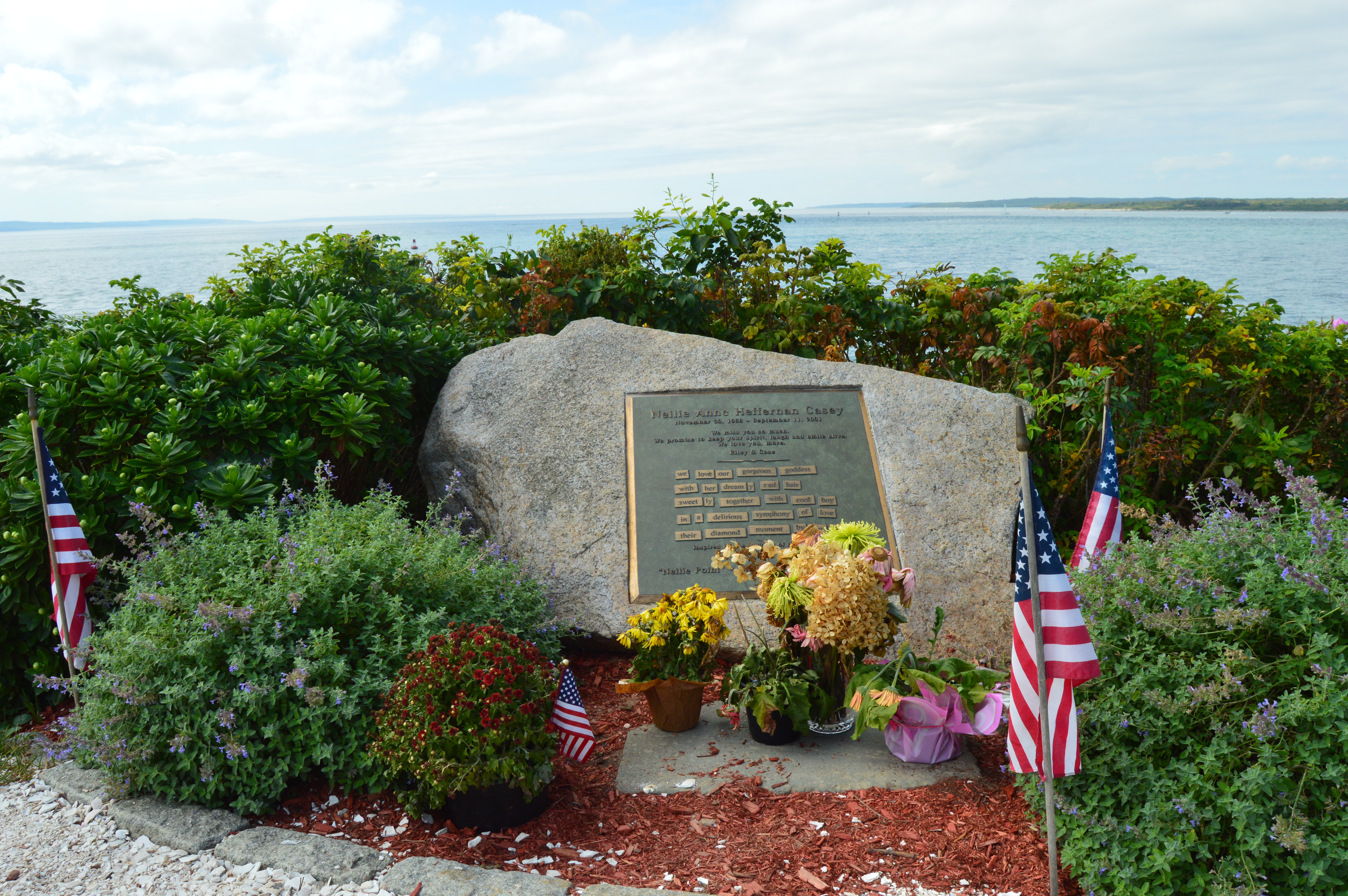
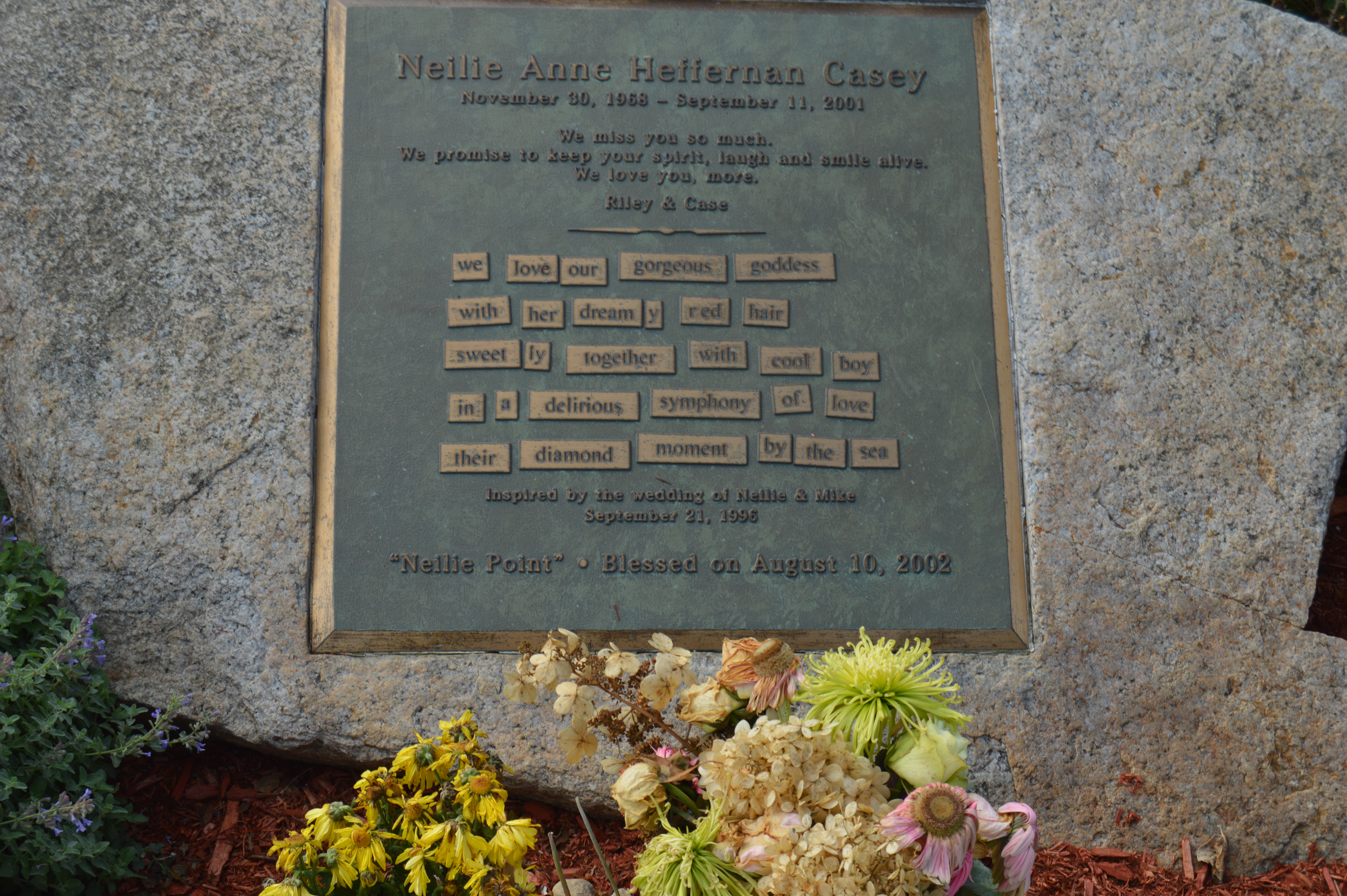
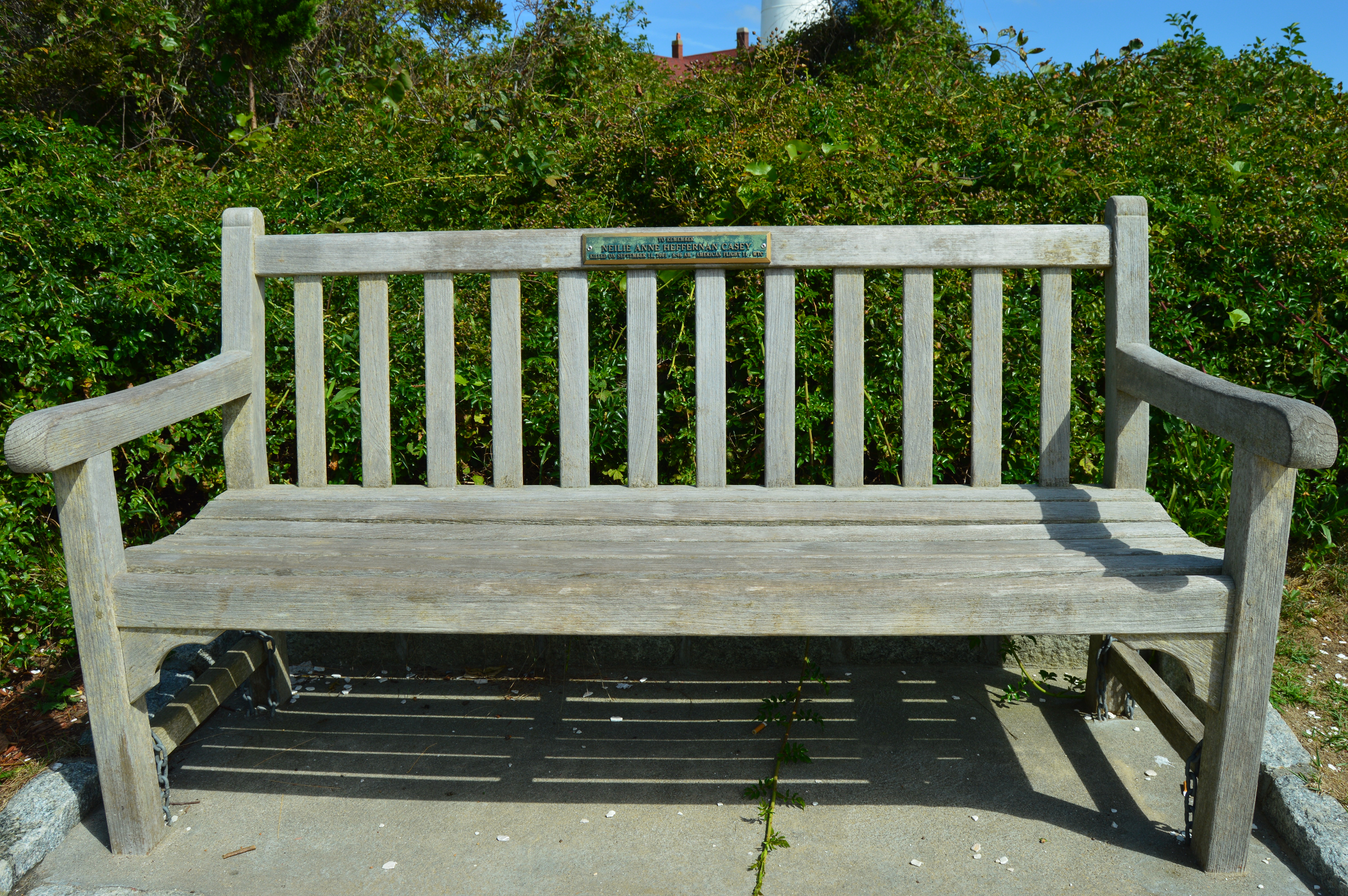
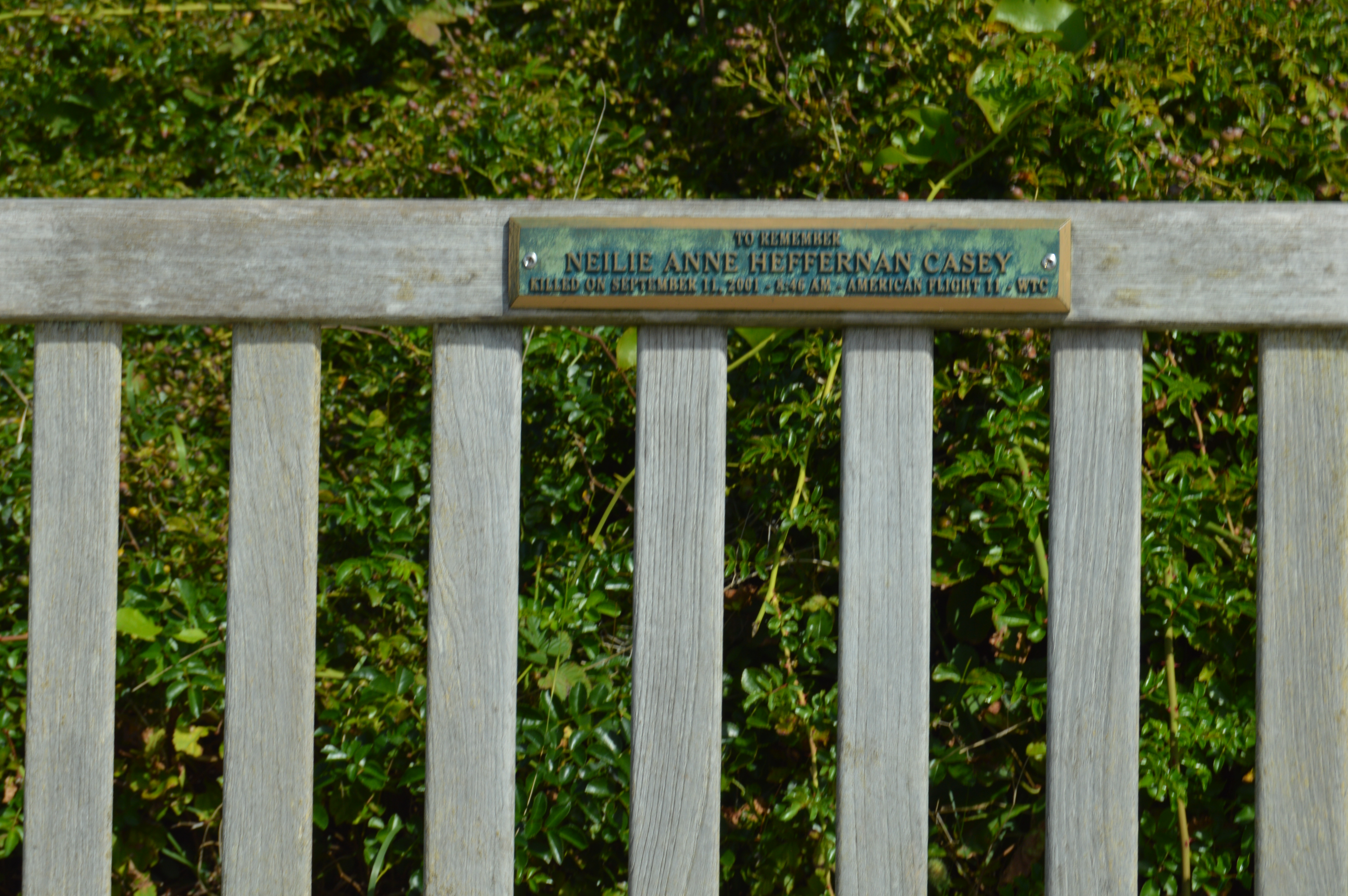
The other memorial is dedicated to Neilie Anne Heffernan Casey. Neilie was a passenger on Flight 11 on September 11, 2001. A memorial and bench bearing her name lay in the area now dubbed “Neilie Point”. A beautiful reminder of an awful day.
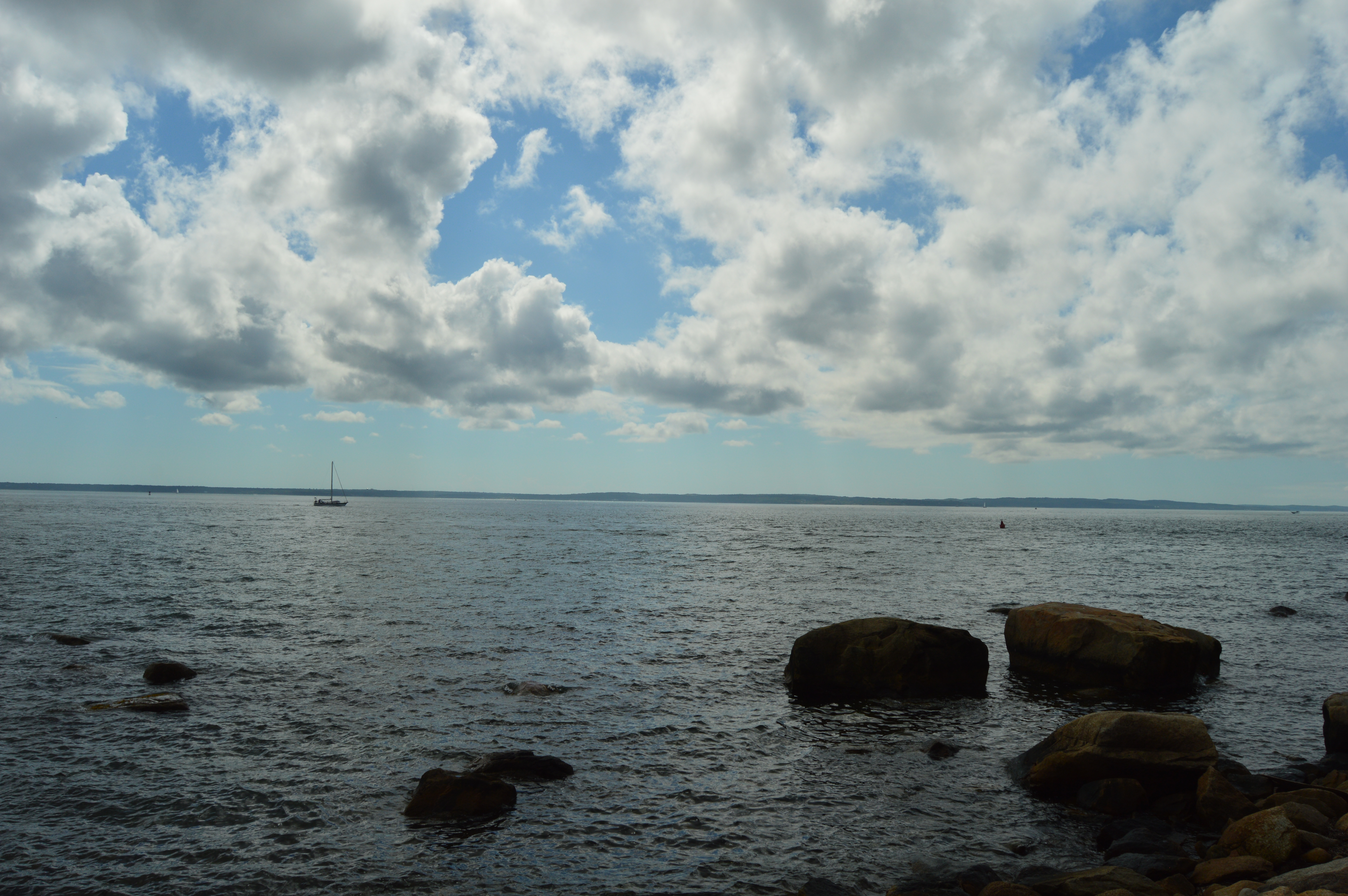
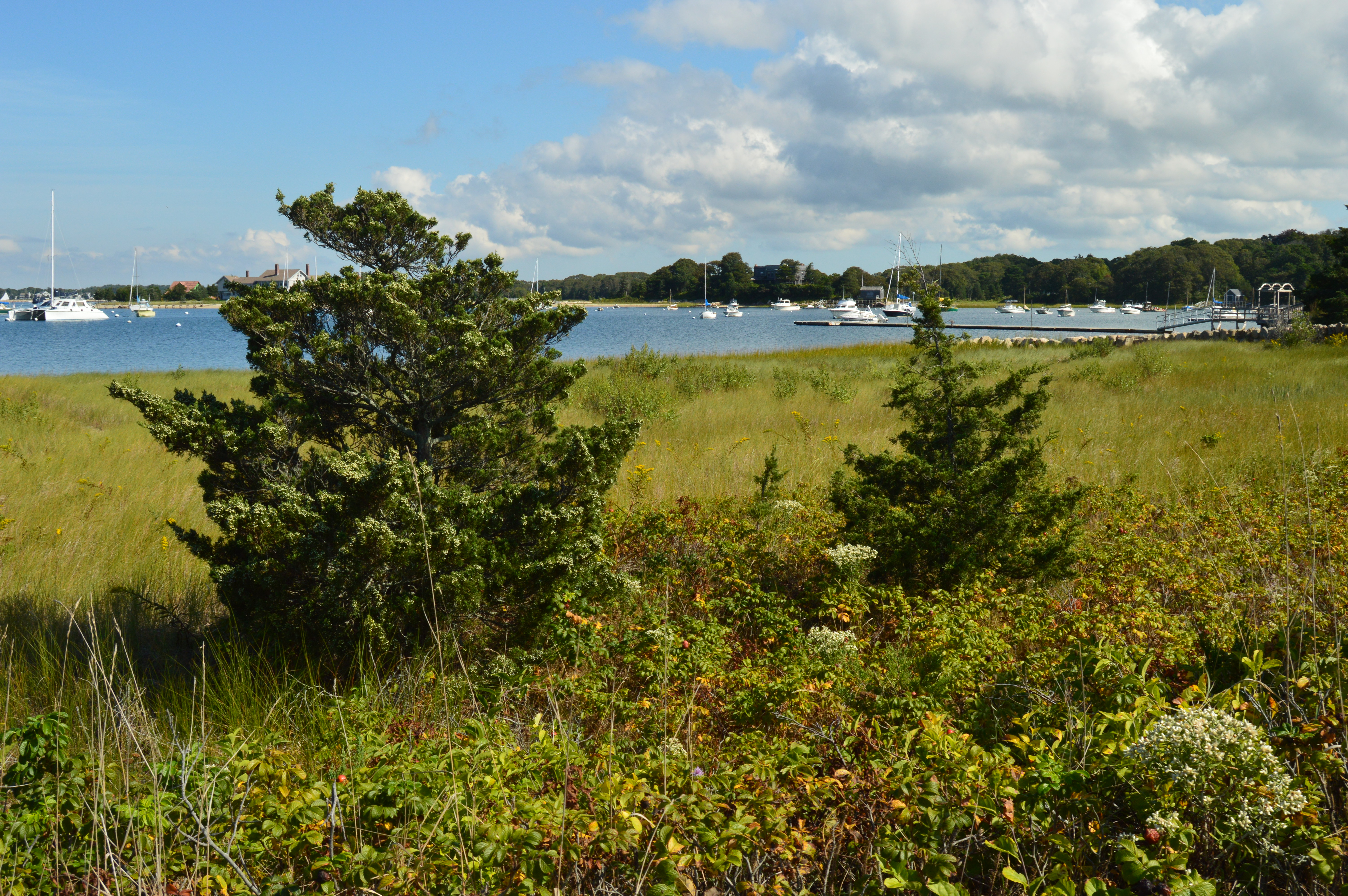
After a brief but rewarding stay at Amrita Island, it was on the next destination on my Farewell Summer Cape Cod trip. Scraggy Neck is a private beach in Cataumet, a village in Bourne, Massachusetts.
The beach is usually monitored by guards during the summer season. But, since summer was basically over, there were no guards when I arrived at the beach.
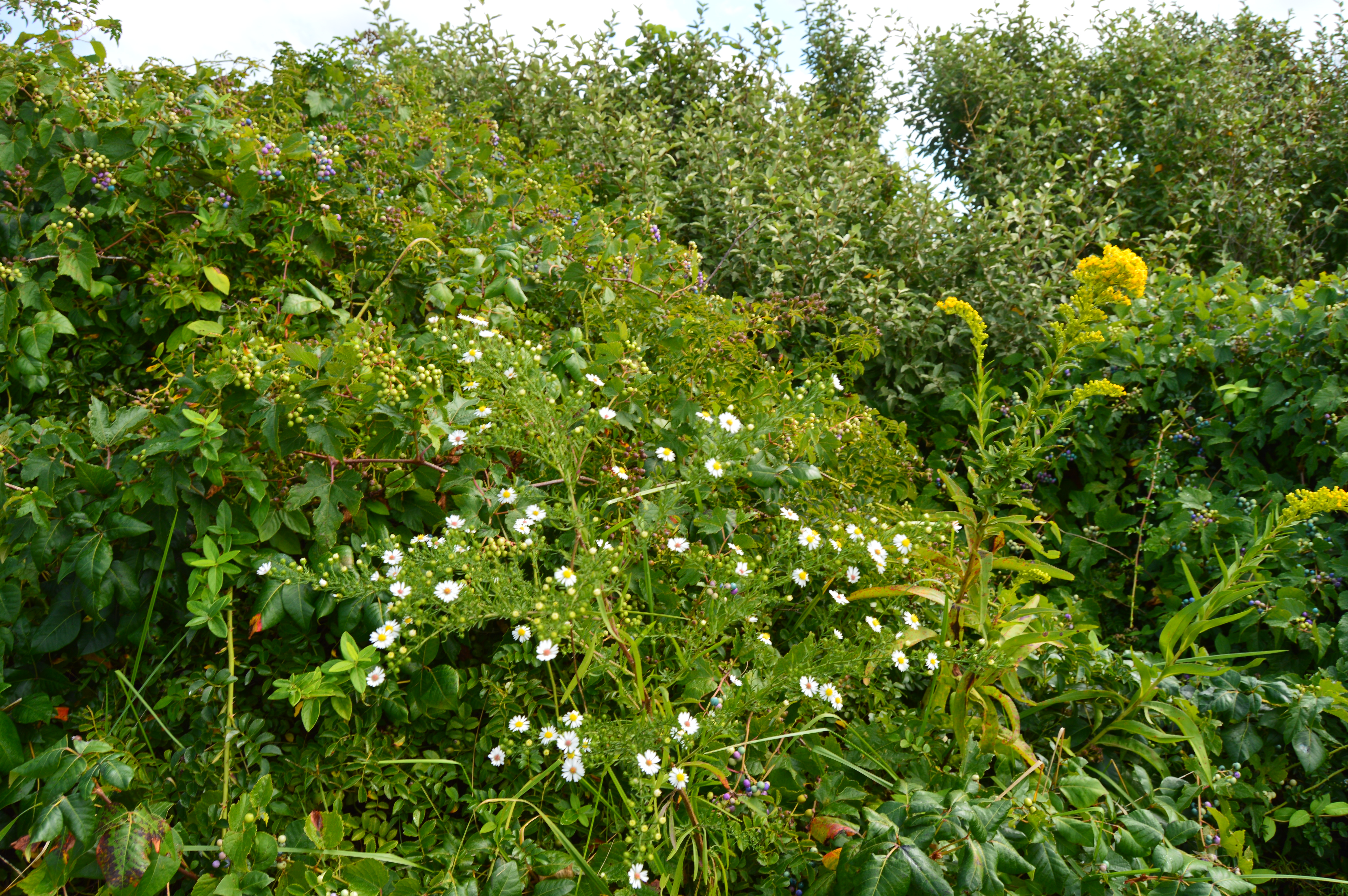
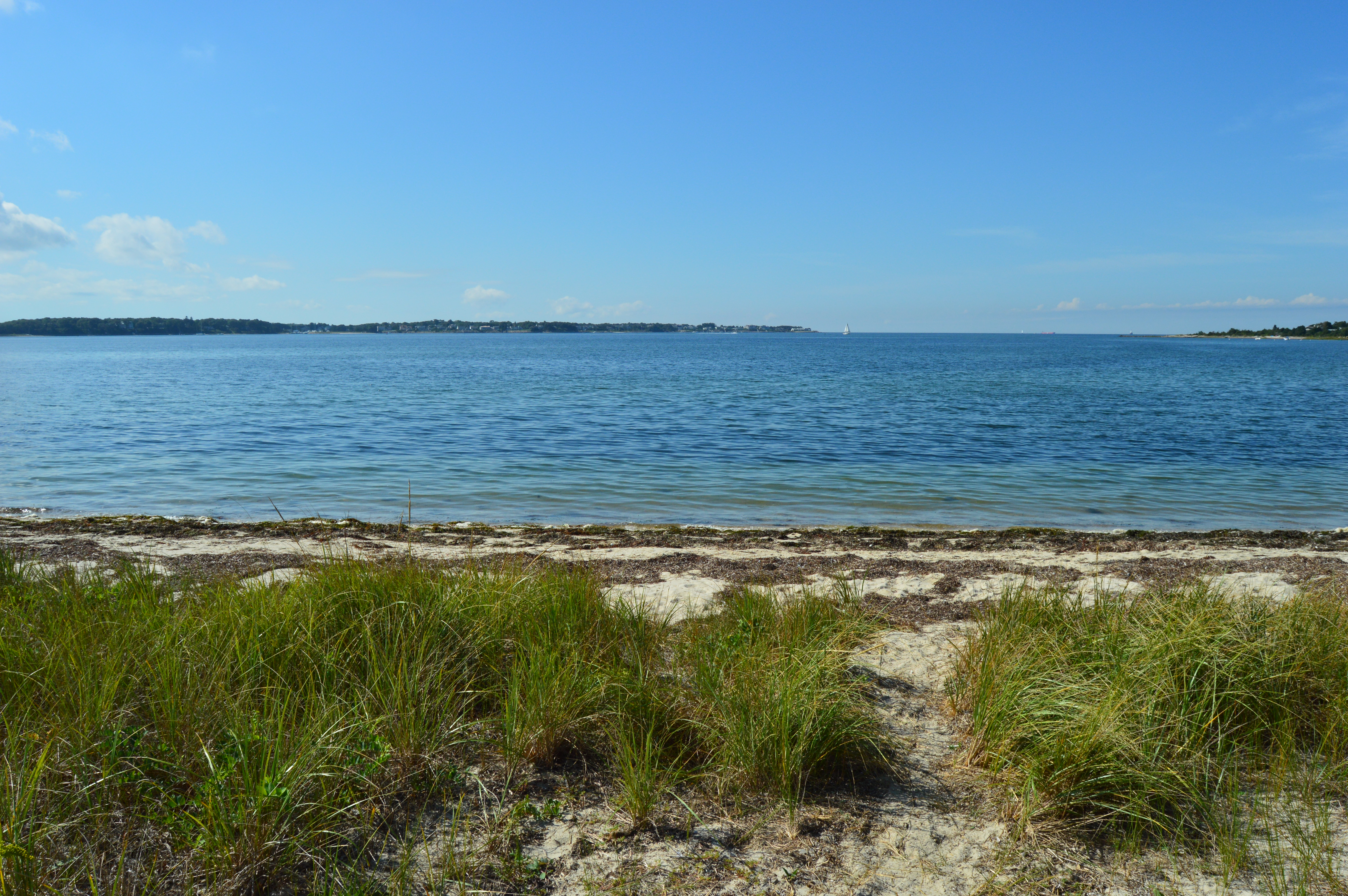
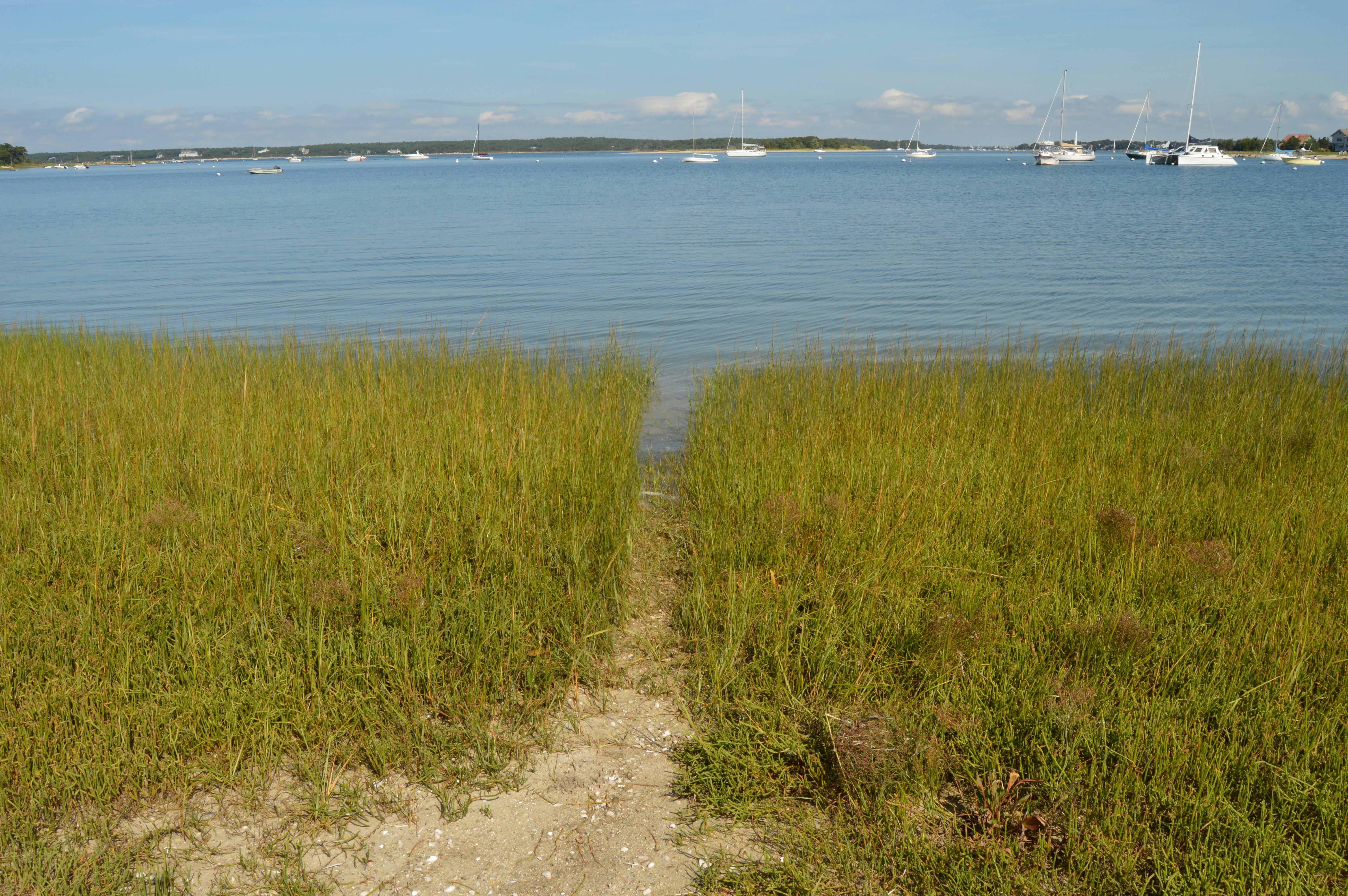
The entrance to the beach is grassy. But, there is a makeshift trail you can follow. The occasional flower stand in the grass
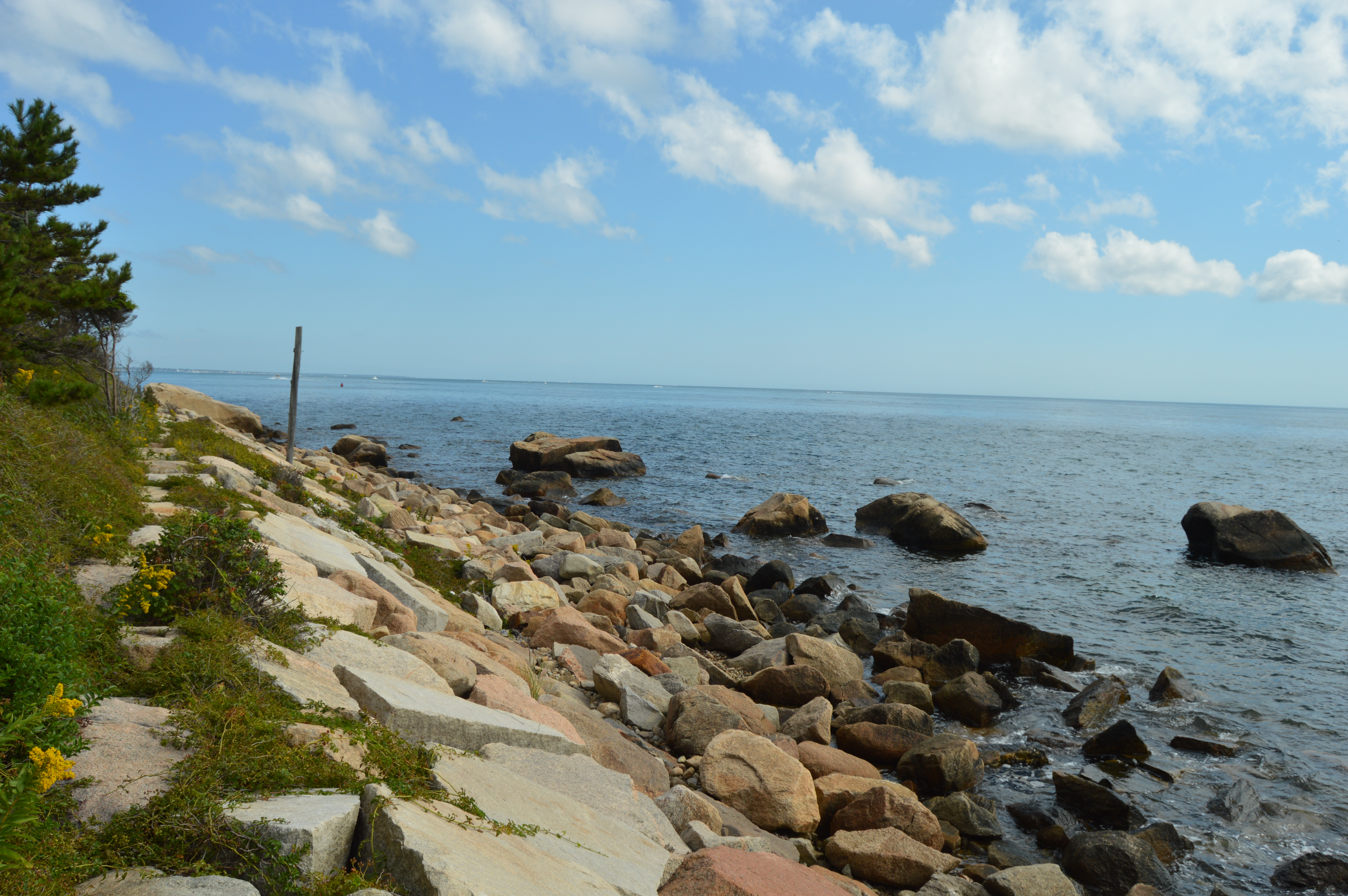
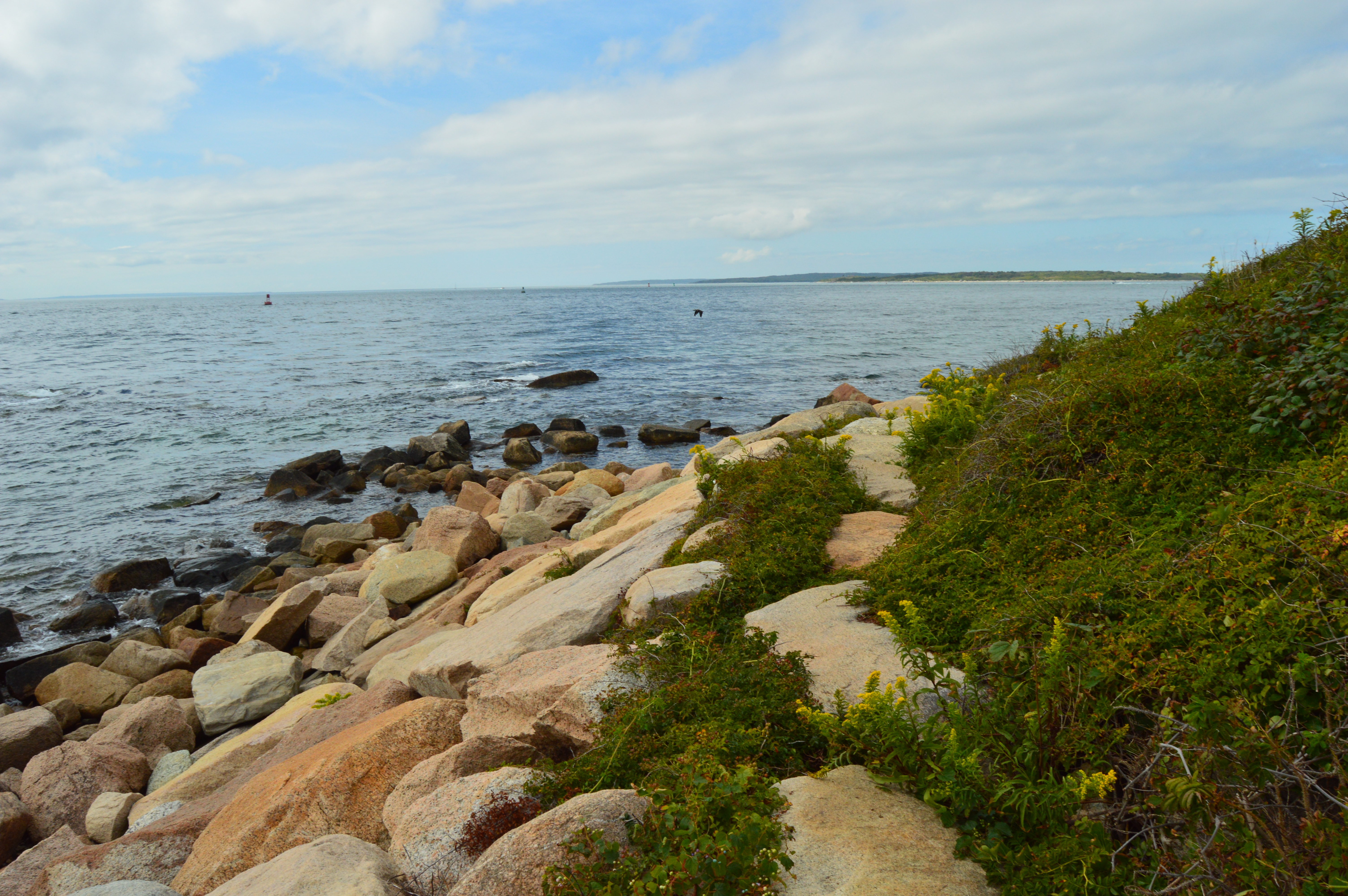
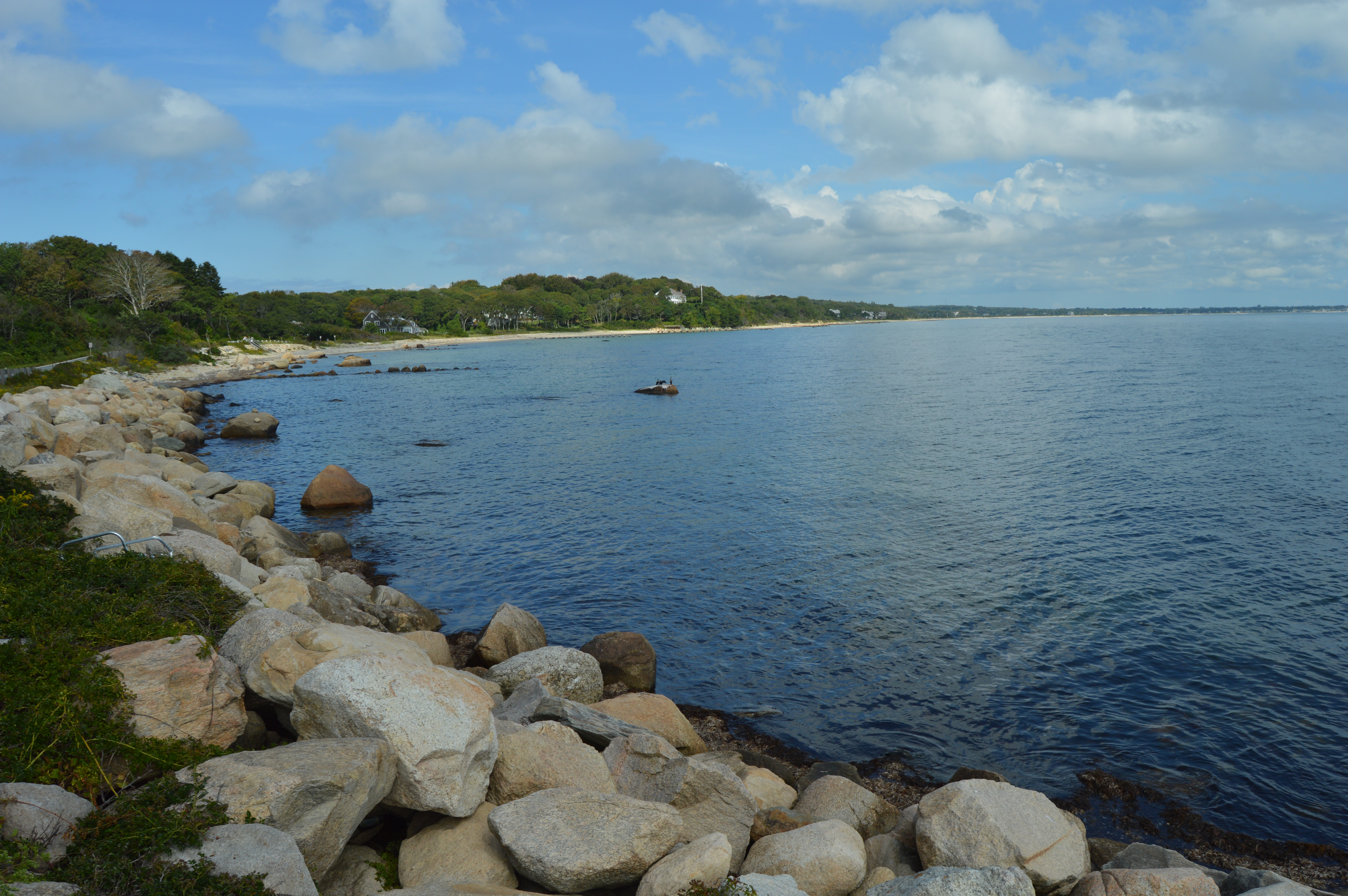
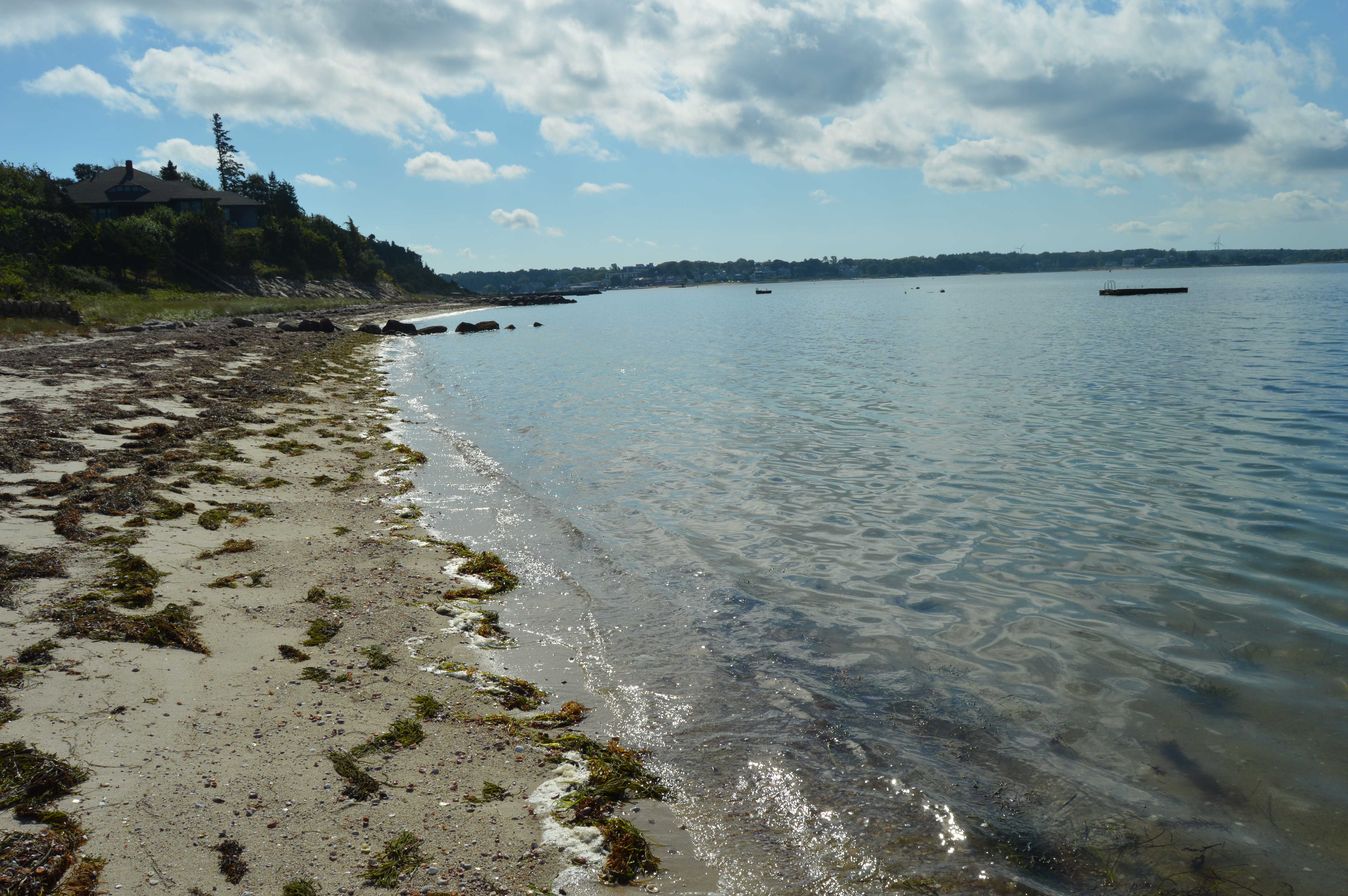
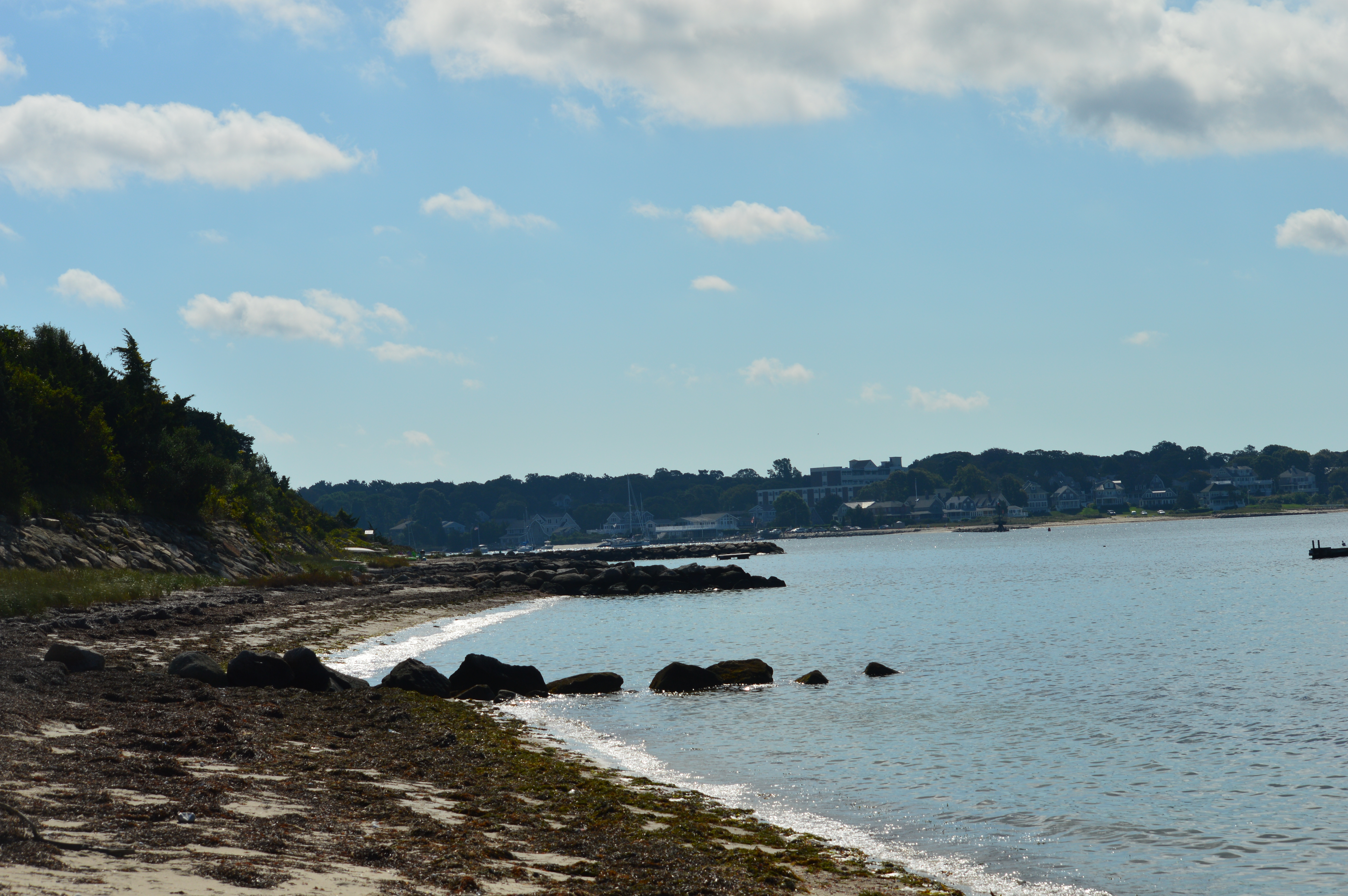
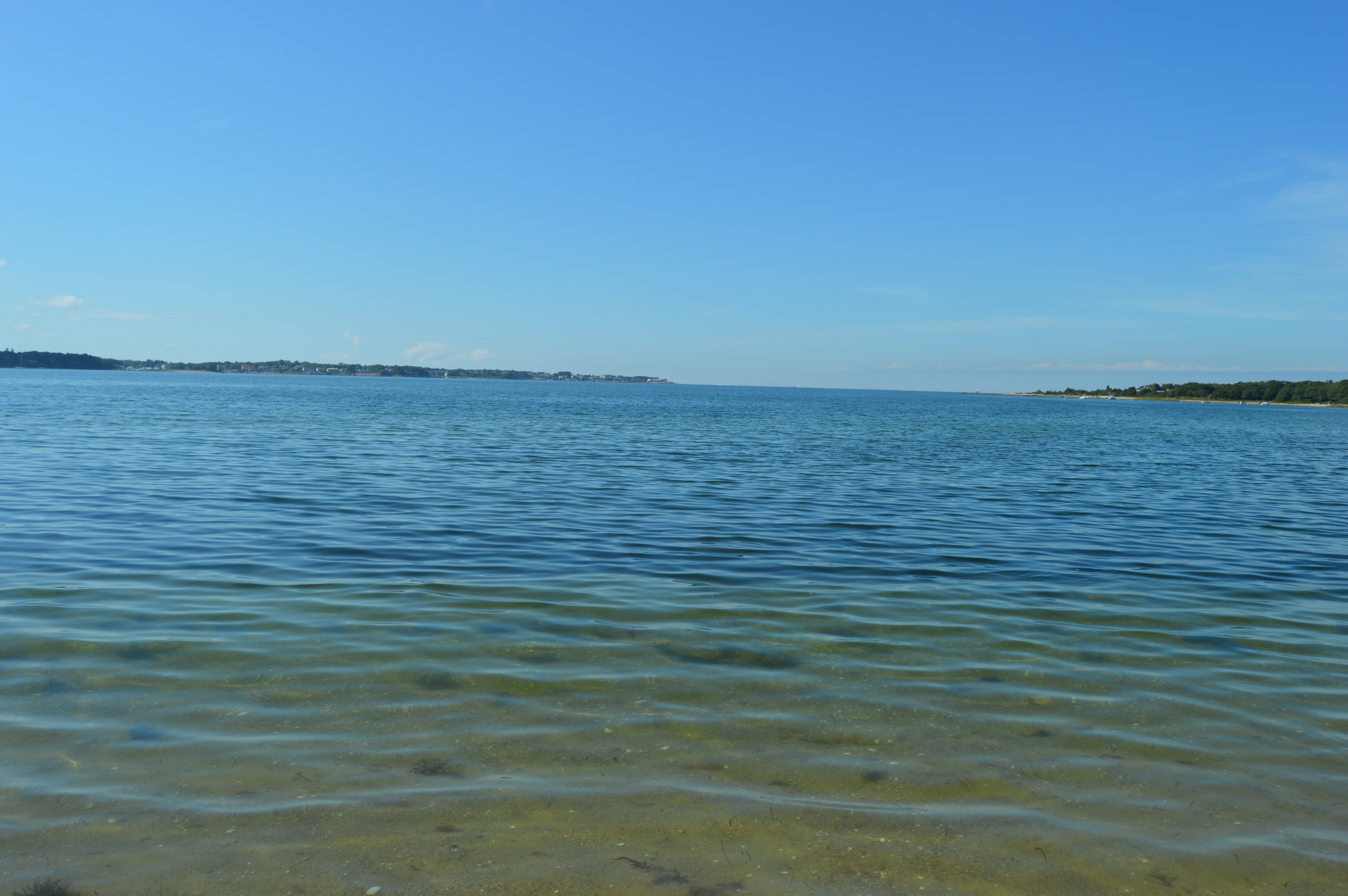
The beach is long and it was high tide when I visited. But, there wasn’t much of a beach head when I was visited. The water did look clean and clear.
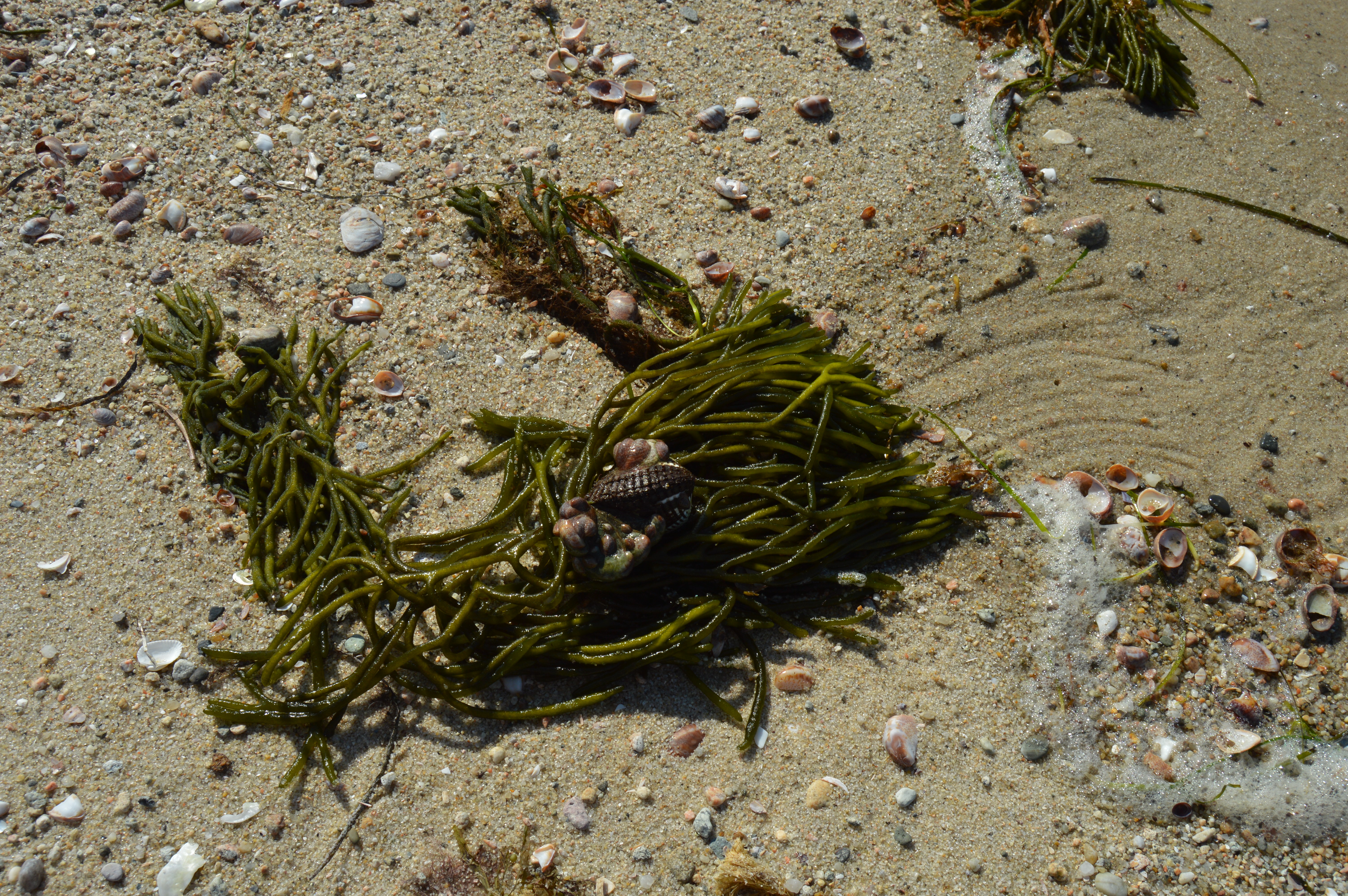
Seaweed and shells littered the beach.
Scraggy Neck is divided into two sides by a road that is frequented by joggers, bikers and cars. It was on the other side of the road that showed off Scraggy Neck’s more scenic views.
A narrow path leads to the water.
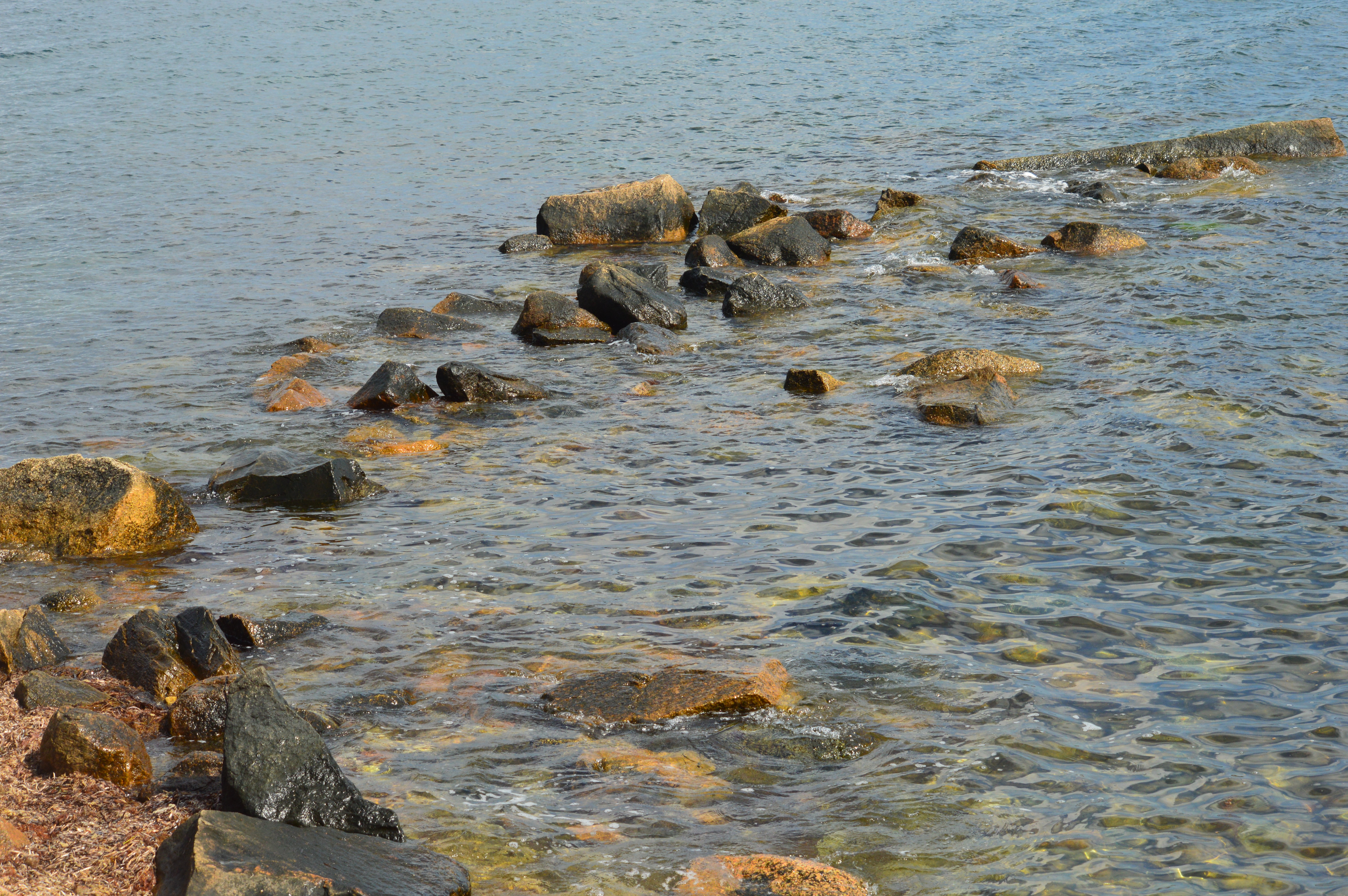
The fish is visible through the transparent water.
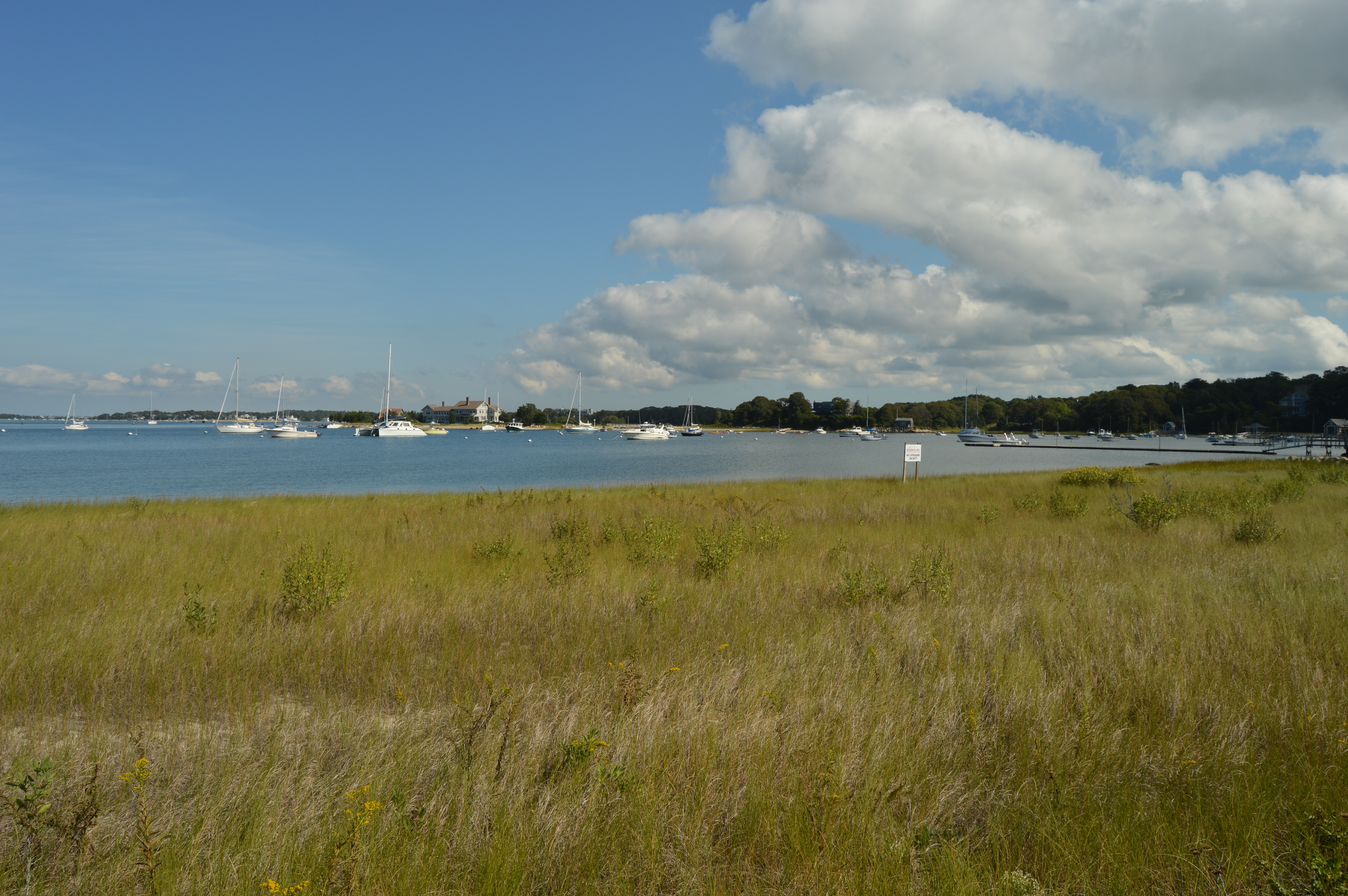
This part of Scraggy Neck is mostly grassy. So, it would not be the ideal area to lie out for a tan.
Scraggy Neck is also a popular spot for boaters to launch from.
After visiting Scraggy Neck, it was on to our next adventure….
If you want to feel on top of the world, or at least on top of Massachusetts, there’s no place like Mount Greylock.
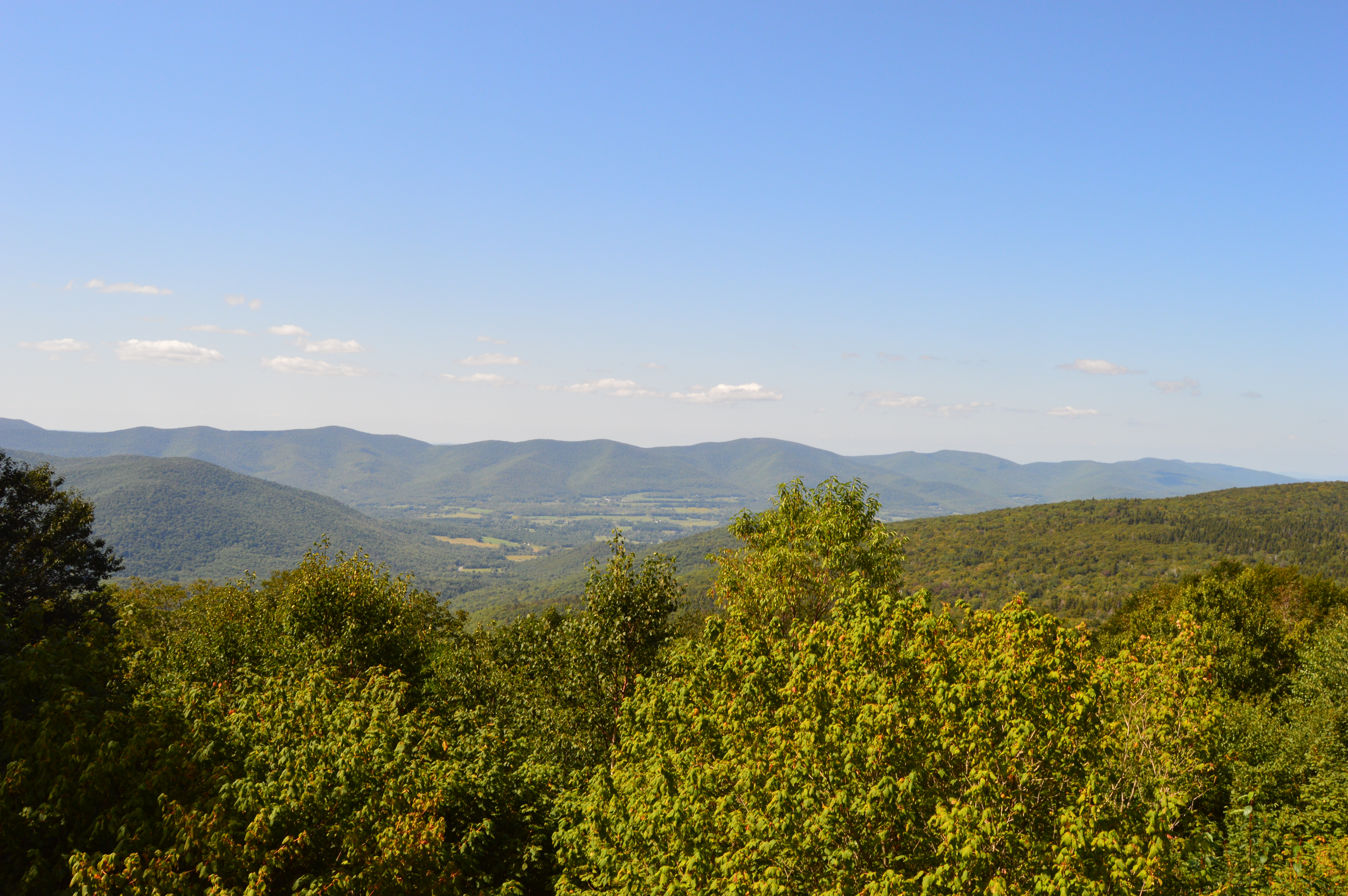
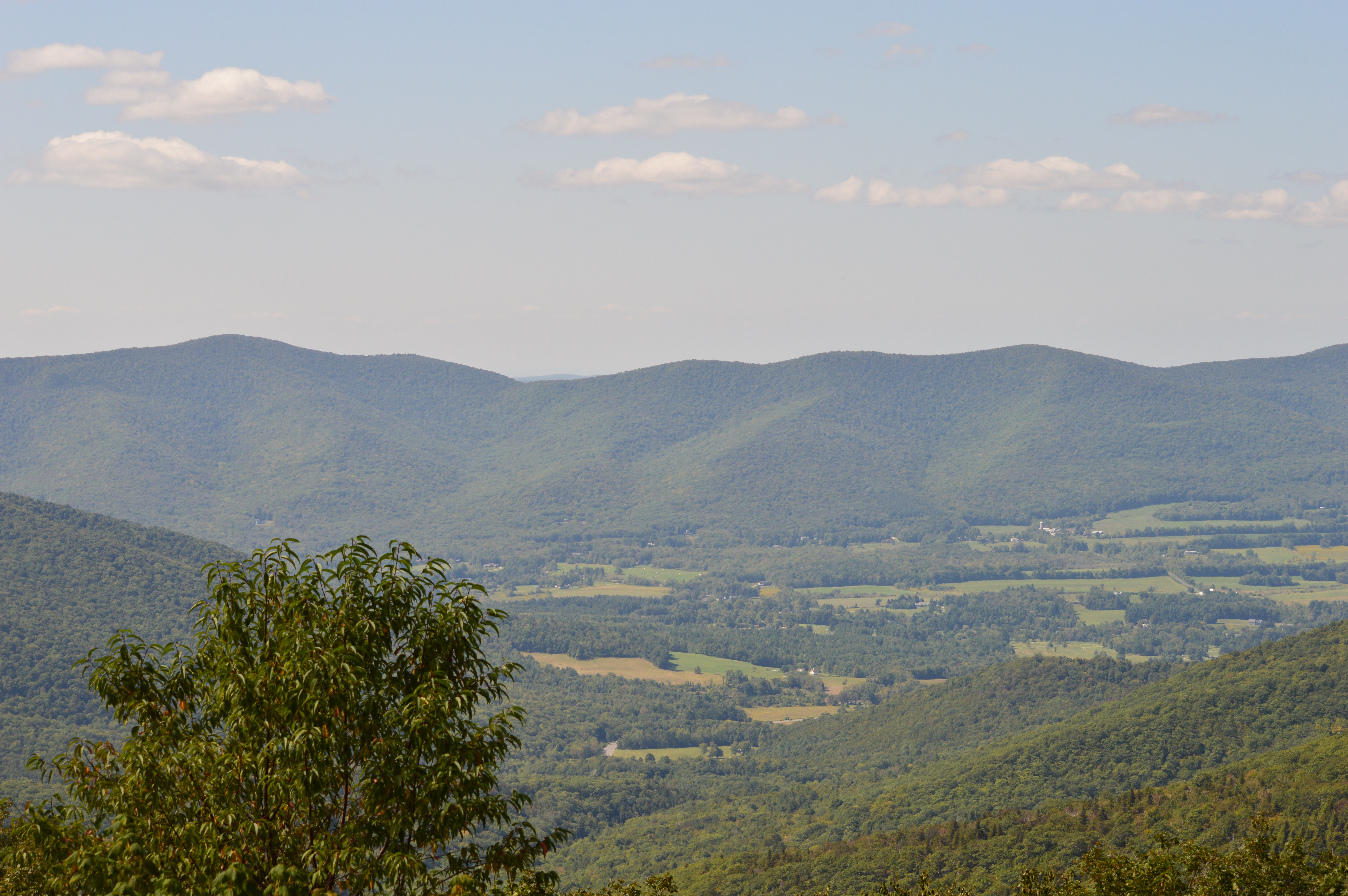
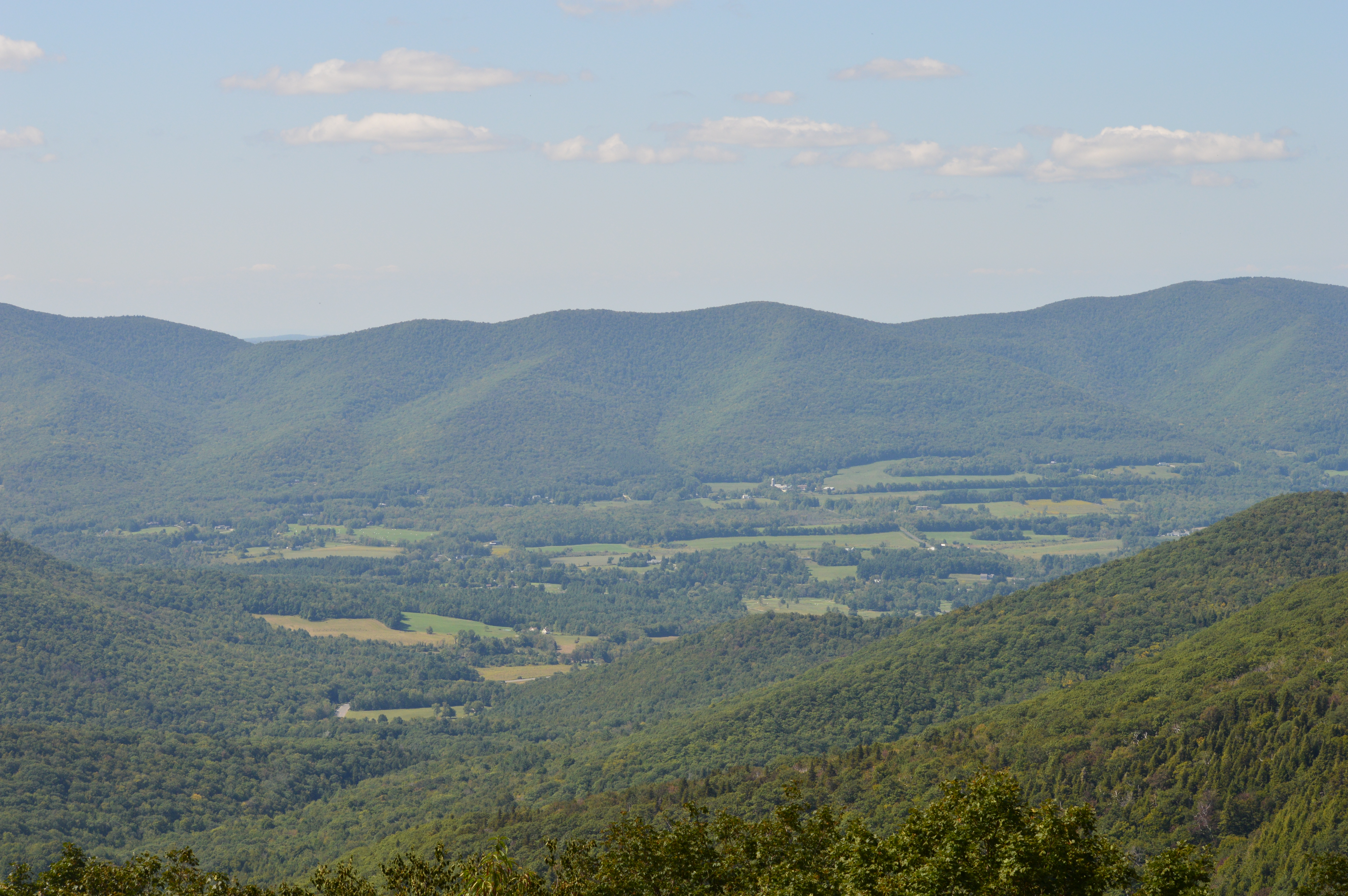
Clocking in at 3,491 feet and about an hour and a half west of Springfield, MA, Mount Greylock is the highest point in Massachusetts. With its miles of hiking trails and scenic views, Mount Greylock is the perfect destination for hikers and nature lovers. There is also a paved road to the summit with places to pull over to view the scenic beauty.
There are also some cute and pretty attractions off the main trails.
Even the views and flowers at the Visitor Center were captivating.
Along the trails
But, the pinnacle of Mount Greylock is the tower that sits atop the summit. First built as a tribute to the veterans of the first World War, the tower now serves as a memorial to all service members who have served the country. When it is lit each night, the tower is said to be able to be seen from 70 miles. The granite from which the tower was came from my hown city, Quincy (pronounced kwin-zee), Massachusetts.
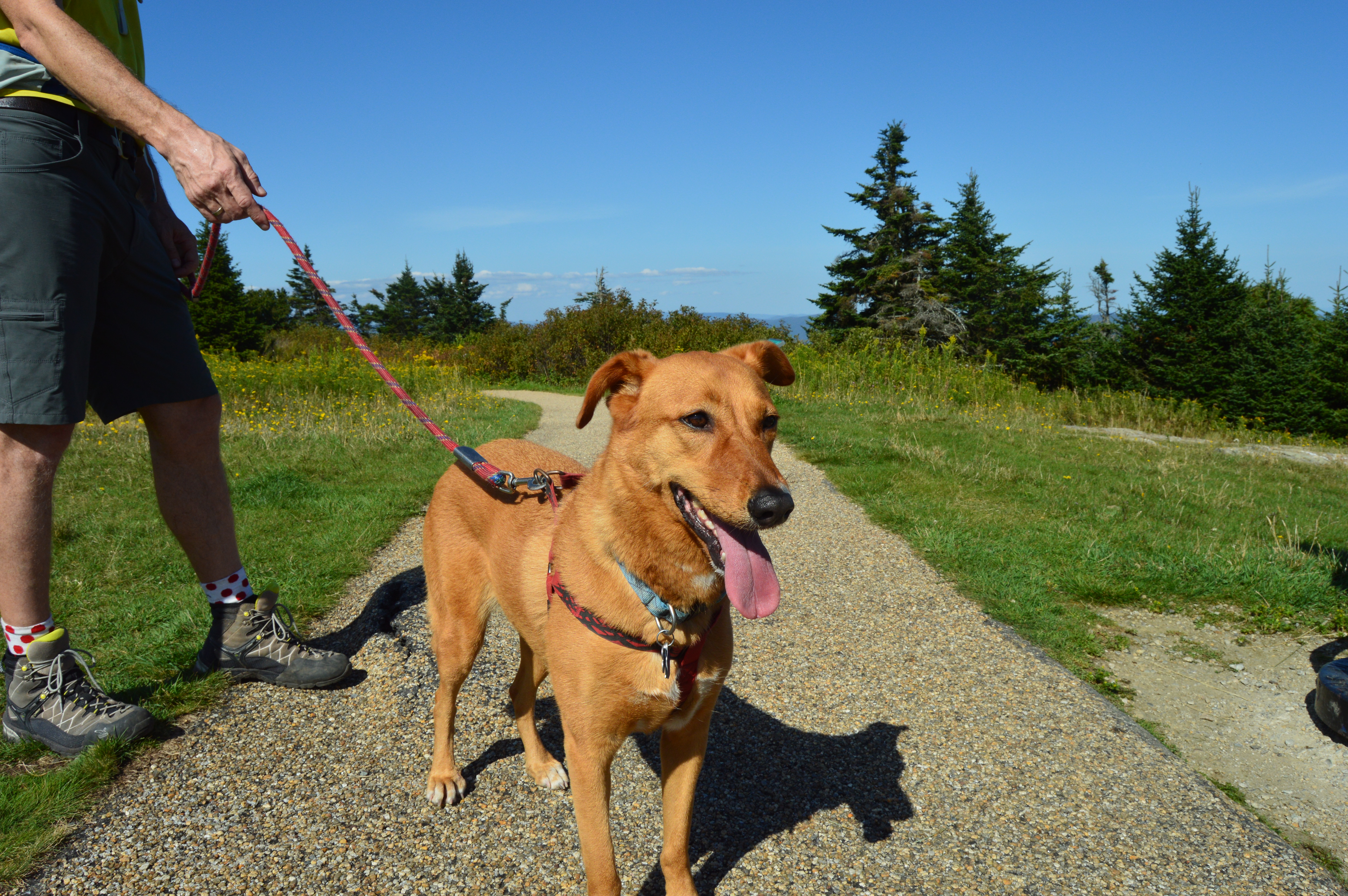
Mount Greylock State Reservation is a dog friendly park. During my visit there were many dogs out enjoying the views.
Izzy was patiently waiting for his mom outside the visitor’s center.
Peanut was getting ready for his big hike.
Max was tired from hiking the trails at Greylock.
This fella was enjoying some rays.
Most of the wildlife at Mount Greylock was hidden during the day. But, I did see this grasshopper.
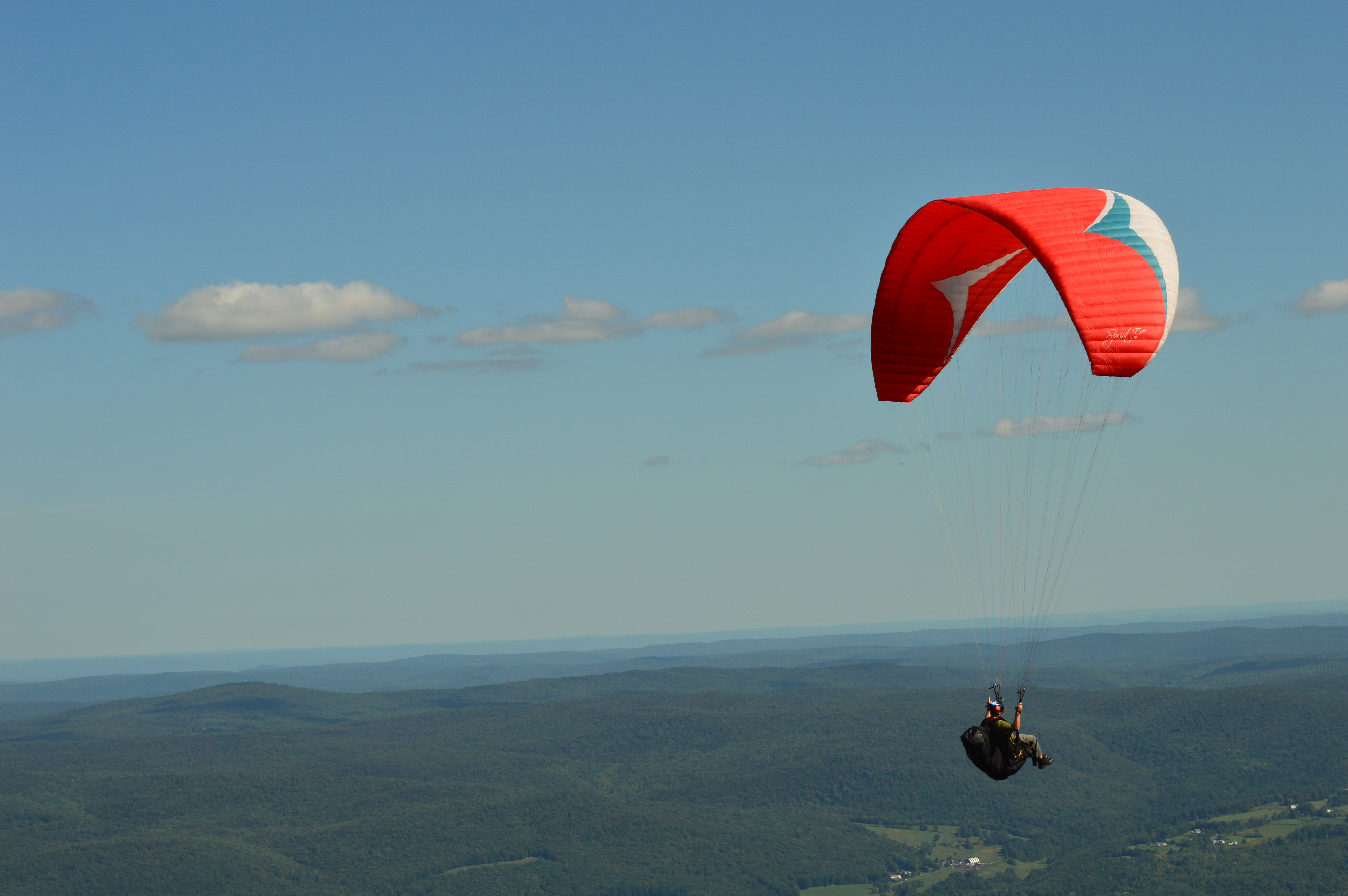
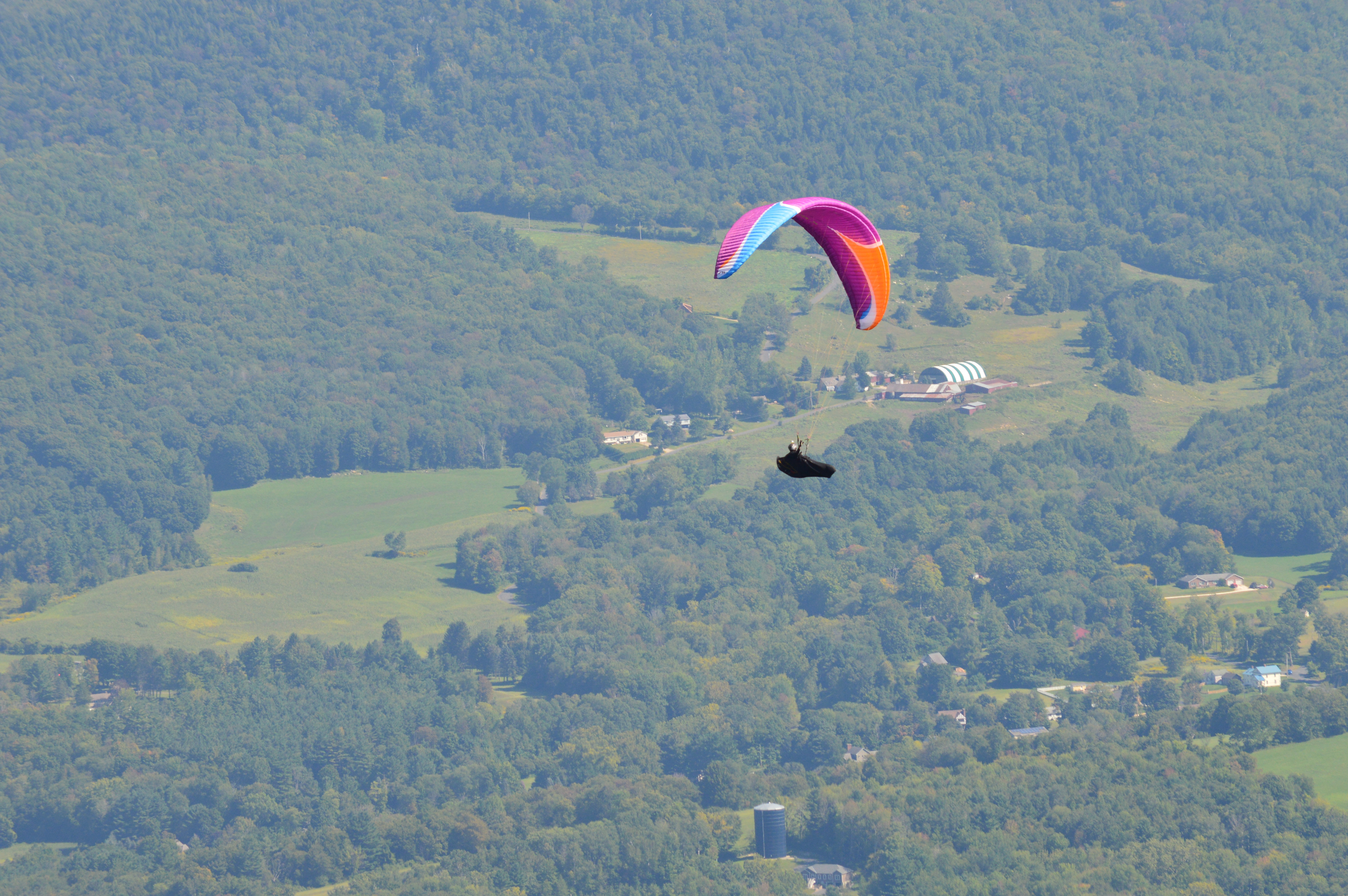
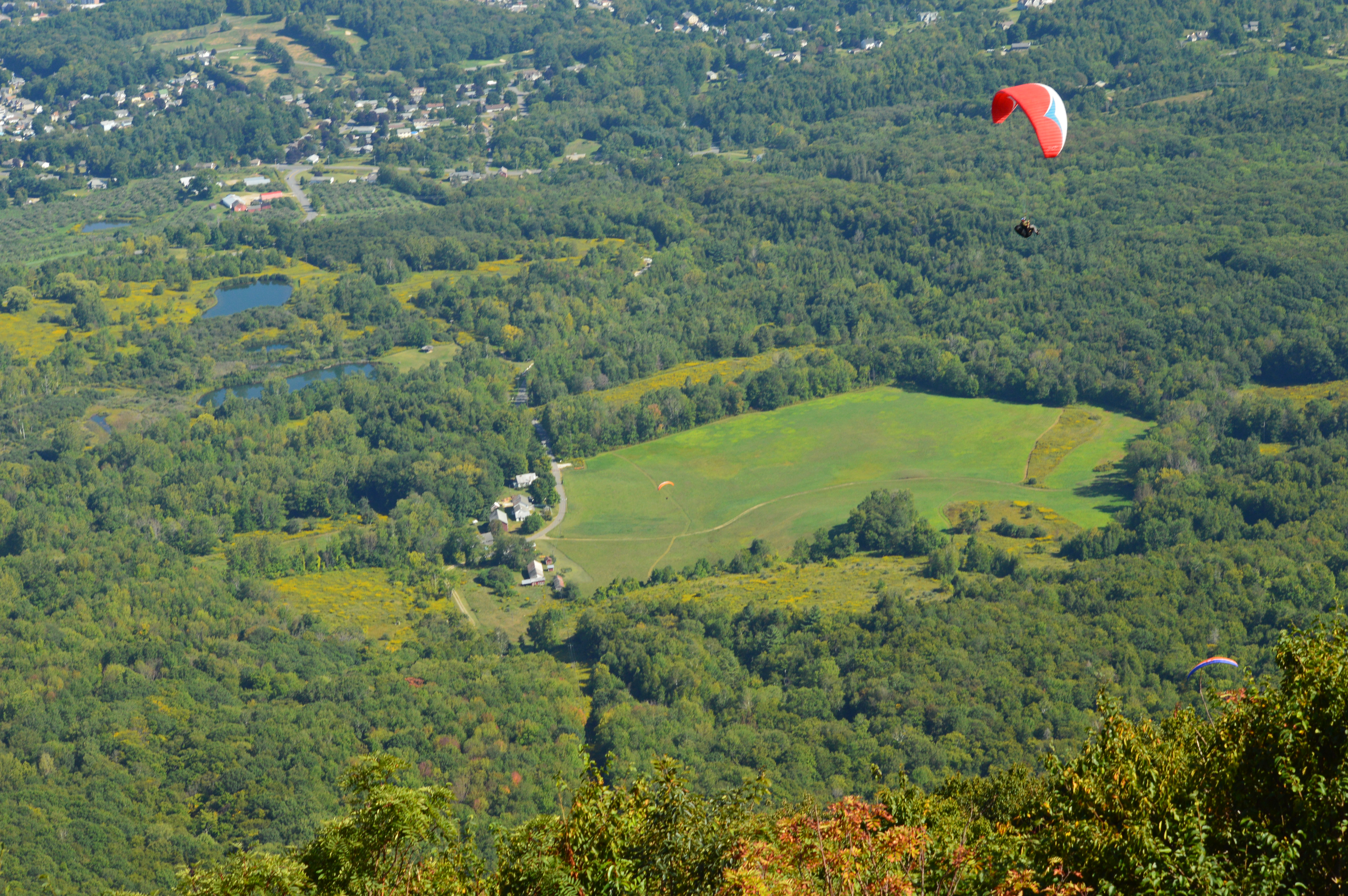
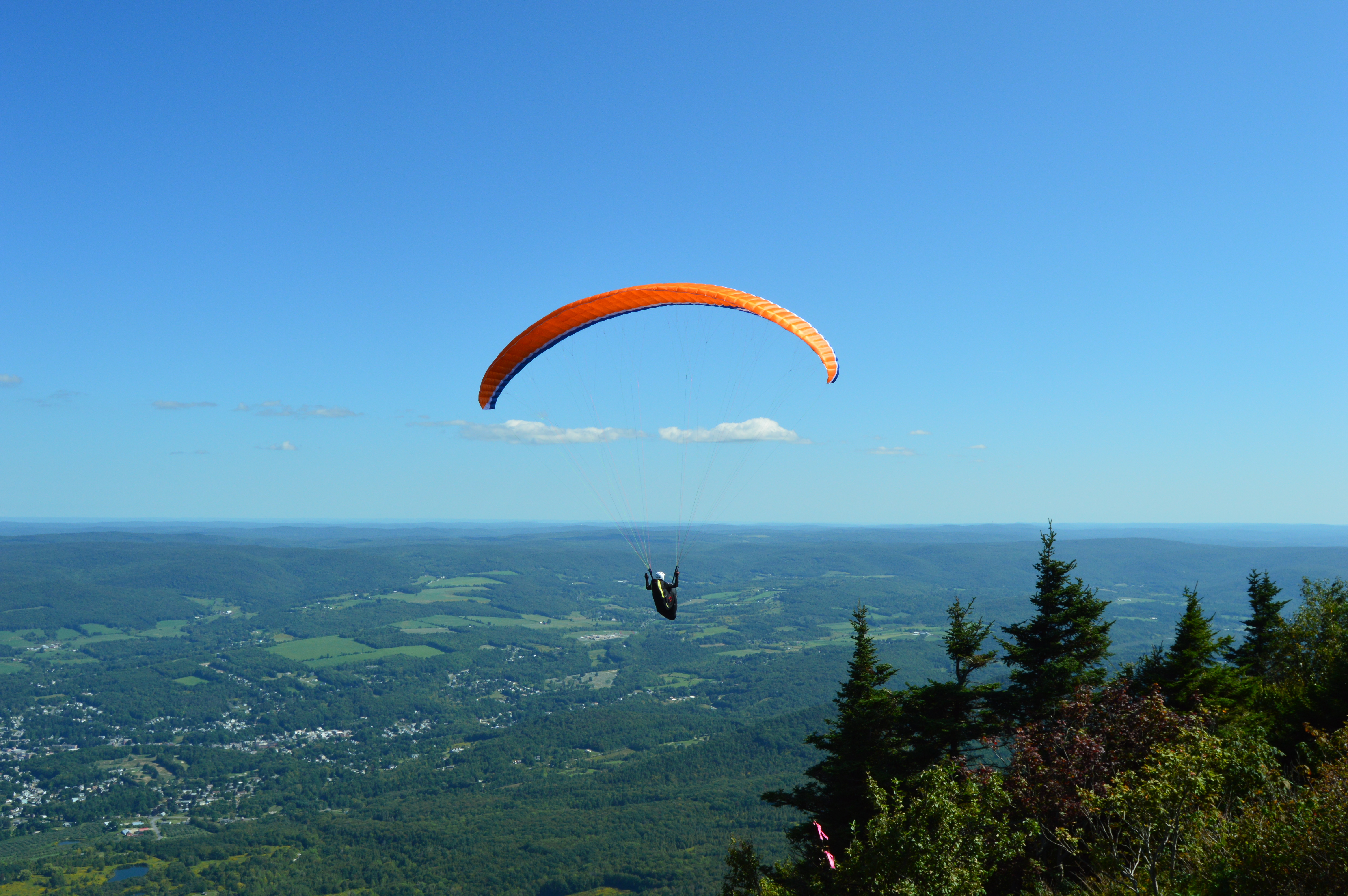
Mount Greylock is also a popular spot for paragliders. In fact, several paragliders took off from Mount Greylock during the day.
Mount Greylock is also a stop on the Appalachian Trail. It’s a long way to Georgia. Maybe I’ll try it sometime.
Granville State Forest is 2,000 plus acre state forest and campground located in, you guessed it Granville, Massachusetts. Be advised, the trails are long in between the various ponds, brooks and various other attractions. But, you can drive on the unpaved roads if walking isn’t your style.
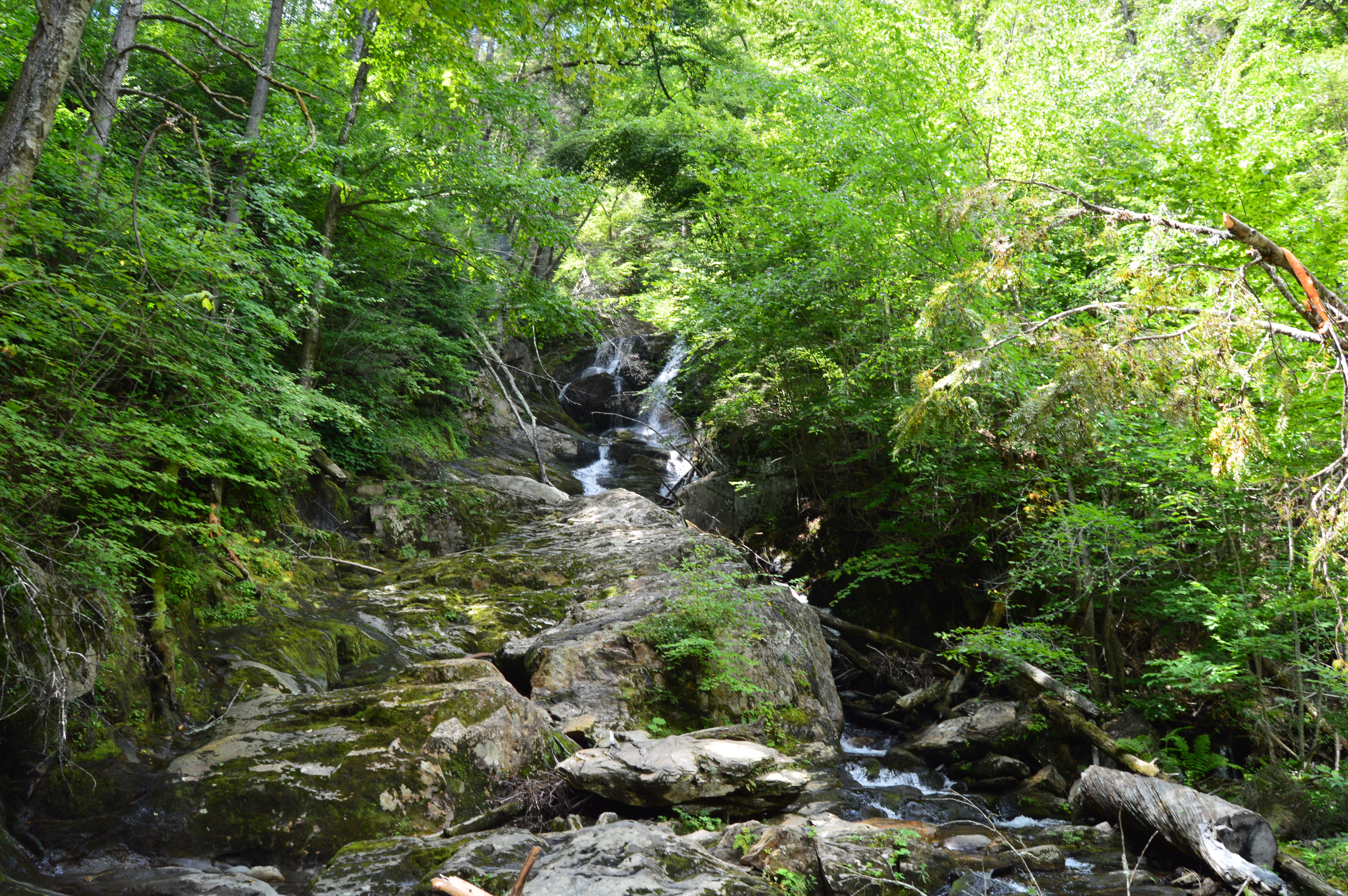
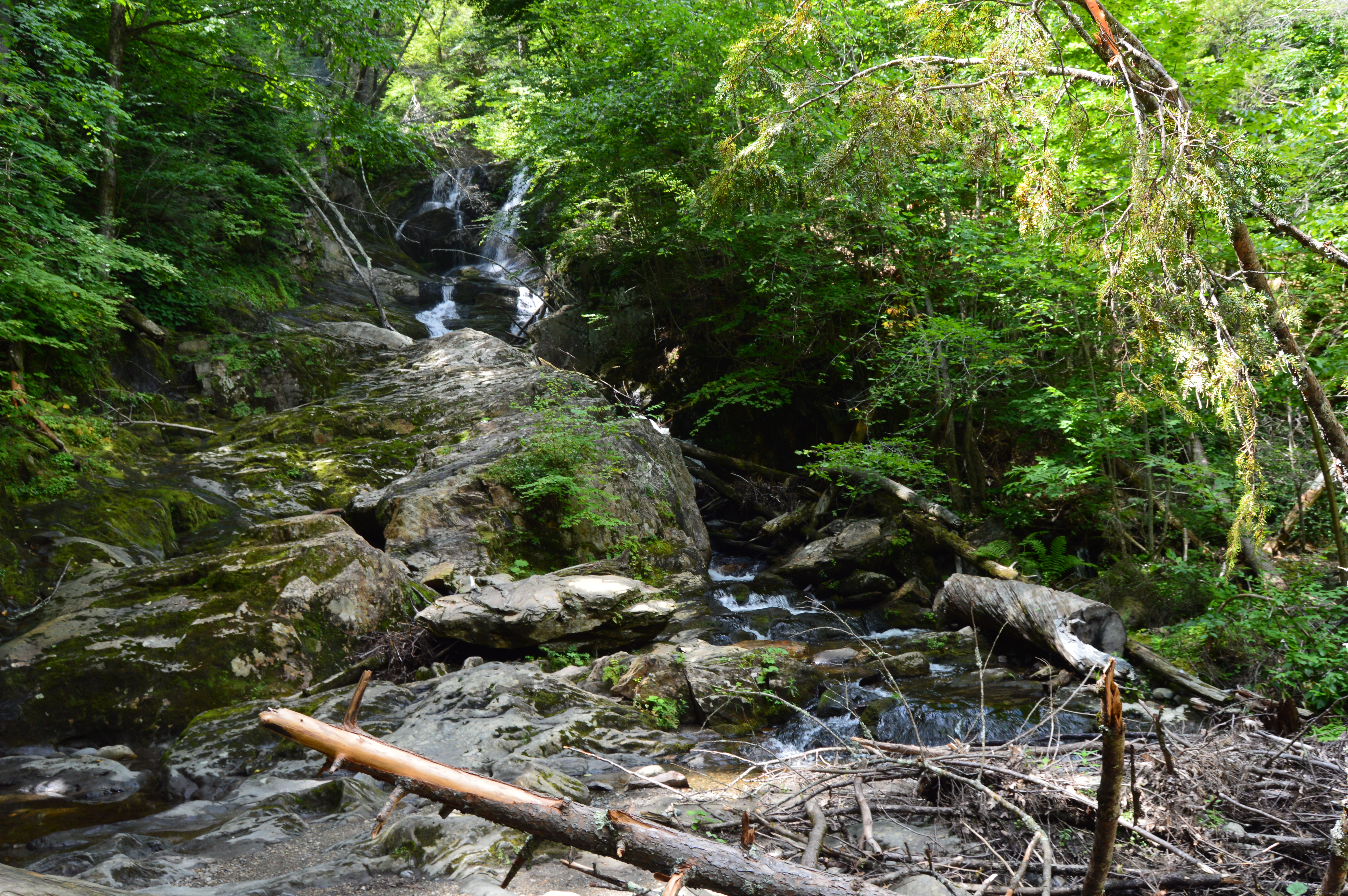
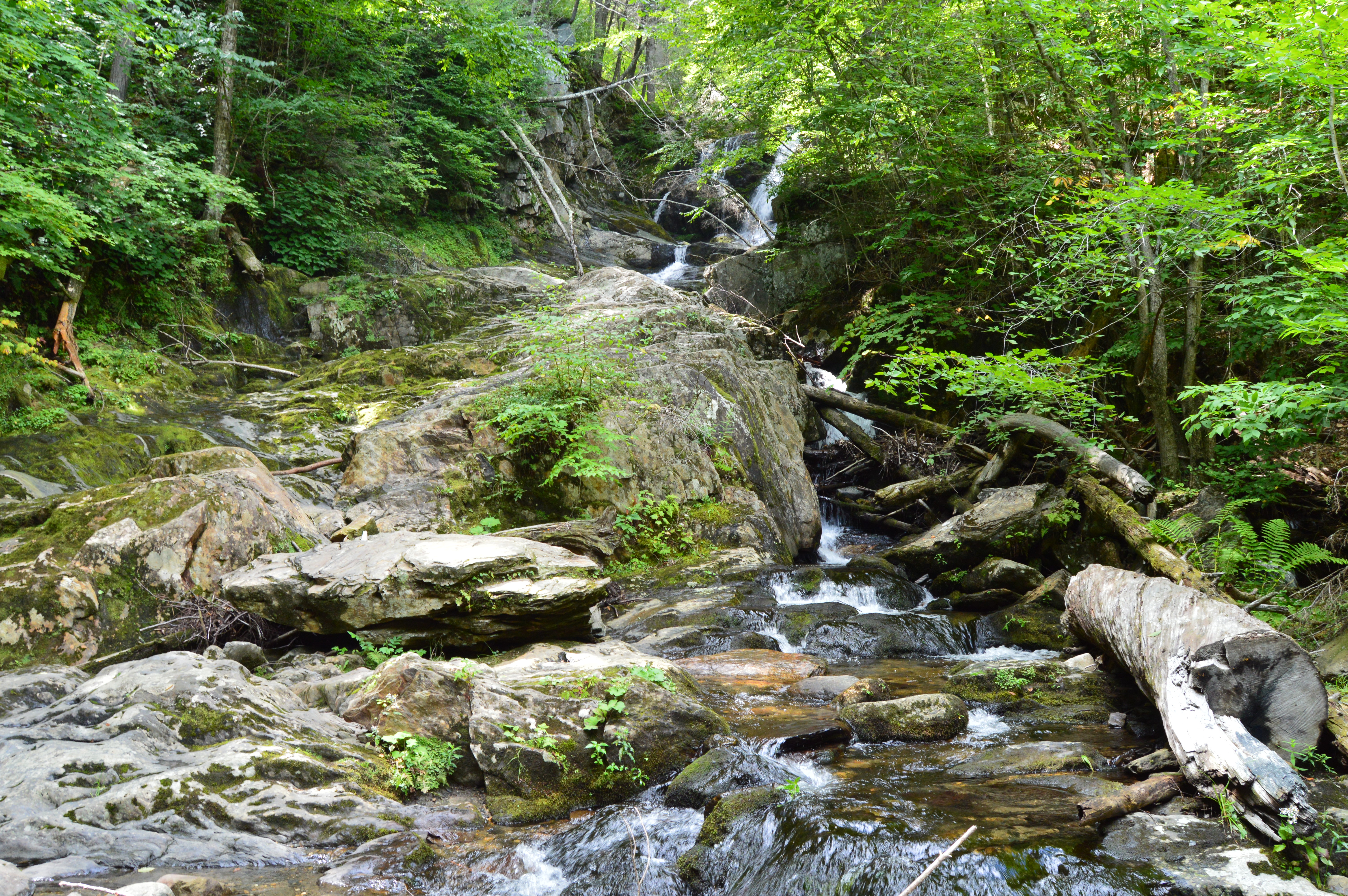
Located about 45 minutes from Springfield, MA, Granville State Forest was once a popular hunting spot for the Tunxis. I didn’t run into Tunxis during this visit. But, I did see some stunning views. Take this waterfall, for instance.
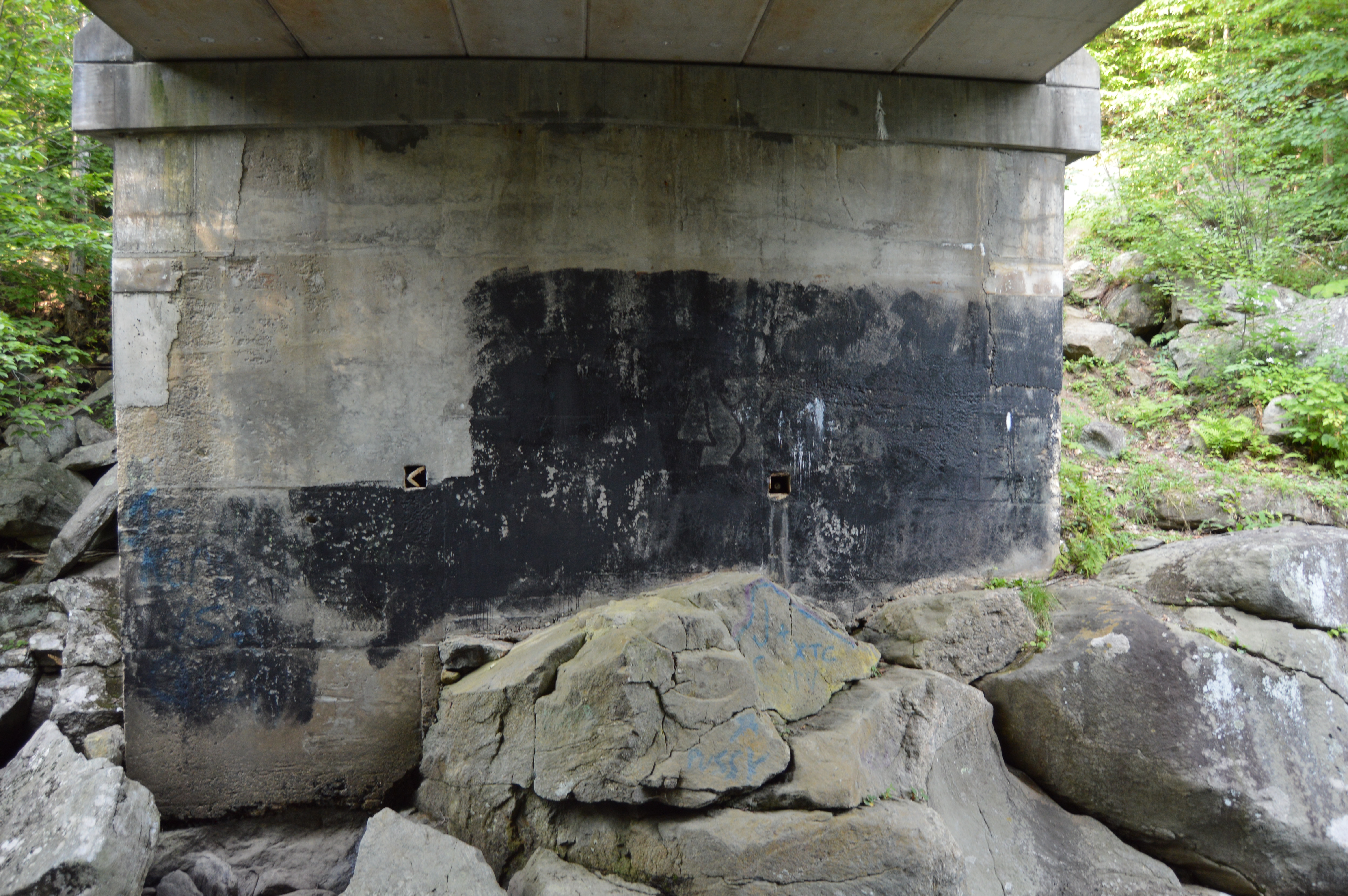
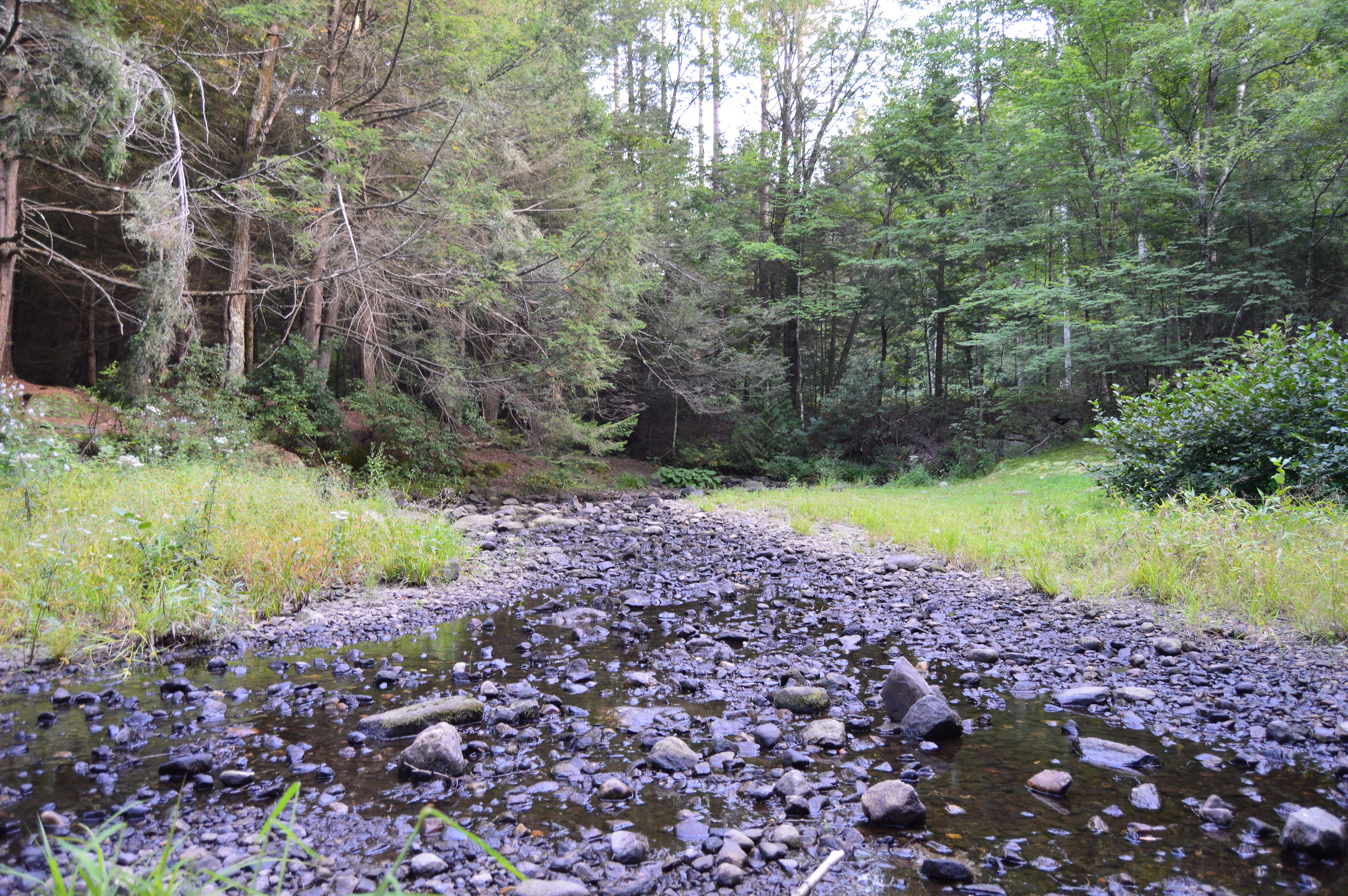
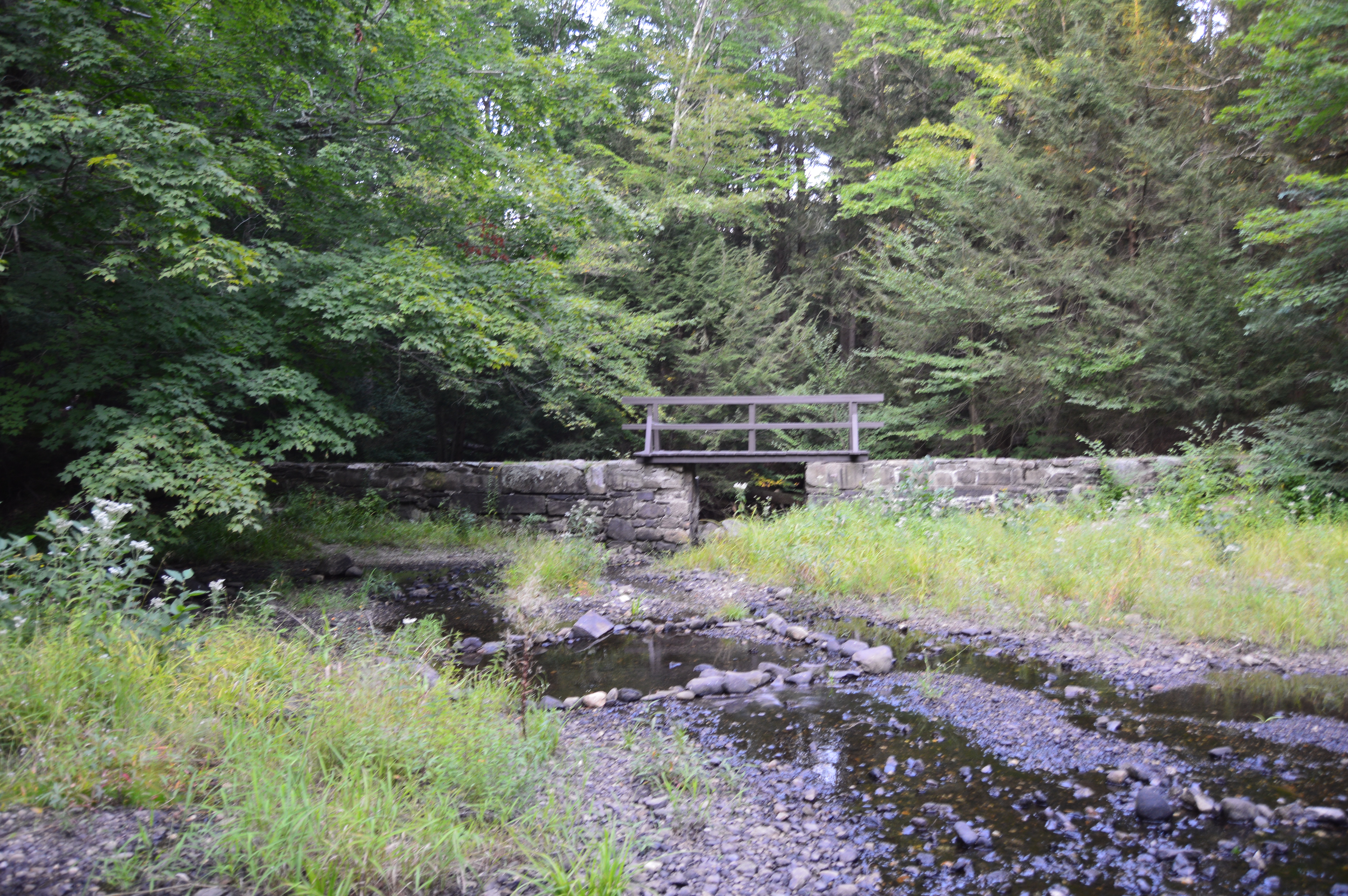
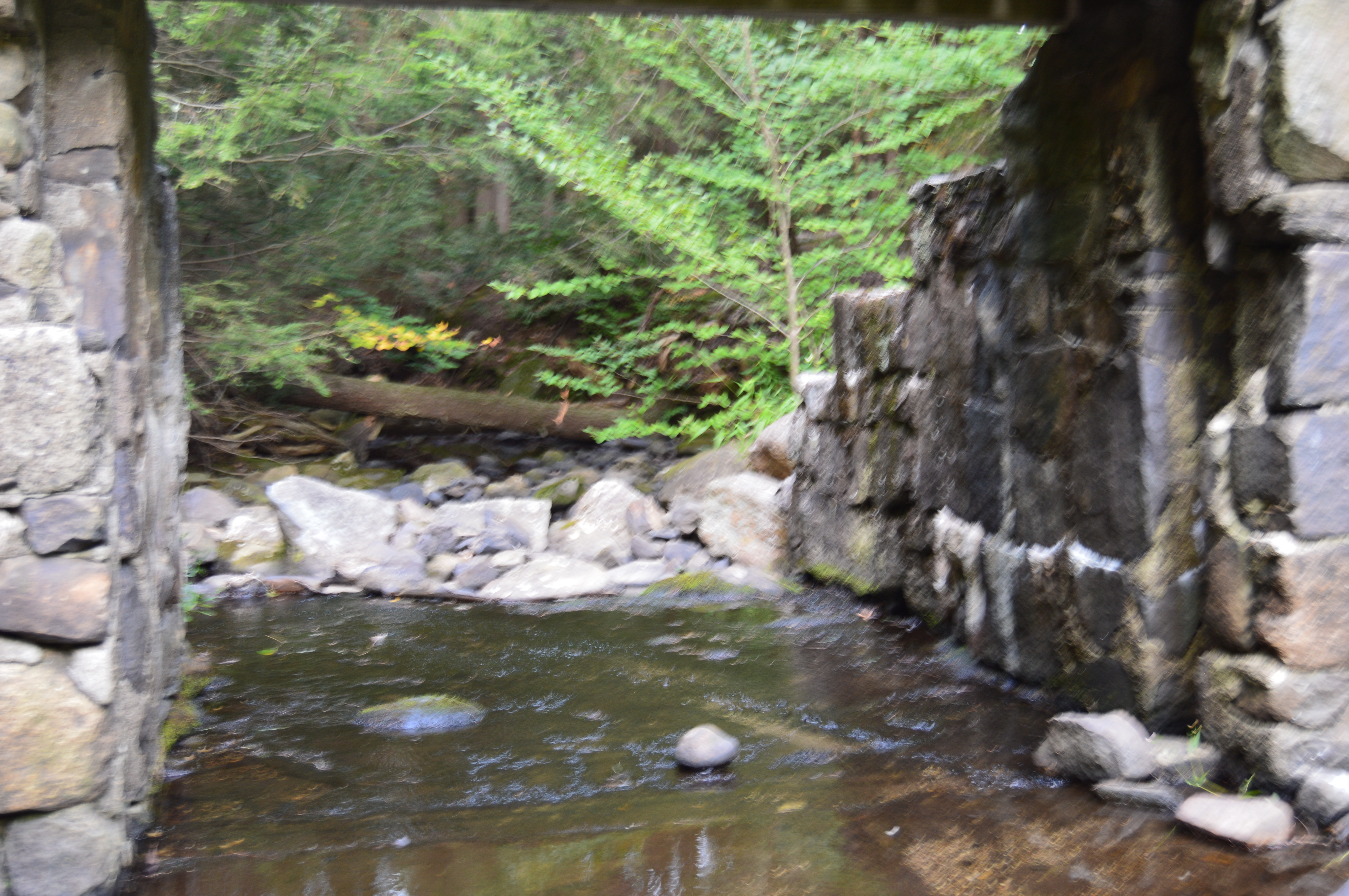
But, to really get a sense of the beauty of the Hubbard River, one must get off the beaten path, or bridge as it were in this case.
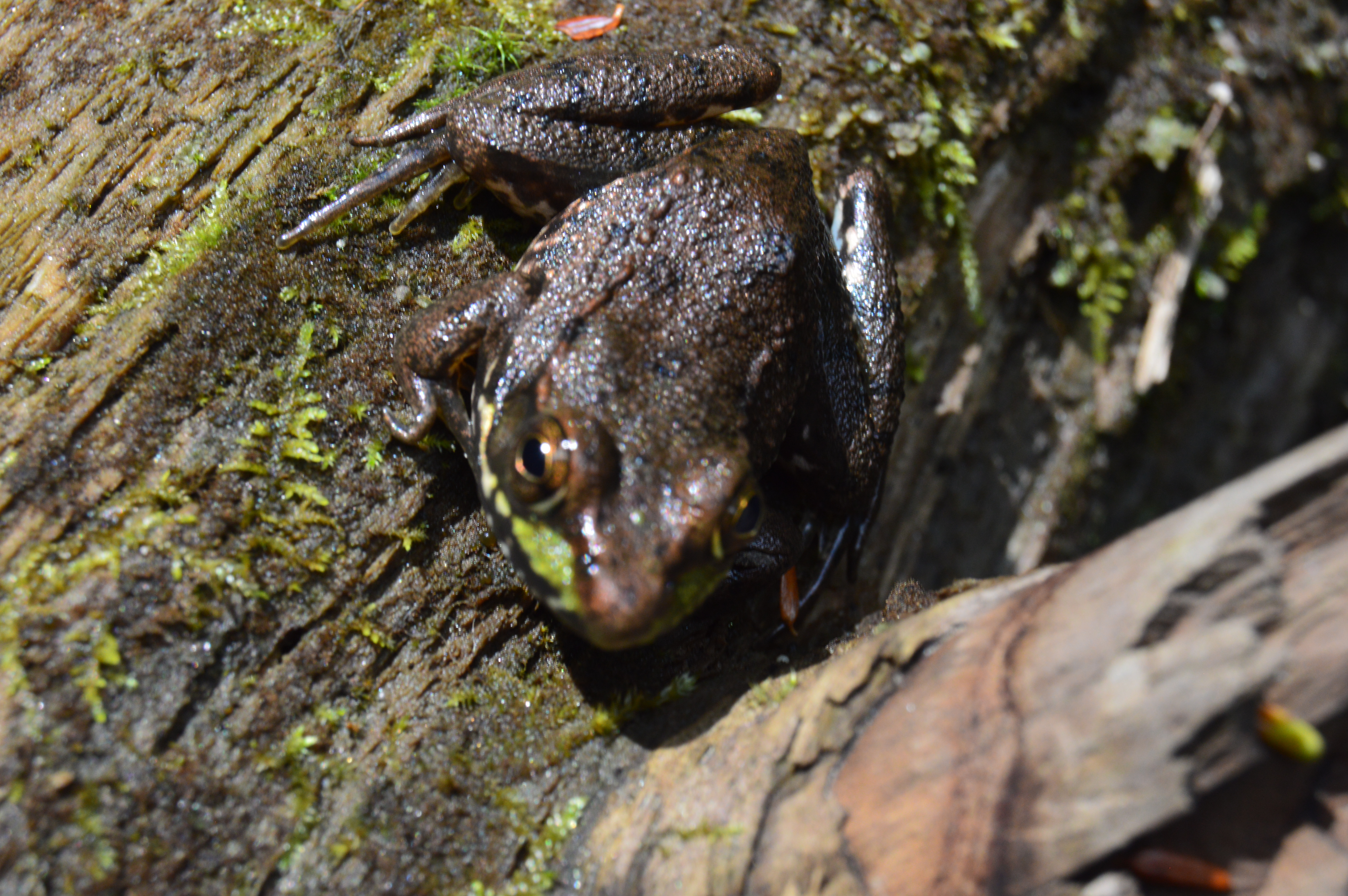
It’s amazing the things you see when you get off the main path. Like this Frog with his lunch.
Or this artful graffiti, especially the curse words. It’s vary quaint. Oh, you crazy kids. At least I hope it was kids who wrote it.
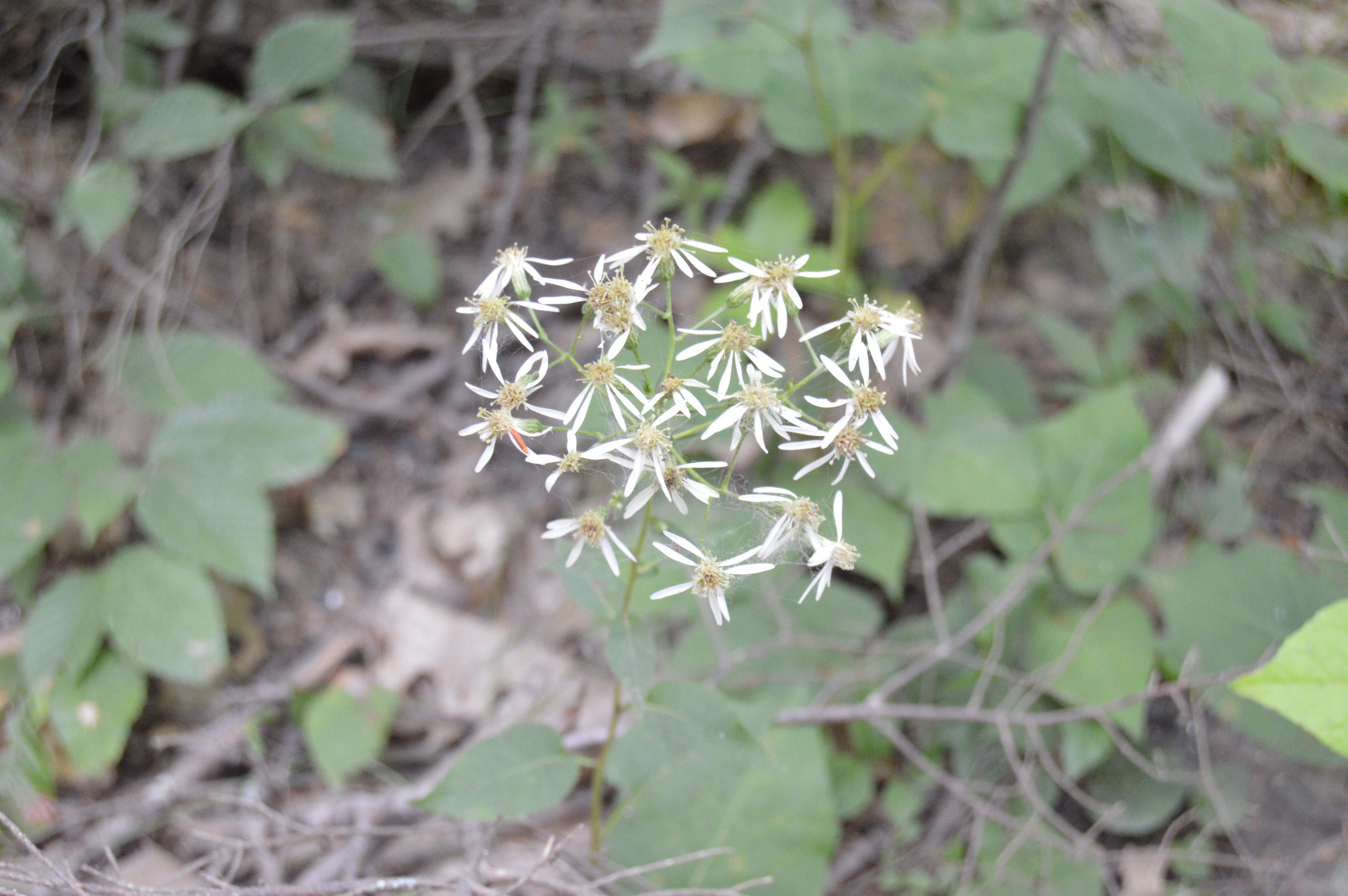
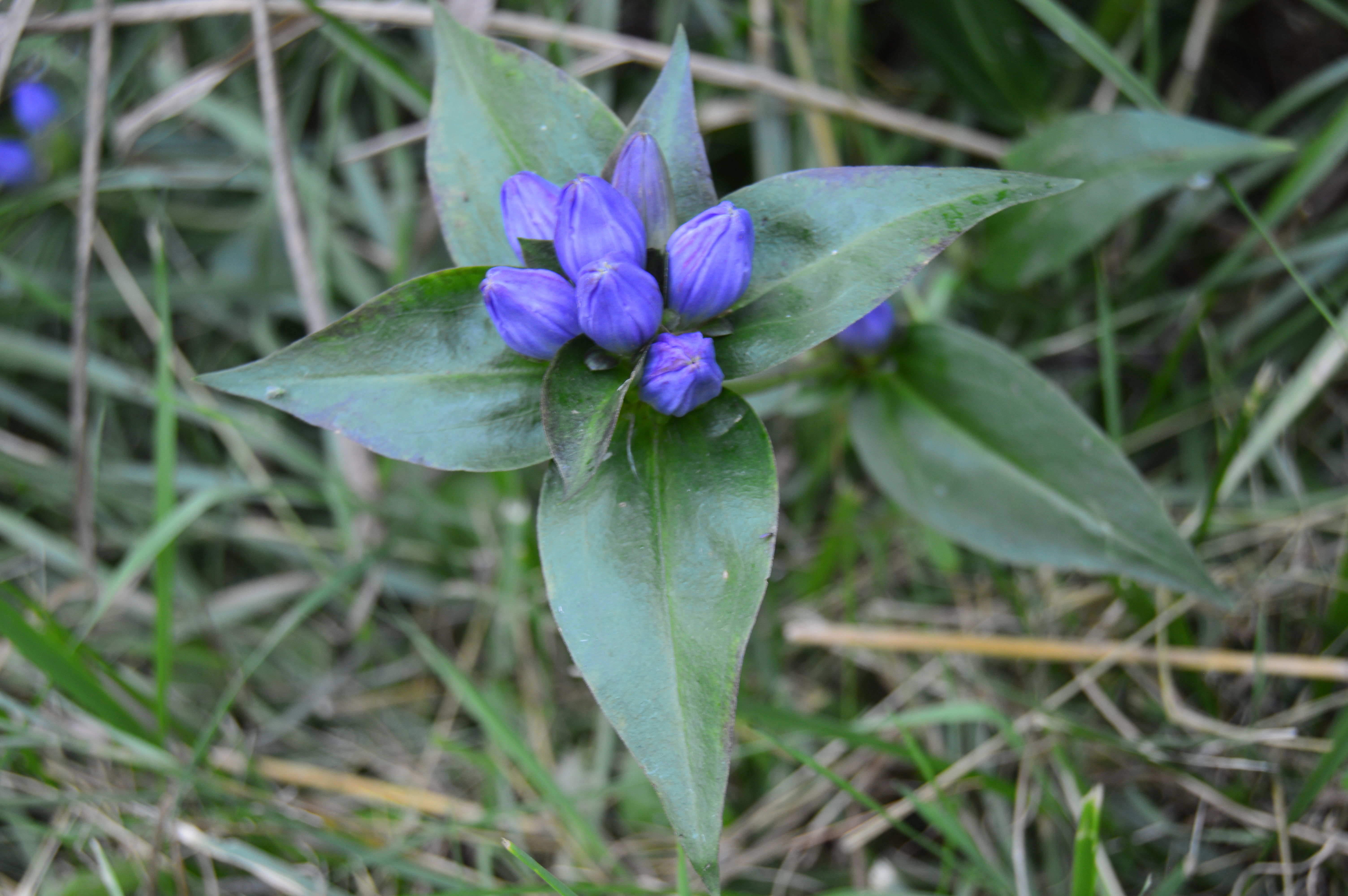
There are also an abundance of pretty flowers and trees.
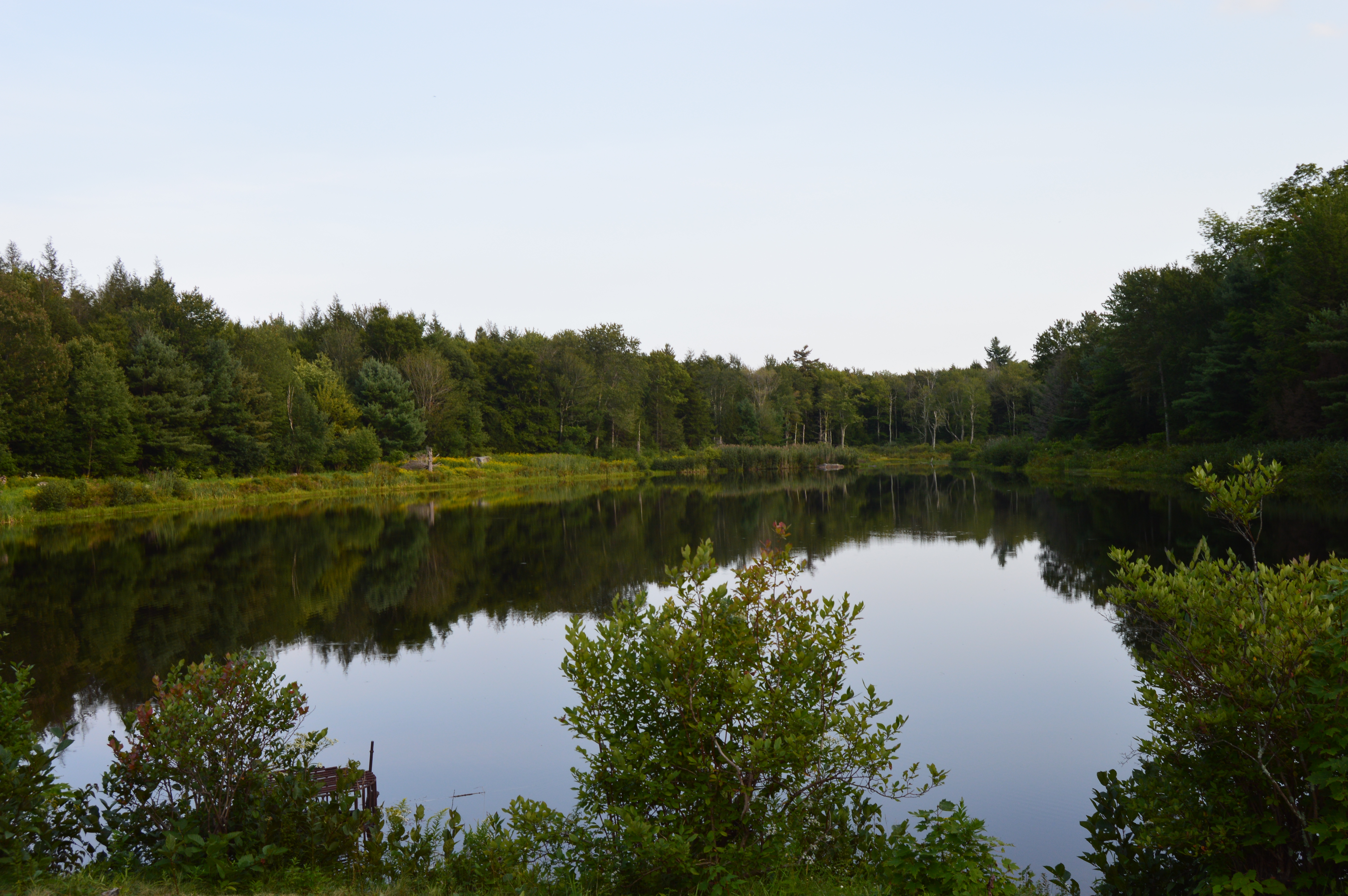
About a mile from the bridge over the Hubbard stream, there is the two acre Bahre Pond. Bahre Pond has some pretty views.
It is also teeming with wildlife, like this water snake.
And this frog who thought he could hide from me.
Granville State Park also has some paths off the main trails that have some hidden gems.
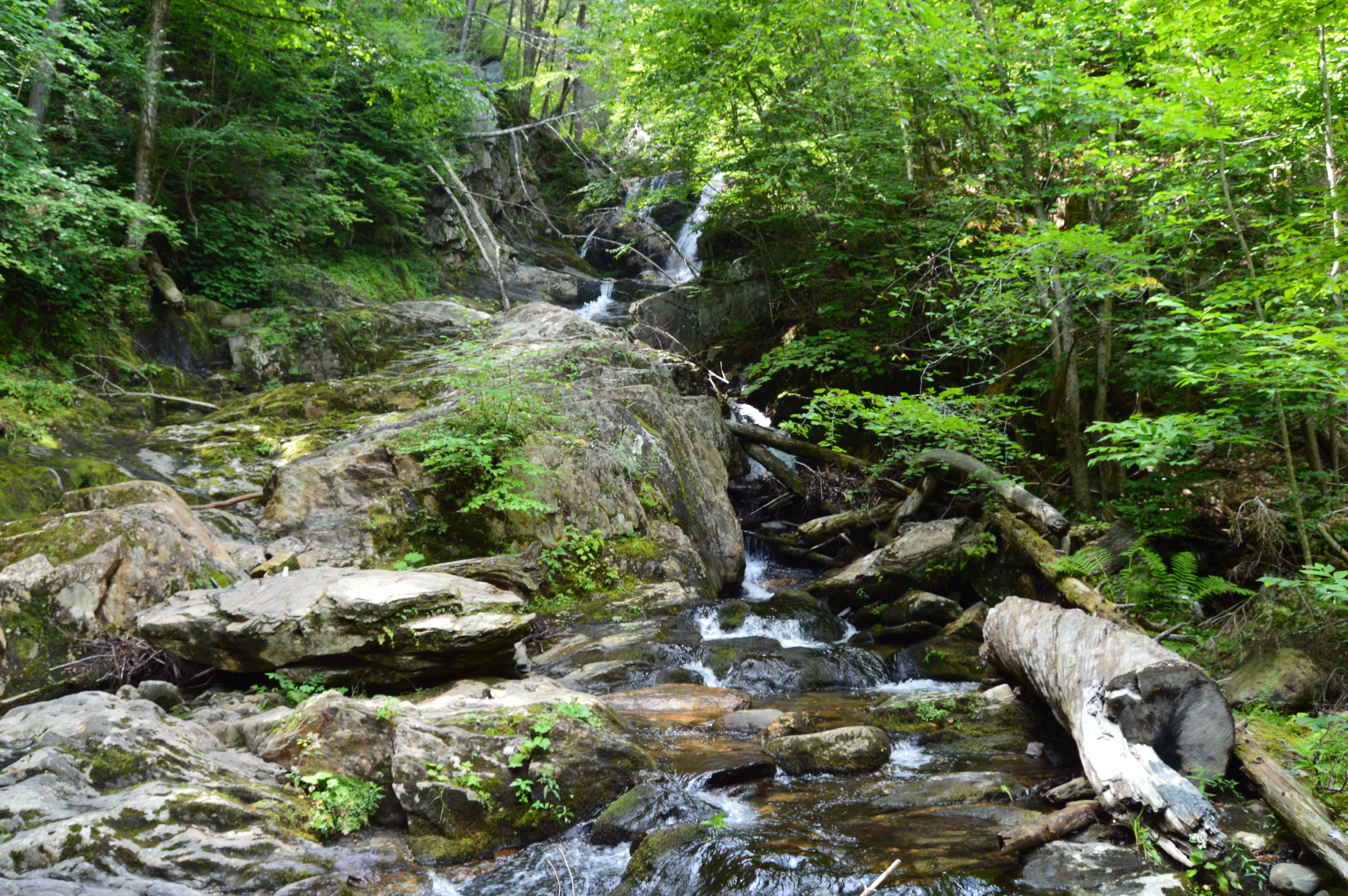
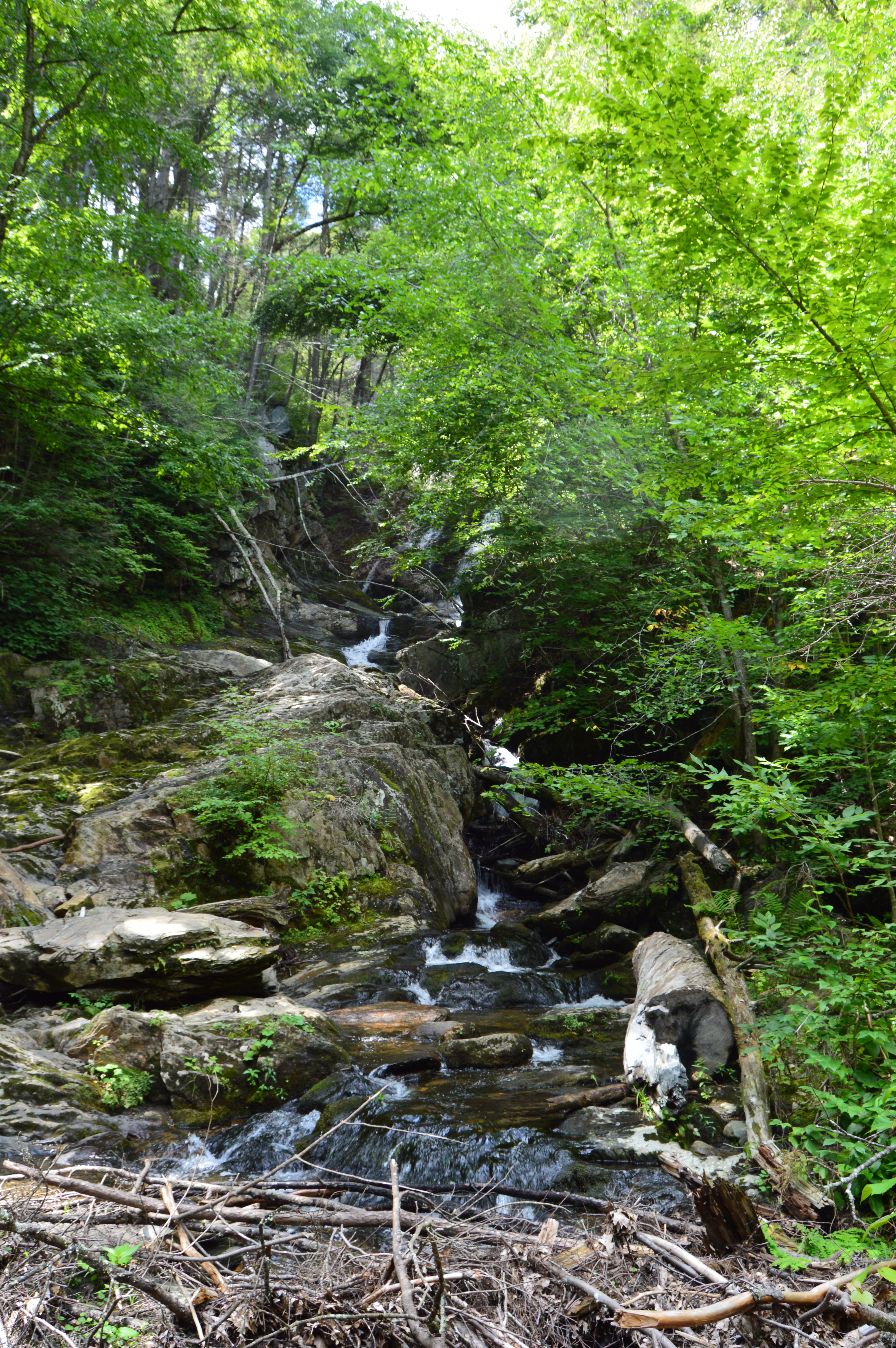
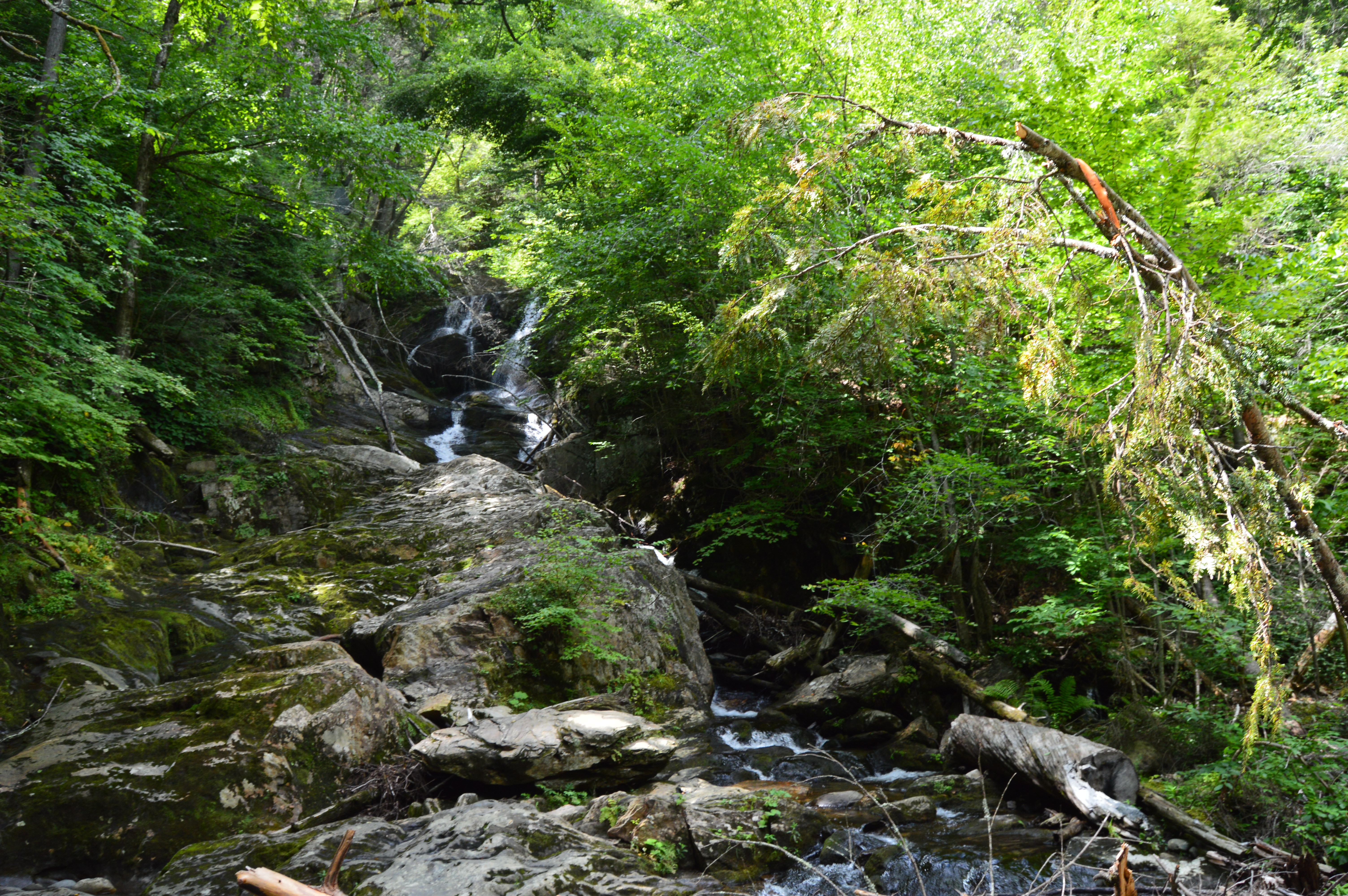
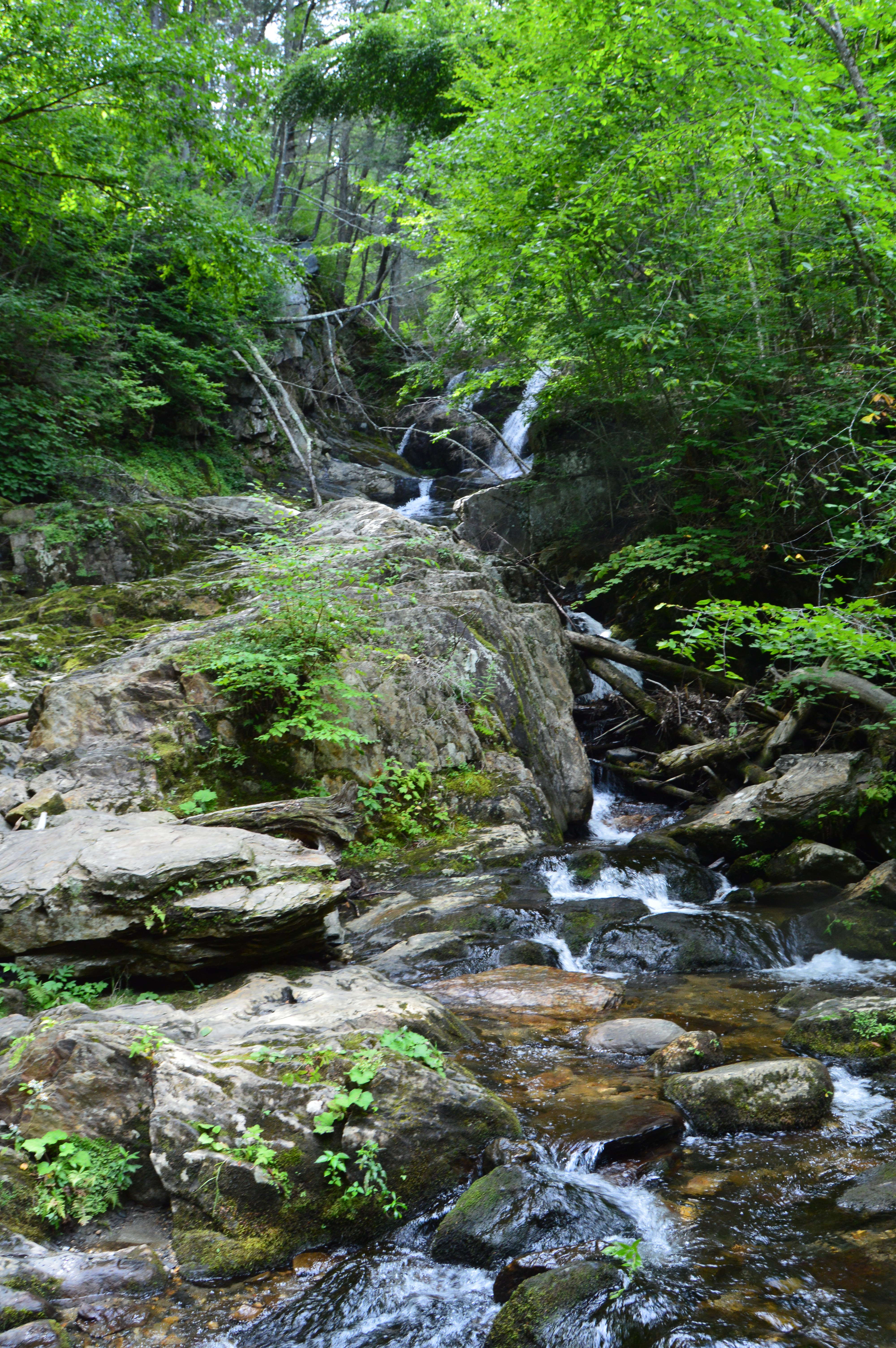
The main attraction at Granville State Forest has to be the waterfall. Below is a short video of the waterfall in all its splendor.
After photographing a variety of mountainous, rocky state parks, I thought it was time to mix it up and visit a rocky, hilly waterfall. Initially, we planned on visiting CM Gardner State Park. But, the helpful park rangers at CM Gardner suggested something more picturesque, Chester-Blandford State Forest.
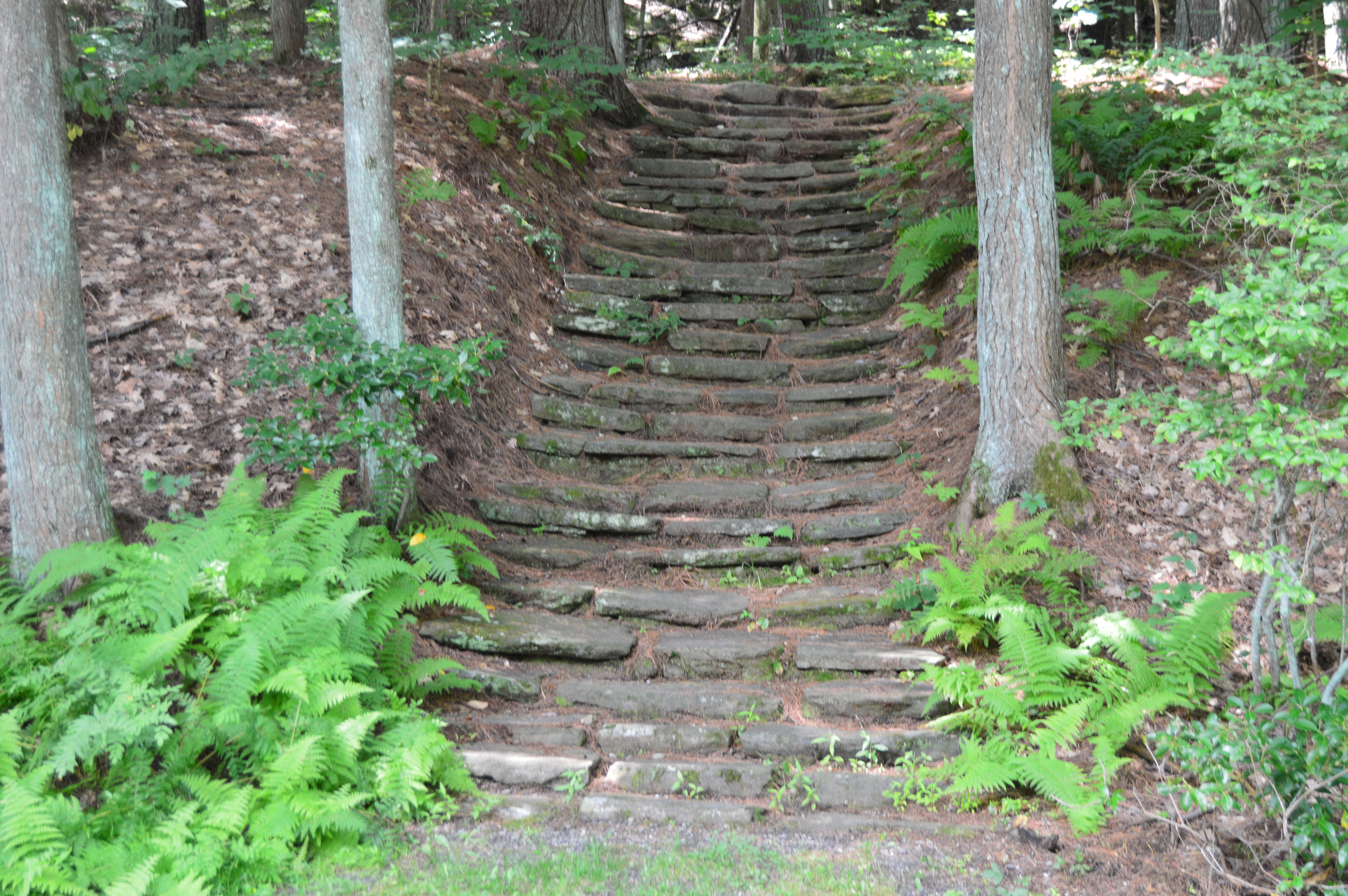
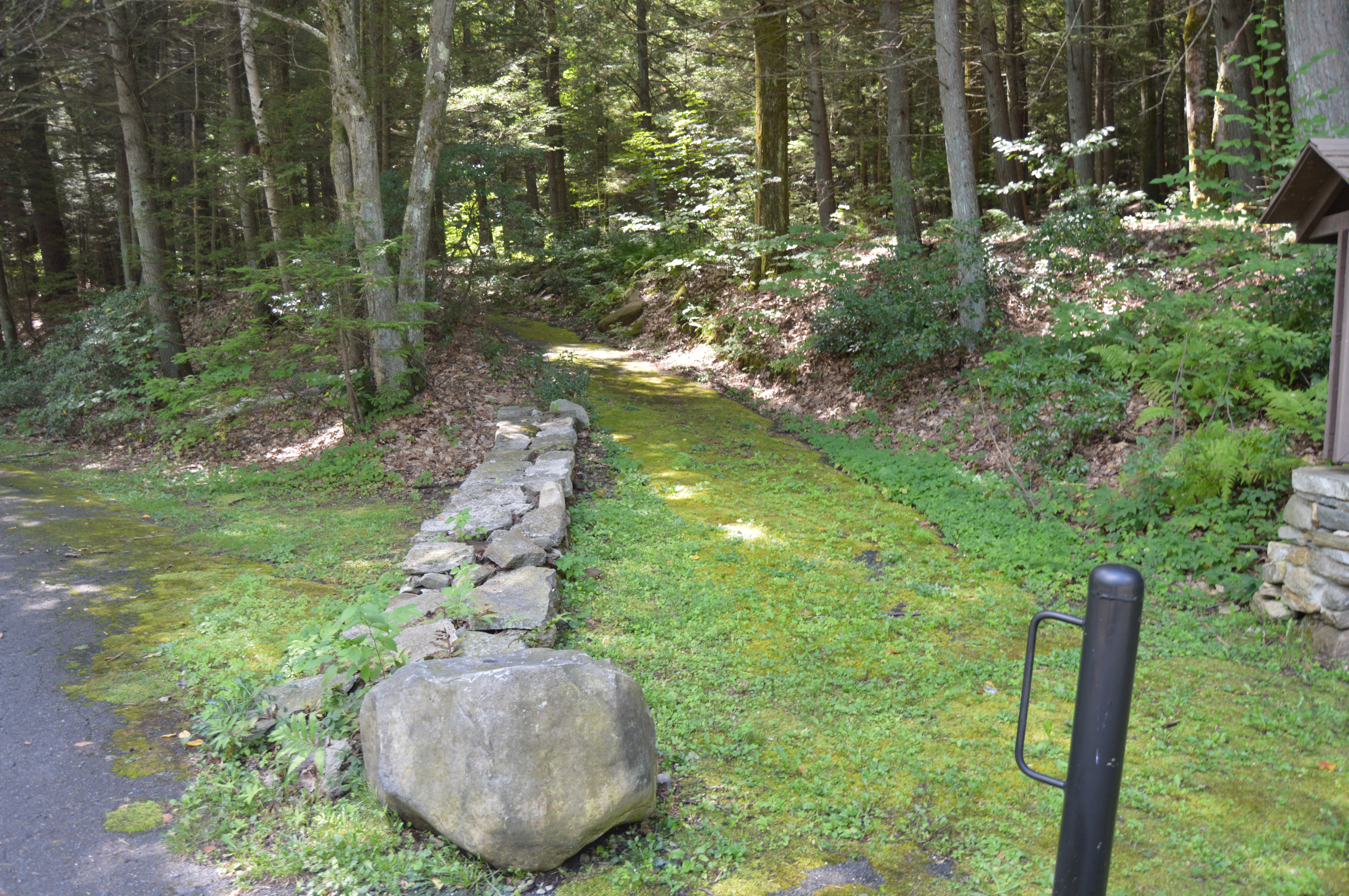
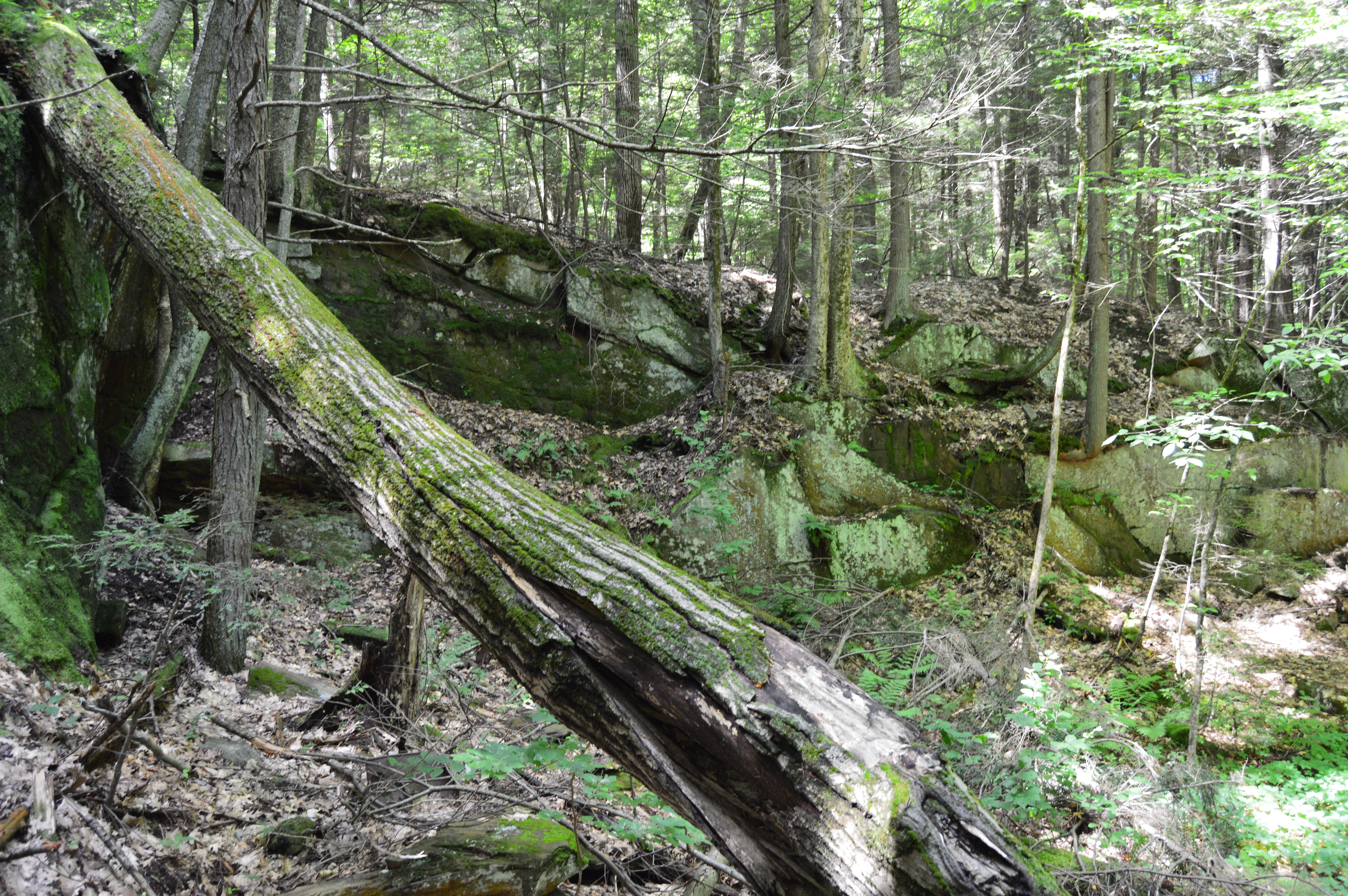
Since it encompasses such a large area (over 2,700 acres), Chester-Blandford has several entrances. The first part of the park we arrived at, Boulder Park, is a rather small area with a pond and a few ill defined trails. But, right from the rocky steps and mossy trails at the entrance it has a unique charm.
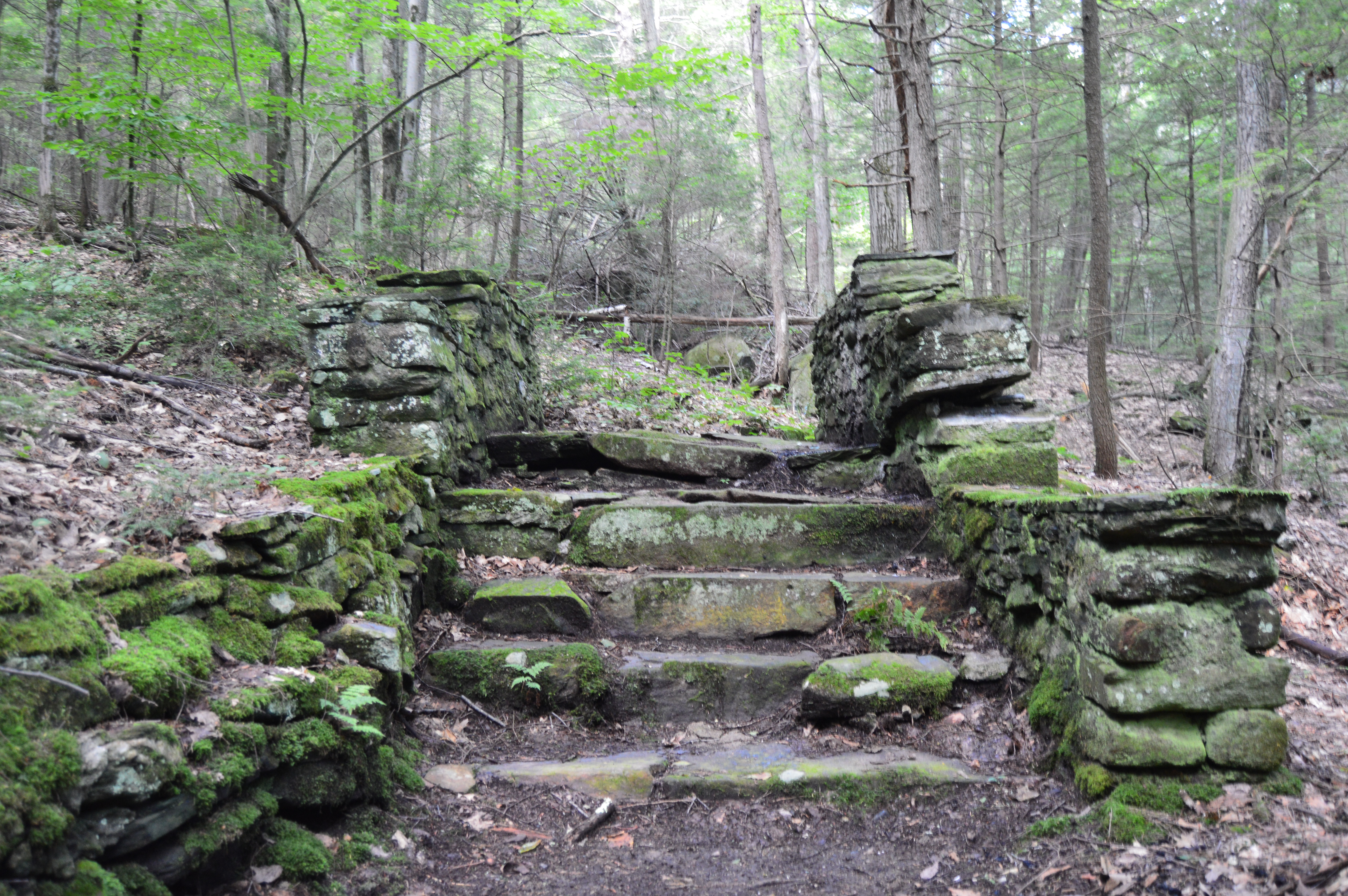
The trails also have some unique walkways and structures.
The highlight of the park may be the deep opening off the main trail.
Boulder Rock also has some eye catching plants and wild life.
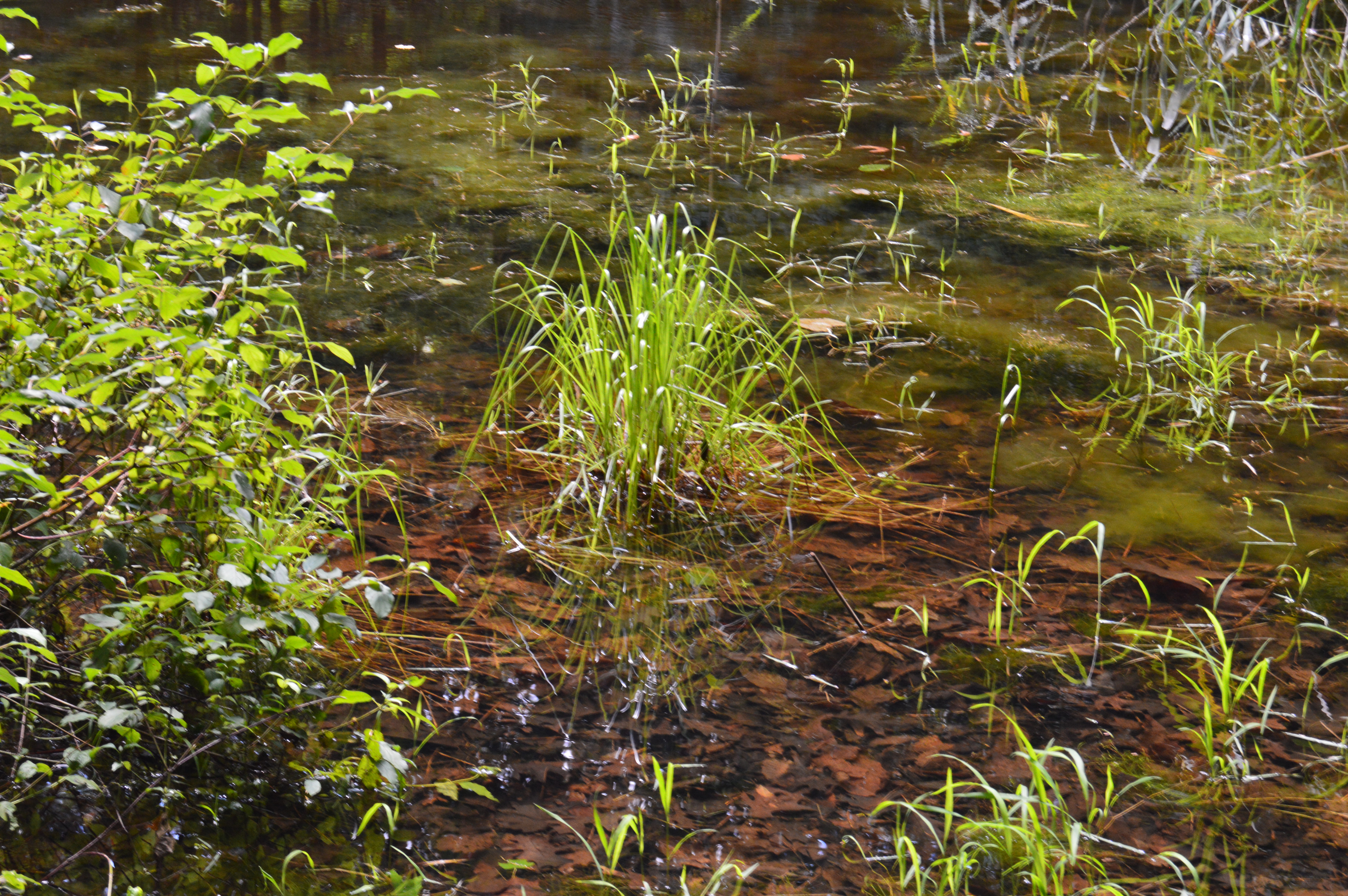
The pond near the end of the main trail was a nice surprise.
Boulder Rock also had its share of wildlife such as this salamander and mouse.
Alas, our trip to Boulder Rock was over. But, about a mile down the road another entrance beckoned us, the main entrance to the Sanderson Brooks Falls trail of Chester-Blandford.
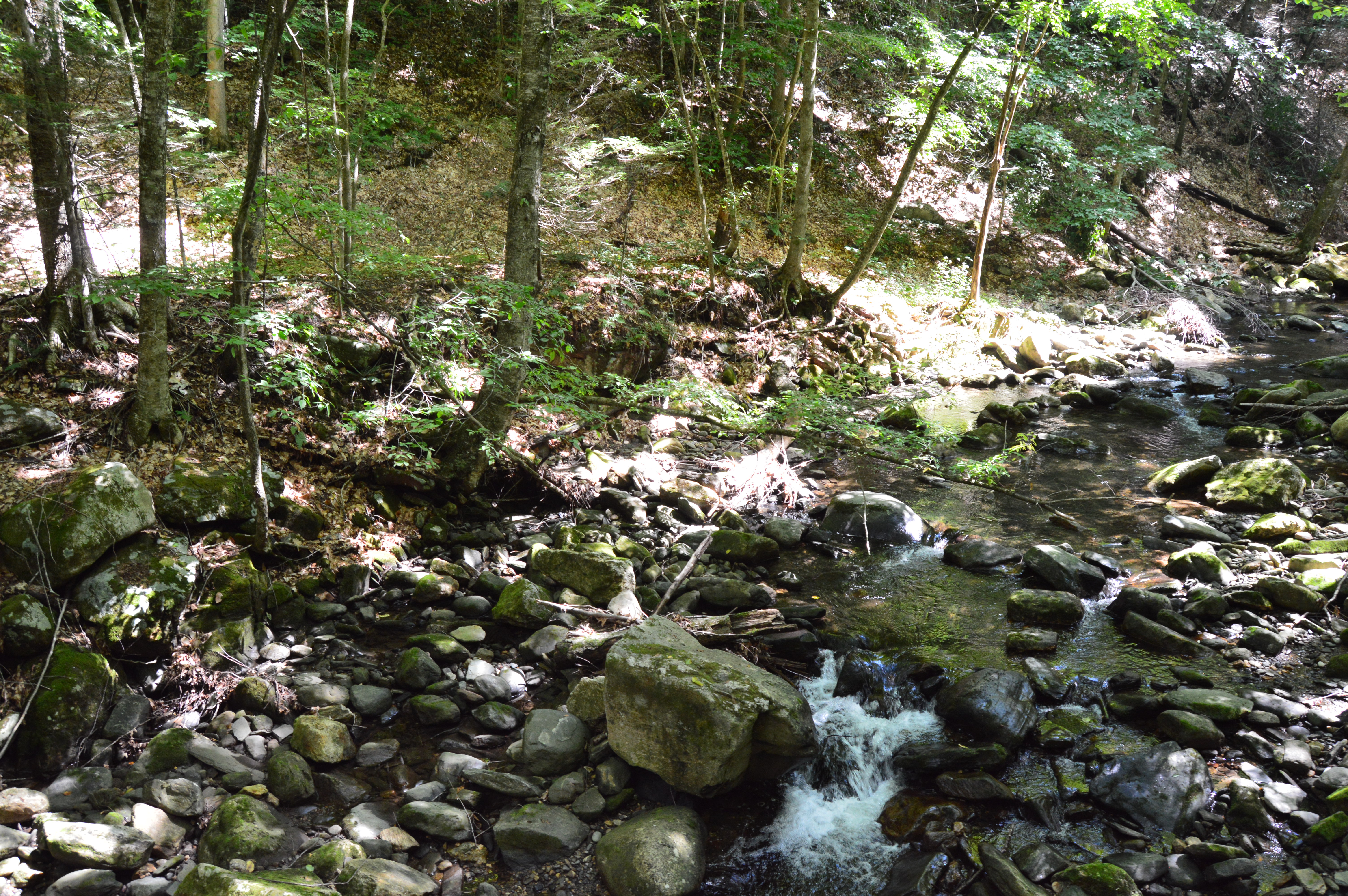
Pitcuresque views are scattered along the Brooks Falls trail.
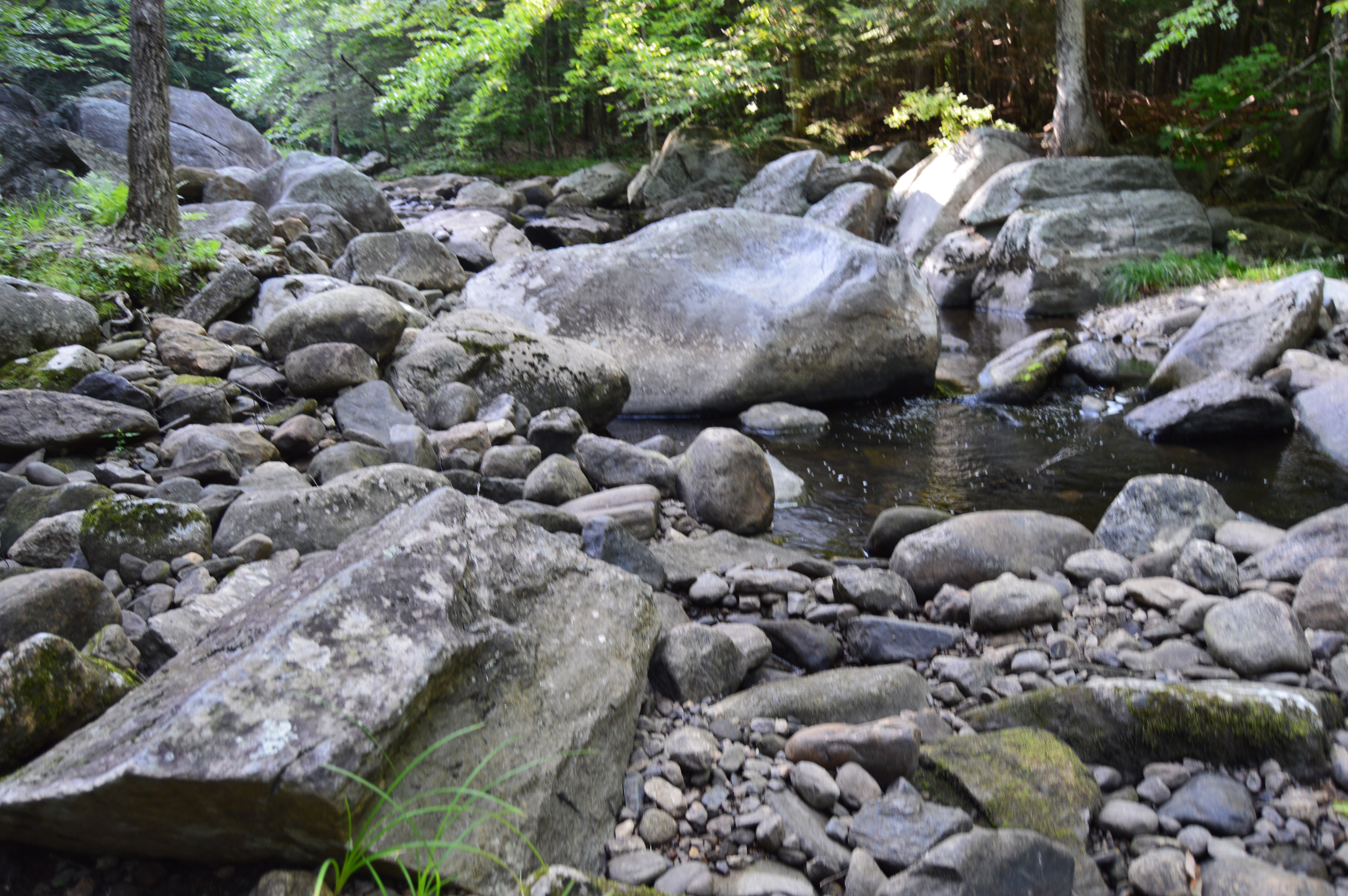
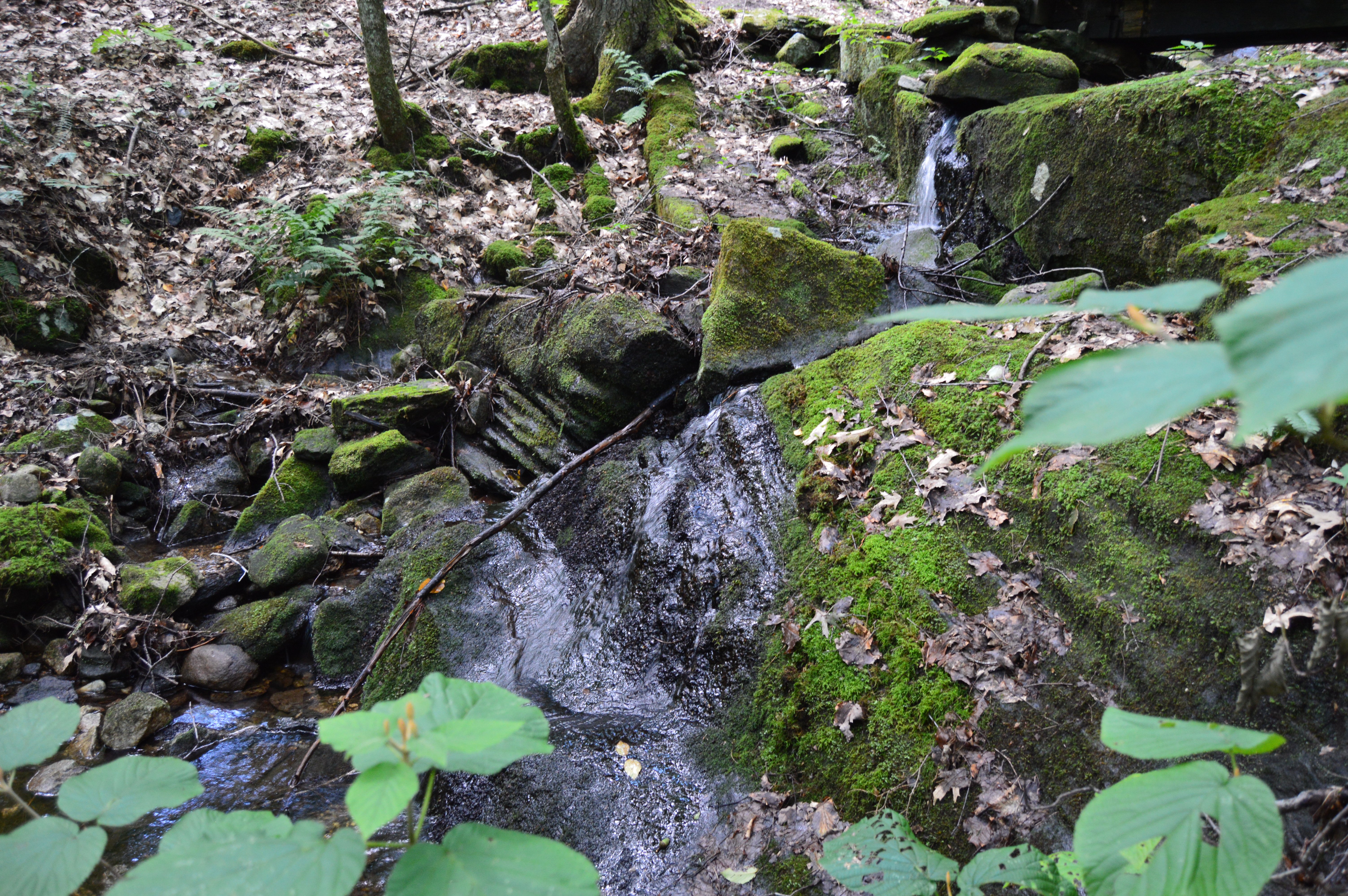
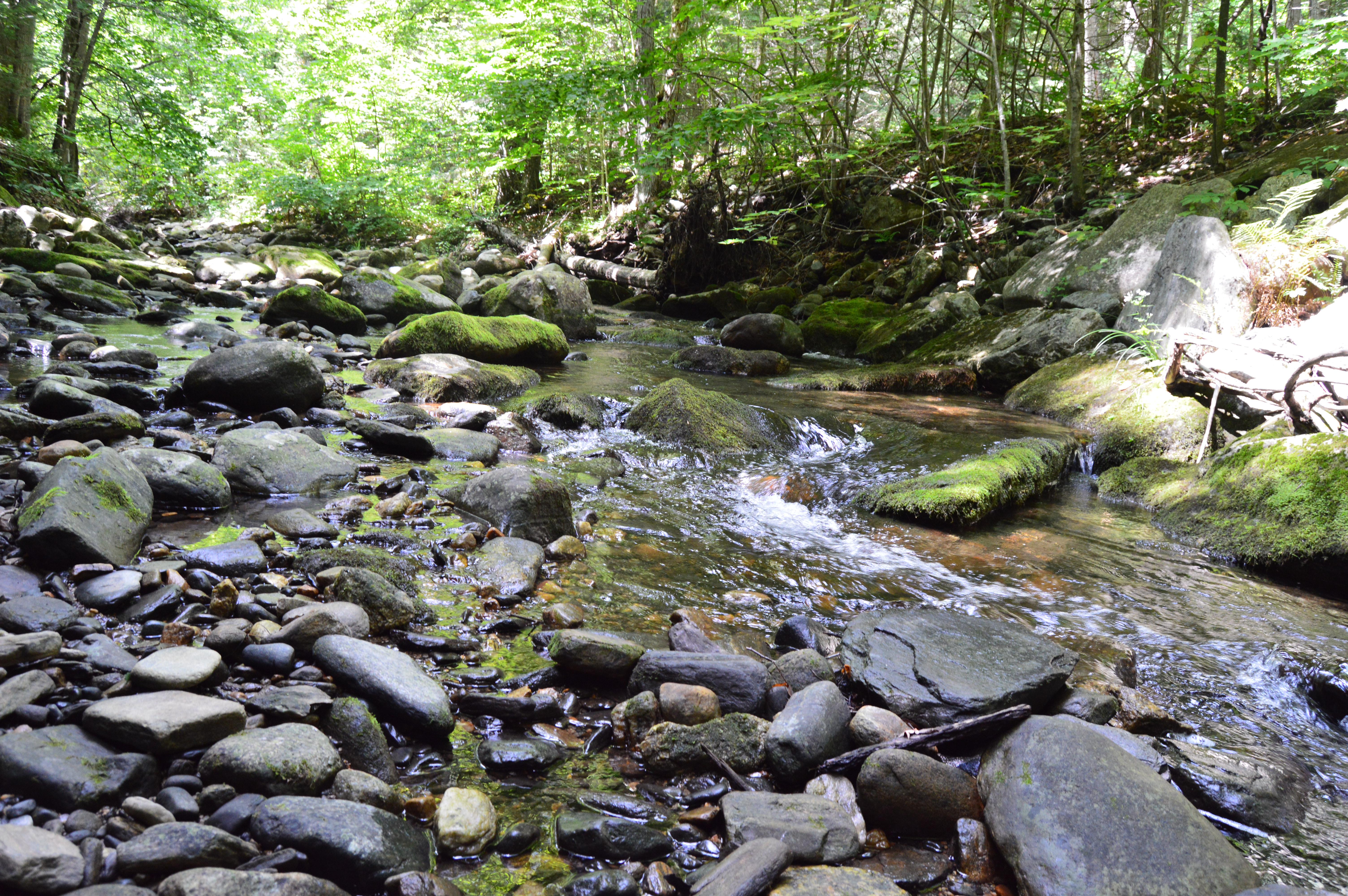
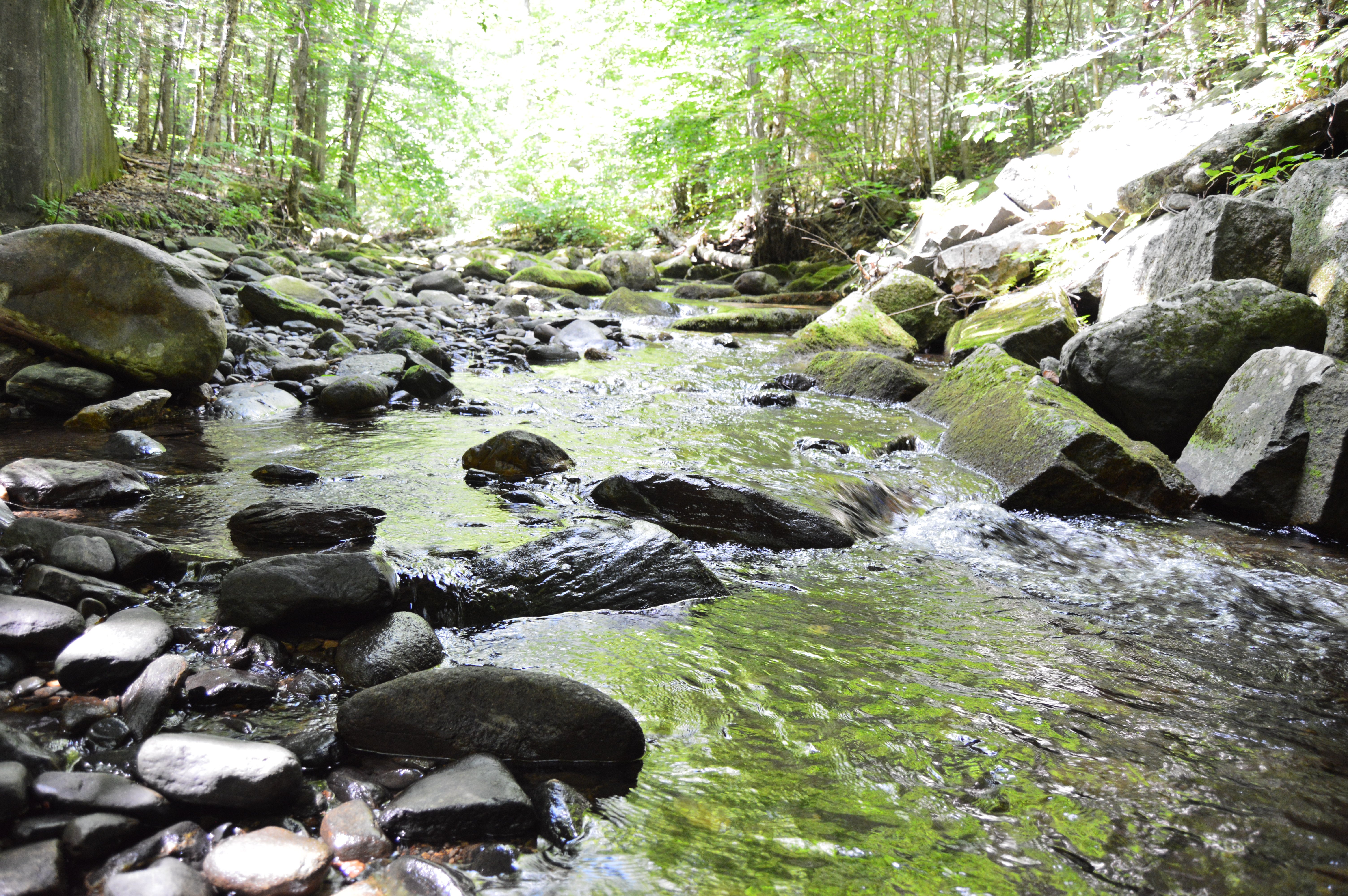
Due to the lack of rain recently, the rapids weren’t very, well, rapid. But, the relatively still water and rocky brook provided some good shots.
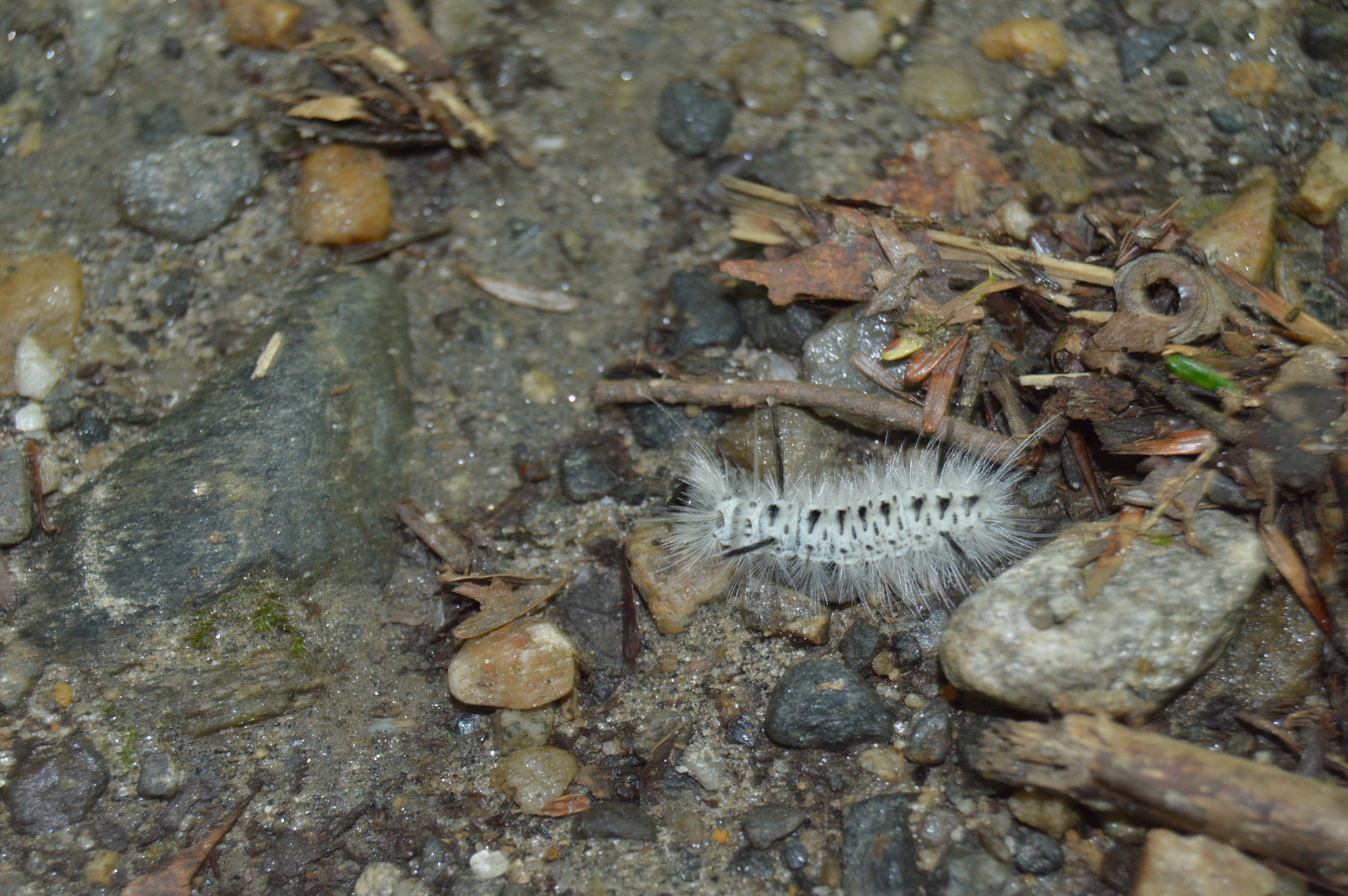
Sanderson Brook Falls also had a fair share of wildlife such as caterpillars,
Toads
and dogs, like Loona.
After a roughly half an hour trek along some rocky terrain, a number of bridges and some steep inclines, I made it to the falls.
The brooks and falls are sure to be more active during the stormy seasons. But, it is still impressive and worth the trip.
To get the full effect of the falls, click on the short video below.
Is there anywhere in the New England area you would like me to visit?
What are some of your favorite waterfalls?
Feel free to stop by Facebook page and like my page: New England Nomad
Even though it’s only August, today was the perfect day for a trip to Mount October.
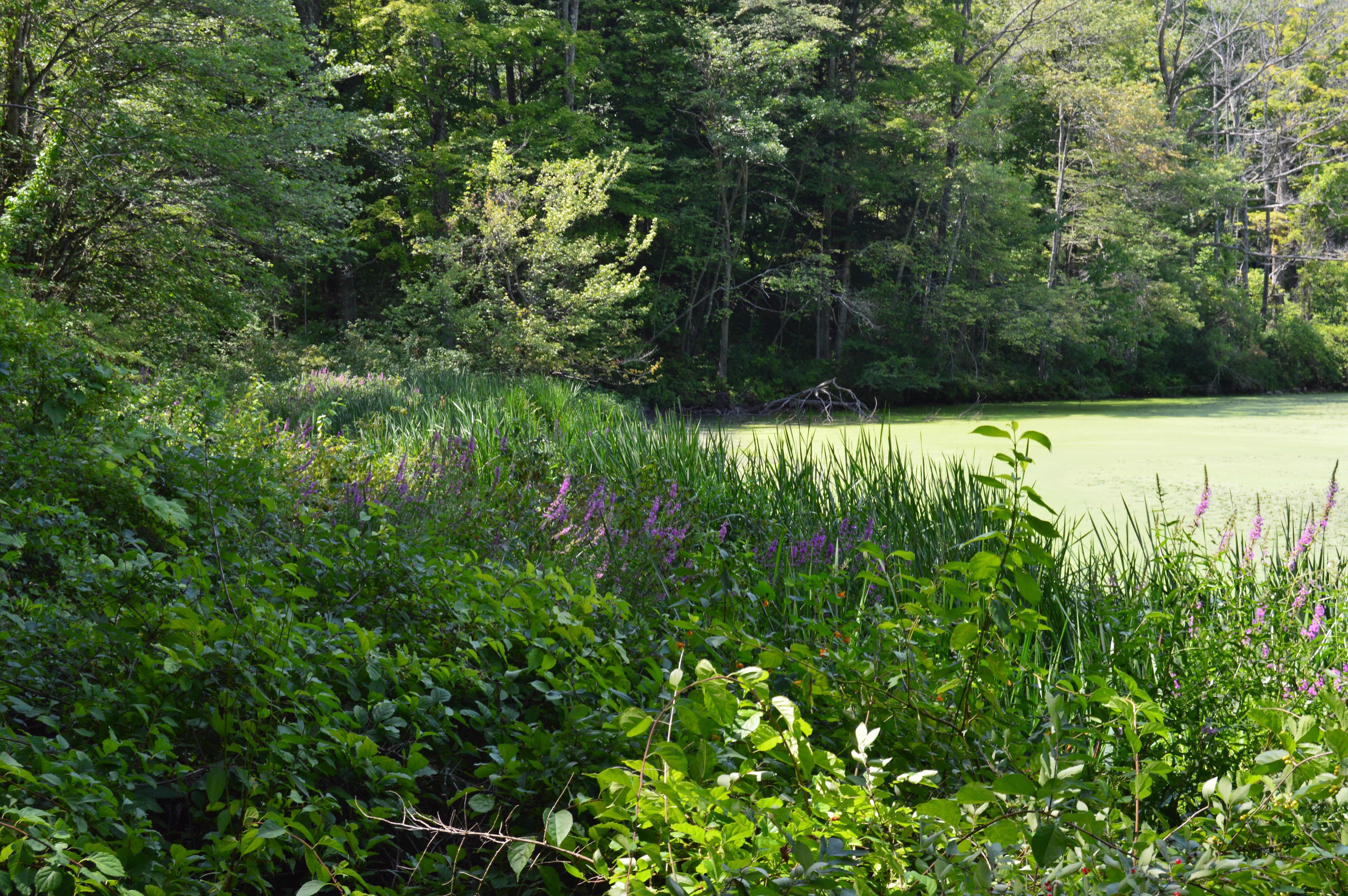
Roughly, a 45 minute drive west of Springfield, MA, Mount October is located in the majestic Berkshires. The wild flowers and plant life, which are a staple of the Berkshires, were in full bloom.
The wildlife at Mount October was also abundant.
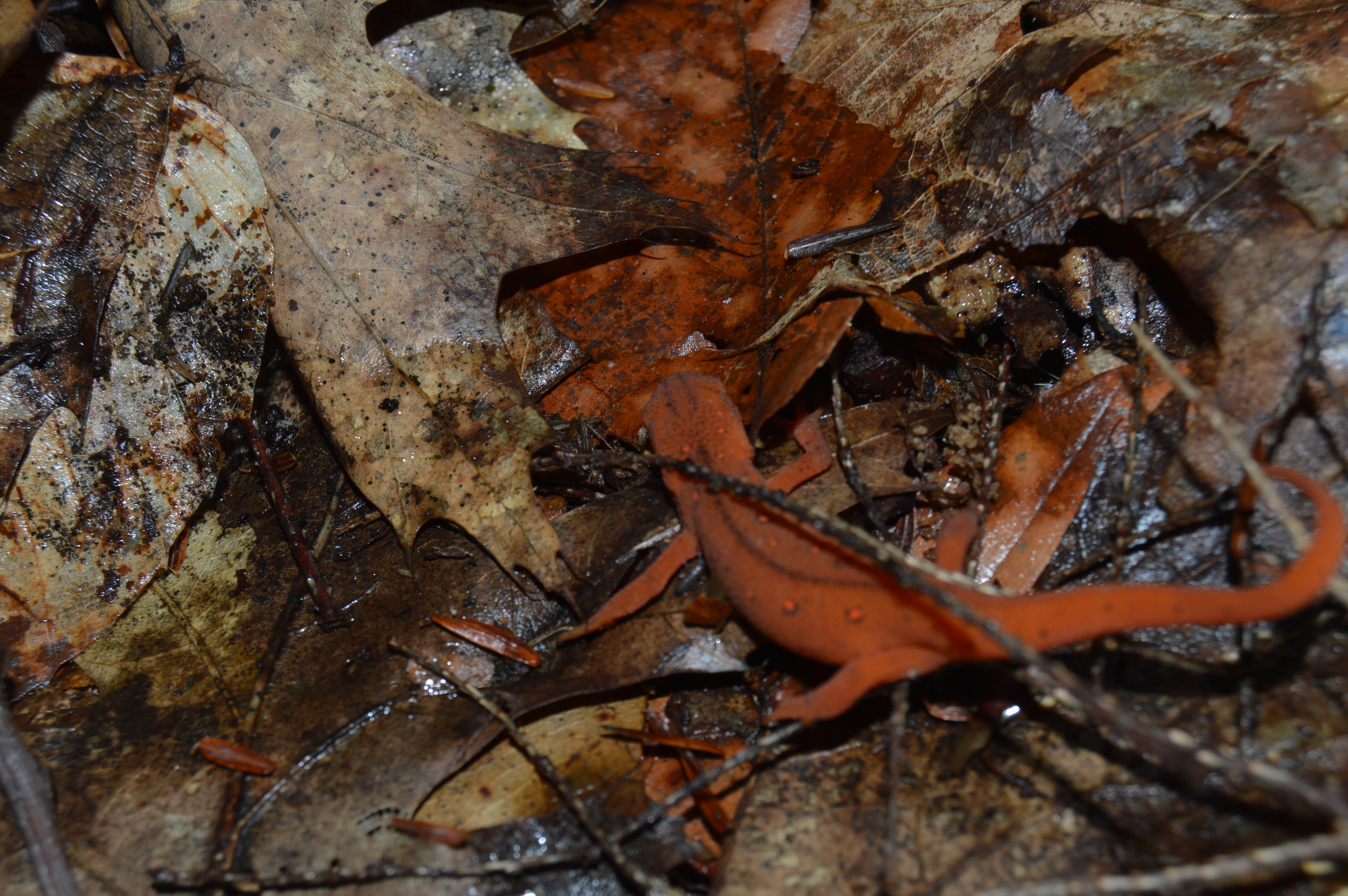
There were salamanders
toads
caterpillars
centipedes
and dogs!
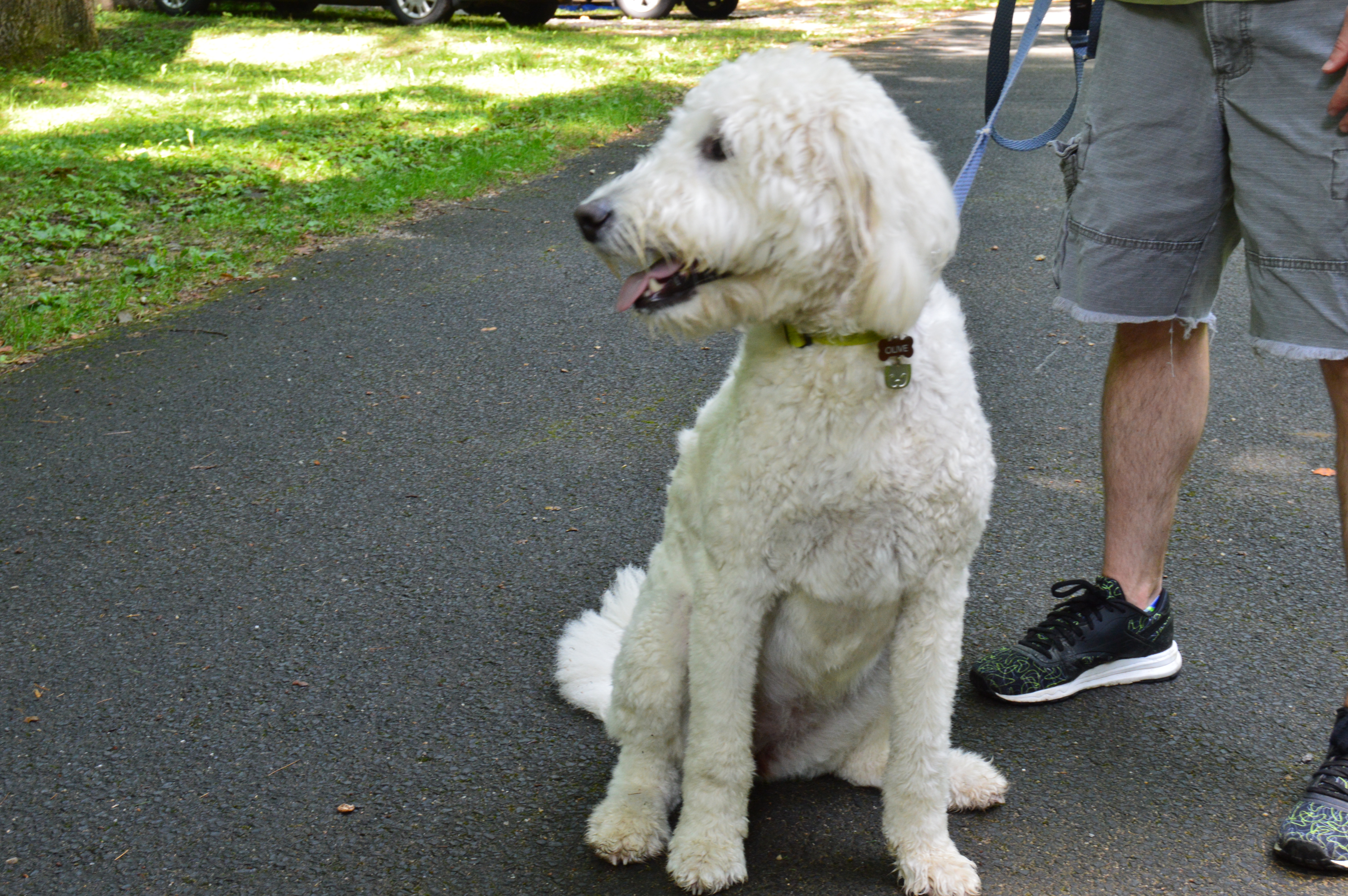
Olive posed during her walk with her dad
Emily stuck her head out for some fresh air.
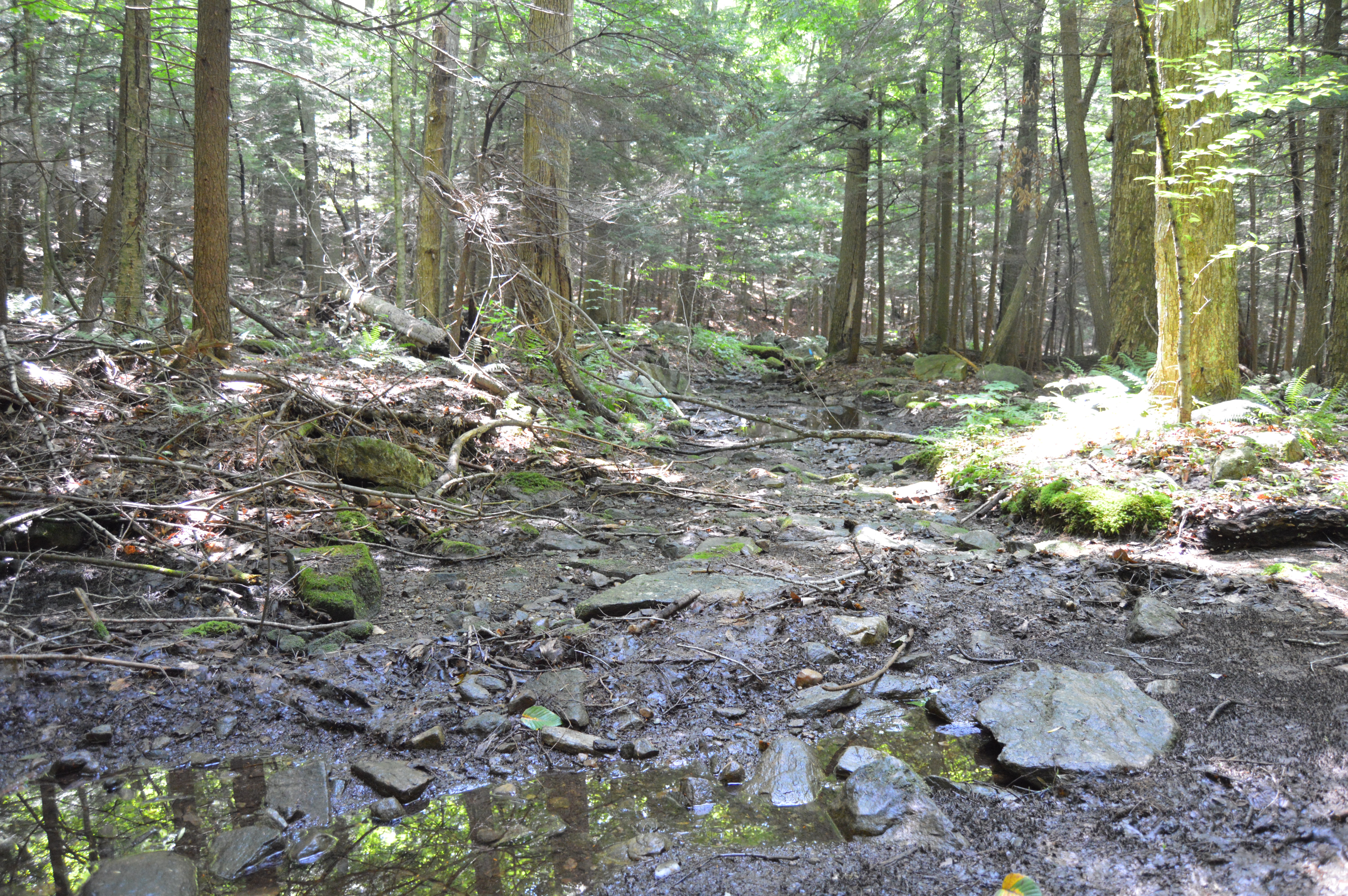
While it serves as a campground, the hiking trails are perhaps the most notable part of the state forest. But, the most challenging part of Mount October was the terrain of these hiking trails. Dew and rain made for marshy, washed out paths which made it even more difficult when you had to cross rocky areas. Some parts of the paths were also fairly steep.
Interestingly, I visited Woods Pond earlier this year which is a section of Mount October. The blog for which can be found here. Even though I had already taken photos of Woods Pond previously, I took a few more during my visit at Mount October.
Mount October is the largest state park in Massachusetts. And, despite spending several hours there, we were only able to cover a fraction of the area. Perhaps I’ll come back in the fall.
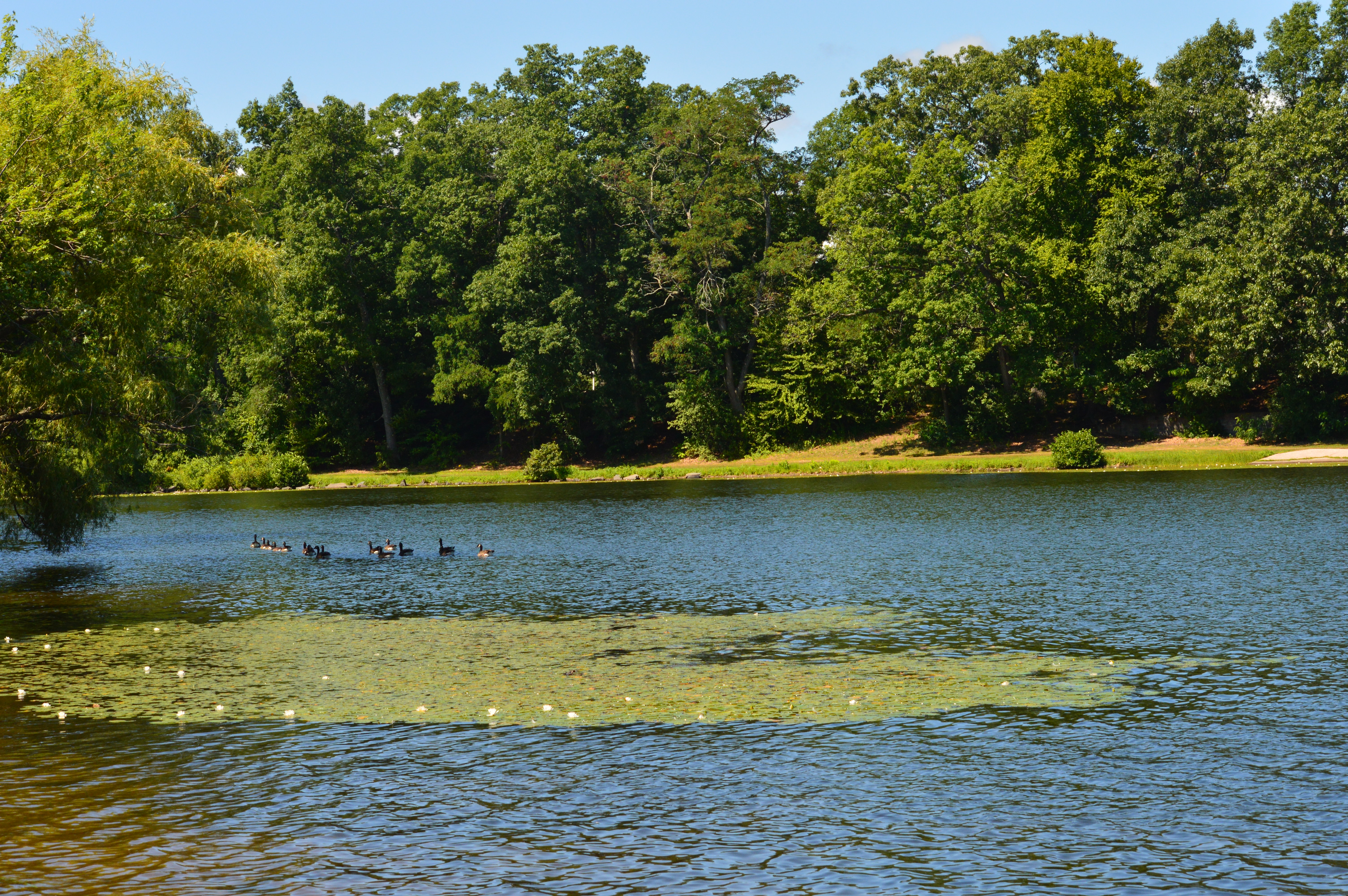
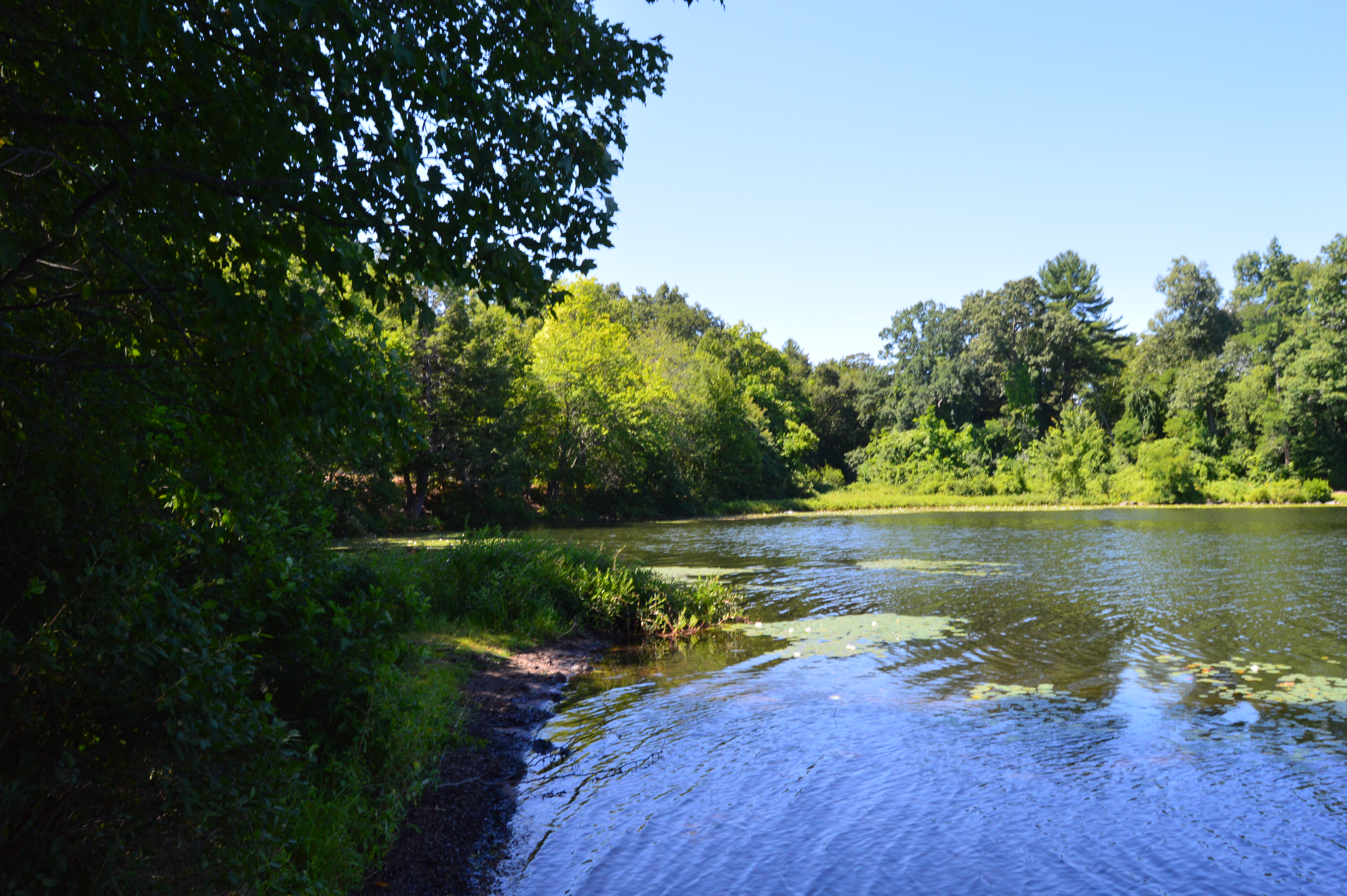
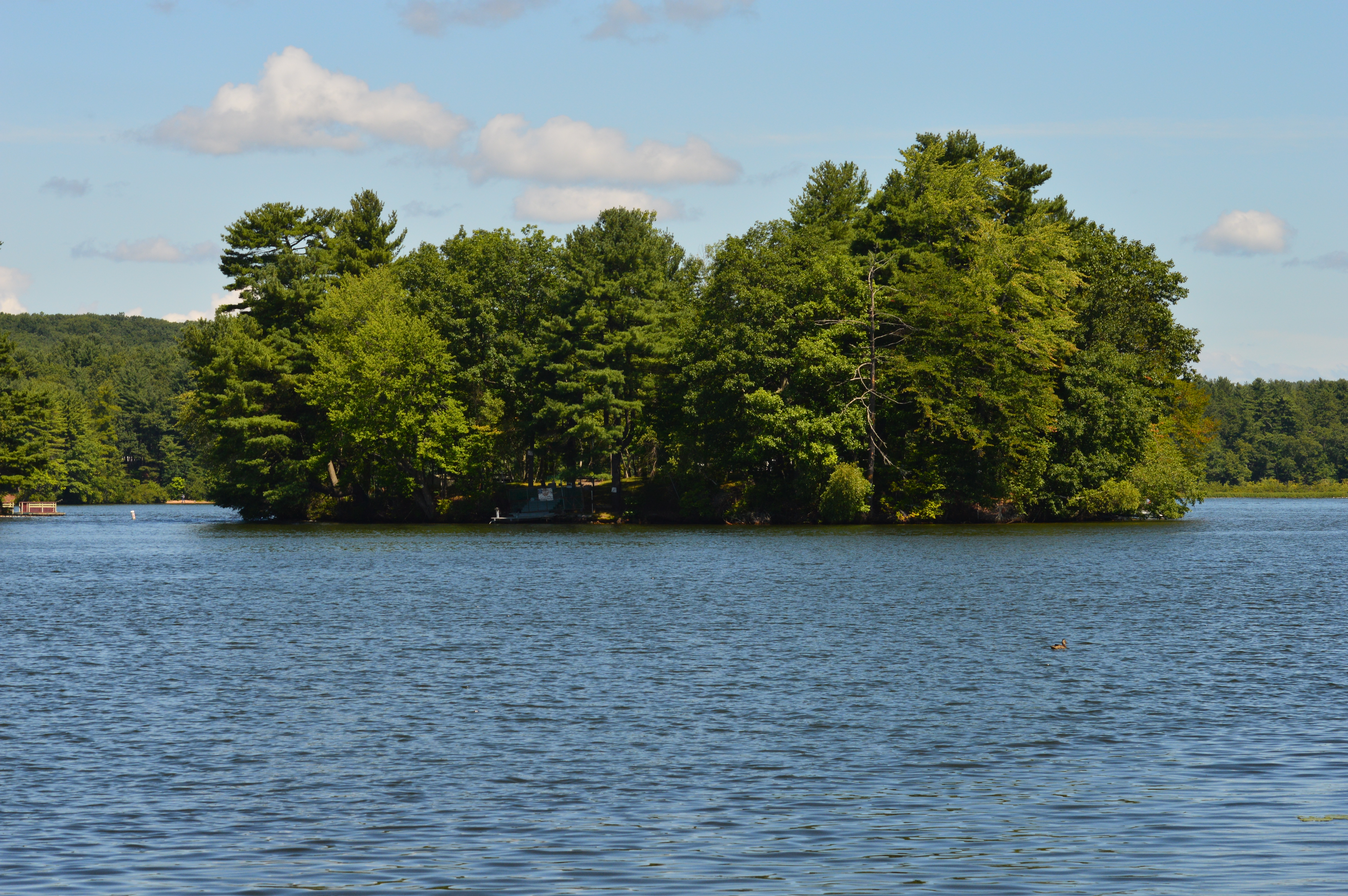
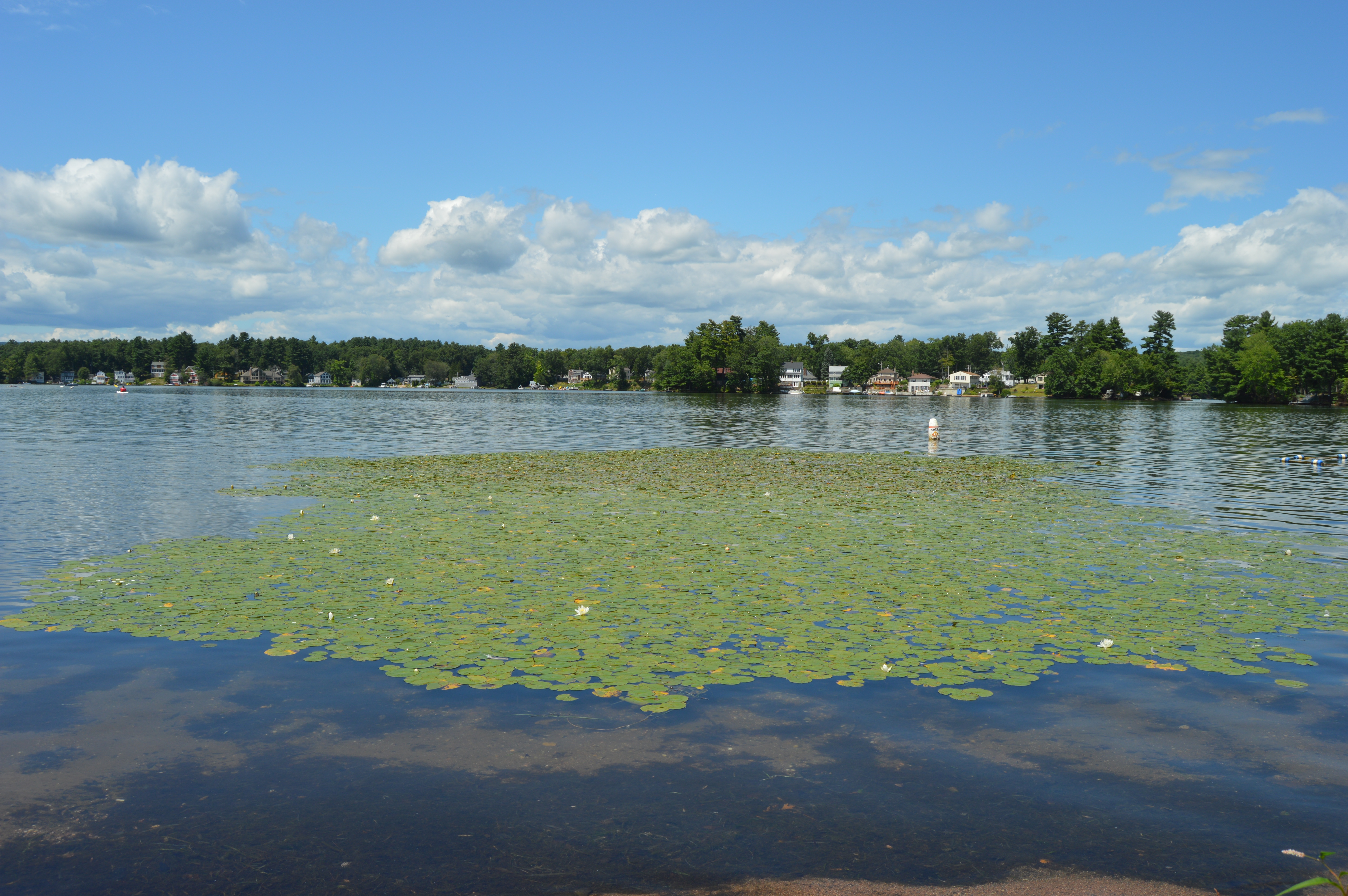
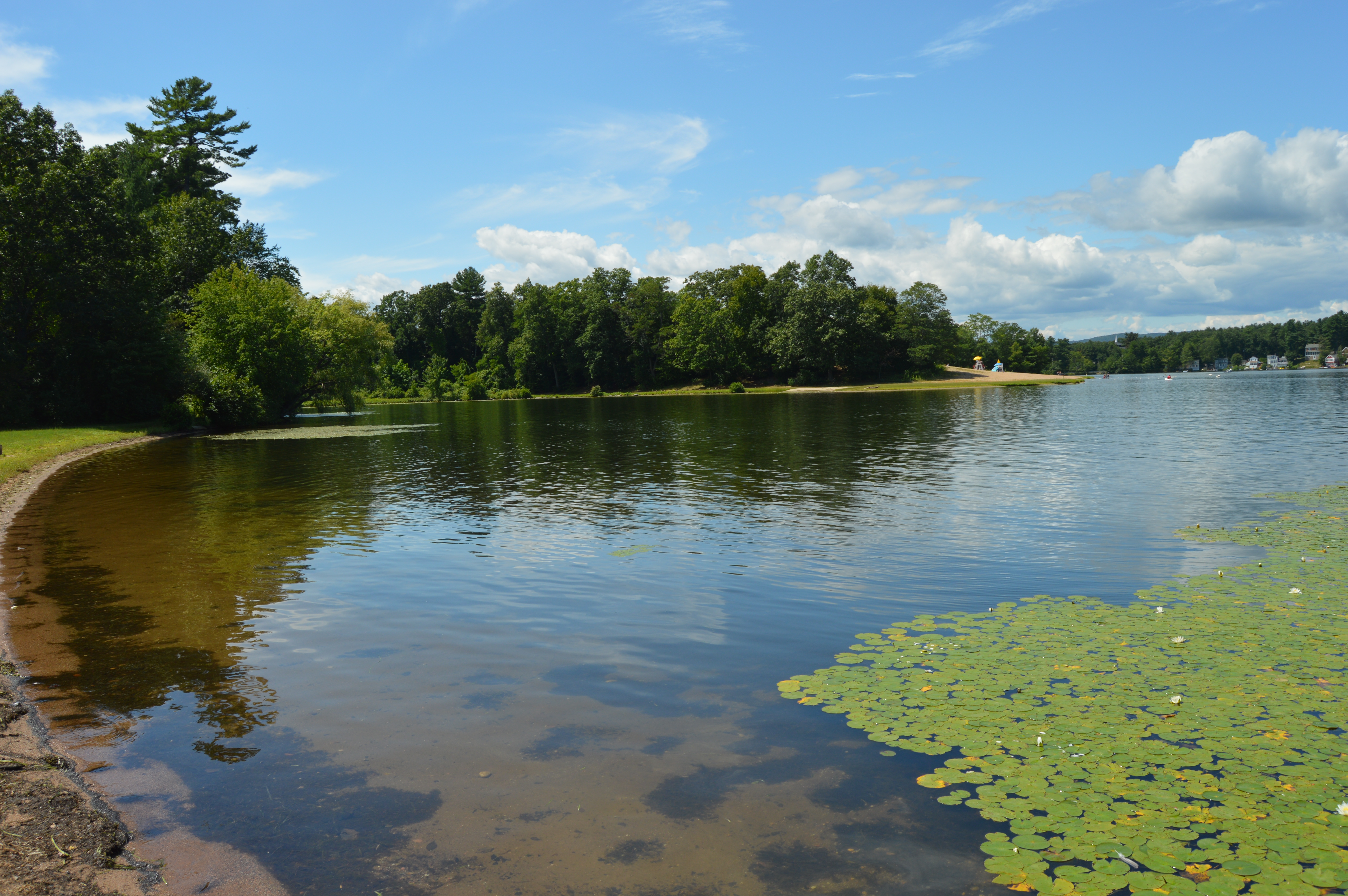
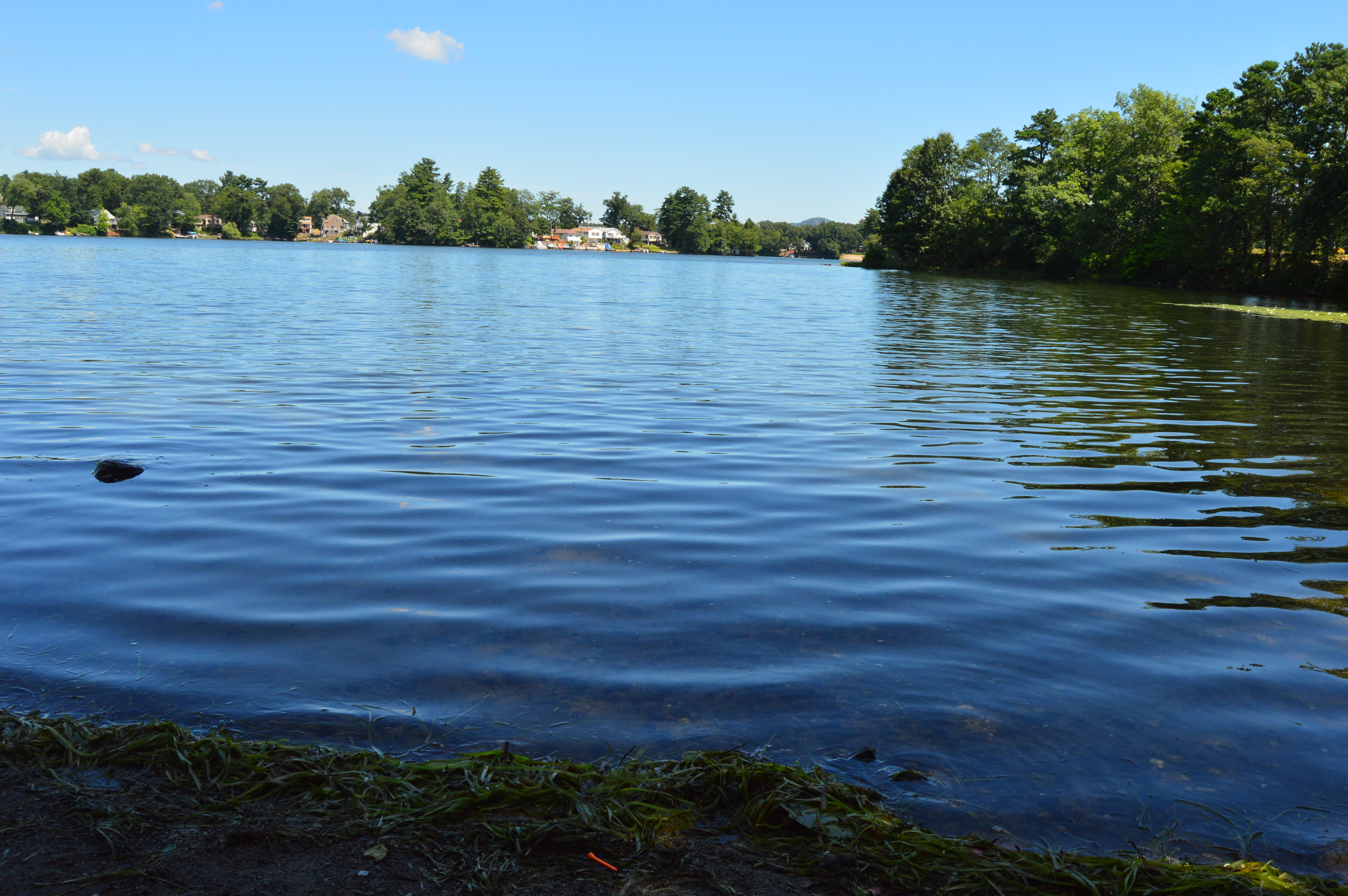
Pretty waterscapes are not regulated to the coastlines of New England. Hampton Ponds State Park is proof of this. A cute, expansive series of ponds that dot the Westfield area, Hampton Ponds is a popular area for swimmers, sun bathers and boaters.
Upon reaching Hampton ponds, I was greeted by a gaggle of geese.
And this one solitary goose.
Hampton Ponds has some very impressive trees.
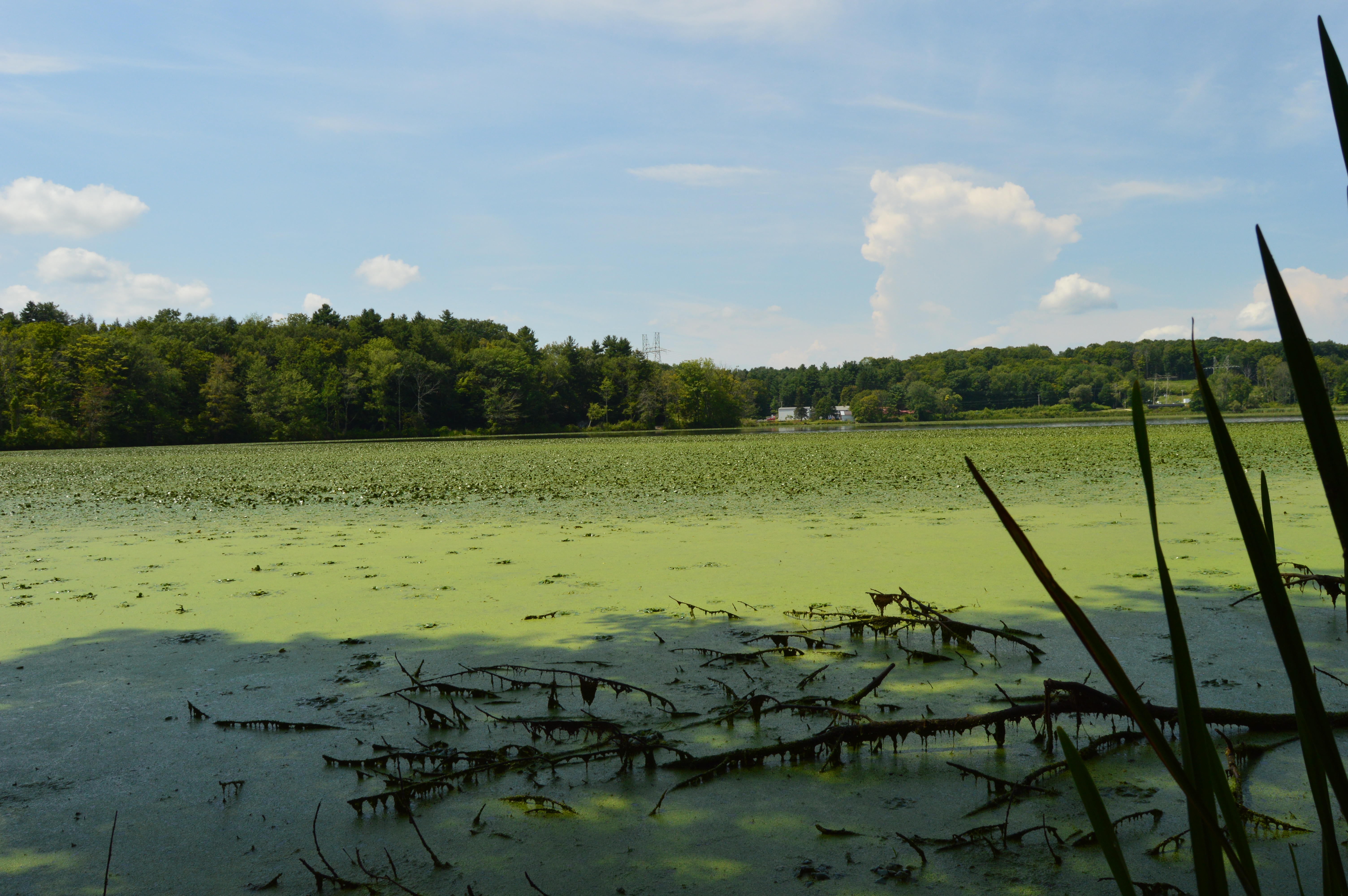
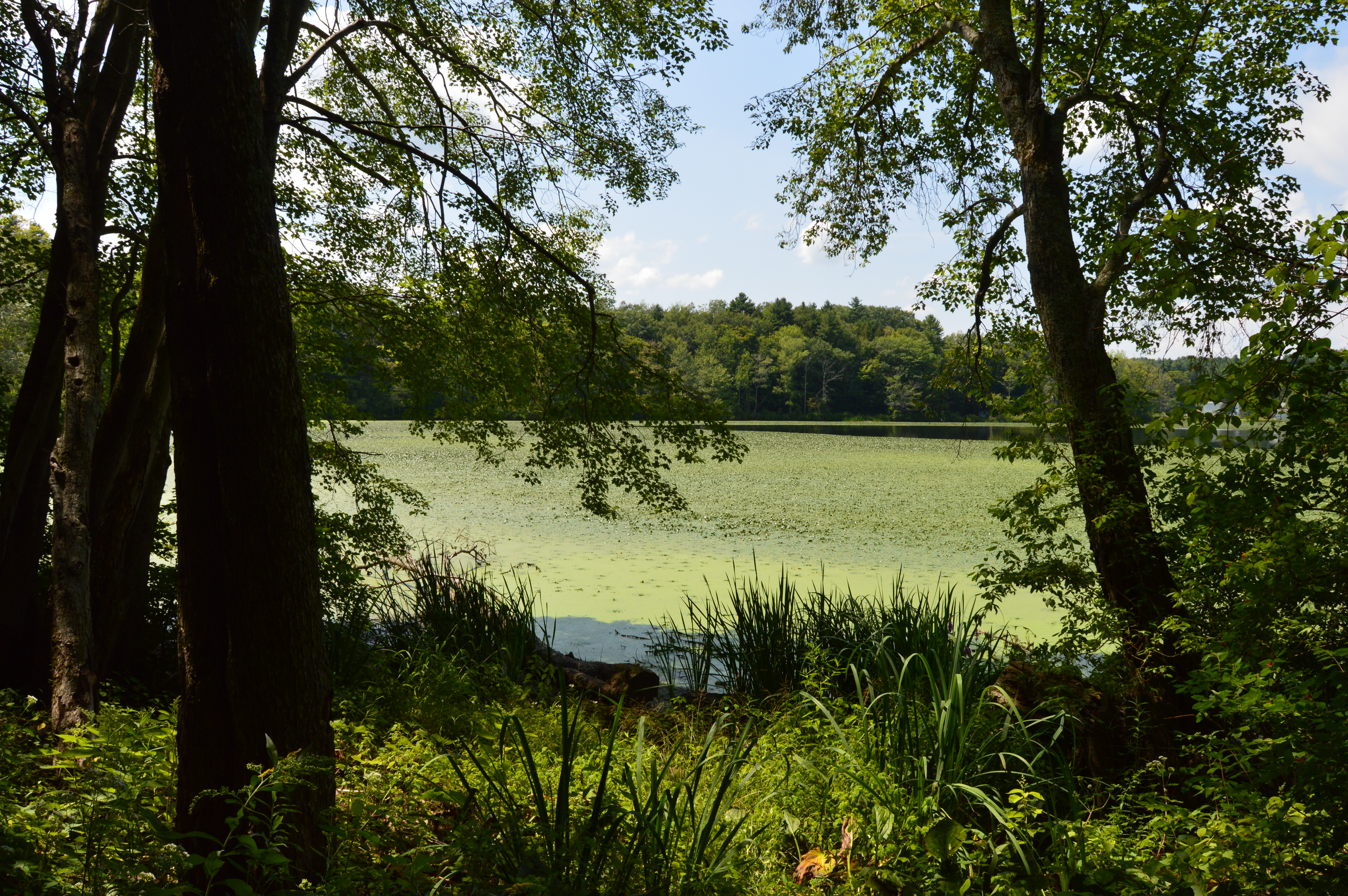
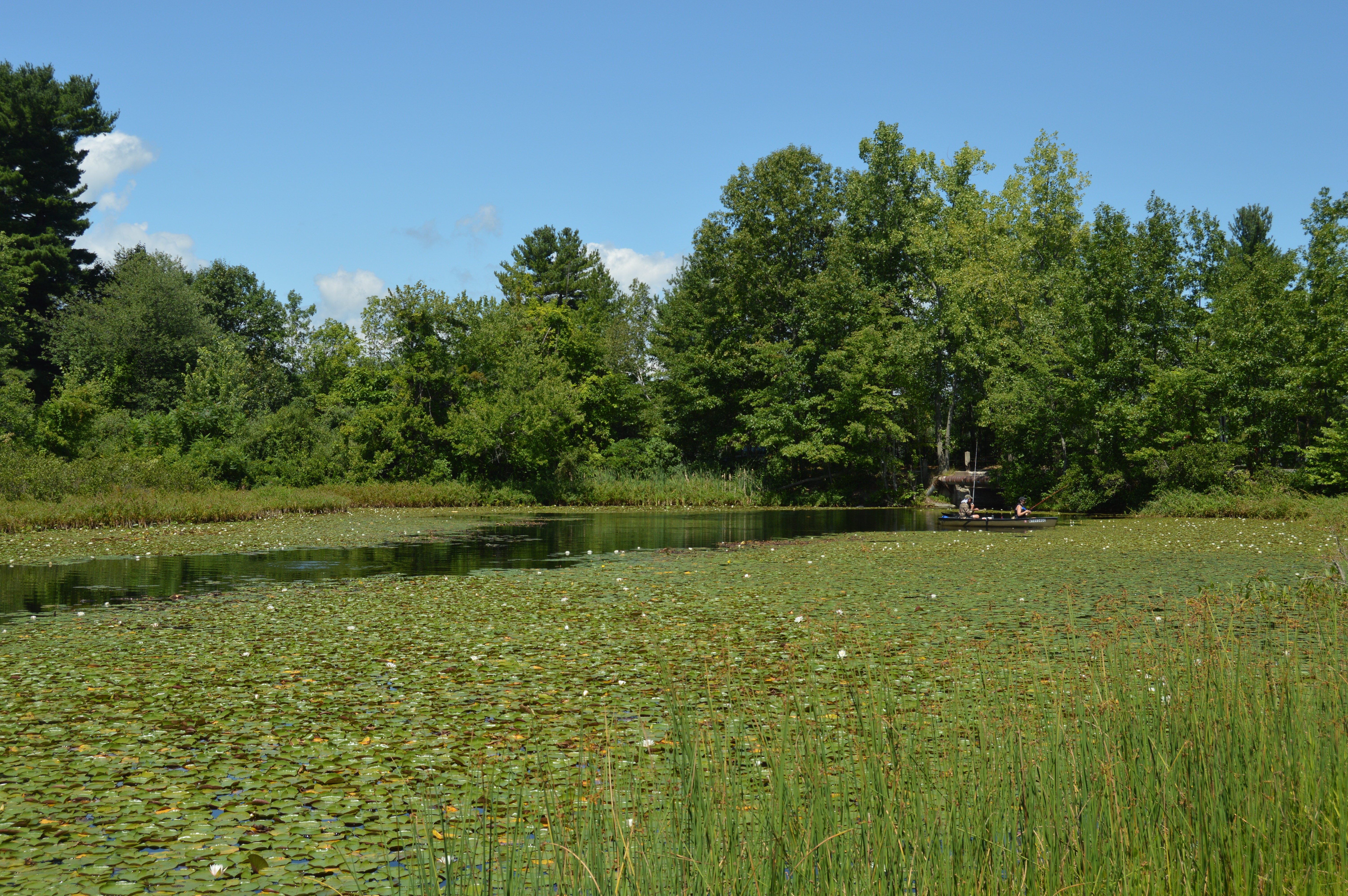
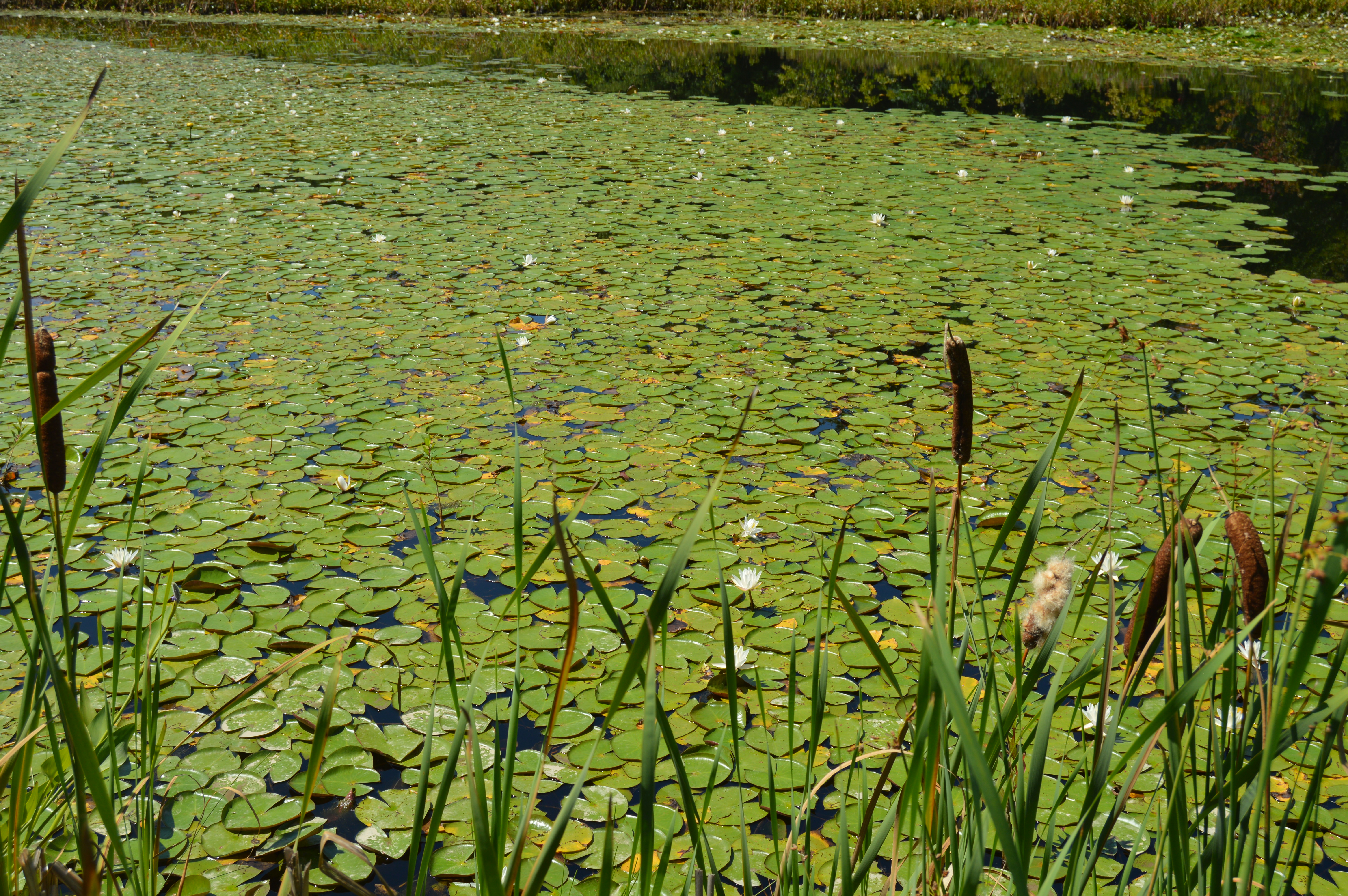
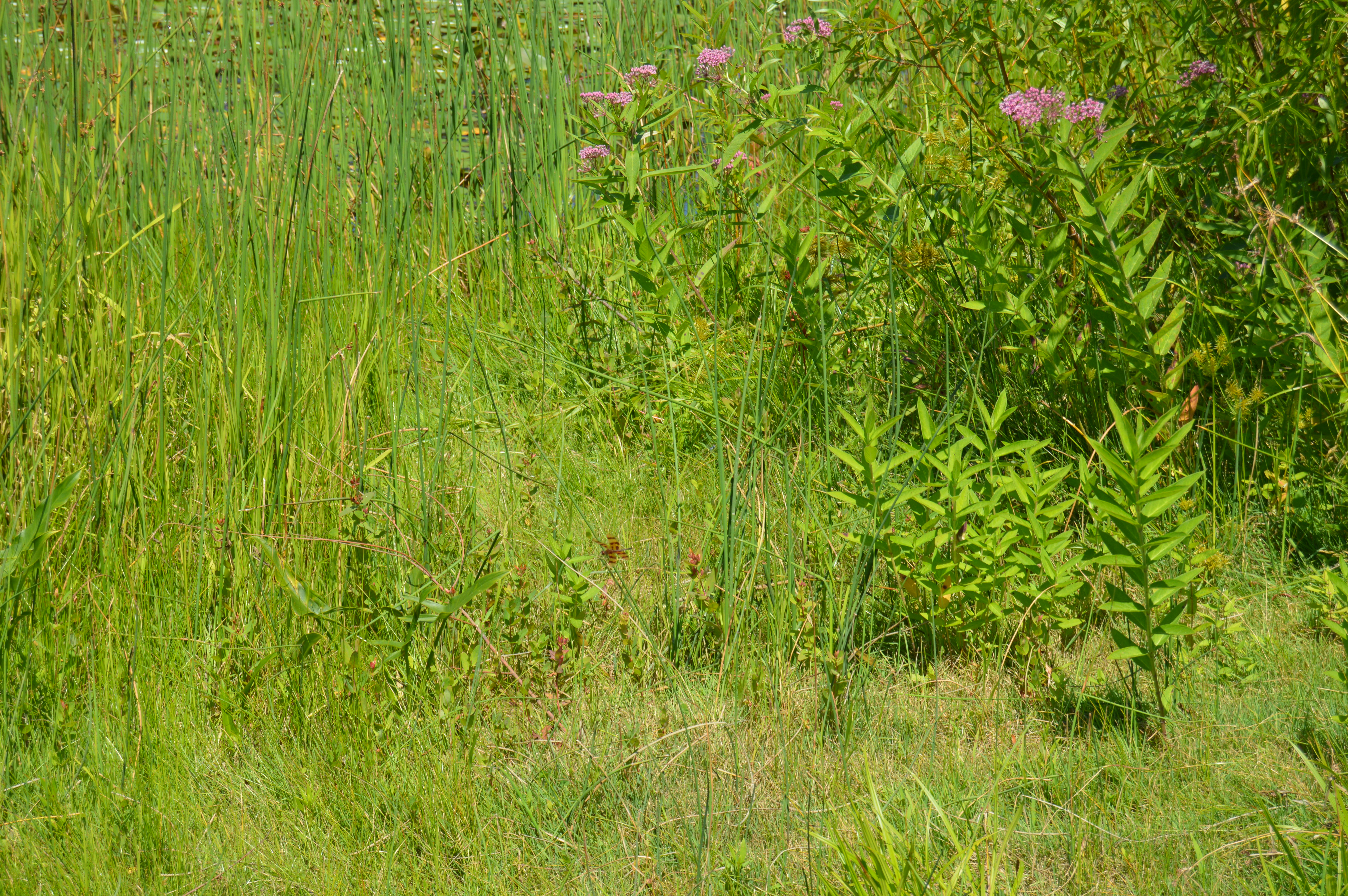
But, it was the vivid greens and wild flowers of the ponds that stood out to me.
Dragonflies also seemed to enjoy the greenery of Hampton Ponds.
The water is so transparent at Hampton Ponds, you can see the fish that inhabit the waters.
Birds are also plentiful at Hampton Ponds. This swallow sort of blended into the sand on the beach head.
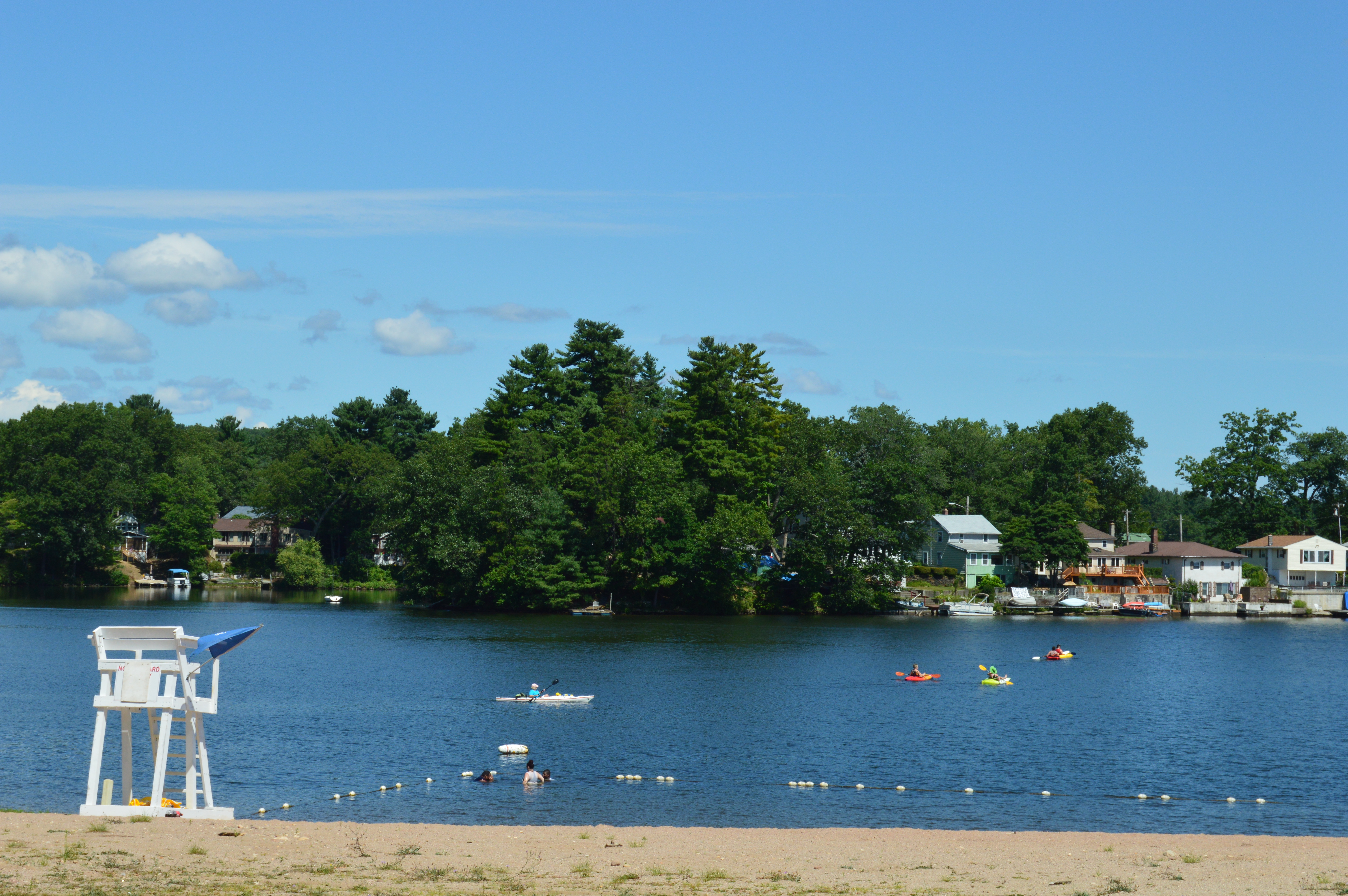
Boaters and kayakers took advantage of the warm weather and clear waters at Hampton Ponds
The motorboats created pretty ripples along the glassy water.
Hampton Ponds doesn’t have any long walking trails. But, it does make up for it with its pretty views.
Hampton Ponds is also a popular spot for dogs.
Hercules stopped playing so I could take his photo.
Sparky happily posed for his photo.
Hampton Ponds is also the perfect place to reflect