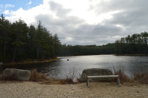
Named after Frank Winsor, the chief engineer of the construction project, the Winsor Dam section of the Quabbin Reservoir is a mecca for nature lovers, outdoors people and anyone who just wants to get out for a walk along the largest inland body of water in the Commonwealth of Massachusetts.
If there is one word that best describes the Winsor Dam it would be peaceful.
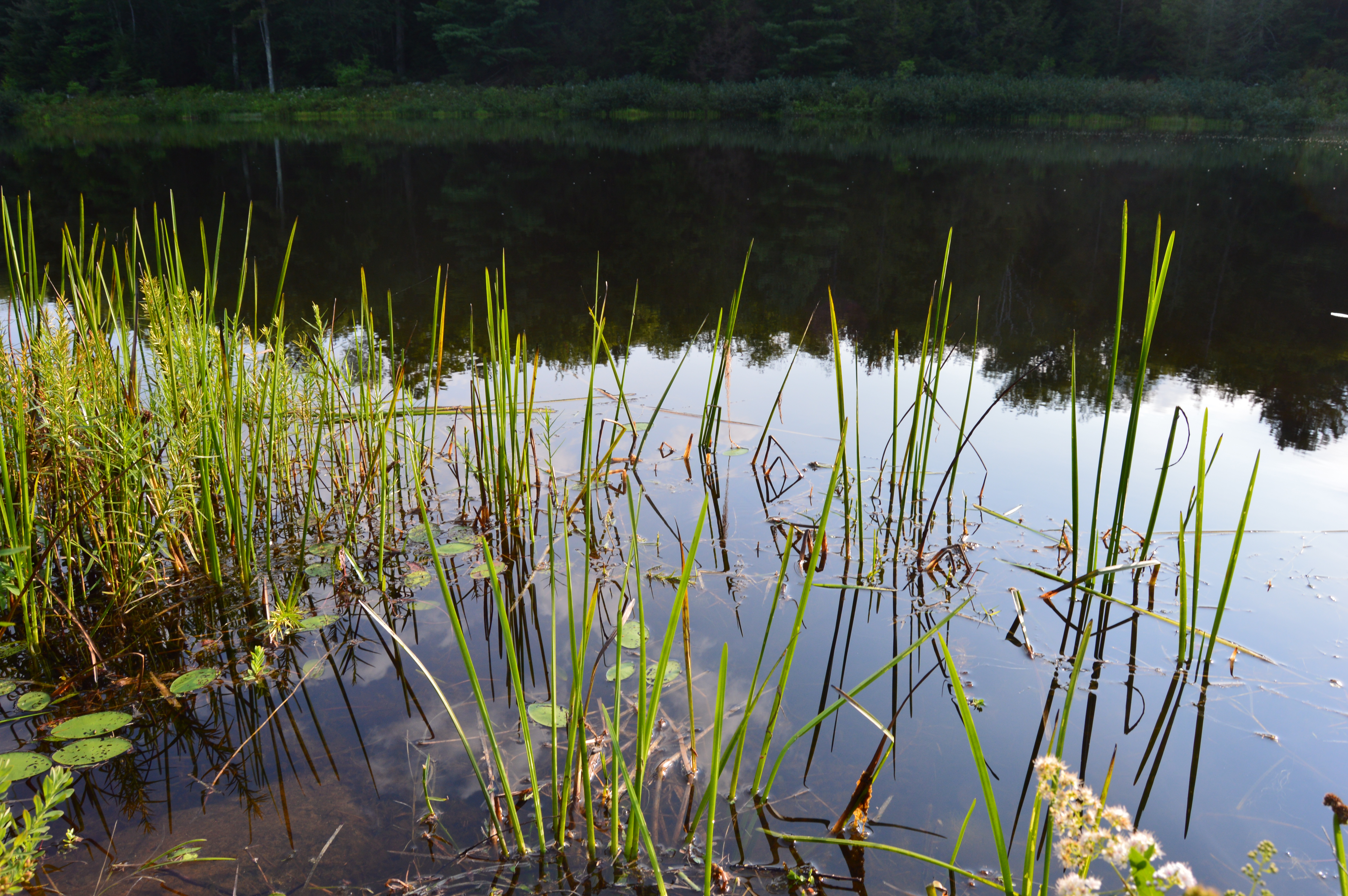
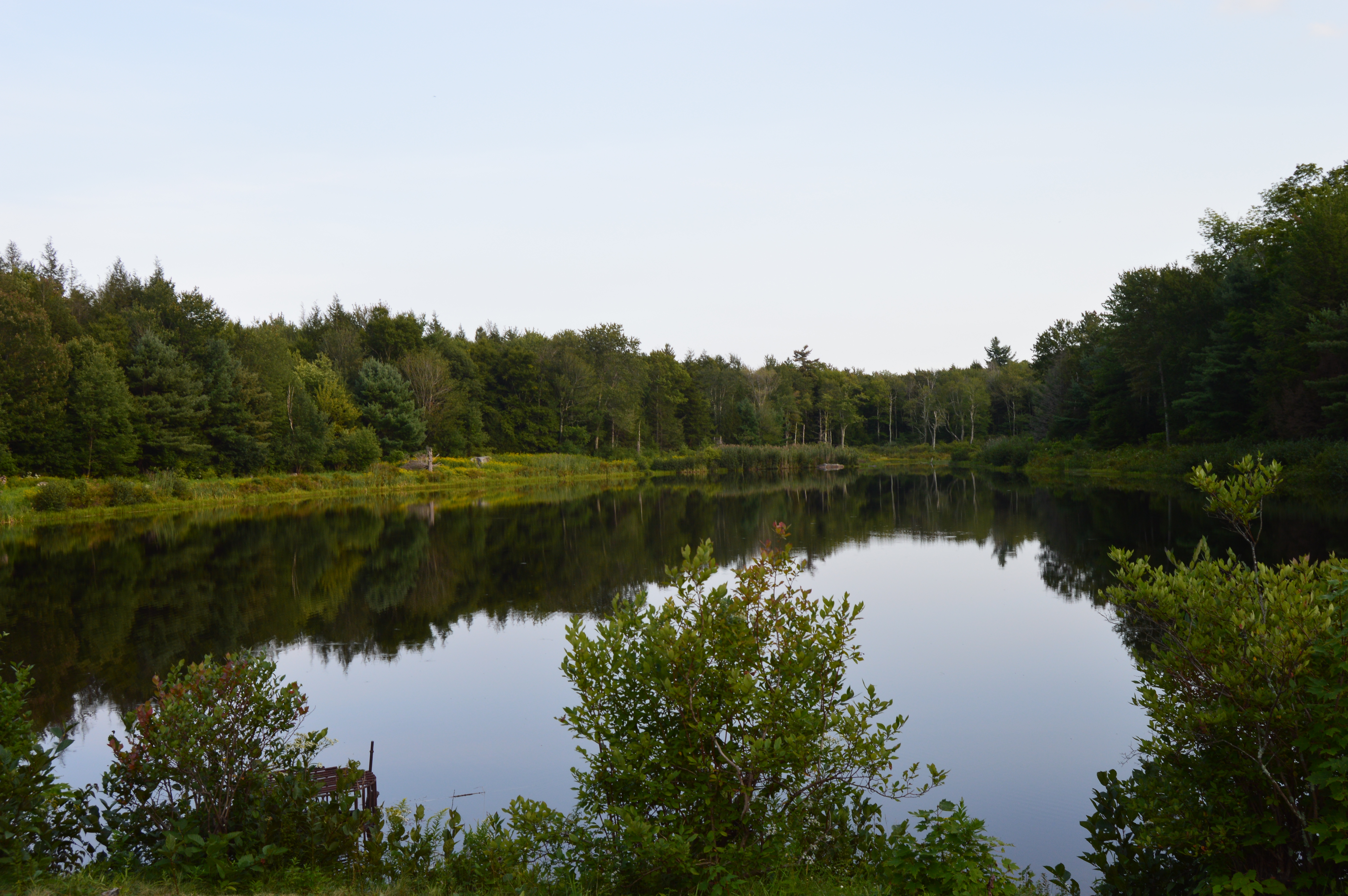
The easy to moderate walking trails are surrounded by rolling hills and crystal blue water
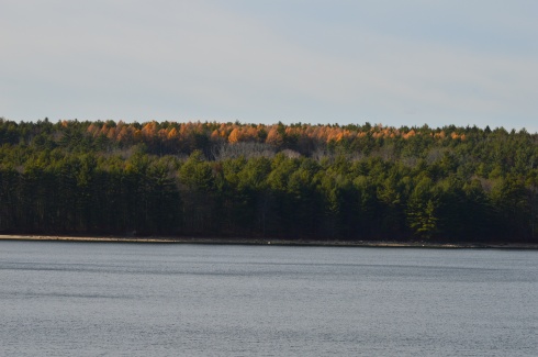
I missed the foliage season. But, you can still see the colors peaking from the tree tops.
The staff at the Quabbin Reservoir use these boats as part of their gull harassment program to limit the pollutants from the birds.
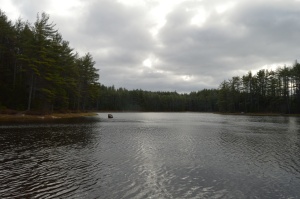
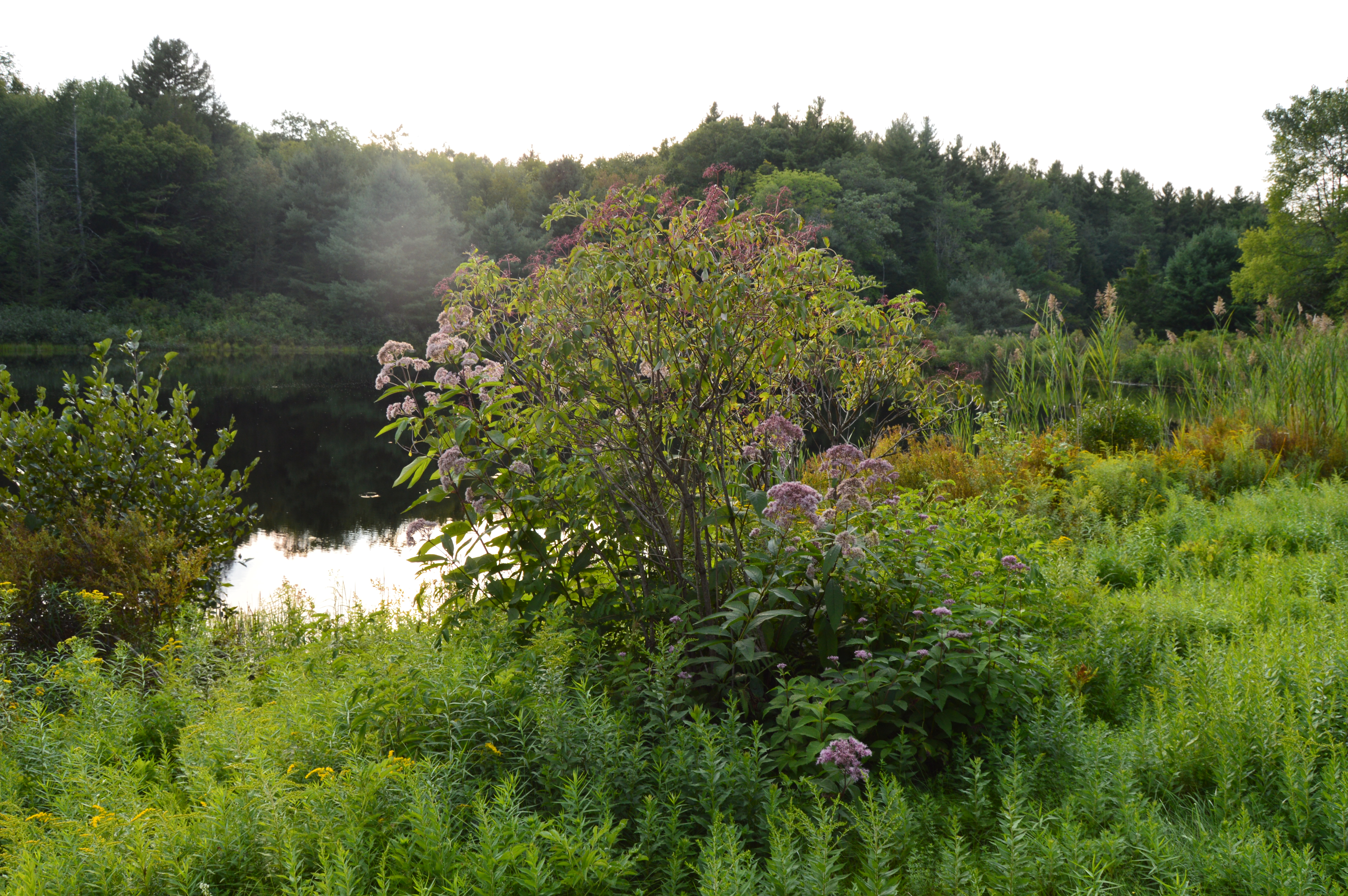
Located about a half an hour from Springfield, MA and an hour and a half west of Boston, MA, Quabbin Reservoir supplies water to three towns west of the reservoir and acts as the backup supply for three other towns. There was a seasonal fall breeze during my visit which created pretty ripples on the water.
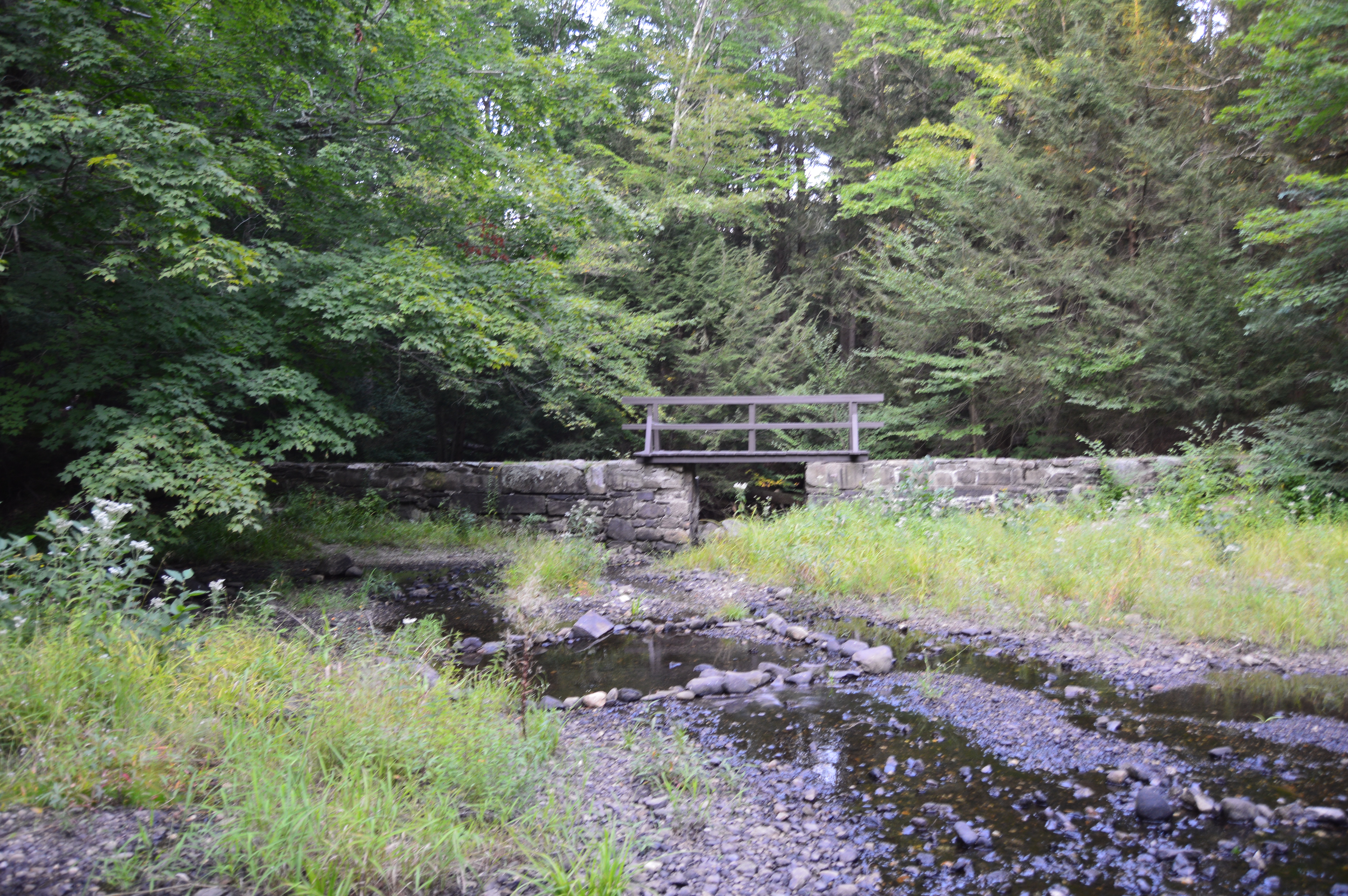
Quabbin Reservoir is expansive (it has an area more than 38 and a half miles). It is separated by different dams and sections. There is a pretty walking bridge that you can use to visit some of the other areas. There are some great views from the bridge.
The distance between dams are more than a mile. So, it is often a good idea to drive to the different parts of the reservoir.
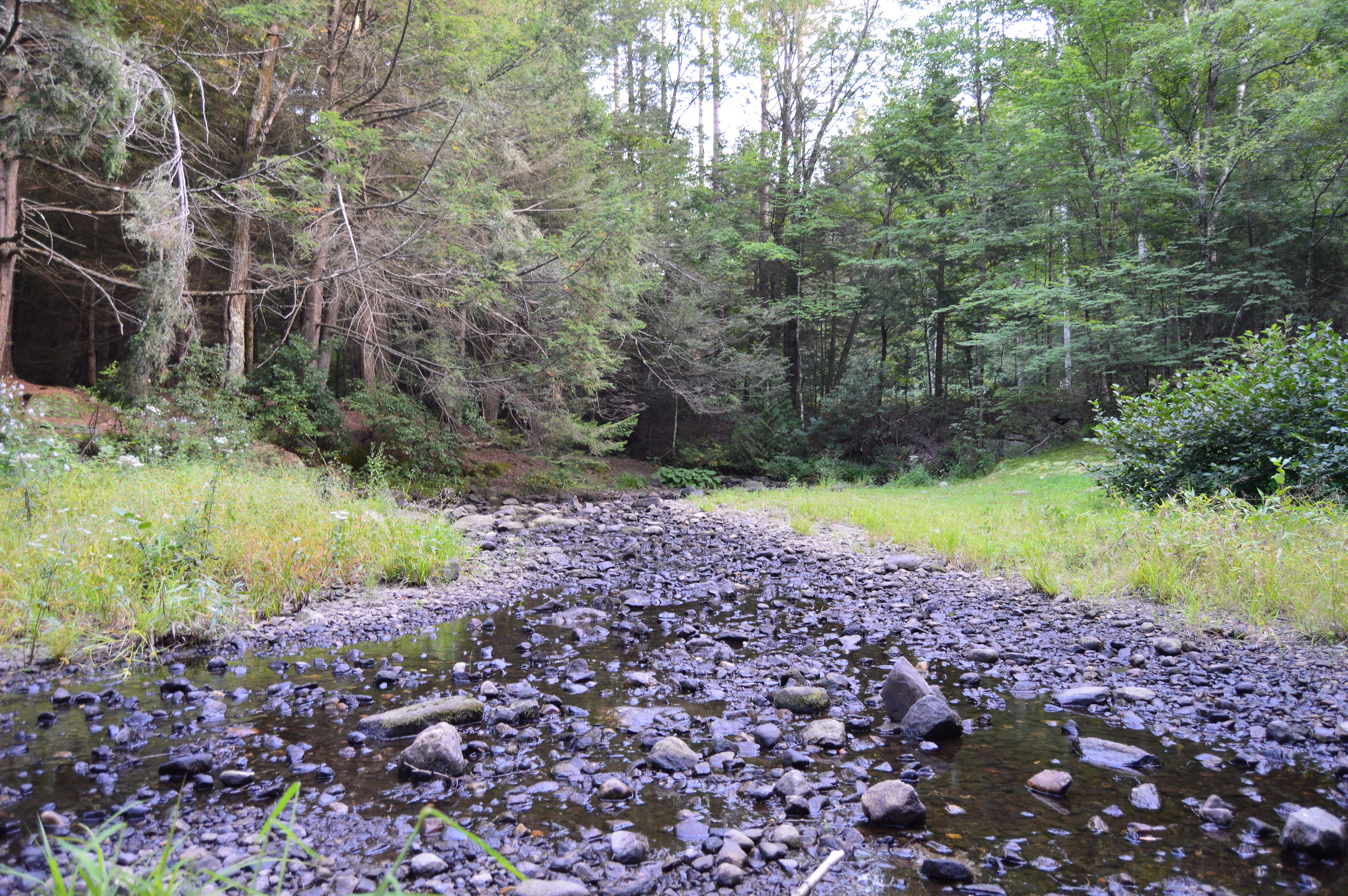
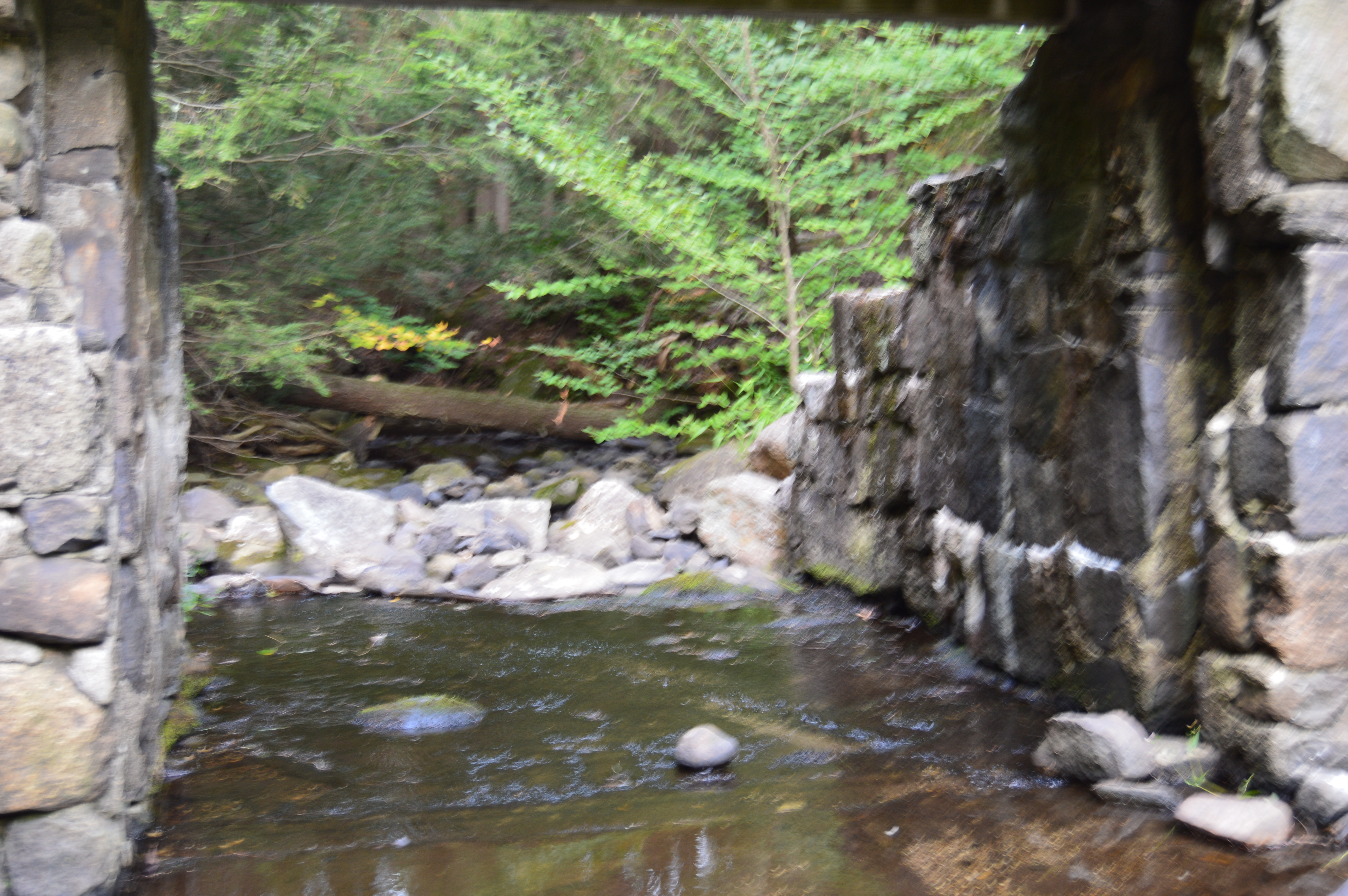
One of the many great things about the area is that after you cross the bridge there are trails and a creek which people use to fish. I got my first two ticks of the season taking these photos, so you’re welcome!
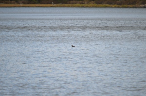
The water is green in some places and it is so clear you can see the trout and other fish that inhabit the water.
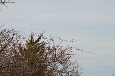
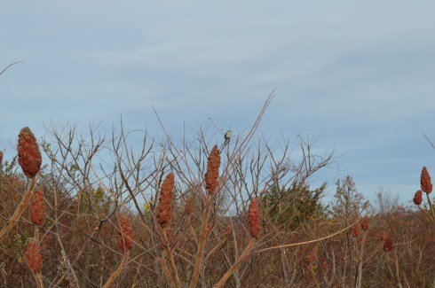
There are also a variety of bird life at Quabbin Reservoir. I caught these titmouse on the trail (ok I laughed a little when I wrote that)
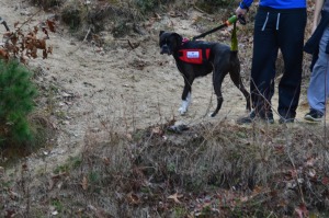
Dogs aren’t allowed at Quabbin reservoir. I did see one dog that was “in training”, though.
Bear Hole is not just a name give to the much traveled reservoir in West Springfield.
Tales of bear, deer and other animals have been told from many visitors at the park.
I didn’t see any bear, though. I only met the occasional dog (from top left to right Figueroa, Lily, Jyp, bottom from left to right Oreo and Connor)
and owl
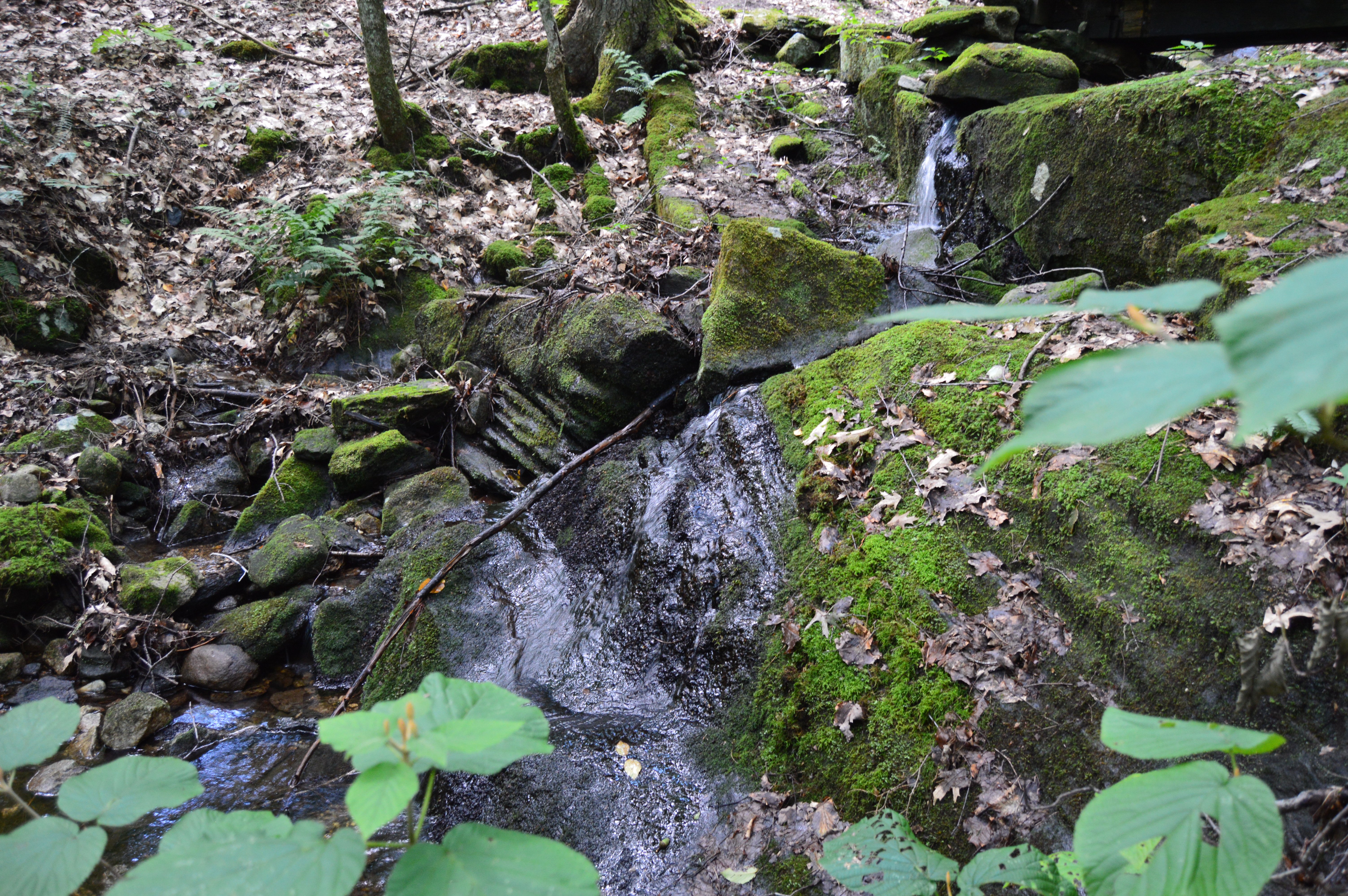
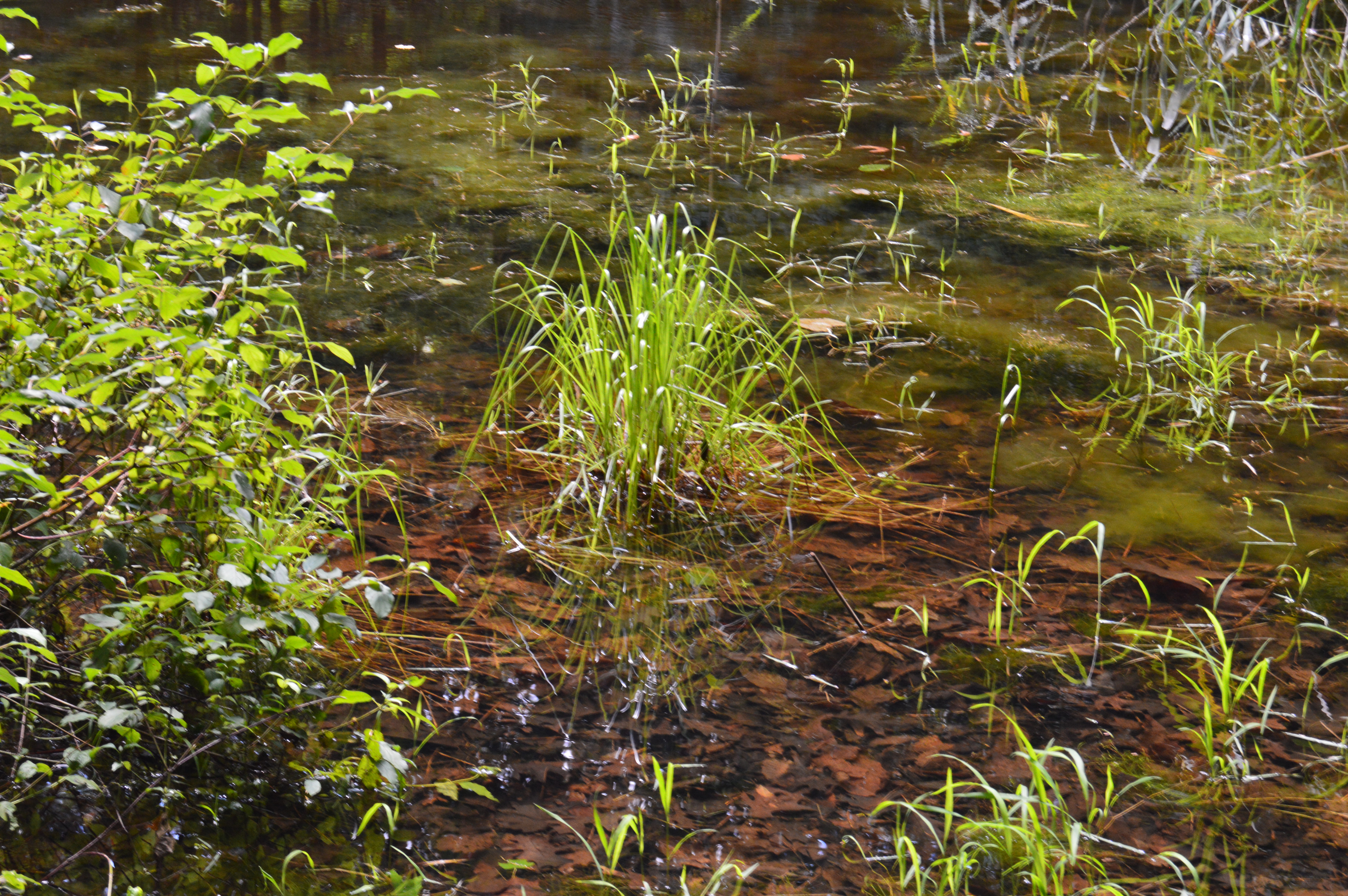
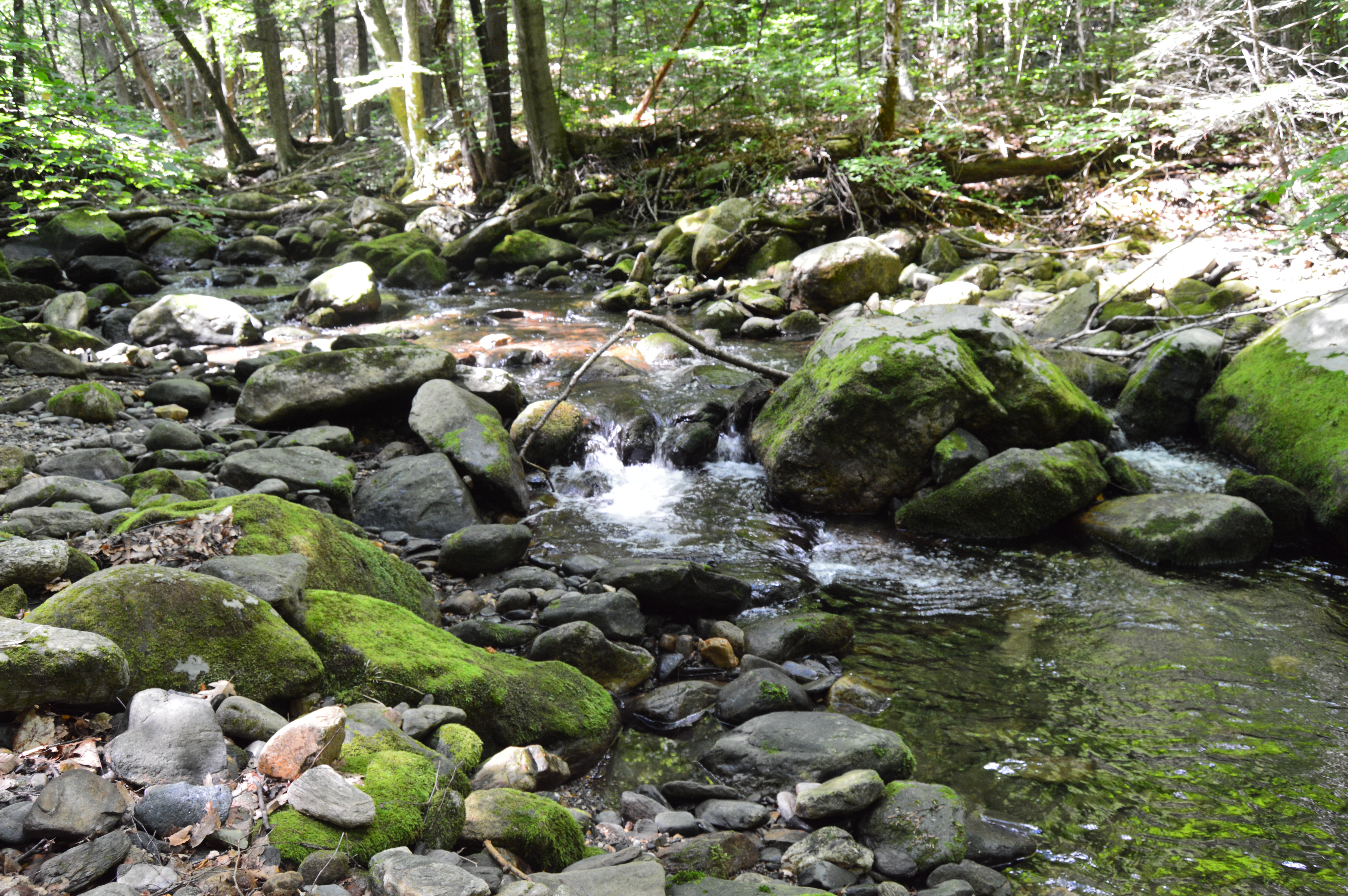
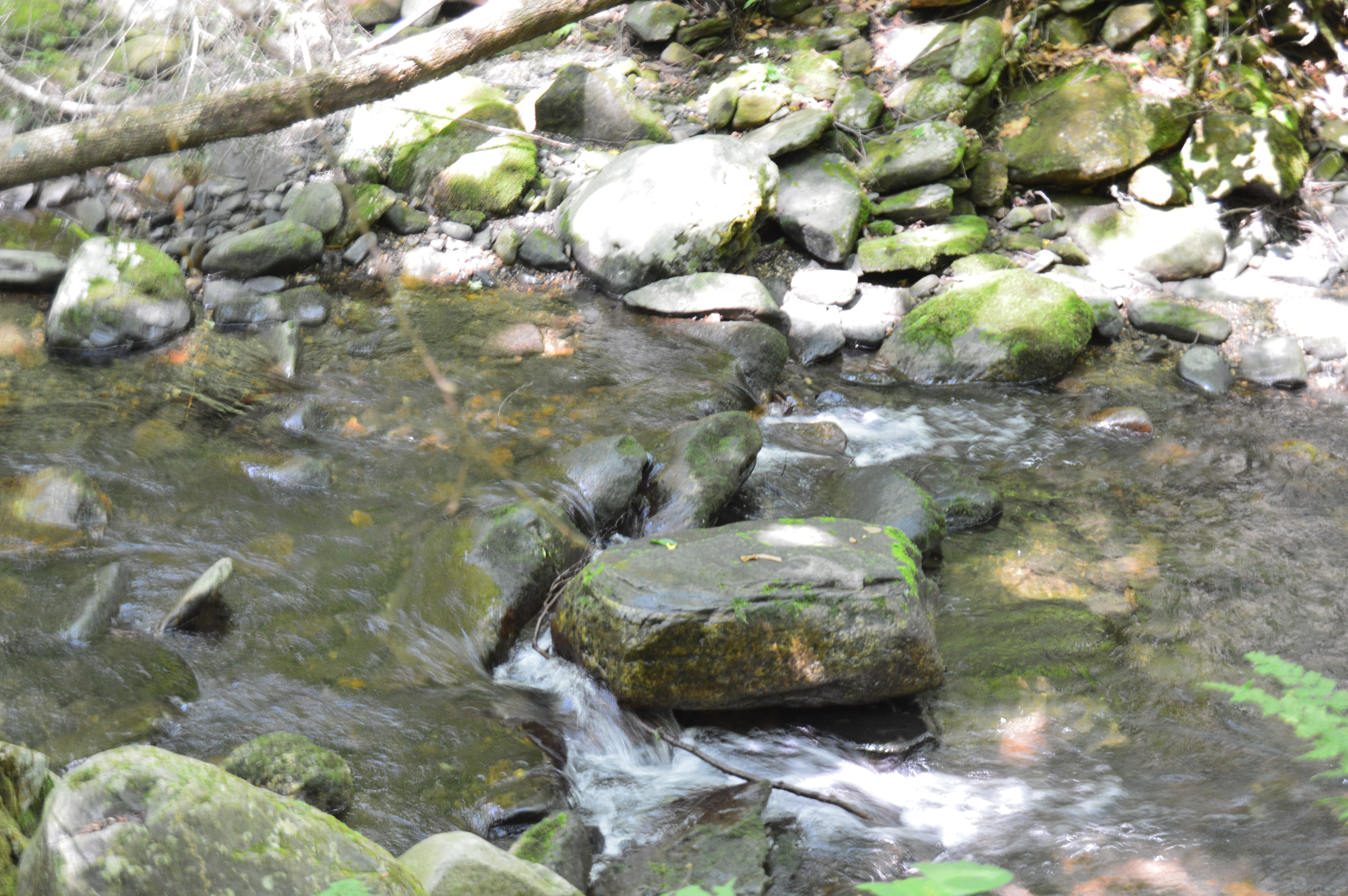
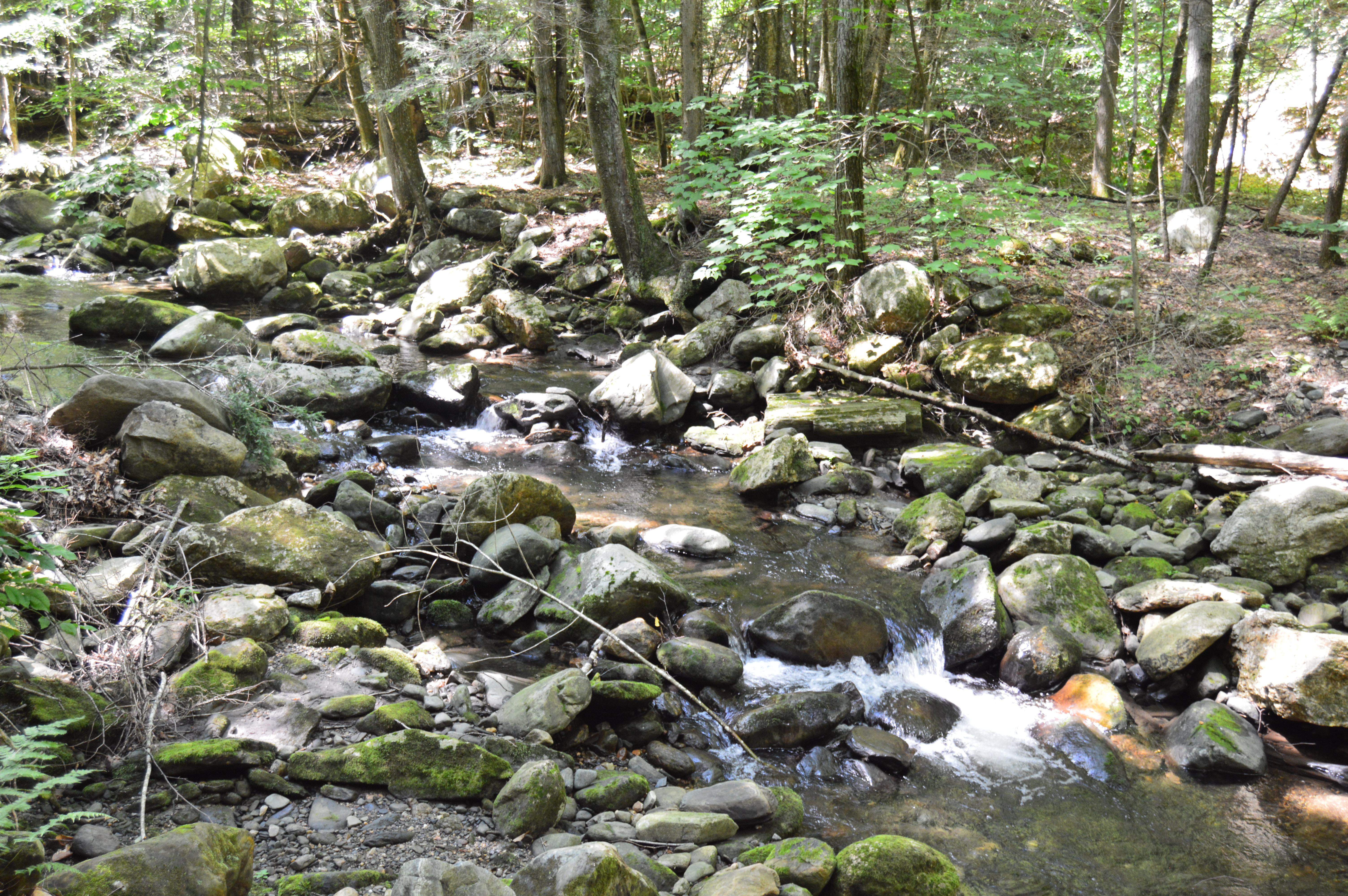
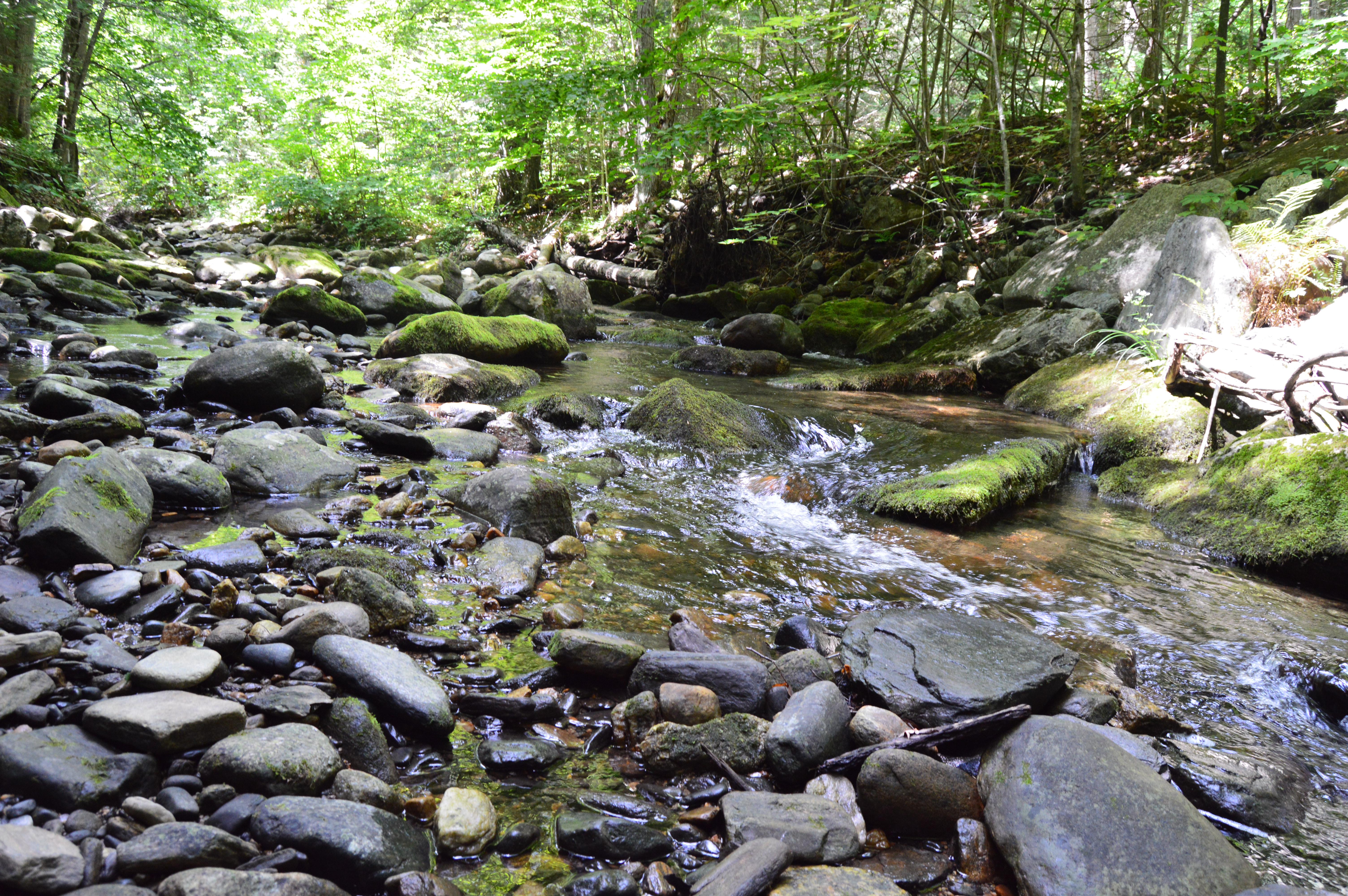
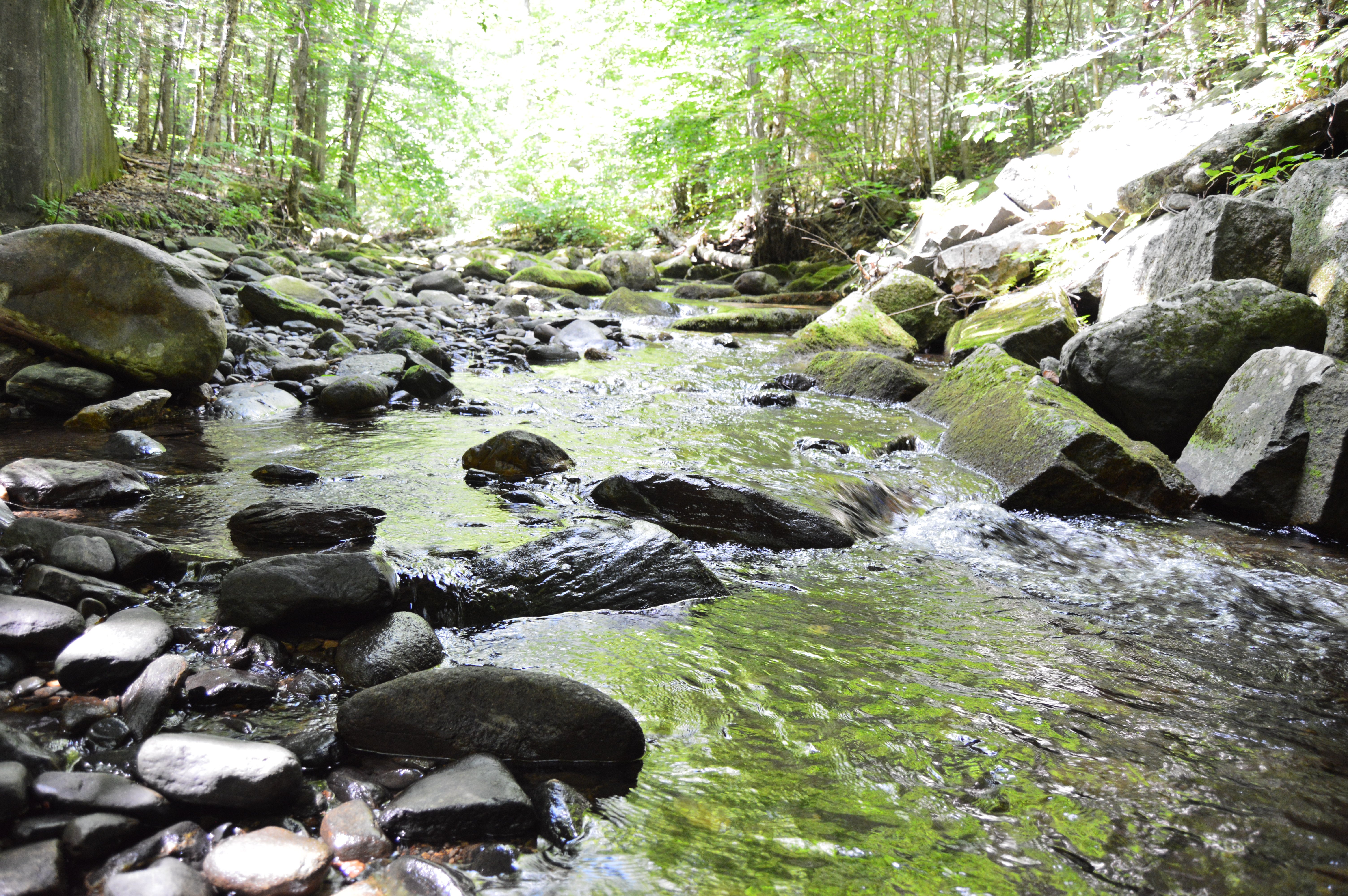
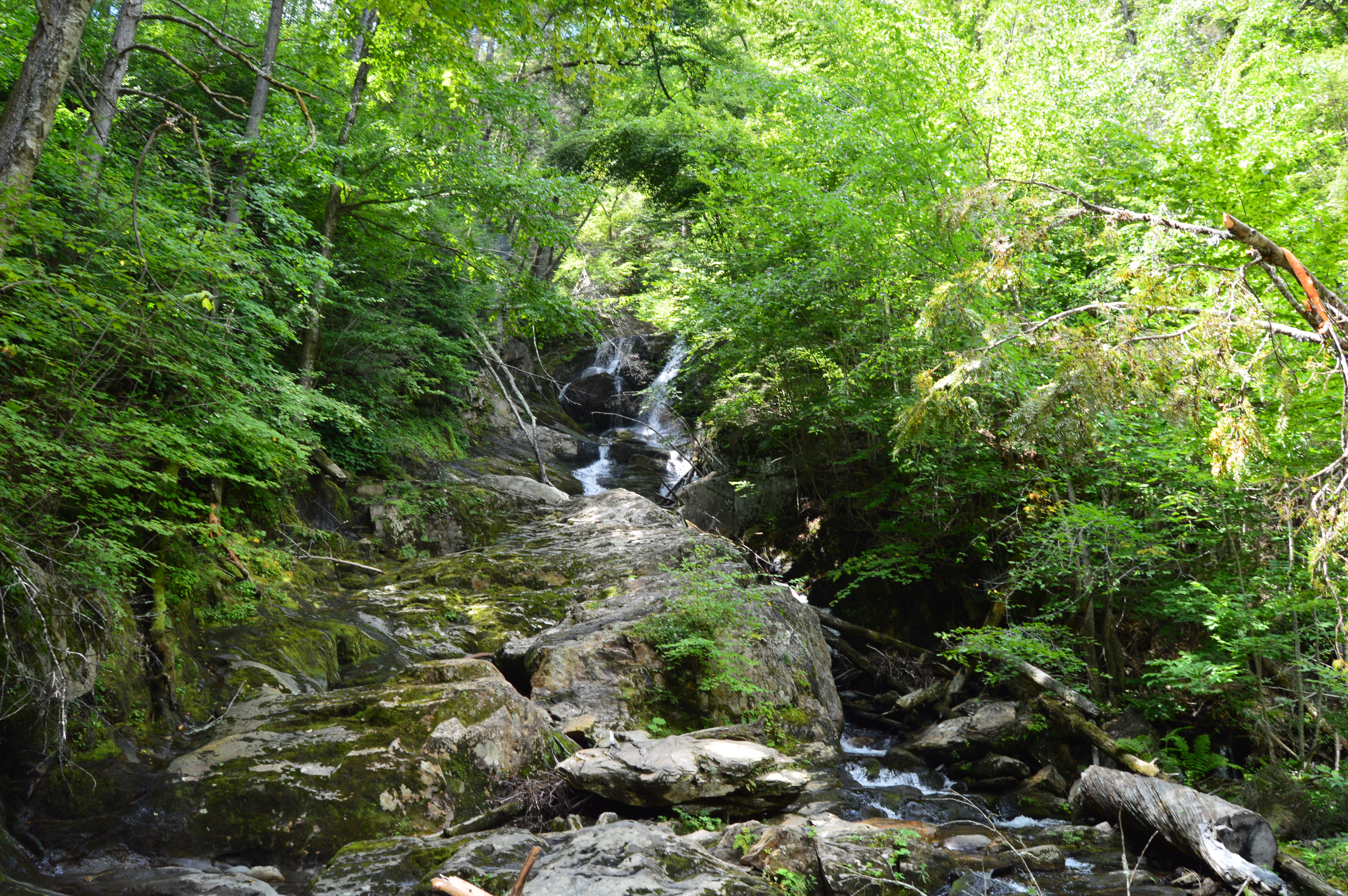
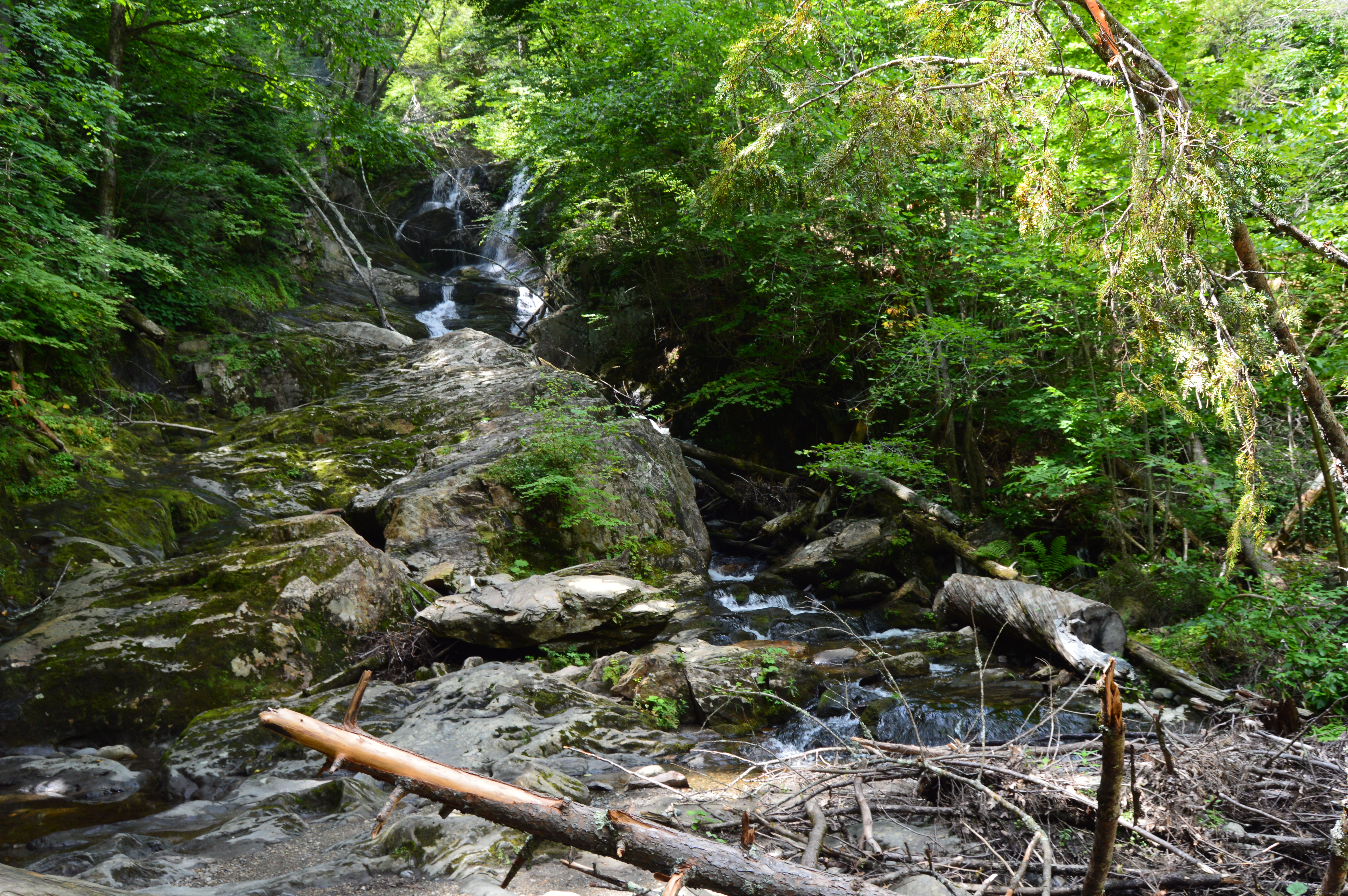
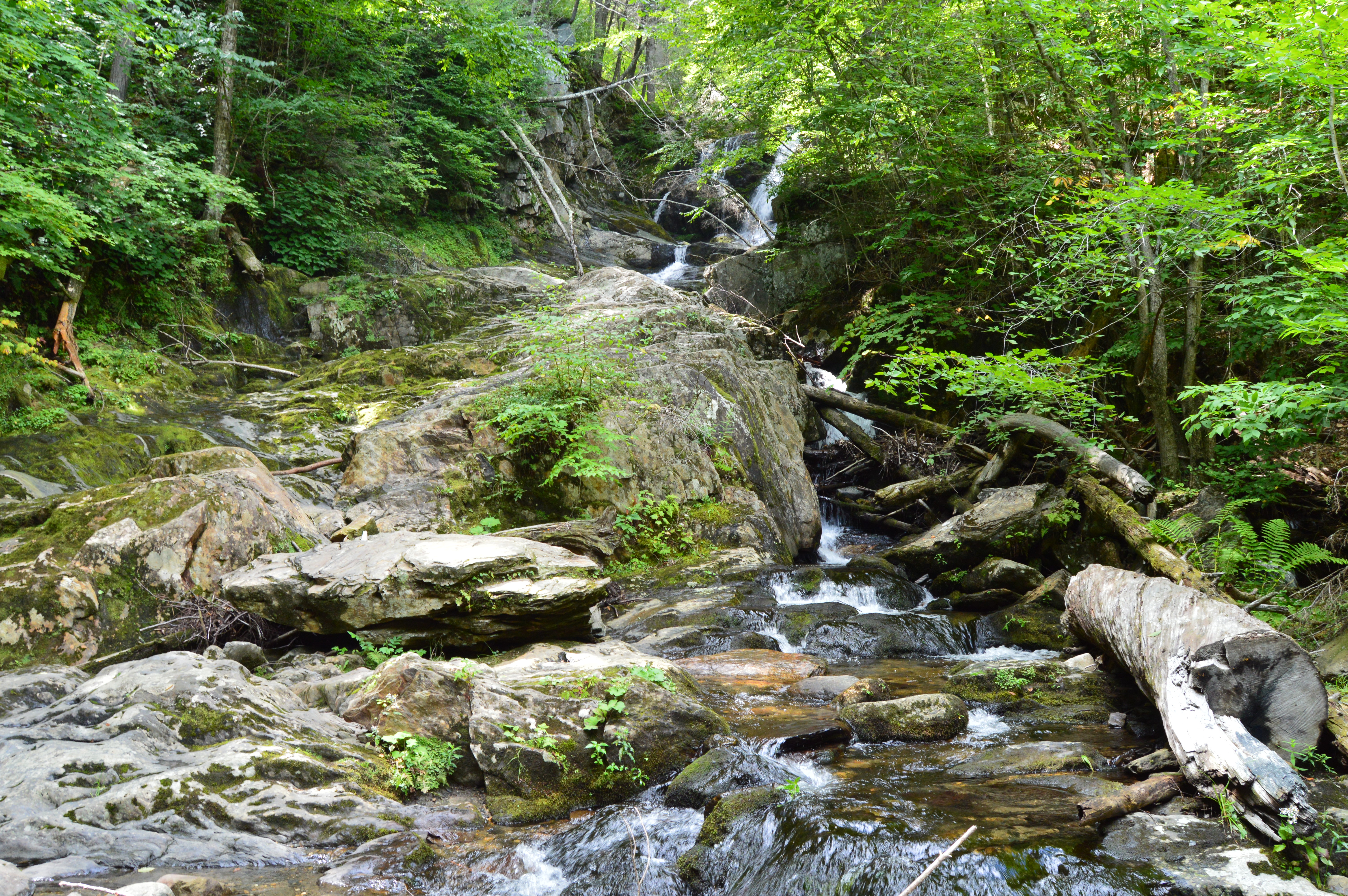
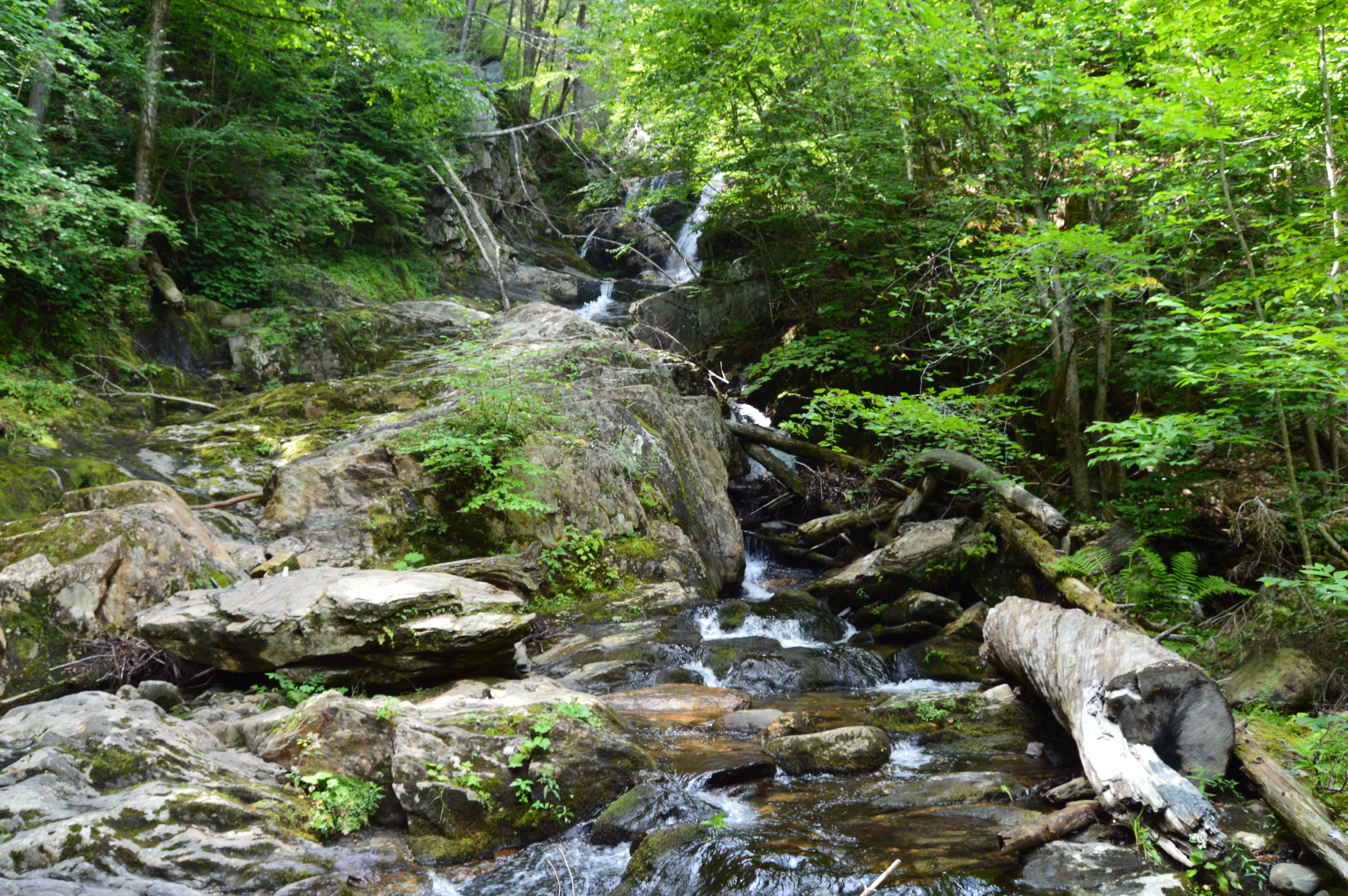
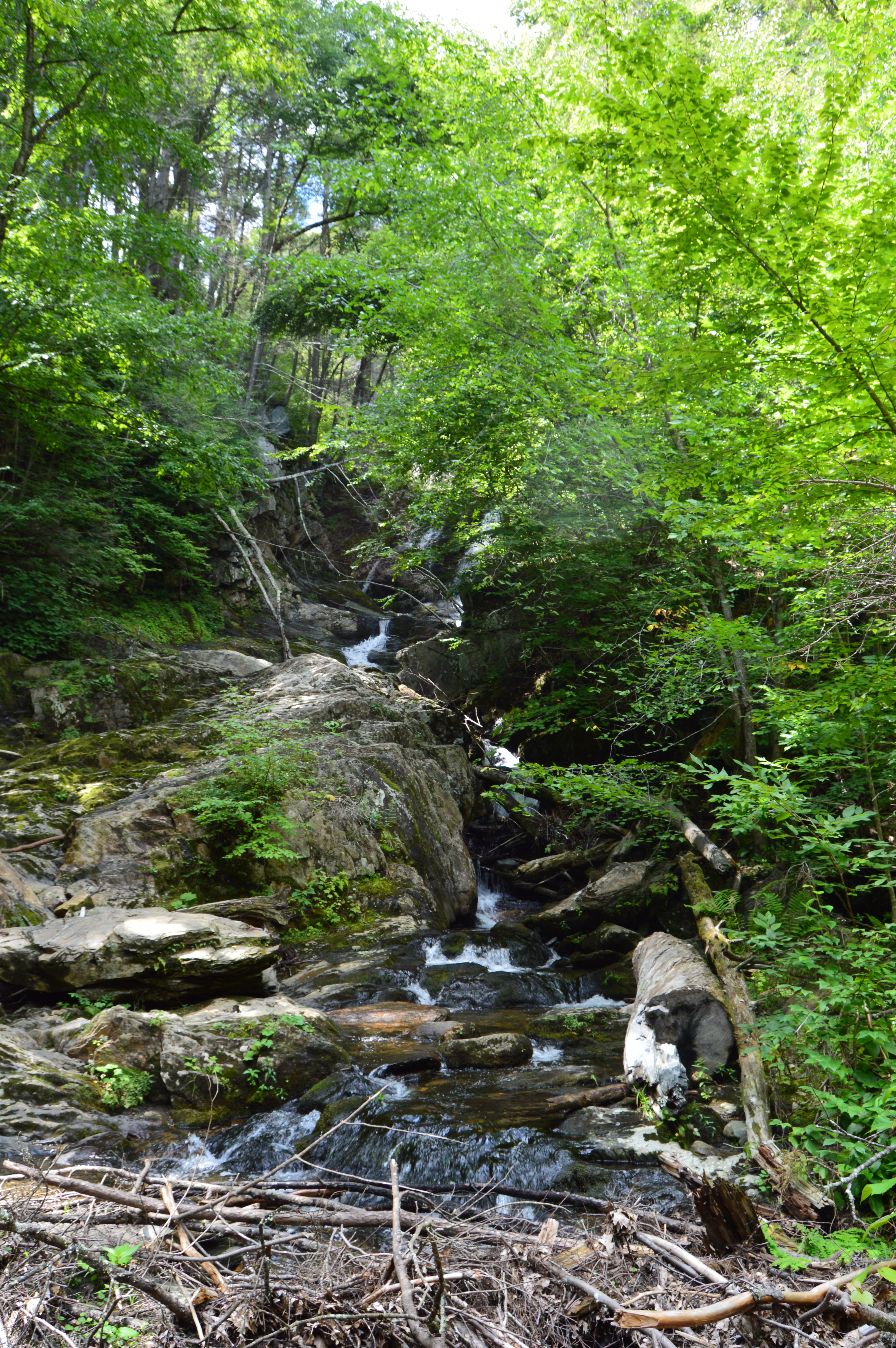
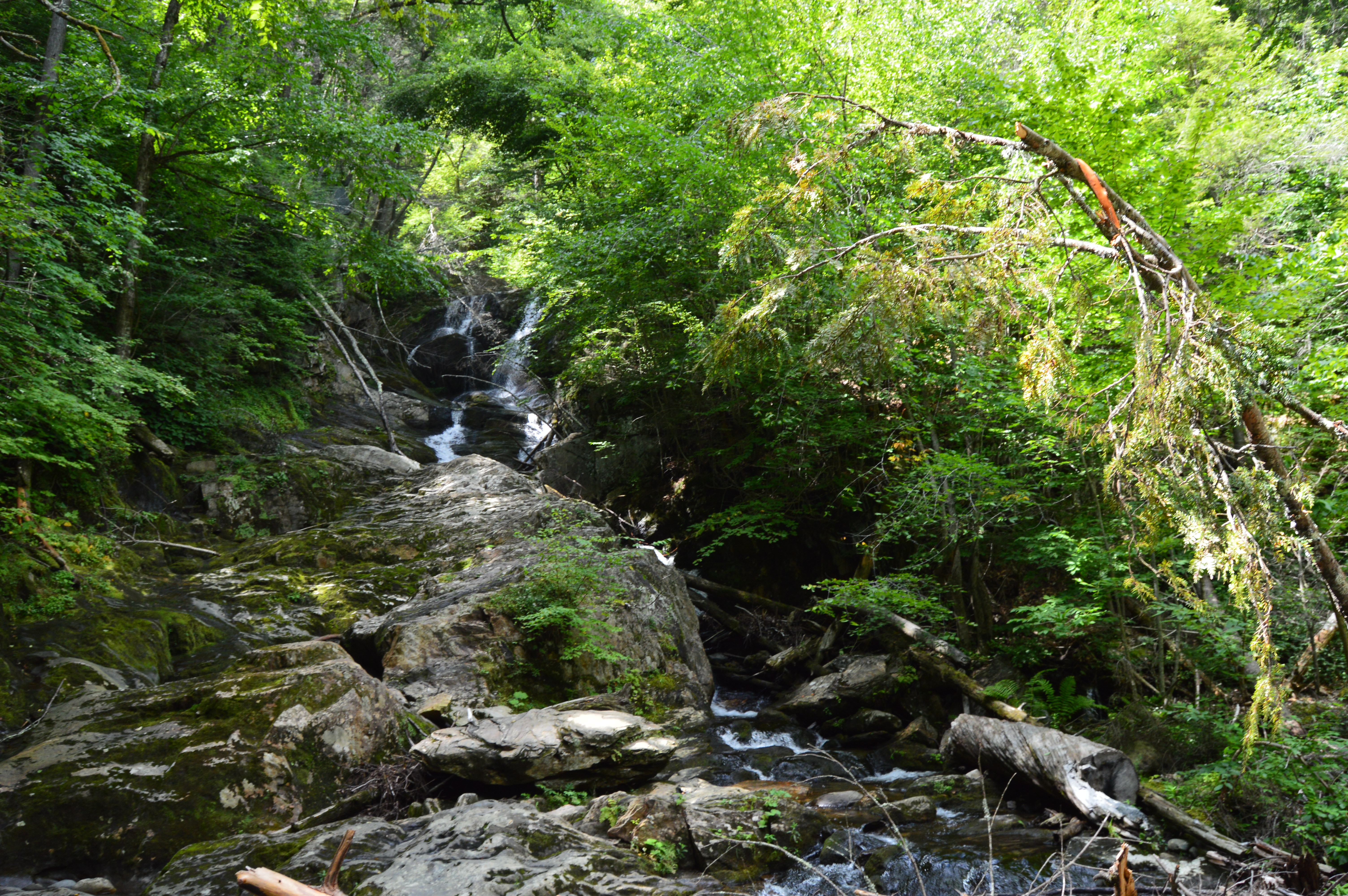
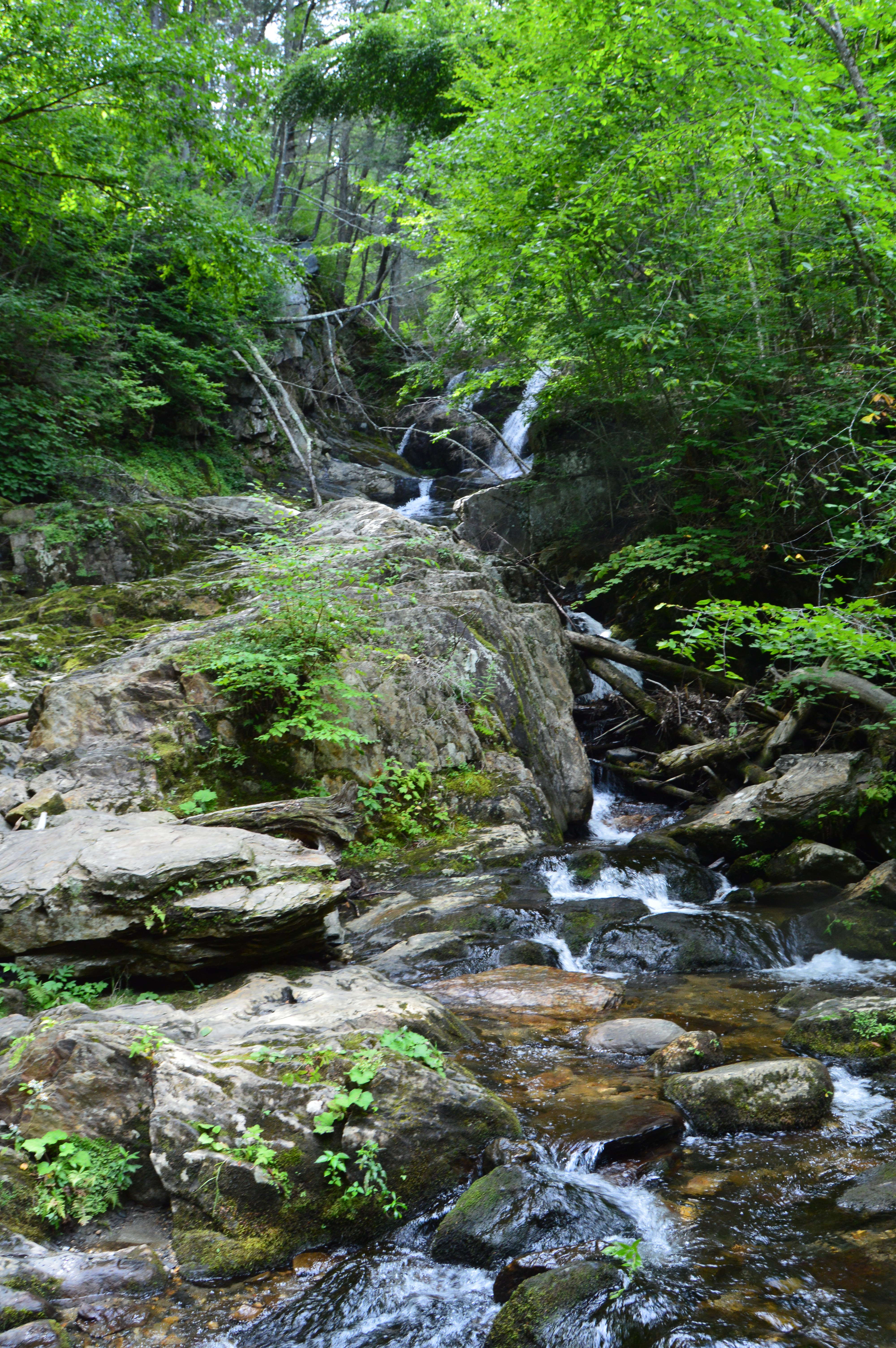
The main attraction at Bear Hole is the waterfall.
and the pond it flows to
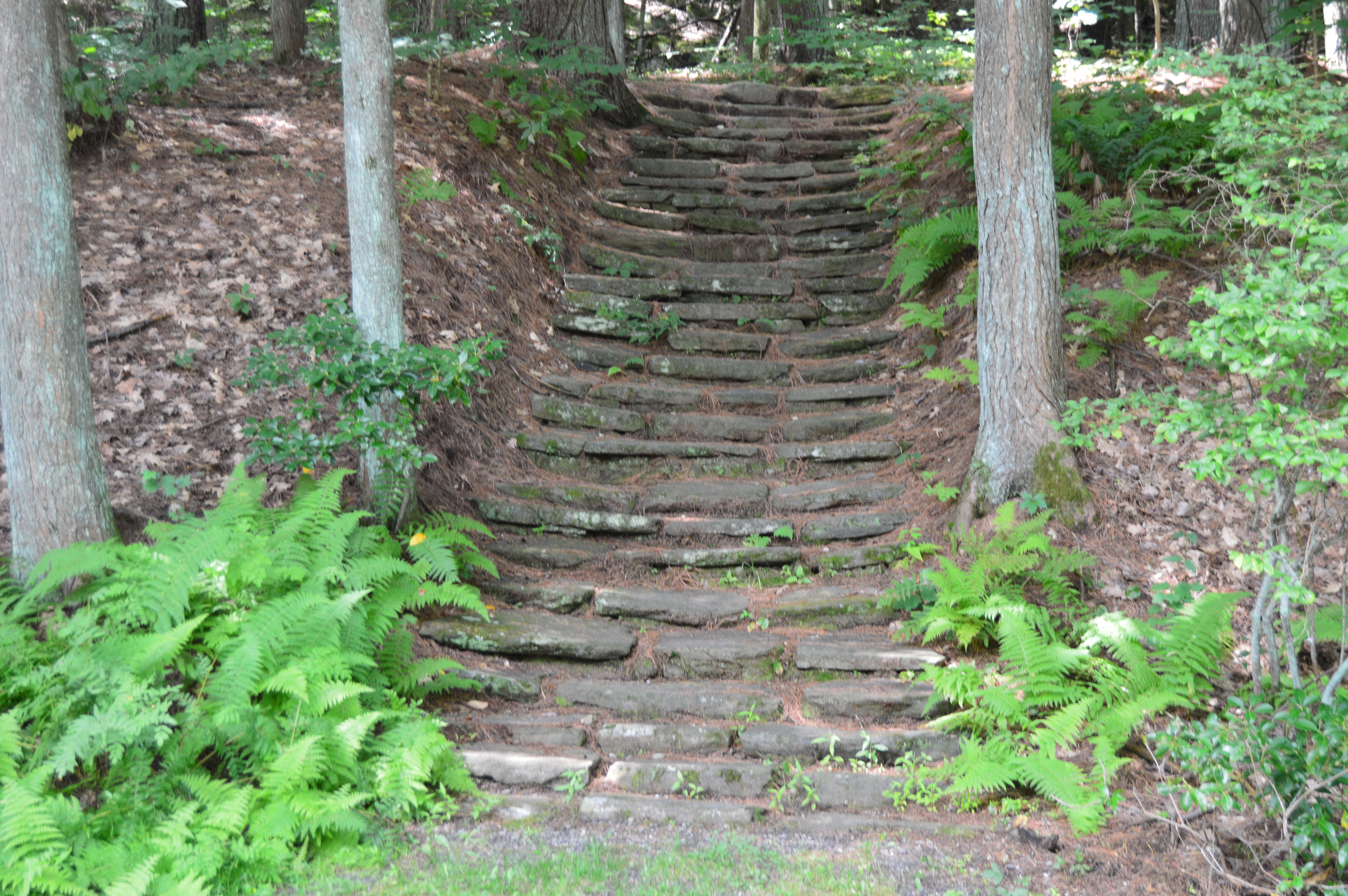
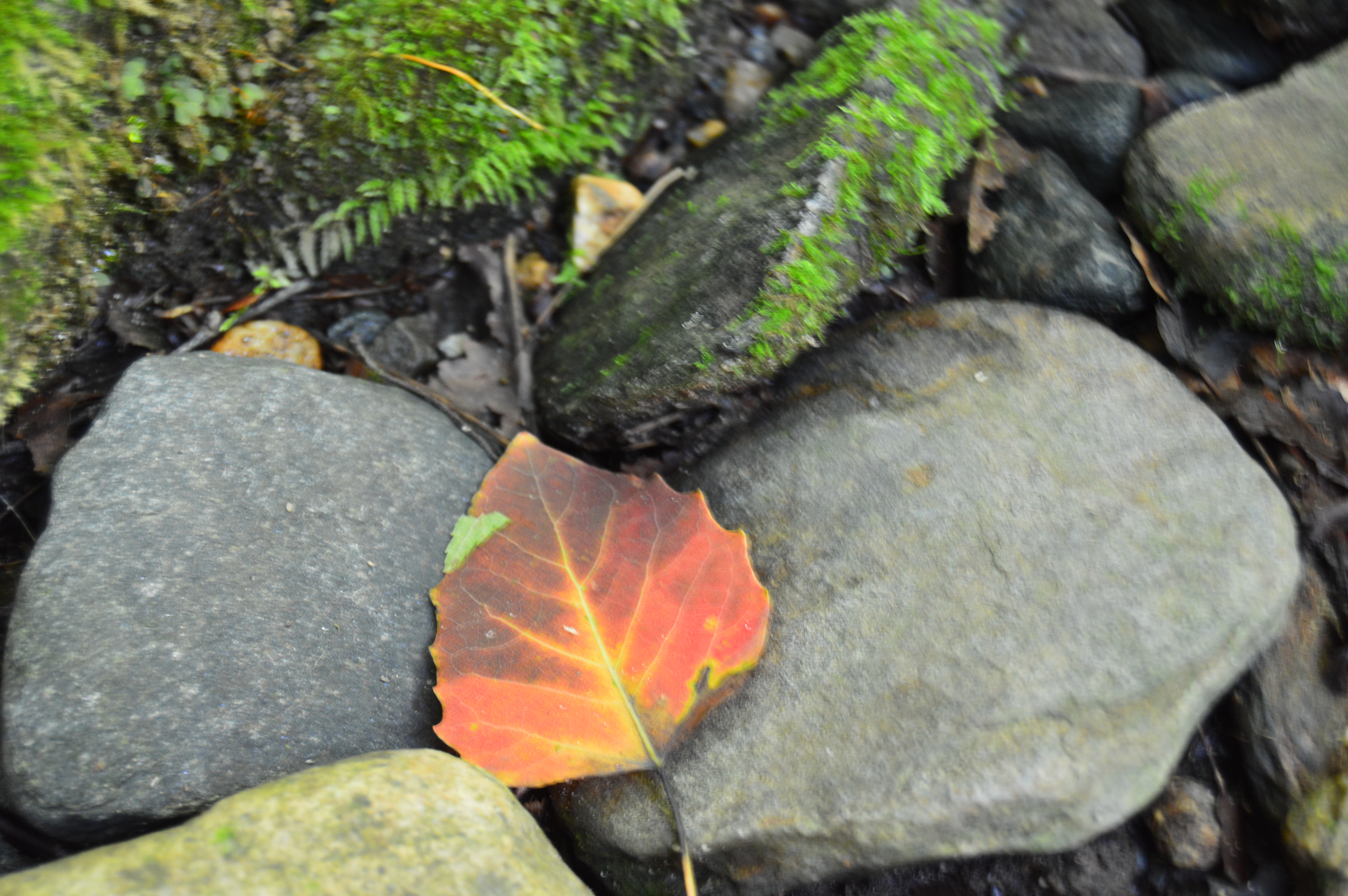
The trails are clearly defined (unless you go off trail to get a closer look at the waterfall and pond as I did from time to time). And runners and cyclists use the trails frequently.
Click below to view the video of the waterfall in all its splendor.
Once a seasonal campsite for Native Americans as well as the site for a fertilizer factory and a missile launcher warehouse, Webb Memorial State Park has gone through many changes over the years. It has since been cleaned up and developed into one of the lesser known jewels of the South Shore of Massachusetts.
Named after William K. Webb, a World War II and police officer from Weymouth, Webb Park is a popular spot for joggers and other outdoor enthusiasts. There are many different paths that offer various pretty views of the skyline of Boston and the surrounding cities.
You can see planes flying to and from Boston’s Logan International Airport. They are so loud you can hear them clear across the harbor.
There are also several monuments at Webb State Park.
This memorial is named after John Cole, a former resident of Weymouth, MA.
This memorial is dedicated to Chief Engineer Donald F. Haviland. Haviland was on the Henry Bacon which took heavy damage from enemy bombers. He refused to take a seat on one of the lifeboats because the lifeboats were running out of room and not everyone could fir on the lifeboats. Haviland gave up his seat on the lifeboat to a younger person and he died when the ship sunk. He is certainly worthy of our admiration and this token of our appreciation. This memorial certainly makes you think.
Another monument memorializes the Grape Island Alarm which was a Revolutionary War battle where a Weymouth militia fought back the British Navy.
This slideshow requires JavaScript.
There is also a memorial dedicated to Domenic J. Sansone.
There are a variety of birds in the area. I was lucky enough to photograph this woodpecker
a sparrow
and this female cardinal. You might have to enlarge the photo at the top of one of the branches toward the right side of the tree.
I also spotted this bird. Another one that might be a little hard to see unless you zoom in.
There were many additional land animals at the park during my visit. (top left to right – Nandi, Molly and Ziggy, bottom left to right – Ellsbury, Louie and Olly)
There were so many beautiful spots at Webb Memorial Park. I have included a few more miscellaneous images in the slideshow below.
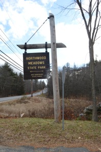
From the outside Northwood Meadows State Park doesn’t look like anything out of the ordinary.
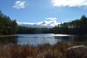
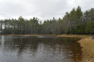
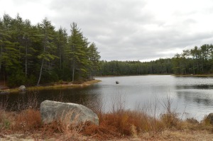
A pond, a creek, pretty trees and a few unusual rock formations are on the main trail.
But, it’s the meadow that sets the place apart from other parks.
Of course, after a few minutes, it began to snow.
Then, just like any typical New England day, it stopped and the sun was out after 5 minutes of driving snow.
There are some beautiful views of the meadow.
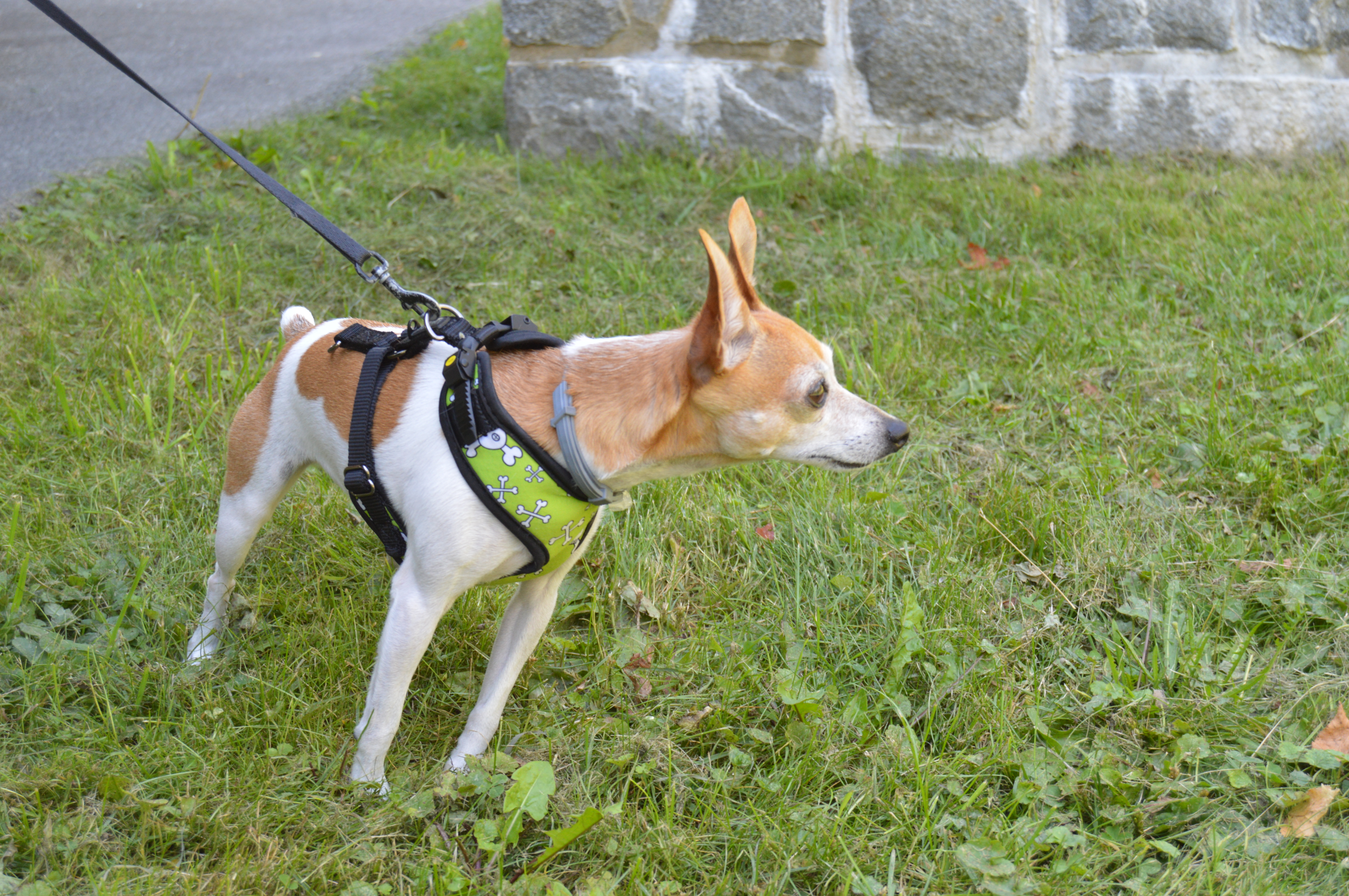
Northwood Meadows is also a popular spot for dog walking. You may notice some of the dogs are wearing orange. That is because hunting is allowed in some designated areas of the park.
The photos don’t do it justice, though. Northwood Meadows is a must see for dogs and humans!
Most people are aware of the more popular attractions in Plymouth, MA, such as Plymouth Rock and Plimoth Plantation. But, there is another hidden jewel in Plymouth.
Located only a few miles from Plymouth Rock, the Jenney Grist Mill is a replica of the mill which was originally located in the Plymouth Colony.
When I went to visit the foliage was still peaking in the area.
But the real gem of the grist mill area is the pond.
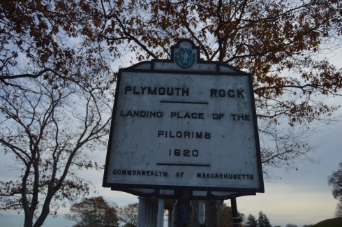
Who would ever think people would travel from all over the country and all over the world just to see a rock? Yes, a rock. This is not just any rock, though.
The rumored landing spot of the Mayflower, Plymouth Rock is one of the more disappointing yet often visited sites south of Boston, MA.
Despite it’s popularity, the rock at Plymouth Rock is not the actual rock the Mayflower struck. In fact, the rock has been said to have been moved at least three different times and the rock has been said to have been damaged several times, breaking in half at one point. Not only that, but the passengers of the Mayflower initially landed in Provincetown in Cape Cod.
While the rock itself probably isn’t the actual rock the Mayflower struck upon its landing and it’s not the actual initial landing spot of the Pilgrims, it is symbolic of the voyage the persistence of the people who landed there.
Located in walking distance of the Mayflower II, the rock is located at the bottom of a pit and protected by a fence.
The rock is located in a structure with pillar columns.
The harbor is usually teaming with activity.
There is also a monument located across the street from Plymouth Rock. The Pilgrim Mother was donated in 1921 to celebrate the Tercentenary of the Mayflower landing by the Daughters of the American Revolution.
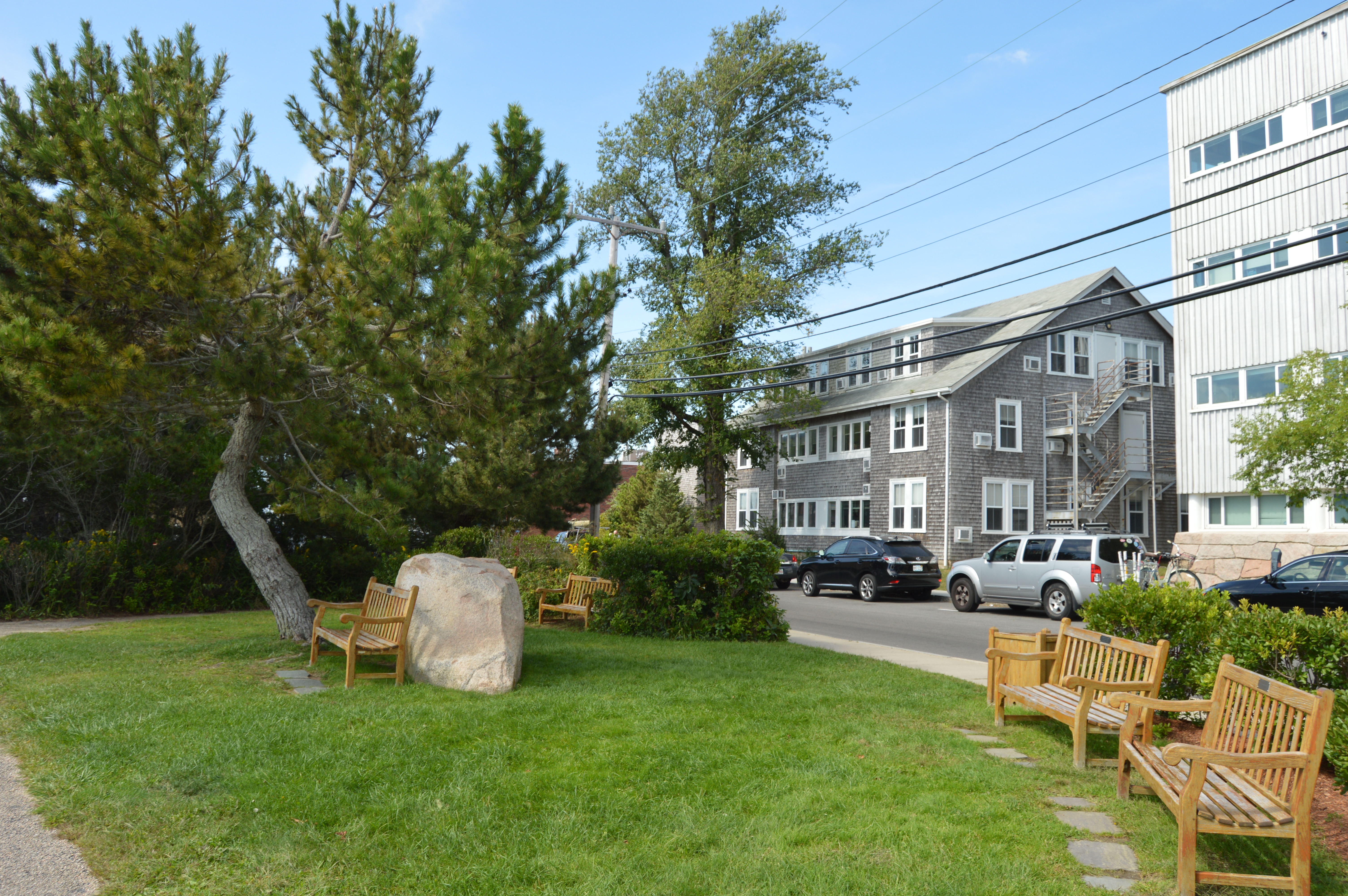
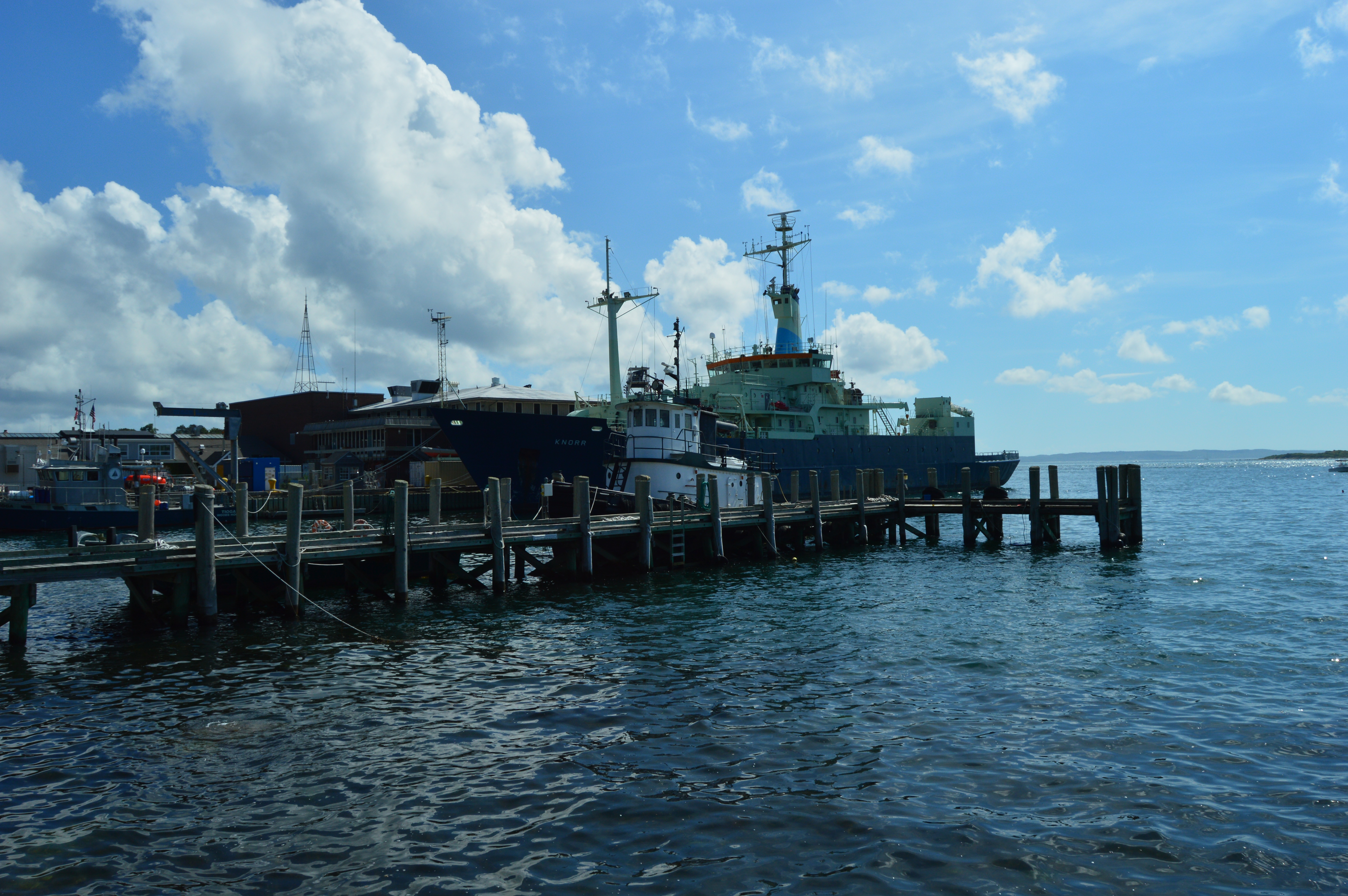
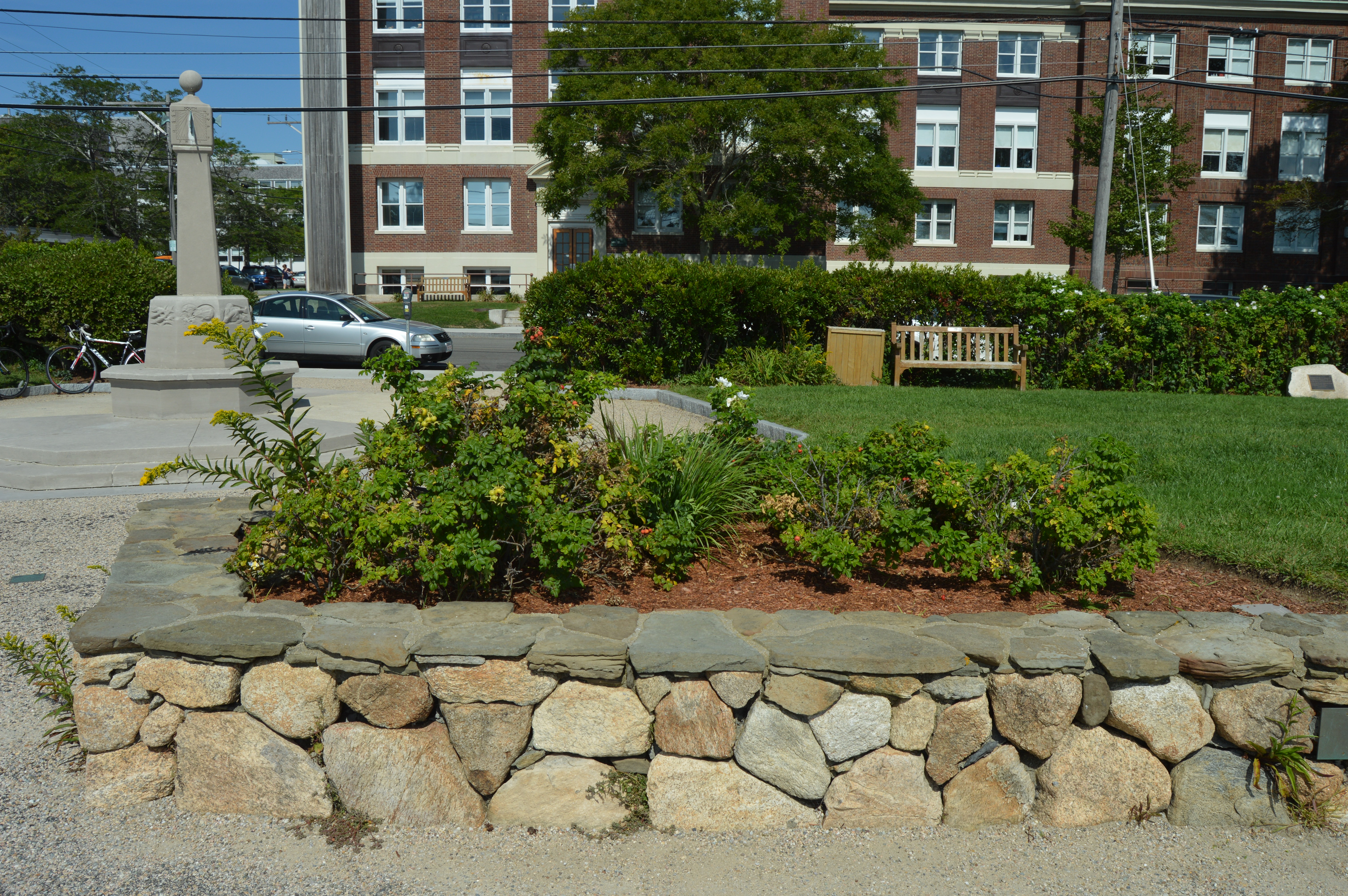
The last leg of our summer’s swan song at Cape Cod was spent at Waterfront Park in Woods Hole. Waterfront Park has several statues and sculptures. The most recent statue is a memorial to environmentalist Rachel Carson, the author of Silent Spring and the Sea Around Us. Both books are considered influential books in the environmentalist movement. Carson had worked with Marine Biological Laboratory (MBL) which is located in Woods Hole.
The waterfront also has a shaded sitting area for the weary traveler to rest their bones.
There is also a sun dial statue dedicated to Robert Crane, one of the original financial supporters of the Woods Hole Oceanographic Institution. The sun dial was constructed so that you could tell what time it is from any direction. And, yes, it is accurate. A somewhat elaborate explanation is included on the ground in front of the sun dial.
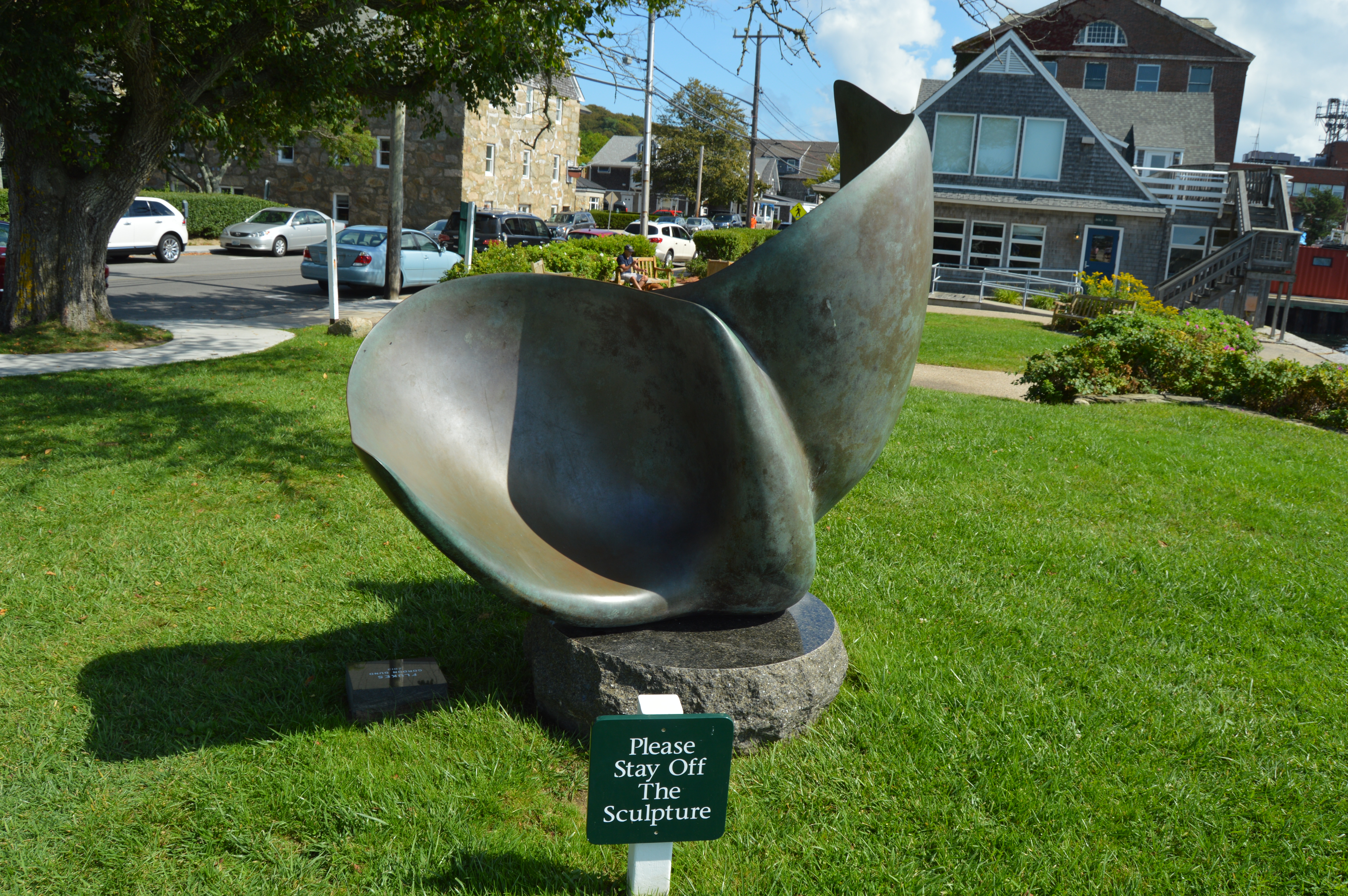
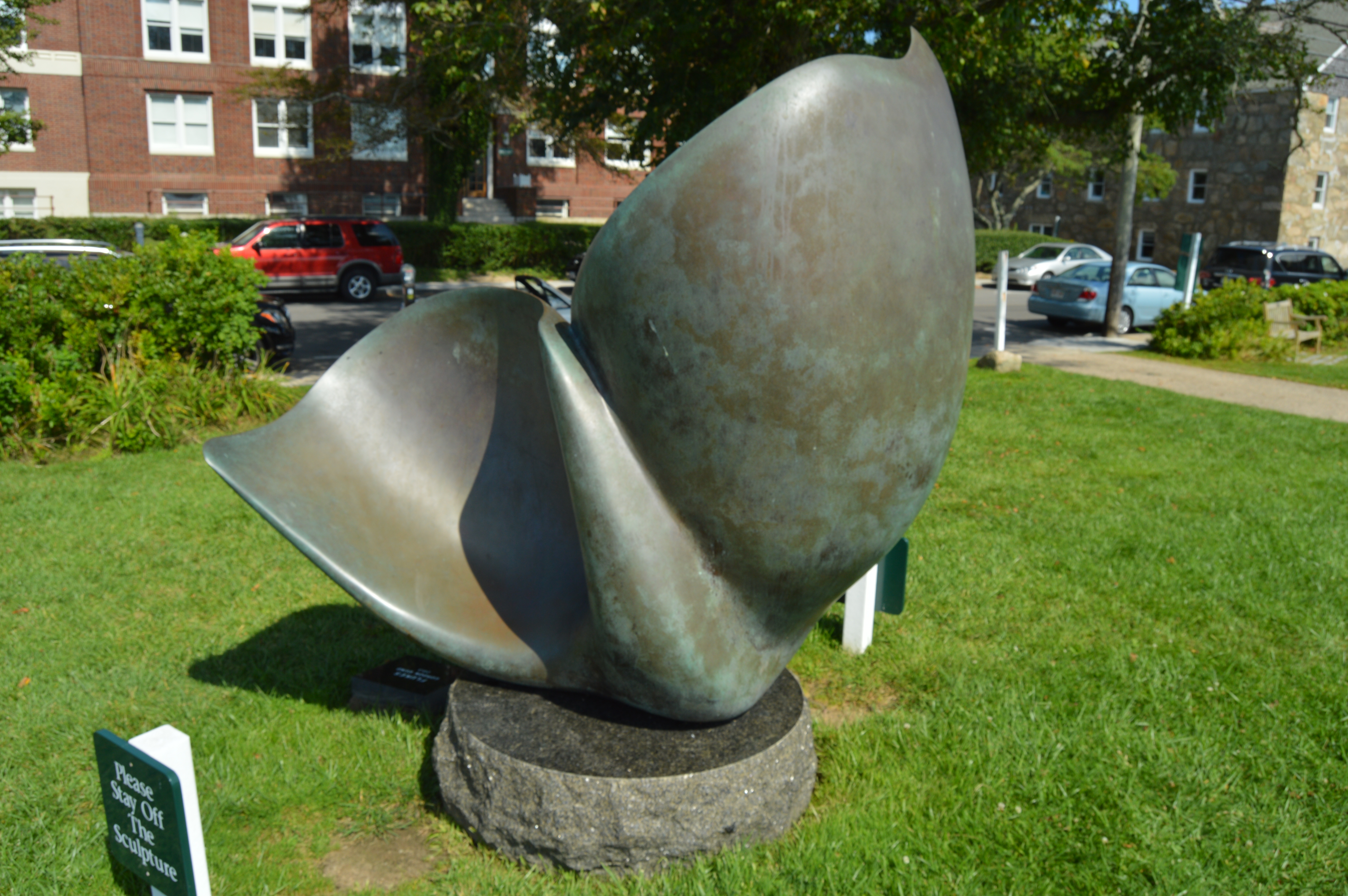
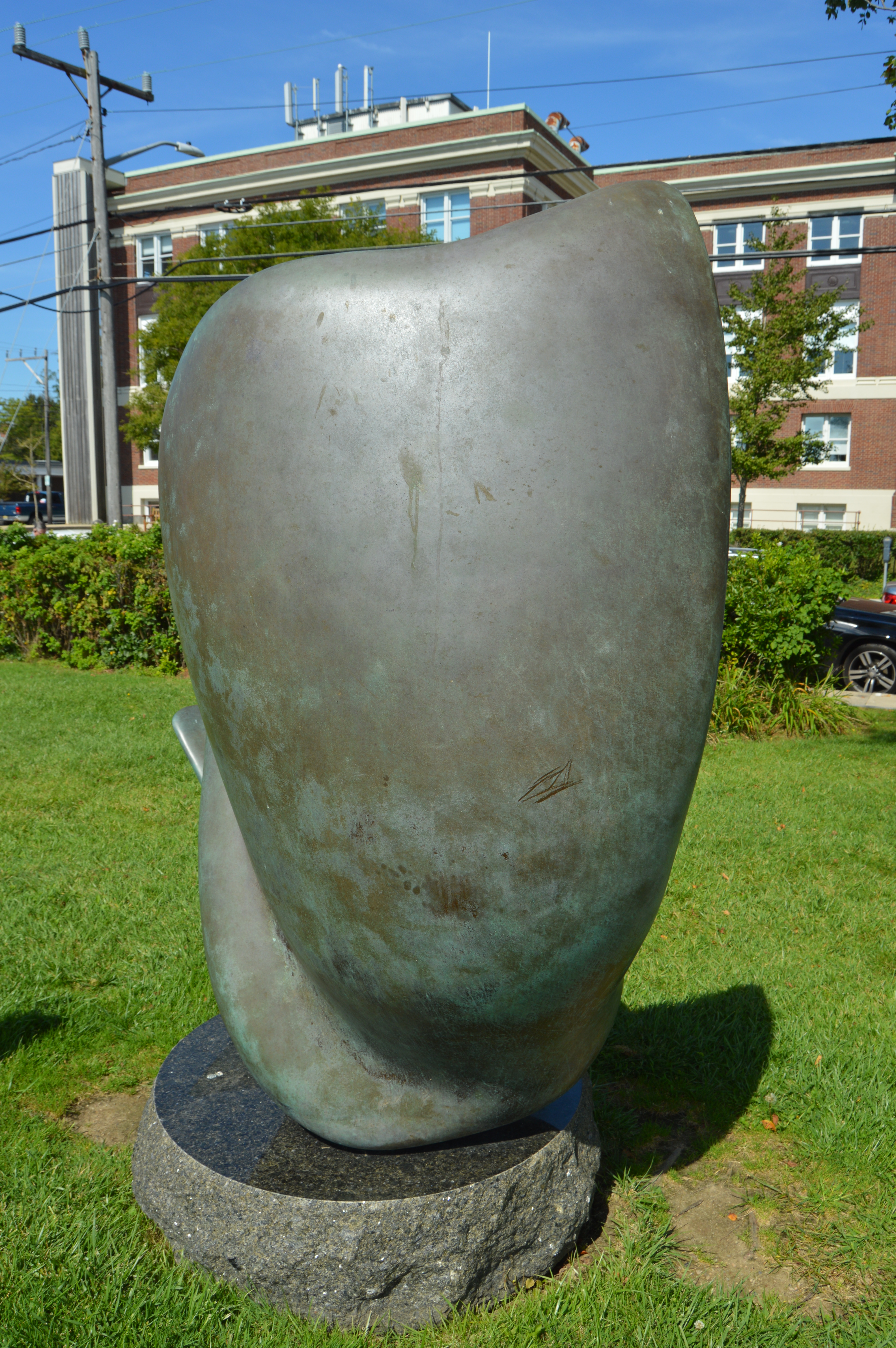
The “Flukes” is a bronze sculpture by Gordon Gund. Gund, a successful businessman, was inspired to sculpt The Flukes after seeing pilot whales off the coast. It looks like more of a slide or play thing which explains the sign in front of the sculpture. I suspect it is not much of a deterrent.
The Waterfront is also the main point of embarkment for the ferry to the islands of Cape Cod, mainly Nantucket and Martha’s Vineyard.
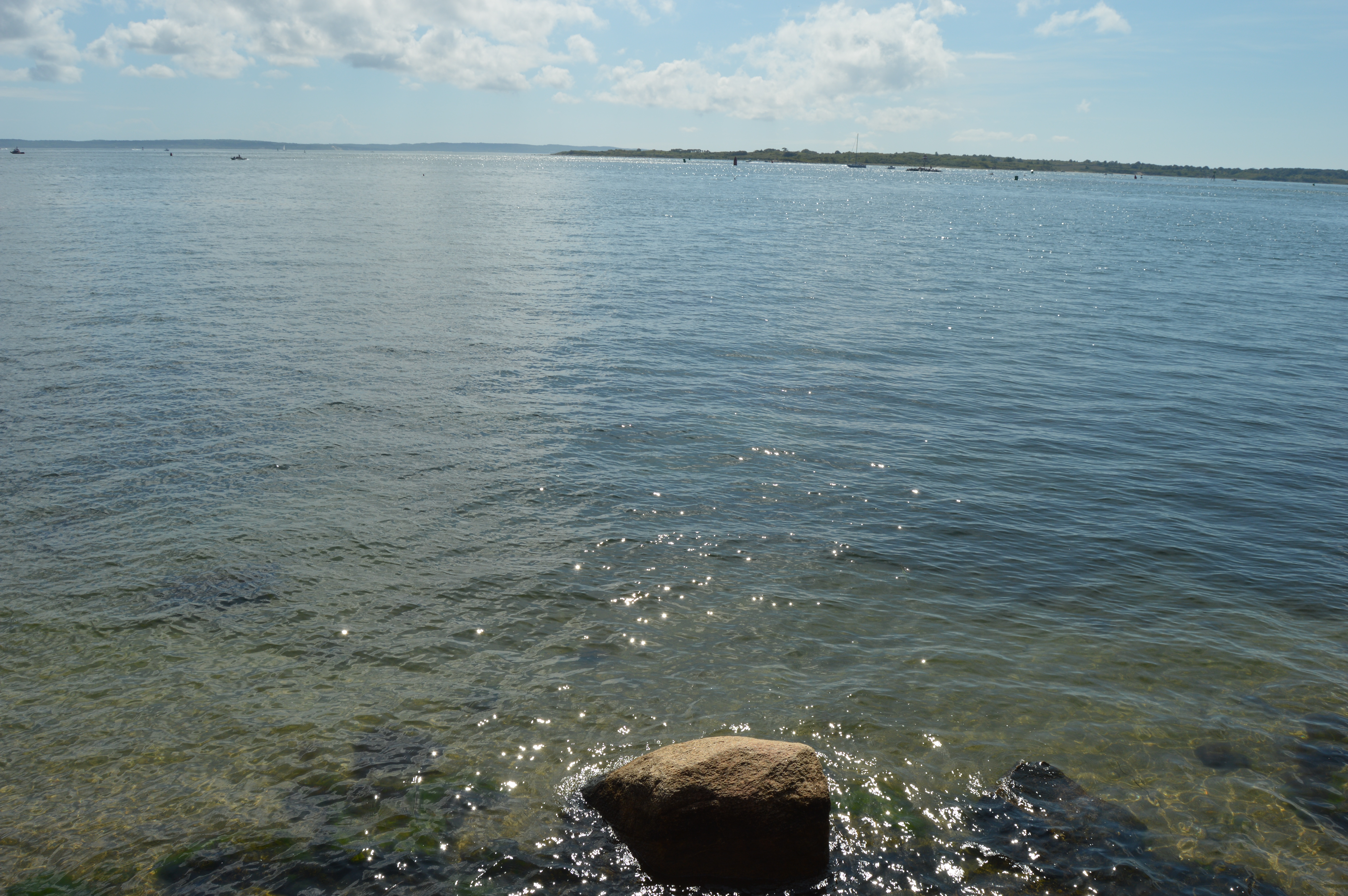
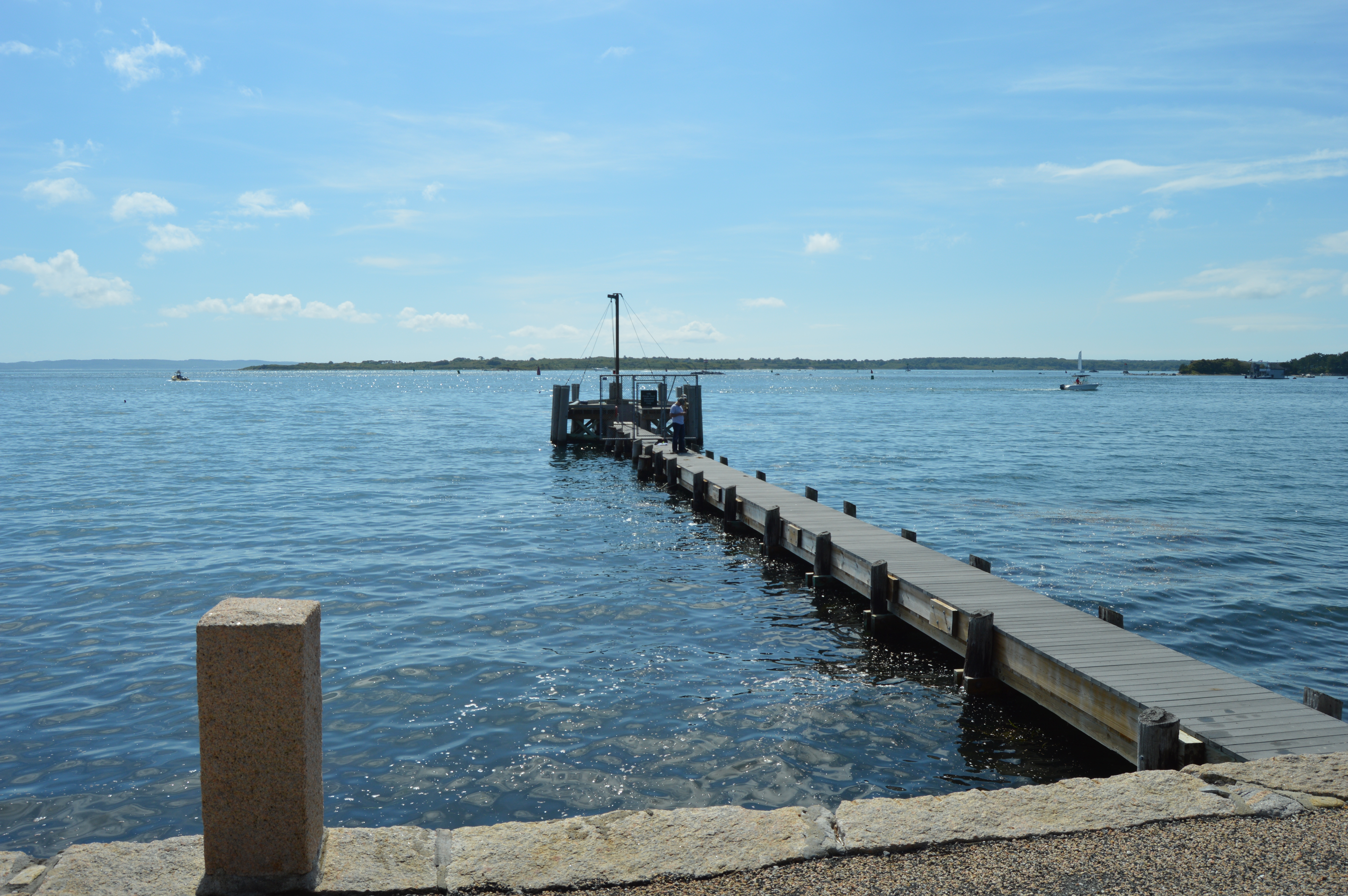
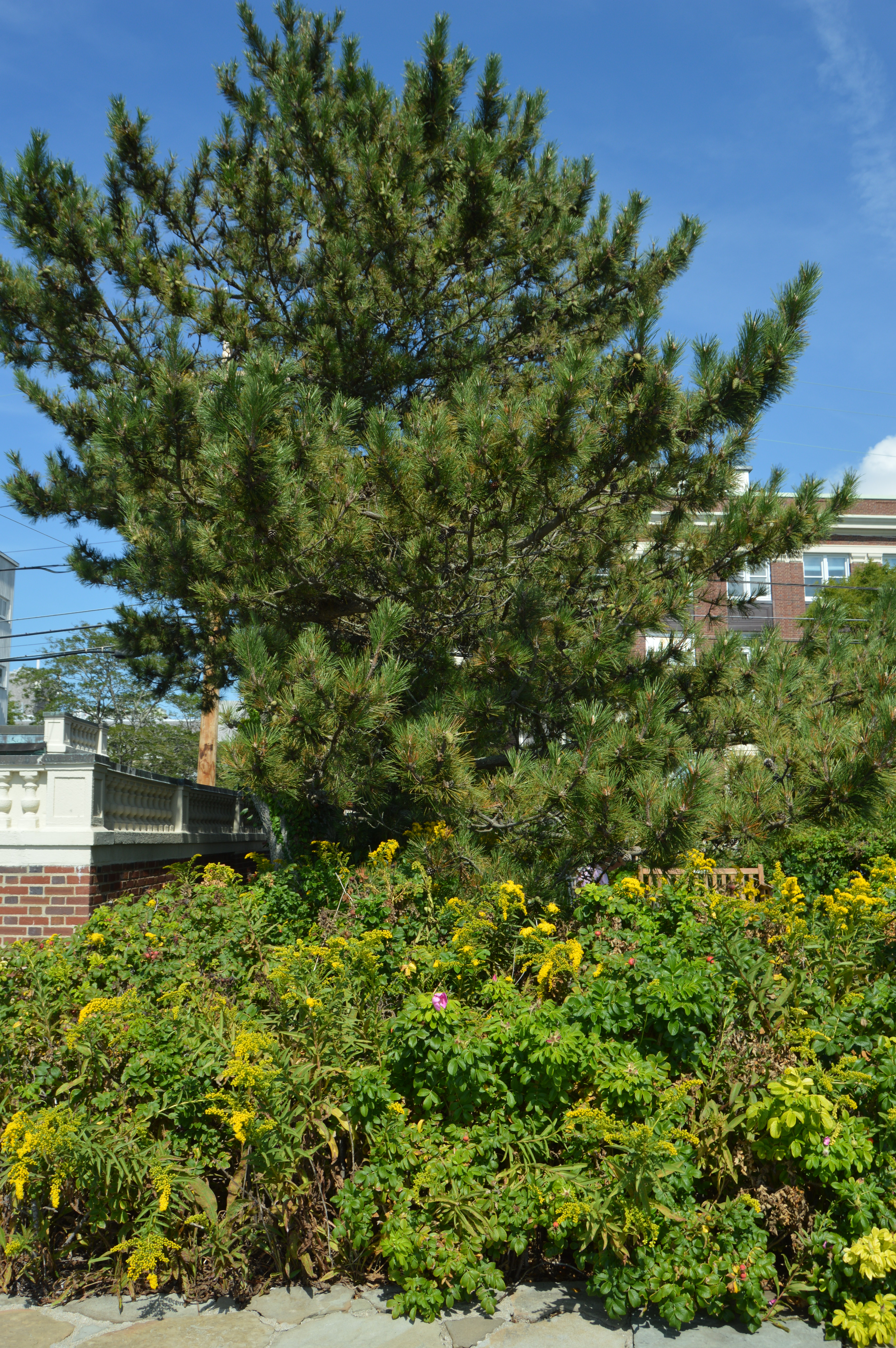
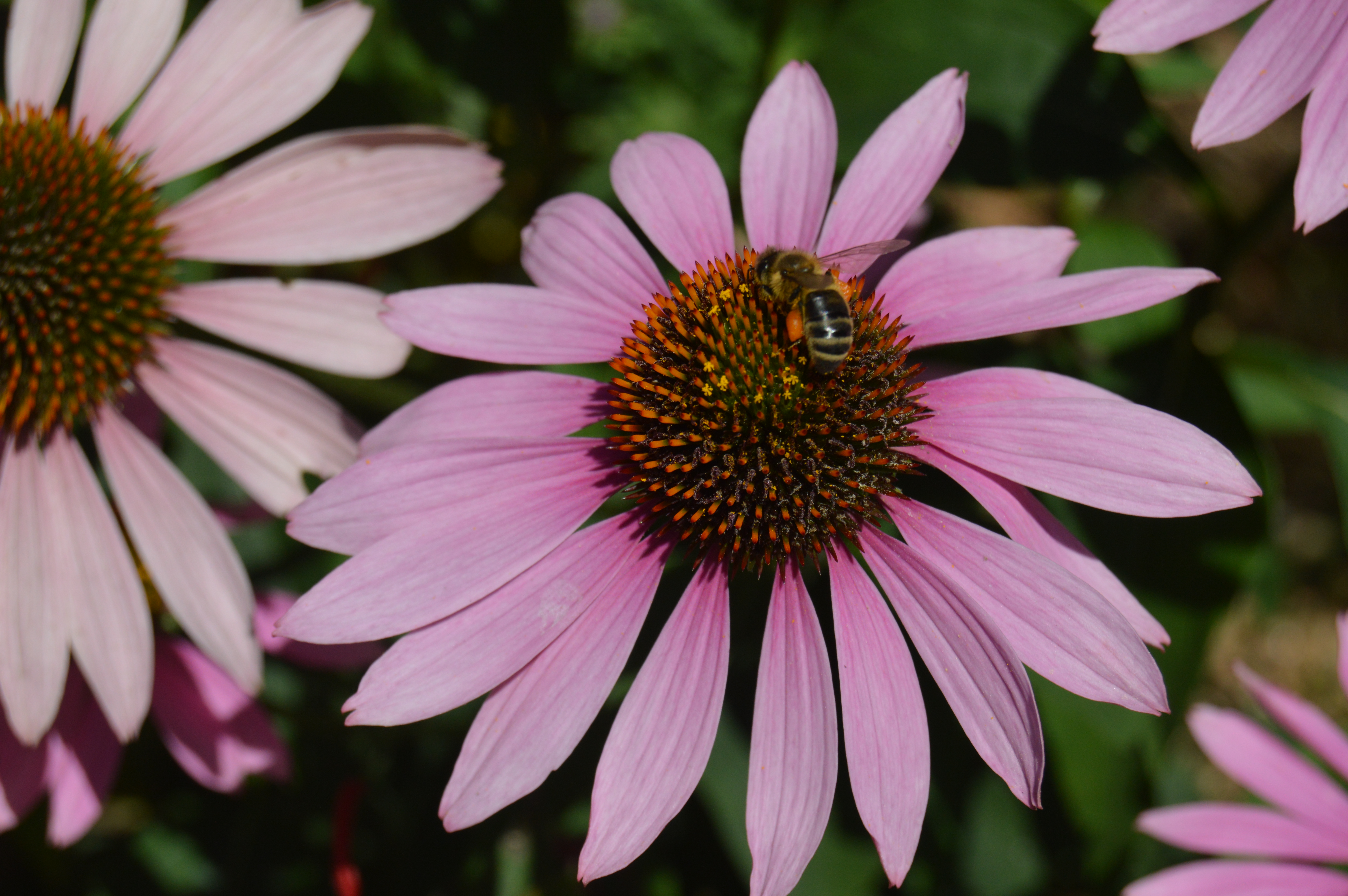
The waterfront also has some pretty views of the water and pretty flowers.
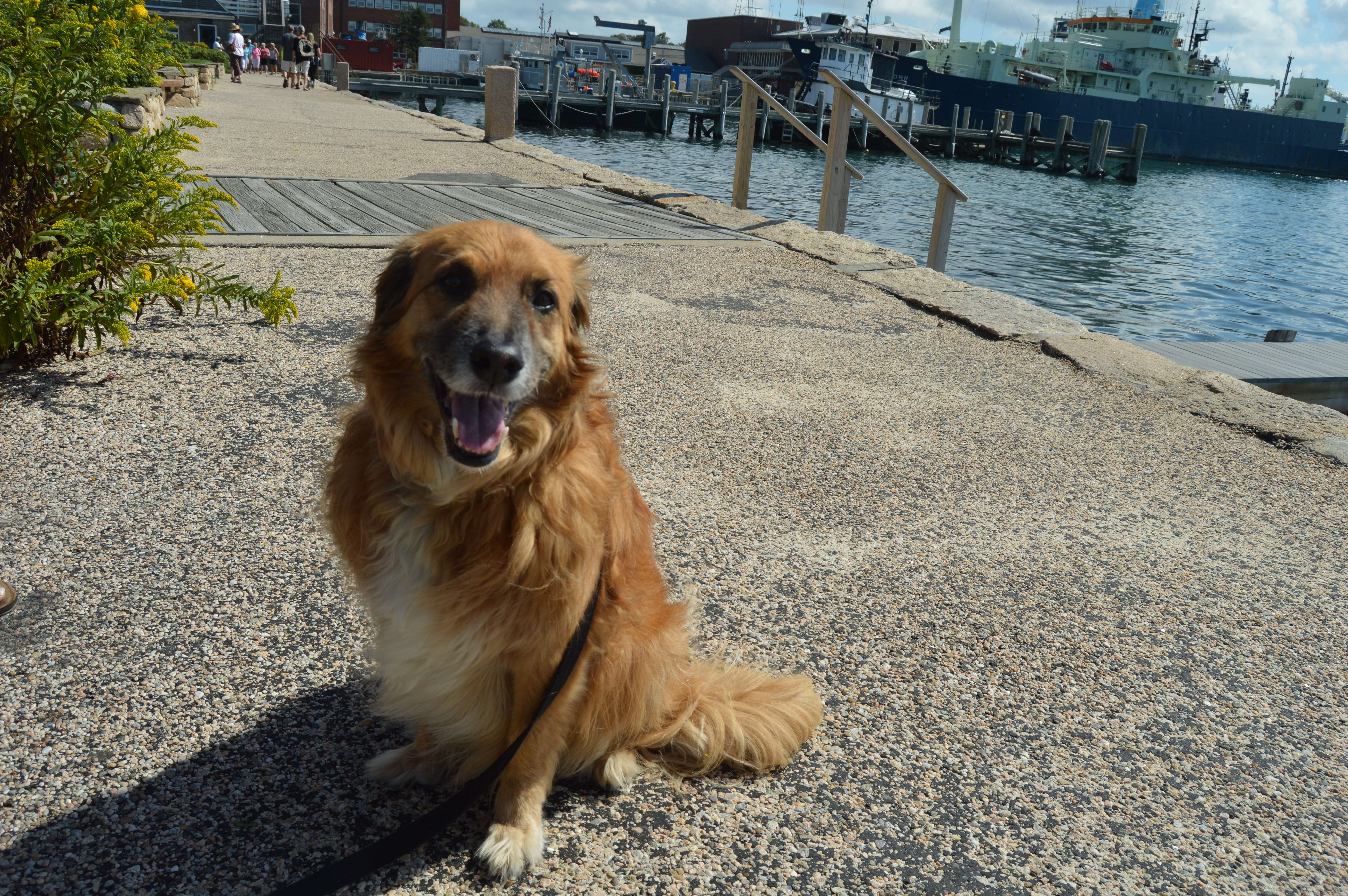
The waterfront park is also known for its friendly visitors. I met this friendly guy named Charlie as I was leaving.
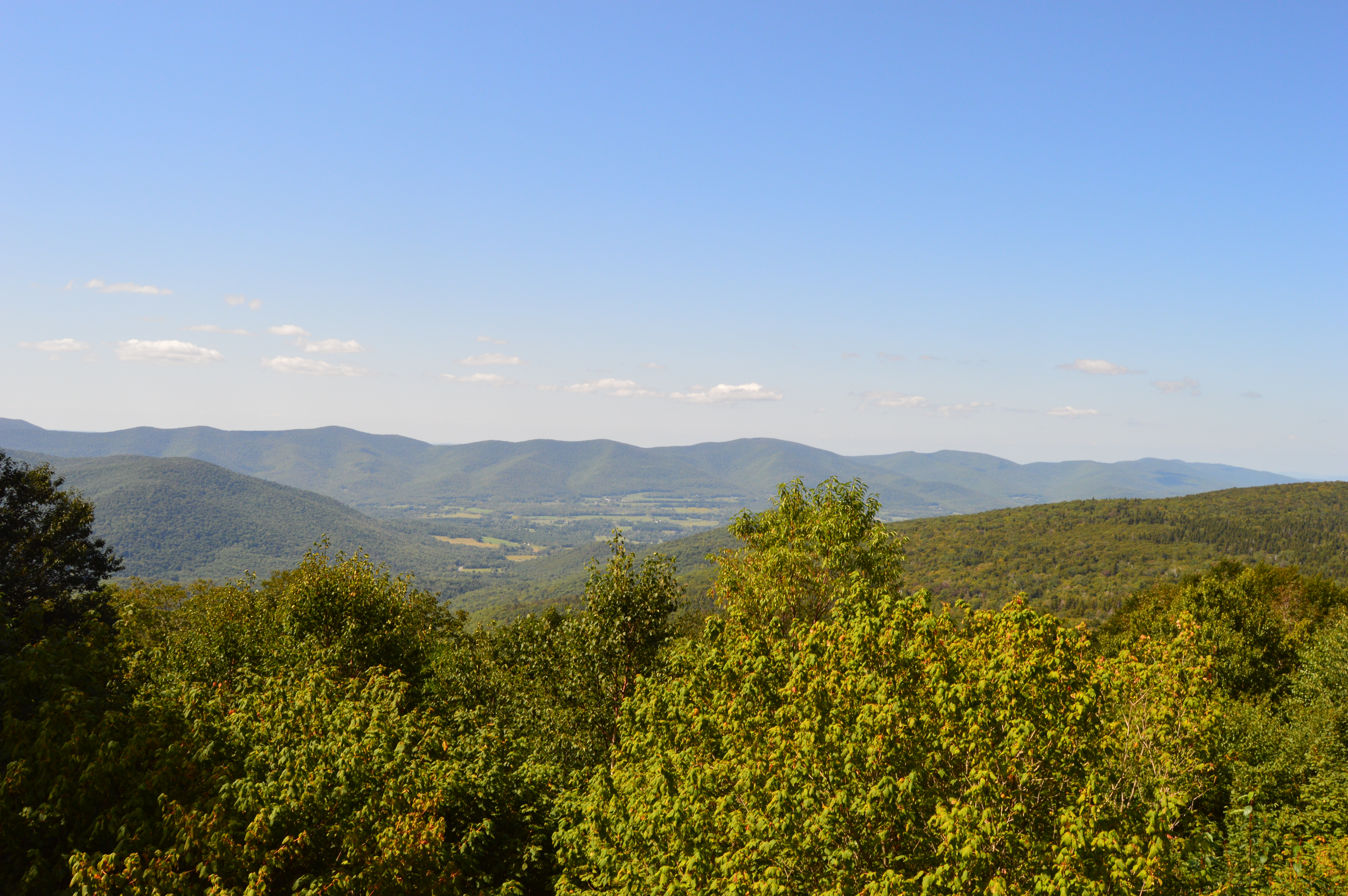
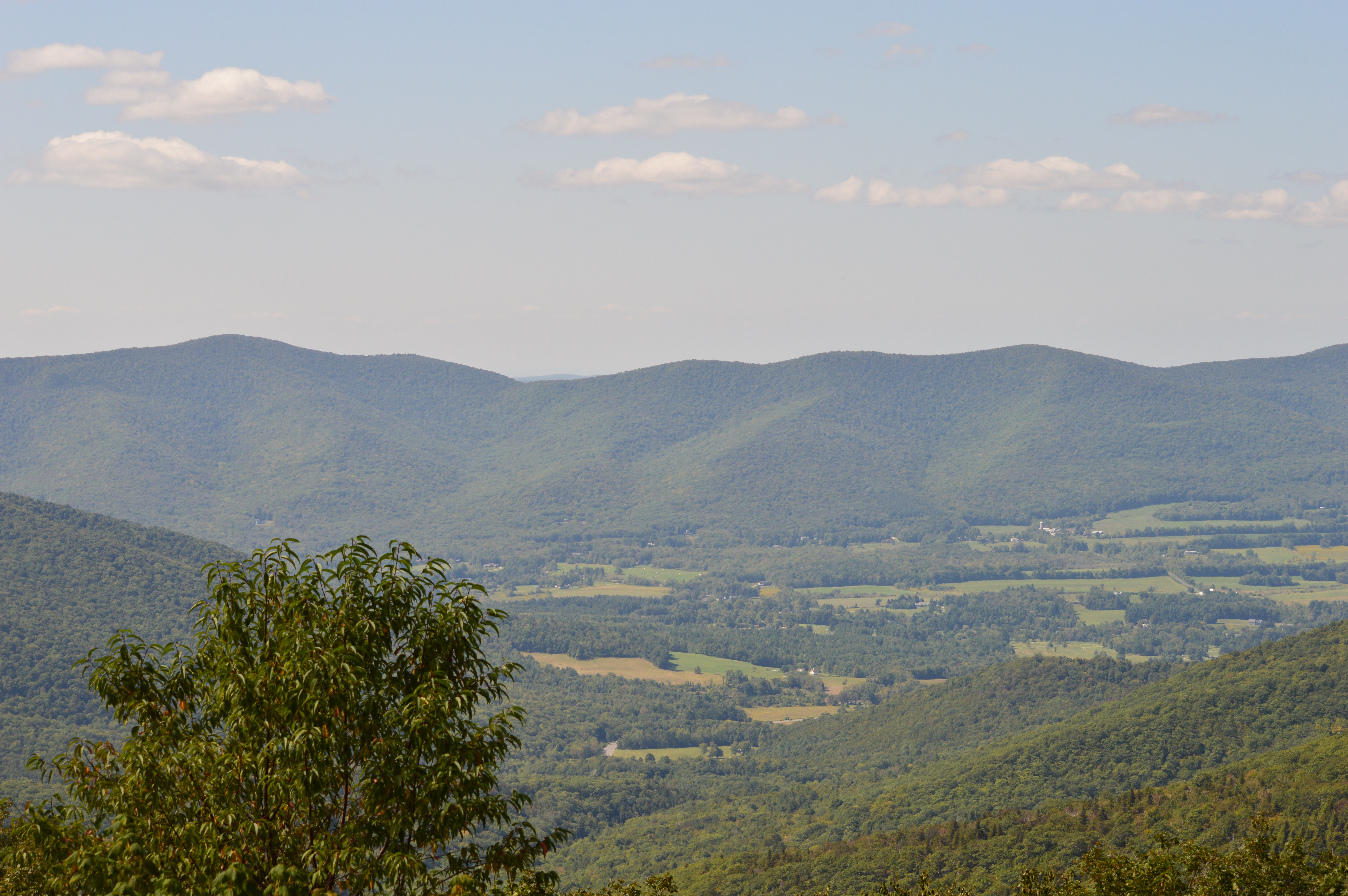
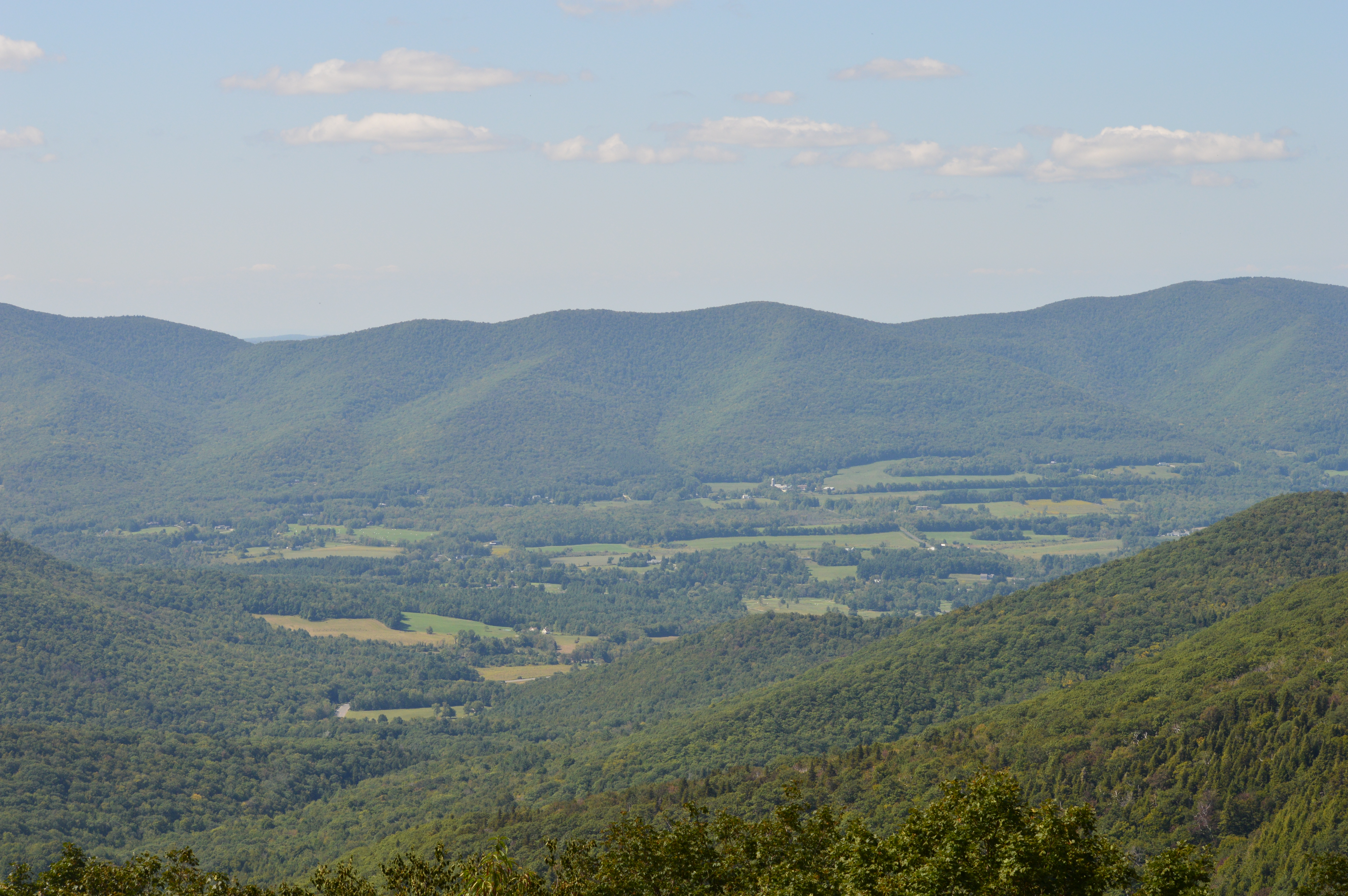
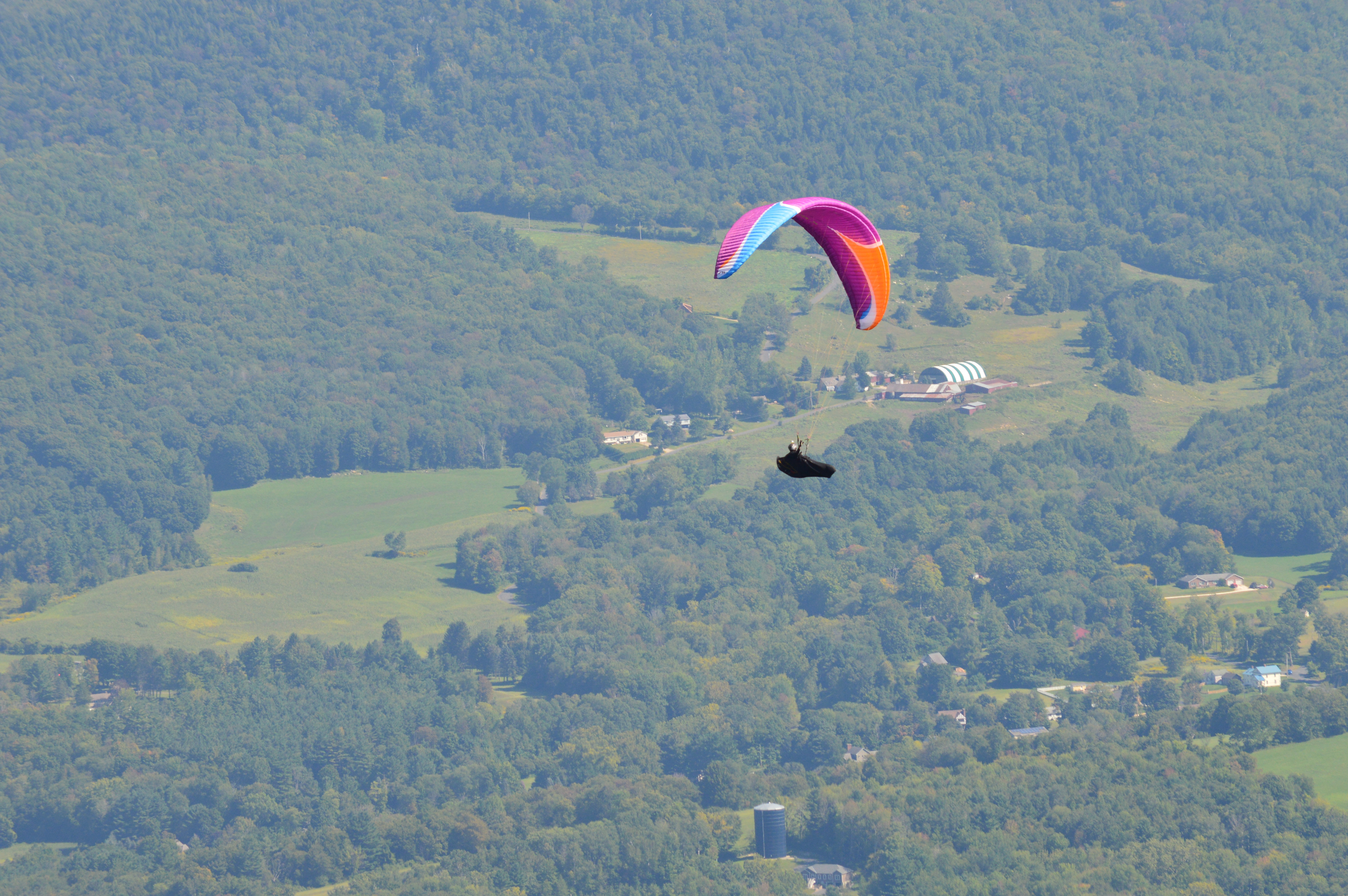
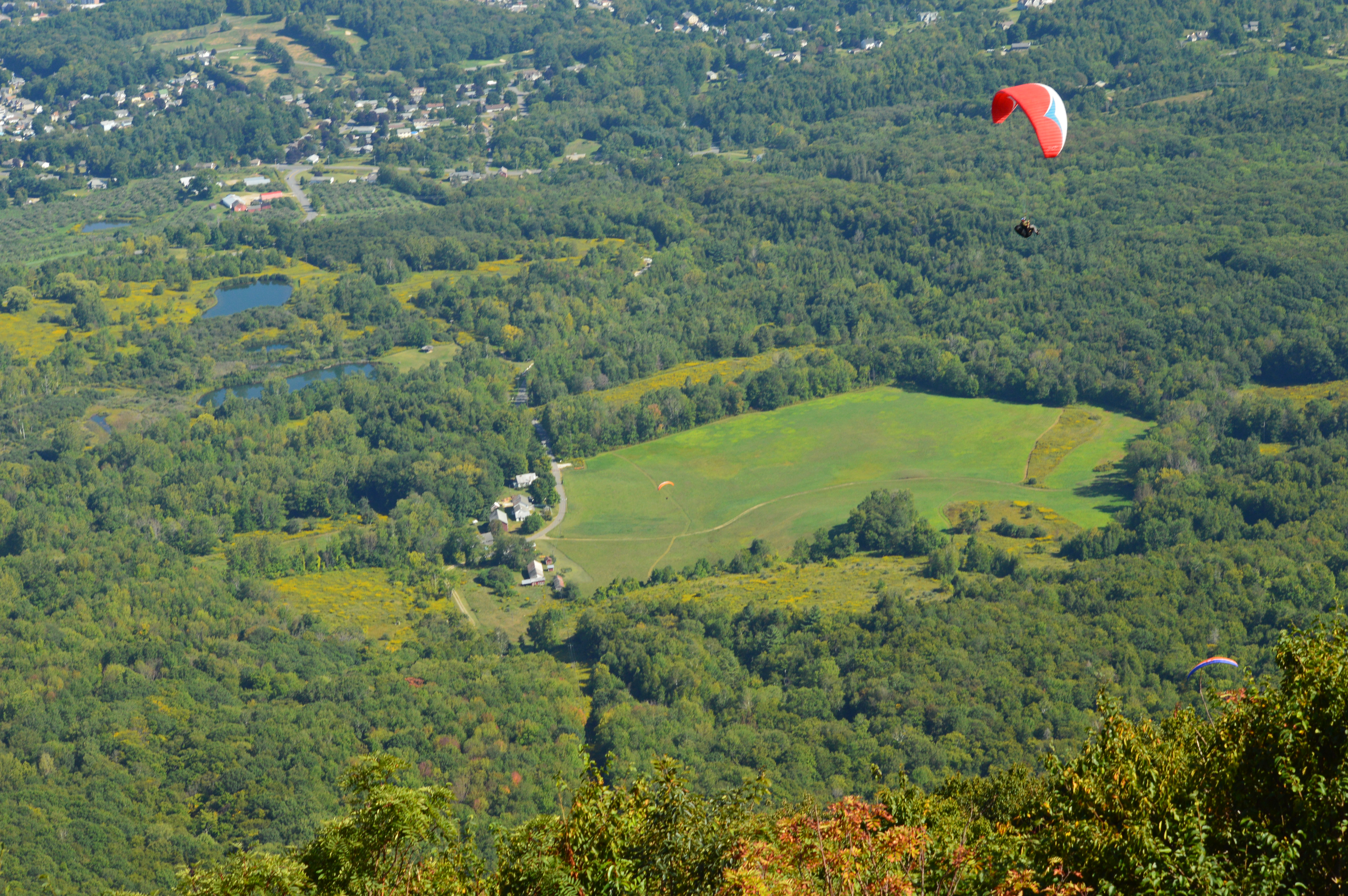
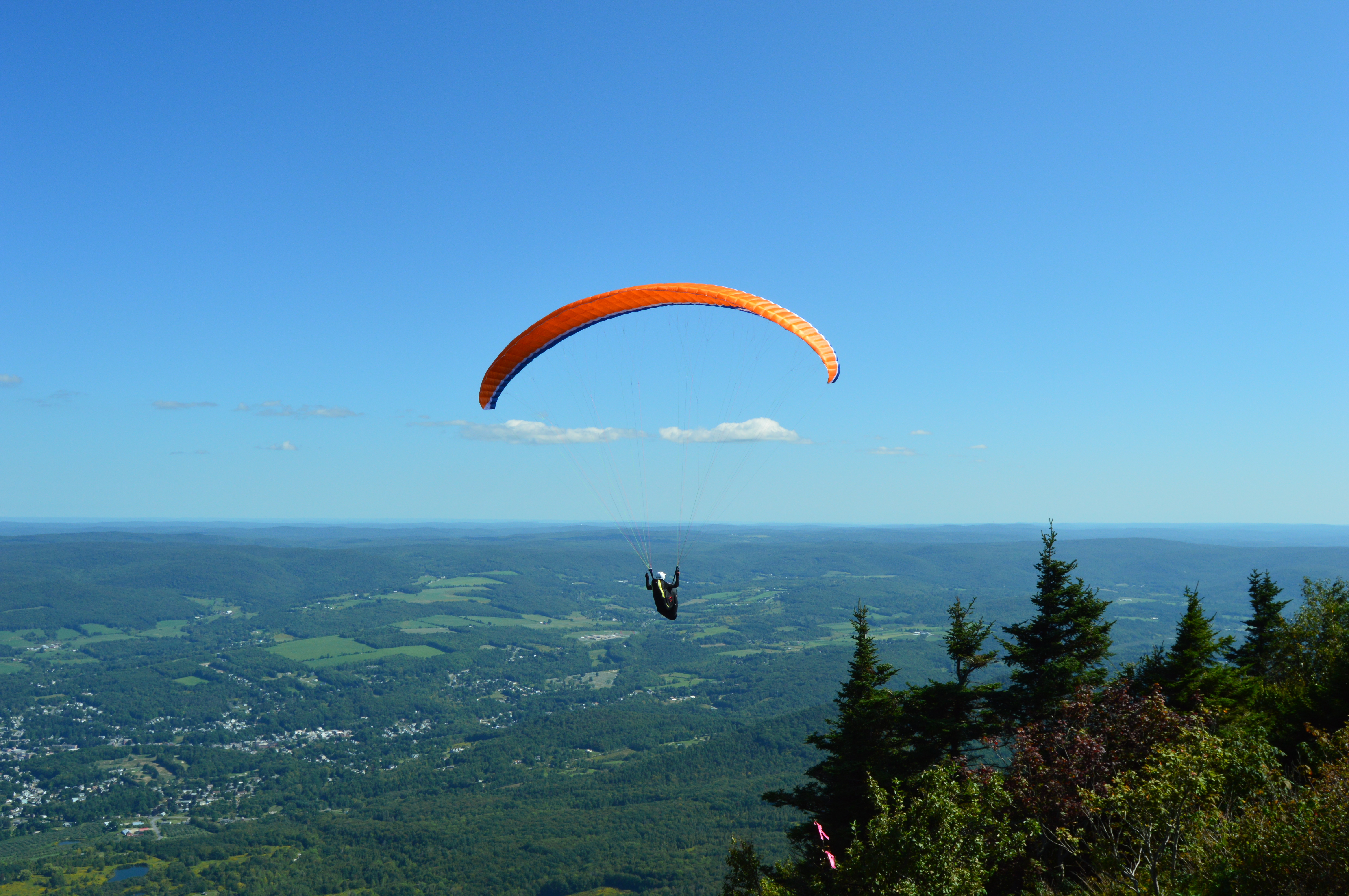
If you want to feel on top of the world, or at least on top of Massachusetts, there’s no place like Mount Greylock.
Clocking in at 3,491 feet and about an hour and a half west of Springfield, MA, Mount Greylock is the highest point in Massachusetts. With its miles of hiking trails and scenic views, Mount Greylock is the perfect destination for hikers and nature lovers. There is also a paved road to the summit with places to pull over to view the scenic beauty.
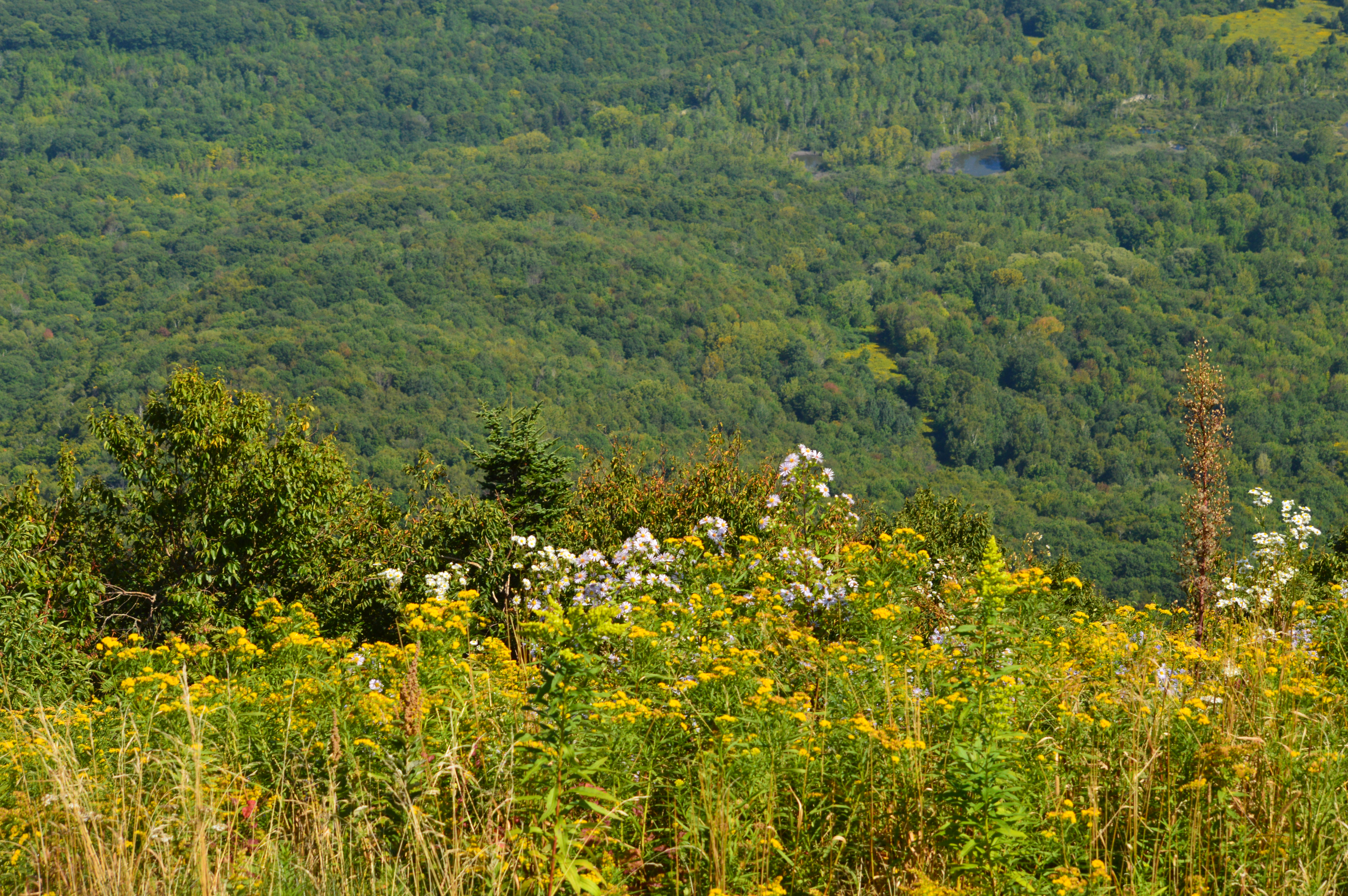
There are also some cute and pretty attractions off the main trails.
Even the views and flowers at the Visitor Center were captivating.
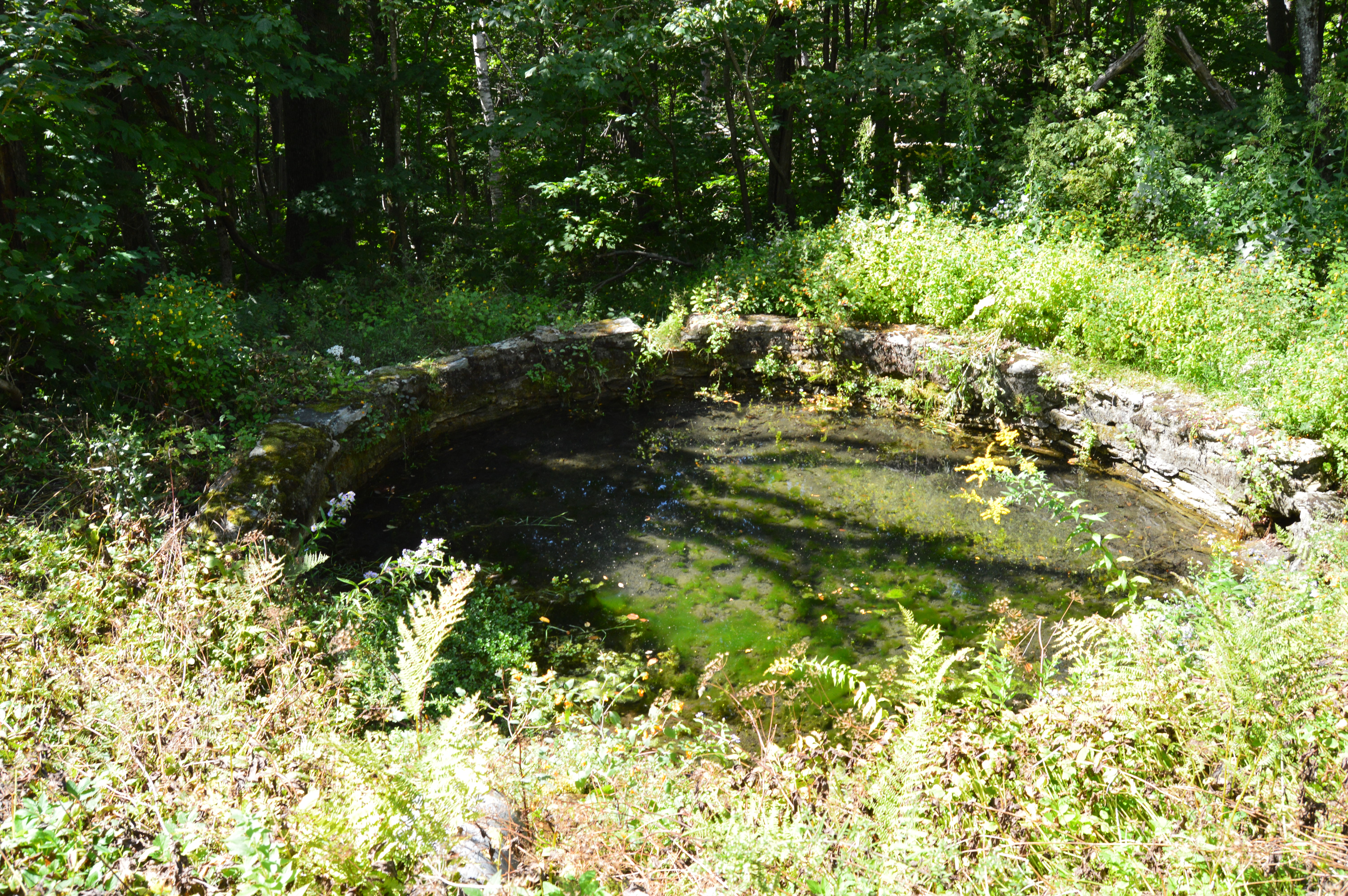
Along the trails
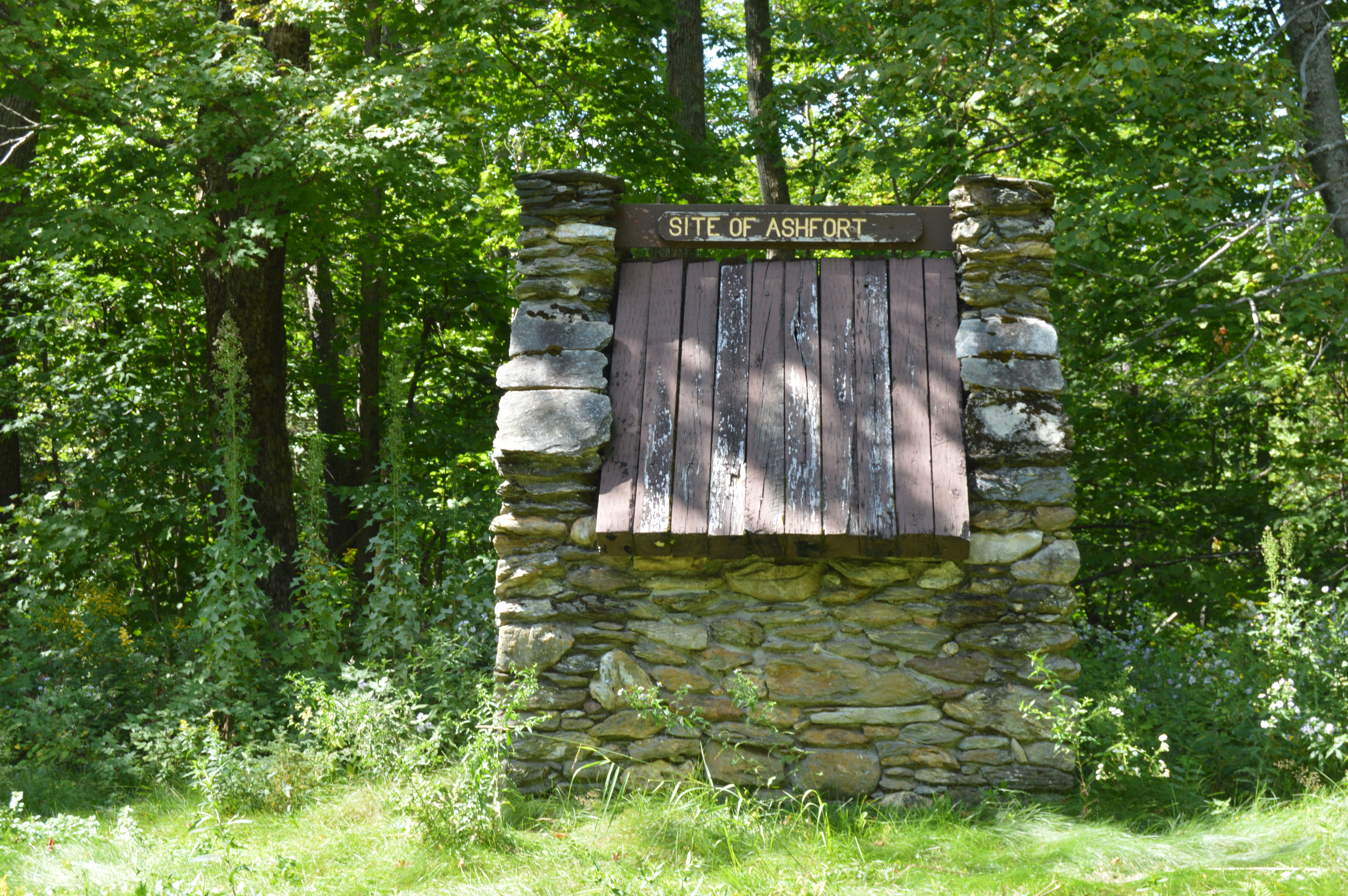
But, the pinnacle of Mount Greylock is the tower that sits atop the summit. First built as a tribute to the veterans of the first World War, the tower now serves as a memorial to all service members who have served the country. When it is lit each night, the tower is said to be able to be seen from 70 miles. The granite from which the tower was came from my hown city, Quincy (pronounced kwin-zee), Massachusetts.
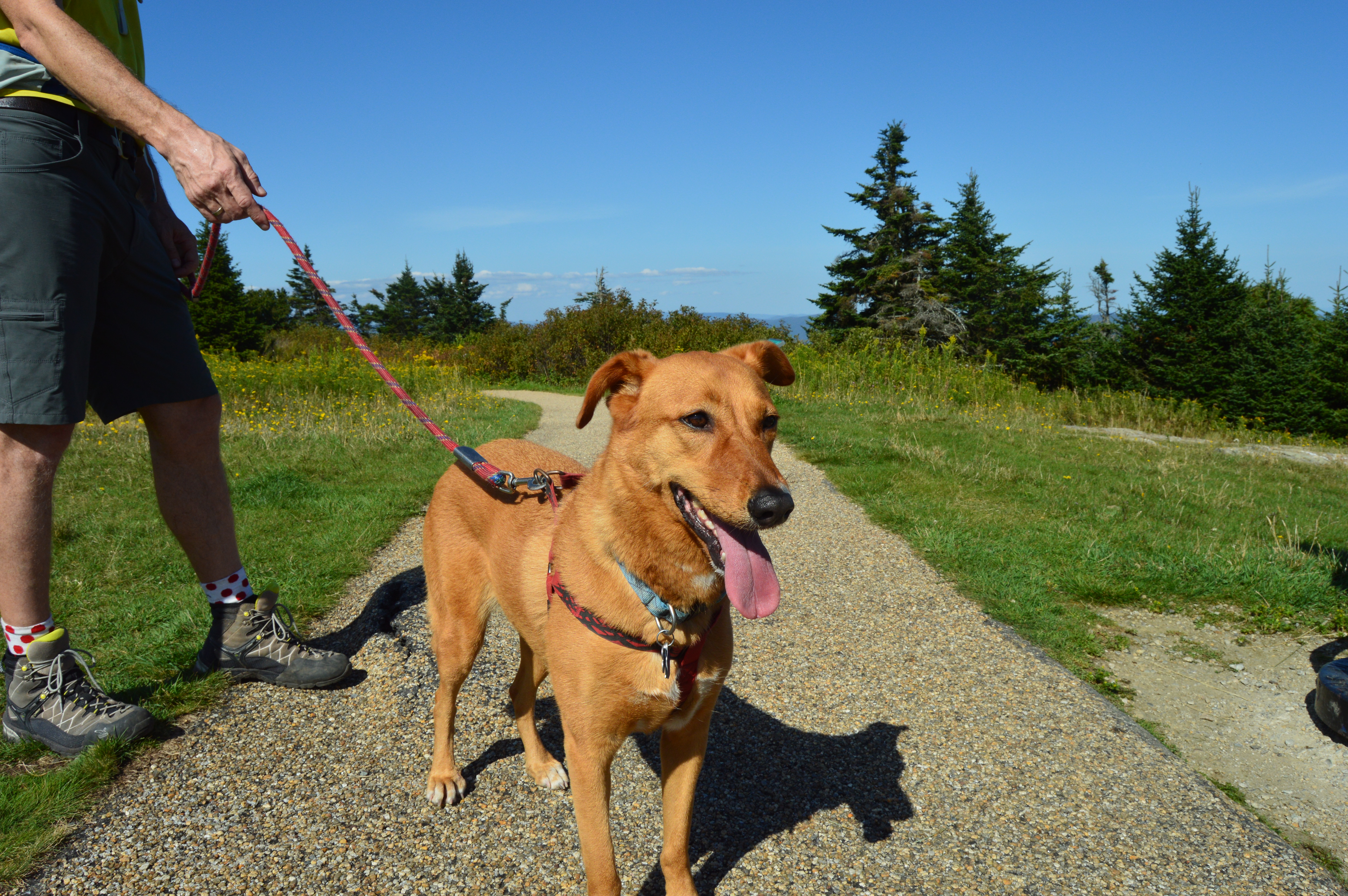
Mount Greylock State Reservation is a dog friendly park. During my visit there were many dogs out enjoying the views.
Izzy was patiently waiting for his mom outside the visitor’s center.
Peanut was getting ready for his big hike.
Max was tired from hiking the trails at Greylock.
This fella was enjoying some rays.
Most of the wildlife at Mount Greylock was hidden during the day. But, I did see this grasshopper.
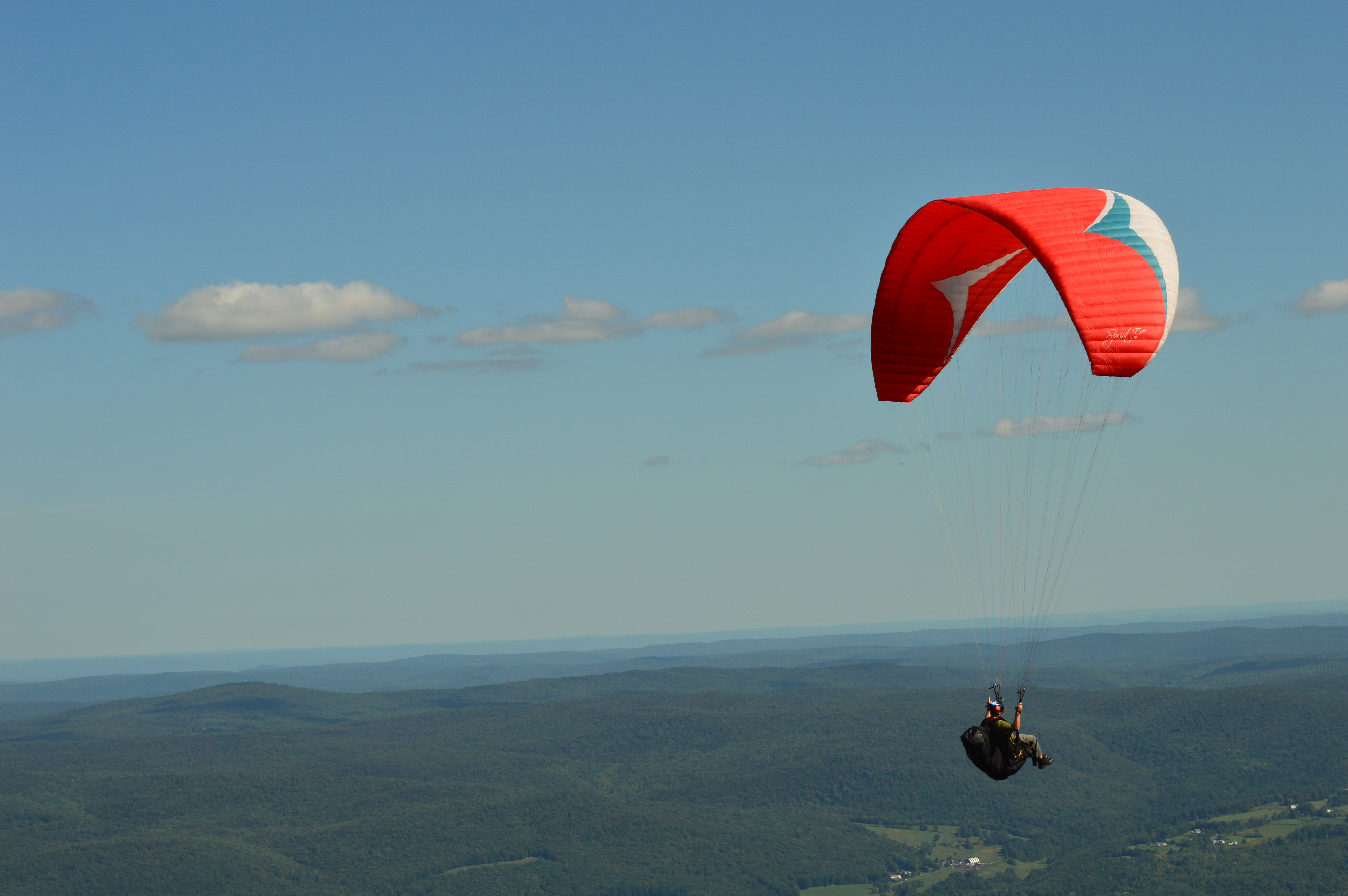
Mount Greylock is also a popular spot for paragliders. In fact, several paragliders took off from Mount Greylock during the day.
Mount Greylock is also a stop on the Appalachian Trail. It’s a long way to Georgia. Maybe I’ll try it sometime.
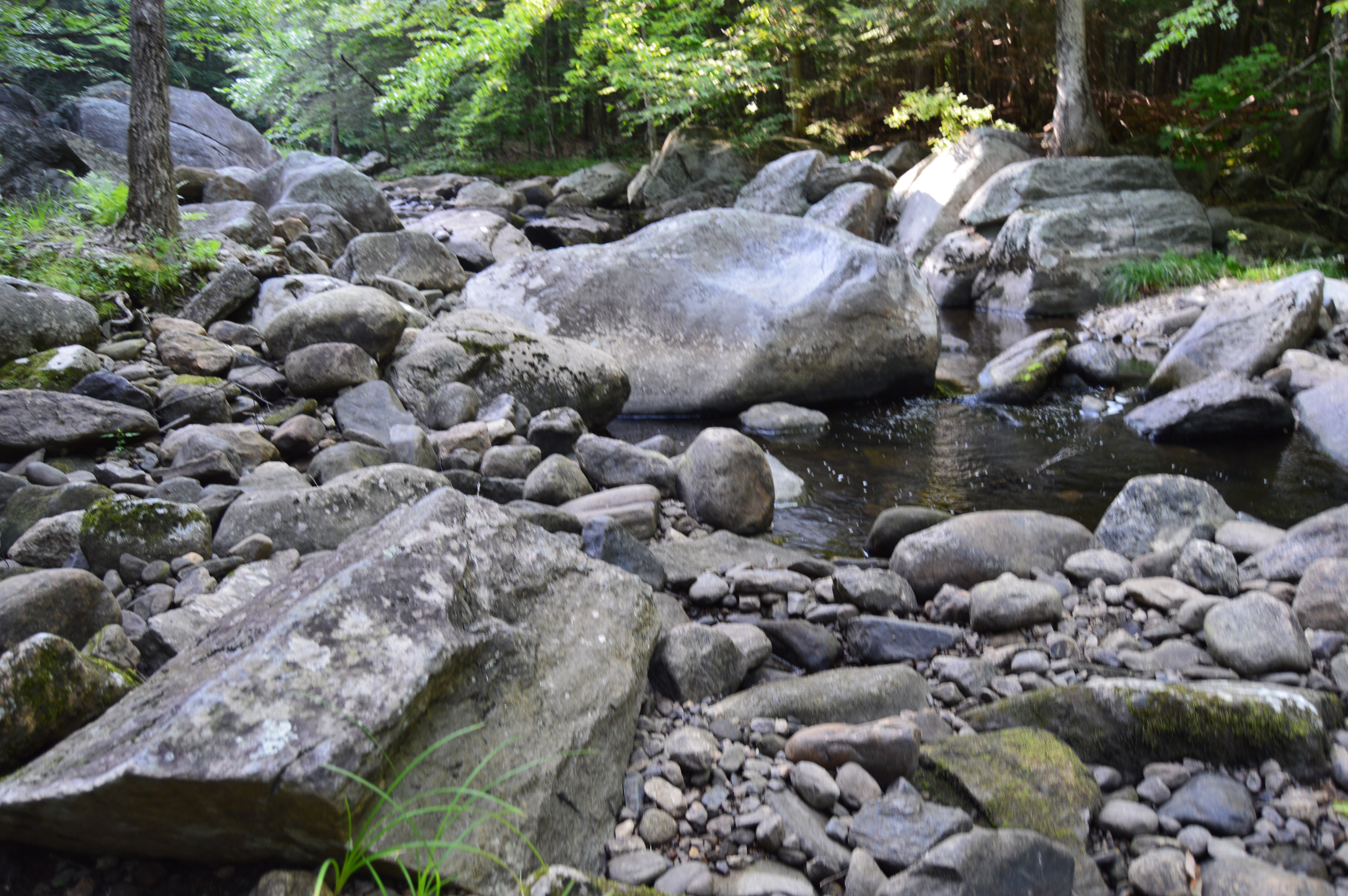
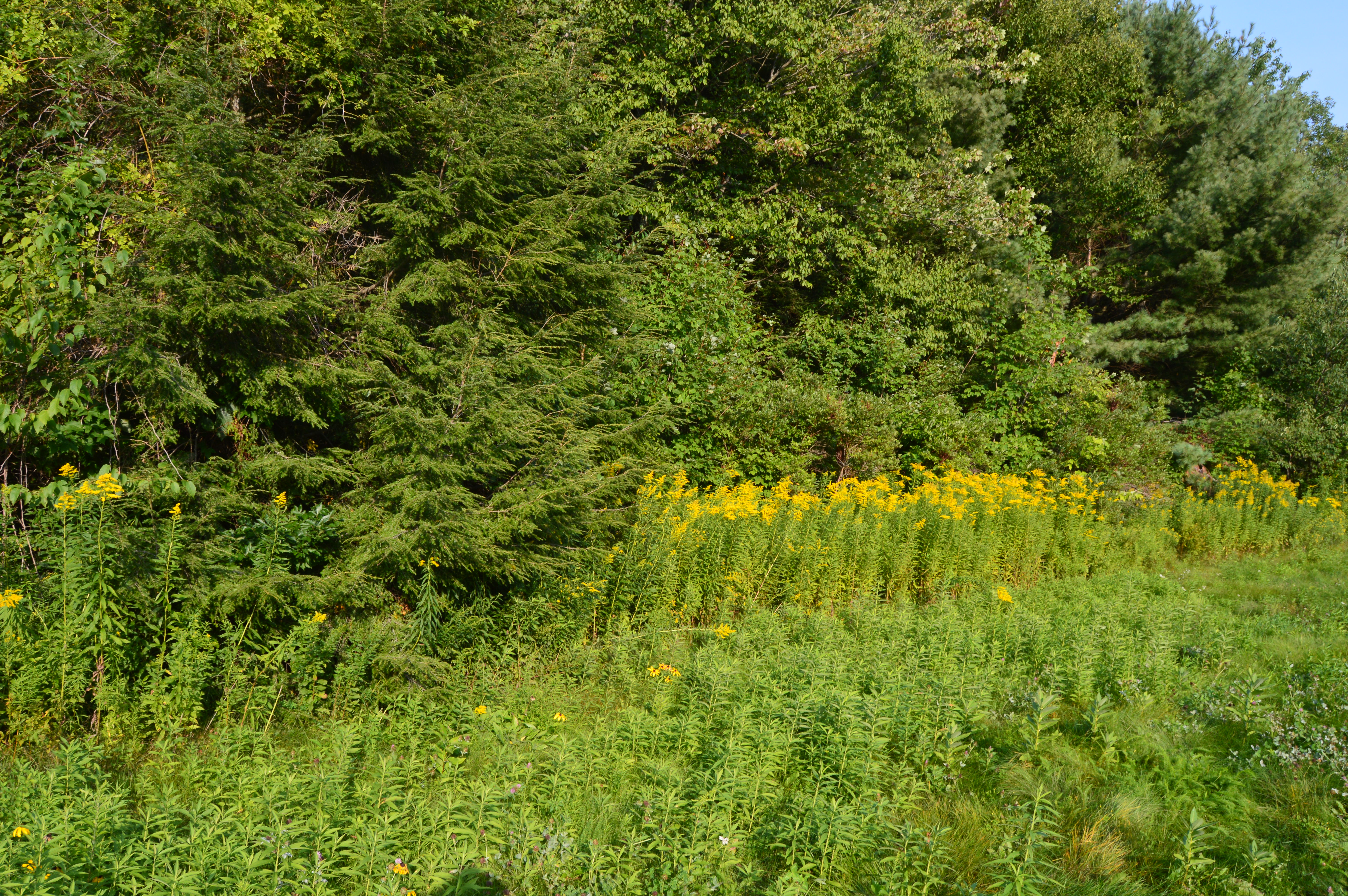
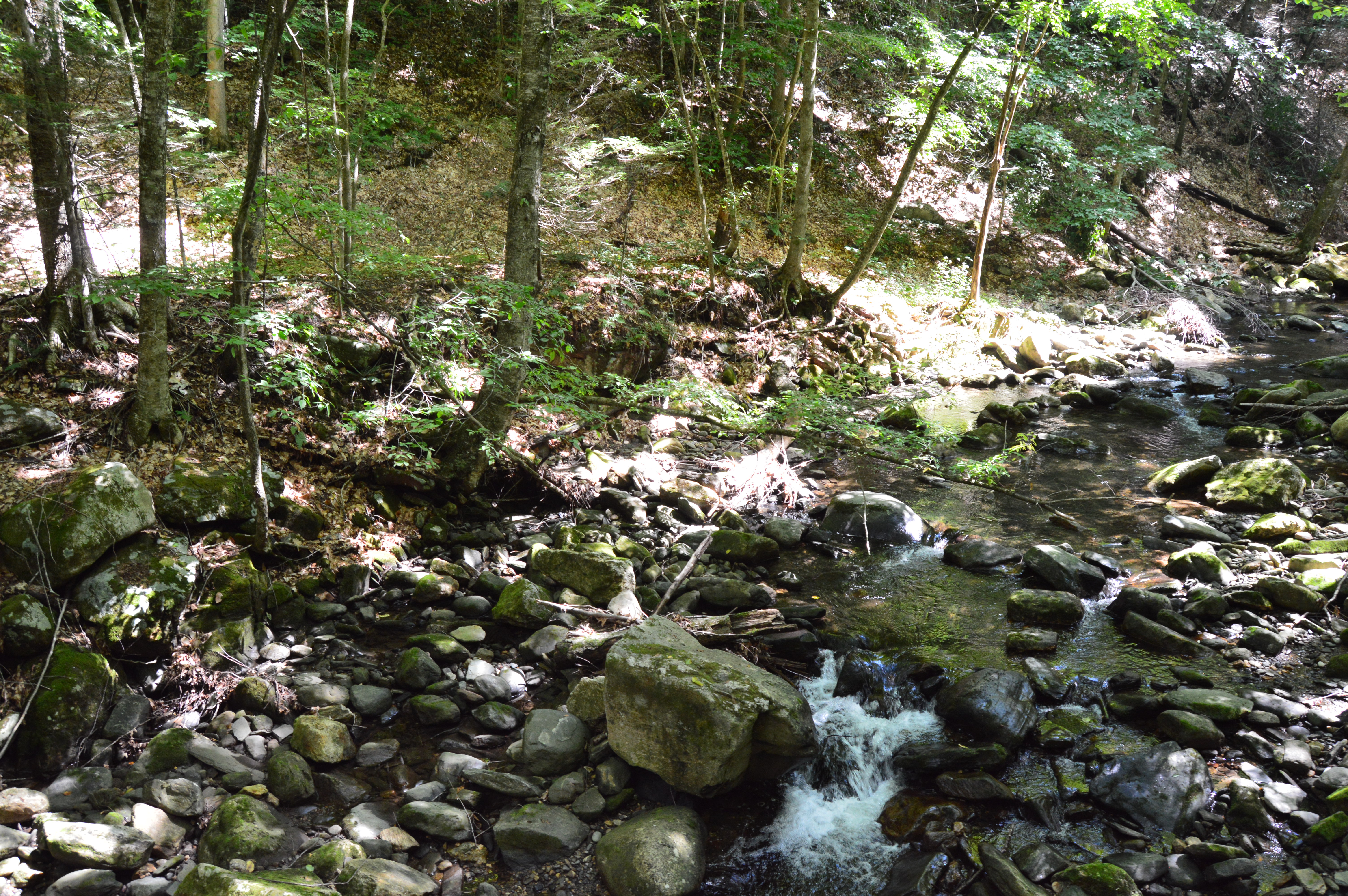
Granville State Forest is 2,000 plus acre state forest and campground located in, you guessed it Granville, Massachusetts. Be advised, the trails are long in between the various ponds, brooks and various other attractions. But, you can drive on the unpaved roads if walking isn’t your style.
Located about 45 minutes from Springfield, MA, Granville State Forest was once a popular hunting spot for the Tunxis. I didn’t run into Tunxis during this visit. But, I did see some stunning views. Take this waterfall, for instance.
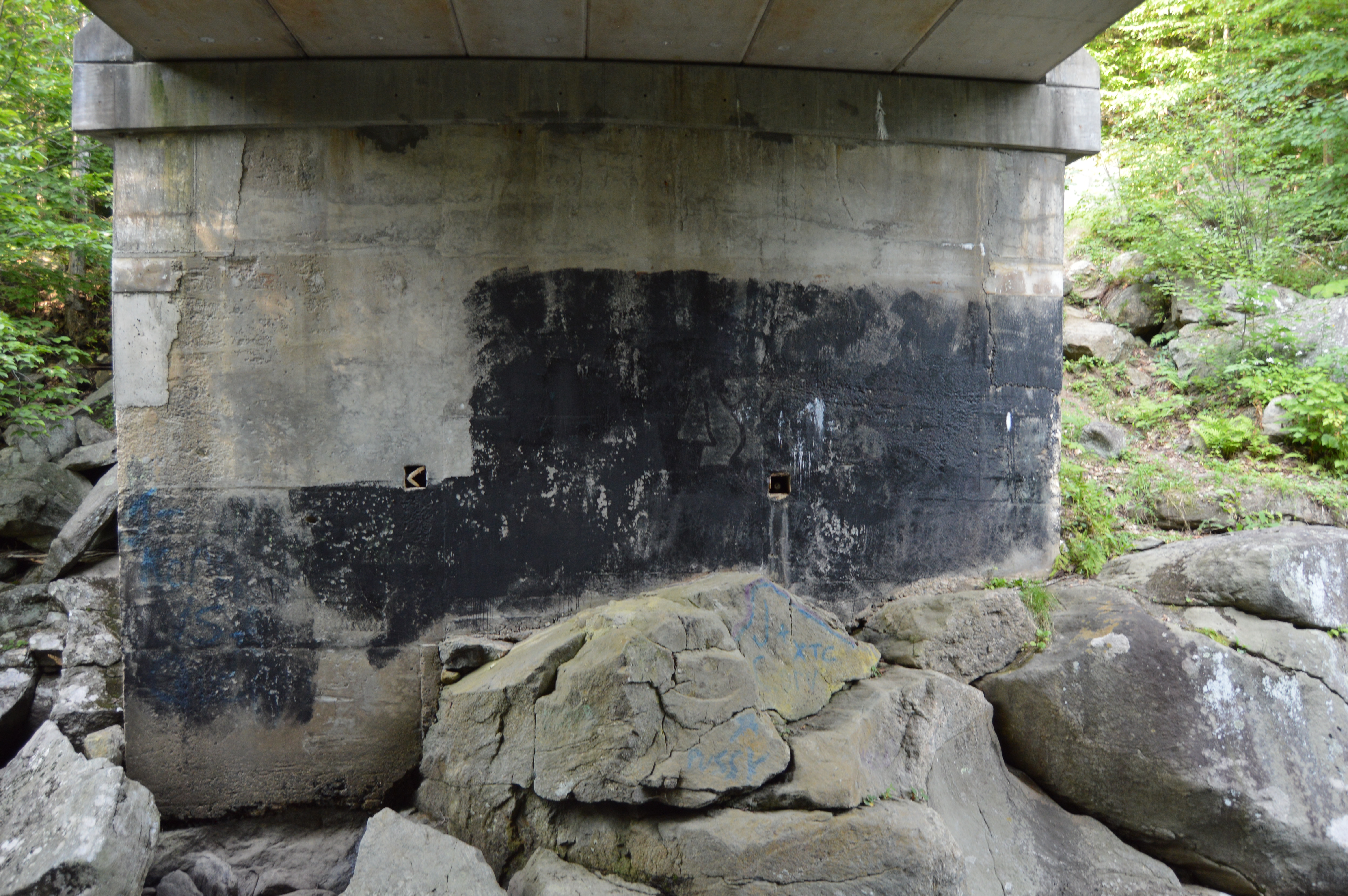
But, to really get a sense of the beauty of the Hubbard River, one must get off the beaten path, or bridge as it were in this case.
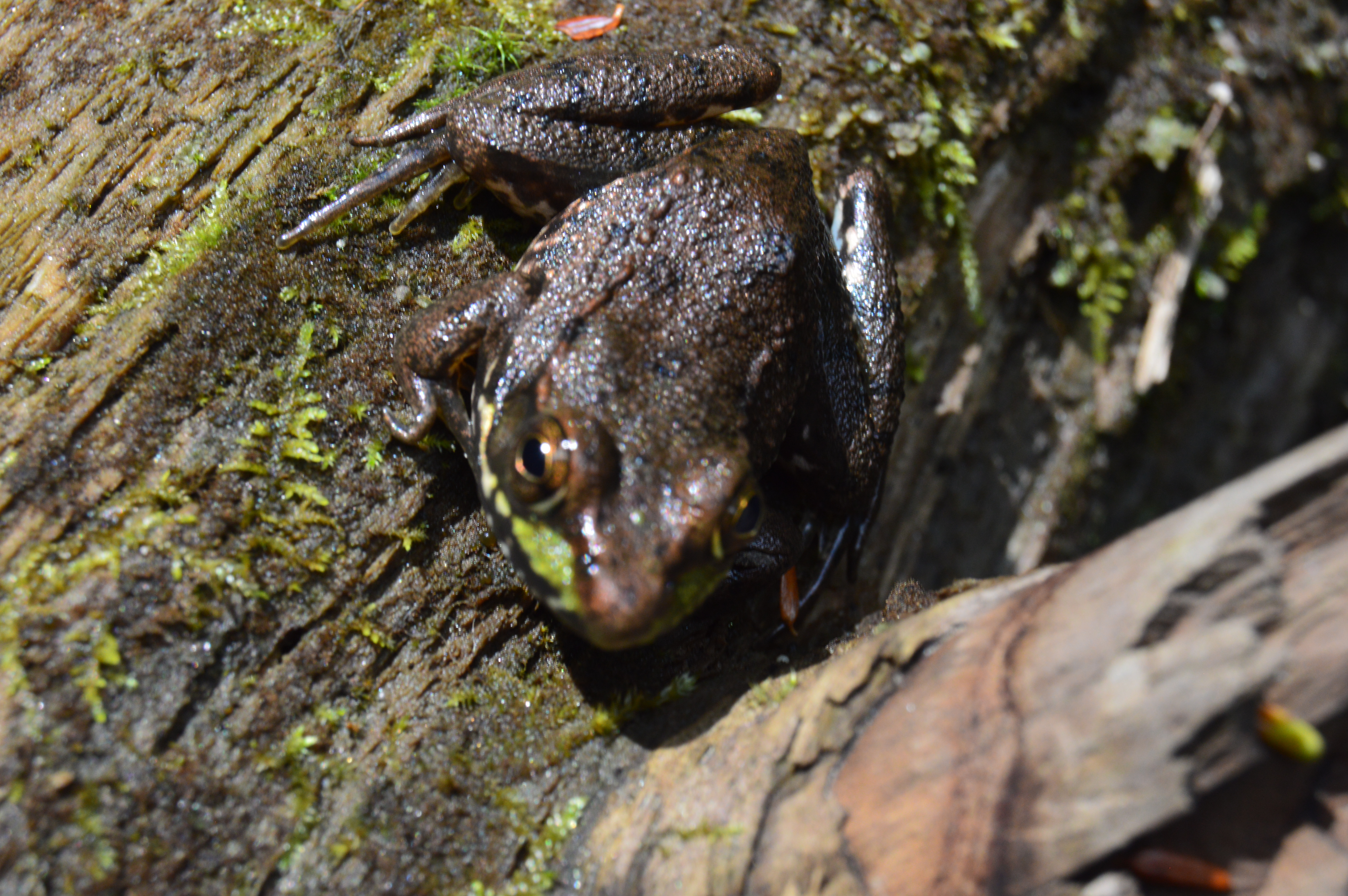
It’s amazing the things you see when you get off the main path. Like this Frog with his lunch.
Or this artful graffiti, especially the curse words. It’s vary quaint. Oh, you crazy kids. At least I hope it was kids who wrote it.
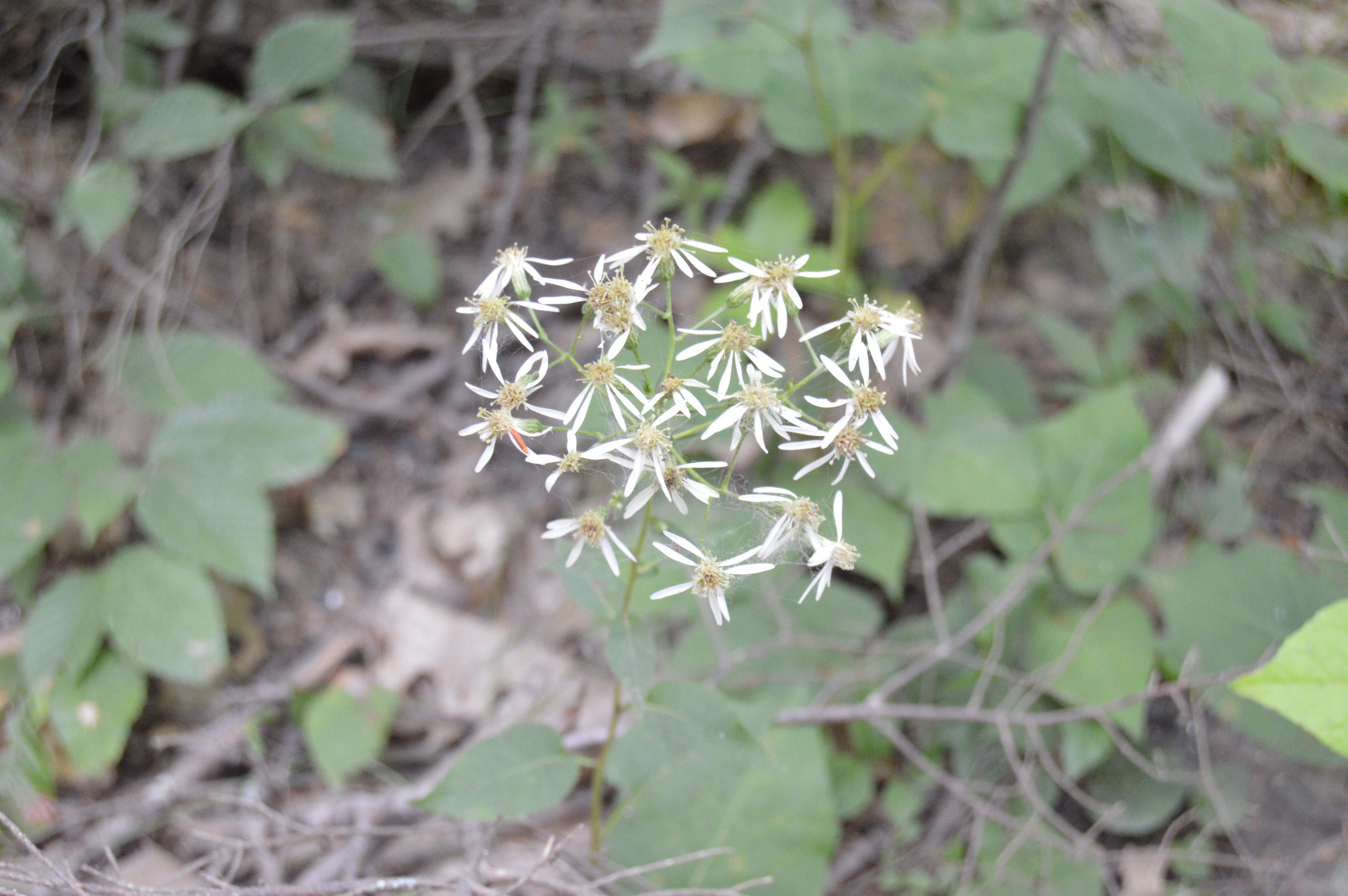
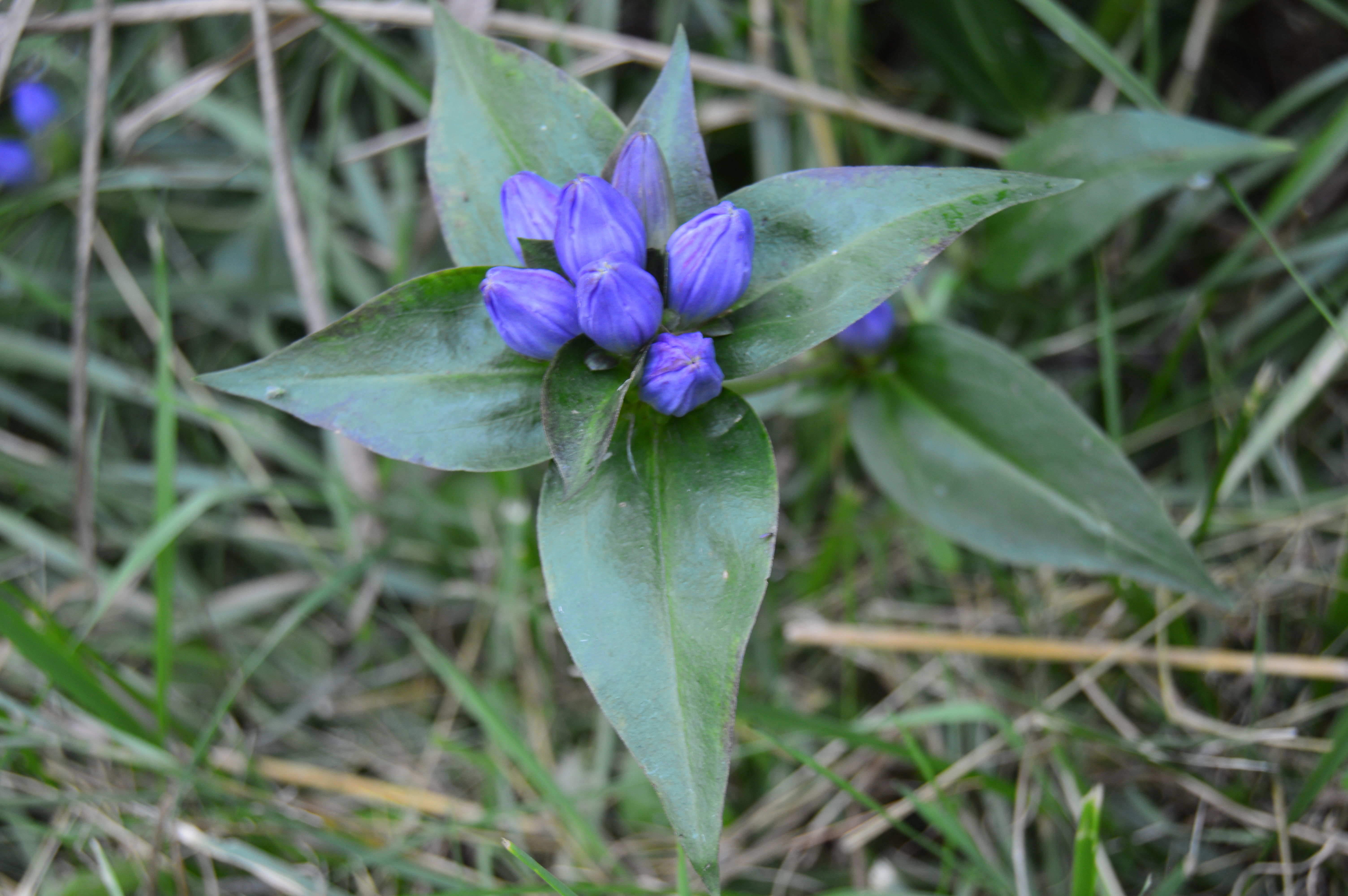
There are also an abundance of pretty flowers and trees.
About a mile from the bridge over the Hubbard stream, there is the two acre Bahre Pond. Bahre Pond has some pretty views.
It is also teeming with wildlife, like this water snake.
And this frog who thought he could hide from me.
Granville State Park also has some paths off the main trails that have some hidden gems.
The main attraction at Granville State Forest has to be the waterfall. Below is a short video of the waterfall in all its splendor.
After photographing a variety of mountainous, rocky state parks, I thought it was time to mix it up and visit a rocky, hilly waterfall. Initially, we planned on visiting CM Gardner State Park. But, the helpful park rangers at CM Gardner suggested something more picturesque, Chester-Blandford State Forest.
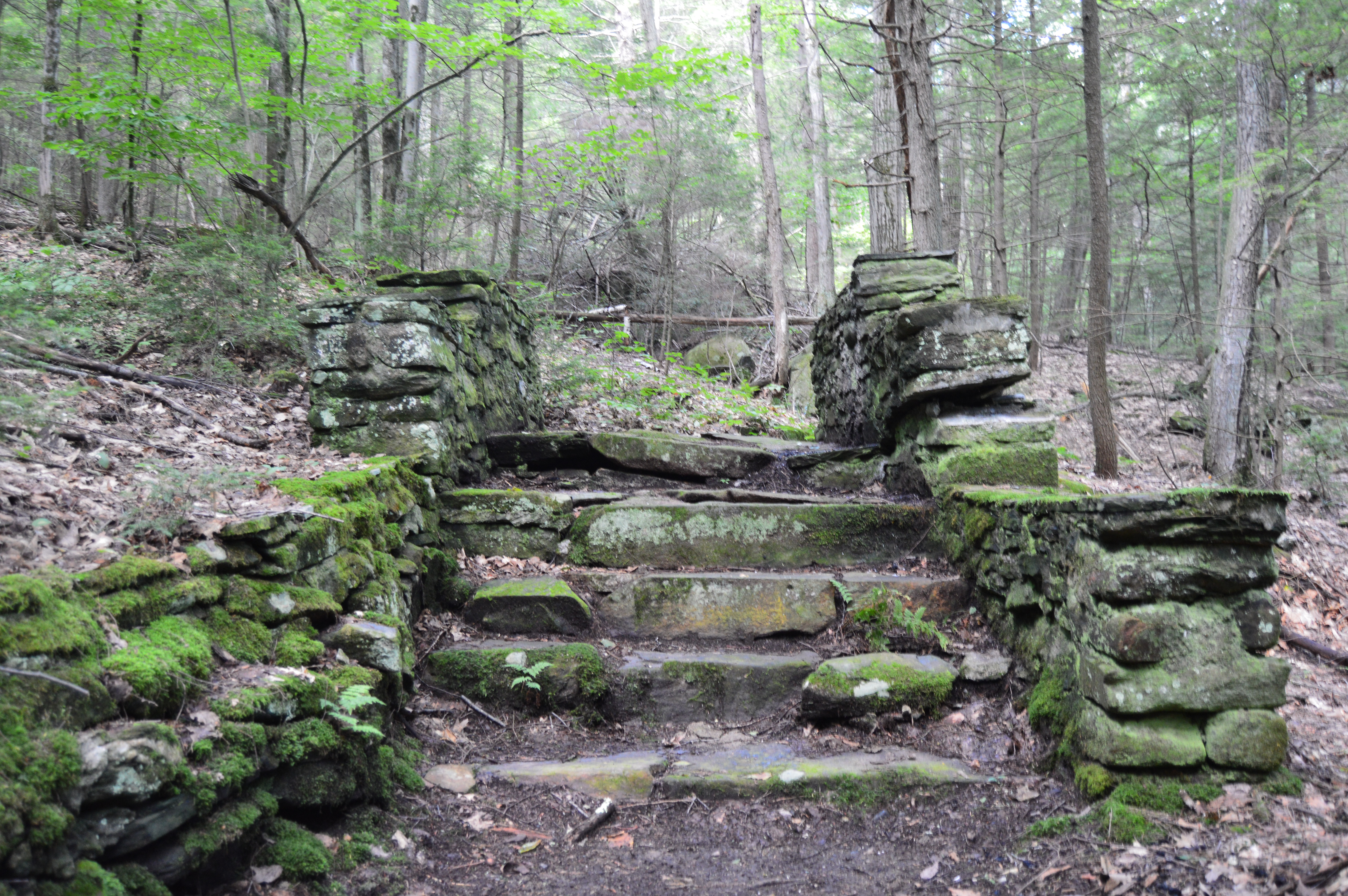
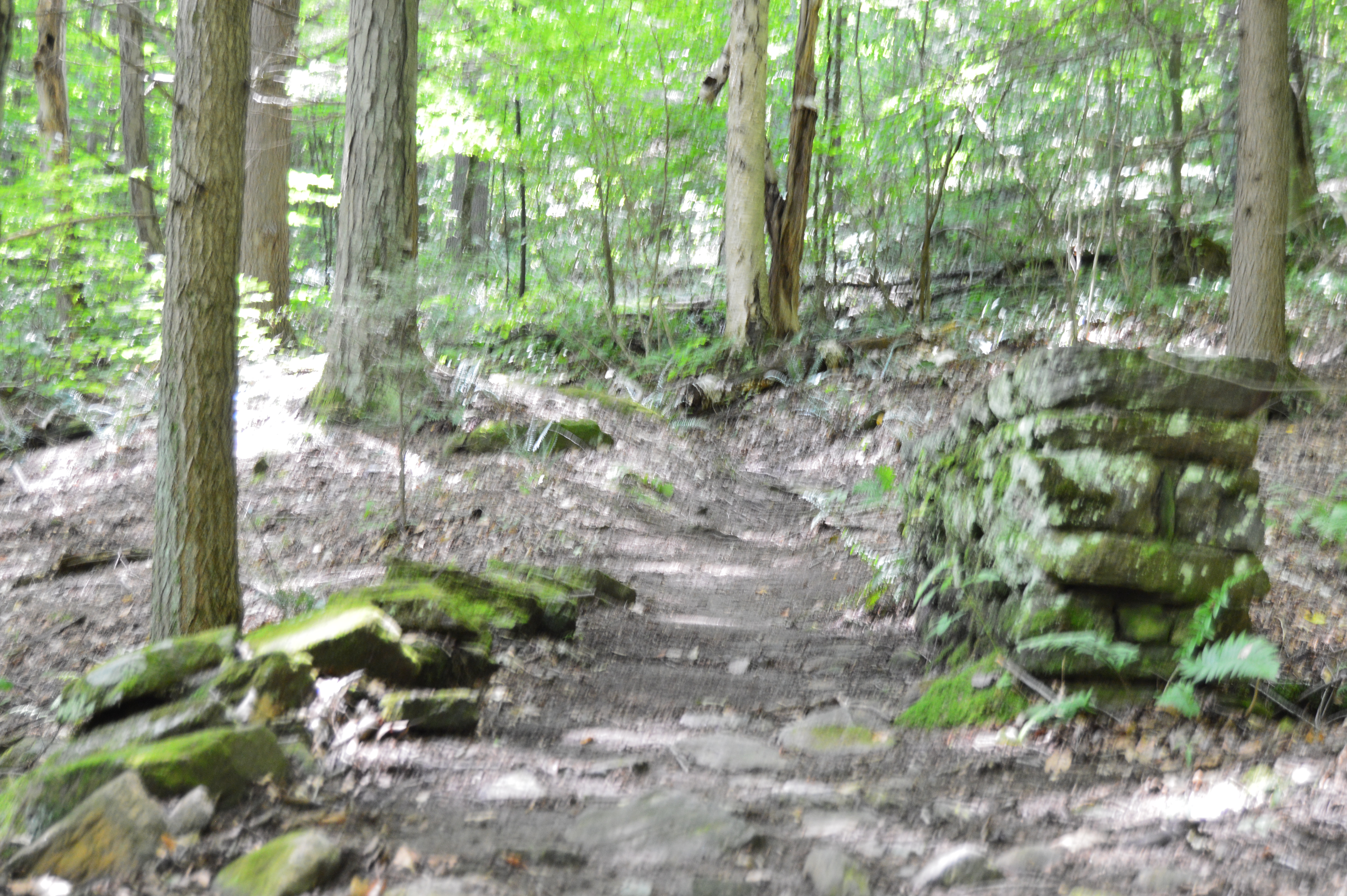
Since it encompasses such a large area (over 2,700 acres), Chester-Blandford has several entrances. The first part of the park we arrived at, Boulder Park, is a rather small area with a pond and a few ill defined trails. But, right from the rocky steps and mossy trails at the entrance it has a unique charm.
The trails also have some unique walkways and structures.
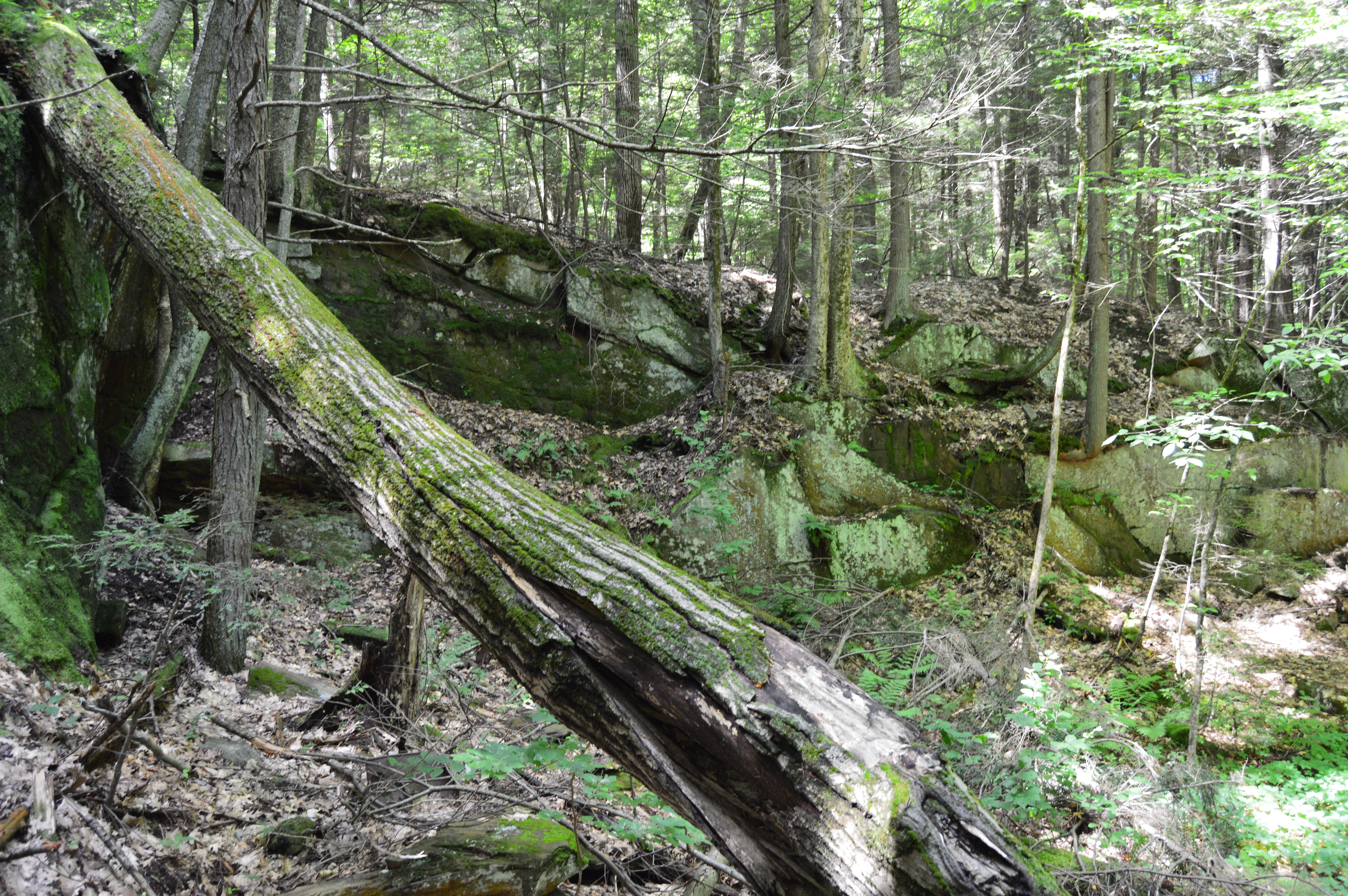
The highlight of the park may be the deep opening off the main trail.
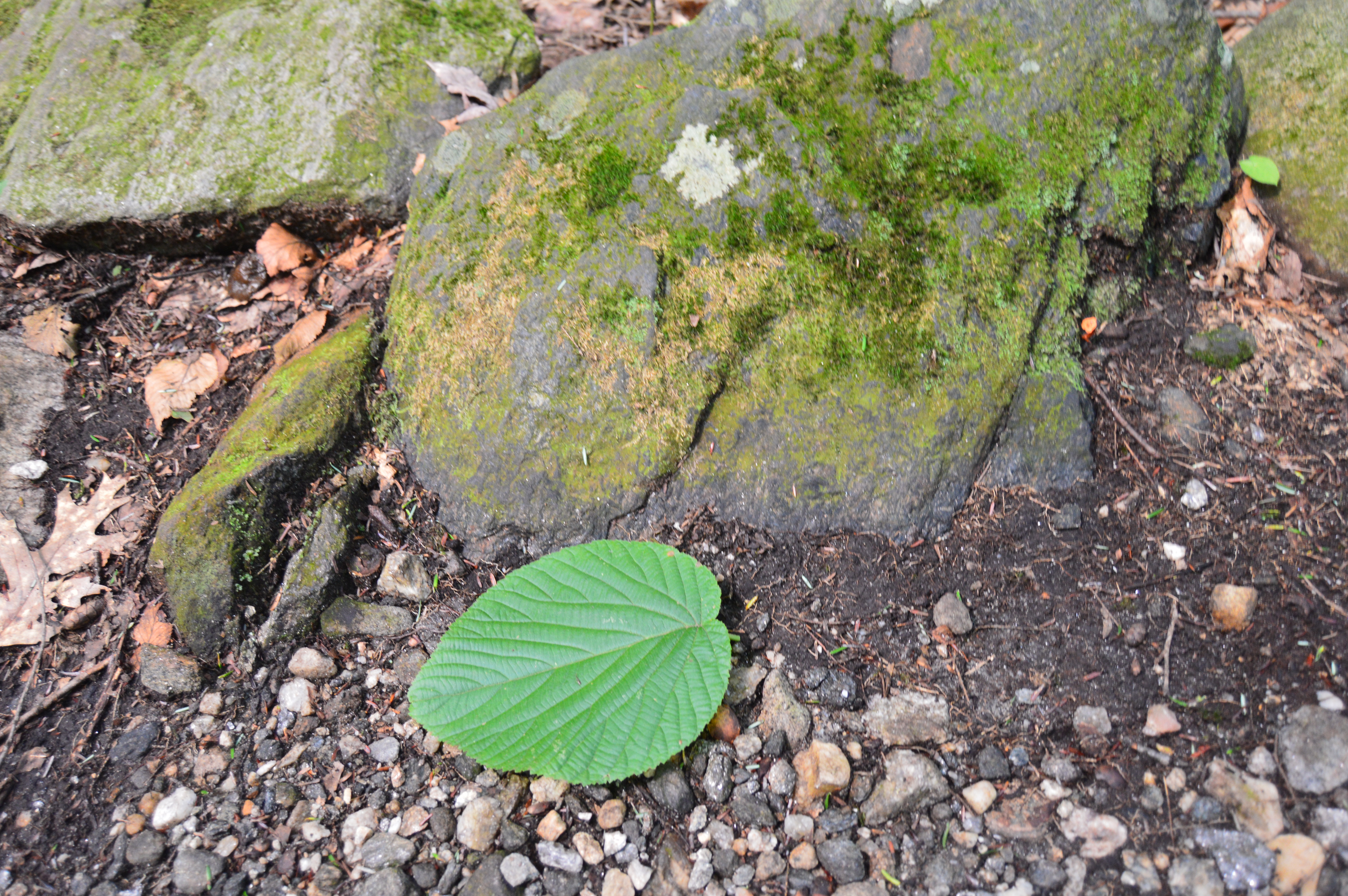
Boulder Rock also has some eye catching plants and wild life.
The pond near the end of the main trail was a nice surprise.
Boulder Rock also had its share of wildlife such as this salamander and mouse.
Alas, our trip to Boulder Rock was over. But, about a mile down the road another entrance beckoned us, the main entrance to the Sanderson Brooks Falls trail of Chester-Blandford.
Pitcuresque views are scattered along the Brooks Falls trail.
Due to the lack of rain recently, the rapids weren’t very, well, rapid. But, the relatively still water and rocky brook provided some good shots.
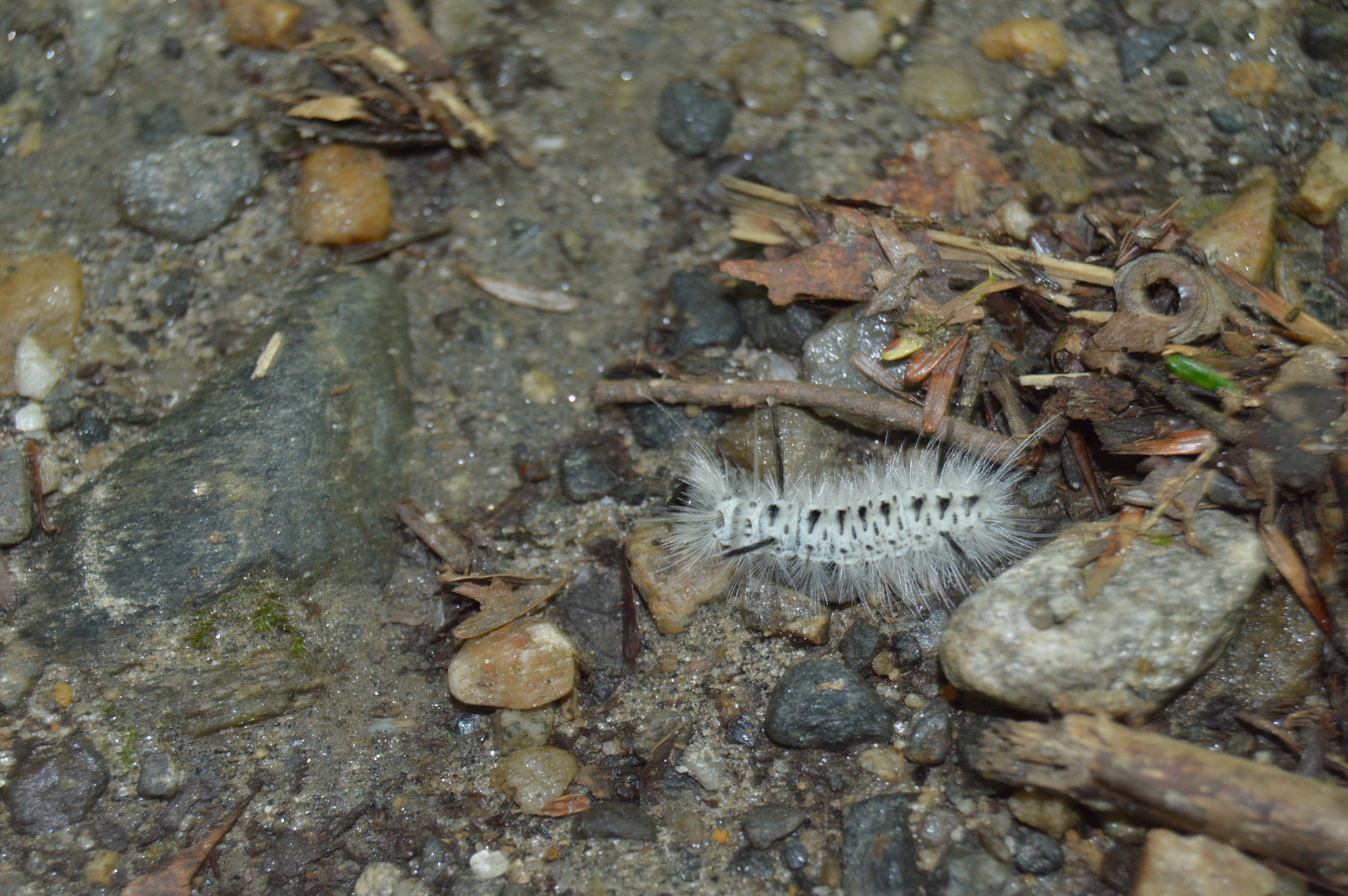
Sanderson Brook Falls also had a fair share of wildlife such as caterpillars,
Toads
and dogs, like Loona.
After a roughly half an hour trek along some rocky terrain, a number of bridges and some steep inclines, I made it to the falls.
The brooks and falls are sure to be more active during the stormy seasons. But, it is still impressive and worth the trip.
To get the full effect of the falls, click on the short video below.
Is there anywhere in the New England area you would like me to visit?
What are some of your favorite waterfalls?
Feel free to stop by Facebook page and like my page: New England Nomad