Date Visited: June 18, 2016
Location: Off Low St, Newburyport, Massachusetts
Parking: I entered the trail from Low St and free parking is available at Cushing Park on Kent St (2 blocks away from the entrance to the park) and parking was ample there. There are several other trailheads and depending upon where you join the trail there are various parking areas. You can find parking at the local MBTA station on Parker St and some other designated places. it is best to check their website for specific parking areas. You may also find off street parking.
Hours: open everyday, dawn until dusk
Cost: Free
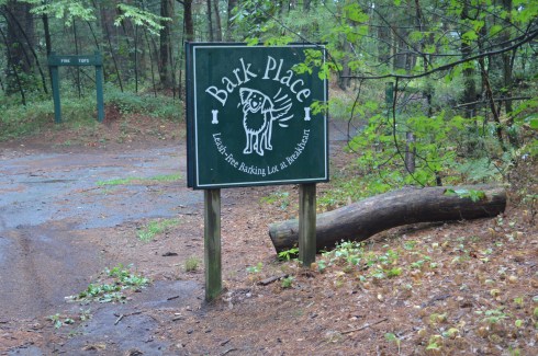
Dog Friendly: Yes
Distance: 1.1 miles each way
Time To Allot: Half an hour to an hour
Highlights: bridges, trails for cycling, running and walking, art, artifacts, flowers, trees, historical and other surprises along the trail.
The Clipper City Rail Trail is not just your ordinary run of the mill paved trail. The 10 foot wide trail which eventually spills out on the Newburyport Harborwalk, is lined with various works of art and other surprises. The great thing about the art and items on the trail is that they have special meaning and represent the people and times of the area.
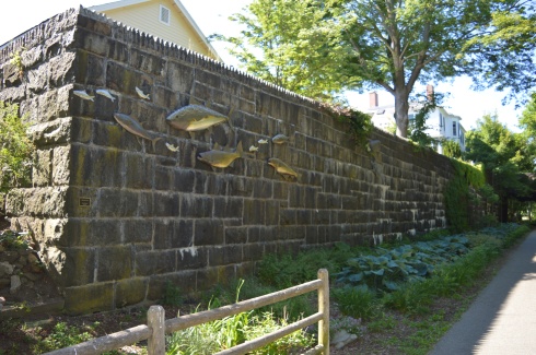

“Native Fish” by Bob Kimball (2010). The sculpture consists of eleven stainless steel fish mounted on a large granite block wall on the edge of the Rail Trail. The group of fish consist of half a dozen foot-long herring, two three-foot tuna, a five-foot cod and striped bass, and a seven-foot bluefin tuna. The artist, Bob Kimball, is a brick and stone mason who specializes in working with copper, brass, glass and stainless steel. He is based in the state of Washington.


The “Great Blue Heron” piece was also created by Bob Kimball in 2010. It was commissioned in memory of John Soward by his family and friends. According to the plaque placed on the wall the work of art was dedicated to John Soward who lived on the other side of the wall where it is so prominently displayed. The sculpture is based on John’s painting of the great blue heron. John’s painting is below. It’s a pretty accurate rendition.

Around every corner and stretch of trail there is something interesting or fun to keep your interest peaked. In fact, waiting to see what is next on the trail is enough to keep you going along the trail.

“Wishbone” by James Irving (2010) is an interactive statue crafted by the Vermont based artist. And, yes, you can sit on the seat there!


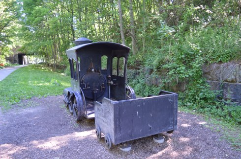
“Steam Loco” by Scott Kessel and Matt Niland (2010). Kessel and Niland, both from Middletown, CT, created this play locomotive train to resemble the locomotives of the time. It is a magnetic interactive destination for young children and their families.
The 19th century granite blocks pictured above once supported the Old Railroad Bridge Embankment at the Merrimack River (a mile or so from their current location). The blocks were relocated during the building of the rail trail. They are purposefully displayed in a star pattern.
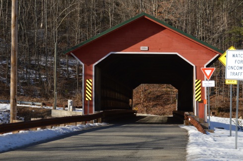
There also a couple of bridges along the trail.

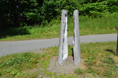
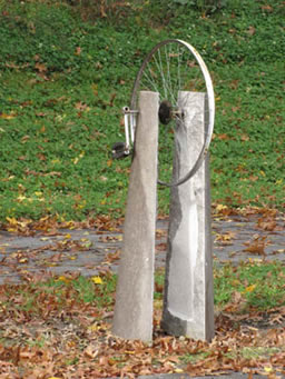
Unfortunately, some of the works of art have either been vandalized or disturbed by nature. As I often say, this is why we can’t have nice things.This work of art “Will He” by Simon LaRochelle, based out of Quebec, is supposed to have a bicycle wheel in between the two slabs of limestone. See the actual sculpture below.
Some surprises along the trail are less artistic than others.


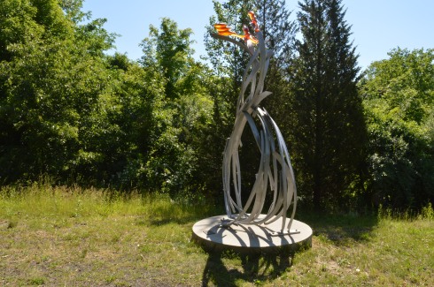

“Torrential Flight” an aluminum sculpture by Brian Russell (2010) from Tennessee.
“Eclipse” by Rob Lorenson (2010) is a stainless steel. Rob is based in Middleborough, Massachusetts.
Rob has two sculptures on the trail. Closer to the harborwalk at the end of the trail stands his sculpture “Brushstrokes” a red powder coated aluminum

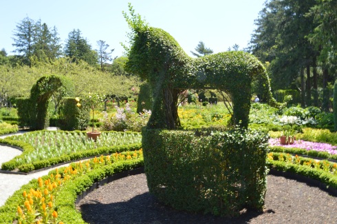
Newburyport purchased a horse sculpture called “Clyde” from artist Jamie Burnes based out of Weston, Massachusetts and Santa Fe, Mexico. Jamie specializes in making sculptures of horses, bulls and other land based animals. Originally displayed on the waterfront as part of the sculpture park, Clyde is made of corten weathering steel and black locust wood and was made specifically for the trail.

“Sparrows” by Dale Rodgers (2011) based in Haverhill, Massachusetts. “Sparrows” is a 16-foot corten weathering steel sculpture of two sparrows, naturally.
“G-Swirl” by Dale Rogers (his second sculpture on the trail) (2010) is a scaled up stainless steel abstract sculpture.

“Peace Offering” (2012) is not just a bronze sculpture. It is actually a bench by Michael Alfano of Hopkinton, Massachusetts. The bench acts as a functional bench featuring a dove, in which the tail becomes the head of a hawk and the wings become hands that invite two people to sit down and discuss their differences. The sculpture, which now sits at the harborwalk, down a flight of stairs from the rail trail, was purchased by Newburyport for the Rail Trail, in bronze. There are also additional castings of the sculptures. One of the additional castings was a gift of the 2012 Hopkinton High School graduates and is still at the high school.
Many of the models and structures are relevant to the history of the area like this rail. The rail on the bridge is from the original rail trail that was in place during the train wreck on May 23, 1873. The accident was due to a misplaced switch that forced a freight train onto a dead end side track. Interestingly, no one was injured during the accident (the two passengers- a fireman and an engineer – jumped out of the train before it crashed) and the train was back on the track two days later. But, it became famous, in part because many of the onlookers and the aforementioned engineer and fireman requested their photo be taken at the wreck. The trail is also popular with skate and long boarders as you can see in the final photo.


At the end of the southern most side of the trail is “Archway”by Mark Richey Woodworking. The archway, made of white oak, leads to the commuter train, fittingly, at the end of the rail trail.

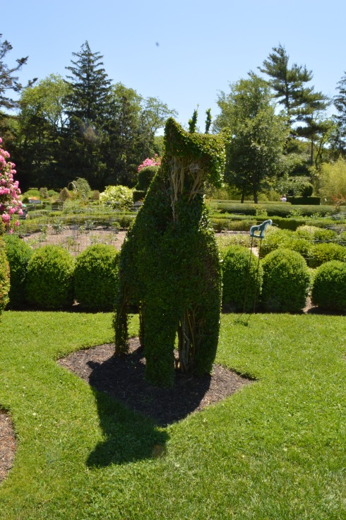
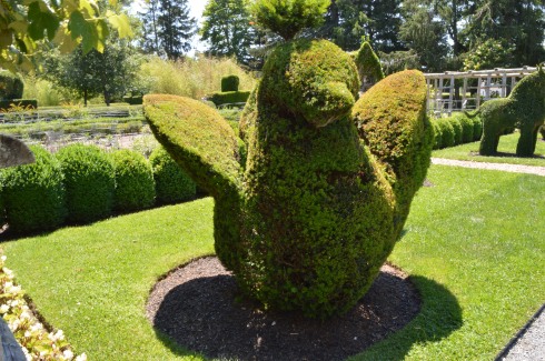
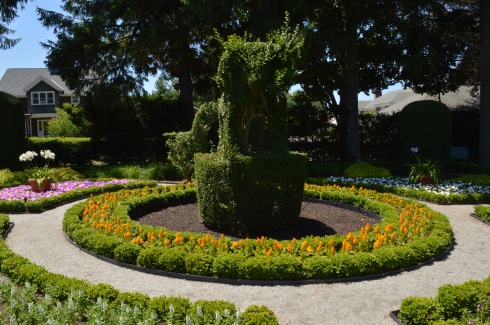
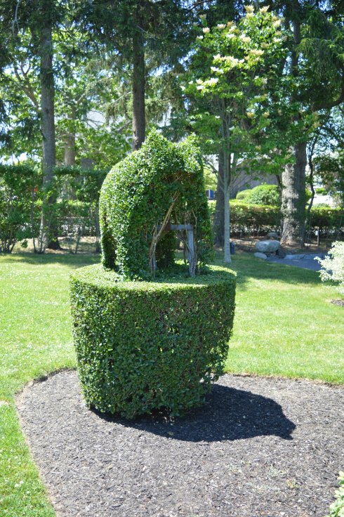
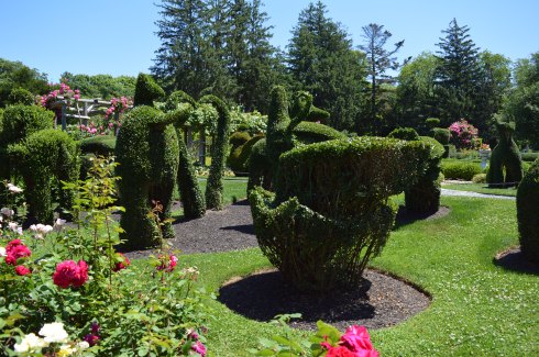
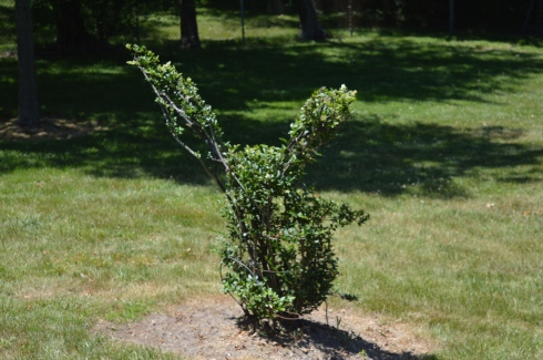
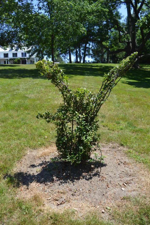
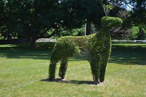
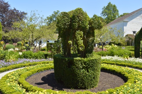
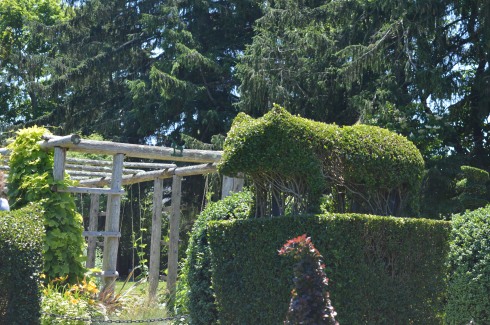
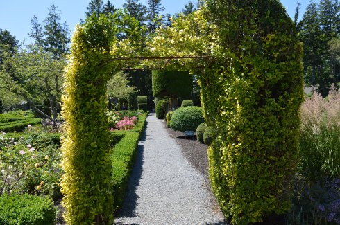
There are also several well manicured and cared for plants, trees, graffiti and grassy areas on the trail.
This slideshow requires JavaScript.
As an added bonus (I know some of you who will really appreciate this), there is a pathway cut through the trees and brush to an ice cream shop with a handy sign to point the way.
There was also a PanMass Challenge when I was visiting. The bike ride is actually a 5 mile loop that ends at the harborwalk.
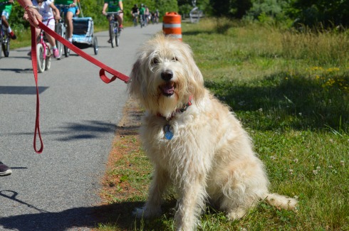
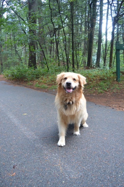
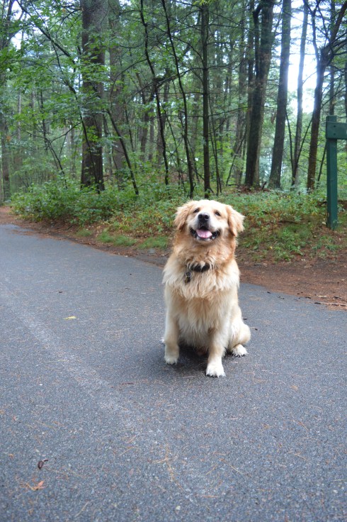
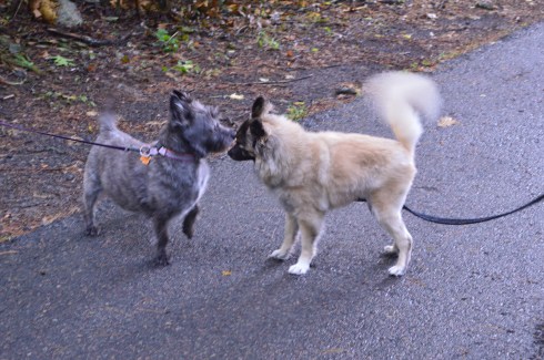
With its long, wide trails and grassy areas, the Clipper Rail Trail is a great place to walk your dog. Rufus, a 5 year old sheepdoodle, enjoyed the cloudless, sunny day on the trail.


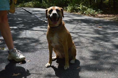
And Savannah, a 4 year old Lab mix, took a break to pose for me.


 with her/his baby giraffe (the black dot in this and some other photo is dirt on my sensor which I didn’t notice until after I got home unfortunately)