Tag Archives: bridge

Winsor Dam, Quabbin Reservoir (Belchertown, MA)

Named after Frank Winsor, the chief engineer of the construction project, the Winsor Dam section of the Quabbin Reservoir is a mecca for nature lovers, outdoors people and anyone who just wants to get out for a walk along the largest inland body of water in the Commonwealth of Massachusetts.

If there is one word that best describes the Winsor Dam it would be peaceful.

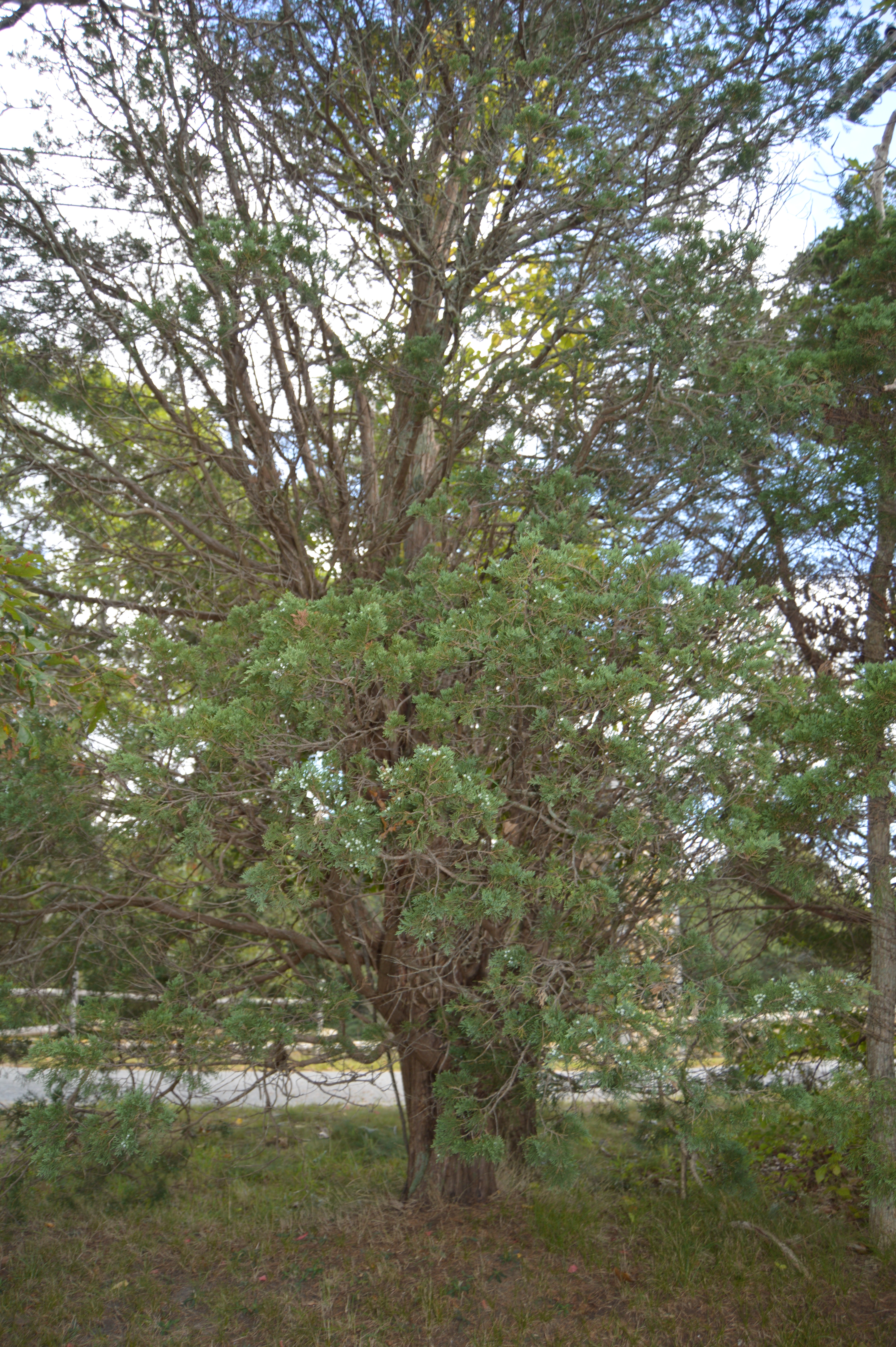
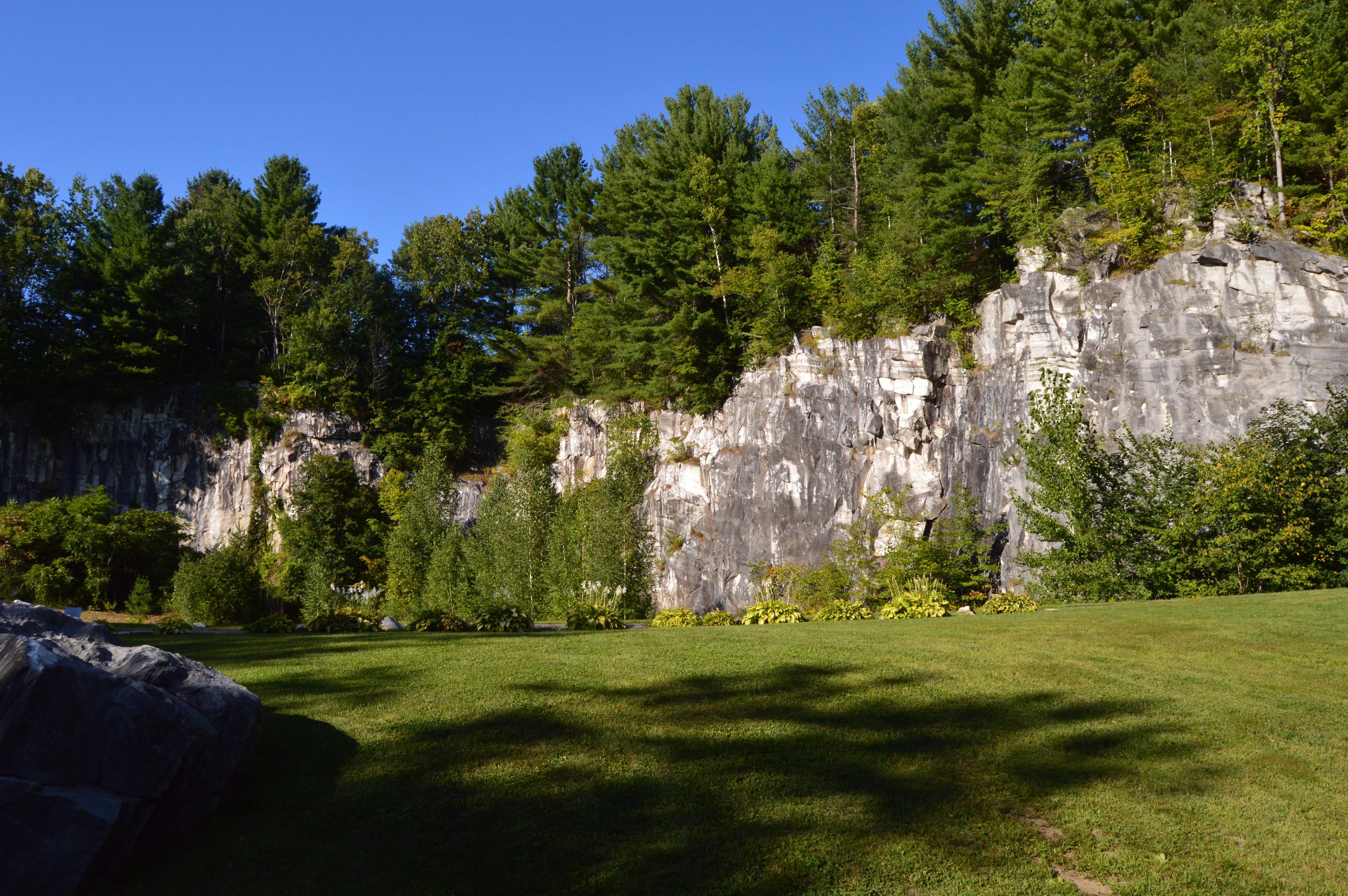
The easy to moderate walking trails are surrounded by rolling hills and crystal blue water

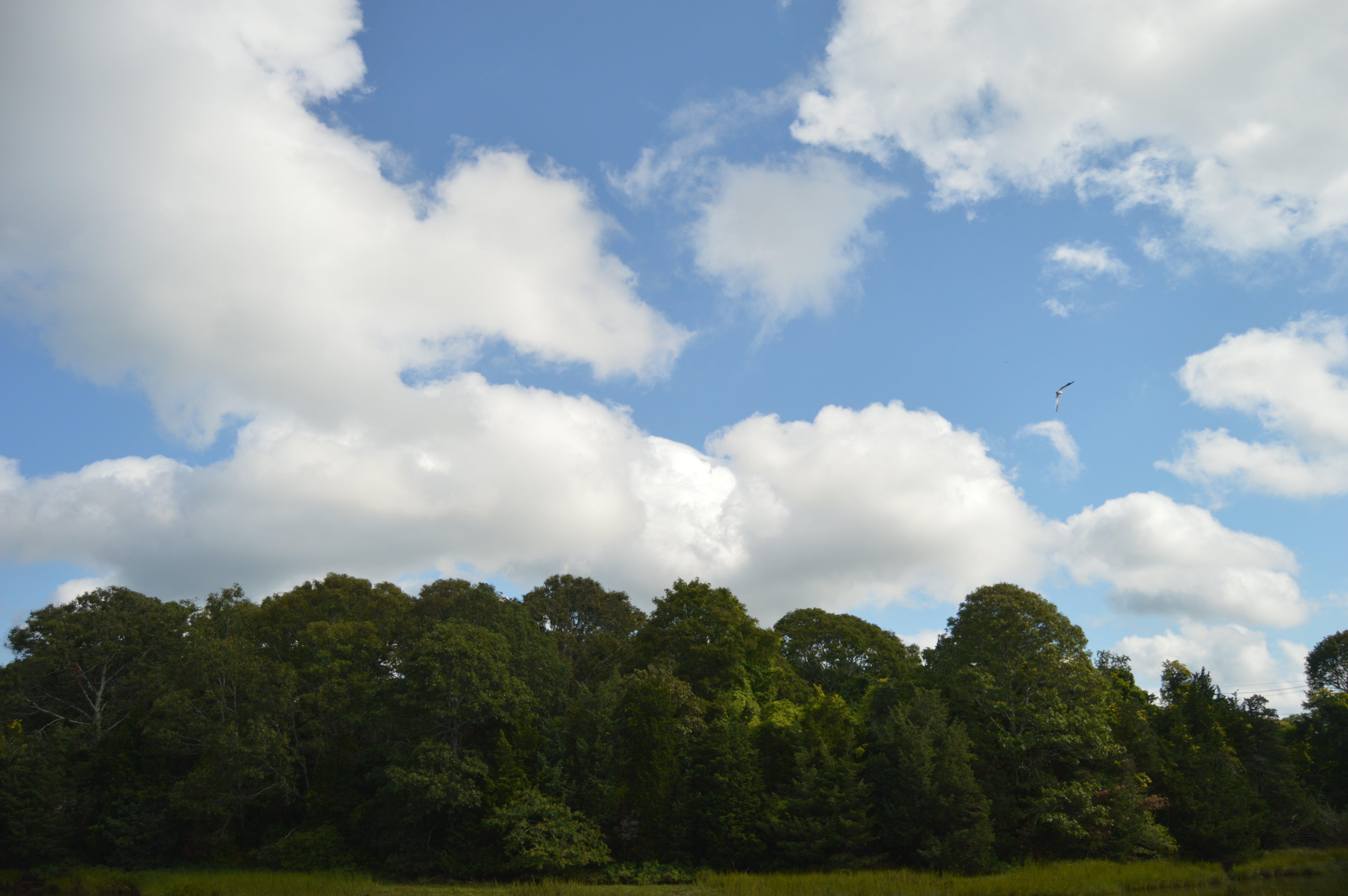
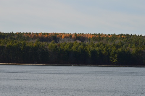
I missed the foliage season.  But, you can still see the colors peaking from the tree tops.

DSC_0810

The staff at the Quabbin Reservoir use these boats as part of their gull harassment program to limit the pollutants from the birds.

DSC_0656

Located about a half an hour from Springfield, MA and an hour and a half west of Boston, MA, Quabbin Reservoir supplies water to three towns west of the reservoir and acts as the backup supply for three other towns.  There was a seasonal fall breeze during my visit which created pretty ripples on the water.

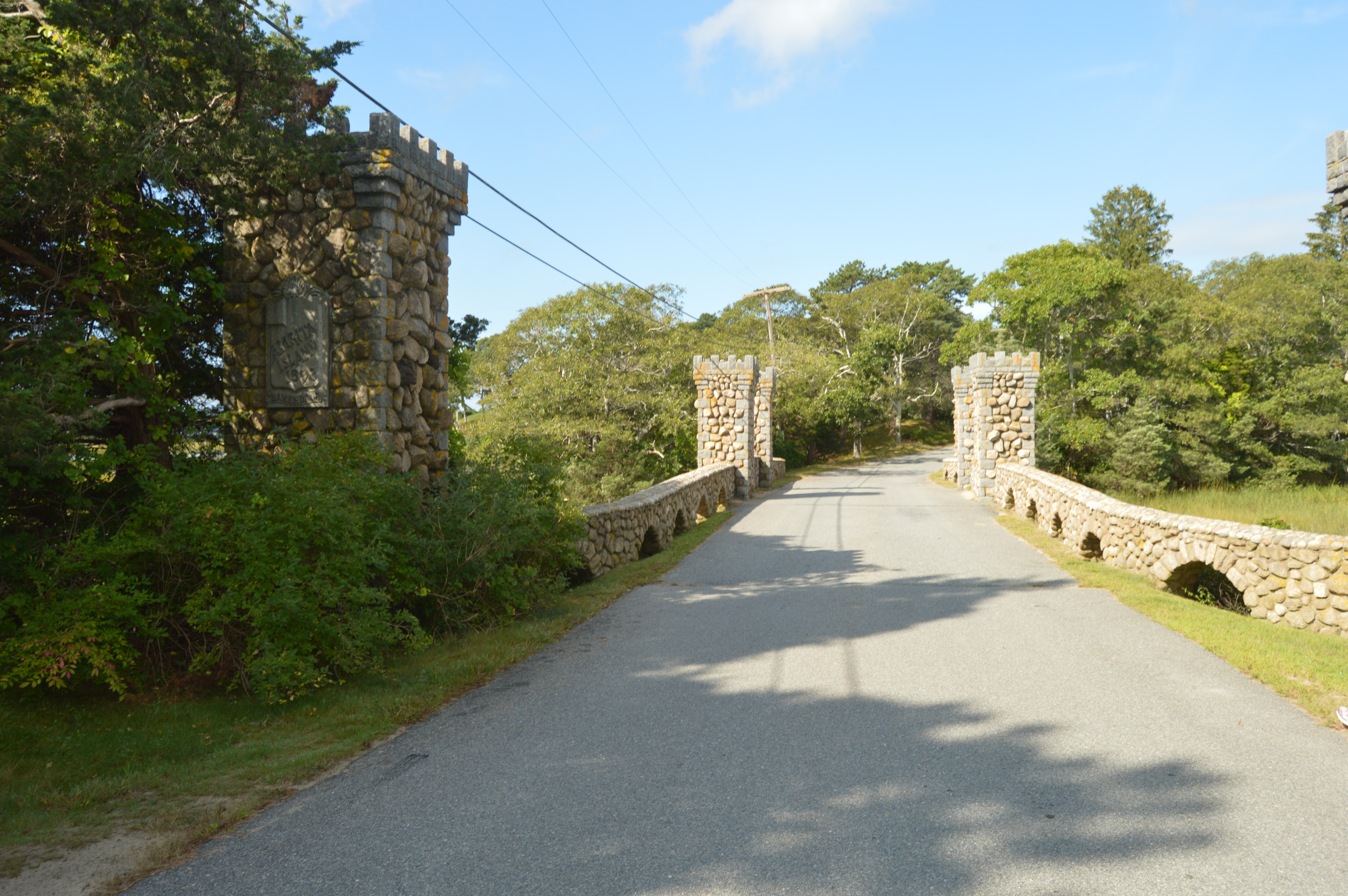
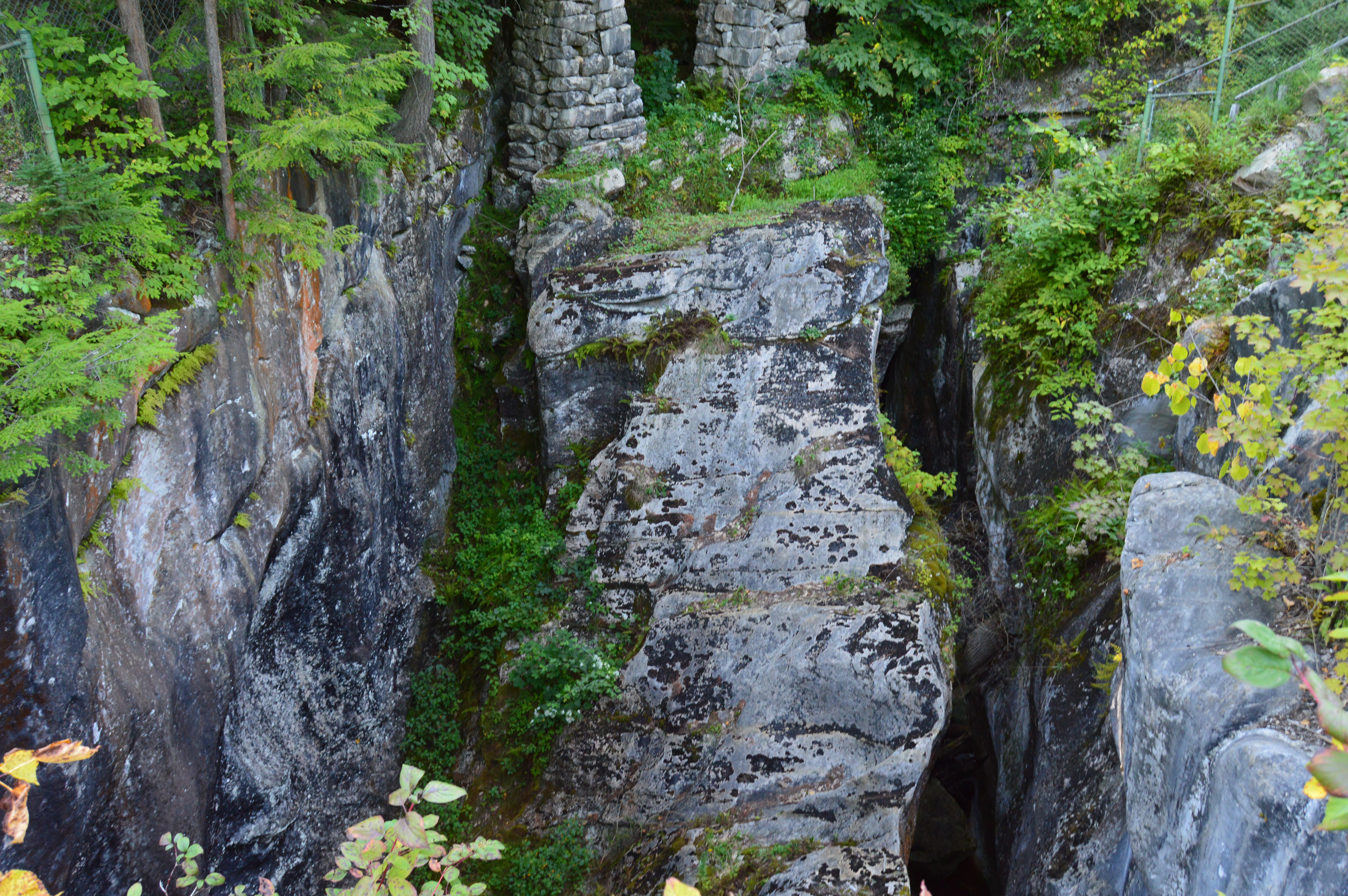
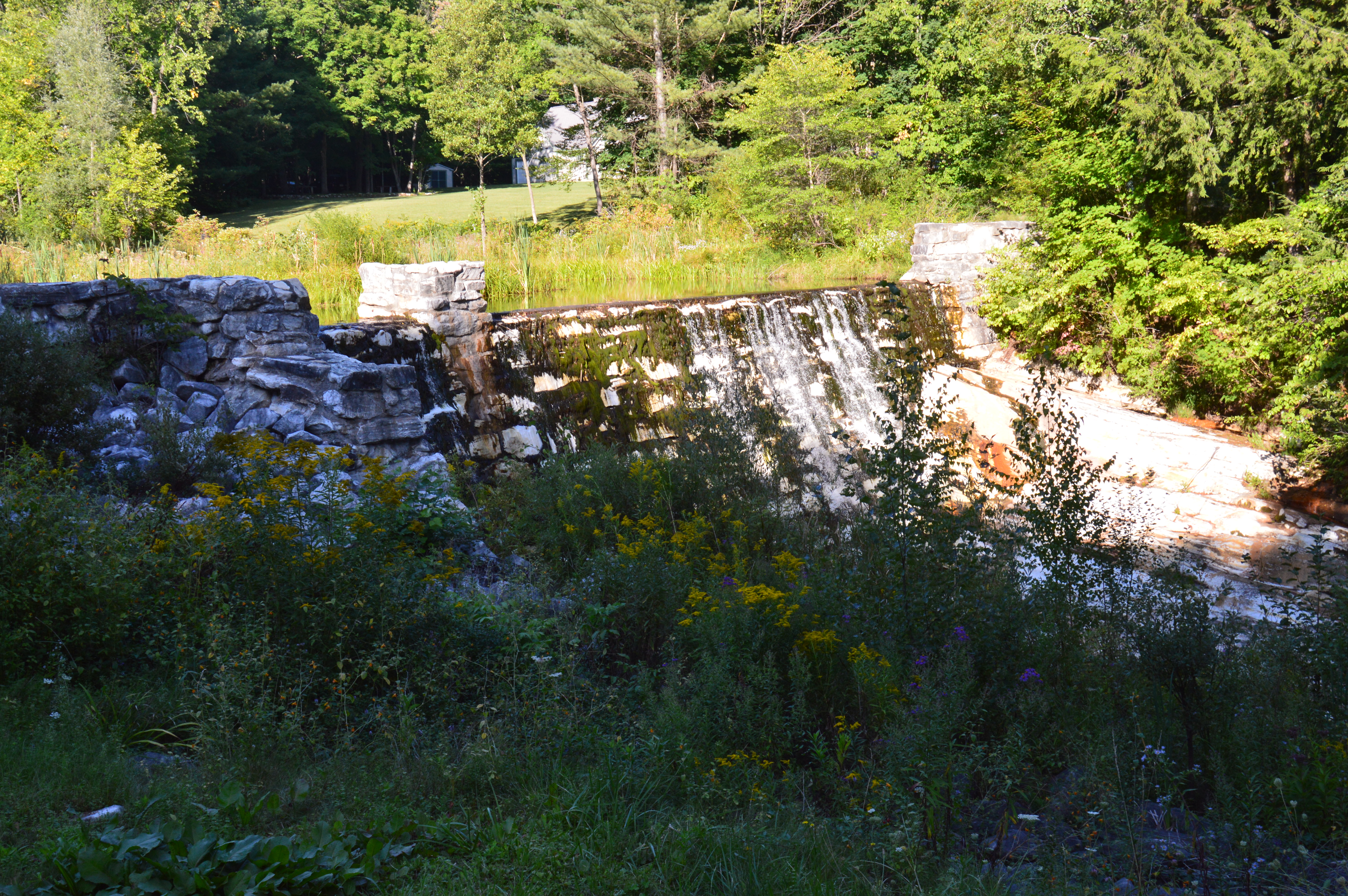
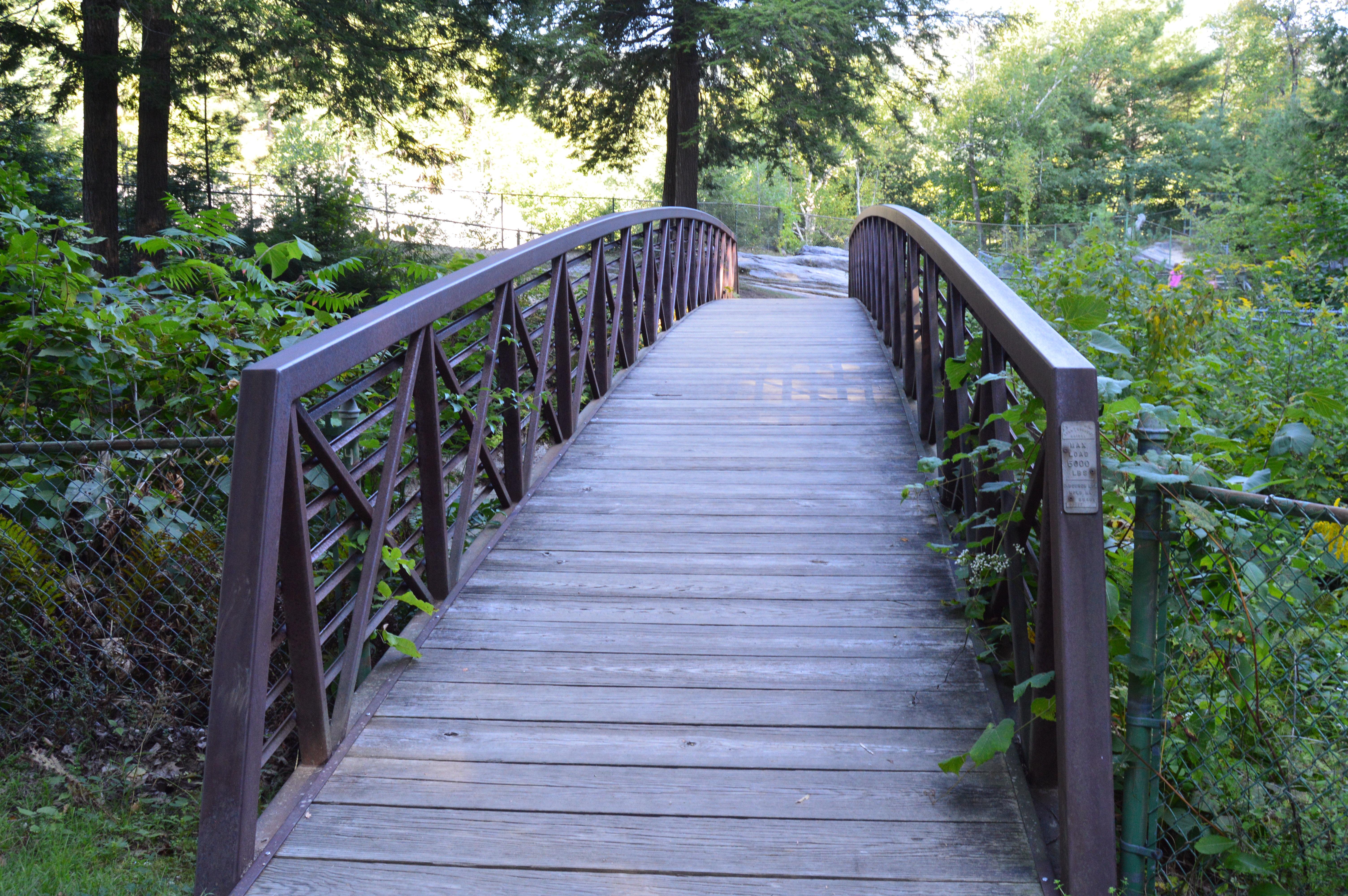
Quabbin Reservoir is expansive (it has an area more than 38 and a half miles).  It is separated by different dams and sections.  There is a pretty walking bridge that you can use to visit some of the other areas.   There are some great views from the bridge.

The distance between dams are more than a mile.  So, it is often a good idea to drive to the different parts of the reservoir.

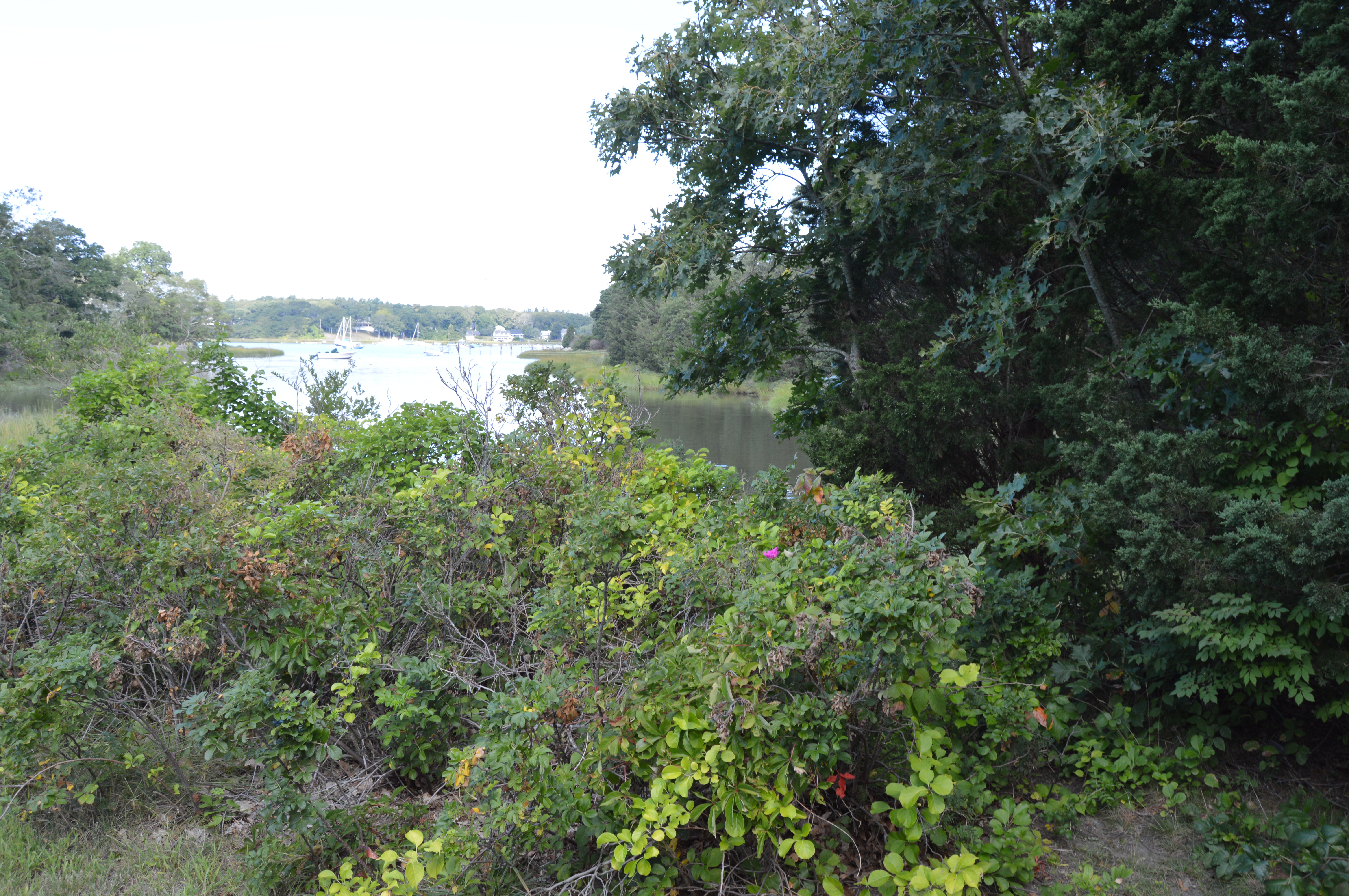
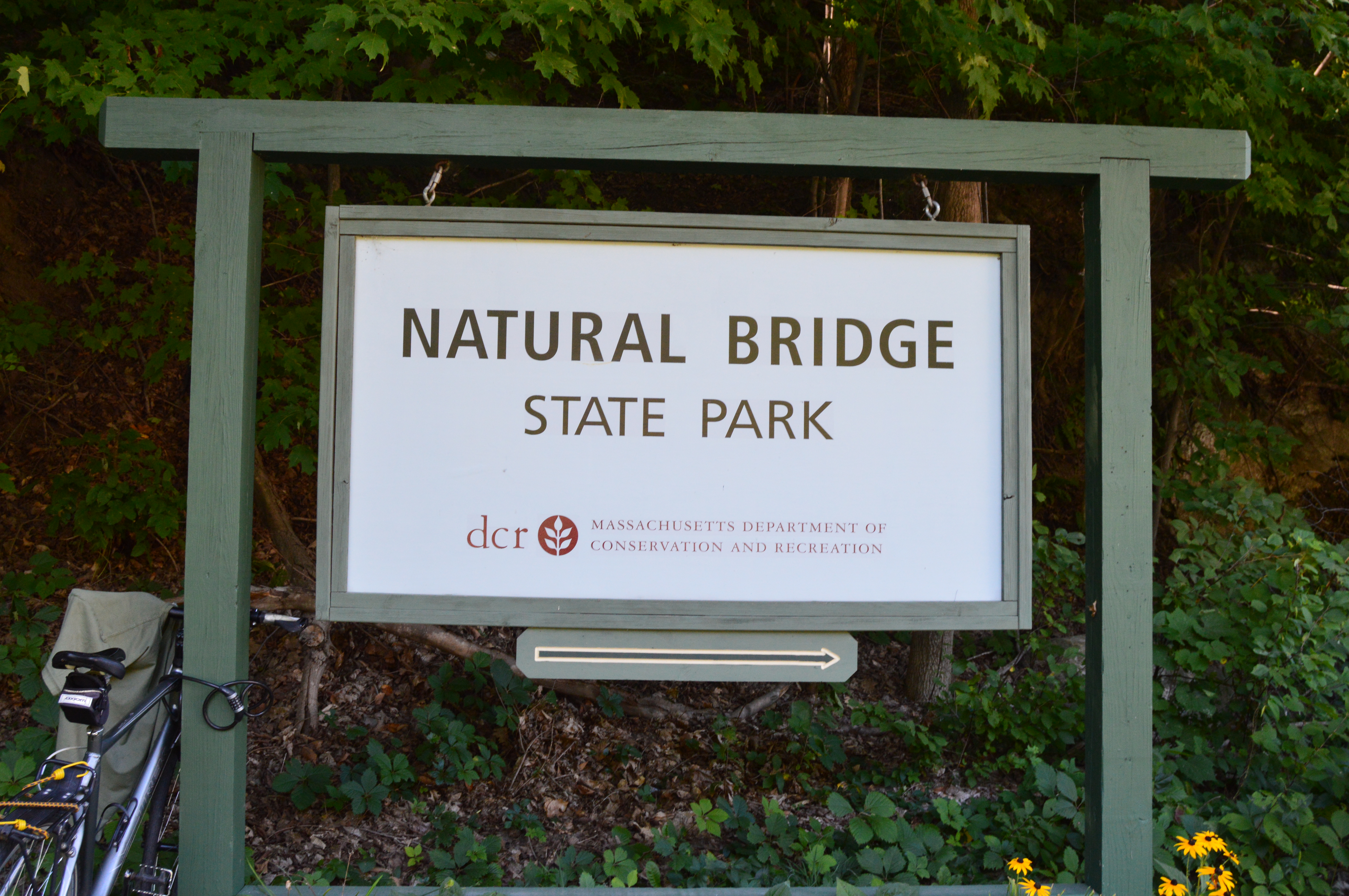
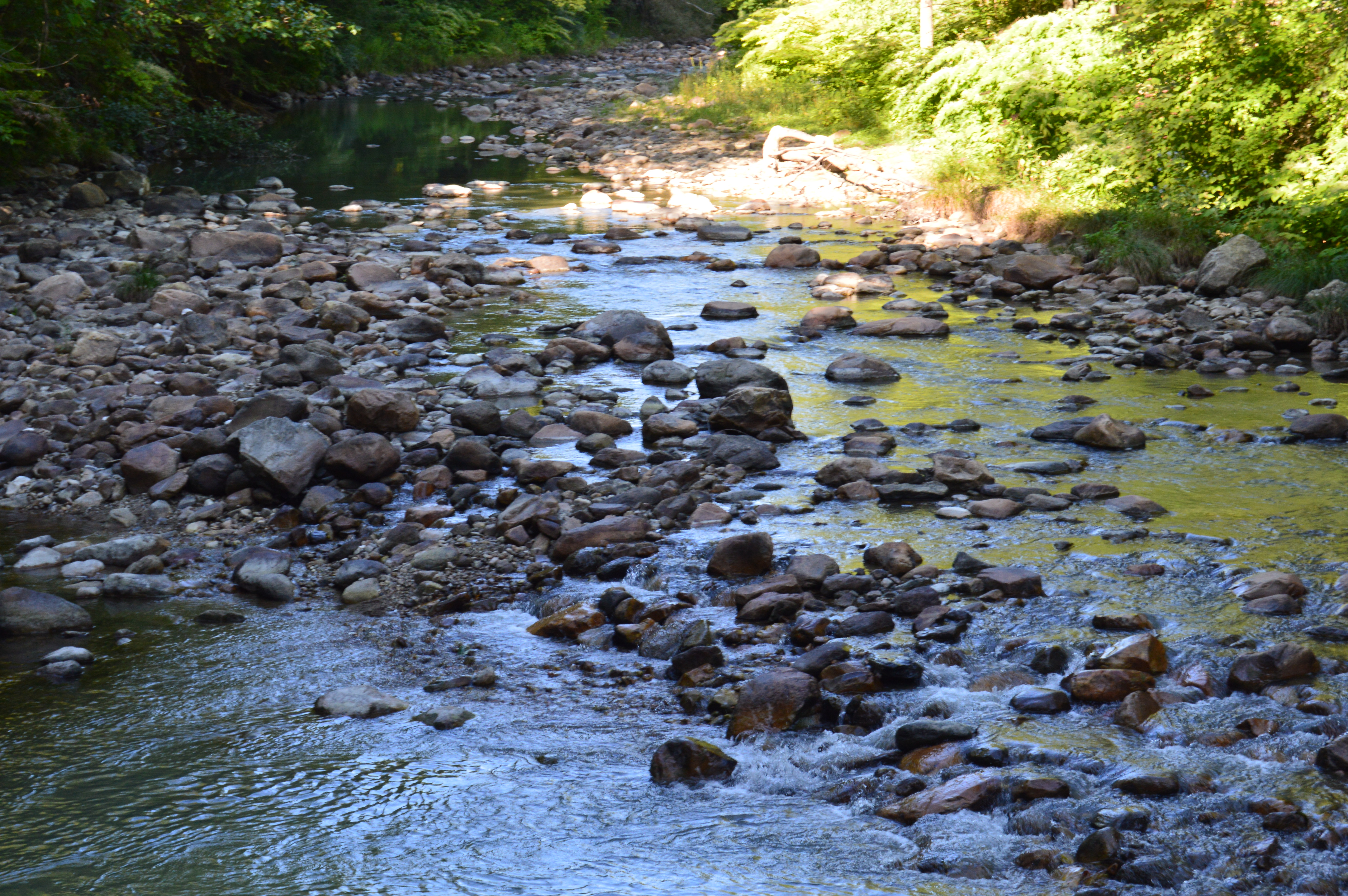
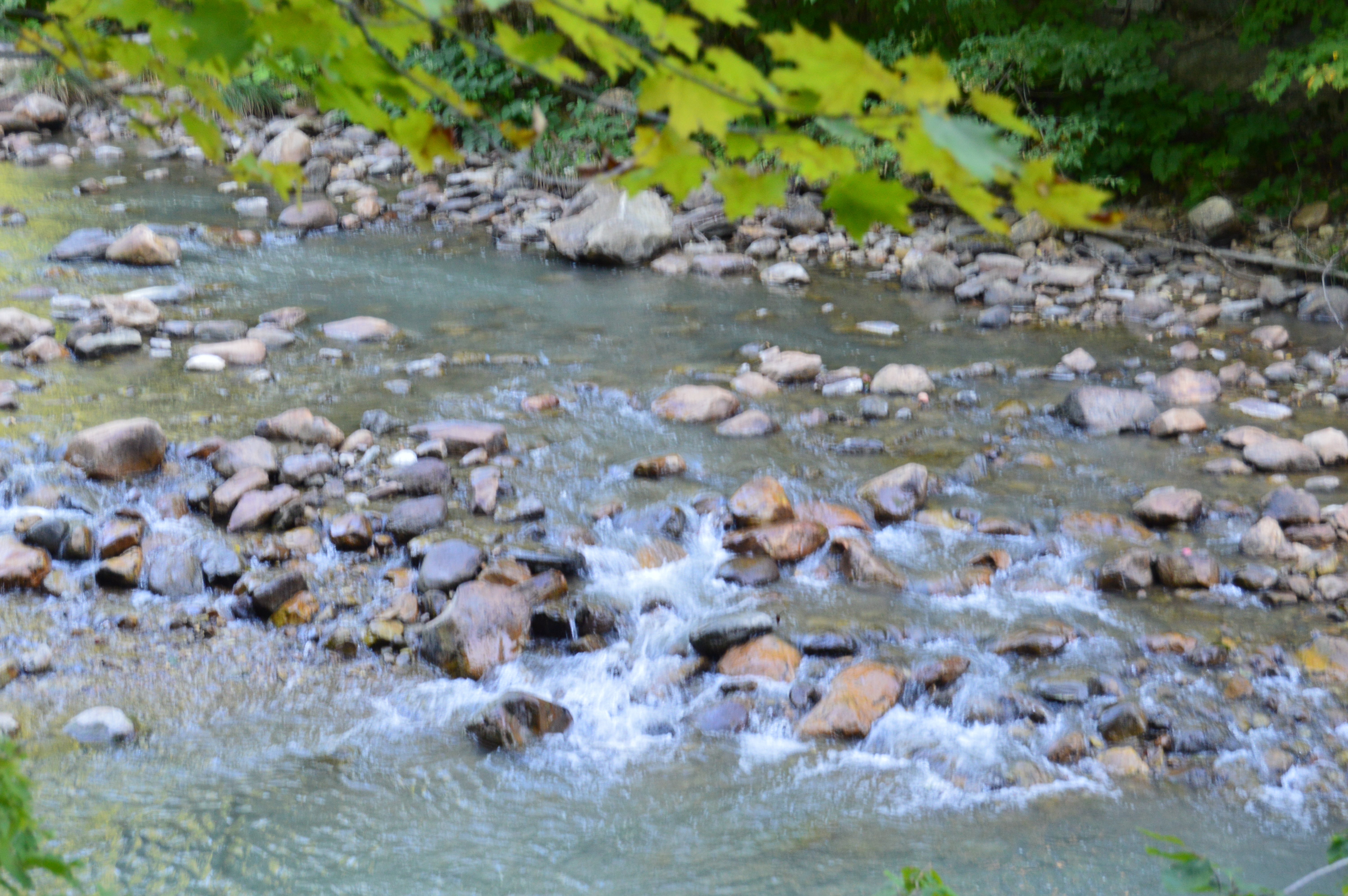
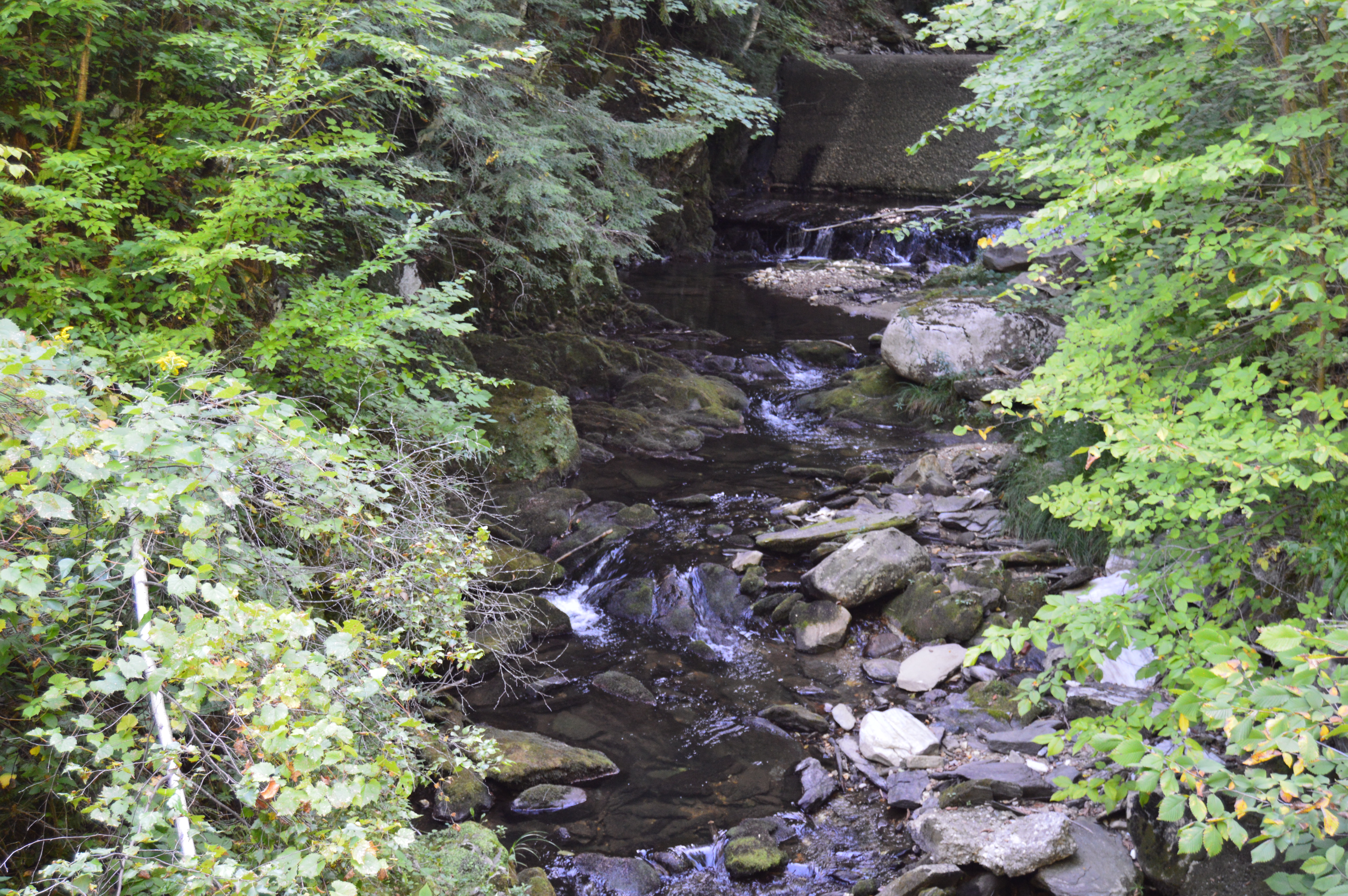
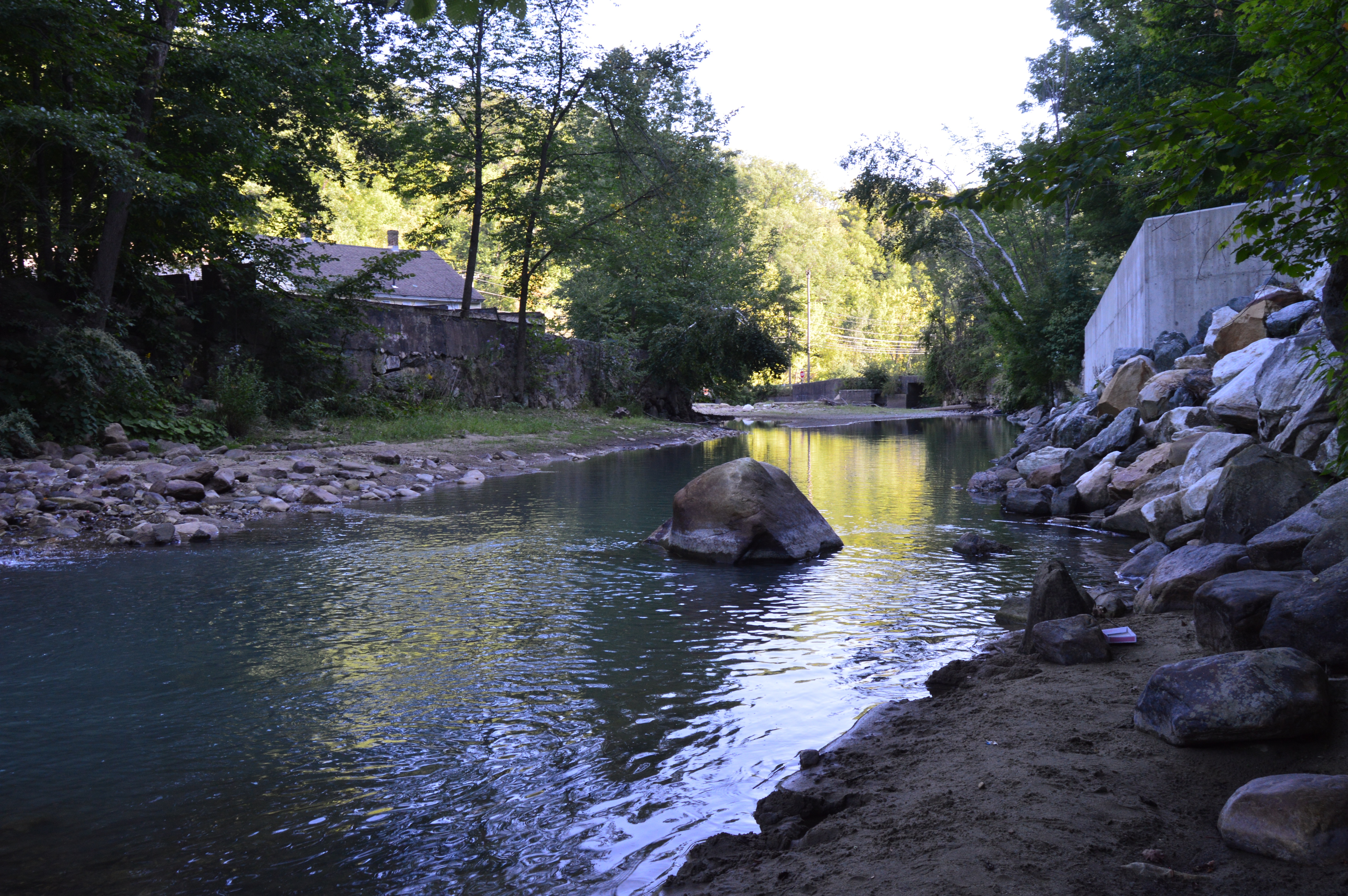
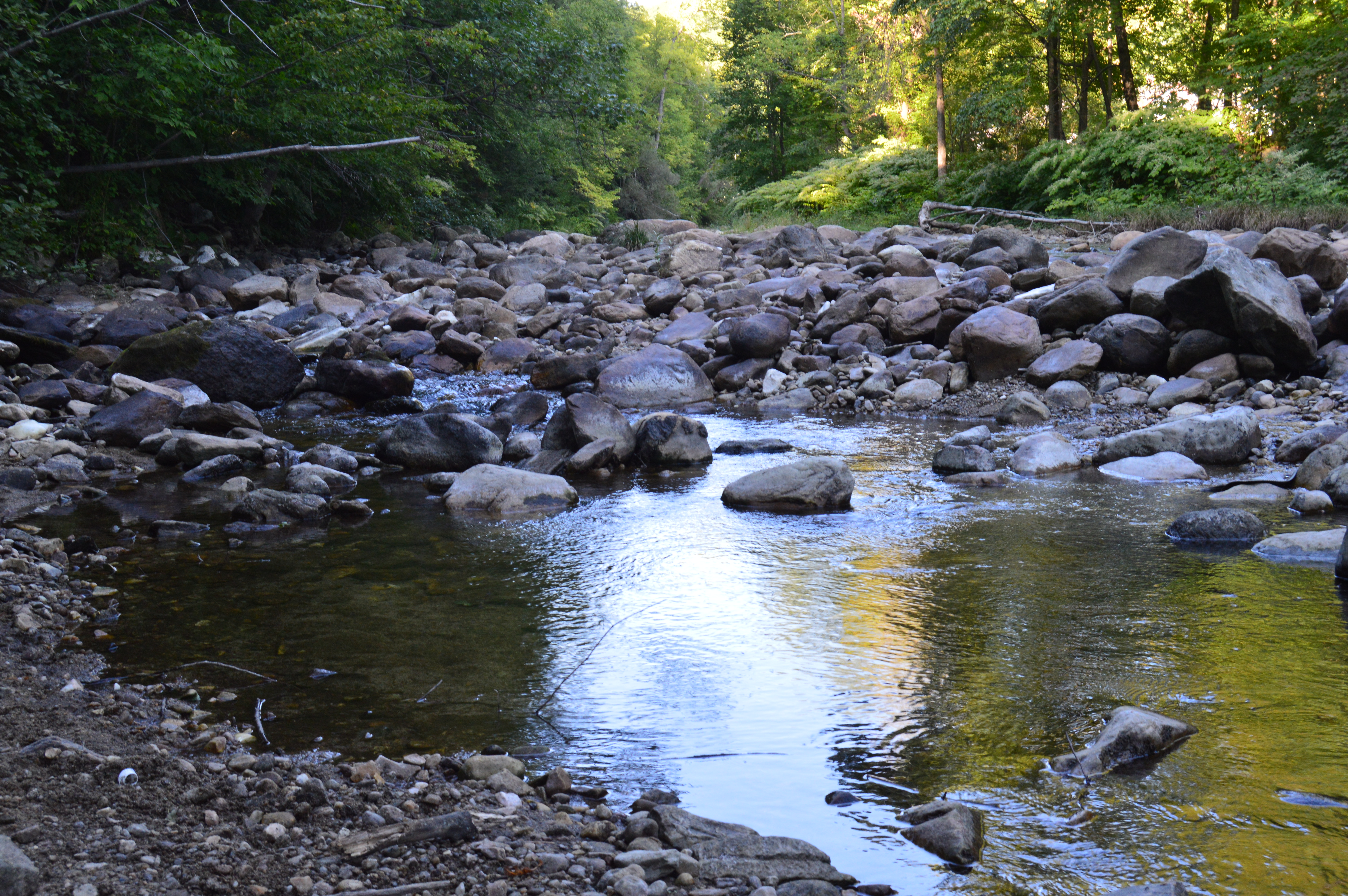
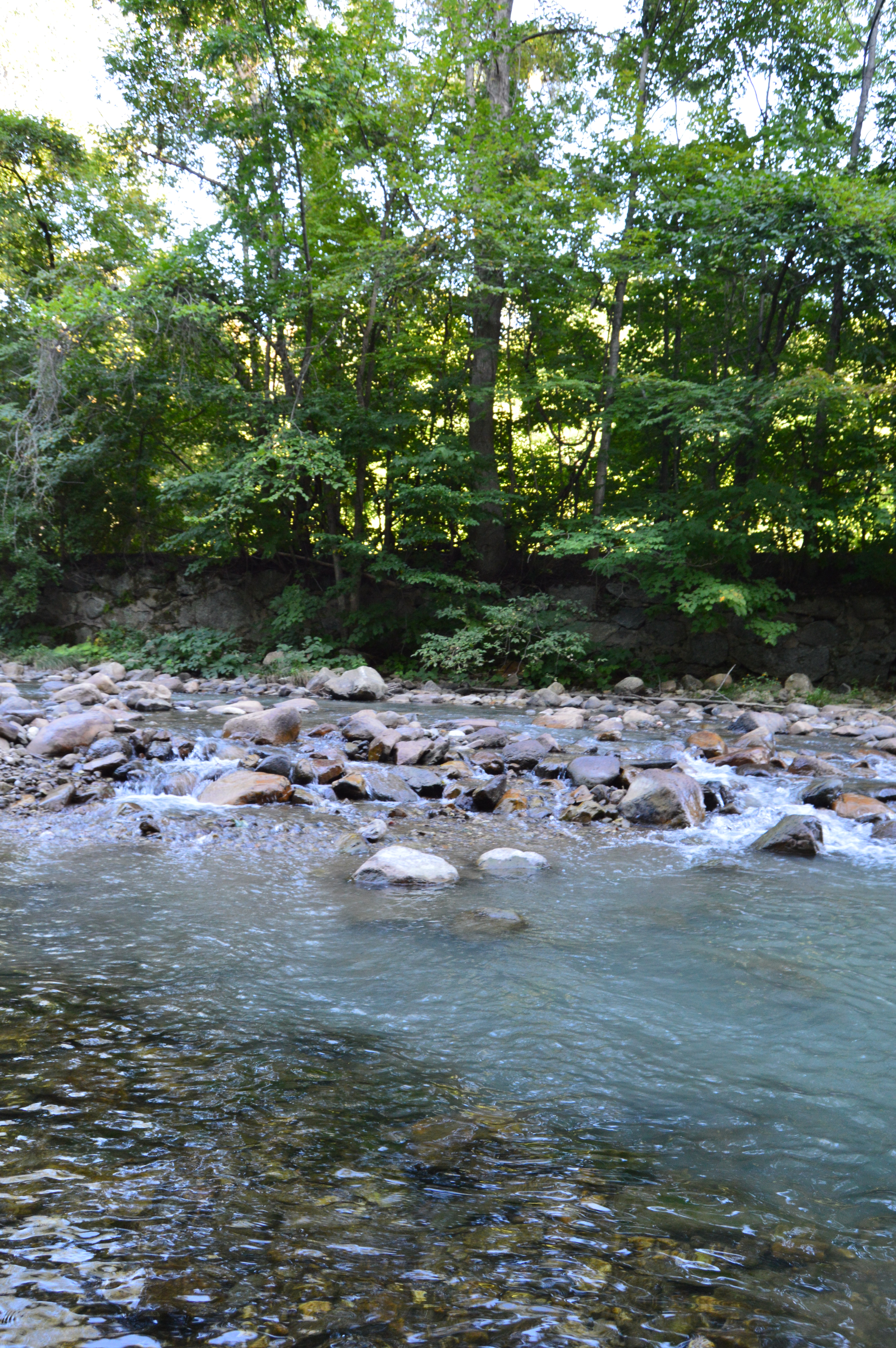
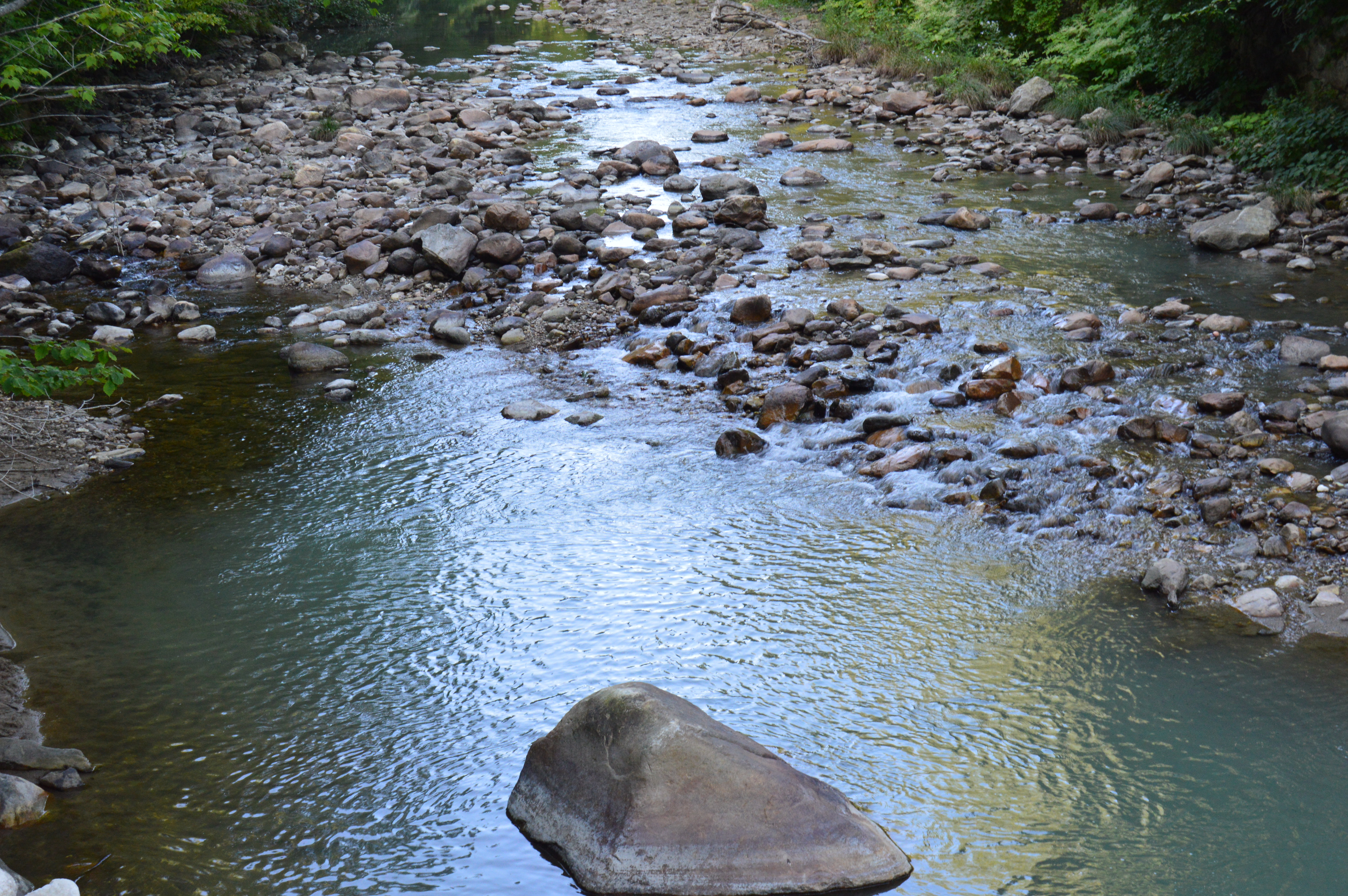
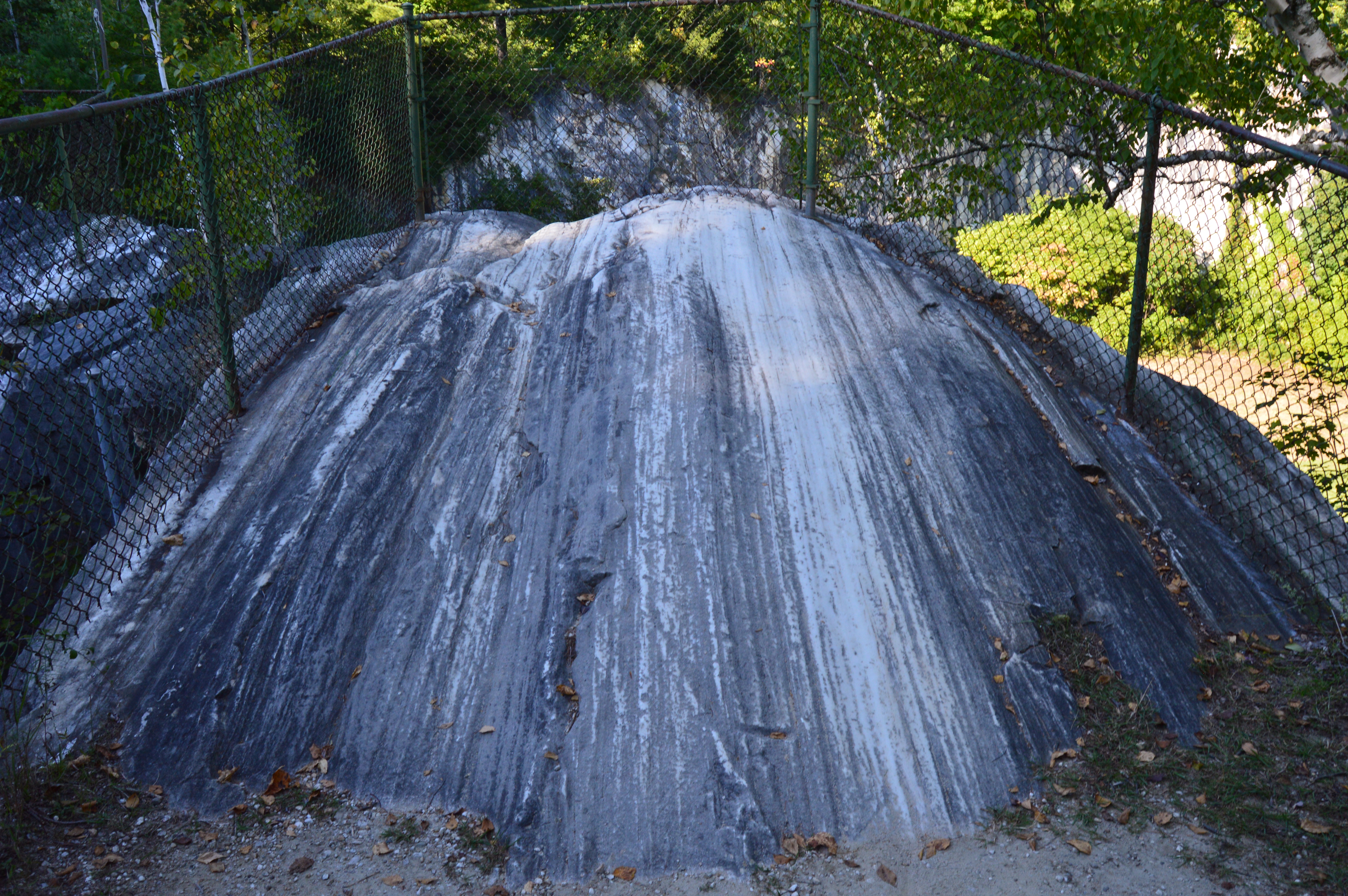
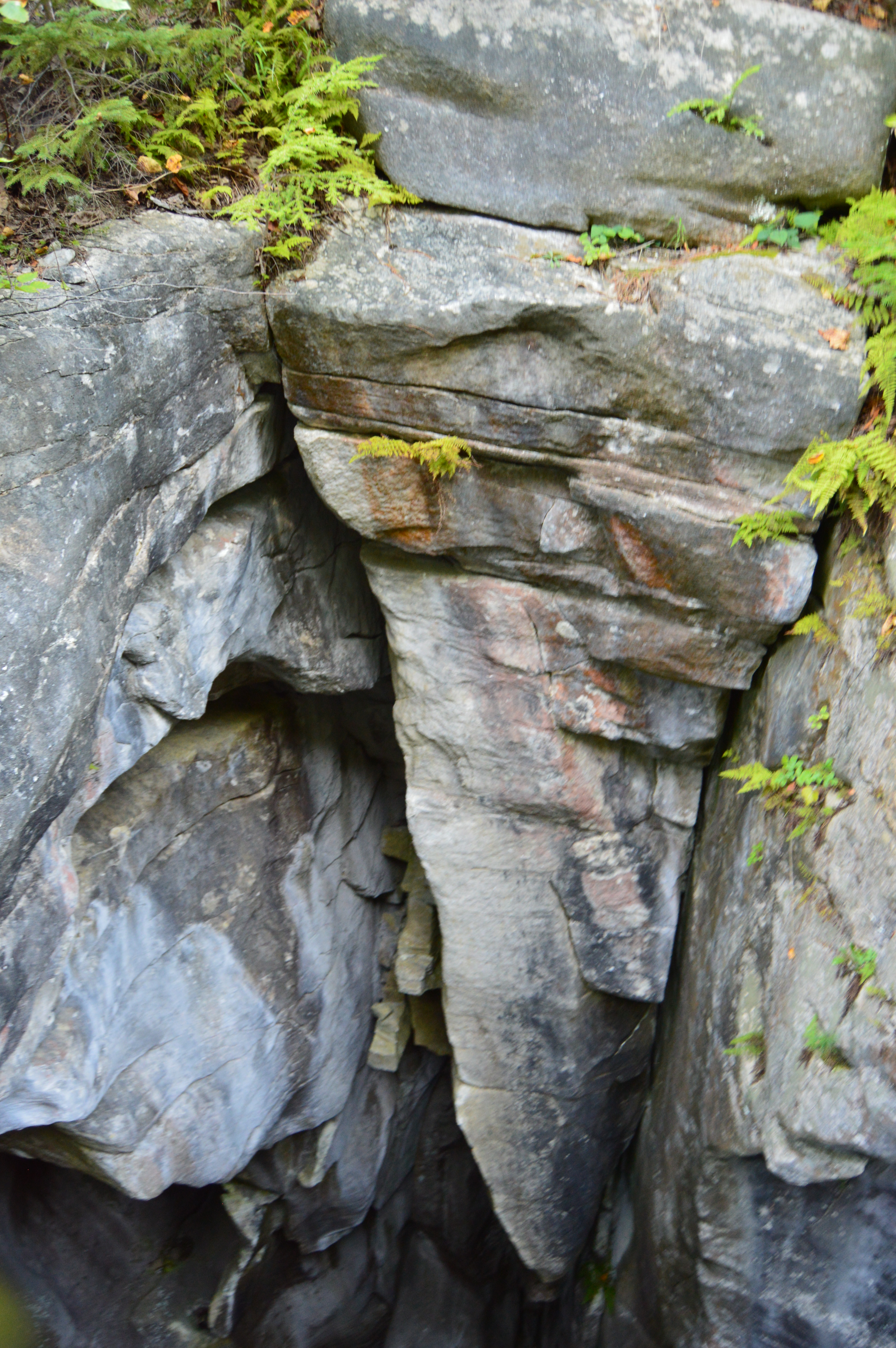
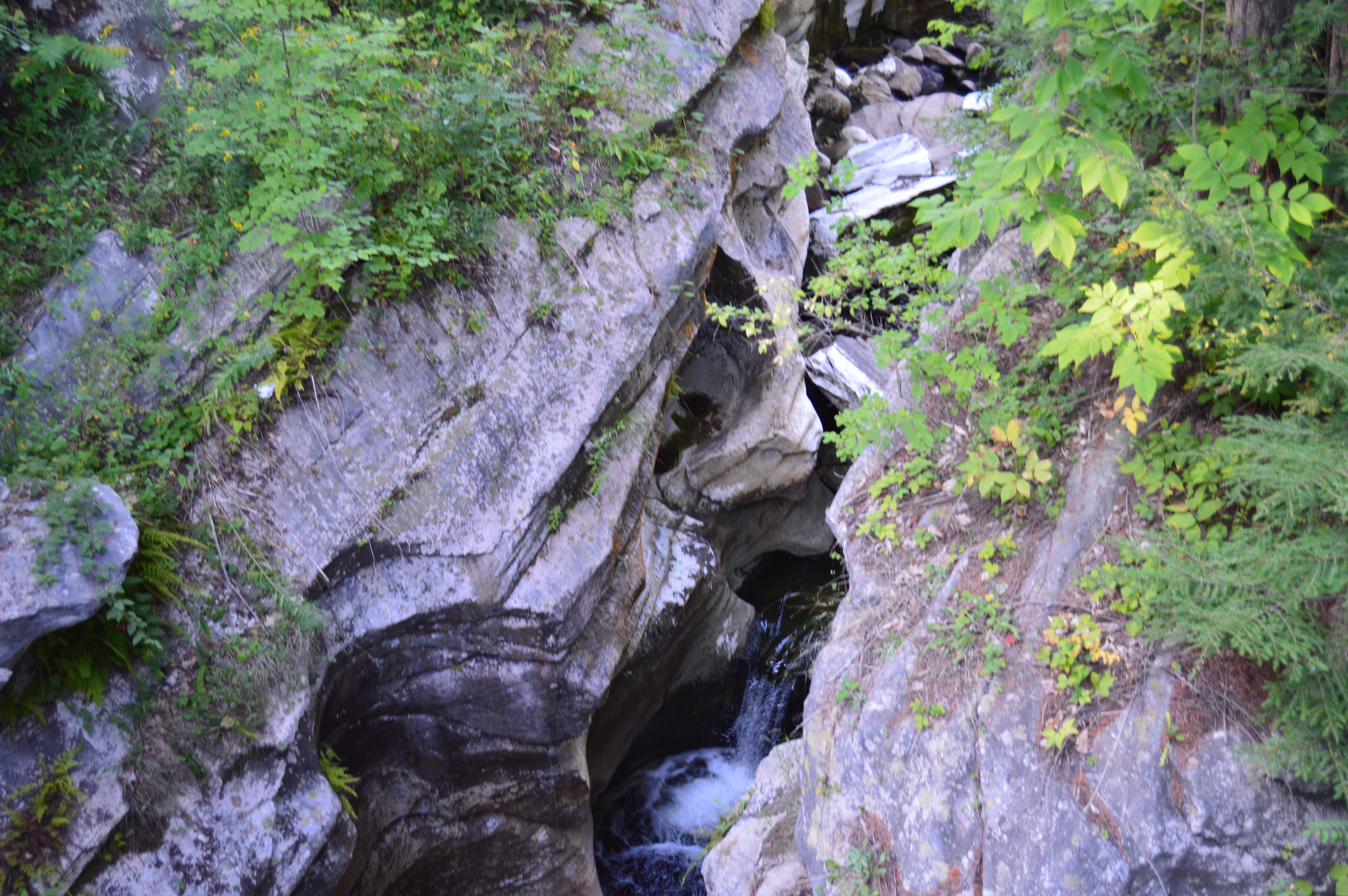
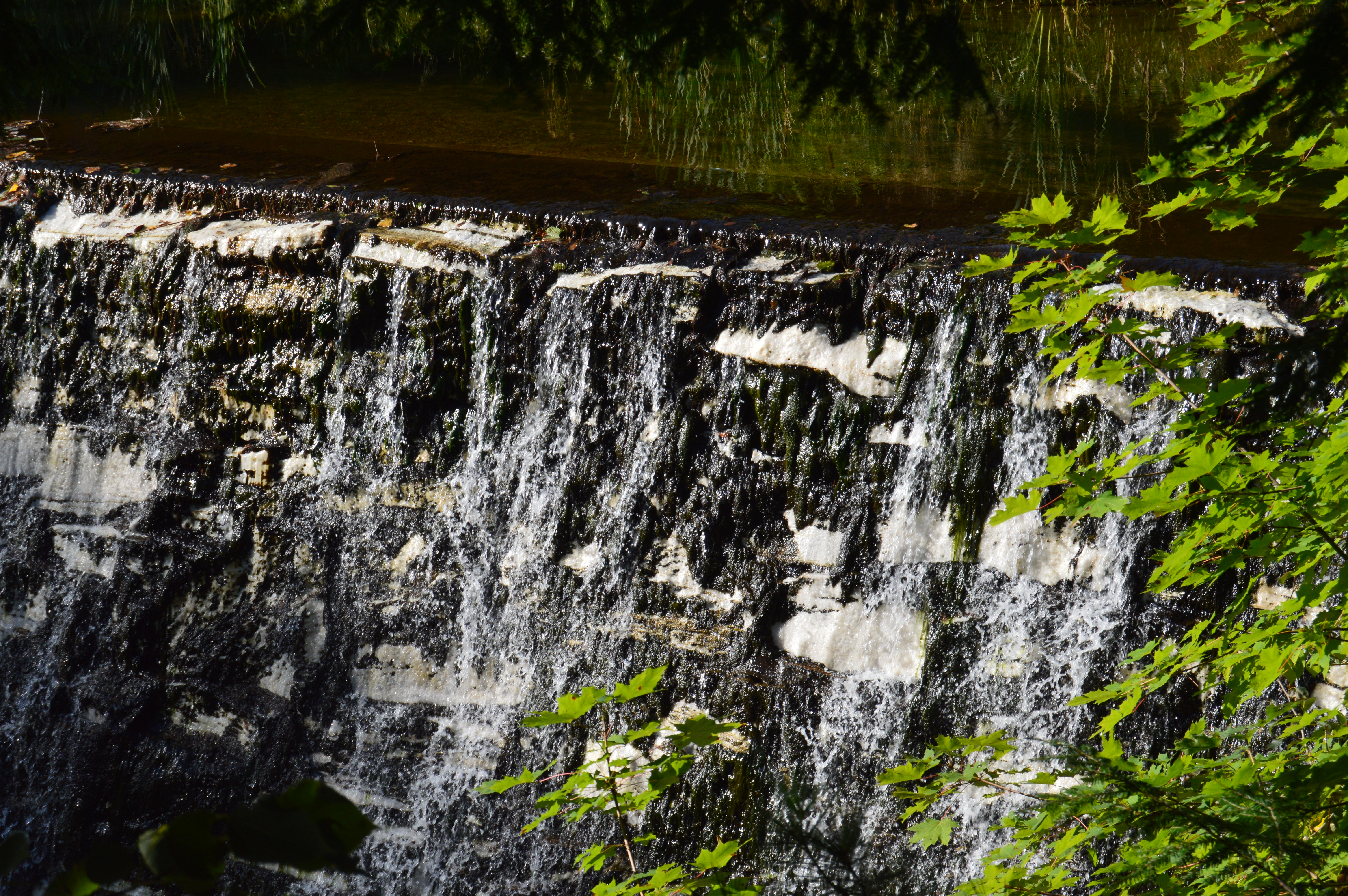
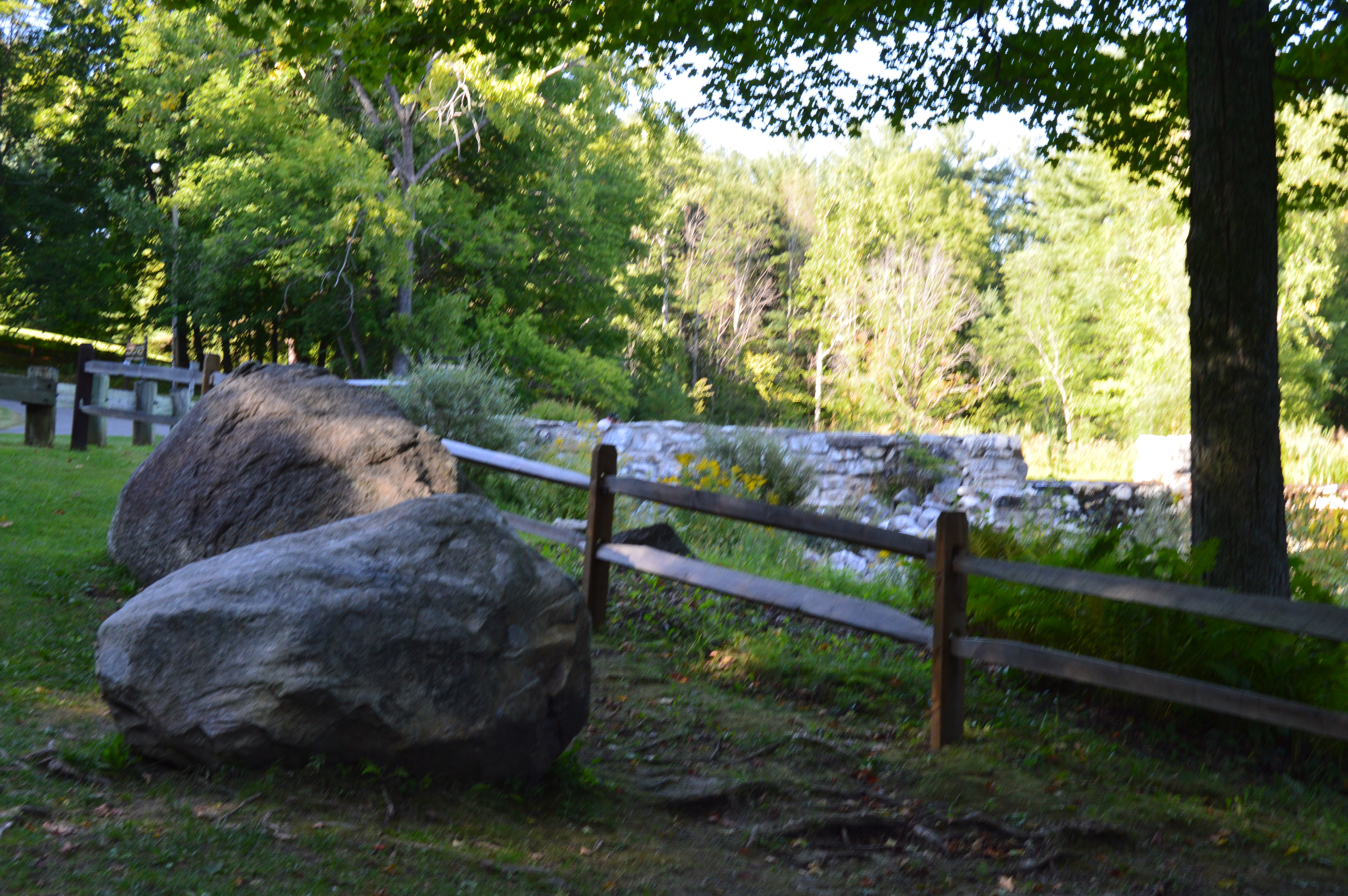
One of the many great things about the area is that after you cross the bridge there are trails and a creek which people use to fish.  I got my first two ticks of the season taking these photos, so you’re welcome!

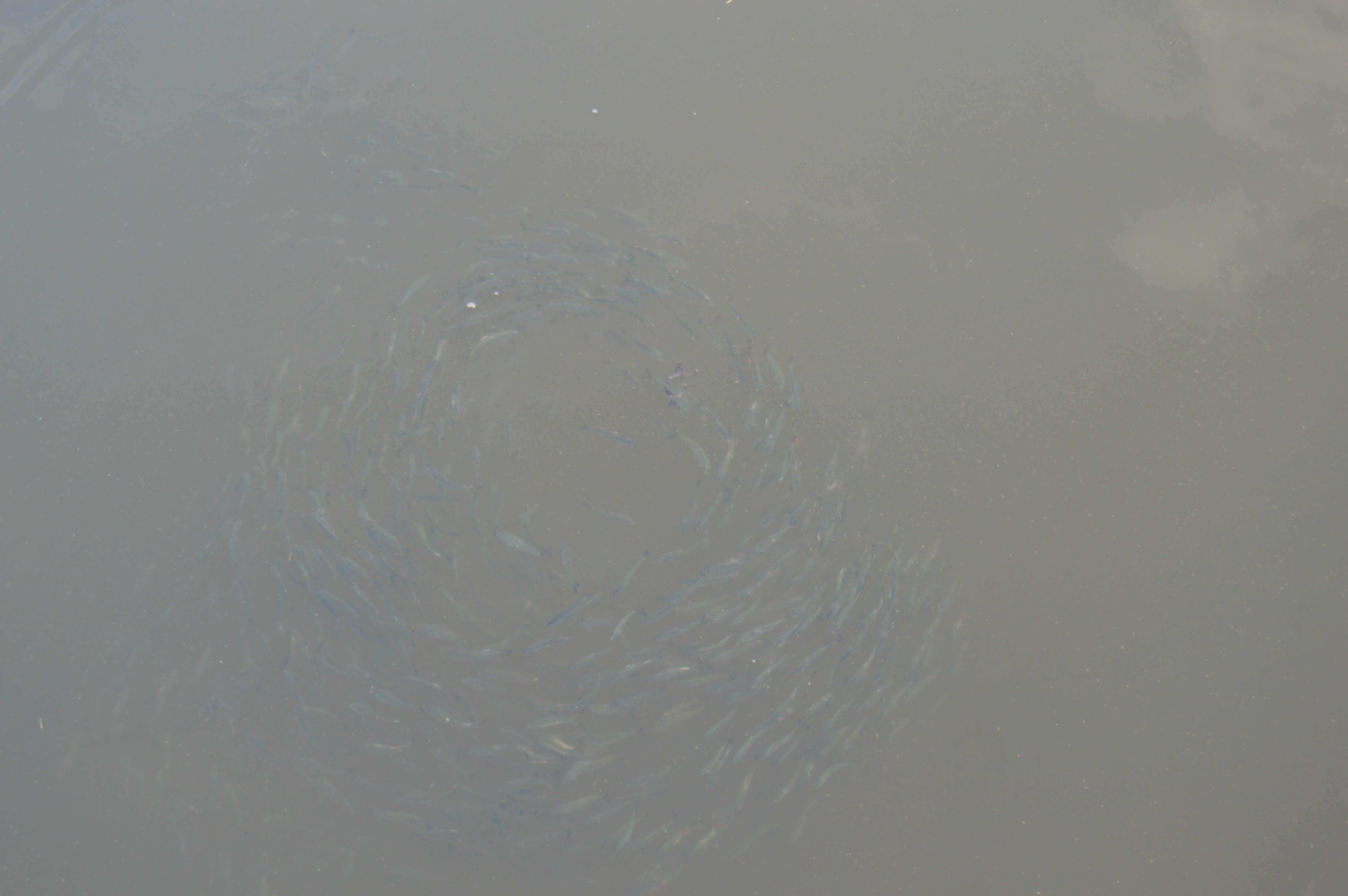
The water is green in some places and it is so clear you can see the trout and other fish that inhabit the water.

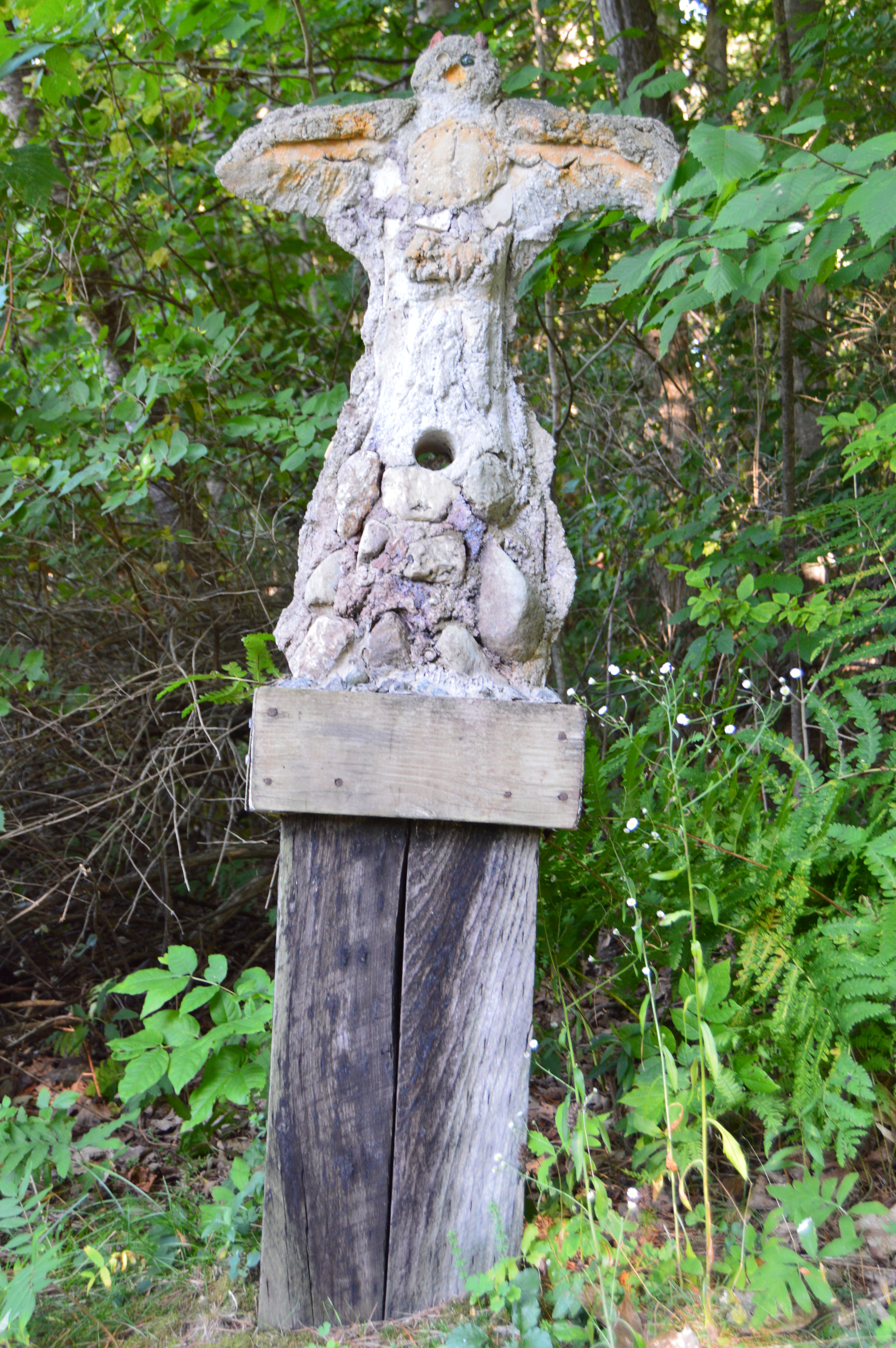
There are also a variety of bird life at Quabbin Reservoir.  I caught these titmouse on the trail (ok I laughed a little when I wrote that)

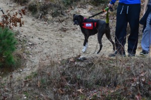
Dogs aren’t allowed at Quabbin reservoir.  I did see one dog that was “in training”, though.

DSC_0986


Amrita Island (Bourne, MA)

After spending the morning at the Cape Cod Canal, it was time for the next stop on my day trip.  The next leg of my Cape weekend tour was spent at the hidden jewel of Bourne; Amrita Island. 

To view the blog about the first leg of my Cape Cod trip check out my blog about the Cape Cod Canal.

An island in the town of Bourne, Amrita Island is one of the lesser known islands of Cape Cod.  The reason many people may not know about this island is because it looks like any other side street in the area.  The only indication there may be an island there is an inconspicuous sign you could easily miss unless you were looking for it.

DSC_0366

Amrita Island is connected to Cataumet (the village within Bourne where Amrita Island is located) by an ornate, albeit short, stone bridge.

DSC_0371

DSC_0406

DSC_0372 DSC_0373

DSC_0434

DSC_0432

There are spectacular views from the bridge.

DSC_0387  DSC_0381

But, to get the best views, you have to get off the bridge and walk around the surrounding area

DSC_0403 DSC_0402      DSC_0409  DSC_0411 DSC_0410     DSC_0382   DSC_0430

There is also an abundance of plant life and pretty trees.

DSC_0368 DSC_0436 DSC_0437 DSC_0405

There is also a variety of wildlife on Amrita Island.  Fish, ducks and birds are abundant onthe island. The fish were swarming in a circle for some reason.

DSC_0419 DSC_0415

DSC_0383

DSC_0408

I also met Hadley, a resident of the island.

DSC_0438

I will be posting the next installment of my Cape Cod trip later this weekend.  Stay tuned!

Like me on Facebook at:

New England Nomad


Natural Bridge State Park (North Adams, MA)

The bridges of Western Massachusetts are not just the ones you see on the roadways. But, don’t let the name fool you.  The Natural Bridge State Park has so much more to offer.

DSC_0915

Before you reach the natural bridge, a brook greets you at the entrance.

DSC_0920  DSC_0924   DSC_0925  DSC_0927 DSC_0929  DSC_0070  DSC_0072 DSC_0071 DSC_0074 DSC_0075 DSC_0076 DSC_0079  DSC_0077

Formed through series of continental collisions, erosion and the meltwaters caused by the Ice Age, the natural marble bridge is the only one of its kind in North America.

DSC_0950 DSC_0955 DSC_0962

Deep crevices and chasms were carved through the years of erosion and warming and cooling.

DSC_0960   DSC_0963   DSC_0968 DSC_0972 DSC_0971 DSC_0969   DSC_0978  DSC_0976 DSC_0961 DSC_0958

The only marble bridge in North America, the natural bridge in North Adams is located just off the The Mohawk Trail. 

Adding to the beauty of the natural bridge, the park has a waterfall.

DSC_0003  DSC_0001 DSC_0004  DSC_1014    DSC_0983  DSC_0978

The Natural Bridge State Park also has impressive views of the bridge and the park it overlooks.

DSC_0954

DSC_0942    DSC_0940  DSC_0935  DSC_0931         DSC_1007  DSC_1009       DSC_0010  DSC_0046          DSC_0053  DSC_0051   DSC_0055

There are many flowers, trees, rocks, bridges (a bridge on a bridge of all things) and even David’s Bench that give the Natural Bridge State Park a special charm.

DSC_0934

DSC_1000 DSC_0999   DSC_0981 DSC_0916   DSC_0944

DSC_0989DSC_0992  DSC_0980

During our travels, we met Sasha.

DSC_0057

Just as you think you’ve seen all the Natural Bridge State Park has to offer there is a small park area atop the walking bridge.  Statues and other structures made from the materials mined from the one time quarry rest along the top of the lofty bridge.  It capped off a perfect visit.

DSC_0015    DSC_0018 DSC_0021  DSC_0019  DSC_0028  DSC_0030 DSC_0027   DSC_0022  DSC_0039  DSC_0036