Category Archives: views

Pawtuckaway State Park (Nottingham, NH)

Date visited: December 12, 2015

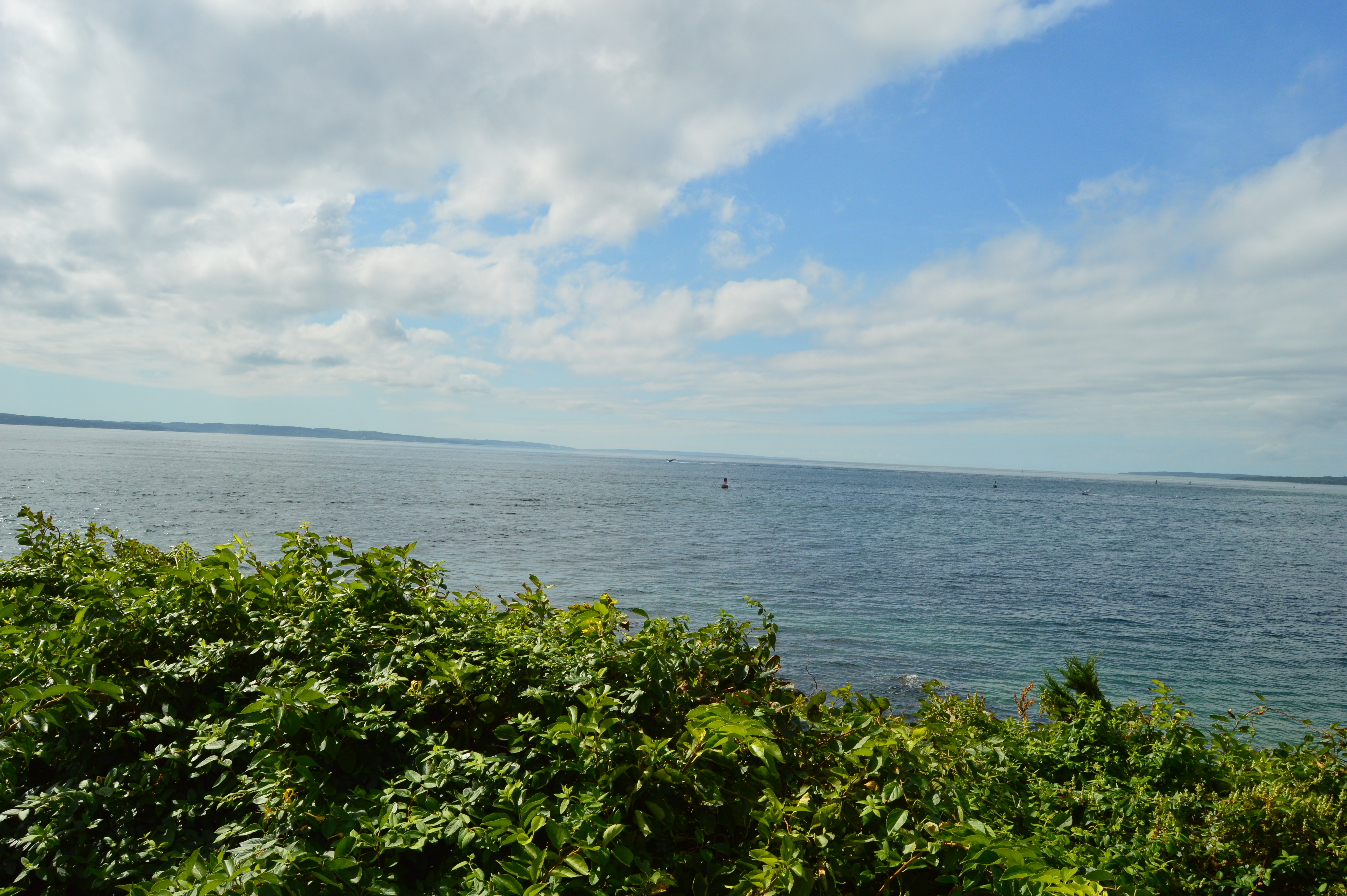
As fall made one more last gasp, I took advantage of the unseasonably warm (50 degrees) weather and made my way up north to the picturesque Pawtuckaway State Park in Nottingham, New Hampshire.

DSC_0130

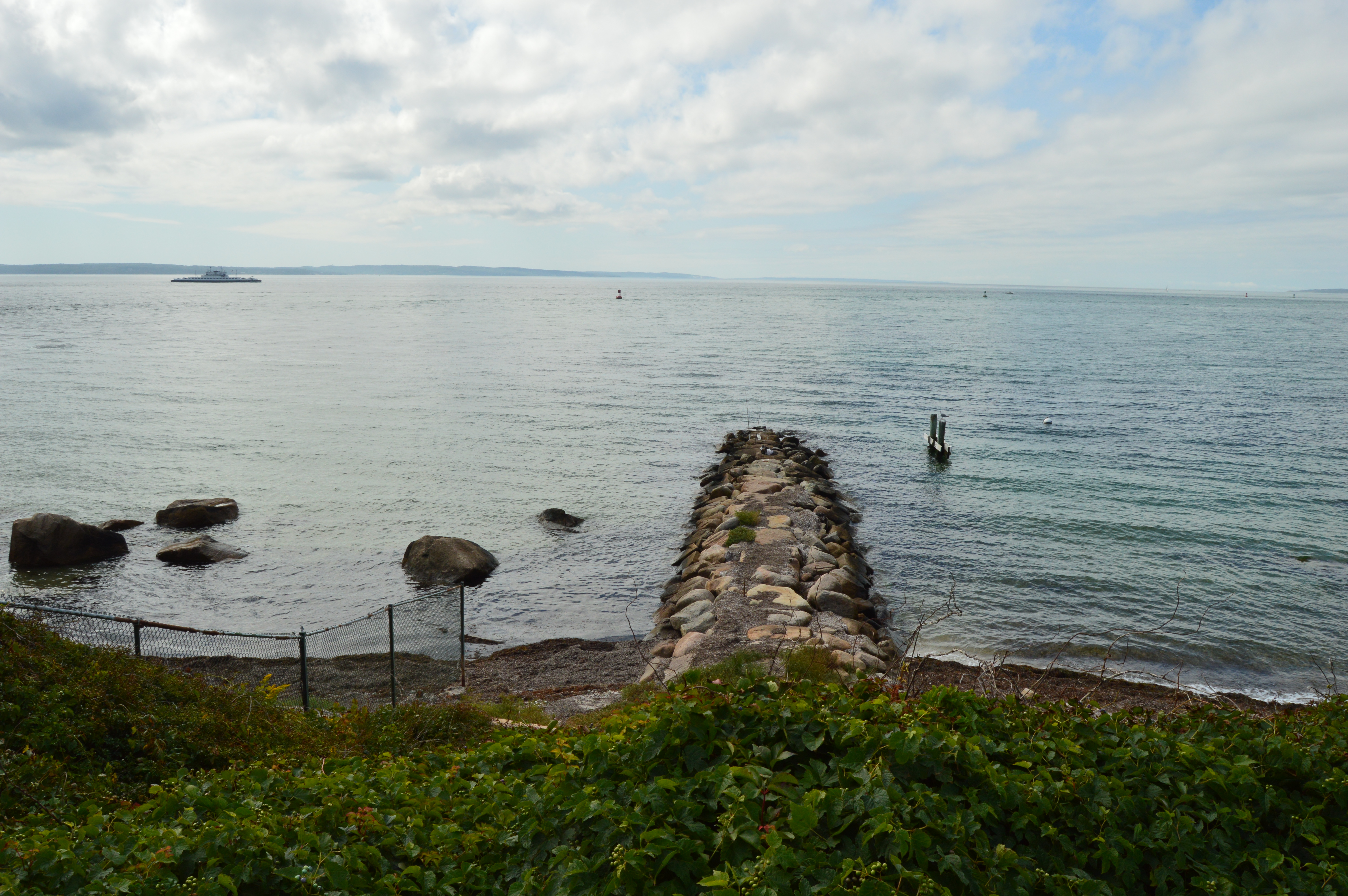
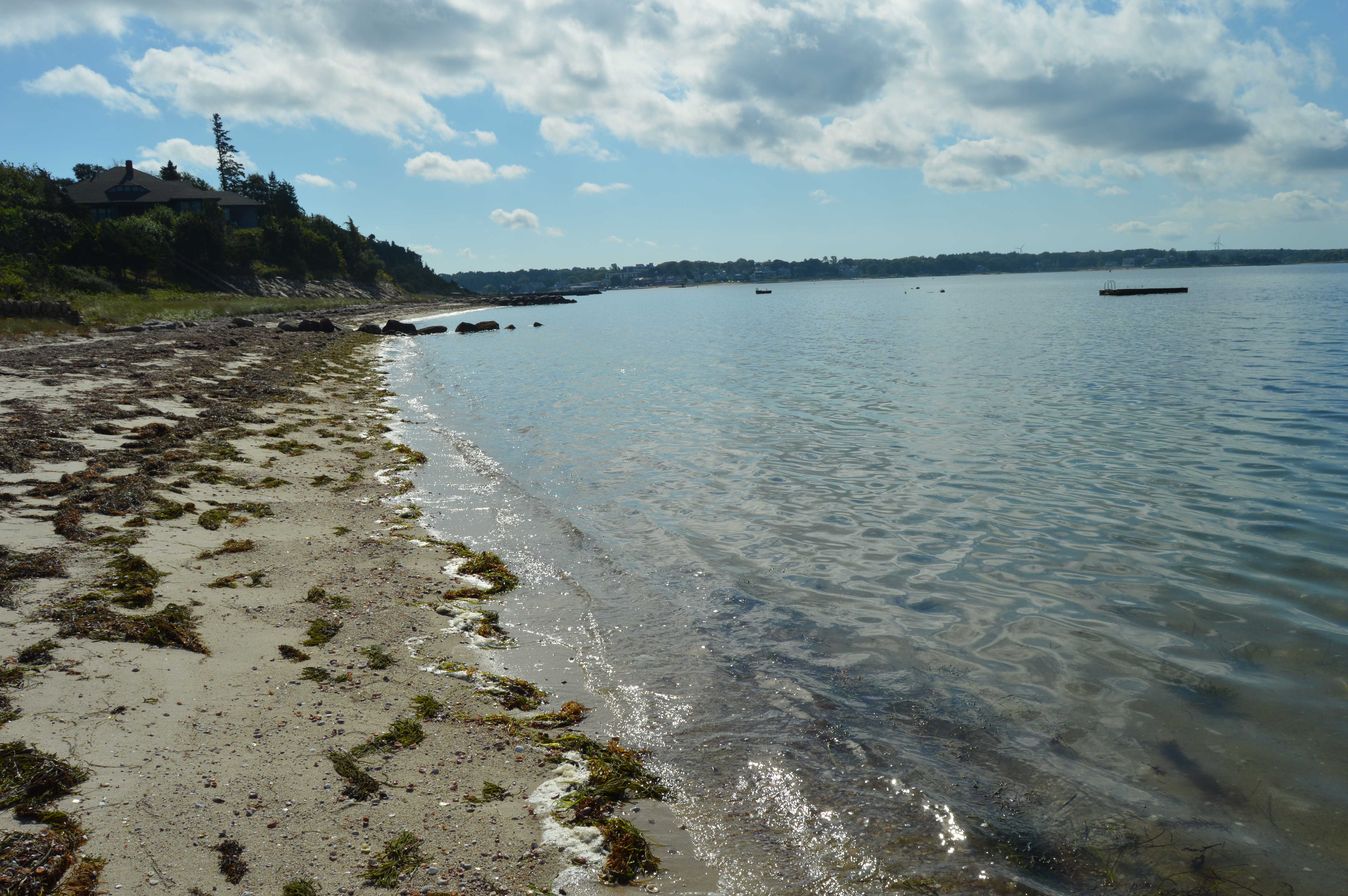
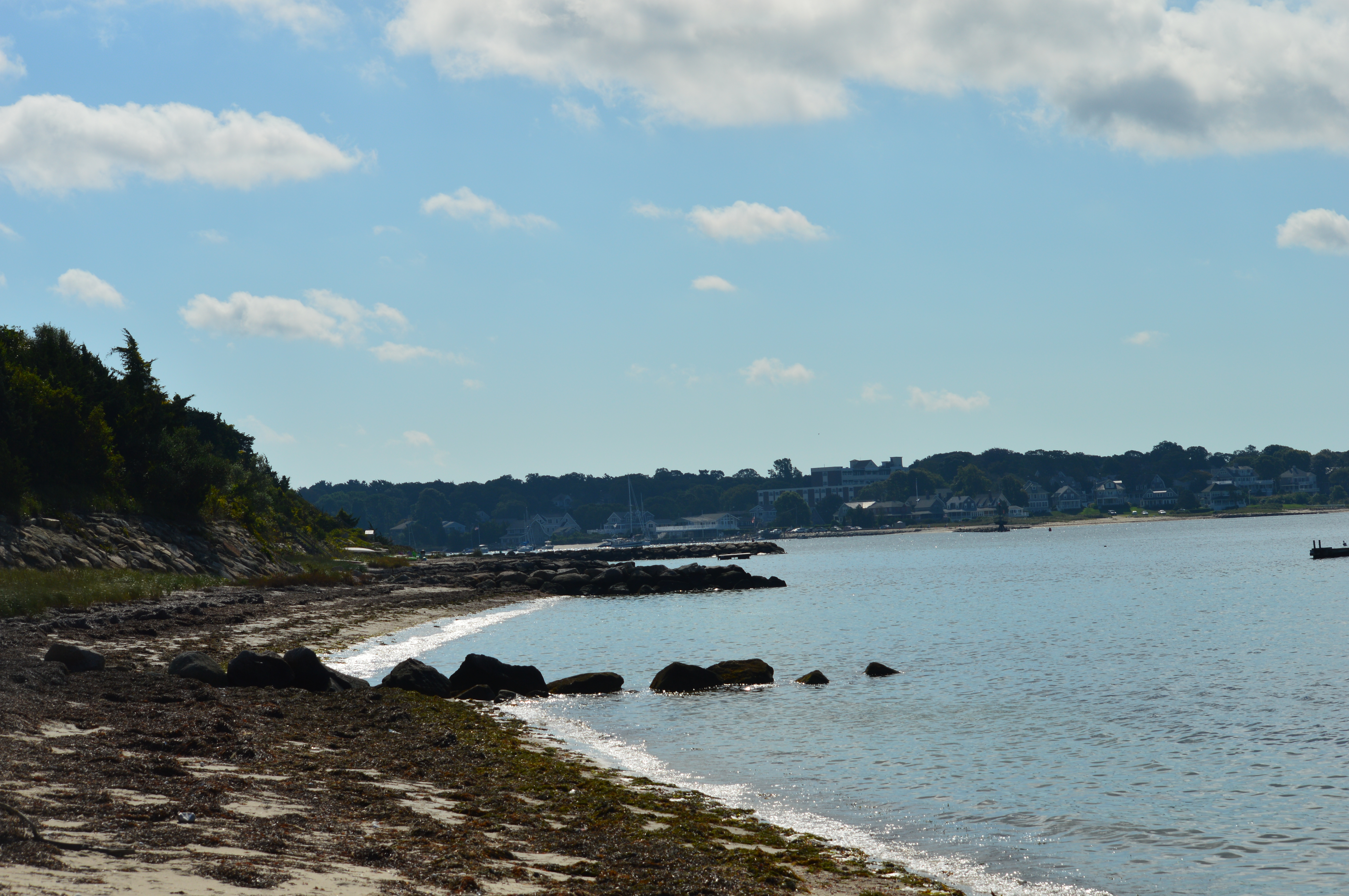
Located about an hour and a half north of Boston, MA, Pawtuckaway is a 5,000 acre preserve with a camp site, lakes, a beach, a spectacular view of the Pawtuckaway Mountains and 15 miles of trails.  The parking lot is pretty big so parking shouldn’t be a problem if you get there early in the day during the spring and summer.  There were only 4 cars there when I went in December.   It costs $5 for adults and $2 for children ages 6-11.  It is free when it is not staffed (from 11/2 until 5/1).  The park hours are 8 am-7 pm.

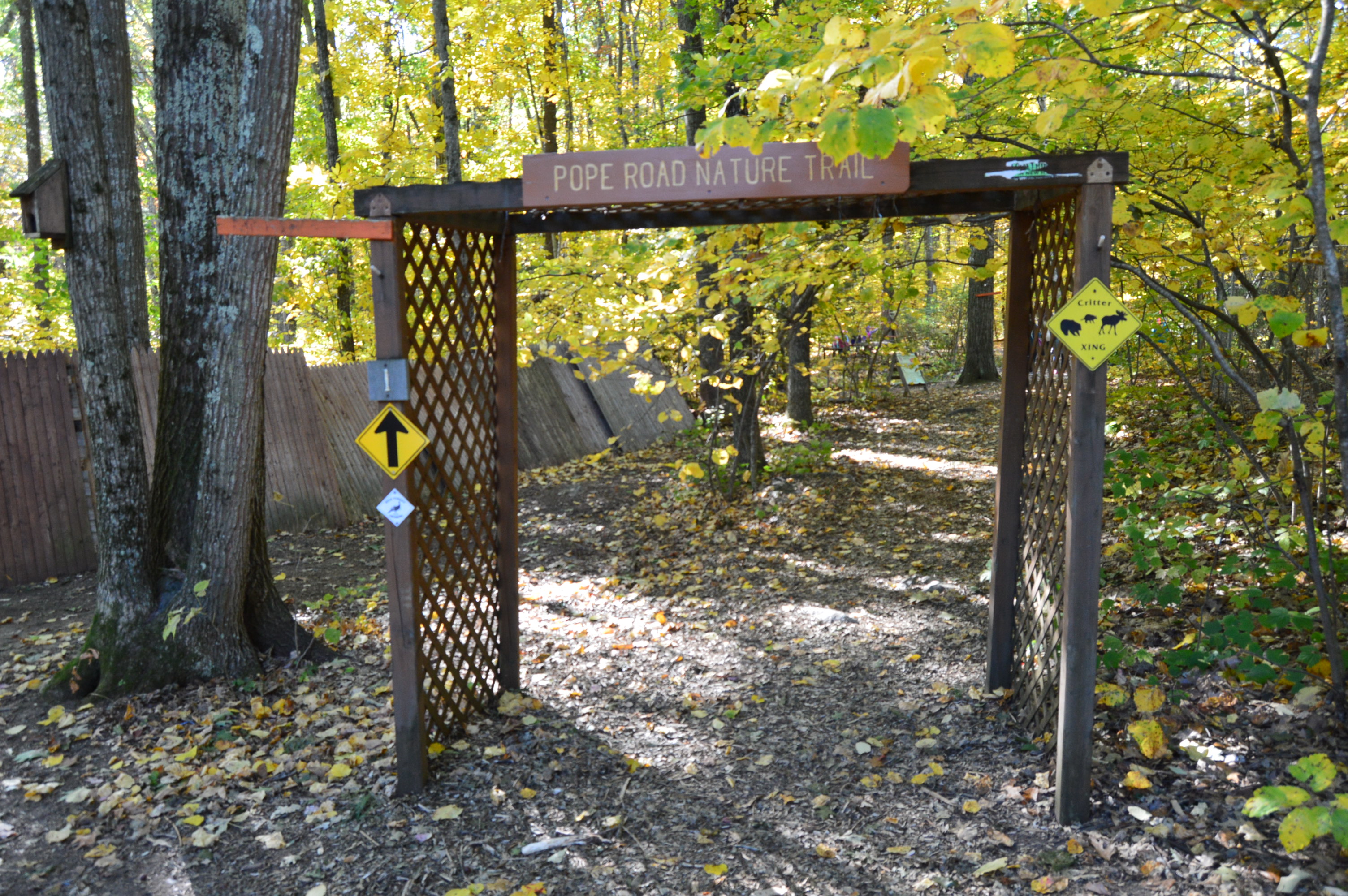
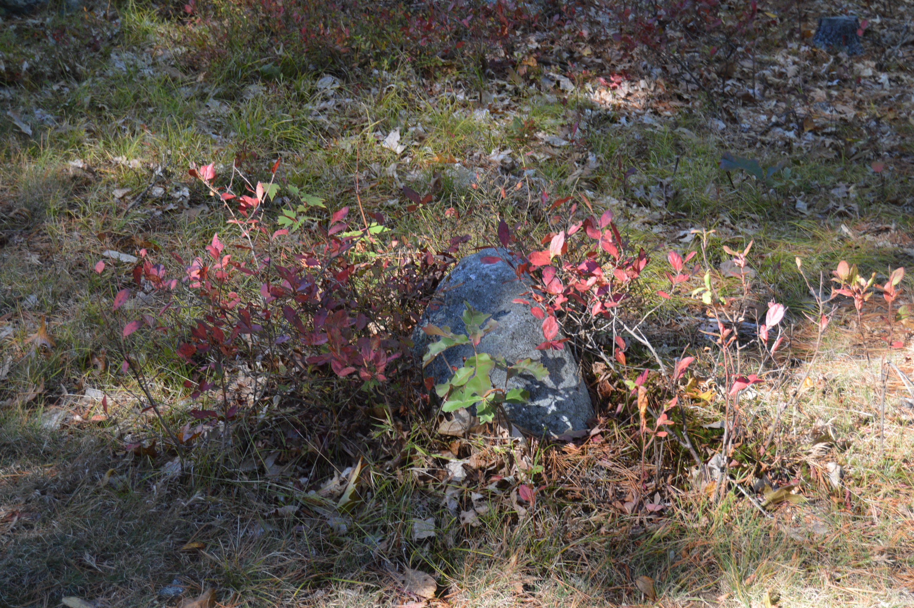
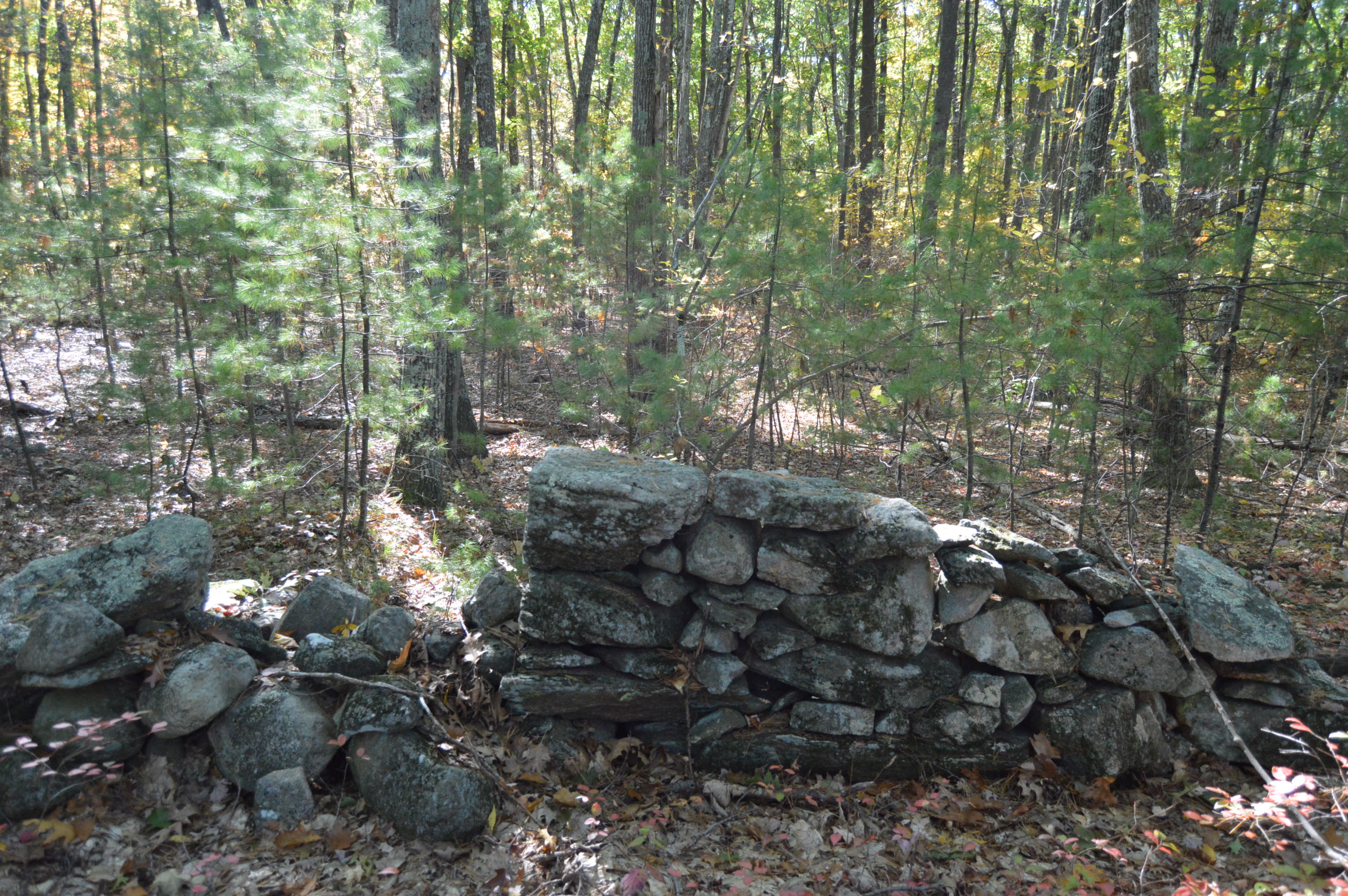
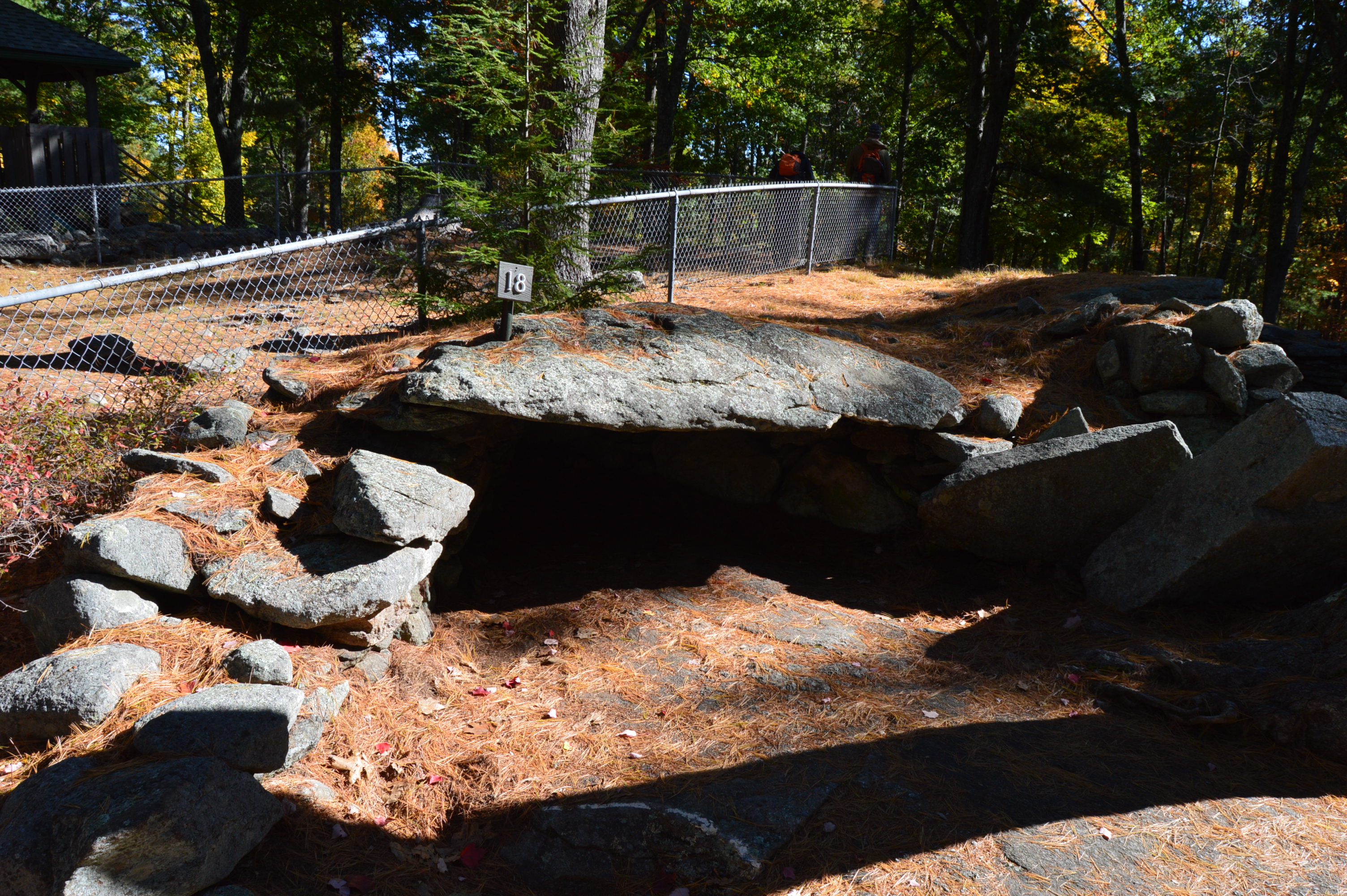
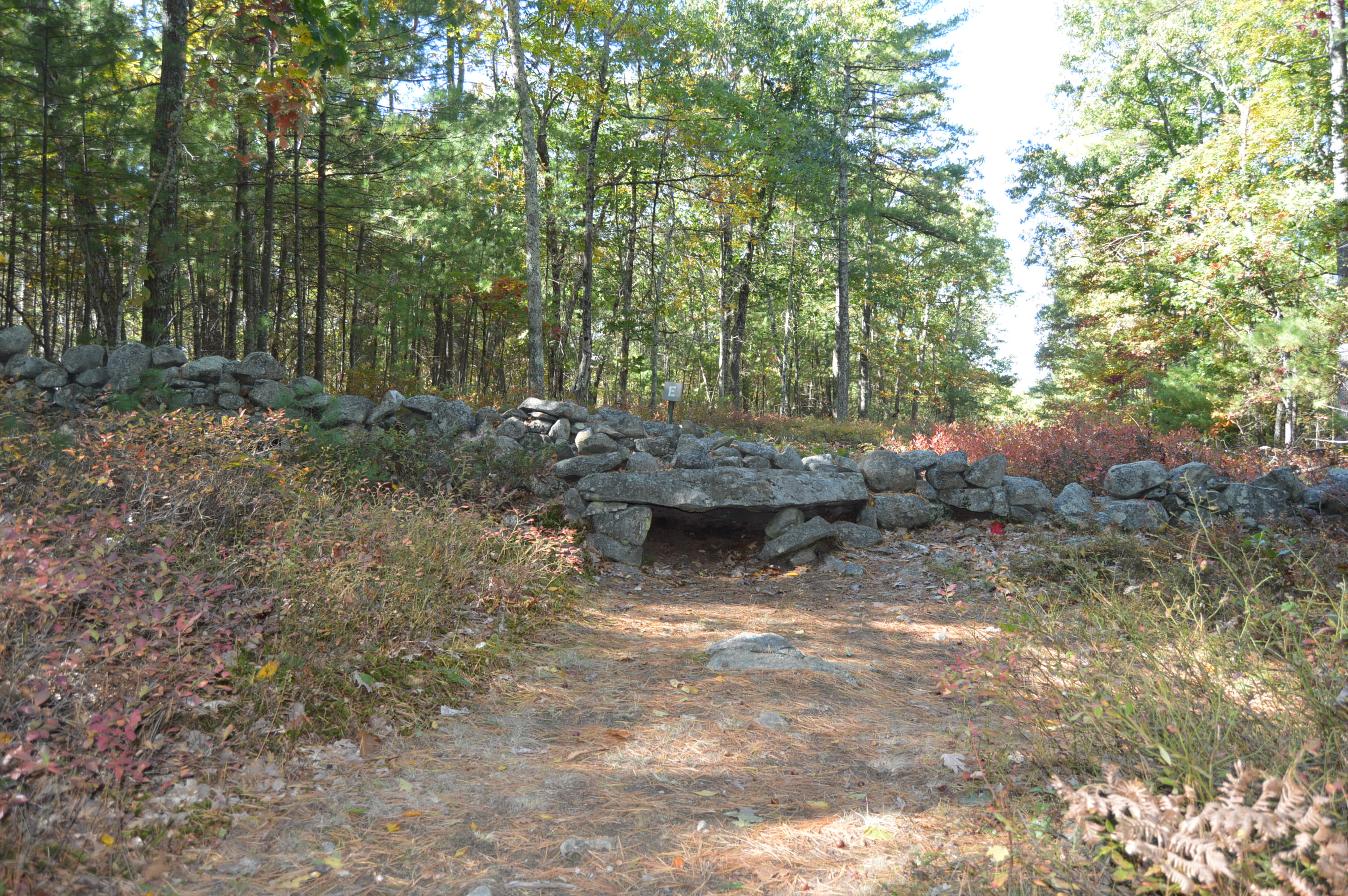
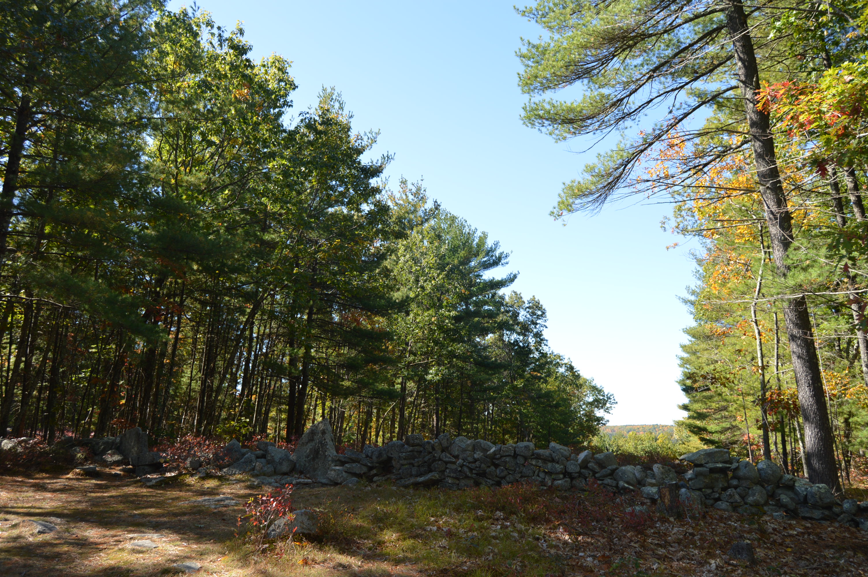
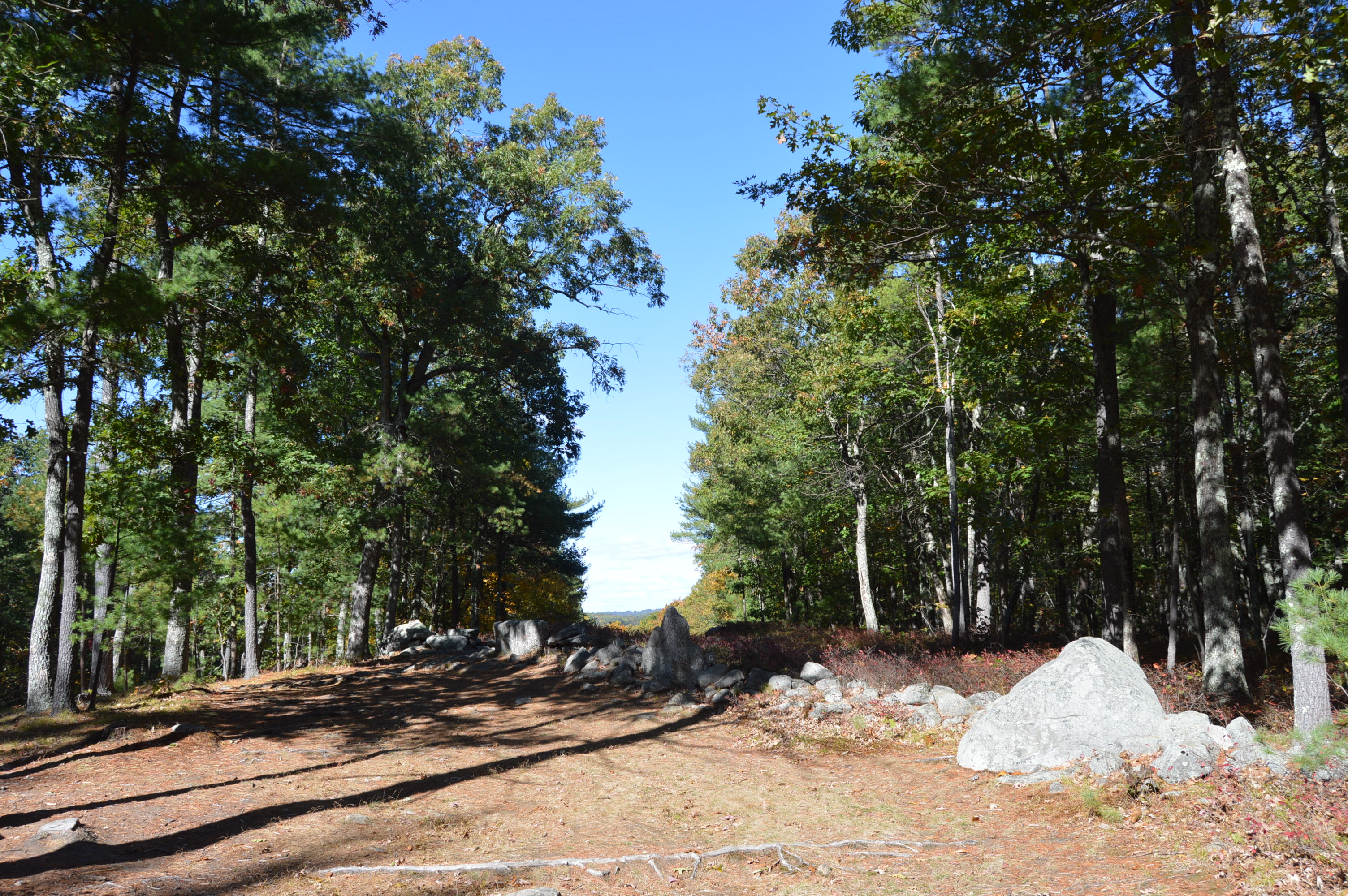
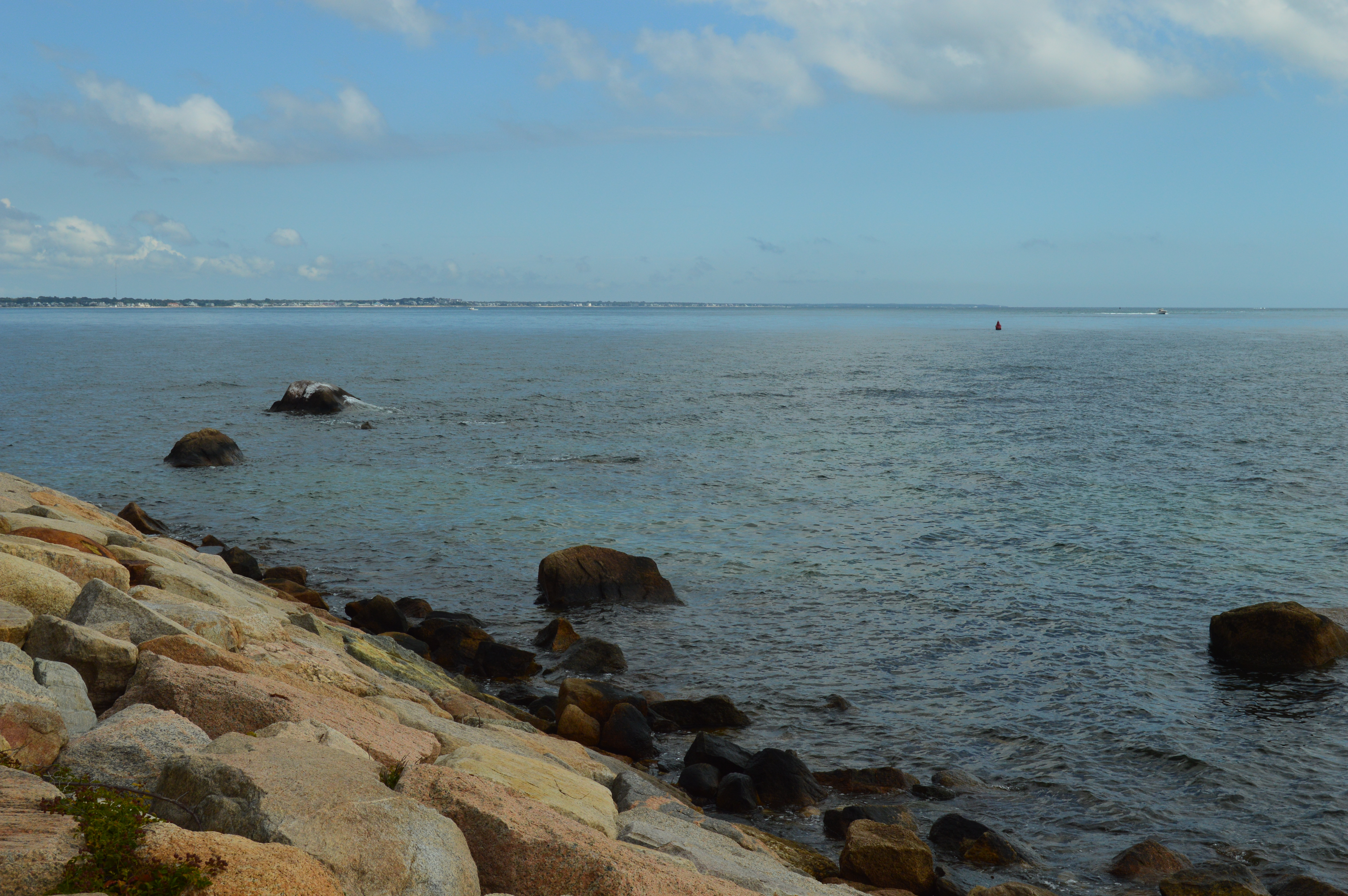
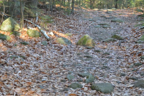
The trails can be challenging not so much because of their inclines, which can be tricky at parts, but because of the rocks which are randomly placed throughout the trails.  They can come in handy, though, when you have to cross the puddles along the trails.

DSC_0336

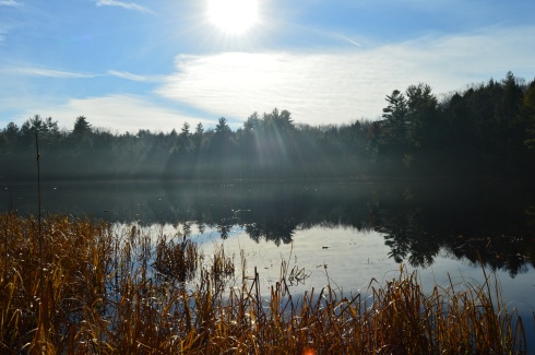
I arrived at Pawtuckaway early in the morning.  Mist and frost was still visible on the way to the lake.

DSC_0079

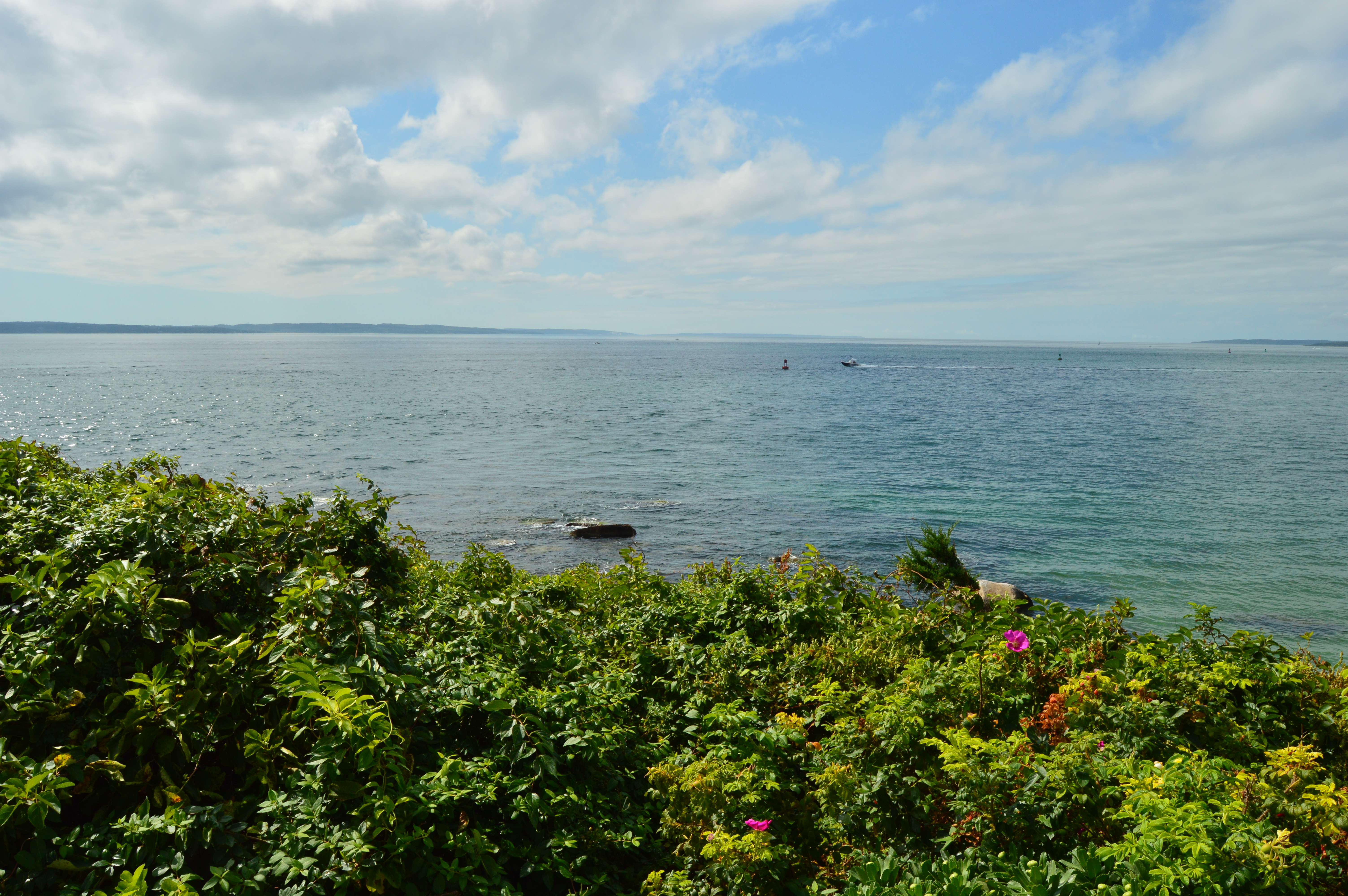
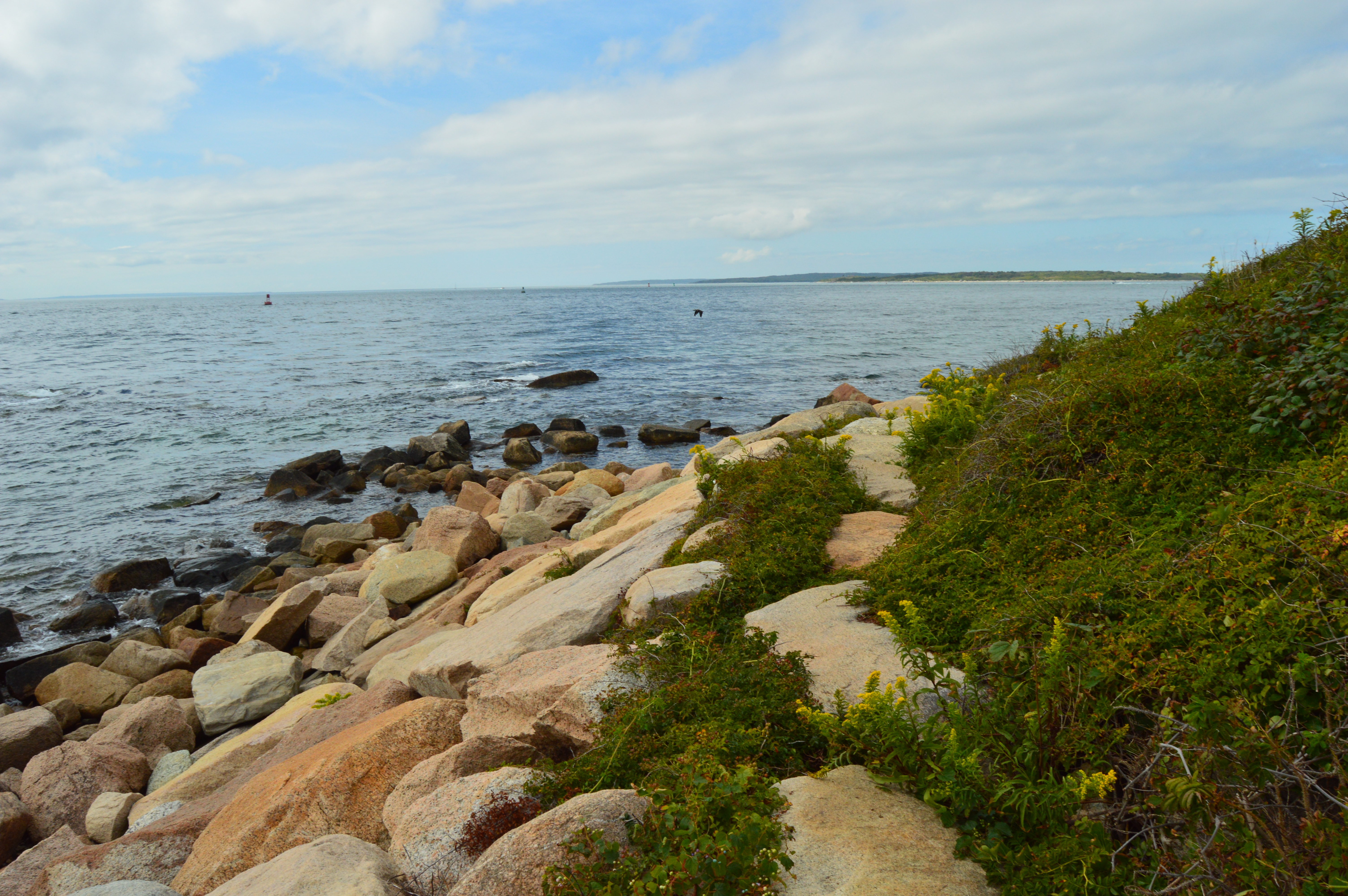
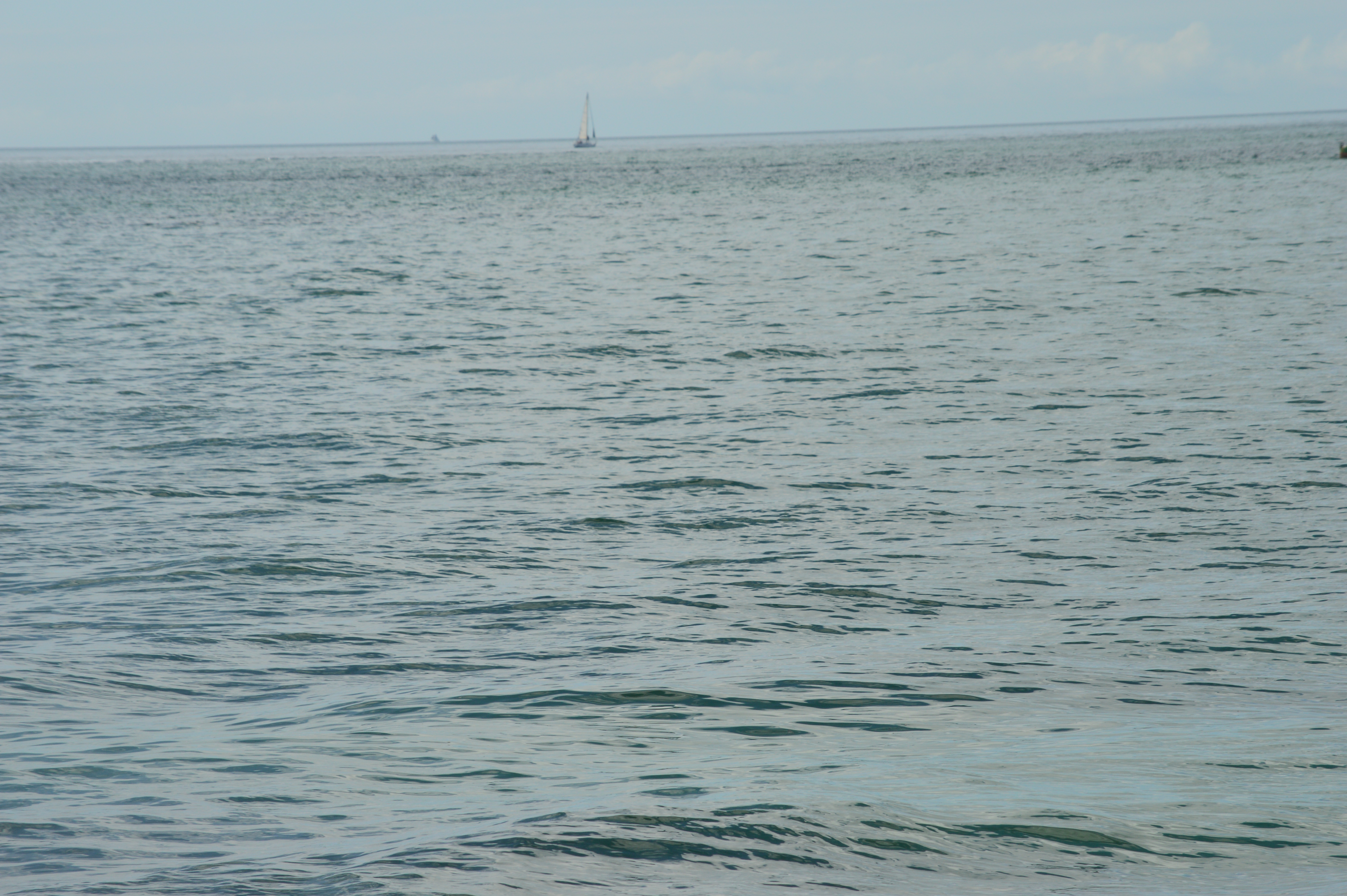
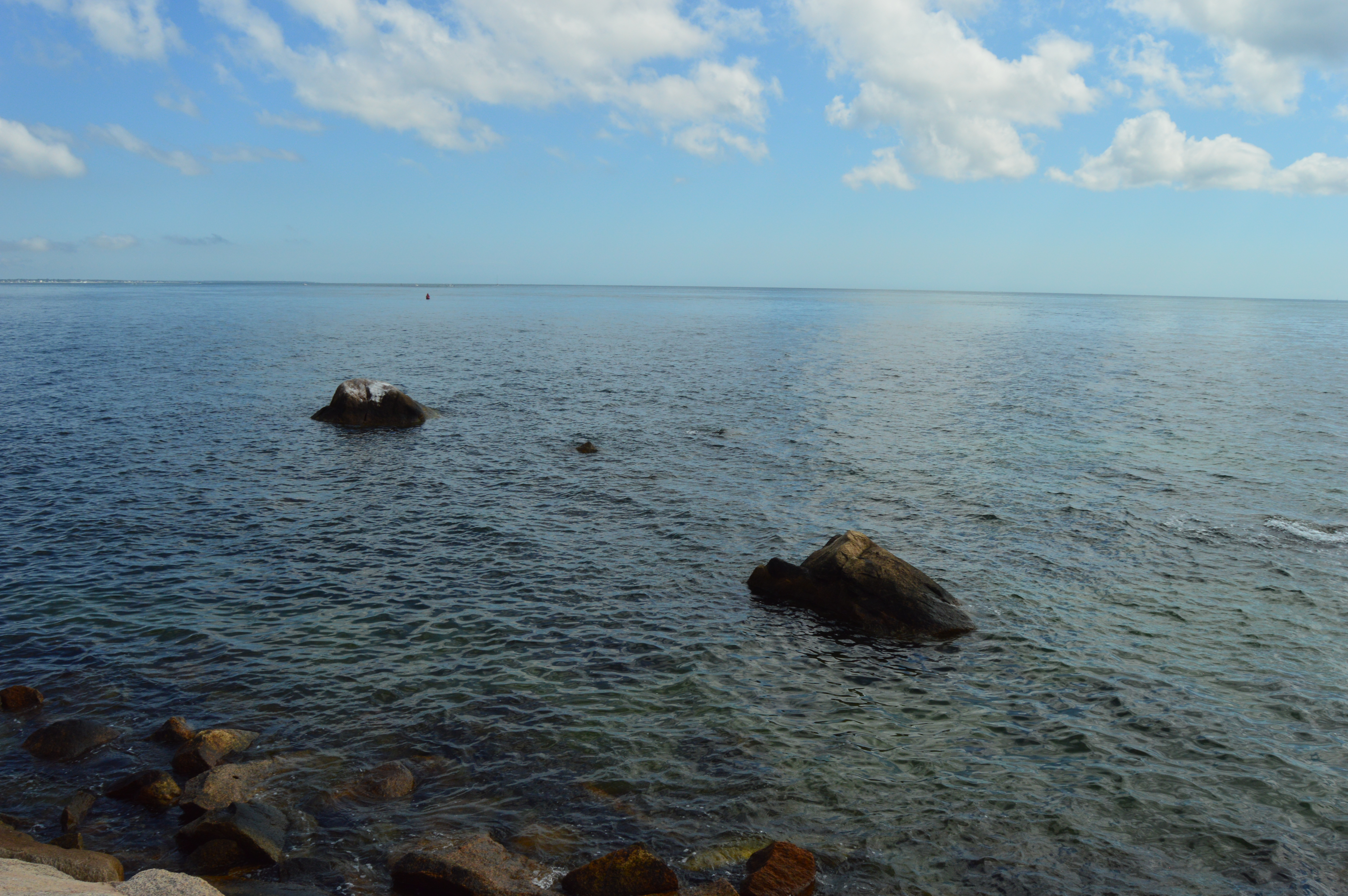
Looking into the pond was like looking into a mirror.

This slideshow requires JavaScript.


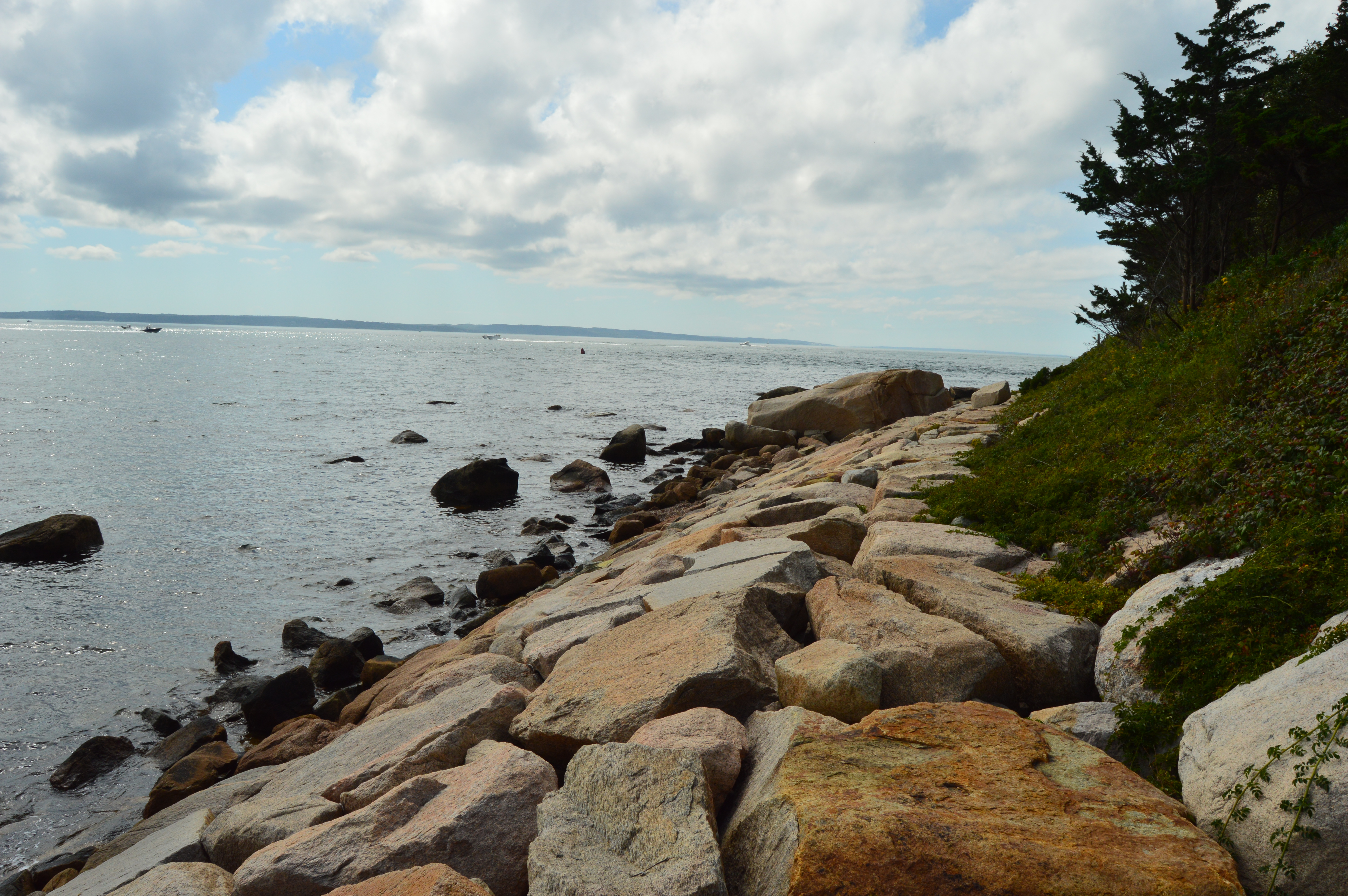
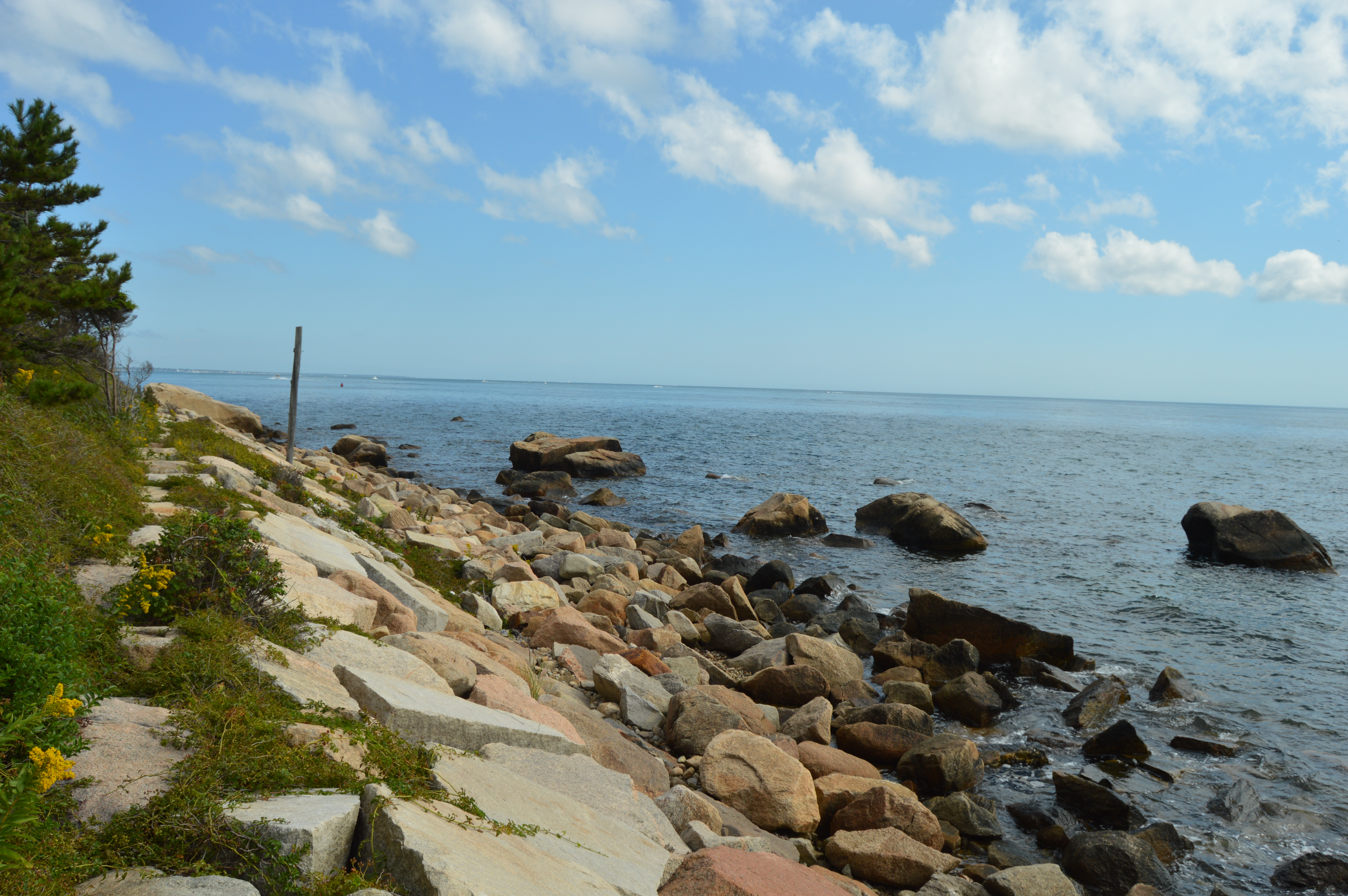
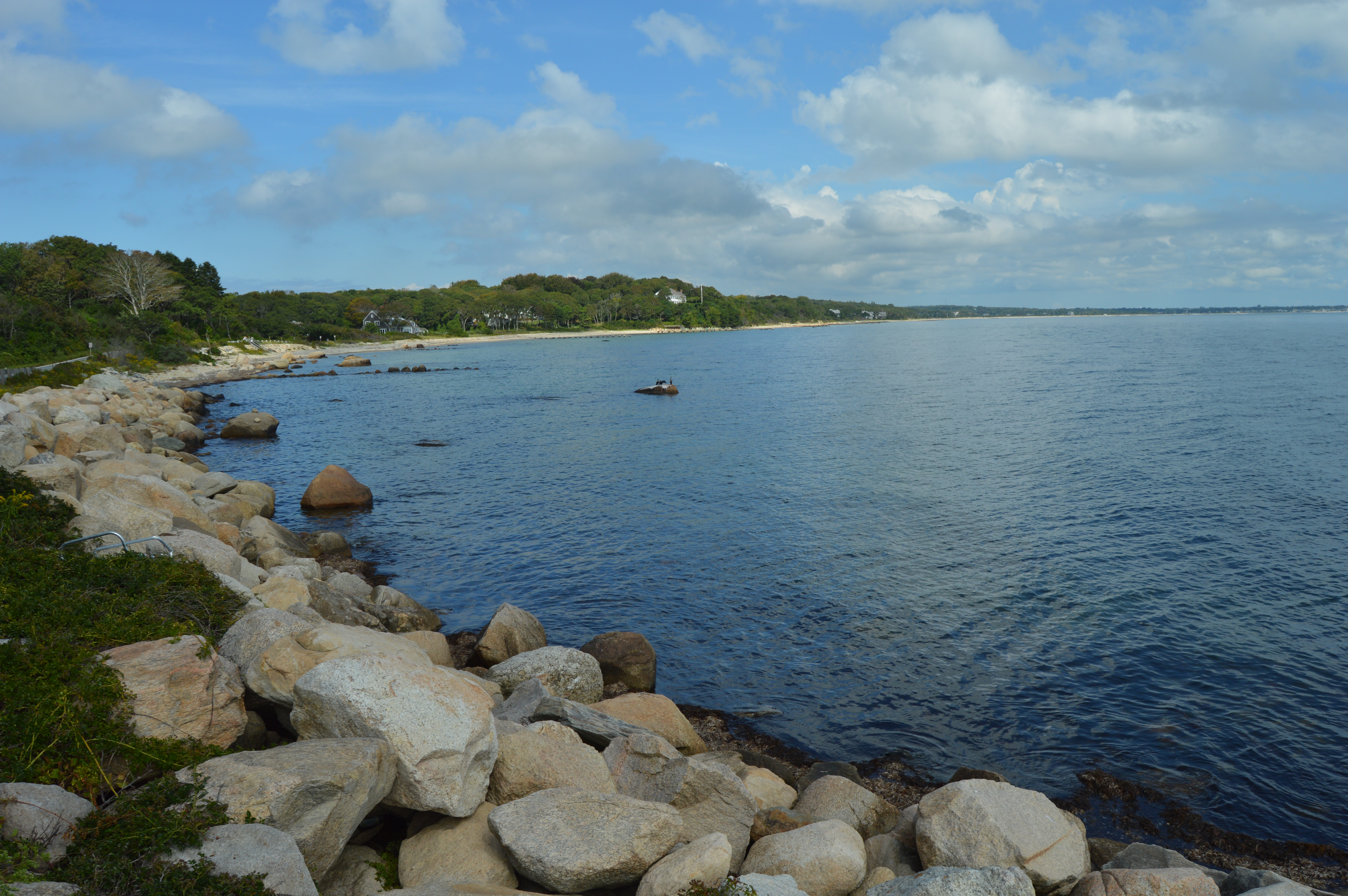
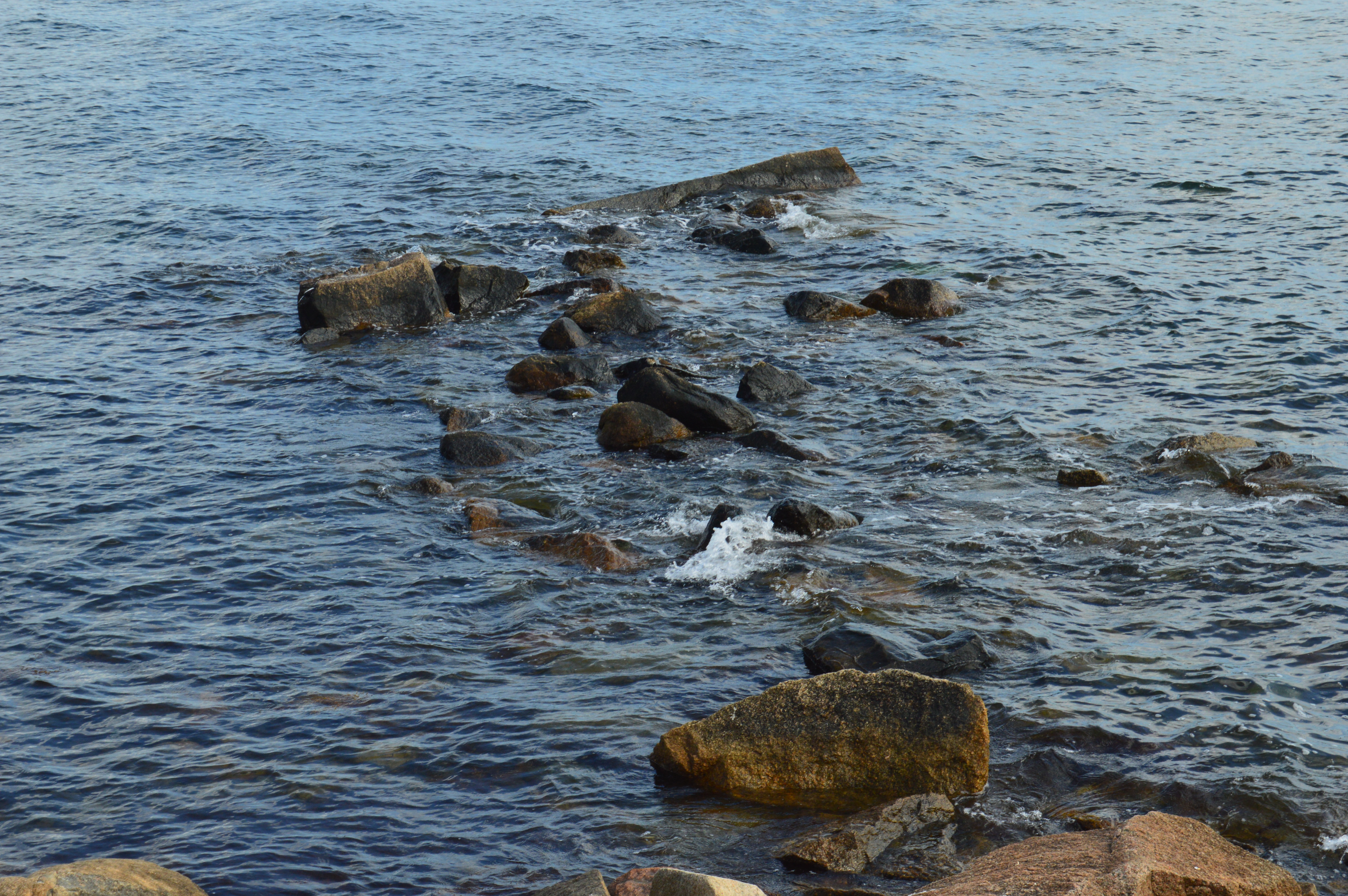
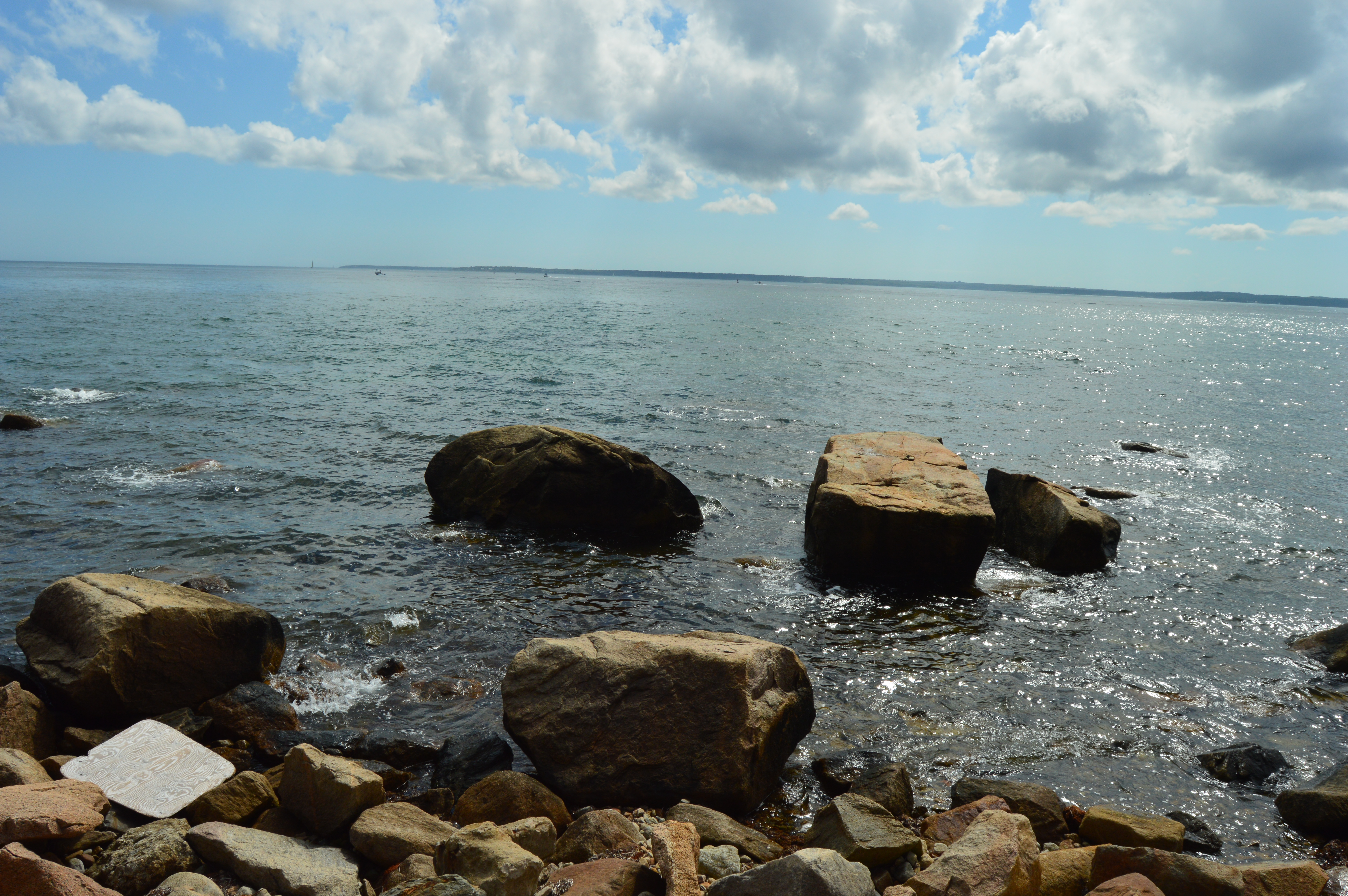
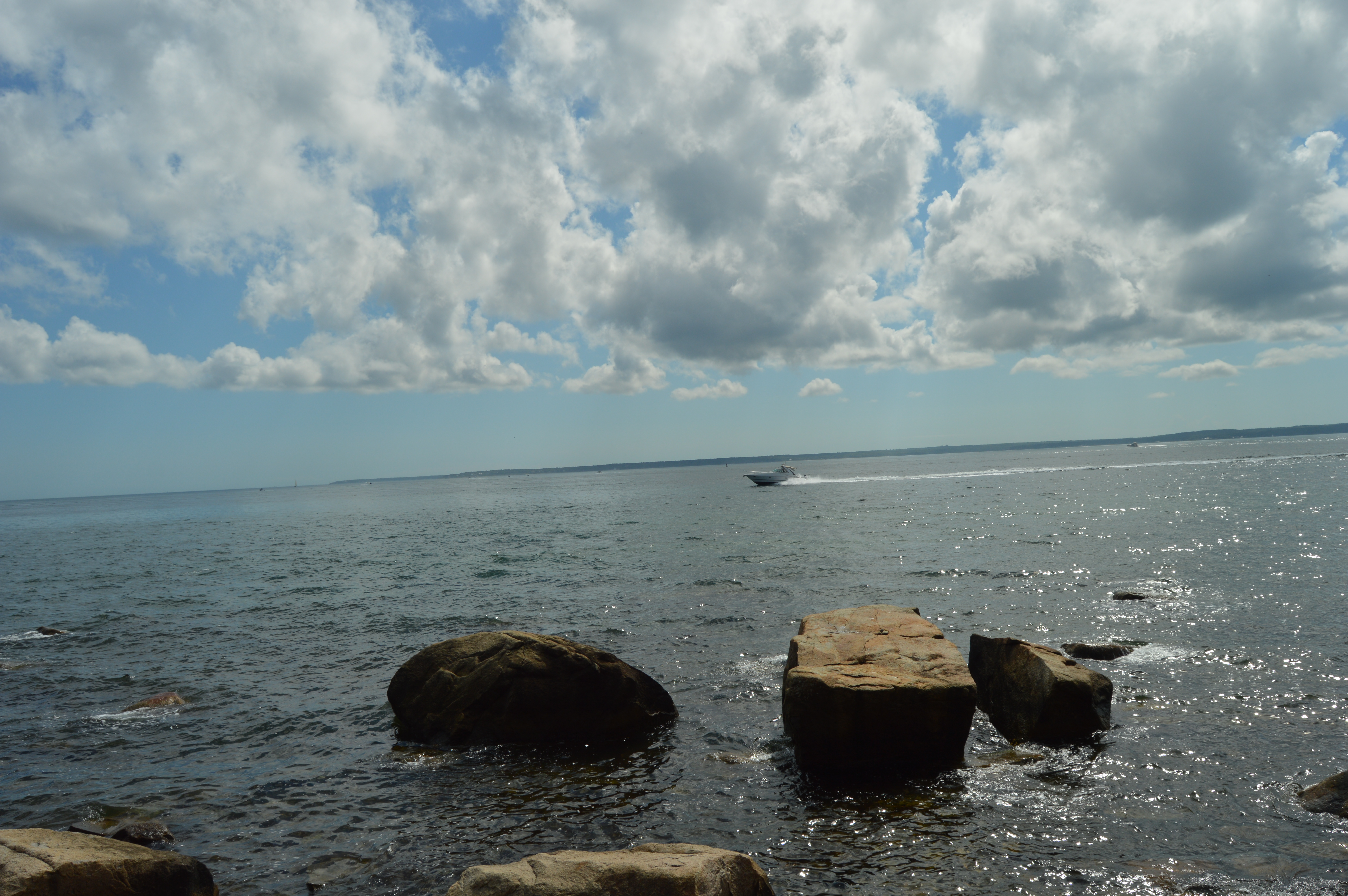
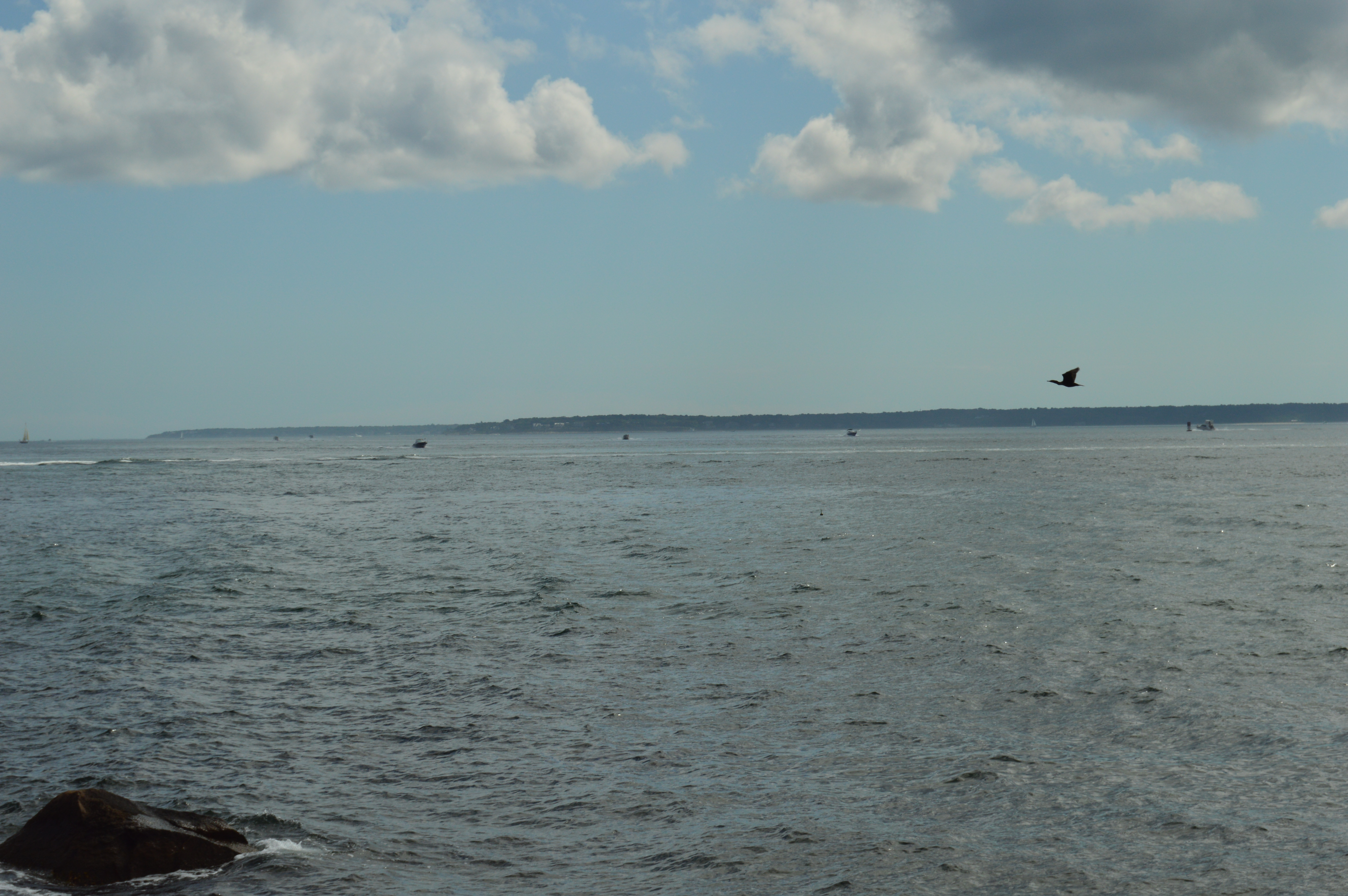
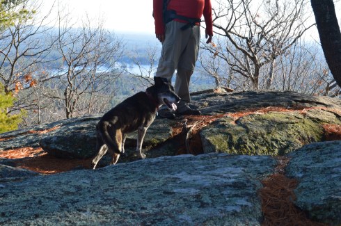
The views from the rocks trail on the Fire Tower make the long ascent (about 3 miles from the entrance) worthwhile.

This slideshow requires JavaScript.

The fire tower is located a short distance (about a quarter of a mile) from the rocky ledge with all of the beautiful views.

While I preferred the views from the ledge, the fire tower offered views from every angle and both sides of the vista.

This slideshow requires JavaScript.

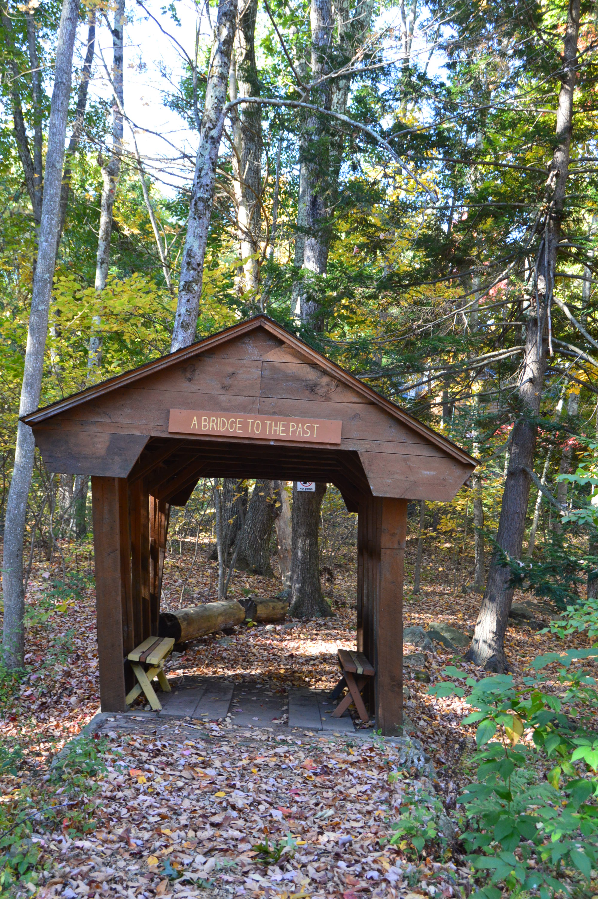
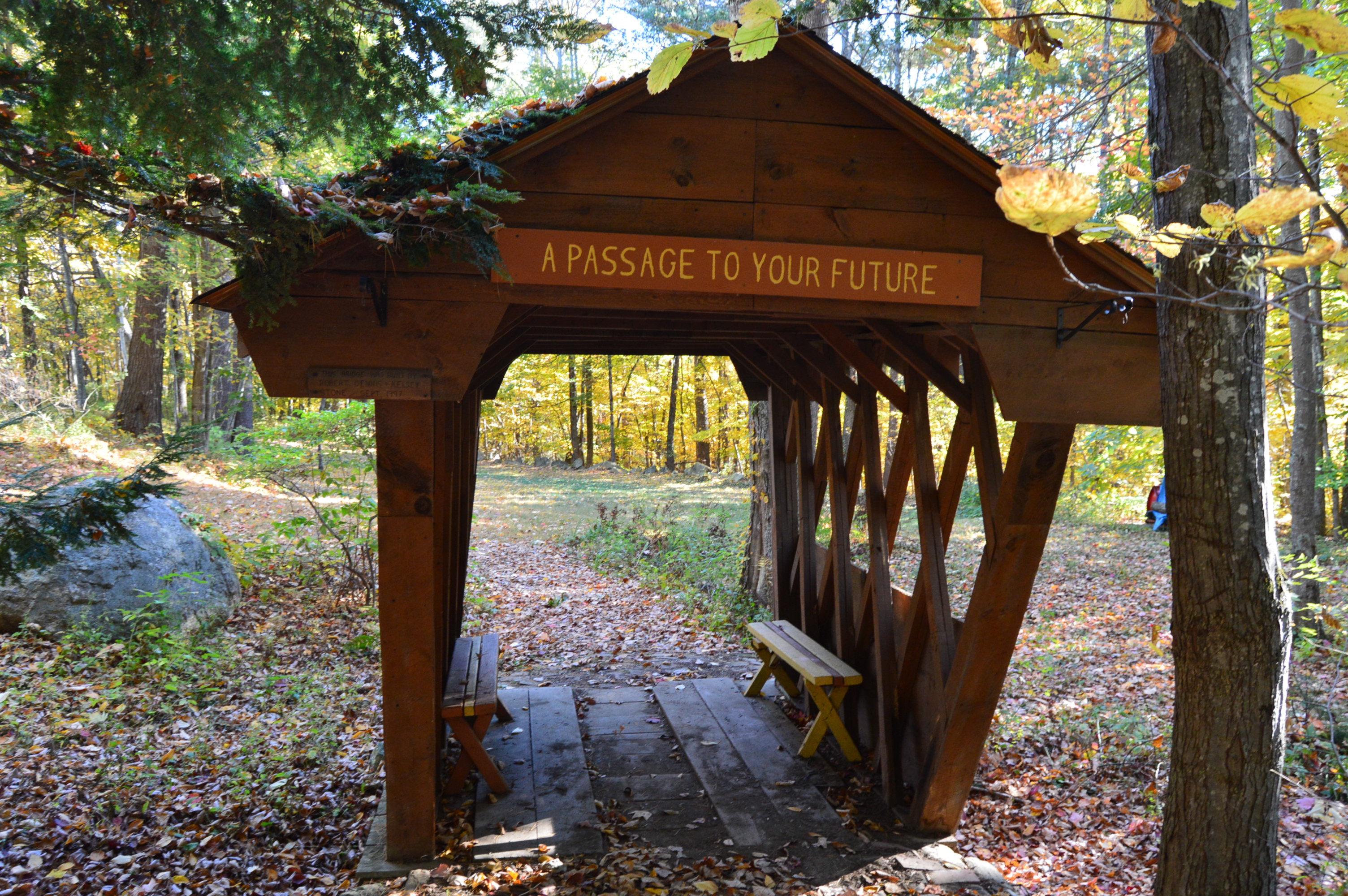
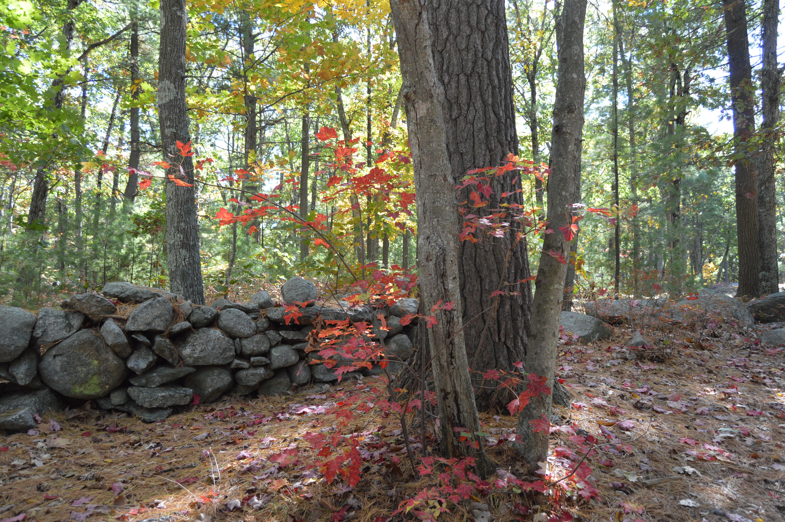
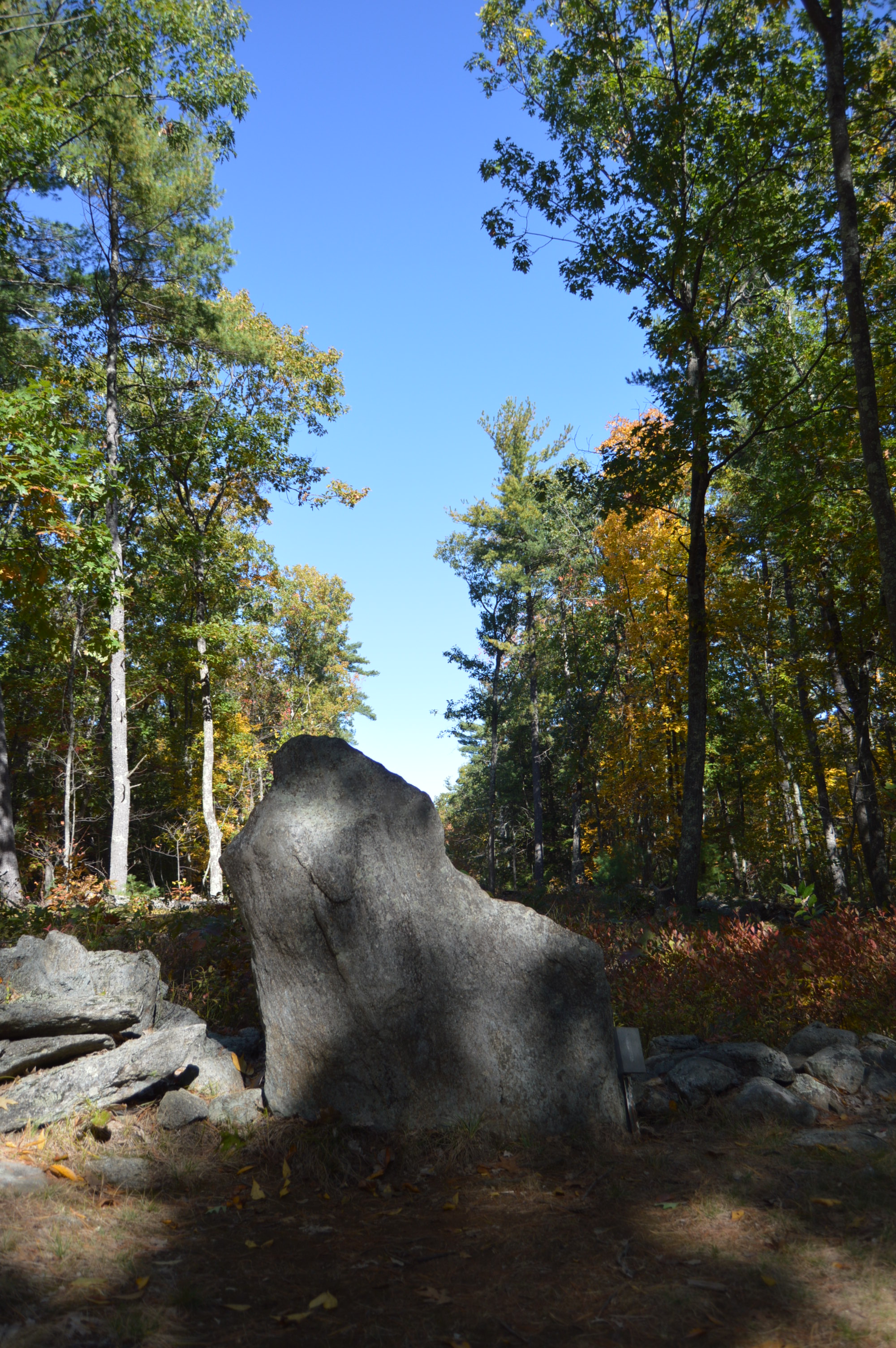
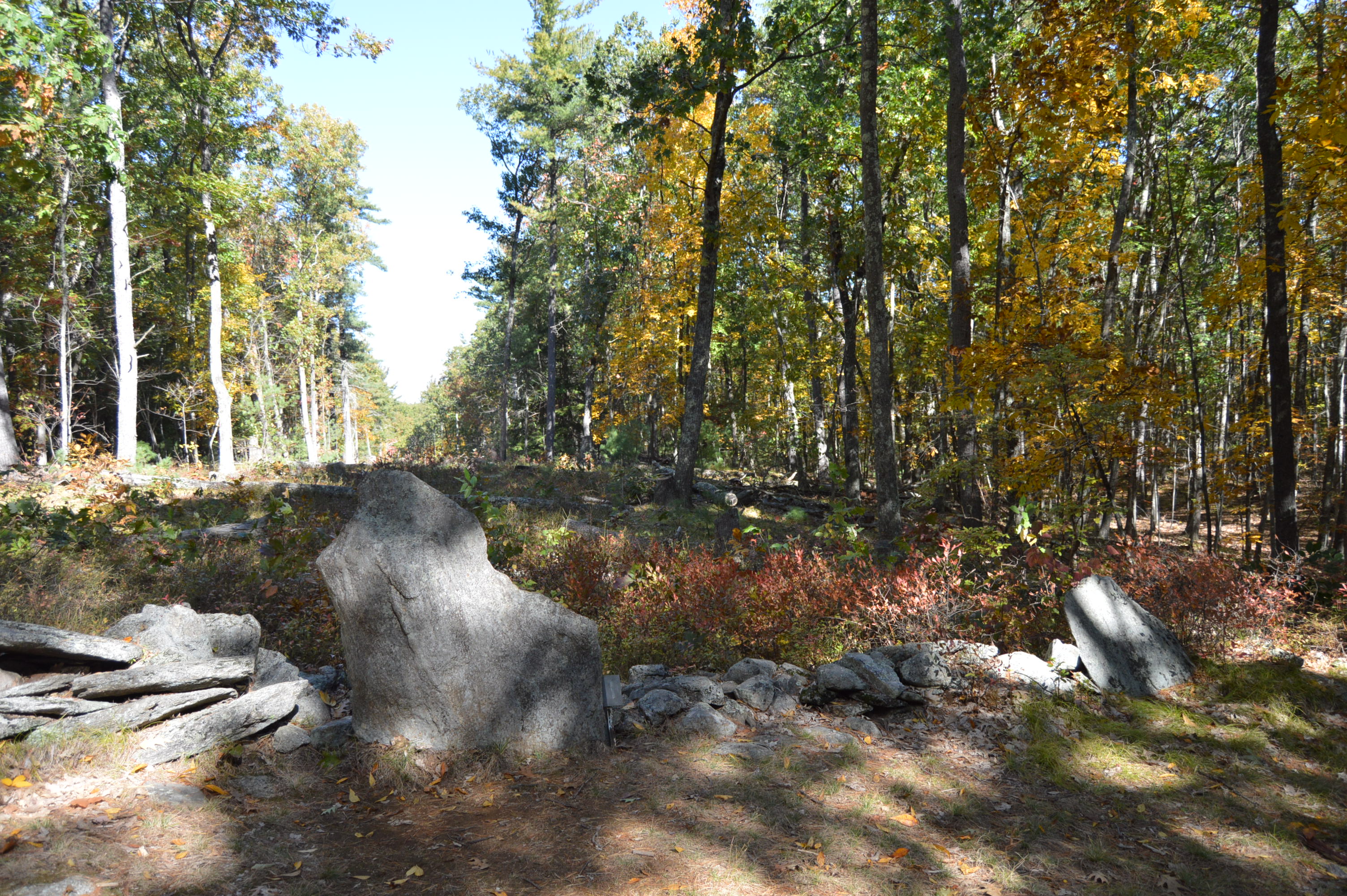
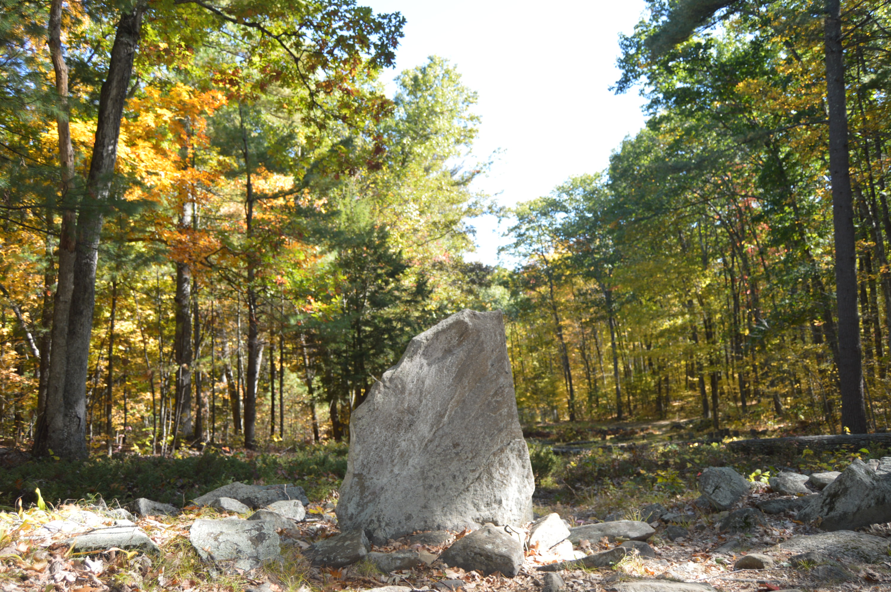
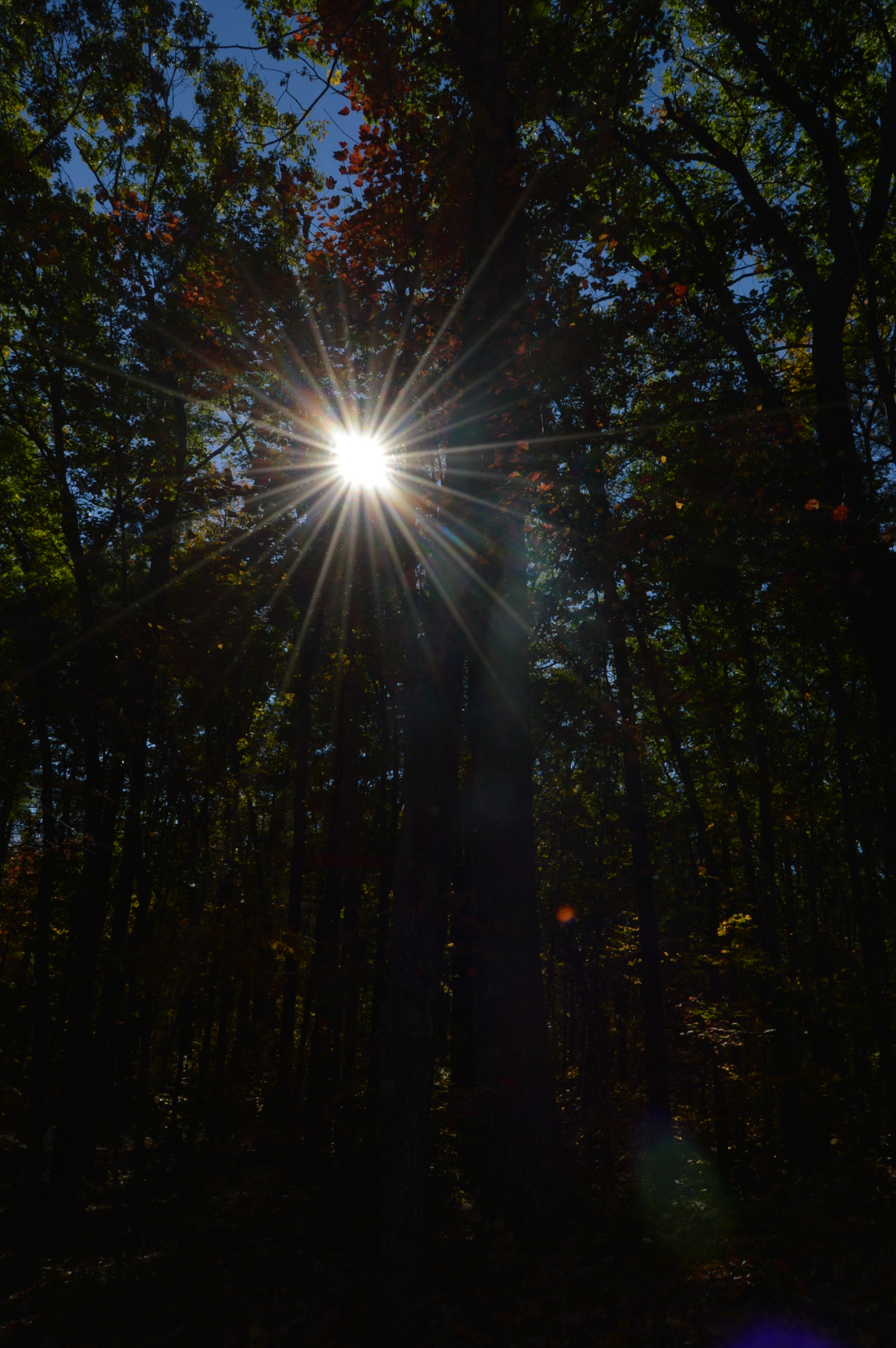
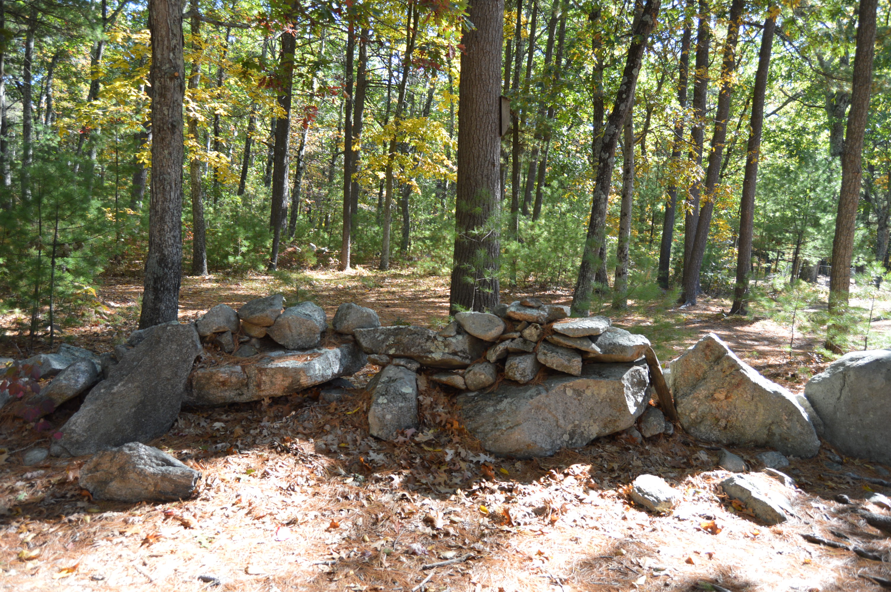
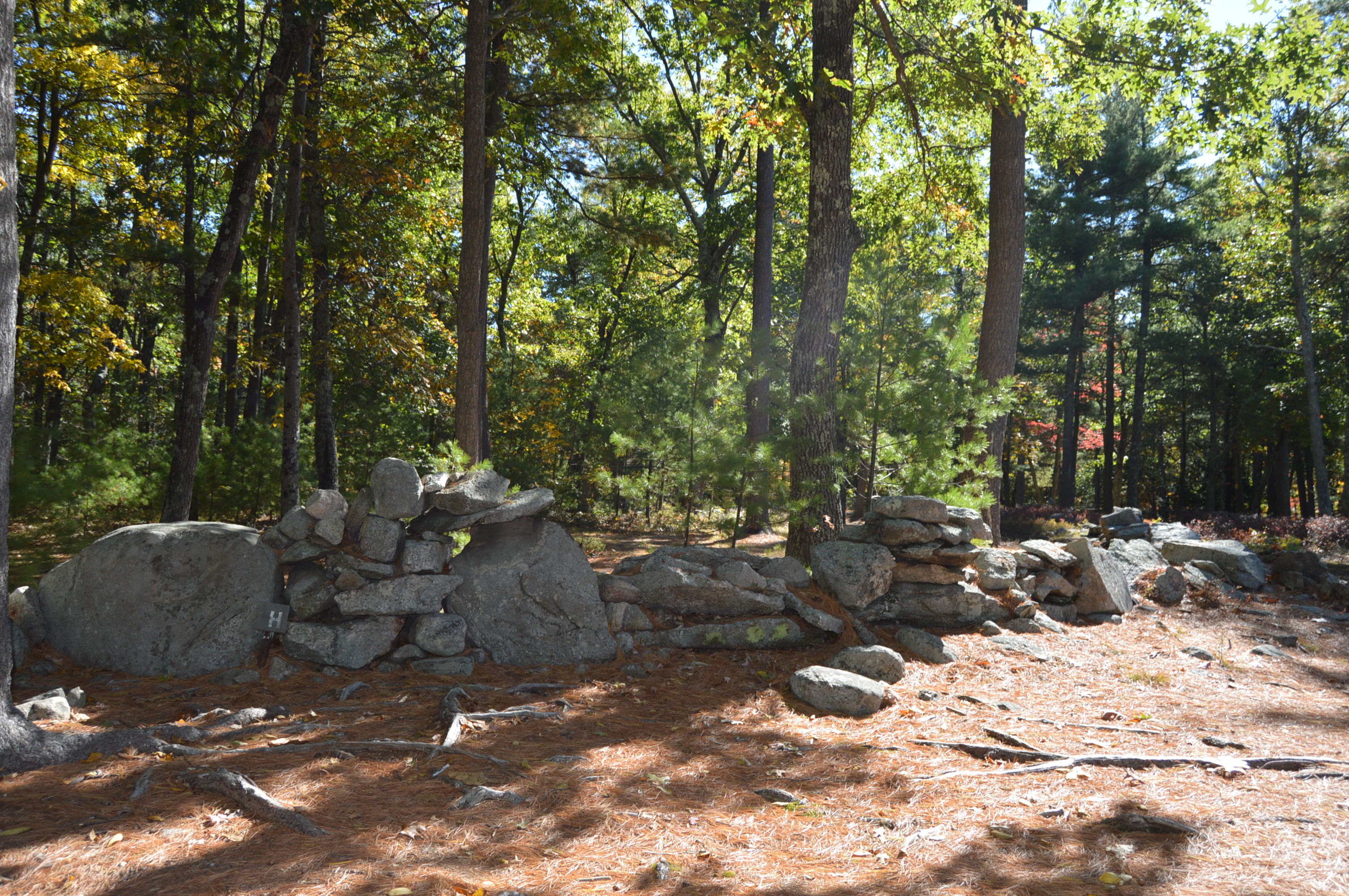
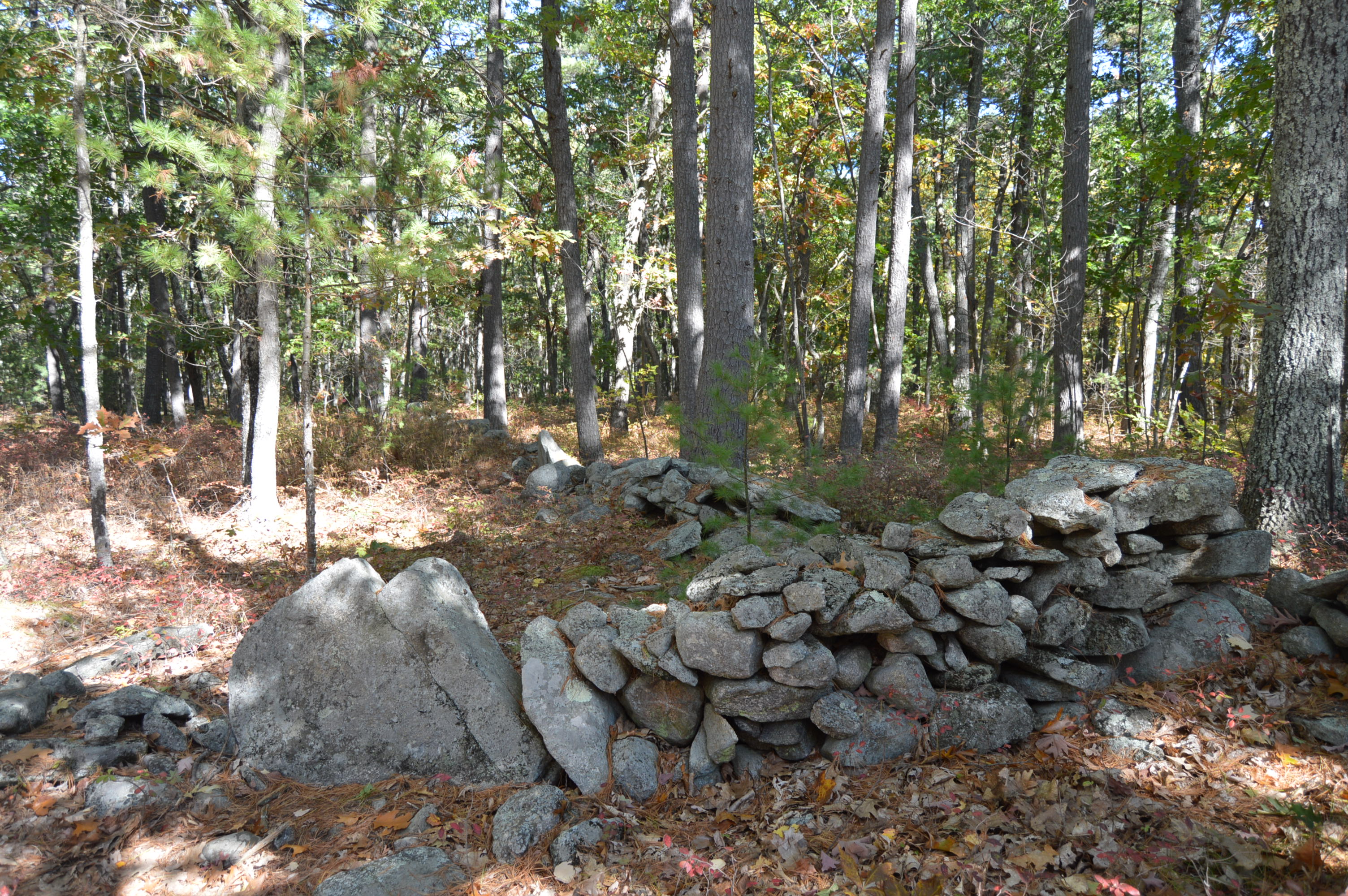
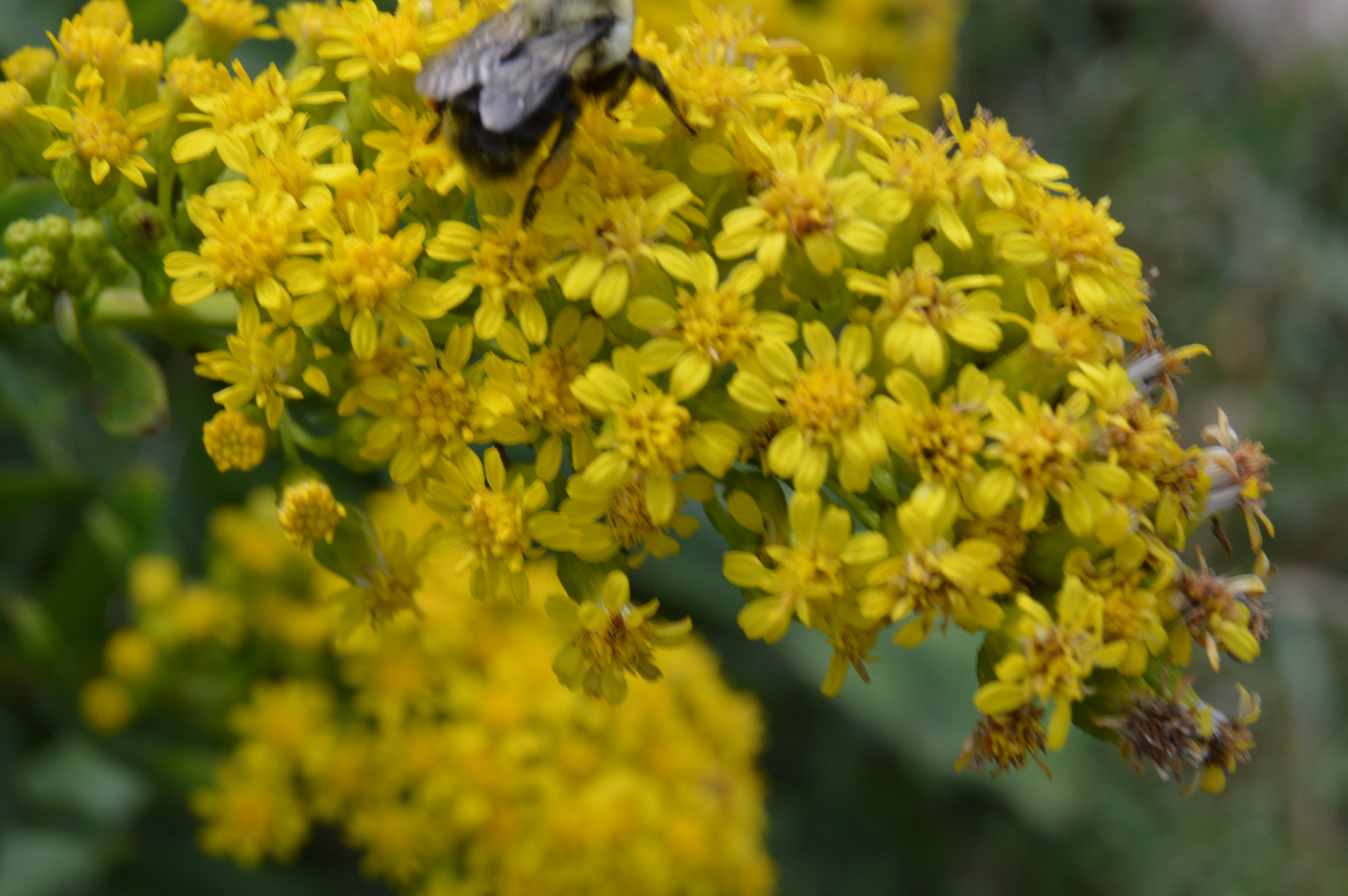
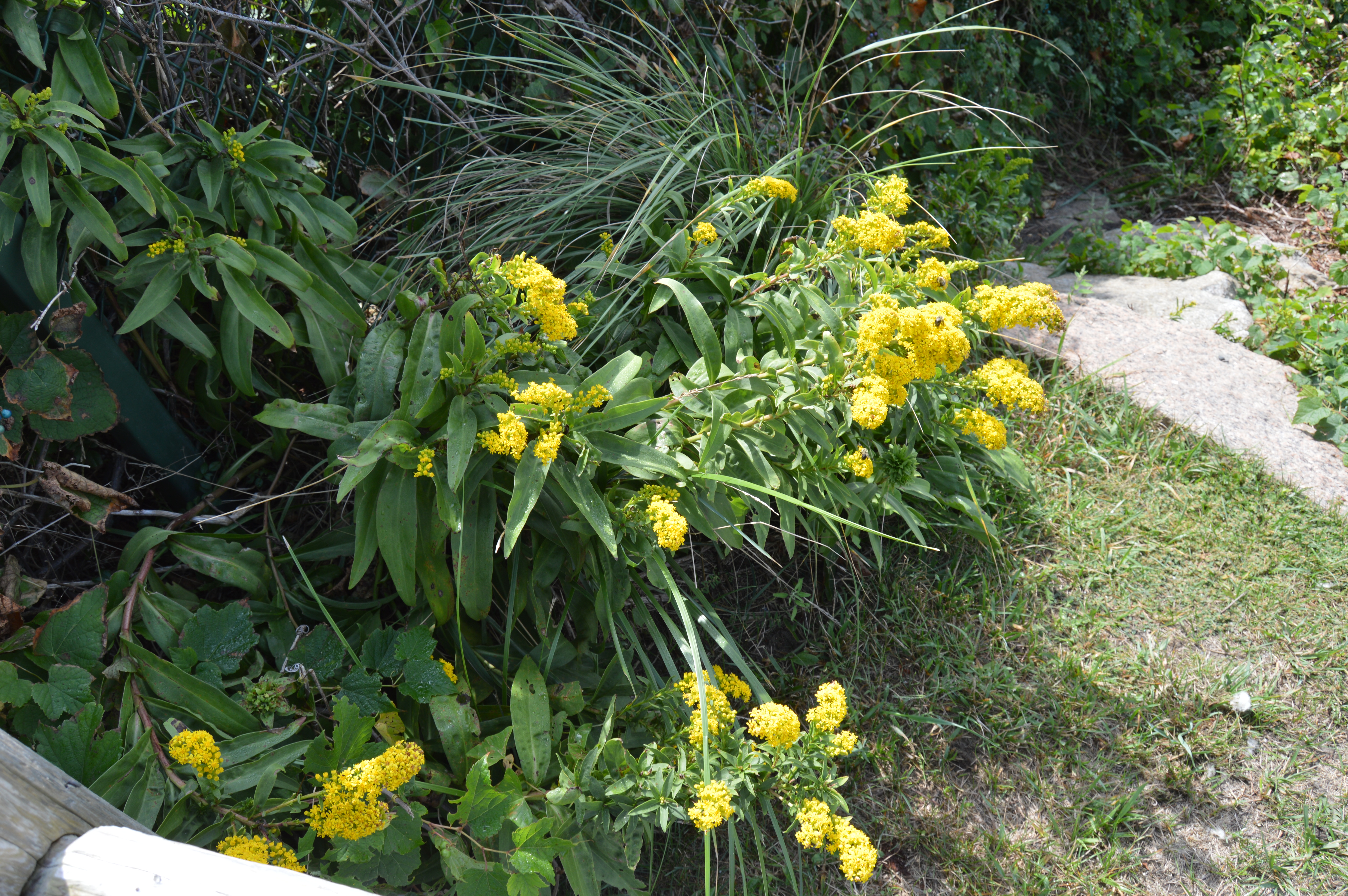
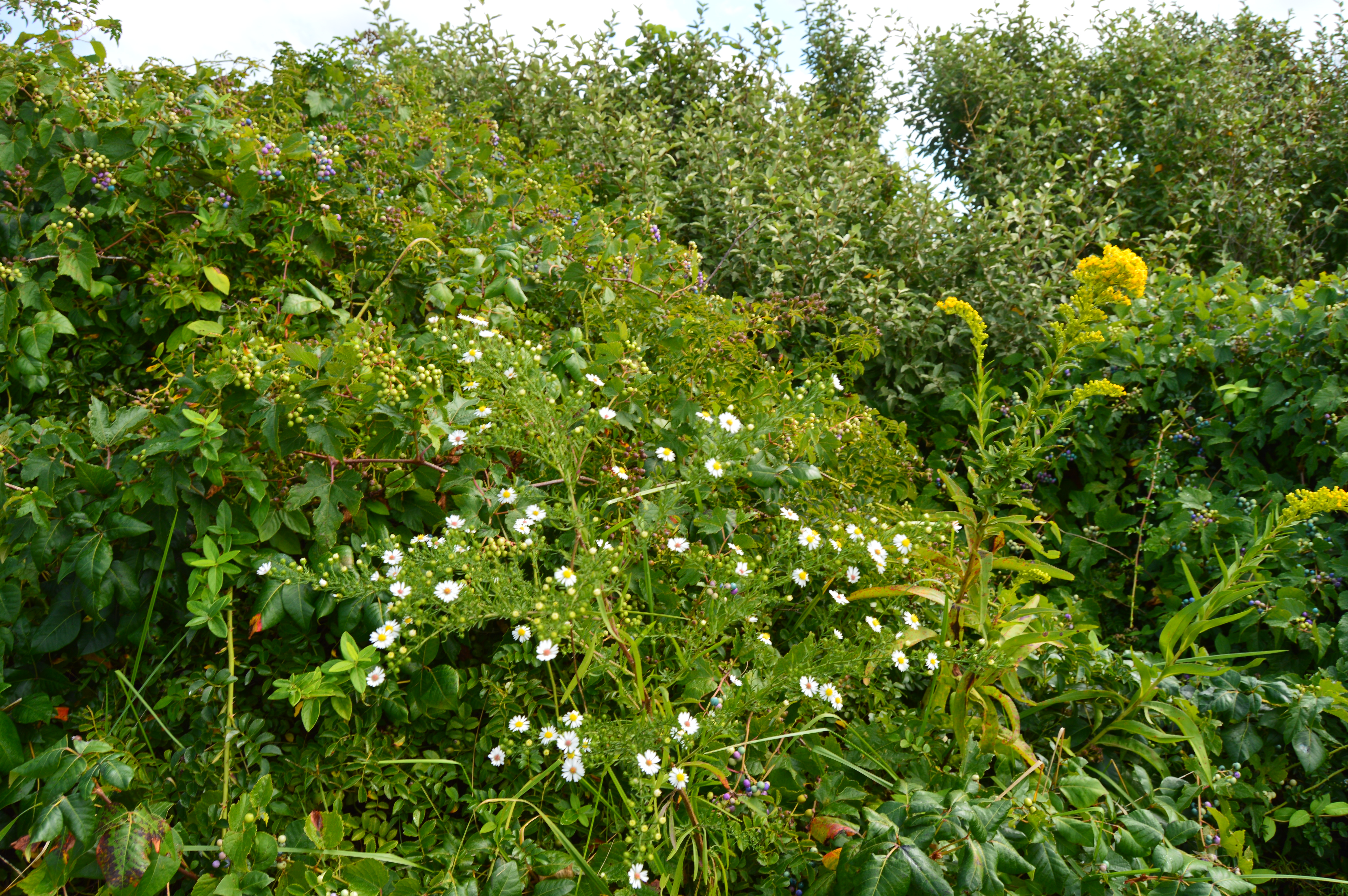
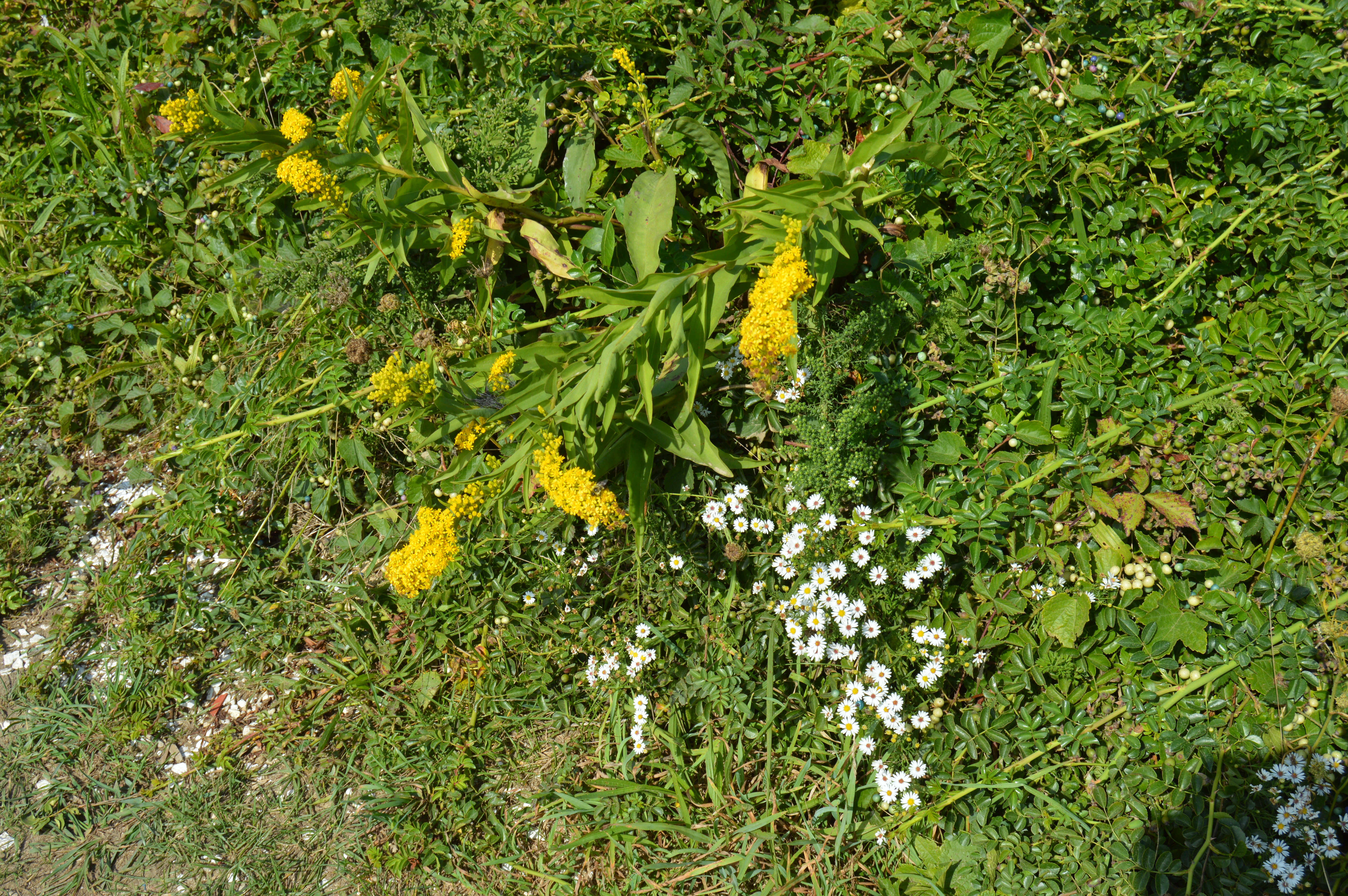
There were also many pretty trees at Pawtuckaway.

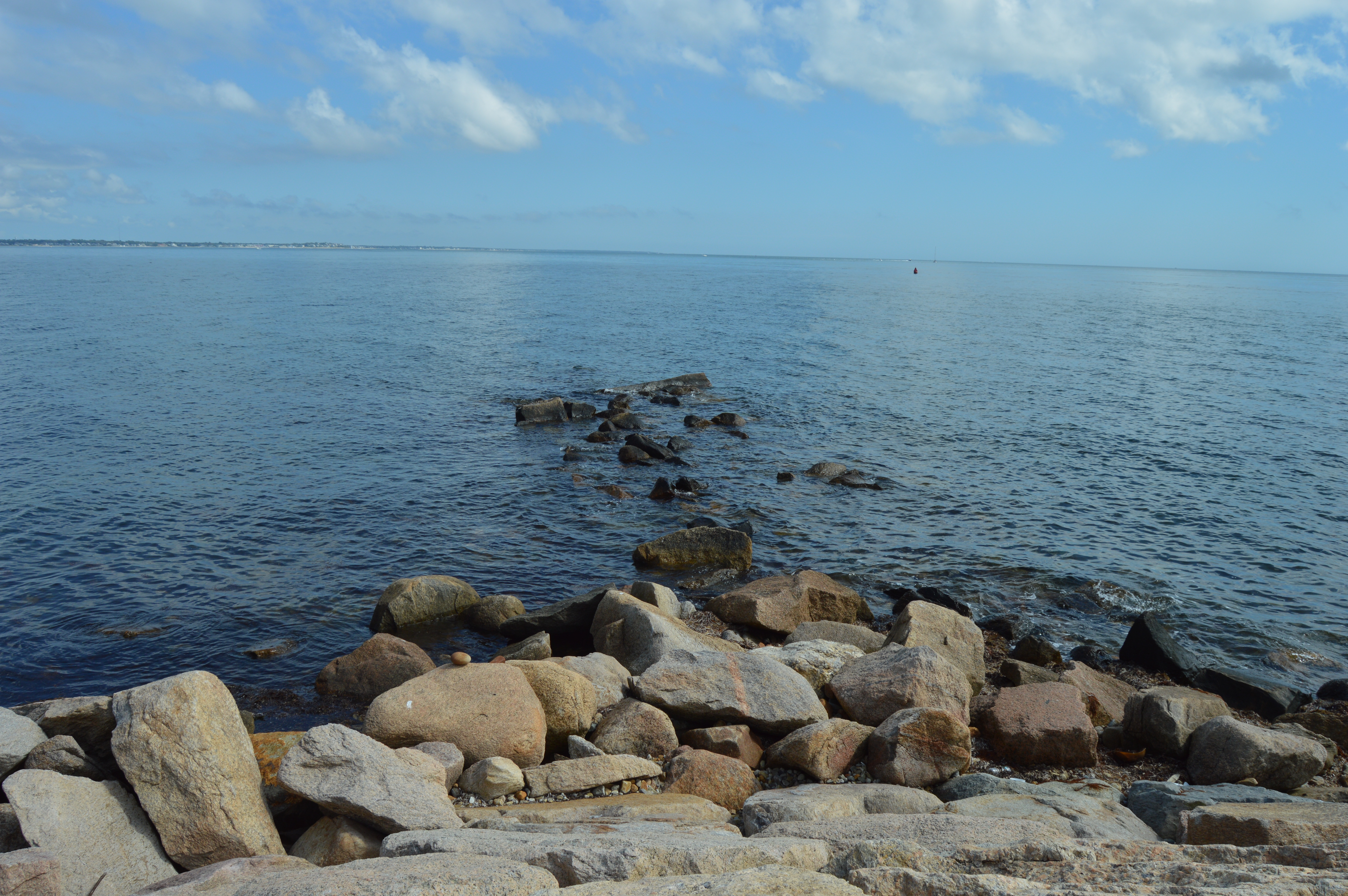
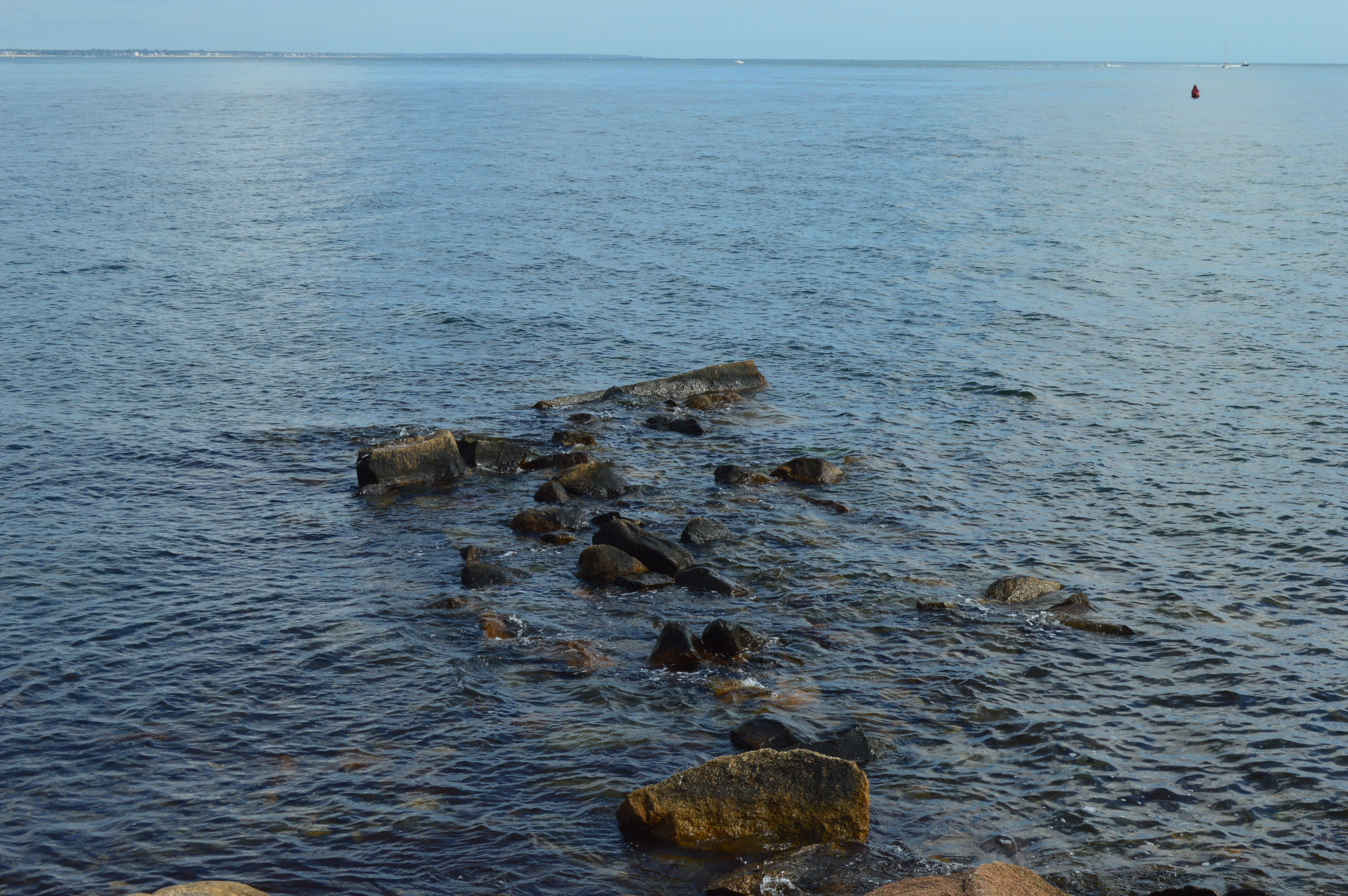
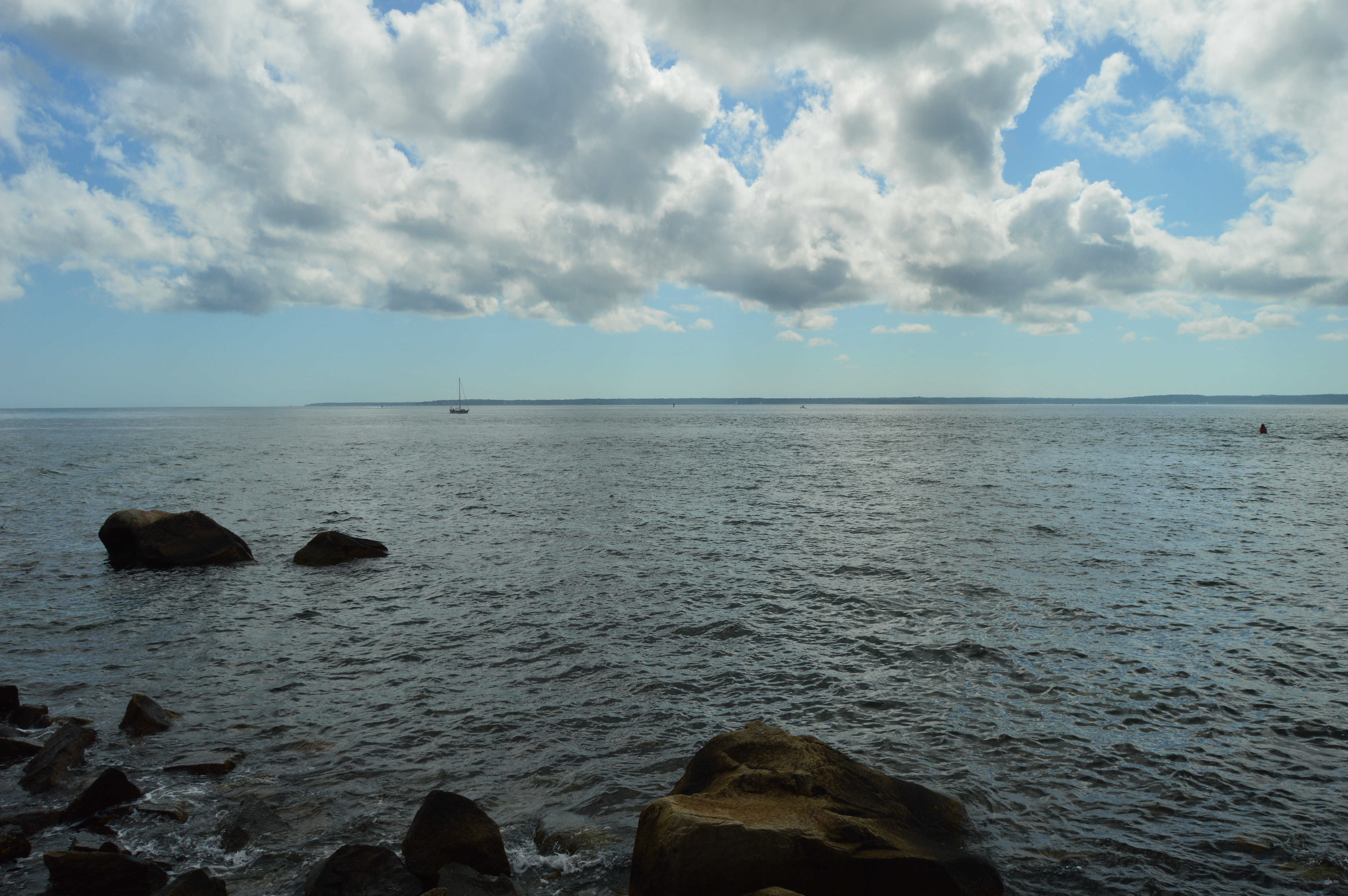
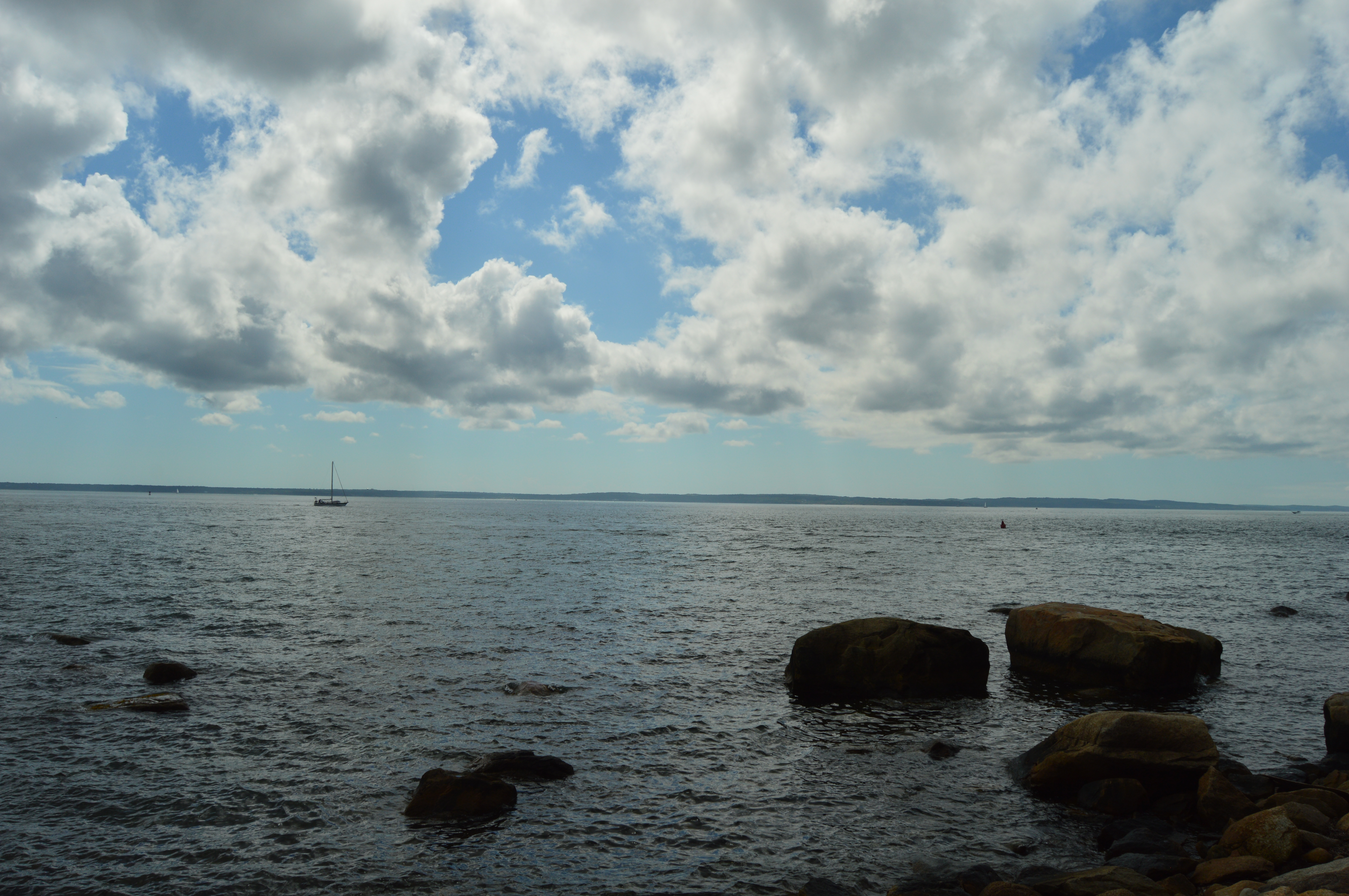
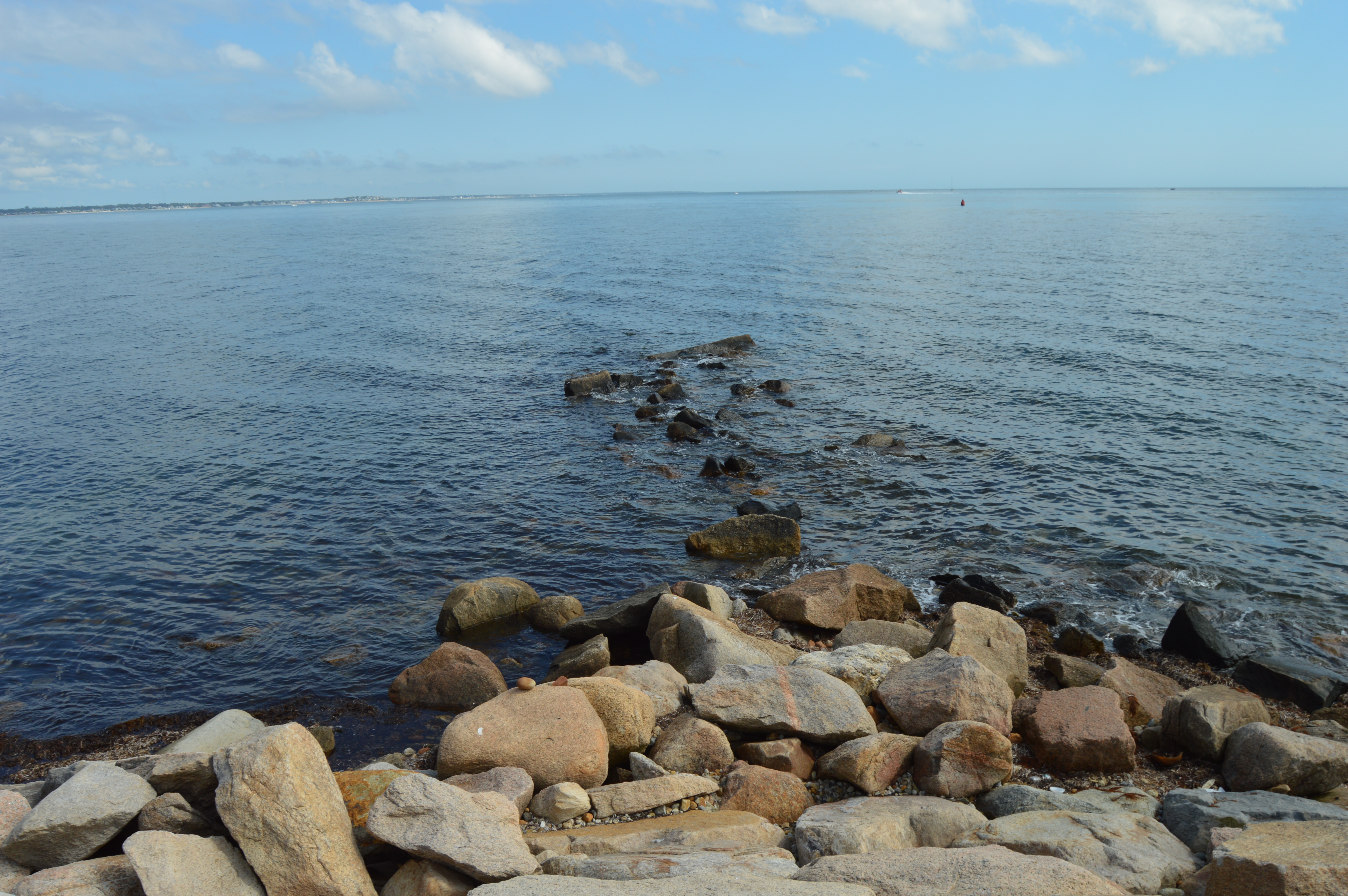
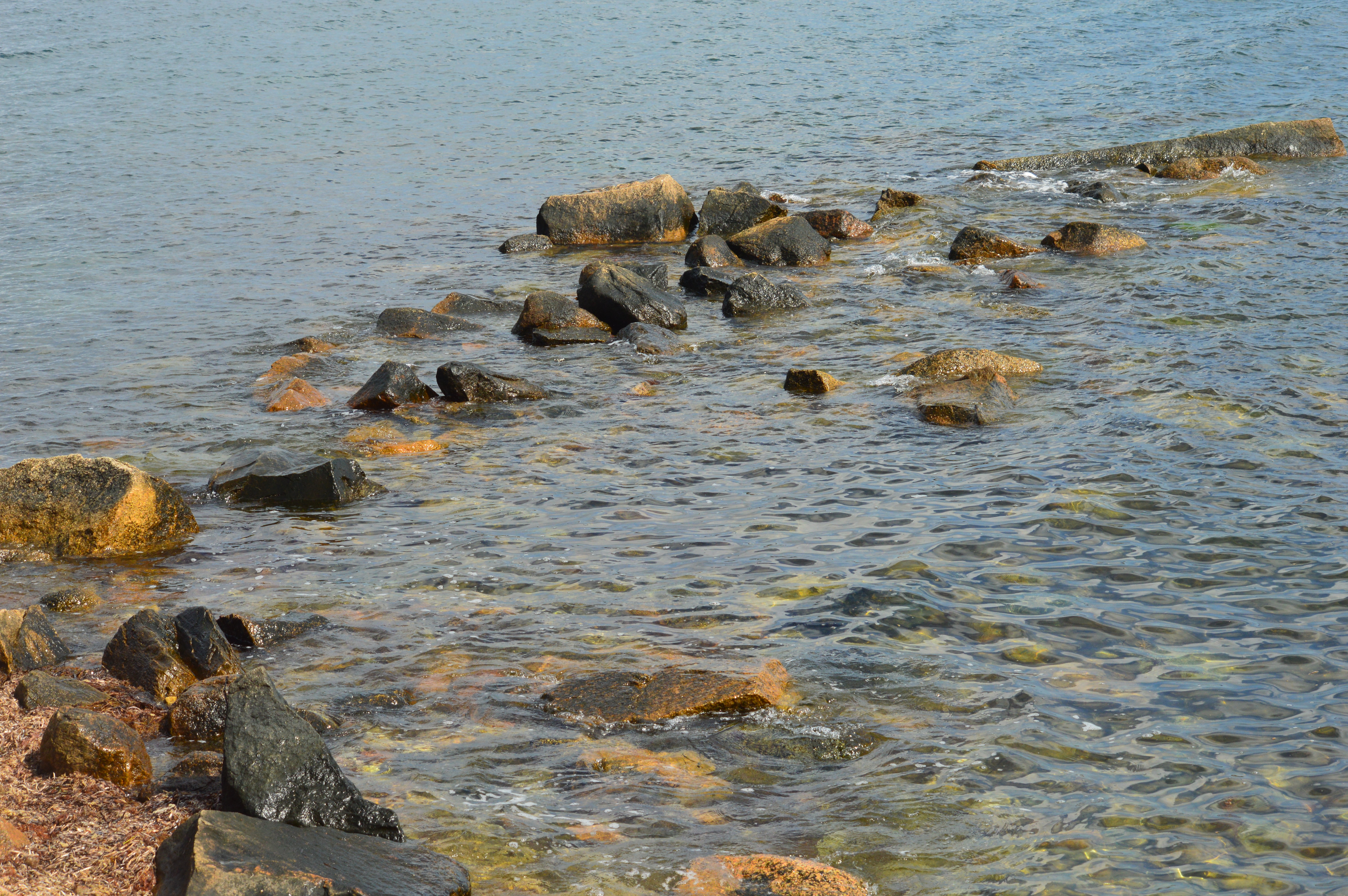
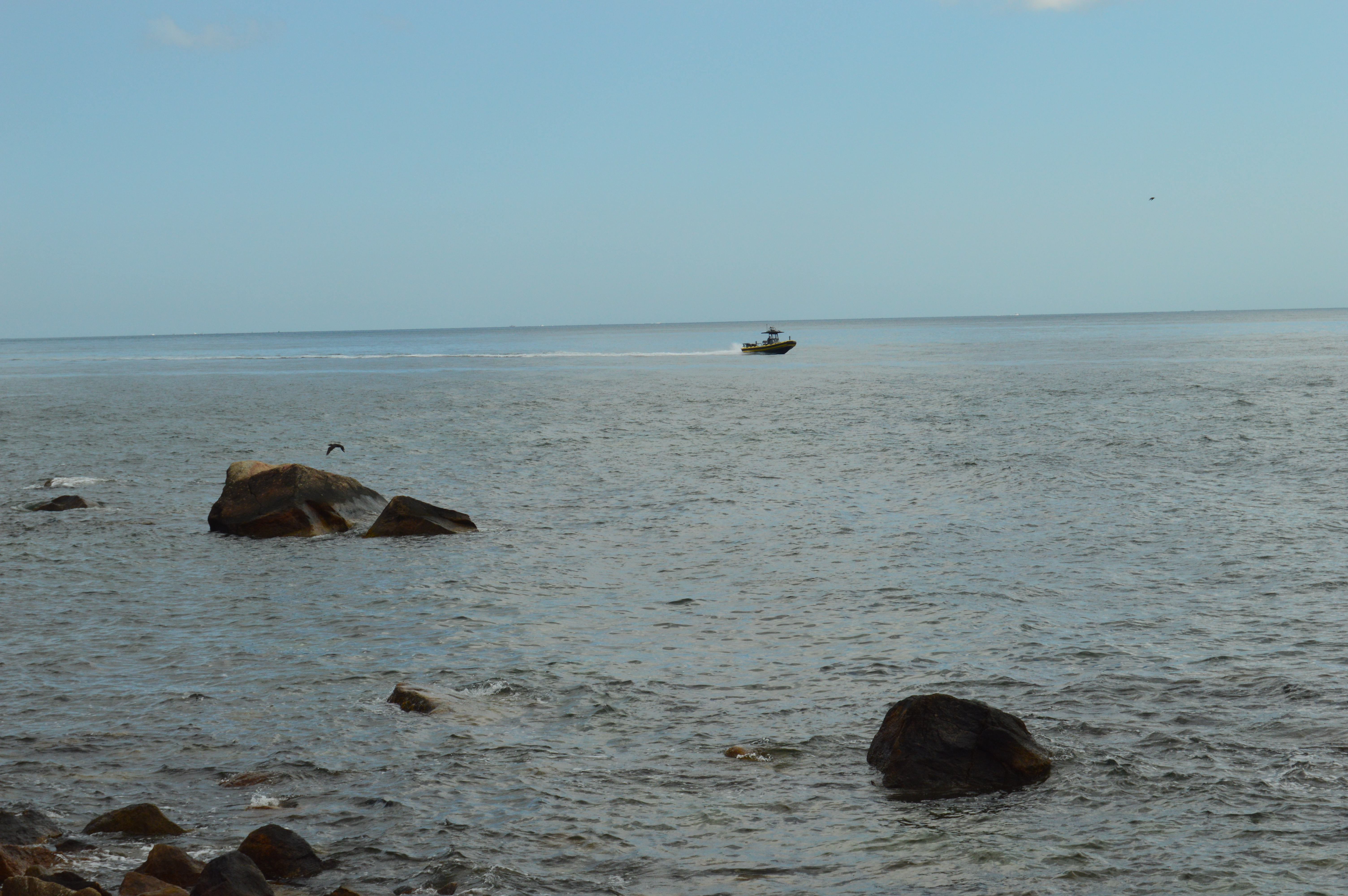
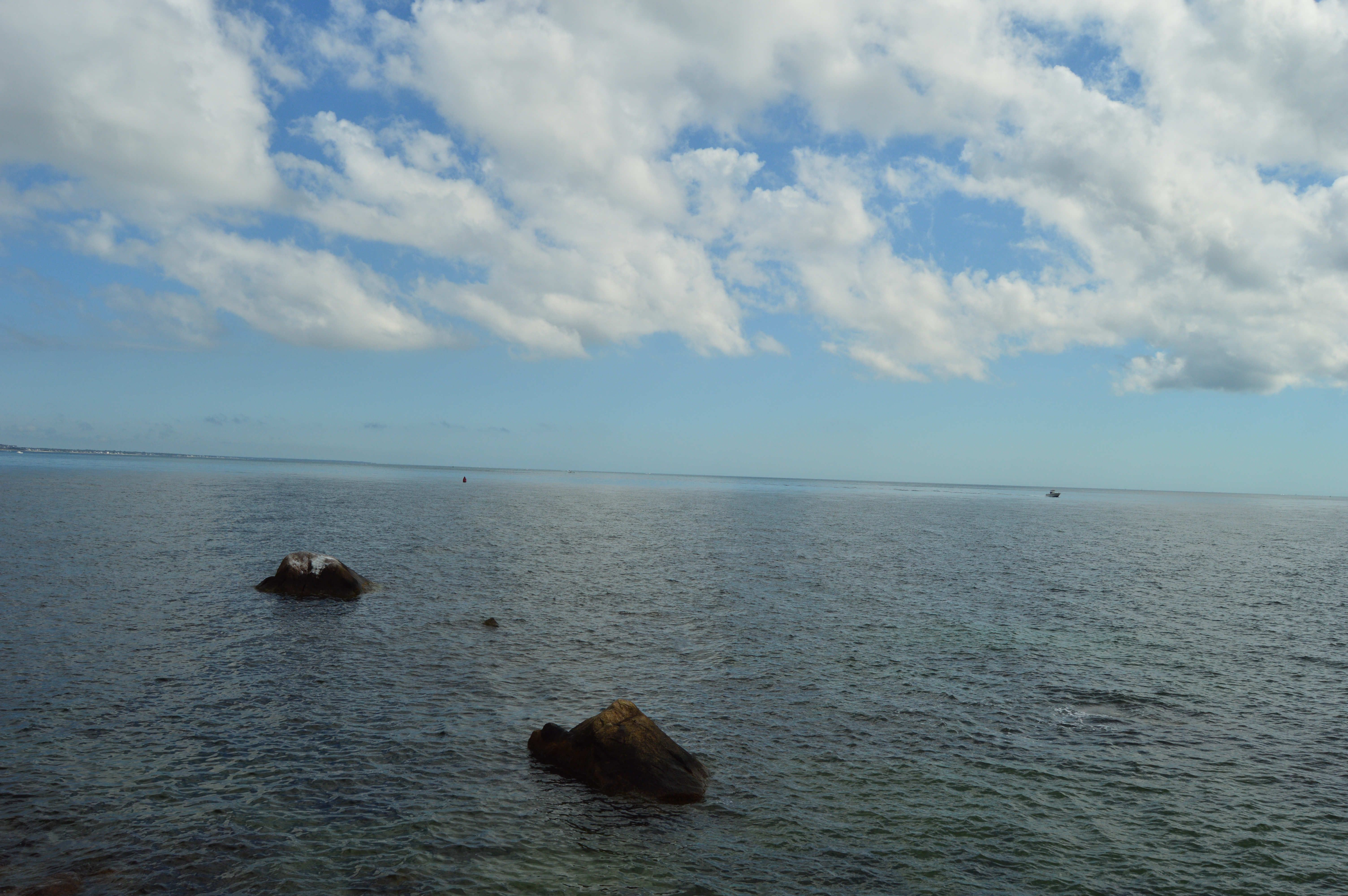
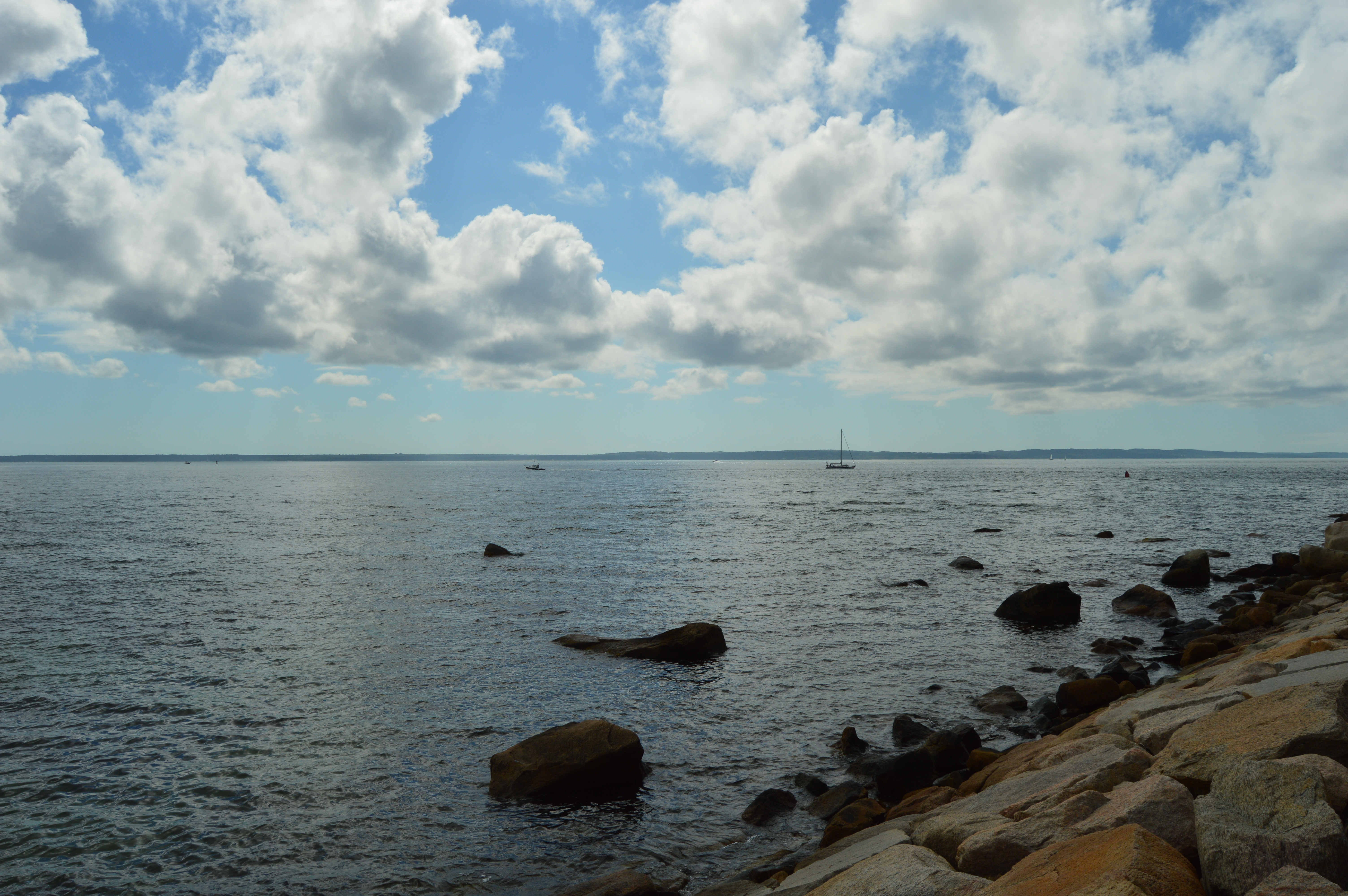
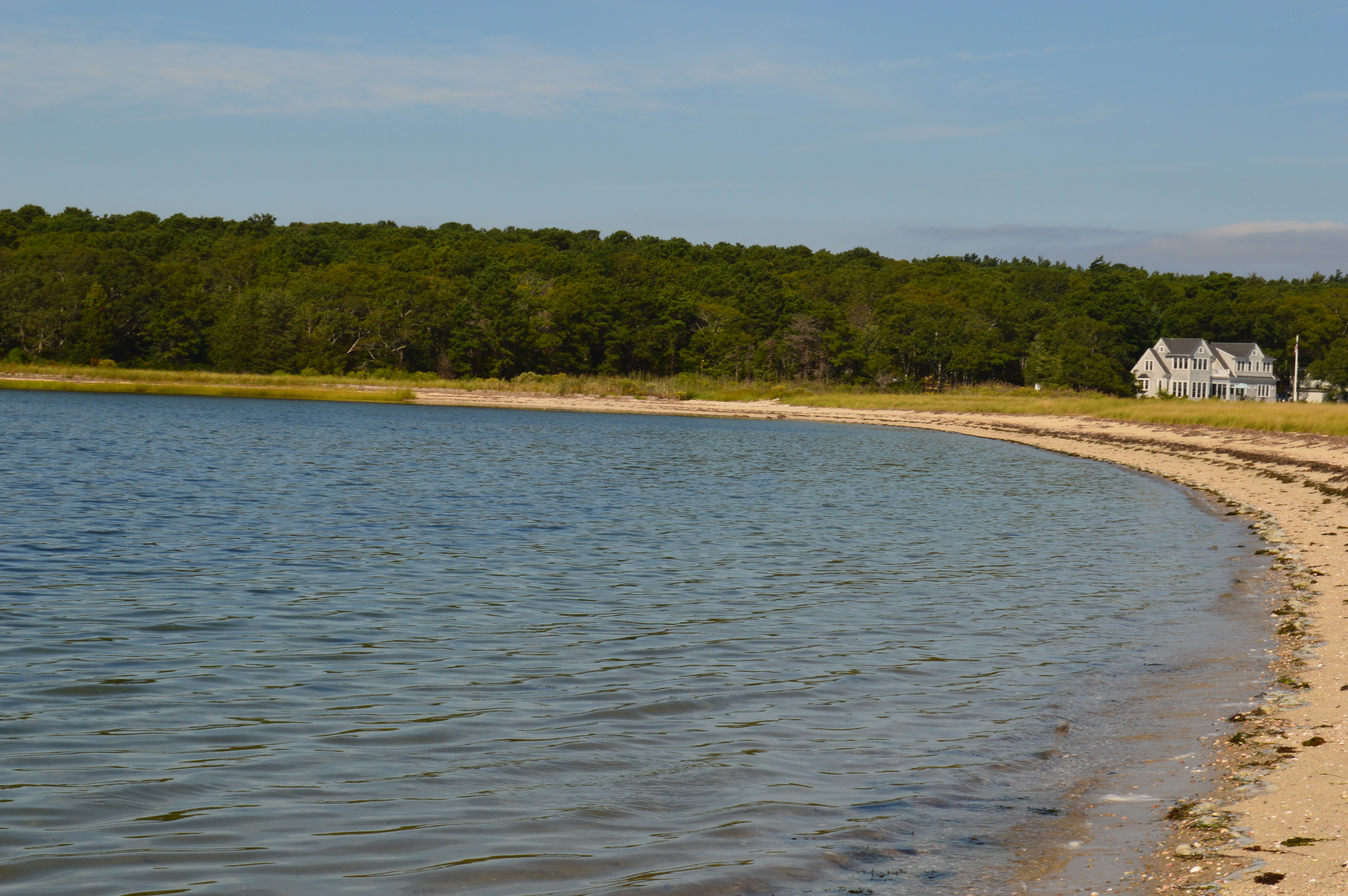
There is also a beach at Pawtuckaway.  I got there just in time for the sunset.

This slideshow requires JavaScript.

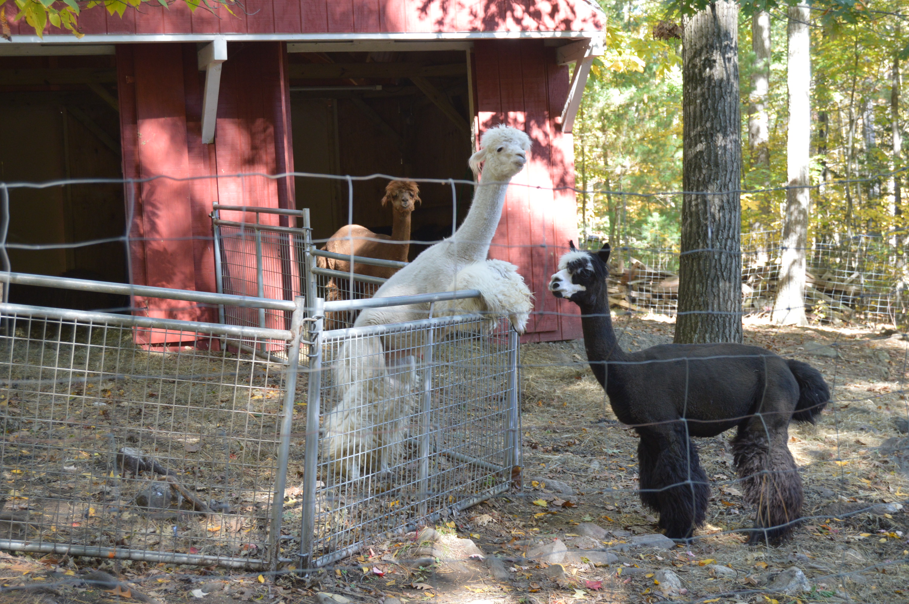
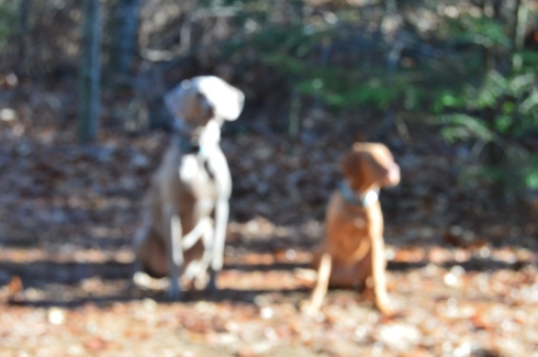
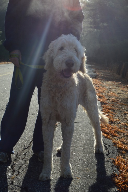
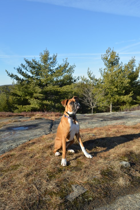
Pawtuckaway is said to have been derived from a Native American word meaning, “big buck.”  I didn’t see any bucks but I did some dogs!  From top to bottom Artie, Lulu (on the left), Rooster (on the right), Tucker and Duke.

DSC_0292DSC_0171DSC_0107DSC_0334

Video from the fire tower at Pawtuckaway.  As you can tell by the audio it was quite a windy day.

Video from the rocky ledge it was less windy there)


Plymouth Rock (Plymouth, MA)


Who would ever think people would travel from all over the country and all over the world just to see a rock?  Yes, a  rock.  This is not just any rock, though.

DSC_0597

The rumored landing spot of the Mayflower, Plymouth Rock is one of the more disappointing yet often visited sites south of Boston, MA.

Despite it’s popularity, the rock at Plymouth Rock is not the actual rock the Mayflower struck.  In fact, the rock has been said to have been moved at least three different times and the rock has been said to have been damaged several times, breaking in half at one point.  Not only that, but the passengers of the Mayflower initially landed in Provincetown in Cape Cod.

While the rock itself probably isn’t the actual rock the Mayflower struck upon its landing and it’s not the actual initial landing spot of the Pilgrims, it is symbolic of the voyage the persistence of the people who landed there.

Located in walking distance of the Mayflower II, the rock is located at the bottom of a pit and protected by a fence.

The rock is located in a structure with pillar columns.

The harbor is usually teaming with activity.

There is also a monument located across the street from Plymouth Rock.  The Pilgrim Mother was donated in 1921 to celebrate the Tercentenary of the Mayflower landing by the Daughters of the American Revolution.

This slideshow requires JavaScript.


I met Bo while I was visiting the memorial.

DSC_0602

and these two cuties


Mystery Hill – a.k.a. “America’s Stonehenge” (Salem, NH)

From the moment you drive into the parking lot of Mystery Hill, (a.k.a “America’s Stonehenge”) in Salem, New Hampshire,(the other Salem in the New England region) you know it’s a special place.

DSC_0753

DSC_0793 DSC_0784

There are strange rock formations and….

DSC_0787 DSC_0780

…a bridge in the front entrance welcomes you from the past.

DSC_0804

and brings you to the future

DSC_0810

DSC_0797

But, the front entrance of America’s Stonehenge is only a tease.  Once you exit the gift shop (it costs $12 for adults and $7.50 for kids), you are greeted by some Alpacas on the right.  They are fenced but they are very friendly.

DSC_0860

DSC_0242

There are also a variety of time keeping devices which, to this day, still keep correct time.

DSC_0854 DSC_0847 DSC_0878  DSC_0880

But, some of the things I liked best were not the structures or rock formations but the statues, flowers, decor and the hollowed out canoe.

DSC_0887 DSC_0867 DSC_0851 DSC_0904   DSC_0898  DSC_0888 DSC_0070 DSC_0141 DSC_0897

DSC_0903

But, the main attraction are the rocks and rock formations.  The name “America’s Stonehenge” is somewhat misleading. There are no structures that bear any real resemblance to the actual Stonehenge.

Even though Mystery Hill bears no resemblance to Stonehenge, there are some interesting facts about the site.  Some of the rocks used in the structures at Mystery Hill were quarried using primitive stone-on-stone techniques and have been carbon dated as far back as 2,000 B.C.

DSC_0984 DSC_0022 DSC_0016  DSC_0964

Mystery Hill is a children’s play land.  Forget about all of the rock climbing.  They are also able to walk in some of the structures, such as, the Oracle Chamber and they wouldn’t have to duck to be able to walk in the smaller spaces.

DSC_0040 DSC_0036  DSC_0024

There is a sinister legend that overshadows the light atmosphere of the attraction.  According to legend, the area here was a spot for sacrifices.  Stories of ghostly apparitions and huantings have been reported.  I decided to go and see for myself.

DSC_0059

I didn’t see or hear anything unusual, at least not of the other worldly variety.  But, the legends still persist.

The area is pretty expansive.  It claims to be 30 acres but feels much longer.  The best parts of the area were the random rock structures and the views.  And, of course, the foliage.

DSC_0166

DSC_0186

DSC_0157 DSC_0174  DSC_0180  DSC_0187  DSC_0004 DSC_0085 DSC_0080 DSC_0067 DSC_0090 DSC_0106 DSC_0109 DSC_0115  DSC_0134 DSC_0132 DSC_0128 DSC_0137 DSC_0208 DSC_0199

There is also an area where it is believed the Nov. 1st sunrise was watched from.  It is amazing when you consider they could identifty the best place to view the sunrise, way before we had scientific devices to use.

DSC_0198

DSC_0200

Although the rocks and rock formations were impressive, my favorite part of the attraction was the alpacas.

DSC_0856


Nobska Beach (Woods Hole, MA)

After a short stay at Scraggy Neck, it was time for our next stop on our Cape Cod Farewell Summer trip.

Our next destination was the Nobska Beach in the quaint village of Woods Hole in Falmouth, Massachusetts.  The Nobska area is so pretty and there are so many attractions because of its sheer beauty, I decided cover the Nobska area in two separate blogs.

The first thing that stands out at Nobska beach are the array of flowers and the makeshift trails at the beach (that and the lack of parking).  The only parking available is on the side of the road along the beach and a scant few spots in front of the light house (I’ll be posting photos of the light house in the second part of the Nobska photo blogs).

DSC_0582 DSC_0587 DSC_0595 DSC_0584

DSC_0622 DSC_0606 DSC_0799 DSC_0563

Nobska Beach offers views of both Martha’s Vineyard and Nantucket Island.

DSC_0628     DSC_0607                      DSC_0655

Boats and the ferry make frequent trips to the islands

DSC_0559

If you hadn’t noticed, one of the treasures of Nobska Beach are the rocks and the rock formations.       DSC_0561 DSC_0573     DSC_0658

But, to capture the real beauty of the views from the beach, it was necessary to walk down a narrow trail down to this modest rocky ledge.

DSC_0721  DSC_0737       DSC_0644

But, the ledge was wide enough for me and my camera.  And the views were well worth the extra effort.

DSC_0780 DSC_0713  DSC_0711     DSC_0719  DSC_0726     DSC_0732     DSC_0740 DSC_0700 DSC_0701     DSC_0654  DSC_0656        DSC_0708  DSC_0674 DSC_0647      DSC_0661   DSC_0637    DSC_0660

Nobska Beach is also home to a variety of wildlife.

DSC_0679

DSC_0781                   DSC_0785

At the base of the beach there are two memorials. A memorial for Dennis Jeff Sabo lies under some plants, almost unnoticed.  The memorial does not give any more information than his date of birth, date of death and name.  A Google search yielded no results.  The lack of details about Dennis adds to the memorials’ mystique.

DSC_0798

The other memorial is dedicated to Neilie Anne Heffernan Casey.  Neilie was a passenger on Flight 11 on September 11, 2001. A memorial and bench bearing her name lay in the area now dubbed “Neilie Point”.  A beautiful reminder of an awful day.

DSC_0609 DSC_0610   DSC_0791

DSC_0790


Scraggy Neck (Cataumet, MA)

After a brief but rewarding stay at Amrita Island, it was on the next destination on my Farewell Summer Cape Cod trip.  Scraggy Neck is a private beach in Cataumet, a village in Bourne, Massachusetts.

DSC_0505

The beach is usually monitored by guards during the summer season.  But, since summer was basically over, there were no guards when I arrived at the beach.

The entrance to the beach is grassy.  But, there is a makeshift trail you can follow.  The occasional flower stand in the grass

DSC_0556

DSC_0547

DSC_0448

The beach is long and it was high tide when I visited.  But, there wasn’t much of a beach head when I was visited.  The water did look clean and clear.

DSC_0471 DSC_0475  DSC_0485  DSC_0491  DSC_0488 DSC_0494  DSC_0496 DSC_0497  DSC_0501   DSC_0476 DSC_0477     DSC_0462

Seaweed and shells littered the beach.

DSC_0473

Scraggy Neck is divided into two sides by a road that is frequented by joggers, bikers and cars.  It was on the other side of the road that showed off Scraggy Neck’s more scenic views.

A narrow path leads to the water.

DSC_0512

The fish is visible through the transparent water.

DSC_0469

This part of Scraggy Neck is mostly grassy.  So, it would not be the ideal area to lie out for a tan.

DSC_0513     DSC_0543DSC_0548 DSC_0544       DSC_0511  DSC_0443       DSC_0502

Scraggy Neck is also a popular spot for boaters to launch from.

DSC_0529

After visiting Scraggy Neck, it was on to our next adventure….