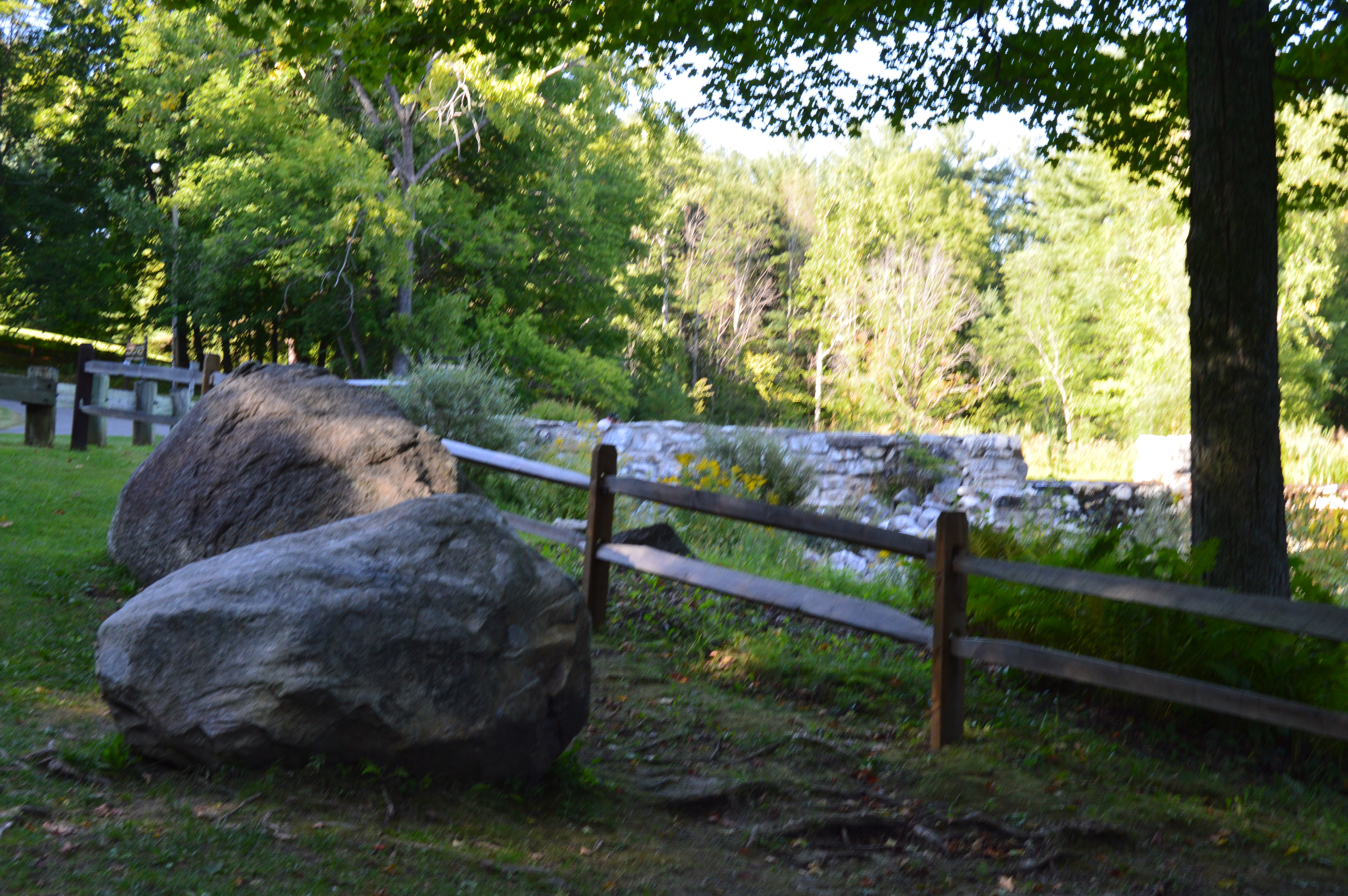
New Hampshire isn’t known as the “Live Free Or Die” state for no reason. The quote, which is said to have French origins and adorns license plates and other kitschy souvenirs, is directly attributed to General, and former New Hampshire resident, John Stark. It was at John Stark Park in Manchester, NH, that I found this historical tribute to the revolutionary warrior.
The remaining of the “live free or die…”quote is lesser known, yet just as poignant.
For someone who is so heroic and brave, General Stark is not someone who many of us are familiar with. But, heroic he is. As the plaque in front of his statue explains, after being kidnapped by a Native American tribe and eventually ransomed, Stark joined the American Revolution and became a general. His most notable achievement was in 1777 when he commanded his troops to prevent British troops and supplies from connecting with the main army in Saratoga, New York, which was considered a key point which led to the American victory in the war.
Crisp blue skies awaited me at the park. It almost felt fall-like. What struck me most about the park was how peaceful it was. The gazebo is a nice touch also. The statue of General Stark was sculpted by Richard Recchia in 1948. The park is one of the older parks in New Hampshire, dating back to 1893 (it is the second oldest park in Manchester).
This slideshow requires JavaScript.
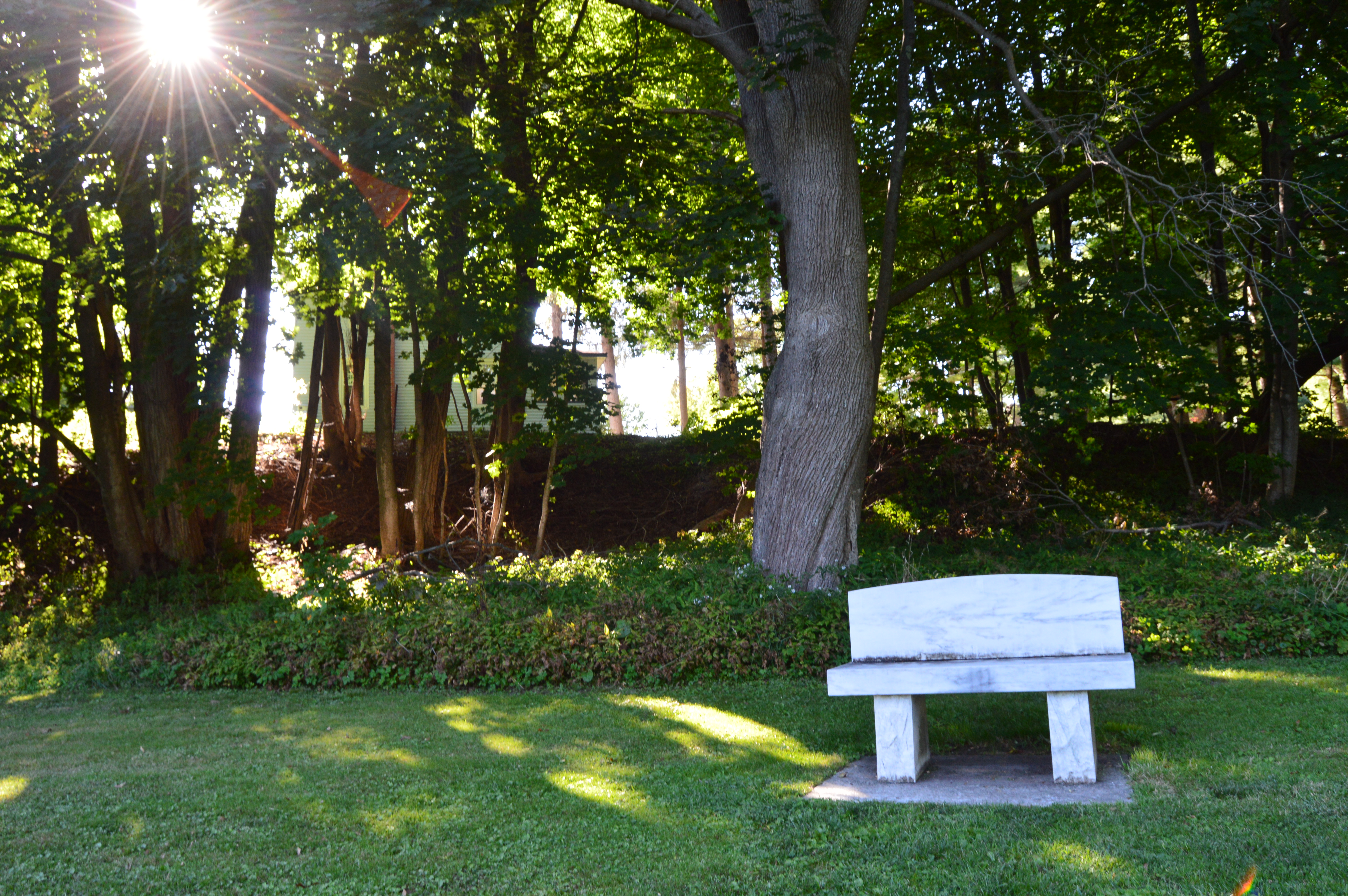
General Stark his, wife and a few of their children are buried at the bottom of the hill from the entrance.
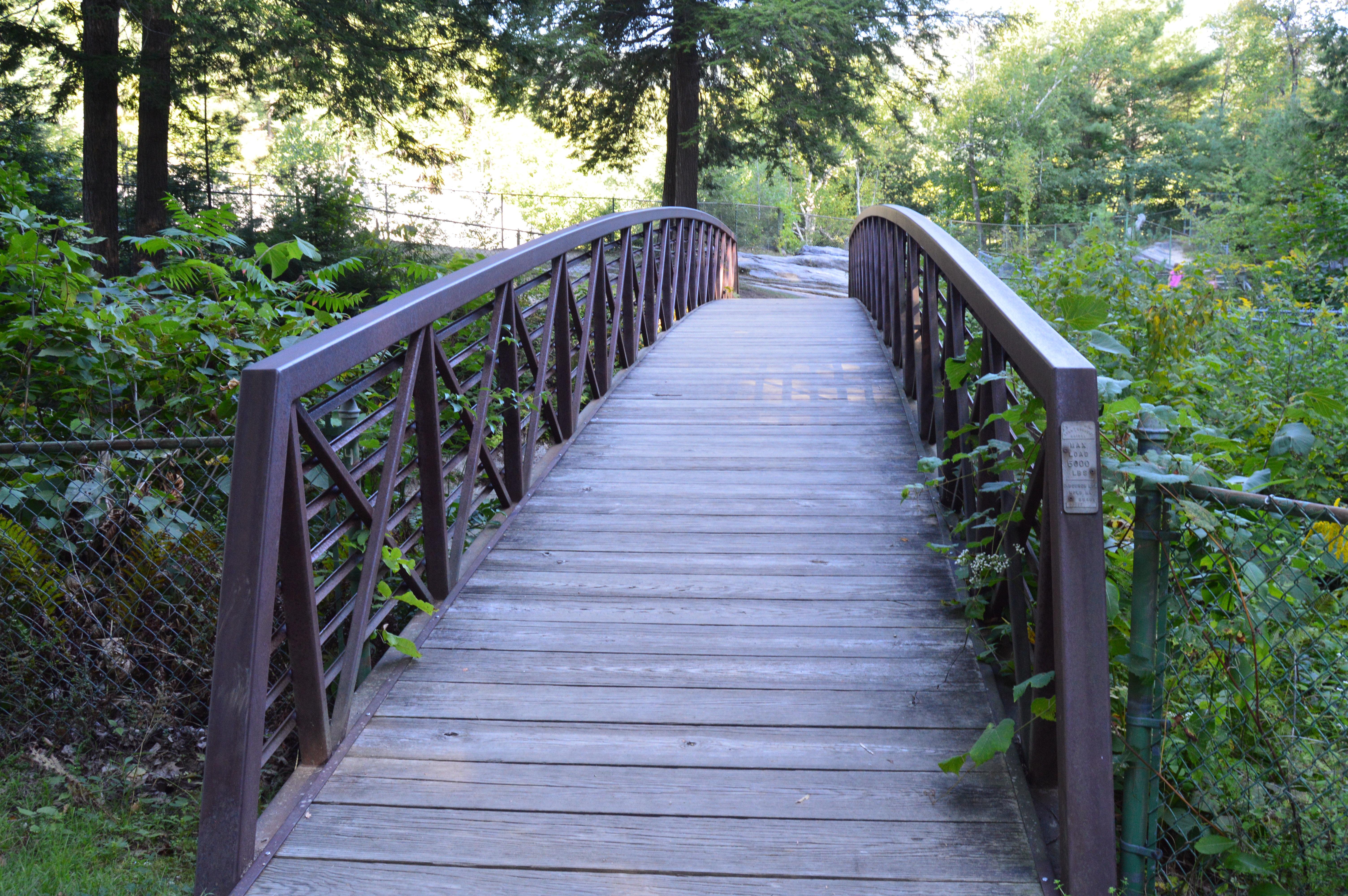
One of the interesting things about Stark Park is the loop behind the park. It’s only about a quarter of mile and it is a great place to take your dog for a walk. But, there is a trail that branches off to a bridge and some other trails which eventually lead to the Heritage Trail. But, apart from some interesting trees and some wildlife, there isn’t much on the trails. Most of them lead to residential areas. I walked most of the narrow trails as far as I could go before they ended, rather disappointingly, at roadways and residential areas.
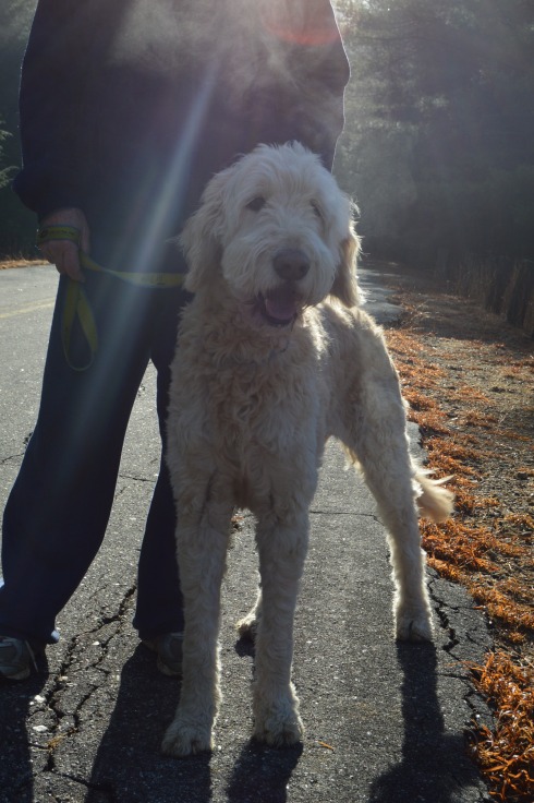
The big payoff to walking the loop behind the park was meeting Bennie. Bennie is a Chinook which is the state dog of New Hampshire.
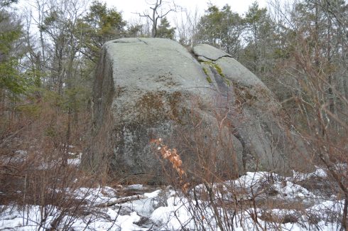
People travel far and wide to Agassiz Rock (pronounced “A-ga-siz”)to visit a rock. Yes, a rock.
Actually, they travel to see rocks. Lots of them.
Agassiz Rock is a deceiving name. There are actually two main rock structures that are the highlights of the park creatively named “Big Agassiz” and “Little Agassiz.”
The trail is not difficult. At least it’s not too bad when there’s not ice and snow on the ground. There are a few sharp inclines but mostly it is a fairly easy trail.
This slideshow requires JavaScript.
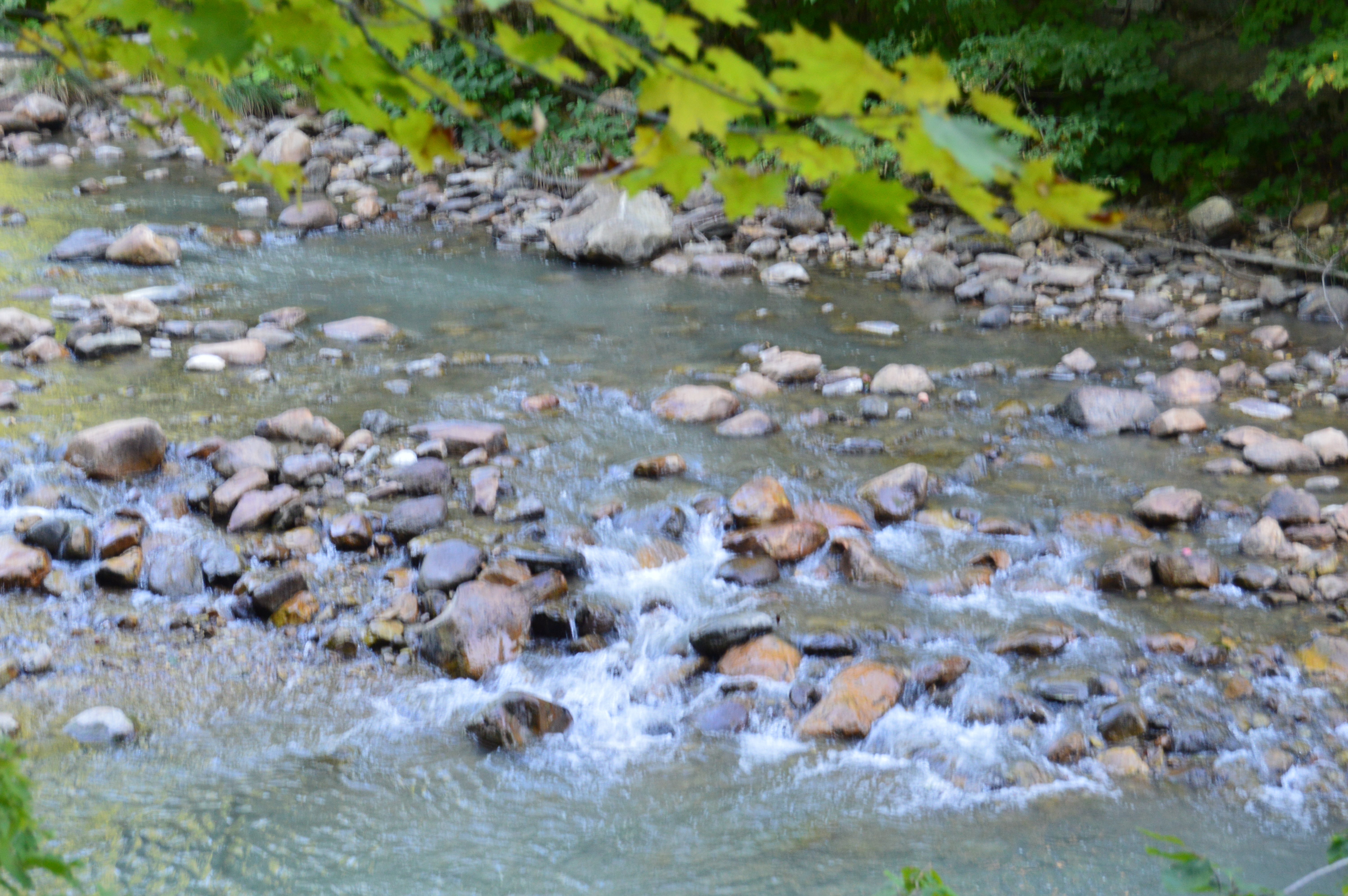
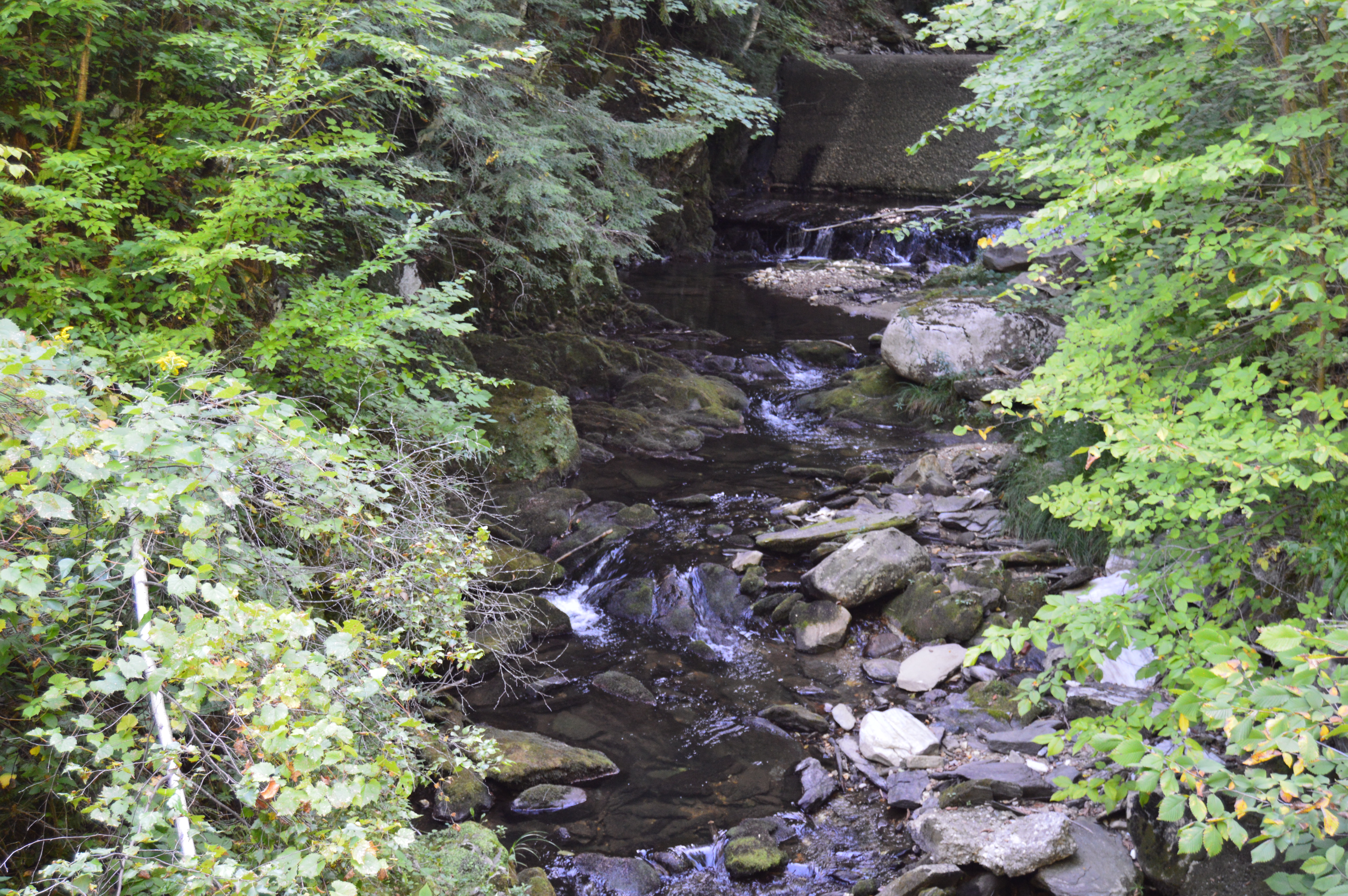
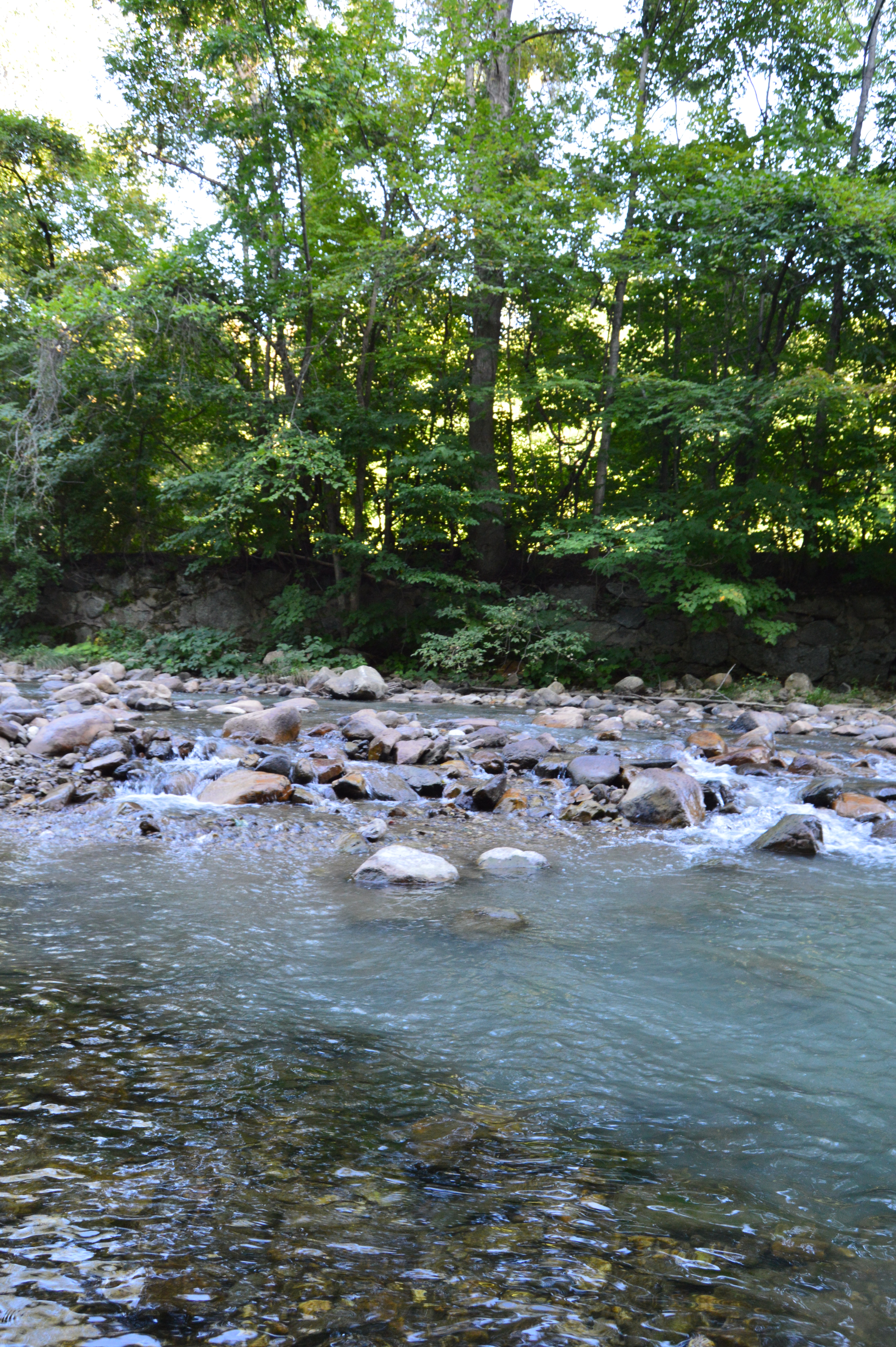
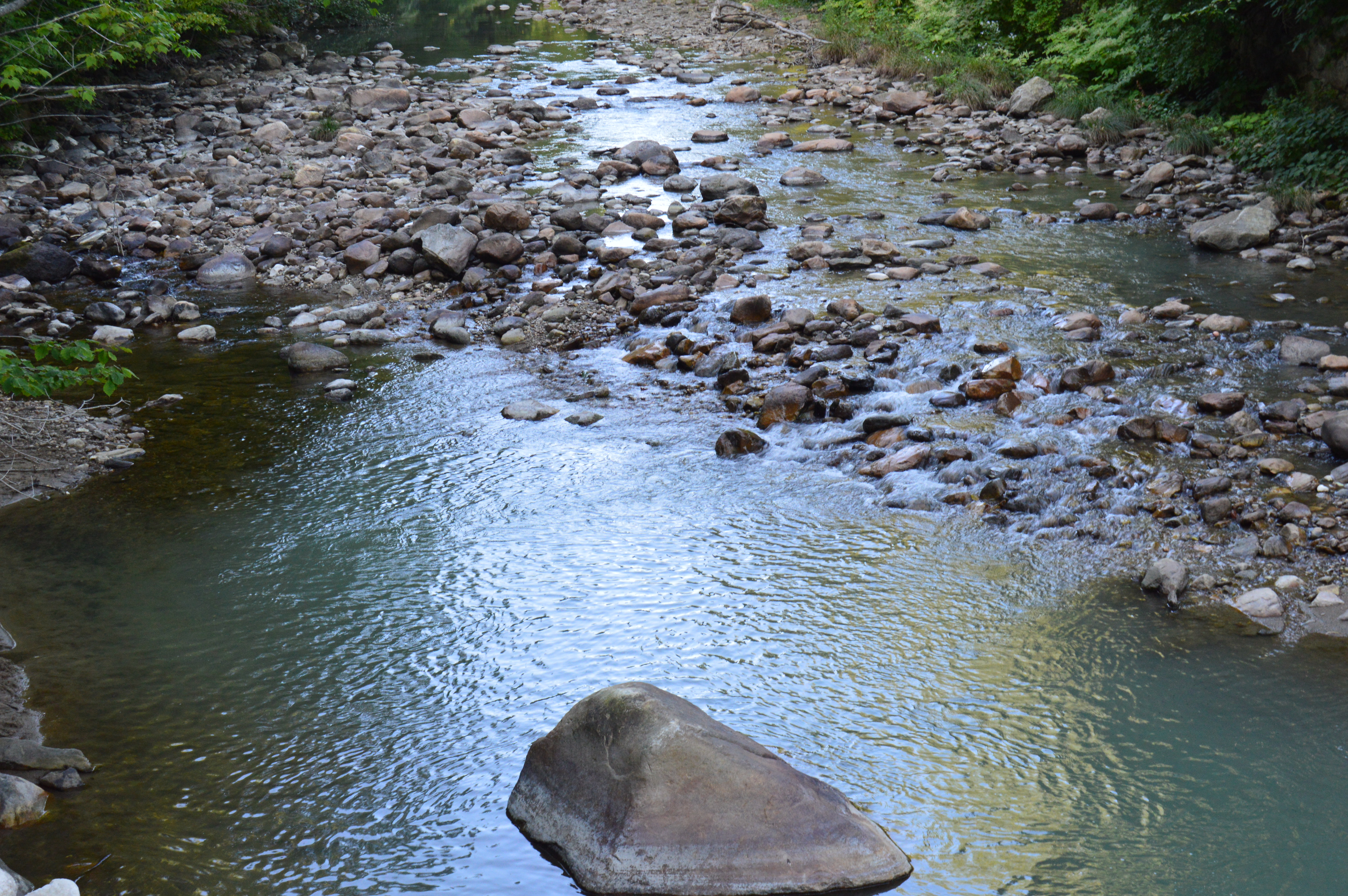
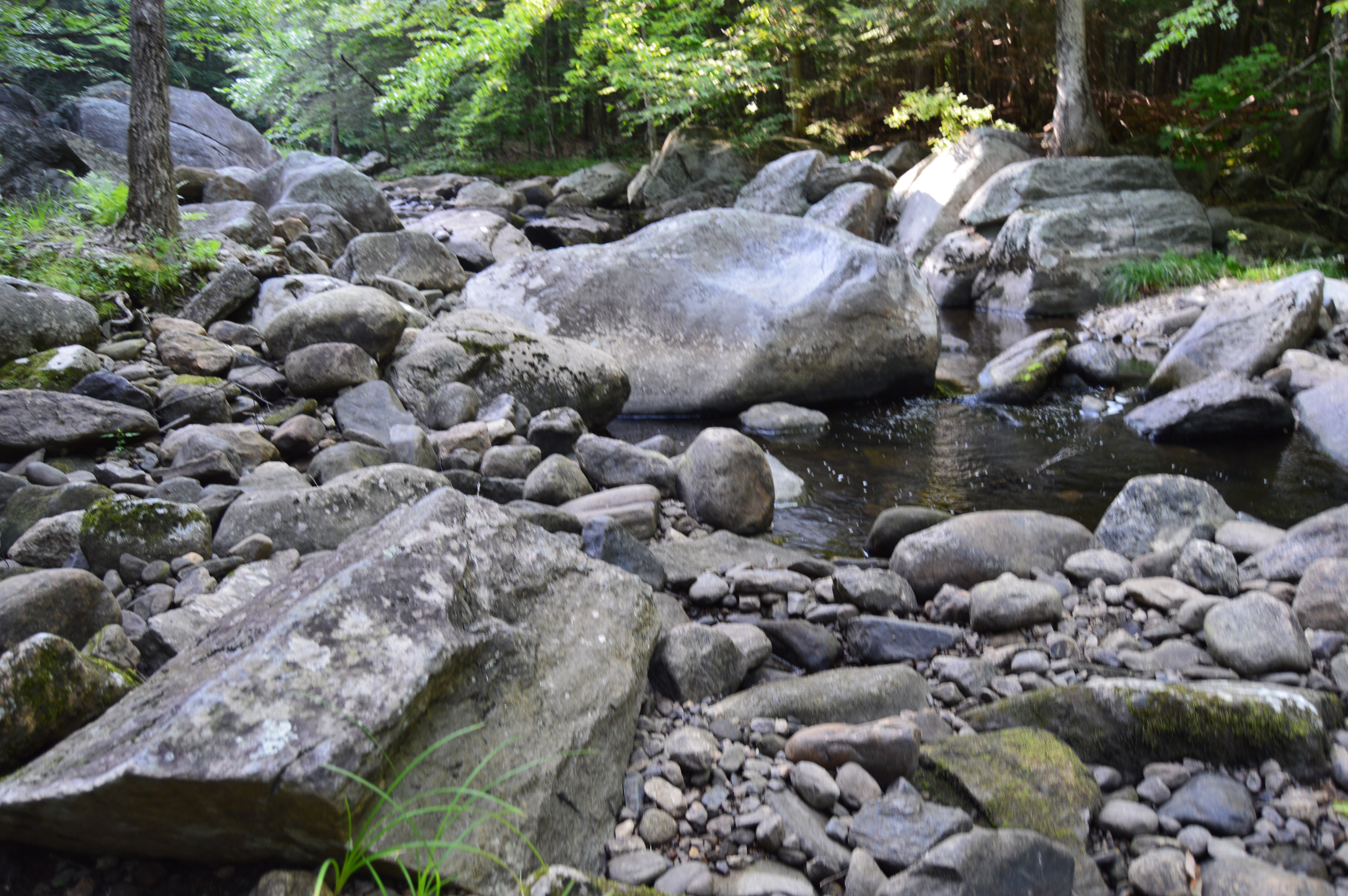
Along the trail, there are many eye catching rocks and streams.
The trails are clearly marked and signs point to the two rocks.
Left to “Big Agassiz.” Stay straight on the trail to get to “Little Agassiz.” The trail about a 2 mile loop. So, you can see both rock locations if you take the trail in its entirety which is what I did.
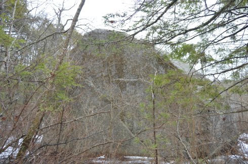
Big Agassiz is only a quarter mile or so from the sign.
Yup, that’s “Big Agassiz” it all its glory.
A trail leads to “Little Agassiz.” Ironically, the “Little Agassiz” is the better part of the attraction.
Along the way, I had a feeling I wasn’t alone based on the paw prints or hoof prints I saw in the snow. I quickly made my way up to “Little Agassiz.”
A short hike that includes one of the few inclines leads to the top of the Beaverdam Hill where “Little Agassiz” is.
There are several rock formations, trees and a area to just sit and chill. If I brought a book I would have been right at home. I could have stayed all day. But, I was a little disappointed in the views or lack thereof. There are mountains or other wonders of nature to look at. You do get a nice view of the roadway, though. Just a few tips: it can get pretty windy up there and if you do go in the morning during the winter be aware the rocks and the surfaces can be slippery.
This slideshow requires JavaScript.
You get a pretty good view from on top of the rocks.
I found one more rock formation of notice on my way out.
The parking area for Agassiz Rock is off a busy roadway and while I didn’t have any problems finding a spot I think it would be a little tough during the summer. There is probably room for a dozen or so cars if people park normally.
Below is a video of Little Agassiz.
Please connect with me on Facebook for additional photos and videos at New England Nomad
Although the area is mostly known for being the home of the New England Patriots and its adjacent marketplace, Patriot Place has another impressive attraction – The Nature Trail and Cranberry Bog. Admission to the trail and bog is free and the parking is ample evident by the photo below. You can also park in the lots in front of the store and walk down to the trail.
From the entrance the Nature Trail and Cranberry Bog greets you with a charming sitting area and pretty trees.
This slideshow requires JavaScript.
Although most of the vegetation is dead (save for a few stubborn blueberries and cranberries), a thin layer of ice covered most of the pond and the trees are bare this time of the year, the Nature Trail and Cranberry Bog at Patriot Place in Foxboro, MA, is just as beautiful in the winter as it is during the summertime.
This slideshow requires JavaScript.
Located directly behind the expansive Bass Pro Shop, the Nature Trail and Cranberry Bog is a .5 mile loop with a 3 percent grade and some inclines as much as 12 percent.
It is a mostly dirty trail with a few boardwalks and bridges. There are two benches in the middle of the first walking bridge. Overall, it is an easy to semi-moderate trail. I saw people of all age groups handle the trail, inclines and all, with little difficulty.
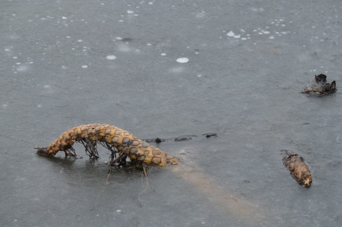
I found this strange, creepy looking branch or alien arm protruding from the ice.
An extra bonus for any Patriots fan is you can see Gillette Stadium (the stadium the Patriots play in) from the main road on the way to the Nature Trail and Cranberry Bog. You can also catch a quick glimpse of some of the stadium from the entrance to trail and bog.
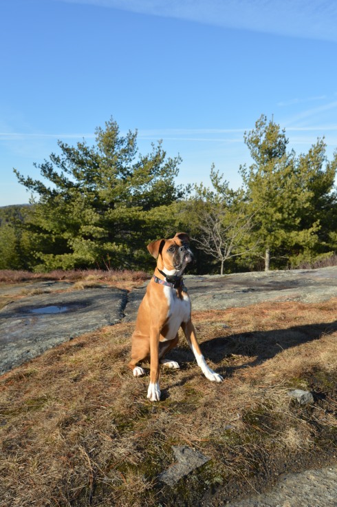
After finishing the loop, I met Chandler, a beautiful 6 year old tri-colored English Setter (thank you for the clarification, Adam).
Thank you for reading and please like my Facebook page to view videos, photos and more that I do not post on this blog:
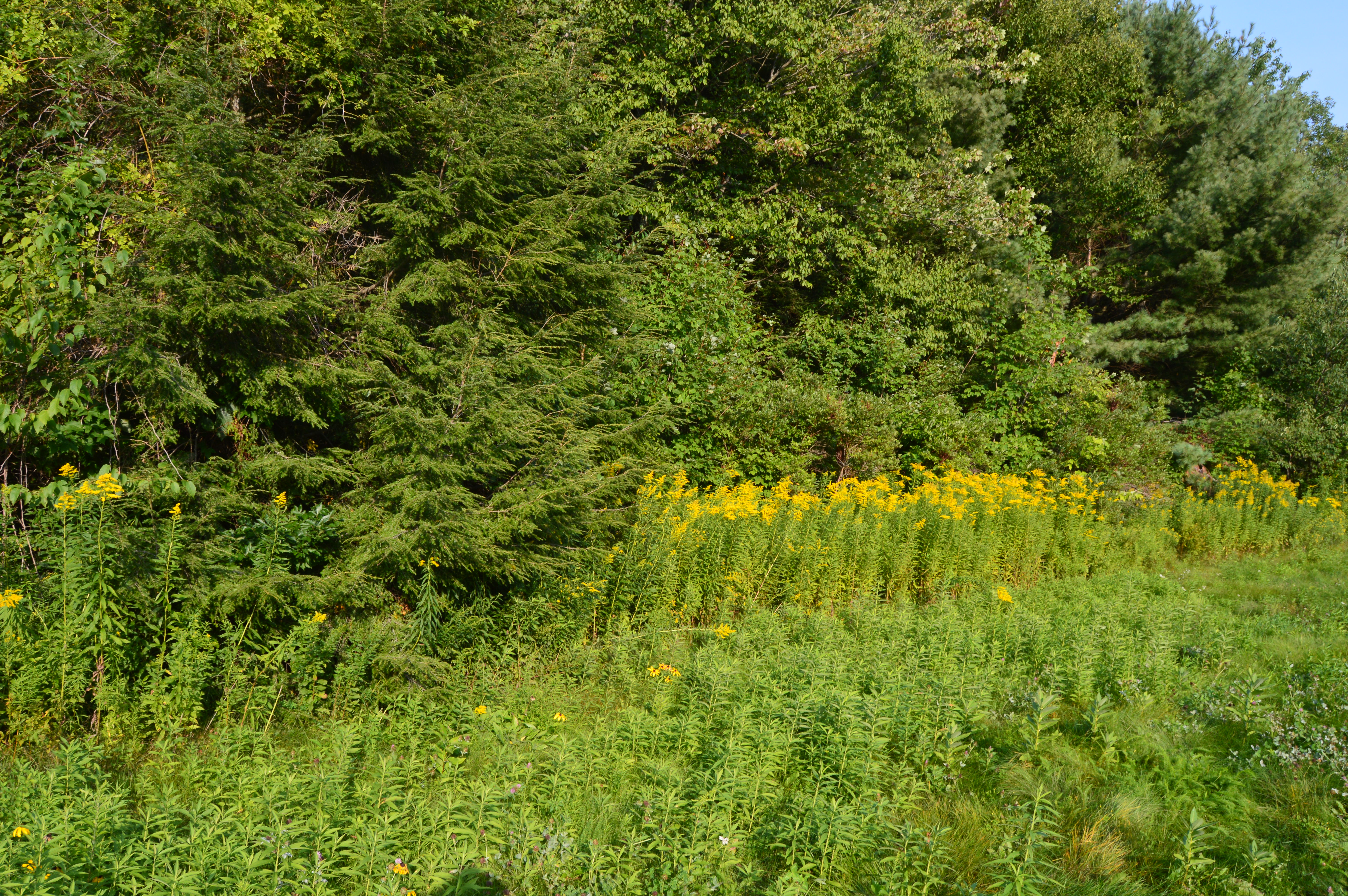
As the year draws to an end I thought I would share some of the photos taken from my mother’s house throughout the year. Since she lives in an area that used to be farmland there are a lot of wooded areas that attract a variety of wildlife. She also has a couple of bird feeders that attract birds of all types. There are many other animals in the area over the years that I have heard or seen but not photographed such as deer, a horse, cows, mountain lions and reportedly even bears.
Check out the slideshow below to see some of the friends that have visited us this past year. My cat, Bailey, is included in the slideshow. I always bring her when I visit.
This slideshow requires JavaScript.
I always like investigating the area when I visit for the holidays and long weekends. I’ve always thought it would be a great place to retire. The storms and sunsets can be jaw dropping.
This slideshow requires JavaScript.
There are also a variety of plants, flowers and trees in her yard.
As fall made one more last gasp, I took advantage of the unseasonably warm (50 degrees) weather and made my way up north to the picturesque Pawtuckaway State Park in Nottingham, New Hampshire.
Located about an hour and a half north of Boston, MA, Pawtuckaway is a 5,000 acre preserve with a camp site, lakes, a beach, a spectacular view of the Pawtuckaway Mountains and 15 miles of trails. The parking lot is pretty big so parking shouldn’t be a problem if you get there early in the day during the spring and summer. There were only 4 cars there when I went in December. It costs $5 for adults and $2 for children ages 6-11. It is free when it is not staffed (from 11/2 until 5/1). The park hours are 8 am-7 pm.
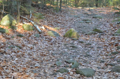
The trails can be challenging not so much because of their inclines, which can be tricky at parts, but because of the rocks which are randomly placed throughout the trails. They can come in handy, though, when you have to cross the puddles along the trails.
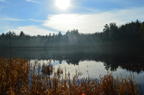
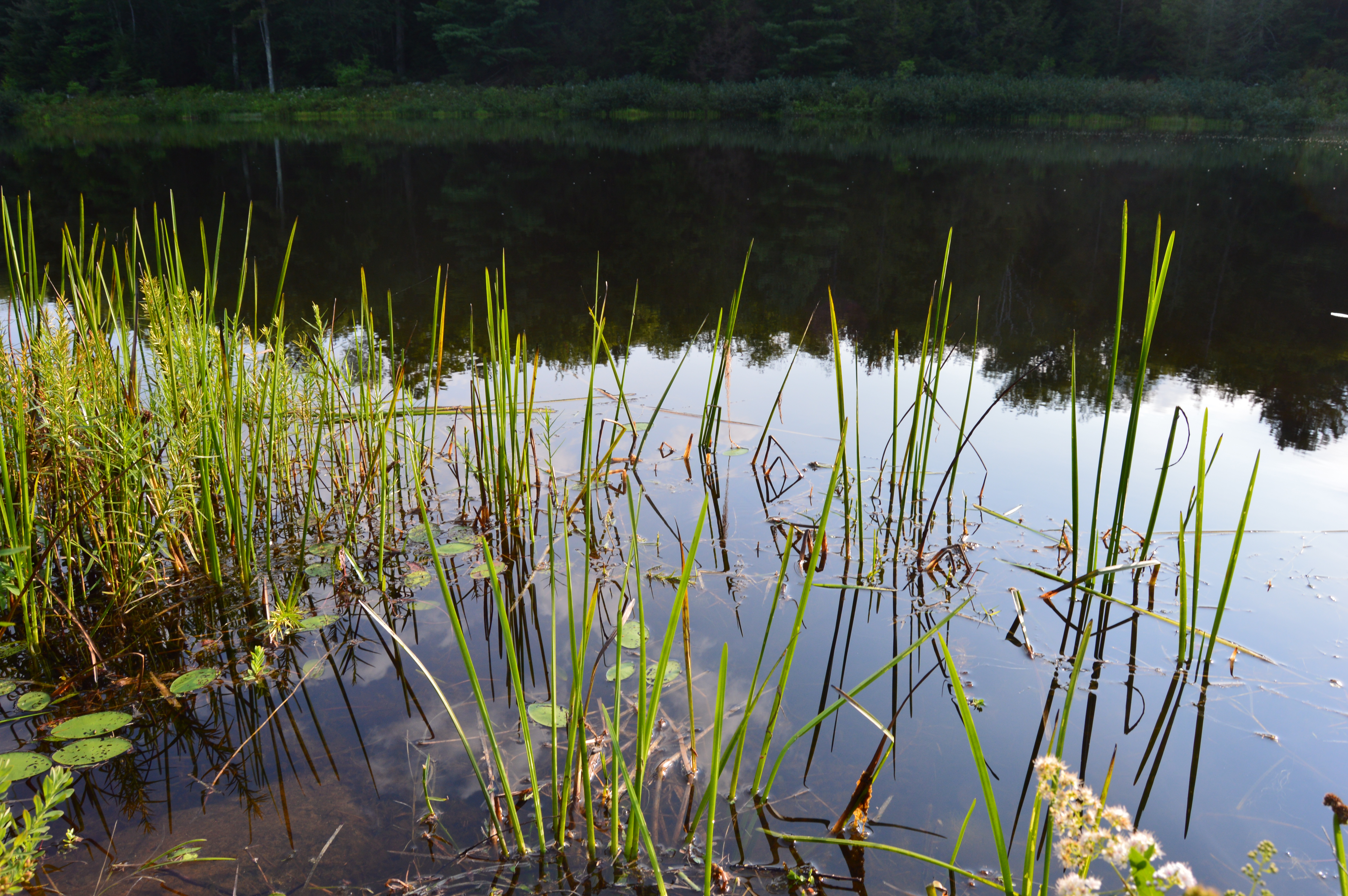
I arrived at Pawtuckaway early in the morning. Mist and frost was still visible on the way to the lake.
Looking into the pond was like looking into a mirror.
This slideshow requires JavaScript.
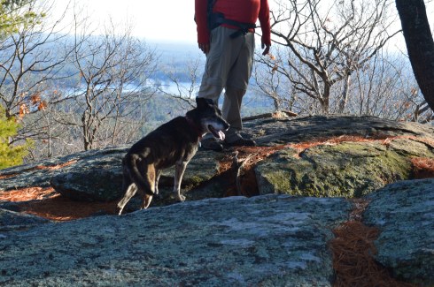
The views from the rocks trail on the Fire Tower make the long ascent (about 3 miles from the entrance) worthwhile.
This slideshow requires JavaScript.
The fire tower is located a short distance (about a quarter of a mile) from the rocky ledge with all of the beautiful views.
While I preferred the views from the ledge, the fire tower offered views from every angle and both sides of the vista.
This slideshow requires JavaScript.
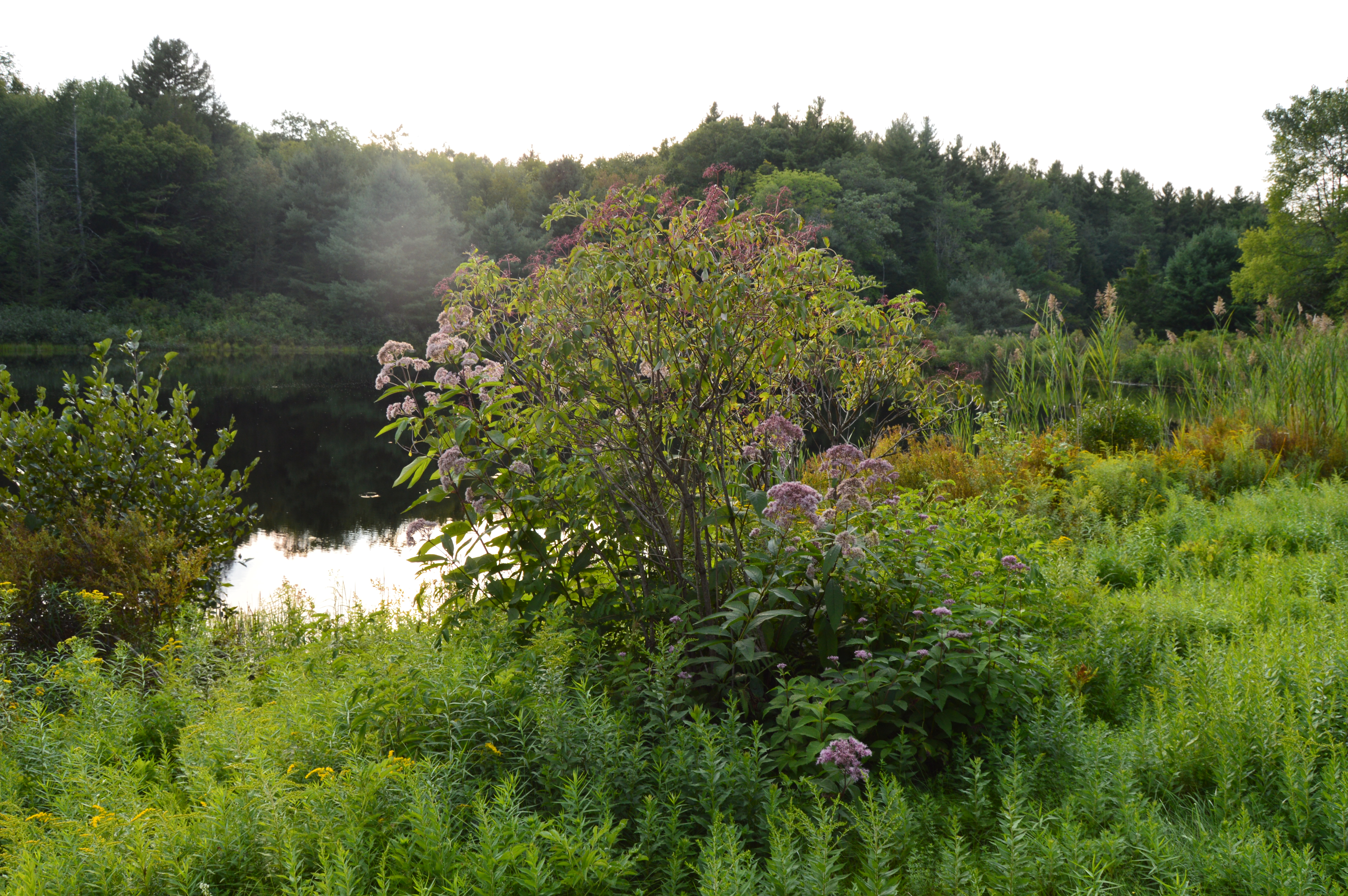
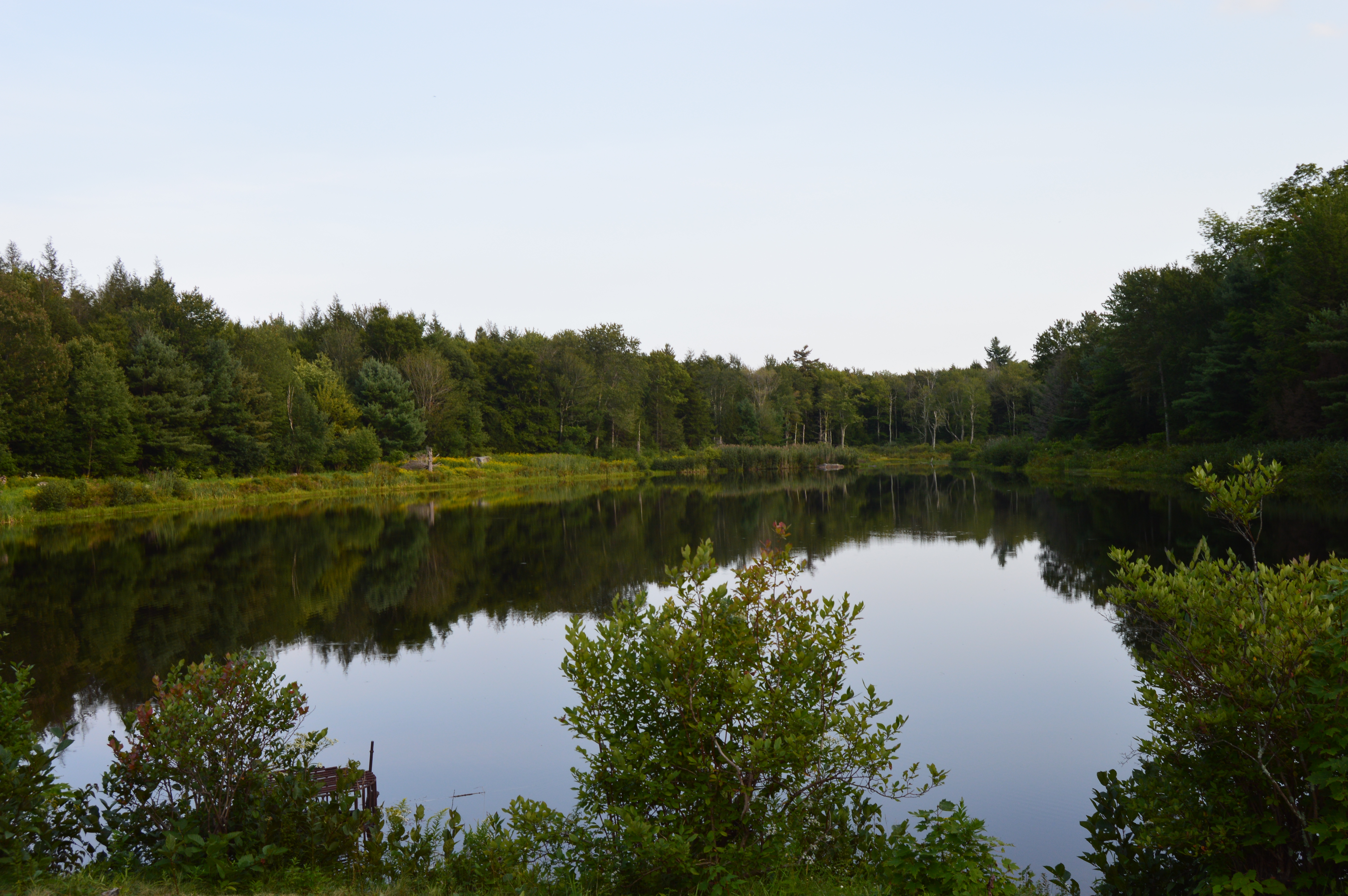
There were also many pretty trees at Pawtuckaway.
There is also a beach at Pawtuckaway. I got there just in time for the sunset.
This slideshow requires JavaScript.
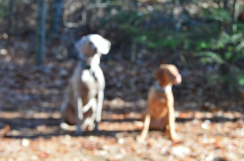
Pawtuckaway is said to have been derived from a Native American word meaning, “big buck.” I didn’t see any bucks but I did some dogs! From top to bottom Artie, Lulu (on the left), Rooster (on the right), Tucker and Duke.
Video from the fire tower at Pawtuckaway. As you can tell by the audio it was quite a windy day.
Video from the rocky ledge it was less windy there)
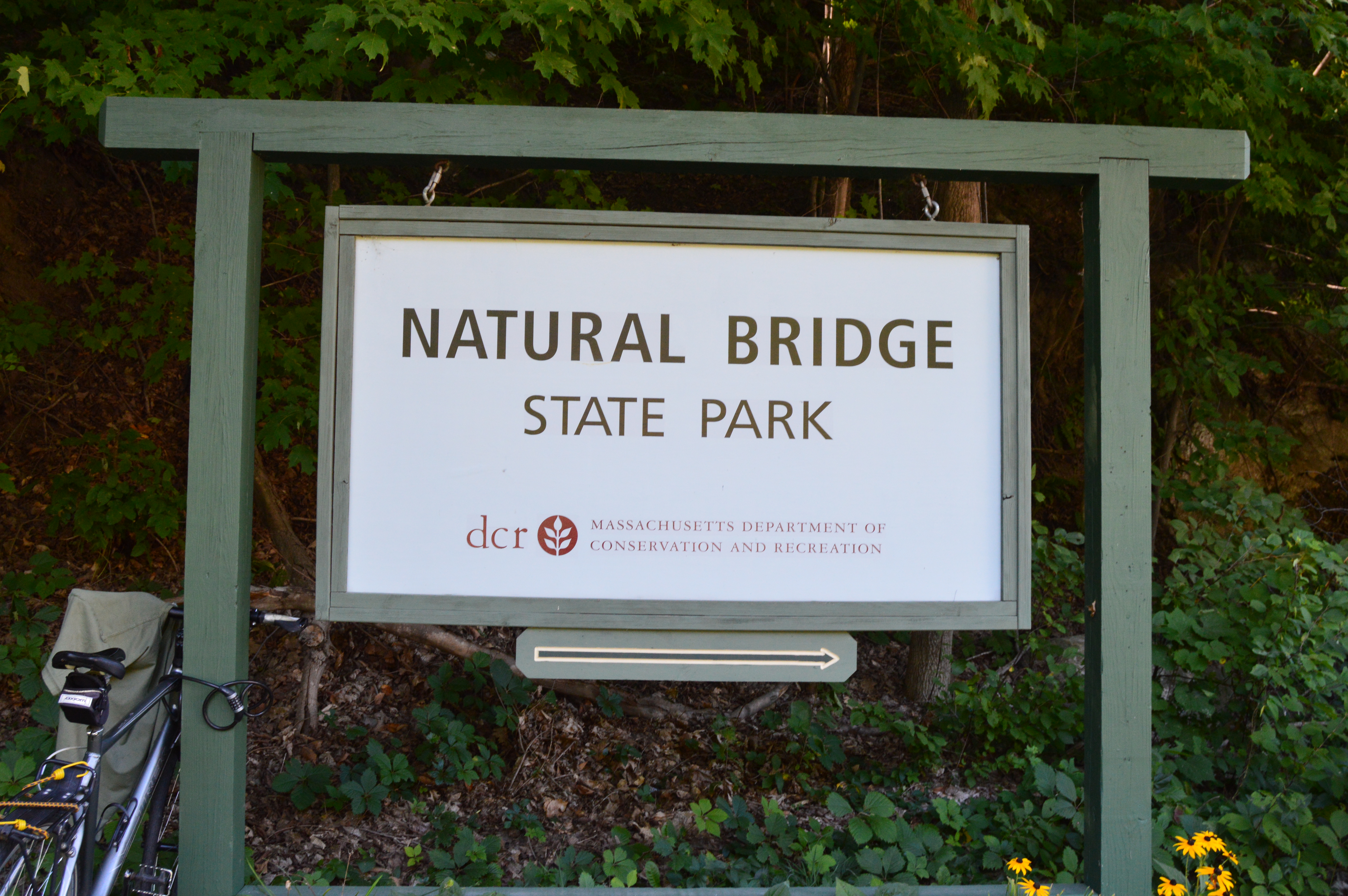
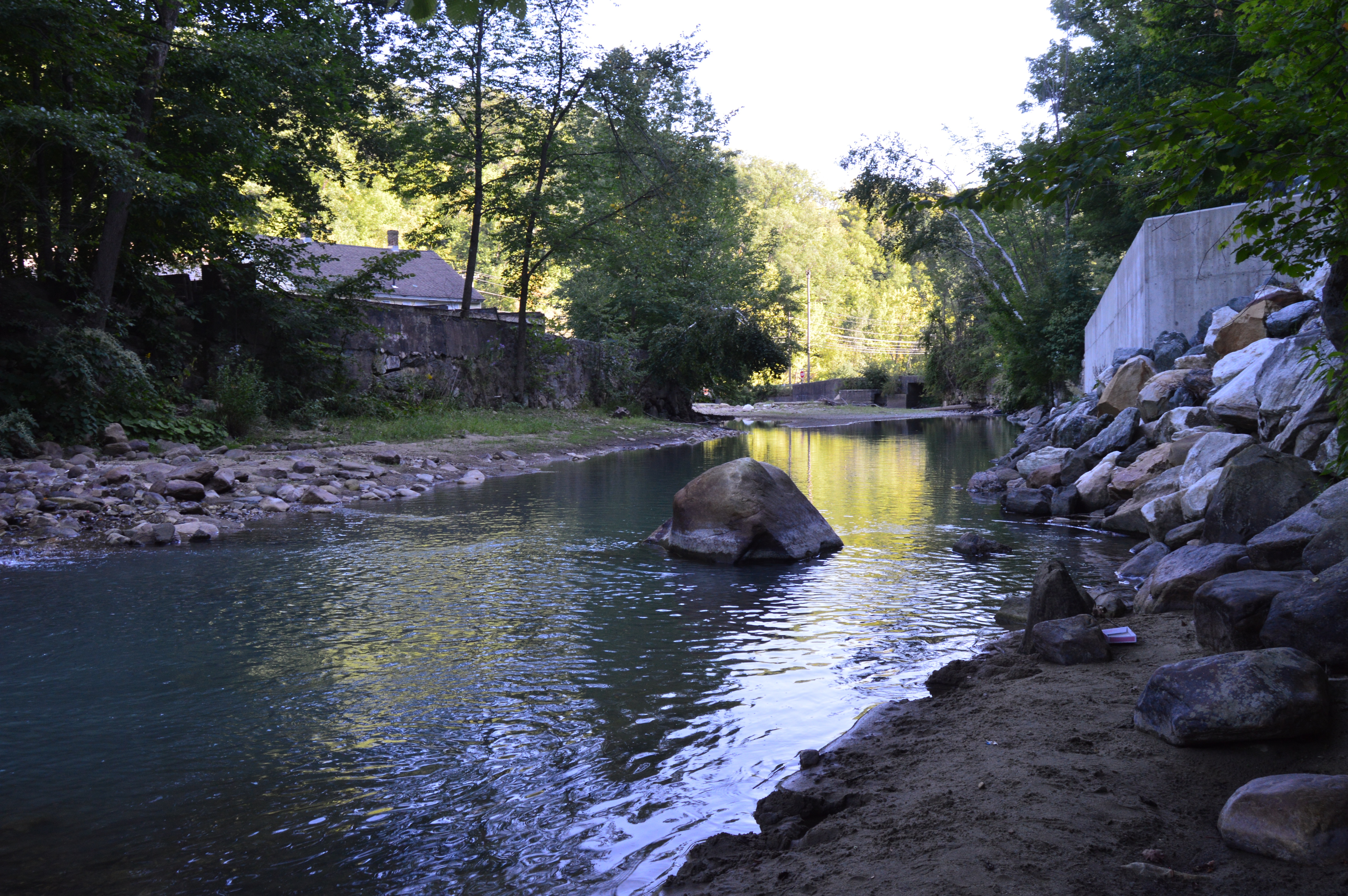
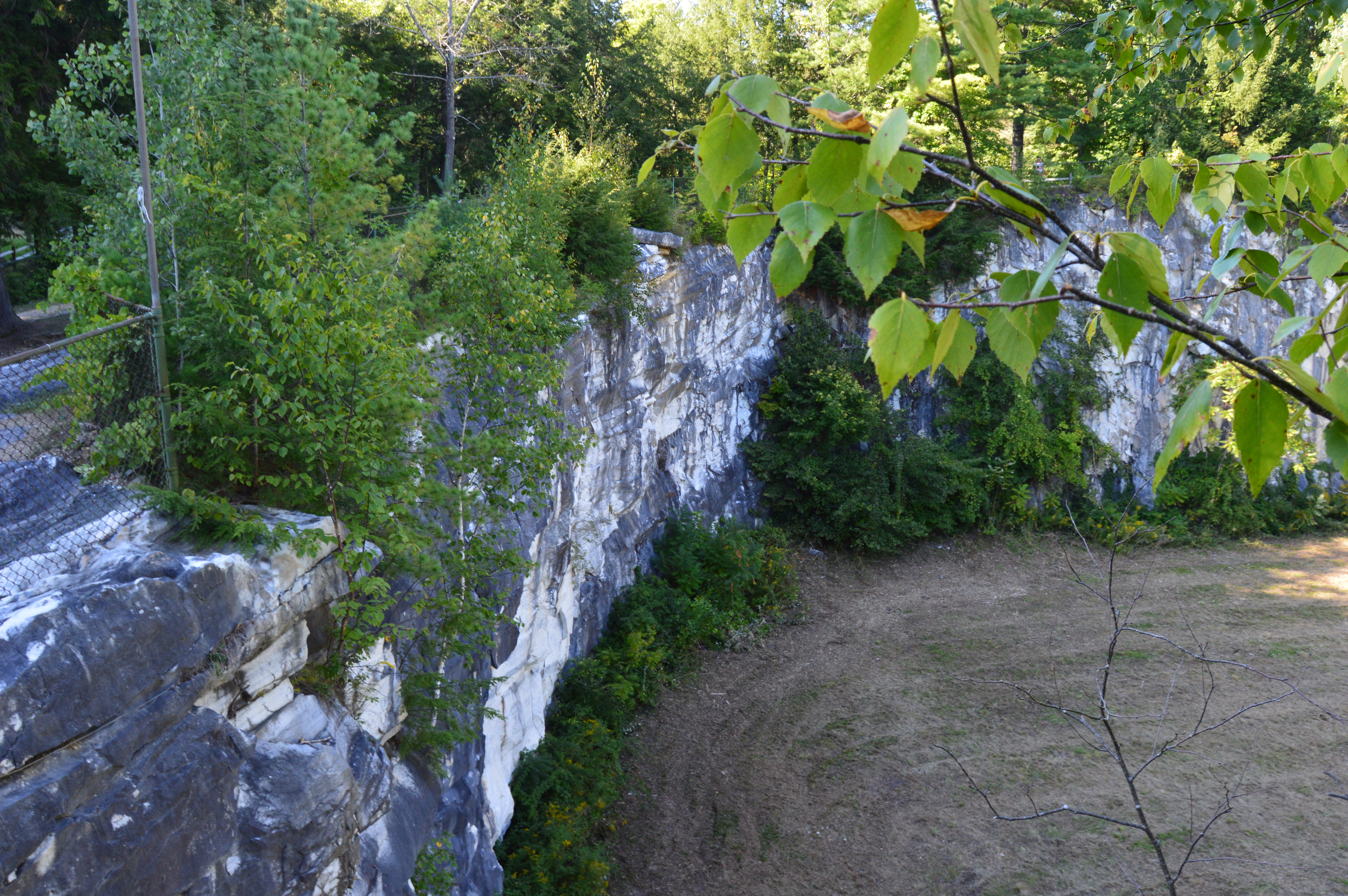
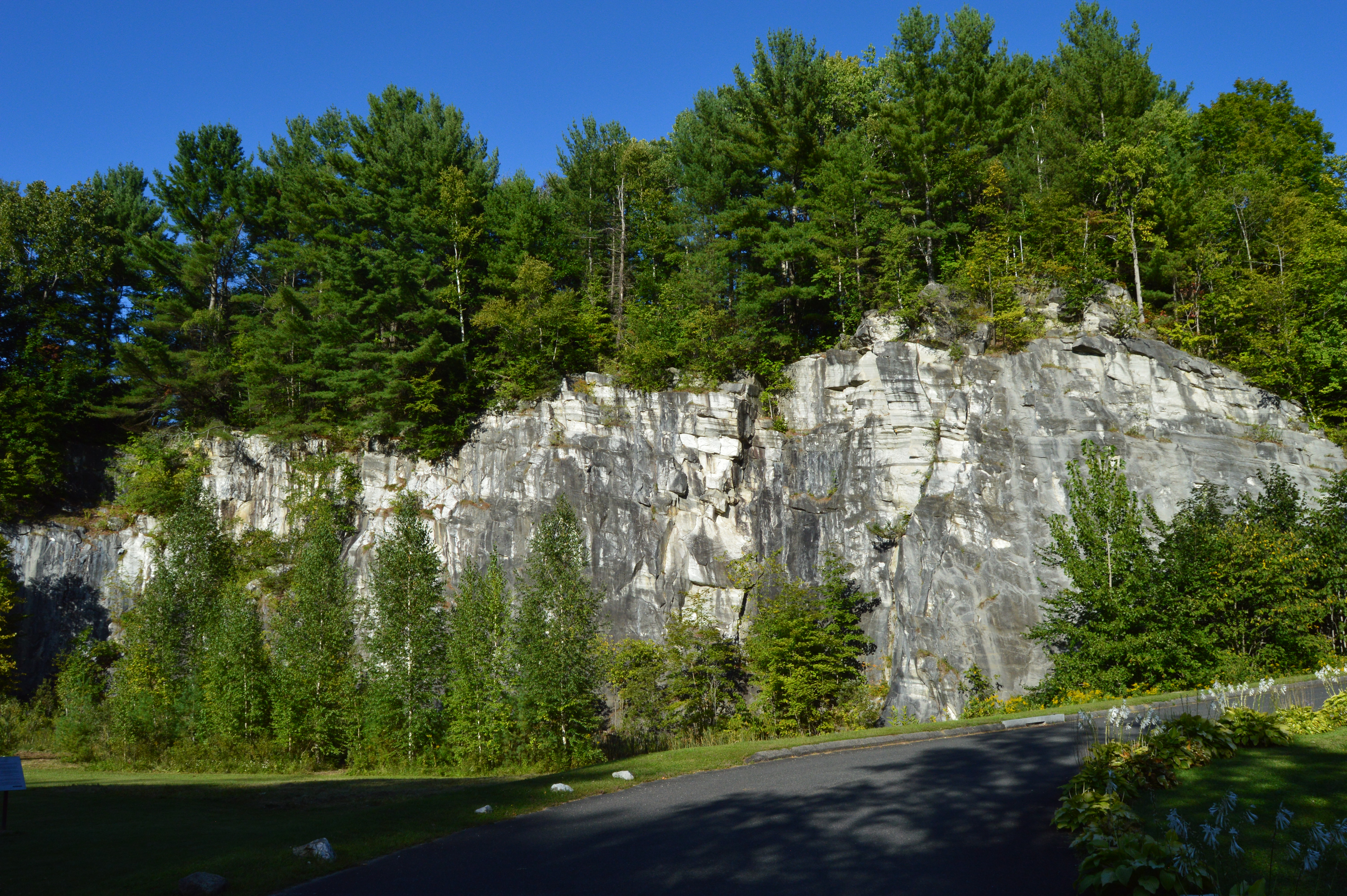
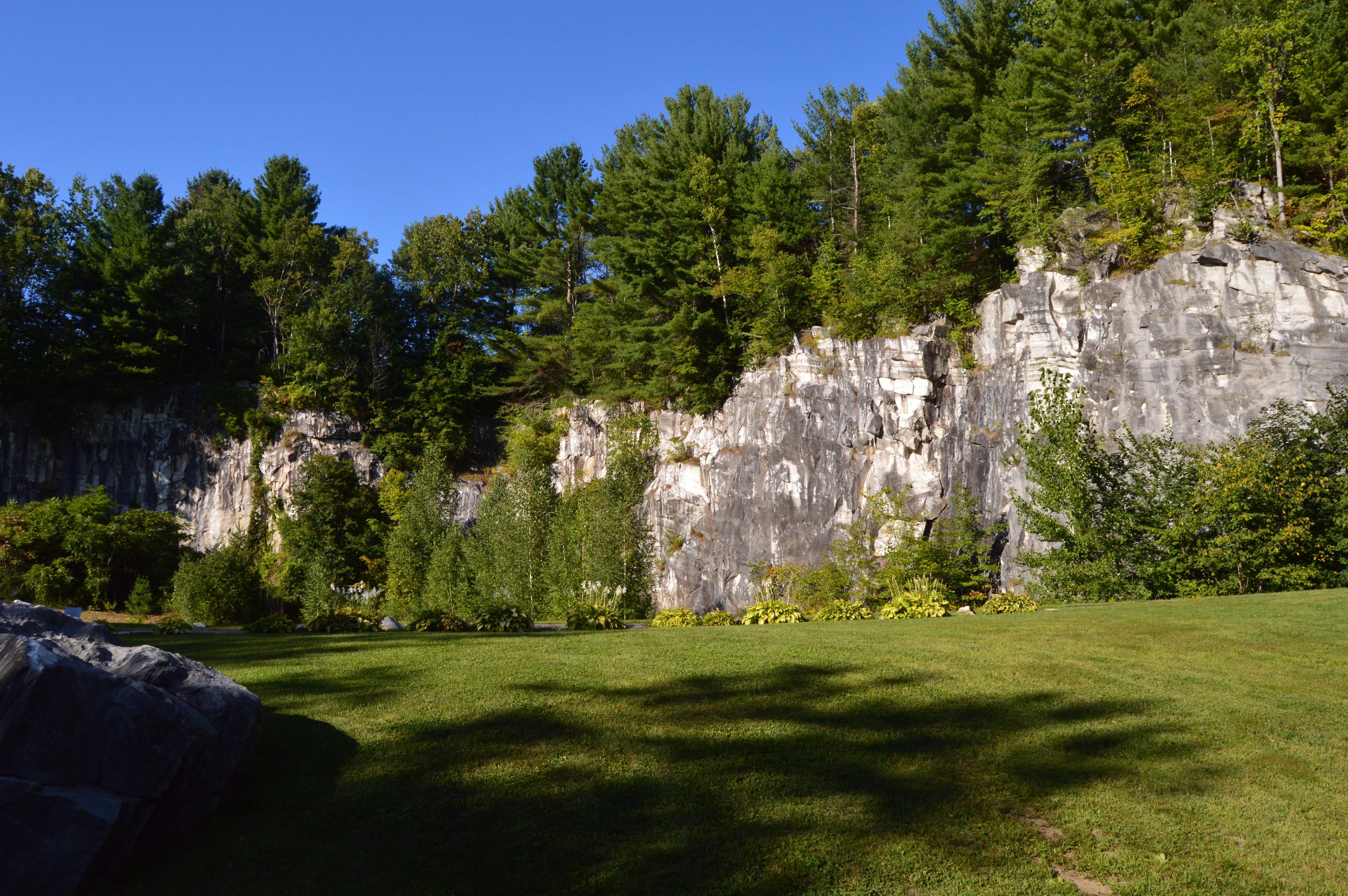
The bridges of Western Massachusetts are not just the ones you see on the roadways. But, don’t let the name fool you. The Natural Bridge State Park has so much more to offer.
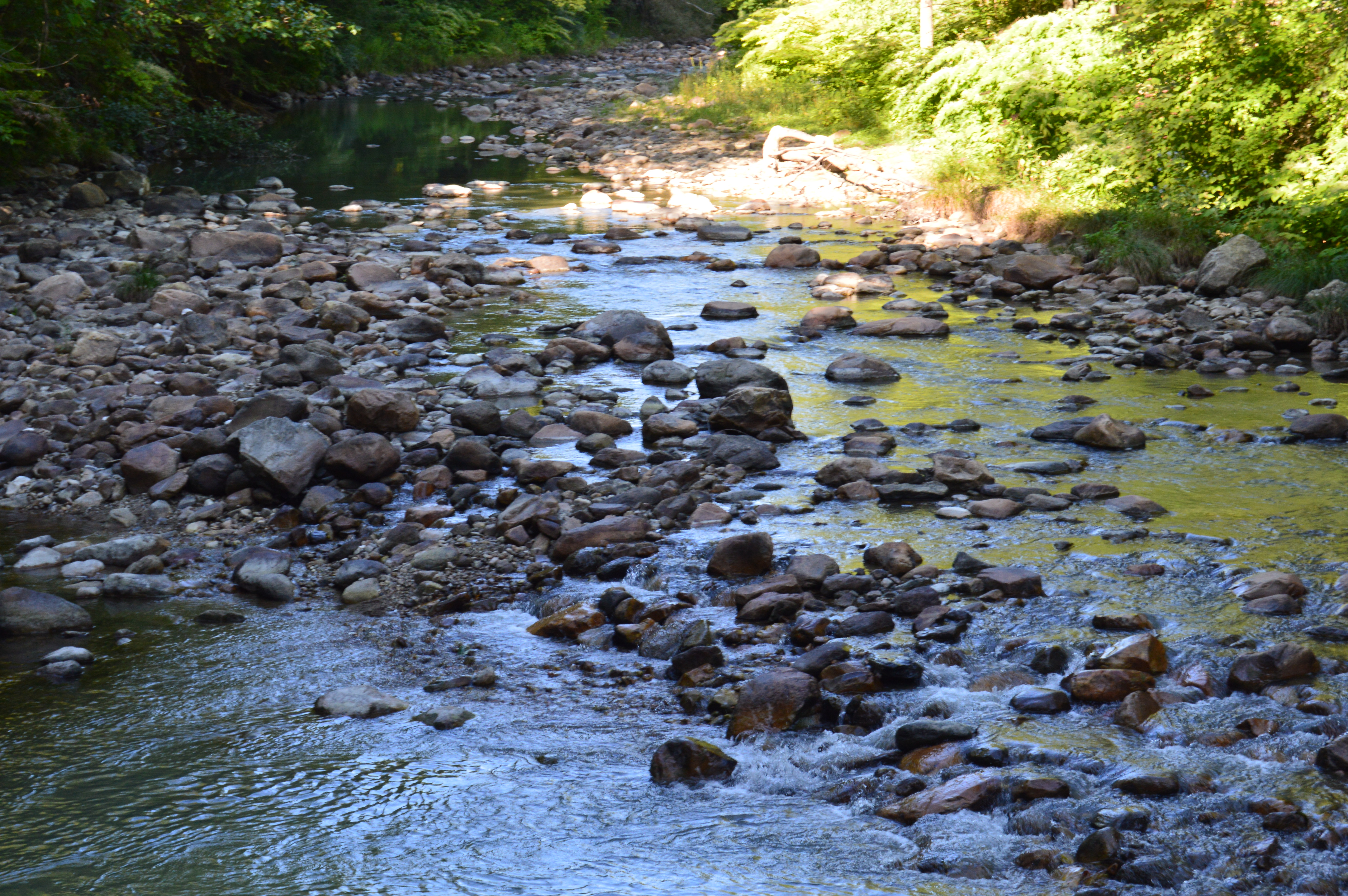
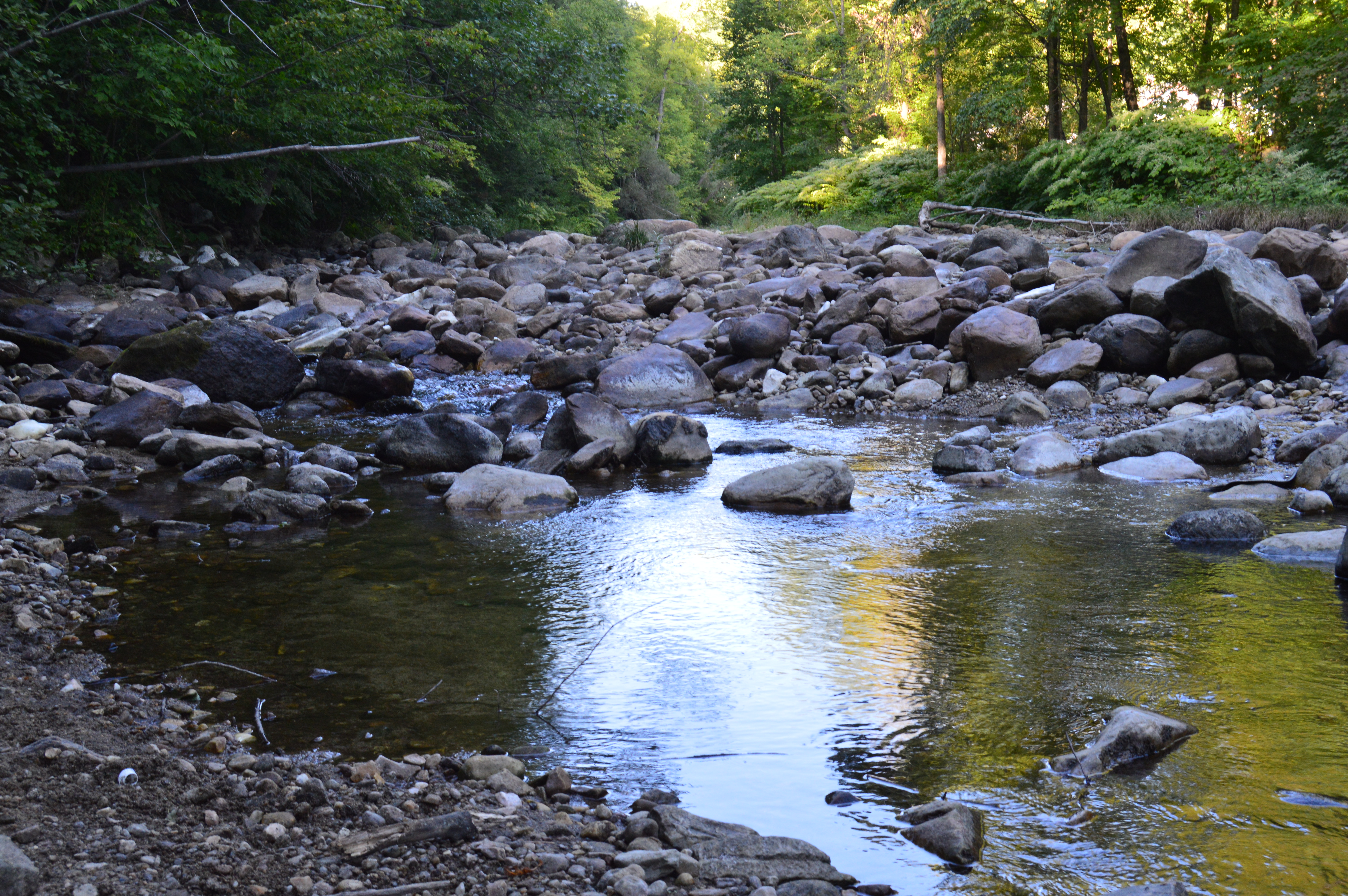
Before you reach the natural bridge, a brook greets you at the entrance.
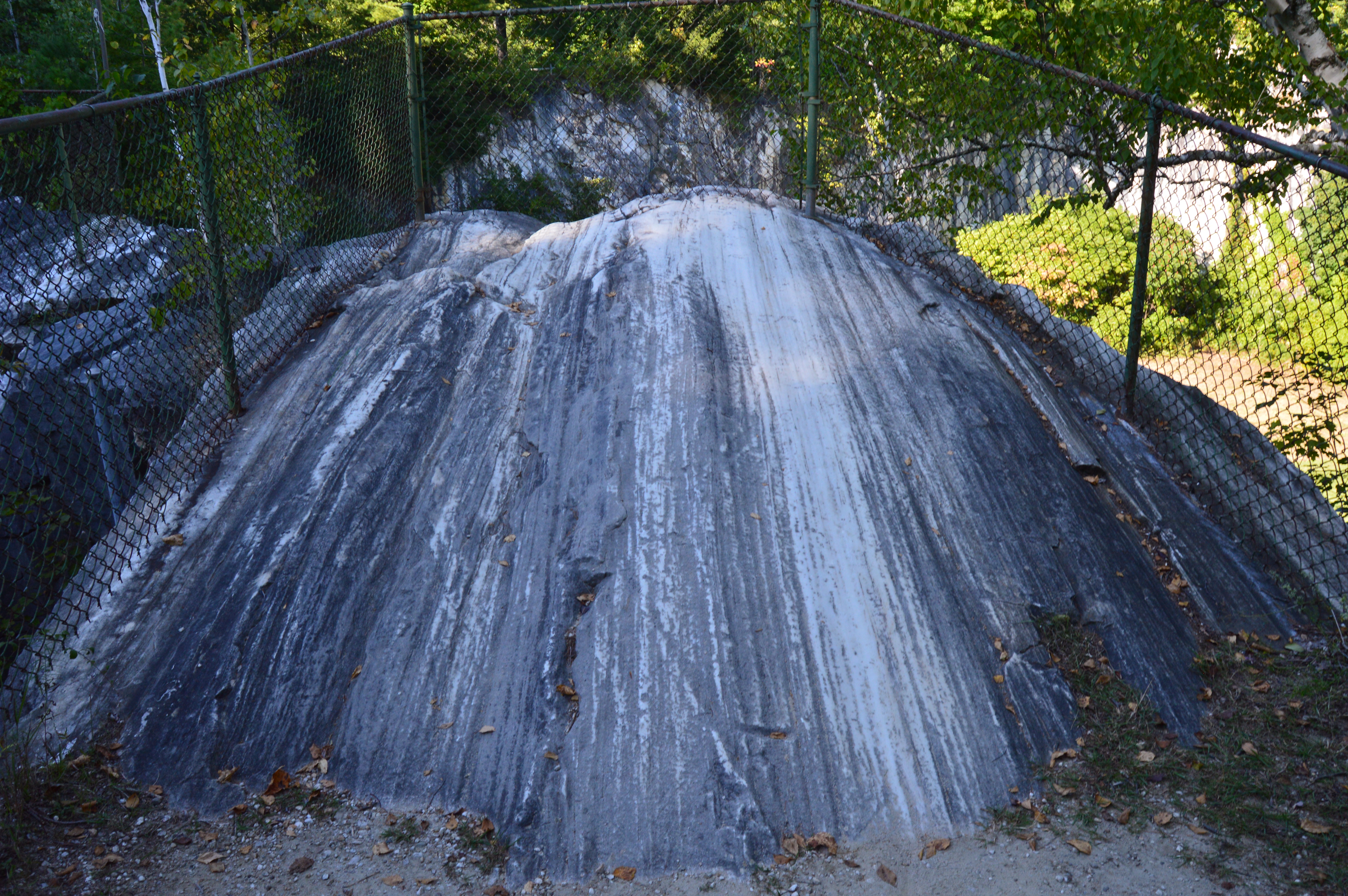
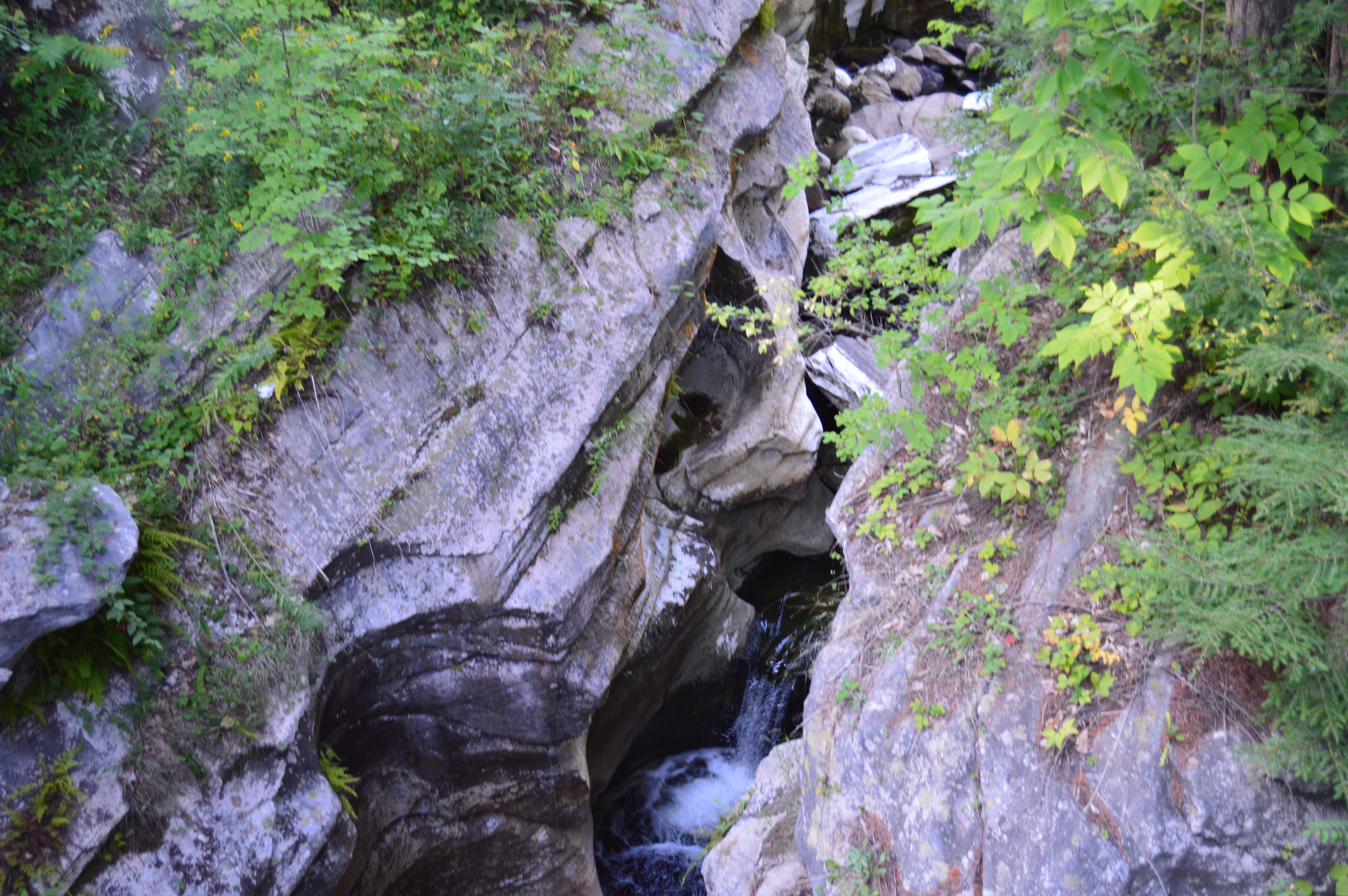
Formed through series of continental collisions, erosion and the meltwaters caused by the Ice Age, the natural marble bridge is the only one of its kind in North America.
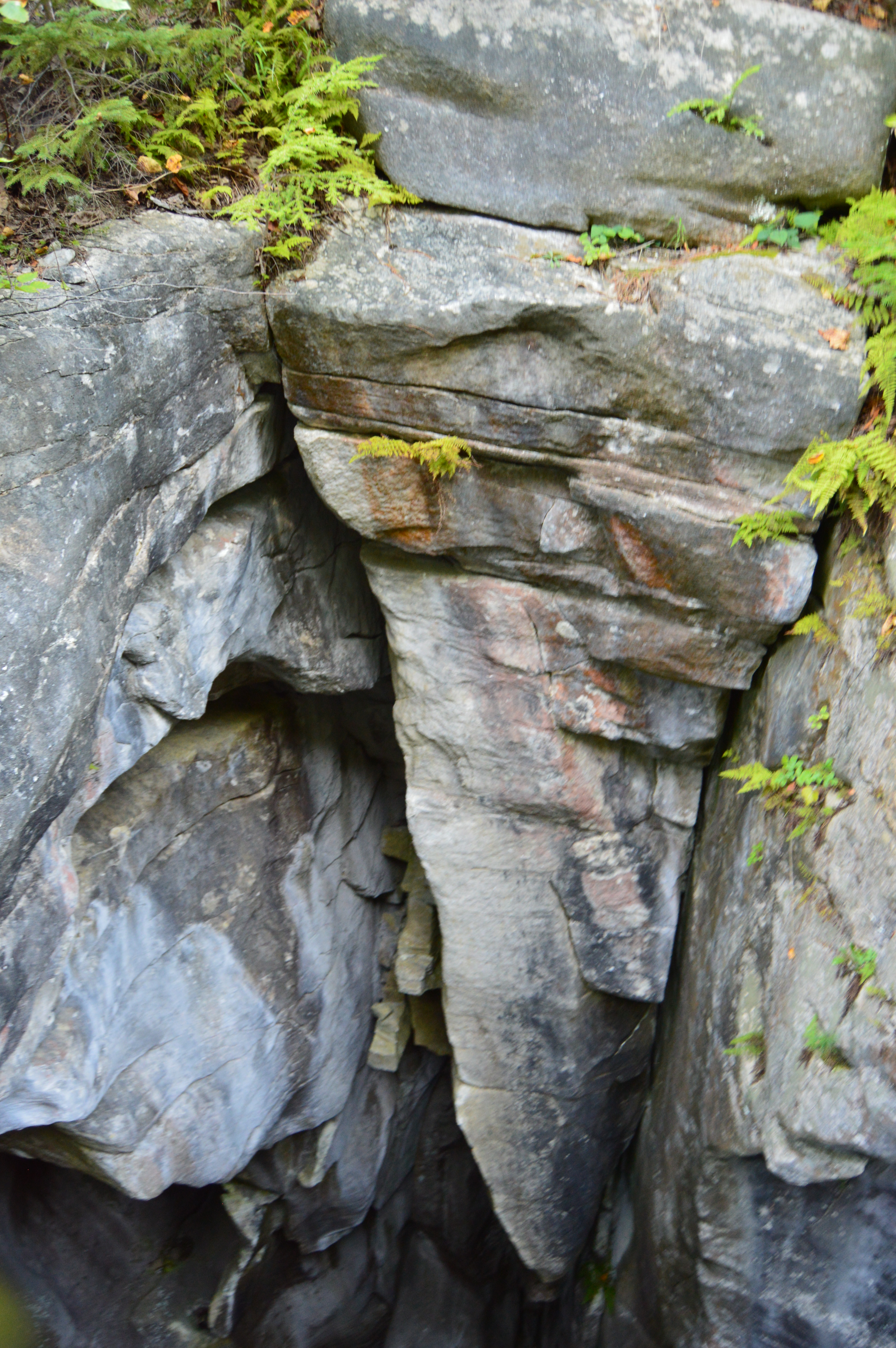
Deep crevices and chasms were carved through the years of erosion and warming and cooling.
The only marble bridge in North America, the natural bridge in North Adams is located just off the The Mohawk Trail.
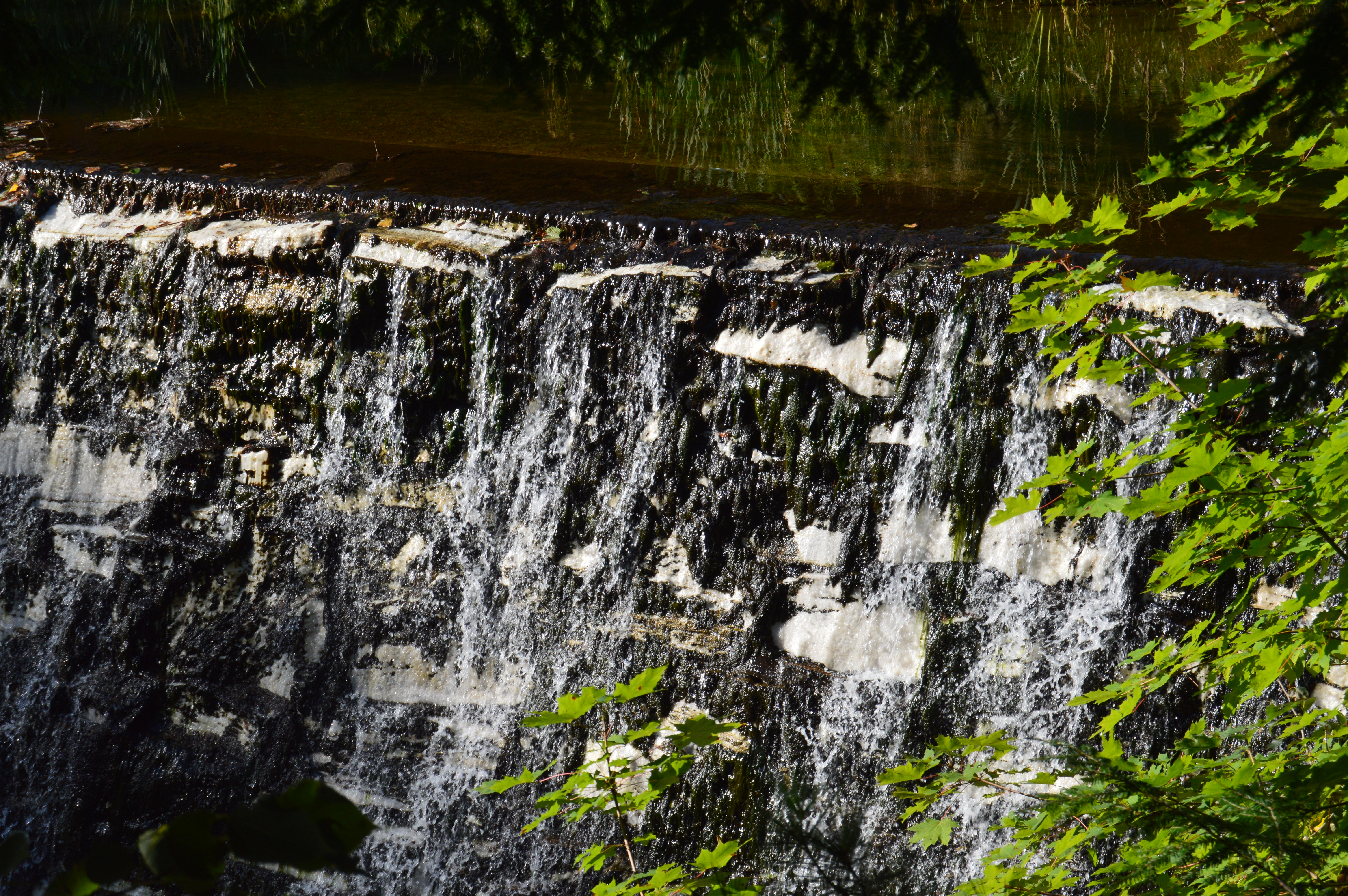
Adding to the beauty of the natural bridge, the park has a waterfall.
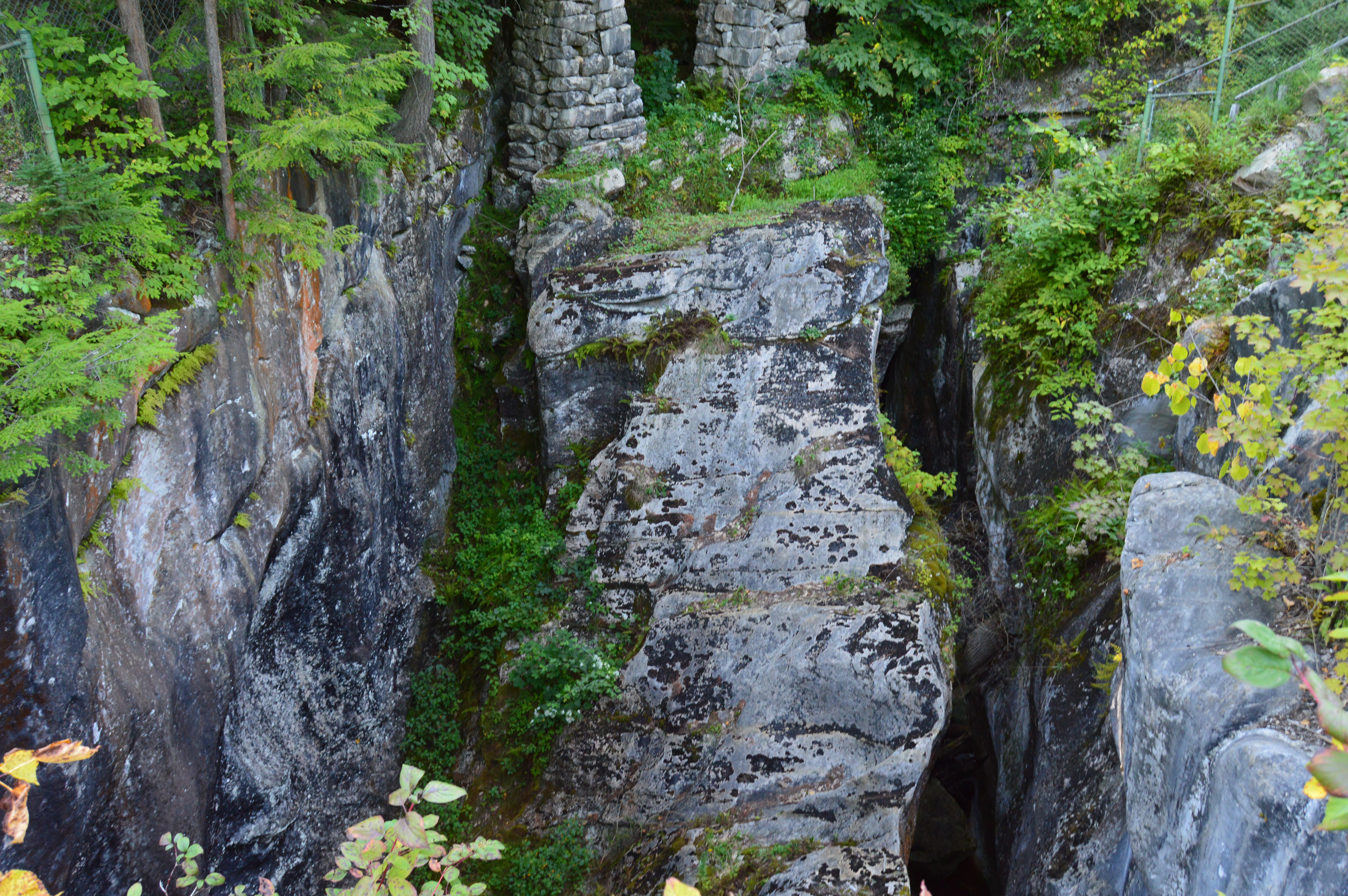
The Natural Bridge State Park also has impressive views of the bridge and the park it overlooks.
There are many flowers, trees, rocks, bridges (a bridge on a bridge of all things) and even David’s Bench that give the Natural Bridge State Park a special charm.
During our travels, we met Sasha.
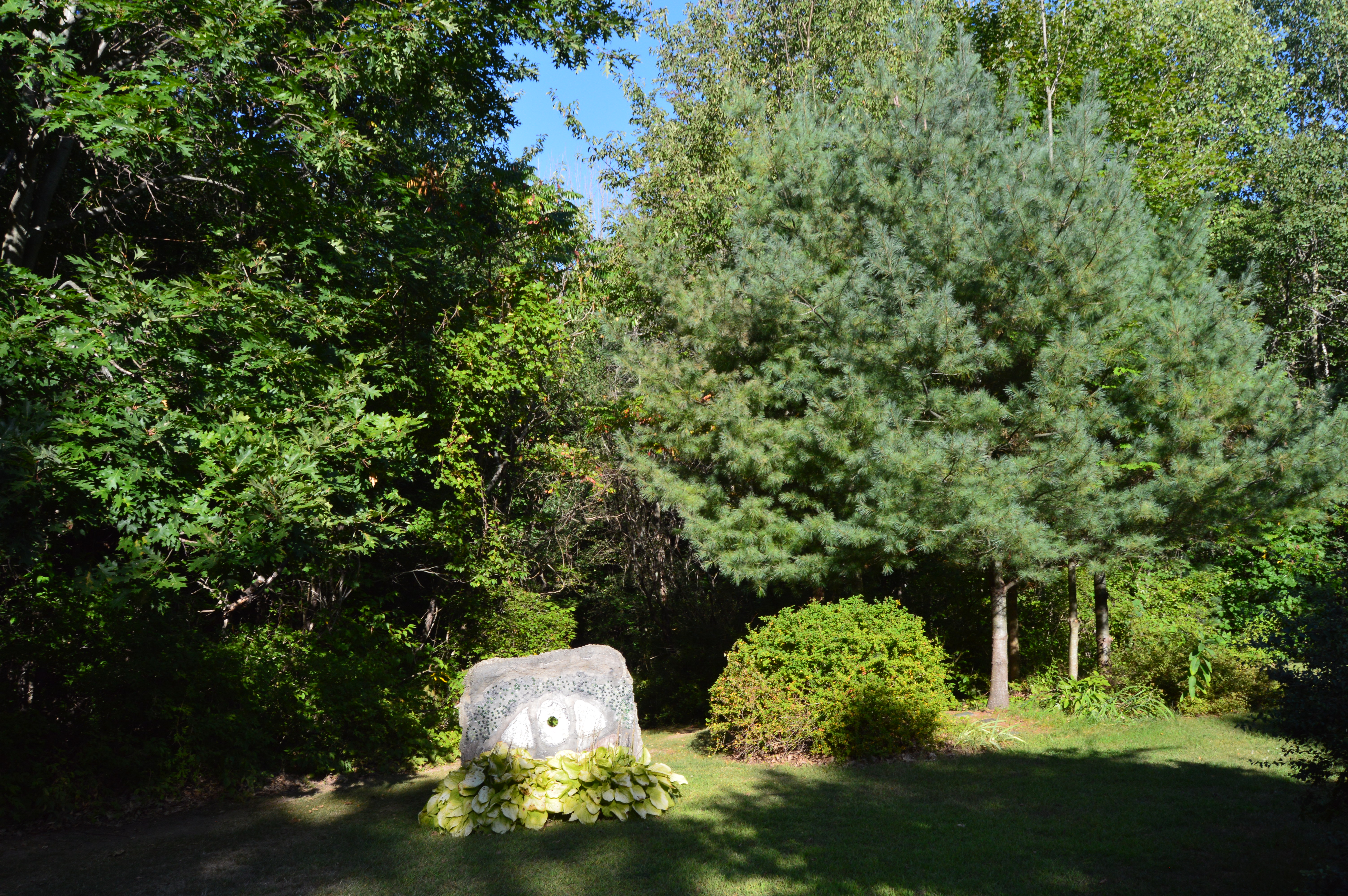
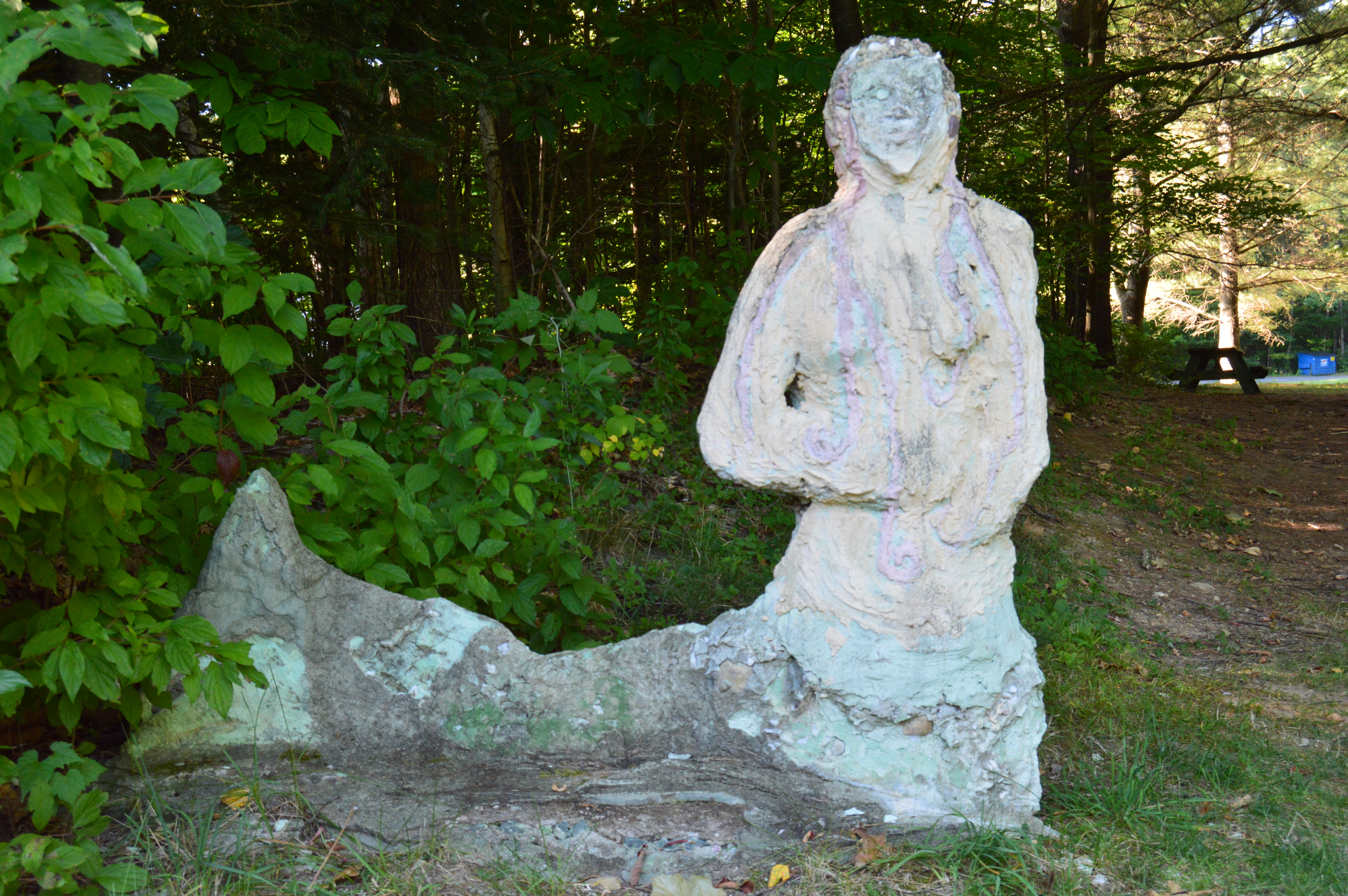
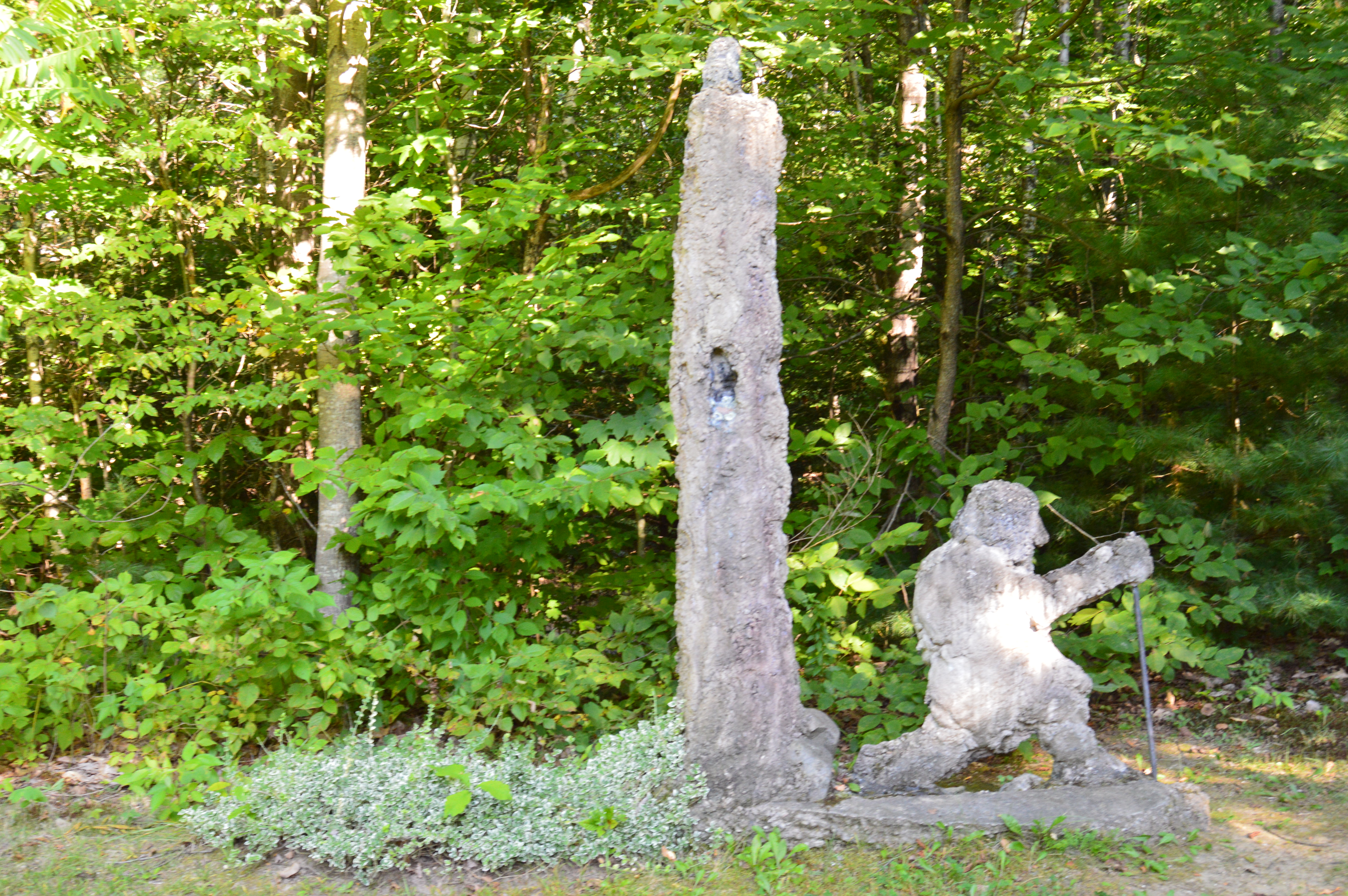
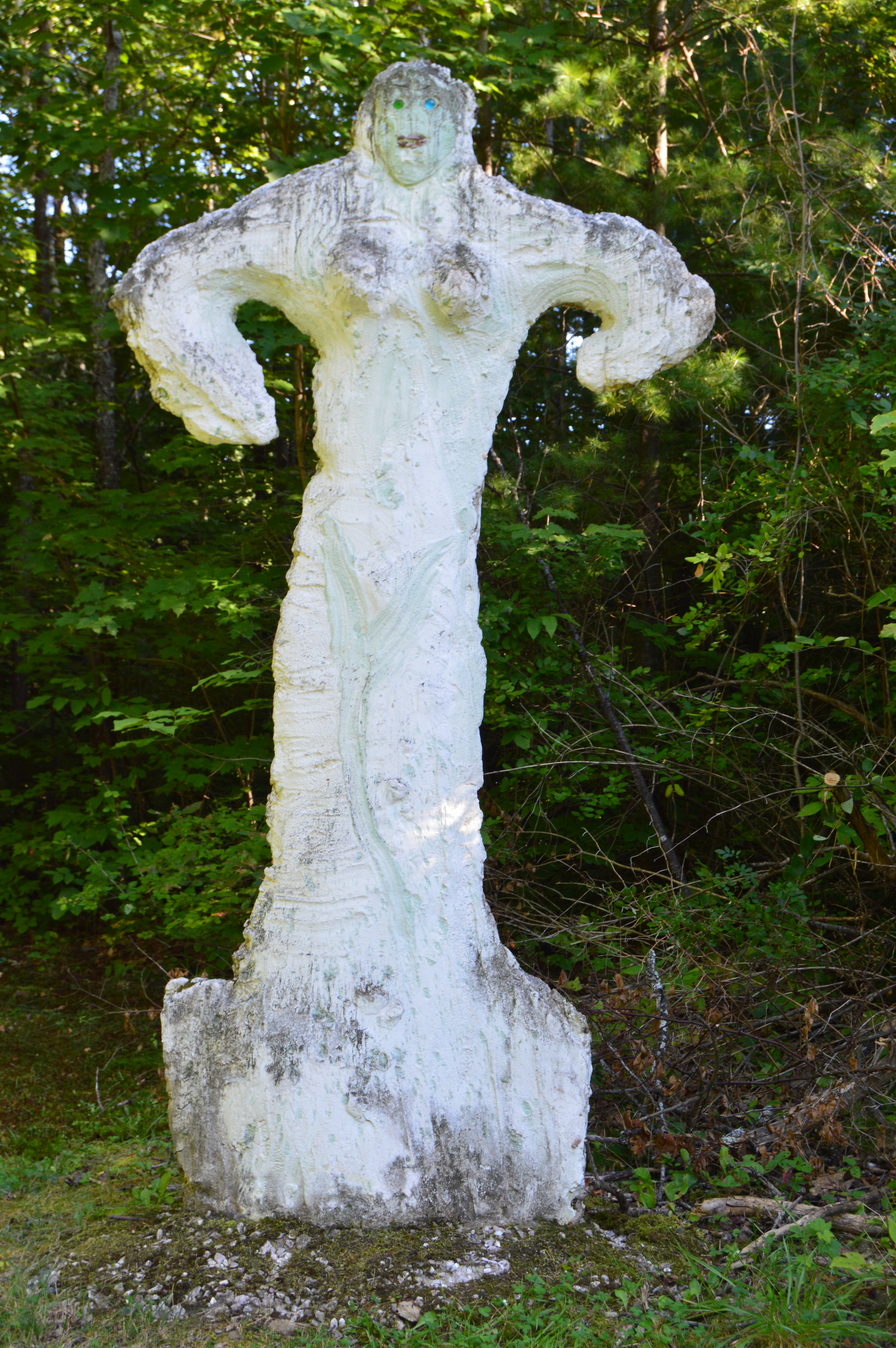
Just as you think you’ve seen all the Natural Bridge State Park has to offer there is a small park area atop the walking bridge. Statues and other structures made from the materials mined from the one time quarry rest along the top of the lofty bridge. It capped off a perfect visit.
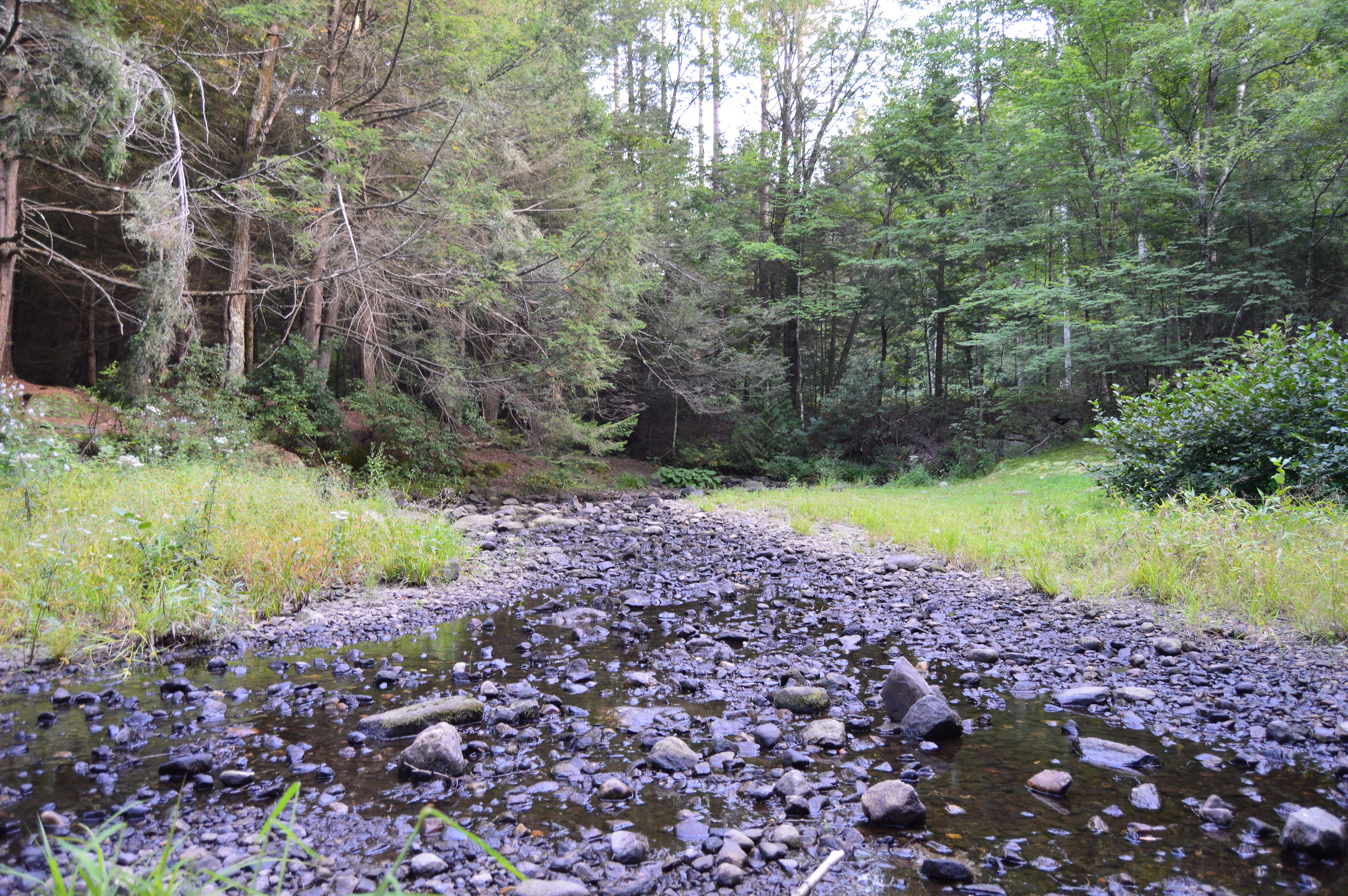
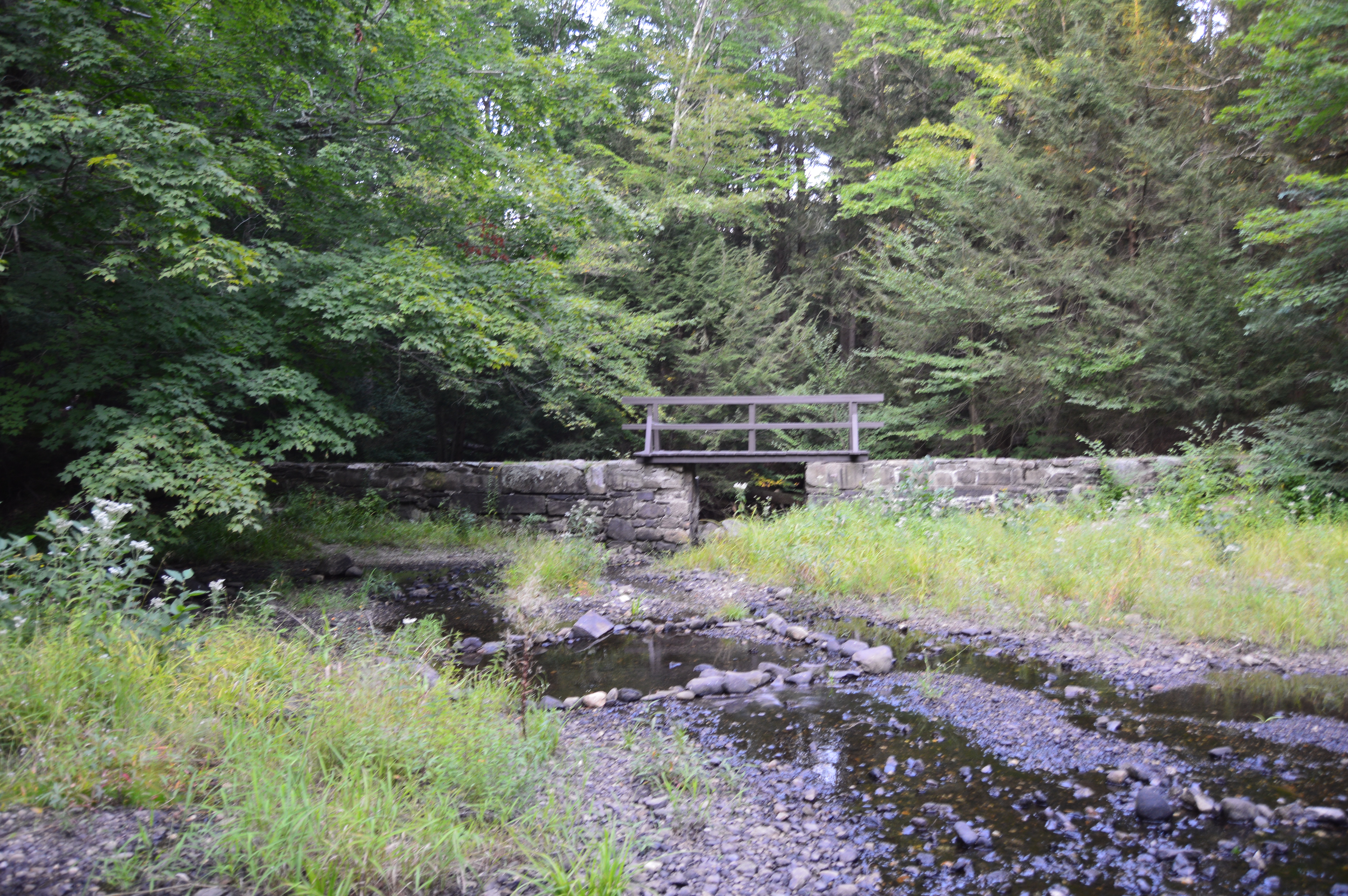
Granville State Forest is 2,000 plus acre state forest and campground located in, you guessed it Granville, Massachusetts. Be advised, the trails are long in between the various ponds, brooks and various other attractions. But, you can drive on the unpaved roads if walking isn’t your style.
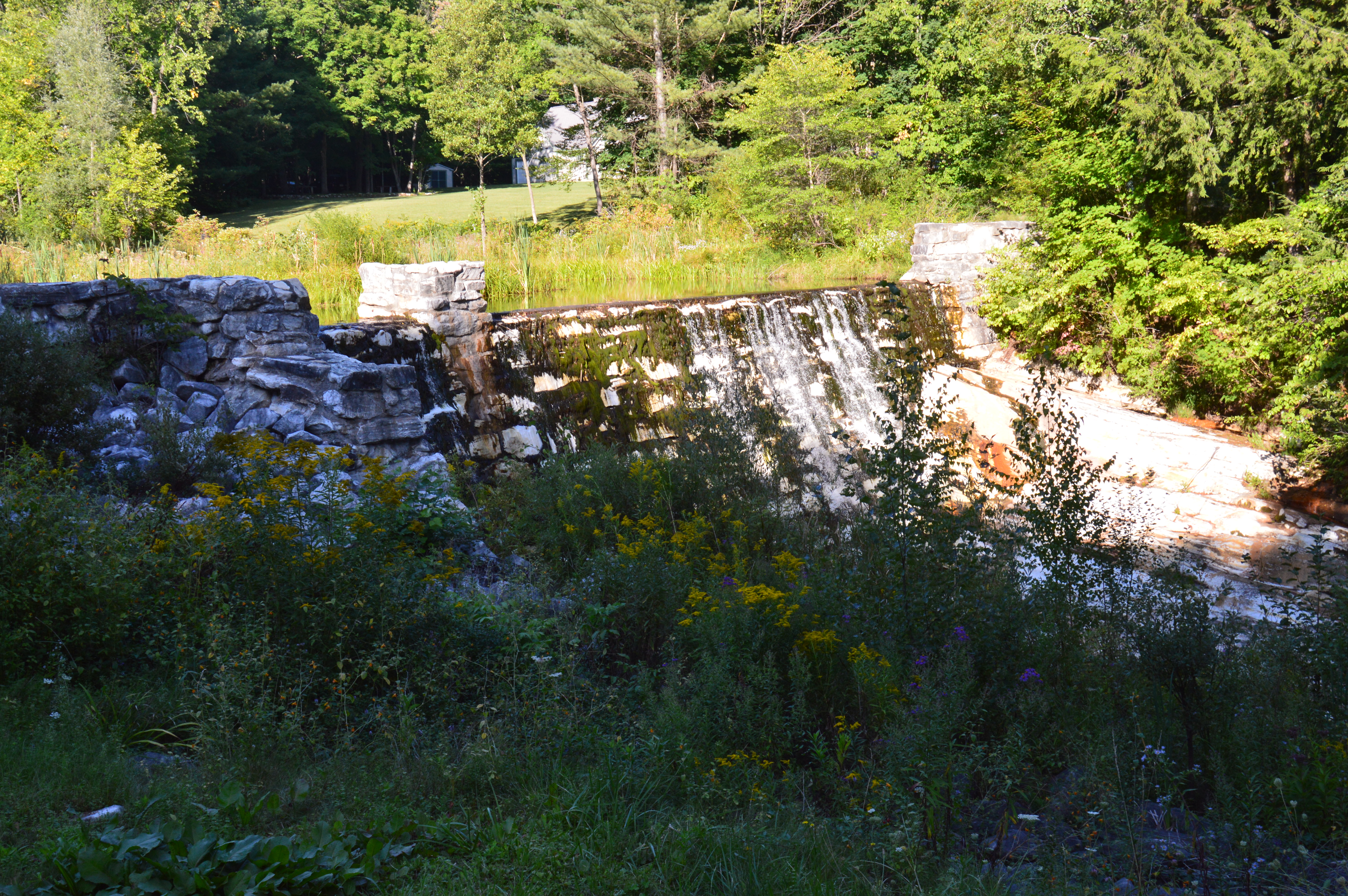
Located about 45 minutes from Springfield, MA, Granville State Forest was once a popular hunting spot for the Tunxis. I didn’t run into Tunxis during this visit. But, I did see some stunning views. Take this waterfall, for instance.
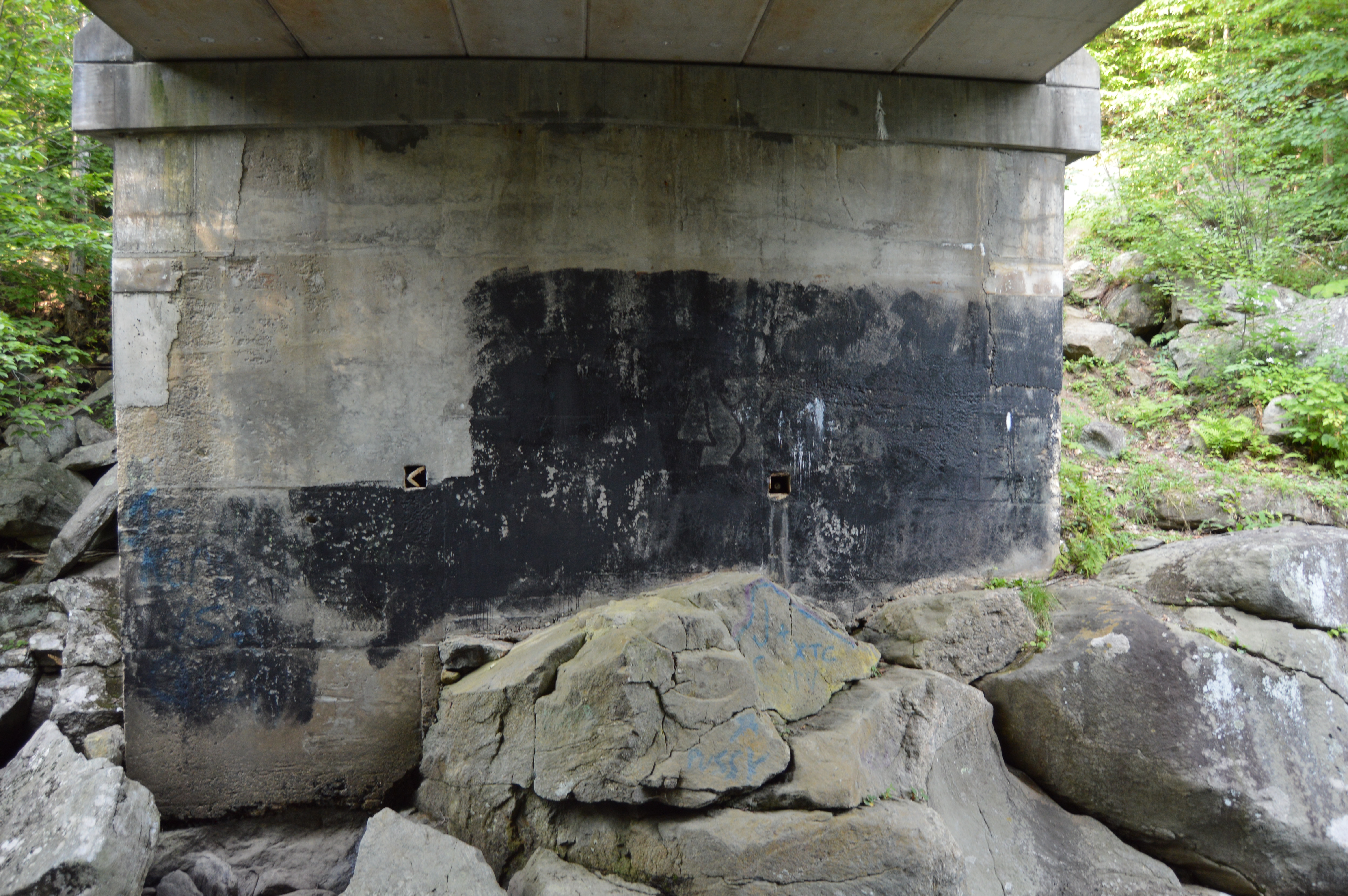
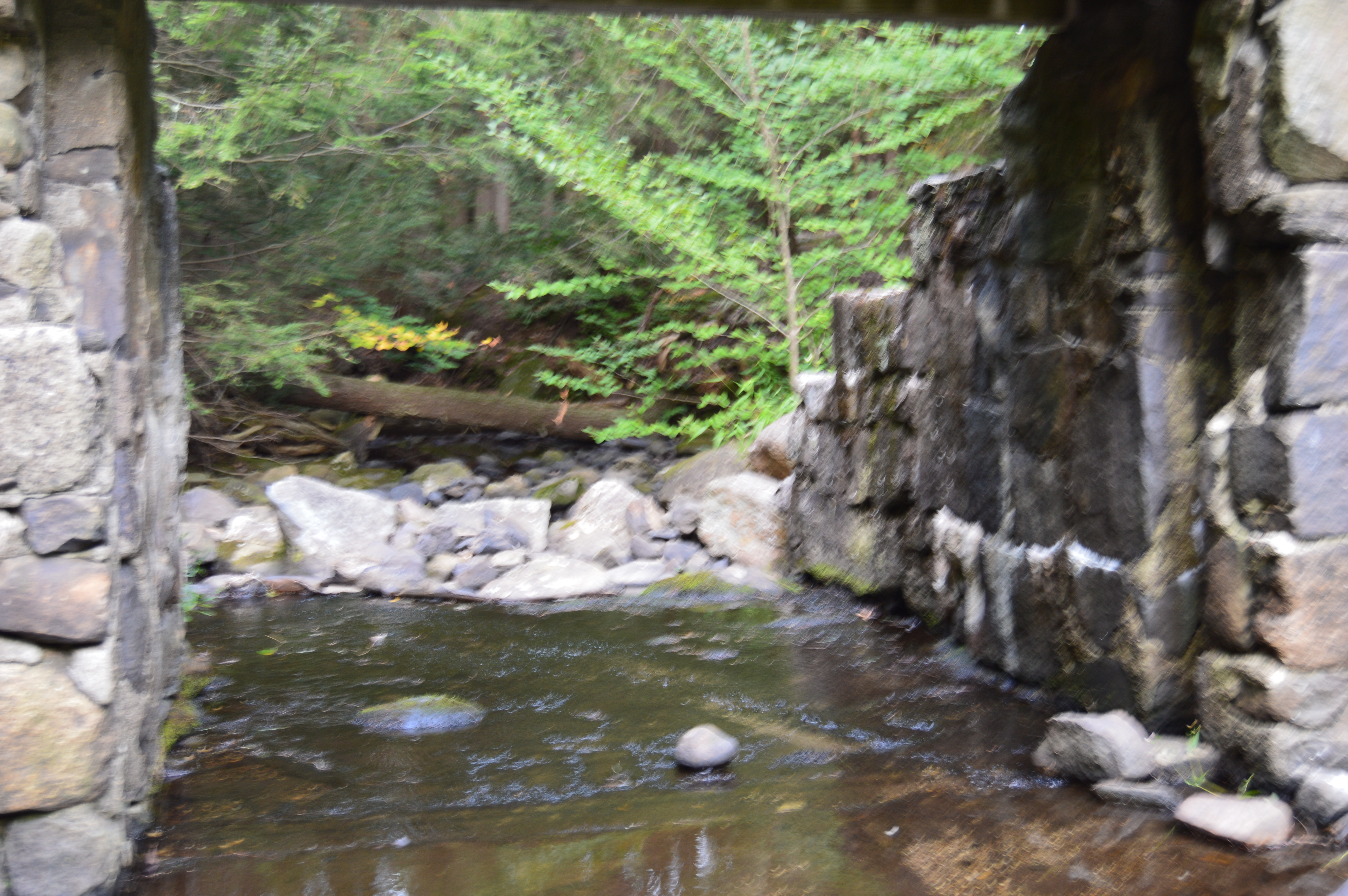
But, to really get a sense of the beauty of the Hubbard River, one must get off the beaten path, or bridge as it were in this case.
It’s amazing the things you see when you get off the main path. Like this Frog with his lunch.
Or this artful graffiti, especially the curse words. It’s vary quaint. Oh, you crazy kids. At least I hope it was kids who wrote it.
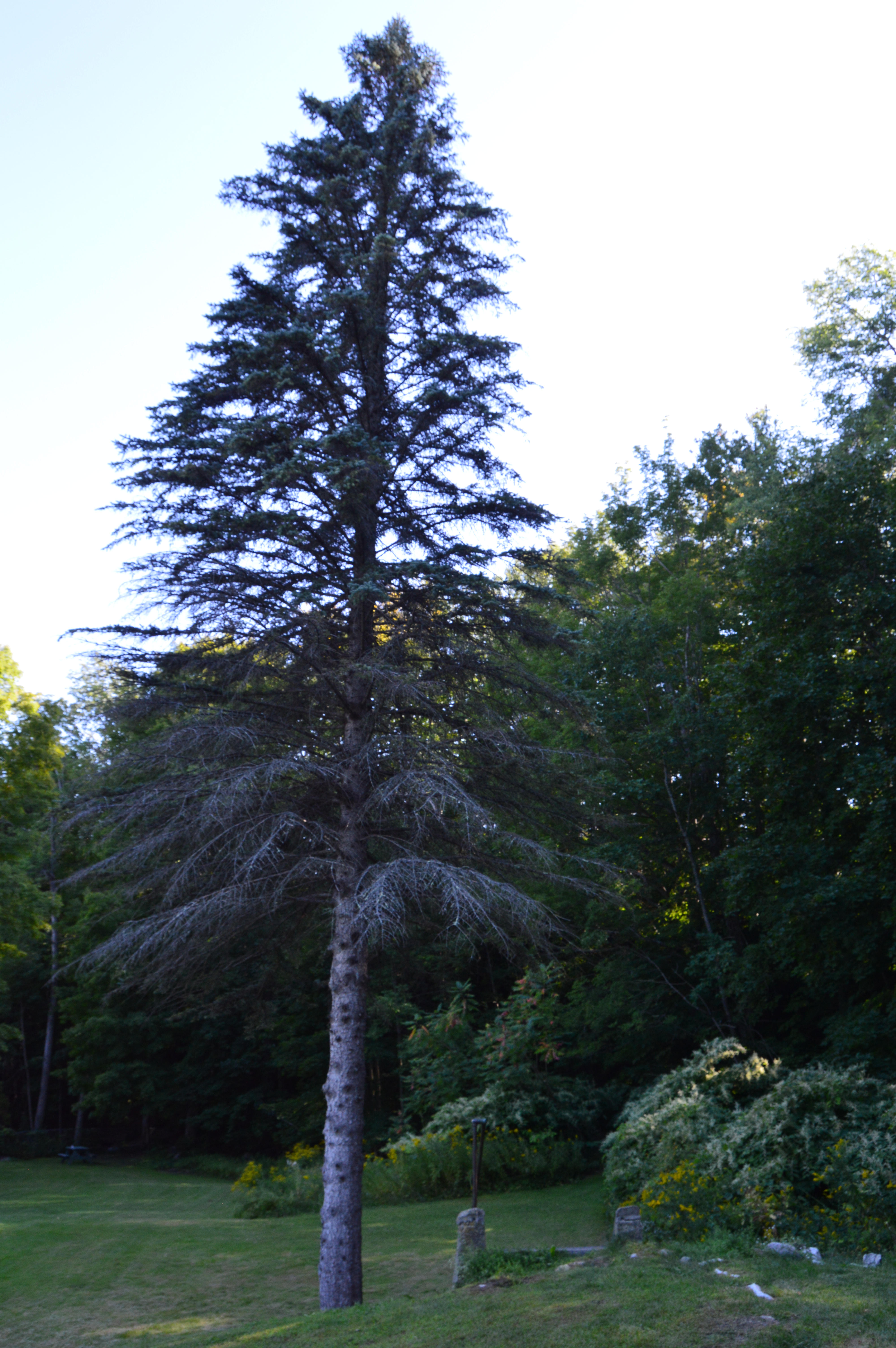
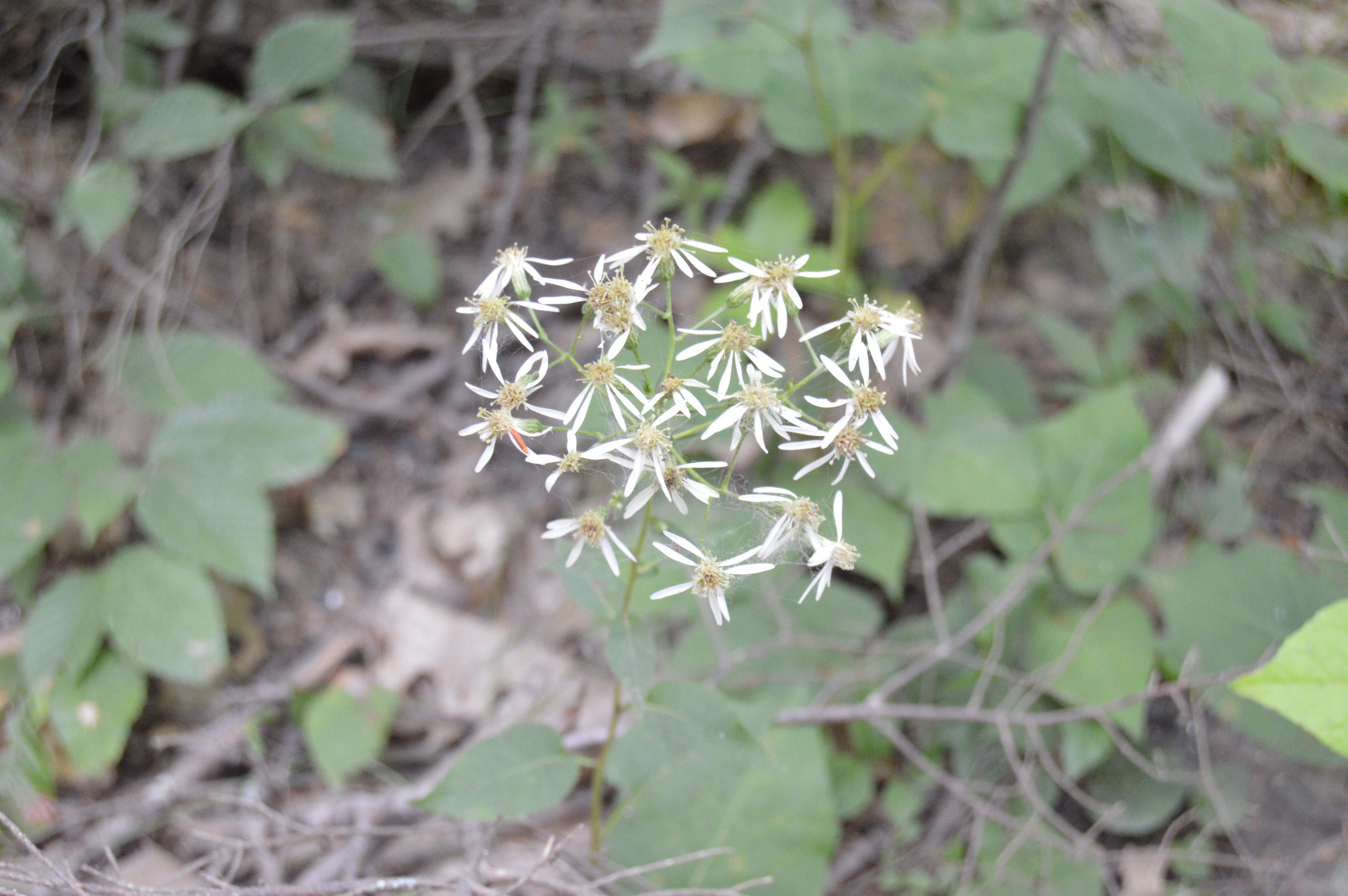
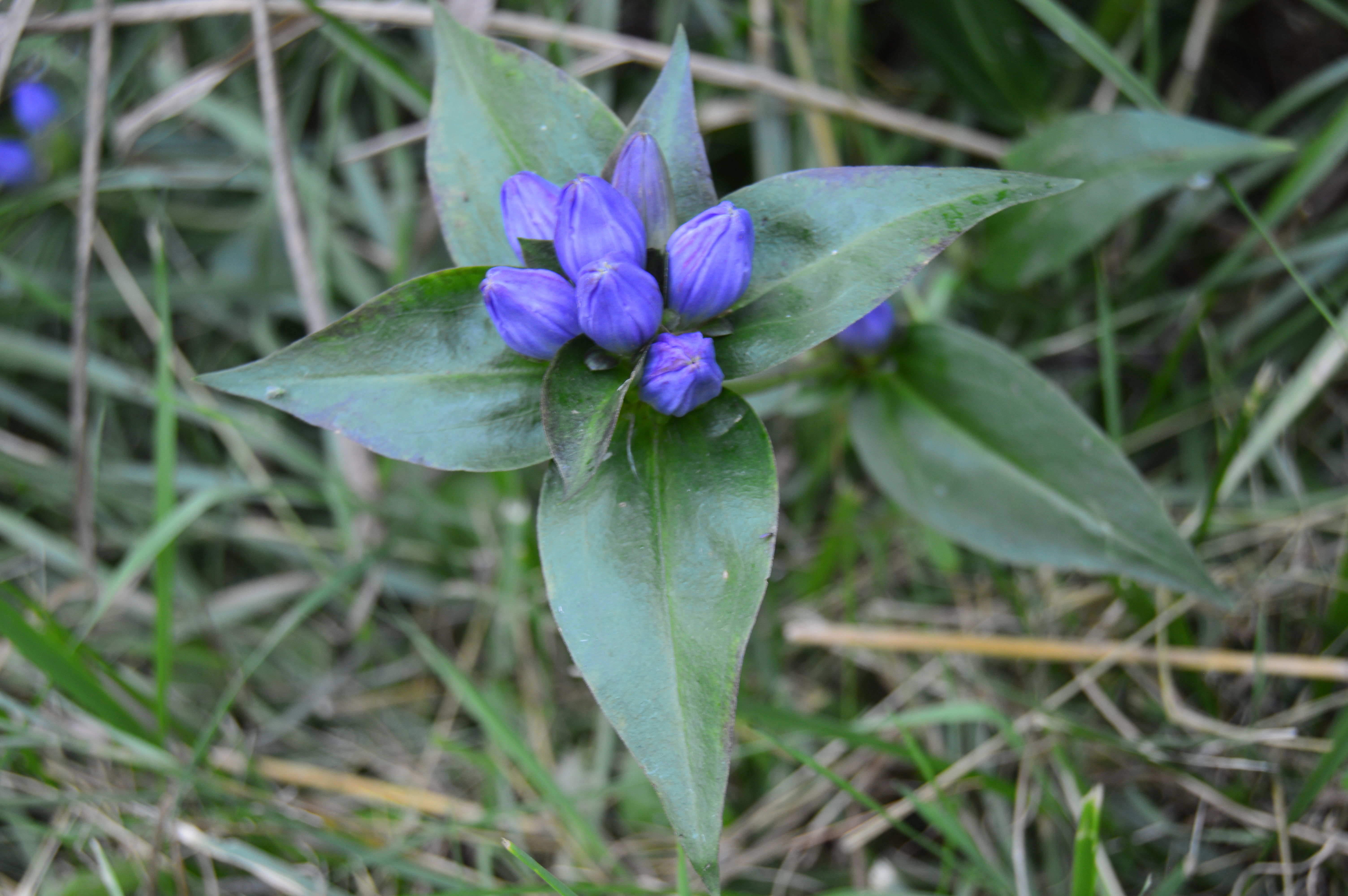
There are also an abundance of pretty flowers and trees.
About a mile from the bridge over the Hubbard stream, there is the two acre Bahre Pond. Bahre Pond has some pretty views.
It is also teeming with wildlife, like this water snake.
And this frog who thought he could hide from me.
Granville State Park also has some paths off the main trails that have some hidden gems.
The main attraction at Granville State Forest has to be the waterfall. Below is a short video of the waterfall in all its splendor.


 Thank you for reading and please like my Facebook page to view videos, photos and more that I do not post on this blog: