Date Visited: August 6, 2016
Location: 570 Ocean Blvd, Rye, NH 603-436-7406
Hours: Open everyday 8 a.m. to 8 p.m. (I got there well before 8 and the gates were already open). Open but unstaffed after 10/11
Cost: $4 for adults $2 for children (ages 6-11), NH residents who are seniors (over 65) or younger than 6 get in free
Parking: There are about 50 parking spots in the main parking area. There are additional parking lots along the beach
Time To Allot For Visit: 1 to 2 hours
Trails: Easy
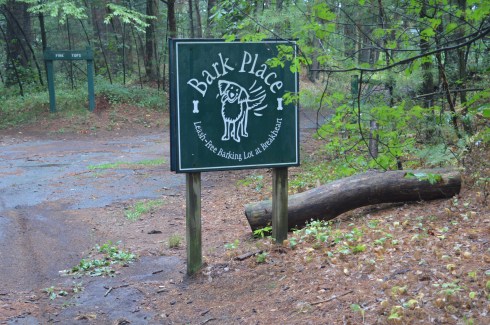
Dog Friendly: No
Highlights: abundant wildlife (mostly birds), pretty flowers and trees, lighthouse (Whaleback Light), scenic views, play area for children, “sunken forest”, science center, historical site
Lowlights: Parking can be tough (especially during the summer), since it is considered a beach dogs are not allowed at the park
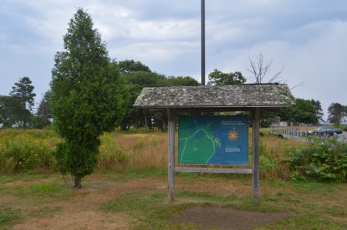
Odiorne Point State Park Trail Map
Odiorne Point State Park Website
The location of the first English settlement in New Hampshire, Odiorne Point has a very storied past.
Named after the Odiorne family who settled there during the 1660’s, Odiorne Point is probably best known for being a military installation during World War 2. Known as Fort Dearborn at the time, Odiorne Point was part of the military’s attempt to modernize the U.S. coast defenses. Part of the military installation served as a radar station by the United States Air Force beginning in 1949, and in 1955 this became the Rye Air Force Station. None of the Air Force’s installation remains there. Looking at the historical remnants of the fort it is obvious how far we have come as a military power. Real shells, a bunker entrance, a battery and other historical structures are scattered throughout the entrance to the park.


The park also has a science center located at the end of one of the main paths where people can learn about nature and the various wildlife that inhabit the park.
The trails at the park were easy to negotiate. However, if you do go off trail to get a closer view of the surroundings and wildlife you have to be careful and be mindful of the water level. I will touch on this later in the post.


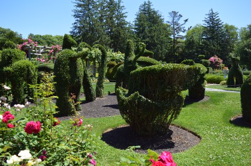
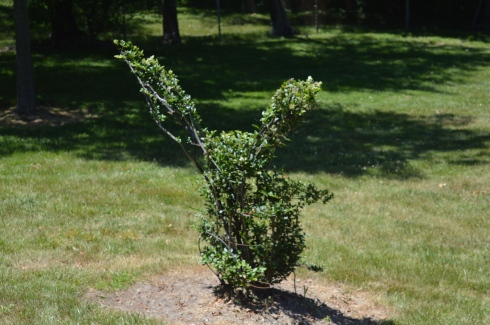
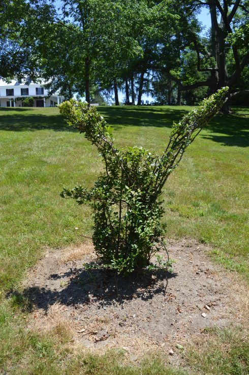
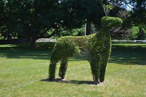
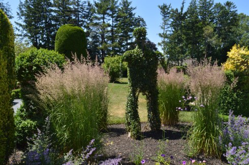
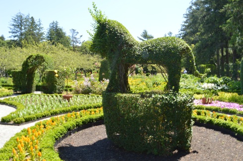
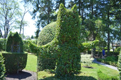
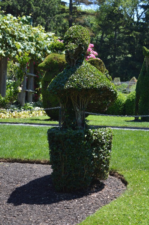
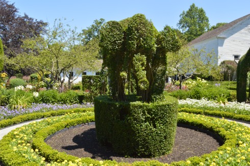
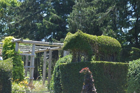
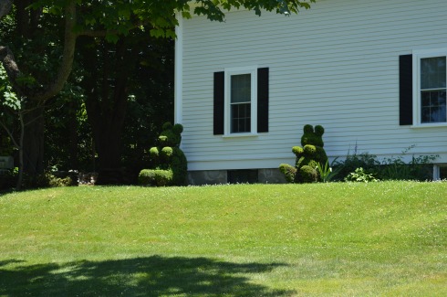
As you can see from the photos above, the plants and trees at Odiorne are beautiful even if they are directly next to a dumpster.
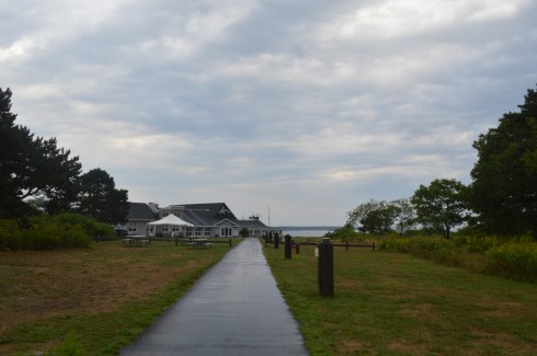
Only about an hour’s drive north of Boston, Odiorne Point has something for people of all ages to enjoy. There is a play area for children as well as picnic tables and benches for people to sit and eat while they take in all of the beautiful views.


This particular family had a hungry visitor eyeing them as they ate lunch.

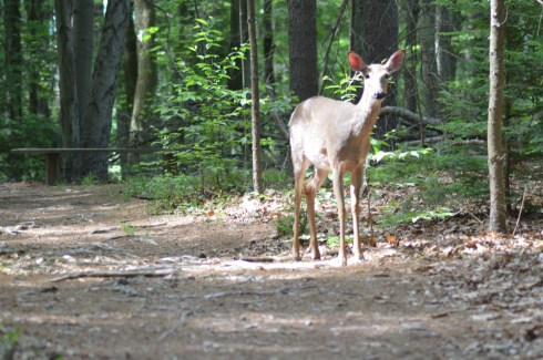
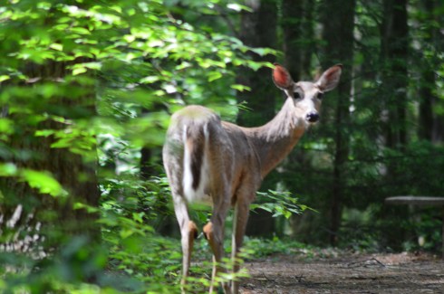
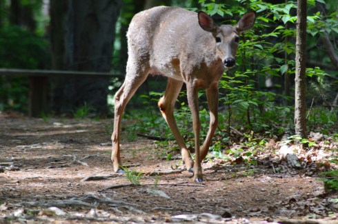
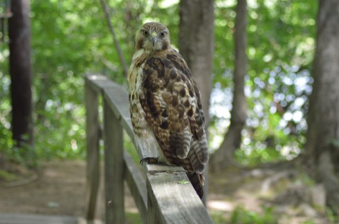
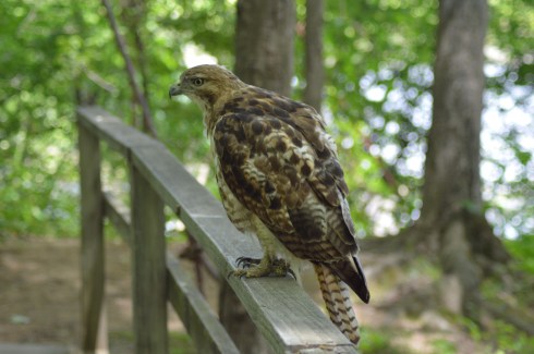
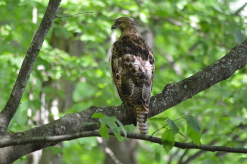
The birds are one of the main attractions of the park. A wide variety of gulls, egrets and other birds frequent the park.
The views at Odiorne State Park are pretty all year round. The lighthouse, Whaleback Light, provides a majestic backdrop for any photo. The weather was very erratic when I made my visit. It was rainy and raw when I first arrived at the park in the early morning hours. After waiting out the rain, the clouds gave way to the sun. Then, the wind picked up and drove the waves against the rocks. Basically, I experienced just about all the weather New England has in one day. In other words, it was a typical New England day.


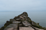
Perhaps the biggest attraction of Odiorne Point State Park is the “sunken forest”. If you arrive during low tide, you can see what used to be a forest or some other land. What appears to be tree stumps, rocks and other land based structures appear on the floor of what will rapidly become the bottom of the body of water.


So, during low tide you can easily traverse these rocks (make sure to not try this with sandals on or barefoot) and get closer to the birds, ocean and other rocks. One important thing to keep in mind is the tide comes in pretty quickly. I made it out to the rocky area where the birds were all hanging out. Then, suddenly, I realized just how much water had accumulated around me. I quickly ran/sloshed through ankle deep water along the pebbles to make it back to land before it got too late. If I waited half an hour longer I would have been swimming back to shore. Below are some side side examples of just how quickly the water rises. The time lapse is only about an hour.


Below are two videos of the waves and scenery at Odiorne Point.
Similar Places In New England I Have Visited:


Moswetuset Hummock (Quincy, MA)
Hammonasset Beach State Park (Madison, CT)
Please Follow Me On:


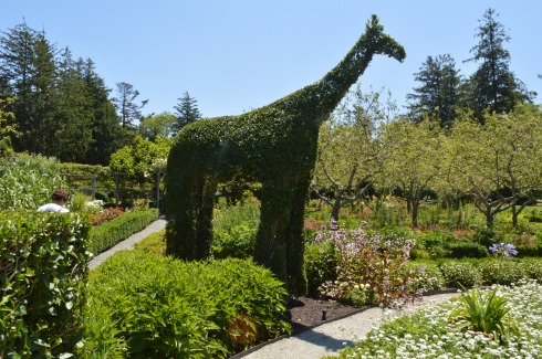
 with her/his baby giraffe (the black dot in this and some other photo is dirt on my sensor which I didn’t notice until after I got home unfortunately)
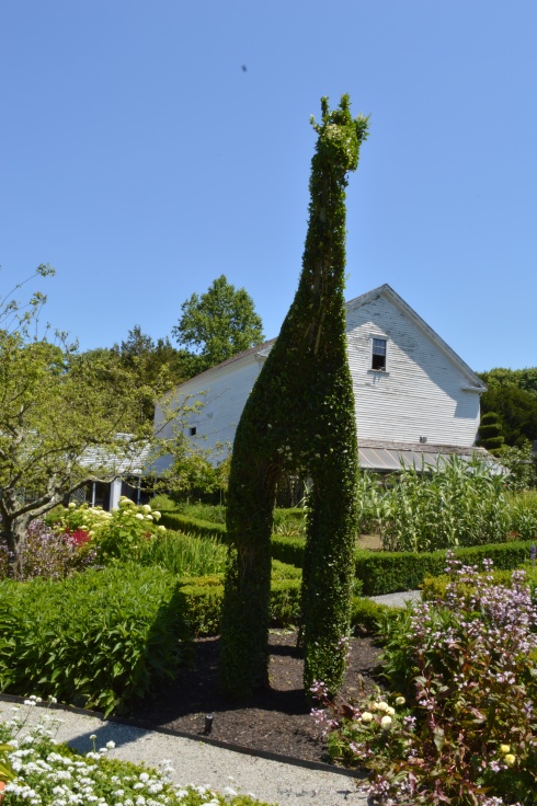