Date Visited: April 23, 2016
Location: 14 Hancock St, Portsmouth, New Hampshire
Cost: $20 for adults, $10 for youths (5-17), kids under 5 get in for free according to the May – October price list (these prices may vary depending on the season because it costs us $20 for two adult tickets when I went in April)
Hours: Open 365 days a year from 10:00 a.m. to 5 p.m.
Parking: Free parking is available but it does fill up fast. There is also parking available throughout the city. There is free parking at Four Tree Island a block away on Mechanic Street and limited off street parking is available. Just make sure to pay your meters and not overstay your parking limit as parking restrictions are strictly enforced.
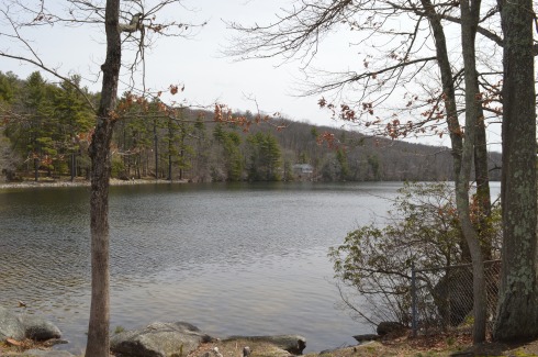
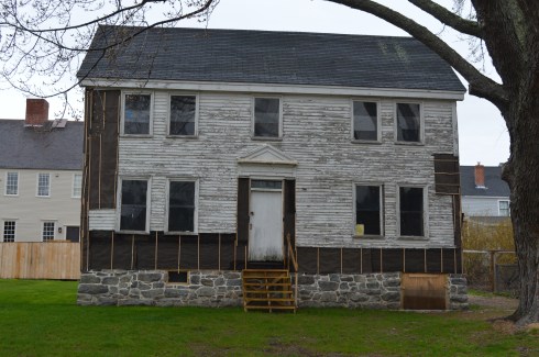
Strawbery Banke is a 12 acre outdoor history museum. The houses are constructed in the same style and out of the same materials of the buildings of the 17th to mid 20th century.
This house, which was being worked on, looked creepy
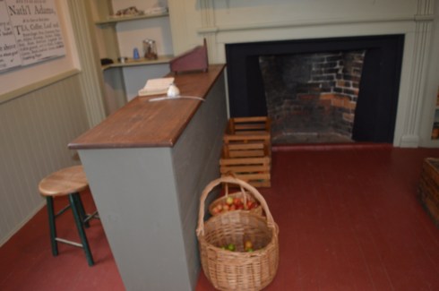
The inside of the homes are designed to be appropriate to the time the house was built or designed. This is the grocery part of the building. This is an example of how Strawberry Banke is a must-see for anyone interested in early New England history
They have set up the grounds and museum to replicate the days of Colonial and post Colonial Portsmouth, once known as “Puddle Duck”. More specifically, Strawbery Banke tells the stories of the many generations who settled in this Portsmouth, New Hampshire “Puddle Dock” community from the late 17th to the mid-20th century. The museum tells the stories of the people and the area of those times. They hold events and themed presentations during different parts of the year.
When we went to Strawbery Banke it was the unveiling of the Spring Barnyard Baby Animals event. It will be running through Sunday, May 1. The New Hampshire SPCA is present at the vent to ensure all the animals are treated humanely and are as comfortable as possible. All of the animals came from places in New England.
There was a wide variety of animals such as turkeys


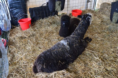
alpacas from Elf-Paca Meadows, Rochester NH

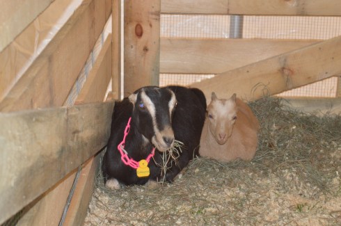
Mommy and baby Nigerian goats from Tiny Hill Farm, Milton Mills NH

goats


Jacob Goats from Hogwash Farm, Norwich VT.

baby chicks from Yellow House Farm in Barrington NH. You may notice some of the chicks are just lying face down. They are just sleeping. They tend to fall down and sleep right where they are when they get tired and the other chicks will often fall on top of them because they tend to cuddle or pile onto one another for safety and comfort.


baby ducks also from Yellow House Farm in Barrington NH.


Pigs and their babies from Double- H Pig Ranch in Berwick ME and Bittersweet Farm, Lyndeborough NH.


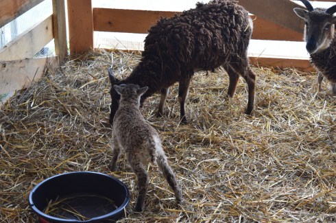
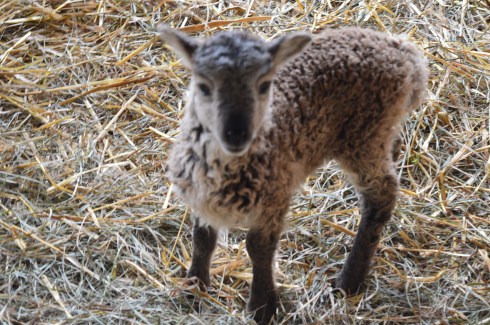
Soay sheep from New England Heritage Farm, Sandown, NH


Guinea pigs and a rabbit. This rabbit’s name is Bubbles.


and a pony named Polly.


One thing I noticed in almost all of the photos is how the mommies, or parents, seem to be protecting or are near their babies.
The holidays are celebrated at Strawberry Banke and I’ll be back in the winter when they have an ice skating rink on the premises and decorate for the holidays. It must be very festive!
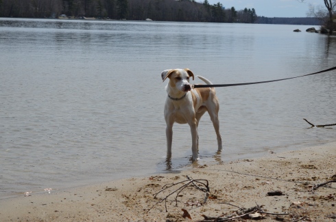
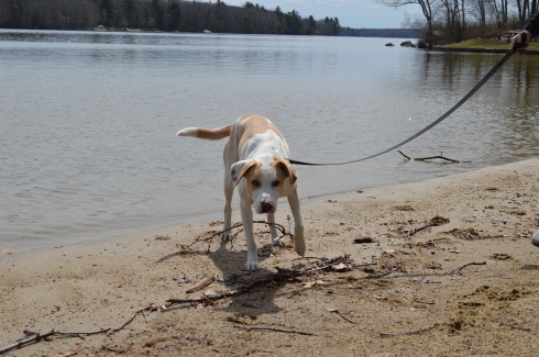
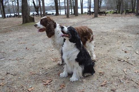
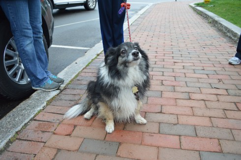
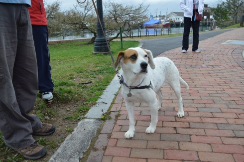
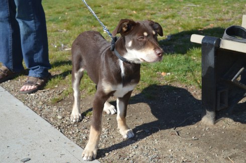
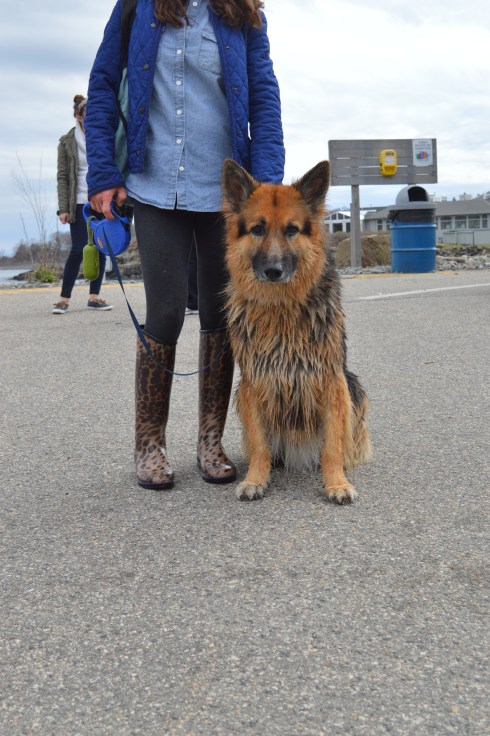
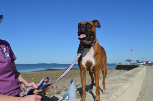
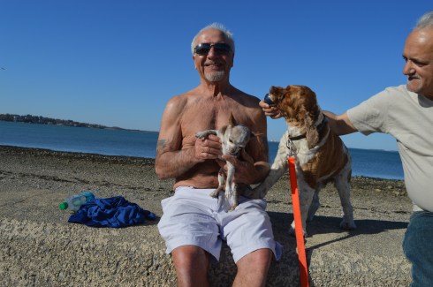
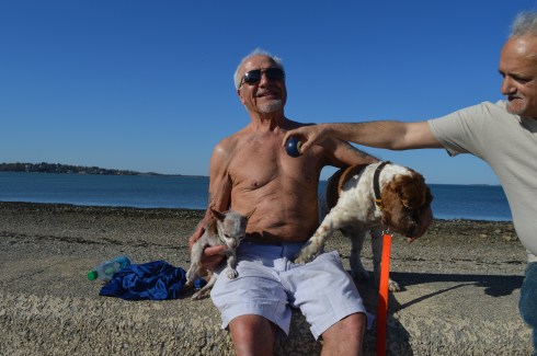
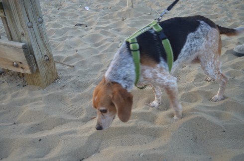
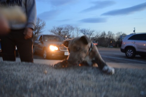
Although dogs are not allowed at the museum saw a lot of dogs on our way to the museum.

I saw Cody outside of the Breaking New Grounds coffee shop in Portsmouth Center. If you’re in the area, go there! Cody is a one year old Great Pyrenees and Husky rescue dog with one one blue eye and one brown eye.


Chlodie is 9 months old. Her name is derived from the Irish name “Chlodagh”. She was very happy to be in Portsmouth!

Bailey is an English Point Setter. Love the marking over the right eye.
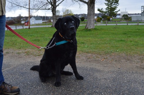

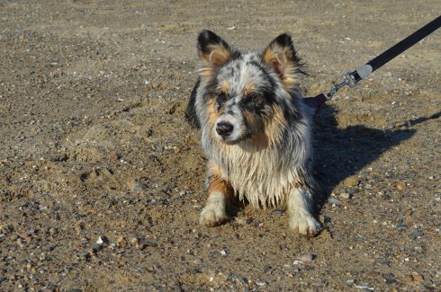
Merle is a 9 year old rescue dog.


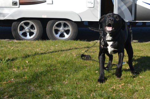


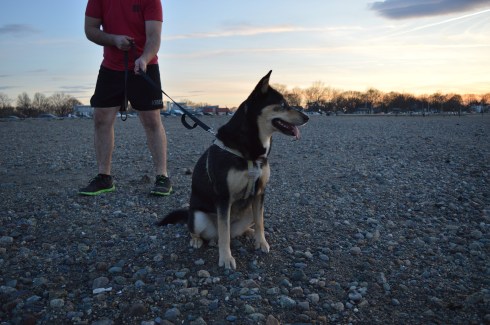


 Blackie, 4 years old, a part husky.