Date Visited: April 30, 2016
Location: Fort Rd, Westerly, RI
Parking: Parking was a breeze in the early morning hours in April. I found off street parking with a 3 hour limit. There were several parking spaces available. This will change when the weather begins to warm up (at this rate, sometime in mid-August). One thing I found interesting and somewhat vexing is that according to signs, the parking lot next to Napatree is not supposed to be used for going to the beach. I assume the parking is meant for shoppers and people patronizing the restaurants in the area. For an area that has limited parking this seems highly unusual. If you go in the summer, be aware parking will be very limited.
First, I’d like to thank everyone for reading and being so supportive as I post my 100th blog post. One hundred posts in just under one year. What better place to write about than Napatree!
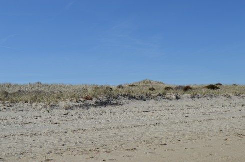
A peninsula-like shaped area, Napatree is actually a sandy spit. It has been shaped through a process called longshore drift which is basically a process by which sediments such as clay, silt, sand and shingle are transported along the coast creating its unique shape.
You wouldn’t know it by looking at it now but Napatree used to be densely wooded. Trees lined the area until the Great September Gale of 1815 hit the area and the trees were destroyed. In fact, the name Napatree comes from the term nap or nape of trees.
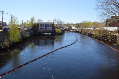
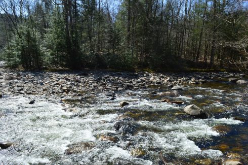
The views from the entrance of Napatree are beautiful. In some of the photos, you can see a brown tint to the otherwise deep blue water. In fact, the colors seemed to change depending on where and when I took the photos. The tides, shallowness of the water and other factors can affect the way the water looks. I had never noticed it as distinctly as I did at Napatree. The waves and movement of the water may have played a part as well. Despite how calm the water seems in these photos this was not the case everywhere at Napatree.
If you look close, you can see the Amtrak train in the distance that services the Westerly area in one of the photos.
The dunes and the sand were also very pretty.


At first glance, Napatree seems like a long stretch of beach on only one side. But, I kept hearing noises over the dune. At first, I brushed it off as traffic or some other noise. Eventually, curiosity got the better of me and I decided to climb one of the dunes and check it out. What I found was pure paradise.
The calm waves and plain waterscape were replaced with crashing waves, foamy water, beautiful homes (the homes on both sides weren’t pretty shabby actually), the Watch Hill Lighthouse and marine activity.
When I arrived, the village was pretty desolate. This was partly due to the early time of the morning that I arrived and partly because the vacation season hasn’t began yet. Westerly did have a Cape Cod feel to it. From the quaint shops, the folksy, slowed down pace, the beautiful beaches and the mansions that dot the landscape (blog to follow soon about one of those lighthouses), I couldn’t help but think back to my childhood vacations at the Cape.
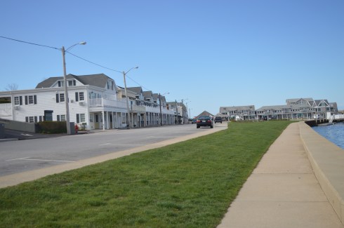
In due time, these empty streets will be bustling with activity. But, for now, it is a tourist/photographer’s dream having the area to one self!
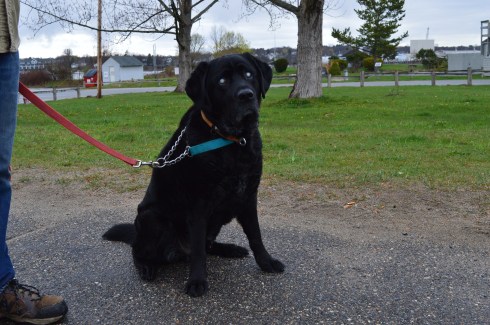
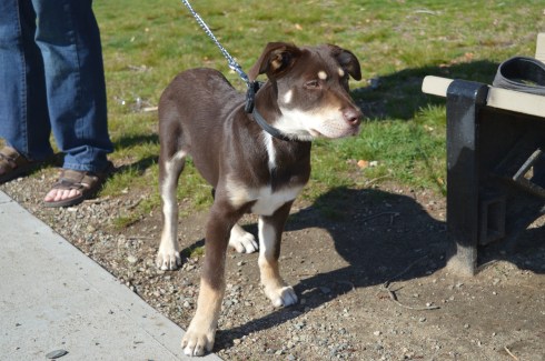
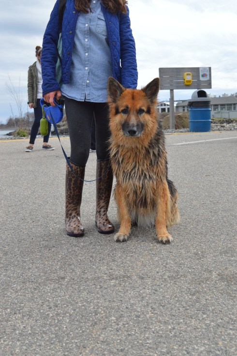
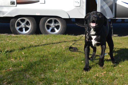
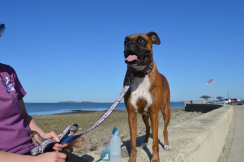
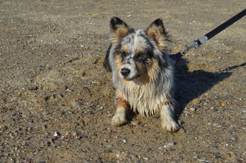
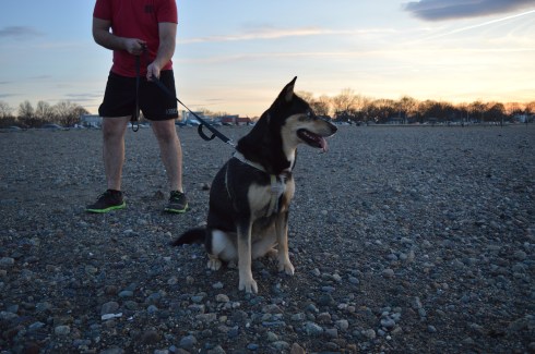
There were several dogs at Napatree during my visit. Dogs are allowed on the beach but only until May 2nd. So, you’ll have to wait until next year to take Fido!

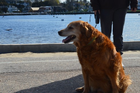
Daisy is a beautiful Golden Retriever. What a gorgeous smile.
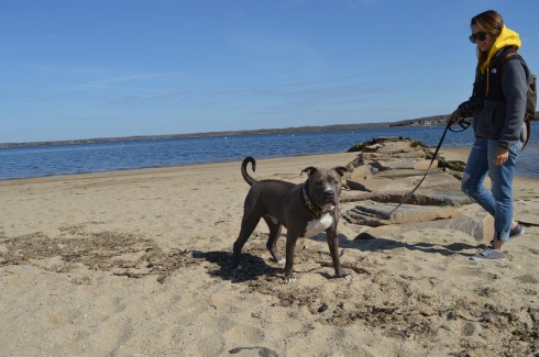
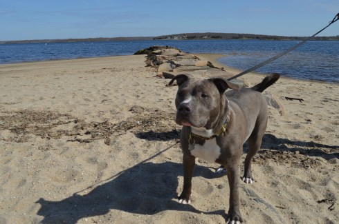


Caesar is an aquatic pitbull
Below are videos of the different sides of Napatree. The first video is of the more calm waters that I saw when I first arrived. The second video is from the other side over the dunes to the more active side of Napatree.