Tag Archives: history

Old Sturbridge Village (Sturbridge, MA)

Date Visited: July 2, 2016

Location: 1 Old Sturbridge Village Rd, Sturbridge, MA 508-347-3362 (about 45 minutes east of Springfield, MA and an hour west of Boston, MA)

Hours: presently, open Daily | 9:30 am – 5:00 pm

November 1-27
Open Wednesday through Sunday | 9:30 am – 4:00 pm

December 2-4, 9-11, 16-18, 23
Christmas by Candlelight | 4:00 pm – 9:00 pm, Fri/Sat/Sun
Please Note: CLOSED during daytime hours
CLOSED December 24, 25

Cost: $28 for adult, $26 for seniors (55 and over), $14 for youths (3-17), children under 3 are admitted free.  They also have annual long family memberships.

Parking:  about 200 parking spots, fills up quickly.  Cars were parked on the grass and other non designated parking spaces when we left because of the large crowd

Time To Allot For Visit: I could spend all day here but 3 hours should do it.

Dog Friendly: No

Highlights: historical actors and portrayal of life in the colonial area era, historical homes, animals, family friendly events, special events throughout the year, stagecoach rides

Old Sturbridge Village

DSC_0992

What better time than the fourth of July to take a trip back to the colonial days of our country where they relive those early days everyday?

Old Sturbridge Village is 200 acre living museum which recreates life in rural New Ebgland during the 1790’s through the 1830’s.  It is the largest living museum in New England.


As you enter the grounds of Sturbridge Village you see flags that represent fallen servicemen and women.

DSC_0422


From the moment you walk into the museum, there are symbols and characters from the past everywhere.

The day began appropriately with the flag raising.  One of the historical actors selected two children from the crowd to help him raise the flag.

Throughout the day there were many more reenactments.  There was the firing of the cannons, marching, drilling and even musket firing (with blanks of course).

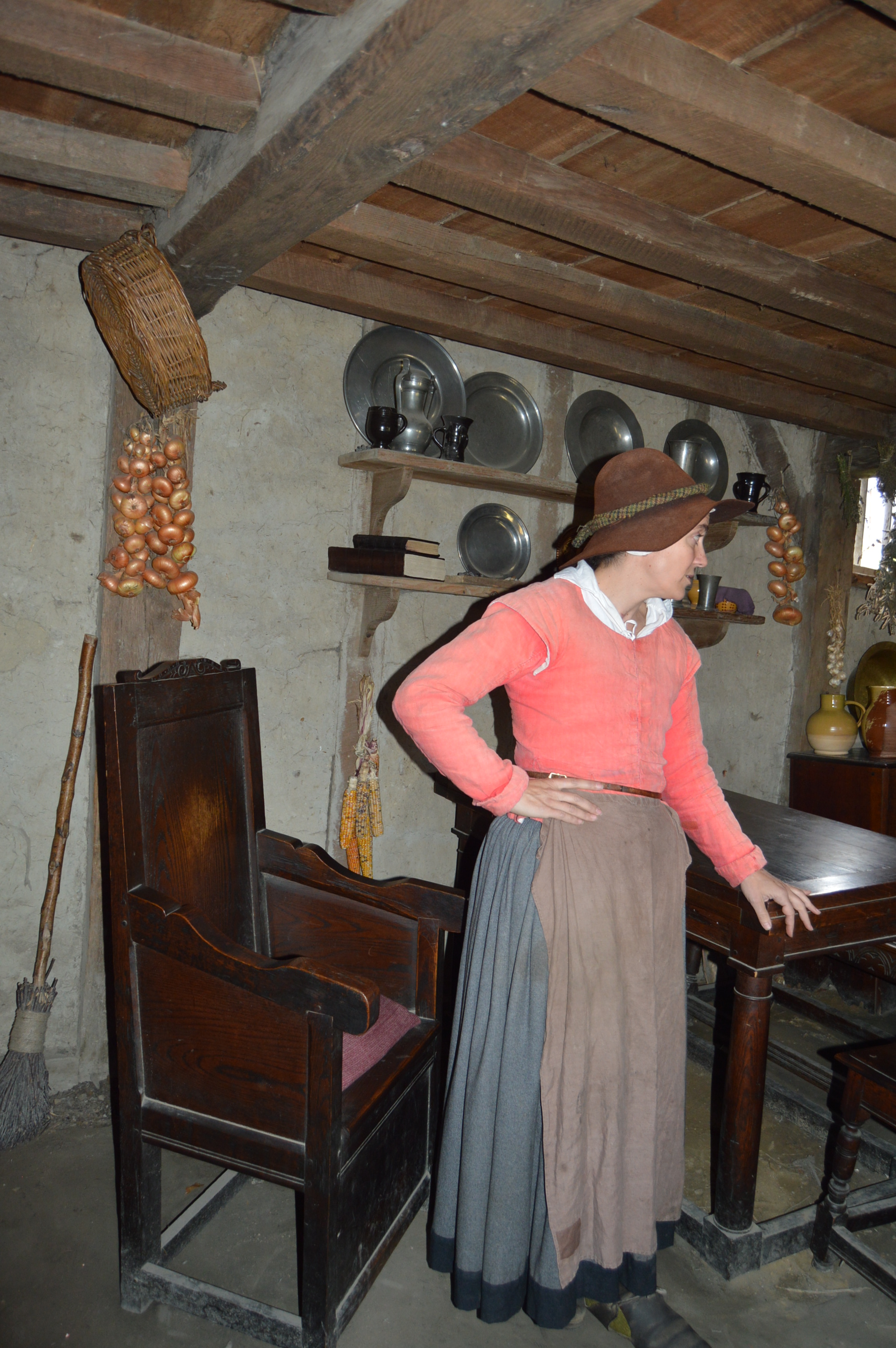
Of course, the houses are one of the biggest attractions.  The woman in this house was making stays.  This house is called the “Small House.”

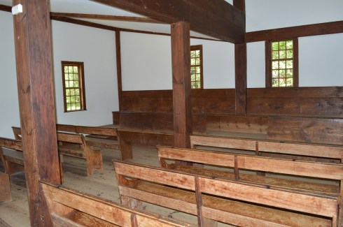
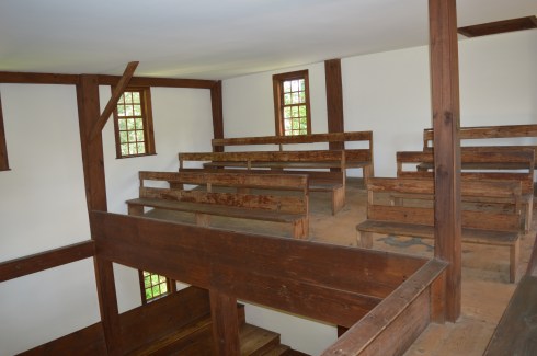
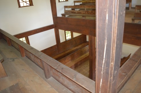
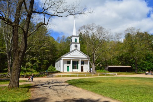
The Meetinghouse is another big attraction.  For 100 years, Friends, also known as Quakers, worshiped in this building.  This particular meetinghouse was originally set in Bolton, MA.  As you can see by the photos, there was no pulpit, altar, statues or other decorative symbols.  Men and women entered the meetinghouse separately in different entrances and sat on separate sides of the building.  The Quakers are remembered for their temperance and anti slavery beliefs.
DSC_0678DSC_0460DSC_0467DSC_0466DSC_0464DSC_0463DSC_0920DSC_0930


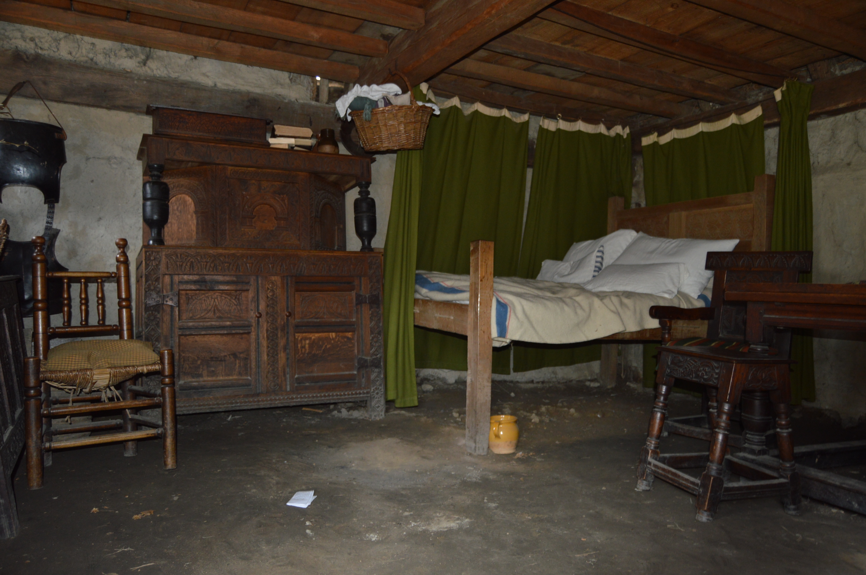
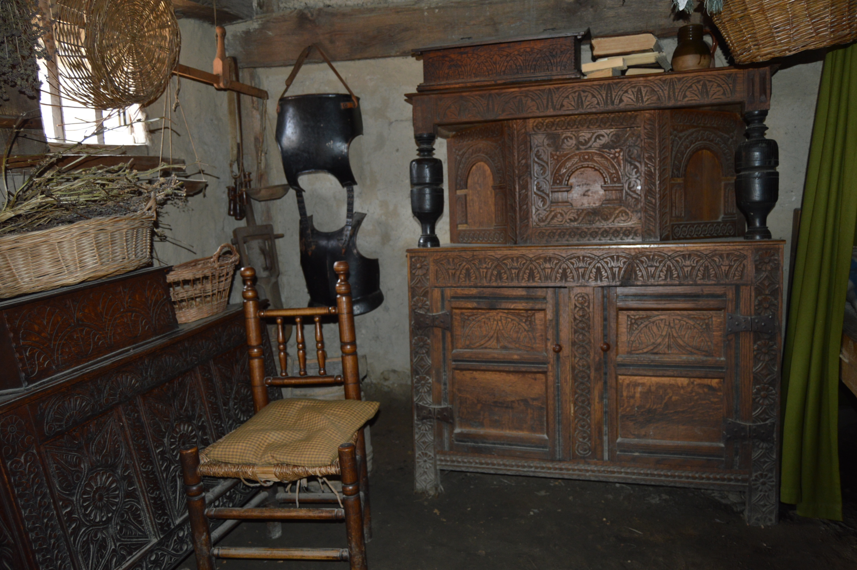
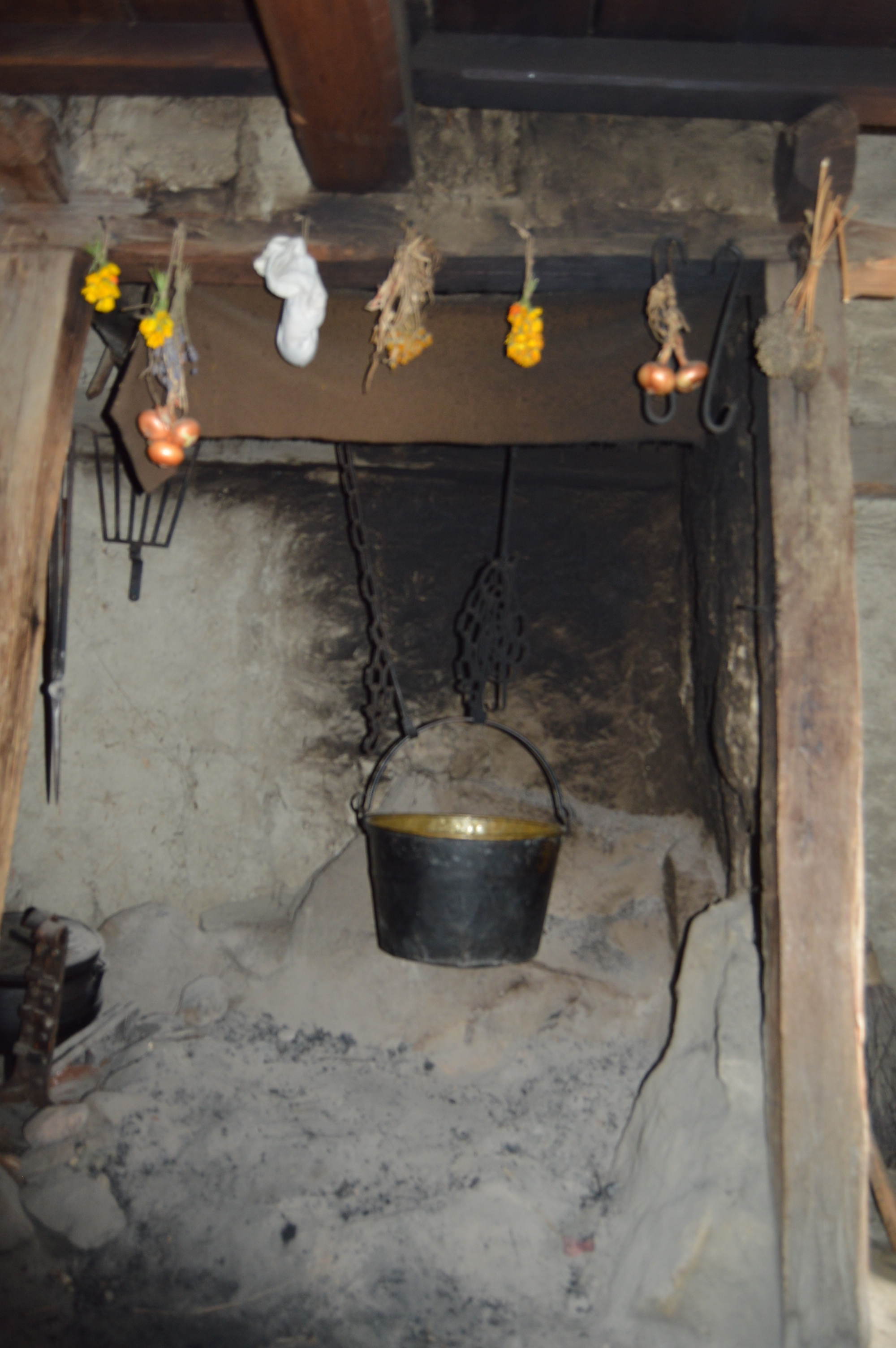
While the exterior of the houses were very pretty, the interior of the houses were even nicer.  It also gave you a real feel of what it was like to live back then.  The historical actors were both entertaining and engaging.

This slideshow requires JavaScript.

The other great thing about the village was the animals.  Meet Jim and Jerry (from left to right).  Jim and Jerry are the horses who drive the carry all wagon.
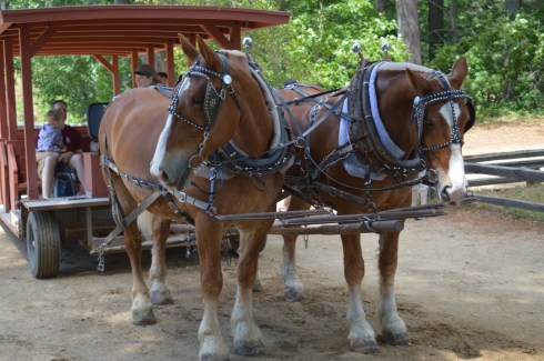
DSC_0730DSC_0584


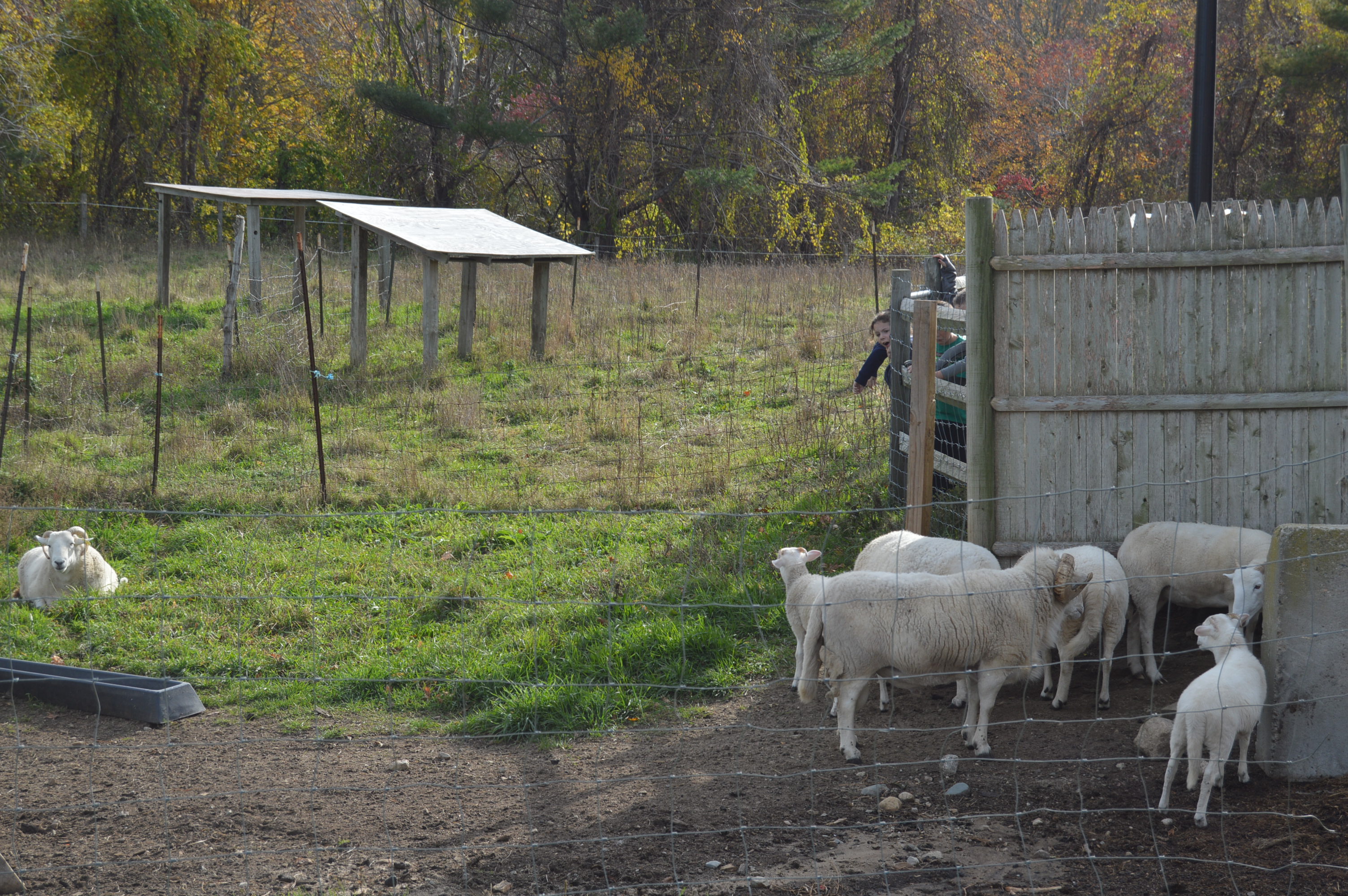
There were also a variety of farm animals.  This sheep was wandering around until he heard his mom calling out to him for feeding time and he came running.
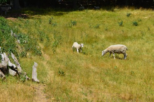
DSC_0846DSC_0848DSC_0847

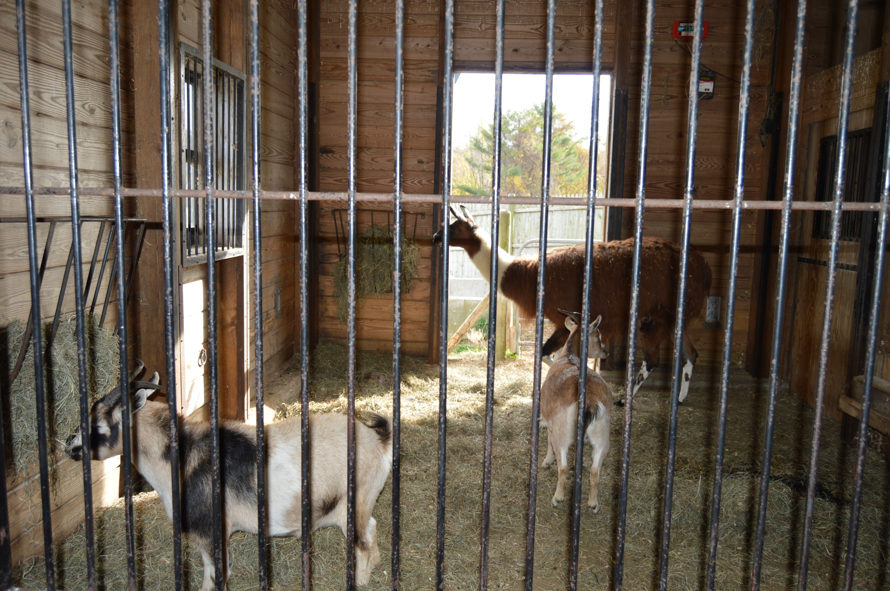
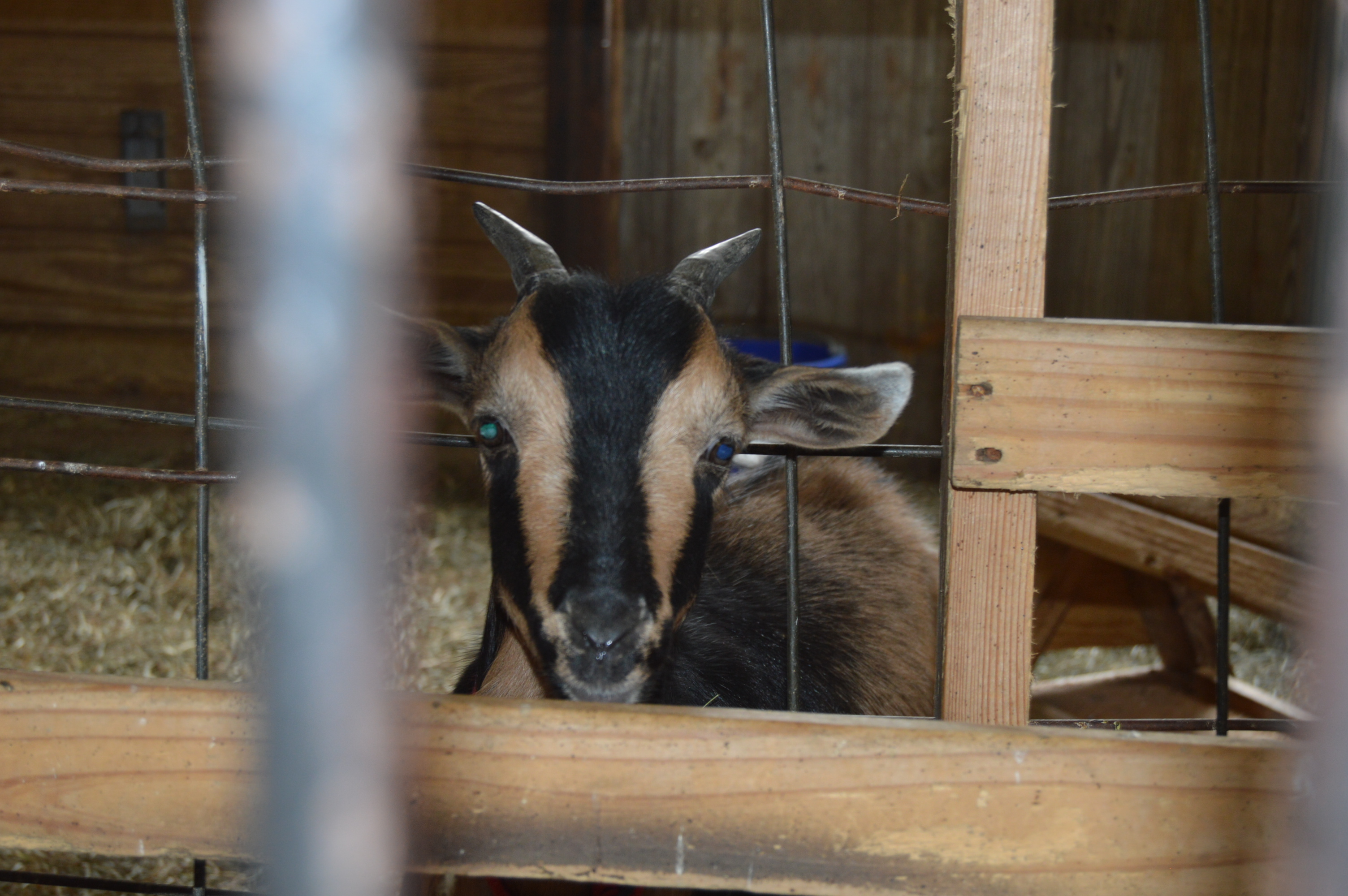
The rest of the animals at the village were just as beautiful.

This slideshow requires JavaScript.

The village also has little shops and buildings with craftsman and people common to the era like a blacksmith and a tin maker as well as a band call the Quintebrass who played patriotic music of that era.


You could spend all day visiting the many buildings and attractions at the village or just taking in the beautiful views and atmosphere of the area.

This slideshow requires JavaScript.

Sturbridge Village even has toys from the era that kids (or adults) can play with.

The River Ride on the Quinebag takes you around the Quinebag River.  The boat driver also gave a historical overview of the area. The ride costs $3 a person and lasts about 10-15 minutes.

On the way out, there was a nice surprise.  We noticed a building set off to the side; the J. Cheney Wells Clock Gallery.  The clock gallery was a quiet clock museum.  It was fascinating seeing the evolution of time keeping and it felt like a library because it was quiet and set off by itself.  It was a nice break from the hustle and bustle of the historical museum area.

There is also a cafe there (most of their food is cooked outside barbecue style during the warmer seasons and the smell is sure to make you hungry).  There are also several comfort stations scattered around the area.

Below are some videos of the various recreations at Sturbridge Village.

The first cannon firing below was just to get the debris out of the cannon and prep it for the actual cannon firing which is in the second cannon firing video below the first cannon firing video.  The second video is a little long because the men wanted to wait until the stagecoach passed by so they didn’t startle the horse.

Please connect with me on Facebook: New England Nomad


Fort Taber/Fort Rodman Park (New Bedford, MA)

Date Visited: June 11, 2016

Location: 1000 Rodney French Blvd, New Bedford, MA

Parking: There are about 70-100 spots or so in the park itself but plenty of off street parking as well.

Cost: Free

Hours: Dawn until dusk
Dog Friendly: It sure is!

Highlights: forts, lighthouse, jetty, beach, war memorials, walking trails, playground with slides and swings for children (or adults if you’re so inclined), military museum, war reenactments, pretty views

DSC_0696

The highlight of the park for most visitors has to be the jetty.  Fishing off the jetty, or anywhere else at the park is allowed.  But, they have a strict “catch and release” policy because most of the fish are contaminated with PCB (poly-chlorinated bipenyls).  So, they would not be safe to eat.  PCB’s are known cancer causing toxins.  The New Bedford Harbor is lined with these cancer-causing toxins that were released into the harbor between 1938 and 1973 by factories such as the electrical component manufacturer Aerovox.  The harbor is in the process of being cleaned.  But, it could take many more years before the job is complete.

Seashells and seaweed were scattered along the bridge, evidence of some recent stormy seas.

There are so many beautiful views and interesting things at Fort Taber Park.  The lighthouse in the photos is the

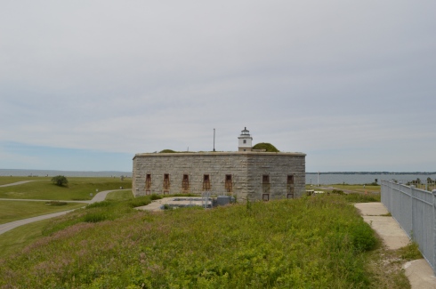
Since New Bedford has been known for its whaling and seafaring history, the park (and all of New Bedford) is also known for its lighthouses.  In the background of  the fort in the photo below you can see Clarks Point Lighthouse, first originally built in 1797 (it was replaced with a stone tower in 1804).

DSC_0819

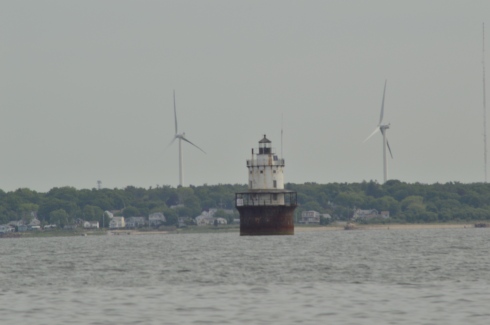
The lighthouse below is the Butler Flats Lighthouse, originally built in 1898.

DSC_0699

There are several war memorials dedicated to the men and women of Fall River who have served their country, with a specific emphasis on those who were killed in action.

The memorial below is a Vietnam War Memorial that really stood out to me.  If you look closely at the board in the final photo, you can see photos of the service people from New Bedford who were killed in the war.   Everything about this memorial has meaning.  The 43 stars on the memorial represent all of the 43 people from New Bedford who died in Vietnam.  The outline of Vietnam is in orange as a reference to Agent Orange who died from Agent Orange.  Even the service ribbons on the memorial have meaning.  The blue ribbon represents the National Defense Ribbon which is representative of everyone who served in Vietnam.  The other two ribbons represent in country veterans.  The two plants at the memorial signify life.

This slideshow requires JavaScript.

There are also several memorials to all of the 20th century wars America has been in, although I did not notice any memorials for the Iraq and Afghanistan wars.  I am assuming this may be because those actions are still not officially over even if we have pulled out most of our military presence in those places.

A tribute does stand for Army Staff Sargent Joseph Camara of New Bedford, MA, who was killed in action on September 1, 2003 while serving during Operation Iraqi Freedom  when the humvee he was traveling in hit a land mine.  He was serving with the 115th Military Police Company as a member of the Rhode Island National Guard in the Iraq War.  He was 40 years old when he died.  He was also a member of the New Bedford Police Department.  His memorial is located at the bottom of the gallery below.

There is also a replica of a Sherman tank stands as a tribute to the LST amphibious force T-4 who lost their lives in training for the invasion on D-Day.  During the training exercises, sadly, many men lost their lives training for the invasion.

While I was visiting it was 17th century drill day.  Reenactors from the Dartmouth militia, in full 17th century garb, showed how weapons were used, described the different types of warfare of the day and answered any questions the public had.

The staff also allowed visitors inside Fort Taber.  The guide explained they stopped using this Civil War fort once the ballistics that were used became too effective against the barricades of the fort.

Grass and rust had overtaken what was once a formidable fortification.

One of the best parts of my visit – on the way to my car, I saw this man and woman playing their instruments.


One of the great things I noticed about the New Bedford area as I walked around taking photos and from the crowd at Fort Taber is the diversity of the cultures and people of the area.  The photographs above illustrate this.  The music sounded like it had an up tempo flamenco influence.  It sounded beautiful.  And I love their attire.

Fort Taber/Fort Rodman is a dog friendly park.  The park is a great place for dogs.  There are miles of trails for your dog to wander.

DSC_0787DSC_0786

Sadie is a miniature poodle.  She will be 5 in August!  Early happy birthday wishes, Sadie!

DSC_0906DSC_0918DSC_0911

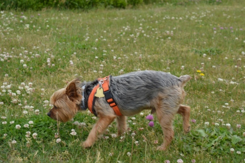
I also met Yoda, a 10 year old Yorkie.

Below is a video of the inside of one of the forts at Fort Taber.   It’s kind of spooky!

This video is a video of the military reenactors firing their weapons.

Please connect with me on Facebook!

New England Nomad


Borderland State Park (North Easton, MA)

Date Visited: May 21, 2016

Location: 259 Massapoag Ave, North Easton, MA

508-238-6566

Hours: Open 365 days a year, 8 a.m. to 6 p.m.  A sign at the front gate of the parking area states cars still parked in the lot after 7 p.m. will be fined $25.

Costs: According to the website it is $5 for MA residents and $6 for non-MA residents.  There is a parking payment station located at the front of the parking area.  I have a parking pass which allows me to park in all state run parks so I do not know exactly how the parking stations work or how they charge each patron.

Parking:  The parking lot is pretty big.  It looks like there are easily 200 spaces.  When we left, on a busy day at peak hours, there were still plenty of parking spots available, albeit far from the entrance to the trails.   There is also an alternate parking area before the main parking area for people with special passes.

Highlights: mansion, 6 ponds, quarry, 20 miles of hiking trails, large field for frisbee golf and other activities.  Fishing, canoeing and horseback riding are allowed.  Leashed dogs are permitted. Easy to moderate trails, teeming with wildlife.  Peaceful feeling, even when the park is packed.

*Please note, some of the slideshows take some time to load, unfortunately (especially on tablets and cellphones).  You may have to refresh but they may take a few minutes to load*

Created during the early 1900’s by artist and suffragist Blanche Ames and her husband Oakes Ames, Borderland State Park has been a state park since it was purchased by the state in 1971.  The Ames’ home, a three-story stone mansion built in 1910 still stands on the grounds.

DSC_0146DSC_0151DSC_0142DSC_0158

The grounds of the mansion are manicured impeccably.  They even take care of those pesky witches (or whatever that is on the lawn) .

This slideshow requires JavaScript.

Bordering on the towns of Sharon and Easton in Southern MA, Borderland has a variety of trails for runners, walkers, cyclists and even horseback riders.  The trails are easy to moderate and I saw many runners on the trail.

Located about 45 minutes south of Boston and half an hour north of Providence, Rhode Island, Borderland State Park is a popular destination for people from all sections of New England.  It is easy to see why so many people flock to the park when you see the views.

This slideshow requires JavaScript.

Sometimes it’s the little things that make the park so much fun.  Whether it’s the frisbee golf course on the lawn in front of the mansion (I can only imagine what the Ames’s would have thought of that) or the benches that are liberally scattered throughout the park  or the always full bowls of water thoughtfully left out for the thirsty dogs, the park really does think of everything.

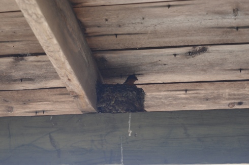
here was also an abandoned building along one of the trails.

There are always pleasant surprises when you go to visit the different parks in New England.  One of those surprises was a mother bird feeding her babies in the nest on the beams of the roof of the abandoned building pictured above.  I did my best to seem as unobtrusive and I used my telephoto lens from a distance while I took these photos.  I love how the mother looks so protective and is surveying the area for potential threats.

DSC_0402DSC_0399DSC_0421DSC_0429DSC_0433

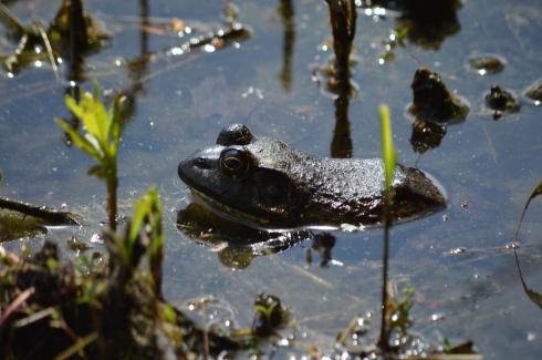
Then, as I was taking photos of the pond, I saw these little critters.  Look at how the frogs almost perfectly camouflage themselves.  It’s almost the perfect disguise.  Man, I love nature!

DSC_0463DSC_0465DSC_0481

DSC_0471DSC_0459

Ok, the snake isn’t so “little.”  But, I wasn’t about to get closer to see just how big he was.

And the animals didn’t stop there.

There were dogs a plenty also at Borderland State Park.

DSC_0245DSC_0244DSC_0242

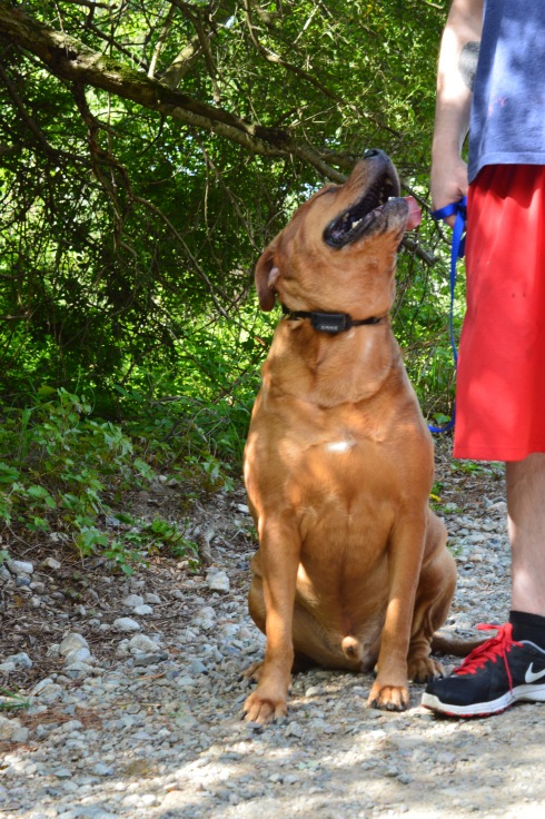
Beef is a 6 year old  American Bullweiler (American Bulldog and Rottweiler mix).  He was being trained by his dad.  I thought the last photo showed just how much affection he has for his guardian.

Mason, a chocolate Labrador, took advantage of the warm weather to go for a swim.

DSC_0377DSC_0376

Romeo, an English Chocolate Labrador, celebrated his 10 month birthday at the park!

DSC_0513DSC_0516DSC_0509

Balto, a 7 month German Shepherd, wants attentively for the rest of the family to show up.

DSC_0531DSC_0528DSC_0527

Thank you for stopping by and reading and please consider connecting with me on Facebook and check out my future trips around New England:  New England Nomad


Poet Seat’s Tower (Greenfield, MA)

Date Visited: May 13, 2016

Location:  Mountain Rd, Greenfield, MA

Parking: There are about half a dozen parking spots next to the tower and they fill up quickly.(and they were all filled at 8 o’clock on a Friday morning).  There is also parking at the gate of the entrance on Mountain Road for about another half a dozen vehicles.  The walk to the tower from the main entrance is about a mile.

Cost: Free

Hours: Open 365 days a year from sunrise to sunset

DSC_0095

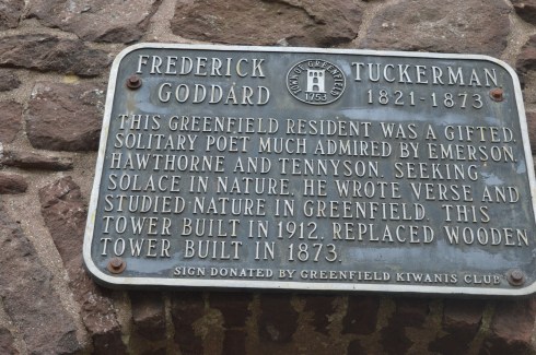
Perhaps it’s the unobstructed, sweeping views of the landscapes or maybe it’s the solitude of being in such an isolated tall structure.  Whatever the reason, poets seemed to flock to this observation tower.  It has since been known as the “poets seat tower” because of the long tradition of poets that have been attracted to the location.  Frederick Goddard Tuckerman, a local poet at the time, is credited with bestowing this name on the structure in 1850.  The tower, which was built in 1912, now attracts people of all walks of life, not just poets.   Prior to the construction of the sandstone tower, a wooden observation tower had been built on the edge of the lookout in 1879.  A plaque at the tower acknowledges Tuckerman’s role in the history of the tower.

DSC_0981


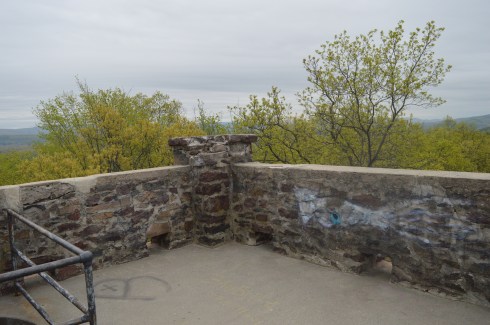
Even before you reach the top of the tower, if you dare, there are some impressive views of the Greenfield (MA), Connecticut, Deerfield (MA) and Green River valleys.  The ledge of the road where the tower is bult has a rocky ledge from where you can get some views of the Greenfield area below.  It’s a long way down!

The highest point of Greenfield, the tower is 4 floors (counting the ground floor and top floor).  The views from each floor are pretty stunning.  After all the rain in the area, the greens were very vivid.

This slideshow requires JavaScript.

As I stood looking over the land below I couldn’t help but think of how the landscape has changed over the years.  Many years ago people looked over farmlands and valleys.  Now, we look over schools, houses, parks and businesses.  I also thought about all of the people who came here to rid their mind and soul of their worries by taking in the beautiful views.  It really can make you take a step back (and hopefully not forward) when you’re up so high and appreciating the nature around us.

The journey to the top is not difficult.  A trip up one stairwell and one spiral staircase take you to the top.

The arches and architecture of the tower rival the beauty of the views from the top of the tower.

This slideshow requires JavaScript.

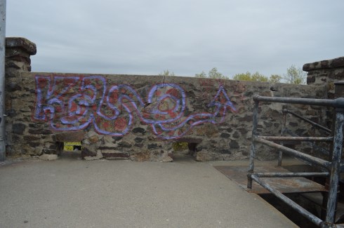
And what would a historic structure be without graffiti?  As seems to be customary, particularly in Western Mass, there was graffiti on the walls of the sandstone structure.  It did seem fitting that poetry lined the walls of “Poet’s Seat Tower”

DSC_0075

“Jump off the cliff and build your wings on the way down”

DSC_0011DSC_0009

DSC_0039DSC_0052

The are also benches along the road to the tower which offer views of the area.  There are also hiking trails that branch off from the road to the tower.  The trails look easy to moderate but I could not walk on them because of time constraints.  I did hear a lot of presumably animal activity in the woods.

Below is a video of the view from the top of Poet’s Seat Tower

Please stop by my Facebook page and like me!  New England Nomad On Facebook


Windsor-Cornish Bridge (Windsor, VT & Cornish, NH)

Date Visited: May 13, 2016

Location: Bridge St, Windsor, VT/ Cornish, NH

DSC_0323

If there is one thing Vermont and New Hampshire are known for, besides moose and lakes, it has to be covered bridges.  But, of the 164 covered bridges listed for Vermont and New Hampshire one stands alone.

DSC_0326


The Windsor-Cornish Bridge (or Cornish-Windsor if you like) is the longest covered bridge in all of New England.  At 449 ft and 5 inches, the Windsor-Cornish Bridge is not only the longest covered bridge in New England it is the second longest wooden covered bridge in the entire United States just behind the Smolen-Gulf Bridge in Ohio (613 ft) which opened in 2008.  It is, however, the longest wooden covered bridge as well as the longest two span covered bridge in the United States.

DSC_0343

The bridge was originally framed at a nearby meadow northwest of the site and later moved to its proper location.  As an aside, I didn’t see anyone cross it on a horse.  But, if they did, they had better walk it across or be ready to pay their two bits.

It has been through three constructions and repairs due to being transported from another location and after being repaired due to flood damage and ice in 1977.  In July, 1987, the bridge was closed to traffic due to deterioration and reconstructed in 1989.  The bridge is listed on the National Register of Historic Places.

DSC_0317

The Windsor-Cornish Bridge holds another unique distinction.  It is one of the few bridges that used to be a toll bridge but no longer has a toll (usually it works the other way around in new England).  The bridge was purchased by the state in 1936 and operated it as a toll bridge until June 1, 1943.  The bridge does have two lane traffic but pedestrians traffic is not allowed.

The Windsor-Cornish Bridge is one resilient bridge.  Previously, there have been three bridges built on this site in 1796, 1824 and 1828. All of these bridges were destroyed by floods.  For now, though, the bridge still stands proudly.

The videos below show what driving through the tunnel (both ways) feels like.

Please stop by and follow me at New England Nomad’s Facebook Page.  Thank you!


Stark Park (Manchester, NH)

Date Visited: February 27, 2016

Location: North River Rd, Manchester, NH

Cost: Free

Hours: Open daily sunrise to sunset

Parking:  There was not a designated parking area per se but there are many places to park on the side of the paved road leading from the entrance.

Stark Park


DSC_0315

New Hampshire isn’t known as the “Live Free Or Die” state for no reason.  The quote, which is said to have French origins and adorns license plates and other kitschy souvenirs, is directly attributed to General, and former New Hampshire resident, John Stark.  It was at John Stark Park in Manchester, NH, that I found this historical tribute to the revolutionary warrior.

The remaining of the “live free or die…”quote is lesser known, yet just as poignant.

DSC_0279

For someone who is so heroic and brave, General Stark is not someone who many of us are familiar with.  But, heroic he is.  As the plaque in front of his statue explains, after being kidnapped by a Native American tribe and eventually ransomed, Stark joined the American Revolution and became a general.  His most notable achievement was in 1777 when he commanded his troops to prevent British troops and supplies from connecting with the main army in Saratoga, New York, which was considered a key point which led to the American victory in the war.

Crisp blue skies awaited me at the park.  It almost felt fall-like.  What struck me most about the park was how peaceful it was.  The gazebo is a nice touch also.  The statue of General Stark was sculpted by Richard Recchia in 1948.  The park is one of the older parks in New Hampshire, dating back to 1893 (it is the second oldest park in Manchester).


This slideshow requires JavaScript.

General Stark his, wife and a few of their children are buried at the bottom of the hill from the entrance.

One of the interesting things about Stark Park is the loop behind the park.  It’s only about a quarter of mile and it is a great place to take your dog for a walk.  But, there is a trail that branches off to a bridge and some other trails which eventually lead to the Heritage Trail.  But, apart from some interesting trees and some wildlife, there isn’t much on the trails.  Most of them lead to residential areas.  I walked most of the narrow trails as far as I could go before they ended, rather disappointingly, at roadways and residential areas.

The big payoff to walking the loop behind the park was meeting Bennie.  Bennie is a Chinook which is the state dog of New Hampshire.

DSC_0402


City Of Presidents (Quincy, MA)

In the annals of presidential history, Quincy, Massachusetts, holds a special place.  The birthplace of two U.S. Presidents; John Adams and John Quincy Adams, Quincy, MA, has earned earned the nickname “City of Presidents.” (originally, both Adams’ were born in Braintree MA but their birthplace became Quincy after Quincy split from the town of Braintree in 1792, John Hancock was also from Braintree before the area was renamed Quincy).  In fact, the high school sports teams have adopted the menacing moniker, “Presidents.”

On this frigid Presidents Day, I decided to take a visit to the Old House At Peace Field, the retirement home of John and Abigail Adams as well as John Quincy Adams, when Presidents were really Presidents.  The Adams’ and their future generations would call this home  until 1927.

DSC_0726

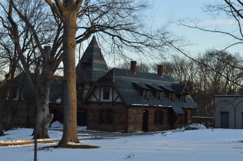
The Stone Library located adjacent to the Adams House.

DSC_0733

The house is much prettier during the spring and summer.  Flowers of a wide spectrum of colors adorn the walkway and throughout the estate.  It is closed to the public until spring time.  But the front gate was open, as though they were expecting me.

DSC_0717DSC_0714

DSC_0721

Further down the road on Hancock Street, in front of City Hall, stands John Adams.

DSC_0754

I was wondering why he was looking off into the distance (wary of the British perhaps?).  Then, I noticed a statue of Abigail and little John Quincy Adams was situated across the street.

DSC_0775

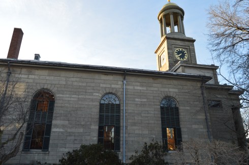
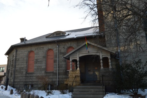
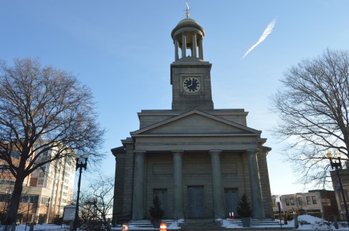
Both of the Adams’ are buried in the United First Parish Church, located directly across from City Hall and, inconveniently for the drivers of Quincy, in the middle of the busy roadway.  It is also the church I almost got into a fight at as a child until the other kid said he, “didn’t fight in churches” pffft.  Oh, the memories.

DSC_0829DSC_0779DSC_0782DSC_0845

There are other Adams’ residences and historical places, such as his original birthplace, also in Quincy, MA, that I will cover in later posts.

Happy President’s Day!


The Elms (Newport, RI)

Holidays and mansions.  Sounds like a pretty good combination to me.  That is what the folks at  the Newport mansions are offering all their patrons.  As part of the holiday season, the Newport mansions have been decorated for the season.  The $29 tour includes 3 of the mansions (The Elms, The Breakers and The Marbles).  But, I was only able to see The Elms Mansion.

DSC_0591

The mansions aren’t the only ornate buildings in the area.  Some of the homes in the area are very pretty as well.  Before you arrive at the mansions, you can peak at the pretty houses in the neighborhood.

When you enter the mansions, you are given an audio player with headphones to use as part of the self guided audio tour.  Indoor photography is limited to certain rooms (usually they don’t allow photography at all in the mansions but they relaxed their policy slightly for the holiday tours).  I might have sneaked in a few more photos from the rooms that weren’t authorized for picture taking.  It’s actually kind of a good thing that they limit photography because you could easily be inundated with things to photograph.  One room seemed more beautiful or interesting then the previous room.

This slideshow requires JavaScript.

Photo taking is allowed on the exteriors of the mansions and the grounds of the buildings.

DSC_0597DSC_0595DSC_0661DSC_0669DSC_0663DSC_0653DSC_0675DSC_0685DSC_0658DSC_0665DSC_0655DSC_0677

The mansions are available for tours throughout the year.  So, if you can’t make it there during the holiday try going another time when it is less busy.  If you go to the holiday mansion tour, it is only during daylight hours.  Parking can be difficult, especially if you arrive later in the day.  But, you should be able to find parking somewhere in the area if you can’t find a spot in the parking lots at the mansions.


Mayflower II (Plymouth, MA)

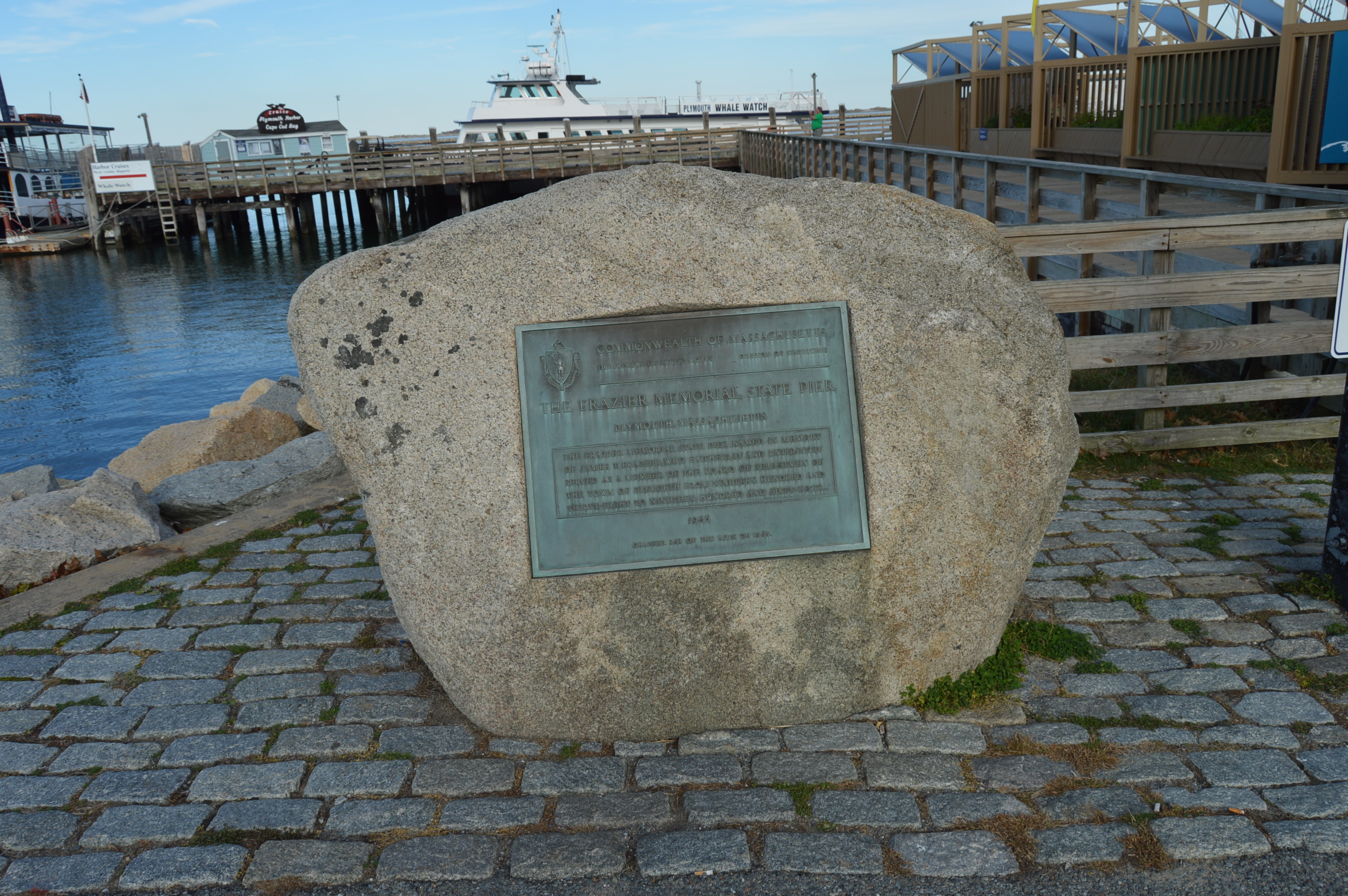
After visiting Plimoth Plantation, the next obvious destination was the Mayflower II.  The Mayflower II, an exhibit of the Plimoth Plantation, is a replica of the original Mayflower.  It is located only a few miles from Plimoth Plantation in the Frazier Memorial State Pier.

DSC_0643 DSC_0640  DSC_0638       DSC_0518

DSC_0498

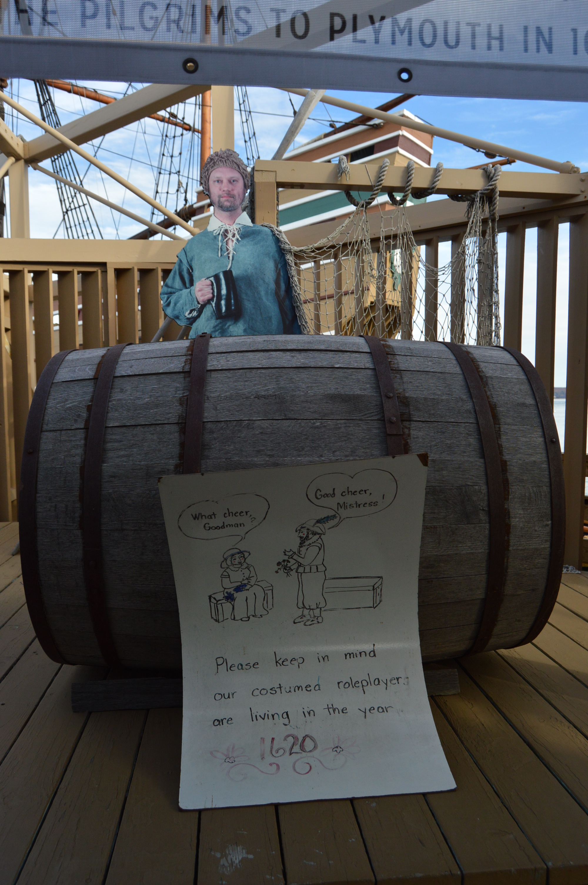
Before you board the boat, you are informed the people on the boat are still living in the 17th century.  They are not aware of cellphones, automobiles or any other modern day comforts.  There is a replica of the Mayflower Compact in the entrance to the boarding area.

DSC_0502 DSC_0508

Actors on the boat discuss the duties of crew members and portray people from that era.  This man reminded me of James Franco, particularly because of his dry sense of humor.

DSC_0551

DSC_0556

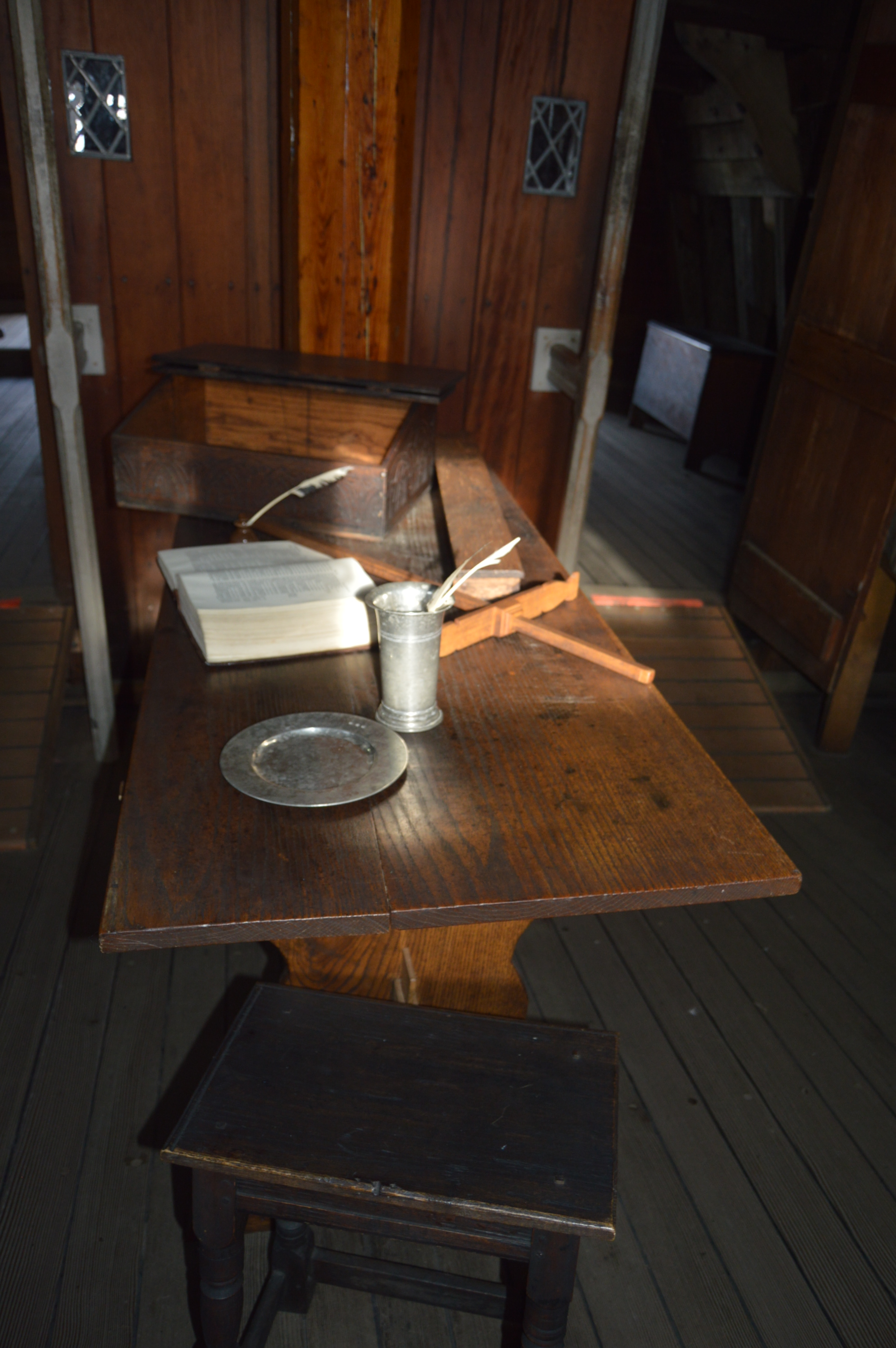
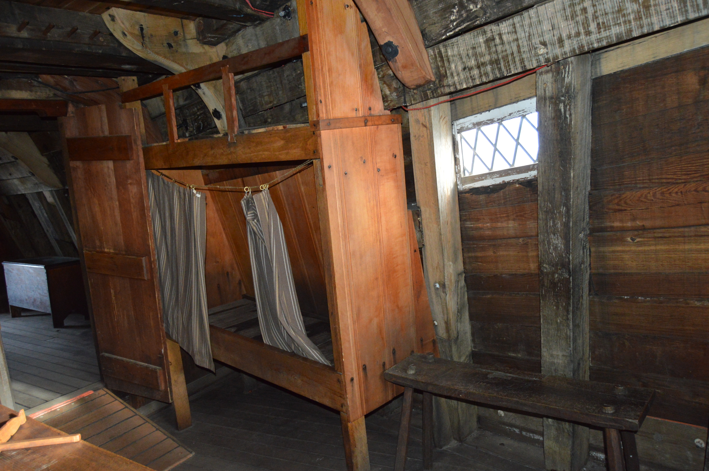
The quarters of the Mayflower were not the most comfortable.  Not exactly Carnival Cruise.

DSC_0523     DSC_0527 DSC_0536     DSC_0538  DSC_0543   DSC_0546  DSC_0529 DSC_0525

DSC_0547

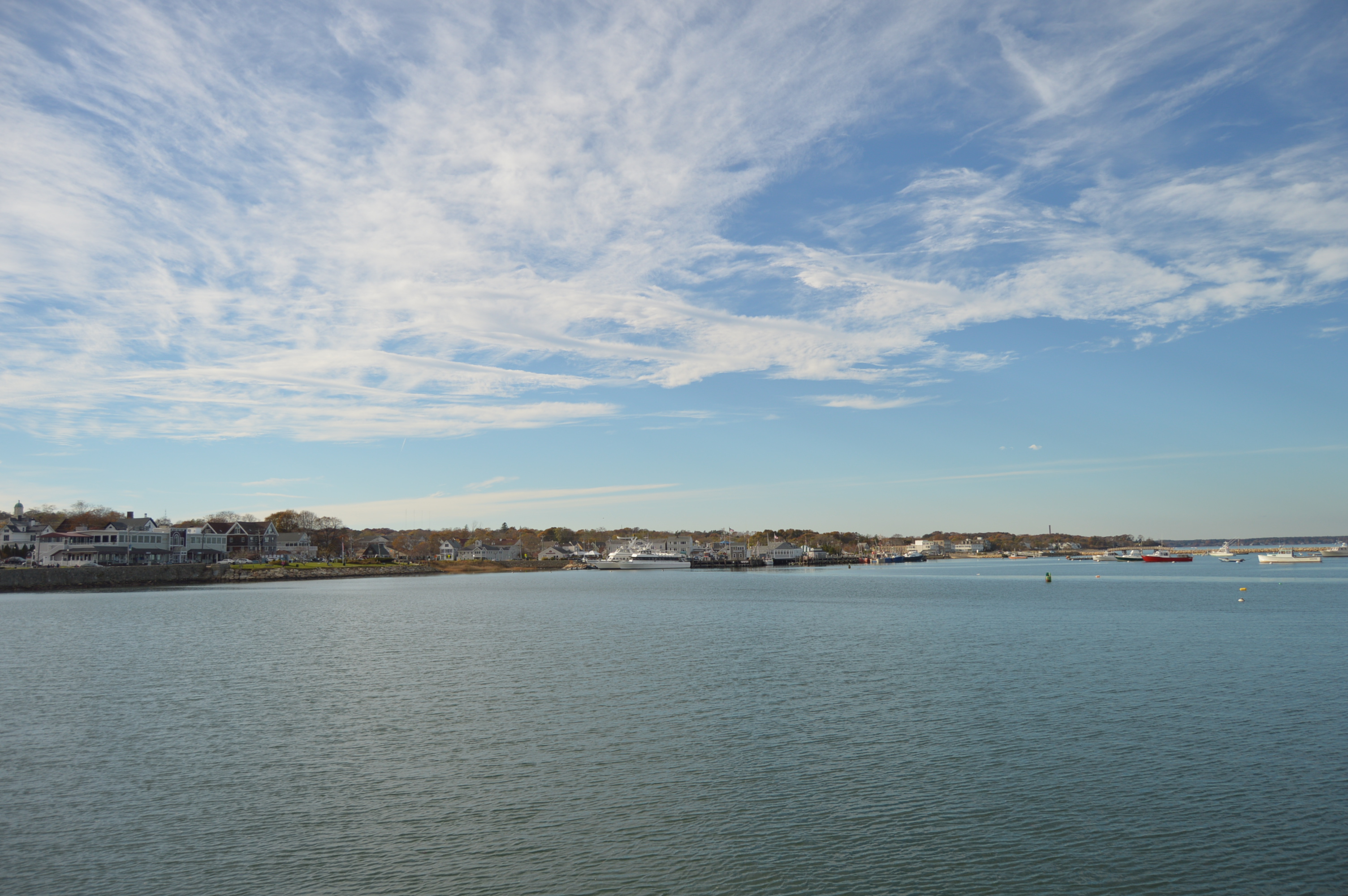
The views from the harbor were very pretty.

DSC_0520  DSC_0645  DSC_0557   DSC_0495       DSC_0481     DSC_0647  DSC_0649

Meet Porsche, a service dog I saw as I was leaving the pier.

DSC_0558


Plimoth Plantation (Plymouth, MA)

Walking into Plimoth Plantation is like walking back in time.

DSC_0091

The constructed plantation is both educational and entertaining.

A short video running in the visitor center runs on a loop and gives you some background of the plantation.  It also gives a little history of the historical of the place a history of the area.

The plantation is divided into two sections: the Wampanaog Homesite and the Colonial English community of the 1600’s.

All of the people on the Wampanaog Homesite are Native Americans (they’re not actors or re-enactors).  They are from the Wampanaog tribe or one of the other tribes indigenous to the Plymouth area.  A cutout on the trail before you reach the Wampanoag Homesite reminds visitors that not every native American “is the same”.  While most of the people residing at the Homesite are Wampanoag, not all of them are.  Also, the cutout reminds people to not call the people “braves” or any other demeaning and sterotypical term as they are not considered compliments or polite ways to address the people there.

DSC_0107

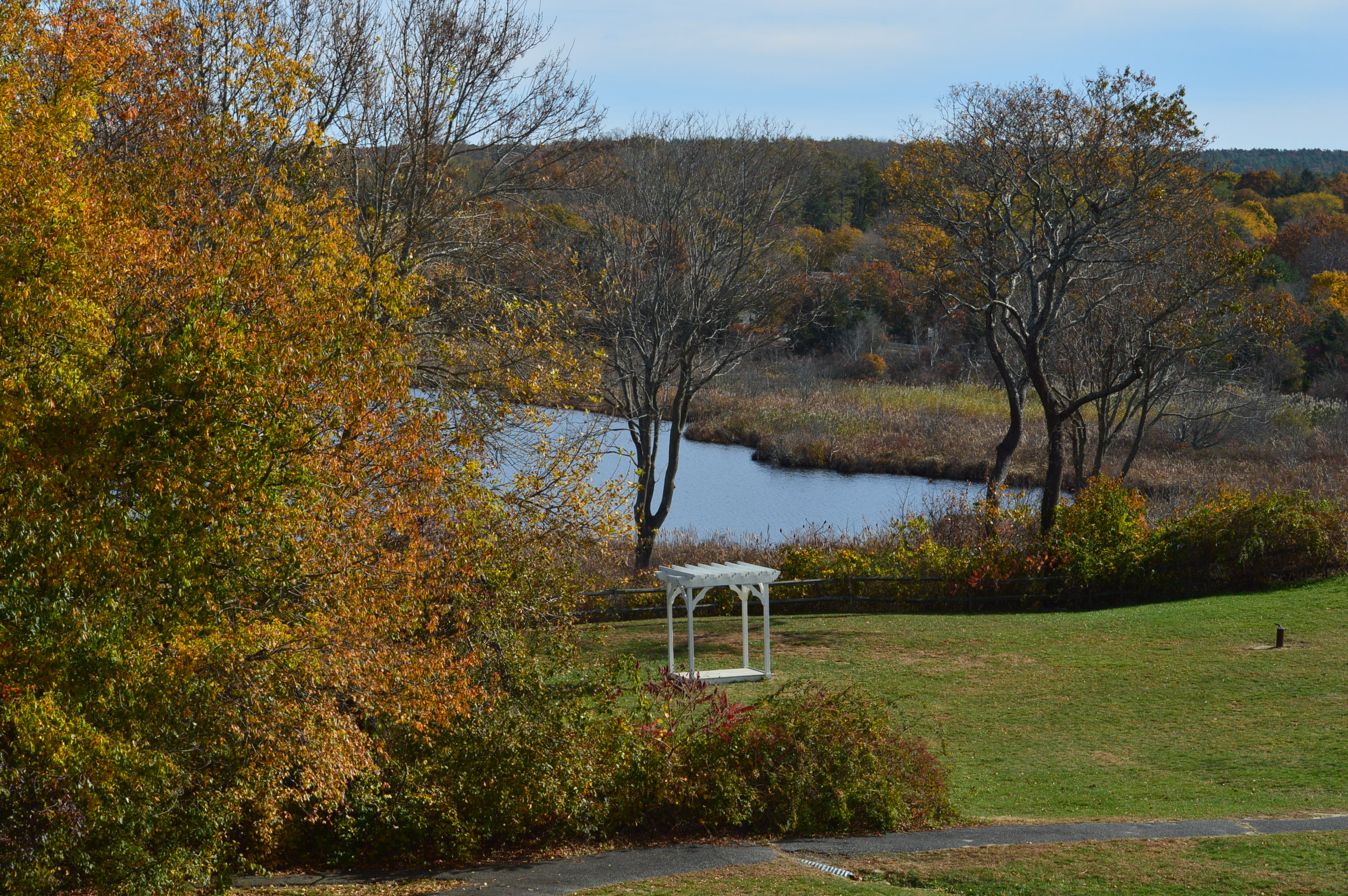
The views on the way to the Homesite and at the main visitor center are very pretty.

DSC_0220

DSC_0213

DSC_0196    DSC_0192  DSC_0190   DSC_0187      DSC_0179    DSC_0129         DSC_0114 DSC_0113 DSC_0112     DSC_0178

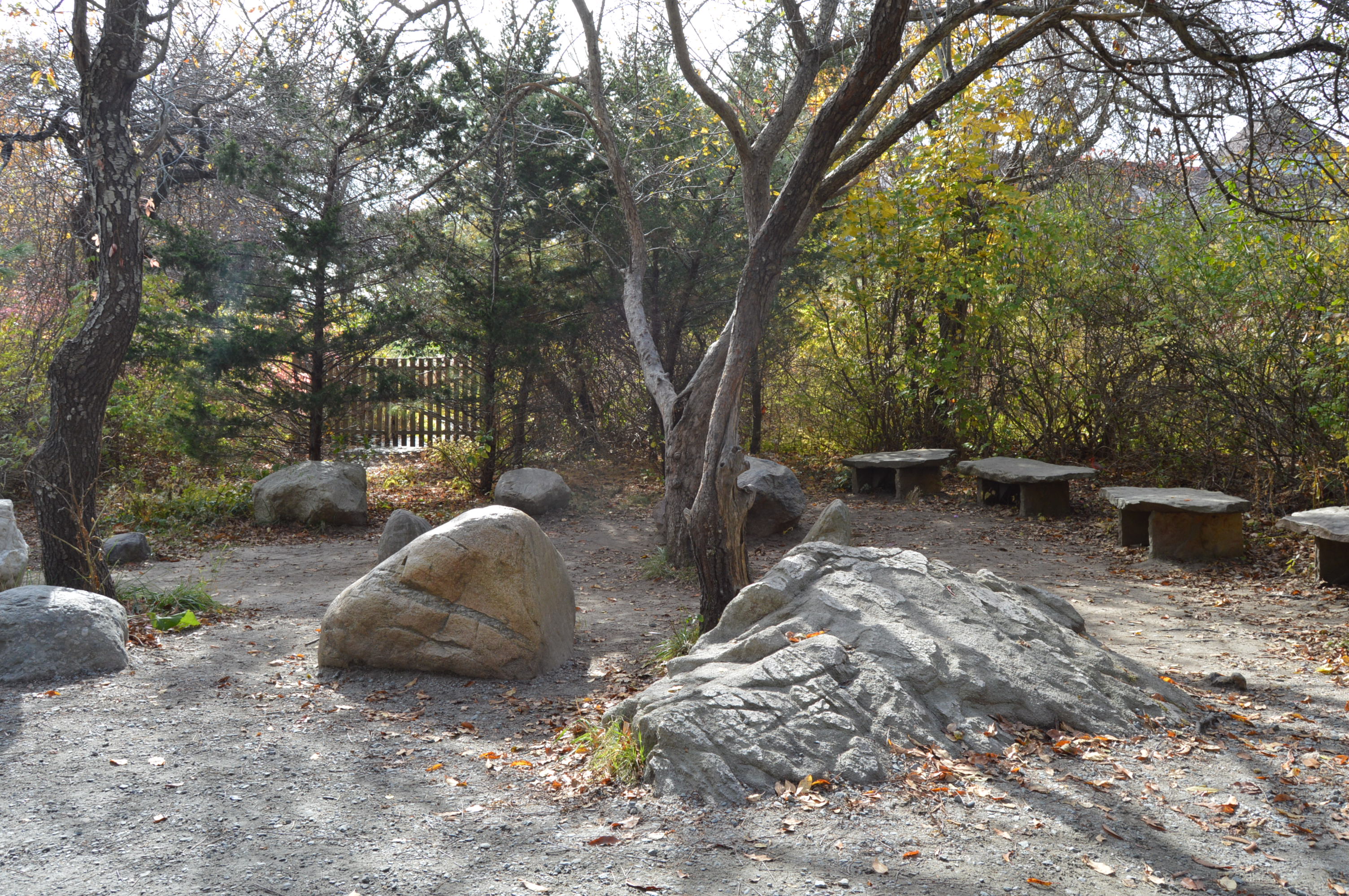
This is a Gathering Circle located on the trail to the Wampanoag Homesite.

DSC_0198 DSC_0201

The Native Americans at the Homesite tell stories about their life there and describe what tasks they are completing.

DSC_0302 DSC_0311

DSC_0288

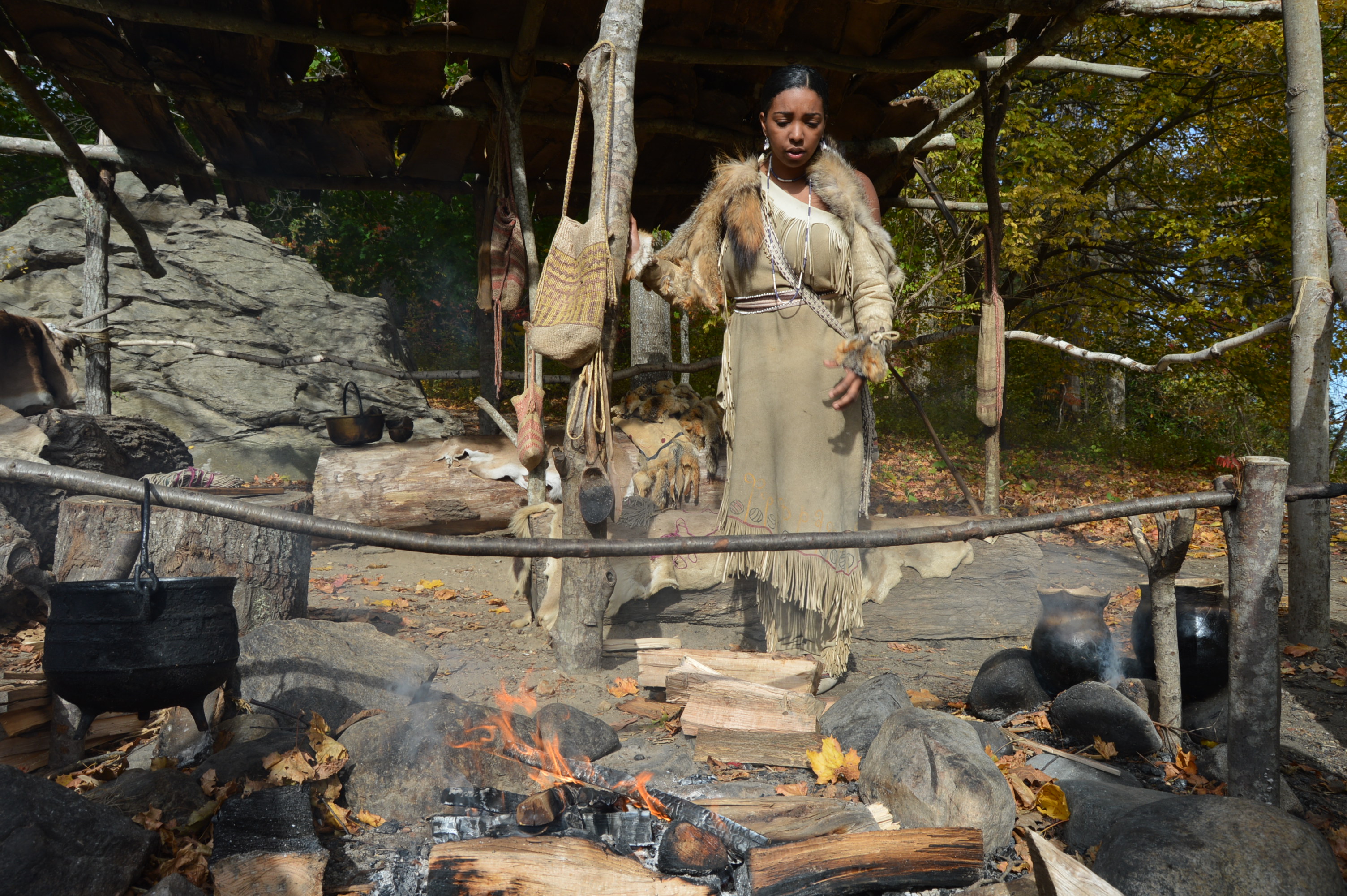
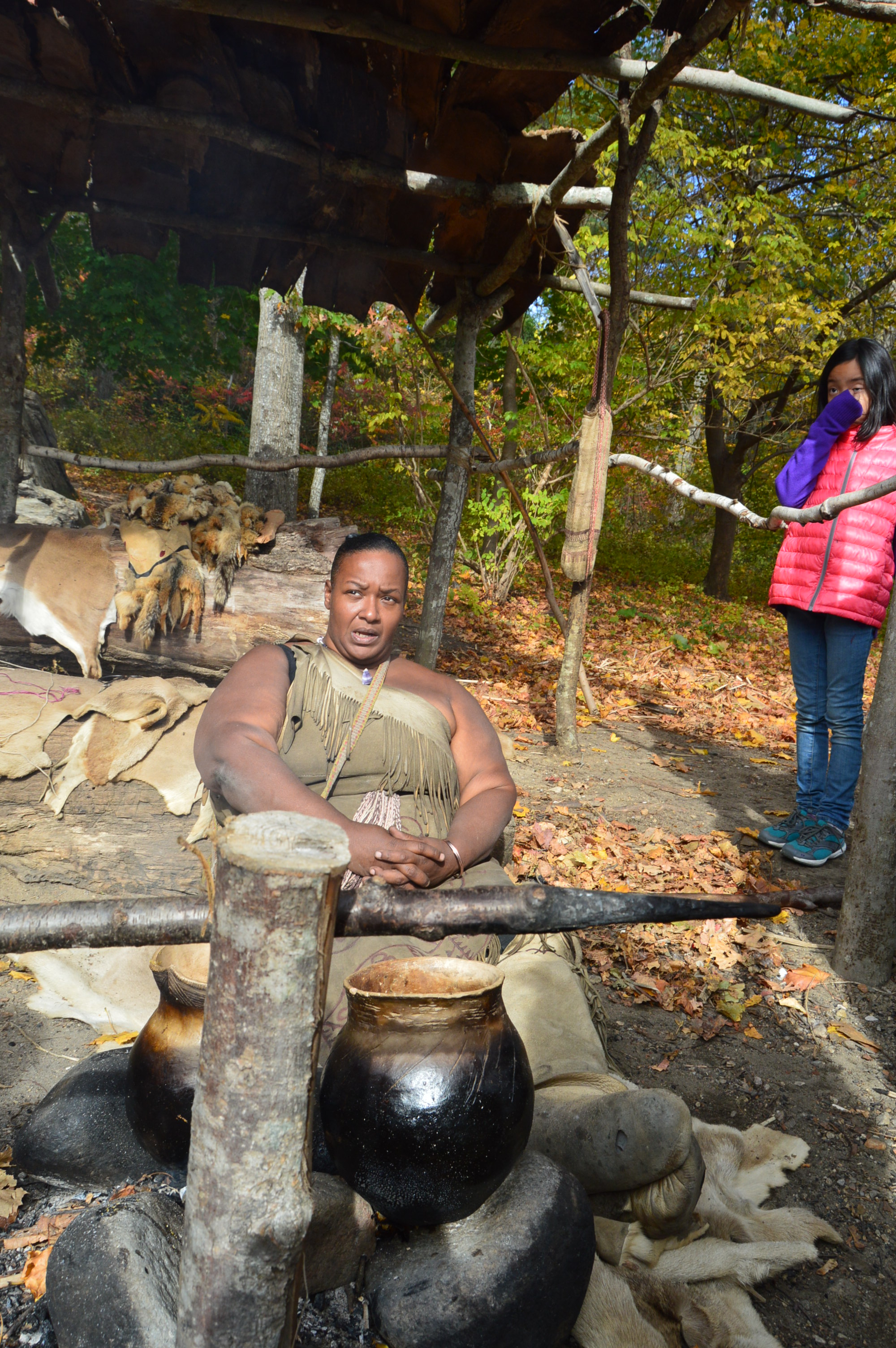
This woman was showing how they cook their food and answering questions from the visitors.

DSC_0267

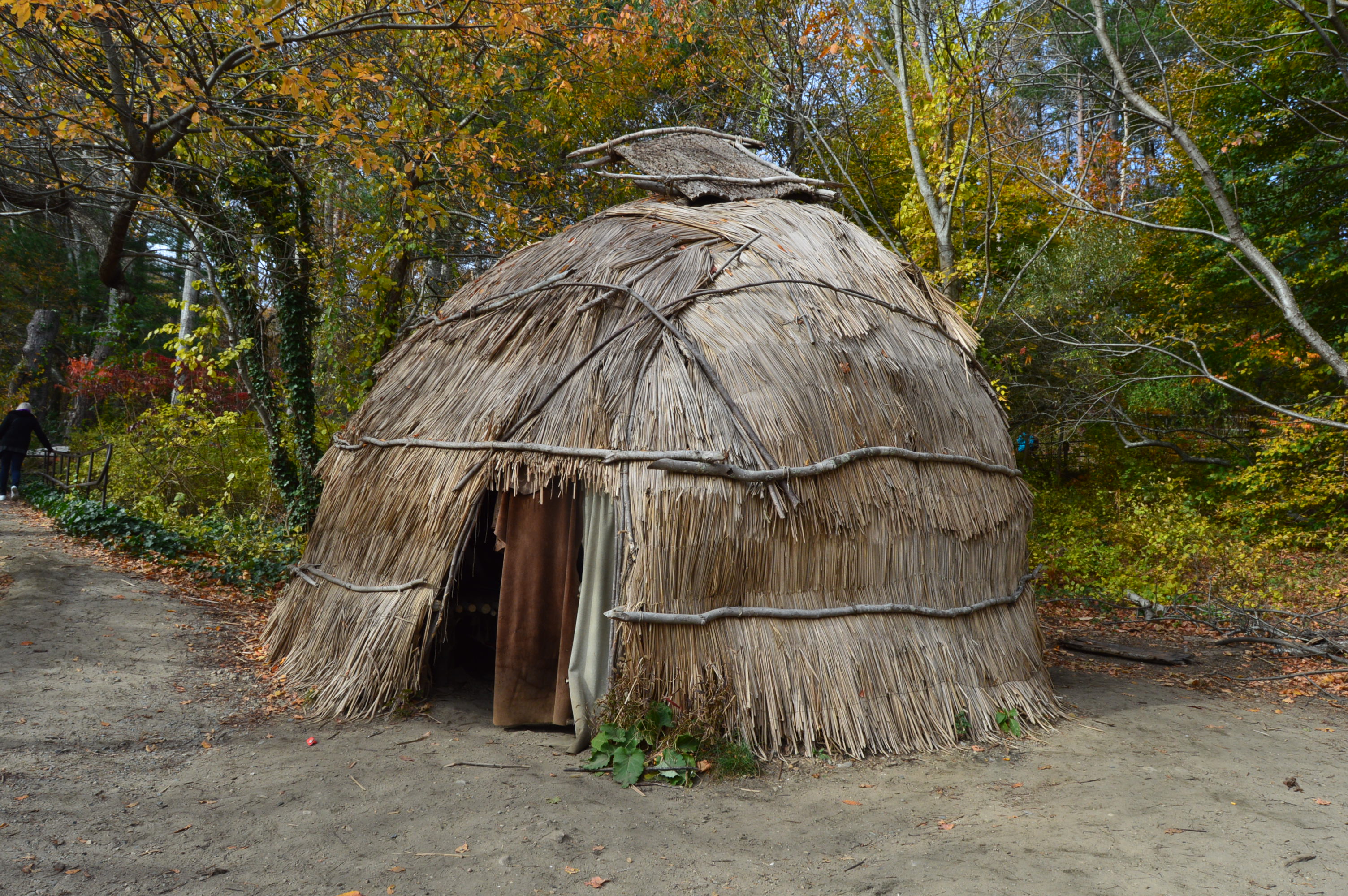
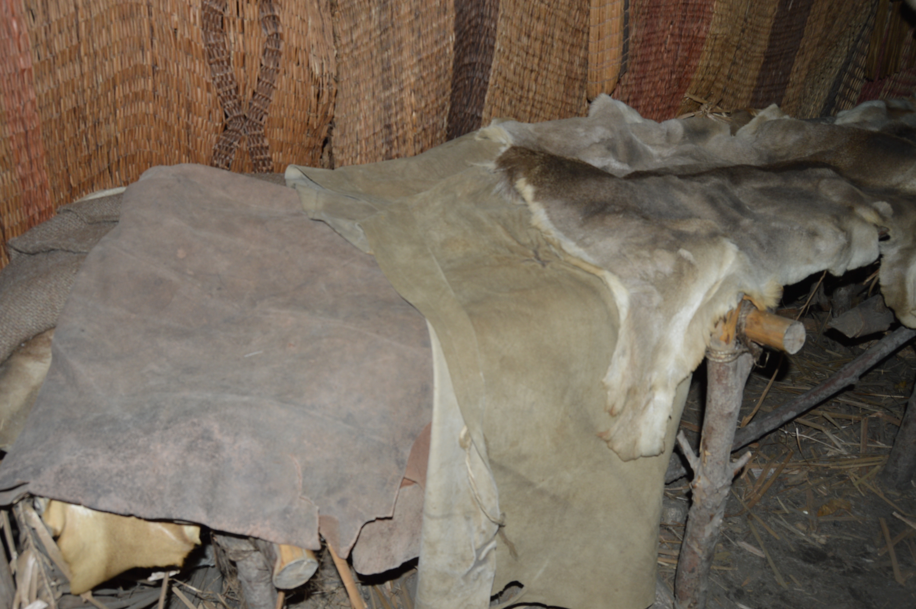
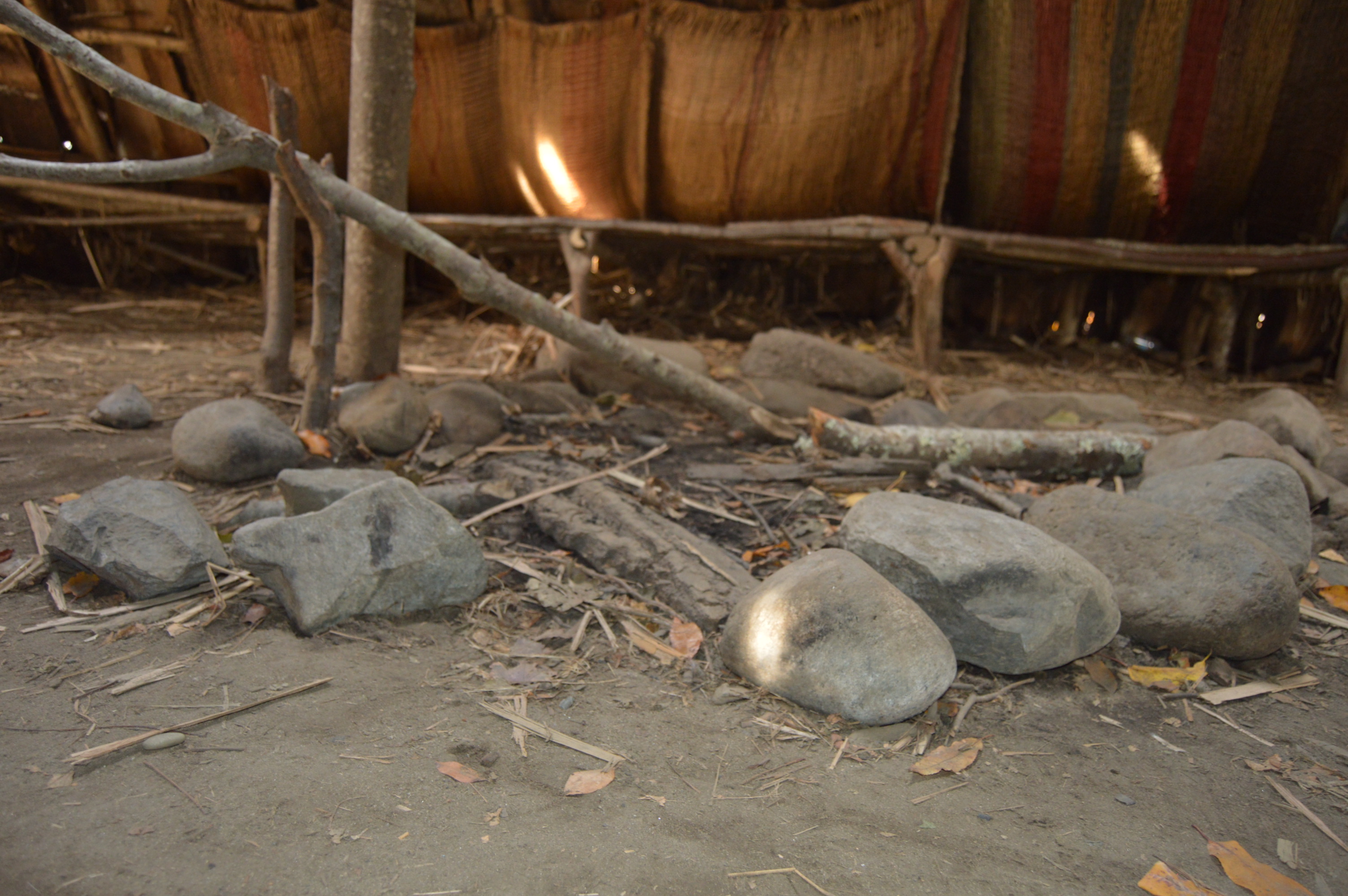
The Native Americans answer questions inside one of the wigwams at the plantation.

DSC_0282 DSC_0286

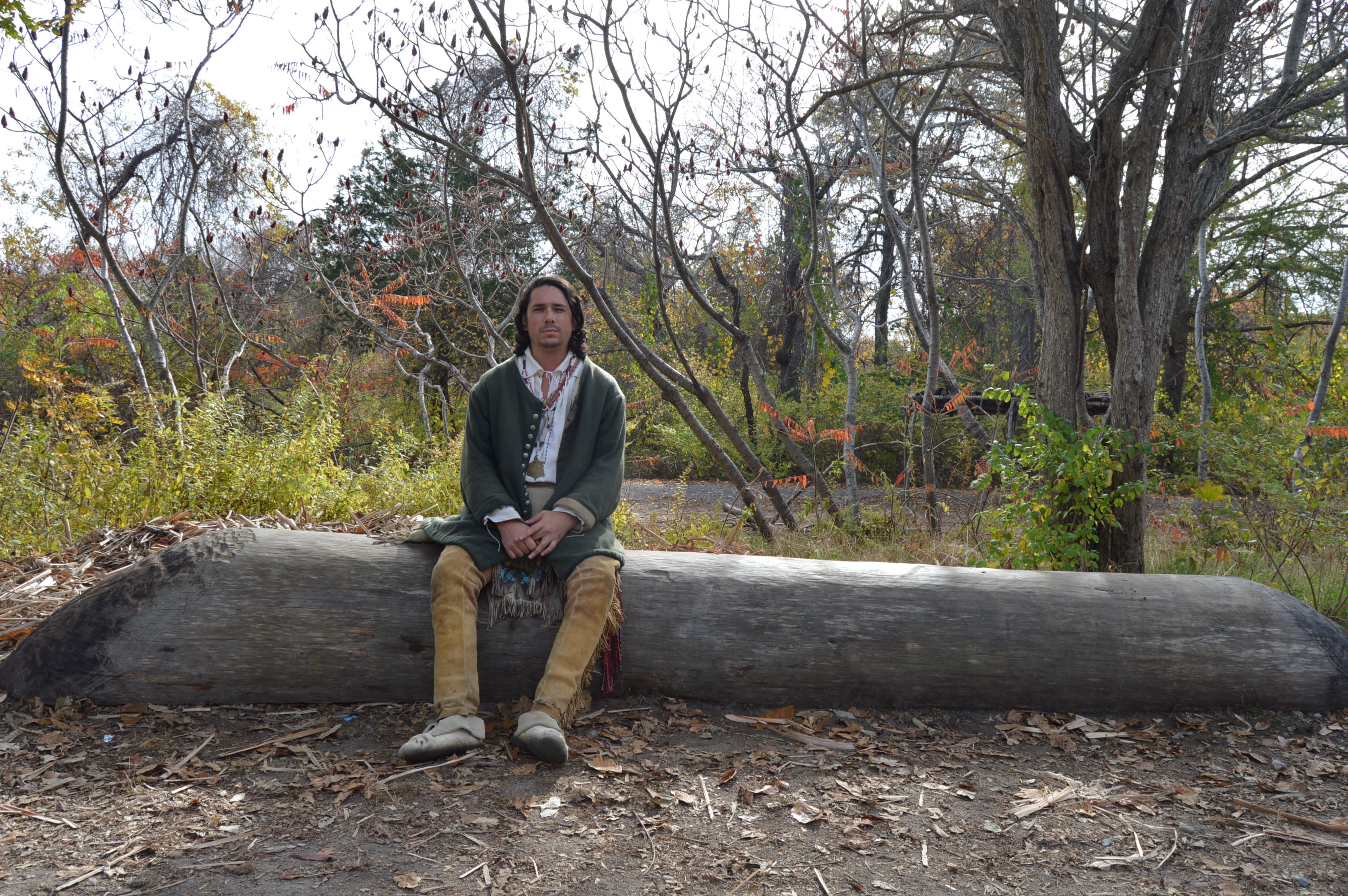
These men were hollowing out a boat.

DSC_0219

DSC_0226

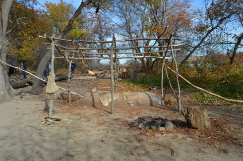
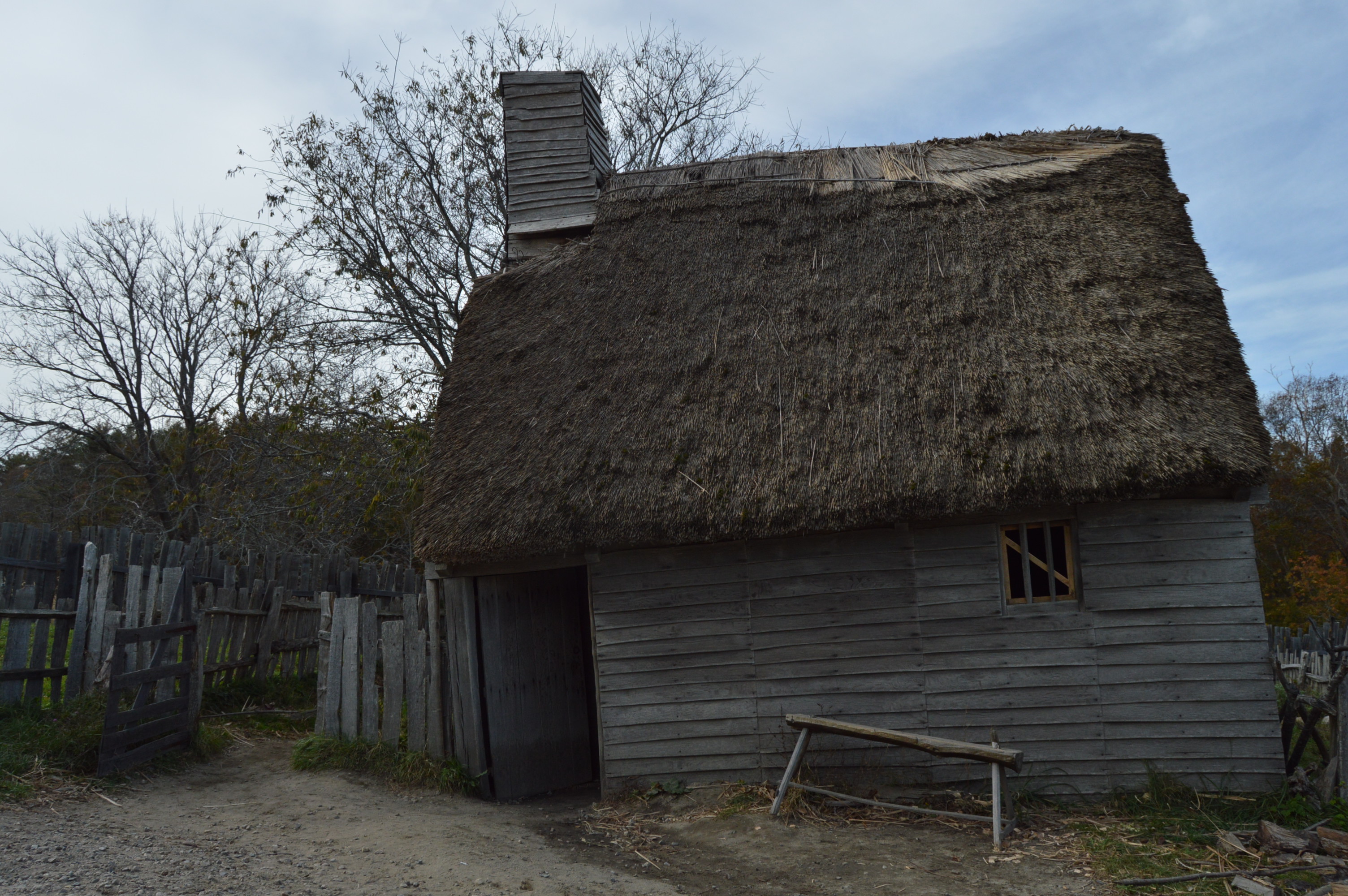
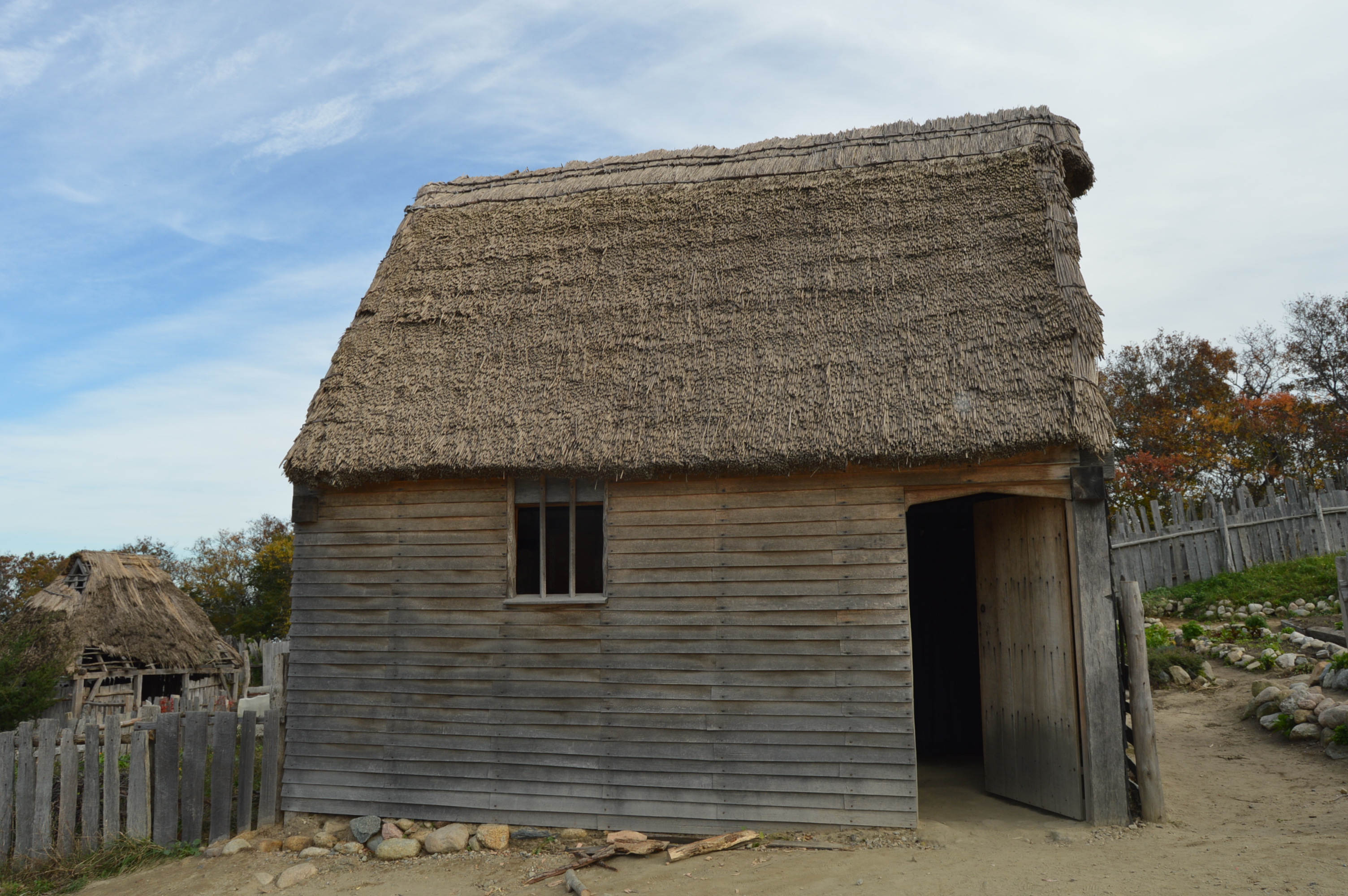
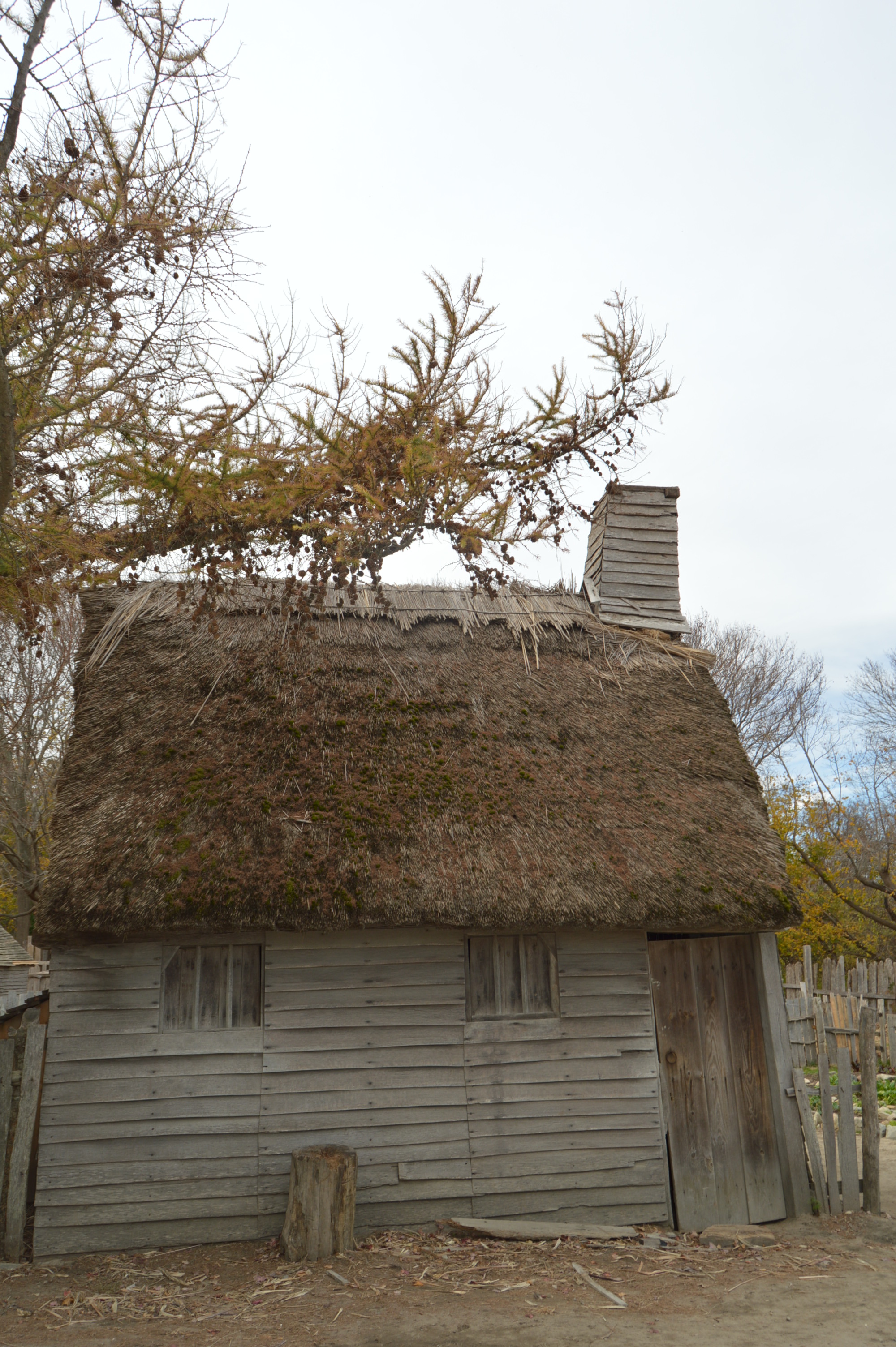
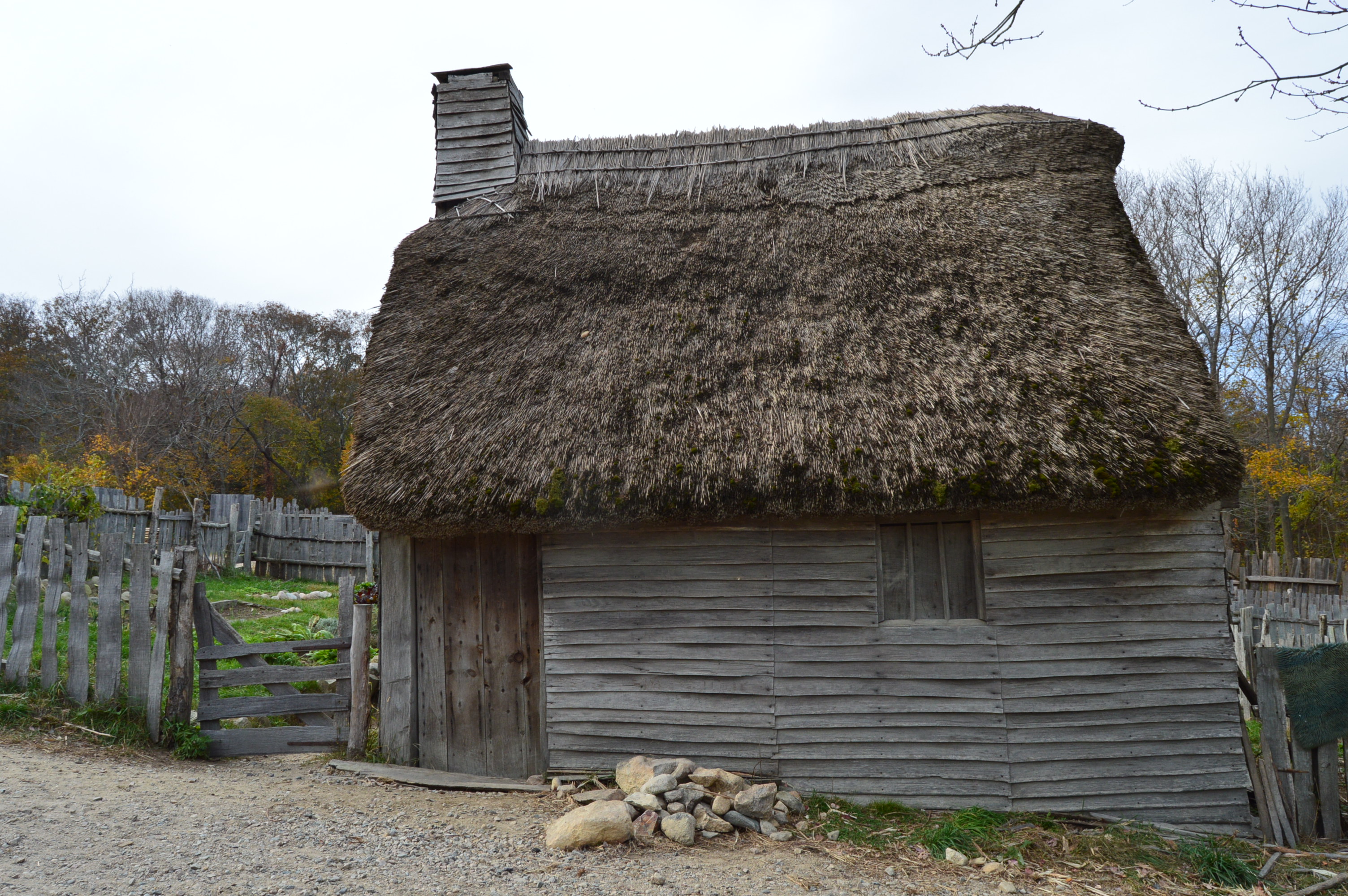
There are structures made with the same materials and the very same way they were built in the 1600’s and earlier.

DSC_0273

DSC_0314 DSC_0313

DSC_0233

This is a meeting room where elders and the rest of the people would meet to discuss issues affecting the community.

DSC_0246

DSC_0294 DSC_0293 DSC_0296 DSC_0297 DSC_0295

DSC_0243


After exiting the Wampanoag Homeesite, a stairway leads to the English side of the plantation

DSC_0320

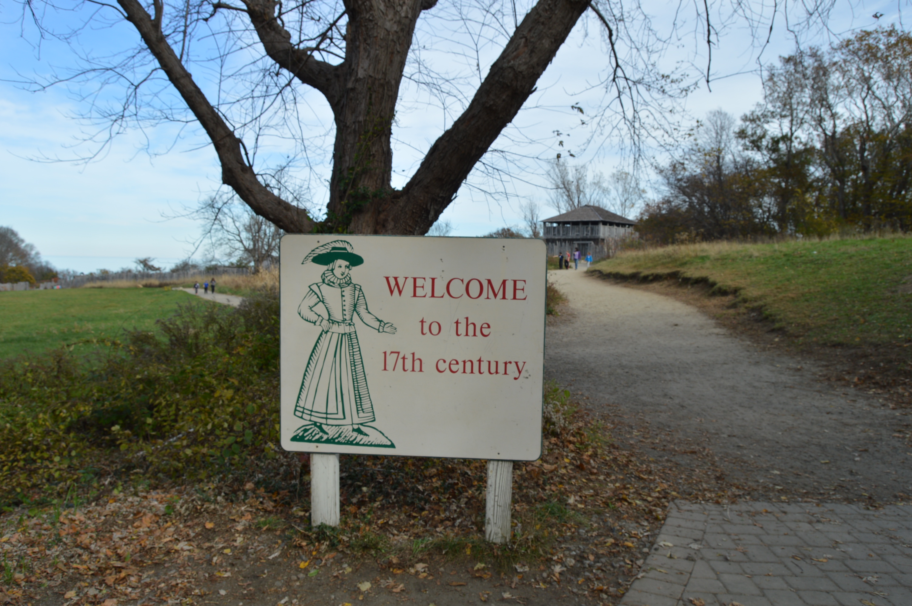
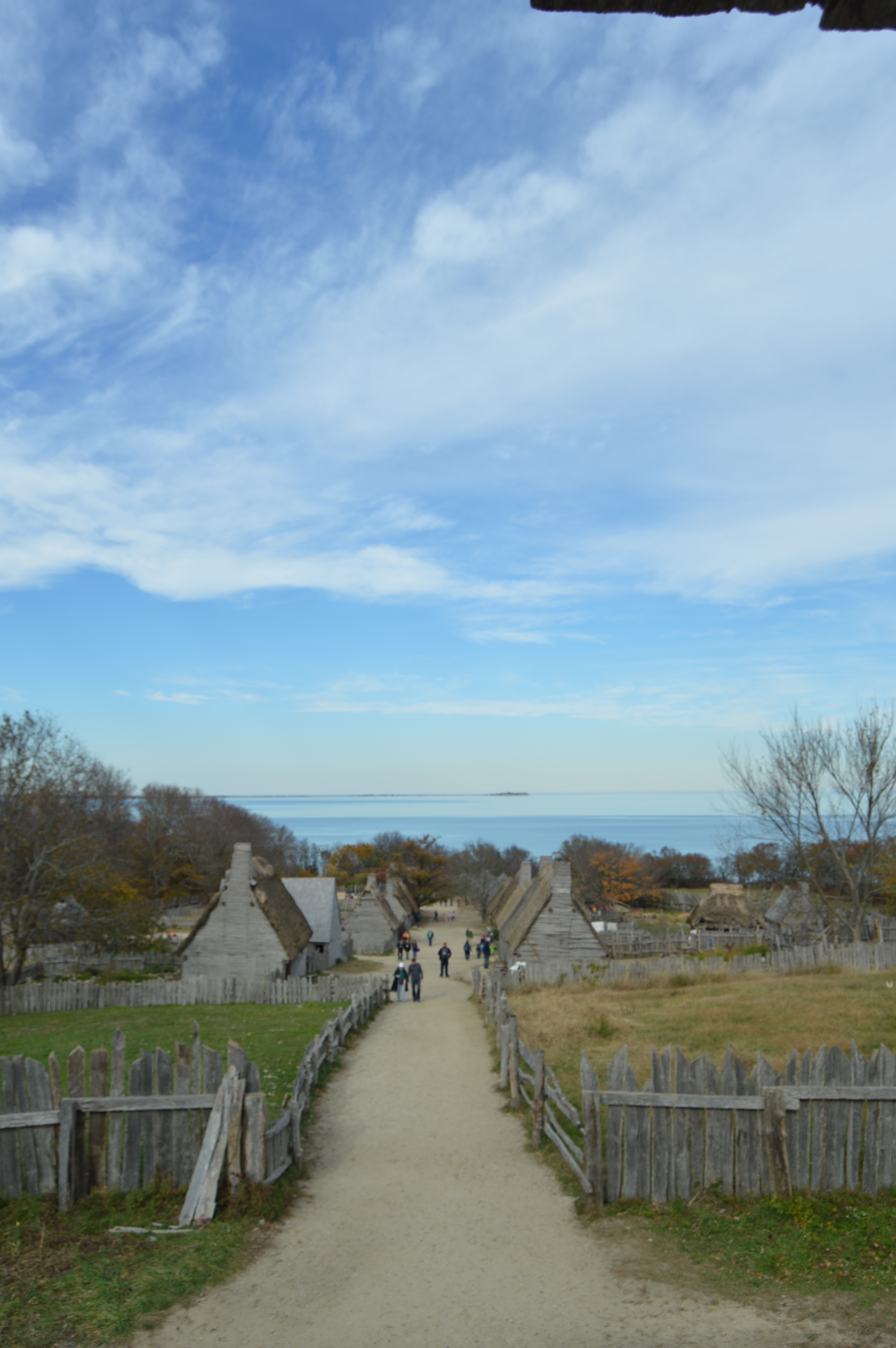
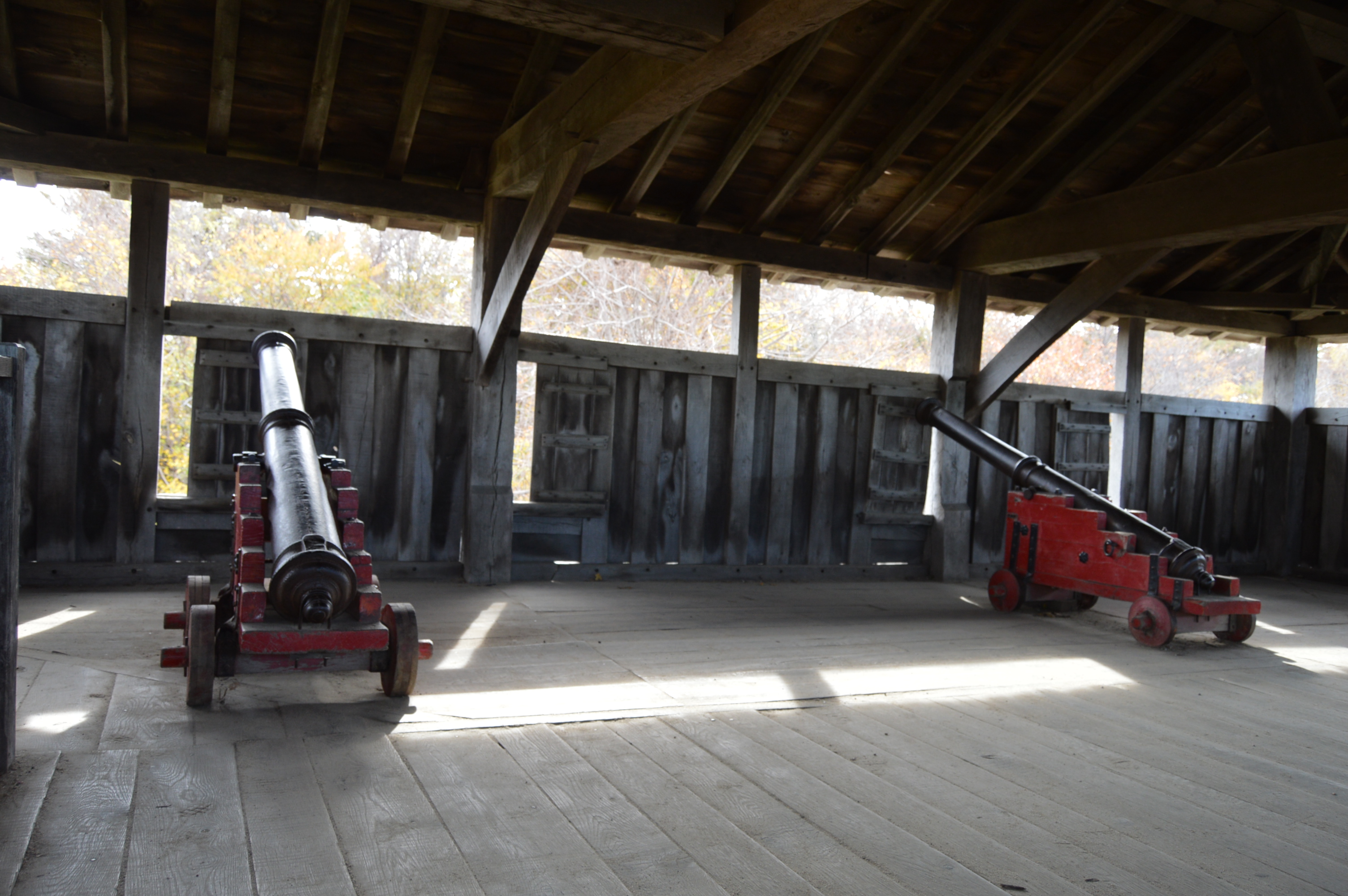
Everything past this sign is pure 17th century.  The structures, the clothing the people wear and the way the people speak are all from the 1700’s.  This fort acted as a lookout.

DSC_0323  DSC_0325

DSC_0446      DSC_0440    DSC_0436 DSC_0435   DSC_0432

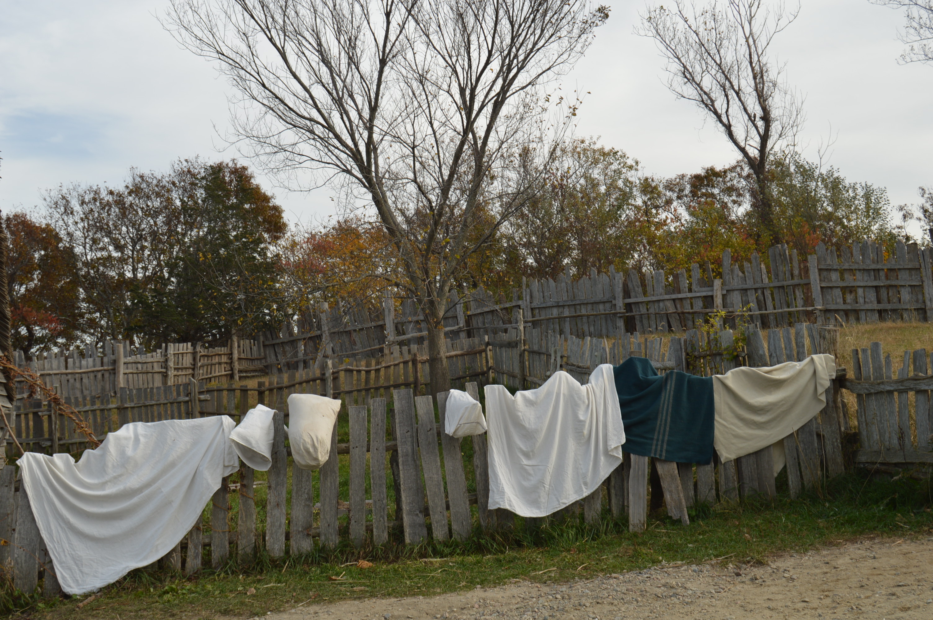
The people even wash their clothing the old way.

DSC_0327

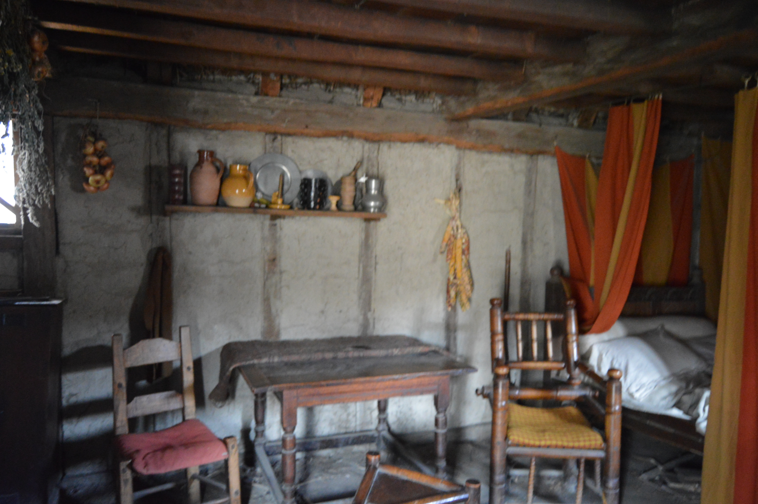
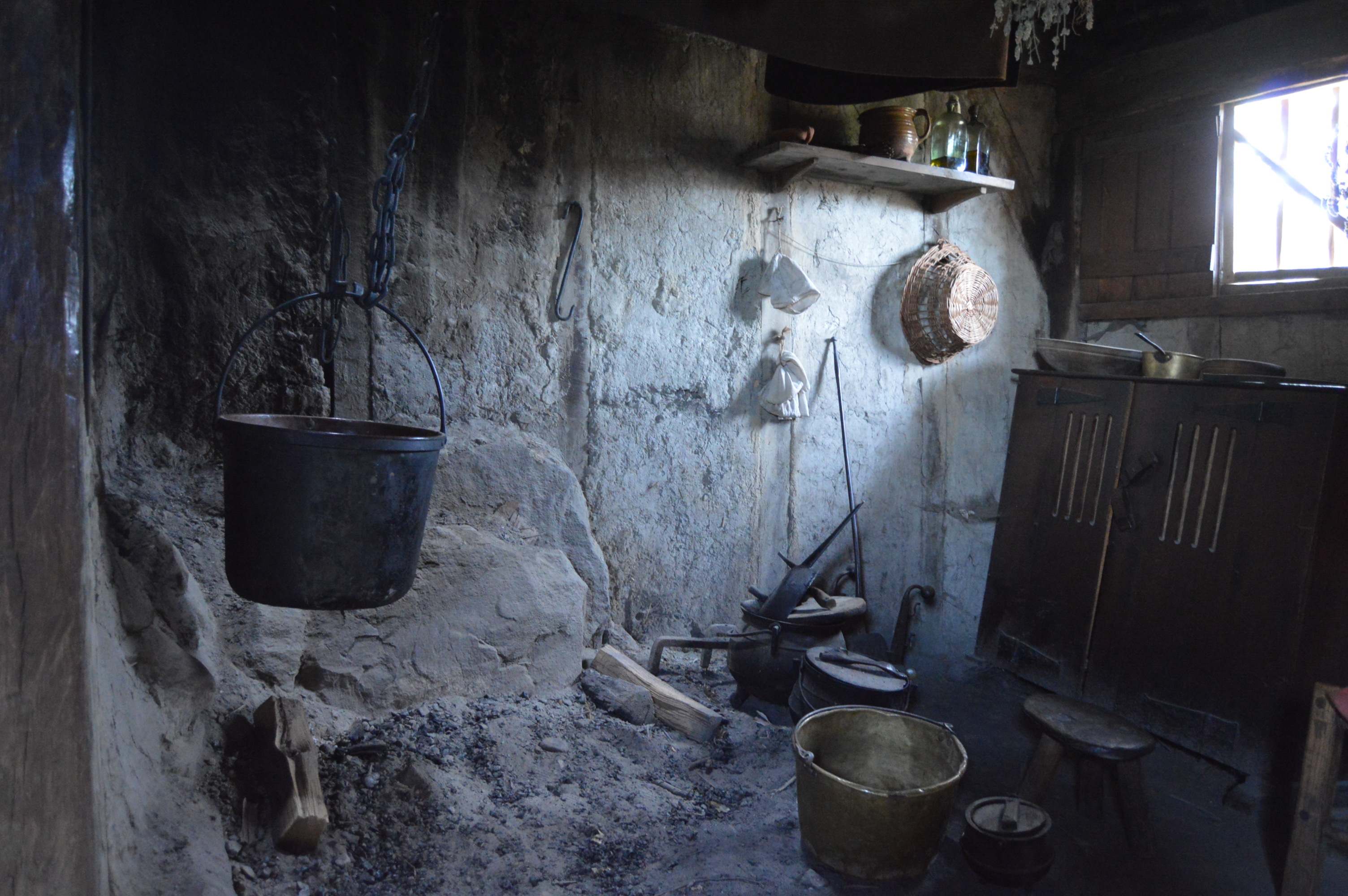
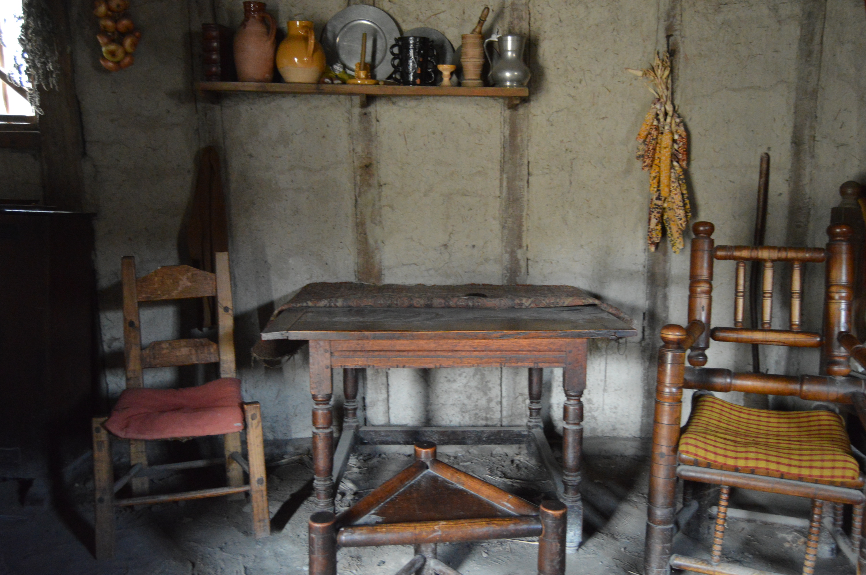
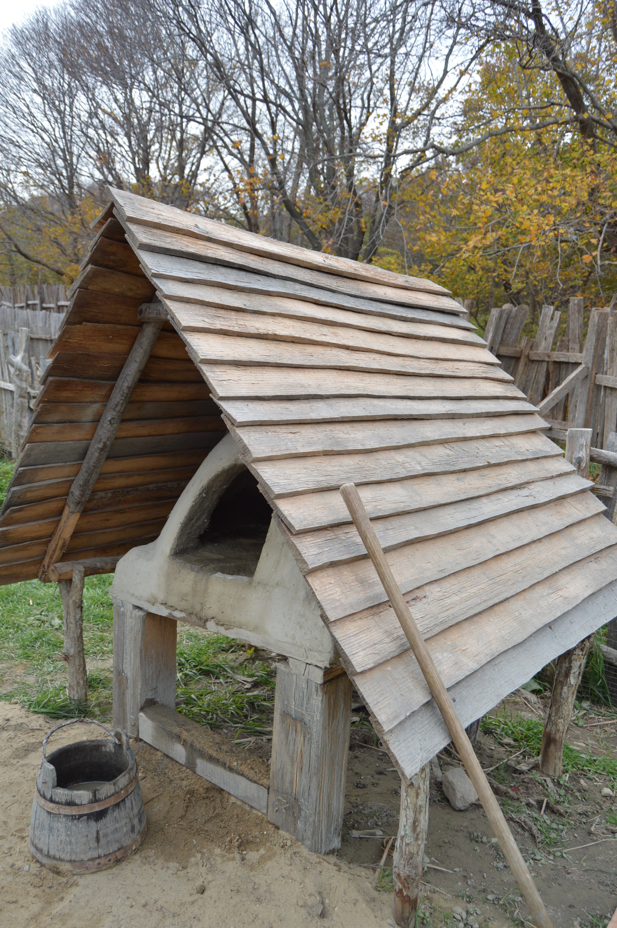
The inside and outside of the houses closely mimic the houses of the 1700’s

DSC_0338

DSC_0328 DSC_0329   DSC_0332  DSC_0334  DSC_0336

DSC_0339

DSC_0341

DSC_0346

DSC_0419  DSC_0401 DSC_0400 DSC_0399 DSC_0381

DSC_0361 DSC_0362  DSC_0364

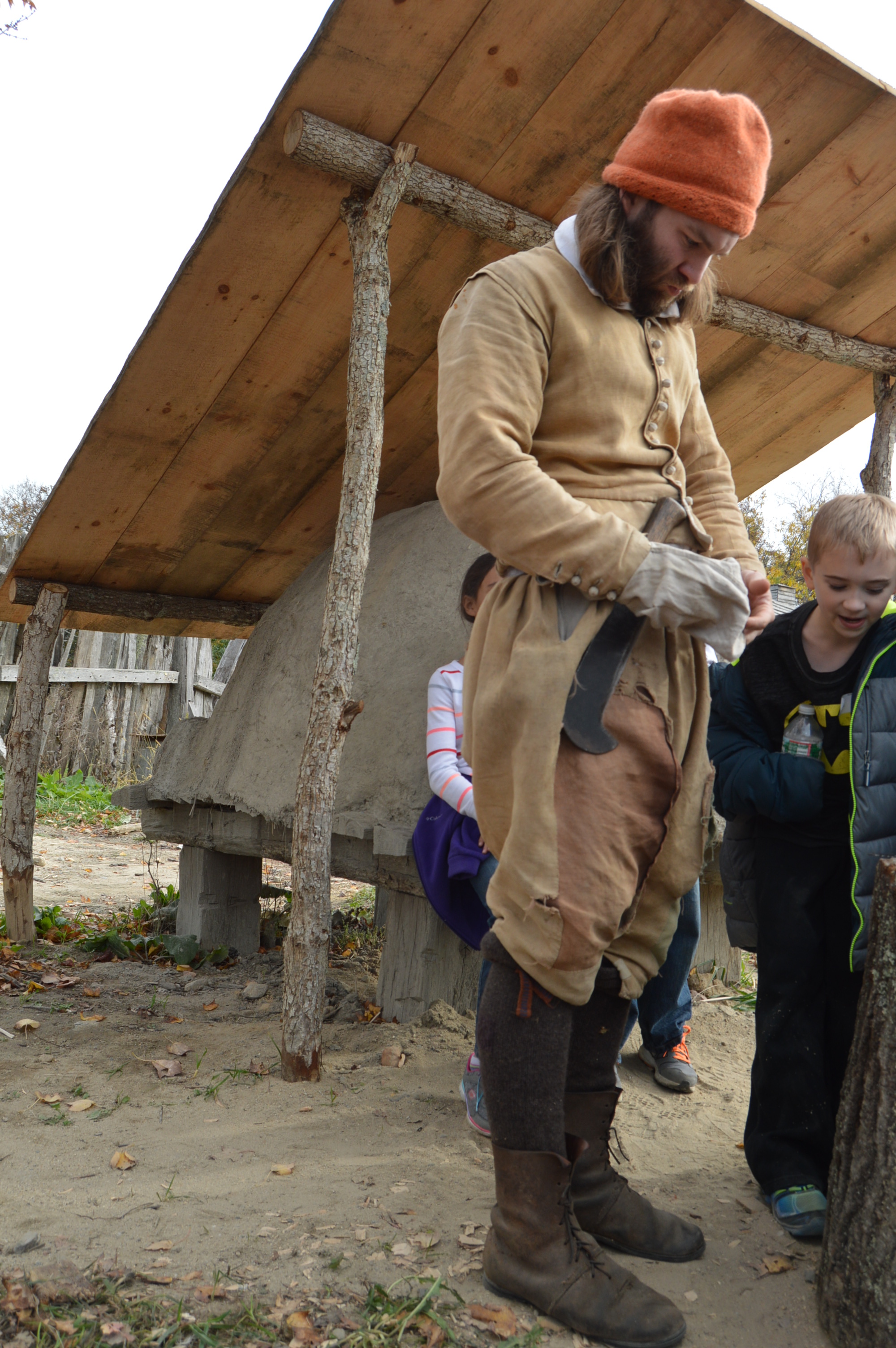
Actors inhabit the homes.

This woman said “My Christian name is Sarah” when I asked her what her name is.

   DSC_0356  DSC_0357

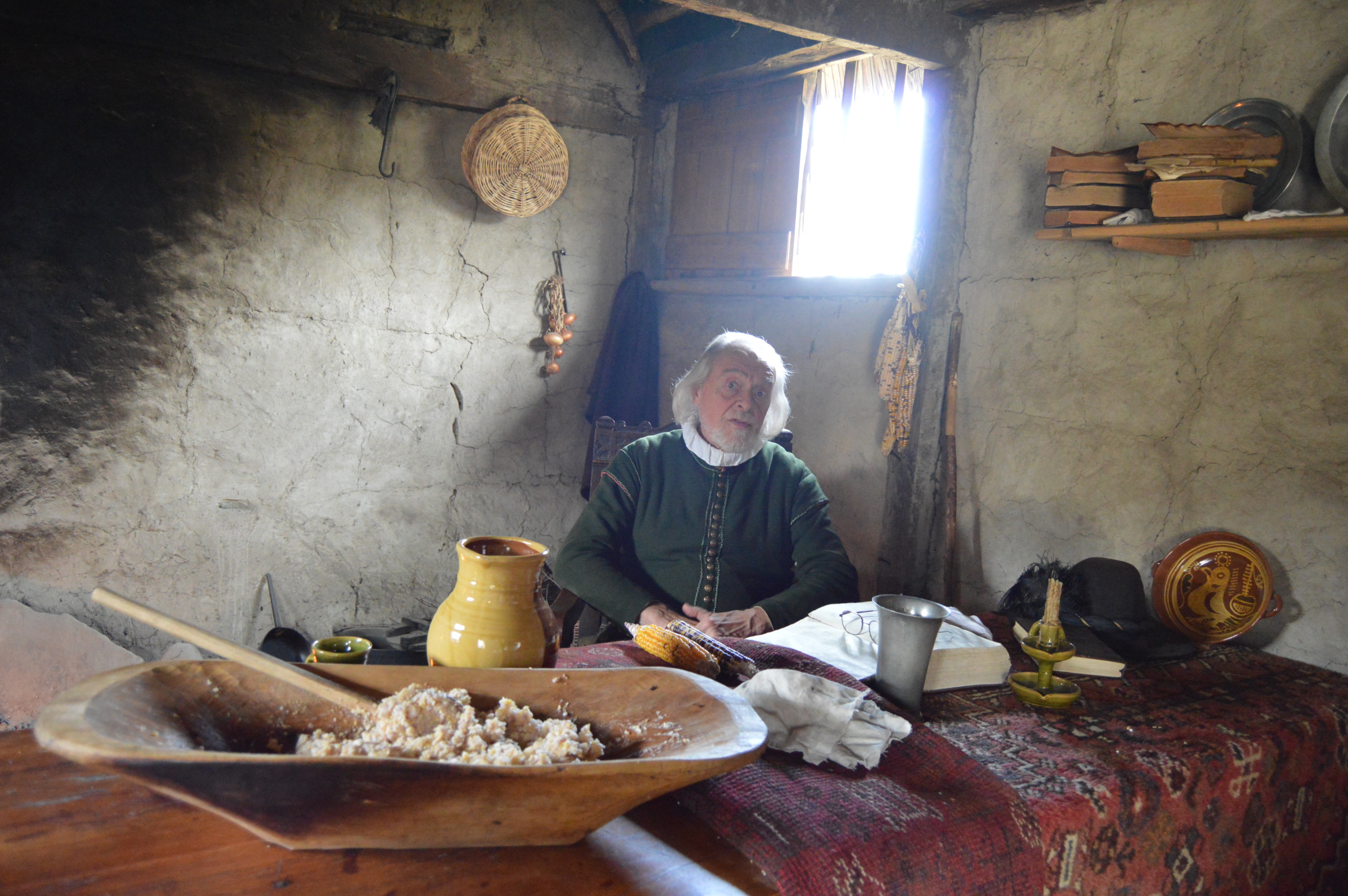
This man and his wife were getting ready for dinner when I stopped by.  it looks like a cozy little place.

DSC_0370    DSC_0372  DSC_0374   DSC_0378 DSC_0377

There are also actors walking throughout the plantation.

DSC_0421    DSC_0416 DSC_0415

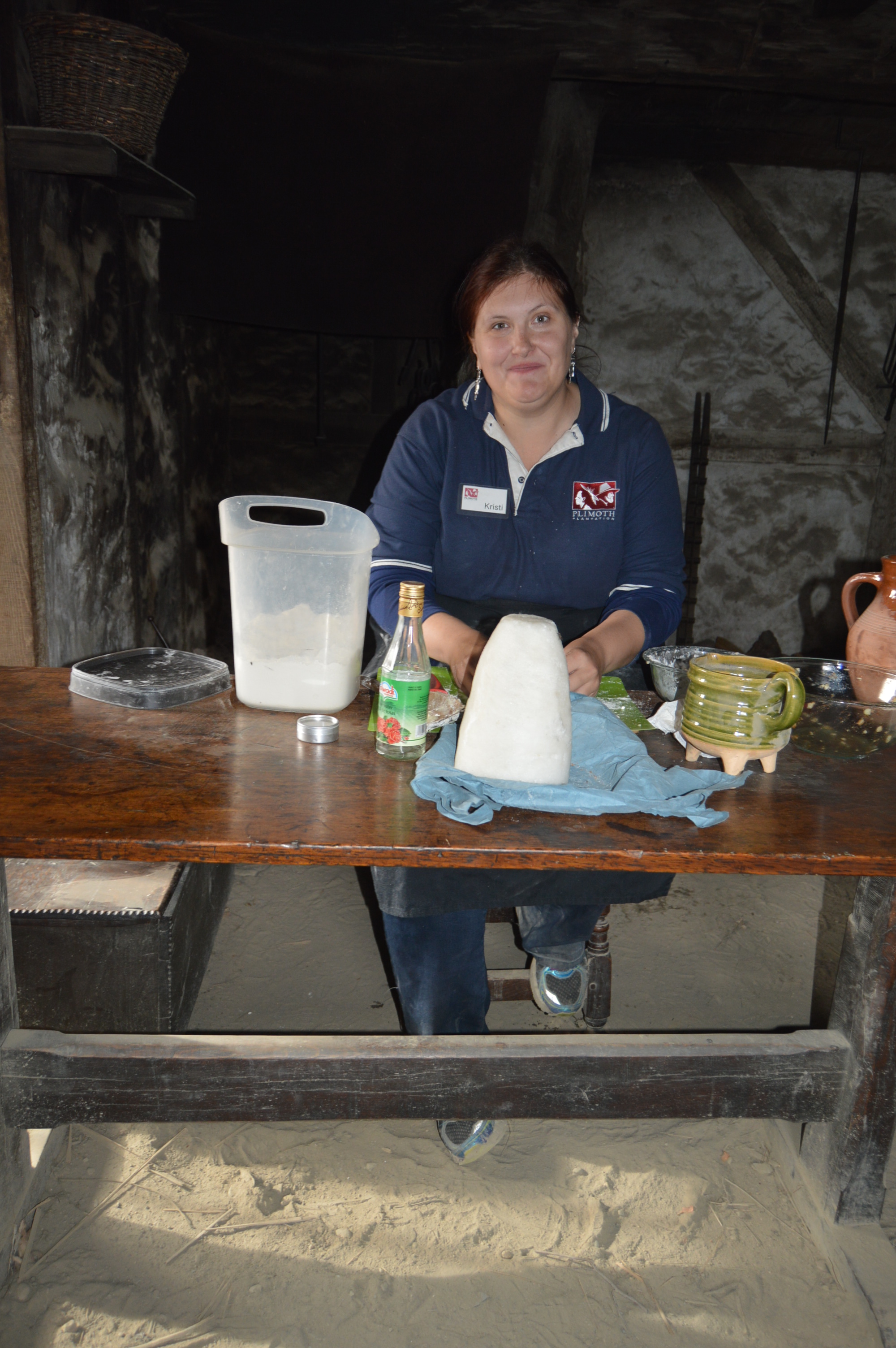
This woman was making apple tarts, the old fashioned way.

DSC_0413 DSC_0412 DSC_0411

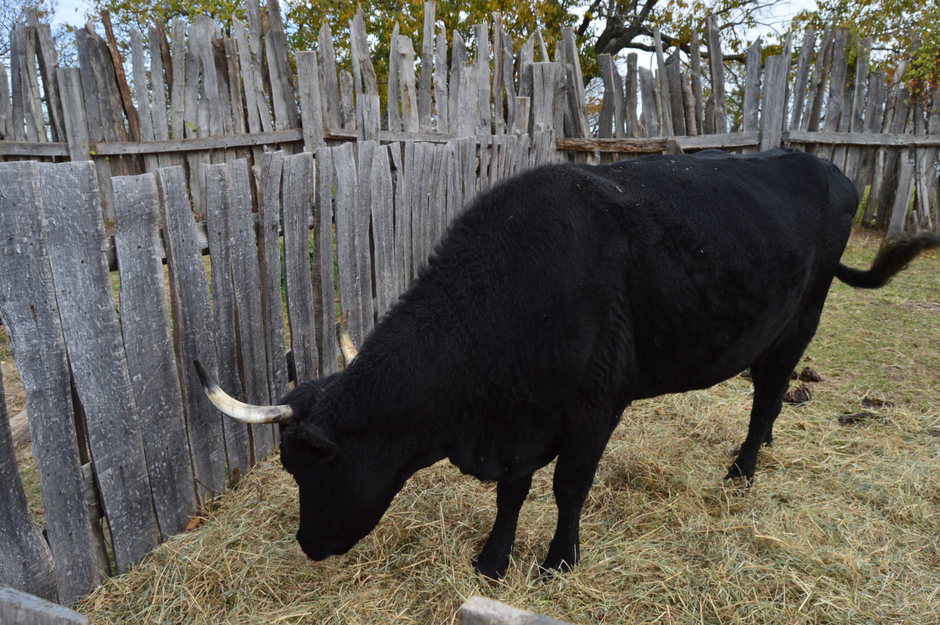
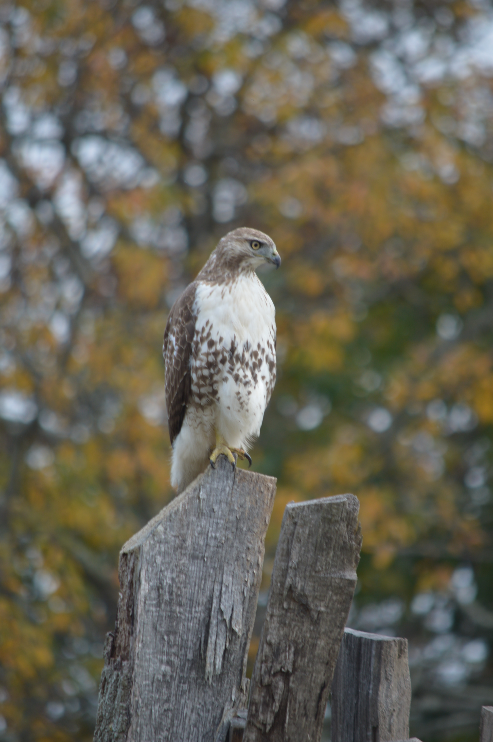
Plimoth Plantation has a limited amount of livestock.  There is a bull and a hawk.

DSC_0403 DSC_0397

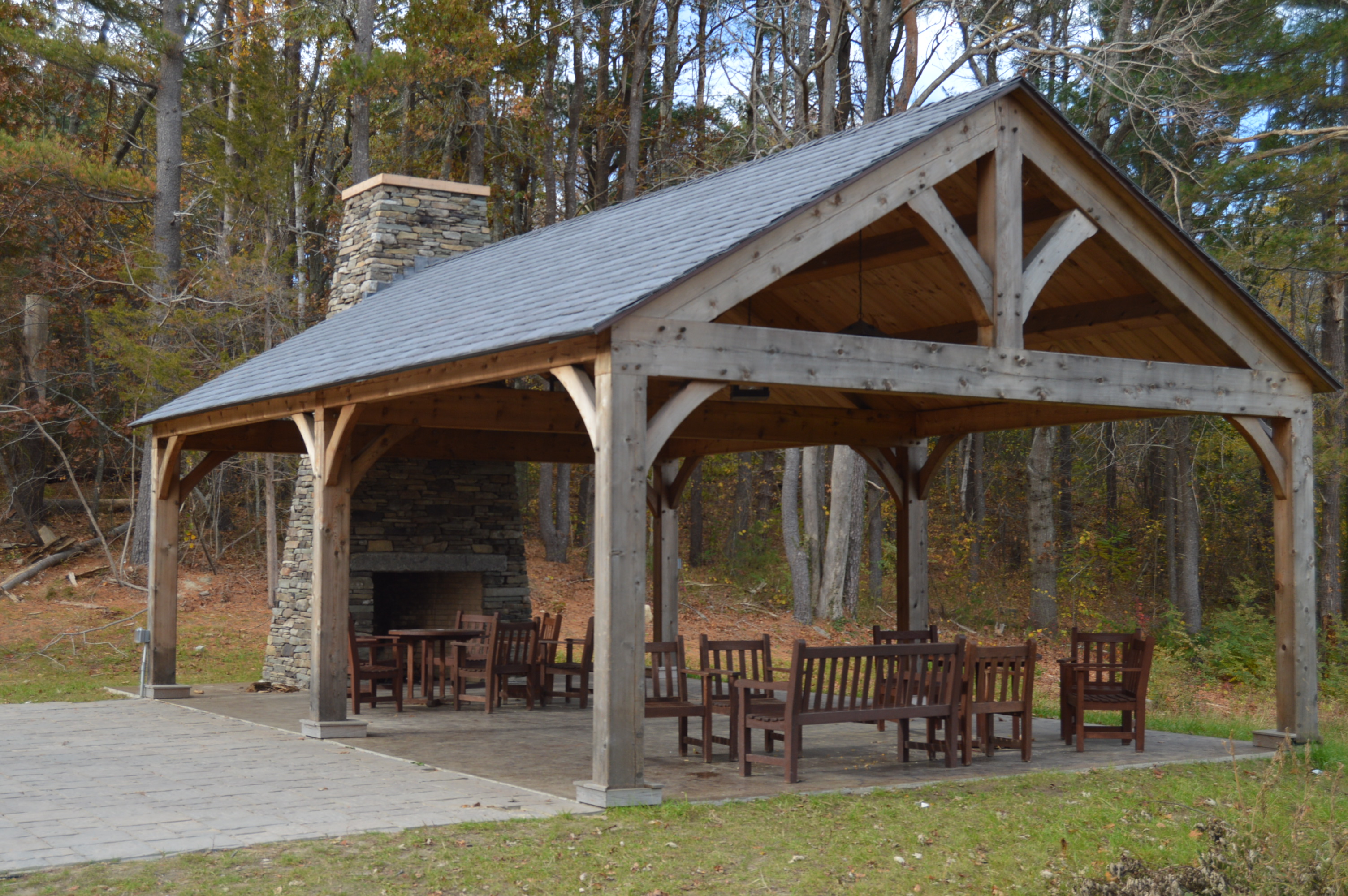
There is a dining and rest area outside of the plantation area.

DSC_0450 DSC_0449

There is also Nye Barn located on the way out of the plantation.

DSC_0453

DSC_0478

DSC_0477  DSC_0475    DSC_0471     DSC_0462     DSC_0459

In other news, I have been nominated for a Liebster Award on my other blogging profile (Mr. Wayne)!  Please follow the link below to read about the nomination, see my answers to the questions sent to me and to see who I nominated for this award at Mr. Wayne’s Blog