Parking: There are several parking lots at the Greater Worcester Land Trust which the Cascading Waters is part of. The closest lot to the Cascading Waters is small with only room for about half a dozen cars. You can also drive up to Cascading Waters via Cataract St and park on the dirt road there.
One of the great things about Worcester (pronounced “Woo-stah”) is its diversity of people and places. One moment you could be in the heart of the city and only ten minutes later you could be at a grand waterfall. It remind me a lot of Boston in this regard.
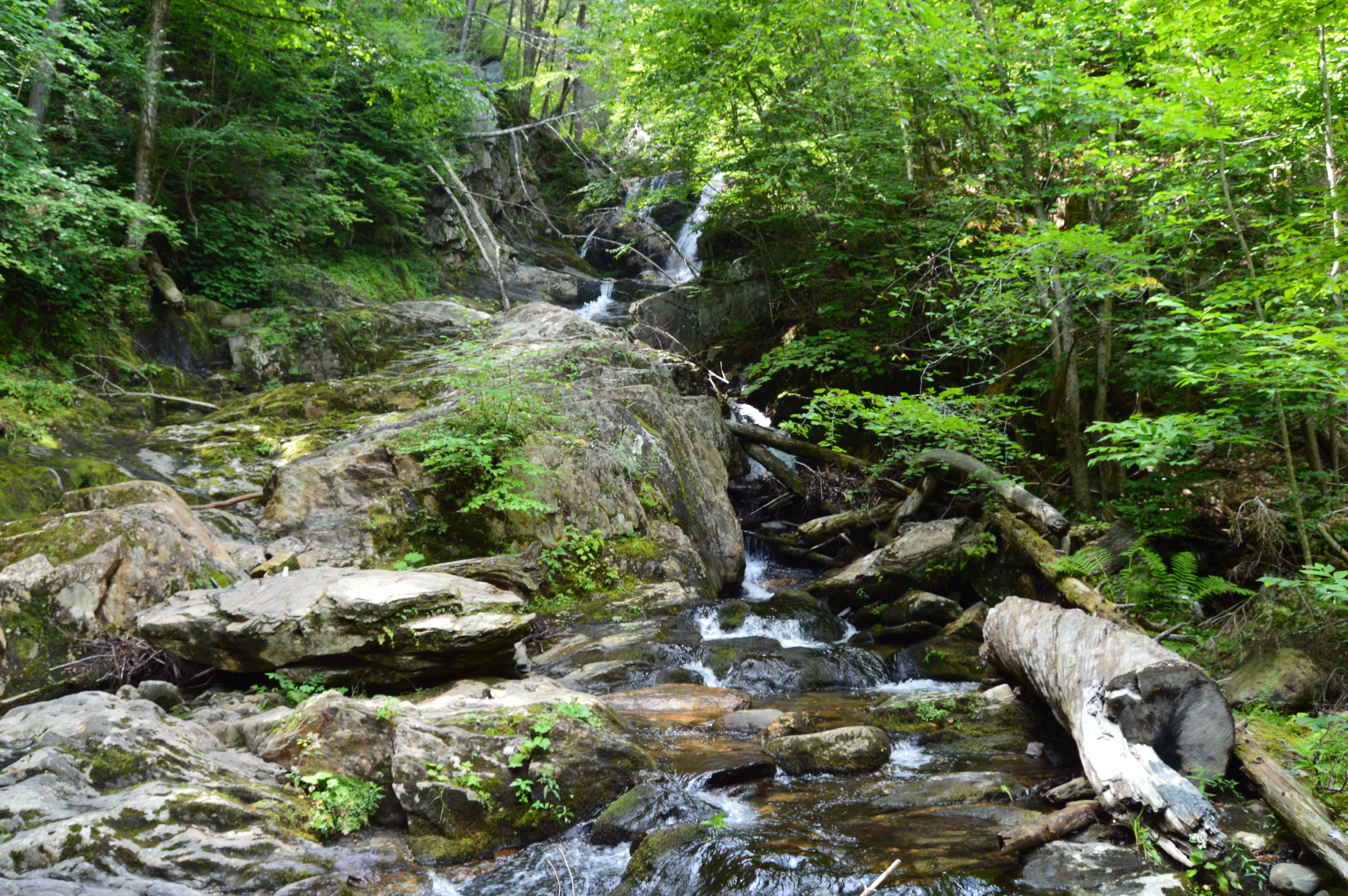
I found myself at one of the natural wonders of Worcester, Cascading Falls, Saturday.
Located about an hour west of Boston, Cascading Falls is known for its beauty and trails. There are both hiking and biking trails at the main parking area. I chose the most direct hiking route to the falls. The trail is pretty flat and straight with some pretty views. I also noticed some greenery sprouting on the eve of the first day of Spring. it’s about half a mile to the Cascading Waters from the parking area.
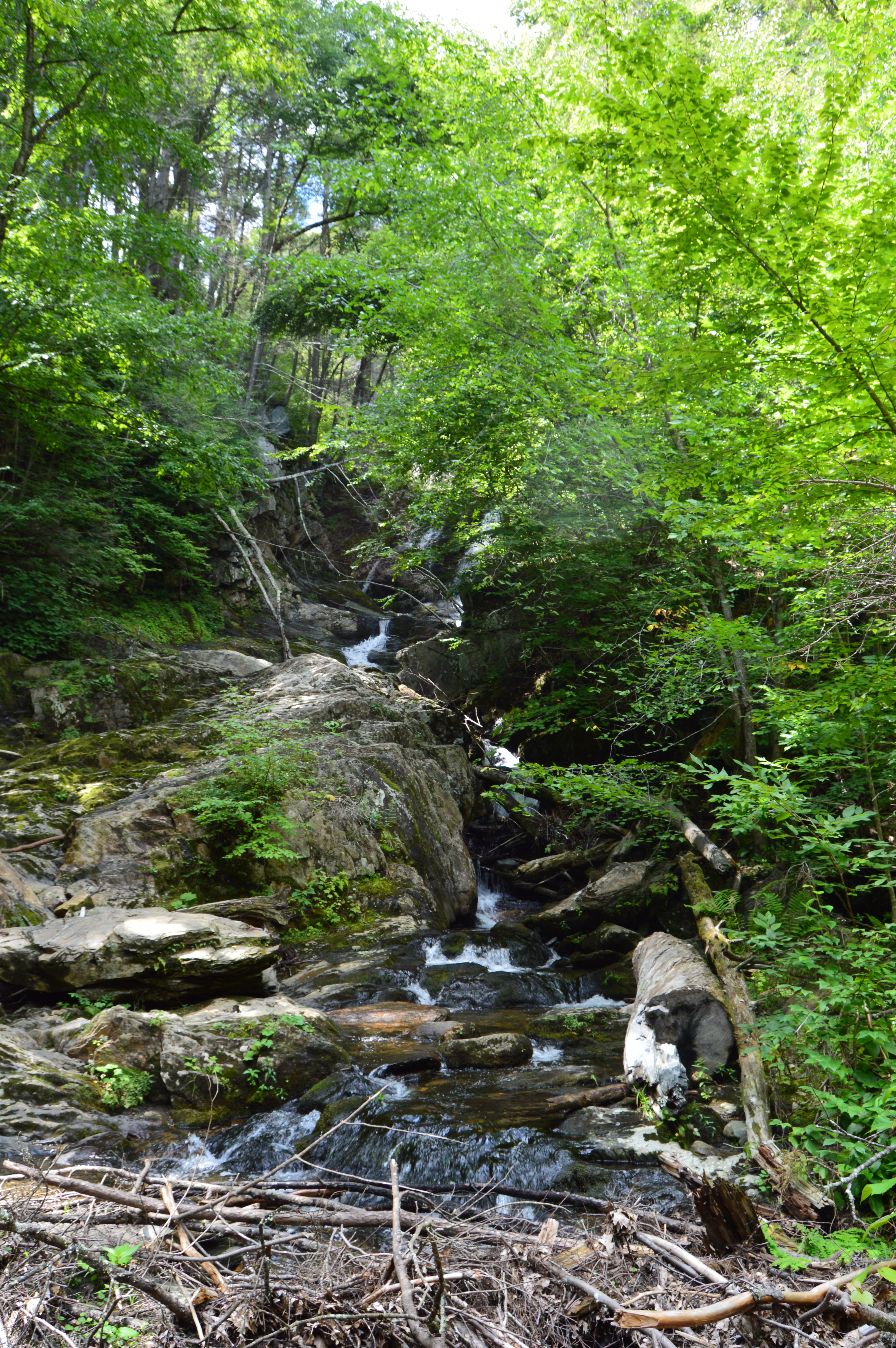
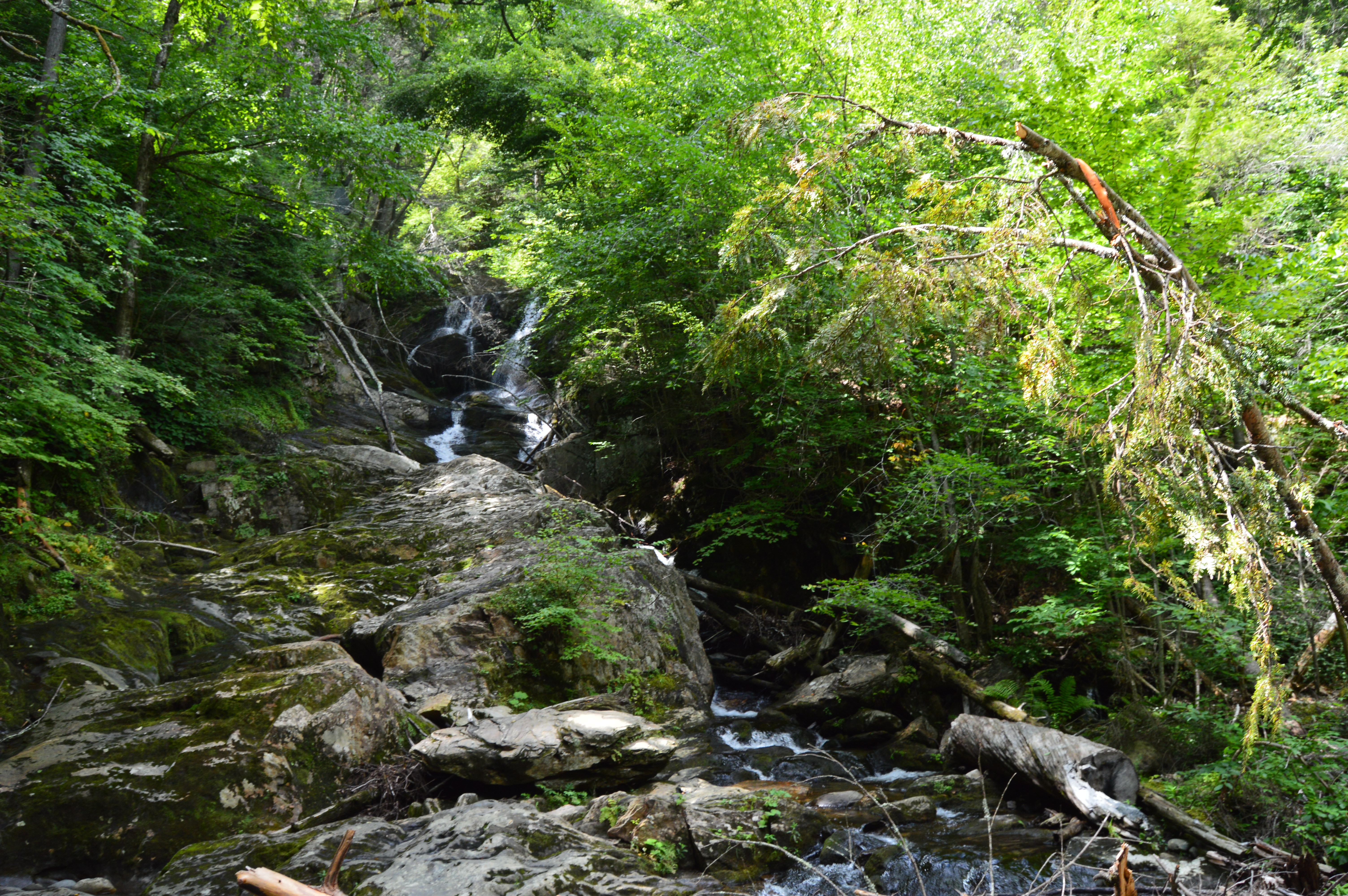
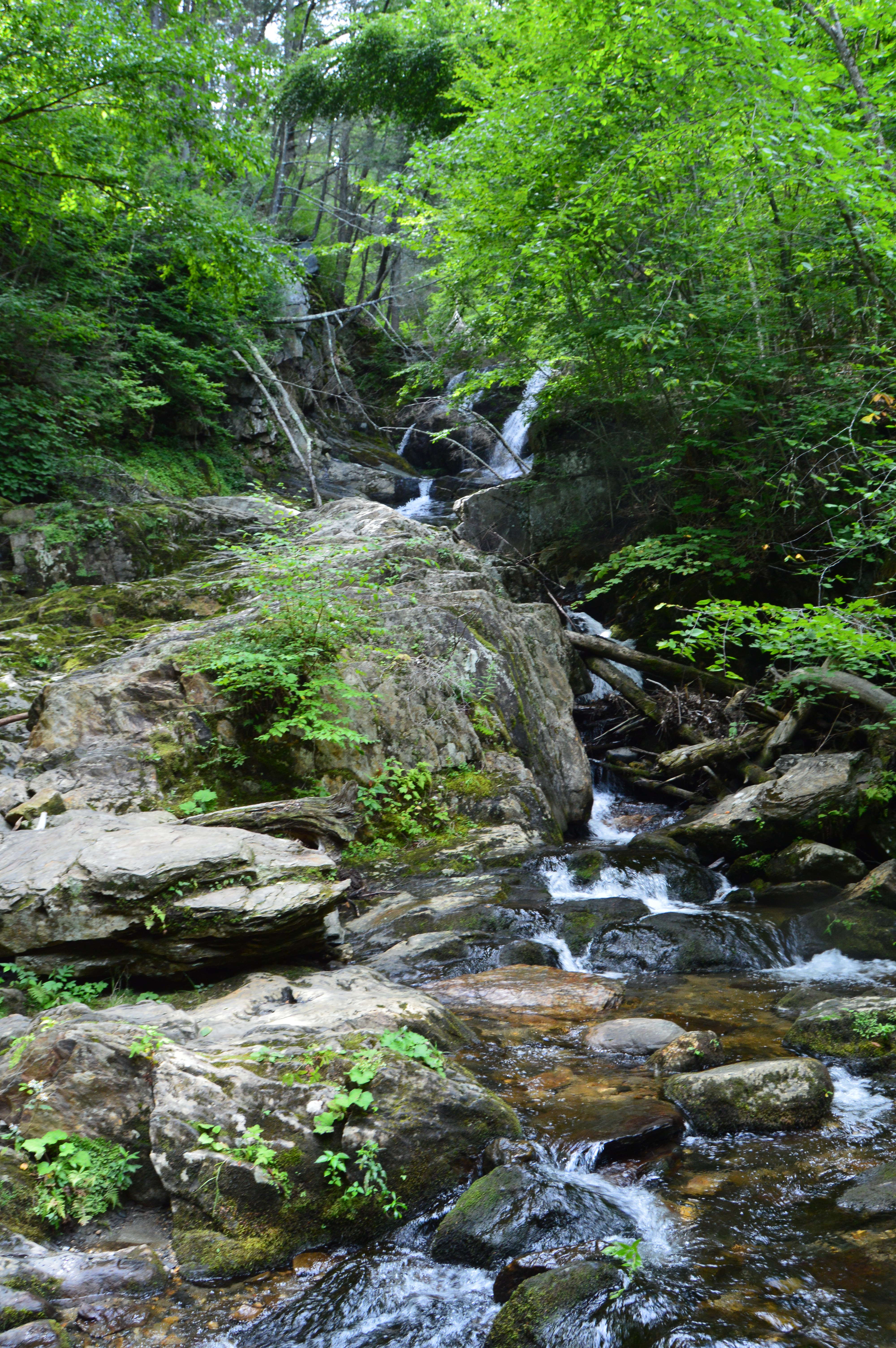
There is a trail to the right of the falls with a fairly steep incline. The trail leads to the top of the falls. You can go to the top of the waters. The views are pretty sweet.
This slideshow requires JavaScript.
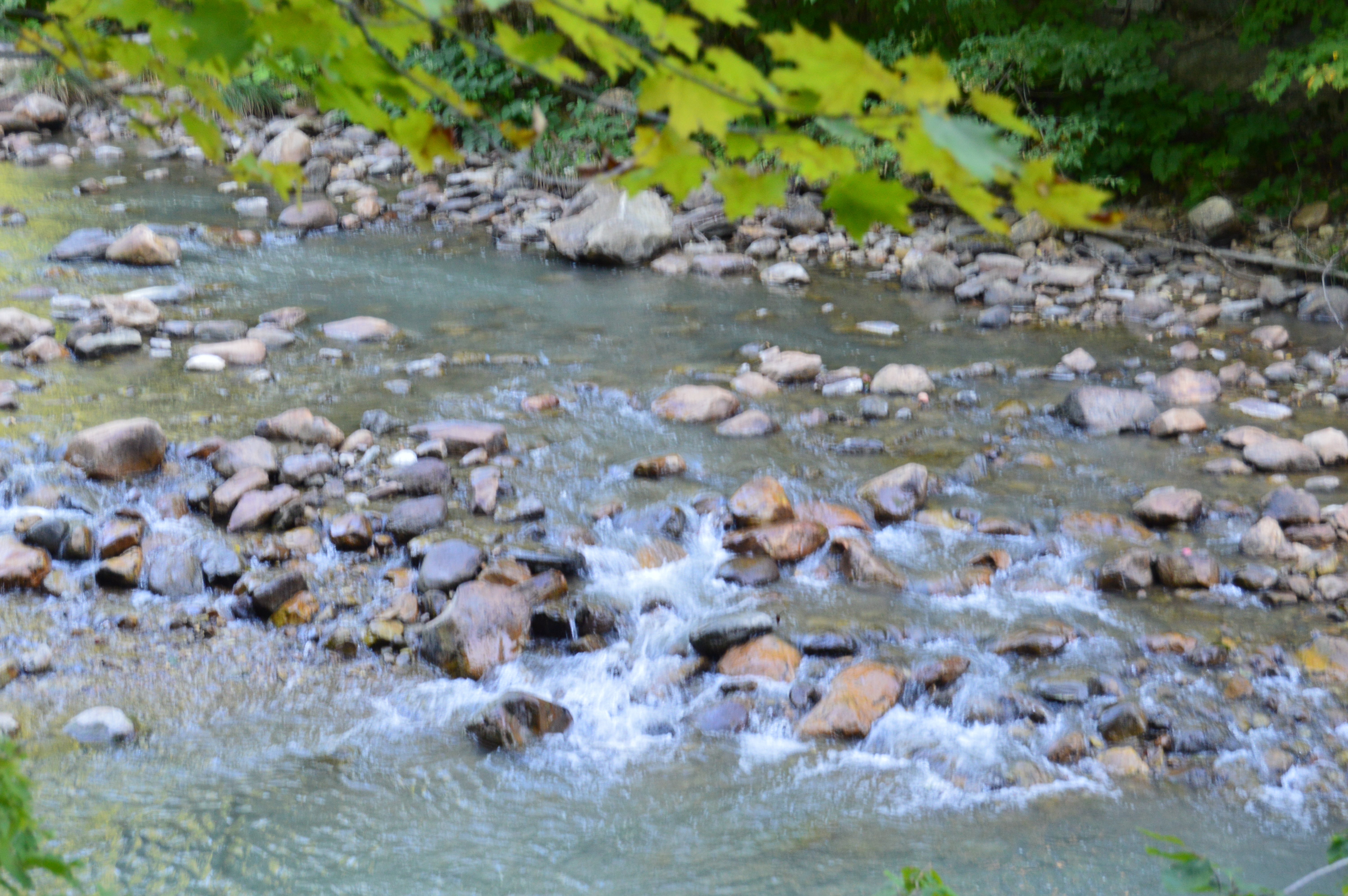
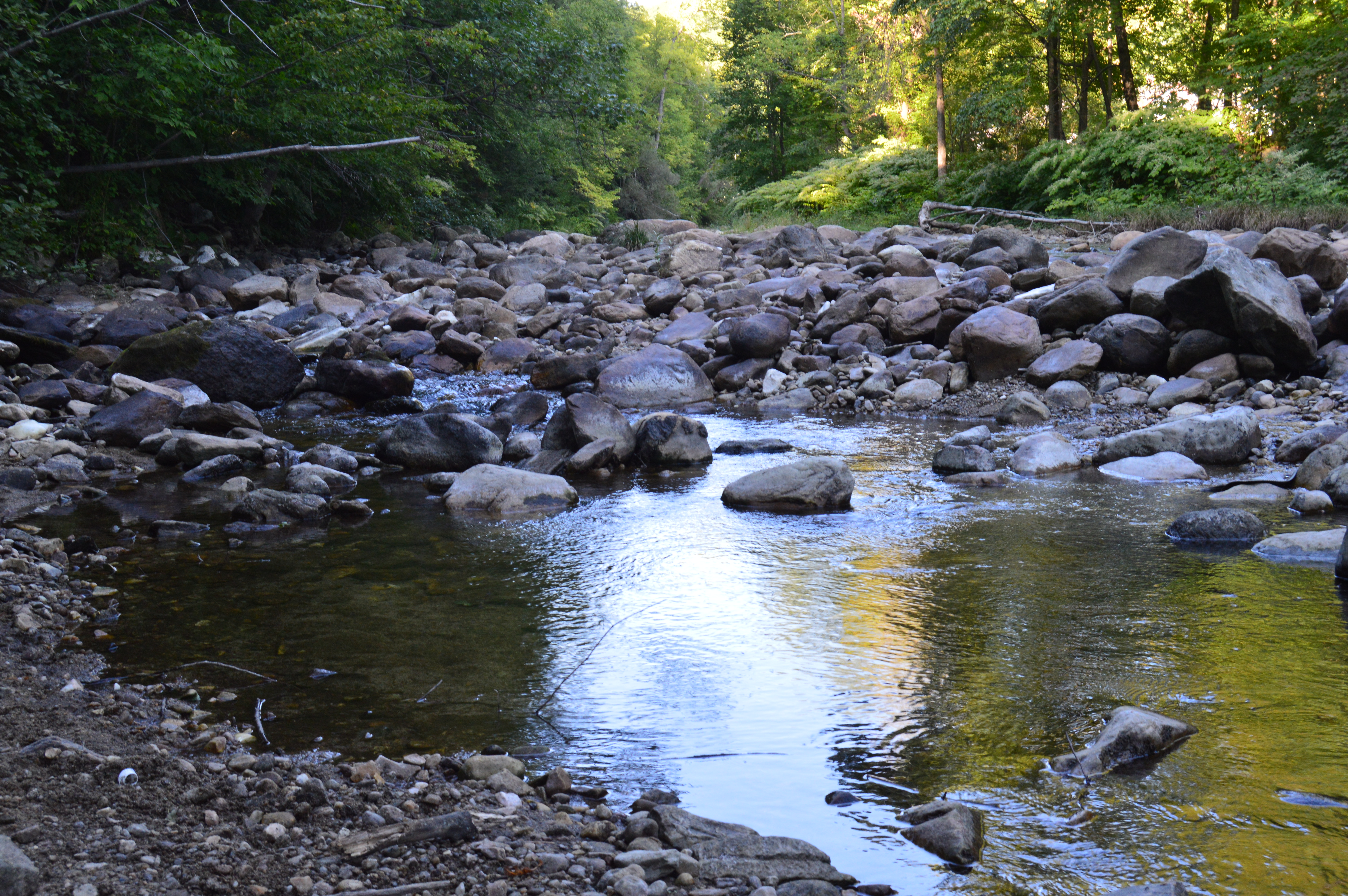
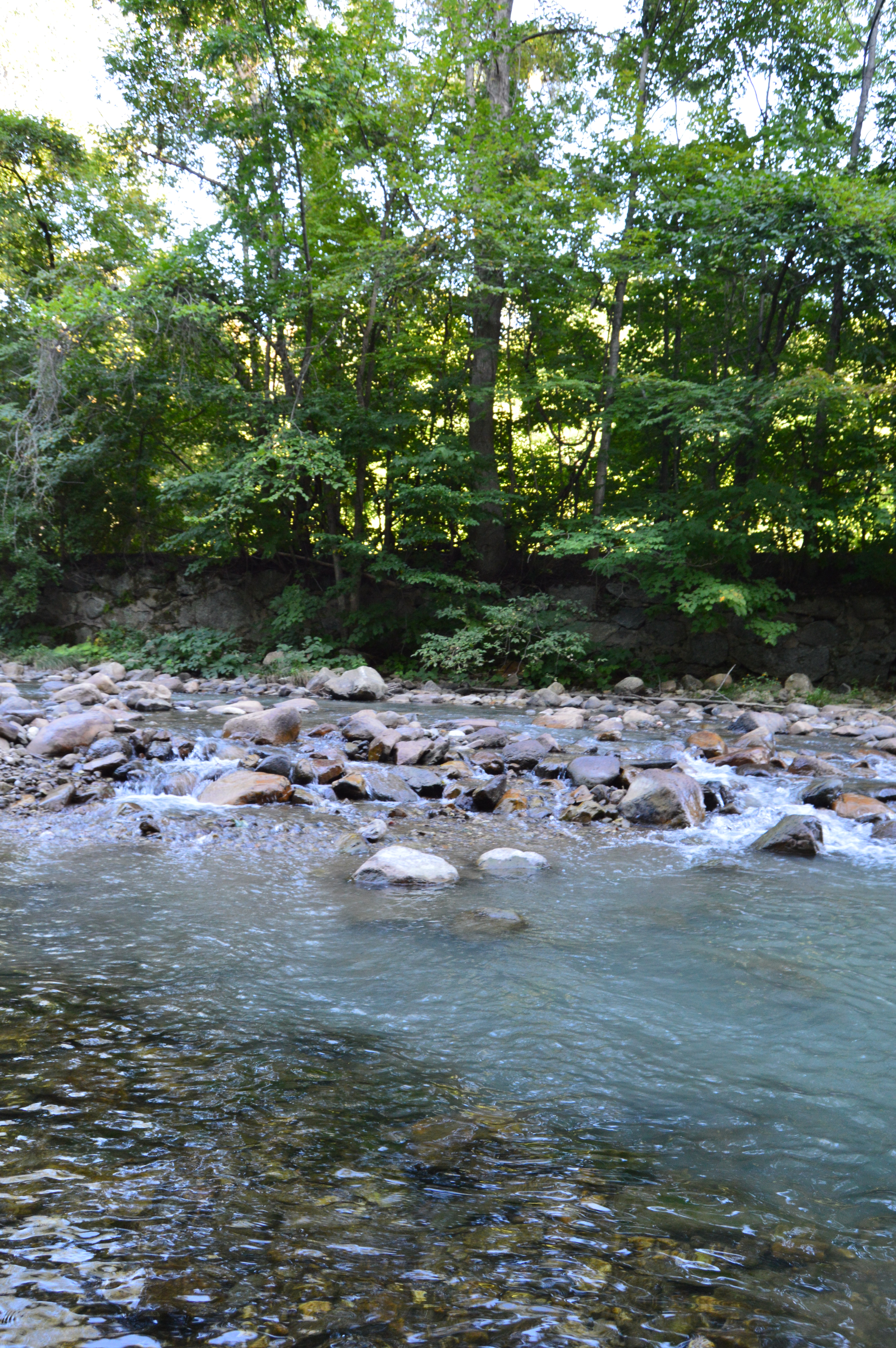
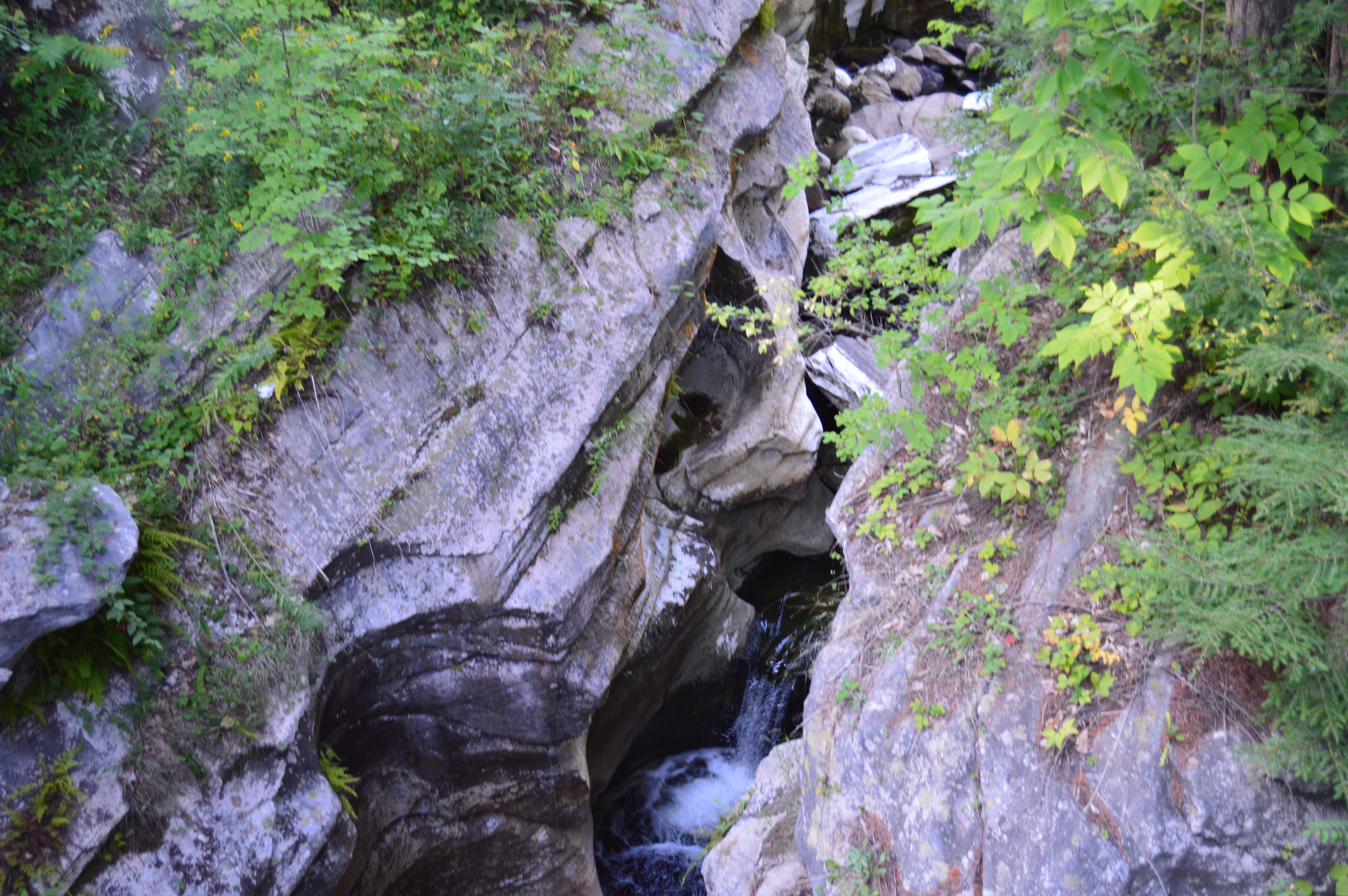
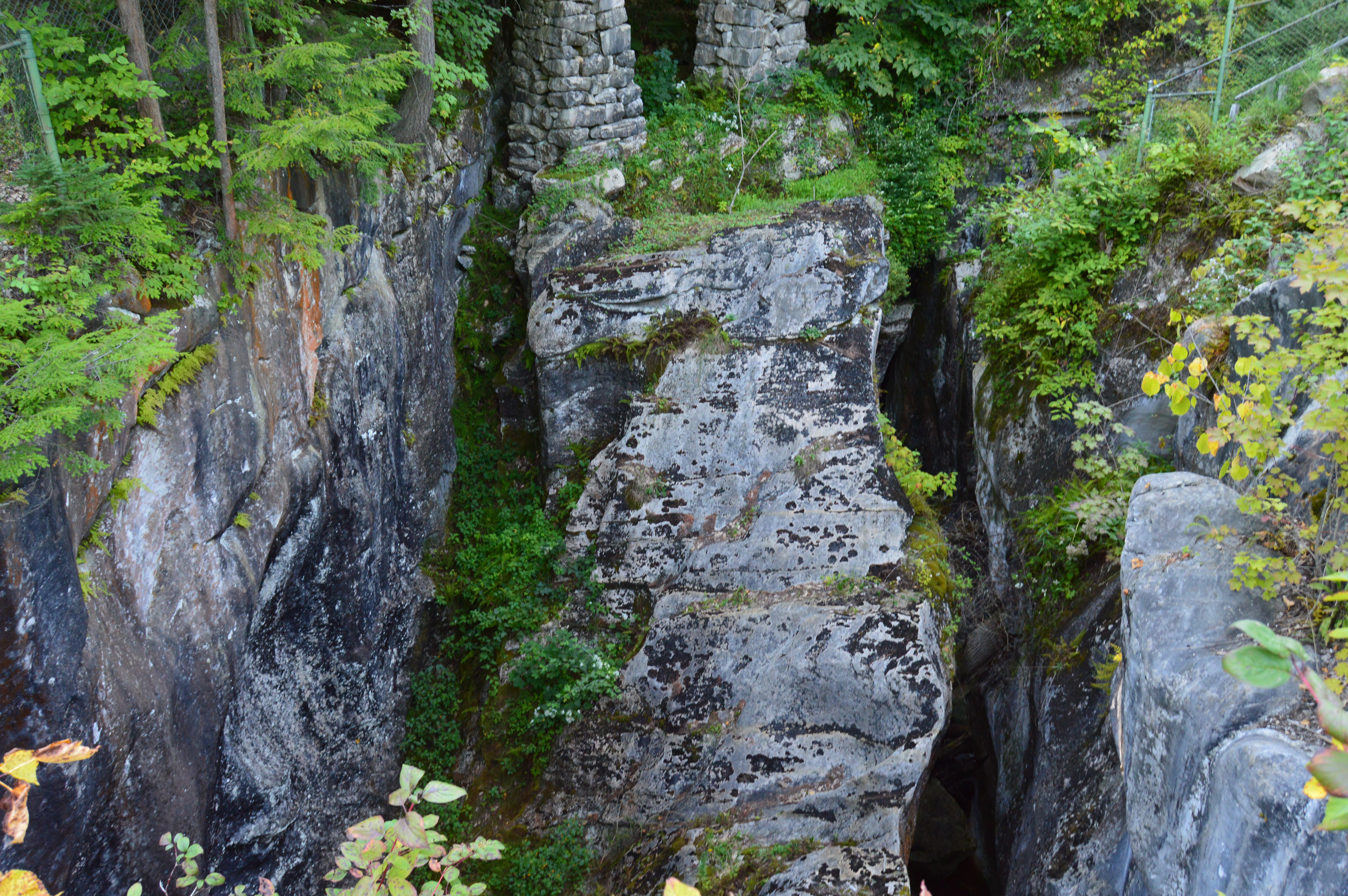
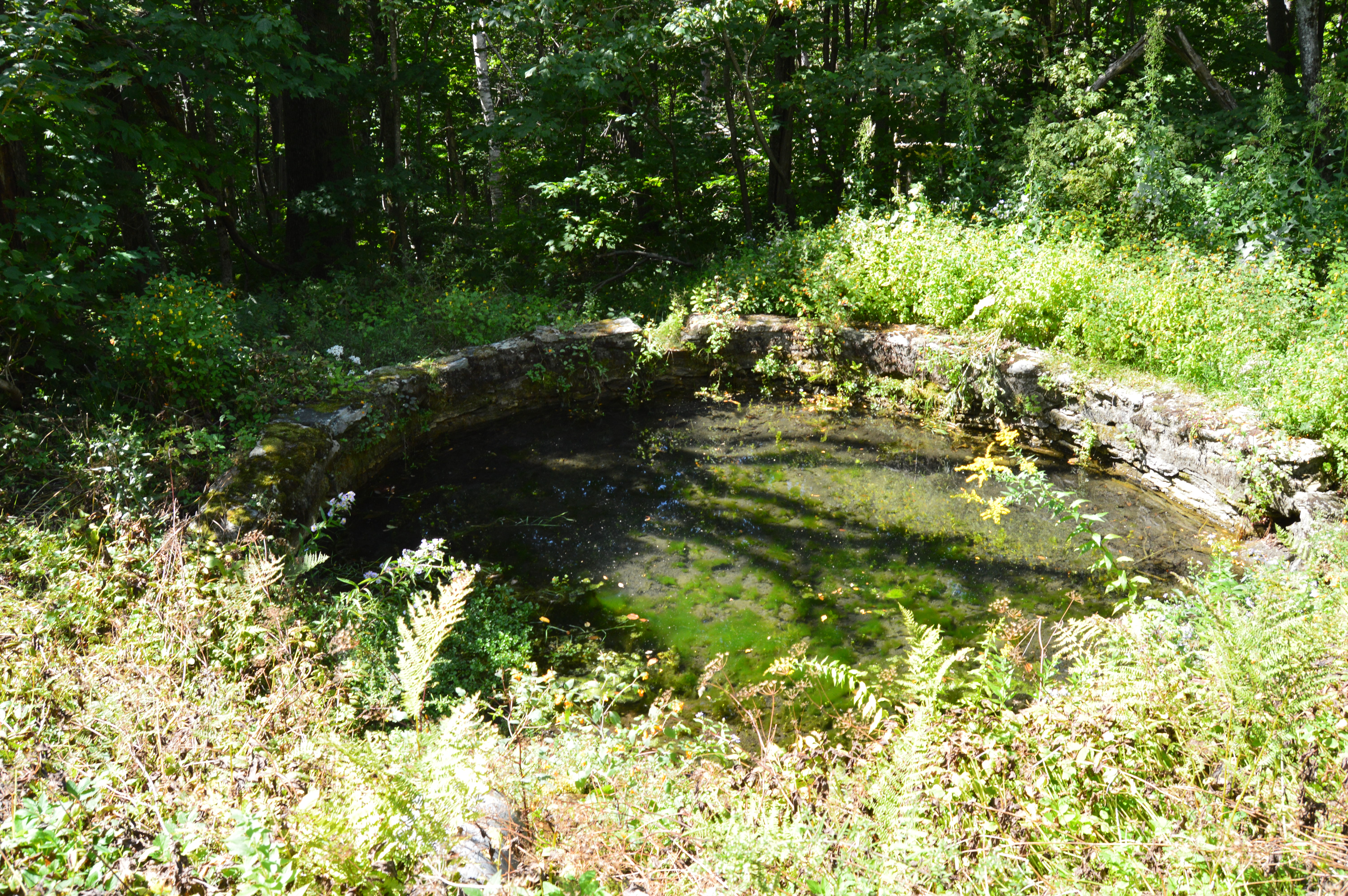
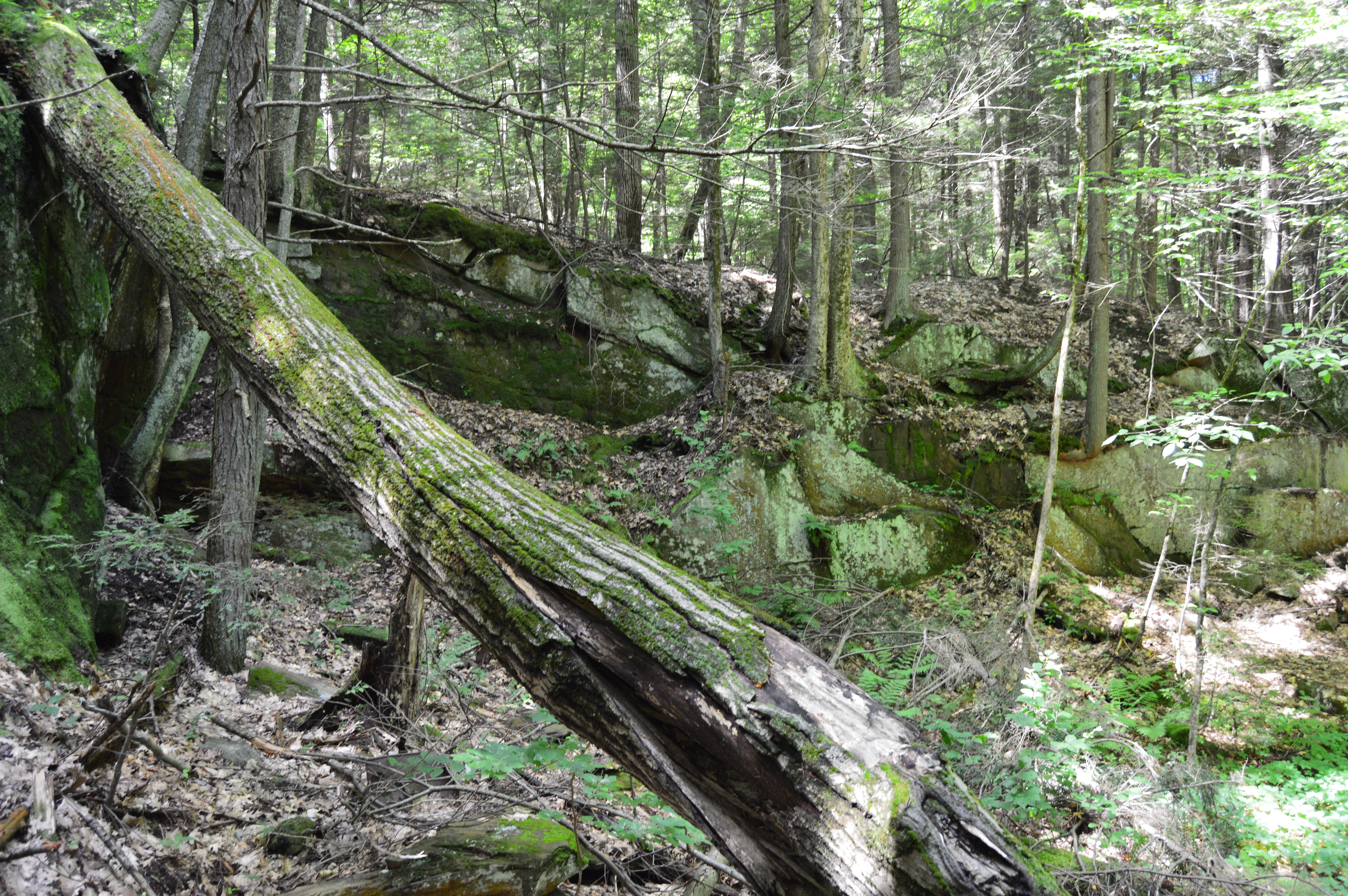
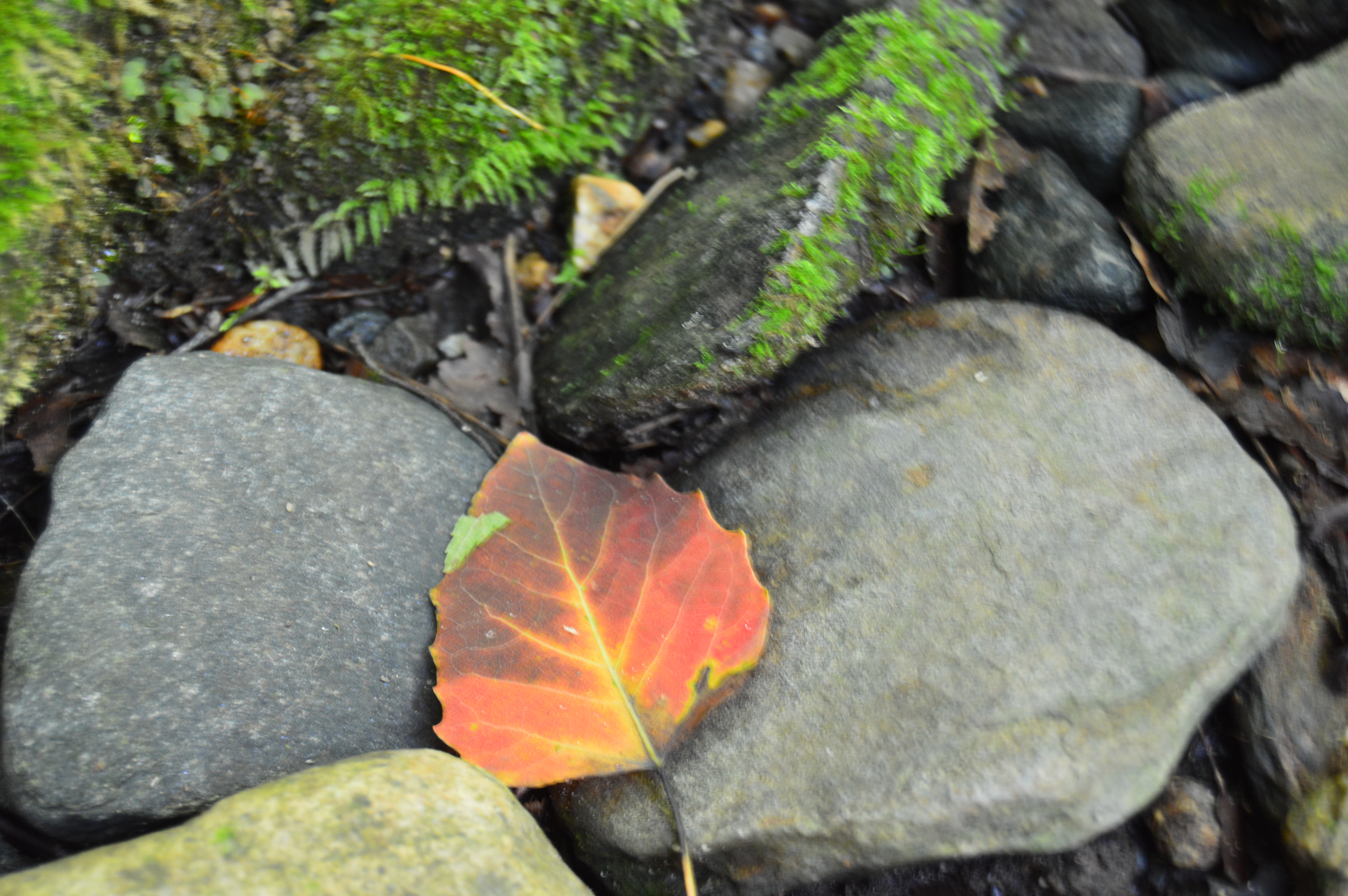
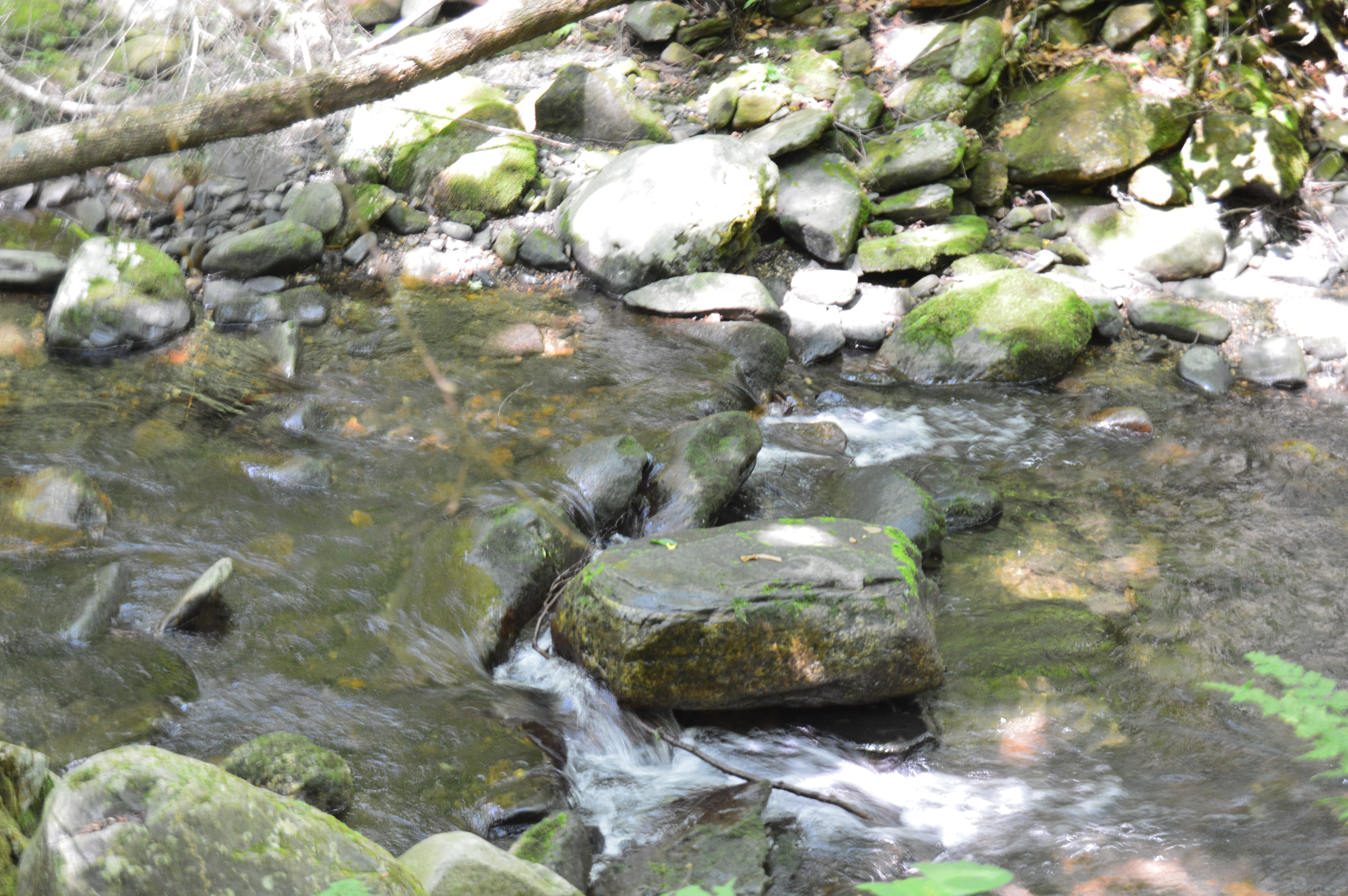
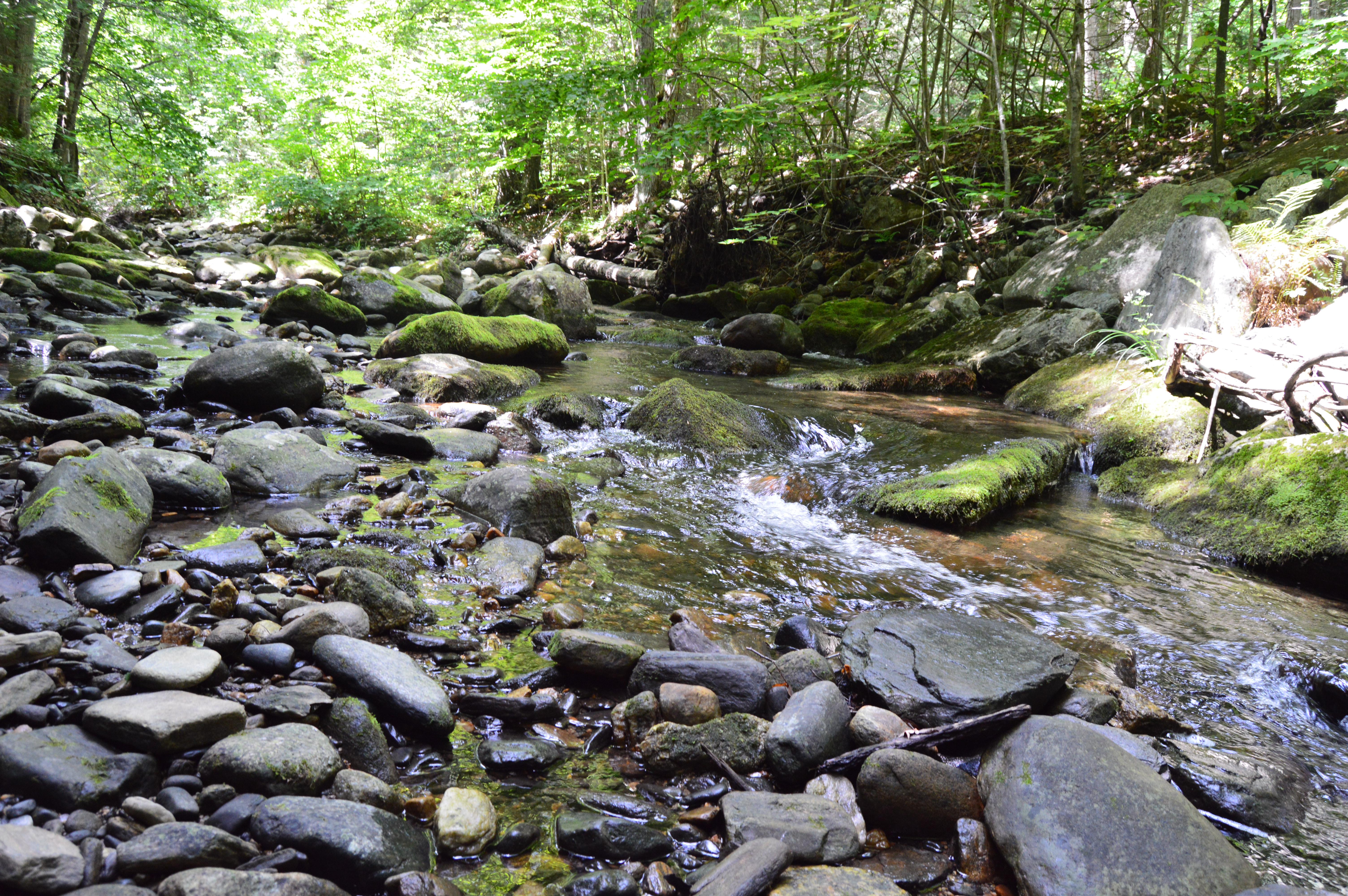
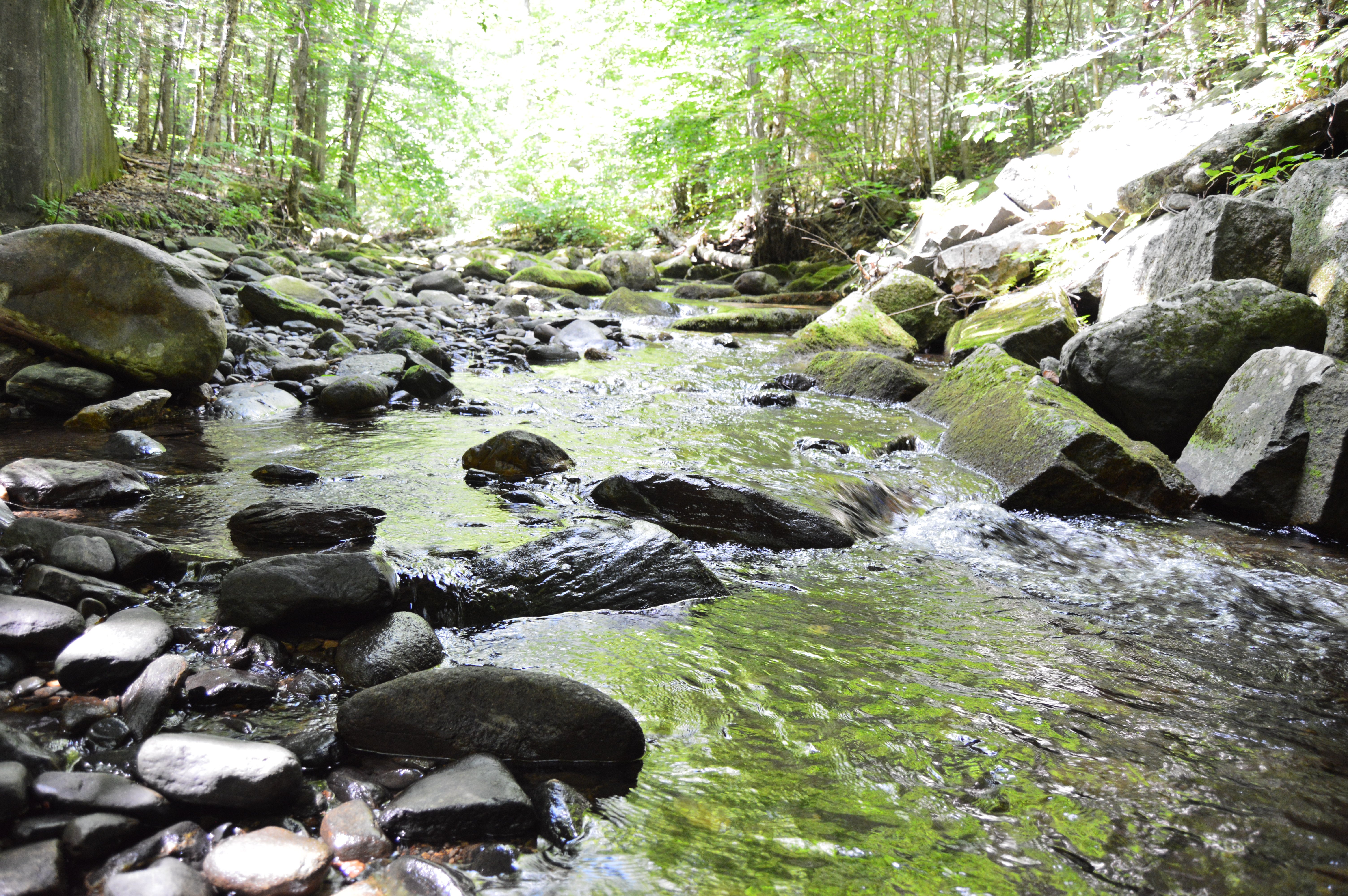
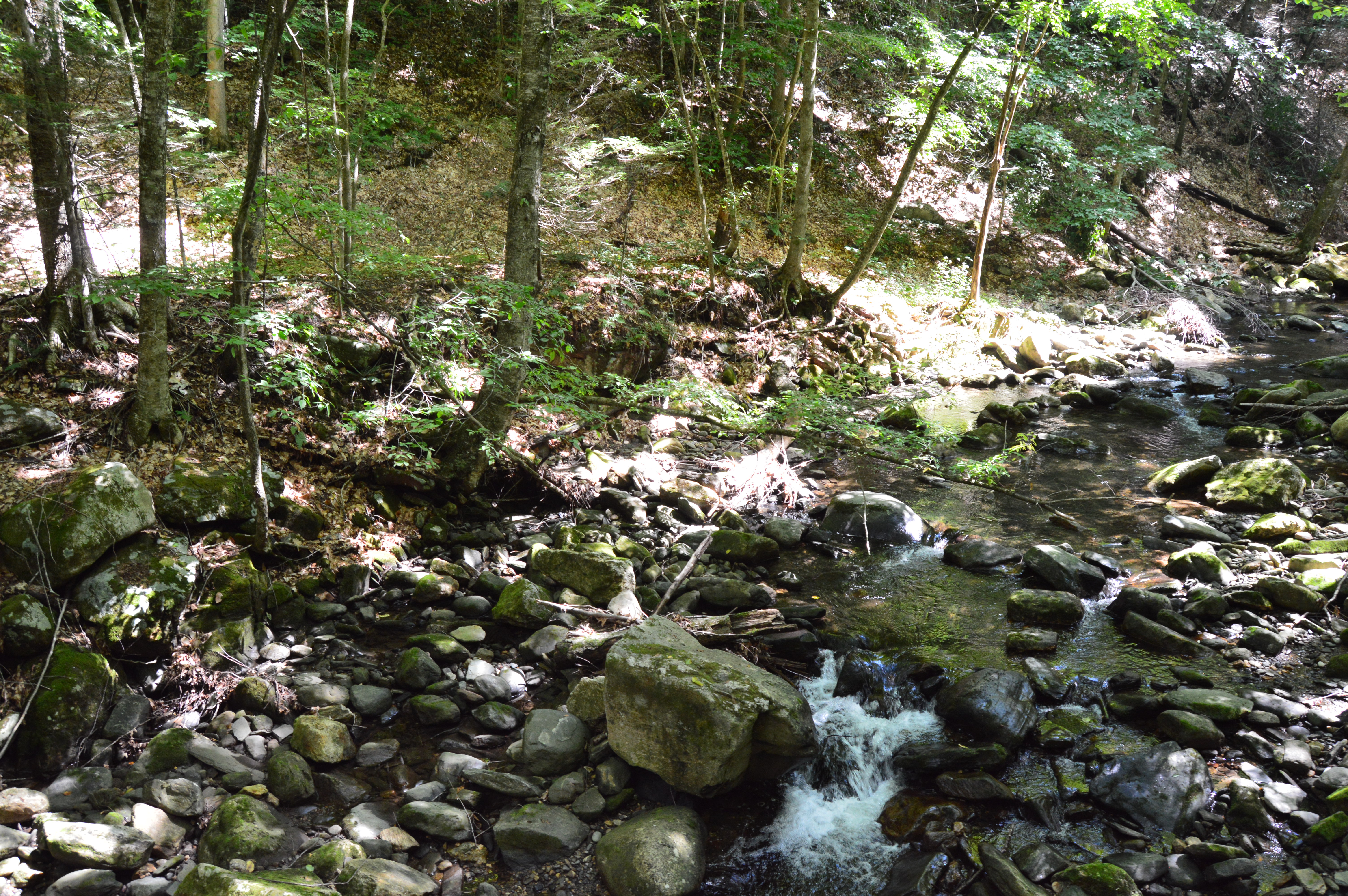
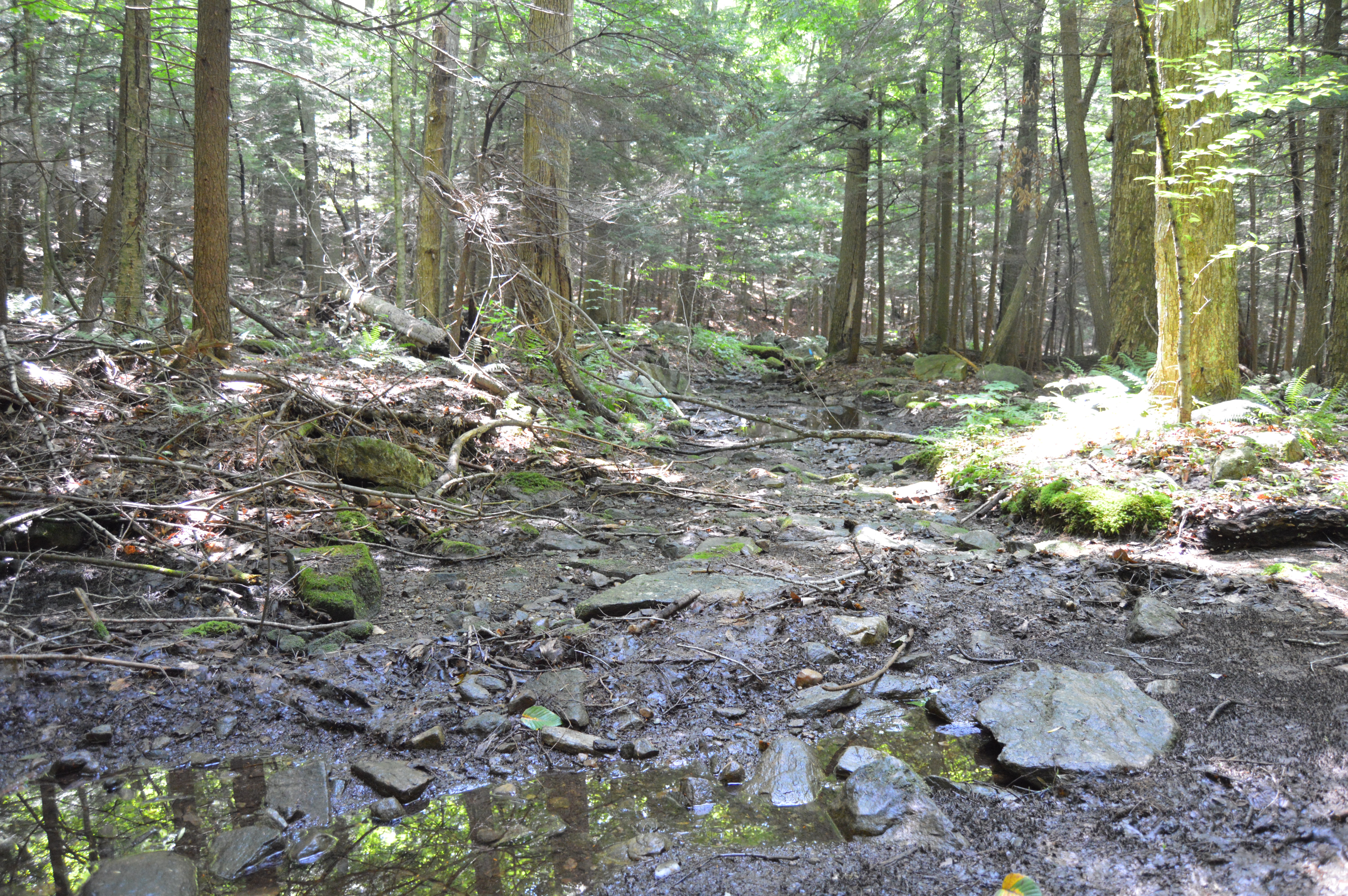
There are also interesting rocks, pools of water and streams at the top of Cascading Waters.
This slideshow requires JavaScript.
Although the sun was out and the temperatures did increase, it was still relatively cold as this branch shows.
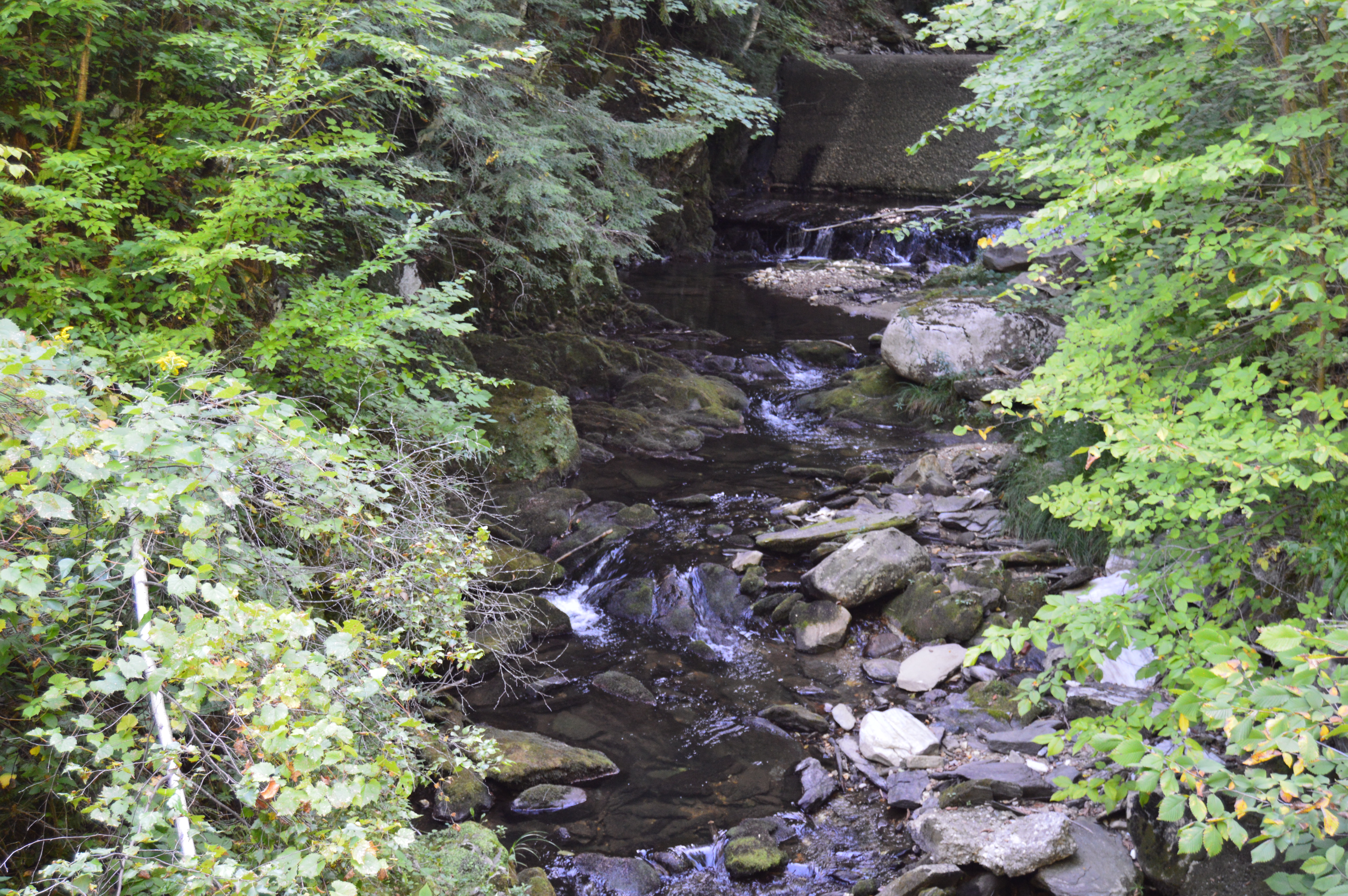
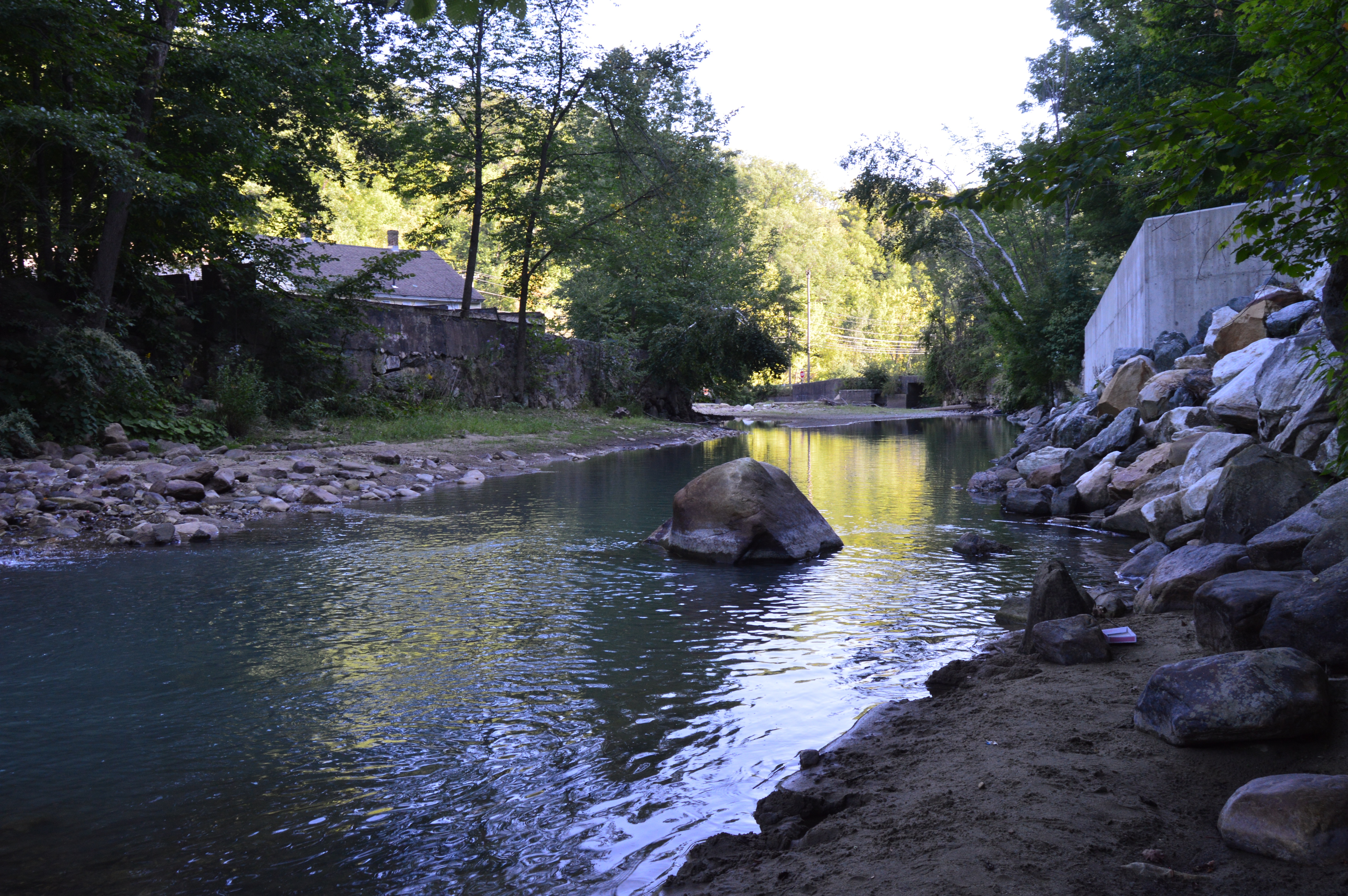
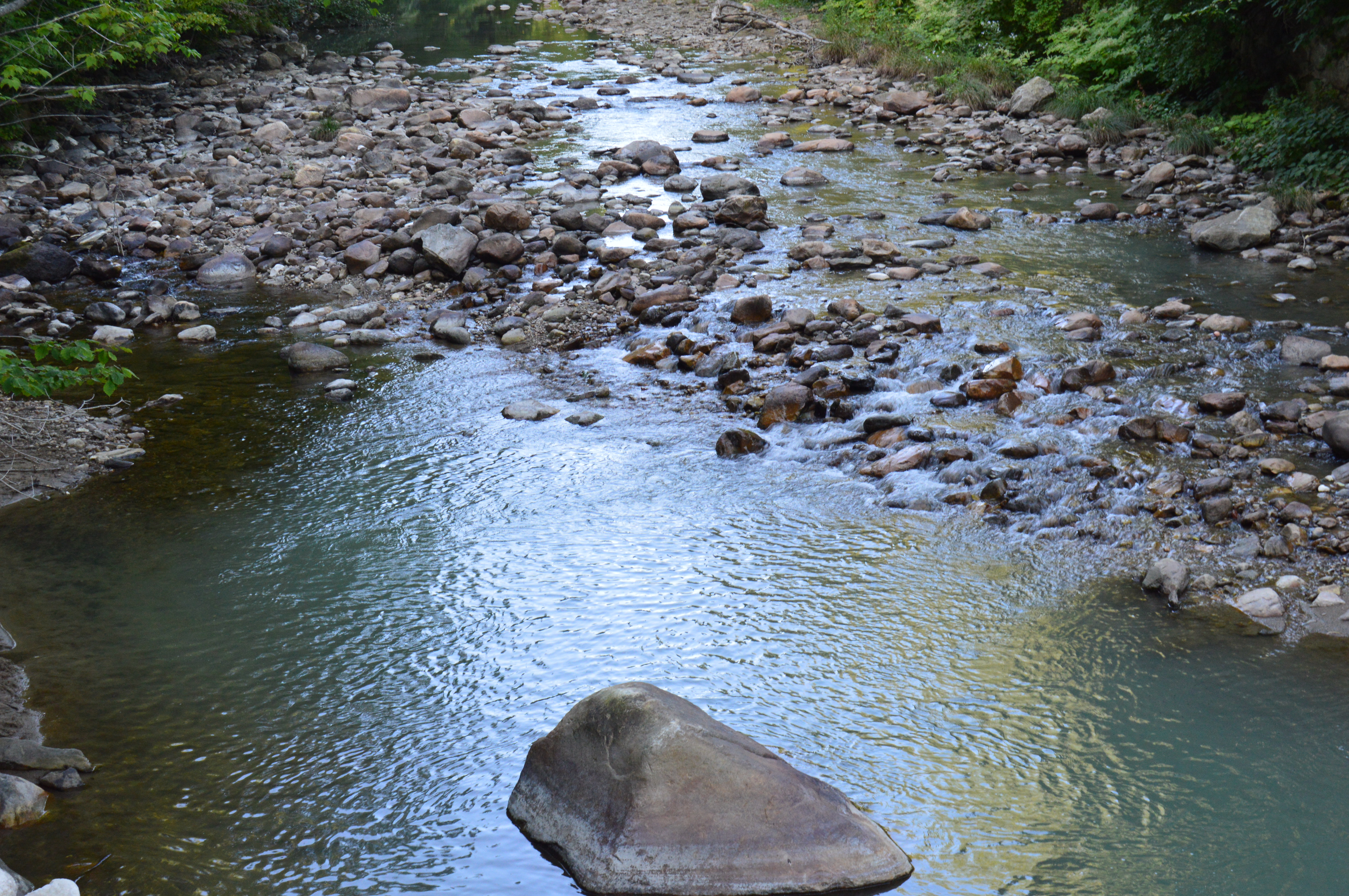
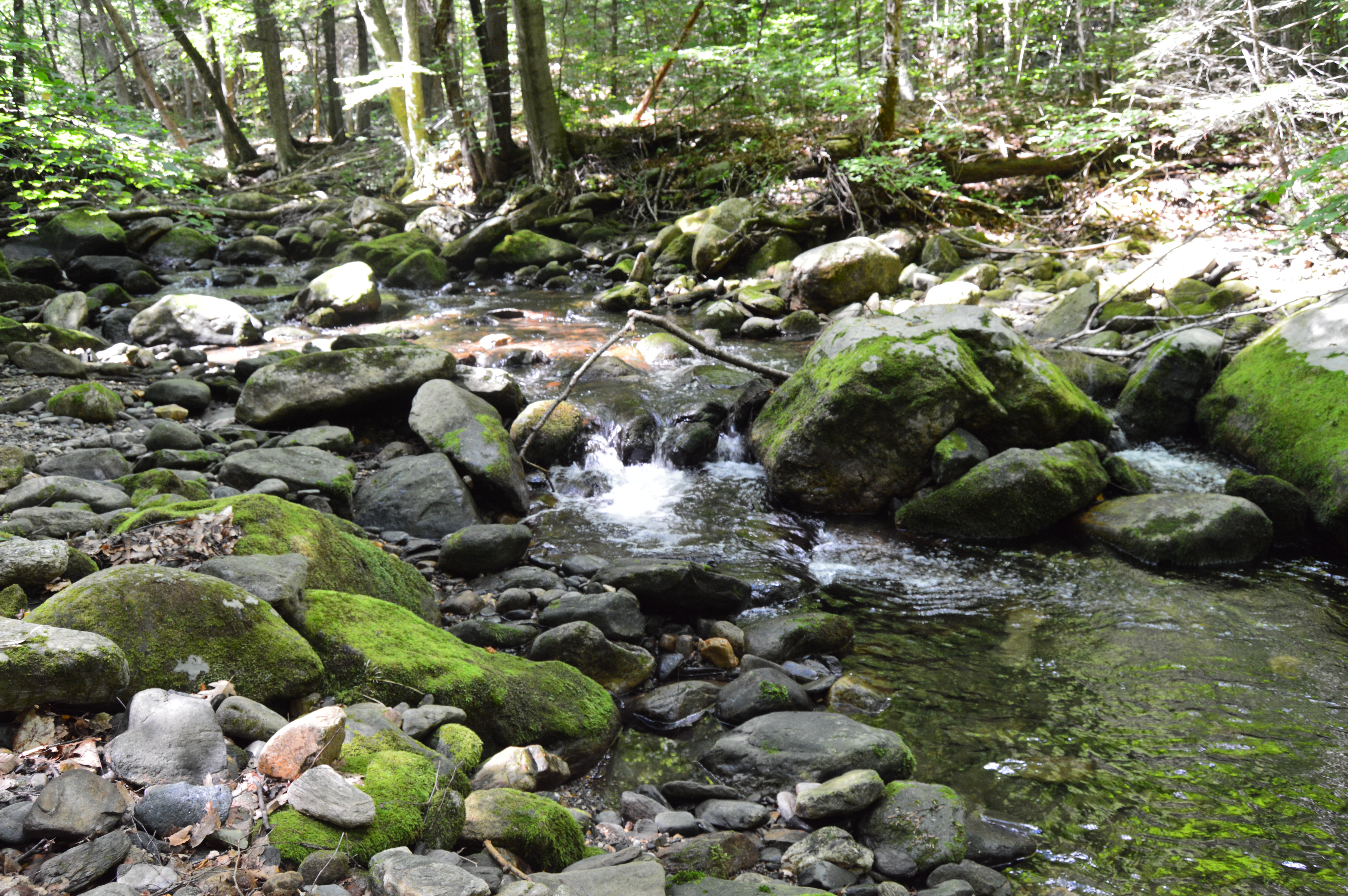
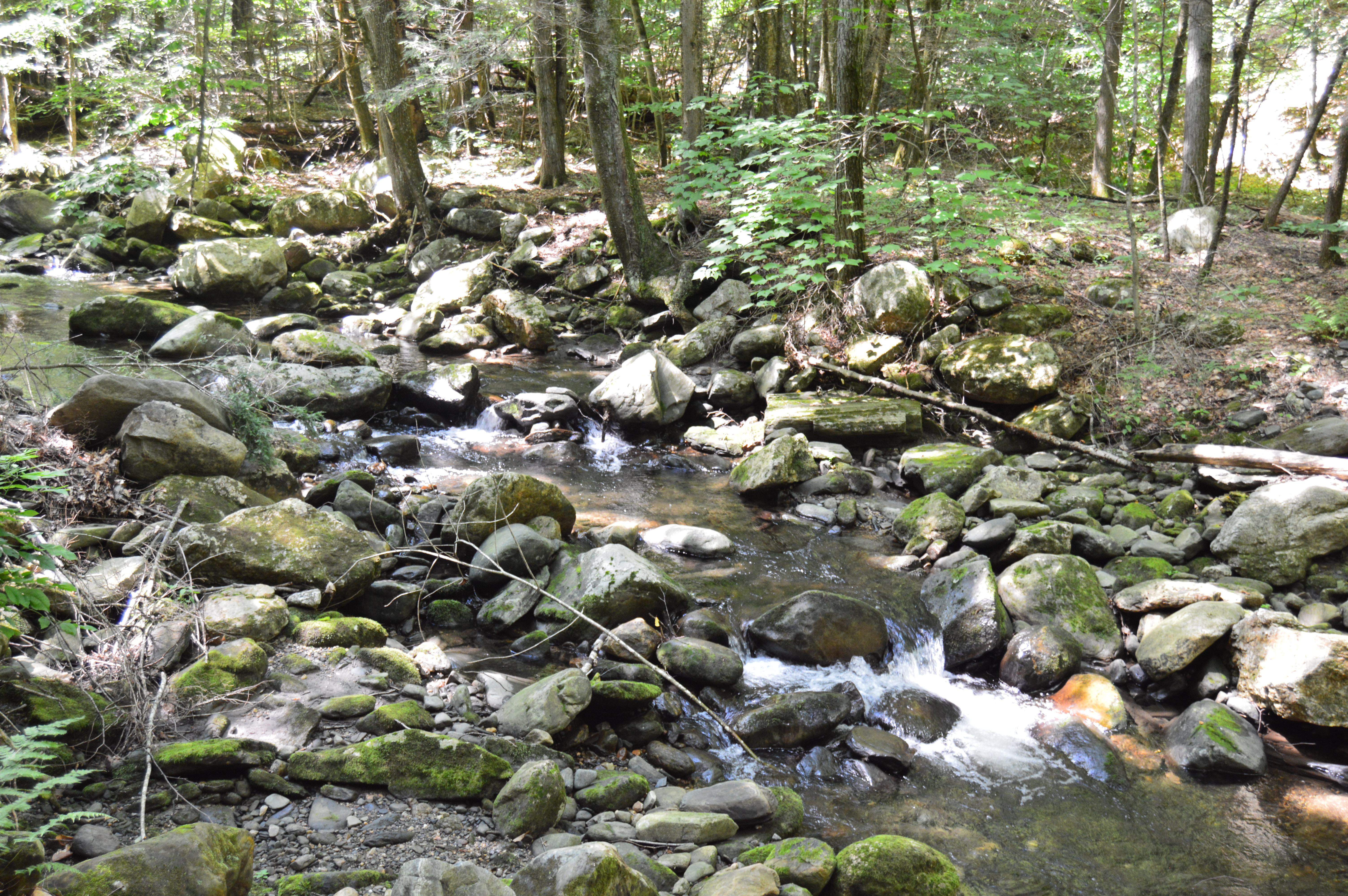
The waterfall leads to a stream just under and behind the trail.
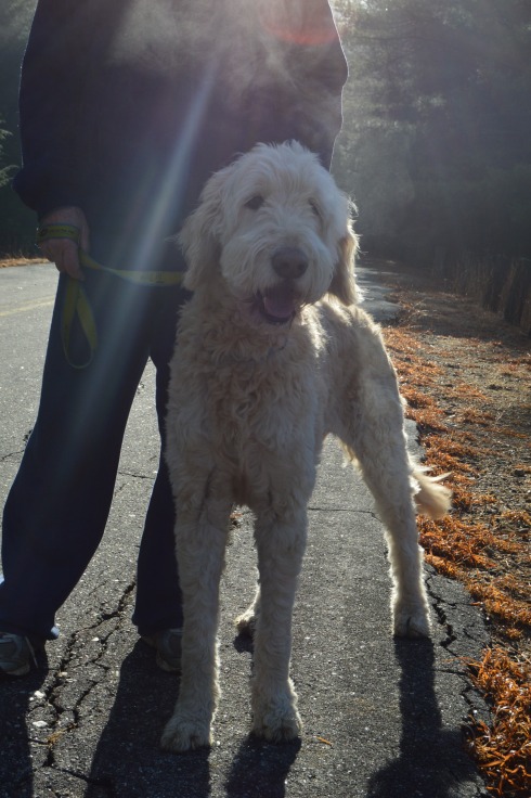
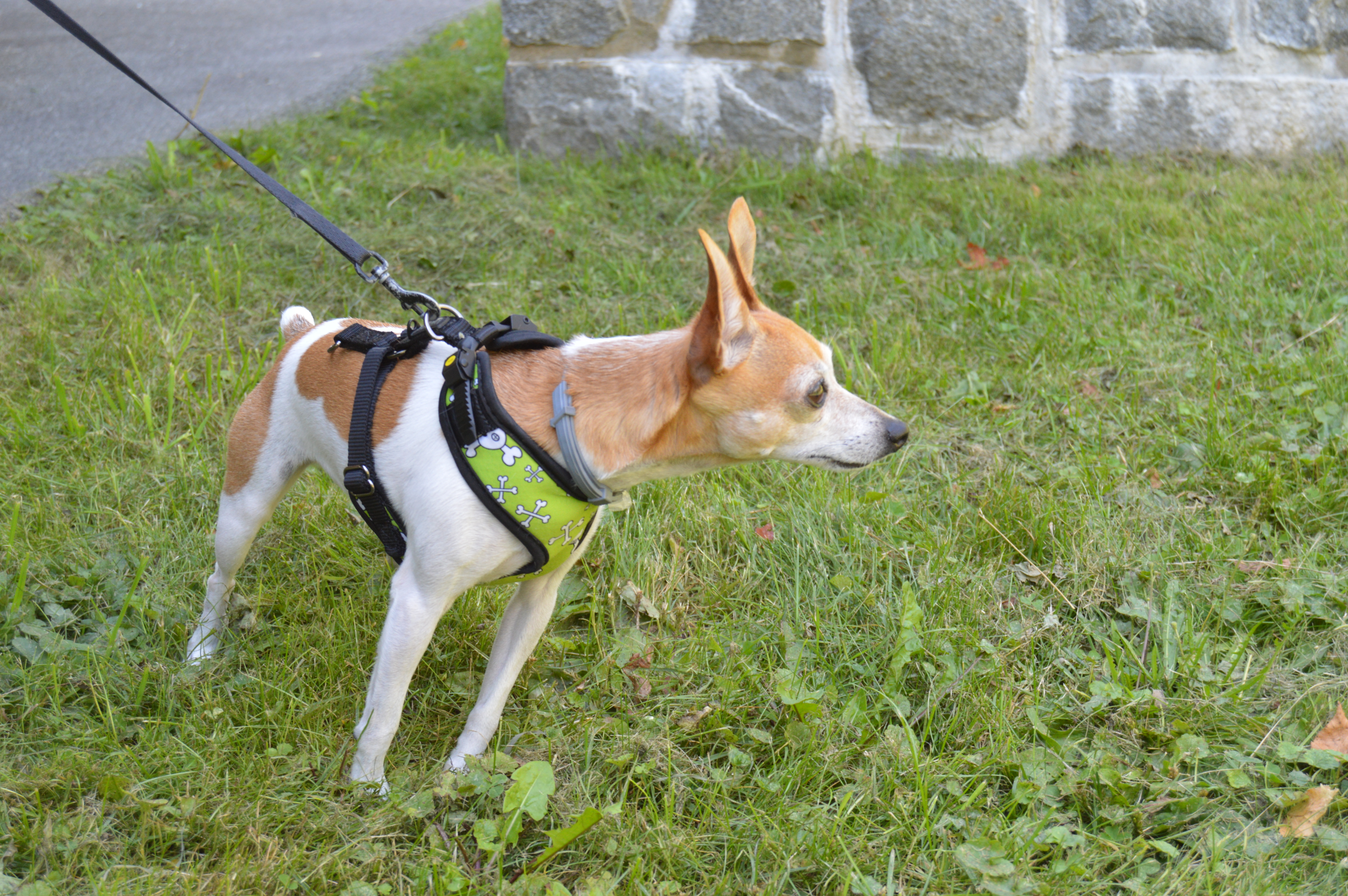
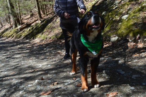
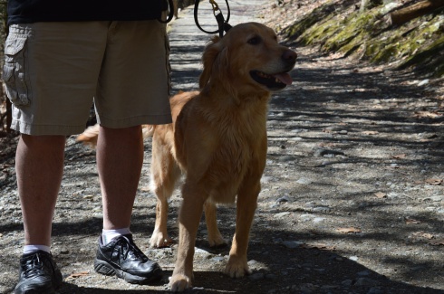
Cascading Waters is a great place to take your dog for a walk. I met two golden retrievers; Wilson (on the left ) and Tucker, while I was there.
Below are two videos of Cascading Waters from the trail view and view from the top of the falls.
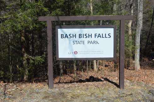
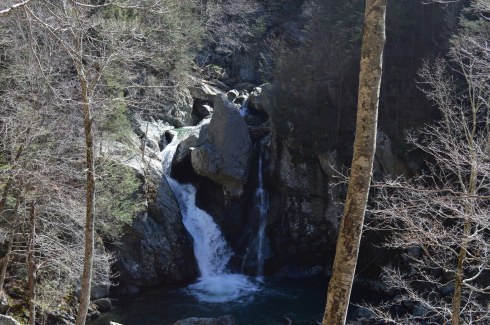
Located in the most southwestern part of Massachusetts, Bash Bish Falls is considered one of the most dangerous waterfalls in not only Massachusetts but the entire United States. It is also one of the most beautiful.
According to legend, Bash Bish was the name of a Mohican Native American woman who was accused of adultery which was punishable by death.. Bash Bish was pushed over the falls while tied up in a canoe.
The shape of the falls is said to resemble a woman falling to her death. Another theory claims the segmented characteristic of the falls resembled the reuniting of Bash Bish and her daughter White Swan who had also disappeared over the falls according to the Mohican legend. If the rapids of the stream leading from the waterfall and the speed of the water falling from the waterfall are any indication, the restless spirits may still be there. It is also a good reason why swimming is not allowed as the rapids can be very strong and it is easy to hit a rock.
This slideshow requires JavaScript.
Bash Bish Falls is located in Massachusetts, just past New York/Massachusetts border.
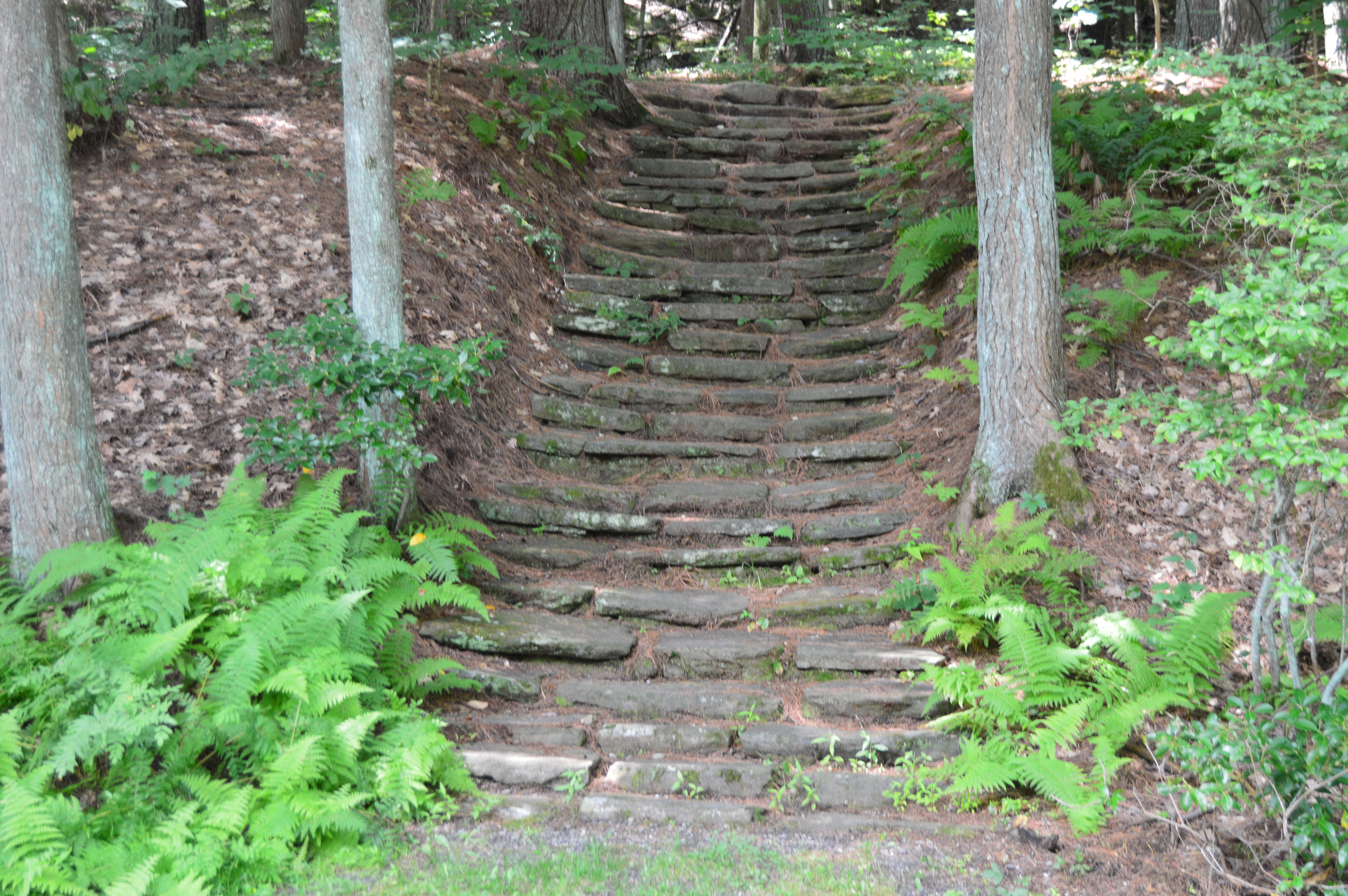
There are several entrances for Bash Bish. One of the entrances, at the top of the hill from the Massachusetts entrance on Falls Rd, gives ample evidence as to why Bash Bish may be considered such a dangerous waterfall. The stairs, which are a generous description, and walkway, also a generous description, are rocky and treacherous. There is a railing to hold on to. But, it’s still a tricky path.
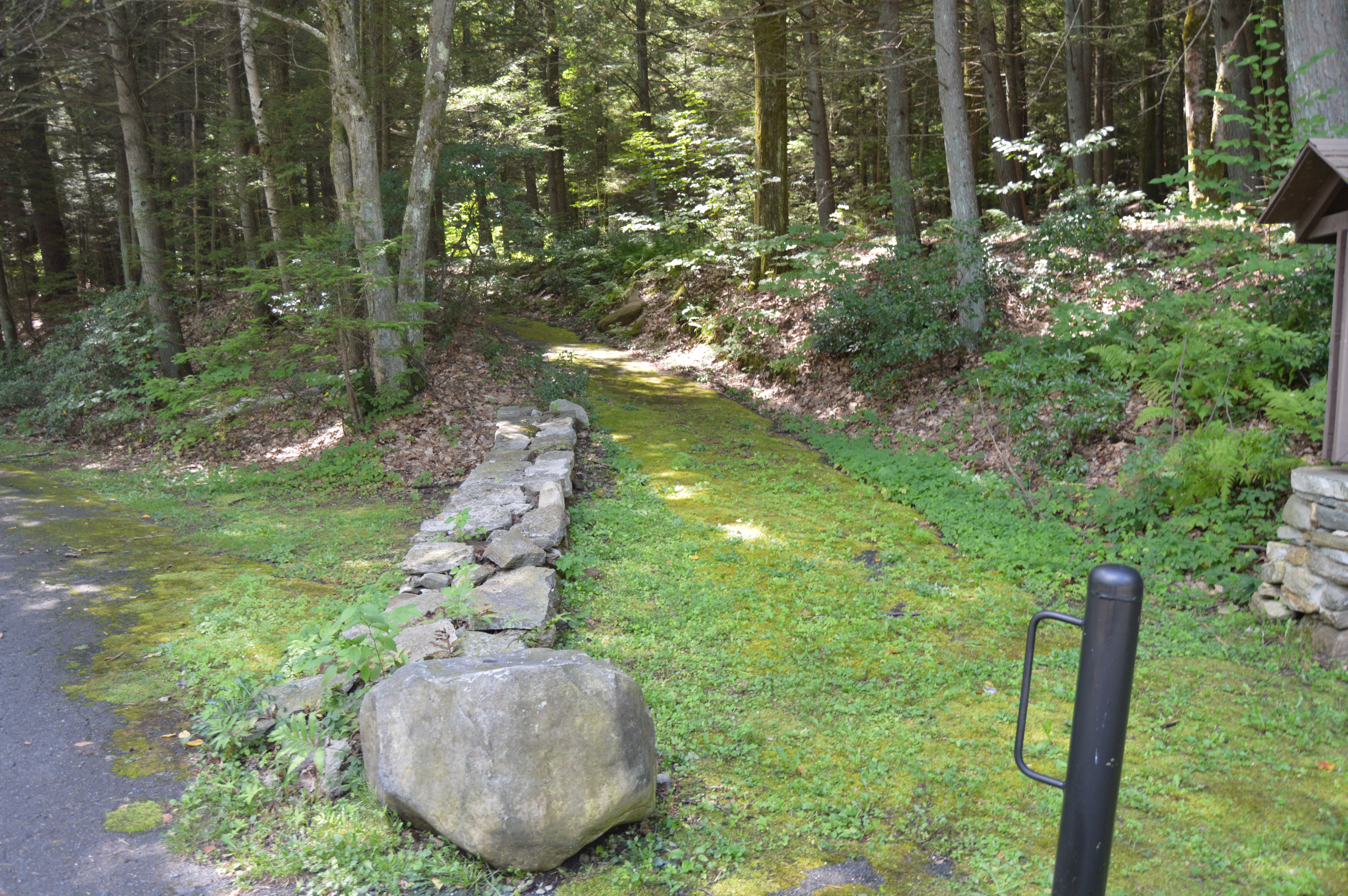
I would recommend using the first parking spot on Falls Rd, if you’re traveling from Massachusetts. The trails are easy to moderate with a few slight inclines from the first parking lot. It is a 3/4 mile walk to the waterfall from the parking area.
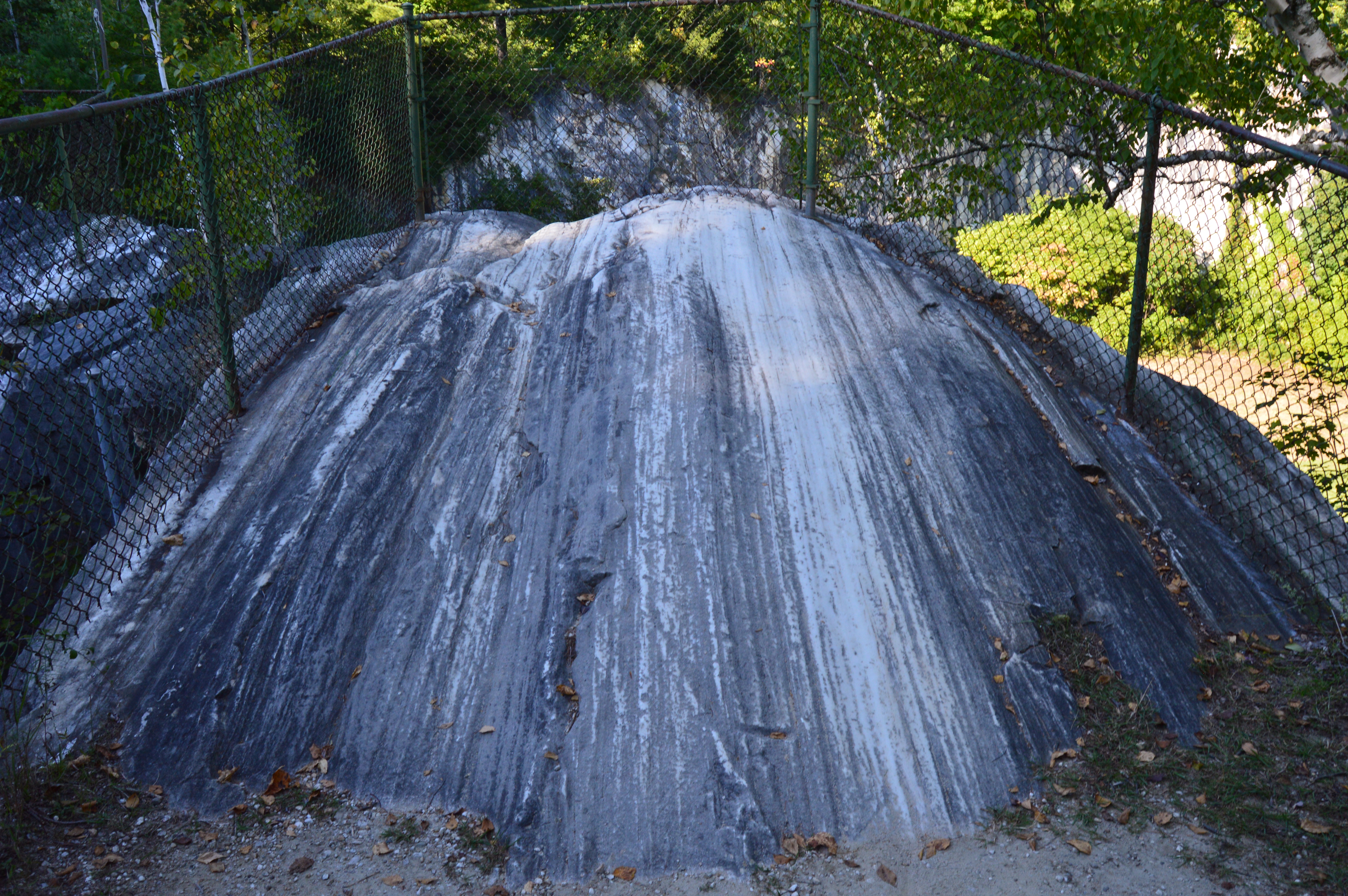
There are many interesting rock formations along the trail. Little known factoid: I learned a new word recently for the strange piles of rocks stacked creatively that we often see along trails and at beaches like the rocks in the first two photos in the top row of photos below. They are called cairns, unless you ask a conservationist or geologist in which case they will condescendingly call them just rock piles since real cairns are nature made and not man made.
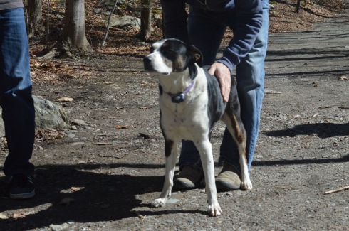
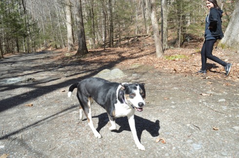
Bash Bish Falls is a popular spot for dog walkers. I met the following dogs during my hike.
Charlie
Juno, a Rottweiler and Shepherd mix
Cassie, a Bernese Mountain Dog.
Murphy, a beautiful Golden retriever
To get a better perspective of the waterfall and the stream leading from the waterfall, I have attached the following videos.
Although the area is mostly known for being the home of the New England Patriots and its adjacent marketplace, Patriot Place has another impressive attraction – The Nature Trail and Cranberry Bog. Admission to the trail and bog is free and the parking is ample evident by the photo below. You can also park in the lots in front of the store and walk down to the trail.
From the entrance the Nature Trail and Cranberry Bog greets you with a charming sitting area and pretty trees.
This slideshow requires JavaScript.
Although most of the vegetation is dead (save for a few stubborn blueberries and cranberries), a thin layer of ice covered most of the pond and the trees are bare this time of the year, the Nature Trail and Cranberry Bog at Patriot Place in Foxboro, MA, is just as beautiful in the winter as it is during the summertime.
This slideshow requires JavaScript.
Located directly behind the expansive Bass Pro Shop, the Nature Trail and Cranberry Bog is a .5 mile loop with a 3 percent grade and some inclines as much as 12 percent.
It is a mostly dirty trail with a few boardwalks and bridges. There are two benches in the middle of the first walking bridge. Overall, it is an easy to semi-moderate trail. I saw people of all age groups handle the trail, inclines and all, with little difficulty.
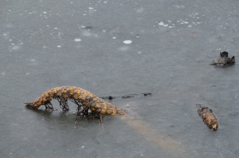
I found this strange, creepy looking branch or alien arm protruding from the ice.
An extra bonus for any Patriots fan is you can see Gillette Stadium (the stadium the Patriots play in) from the main road on the way to the Nature Trail and Cranberry Bog. You can also catch a quick glimpse of some of the stadium from the entrance to trail and bog.
After finishing the loop, I met Chandler, a beautiful 6 year old tri-colored English Setter (thank you for the clarification, Adam).
Thank you for reading and please like my Facebook page to view videos, photos and more that I do not post on this blog:
As fall made one more last gasp, I took advantage of the unseasonably warm (50 degrees) weather and made my way up north to the picturesque Pawtuckaway State Park in Nottingham, New Hampshire.
Located about an hour and a half north of Boston, MA, Pawtuckaway is a 5,000 acre preserve with a camp site, lakes, a beach, a spectacular view of the Pawtuckaway Mountains and 15 miles of trails. The parking lot is pretty big so parking shouldn’t be a problem if you get there early in the day during the spring and summer. There were only 4 cars there when I went in December. It costs $5 for adults and $2 for children ages 6-11. It is free when it is not staffed (from 11/2 until 5/1). The park hours are 8 am-7 pm.
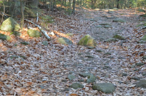
The trails can be challenging not so much because of their inclines, which can be tricky at parts, but because of the rocks which are randomly placed throughout the trails. They can come in handy, though, when you have to cross the puddles along the trails.
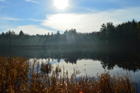
I arrived at Pawtuckaway early in the morning. Mist and frost was still visible on the way to the lake.
Looking into the pond was like looking into a mirror.
This slideshow requires JavaScript.
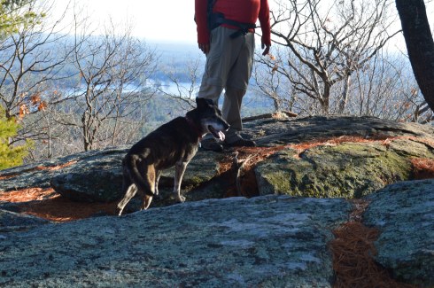
The views from the rocks trail on the Fire Tower make the long ascent (about 3 miles from the entrance) worthwhile.
This slideshow requires JavaScript.
The fire tower is located a short distance (about a quarter of a mile) from the rocky ledge with all of the beautiful views.
While I preferred the views from the ledge, the fire tower offered views from every angle and both sides of the vista.
This slideshow requires JavaScript.
There were also many pretty trees at Pawtuckaway.
There is also a beach at Pawtuckaway. I got there just in time for the sunset.
This slideshow requires JavaScript.
Pawtuckaway is said to have been derived from a Native American word meaning, “big buck.” I didn’t see any bucks but I did some dogs! From top to bottom Artie, Lulu (on the left), Rooster (on the right), Tucker and Duke.
Video from the fire tower at Pawtuckaway. As you can tell by the audio it was quite a windy day.
Video from the rocky ledge it was less windy there)
Bear Hole is not just a name give to the much traveled reservoir in West Springfield.
Tales of bear, deer and other animals have been told from many visitors at the park.
I didn’t see any bear, though. I only met the occasional dog (from top left to right Figueroa, Lily, Jyp, bottom from left to right Oreo and Connor)
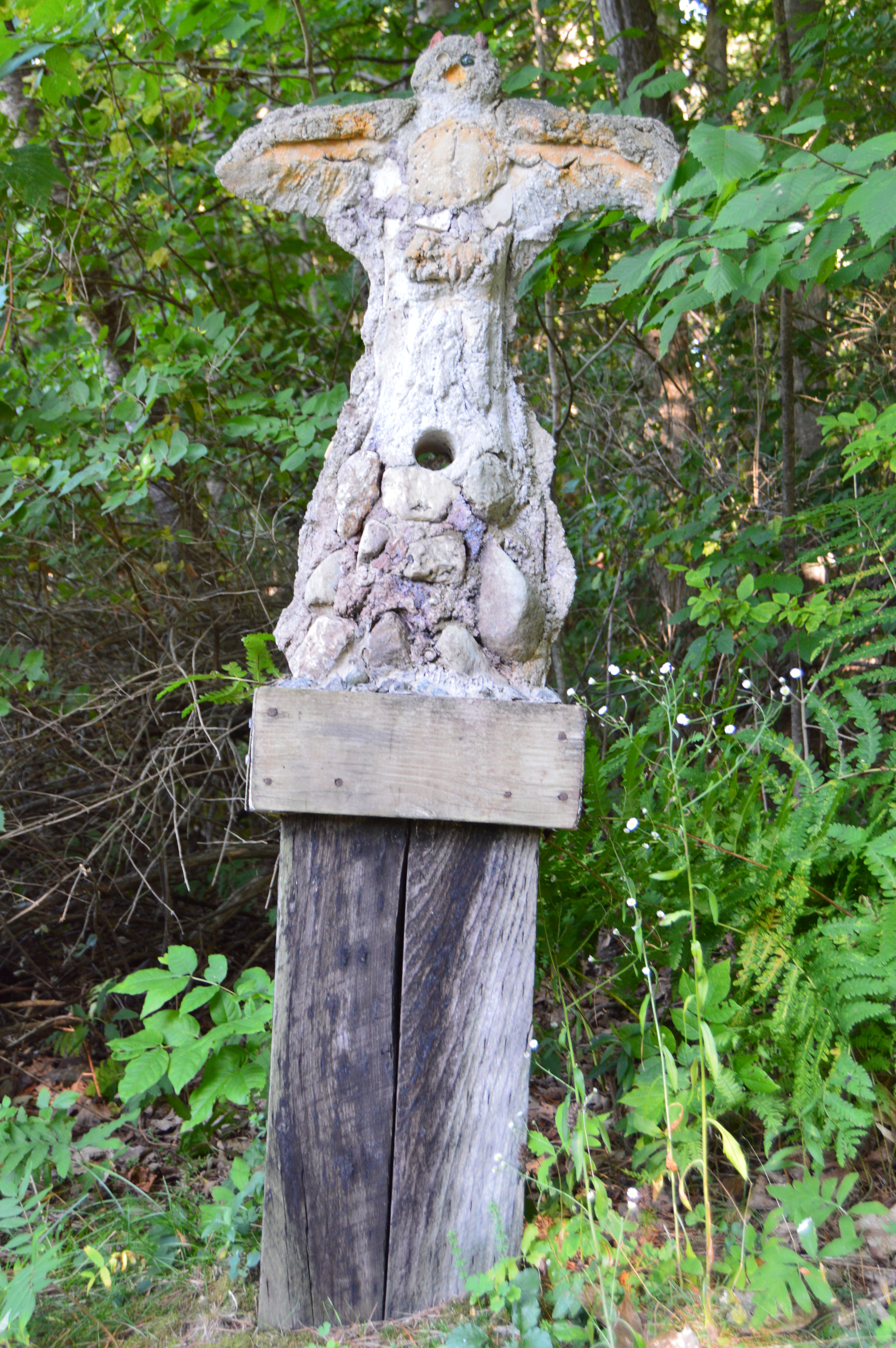
and owl
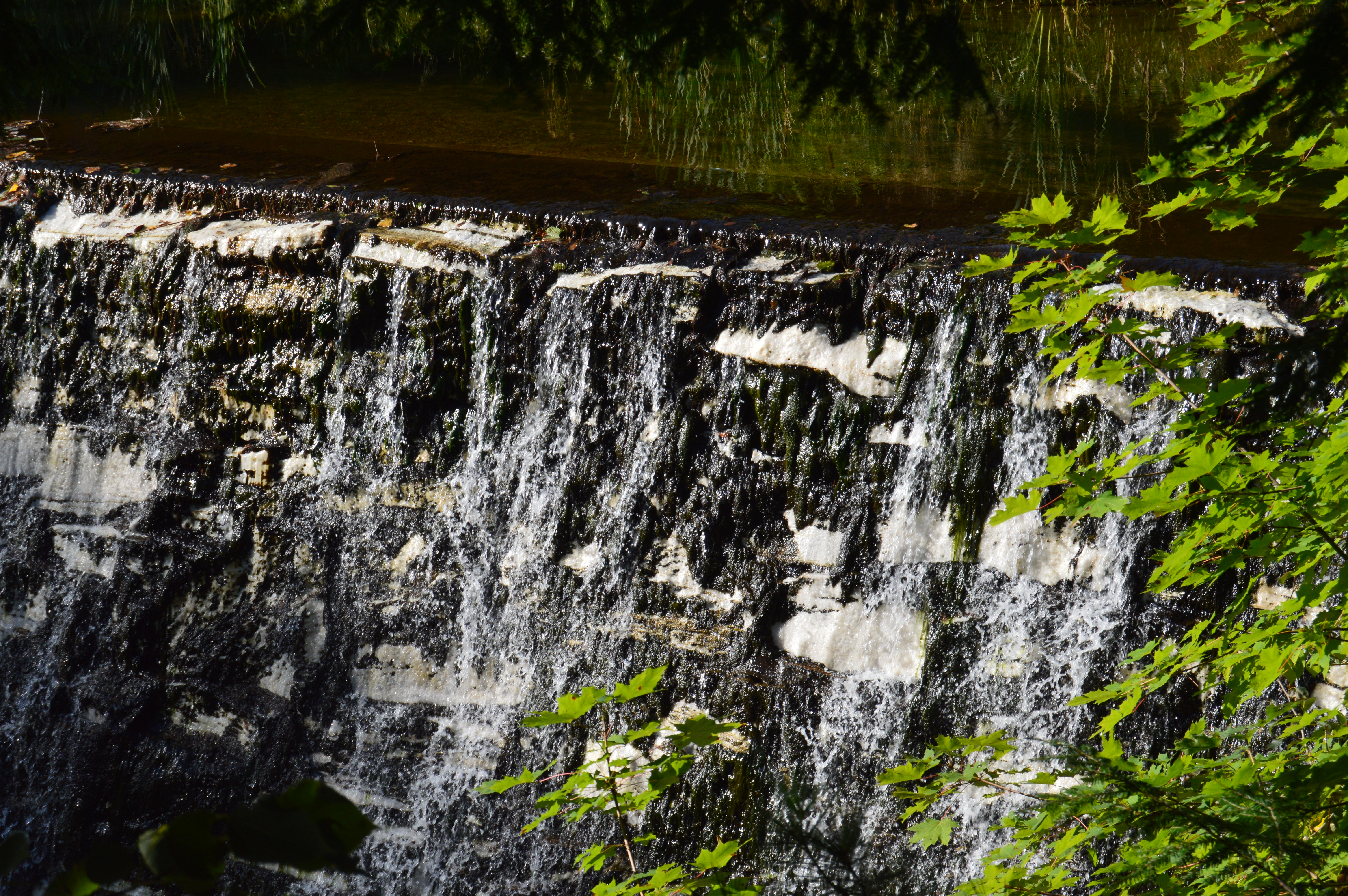
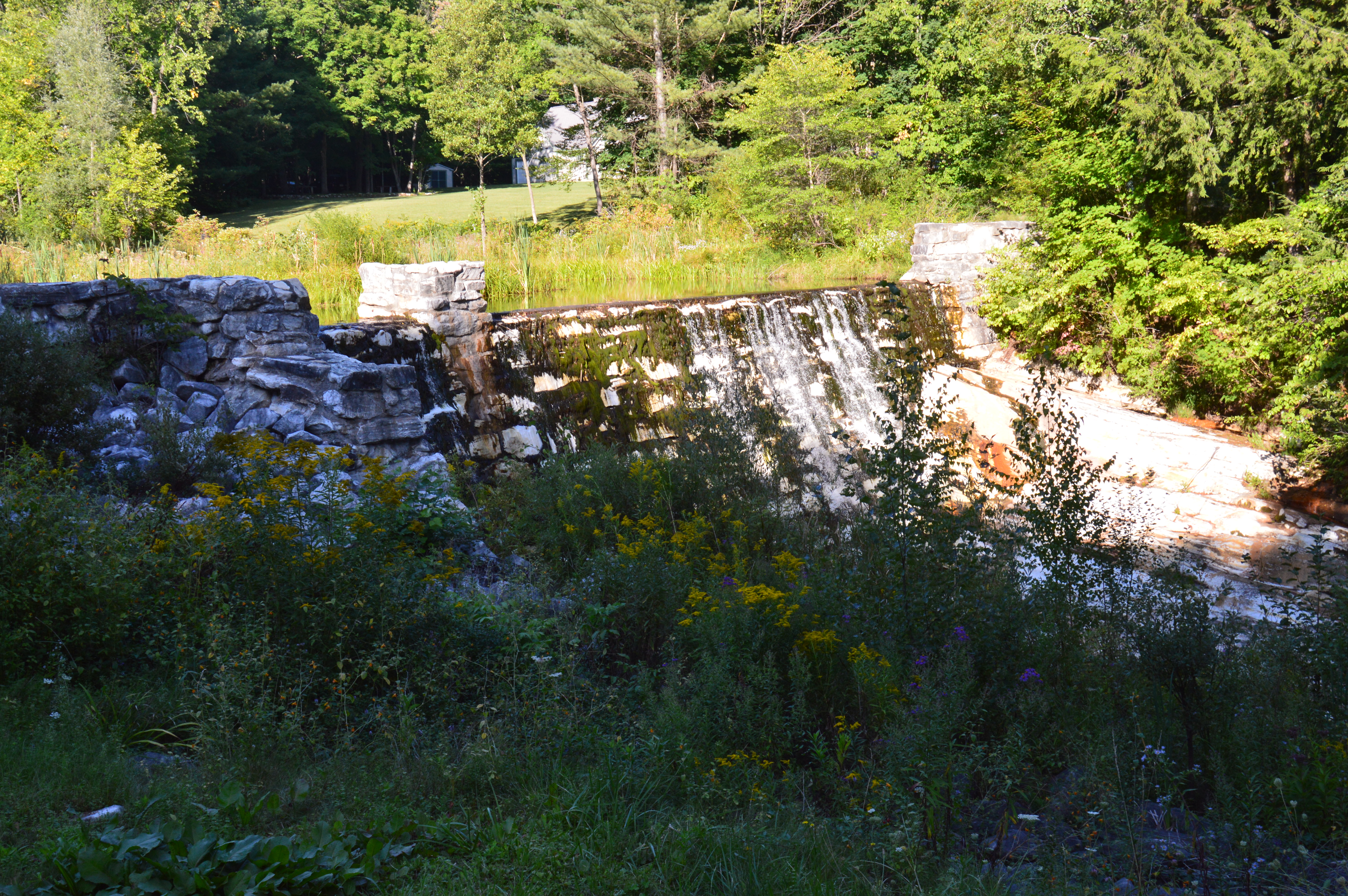
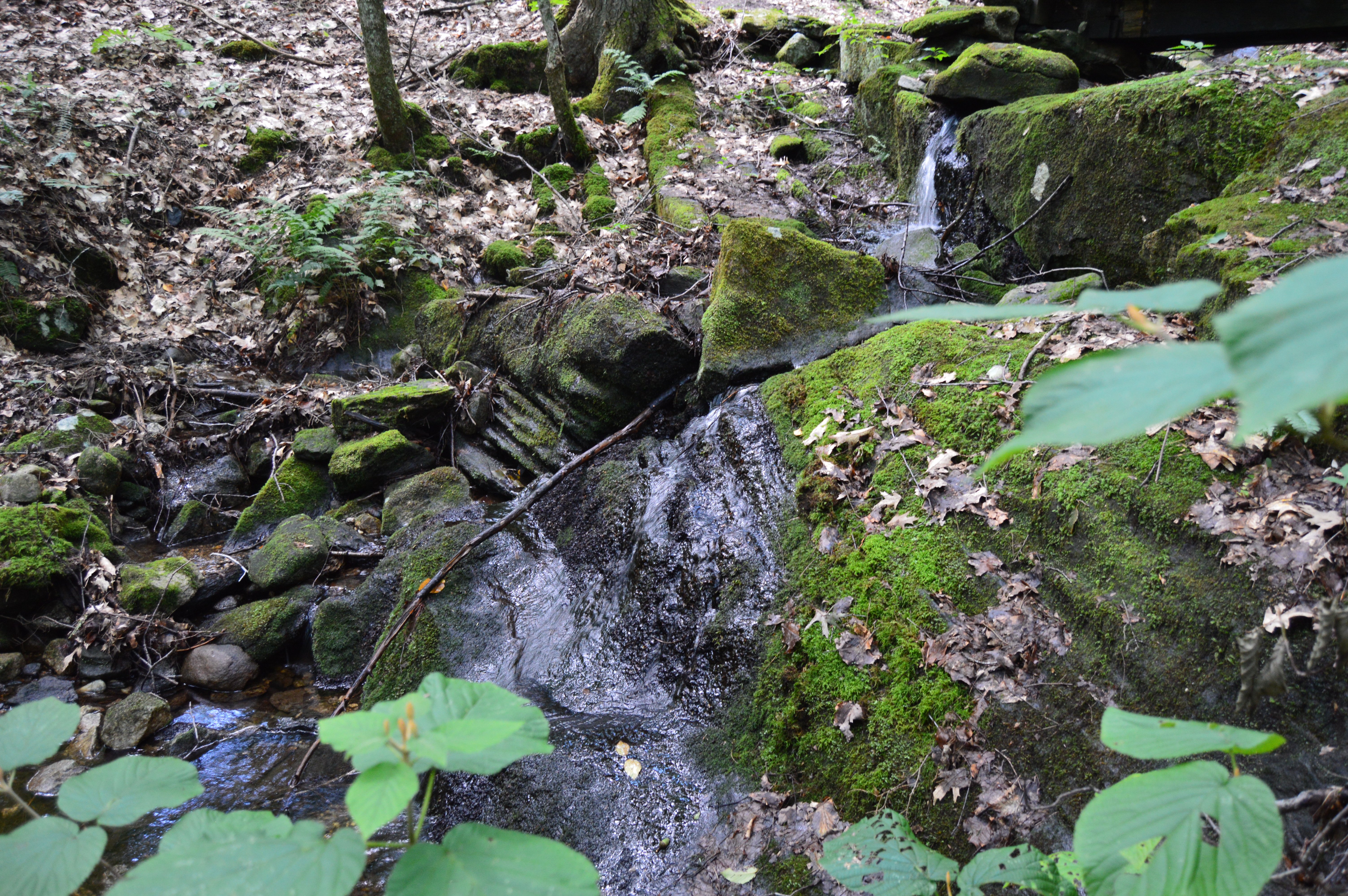
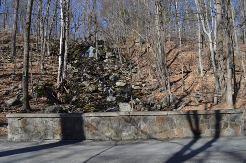
The main attraction at Bear Hole is the waterfall.
and the pond it flows to
The trails are clearly defined (unless you go off trail to get a closer look at the waterfall and pond as I did from time to time). And runners and cyclists use the trails frequently.
Click below to view the video of the waterfall in all its splendor.
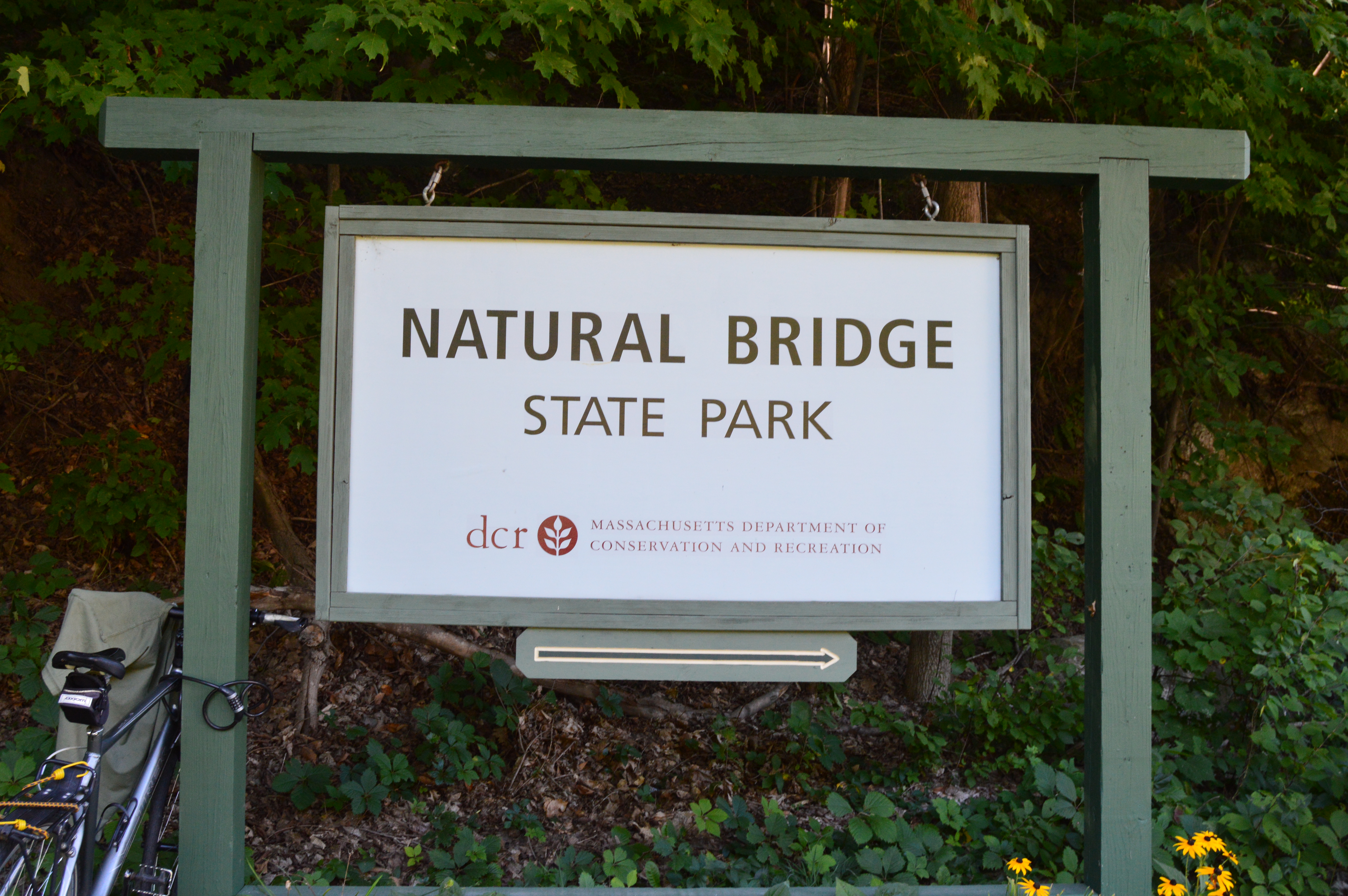
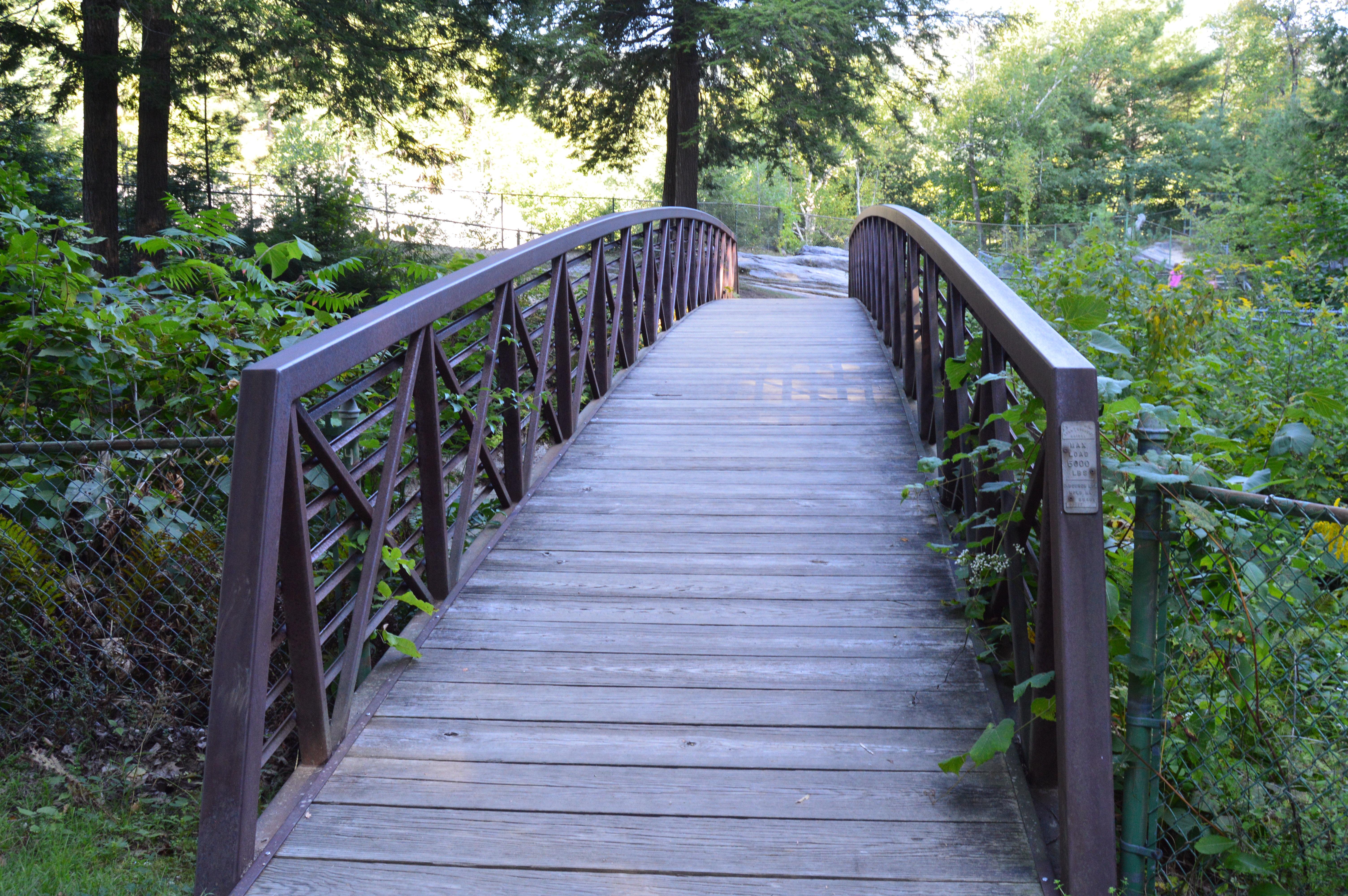
The bridges of Western Massachusetts are not just the ones you see on the roadways. But, don’t let the name fool you. The Natural Bridge State Park has so much more to offer.
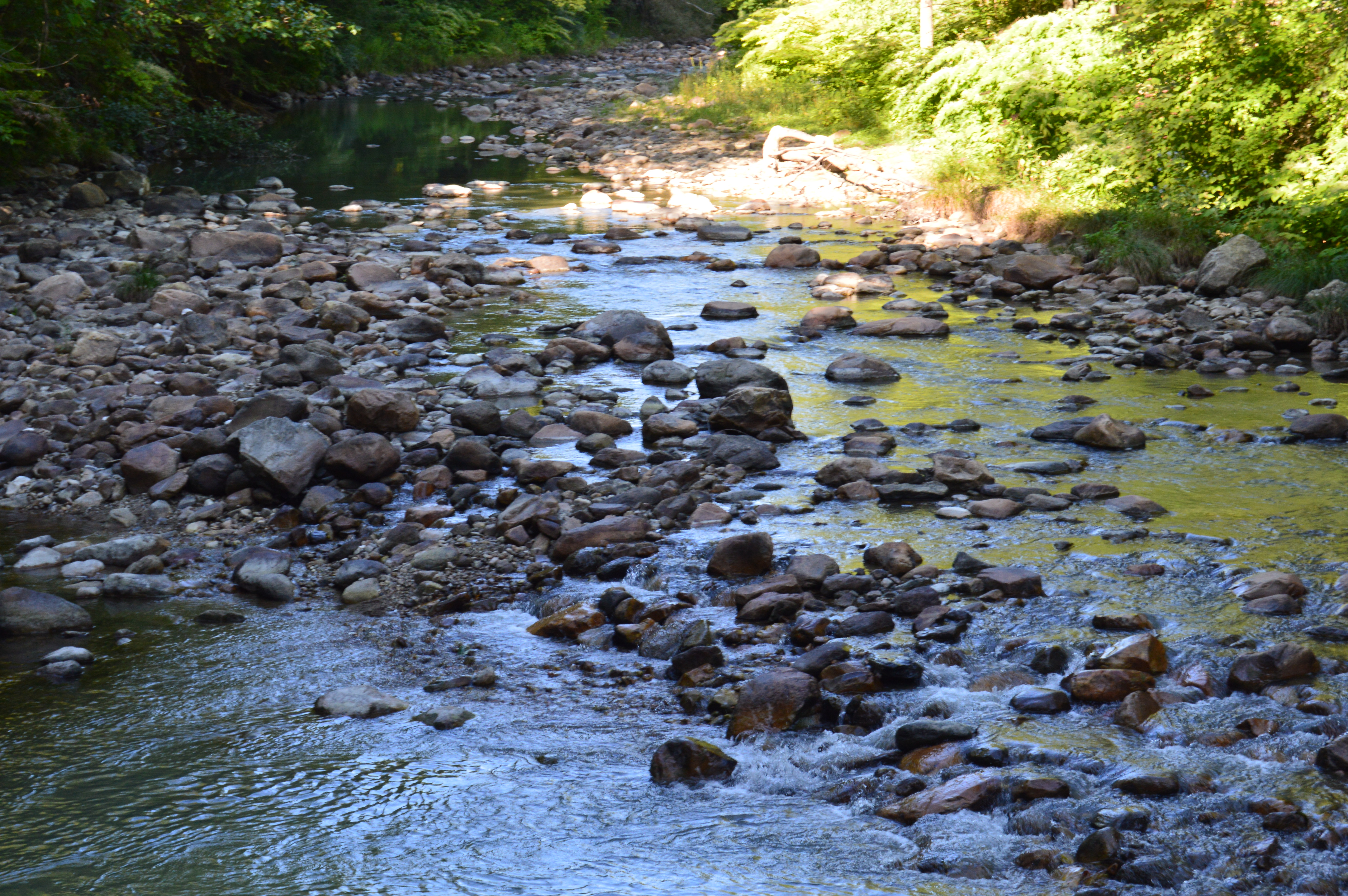
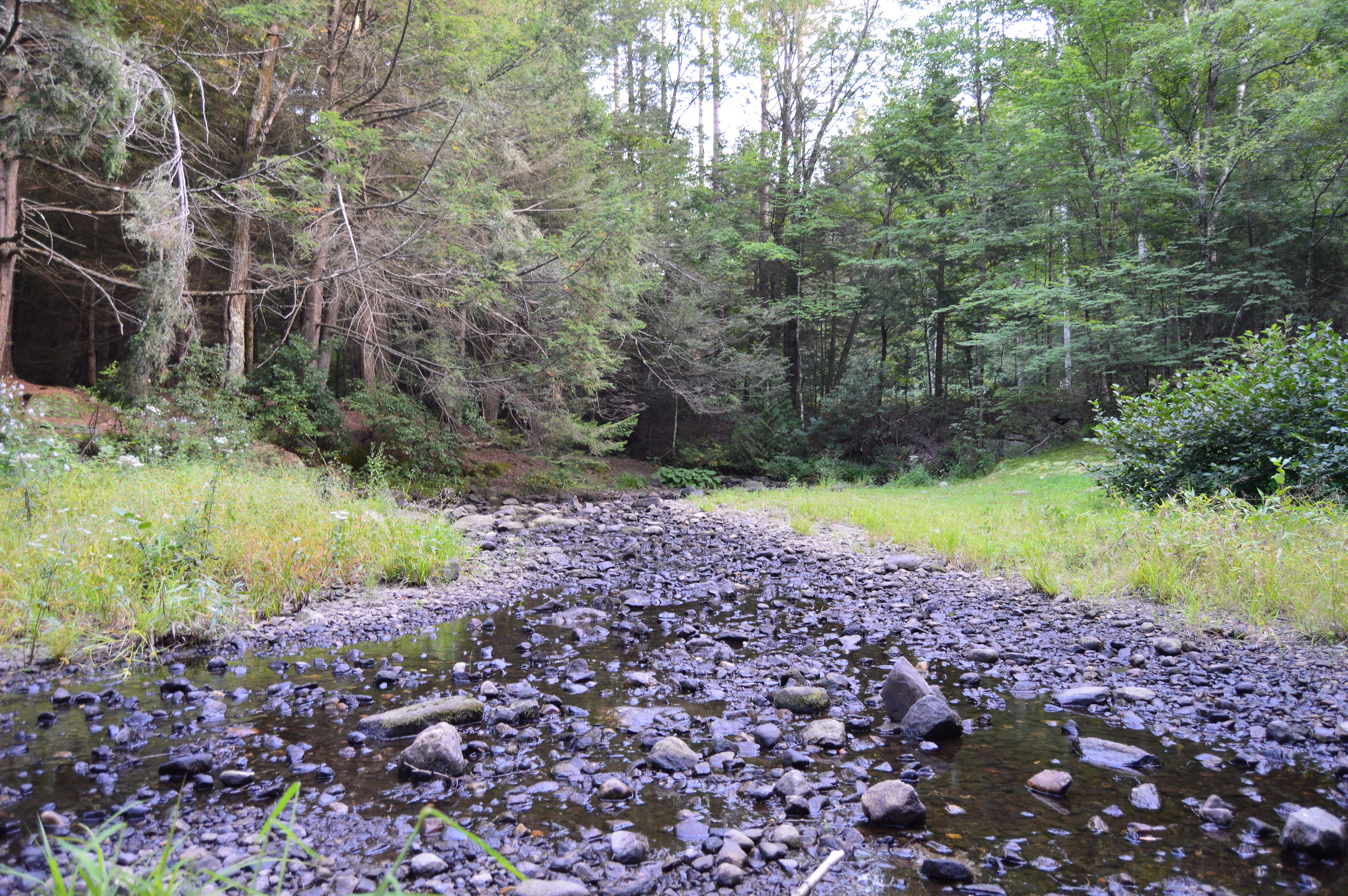
Before you reach the natural bridge, a brook greets you at the entrance.
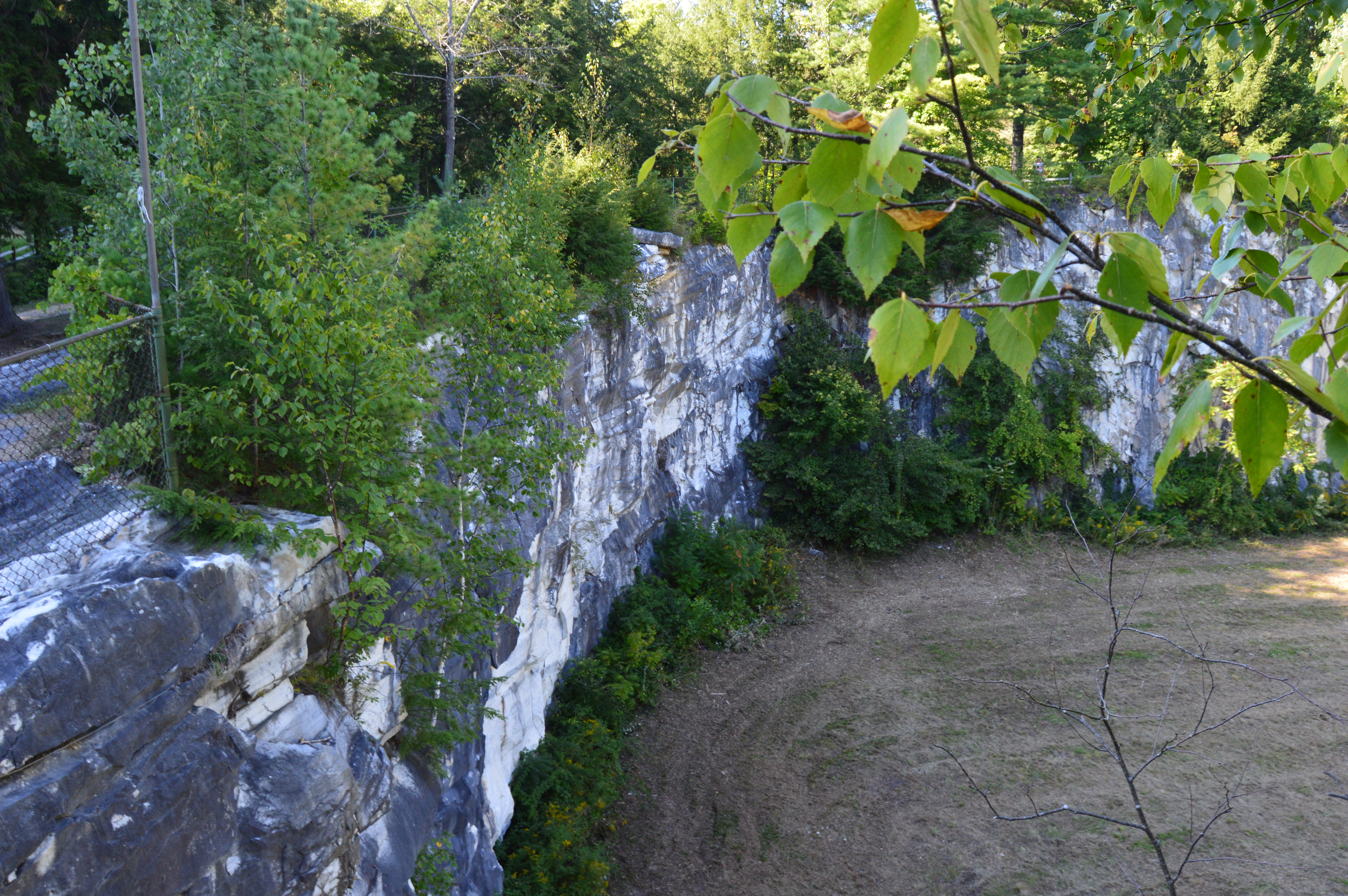
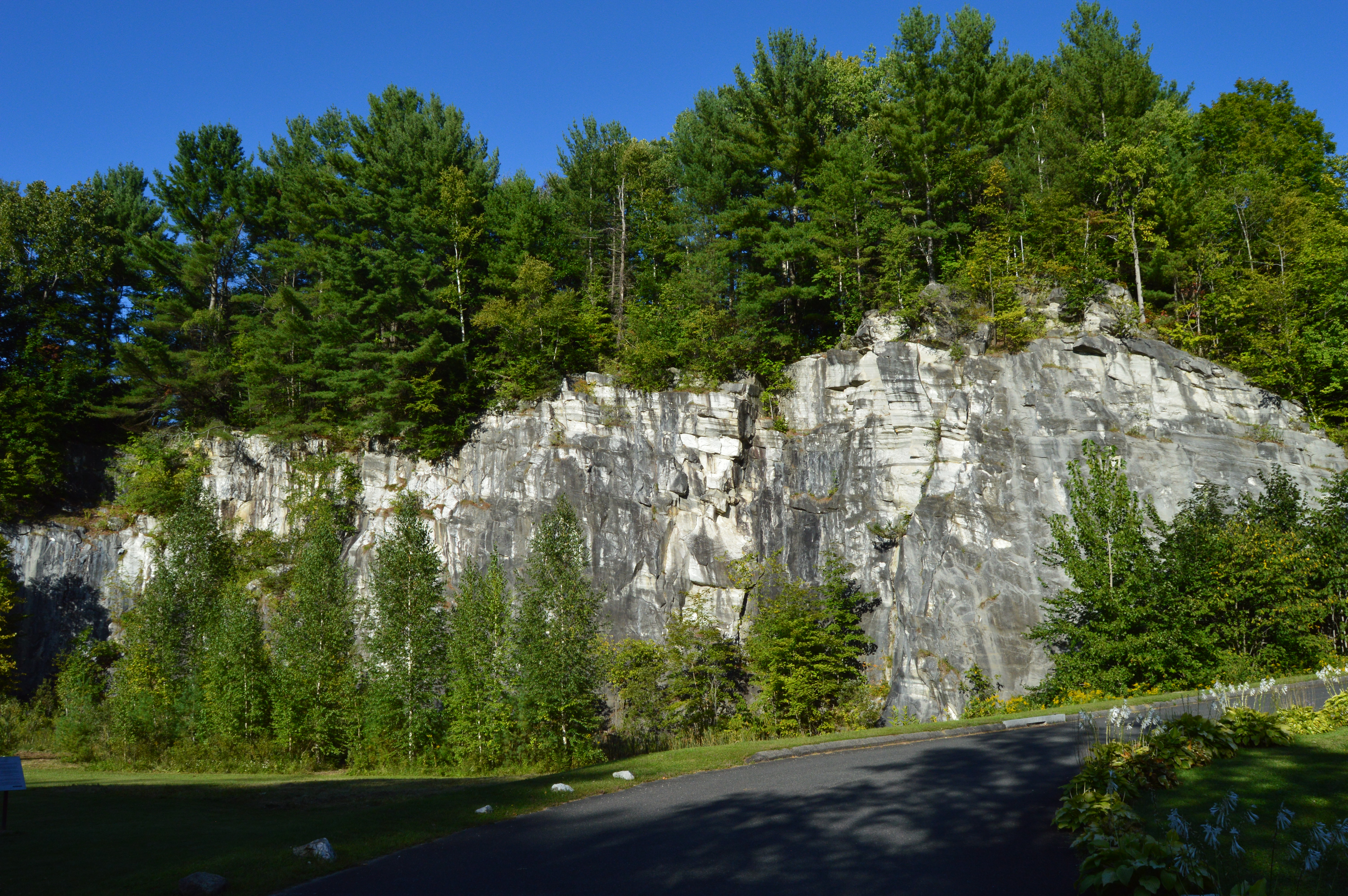
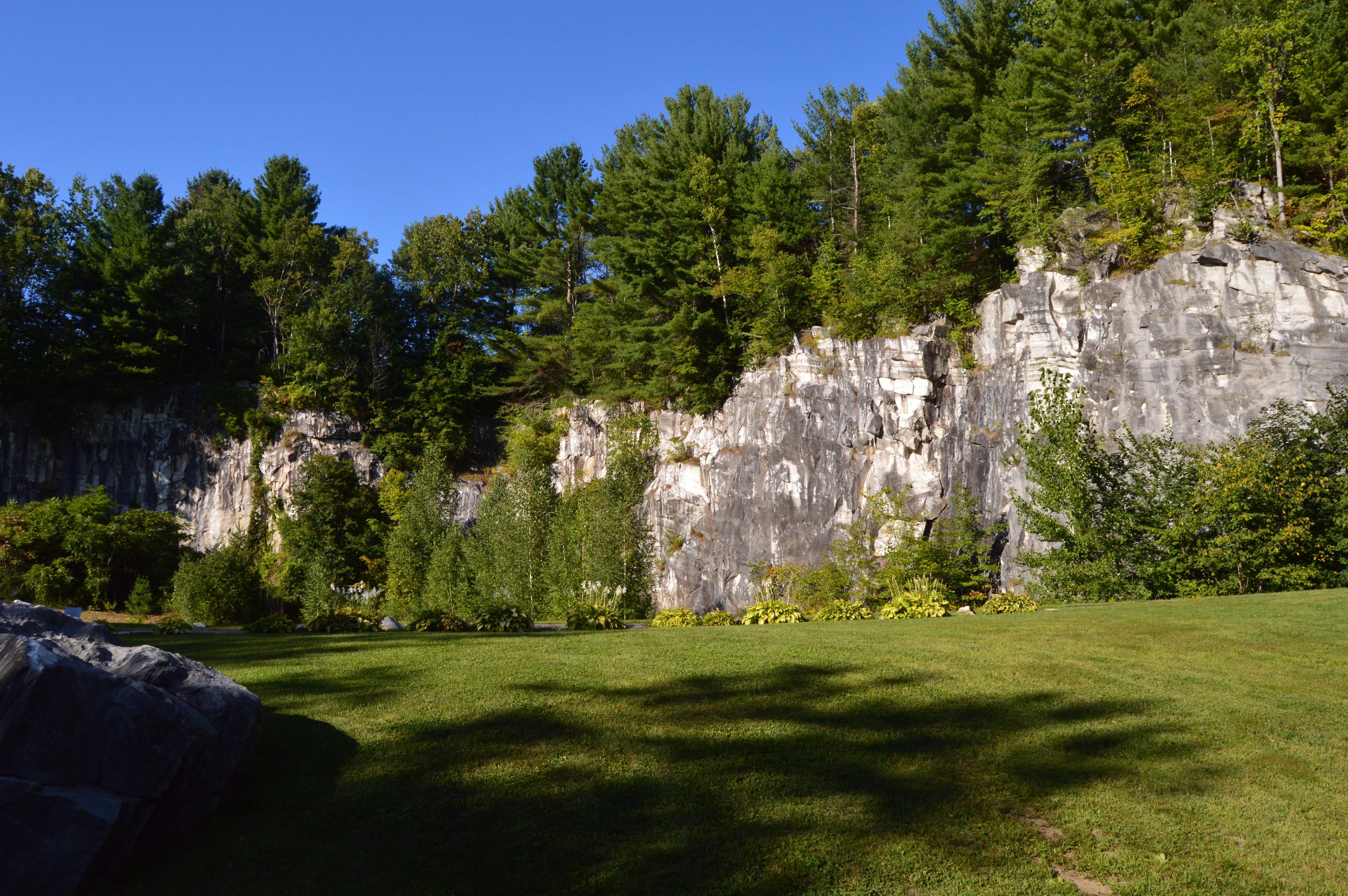
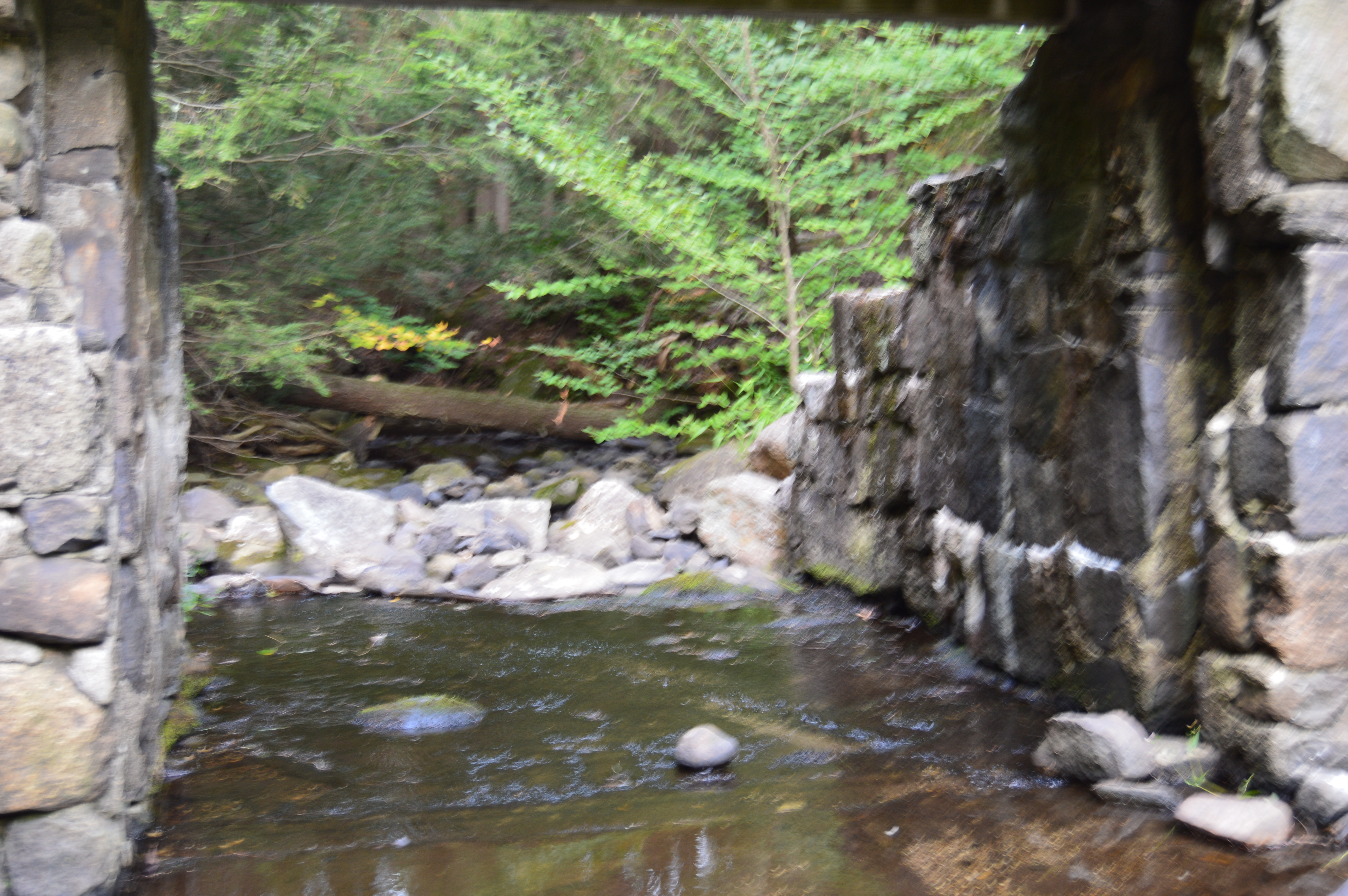
Formed through series of continental collisions, erosion and the meltwaters caused by the Ice Age, the natural marble bridge is the only one of its kind in North America.
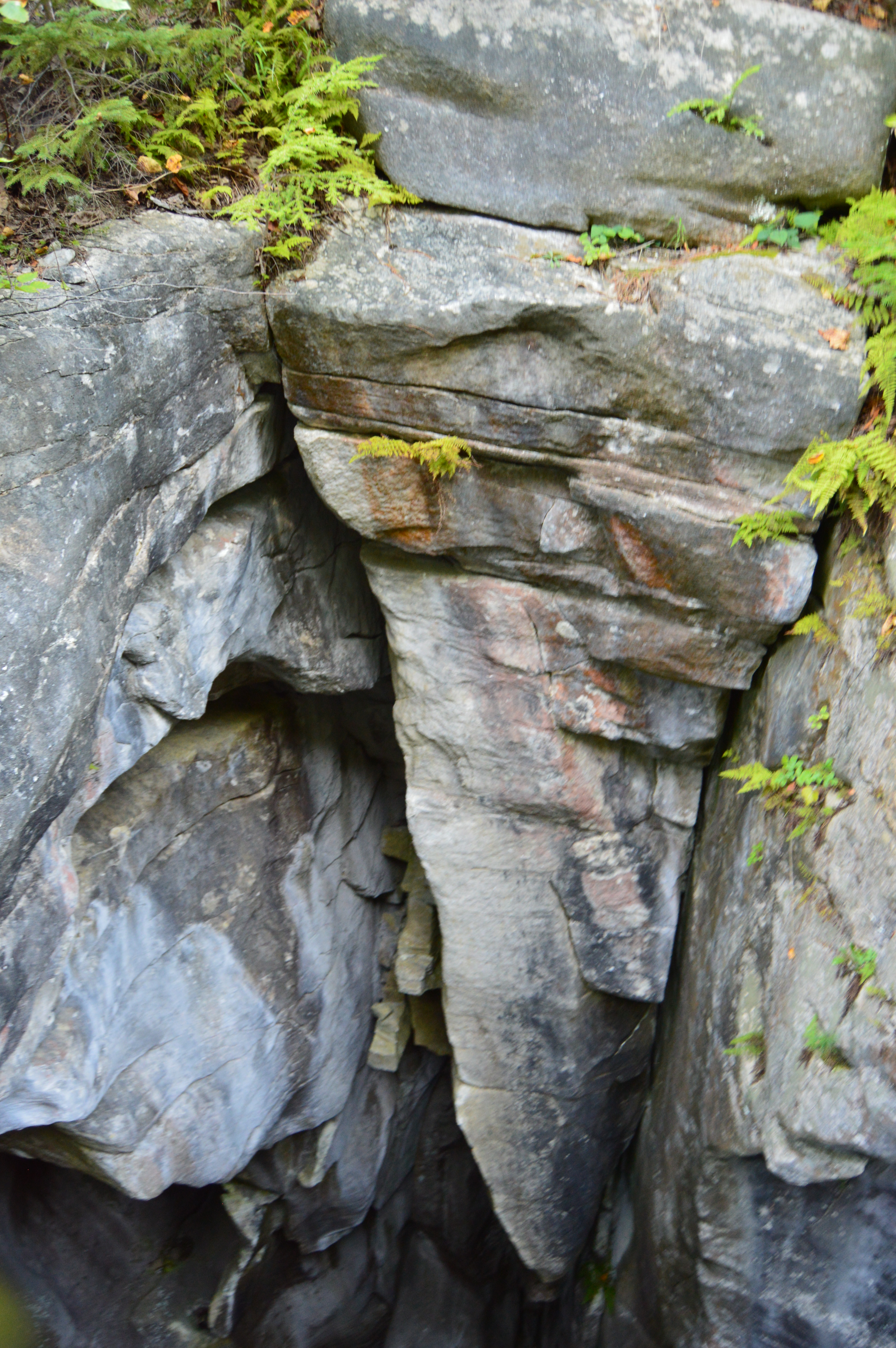
Deep crevices and chasms were carved through the years of erosion and warming and cooling.
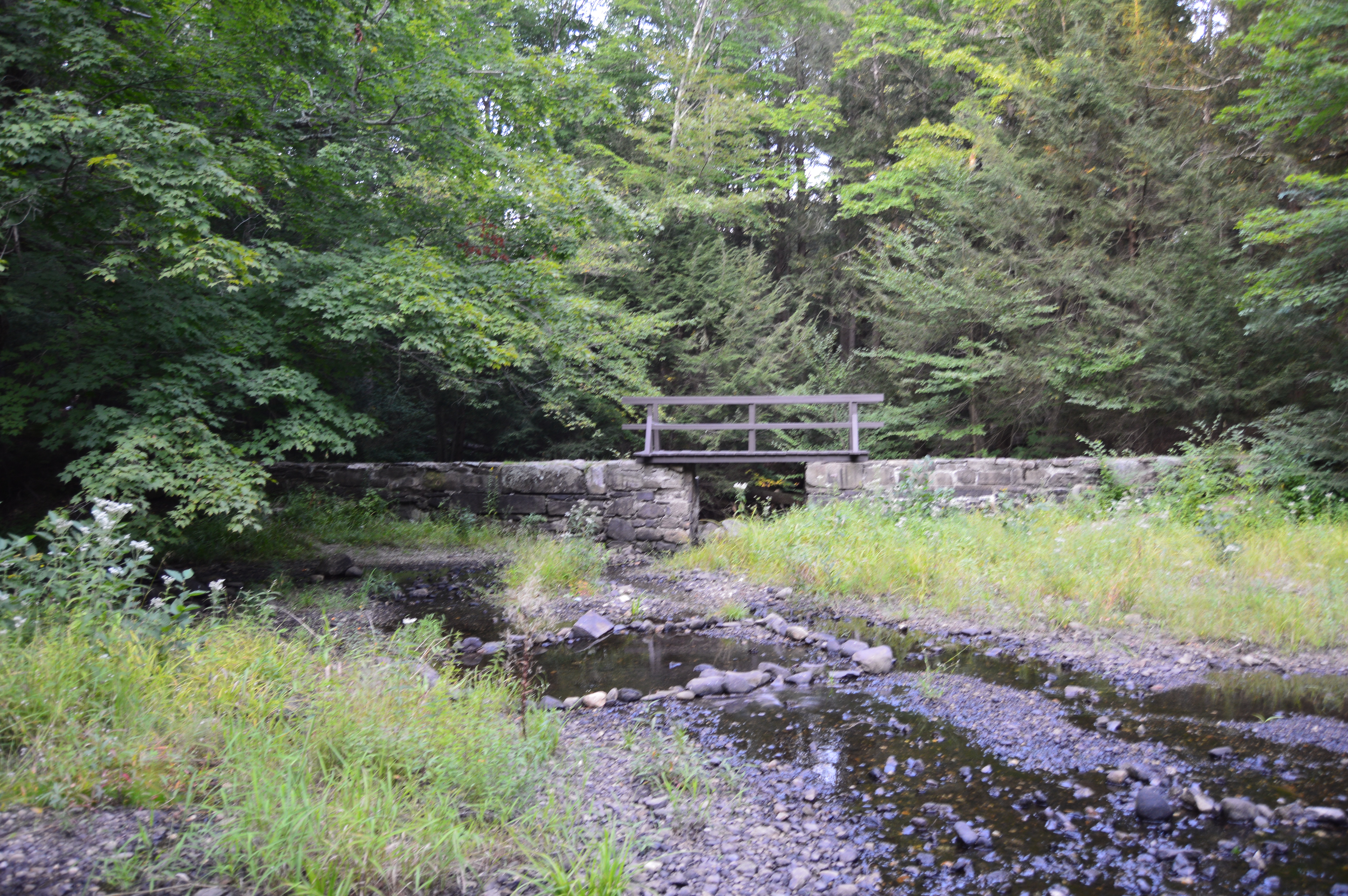
The only marble bridge in North America, the natural bridge in North Adams is located just off the The Mohawk Trail.
Adding to the beauty of the natural bridge, the park has a waterfall.
The Natural Bridge State Park also has impressive views of the bridge and the park it overlooks.
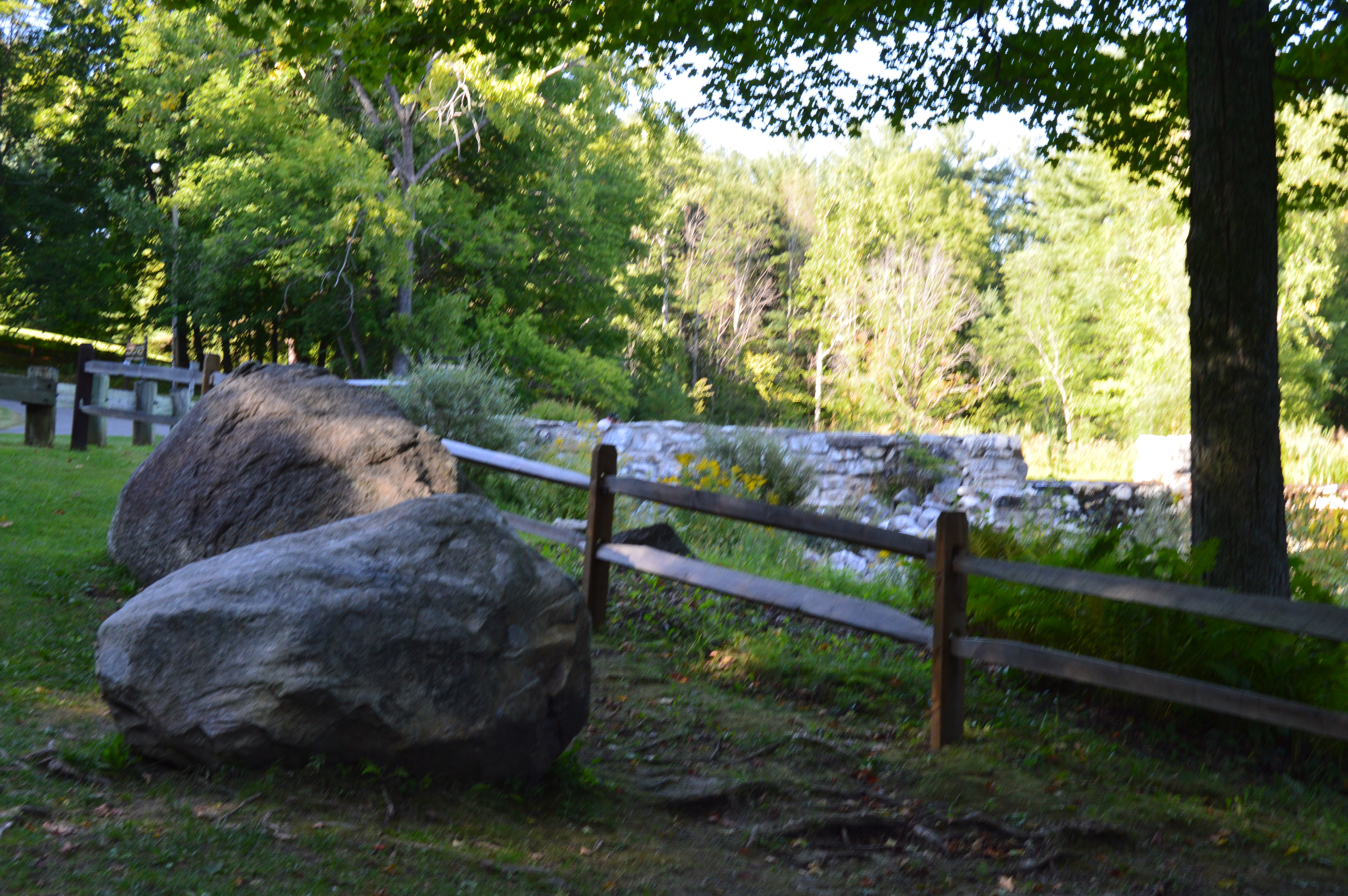
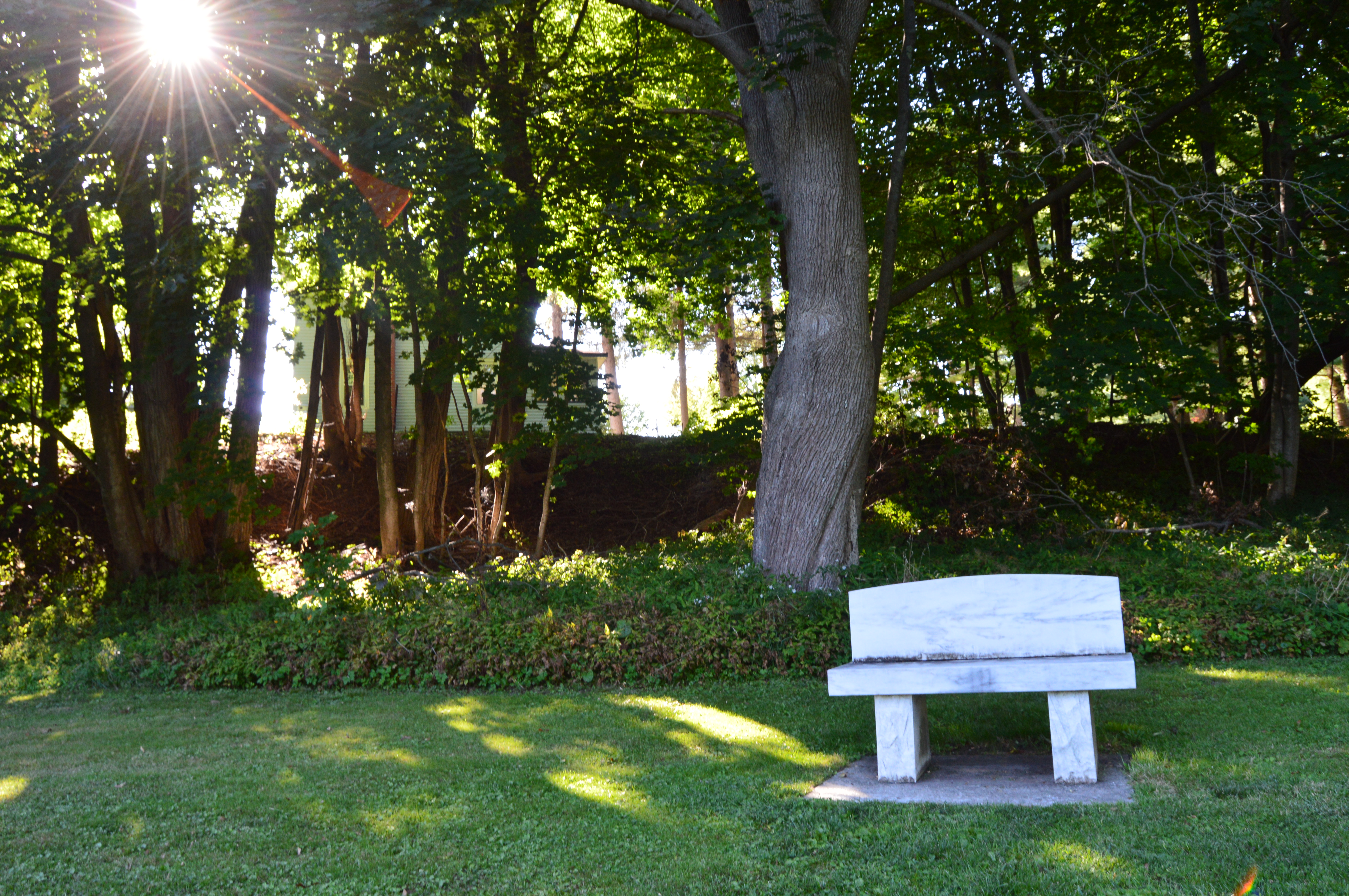
There are many flowers, trees, rocks, bridges (a bridge on a bridge of all things) and even David’s Bench that give the Natural Bridge State Park a special charm.
During our travels, we met Sasha.
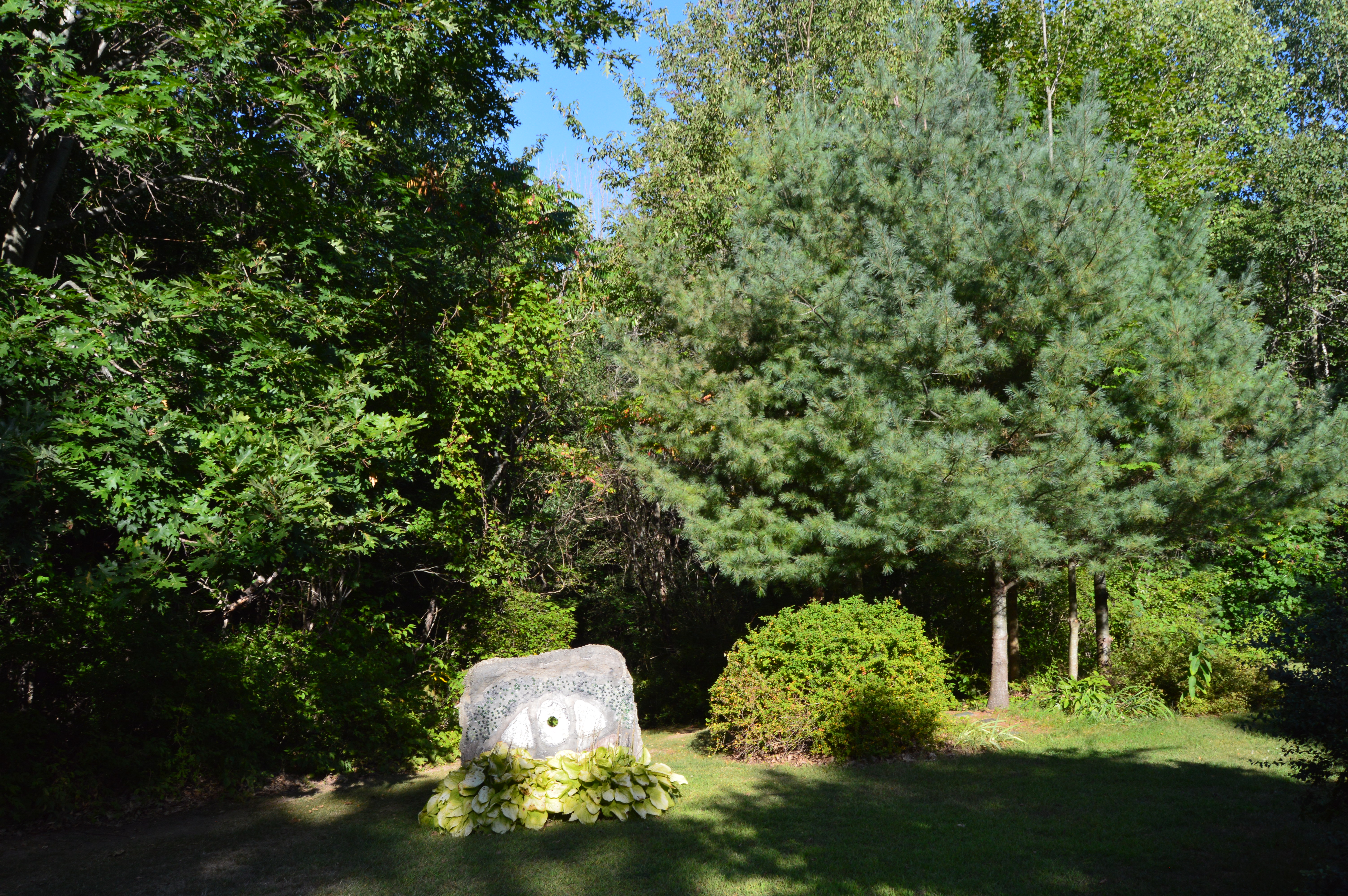
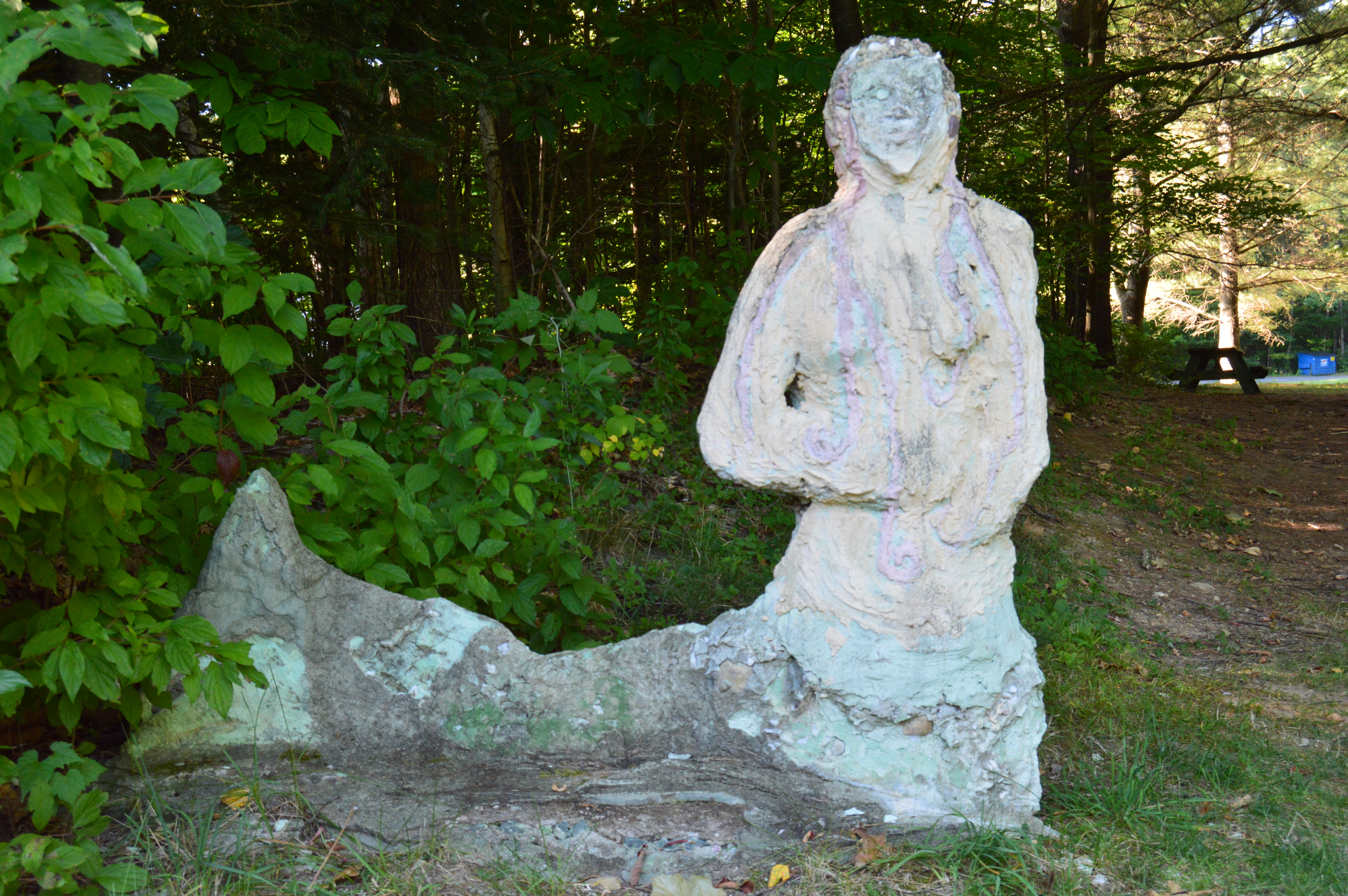
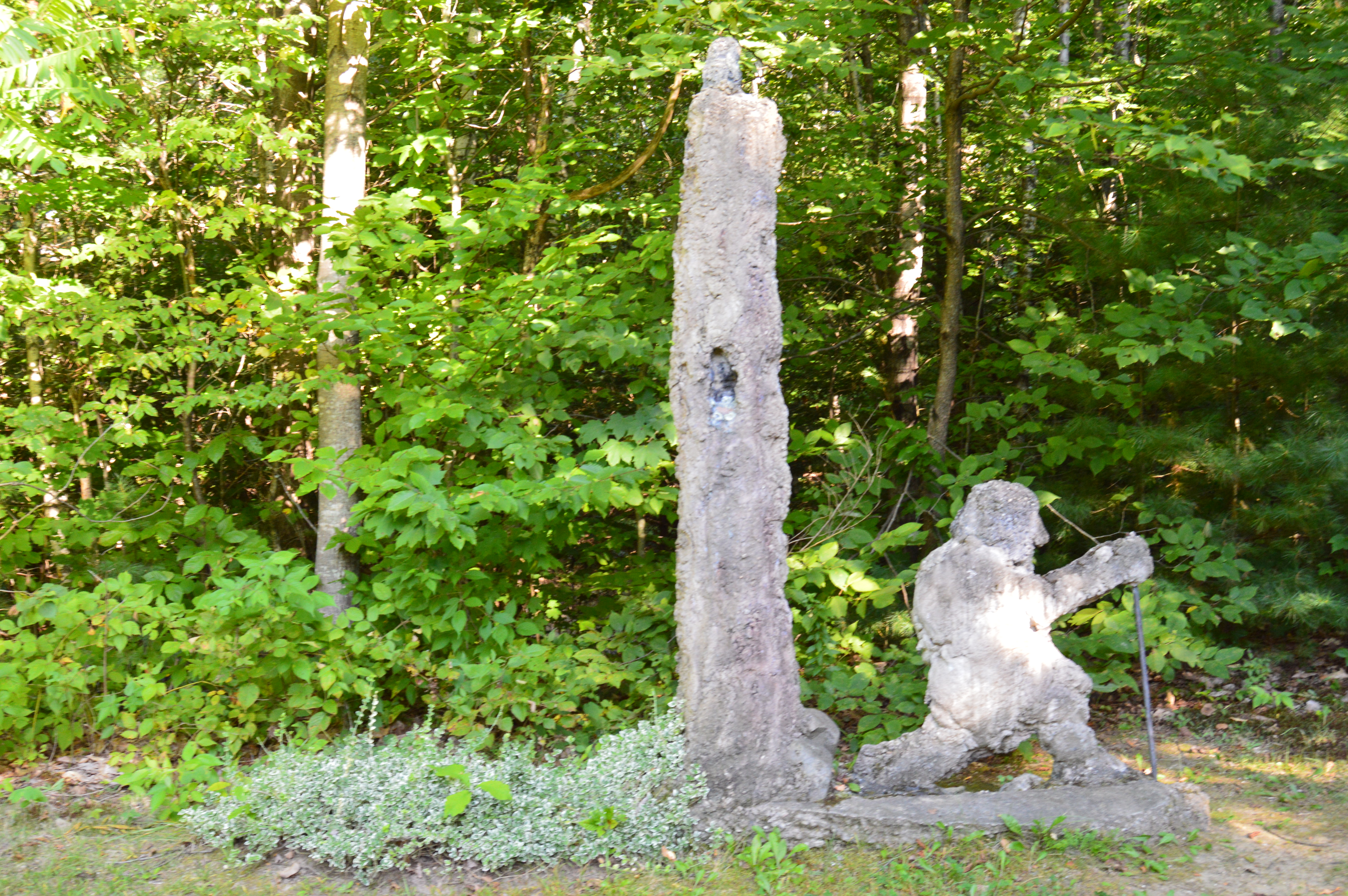
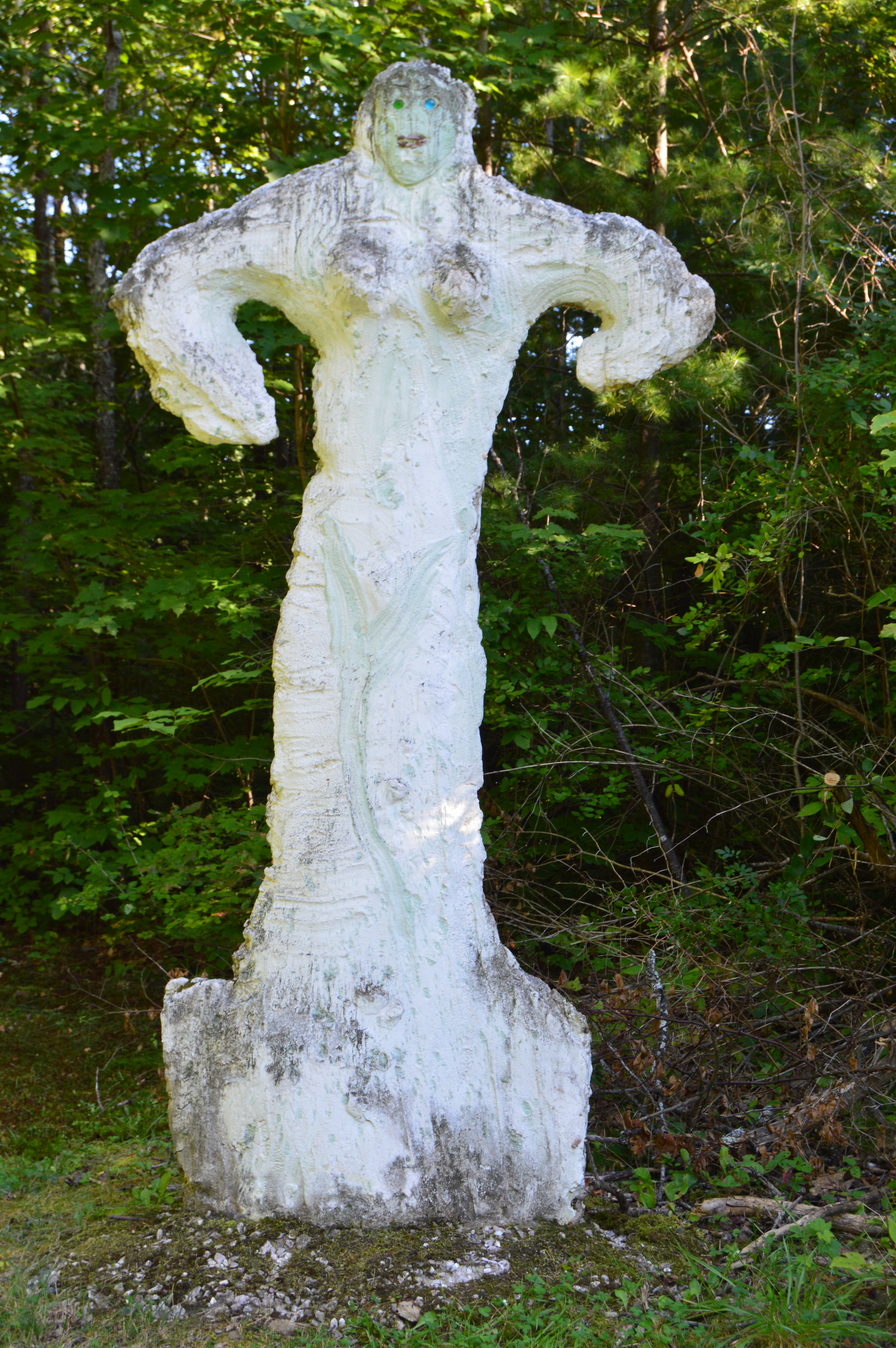
Just as you think you’ve seen all the Natural Bridge State Park has to offer there is a small park area atop the walking bridge. Statues and other structures made from the materials mined from the one time quarry rest along the top of the lofty bridge. It capped off a perfect visit.
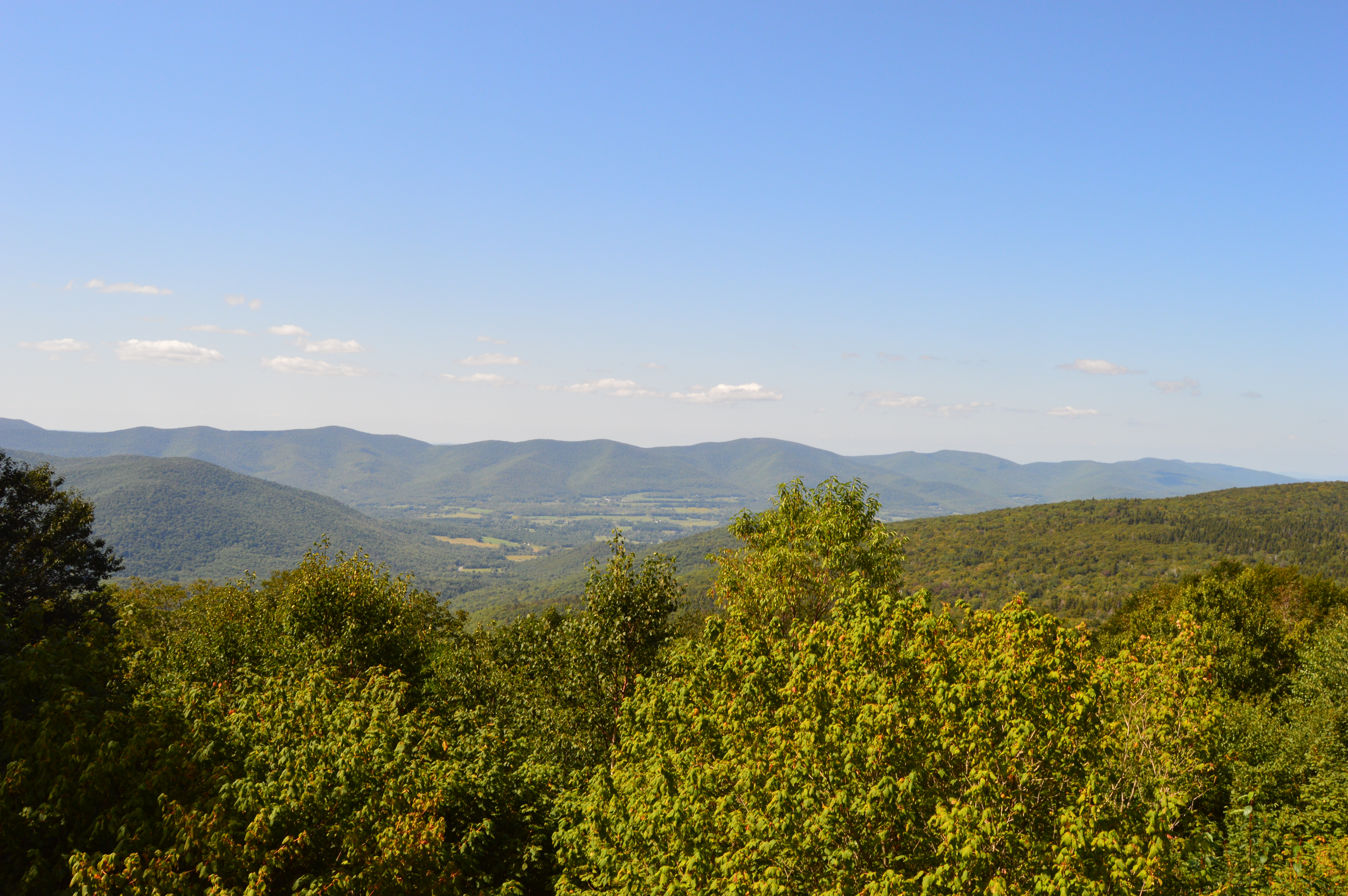
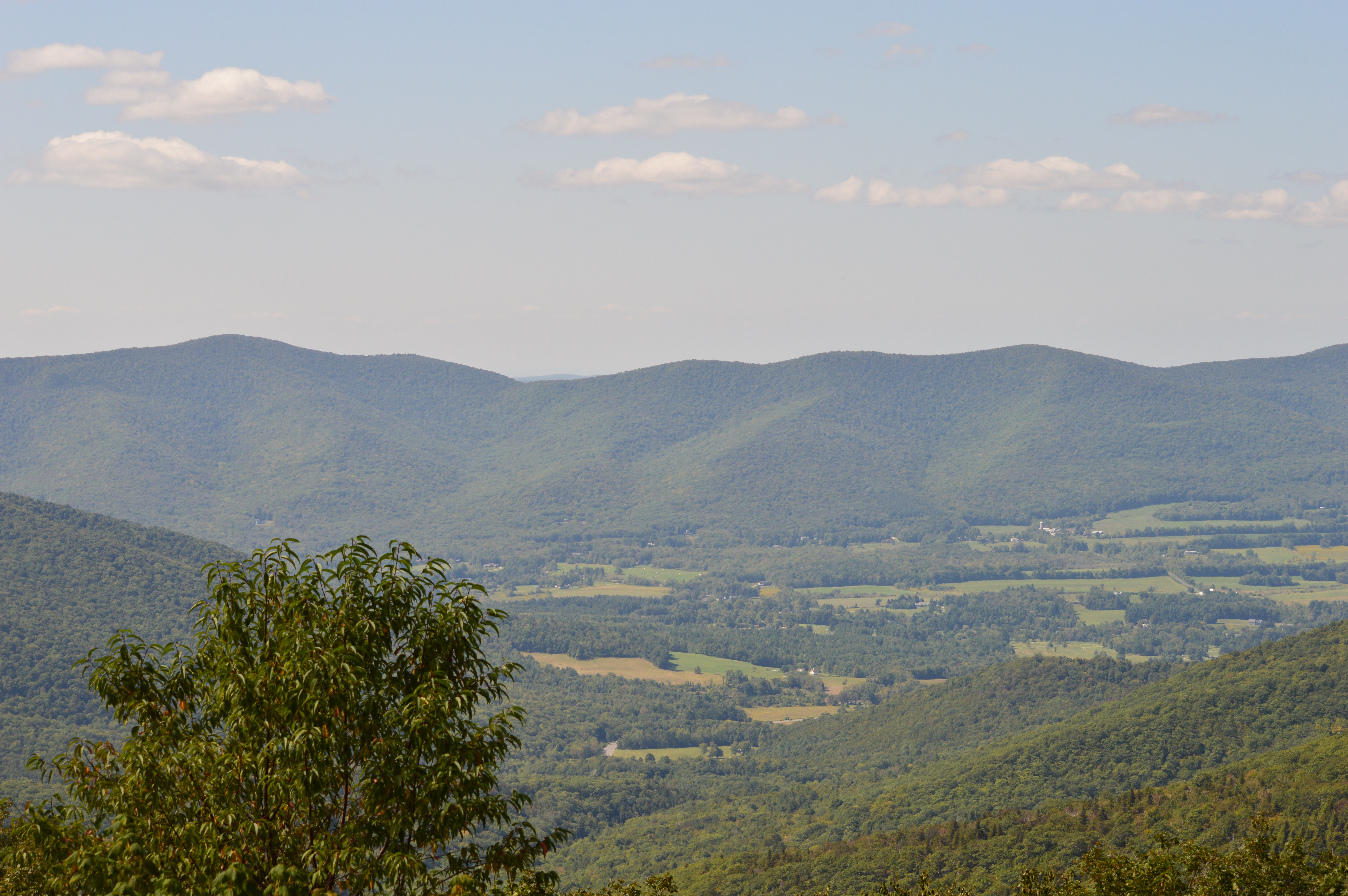
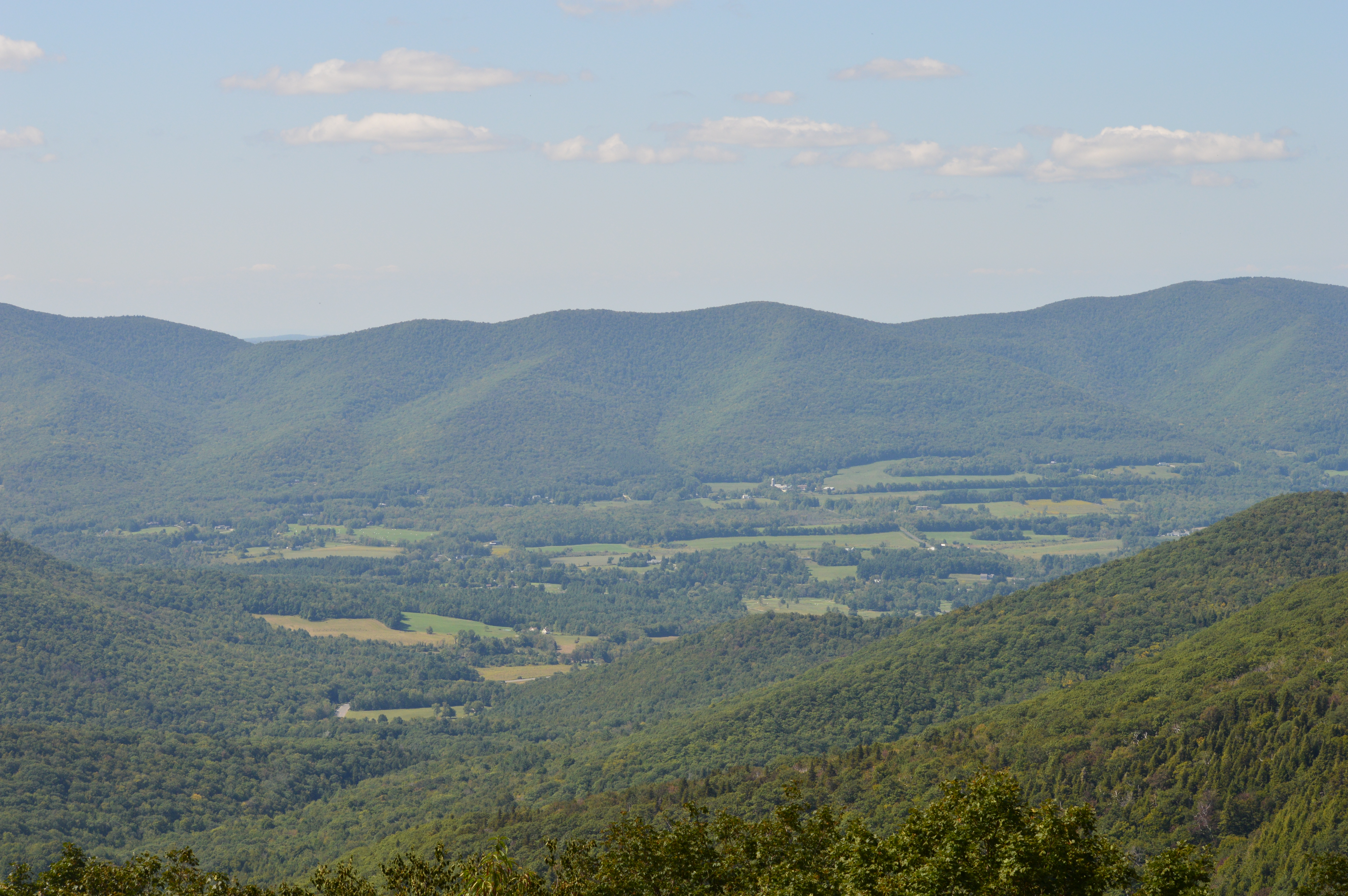
If you want to feel on top of the world, or at least on top of Massachusetts, there’s no place like Mount Greylock.
Clocking in at 3,491 feet and about an hour and a half west of Springfield, MA, Mount Greylock is the highest point in Massachusetts. With its miles of hiking trails and scenic views, Mount Greylock is the perfect destination for hikers and nature lovers. There is also a paved road to the summit with places to pull over to view the scenic beauty.
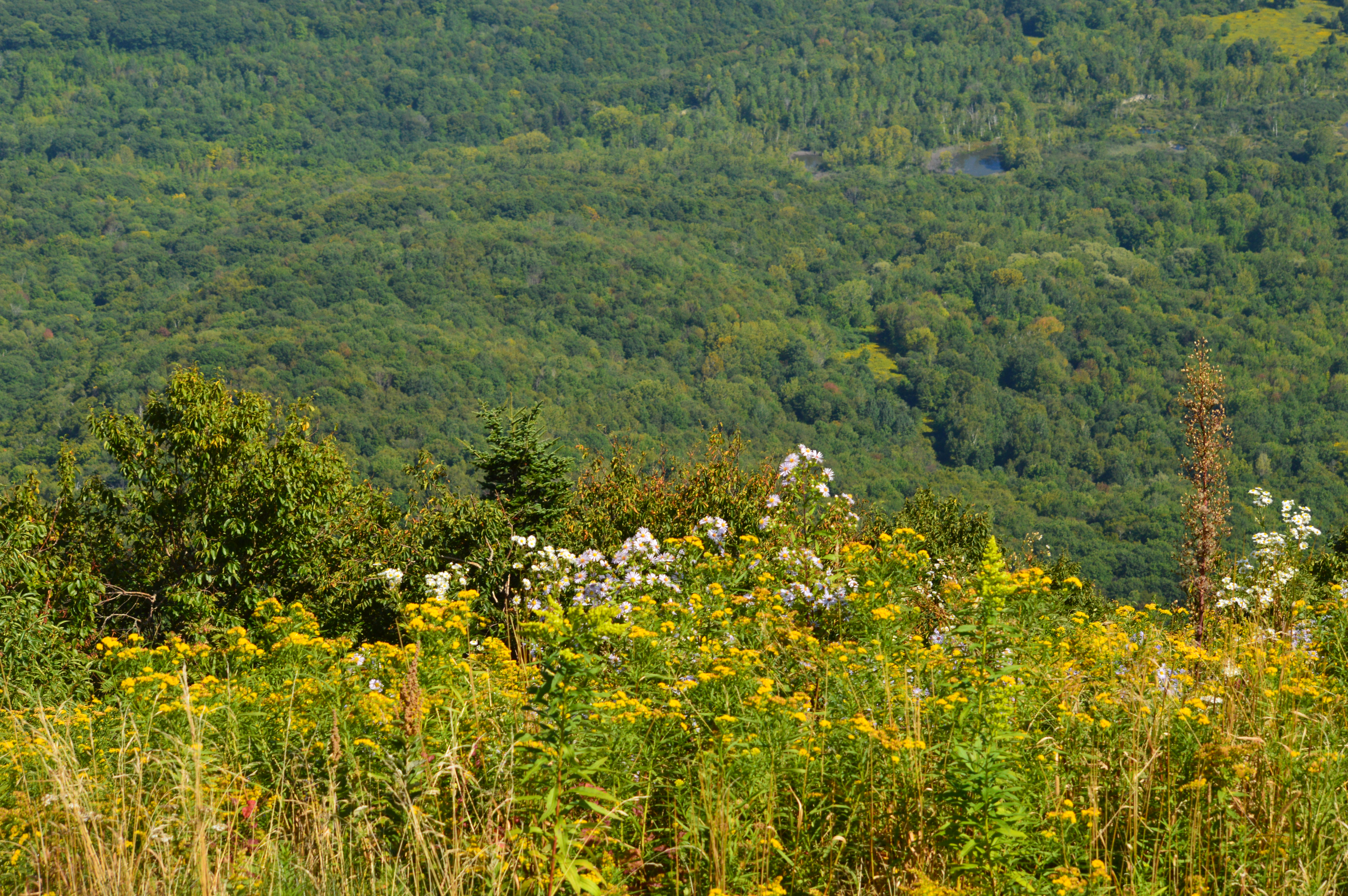
There are also some cute and pretty attractions off the main trails.
Even the views and flowers at the Visitor Center were captivating.
Along the trails
But, the pinnacle of Mount Greylock is the tower that sits atop the summit. First built as a tribute to the veterans of the first World War, the tower now serves as a memorial to all service members who have served the country. When it is lit each night, the tower is said to be able to be seen from 70 miles. The granite from which the tower was came from my hown city, Quincy (pronounced kwin-zee), Massachusetts.
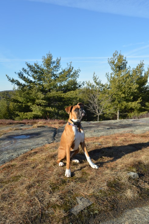
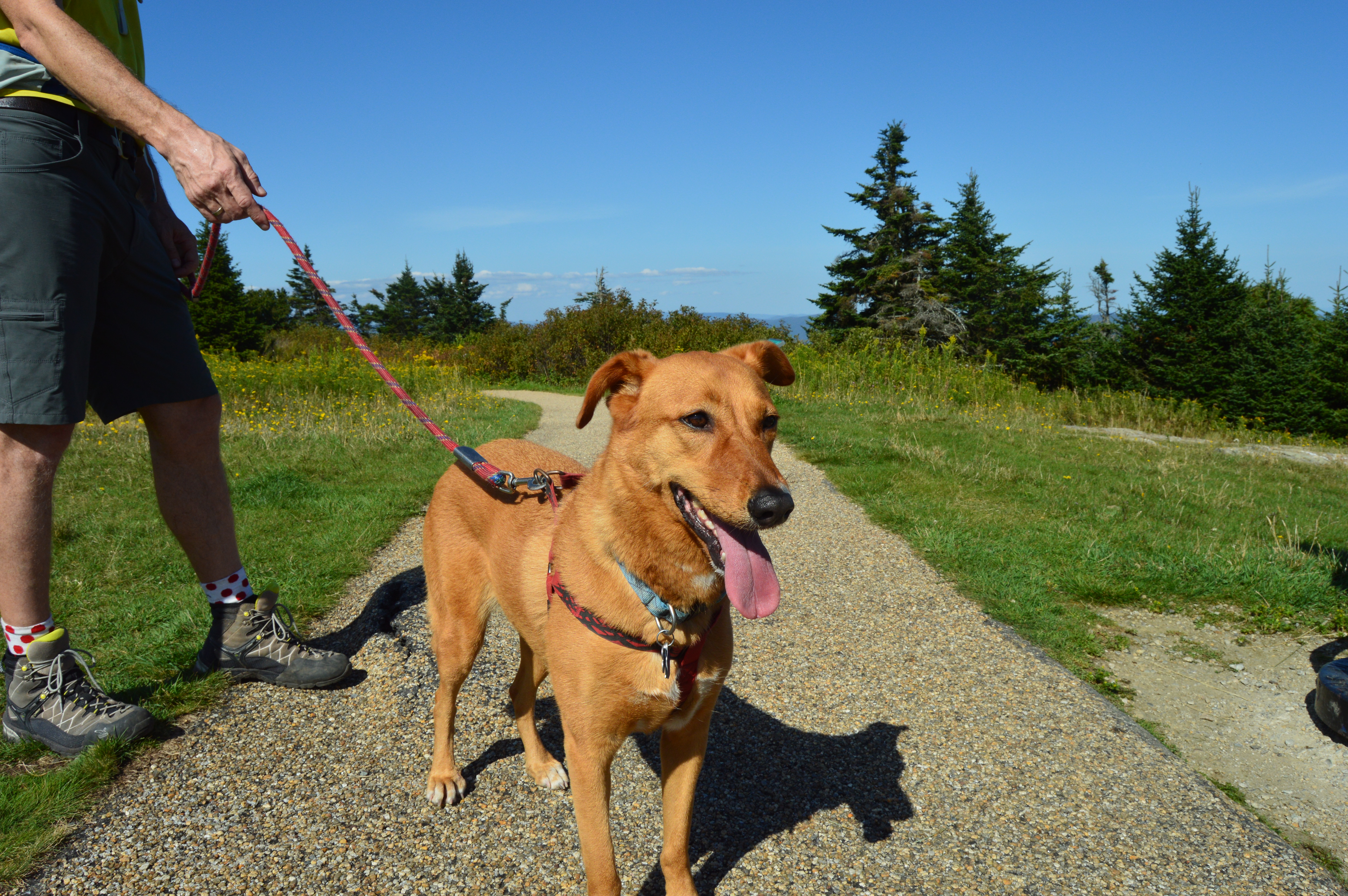
Mount Greylock State Reservation is a dog friendly park. During my visit there were many dogs out enjoying the views.
Izzy was patiently waiting for his mom outside the visitor’s center.
Peanut was getting ready for his big hike.
Max was tired from hiking the trails at Greylock.
This fella was enjoying some rays.
Most of the wildlife at Mount Greylock was hidden during the day. But, I did see this grasshopper.
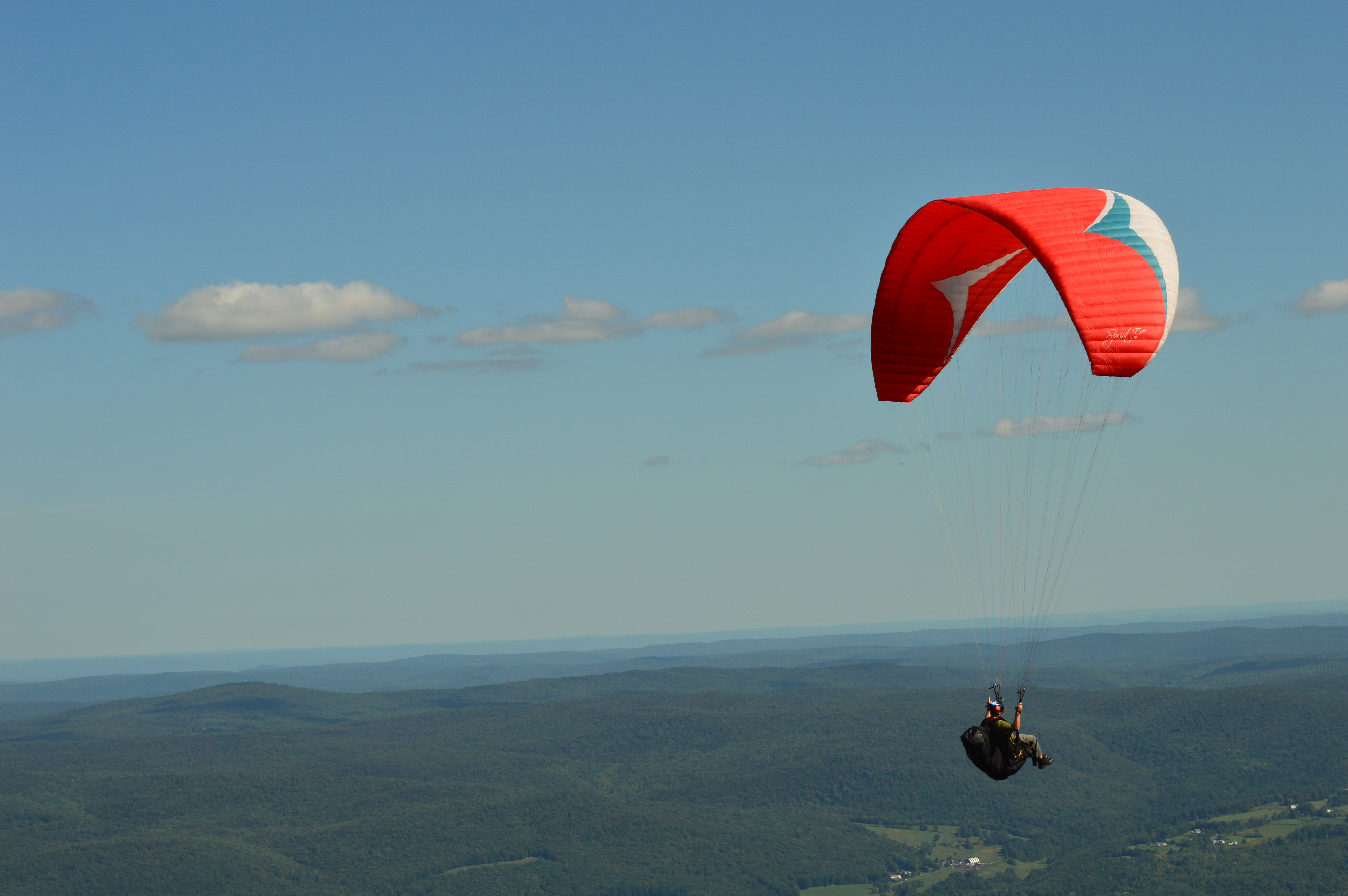
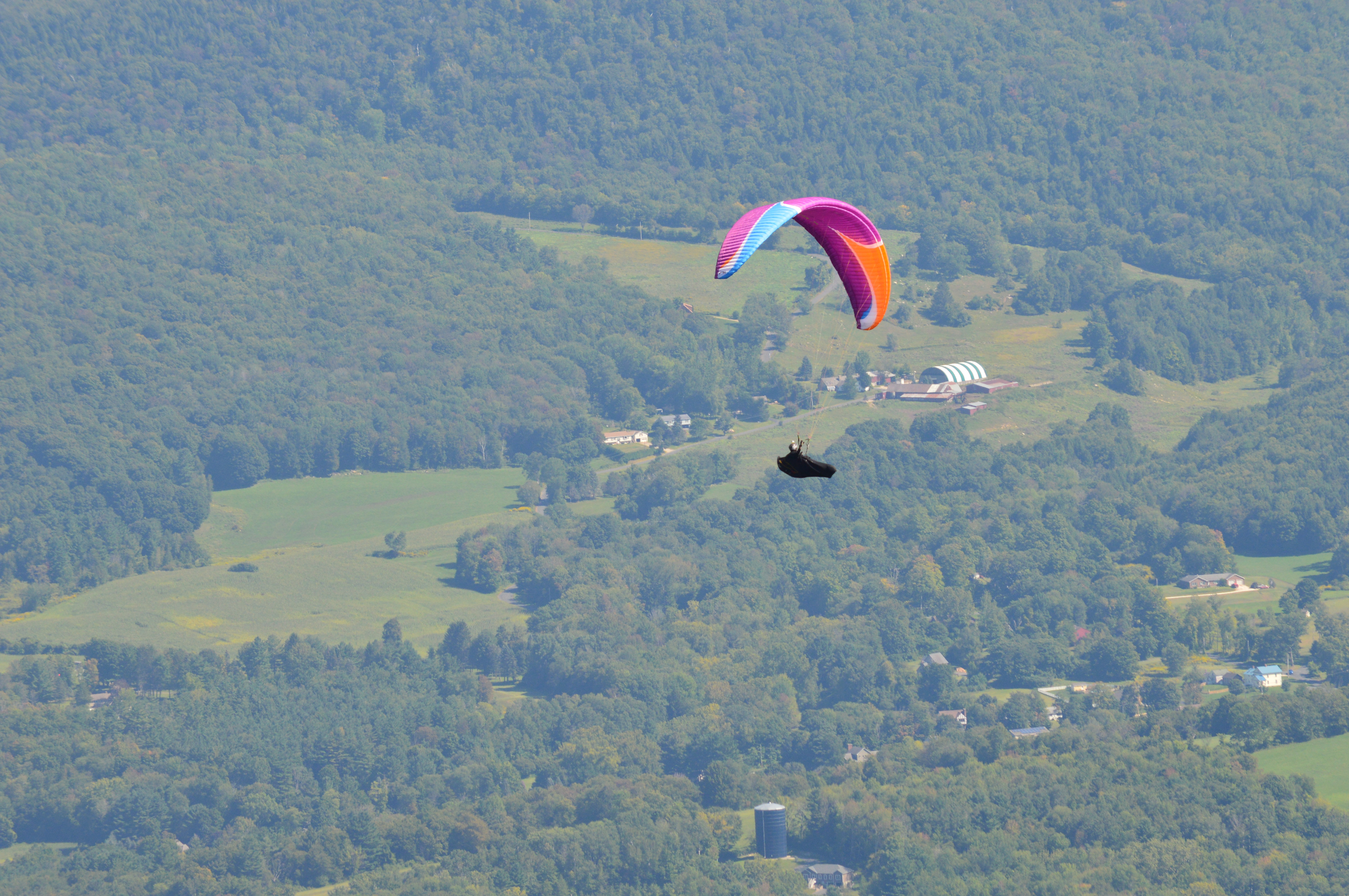
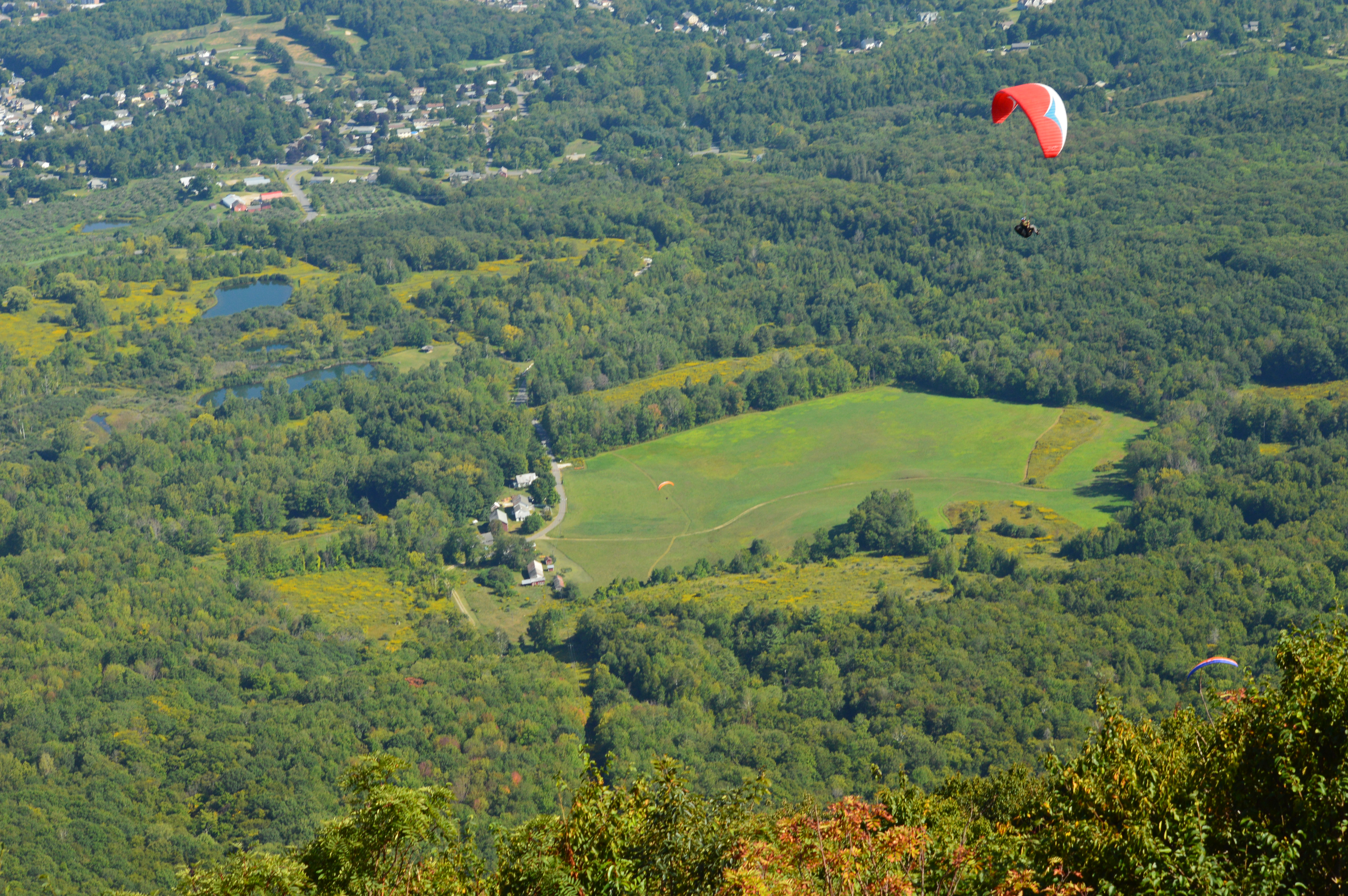
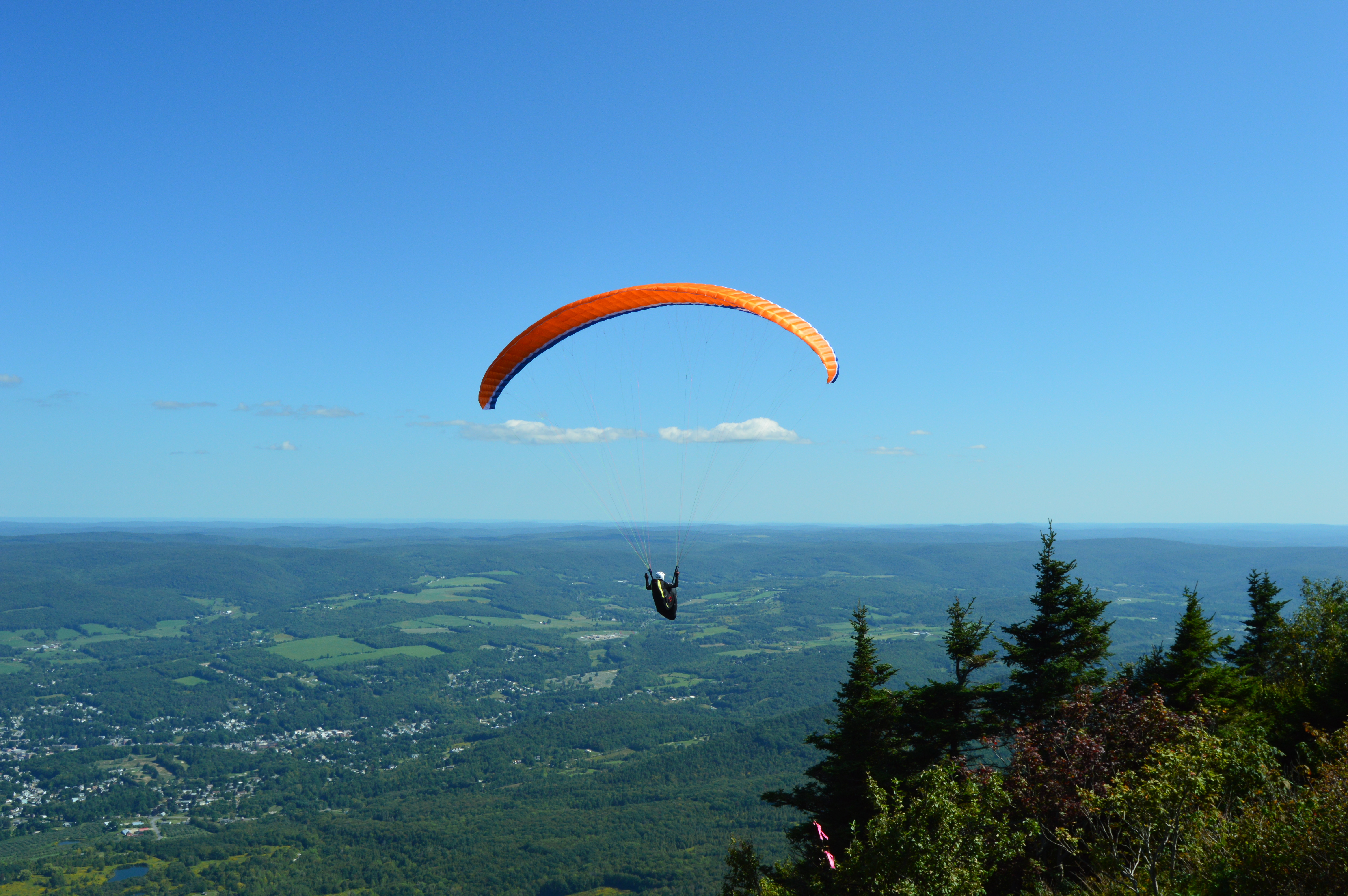
Mount Greylock is also a popular spot for paragliders. In fact, several paragliders took off from Mount Greylock during the day.
Mount Greylock is also a stop on the Appalachian Trail. It’s a long way to Georgia. Maybe I’ll try it sometime.
Granville State Forest is 2,000 plus acre state forest and campground located in, you guessed it Granville, Massachusetts. Be advised, the trails are long in between the various ponds, brooks and various other attractions. But, you can drive on the unpaved roads if walking isn’t your style.
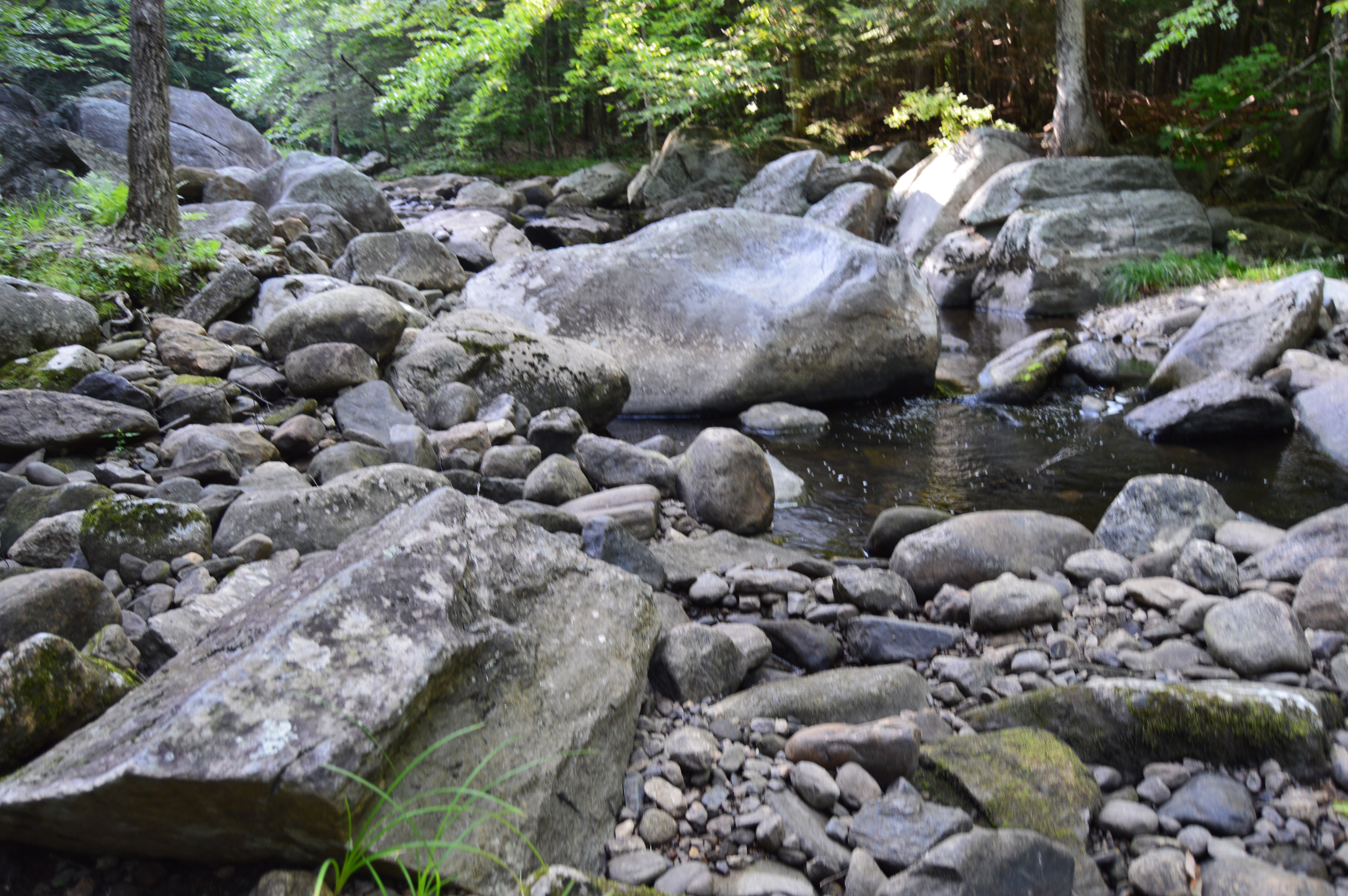
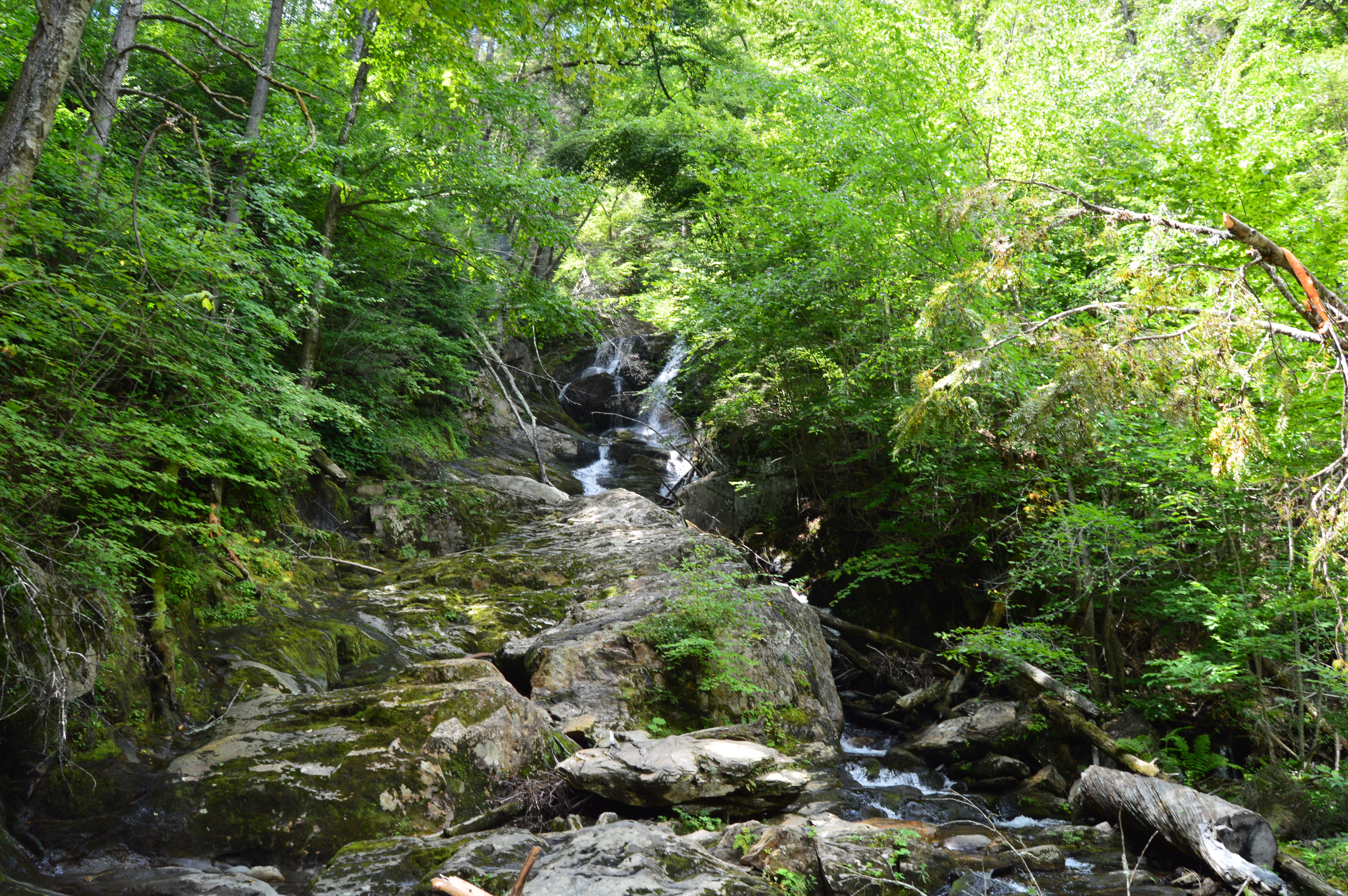
Located about 45 minutes from Springfield, MA, Granville State Forest was once a popular hunting spot for the Tunxis. I didn’t run into Tunxis during this visit. But, I did see some stunning views. Take this waterfall, for instance.
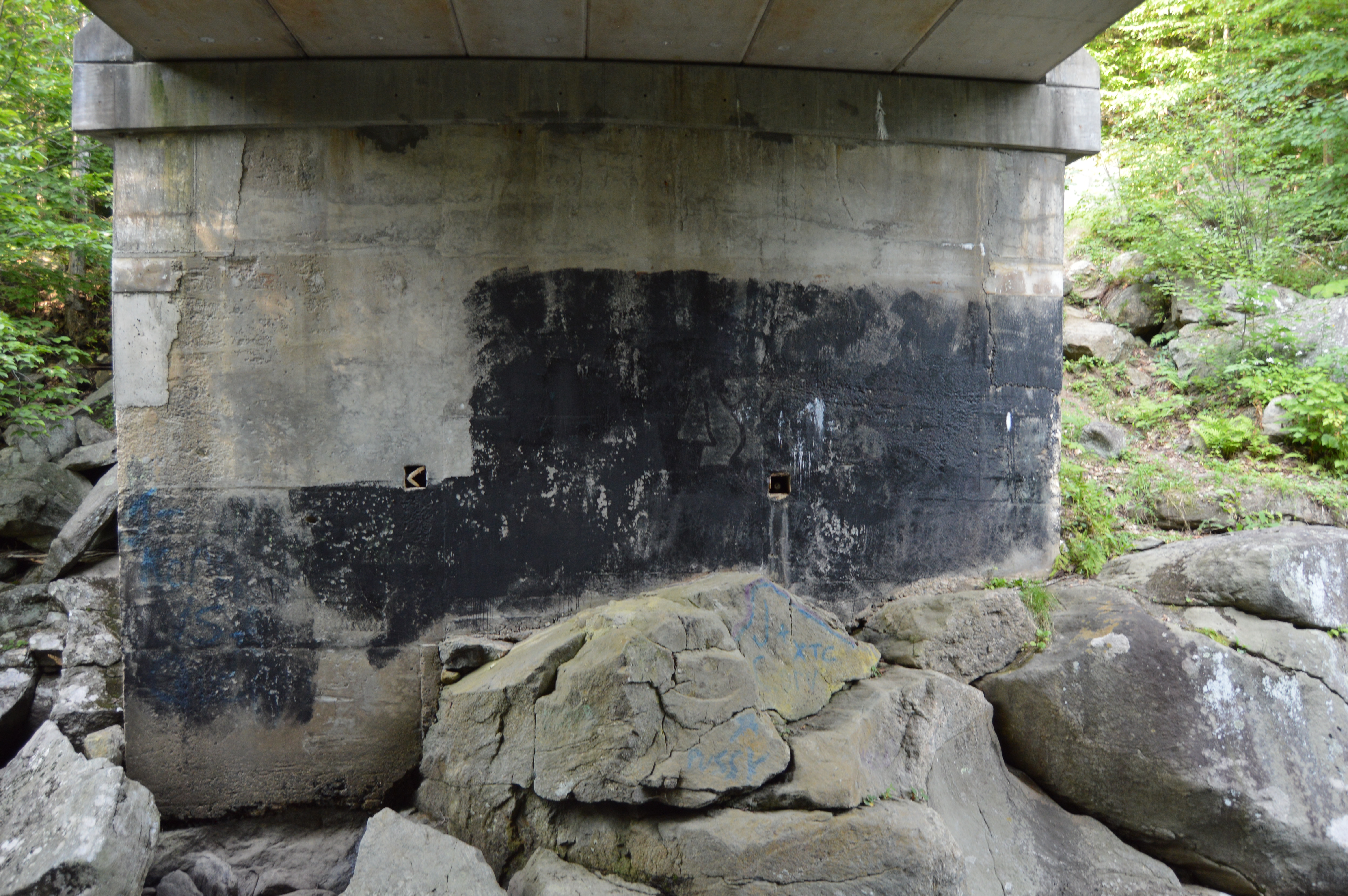
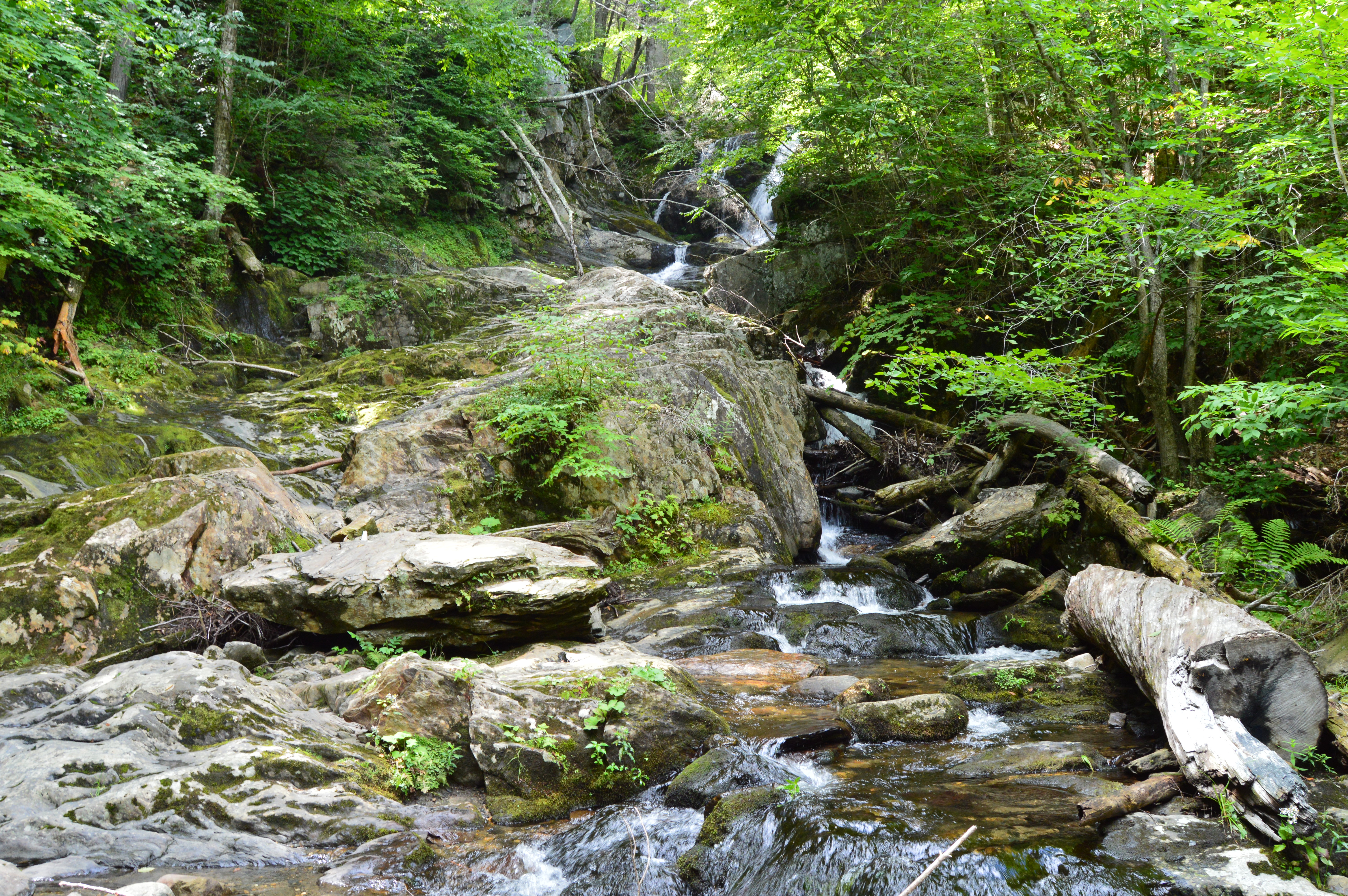
But, to really get a sense of the beauty of the Hubbard River, one must get off the beaten path, or bridge as it were in this case.
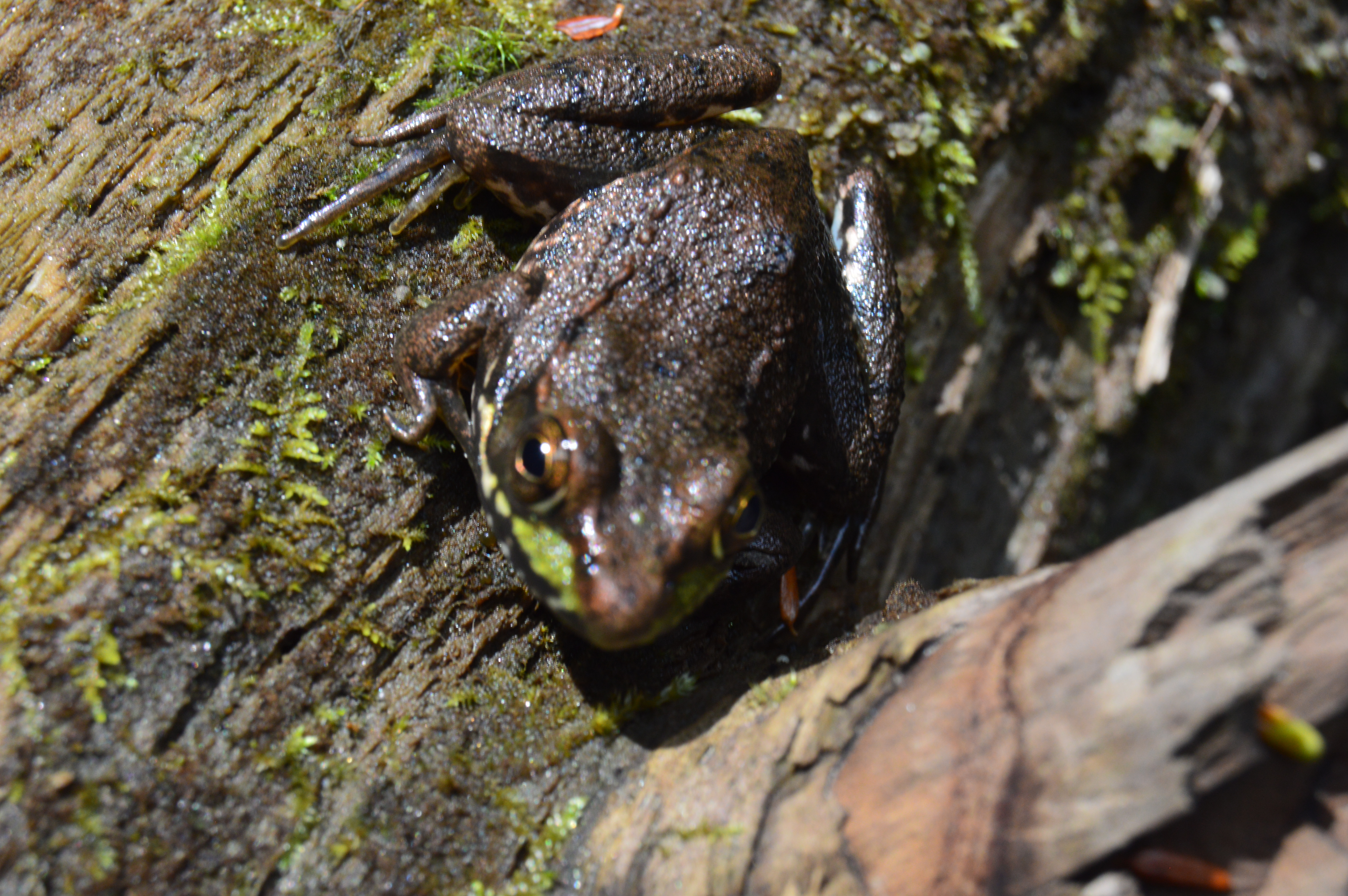
It’s amazing the things you see when you get off the main path. Like this Frog with his lunch.
Or this artful graffiti, especially the curse words. It’s vary quaint. Oh, you crazy kids. At least I hope it was kids who wrote it.
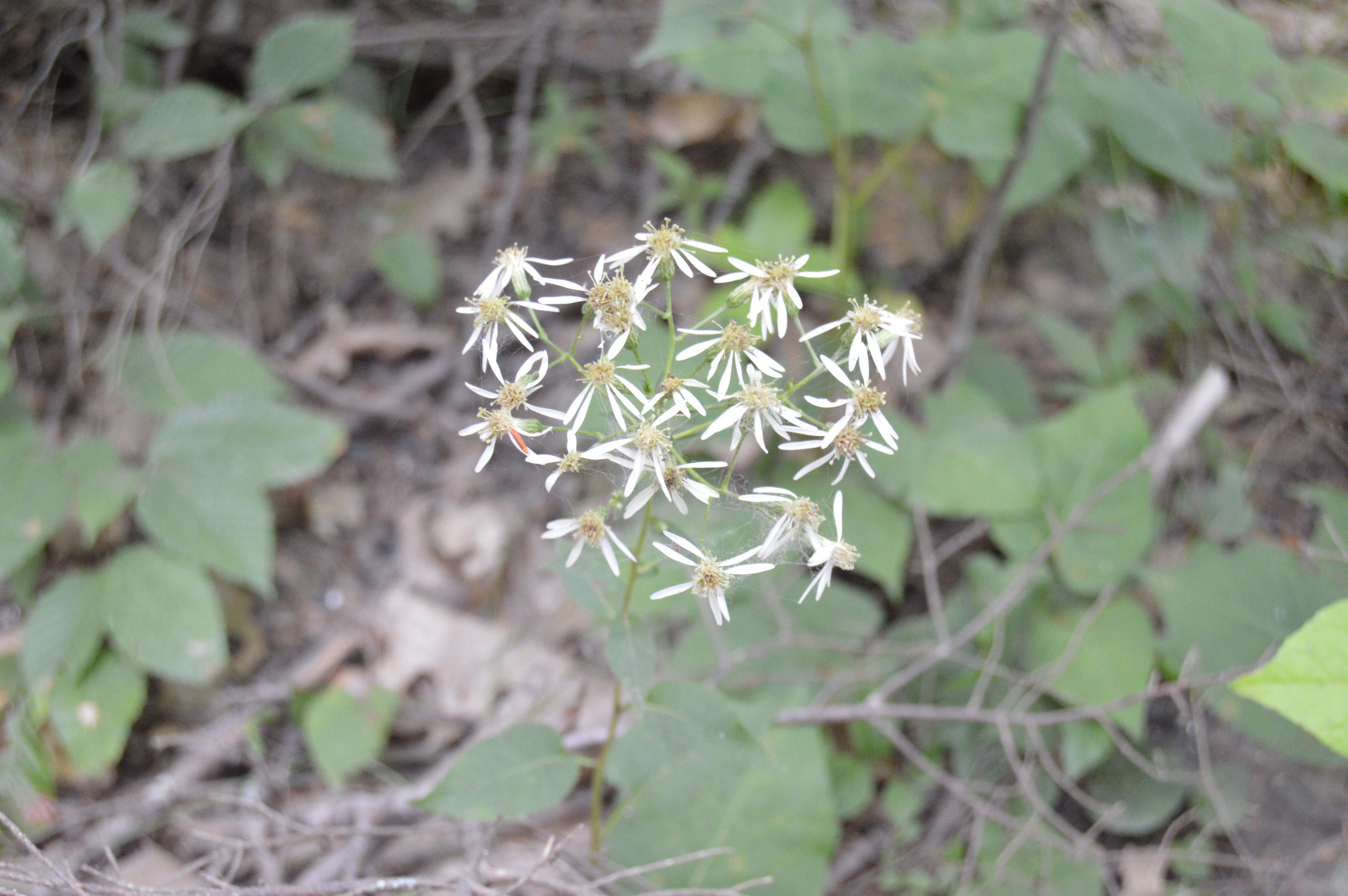
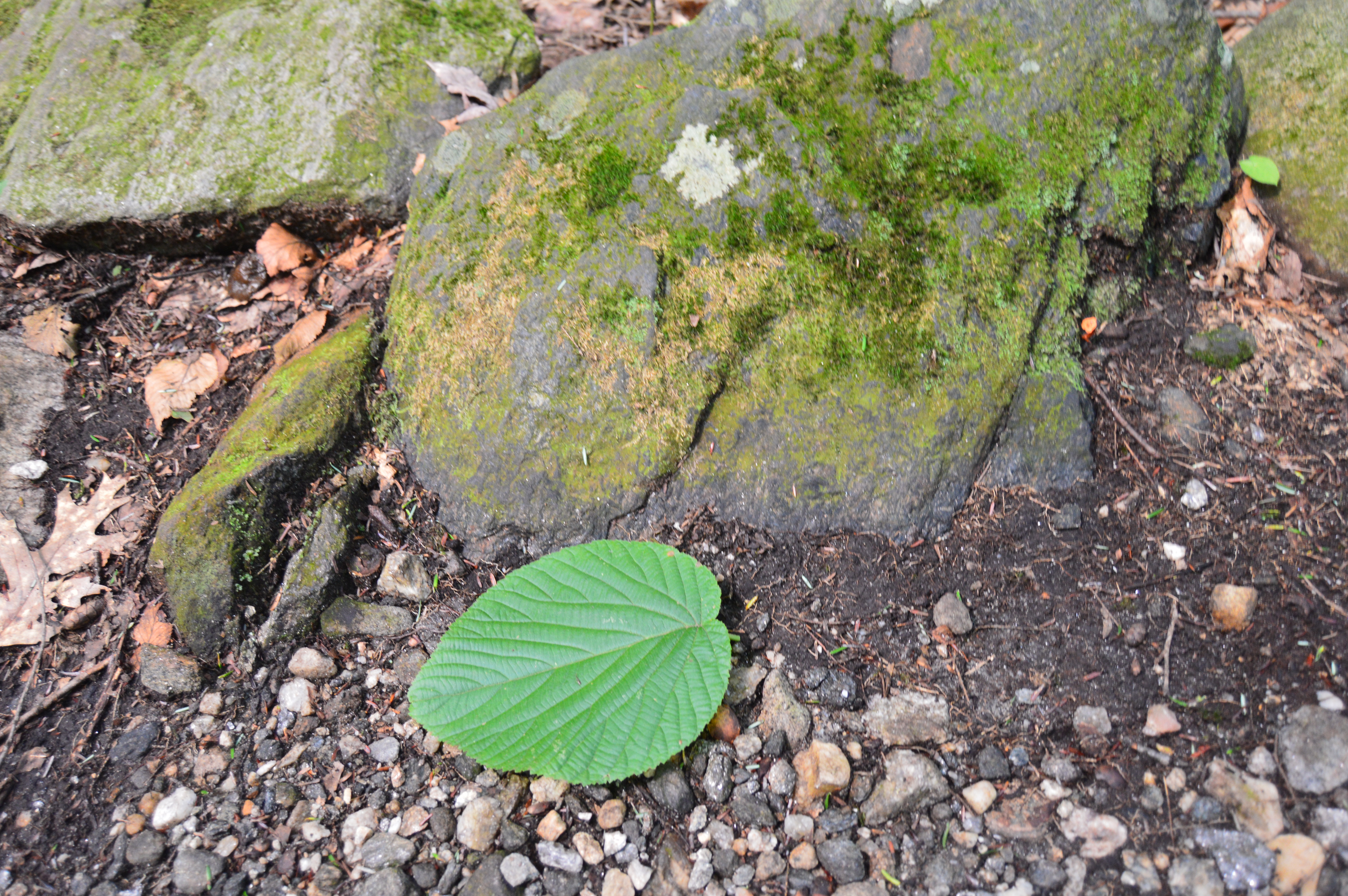
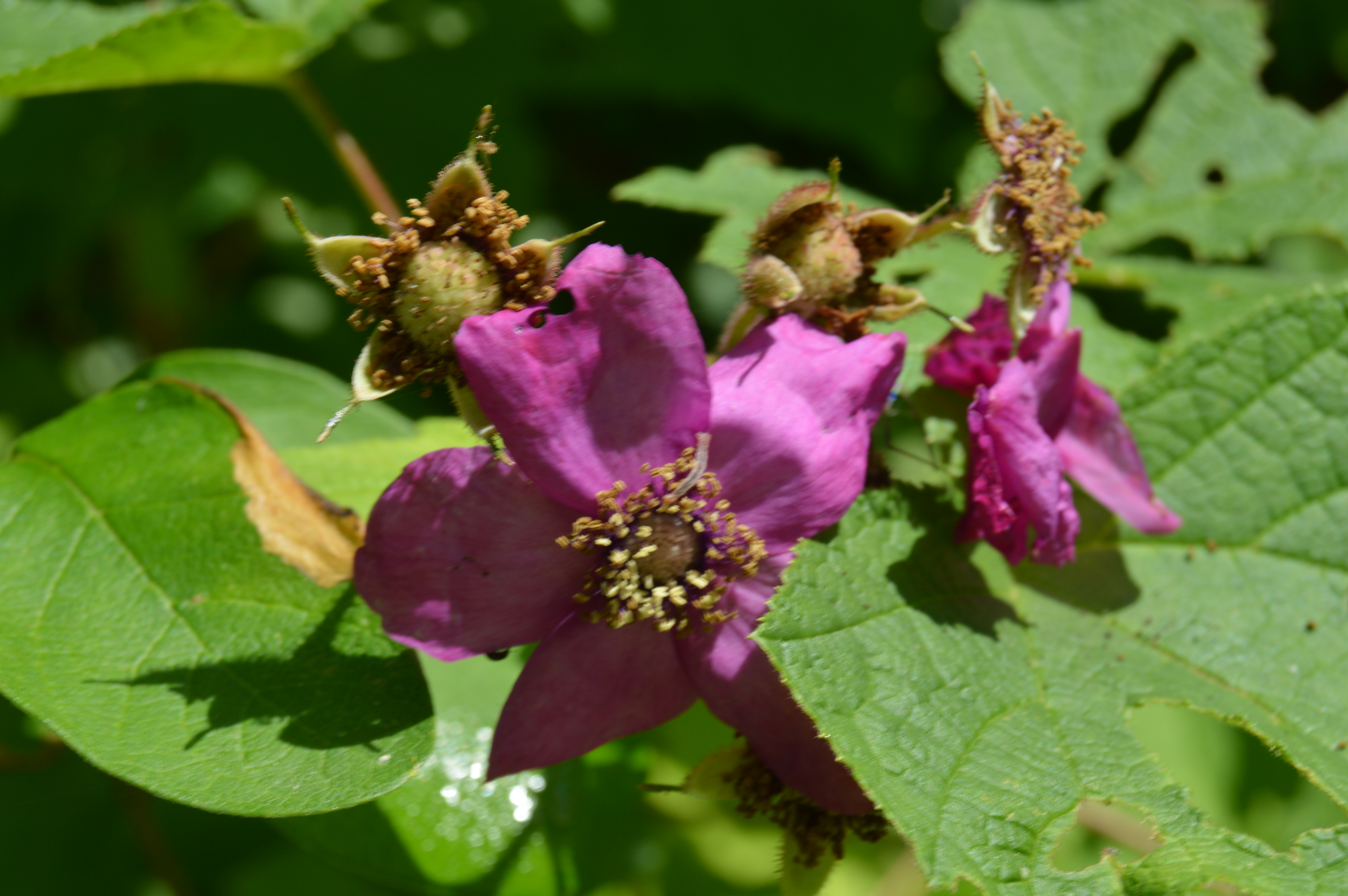
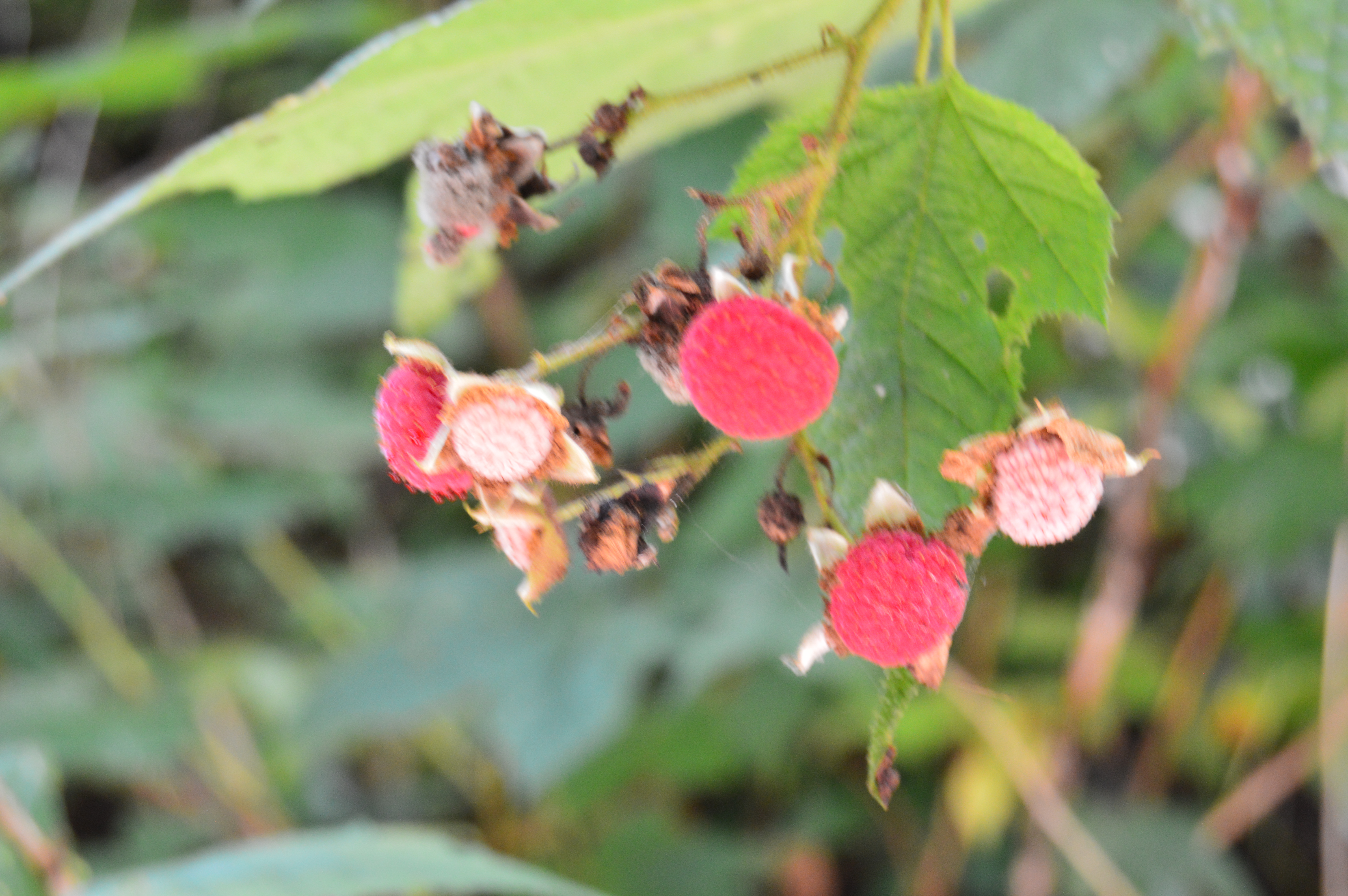
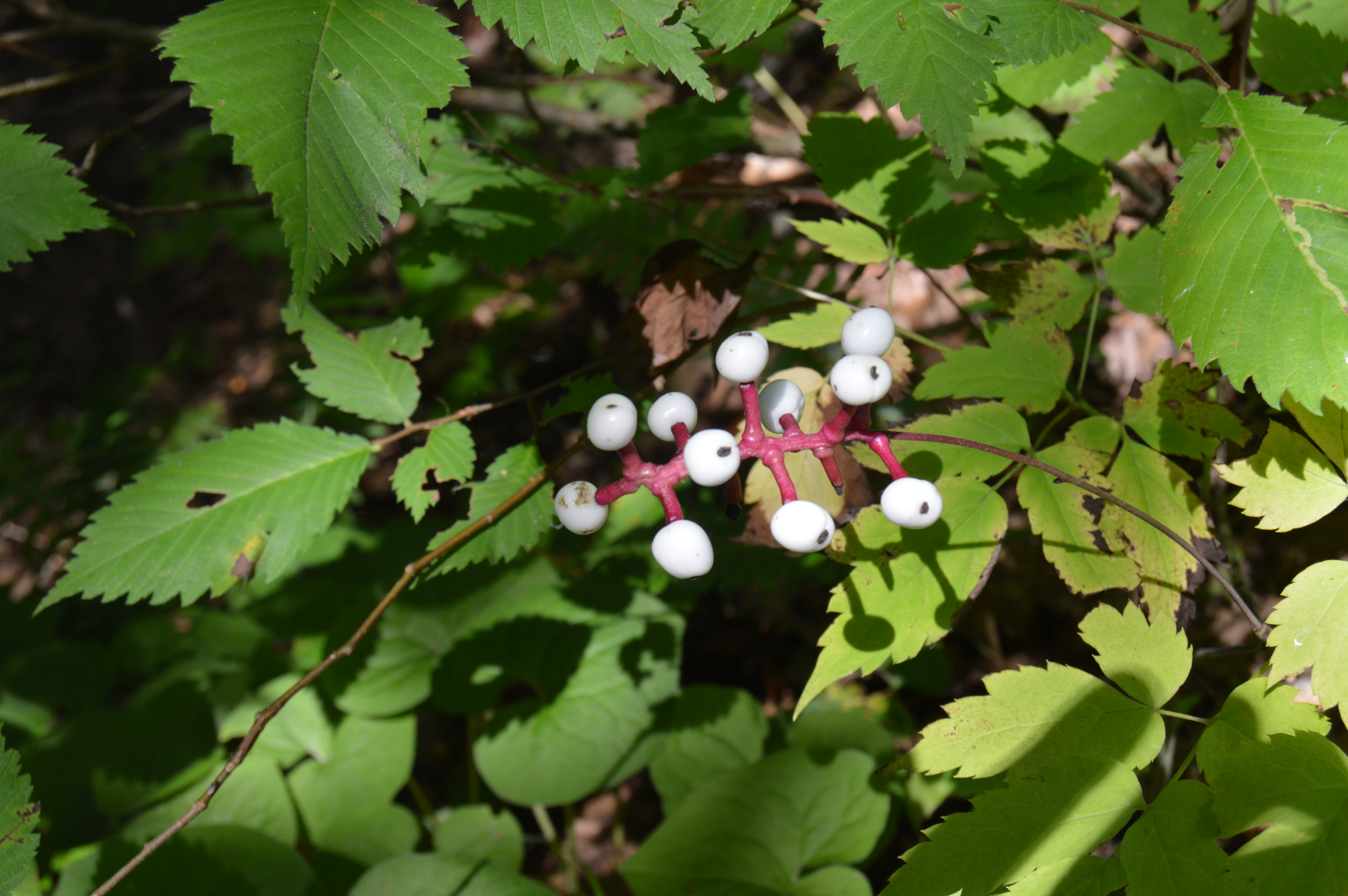
There are also an abundance of pretty flowers and trees.
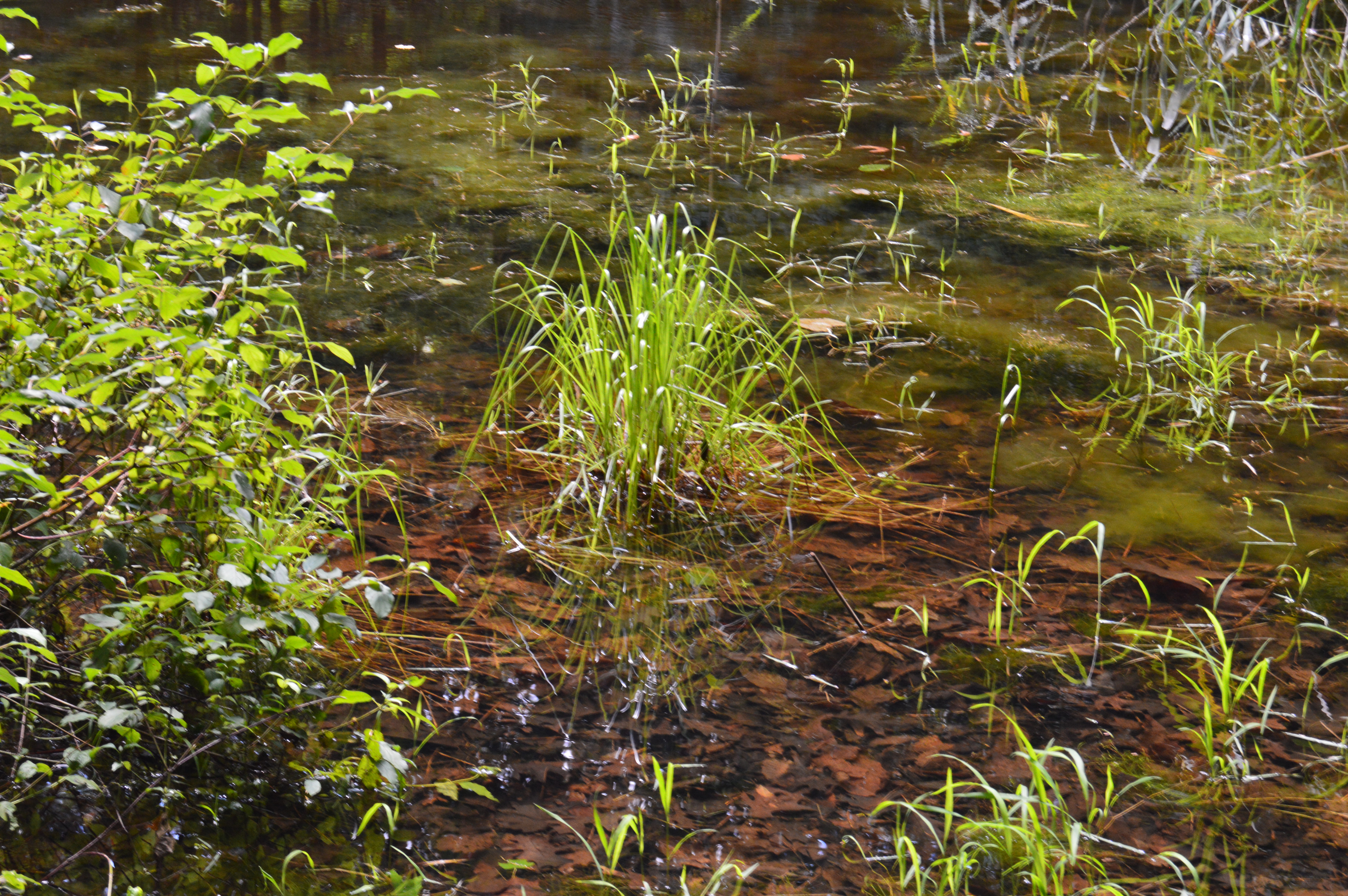
About a mile from the bridge over the Hubbard stream, there is the two acre Bahre Pond. Bahre Pond has some pretty views.
It is also teeming with wildlife, like this water snake.
And this frog who thought he could hide from me.
Granville State Park also has some paths off the main trails that have some hidden gems.
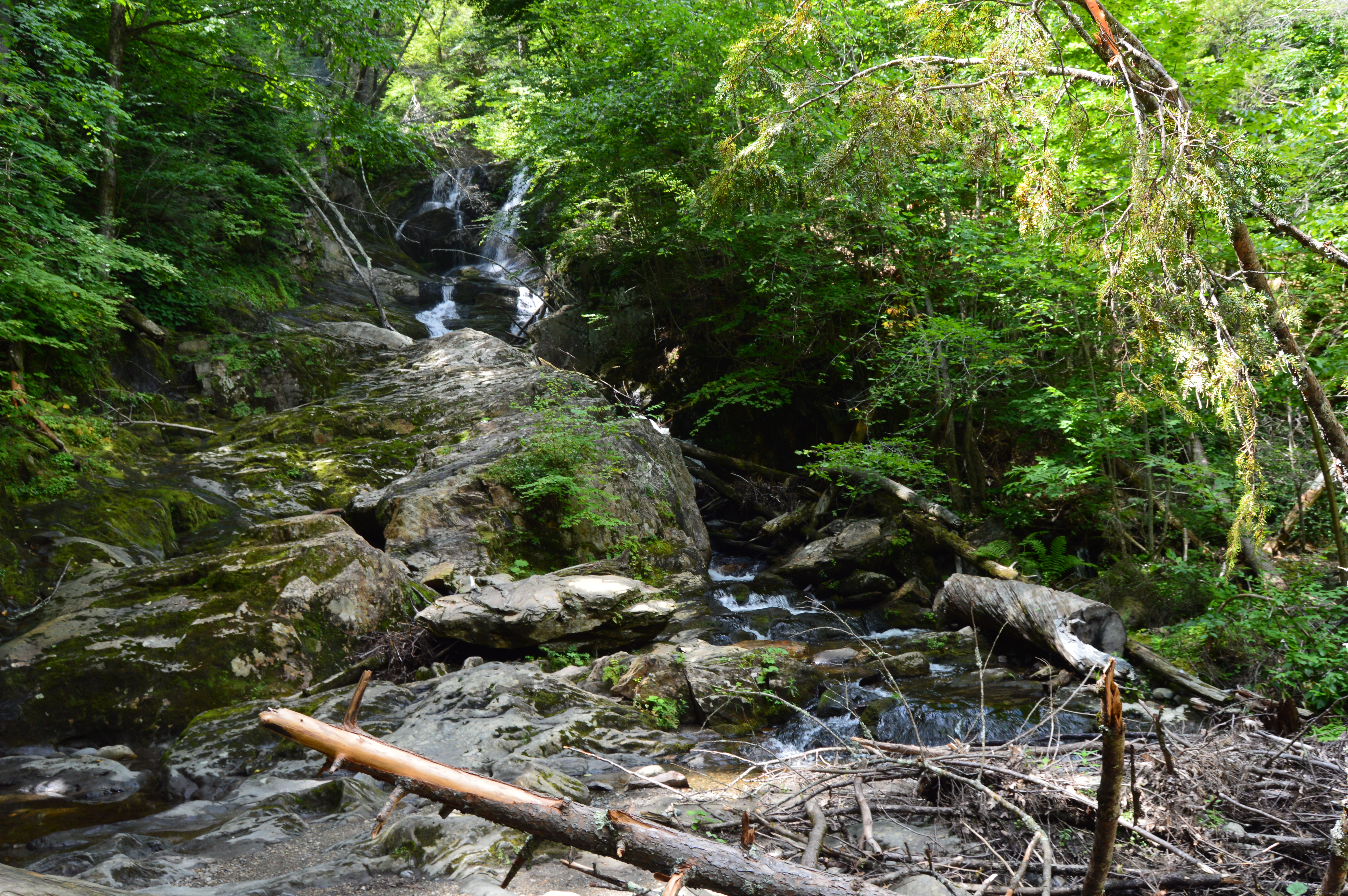
The main attraction at Granville State Forest has to be the waterfall. Below is a short video of the waterfall in all its splendor.
After photographing a variety of mountainous, rocky state parks, I thought it was time to mix it up and visit a rocky, hilly waterfall. Initially, we planned on visiting CM Gardner State Park. But, the helpful park rangers at CM Gardner suggested something more picturesque, Chester-Blandford State Forest.
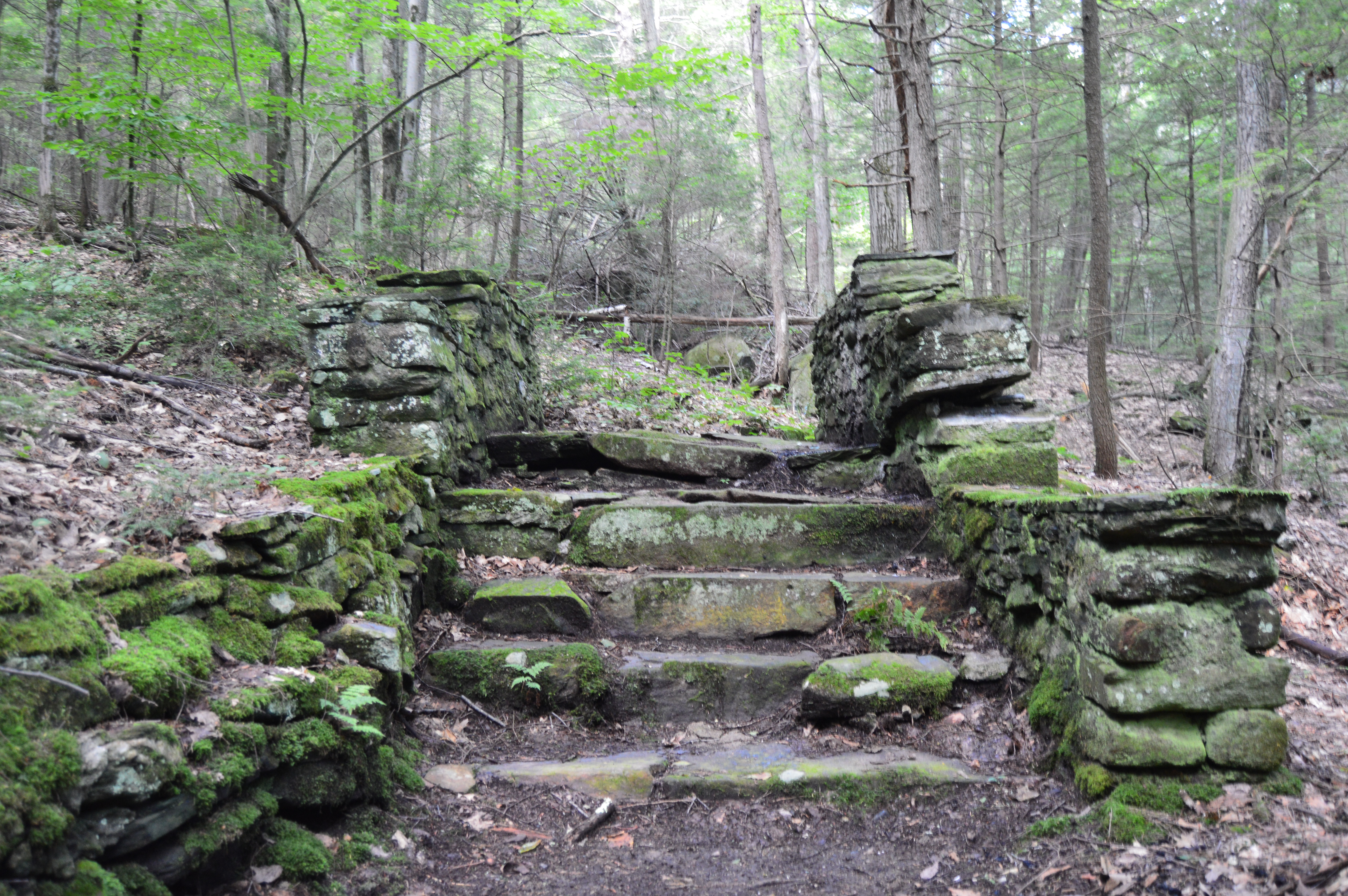
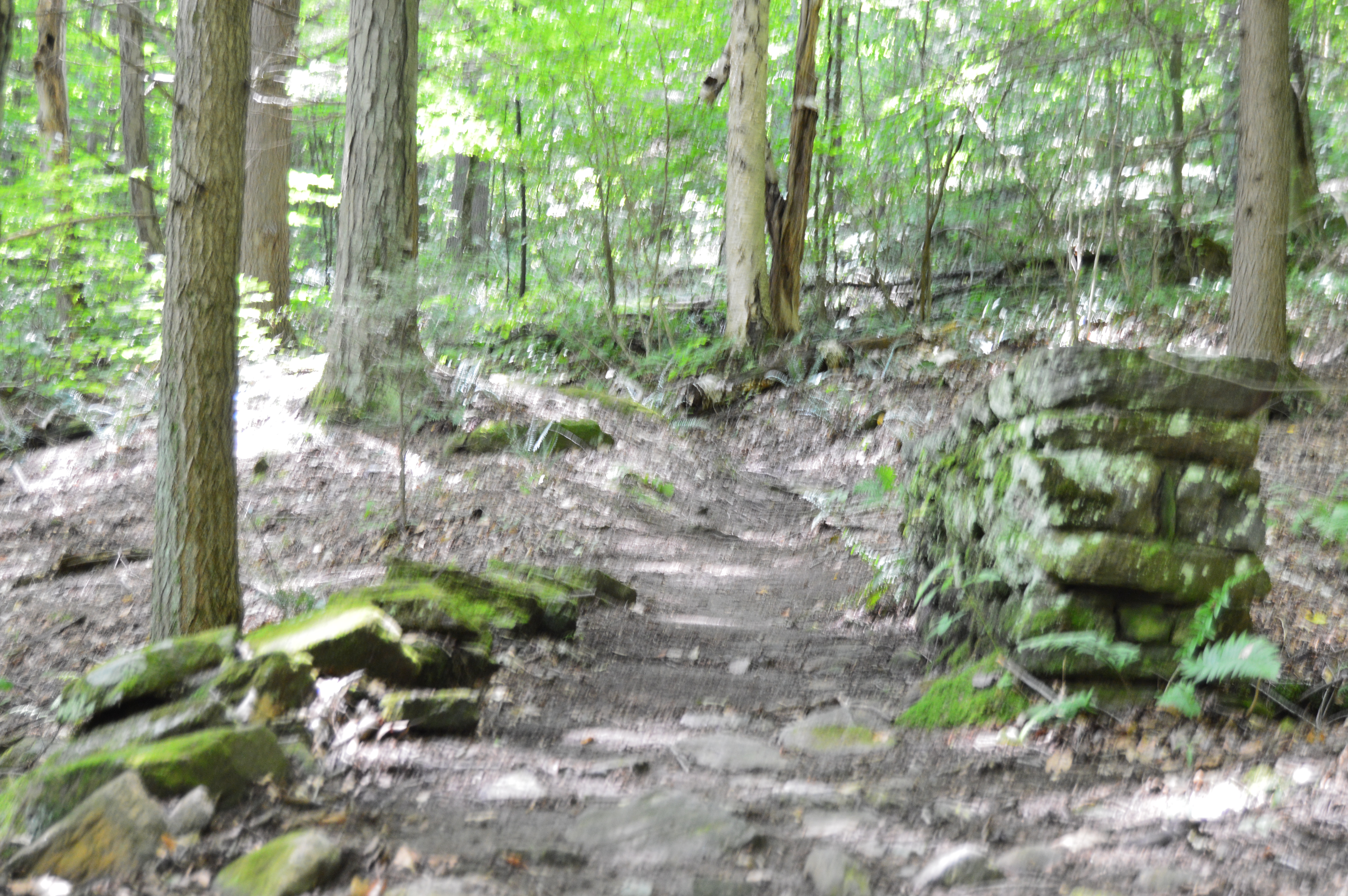
Since it encompasses such a large area (over 2,700 acres), Chester-Blandford has several entrances. The first part of the park we arrived at, Boulder Park, is a rather small area with a pond and a few ill defined trails. But, right from the rocky steps and mossy trails at the entrance it has a unique charm.
The trails also have some unique walkways and structures.
The highlight of the park may be the deep opening off the main trail.
Boulder Rock also has some eye catching plants and wild life.
The pond near the end of the main trail was a nice surprise.
Boulder Rock also had its share of wildlife such as this salamander and mouse.
Alas, our trip to Boulder Rock was over. But, about a mile down the road another entrance beckoned us, the main entrance to the Sanderson Brooks Falls trail of Chester-Blandford.
Pitcuresque views are scattered along the Brooks Falls trail.
Due to the lack of rain recently, the rapids weren’t very, well, rapid. But, the relatively still water and rocky brook provided some good shots.
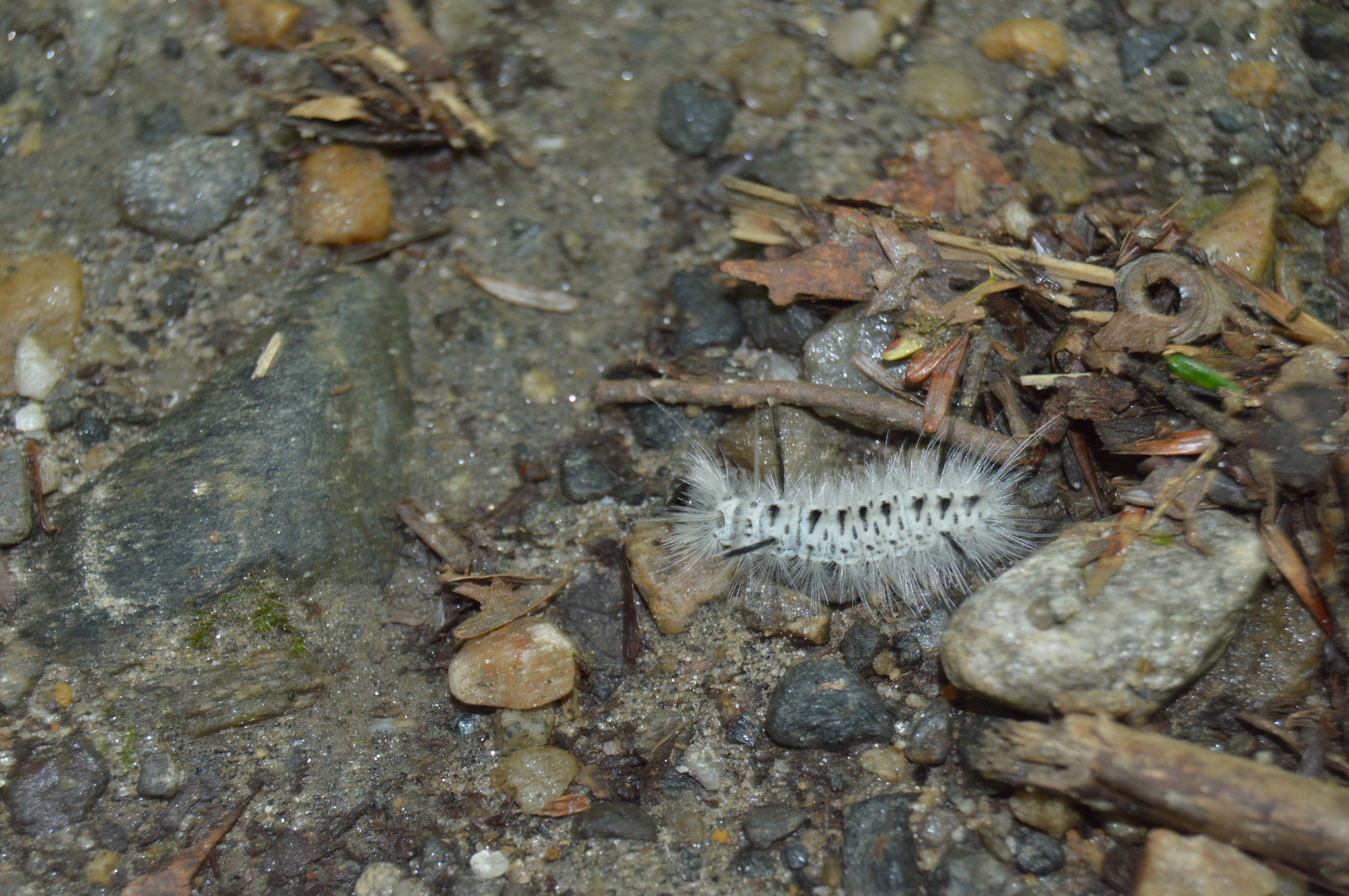
Sanderson Brook Falls also had a fair share of wildlife such as caterpillars,
Toads
and dogs, like Loona.
After a roughly half an hour trek along some rocky terrain, a number of bridges and some steep inclines, I made it to the falls.
The brooks and falls are sure to be more active during the stormy seasons. But, it is still impressive and worth the trip.
To get the full effect of the falls, click on the short video below.
Is there anywhere in the New England area you would like me to visit?
What are some of your favorite waterfalls?
Feel free to stop by Facebook page and like my page: New England Nomad
Even though it’s only August, today was the perfect day for a trip to Mount October.
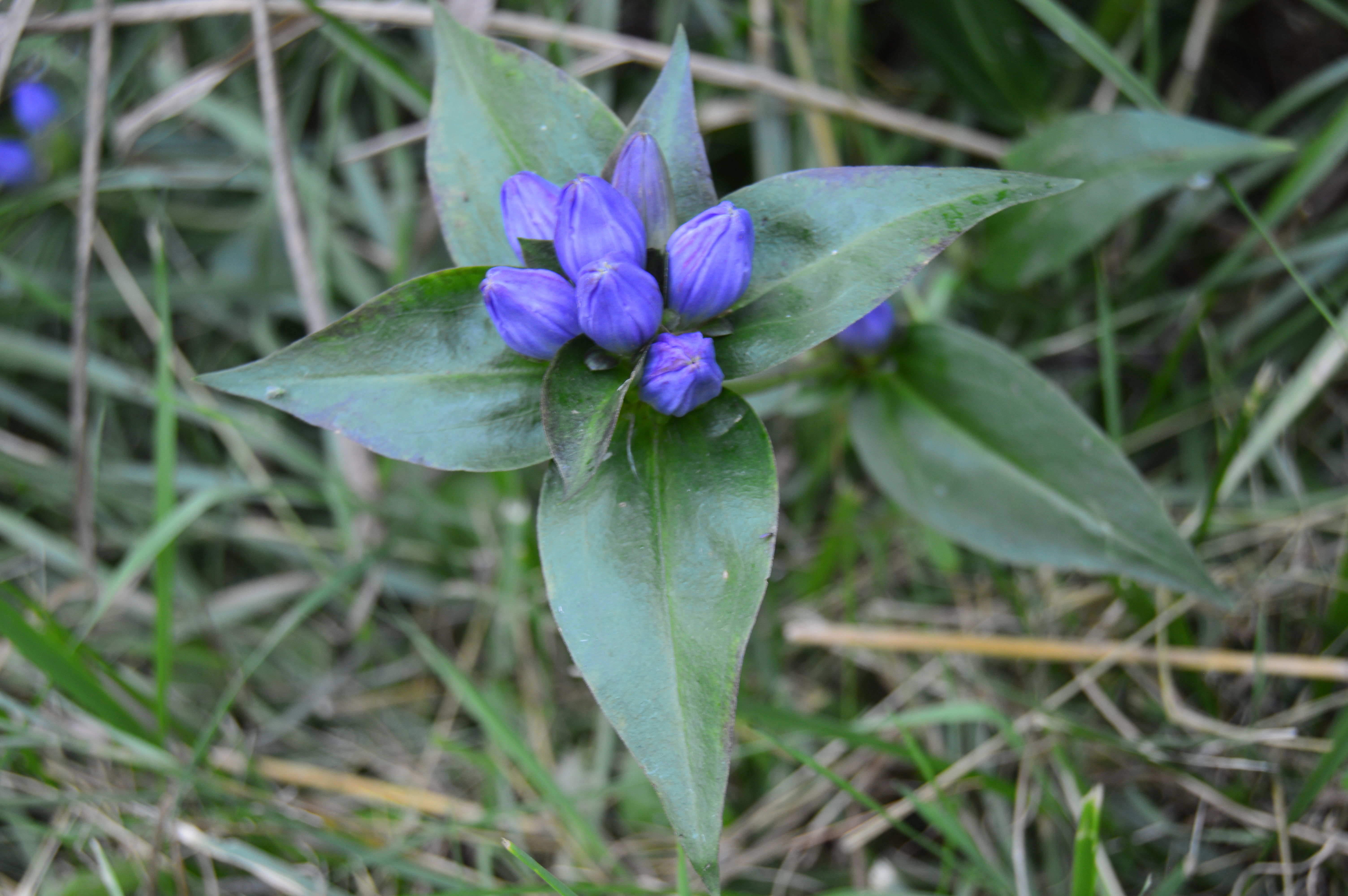
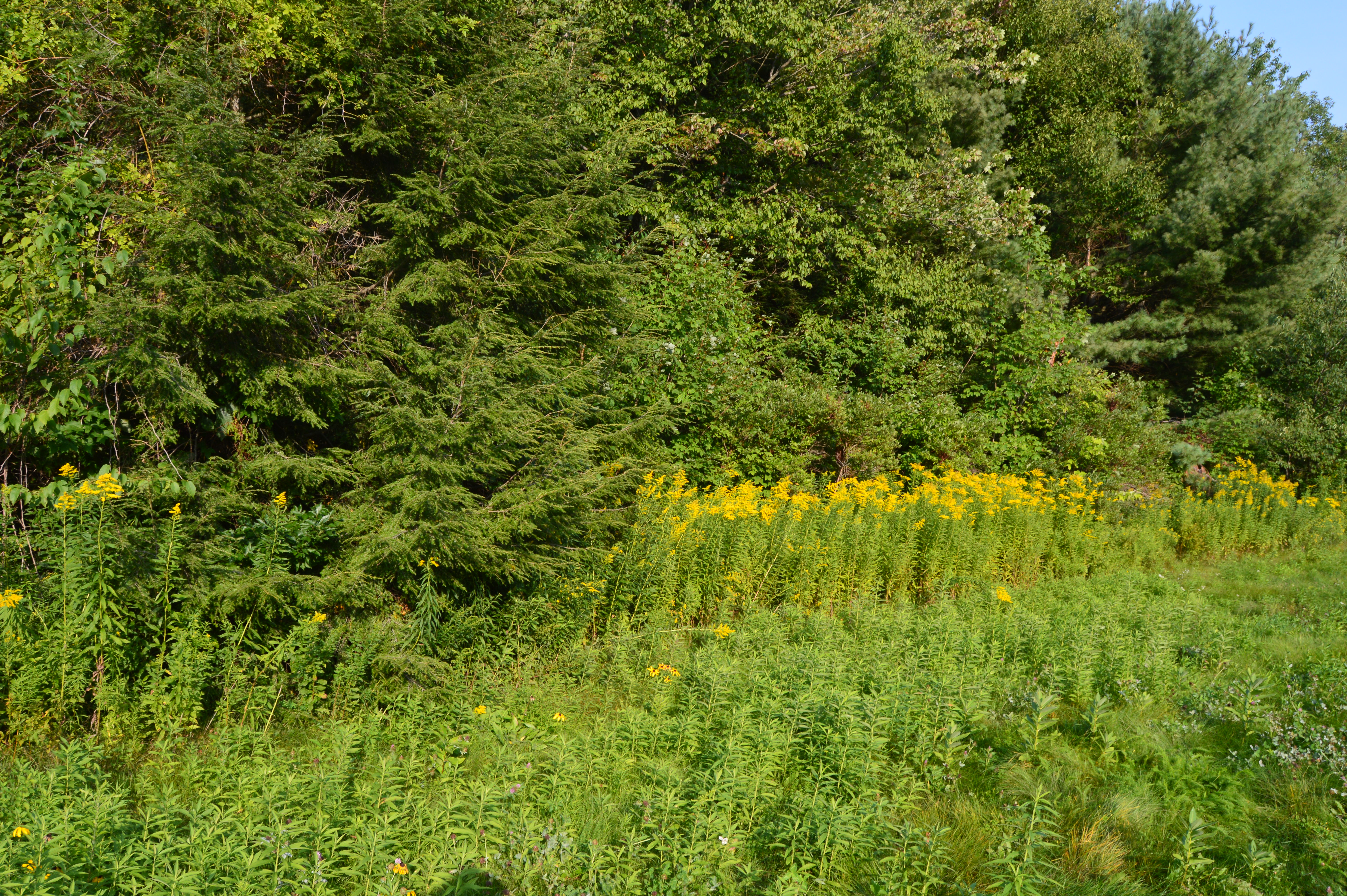
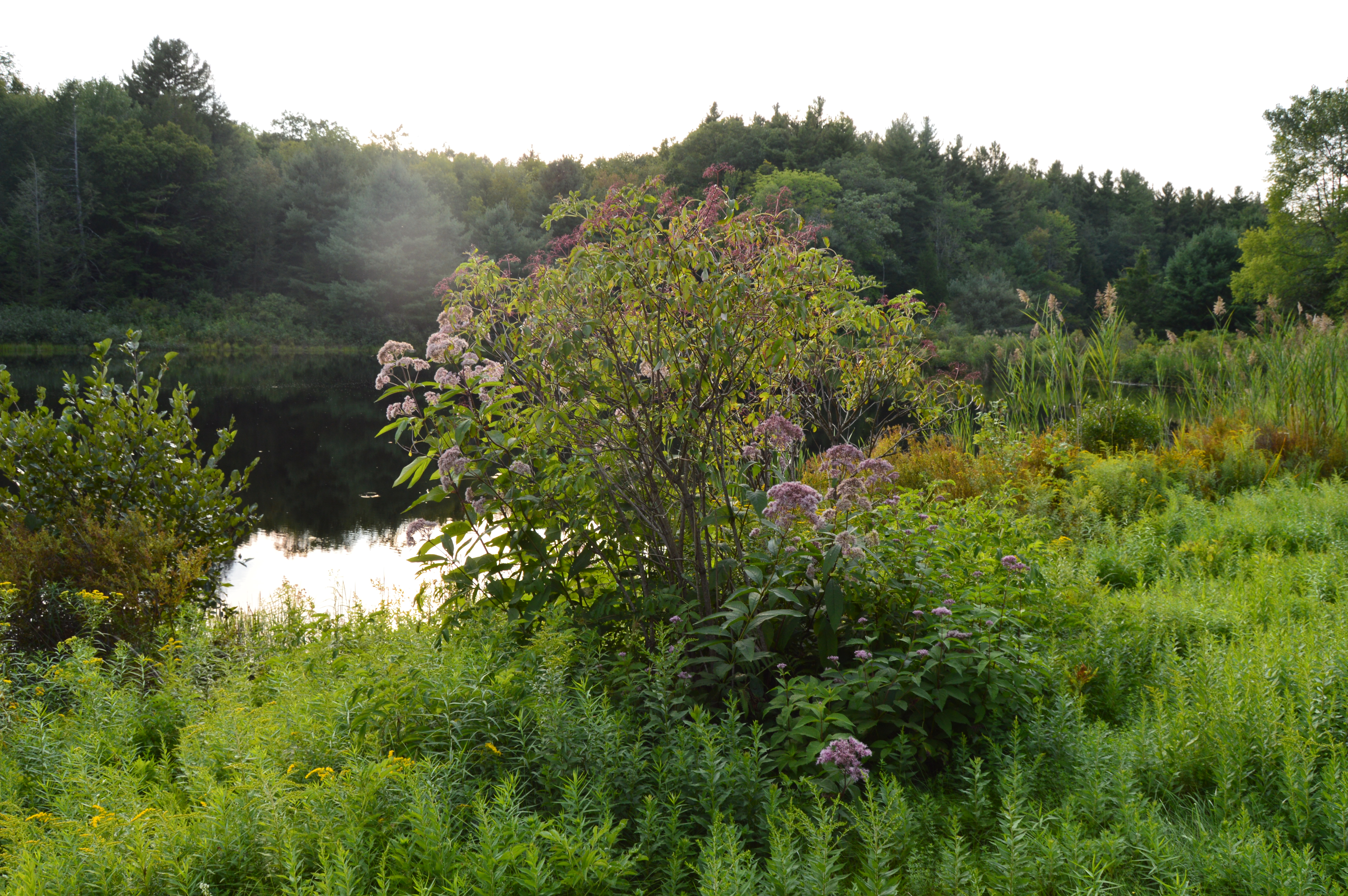
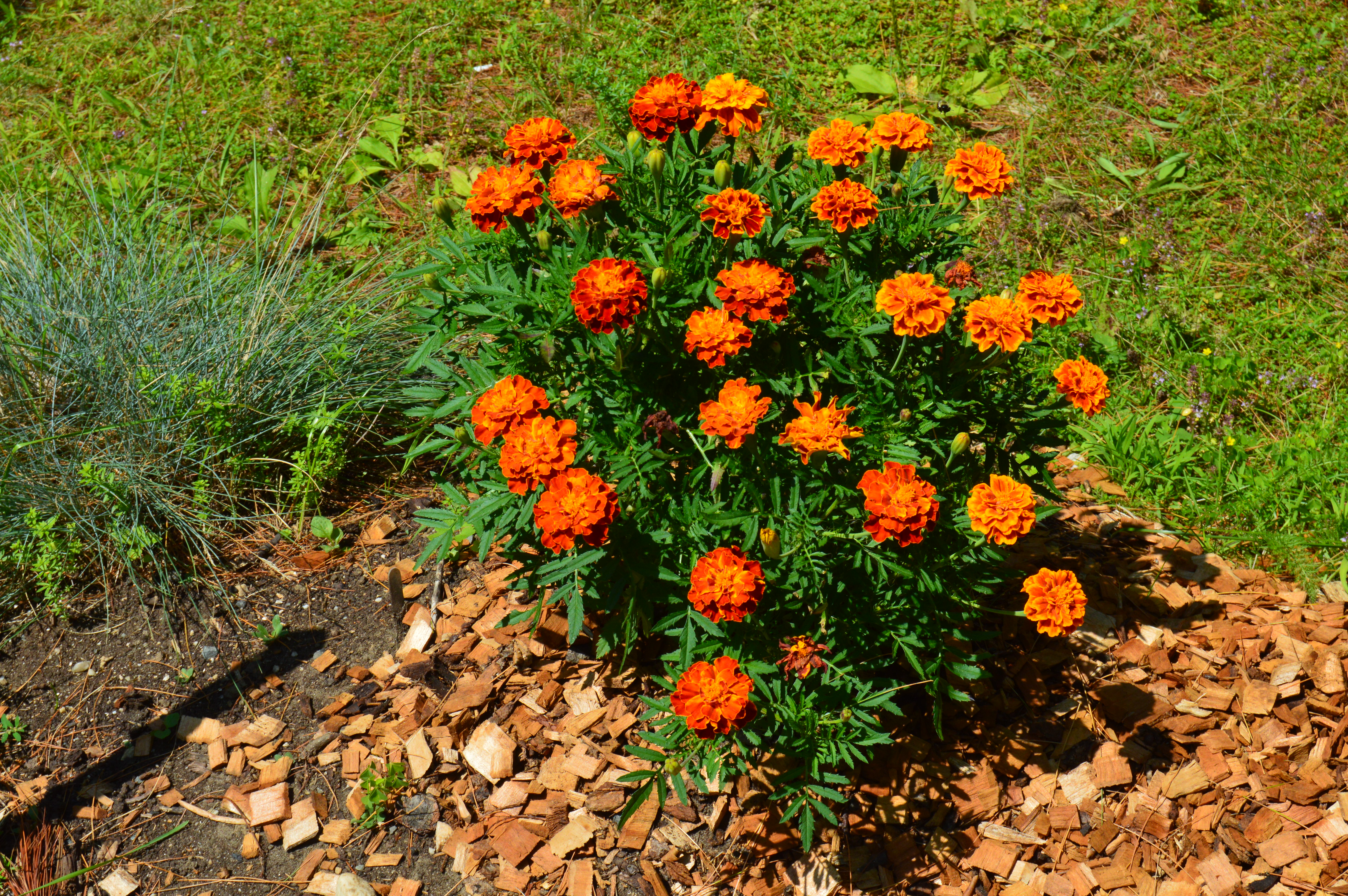
Roughly, a 45 minute drive west of Springfield, MA, Mount October is located in the majestic Berkshires. The wild flowers and plant life, which are a staple of the Berkshires, were in full bloom.
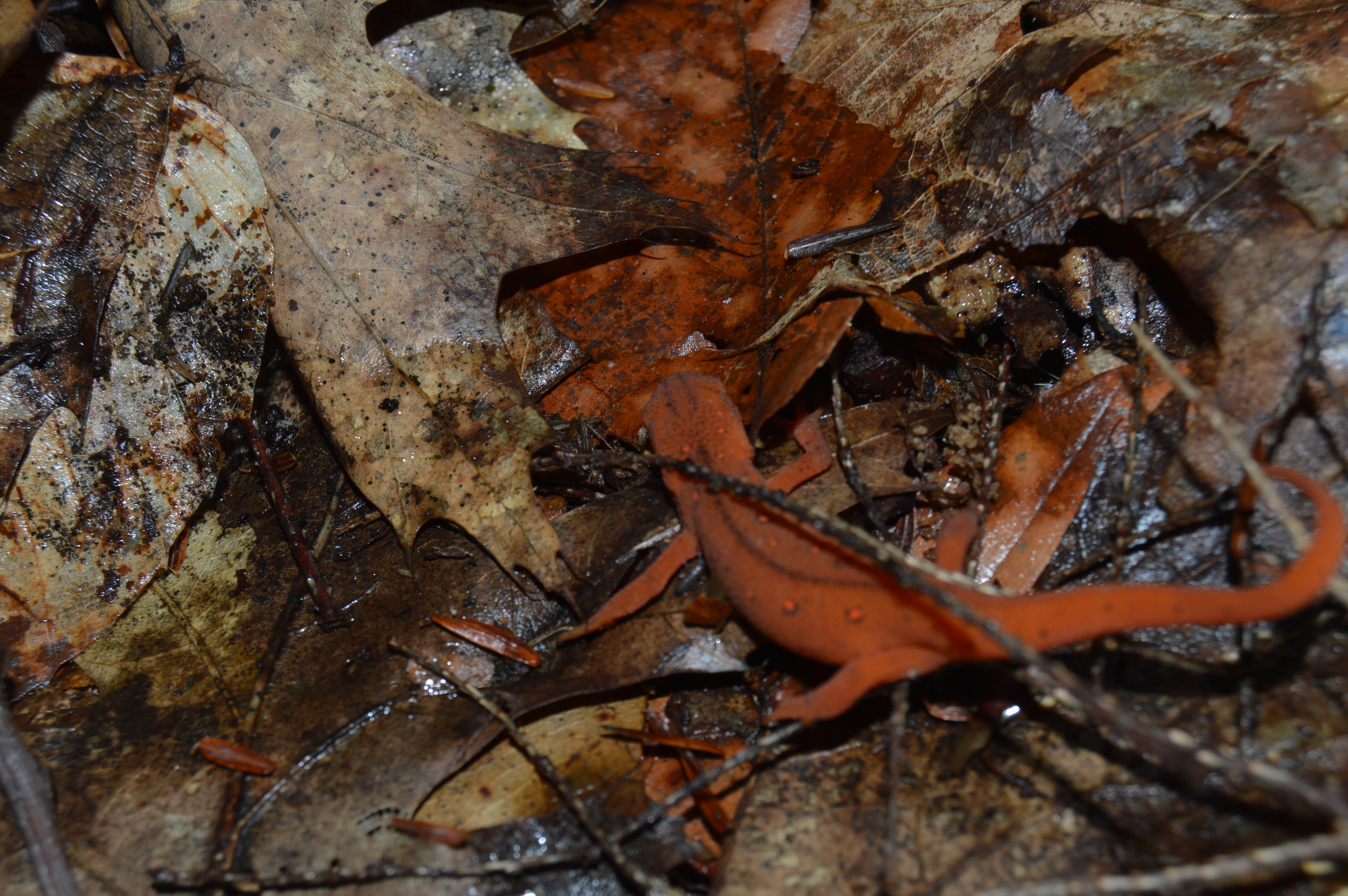
The wildlife at Mount October was also abundant.
There were salamanders
toads
caterpillars
centipedes
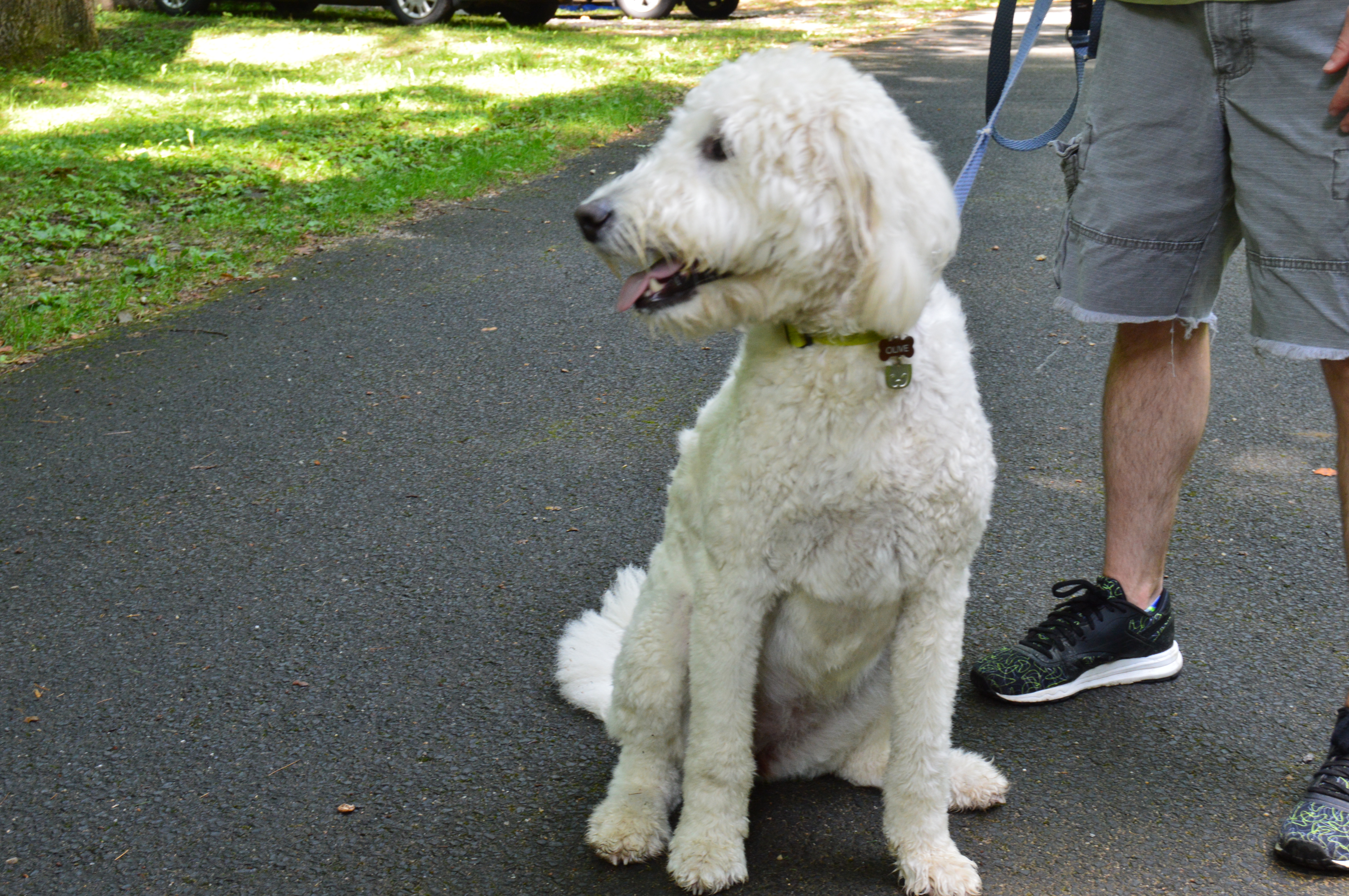
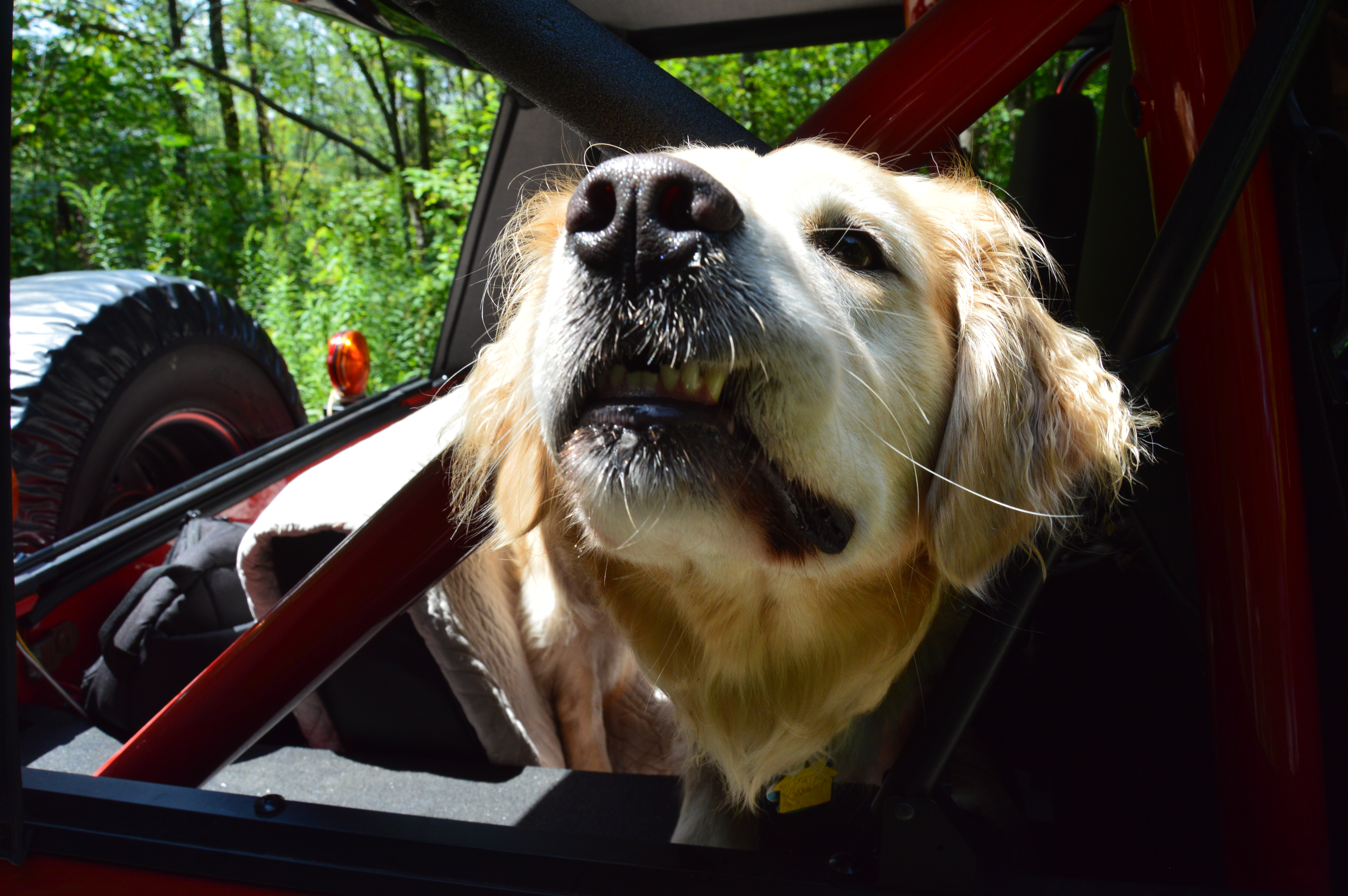
and dogs!
Olive posed during her walk with her dad
Emily stuck her head out for some fresh air.
While it serves as a campground, the hiking trails are perhaps the most notable part of the state forest. But, the most challenging part of Mount October was the terrain of these hiking trails. Dew and rain made for marshy, washed out paths which made it even more difficult when you had to cross rocky areas. Some parts of the paths were also fairly steep.
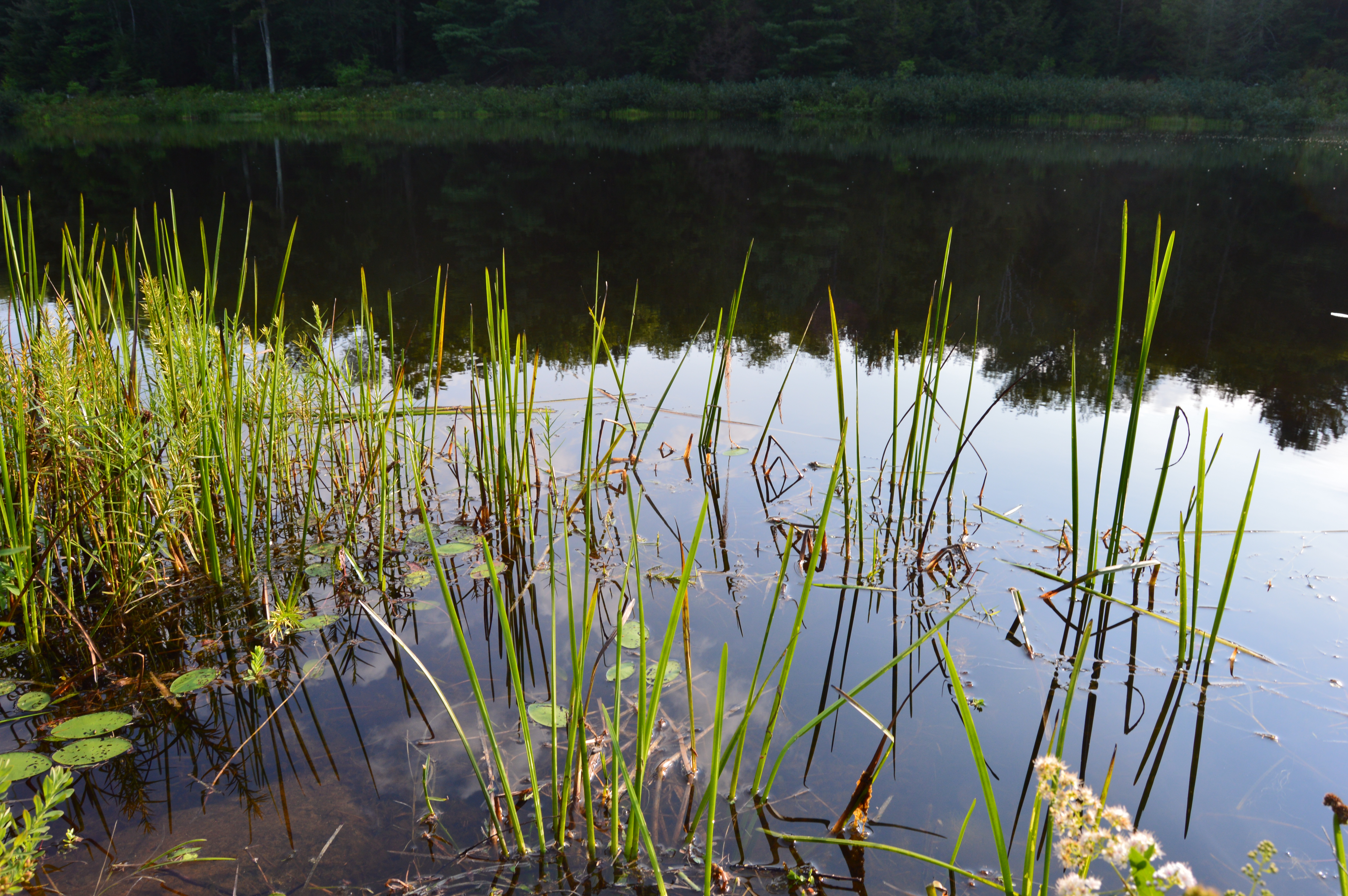
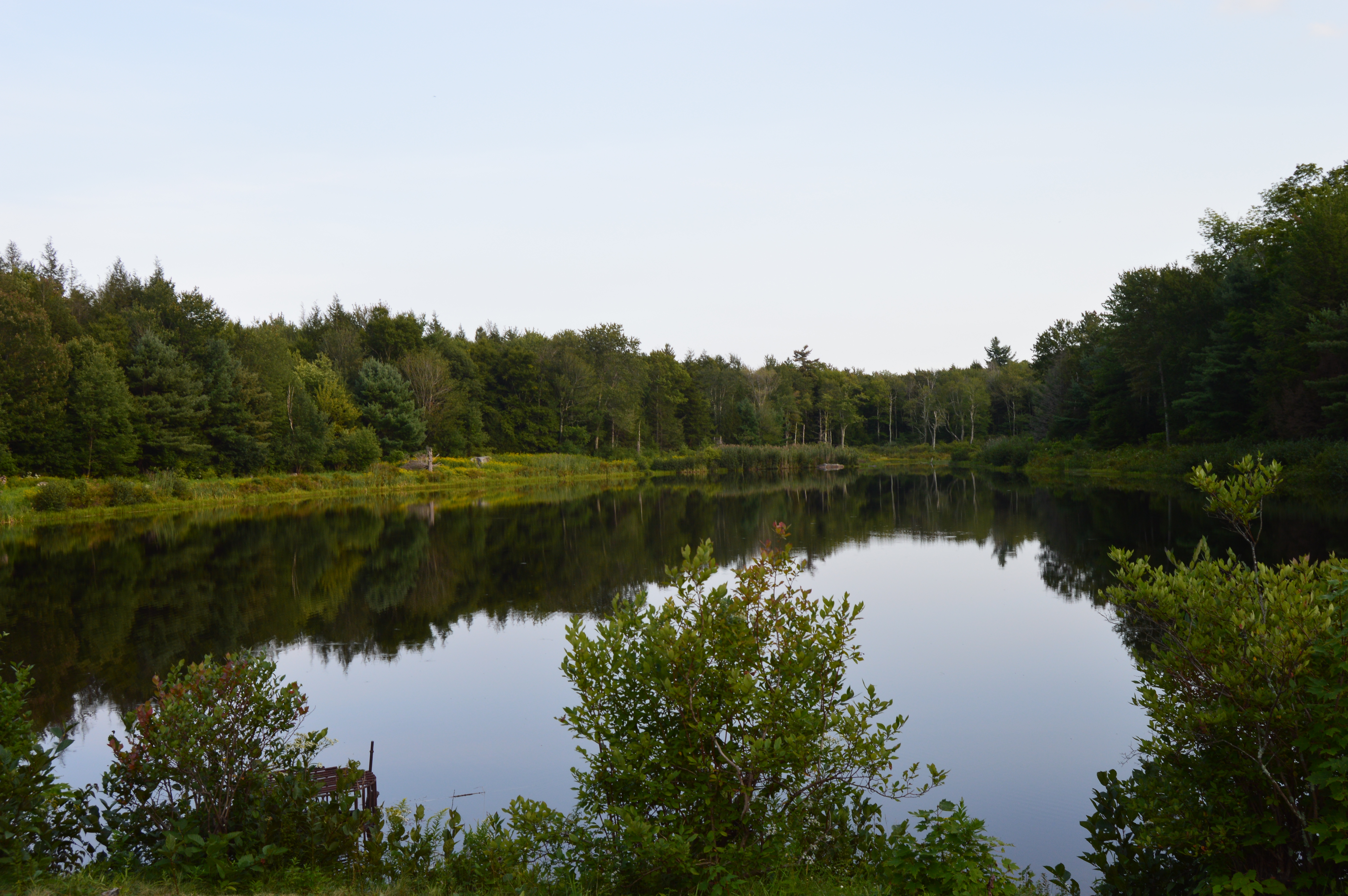
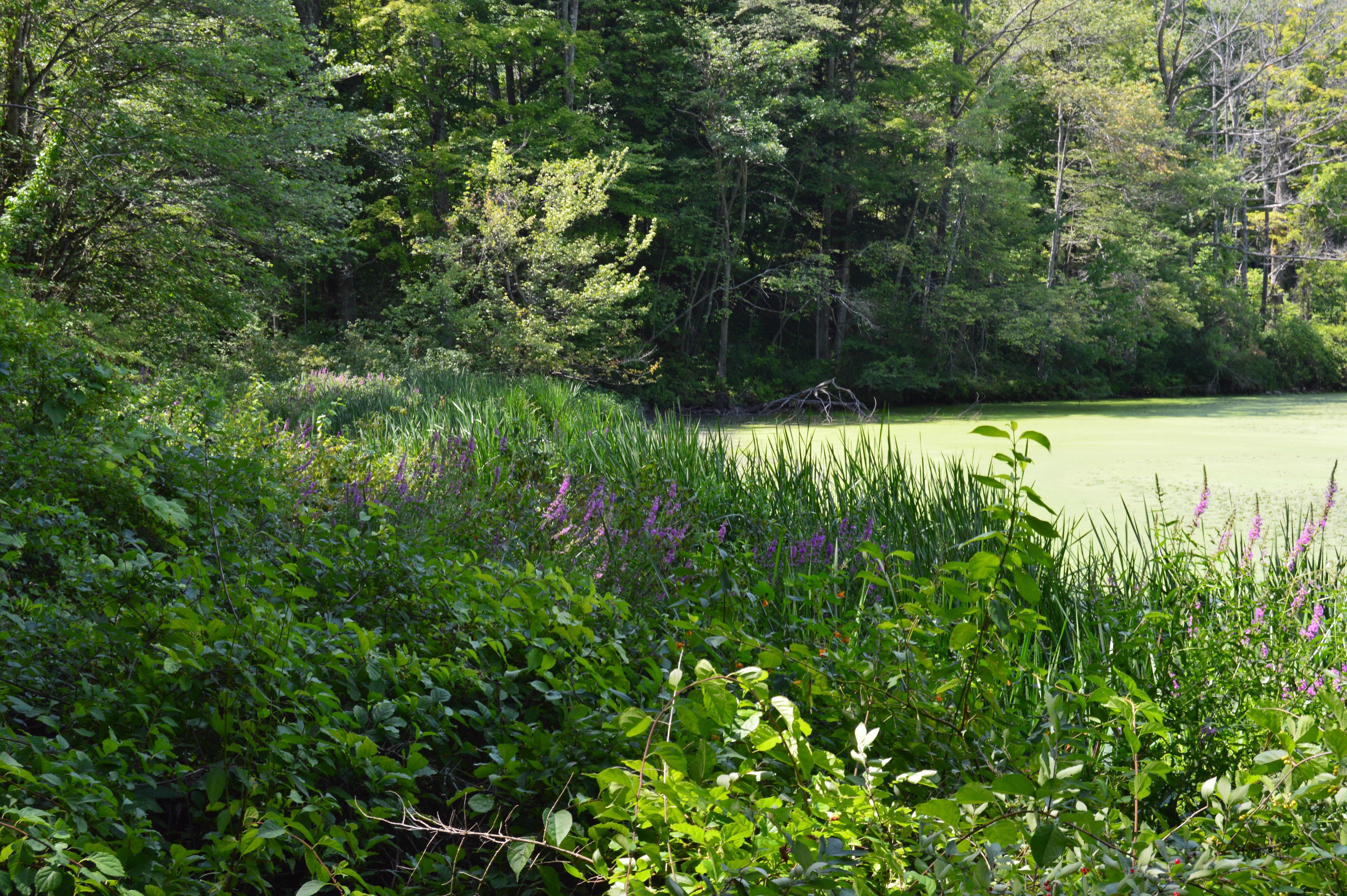
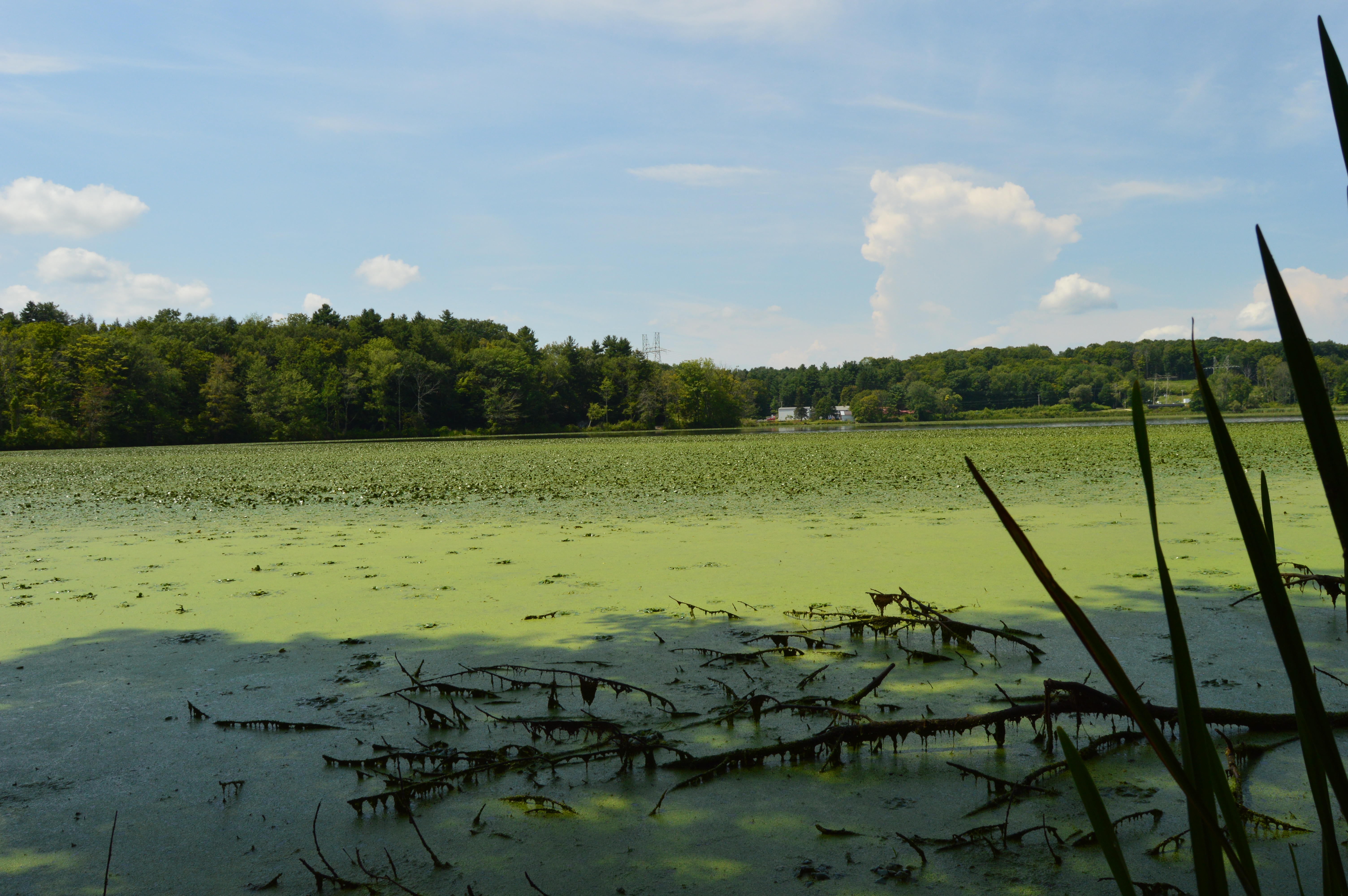
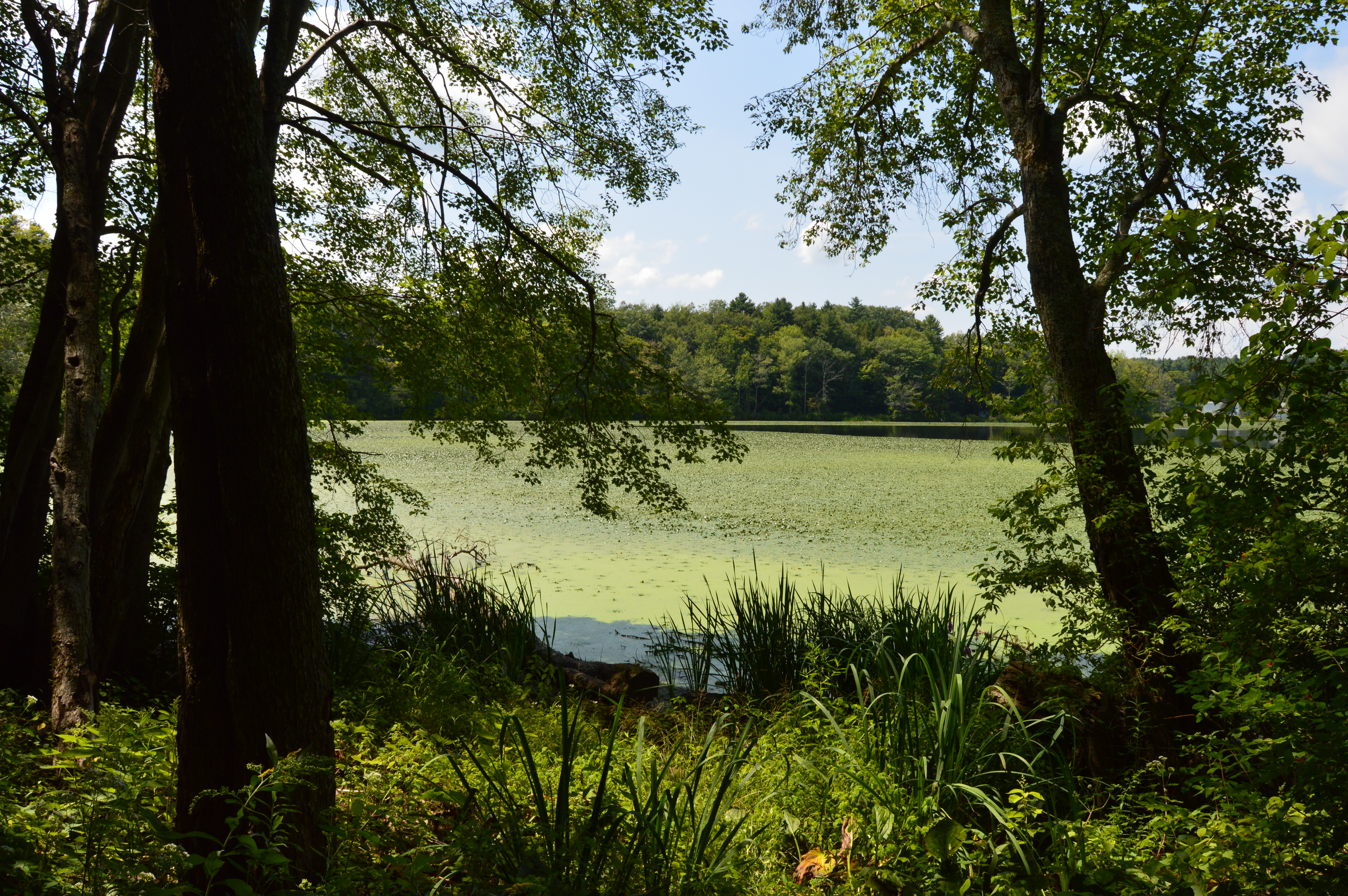
Interestingly, I visited Woods Pond earlier this year which is a section of Mount October. The blog for which can be found here. Even though I had already taken photos of Woods Pond previously, I took a few more during my visit at Mount October.
Mount October is the largest state park in Massachusetts. And, despite spending several hours there, we were only able to cover a fraction of the area. Perhaps I’ll come back in the fall.


 Thank you for reading and please like my Facebook page to view videos, photos and more that I do not post on this blog: