Date visited: February 27, 2016
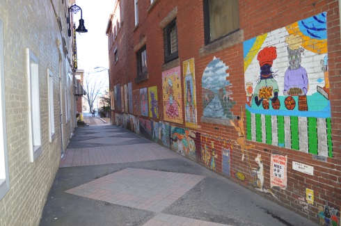
Location: 31 West Hollis St., Nashua, New Hampshire The mural can be seen on the east side of the Maynard & Lesieur building
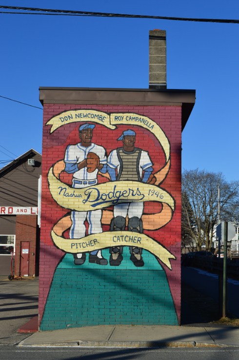
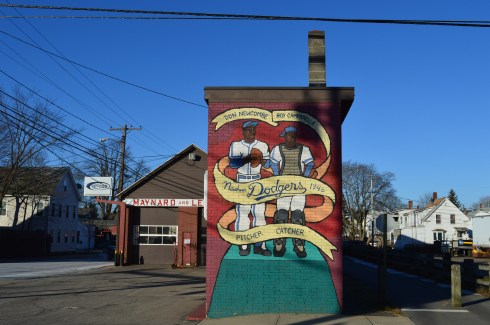
Most baseball fans know the Dodgers were the first American professional baseball team to integrate baseball in decades. However, few people know it was the Nashua Dodgers (the farm club of the Brooklyn Dodgers) and not the Brooklyn Dodgers that were the first pro team to integrate an American baseball team in the 20th century (Jackie Robinson, who would later become the first African American to play professional baseball in the United States during modern era, was playing for the Montreal Royals of the International League at this time).
It is said that Branch Rickey and his executive, Buzzie Bavasi, chose Nashua as the location for this New England League team partly because the city had a large French Canadian population and they felt the French Canadian people would be more receptive to an integrated team.
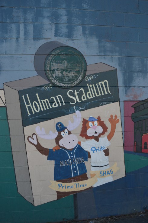
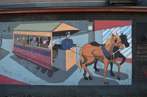
Along the side of the building with the Nashua Dodgers mural is another work of art. The mural celebrates the earlier days of Nashua. Holman Stadium, which is prominently displayed in the mural, is the stadium the Nashua Dodgers played in. It is still in use to this day. It is now the home of the Nashua Silver Lights of the Futures Collegiate Baseball League.
The mural is such a pretty work of art. Unfortunately, it has sustained some damage due to people defacing the artwork.

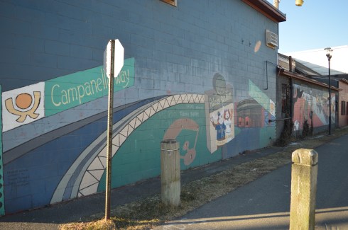

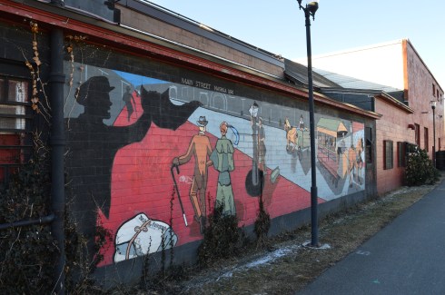


Below is a walk through of the mural on the side of the building.