Date Visited: April 24, 2016
Location: Polly Lane, Walpole, MA
Cost: Free
Parking: I counted 25 parking spots in the main parking area outside the park. Parking is free. There may be several parking lots.

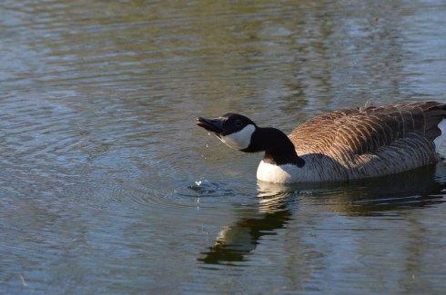
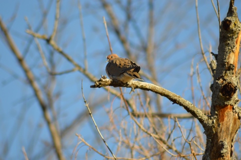
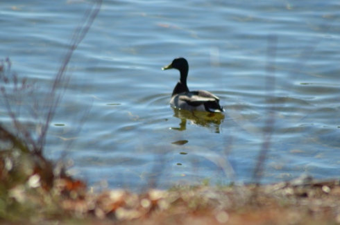
As the name suggests, there are lots of birds to watch at Francis William Bird Park. Either there are lots of robins at the park or I photographed the same one over and over.


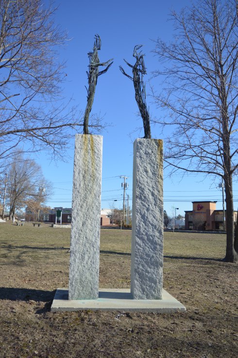
There are more than birds at the park to catch your attention.
Such as trees and flowers
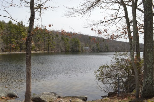
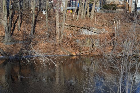
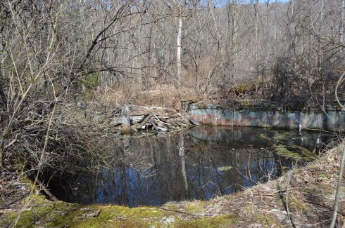
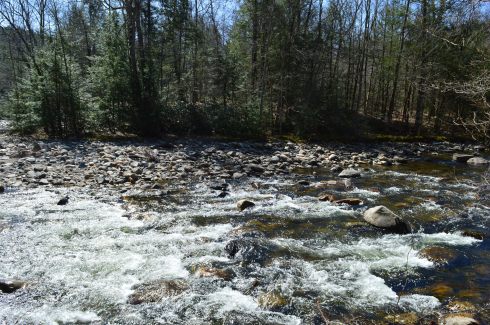
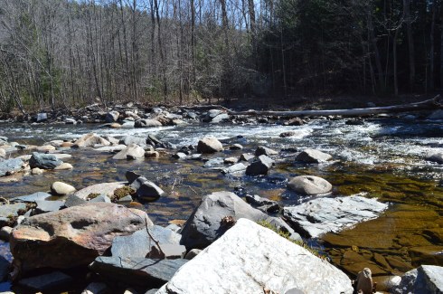
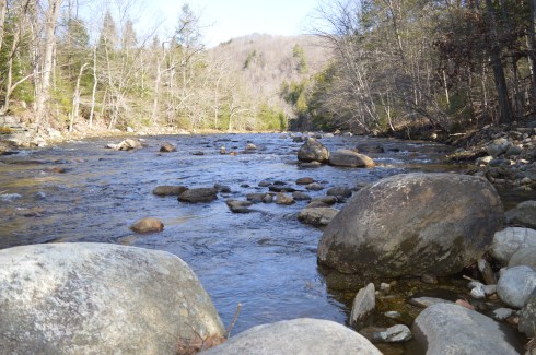
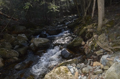
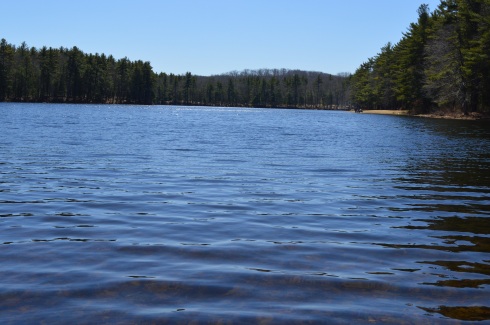
the ponds and streams


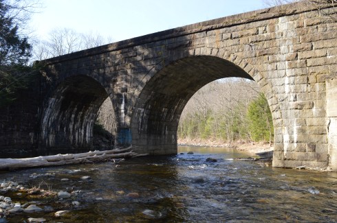
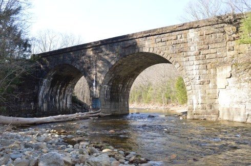
and the bridges (each bridge is made slightly differently)


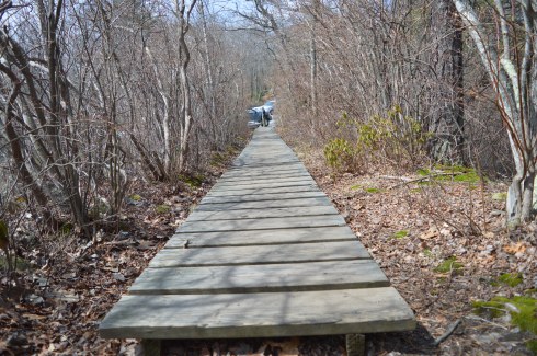
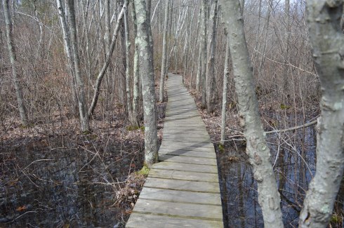
The trails are easy and branch off to side trails. But, since it is all concentrated in one area it is hard to get lost there.


The tree below was planted in memory of Charles Sumner Bird, a paper manufacturer, candidate for governor of Massachusetts, resident of Walpole MA and the son of William Francis Bird.


Tip of the day; don’t get too close to a goose and his or her Cheetos.

You’re not supposed to feed the birds at William Francis (and you’re especially not supposed to feed them Cheetos). It’s not good for them physically and it creates more messes on the trail. But, of course, people still do.
Along the trails, there are benches and places to enjoy the outdoors. Or, you can just chill on a rock or log. There is also a restroom (open seasonly)


Charlot (pronounced Char-lo) is a local (local to Walpole) artist, storyteller and cultural and historical expert. He specializes in Haitian art and culture. He likes to go to the park to paint and relax. He was kind enough to let me photograph him painting. He calls the first painting Silhouette Of The Drum. he was also touching up a painting he had finished previously.


Charlot is very talented. You can find out more about him here.
There are also a variety of attractions for sportsmen and sportswomen. The trails make for great running surfaces. There are four tennis courts as well as a basketball backboard (but not a court) . There are also musical and other types of events during the summer by the main field.
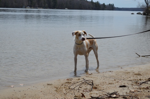
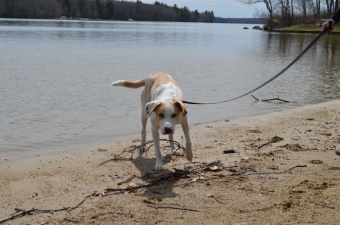
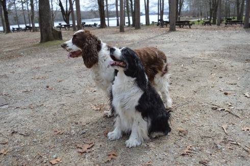
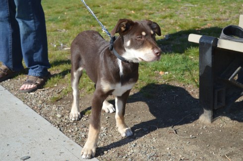
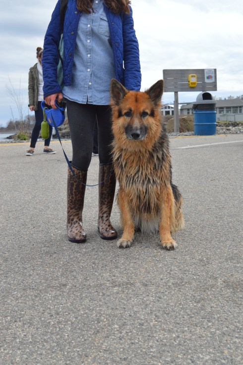
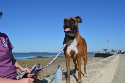
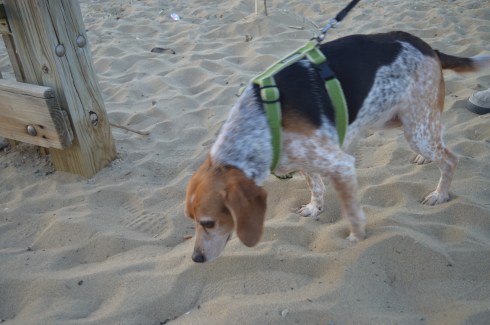
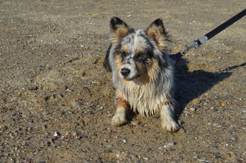
Birds aren’t the only animals you will find at Francis William Bird Park. The park is also popular spot for dogs. The trails and open spaces make it a great place to take your pooch.


Henry is a 3 year old Basset Hound. Cute freckles on his left front paw!


Sophia is a 5 year old Newfoundland. Sophia reminded me of a Newfoundland we had. Beautiful dog.

Buddha is a 3 month old Hound mix. I love the eyebrows!
Connect with me on Facebook! New England Nomad


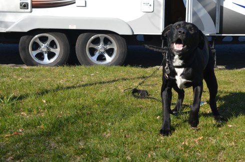


 Blackie, 4 years old, a part husky.