The only thing missing from the holiday display at Boston Common is a fresh layer of snowy ground covering.
I’m still getting the hang of my long time nemesis: night time photography. So, some photos are a bit grainy or blurry.
The Menorah was lit today (Sunday) as Hanukkah began today. It was not lit during my visit Friday night.
Boston Common has become a family friendly spot for people of all ages to enjoy. The Tadpole Playground is a fairly new addition to the Common.
The Frog Pond is iced over during the winter for skaters young and old, and of various skating ability.
the zamboni’s coming right at us!
More pretty decorations and lights
There’s not a shortage of things to get even the Scroogiest folks in the holiday spirit.
The Prudential Tower is visible from the Boston Common. Each day in December they are lighting the top of the tower in the colors associated with a different charitable cause, as part of their 31 nights of lights. The night I went they were recognizing the Catching Joy organization. Lucky for us, the charity’s logo has a variety of colors in their name. My photo is a little blurry but I am posting a video of the tower’s lights changing colors below.
The State House, located just behind the Boston Common, is also decorated for the holiday.
Lilly and Cameron (left to right) were both in the holiday spirit
To get a better sense of the fun that can be had at Boston Common, especially this time of the year, click on the videos below. Someone interrupted my video recording to ask for directions in the first video ( :
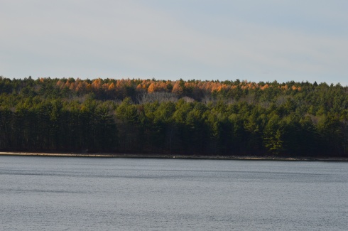
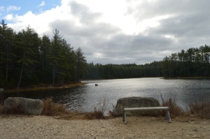
Named after Frank Winsor, the chief engineer of the construction project, the Winsor Dam section of the Quabbin Reservoir is a mecca for nature lovers, outdoors people and anyone who just wants to get out for a walk along the largest inland body of water in the Commonwealth of Massachusetts.
If there is one word that best describes the Winsor Dam it would be peaceful.
The easy to moderate walking trails are surrounded by rolling hills and crystal blue water
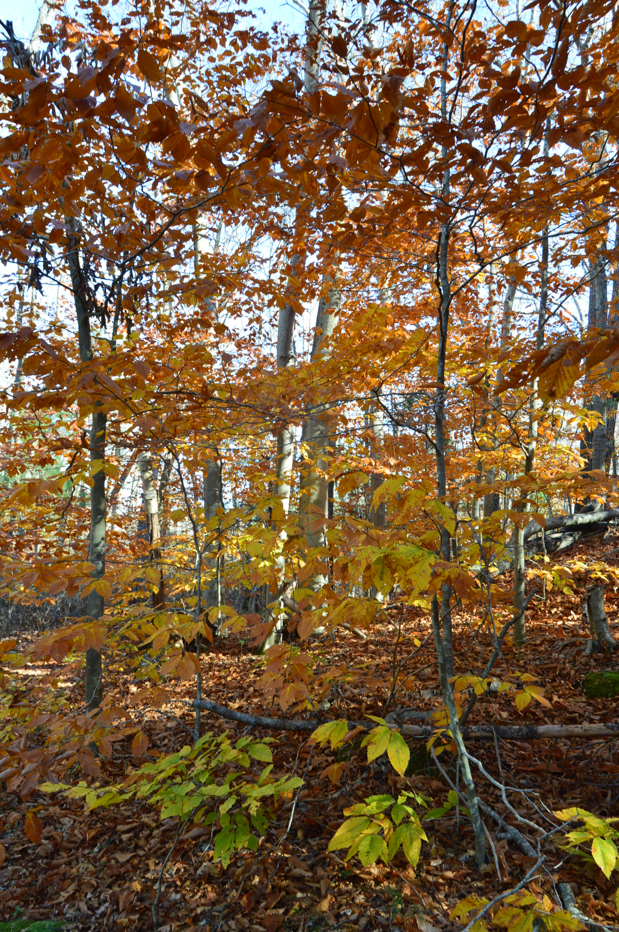
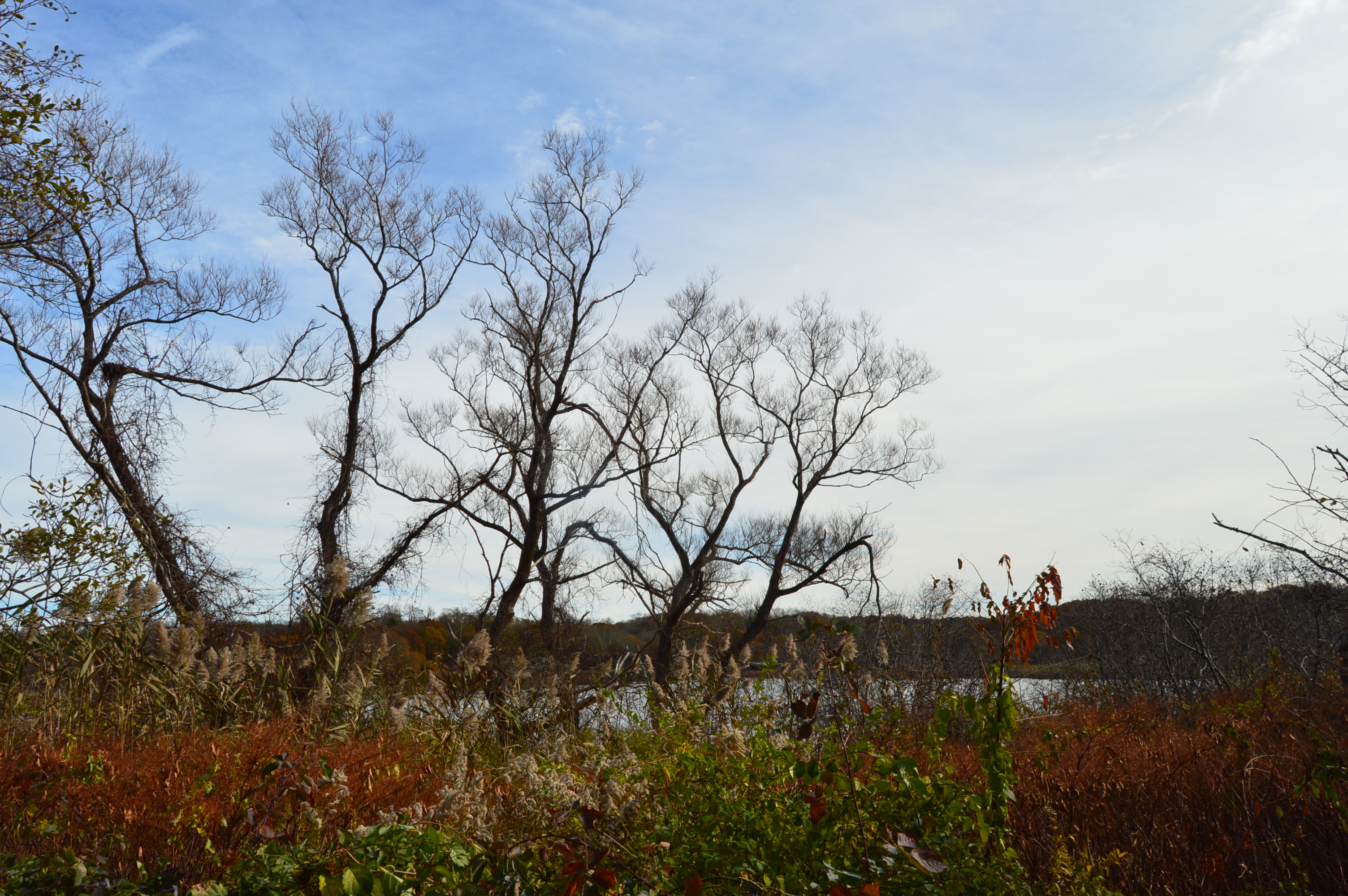
I missed the foliage season. But, you can still see the colors peaking from the tree tops.
The staff at the Quabbin Reservoir use these boats as part of their gull harassment program to limit the pollutants from the birds.
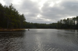
Located about a half an hour from Springfield, MA and an hour and a half west of Boston, MA, Quabbin Reservoir supplies water to three towns west of the reservoir and acts as the backup supply for three other towns. There was a seasonal fall breeze during my visit which created pretty ripples on the water.
Quabbin Reservoir is expansive (it has an area more than 38 and a half miles). It is separated by different dams and sections. There is a pretty walking bridge that you can use to visit some of the other areas. There are some great views from the bridge.
The distance between dams are more than a mile. So, it is often a good idea to drive to the different parts of the reservoir.
One of the many great things about the area is that after you cross the bridge there are trails and a creek which people use to fish. I got my first two ticks of the season taking these photos, so you’re welcome!
The water is green in some places and it is so clear you can see the trout and other fish that inhabit the water.
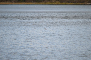
There are also a variety of bird life at Quabbin Reservoir. I caught these titmouse on the trail (ok I laughed a little when I wrote that)
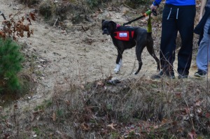
Dogs aren’t allowed at Quabbin reservoir. I did see one dog that was “in training”, though.
Bear Hole is not just a name give to the much traveled reservoir in West Springfield.
Tales of bear, deer and other animals have been told from many visitors at the park.
I didn’t see any bear, though. I only met the occasional dog (from top left to right Figueroa, Lily, Jyp, bottom from left to right Oreo and Connor)
and owl
The main attraction at Bear Hole is the waterfall.
and the pond it flows to
The trails are clearly defined (unless you go off trail to get a closer look at the waterfall and pond as I did from time to time). And runners and cyclists use the trails frequently.
Click below to view the video of the waterfall in all its splendor.
Once a seasonal campsite for Native Americans as well as the site for a fertilizer factory and a missile launcher warehouse, Webb Memorial State Park has gone through many changes over the years. It has since been cleaned up and developed into one of the lesser known jewels of the South Shore of Massachusetts.
Named after William K. Webb, a World War II and police officer from Weymouth, Webb Park is a popular spot for joggers and other outdoor enthusiasts. There are many different paths that offer various pretty views of the skyline of Boston and the surrounding cities.
You can see planes flying to and from Boston’s Logan International Airport. They are so loud you can hear them clear across the harbor.
There are also several monuments at Webb State Park.
This memorial is named after John Cole, a former resident of Weymouth, MA.
This memorial is dedicated to Chief Engineer Donald F. Haviland. Haviland was on the Henry Bacon which took heavy damage from enemy bombers. He refused to take a seat on one of the lifeboats because the lifeboats were running out of room and not everyone could fir on the lifeboats. Haviland gave up his seat on the lifeboat to a younger person and he died when the ship sunk. He is certainly worthy of our admiration and this token of our appreciation. This memorial certainly makes you think.
Another monument memorializes the Grape Island Alarm which was a Revolutionary War battle where a Weymouth militia fought back the British Navy.
This slideshow requires JavaScript.
There is also a memorial dedicated to Domenic J. Sansone.
There are a variety of birds in the area. I was lucky enough to photograph this woodpecker
a sparrow
and this female cardinal. You might have to enlarge the photo at the top of one of the branches toward the right side of the tree.
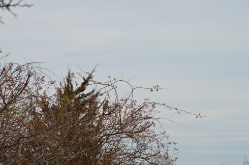
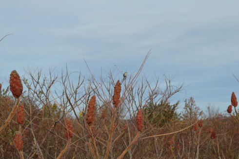
I also spotted this bird. Another one that might be a little hard to see unless you zoom in.
There were many additional land animals at the park during my visit. (top left to right – Nandi, Molly and Ziggy, bottom left to right – Ellsbury, Louie and Olly)
There were so many beautiful spots at Webb Memorial Park. I have included a few more miscellaneous images in the slideshow below.
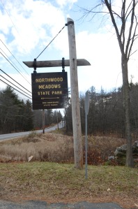
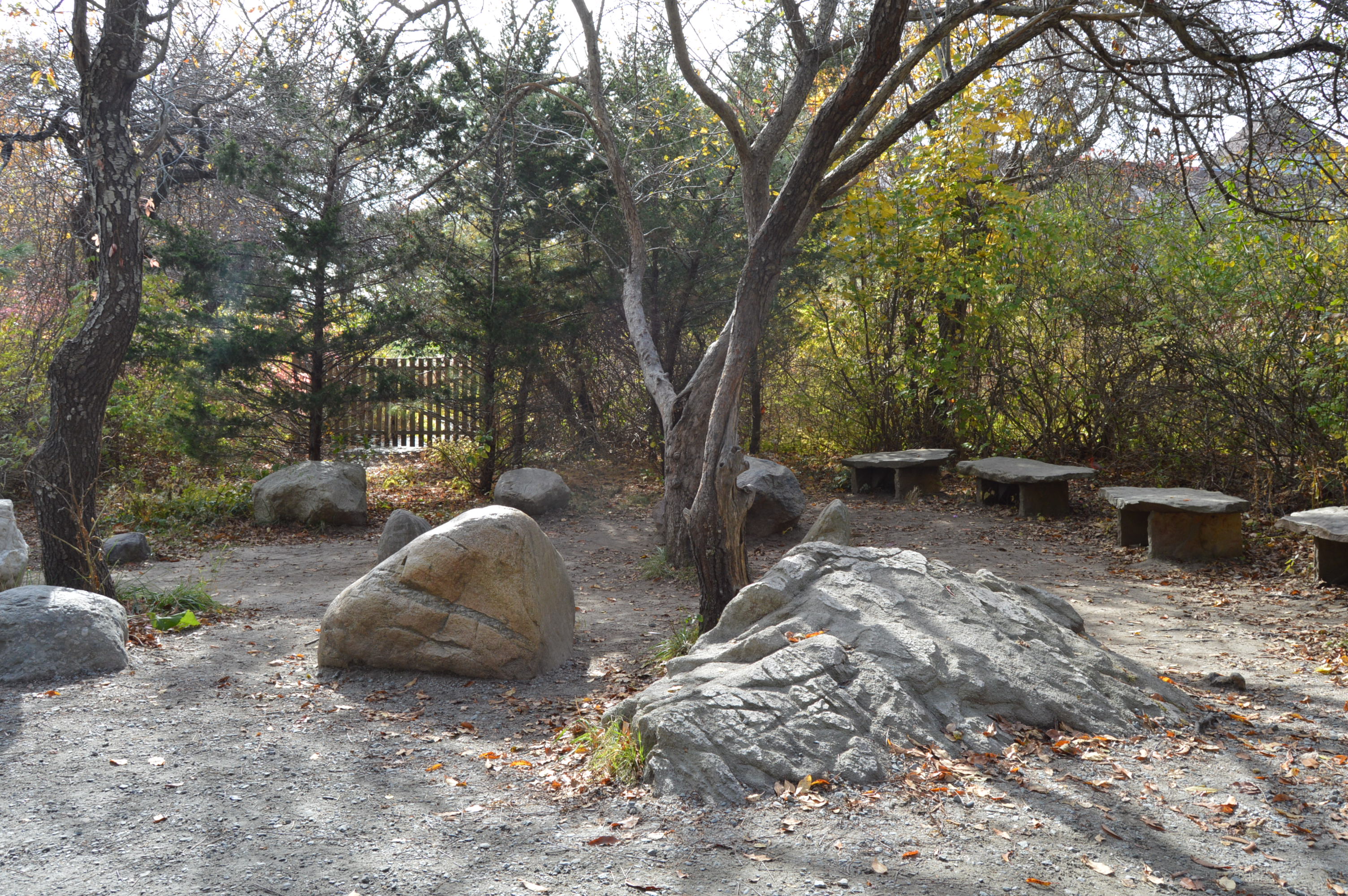
From the outside Northwood Meadows State Park doesn’t look like anything out of the ordinary.
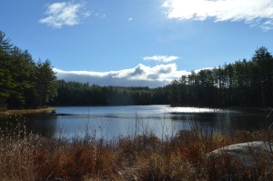
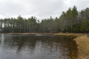
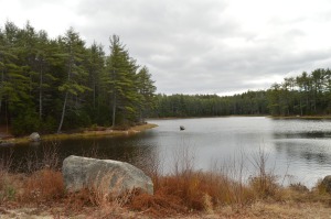
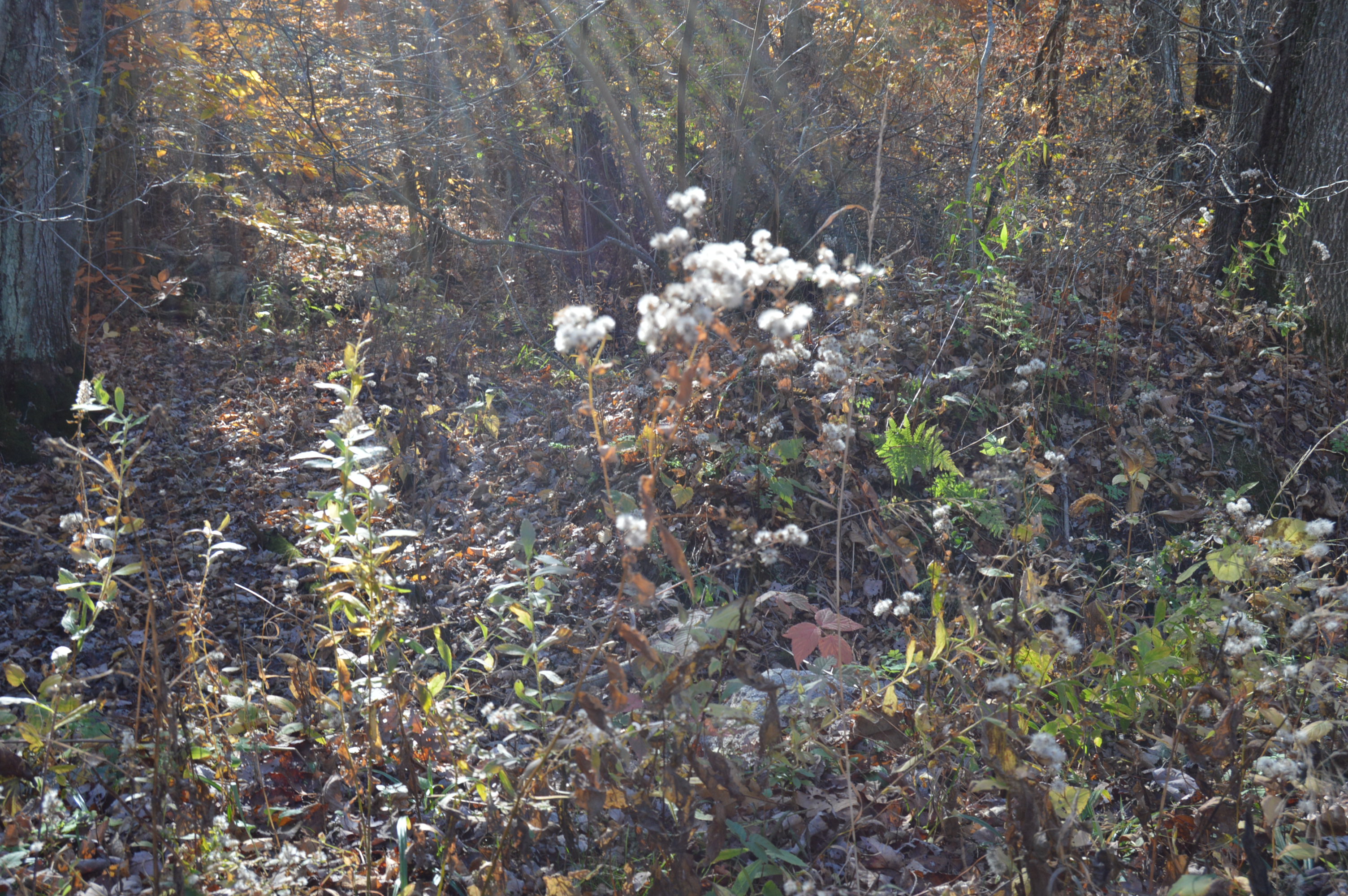
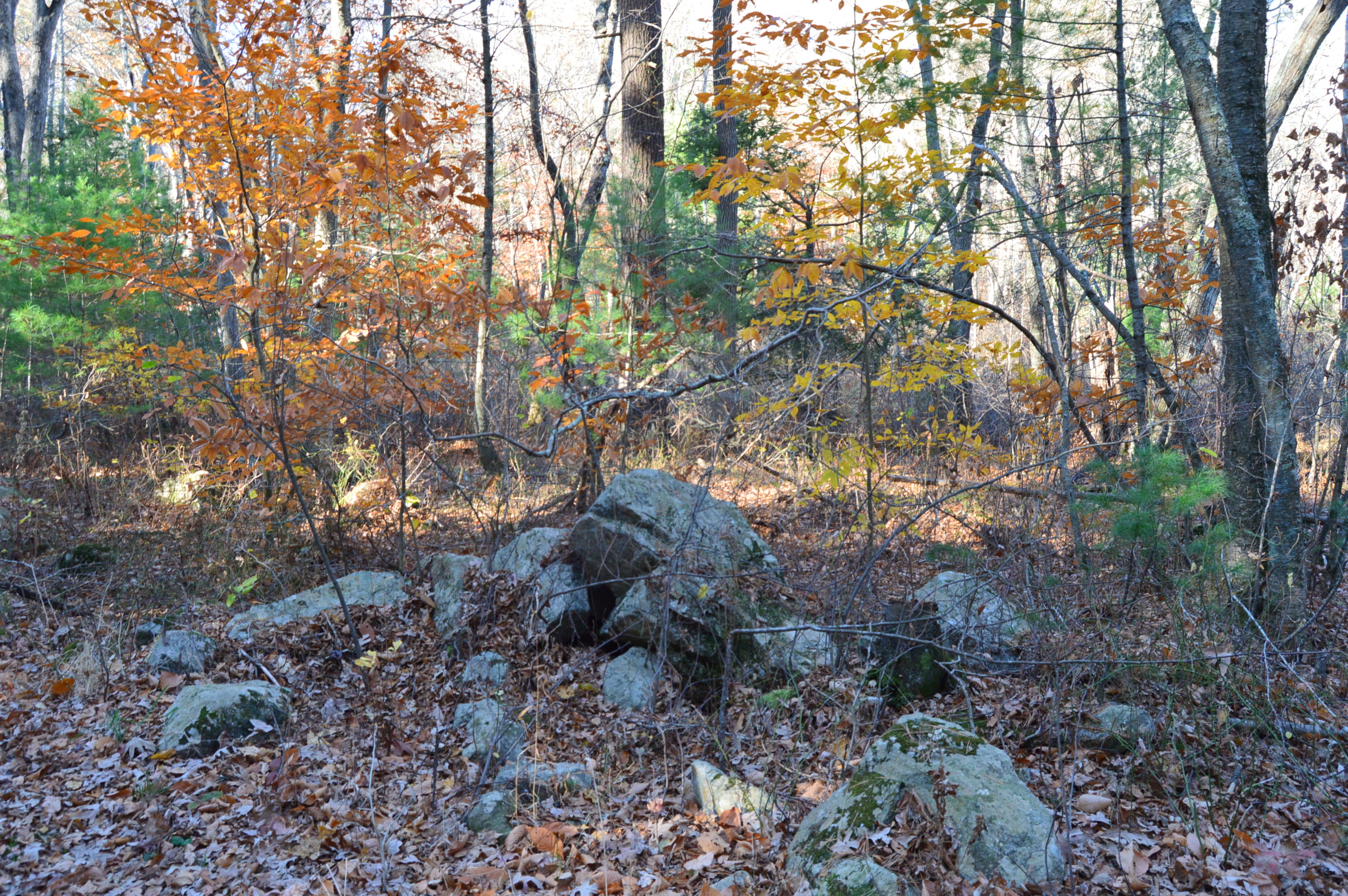
A pond, a creek, pretty trees and a few unusual rock formations are on the main trail.
But, it’s the meadow that sets the place apart from other parks.
Of course, after a few minutes, it began to snow.
Then, just like any typical New England day, it stopped and the sun was out after 5 minutes of driving snow.
There are some beautiful views of the meadow.
Northwood Meadows is also a popular spot for dog walking. You may notice some of the dogs are wearing orange. That is because hunting is allowed in some designated areas of the park.
The photos don’t do it justice, though. Northwood Meadows is a must see for dogs and humans!
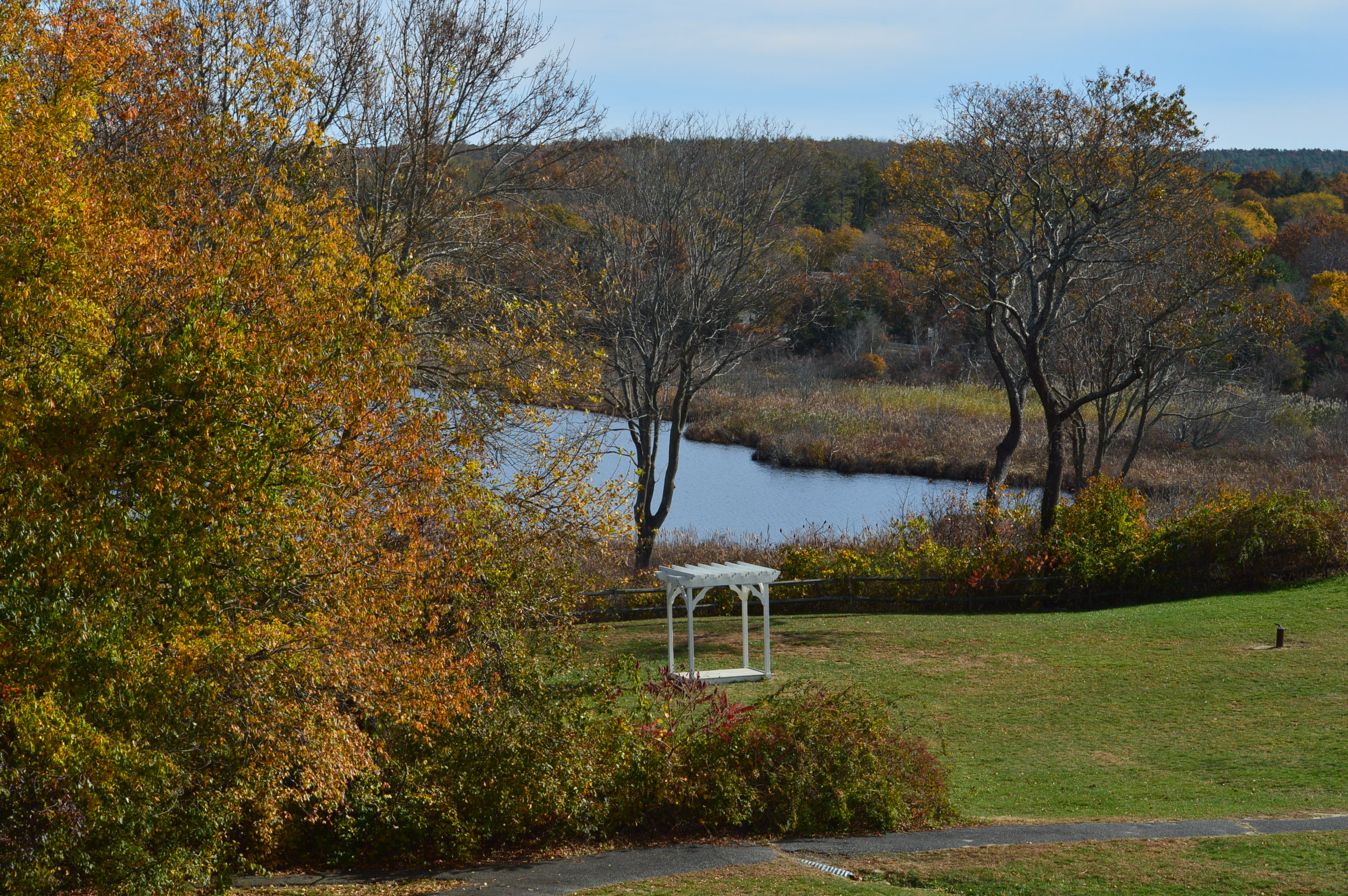
Most people are aware of the more popular attractions in Plymouth, MA, such as Plymouth Rock and Plimoth Plantation. But, there is another hidden jewel in Plymouth.
Located only a few miles from Plymouth Rock, the Jenney Grist Mill is a replica of the mill which was originally located in the Plymouth Colony.
When I went to visit the foliage was still peaking in the area.
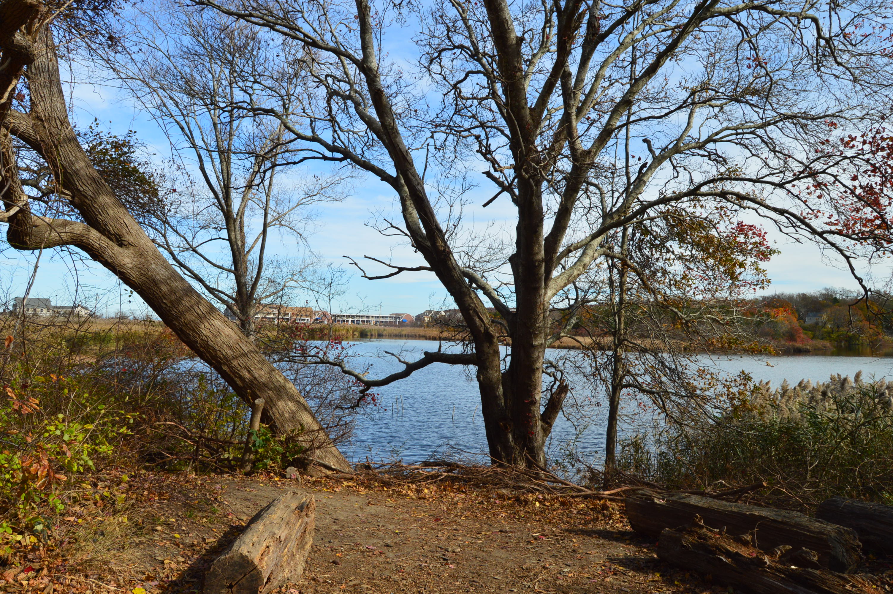
But the real gem of the grist mill area is the pond.
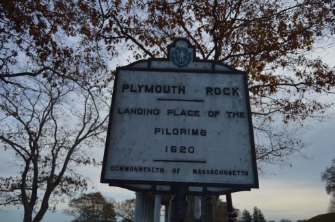
Who would ever think people would travel from all over the country and all over the world just to see a rock? Yes, a rock. This is not just any rock, though.
The rumored landing spot of the Mayflower, Plymouth Rock is one of the more disappointing yet often visited sites south of Boston, MA.
Despite it’s popularity, the rock at Plymouth Rock is not the actual rock the Mayflower struck. In fact, the rock has been said to have been moved at least three different times and the rock has been said to have been damaged several times, breaking in half at one point. Not only that, but the passengers of the Mayflower initially landed in Provincetown in Cape Cod.
While the rock itself probably isn’t the actual rock the Mayflower struck upon its landing and it’s not the actual initial landing spot of the Pilgrims, it is symbolic of the voyage the persistence of the people who landed there.
Located in walking distance of the Mayflower II, the rock is located at the bottom of a pit and protected by a fence.
The rock is located in a structure with pillar columns.
The harbor is usually teaming with activity.
There is also a monument located across the street from Plymouth Rock. The Pilgrim Mother was donated in 1921 to celebrate the Tercentenary of the Mayflower landing by the Daughters of the American Revolution.
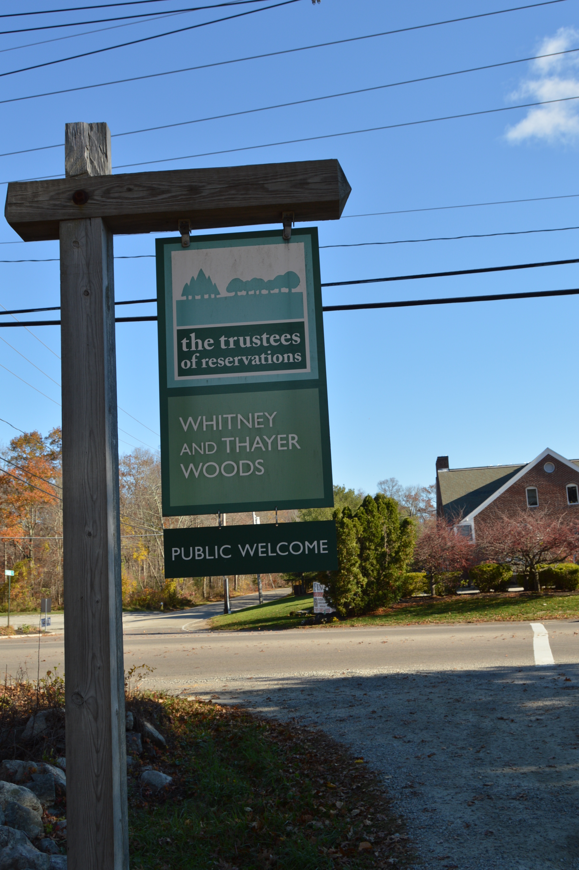
The unseasonably mild weather (at least mild for New England) has allowed for a longer than usual fall hiking season. Taking advantage of this unusually warm weather, I traveled to the South Shore jewel of Whitney And Thayer Woods in Cohasset, MA.
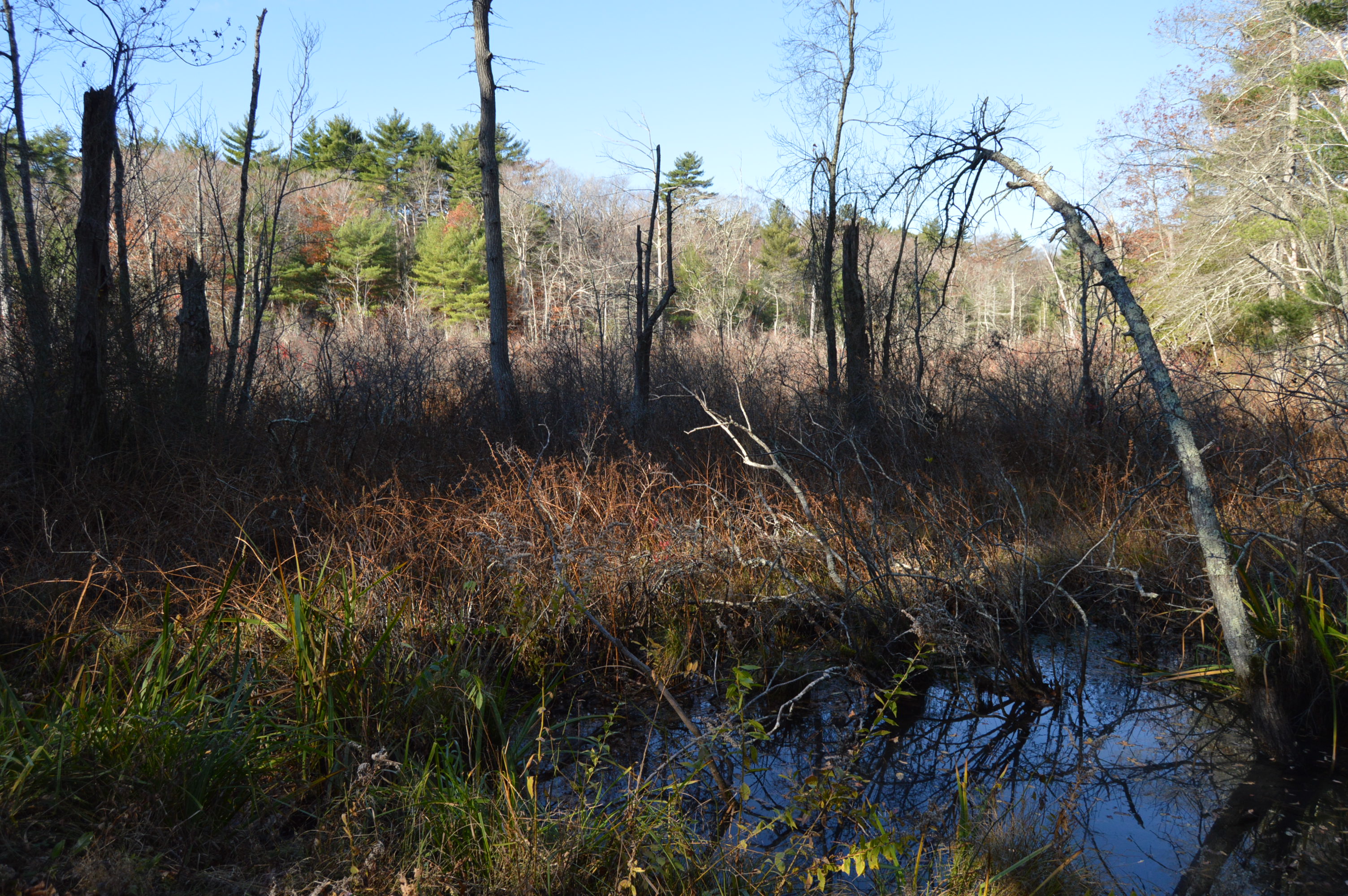
With the exception of a stray cloud here and there, a clear blue sky, bright sun and an intermittent breeze greeted me at the woods.
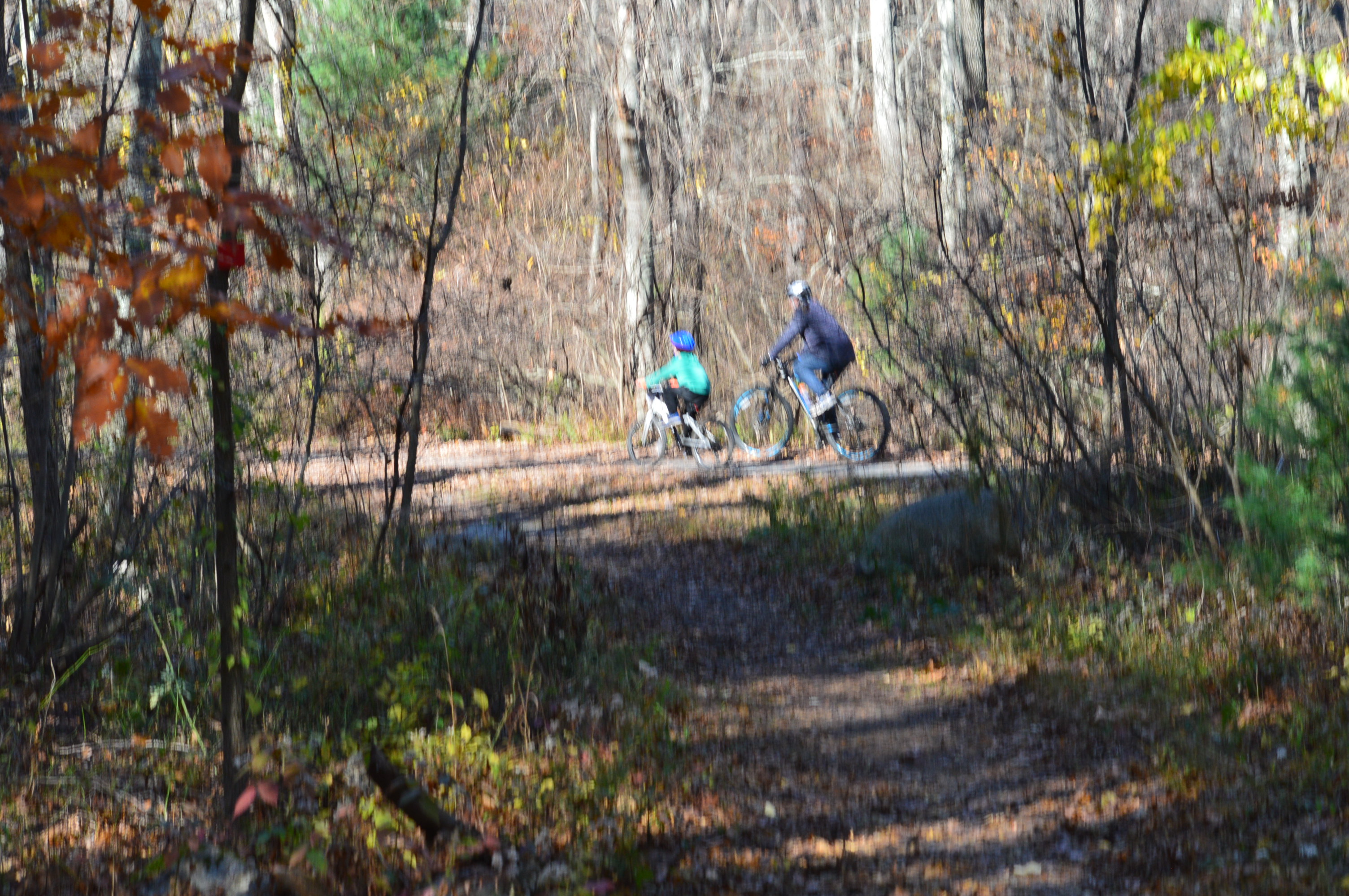
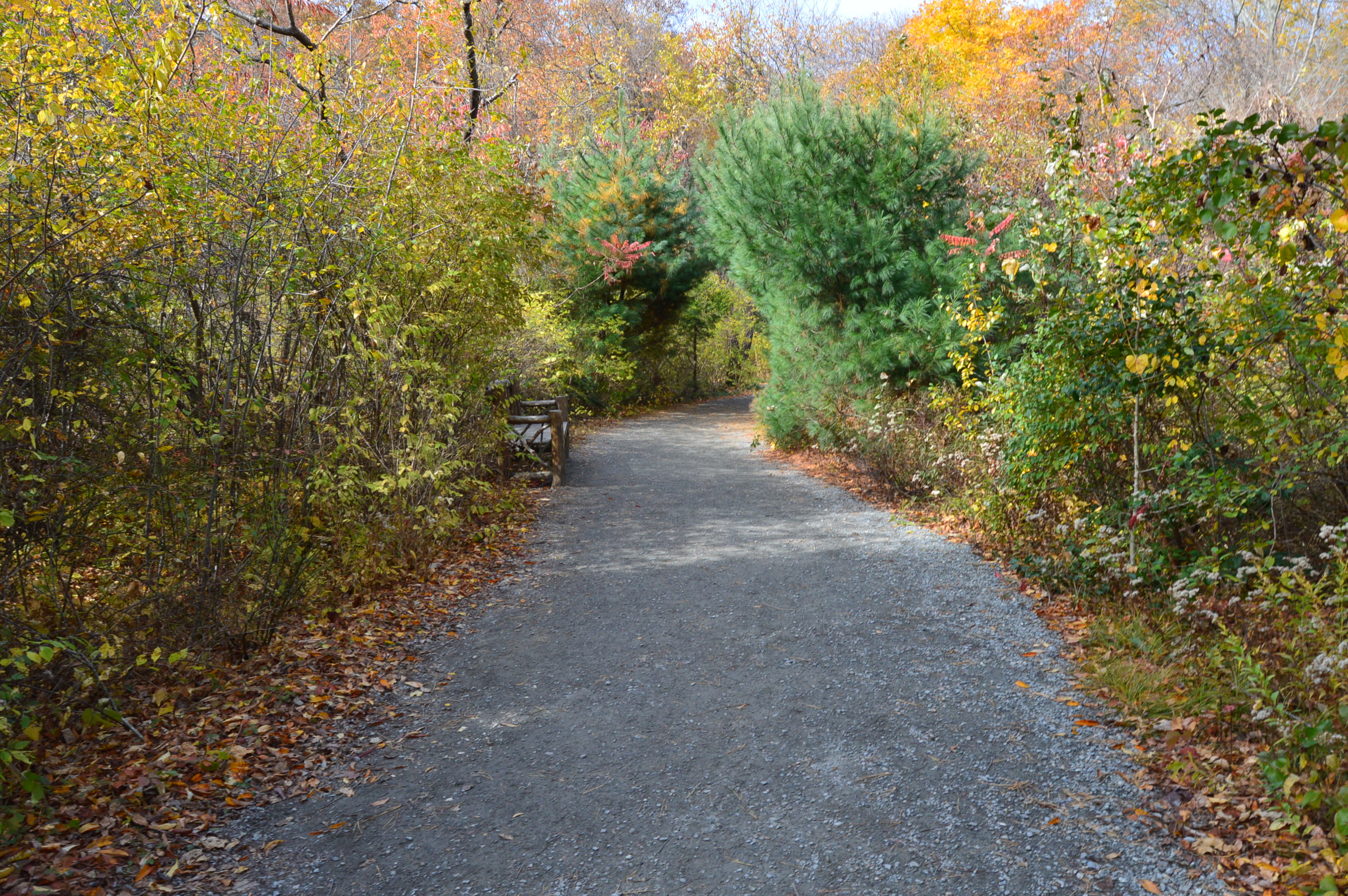
The park is a loop that covers a few miles. There is a bike trail and runners frequent the trails.
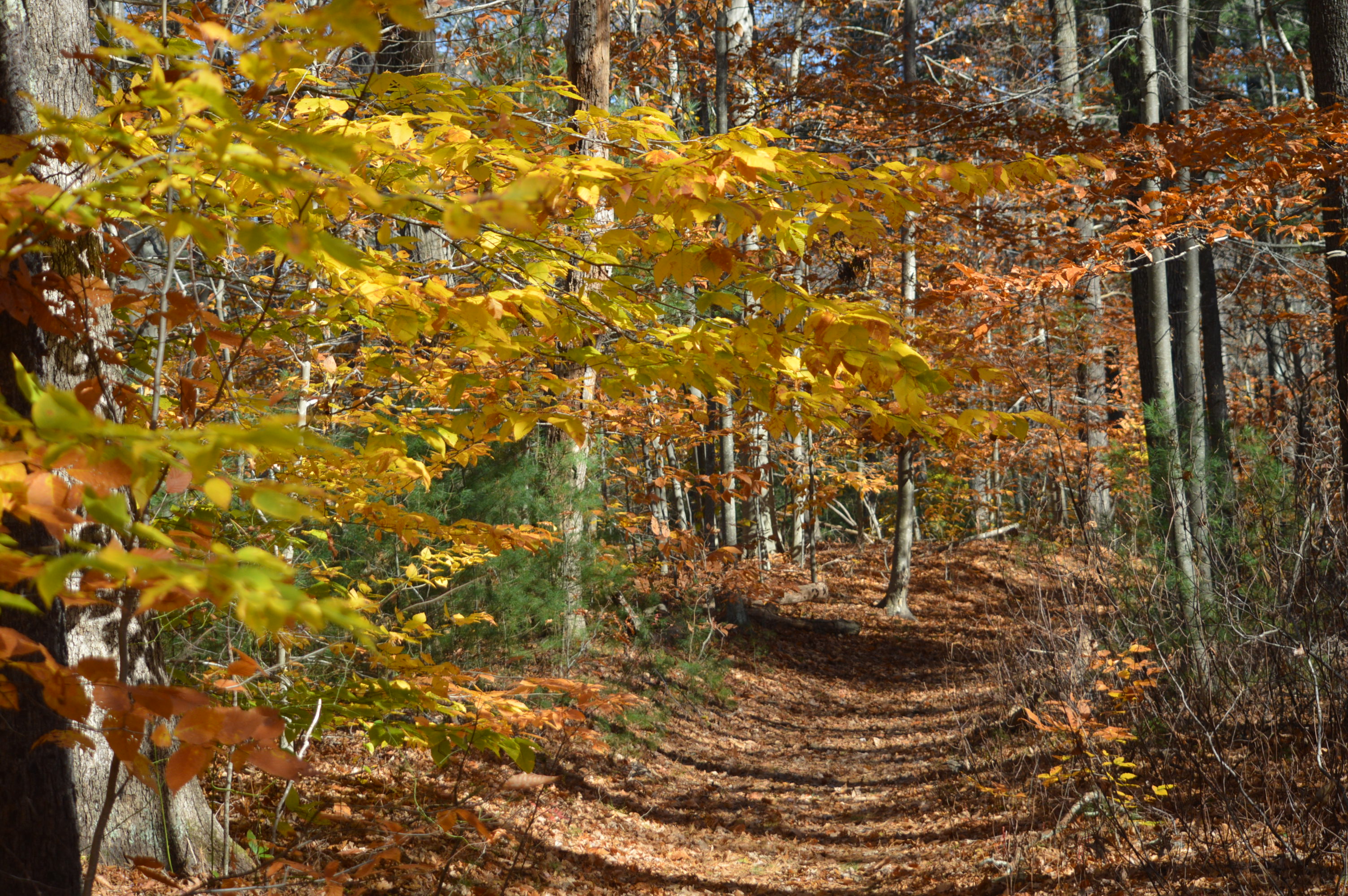
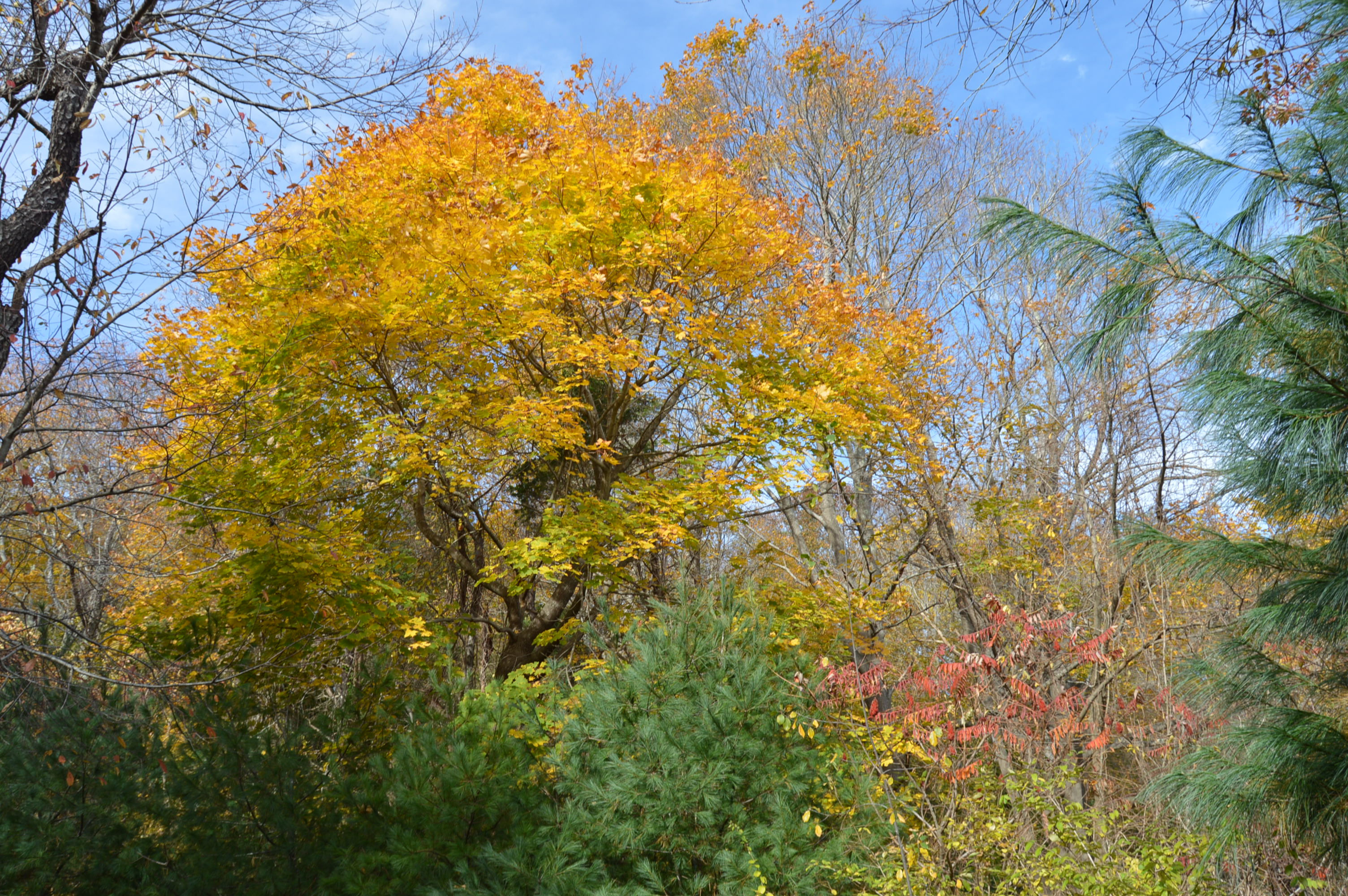
Although the peak of the fall foliage season has passed, there were still some vibrant orange, gold and amber colors hanging on to the trees.
A rolling stone gathers no…never mind.
There were quite a few dogs on the paths. It was a perfect day for dog walking. I have determined that getting most dogs to pose for the camera is about as easy as splitting the atom.
Lilly enjoyed the warm sun.
Chester was very excited to be at the park.
Olive was happy to see me. Don’t worry. She was a sweetheart.
I didn’t get this dog’s name. But he or she posed perfectly!
I have more shots from my trip to Whitney And Thayer. So, I am breaking up this blog into two parts. The second part will include some photos from the Weir River Farm located just outside of the wooded area. For a sneak peak and for some additional photos not included in this blog, stop by my Facebook page: New England Nomad
Check out my other blog, Mr. Wayne please. Thank you.
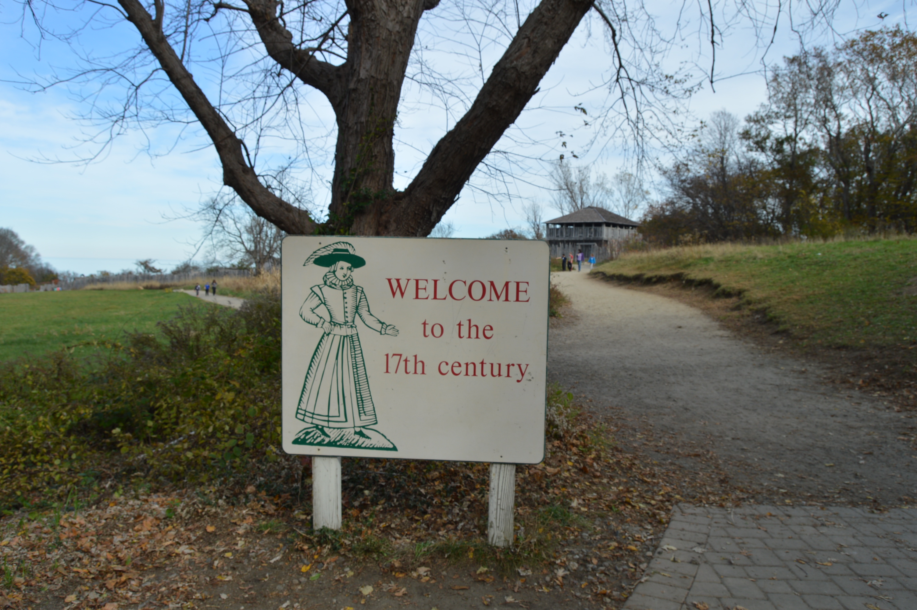
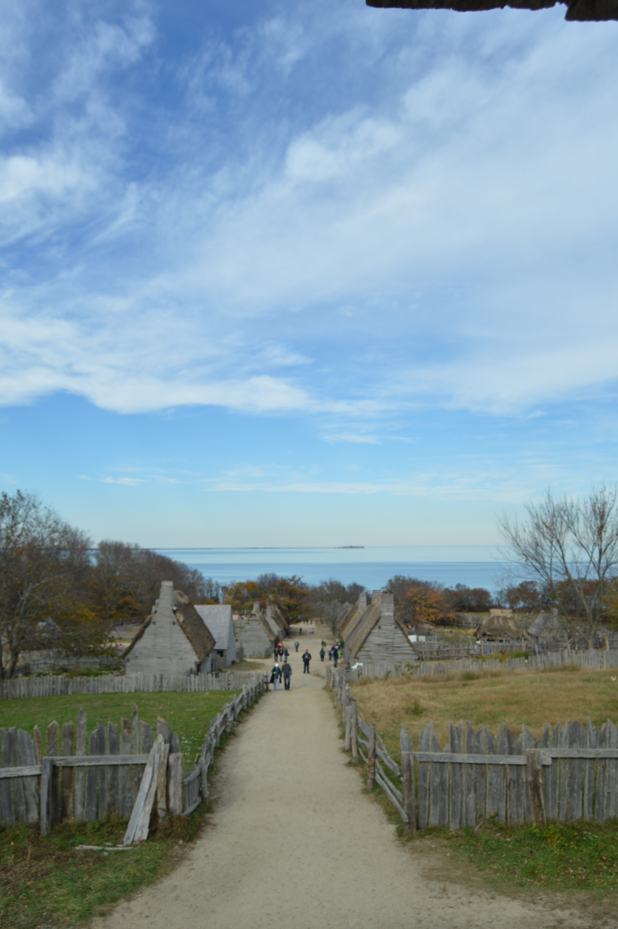
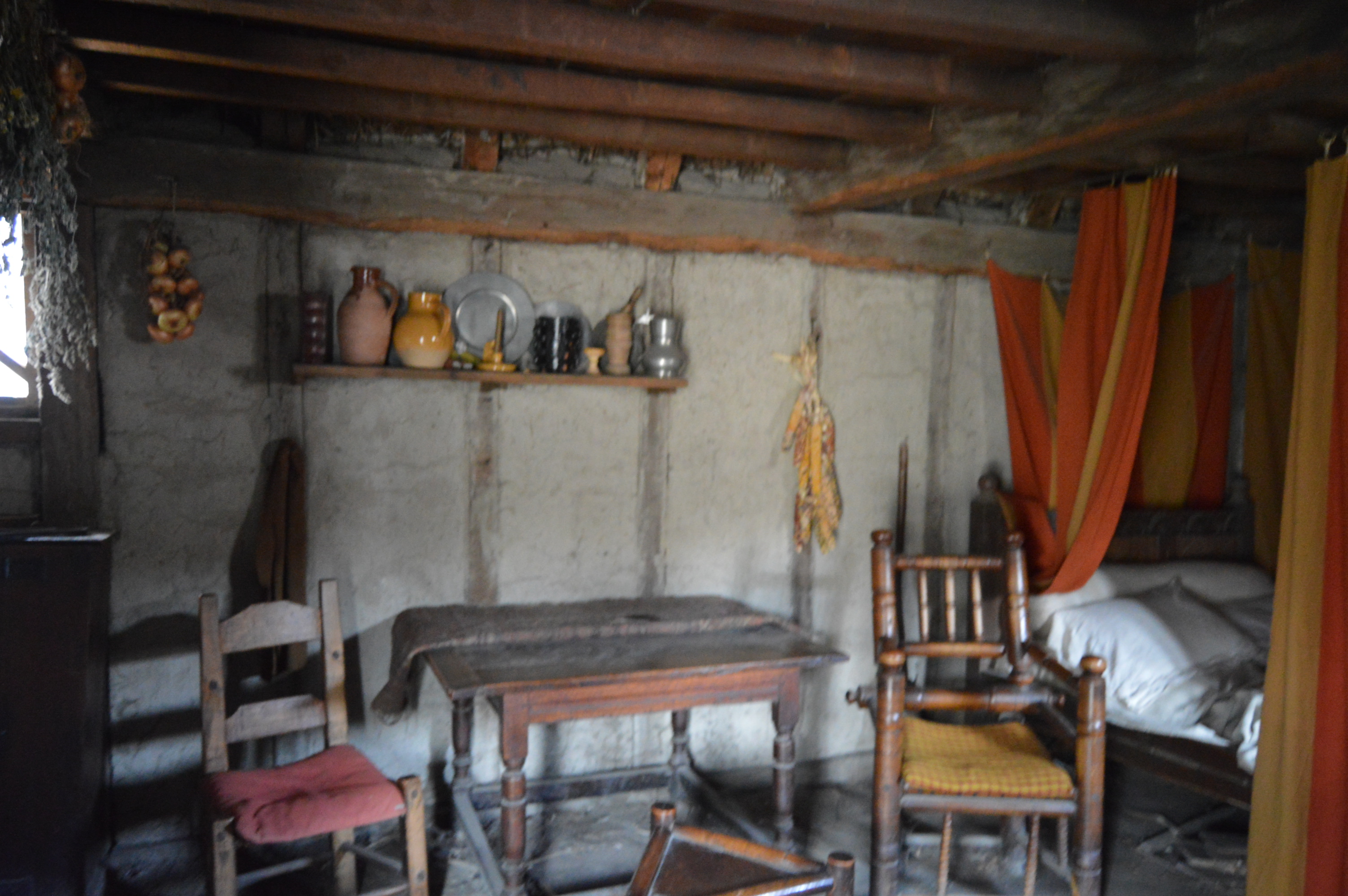
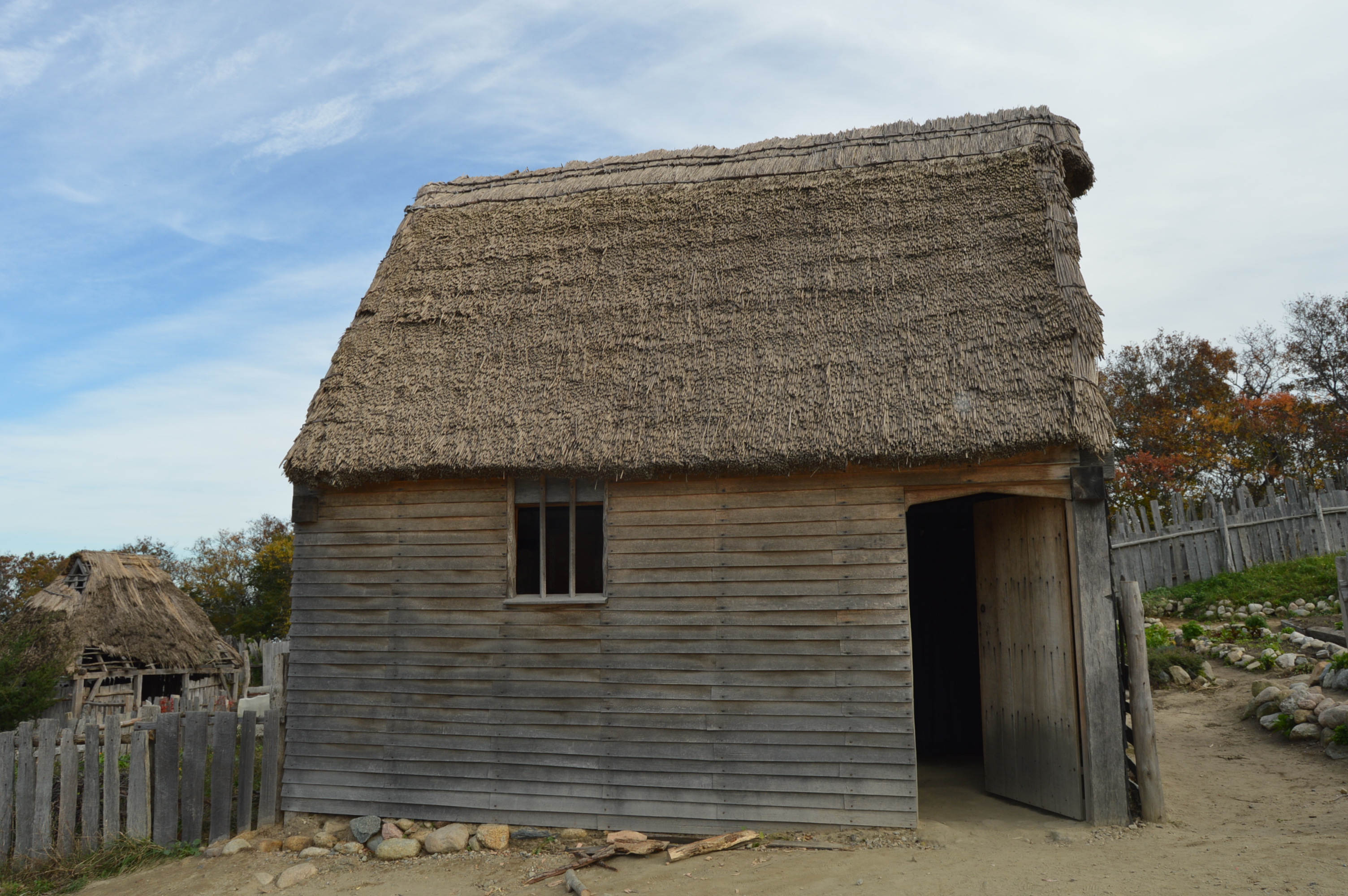
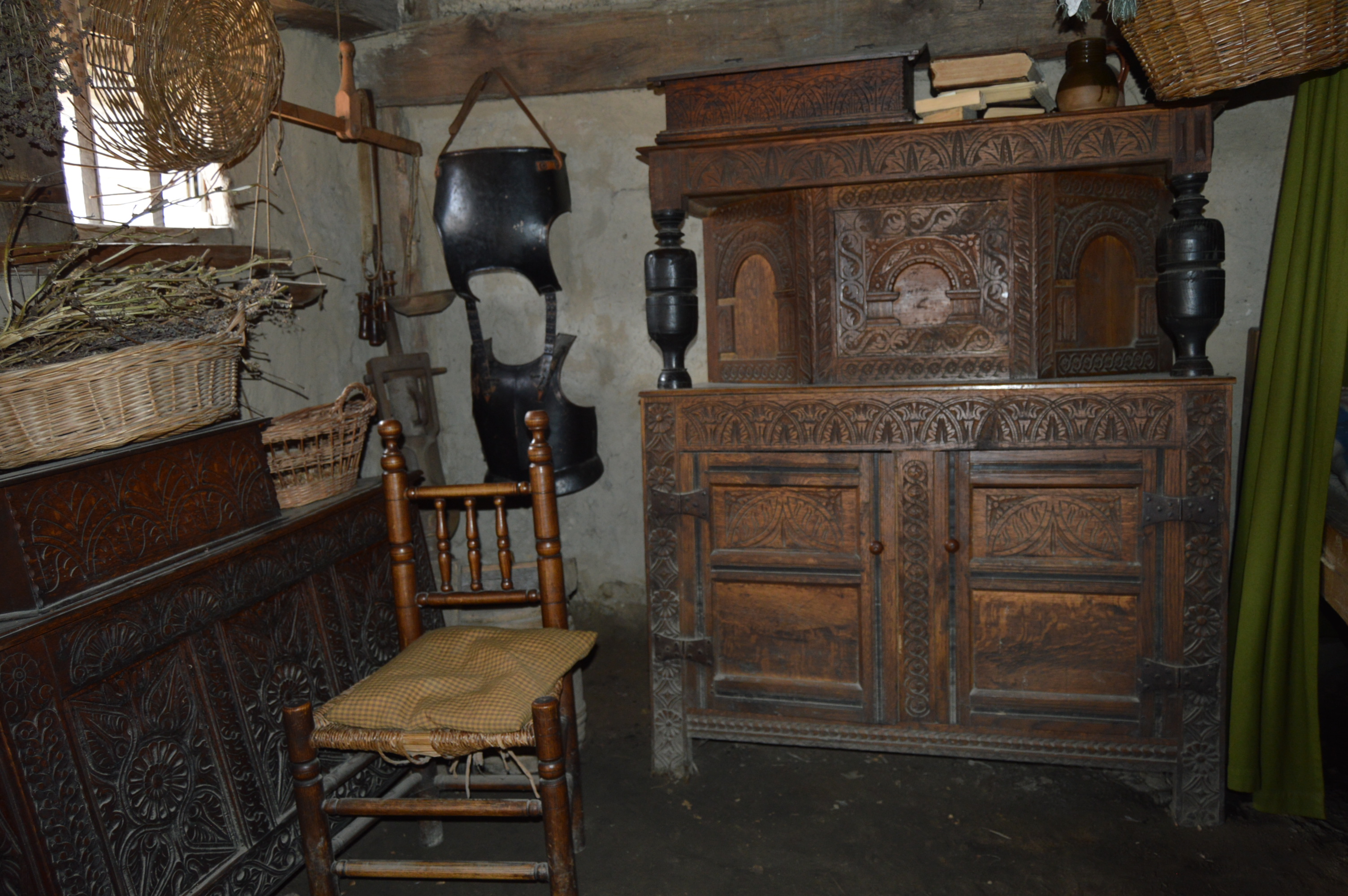
Walking into Plimoth Plantation is like walking back in time.
The constructed plantation is both educational and entertaining.
A short video running in the visitor center runs on a loop and gives you some background of the plantation. It also gives a little history of the historical of the place a history of the area.
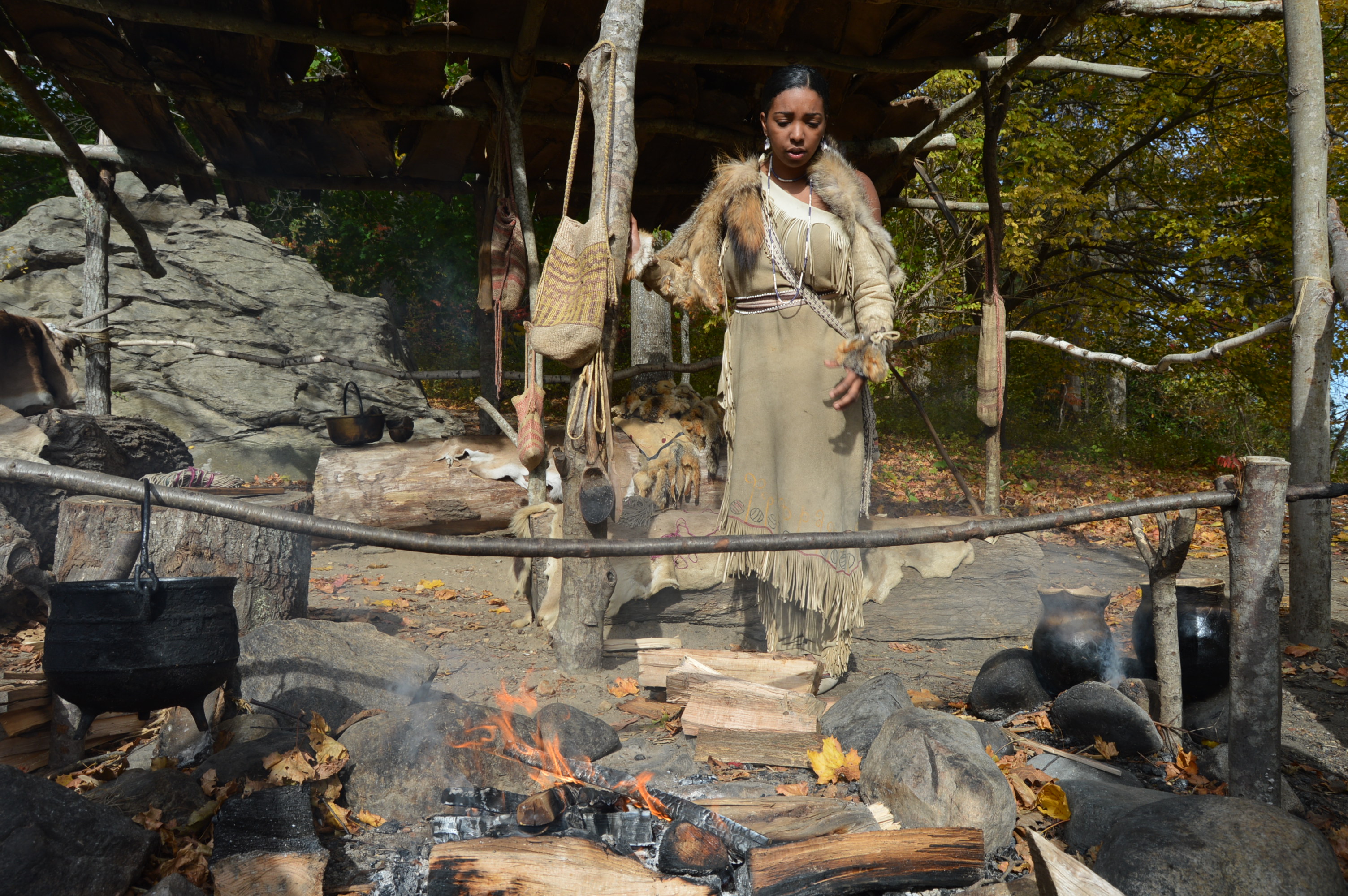
The plantation is divided into two sections: the Wampanaog Homesite and the Colonial English community of the 1600’s.
All of the people on the Wampanaog Homesite are Native Americans (they’re not actors or re-enactors). They are from the Wampanaog tribe or one of the other tribes indigenous to the Plymouth area. A cutout on the trail before you reach the Wampanoag Homesite reminds visitors that not every native American “is the same”. While most of the people residing at the Homesite are Wampanoag, not all of them are. Also, the cutout reminds people to not call the people “braves” or any other demeaning and sterotypical term as they are not considered compliments or polite ways to address the people there.
The views on the way to the Homesite and at the main visitor center are very pretty.
This is a Gathering Circle located on the trail to the Wampanoag Homesite.
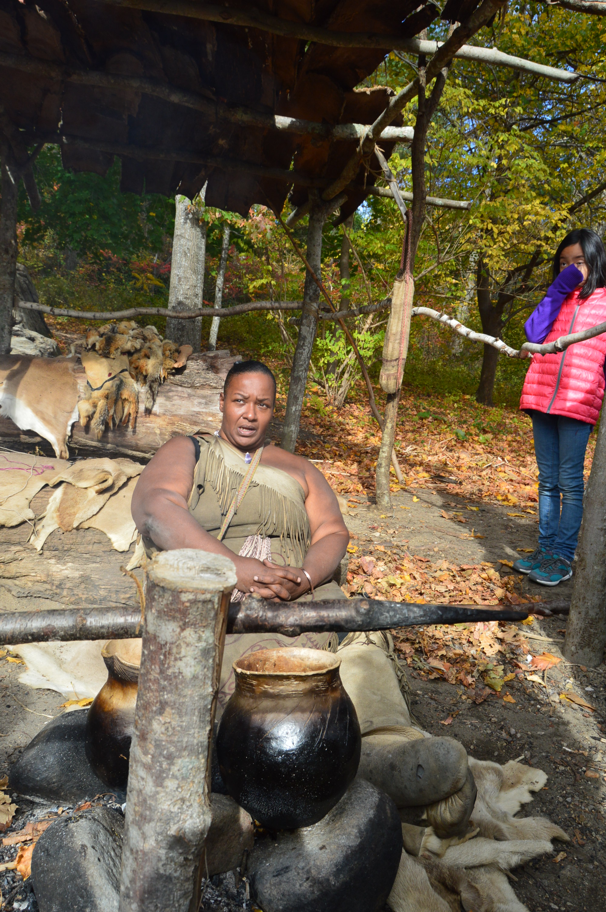
The Native Americans at the Homesite tell stories about their life there and describe what tasks they are completing.
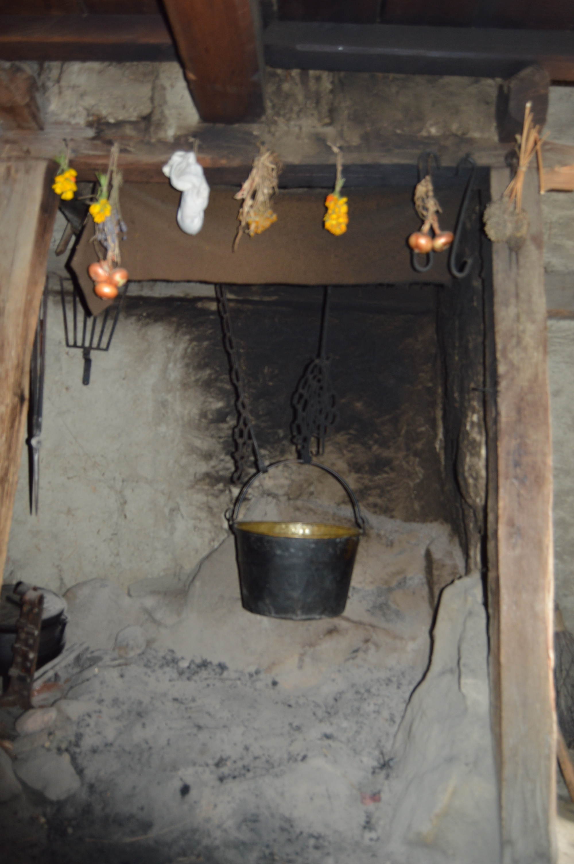
This woman was showing how they cook their food and answering questions from the visitors.
The Native Americans answer questions inside one of the wigwams at the plantation.
These men were hollowing out a boat.
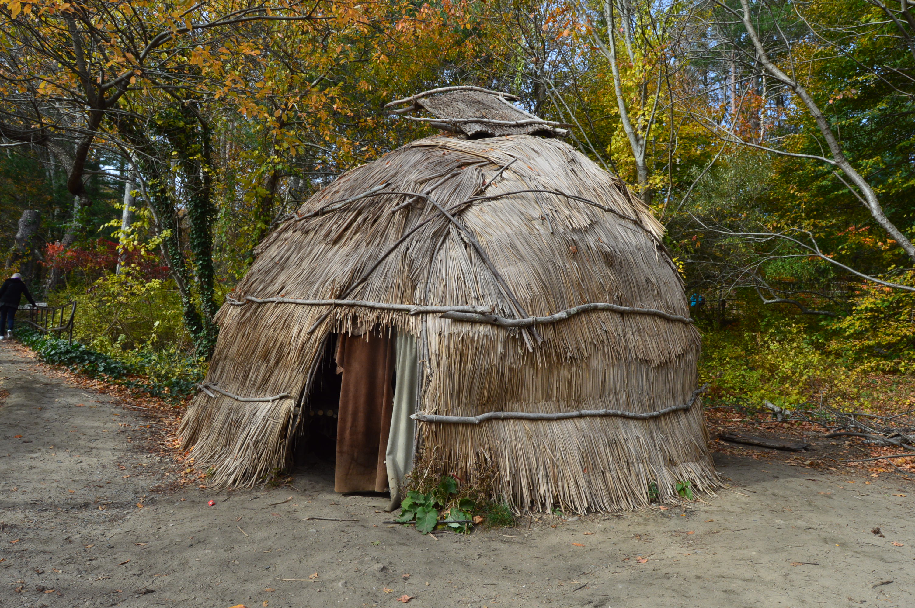
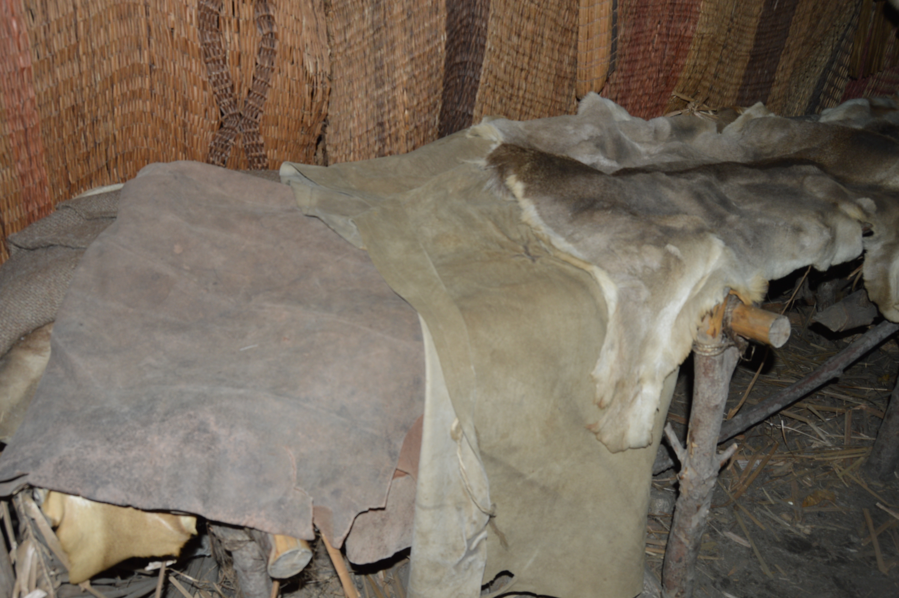
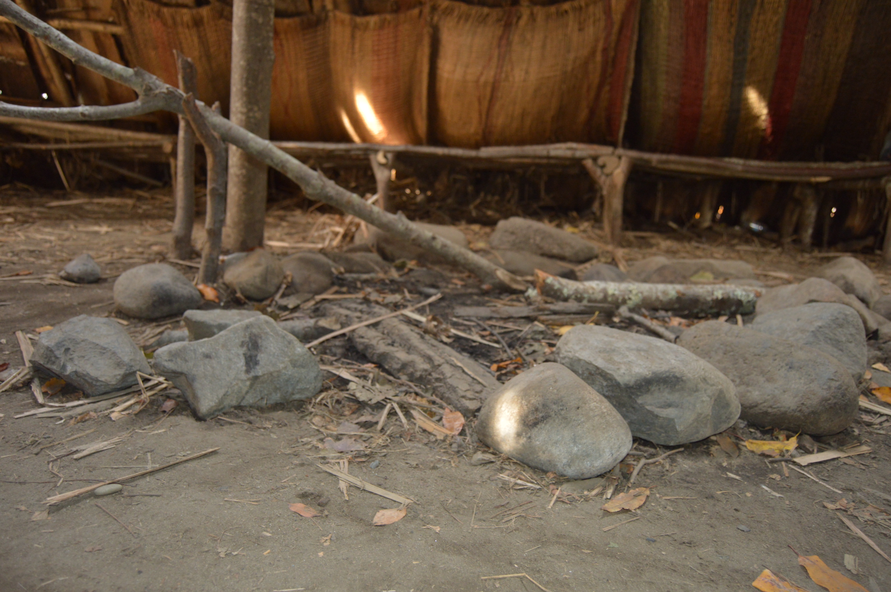
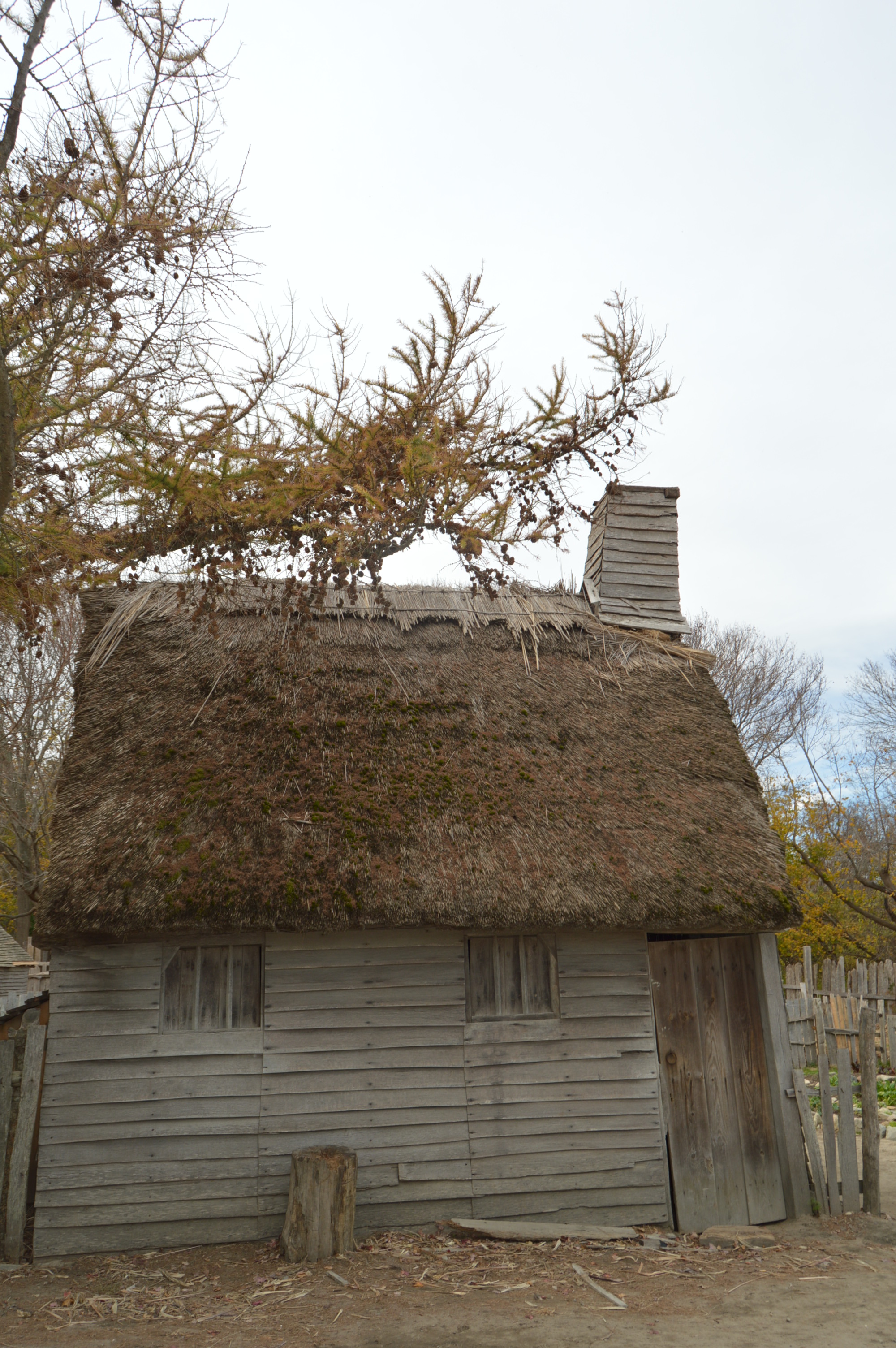
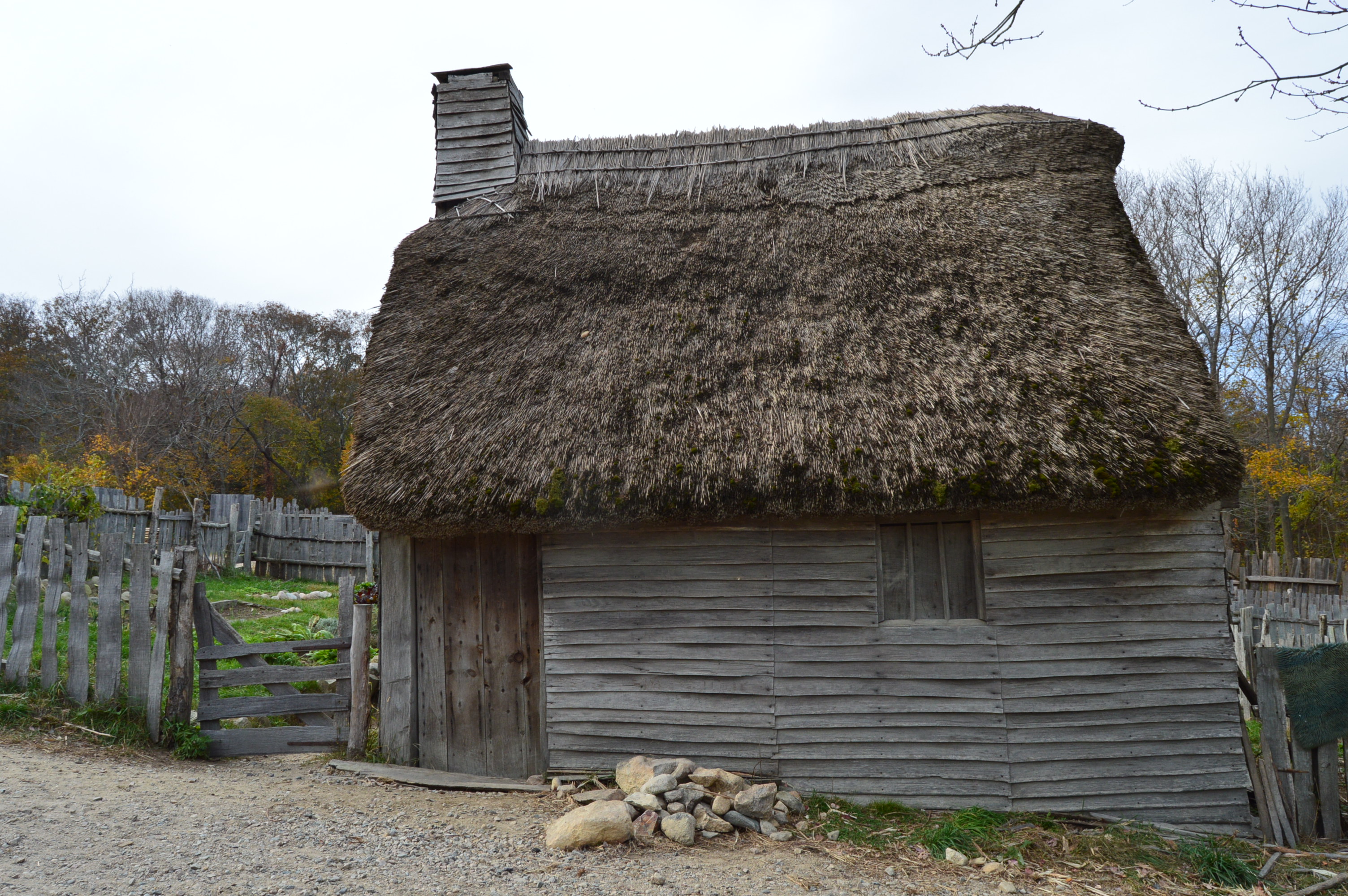
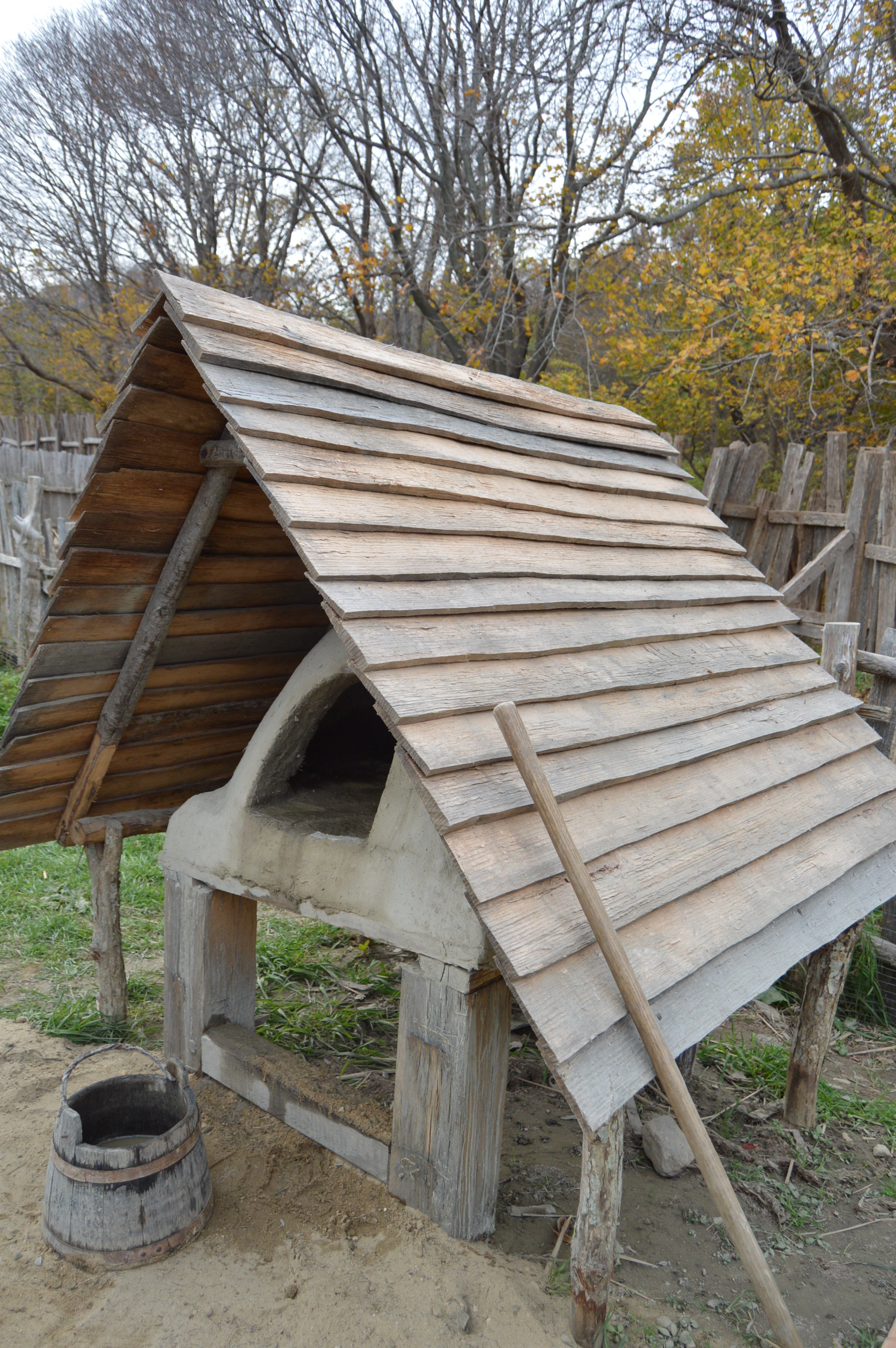
There are structures made with the same materials and the very same way they were built in the 1600’s and earlier.
This is a meeting room where elders and the rest of the people would meet to discuss issues affecting the community.
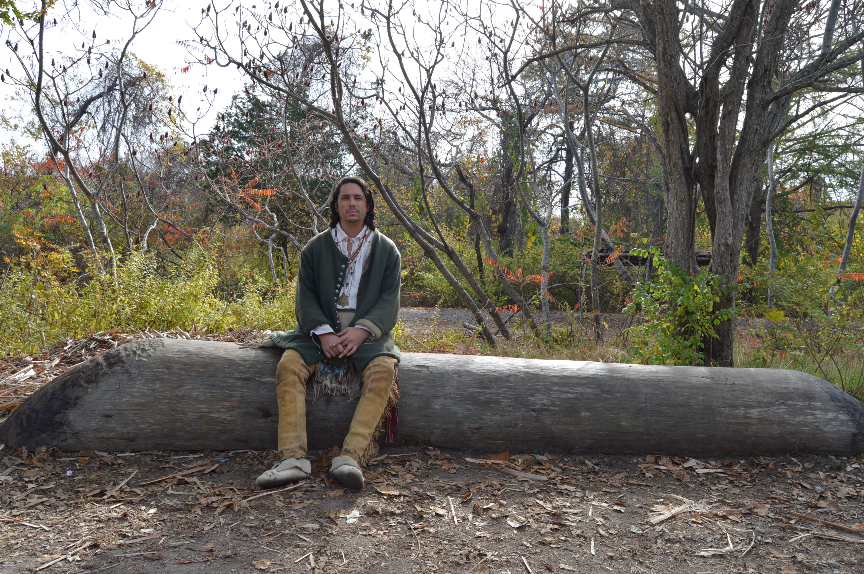
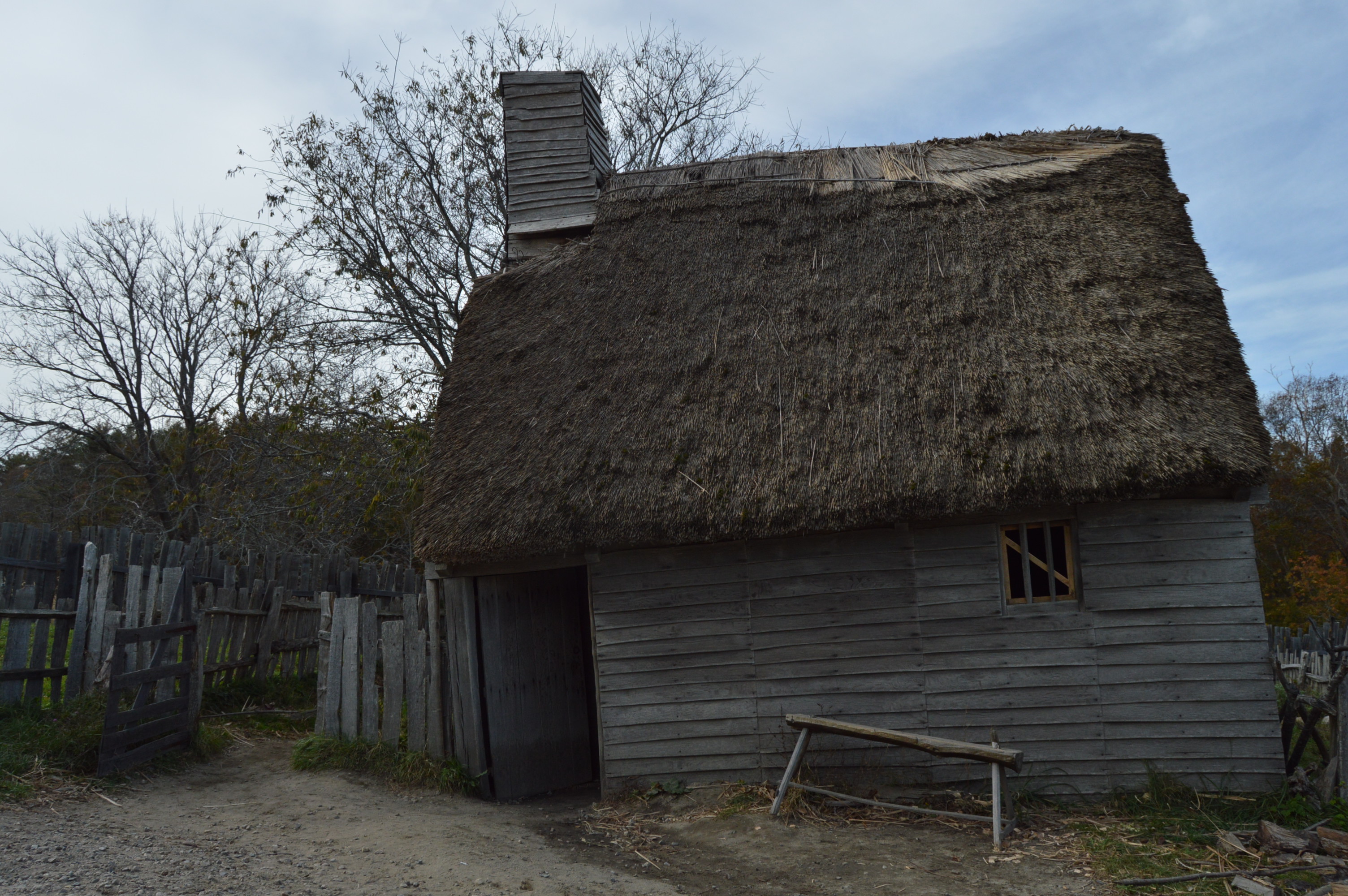
After exiting the Wampanoag Homeesite, a stairway leads to the English side of the plantation
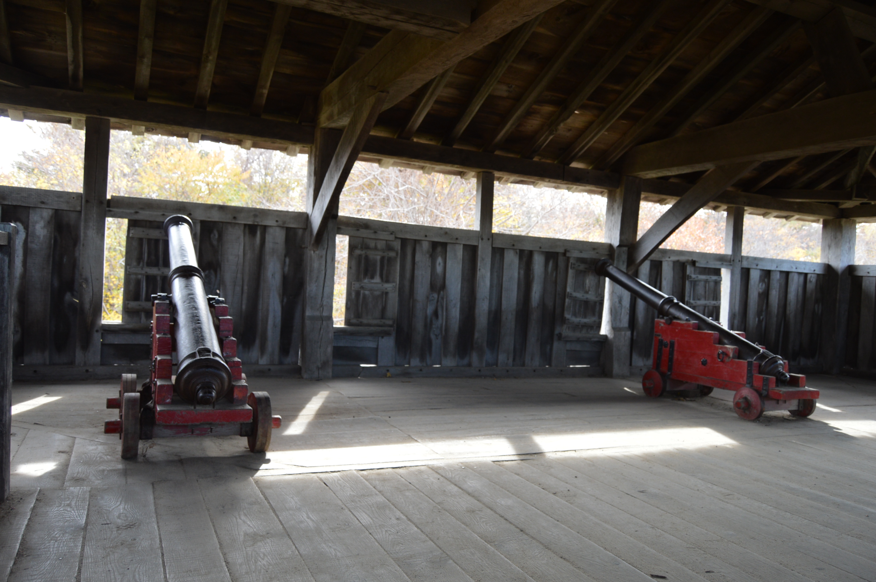
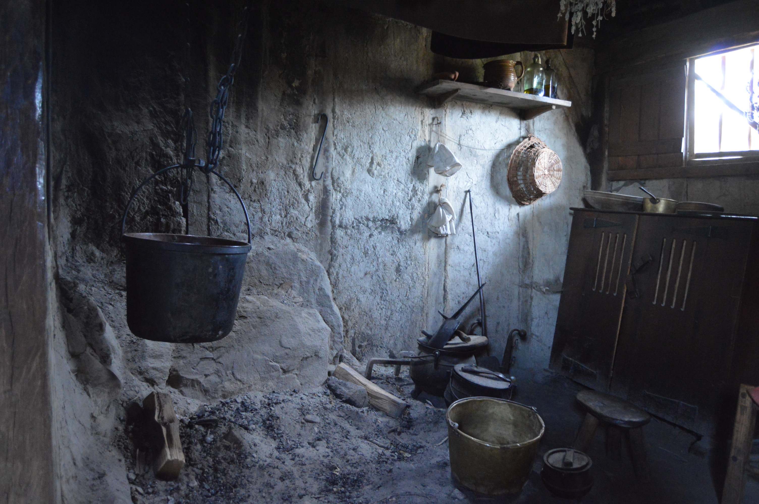
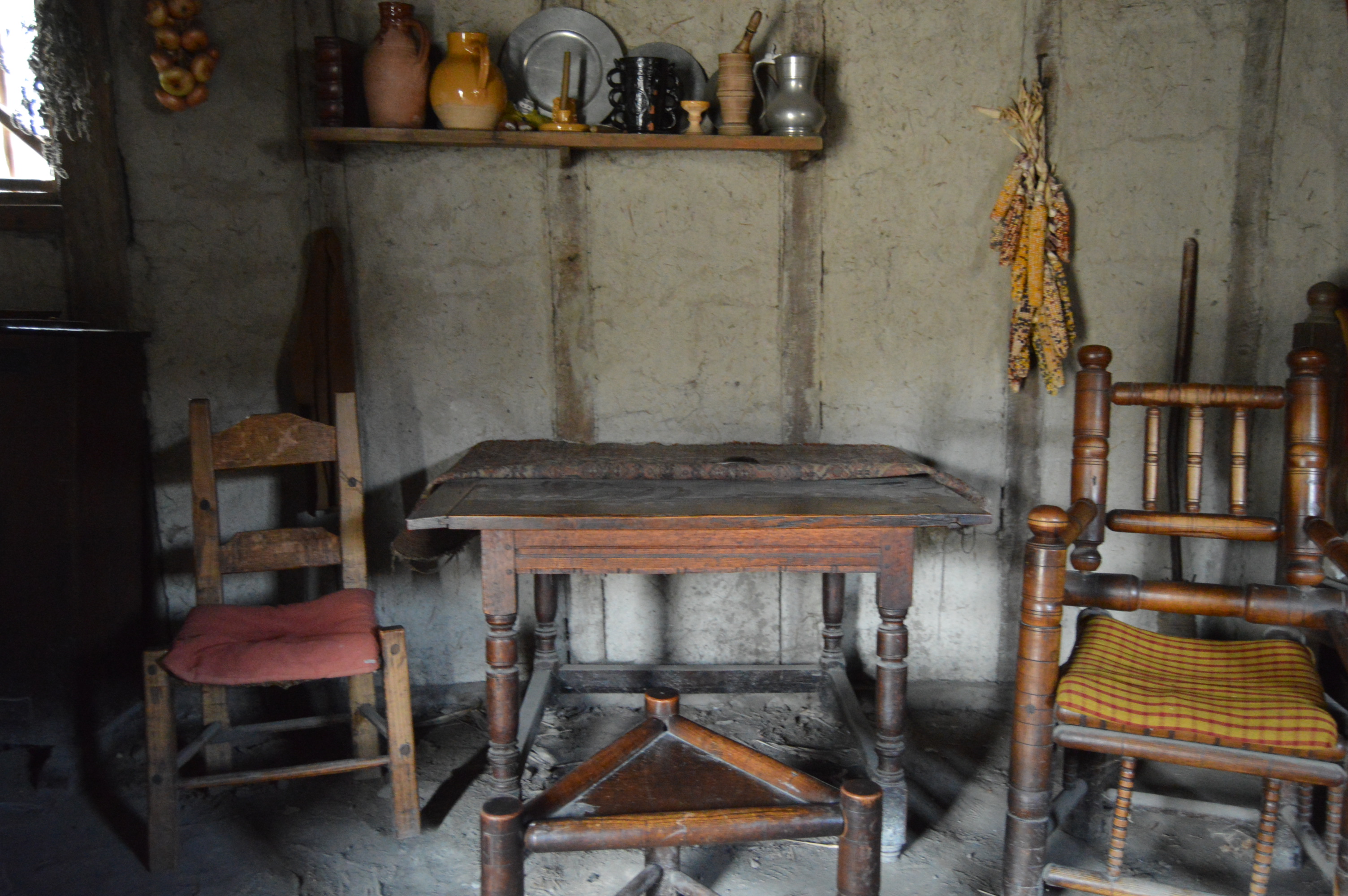
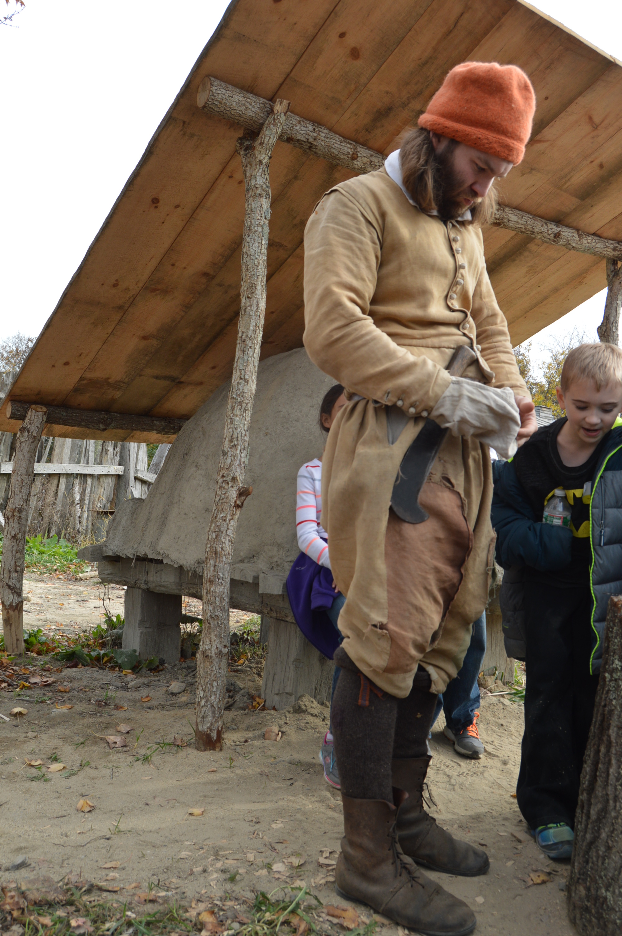
Everything past this sign is pure 17th century. The structures, the clothing the people wear and the way the people speak are all from the 1700’s. This fort acted as a lookout.
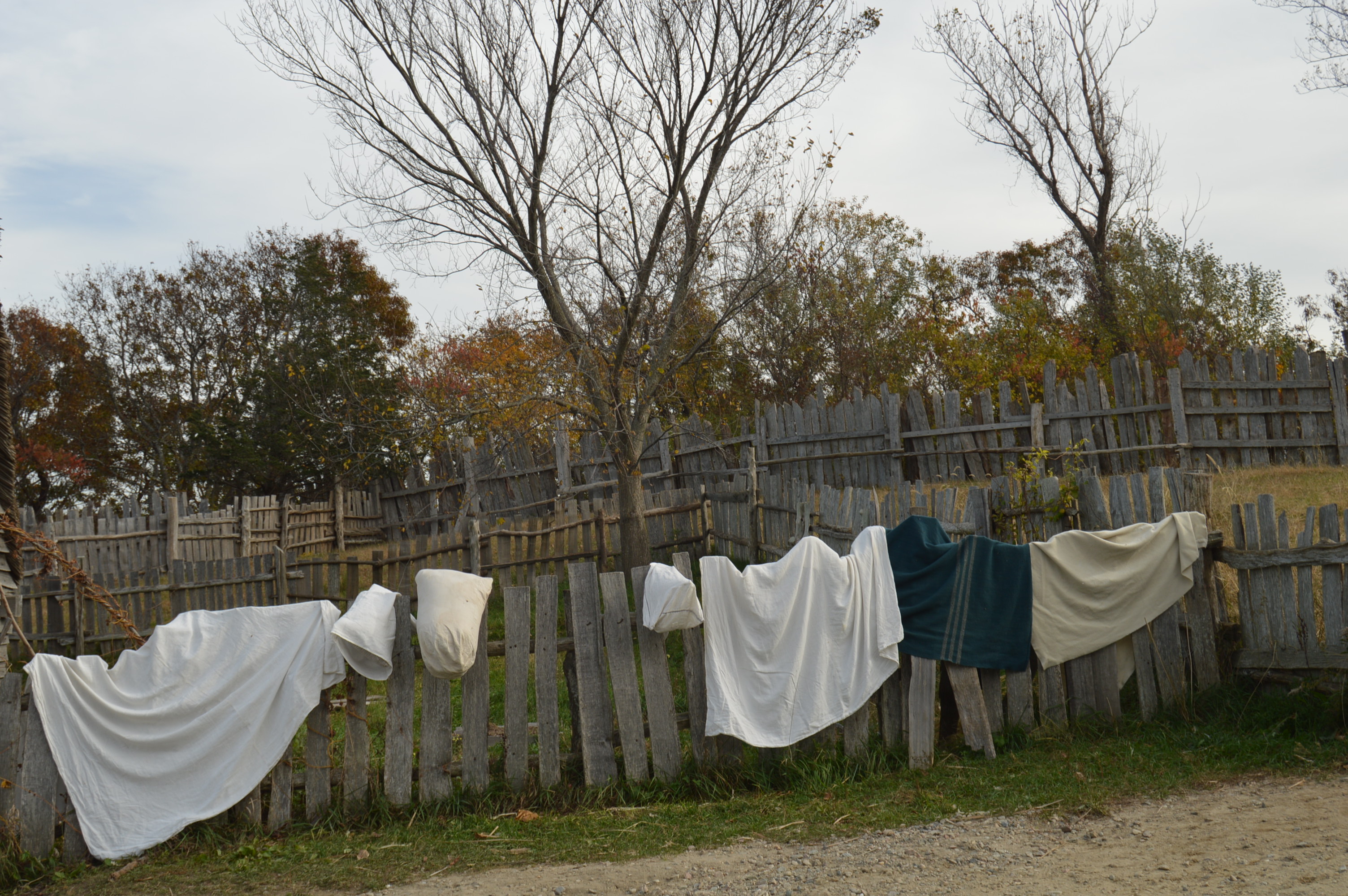
The people even wash their clothing the old way.
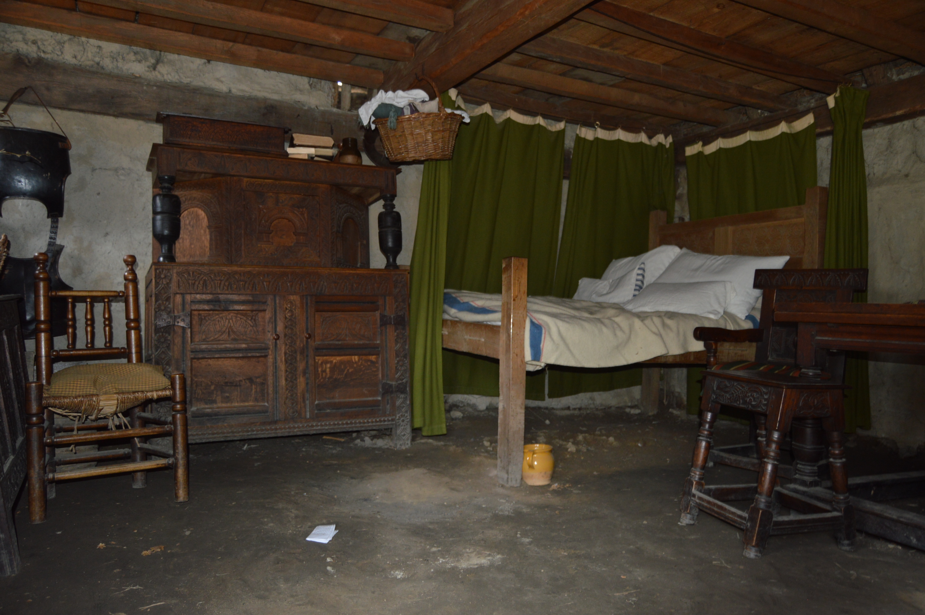
The inside and outside of the houses closely mimic the houses of the 1700’s
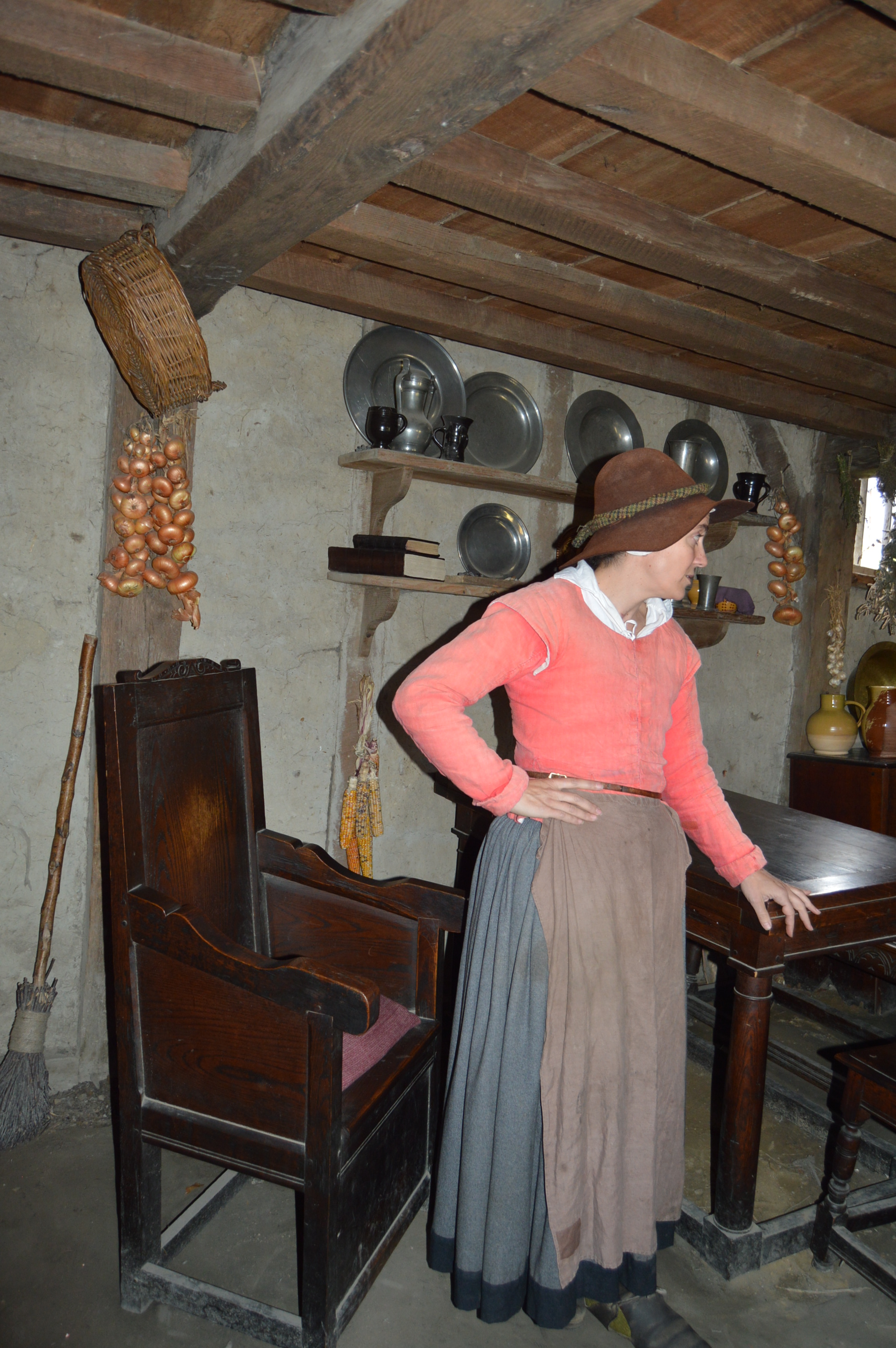
Actors inhabit the homes.
This woman said “My Christian name is Sarah” when I asked her what her name is.
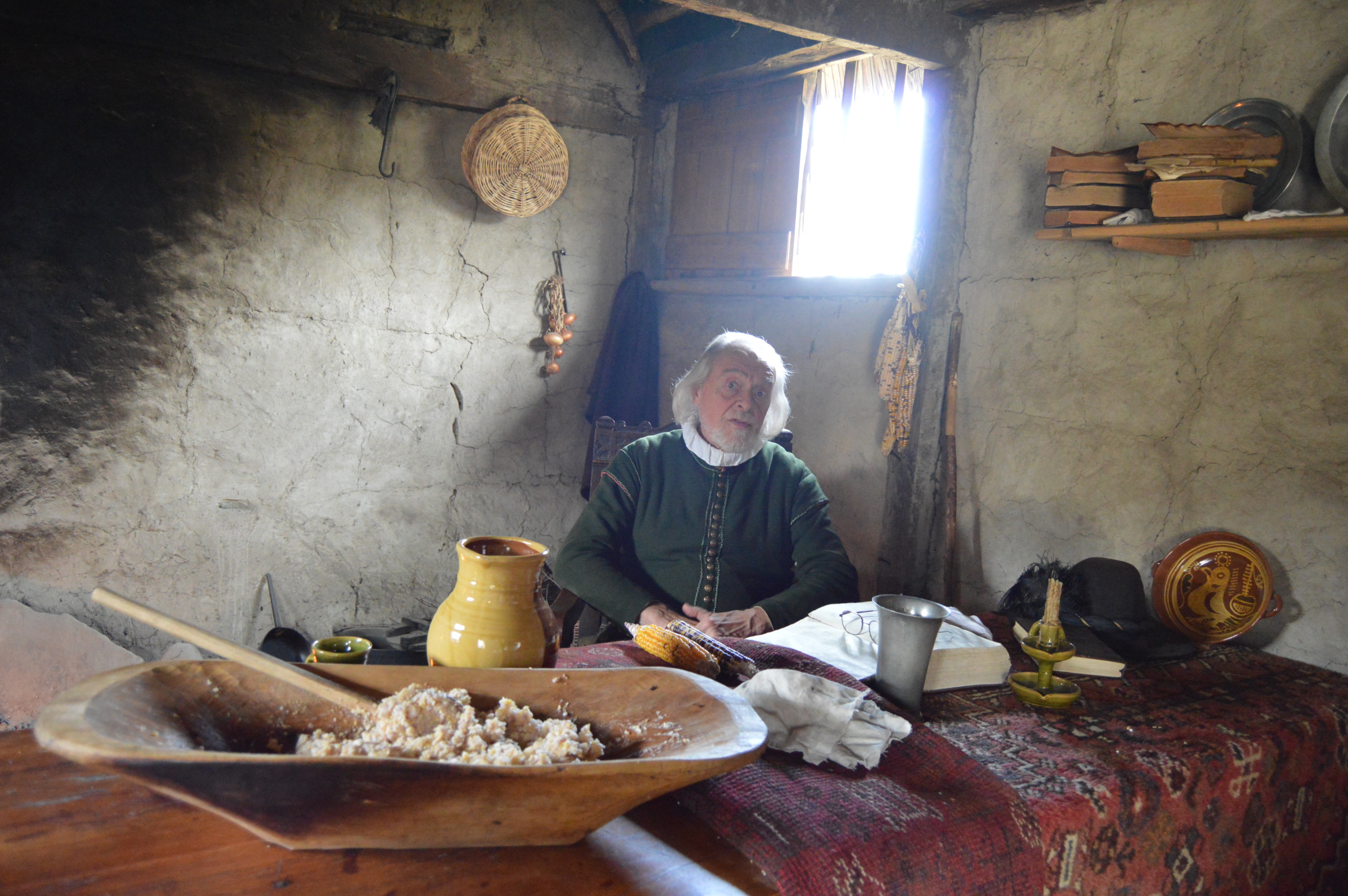
This man and his wife were getting ready for dinner when I stopped by. it looks like a cozy little place.
There are also actors walking throughout the plantation.
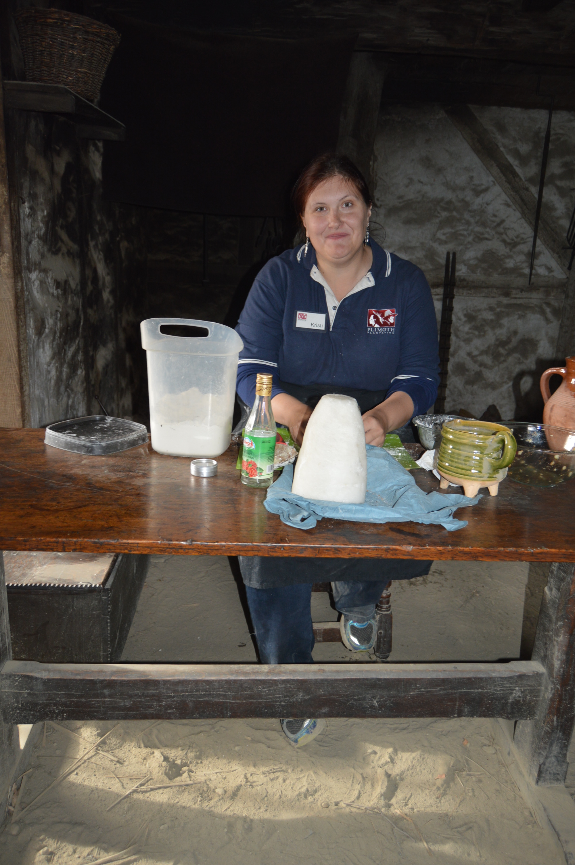
This woman was making apple tarts, the old fashioned way.
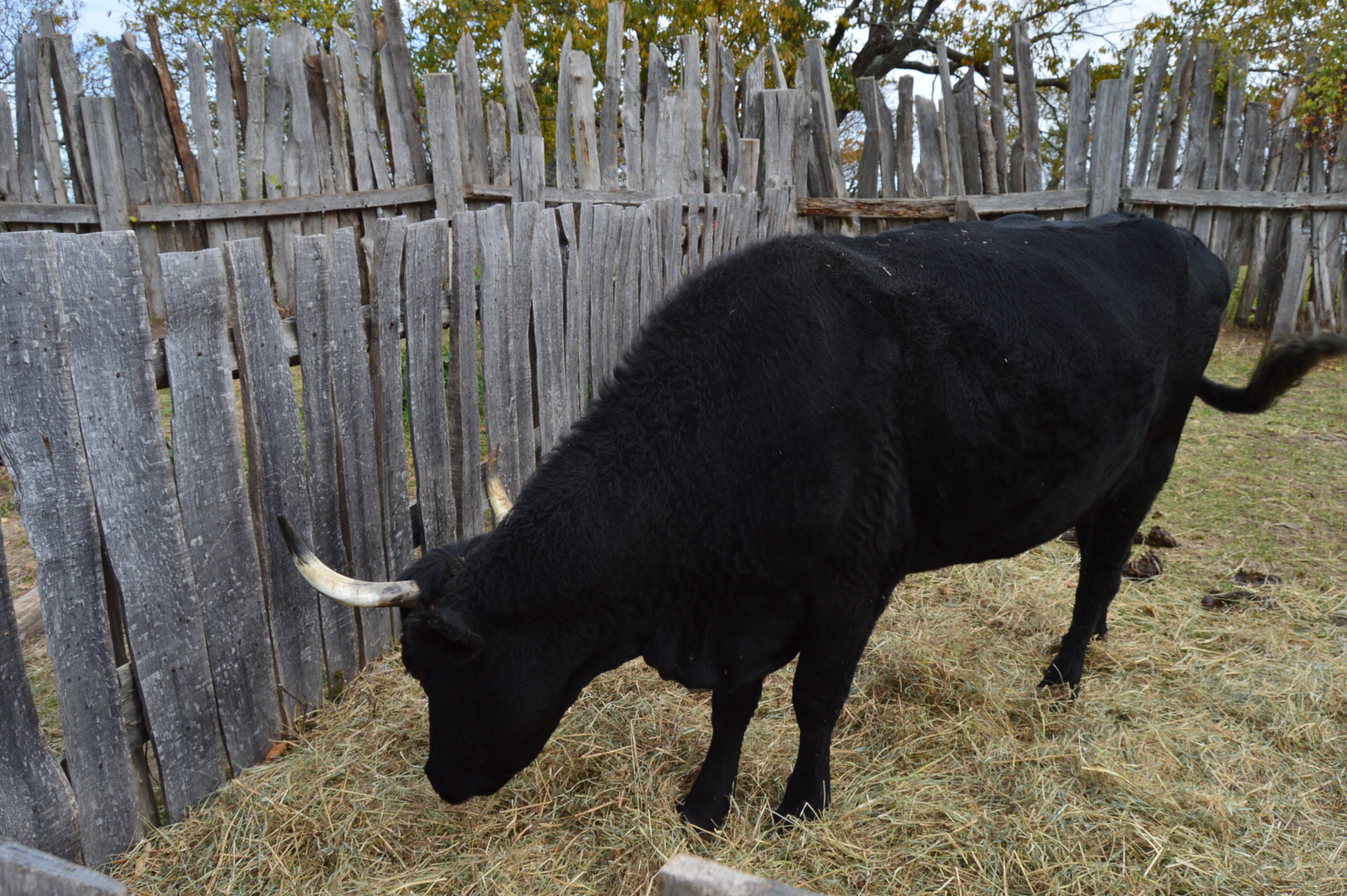
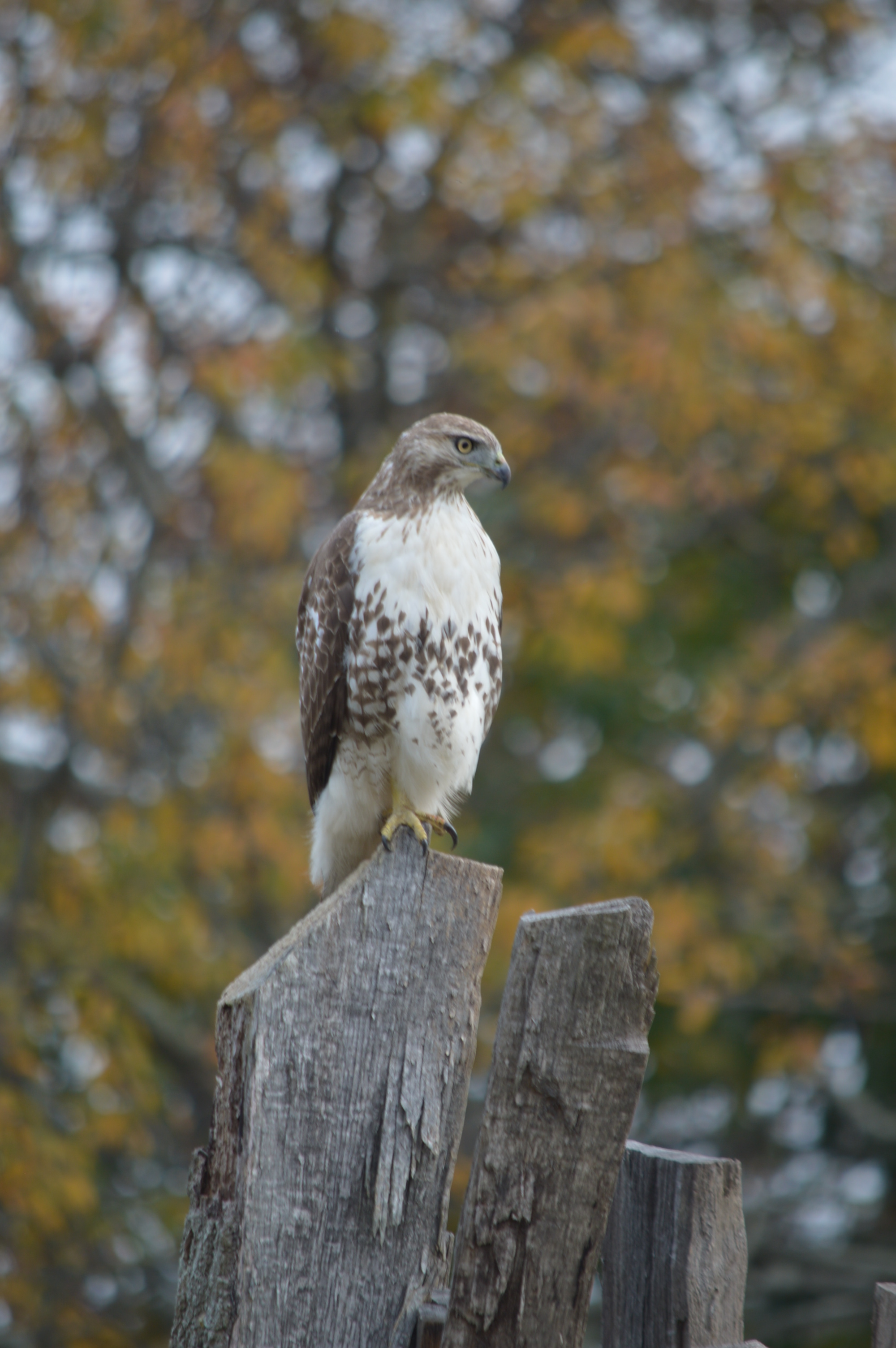
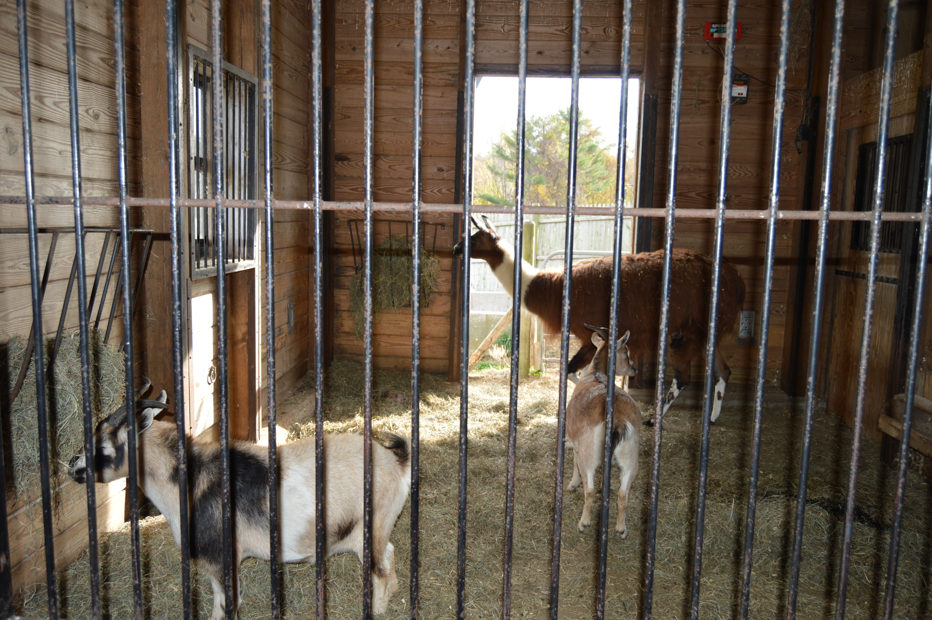
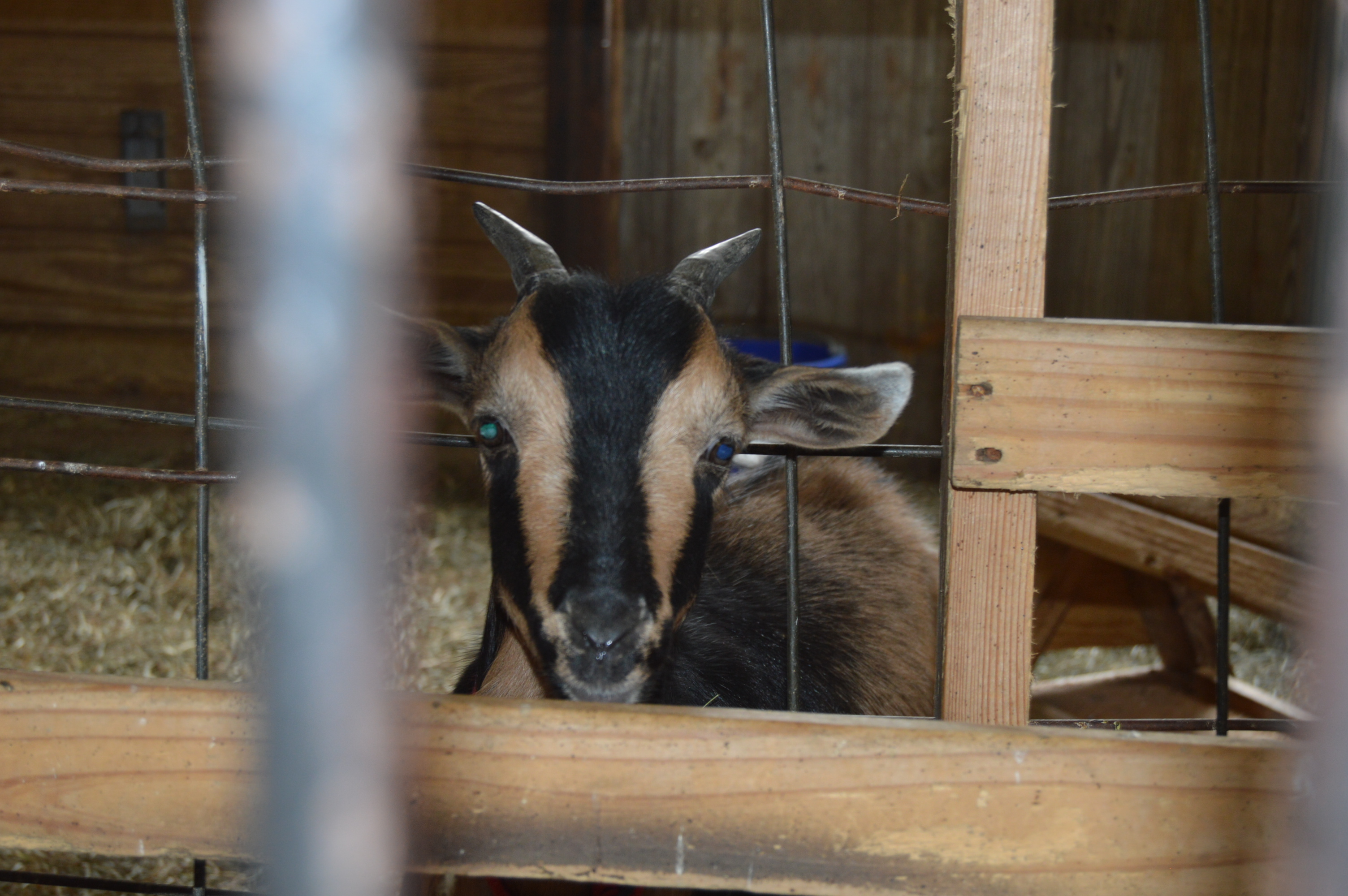
Plimoth Plantation has a limited amount of livestock. There is a bull and a hawk.
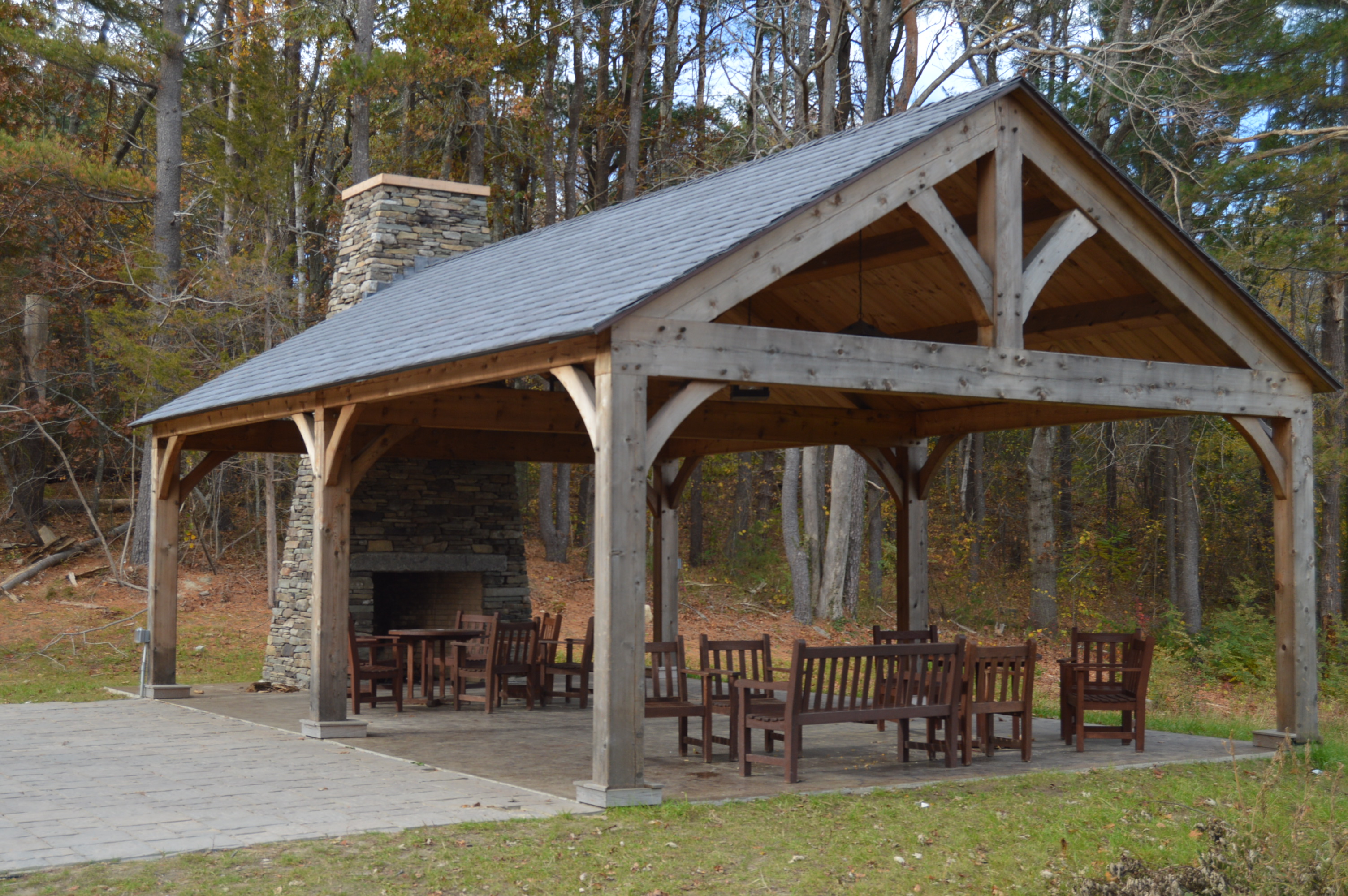
There is a dining and rest area outside of the plantation area.
There is also Nye Barn located on the way out of the plantation.
In other news, I have been nominated for a Liebster Award on my other blogging profile (Mr. Wayne)! Please follow the link below to read about the nomination, see my answers to the questions sent to me and to see who I nominated for this award at Mr. Wayne’s Blog
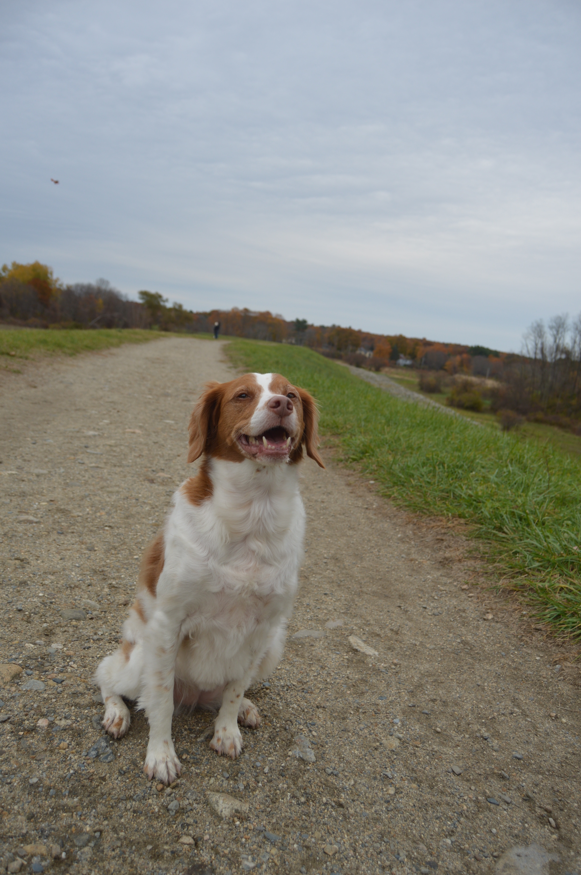
If you have a dog or if you are a pooch lover like I am and you live in the Massachusetts area, then you must make a trip out to Callahan State Park in Framingham, MA. In fact, they should rename it Canine State Park.
When I arrived at the park, shortly before 9 on a Saturday morning, the fairly ample parking lot was already almost full. It did not take long to find some cute canines to photograph. I had more trouble deciding which dogs to photograph.
Casey wanted to get an extra close up photo.
Lucky’s dad used a ball to get his attention.
Luna looked right at the camera for me.
Shelby wasn’t sure if he should play with his ball or pose for me.
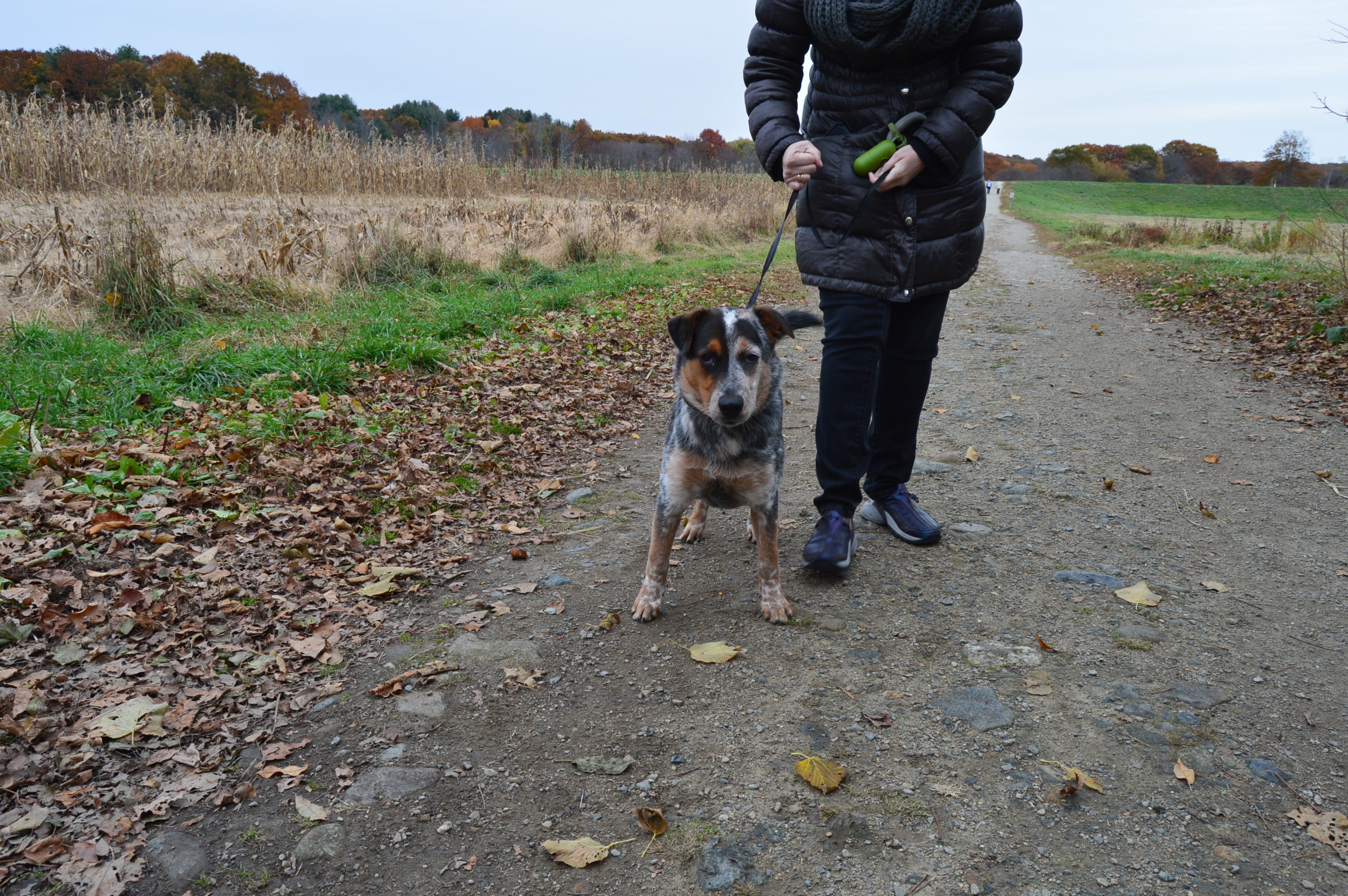
Finn, an Australian cattle breed mix, wanted to say hi. Right after I took this photo, he ran up to me and snuggled with me.
Heboo dressed for the seasonably chilly weather with a sweater.
Ella gave me a big smile for her photo.
Duke (on your left) and Pete (on your right) were busy looking at their mom/walker.
Gracie looked sharp!
This guy was a great poser!
Leaves carpeted most of the trails and the foliage was not at its peak. But, there were still so many pretty views.
There is lots of open land for dogs to play or run around on.
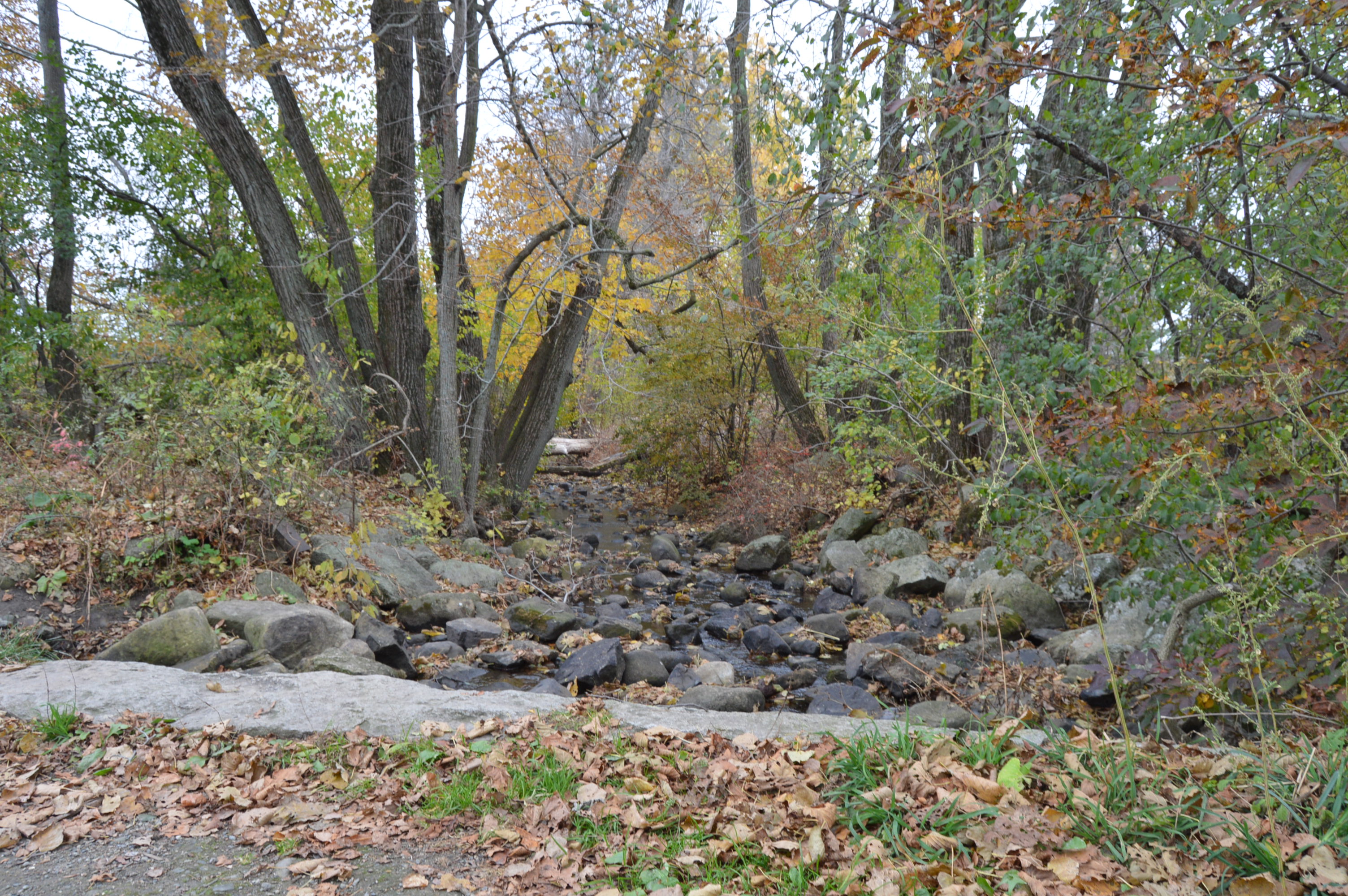
There is a creek that runs across the park
It began to rain, only for a few minutes, when I was at the creek. It stopped just after I get a few shots of the rain making ripples on the water.
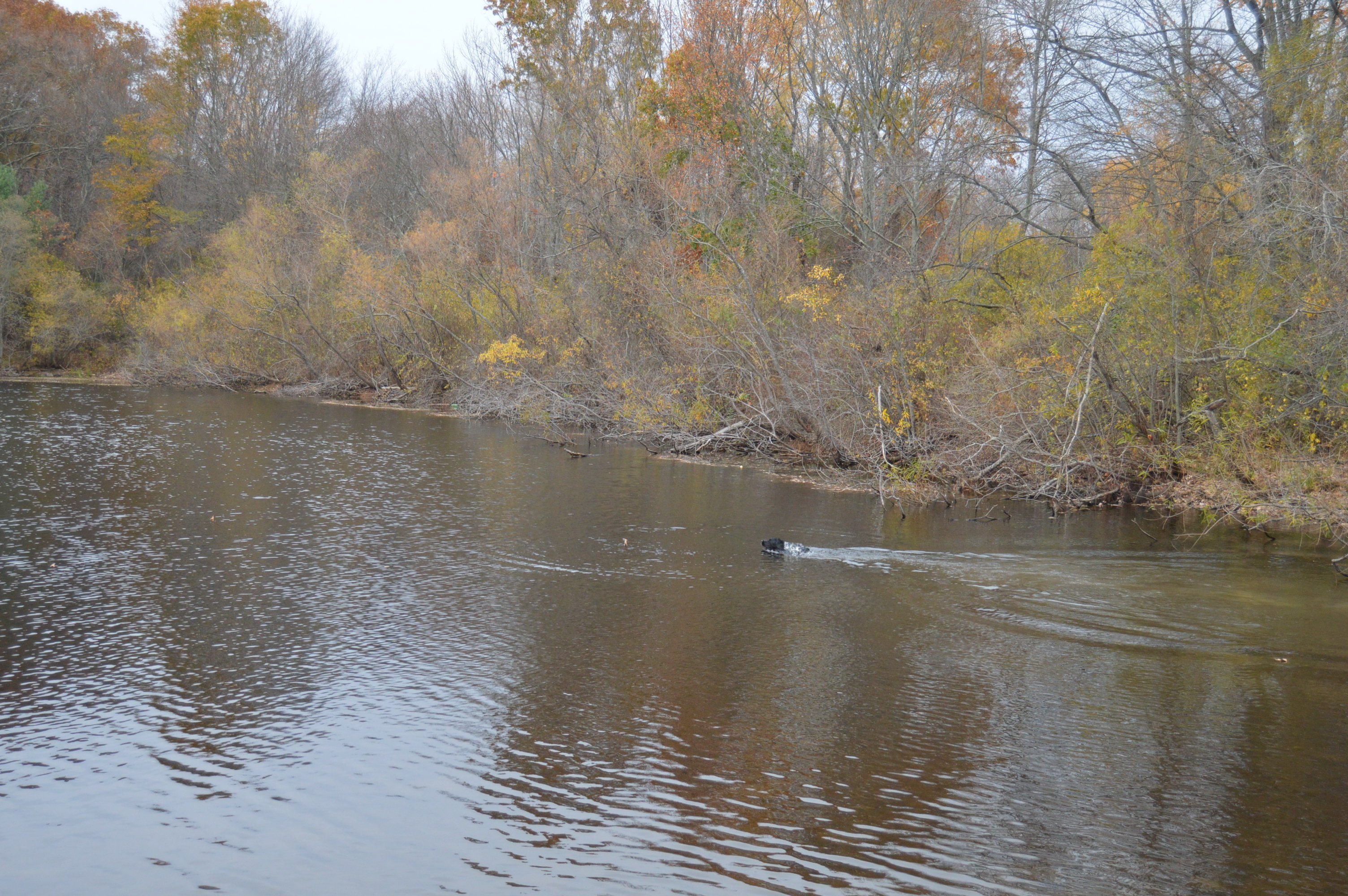
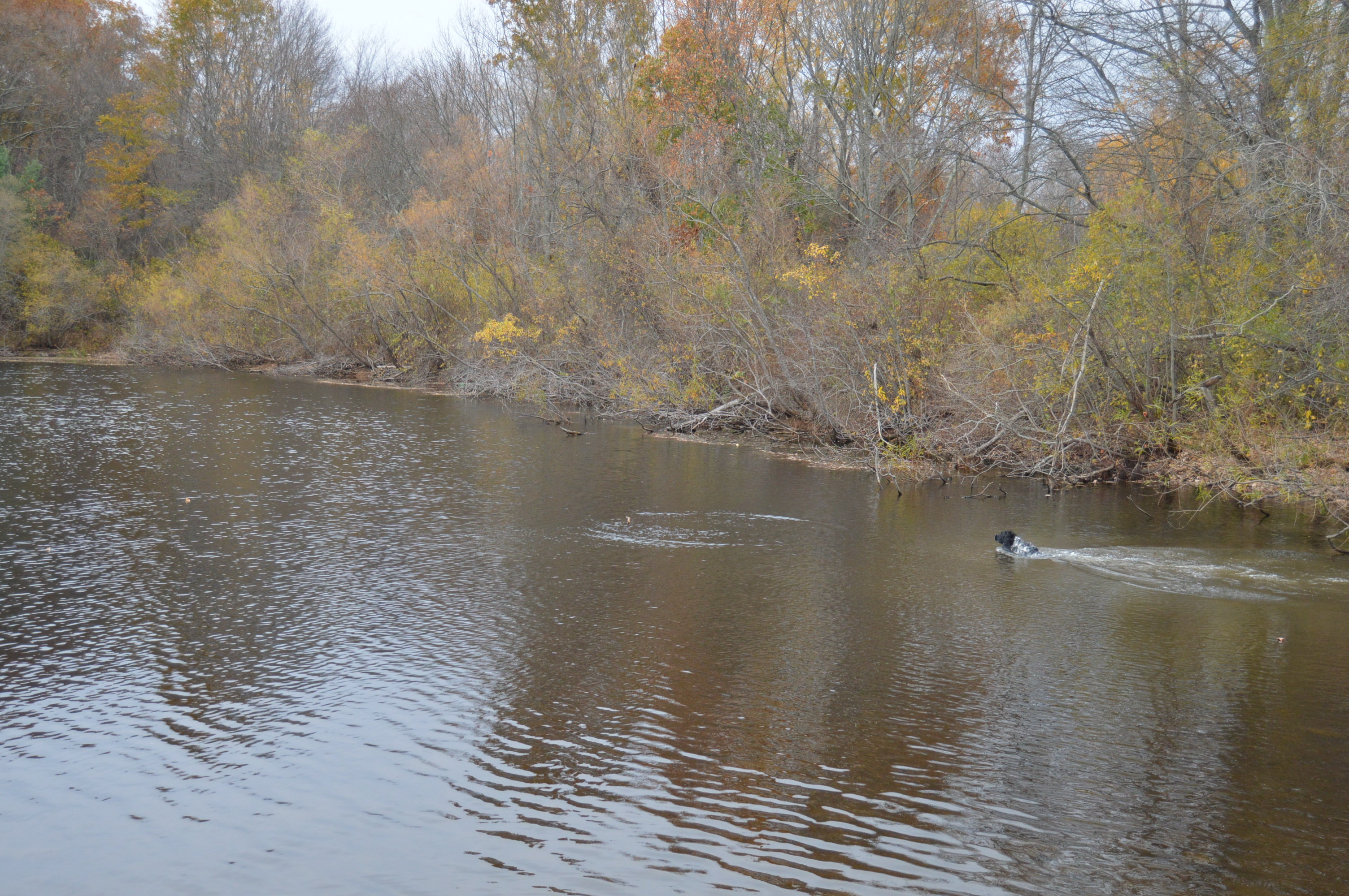
Callahan State Park also has a pond.
There is a little island in the middle of the pond.
This rock caught my eye.
The dogs went in for swim and one of them even retrieved a stick.
The park has a circular path which is great for joggers and anyone who wants to take a leisurely walk. The Greater Framingham Running Club held a 5k/10k run the day I was there.
The runner in blue and yellow waved to me. Who said runners aren’t friendly?
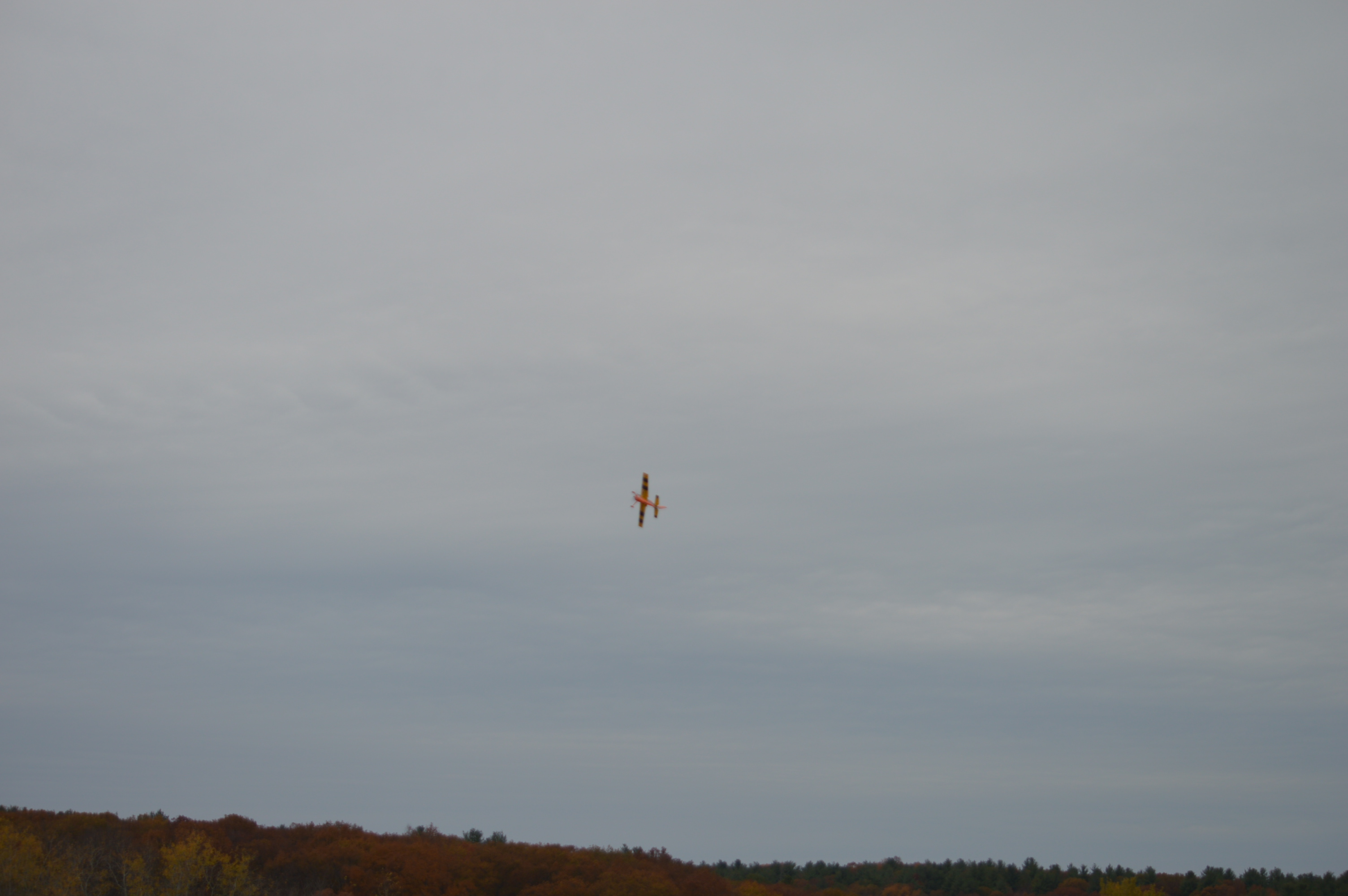
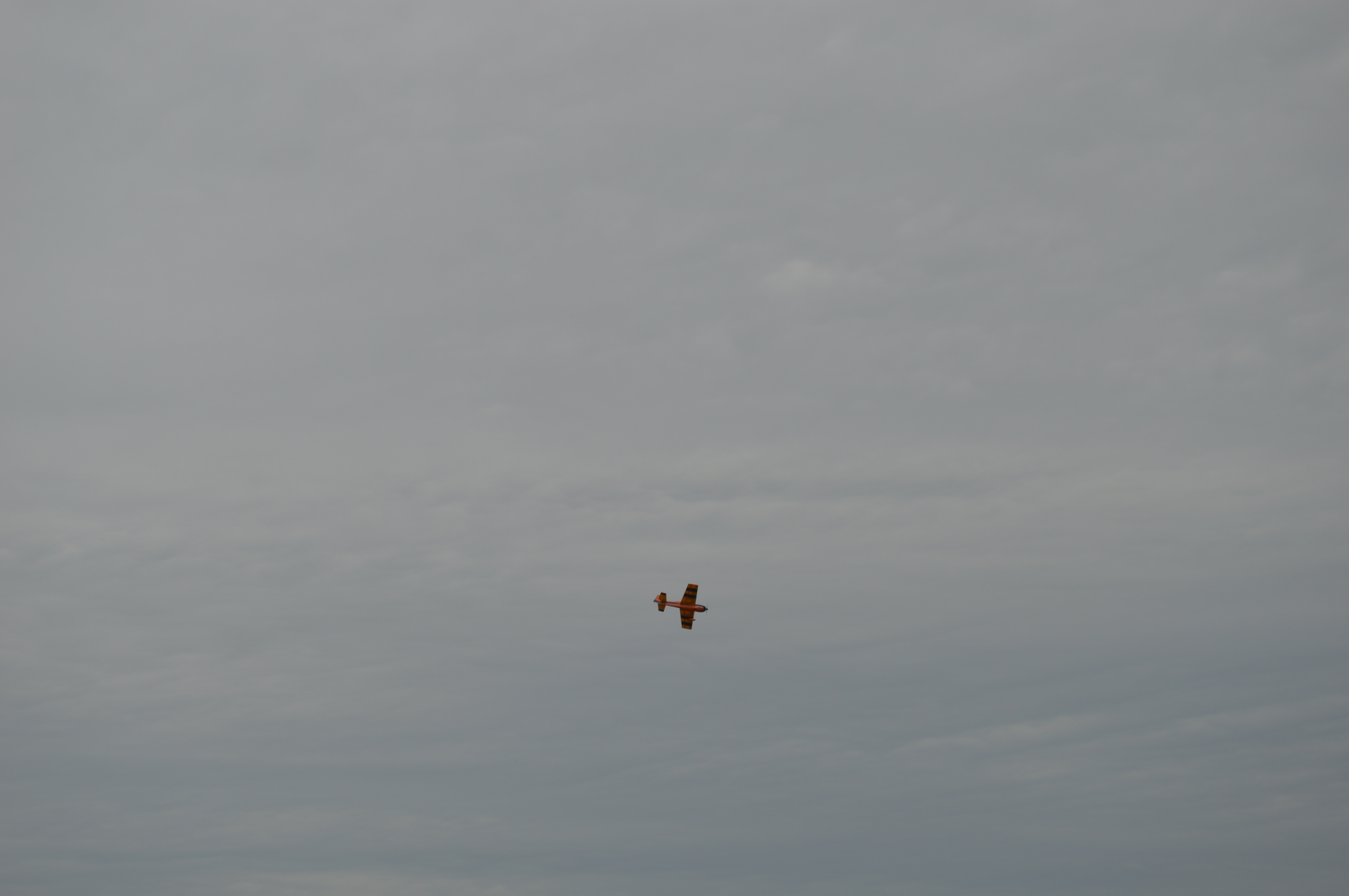
There are so many things you can do at Callahan State Park. This radio plane enthusiast took his plane out for a spin.
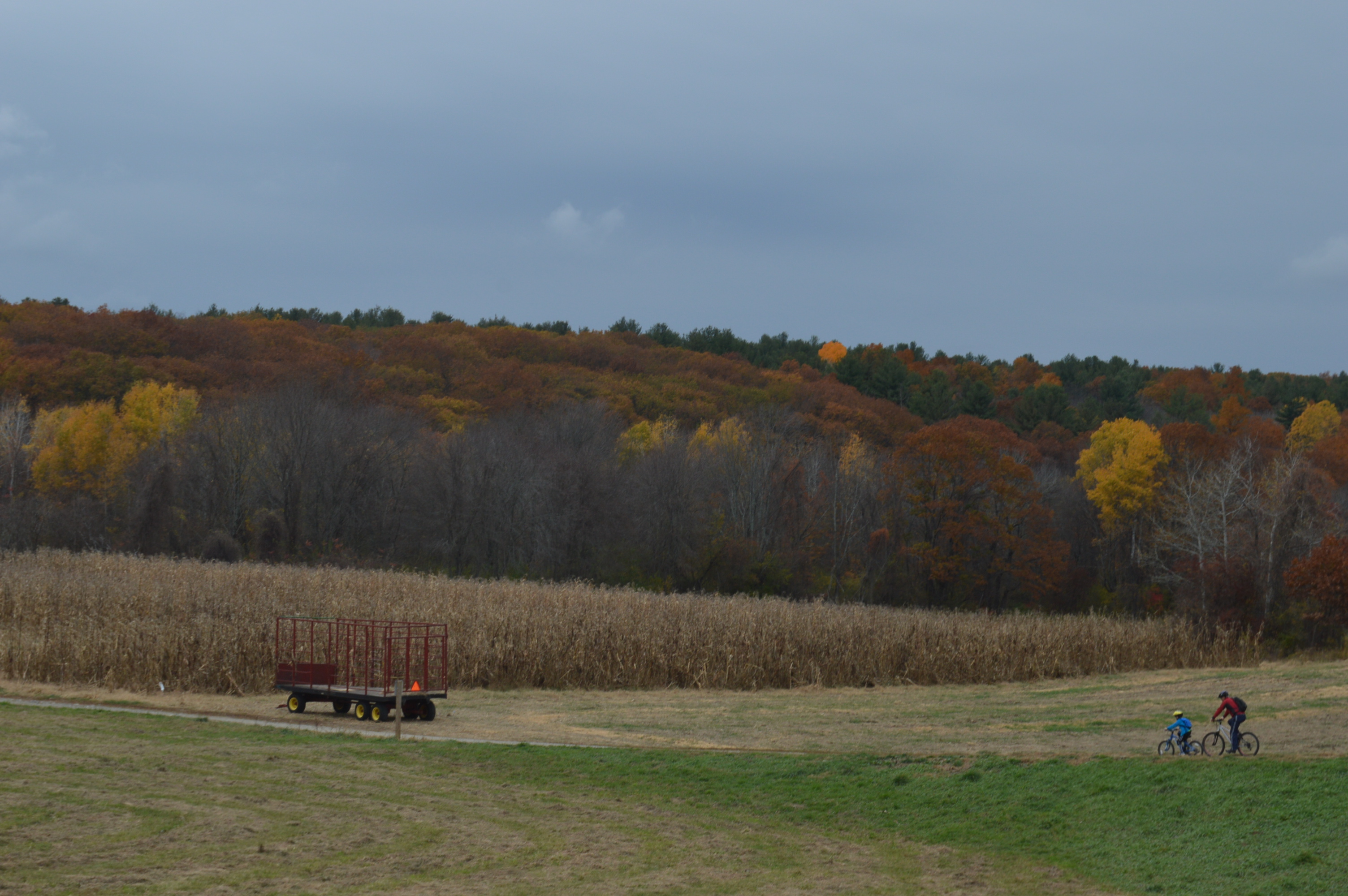
This father and son their bikes for a ride.
If you want to check out my other blog on WordPress, please click here. Thank you.