Date Of Event: April 30, 2016
Location: 37 Main St, Westerly, Rhode Island
Parking: Parking was very limited, especially with the huge turnout. I got there early so I was fortunate enough to snag a 3 hour parking spot near the event in the shopping area of the town.
Cost: Free
Annual Pawcatuck River Duck Race

Every year for the past 18 years, the Ocean Community Chamber of Commerce partners with several businesses and community members to raise money by dumping 20,000 ducks into the Pawcatuck River (don’t worry, they’re rubber ducks) and watching them race down the river. The event helps raise money for over 40 local schools and other non profit groups in the area.
Visitors to the duck race can buy “sponsor tickets” with a unique number of a duck for $5 a chance. Duck shaped whistles can also purchased, much to the delight of many spectators and parents. Vendors and a local radio station also sell items and entertain the visitors.
All 20,000 rubber ducks are dumped into the river from a bulldozer which has been filled with the toys prior to the race.


That’s a lot of ducks!
A short walk from the bridge, in Donahue Park, there are also fun stuff for kids (and even adults who feel young at heart) such as a bouncy house, face painting, balloon shaping and other activities. There also was a classic car, a ’47 Mac, owned by the parent of Bustah (one of the dogs below). Cool car.


There were ducks in the water and on land.


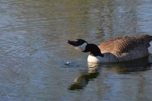
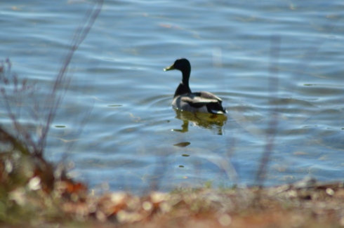
Before the race began, a duck, a real duck this time, decided to stop by and see what was going on.

Then, a family of ducks and ducklings swam by. I feel badly for the little one lagging behind in the last photo. I feel like that everyday.


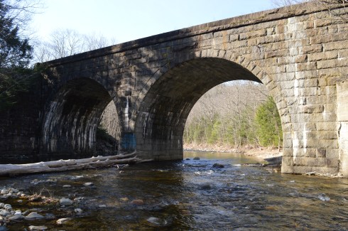
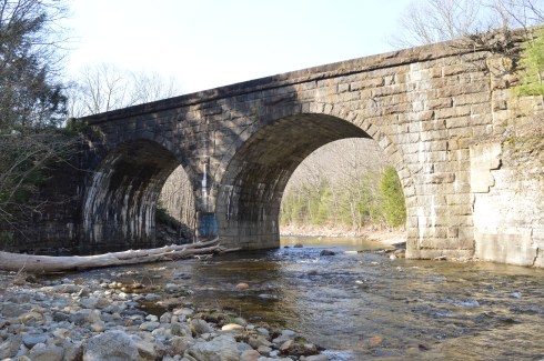
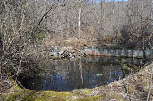
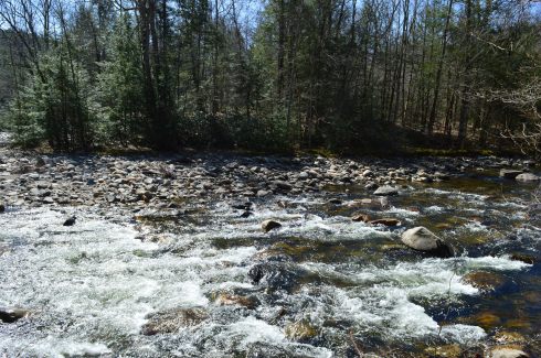
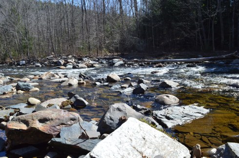
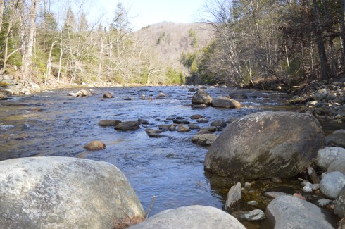
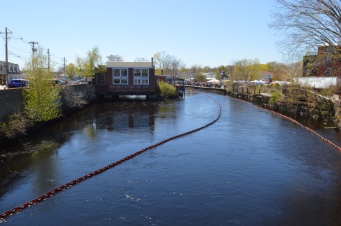
This is the Pawcatuck River before the race.
This is the river with 20,000 ducks in it.


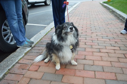
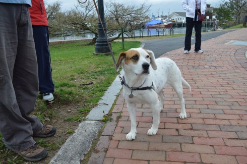
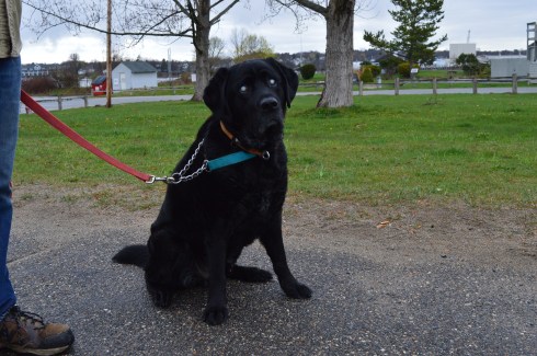
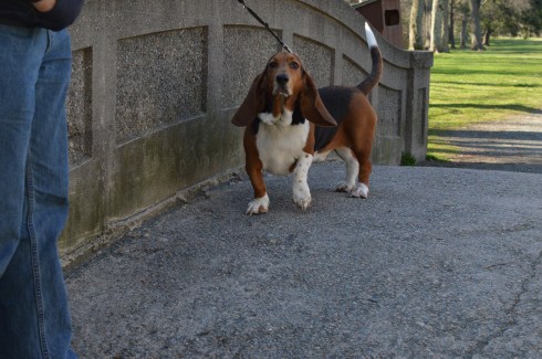
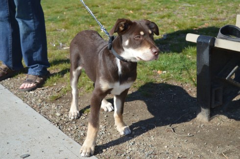
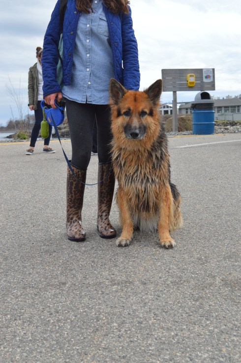
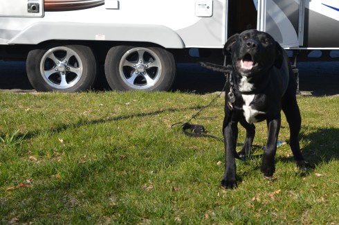
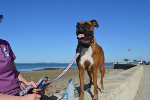
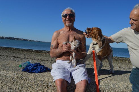
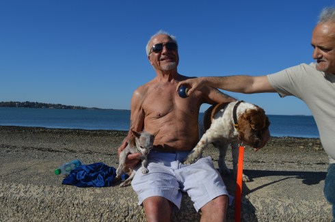
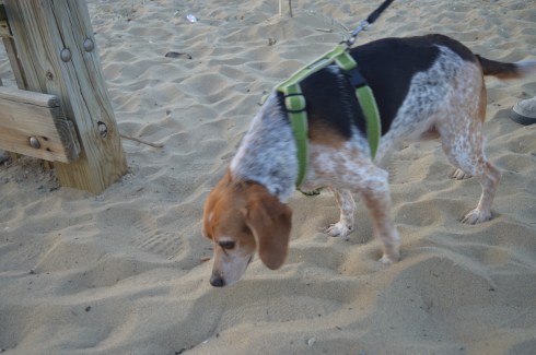
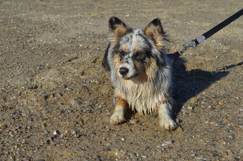
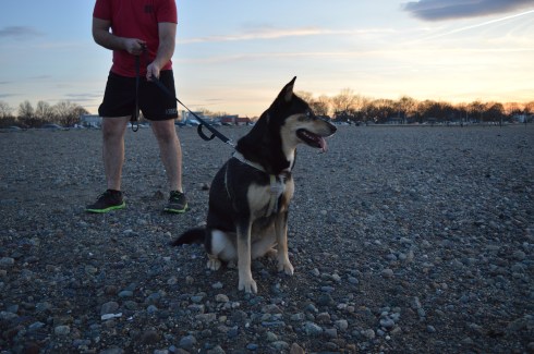
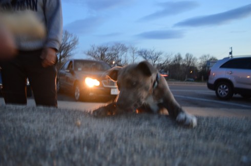
Even dogs came out to watch the race.

Bustah is an American Bulldog. Beautiful markings. I like how he is intently staring at his dad who is standing behind me to get his attention.
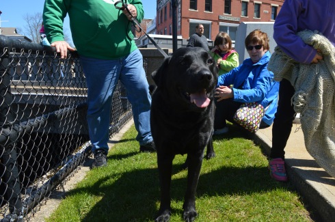
Reggie is a black Lab who is super friendly (but aren’t they all?)
Below is a video of the dunk dumping. As you can tell by the audio, the crowd was getting antsy and they really got into the whole countdown.
Connect with me on Facebook!
Check out my writing blog page: