Tag Archives: views

Borderland State Park (North Easton, MA)

Date Visited: May 21, 2016

Location: 259 Massapoag Ave, North Easton, MA

508-238-6566

Hours: Open 365 days a year, 8 a.m. to 6 p.m.  A sign at the front gate of the parking area states cars still parked in the lot after 7 p.m. will be fined $25.

Costs: According to the website it is $5 for MA residents and $6 for non-MA residents.  There is a parking payment station located at the front of the parking area.  I have a parking pass which allows me to park in all state run parks so I do not know exactly how the parking stations work or how they charge each patron.

Parking:  The parking lot is pretty big.  It looks like there are easily 200 spaces.  When we left, on a busy day at peak hours, there were still plenty of parking spots available, albeit far from the entrance to the trails.   There is also an alternate parking area before the main parking area for people with special passes.

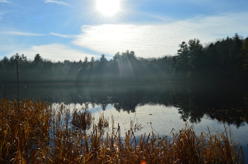
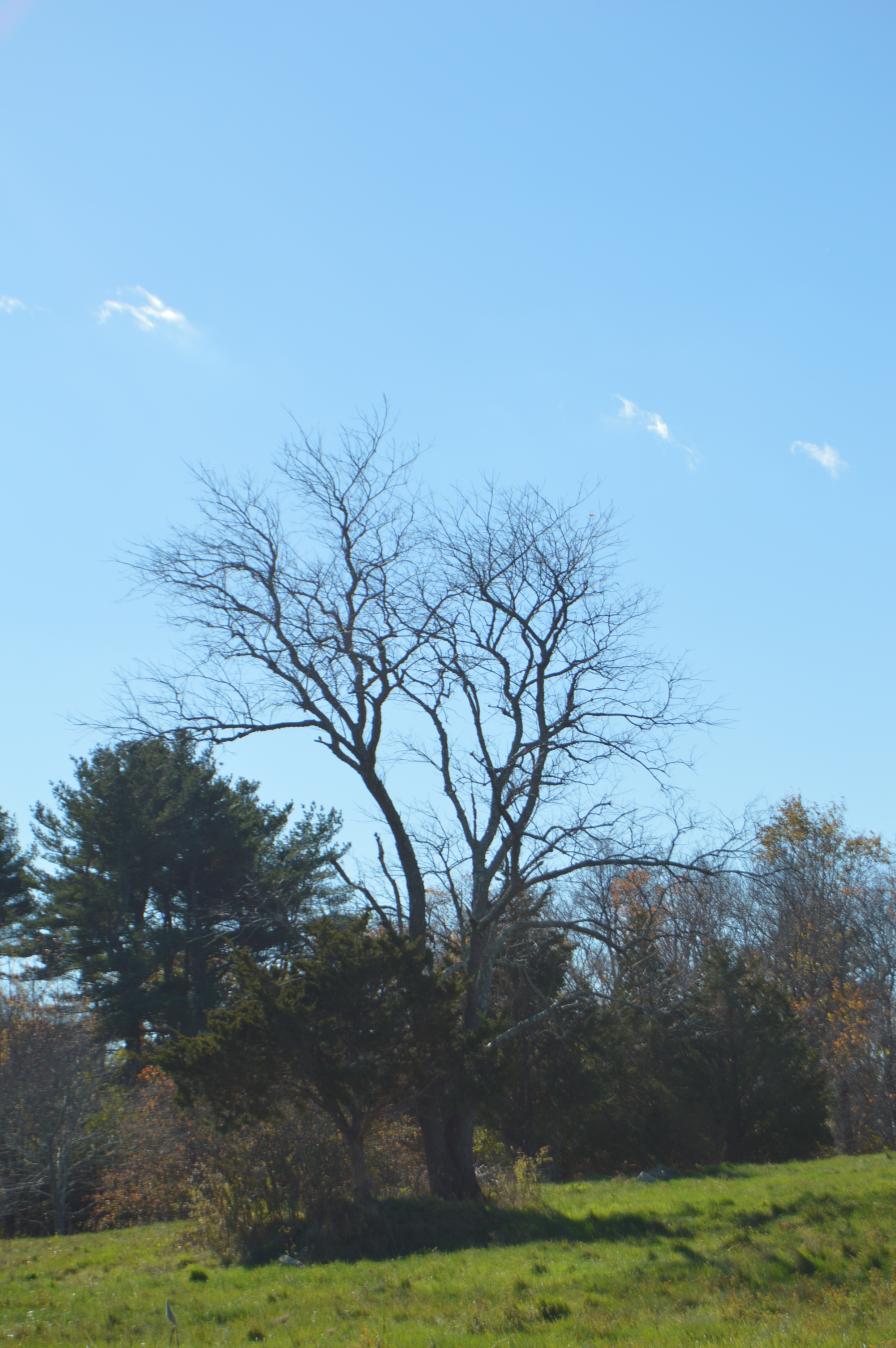
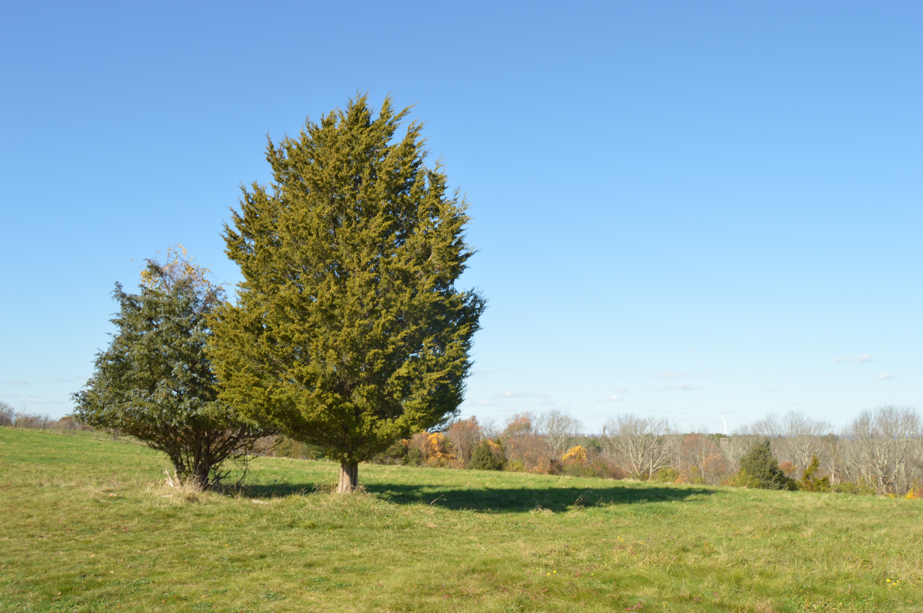
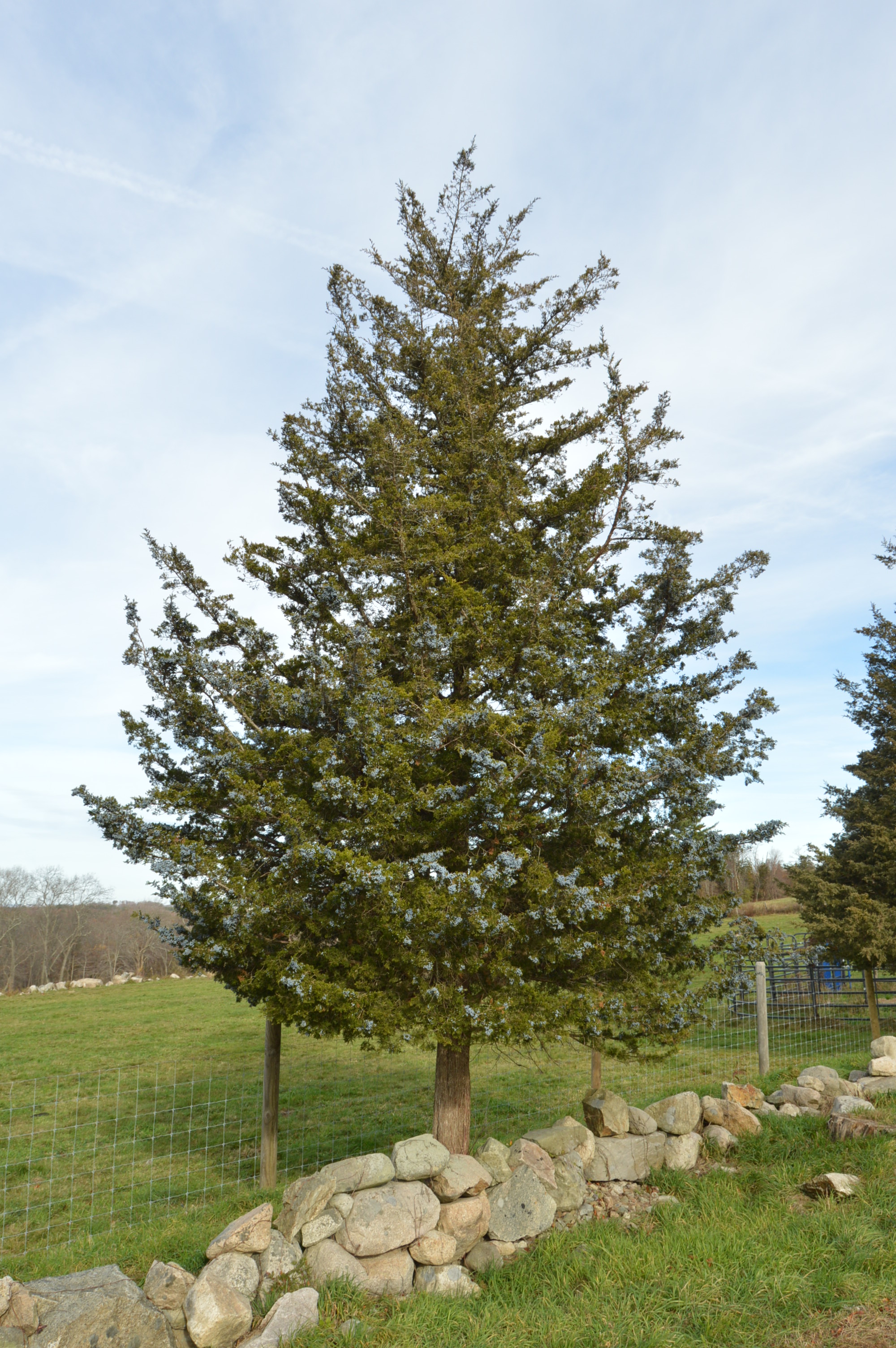
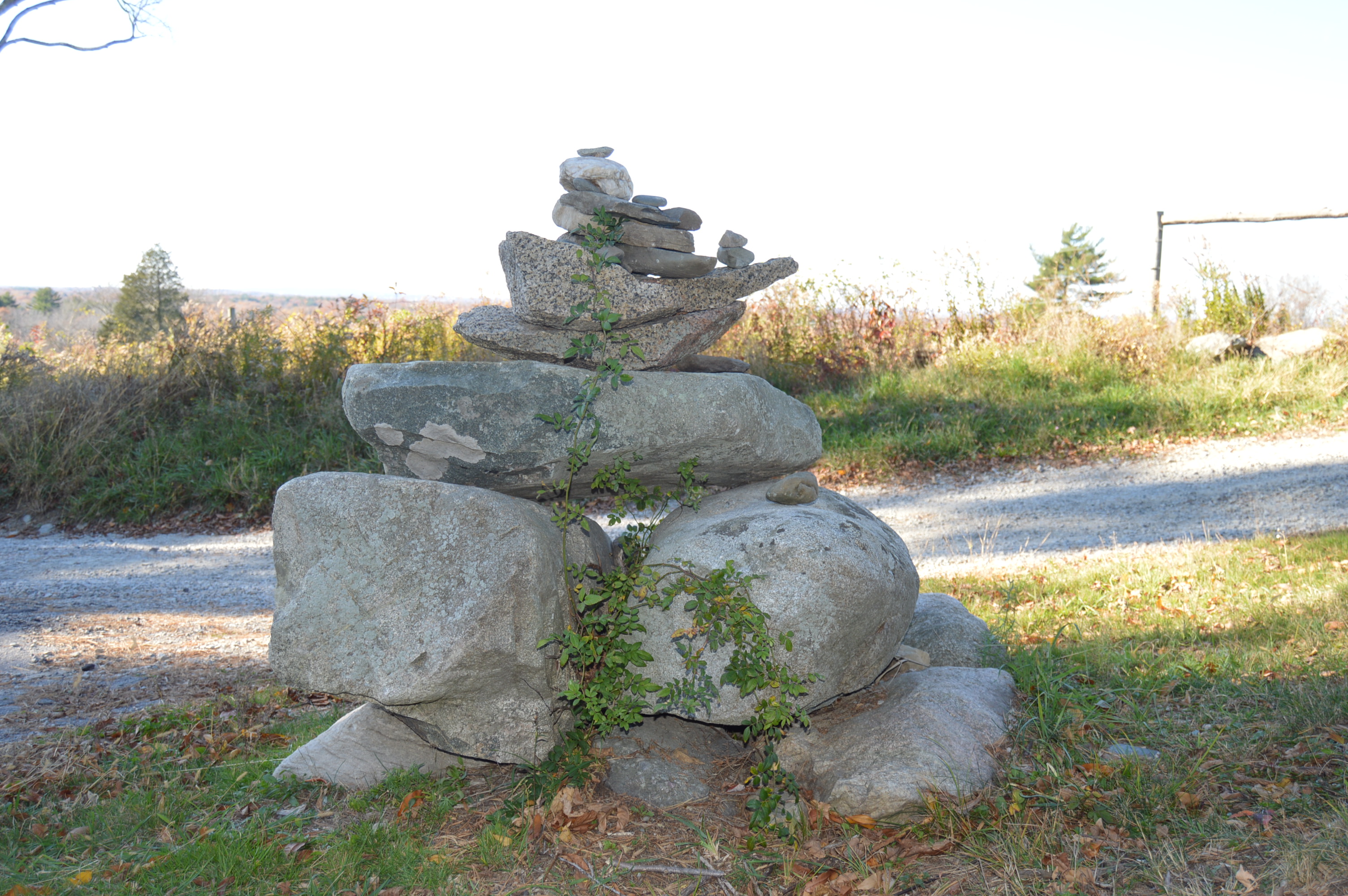
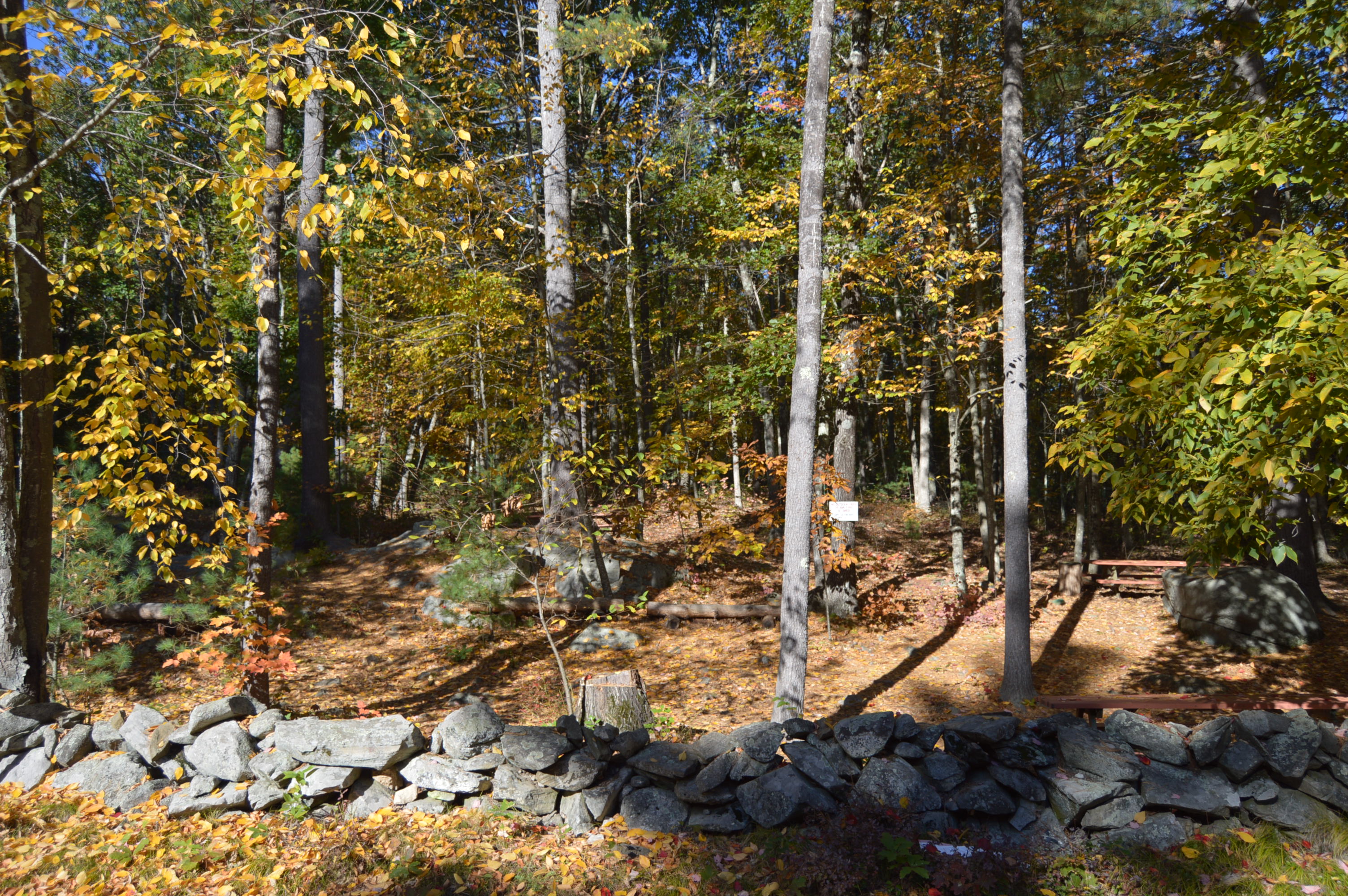
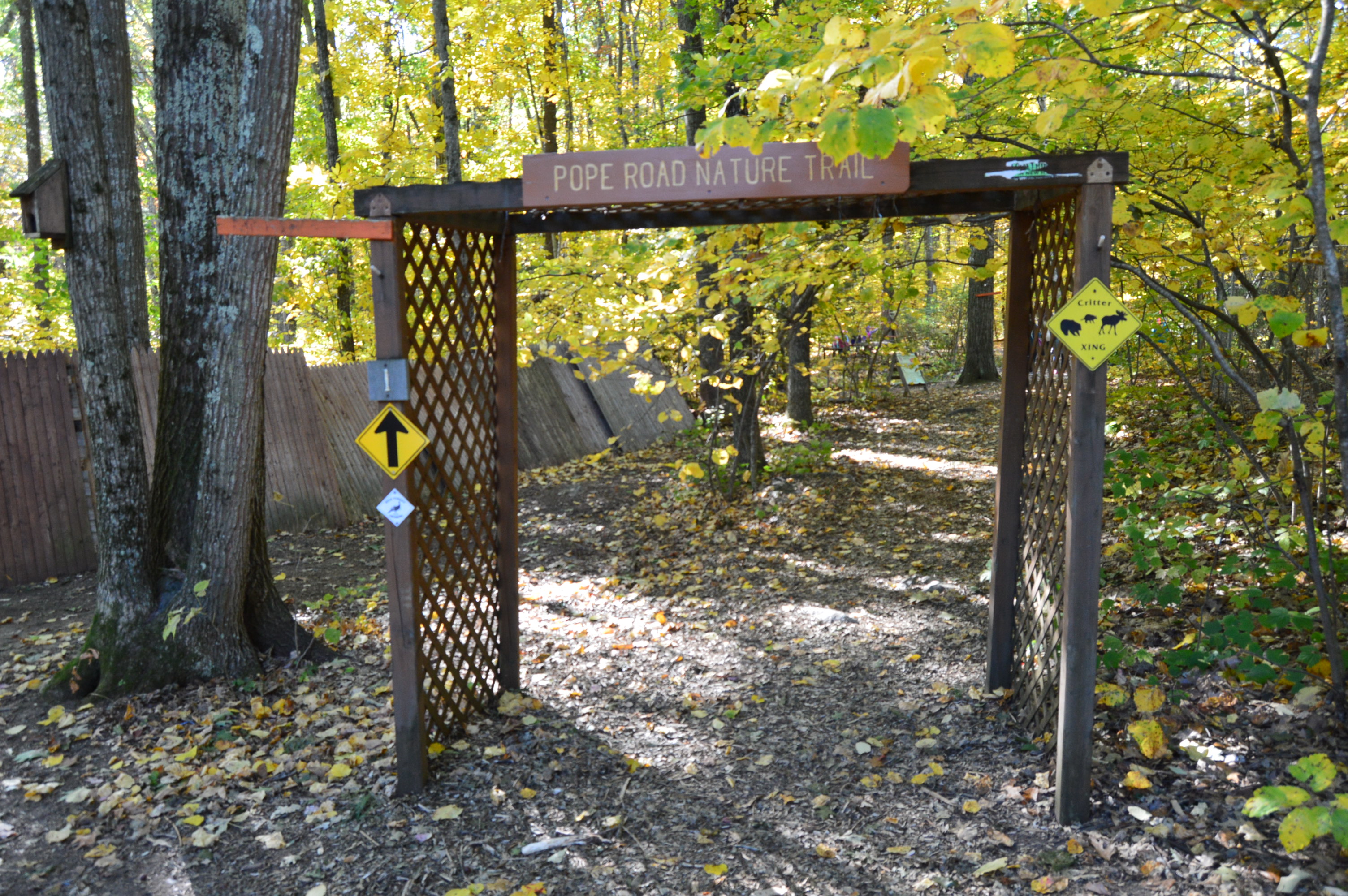
Highlights: mansion, 6 ponds, quarry, 20 miles of hiking trails, large field for frisbee golf and other activities.  Fishing, canoeing and horseback riding are allowed.  Leashed dogs are permitted. Easy to moderate trails, teeming with wildlife.  Peaceful feeling, even when the park is packed.

*Please note, some of the slideshows take some time to load, unfortunately (especially on tablets and cellphones).  You may have to refresh but they may take a few minutes to load*

Created during the early 1900’s by artist and suffragist Blanche Ames and her husband Oakes Ames, Borderland State Park has been a state park since it was purchased by the state in 1971.  The Ames’ home, a three-story stone mansion built in 1910 still stands on the grounds.

DSC_0146DSC_0151DSC_0142DSC_0158

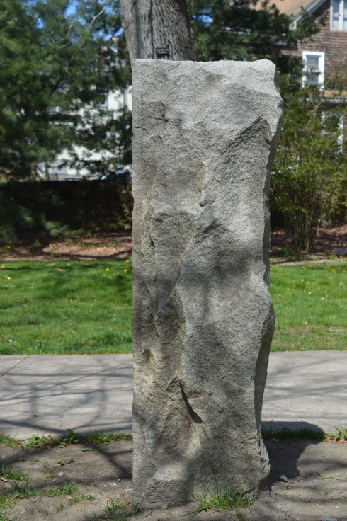
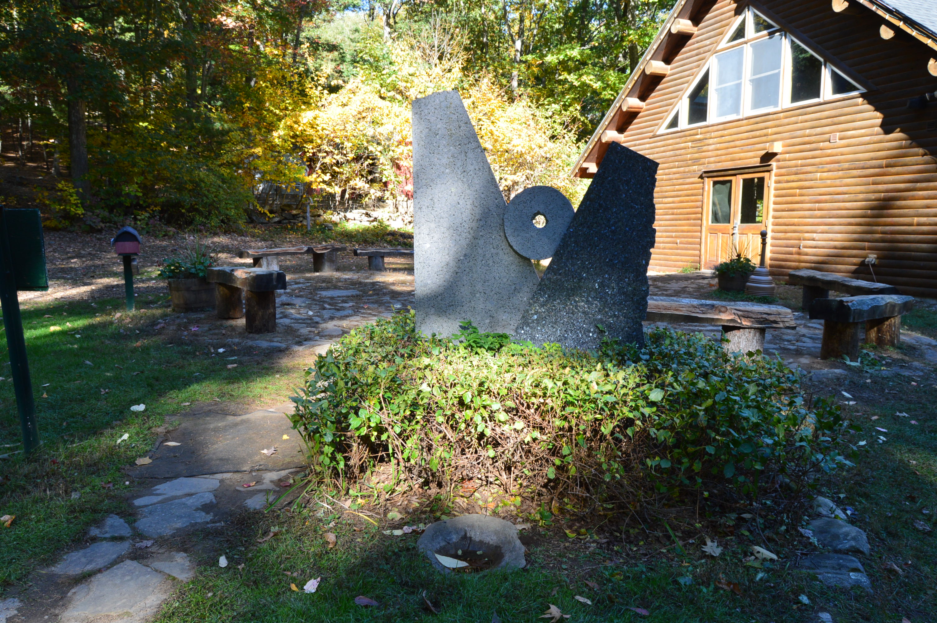
The grounds of the mansion are manicured impeccably.  They even take care of those pesky witches (or whatever that is on the lawn) .

This slideshow requires JavaScript.

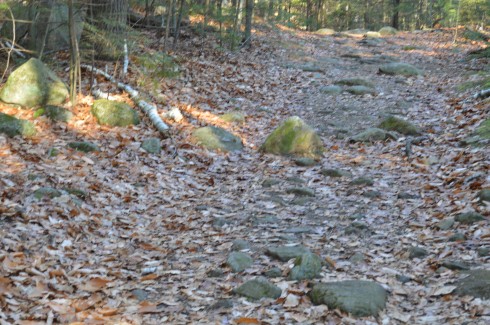
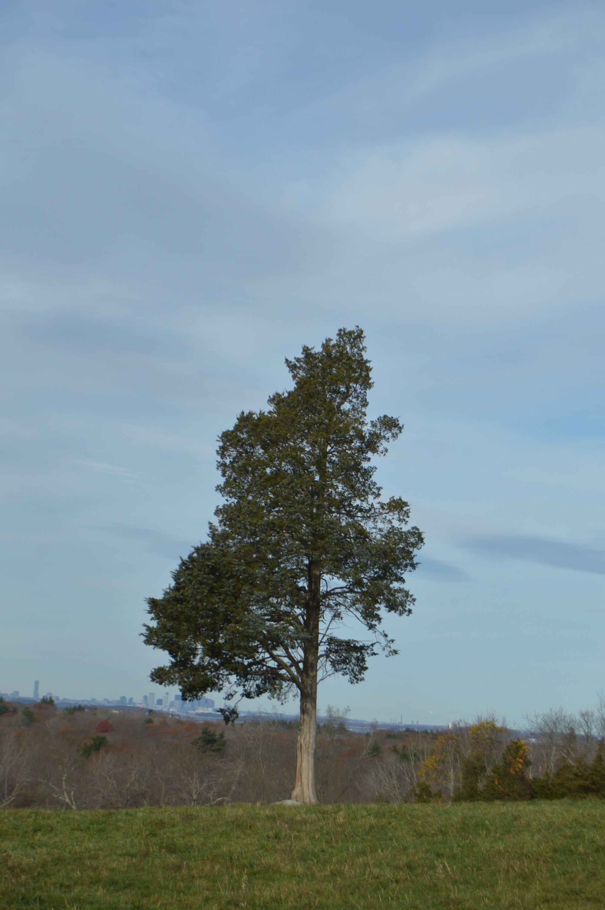
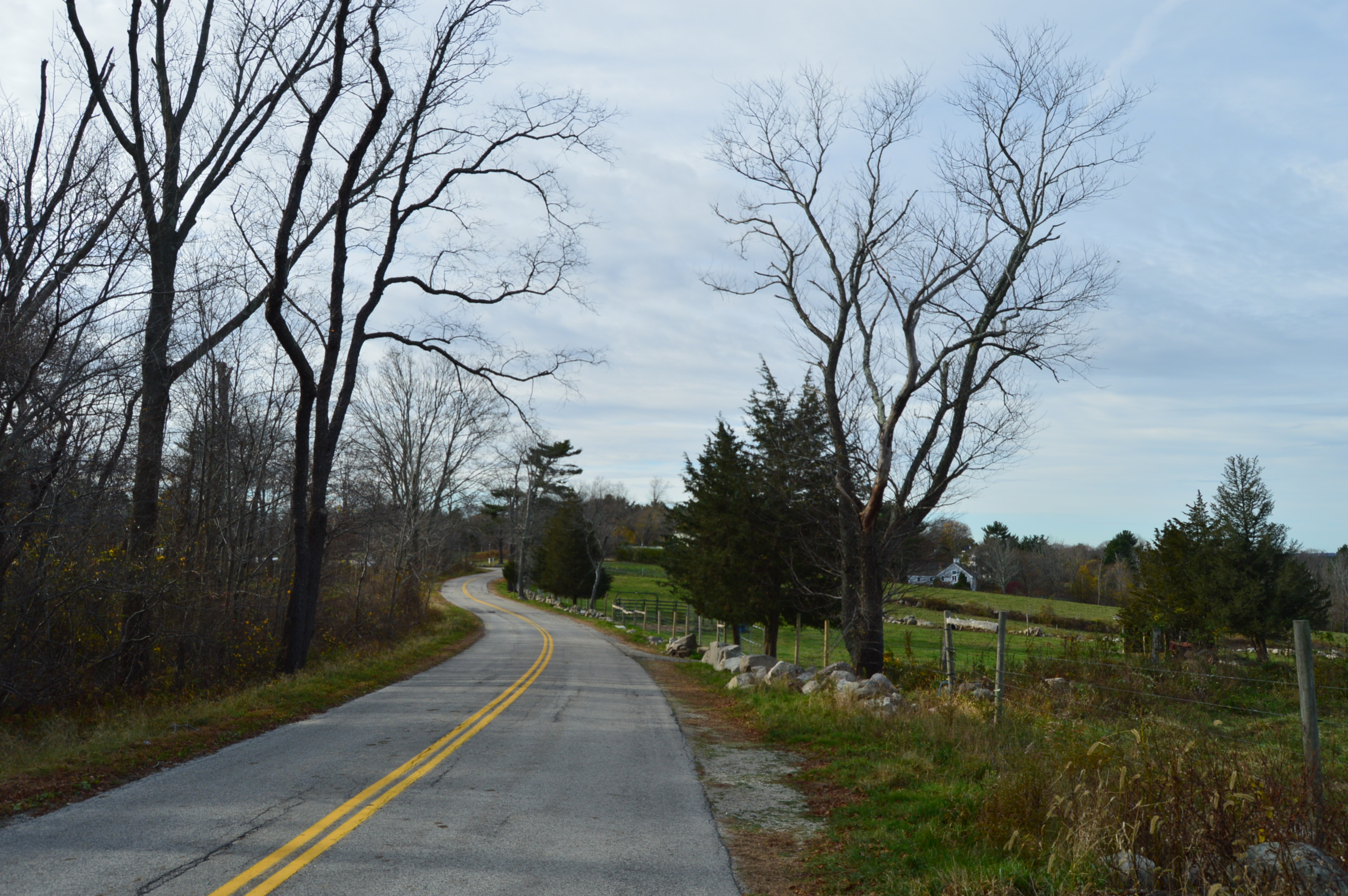
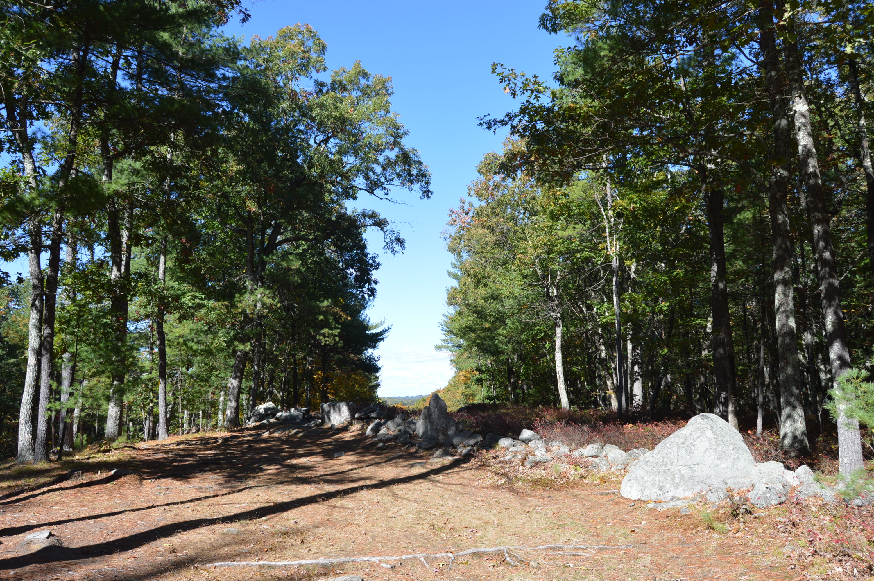
Bordering on the towns of Sharon and Easton in Southern MA, Borderland has a variety of trails for runners, walkers, cyclists and even horseback riders.  The trails are easy to moderate and I saw many runners on the trail.

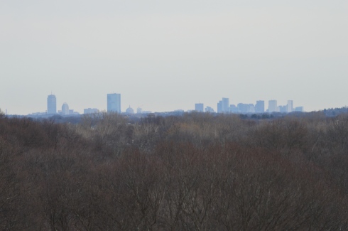
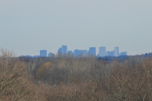
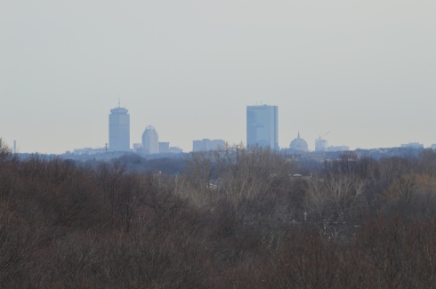
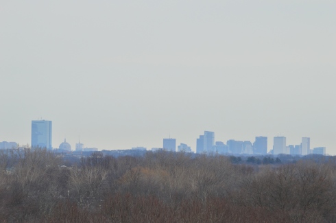
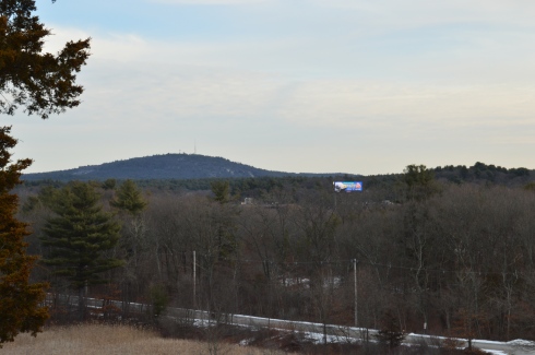
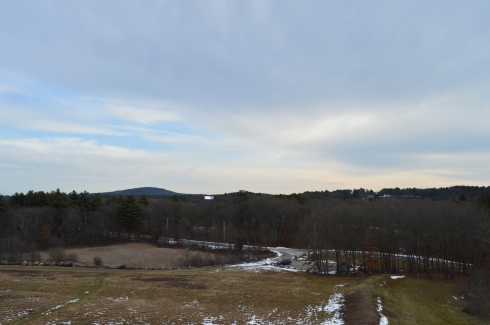
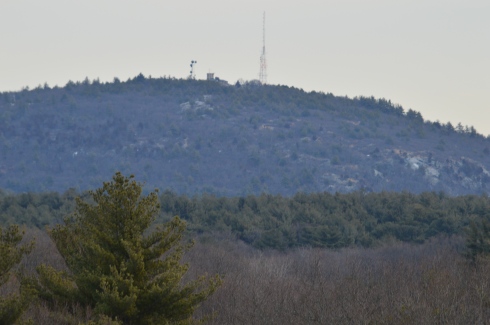
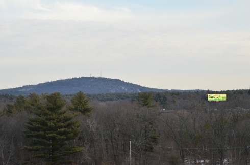
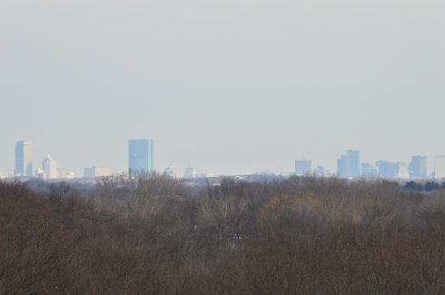
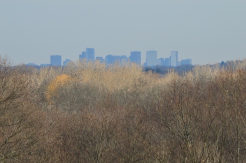
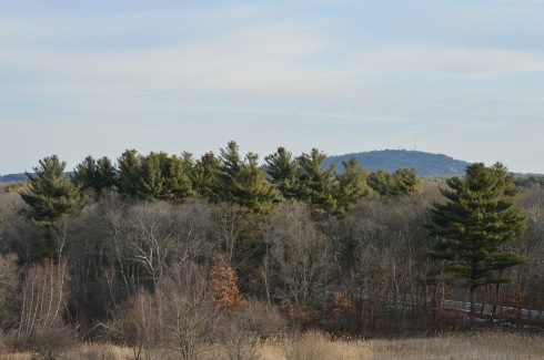
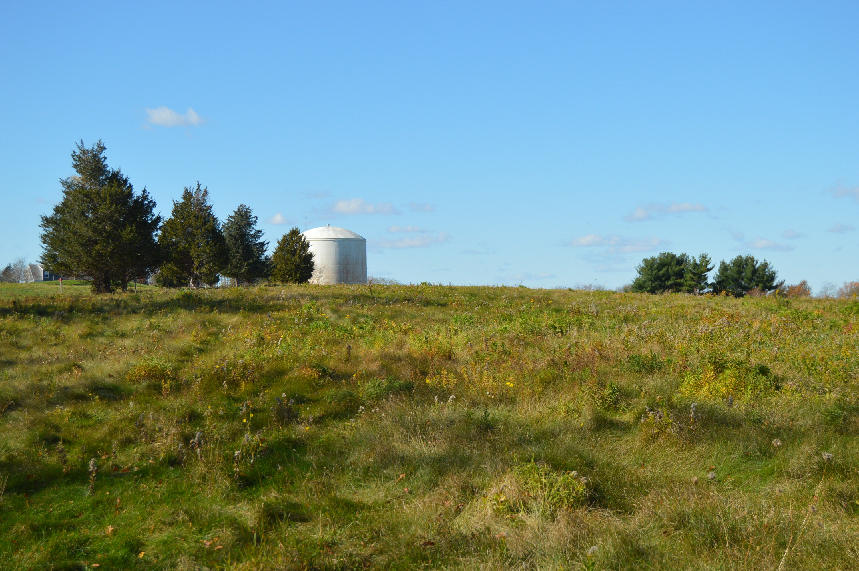
Located about 45 minutes south of Boston and half an hour north of Providence, Rhode Island, Borderland State Park is a popular destination for people from all sections of New England.  It is easy to see why so many people flock to the park when you see the views.

This slideshow requires JavaScript.

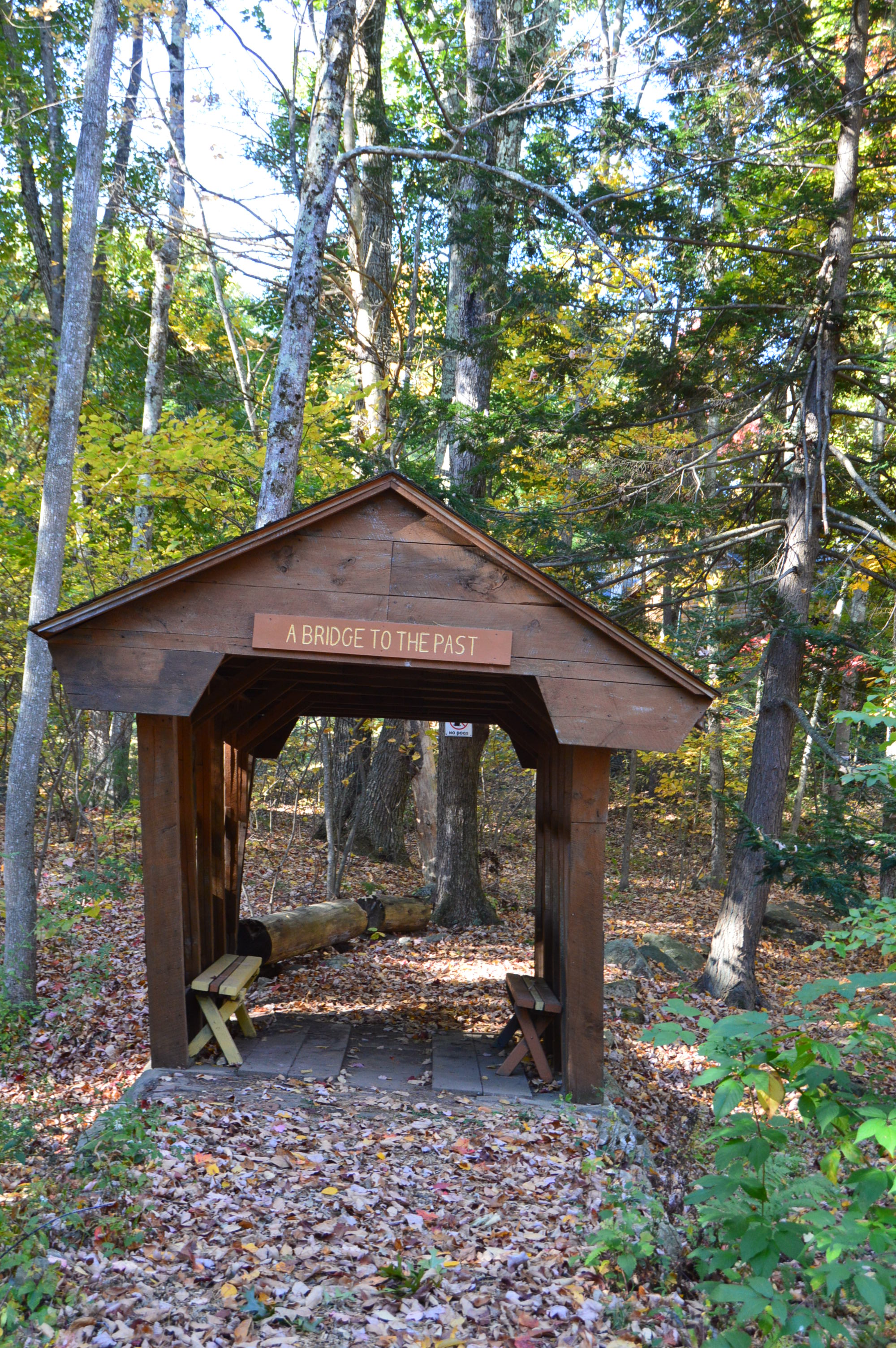
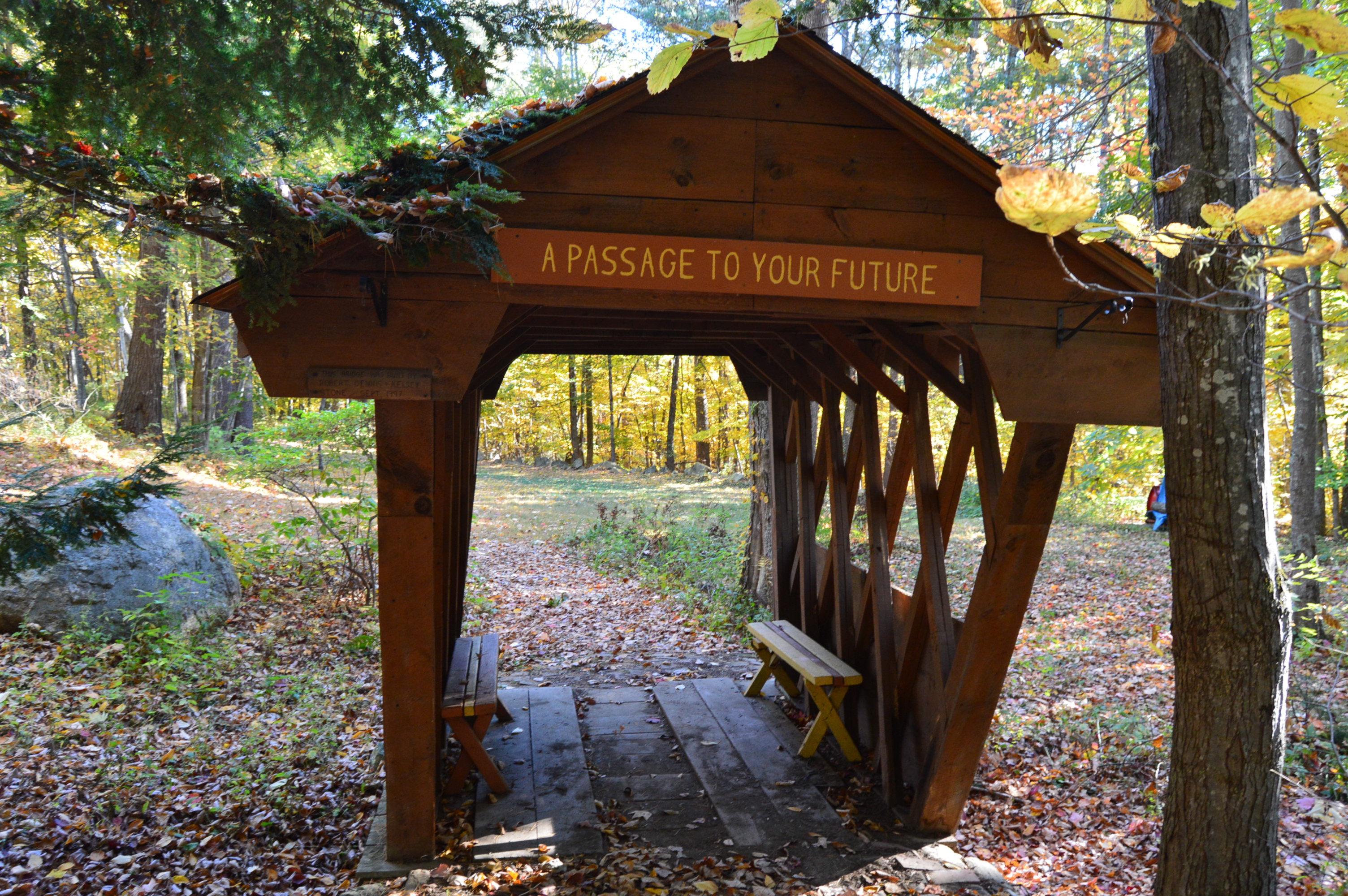
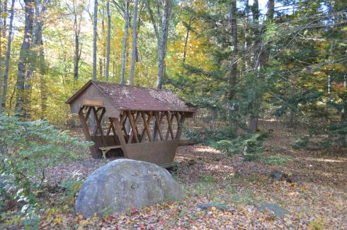
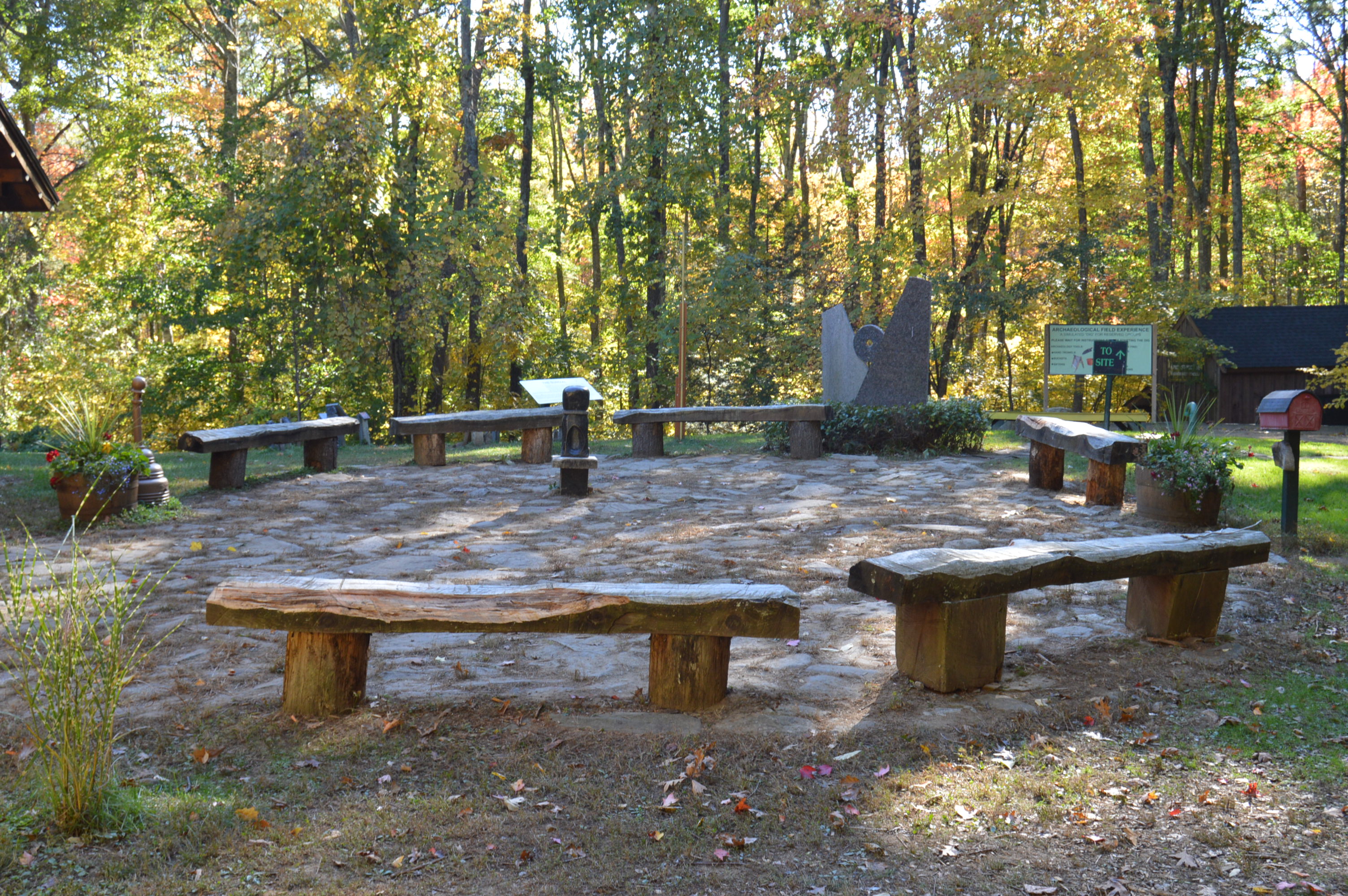
Sometimes it’s the little things that make the park so much fun.  Whether it’s the frisbee golf course on the lawn in front of the mansion (I can only imagine what the Ames’s would have thought of that) or the benches that are liberally scattered throughout the park  or the always full bowls of water thoughtfully left out for the thirsty dogs, the park really does think of everything.

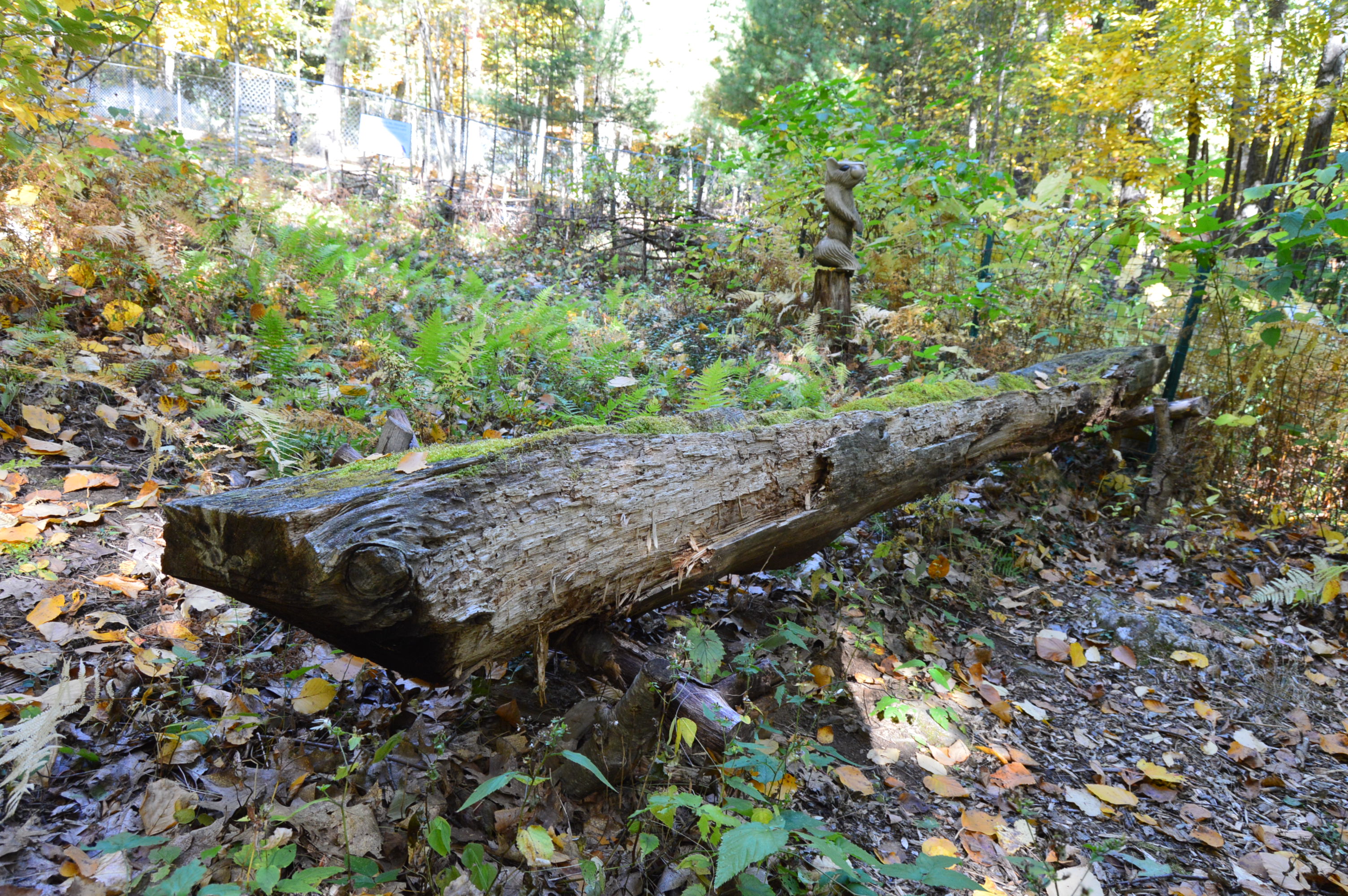
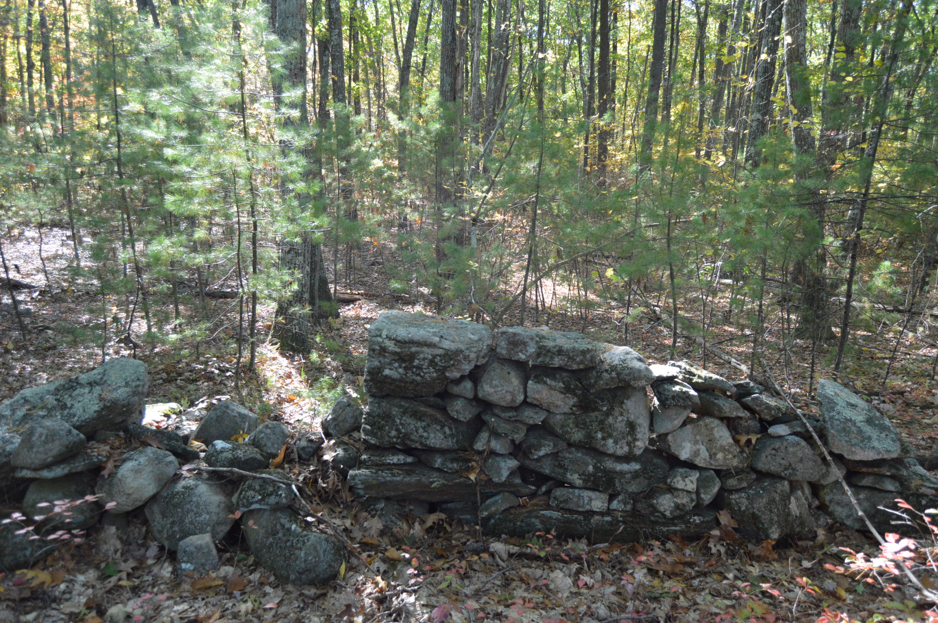
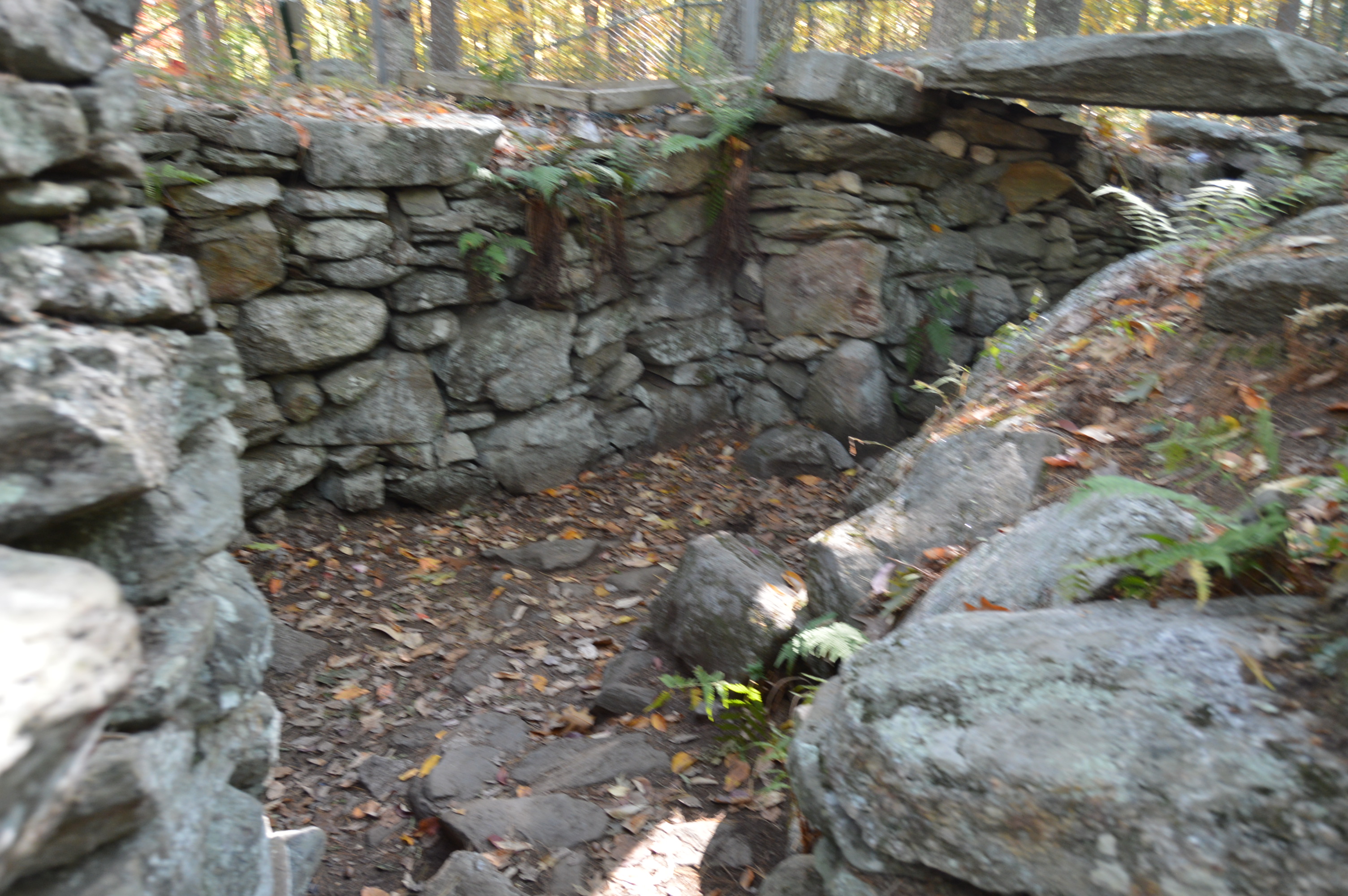
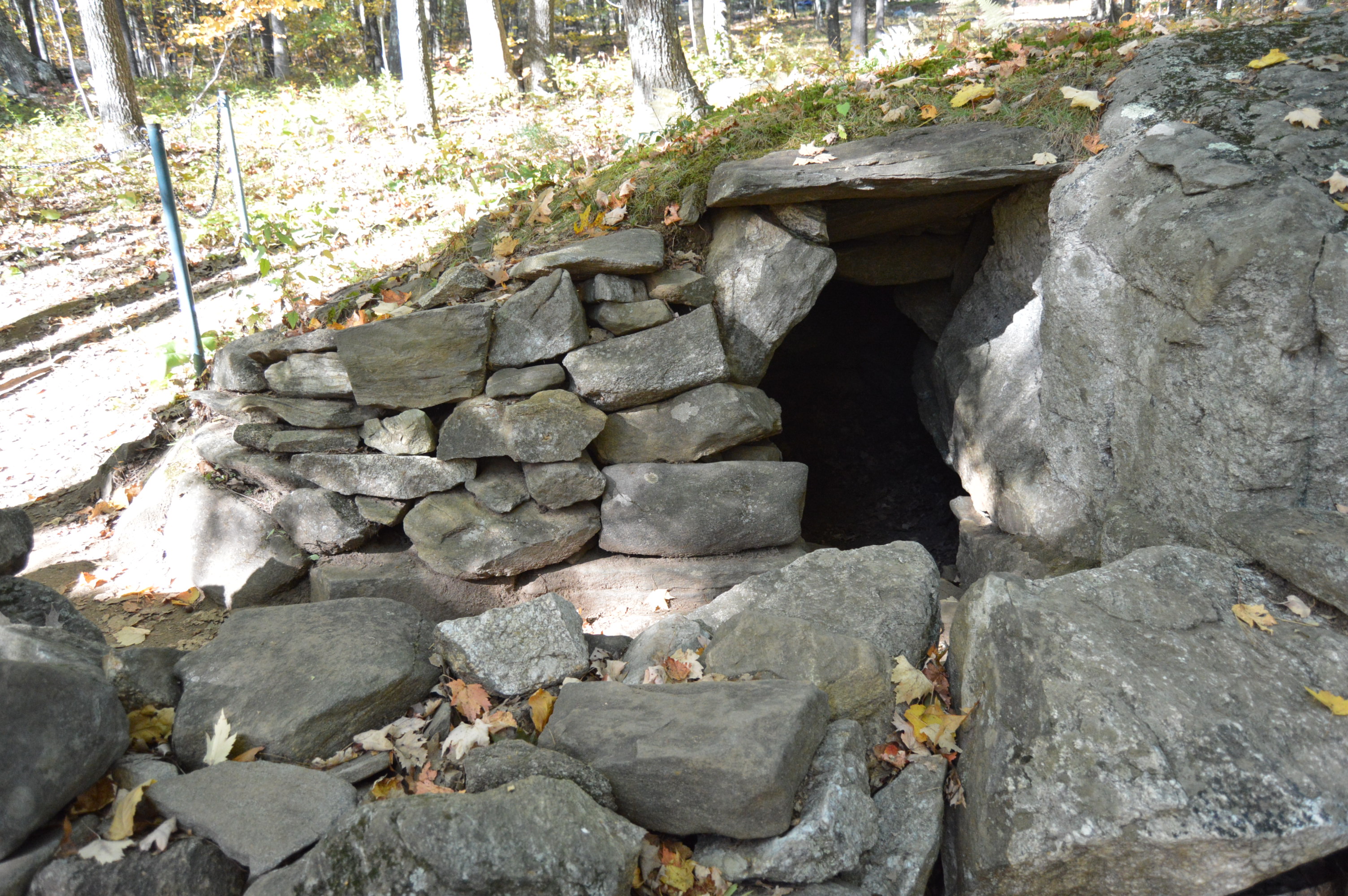
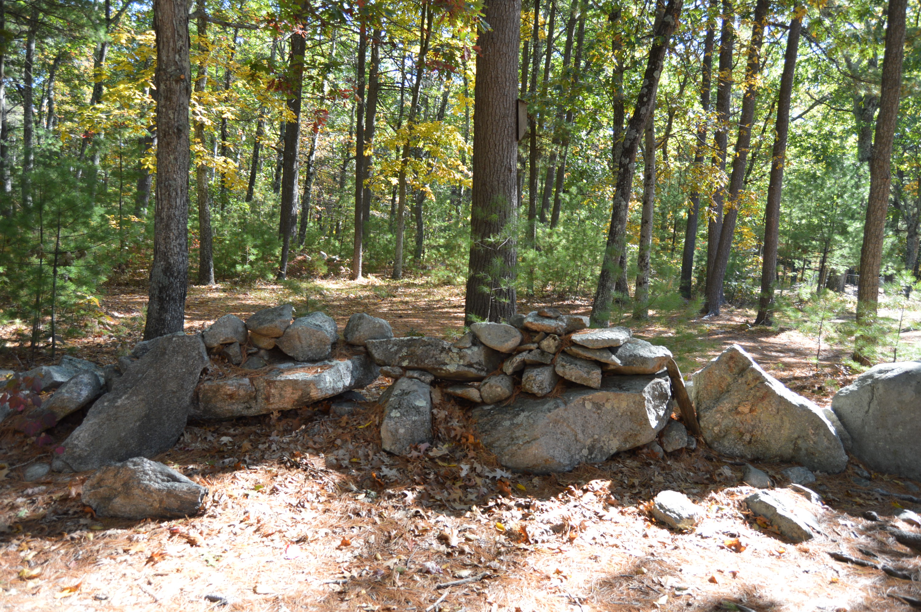
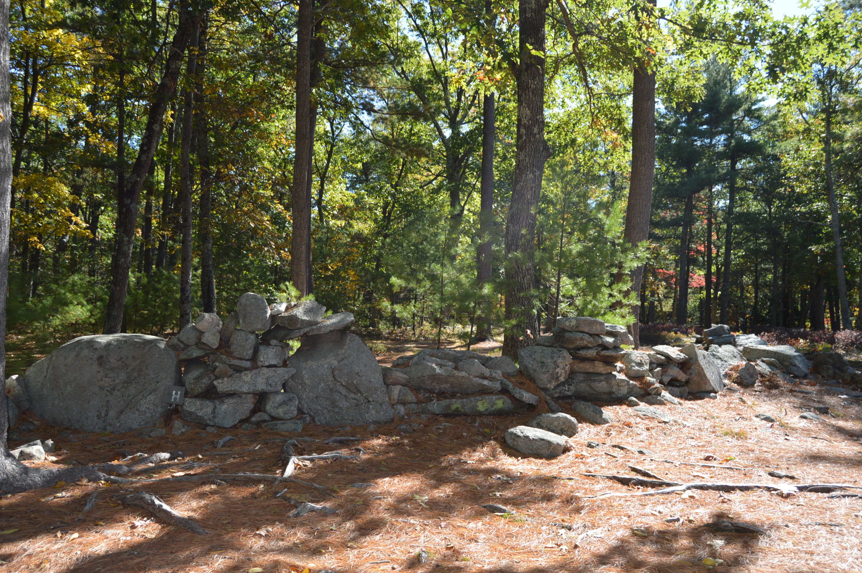
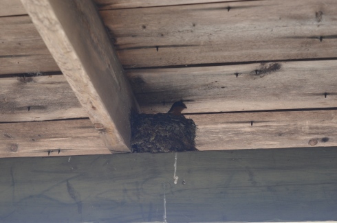
here was also an abandoned building along one of the trails.

There are always pleasant surprises when you go to visit the different parks in New England.  One of those surprises was a mother bird feeding her babies in the nest on the beams of the roof of the abandoned building pictured above.  I did my best to seem as unobtrusive and I used my telephoto lens from a distance while I took these photos.  I love how the mother looks so protective and is surveying the area for potential threats.

DSC_0402DSC_0399DSC_0421DSC_0429DSC_0433

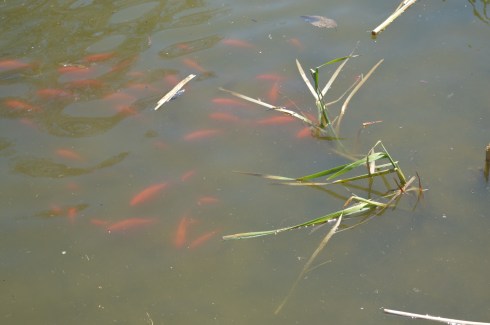
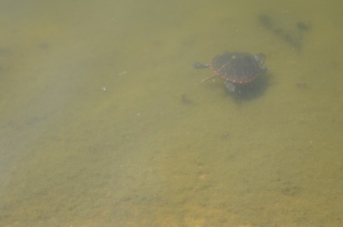
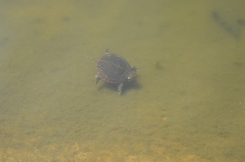
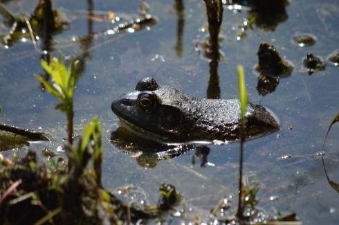
Then, as I was taking photos of the pond, I saw these little critters.  Look at how the frogs almost perfectly camouflage themselves.  It’s almost the perfect disguise.  Man, I love nature!

DSC_0463DSC_0465DSC_0481

DSC_0471DSC_0459

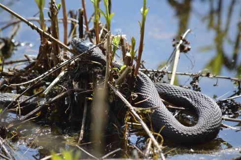
Ok, the snake isn’t so “little.”  But, I wasn’t about to get closer to see just how big he was.

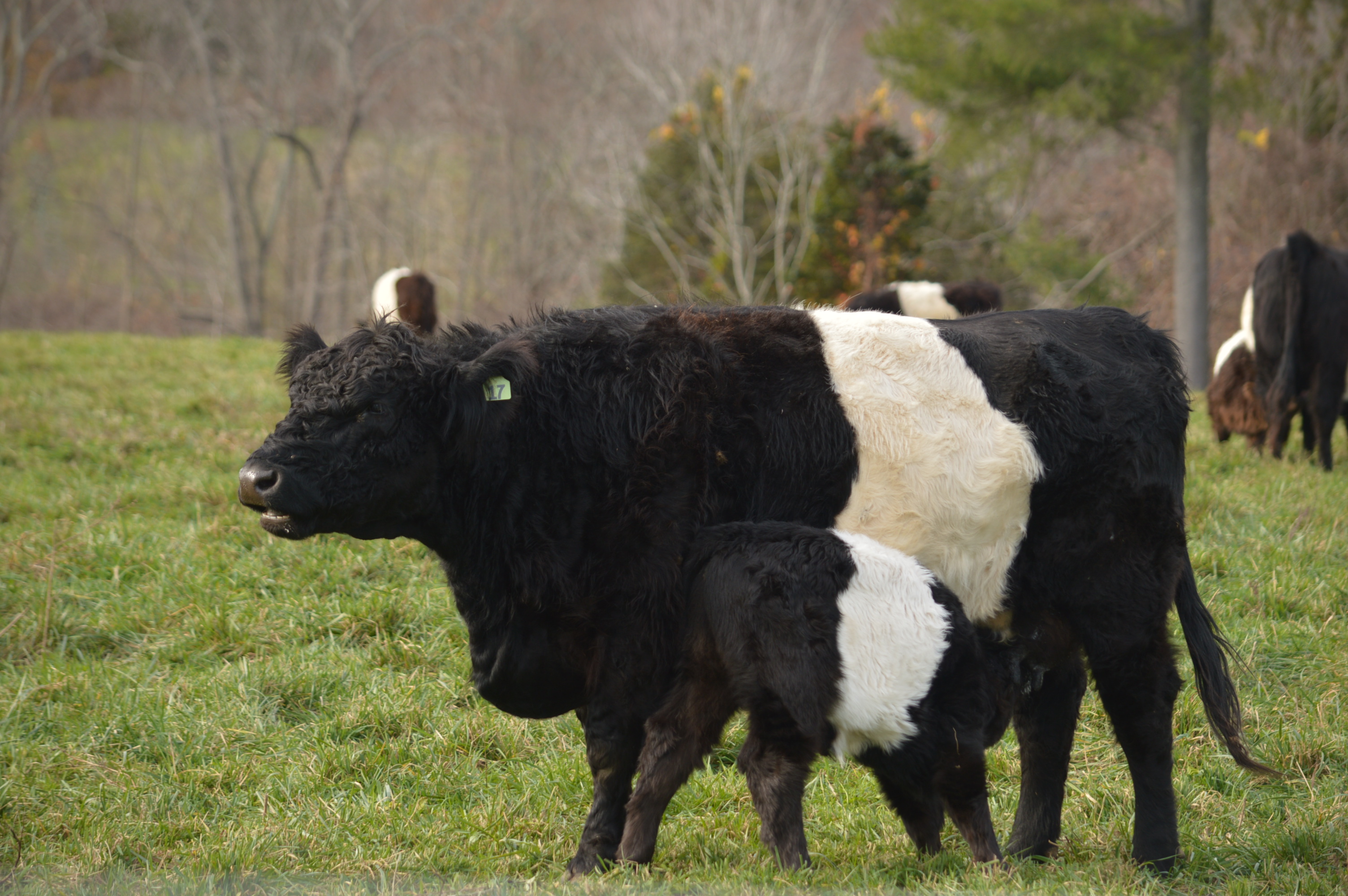
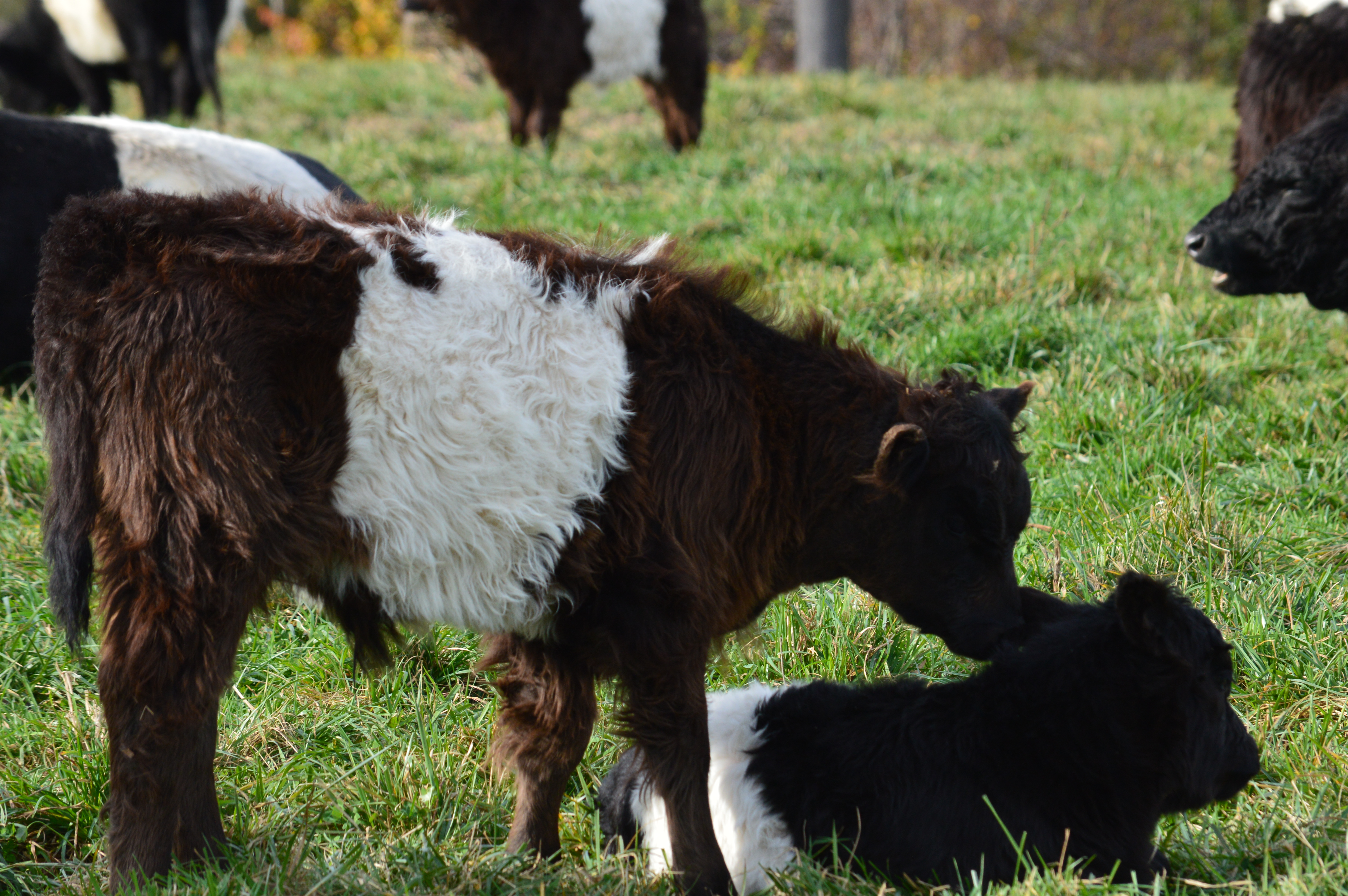
And the animals didn’t stop there.

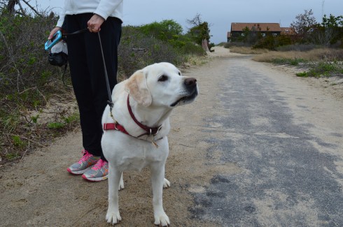
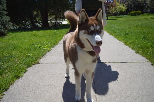
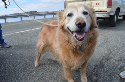
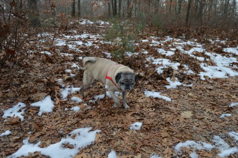
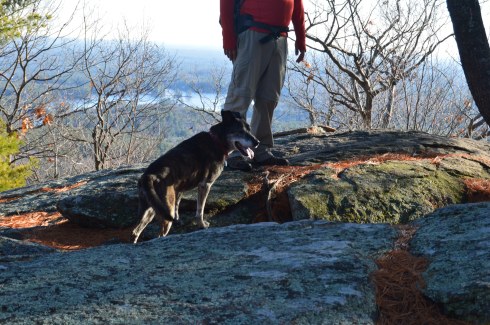
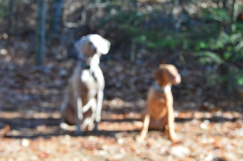
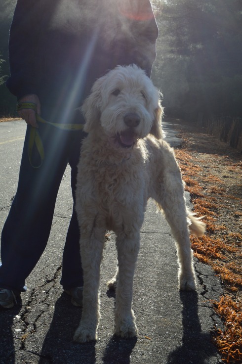
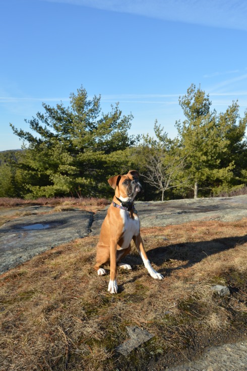
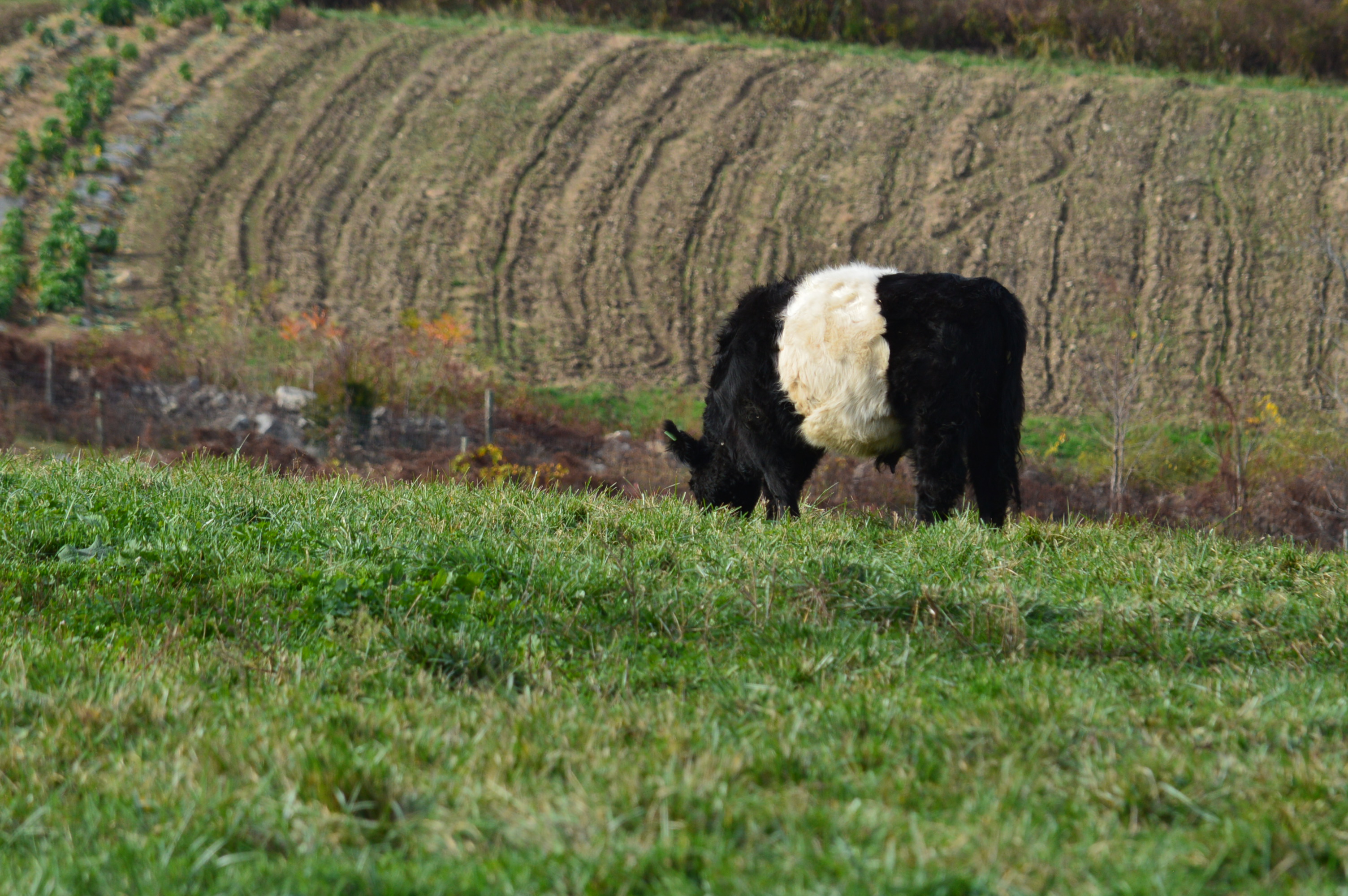
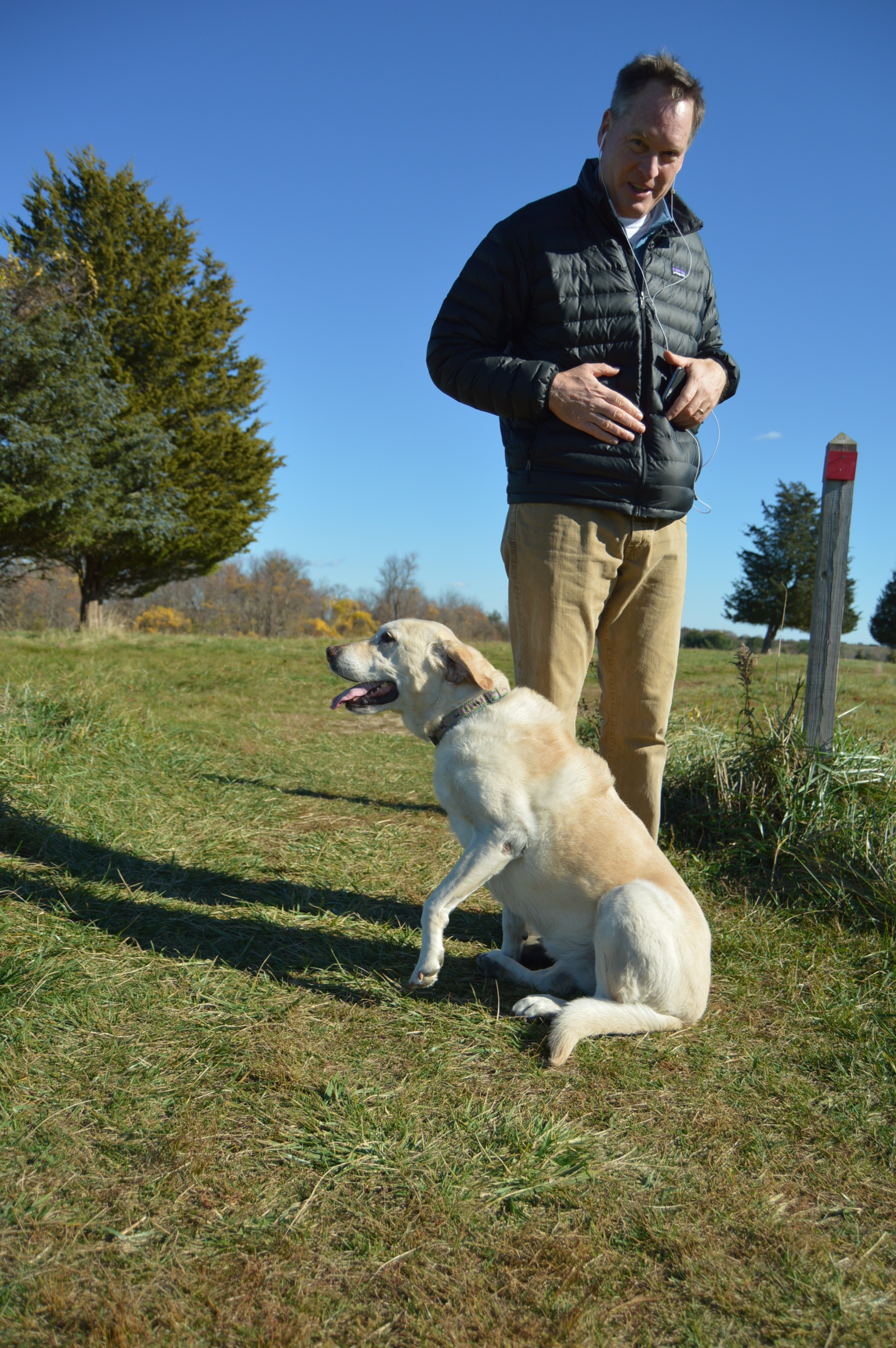
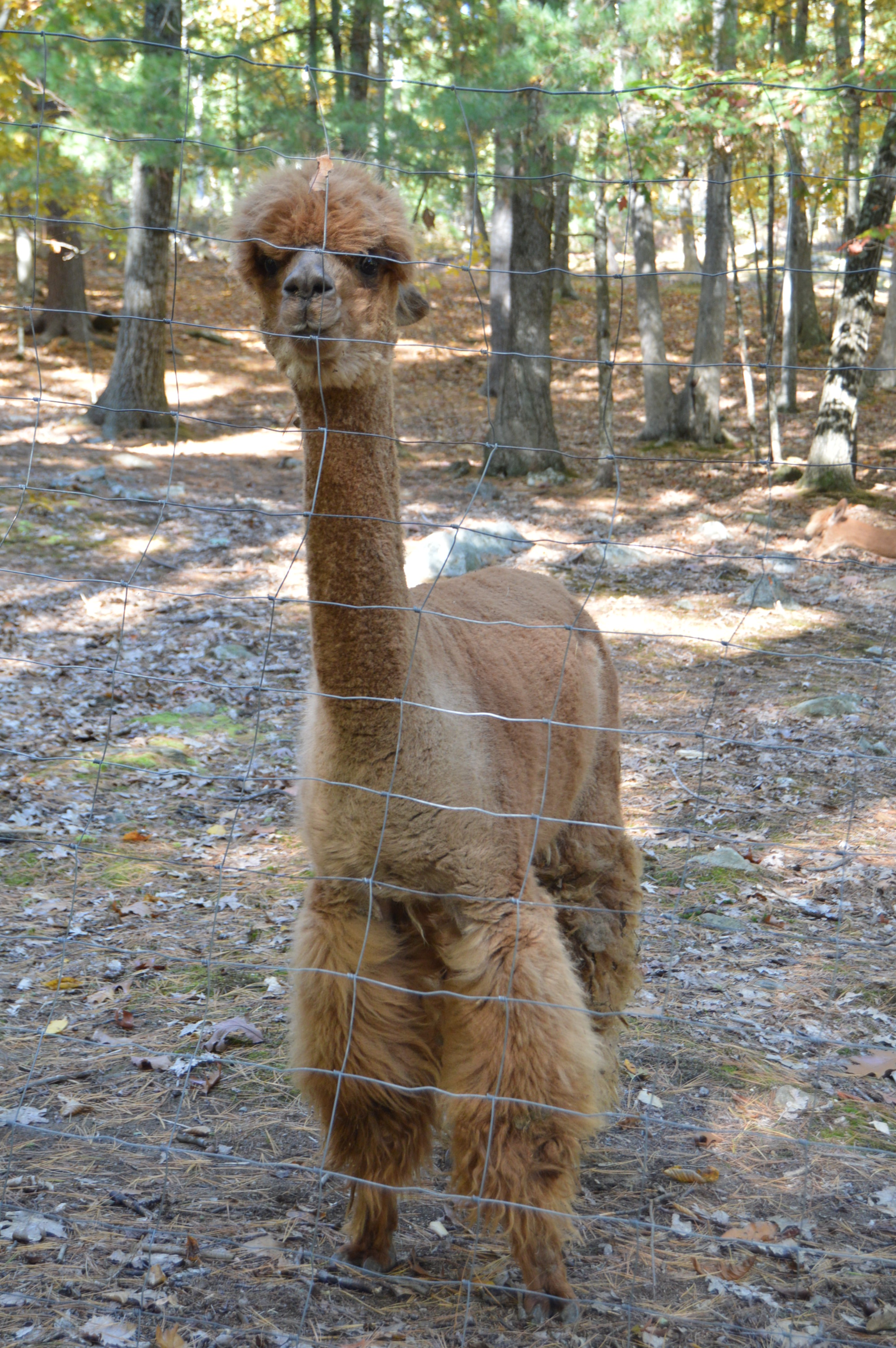
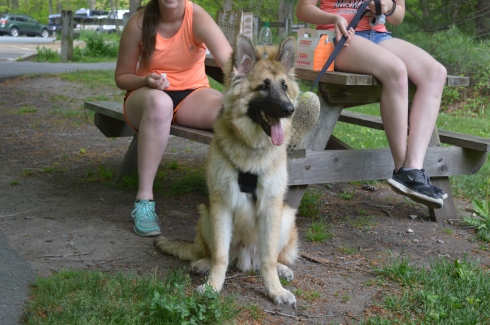
There were dogs a plenty also at Borderland State Park.

DSC_0245DSC_0244DSC_0242

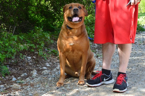
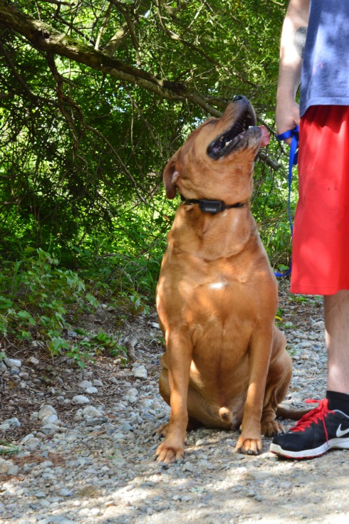
Beef is a 6 year old  American Bullweiler (American Bulldog and Rottweiler mix).  He was being trained by his dad.  I thought the last photo showed just how much affection he has for his guardian.

Mason, a chocolate Labrador, took advantage of the warm weather to go for a swim.

DSC_0377DSC_0376

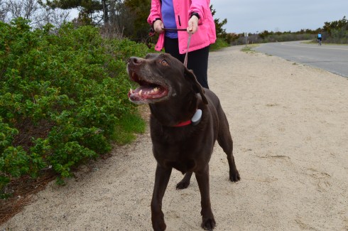
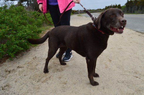
Romeo, an English Chocolate Labrador, celebrated his 10 month birthday at the park!

DSC_0513DSC_0516DSC_0509

Balto, a 7 month German Shepherd, wants attentively for the rest of the family to show up.

DSC_0531DSC_0528DSC_0527

Thank you for stopping by and reading and please consider connecting with me on Facebook and check out my future trips around New England:  New England Nomad


Poet Seat’s Tower (Greenfield, MA)

Date Visited: May 13, 2016

Location:  Mountain Rd, Greenfield, MA

Parking: There are about half a dozen parking spots next to the tower and they fill up quickly.(and they were all filled at 8 o’clock on a Friday morning).  There is also parking at the gate of the entrance on Mountain Road for about another half a dozen vehicles.  The walk to the tower from the main entrance is about a mile.

Cost: Free

Hours: Open 365 days a year from sunrise to sunset

DSC_0095

Perhaps it’s the unobstructed, sweeping views of the landscapes or maybe it’s the solitude of being in such an isolated tall structure.  Whatever the reason, poets seemed to flock to this observation tower.  It has since been known as the “poets seat tower” because of the long tradition of poets that have been attracted to the location.  Frederick Goddard Tuckerman, a local poet at the time, is credited with bestowing this name on the structure in 1850.  The tower, which was built in 1912, now attracts people of all walks of life, not just poets.   Prior to the construction of the sandstone tower, a wooden observation tower had been built on the edge of the lookout in 1879.  A plaque at the tower acknowledges Tuckerman’s role in the history of the tower.

DSC_0981


Even before you reach the top of the tower, if you dare, there are some impressive views of the Greenfield (MA), Connecticut, Deerfield (MA) and Green River valleys.  The ledge of the road where the tower is bult has a rocky ledge from where you can get some views of the Greenfield area below.  It’s a long way down!

The highest point of Greenfield, the tower is 4 floors (counting the ground floor and top floor).  The views from each floor are pretty stunning.  After all the rain in the area, the greens were very vivid.

This slideshow requires JavaScript.

As I stood looking over the land below I couldn’t help but think of how the landscape has changed over the years.  Many years ago people looked over farmlands and valleys.  Now, we look over schools, houses, parks and businesses.  I also thought about all of the people who came here to rid their mind and soul of their worries by taking in the beautiful views.  It really can make you take a step back (and hopefully not forward) when you’re up so high and appreciating the nature around us.

The journey to the top is not difficult.  A trip up one stairwell and one spiral staircase take you to the top.

The arches and architecture of the tower rival the beauty of the views from the top of the tower.

This slideshow requires JavaScript.

And what would a historic structure be without graffiti?  As seems to be customary, particularly in Western Mass, there was graffiti on the walls of the sandstone structure.  It did seem fitting that poetry lined the walls of “Poet’s Seat Tower”

DSC_0075

“Jump off the cliff and build your wings on the way down”

DSC_0011DSC_0009

DSC_0039DSC_0052

The are also benches along the road to the tower which offer views of the area.  There are also hiking trails that branch off from the road to the tower.  The trails look easy to moderate but I could not walk on them because of time constraints.  I did hear a lot of presumably animal activity in the woods.

Below is a video of the view from the top of Poet’s Seat Tower

Please stop by my Facebook page and like me!  New England Nomad On Facebook


Hammonasset Beach State Park (Madison, CT)

Date Visited: May 7, 2016

Location:1288 Boston Post Road, Madison, CT

Cost: I paid $15 (the weekday fee) to get in (I went on a Saturday).  But, the prices on their web site show the cost as being $13 for CT residents and $22 for non CT residents on weekends and holidays (it’s worth every penny) and $9 for CT residents and $15 for non CT residents.  Also, if you enter at 4 or later it costs $6 for CT residents and $6 for non CT residents to enter the park (bear in mind the park’s gates close at 8 pm when it is in season).  There are also additional fees for camping there.

One workaround to paying a fee is to park at 1288 Boston Post Road instead of driving down the access road to the payment booths and walk (almost 2 miles) to the beach.  I would recommend this option when it is nice out or if you are bicycling.  However, since the park is so big it may be hard to see everything on foot.  So, riding your bike from 1288 Boston post Road may be a best option.

Hours:  The beach is still accessible, by foot or bike, in the off season without any staff.

DSC_0700

Connecticut’s largest public beach, Hammonasset Beach is split into different areas for camping and for people who want to visit the more than 2 miles of beach.

Meaning “where we dig holes in the ground”, Hammonasset is actually part of Long Island Sound.  

The campground at Hammonasset has 556 campsites and 8 rustic cabins for reservation during camping season which runs from mid-May until October 8.  Hammonasset also has a nature center at Meigs Point and acres of wetlands.

After paying the entrance fee, we asked the helpful woman at the booth where the best place to go for photography is and she suggested Meigs Point.

Meigs Point runs along the shoreline of the beach.  There are lots of ducks, birds and lots of other wildlife on the beach and on the trails behind the beach.

This slideshow requires JavaScript.

The beach has some pretty views.  There are also restrooms with showers and changing rooms at Meigs Point if you decide to go for a swim.  During my visit it was overcast and chilly.  The lack of sun didn’t take away from the beauty of the beach.

This slideshow requires JavaScript.

There is also a jetty.  It went out quite a way.  Since the rocks were pretty slippery, I made it about half way out before turning back.

Hammonasset is a beautiful beach, although it can get crowded as many beaches do during the summer months.  If you live nearby it may be best to get a seasonal pass rather than paying the somewhat hefty fee each time you visit.

Leashed dogs are allowed on the beach during the off season (from November until April).  They are still allowed on the trails but not on the beach from April until the end of October.

I met Summer, a golden retriever, on the trail Meigs Point.  Especially after this unseasonably cold winter, we all could use a little more summer in our lives!

DSC_0768DSC_0767DSC_0769

Jessie, a chocolate Labrador, had a great time on the trail.

DSC_0744DSC_0749DSC_0748


Please check out and like my Facebook page!

New England Nomad On Facebook


Wilcox Park (Westerly, RI)

Date Visited: April 30, 2016

Location: 44 Broad St, Westerly, RI

Cost: Free

Hours: Open from dawn to 9 p.m., 365 days a year

Parking:  There is not a designated parking lot for Wilcox Park.  But, you should be able to find off street parking.

DSC_0226

Wilcox Park is not your average park.  In fact,  it is unique in many different ways.  One thing that makes Wilcox Park unique is that it is not part of the DCR or any other city or governmental body.  Wilcox Park is privately operated by the Westerly Public Library’s Board of Trustees.  The library, located on the grounds of the park, and a group of volunteers help keep the grounds clean and orderly.  They rely on donations and fundraisers.

Westerly Library is attached to the park at the entrance.  The library’s beautiful architecture of the building is both artful yet modest.  It complements the beauty of the park and seems right in place.  There are also benches for visitors to unwind and perhaps read a book from the library’s collection.

There are also a number of statues in the grounds of the library.


As you entered the park, one of the first statues you will see is the statue of Christopher Columbus sculpted by Ciriaco (or “Charles” as he was commonly known as) Pizzano in 1949.  Originally from Avellino, Italy, Pizzano was living in Medford, Massachusetts, when he decided to sculpt this statue, appropriately, out of Westerly granite.

DSC_0230DSC_0239DSC_0238


The inscription reads:


CRISTOFORO COLOMBO
INTREPID ITALIAN EXPLORER
WHO LINKED THE OLD WORLD OF
OUR FATHERS TO THE NEW WORLD
OF OUR SONS

On the back of the pedestal:

DEDICATED
BY
THE CITIZENS
OF
WESTERLY AND PAWCATUCK
A.D. 1949

Somewhere Leif Erikson is rolling around in his grave.

Down the staircase from the entrance to the park is a fountain (which was not running when I went to visit due to the still cold temperatures).  The Wilcox Memorial Fountain was designed by John Francis Paramino in 1898 and was dedicated in honor of Harriet and Stephen Wilcox who had donated the land for the park.

There are a variety of beautiful trees, plants, bridges and statues at Wilcox Park.

This slideshow requires JavaScript.

There is also a pond along the trails at Wilcox Park.  It is populated with Koi fish

DSC_0323

ducks

DSC_0303DSC_0296

There’s room for two on this thing, right?

DSC_0310

and baby turtles.  I couldn’t find his mommy but I am sure she was nearby.

DSC_0411DSC_0410

and rabbits

The bronze Runaway Bunny statue was dedicated in 1998 by Connecticut sculptor Joan Binney Ross.  it is based on the book of the same name by Margaret Wise Brown.  Unfortunately, the bunny has been the target of vandalism, predictably.  But, it has been restored after each attack.  Cameras are now installed liberally around the park to deter vandalism or catch the vandals.

This fella just wanted to play with the ducks

DSC_0404DSC_0405

This sculpture sort of looked like a face to me.  A very ugly face.

DSC_0388

Dogs are allowed at Wilcox Park.  Bandit, a Siberian Husky, had fun playing in the park.  Apparently, Bandit earned his nickname because he “takes things”.  What a beautiful dog.  He caught my eye because of his handsome markings and his very cute smile. You can tell he’s a “bandit” based on his playful grin.

DSC_0352DSC_0353


Bancroft Tower (Worcester, MA)

Date Visited: March 19, 2016

Cost: Free

Location: Bancroft Tower Road, Salisbury Park,Worcester, MA

Open: Daily from sunrise until 6 p.m.

Bancroft Tower


DSC_0783

In 1900, Stephen Salisbury II built a tower on what is now known as Salisbury Park as a tribute to his friend, historian and jack of all trades, George Bancroft.   And to think, my friends only usually give me gift cards, wine and books for my birthday.

The park is has a wide variety of bird life.

As I was reviewing the photos, I couldn’t help feeling the tower was purposefully constructed to look as though it was  incomplete.  The sides are not rounded and seem almost as though they were cut off from the facade or the builder gave up half way through.  But, as the photos show it was indeed constructed this way by design.

This slideshow requires JavaScript.

My favorite view from the tower was at the arched entrance.

The 56 foot tower is made  of natural stone and granite.  It was designed by Stephen C. Earle and Clellann W. Fisher.

The plaque at the memorial states:

BANCROFT TOWER
THIS TOWER WAS BUILT IN 1900
TO HONOR THE MEMORY OF

GEORGE BANCROFT
1800-1891

BORN AT THE FOOT OF THIS HILL
HE ROSE TO THE POSTS OF
SECRETARY OF THE NAVY
FOUNDER OF THE U.S. NAVAL ACADEMY
ANNAPOLIS, MARYLAND
U.S. MINISTER TO GREAT BRITAIN
AND GERMANY

THIS MEMORIAL WAS BUILT BY HIS
FRIEND AND ADMIRER
STEPHEN SALISBURY III

Jacks wasn’t impressed by the tower.

There were some views of the city from the parking lot.

During my visit and in my research after the shoot, I found out they let visitors inside the tower during October of each year.  The views at the top are said to give 360 degree views of the area.  The sorority and fraternity at the local college also holds a Halloween party for the kids in the area at the tower with mild scares.  So, it looks like a visit in October is on my list!

A walking tour of the Bancroft Tower:

Please stop by my Facebook page and like my page for extra photos, videos and other fun stuff!

New England Nomad’s Facebook Page


Lake Onota (Pittsfield, MA)

Date Visited: March 26, 2016

DSC_0925

Driving home from Balance Rock State Park, I happened upon Lake Onota   This is what is so great about New England, and really any area of the country.  You can find the most beautiful places at the most unexpected moments.

A popular fishing spot, Lake Onota is a 617 acre pond located in Pittsfield, Massachusetts.  It flows into the Housatonic River which eventually drains into Long Island Sound.  Fishermen and women and boaters flock to Lake Onota for the bass, trout, walleye and crappie (yes they even fish for crappie fish).  

A roadway bisects the lake.  Of course, typical of New England weather, while it was very cloudy on one side, the other side had nary a cloud.

This slideshow requires JavaScript.

Dogs like Lake Onota as well.  I met Becca, a happy 9 year old golden retriever,there.

DSC_0924


Signal Hill (Canton, MA)

Date visited: January 31, 2016

There are about a dozen parking spaces in the main parking lot.  If needed, you can also park on the side of the road by the parking lot.

Cost: Free

Hours: open daily, sunrise to sunset

DSC_0346

Before you even begin climbing the ascent to Signal Hill, the views from the parking lot are astounding.

Besides the historical significance (it used to be the home to the Paleo-Americans who settled on what would become the Neponset River) and the active wildlife (hawks are said to nest there and many amphibians inhabit the area by the river), Signal Hill also offers grand views of the Boston Skyline, Blue Hills and the Neponset River Valley.

The hill to the scenic outlook at Signal Hill is modest at best.  It should only take 10 minutes to go from the parking lot to the outlook.

DSC_0175

The views are worth the short hike.

DSC_0208DSC_0238DSC_0209DSC_0194DSC_0183DSC_0186DSC_0196DSC_0195DSC_0282DSC_0284DSC_0250DSC_0251

The scenic overlook has some pretty trees and rocks.

One of the charming features of Signal Hill is the short loop (1.6 miles) at the base of the hill.  After climbing and trudging along so many long and steep hills, it’s refreshing to be able to take a leisurely stroll along the clearly defined trail.  There are also trails that veer off a little.

Off the main trail there is a canoe launch site on the Neponset River.  The upstream launch site goes to Norwood (MA) while the downstream site leads to Milton (MA).

Since there is little traffic on the road, the road to Signal Hill is popular with joggers and cyclists.

I met Charley during my visit.  He was having fun playing in what remained of the snow on the trail.

DSC_0171

A 360 degree video of the overlook at Signal Hill

Connect with me on Facebook New England Nomad


Pawtuckaway State Park (Nottingham, NH)

Date visited: December 12, 2015

As fall made one more last gasp, I took advantage of the unseasonably warm (50 degrees) weather and made my way up north to the picturesque Pawtuckaway State Park in Nottingham, New Hampshire.

DSC_0130

Located about an hour and a half north of Boston, MA, Pawtuckaway is a 5,000 acre preserve with a camp site, lakes, a beach, a spectacular view of the Pawtuckaway Mountains and 15 miles of trails.  The parking lot is pretty big so parking shouldn’t be a problem if you get there early in the day during the spring and summer.  There were only 4 cars there when I went in December.   It costs $5 for adults and $2 for children ages 6-11.  It is free when it is not staffed (from 11/2 until 5/1).  The park hours are 8 am-7 pm.

The trails can be challenging not so much because of their inclines, which can be tricky at parts, but because of the rocks which are randomly placed throughout the trails.  They can come in handy, though, when you have to cross the puddles along the trails.

DSC_0336

I arrived at Pawtuckaway early in the morning.  Mist and frost was still visible on the way to the lake.

DSC_0079

Looking into the pond was like looking into a mirror.

This slideshow requires JavaScript.


The views from the rocks trail on the Fire Tower make the long ascent (about 3 miles from the entrance) worthwhile.

This slideshow requires JavaScript.

The fire tower is located a short distance (about a quarter of a mile) from the rocky ledge with all of the beautiful views.

While I preferred the views from the ledge, the fire tower offered views from every angle and both sides of the vista.

This slideshow requires JavaScript.

There were also many pretty trees at Pawtuckaway.

There is also a beach at Pawtuckaway.  I got there just in time for the sunset.

This slideshow requires JavaScript.

Pawtuckaway is said to have been derived from a Native American word meaning, “big buck.”  I didn’t see any bucks but I did some dogs!  From top to bottom Artie, Lulu (on the left), Rooster (on the right), Tucker and Duke.

DSC_0292DSC_0171DSC_0107DSC_0334

Video from the fire tower at Pawtuckaway.  As you can tell by the audio it was quite a windy day.

Video from the rocky ledge it was less windy there)


Weir River Farm (Hingham, MA)

Last week, I posted about my visit to Whitney And Thayer Woods.  I wanted to break the post into two parts because it would have been too big to do as one post and there were quite a few photos I wanted to share.  So, without further ado, Weir River Farm…

As you emerge from the dense Whitney and Thayer Woods, you see a welcome scene: open space and scenic views.

DSC_0202 DSC_0243

One of the more endearing features of Weir River Farm are the trees

DSC_0710DSC_0295  DSC_0700    DSC_0740  DSC_0231  DSC_0222

DSC_0736 DSC_0737DSC_0676DSC_0729

There was also a fancy rock formation.

DSC_0242

On a clear day, like the one from the day I visited, you can see Boston and other surrounding areas

DSC_0287DSC_0298

DSC_0289DSC_0292

DSC_0293DSC_0753

DSC_0801DSC_0786

Holy Cow!  Weir River Farm had their cows grazing when I stopped by.

DSC_0762DSC_0784DSC_0806DSC_0790DSC_0778DSC_0798

I saw Hudson, a 6 year old Newfoundland at Weir River Farm

DSC_0238

and this cutie

DSC_0232


Mystery Hill – a.k.a. “America’s Stonehenge” (Salem, NH)

From the moment you drive into the parking lot of Mystery Hill, (a.k.a “America’s Stonehenge”) in Salem, New Hampshire,(the other Salem in the New England region) you know it’s a special place.

DSC_0753

DSC_0793 DSC_0784

There are strange rock formations and….

DSC_0787 DSC_0780

…a bridge in the front entrance welcomes you from the past.

DSC_0804

and brings you to the future

DSC_0810

DSC_0797

But, the front entrance of America’s Stonehenge is only a tease.  Once you exit the gift shop (it costs $12 for adults and $7.50 for kids), you are greeted by some Alpacas on the right.  They are fenced but they are very friendly.

DSC_0860

DSC_0242

There are also a variety of time keeping devices which, to this day, still keep correct time.

DSC_0854 DSC_0847 DSC_0878  DSC_0880

But, some of the things I liked best were not the structures or rock formations but the statues, flowers, decor and the hollowed out canoe.

DSC_0887 DSC_0867 DSC_0851 DSC_0904   DSC_0898  DSC_0888 DSC_0070 DSC_0141 DSC_0897

DSC_0903

But, the main attraction are the rocks and rock formations.  The name “America’s Stonehenge” is somewhat misleading. There are no structures that bear any real resemblance to the actual Stonehenge.

Even though Mystery Hill bears no resemblance to Stonehenge, there are some interesting facts about the site.  Some of the rocks used in the structures at Mystery Hill were quarried using primitive stone-on-stone techniques and have been carbon dated as far back as 2,000 B.C.

DSC_0984 DSC_0022 DSC_0016  DSC_0964

Mystery Hill is a children’s play land.  Forget about all of the rock climbing.  They are also able to walk in some of the structures, such as, the Oracle Chamber and they wouldn’t have to duck to be able to walk in the smaller spaces.

DSC_0040 DSC_0036  DSC_0024

There is a sinister legend that overshadows the light atmosphere of the attraction.  According to legend, the area here was a spot for sacrifices.  Stories of ghostly apparitions and huantings have been reported.  I decided to go and see for myself.

DSC_0059

I didn’t see or hear anything unusual, at least not of the other worldly variety.  But, the legends still persist.

The area is pretty expansive.  It claims to be 30 acres but feels much longer.  The best parts of the area were the random rock structures and the views.  And, of course, the foliage.

DSC_0166

DSC_0186

DSC_0157 DSC_0174  DSC_0180  DSC_0187  DSC_0004 DSC_0085 DSC_0080 DSC_0067 DSC_0090 DSC_0106 DSC_0109 DSC_0115  DSC_0134 DSC_0132 DSC_0128 DSC_0137 DSC_0208 DSC_0199

There is also an area where it is believed the Nov. 1st sunrise was watched from.  It is amazing when you consider they could identifty the best place to view the sunrise, way before we had scientific devices to use.

DSC_0198

DSC_0200

Although the rocks and rock formations were impressive, my favorite part of the attraction was the alpacas.

DSC_0856