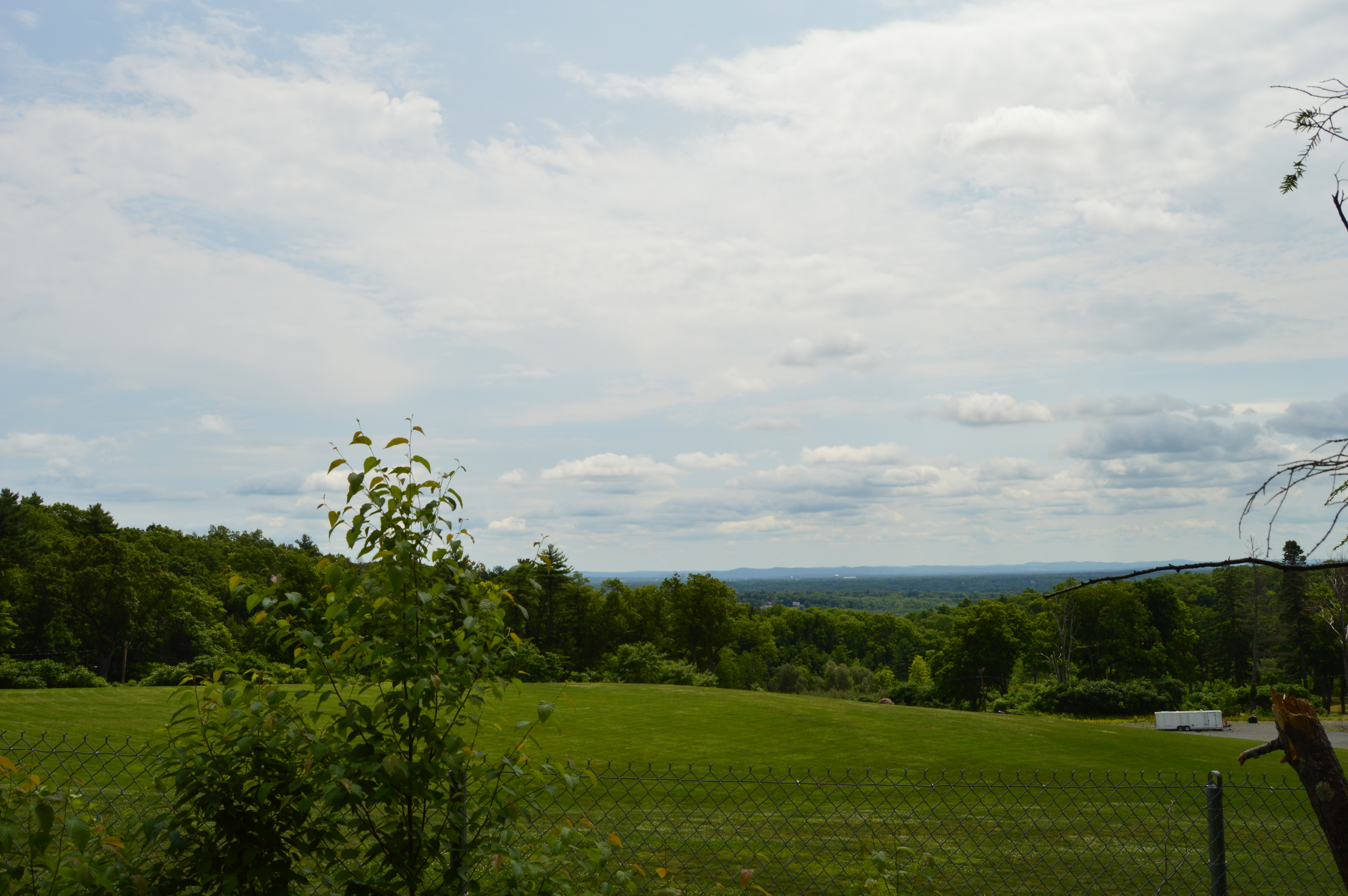
Sometimes you find treasures in the most unexpected places. Such is the case with Mount Tom. Tucked away off Route 202 in Holyoke, Mount Tom is a 20 minute drive outside of Springfield, MA, is not one of the first parks that comes to mind when you think of the plethora of state parks in Western Massachusetts. In fact, it almost seems to pride itself on being a hidden jewel. Unless you were specifically looking for the park, you could easily pass right by it.  While there is not a designated parking lot for Mount Tom and barriers prevent cars from entering the paved trails, you can usually find parking just outside the park. Or, since there are various entrances to the many trails, you can find places to park along the side of the road to the main entrance. The first impression of Mount Tom is slight disappointment. Pretty views of flowers and landscapes are spoiled by chain link fences.
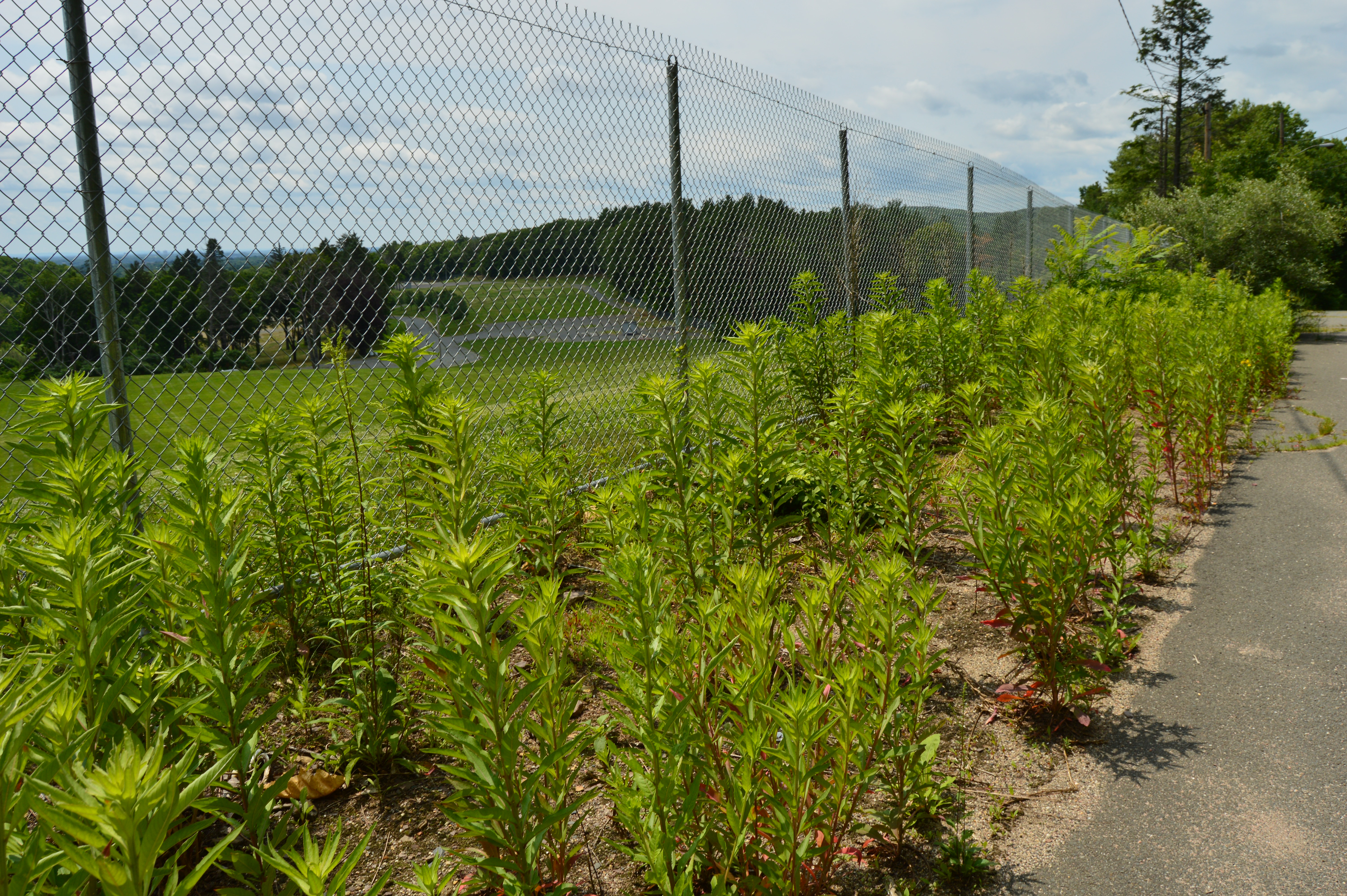
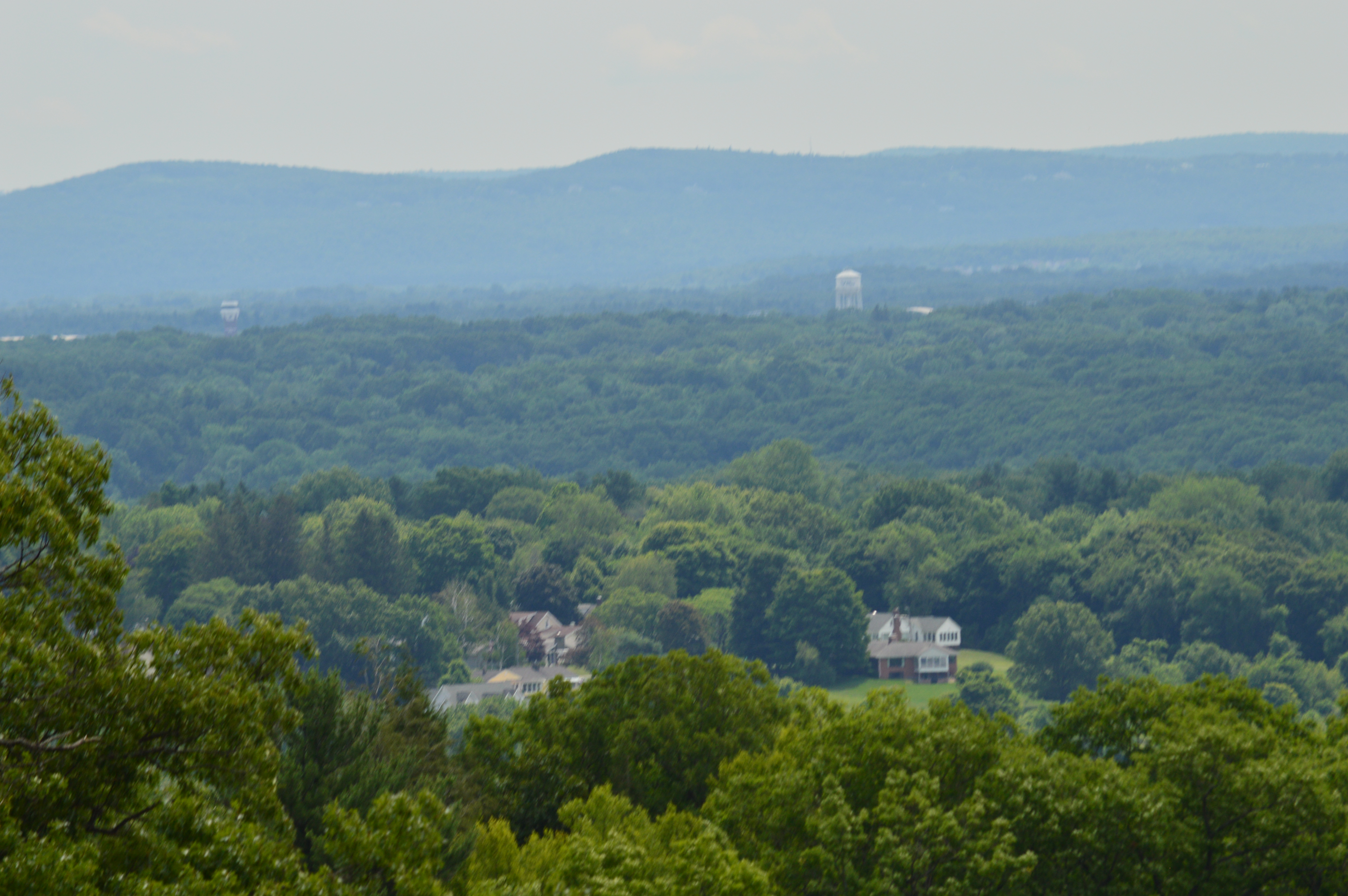
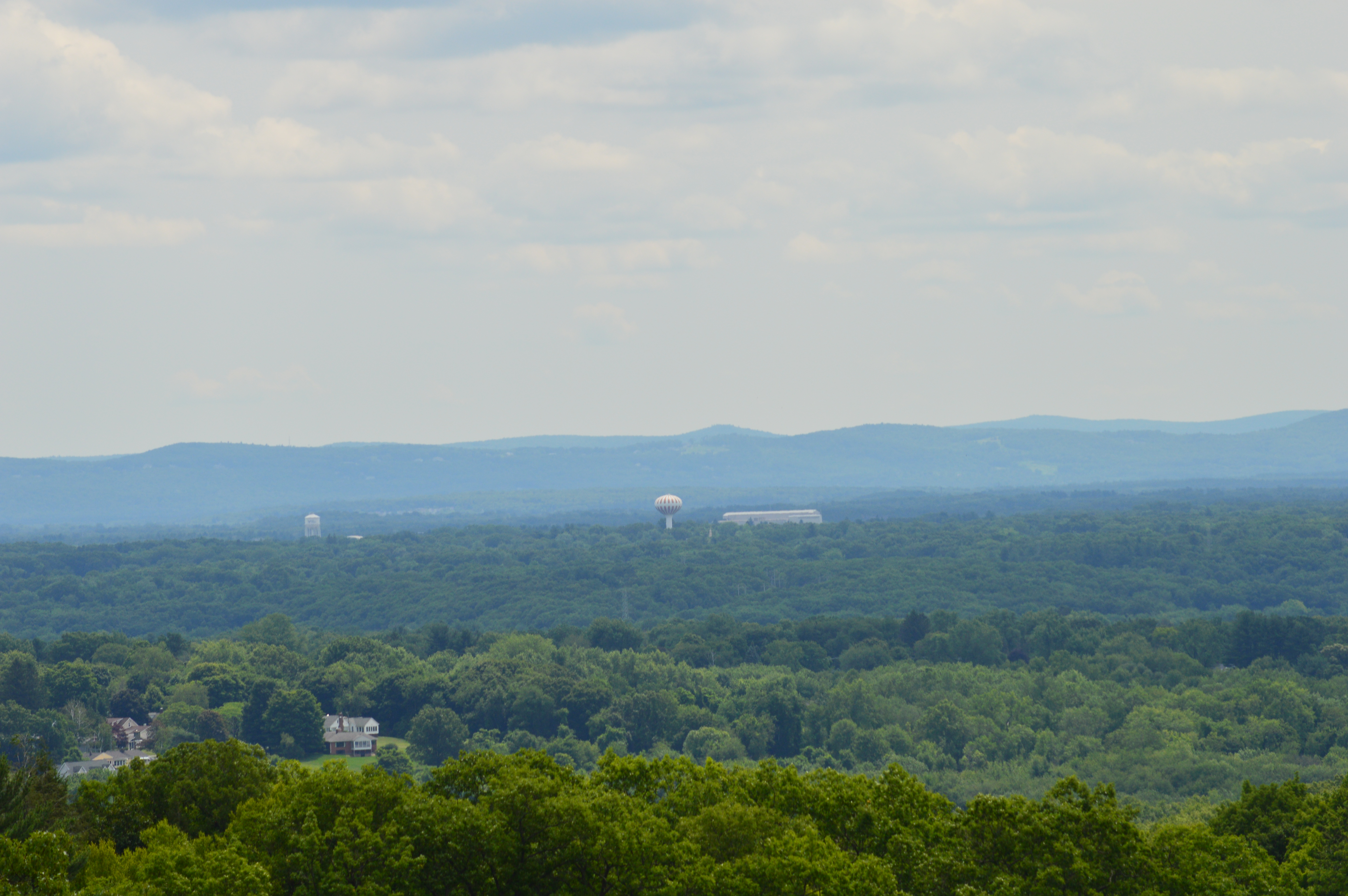
 However, with some effort and ingenuity, you can work around these barriers. With the aid of some strategically placed rocks and other objects that you can climb, you can get some beautiful, unobstructed views of the park and Western Massachusetts
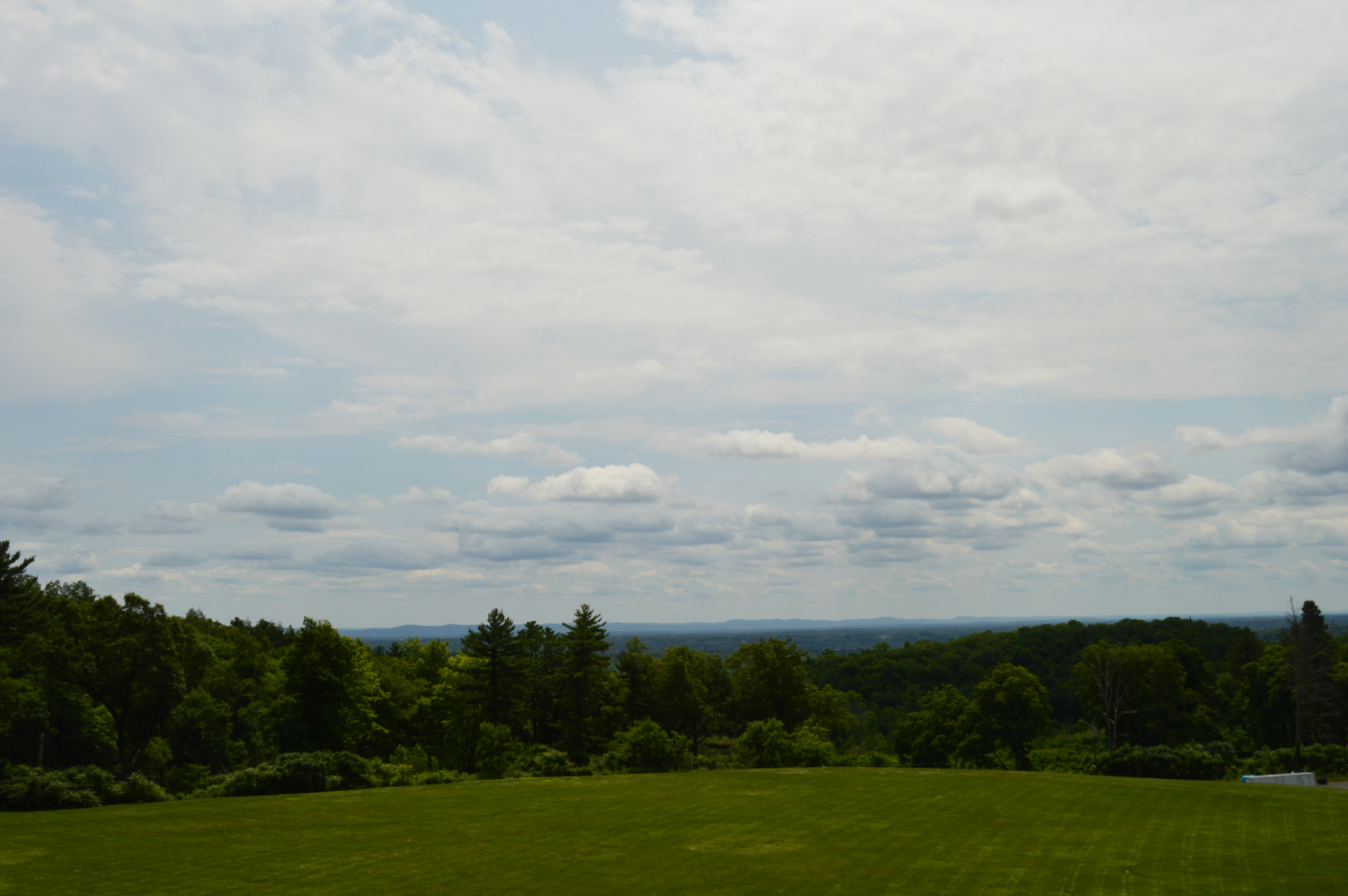

 Mount Tom is also a popular spot for paragliding (the speck between the two wires is a paraglider)
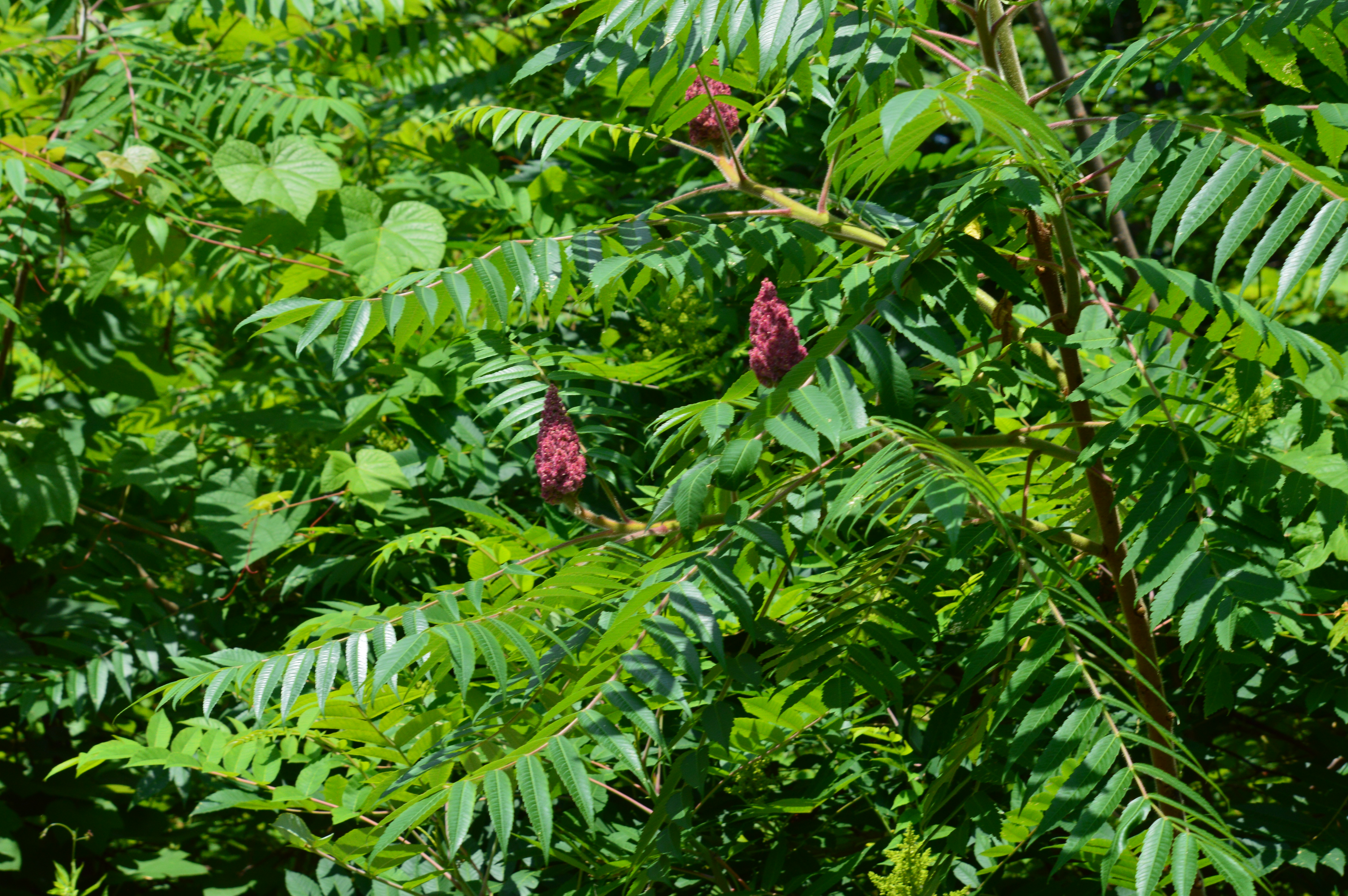
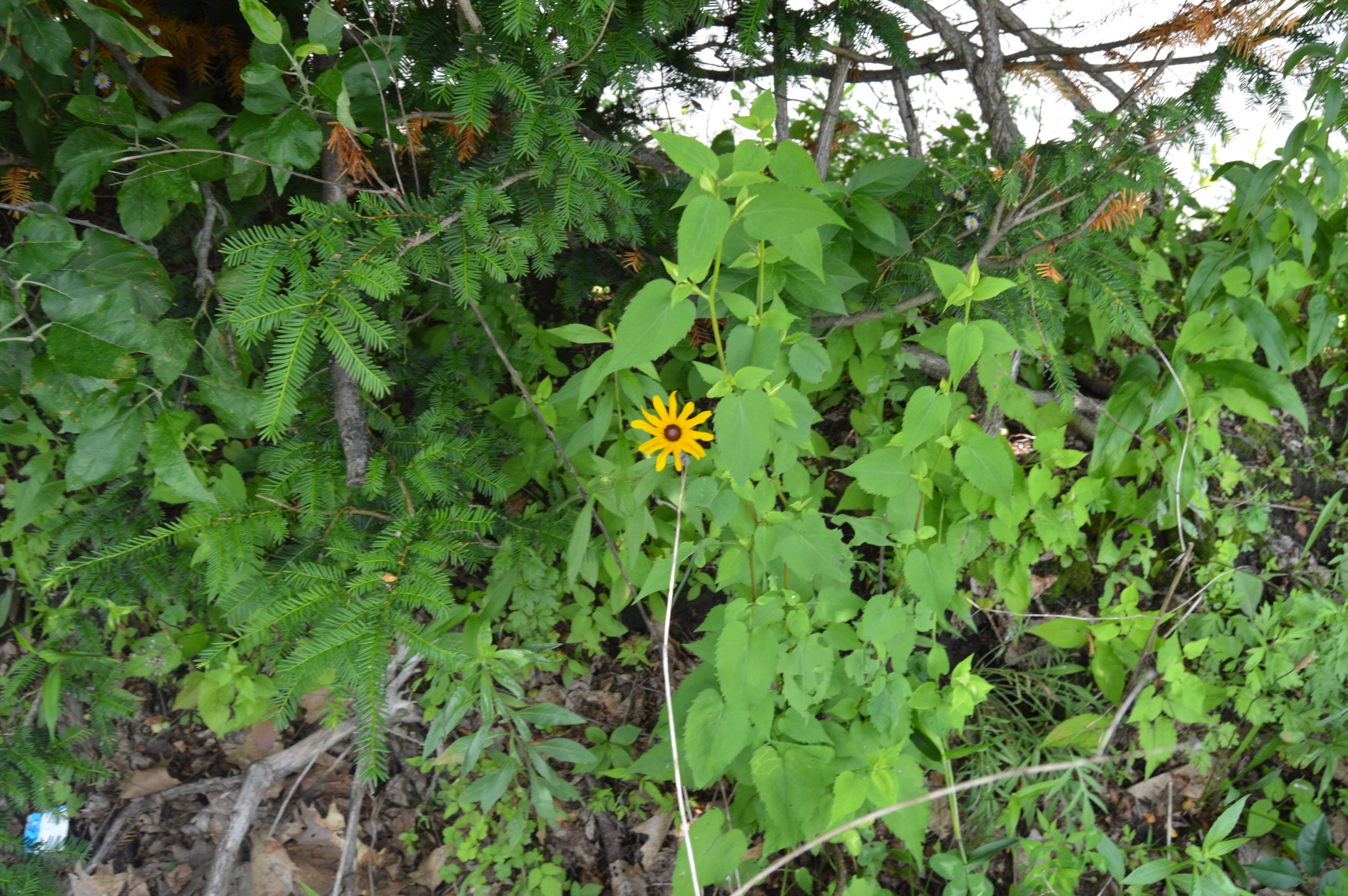
  There are a variety of flowers such as black eyed susans, sumac and daisies . Although various plants are plentiful, I found many of the flowers and plants to be somewhat drab and not artfully laid out. I suppose this does give Mount Tom a more natural feel. But, the colors didn’t pop off like they do at other parks, such as Stanley Park and Prescott Park in New Hampshire just to name a few that I have visited recently.
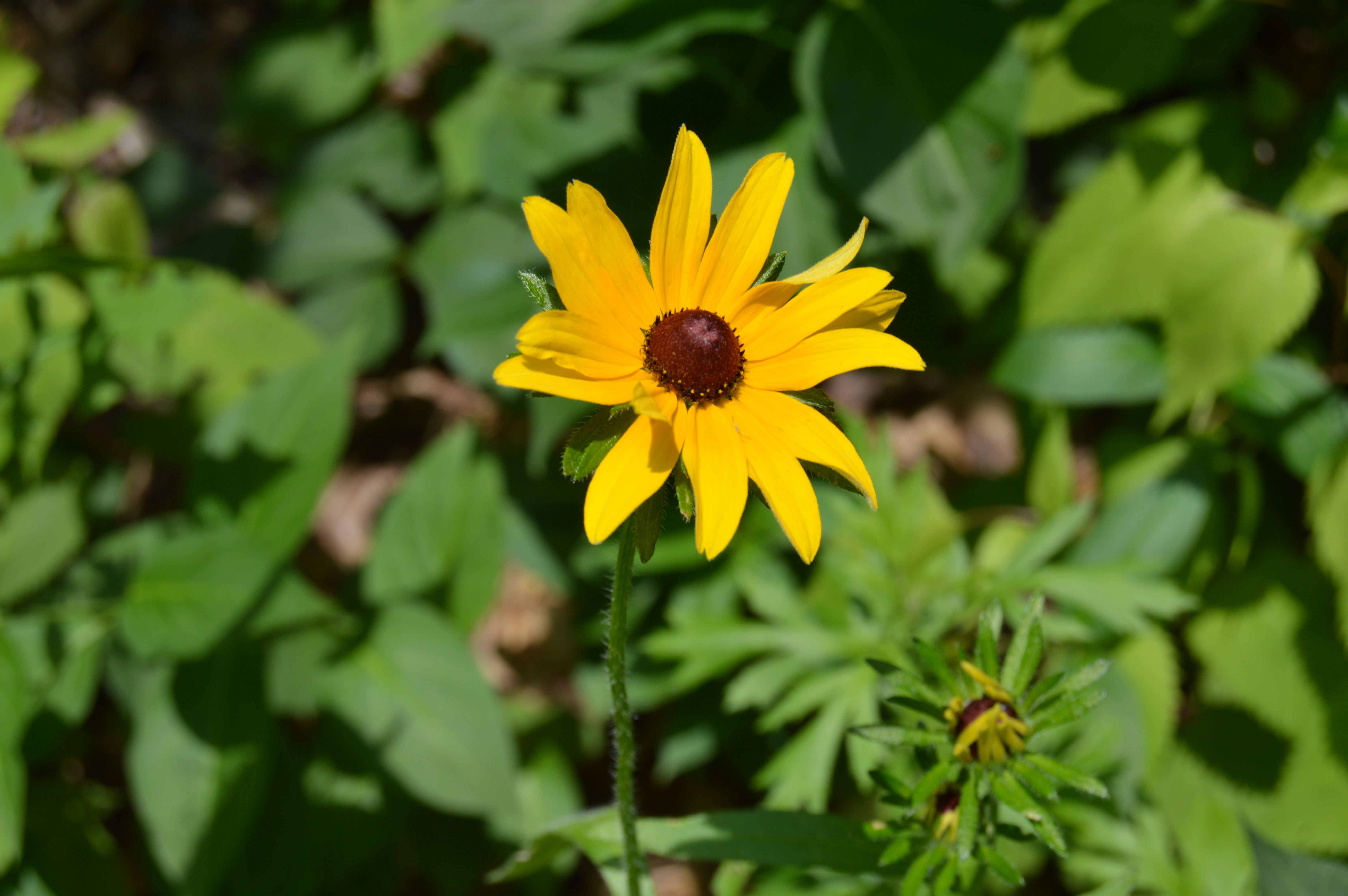


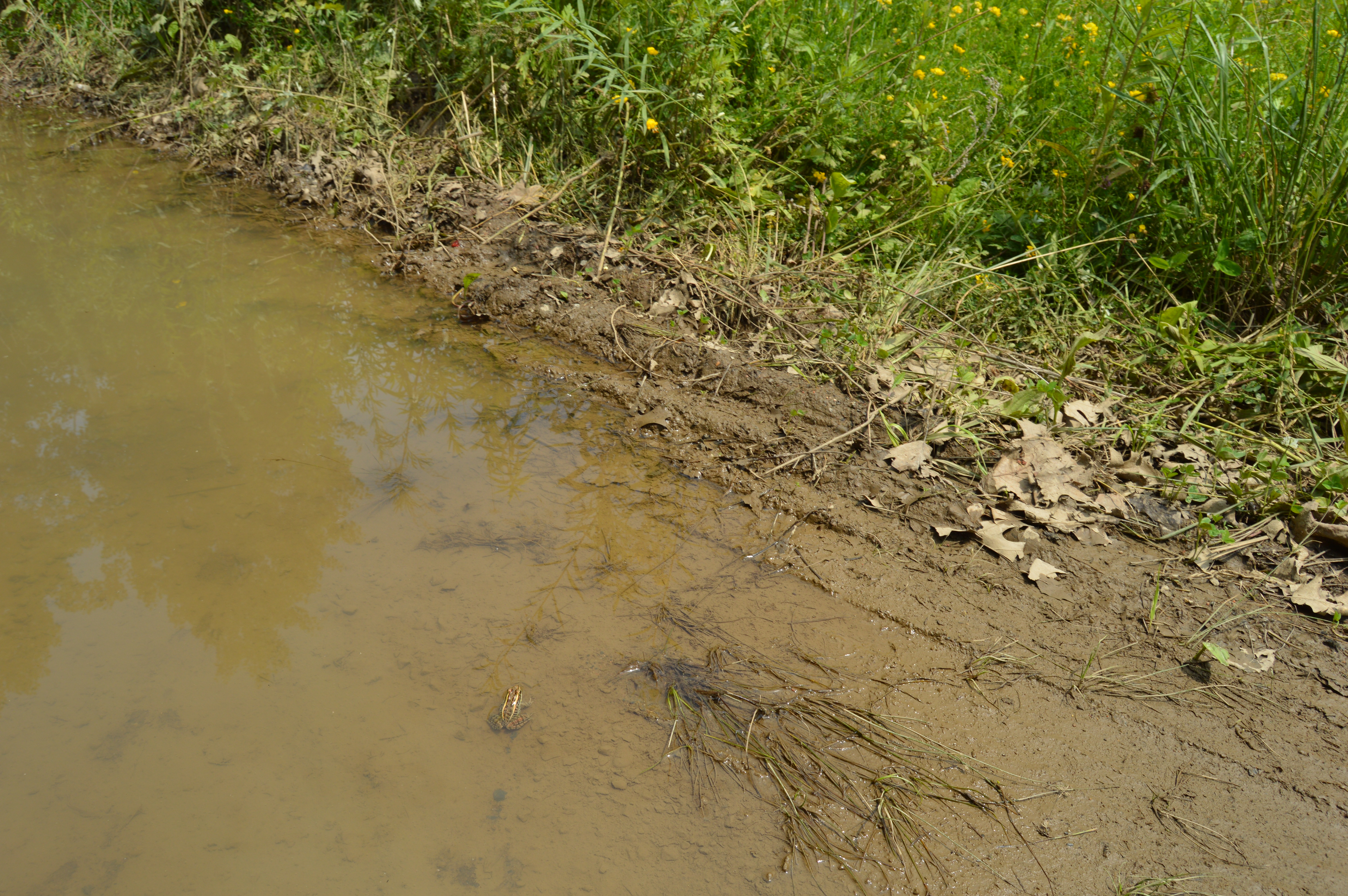
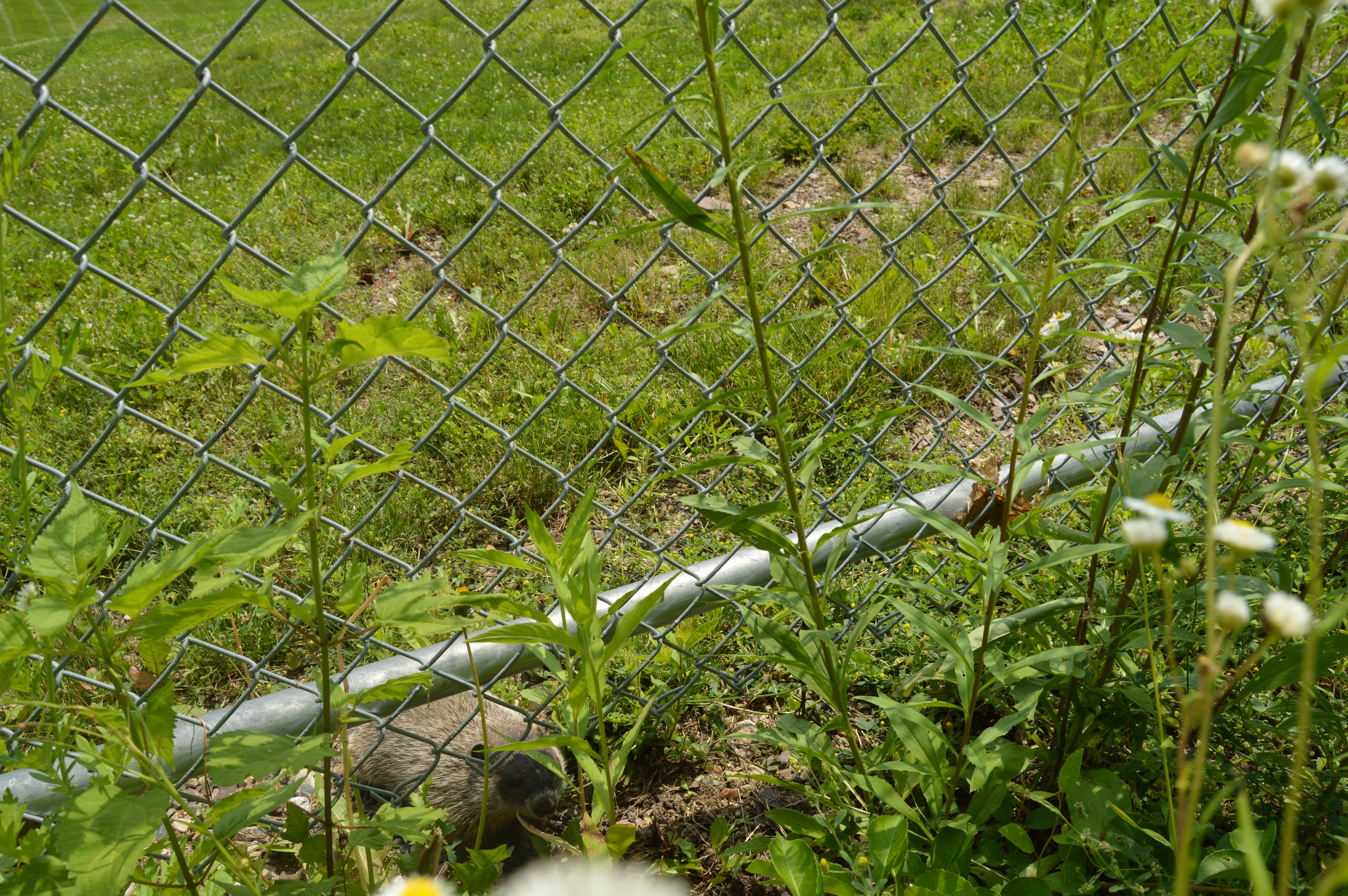
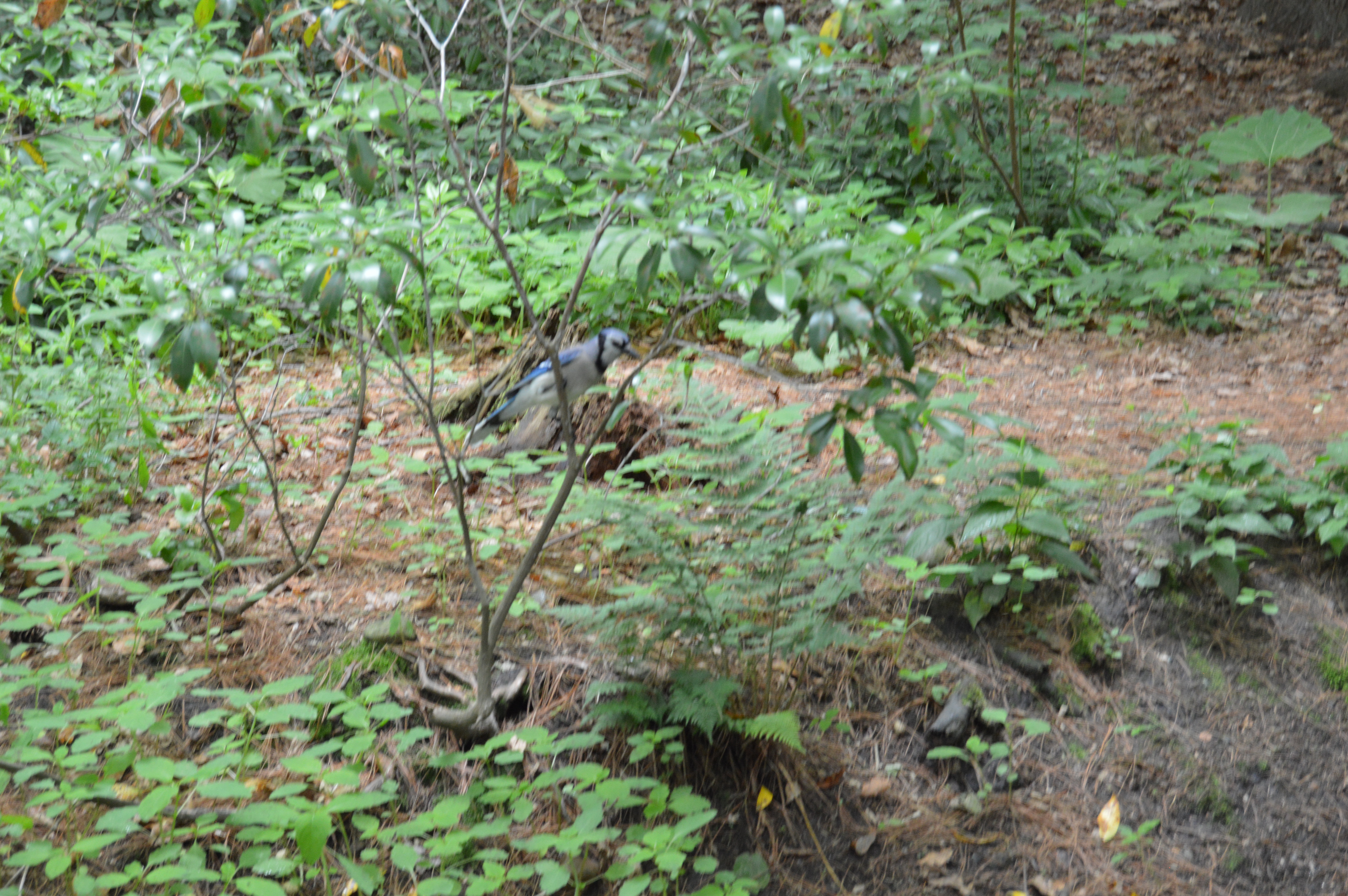
 There is also a variety of wildlife at Mount Tom. Both creatures big and small reside at Mount Tom such as frogs, falcons and groundhogs. There were also some chipmunks and a variety of birds that were too elusive for this photographer to capture.

 We also spotted fresh hoof prints from an animal, most likely deer, that had recently been in the area.
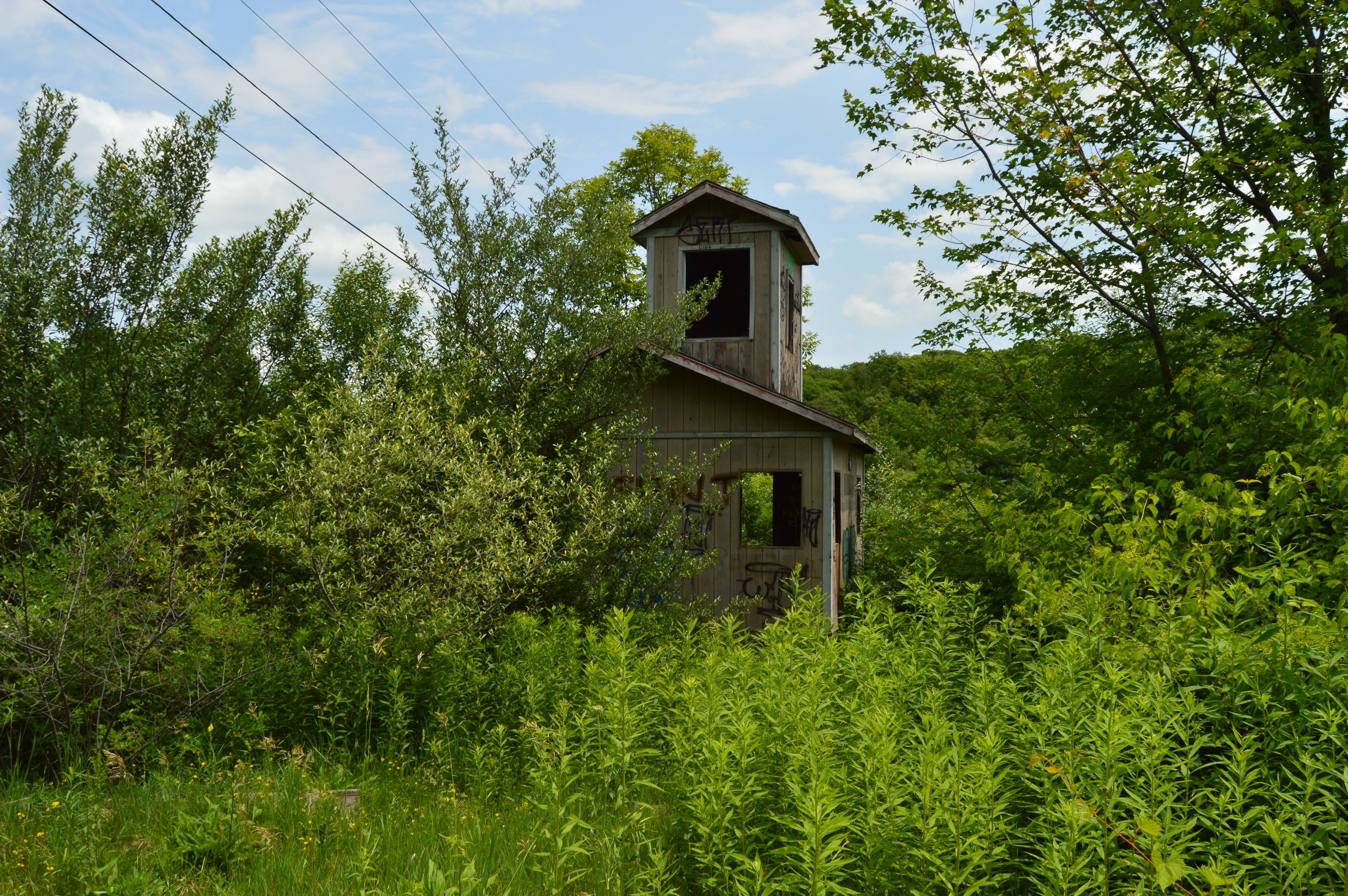
  Along the way , we found some buildings in disrepair and graffiti riddled because, of course, what else would you do to a perfectly good abandoned structured? Just another example of why we can never have nice things. The graffiti and vandalism aside, the structures gave a nice backdrop to some of the shots.
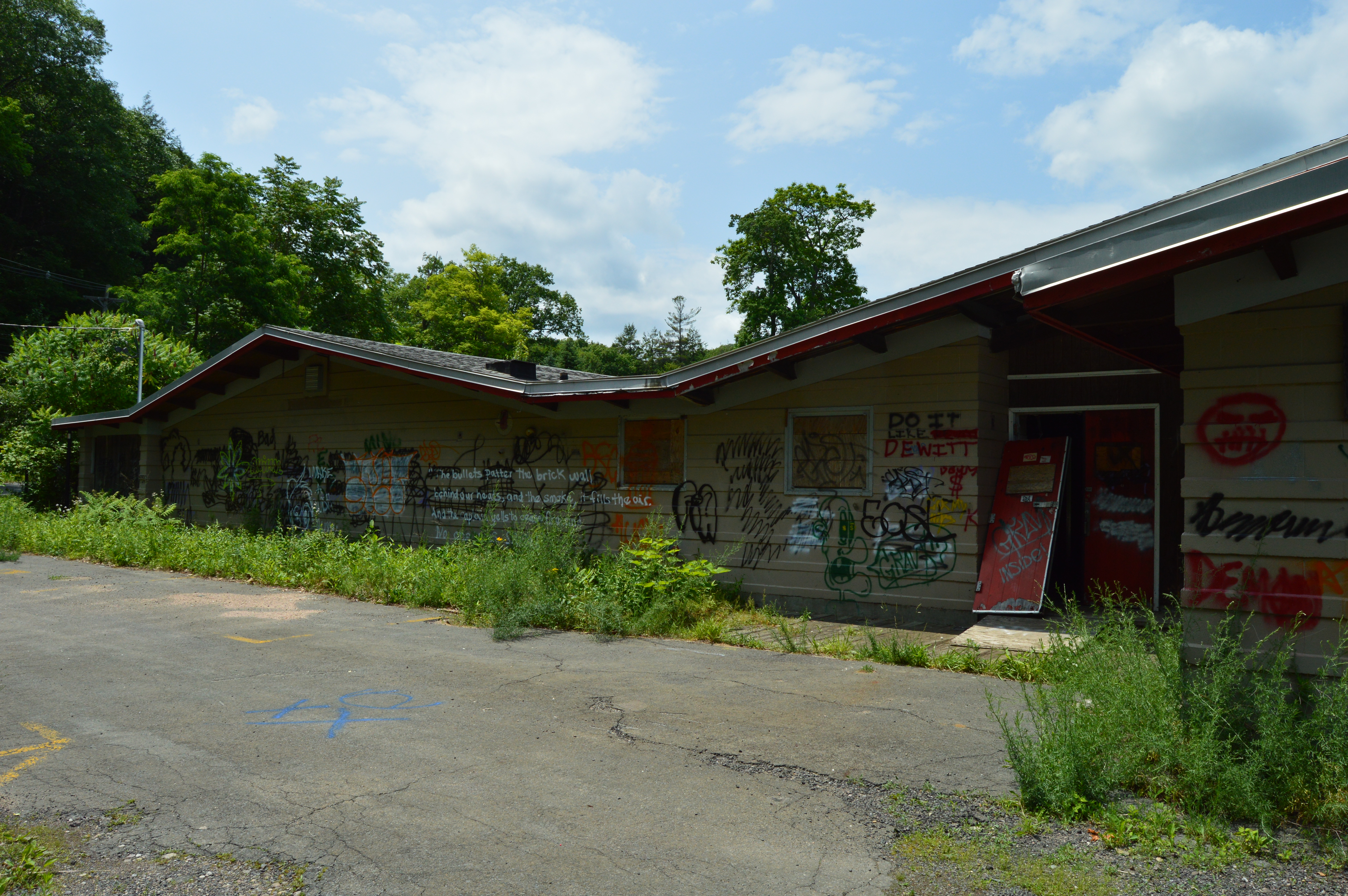


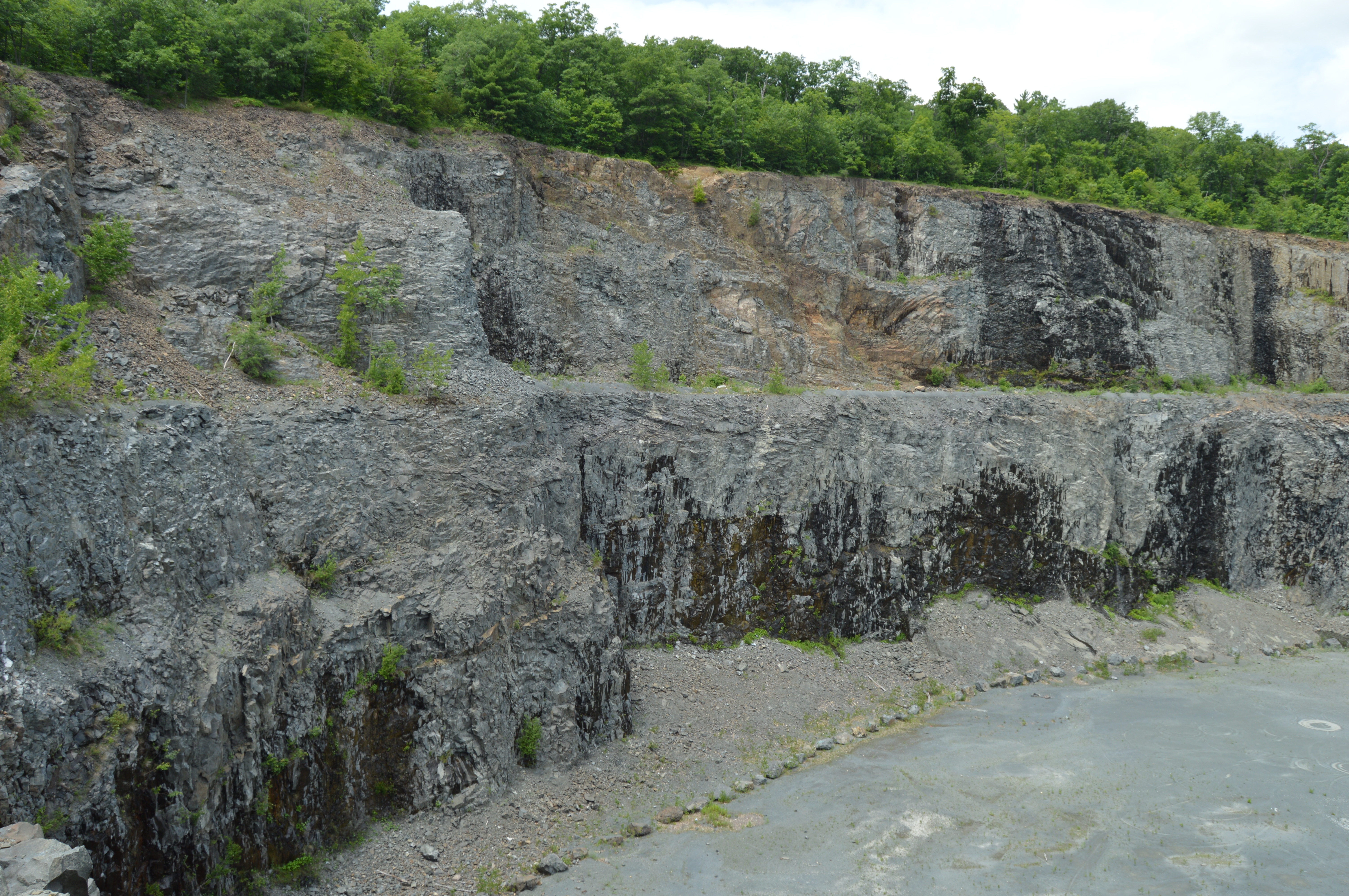
 Finally, we arrived at the crater like area of Mount Tom. Although many people lay claim to the inspiration of Mount Crumpit from Dr. Seuss’ Whoville in the story/show/movie How The Grinch Stole Christmas (Squamish in British Columbia for one), Mount Tom is rumored to be the inspiration for the tale. Since Theodor Seuss Geisel (“Dr. Seuss”) was from nearby Springfield, Massachusetts, it is a good chance this is the place that inspired him. See for yourself (and these aren’t even the “best side” of the hill).


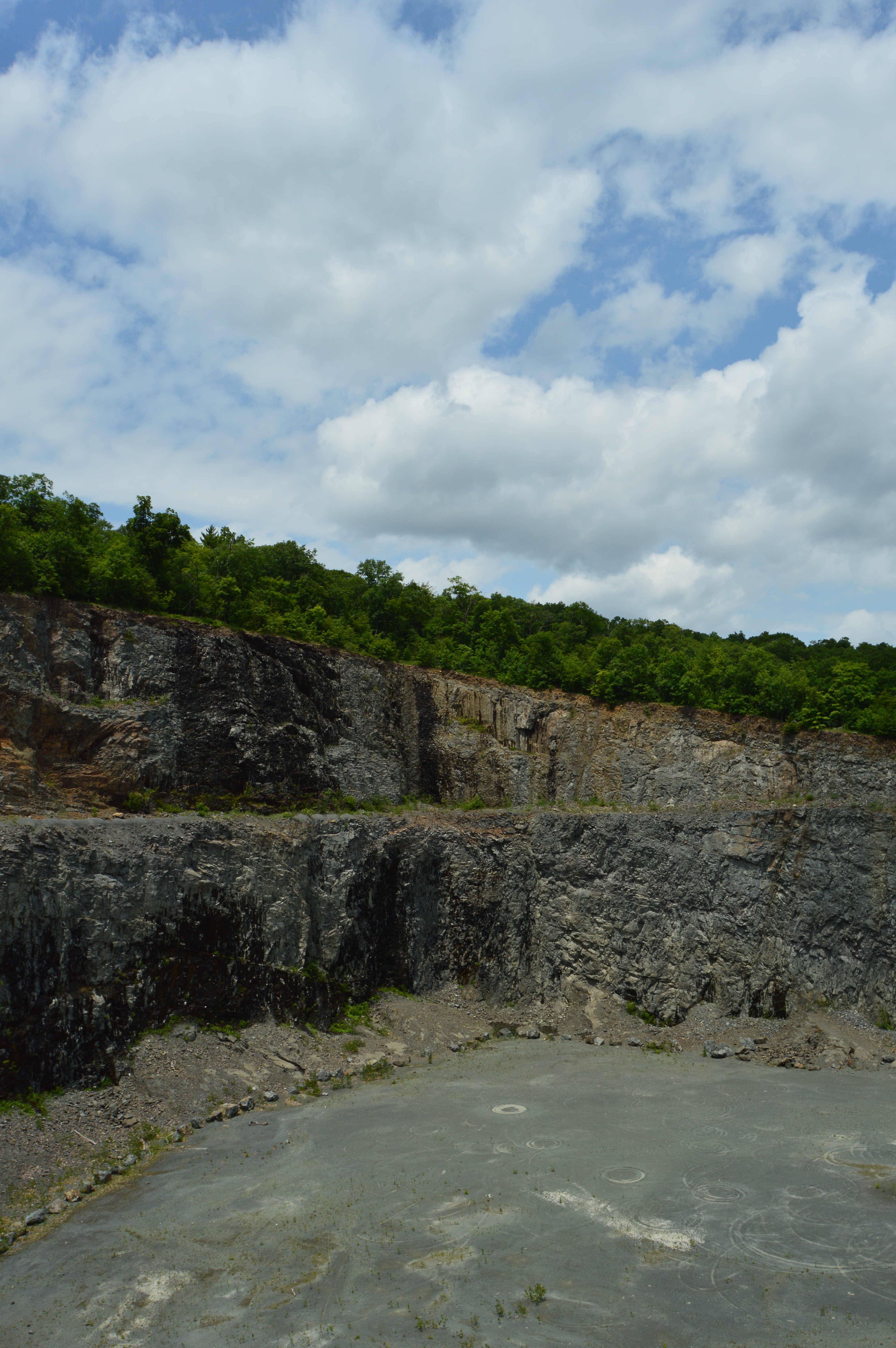 It’s a long way down there. Be careful.
 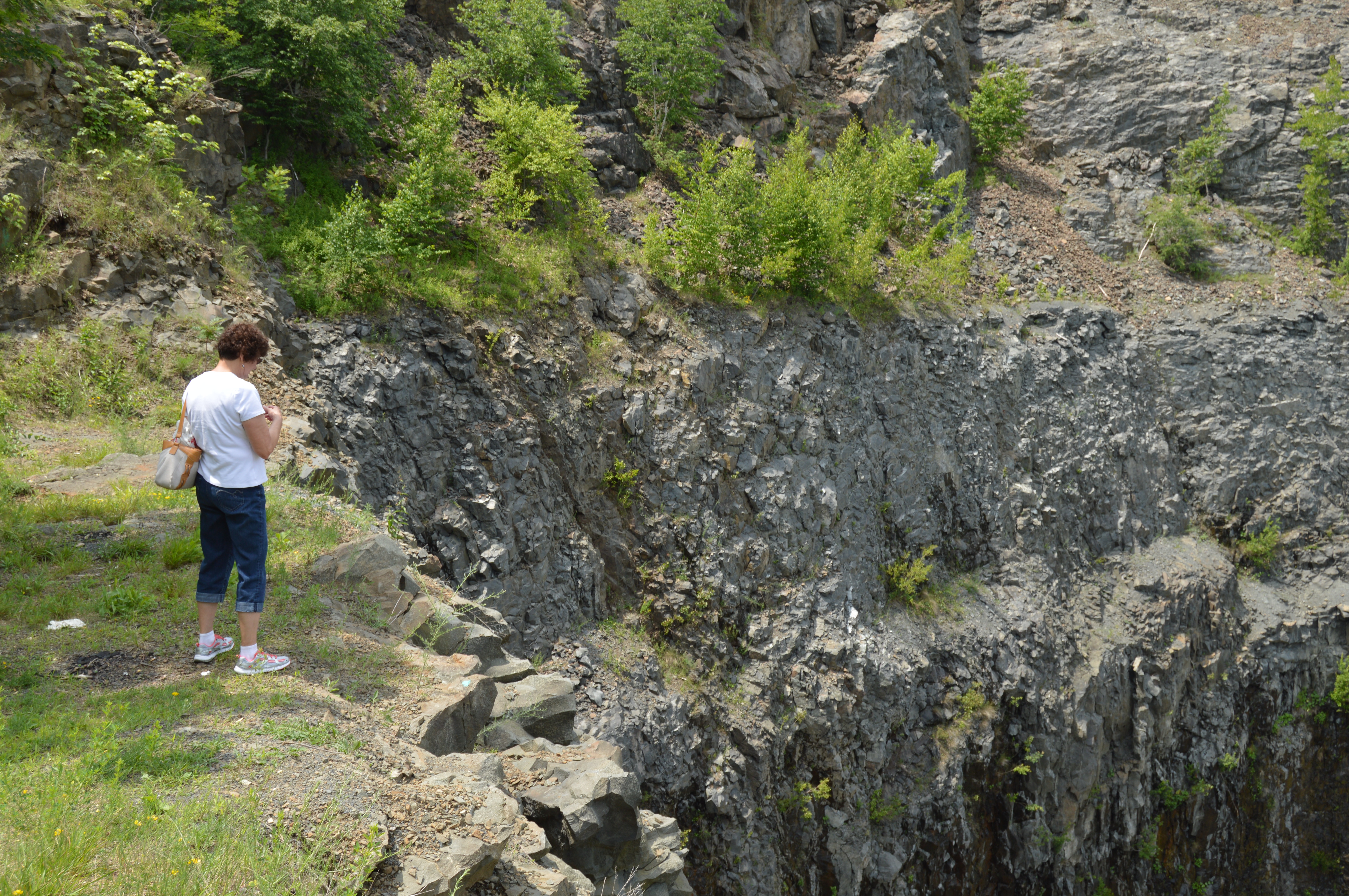 Satanists in Holyoke. Who knew?
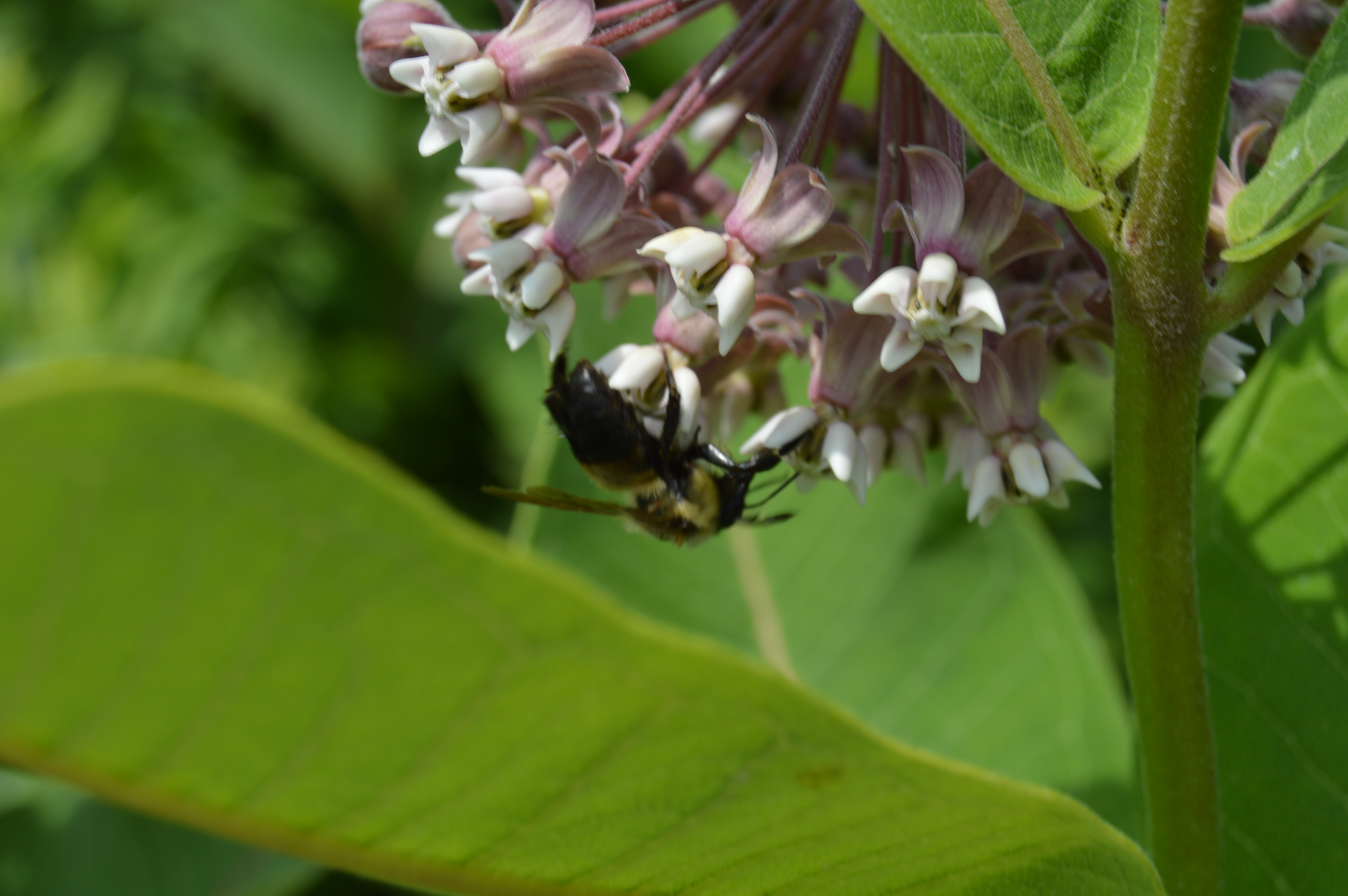
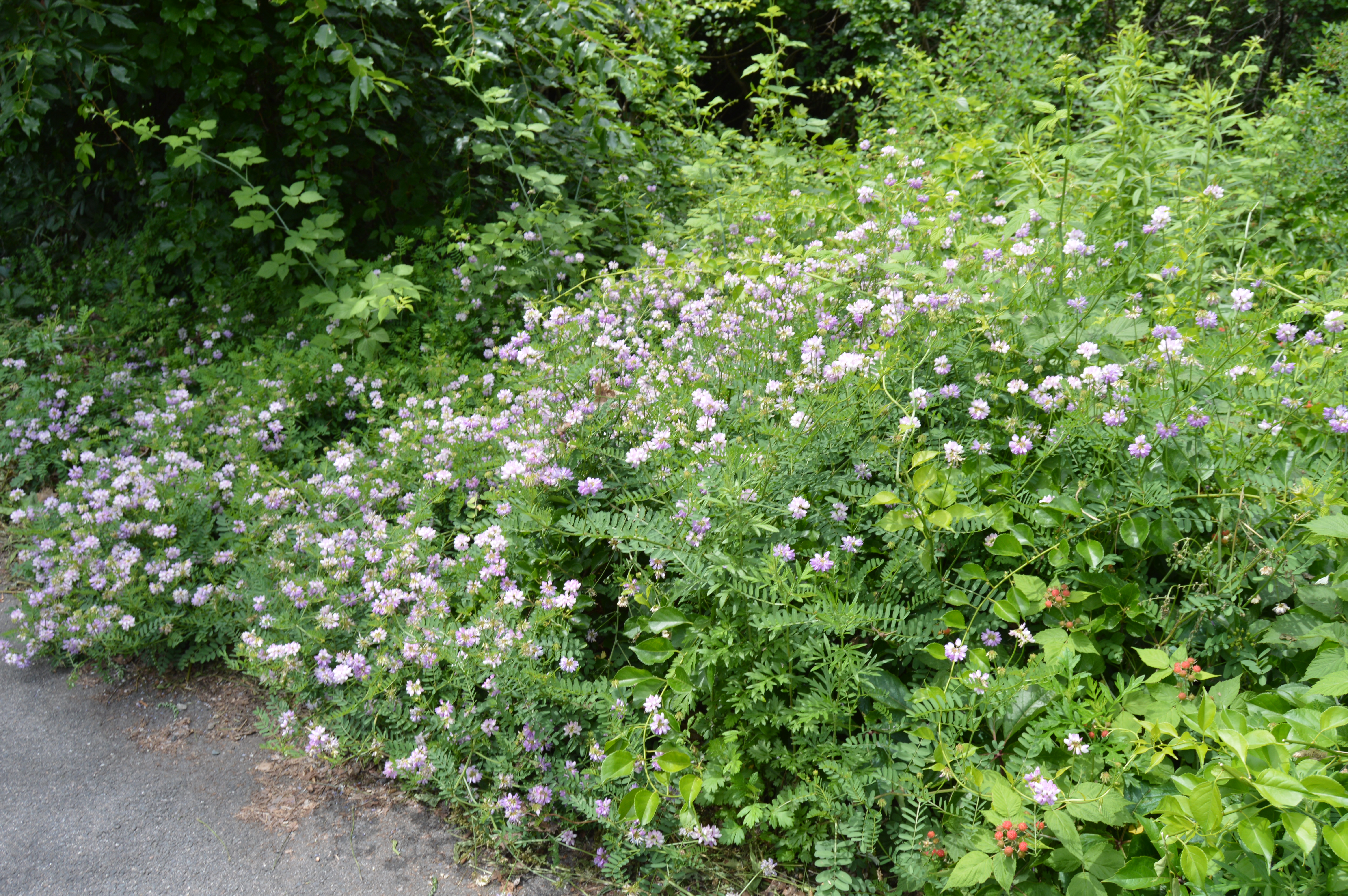
  Having traveled a “good distance” (not to be too precise), we agreed it was time to head back. Along the way, we saw flowers and landscapes that made for fine landscape photography.


 Bees and butterflies hovered over and landed on the plants, lighting and pollinating them. The orange looking objects in the photos are not flowers but rather butterflies.

 A brook runs through Mount Tom.
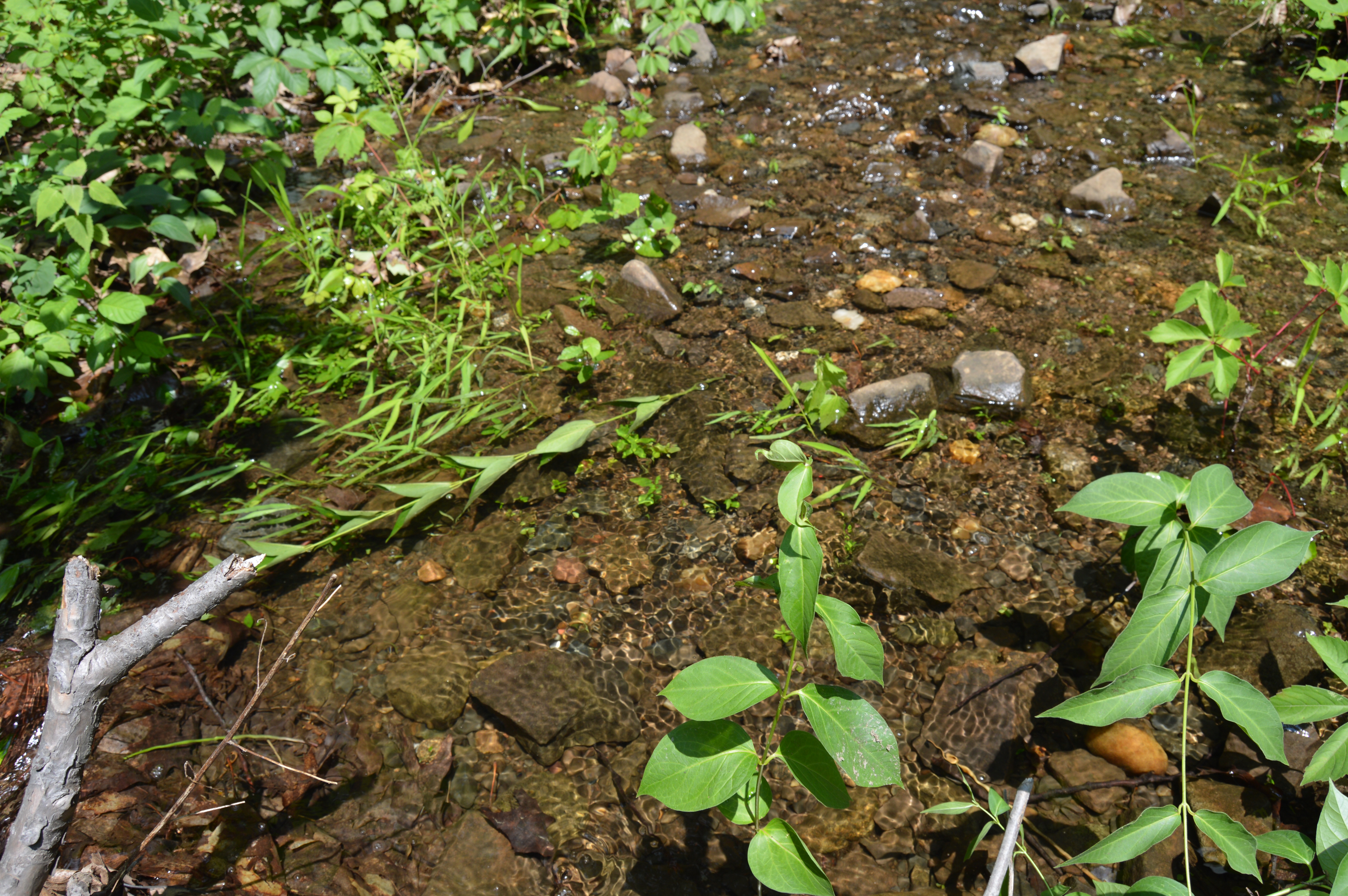

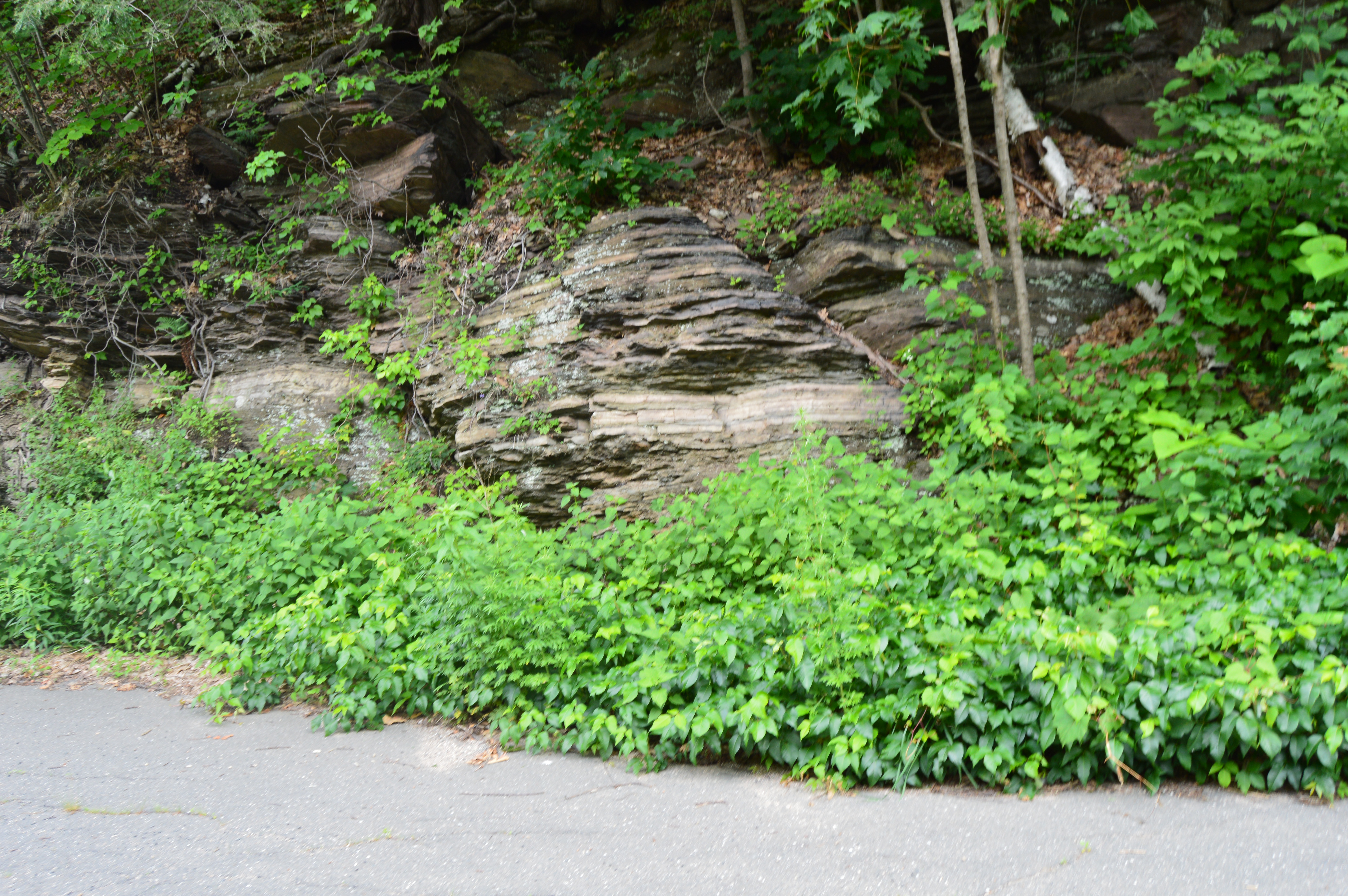
 The cliffs and jagged rock that formed on Mount Tom were formed many years ago from faulting and earthquakes. This, coupled with the cooling and heating of the Earth’s surface made for some unique shapes and surfaces.


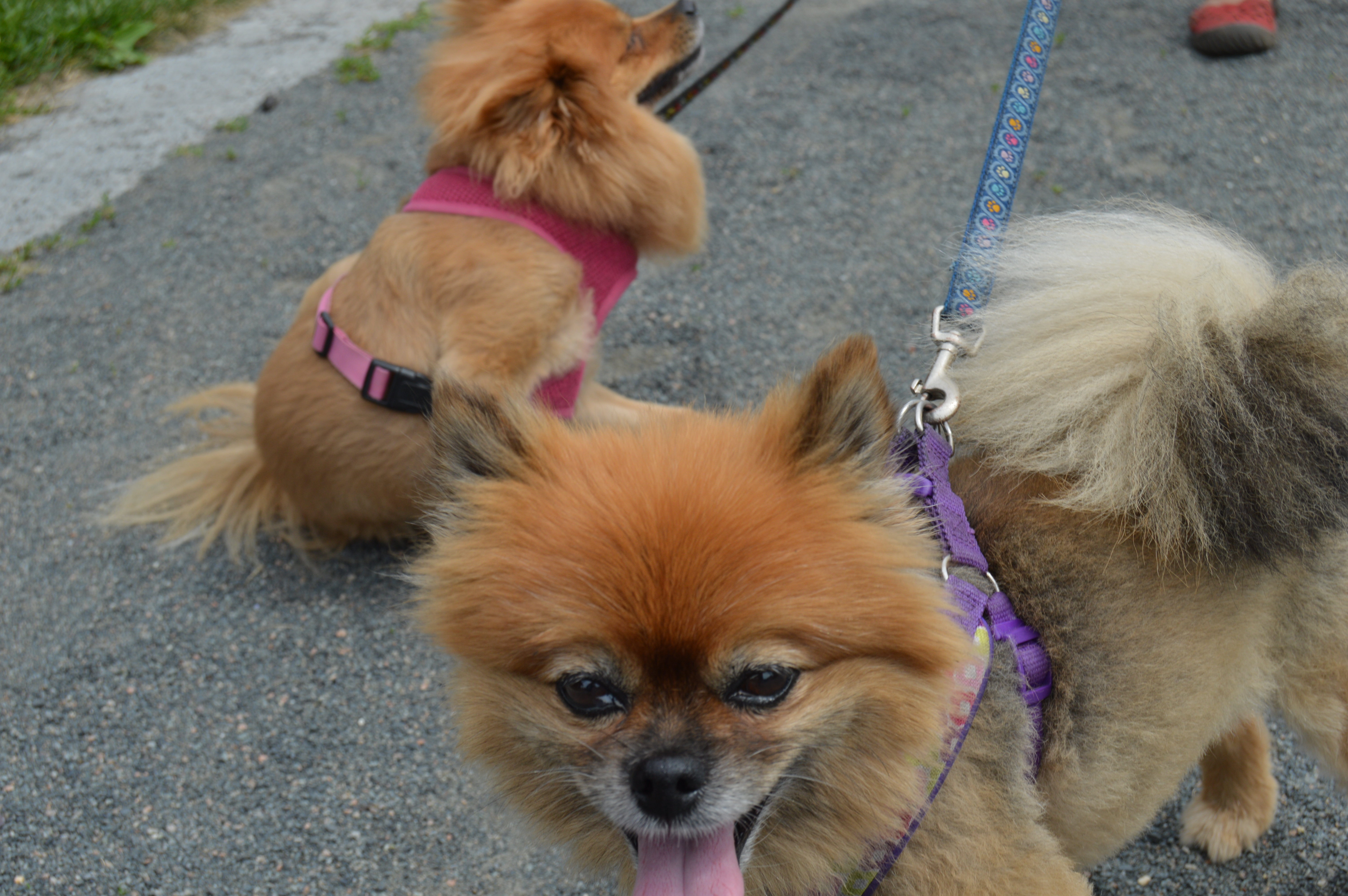
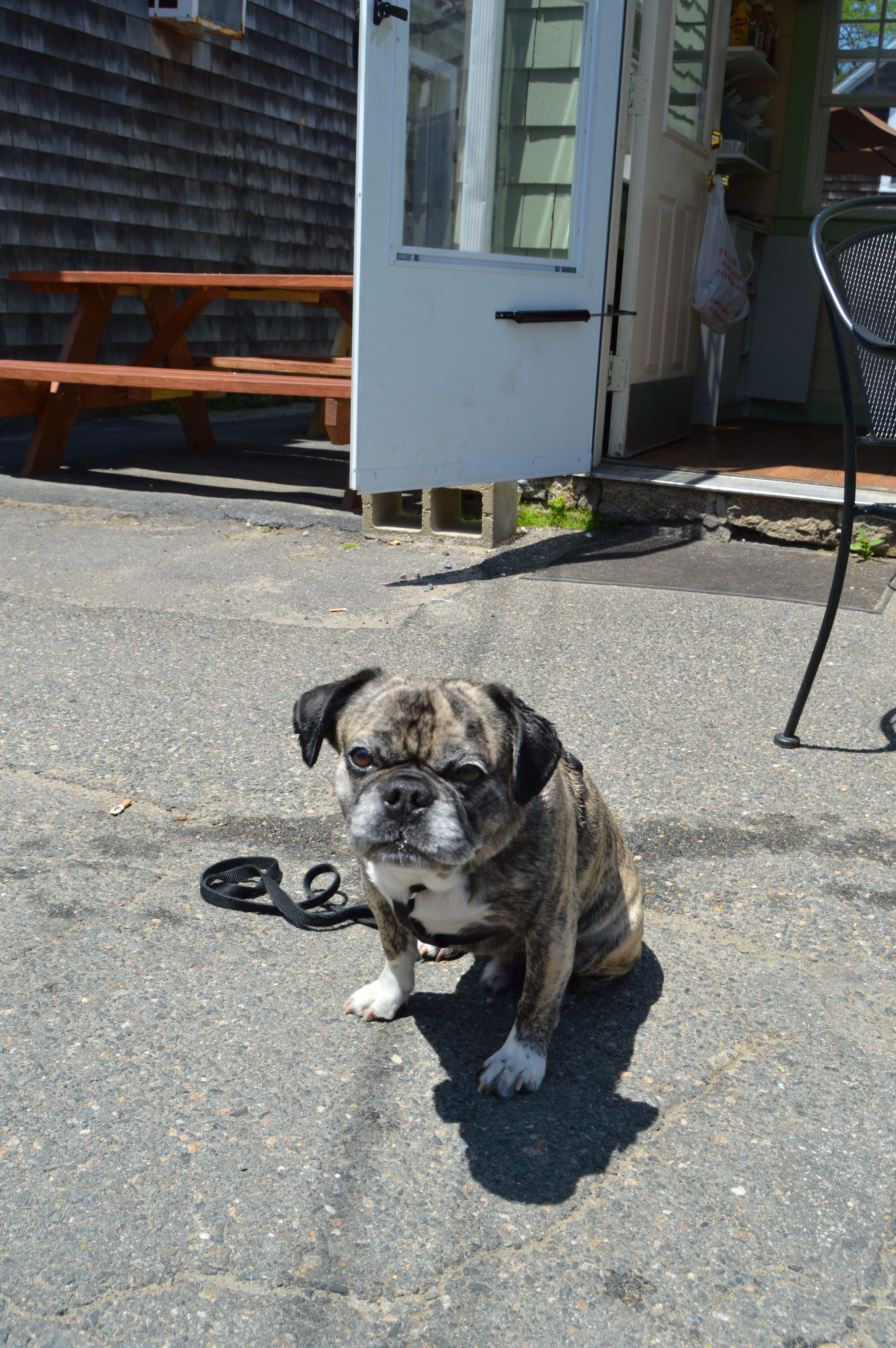
 Of course, no blog post of mine would be complete without a photo of a dog. None were present during my stay at Mount Tom. So, I made a special stop at Westfield Dog Bark (yes that is the name). Mollly was my obedient subject. But, she seemed more interested in something in the distance.
 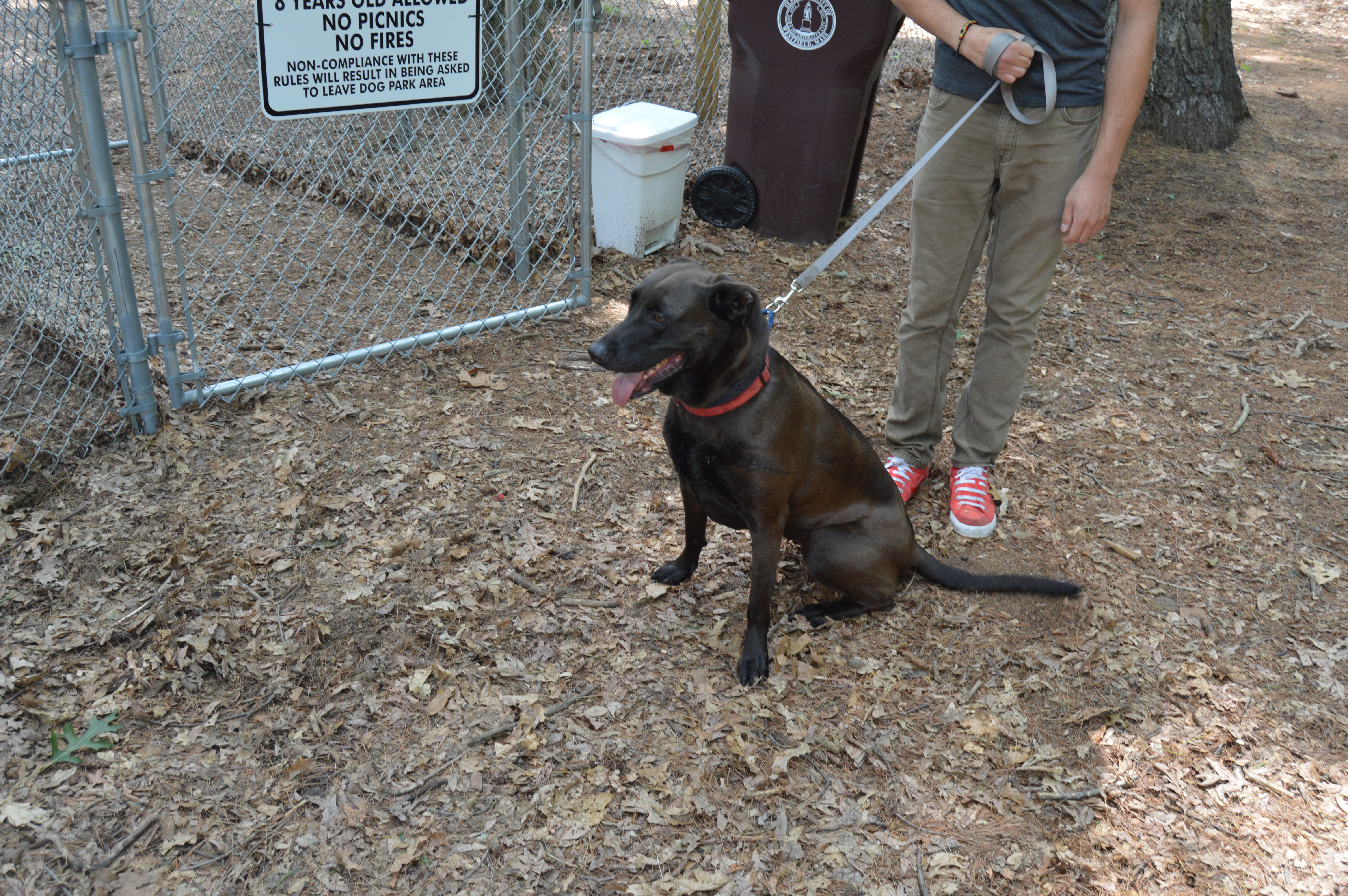 Mount Tom is massive and little did we realize at the time the majesty awaiting us on the other side of the rocky hill. It was only after I had googled images of Mount Tom that I realize many of the other parts of the park that we did not reach. That clinched it. Another trip to Mount Tom is in order.
Tag Archives: Photography
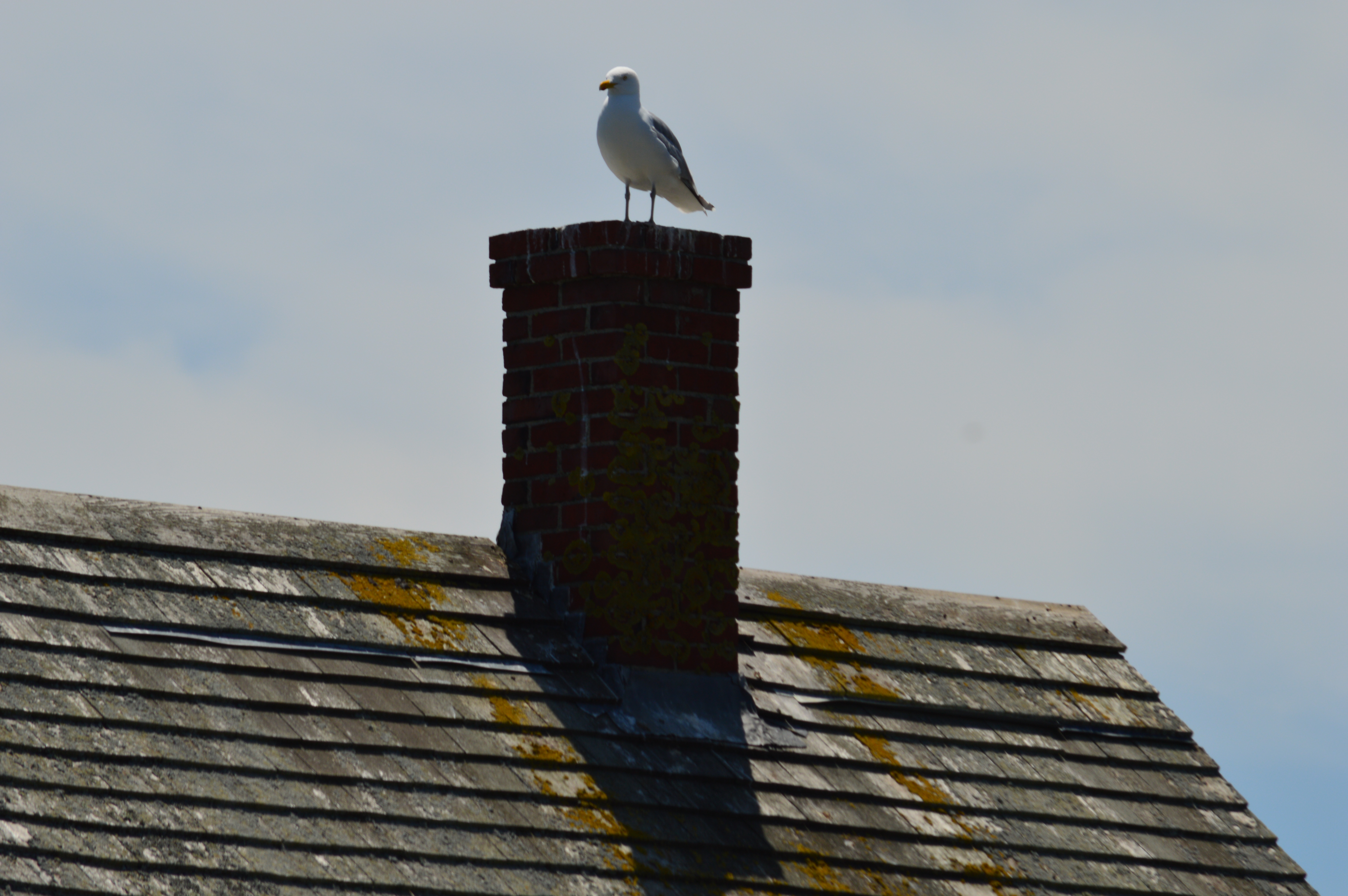
Mount Tom (Holyoke, MA)
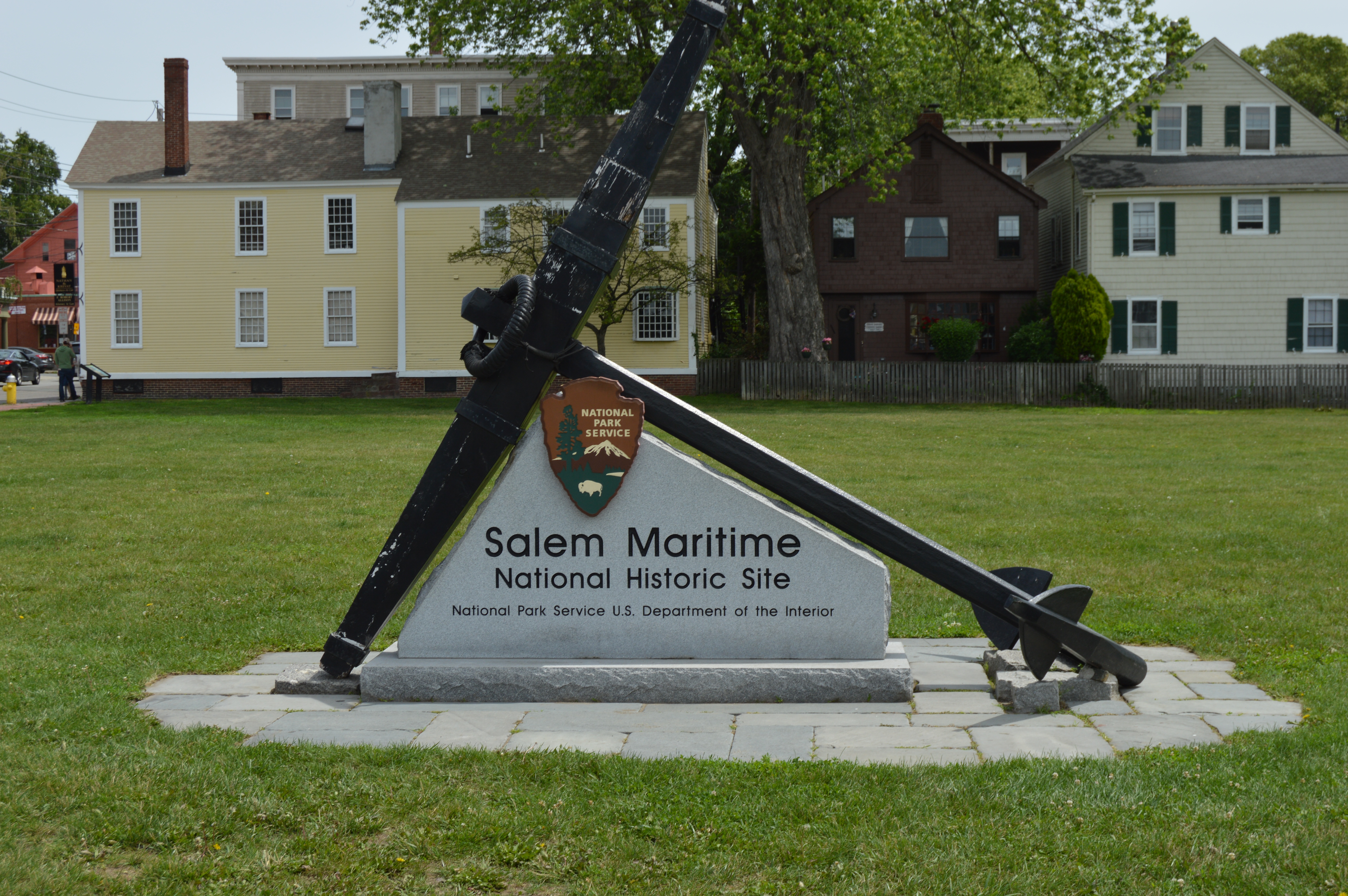
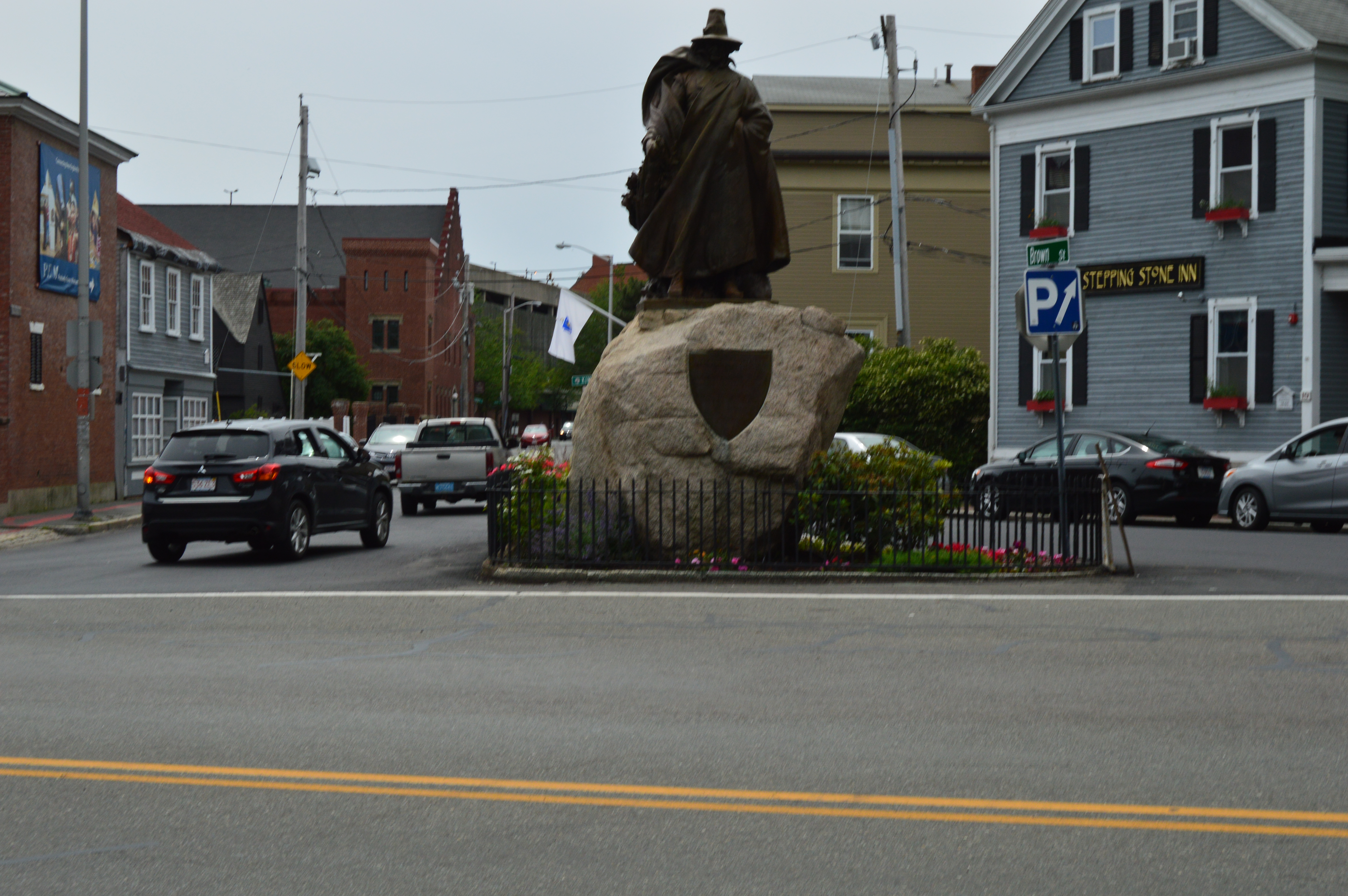
Witch City (Salem, MA)
When people think of Salem (MA), they often conjure thoughts of the witch hysteria, ghosts or a litany of other things that may go bump in the night. But, this isn’t fair nor accurate. No, Salem is more than “haunted houses” and stores that sell kitschy souvenirs. Nor is it only fun to visit during the Halloween season. Still, it did feel a little odd wandering around Salem without a Fall chill in the air or leaves crunching beneath my feet. But, it wasn’t any less fun.
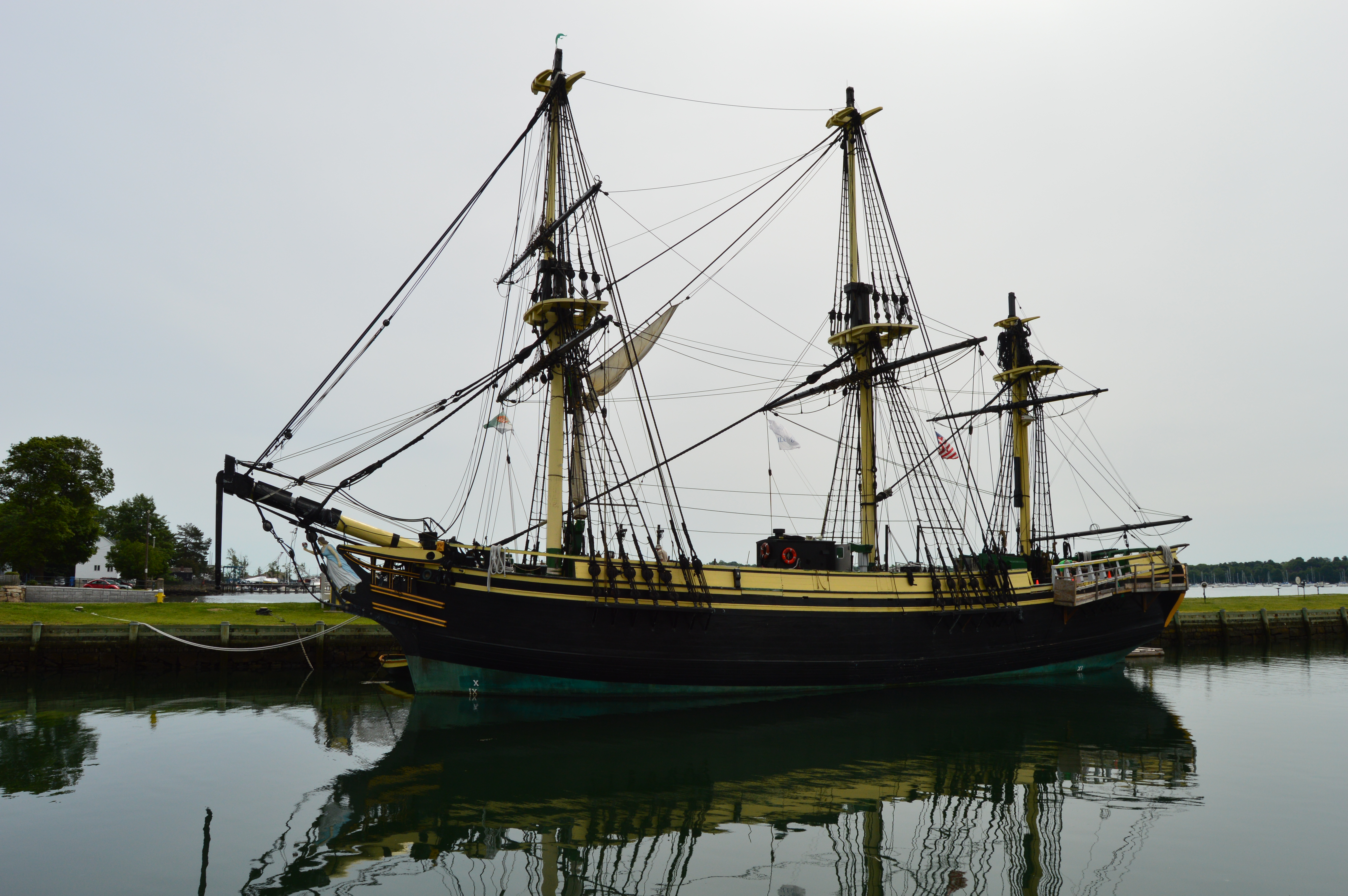
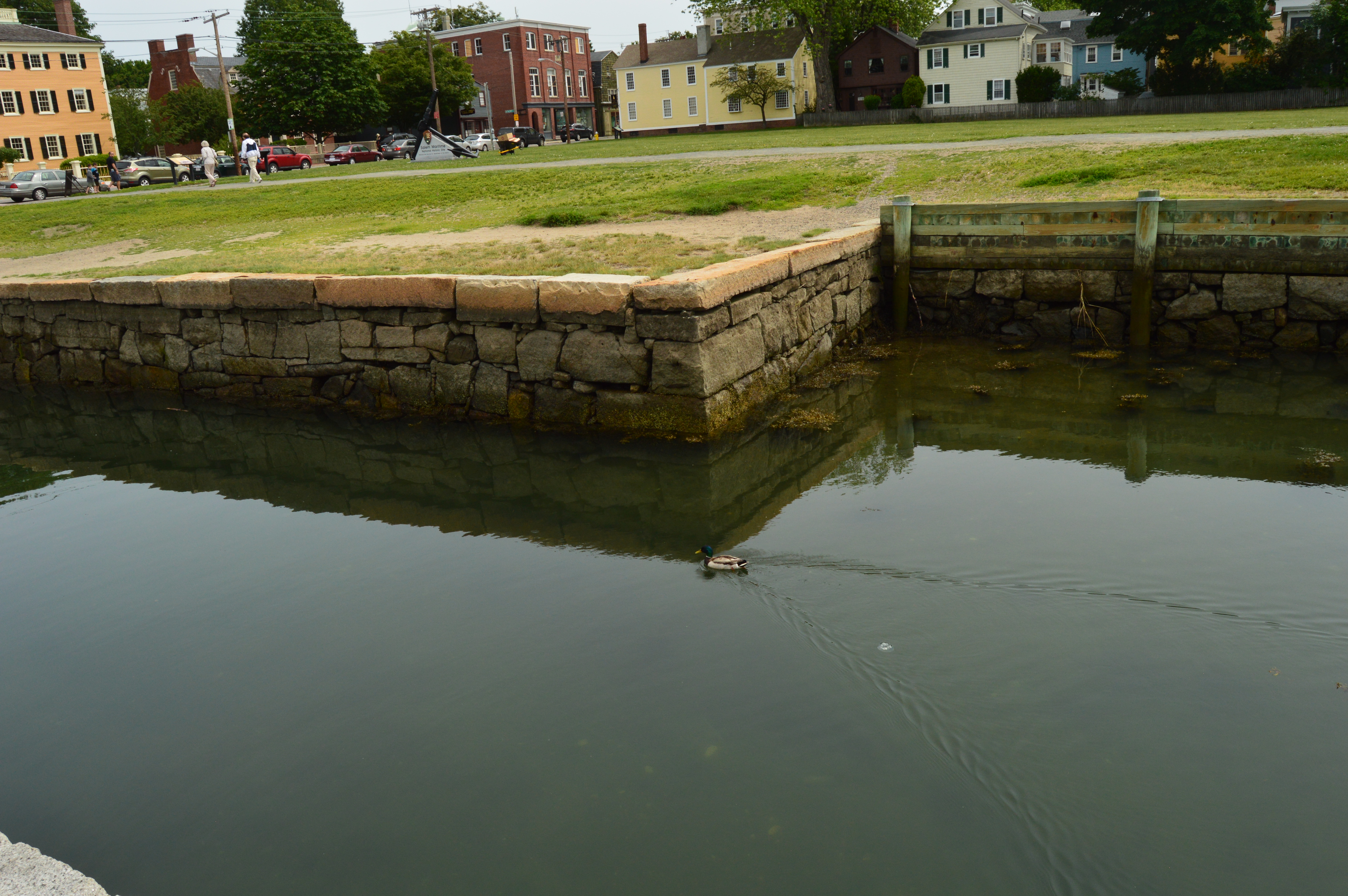
Salem, being an important port for trade in early colonial days, is rich with tradition and history. One of the main ports of trade is at Pickering Wharf in Salem Harbor.

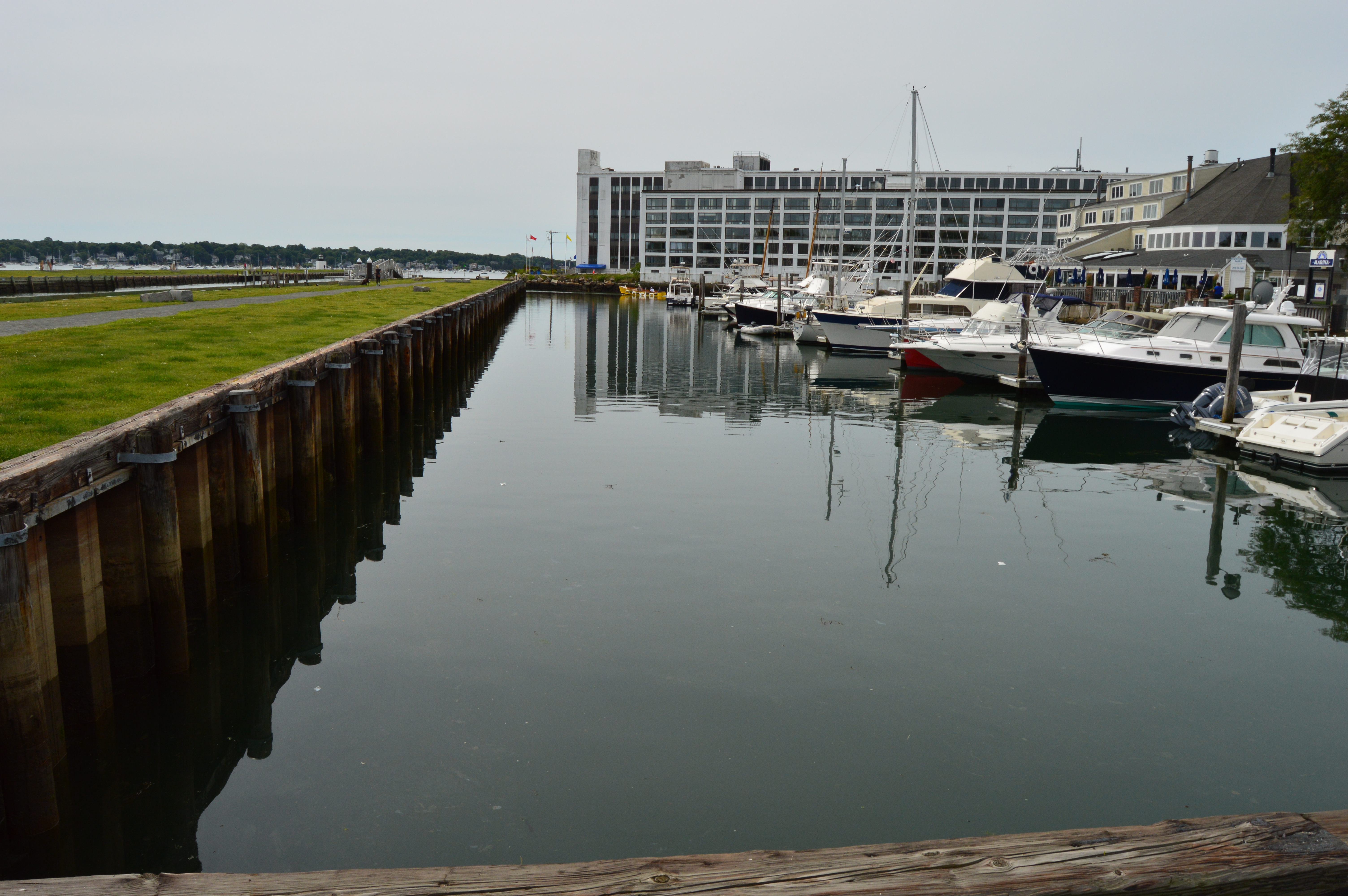

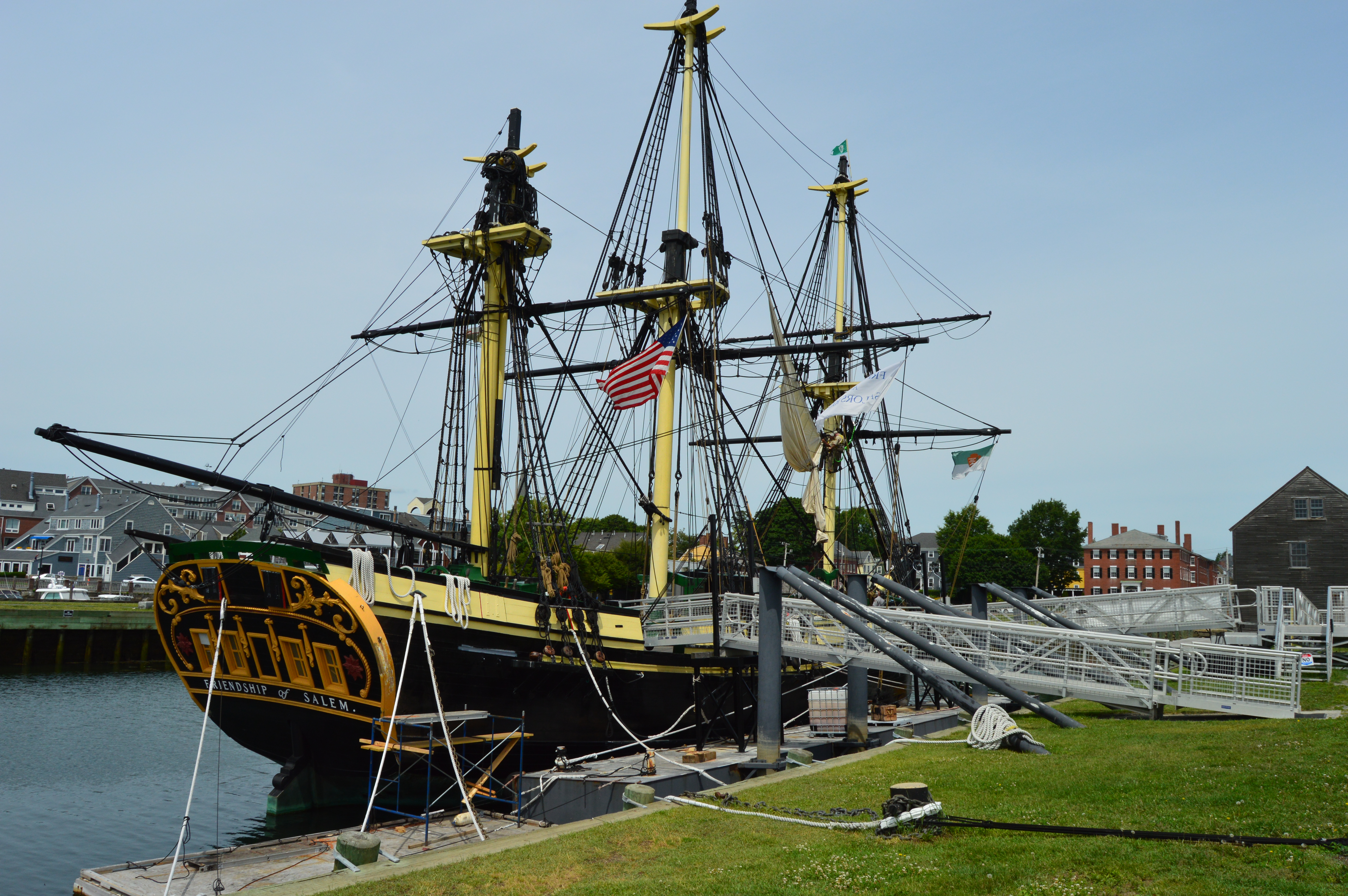
Anchored in the wharf is The Friendship. The Friendship is a reconstruction of a 1700’s trading ship. Tours are available, except today as they were renovating the ship.
Stately, rustic buildings dot the coast line. The ornate building with the dome atop it is the Custom House. It is sandwiched in between the Salem Maritime National Historic Site (to the left) and the Simon Forrester House.

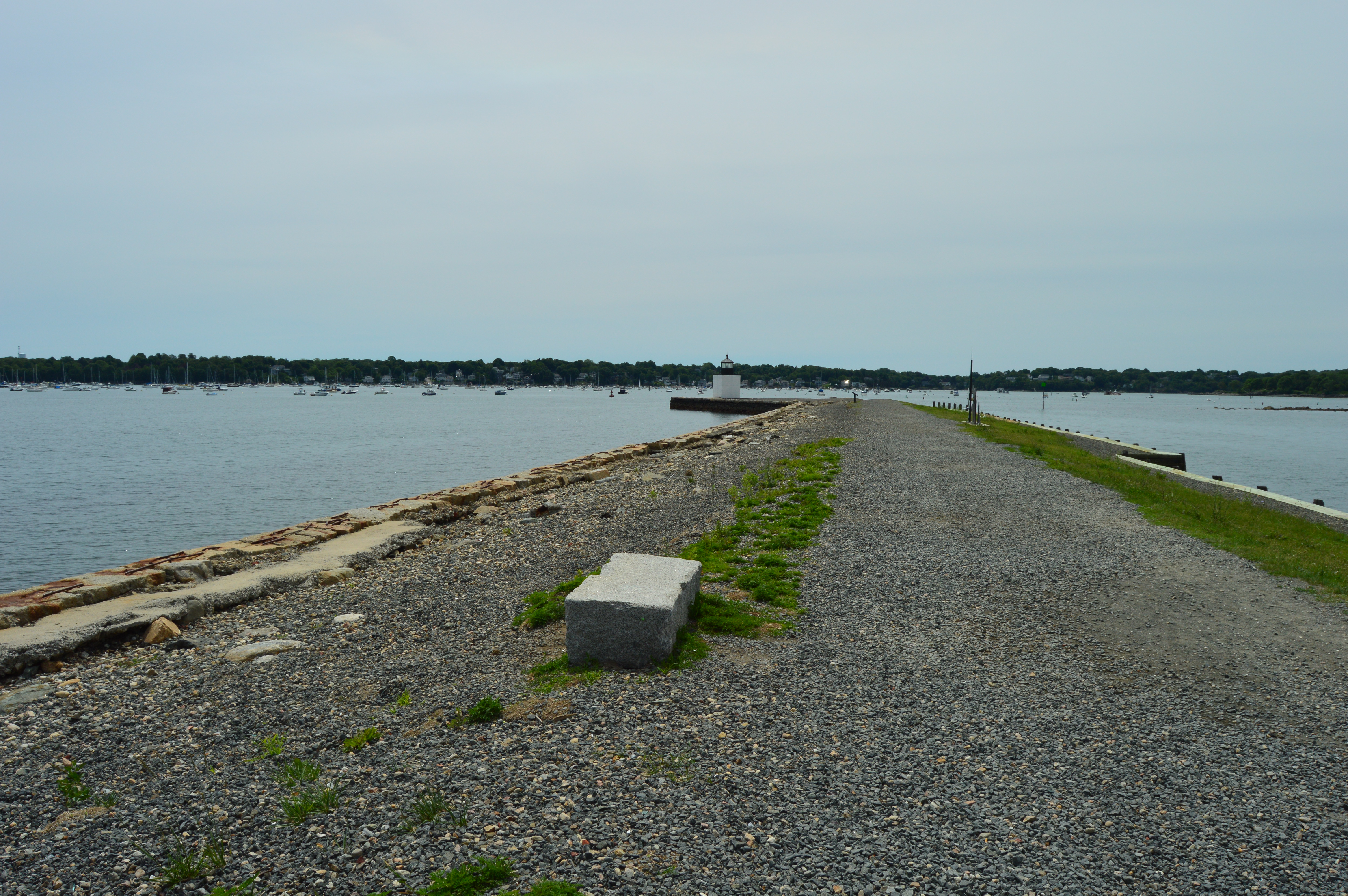
There is also a lighthouse located at the end of the pier.

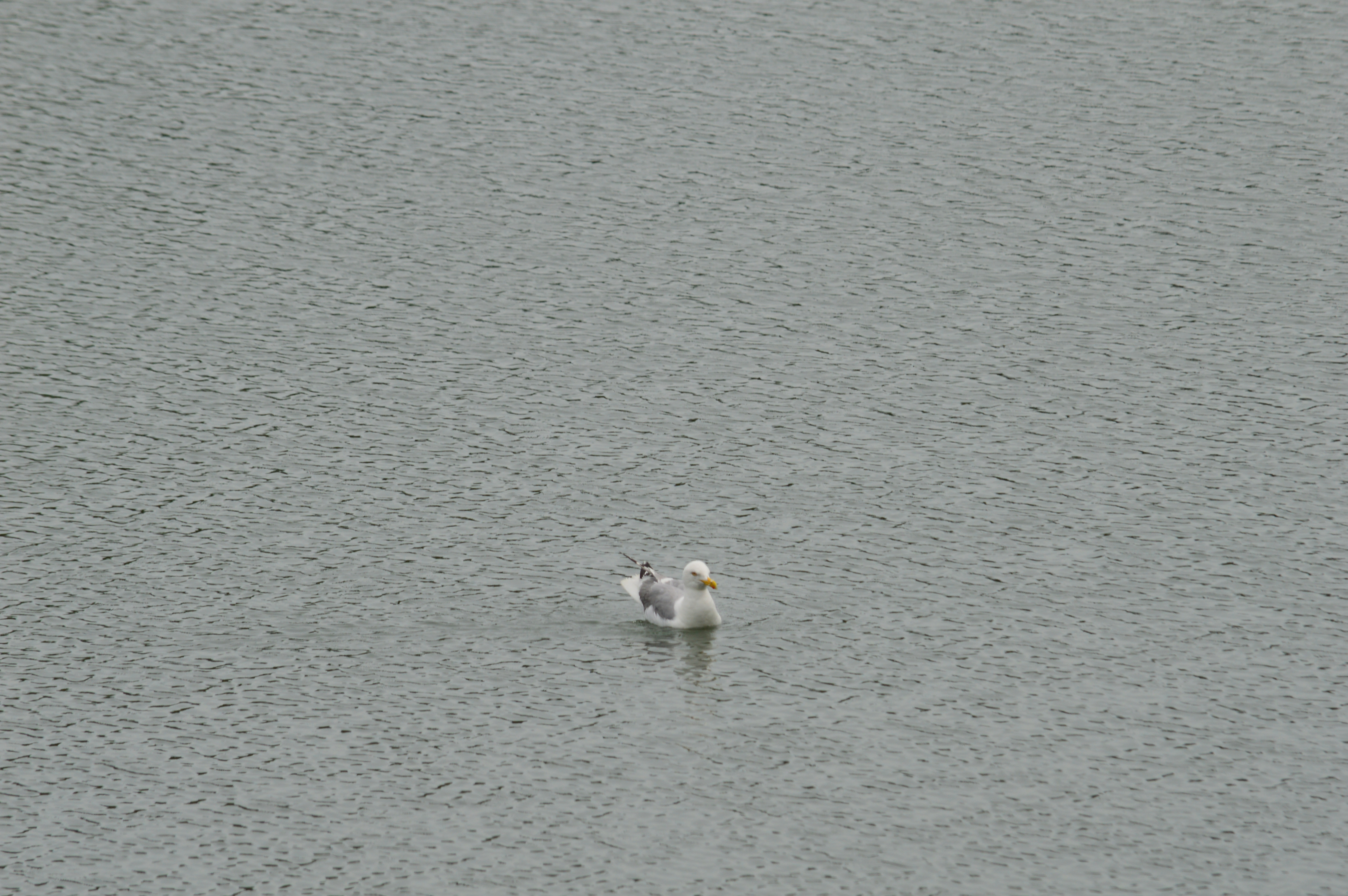
Ducks and other birds frequent the harbor.


Pickering Wharf has a variety of restaurants where you can enjoy fish, lobster and, well, fish. It is also a hub for tour groups (whose favorite past time seems to be getting into my photos) and the occasional dog walker. I found this dog who is all black, except for her front left paw. 
I could spend all day at Pickering Wharf. But, in the interest of time, I began my journey to some of the other attractions in Salem. The best part of visiting Salem is noticing the attractions and sites while you’re walking to each destination.
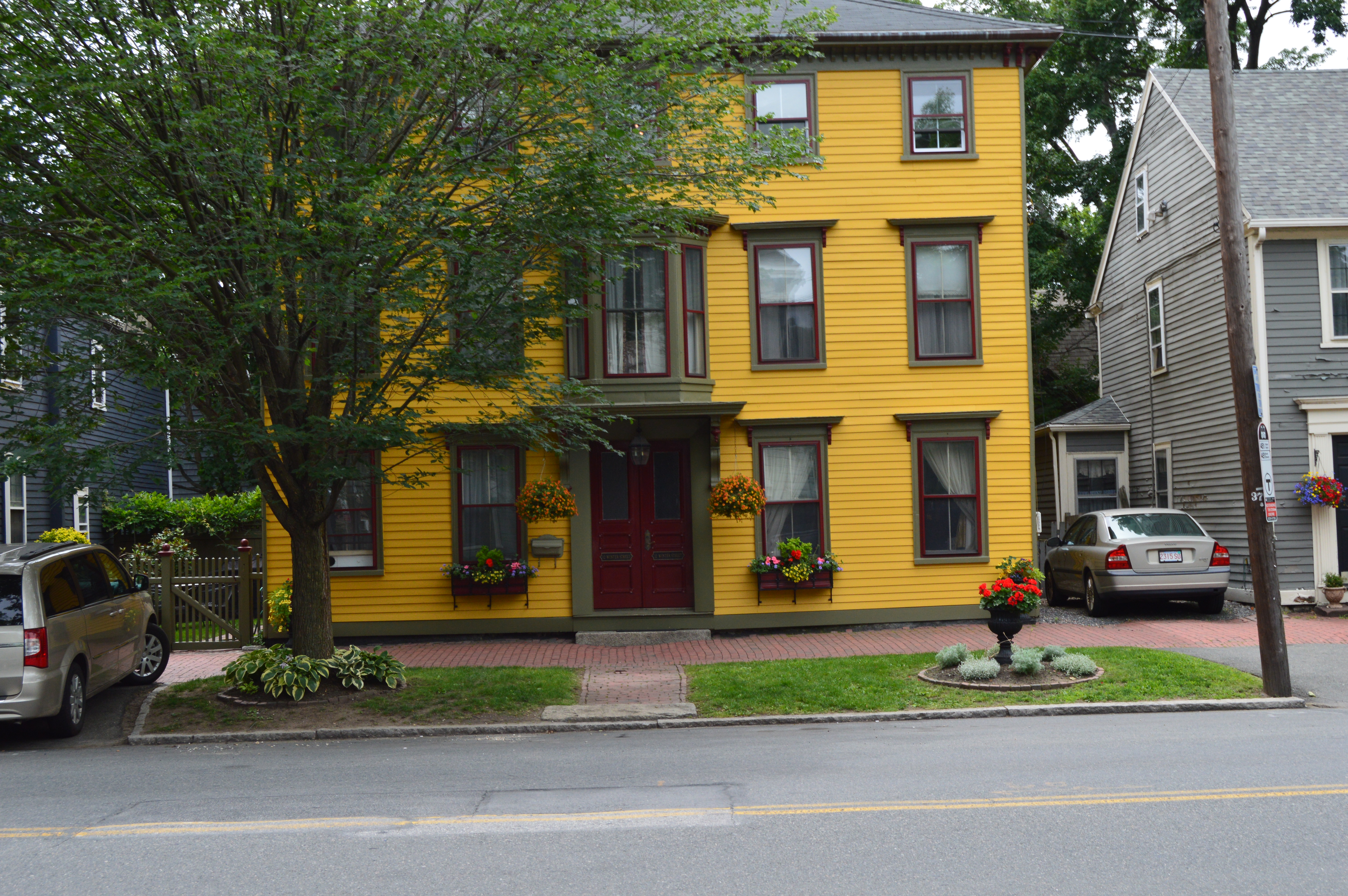
There was this house that caught my eye.
There was this display outside the Salem Witch Museum.
Irzyk Park, named after Brigadier General Albin F. Irzyk, has this retired Army tank in the park.

Saint Nicholas Church stands out against some of the more drab buildings.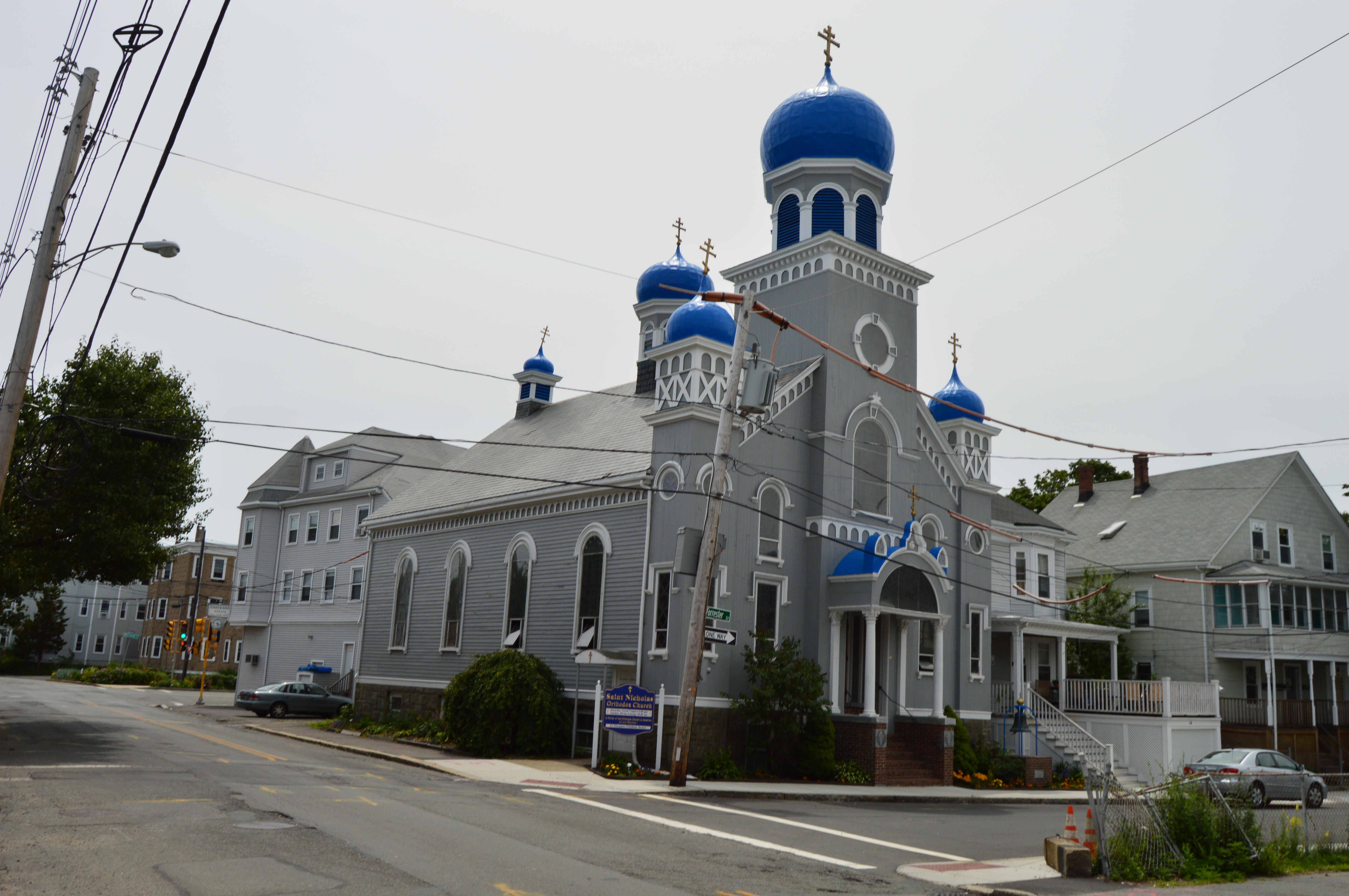
I also bumped into Aida

As well as Simba and Jasmin
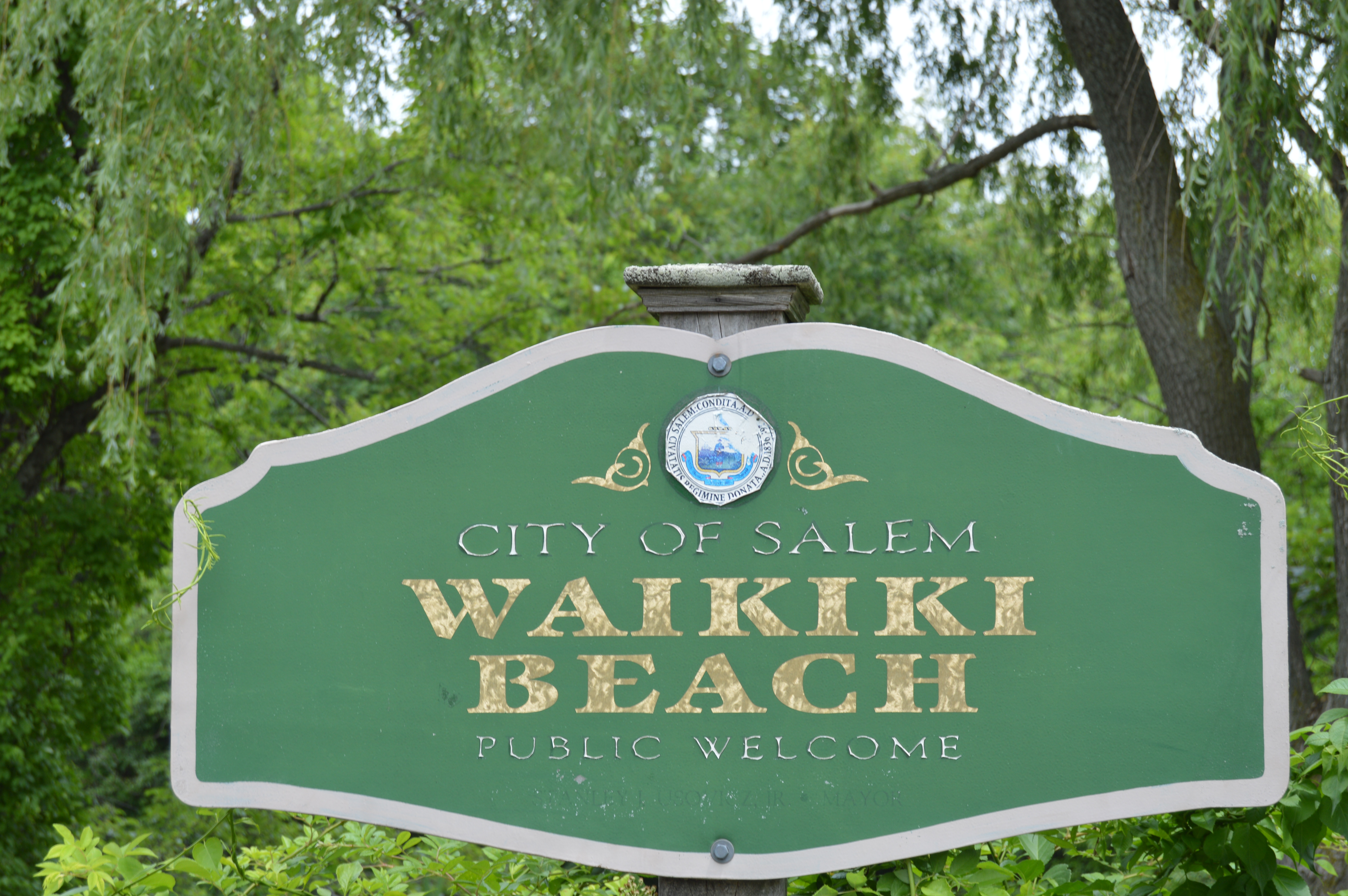
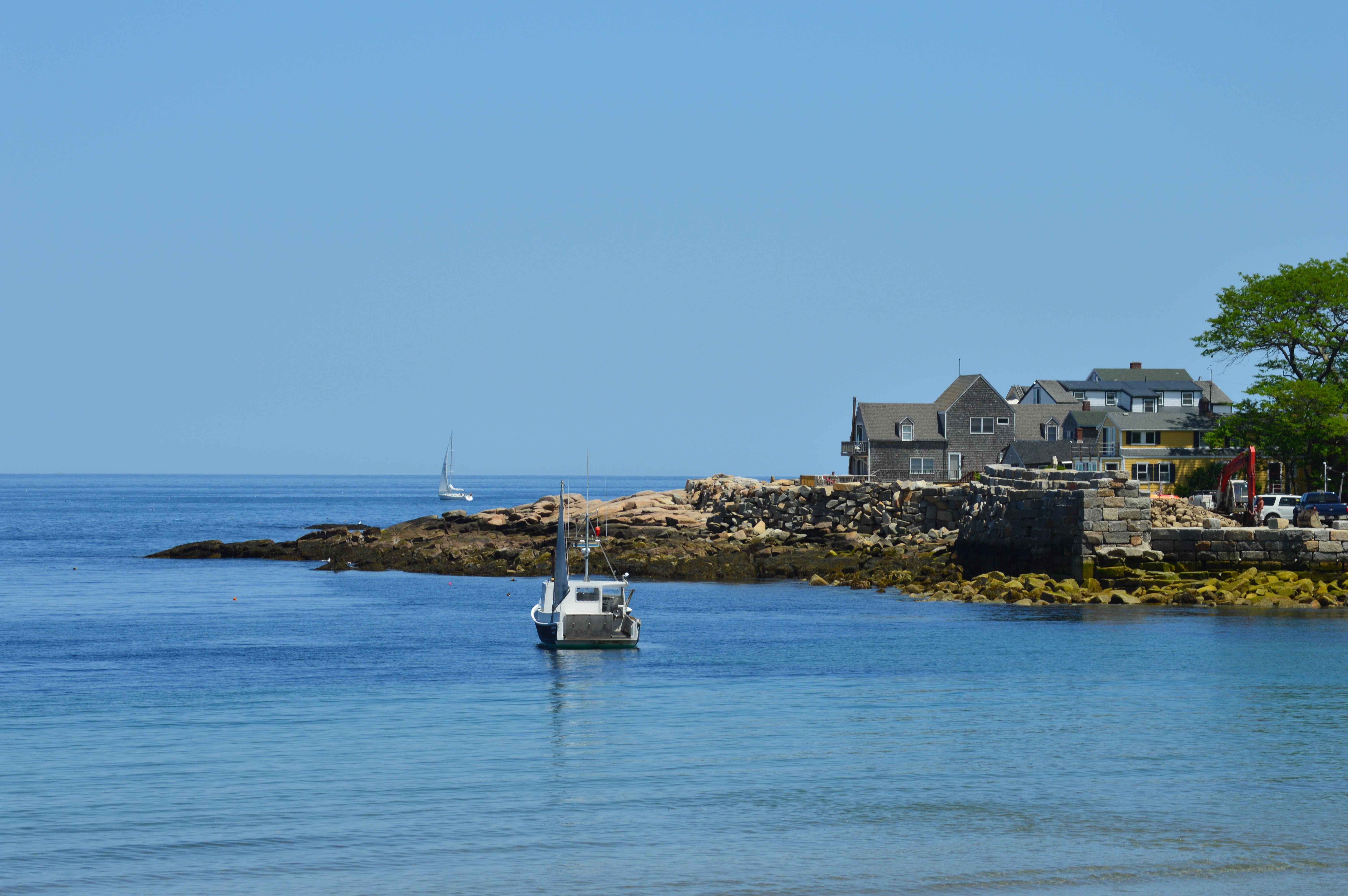
Eventually, I found my way to Winter Island.

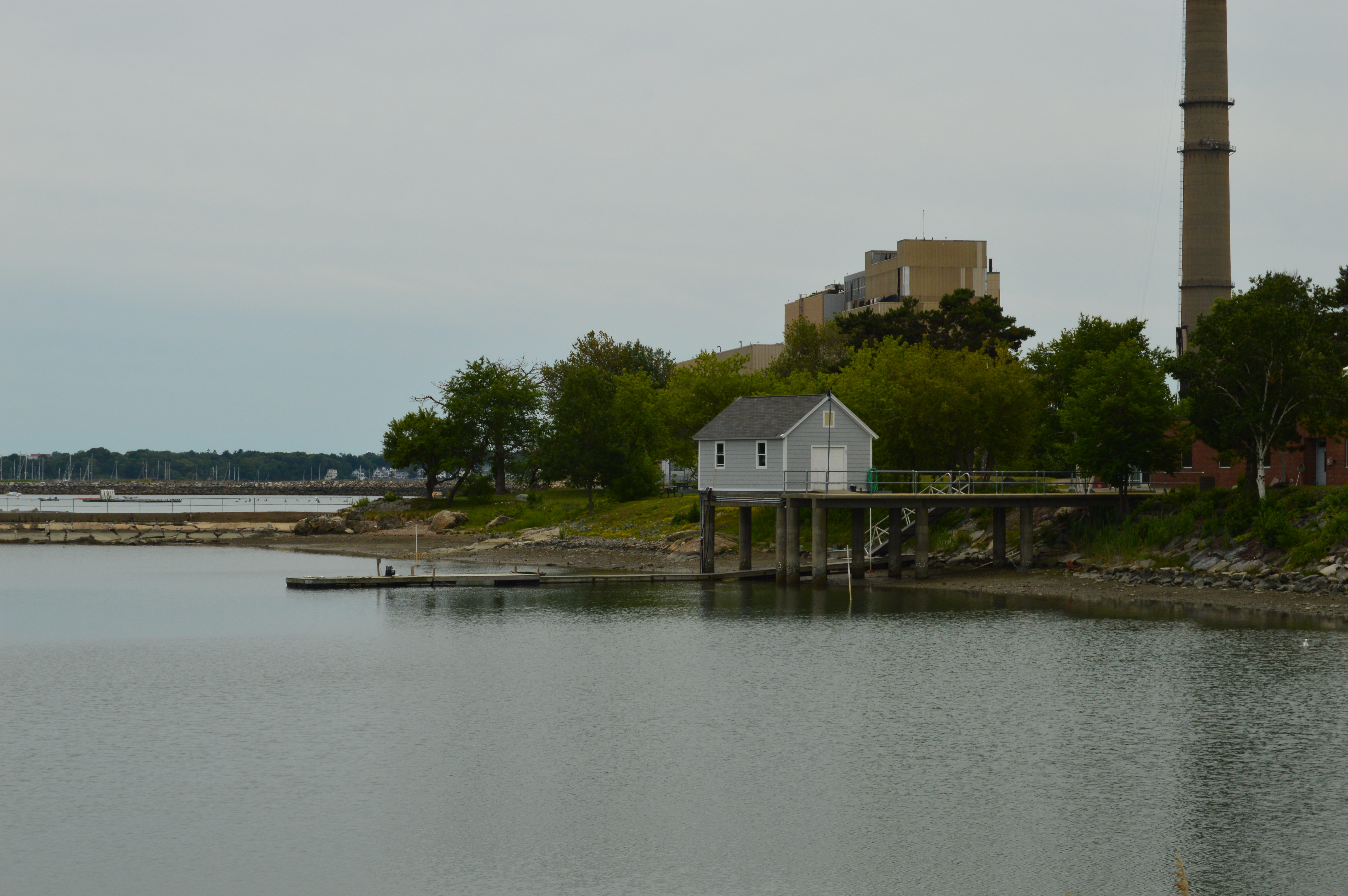
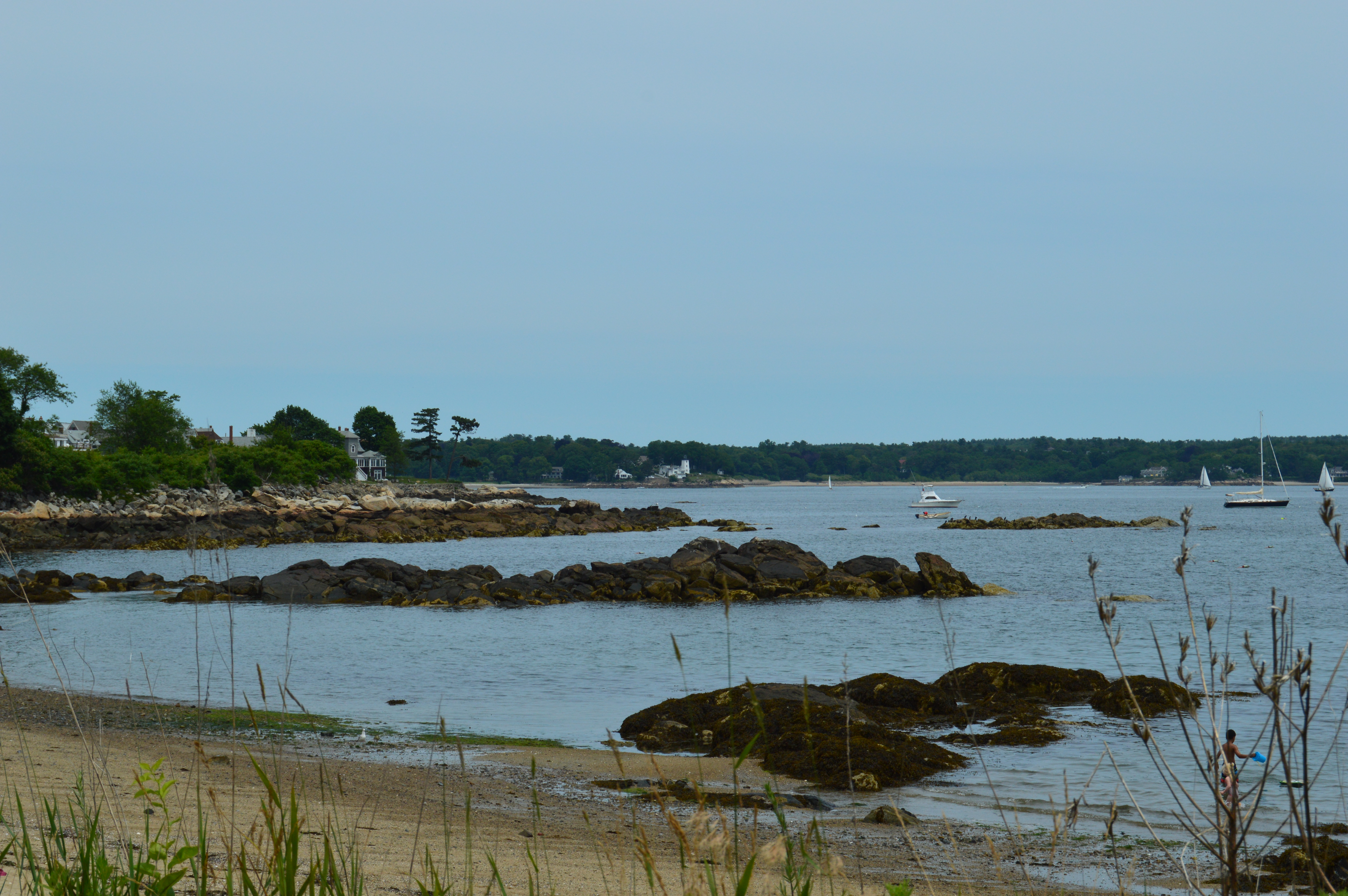
Winter Island is a hidden jewel within the outskirts of Salem. A mile from the downtown Salem area, it is used as a RV/trailer park as well as a place to launch boats and hold functions. I walked the mile to Winter Island from downtown Salem. It is pretty much a straight walk or drive from tge downtown area. But, if you choose to drive. there is ample parking outside of Winter Island. There are an array of flowers and a pond (more like a reservoir) with a power plant adjacent which gives a nice touch. Geese and ducks are abundant there.


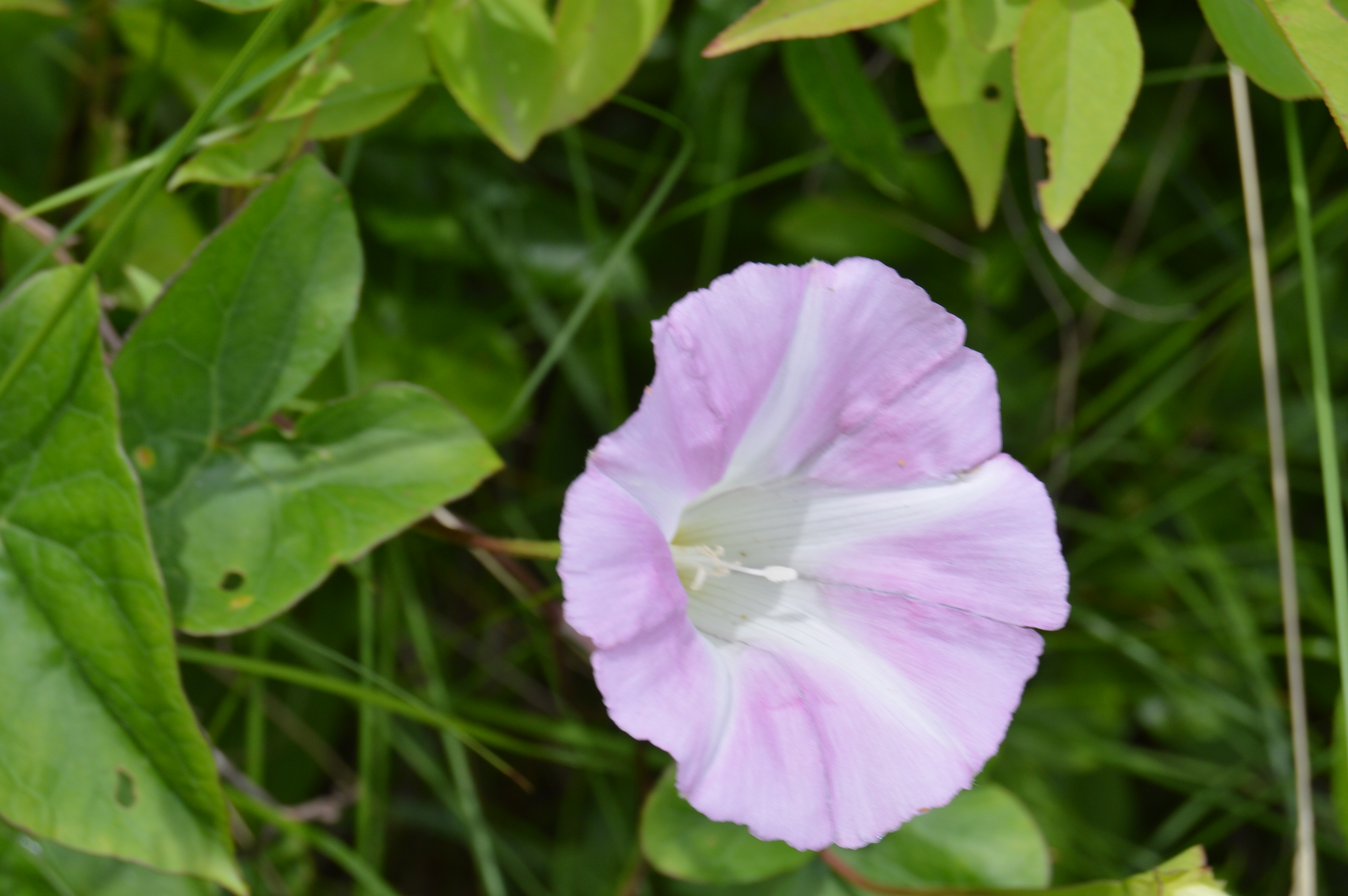
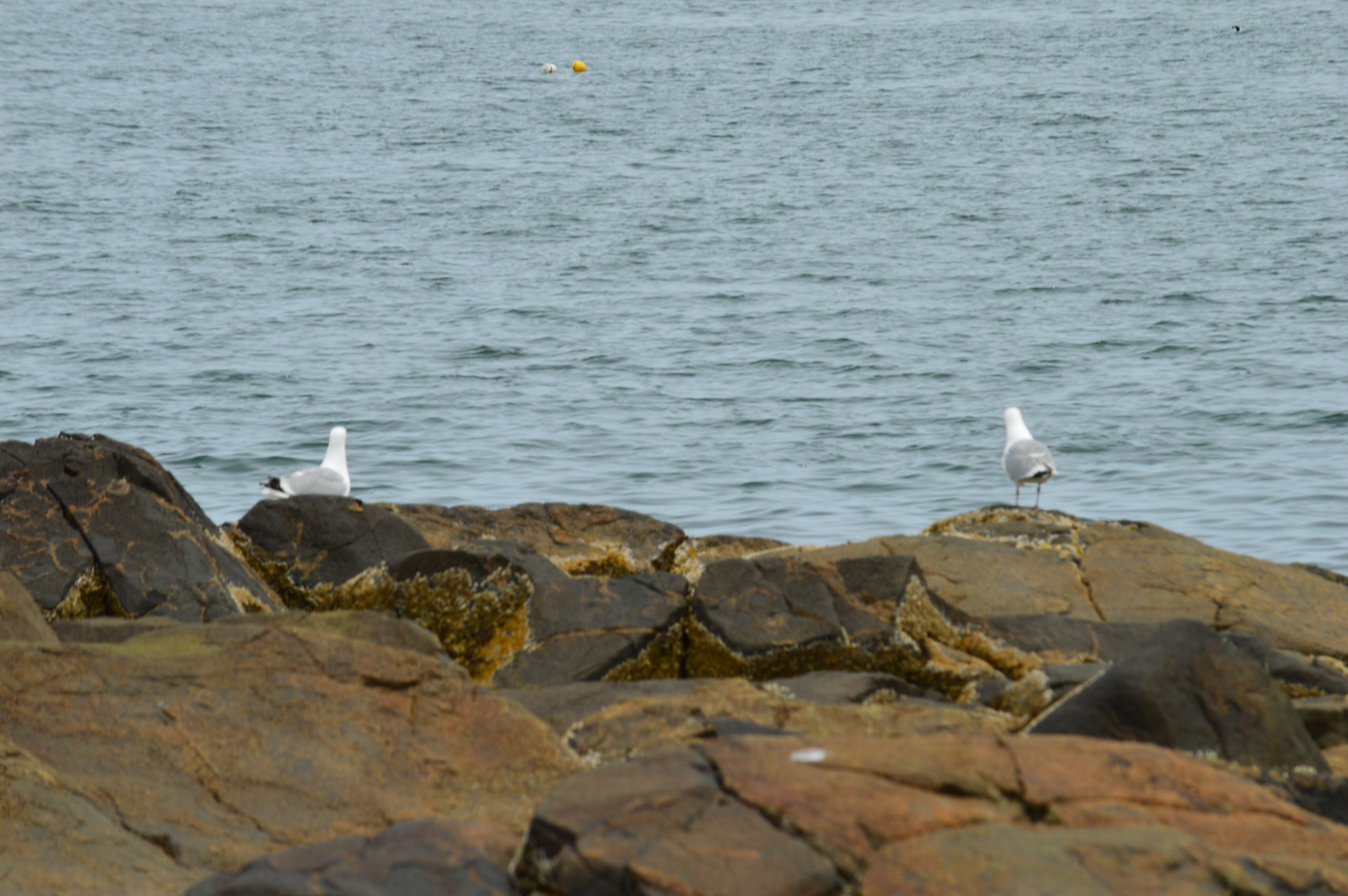
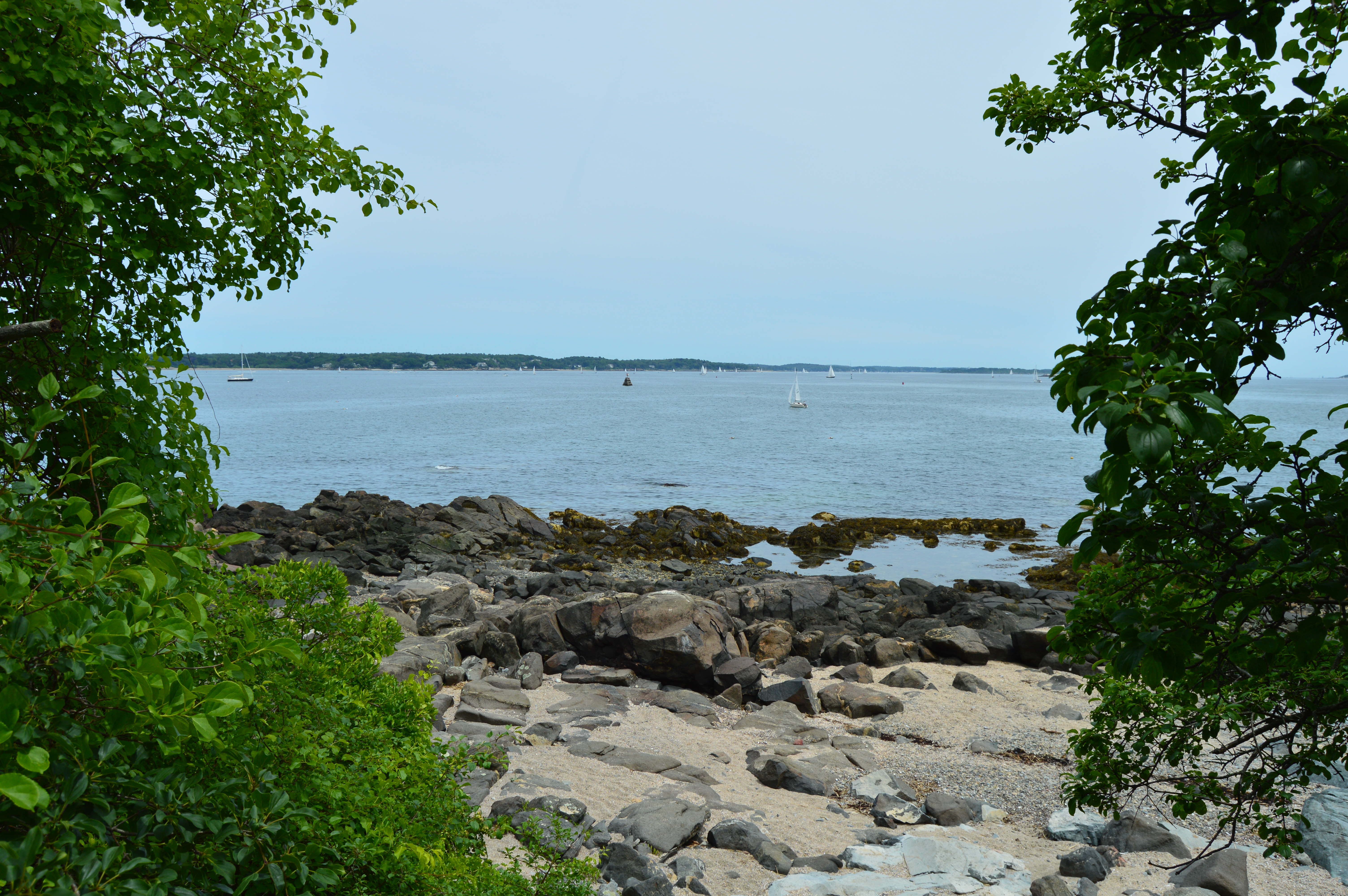
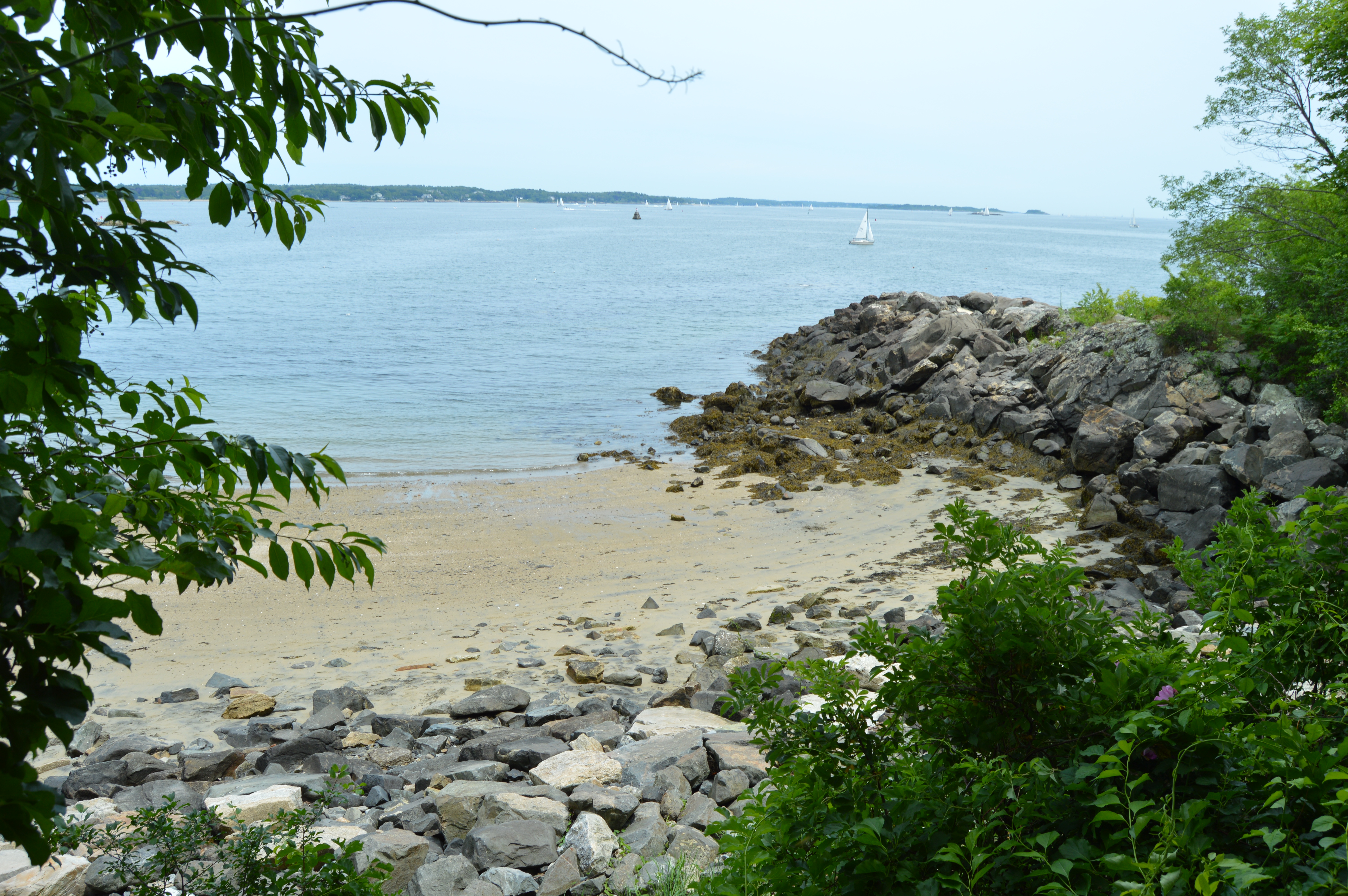
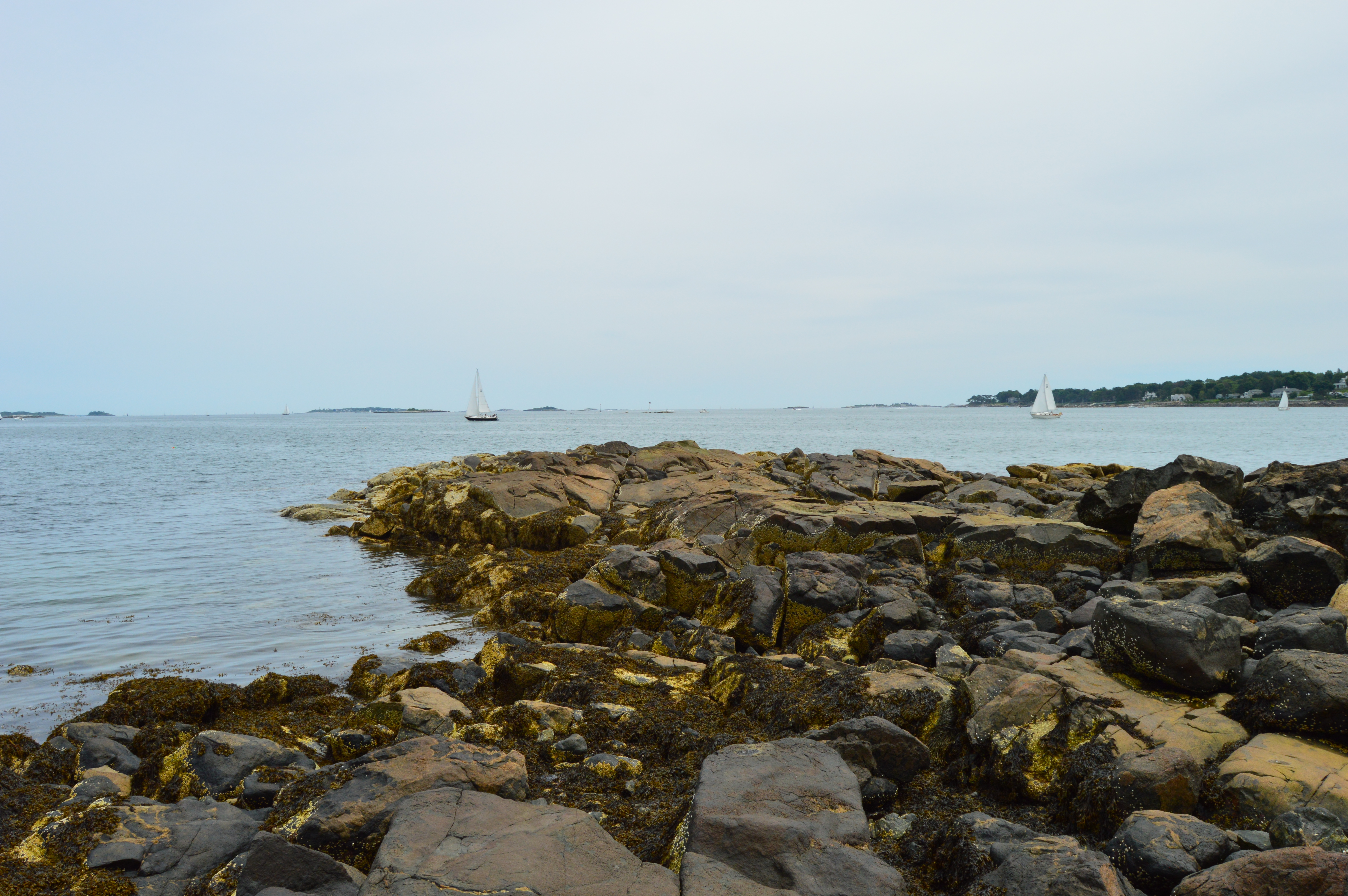
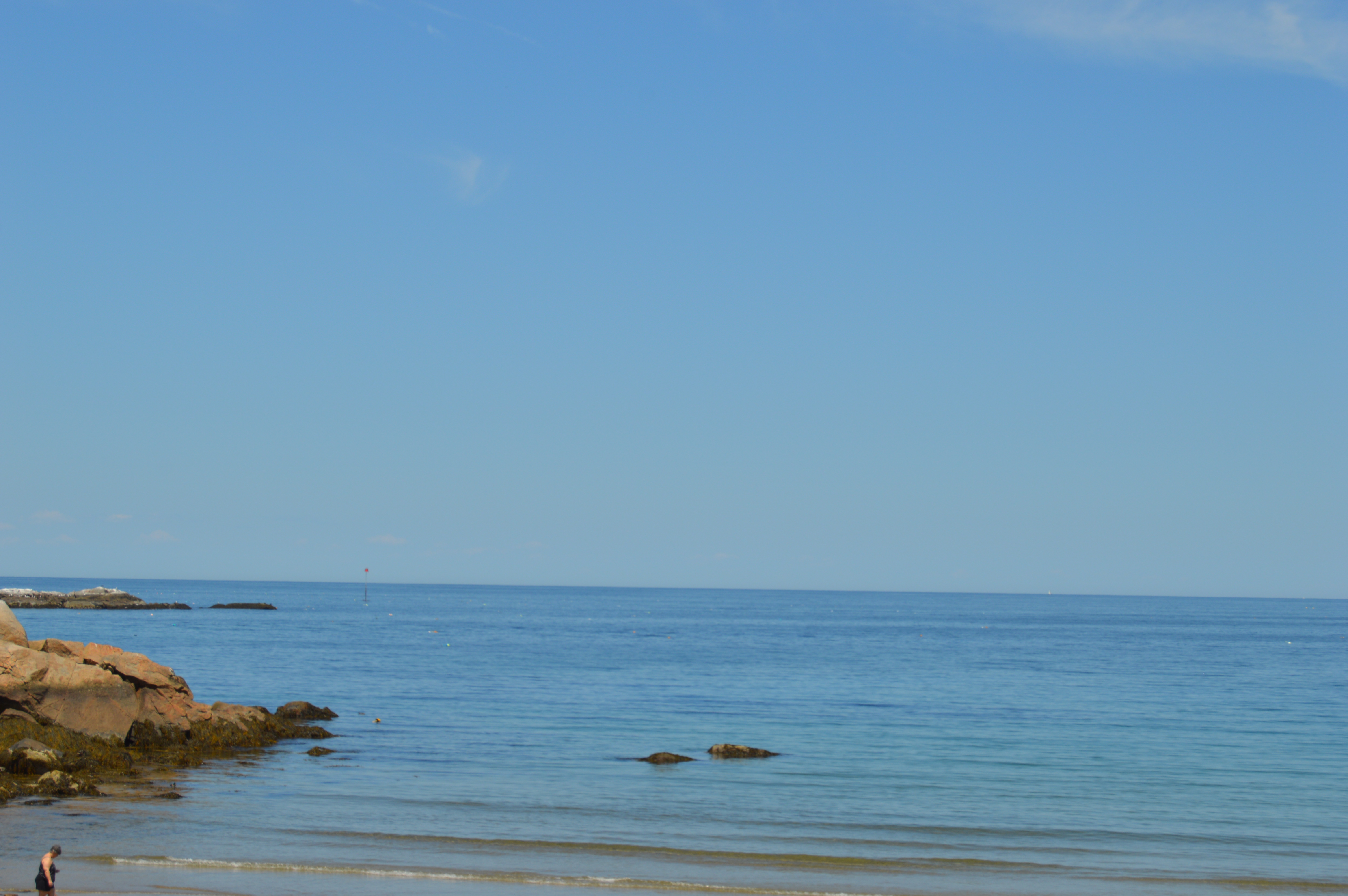
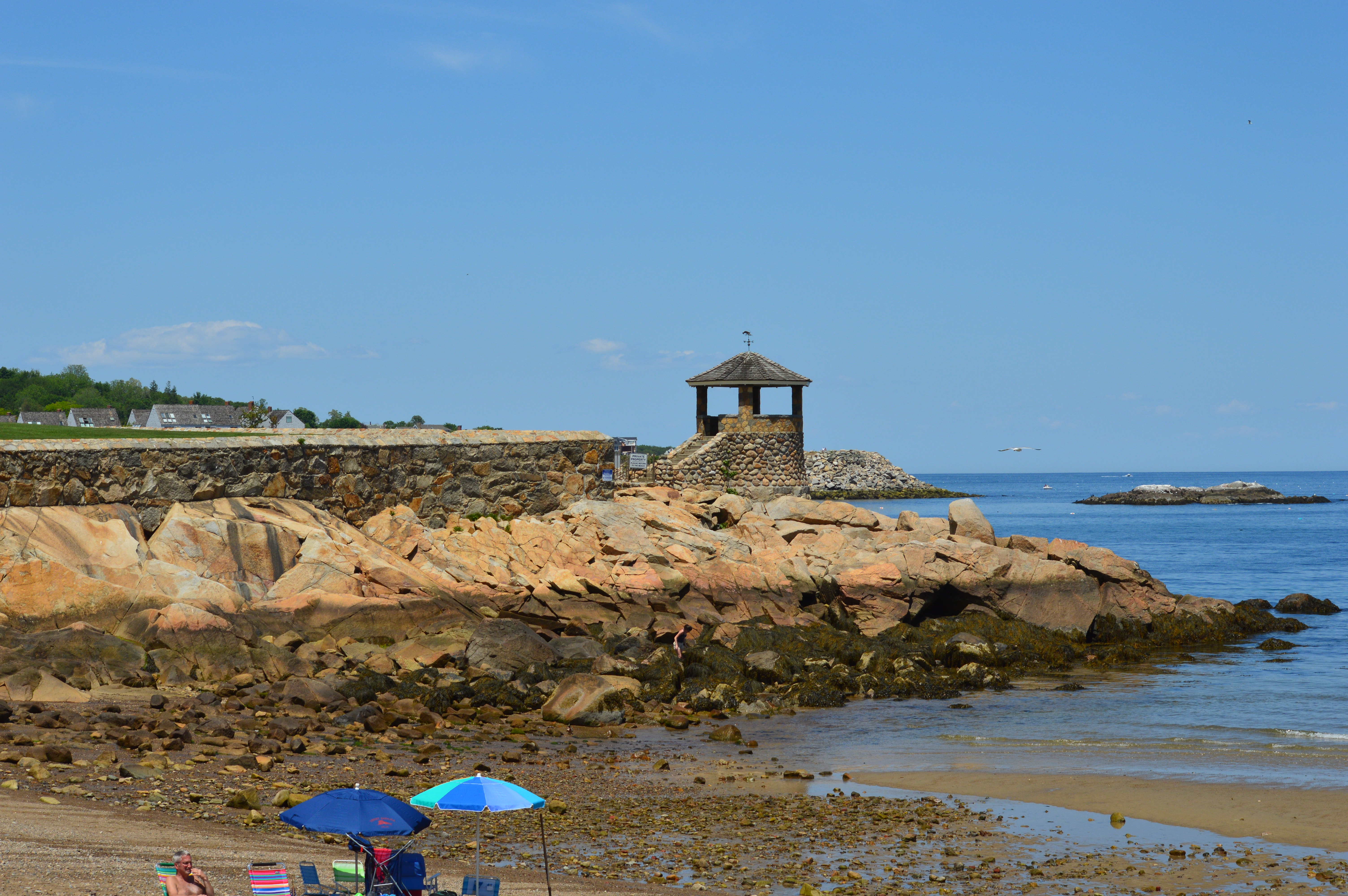
There is also a beach and an area for bird watching on Winter Island (it’s not really an “island” (it is more like a peninsula) but I will let it slide. It was the beach, Waikiki Beach, that was most impressive. Rocks are scattered along the beach and make shift trails on the hills behind the beach offer private views of the beach. Since it was low tide, I was able to walk along the rocks for better views of the harbor. A lighthouse gives a nice touch and birds and flowers are abundant.
A closeup of one of the many flowers on Waikiki Beach.
The lighthouse (Winter Island Light,),not the photographer, is tilted.
A bee pollinating.

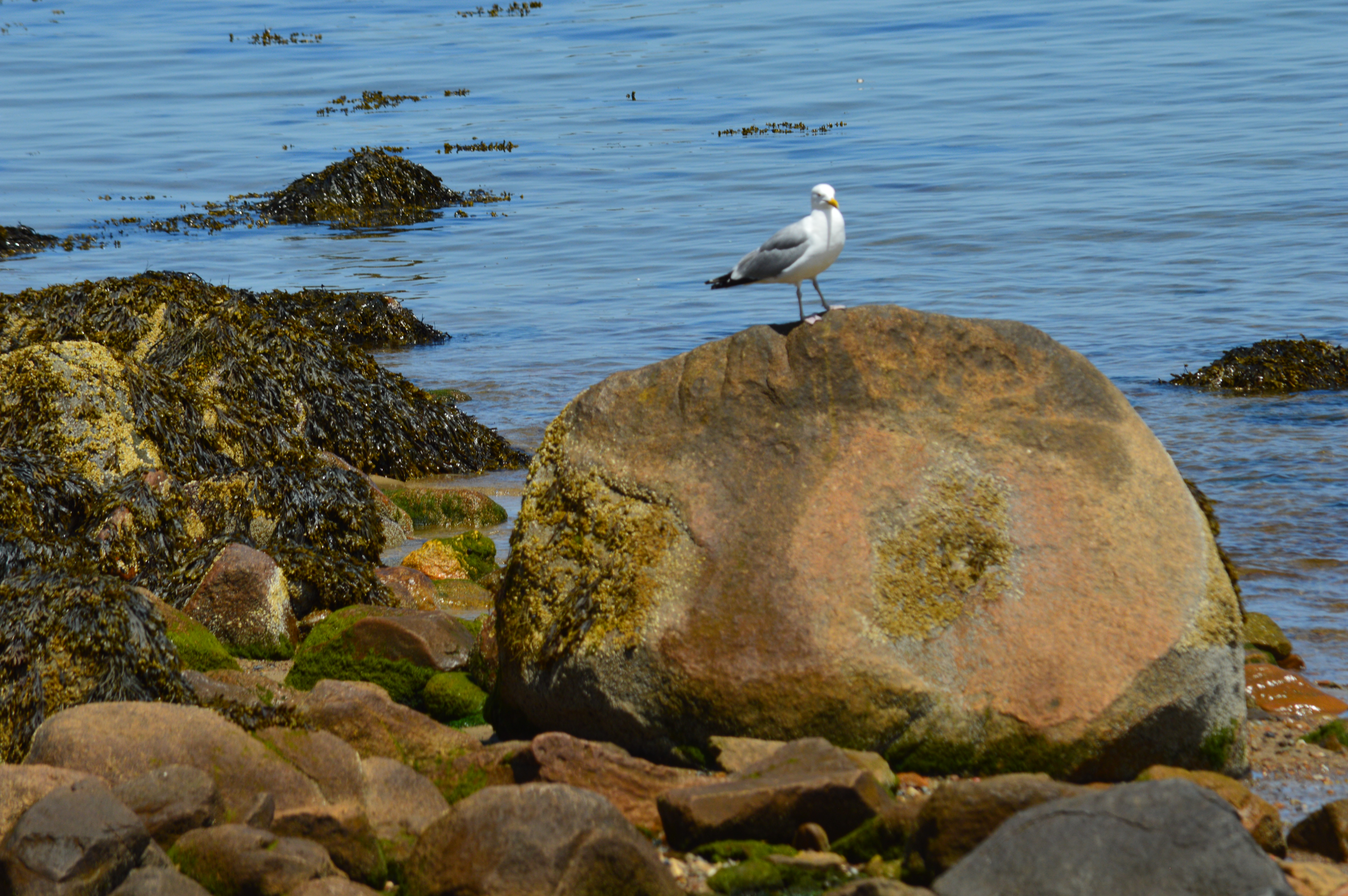
The rocks at Waikiki Beach give the beach a unique landscape and offer a chance to get better views. It also attracts a variety of bird life.


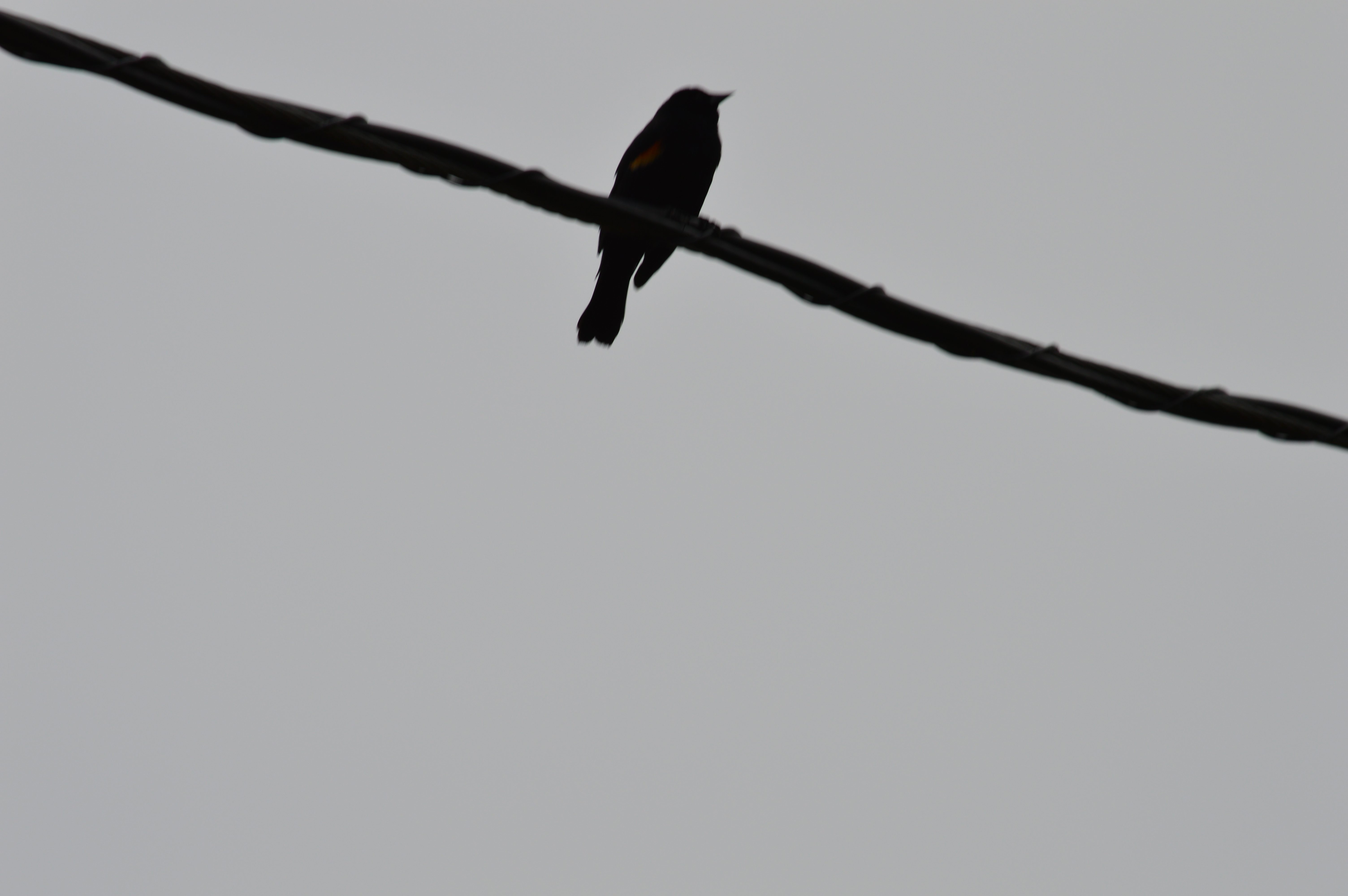
There is also an area for bird watching at Winter Island. Although they are easily scared away, I did capture these images of a Robin and a Red Winged Black Bird.

There is also an old ammunition bunker in the bird watching area at Fort Pickering on Winter Island.

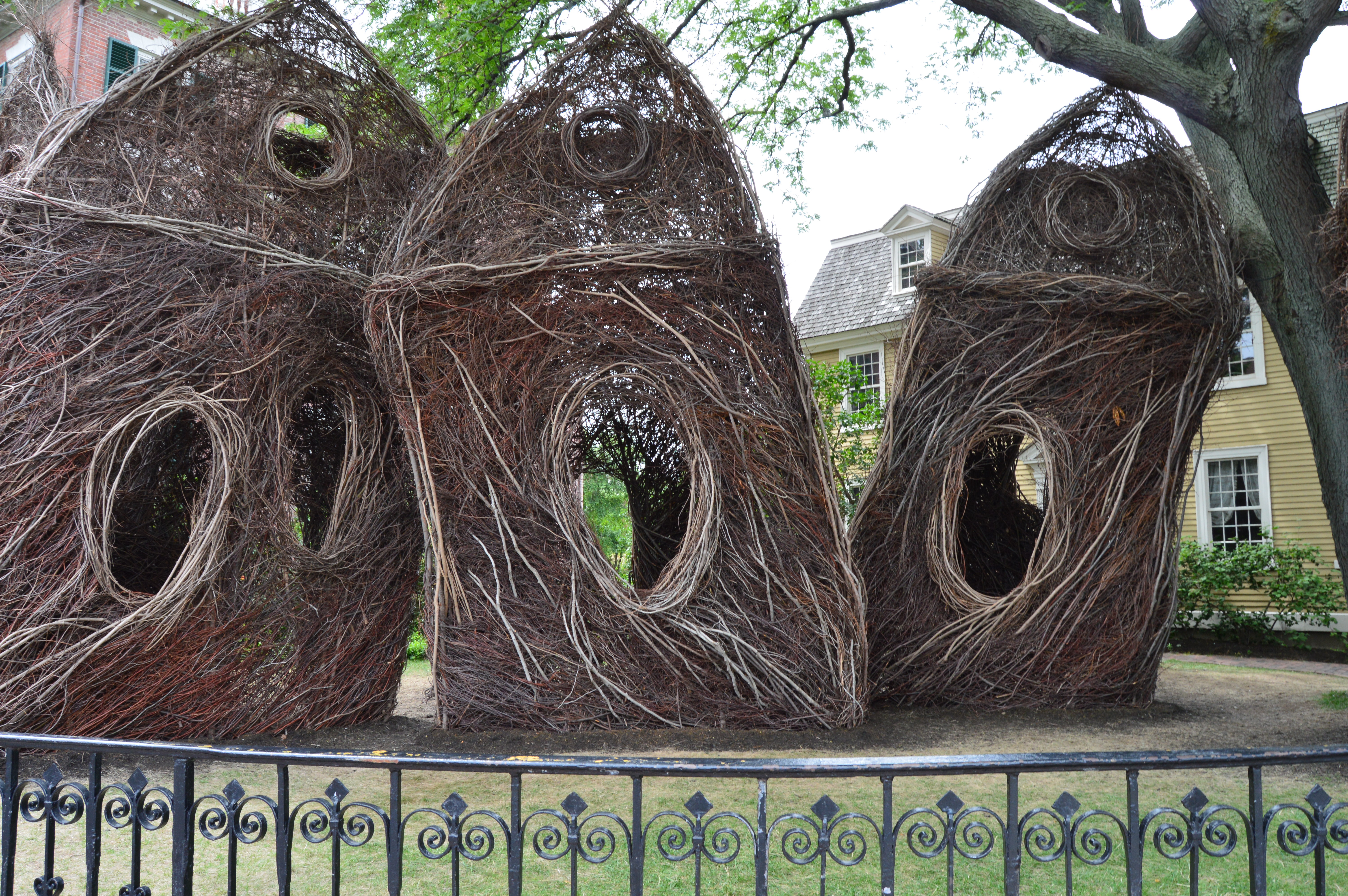
It’s a shame that Salem is only remembered for the more commercial aspects and urban legends. It isn’t all about being scared in Salem. In fact, this is the scariest thing I saw all day.

Of course, no visit to Salem would be complete without a photo of Roger Conant, the founder of Salem, and a visit to the World War II Memorial at Salem Commons.

You can keep yourself quite busy just visiting the parks, beaches and assortment of other attractions in Salem all year round, not just during Halloween. But, of course, I’ll be back in October anyways.
Woods Pond (Lenox, MA)
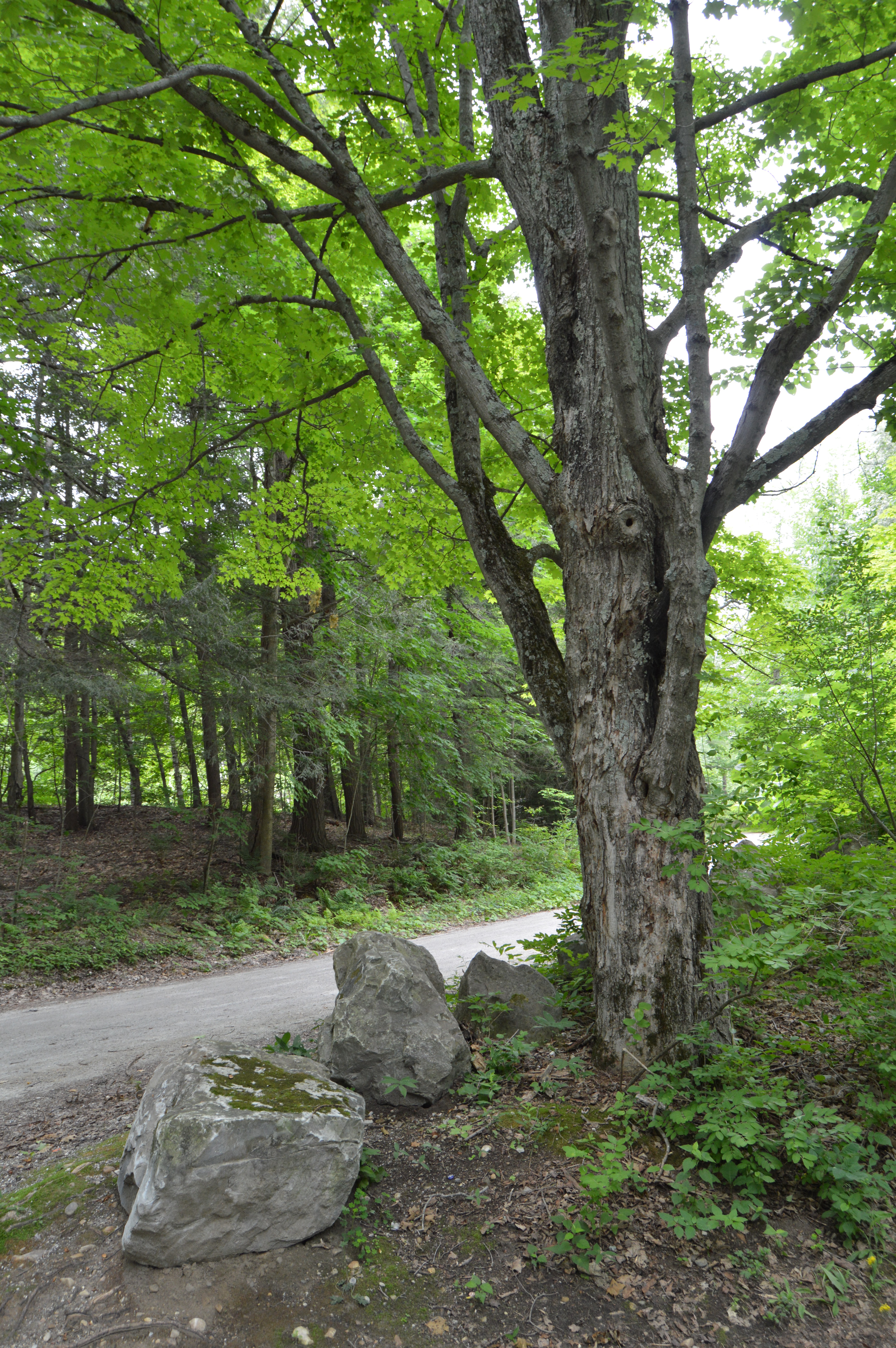
When one thinks of the jewels of Lenox, places like the Pleasant Valley Sanctuary, Tanglewood and their many historical and cultural attractions come to mind. Wood Pond does not necessarily come to mind at first. It is, however, truly a hidden jewel in the Lenox area of the Berkshire region. Woods Pond, an hour west of Springfield and roughly 2 and a half hours west of Boston is a straight drive on the Mass Pike (exit 2) with a few lefts and rights once you’re off the exit.
If there is one thing Woods Pond doesn’t lack it is scenic views. In fact, after viewing one of my photos taken at Woods Pond, a friend of mine described it as looking like a painting. Although I only walked a fraction of the trails, I was awestruck by the beauty I viewed.

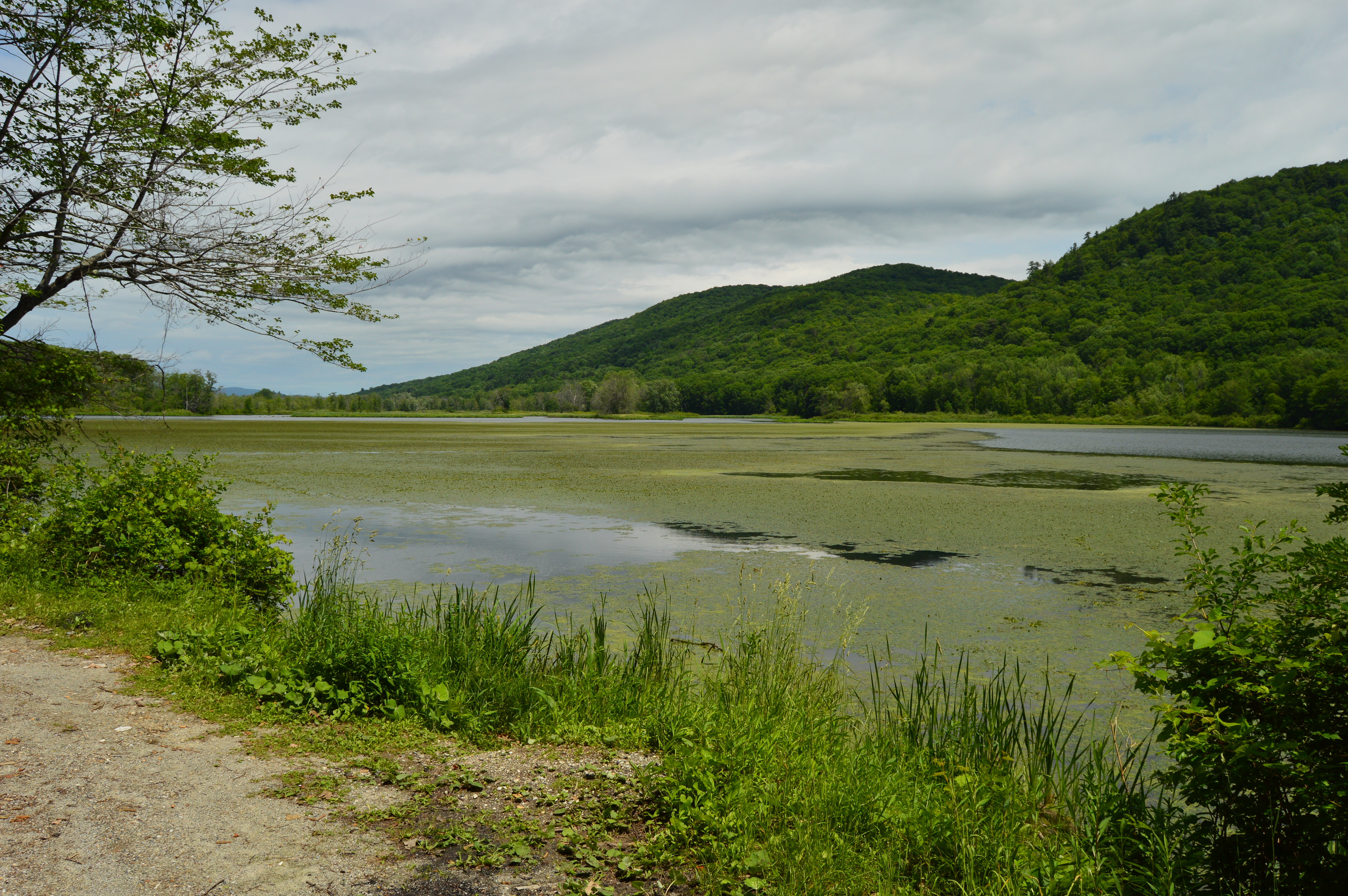


Unexpectedly, the breezy and overcast weather conditions actually provided for some pretty photography. The wind created modest ripples in the shimmering blue water contrasted with the vibrant green hues of the algae.
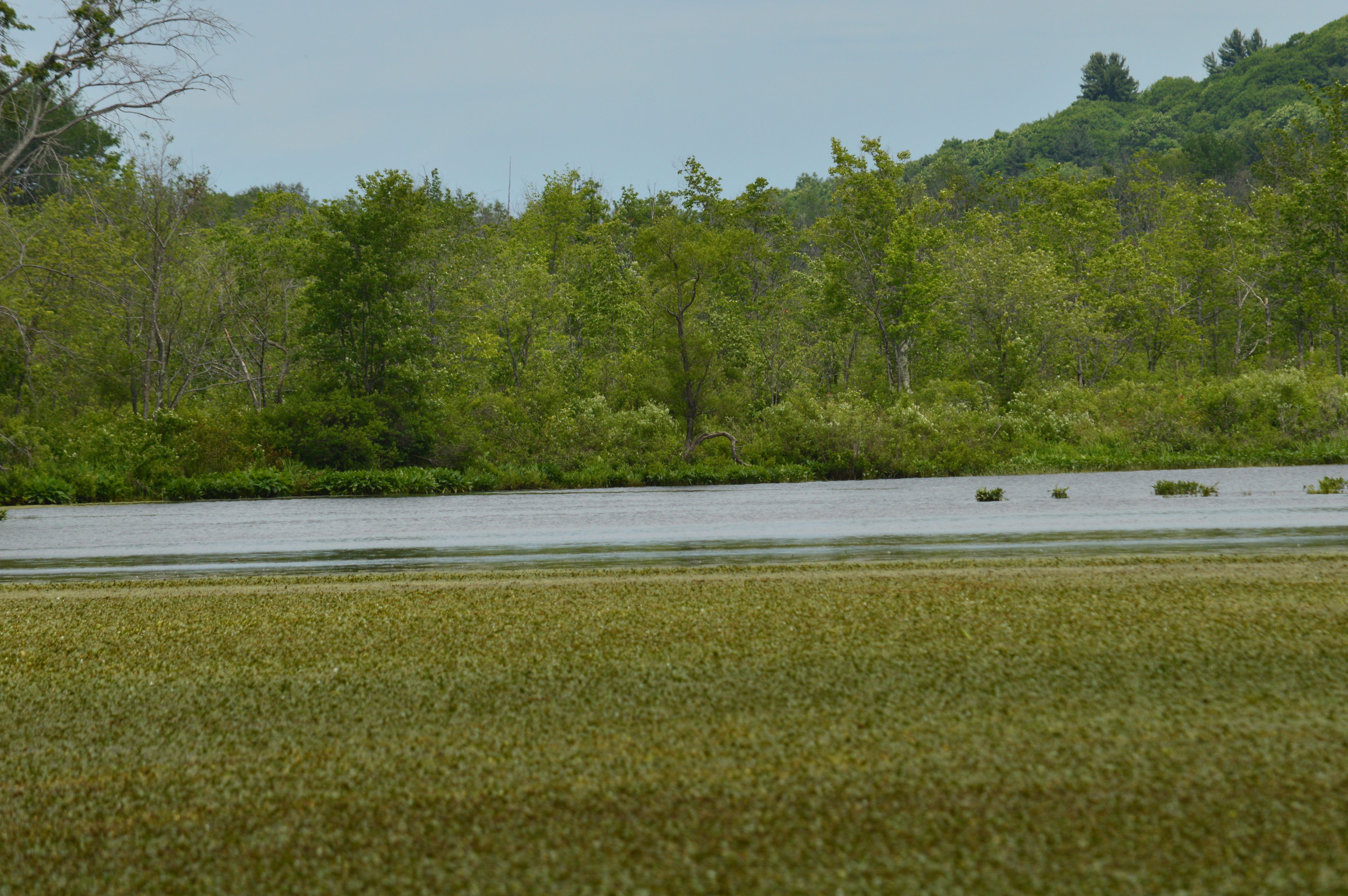


A variety of flowers and plant life such as babies breath, daisies and chrysanthemums are evident at Woods Pond, just to name a few.


Unfortunately, a common issue with many parks, Woods Pond is littered with trash. Bottles, charred ash from campfires, plastic bags and even the skeleton remains of a de-boned fish are scattered throughout. Like a scratch on the Venus de Milo, this debris stands out all the more against the otherwise pristine environment. People, yuck.

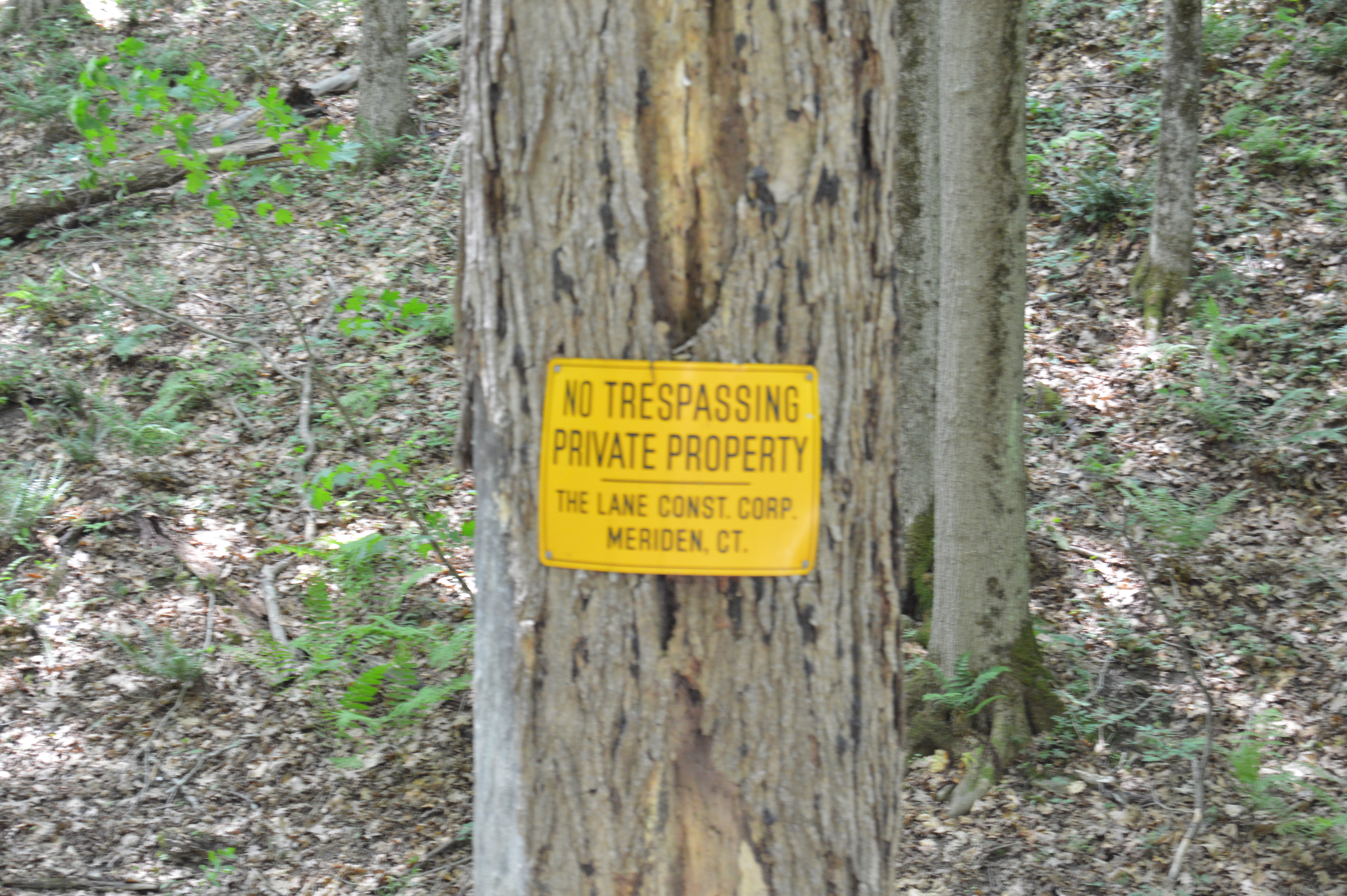
Another issue I did have with Woods Pond goes back to the desecration of the land. To meet the electrical needs of houses that arguably should never have been built in the area, annoying power lines traverse the pond. Also, transformers scar an otherwise picturesque woodland. I can only imagine how many two headed fish we will see during my next visit. Oh yeah, a construction company liberally posts how trespassing is frowned upon. This private property extends from the right side of the trails of the pond, a rather large area.
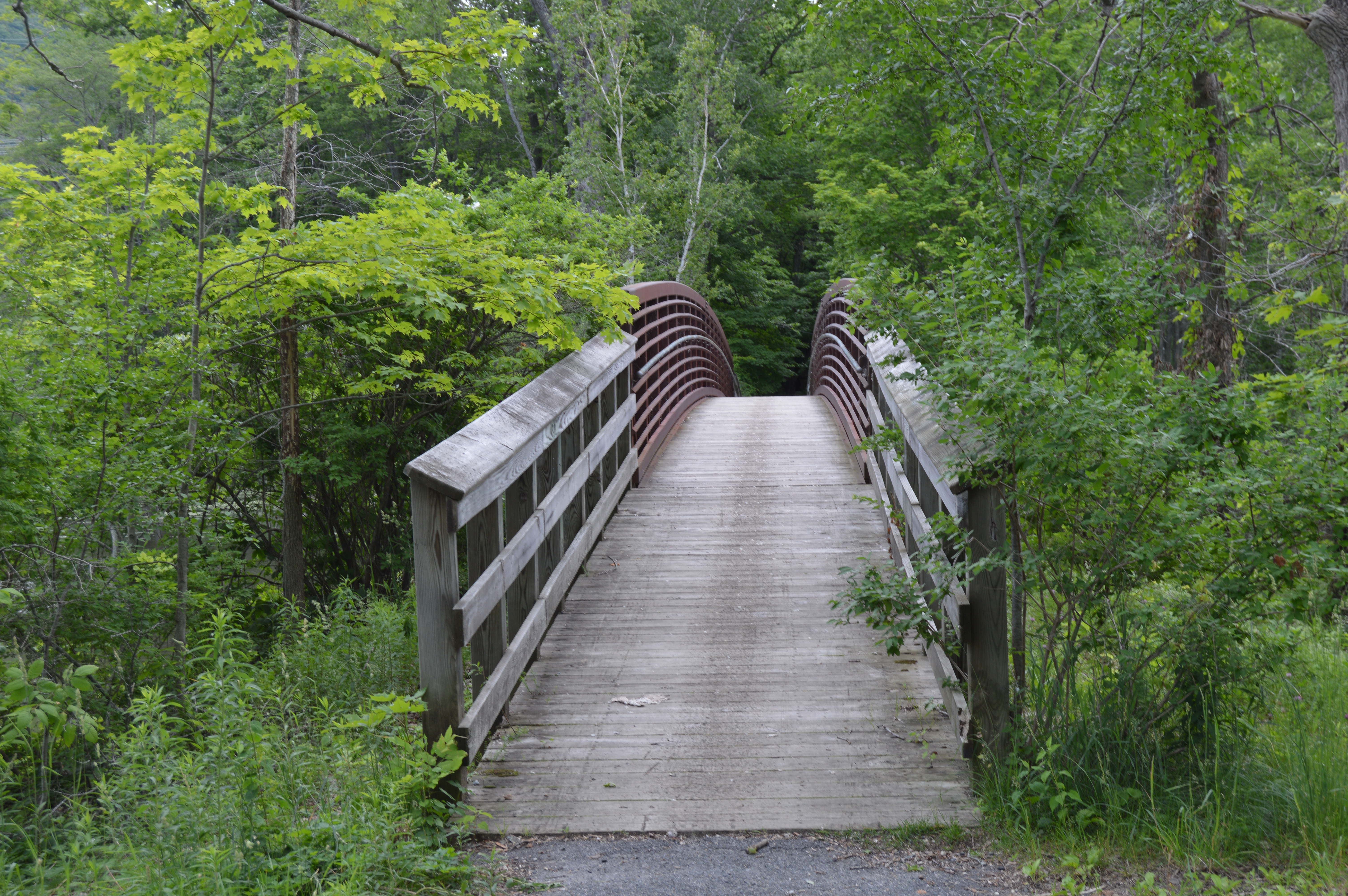
Those issues aside, Woods Pond is a beautiful pond with an easy trails to hike, bike, walk or jog. And, in case you forget your umbrella, trees provide shelter from the sun and rain. Cars are also allowed on the trails.


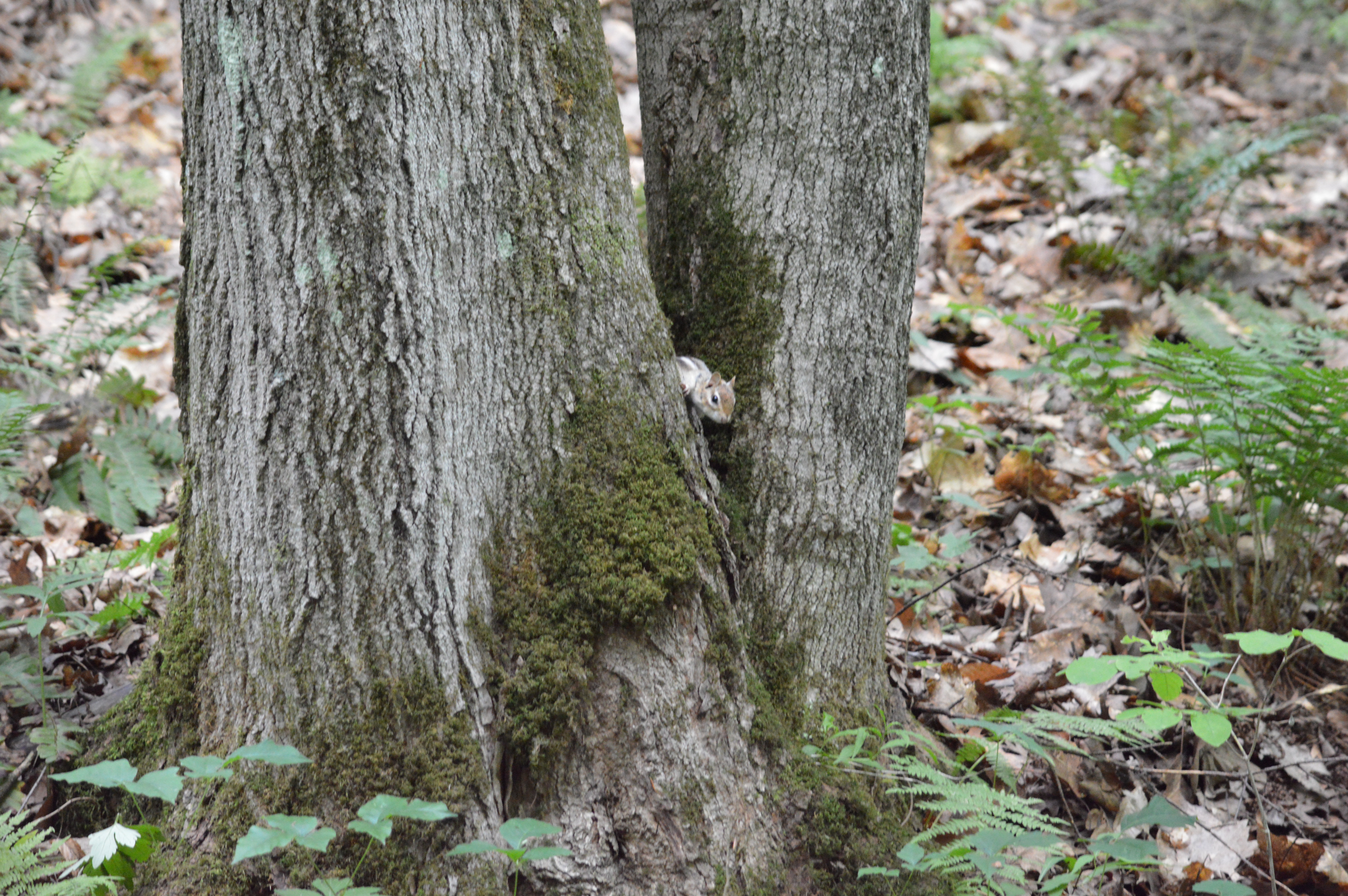
There is also a diverse group of wildlife at Woods Pond. Many shrieks and rustling of leaves can be heard. The hard part is tracking down the origins of these noises. I did find these critters.

It was so sweet to see mommy and daddy protecting their babies.


Dogs are also allowed at the park. Patrick was too excited to stand still for a photo.

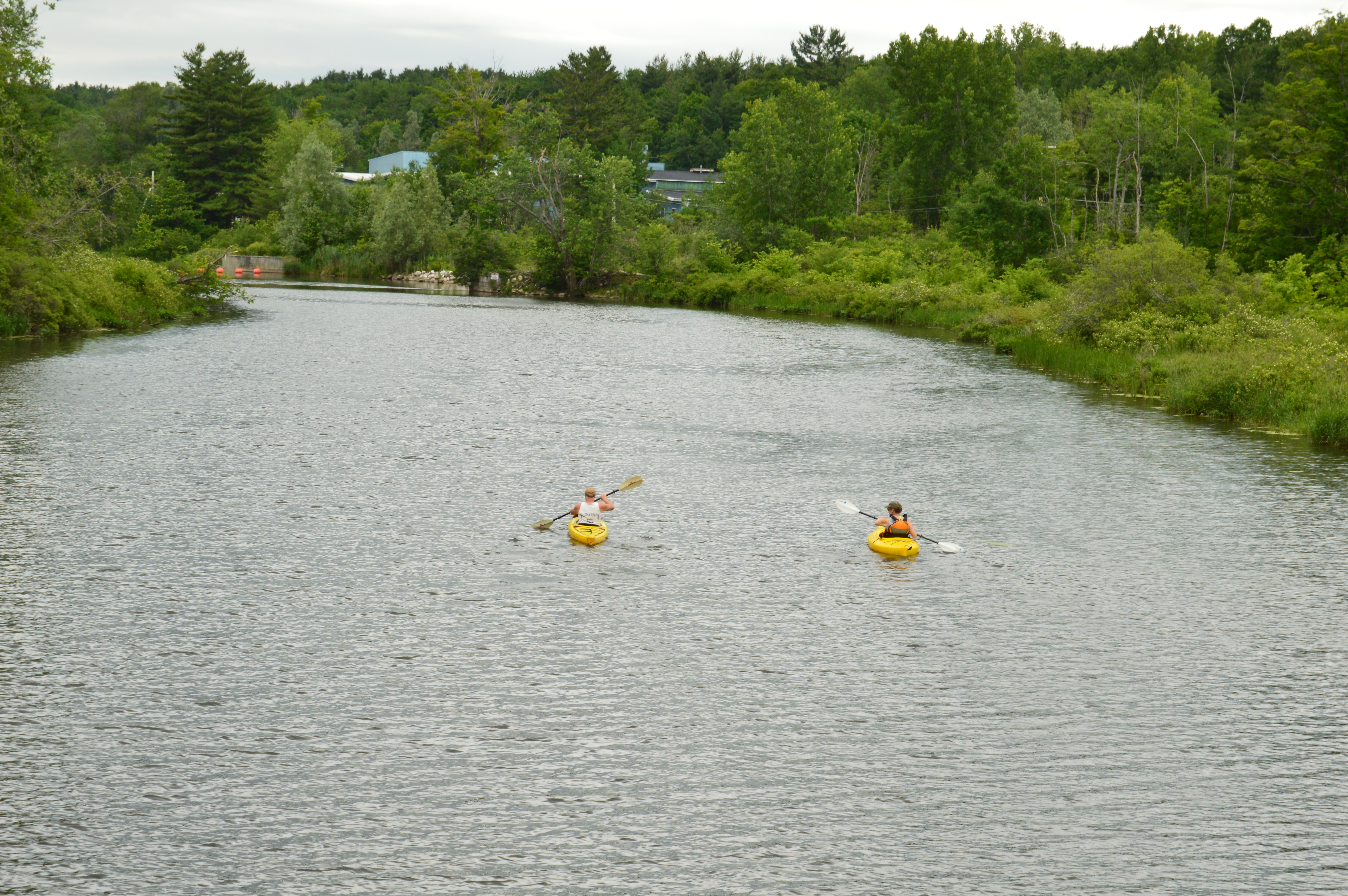
Also, Woods Pond has a launching area for kayaks and there were several kayakers enjoying the seasonable weather.

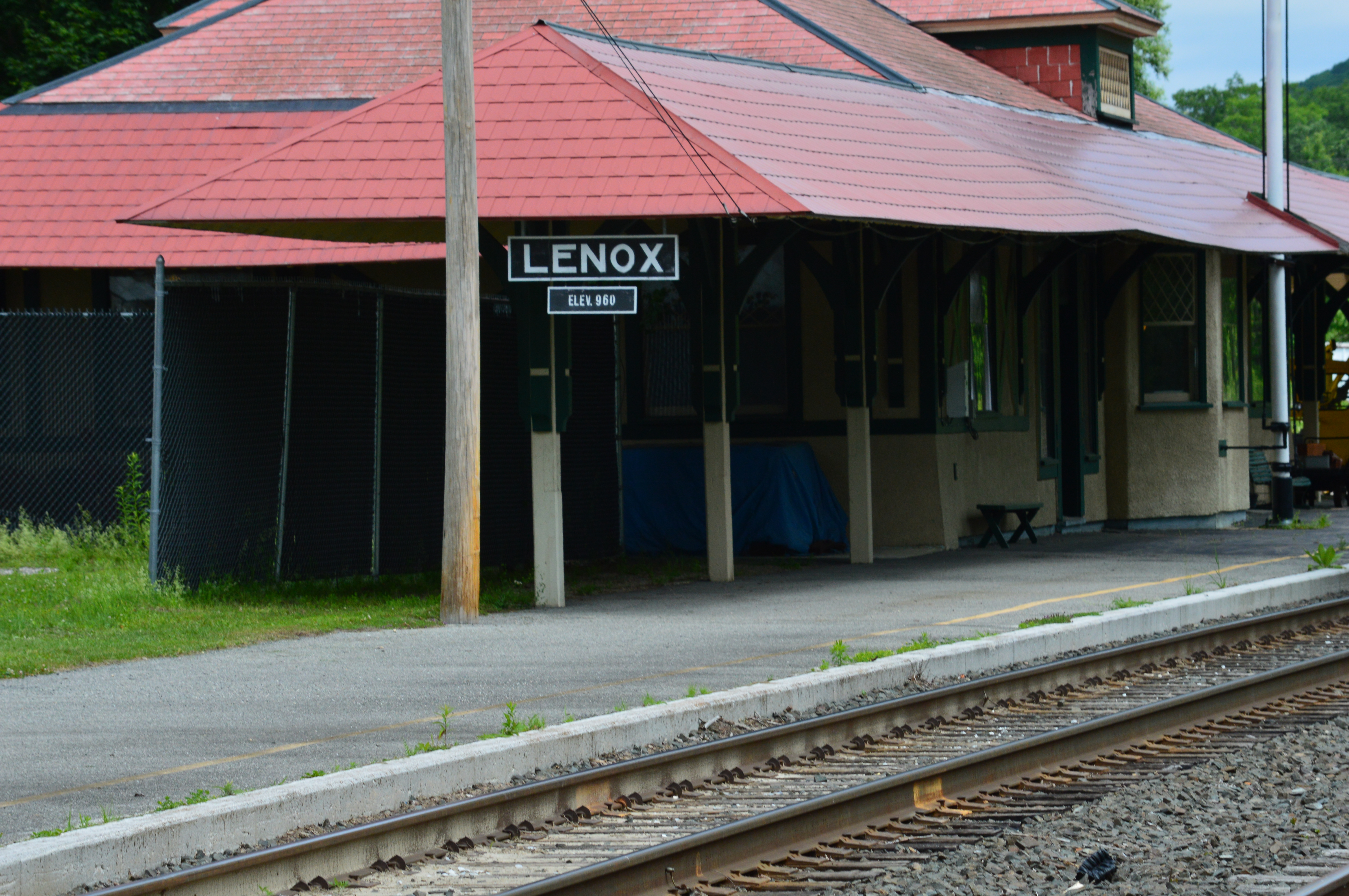
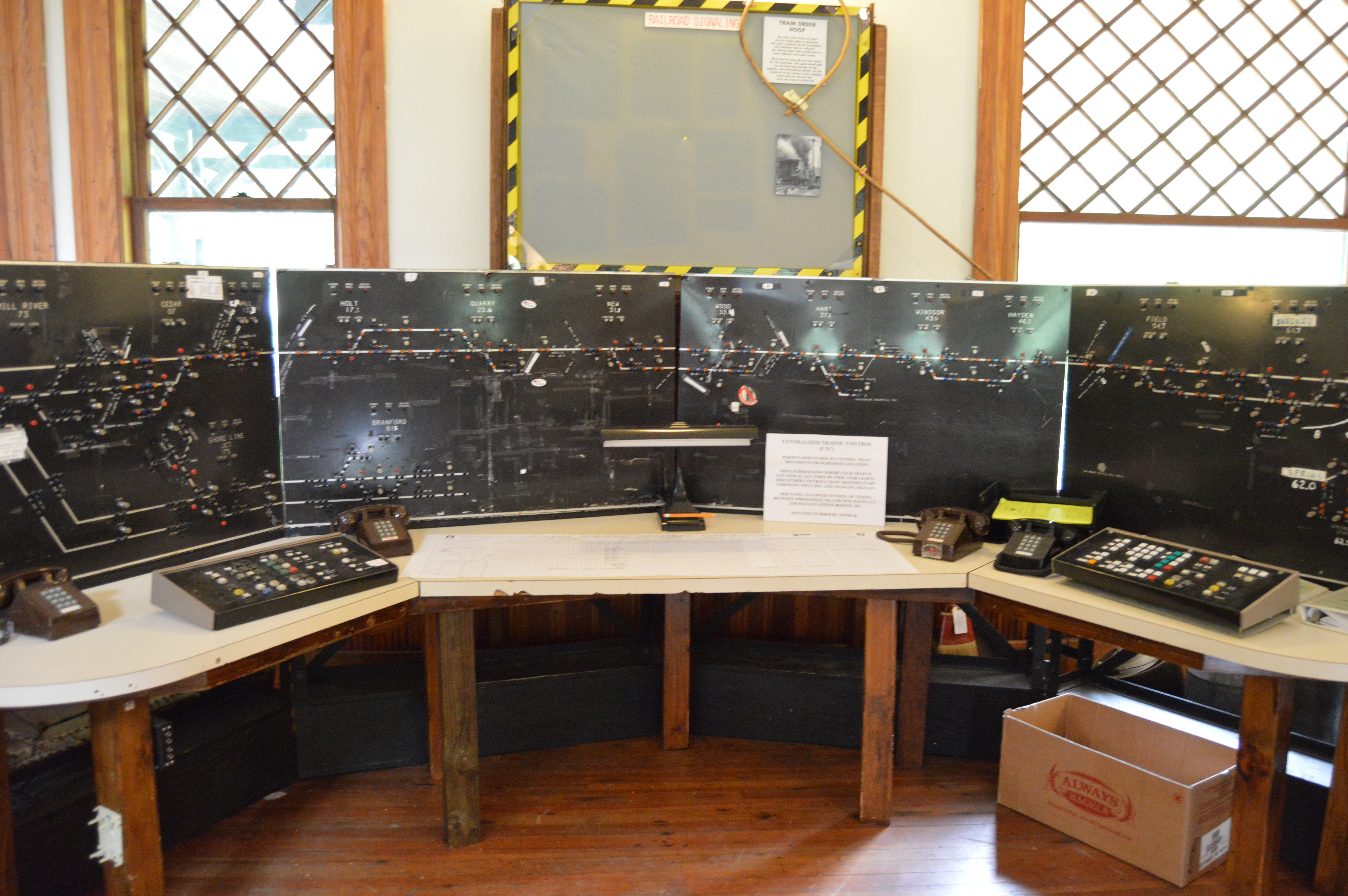
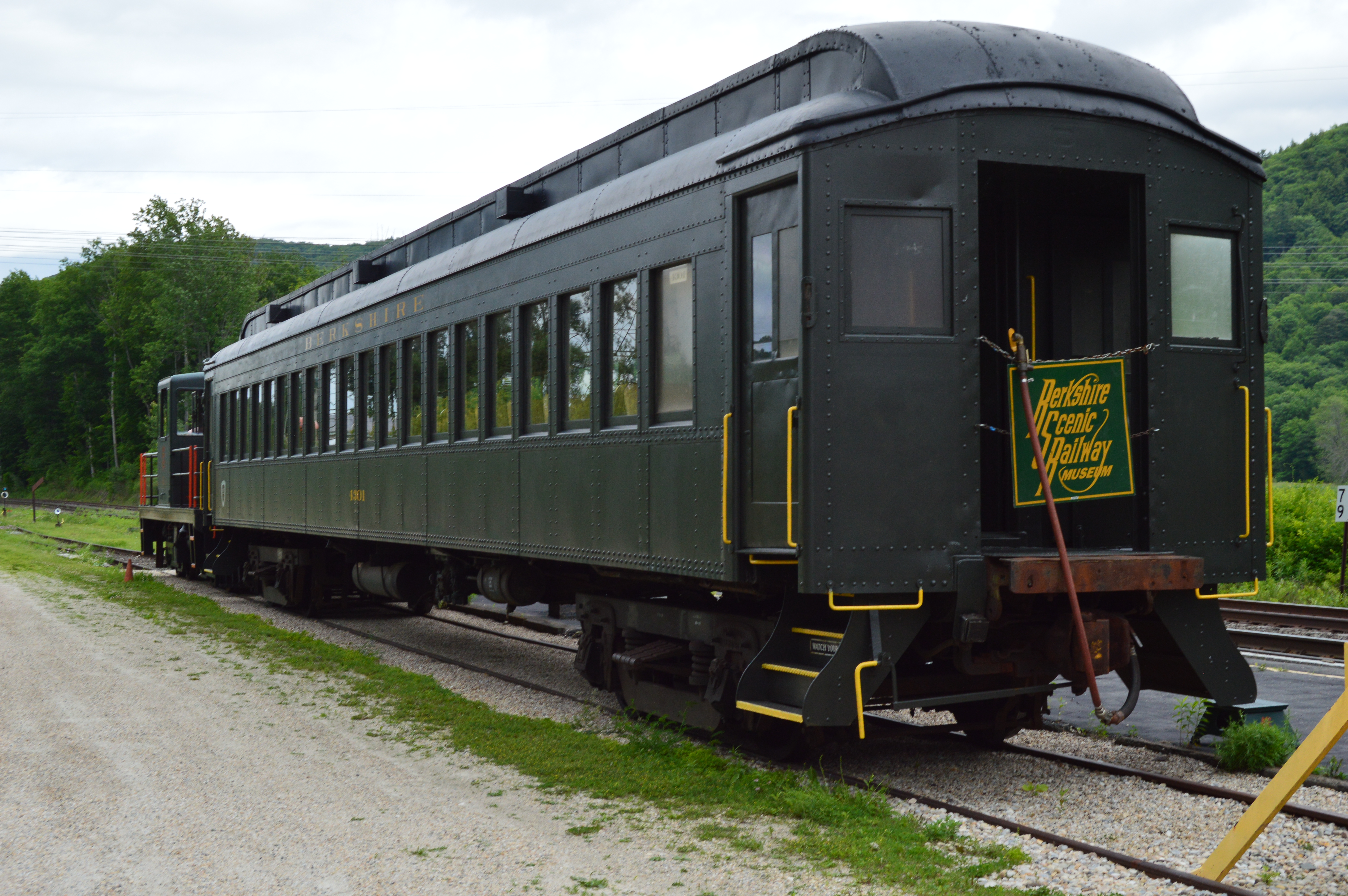
Alas, just when you might think your visit to Woods Pond is complete, there is a Train Museum with a functioning rail train. A toy train model and a old time control board are some of the displays in the museum.
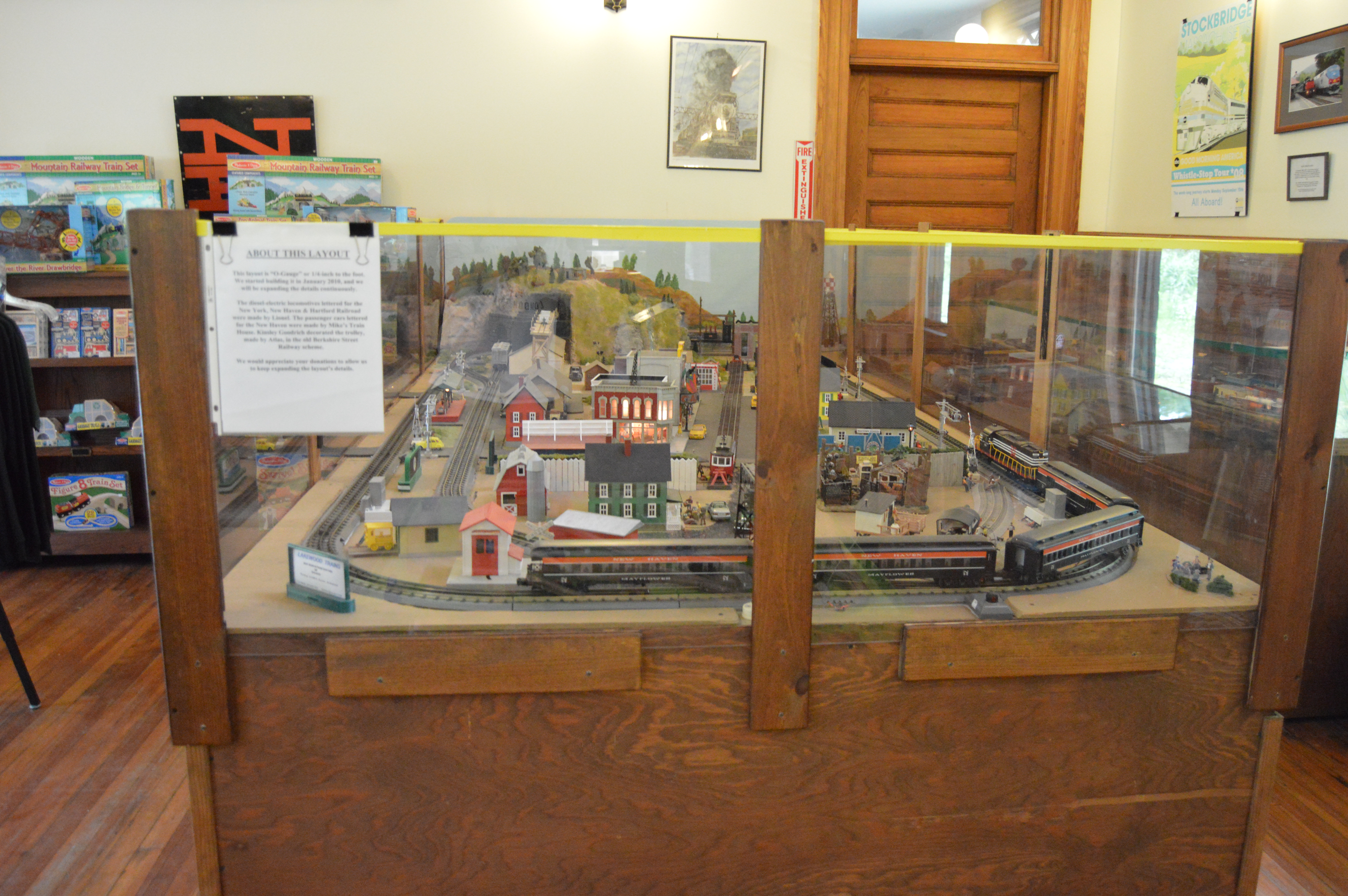

Yes, in case you’re wondering, The train still makes trips.

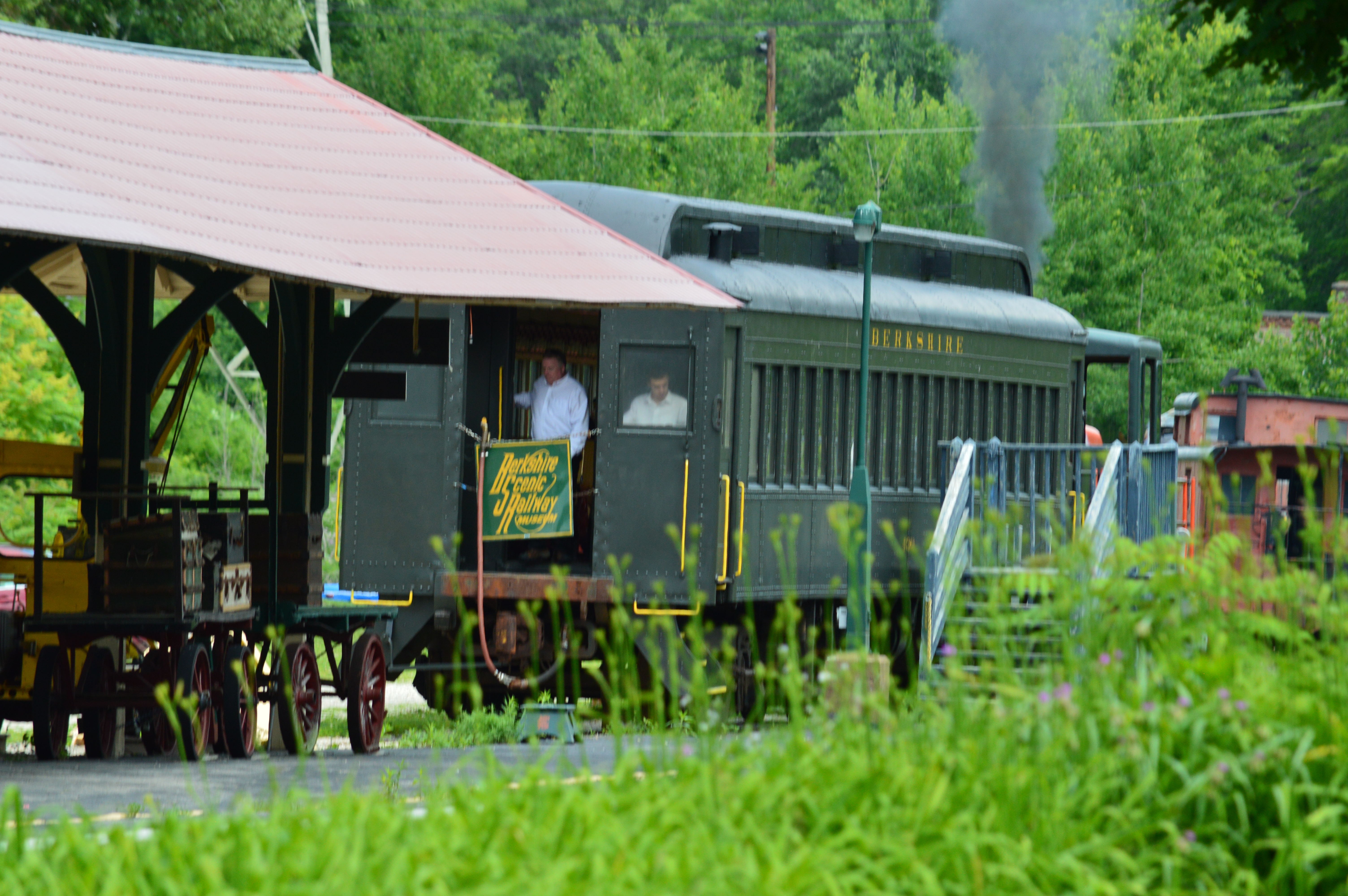

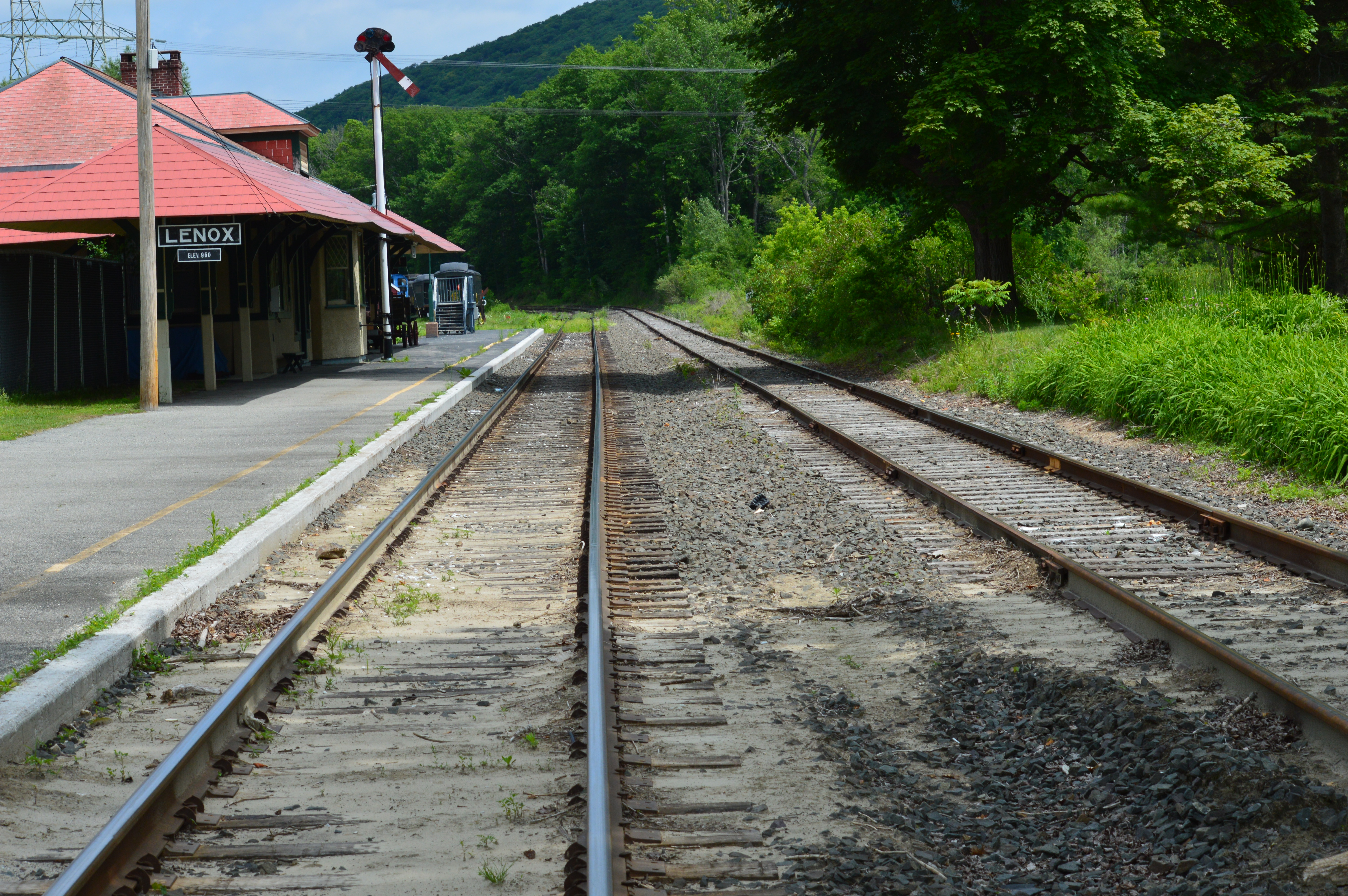

In the rear of the museum, there is a train. The very one that still makes treks out to New York and other surrounding areas (Lenox is only 42 miles from Albany, NY)


With its winding trails, picture perfect and train museum, Woods Pond is definitely a must-see. Just expect to spend a long time. My only regret is I didn’t have more time to spend at this true gem.
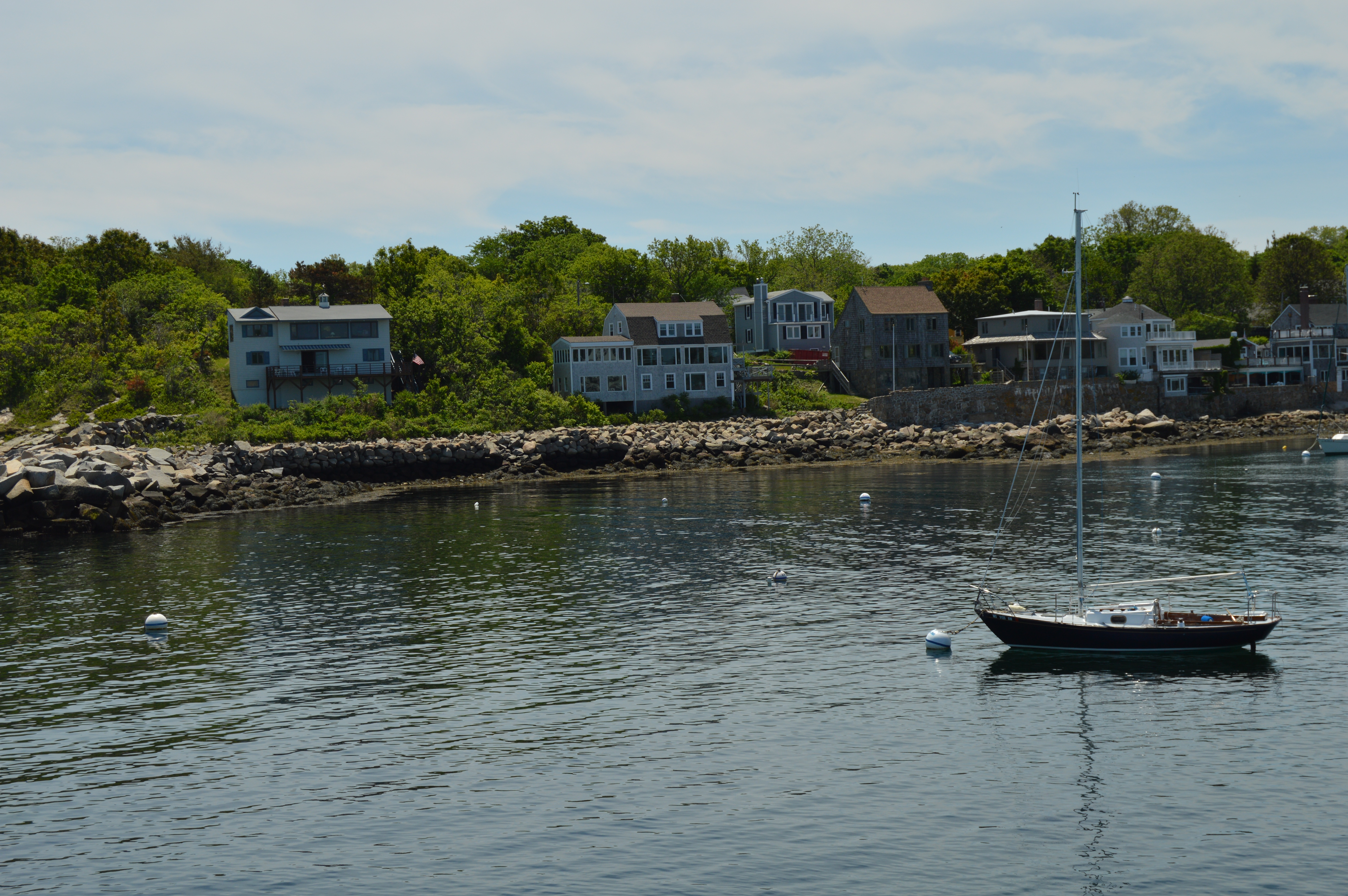
Bearskin Neck (Rockport, MA)
A mere hour and change north of Boston, Rockport is famous for its scenic views, waterfront vistas and quaint setting. I decided to begin my trek at the historic Bearskin Neck. 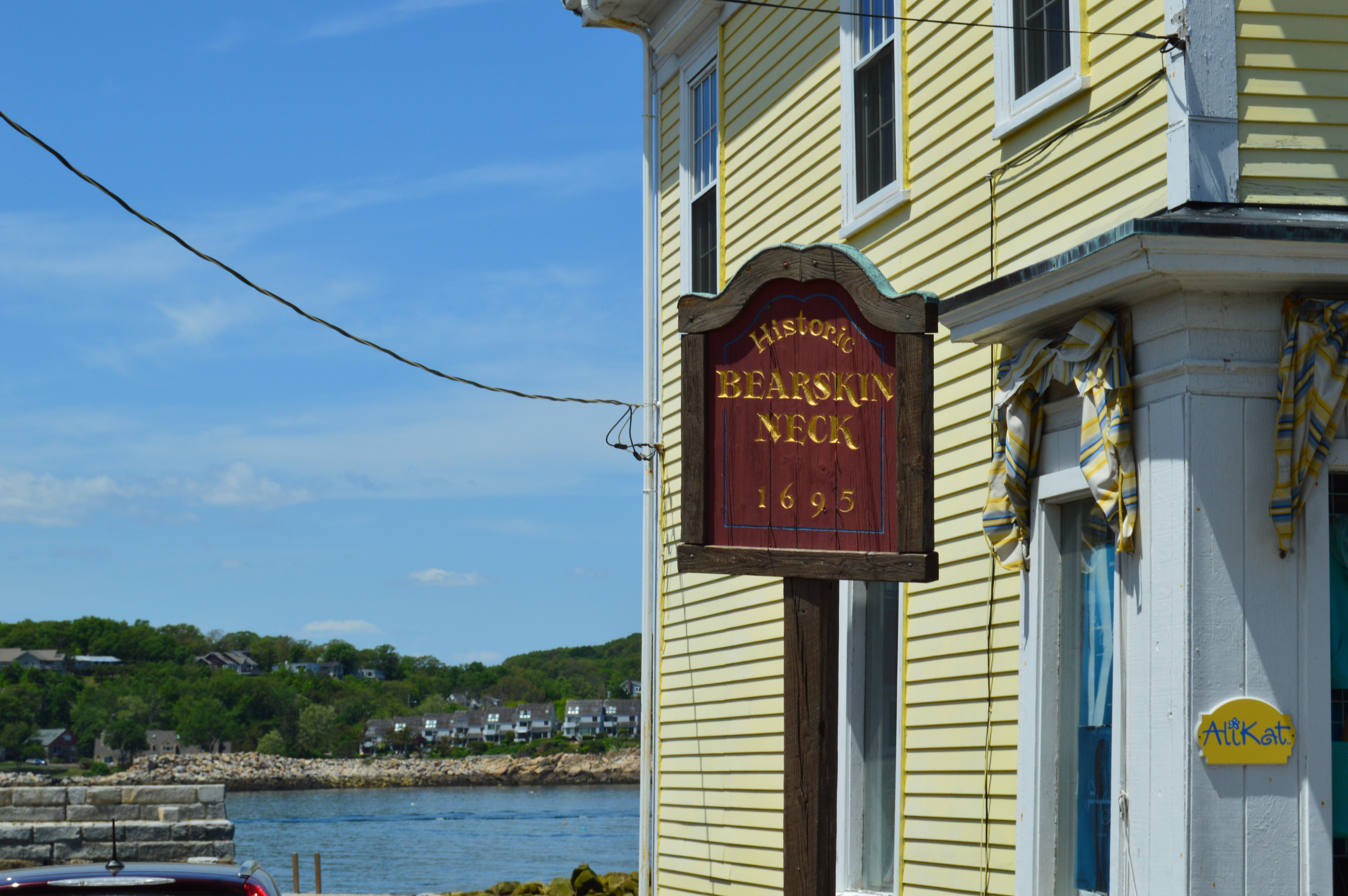
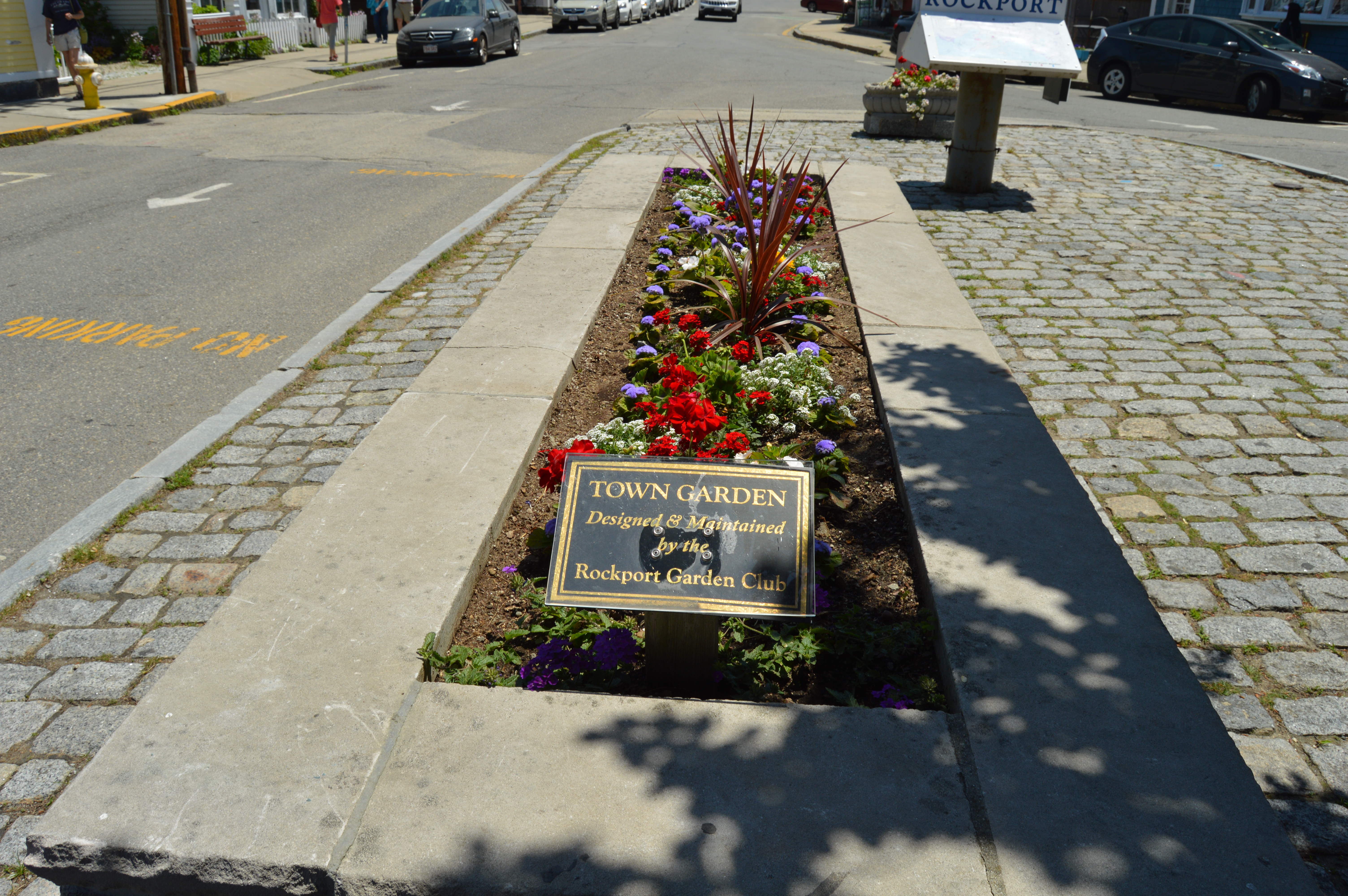
A cozy, sleepy town just off the beaten path of Rockport Center, I have only one gripe about Bearskin Neck (one which is common among New England attractions); parking. There are a scant 11 parking spots at the edge of Bearskin Neck where most of the tourists congregate and you will want to be cognizant of the time you spend while you’re parked. There are parking meters which do take coins as well as credit and debit cards and it is strictly enforced. Parking is also limited in the Rockport Center area, although you may park in a lot across from the beach in Rockport for $15 for the entire day. Parking is also available at the town’s municipal parking lot. From there, a free shuttle will also drop you off at Rockport Center.
Depending on who you choose to believe, Bearskin Neck’s name can be traced back to John Babson or, more predictably, a bear. According to a sign posted in Rockport, Bearskin Neck got its name from a bear that got caught in a wave and was killed when it came to shore. But, another tale insists it got its name when fishermen who saw the bearskin a prominent resident, John Babson, had left to dry on the rocks that occupy much of the area.
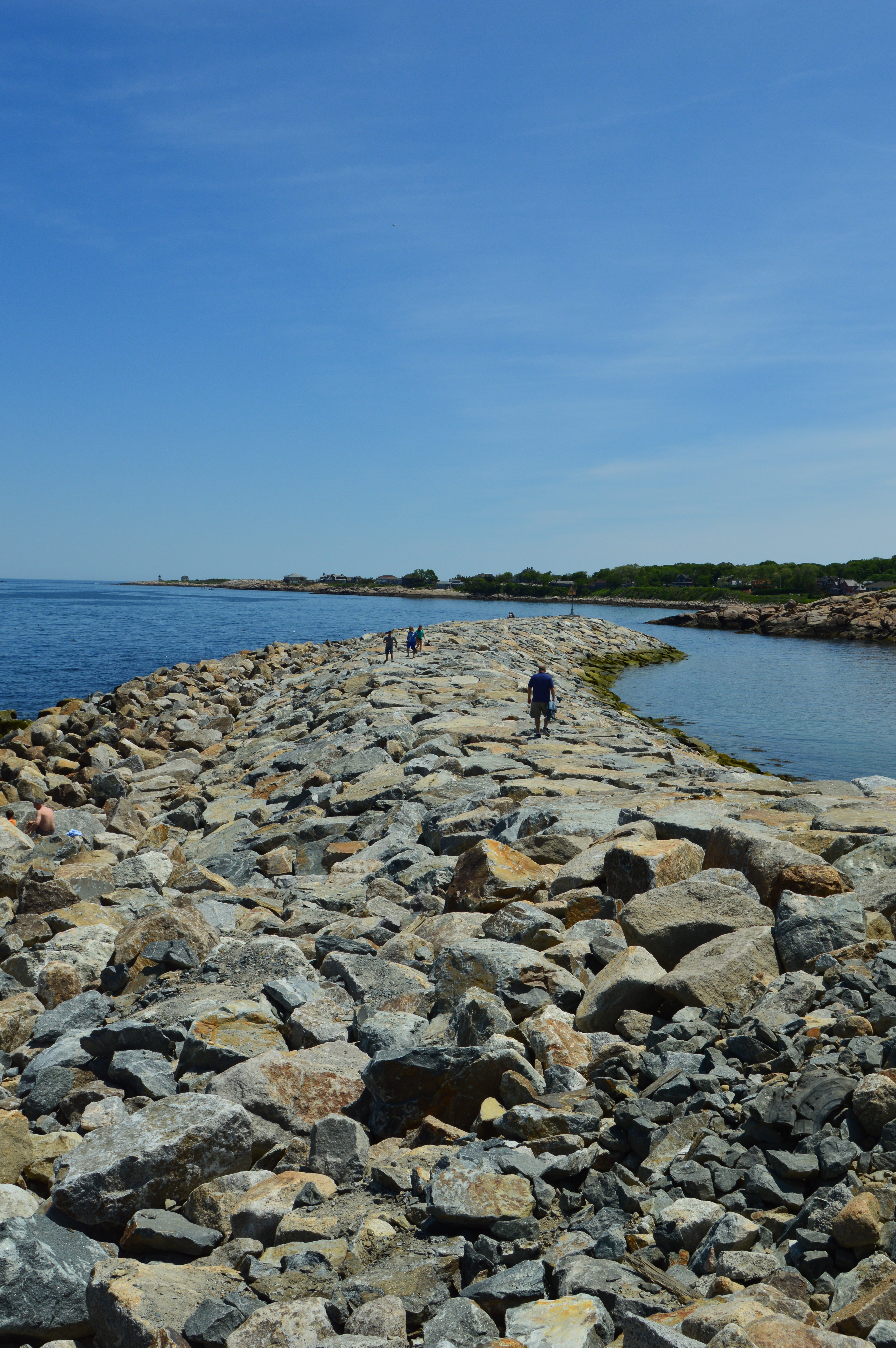
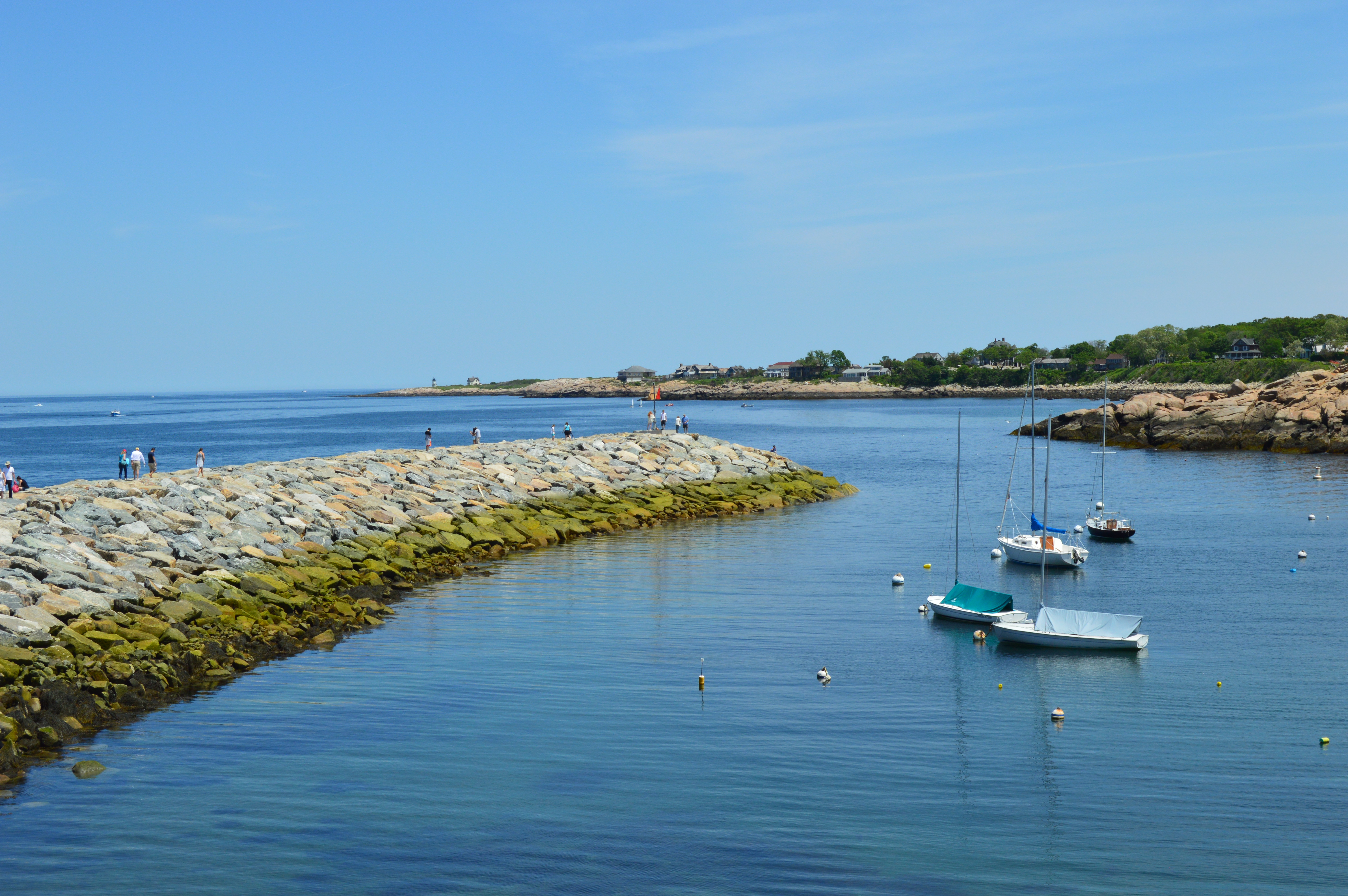
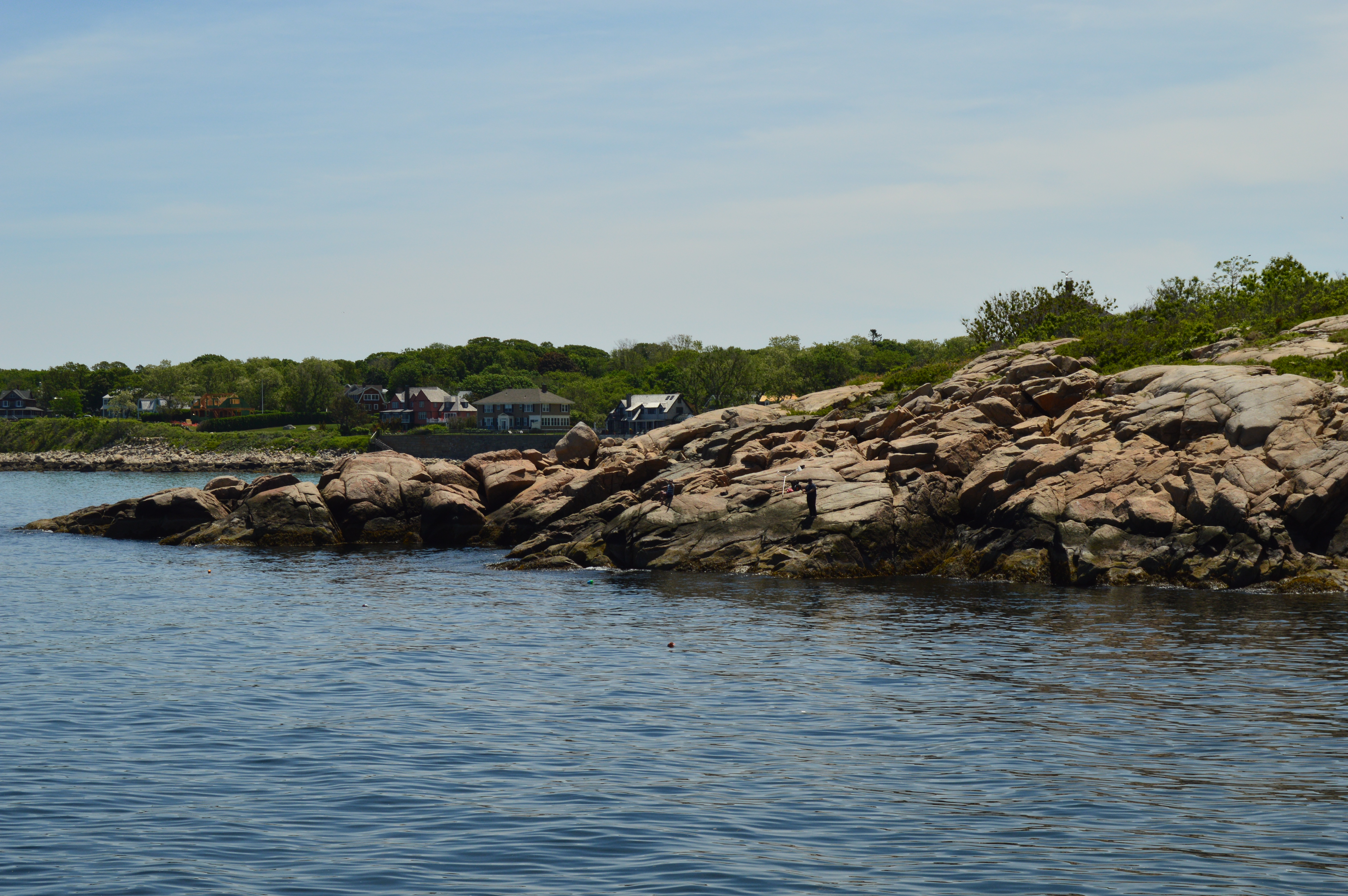
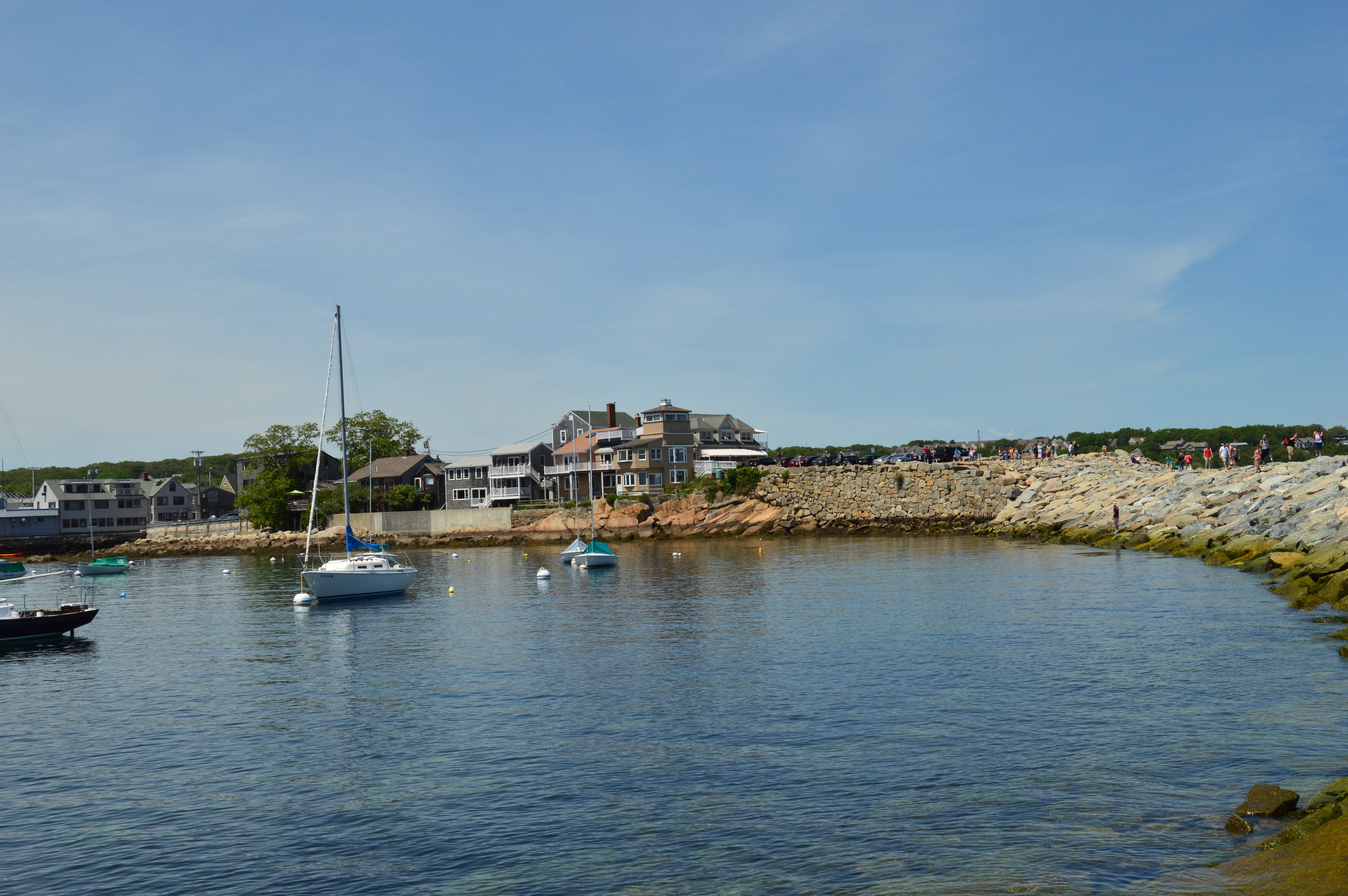
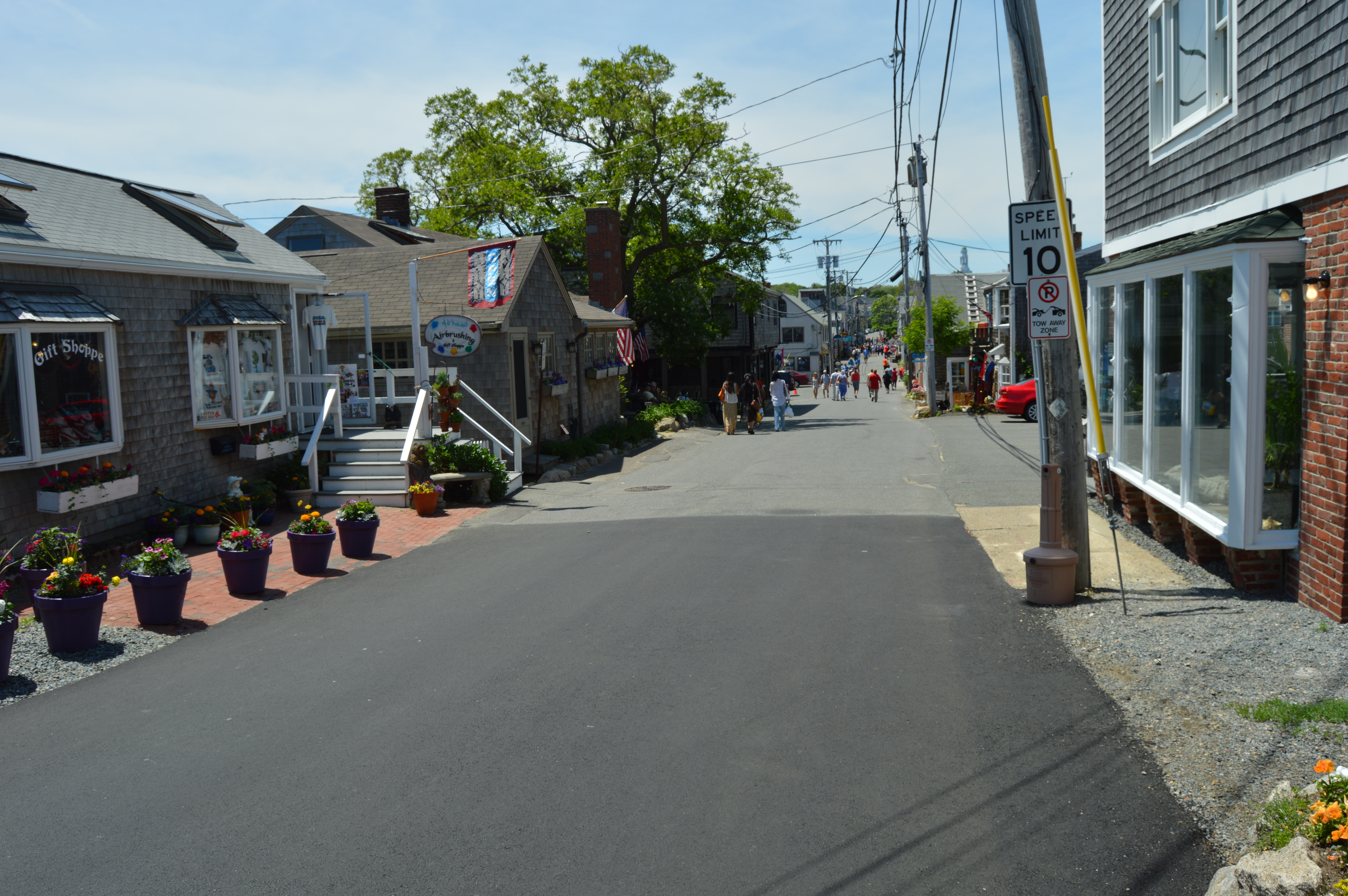
Arriving at Bearskin Neck, I feared I had taken a wrong turn down a pedestrian only road. It is easy to be confused by this since Bearskin Neck is only one small yet busy walkway. But, eventually you will arrive at Bearskin Neck. Be careful while driving o that road as people walked aimlessly throughout the road, stopped to take selfies in the middle of the road and paid little attention to the traffic around them. When you do reach the end of Bearskin Neck you will find a small parking area, a sitting area with panoramic views, and a rocky walkway that ends in a peninsula. 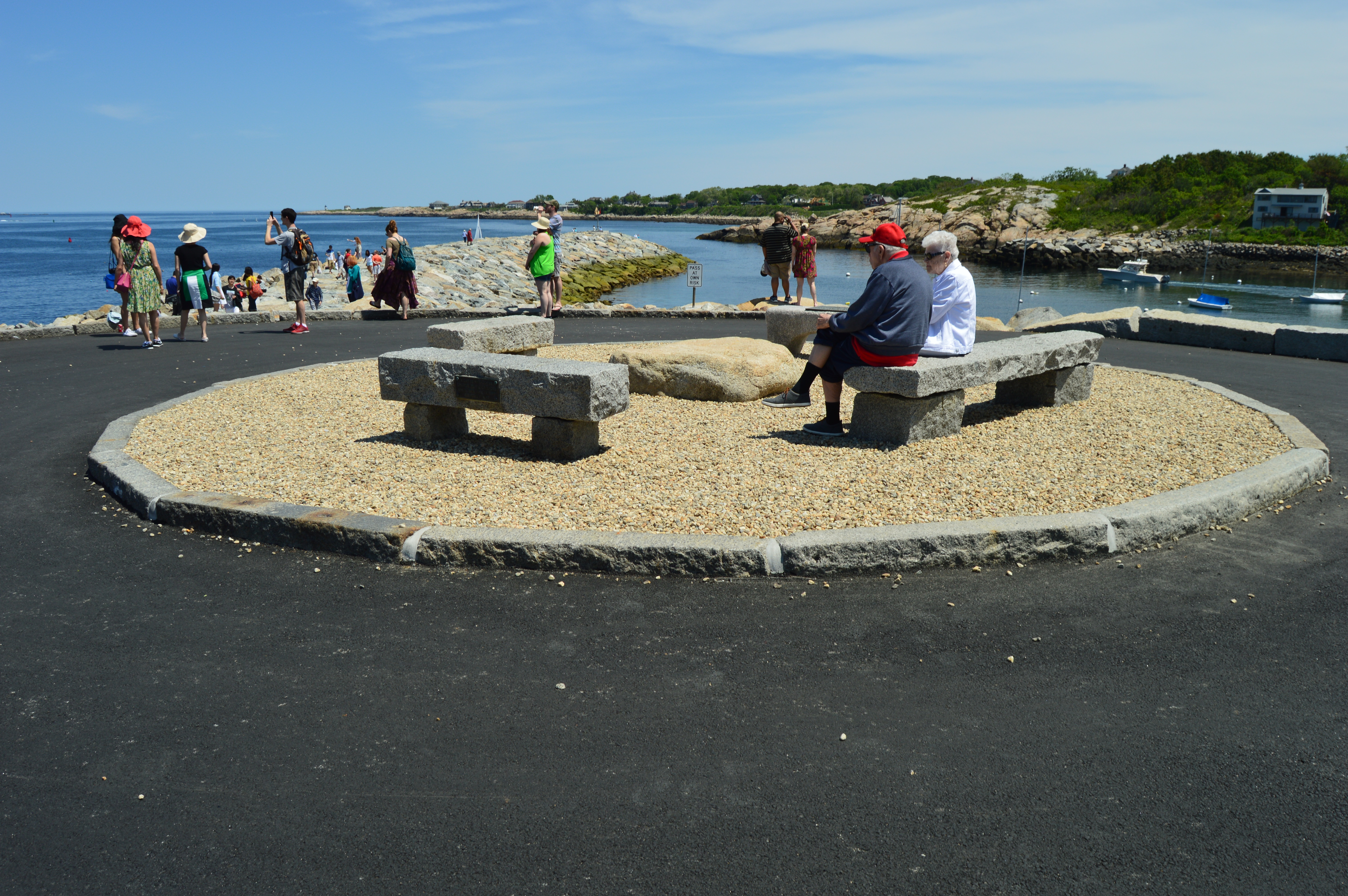
Bearskin Neck is also a popular spot for boaters
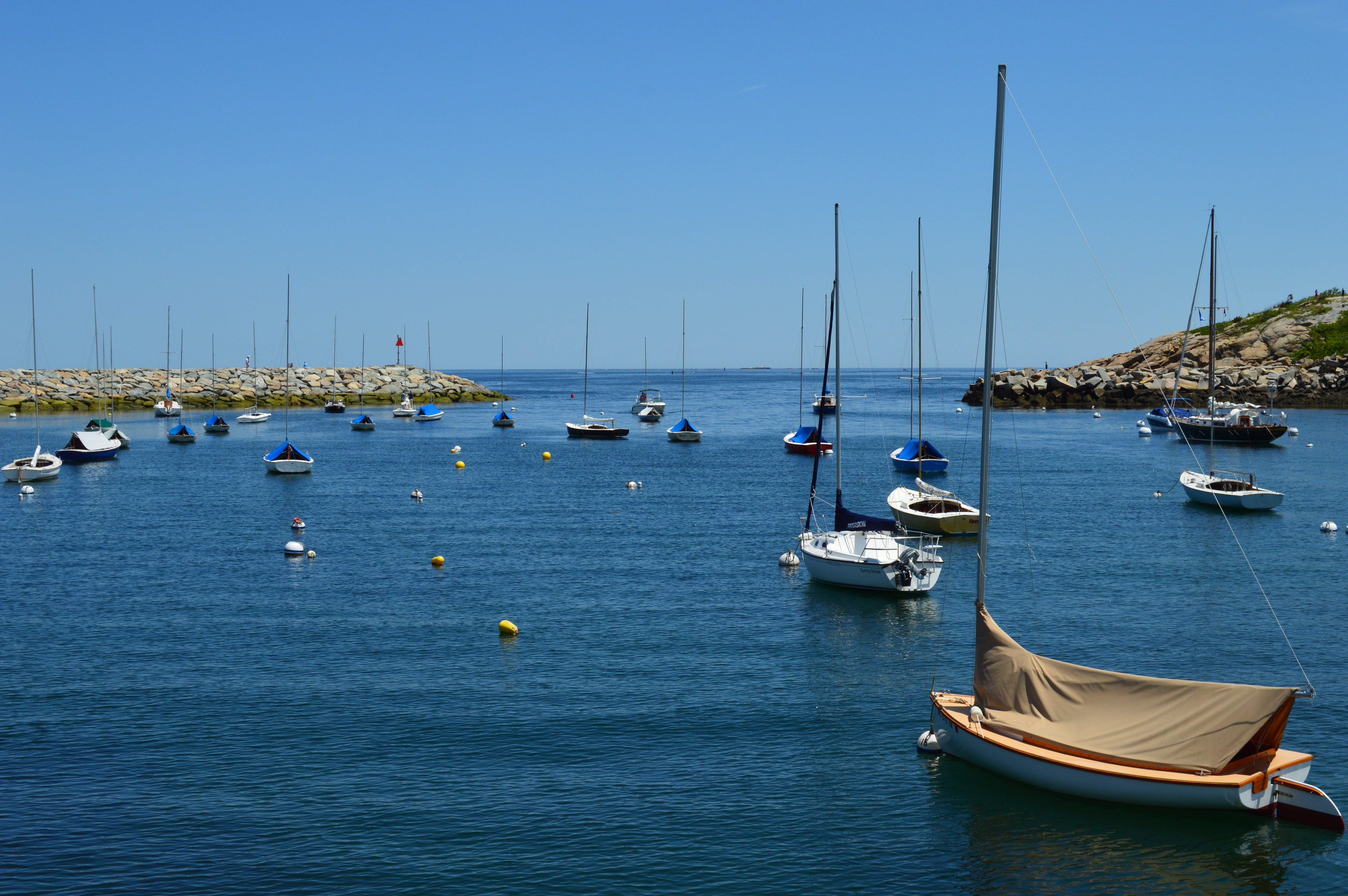
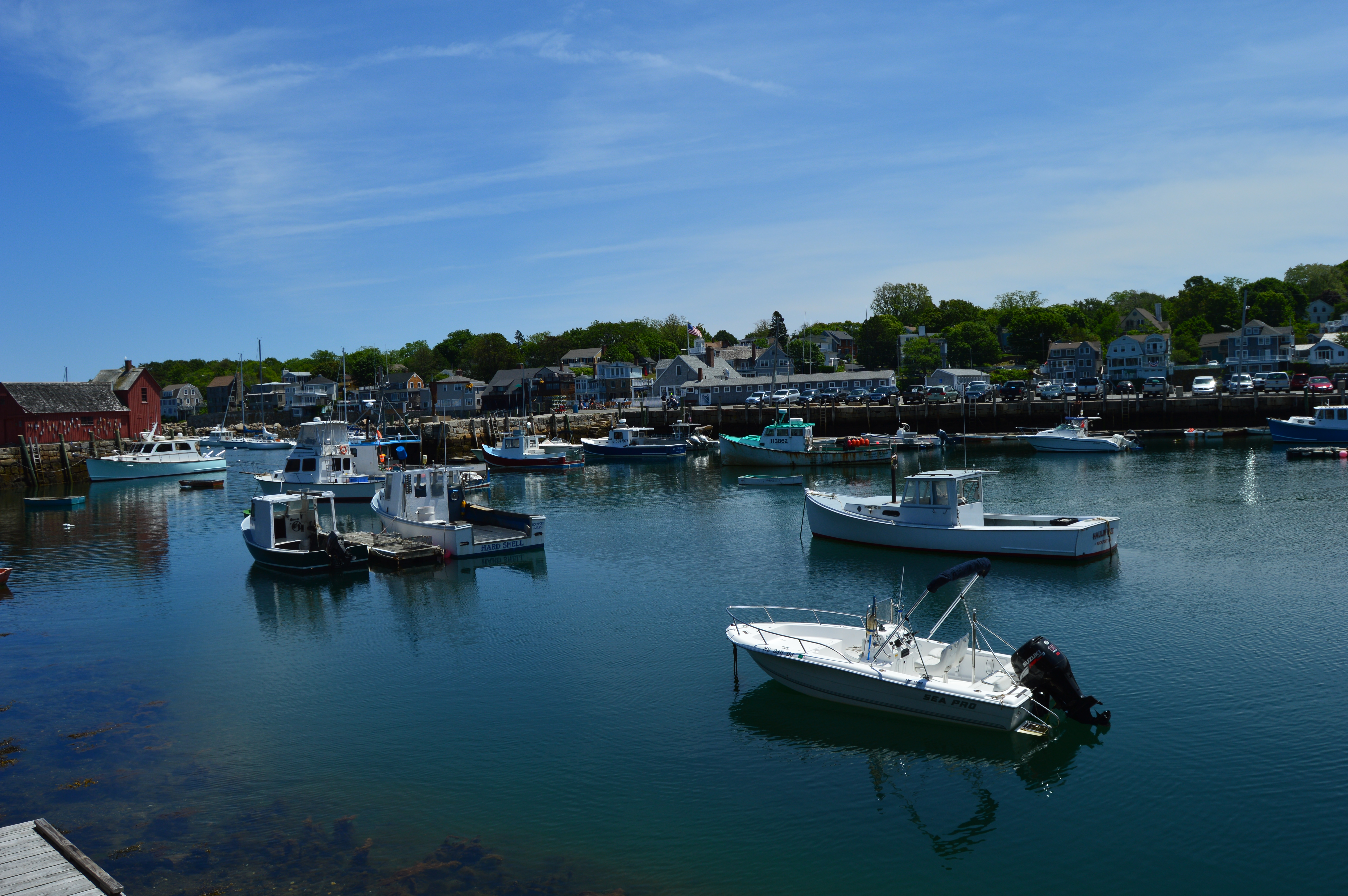
In fact, it was once a thriving fishing and lobster trapping area. Now, not so much. But, there are still some fishermen and women who still call it their trade.
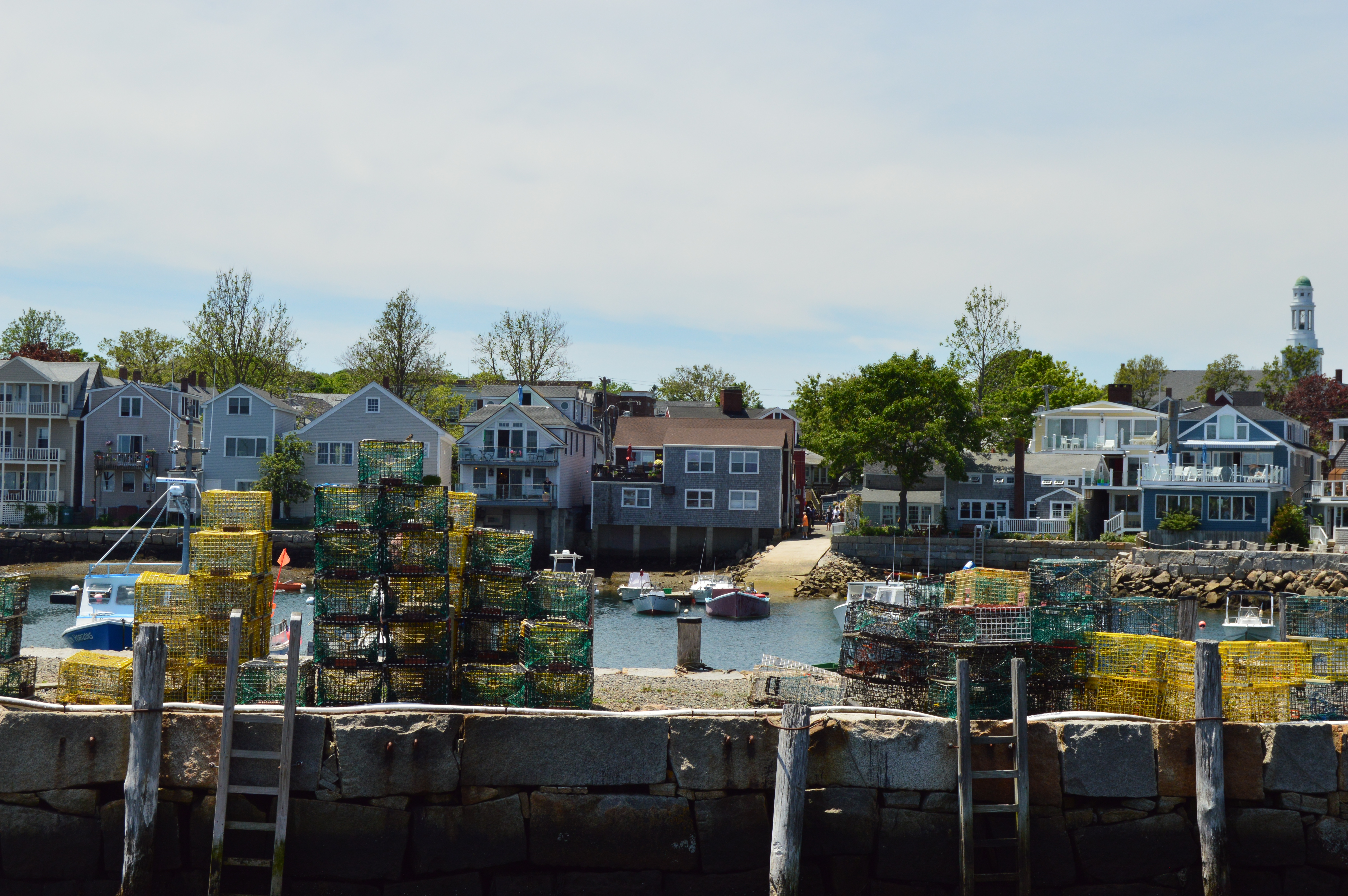
Naturally, one of the more eye catching things about the Bearskin Neck section of Rockport are….the rocks.
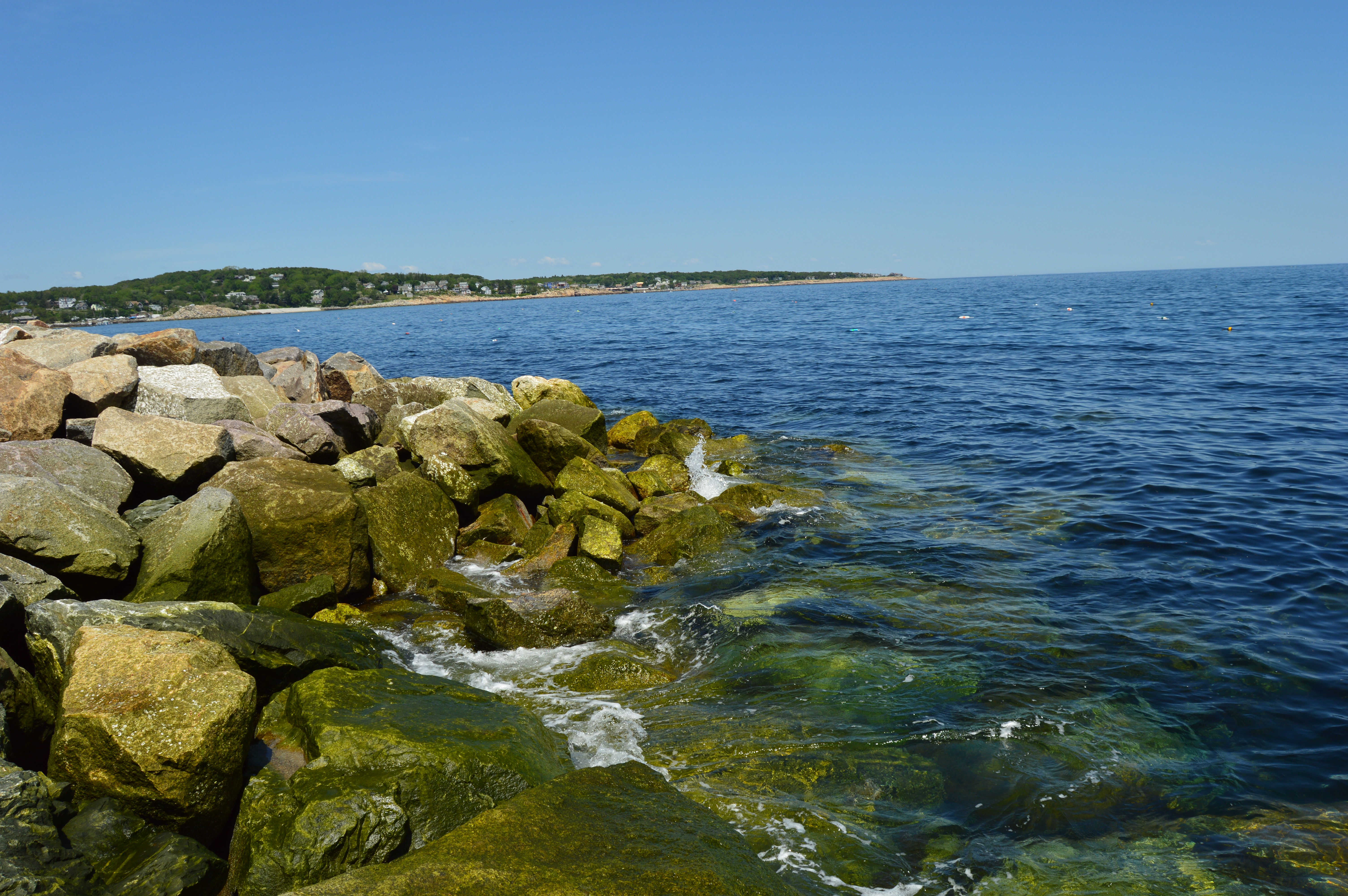
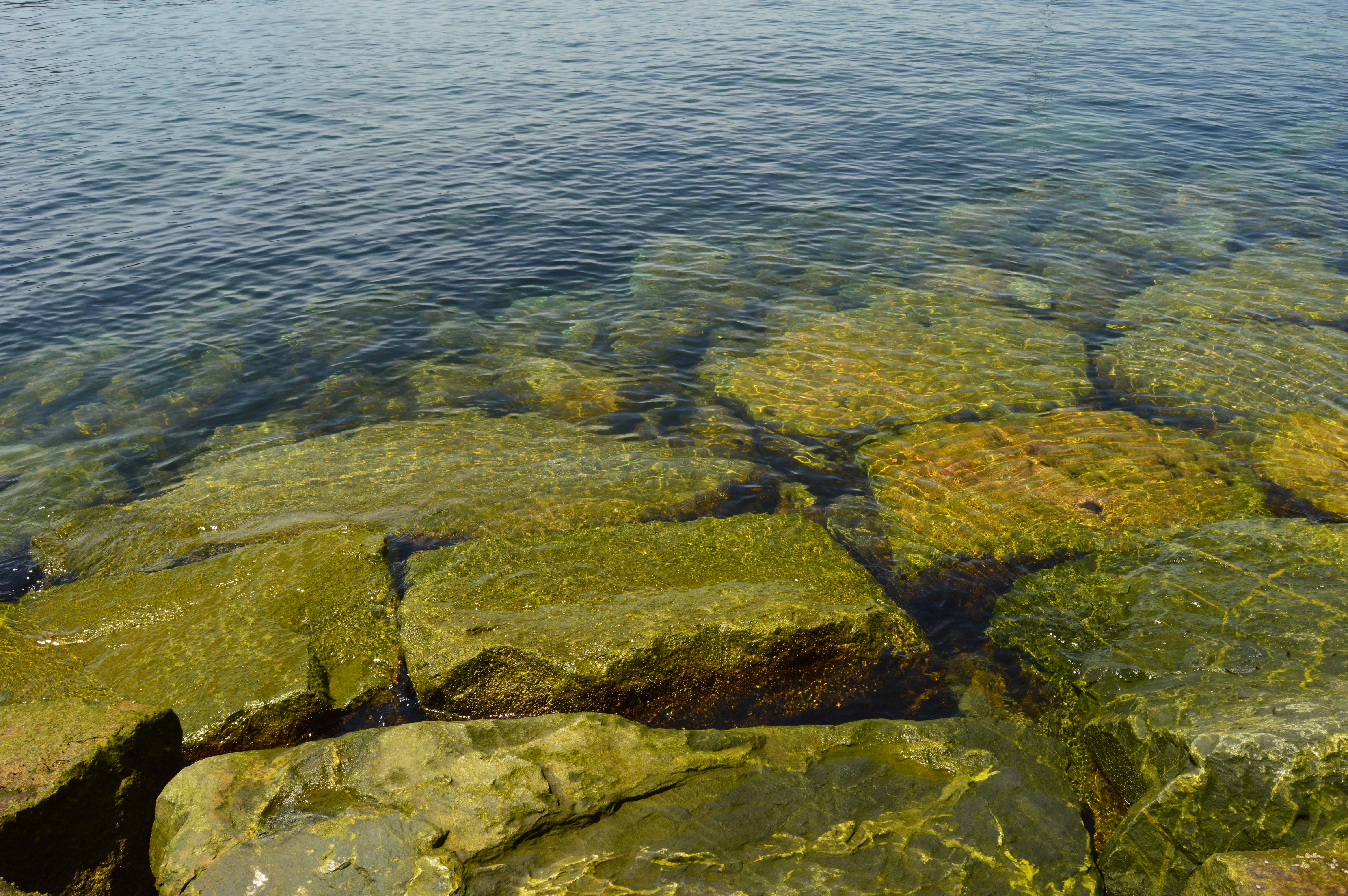
Lots and lots of rocks
. 
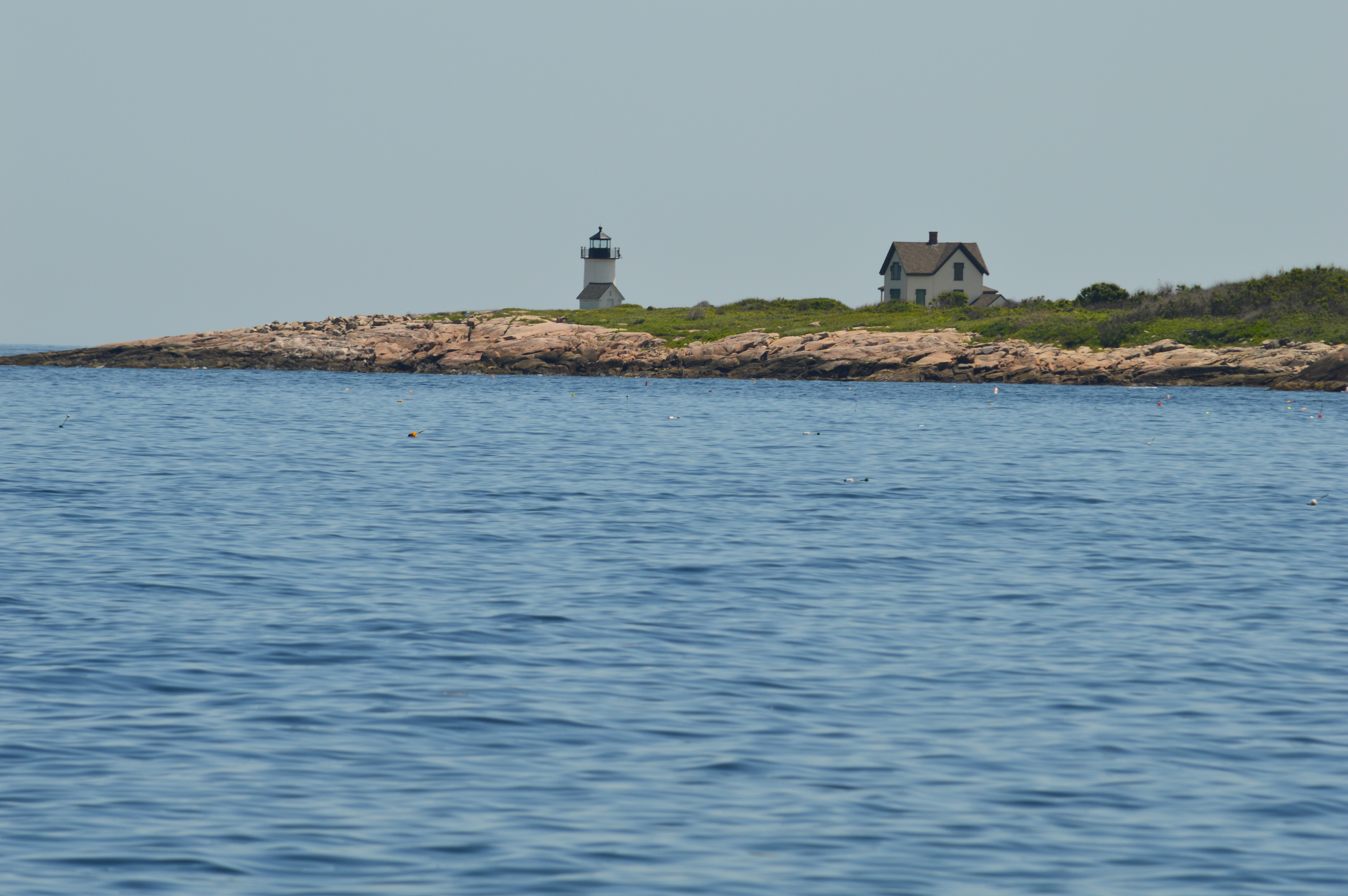
The Straitsmouth Isle Lighthouse is visible from Bearskin Neck. The island is closed to the public. So, unless you have a boat, this is the closes you will get to it
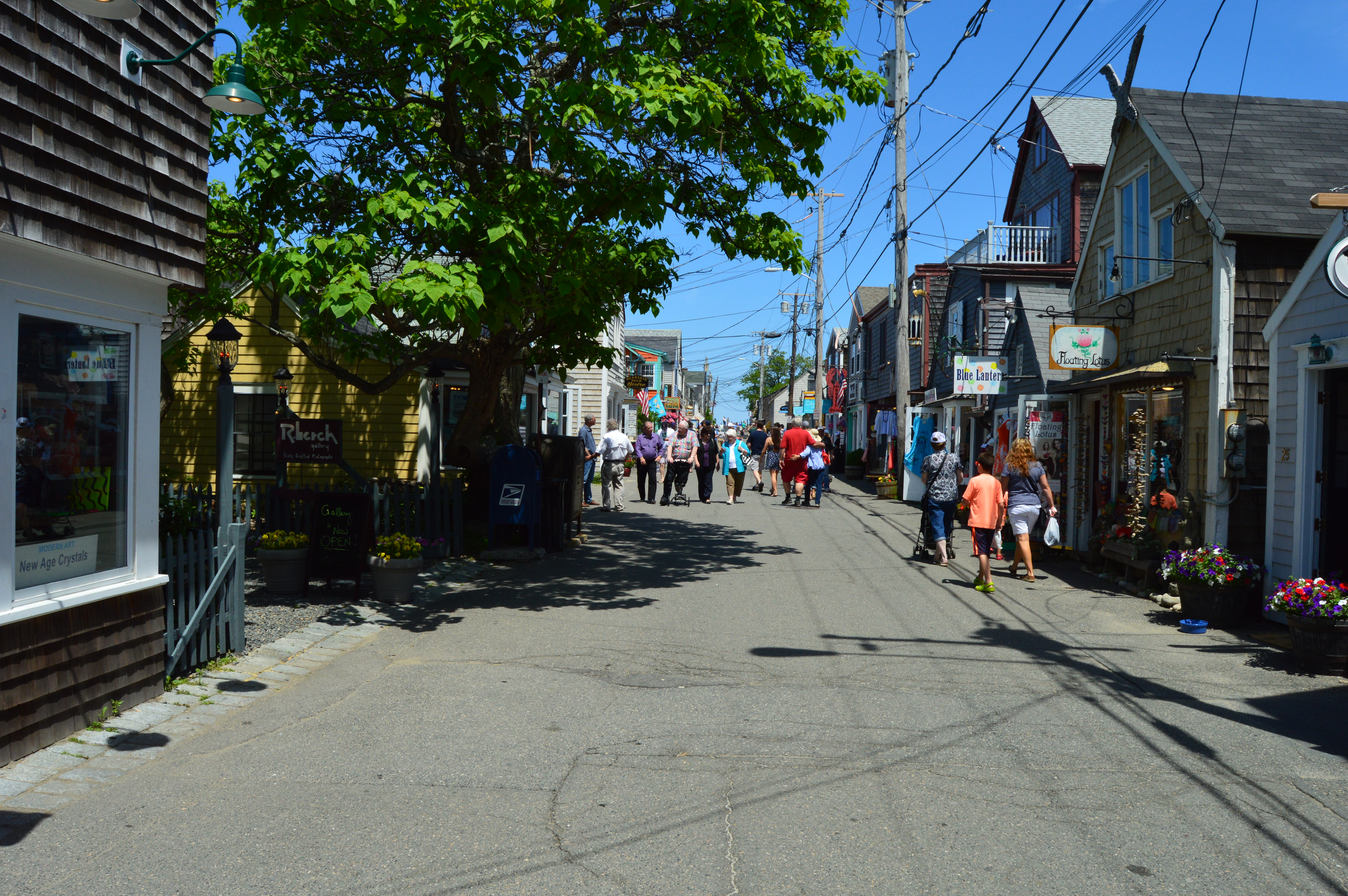
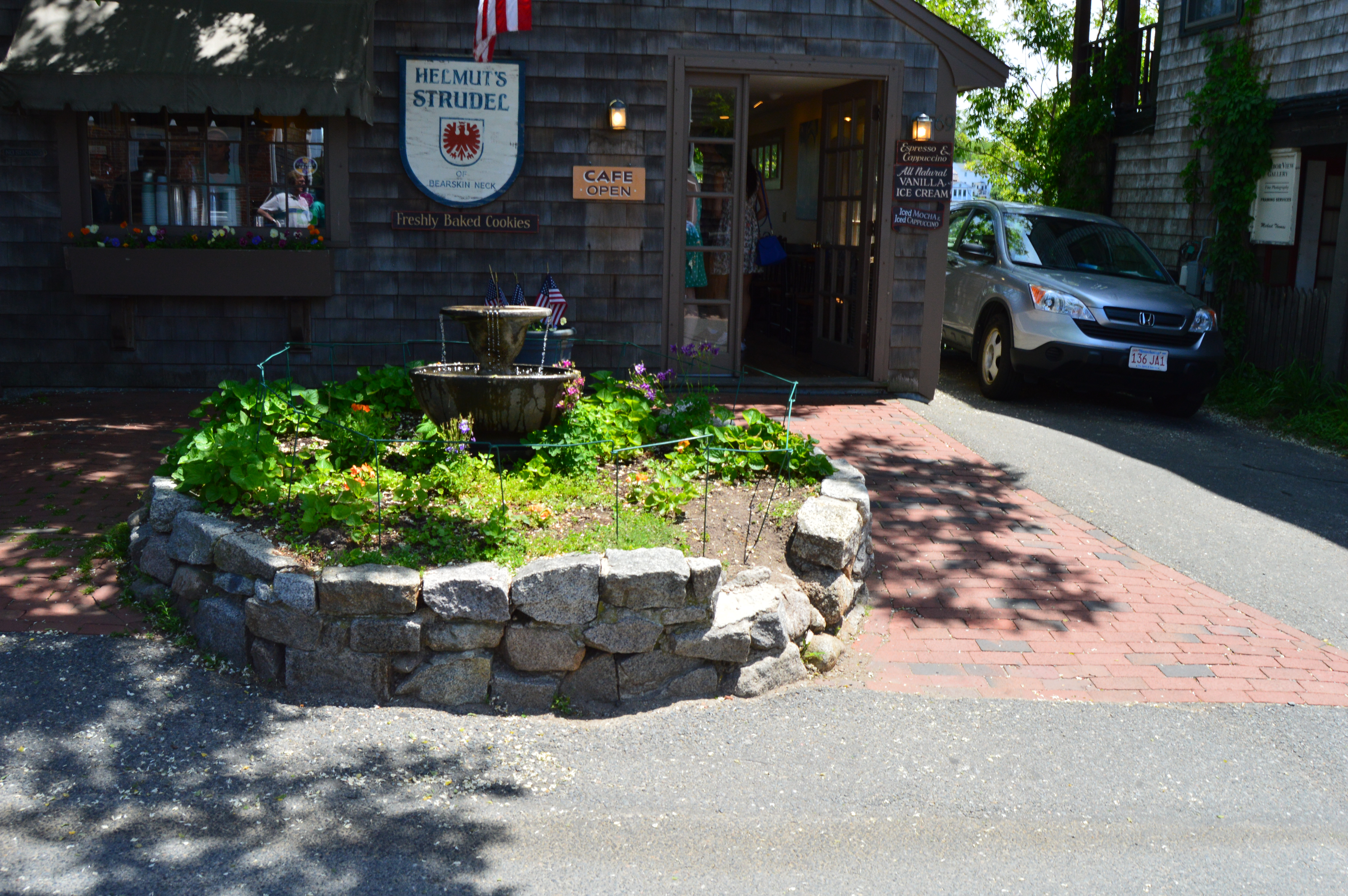
Bearskin Neck and Rockport are a walking area with a quaint feel. Art galleries, independent book stores and gift shops line the narrow, pedestrian streets of Bearskin Neck.
There are many fun activities to do in bearskin Neck from kayaking to palm reading. I would probably do the former prior to the latter just as an extra precaution.
. 
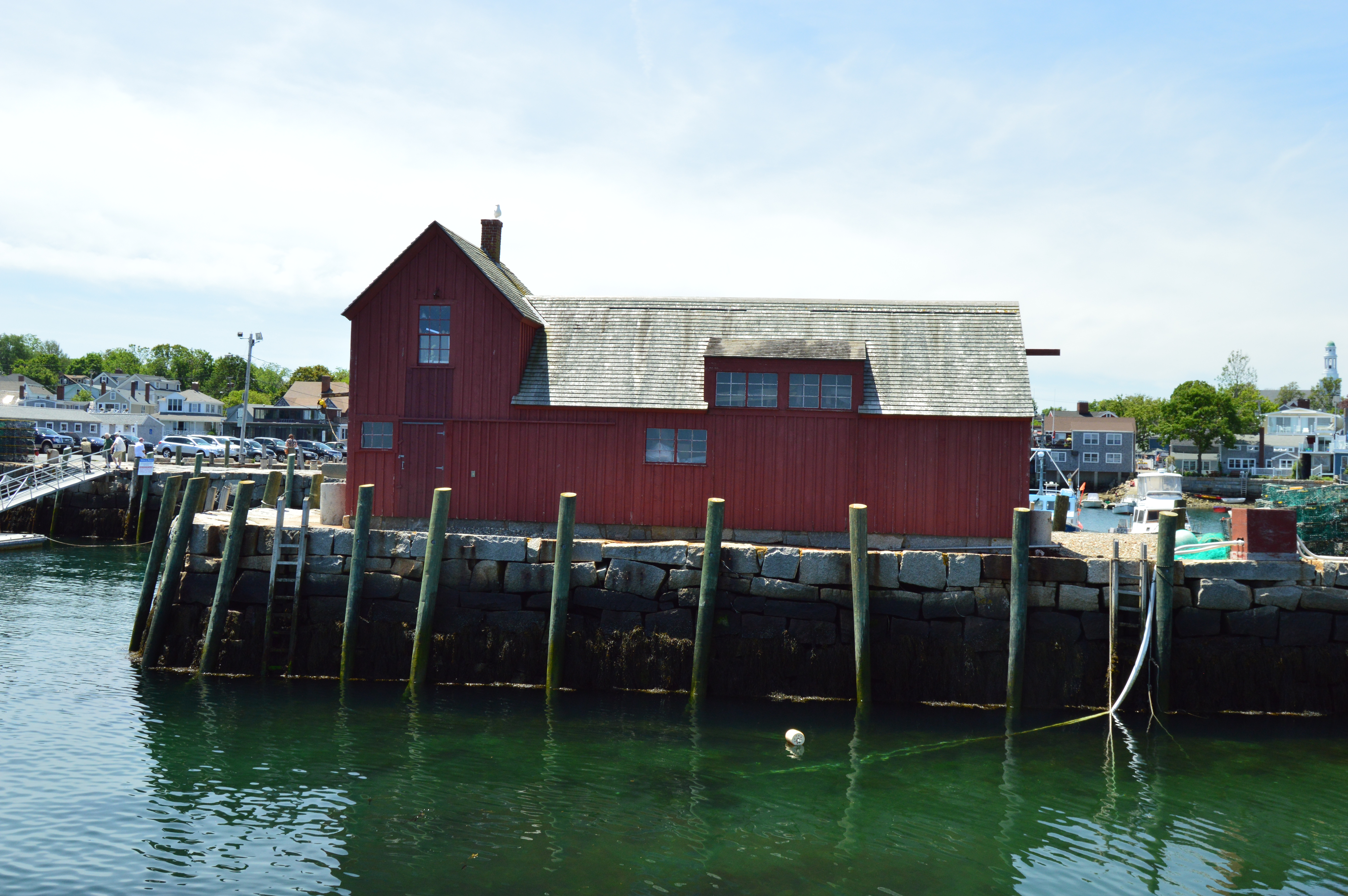
The “other” popular attraction in Bearskin Neck, besides the rocky peninsula, is Motif No. 1. Motif number 1 is a replica of a fisherman’s shack. The original Motif 1 was destructed during the Blizzard of 1978. It has been featured in many classic paintings and even in film
. 
Bearskin neck is also teeming with wild life of all species. For instance, I ran into “Paws” while I was on my journey.
Of course, there are also seagulls a plenty in Bearskin Neck. They are especially fond of Motif No. 1. 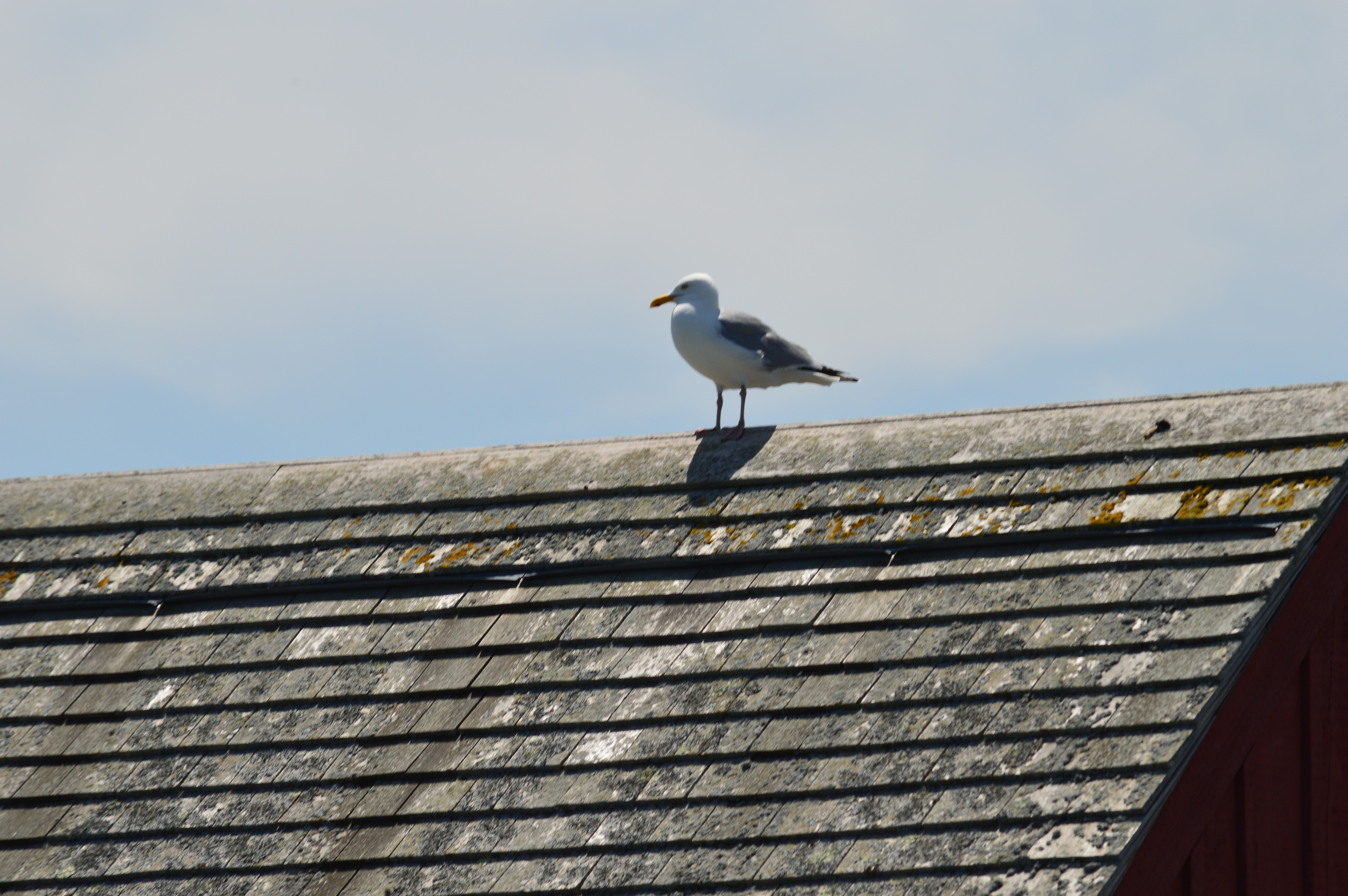
This one seemed too shy to fly away. 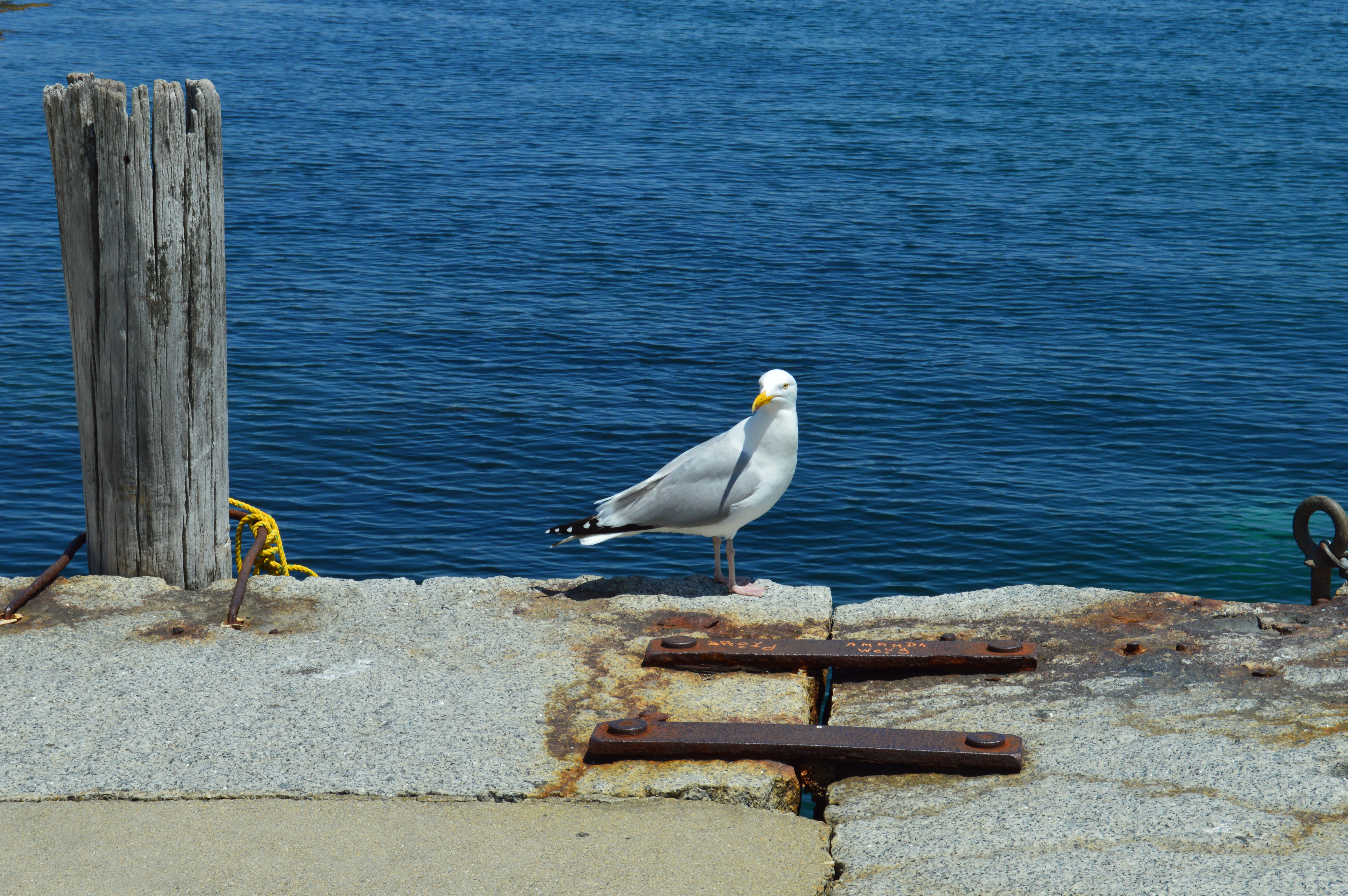
He eventually decided to go for a dip with a friend instead 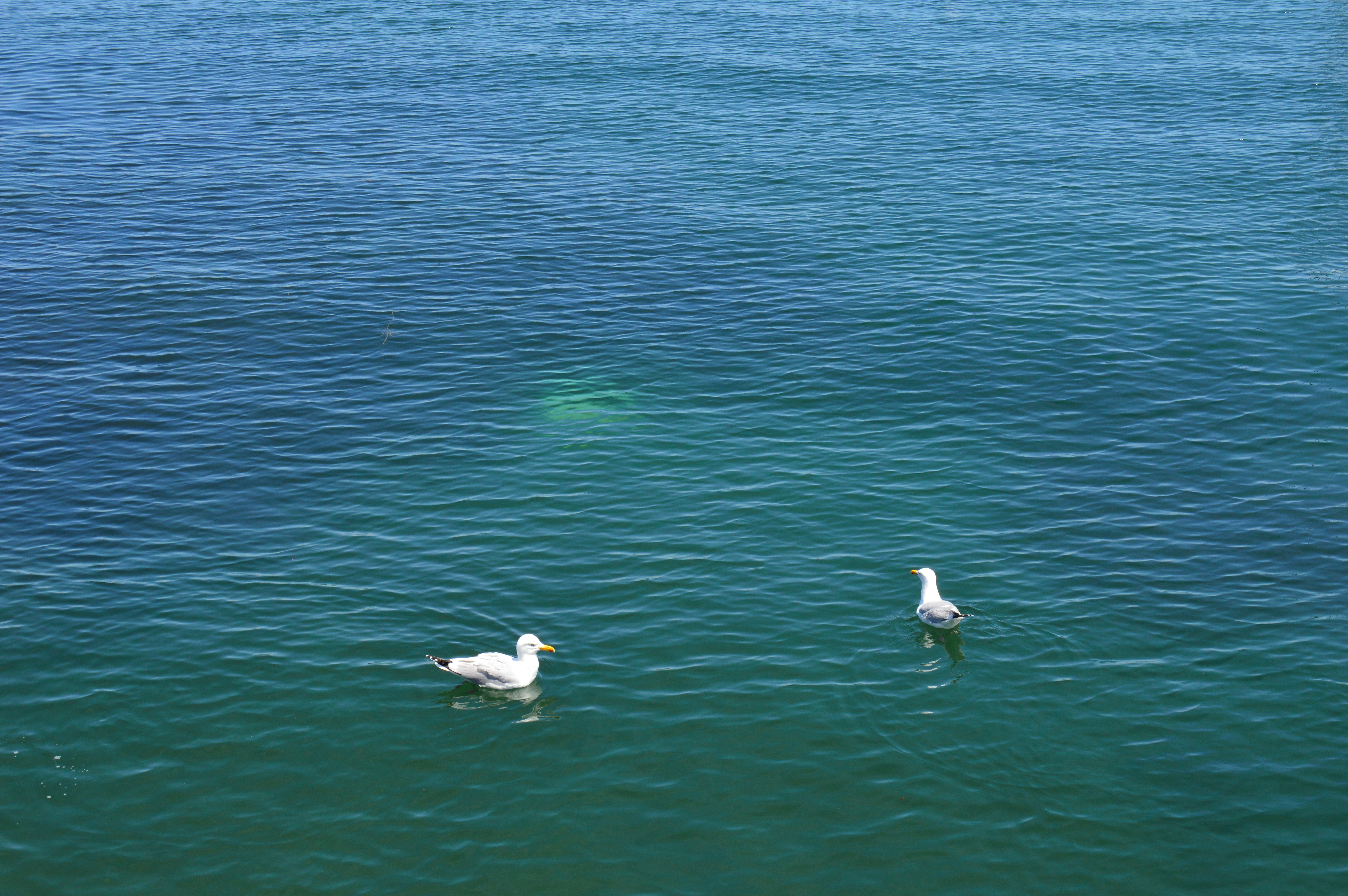
This seagull just wanted to get away from it all. But, i still found him. 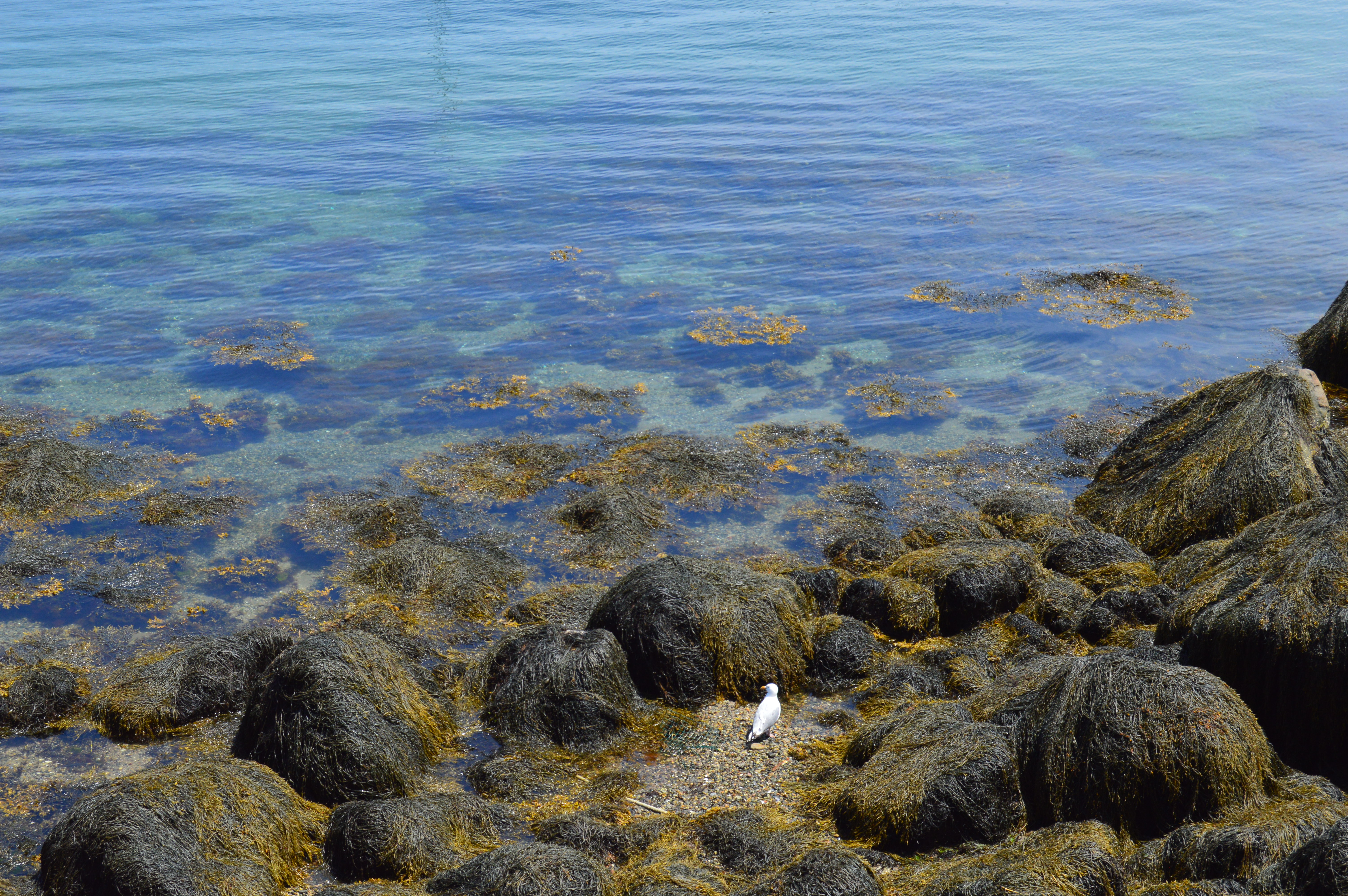
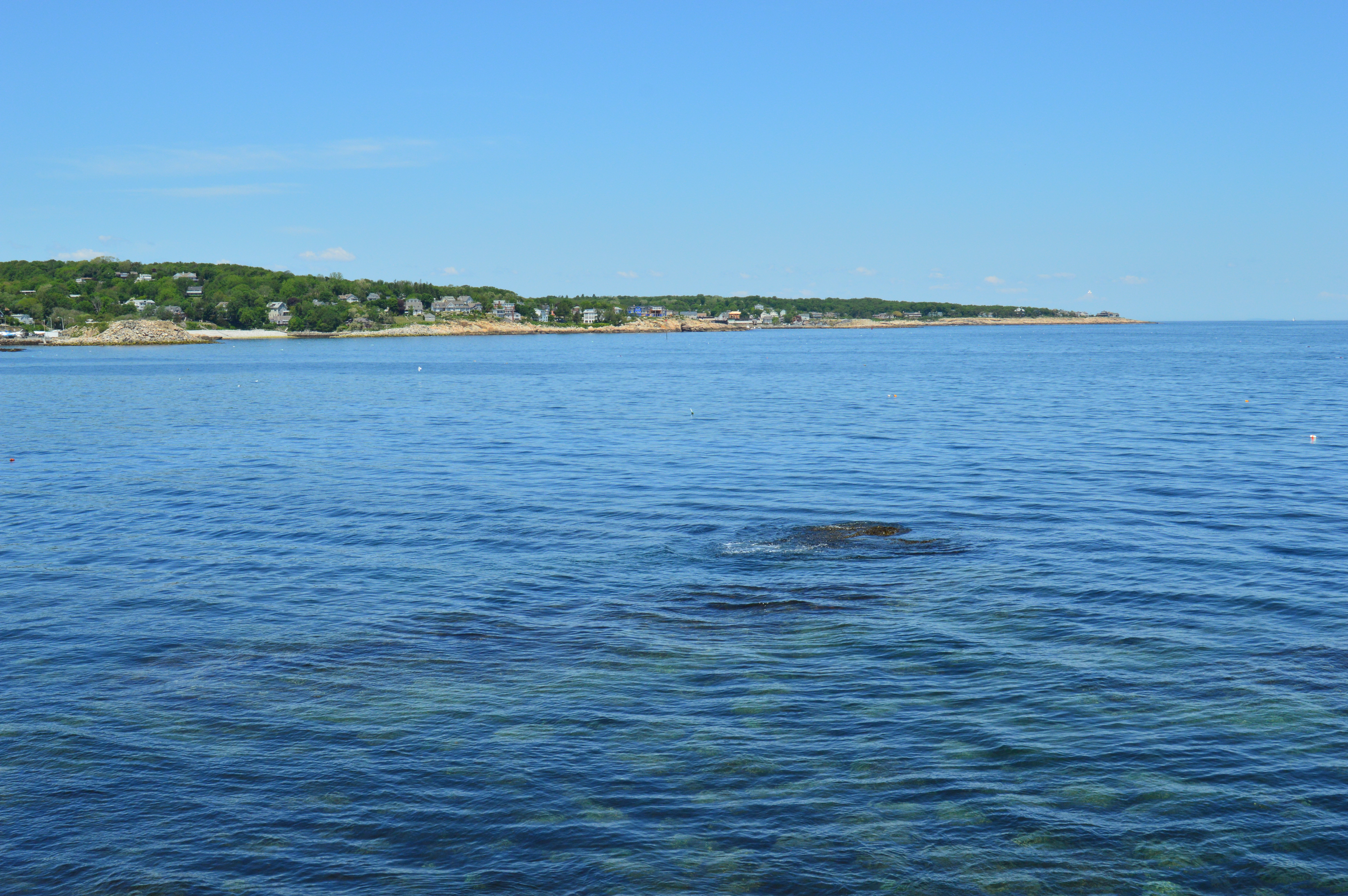
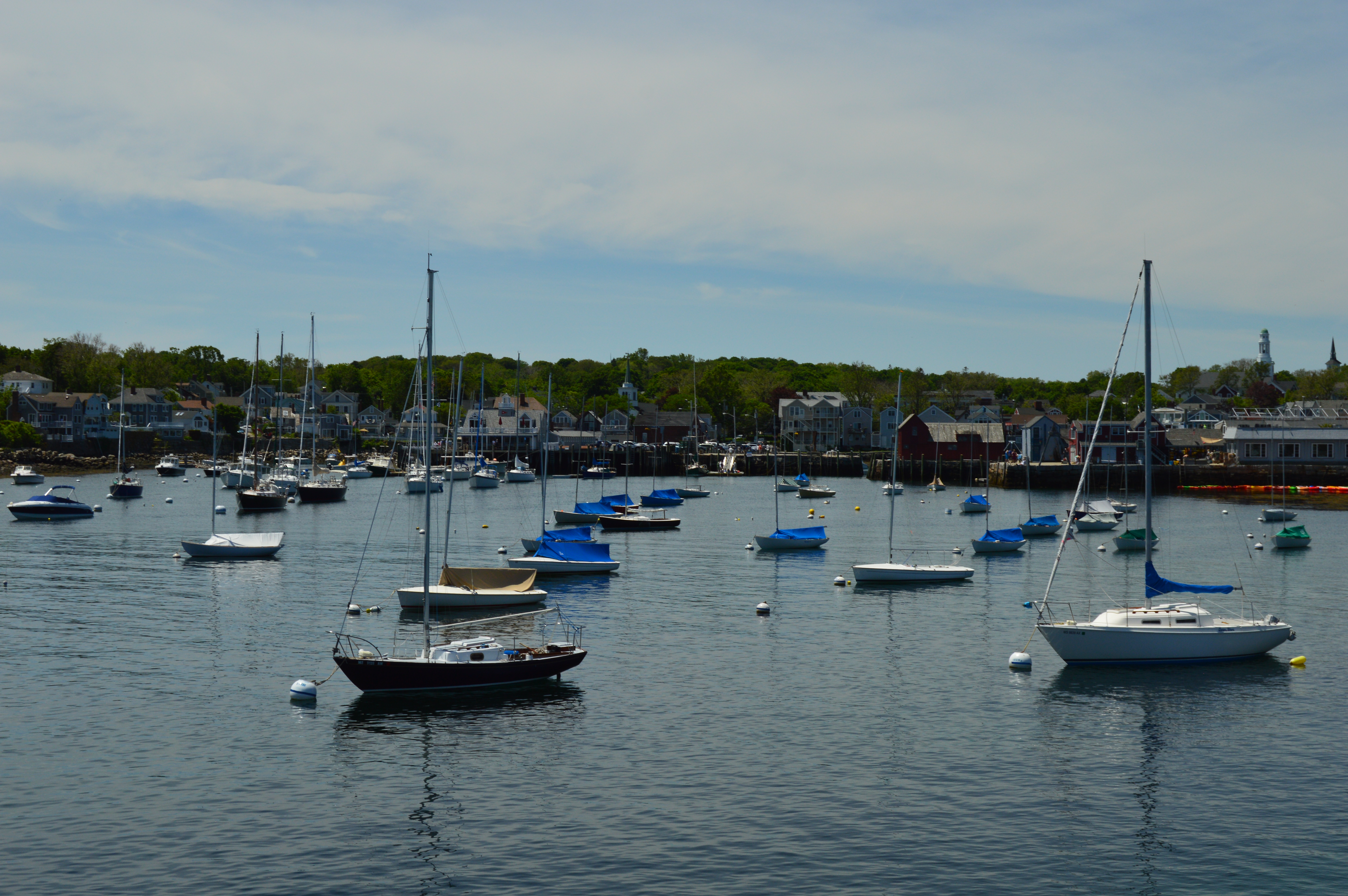
And then it was on to Rockport center. Yes, that all pictured above happened in the Bearskin Neck section of Rockport – one small road and connecting peninsula. Rockport Center has a more modern feel to it, albeit just slightly more modern.
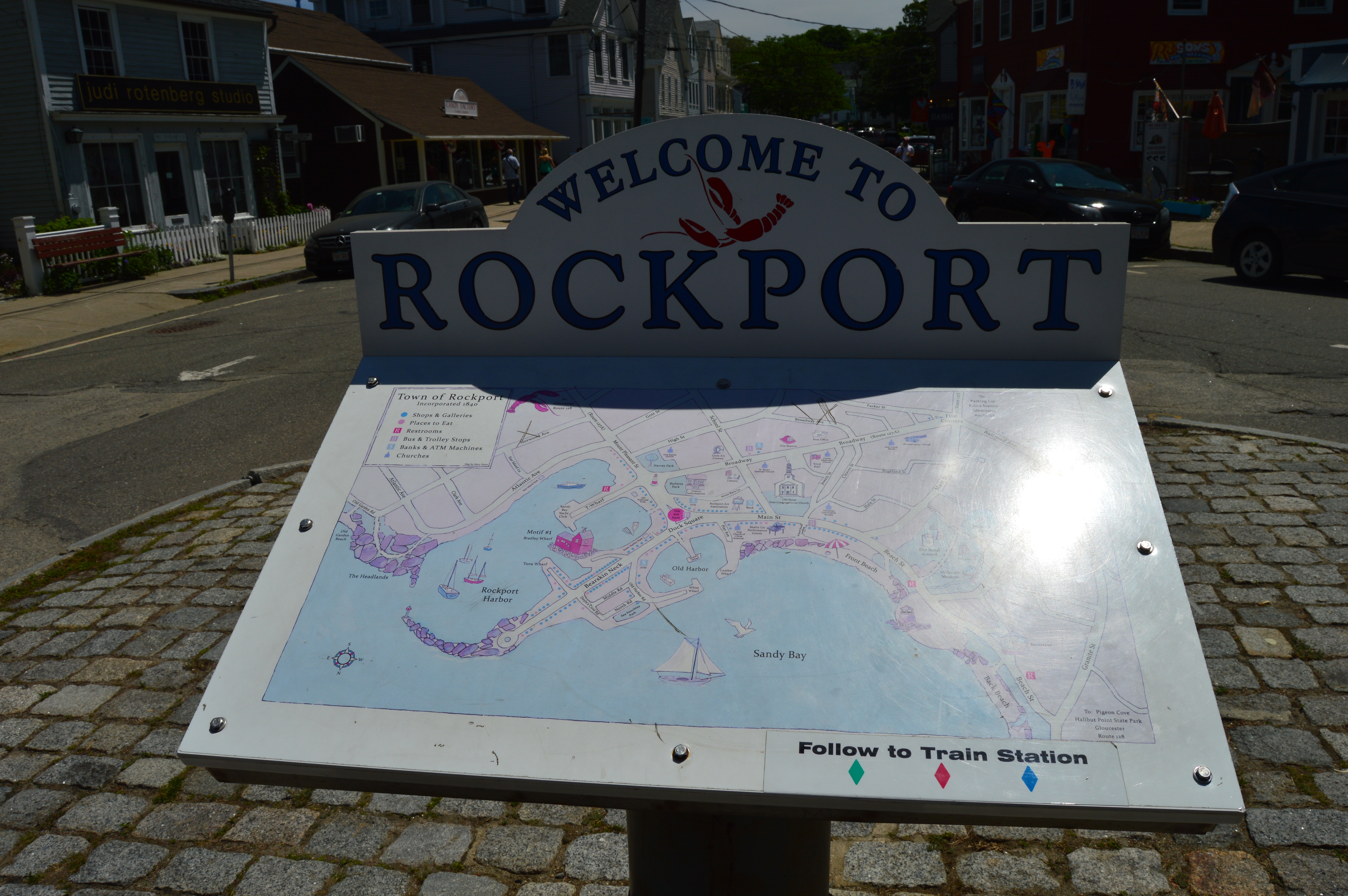
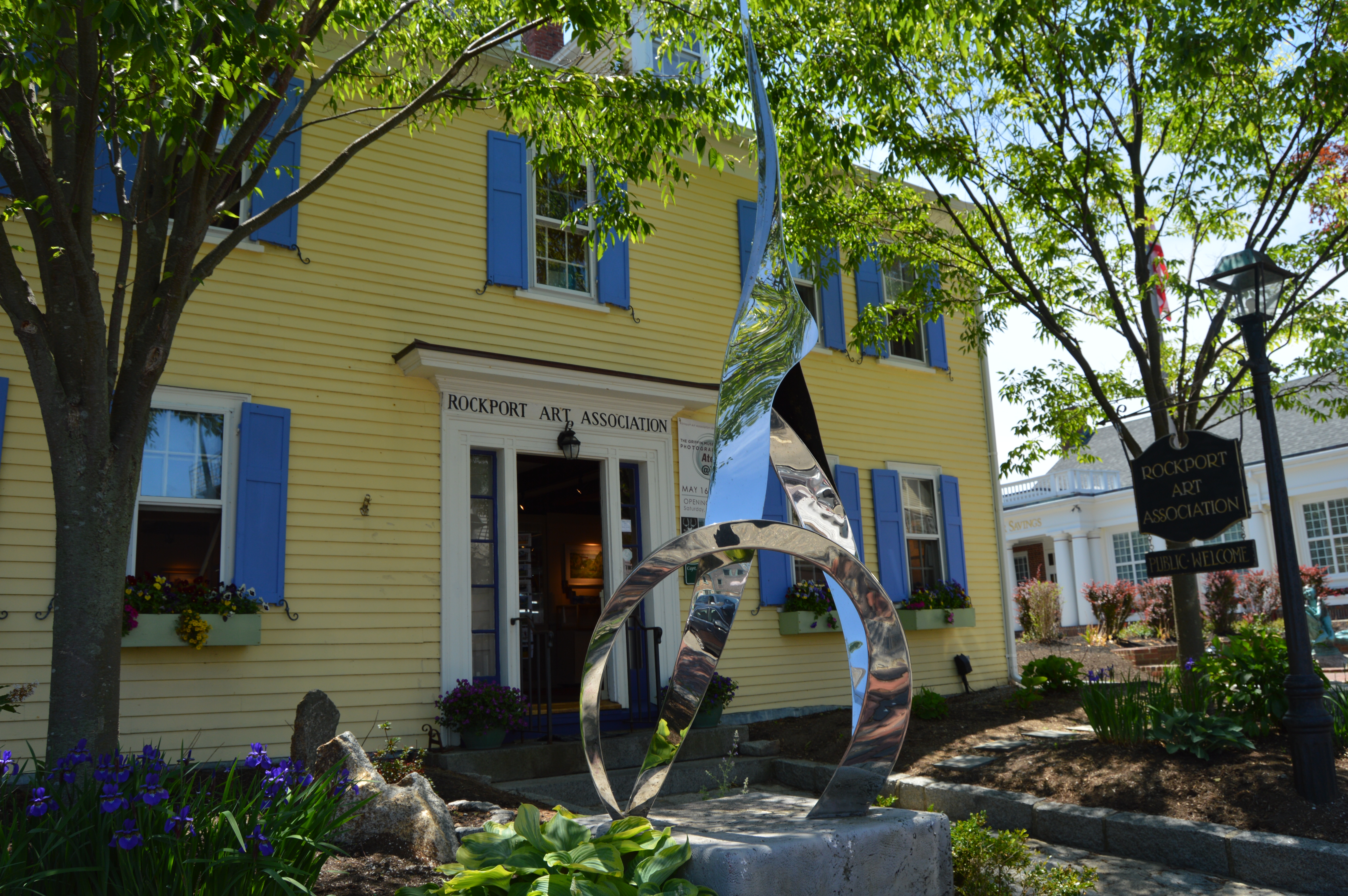
Most of the noteworthy attractions, such as the Rockport Art Association, are located in the Cultural District on or off Main St.
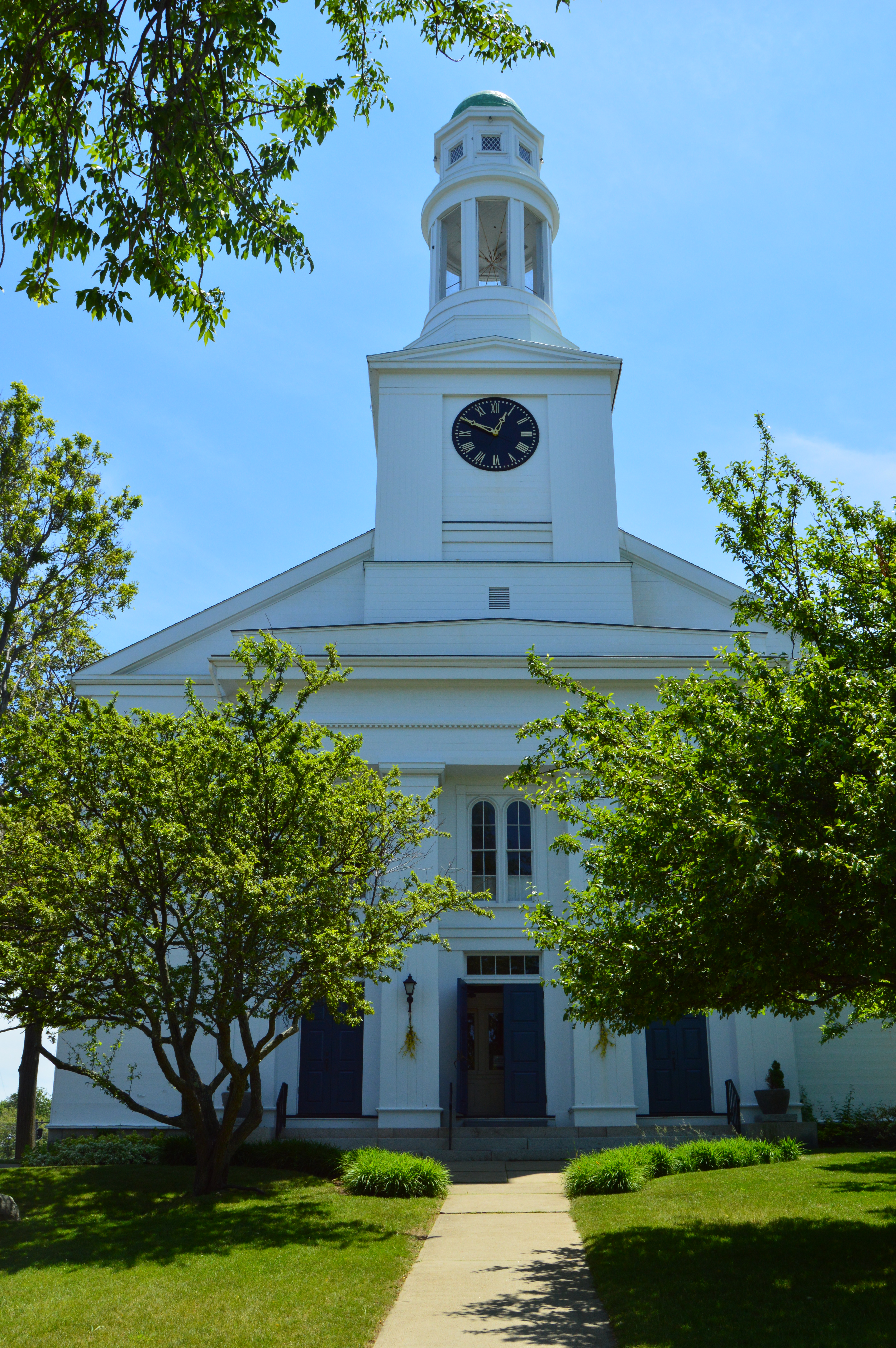
The First Congregational Church of Rockport has been in the same location since 1805, although other churches with the same name had been at different locations dating back to the 1700’s.
One of the coolest things about Rockport Center, at least for photographing, are the nooks in between buildings that allow for more unique photograph taking
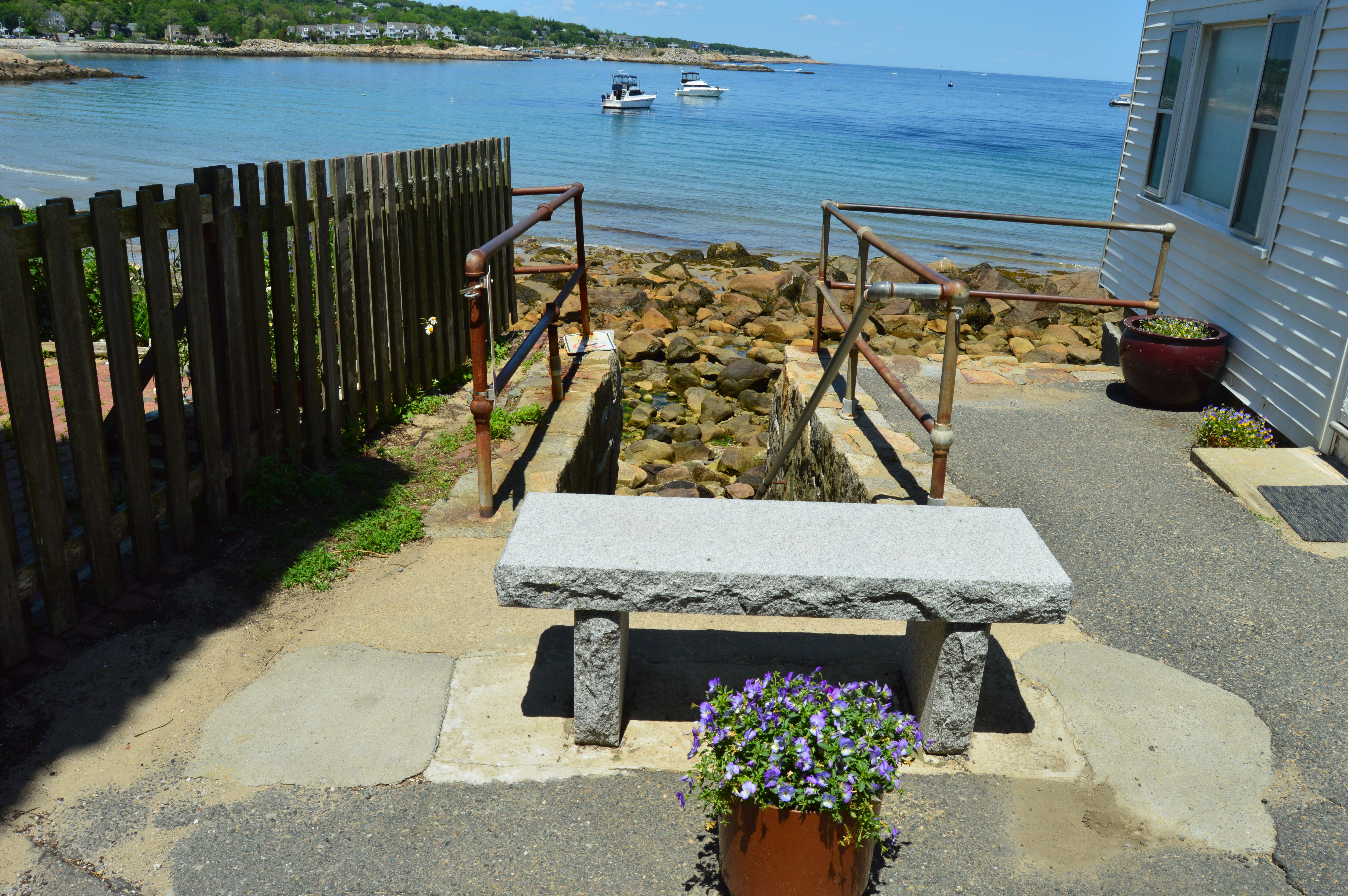
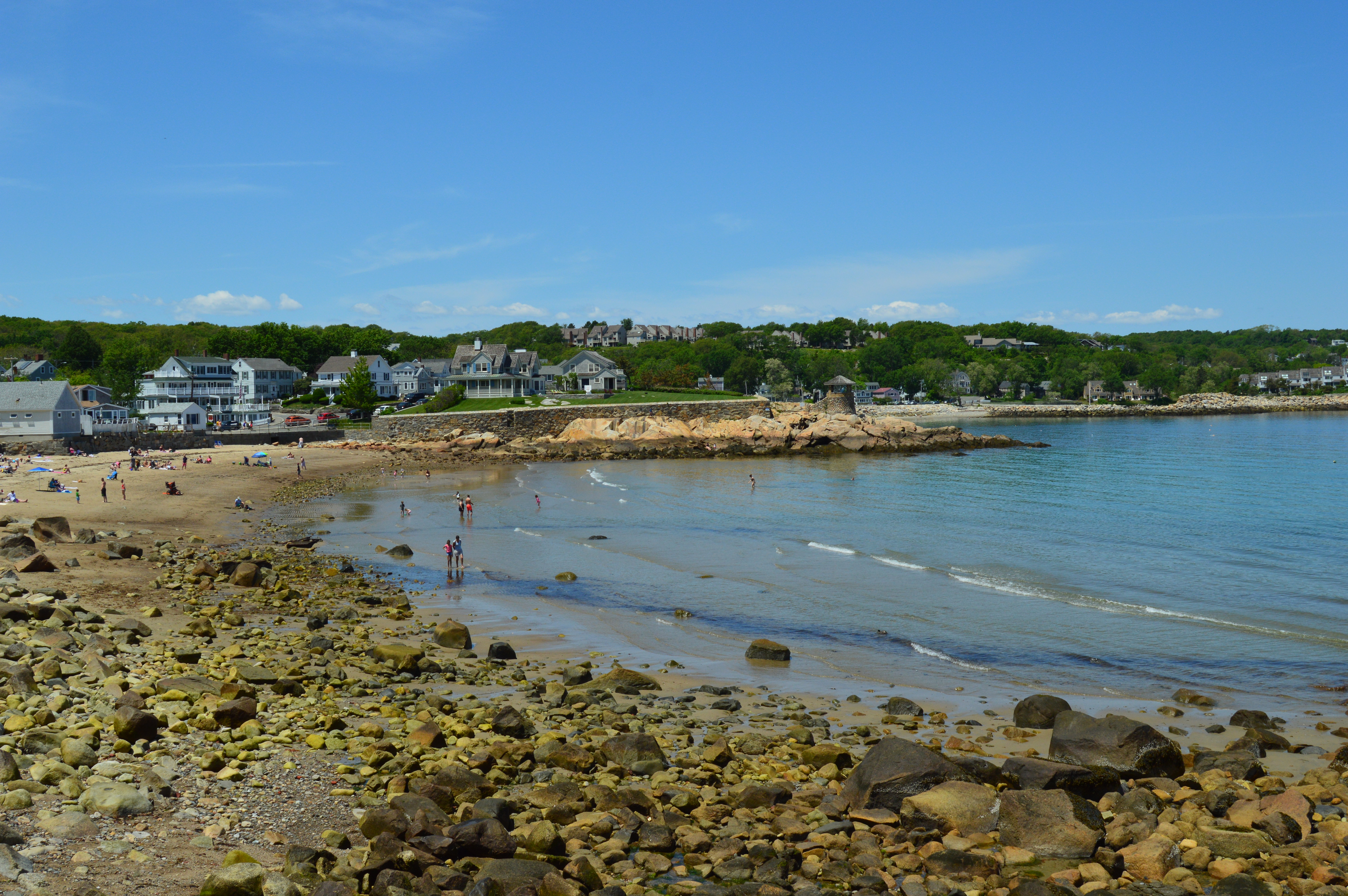
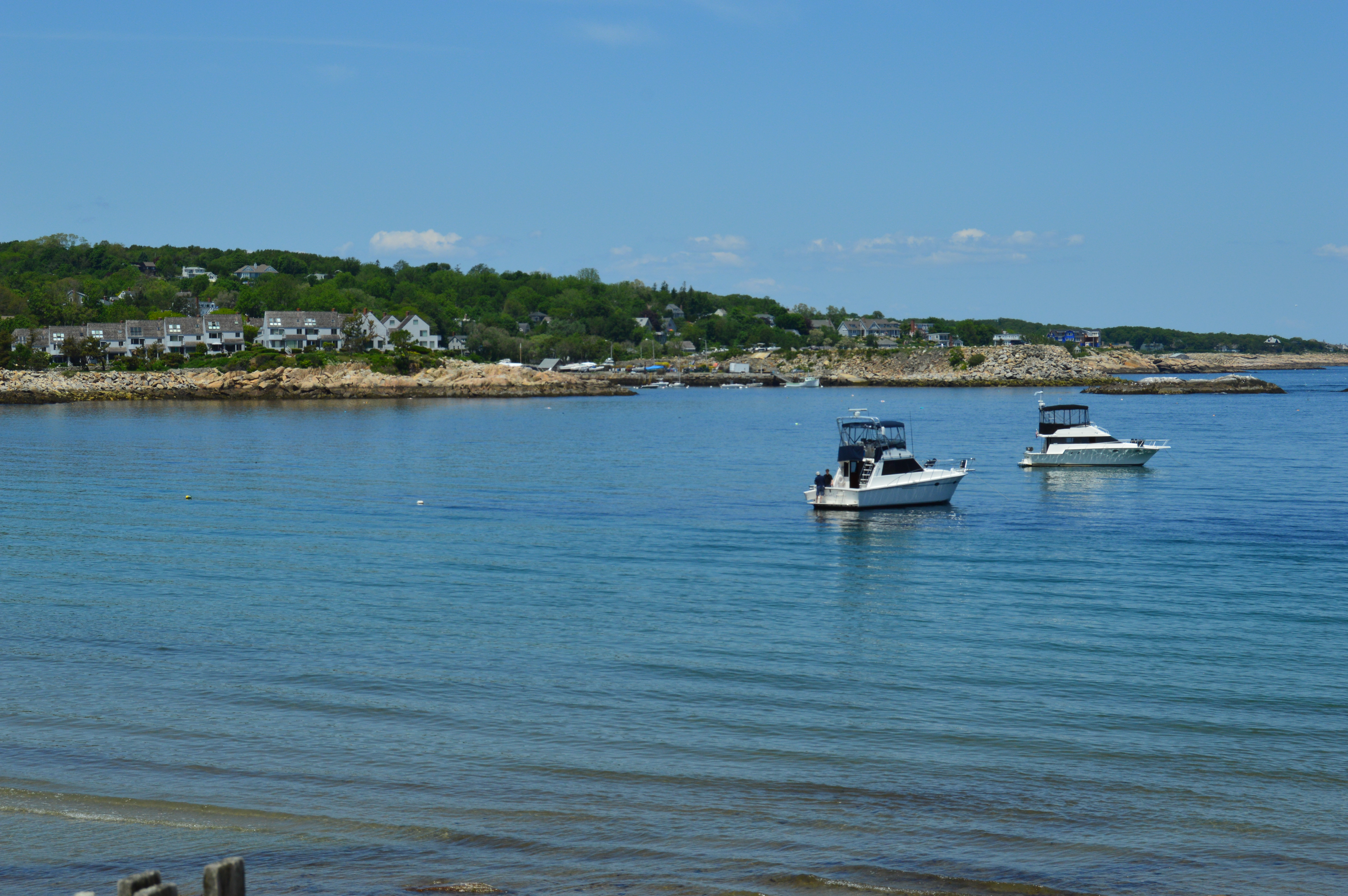 Rockport Front Beach is a cute little beach for boys and gulls of every age. Sorry.
On the way back to my car, Hooda let me take her photo. But, only if she could stand by her dad.

To enjoy Rockport to its fullest, a weekend trip or, better yet, a three day weekend would do it justice. I was barely able to take in a sampling of the main attractions in one day. And, I still missed out on some of the attractions. Beautiful and entertaining places are abundant. I have many more shots I didn’t include in this blog. To date, Rockport has been the most photo friendly, fun place to photograph.
Stanley Park (Westfield, MA)
As you enter the main parking entrance to the lush, well manicured 300 acre Stanley Park, you could easily take it for a playground or picnic area, at least at first glance. But, don’t be fooled. There lies a bevy of trails, wildlife and plant life as well as an assortment of memorials nestled behind the soccer nets, basketball courts and play areas.

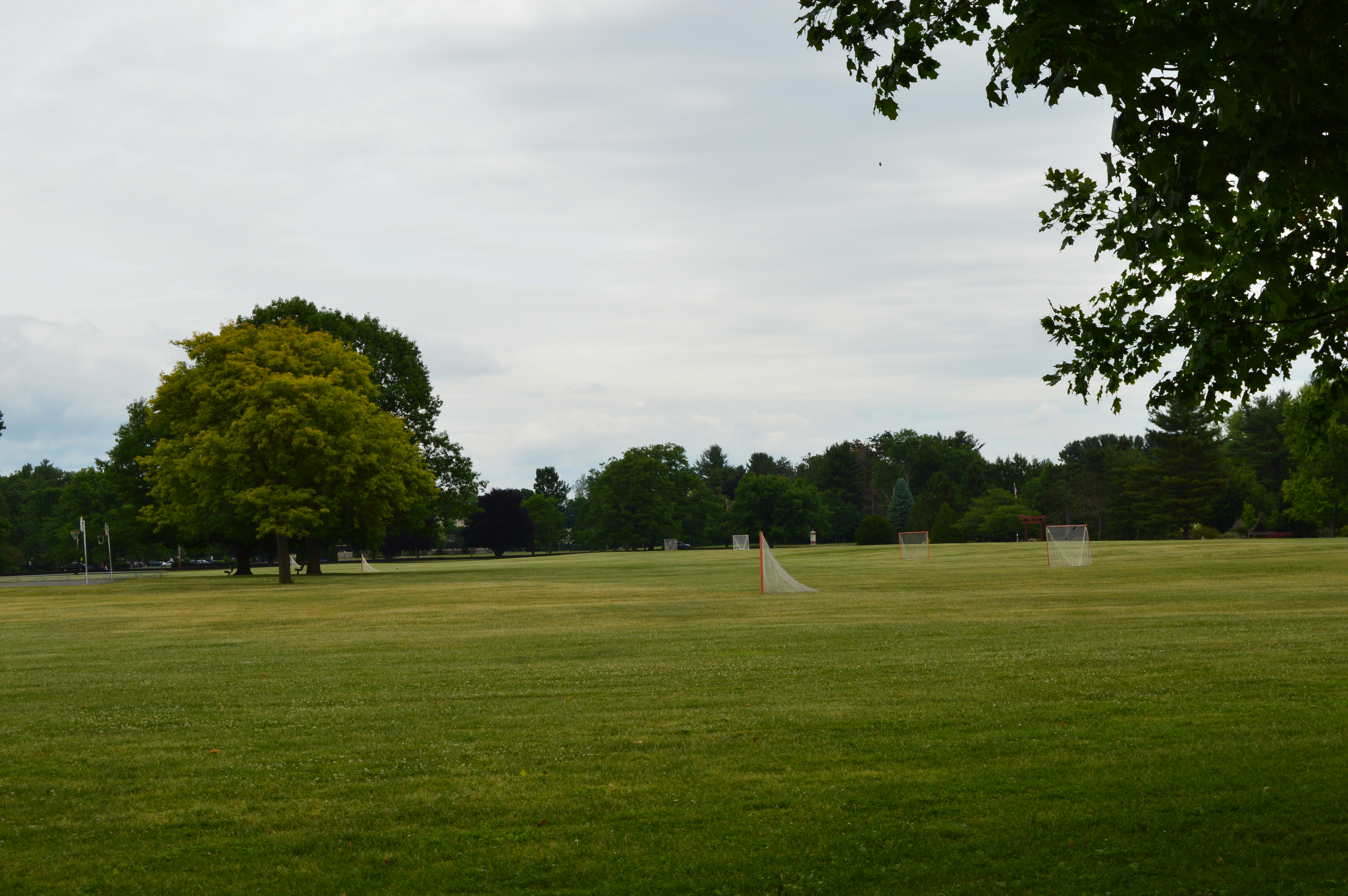
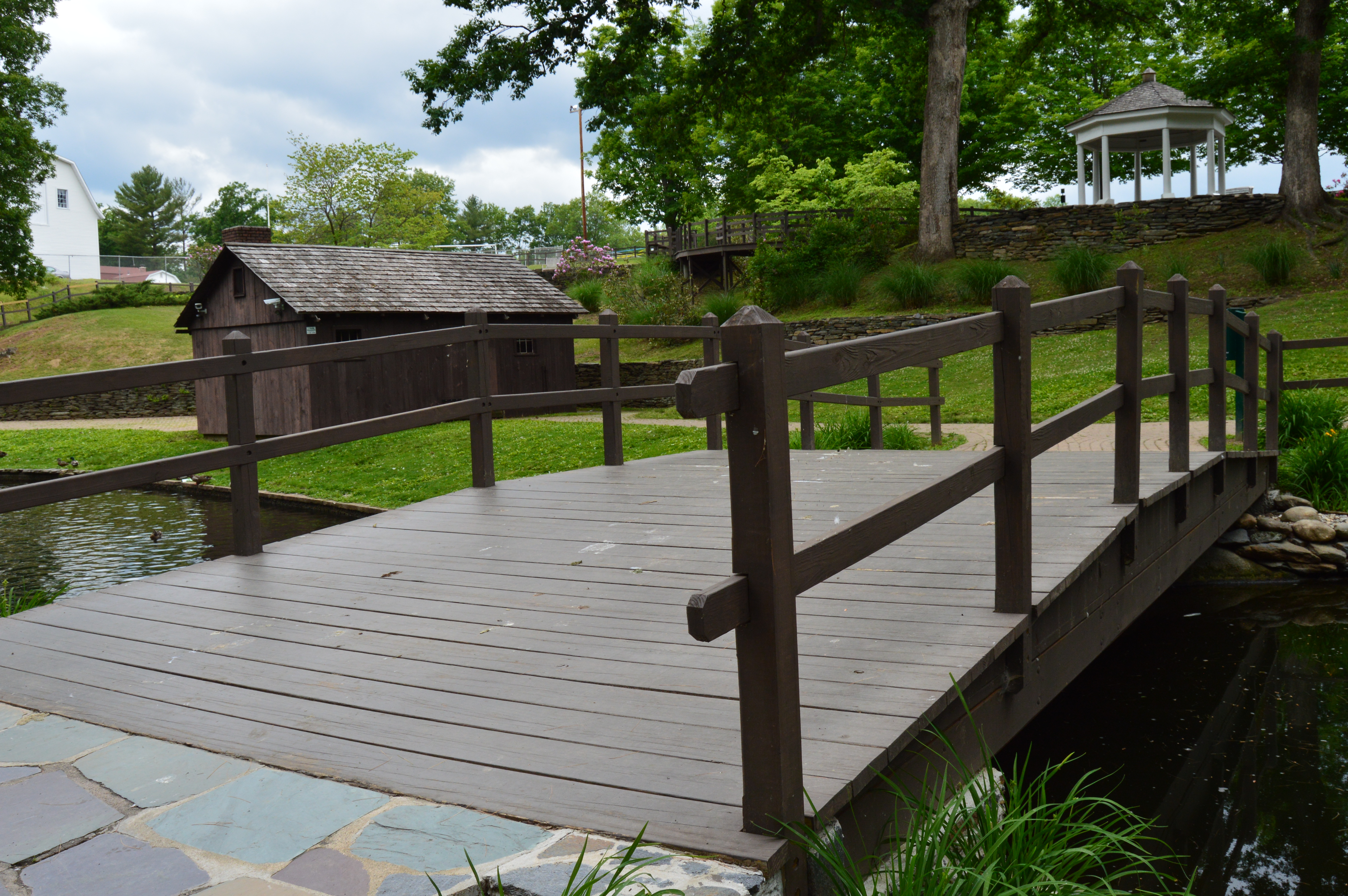
Stanley Park has several walking bridges and elevated wooden walking paths to view the various wildlife. The park also has a waterfall and mill.

The critters are not shy either. Being accustomed to the visitors, particularly those with food, chipmunks, ducks and squirrels (grey and black) will approach you within inches in the hopes of getting food, in this case peanuts, to store or eat. Aren’t they patient?

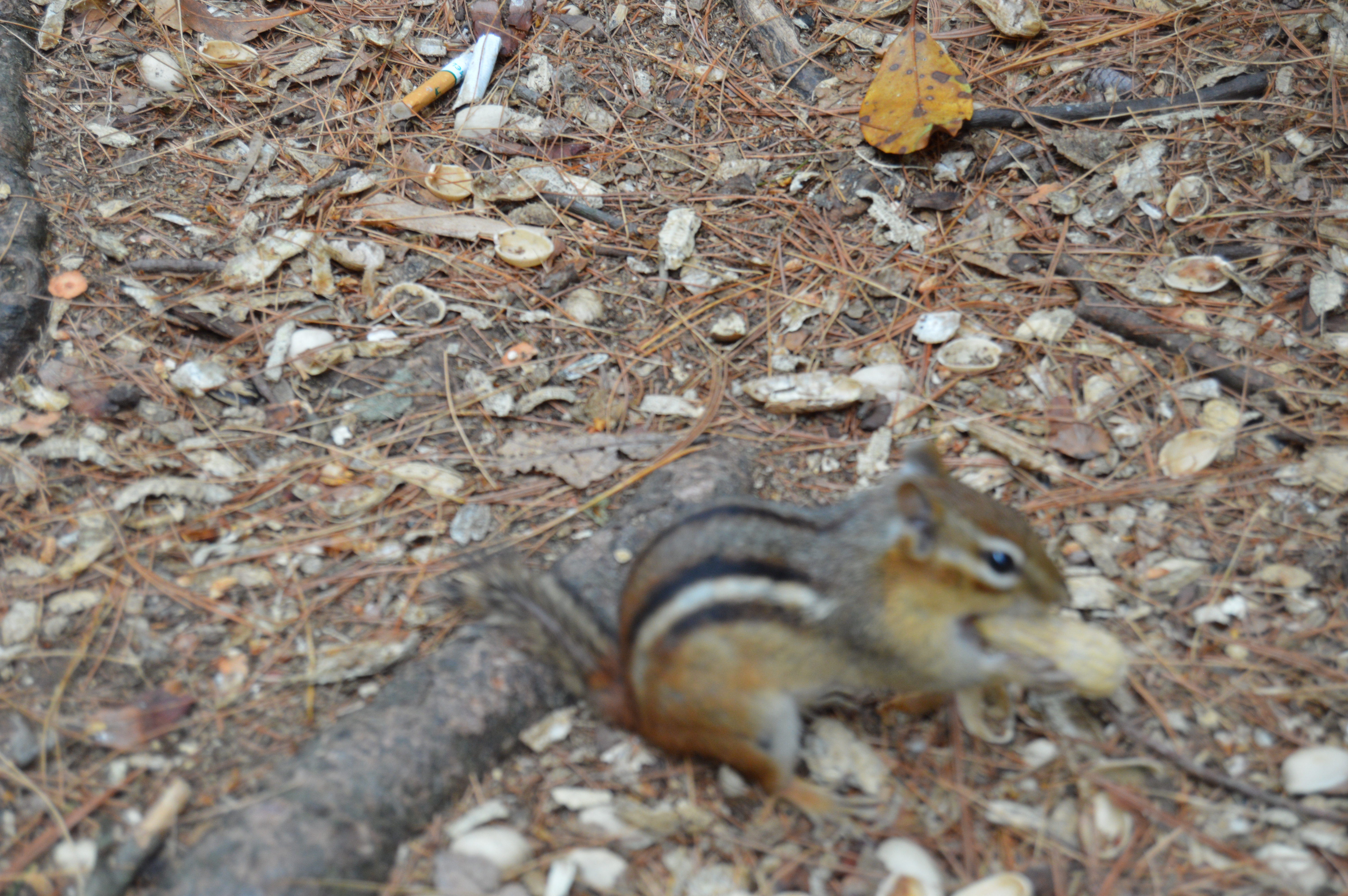
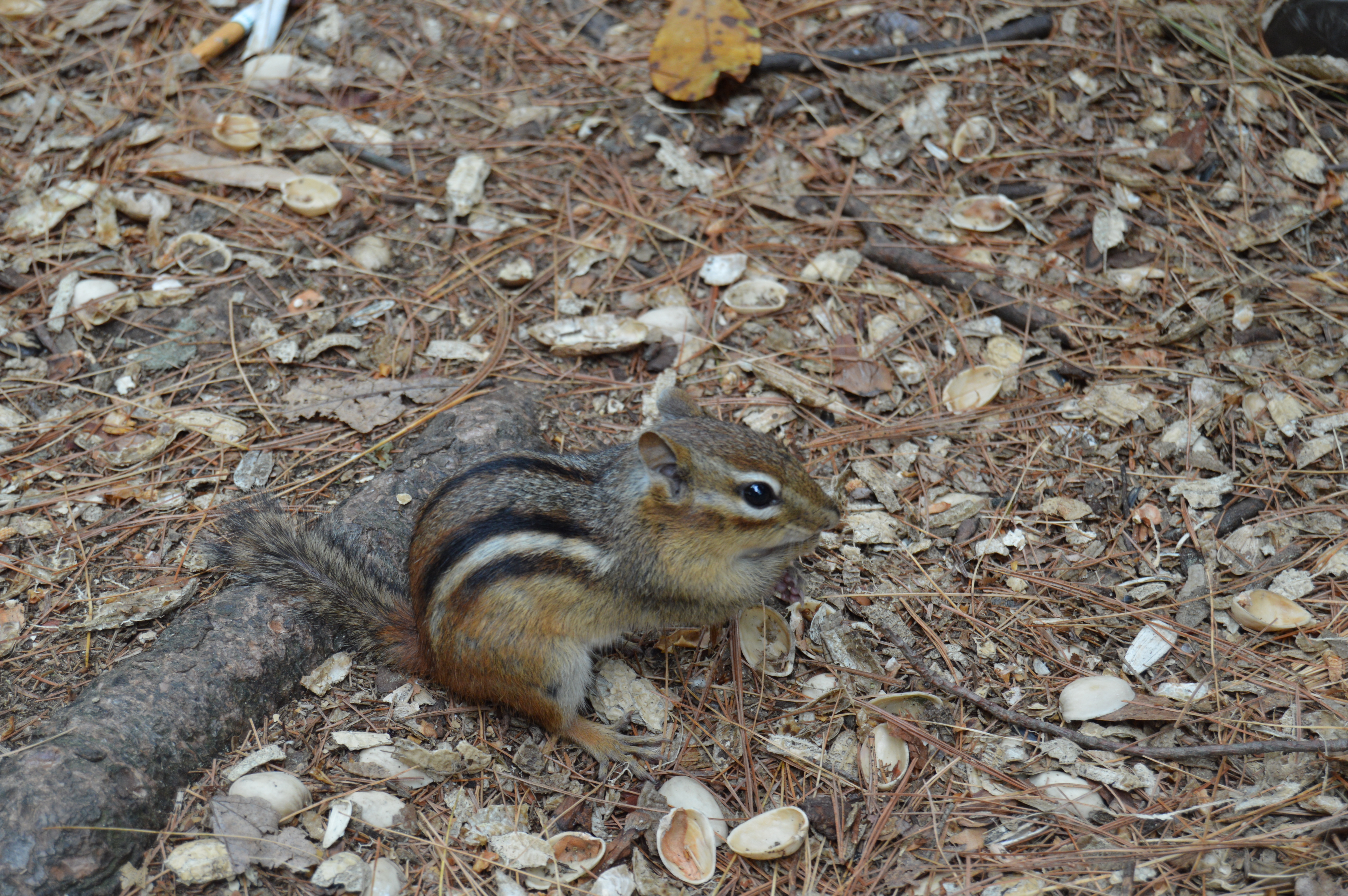
Since the animals there are so used to seeing people and often being fed, Stanley Park is an ideal place to photograph all types of wildlife, especially the amateur photographer. It’s pretty easy to get an otherwise skittish animal to get close enough to get a good shot of them, like these critters below.


Unfortunately, during my most recent visit to the park, a park worker informed me you must pay a fee to take photos, a steep one at that. I am still looking into this (the person in charge of the parks and recreational services was conveniently on vacation when I called Monday). So, my trip was cut short. I do have photos on my phone from a previous visit, though. Posted below are the photos shot with my camera phone. After looking into the matter with City Hall, an official told us the fee is only for weddings and other functions. A person shooting photos on their own does not have to pay the fee.
The Connecticut River runs through Stanley Park which gives ample opportunity to get some pretty views.


Yes, those are Koi fish in the river.
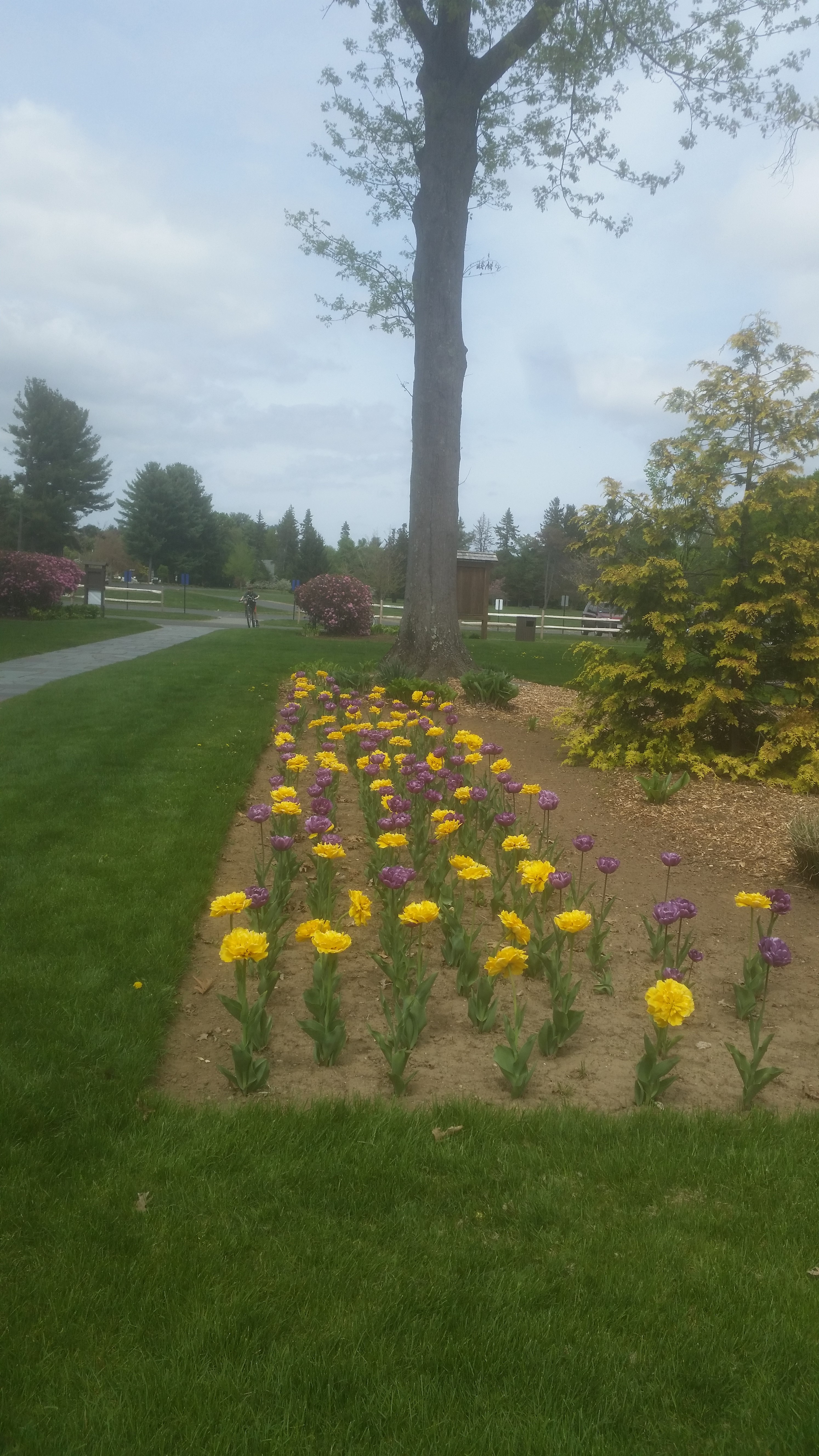
Stanley Park also has a well maintained garden that has a variety of plant life such as petunias and roses.


There are also miles of trails that runs along the Connecticut River. You could spend all day, or many hours following all of the trails.
Stanley Park also has many memorials and statues scattered around the flower and garden area. The memorial below was erected in memory of Otto Bono Galegari who was killed in the Korean War. Otto’s father constructed the monument in his son’s memory. Just contemplating the emotional undertaking this must have been is inspiring. In fact, it seems out of place in a park where people casually while away their summer days texting and playing catch. It deserves a more reverent setting.

And some religious guy:

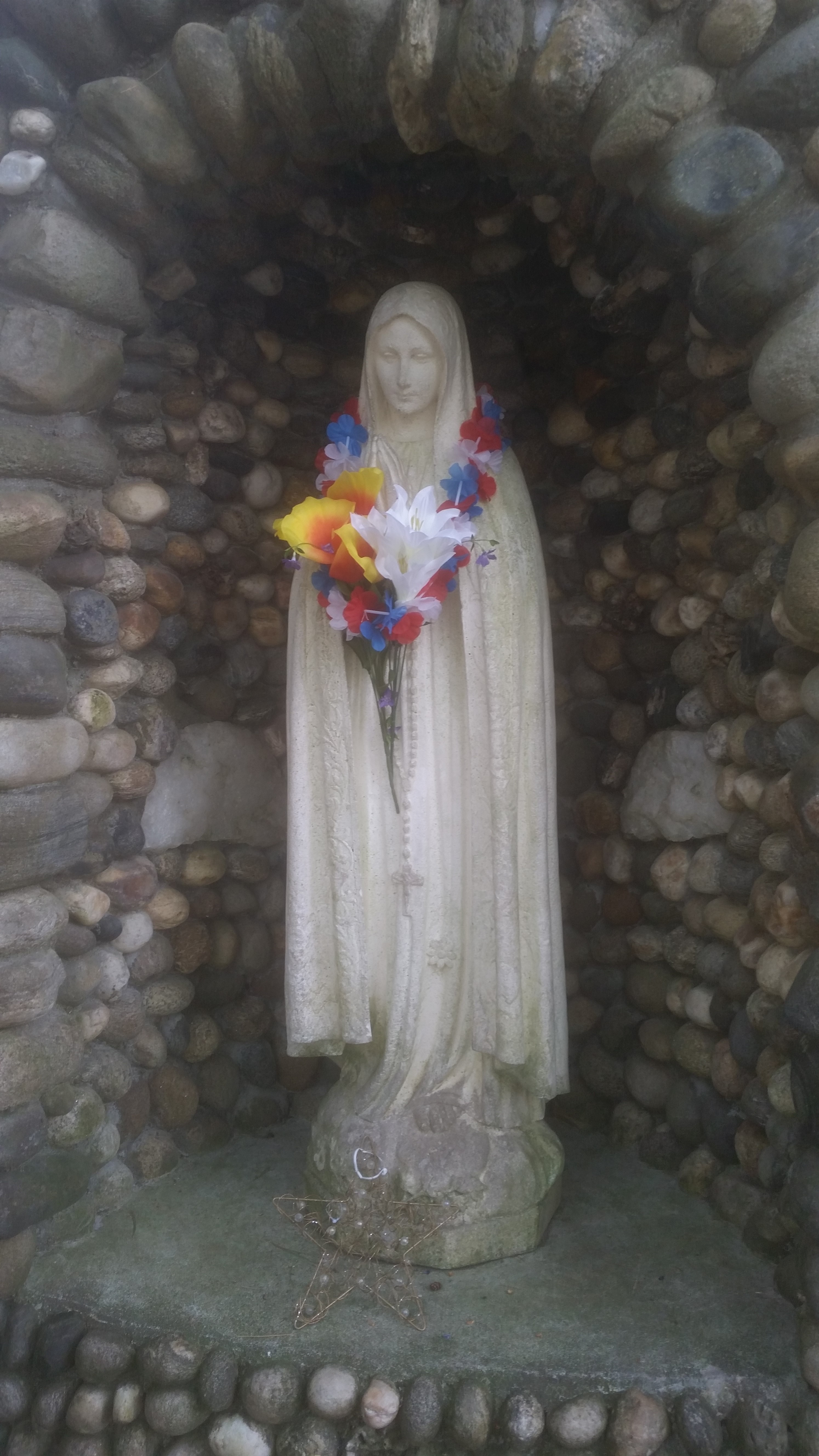
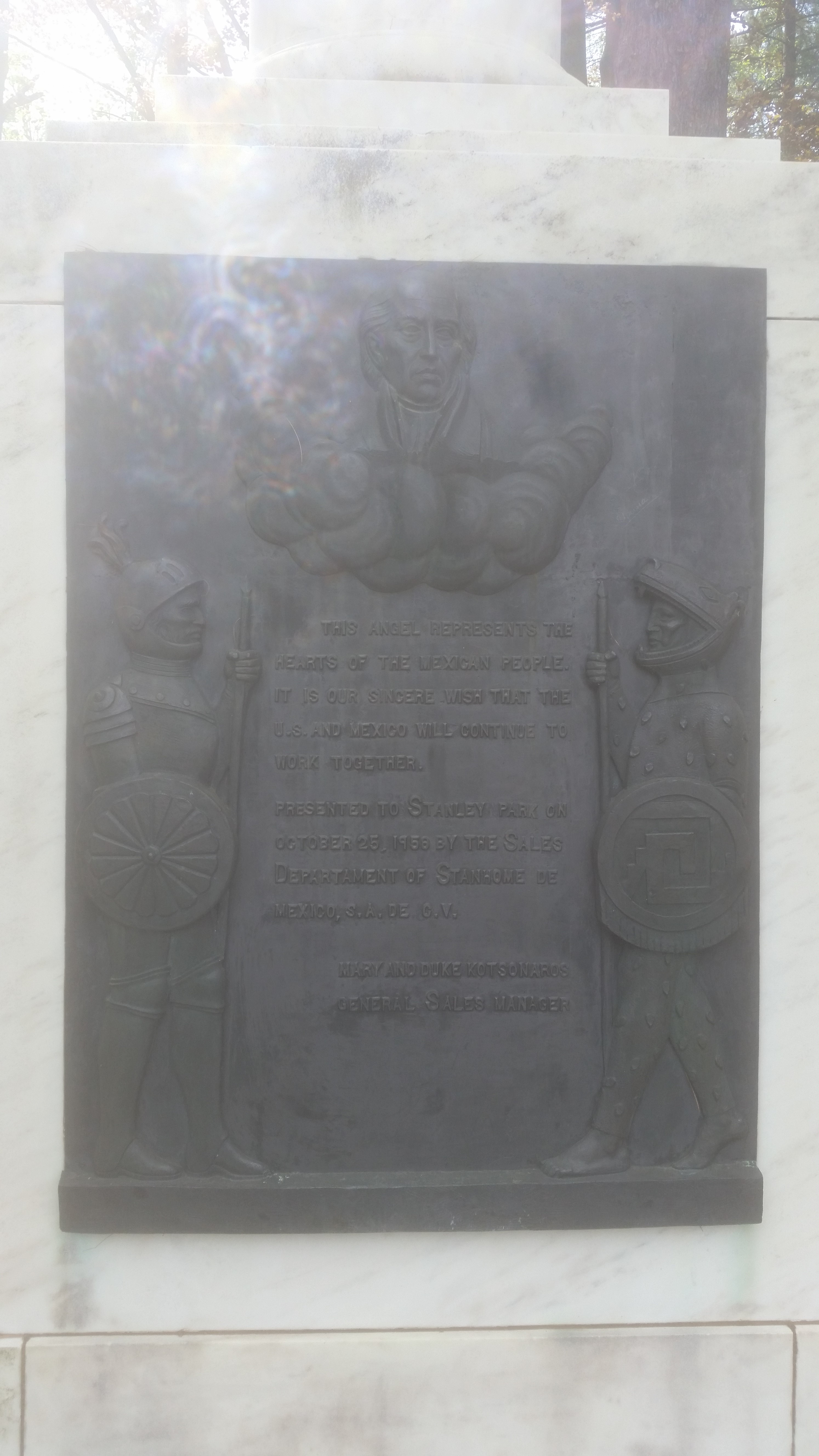
There is also the Angel of Independence statue which was set up as a tribute to the relationship between the United States and Mexico.

There is also a visitor’s center that has a a map of North America in front of the structure (not virtual size).


Overall, Stanley Park is a great place to spend the day or just a few hours (you’ll quickly lose track of time when you’re there). Just remember to bring lots of snacks for the squirrels, birds and ducks.
Blue Hills Reservation (Milton, MA)
Blue Hills, Milton, MA
Parking: Limited
Trails: Easy to moderate
Views: Boston skyline, surrounding areas (Braintree, Quincy, Randolph and Dedham to name a few)
Overall Beauty/Appearance : Below Average/Average
Fee: Free
Blue Hills Reservation Website
Blue Hills is one of the more visited parks in the South Shore region (south of Boston). It is precisely this reason that it is often taken for granted. So, when I decided to start this blog, I couldn’t resist starting with this old standby.
Nestled in the “main entrance” (the actual entrances are off Granite Street or Hillside Street depending on the direction you’re coming from) is a picnic area. A structure in disrepair stands in front the Chickatawbut Observation Tower.


Unless you’re visiting during off peak seasons, you’ll be hard pressed to find a designated parking spot at Blue Hills on a weekend day before noon. Parking is allowed in obvious spaces on the side of the road so long as other cars can pass. “Obvious” does often leave a little to the imagination, however.
As you may already know, Blue Hills is a pet friendly, well dog friendly, park. You’ll find many dogs on the trails and paths, some unleashed (although they’re supposed to be leashed). But, most dogs behaved themselves. I even I made a friend, Bailey. Not sure what the guy’s name is, though.

There are an array of bird life and other critters at Blue Hills. Birds of all stripes fly overhead. If you’re lucky you might even shoot one during your travels. I was lucky enough to spot this robin.

Apparently, it’s also an ideal place for a party. Who knew? Although this party doesn’t seem to have gone off very well. Yes that is cake and a stogie, mmmmm.

The views are decent, although trees and branches can obstruct an otherwise good photo opportunity. In fact, one of the best views is right in the parking lot. The main parking area and picnic area provides the backdrop for an unfettered view of the Boston skyline. The sky, being overcast, didn’t offer the best shot but on a sunny day or during sunrise and sunset, the view is much more pretty.


While the DRC does a good job trying to stay on the upkeep and volunteers do help out with the upkeep, there were few areas with graffiti and litter. But, overall it is fairly clean.
The main trails are well defined and safe to walk on but then you come across something like this.

While still passable, it may be better for some people to stick to the “beaten path.” But, the treacherous paths are worth traversing to see the views of Boston.


Houghton’s Pond is also within walking distance from the main parking area of Blue Hills. It’s not uncommon to see people fishing and engaging in other activities. The water attracts a variety of birds who stop by for a quick dunk or to wet their beaks.


I was unable to visit the weather observation center at Blue Hills. But, it is a popular attraction. I will have to make time for it next time.
In closing, during my visit at Blue Hills, I noticed how the most innocuous things in our lives can leave an impact on us. Such was the case when I came upon this.

Who is D.M.? Who is E.S? Are they still together? How many other couples have etched their initials into other trees? So many people pass through these reservations. It makes you feel a connection to other people and to nature, if only for that fleeting moment.
