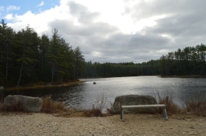
Arms Park is a unique kind of park. In fact it’s not really a park at all. A stream, fed by the Amoskeag Fishways, runs parallel to the park. It is the perfect place for people who love the sound of water and watching waves (and based on my previous posts I know you’re out there). There’s not much to Arms Park. A parking lot takes up most of the area (which has led some to call it “Arms Parking”) and a few office buildings dot the landscape. It’s certainly not one of the most picturesque landscapes but the stream and walkway does have a certain charm. It is often used for observing important important days such as the annual Pearl Harbor Day observance event and the Fourth of July fireworks display.
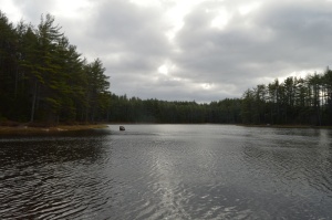
The river is usually pretty rough and could consequently be dangerous if anyone got caught up it in.
This slideshow requires JavaScript.
It was still fairly cold when I went to visit, so the water which did splash on the railing quickly turned to ice.
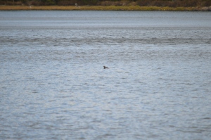
A variety of birds like to seek refuge at Arms Park. I saw a bunch of gulls there during my visit.
Arms Park has a short walkway along the river with benches along the way.
The video below gives a better representation of the choppy water at Arms Park.
How could you not want to visit an area with the name “by the sea” in its name? It sounds like the name of an idyllic setting from a novel. And the town lives up to that description. I passed by several fruit, vegetable and flower stands as well as signs to watch out for people riding horses. The houses and town also had a very Norman Rockwell feel.
I wasn’t sure how the footing and appearance of the park would be given the recent snowy weather and icy conditions on many of the trails at other parks. As it turned out, most of the ice and snow on the trails had melted and I only had to manage some small patches of ice and mud from the melted snow.
The trails are clearly marked and easy to walk. There are no steep inclines and the paths are wide enough to accommodate the throng of visitors.
There are a few trails that meander slightly off the trail. But one trail simply leads to the street and is behind a bunch of cattails so you really can’t view much of the pond. The other stupid trail goes to a thorny, rocky dead end.
As you walk on the main trail, you will pass Clarke Pond on your left. It was partially frozen and there were some ducks and geese milling around. I also got a few shots off them dunking for lunch. The gulls in the first photo looked like big blocks of snow at first glance. I especially like how the mom and dad duck kept the baby duckling close to them.
This slideshow requires JavaScript.
There were many breath taking views of the pond. I especially like how the frozen parts of the pond break with the unfrozen sections.
This slideshow requires JavaScript.
To the right of the main trail, I found a side road with a pond that channels into Clarke Pond. There were a variety of ducks and geese in this pond.
This slideshow requires JavaScript.
I met a lot of friendly and cool people at Coolidge. Shapoo was one of the cool and friendly folks I met (the name is a mix of shih tzu and poodle) .
Much to my consternation, I was unable to find the Ocean Lawn which offers views of the Boston skyline and Cape Cod as well as scenic views of the water. I totally missed the boat on that one as there are some great views and opportunities for some great shots from there. But, to the left of the trail, Magnolia Beach more than made up for it which I will post about very soon…click here to read about my visit to Magnolia Beach.
Price: $20 for adults, $10 for children (ages 3-11) and seniors (over 65)
This was a special cruise and is not something they do regularly in the winter. During the spring, summer and fall they have cruises scheduled regularly.
Twenty degree weather and an impending winter storm; what better conditions for a harbor cruise. Ironically, that statement could not be more accurate.
We were greeted by gulls and rough seas when we arrived at the wharf.
As we made our way on to the boat for and they announced the cruise would be a three hour tour (in retrospect, that Gilligan’s Island reference should have been a bad omen), I was surprised by how roomy, comfortable and modern it was. The three story boat had booths on the sides of the cabin area and ample seating.
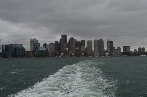
Even before we left the wharf I took some shots of the bay. You can see Logan Airport in the distance in some of the photos.
This slideshow requires JavaScript.
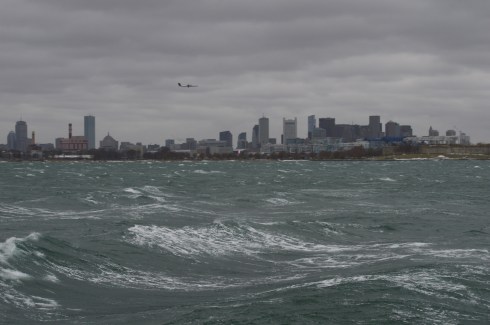
As the boat left the bay, I took some obligatory photos of the skyline.
I had to bundle up (and hold on tight to the railing) for the shoot. I was surprised at how well I handled the overly active ocean. I’ve never been particularly fond of roller coasters, wavy oceans or anything that moves to and fro quickly. But, I did fine. The only time I felt a tinge of sickness was when a fellow traveler described his own feelings of sea sickness (gee, thanks random stranger). But, that quickly passed.
There was a variety of sea life, although the choppy waters made it difficult to photograph all of them. DCR (Department of Conservation and Recreation) officials were on the boat with binoculars on the lookout for wildlife and other points of interest and announcements were made whenever a bird or other animal was sighted.
I did photograph this Eider as he swam with friends.
and a few other elusive birds.
This slideshow requires JavaScript.
Even though it was a cruise for wildlife viewing some of the best views were of the harbor and the islands.
This is Spectacle Island. Spectacle Island was made entirely from the dirt from the huge construction project known as the “Big Dig”. it is much prettier during the summer.
These are some photos of Boston Light. Boston Light is the first Lighthouse in America. It is still working today.
This slideshow requires JavaScript.
The Deer Island Waste Water Treatment Plant began operations in 1995. It is clearly the jewel of Boston Harbor. Prior to the construction of the sewage plant, sewage from Boston’s treatment facilities had contaminated shellfish after the sewage had been released. Lunch, anyone?
These structures are what is left of the bridge to Long Island (not the one in NY – we didn’t go out that far). It was dismantled recently. Personally, I think they should keep them. They make for a good background for photography.
Below is a slideshow of some of the other shots from my cruise. It was very windy and the sea was pretty choppy. I tried to capture this in the photos.
This slideshow requires JavaScript.
Finally, I found a cute furry animal named Bailey to photograph when I disembarked from the boat.
See below for videos of the cruise to get a better idea of just how windy it was.
When most people think of Newport, Rhode Island, they undoubtedly think of the ornate historic mansions. But, there is another gem in Newport – Easton’s Beach.
I was greeted by these Canadian Geese upon my arrival.
A short drive from the mansions, Easton’s Beach is less than a mile long. But, what it may lack in size it makes up in charm and beauty.
This slideshow requires JavaScript.
The gulls, who were in abundance at the beach, are not shy.
Easton’s Beach is also a popular destination for sea loving dogs. I met Jack during my visit.
Parking was ample during my visit. But I suspect it fills up quickly during the warmer seasons. You do not need to feed the meters in the off season. After May 1st and until Oct. 31st parking fees are in effect (parking at an on-street metered space is limited to a maximum of three hours and the rate is $1.25 per hour and the meters located on Memorial Blvd. near Easton’s Beach are $2 per hour). It’s definitely worth the 2 clams if you’re in the area.
Named after Frank Winsor, the chief engineer of the construction project, the Winsor Dam section of the Quabbin Reservoir is a mecca for nature lovers, outdoors people and anyone who just wants to get out for a walk along the largest inland body of water in the Commonwealth of Massachusetts.
If there is one word that best describes the Winsor Dam it would be peaceful.
The easy to moderate walking trails are surrounded by rolling hills and crystal blue water
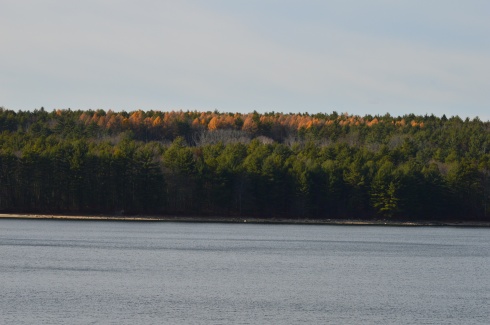
I missed the foliage season. But, you can still see the colors peaking from the tree tops.
The staff at the Quabbin Reservoir use these boats as part of their gull harassment program to limit the pollutants from the birds.
Located about a half an hour from Springfield, MA and an hour and a half west of Boston, MA, Quabbin Reservoir supplies water to three towns west of the reservoir and acts as the backup supply for three other towns. There was a seasonal fall breeze during my visit which created pretty ripples on the water.
Quabbin Reservoir is expansive (it has an area more than 38 and a half miles). It is separated by different dams and sections. There is a pretty walking bridge that you can use to visit some of the other areas. There are some great views from the bridge.
The distance between dams are more than a mile. So, it is often a good idea to drive to the different parts of the reservoir.
One of the many great things about the area is that after you cross the bridge there are trails and a creek which people use to fish. I got my first two ticks of the season taking these photos, so you’re welcome!
The water is green in some places and it is so clear you can see the trout and other fish that inhabit the water.
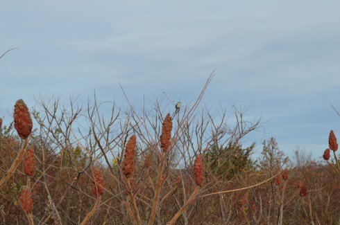
There are also a variety of bird life at Quabbin Reservoir. I caught these titmouse on the trail (ok I laughed a little when I wrote that)
Dogs aren’t allowed at Quabbin reservoir. I did see one dog that was “in training”, though.
Once a seasonal campsite for Native Americans as well as the site for a fertilizer factory and a missile launcher warehouse, Webb Memorial State Park has gone through many changes over the years. It has since been cleaned up and developed into one of the lesser known jewels of the South Shore of Massachusetts.
Named after William K. Webb, a World War II and police officer from Weymouth, Webb Park is a popular spot for joggers and other outdoor enthusiasts. There are many different paths that offer various pretty views of the skyline of Boston and the surrounding cities.
You can see planes flying to and from Boston’s Logan International Airport. They are so loud you can hear them clear across the harbor.
There are also several monuments at Webb State Park.
This memorial is named after John Cole, a former resident of Weymouth, MA.
This memorial is dedicated to Chief Engineer Donald F. Haviland. Haviland was on the Henry Bacon which took heavy damage from enemy bombers. He refused to take a seat on one of the lifeboats because the lifeboats were running out of room and not everyone could fir on the lifeboats. Haviland gave up his seat on the lifeboat to a younger person and he died when the ship sunk. He is certainly worthy of our admiration and this token of our appreciation. This memorial certainly makes you think.
Another monument memorializes the Grape Island Alarm which was a Revolutionary War battle where a Weymouth militia fought back the British Navy.
This slideshow requires JavaScript.
There is also a memorial dedicated to Domenic J. Sansone.
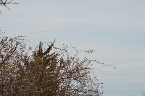
There are a variety of birds in the area. I was lucky enough to photograph this woodpecker
a sparrow
and this female cardinal. You might have to enlarge the photo at the top of one of the branches toward the right side of the tree.
I also spotted this bird. Another one that might be a little hard to see unless you zoom in.
There were many additional land animals at the park during my visit. (top left to right – Nandi, Molly and Ziggy, bottom left to right – Ellsbury, Louie and Olly)
There were so many beautiful spots at Webb Memorial Park. I have included a few more miscellaneous images in the slideshow below.
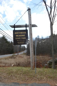
From the outside Northwood Meadows State Park doesn’t look like anything out of the ordinary.
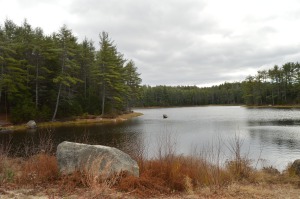
A pond, a creek, pretty trees and a few unusual rock formations are on the main trail.
But, it’s the meadow that sets the place apart from other parks.
Of course, after a few minutes, it began to snow.
Then, just like any typical New England day, it stopped and the sun was out after 5 minutes of driving snow.
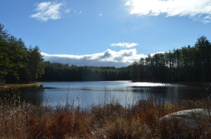
There are some beautiful views of the meadow.
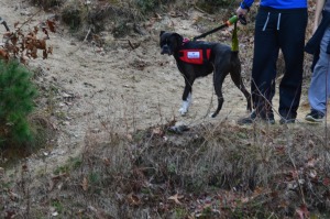
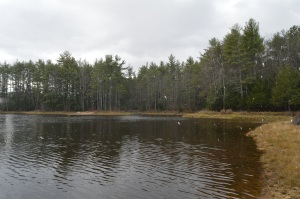
Northwood Meadows is also a popular spot for dog walking. You may notice some of the dogs are wearing orange. That is because hunting is allowed in some designated areas of the park.
The photos don’t do it justice, though. Northwood Meadows is a must see for dogs and humans!
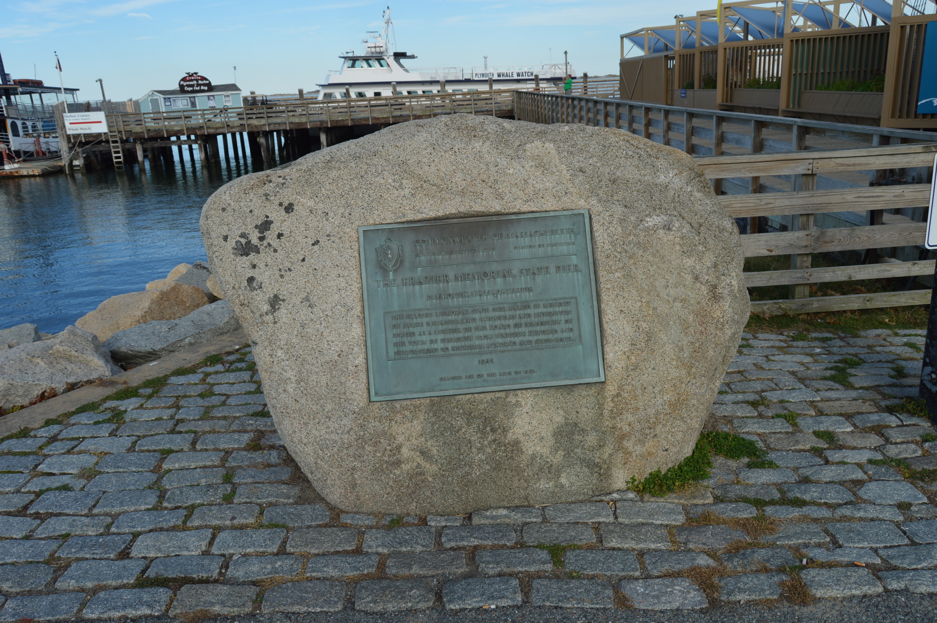
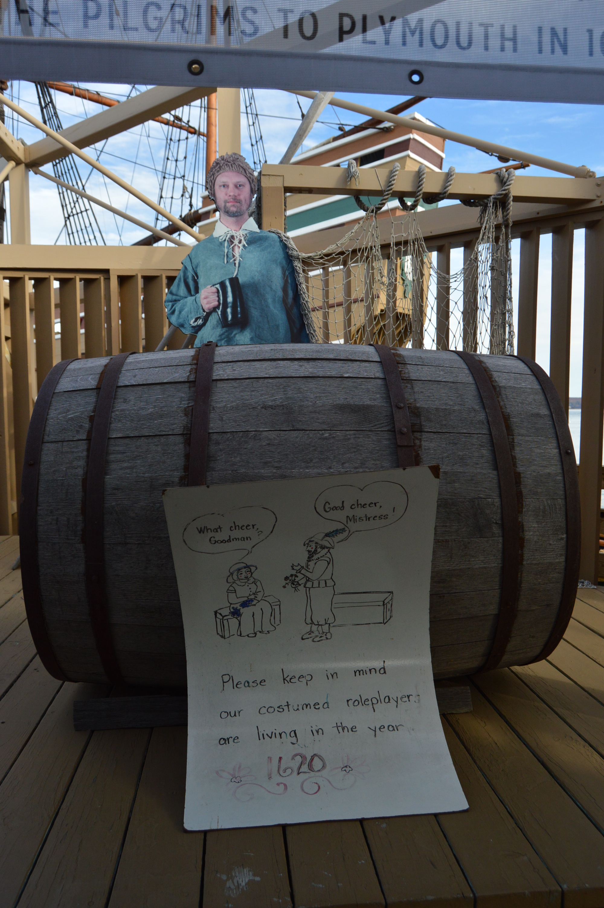
After visiting Plimoth Plantation, the next obvious destination was the Mayflower II. The Mayflower II, an exhibit of the Plimoth Plantation, is a replica of the original Mayflower. It is located only a few miles from Plimoth Plantation in the Frazier Memorial State Pier.
Before you board the boat, you are informed the people on the boat are still living in the 17th century. They are not aware of cellphones, automobiles or any other modern day comforts. There is a replica of the Mayflower Compact in the entrance to the boarding area.
Actors on the boat discuss the duties of crew members and portray people from that era. This man reminded me of James Franco, particularly because of his dry sense of humor.
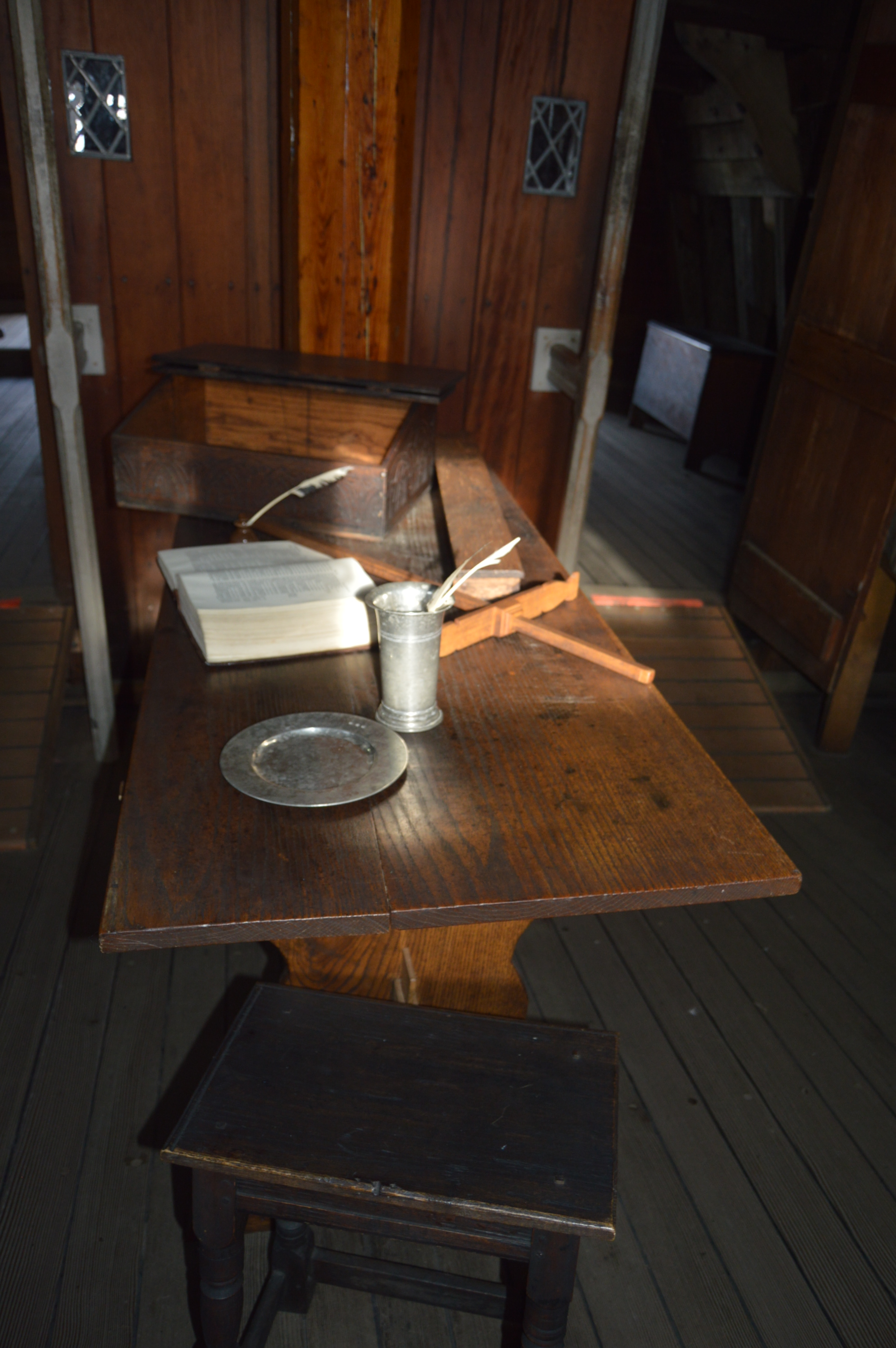
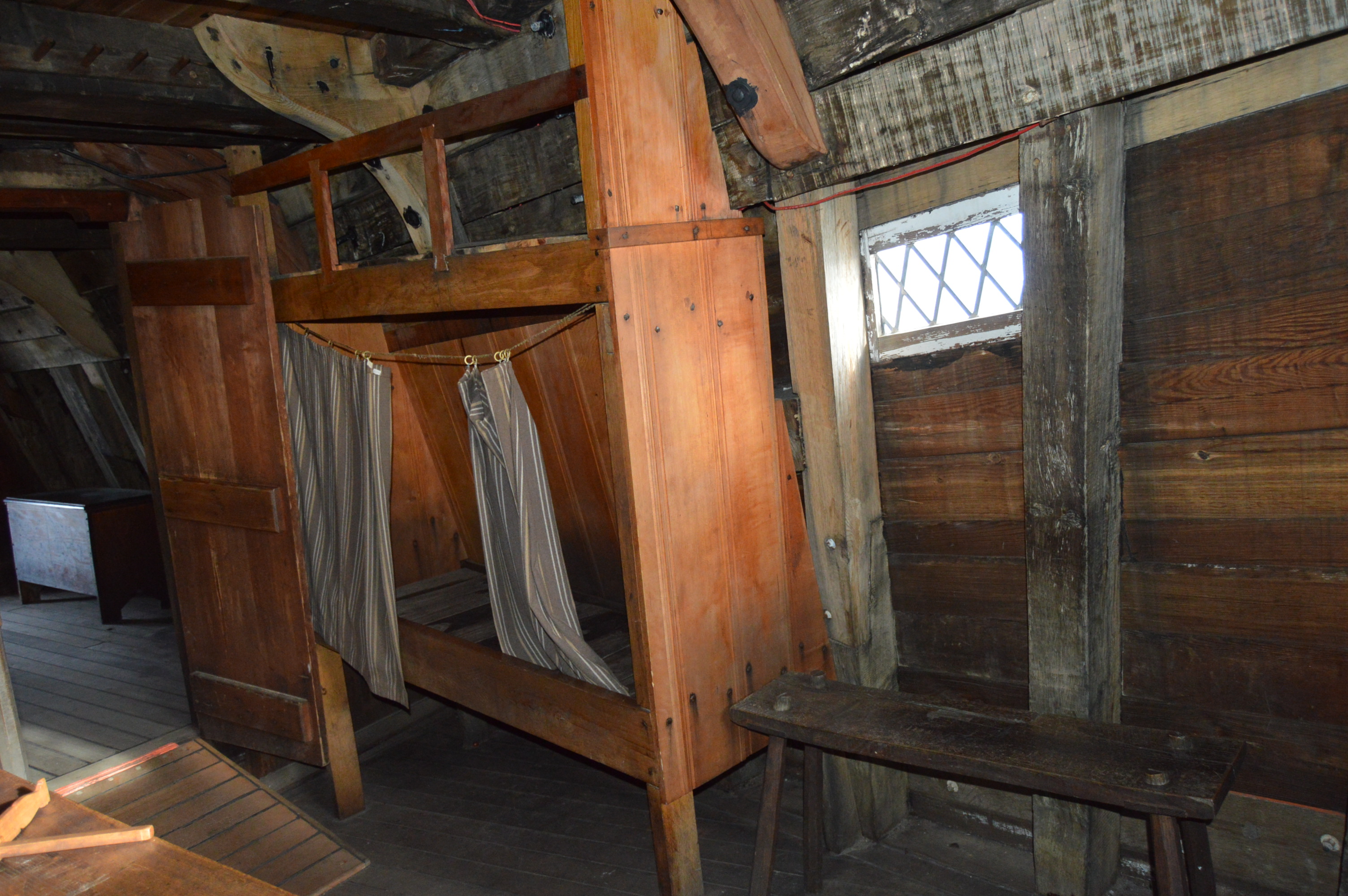
The quarters of the Mayflower were not the most comfortable. Not exactly Carnival Cruise.
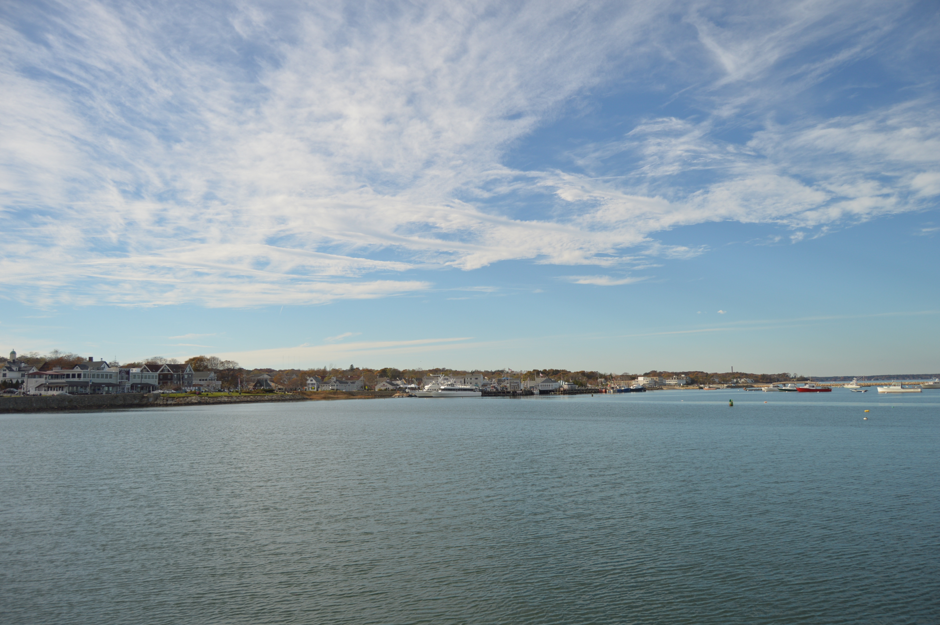
The views from the harbor were very pretty.
Meet Porsche, a service dog I saw as I was leaving the pier.
We in New England are no strangers to stormy weather. But, the first stormy weather of the season always seems to catch us off guard. After all, it was only the first weekend of October. Much too early for stormy weather. But, it is hurricane season, after all. During this first storm of the season, I decided to go to my second stormy destination of the day.
By the time I arrived at Wollaston Beach, the storm had died down quite a bit. But, it was still pretty windy and wavy.
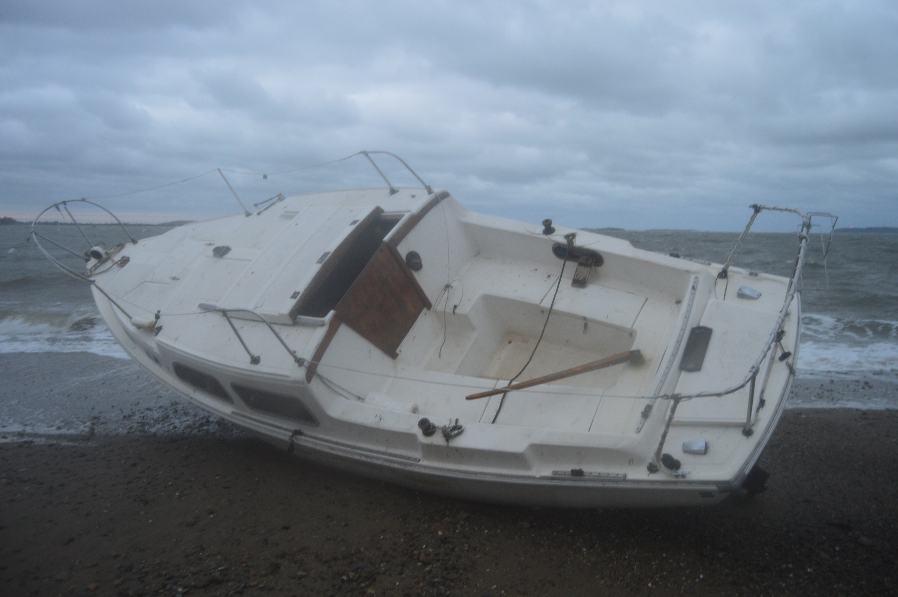
The water was rocky earlier in the day. This boat, the Cenzina, was one of three boats that were washed ashore Saturday.
Just like in life, a silver began to appear after the rocky weather.
Unfortunately, the wet weather made it hard to keep the lens dry which made some photos come out blurry. This was the best photo I could get of Maya.
To get the full effect of just how bad the weather was (and this wasn’t even during the peak time of the bad conditions) watch the video below. You may notice the light from the lighthouse in the distance at the tail end of the video.
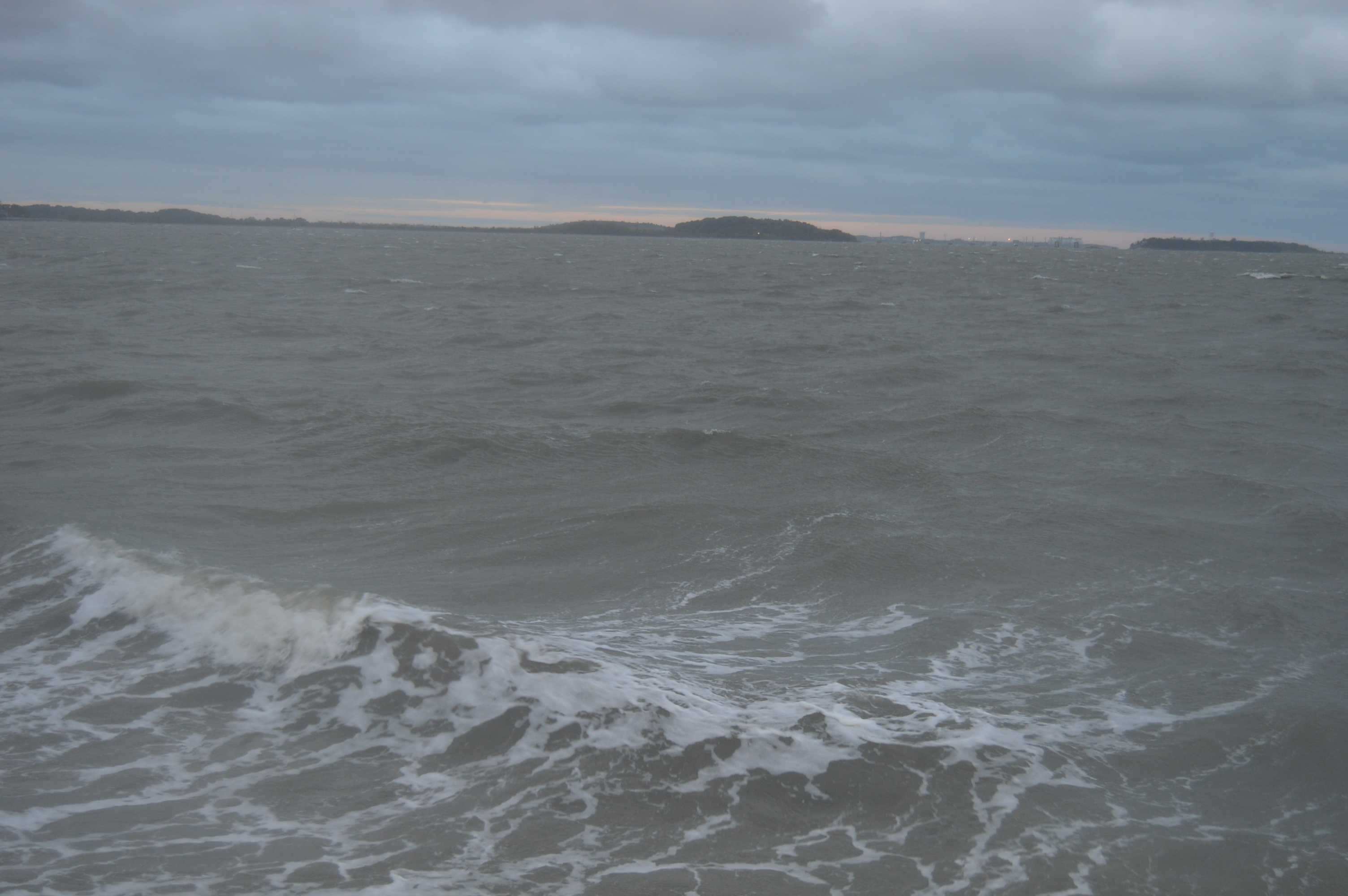
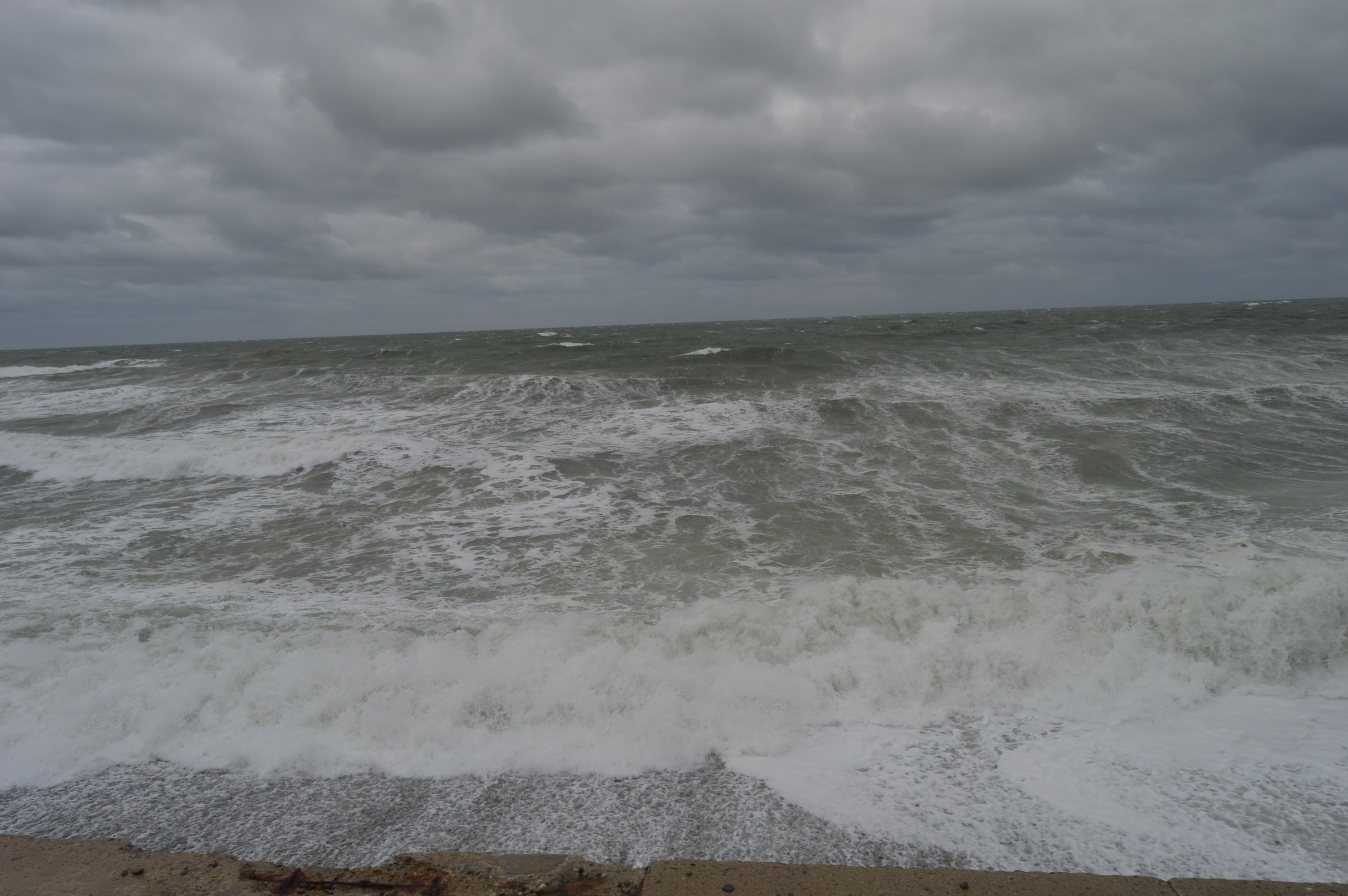
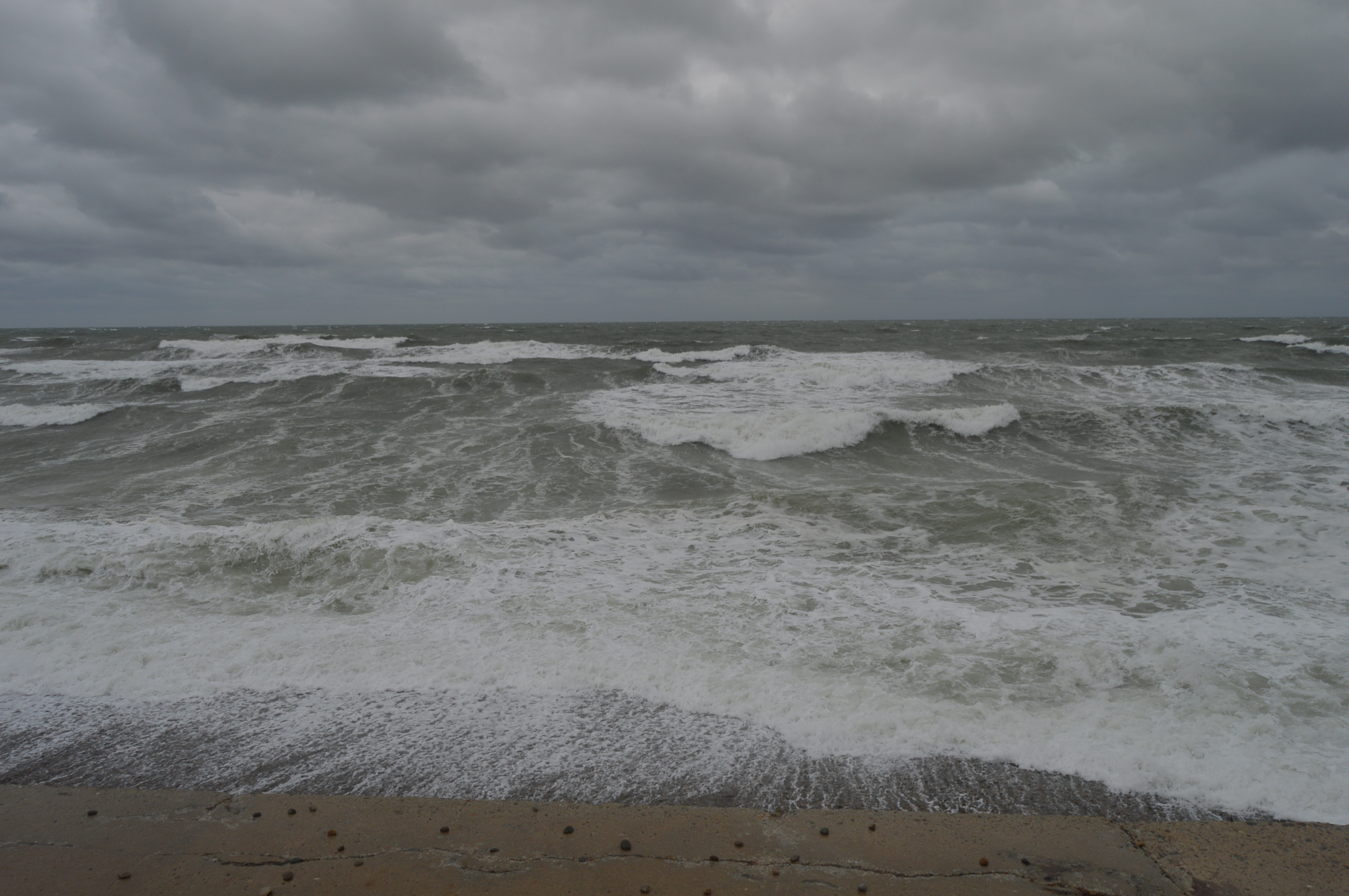
It’s the time of the year again when hearty New Englanders hunker down and storm the stores for candles, batteries and, of course, bread and water. Yes, hurricane season is upon us. However, this recent stormy weather from Saturday, as bad as it may have been, was not a hurricane.
Waves as high as 7 feet crashed down in some parts. Although it was not a hurricane or a Nor’Easter, the wind was strong enough to push you and your car around and the waves spilled over the sea wall in some parts.
Weather like this really puts you in your place. We are no match for Mother Nature.
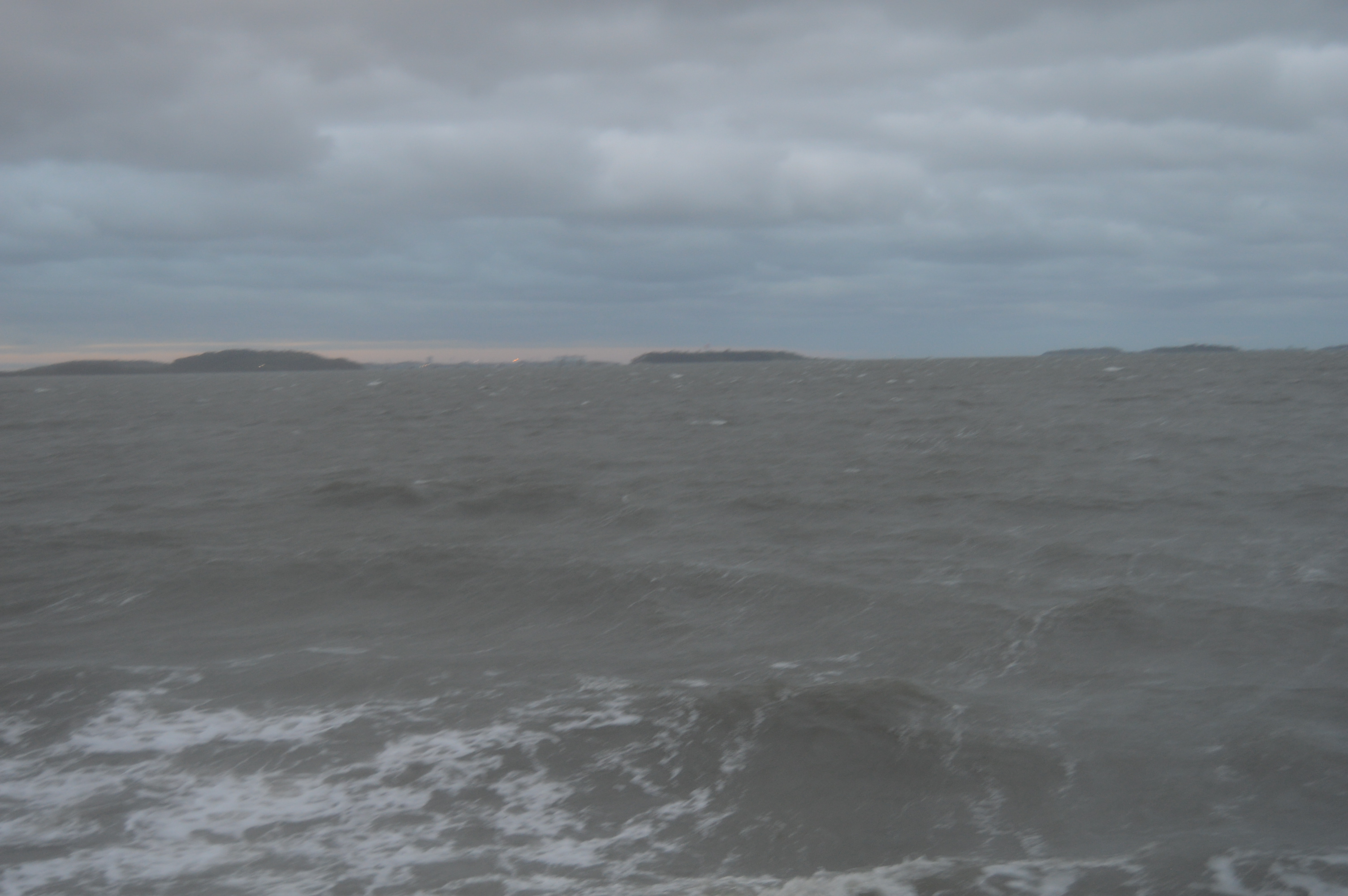
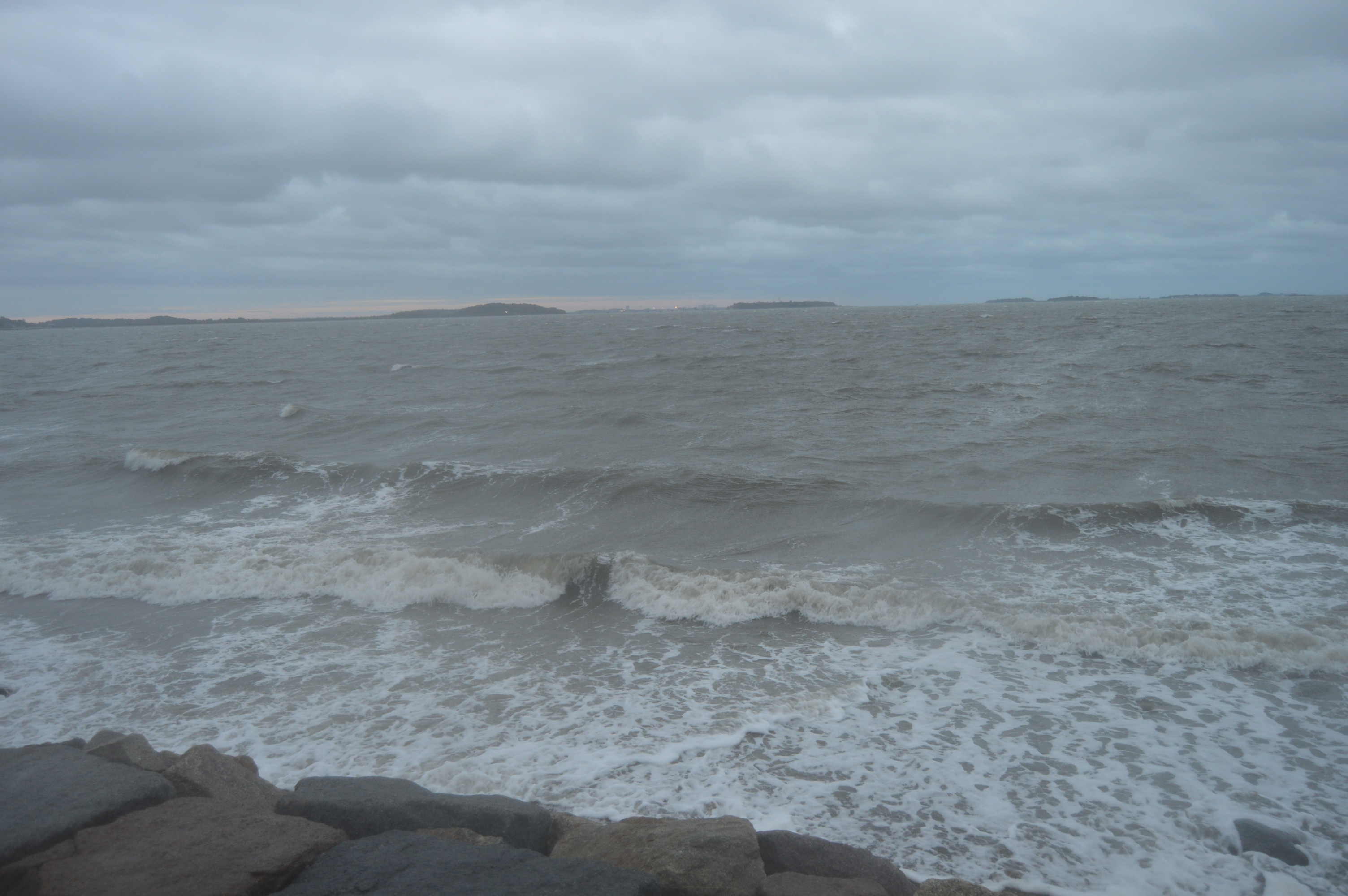
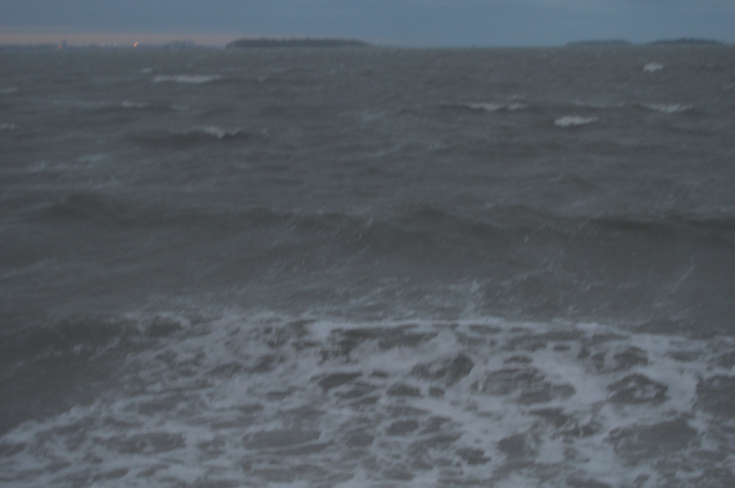
It was almost impossible to keep my lens dry and clear which spoiled some of my shots. I decided to post them anyways.
The waves crashing along the rocks gave a hypnotic effect.
If not for my ocean soaked clothes, being pelted by sand and the whipping wind, I could have stayed all day. It reminded me of how some things that are so beautiful can be so dangerous.
Of course, Brant Rock wasn’t the only place hit by this storm. Stay tuned for my next stormy destination.