Category Archives: scenic

Fort Taber/Fort Rodman Park (New Bedford, MA)

Date Visited: June 11, 2016

Location: 1000 Rodney French Blvd, New Bedford, MA

Parking: There are about 70-100 spots or so in the park itself but plenty of off street parking as well.

Cost: Free

Hours: Dawn until dusk
Dog Friendly: It sure is!

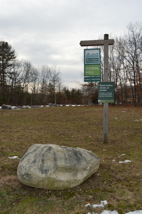
Highlights: forts, lighthouse, jetty, beach, war memorials, walking trails, playground with slides and swings for children (or adults if you’re so inclined), military museum, war reenactments, pretty views

DSC_0696

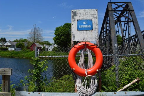
The highlight of the park for most visitors has to be the jetty.  Fishing off the jetty, or anywhere else at the park is allowed.  But, they have a strict “catch and release” policy because most of the fish are contaminated with PCB (poly-chlorinated bipenyls).  So, they would not be safe to eat.  PCB’s are known cancer causing toxins.  The New Bedford Harbor is lined with these cancer-causing toxins that were released into the harbor between 1938 and 1973 by factories such as the electrical component manufacturer Aerovox.  The harbor is in the process of being cleaned.  But, it could take many more years before the job is complete.

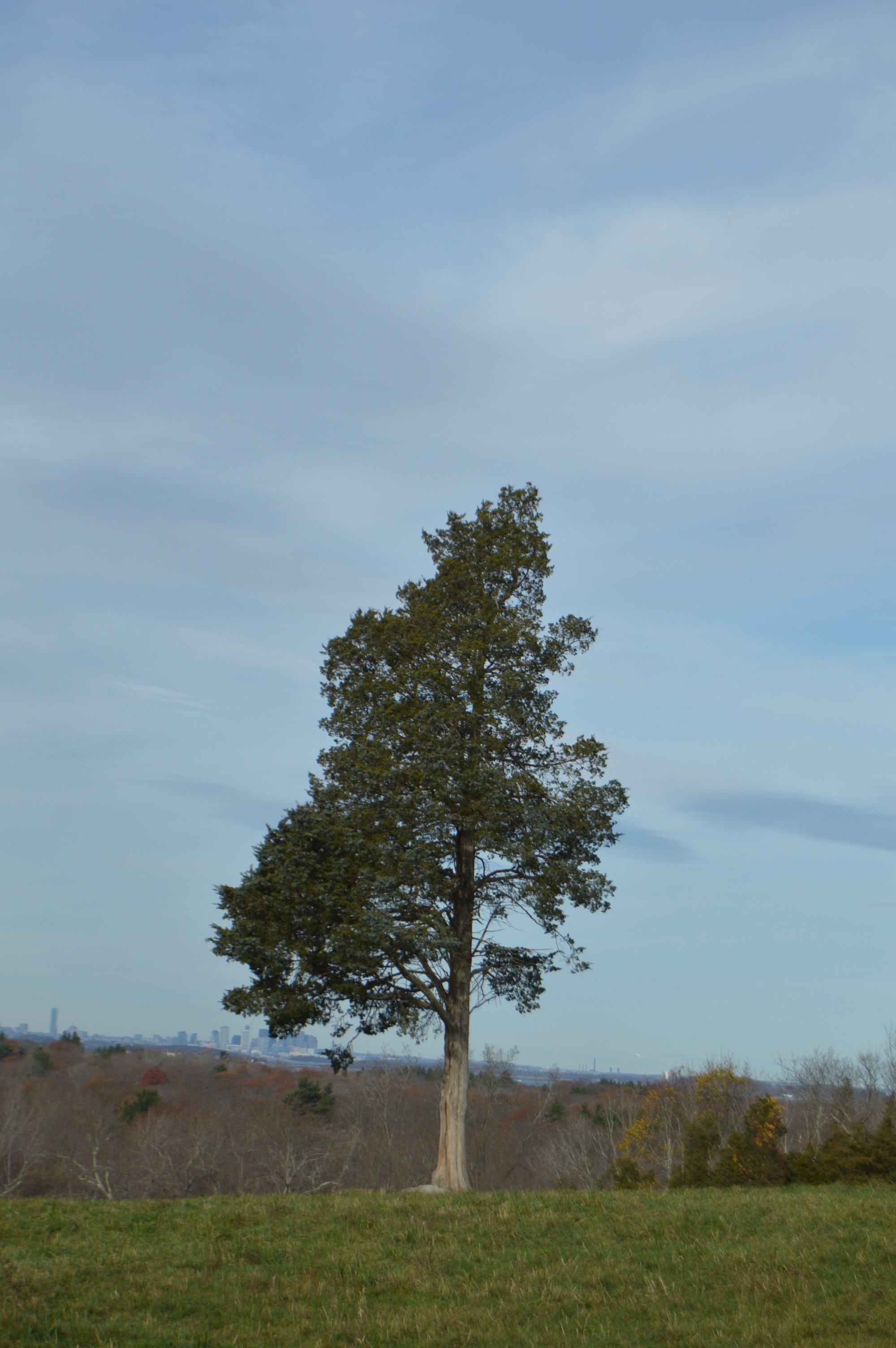
Seashells and seaweed were scattered along the bridge, evidence of some recent stormy seas.

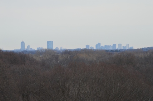
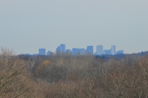
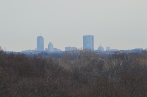
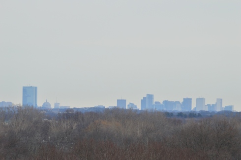
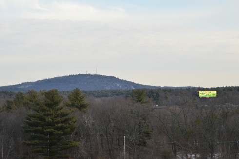
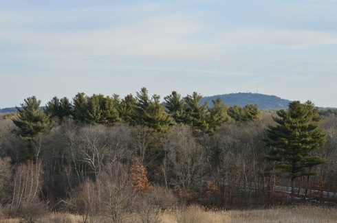
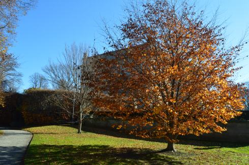
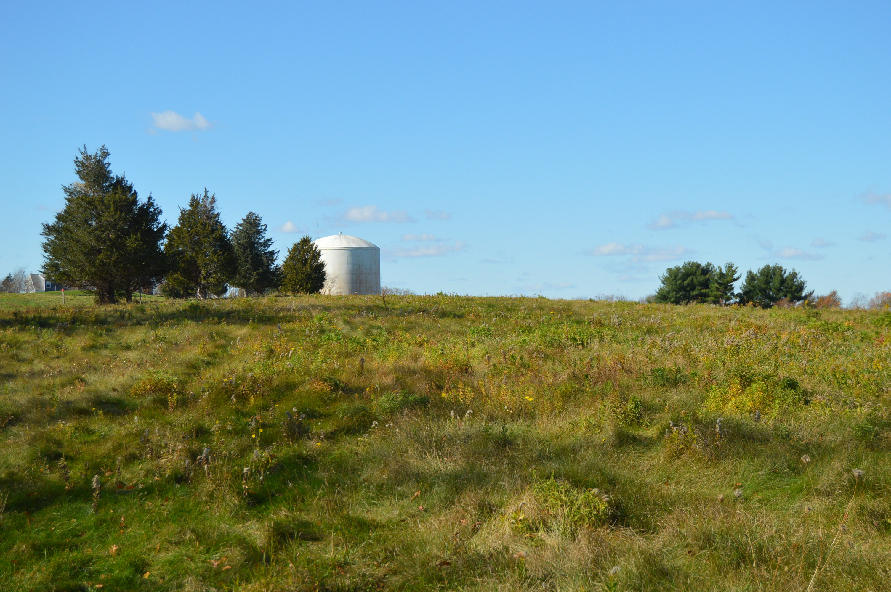
There are so many beautiful views and interesting things at Fort Taber Park.  The lighthouse in the photos is the

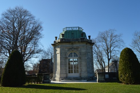
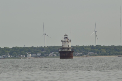
Since New Bedford has been known for its whaling and seafaring history, the park (and all of New Bedford) is also known for its lighthouses.  In the background of  the fort in the photo below you can see Clarks Point Lighthouse, first originally built in 1797 (it was replaced with a stone tower in 1804).

DSC_0819

The lighthouse below is the Butler Flats Lighthouse, originally built in 1898.

DSC_0699

There are several war memorials dedicated to the men and women of Fall River who have served their country, with a specific emphasis on those who were killed in action.

The memorial below is a Vietnam War Memorial that really stood out to me.  If you look closely at the board in the final photo, you can see photos of the service people from New Bedford who were killed in the war.   Everything about this memorial has meaning.  The 43 stars on the memorial represent all of the 43 people from New Bedford who died in Vietnam.  The outline of Vietnam is in orange as a reference to Agent Orange who died from Agent Orange.  Even the service ribbons on the memorial have meaning.  The blue ribbon represents the National Defense Ribbon which is representative of everyone who served in Vietnam.  The other two ribbons represent in country veterans.  The two plants at the memorial signify life.

This slideshow requires JavaScript.

There are also several memorials to all of the 20th century wars America has been in, although I did not notice any memorials for the Iraq and Afghanistan wars.  I am assuming this may be because those actions are still not officially over even if we have pulled out most of our military presence in those places.

A tribute does stand for Army Staff Sargent Joseph Camara of New Bedford, MA, who was killed in action on September 1, 2003 while serving during Operation Iraqi Freedom  when the humvee he was traveling in hit a land mine.  He was serving with the 115th Military Police Company as a member of the Rhode Island National Guard in the Iraq War.  He was 40 years old when he died.  He was also a member of the New Bedford Police Department.  His memorial is located at the bottom of the gallery below.

There is also a replica of a Sherman tank stands as a tribute to the LST amphibious force T-4 who lost their lives in training for the invasion on D-Day.  During the training exercises, sadly, many men lost their lives training for the invasion.

While I was visiting it was 17th century drill day.  Reenactors from the Dartmouth militia, in full 17th century garb, showed how weapons were used, described the different types of warfare of the day and answered any questions the public had.

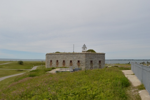
The staff also allowed visitors inside Fort Taber.  The guide explained they stopped using this Civil War fort once the ballistics that were used became too effective against the barricades of the fort.

Grass and rust had overtaken what was once a formidable fortification.

One of the best parts of my visit – on the way to my car, I saw this man and woman playing their instruments.


One of the great things I noticed about the New Bedford area as I walked around taking photos and from the crowd at Fort Taber is the diversity of the cultures and people of the area.  The photographs above illustrate this.  The music sounded like it had an up tempo flamenco influence.  It sounded beautiful.  And I love their attire.

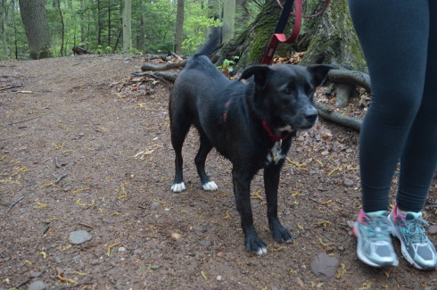
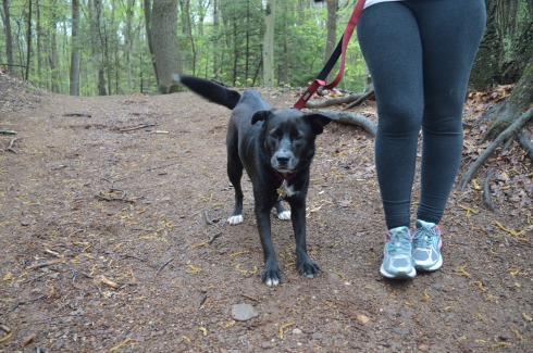
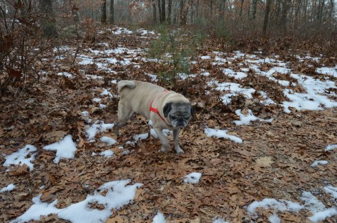
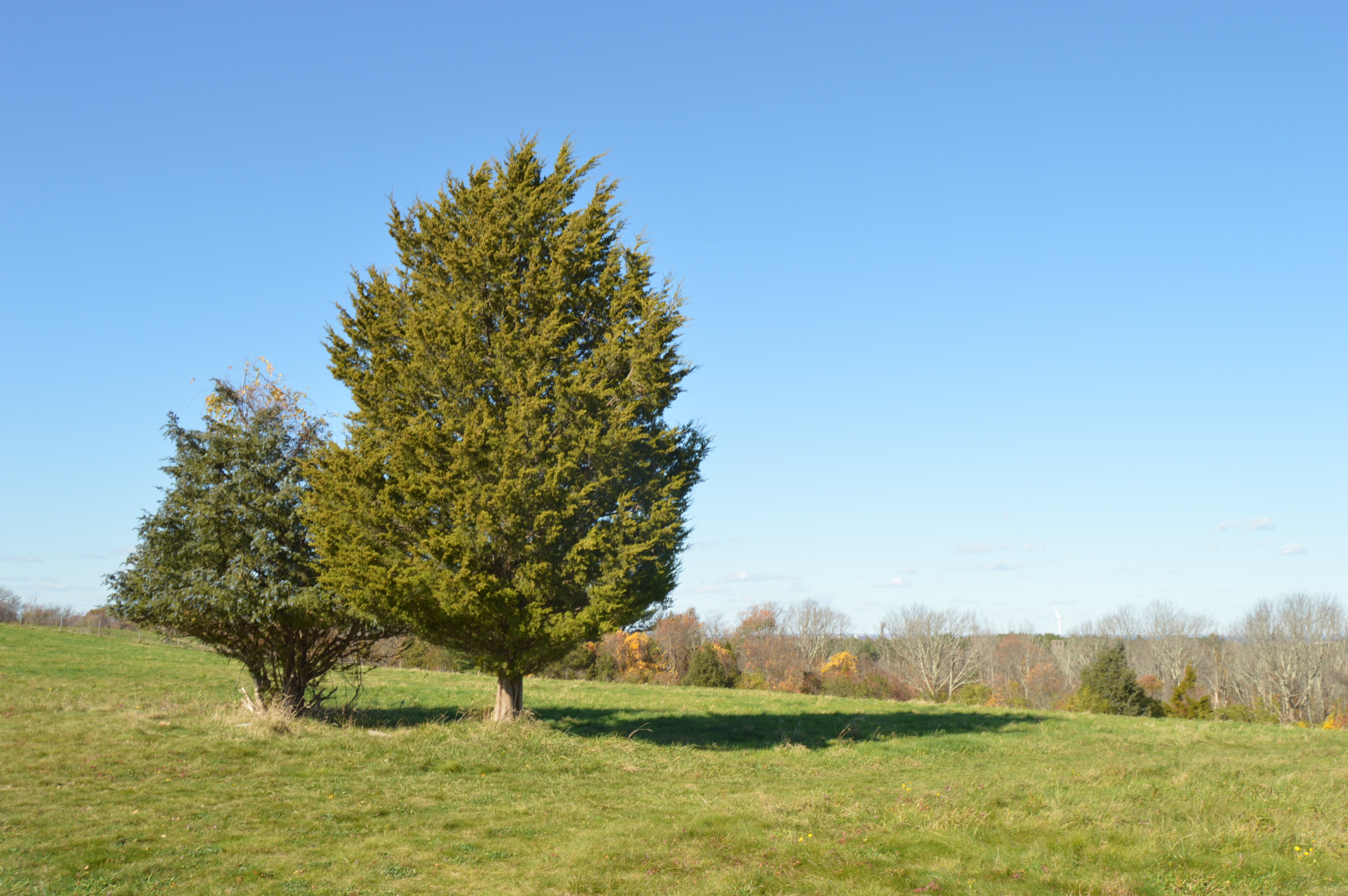
Fort Taber/Fort Rodman is a dog friendly park.  The park is a great place for dogs.  There are miles of trails for your dog to wander.

DSC_0787DSC_0786

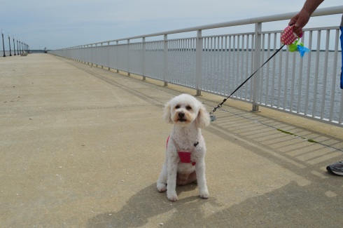
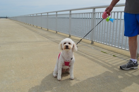
Sadie is a miniature poodle.  She will be 5 in August!  Early happy birthday wishes, Sadie!

DSC_0906DSC_0918DSC_0911

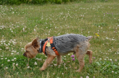
I also met Yoda, a 10 year old Yorkie.

Below is a video of the inside of one of the forts at Fort Taber.   It’s kind of spooky!

This video is a video of the military reenactors firing their weapons.

Please connect with me on Facebook!

New England Nomad


Dinosaur Footprints Reservation (Holyoke, MA)

Date Visited: May 31, 2016

Location: US-5, Holyoke, MA – it comes up pretty quick (about half a mile from the entrance to Mount Tom on Reservation Rd).

Cost: Free

Hours: Open from dawn until dusk

Parking:  There is room for about 5 cars.

Dog Friendly:  I didn’t see during my visit.  But, yes, they are welcome!

Highlights:  Dinosaur footprints, Connecticut River behind the footprints, active wildlife, very short and easy trail to the footprints and river

DSC_0813

A long, long time ago, the entire Connecticut River Valley, specifically the Holyoke area, was home to a variety of dinosaurs.   And you can still see their footprints in the ancient mudflaps of the region.  There are also remnants of flowers and even ripples of water from the streams that once flowed in the area.

This slideshow requires JavaScript.

The prints are believed to have been formed during the early Jurassic period, making them approximately 200 million years old.   Or, about as long as your average RMV/DMV wait time.

The main types of dinosaurs that are thought to have existed in this location are theropod dinosaurs.  Theropod dinosaurs are mainly 2 legged creatures.  Some of the more well-known Theropods are  Tyrannosaurus Rex, Velicoraptor and Torvosaurus (think some of the dinosaurs from the Jurassic Park movies).  It is believed these types of dinosaurs evolved into the birds that we now see so prevalent in the area.

I did see a lot of bird life but I didn’t see any theropods.

DSC_0982

One of the nice surprises was seeing the stream behind the footprints; the Connecticut River.  In fact, although seeing the footprints was cool, this may have been the highlight of the trip for me.

The Dinosaur Footprints Reservation is a great place to visit if you want to check out some cool remnants from a distant era.  But, it is also a nice place to go and sit by the river or go fishing.  Just don’t stay too long if you start seeing the water shaking.  You know, like in the movie.

Connect with me on Facebook: New England Nomad


Canalside Trail (Turner Falls, MA)

Date Visited: May 28, 2016

Location: Eleventh St, the village of Turner Falls in the town of Montague, MA

Parking: There is a small area by the shoulder of the road to park.  There is also off street parking available and most people seem to ride the bicycle or walk or run along the bridge and walkway.

Cost: Free

Highlights: Peaceful area (when it’s not rush hour), scenic, abundant wildlife, views of the Turner Falls Canal

This may not be the bridge of Turner Falls but it is a bridge in Turner Falls.  The more popular bridges in Turner Falls are Gill-Montague and  the Turner Falls Roadway.  But, since I was in Montague visiting the Montague Bookmill, I thought I would make a quick stop here.

This 11th Street Bridge pictured below was built by the Turner Falls Company.  According to the Historic American Engineering Record, the bridge is a double-intersection Warren through truss, with a pair of trusses on either side of the roadway, and lateral bracing between each pair, but none over the roadway.

DSC_0401DSC_0514DSC_0510

This 2.5 mile section of the Turner Falls Bikeway.  The bikeway, which people also use for jogging and walking, is wide enough to accommodate heavy traffic.  The walkway and bridge offer pretty views of the river and surrounding community.

This slideshow requires JavaScript.

There are additional bridges on the roadway.  Some, like the partially destructed bridge below, is no longer in use.  Out of service since the industrial shops closed some time ago, the foundations of the bridge still remain.  These remains are symbolic of the jobs and economic downturn the other otherwise idyllic neighborhood felt after many of the jobs left.

These steps led off the main trail  but didn’t seem to go anywhere as the street and residences were right next to the trail.  It may give walkers a closer look at some of the wildlife I heard rustling in the trees and underbrush.

DSC_0480

There’s no swimming allowed in the canal.  But, a life ring is there, just in case.

DSC_0560

Even though the Falls Turner Canal walkway is only a segment of the bikeway path, it is a great place for a peaceful stroll along a beautiful waterway.

Please connect with me on Facebook to see additional photos, videos and other posts that are not included in my blog posts: New England Nomad


Poet Seat’s Tower (Greenfield, MA)

Date Visited: May 13, 2016

Location:  Mountain Rd, Greenfield, MA

Parking: There are about half a dozen parking spots next to the tower and they fill up quickly.(and they were all filled at 8 o’clock on a Friday morning).  There is also parking at the gate of the entrance on Mountain Road for about another half a dozen vehicles.  The walk to the tower from the main entrance is about a mile.

Cost: Free

Hours: Open 365 days a year from sunrise to sunset

DSC_0095

Perhaps it’s the unobstructed, sweeping views of the landscapes or maybe it’s the solitude of being in such an isolated tall structure.  Whatever the reason, poets seemed to flock to this observation tower.  It has since been known as the “poets seat tower” because of the long tradition of poets that have been attracted to the location.  Frederick Goddard Tuckerman, a local poet at the time, is credited with bestowing this name on the structure in 1850.  The tower, which was built in 1912, now attracts people of all walks of life, not just poets.   Prior to the construction of the sandstone tower, a wooden observation tower had been built on the edge of the lookout in 1879.  A plaque at the tower acknowledges Tuckerman’s role in the history of the tower.

DSC_0981


Even before you reach the top of the tower, if you dare, there are some impressive views of the Greenfield (MA), Connecticut, Deerfield (MA) and Green River valleys.  The ledge of the road where the tower is bult has a rocky ledge from where you can get some views of the Greenfield area below.  It’s a long way down!

The highest point of Greenfield, the tower is 4 floors (counting the ground floor and top floor).  The views from each floor are pretty stunning.  After all the rain in the area, the greens were very vivid.

This slideshow requires JavaScript.

As I stood looking over the land below I couldn’t help but think of how the landscape has changed over the years.  Many years ago people looked over farmlands and valleys.  Now, we look over schools, houses, parks and businesses.  I also thought about all of the people who came here to rid their mind and soul of their worries by taking in the beautiful views.  It really can make you take a step back (and hopefully not forward) when you’re up so high and appreciating the nature around us.

The journey to the top is not difficult.  A trip up one stairwell and one spiral staircase take you to the top.

The arches and architecture of the tower rival the beauty of the views from the top of the tower.

This slideshow requires JavaScript.

And what would a historic structure be without graffiti?  As seems to be customary, particularly in Western Mass, there was graffiti on the walls of the sandstone structure.  It did seem fitting that poetry lined the walls of “Poet’s Seat Tower”

DSC_0075

“Jump off the cliff and build your wings on the way down”

DSC_0011DSC_0009

DSC_0039DSC_0052

The are also benches along the road to the tower which offer views of the area.  There are also hiking trails that branch off from the road to the tower.  The trails look easy to moderate but I could not walk on them because of time constraints.  I did hear a lot of presumably animal activity in the woods.

Below is a video of the view from the top of Poet’s Seat Tower

Please stop by my Facebook page and like me!  New England Nomad On Facebook


Wadsworth Falls State Park (Middletown, CT)

Date Visited: May 7, 2016

Location: 701 Wadsworth St, Middletown, CT or Cherry Hill Rd, Middlefield, CT

Cost:   When I went to visit, it was free.  I think they begin charging a fee starting Memorial Day weekend.  There is no fee entrance fee during the weekdays.  It costs CT residents $9 and it costs non Connecticut residents $15 to get in to the park during the weekend.  You also may be able to access the park for free at the Cherry Hill Rd entrance.

Hours: Open everyday from sunrise until night time.

Parking:  There are about 30 parking spots at the main entrance at Wadsworth St and another 20 or so at the Cherry Hill Rd entrance in Middlefield (pictured below)

DSC_0531

We entered at the main entrance on Wadsworth St.  There is a sandy beach area (there is a lifeguard on duty during the summer season).  Since it was an overcast and chilly day, there weren’t any people swimming but there were a lot of birds congregating near the water.

The highlight of the park, of course, are the falls.  The two waterfalls at Wadsworth Falls are creatively named “Little Falls” and “Big Falls.”

DSC_0464

Once you get on the main trail, you will eventually see the sign for the falls (after about a 3/4 to one mile hike).  From this sign, it is about a half mile hike to the Little Falls and a mile hike to Big Falls  if you enter from the entrance on Wadsworth St.  There are also lots of trails that branched off the main trail and would be fun to explore if you have the time.

You can avoid the longer hike by parking on Cherry Hill Rd.  Big Falls is accessible from a short walk down a well defined path from the lot on Cherry Hill Rd.  But, the parking lot at Cherry Hill Rd is smaller than the lot on Wadsworth St.

Little Falls is actually a pretty big fall, even if it isn’t the biggest one at the park.  But, the height of this waterfall may actually surpass the height of Big Falls.  The last few shots in the slideshow are from our trek back to the main parking lot.  The falls seemed much less rapid on our way back and you can see the ledges of the falls better.

This slideshow requires JavaScript.

There are a few different ways to get to Big Falls, the main attraction.  The safest, but longest way, is to follow the trail until you reach the edge of the park which filters onto Cherry Hill Rd.  The park is a short walk on a sidewalk to the right.  Or, you can cross the railroad tracks and follow trail along the tracks for quicker access.  There really isn’t a defined trail but there is space to walk a safe distance from the tracks.  The railroad is still in operation but we didn’t see any trains while we were there.

There are two places I photographed the waterfalls from but there are probably even more places to view the waterfalls.  The first place is a little tricky to get to and potentially dangerous.  There is a path that goes off the trail across the tracks and up to ta cliff that offers some decent views of the waterfall.  I did take some photographs from there but I would bypass it and go to the parking area of the entrance on Cherry Hill Rd to get a safer, closer and less obstructed view of the waterfalls.  The first two photos are from the cliff area the rest are views from the entrance to the park.

This slideshow requires JavaScript.

From the main entrance on Wadsworth St it is about 1.5 mile hike to the falls and it is a 3.4 mile trail loop to walk the entire park.  There were bicyclists, walkers and other photographers along the trail.  Because of the inclines and, in some areas, rocky terrain, it would be a challenging place to go for a run.  I would describe the trails as being easy to slightly moderate because of the inclines and rocky trails.

There are also pretty trees, bridges, plants, brooks and streams along the trails.

This slideshow requires JavaScript.

There was a lot of bird activity at Wadsworth Falls such as this male red-winged blackbird.

DSC_0321

There are a variety of bird life at Wadsworth including bats.  This is a bat house.  It was built and maintained as part of an Eagle Scout project to help restore the bat population.  It was good to see that it’s not only the cute animals that are being helped.

Toads and other amphibious life is also abundant at Wadsworth State Park.  It was still pretty cold out so these toads seemed out of sorts.  We gently picked them up and tried to find a warmer place for them under some leaves.

Leashed dogs are allowed at Wadsworth State Park.  It is a great place for dogs to play and roam around.   Caesaris (pronounced Kay-sar-is), a friendly 1 year old female Labrador and Australian Sheep Dog, enjoyed the unseasonably cool weather with his mom.

DSC_0467

DSC_0466

Below are some videos I took of the falls.  The power, crispness and sound is much more evident in the videos.


Signal Hill (Canton, MA)

Date visited: January 31, 2016

There are about a dozen parking spaces in the main parking lot.  If needed, you can also park on the side of the road by the parking lot.

Cost: Free

Hours: open daily, sunrise to sunset

DSC_0346

Before you even begin climbing the ascent to Signal Hill, the views from the parking lot are astounding.

Besides the historical significance (it used to be the home to the Paleo-Americans who settled on what would become the Neponset River) and the active wildlife (hawks are said to nest there and many amphibians inhabit the area by the river), Signal Hill also offers grand views of the Boston Skyline, Blue Hills and the Neponset River Valley.

The hill to the scenic outlook at Signal Hill is modest at best.  It should only take 10 minutes to go from the parking lot to the outlook.

DSC_0175

The views are worth the short hike.

DSC_0208DSC_0238DSC_0209DSC_0194DSC_0183DSC_0186DSC_0196DSC_0195DSC_0282DSC_0284DSC_0250DSC_0251

The scenic overlook has some pretty trees and rocks.

One of the charming features of Signal Hill is the short loop (1.6 miles) at the base of the hill.  After climbing and trudging along so many long and steep hills, it’s refreshing to be able to take a leisurely stroll along the clearly defined trail.  There are also trails that veer off a little.

Off the main trail there is a canoe launch site on the Neponset River.  The upstream launch site goes to Norwood (MA) while the downstream site leads to Milton (MA).

Since there is little traffic on the road, the road to Signal Hill is popular with joggers and cyclists.

I met Charley during my visit.  He was having fun playing in what remained of the snow on the trail.

DSC_0171

A 360 degree video of the overlook at Signal Hill

Connect with me on Facebook New England Nomad


Myles Standish State Forest (Carver, MA)

Date visited: December 6, 2015

Spending a crisp autumn day at Myles Standish State Park makes you long for summer days.

Since it is so big, Myles Standish has several parking areas.  I parked at the main parking area where the ranger headquarters is located on Cranberry Rd.  There were about 30 or 40 parking spots at this parking area.  It wasn’t a problem finding a spot when I went but I bet it fills up quickly if you don’t go early during the spring and summer.  Myles Standish also has camp sites for tents and some for RV’s.  It costs $8 for MA residents and $10 for non MA residents to visit for the day when the park is open for the season.  It is free off during the off season.

As beautiful as the forest is in late fall, it must be even so much prettier when all the flowers are in bloom or during foliage season.  The wind was just strong enough to give the water a little ripple effect.

This slideshow requires JavaScript.

There were birds a plenty at Myles Standish.  The woodpecker in the second photo was too busy pecking to be scared away.

DSC_0944

DSC_0975

Myles Standish is a huge forest and it extends into several towns.  There are 16 ponds, 13 miles of hiking trails and 15 miles of biking trails in Myles Standish.  I stopped by Fearing Pond.

This slideshow requires JavaScript.

There was also quite a few pretty trees and vegetation at the forest.

My one gripe about Myles Standish is the amount of trees they had cut down.  It wasn’t clear why they had the trees down.  But, it was unsettling nonetheless.

Don’t forget to like my Facebook page!

https://www.facebook.com/newenglandnomad


The Elms (Newport, RI)

Holidays and mansions.  Sounds like a pretty good combination to me.  That is what the folks at  the Newport mansions are offering all their patrons.  As part of the holiday season, the Newport mansions have been decorated for the season.  The $29 tour includes 3 of the mansions (The Elms, The Breakers and The Marbles).  But, I was only able to see The Elms Mansion.

DSC_0591

The mansions aren’t the only ornate buildings in the area.  Some of the homes in the area are very pretty as well.  Before you arrive at the mansions, you can peak at the pretty houses in the neighborhood.

When you enter the mansions, you are given an audio player with headphones to use as part of the self guided audio tour.  Indoor photography is limited to certain rooms (usually they don’t allow photography at all in the mansions but they relaxed their policy slightly for the holiday tours).  I might have sneaked in a few more photos from the rooms that weren’t authorized for picture taking.  It’s actually kind of a good thing that they limit photography because you could easily be inundated with things to photograph.  One room seemed more beautiful or interesting then the previous room.

This slideshow requires JavaScript.

Photo taking is allowed on the exteriors of the mansions and the grounds of the buildings.

DSC_0597DSC_0595DSC_0661DSC_0669DSC_0663DSC_0653DSC_0675DSC_0685DSC_0658DSC_0665DSC_0655DSC_0677

The mansions are available for tours throughout the year.  So, if you can’t make it there during the holiday try going another time when it is less busy.  If you go to the holiday mansion tour, it is only during daylight hours.  Parking can be difficult, especially if you arrive later in the day.  But, you should be able to find parking somewhere in the area if you can’t find a spot in the parking lots at the mansions.


Webb Memorial State Park (Weymouth, MA)

Once a seasonal campsite for Native Americans as well as the site for a fertilizer factory and a missile launcher warehouse, Webb Memorial State Park has gone through many changes over the years.  It has since been cleaned up and developed into one of the lesser known jewels of the South Shore of Massachusetts.

DSC_0808

Named after William K. Webb, a World War II and police officer from Weymouth, Webb Park is a popular spot for joggers and other outdoor enthusiasts.  There are many different paths that offer various pretty views of the skyline of Boston and the surrounding cities.

You can see planes flying to and from Boston’s Logan International Airport.  They are so loud you can hear them clear across the harbor.

DSC_0302

There are also several monuments at Webb State Park.

This memorial is named after John Cole, a former resident of Weymouth, MA.

This memorial is dedicated to Chief Engineer Donald F. Haviland.  Haviland was on the Henry Bacon which took heavy damage from enemy bombers.  He refused to take a seat on one of the lifeboats because the lifeboats were running out of room and not everyone could fir on the lifeboats.  Haviland gave up his seat on the lifeboat to a younger person and he died when the ship sunk.  He is certainly worthy of our admiration and this token of our appreciation.  This memorial certainly makes you think.

DSC_0214

Another monument memorializes the Grape Island Alarm which was a Revolutionary War battle where a Weymouth militia fought back the British Navy.

This slideshow requires JavaScript.

There is also a memorial dedicated to Domenic J. Sansone.

There are a variety of birds in the area.  I was lucky enough to photograph this woodpecker

DSC_0922

a sparrow

DSC_0844

and this female cardinal.  You might have to enlarge the photo at the top of one of the branches toward the right side of the tree.

DSC_0986

I also spotted this bird.  Another one that might be a little hard to see unless you zoom in.

DSC_0828

There were many additional land animals at the park during my visit. (top left to right – Nandi, Molly and Ziggy, bottom left to right – Ellsbury, Louie and Olly)

There were so many beautiful spots at Webb Memorial Park.  I have included a few more miscellaneous images in the slideshow below.

This slideshow requires JavaScript.


Weir River Farm (Hingham, MA)

Last week, I posted about my visit to Whitney And Thayer Woods.  I wanted to break the post into two parts because it would have been too big to do as one post and there were quite a few photos I wanted to share.  So, without further ado, Weir River Farm…

As you emerge from the dense Whitney and Thayer Woods, you see a welcome scene: open space and scenic views.

DSC_0202 DSC_0243

One of the more endearing features of Weir River Farm are the trees

DSC_0710DSC_0295  DSC_0700    DSC_0740  DSC_0231  DSC_0222

DSC_0736 DSC_0737DSC_0676DSC_0729

There was also a fancy rock formation.

DSC_0242

On a clear day, like the one from the day I visited, you can see Boston and other surrounding areas

DSC_0287DSC_0298

DSC_0289DSC_0292

DSC_0293DSC_0753

DSC_0801DSC_0786

Holy Cow!  Weir River Farm had their cows grazing when I stopped by.

DSC_0762DSC_0784DSC_0806DSC_0790DSC_0778DSC_0798

I saw Hudson, a 6 year old Newfoundland at Weir River Farm

DSC_0238

and this cutie

DSC_0232